Detailed Map of Rensselaer, Missouri
A detailed map of Rensselaer, Missouri, showing every building in its true location, the roads by name, and shaded topographical relief.
Read More
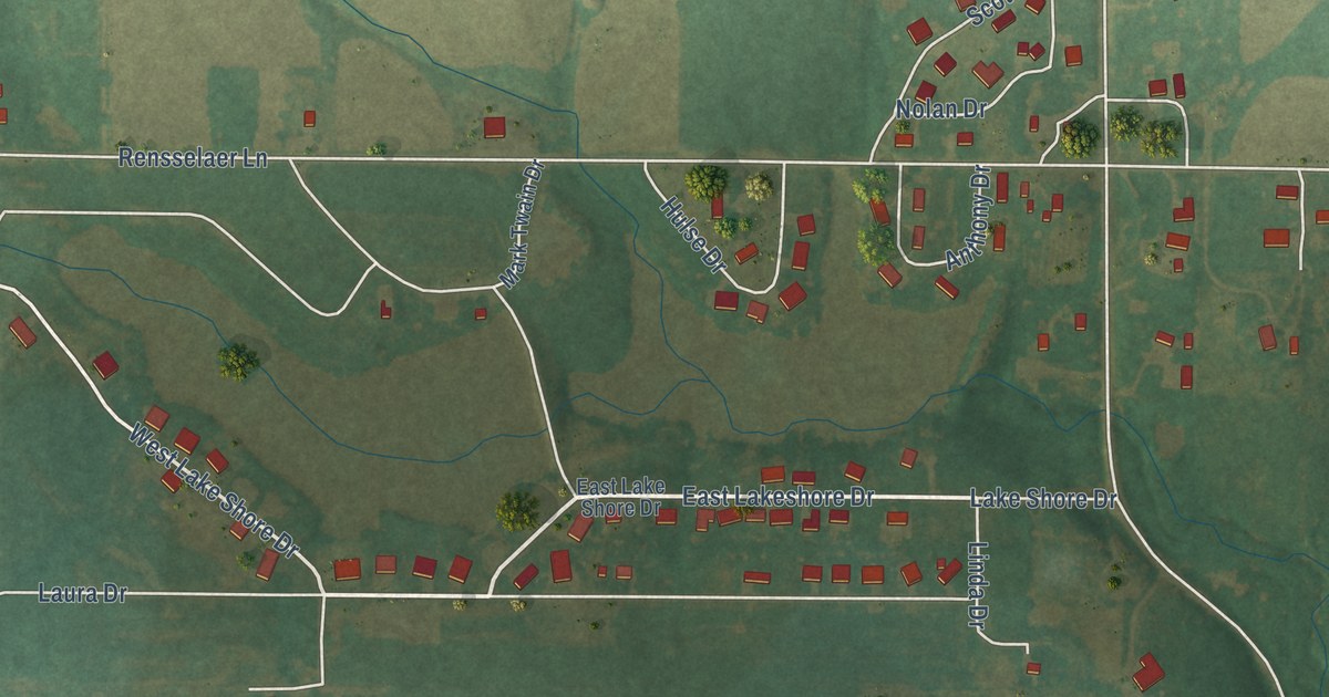
A detailed map of Rensselaer, Missouri, showing every building in its true location, the roads by name, and shaded topographical relief.
Read More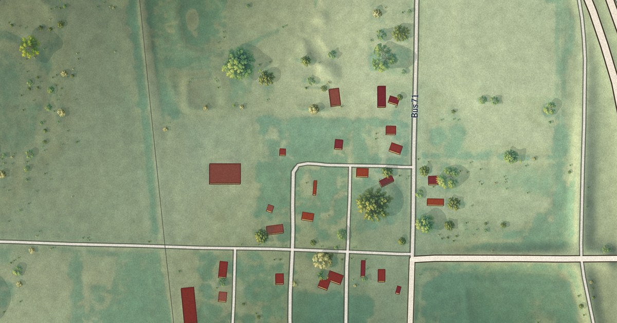
A detailed map of Passaic, Missouri, showing every building in its true location, the roads by name, and shaded topographical relief.
Read More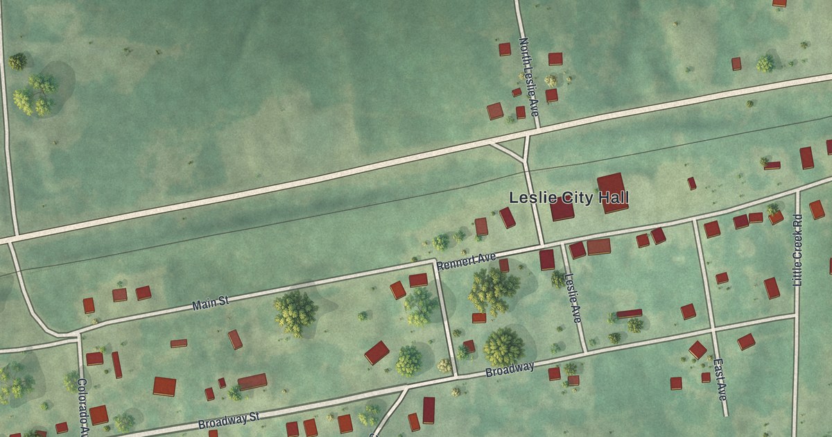
A detailed map of Leslie, Missouri, showing every building in its true location, the roads by name, and shaded topographical relief.
Read More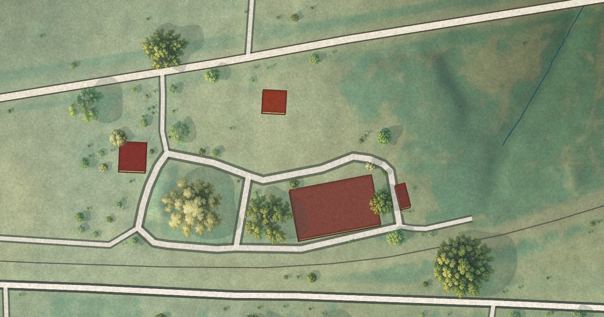
A detailed map of Goss, Missouri, showing every building in its true location, the roads by name, and shaded topographical relief.
Read More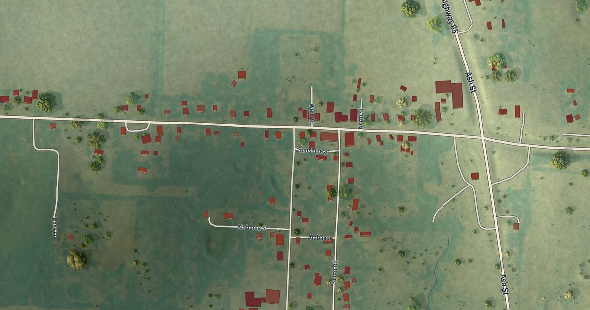
A detailed map of Louisburg, Missouri, showing every building in its true location, the roads by name, and shaded topographical relief.
Read More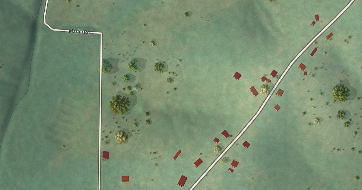
A detailed map of Brumley, Missouri, showing every building in its true location, the roads by name, and shaded topographical relief.
Read More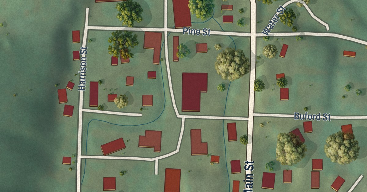
A detailed map of Centerville, Missouri, showing every building in its true location, the roads by name, and shaded topographical relief.
Read More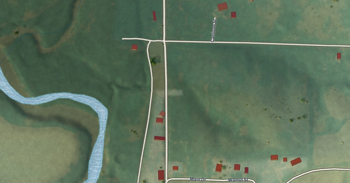
A detailed map of Denver, Missouri, showing every building in its true location, the roads by name, and shaded topographical relief.
Read More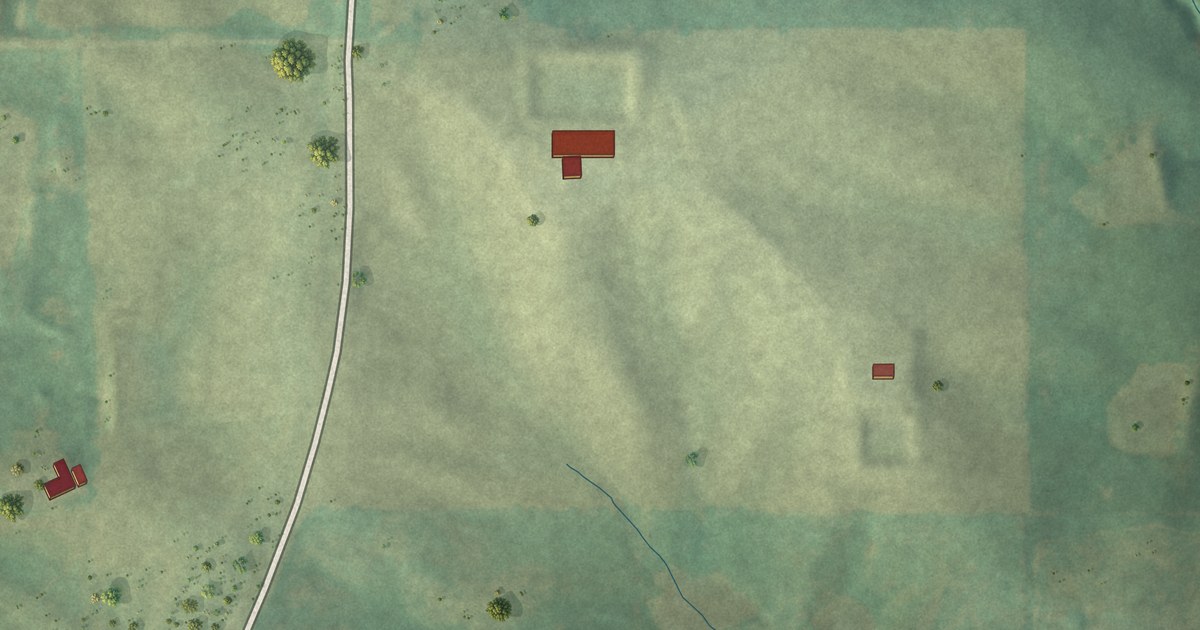
A detailed map of Irena, Missouri, showing every building in its true location, the roads by name, and shaded topographical relief.
Read More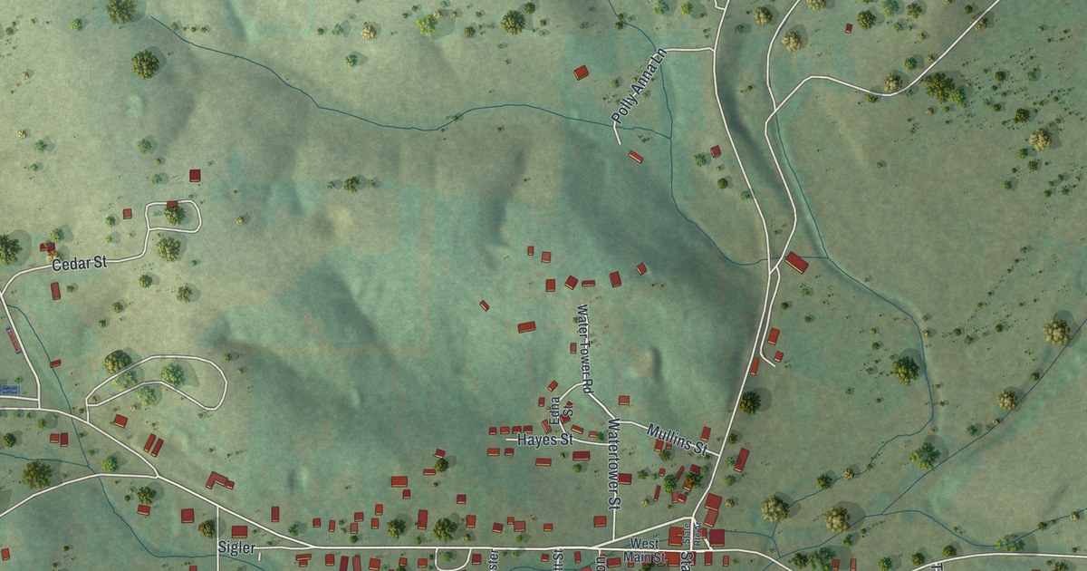
A detailed map of Bakersfield, Missouri, showing every building in its true location, the roads by name, and shaded topographical relief.
Read More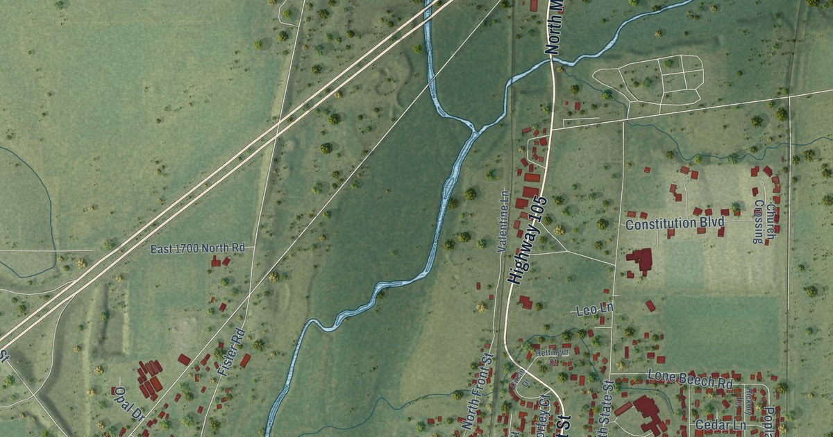
A detailed map of Monticello, Illinois, showing every building in its true location, the roads by name, and shaded topographical relief.
Read More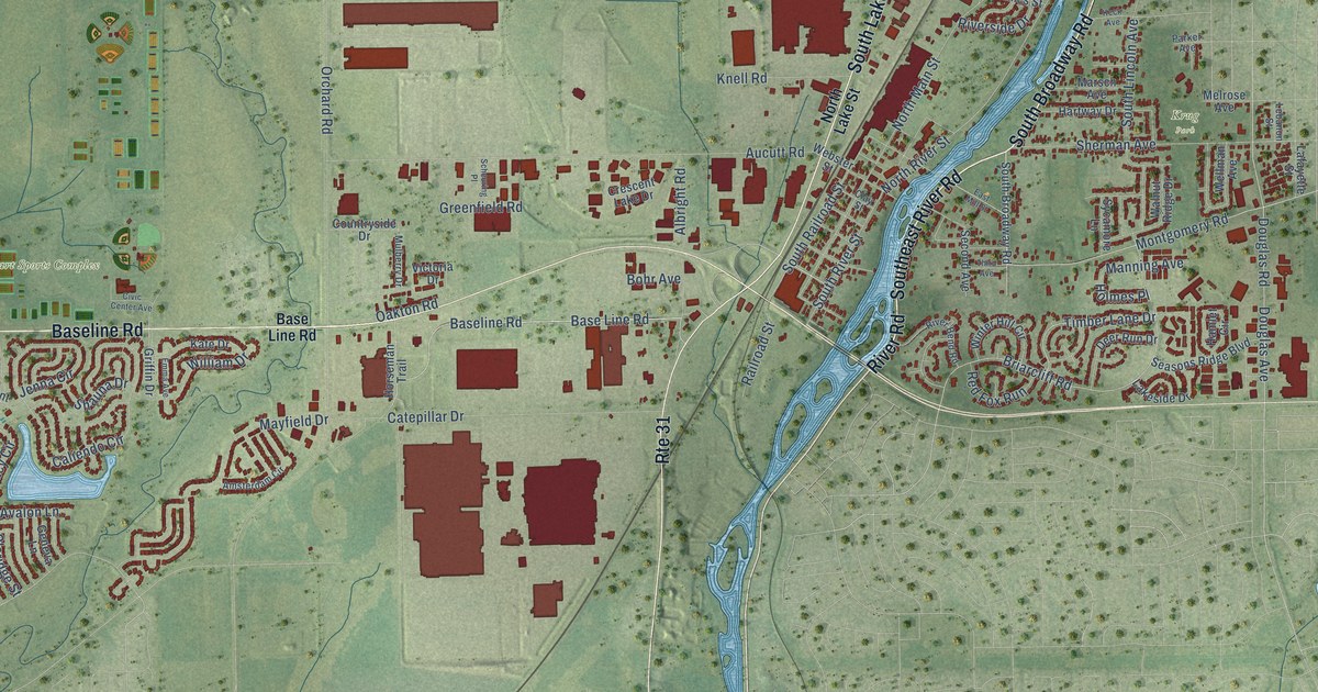
A detailed map of Montgomery, Illinois, showing every building in its true location, the roads by name, and shaded topographical relief.
Read More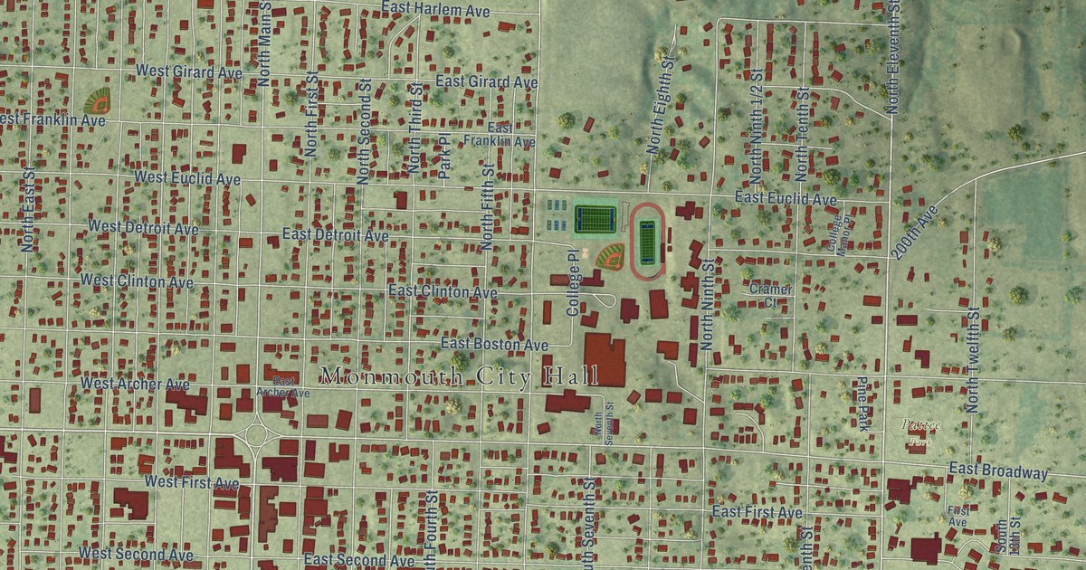
A detailed map of Monmouth, Illinois, showing every building in its true location, the roads by name, and shaded topographical relief.
Read More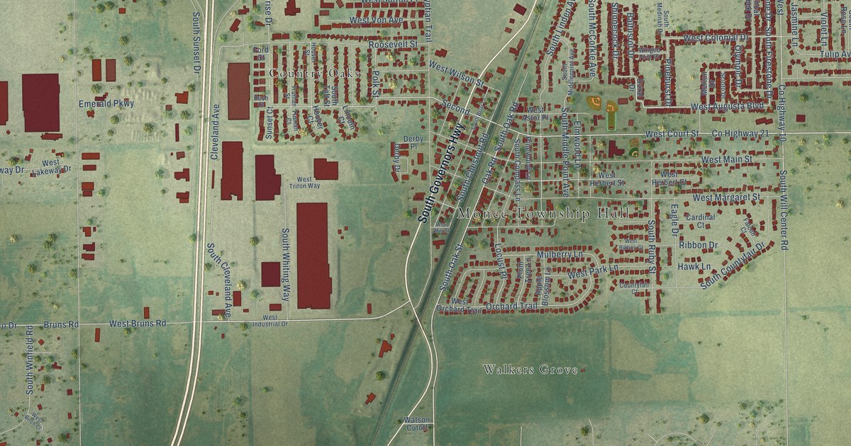
A detailed map of Monee, Illinois, showing every building in its true location, the roads by name, and shaded topographical relief.
Read More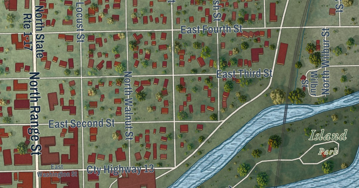
A detailed map of Momence, Illinois, showing every building in its true location, the roads by name, and shaded topographical relief.
Read More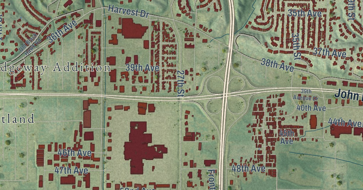
A detailed map of Moline, Illinois, showing every building in its true location, the roads by name, and shaded topographical relief.
Read More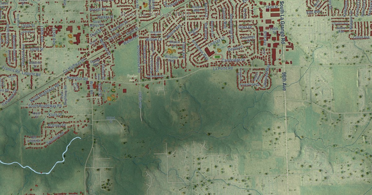
A detailed map of Mokena, Illinois, showing every building in its true location, the roads by name, and shaded topographical relief.
Read More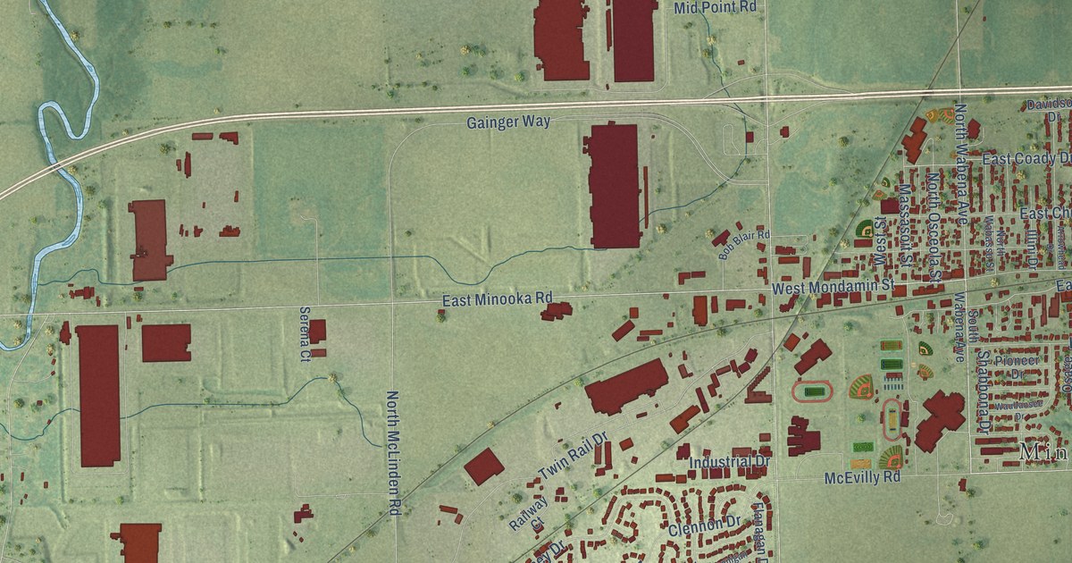
A detailed map of Minooka, Illinois, showing every building in its true location, the roads by name, and shaded topographical relief.
Read More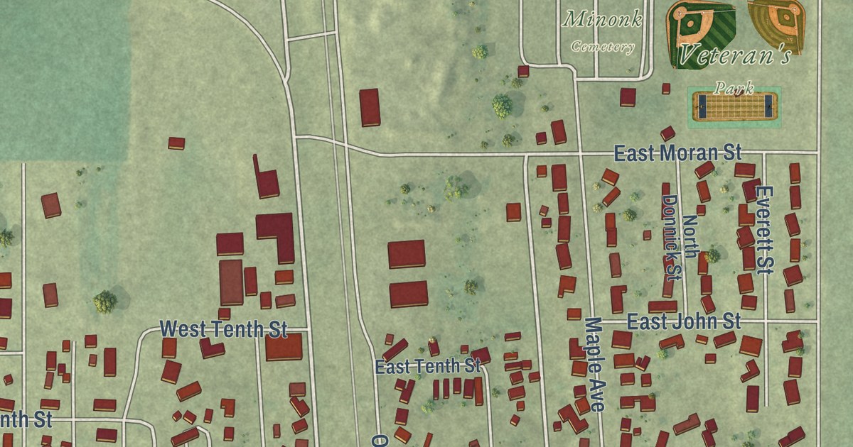
A detailed map of Minonk, Illinois, showing every building in its true location, the roads by name, and shaded topographical relief.
Read More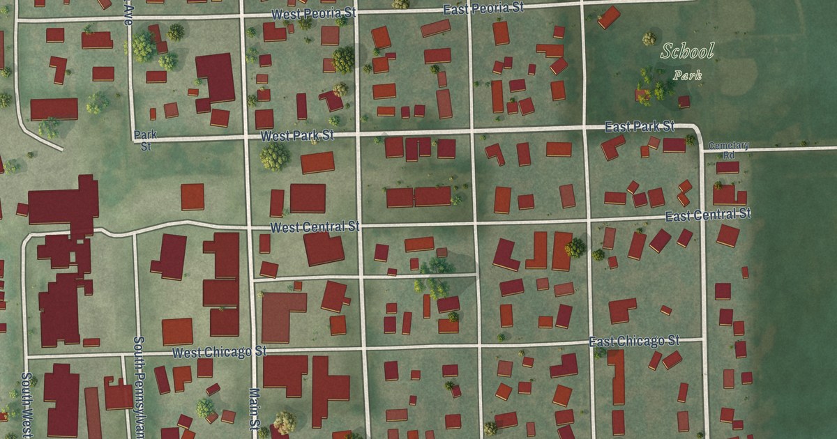
A detailed map of Minier, Illinois, showing every building in its true location, the roads by name, and shaded topographical relief.
Read More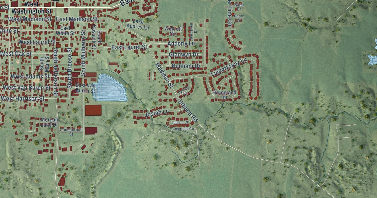
A detailed map of Millstadt, Illinois, showing every building in its true location, the roads by name, and shaded topographical relief.
Read More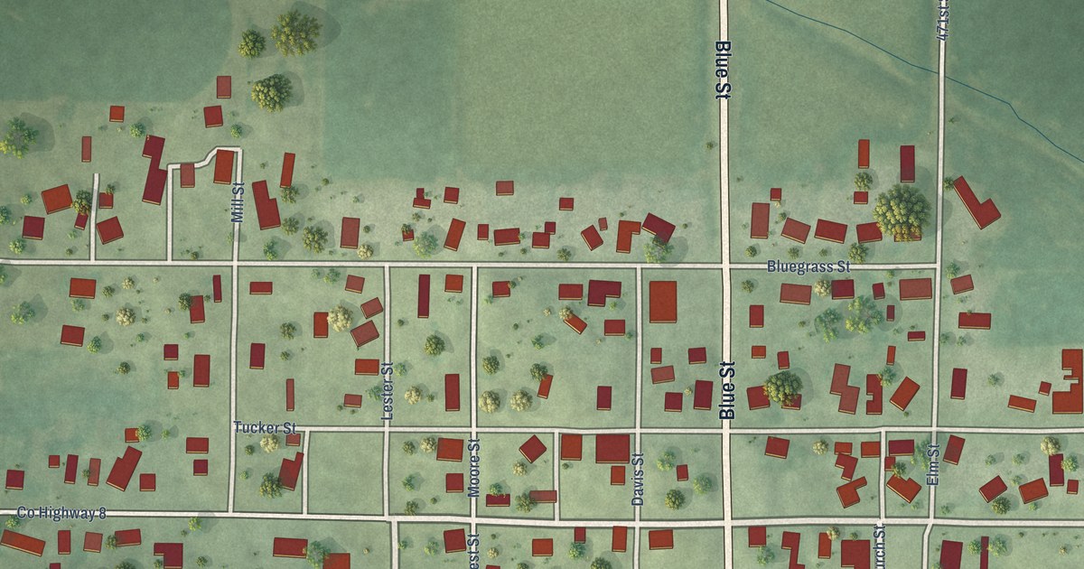
A detailed map of Milton, Illinois, showing every building in its true location, the roads by name, and shaded topographical relief.
Read More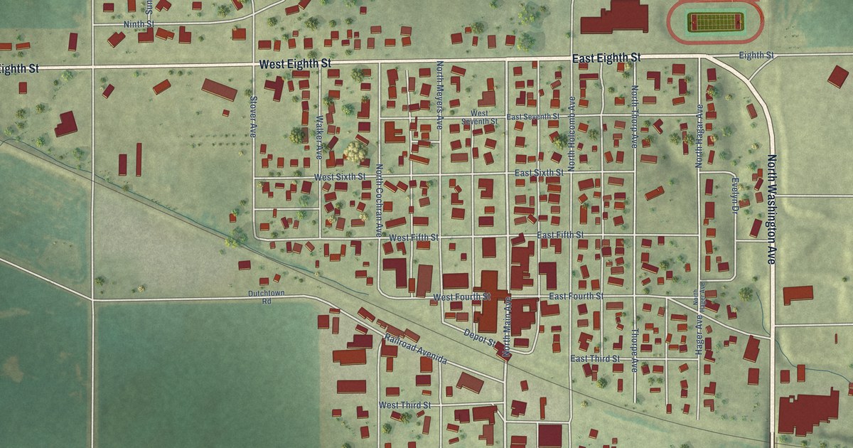
A detailed map of Milledgeville, Illinois, showing every building in its true location, the roads by name, and shaded topographical relief.
Read More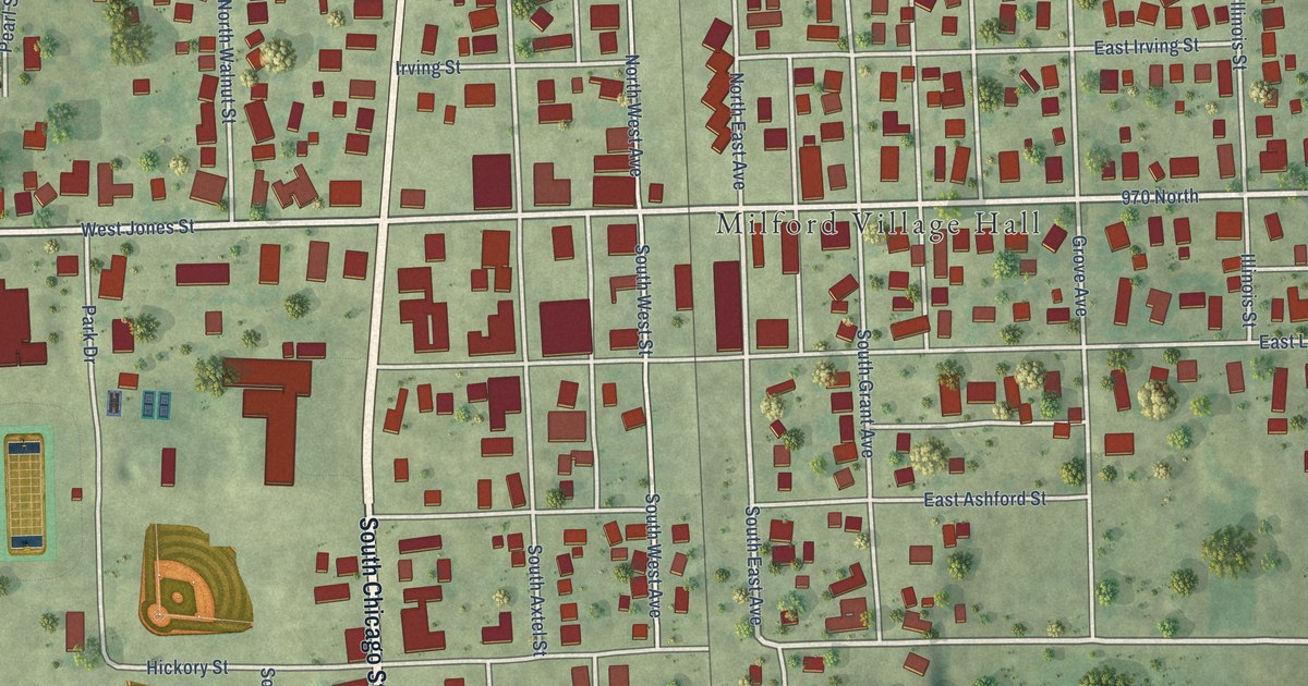
A detailed map of Milford, Illinois, showing every building in its true location, the roads by name, and shaded topographical relief.
Read More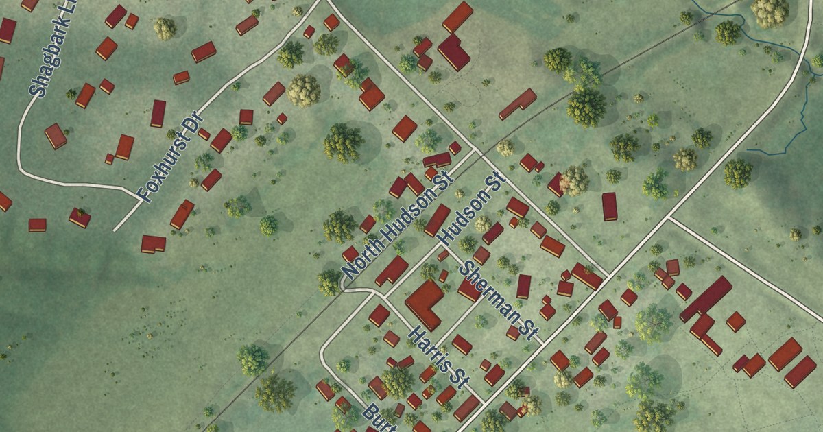
A detailed map of Millbrook, Illinois, showing every building in its true location, the roads by name, and shaded topographical relief.
Read More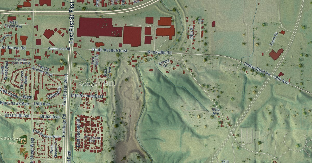
A detailed map of Milan, Illinois, showing every building in its true location, the roads by name, and shaded topographical relief.
Read More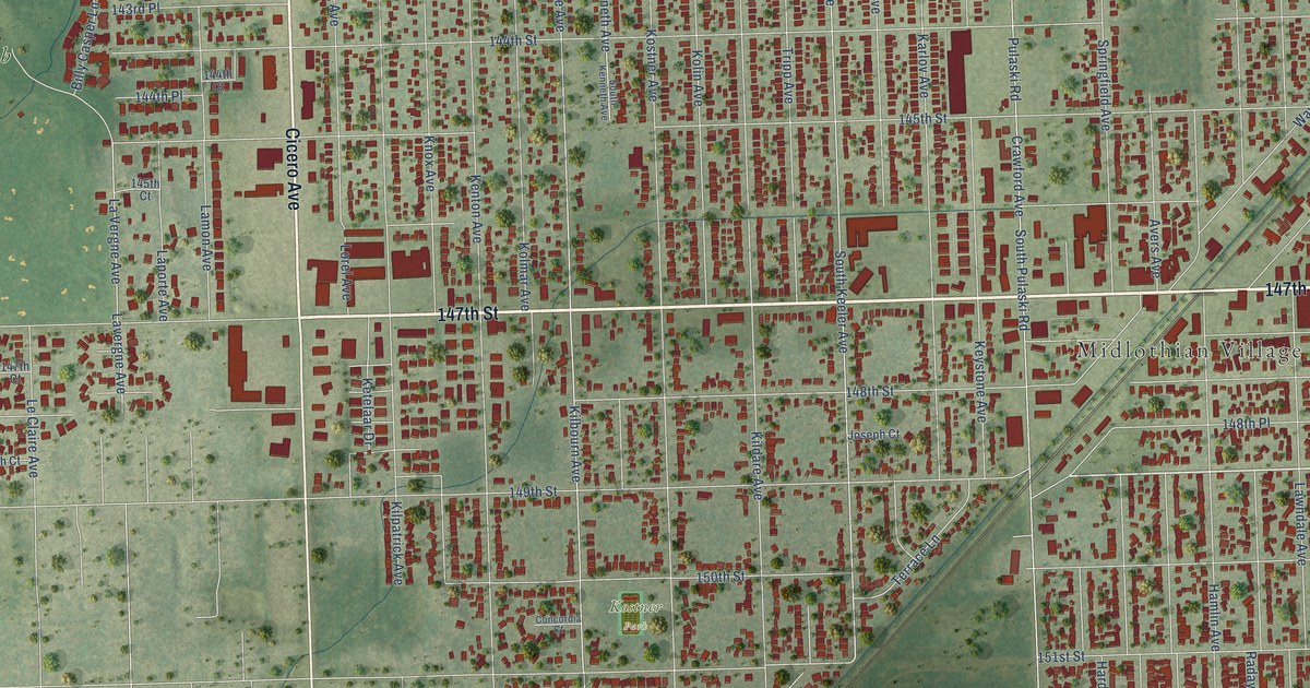
A detailed map of Midlothian, Illinois, showing every building in its true location, the roads by name, and shaded topographical relief.
Read More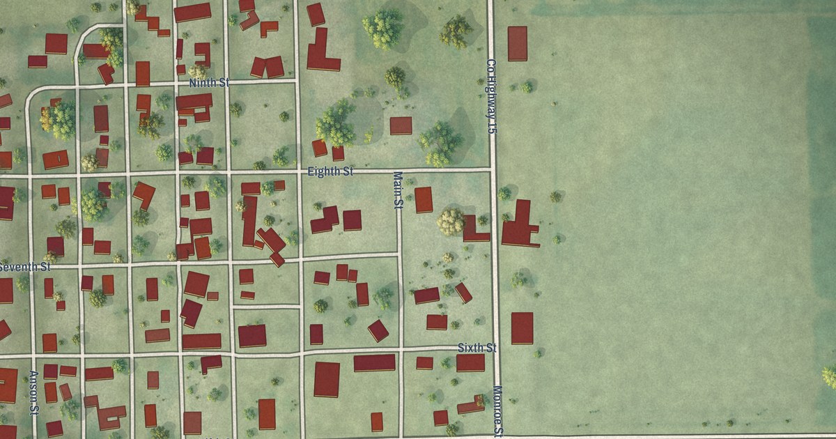
A detailed map of Middletown, Illinois, showing every building in its true location, the roads by name, and shaded topographical relief.
Read More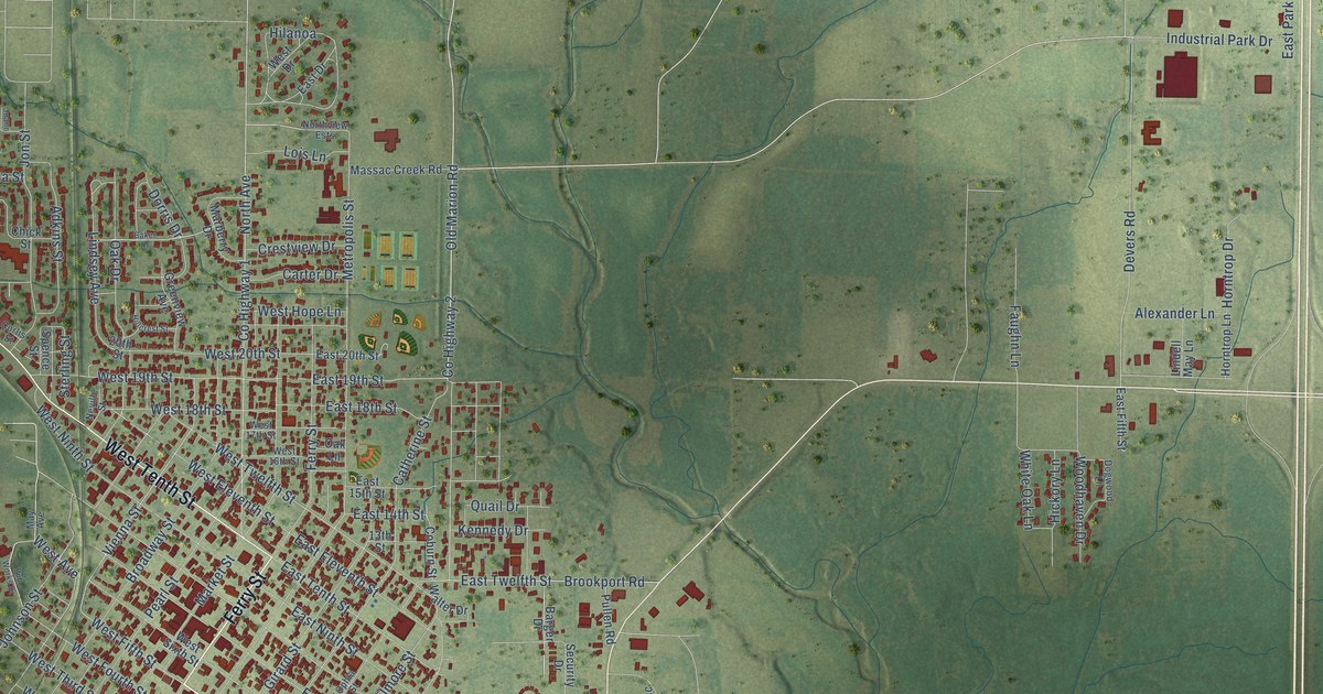
A detailed map of Metropolis, Illinois, showing every building in its true location, the roads by name, and shaded topographical relief.
Read More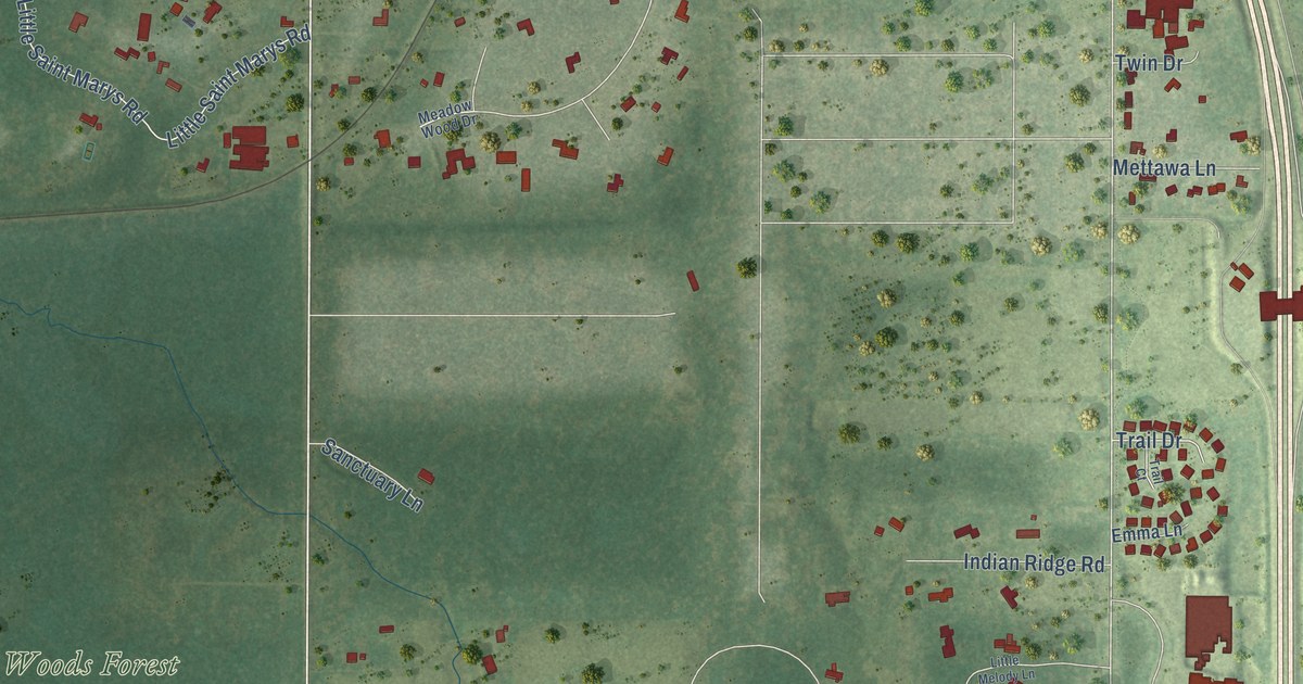
A detailed map of Mettawa, Illinois, showing every building in its true location, the roads by name, and shaded topographical relief.
Read More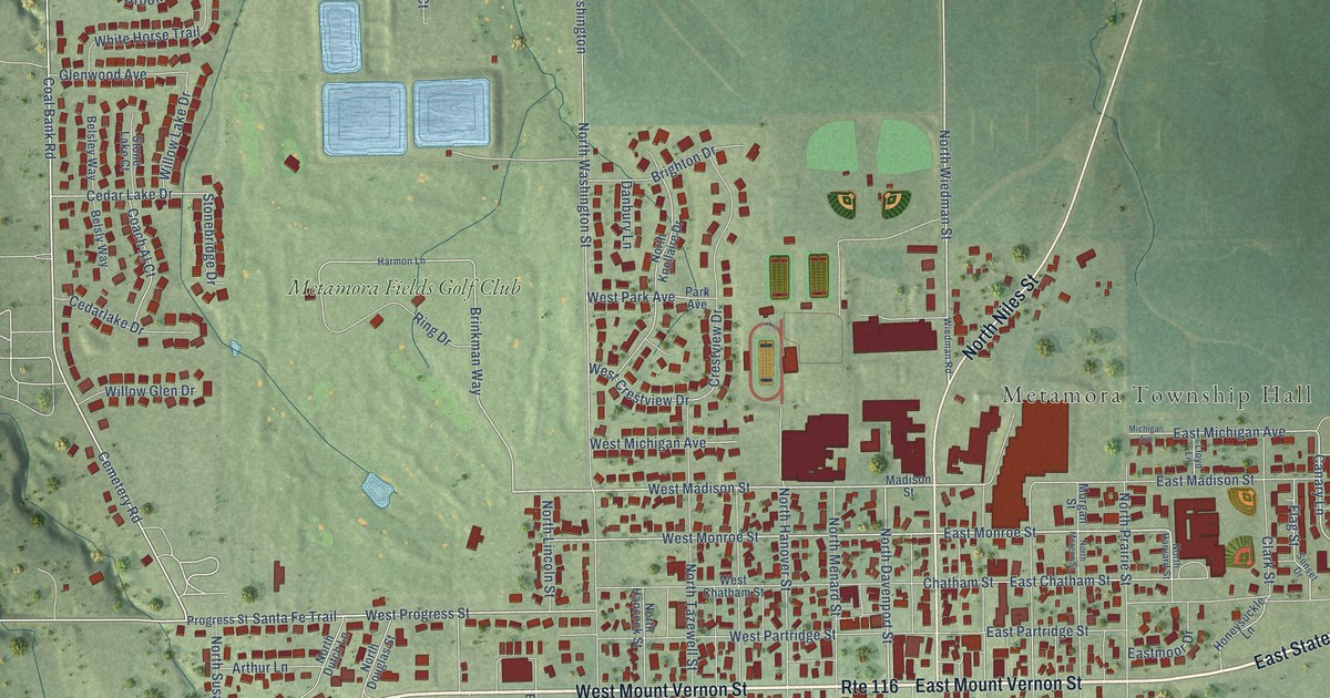
A detailed map of Metamora, Illinois, showing every building in its true location, the roads by name, and shaded topographical relief.
Read More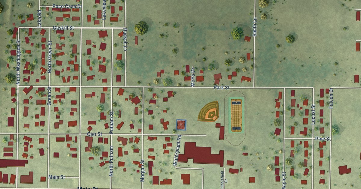
A detailed map of Meredosia, Illinois, showing every building in its true location, the roads by name, and shaded topographical relief.
Read More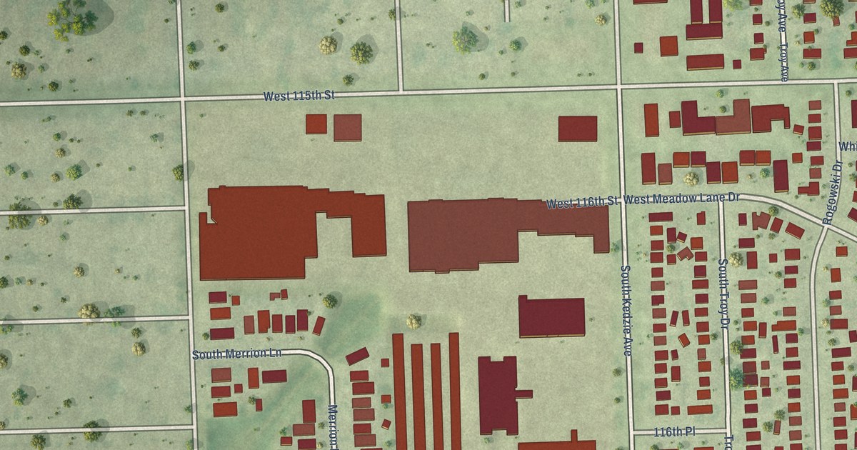
A detailed map of Merrionette Park, Illinois, showing every building in its true location, the roads by name, and shaded topographical relief.
Read More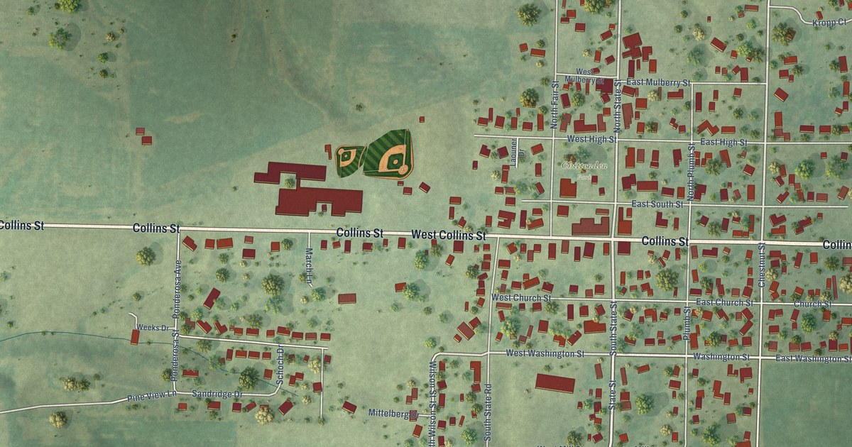
A detailed map of Mendon, Illinois, showing every building in its true location, the roads by name, and shaded topographical relief.
Read More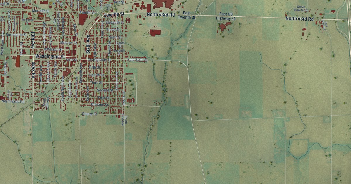
A detailed map of Mendota, Illinois, showing every building in its true location, the roads by name, and shaded topographical relief.
Read More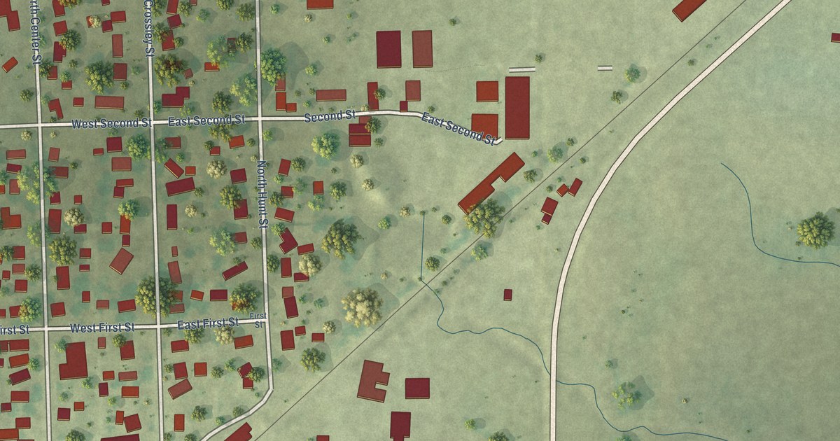
A detailed map of Melvin, Illinois, showing every building in its true location, the roads by name, and shaded topographical relief.
Read More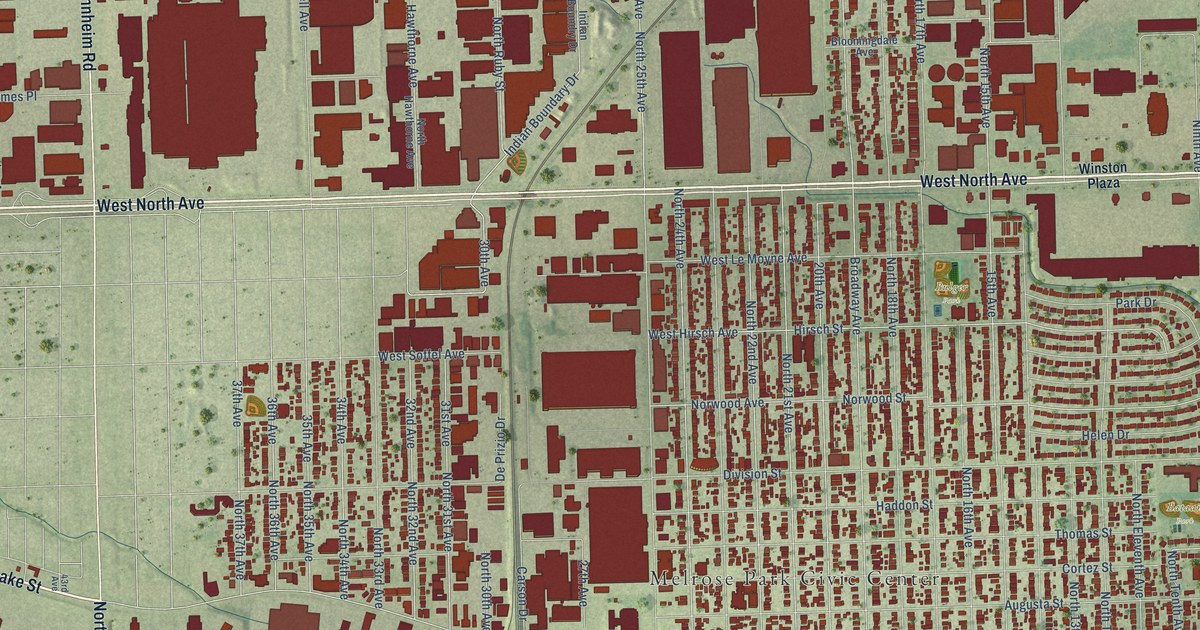
A detailed map of Melrose Park, Illinois, showing every building in its true location, the roads by name, and shaded topographical relief.
Read More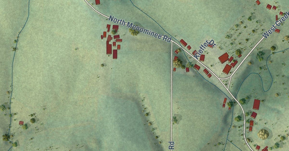
A detailed map of Menominee, Illinois, showing every building in its true location, the roads by name, and shaded topographical relief.
Read More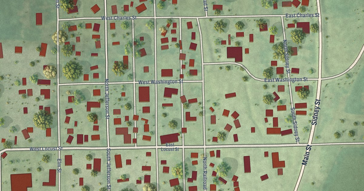
A detailed map of Medora, Illinois, showing every building in its true location, the roads by name, and shaded topographical relief.
Read More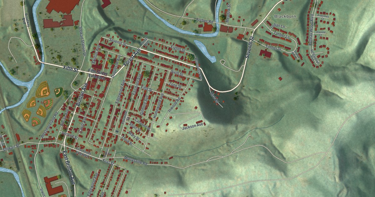
A detailed map of Trafford, Pennsylvania, showing every building in its true location, the roads by name, and shaded topographical relief.
Read More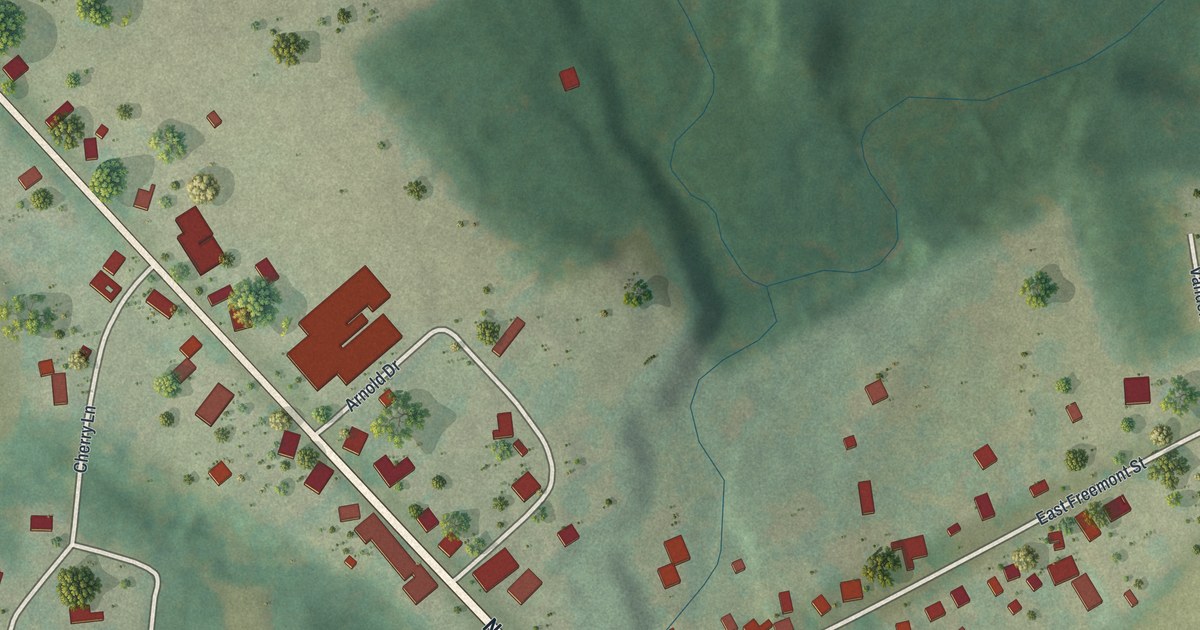
A detailed map of Townville, Pennsylvania, showing every building in its true location, the roads by name, and shaded topographical relief.
Read More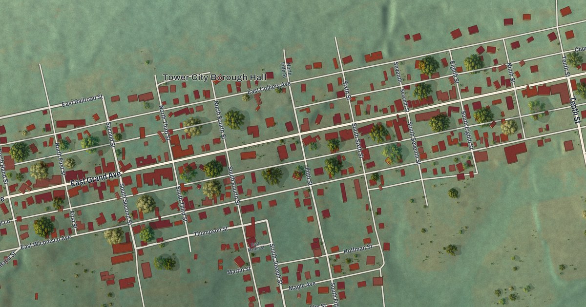
A detailed map of Tower City, Pennsylvania, showing every building in its true location, the roads by name, and shaded topographical relief.
Read More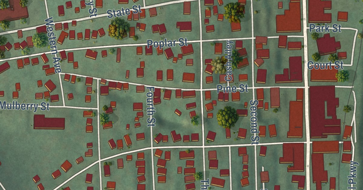
A detailed map of Towanda Borough, Pennsylvania, showing every building in its true location, the roads by name, and shaded topographical relief.
Read More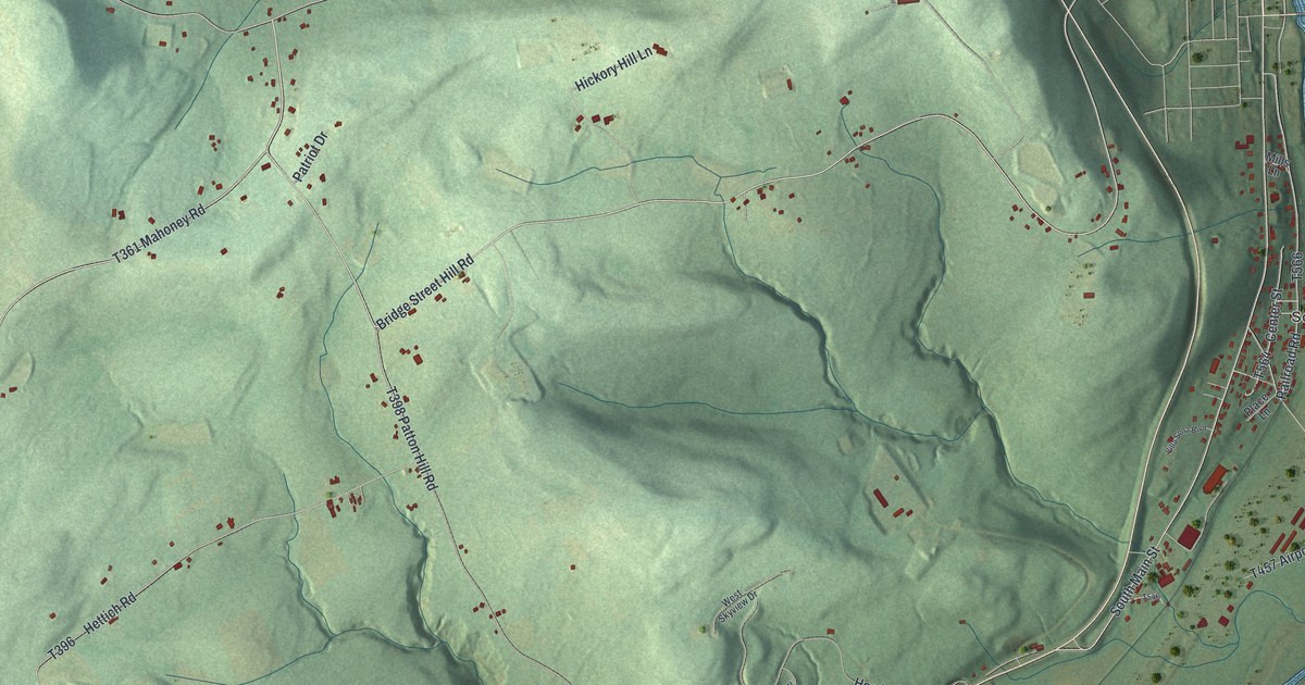
A detailed map of Towanda Township, Pennsylvania, showing every building in its true location, the roads by name, and shaded topographical relief.
Read More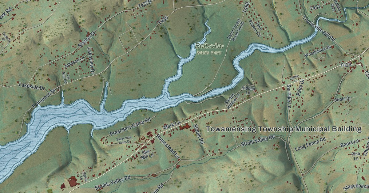
A detailed map of Towamensing, Pennsylvania, showing every building in its true location, the roads by name, and shaded topographical relief.
Read More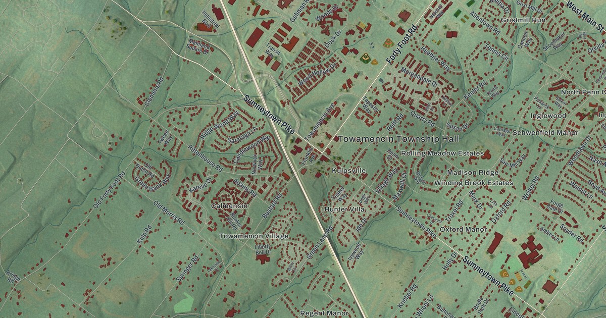
A detailed map of Towamencin, Pennsylvania, showing every building in its true location, the roads by name, and shaded topographical relief.
Read More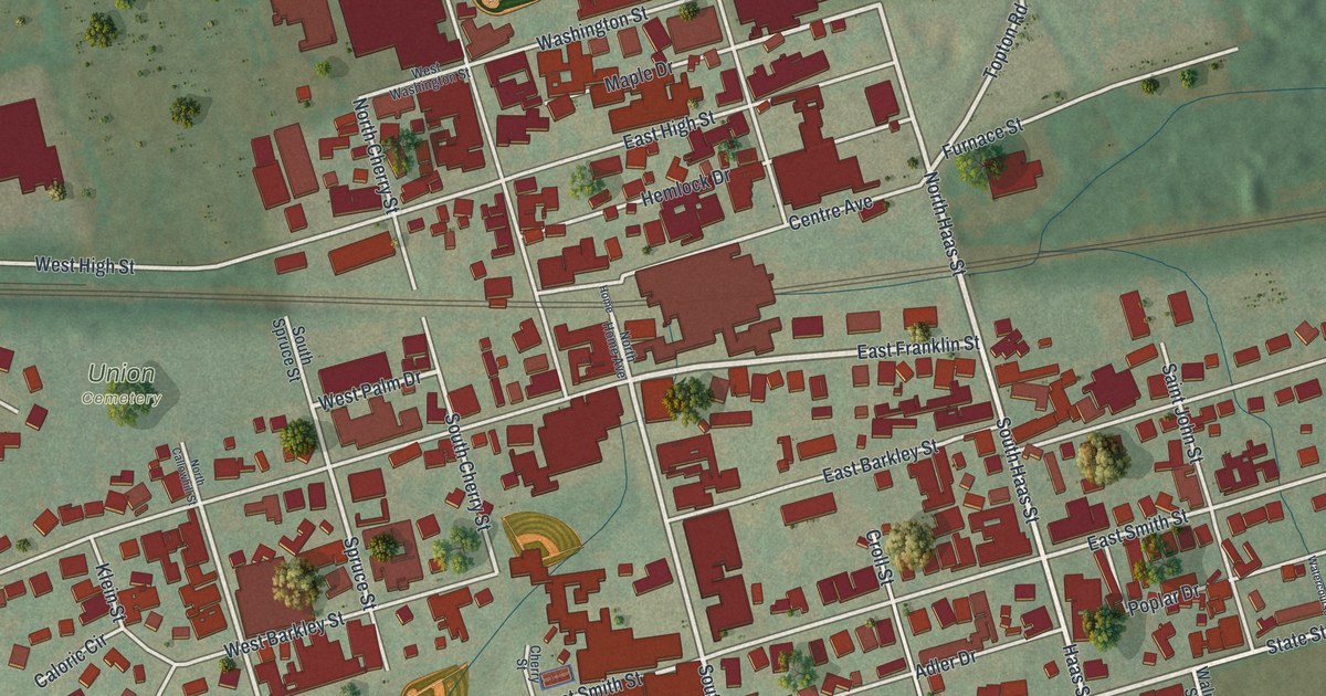
A detailed map of Topton, Pennsylvania, showing every building in its true location, the roads by name, and shaded topographical relief.
Read More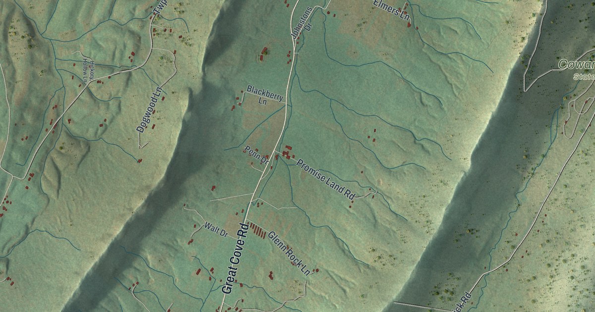
A detailed map of Todd, Fulton County, Pennsylvania, showing every building in its true location, the roads by name, and shaded topographical relief.
Read More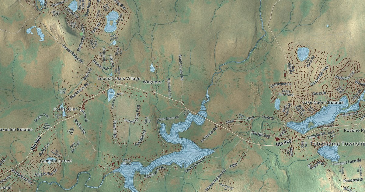
A detailed map of Tobyhanna, Pennsylvania, showing every building in its true location, the roads by name, and shaded topographical relief.
Read More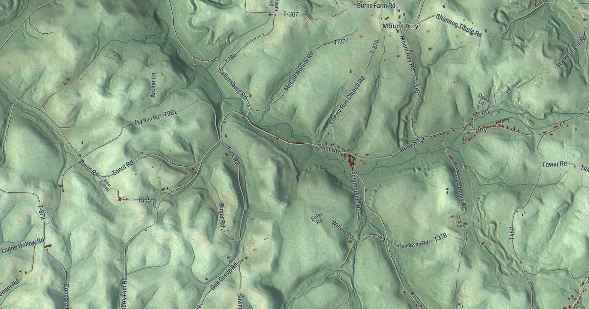
A detailed map of Toby, Pennsylvania, showing every building in its true location, the roads by name, and shaded topographical relief.
Read More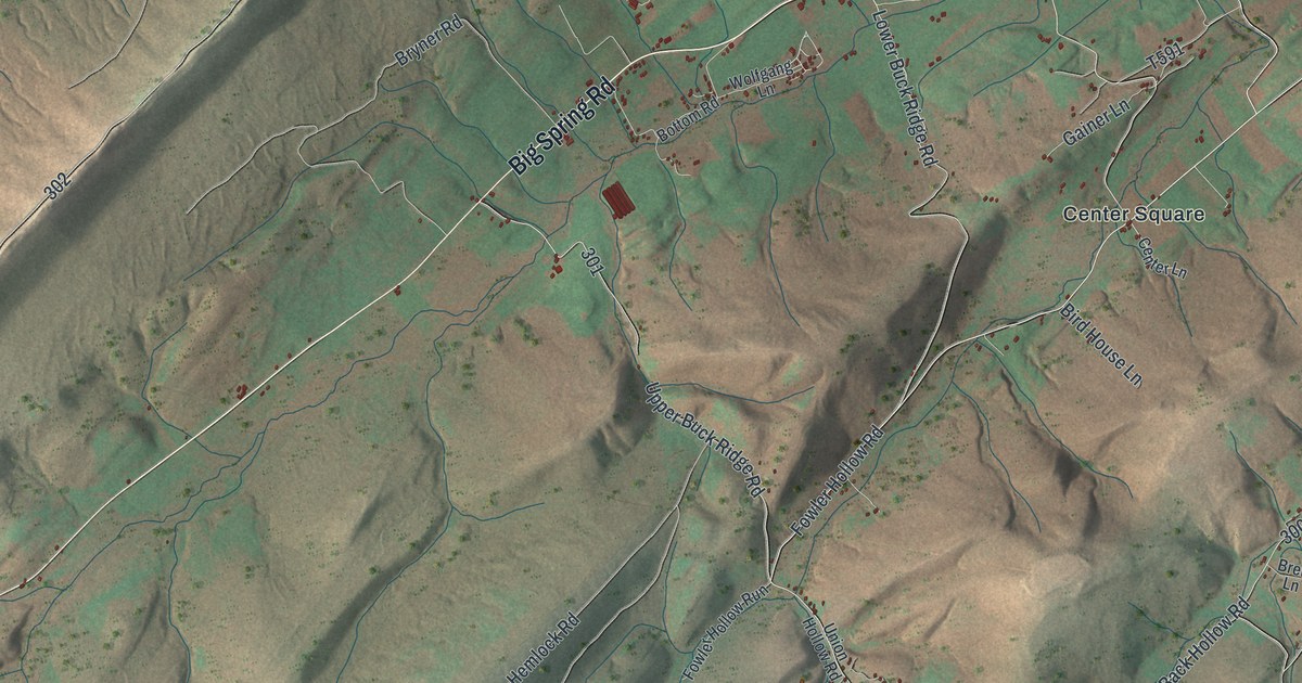
A detailed map of Toboyne, Pennsylvania, showing every building in its true location, the roads by name, and shaded topographical relief.
Read More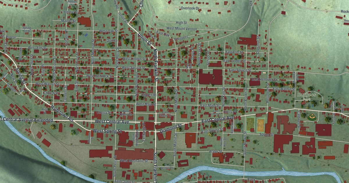
A detailed map of Titusville, Pennsylvania, showing every building in its true location, the roads by name, and shaded topographical relief.
Read More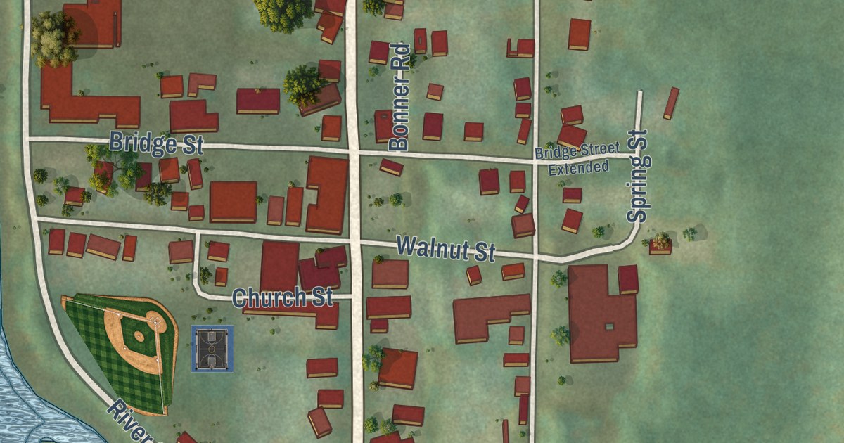
A detailed map of Tionesta Borough, Pennsylvania, showing every building in its true location, the roads by name, and shaded topographical relief.
Read More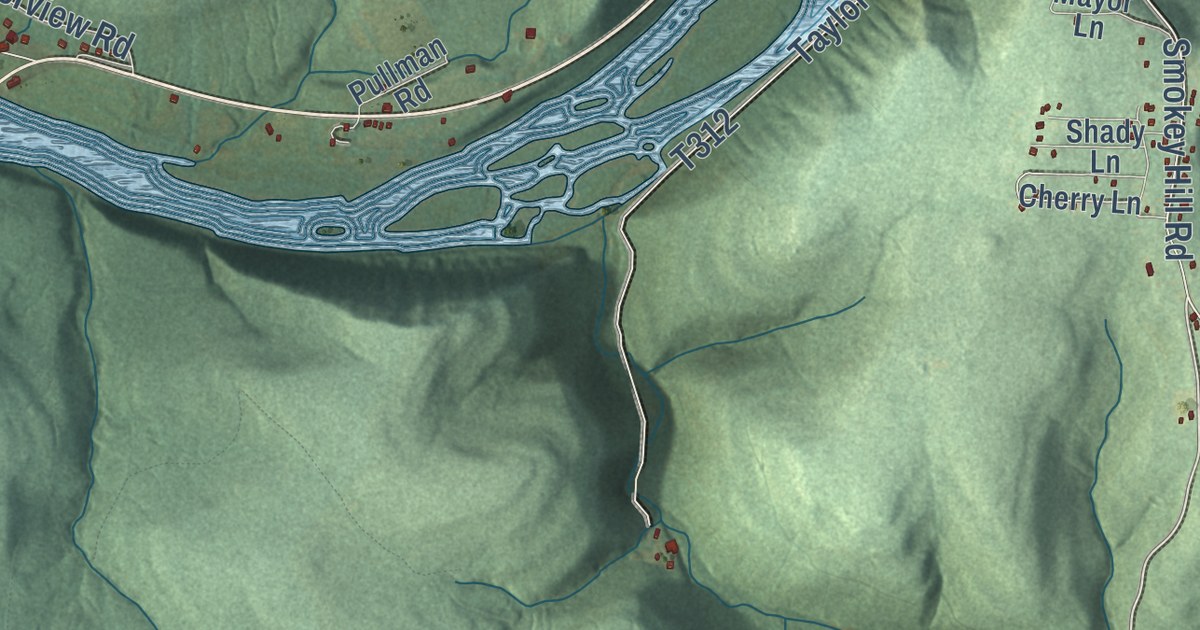
A detailed map of Tionesta Township, Pennsylvania, showing every building in its true location, the roads by name, and shaded topographical relief.
Read More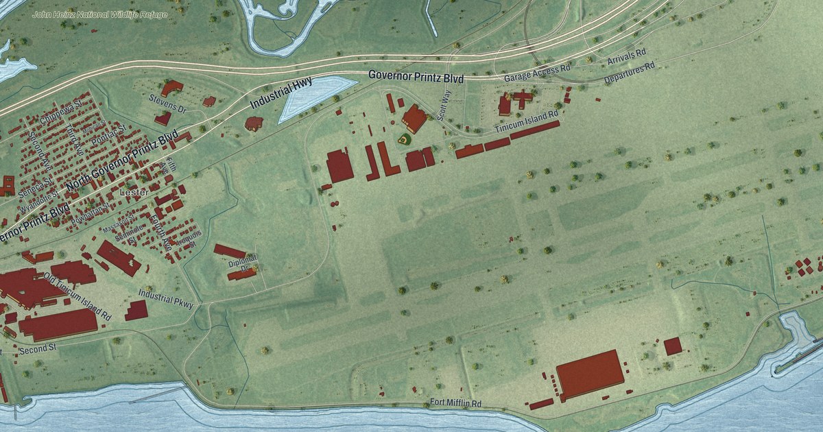
A detailed map of Tinicum, Delaware County, Pennsylvania, showing every building in its true location, the roads by name, and shaded topographical relief.
Read More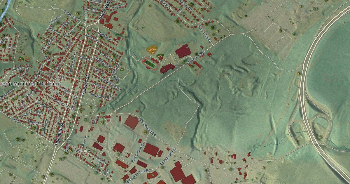
A detailed map of Throop, Pennsylvania, showing every building in its true location, the roads by name, and shaded topographical relief.
Read More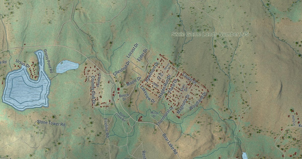
A detailed map of Thornhurst, Pennsylvania, showing every building in its true location, the roads by name, and shaded topographical relief.
Read More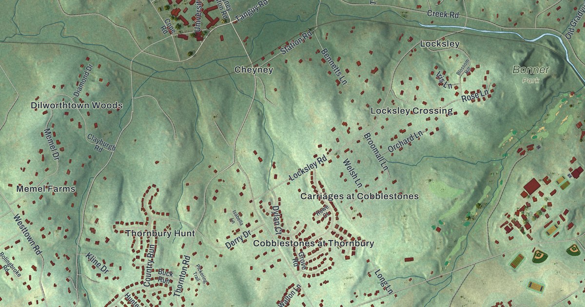
A detailed map of Thornbury, Delaware County, Pennsylvania, showing every building in its true location, the roads by name, and shaded topographical relief.
Read More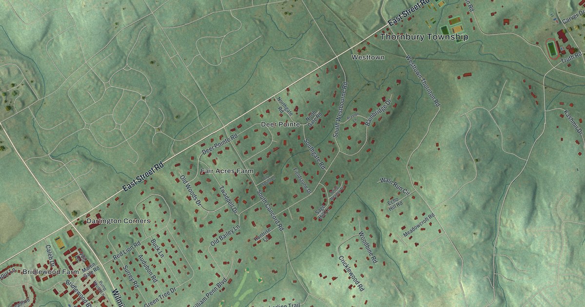
A detailed map of Thornbury, Chester County, Pennsylvania, showing every building in its true location, the roads by name, and shaded topographical relief.
Read More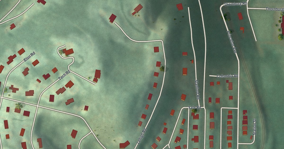
A detailed map of Thornburg, Pennsylvania, showing every building in its true location, the roads by name, and shaded topographical relief.
Read More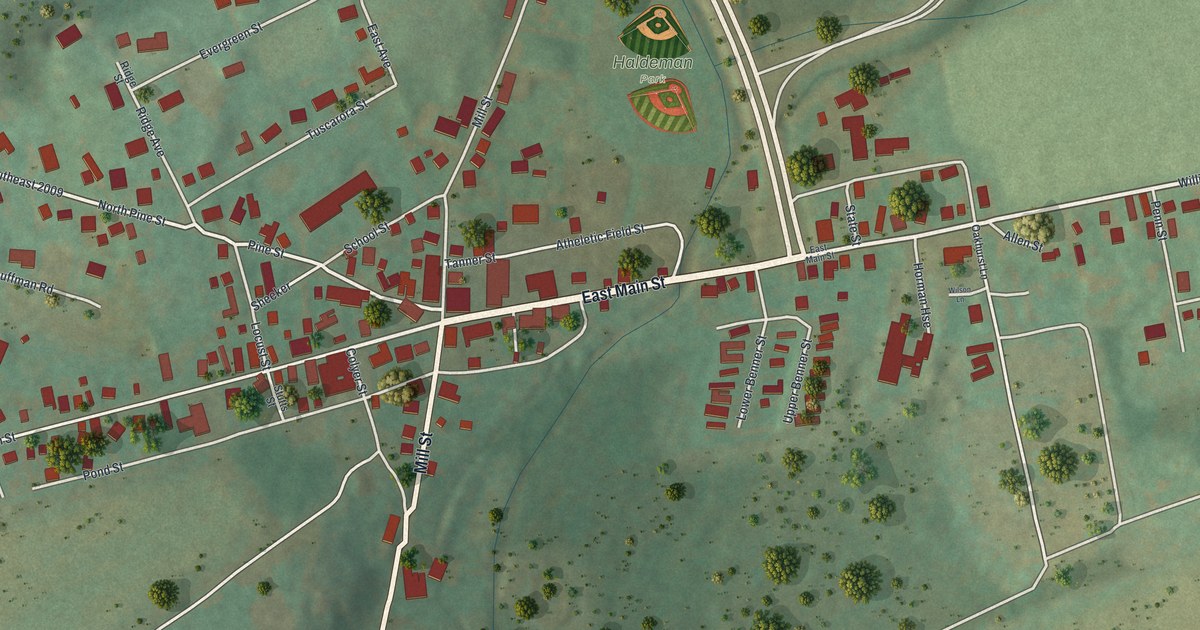
A detailed map of Thompsontown, Pennsylvania, showing every building in its true location, the roads by name, and shaded topographical relief.
Read More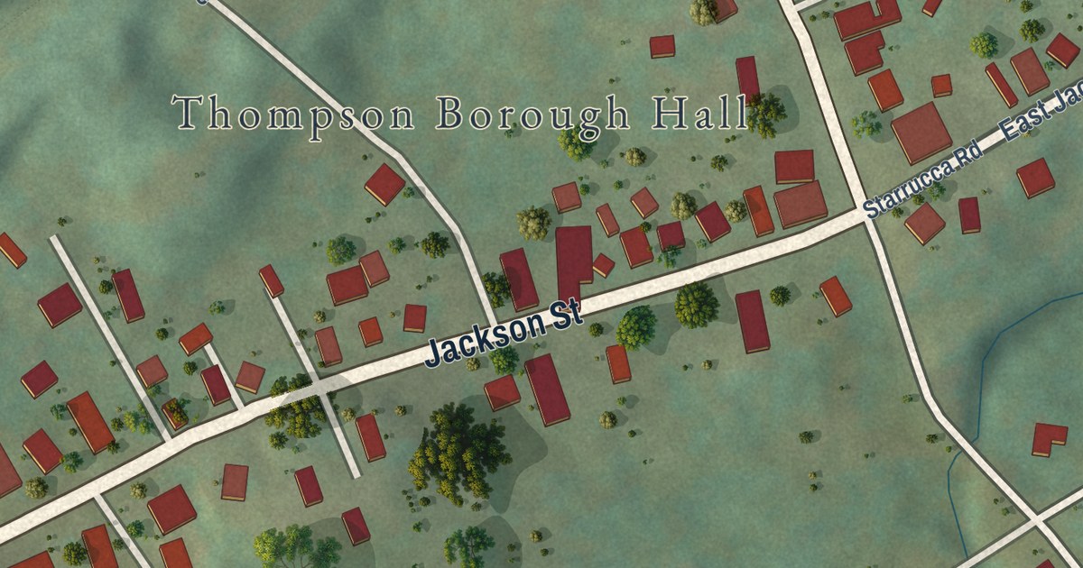
A detailed map of Thompson Borough, Susquehanna County, Pennsylvania, showing every building in its true location, the roads by name, and shaded topographical relief.
Read More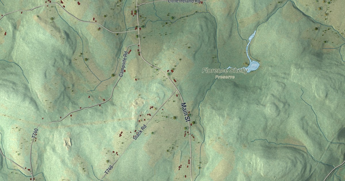
A detailed map of Thompson Township, Susquehanna County, Pennsylvania, showing every building in its true location, the roads by name, and shaded topographical relief.
Read More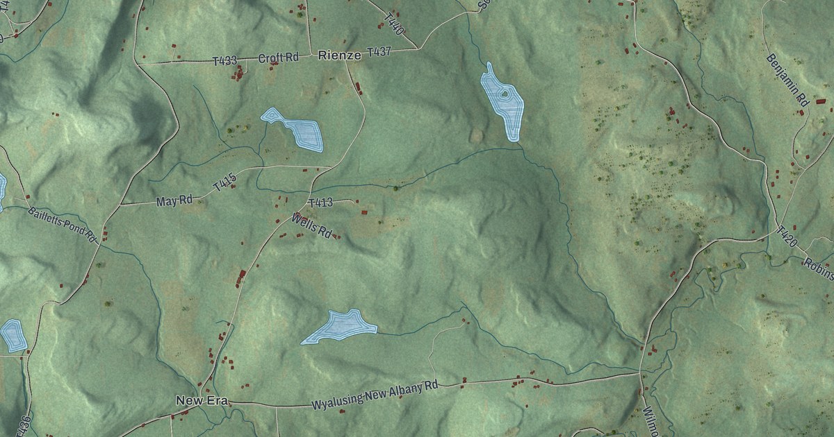
A detailed map of Terry, Pennsylvania, showing every building in its true location, the roads by name, and shaded topographical relief.
Read More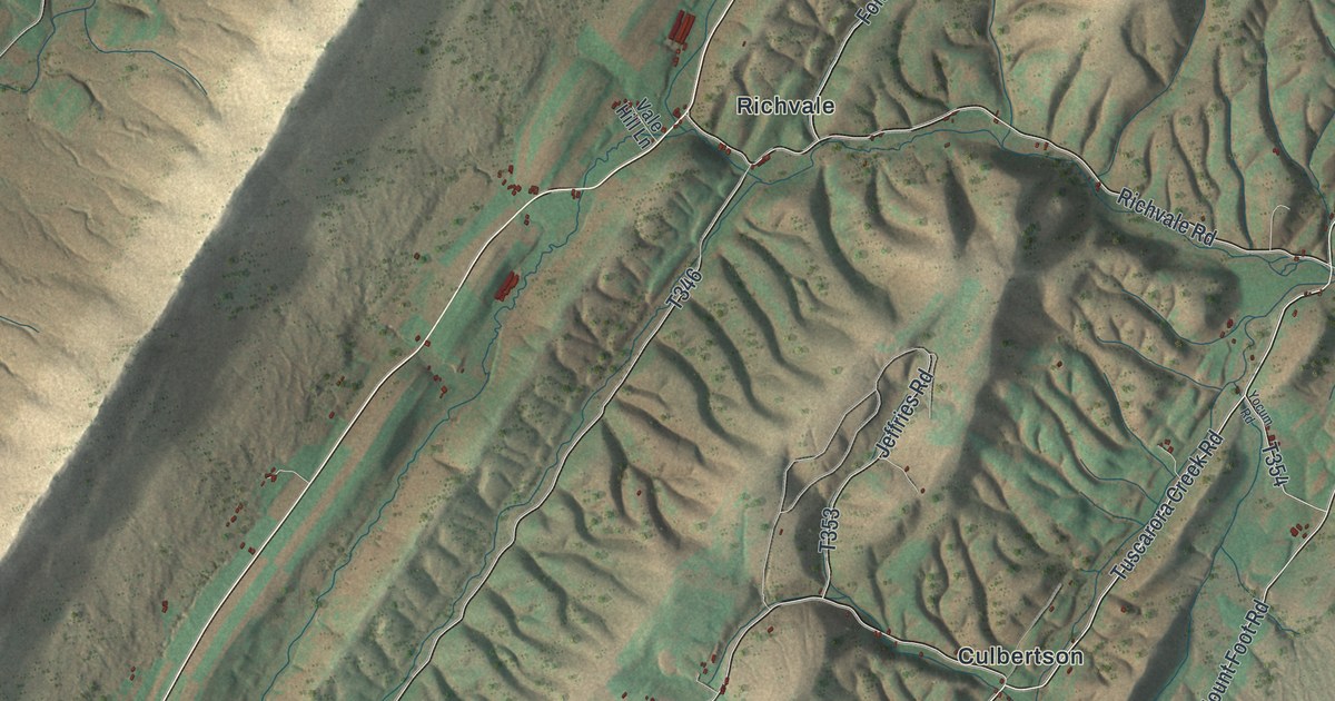
A detailed map of Tell, Pennsylvania, showing every building in its true location, the roads by name, and shaded topographical relief.
Read More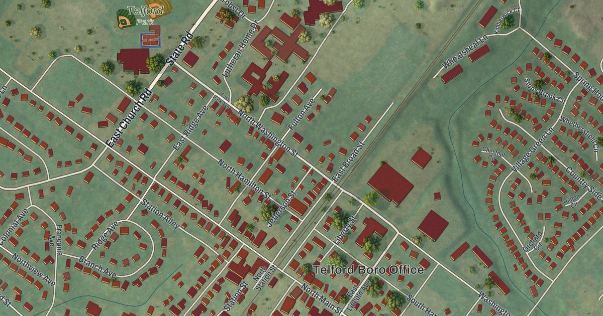
A detailed map of Telford, Pennsylvania, showing every building in its true location, the roads by name, and shaded topographical relief.
Read More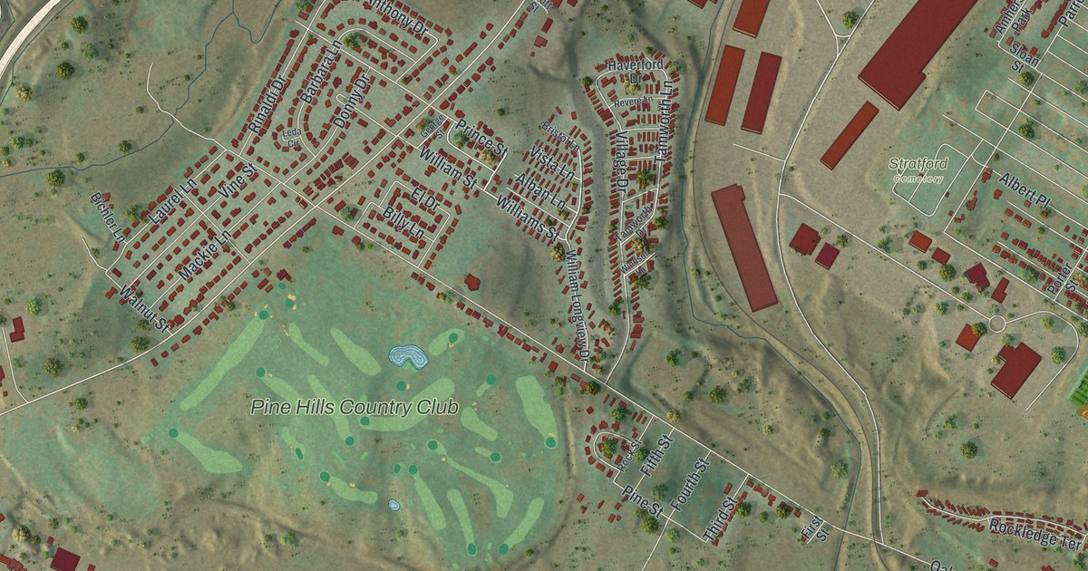
A detailed map of Taylor, Lackawanna County, Pennsylvania, showing every building in its true location, the roads by name, and shaded topographical relief.
Read More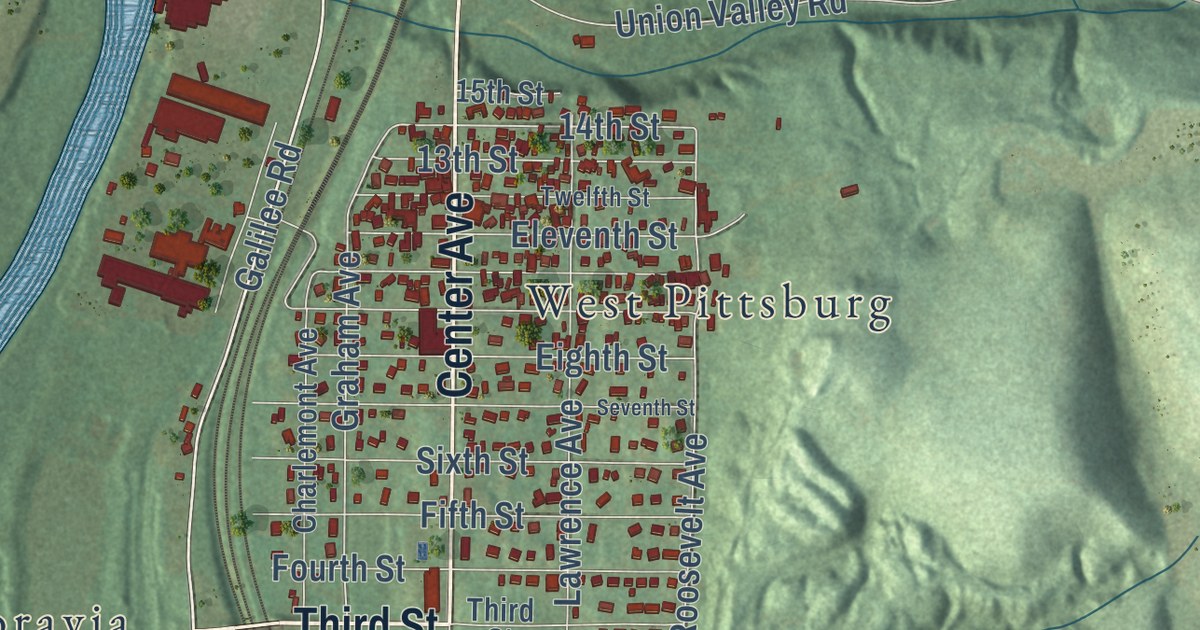
A detailed map of Taylor, Lawrence County, Pennsylvania, showing every building in its true location, the roads by name, and shaded topographical relief.
Read More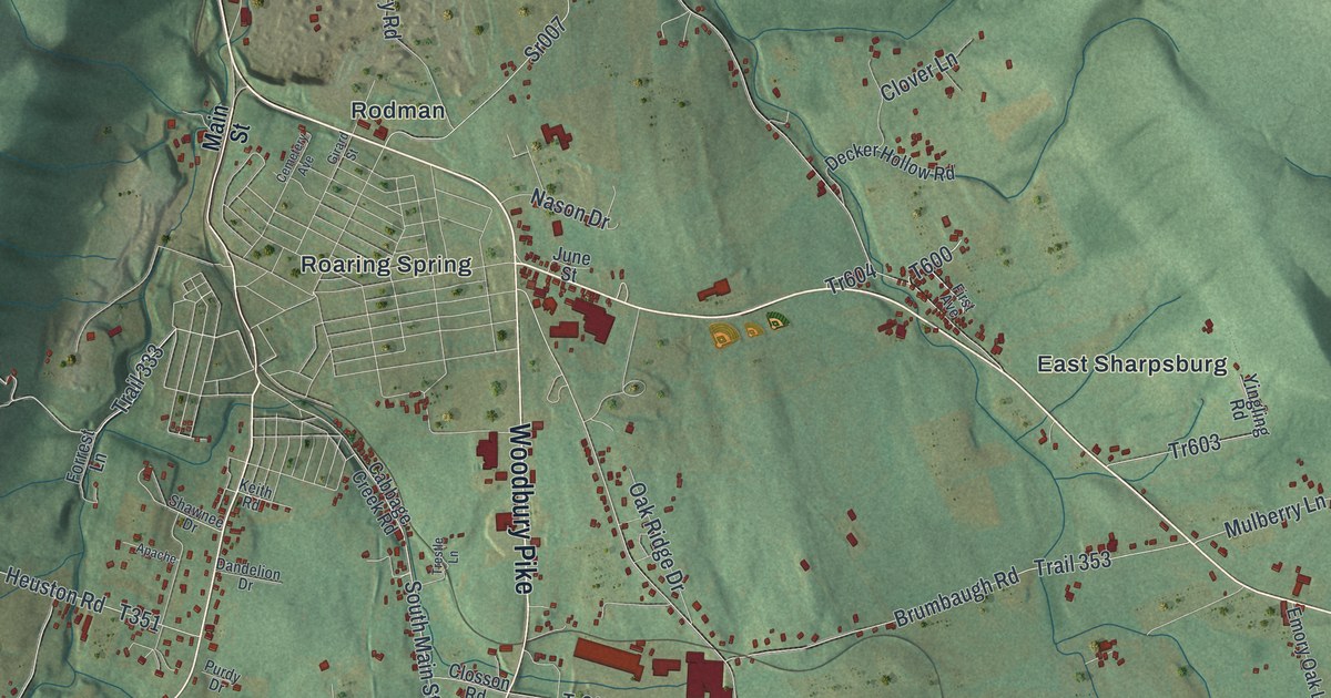
A detailed map of Taylor, Blair County, Pennsylvania, showing every building in its true location, the roads by name, and shaded topographical relief.
Read More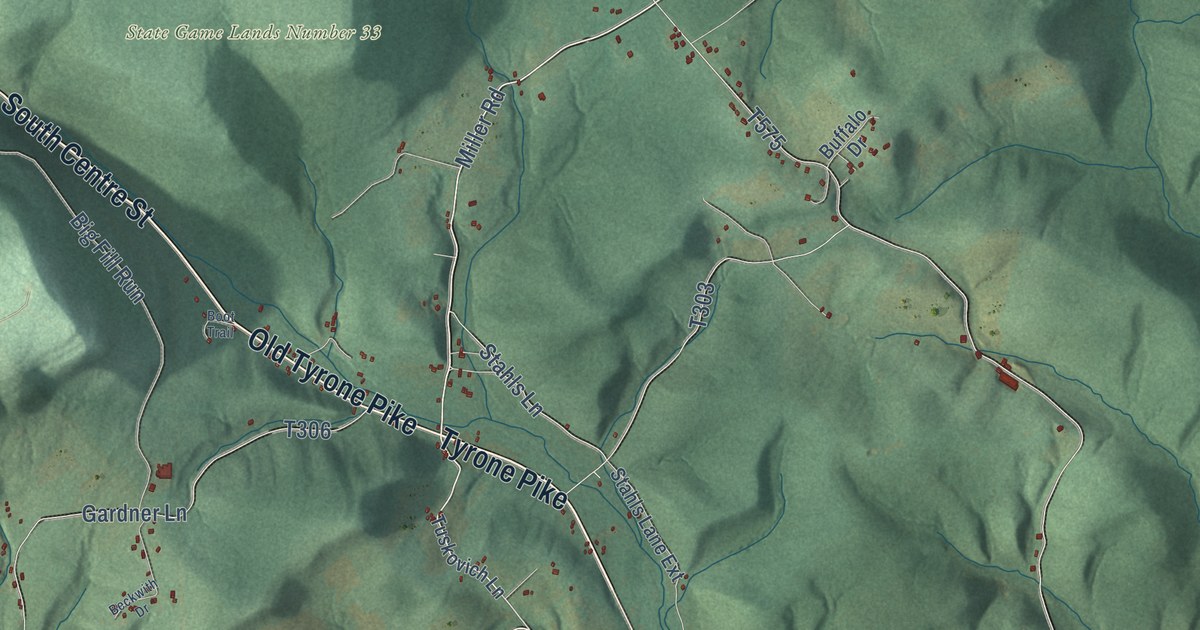
A detailed map of Taylor, Centre County, Pennsylvania, showing every building in its true location, the roads by name, and shaded topographical relief.
Read More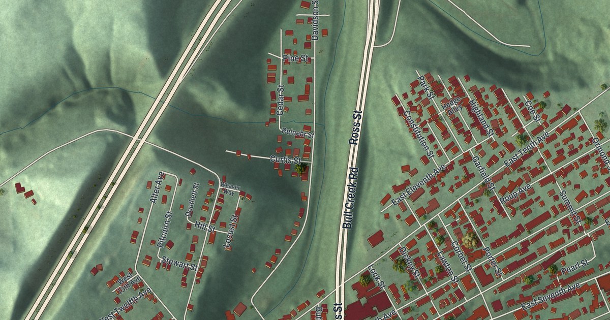
A detailed map of Tarentum, Pennsylvania, showing every building in its true location, the roads by name, and shaded topographical relief.
Read More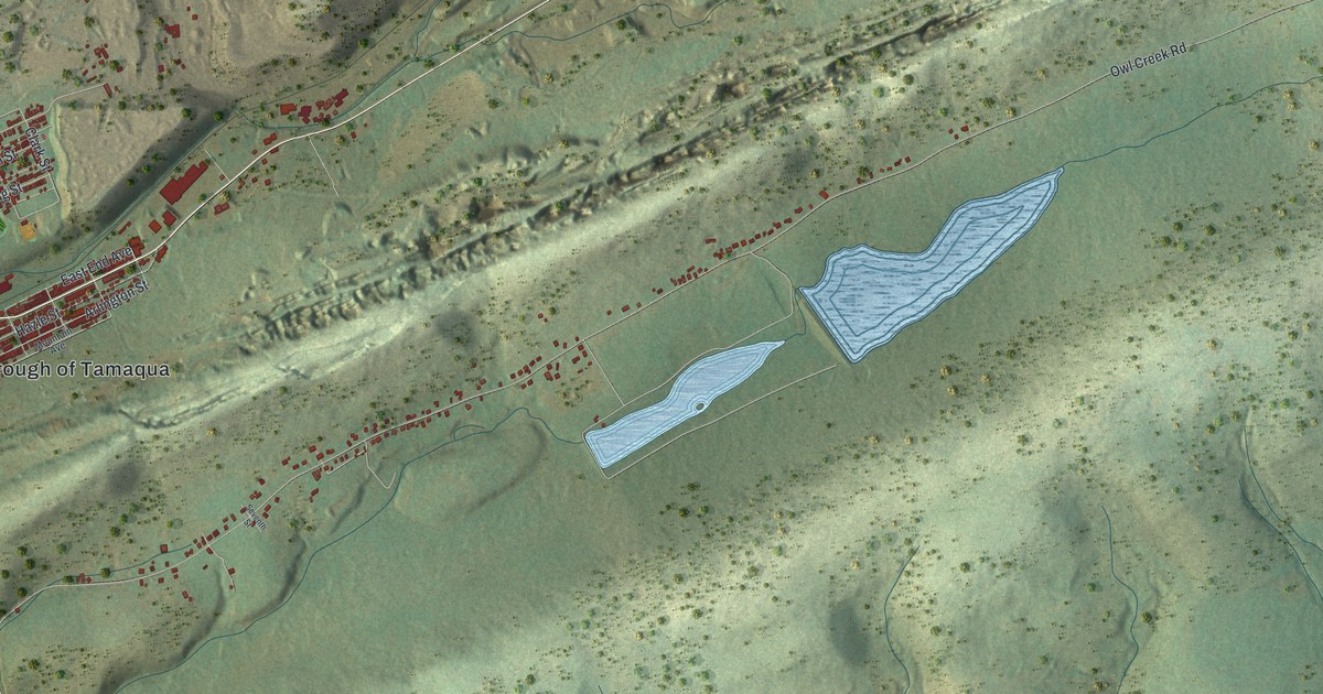
A detailed map of Tamaqua, Pennsylvania, showing every building in its true location, the roads by name, and shaded topographical relief.
Read More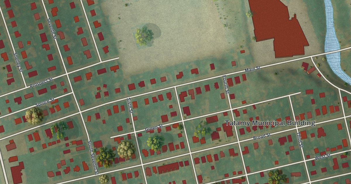
A detailed map of Tatamy, Pennsylvania, showing every building in its true location, the roads by name, and shaded topographical relief.
Read More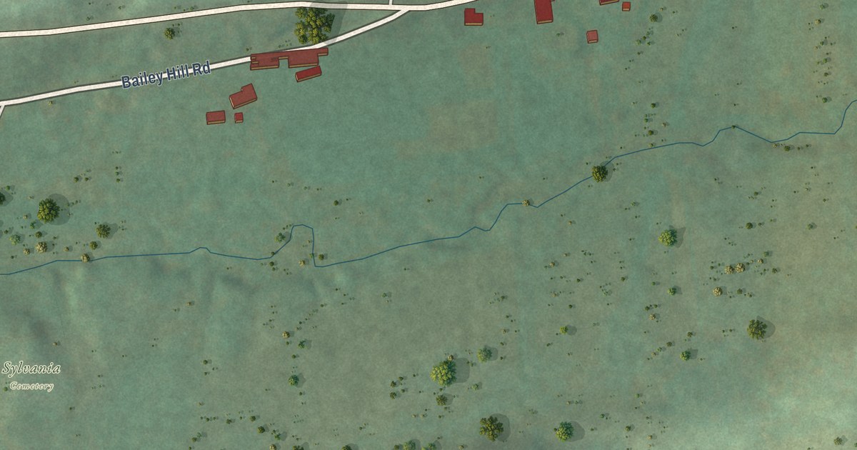
A detailed map of Sylvania, Bradford County, Pennsylvania, showing every building in its true location, the roads by name, and shaded topographical relief.
Read More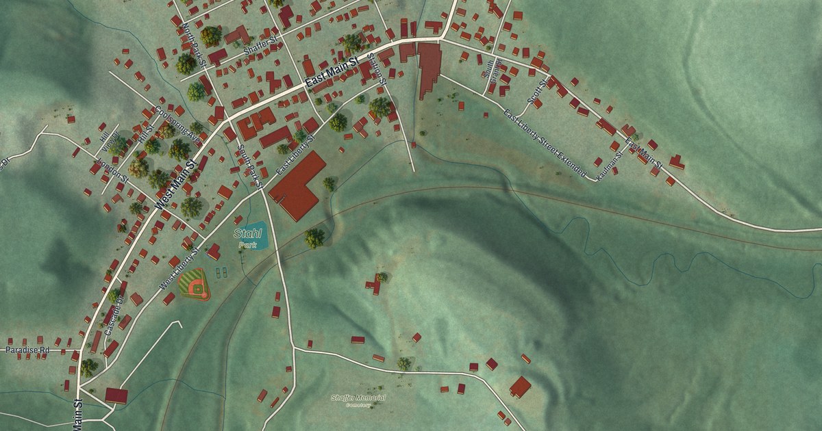
A detailed map of Sykesville, Pennsylvania, showing every building in its true location, the roads by name, and shaded topographical relief.
Read More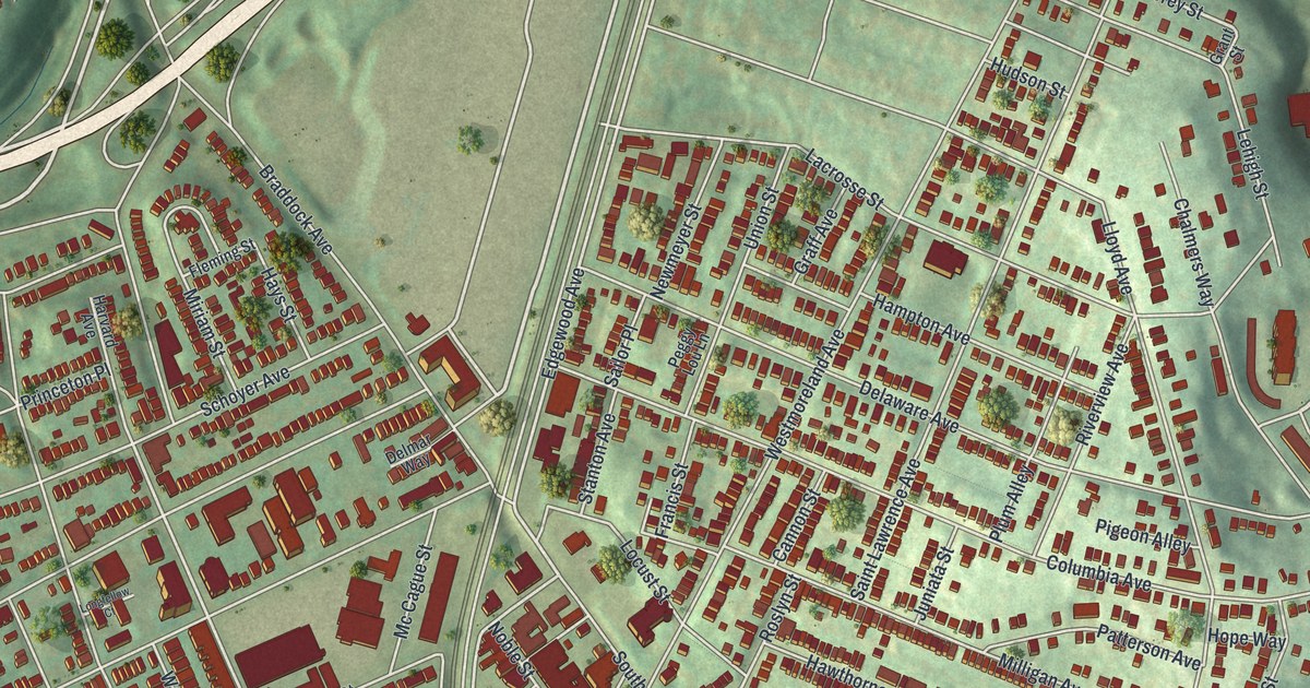
A detailed map of Swissvale, Pennsylvania, showing every building in its true location, the roads by name, and shaded topographical relief.
Read More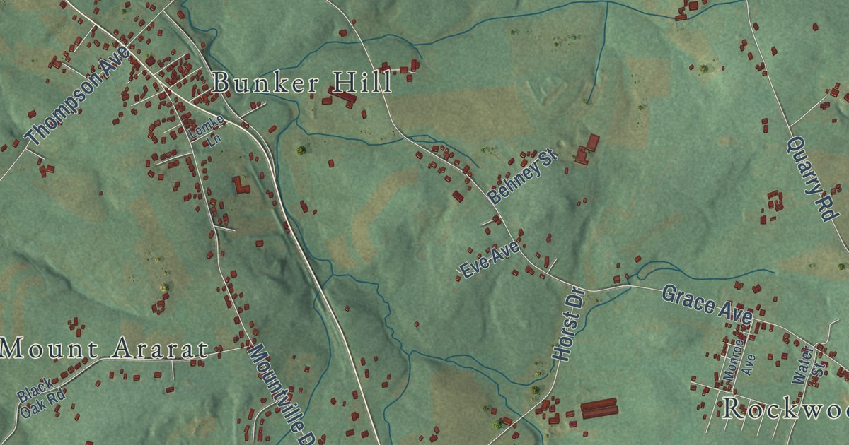
A detailed map of Swatara, Lebanon County, Pennsylvania, showing every building in its true location, the roads by name, and shaded topographical relief.
Read More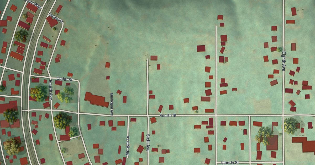
A detailed map of Sutersville, Pennsylvania, showing every building in its true location, the roads by name, and shaded topographical relief.
Read More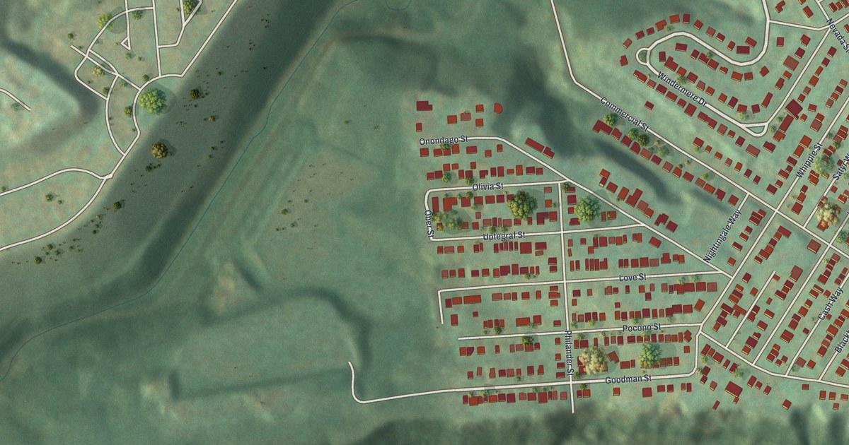
A detailed map of Swisshelm Park, Pennsylvania, showing every building in its true location, the roads by name, and shaded topographical relief.
Read More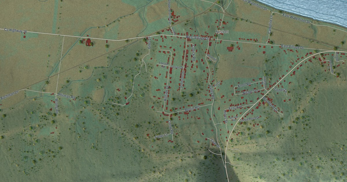
A detailed map of Susquehanna, Lycoming County, Pennsylvania, showing every building in its true location, the roads by name, and shaded topographical relief.
Read More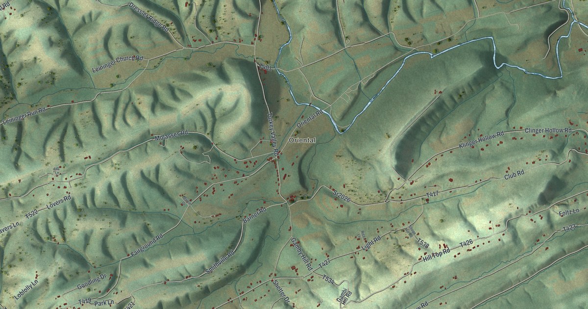
A detailed map of Susquehanna, Juniata County, Pennsylvania, showing every building in its true location, the roads by name, and shaded topographical relief.
Read More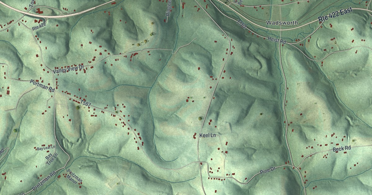
A detailed map of Summit, Butler County, Pennsylvania, showing every building in its true location, the roads by name, and shaded topographical relief.
Read More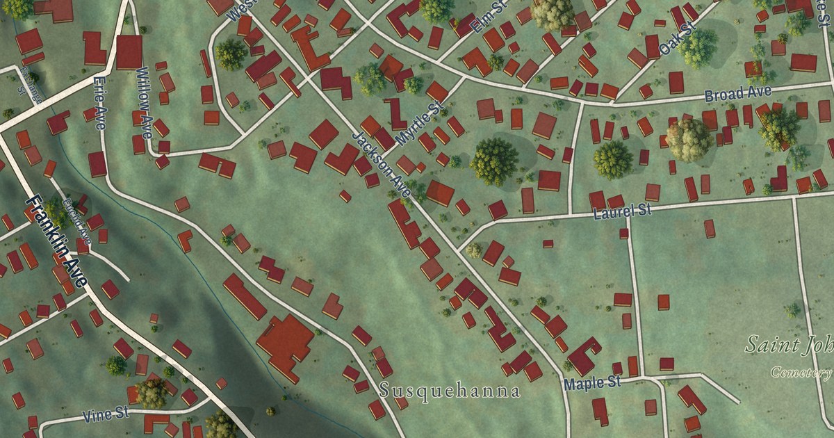
A detailed map of Susquehanna Depot, Pennsylvania, showing every building in its true location, the roads by name, and shaded topographical relief.
Read More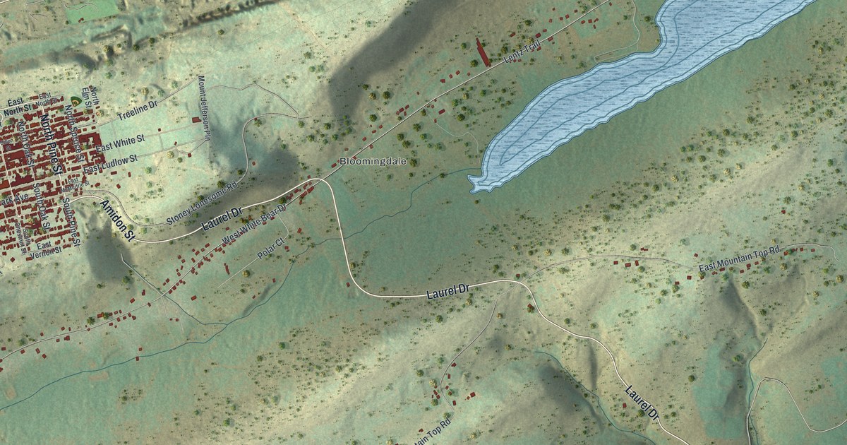
A detailed map of Summit Hill, Pennsylvania, showing every building in its true location, the roads by name, and shaded topographical relief.
Read More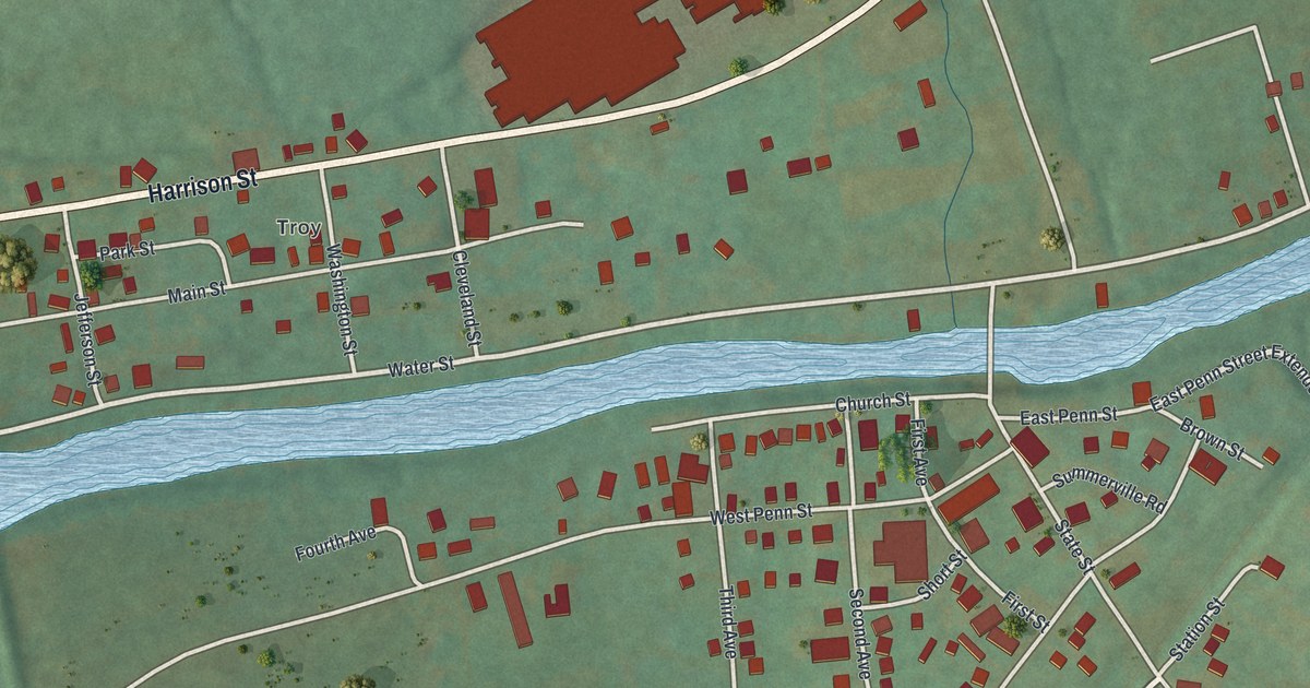
A detailed map of Summerville, Pennsylvania, showing every building in its true location, the roads by name, and shaded topographical relief.
Read More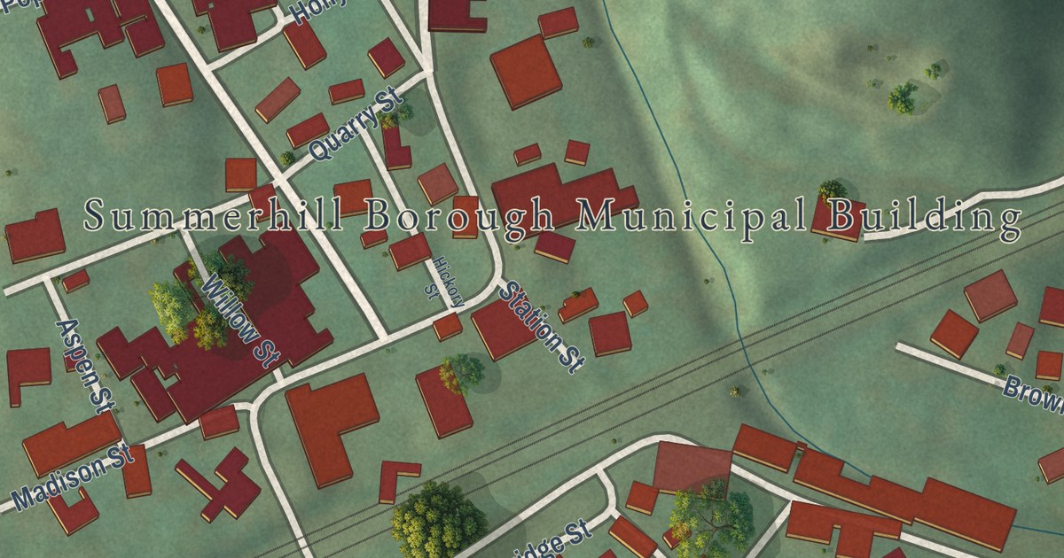
A detailed map of Summerhill Borough, Cambria County, Pennsylvania, showing every building in its true location, the roads by name, and shaded topographical relief.
Read More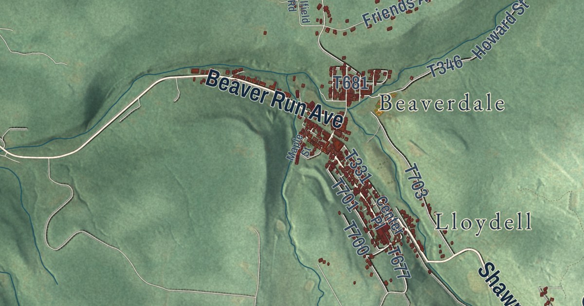
A detailed map of Summerhill Township, Cambria County, Pennsylvania, showing every building in its true location, the roads by name, and shaded topographical relief.
Read More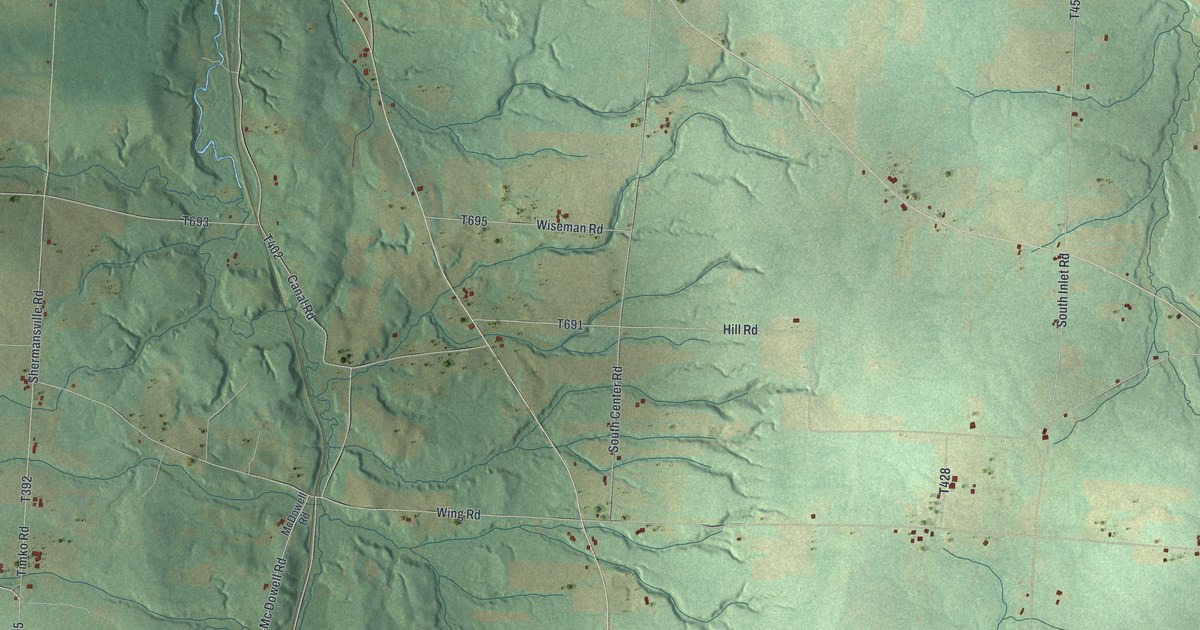
A detailed map of Summerhill, Crawford County, Pennsylvania, showing every building in its true location, the roads by name, and shaded topographical relief.
Read More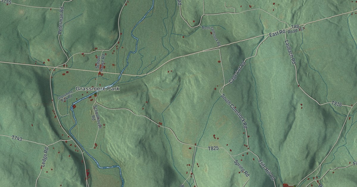
A detailed map of Sugarloaf, Columbia County, Pennsylvania, showing every building in its true location, the roads by name, and shaded topographical relief.
Read More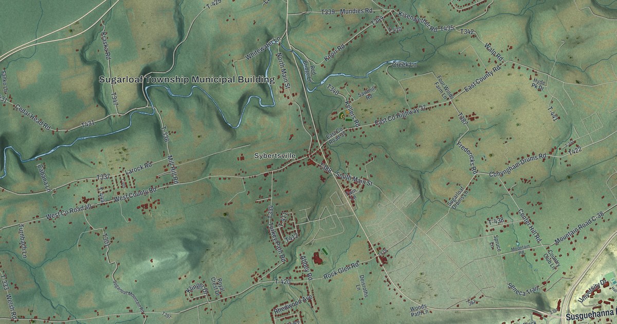
A detailed map of Sugarloaf, Luzerne County, Pennsylvania, showing every building in its true location, the roads by name, and shaded topographical relief.
Read More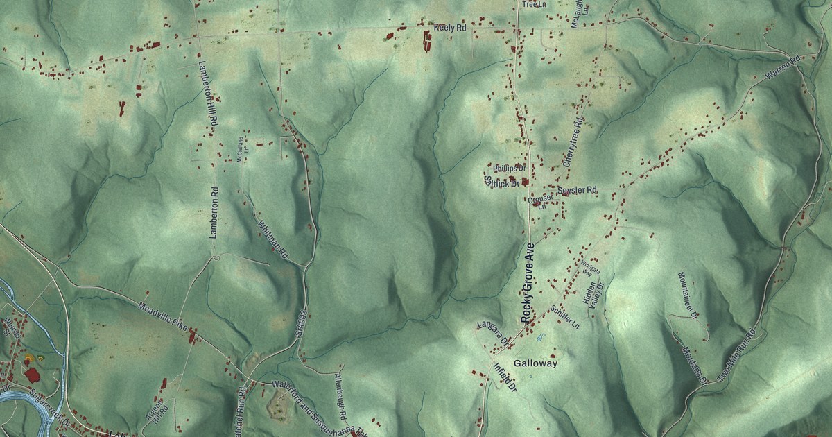
A detailed map of Sugarcreek, Venango County, Pennsylvania, showing every building in its true location, the roads by name, and shaded topographical relief.
Read More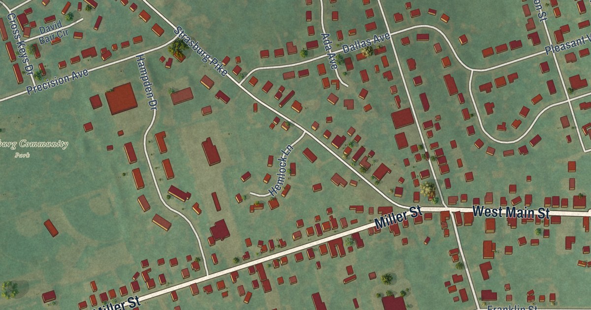
A detailed map of Strasburg Borough, Pennsylvania, showing every building in its true location, the roads by name, and shaded topographical relief.
Read More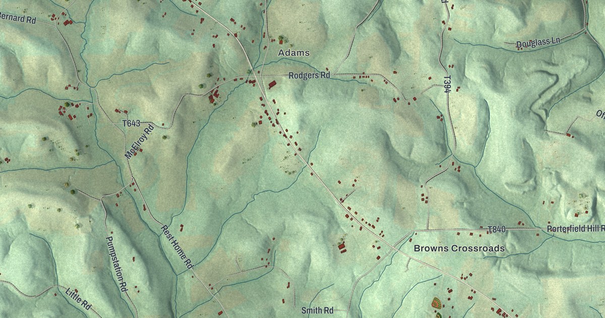
A detailed map of Sugarcreek, Armstrong County, Pennsylvania, showing every building in its true location, the roads by name, and shaded topographical relief.
Read More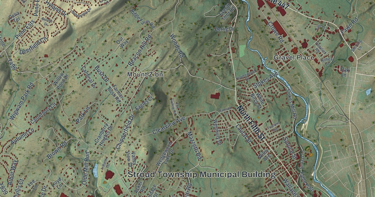
A detailed map of Stroud, Pennsylvania, showing every building in its true location, the roads by name, and shaded topographical relief.
Read More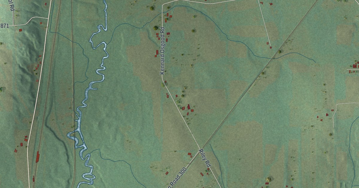
A detailed map of Sugar Grove, Mercer County, Pennsylvania, showing every building in its true location, the roads by name, and shaded topographical relief.
Read More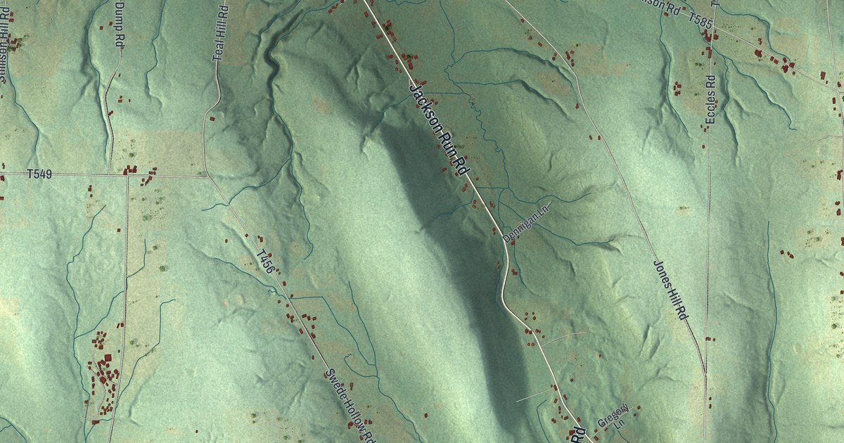
A detailed map of Sugar Grove Township, Warren County, Pennsylvania, showing every building in its true location, the roads by name, and shaded topographical relief.
Read More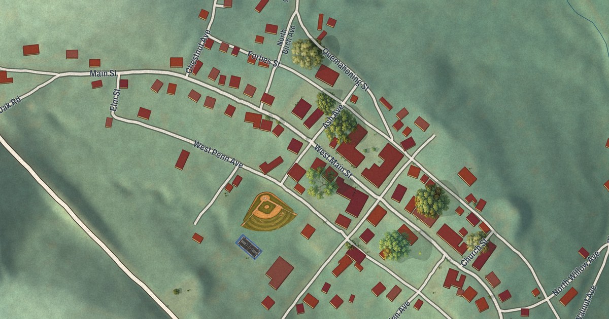
A detailed map of Stoystown, Pennsylvania, showing every building in its true location, the roads by name, and shaded topographical relief.
Read More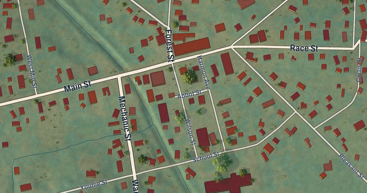
A detailed map of Sugar Grove Borough, Warren County, Pennsylvania, showing every building in its true location, the roads by name, and shaded topographical relief.
Read More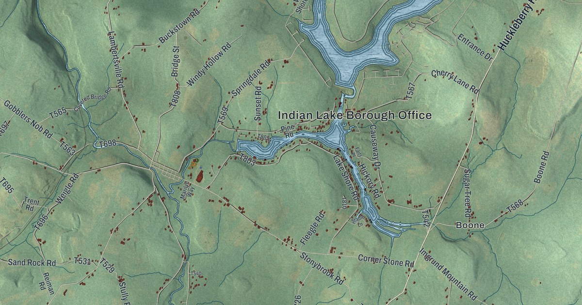
A detailed map of Stonycreek, Somerset County, Pennsylvania, showing every building in its true location, the roads by name, and shaded topographical relief.
Read More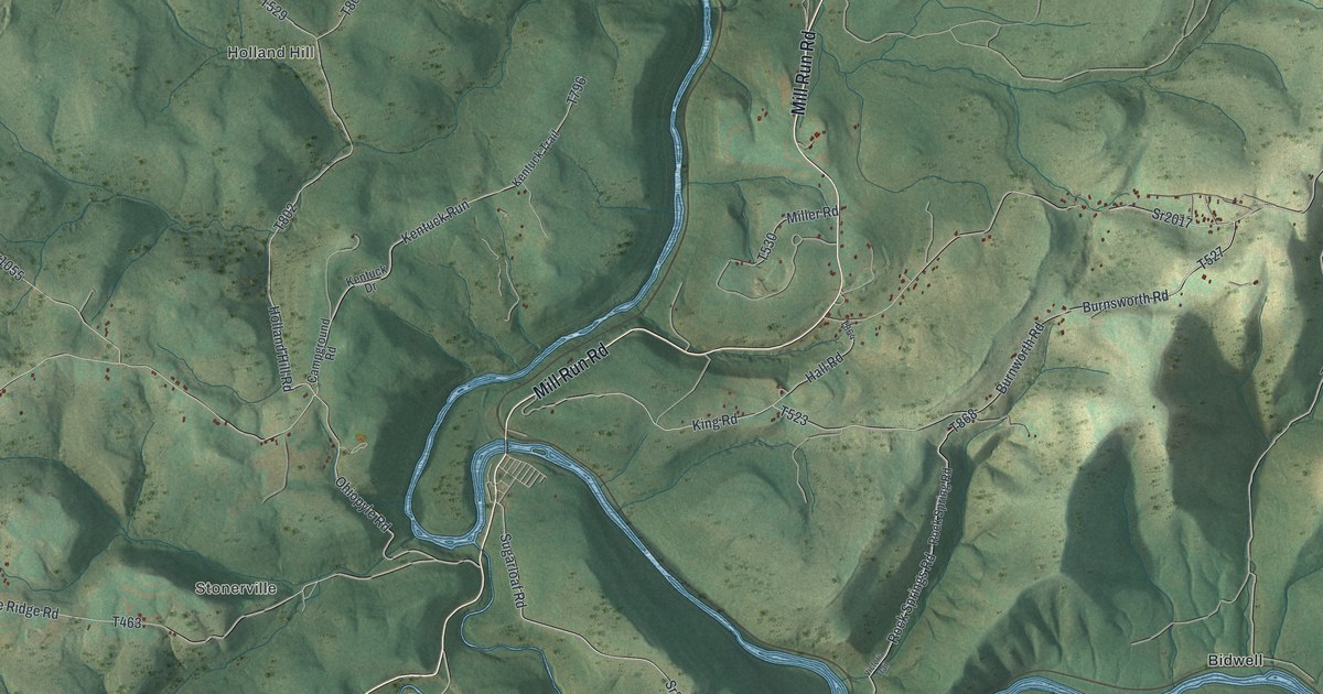
A detailed map of Stewart, Pennsylvania, showing every building in its true location, the roads by name, and shaded topographical relief.
Read More















