Detailed Map of Wilkesville, Ohio
A detailed map of Wilkesville, Ohio, showing every building in its true location, the roads by name, and shaded topographical relief.
Read More
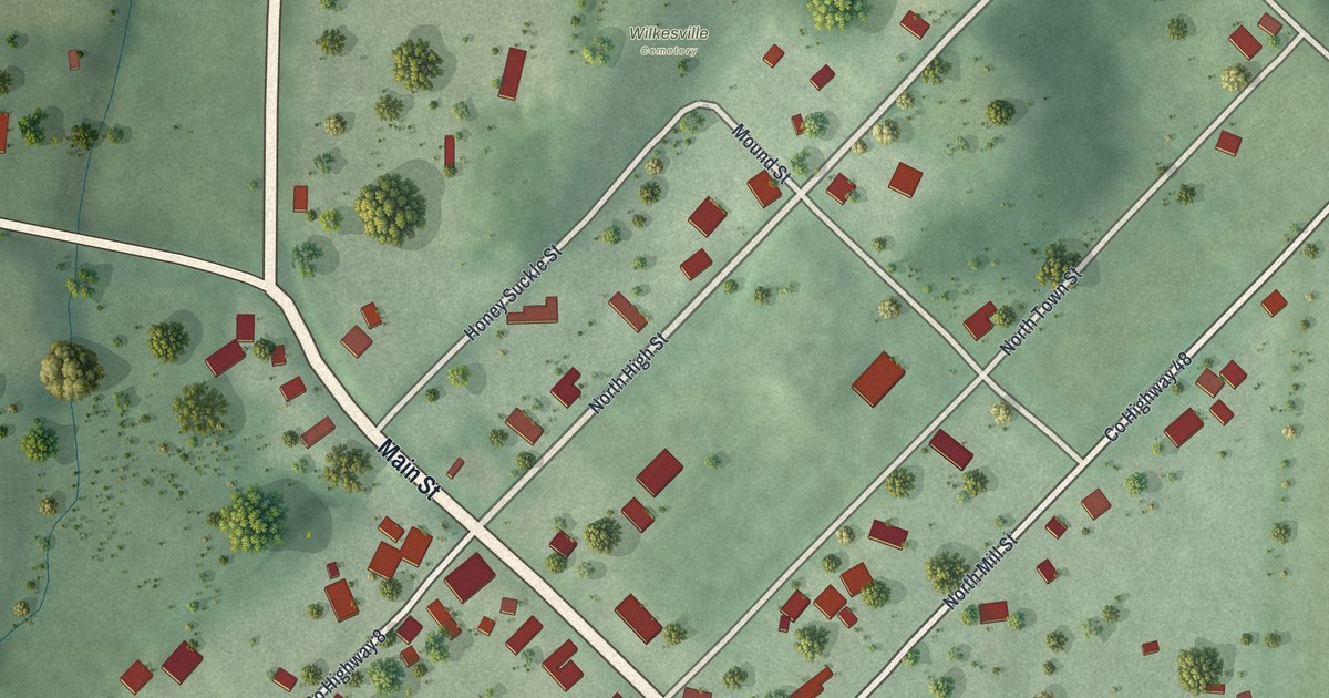
A detailed map of Wilkesville, Ohio, showing every building in its true location, the roads by name, and shaded topographical relief.
Read More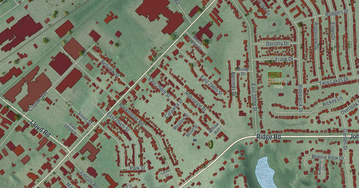
A detailed map of Wickliffe, Ohio, showing every building in its true location, the roads by name, and shaded topographical relief.
Read More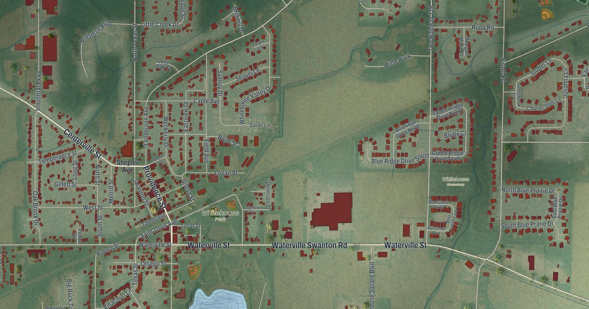
A detailed map of Whitehouse, Ohio, showing every building in its true location, the roads by name, and shaded topographical relief.
Read More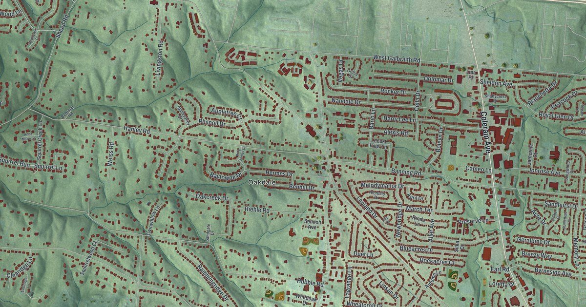
A detailed map of White Oak, Ohio, showing every building in its true location, the roads by name, and shaded topographical relief.
Read More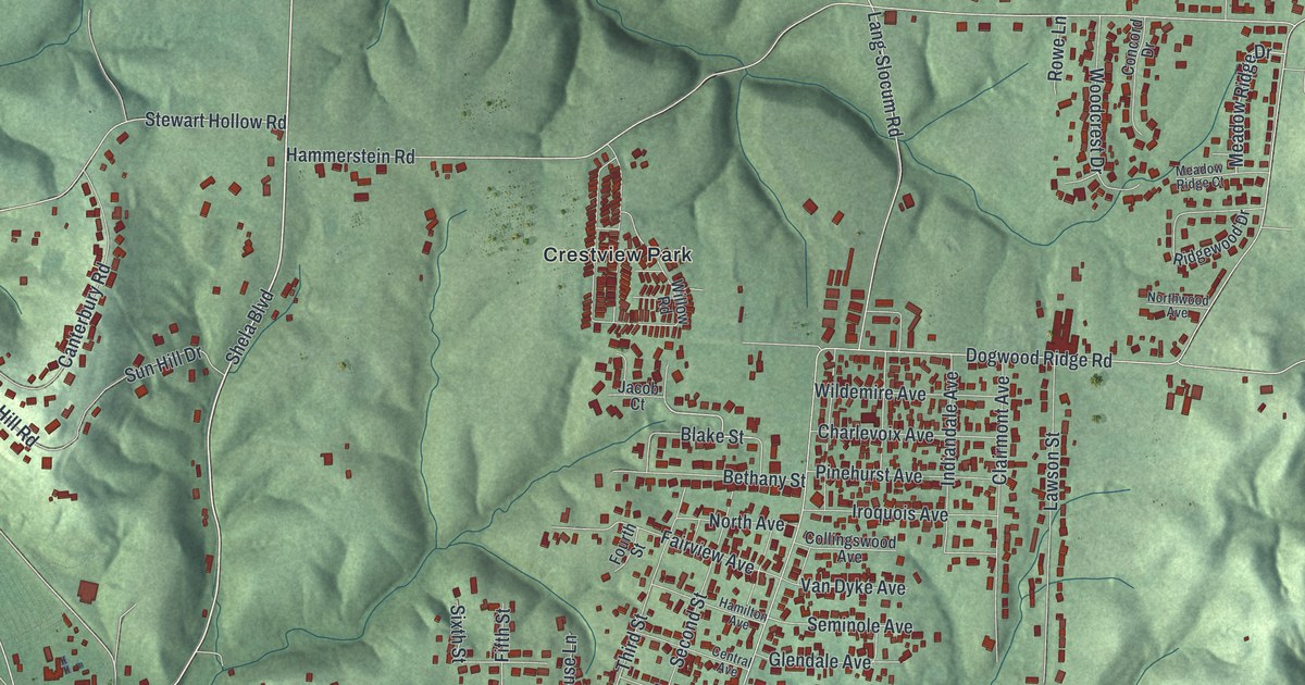
A detailed map of Wheelersburg, Ohio, showing every building in its true location, the roads by name, and shaded topographical relief.
Read More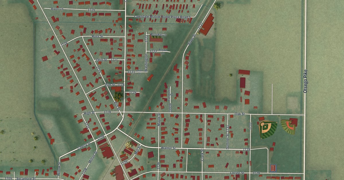
A detailed map of Weston, Ohio, showing every building in its true location, the roads by name, and shaded topographical relief.
Read More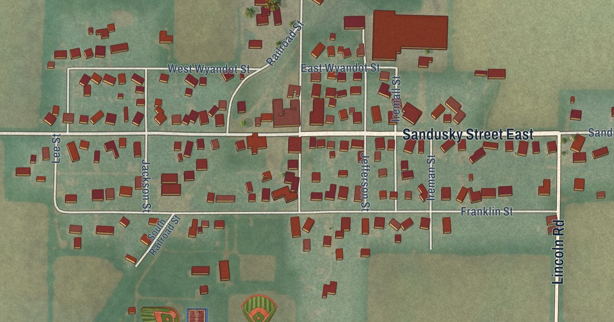
A detailed map of Wharton, Ohio, showing every building in its true location, the roads by name, and shaded topographical relief.
Read More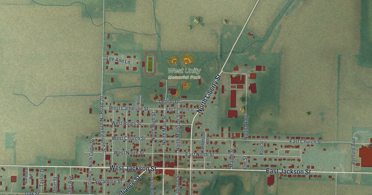
A detailed map of West Unity, Ohio, showing every building in its true location, the roads by name, and shaded topographical relief.
Read More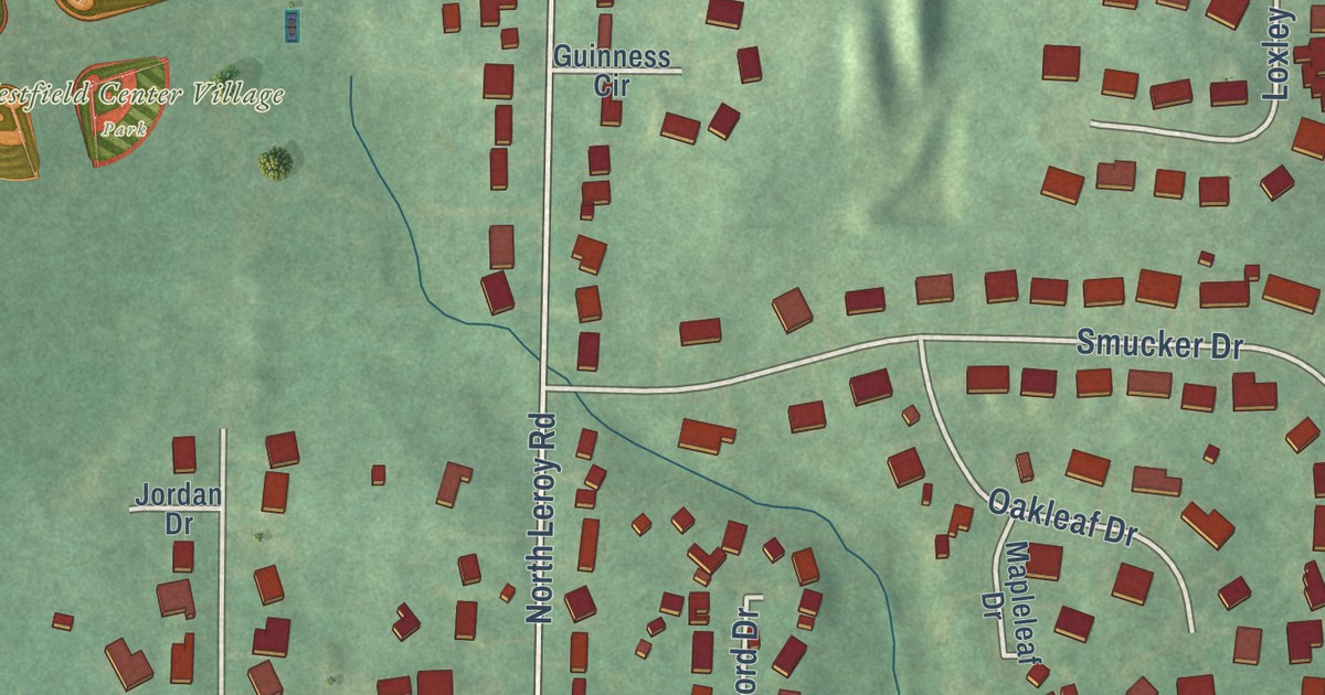
A detailed map of Westfield Center, Ohio, showing every building in its true location, the roads by name, and shaded topographical relief.
Read More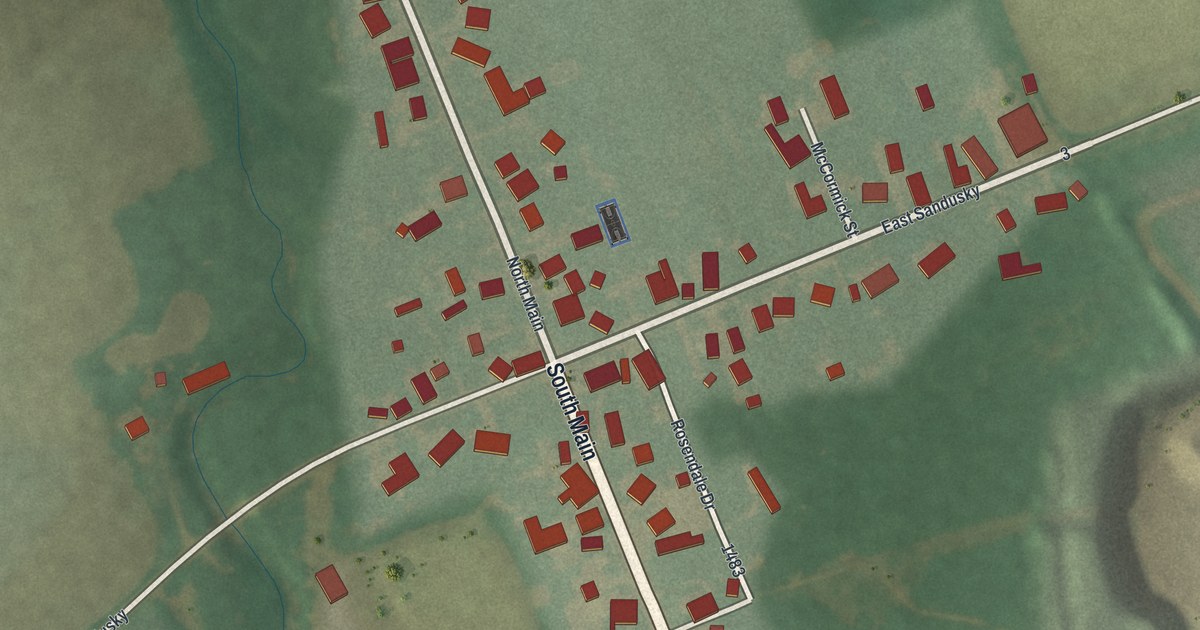
A detailed map of West Millgrove, Ohio, showing every building in its true location, the roads by name, and shaded topographical relief.
Read More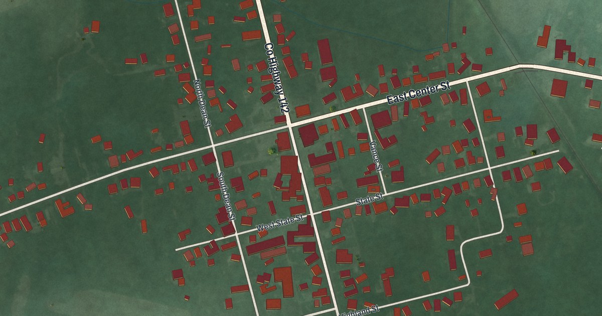
A detailed map of West Mansfield, Ohio, showing every building in its true location, the roads by name, and shaded topographical relief.
Read More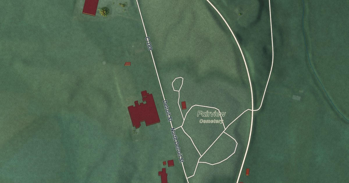
A detailed map of West Liberty, Ohio, showing every building in its true location, the roads by name, and shaded topographical relief.
Read More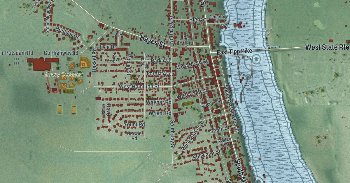
A detailed map of West Milton, Ohio, showing every building in its true location, the roads by name, and shaded topographical relief.
Read More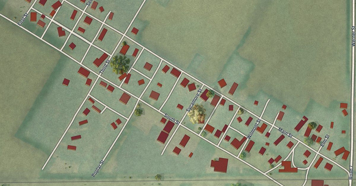
A detailed map of West Leipsic, Ohio, showing every building in its true location, the roads by name, and shaded topographical relief.
Read More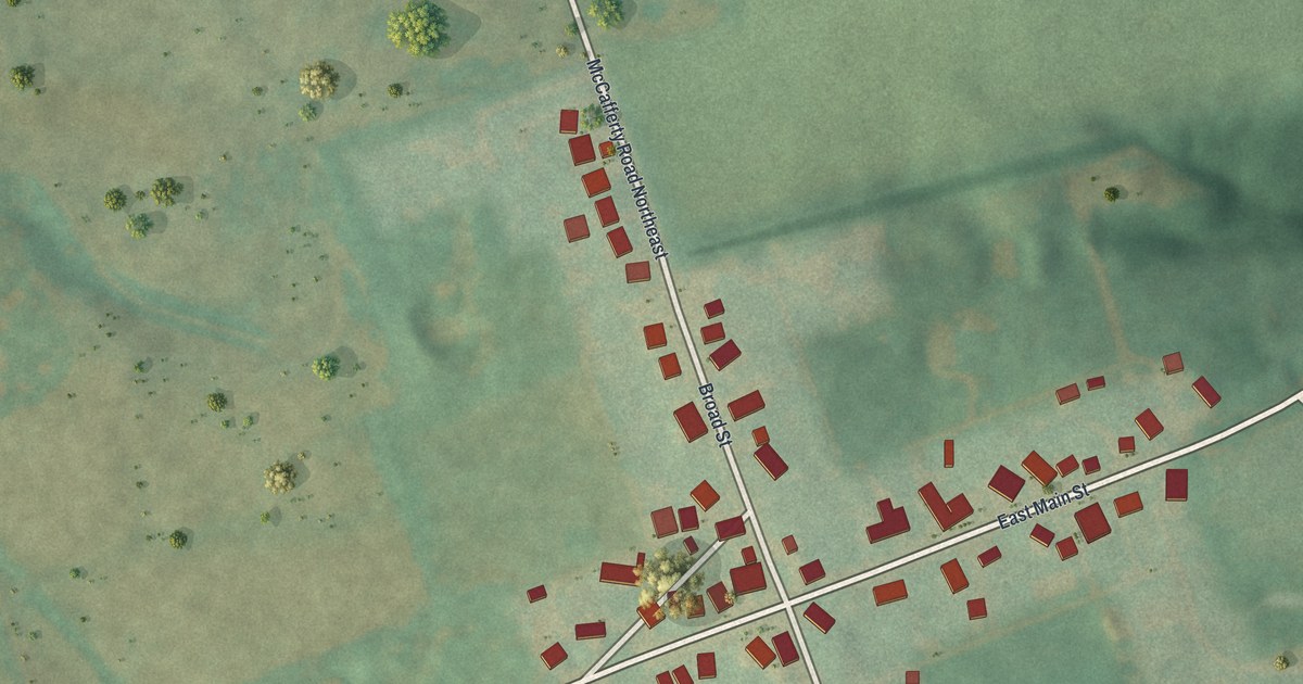
A detailed map of West Rushville, Ohio, showing every building in its true location, the roads by name, and shaded topographical relief.
Read More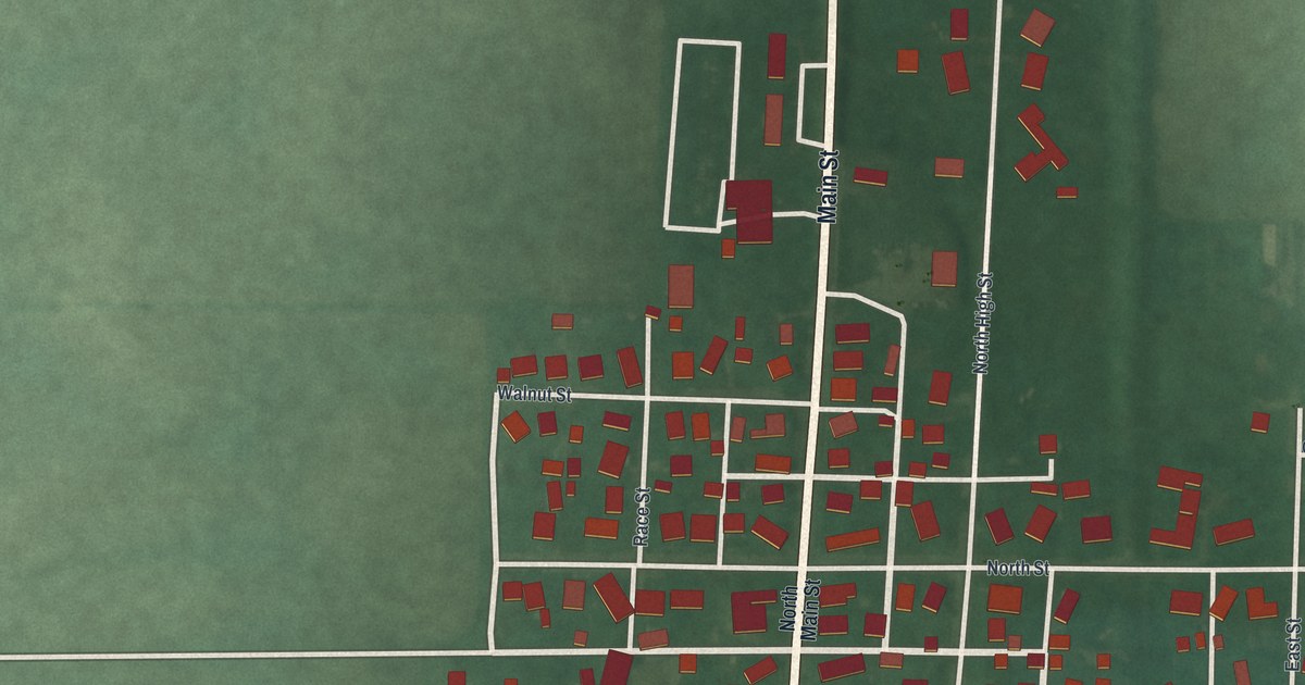
A detailed map of West Manchester, Ohio, showing every building in its true location, the roads by name, and shaded topographical relief.
Read More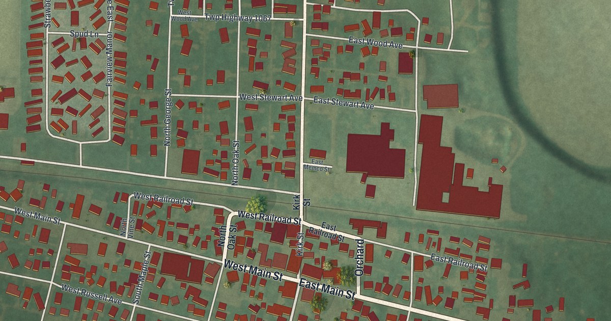
A detailed map of West Lafayette, Ohio, showing every building in its true location, the roads by name, and shaded topographical relief.
Read More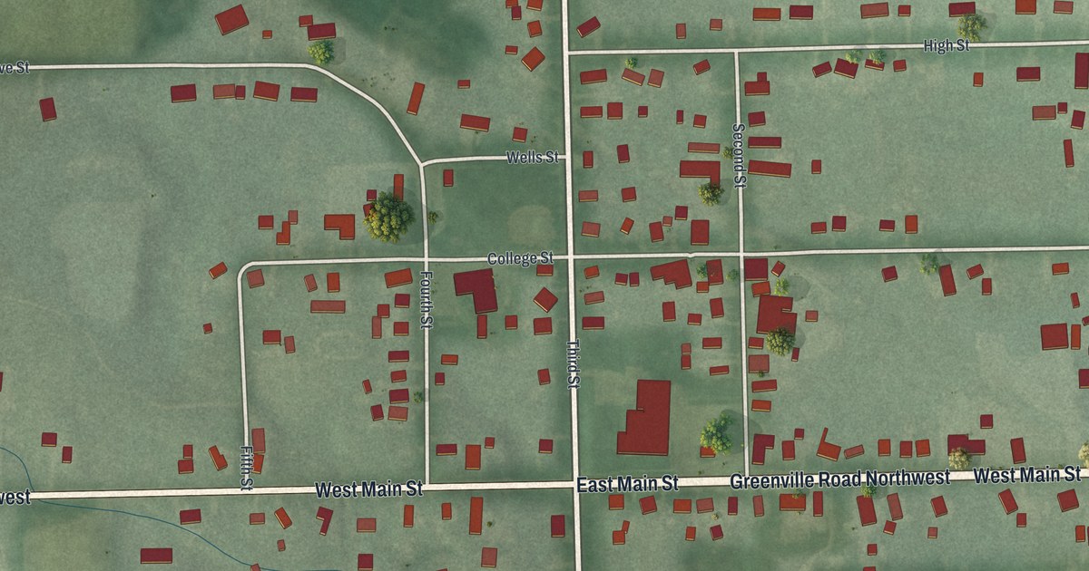
A detailed map of West Farmington, Ohio, showing every building in its true location, the roads by name, and shaded topographical relief.
Read More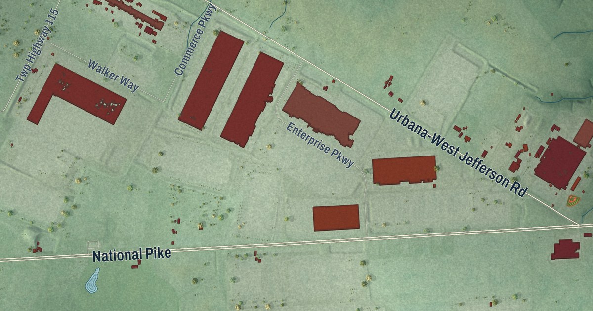
A detailed map of West Jefferson, Ohio, showing every building in its true location, the roads by name, and shaded topographical relief.
Read More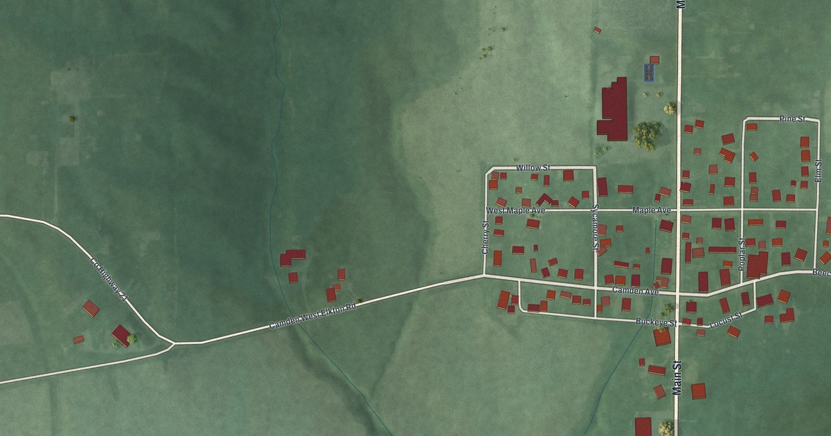
A detailed map of West Elkton, Ohio, showing every building in its true location, the roads by name, and shaded topographical relief.
Read More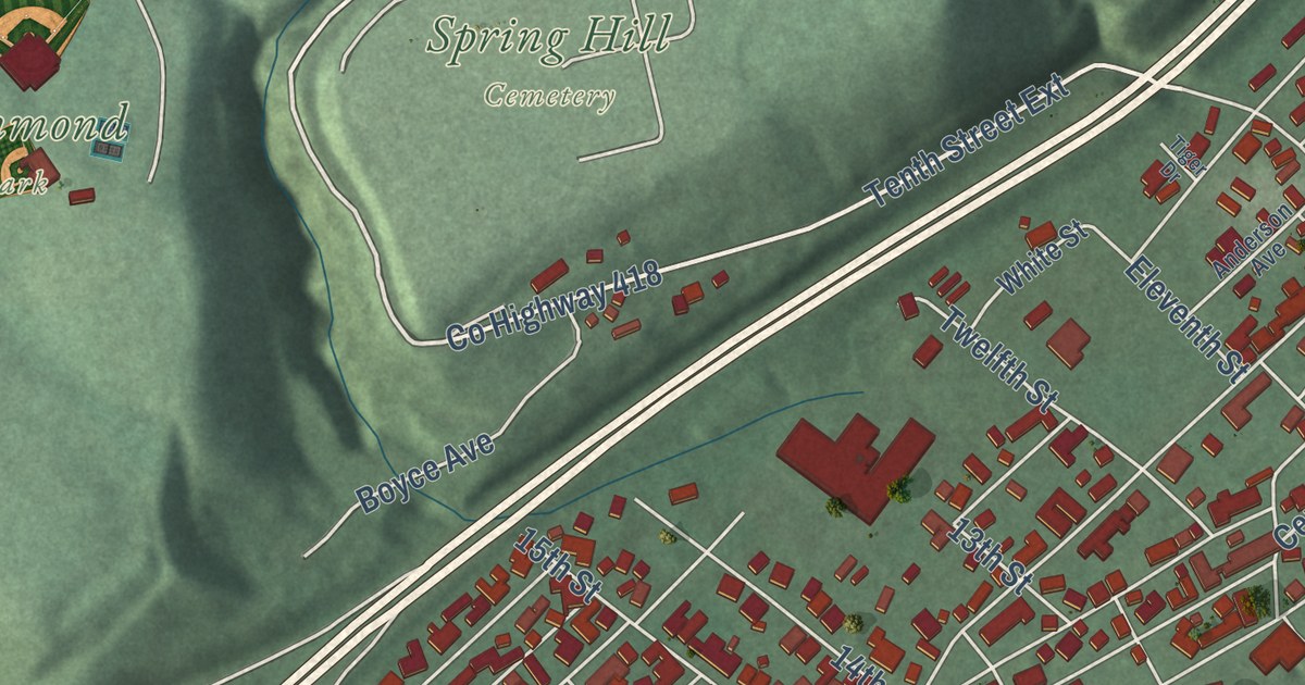
A detailed map of Wellsville, Ohio, showing every building in its true location, the roads by name, and shaded topographical relief.
Read More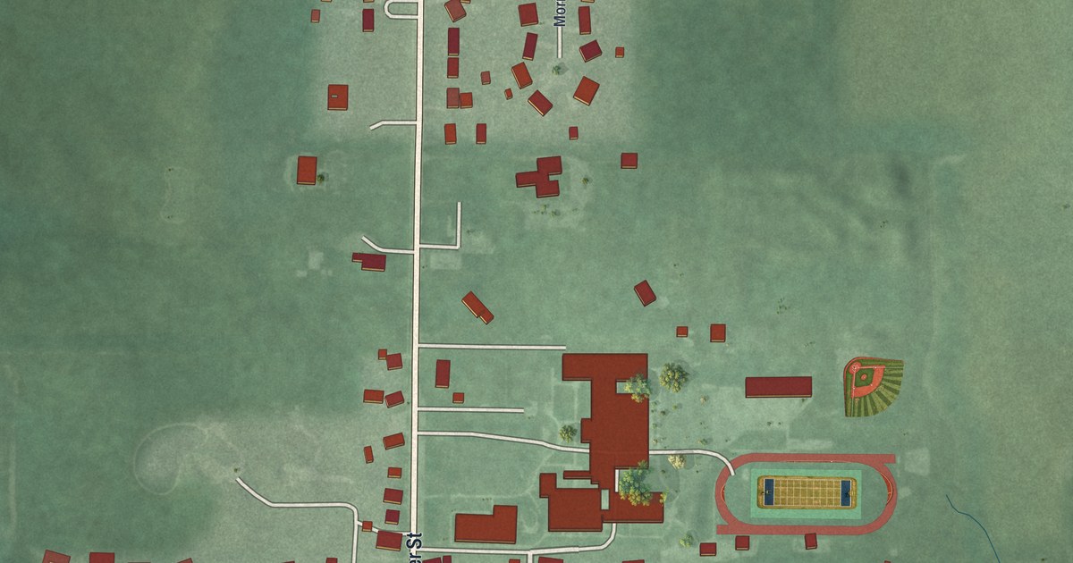
A detailed map of Waynesfield, Ohio, showing every building in its true location, the roads by name, and shaded topographical relief.
Read More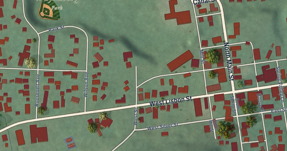
A detailed map of Waynesburg, Ohio, showing every building in its true location, the roads by name, and shaded topographical relief.
Read More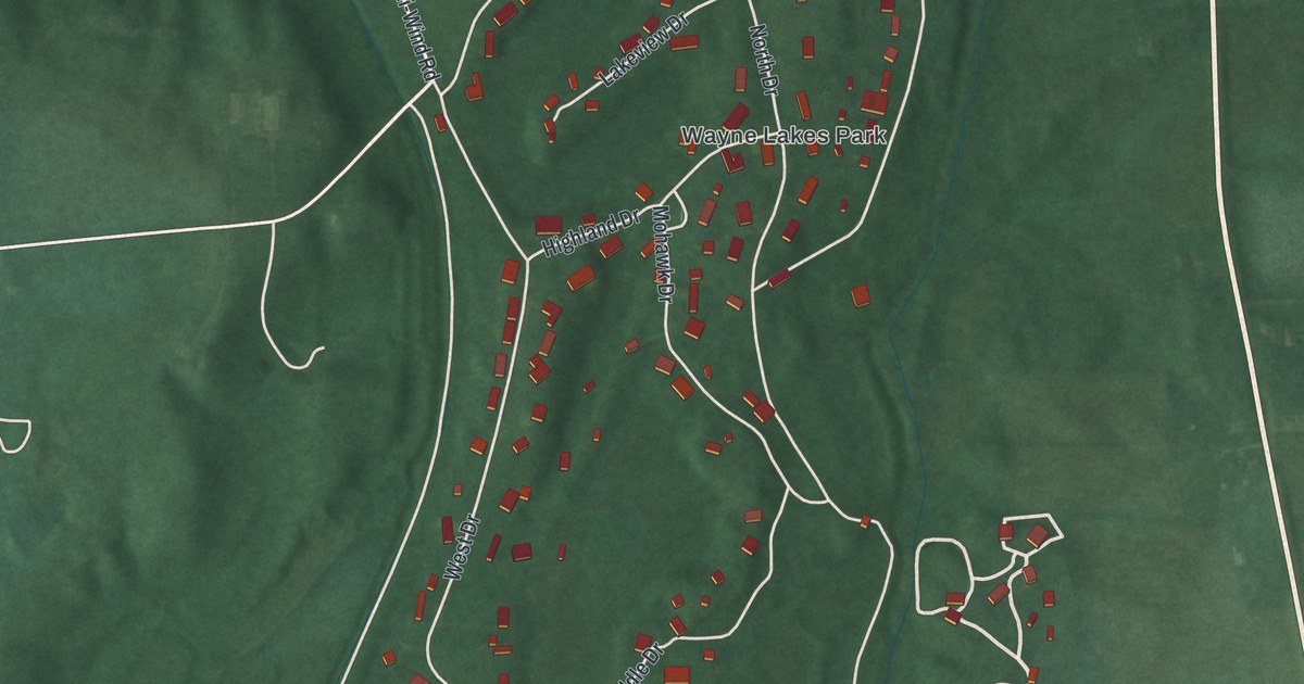
A detailed map of Wayne Lakes, Ohio, showing every building in its true location, the roads by name, and shaded topographical relief.
Read More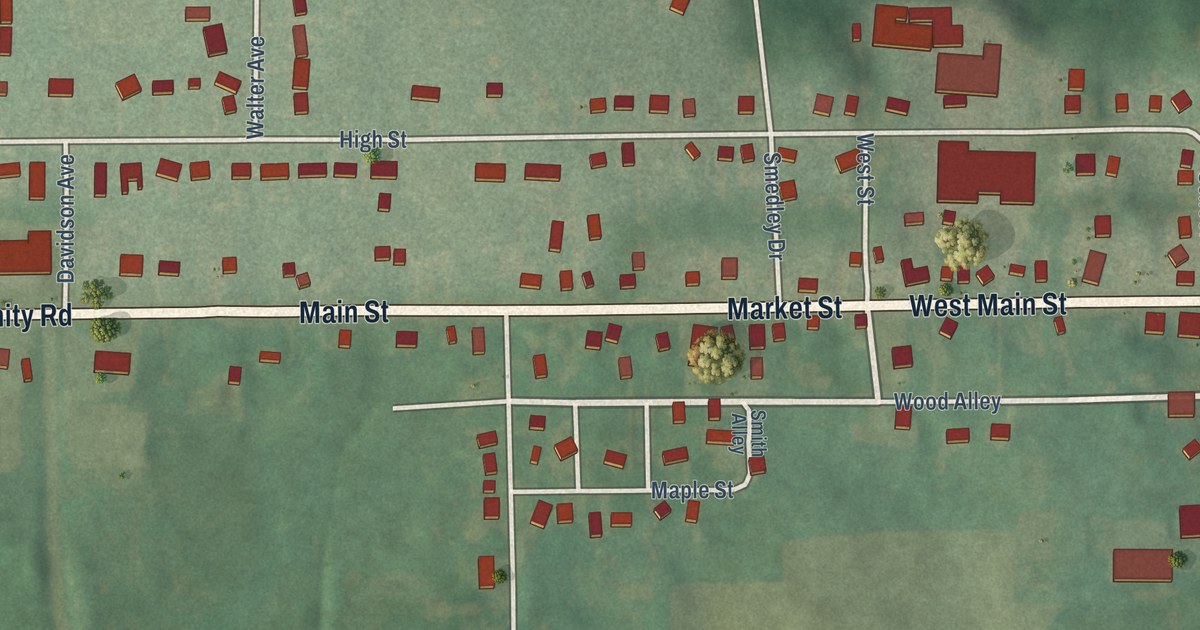
A detailed map of Washingtonville, Ohio, showing every building in its true location, the roads by name, and shaded topographical relief.
Read More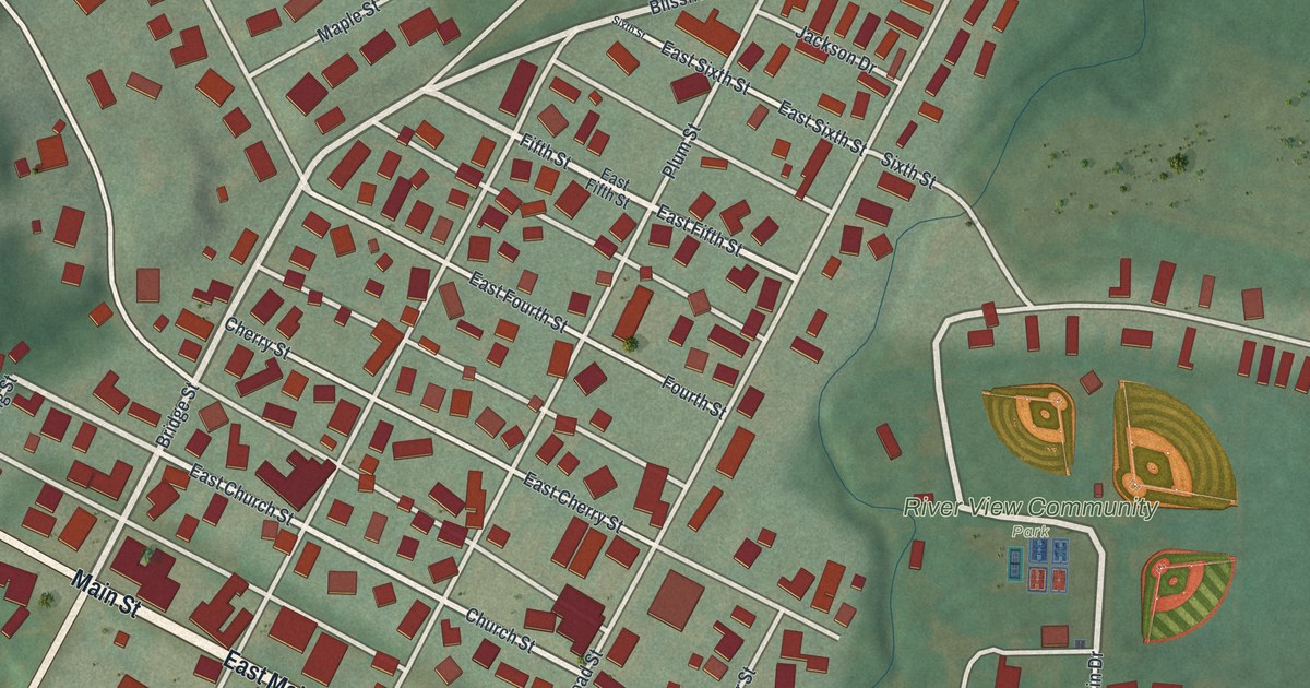
A detailed map of Warsaw, Ohio, showing every building in its true location, the roads by name, and shaded topographical relief.
Read More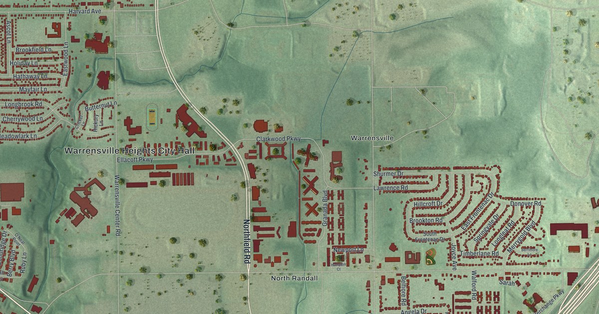
A detailed map of Warrensville Heights, Ohio, showing every building in its true location, the roads by name, and shaded topographical relief.
Read More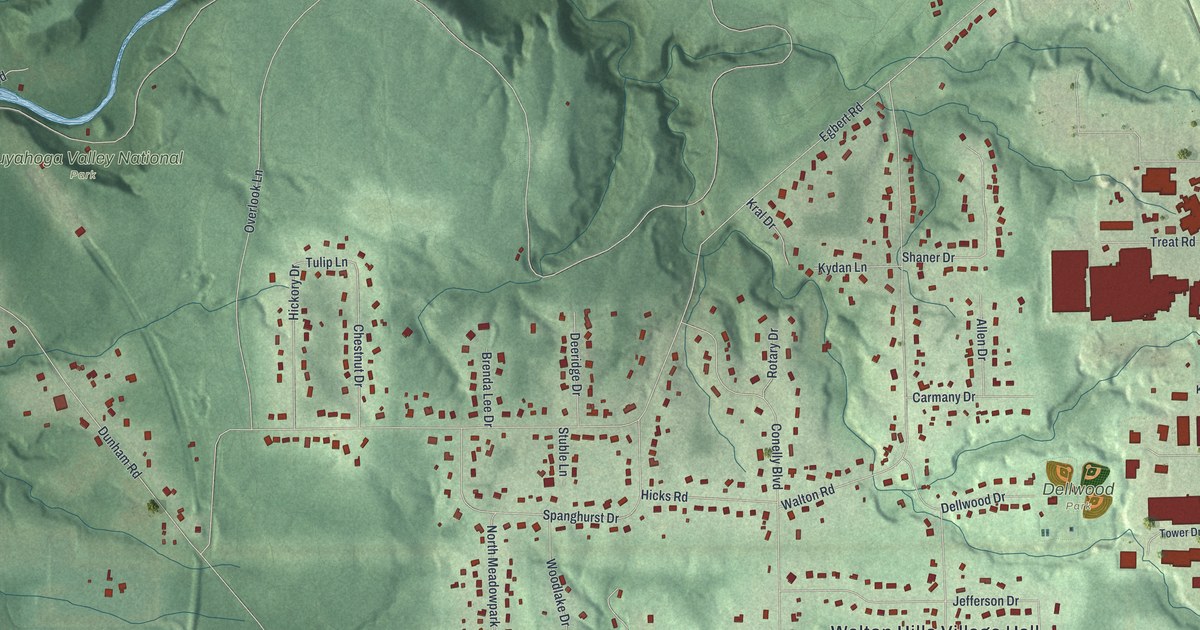
A detailed map of Walton Hills, Ohio, showing every building in its true location, the roads by name, and shaded topographical relief.
Read More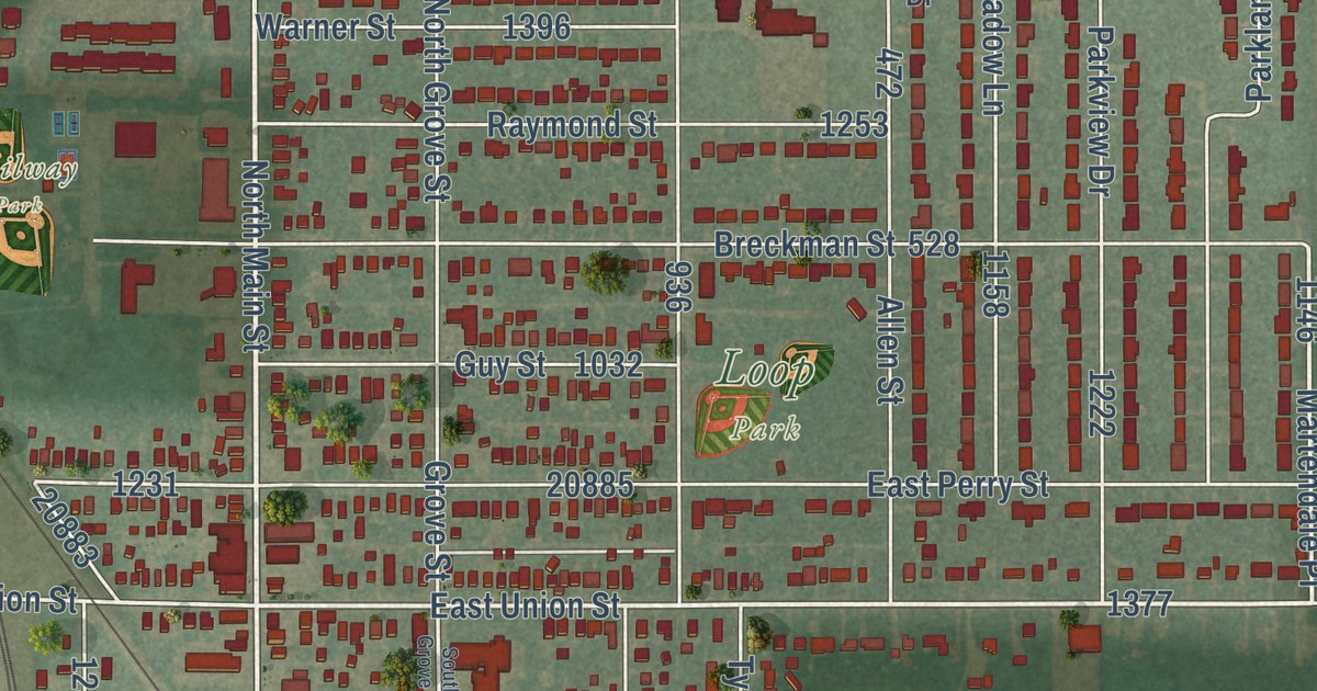
A detailed map of Walbridge, Ohio, showing every building in its true location, the roads by name, and shaded topographical relief.
Read More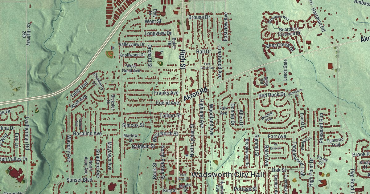
A detailed map of Wadsworth, Ohio, showing every building in its true location, the roads by name, and shaded topographical relief.
Read More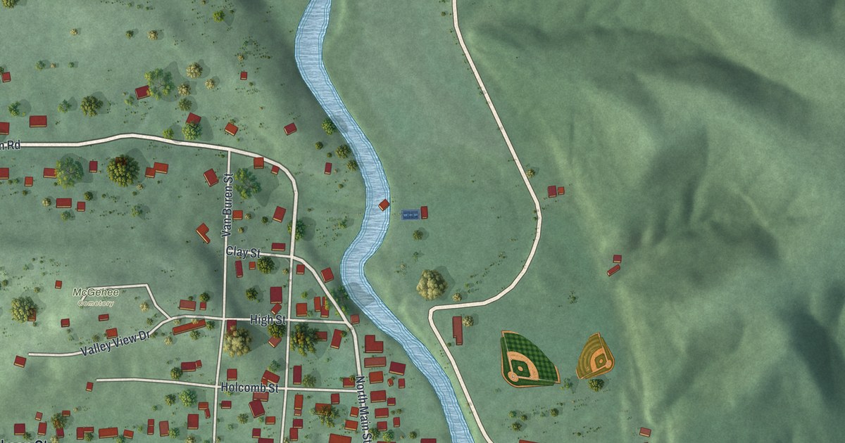
A detailed map of Vinton, Ohio, showing every building in its true location, the roads by name, and shaded topographical relief.
Read More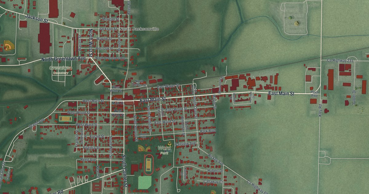
A detailed map of Versailles, Ohio, showing every building in its true location, the roads by name, and shaded topographical relief.
Read More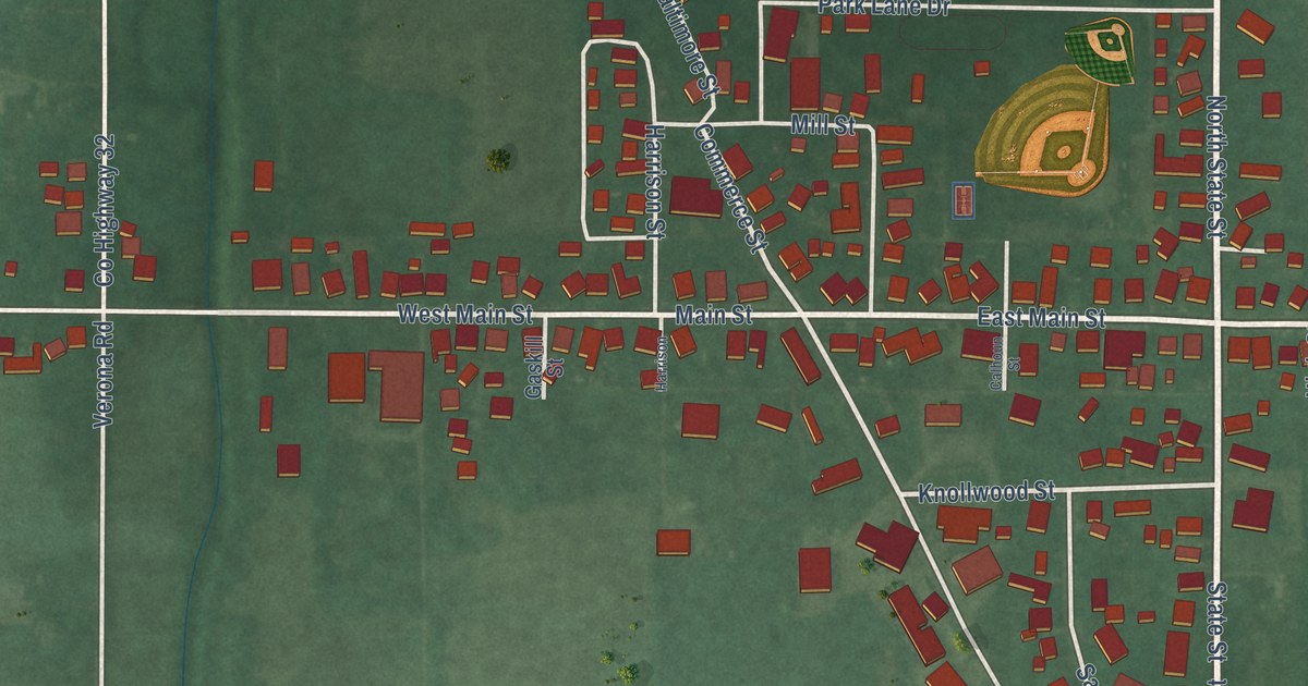
A detailed map of Verona, Ohio, showing every building in its true location, the roads by name, and shaded topographical relief.
Read More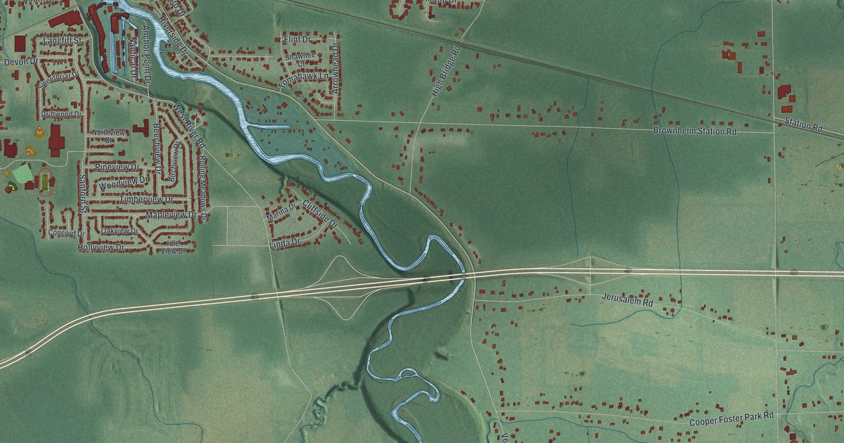
A detailed map of Vermilion, Ohio, showing every building in its true location, the roads by name, and shaded topographical relief.
Read More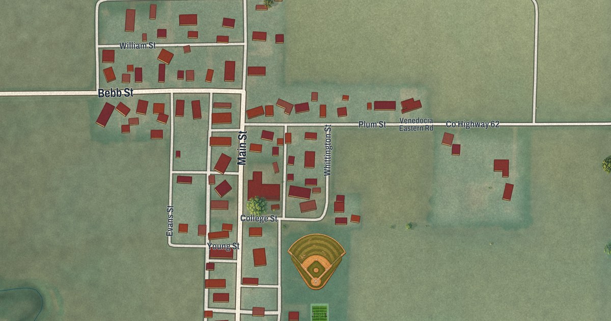
A detailed map of Venedocia, Ohio, showing every building in its true location, the roads by name, and shaded topographical relief.
Read More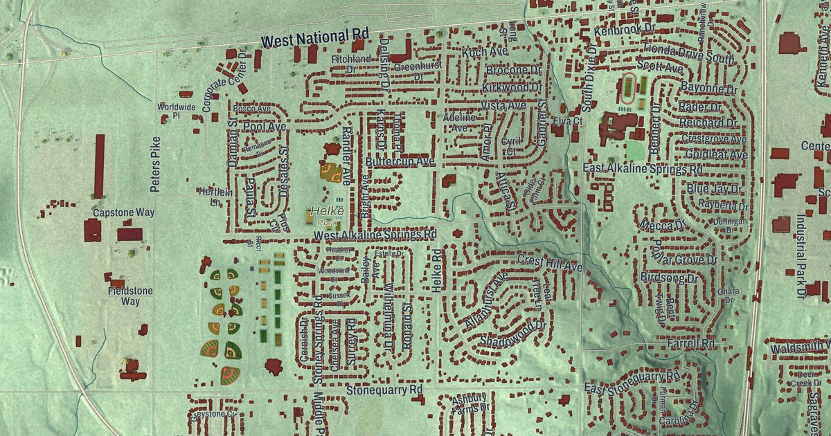
A detailed map of Vandalia, Ohio, showing every building in its true location, the roads by name, and shaded topographical relief.
Read More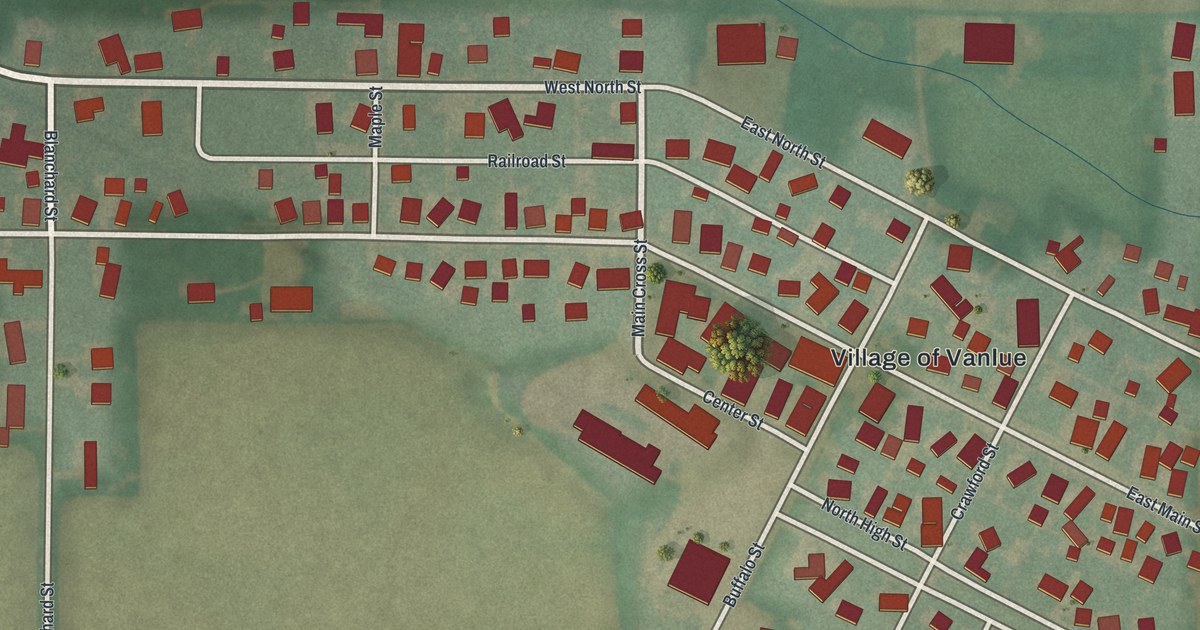
A detailed map of Vanlue, Ohio, showing every building in its true location, the roads by name, and shaded topographical relief.
Read More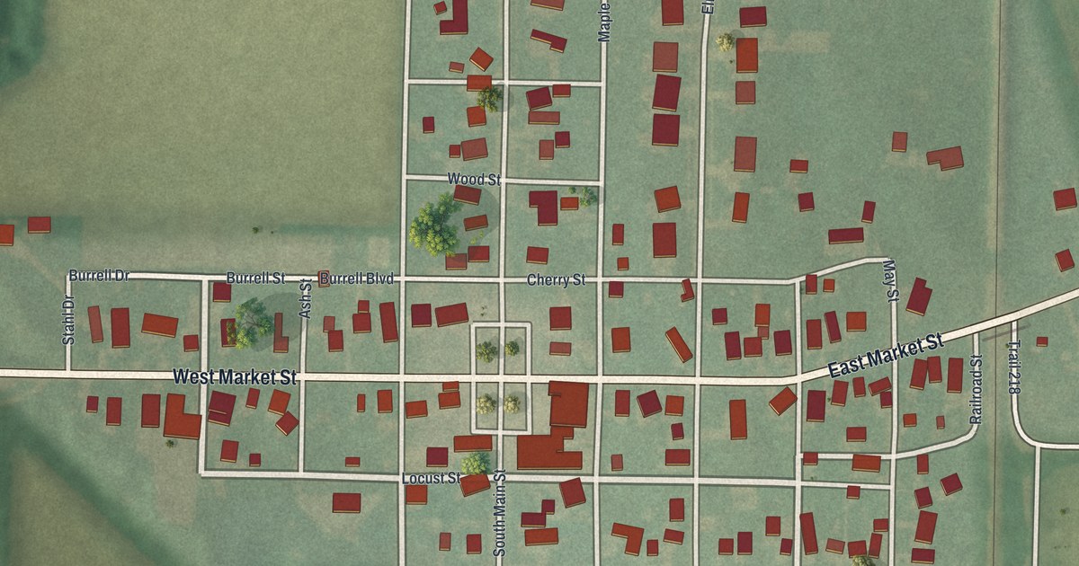
A detailed map of Van Buren, Ohio, showing every building in its true location, the roads by name, and shaded topographical relief.
Read More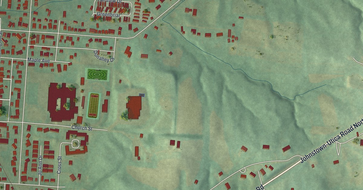
A detailed map of Utica, Ohio, showing every building in its true location, the roads by name, and shaded topographical relief.
Read More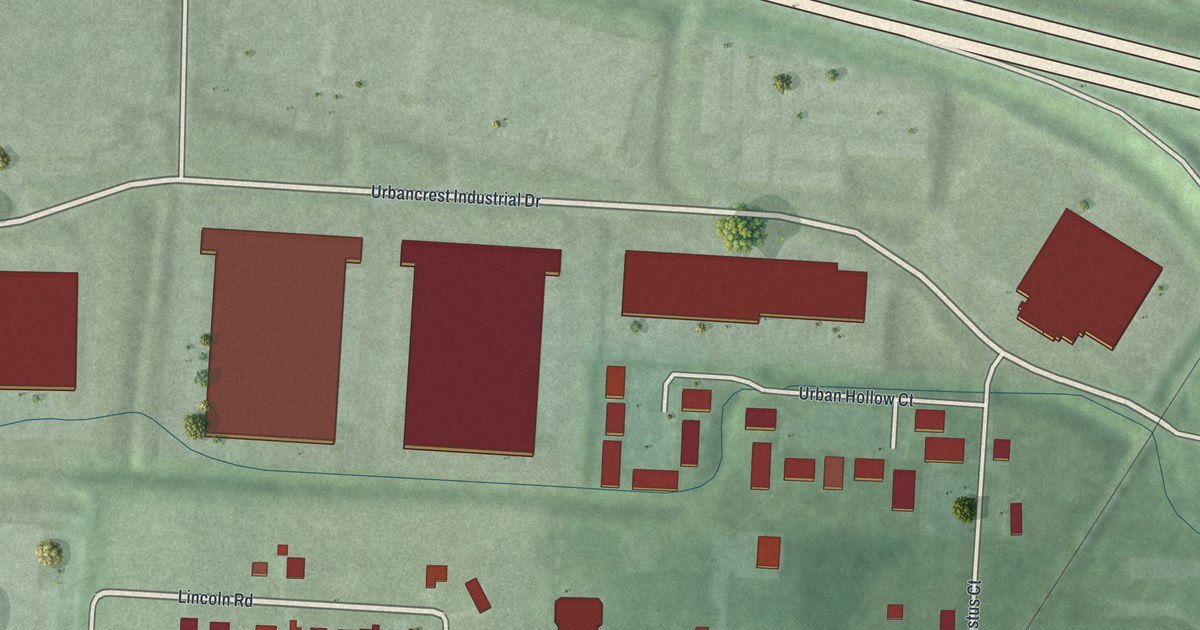
A detailed map of Urbancrest, Ohio, showing every building in its true location, the roads by name, and shaded topographical relief.
Read More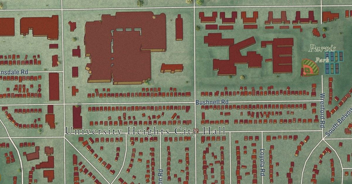
A detailed map of University Heights, Ohio, showing every building in its true location, the roads by name, and shaded topographical relief.
Read More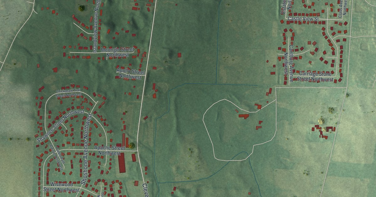
A detailed map of Uniontown, Ohio, showing every building in its true location, the roads by name, and shaded topographical relief.
Read More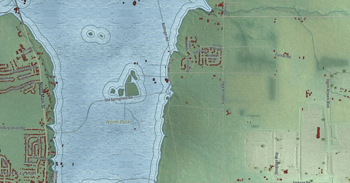
A detailed map of Union, Ohio, showing every building in its true location, the roads by name, and shaded topographical relief.
Read More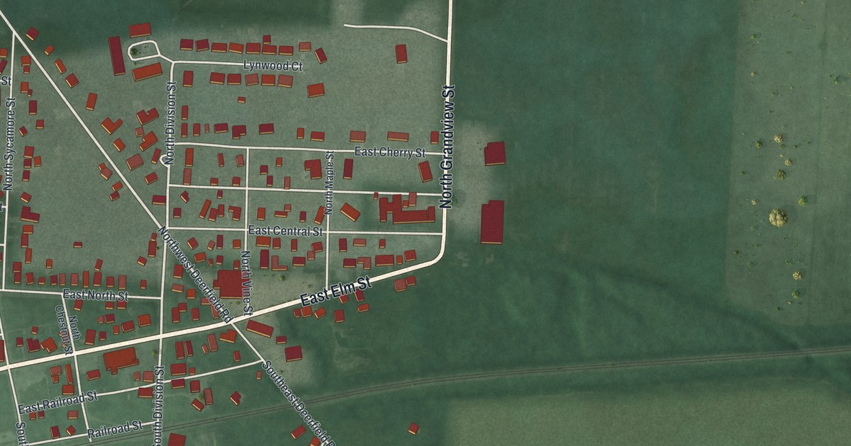
A detailed map of Union City, Ohio, showing every building in its true location, the roads by name, and shaded topographical relief.
Read More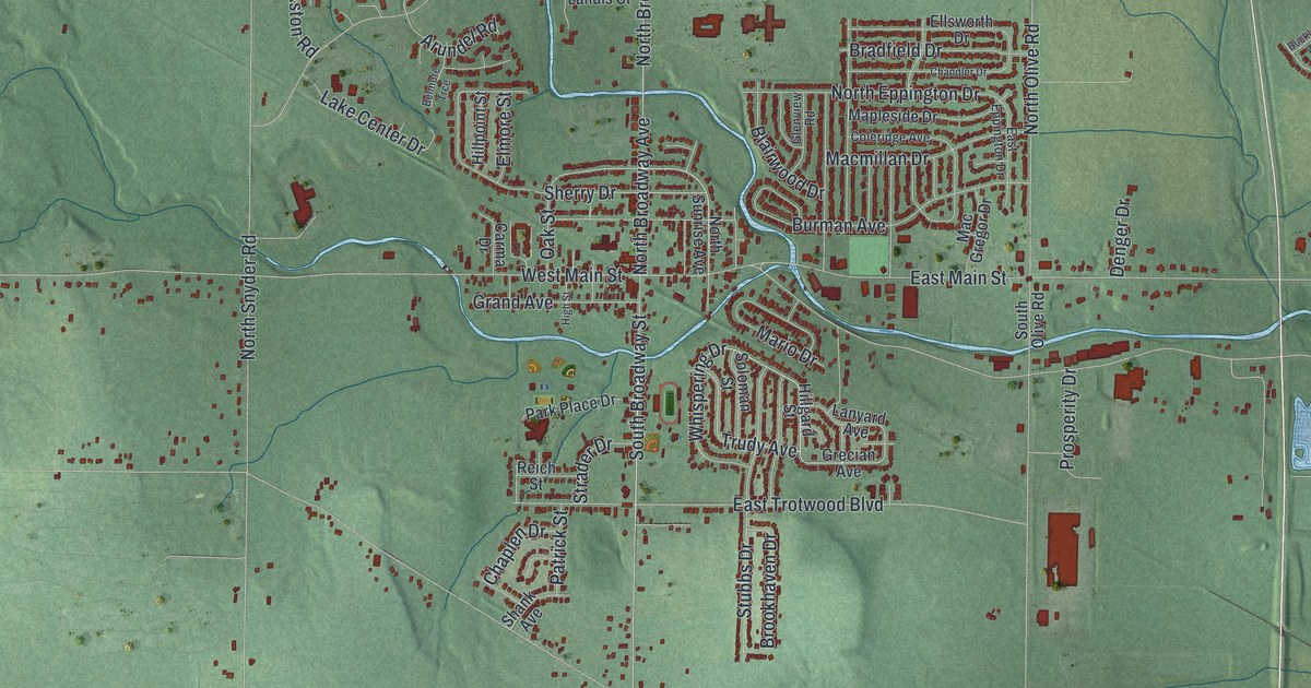
A detailed map of Trotwood, Ohio, showing every building in its true location, the roads by name, and shaded topographical relief.
Read More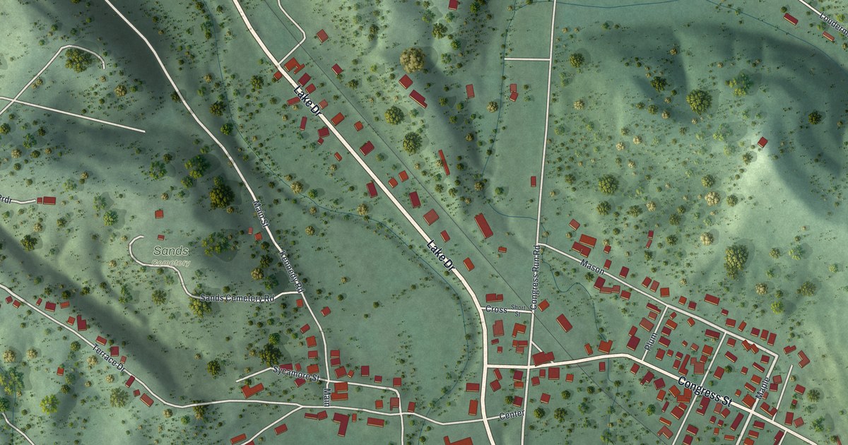
A detailed map of Trimble, Ohio, showing every building in its true location, the roads by name, and shaded topographical relief.
Read More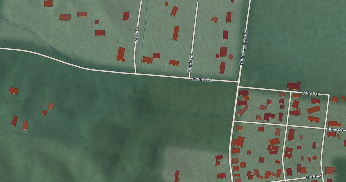
A detailed map of Tremont City, Ohio, showing every building in its true location, the roads by name, and shaded topographical relief.
Read More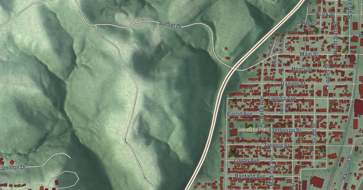
A detailed map of Toronto, Ohio, showing every building in its true location, the roads by name, and shaded topographical relief.
Read More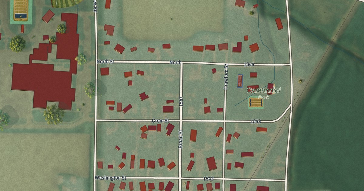
A detailed map of Tontogany, Ohio, showing every building in its true location, the roads by name, and shaded topographical relief.
Read More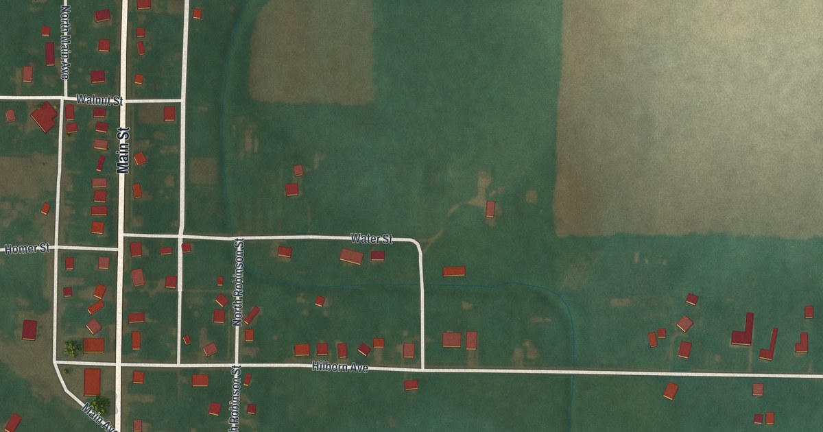
A detailed map of Tiro, Ohio, showing every building in its true location, the roads by name, and shaded topographical relief.
Read More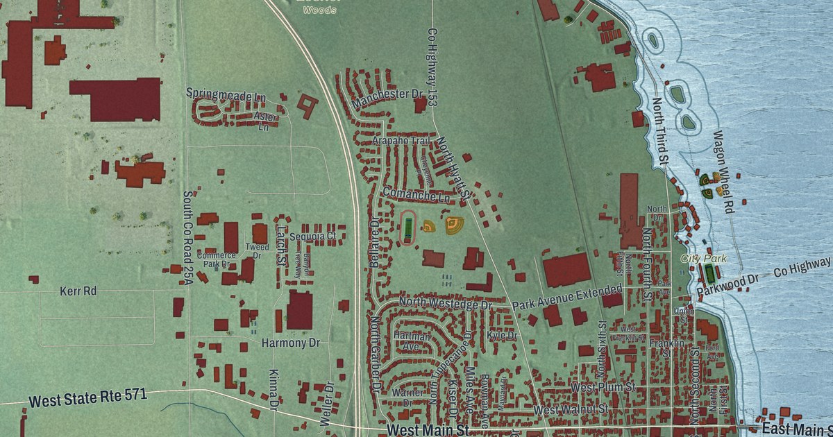
A detailed map of Tipp City, Ohio, showing every building in its true location, the roads by name, and shaded topographical relief.
Read More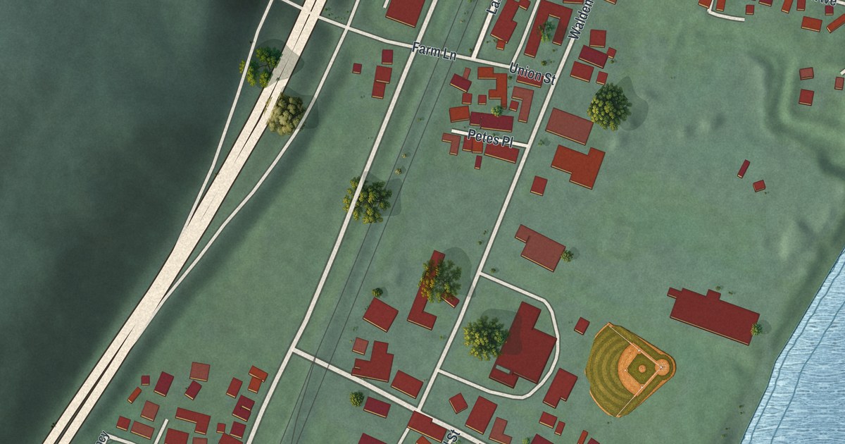
A detailed map of Tiltonsville, Ohio, showing every building in its true location, the roads by name, and shaded topographical relief.
Read More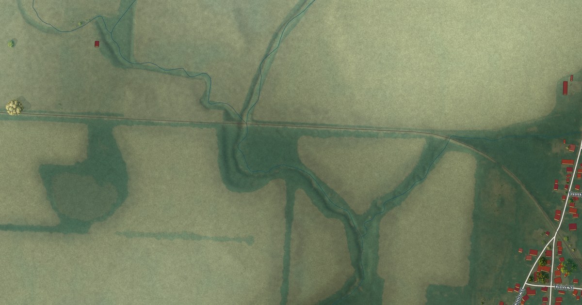
A detailed map of Thurston, Ohio, showing every building in its true location, the roads by name, and shaded topographical relief.
Read More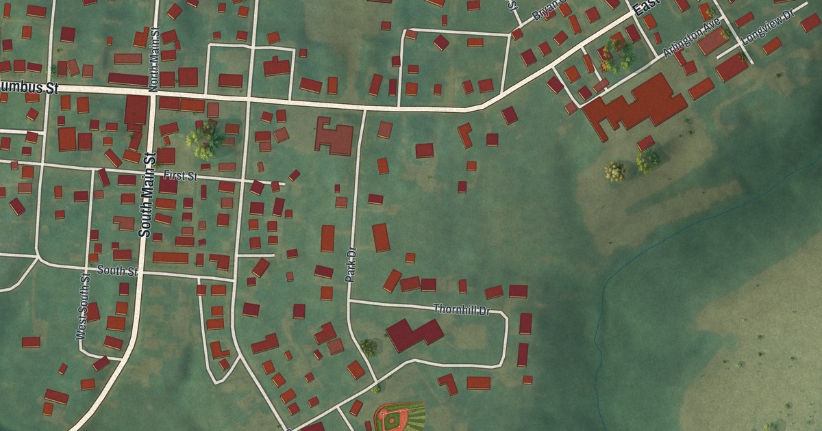
A detailed map of Thornville, Ohio, showing every building in its true location, the roads by name, and shaded topographical relief.
Read More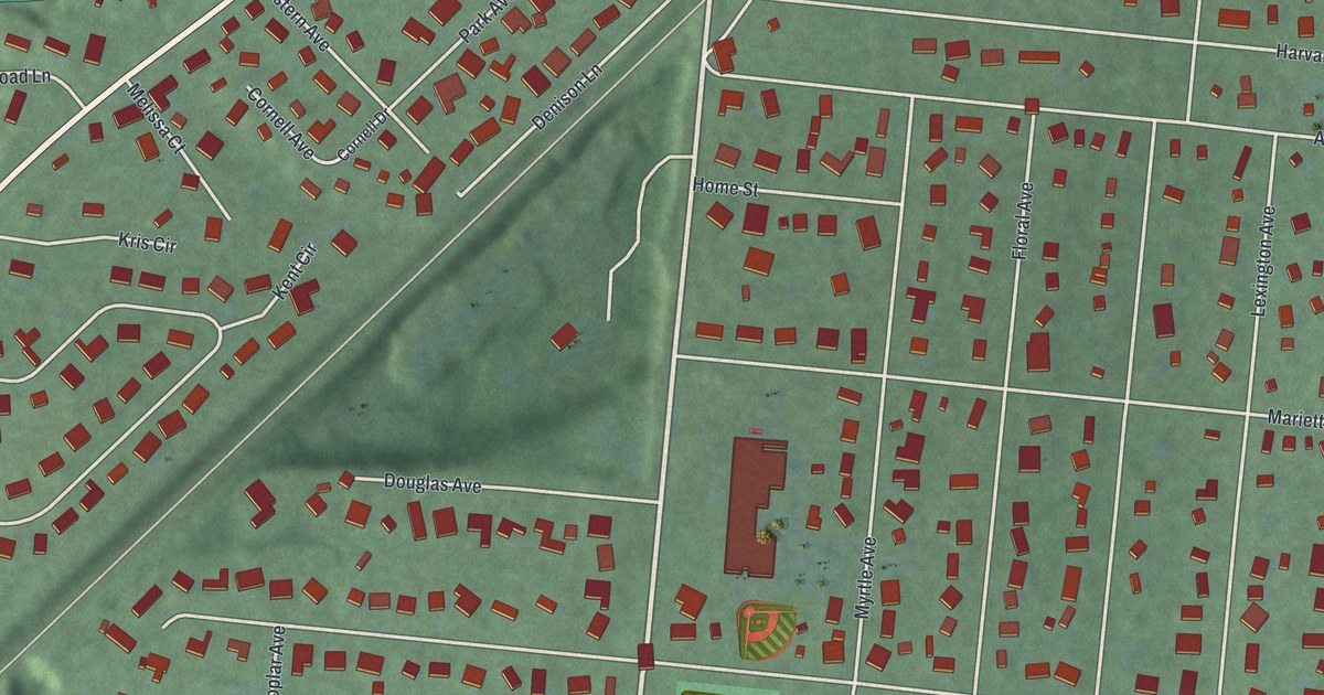
A detailed map of Terrace Park, Ohio, showing every building in its true location, the roads by name, and shaded topographical relief.
Read More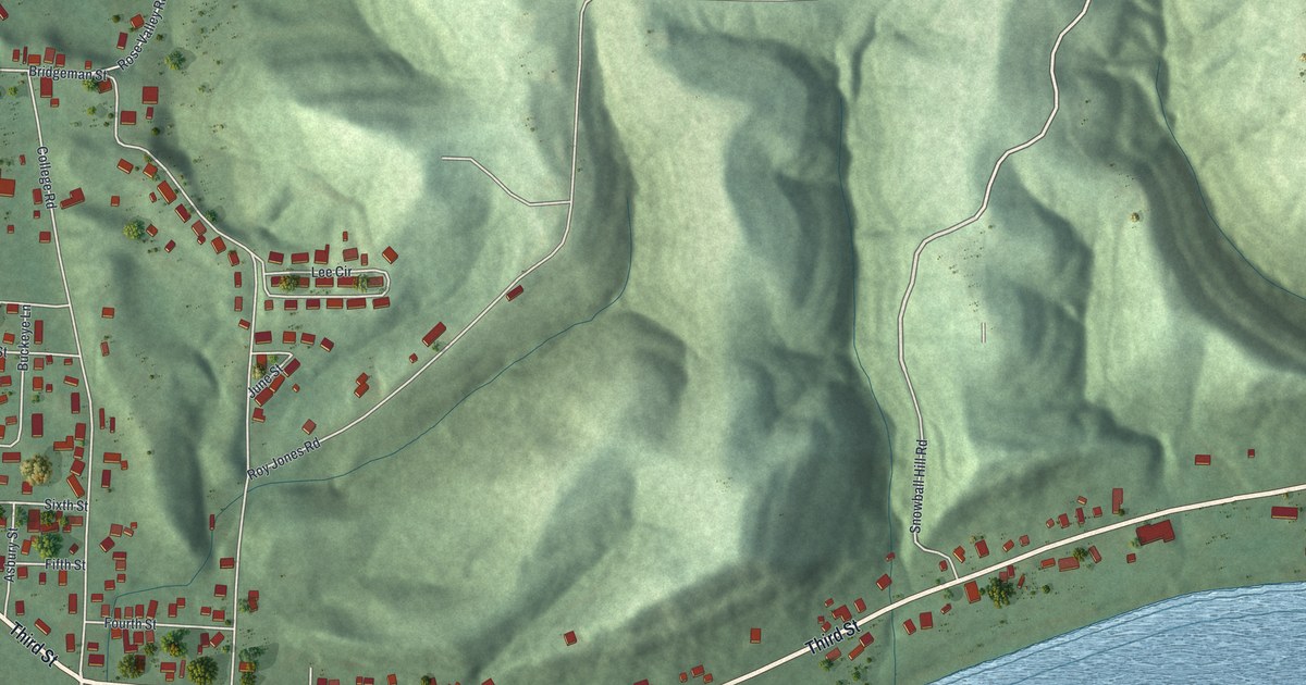
A detailed map of Syracuse, Ohio, showing every building in its true location, the roads by name, and shaded topographical relief.
Read More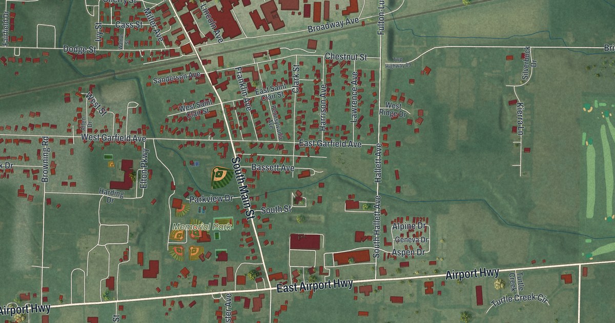
A detailed map of Swanton, Ohio, showing every building in its true location, the roads by name, and shaded topographical relief.
Read More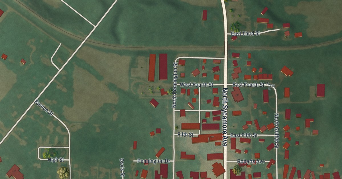
A detailed map of Sycamore, Ohio, showing every building in its true location, the roads by name, and shaded topographical relief.
Read More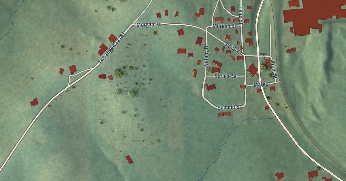
A detailed map of Summitville, Ohio, showing every building in its true location, the roads by name, and shaded topographical relief.
Read More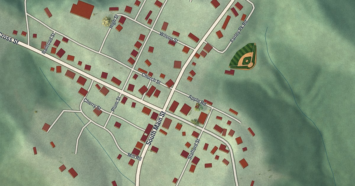
A detailed map of Summerfield, Ohio, showing every building in its true location, the roads by name, and shaded topographical relief.
Read More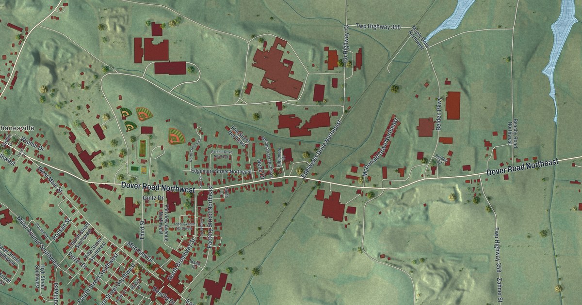
A detailed map of Sugarcreek, Ohio, showing every building in its true location, the roads by name, and shaded topographical relief.
Read More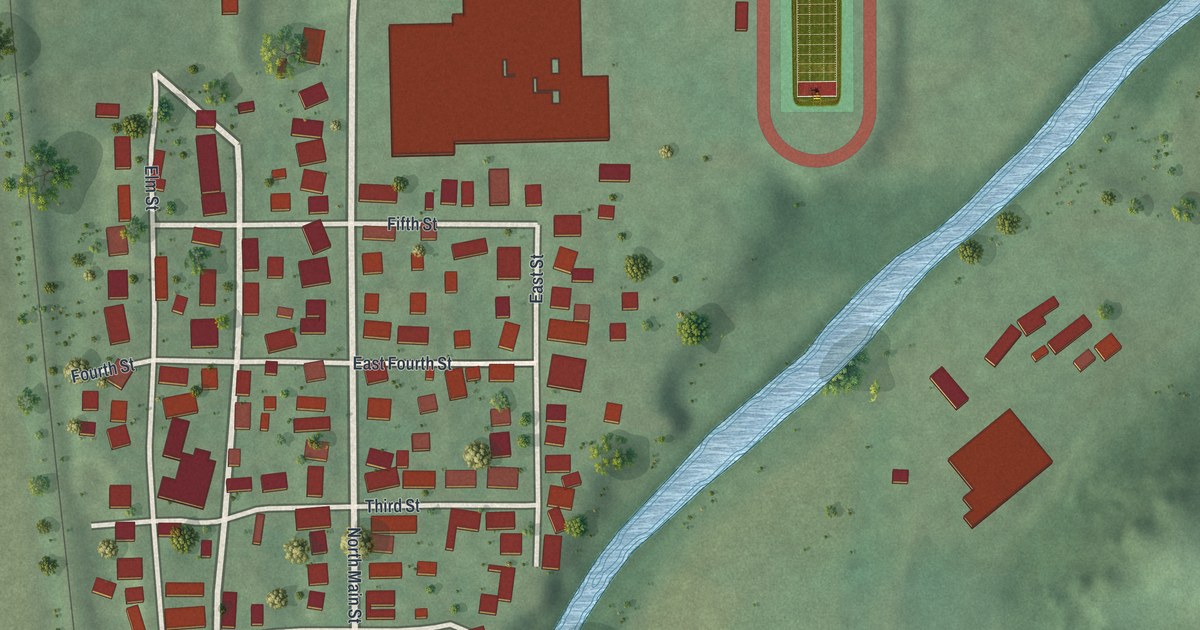
A detailed map of Sugar Grove, Ohio, showing every building in its true location, the roads by name, and shaded topographical relief.
Read More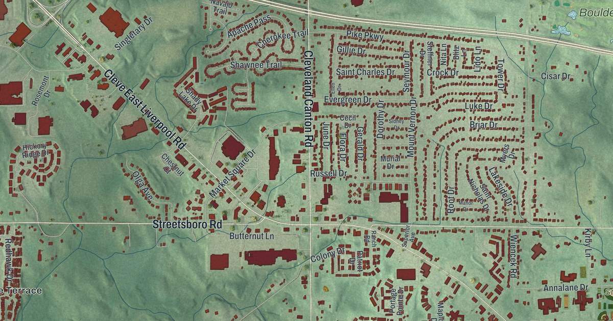
A detailed map of Streetsboro, Ohio, showing every building in its true location, the roads by name, and shaded topographical relief.
Read More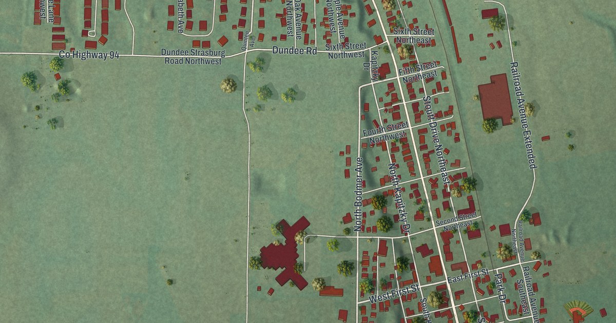
A detailed map of Strasburg, Ohio, showing every building in its true location, the roads by name, and shaded topographical relief.
Read More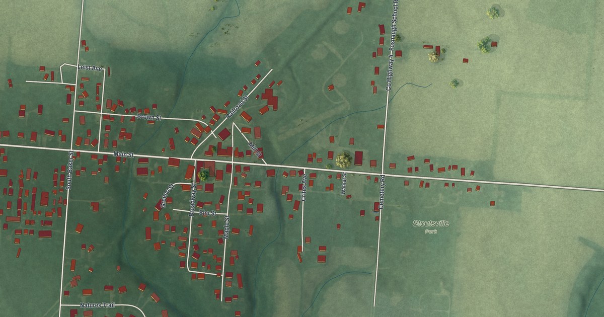
A detailed map of Stoutsville, Ohio, showing every building in its true location, the roads by name, and shaded topographical relief.
Read More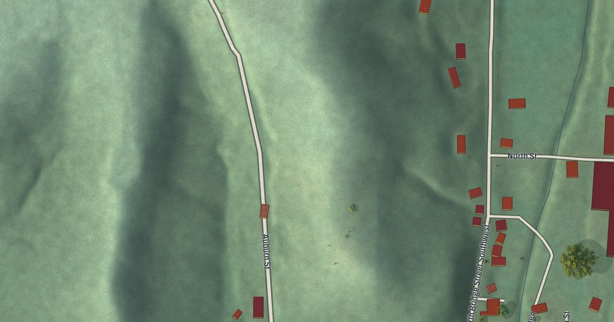
A detailed map of Stone Creek, Ohio, showing every building in its true location, the roads by name, and shaded topographical relief.
Read More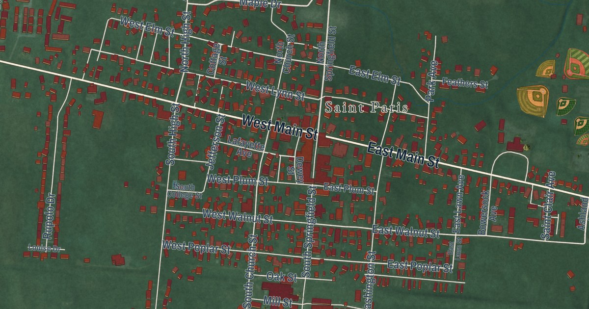
A detailed map of St. Paris, Ohio, showing every building in its true location, the roads by name, and shaded topographical relief.
Read More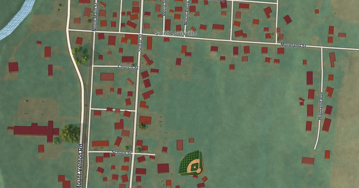
A detailed map of St. Louisville, Ohio, showing every building in its true location, the roads by name, and shaded topographical relief.
Read More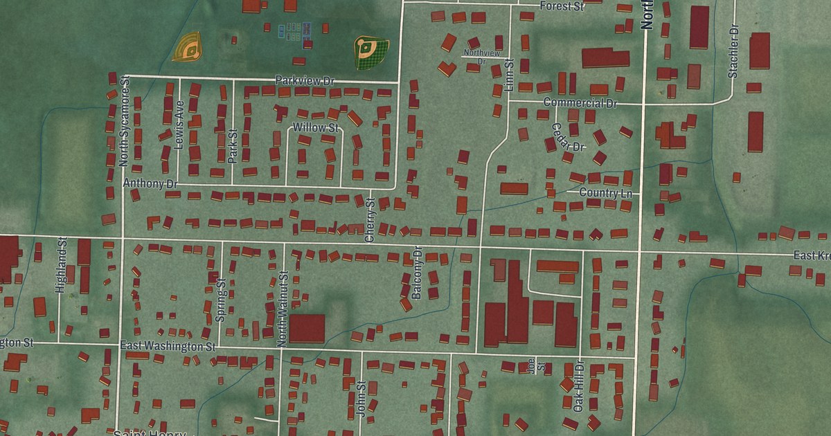
A detailed map of St. Henry, Ohio, showing every building in its true location, the roads by name, and shaded topographical relief.
Read More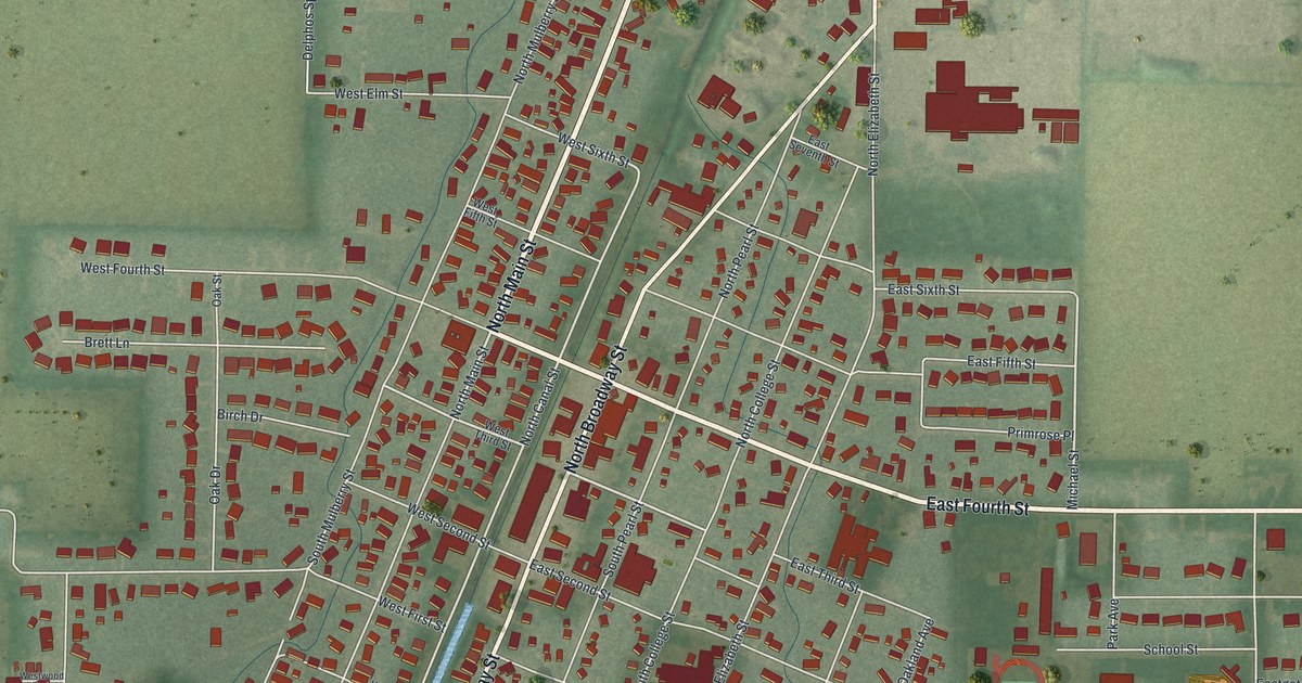
A detailed map of Spencerville, Ohio, showing every building in its true location, the roads by name, and shaded topographical relief.
Read More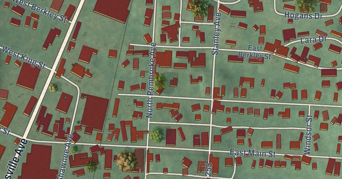
A detailed map of South Zanesville, Ohio, showing every building in its true location, the roads by name, and shaded topographical relief.
Read More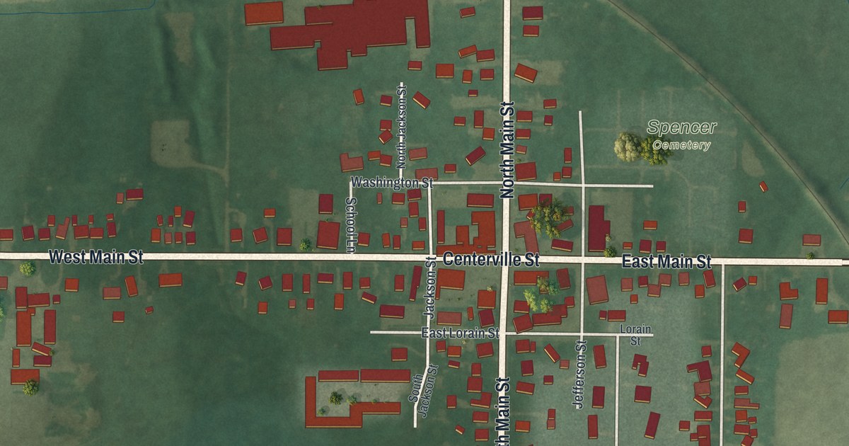
A detailed map of Spencer, Ohio, showing every building in its true location, the roads by name, and shaded topographical relief.
Read More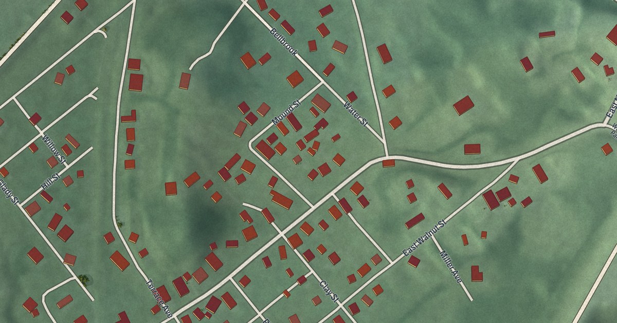
A detailed map of Spring Valley, Ohio, showing every building in its true location, the roads by name, and shaded topographical relief.
Read More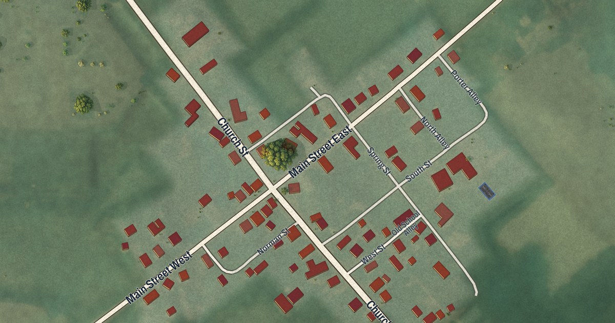
A detailed map of Sparta, Ohio, showing every building in its true location, the roads by name, and shaded topographical relief.
Read More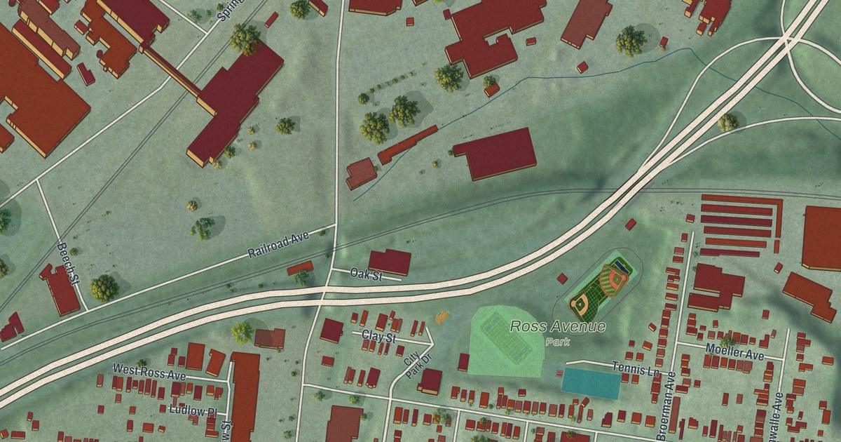
A detailed map of St. Bernard, Ohio, showing every building in its true location, the roads by name, and shaded topographical relief.
Read More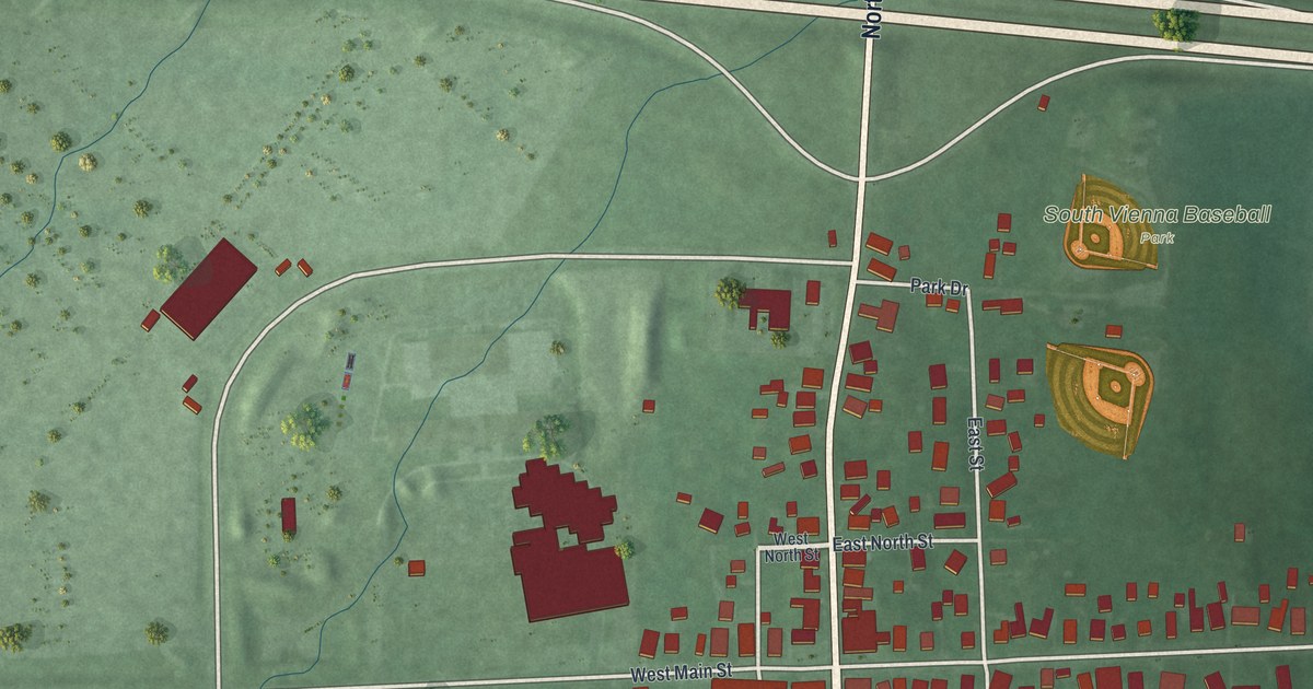
A detailed map of South Vienna, Ohio, showing every building in its true location, the roads by name, and shaded topographical relief.
Read More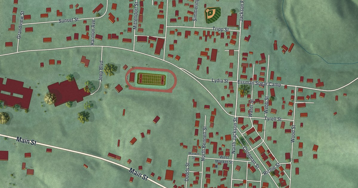
A detailed map of South Webster, Ohio, showing every building in its true location, the roads by name, and shaded topographical relief.
Read More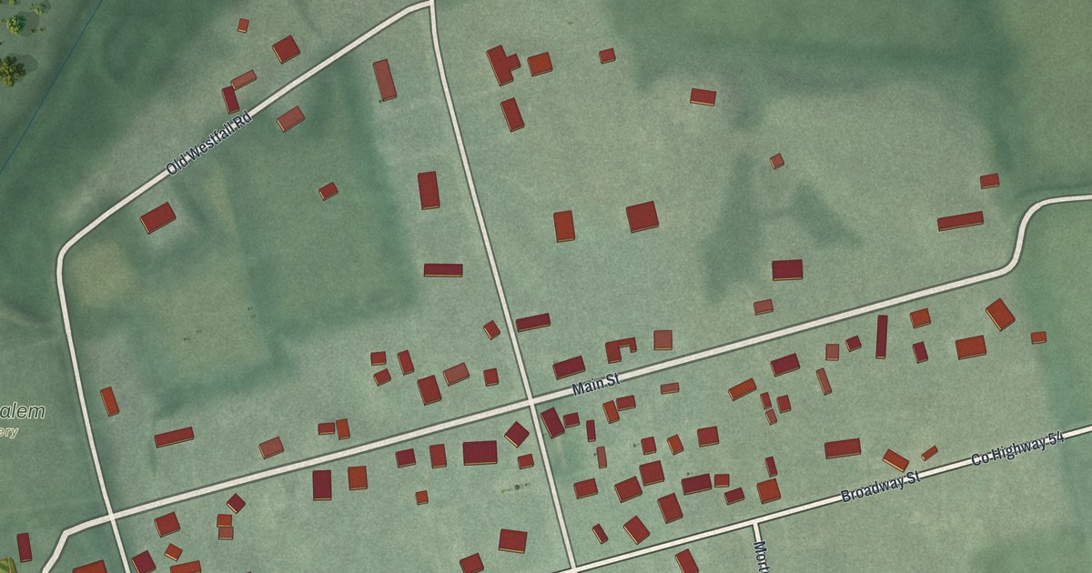
A detailed map of South Salem, Ohio, showing every building in its true location, the roads by name, and shaded topographical relief.
Read More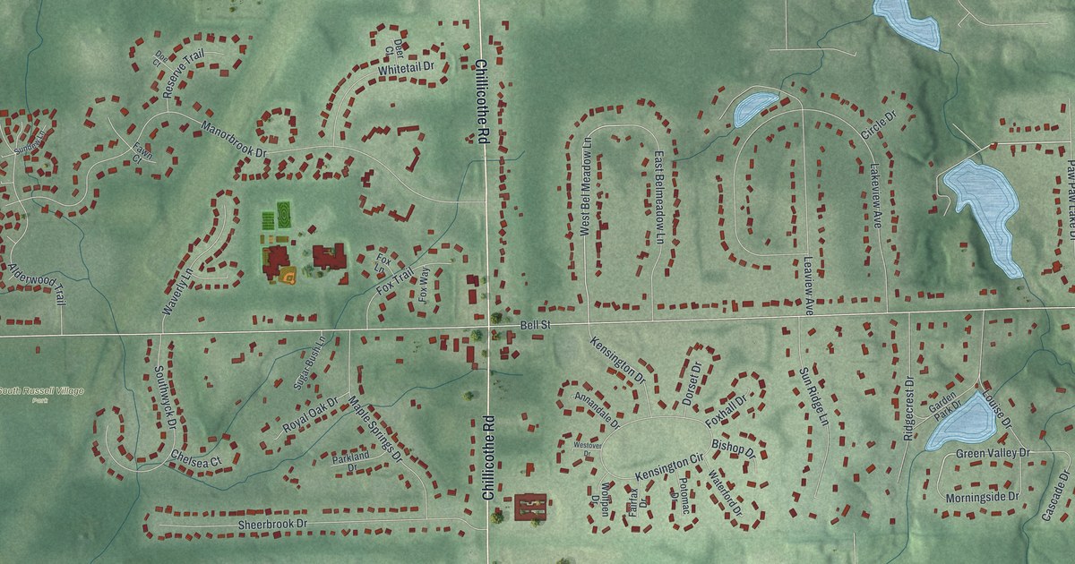
A detailed map of South Russell, Ohio, showing every building in its true location, the roads by name, and shaded topographical relief.
Read More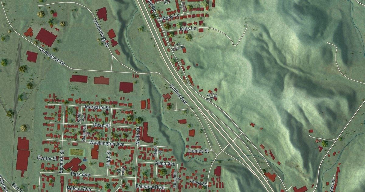
A detailed map of South Point, Ohio, showing every building in its true location, the roads by name, and shaded topographical relief.
Read More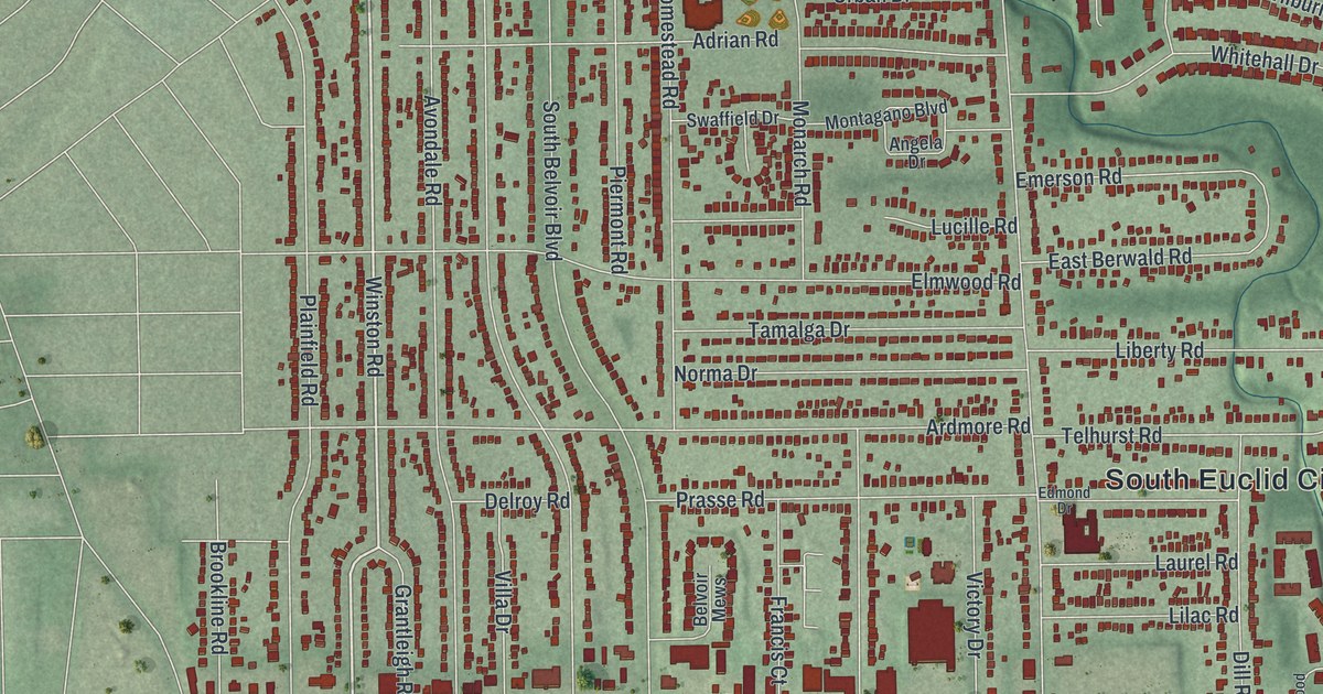
A detailed map of South Euclid, Ohio, showing every building in its true location, the roads by name, and shaded topographical relief.
Read More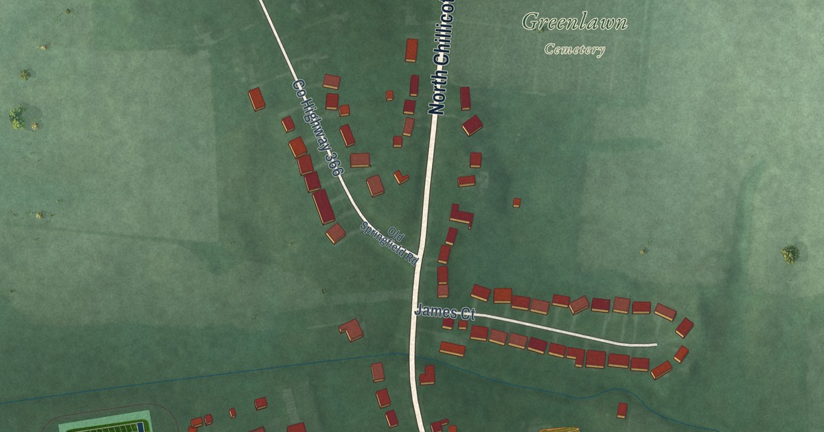
A detailed map of South Charleston, Ohio, showing every building in its true location, the roads by name, and shaded topographical relief.
Read More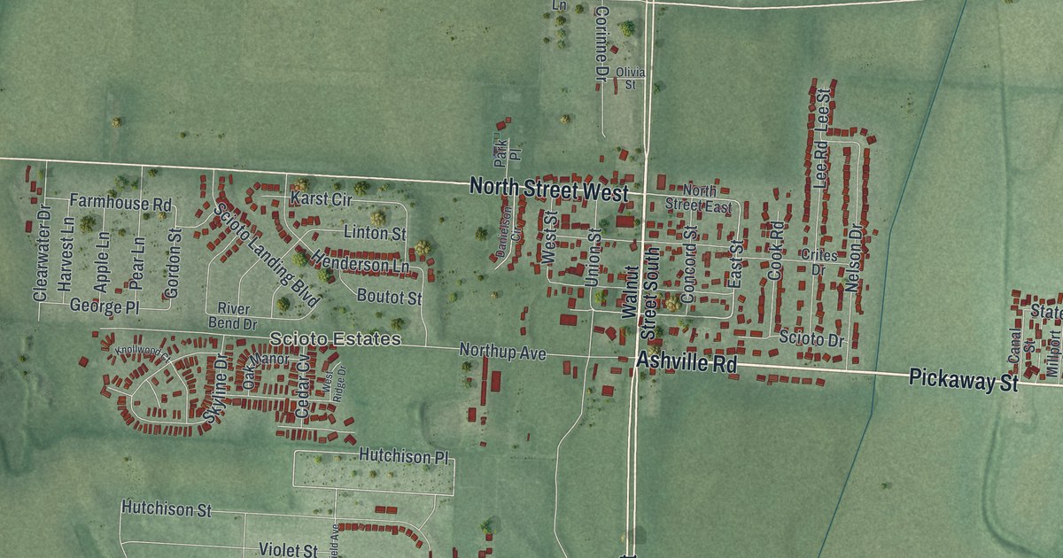
A detailed map of South Bloomfield, Ohio, showing every building in its true location, the roads by name, and shaded topographical relief.
Read More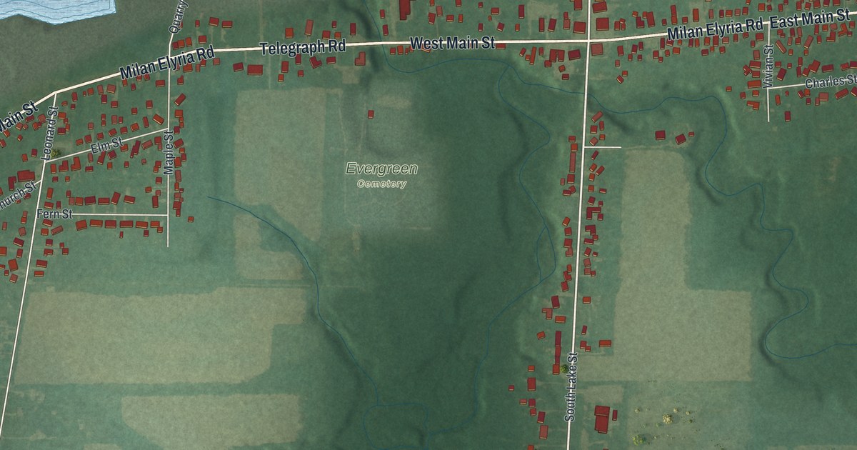
A detailed map of South Amherst, Ohio, showing every building in its true location, the roads by name, and shaded topographical relief.
Read More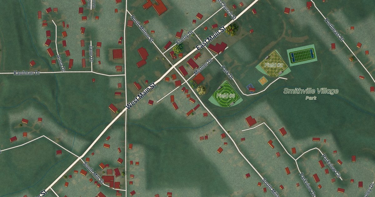
A detailed map of Smithville, Ohio, showing every building in its true location, the roads by name, and shaded topographical relief.
Read More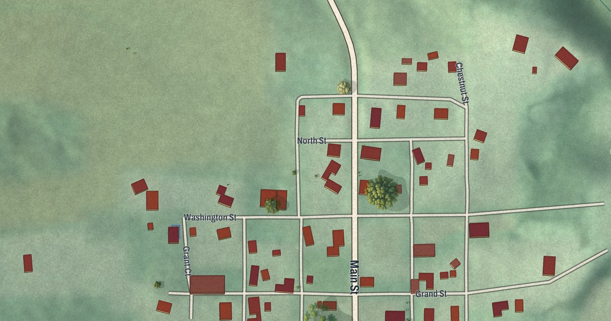
A detailed map of Sinking Spring, Ohio, showing every building in its true location, the roads by name, and shaded topographical relief.
Read More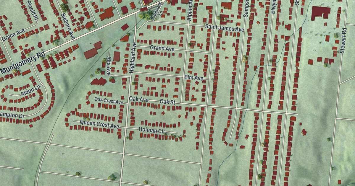
A detailed map of Silverton, Ohio, showing every building in its true location, the roads by name, and shaded topographical relief.
Read More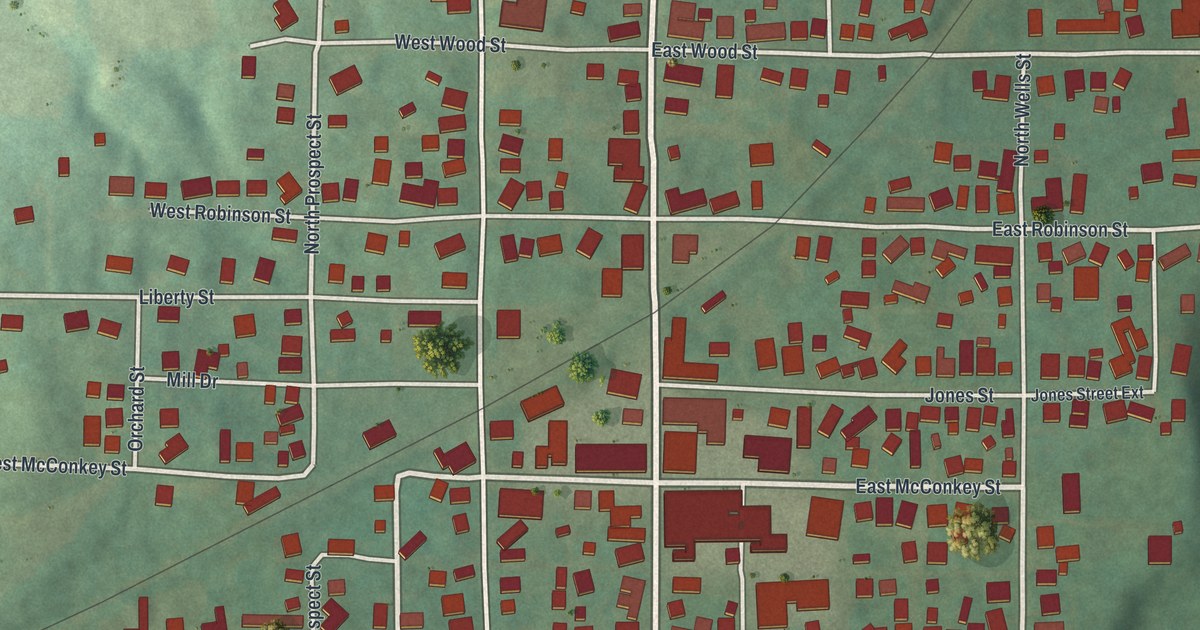
A detailed map of Shreve, Ohio, showing every building in its true location, the roads by name, and shaded topographical relief.
Read More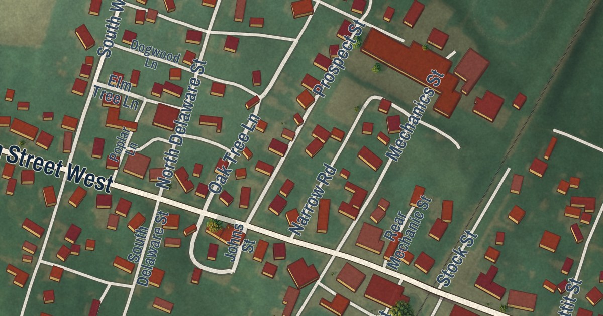
A detailed map of Shiloh, Ohio, showing every building in its true location, the roads by name, and shaded topographical relief.
Read More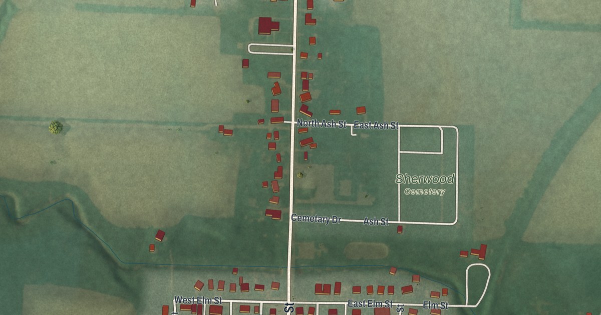
A detailed map of Sherwood, Ohio, showing every building in its true location, the roads by name, and shaded topographical relief.
Read More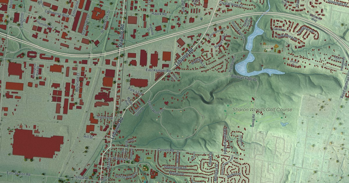
A detailed map of Sharonville, Ohio, showing every building in its true location, the roads by name, and shaded topographical relief.
Read More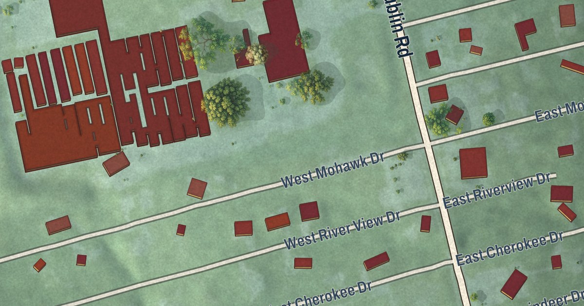
A detailed map of Shawnee Hills, Ohio, showing every building in its true location, the roads by name, and shaded topographical relief.
Read More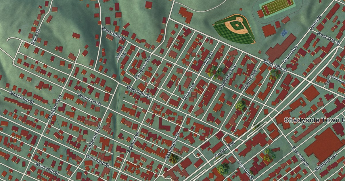
A detailed map of Shadyside, Ohio, showing every building in its true location, the roads by name, and shaded topographical relief.
Read More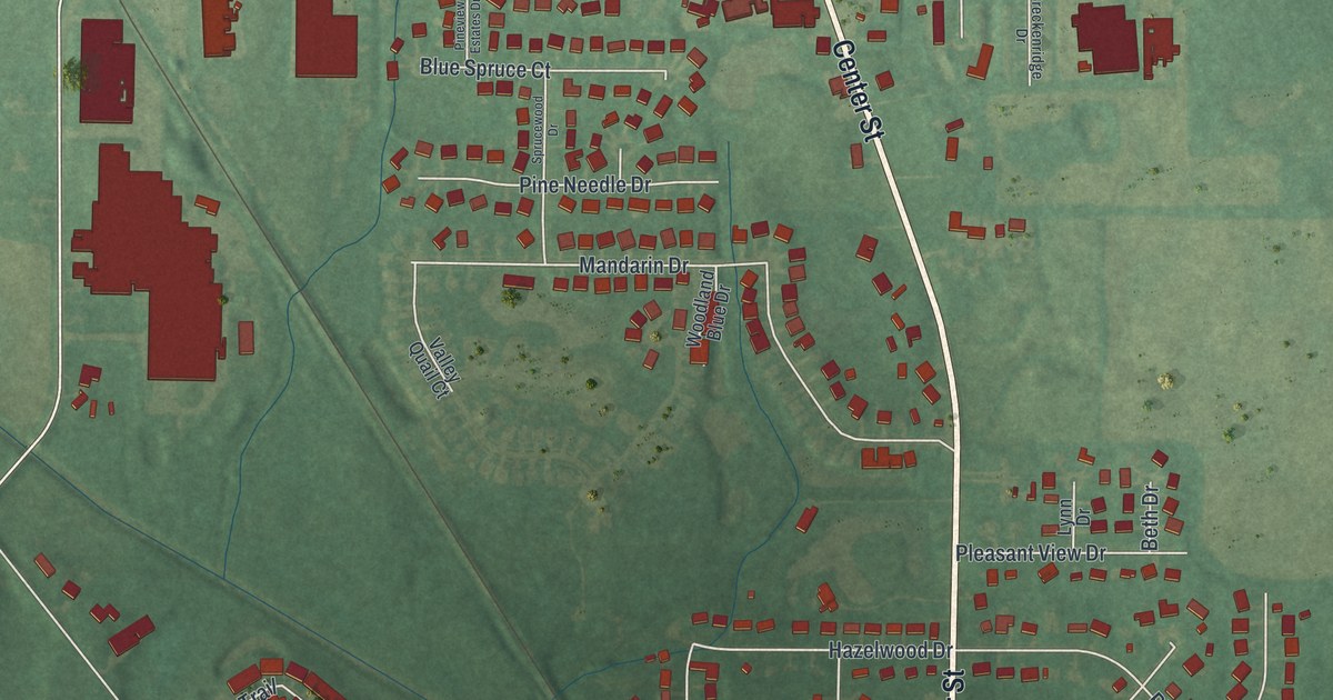
A detailed map of Seville, Ohio, showing every building in its true location, the roads by name, and shaded topographical relief.
Read More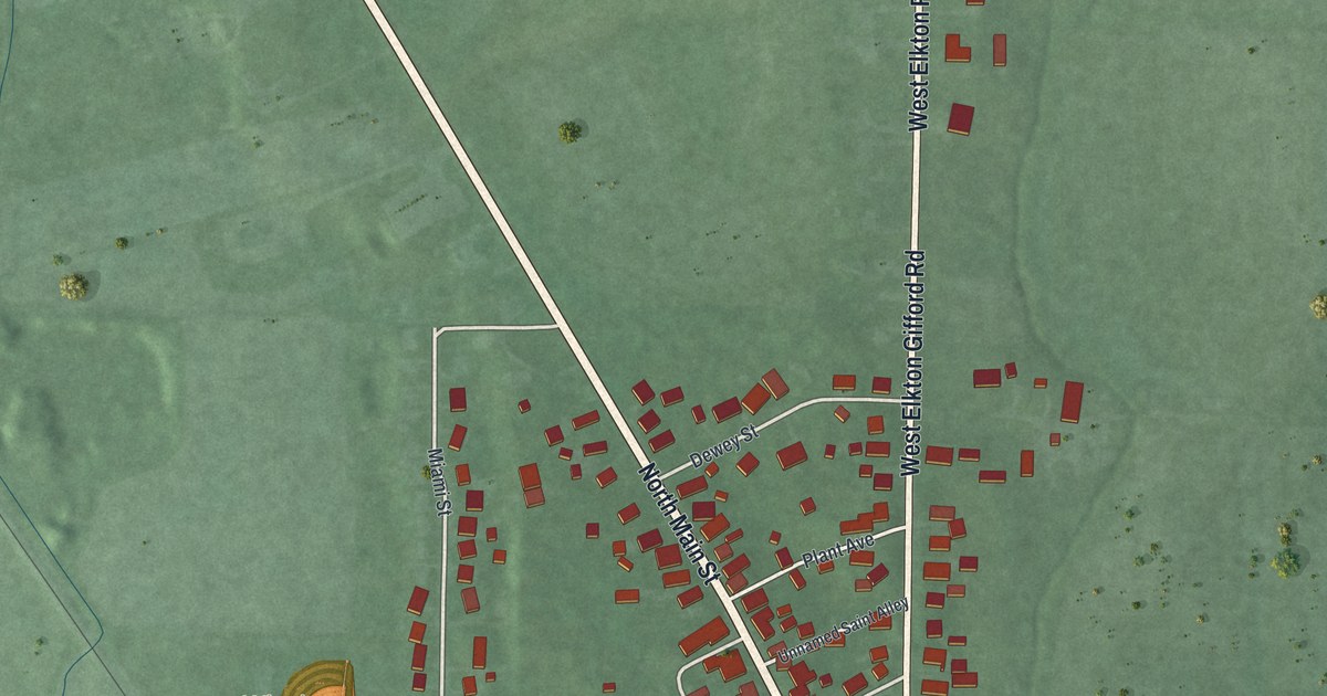
A detailed map of Seven Mile, Ohio, showing every building in its true location, the roads by name, and shaded topographical relief.
Read More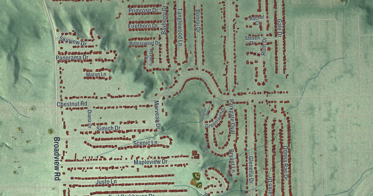
A detailed map of Seven Hills, Ohio, showing every building in its true location, the roads by name, and shaded topographical relief.
Read More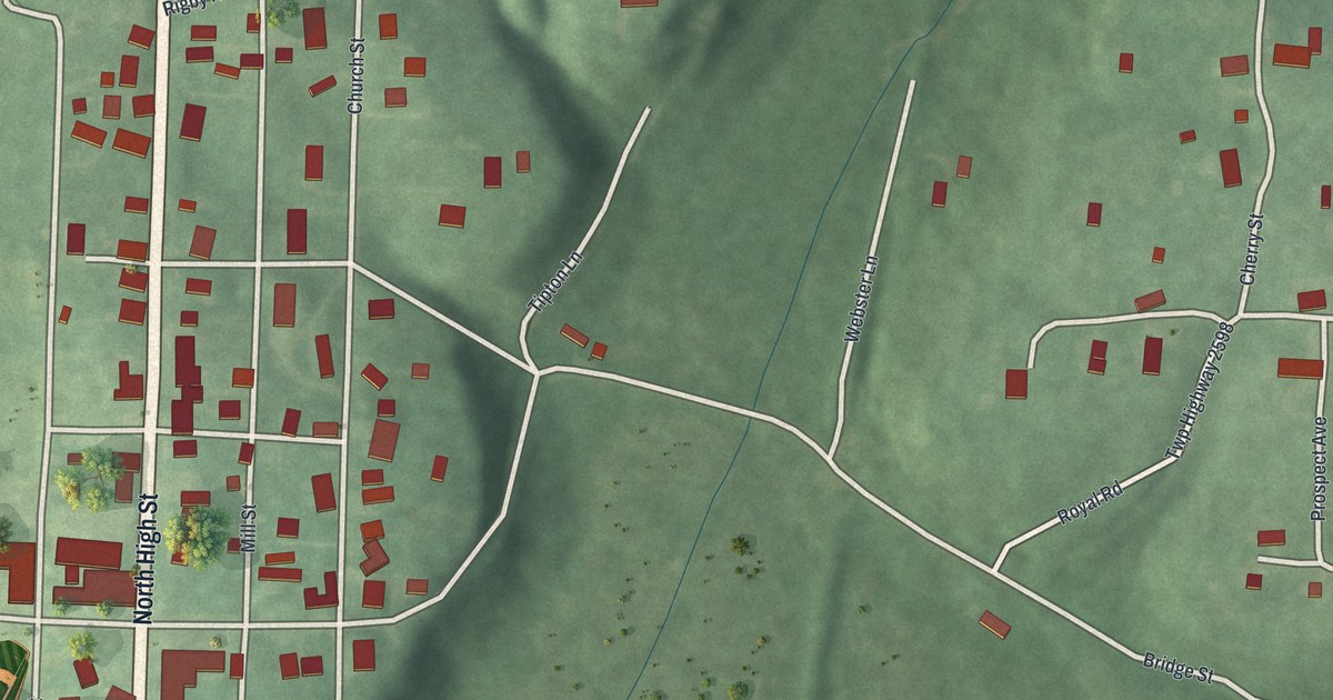
A detailed map of Senecaville, Ohio, showing every building in its true location, the roads by name, and shaded topographical relief.
Read More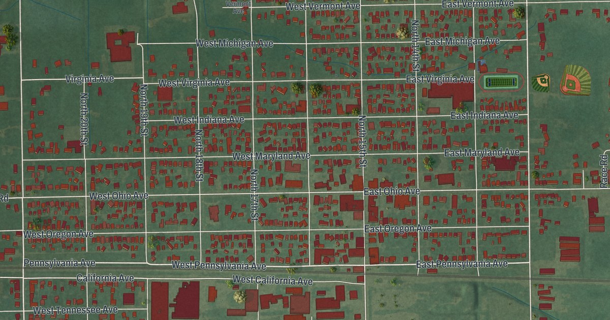
A detailed map of Sebring, Ohio, showing every building in its true location, the roads by name, and shaded topographical relief.
Read More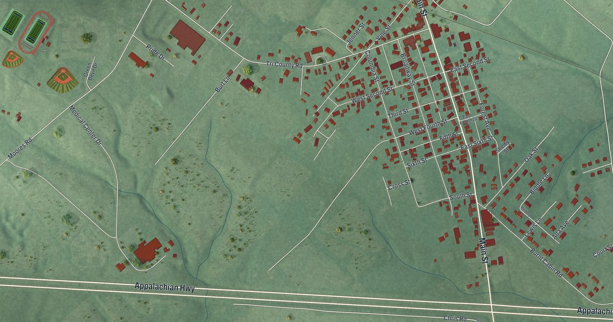
A detailed map of Seaman, Ohio, showing every building in its true location, the roads by name, and shaded topographical relief.
Read More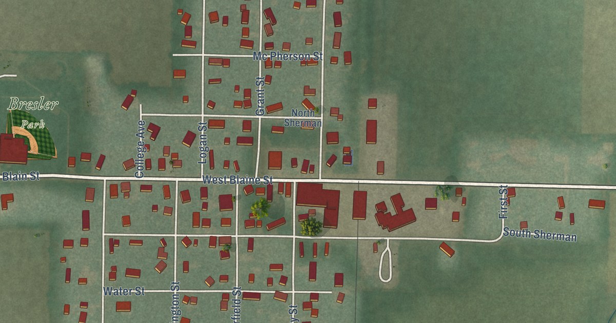
A detailed map of Scott, Ohio, showing every building in its true location, the roads by name, and shaded topographical relief.
Read More















