Beautifully restored map of Naugatuck, Connecticut from 1877
Historic bird’s eye view of Naugatuck, Connecticut from 1877
Read More
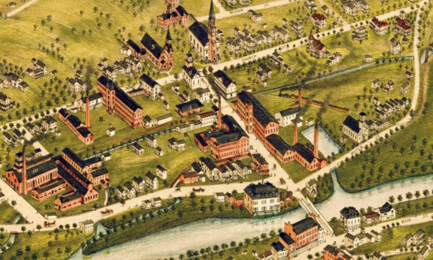
Historic bird’s eye view of Naugatuck, Connecticut from 1877
Read More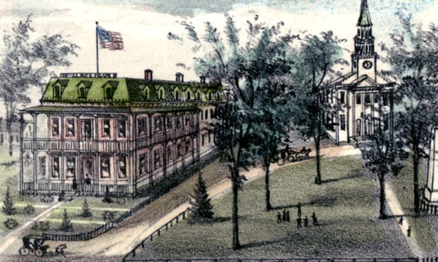
Detailed bird’s eye view of Cheshire, Connecticut as it used to be
Read More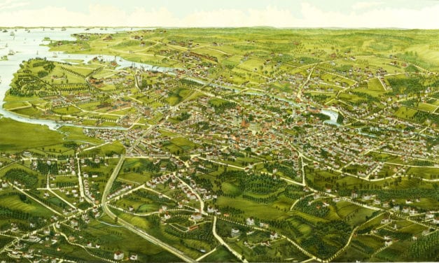
Click here to see what Stamford looked like 100+ years ago.
Read More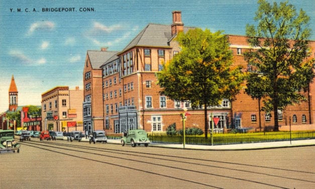
Bridgeport’s Young Men’s Christian Association was formed in June, 1883, and the...
Read More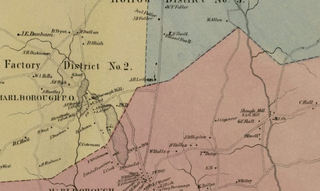
Vintage landowners map of Marlborough, Connecticut from 1869
Read More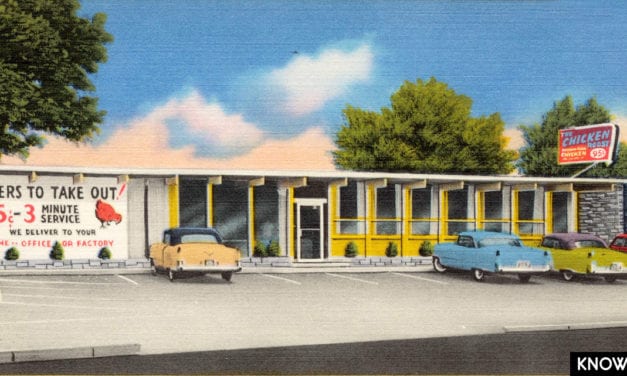
The Chicken Roost was a restaurant in Bridgeport, CT that was famous for its “As You Like It” southern fried chicken.
Read More
This vintage map of Bethel, Connecticut was created in 1879 by O.H. Bailey, a prominent 19th century map maker. The map shows a bird’s eye view of Bethel as it once was, including street names, railroads, factories, churches, homes, and old landmarks. The map captures Bethel during the height of its 19th century growth, when the town was closely tied to the hat-making industry and the Danbury & Norwalk Railroad.
Read More
Explore a restored 1904 bird’s-eye view map of Greenwich, Connecticut by O.H. Bailey, featuring historic streets, churches, schools, estates, railroads, and landmarks.
Read More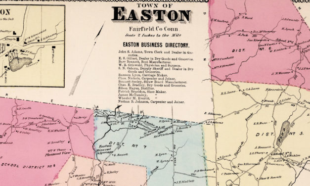
This vintage landowners map of Easton, Connecticut was created in 1867 by Frederick W. Beers. a prominent 19th century map maker. Beers was a prominent American map maker and publisher during the 19th century. He began his career as a civil engineer and surveyor, and later established the firm of F.W. Beers, A.D. Ellis & Co. in 1866.
Read More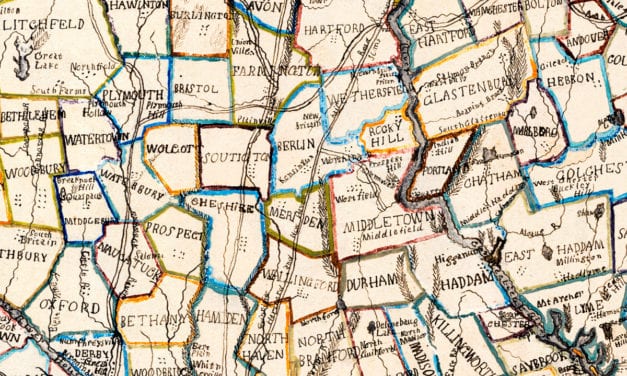
This beautiful hand drawn map of Connecticut was created in 1857 by Laura Roys, a student who attended Hartford Female Seminary, an all-female academy in Hartford, Connecticut. The map is beautifully colored, with shades of blue, orange, red, pink, yellow, and violet adorning the border of each city and town.
Read More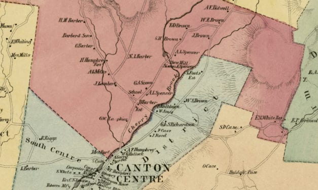
Vintage landowners map of Canton, Connecticut as it used to be
Read More
Vintage landowners map of Rocky Hill, Connecticut as it used to be
Read More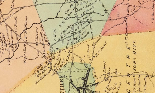
Vintage landowners map of Bethel, Connecticut as it used to be
Read More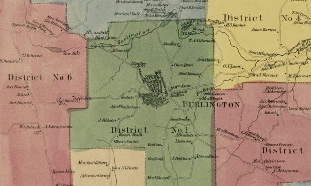
Vintage landowners map of Burlington, Connecticut as it used to be
Read More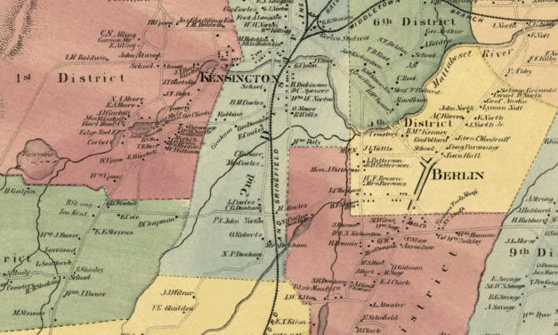
Vintage landowners map shows Berlin, Connecticut as it used to be
Read More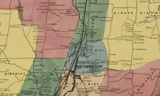
Vintage landowners map of Southington, Connecticut as it used to be
Read More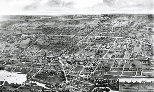
Wallingford, Connecticut in the 19th century.
Read More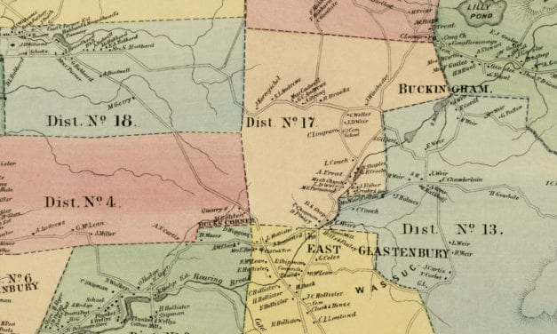
Vintage landowners map of Glastonbury, Connecticut as it used to be
Read More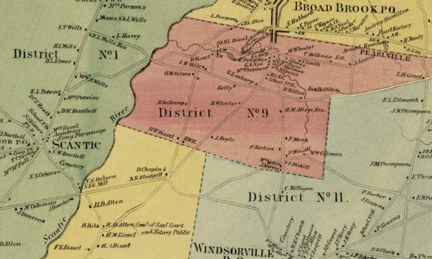
Historic landowners map of East Windsor, Connecticut from 1869
Read More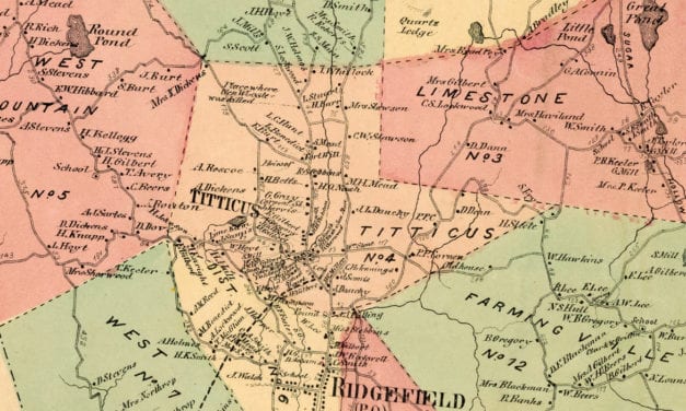
Vintage landowners map of Ridgefield, Connecticut as it used to be
Read More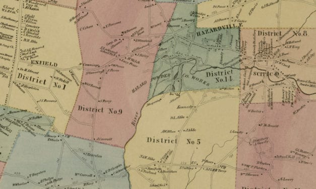
Vintage landowners map shows Enfield, Connecticut as it used to be
Read More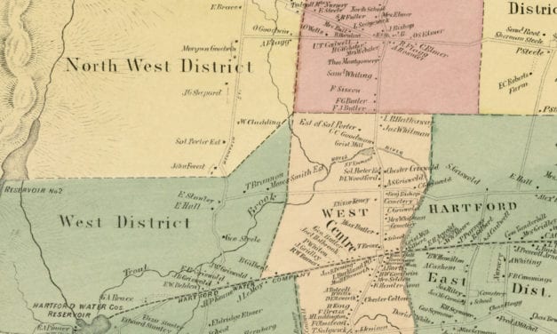
Bird’s Eye View of West Hartford, Connecticut from 1869
Read More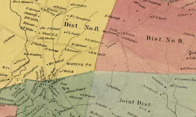
Vintage landowners map shows South Windsor, Connecticut as it used to be
Read More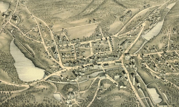
Bird’s eye view of Stafford Springs, Connecticut as it used to be
Read More


