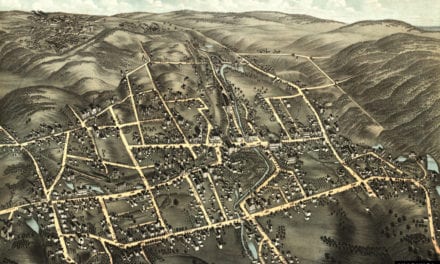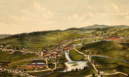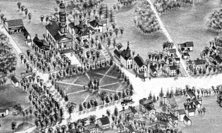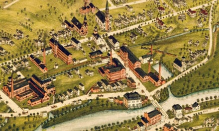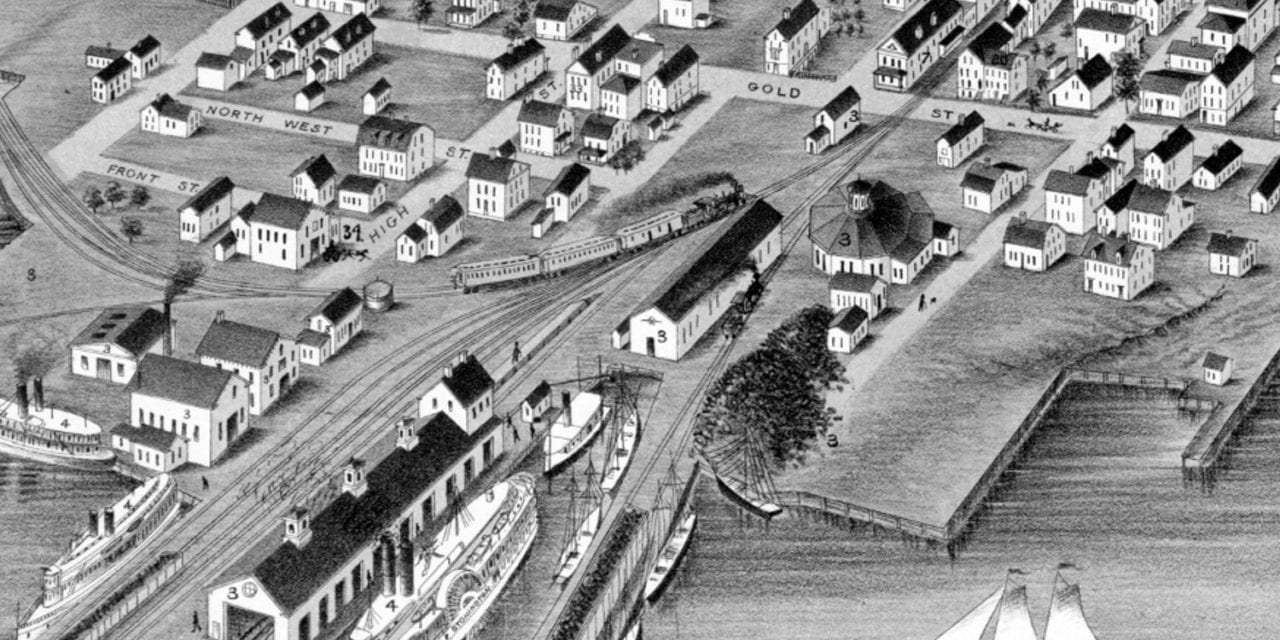
This historic map of Stonington, Connecticut was created in 1879 by O.H. Bailey, a prominent 19th century map maker. The map shows a bird’s eye view of the town as it used to be, including street names and old landmarks.
Landmarks on the map include: Providence & Stonington Railroad, Providence and Stonington Steamship Company, Ocean House, Steamboat Hotel, Miller’s Iron Foundry, Stone Factory, Doty Marble Works, Fairbrothers Bakery, and more.
This historic map of Stonington was restored by KNOWOL. Reproductions of the restored map are available here.
Bird’s Eye View of Stonington, CT in 1879
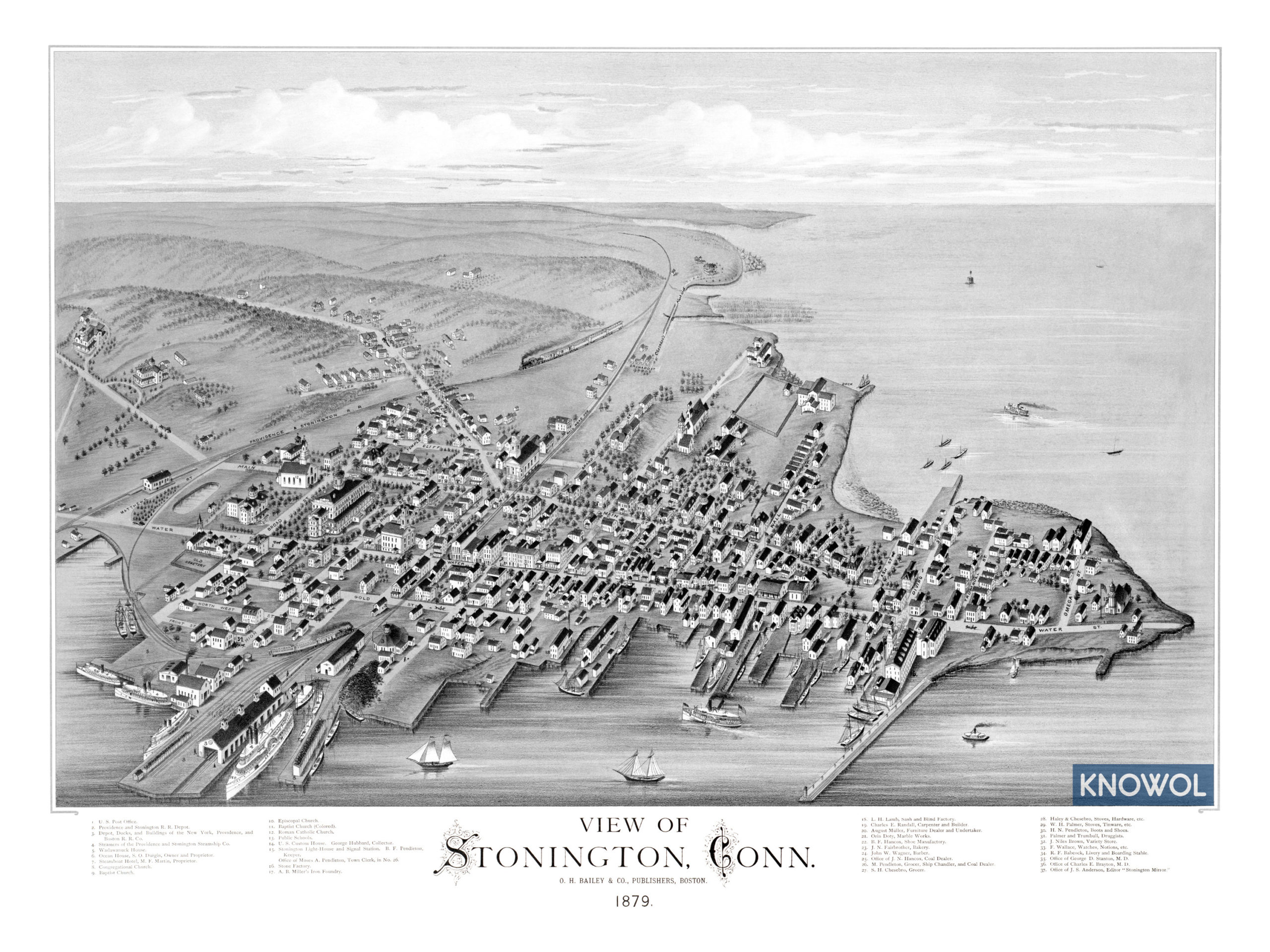
This old map of Stonington makes an attractive addition to your office, library, or den and can even be used to teach children the geography and history of the area. When you’re done exploring, click here to get your copy.