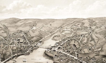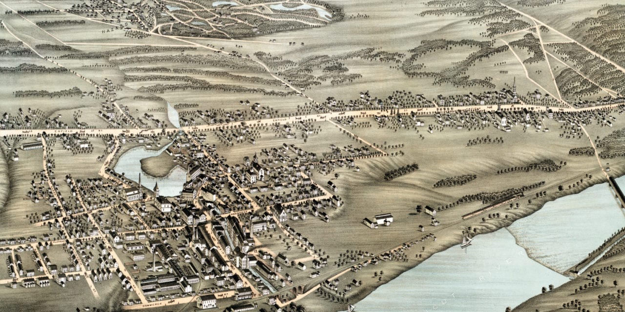
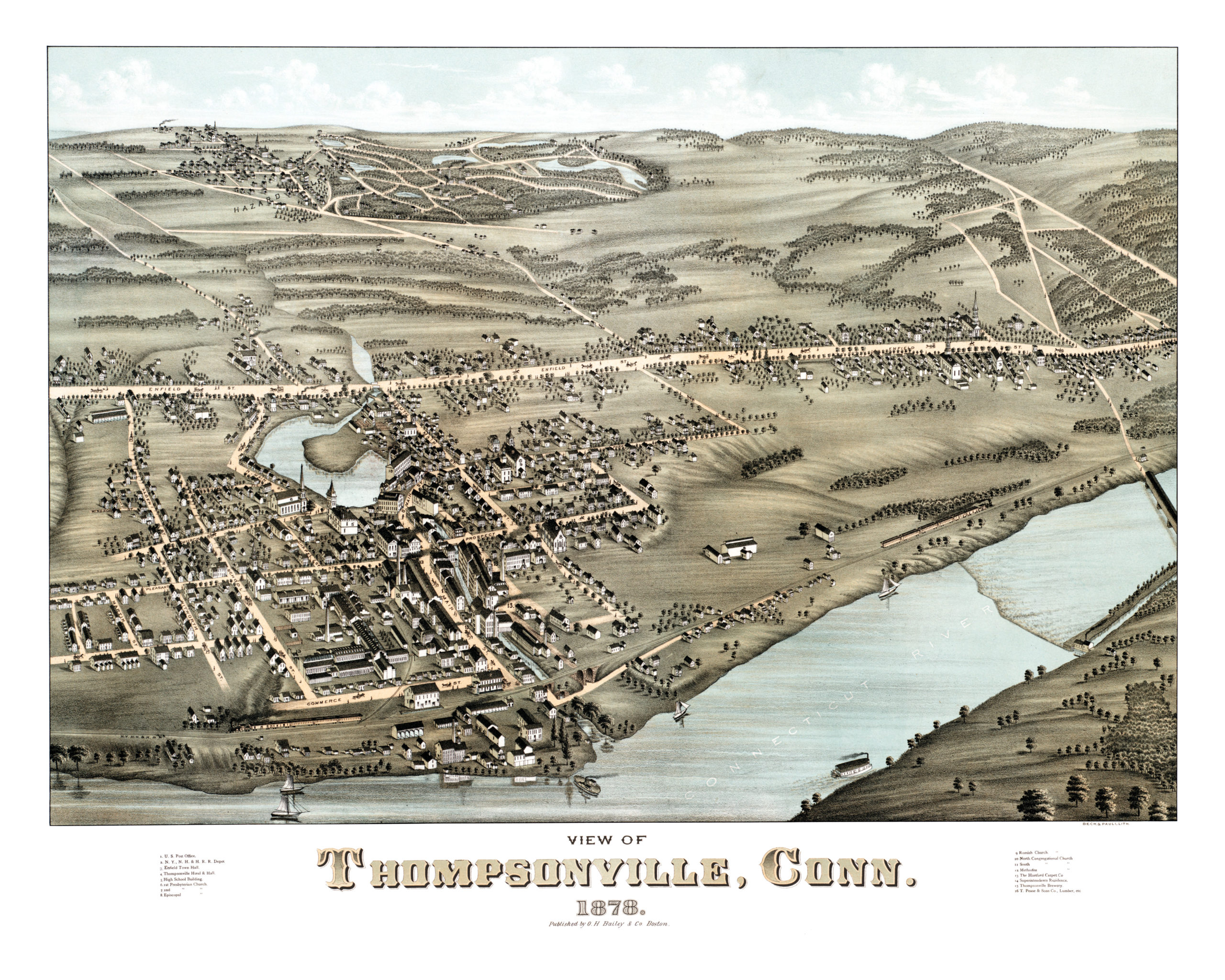
This vintage map of Thompsonville, Connecticut was created in 1878 by O.H. Bailey, a prominent 19th century map maker. The detailed drawing shows a bird’s eye view of Thompsonville as it was, including street names and old landmarks.
Landmarks on the map include Thompsonville Brewery, Thompsonville Hotel & Hall, Thompsonville High School, Enfield Town Hall, and The Hartford Carpet Company.
This historic map of Thompsonville has been restored by KNOWOL. Reproductions of the map are available here.
Bird’s Eye View of Thompsonville, CT in 1878
This historic map of Thompsonville will make an attractive addition to your office, library, or den, and can even be used to teach children the geography and history of the area. When you’re done exploring, click here to get yours.