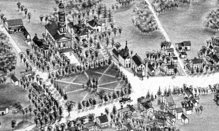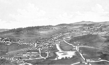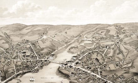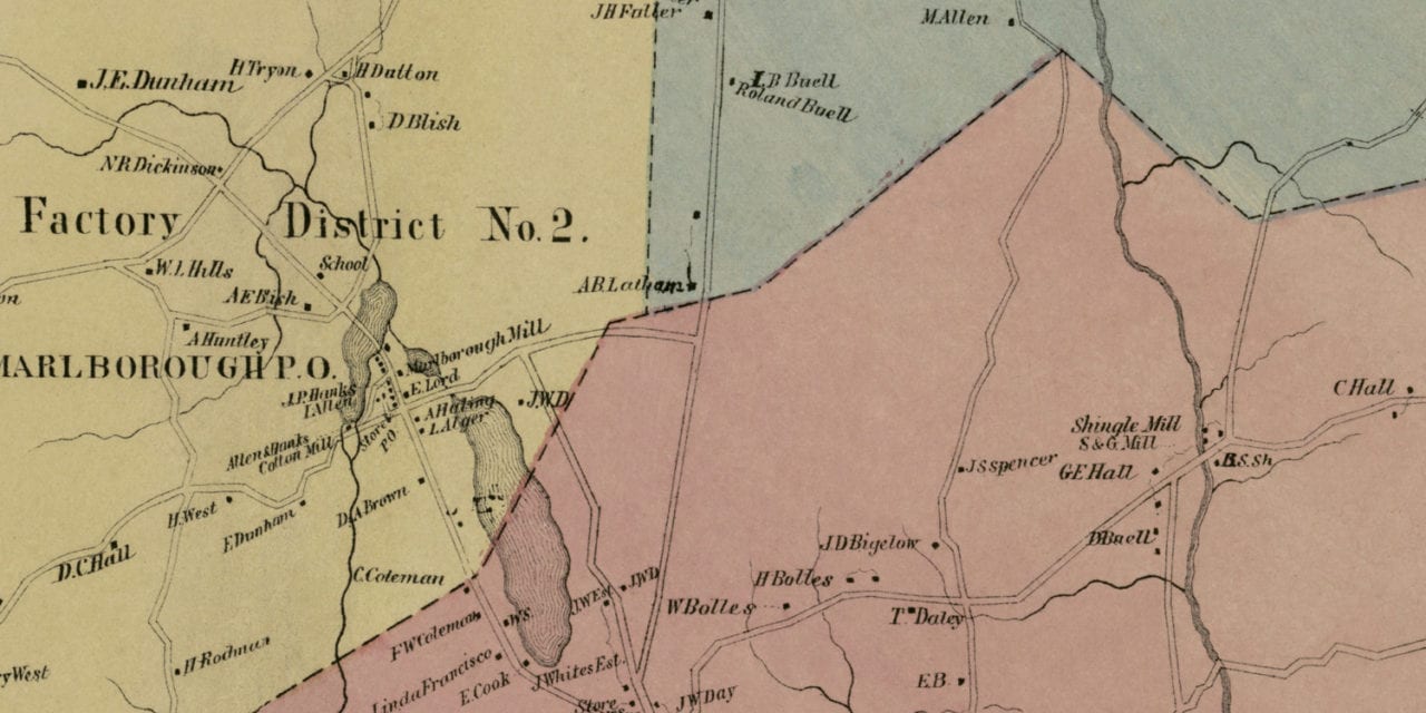
This historic landowners map of Marlborough, Connecticut was created in 1869 by Baker & Tilden, map publishers from Hartford. The map is divided into four districts and includes an inlaid image of Marlborough Mills.
Each plot of land is labeled with the name of the person who owned the land at that time. Landmarks on the map include Allen & Hanks Cotton Mill, Warner Blacksmith Shop, Chapman Hotel, Marlborough Grist & Saw Mill, Dickinson Carding & Shingle Mill, Marlborough Centre, and more.
This old map of Marlborough was restored by KNOWOL. Reproductions of the restored map are available here.
Landowners Map of Marlborough, CT from 1869
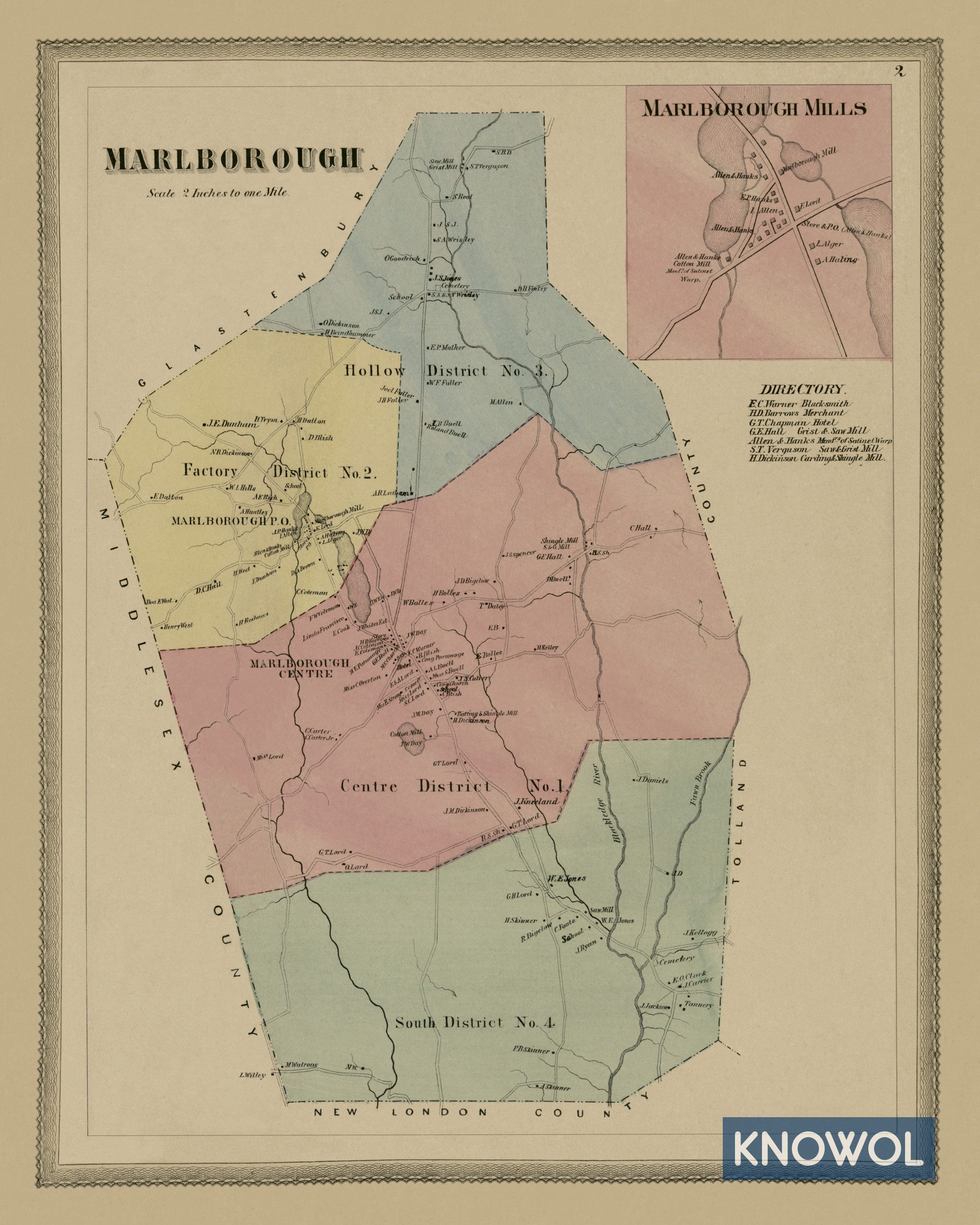
This vintage map of Marlborough makes an attractive addition to your office, library, or den and can even be used to teach children the geography and history of the area. When you’re done exploring, click here to get your copy.