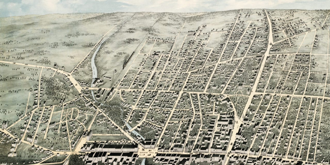
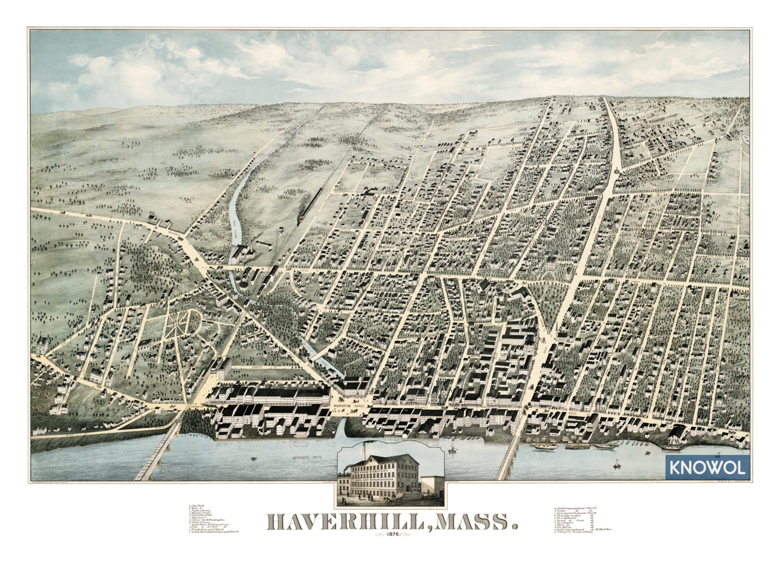
This map of Haverhill, Massachusetts was created in 1876 by H.H. Bailey and J.C. Hazen, prominent 19th century map makers. The map shows a bird’s eye view of the city as it was, including street names and old landmarks.
Old Haverhill landmarks on the map include City Hall, Haverhill Music Hall, Masonic Temple, Odd Fellows Hall, Eagle House, City Hall, Thom & Company Wool Hats, 13 churches of various religions, and more.
This historic map of Haverhill, MA has been restored by KNOWOL. Reproductions of the map are available here.
Map of Haverhill, Massachusetts in 1876
This historic map of Haverhill will make an attractive addition to your office, library, or den and can even be used to teach children the geography and history of the area. When you’re done exploring, click here to get your copy.