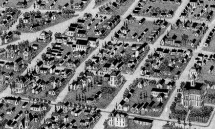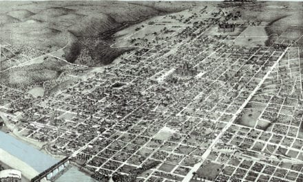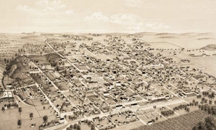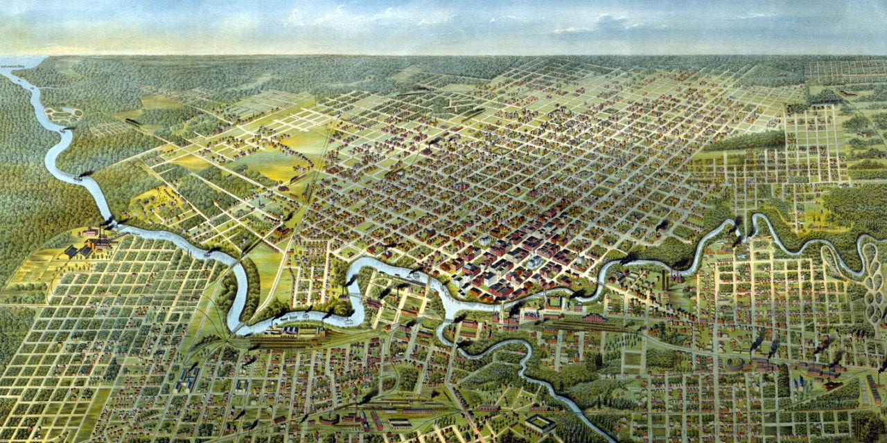
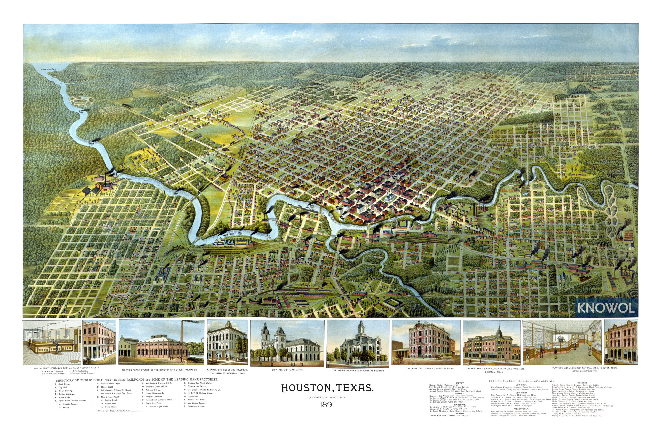
This historic map of Houston, Texas was created in 1891 by A.L. Westyard, a prominent 19th century illustrator. The map shows a bird’s eye view of Houston as it used to be, including street names and old landmarks.
Landmarks on the map include Grand Central Depot, Southern Cotton Oil Company, Houston Opera House, Bayles Hotel, Masonic Temple, National Oil, International Compress Works, Bayou City Press, Phoenix Iron Works, Houston Ice Works, Axle Grease Factory, City Hall, Town Market, Steamboat Wharves, Houston Cotton Exchange Building, a variety of churches, and more.
This historic map of Houston was restored by KNOWOL. Reproductions of the restored map are available here.
Bird’s Eye View of Houston, Texas in 1891
This old map of Houston makes an attractive addition to your office, library, or den and can even be used to teach children the geography and history of the area. When you’re done exploring, click here to get your copy.