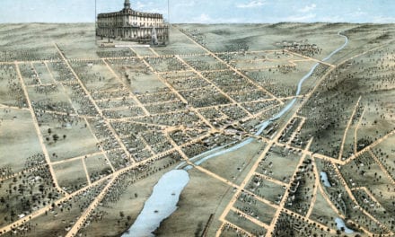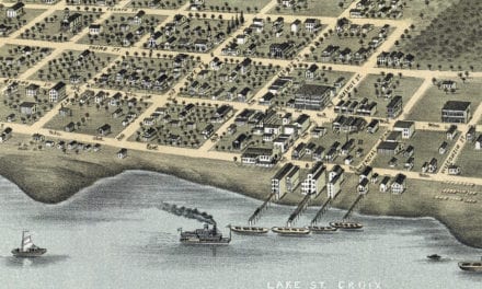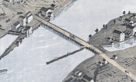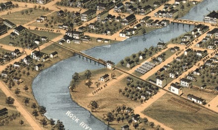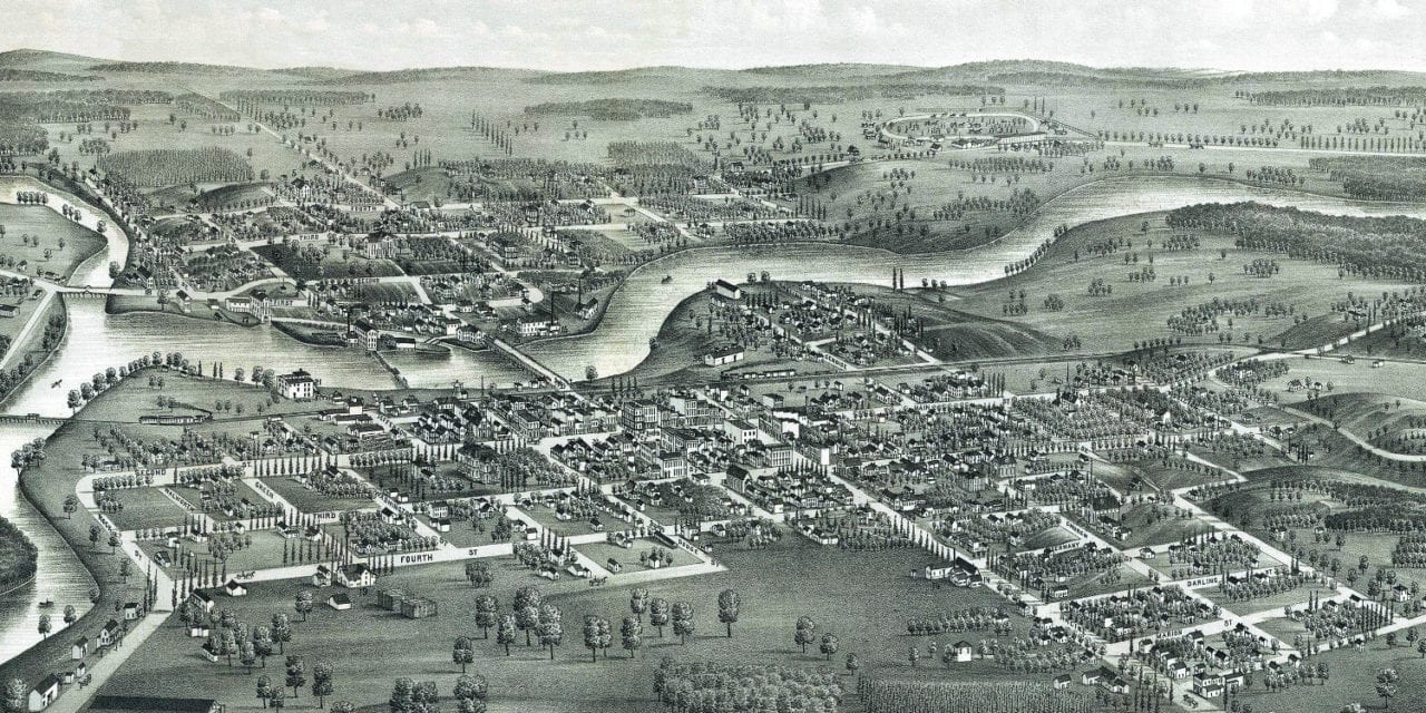
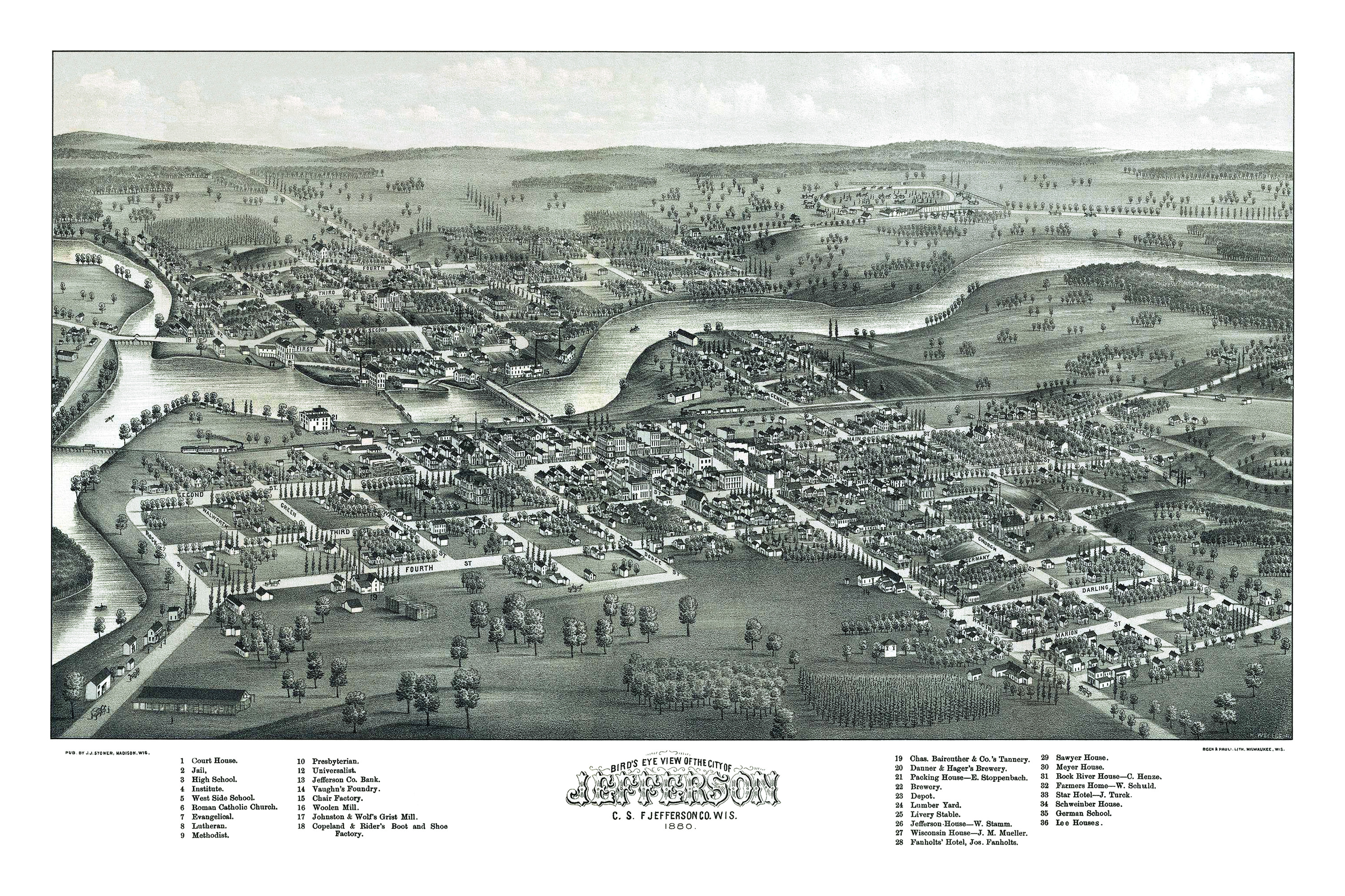
This historic map of Jefferson, Wisconsin was created in 1880 by J.J. Stoner, a prominent 19th century map maker. The map shows a bird’s eye view of Jefferson as it used to be, including street names and old landmarks.
Landmarks on the map include Copeland & Rider’s Boot and Shoe Factory, Danner & Hager’s Brewery, Johnson & Wolf’s Grist Mill, Sawyer House, Chair Factory, Vaughn’s Factory, Woolen Mill, Rock River House, German School, Fanholts’ Hotel, a variety of churches, and more.
This historic map of Jefferson was restored by KNOWOL. Reproductions of the restored map are available here.
Bird’s Eye View of Jefferson, Wisconsin in 1880
This old map of Jefferson makes an attractive addition to your office, library, or den and can even be used to teach children the geography and history of the area. When you’re done exploring, click here to get your copy.