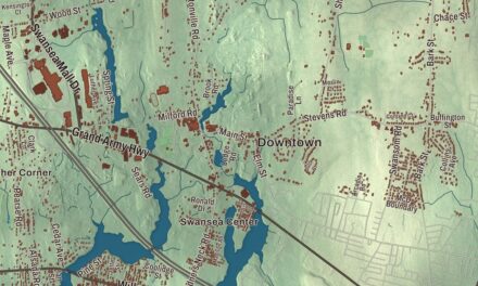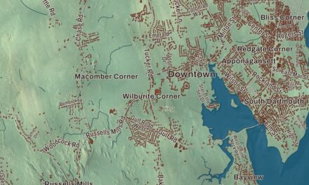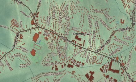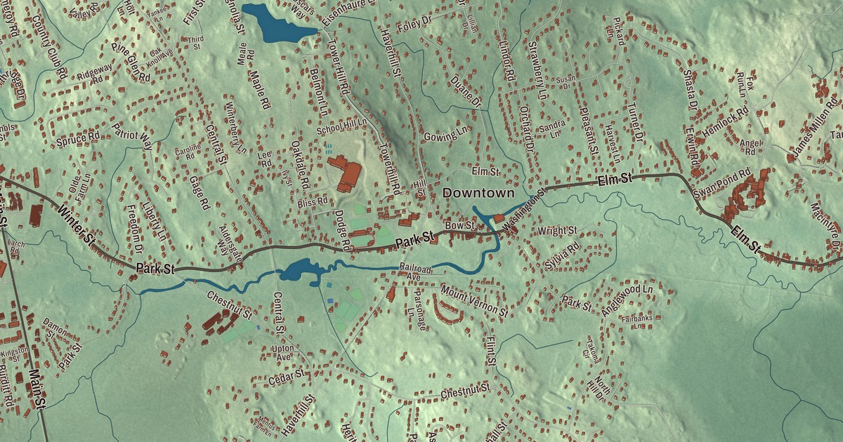
North Reading began as farmland granted north of the Ipswich River, and this map follows the roads that grew up across it: Main Street, Park Street, Elm Street, Lowell Road, Winter Street and Linwood Avenue. Martins Pond, Bradford Pond and the woods of Harold Parker State Forest are printed here too. Click here to purchase a print of this map for your wall.
North Reading is in Middlesex County.
KNOWOL made this map in 2026 from public survey data and set it out like a page from an old atlas. United States Geological Survey elevation data gives the ground its shape, and the Census Bureau supplied the streets and the town line. North Reading covers 13.5 square miles and had 15,554 people at the 2020 census. It borders Andover, North Andover, Middleton, Lynnfield, Reading and Wilmington, and the Ipswich River forms part of its line with Lynnfield.
North of the river
The Town of North Reading’s recorded history, in the Secretary of the Commonwealth’s list, dates European settlement to 1651, the year the town of Reading received a special land grant north of the Ipswich River. Large farms granted along the river brought six families here before 1680. Farming, with a little hop growing, carried the town through the 1600s and 1700s; there was a sawmill on Lob’s Pond by 1694, and grist and saw mills at the village center by 1794. Small boot and shoe making had started by 1820, and by 1850 almost every house in town had a small shed or shop attached for making shoes, a trade the Civil War destroyed. In the early twentieth century the town’s main products were milk, apples and fruit. North Reading was incorporated as a town in 1853, separate from Reading.
The Rev. Daniel Putnam House, built in 1720, is a late First Period house with a central chimney and an unusually well-preserved interior chamber, its plaster and paint intact. The town owns it, the North Reading Historical and Antiquarian Society keeps its headquarters there, and it joined the National Register in 1990.
Songs, speeches and hockey
The composer George Frederick Root, who wrote “The Battle Cry of Freedom” and “Tramp! Tramp! Tramp!” during the Civil War, is buried in Harmonyvale Cemetery in North Reading. Jon Favreau grew up in town and went on to serve as White House director of speechwriting for President Barack Obama from 2009 to 2013. Art Kenney, who pitched for the Boston Bees in 1938, was principal of North Reading High School from 1964 to 1981, and Jimmy Vesey, a North Reading native, won the Hobey Baker Award at Harvard in 2016 before playing for the New York Rangers. The town remains part of Middlesex County today.
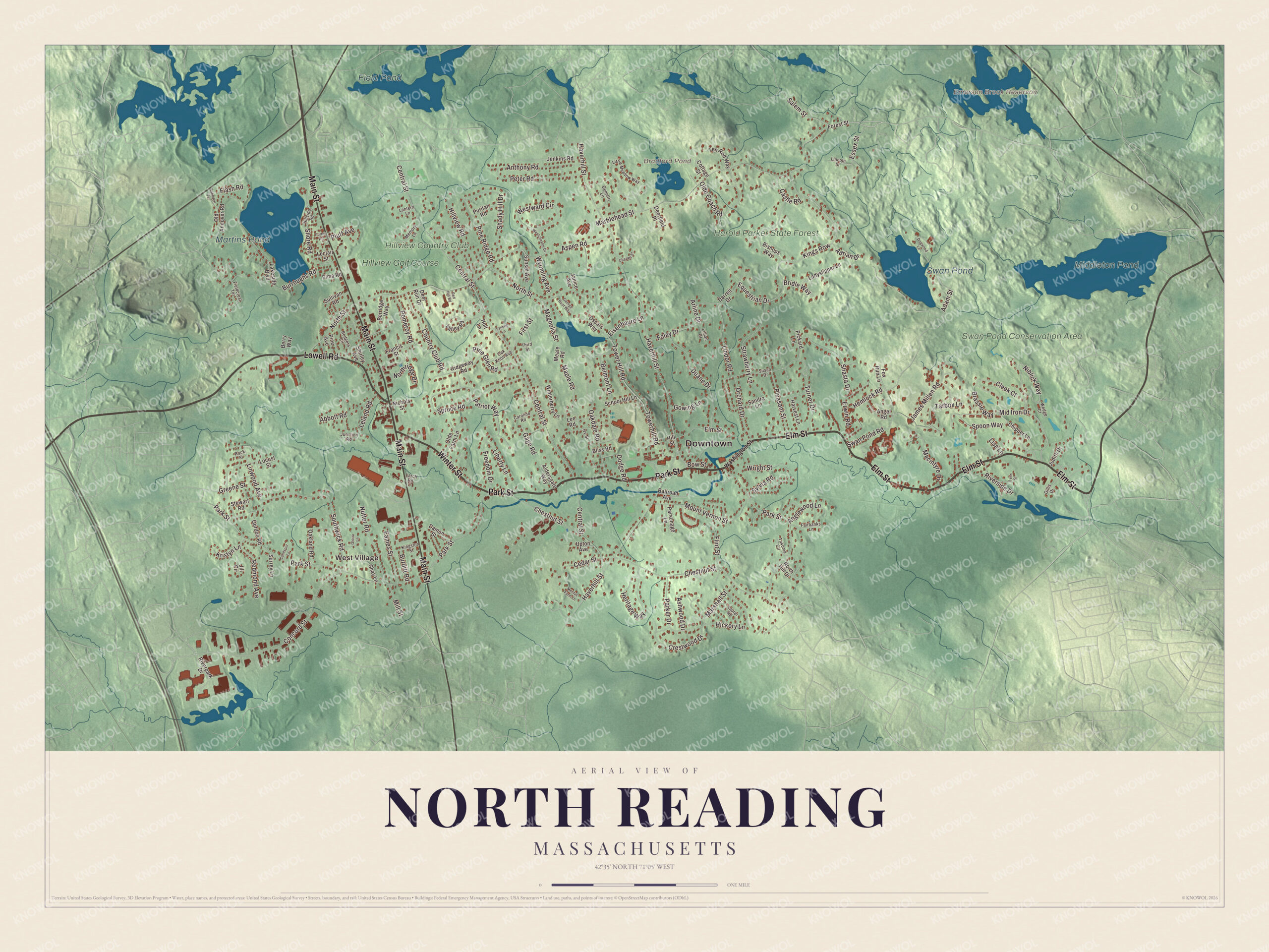
Click to explore a larger preview. The digital watermark does not appear on printed maps.
Names on this map
These names are printed on this map.
Places: Downtown, West Village, Bradford Pond, Emerson Brook Reservoir, Middleton Pond, Martins Pond, Field Pond, Swan Pond, Harold Parker State Forest, Swan Pond Conservation Area, Hillview Country Club and Hillview Golf Course.
Streets and roads: Elm Street, Park Street, Main Street, Lowell Road, Winter Street, Linwood Avenue, Lindor Road, Flash Road, Turner Drive, Salem Street, Shore Road, Haverhill Street.
More street names, A to Z
Abbott Road, Adam Street, Adrian Drive, Aldersgate Way, Angel Road, Anglewood Lane, Anthony Road, Arline Drive, Ashwood Drive, Aspen Road, Belmont Lane, Berridge Way, Berry Way, Bishops Way, Bliss Road, Bow Street, Brassie Way, Bridle Way, Burditt Road, Burroughs Road, Caroline Road, Castle Road, Cedar Street, Central Street, Charles Street, Chestnut Street, Chipper Lane, Cleek Court, Concord Street, Cottage Street, Country Club Road, Crestwood Drive, Damon Street, Darrell Drive, Deerfield Place, Deer Run Drive, Demetri Lane, Dodge Road, Dogwood Lane, Duane Drive, Eames Street, Eisenhaure Lane, Elma Road, Equestrian Drive, Erwin Road, Essex Street, Fairbanks Lane, Fieldcrest Terrace, First Street, Flint Street, Foley Drive, Forest Street, Fox Run Lane, Francis Street, Freedom Drive, Gage Road, George Root Way, Gillis Drive, Gloria Lane, Gordon Road, Gowing Lane, Greene Street, Harvest Lane, Hemlock Road, Heritage Way, Hickory Lane, Hillside Road, Hill Street, Hillview Road, Holt Lane, Ivy Street, James Millen Road, Janice Avenue, Jenkins Road, Jill Circle, Judith Drive, Junction Road, Kings Row, Kingston Street, Kristyn Lane, Ladyslipper Lane, Lakeside Boulevard, Lantern Lane, Larch Road, Laurel Road, Leclair Street, Lee Road, Leland Road, Liberty Lane, Lillian Drive, Lincoln Street, Lisa Lane, Little Meadow Way, Locust Street, Lynn Street, Macintyre Drive, Magnolia Street, Maple Road, Marblehead Street, Marshall Street, Meale Road, Memory Lane, Mentus Farm Lane, Mid Iron Drive, Mill Street, Mount Vernon Street, Niblick Way, Nichols Street, North Hill Drive, Northridge Drive, North Street, Nutter Road, Oakdale Road, Oak Knoll Avenue, Oakland Road, Old Andover Road, Olde Coach Road, Olde Farm Lane, Orchard Drive, Oscars Way, Parker Drive, Parsonage Lane, Patriot Way, Peter Road, Pickard Lane, Pine Avenue, Pine Glen Road, Pine Ridge Road, Pleasant Street, Pluff Avenue, Pomeroy Road, Porter Road, Puritan Road, Rahnden Terrace, Railroad Avenue, Red Hill Road, Redmond Avenue, Ridgeway Road, Riverpark Drive, Riverside Drive, Rock Street, Rodgers Circle, Sandra Lane, Sandspur Lane, School Hill Lane, Shady Hill Drive, Shasta Drive, Shay Lane, Shirley Avenue, Southwick Road, Spoon Way, Spruce Road, Stewart Road, Strawberry Lane, Sullivan Road, Sunset Avenue, Surrey Lane, Susan Drive, Swan Pond Road, Sylvia Road, Takoma Circle, Tarbox Lane, Ten Rod Way, Third Street, Tower Hill Road, Towerhill Road, Upton Avenue, Valley Road, Washington Street, Wedge Court, Westchester Drive, Westward Circle, Winterberry Lane, Wright Street, Wyoming Avenue, Yankee Lane.
See it on a wall
The North Reading map as a framed print. Swipe for more.


Around the map
Start with West Village. Follow Elm Street, Park Street, Main Street, Lowell Road, Winter Street and Linwood Avenue across town. Bradford Pond, Emerson Brook Reservoir, Middleton Pond, Martins Pond, Harold Parker State Forest and Swan Pond Conservation Area are all printed on the map. The Skug River rises in Harold Parker State Forest and empties into Martins Pond, and from there Martin’s Brook carries the water on to the Ipswich River. The state forest covers more than 3,300 acres in Andover, North Andover, North Reading and Middleton; it was set up in 1916, and the Civilian Conservation Corps dammed small streams there between 1933 and 1941, making many of its small ponds. Middleton Pond lies over the line in Middleton.
The North Reading map makes a handsome addition to an office, library or den, and it can help teach children the geography and history of an old farm town north of the Ipswich River. It’s made for anyone who calls North Reading home, from West Village to Martins Pond, and it shows the town as it looks today. Zoom in on the preview above to explore the details, then click here to get your copy of the North Reading, Massachusetts map.

Sources
- North Reading, Massachusetts, Wikipedia
- Ipswich River, Wikipedia
- Rev. Daniel Putnam House, Wikipedia
- George Frederick Root, Wikipedia
- Jon Favreau (speechwriter), Wikipedia
- Art Kenney, Wikipedia
- Jimmy Vesey, Wikipedia
- Skug River, Wikipedia
- Harold Parker State Forest, Wikipedia
- Middleton, Massachusetts, Wikipedia
- City and Town Incorporation and Settlement Dates, Secretary of the Commonwealth of Massachusetts (archived copy)