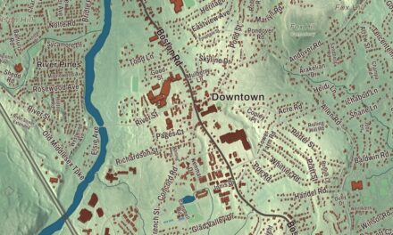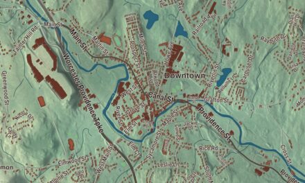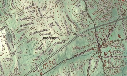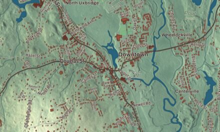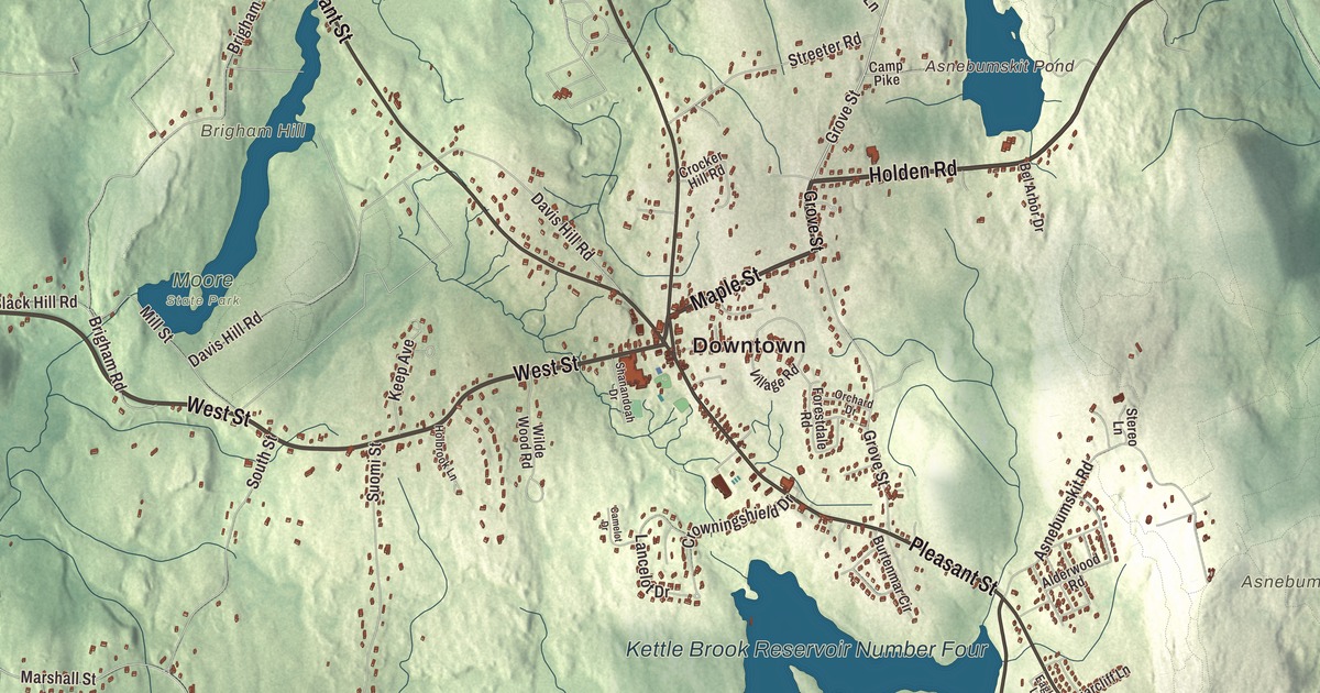
The bell Paxton still uses was made by Paul Revere, and David Davis brought it from Boston with a pair of oxen. This map of Paxton prints Holden Road, Maple Street, Pleasant Street, West Street, Richards Avenue and Reservoir Drive, with Asnebumskit Hill and Asnebumskit Pond, Kendall Reservoir and Pine Hill Reservoir. Click here to purchase a print of this map for your wall.
Paxton is in Worcester County.
KNOWOL made this map in 2026 from public survey data and gave it the look of an old atlas. Its hills are built from United States Geological Survey elevation data, and the streets and the town line come from the Census Bureau. Paxton covers 15.5 square miles, 0.7 of them water, and had 5,004 people at the 2020 census.
Charles Paxton’s bell
The Nipmuc lived here before the English. The Town of Paxton’s recorded history dates European settlement to 1749. The district of Paxton was taken in nearly equal parts from Leicester and Rutland and incorporated on February 12, 1765. It carries the name of Charles Paxton, marshal of the Admiralty Court, who promised the town a church bell if it was named for him; the gift never came. On the first day of April 1765 the town voted to build a meeting house, and its frame was raised on June 18, 1766, on what’s now the common, on land Seth Howe gave from his pasture. That frame is still the frame of the meeting house today. Paxton was incorporated as a town in 1775. The town remains part of Worcester County today.
The astronomer and doctor Samuel Stearns lived in Paxton from 1771 until 1784 and issued his yearly almanac, The North-American’s Almanack, from here; he later published the first nautical almanac published in America. In the middle of the 20th century a small amusement park called the Paxton Navy Yard ran in town; it has since closed. Anna Maria College, founded by the Sisters of Saint Anne as a women’s college, moved to Paxton in 1951 and taught here until it closed in May 2026; its fire science program was the largest in the Northeast United States.
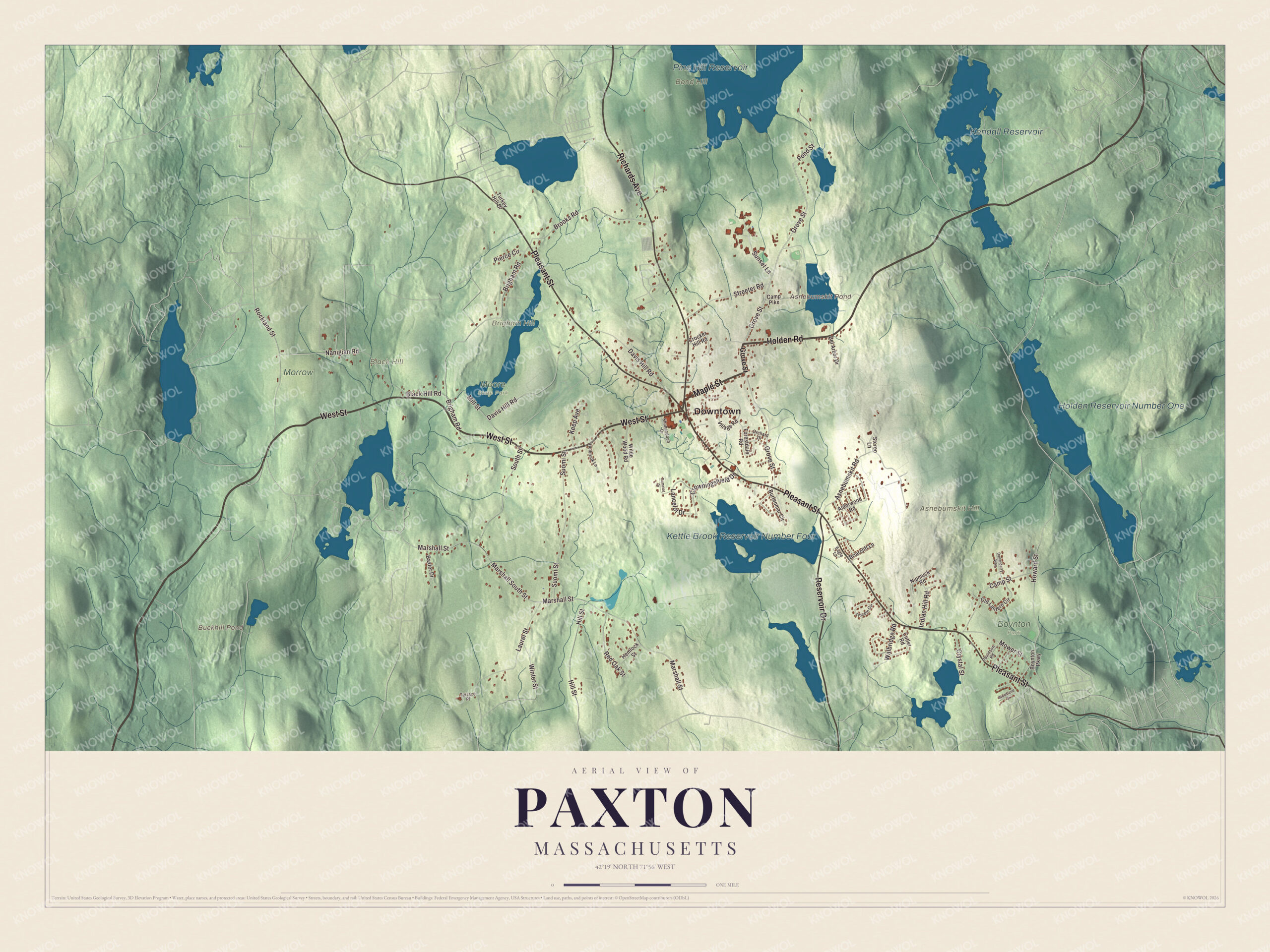
Click to explore a larger preview. The digital watermark does not appear on printed maps.
Names on this map
These names are printed on this map.
Places: Downtown, Asnebumskit Hill, Black Hill, Bond Hill, Brigham Hill, Asnebumskit Pond, Buckhill Pond, Pine Hill Reservoir, Kendall Reservoir, Holden Reservoir Number One, Kettle Brook Reservoir Number Four, Boynton Park, Moore State Park and Morrow.
Streets and roads: Holden Road, Maple Street, Pleasant Street, West Street, Richards Avenue, Reservoir Drive, Grove Street, Rockland Street, Brigham Road, Marshall South Street, Marshall Street, Davis Hill Road.
More street names, A to Z
Alderwood Road, Asnebumskit Road, Baxter Drive, Bel Arbor Drive, Black Hill Road, Boynton Parkway, Briarcliff Lane, Brooks Road, Burtenmar Circle, Camelot Drive, Camp Pike, Camp Street, Crocker Hill Road, Crowningshield Drive, Crystal Street, Cutler Road, Davidson Road, Dunanderry Way, Eagle Lane, Forestdale Road, Hemlock Street, Hill Street, Holbrook Lane, Howard Street, Indian Hill Road, Keep Avenue, Lancelot Drive, Laurel Street, Lincoln Circle, Mill Street, Mower Street, Nanigian Road, Nipmuck Road, Old Lantern Circle, Orchard Drive, Pierce Circle, Pond Street, Red Oak Street, Shanandoah Drive, South Street, Stereo Lane, Streeter Road, Sunset Lane, Suomi Street, Terrace Place, Turkey Hill Drive, Village Road, Walbridge Road, Wilde Wood Road, Winter Street, Woodland Drive.
See it on a wall
The Paxton map as a framed print. Swipe for more.


Around the map
Start at the common, then follow Holden Road, Maple Street, Pleasant Street, West Street, Richards Avenue and Reservoir Drive across town. Asnebumskit Pond, Buckhill Pond, Pine Hill Reservoir, Kendall Reservoir, Asnebumskit Hill, Black Hill and Bond Hill all have their names printed on the map. In 1937 the Yankee Network drew up a plan to bring FM programs to 90% of New England, built around a 50-kilowatt station on the mountaintop at Paxton, Asnebumskit Hill. Its experimental station W1XOJ began a regular daily schedule on July 24, 1939, and in August of that year it was reported to be one of only four FM facilities in actual operation. Renamed WGTR in 1943, it kept its transmitter on Asnebumskit Hill for its whole life, which ended in July 1953.
The 737-acre Moore State Park is in Paxton. Turkey Hill Brook drops 90 feet over a 400-foot run there, and at least five watermills ran on it in the 1700s and 1800s, the first a gristmill and sawmill built as early as 1747. A restored sawmill, Eames Pond, mill chutes and the remains of the mill village, with a triphammer, quarry, schoolhouse and tavern, are still there among the azaleas, rhododendrons and mountain laurel, and in 2003 park staff and the American Chestnut Foundation set out a large planting of experimentally bred chestnut trees.
The Paxton map makes a fine addition to an office, library or den, and it can help teach children the geography and history of Paxton, from its 1766 meeting house to the old mill sites in Moore State Park. It’s made for people who call Paxton home, and it shows the town as it looks today. Zoom in on the preview above to explore the details, then click here to get your copy of the Paxton, Massachusetts map.

Sources