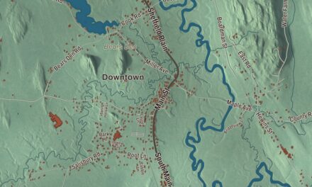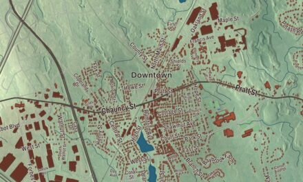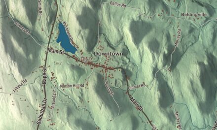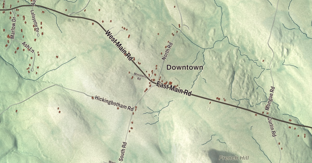
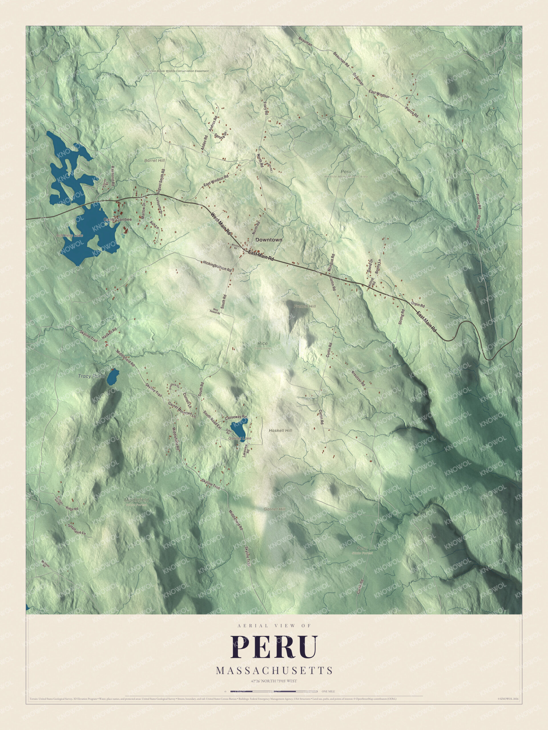
Peru sits higher, on average, than any other town in Massachusetts. This map of Peru prints East Main Road, West Main Road, East Windsor Road, Pierce Road, South Road and Beauman Road, with Ashmere Lake, Garnet Lake and Tracy Pond, and Barret Hill, French Hill and Garnet Hill. Click here to purchase a print of this map for your wall.
Peru is in Berkshire County.
KNOWOL made this map in 2026 from public survey data and gave it the look of an old atlas. The high ground comes from United States Geological Survey elevation data, and the roads and the town line come from the Census Bureau. Peru and neighboring Windsor are the only two municipalities in the state with a mean elevation above 2,000 feet. It lies on high ground in the Berkshire Hills with three main peaks, and it covers 26.0 square miles, almost all of it land. The town had 814 people at the 2020 census, and it shares its post office and ZIP code with Hinsdale.
Partridgefield
The town began as Northern Berkshire Township Number 2, which took in all of today’s Hinsdale and part of Middlefield. Its three purchasers included Governor Francis Bernard and Oliver Partridge. The Town of Peru’s recorded history dates European settlement to 1767. Peru was incorporated as a town in 1771. It was incorporated under the name Partridgefield, for Oliver Partridge. The town remains part of Berkshire County today.
The name changed to Peru in 1806 on the suggestion of the Reverend John Leland, “because it is like the Peru of South America, a mountain town, and if no gold or silver mines are under her rocks, she favors hard money and begins with a P.” Leland was a Baptist preacher. In Virginia he agreed not to oppose James Madison in exchange for guarantees of religious freedom in the new Constitution, and in 1802 he carried the Cheshire Mammoth Cheese, a giant block made by the people of nearby Cheshire, to President Thomas Jefferson.
Two from Peru
Amos Dresser, born in Peru in 1812, became an abolitionist and pacifist minister and one of the founders of Olivet College. In 1835, while selling Bibles in the South to pay for his schooling, he was publicly whipped in Nashville for having abolitionist publications, and he told the story many times afterward in his abolitionist lectures. Seraph Frissell, born in Peru in 1840, became a physician and, in 1885, the first woman in Western Massachusetts admitted to any district medical society, and the fourth woman admitted to the Massachusetts Medical Society. She practiced in Springfield and was buried back home in the Peru Center Cemetery.
Click to explore a larger preview. The digital watermark does not appear on printed maps.
Names on this map
These names are printed on this map.
Places: Downtown, Camp Danbee, Barret Hill, French Hill, Garnet Hill, Haskell Hill, Ashmere Lake, Garnet Lake, Tracy Pond, Middlefield State Forest, Peru Wildlife Management Area, Peru State Forest, Rice Sanctuary and Windsor Brook Wildlife Conservation Easement.
Streets and roads: East Main Road, West Main Road, East Windsor Road, Pierce Road, South Road, East Windsor, Beauman, Beauman Road, Parish Road, Middlefield Road, August Smith Road, Andres Road.
More street names, A to Z
Andes Road, Ash Lane, Bonny Lane, Causeway Road, Cornell Lane, Curtin Road, David Drive, Dyke Road, Frary Road, Garnet Mountain Lane, Gentian Hill Road, Greylock Circle, Haskell Road, Hickingbotham Road, Hillside Road, Hilltop Road, Kreutzer Road, Lafayette Drive, Lakeview Road, Marlow Drive, Matteau Road, Ministers Road, Mongue Road, North Road, Orpin Road, Raymond Road, Ridge Road, Skyline Trail, South Road Extension, Spruce Drive, Stephanie Lane, Strong Road, Weeks Road, West Haskell Road.
Around the map
Start with East Main Road. Follow West Main Road, East Windsor Road, Pierce Road, South Road and Beauman Road across town. Ashmere Lake, Garnet Lake, Tracy Pond, the Windsor Brook Wildlife Conservation Easement, Barret Hill, French Hill and Garnet Hill all have their names printed on the map. Route 143 is the only state road in Peru, crossing it from east to west; it comes in from Hinsdale past Ashmere Lake as Main Road, and from Hinsdale to Worthington it’s known as the Lafayette Trail, after the Marquis de Lafayette, who spent a night in Worthington in 1825. Ashmere Lake drains west into Bennett Brook and on to the East Branch of the Housatonic, while on the east side of town Trout Brook and other brooks run toward the Westfield River; Trout Brook is one of that river’s main sources. A wildlife management area covers much of the northern third of town, and the Peru and Middlefield State Forests cover much of the southern third.
The Peru map makes a fine addition to an office, library or den, and it can help teach children the geography and history of the highest town, on average, in Massachusetts. It’s made for people who call Peru home, from Ashmere Lake to the Worthington line, and it shows the town as it looks today. Zoom in on the preview above to explore the details, then click here to get your copy of the Peru, Massachusetts map.

We made a map for every town and city in Massachusetts. Explore the complete Massachusetts map collection and find your town.
Sources