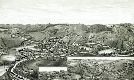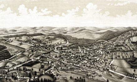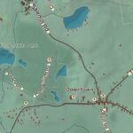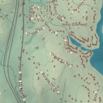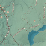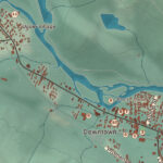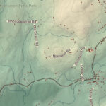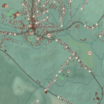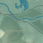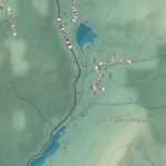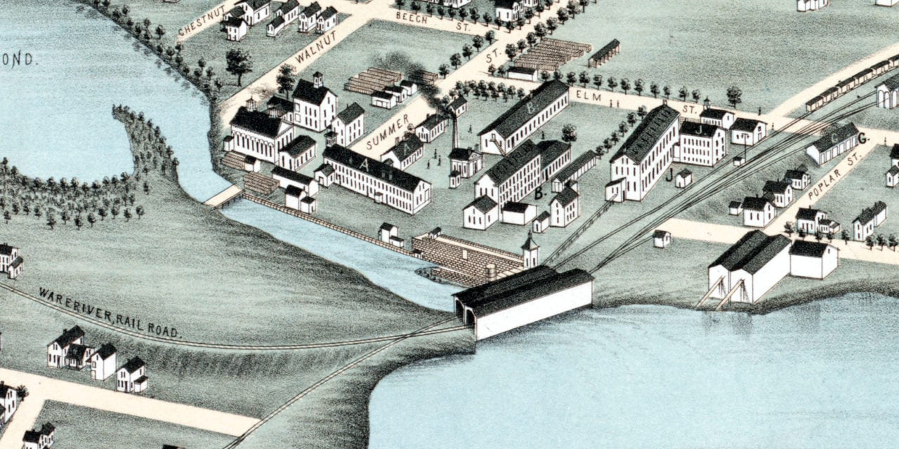
This historic map of Winchendon, Massachusetts was created in 1878 by O.H. Bailey and J.C. Hazen, prominent 19th century map makers. The map shows a bird’s eye view of the town as it used to be, including street names and old landmarks.
Landmarks on the map include Whitney’s Wood Working Machinery, Fairbank’s Wooden Ware, Murdock Spools & Bobbins, Bathrick Wholesale & Retail Coal, White Cotton Goods, Cheshire Railroad, Miller’s River, Raymond & Rice Lumber, and more.
This historic map of Winchendon has been restored by KNOWOL. Reproductions of the restored map are available here.
Historic Old Map of Winchendon, Massachusetts from 1878

This vintage map of Winchendon makes an attractive addition to your office, library, or den, and can even be used to teach children the geography and history of the area. When you’re done exploring, click here to get your copy of the restored map.