Detailed Map of Mount Clare, Illinois
A detailed map of Mount Clare, Illinois, showing every building in its true location, the roads by name, and shaded topographical relief.
Read More
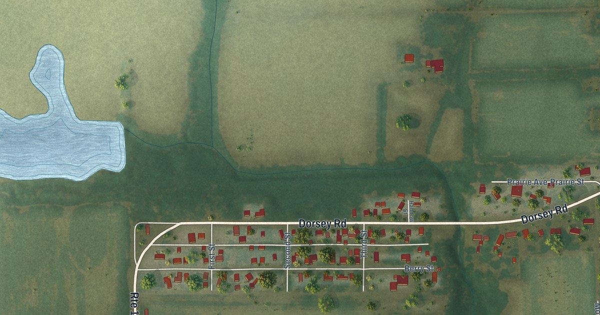
A detailed map of Mount Clare, Illinois, showing every building in its true location, the roads by name, and shaded topographical relief.
Read More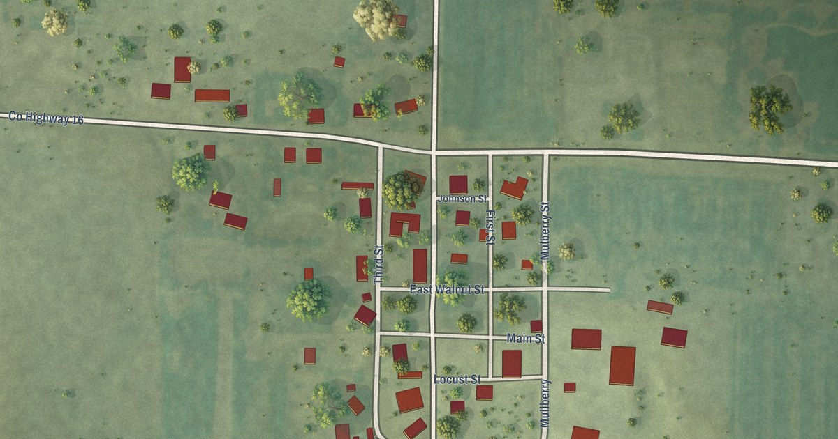
A detailed map of Johnsonville, Illinois, showing every building in its true location, the roads by name, and shaded topographical relief.
Read More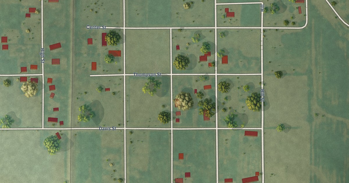
A detailed map of Standard City, Illinois, showing every building in its true location, the roads by name, and shaded topographical relief.
Read More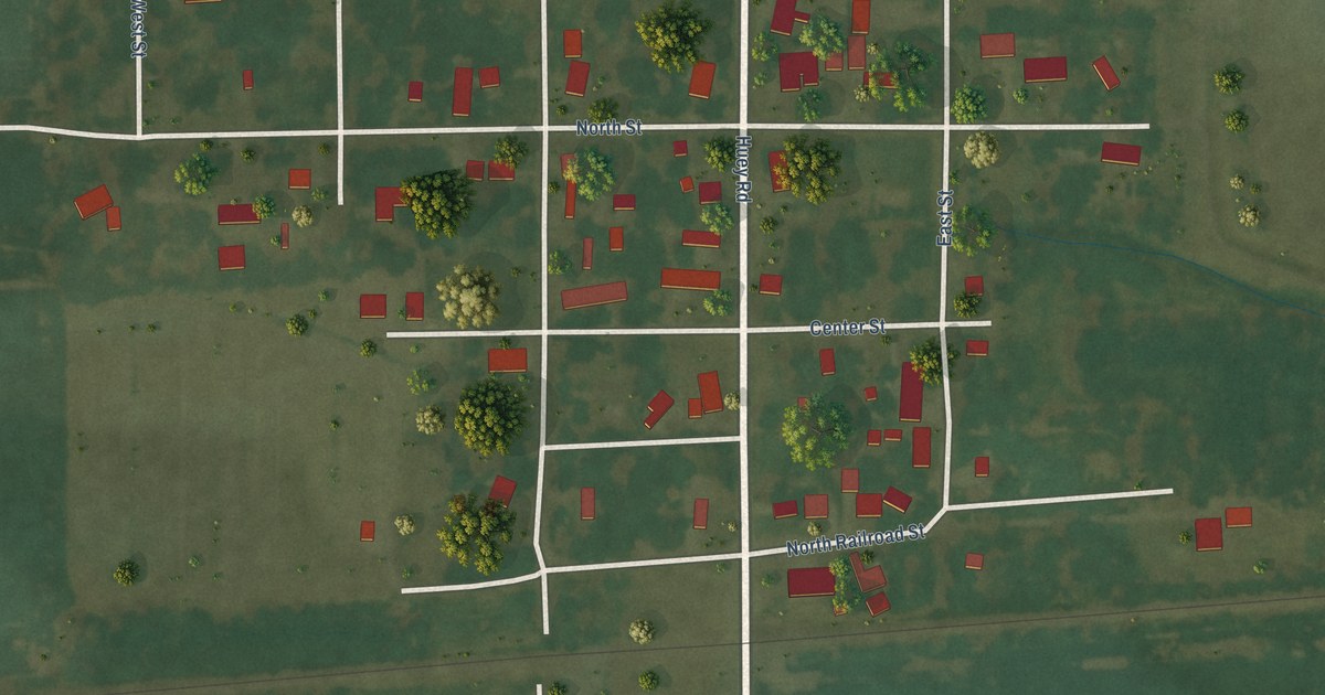
A detailed map of Huey, Illinois, showing every building in its true location, the roads by name, and shaded topographical relief.
Read More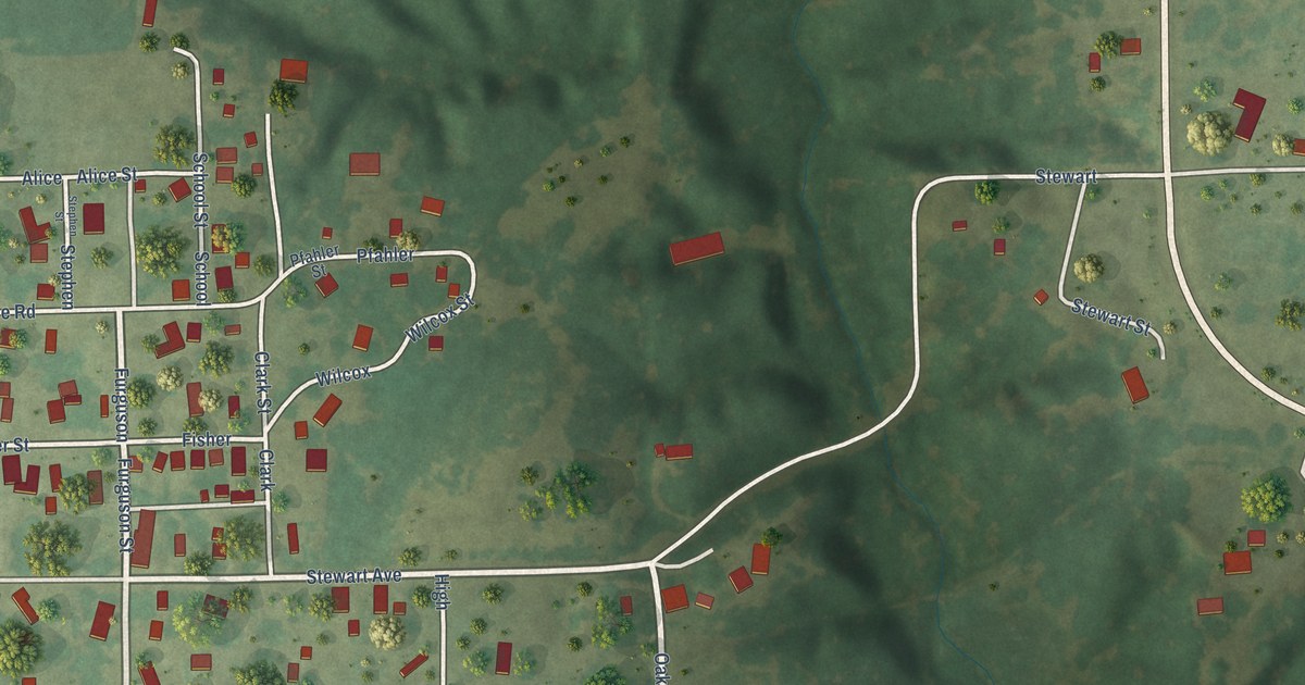
A detailed map of Sawyerville, Illinois, showing every building in its true location, the roads by name, and shaded topographical relief.
Read More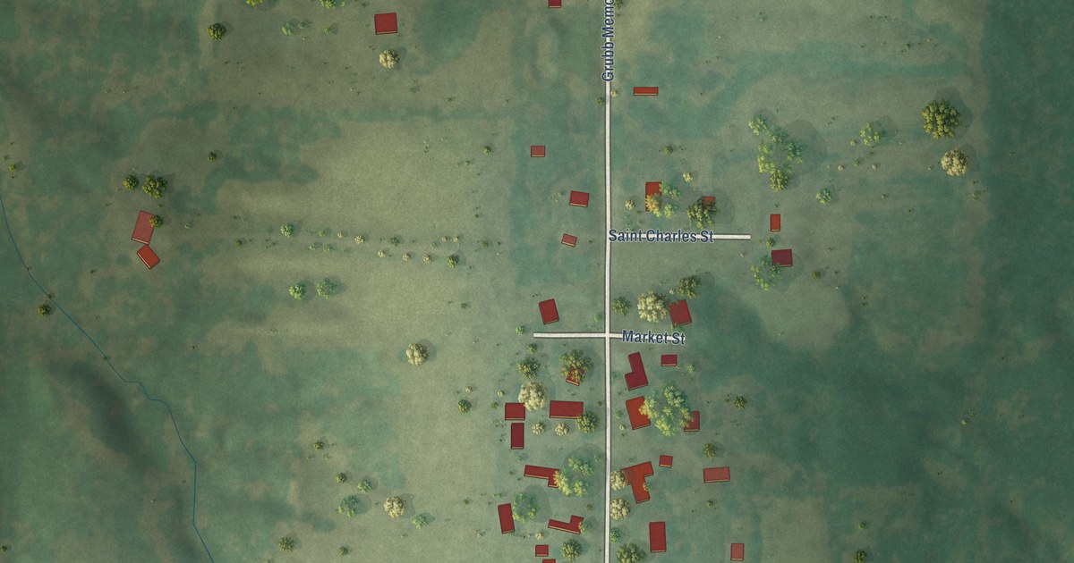
A detailed map of Belle Prairie City, Illinois, showing every building in its true location, the roads by name, and shaded topographical relief.
Read More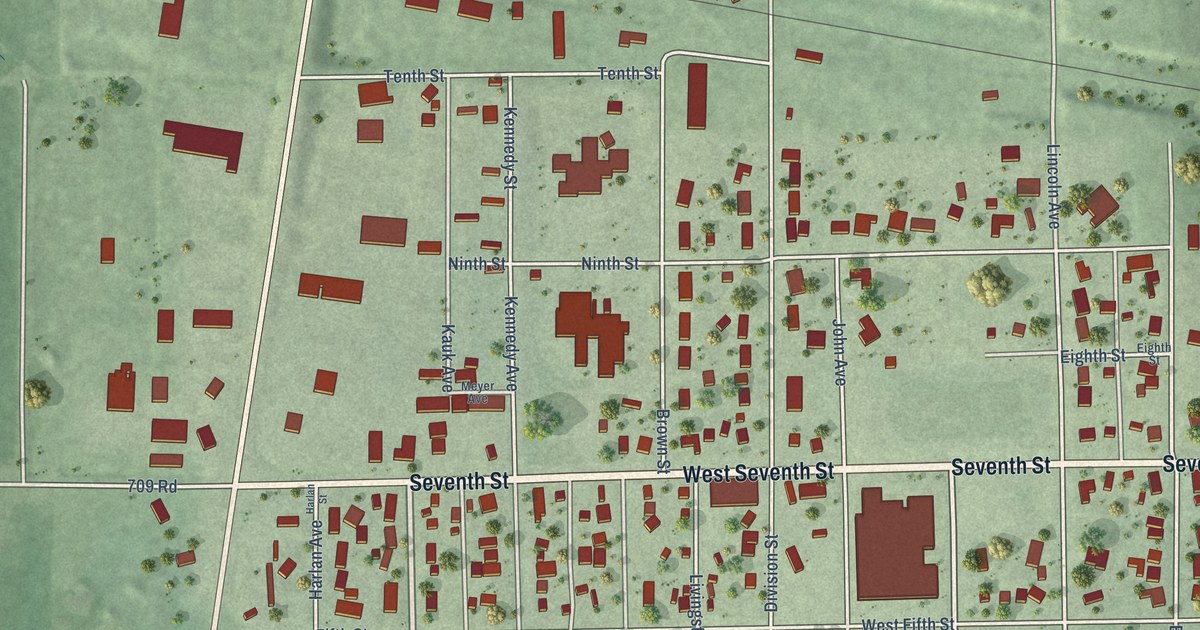
A detailed map of Alma, Nebraska, showing every building in its true location, the roads by name, and shaded topographical relief.
Read More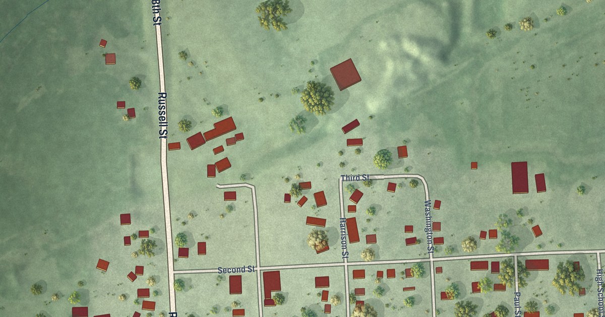
A detailed map of Alvo, Nebraska, showing every building in its true location, the roads by name, and shaded topographical relief.
Read More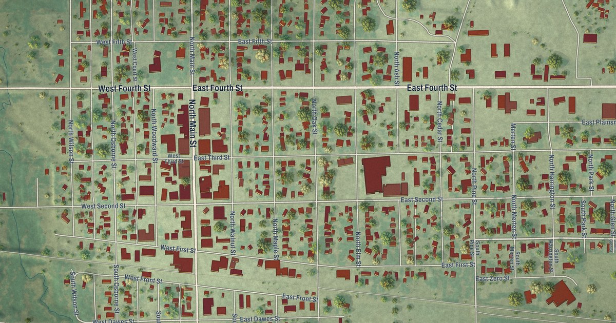
A detailed map of Ainsworth, Nebraska, showing every building in its true location, the roads by name, and shaded topographical relief.
Read More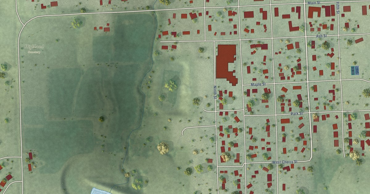
A detailed map of Adams, Nebraska, showing every building in its true location, the roads by name, and shaded topographical relief.
Read More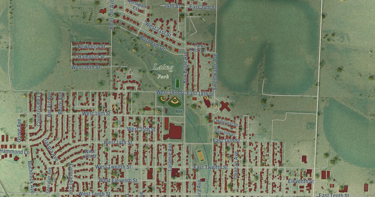
A detailed map of Alliance, Nebraska, showing every building in its true location, the roads by name, and shaded topographical relief.
Read More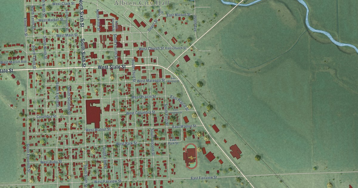
A detailed map of Albion, Nebraska, showing every building in its true location, the roads by name, and shaded topographical relief.
Read More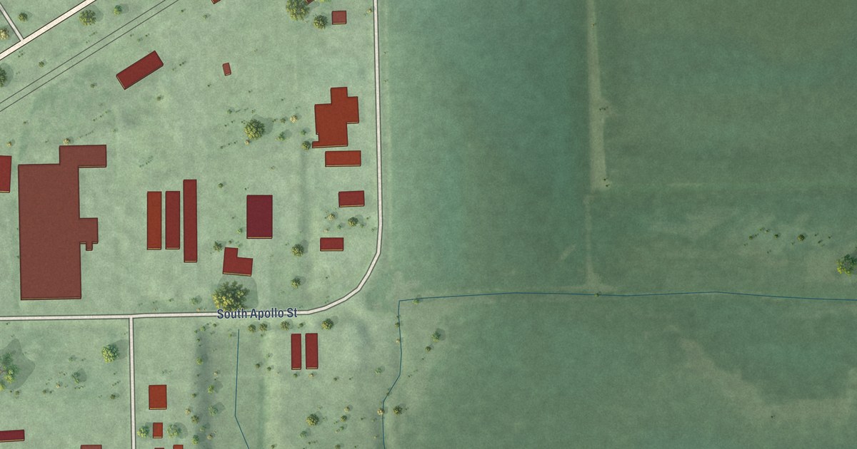
A detailed map of Alda, Nebraska, showing every building in its true location, the roads by name, and shaded topographical relief.
Read More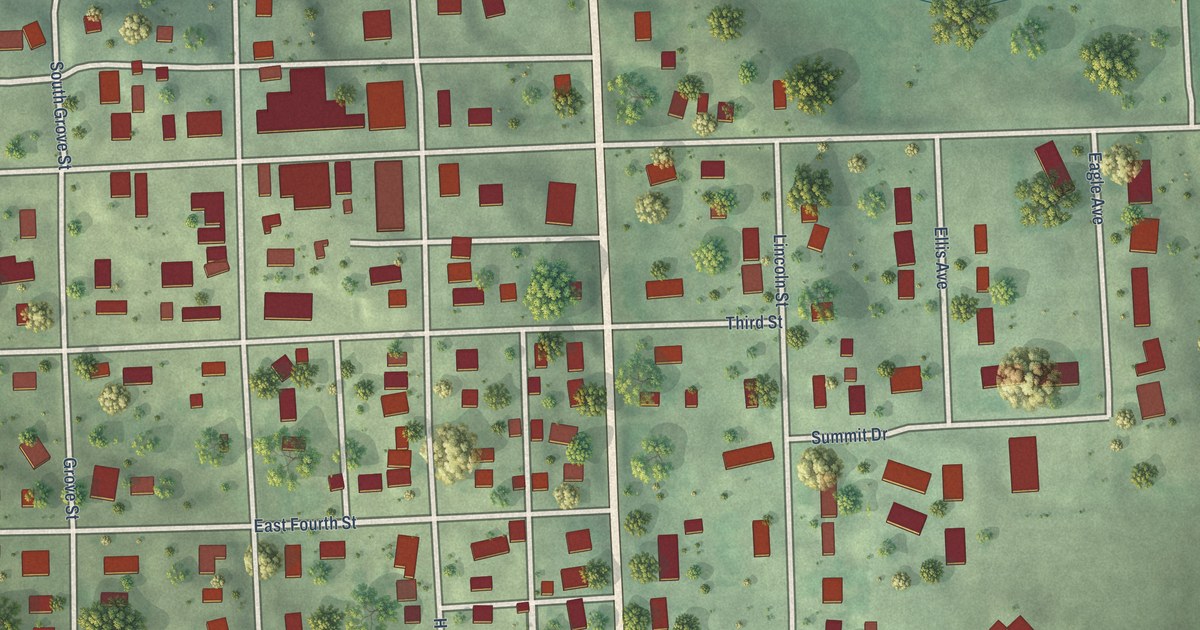
A detailed map of Allen, Nebraska, showing every building in its true location, the roads by name, and shaded topographical relief.
Read More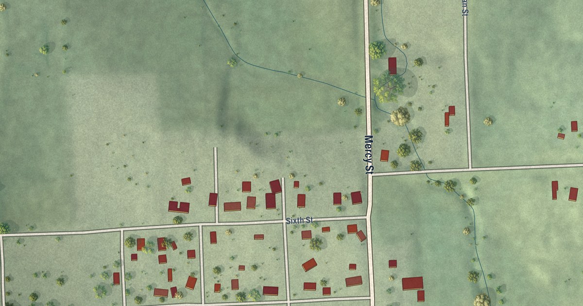
A detailed map of Alexandria, Nebraska, showing every building in its true location, the roads by name, and shaded topographical relief.
Read More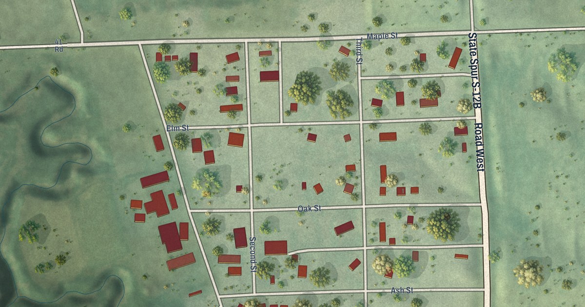
A detailed map of Abie, Nebraska, showing every building in its true location, the roads by name, and shaded topographical relief.
Read More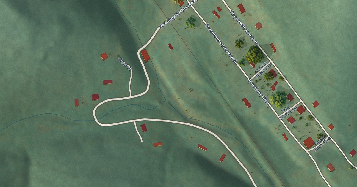
A detailed map of Zinc, Arkansas, showing every building in its true location, the roads by name, and shaded topographical relief.
Read More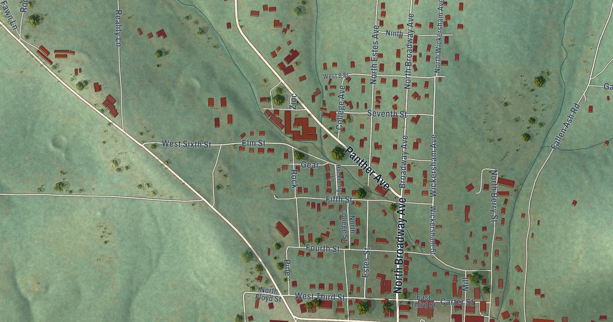
A detailed map of Yellville, Arkansas, showing every building in its true location, the roads by name, and shaded topographical relief.
Read More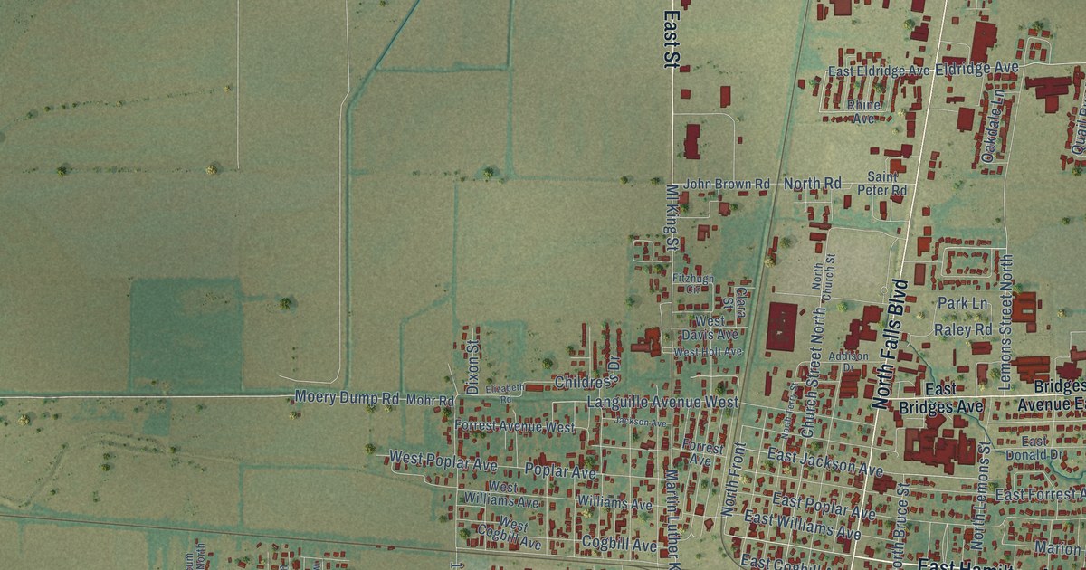
A detailed map of Wynne, Arkansas, showing every building in its true location, the roads by name, and shaded topographical relief.
Read More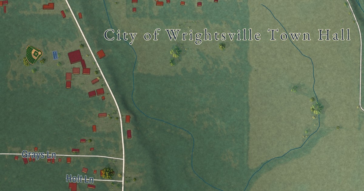
A detailed map of Wrightsville, Arkansas, showing every building in its true location, the roads by name, and shaded topographical relief.
Read More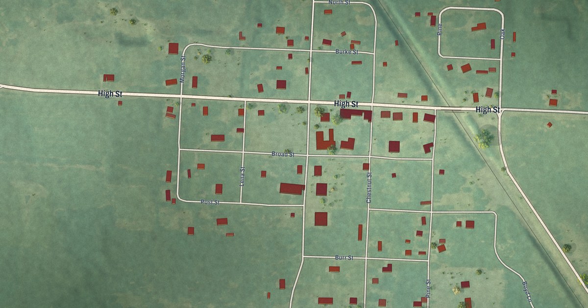
A detailed map of Winthrop, Arkansas, showing every building in its true location, the roads by name, and shaded topographical relief.
Read More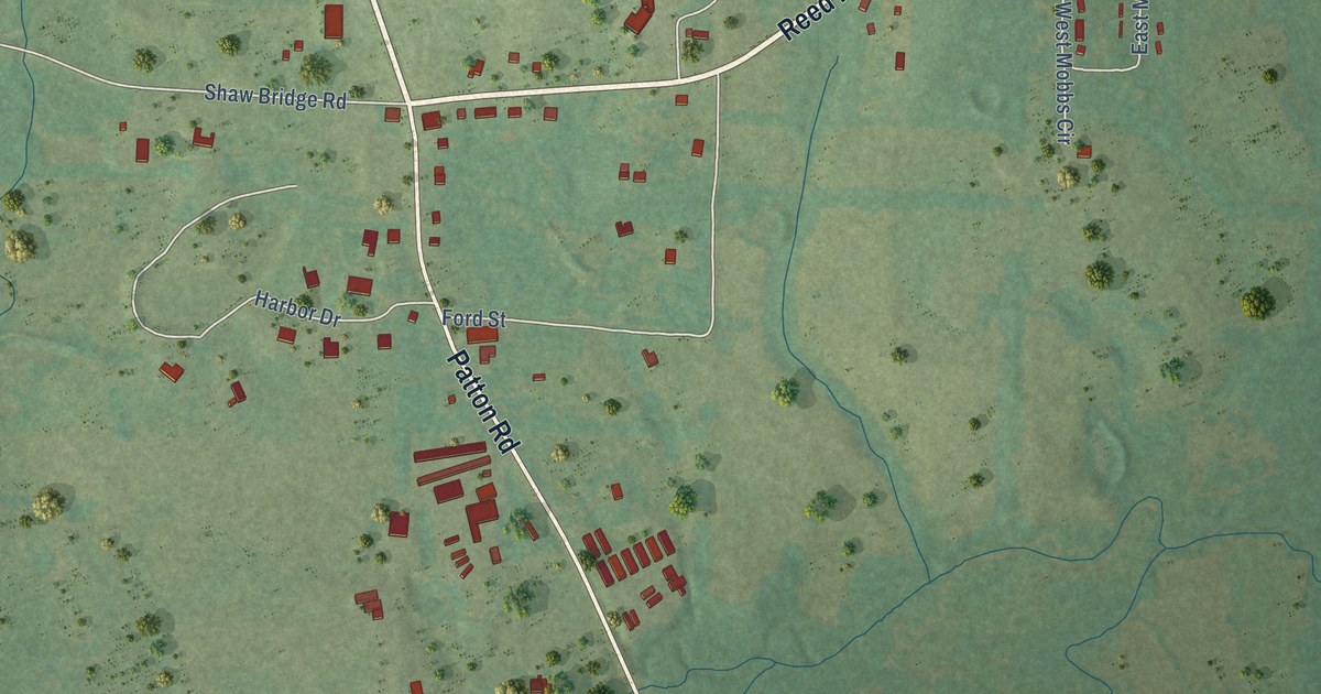
A detailed map of Wooster, Arkansas, showing every building in its true location, the roads by name, and shaded topographical relief.
Read More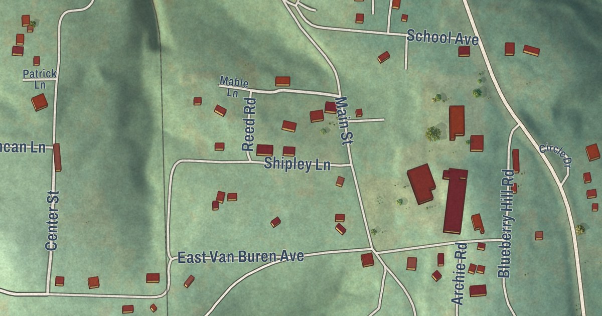
A detailed map of Winslow, Arkansas, showing every building in its true location, the roads by name, and shaded topographical relief.
Read More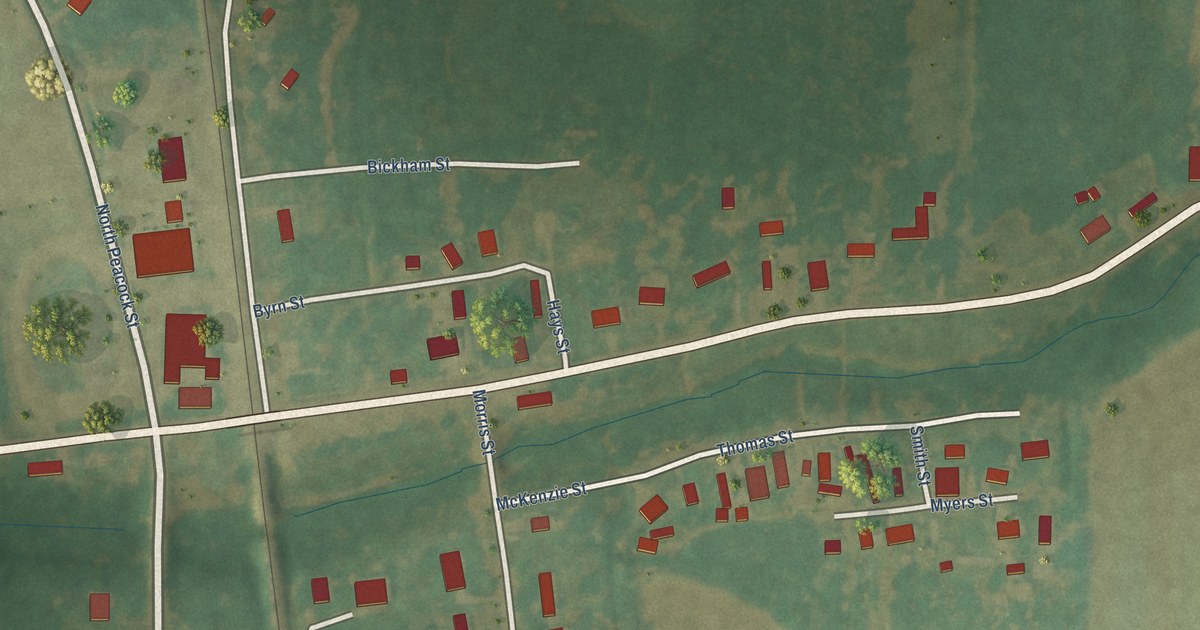
A detailed map of Winchester, Arkansas, showing every building in its true location, the roads by name, and shaded topographical relief.
Read More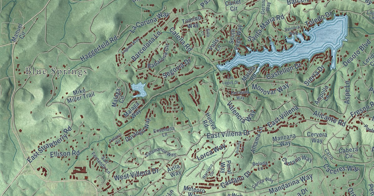
A detailed map of Hot Springs Village, Arkansas, showing every building in its true location, the roads by name, and shaded topographical relief.
Read More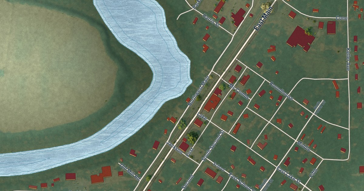
A detailed map of Wilmot, Arkansas, showing every building in its true location, the roads by name, and shaded topographical relief.
Read More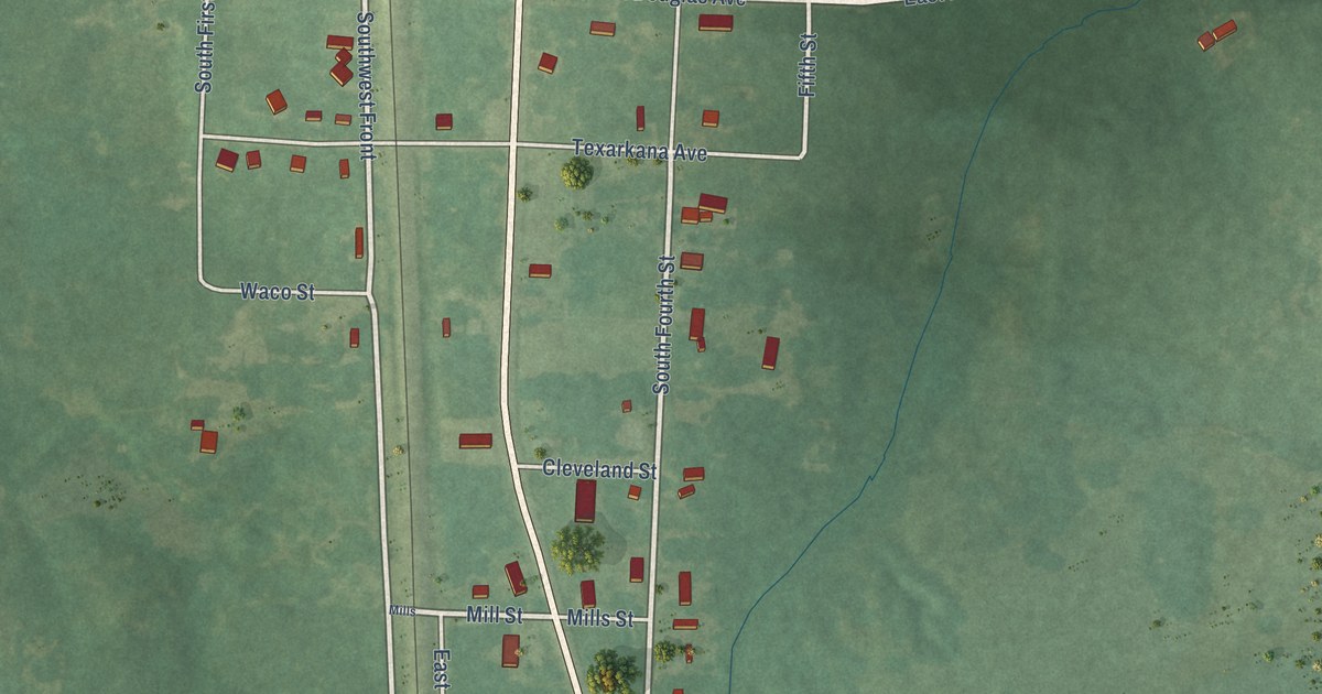
A detailed map of Wilton, Arkansas, showing every building in its true location, the roads by name, and shaded topographical relief.
Read More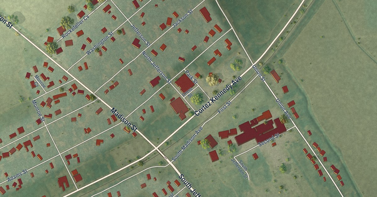
A detailed map of Wilson, Arkansas, showing every building in its true location, the roads by name, and shaded topographical relief.
Read More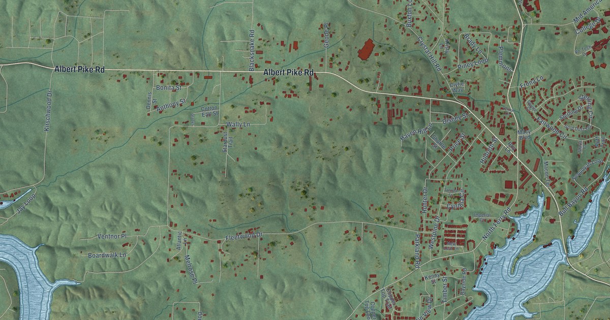
A detailed map of Piney, Arkansas, showing every building in its true location, the roads by name, and shaded topographical relief.
Read More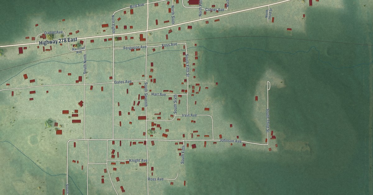
A detailed map of Wilmar, Arkansas, showing every building in its true location, the roads by name, and shaded topographical relief.
Read More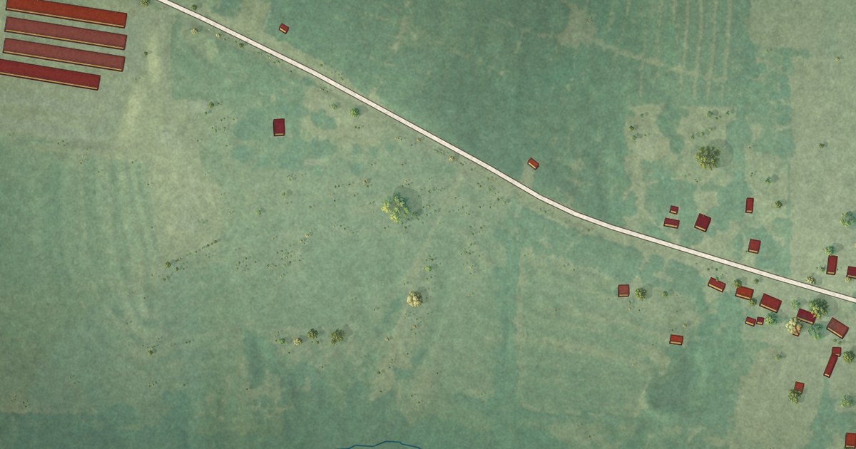
A detailed map of Willisville, Arkansas, showing every building in its true location, the roads by name, and shaded topographical relief.
Read More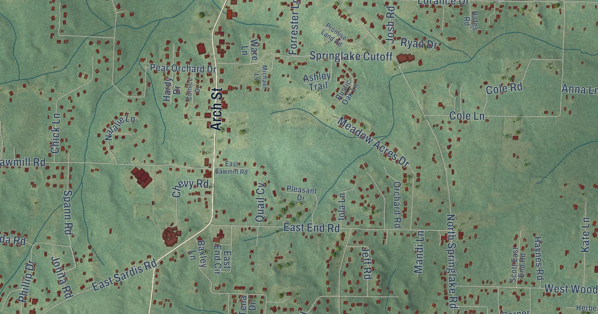
A detailed map of East End, Arkansas, showing every building in its true location, the roads by name, and shaded topographical relief.
Read More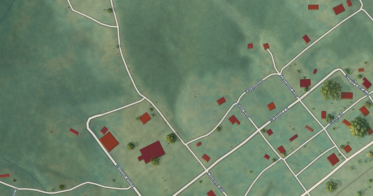
A detailed map of Williford, Arkansas, showing every building in its true location, the roads by name, and shaded topographical relief.
Read More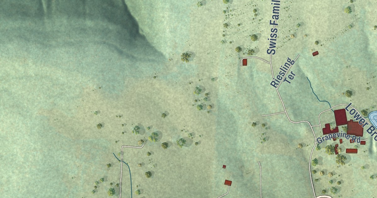
A detailed map of Wiederkehr Village, Arkansas, showing every building in its true location, the roads by name, and shaded topographical relief.
Read More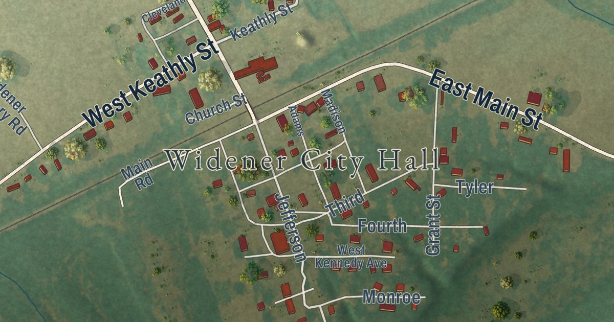
A detailed map of Widener, Arkansas, showing every building in its true location, the roads by name, and shaded topographical relief.
Read More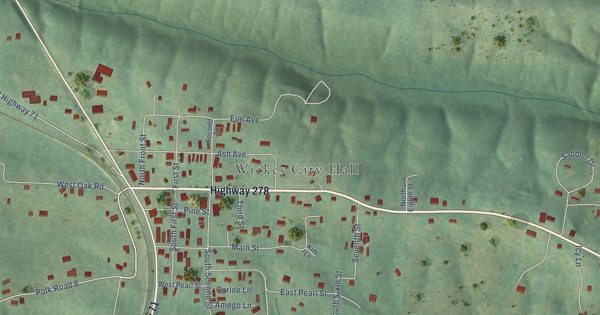
A detailed map of Wickes, Arkansas, showing every building in its true location, the roads by name, and shaded topographical relief.
Read More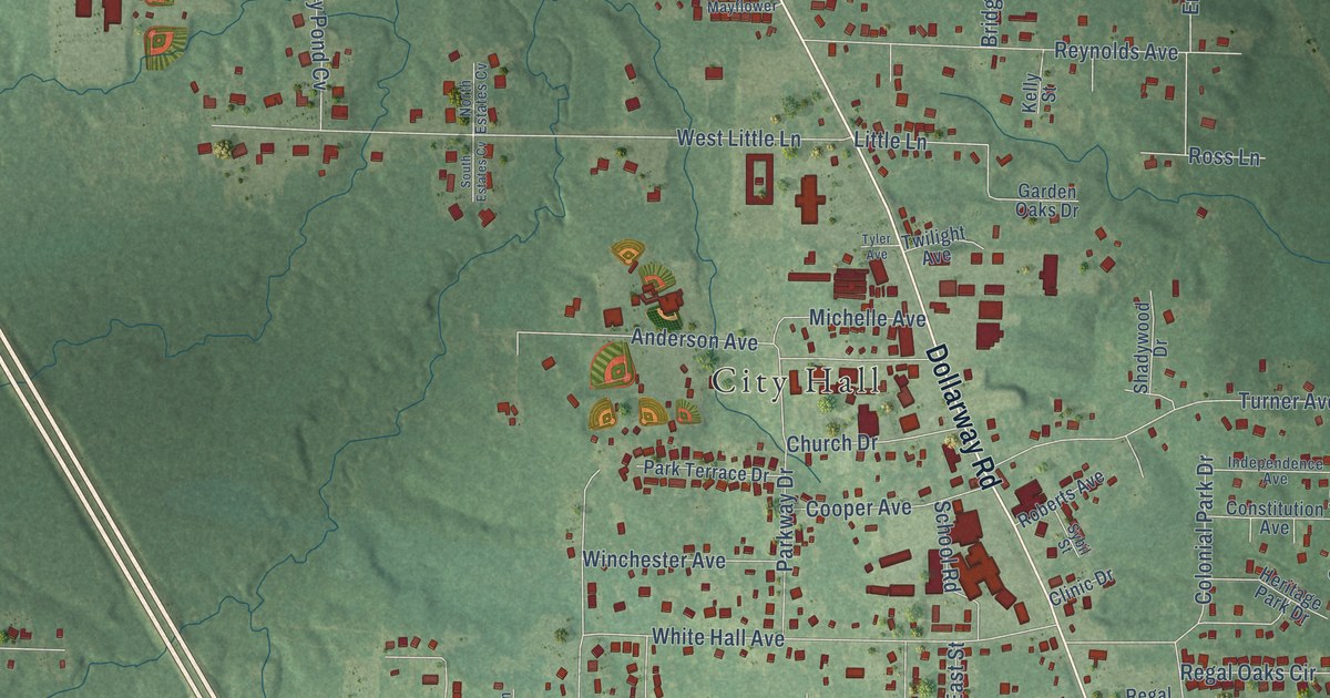
A detailed map of White Hall, Arkansas, showing every building in its true location, the roads by name, and shaded topographical relief.
Read More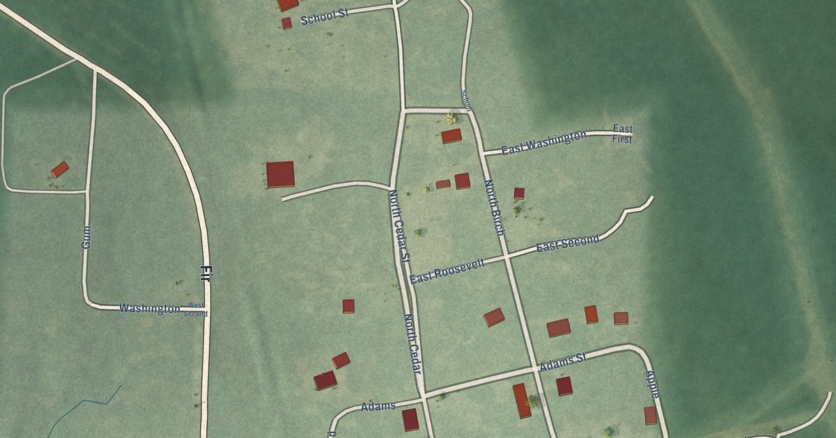
A detailed map of Whelen Springs, Arkansas, showing every building in its true location, the roads by name, and shaded topographical relief.
Read More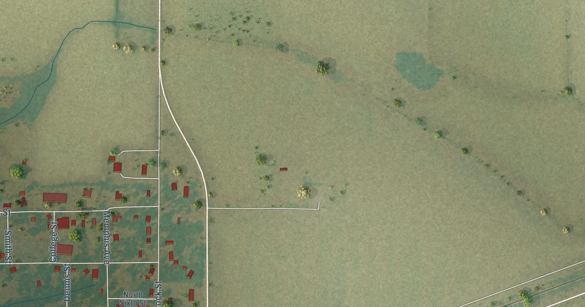
A detailed map of Wheatley, Arkansas, showing every building in its true location, the roads by name, and shaded topographical relief.
Read More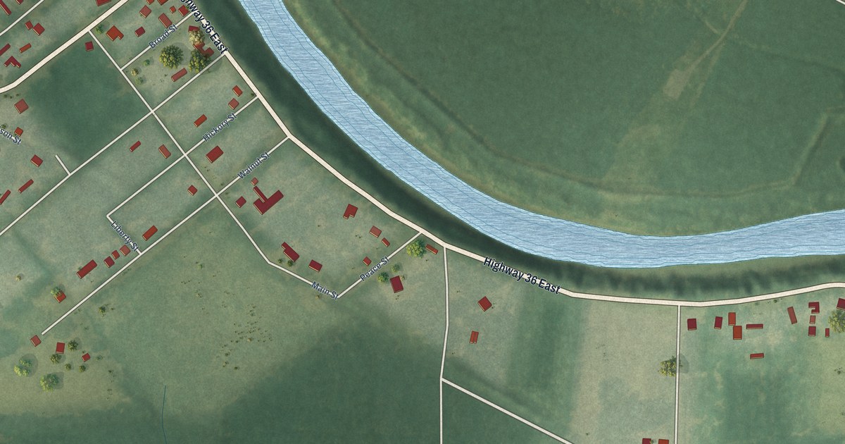
A detailed map of West Point, Arkansas, showing every building in its true location, the roads by name, and shaded topographical relief.
Read More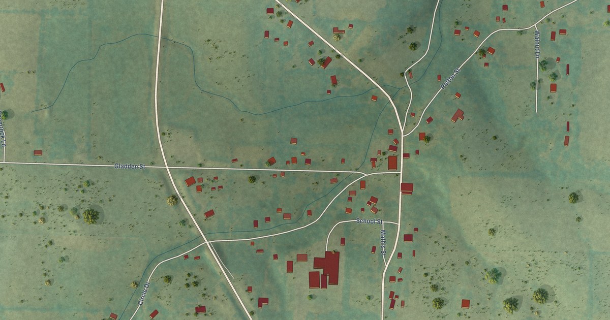
A detailed map of Western Grove, Arkansas, showing every building in its true location, the roads by name, and shaded topographical relief.
Read More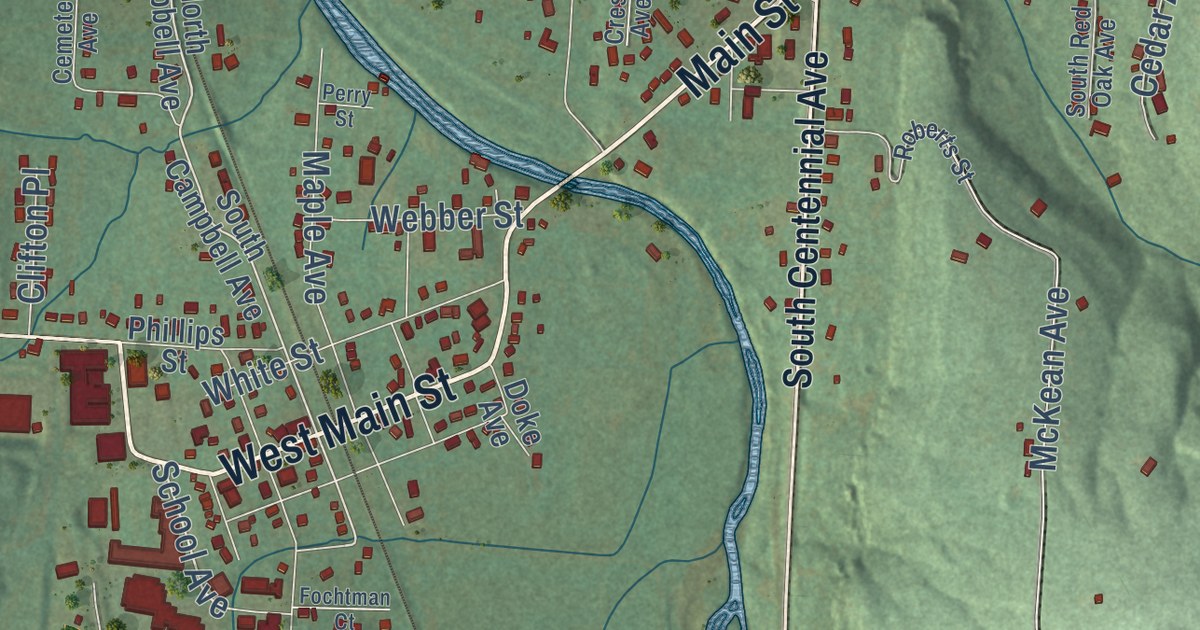
A detailed map of West Fork, Arkansas, showing every building in its true location, the roads by name, and shaded topographical relief.
Read More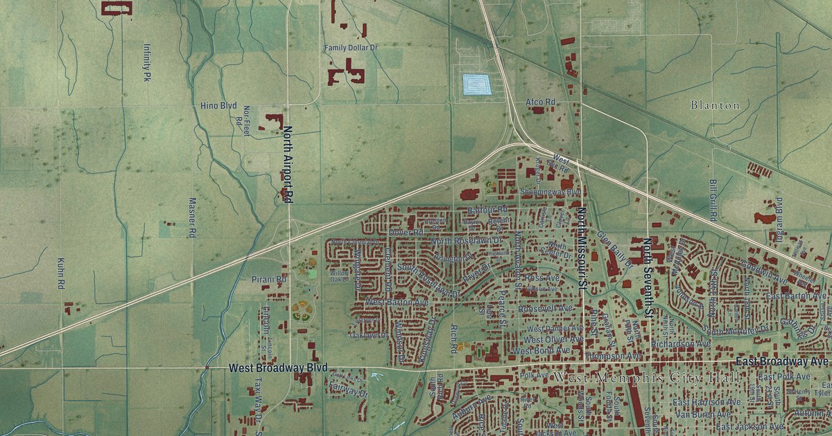
A detailed map of West Memphis, Arkansas, showing every building in its true location, the roads by name, and shaded topographical relief.
Read More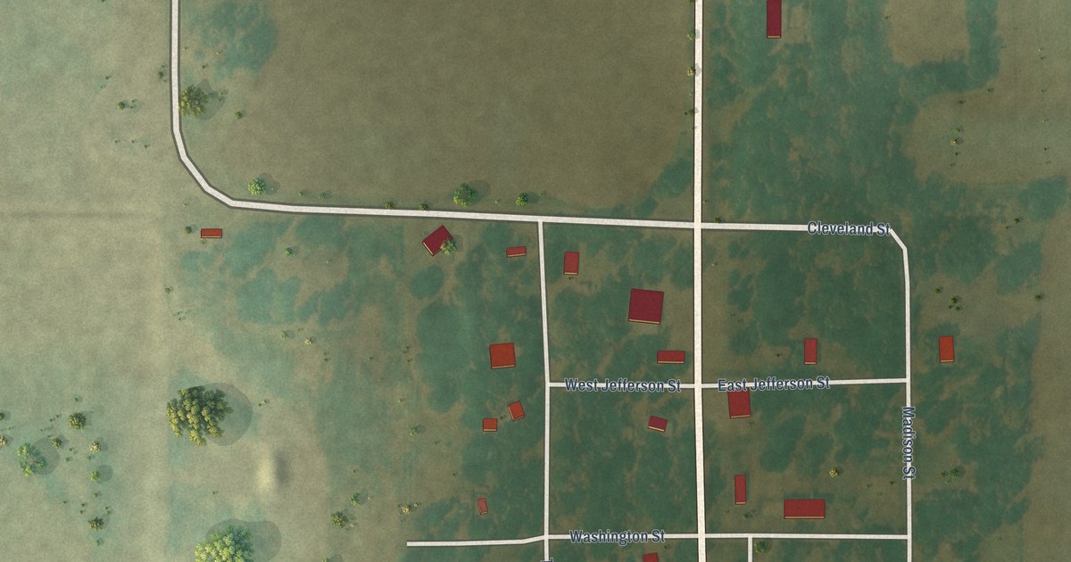
A detailed map of Weldon, Arkansas, showing every building in its true location, the roads by name, and shaded topographical relief.
Read More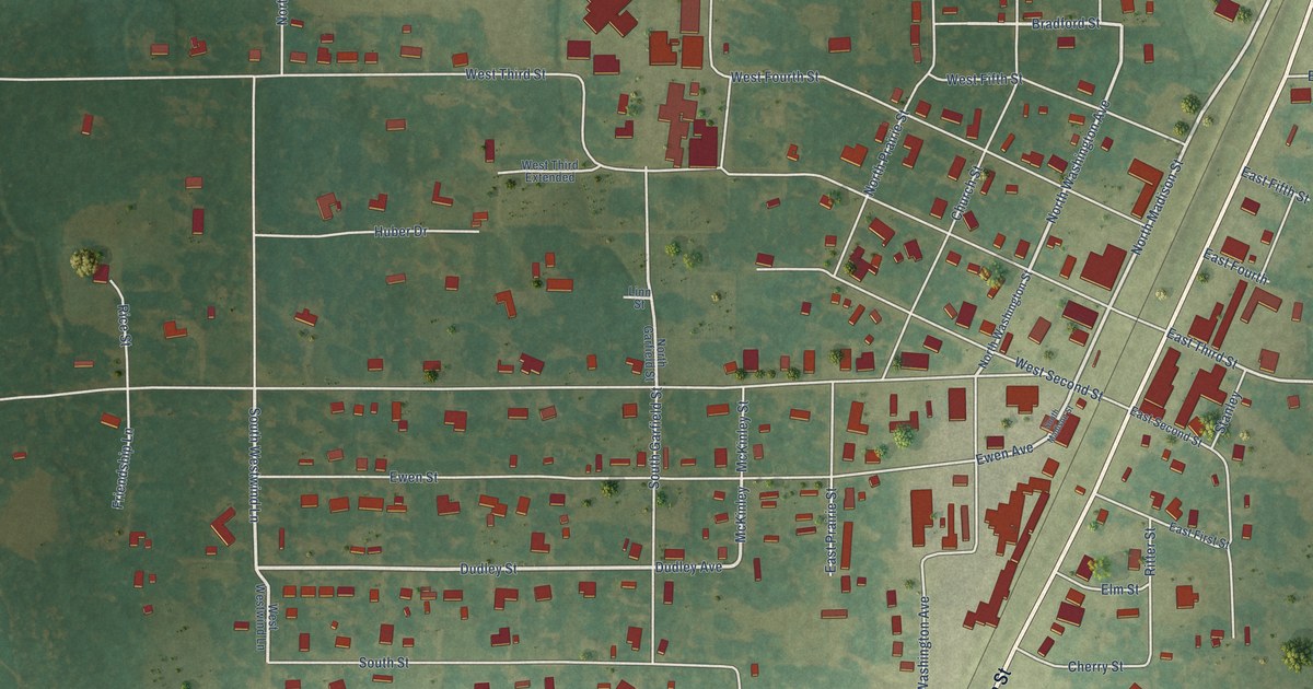
A detailed map of Weiner, Arkansas, showing every building in its true location, the roads by name, and shaded topographical relief.
Read More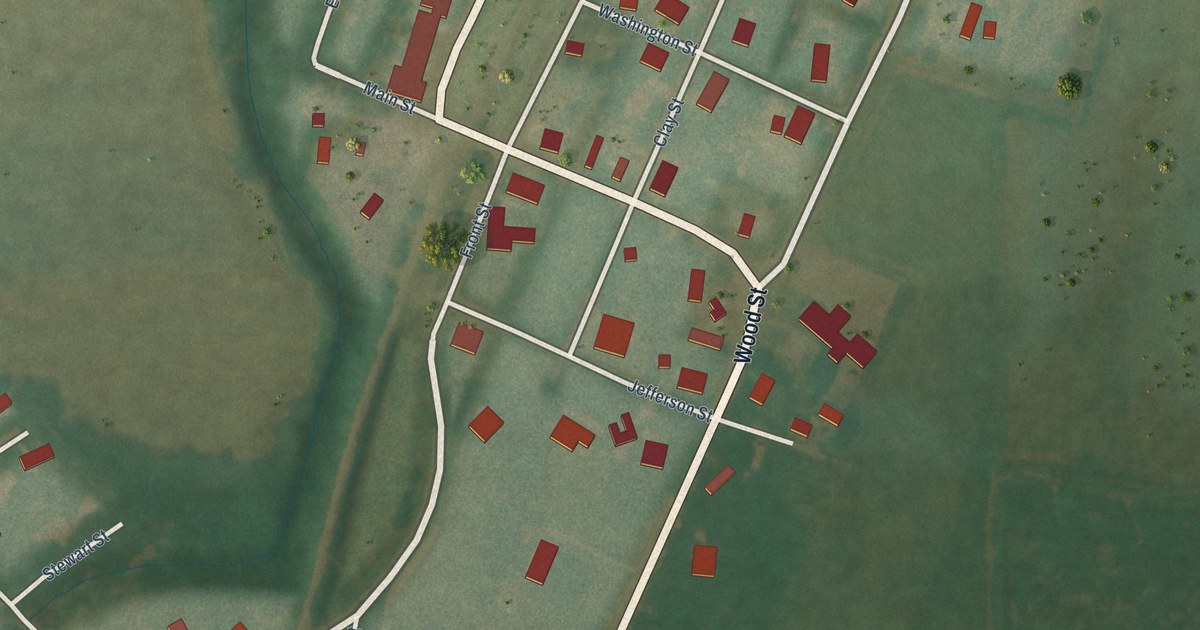
A detailed map of Watson, Arkansas, showing every building in its true location, the roads by name, and shaded topographical relief.
Read More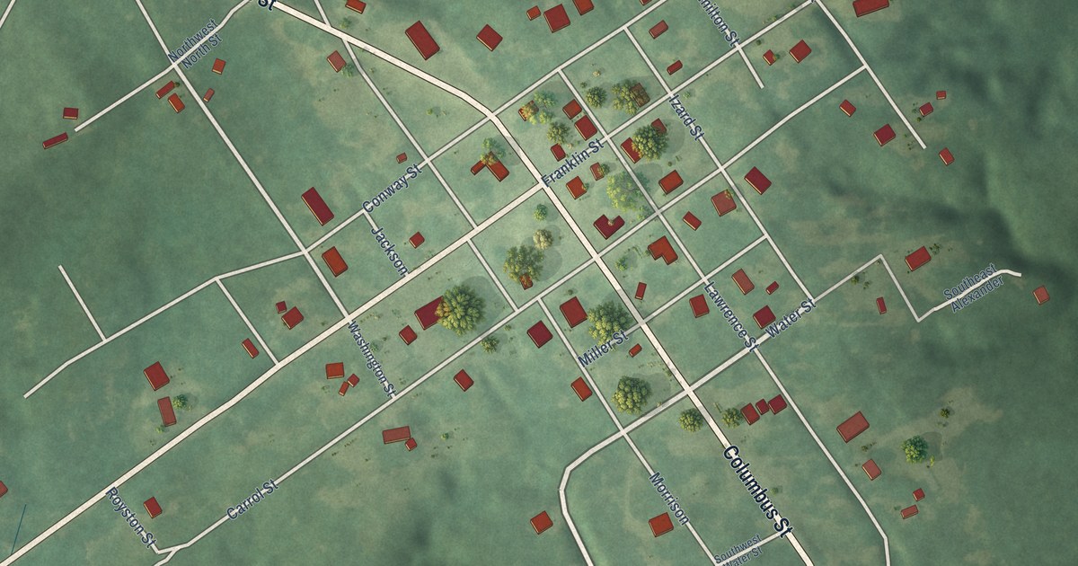
A detailed map of Washington, Arkansas, showing every building in its true location, the roads by name, and shaded topographical relief.
Read More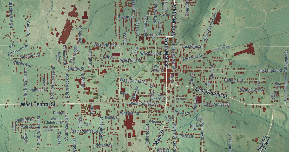
A detailed map of Warren, Arkansas, showing every building in its true location, the roads by name, and shaded topographical relief.
Read More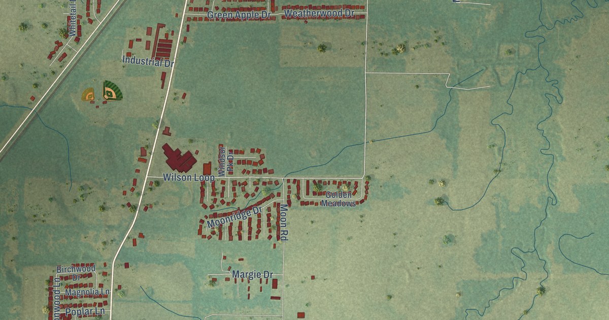
A detailed map of Ward, Arkansas, showing every building in its true location, the roads by name, and shaded topographical relief.
Read More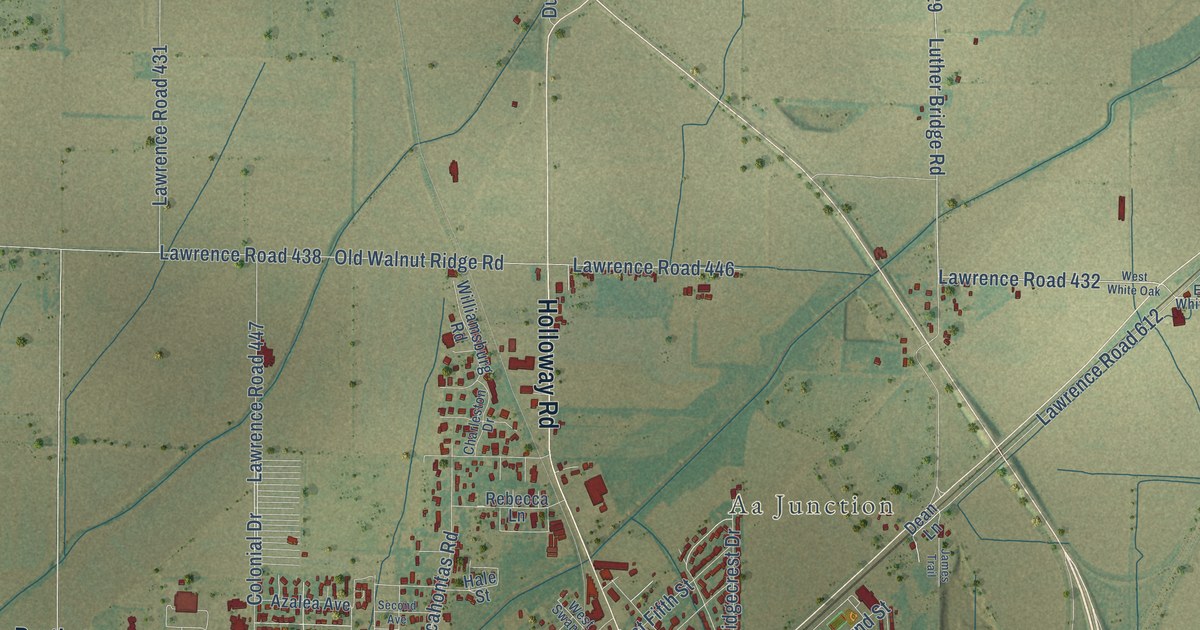
A detailed map of Walnut Ridge, Arkansas, showing every building in its true location, the roads by name, and shaded topographical relief.
Read More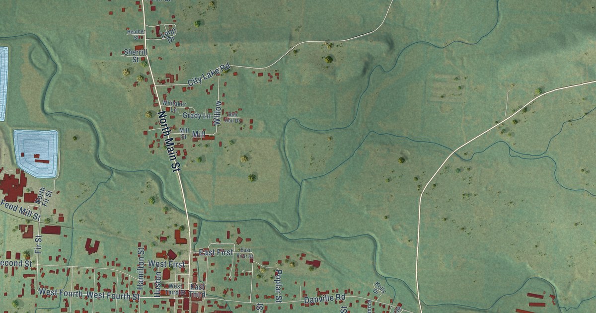
A detailed map of Waldron, Arkansas, showing every building in its true location, the roads by name, and shaded topographical relief.
Read More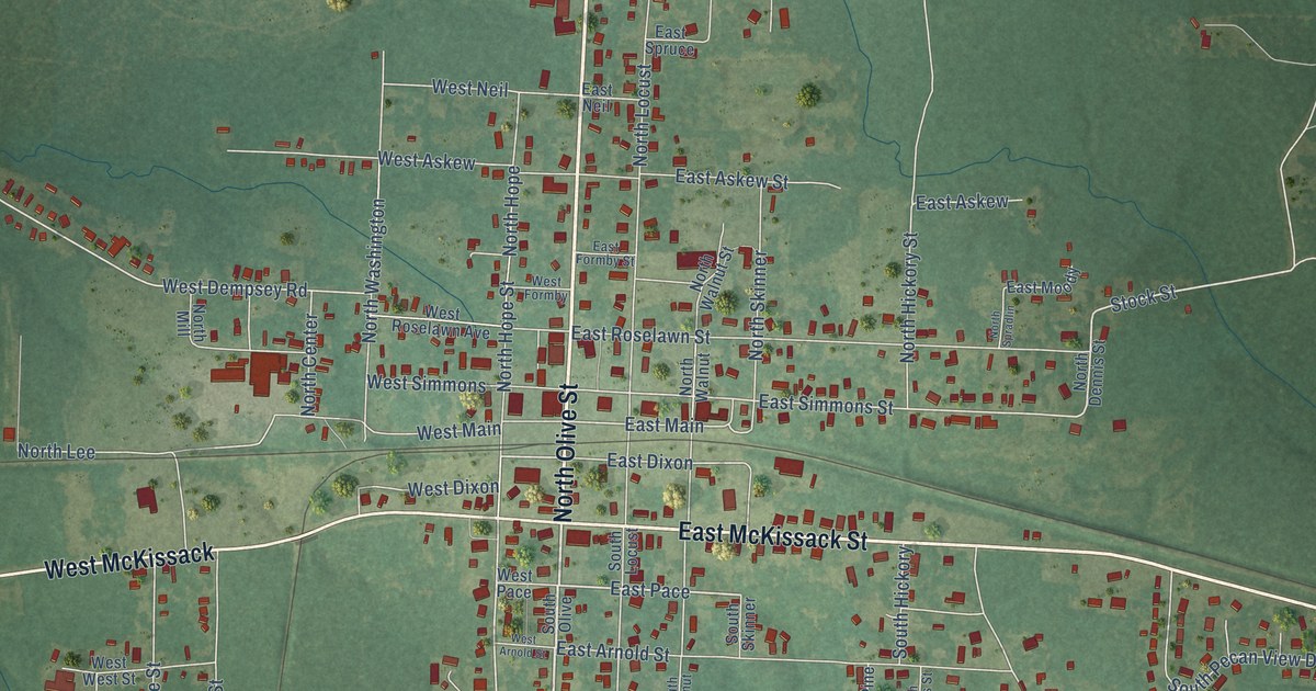
A detailed map of Waldo, Arkansas, showing every building in its true location, the roads by name, and shaded topographical relief.
Read More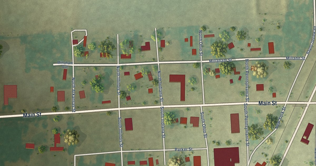
A detailed map of Waldenburg, Arkansas, showing every building in its true location, the roads by name, and shaded topographical relief.
Read More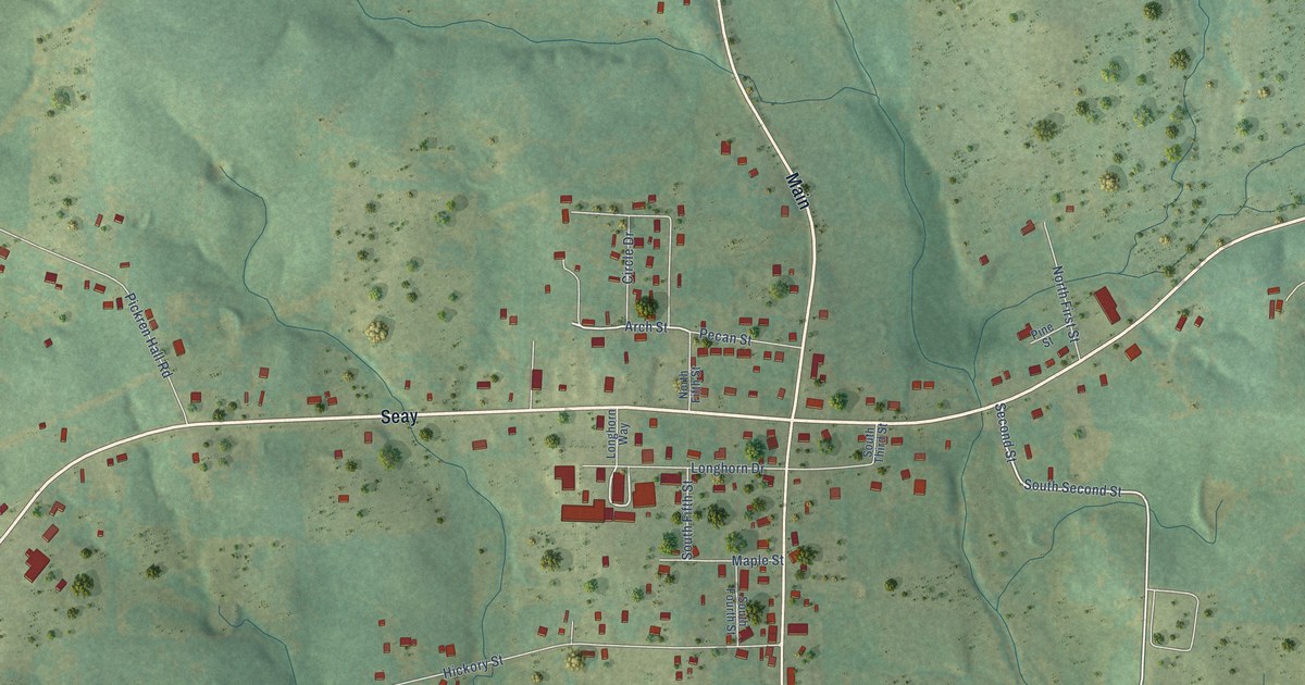
A detailed map of Viola, Arkansas, showing every building in its true location, the roads by name, and shaded topographical relief.
Read More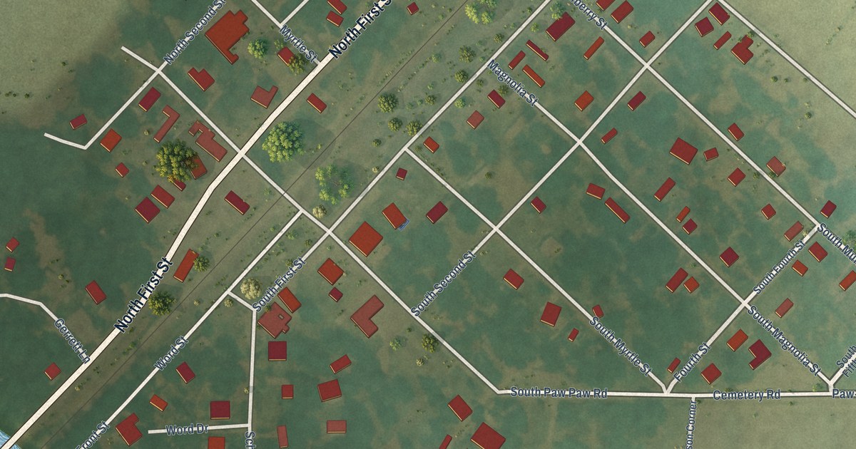
A detailed map of Wabbaseka, Arkansas, showing every building in its true location, the roads by name, and shaded topographical relief.
Read More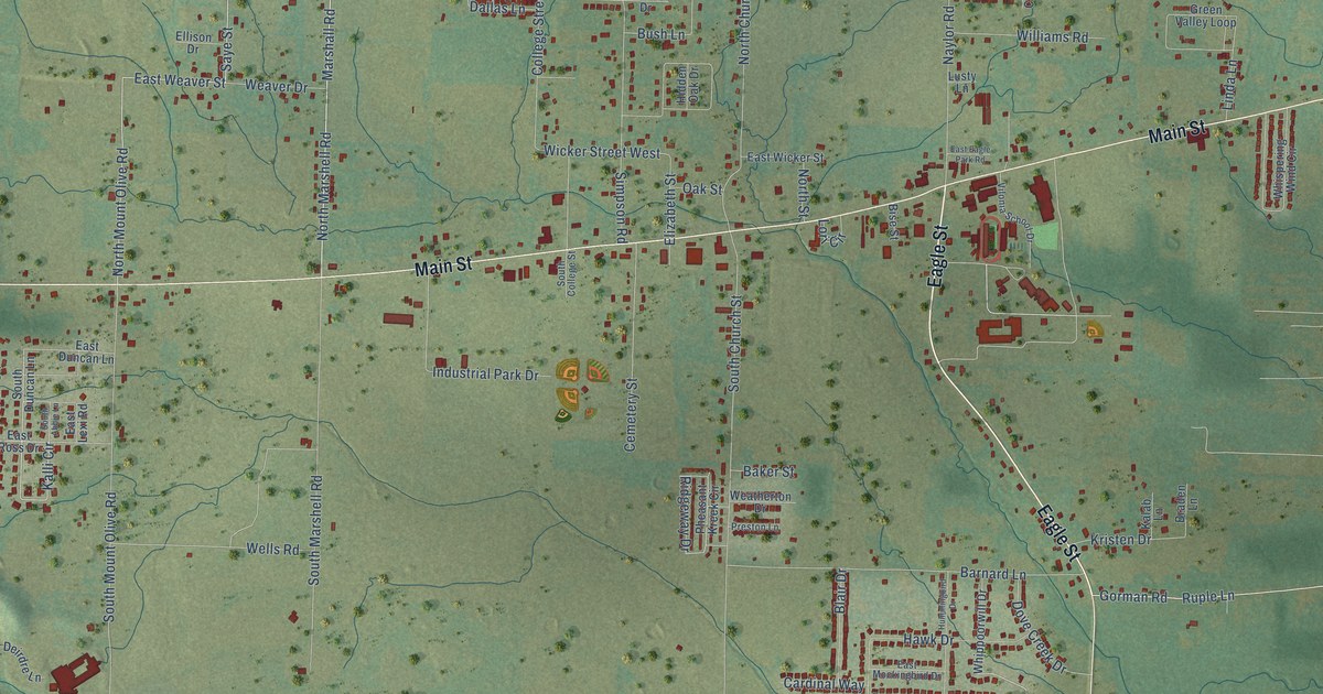
A detailed map of Vilonia, Arkansas, showing every building in its true location, the roads by name, and shaded topographical relief.
Read More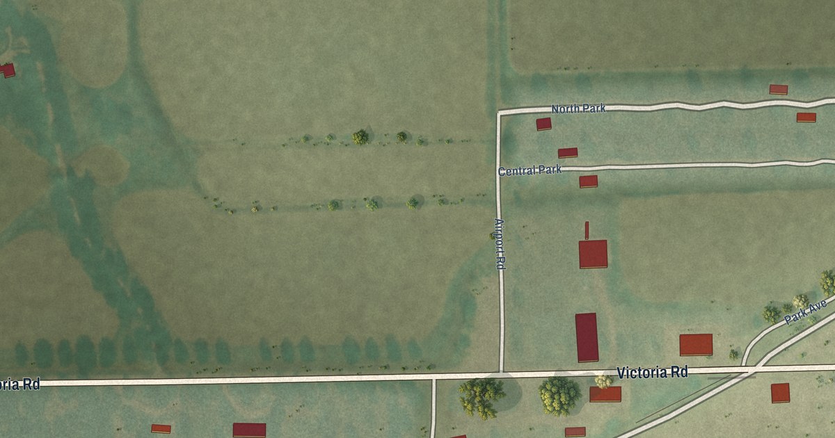
A detailed map of Victoria, Arkansas, showing every building in its true location, the roads by name, and shaded topographical relief.
Read More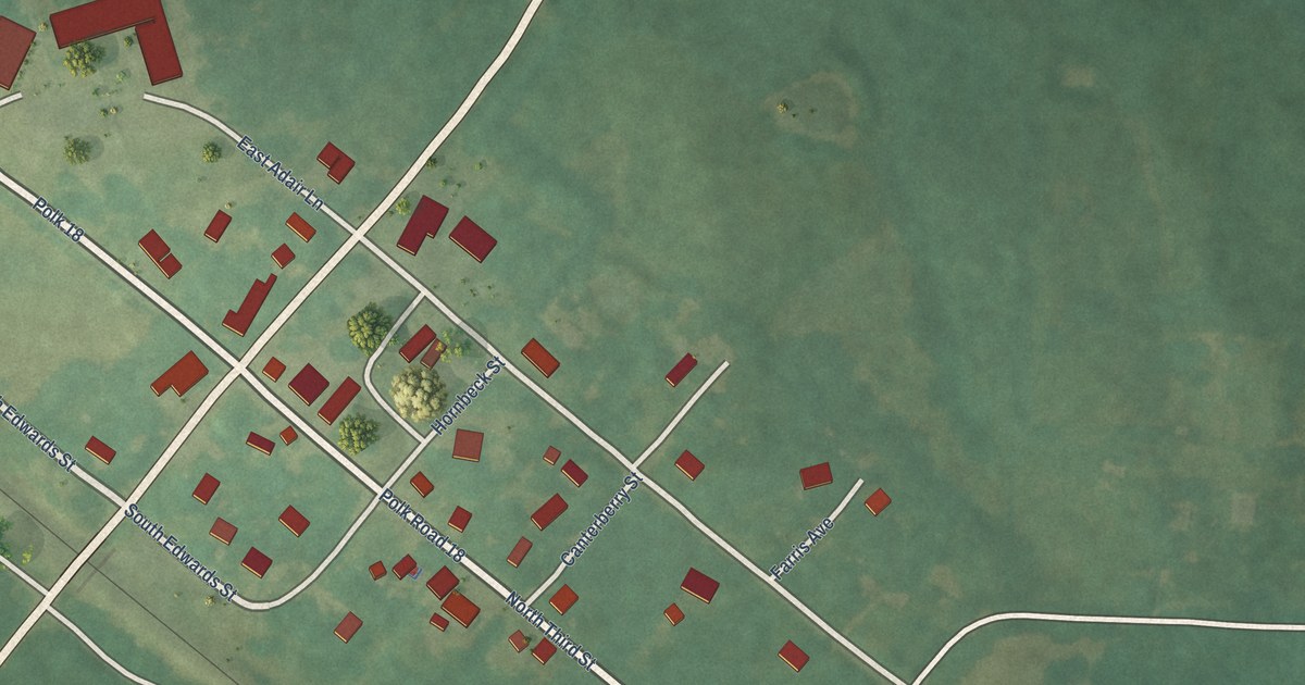
A detailed map of Vandervoort, Arkansas, showing every building in its true location, the roads by name, and shaded topographical relief.
Read More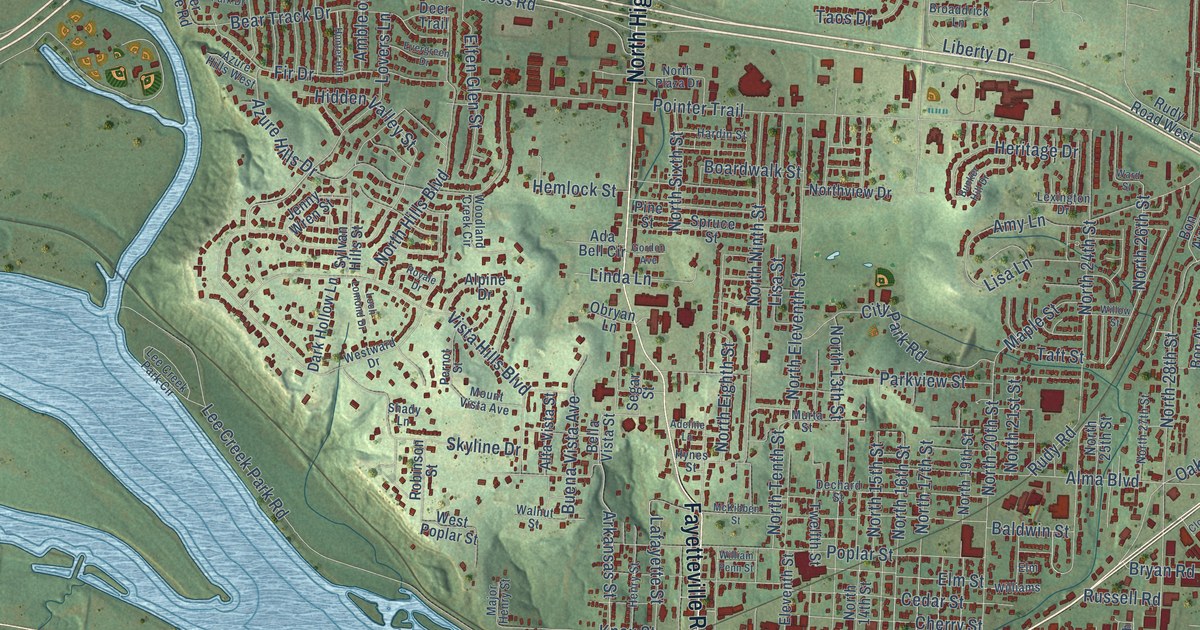
A detailed map of Van Buren, Arkansas, showing every building in its true location, the roads by name, and shaded topographical relief.
Read More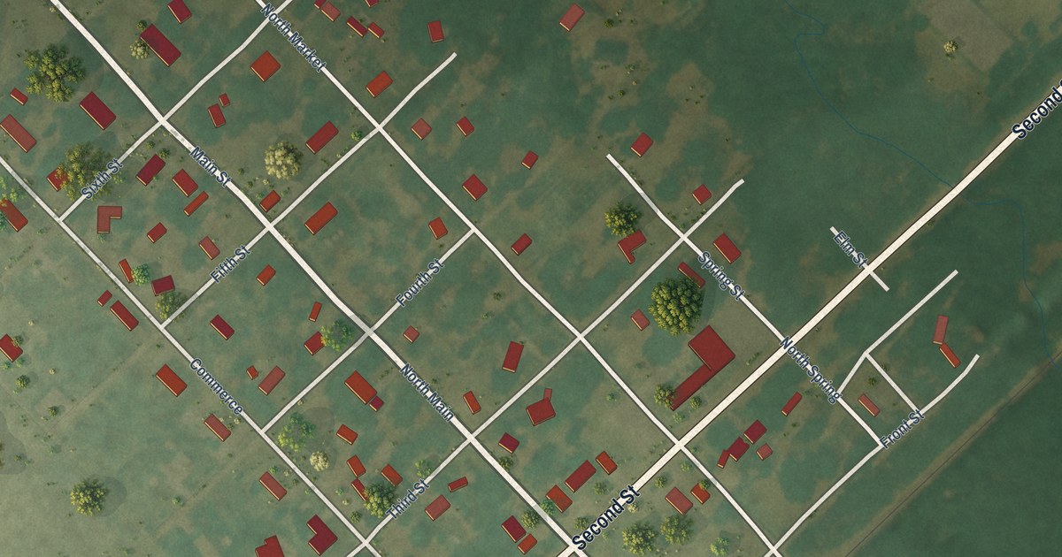
A detailed map of Ulm, Arkansas, showing every building in its true location, the roads by name, and shaded topographical relief.
Read More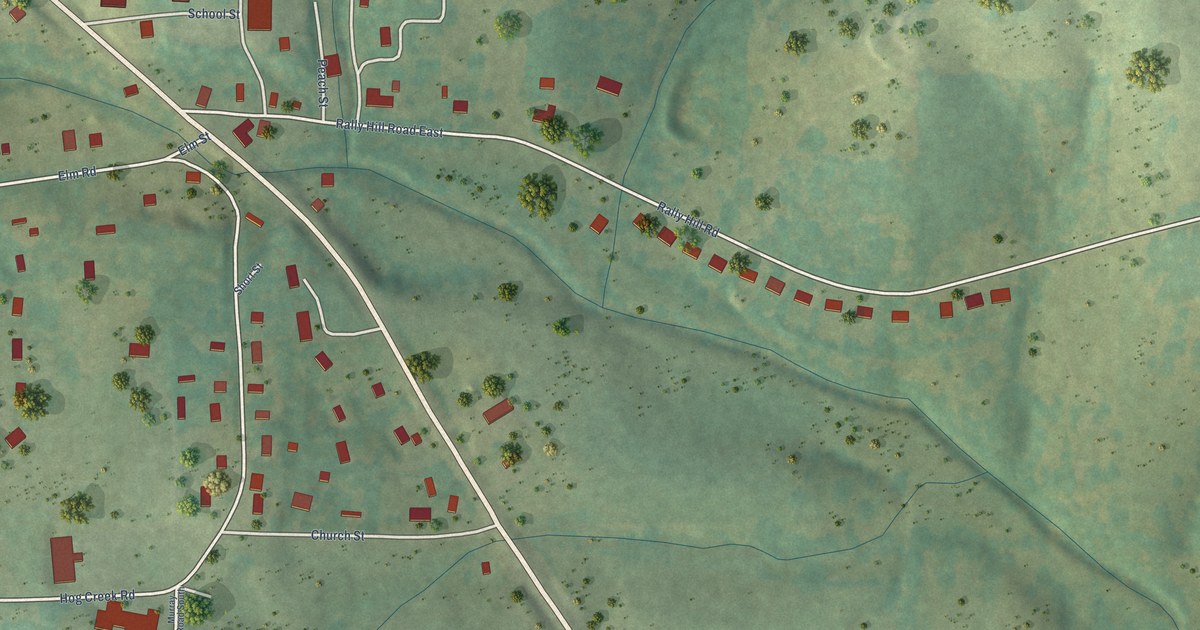
A detailed map of Valley Springs, Arkansas, showing every building in its true location, the roads by name, and shaded topographical relief.
Read More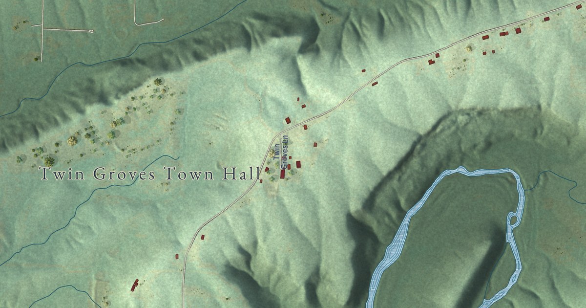
A detailed map of Twin Groves, Arkansas, showing every building in its true location, the roads by name, and shaded topographical relief.
Read More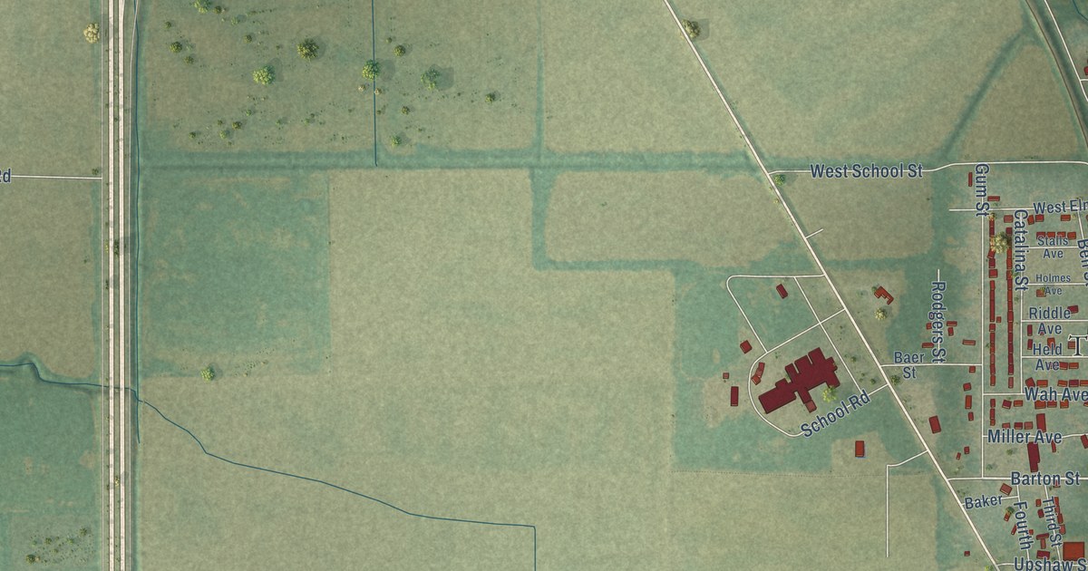
A detailed map of Turrell, Arkansas, showing every building in its true location, the roads by name, and shaded topographical relief.
Read More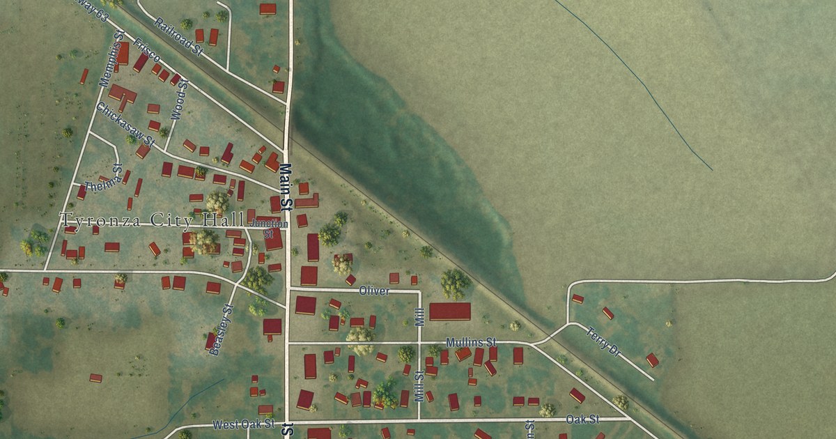
A detailed map of Tyronza, Arkansas, showing every building in its true location, the roads by name, and shaded topographical relief.
Read More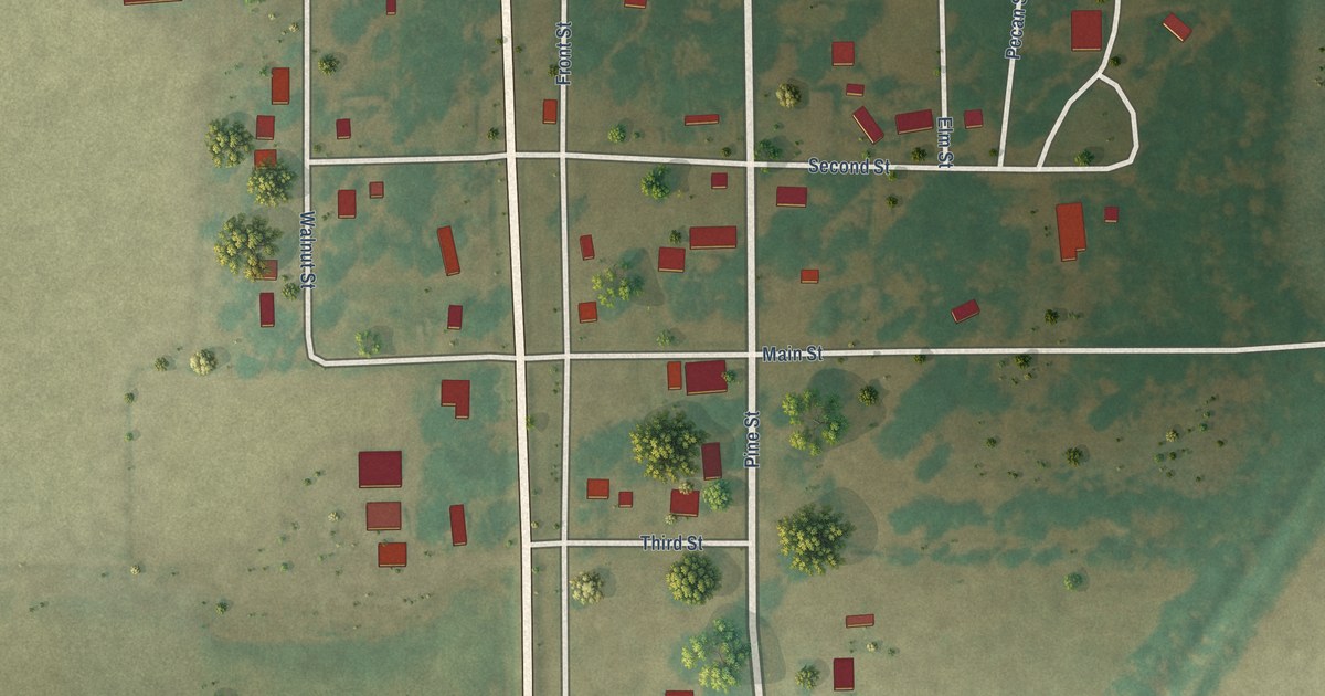
A detailed map of Tupelo, Arkansas, showing every building in its true location, the roads by name, and shaded topographical relief.
Read More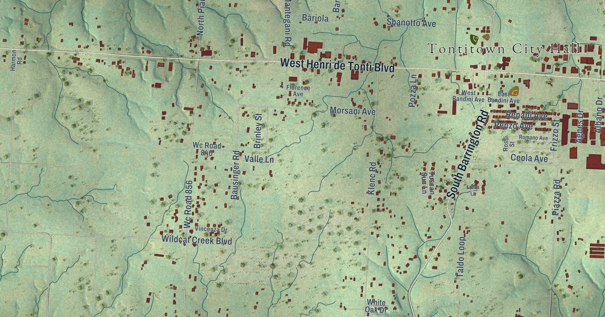
A detailed map of Tontitown, Arkansas, showing every building in its true location, the roads by name, and shaded topographical relief.
Read More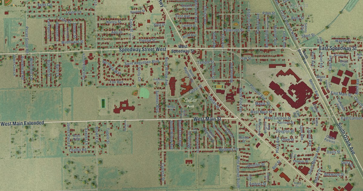
A detailed map of Trumann, Arkansas, showing every building in its true location, the roads by name, and shaded topographical relief.
Read More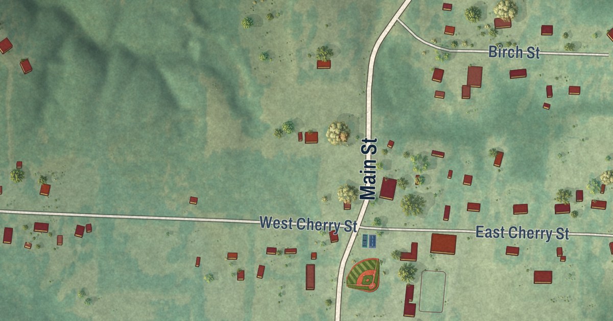
A detailed map of Tull, Arkansas, showing every building in its true location, the roads by name, and shaded topographical relief.
Read More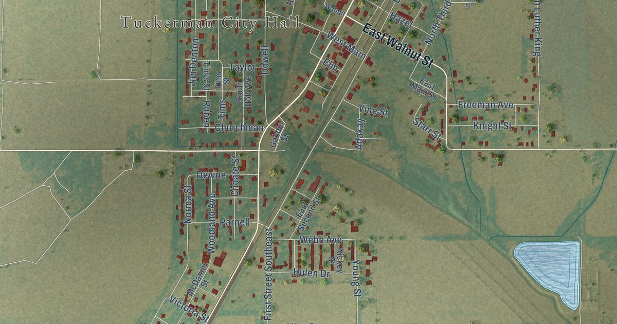
A detailed map of Tuckerman, Arkansas, showing every building in its true location, the roads by name, and shaded topographical relief.
Read More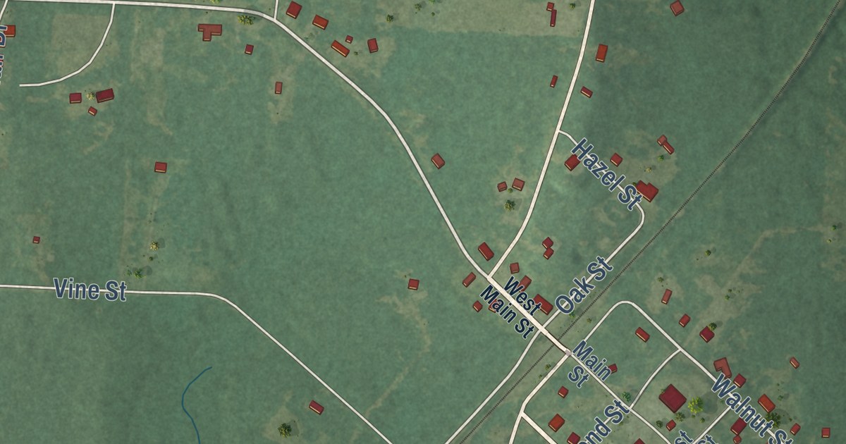
A detailed map of Traskwood, Arkansas, showing every building in its true location, the roads by name, and shaded topographical relief.
Read More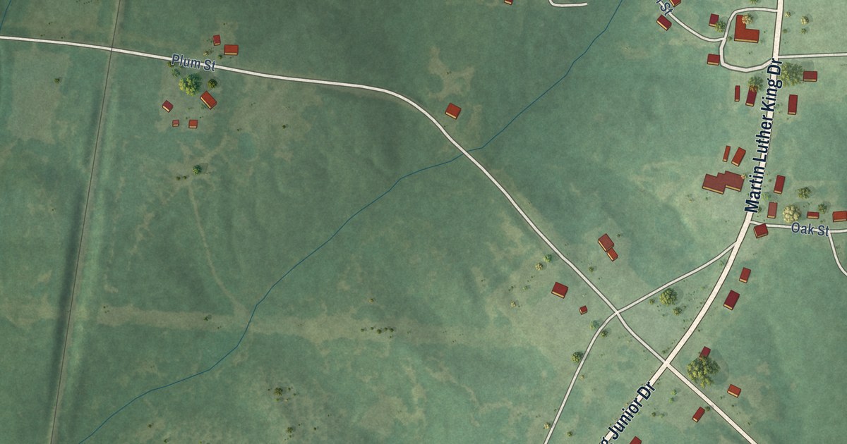
A detailed map of Tollette, Arkansas, showing every building in its true location, the roads by name, and shaded topographical relief.
Read More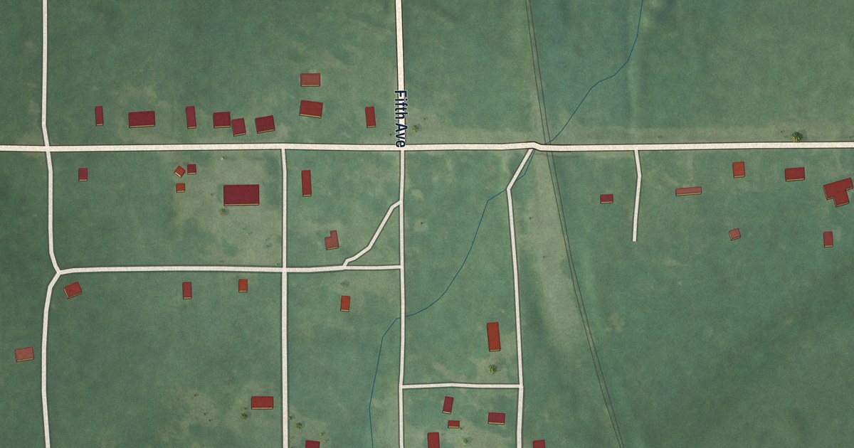
A detailed map of Tinsman, Arkansas, showing every building in its true location, the roads by name, and shaded topographical relief.
Read More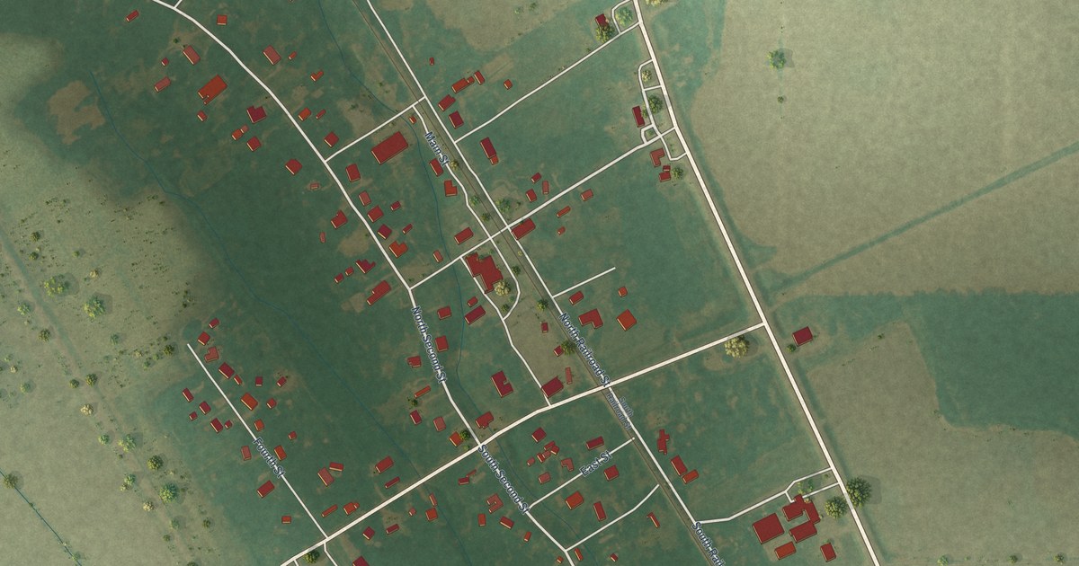
A detailed map of Tillar, Arkansas, showing every building in its true location, the roads by name, and shaded topographical relief.
Read More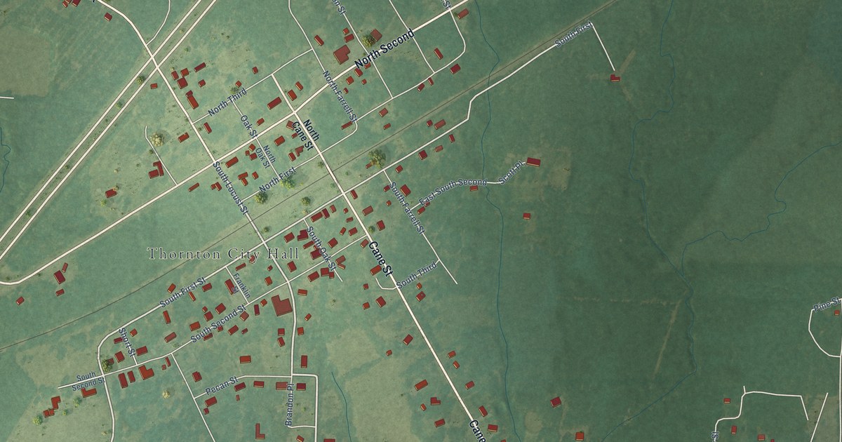
A detailed map of Thornton, Arkansas, showing every building in its true location, the roads by name, and shaded topographical relief.
Read More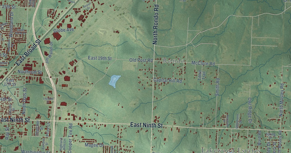
A detailed map of Texarkana, Arkansas, showing every building in its true location, the roads by name, and shaded topographical relief.
Read More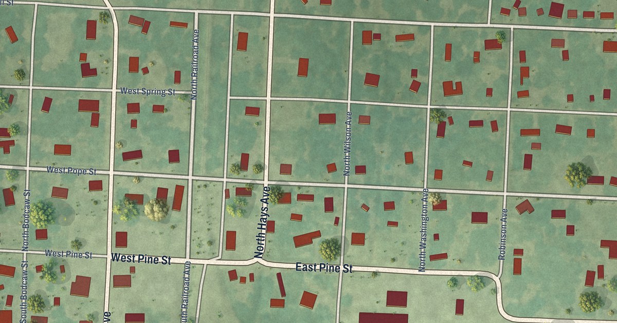
A detailed map of Taylor, Arkansas, showing every building in its true location, the roads by name, and shaded topographical relief.
Read More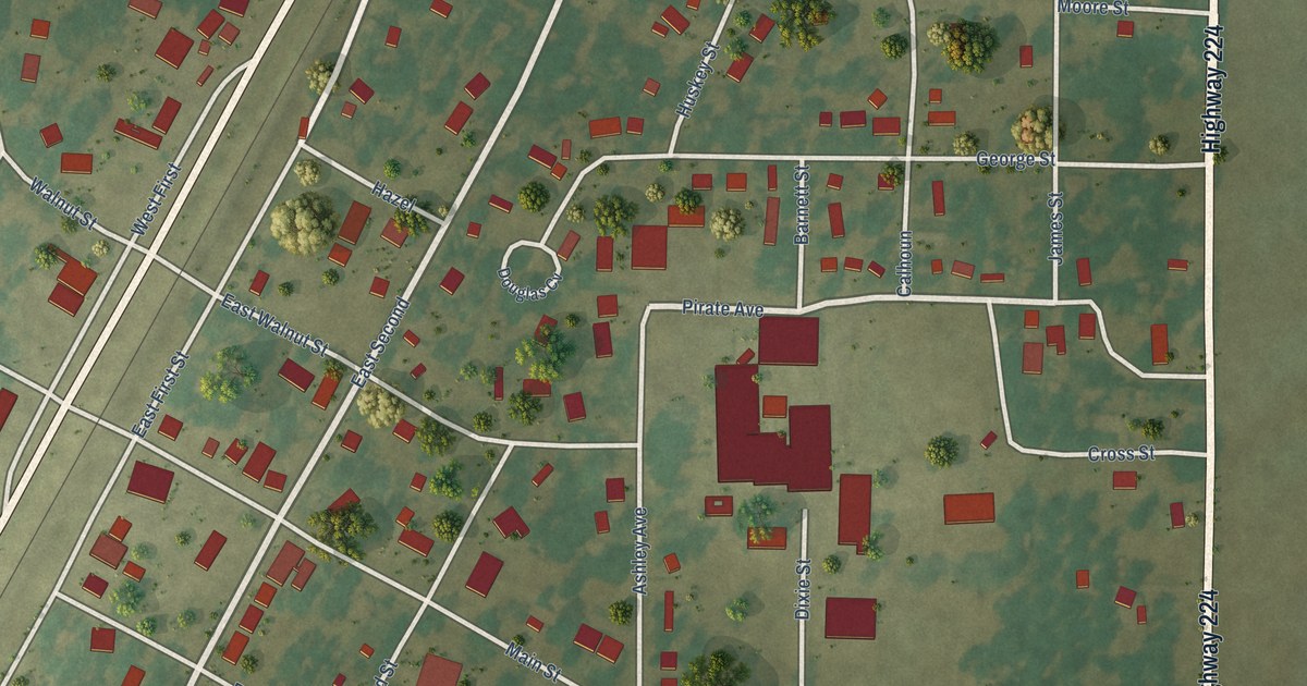
A detailed map of Swifton, Arkansas, showing every building in its true location, the roads by name, and shaded topographical relief.
Read More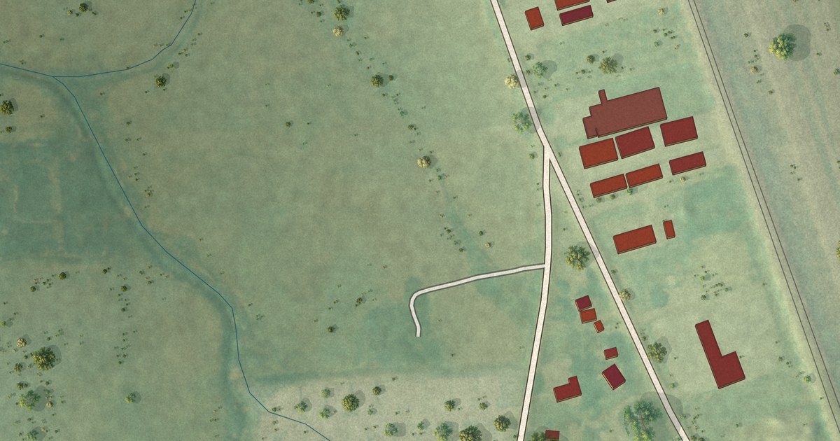
A detailed map of Sunset, Arkansas, showing every building in its true location, the roads by name, and shaded topographical relief.
Read More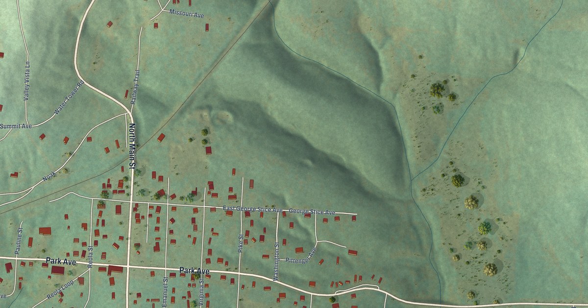
A detailed map of Summit, Arkansas, showing every building in its true location, the roads by name, and shaded topographical relief.
Read More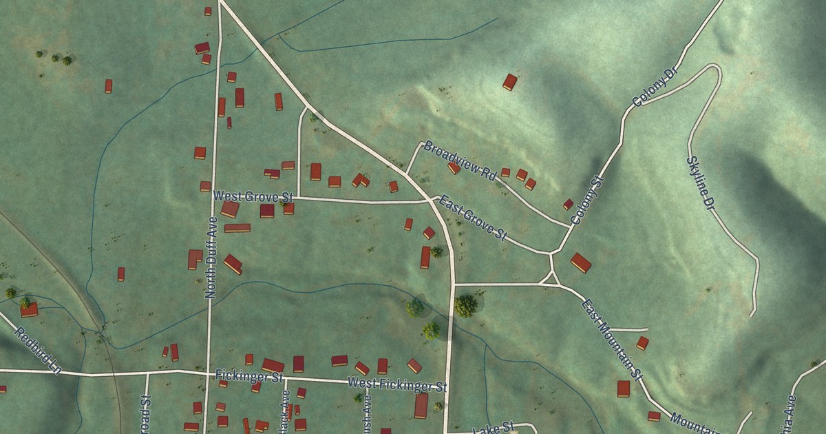
A detailed map of Sulphur Springs, Arkansas, showing every building in its true location, the roads by name, and shaded topographical relief.
Read More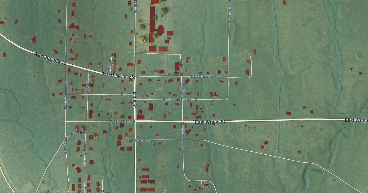
A detailed map of Sulphur Rock, Arkansas, showing every building in its true location, the roads by name, and shaded topographical relief.
Read More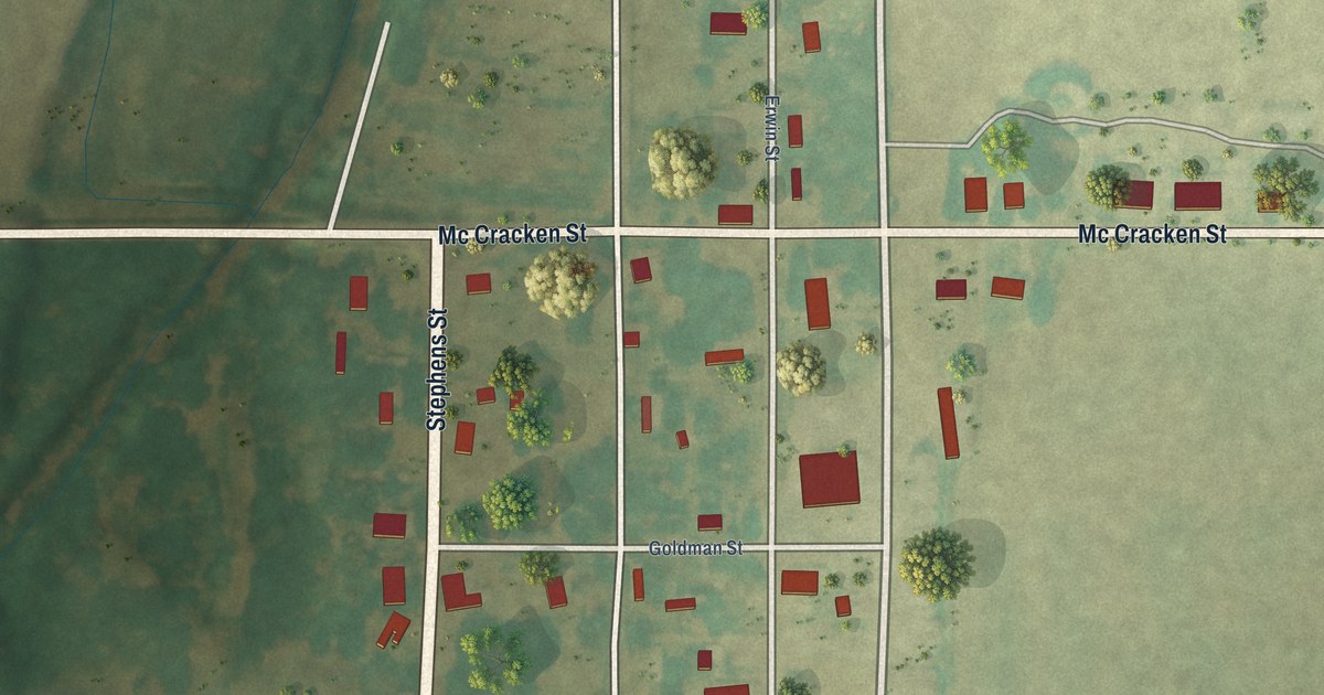
A detailed map of Success, Arkansas, showing every building in its true location, the roads by name, and shaded topographical relief.
Read More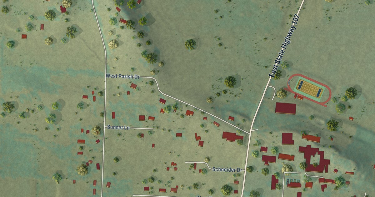
A detailed map of Subiaco, Arkansas, showing every building in its true location, the roads by name, and shaded topographical relief.
Read More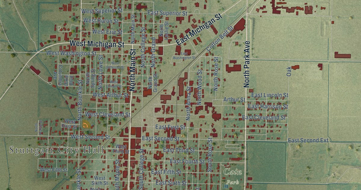
A detailed map of Stuttgart, Arkansas, showing every building in its true location, the roads by name, and shaded topographical relief.
Read More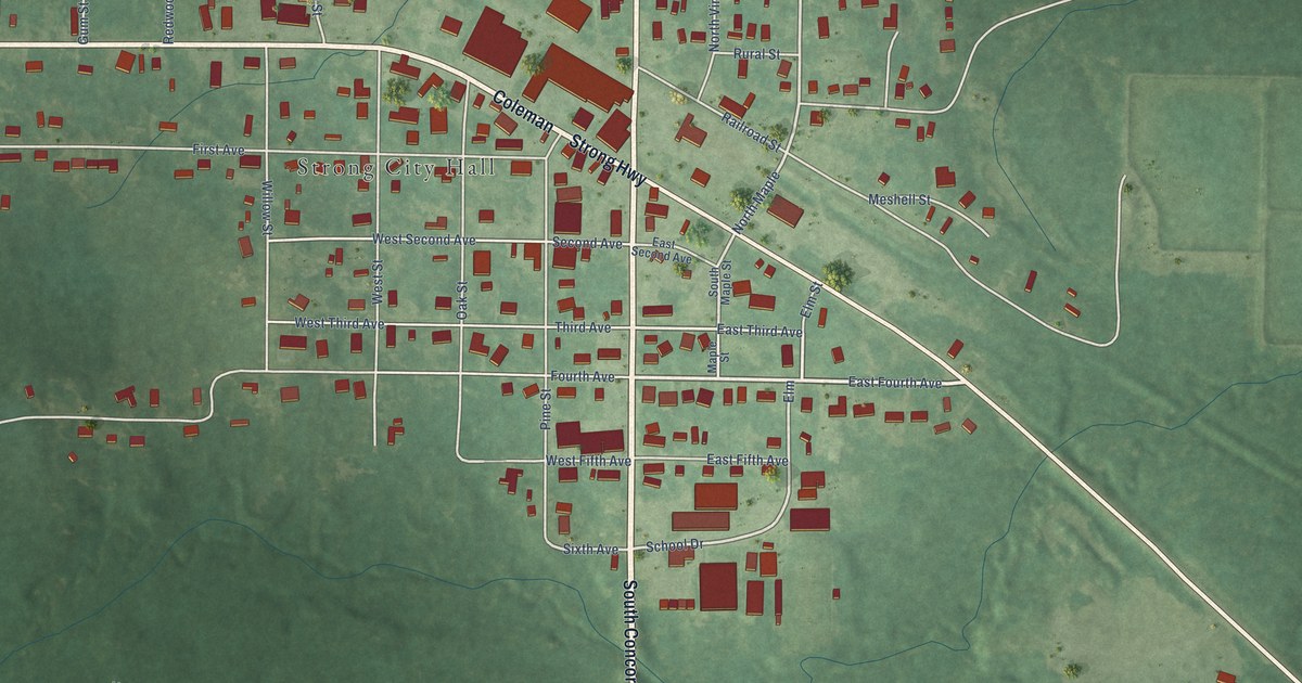
A detailed map of Strong, Arkansas, showing every building in its true location, the roads by name, and shaded topographical relief.
Read More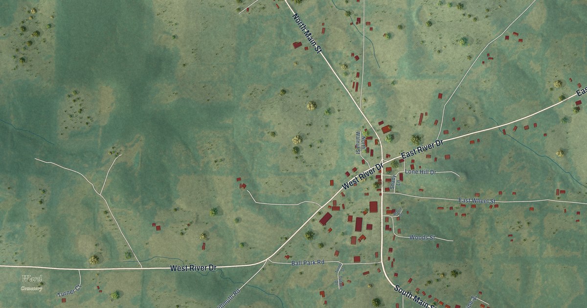
A detailed map of Strawberry, Arkansas, showing every building in its true location, the roads by name, and shaded topographical relief.
Read More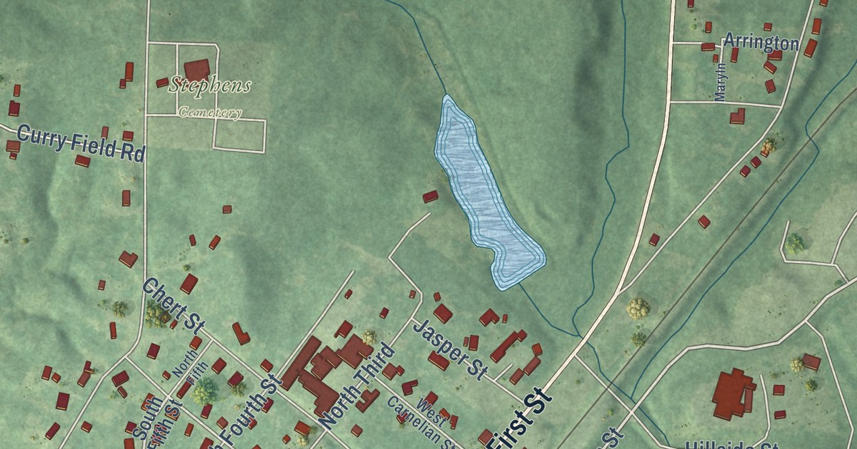
A detailed map of Stephens, Arkansas, showing every building in its true location, the roads by name, and shaded topographical relief.
Read More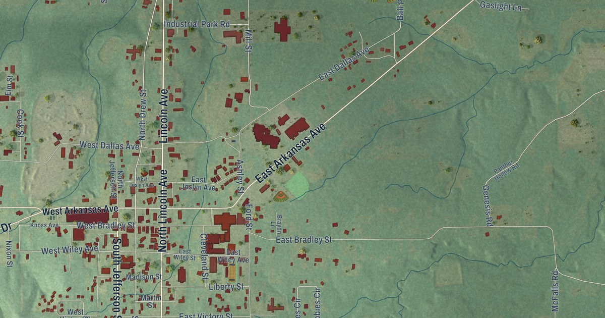
A detailed map of Star City, Arkansas, showing every building in its true location, the roads by name, and shaded topographical relief.
Read More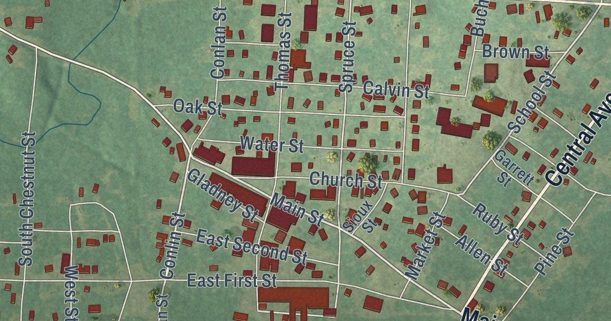
A detailed map of Stamps, Arkansas, showing every building in its true location, the roads by name, and shaded topographical relief.
Read More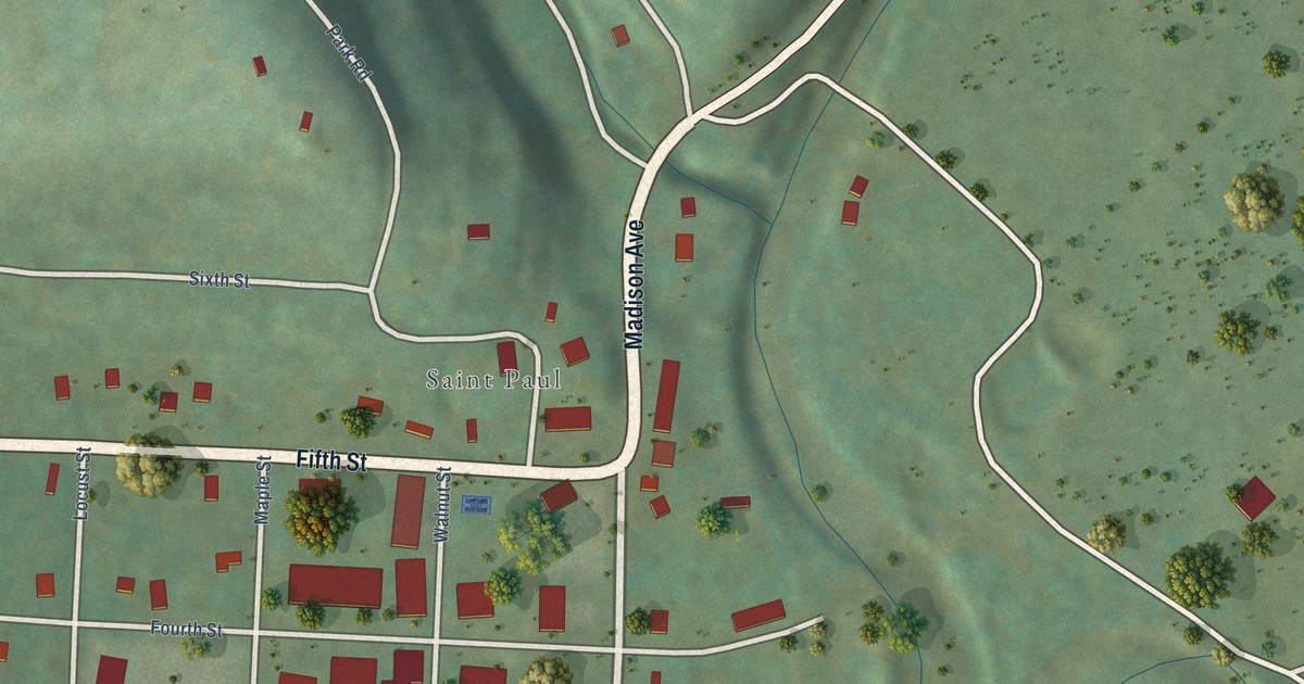
A detailed map of St. Paul, Arkansas, showing every building in its true location, the roads by name, and shaded topographical relief.
Read More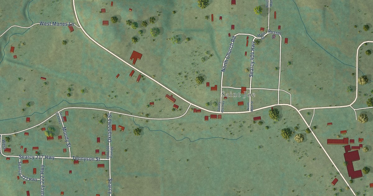
A detailed map of St. Joe, Arkansas, showing every building in its true location, the roads by name, and shaded topographical relief.
Read More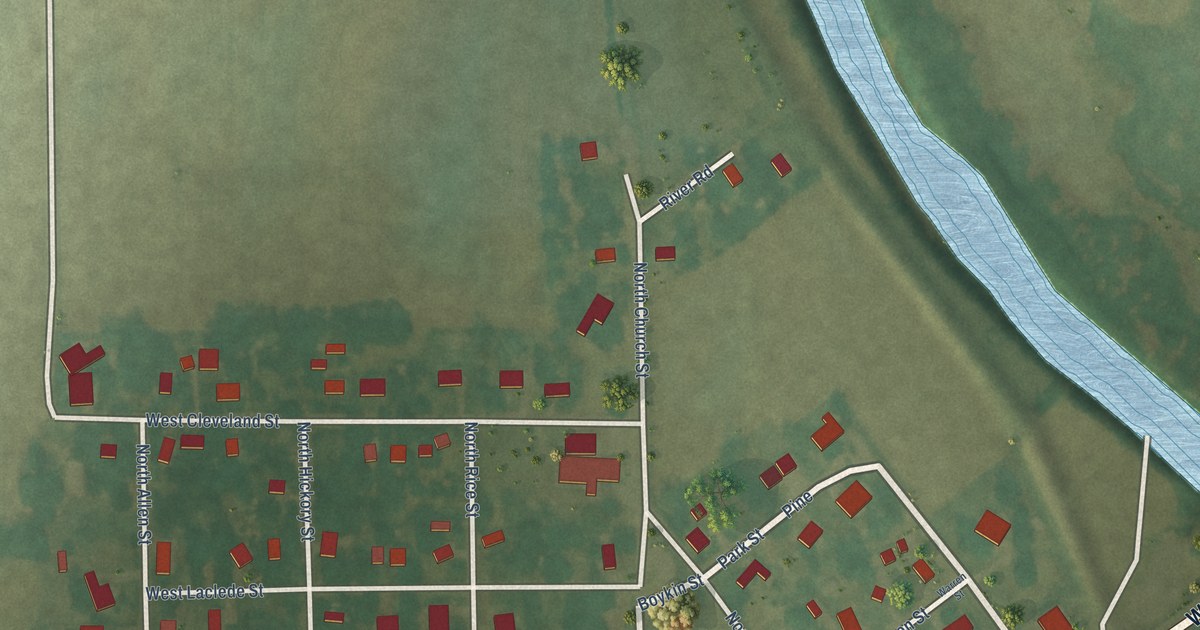
A detailed map of St. Francis, Arkansas, showing every building in its true location, the roads by name, and shaded topographical relief.
Read More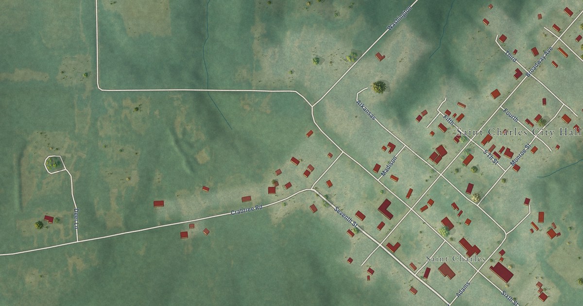
A detailed map of St. Charles, Arkansas, showing every building in its true location, the roads by name, and shaded topographical relief.
Read More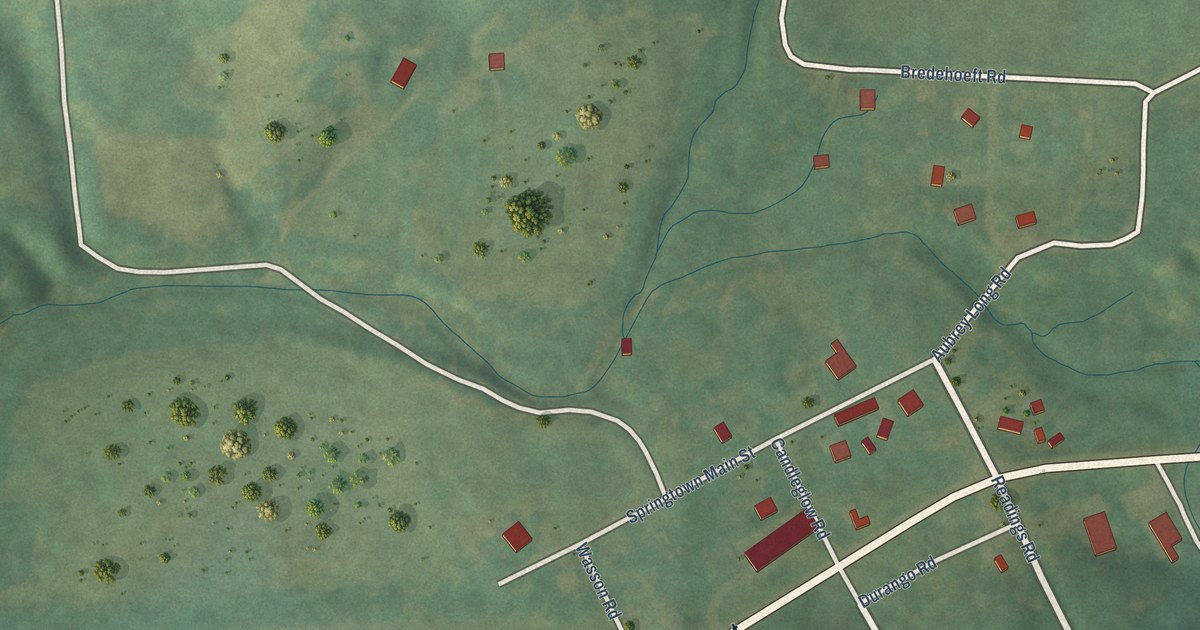
A detailed map of Springtown, Arkansas, showing every building in its true location, the roads by name, and shaded topographical relief.
Read More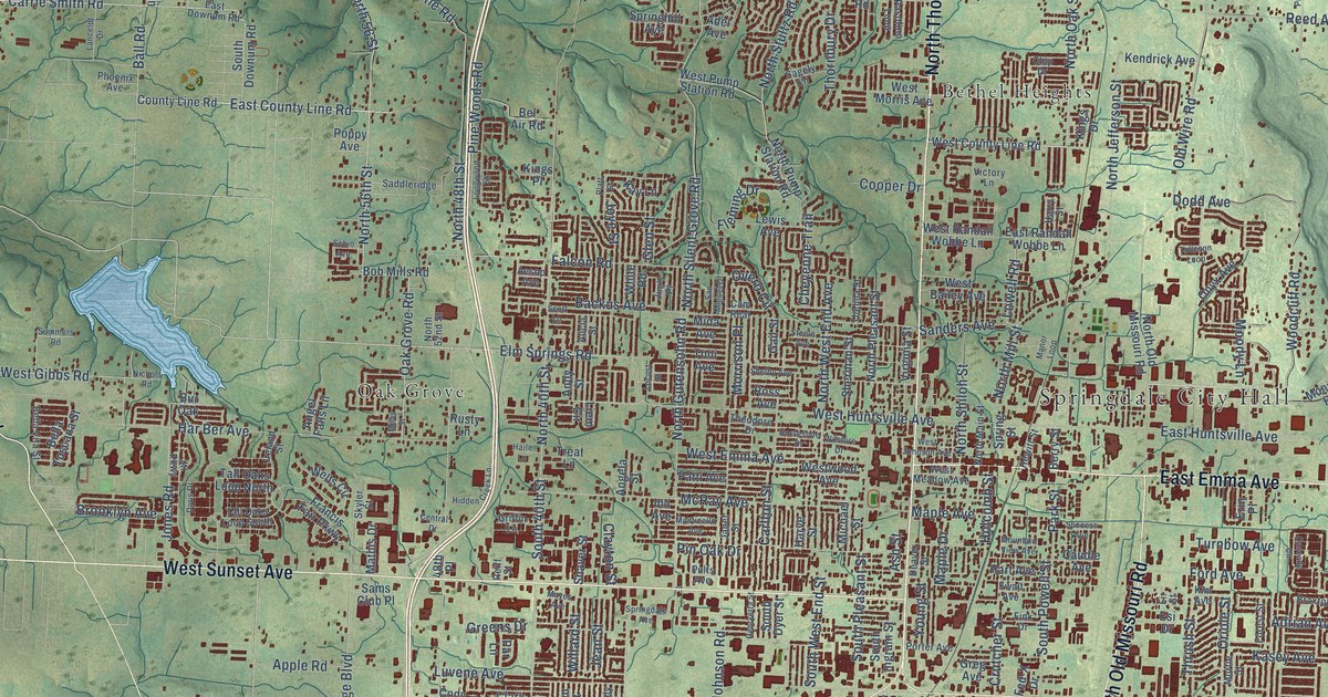
A detailed map of Springdale, Arkansas, showing every building in its true location, the roads by name, and shaded topographical relief.
Read More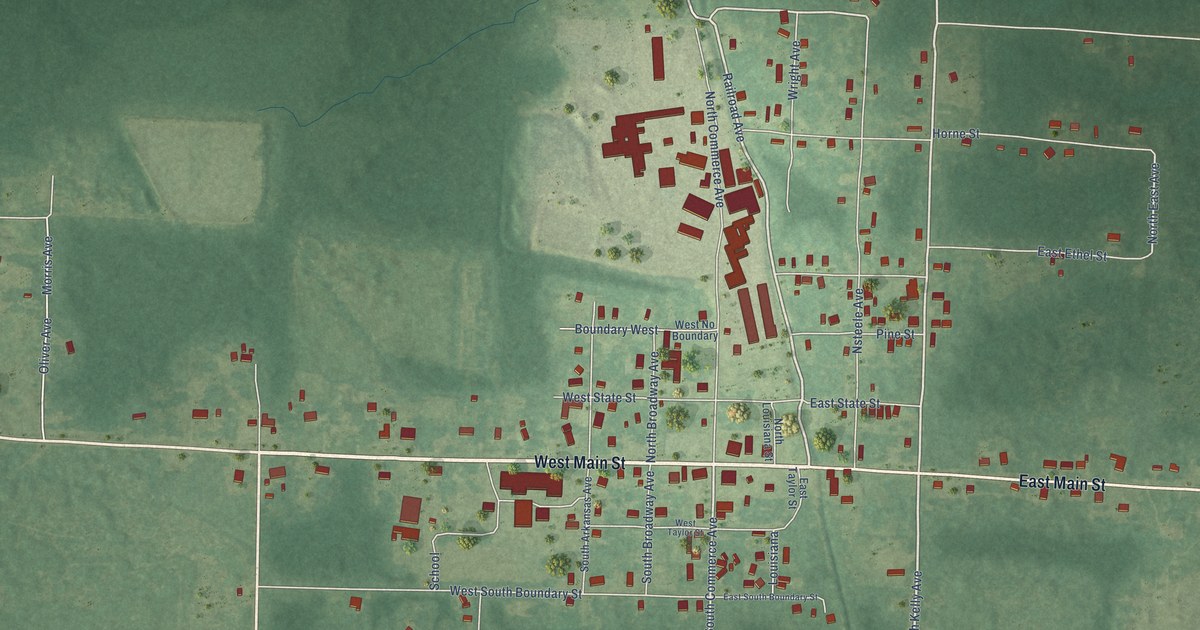
A detailed map of Sparkman, Arkansas, showing every building in its true location, the roads by name, and shaded topographical relief.
Read More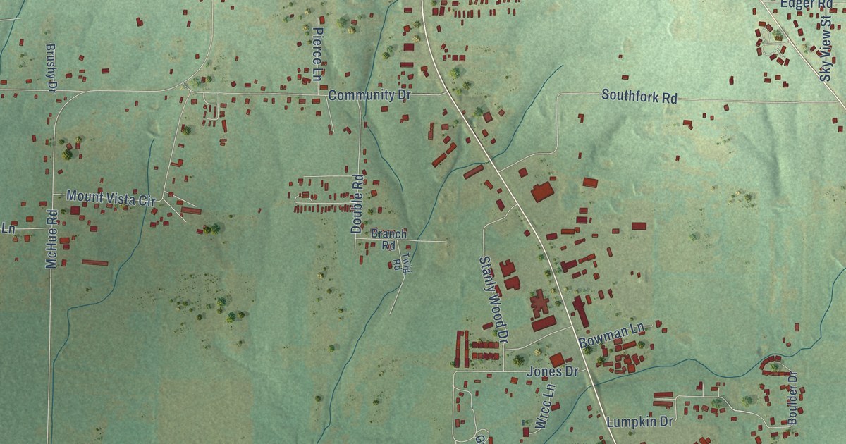
A detailed map of Southside, Arkansas, showing every building in its true location, the roads by name, and shaded topographical relief.
Read More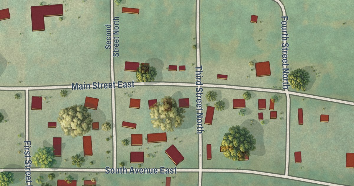
A detailed map of South Lead Hill, Arkansas, showing every building in its true location, the roads by name, and shaded topographical relief.
Read More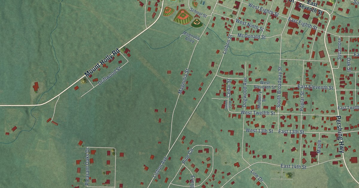
A detailed map of Smackover, Arkansas, showing every building in its true location, the roads by name, and shaded topographical relief.
Read More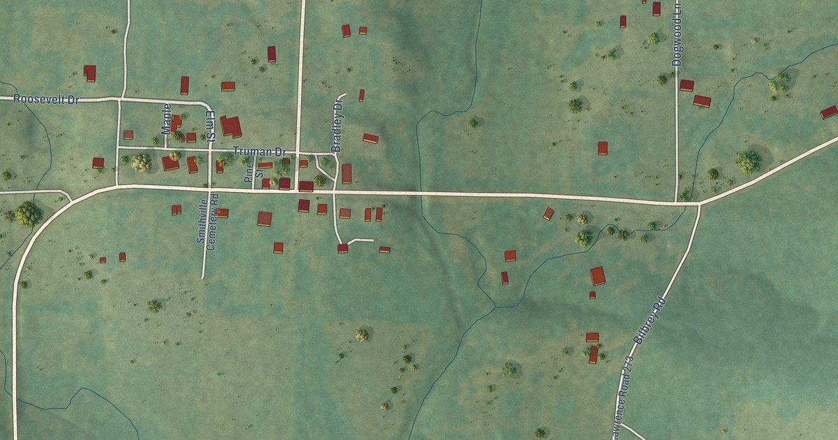
A detailed map of Smithville, Arkansas, showing every building in its true location, the roads by name, and shaded topographical relief.
Read More















