Detailed Map of Roswell, New Mexico
A detailed map of Roswell, New Mexico, showing every building in its true location, the roads by name, and shaded topographical relief.
Read More
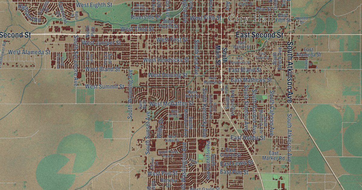
A detailed map of Roswell, New Mexico, showing every building in its true location, the roads by name, and shaded topographical relief.
Read More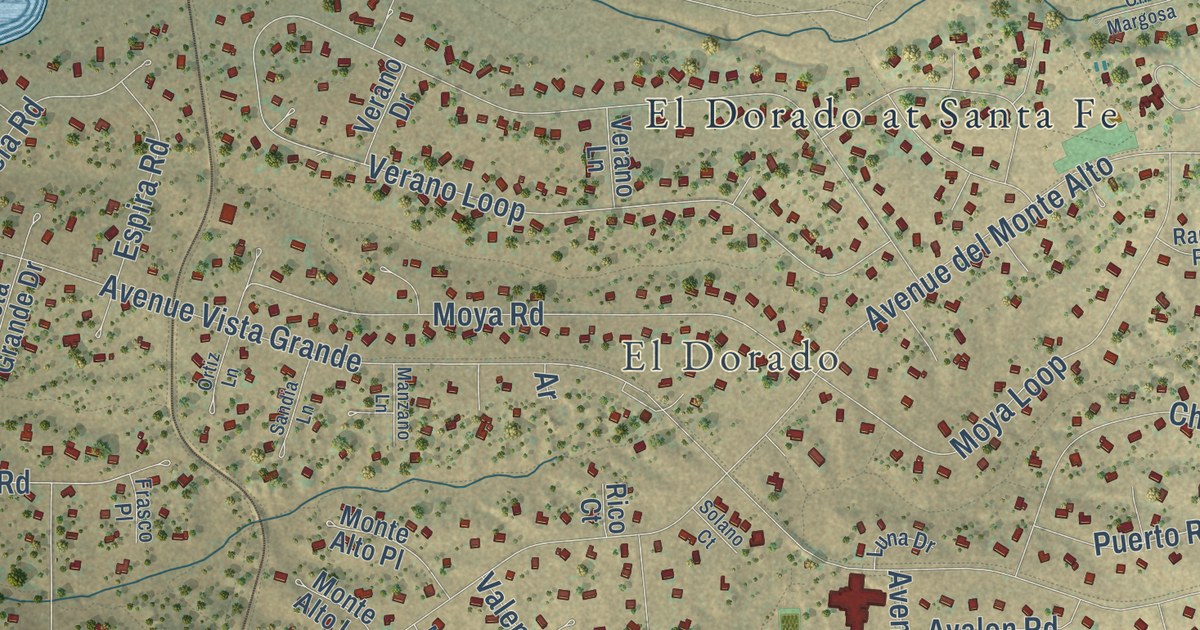
A detailed map of Eldorado at Santa Fe, New Mexico, showing every building in its true location, the roads by name, and shaded topographical relief.
Read More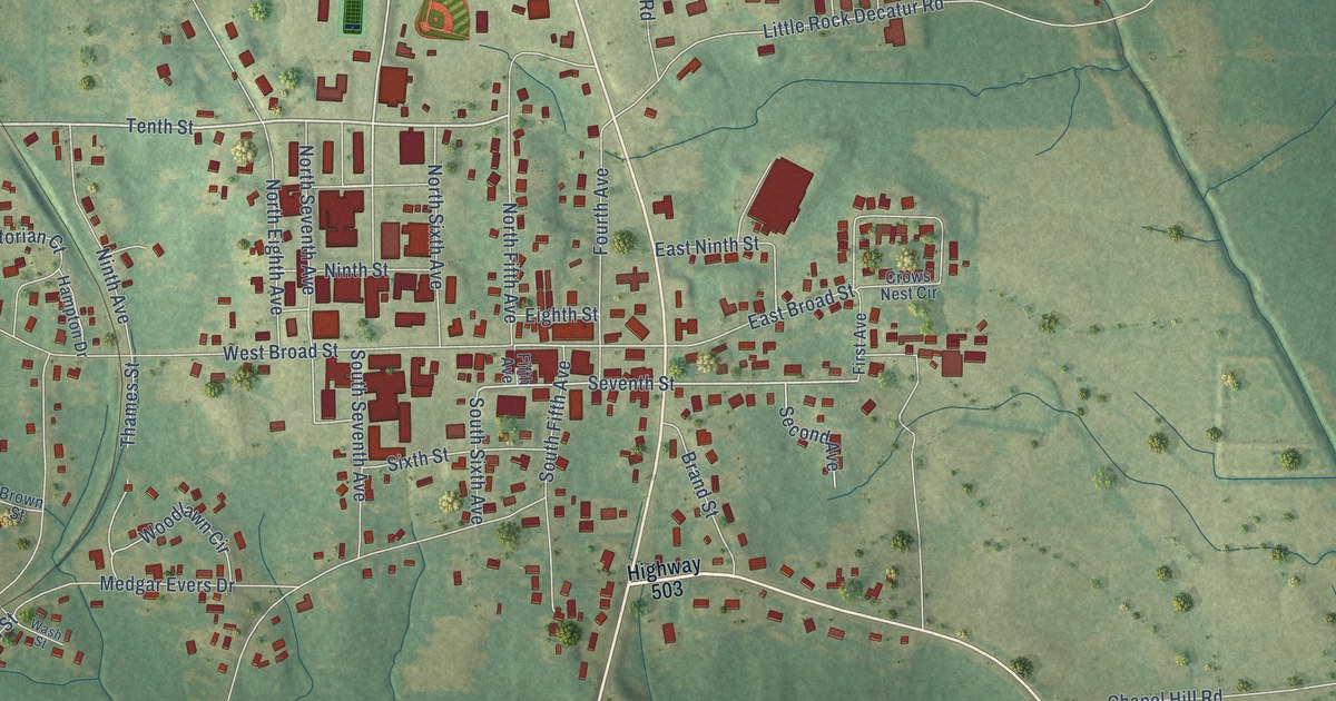
A detailed map of Decatur, Mississippi, showing every building in its true location, the roads by name, and shaded topographical relief.
Read More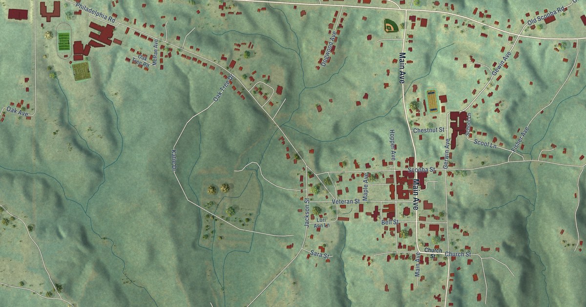
A detailed map of De Kalb, Mississippi, showing every building in its true location, the roads by name, and shaded topographical relief.
Read More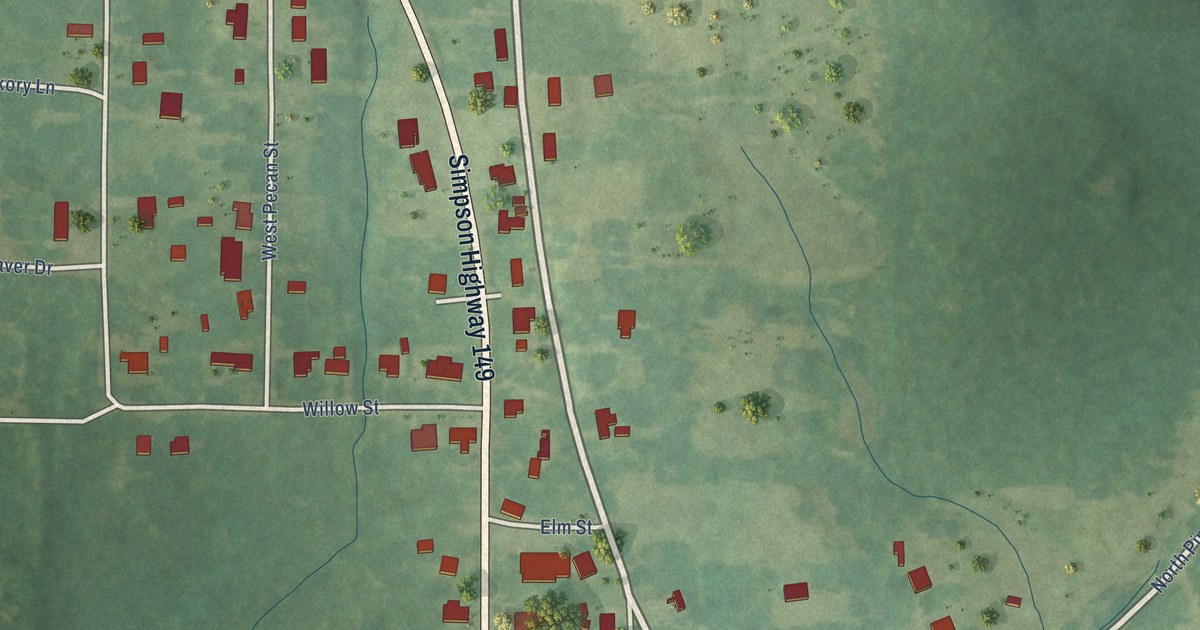
A detailed map of D’Lo, Mississippi, showing every building in its true location, the roads by name, and shaded topographical relief.
Read More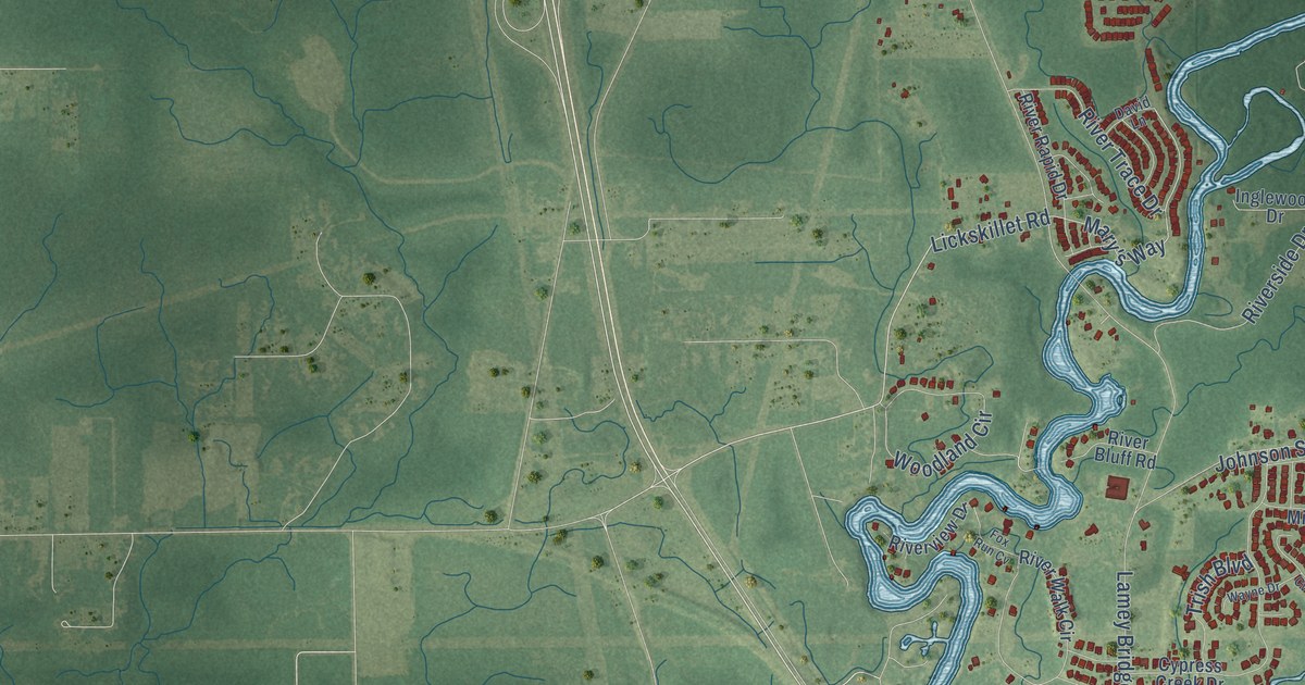
A detailed map of D’Iberville, Mississippi, showing every building in its true location, the roads by name, and shaded topographical relief.
Read More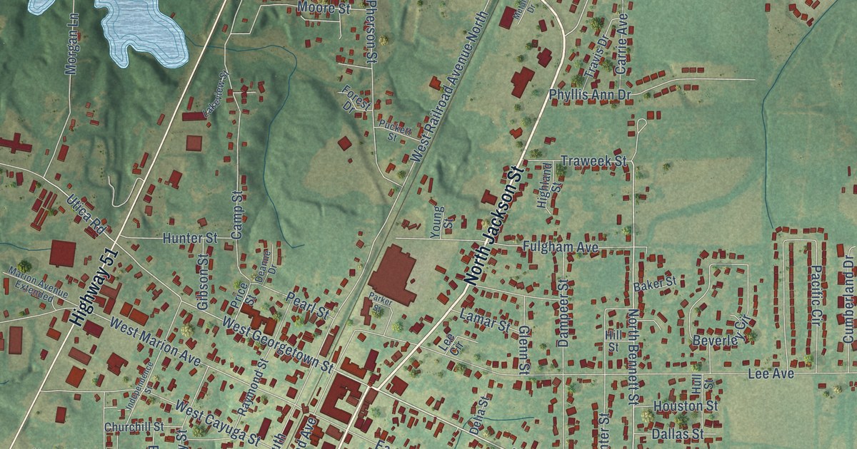
A detailed map of Crystal Springs, Mississippi, showing every building in its true location, the roads by name, and shaded topographical relief.
Read More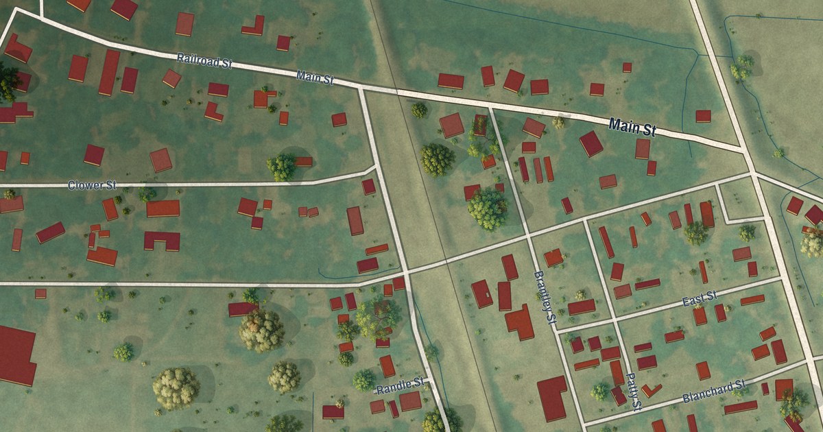
A detailed map of Cruger, Mississippi, showing every building in its true location, the roads by name, and shaded topographical relief.
Read More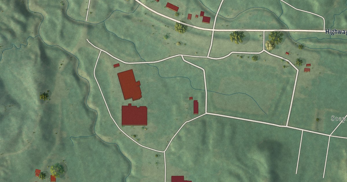
A detailed map of Crosby, Mississippi, showing every building in its true location, the roads by name, and shaded topographical relief.
Read More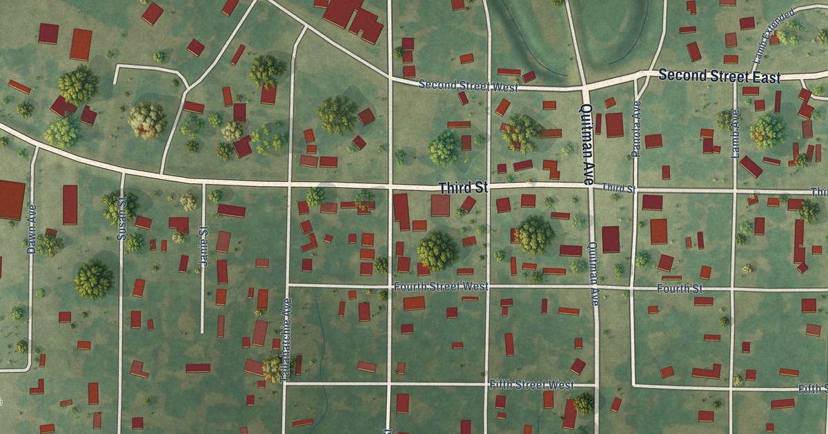
A detailed map of Crowder, Mississippi, showing every building in its true location, the roads by name, and shaded topographical relief.
Read More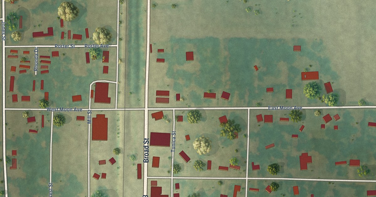
A detailed map of Crenshaw, Mississippi, showing every building in its true location, the roads by name, and shaded topographical relief.
Read More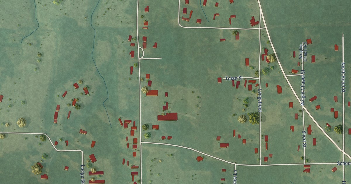
A detailed map of Crawford, Mississippi, showing every building in its true location, the roads by name, and shaded topographical relief.
Read More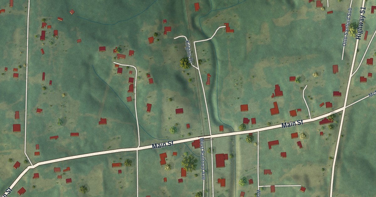
A detailed map of Courtland, Mississippi, showing every building in its true location, the roads by name, and shaded topographical relief.
Read More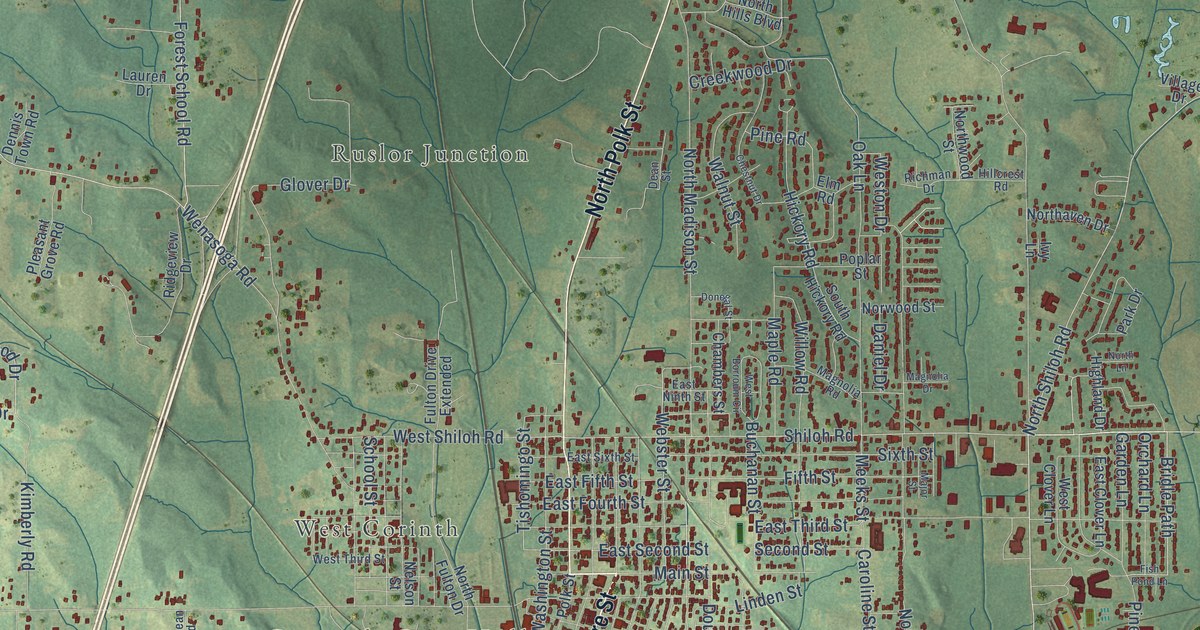
A detailed map of Corinth, Mississippi, showing every building in its true location, the roads by name, and shaded topographical relief.
Read More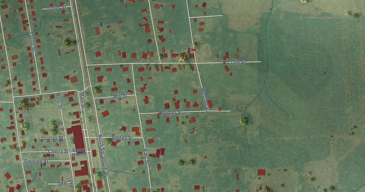
A detailed map of Como, Mississippi, showing every building in its true location, the roads by name, and shaded topographical relief.
Read More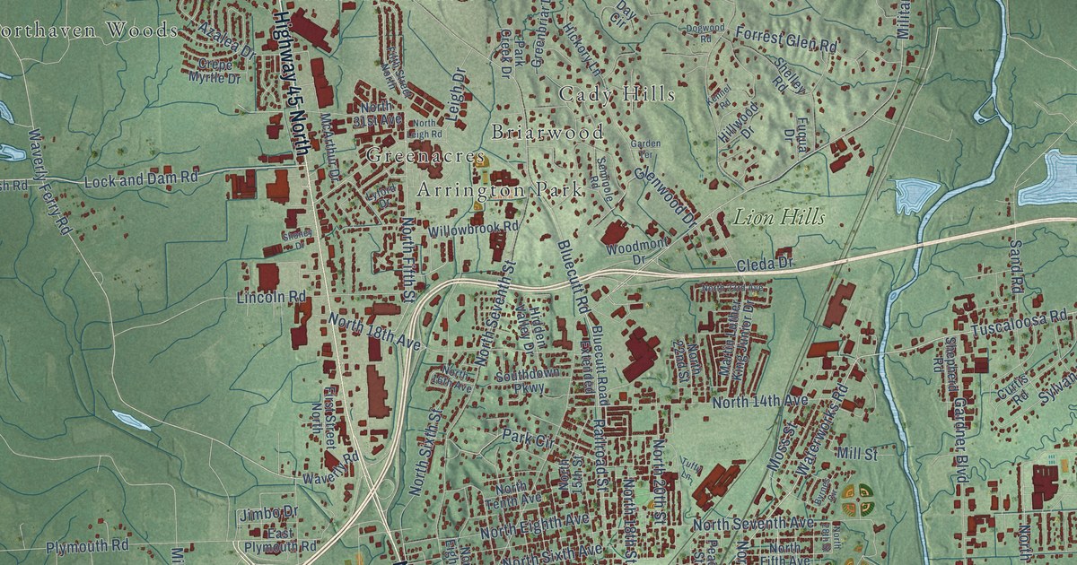
A detailed map of Columbus, Mississippi, showing every building in its true location, the roads by name, and shaded topographical relief.
Read More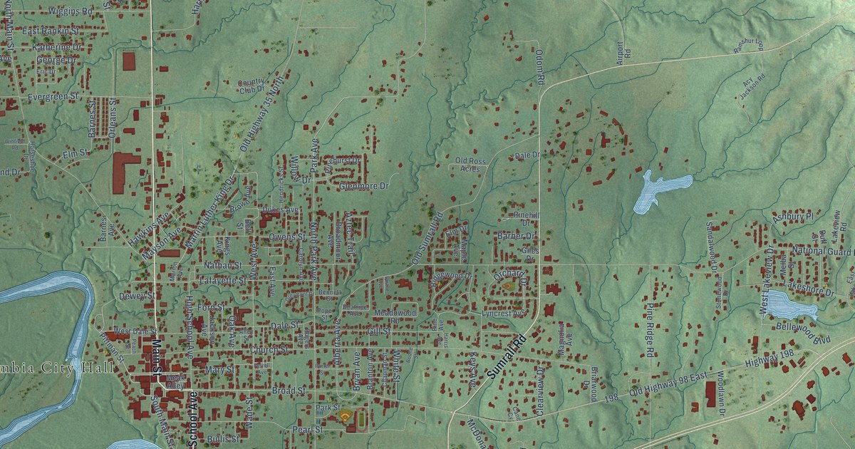
A detailed map of Columbia, Mississippi, showing every building in its true location, the roads by name, and shaded topographical relief.
Read More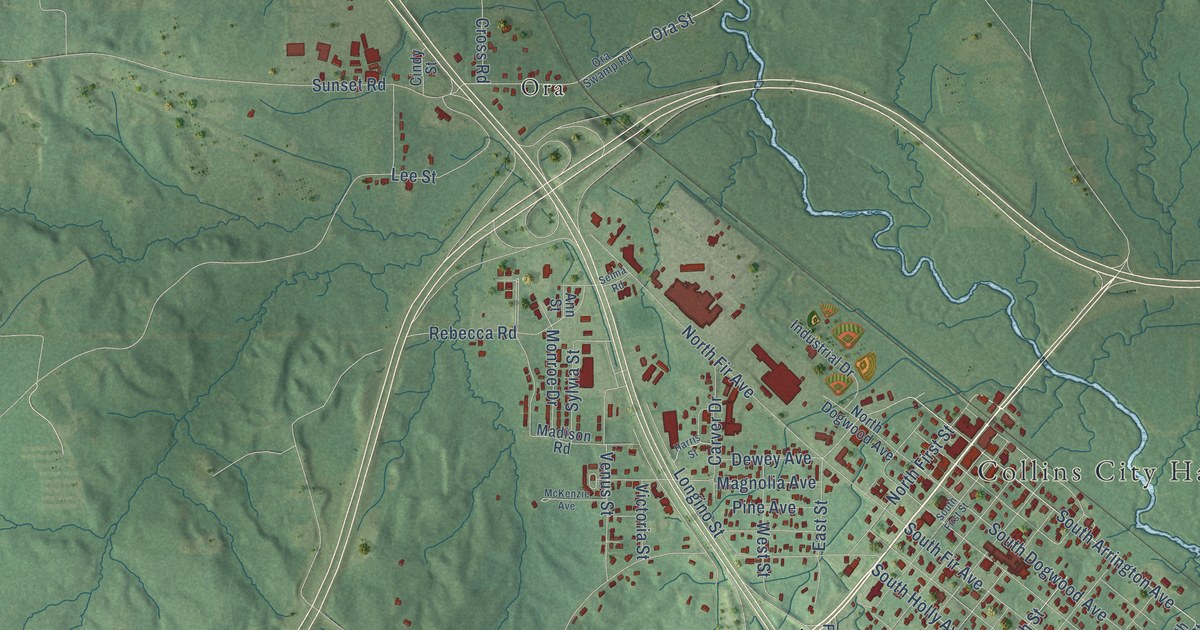
A detailed map of Collins, Mississippi, showing every building in its true location, the roads by name, and shaded topographical relief.
Read More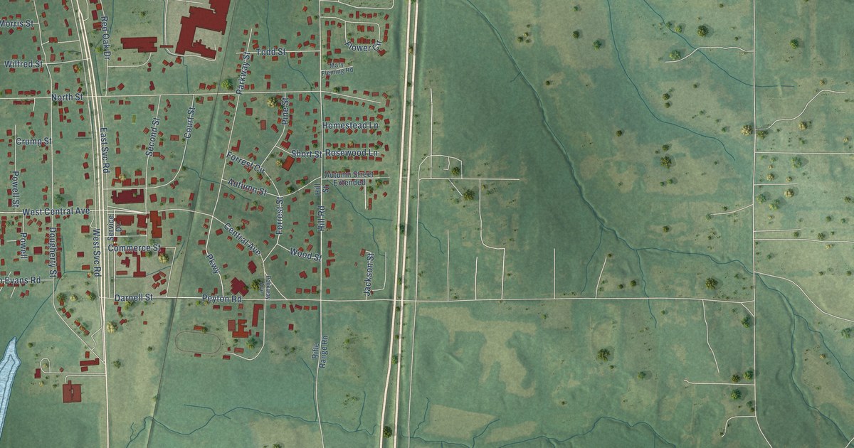
A detailed map of Coldwater, Mississippi, showing every building in its true location, the roads by name, and shaded topographical relief.
Read More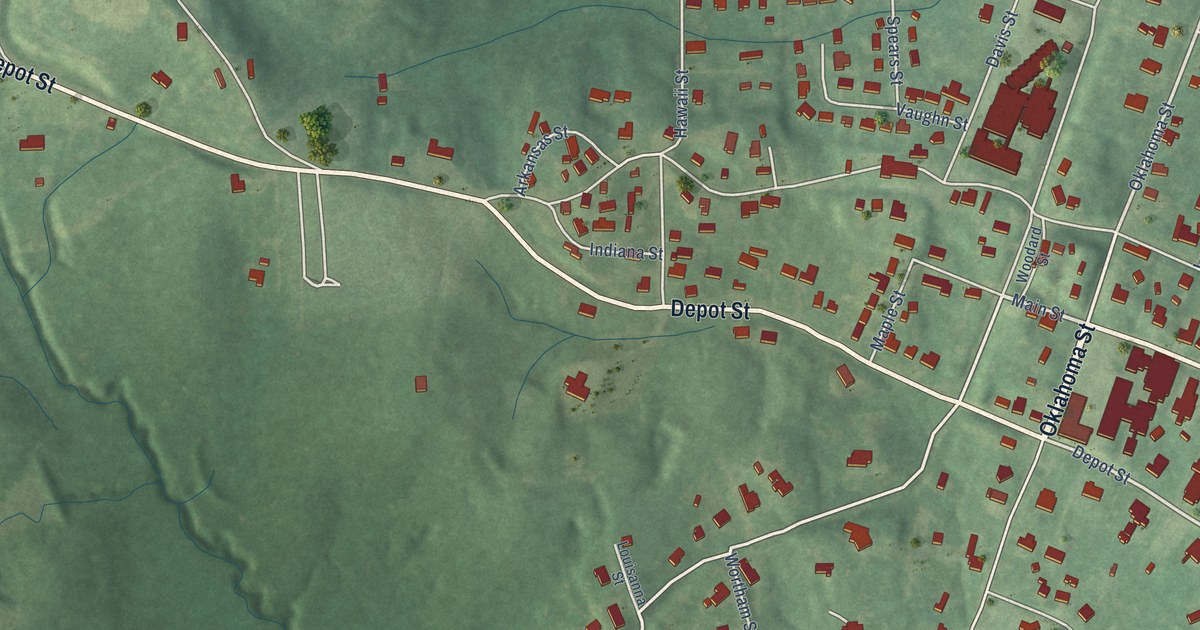
A detailed map of Coffeeville, Mississippi, showing every building in its true location, the roads by name, and shaded topographical relief.
Read More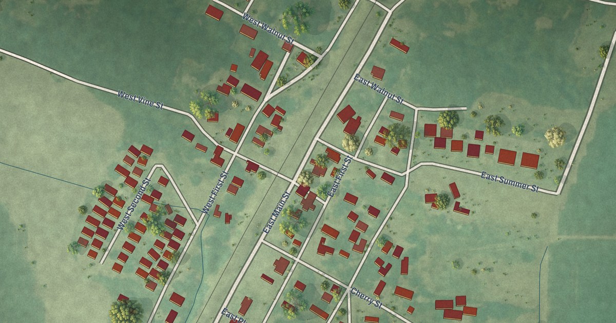
A detailed map of Coahoma, Mississippi, showing every building in its true location, the roads by name, and shaded topographical relief.
Read More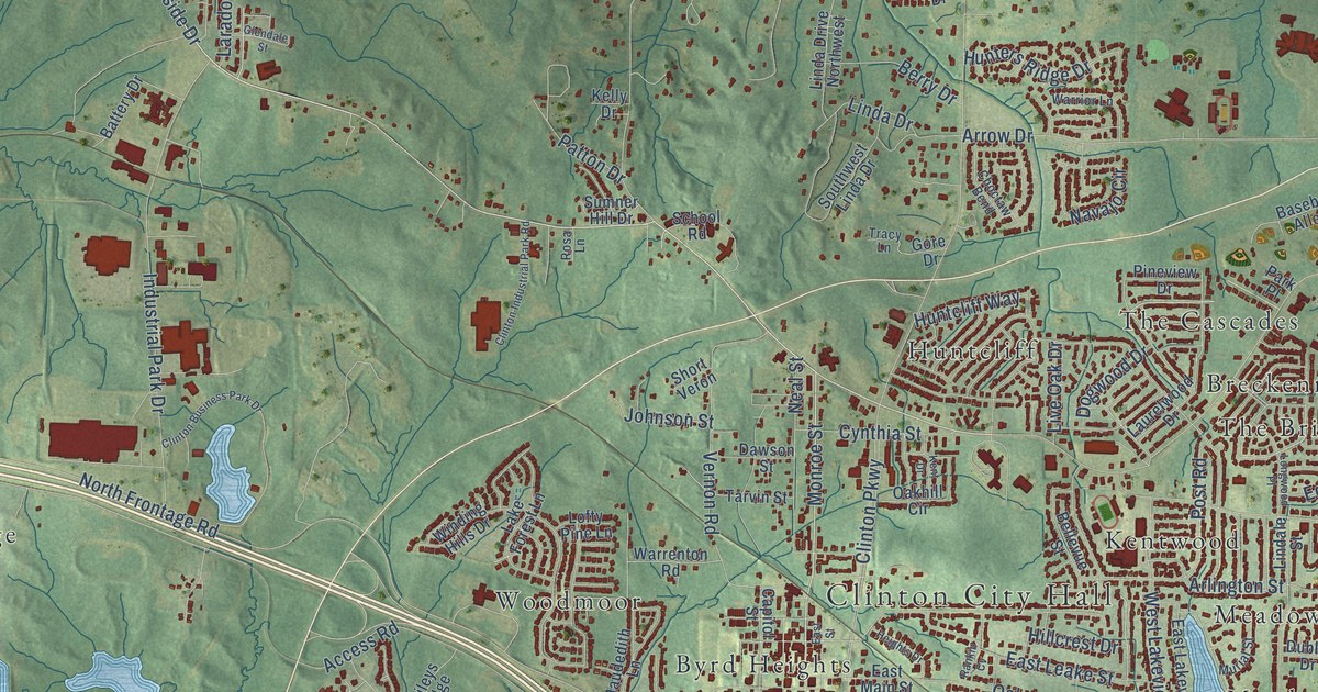
A detailed map of Clinton, Mississippi, showing every building in its true location, the roads by name, and shaded topographical relief.
Read More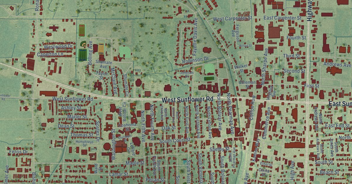
A detailed map of Cleveland, Mississippi, showing every building in its true location, the roads by name, and shaded topographical relief.
Read More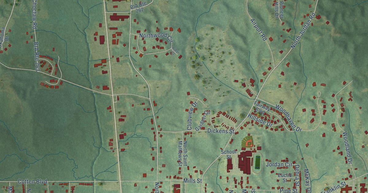
A detailed map of Carthage, Mississippi, showing every building in its true location, the roads by name, and shaded topographical relief.
Read More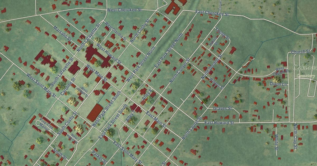
A detailed map of Centreville, Mississippi, showing every building in its true location, the roads by name, and shaded topographical relief.
Read More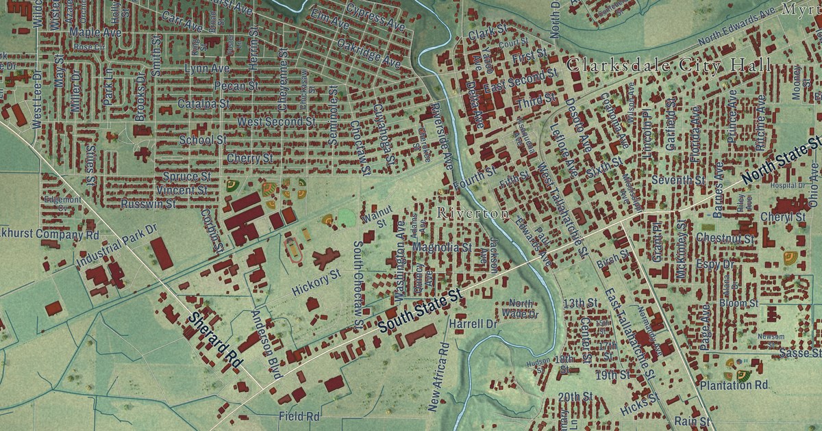
A detailed map of Clarksdale, Mississippi, showing every building in its true location, the roads by name, and shaded topographical relief.
Read More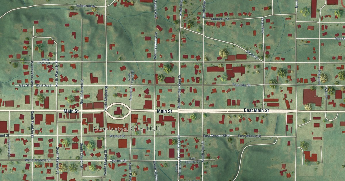
A detailed map of Charleston, Mississippi, showing every building in its true location, the roads by name, and shaded topographical relief.
Read More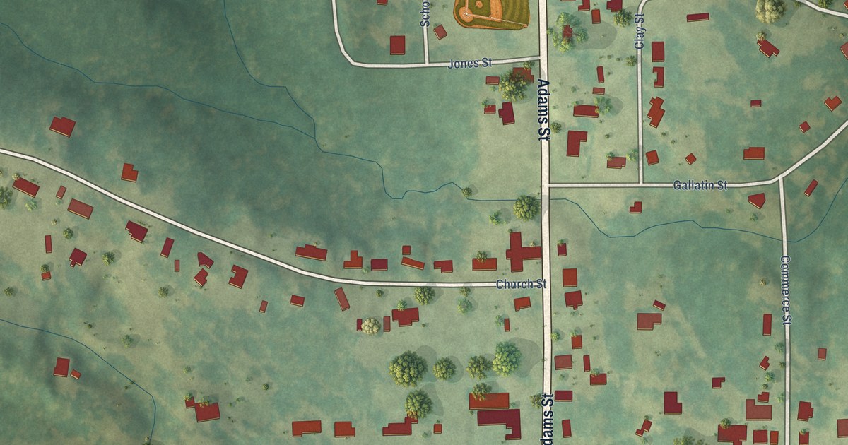
A detailed map of Chunky, Mississippi, showing every building in its true location, the roads by name, and shaded topographical relief.
Read More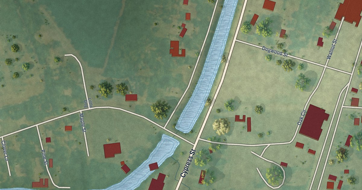
A detailed map of Cary, Mississippi, showing every building in its true location, the roads by name, and shaded topographical relief.
Read More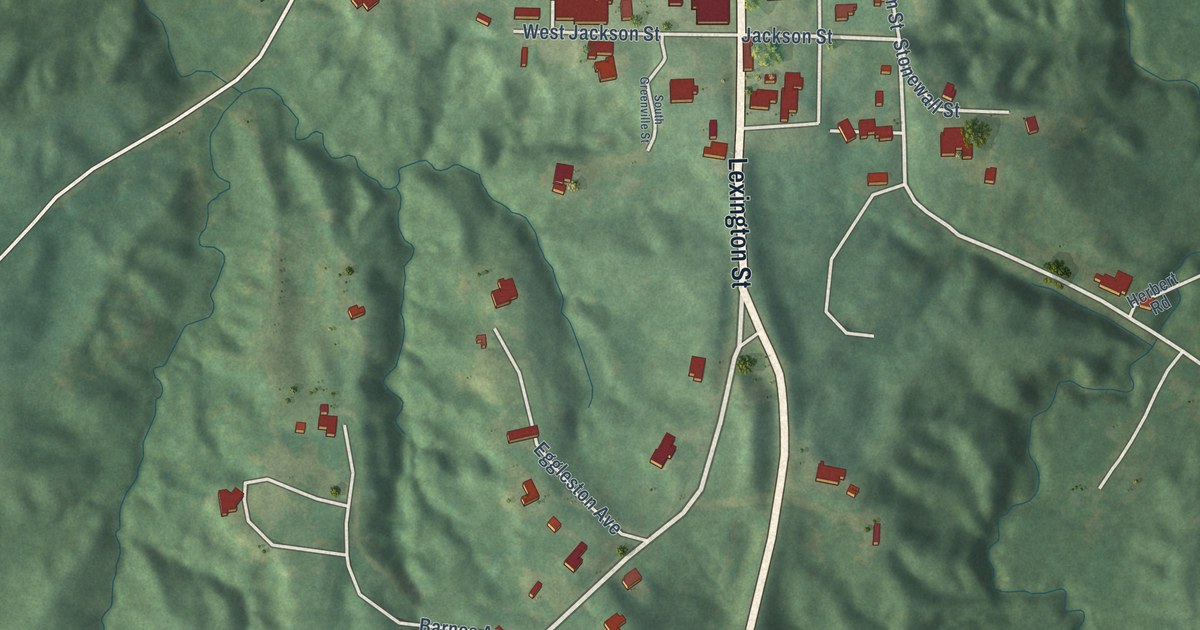
A detailed map of Carrollton, Mississippi, showing every building in its true location, the roads by name, and shaded topographical relief.
Read More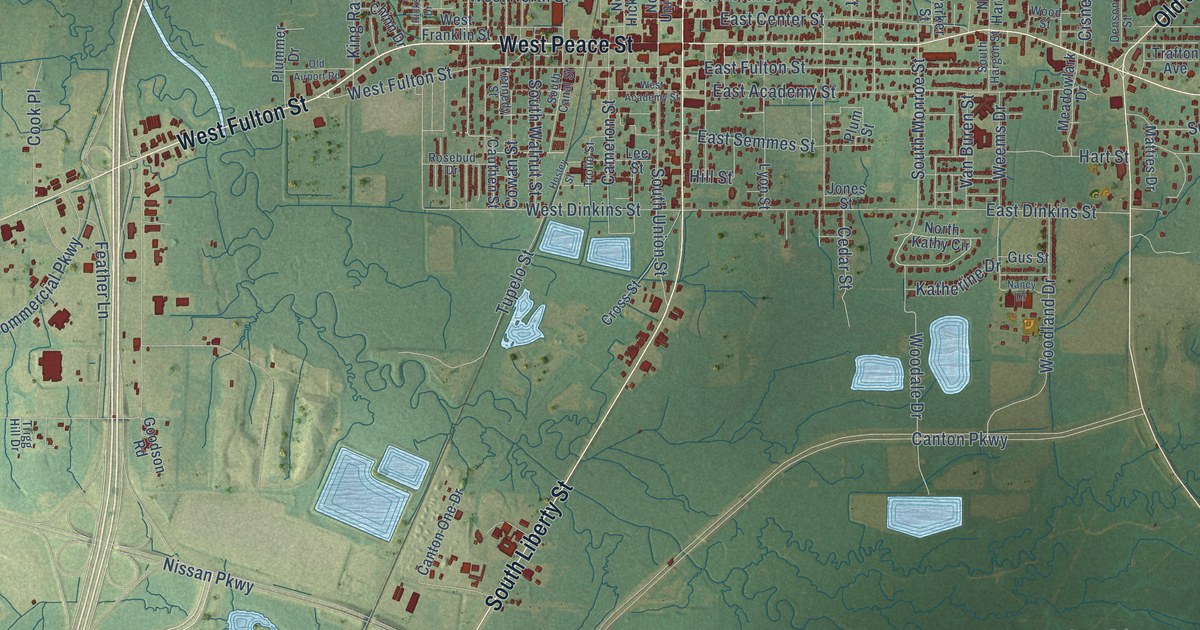
A detailed map of Canton, Mississippi, showing every building in its true location, the roads by name, and shaded topographical relief.
Read More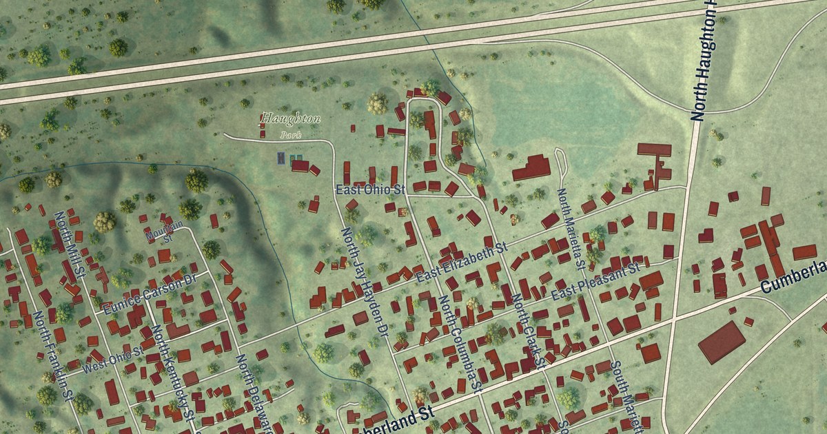
A detailed map of Greenup, Illinois, showing every building in its true location, the roads by name, and shaded topographical relief.
Read More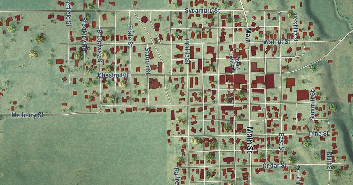
A detailed map of Greenfield, Illinois, showing every building in its true location, the roads by name, and shaded topographical relief.
Read More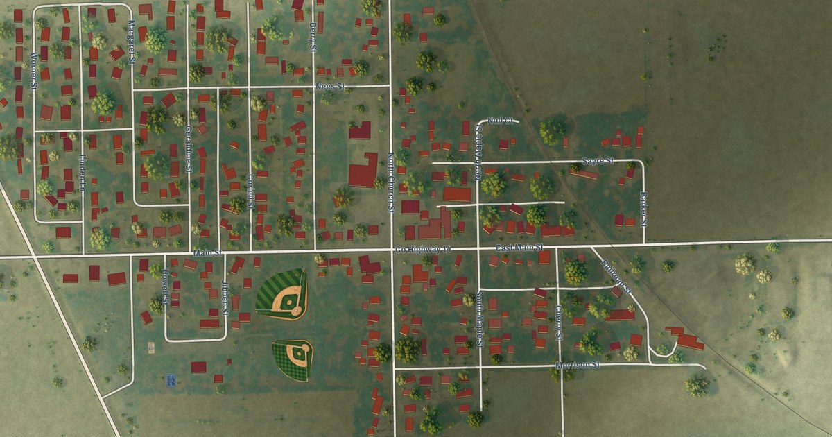
A detailed map of Green Valley, Illinois, showing every building in its true location, the roads by name, and shaded topographical relief.
Read More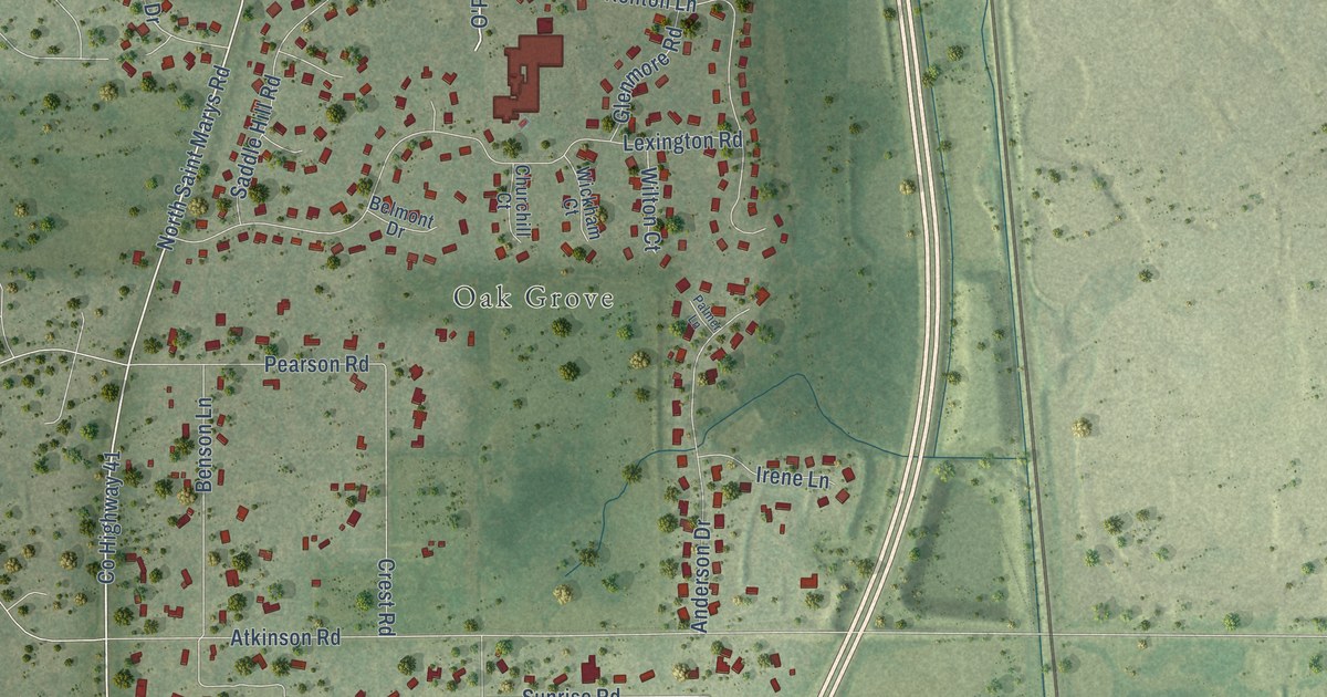
A detailed map of Green Oaks, Illinois, showing every building in its true location, the roads by name, and shaded topographical relief.
Read More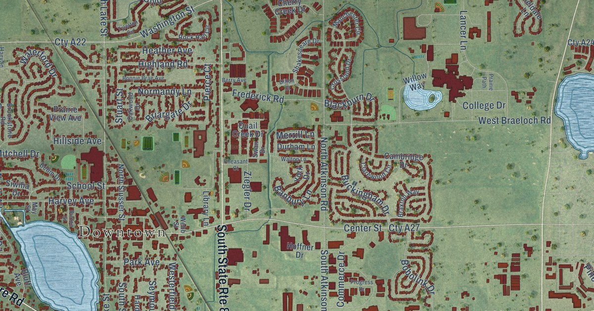
A detailed map of Grayslake, Illinois, showing every building in its true location, the roads by name, and shaded topographical relief.
Read More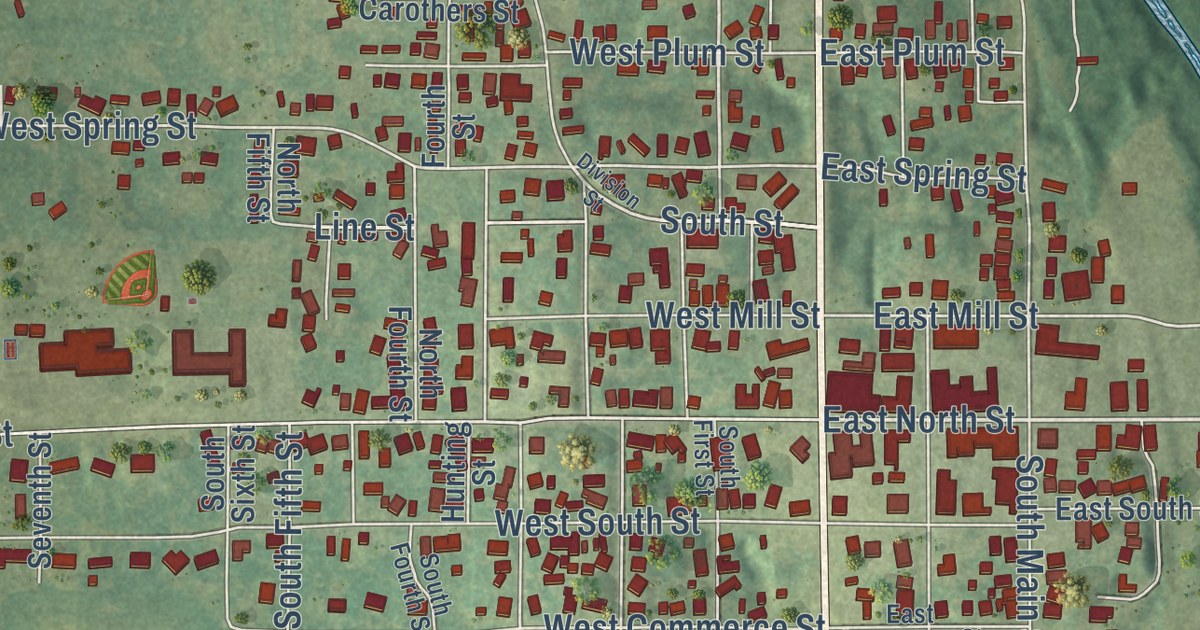
A detailed map of Grayville, Illinois, showing every building in its true location, the roads by name, and shaded topographical relief.
Read More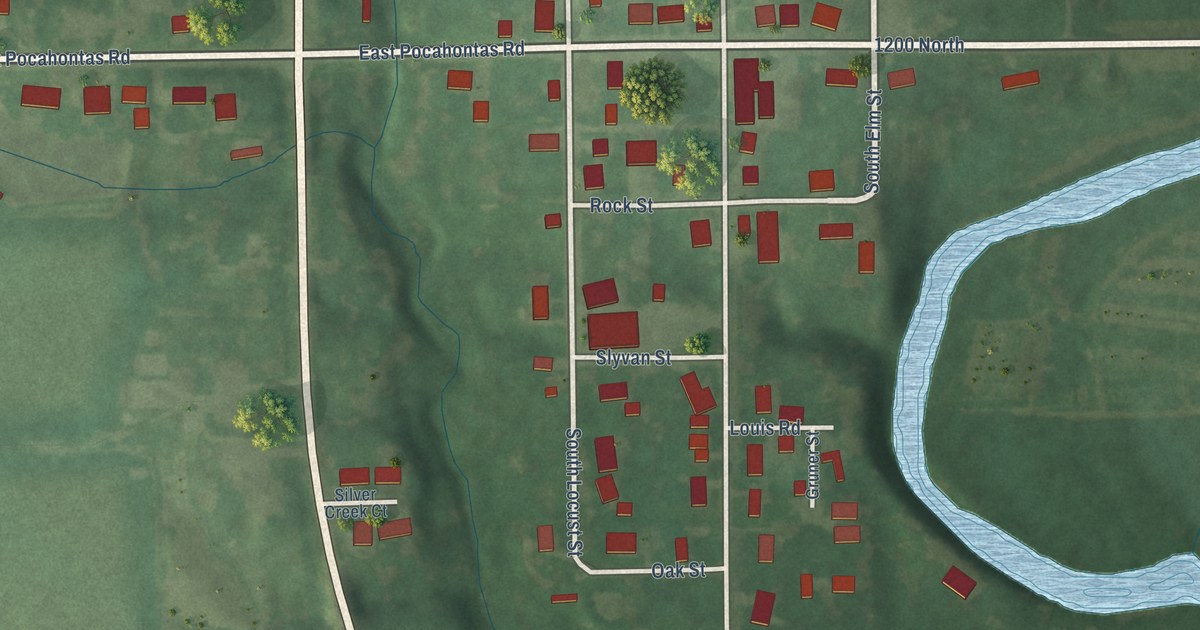
A detailed map of Grantfork, Illinois, showing every building in its true location, the roads by name, and shaded topographical relief.
Read More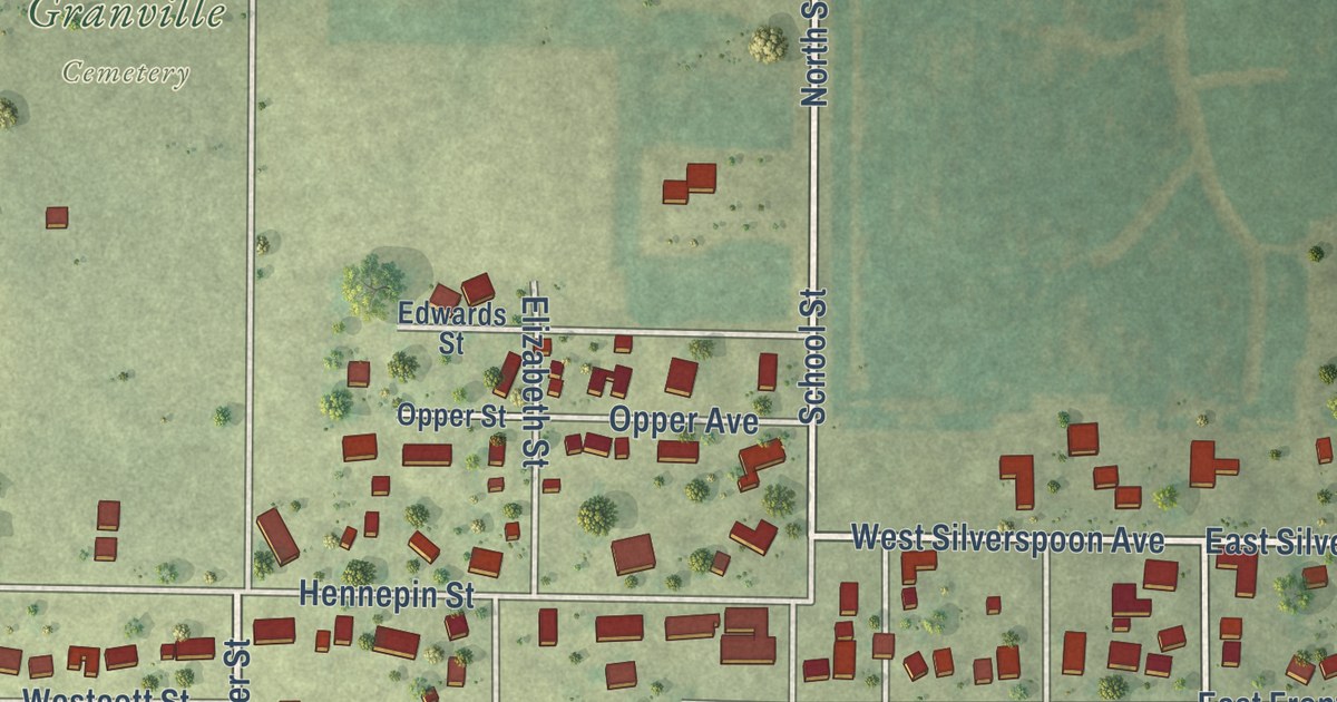
A detailed map of Granville, Illinois, showing every building in its true location, the roads by name, and shaded topographical relief.
Read More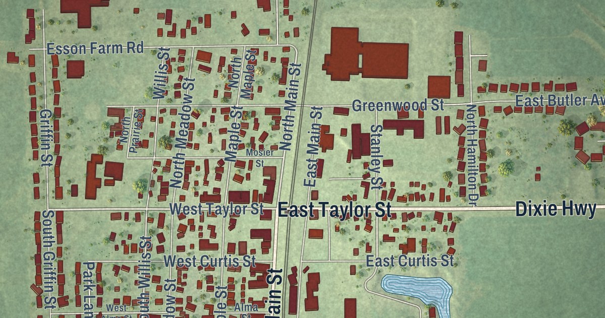
A detailed map of Grant Park, Illinois, showing every building in its true location, the roads by name, and shaded topographical relief.
Read More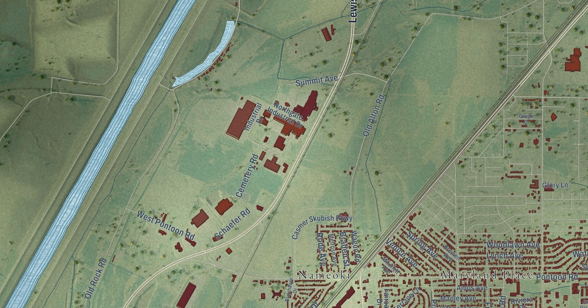
A detailed map of Granite City, Illinois, showing every building in its true location, the roads by name, and shaded topographical relief.
Read More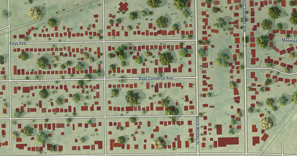
A detailed map of Grandview, Illinois, showing every building in its true location, the roads by name, and shaded topographical relief.
Read More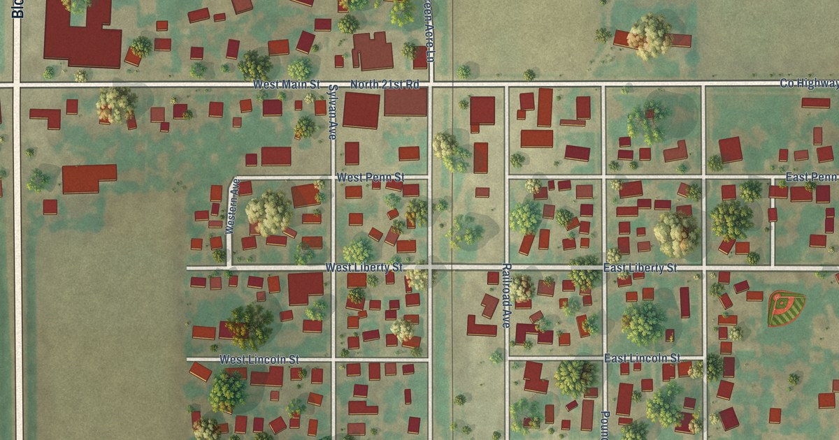
A detailed map of Grand Ridge, Illinois, showing every building in its true location, the roads by name, and shaded topographical relief.
Read More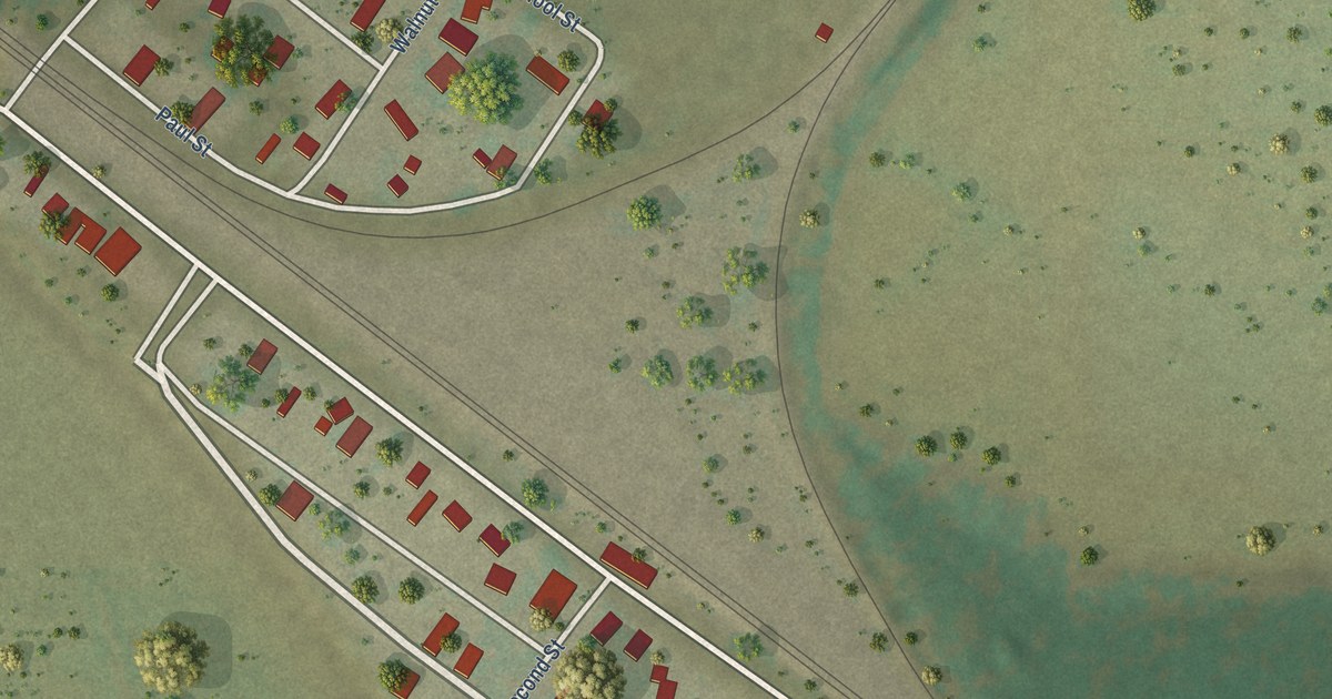
A detailed map of Gorham, Illinois, showing every building in its true location, the roads by name, and shaded topographical relief.
Read More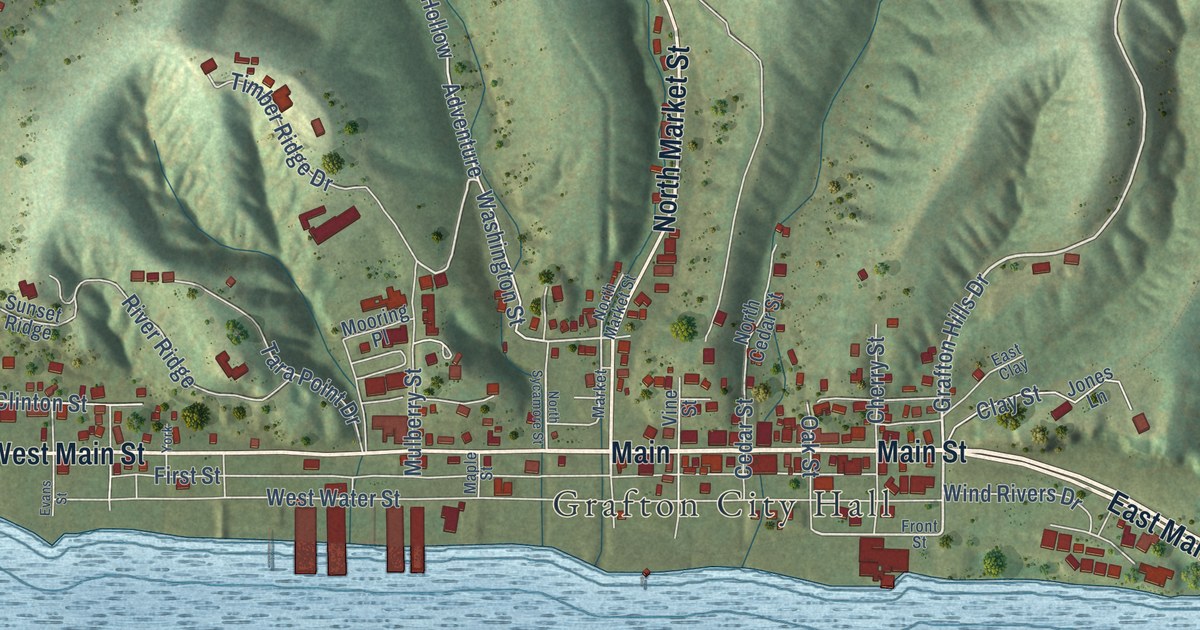
A detailed map of Grafton, Illinois, showing every building in its true location, the roads by name, and shaded topographical relief.
Read More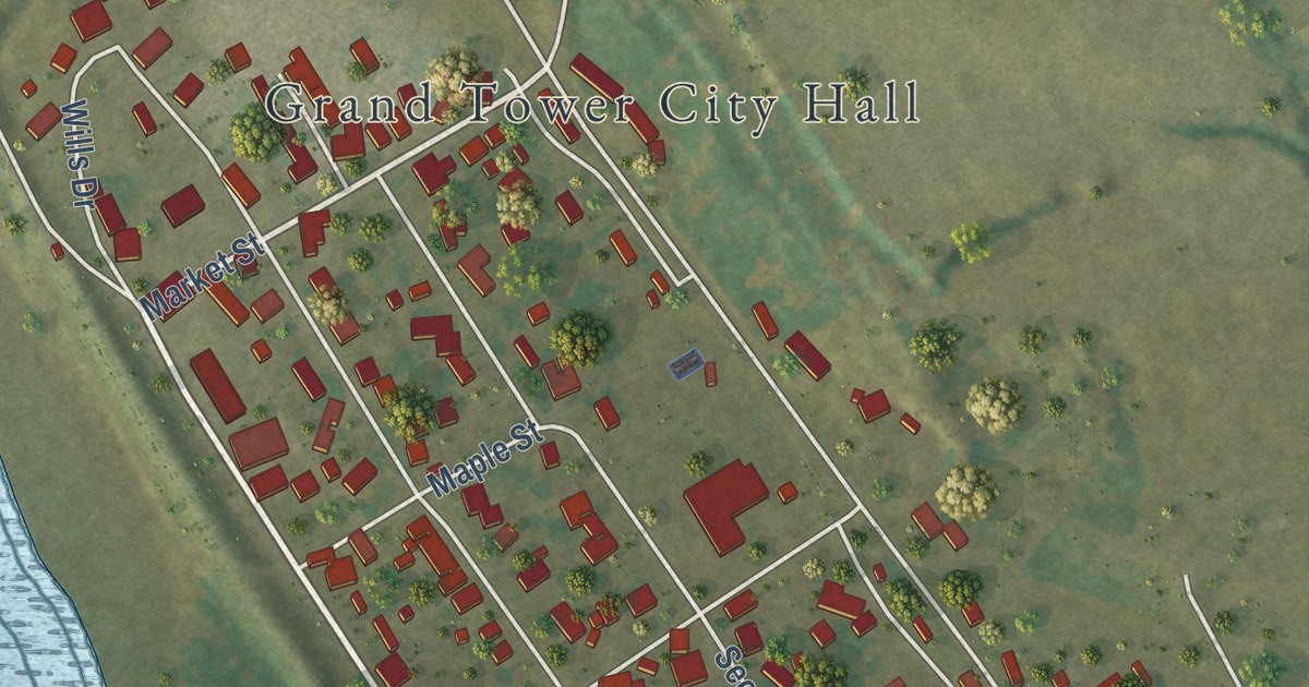
A detailed map of Grand Tower, Illinois, showing every building in its true location, the roads by name, and shaded topographical relief.
Read More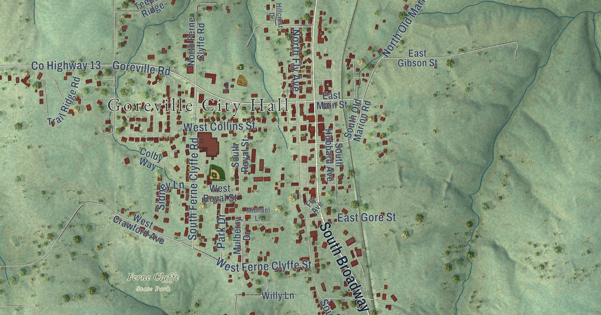
A detailed map of Goreville, Illinois, showing every building in its true location, the roads by name, and shaded topographical relief.
Read More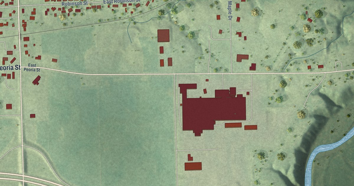
A detailed map of Goodfield, Illinois, showing every building in its true location, the roads by name, and shaded topographical relief.
Read More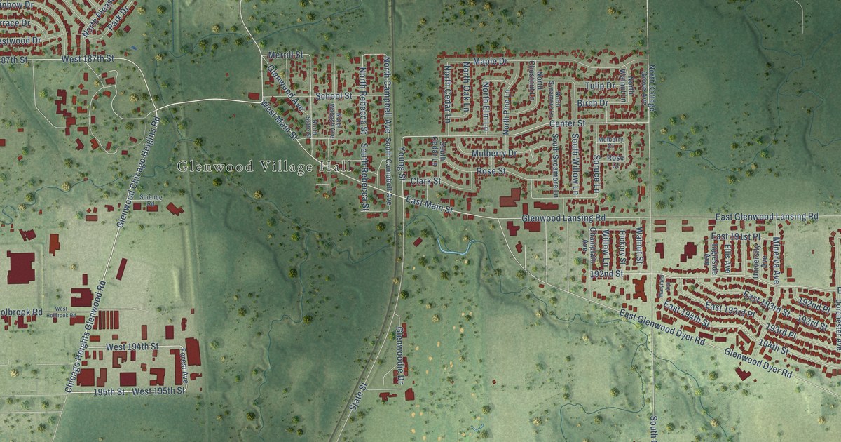
A detailed map of Glenwood, Illinois, showing every building in its true location, the roads by name, and shaded topographical relief.
Read More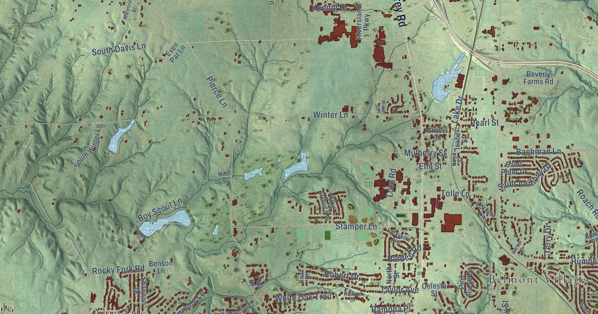
A detailed map of Godfrey, Illinois, showing every building in its true location, the roads by name, and shaded topographical relief.
Read More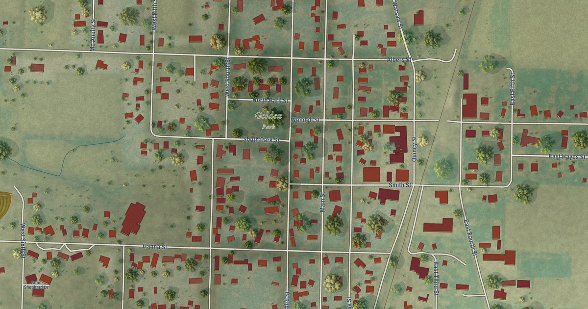
A detailed map of Golden, Illinois, showing every building in its true location, the roads by name, and shaded topographical relief.
Read More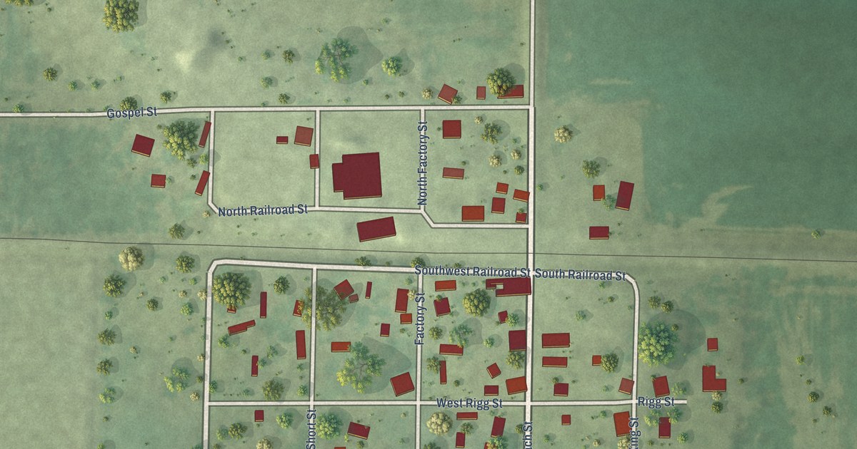
A detailed map of Golden Gate, Illinois, showing every building in its true location, the roads by name, and shaded topographical relief.
Read More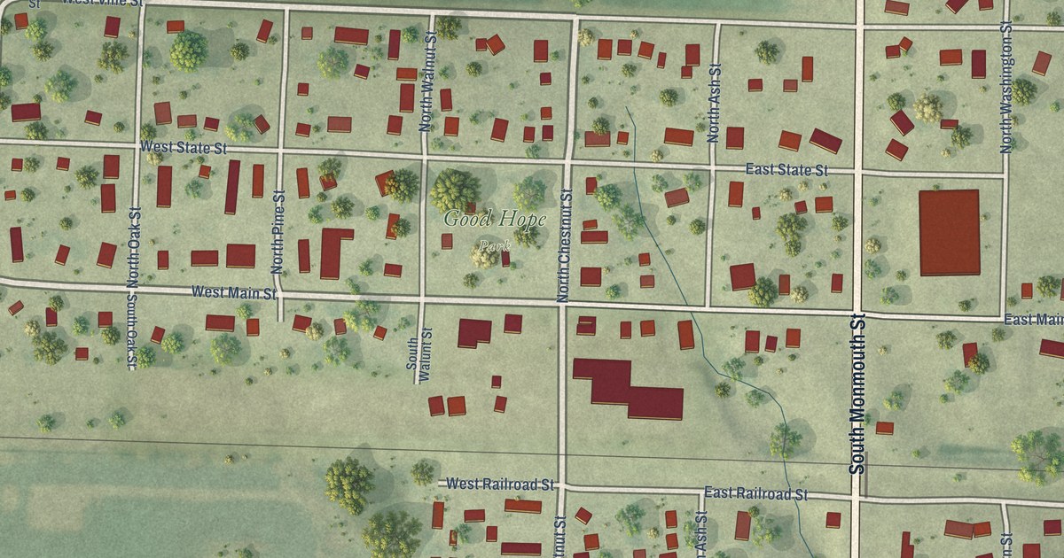
A detailed map of Good Hope, Illinois, showing every building in its true location, the roads by name, and shaded topographical relief.
Read More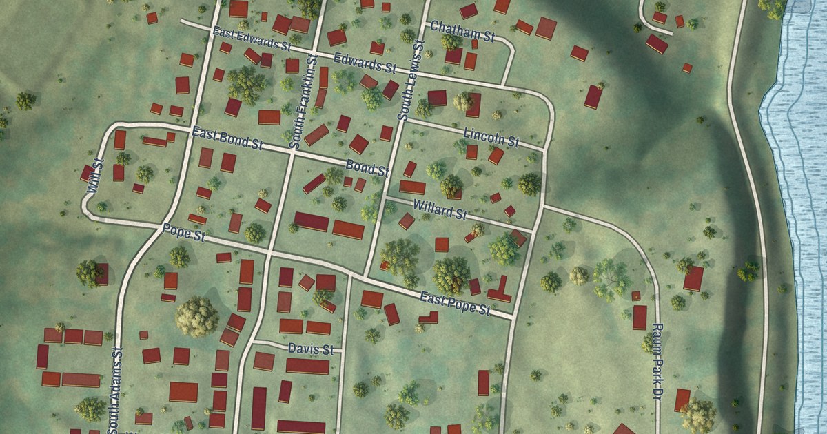
A detailed map of Golconda, Illinois, showing every building in its true location, the roads by name, and shaded topographical relief.
Read More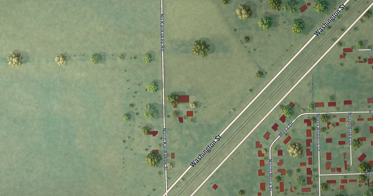
A detailed map of Godley, Illinois, showing every building in its true location, the roads by name, and shaded topographical relief.
Read More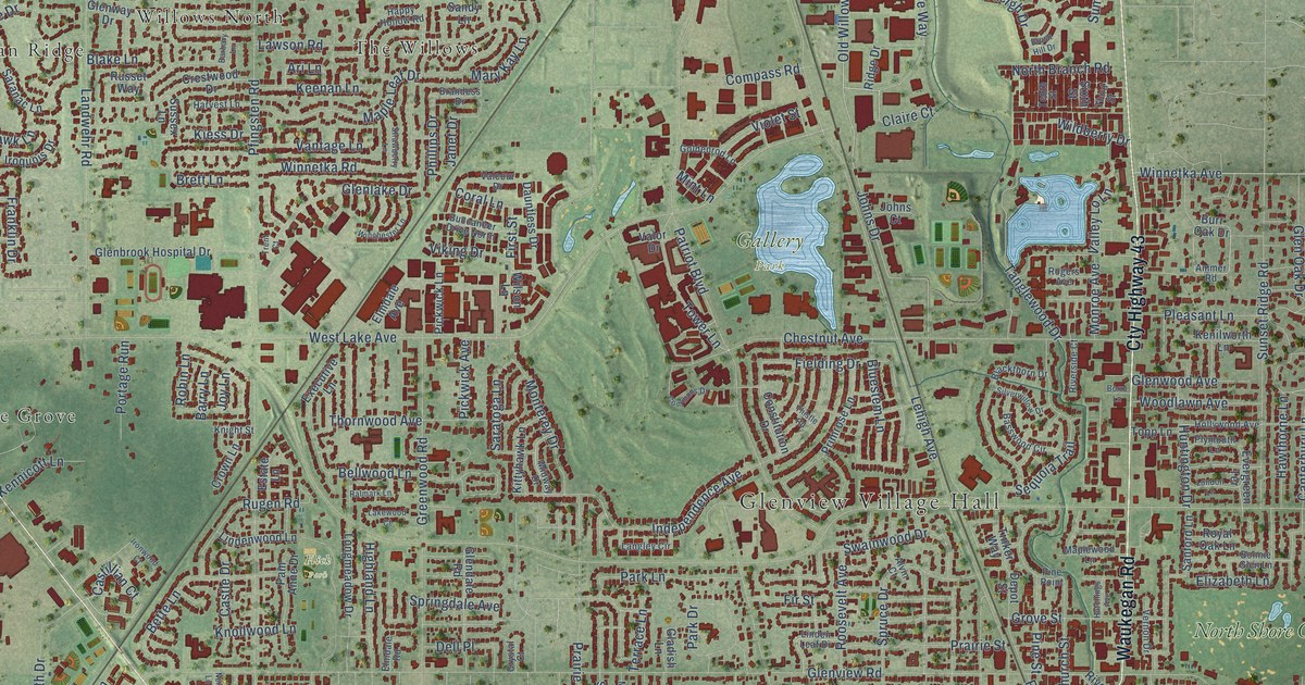
A detailed map of Glenview, Illinois, showing every building in its true location, the roads by name, and shaded topographical relief.
Read More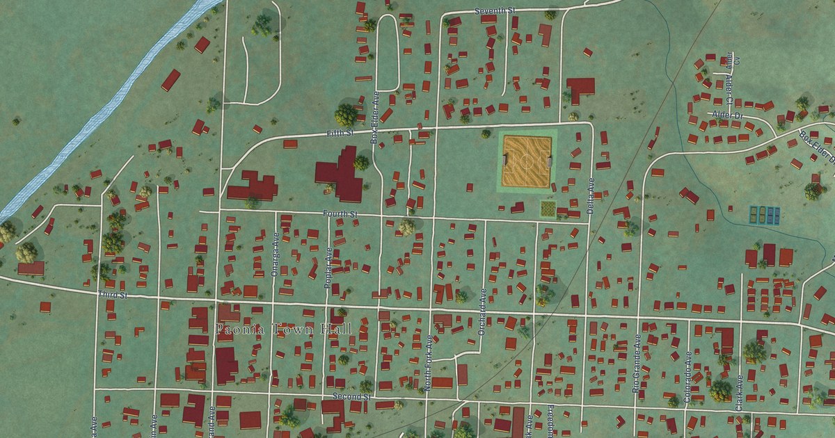
A detailed map of Paonia, Colorado, showing every building in its true location, the roads by name, and shaded topographical relief.
Read More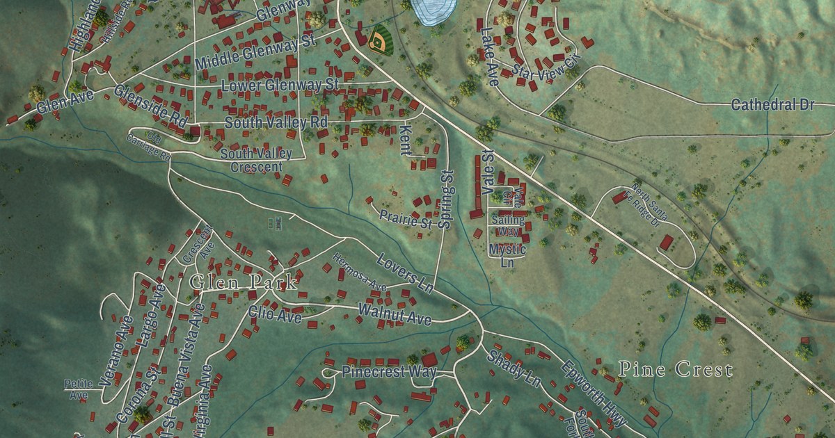
A detailed map of Palmer Lake, Colorado, showing every building in its true location, the roads by name, and shaded topographical relief.
Read More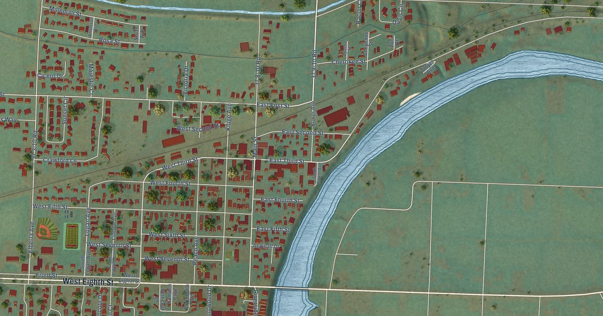
A detailed map of Palisade, Colorado, showing every building in its true location, the roads by name, and shaded topographical relief.
Read More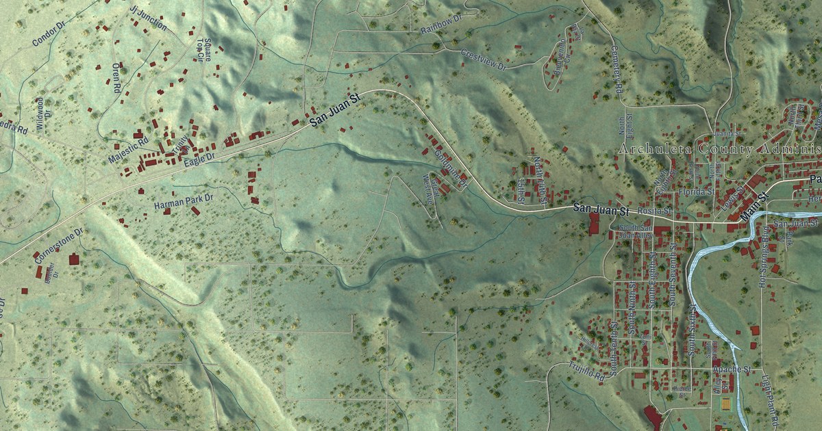
A detailed map of Pagosa Springs, Colorado, showing every building in its true location, the roads by name, and shaded topographical relief.
Read More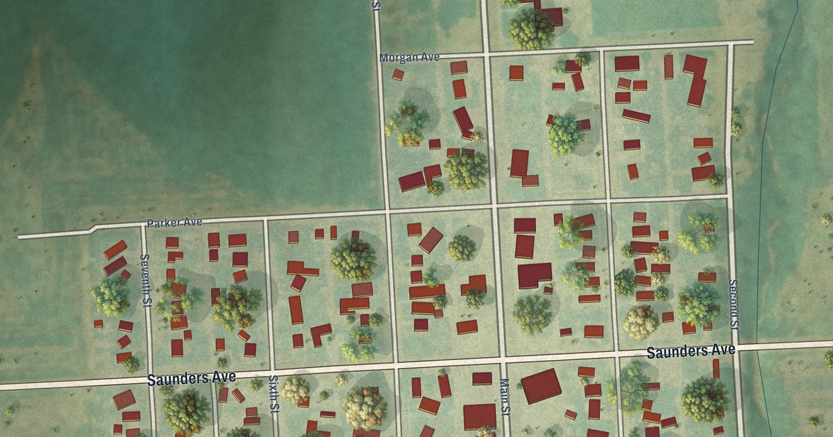
A detailed map of Ovid, Colorado, showing every building in its true location, the roads by name, and shaded topographical relief.
Read More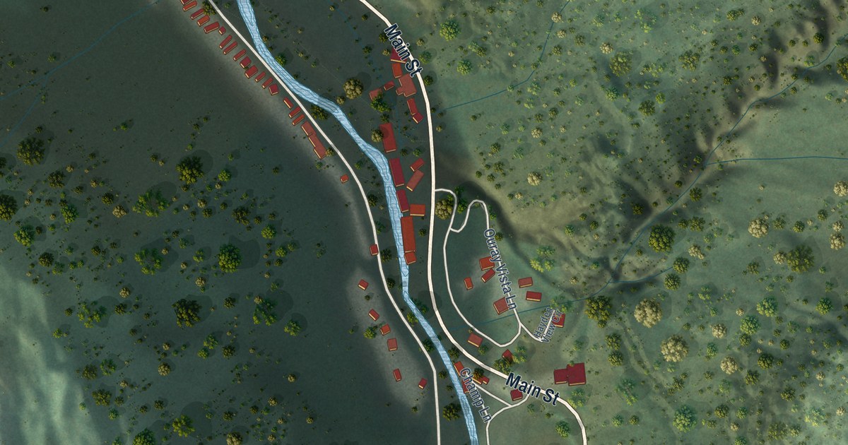
A detailed map of Ouray, Colorado, showing every building in its true location, the roads by name, and shaded topographical relief.
Read More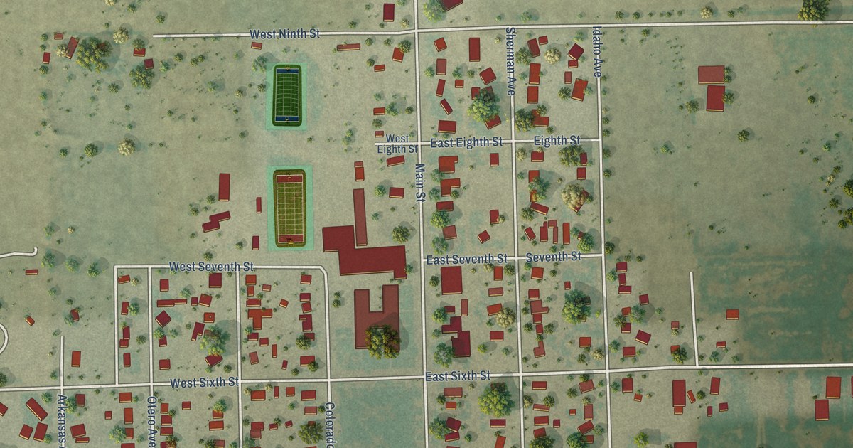
A detailed map of Ordway, Colorado, showing every building in its true location, the roads by name, and shaded topographical relief.
Read More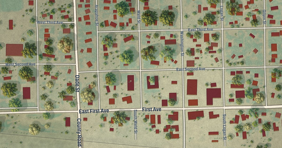
A detailed map of Otis, Colorado, showing every building in its true location, the roads by name, and shaded topographical relief.
Read More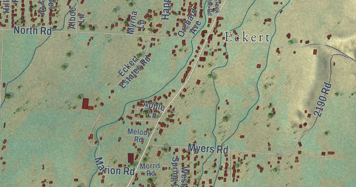
A detailed map of Orchard City, Colorado, showing every building in its true location, the roads by name, and shaded topographical relief.
Read More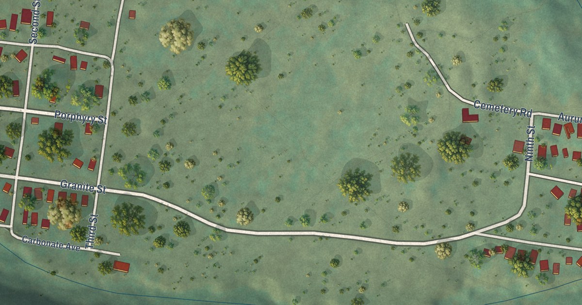
A detailed map of Ophir, Colorado, showing every building in its true location, the roads by name, and shaded topographical relief.
Read More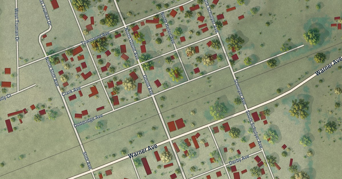
A detailed map of Olney Springs, Colorado, showing every building in its true location, the roads by name, and shaded topographical relief.
Read More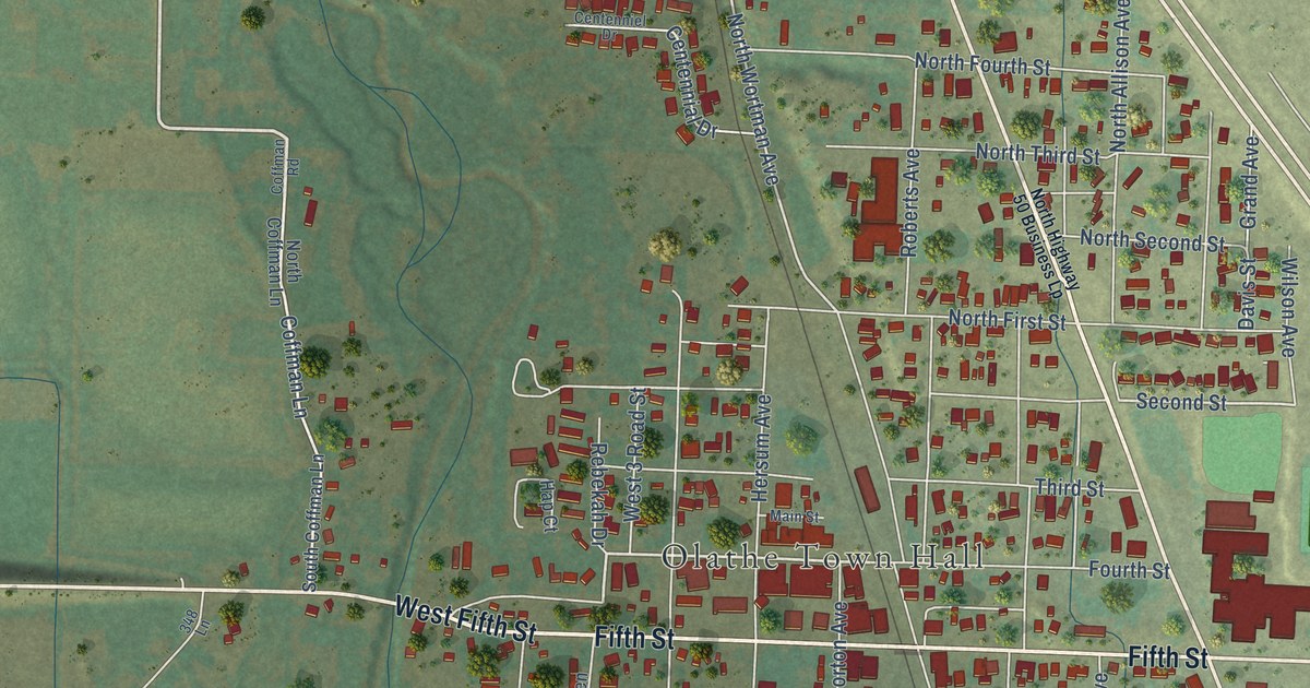
A detailed map of Olathe, Colorado, showing every building in its true location, the roads by name, and shaded topographical relief.
Read More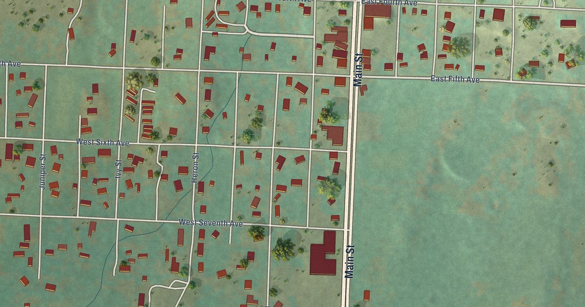
A detailed map of Nucla, Colorado, showing every building in its true location, the roads by name, and shaded topographical relief.
Read More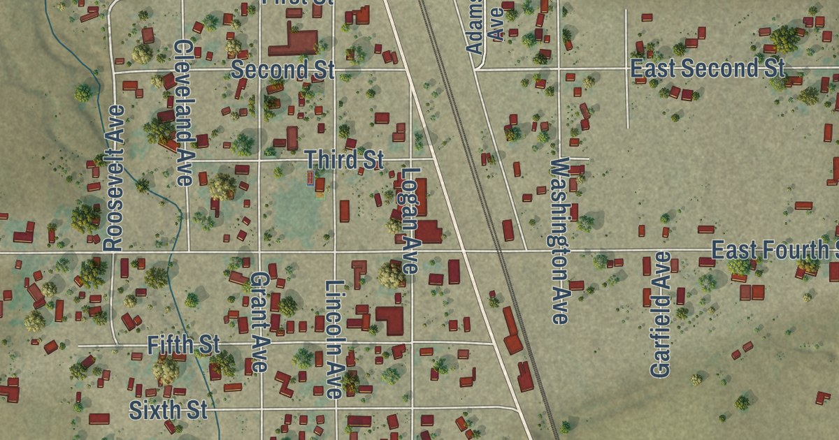
A detailed map of Nunn, Colorado, showing every building in its true location, the roads by name, and shaded topographical relief.
Read More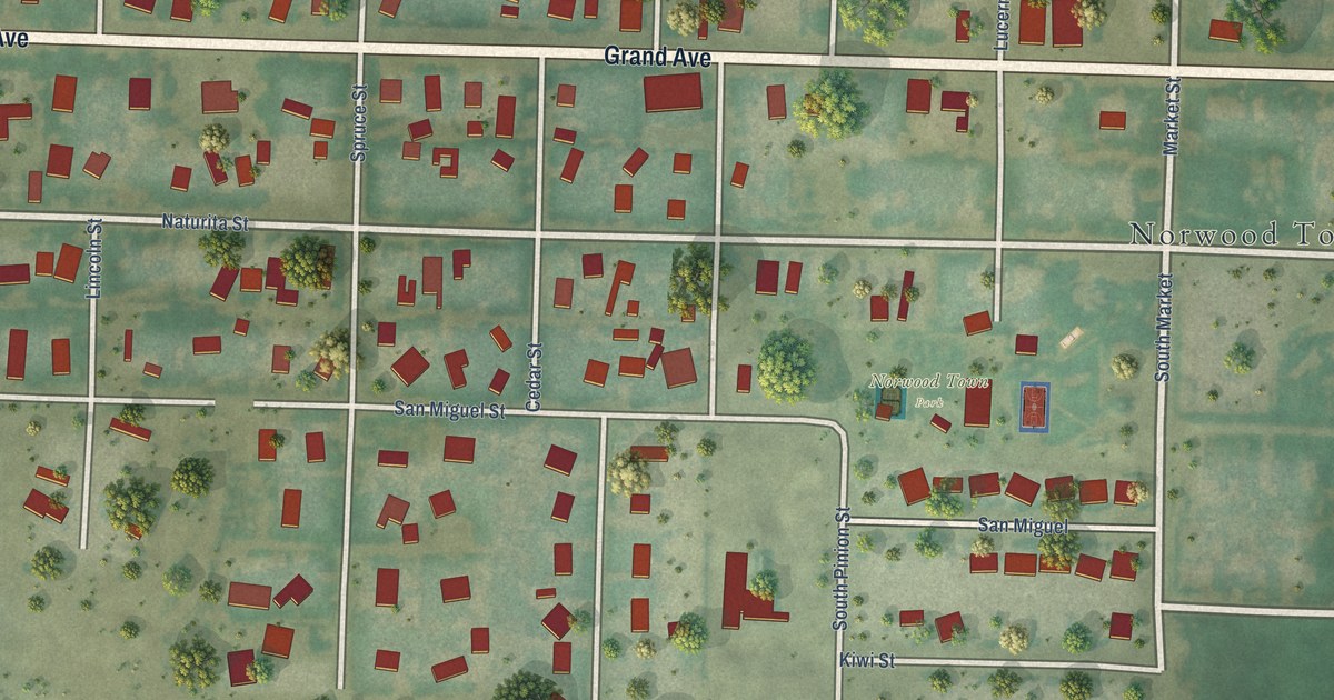
A detailed map of Norwood, Colorado, showing every building in its true location, the roads by name, and shaded topographical relief.
Read More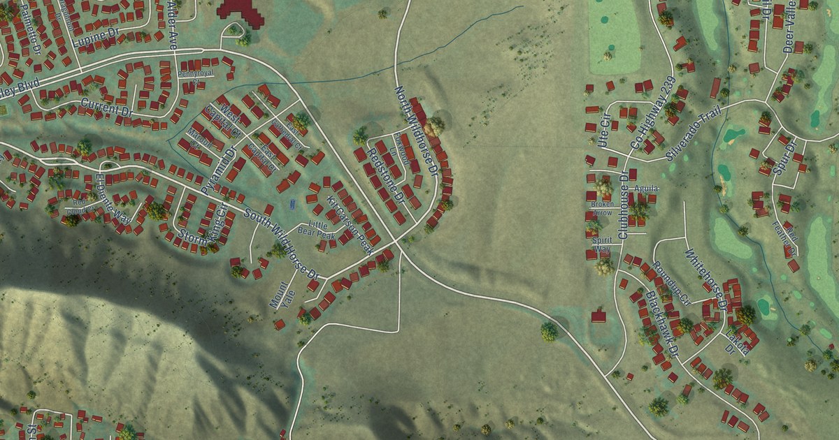
A detailed map of New Castle, Colorado, showing every building in its true location, the roads by name, and shaded topographical relief.
Read More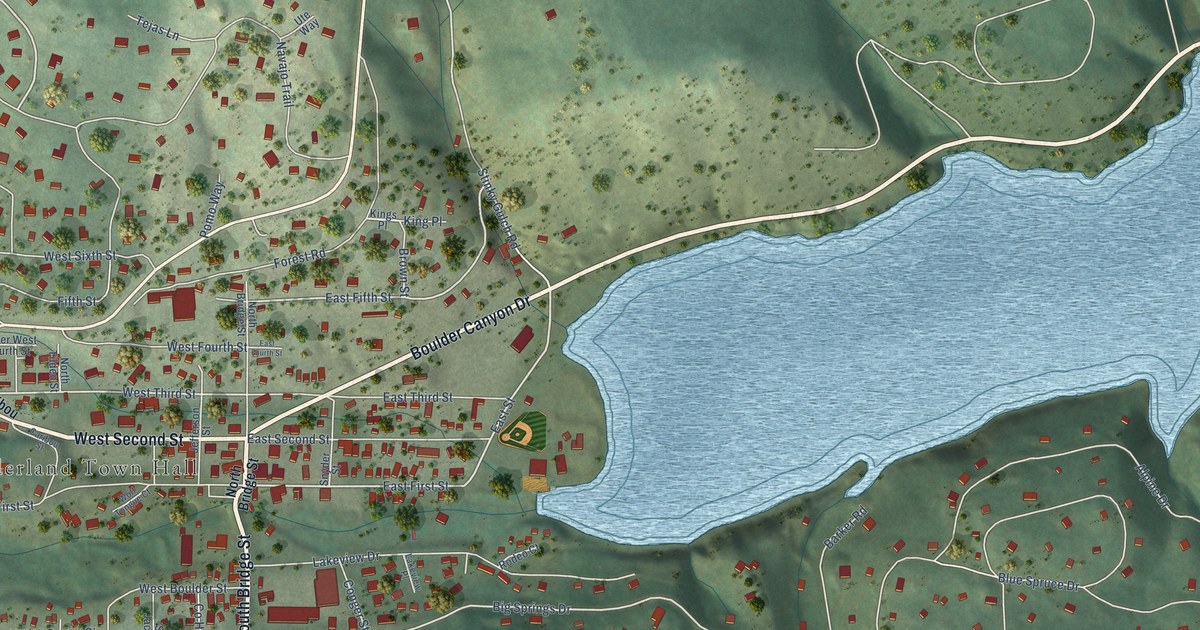
A detailed map of Nederland, Colorado, showing every building in its true location, the roads by name, and shaded topographical relief.
Read More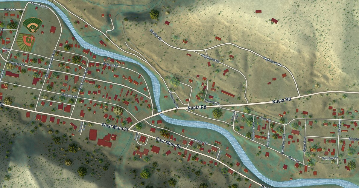
A detailed map of Naturita, Colorado, showing every building in its true location, the roads by name, and shaded topographical relief.
Read More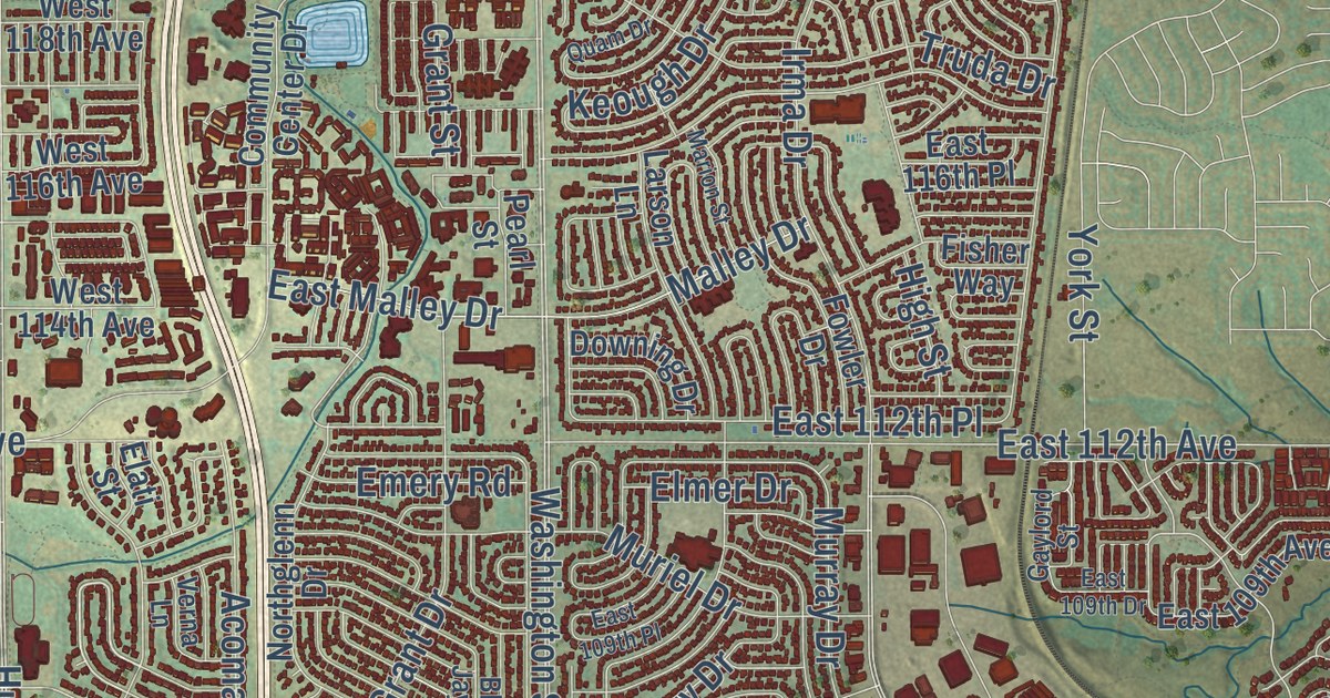
A detailed map of Northglenn, Colorado, showing every building in its true location, the roads by name, and shaded topographical relief.
Read More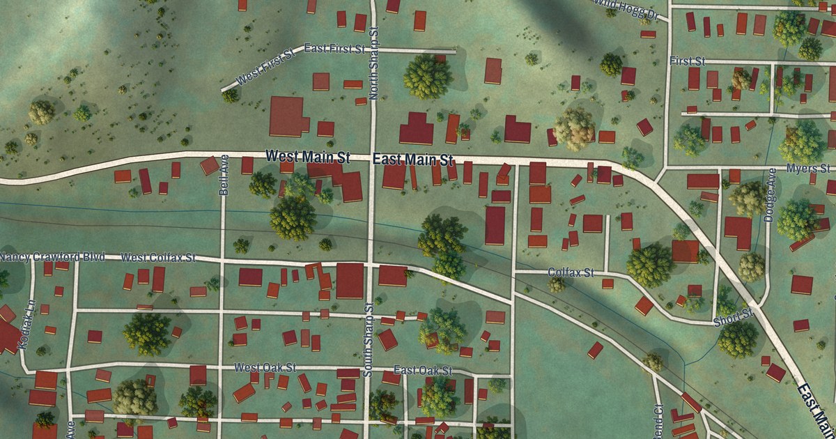
A detailed map of Oak Creek, Colorado, showing every building in its true location, the roads by name, and shaded topographical relief.
Read More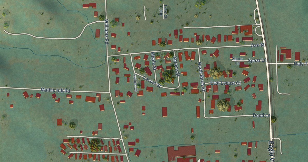
A detailed map of Yoncalla, Oregon, showing every building in its true location, the roads by name, and shaded topographical relief.
Read More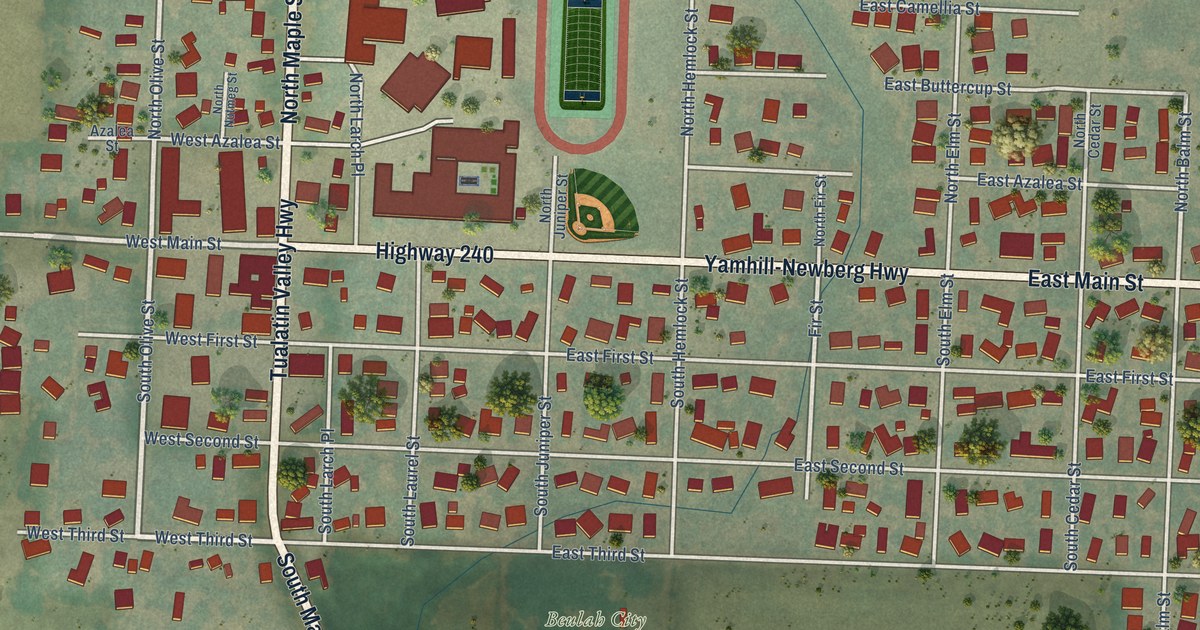
A detailed map of Yamhill, Oregon, showing every building in its true location, the roads by name, and shaded topographical relief.
Read More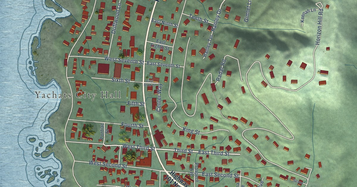
A detailed map of Yachats, Oregon, showing every building in its true location, the roads by name, and shaded topographical relief.
Read More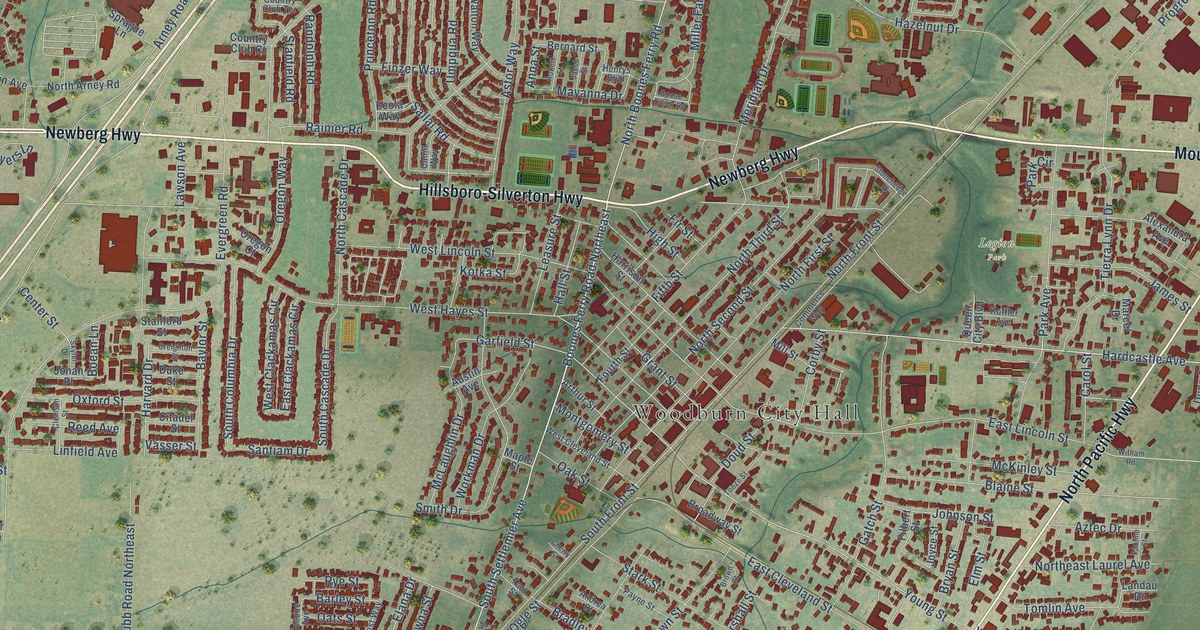
A detailed map of Woodburn, Oregon, showing every building in its true location, the roads by name, and shaded topographical relief.
Read More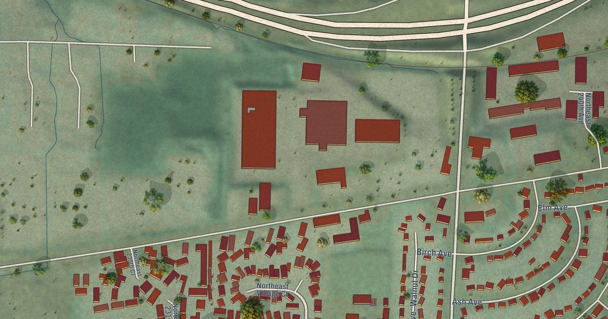
A detailed map of Wood Village, Oregon, showing every building in its true location, the roads by name, and shaded topographical relief.
Read More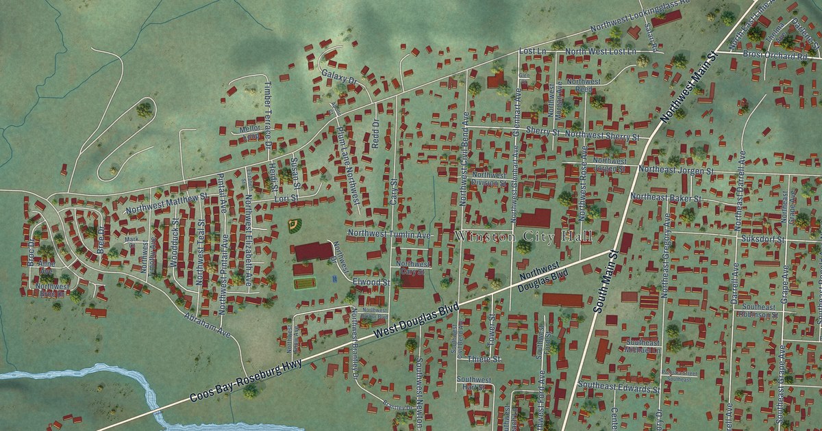
A detailed map of Winston, Oregon, showing every building in its true location, the roads by name, and shaded topographical relief.
Read More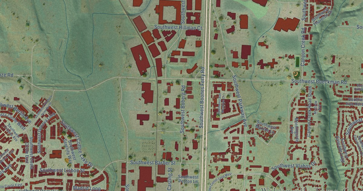
A detailed map of Wilsonville, Oregon, showing every building in its true location, the roads by name, and shaded topographical relief.
Read More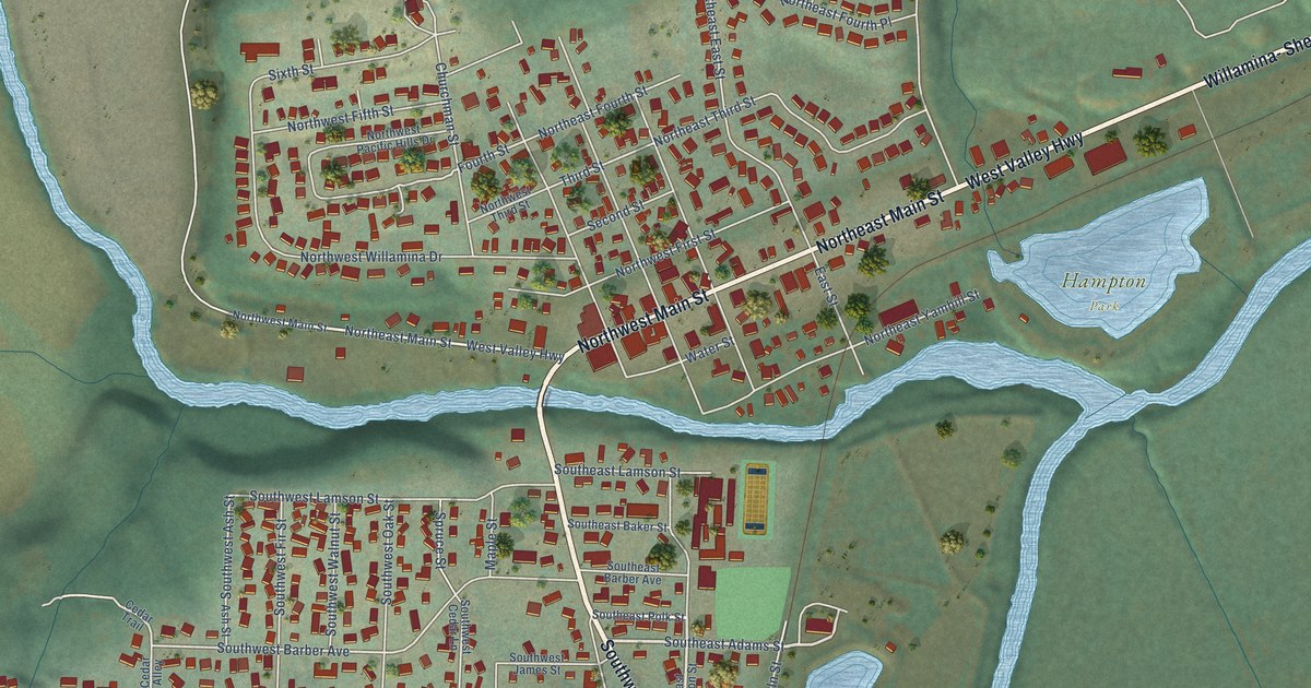
A detailed map of Willamina, Oregon, showing every building in its true location, the roads by name, and shaded topographical relief.
Read More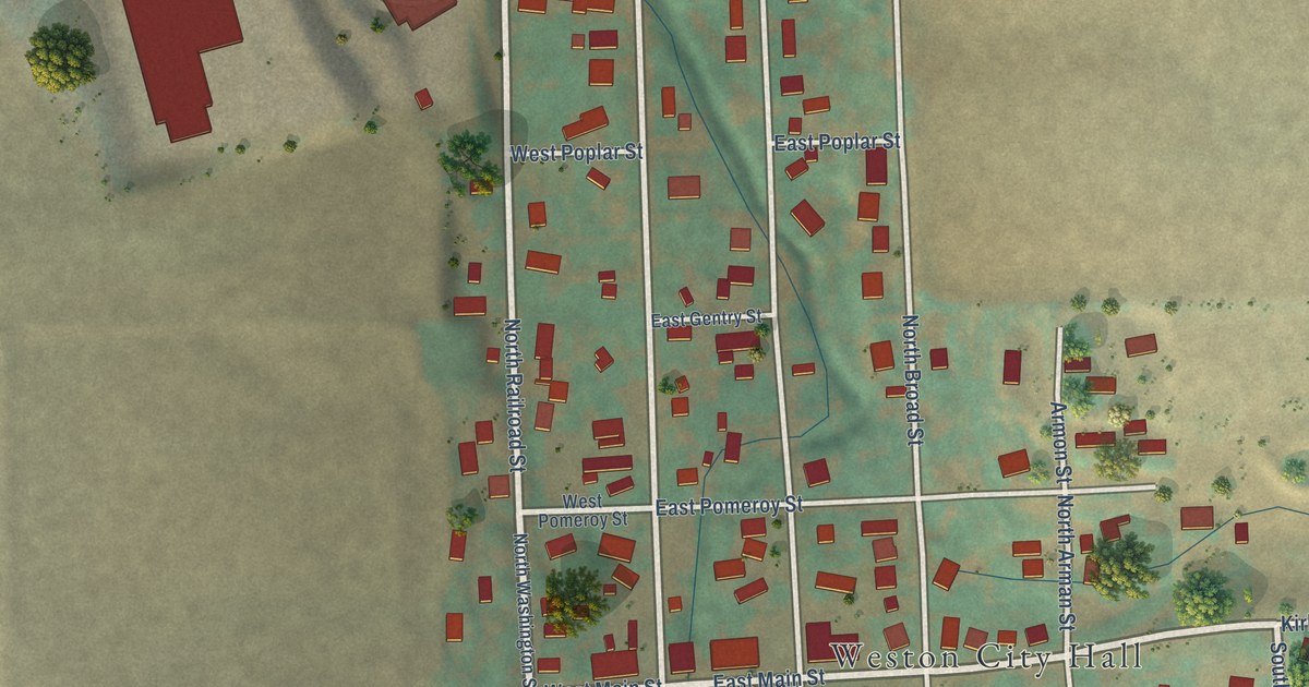
A detailed map of Weston, Oregon, showing every building in its true location, the roads by name, and shaded topographical relief.
Read More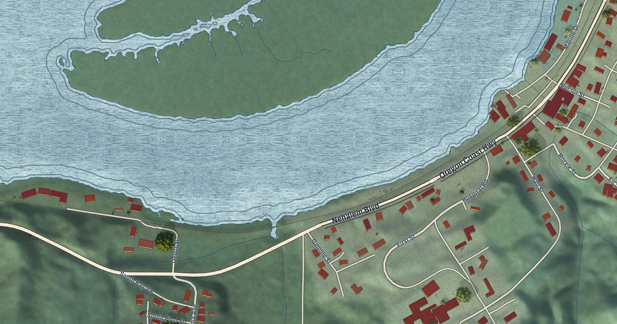
A detailed map of Wheeler, Oregon, showing every building in its true location, the roads by name, and shaded topographical relief.
Read More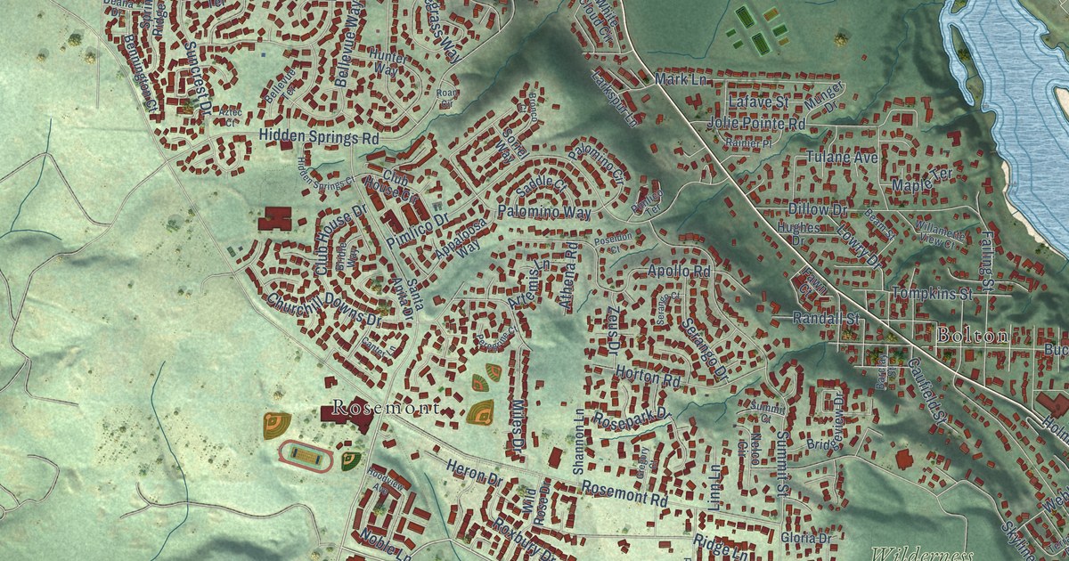
A detailed map of West Linn, Oregon, showing every building in its true location, the roads by name, and shaded topographical relief.
Read More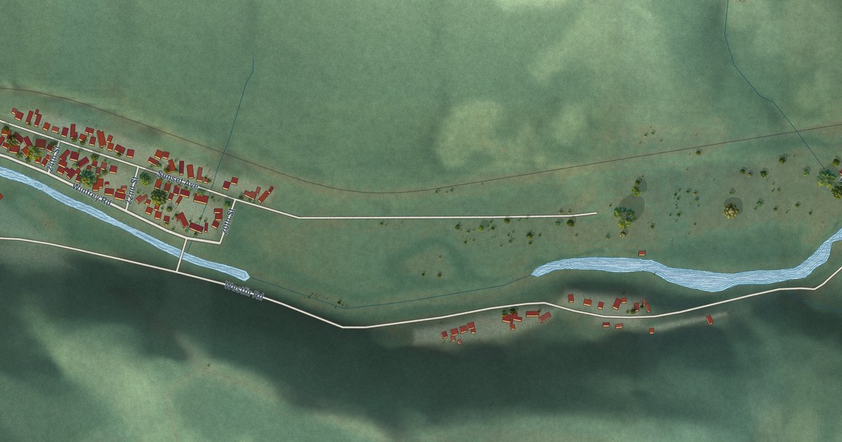
A detailed map of Westfir, Oregon, showing every building in its true location, the roads by name, and shaded topographical relief.
Read More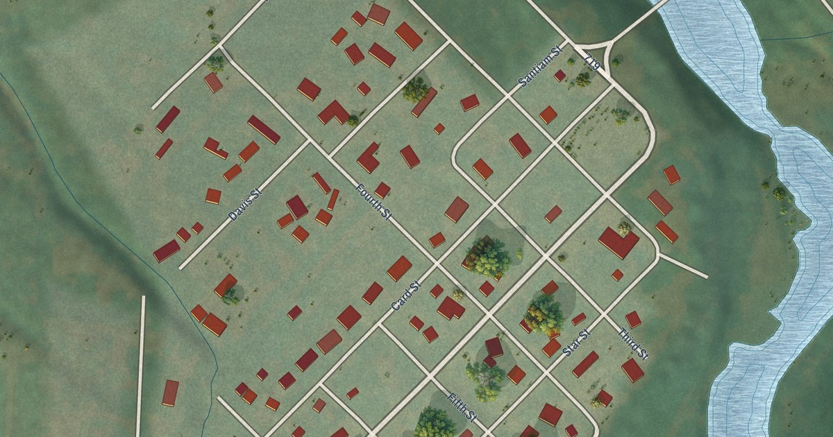
A detailed map of Waterloo, Oregon, showing every building in its true location, the roads by name, and shaded topographical relief.
Read More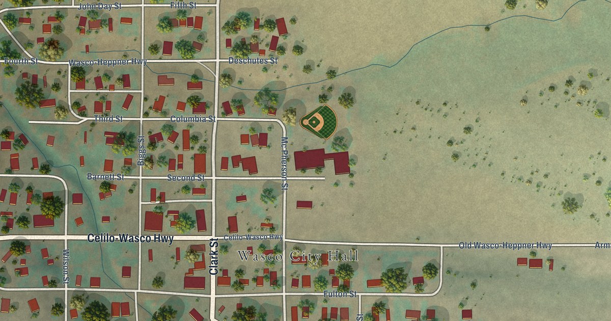
A detailed map of Wasco, Oregon, showing every building in its true location, the roads by name, and shaded topographical relief.
Read More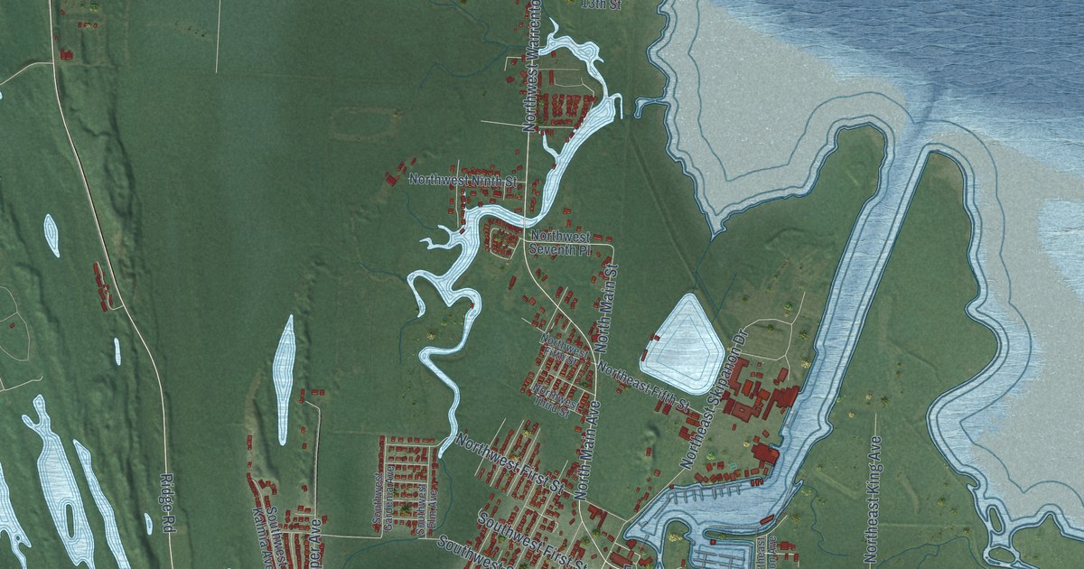
A detailed map of Warrenton, Oregon, showing every building in its true location, the roads by name, and shaded topographical relief.
Read More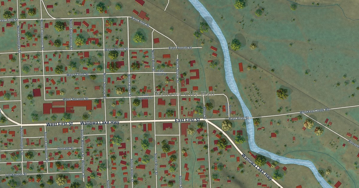
A detailed map of Wallowa, Oregon, showing every building in its true location, the roads by name, and shaded topographical relief.
Read More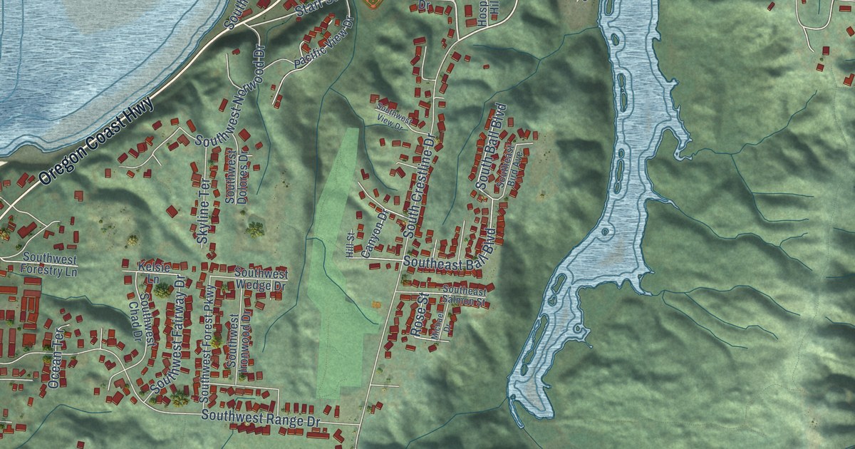
A detailed map of Waldport, Oregon, showing every building in its true location, the roads by name, and shaded topographical relief.
Read More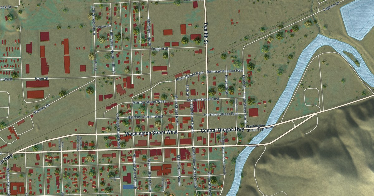
A detailed map of Vale, Oregon, showing every building in its true location, the roads by name, and shaded topographical relief.
Read More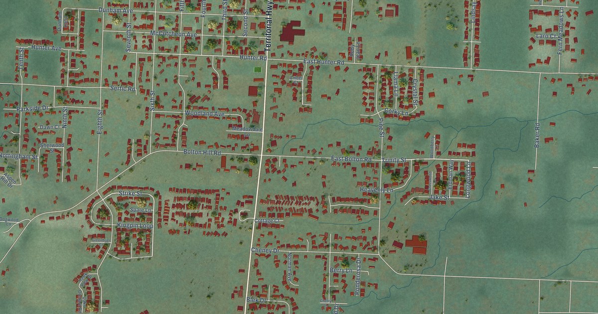
A detailed map of Veneta, Oregon, showing every building in its true location, the roads by name, and shaded topographical relief.
Read More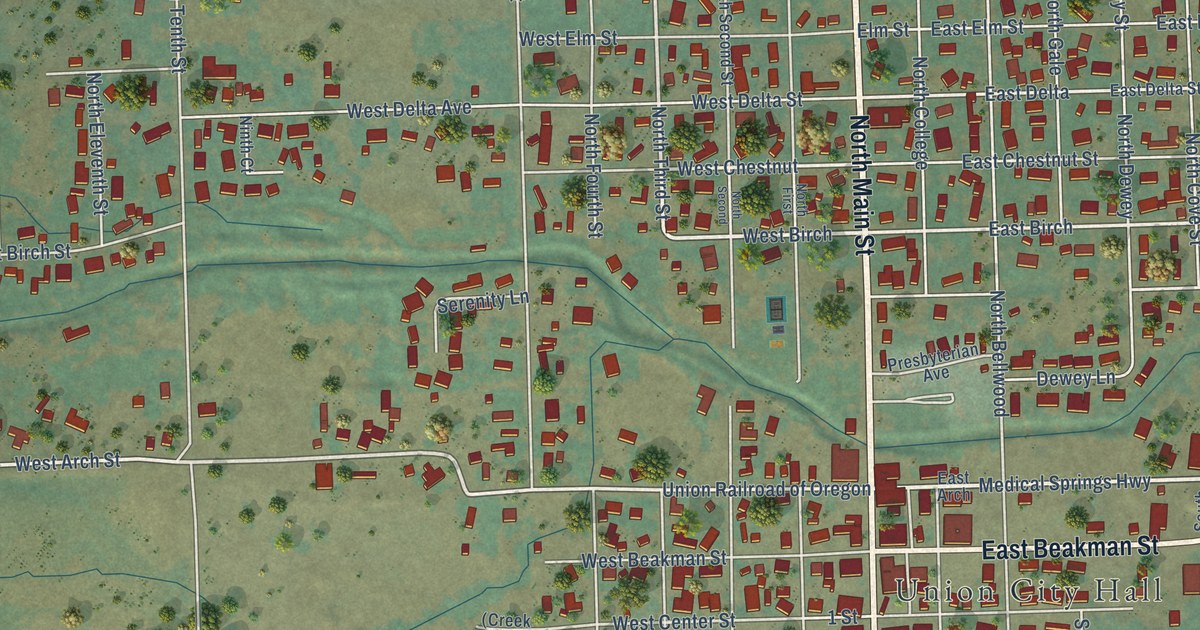
A detailed map of Union, Oregon, showing every building in its true location, the roads by name, and shaded topographical relief.
Read More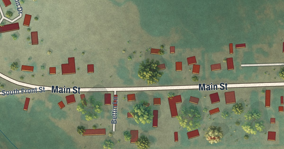
A detailed map of Unity, Oregon, showing every building in its true location, the roads by name, and shaded topographical relief.
Read More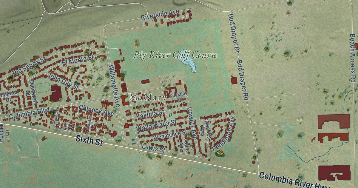
A detailed map of Umatilla, Oregon, showing every building in its true location, the roads by name, and shaded topographical relief.
Read More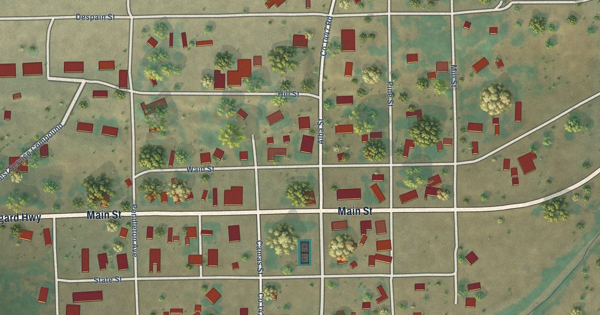
A detailed map of Ukiah, Oregon, showing every building in its true location, the roads by name, and shaded topographical relief.
Read More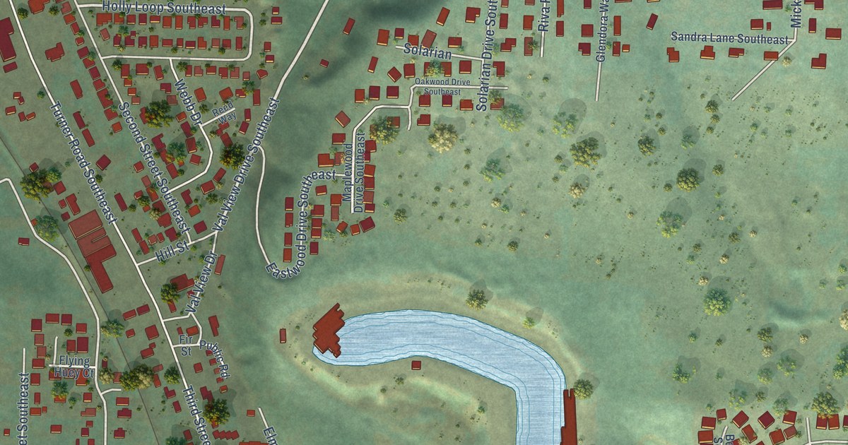
A detailed map of Turner, Oregon, showing every building in its true location, the roads by name, and shaded topographical relief.
Read More















