Detailed Map of Cedar Mill, Oregon
A detailed map of Cedar Mill, Oregon, showing every building in its true location, the roads by name, and shaded topographical relief.
Read More
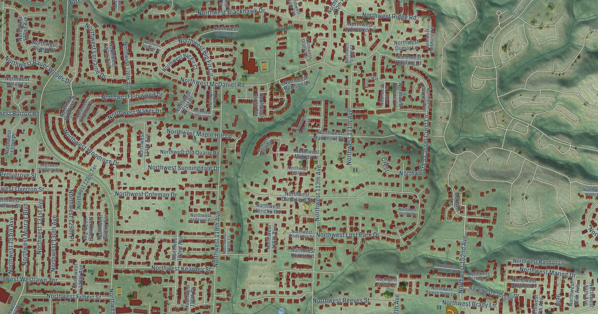
A detailed map of Cedar Mill, Oregon, showing every building in its true location, the roads by name, and shaded topographical relief.
Read More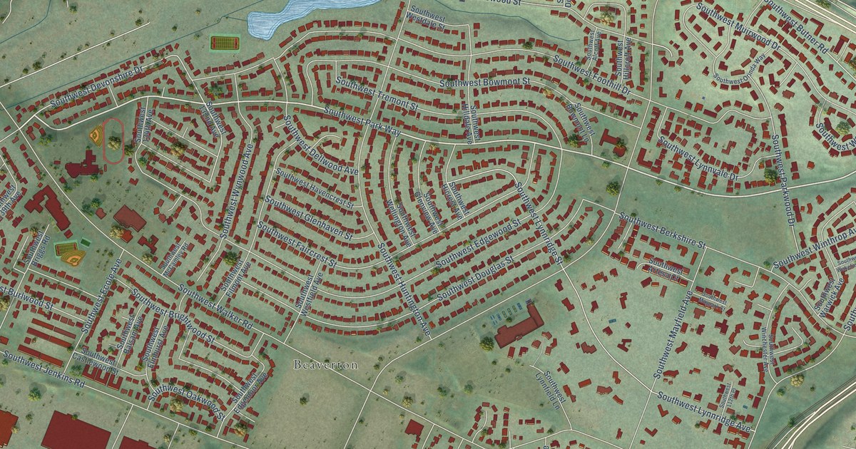
A detailed map of Cedar Hills, Oregon, showing every building in its true location, the roads by name, and shaded topographical relief.
Read More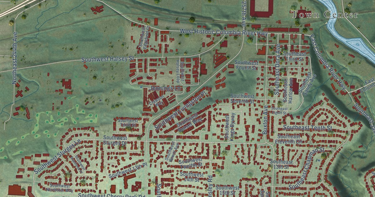
A detailed map of Troutdale, Oregon, showing every building in its true location, the roads by name, and shaded topographical relief.
Read More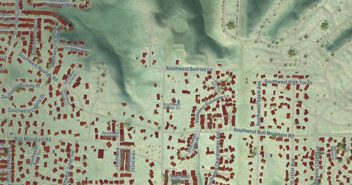
A detailed map of Bull Mountain, Oregon, showing every building in its true location, the roads by name, and shaded topographical relief.
Read More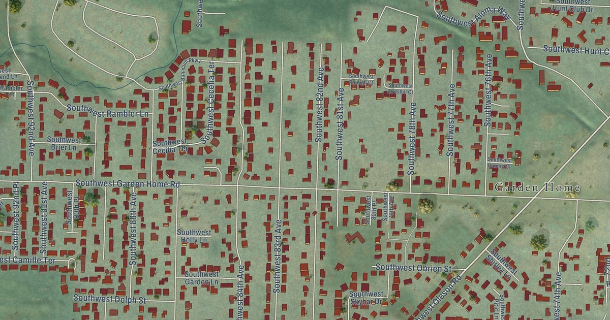
A detailed map of Garden Home-Whitford, Oregon, showing every building in its true location, the roads by name, and shaded topographical relief.
Read More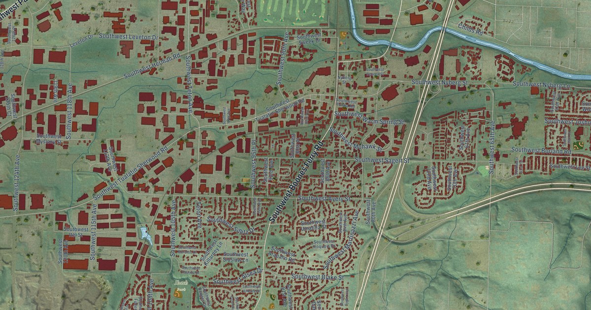
A detailed map of Tualatin, Oregon, showing every building in its true location, the roads by name, and shaded topographical relief.
Read More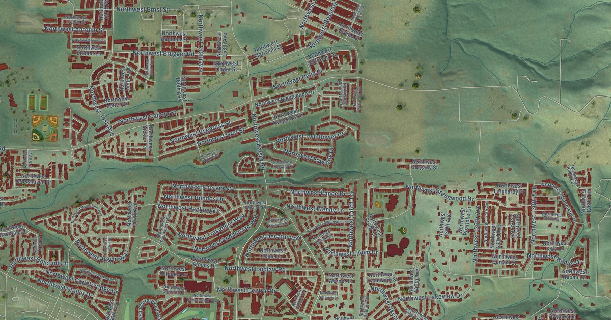
A detailed map of Bethany, Oregon, showing every building in its true location, the roads by name, and shaded topographical relief.
Read More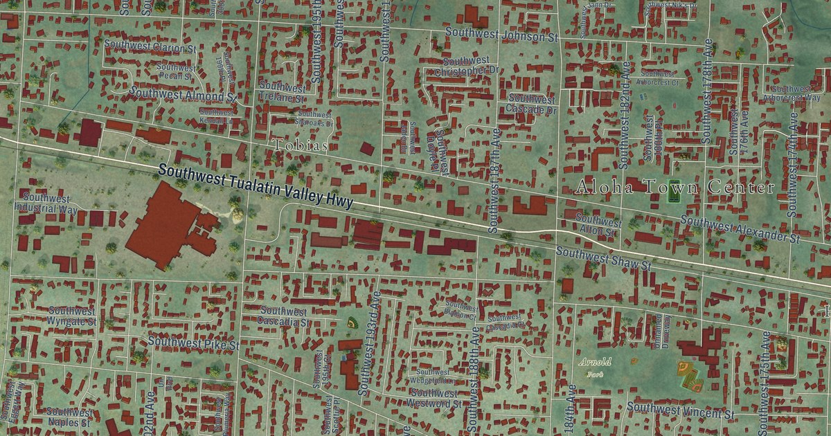
A detailed map of Aloha, Oregon, showing every building in its true location, the roads by name, and shaded topographical relief.
Read More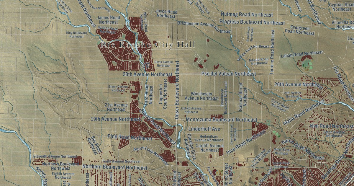
A detailed map of Rio Rancho, New Mexico, showing every building in its true location, the roads by name, and shaded topographical relief.
Read More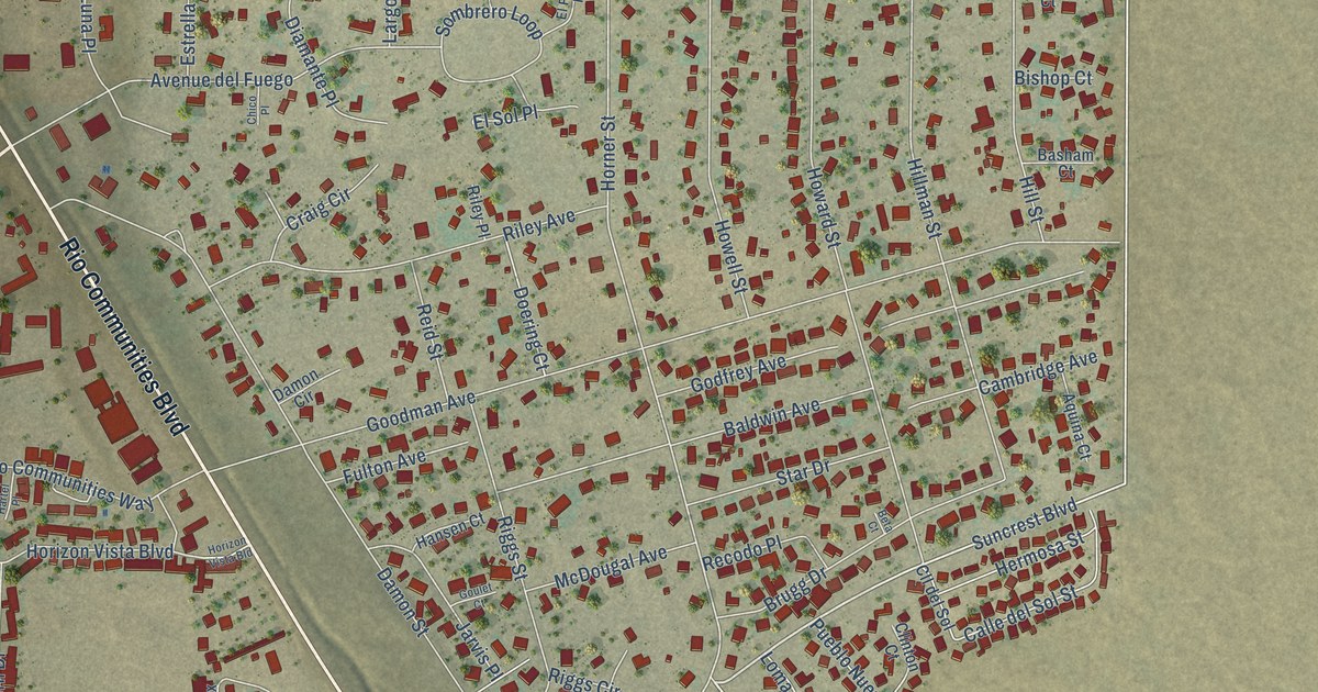
A detailed map of Rio Communities, New Mexico, showing every building in its true location, the roads by name, and shaded topographical relief.
Read More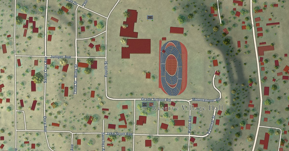
A detailed map of Reserve, New Mexico, showing every building in its true location, the roads by name, and shaded topographical relief.
Read More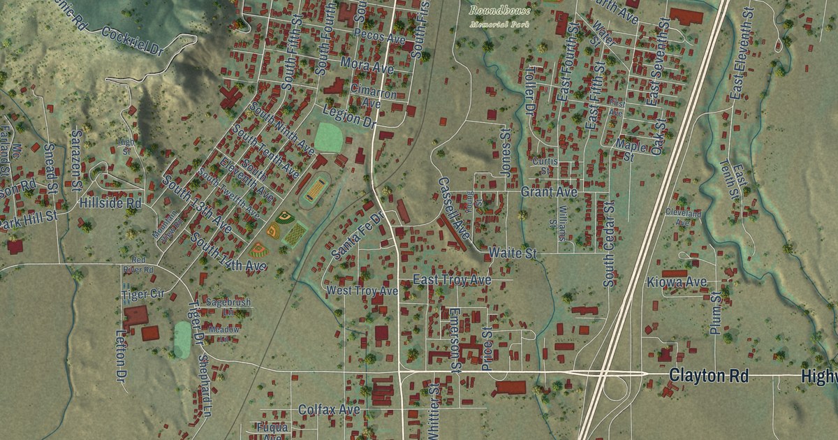
A detailed map of Raton, New Mexico, showing every building in its true location, the roads by name, and shaded topographical relief.
Read More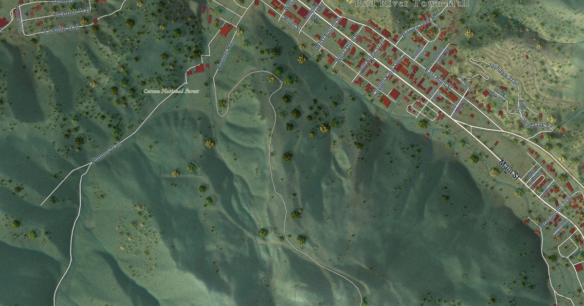
A detailed map of Red River, New Mexico, showing every building in its true location, the roads by name, and shaded topographical relief.
Read More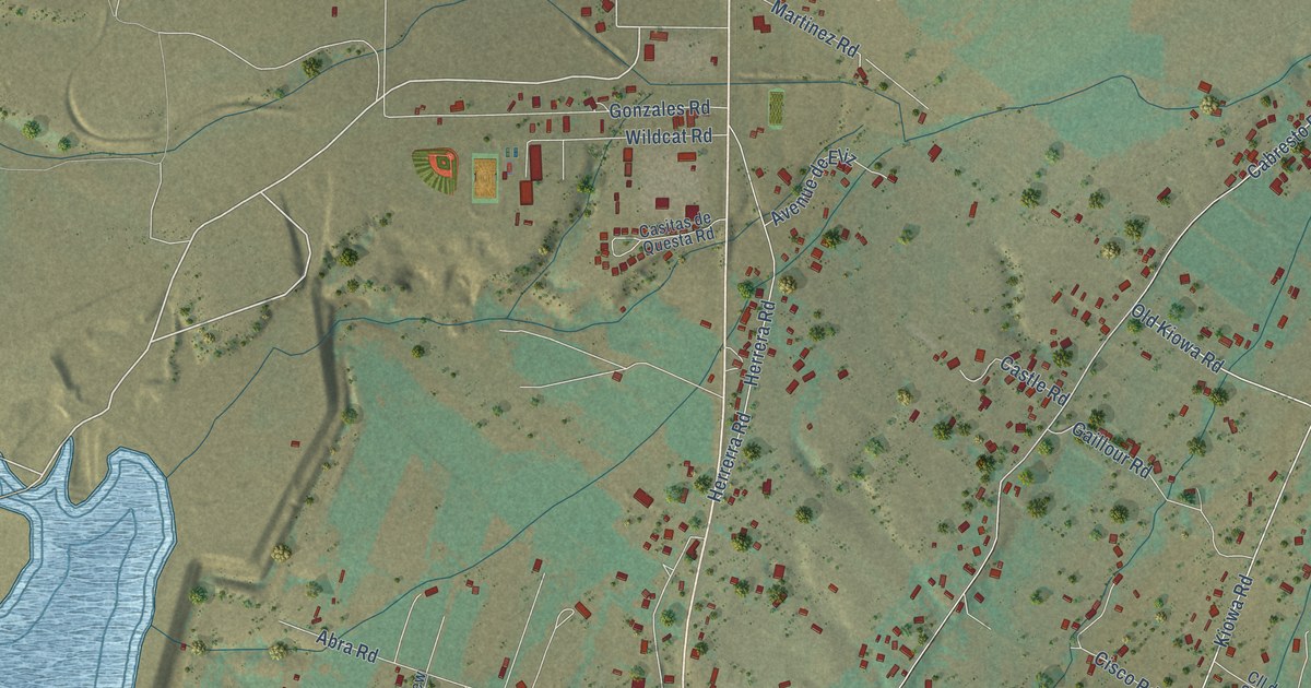
A detailed map of Questa, New Mexico, showing every building in its true location, the roads by name, and shaded topographical relief.
Read More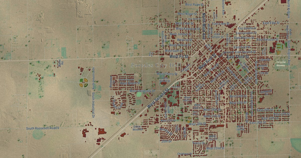
A detailed map of Portales, New Mexico, showing every building in its true location, the roads by name, and shaded topographical relief.
Read More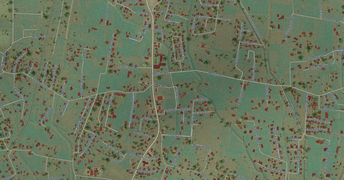
A detailed map of Peralta, New Mexico, showing every building in its true location, the roads by name, and shaded topographical relief.
Read More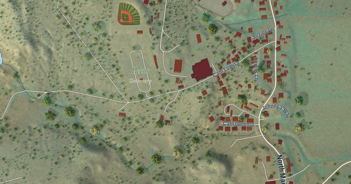
A detailed map of Pecos, New Mexico, showing every building in its true location, the roads by name, and shaded topographical relief.
Read More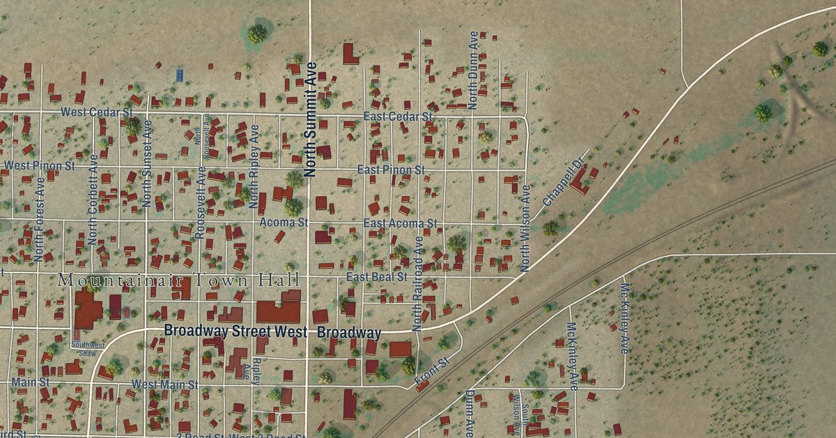
A detailed map of Mountainair, New Mexico, showing every building in its true location, the roads by name, and shaded topographical relief.
Read More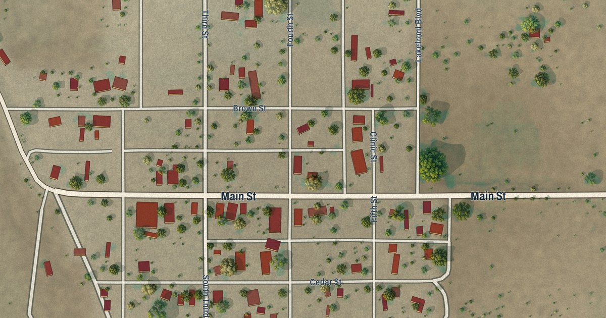
A detailed map of Mosquero, New Mexico, showing every building in its true location, the roads by name, and shaded topographical relief.
Read More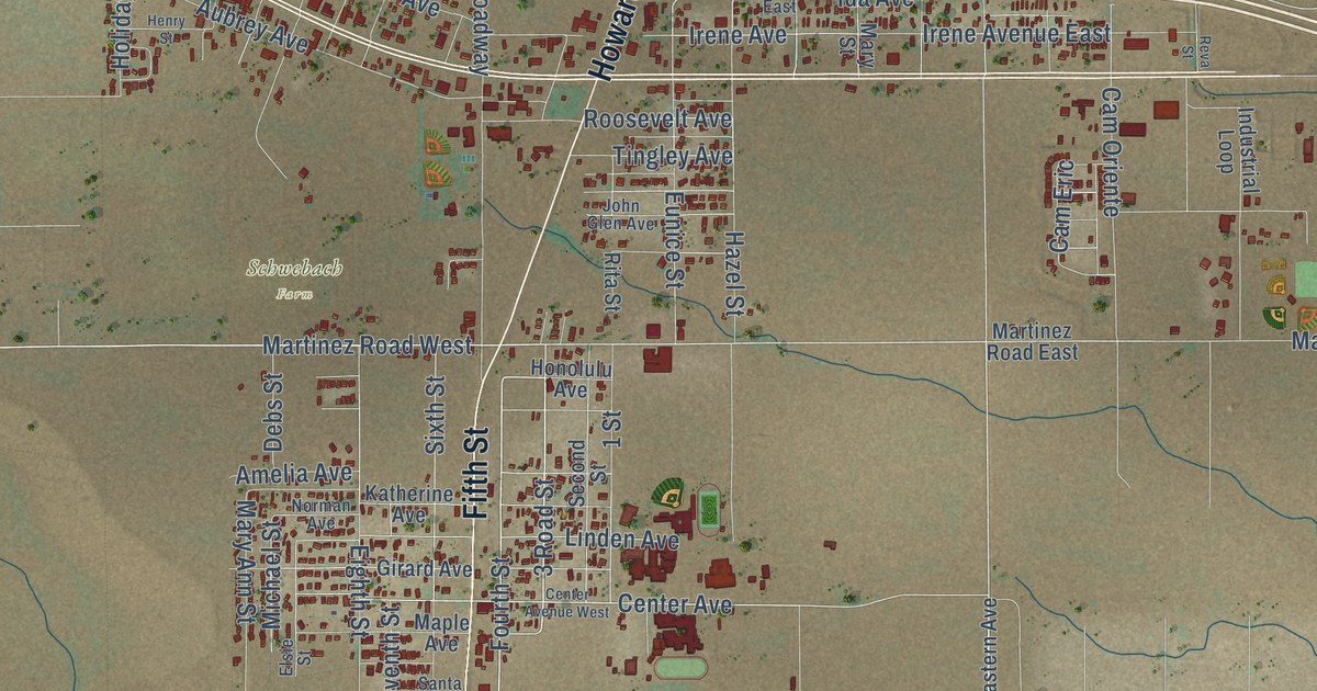
A detailed map of Moriarty, New Mexico, showing every building in its true location, the roads by name, and shaded topographical relief.
Read More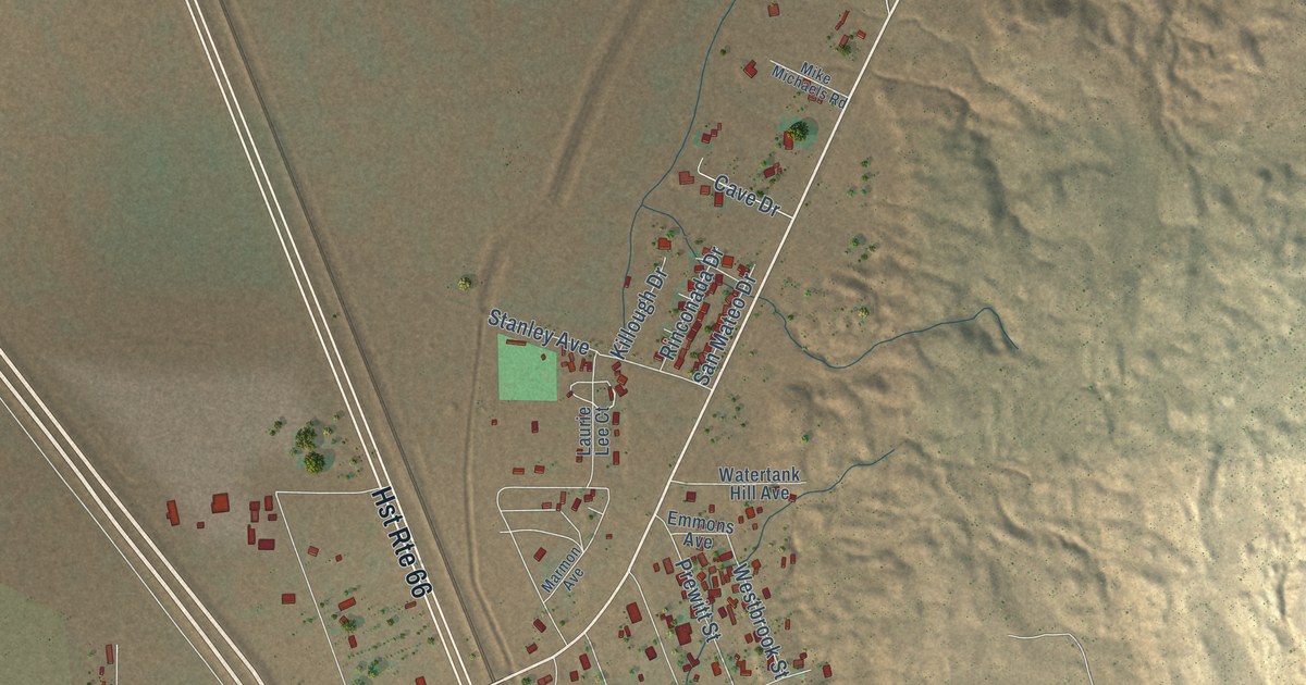
A detailed map of Milan, New Mexico, showing every building in its true location, the roads by name, and shaded topographical relief.
Read More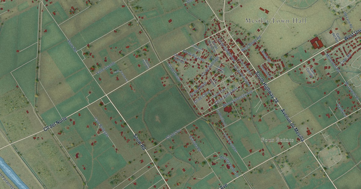
A detailed map of Mesilla, New Mexico, showing every building in its true location, the roads by name, and shaded topographical relief.
Read More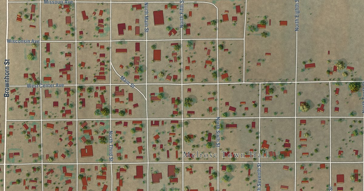
A detailed map of Melrose, New Mexico, showing every building in its true location, the roads by name, and shaded topographical relief.
Read More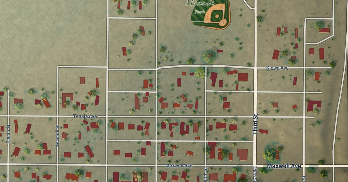
A detailed map of Maxwell, New Mexico, showing every building in its true location, the roads by name, and shaded topographical relief.
Read More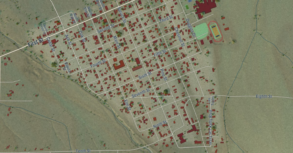
A detailed map of Magdalena, New Mexico, showing every building in its true location, the roads by name, and shaded topographical relief.
Read More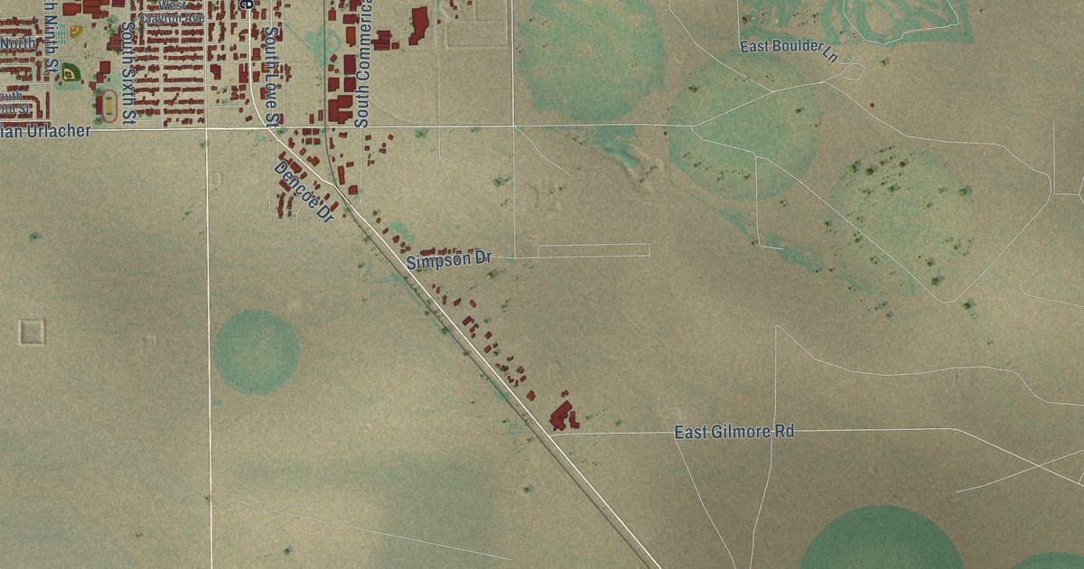
A detailed map of Lovington, New Mexico, showing every building in its true location, the roads by name, and shaded topographical relief.
Read More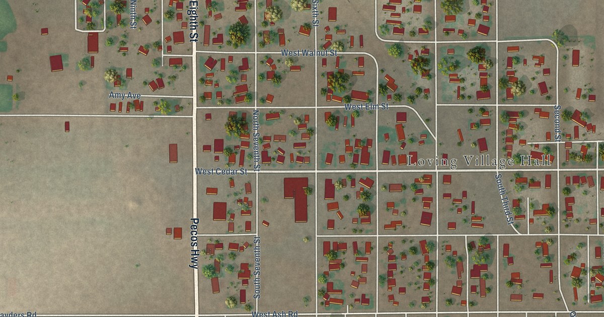
A detailed map of Loving, New Mexico, showing every building in its true location, the roads by name, and shaded topographical relief.
Read More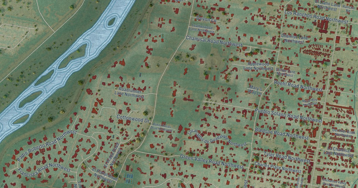
A detailed map of Los Ranchos de Albuquerque, New Mexico, showing every building in its true location, the roads by name, and shaded topographical relief.
Read More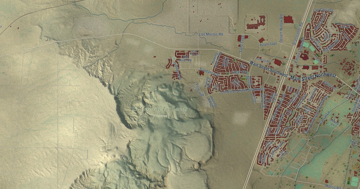
A detailed map of Los Lunas, New Mexico, showing every building in its true location, the roads by name, and shaded topographical relief.
Read More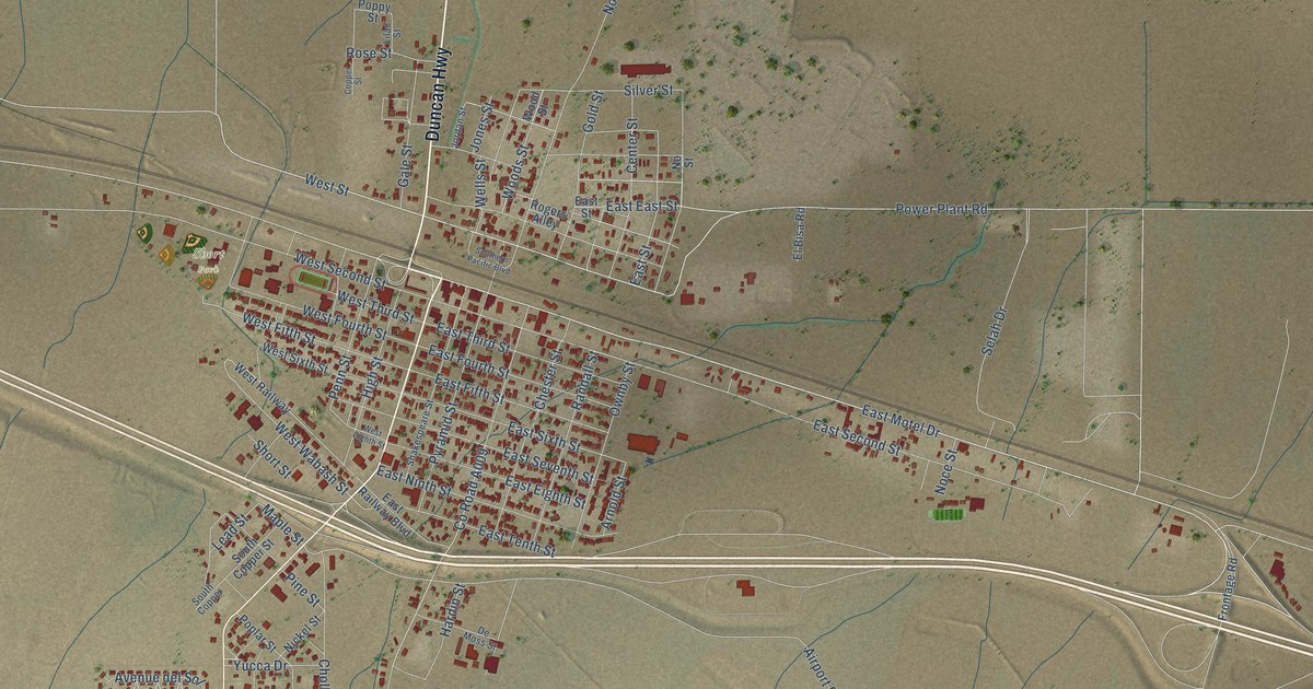
A detailed map of Lordsburg, New Mexico, showing every building in its true location, the roads by name, and shaded topographical relief.
Read More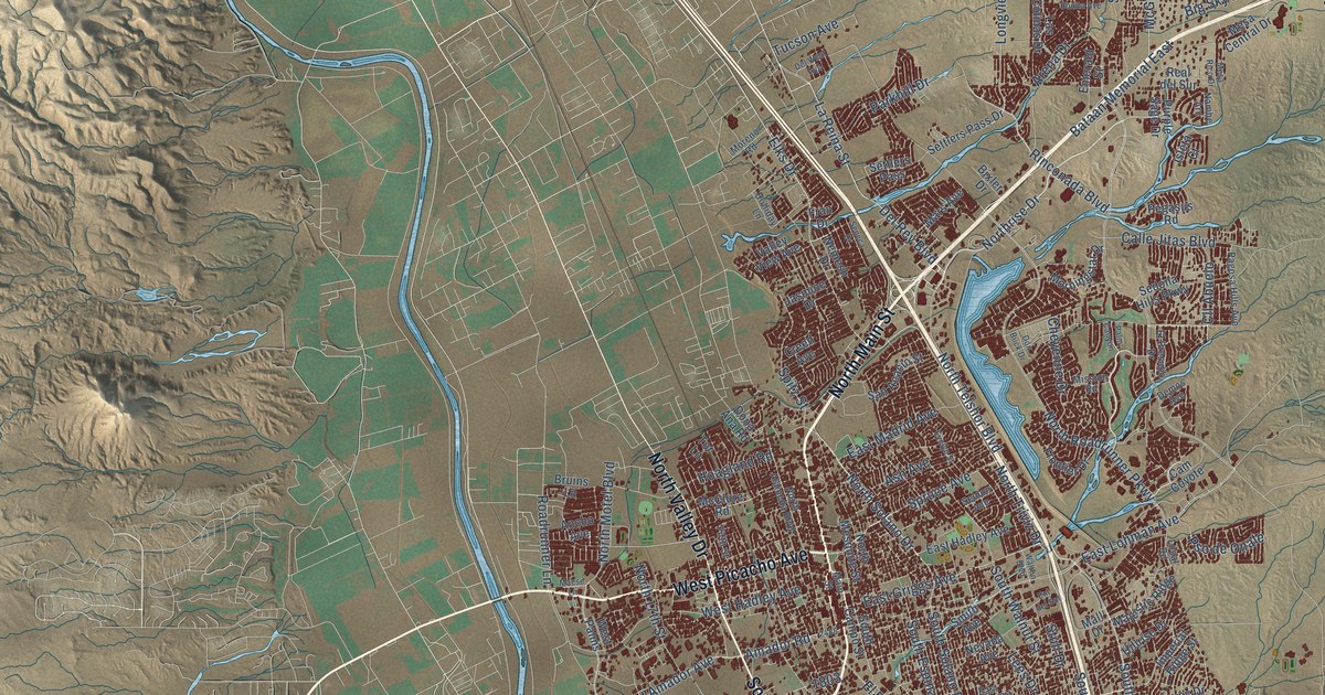
A detailed map of Las Cruces, New Mexico, showing every building in its true location, the roads by name, and shaded topographical relief.
Read More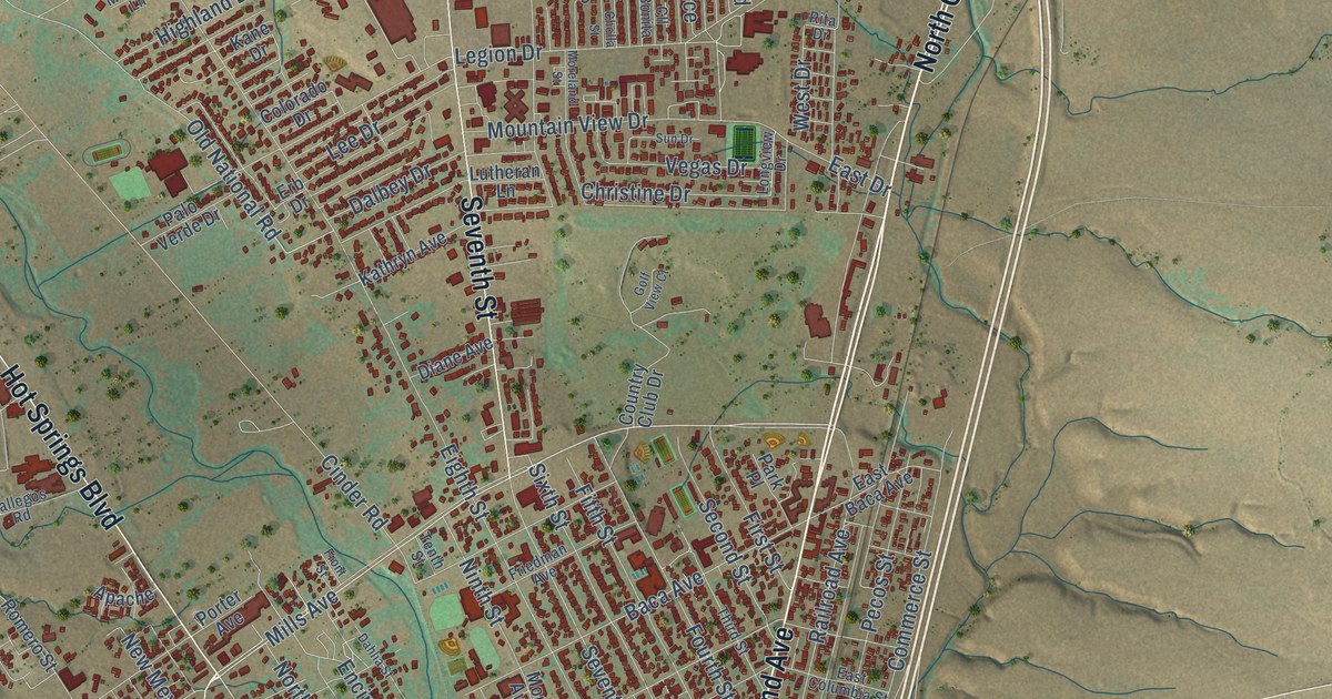
A detailed map of Las Vegas, New Mexico, showing every building in its true location, the roads by name, and shaded topographical relief.
Read More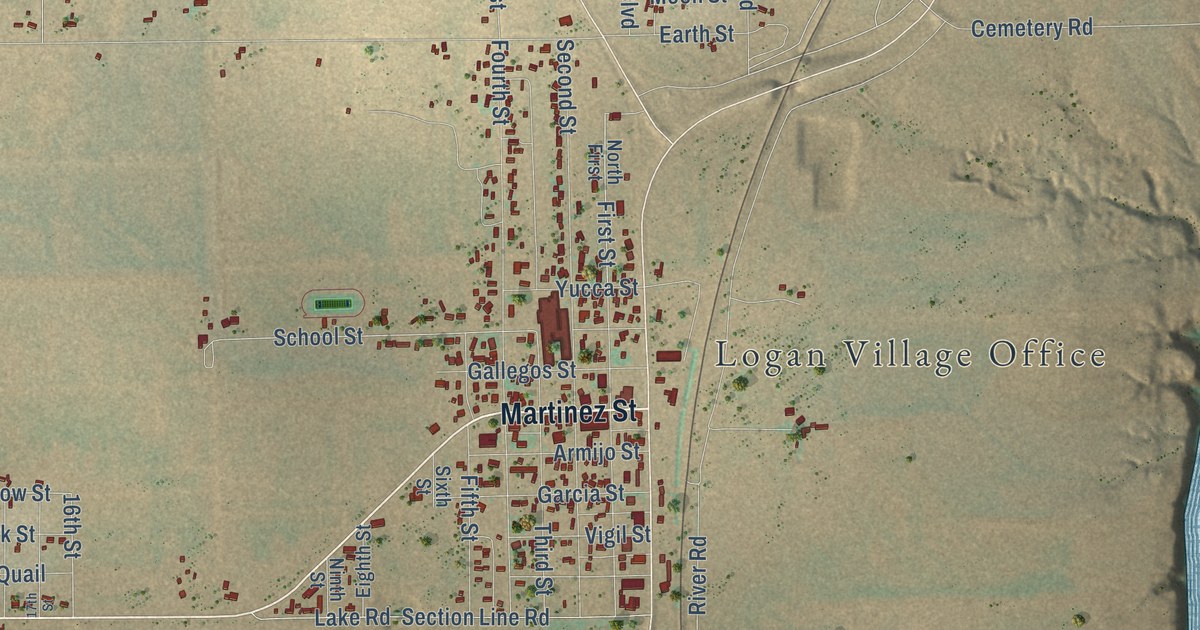
A detailed map of Logan, New Mexico, showing every building in its true location, the roads by name, and shaded topographical relief.
Read More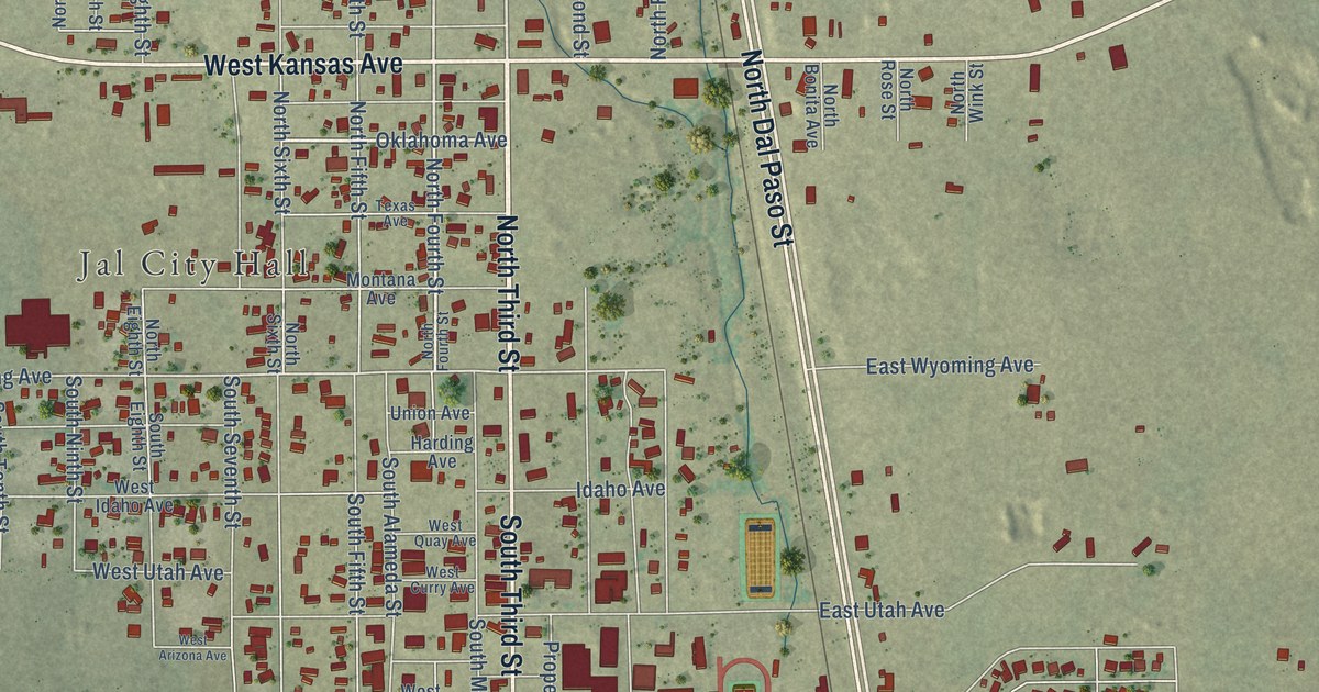
A detailed map of Jal, New Mexico, showing every building in its true location, the roads by name, and shaded topographical relief.
Read More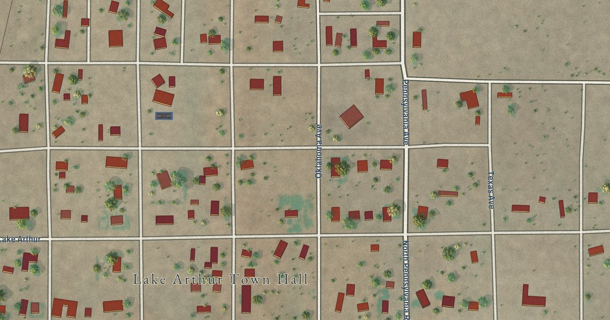
A detailed map of Lake Arthur, New Mexico, showing every building in its true location, the roads by name, and shaded topographical relief.
Read More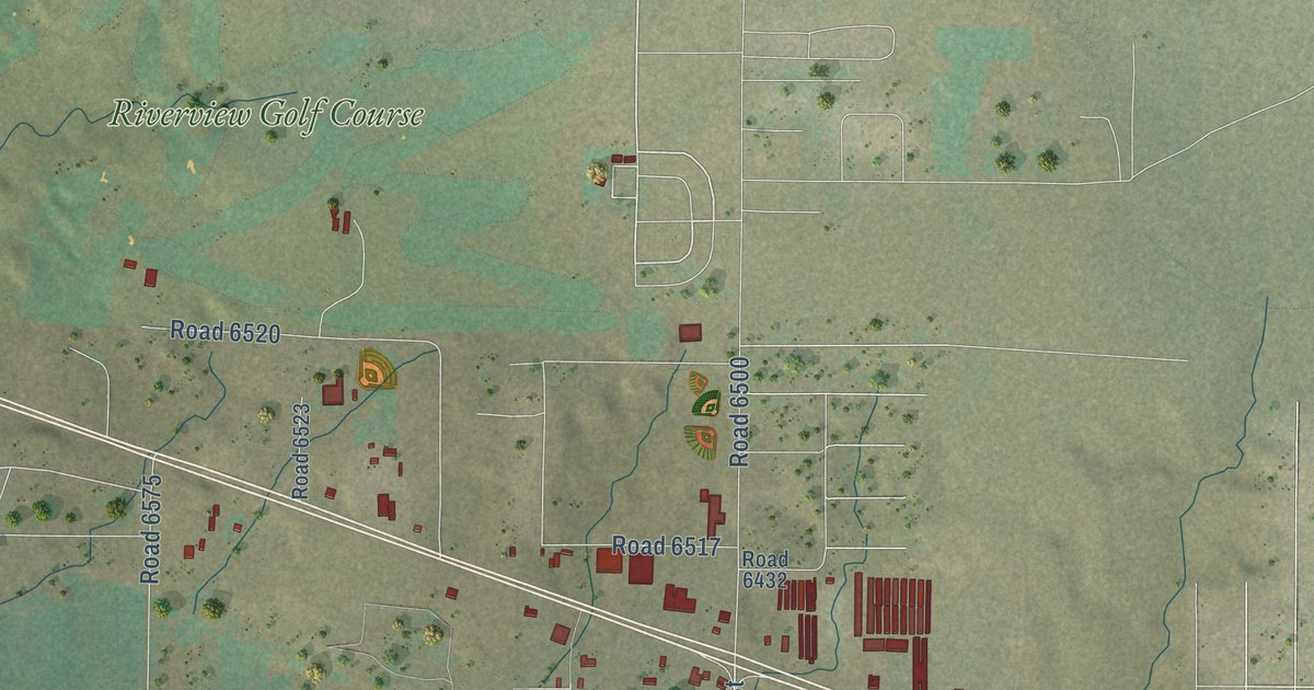
A detailed map of Kirtland, New Mexico, showing every building in its true location, the roads by name, and shaded topographical relief.
Read More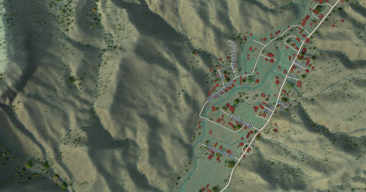
A detailed map of Jemez Springs, New Mexico, showing every building in its true location, the roads by name, and shaded topographical relief.
Read More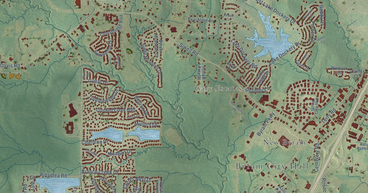
A detailed map of Byram, Mississippi, showing every building in its true location, the roads by name, and shaded topographical relief.
Read More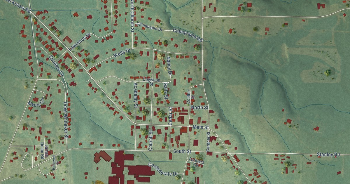
A detailed map of Caledonia, Mississippi, showing every building in its true location, the roads by name, and shaded topographical relief.
Read More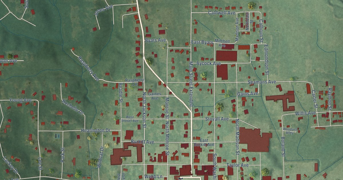
A detailed map of Calhoun City, Mississippi, showing every building in its true location, the roads by name, and shaded topographical relief.
Read More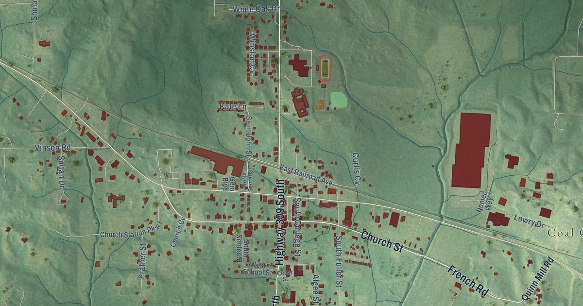
A detailed map of Byhalia, Mississippi, showing every building in its true location, the roads by name, and shaded topographical relief.
Read More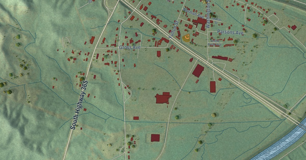
A detailed map of Burnsville, Mississippi, showing every building in its true location, the roads by name, and shaded topographical relief.
Read More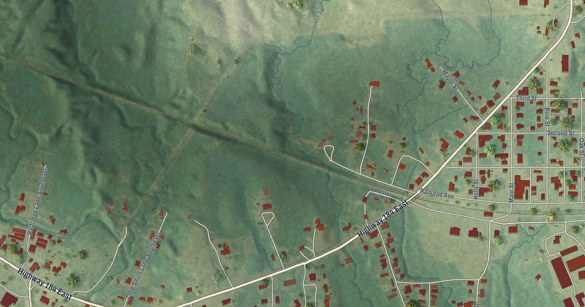
A detailed map of Bude, Mississippi, showing every building in its true location, the roads by name, and shaded topographical relief.
Read More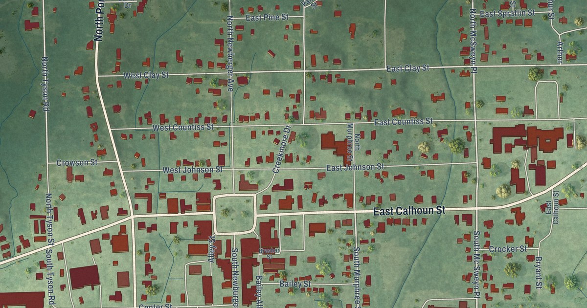
A detailed map of Bruce, Mississippi, showing every building in its true location, the roads by name, and shaded topographical relief.
Read More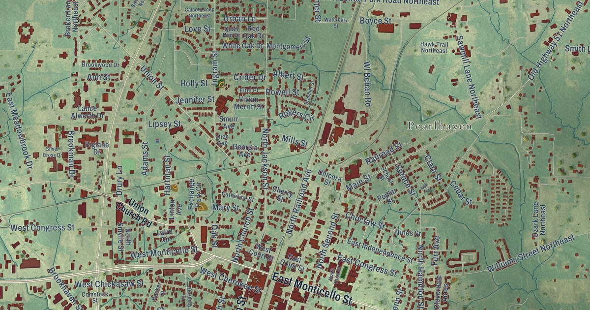
A detailed map of Brookhaven, Mississippi, showing every building in its true location, the roads by name, and shaded topographical relief.
Read More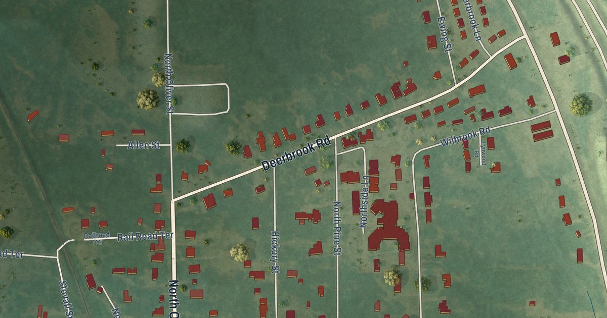
A detailed map of Brooksville, Mississippi, showing every building in its true location, the roads by name, and shaded topographical relief.
Read More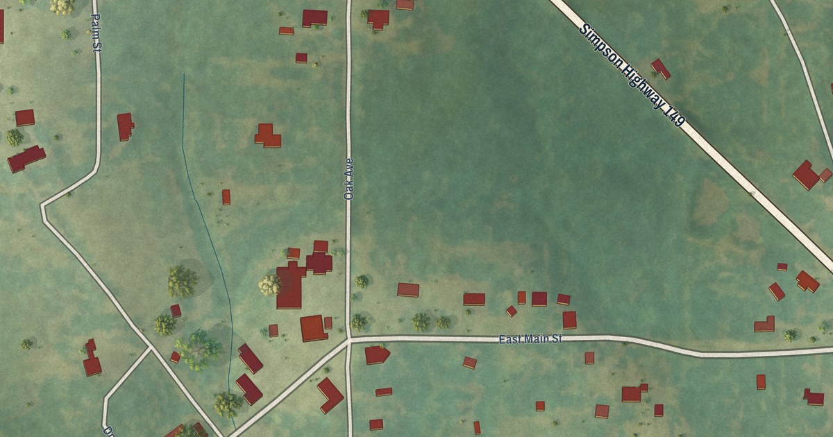
A detailed map of Braxton, Mississippi, showing every building in its true location, the roads by name, and shaded topographical relief.
Read More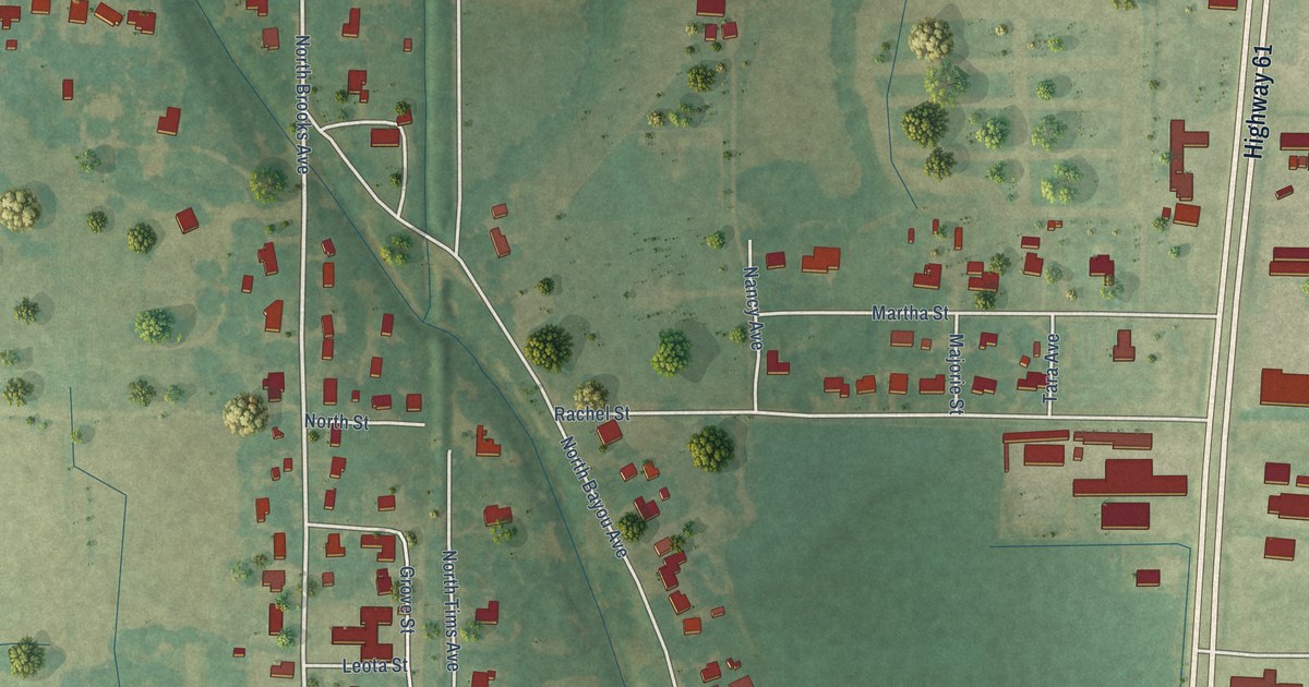
A detailed map of Boyle, Mississippi, showing every building in its true location, the roads by name, and shaded topographical relief.
Read More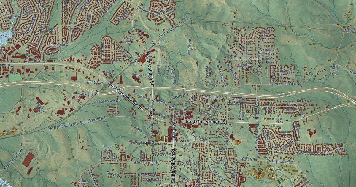
A detailed map of Brandon, Mississippi, showing every building in its true location, the roads by name, and shaded topographical relief.
Read More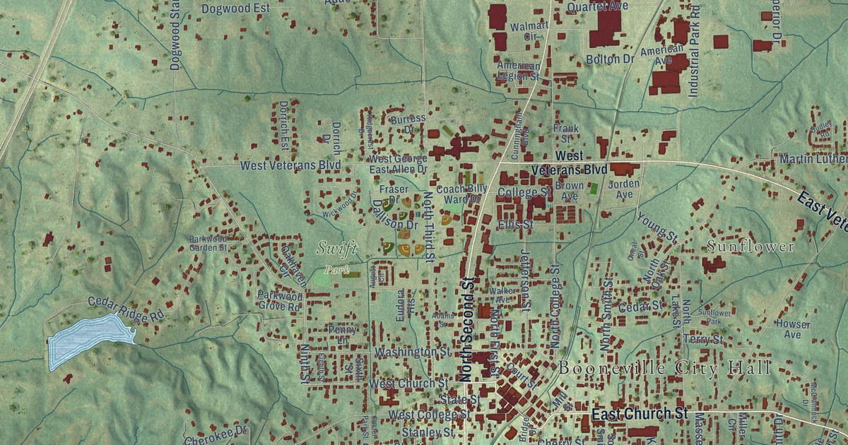
A detailed map of Booneville, Mississippi, showing every building in its true location, the roads by name, and shaded topographical relief.
Read More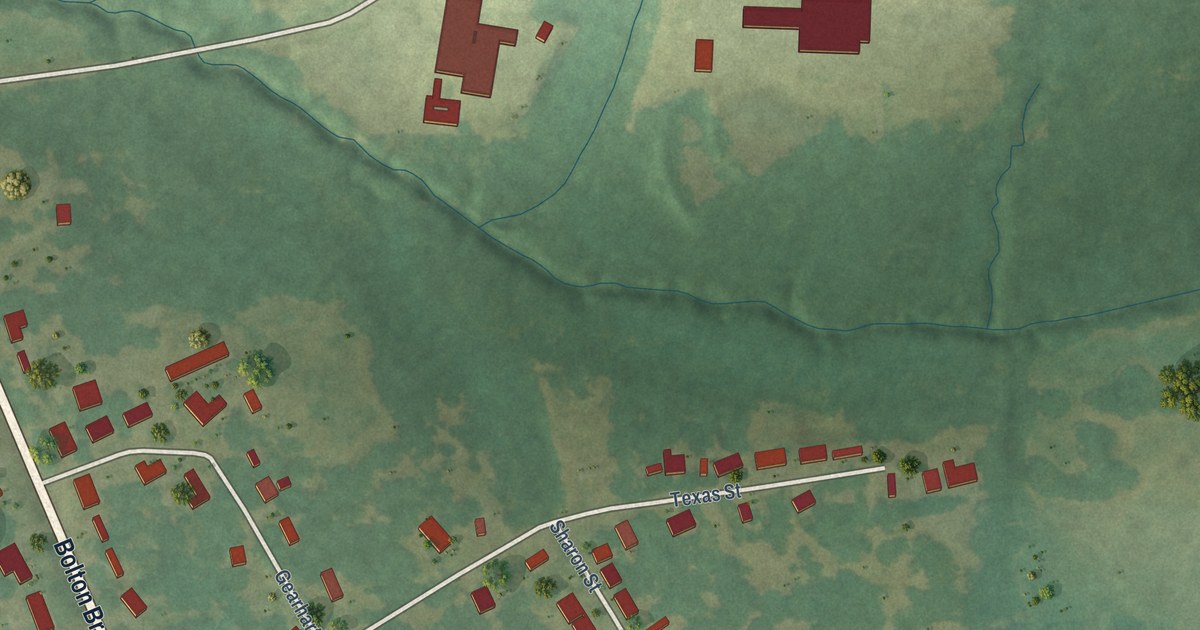
A detailed map of Bolton, Mississippi, showing every building in its true location, the roads by name, and shaded topographical relief.
Read More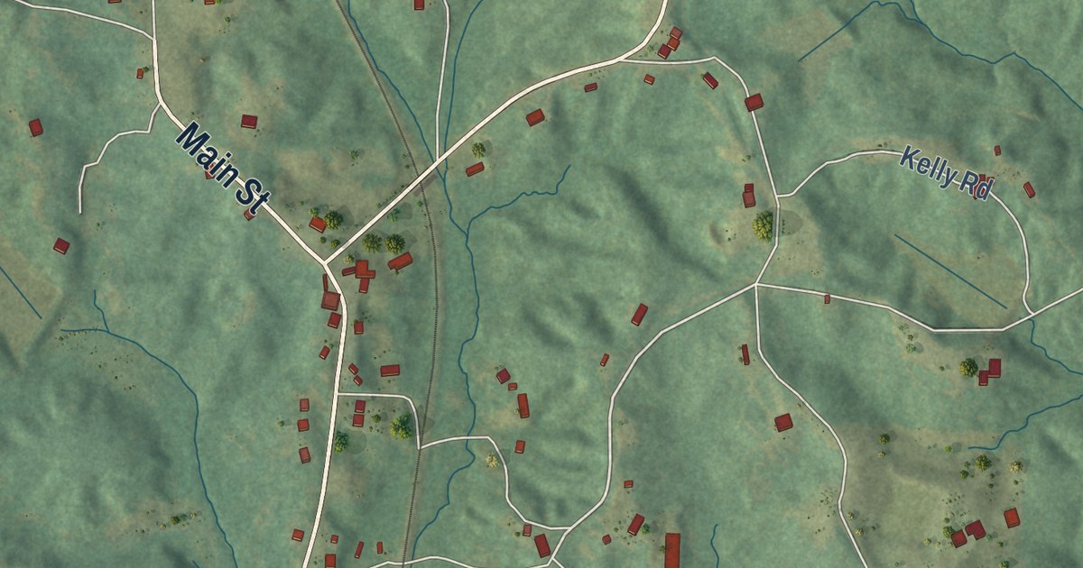
A detailed map of Blue Springs, Mississippi, showing every building in its true location, the roads by name, and shaded topographical relief.
Read More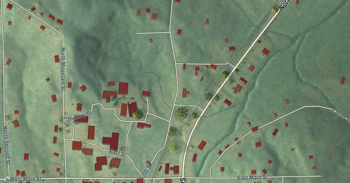
A detailed map of Blue Mountain, Mississippi, showing every building in its true location, the roads by name, and shaded topographical relief.
Read More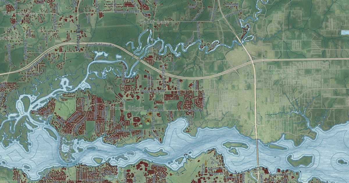
A detailed map of Biloxi, Mississippi, showing every building in its true location, the roads by name, and shaded topographical relief.
Read More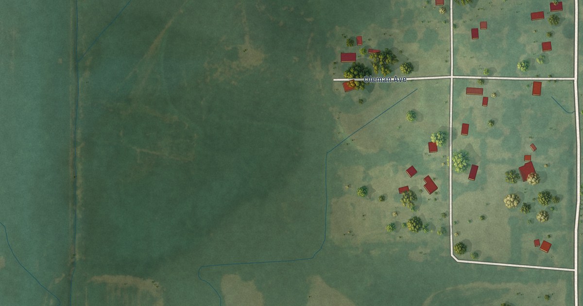
A detailed map of Big Creek, Mississippi, showing every building in its true location, the roads by name, and shaded topographical relief.
Read More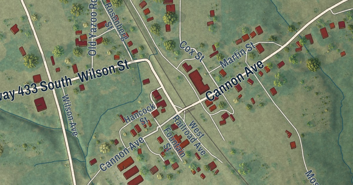
A detailed map of Bentonia, Mississippi, showing every building in its true location, the roads by name, and shaded topographical relief.
Read More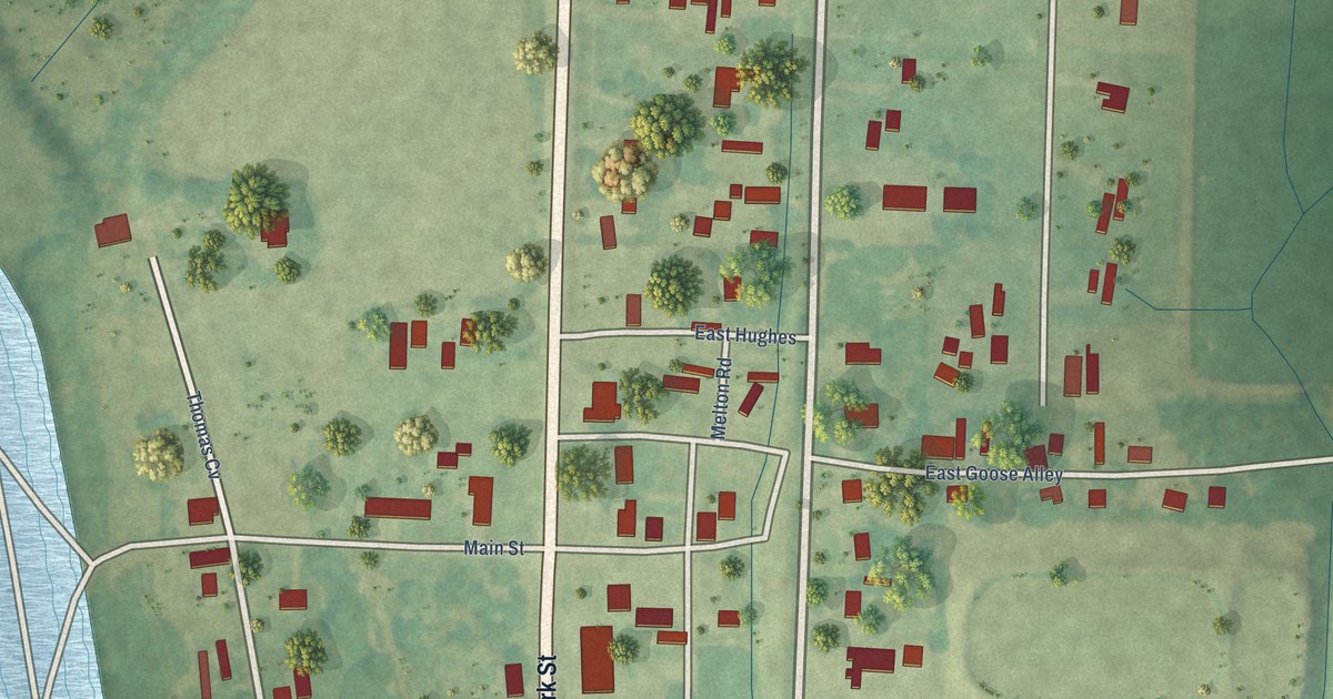
A detailed map of Beulah, Mississippi, showing every building in its true location, the roads by name, and shaded topographical relief.
Read More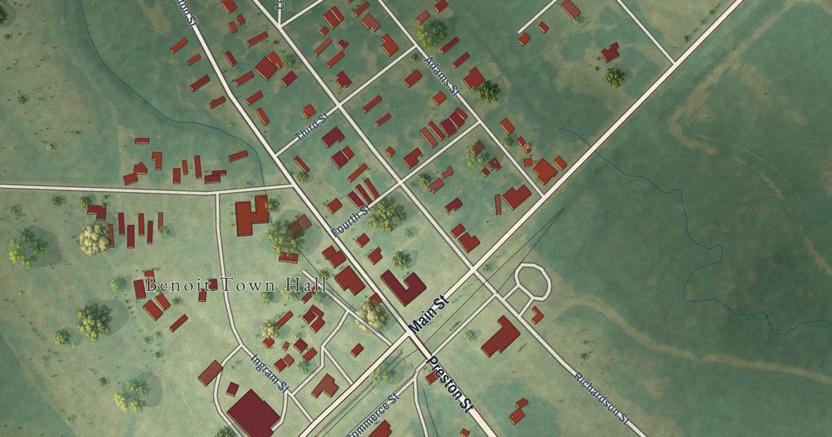
A detailed map of Benoit, Mississippi, showing every building in its true location, the roads by name, and shaded topographical relief.
Read More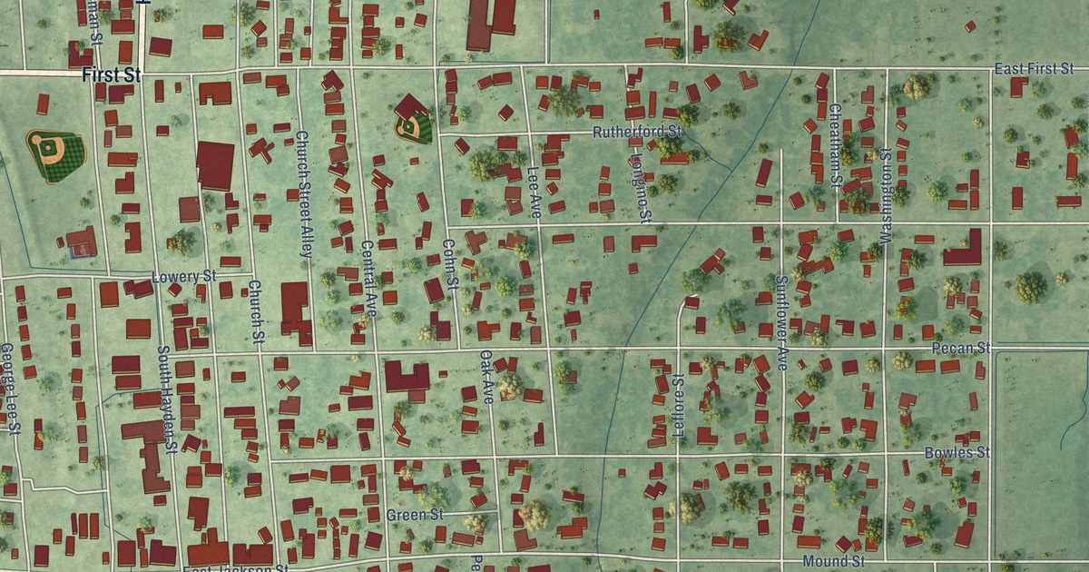
A detailed map of Belzoni, Mississippi, showing every building in its true location, the roads by name, and shaded topographical relief.
Read More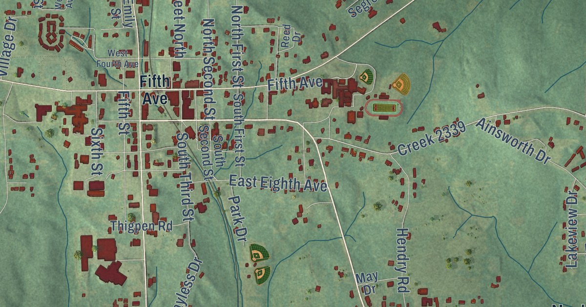
A detailed map of Bay Springs, Mississippi, showing every building in its true location, the roads by name, and shaded topographical relief.
Read More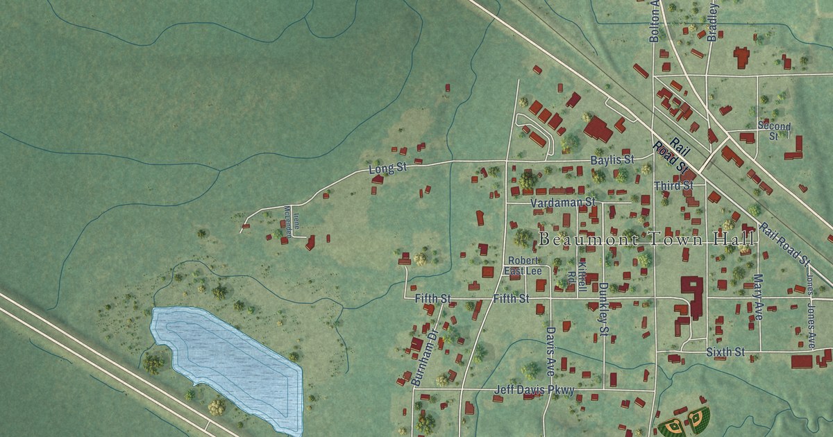
A detailed map of Beaumont, Mississippi, showing every building in its true location, the roads by name, and shaded topographical relief.
Read More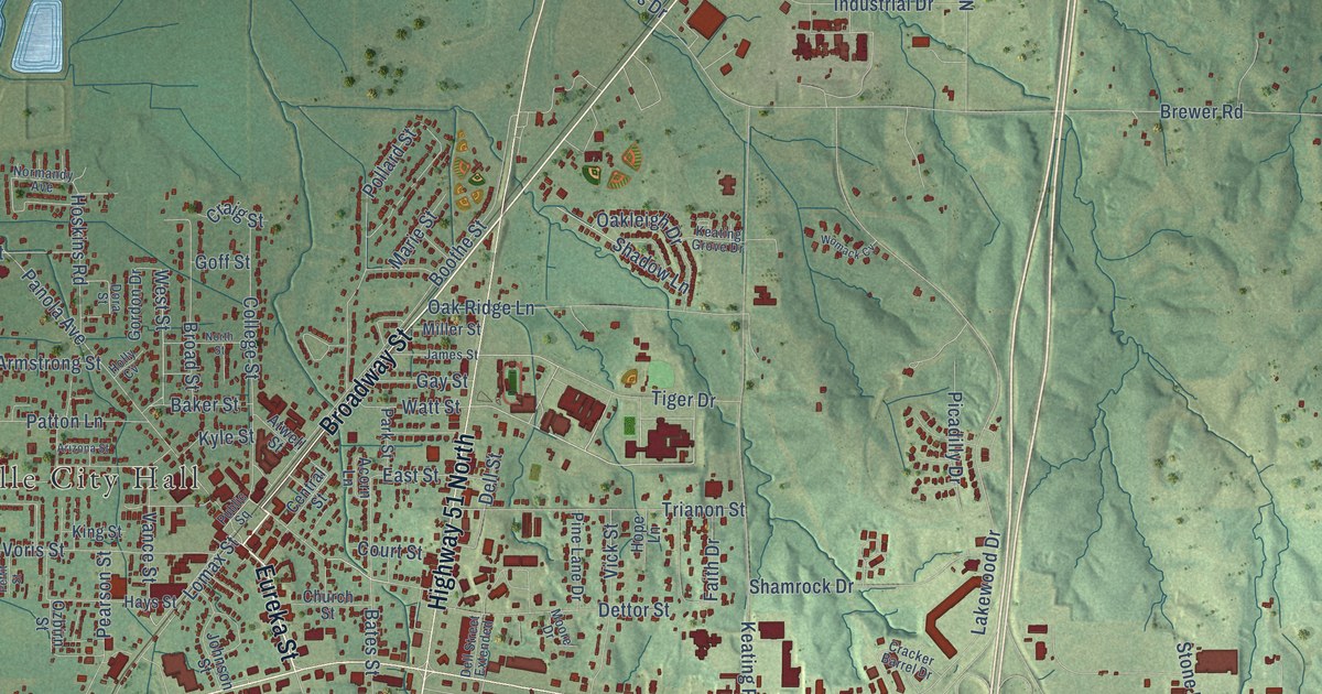
A detailed map of Batesville, Mississippi, showing every building in its true location, the roads by name, and shaded topographical relief.
Read More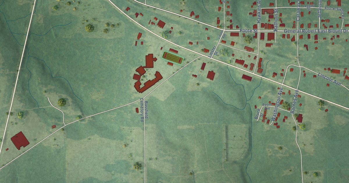
A detailed map of Bassfield, Mississippi, showing every building in its true location, the roads by name, and shaded topographical relief.
Read More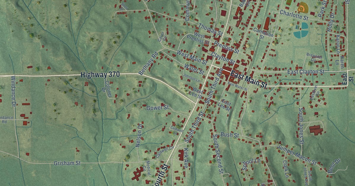
A detailed map of Baldwyn, Mississippi, showing every building in its true location, the roads by name, and shaded topographical relief.
Read More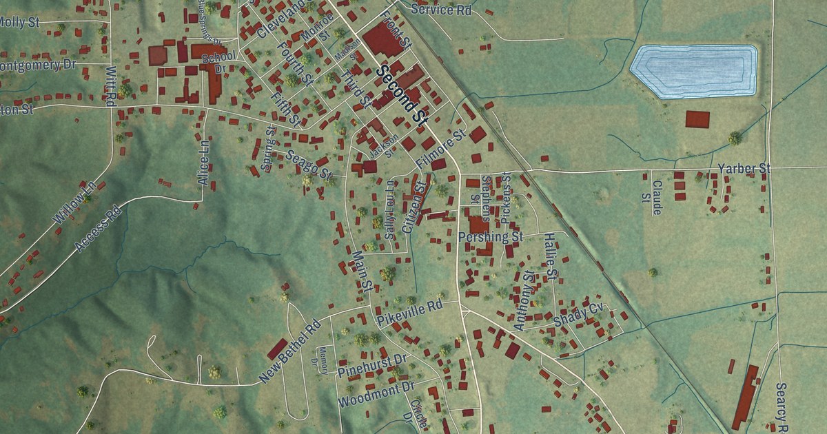
A detailed map of Belmont, Mississippi, showing every building in its true location, the roads by name, and shaded topographical relief.
Read More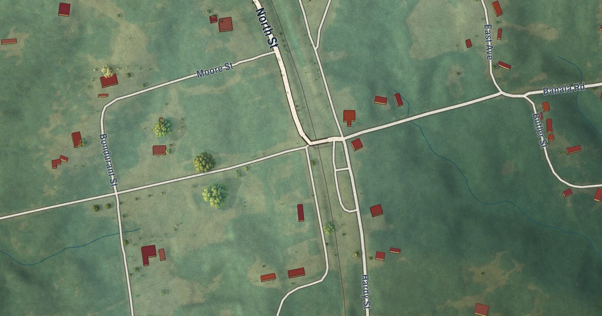
A detailed map of Beauregard, Mississippi, showing every building in its true location, the roads by name, and shaded topographical relief.
Read More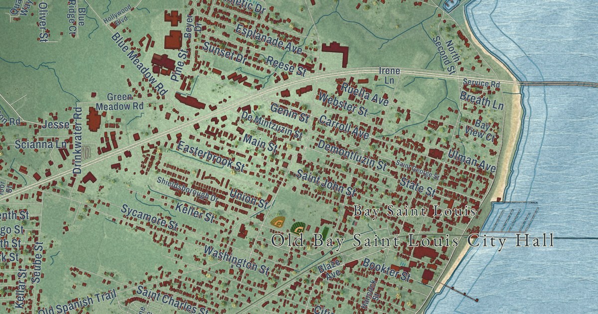
A detailed map of Bay St. Louis, Mississippi, showing every building in its true location, the roads by name, and shaded topographical relief.
Read More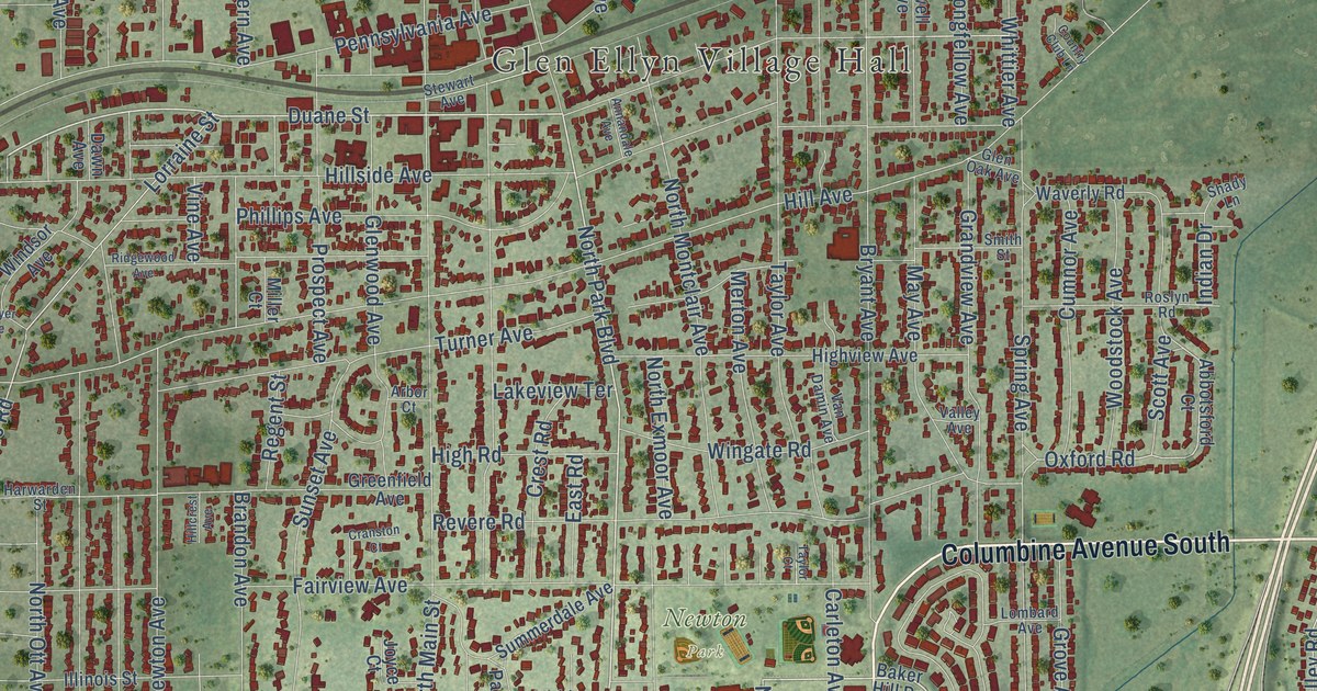
A detailed map of Glen Ellyn, Illinois, showing every building in its true location, the roads by name, and shaded topographical relief.
Read More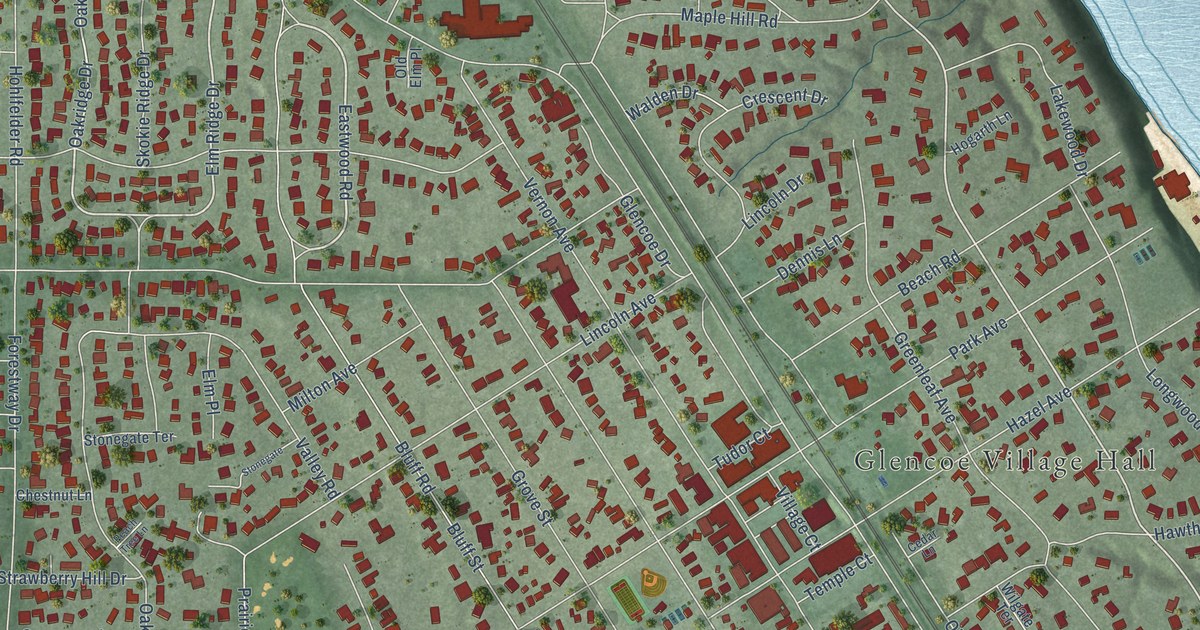
A detailed map of Glencoe, Illinois, showing every building in its true location, the roads by name, and shaded topographical relief.
Read More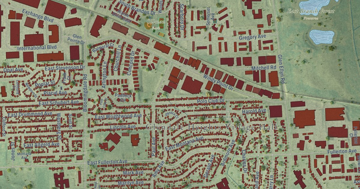
A detailed map of Glendale Heights, Illinois, showing every building in its true location, the roads by name, and shaded topographical relief.
Read More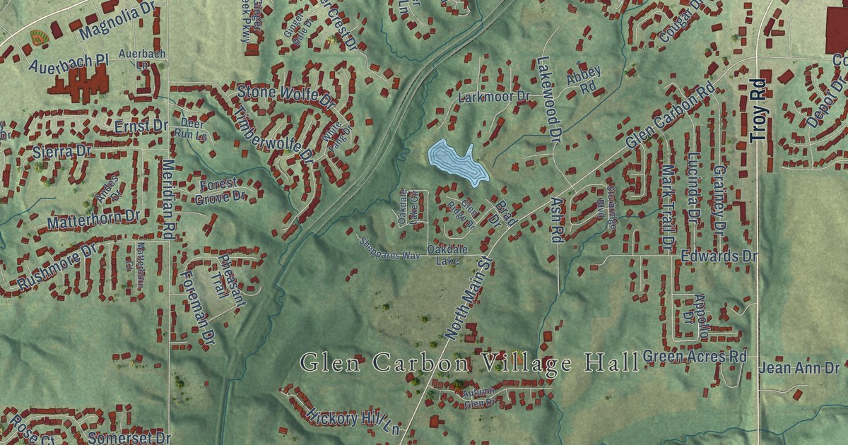
A detailed map of Glen Carbon, Illinois, showing every building in its true location, the roads by name, and shaded topographical relief.
Read More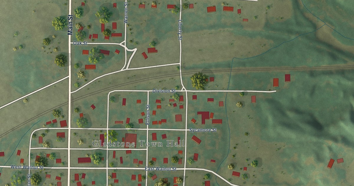
A detailed map of Gladstone, Illinois, showing every building in its true location, the roads by name, and shaded topographical relief.
Read More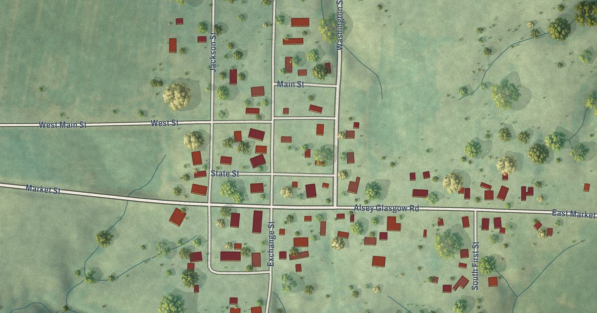
A detailed map of Glasgow, Illinois, showing every building in its true location, the roads by name, and shaded topographical relief.
Read More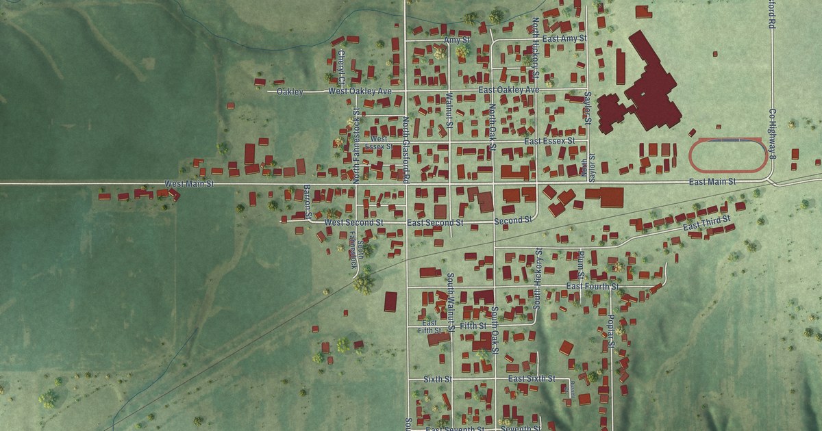
A detailed map of Glasford, Illinois, showing every building in its true location, the roads by name, and shaded topographical relief.
Read More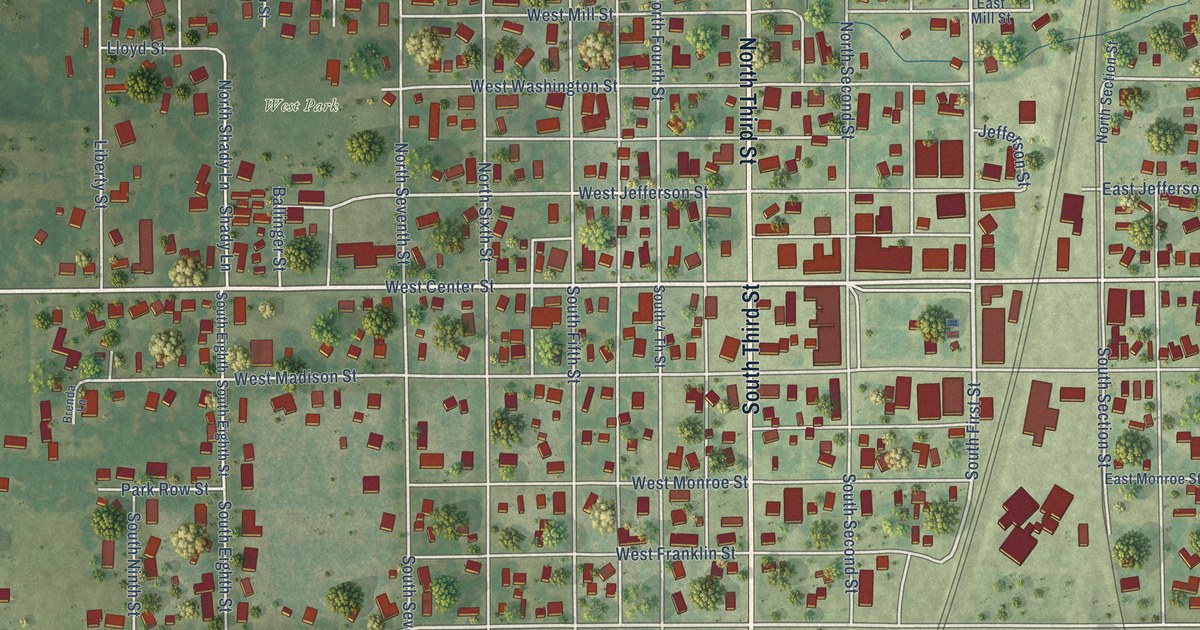
A detailed map of Girard, Illinois, showing every building in its true location, the roads by name, and shaded topographical relief.
Read More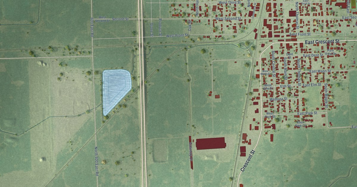
A detailed map of Gilman, Illinois, showing every building in its true location, the roads by name, and shaded topographical relief.
Read More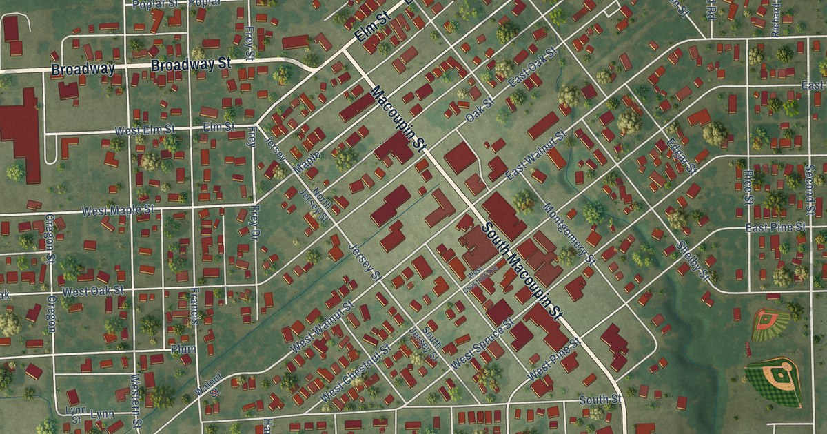
A detailed map of Gillespie, Illinois, showing every building in its true location, the roads by name, and shaded topographical relief.
Read More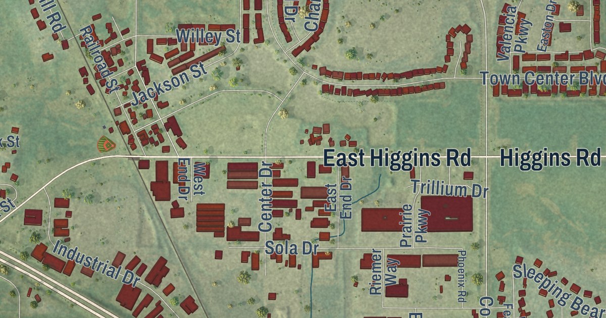
A detailed map of Gilberts, Illinois, showing every building in its true location, the roads by name, and shaded topographical relief.
Read More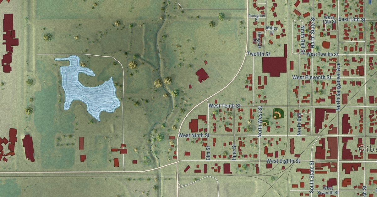
A detailed map of Gibson City, Illinois, showing every building in its true location, the roads by name, and shaded topographical relief.
Read More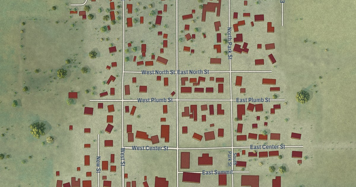
A detailed map of Gifford, Illinois, showing every building in its true location, the roads by name, and shaded topographical relief.
Read More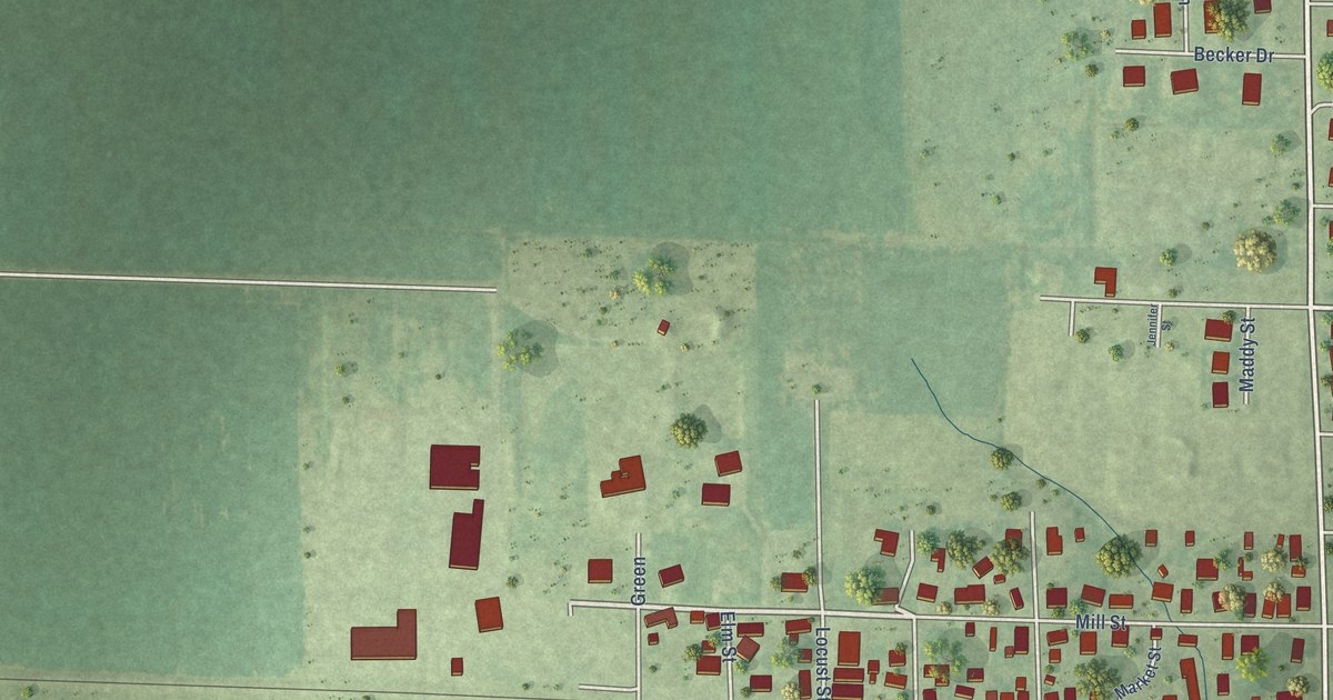
A detailed map of Germantown, Illinois, showing every building in its true location, the roads by name, and shaded topographical relief.
Read More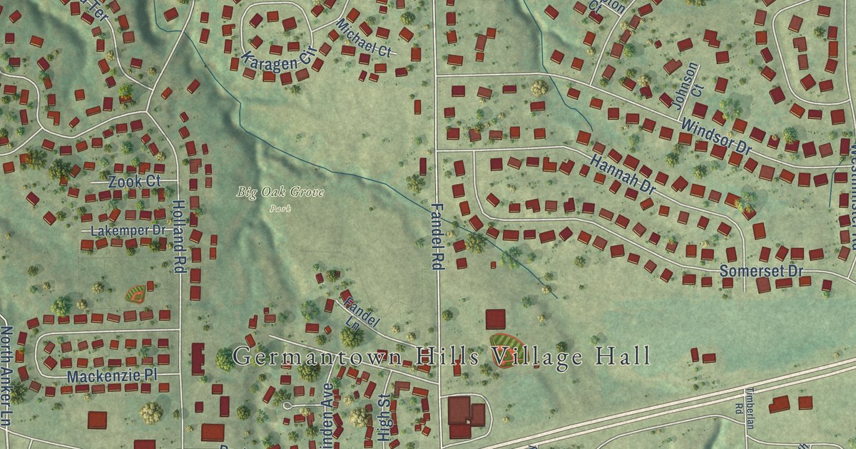
A detailed map of Germantown Hills, Illinois, showing every building in its true location, the roads by name, and shaded topographical relief.
Read More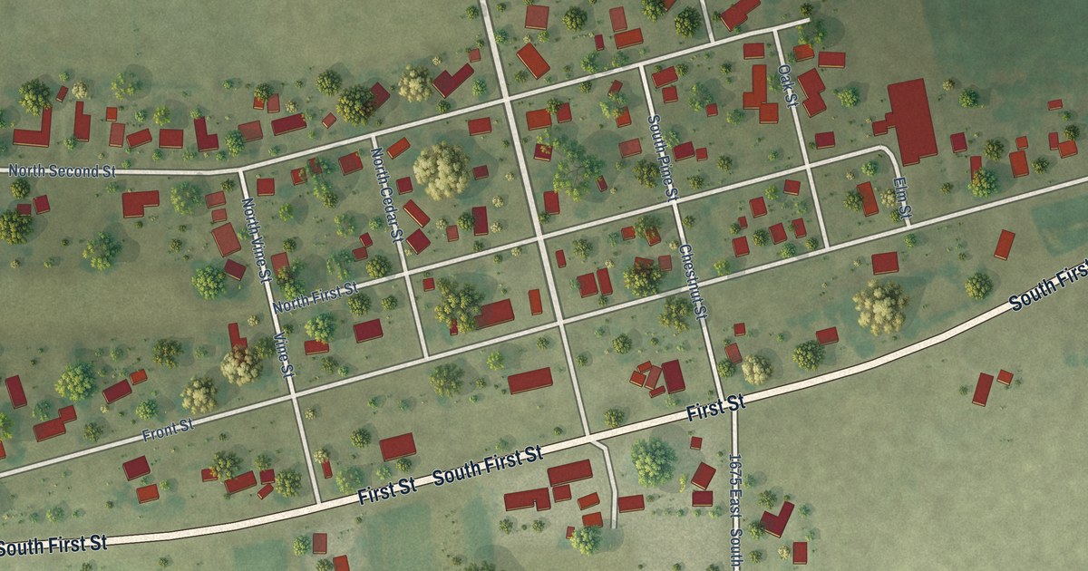
A detailed map of Gays, Illinois, showing every building in its true location, the roads by name, and shaded topographical relief.
Read More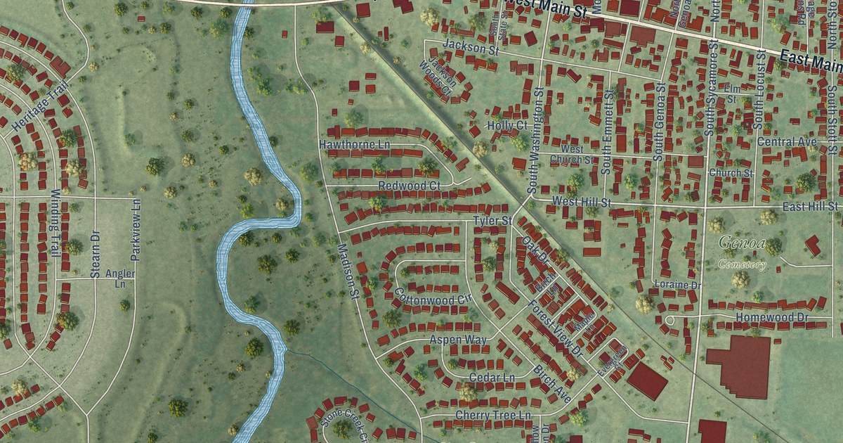
A detailed map of Genoa, Illinois, showing every building in its true location, the roads by name, and shaded topographical relief.
Read More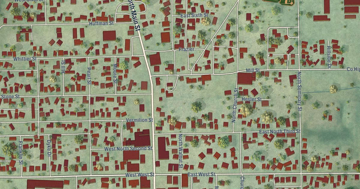
A detailed map of Georgetown, Illinois, showing every building in its true location, the roads by name, and shaded topographical relief.
Read More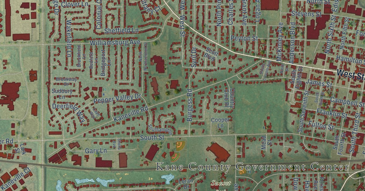
A detailed map of Geneva, Illinois, showing every building in its true location, the roads by name, and shaded topographical relief.
Read More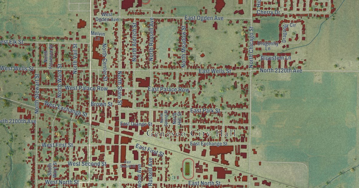
A detailed map of Geneseo, Illinois, showing every building in its true location, the roads by name, and shaded topographical relief.
Read More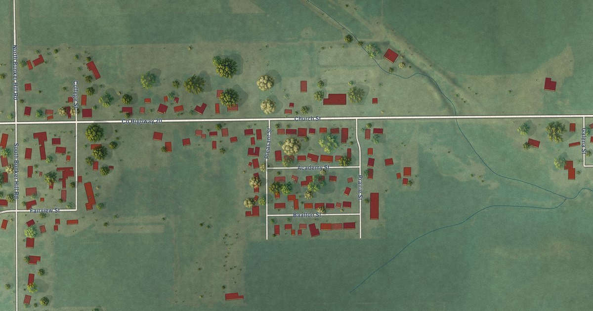
A detailed map of German Valley, Illinois, showing every building in its true location, the roads by name, and shaded topographical relief.
Read More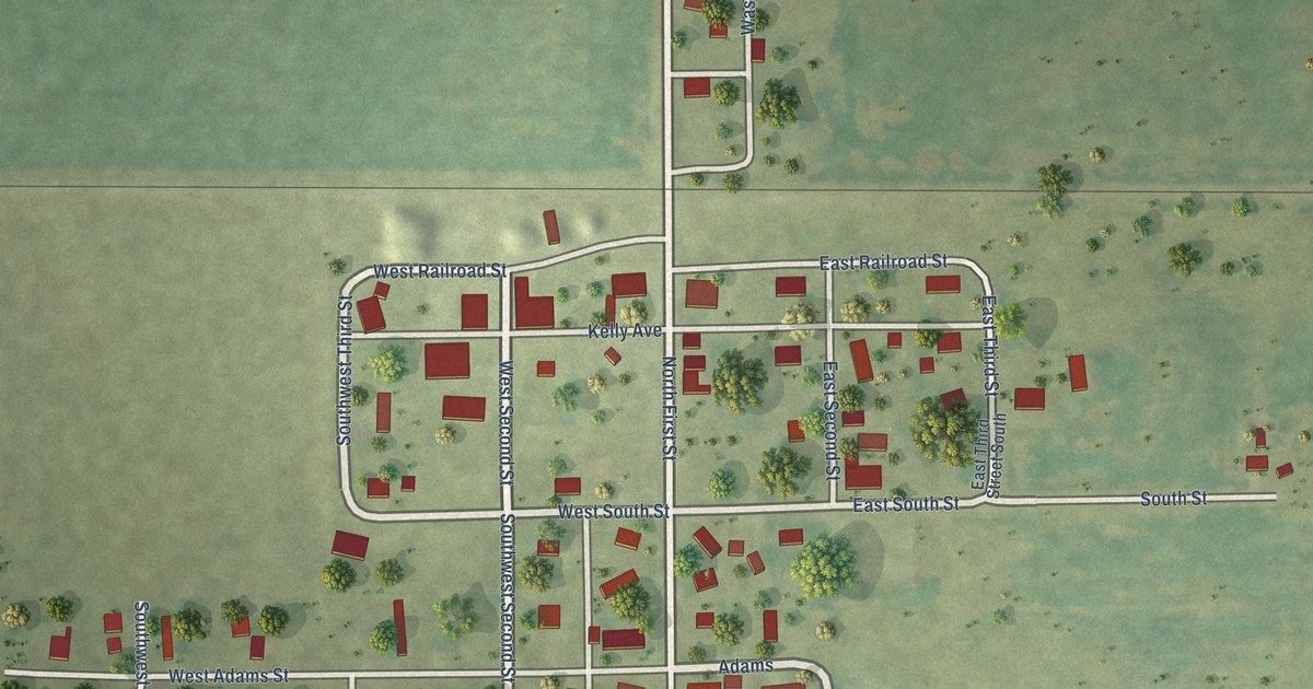
A detailed map of Garrett, Illinois, showing every building in its true location, the roads by name, and shaded topographical relief.
Read More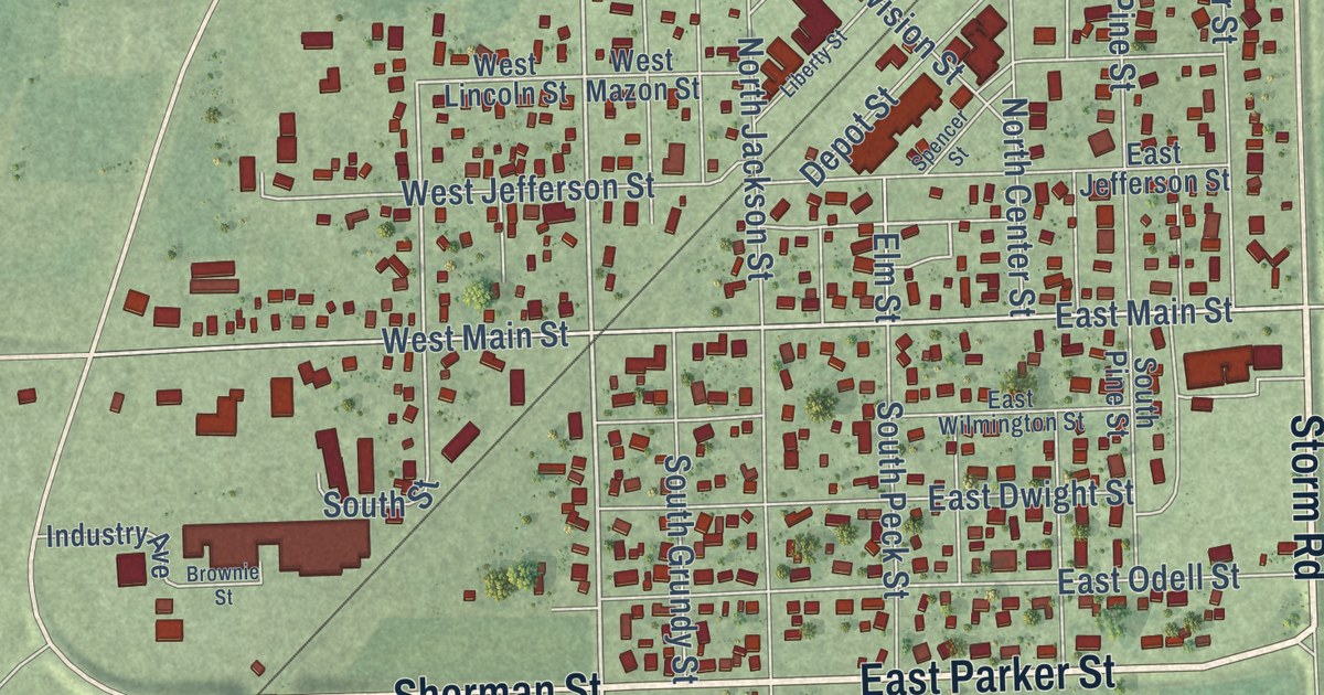
A detailed map of Gardner, Illinois, showing every building in its true location, the roads by name, and shaded topographical relief.
Read More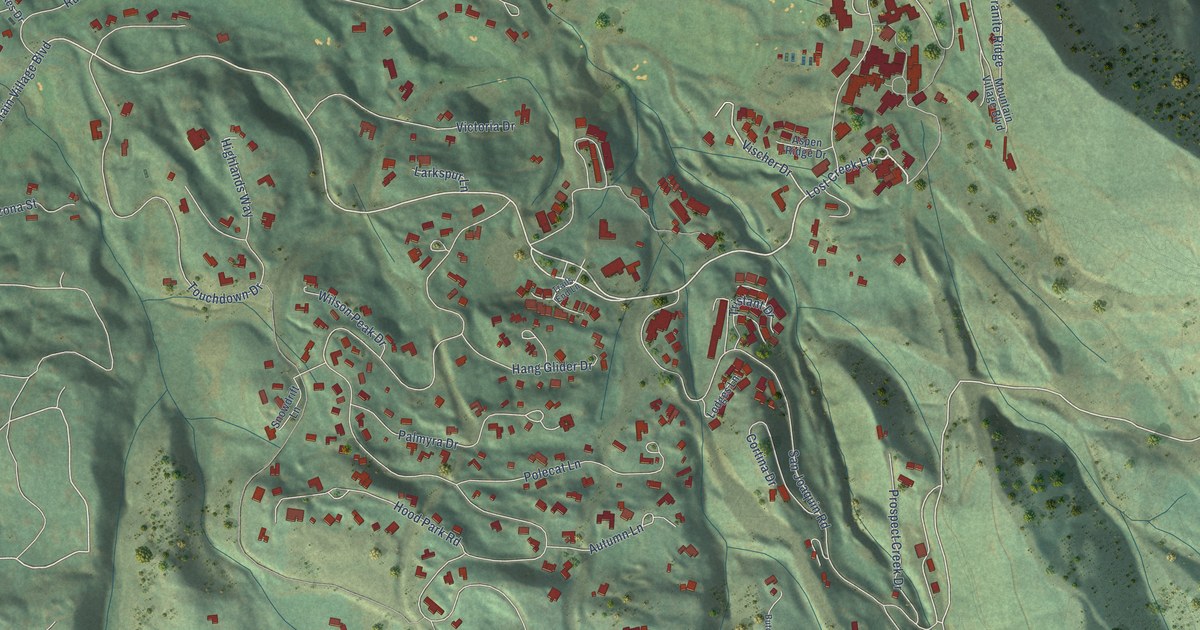
A detailed map of Mountain Village, Colorado, showing every building in its true location, the roads by name, and shaded topographical relief.
Read More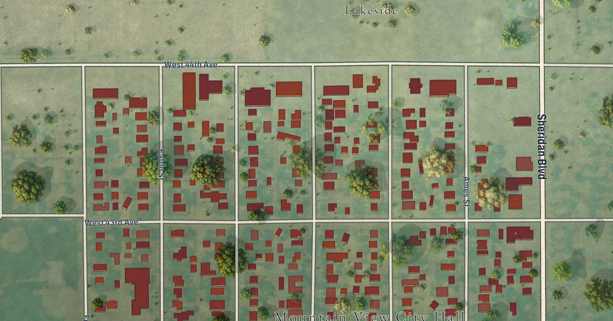
A detailed map of Mountain View, Colorado, showing every building in its true location, the roads by name, and shaded topographical relief.
Read More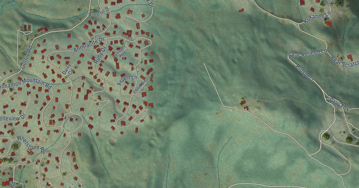
A detailed map of Mount Crested Butte, Colorado, showing every building in its true location, the roads by name, and shaded topographical relief.
Read More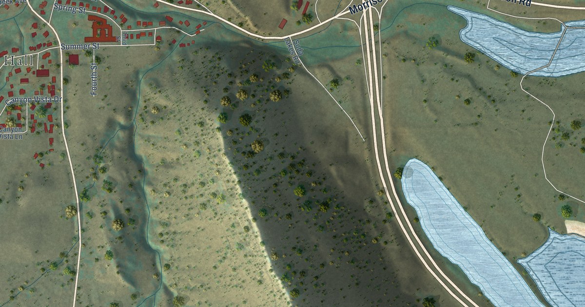
A detailed map of Morrison, Colorado, showing every building in its true location, the roads by name, and shaded topographical relief.
Read More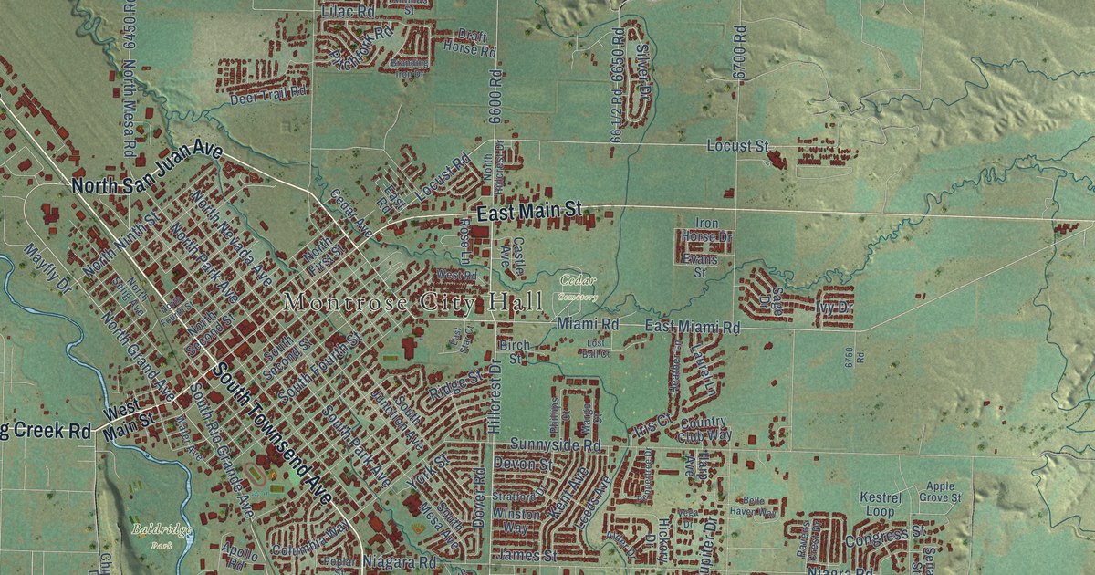
A detailed map of Montrose, Colorado, showing every building in its true location, the roads by name, and shaded topographical relief.
Read More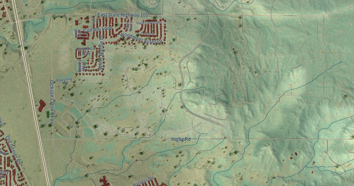
A detailed map of Monument, Colorado, showing every building in its true location, the roads by name, and shaded topographical relief.
Read More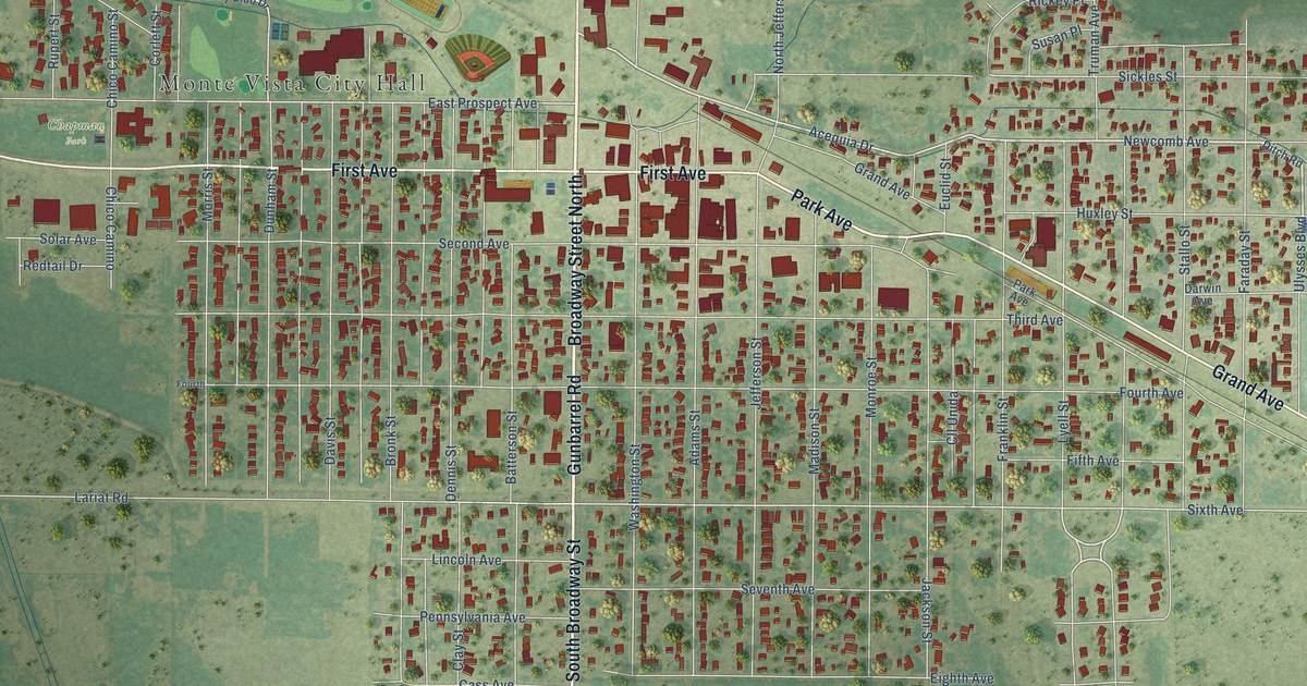
A detailed map of Monte Vista, Colorado, showing every building in its true location, the roads by name, and shaded topographical relief.
Read More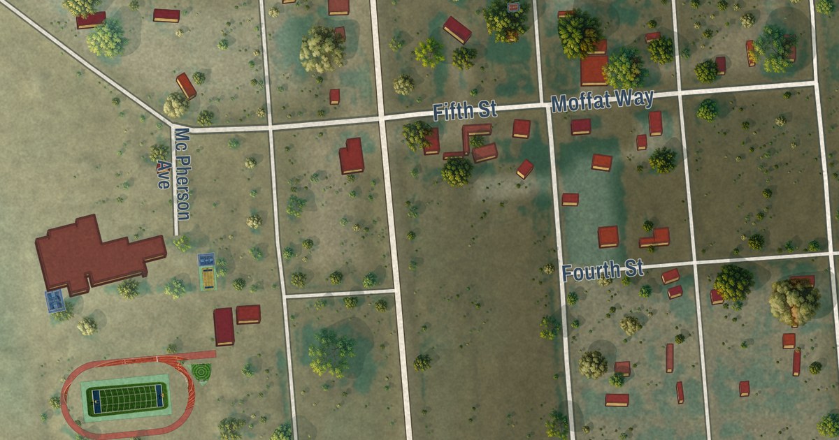
A detailed map of Moffat, Colorado, showing every building in its true location, the roads by name, and shaded topographical relief.
Read More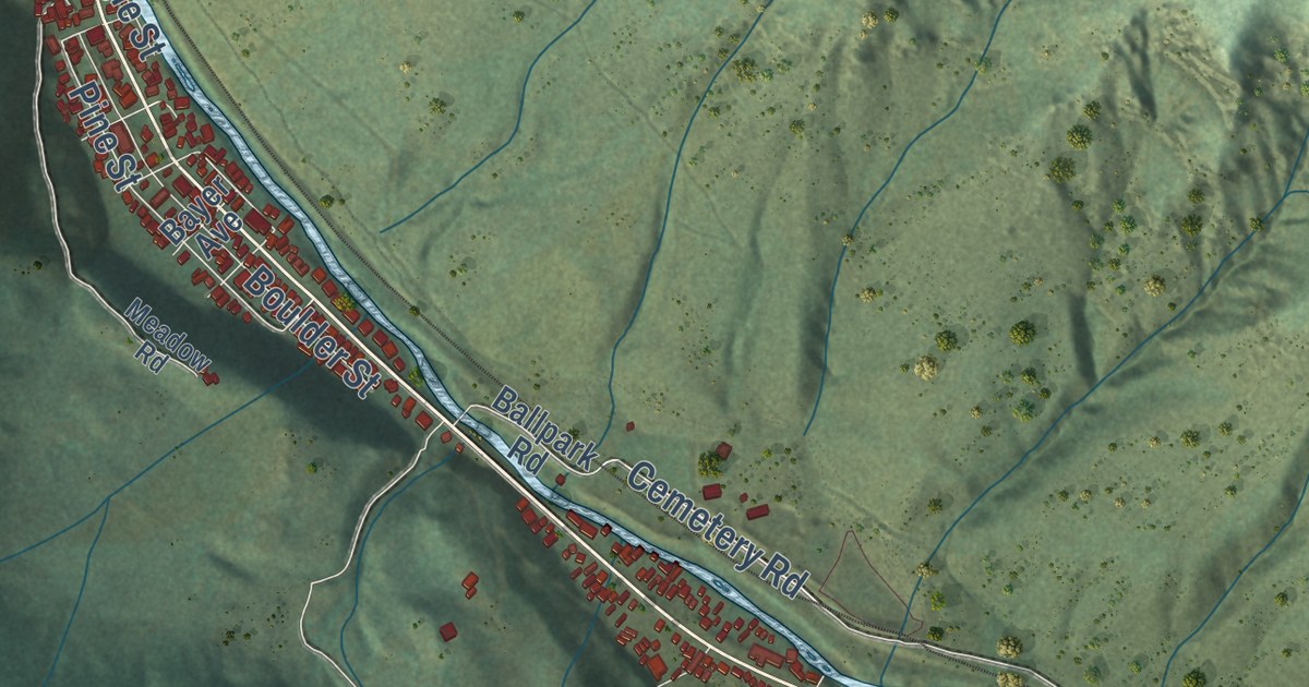
A detailed map of Minturn, Colorado, showing every building in its true location, the roads by name, and shaded topographical relief.
Read More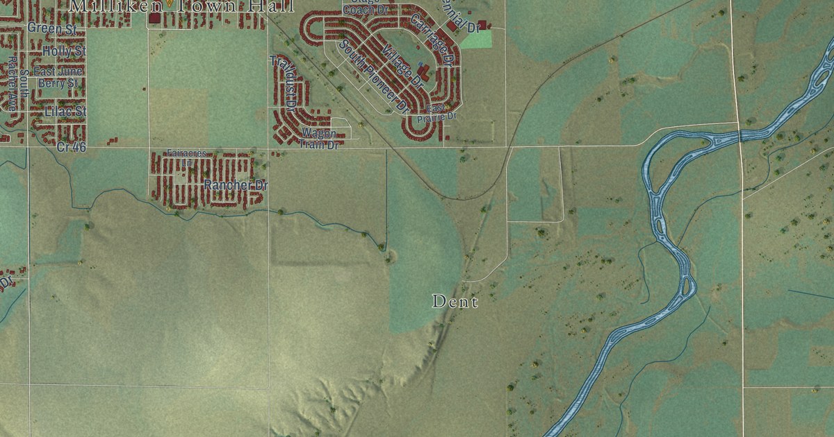
A detailed map of Milliken, Colorado, showing every building in its true location, the roads by name, and shaded topographical relief.
Read More















