Detailed Map of Lake Everett, Indiana
A detailed map of Lake Everett, Indiana, showing every building in its true location, the roads by name, and shaded topographical relief.
Read More
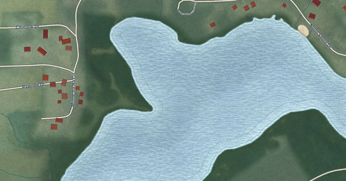
A detailed map of Lake Everett, Indiana, showing every building in its true location, the roads by name, and shaded topographical relief.
Read More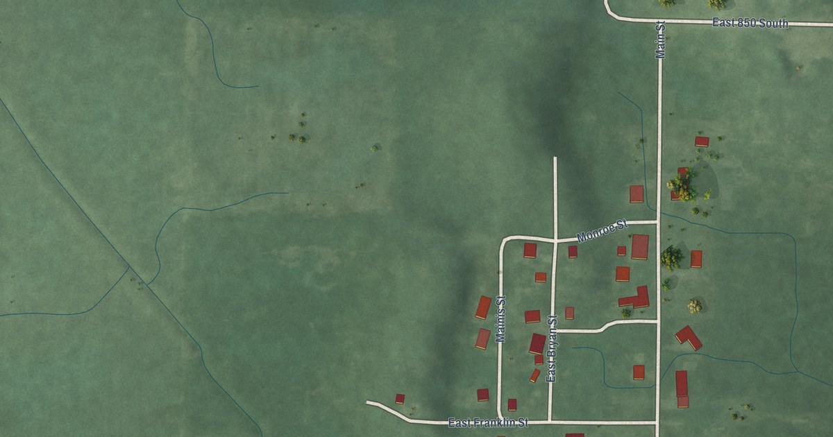
A detailed map of Ora, Indiana, showing every building in its true location, the roads by name, and shaded topographical relief.
Read More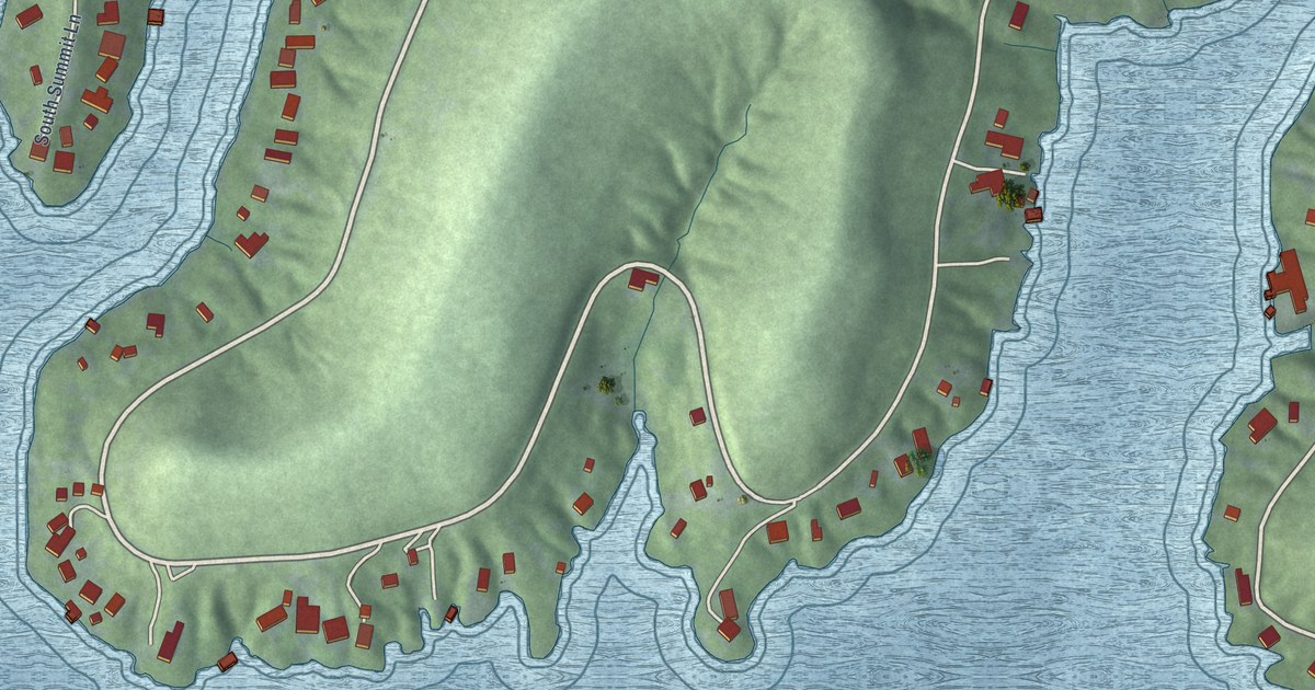
A detailed map of Grandview Lake, Indiana, showing every building in its true location, the roads by name, and shaded topographical relief.
Read More
A detailed map of Lawrenceport, Indiana, showing every building in its true location, the roads by name, and shaded topographical relief.
Read More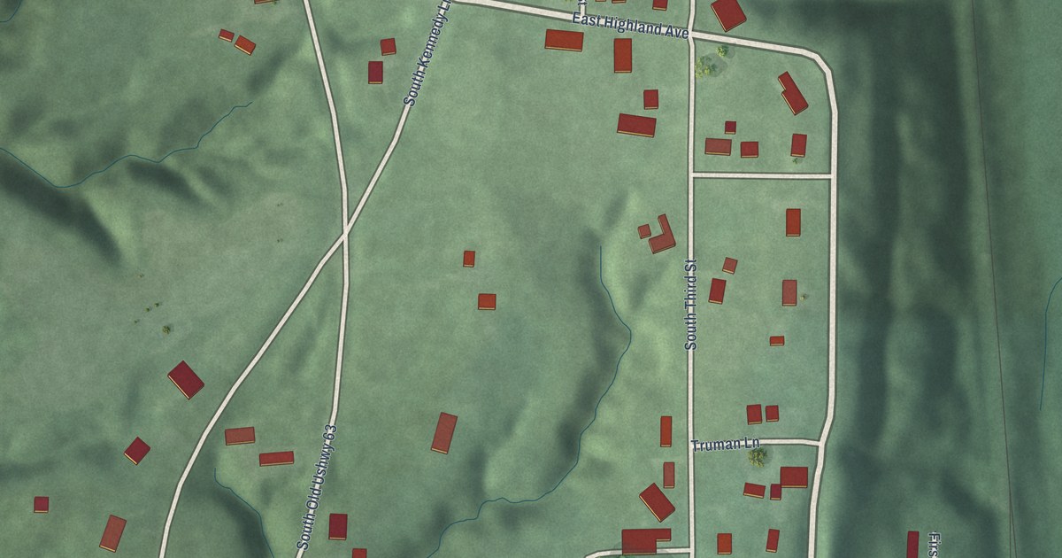
A detailed map of Hillsdale, Indiana, showing every building in its true location, the roads by name, and shaded topographical relief.
Read More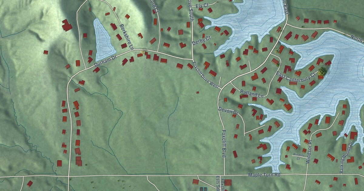
A detailed map of Foxcliff Estates, Indiana, showing every building in its true location, the roads by name, and shaded topographical relief.
Read More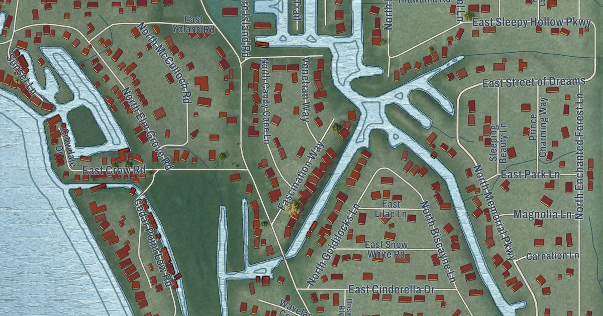
A detailed map of Enchanted Hills, Indiana, showing every building in its true location, the roads by name, and shaded topographical relief.
Read More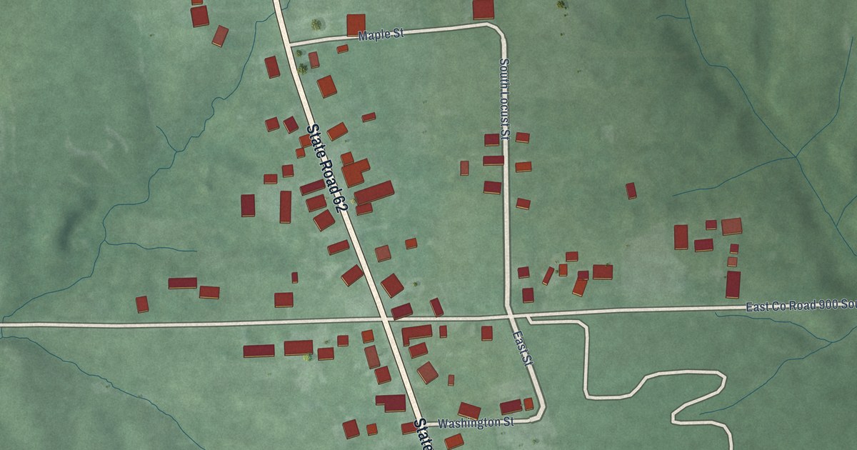
A detailed map of Cross Plains, Indiana, showing every building in its true location, the roads by name, and shaded topographical relief.
Read More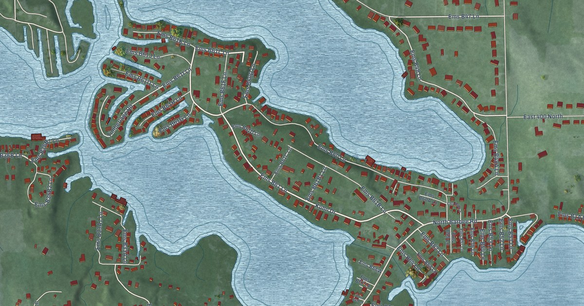
A detailed map of Barbee, Indiana, showing every building in its true location, the roads by name, and shaded topographical relief.
Read More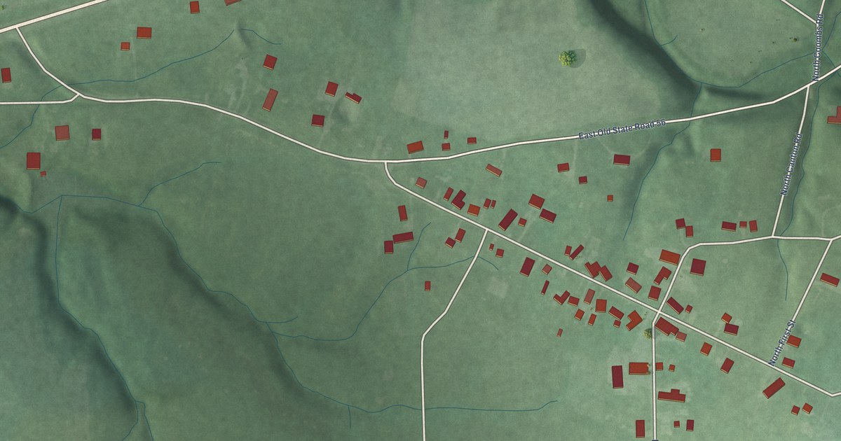
A detailed map of Canton, Indiana, showing every building in its true location, the roads by name, and shaded topographical relief.
Read More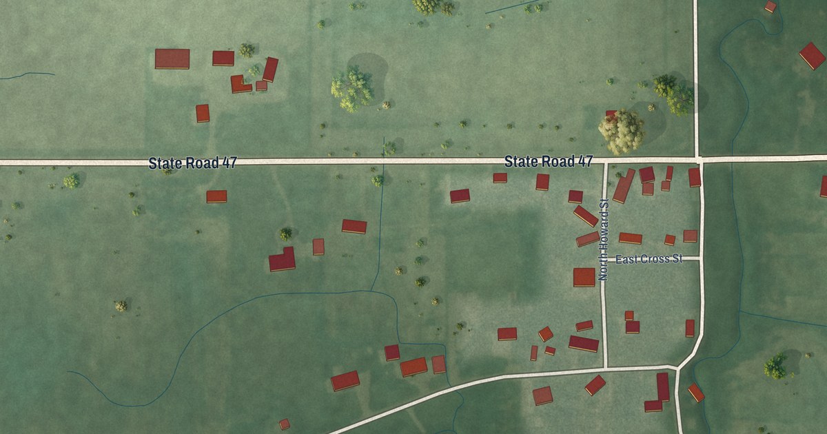
A detailed map of Elizaville, Indiana, showing every building in its true location, the roads by name, and shaded topographical relief.
Read More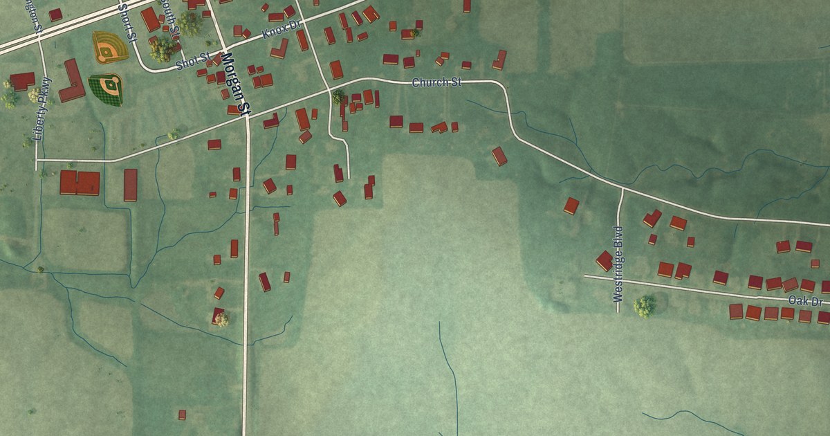
A detailed map of Belleville, Indiana, showing every building in its true location, the roads by name, and shaded topographical relief.
Read More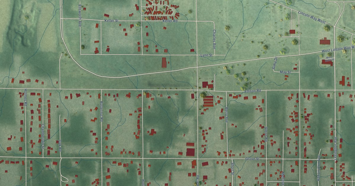
A detailed map of Ardmore, Indiana, showing every building in its true location, the roads by name, and shaded topographical relief.
Read More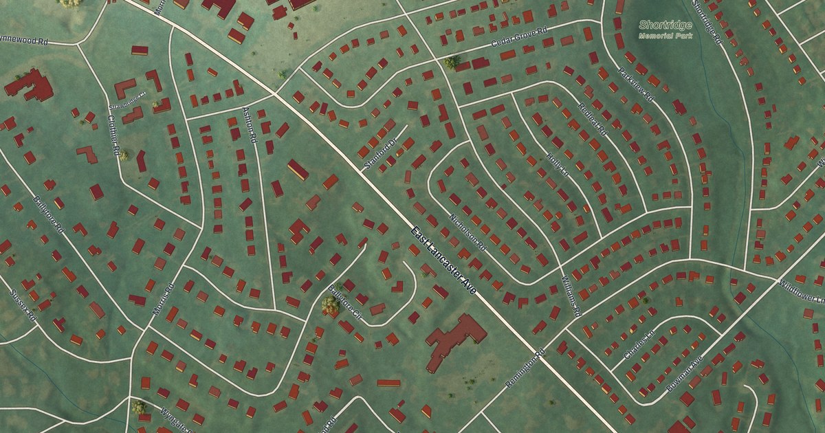
A detailed map of Wynnewood, Pennsylvania, showing every building in its true location, the roads by name, and shaded topographical relief.
Read More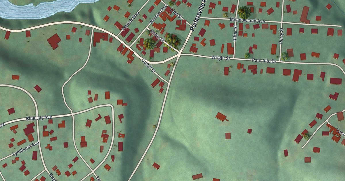
A detailed map of Wurtemburg, Pennsylvania, showing every building in its true location, the roads by name, and shaded topographical relief.
Read More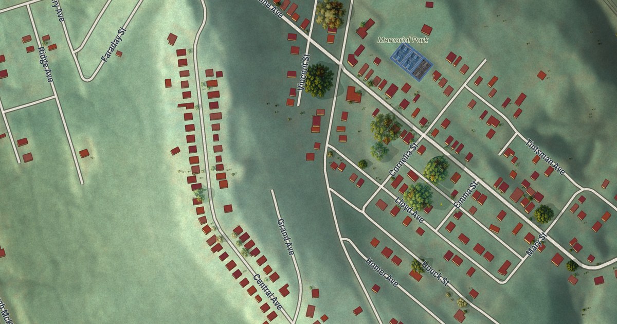
A detailed map of West Wilmerding, Pennsylvania, showing every building in its true location, the roads by name, and shaded topographical relief.
Read More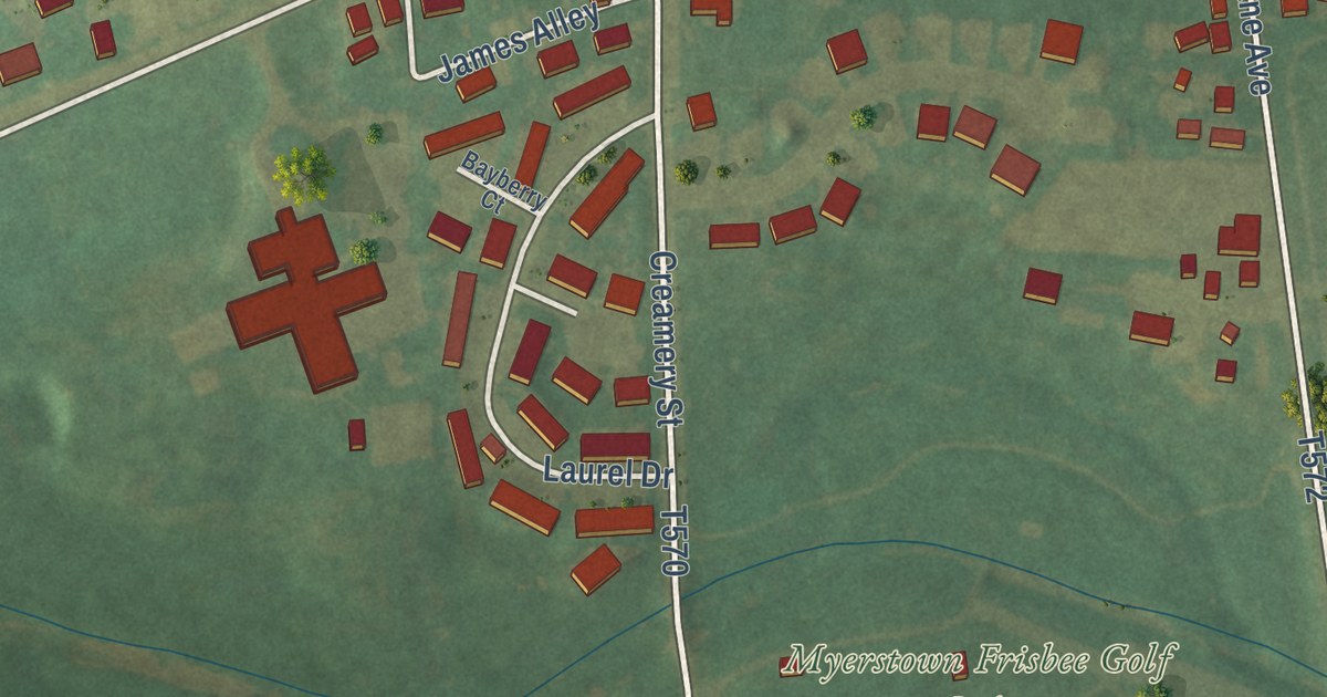
A detailed map of West Myerstown, Pennsylvania, showing every building in its true location, the roads by name, and shaded topographical relief.
Read More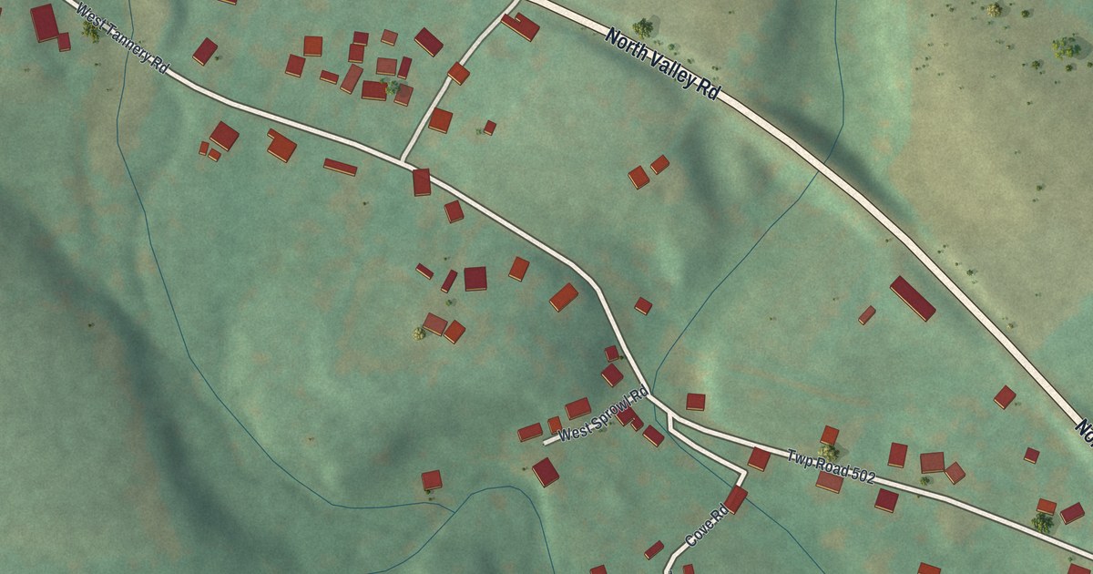
A detailed map of Wells Tannery, Pennsylvania, showing every building in its true location, the roads by name, and shaded topographical relief.
Read More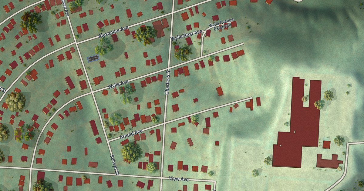
A detailed map of Strabane, Pennsylvania, showing every building in its true location, the roads by name, and shaded topographical relief.
Read More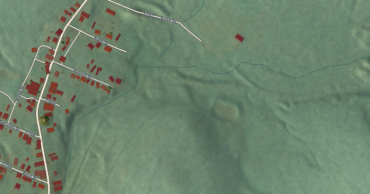
A detailed map of Twin Rocks, Pennsylvania, showing every building in its true location, the roads by name, and shaded topographical relief.
Read More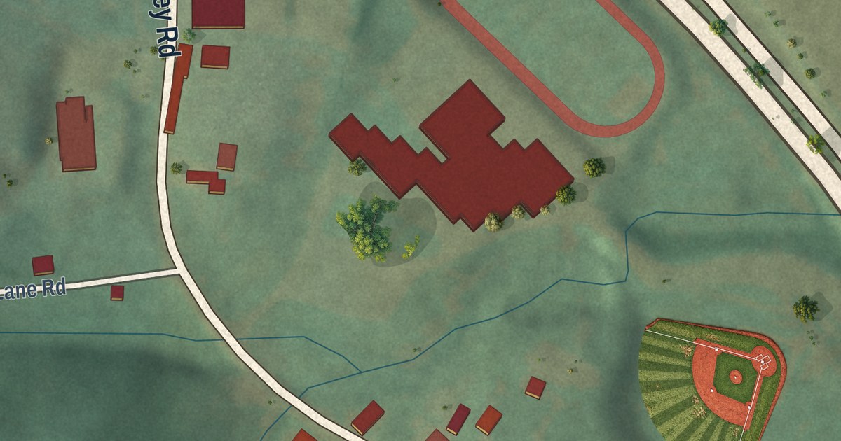
A detailed map of Warfordsburg, Pennsylvania, showing every building in its true location, the roads by name, and shaded topographical relief.
Read More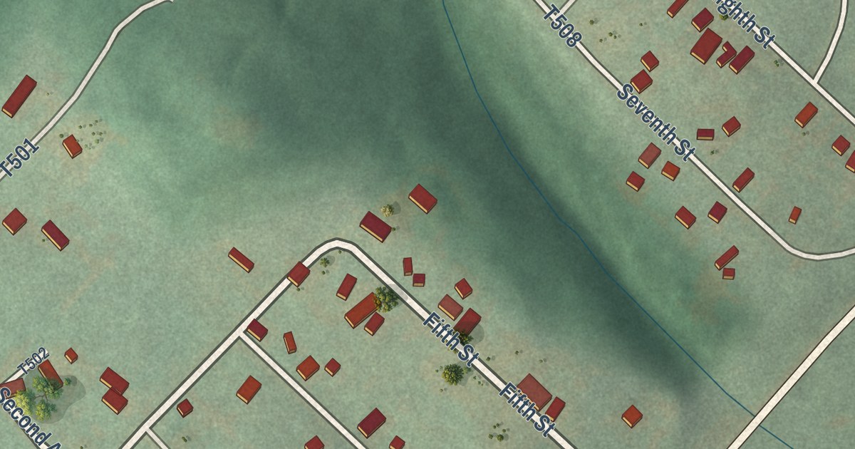
A detailed map of Sagamore, Pennsylvania, showing every building in its true location, the roads by name, and shaded topographical relief.
Read More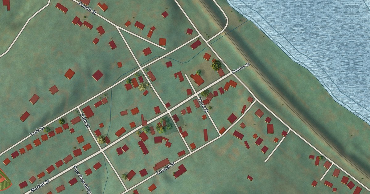
A detailed map of Saginaw, Pennsylvania, showing every building in its true location, the roads by name, and shaded topographical relief.
Read More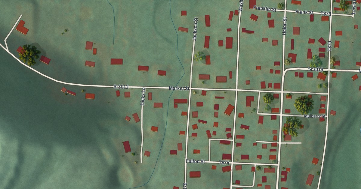
A detailed map of Rosebud, Pennsylvania, showing every building in its true location, the roads by name, and shaded topographical relief.
Read More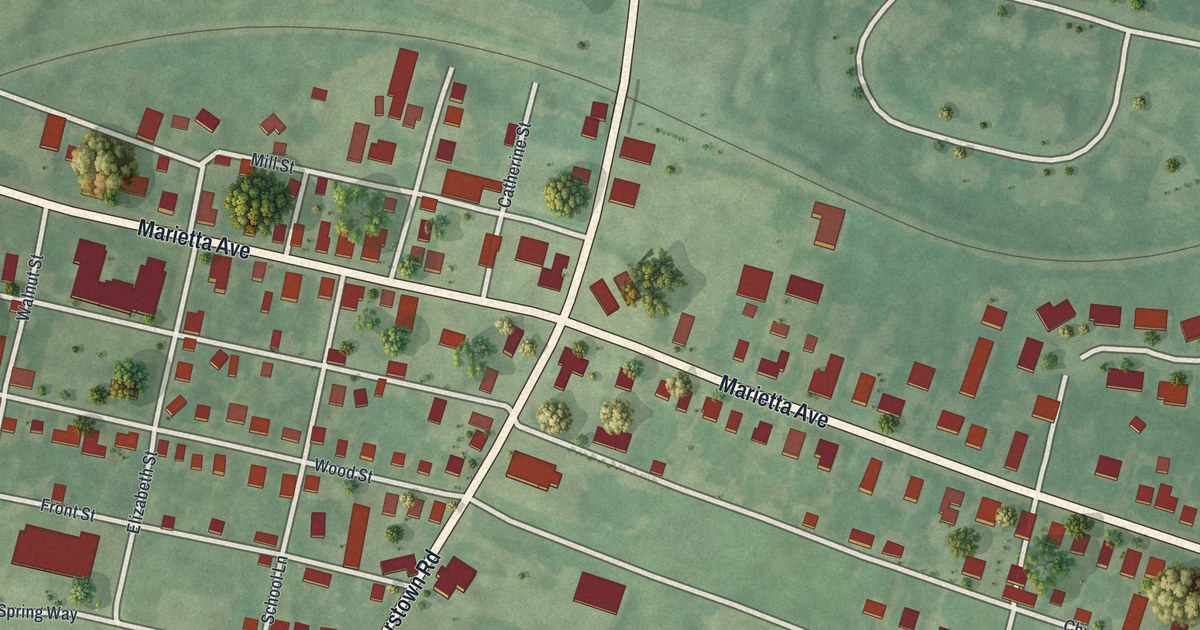
A detailed map of Rohrerstown, Pennsylvania, showing every building in its true location, the roads by name, and shaded topographical relief.
Read More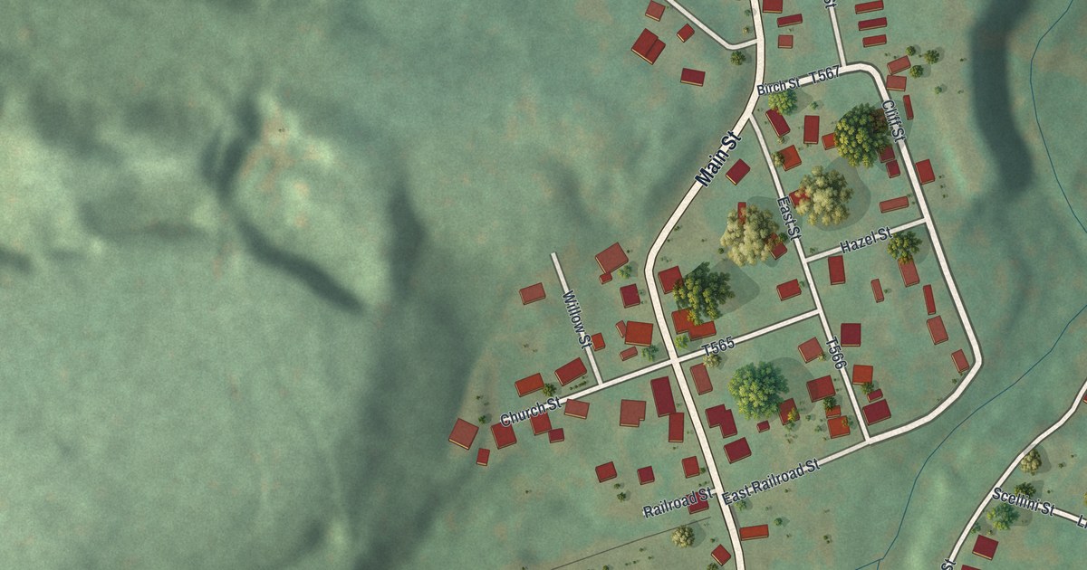
A detailed map of Robertsdale, Pennsylvania, showing every building in its true location, the roads by name, and shaded topographical relief.
Read More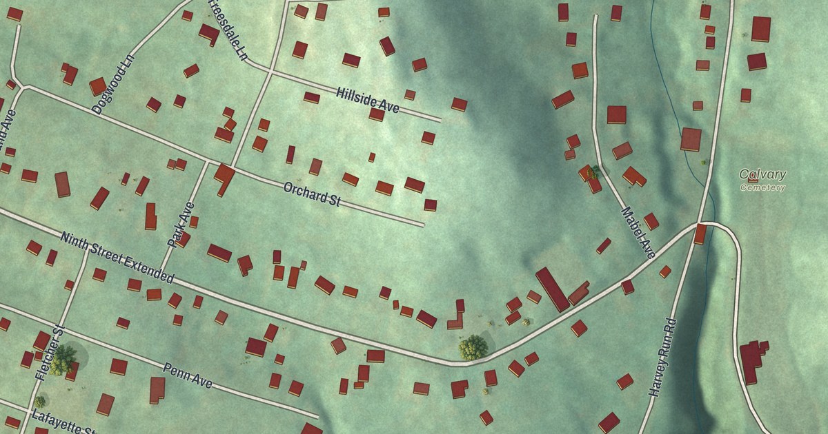
A detailed map of Pine Run, Pennsylvania, showing every building in its true location, the roads by name, and shaded topographical relief.
Read More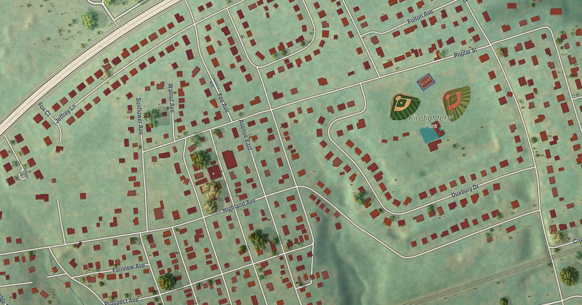
A detailed map of Parkland, Pennsylvania, showing every building in its true location, the roads by name, and shaded topographical relief.
Read More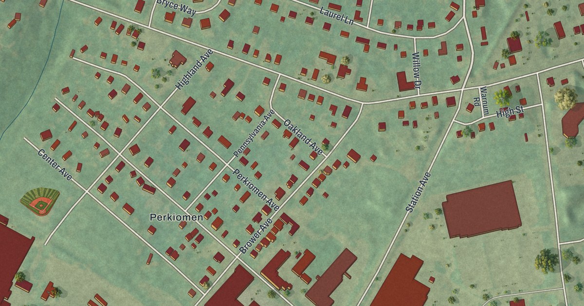
A detailed map of Oaks, Pennsylvania, showing every building in its true location, the roads by name, and shaded topographical relief.
Read More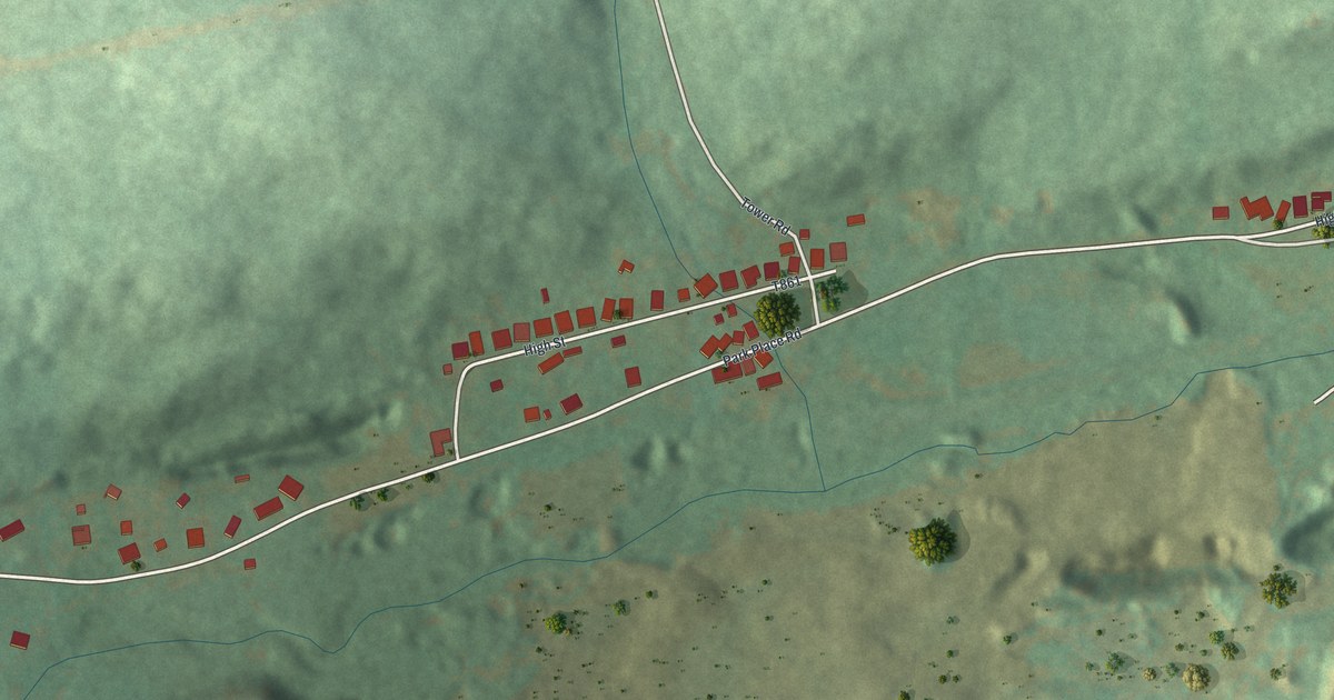
A detailed map of Park Place, Pennsylvania, showing every building in its true location, the roads by name, and shaded topographical relief.
Read More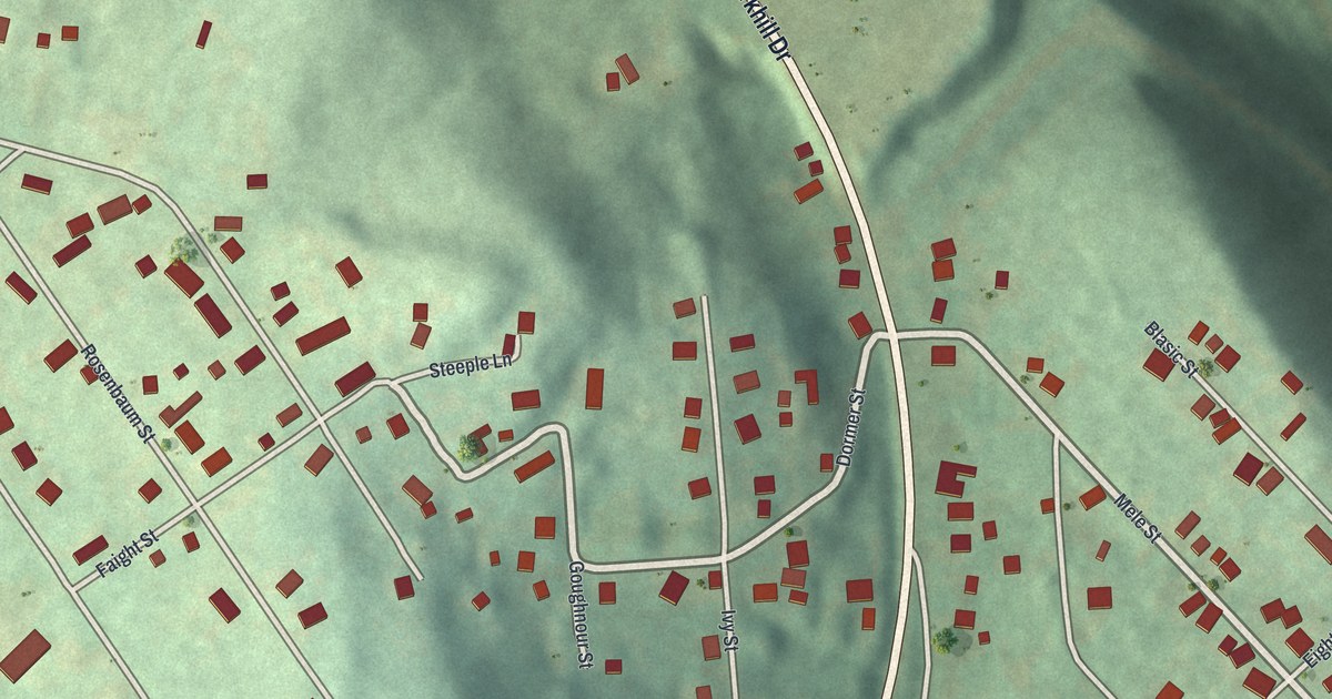
A detailed map of Parkhill, Pennsylvania, showing every building in its true location, the roads by name, and shaded topographical relief.
Read More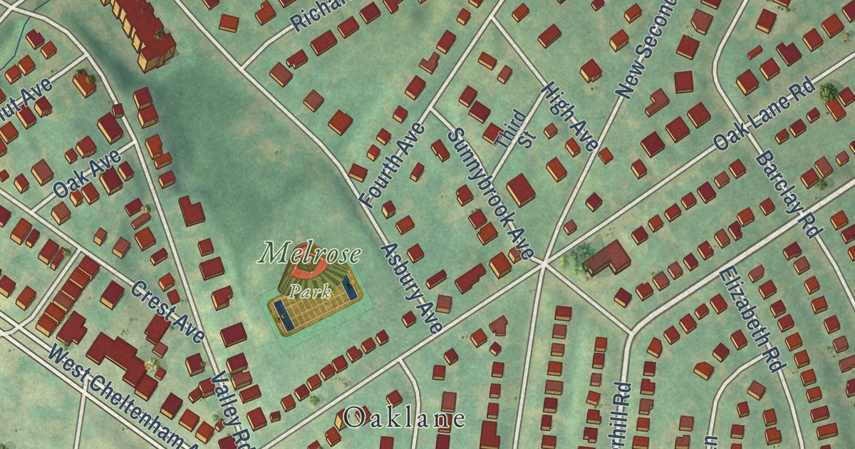
A detailed map of Oak Lane, Pennsylvania, showing every building in its true location, the roads by name, and shaded topographical relief.
Read More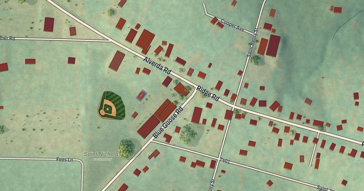
A detailed map of Nicktown, Pennsylvania, showing every building in its true location, the roads by name, and shaded topographical relief.
Read More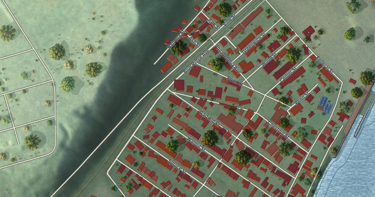
A detailed map of Natrona, Pennsylvania, showing every building in its true location, the roads by name, and shaded topographical relief.
Read More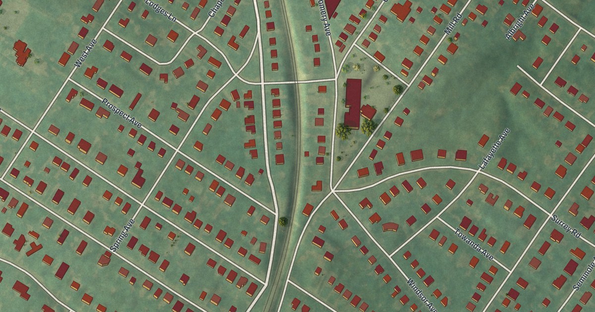
A detailed map of Melrose Park, Pennsylvania, showing every building in its true location, the roads by name, and shaded topographical relief.
Read More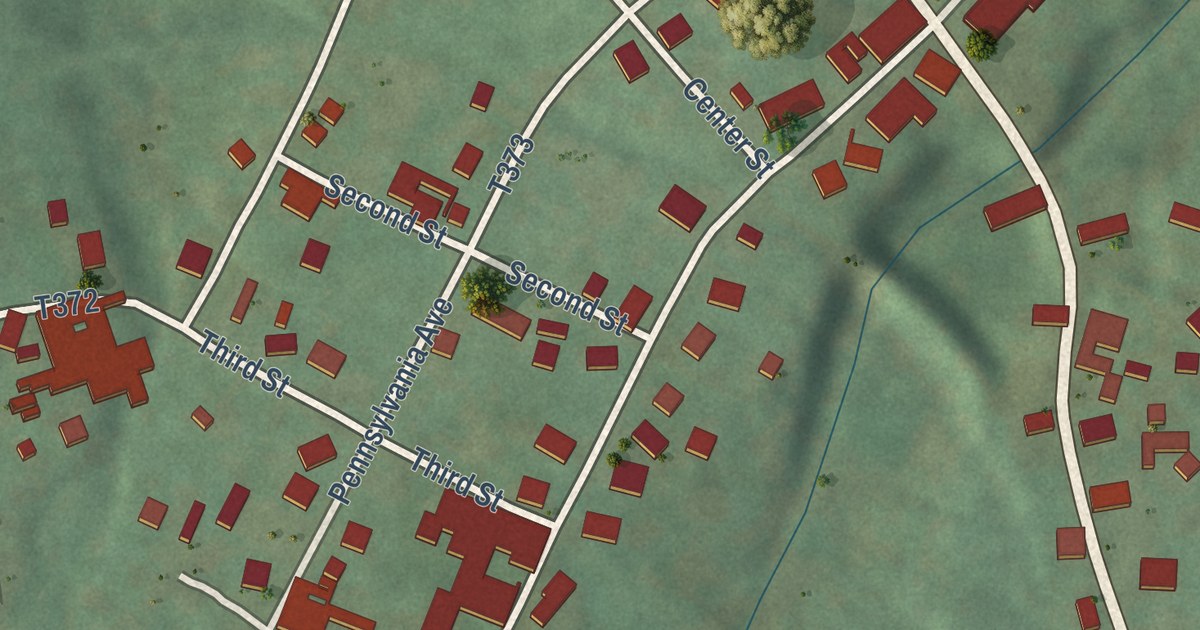
A detailed map of Mildred, Pennsylvania, showing every building in its true location, the roads by name, and shaded topographical relief.
Read More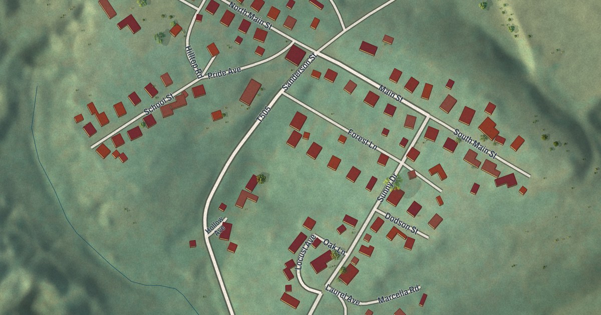
A detailed map of Maryd, Pennsylvania, showing every building in its true location, the roads by name, and shaded topographical relief.
Read More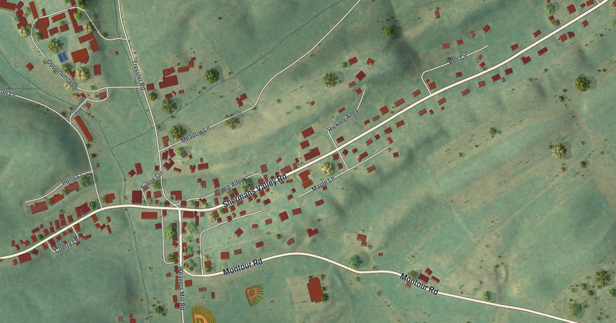
A detailed map of Loysville, Pennsylvania, showing every building in its true location, the roads by name, and shaded topographical relief.
Read More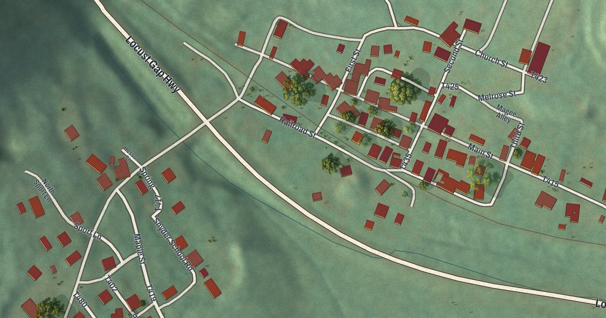
A detailed map of Locust Gap, Pennsylvania, showing every building in its true location, the roads by name, and shaded topographical relief.
Read More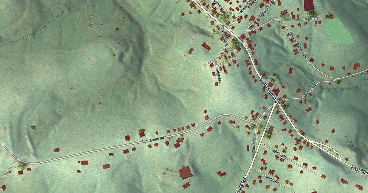
A detailed map of Laboratory, Pennsylvania, showing every building in its true location, the roads by name, and shaded topographical relief.
Read More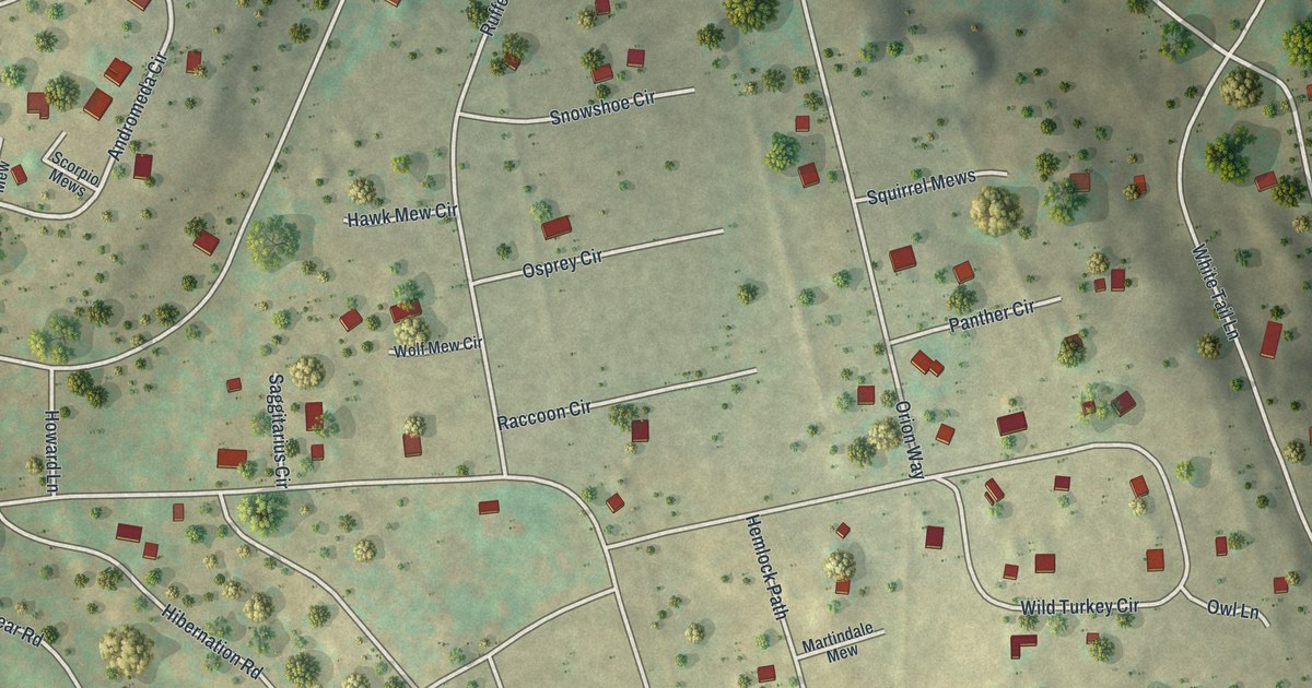
A detailed map of Indian Rocks, Pennsylvania, showing every building in its true location, the roads by name, and shaded topographical relief.
Read More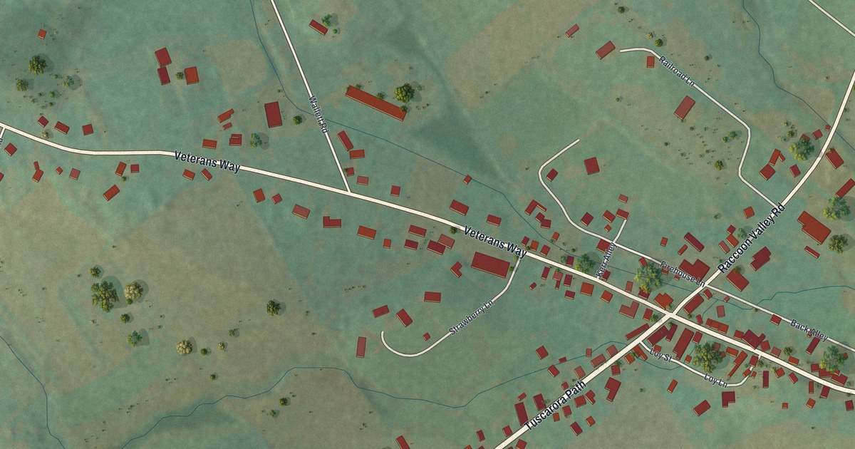
A detailed map of Ickesburg, Pennsylvania, showing every building in its true location, the roads by name, and shaded topographical relief.
Read More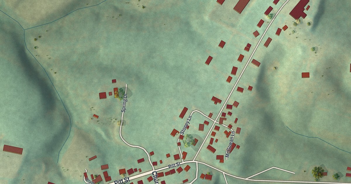
A detailed map of Hustontown, Pennsylvania, showing every building in its true location, the roads by name, and shaded topographical relief.
Read More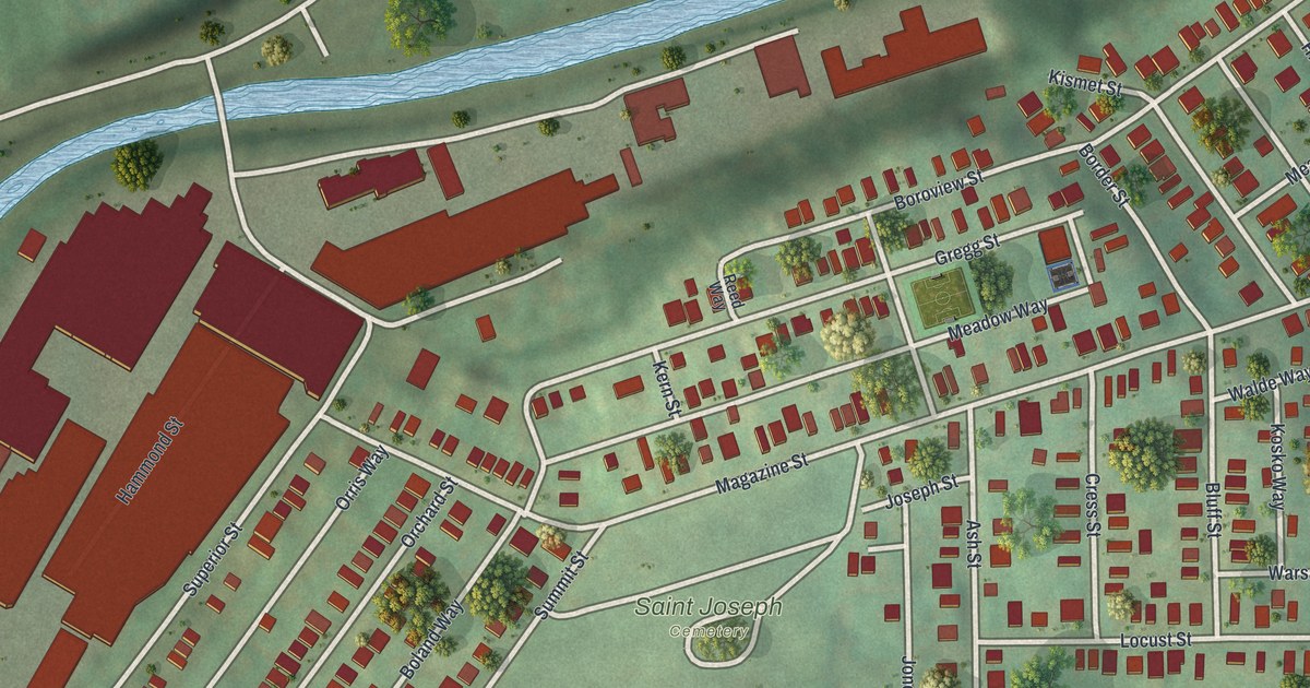
A detailed map of Glendale, Pennsylvania, showing every building in its true location, the roads by name, and shaded topographical relief.
Read More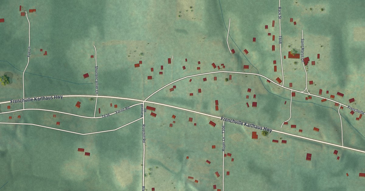
A detailed map of Frenchville, Pennsylvania, showing every building in its true location, the roads by name, and shaded topographical relief.
Read More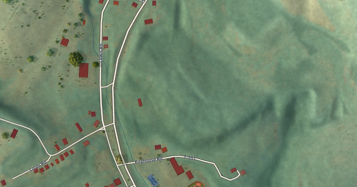
A detailed map of Glen Richey, Pennsylvania, showing every building in its true location, the roads by name, and shaded topographical relief.
Read More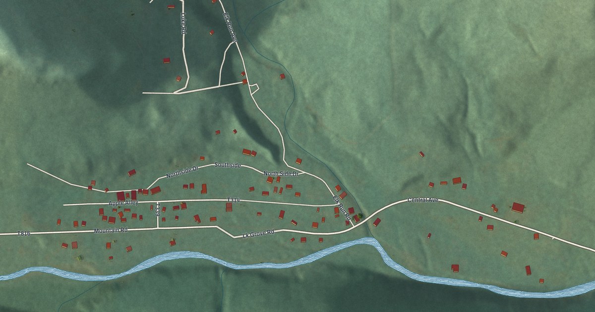
A detailed map of Elk Grove, Pennsylvania, showing every building in its true location, the roads by name, and shaded topographical relief.
Read More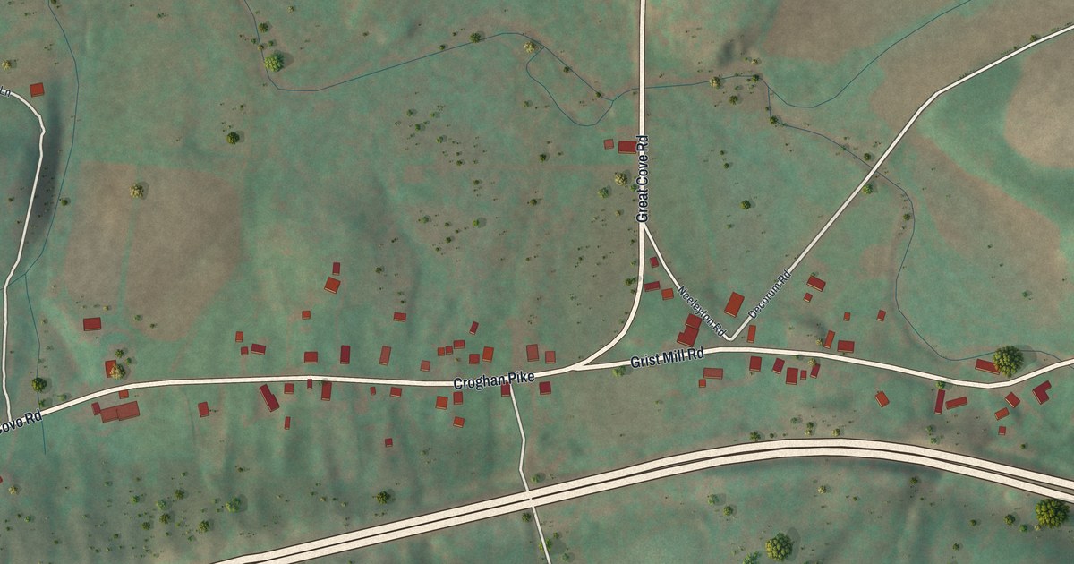
A detailed map of Burnt Cabins, Pennsylvania, showing every building in its true location, the roads by name, and shaded topographical relief.
Read More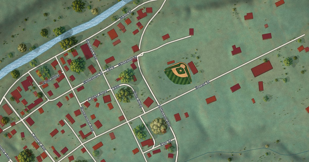
A detailed map of East Marianna, Pennsylvania, showing every building in its true location, the roads by name, and shaded topographical relief.
Read More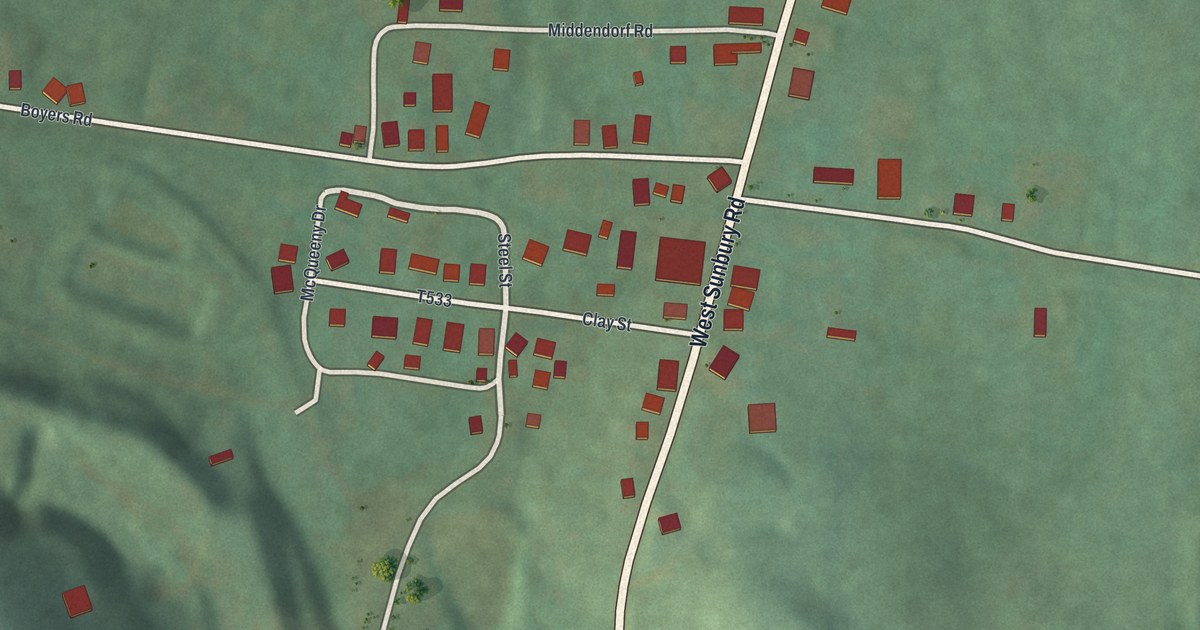
A detailed map of Boyers, Pennsylvania, showing every building in its true location, the roads by name, and shaded topographical relief.
Read More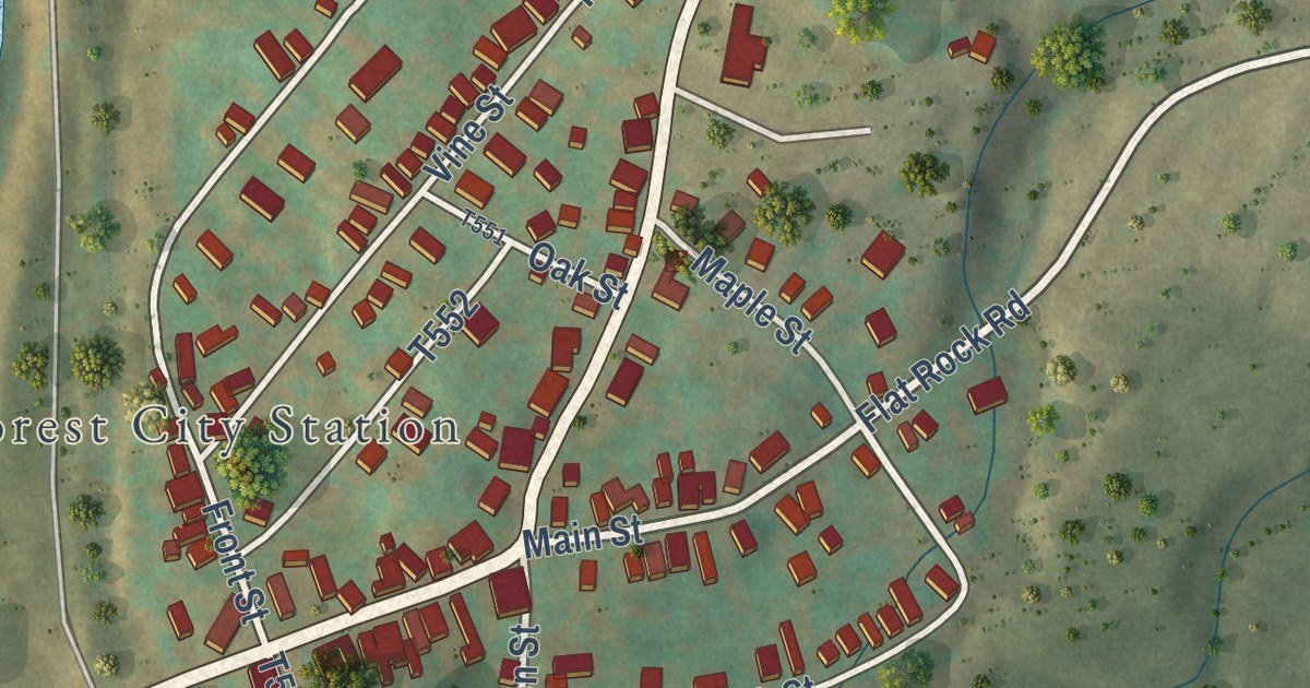
A detailed map of Browndale, Pennsylvania, showing every building in its true location, the roads by name, and shaded topographical relief.
Read More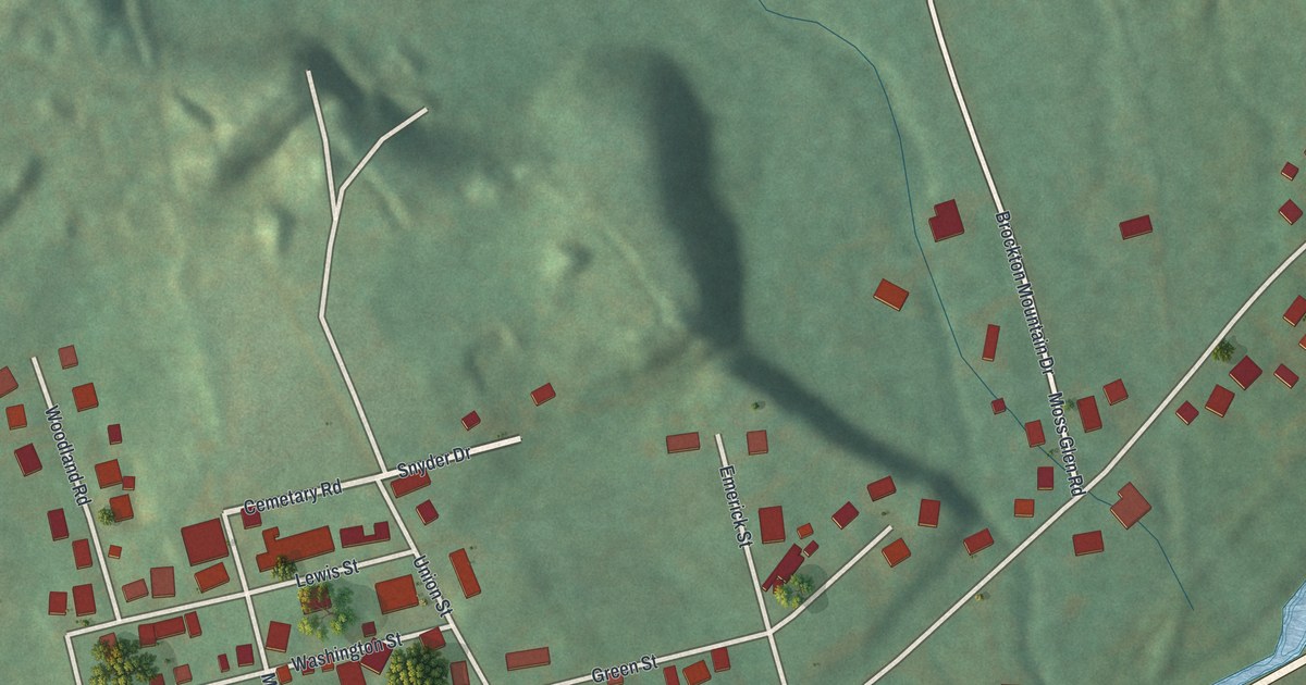
A detailed map of Brockton, Pennsylvania, showing every building in its true location, the roads by name, and shaded topographical relief.
Read More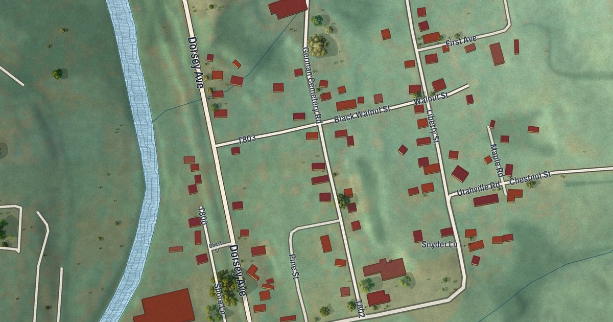
A detailed map of Blain City, Pennsylvania, showing every building in its true location, the roads by name, and shaded topographical relief.
Read More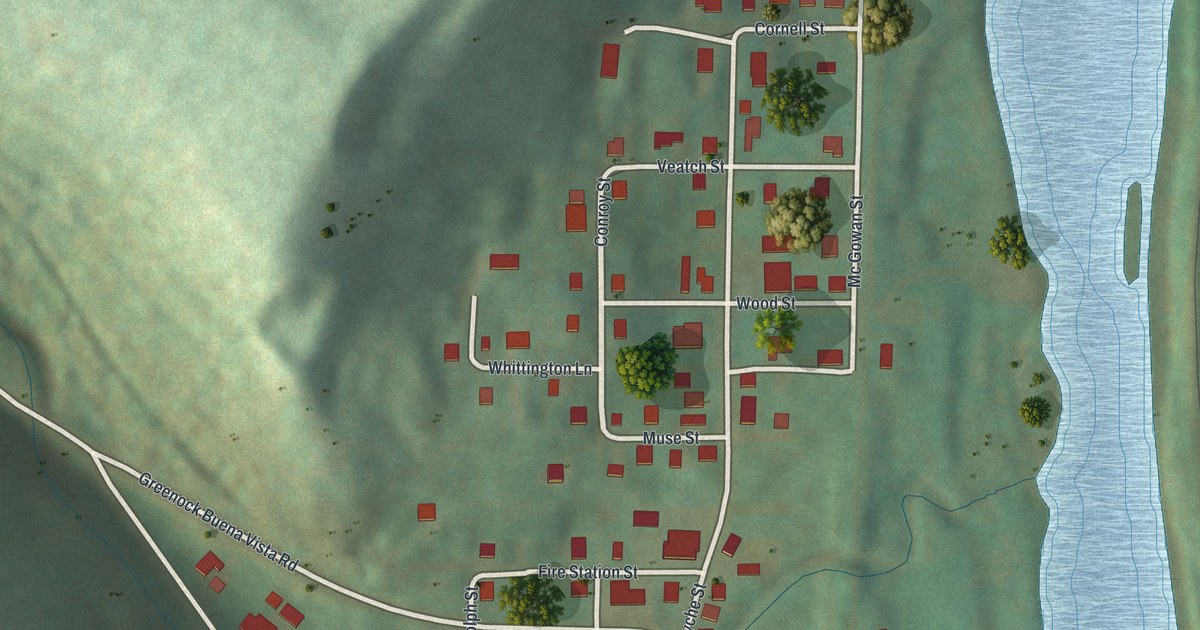
A detailed map of Buena Vista, Pennsylvania, showing every building in its true location, the roads by name, and shaded topographical relief.
Read More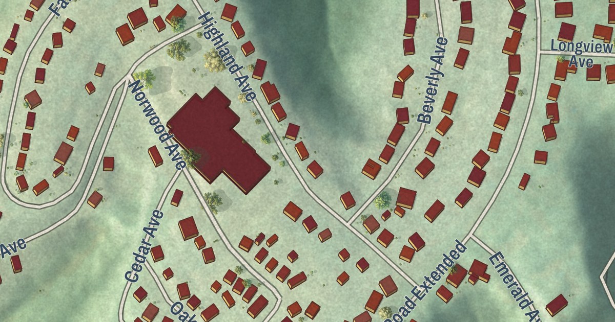
A detailed map of Ambridge Heights, Pennsylvania, showing every building in its true location, the roads by name, and shaded topographical relief.
Read More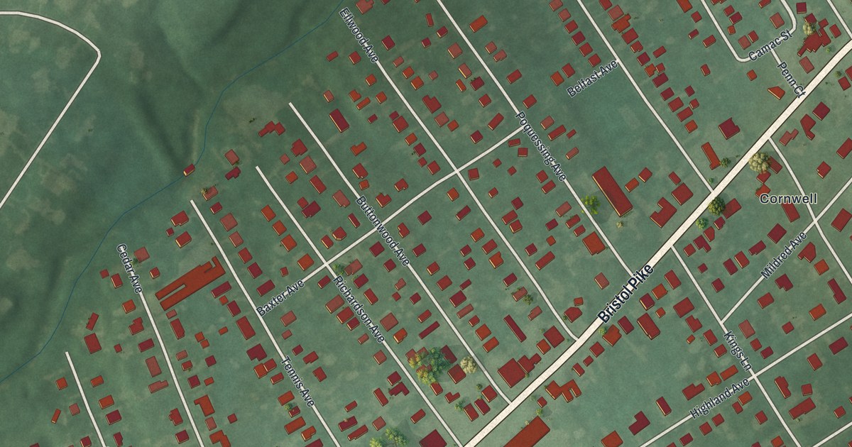
A detailed map of Andalusia, Pennsylvania, showing every building in its true location, the roads by name, and shaded topographical relief.
Read More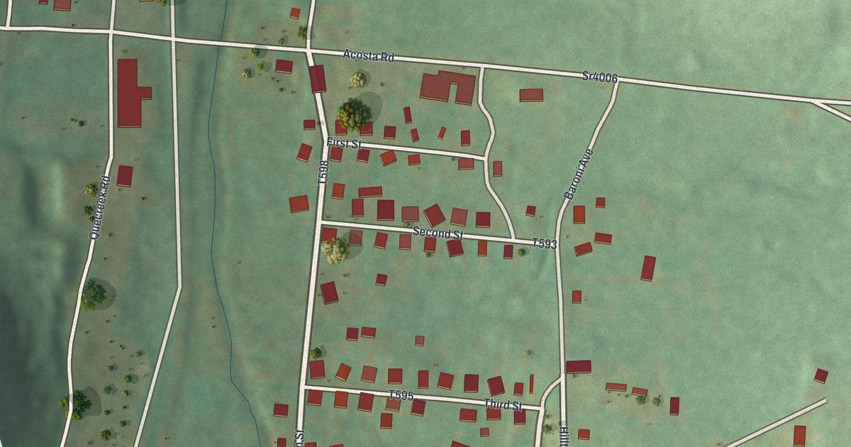
A detailed map of Acosta, Pennsylvania, showing every building in its true location, the roads by name, and shaded topographical relief.
Read More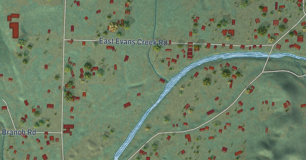
A detailed map of Wimer, Oregon, showing every building in its true location, the roads by name, and shaded topographical relief.
Read More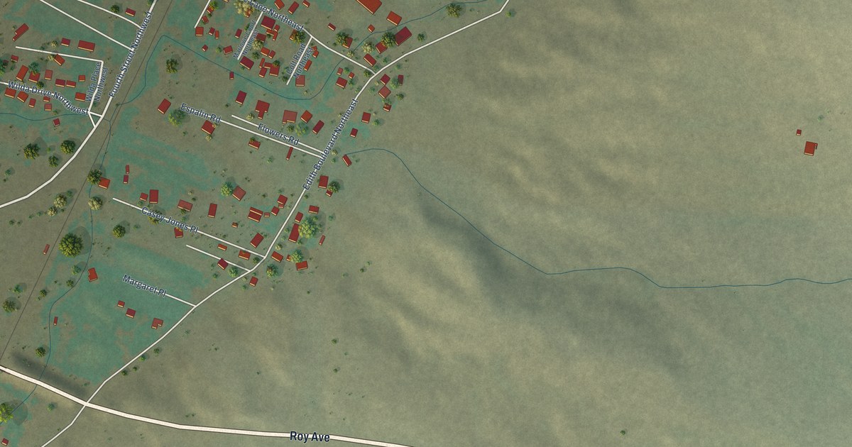
A detailed map of Edith Enclave, New Mexico, showing every building in its true location, the roads by name, and shaded topographical relief.
Read More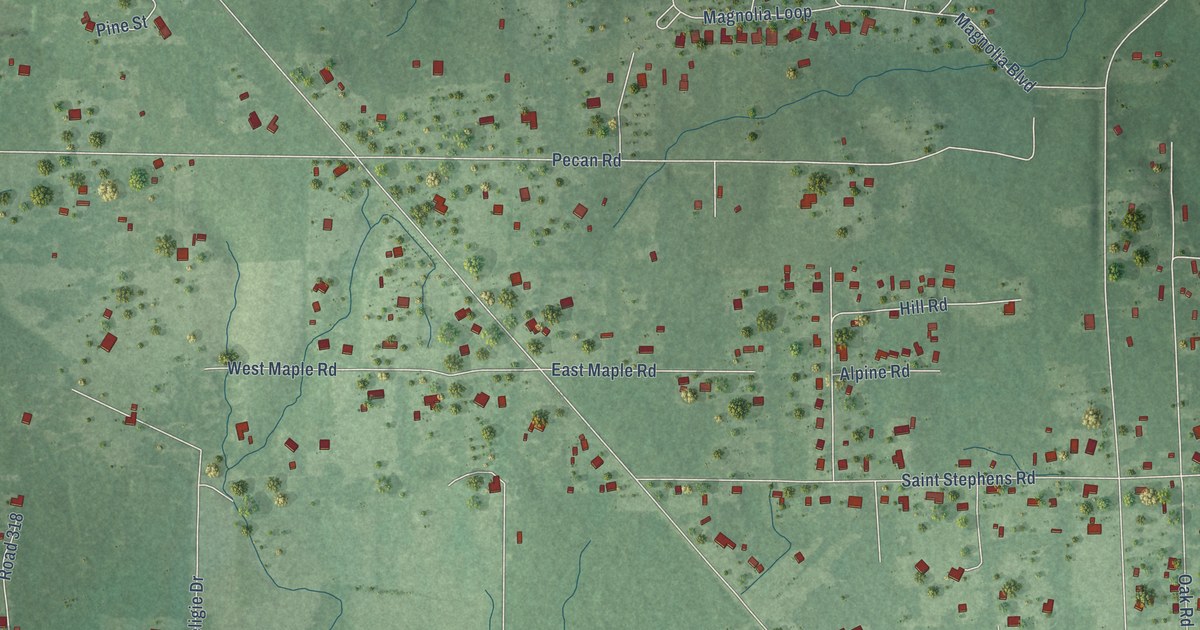
A detailed map of DeLisle, Mississippi, showing every building in its true location, the roads by name, and shaded topographical relief.
Read More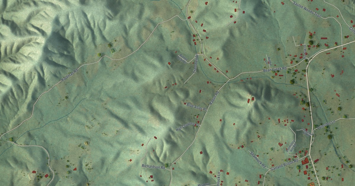
A detailed map of Sautee-Nacoochee, Georgia, showing every building in its true location, the roads by name, and shaded topographical relief.
Read More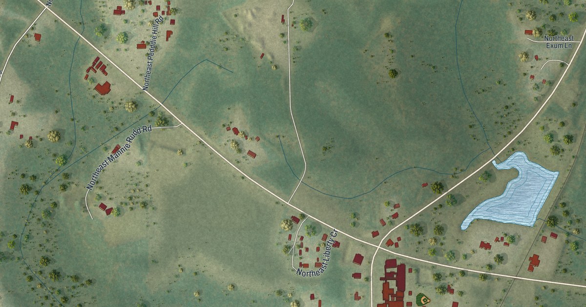
A detailed map of Hosford, Florida, showing every building in its true location, the roads by name, and shaded topographical relief.
Read More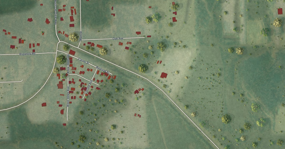
A detailed map of Espanola, Florida, showing every building in its true location, the roads by name, and shaded topographical relief.
Read More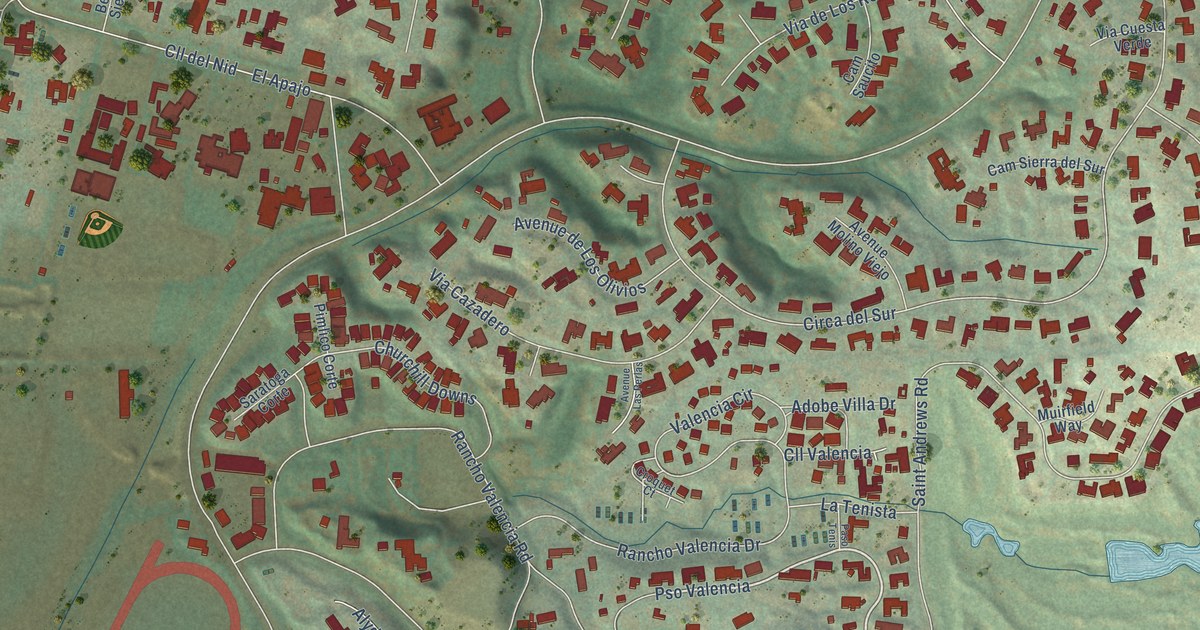
A detailed map of Fairbanks Ranch, California, showing every building in its true location, the roads by name, and shaded topographical relief.
Read More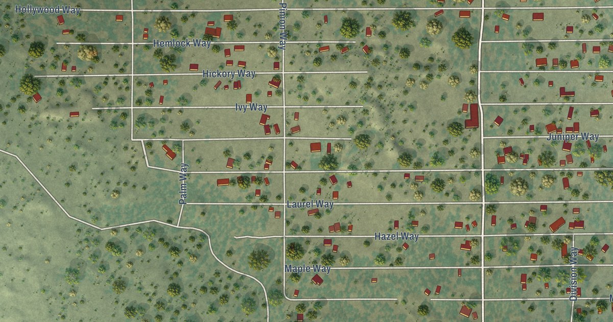
A detailed map of Spaulding, California, showing every building in its true location, the roads by name, and shaded topographical relief.
Read More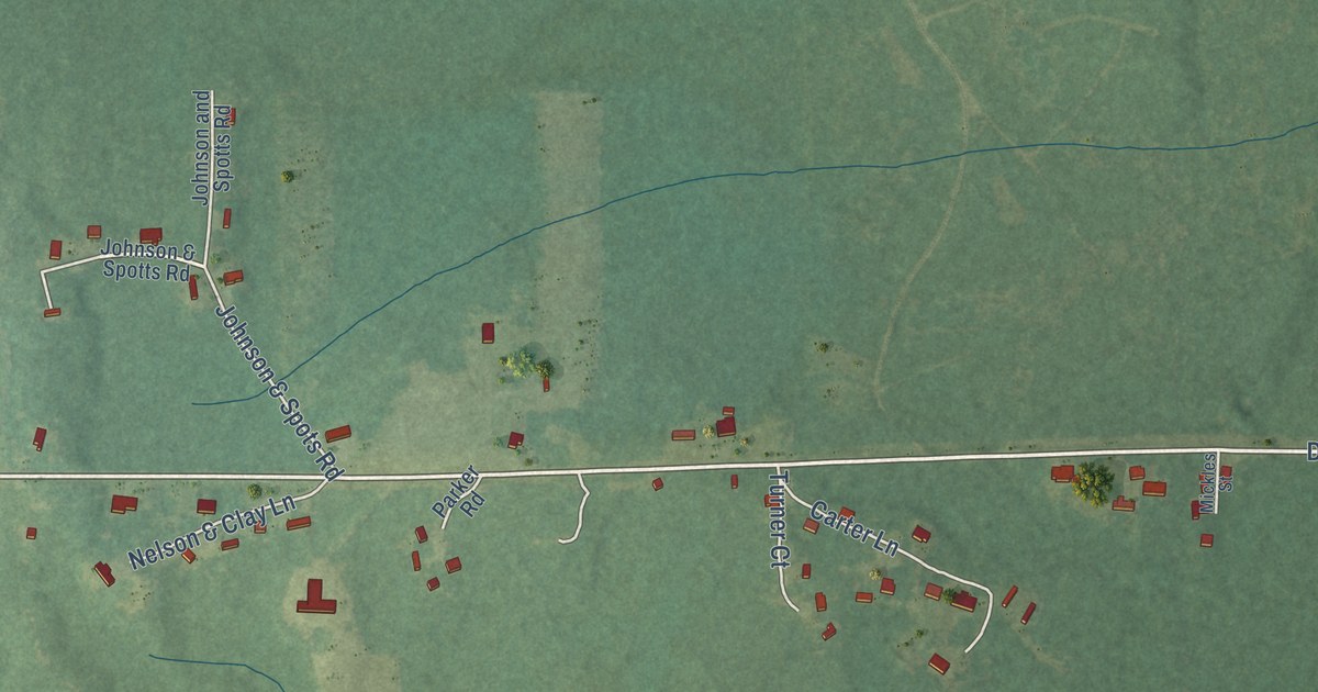
A detailed map of Deer Park, Alabama, showing every building in its true location, the roads by name, and shaded topographical relief.
Read More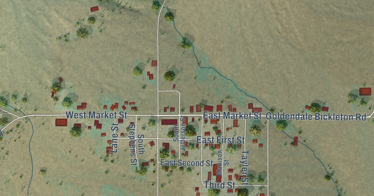
A detailed map of Bickleton, Washington, showing every building in its true location, the roads by name, and shaded topographical relief.
Read More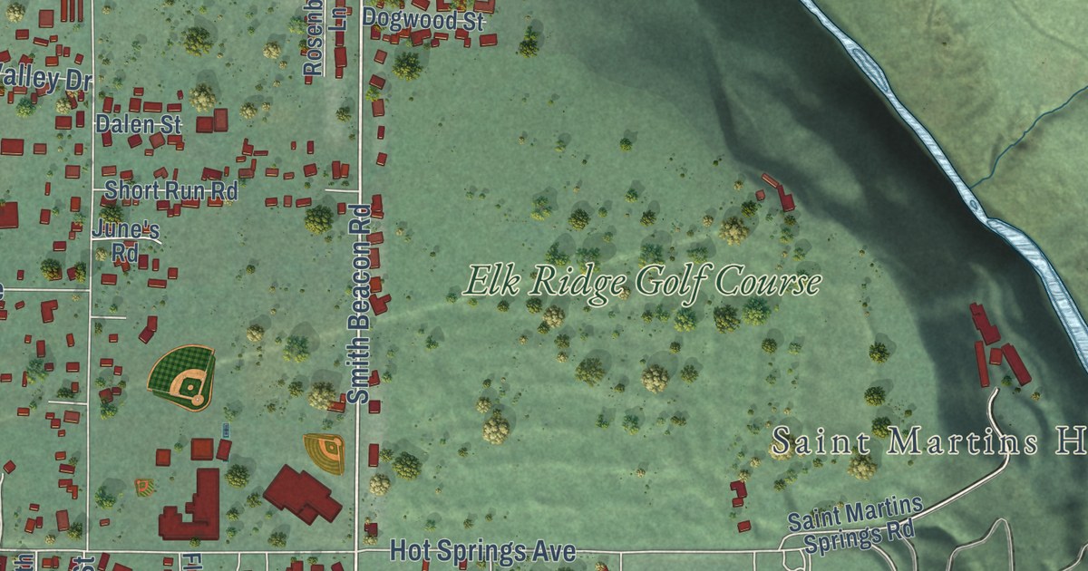
A detailed map of Carson, Washington, showing every building in its true location, the roads by name, and shaded topographical relief.
Read More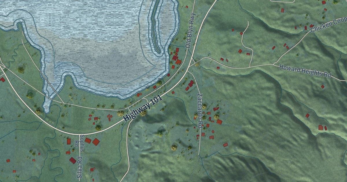
A detailed map of Blyn, Washington, showing every building in its true location, the roads by name, and shaded topographical relief.
Read More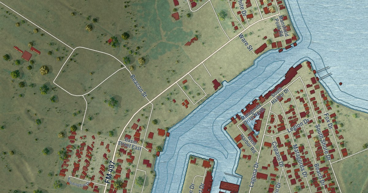
A detailed map of Port Mansfield, Texas, showing every building in its true location, the roads by name, and shaded topographical relief.
Read More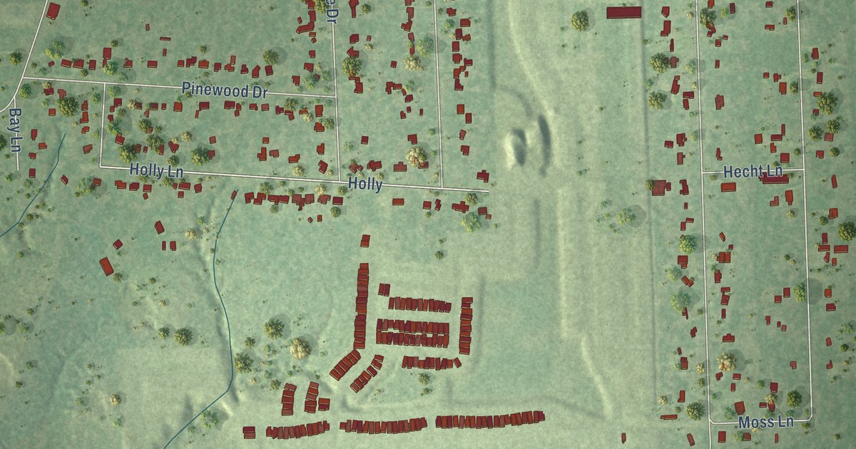
A detailed map of Porter Heights, Texas, showing every building in its true location, the roads by name, and shaded topographical relief.
Read More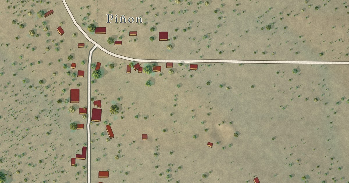
A detailed map of Pinon, New Mexico, showing every building in its true location, the roads by name, and shaded topographical relief.
Read More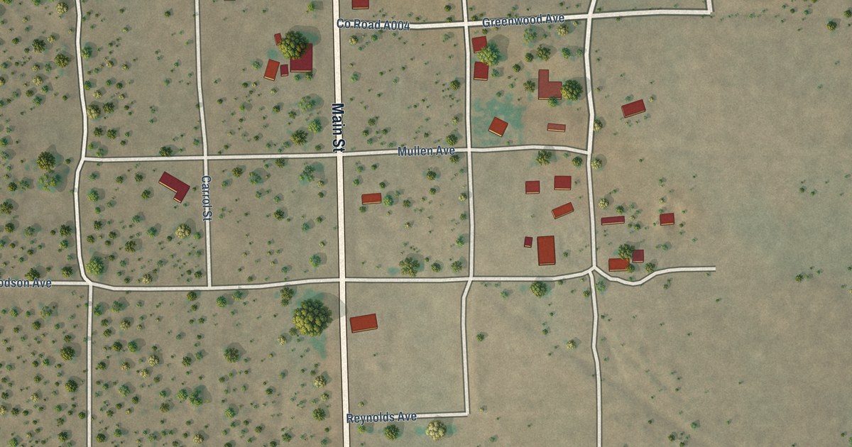
A detailed map of Orogrande, New Mexico, showing every building in its true location, the roads by name, and shaded topographical relief.
Read More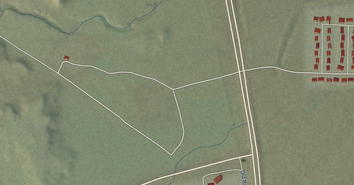
A detailed map of Sheep Springs, New Mexico, showing every building in its true location, the roads by name, and shaded topographical relief.
Read More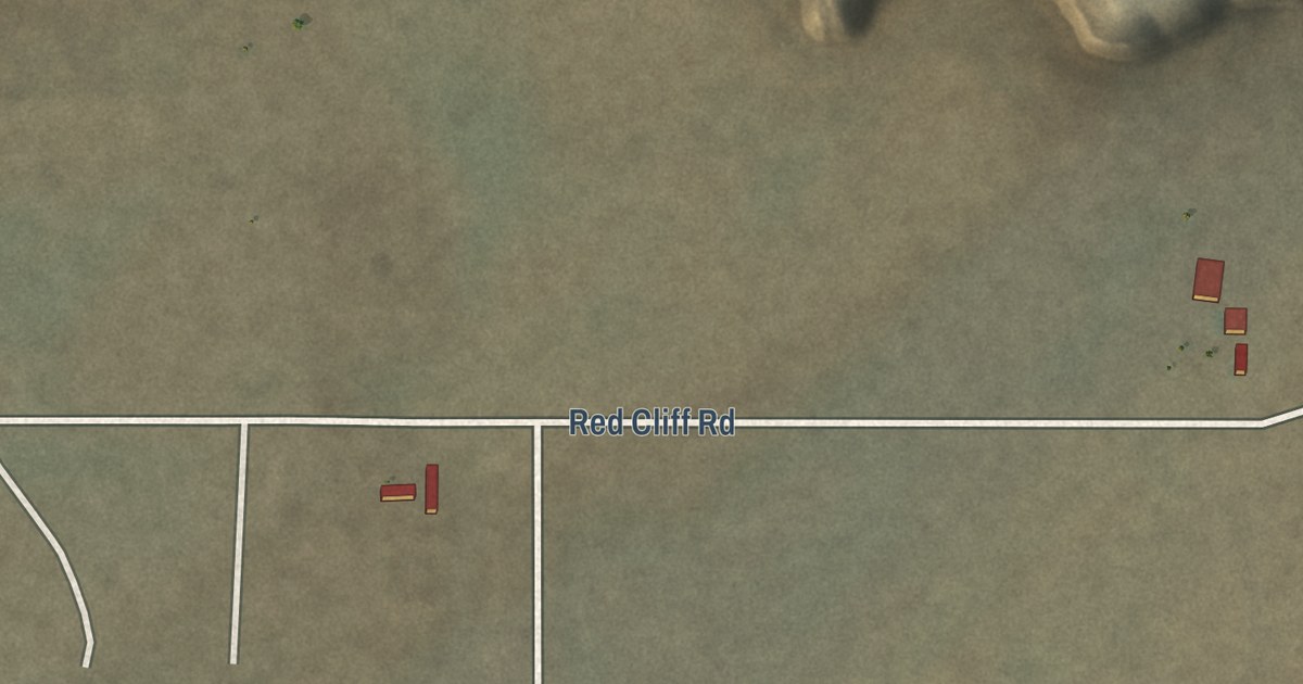
A detailed map of Red Rock Ranch, New Mexico, showing every building in its true location, the roads by name, and shaded topographical relief.
Read More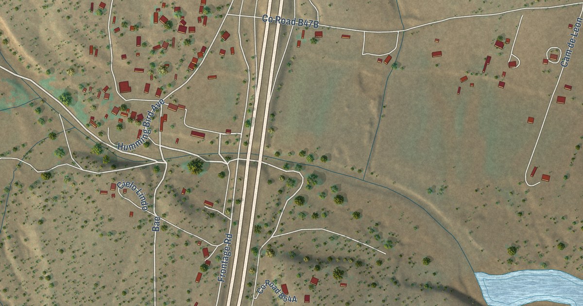
A detailed map of Tecolote, New Mexico, showing every building in its true location, the roads by name, and shaded topographical relief.
Read More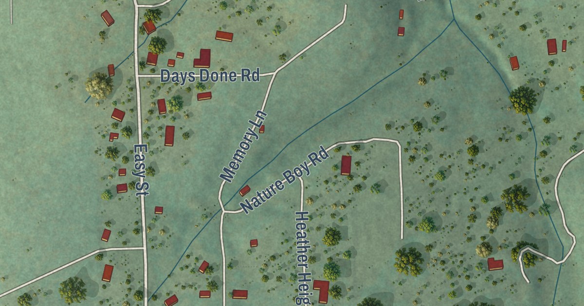
A detailed map of Cedro, New Mexico, showing every building in its true location, the roads by name, and shaded topographical relief.
Read More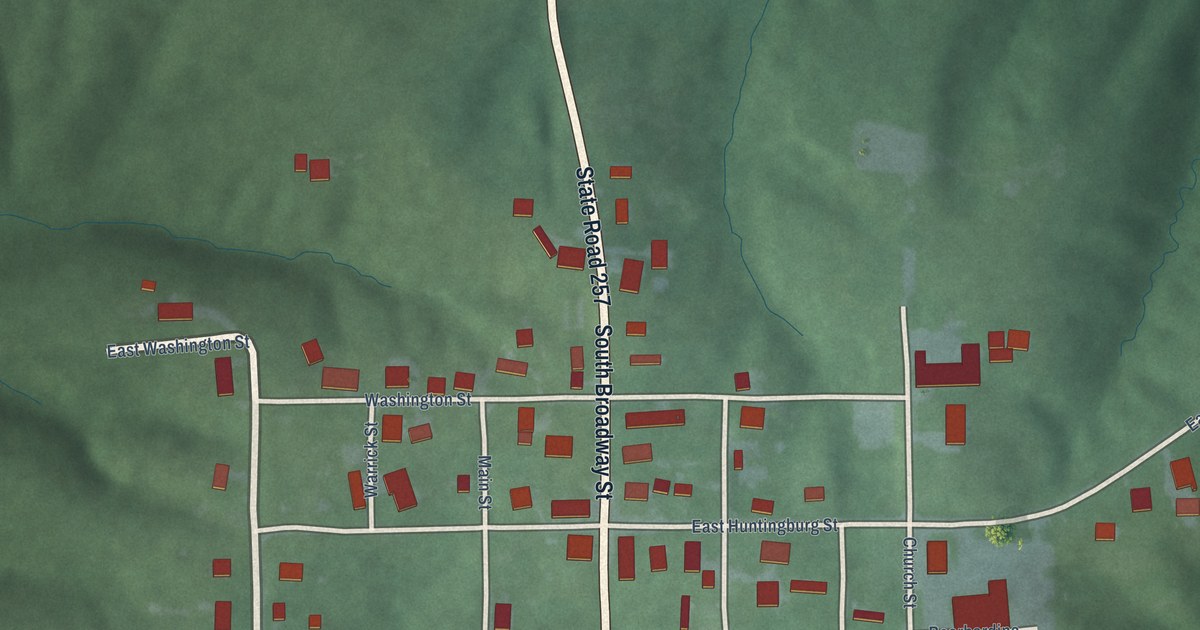
A detailed map of Stendal, Indiana, showing every building in its true location, the roads by name, and shaded topographical relief.
Read More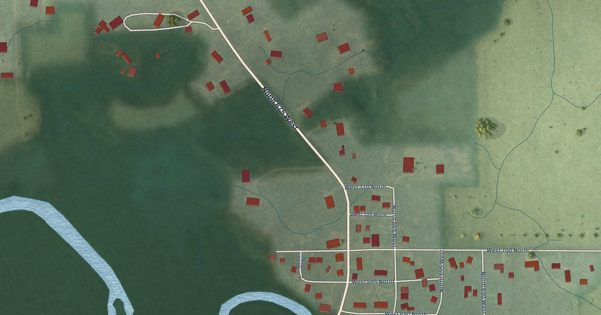
A detailed map of Scott, Indiana, showing every building in its true location, the roads by name, and shaded topographical relief.
Read More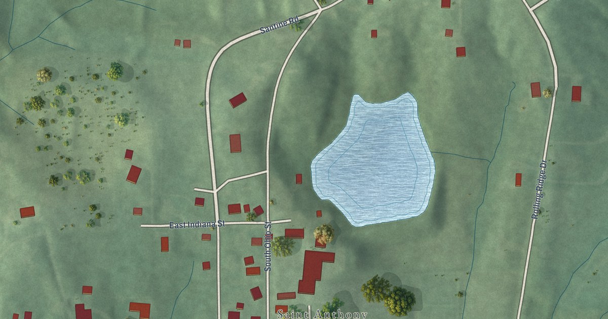
A detailed map of St. Anthony, Indiana, showing every building in its true location, the roads by name, and shaded topographical relief.
Read More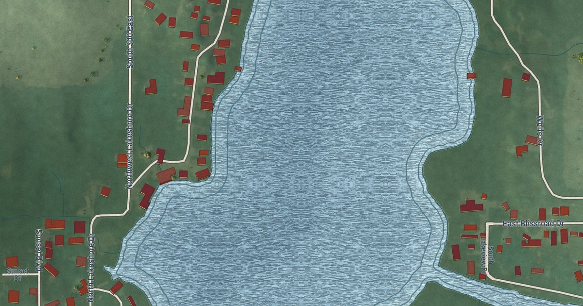
A detailed map of Nyona Lake, Indiana, showing every building in its true location, the roads by name, and shaded topographical relief.
Read More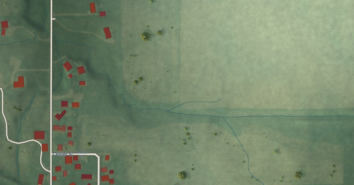
A detailed map of Linnsburg, Indiana, showing every building in its true location, the roads by name, and shaded topographical relief.
Read More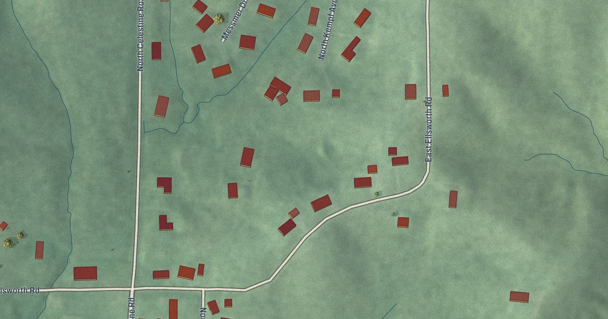
A detailed map of Celestine, Indiana, showing every building in its true location, the roads by name, and shaded topographical relief.
Read More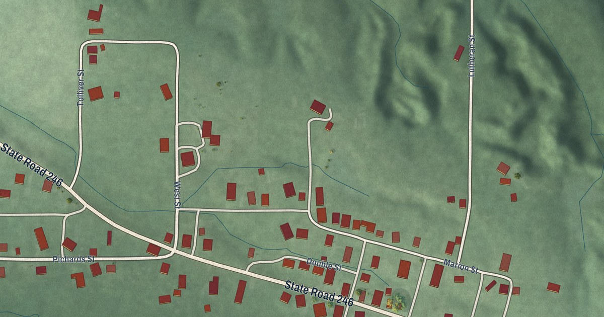
A detailed map of Patricksburg, Indiana, showing every building in its true location, the roads by name, and shaded topographical relief.
Read More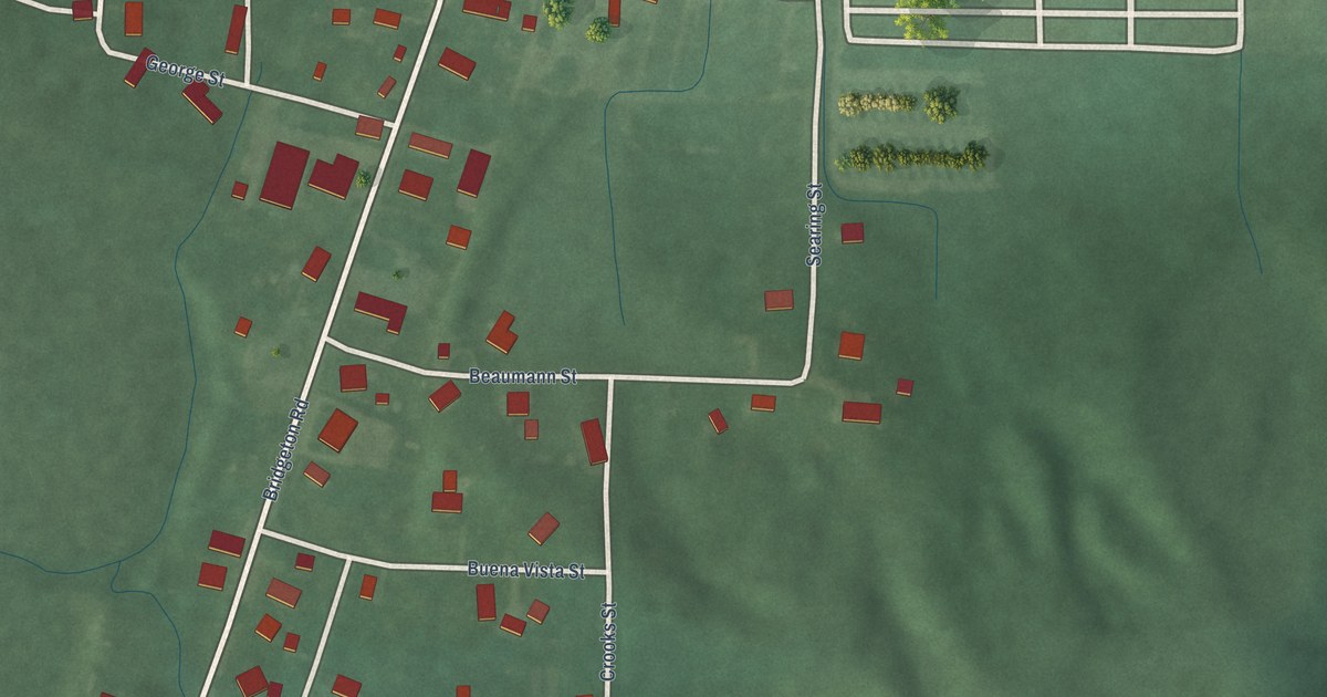
A detailed map of Bridgeton, Indiana, showing every building in its true location, the roads by name, and shaded topographical relief.
Read More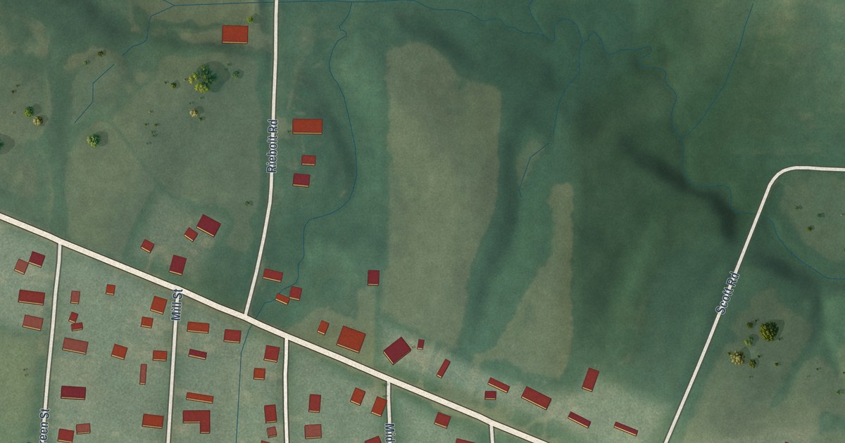
A detailed map of Andersonville, Indiana, showing every building in its true location, the roads by name, and shaded topographical relief.
Read More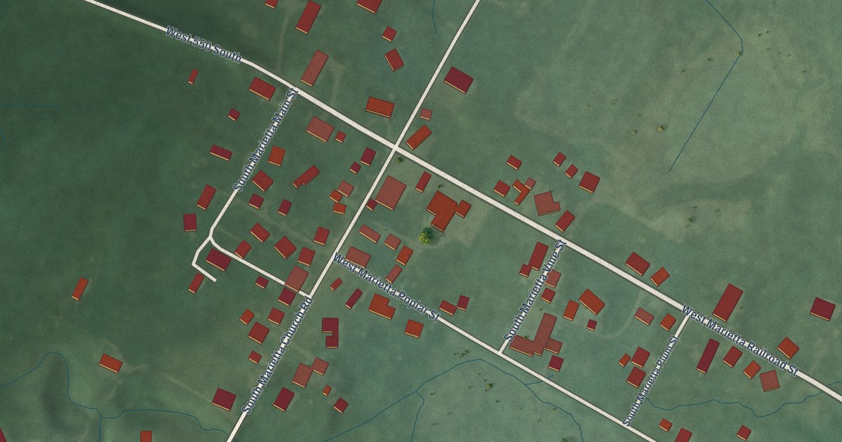
A detailed map of Marietta, Indiana, showing every building in its true location, the roads by name, and shaded topographical relief.
Read More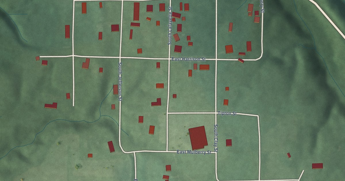
A detailed map of Bowling Green, Indiana, showing every building in its true location, the roads by name, and shaded topographical relief.
Read More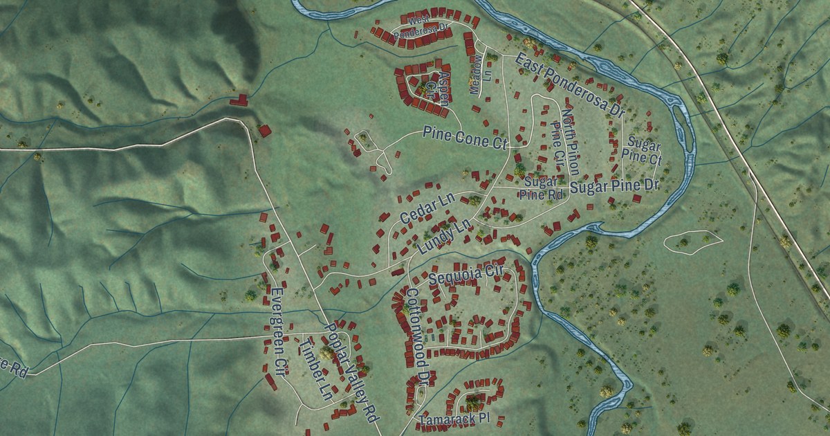
A detailed map of Plumas Eureka, California, showing every building in its true location, the roads by name, and shaded topographical relief.
Read More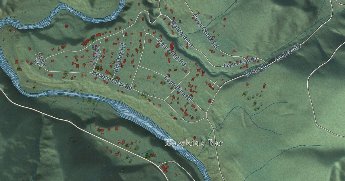
A detailed map of Trinity Village, California, showing every building in its true location, the roads by name, and shaded topographical relief.
Read More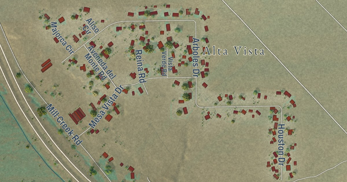
A detailed map of Mesa, California, showing every building in its true location, the roads by name, and shaded topographical relief.
Read More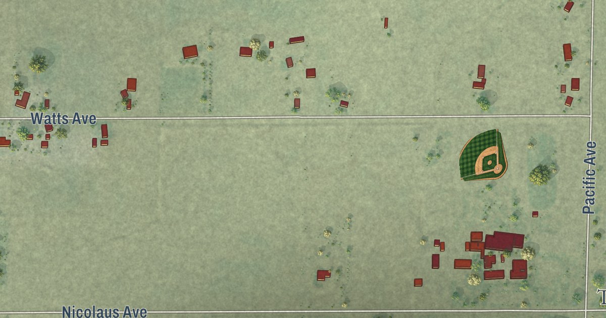
A detailed map of East Nicolaus, California, showing every building in its true location, the roads by name, and shaded topographical relief.
Read More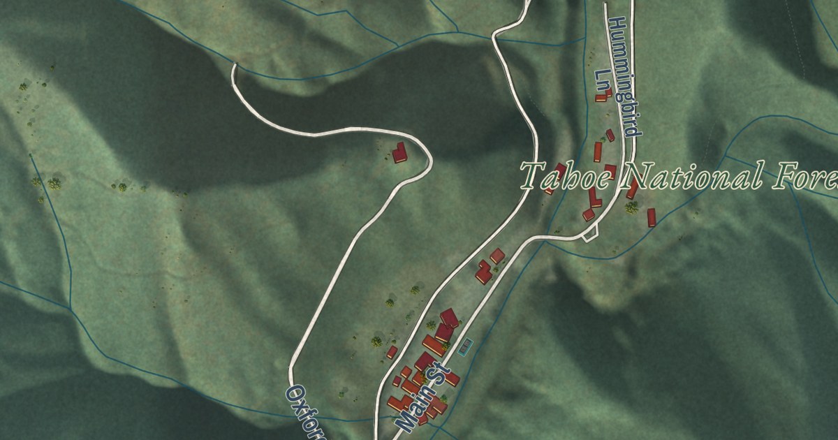
A detailed map of Downieville, California, showing every building in its true location, the roads by name, and shaded topographical relief.
Read More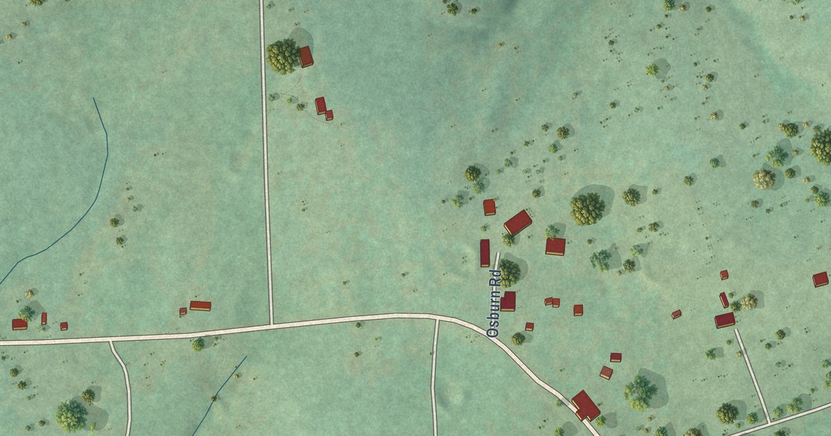
A detailed map of Sour John, Oklahoma, showing every building in its true location, the roads by name, and shaded topographical relief.
Read More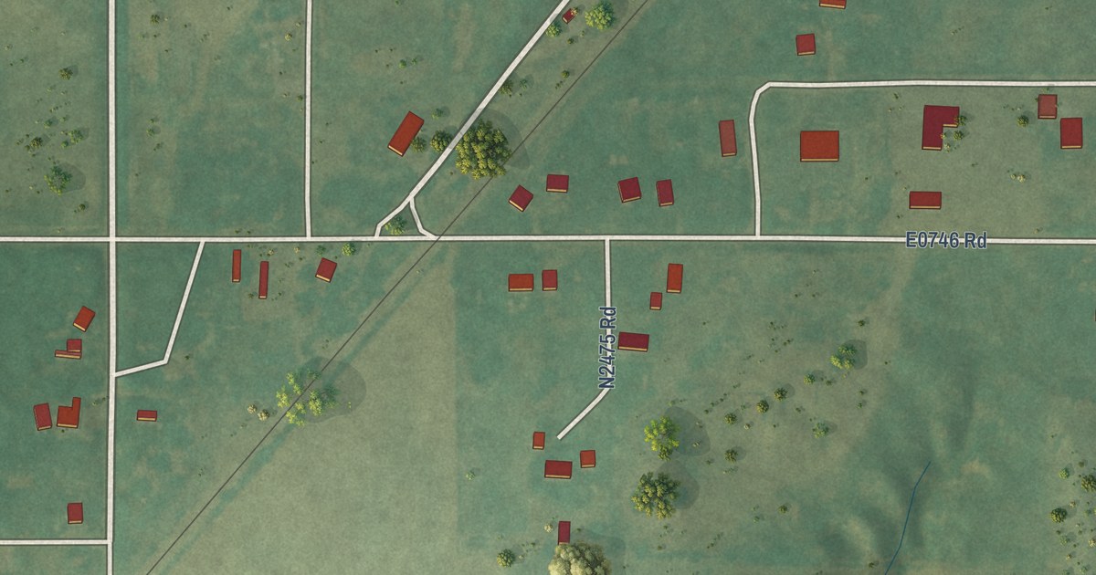
A detailed map of Eagle City, Oklahoma, showing every building in its true location, the roads by name, and shaded topographical relief.
Read More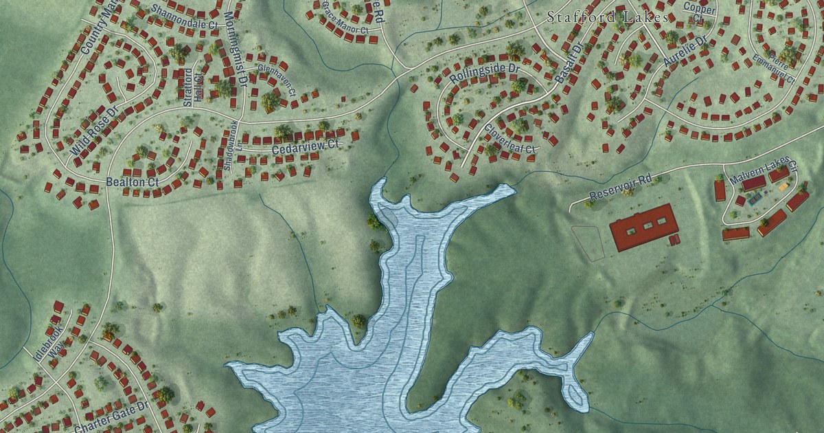
A detailed map of Stafford Lakes Village, Virginia, showing every building in its true location, the roads by name, and shaded topographical relief.
Read More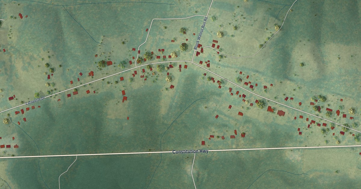
A detailed map of Rhoadesville, Virginia, showing every building in its true location, the roads by name, and shaded topographical relief.
Read More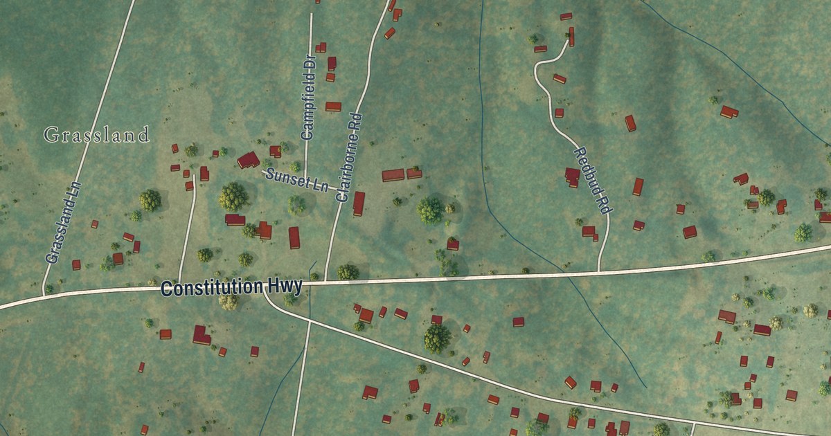
A detailed map of Unionville, Virginia, showing every building in its true location, the roads by name, and shaded topographical relief.
Read More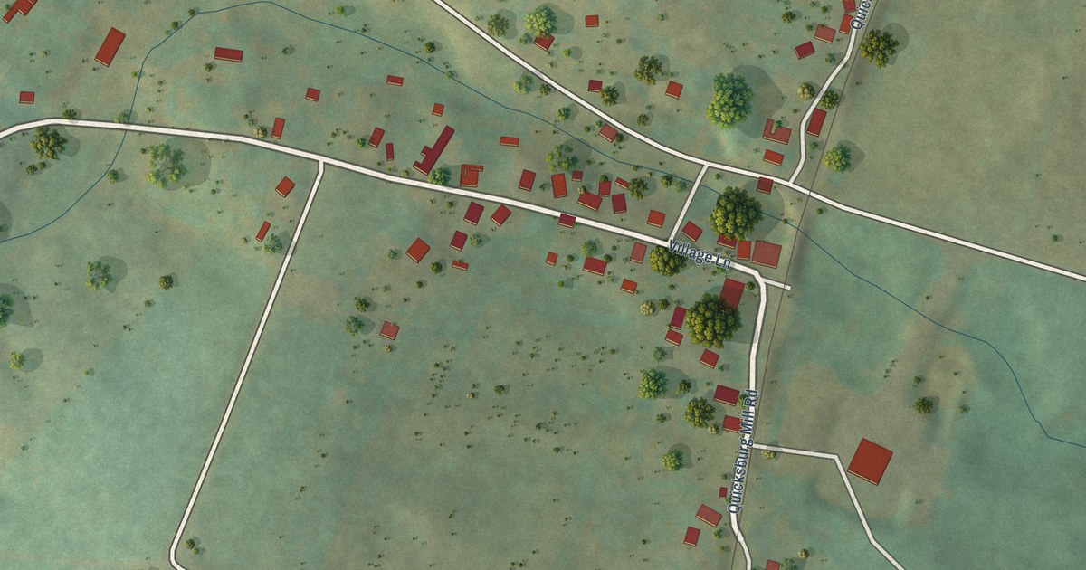
A detailed map of Quicksburg, Virginia, showing every building in its true location, the roads by name, and shaded topographical relief.
Read More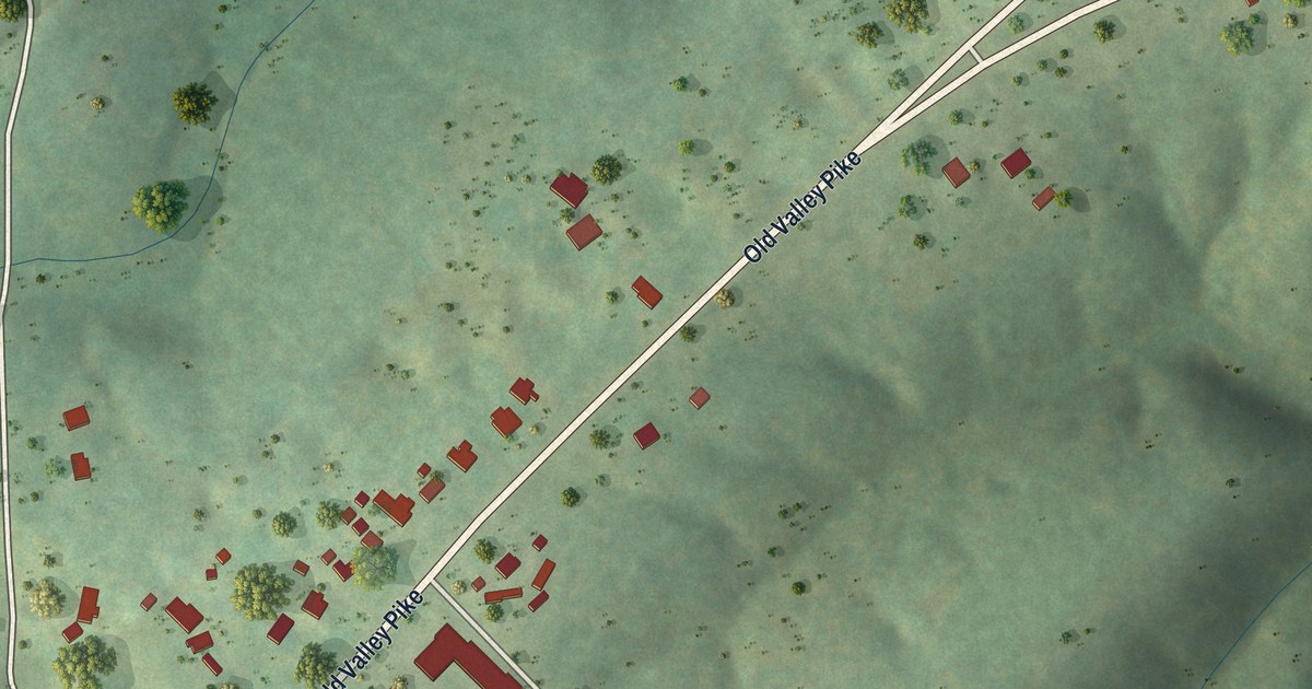
A detailed map of Locust Grove, Virginia, showing every building in its true location, the roads by name, and shaded topographical relief.
Read More















