Detailed Map of Leeland Station, Virginia
A detailed map of Leeland Station, Virginia, showing every building in its true location, the roads by name, and shaded topographical relief.
Read More
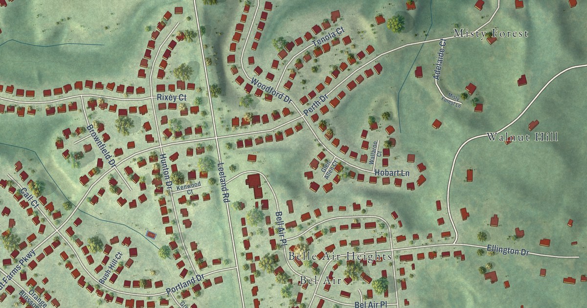
A detailed map of Leeland Station, Virginia, showing every building in its true location, the roads by name, and shaded topographical relief.
Read More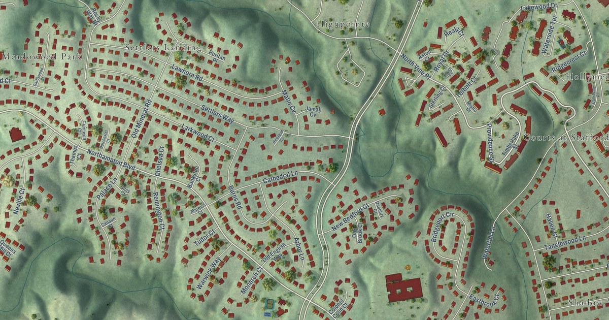
A detailed map of Hampton Oaks, Virginia, showing every building in its true location, the roads by name, and shaded topographical relief.
Read More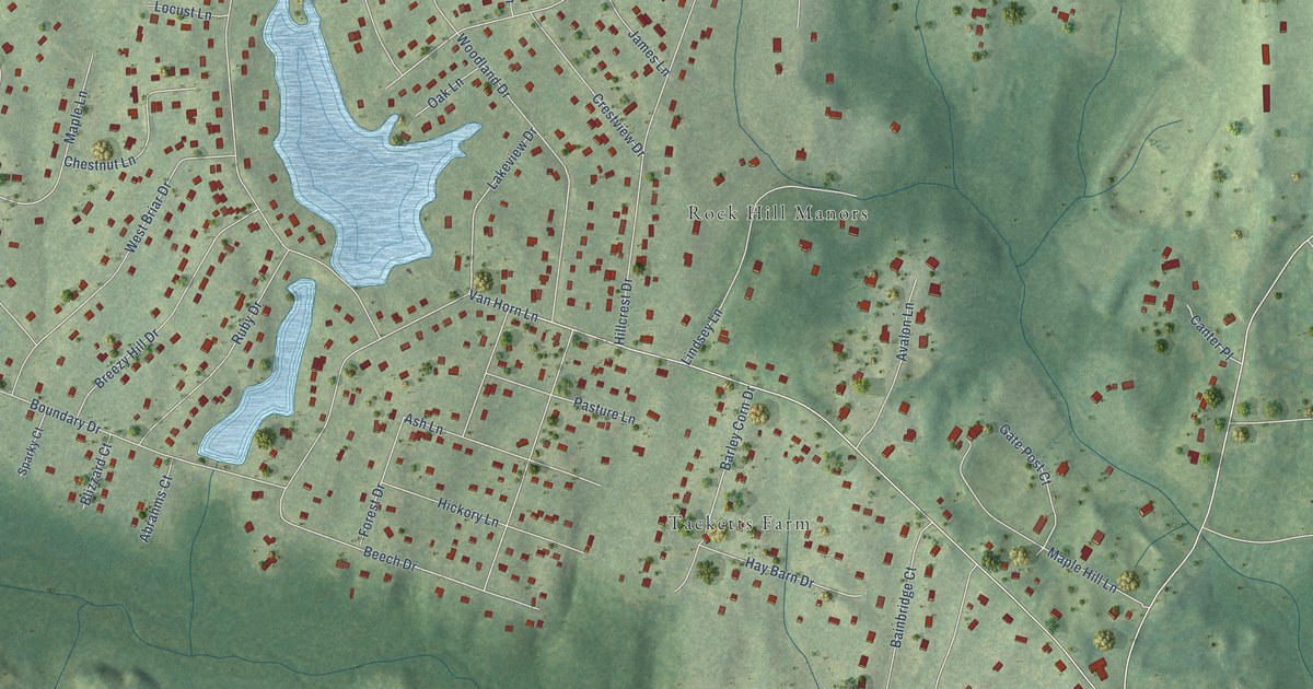
A detailed map of Lake Arrowhead, Virginia, showing every building in its true location, the roads by name, and shaded topographical relief.
Read More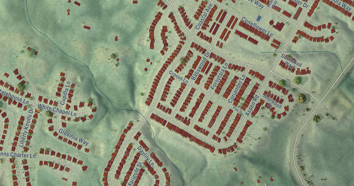
A detailed map of Embrey Mill, Virginia, showing every building in its true location, the roads by name, and shaded topographical relief.
Read More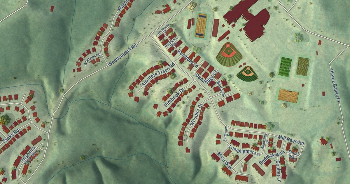
A detailed map of Colonial Forge, Virginia, showing every building in its true location, the roads by name, and shaded topographical relief.
Read More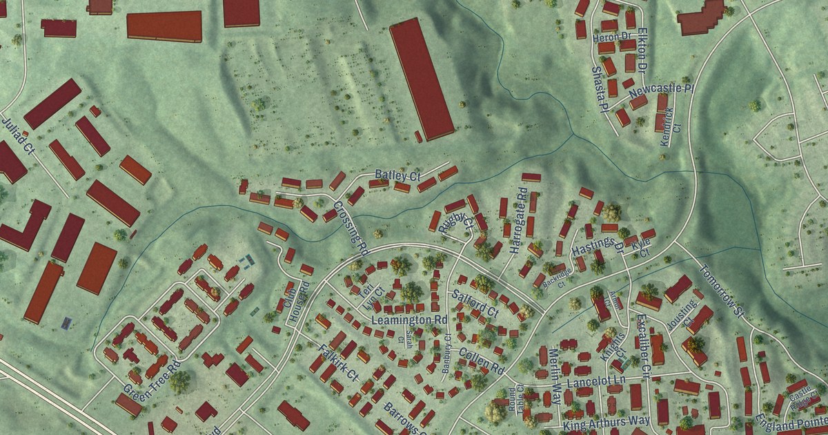
A detailed map of England Run, Virginia, showing every building in its true location, the roads by name, and shaded topographical relief.
Read More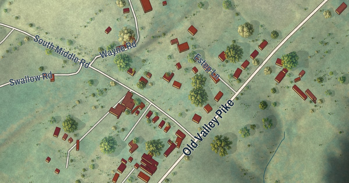
A detailed map of Bowmans Crossing, Virginia, showing every building in its true location, the roads by name, and shaded topographical relief.
Read More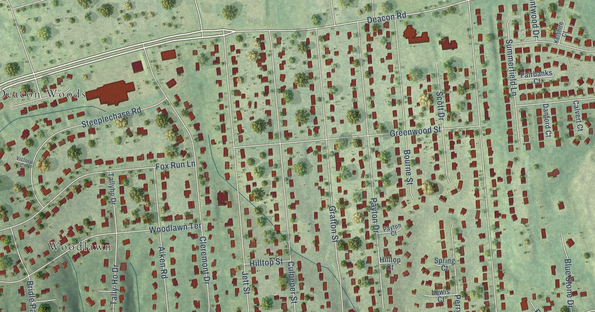
A detailed map of Grafton Village, Virginia, showing every building in its true location, the roads by name, and shaded topographical relief.
Read More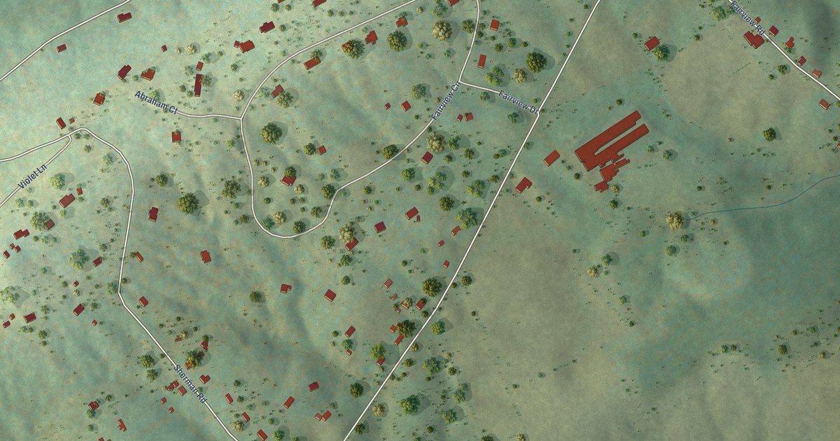
A detailed map of Alonzaville, Virginia, showing every building in its true location, the roads by name, and shaded topographical relief.
Read More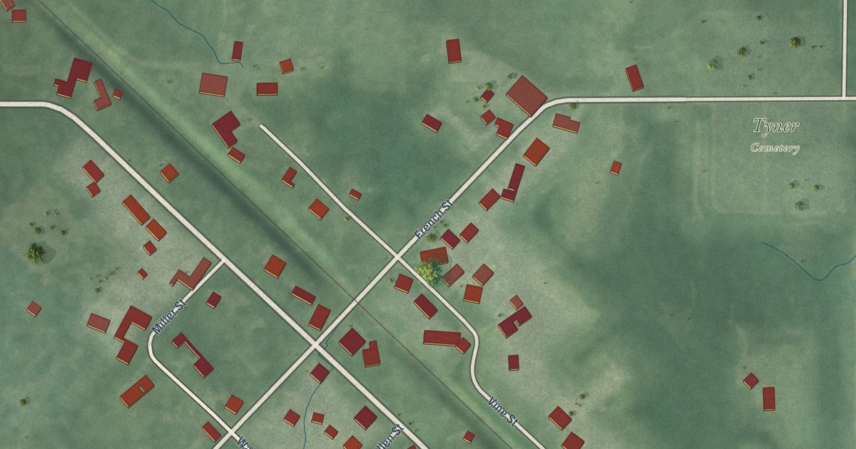
A detailed map of Tyner, Indiana, showing every building in its true location, the roads by name, and shaded topographical relief.
Read More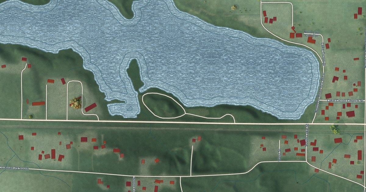
A detailed map of Lake Cicott, Indiana, showing every building in its true location, the roads by name, and shaded topographical relief.
Read More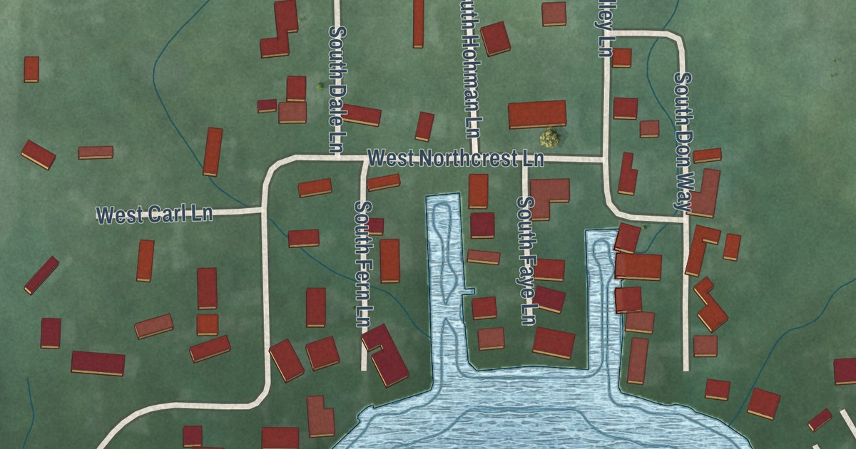
A detailed map of Beaver Dam, Indiana, showing every building in its true location, the roads by name, and shaded topographical relief.
Read More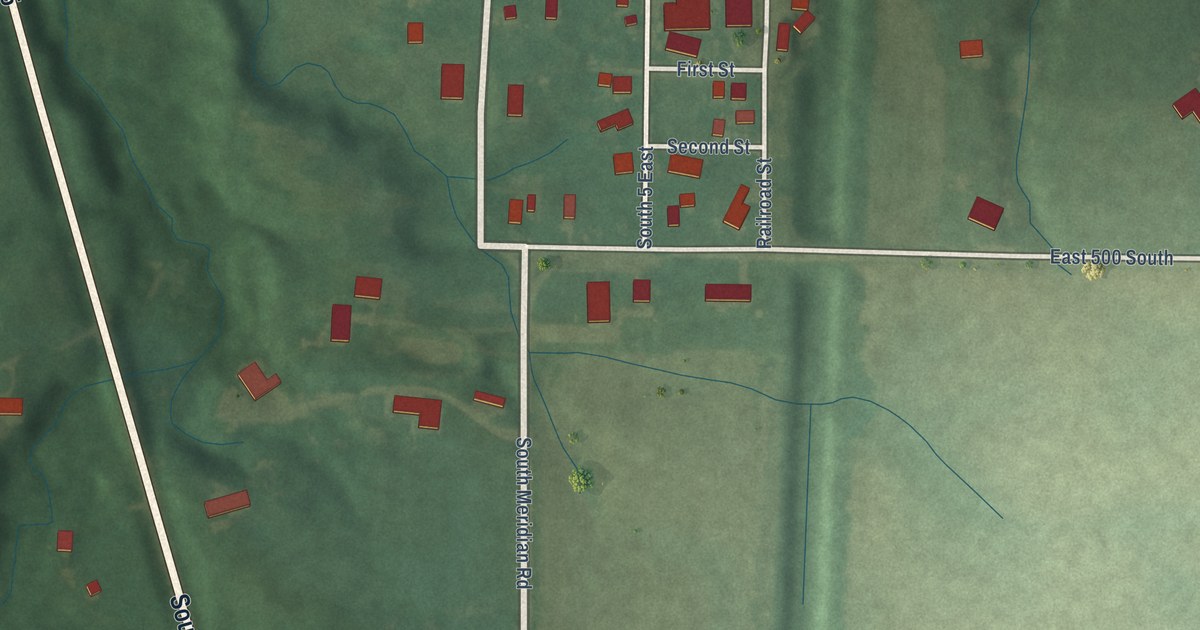
A detailed map of Cutler, Indiana, showing every building in its true location, the roads by name, and shaded topographical relief.
Read More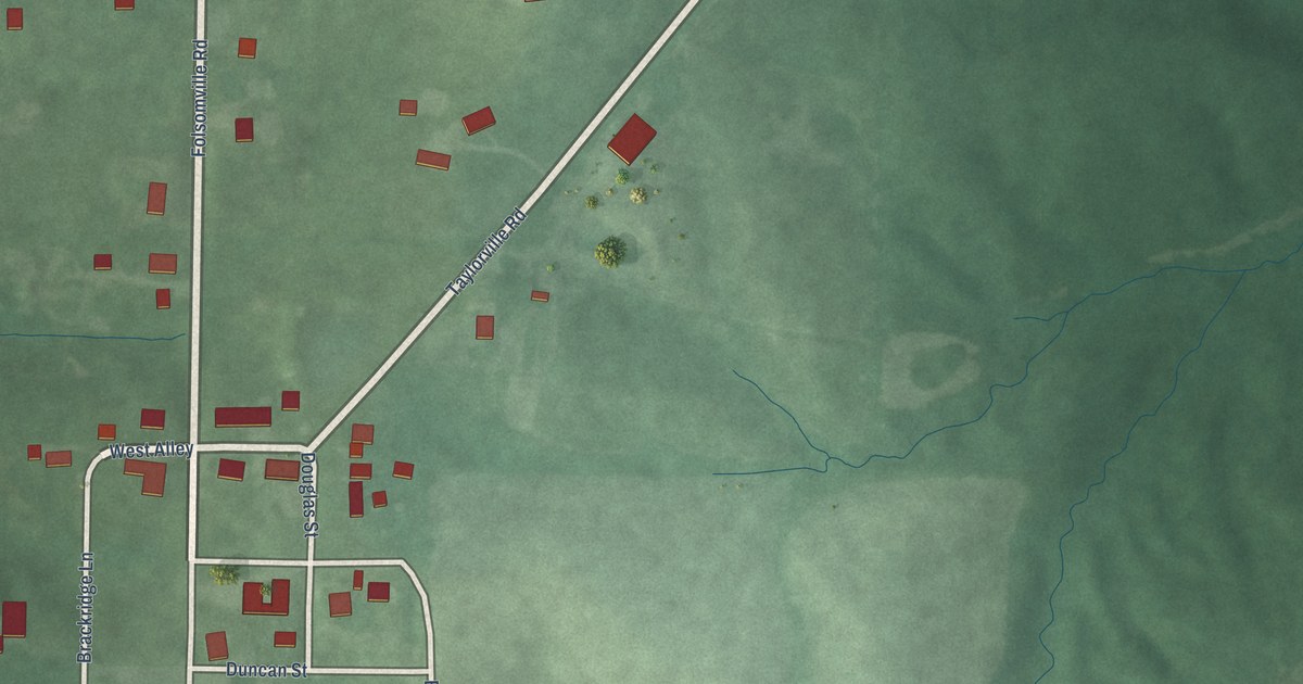
A detailed map of Folsomville, Indiana, showing every building in its true location, the roads by name, and shaded topographical relief.
Read More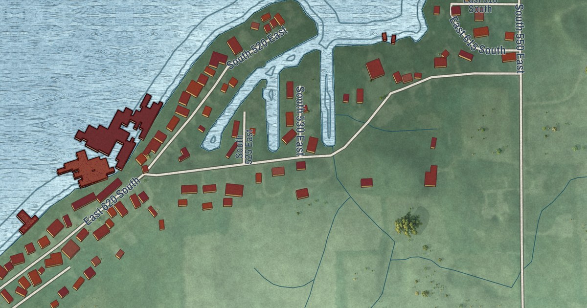
A detailed map of Adams Lake, Indiana, showing every building in its true location, the roads by name, and shaded topographical relief.
Read More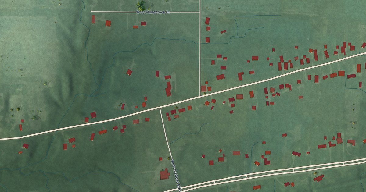
A detailed map of Billtown, Indiana, showing every building in its true location, the roads by name, and shaded topographical relief.
Read More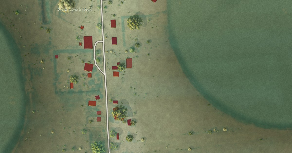
A detailed map of Kirk, Colorado, showing every building in its true location, the roads by name, and shaded topographical relief.
Read More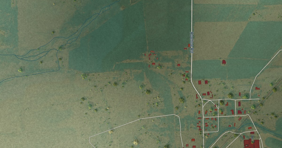
A detailed map of Hoehne, Colorado, showing every building in its true location, the roads by name, and shaded topographical relief.
Read More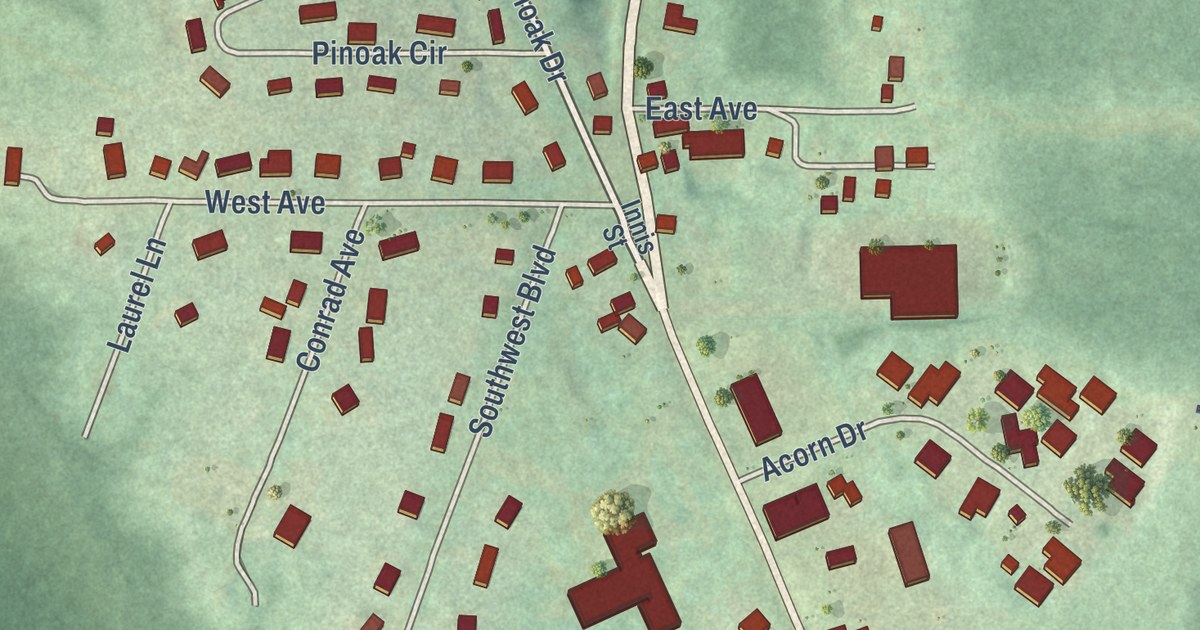
A detailed map of Woodland Heights, Pennsylvania, showing every building in its true location, the roads by name, and shaded topographical relief.
Read More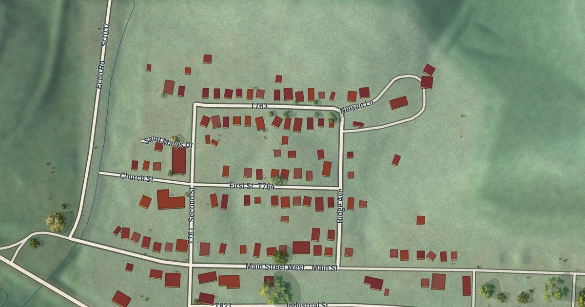
A detailed map of Yatesboro, Pennsylvania, showing every building in its true location, the roads by name, and shaded topographical relief.
Read More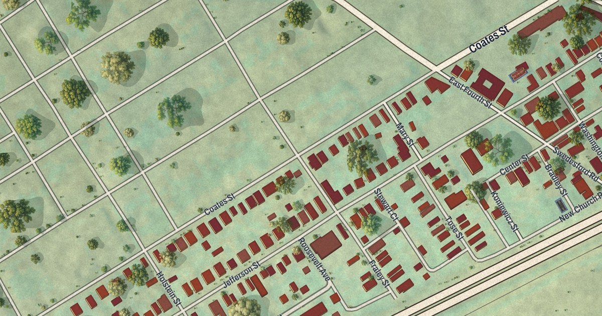
A detailed map of Swedesburg, Pennsylvania, showing every building in its true location, the roads by name, and shaded topographical relief.
Read More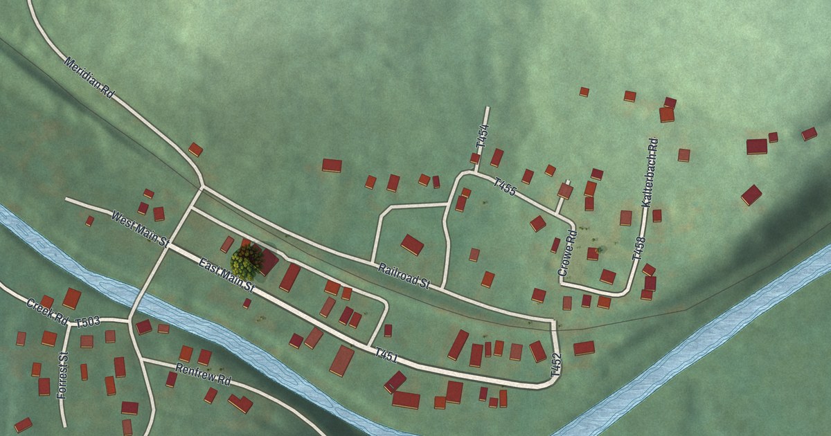
A detailed map of Renfrew, Pennsylvania, showing every building in its true location, the roads by name, and shaded topographical relief.
Read More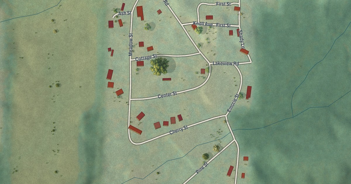
A detailed map of Rockdale Acres, Pennsylvania, showing every building in its true location, the roads by name, and shaded topographical relief.
Read More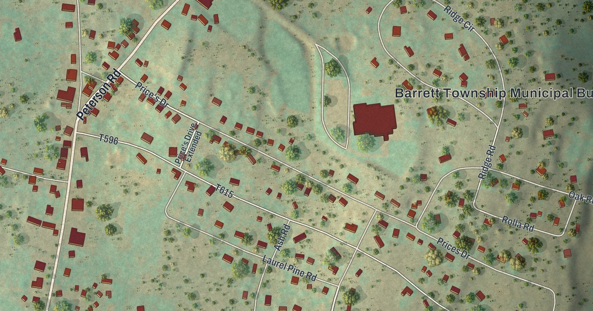
A detailed map of Mountainhome, Pennsylvania, showing every building in its true location, the roads by name, and shaded topographical relief.
Read More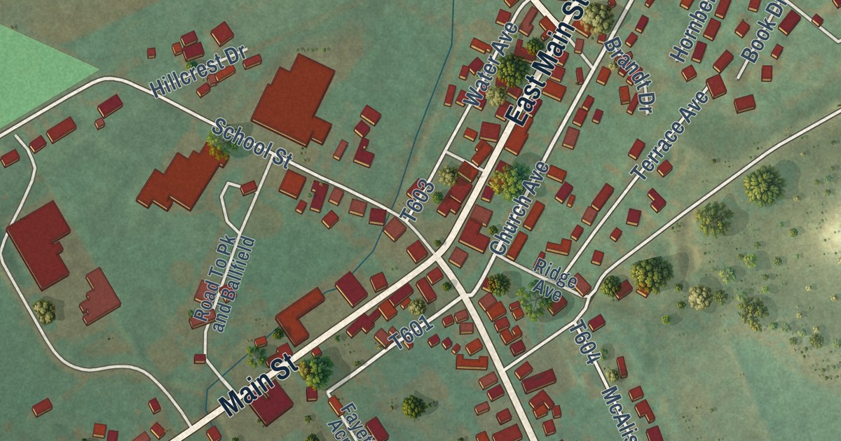
A detailed map of McAlisterville, Pennsylvania, showing every building in its true location, the roads by name, and shaded topographical relief.
Read More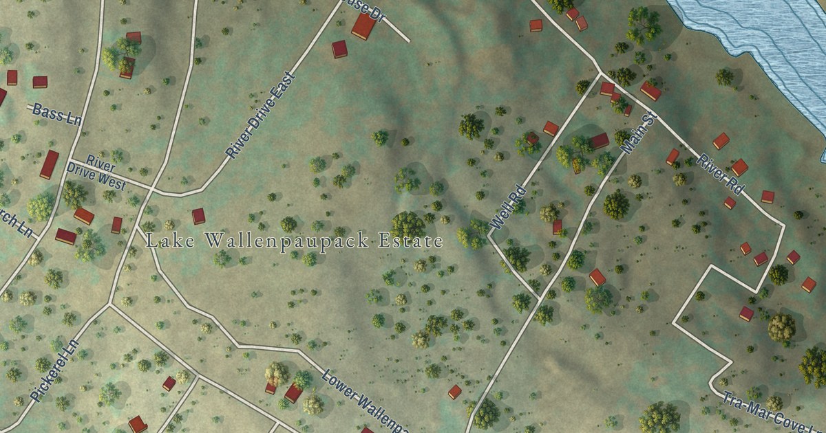
A detailed map of Lake Wallenpaupack Estates, Pennsylvania, showing every building in its true location, the roads by name, and shaded topographical relief.
Read More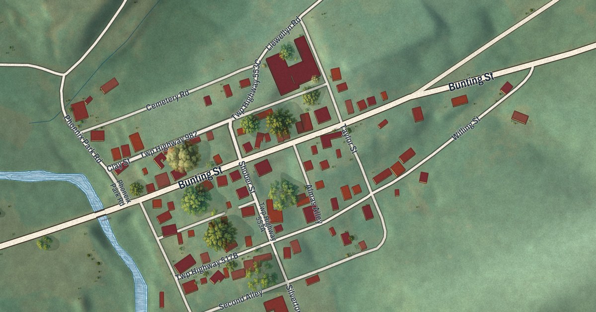
A detailed map of Llewellyn, Pennsylvania, showing every building in its true location, the roads by name, and shaded topographical relief.
Read More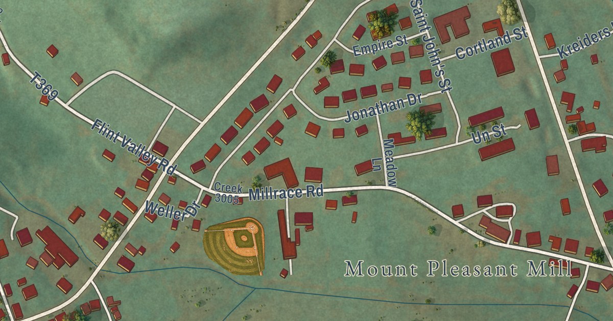
A detailed map of Mount Pleasant Mills, Pennsylvania, showing every building in its true location, the roads by name, and shaded topographical relief.
Read More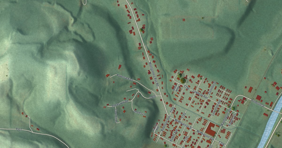
A detailed map of Hyde, Pennsylvania, showing every building in its true location, the roads by name, and shaded topographical relief.
Read More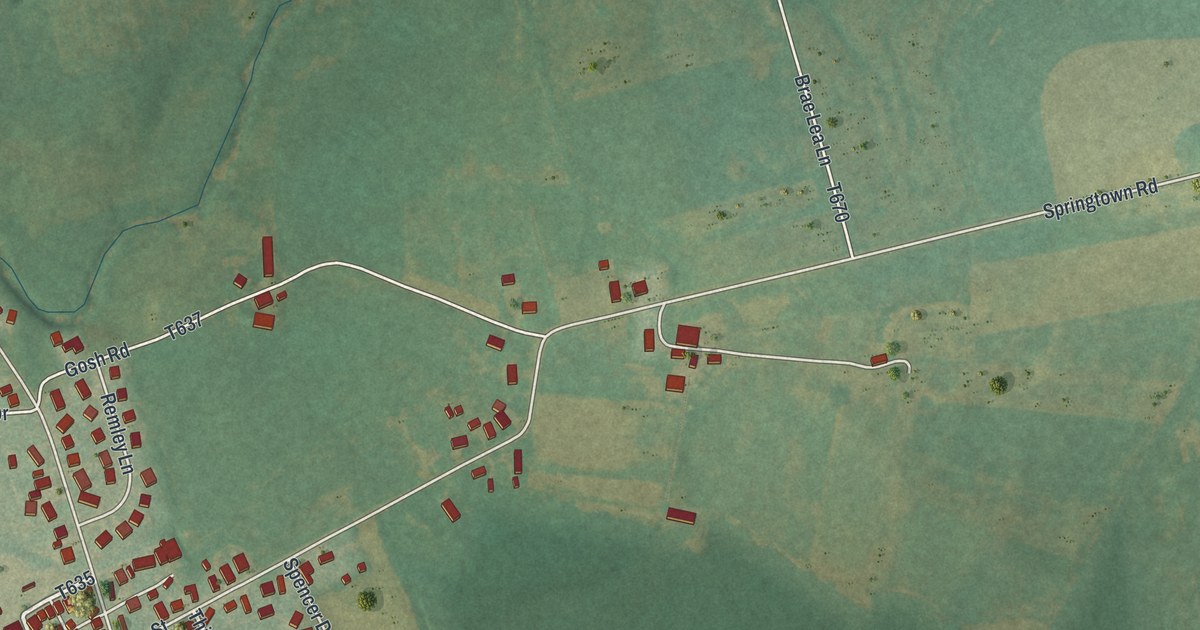
A detailed map of Dewart, Pennsylvania, showing every building in its true location, the roads by name, and shaded topographical relief.
Read More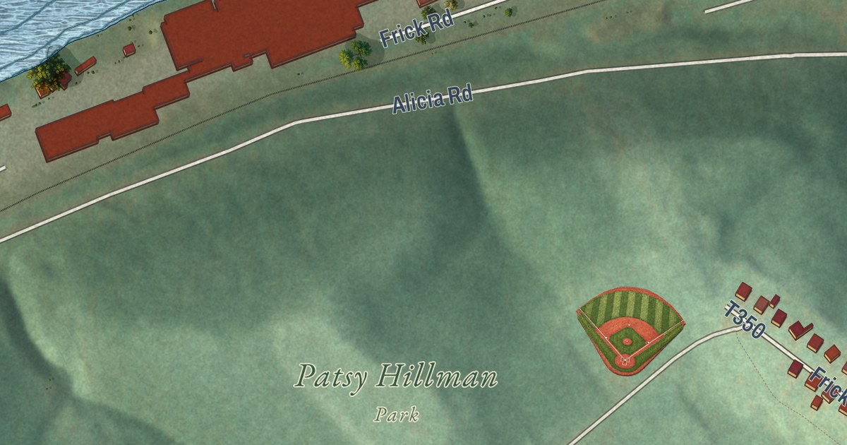
A detailed map of Hiller, Pennsylvania, showing every building in its true location, the roads by name, and shaded topographical relief.
Read More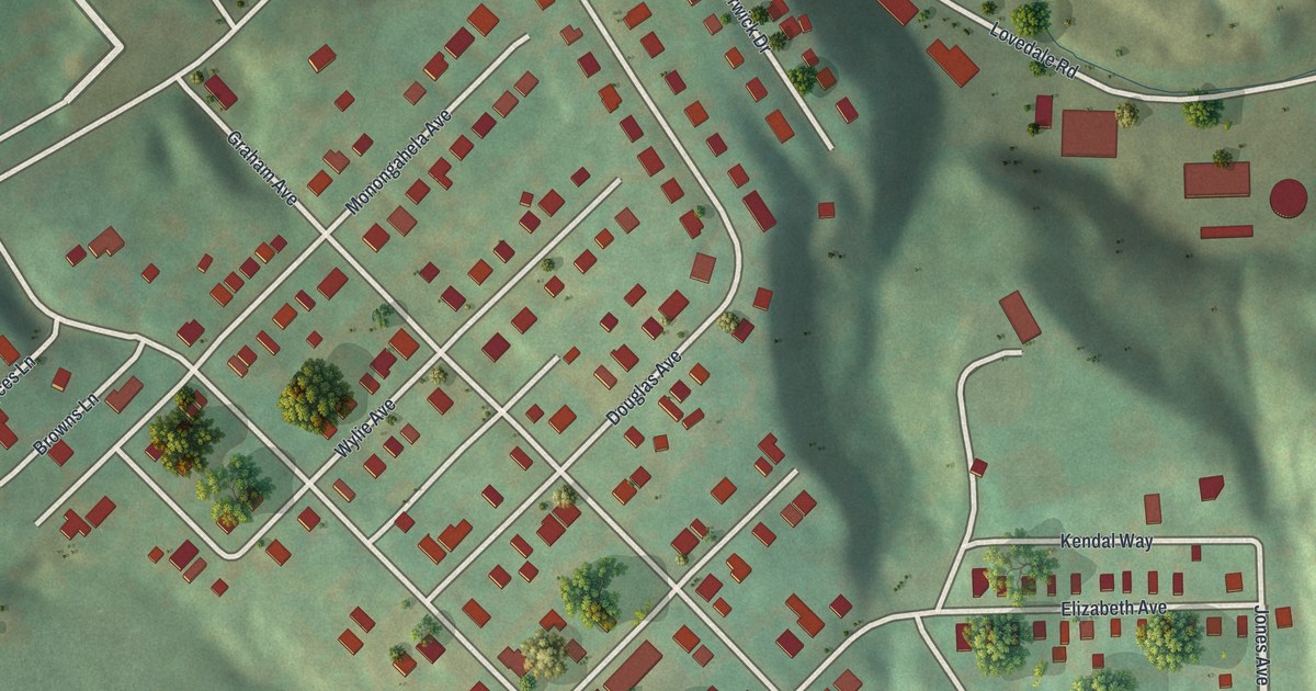
A detailed map of Blaine Hill, Pennsylvania, showing every building in its true location, the roads by name, and shaded topographical relief.
Read More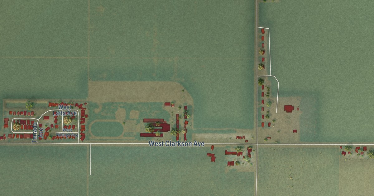
A detailed map of Cantua Creek, California, showing every building in its true location, the roads by name, and shaded topographical relief.
Read More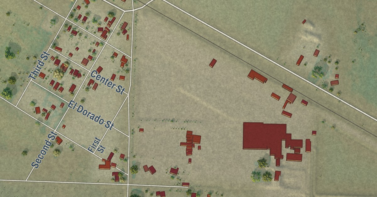
A detailed map of Volta, California, showing every building in its true location, the roads by name, and shaded topographical relief.
Read More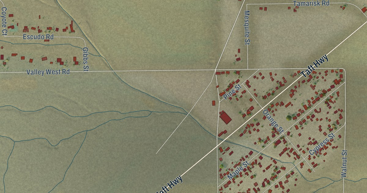
A detailed map of Valley Acres, California, showing every building in its true location, the roads by name, and shaded topographical relief.
Read More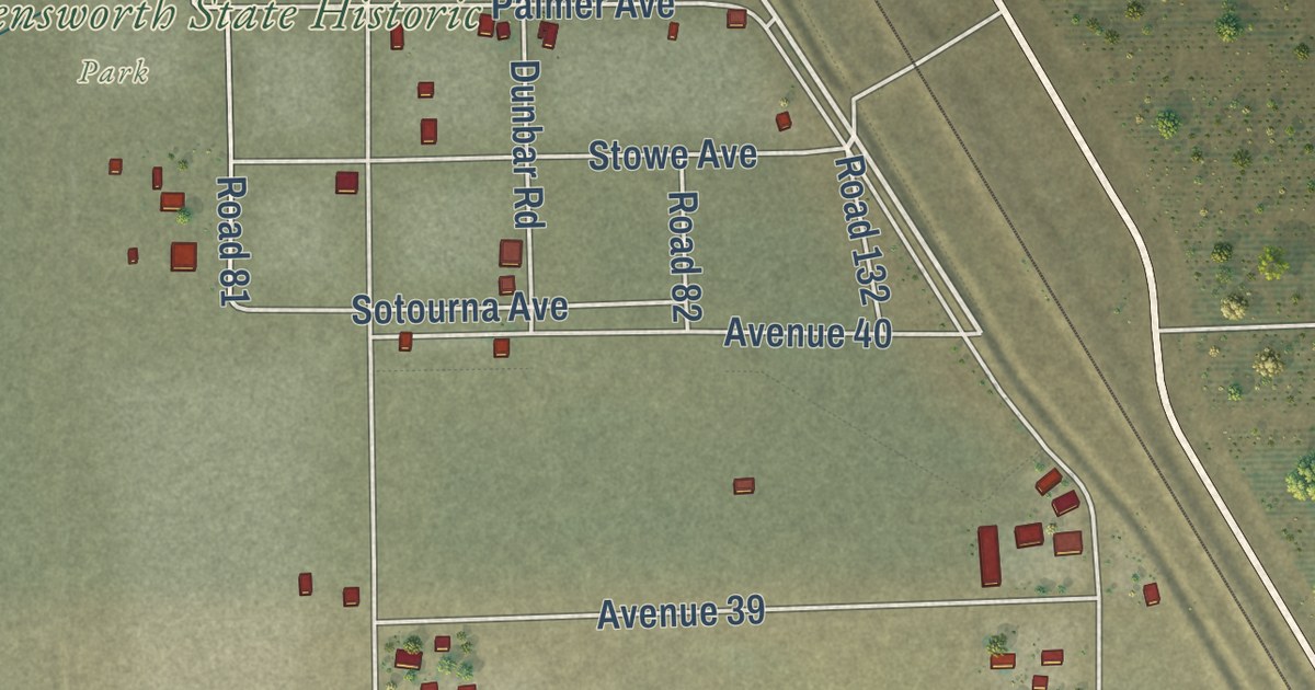
A detailed map of Allensworth, California, showing every building in its true location, the roads by name, and shaded topographical relief.
Read More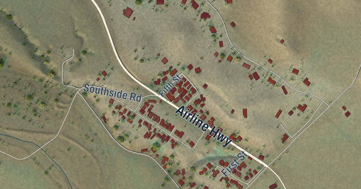
A detailed map of Tres Pinos, California, showing every building in its true location, the roads by name, and shaded topographical relief.
Read More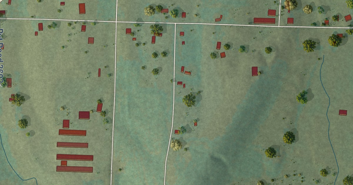
A detailed map of Hagarville, Arkansas, showing every building in its true location, the roads by name, and shaded topographical relief.
Read More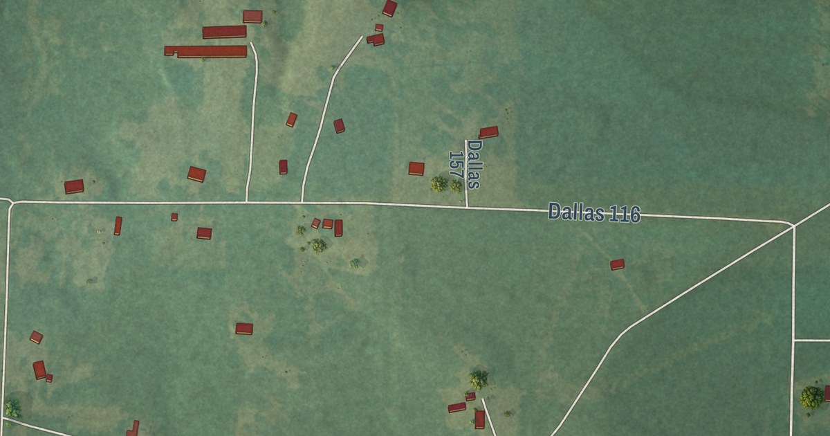
A detailed map of Ivan, Arkansas, showing every building in its true location, the roads by name, and shaded topographical relief.
Read More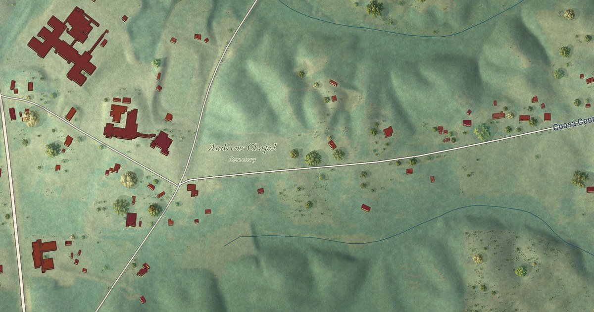
A detailed map of Hanover, Alabama, showing every building in its true location, the roads by name, and shaded topographical relief.
Read More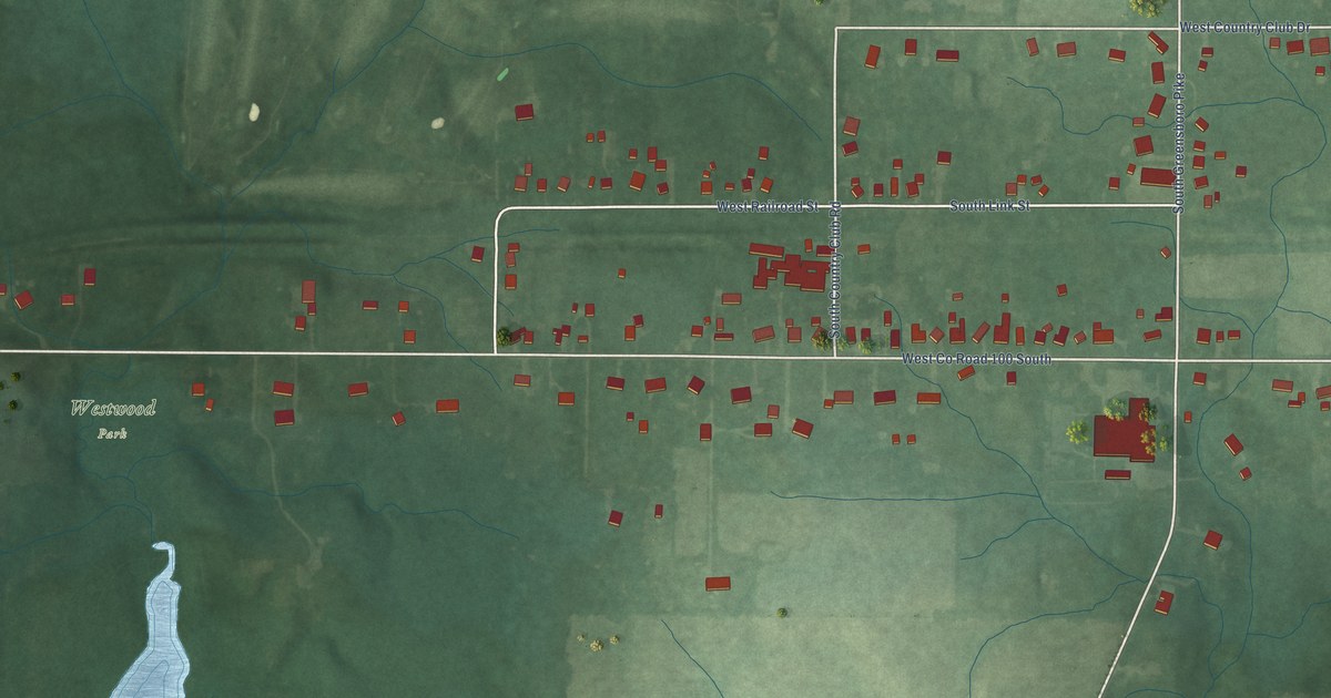
A detailed map of Westwood, Indiana, showing every building in its true location, the roads by name, and shaded topographical relief.
Read More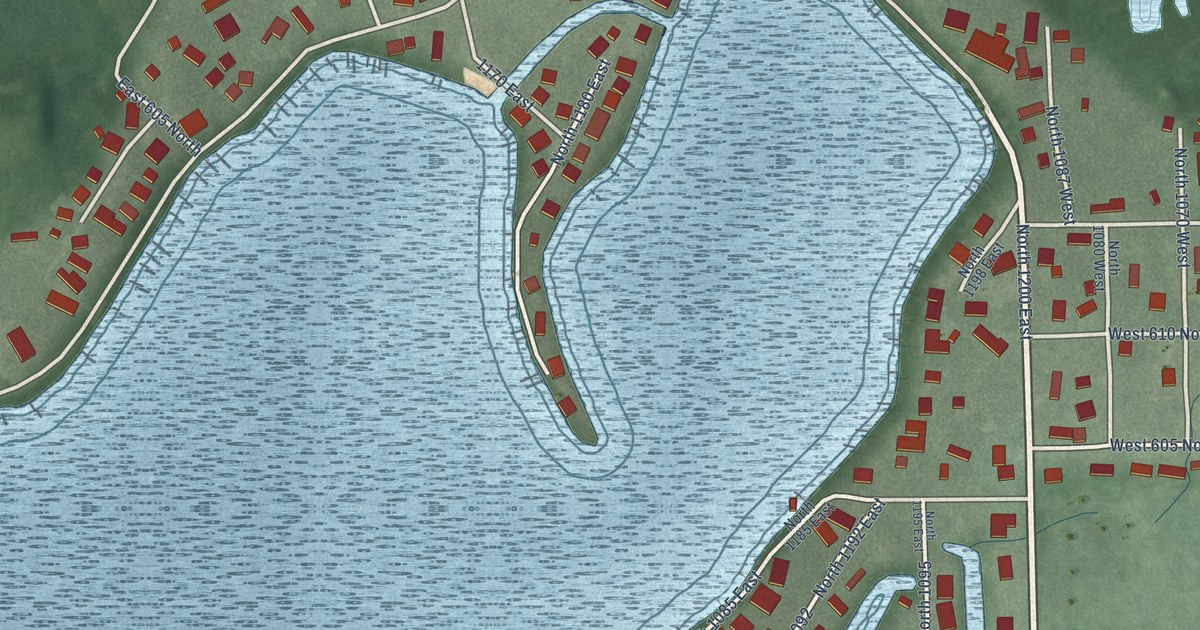
A detailed map of Wall Lake, Indiana, showing every building in its true location, the roads by name, and shaded topographical relief.
Read More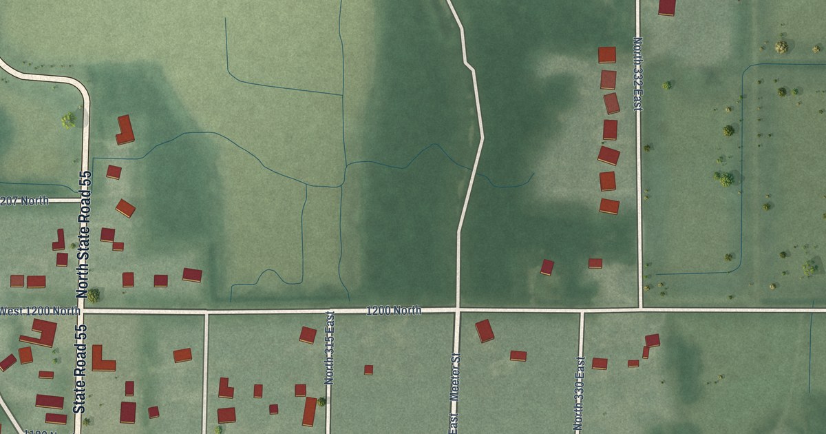
A detailed map of Thayer, Indiana, showing every building in its true location, the roads by name, and shaded topographical relief.
Read More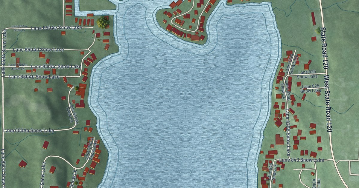
A detailed map of Snow Lake, Indiana, showing every building in its true location, the roads by name, and shaded topographical relief.
Read More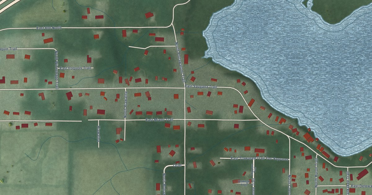
A detailed map of Saugany Lake, Indiana, showing every building in its true location, the roads by name, and shaded topographical relief.
Read More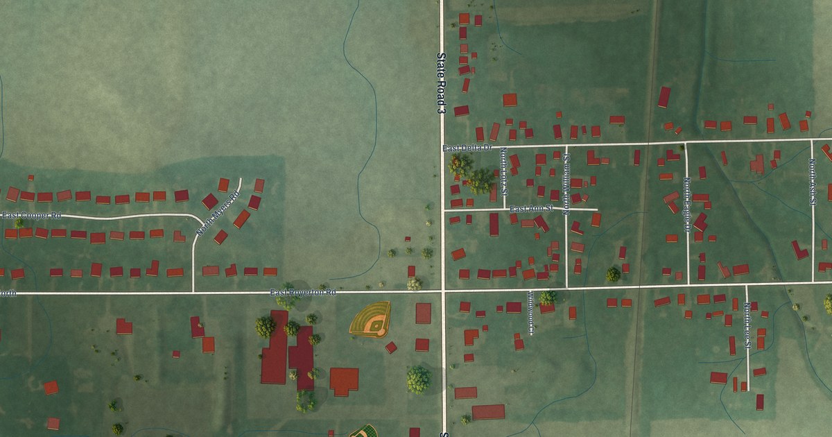
A detailed map of Royerton, Indiana, showing every building in its true location, the roads by name, and shaded topographical relief.
Read More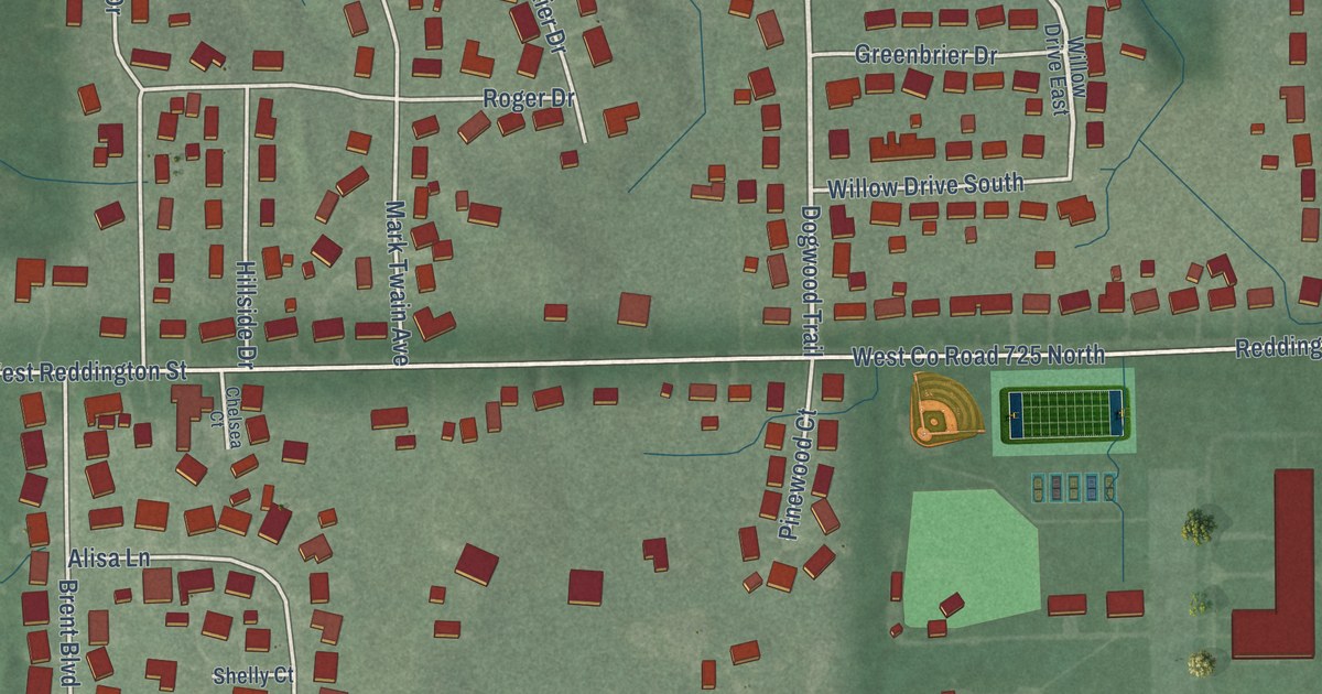
A detailed map of Rockford, Indiana, showing every building in its true location, the roads by name, and shaded topographical relief.
Read More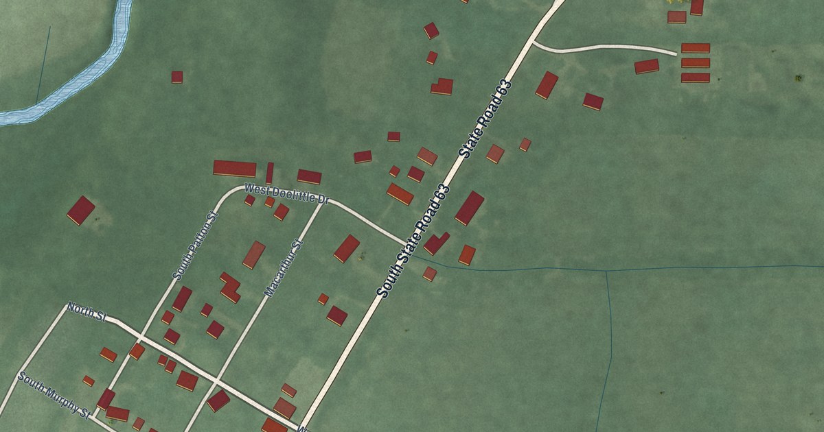
A detailed map of Prairieton, Indiana, showing every building in its true location, the roads by name, and shaded topographical relief.
Read More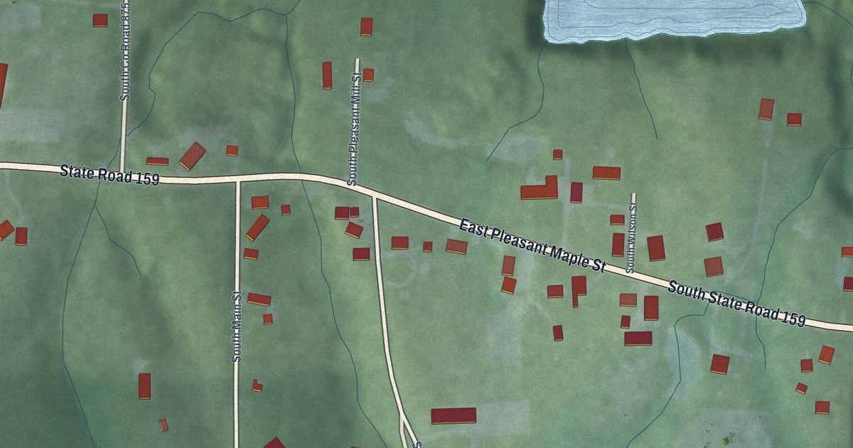
A detailed map of Pleasantville, Indiana, showing every building in its true location, the roads by name, and shaded topographical relief.
Read More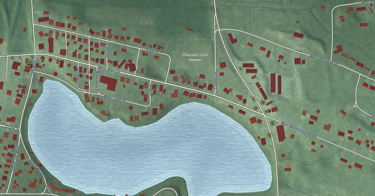
A detailed map of Pleasant Lake, Indiana, showing every building in its true location, the roads by name, and shaded topographical relief.
Read More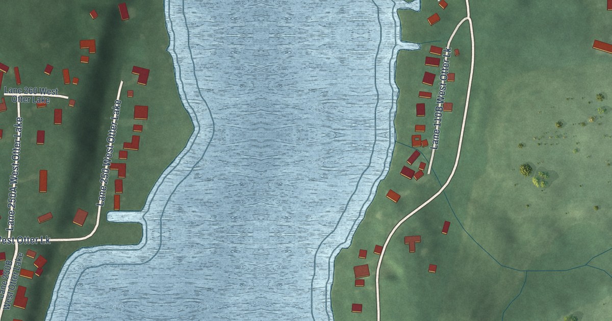
A detailed map of Otter Lake, Indiana, showing every building in its true location, the roads by name, and shaded topographical relief.
Read More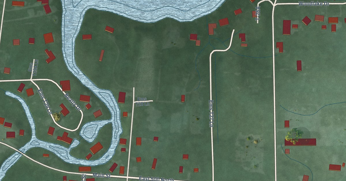
A detailed map of Oswego, Indiana, showing every building in its true location, the roads by name, and shaded topographical relief.
Read More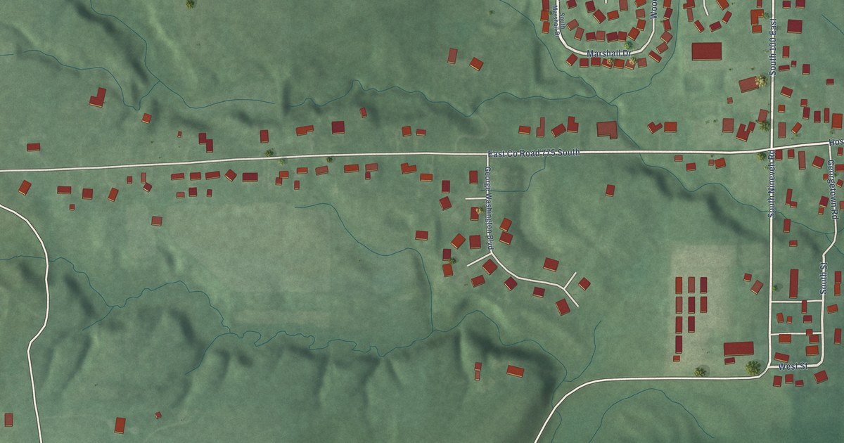
A detailed map of Nineveh, Indiana, showing every building in its true location, the roads by name, and shaded topographical relief.
Read More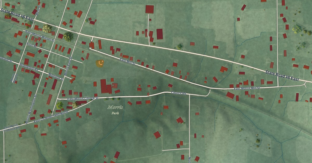
A detailed map of Morris, Indiana, showing every building in its true location, the roads by name, and shaded topographical relief.
Read More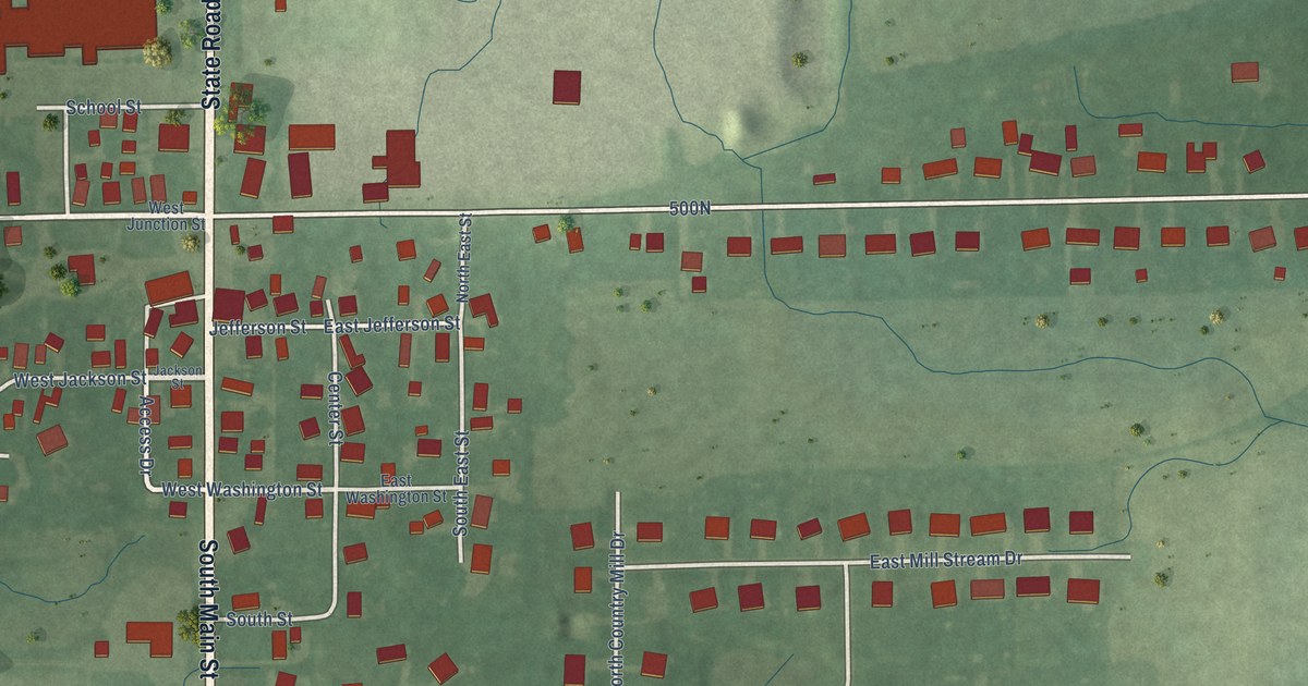
A detailed map of Maxwell, Indiana, showing every building in its true location, the roads by name, and shaded topographical relief.
Read More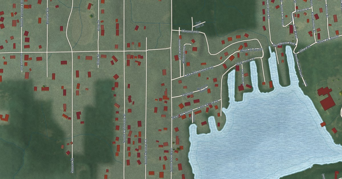
A detailed map of Lake Eliza, Indiana, showing every building in its true location, the roads by name, and shaded topographical relief.
Read More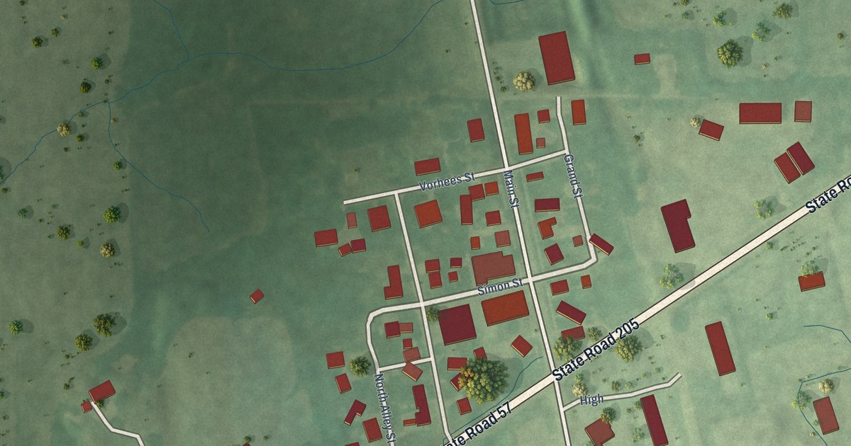
A detailed map of Laotto, Indiana, showing every building in its true location, the roads by name, and shaded topographical relief.
Read More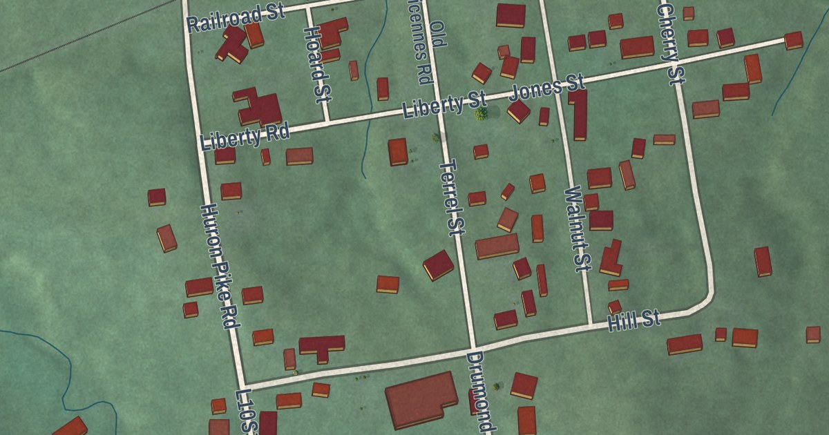
A detailed map of Huron, Indiana, showing every building in its true location, the roads by name, and shaded topographical relief.
Read More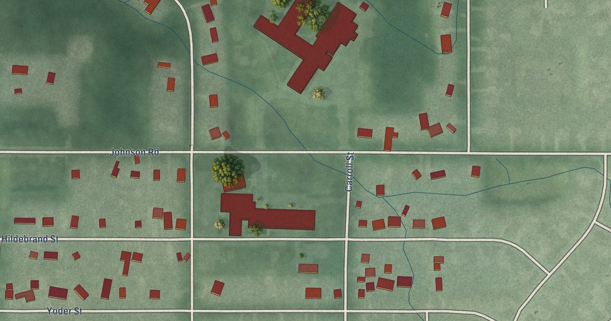
A detailed map of Gilmer Park, Indiana, showing every building in its true location, the roads by name, and shaded topographical relief.
Read More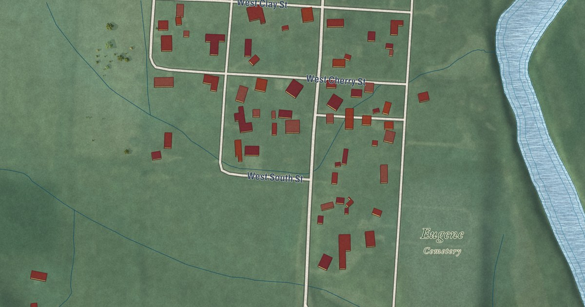
A detailed map of Eugene, Indiana, showing every building in its true location, the roads by name, and shaded topographical relief.
Read More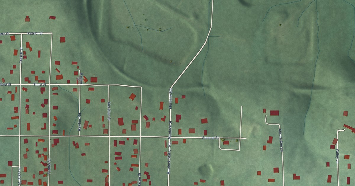
A detailed map of East Oolitic, Indiana, showing every building in its true location, the roads by name, and shaded topographical relief.
Read More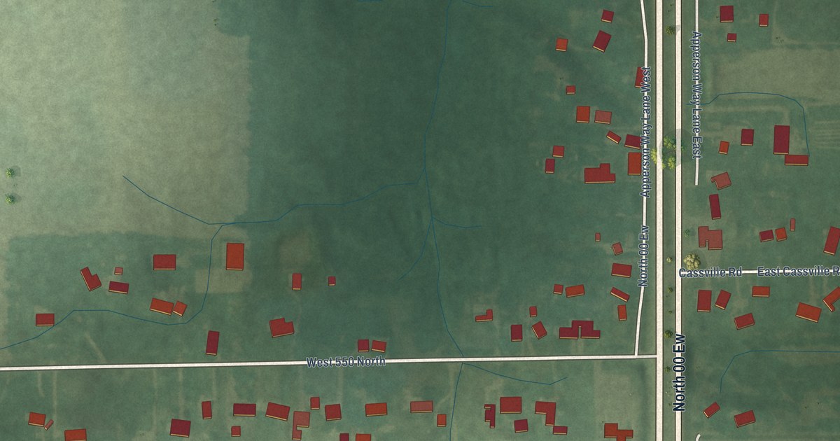
A detailed map of Cassville, Indiana, showing every building in its true location, the roads by name, and shaded topographical relief.
Read More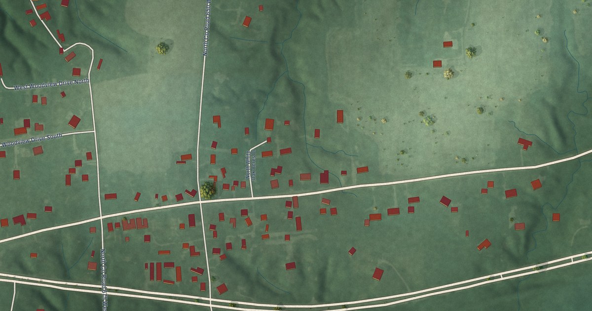
A detailed map of Cloverland, Indiana, showing every building in its true location, the roads by name, and shaded topographical relief.
Read More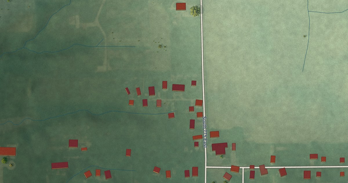
A detailed map of Blue Ridge, Indiana, showing every building in its true location, the roads by name, and shaded topographical relief.
Read More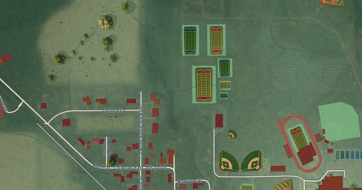
A detailed map of Center, Indiana, showing every building in its true location, the roads by name, and shaded topographical relief.
Read More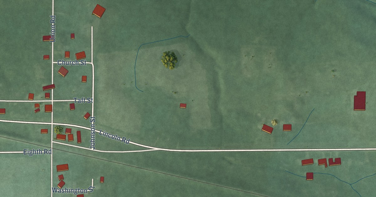
A detailed map of Donaldson, Indiana, showing every building in its true location, the roads by name, and shaded topographical relief.
Read More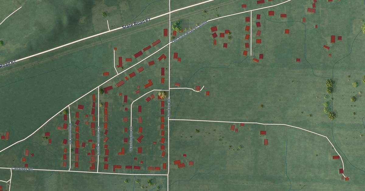
A detailed map of Browns Crossing, Indiana, showing every building in its true location, the roads by name, and shaded topographical relief.
Read More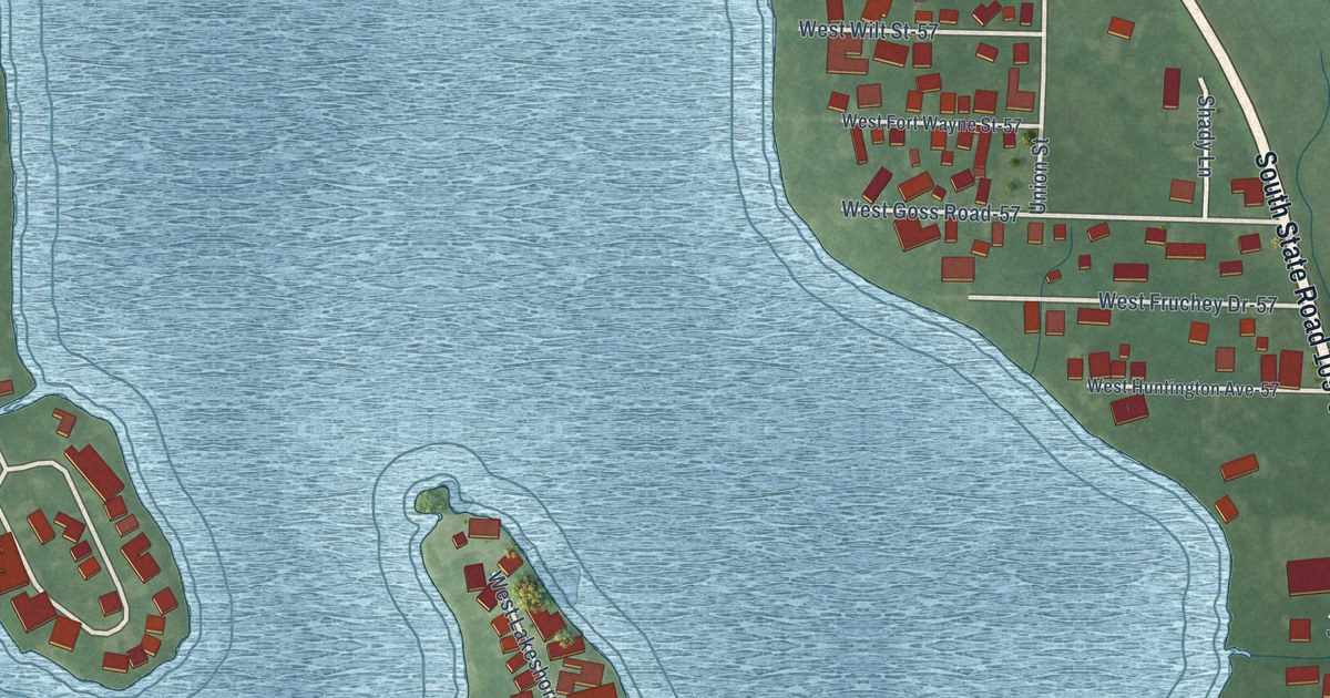
A detailed map of Big Lake, Indiana, showing every building in its true location, the roads by name, and shaded topographical relief.
Read More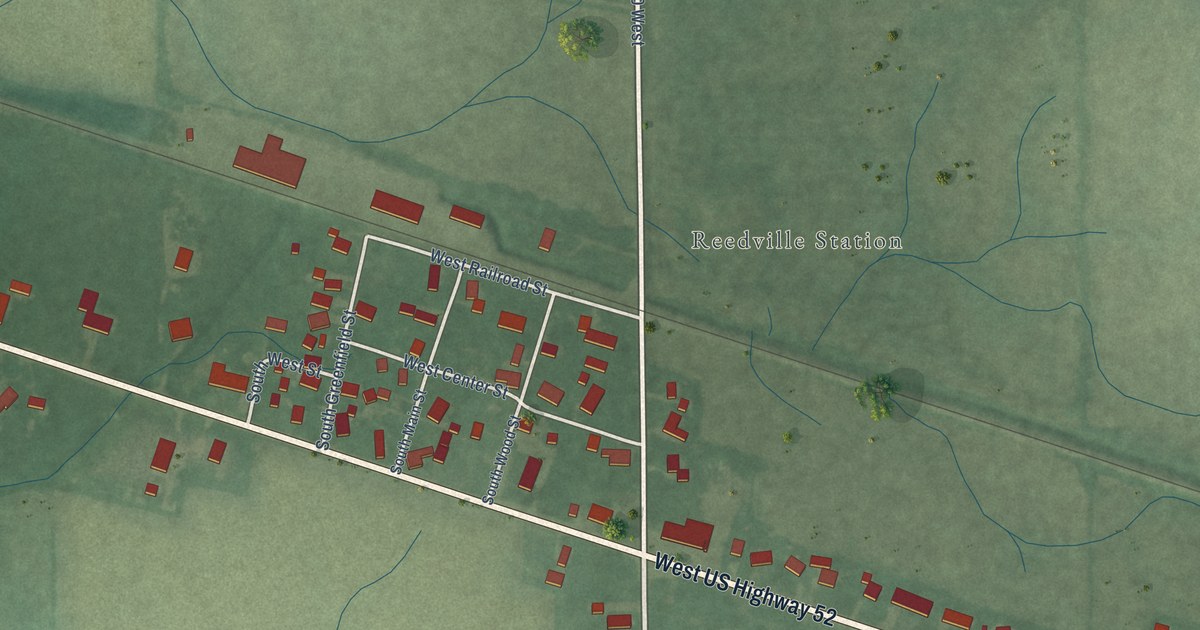
A detailed map of Carrollton, Indiana, showing every building in its true location, the roads by name, and shaded topographical relief.
Read More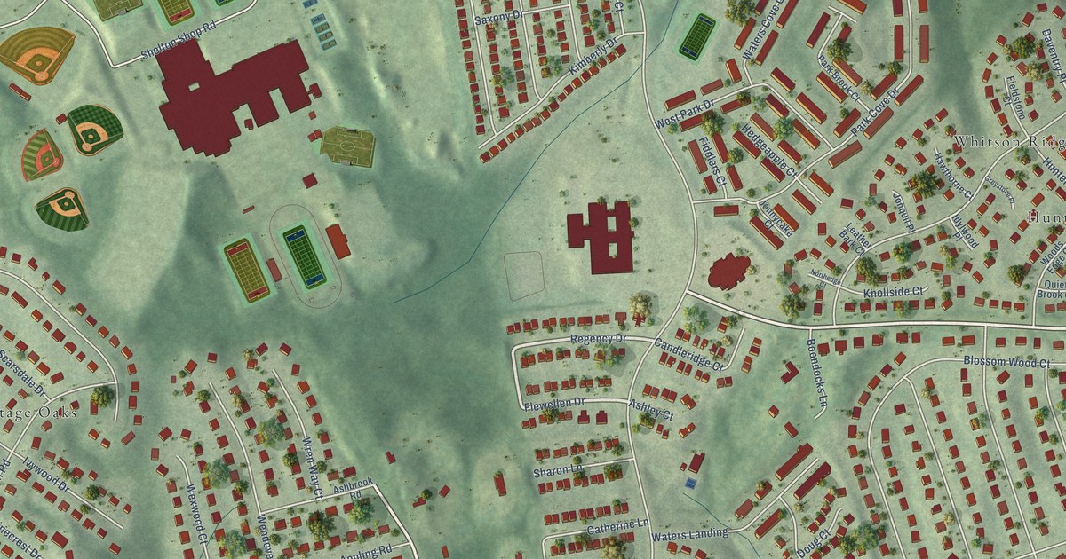
A detailed map of Park Ridge, Virginia, showing every building in its true location, the roads by name, and shaded topographical relief.
Read More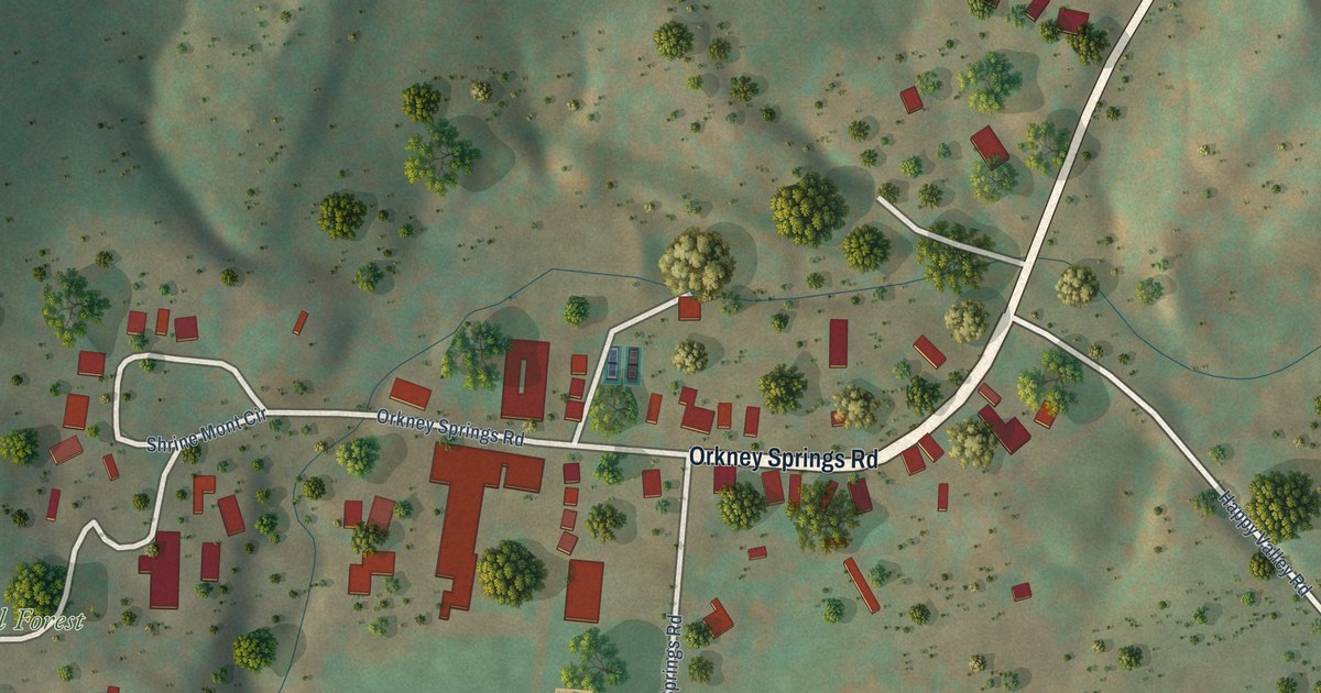
A detailed map of Orkney Springs, Virginia, showing every building in its true location, the roads by name, and shaded topographical relief.
Read More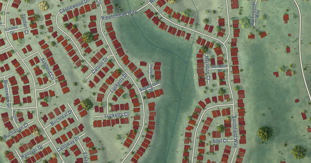
A detailed map of Falls Run, Virginia, showing every building in its true location, the roads by name, and shaded topographical relief.
Read More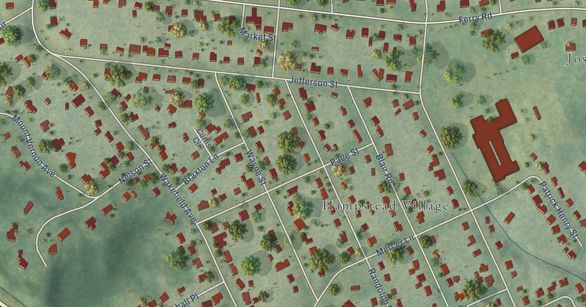
A detailed map of Ferry Farm, Virginia, showing every building in its true location, the roads by name, and shaded topographical relief.
Read More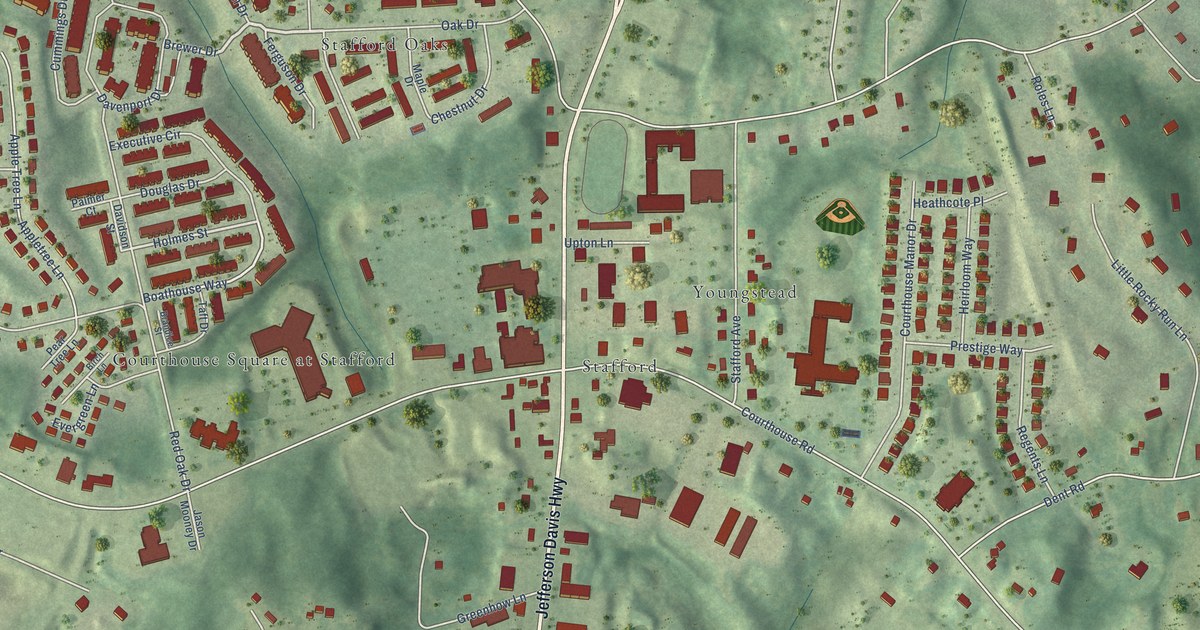
A detailed map of Courthouse Square, Virginia, showing every building in its true location, the roads by name, and shaded topographical relief.
Read More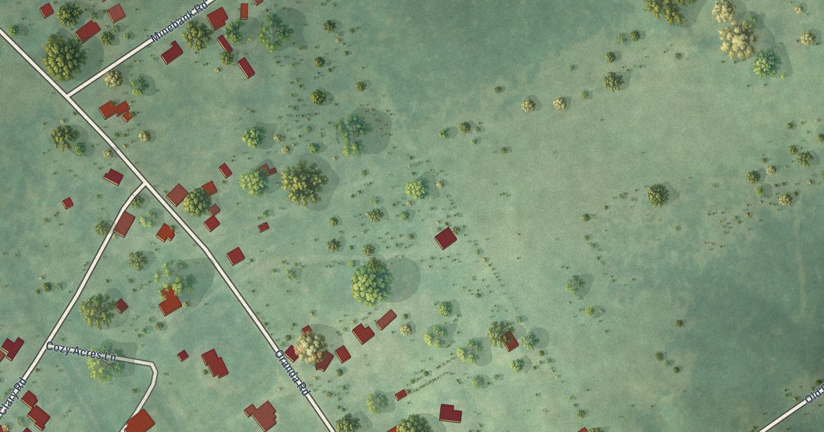
A detailed map of Clary, Virginia, showing every building in its true location, the roads by name, and shaded topographical relief.
Read More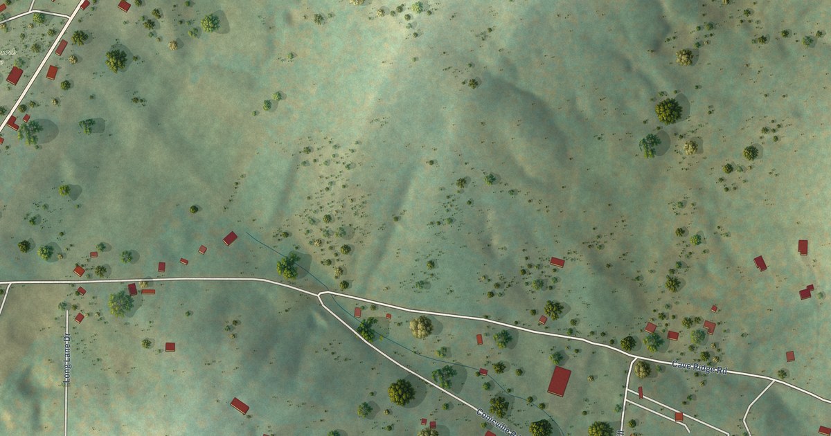
A detailed map of Conicville, Virginia, showing every building in its true location, the roads by name, and shaded topographical relief.
Read More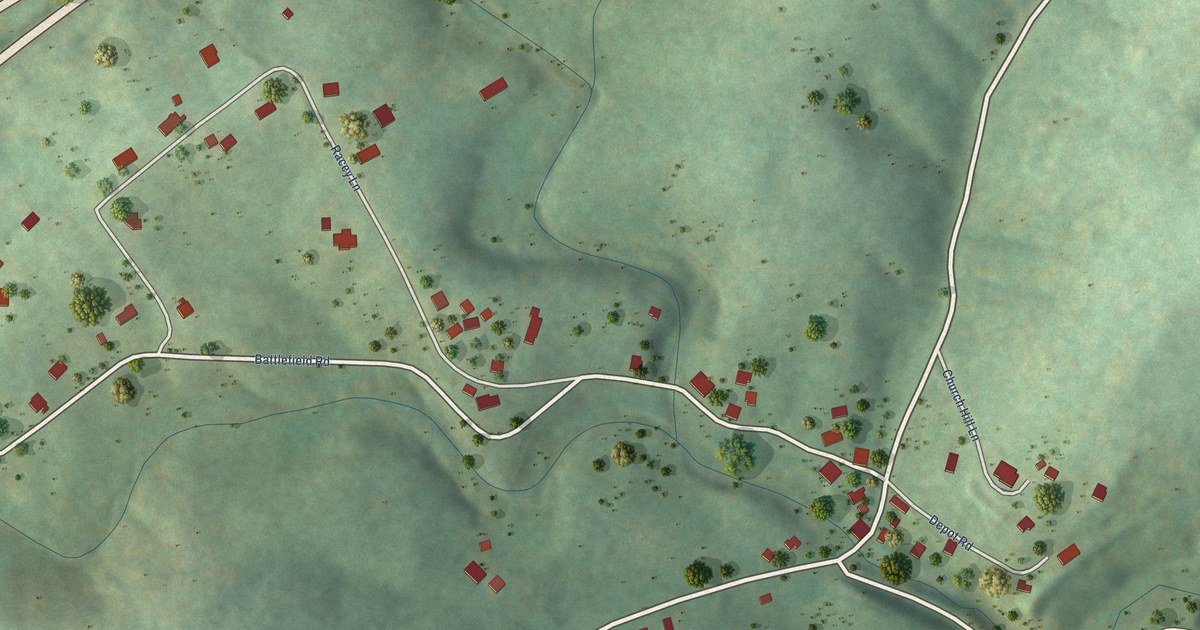
A detailed map of Fishers Hill, Virginia, showing every building in its true location, the roads by name, and shaded topographical relief.
Read More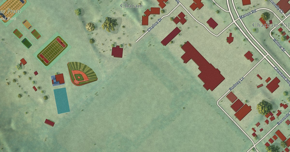
A detailed map of Chatham Heights, Virginia, showing every building in its true location, the roads by name, and shaded topographical relief.
Read More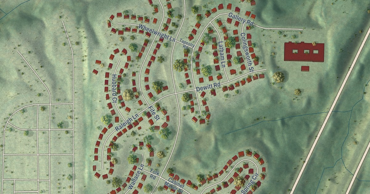
A detailed map of Austin Ridge, Virginia, showing every building in its true location, the roads by name, and shaded topographical relief.
Read More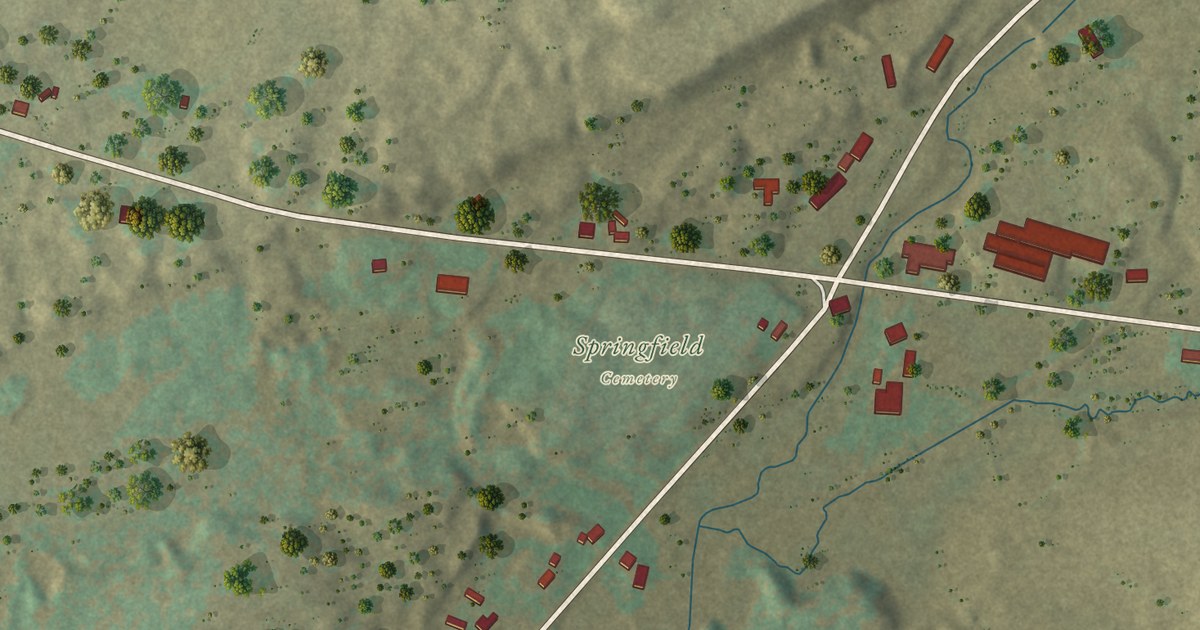
A detailed map of Springfield Center, New York, showing every building in its true location, the roads by name, and shaded topographical relief.
Read More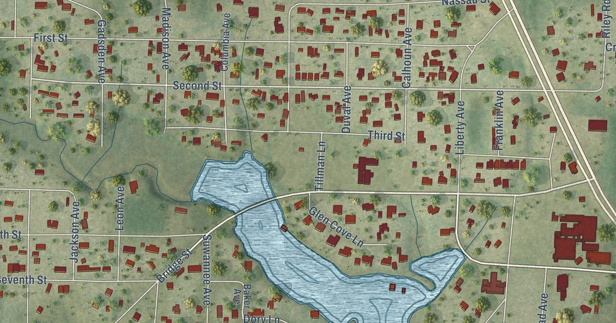
A detailed map of Southport, Florida, showing every building in its true location, the roads by name, and shaded topographical relief.
Read More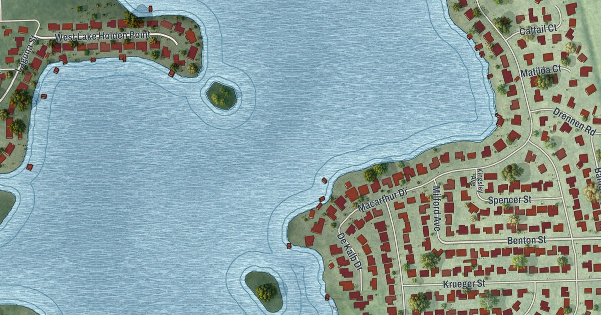
A detailed map of Holden Lakes, Florida, showing every building in its true location, the roads by name, and shaded topographical relief.
Read More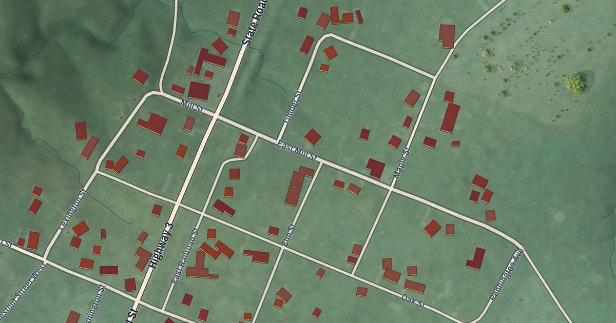
A detailed map of Otisco, Indiana, showing every building in its true location, the roads by name, and shaded topographical relief.
Read More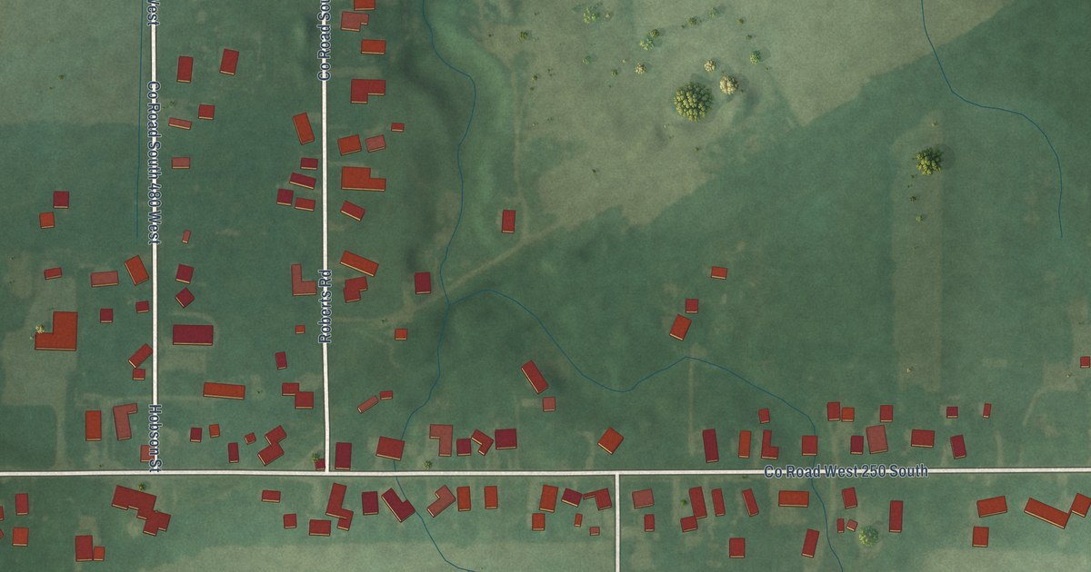
A detailed map of West Middleton, Indiana, showing every building in its true location, the roads by name, and shaded topographical relief.
Read More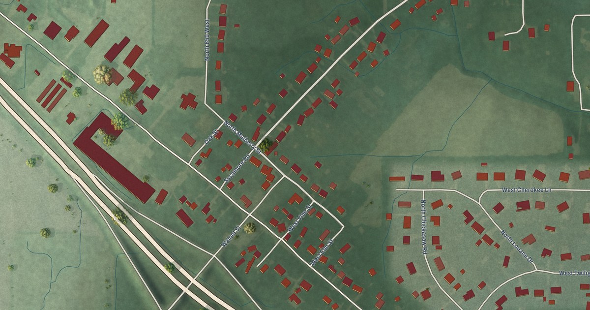
A detailed map of Pleasant View, Indiana, showing every building in its true location, the roads by name, and shaded topographical relief.
Read More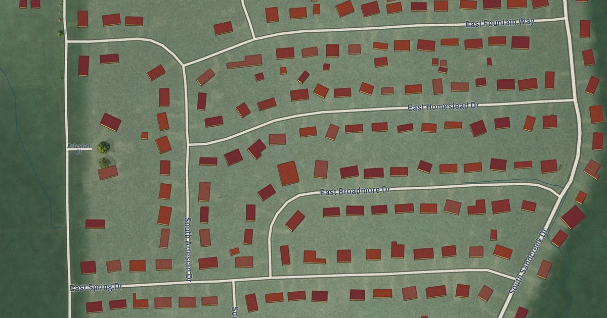
A detailed map of Mineral Springs, Indiana, showing every building in its true location, the roads by name, and shaded topographical relief.
Read More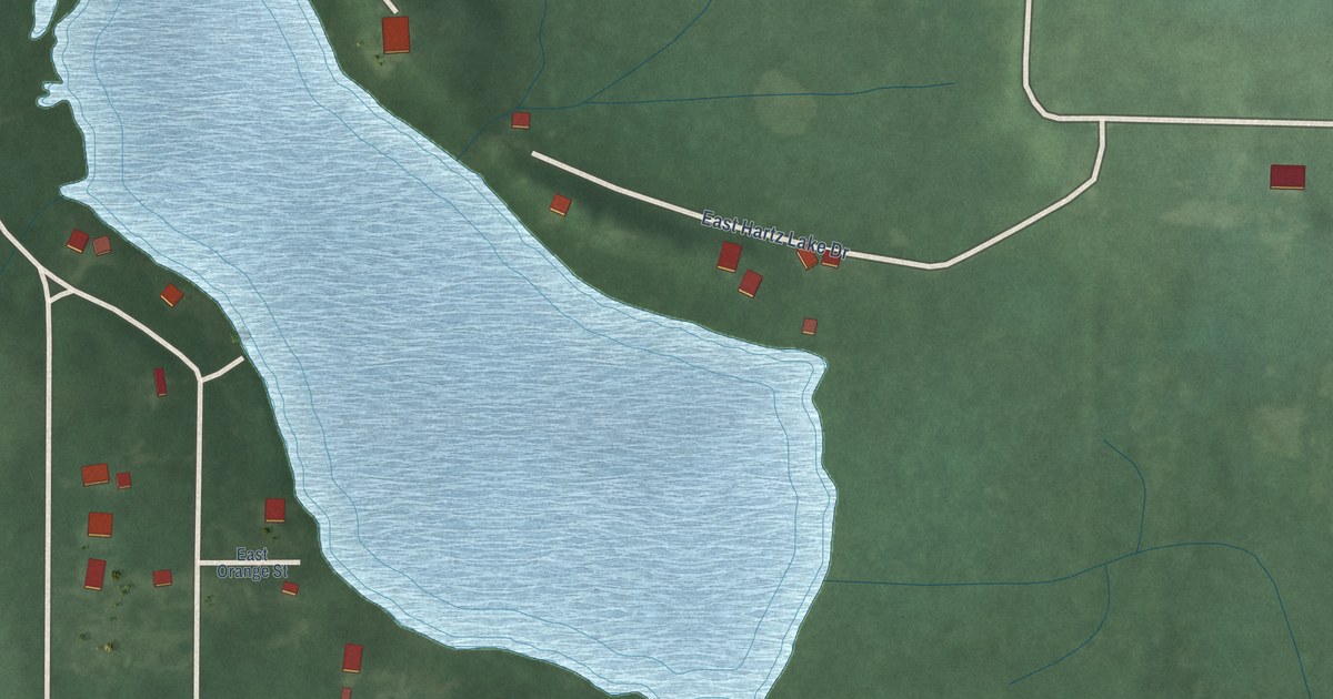
A detailed map of Hartz Lake, Indiana, showing every building in its true location, the roads by name, and shaded topographical relief.
Read More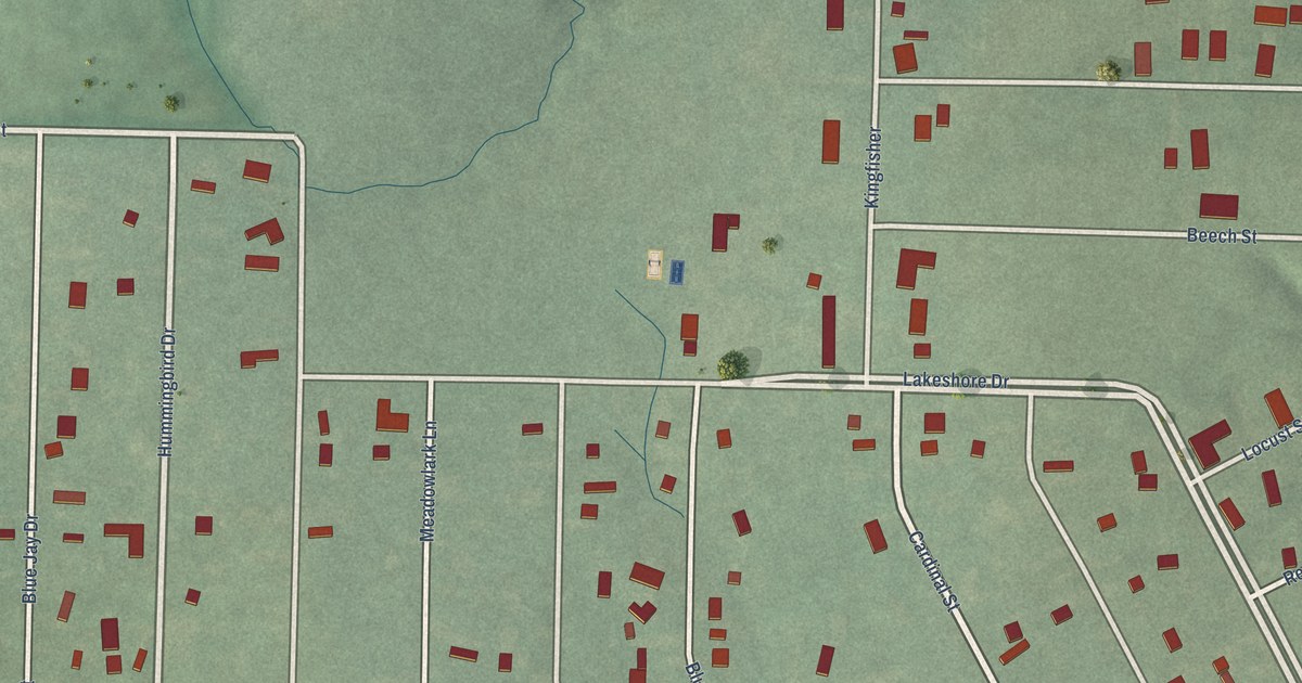
A detailed map of Lakeshore Resort, Indiana, showing every building in its true location, the roads by name, and shaded topographical relief.
Read More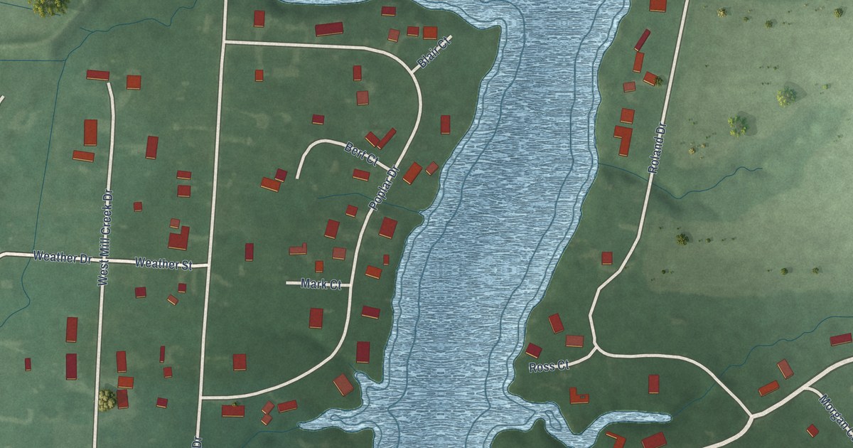
A detailed map of Lake Holiday Hideaway, Indiana, showing every building in its true location, the roads by name, and shaded topographical relief.
Read More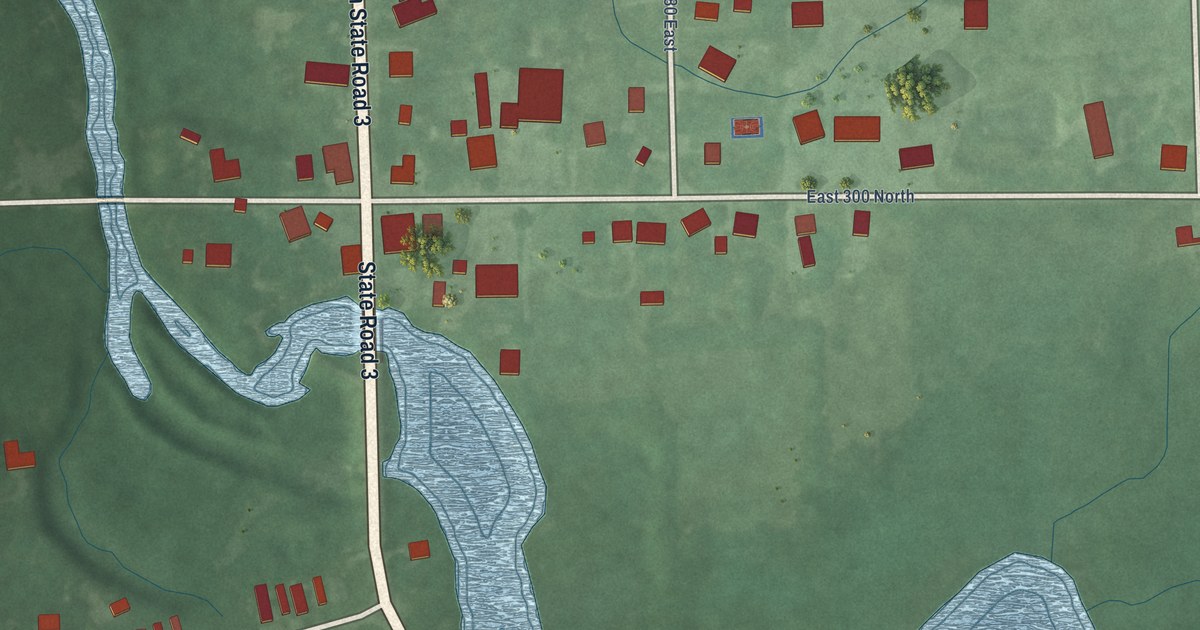
A detailed map of Mongo, Indiana, showing every building in its true location, the roads by name, and shaded topographical relief.
Read More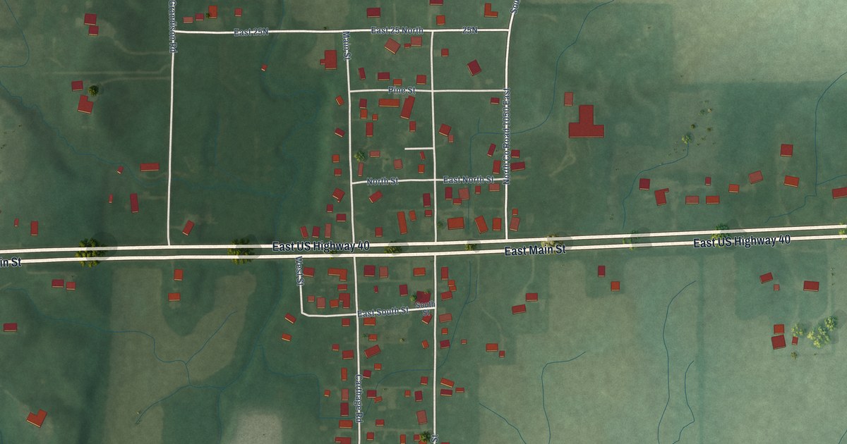
A detailed map of Charlottesville, Indiana, showing every building in its true location, the roads by name, and shaded topographical relief.
Read More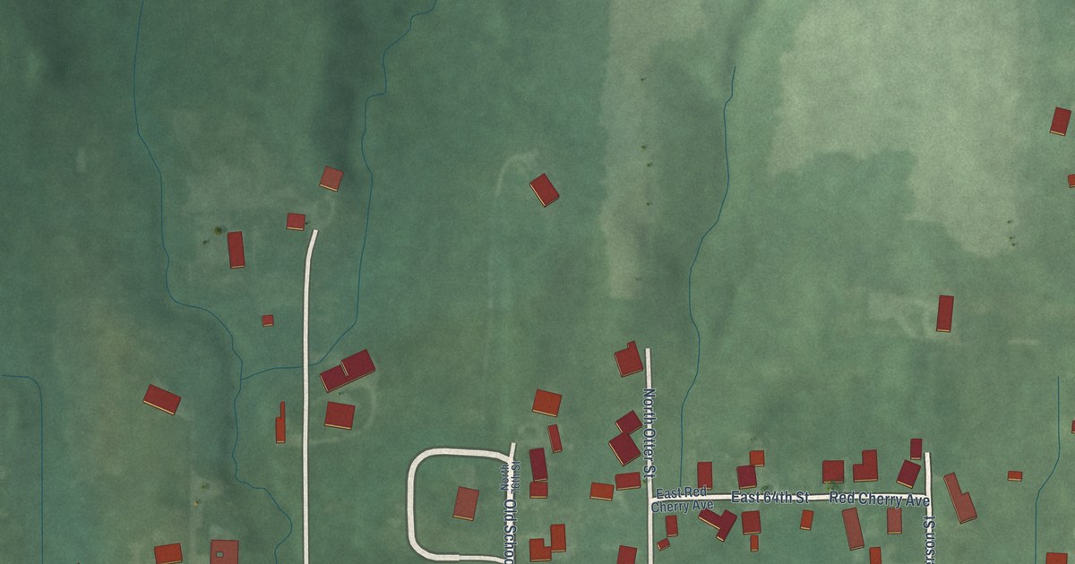
A detailed map of Burnett, Indiana, showing every building in its true location, the roads by name, and shaded topographical relief.
Read More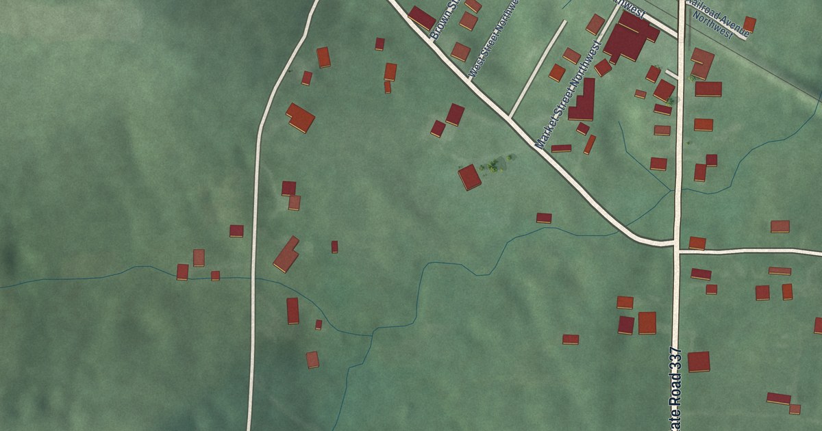
A detailed map of Depauw, Indiana, showing every building in its true location, the roads by name, and shaded topographical relief.
Read More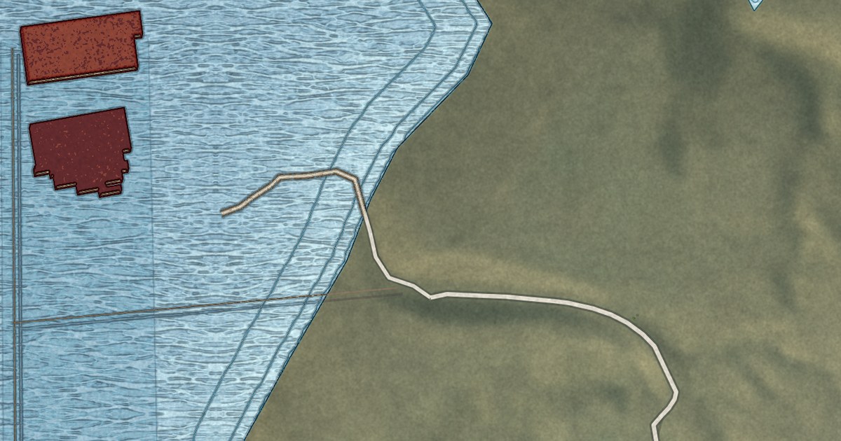
A detailed map of Halls Crossing, Utah, showing every building in its true location, the roads by name, and shaded topographical relief.
Read More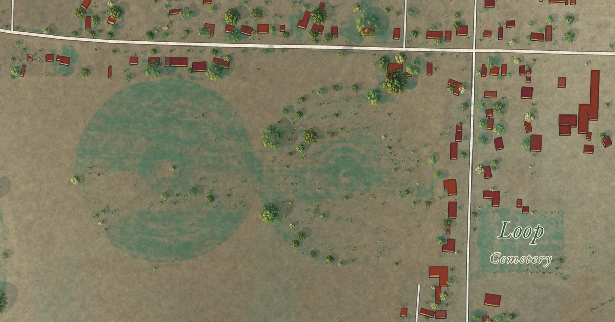
A detailed map of Loop, Texas, showing every building in its true location, the roads by name, and shaded topographical relief.
Read More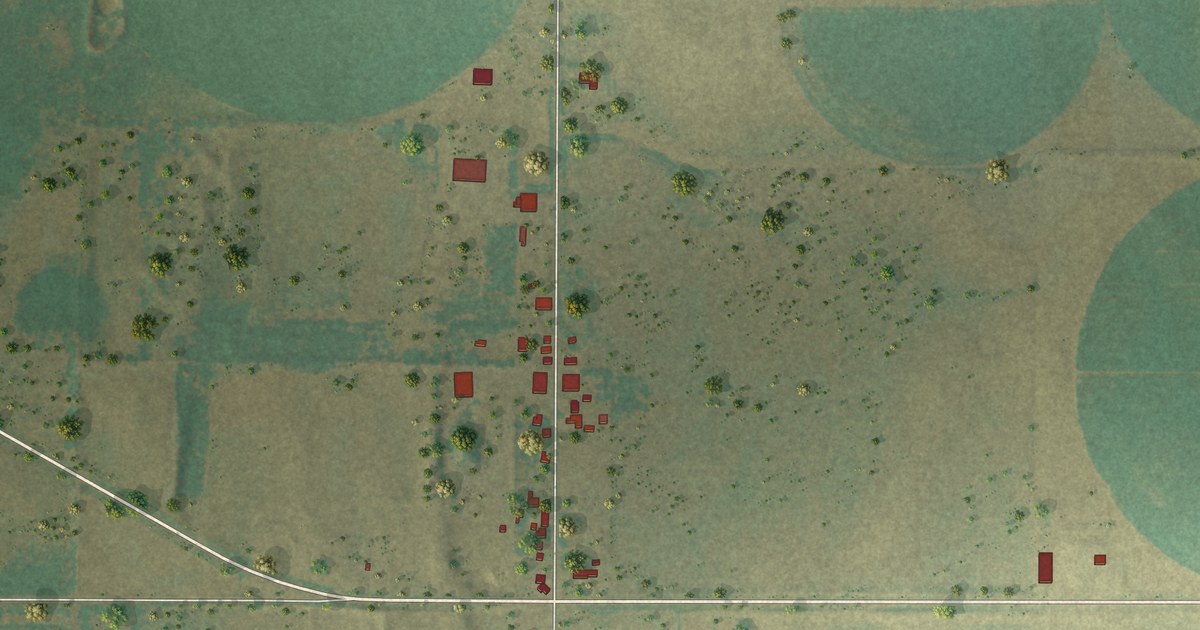
A detailed map of Quail, Texas, showing every building in its true location, the roads by name, and shaded topographical relief.
Read More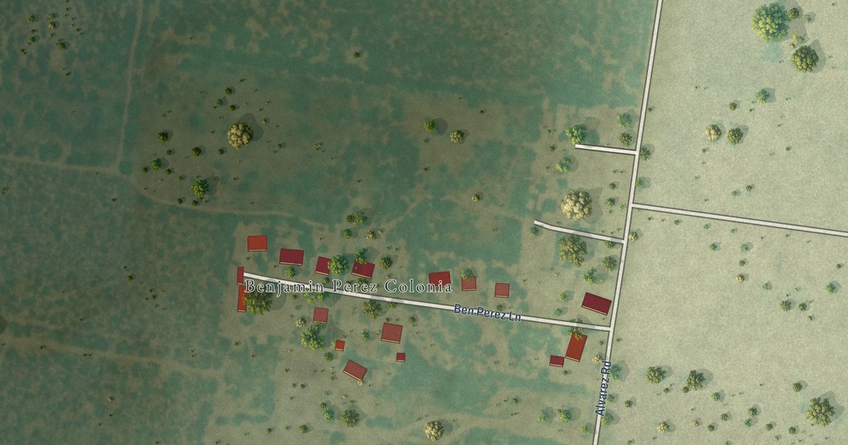
A detailed map of Benjamin Perez, Texas, showing every building in its true location, the roads by name, and shaded topographical relief.
Read More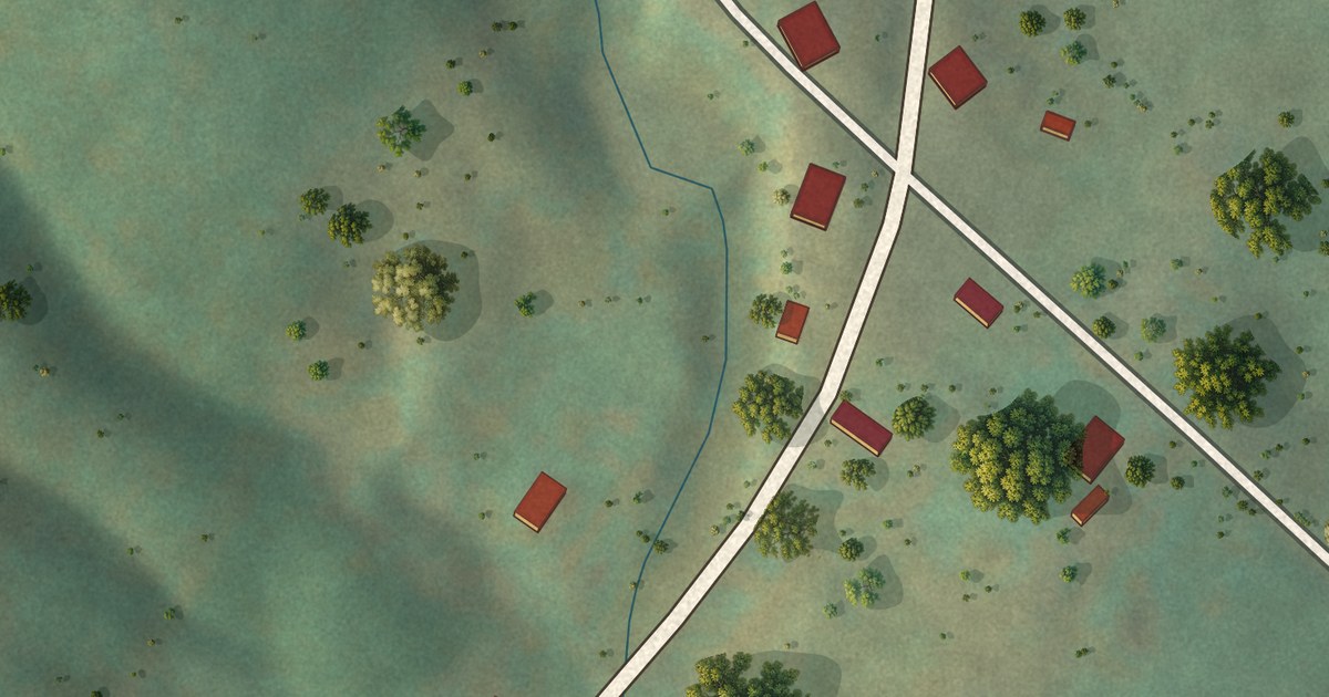
A detailed map of Hudson Crossroads, Virginia, showing every building in its true location, the roads by name, and shaded topographical relief.
Read More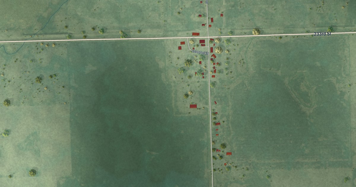
A detailed map of Fedora, South Dakota, showing every building in its true location, the roads by name, and shaded topographical relief.
Read More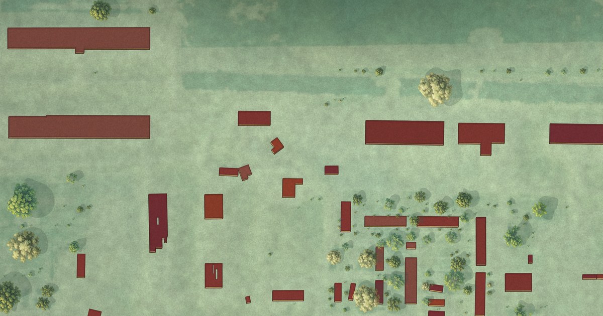
A detailed map of Grassland Colony, South Dakota, showing every building in its true location, the roads by name, and shaded topographical relief.
Read More















