Detailed Map of Sedley, Virginia
A detailed map of Sedley, Virginia, showing every building in its true location, the roads by name, and shaded topographical relief.
Read More
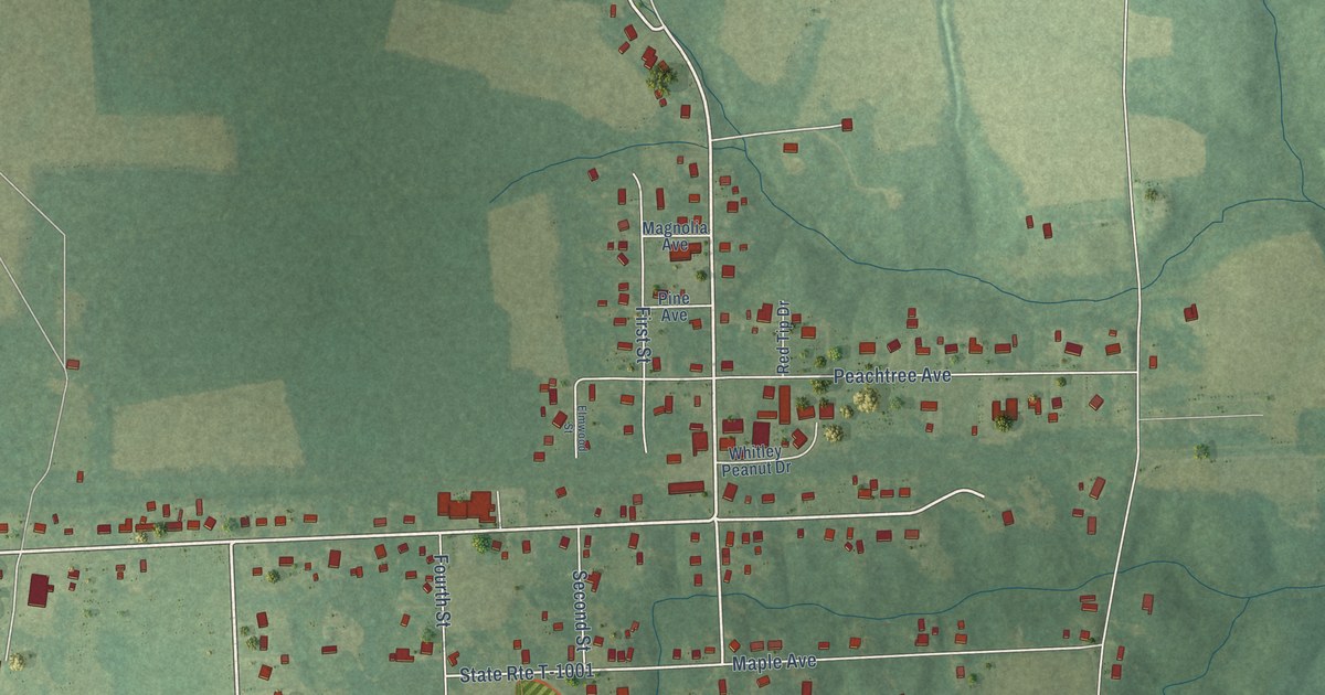
A detailed map of Sedley, Virginia, showing every building in its true location, the roads by name, and shaded topographical relief.
Read More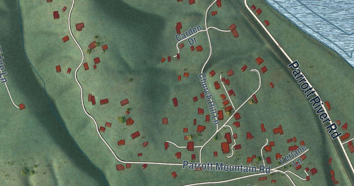
A detailed map of Parrott, Virginia, showing every building in its true location, the roads by name, and shaded topographical relief.
Read More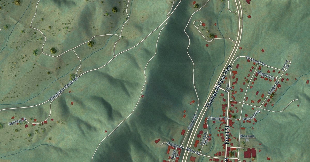
A detailed map of Lovingston, Virginia, showing every building in its true location, the roads by name, and shaded topographical relief.
Read More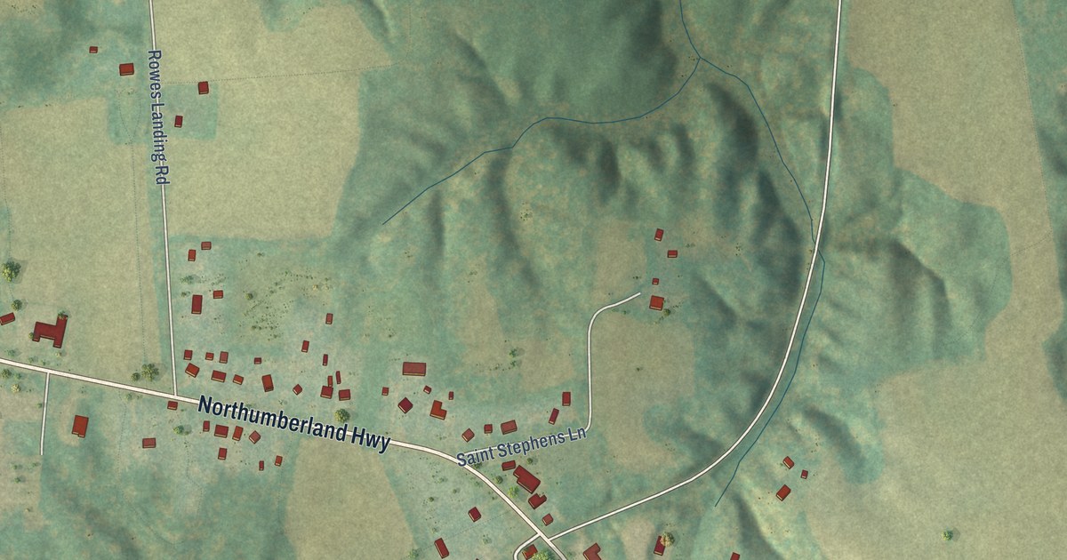
A detailed map of Heathsville, Virginia, showing every building in its true location, the roads by name, and shaded topographical relief.
Read More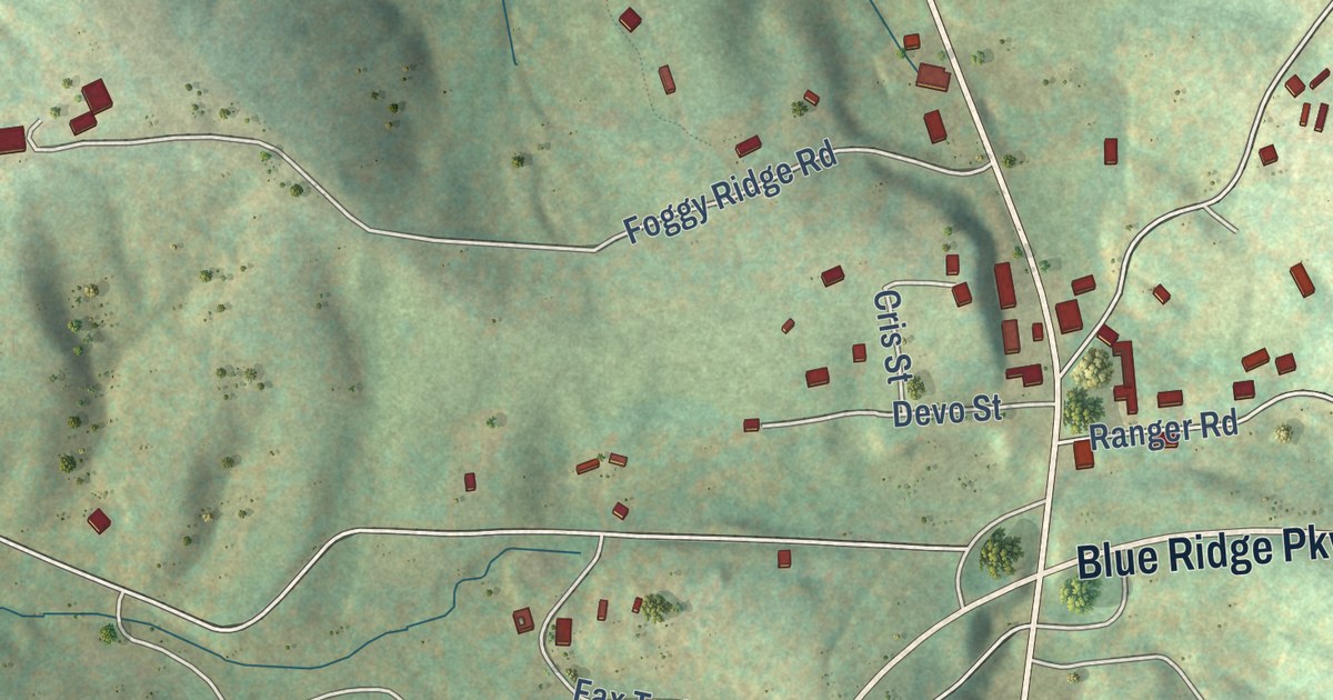
A detailed map of Fancy Gap, Virginia, showing every building in its true location, the roads by name, and shaded topographical relief.
Read More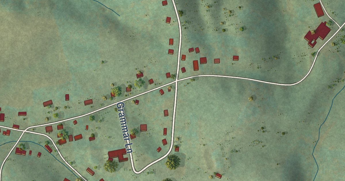
A detailed map of Baywood, Virginia, showing every building in its true location, the roads by name, and shaded topographical relief.
Read More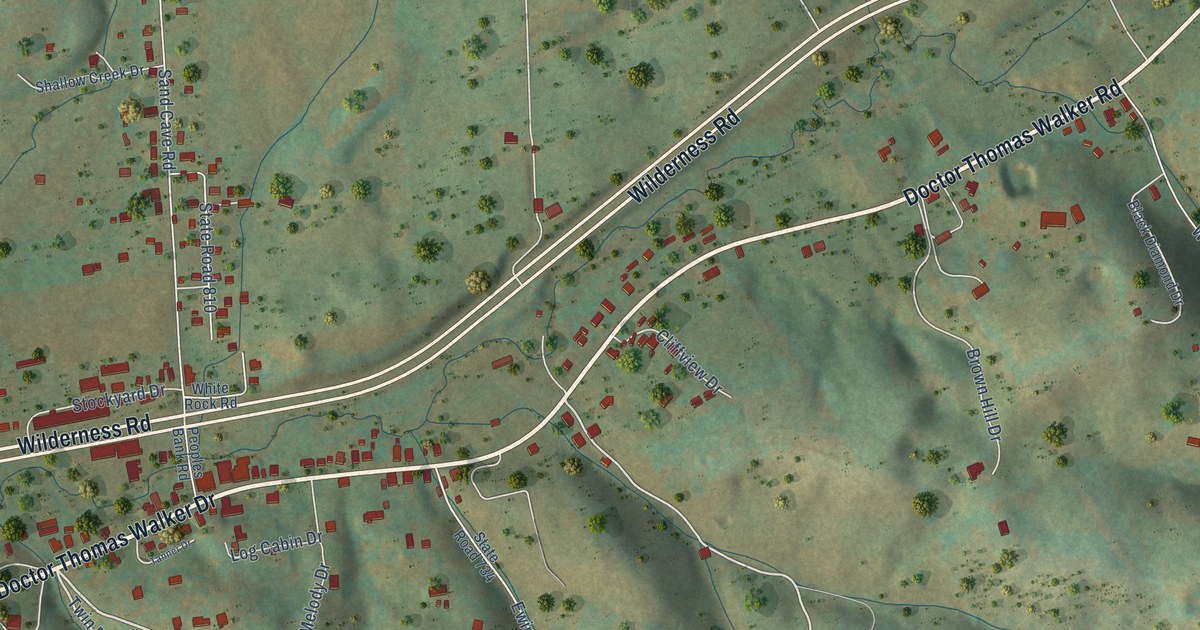
A detailed map of Ewing, Virginia, showing every building in its true location, the roads by name, and shaded topographical relief.
Read More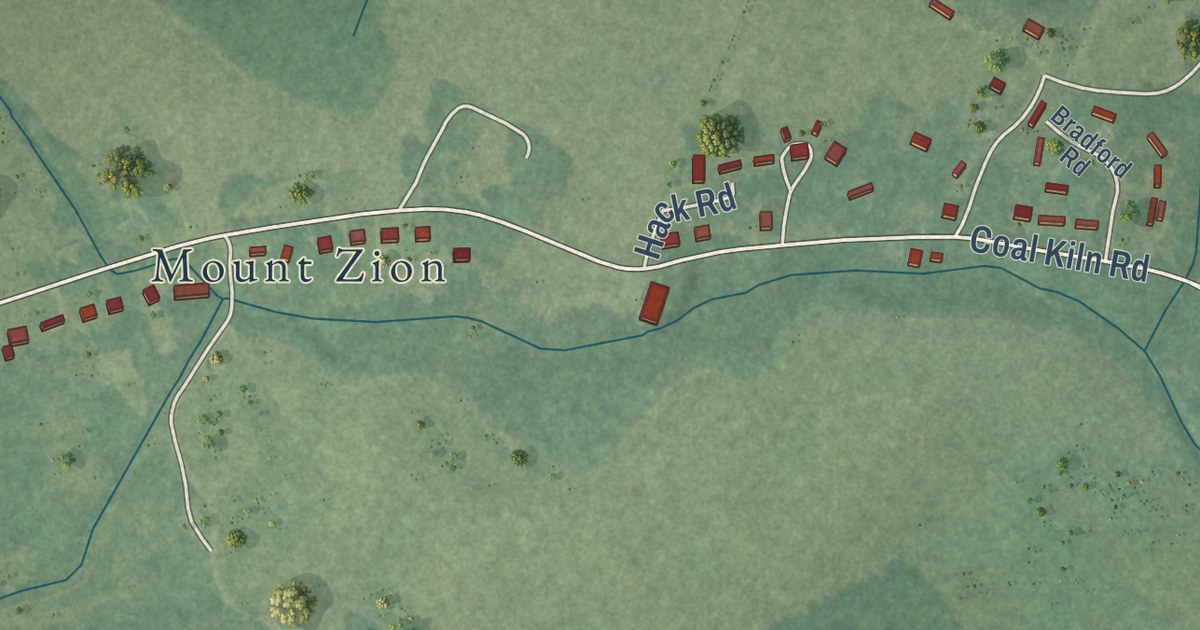
A detailed map of Cats Bridge, Virginia, showing every building in its true location, the roads by name, and shaded topographical relief.
Read More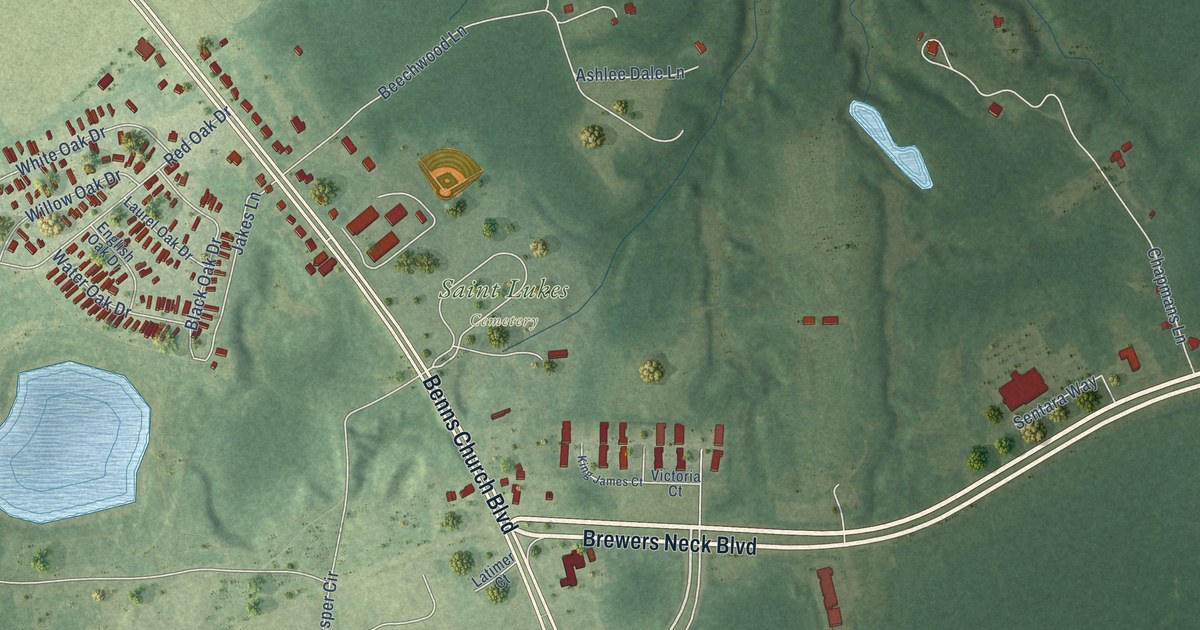
A detailed map of Benns Church, Virginia, showing every building in its true location, the roads by name, and shaded topographical relief.
Read More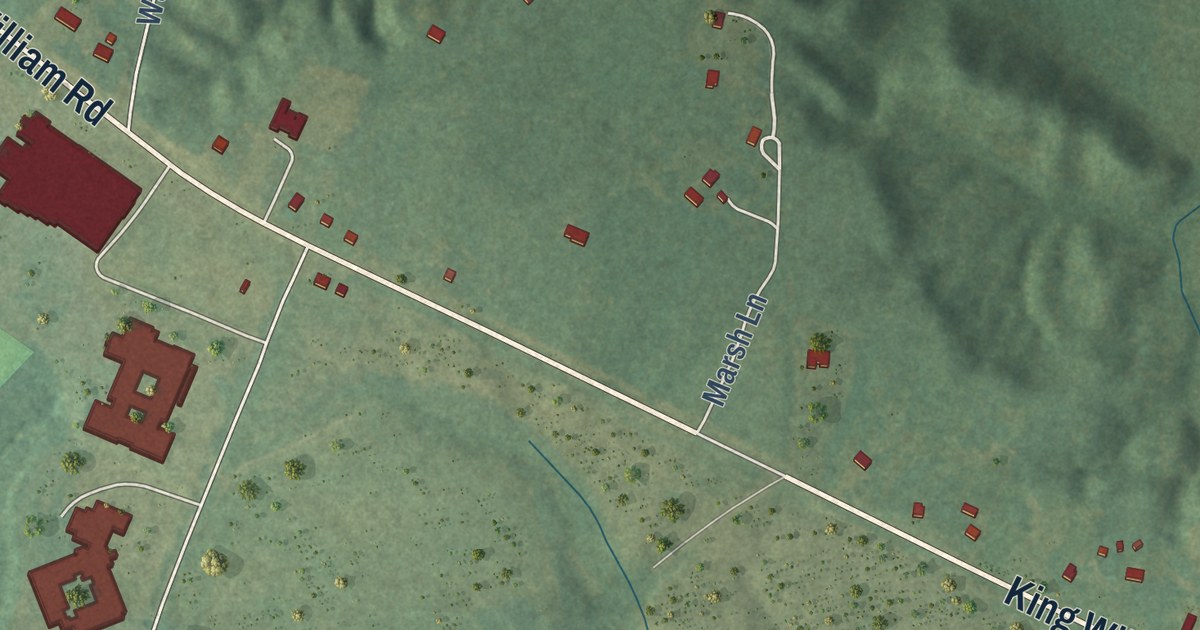
A detailed map of King William, Virginia, showing every building in its true location, the roads by name, and shaded topographical relief.
Read More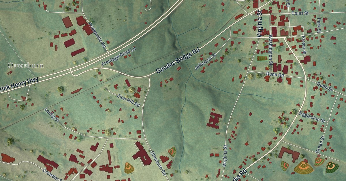
A detailed map of Amelia Court House, Virginia, showing every building in its true location, the roads by name, and shaded topographical relief.
Read More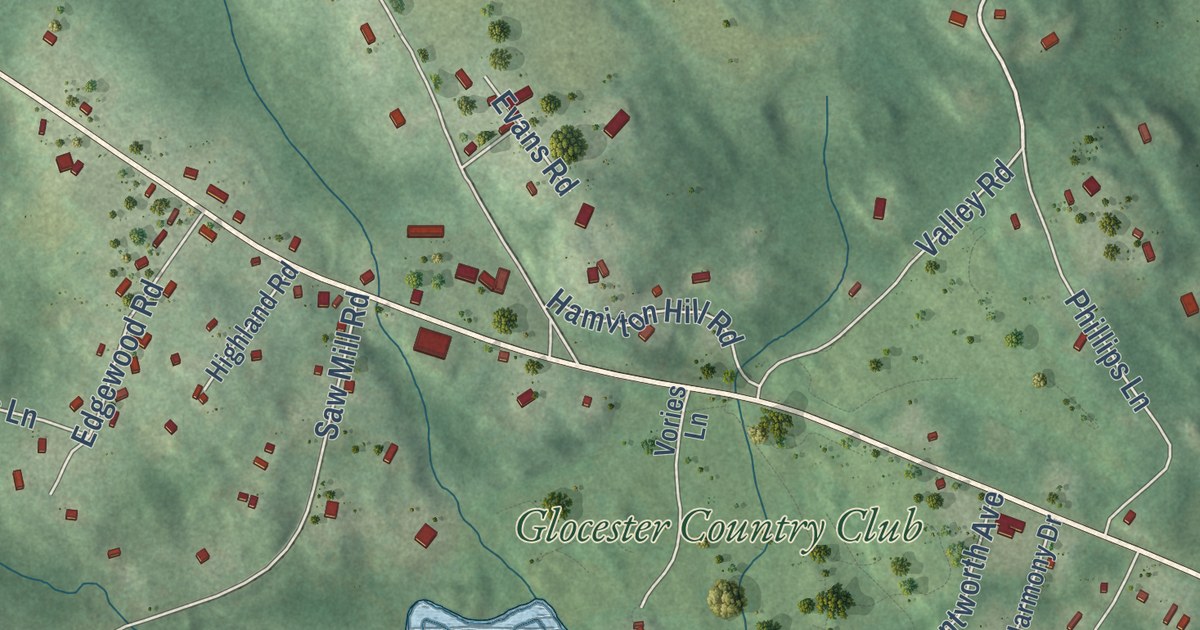
A detailed map of Harmony, Rhode Island, showing every building in its true location, the roads by name, and shaded topographical relief.
Read More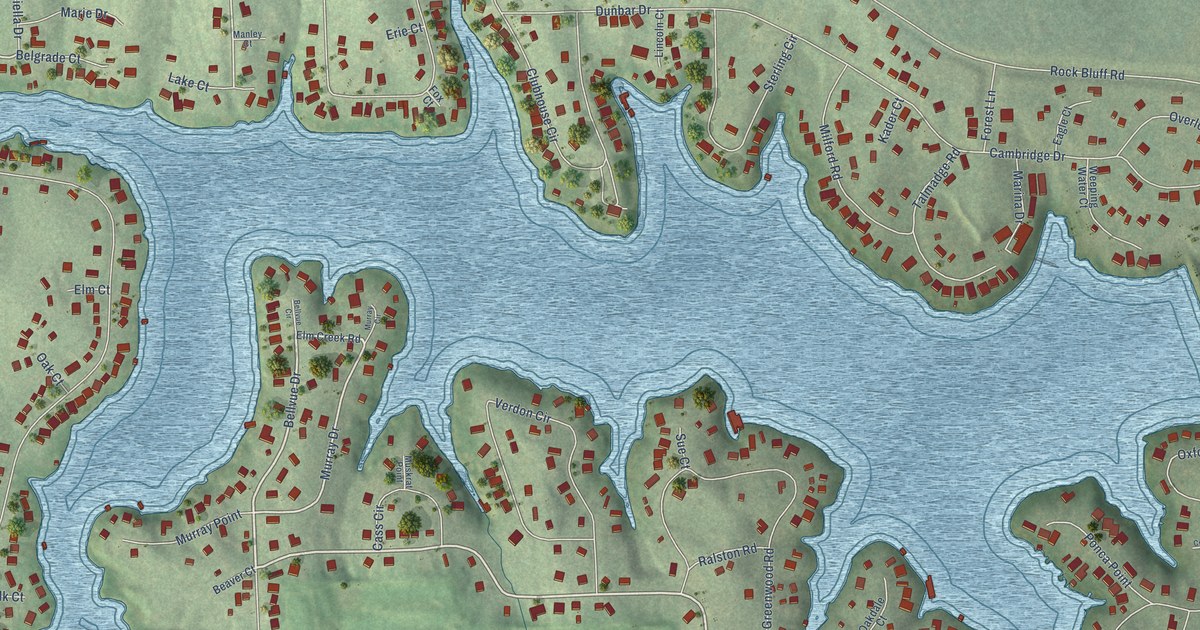
A detailed map of Beaver Lake, Nebraska, showing every building in its true location, the roads by name, and shaded topographical relief.
Read More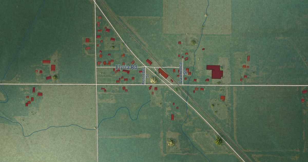
A detailed map of Elyria, Kansas, showing every building in its true location, the roads by name, and shaded topographical relief.
Read More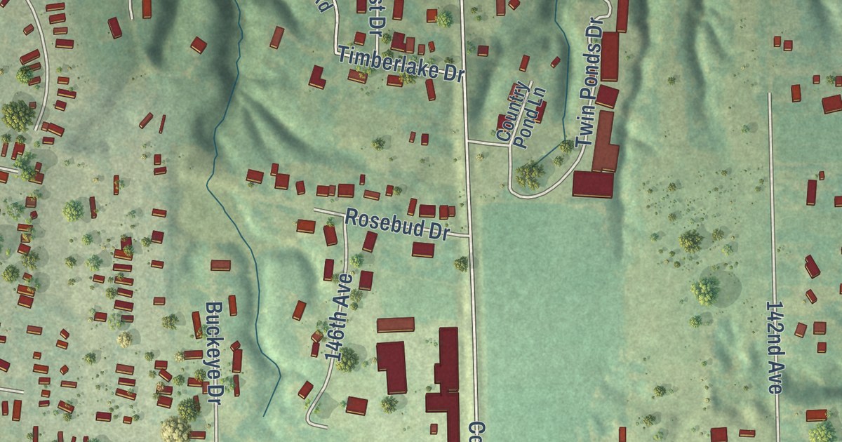
A detailed map of Beaverdale, Iowa, showing every building in its true location, the roads by name, and shaded topographical relief.
Read More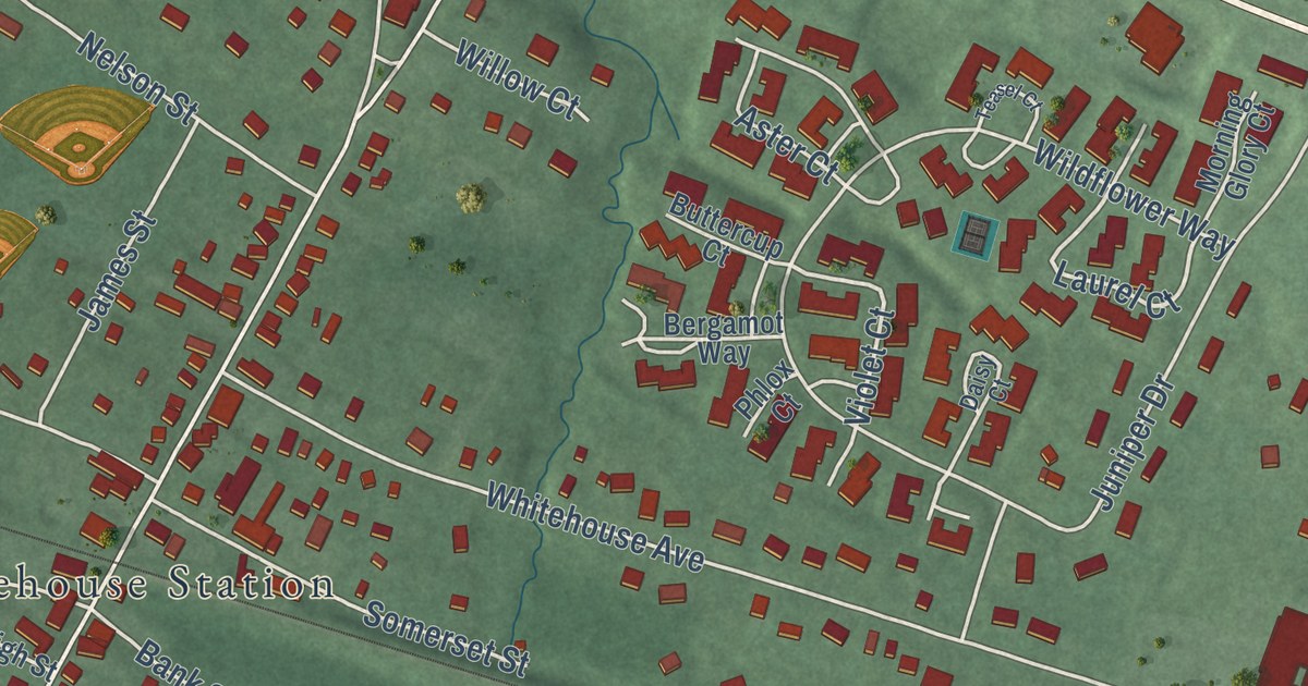
A detailed map of White House Station, New Jersey, showing every building in its true location, the roads by name, and shaded topographical relief.
Read More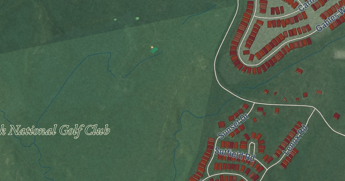
A detailed map of Vista Center, New Jersey, showing every building in its true location, the roads by name, and shaded topographical relief.
Read More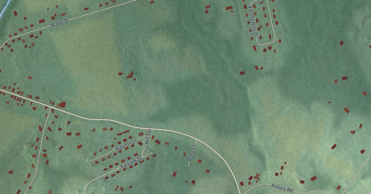
A detailed map of Vienna, New Jersey, showing every building in its true location, the roads by name, and shaded topographical relief.
Read More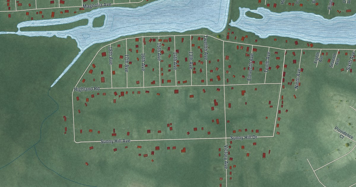
A detailed map of Victory Lakes, New Jersey, showing every building in its true location, the roads by name, and shaded topographical relief.
Read More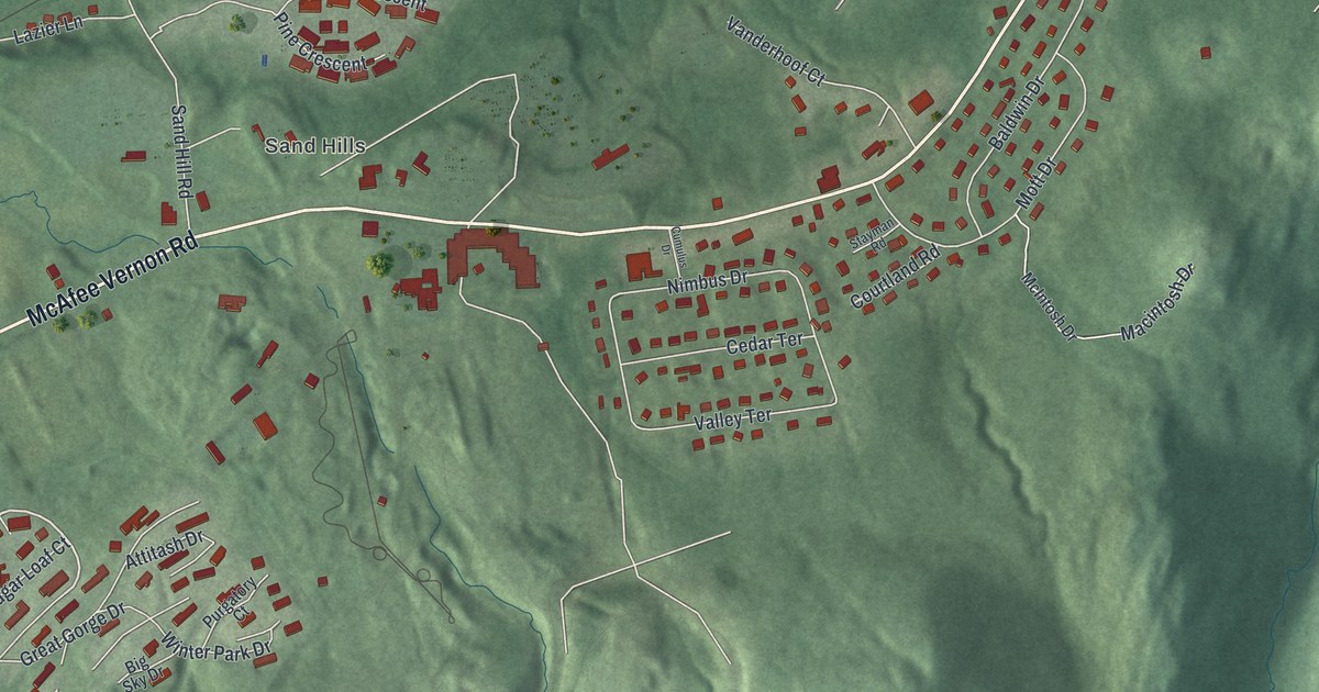
A detailed map of Vernon Center, New Jersey, showing every building in its true location, the roads by name, and shaded topographical relief.
Read More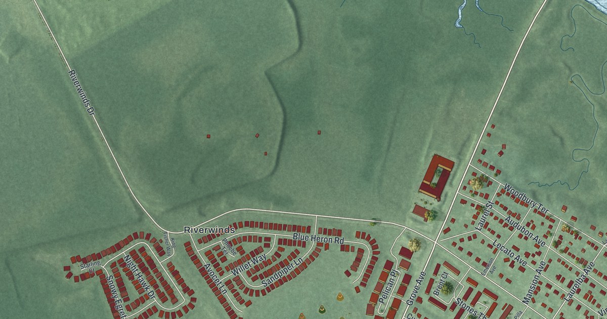
A detailed map of Thorofare, New Jersey, showing every building in its true location, the roads by name, and shaded topographical relief.
Read More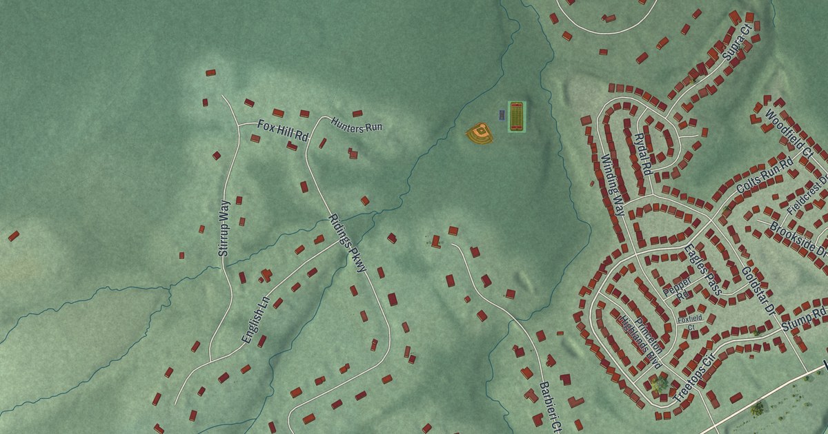
A detailed map of Ten Mile Run, New Jersey, showing every building in its true location, the roads by name, and shaded topographical relief.
Read More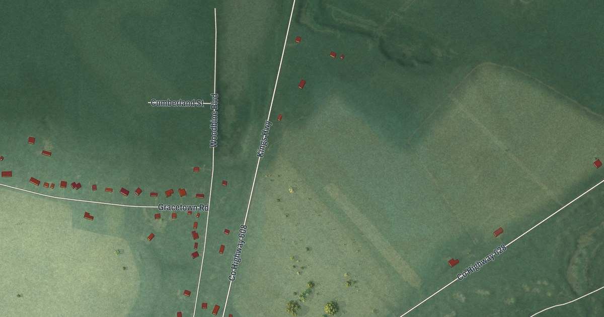
A detailed map of South Seaville, New Jersey, showing every building in its true location, the roads by name, and shaded topographical relief.
Read More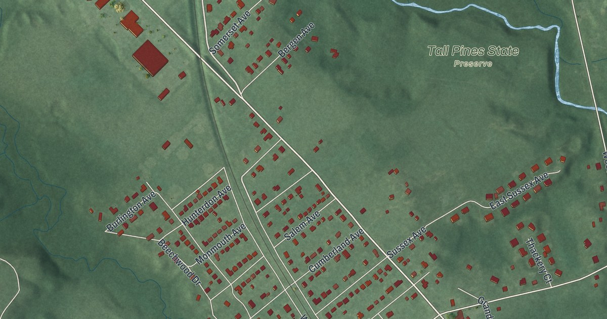
A detailed map of Sewell, New Jersey, showing every building in its true location, the roads by name, and shaded topographical relief.
Read More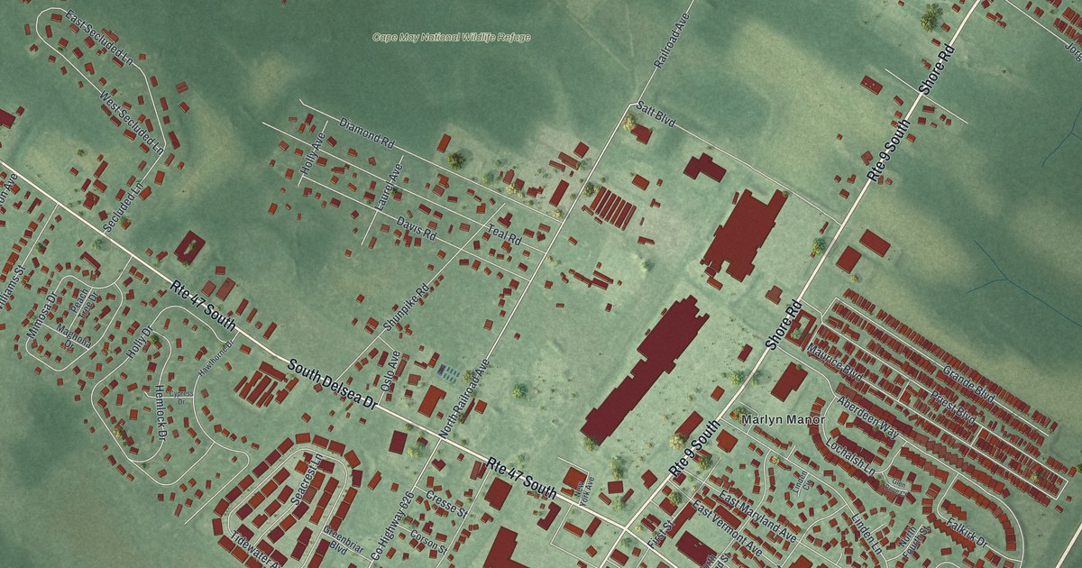
A detailed map of Rio Grande, New Jersey, showing every building in its true location, the roads by name, and shaded topographical relief.
Read More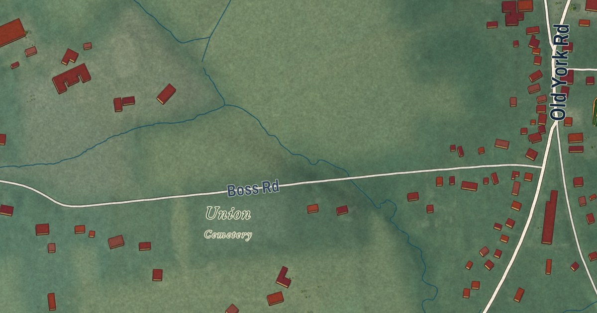
A detailed map of Ringoes, New Jersey, showing every building in its true location, the roads by name, and shaded topographical relief.
Read More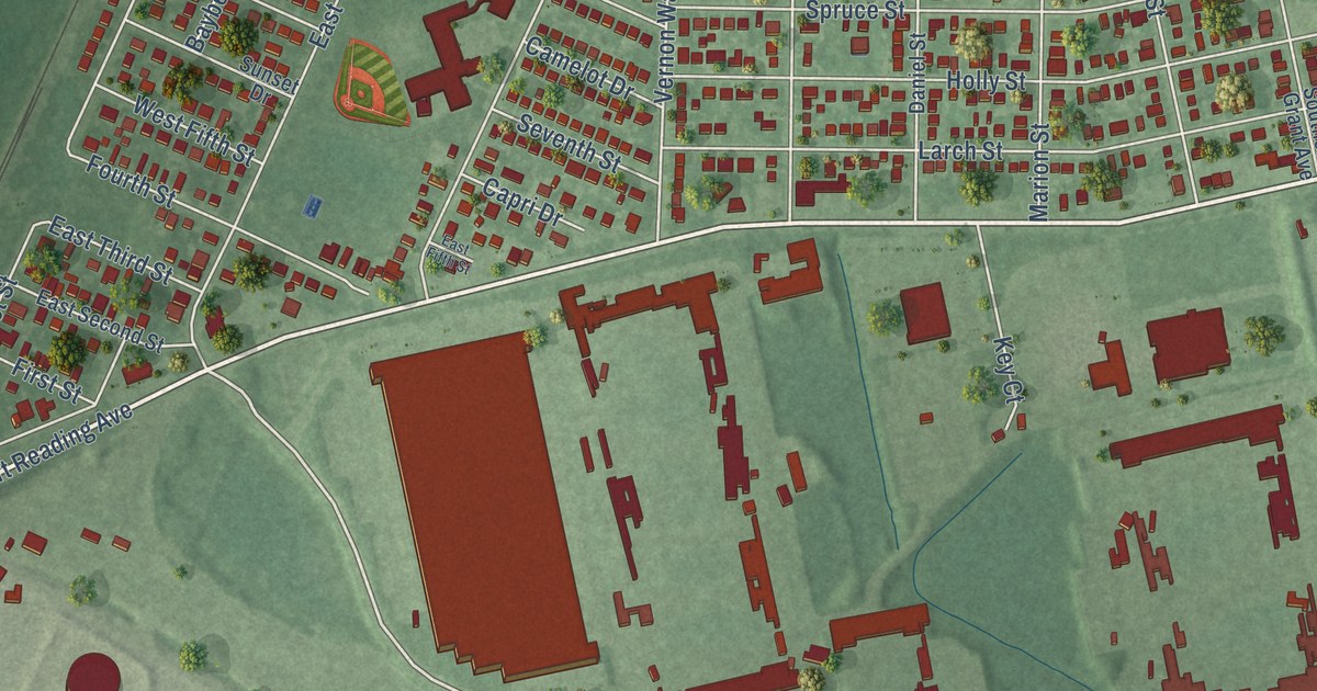
A detailed map of Port Reading, New Jersey, showing every building in its true location, the roads by name, and shaded topographical relief.
Read More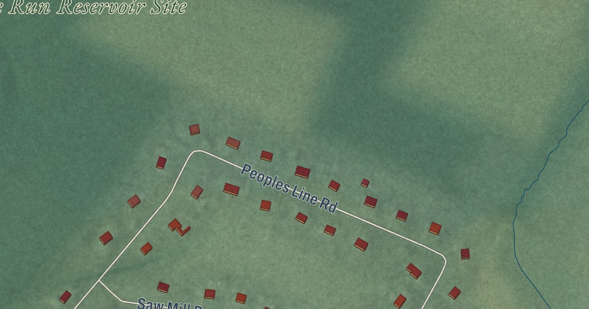
A detailed map of Pleasant Plains, New Jersey, showing every building in its true location, the roads by name, and shaded topographical relief.
Read More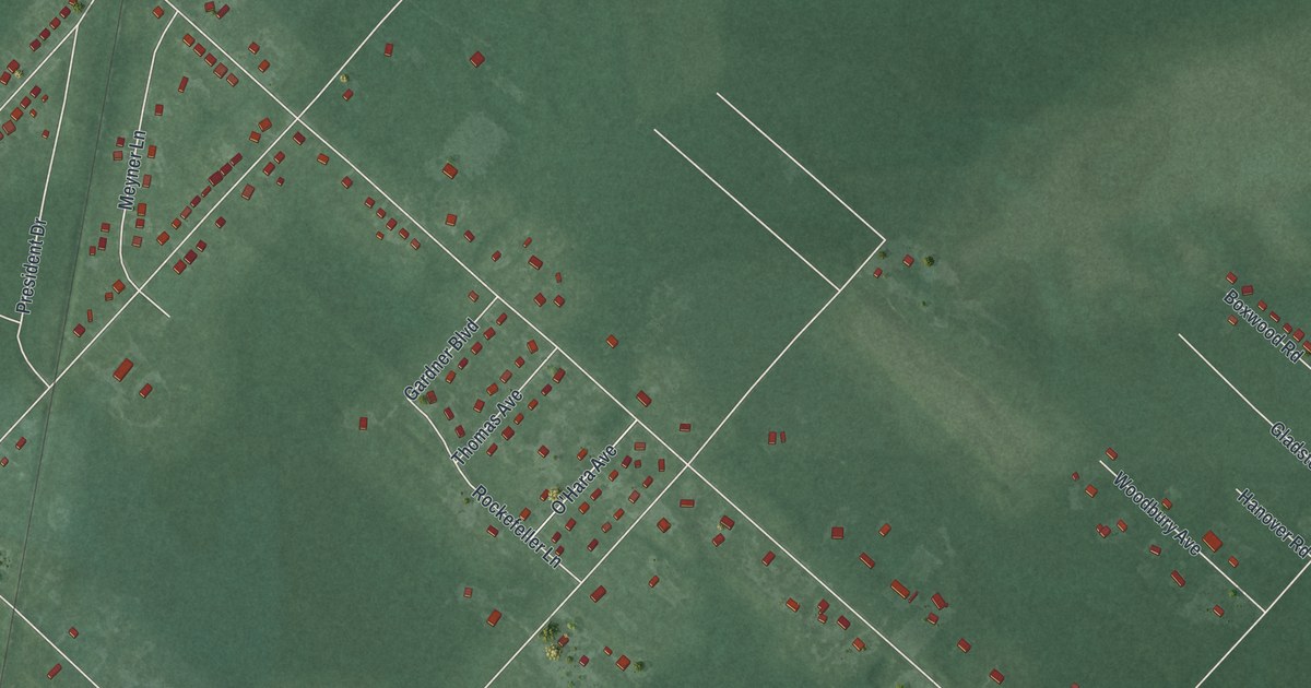
A detailed map of Newtonville, New Jersey, showing every building in its true location, the roads by name, and shaded topographical relief.
Read More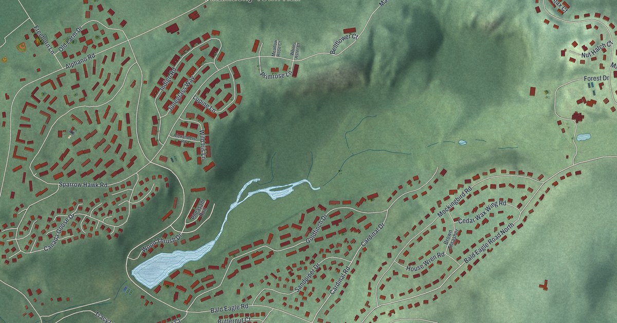
A detailed map of Panther Valley, New Jersey, showing every building in its true location, the roads by name, and shaded topographical relief.
Read More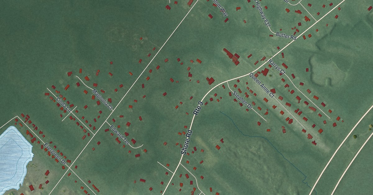
A detailed map of Palermo, New Jersey, showing every building in its true location, the roads by name, and shaded topographical relief.
Read More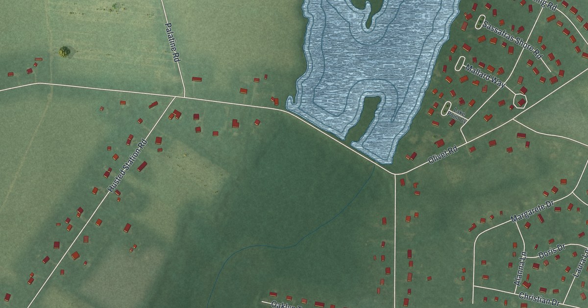
A detailed map of Olivet, New Jersey, showing every building in its true location, the roads by name, and shaded topographical relief.
Read More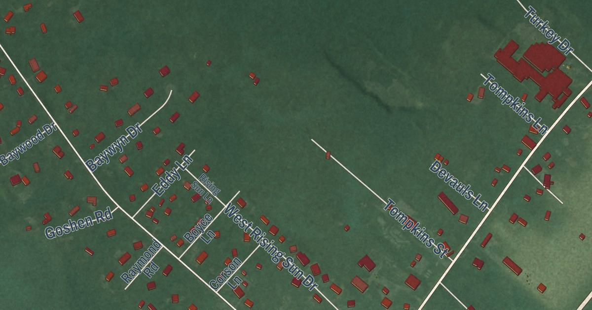
A detailed map of Ocean View, New Jersey, showing every building in its true location, the roads by name, and shaded topographical relief.
Read More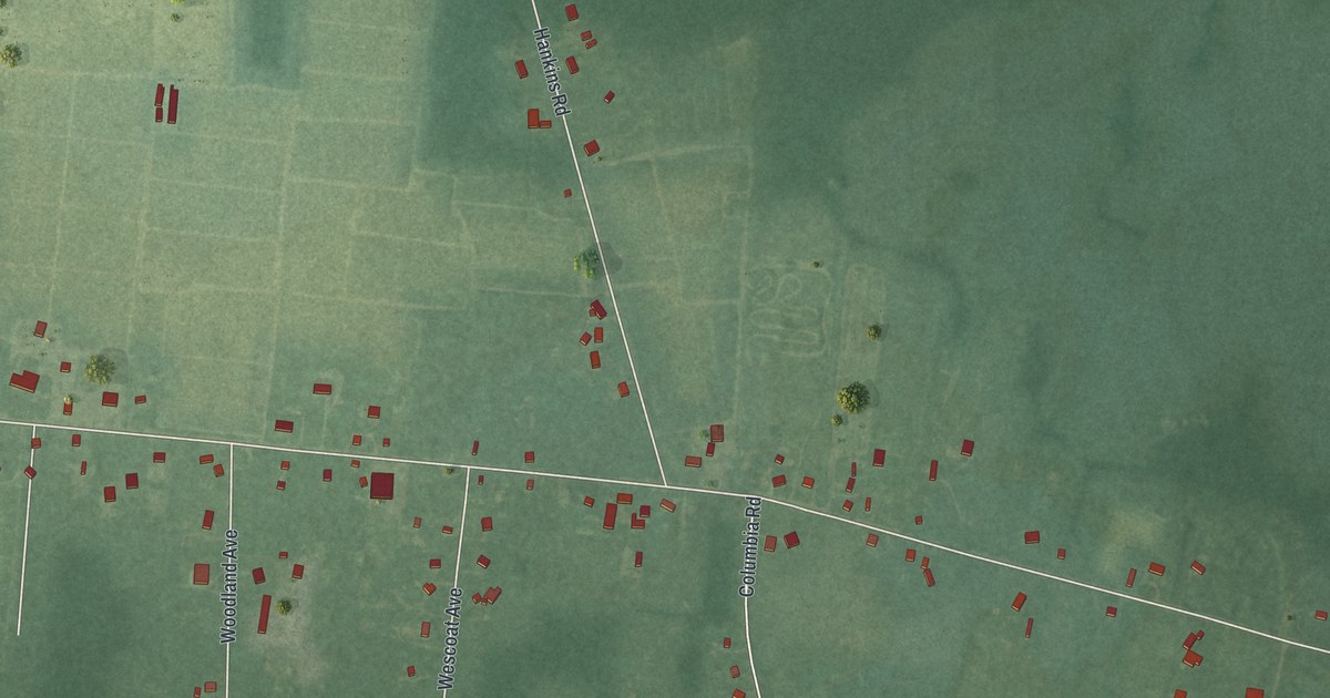
A detailed map of Nesco, New Jersey, showing every building in its true location, the roads by name, and shaded topographical relief.
Read More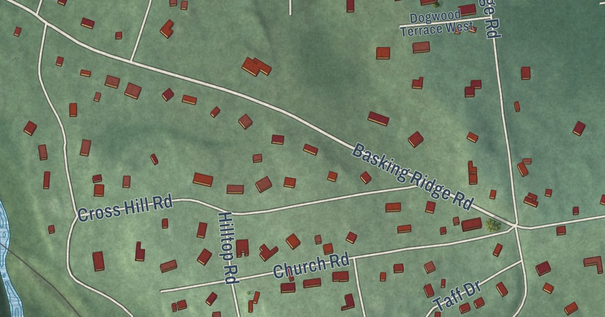
A detailed map of Millington, New Jersey, showing every building in its true location, the roads by name, and shaded topographical relief.
Read More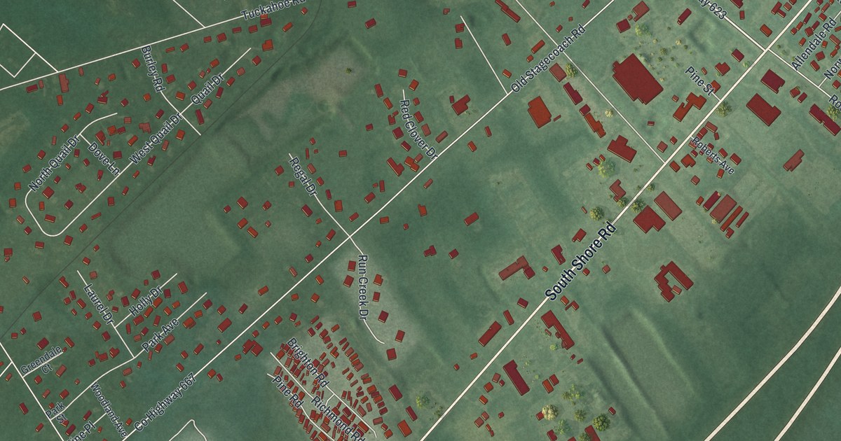
A detailed map of Marmora, New Jersey, showing every building in its true location, the roads by name, and shaded topographical relief.
Read More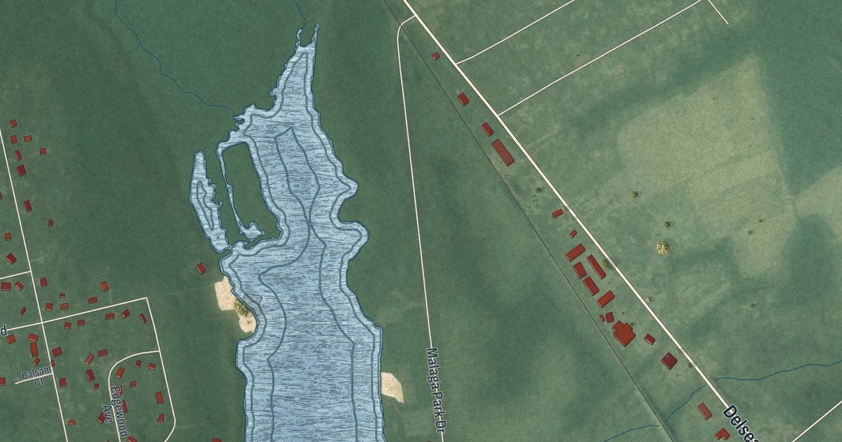
A detailed map of Malaga, New Jersey, showing every building in its true location, the roads by name, and shaded topographical relief.
Read More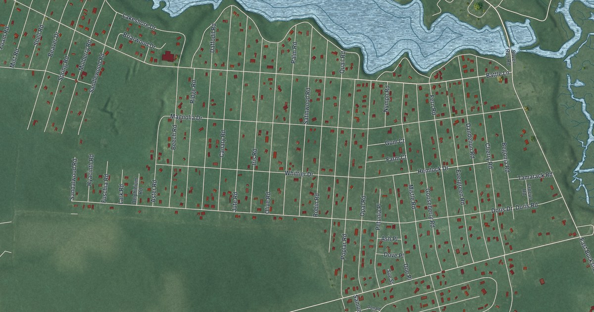
A detailed map of Laurel Lake, New Jersey, showing every building in its true location, the roads by name, and shaded topographical relief.
Read More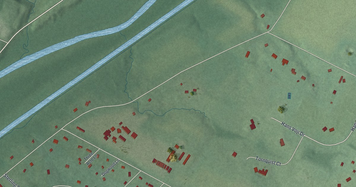
A detailed map of Griggstown, New Jersey, showing every building in its true location, the roads by name, and shaded topographical relief.
Read More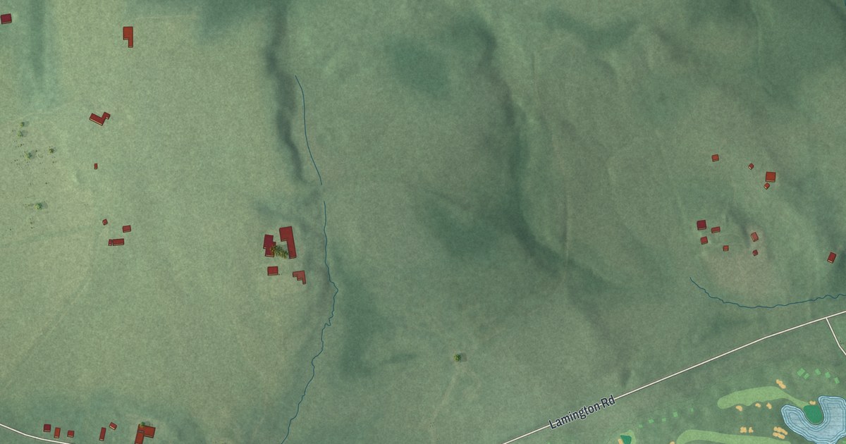
A detailed map of Lamington, New Jersey, showing every building in its true location, the roads by name, and shaded topographical relief.
Read More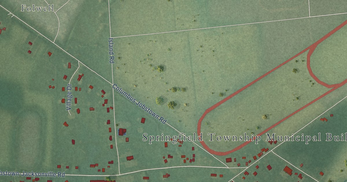
A detailed map of Jobstown, New Jersey, showing every building in its true location, the roads by name, and shaded topographical relief.
Read More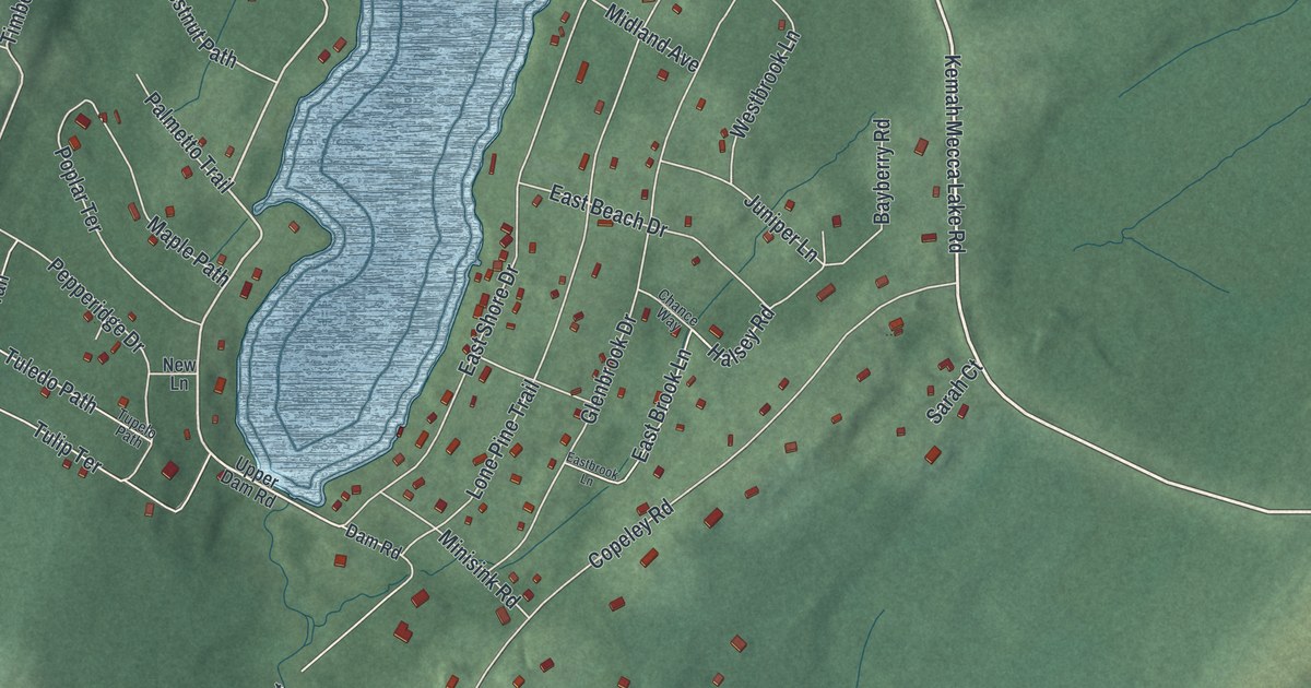
A detailed map of Crandon Lakes, New Jersey, showing every building in its true location, the roads by name, and shaded topographical relief.
Read More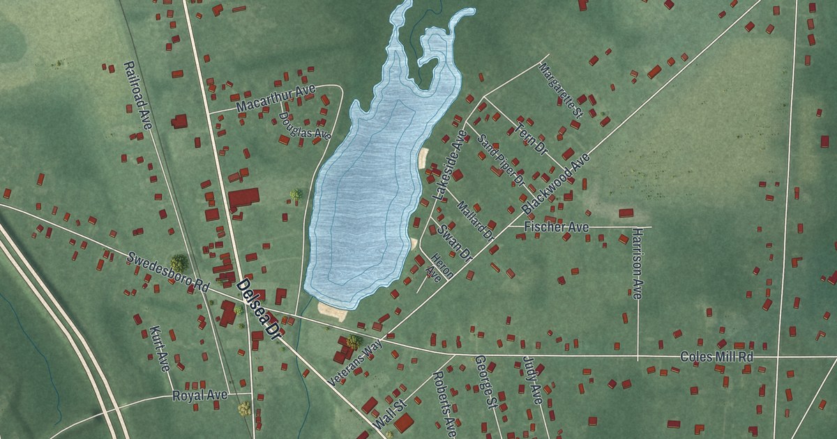
A detailed map of Franklinville, New Jersey, showing every building in its true location, the roads by name, and shaded topographical relief.
Read More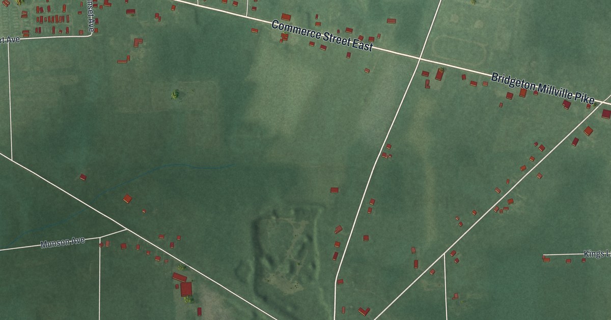
A detailed map of Gouldtown, New Jersey, showing every building in its true location, the roads by name, and shaded topographical relief.
Read More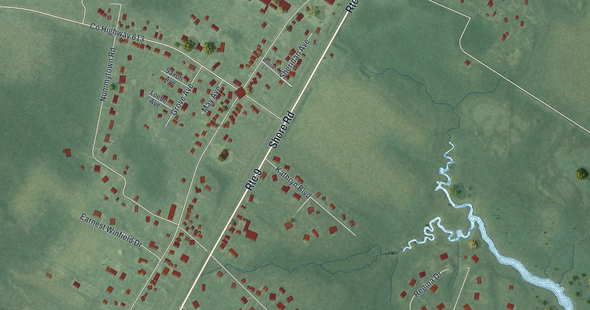
A detailed map of Erma, New Jersey, showing every building in its true location, the roads by name, and shaded topographical relief.
Read More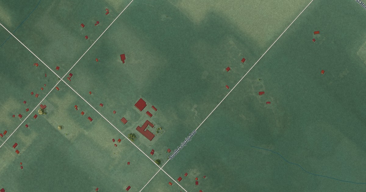
A detailed map of Germania, New Jersey, showing every building in its true location, the roads by name, and shaded topographical relief.
Read More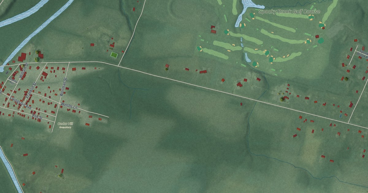
A detailed map of East Millstone, New Jersey, showing every building in its true location, the roads by name, and shaded topographical relief.
Read More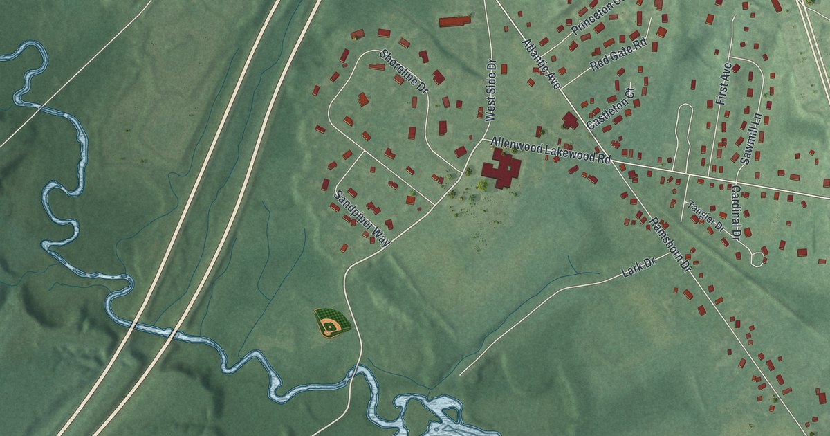
A detailed map of Allenwood, New Jersey, showing every building in its true location, the roads by name, and shaded topographical relief.
Read More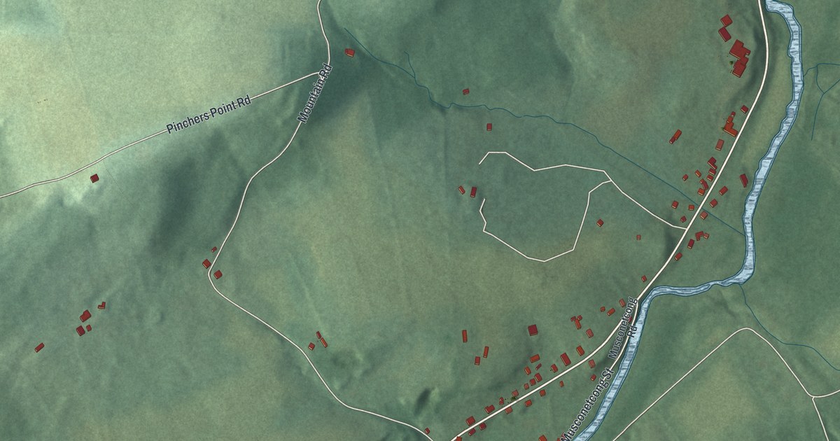
A detailed map of Finesville, New Jersey, showing every building in its true location, the roads by name, and shaded topographical relief.
Read More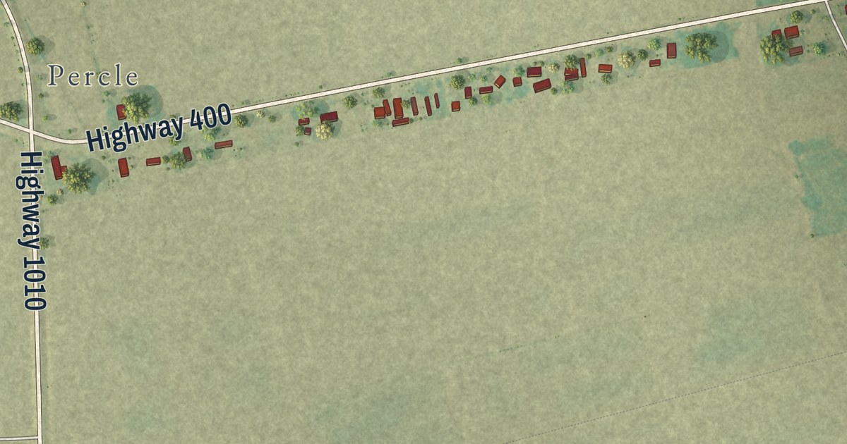
A detailed map of Supreme, Louisiana, showing every building in its true location, the roads by name, and shaded topographical relief.
Read More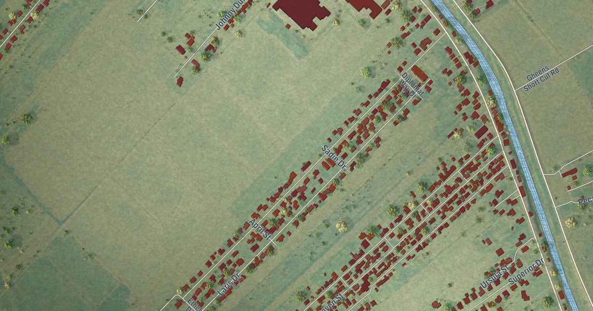
A detailed map of Mathews, Louisiana, showing every building in its true location, the roads by name, and shaded topographical relief.
Read More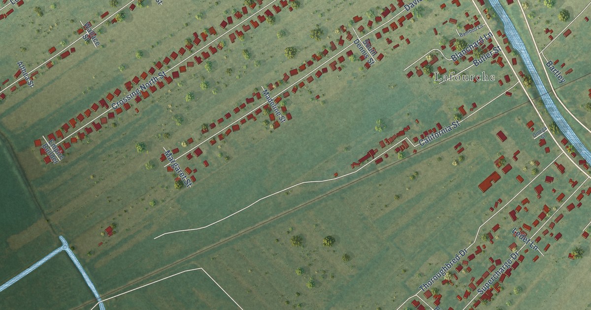
A detailed map of Lafourche Crossing, Louisiana, showing every building in its true location, the roads by name, and shaded topographical relief.
Read More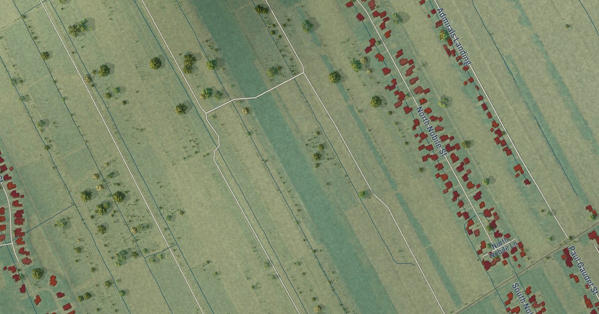
A detailed map of Paulina, Louisiana, showing every building in its true location, the roads by name, and shaded topographical relief.
Read More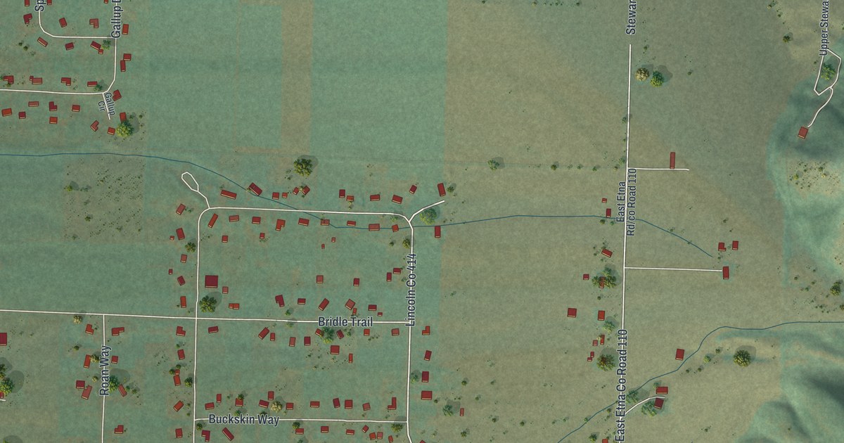
A detailed map of Nordic, Wyoming, showing every building in its true location, the roads by name, and shaded topographical relief.
Read More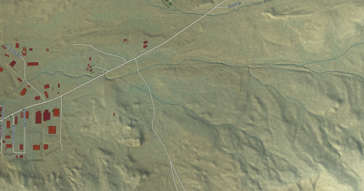
A detailed map of Reliance, Wyoming, showing every building in its true location, the roads by name, and shaded topographical relief.
Read More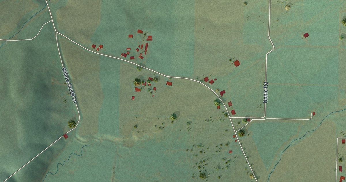
A detailed map of Turnerville, Wyoming, showing every building in its true location, the roads by name, and shaded topographical relief.
Read More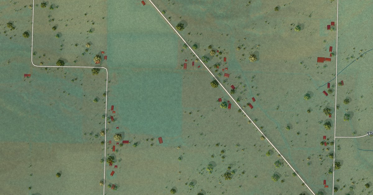
A detailed map of Grover, Wyoming, showing every building in its true location, the roads by name, and shaded topographical relief.
Read More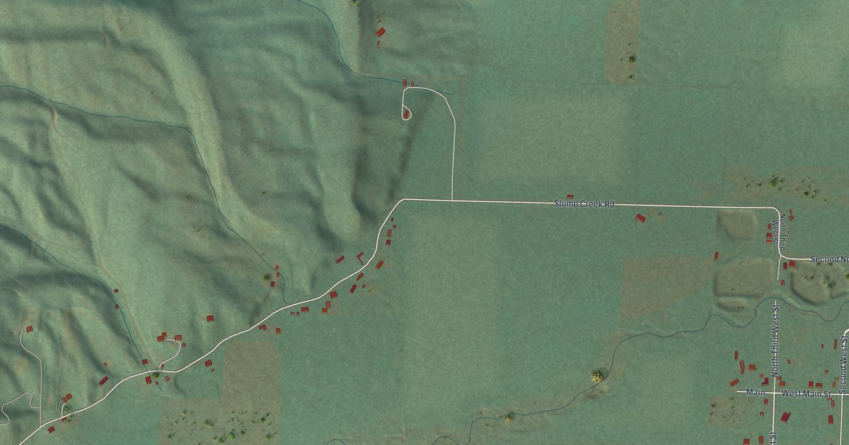
A detailed map of Auburn, Wyoming, showing every building in its true location, the roads by name, and shaded topographical relief.
Read More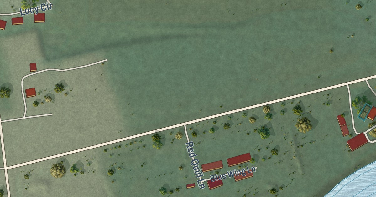
A detailed map of Alpine Northeast, Wyoming, showing every building in its true location, the roads by name, and shaded topographical relief.
Read More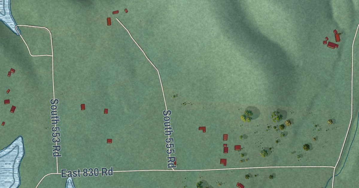
A detailed map of Etta, Oklahoma, showing every building in its true location, the roads by name, and shaded topographical relief.
Read More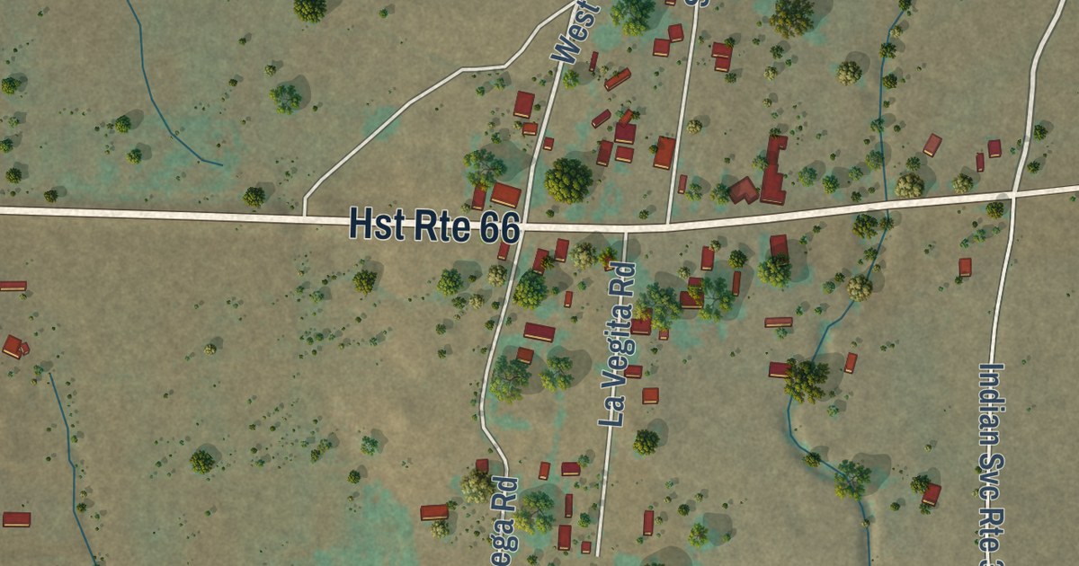
A detailed map of San Fidel, New Mexico, showing every building in its true location, the roads by name, and shaded topographical relief.
Read More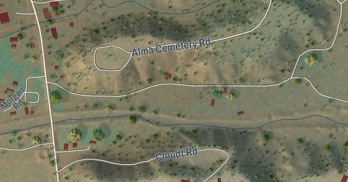
A detailed map of Alma, New Mexico, showing every building in its true location, the roads by name, and shaded topographical relief.
Read More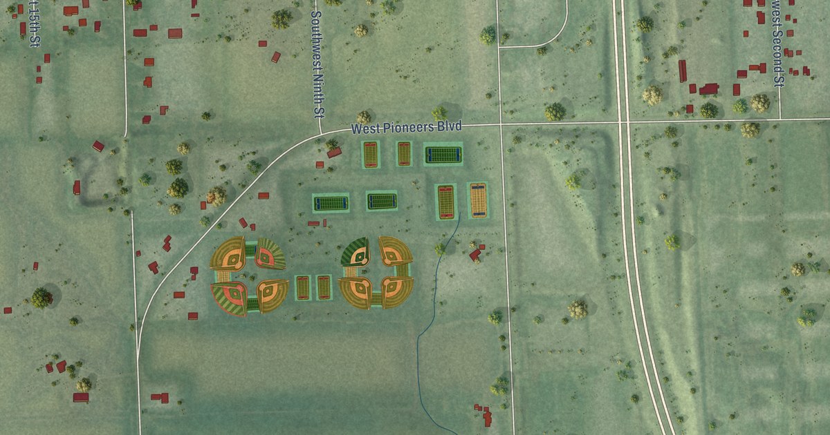
A detailed map of Yankee Hill, Nebraska, showing every building in its true location, the roads by name, and shaded topographical relief.
Read More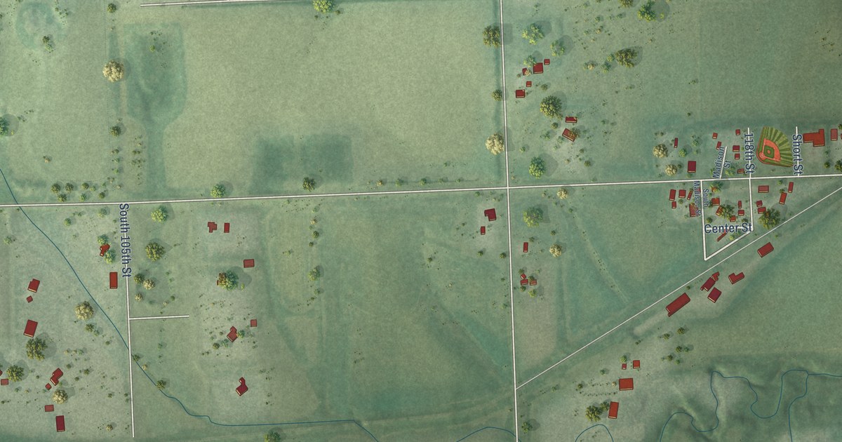
A detailed map of Walton, Nebraska, showing every building in its true location, the roads by name, and shaded topographical relief.
Read More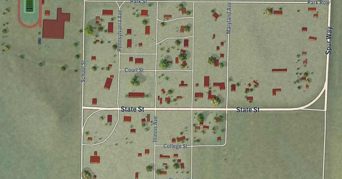
A detailed map of Harrisburg, Nebraska, showing every building in its true location, the roads by name, and shaded topographical relief.
Read More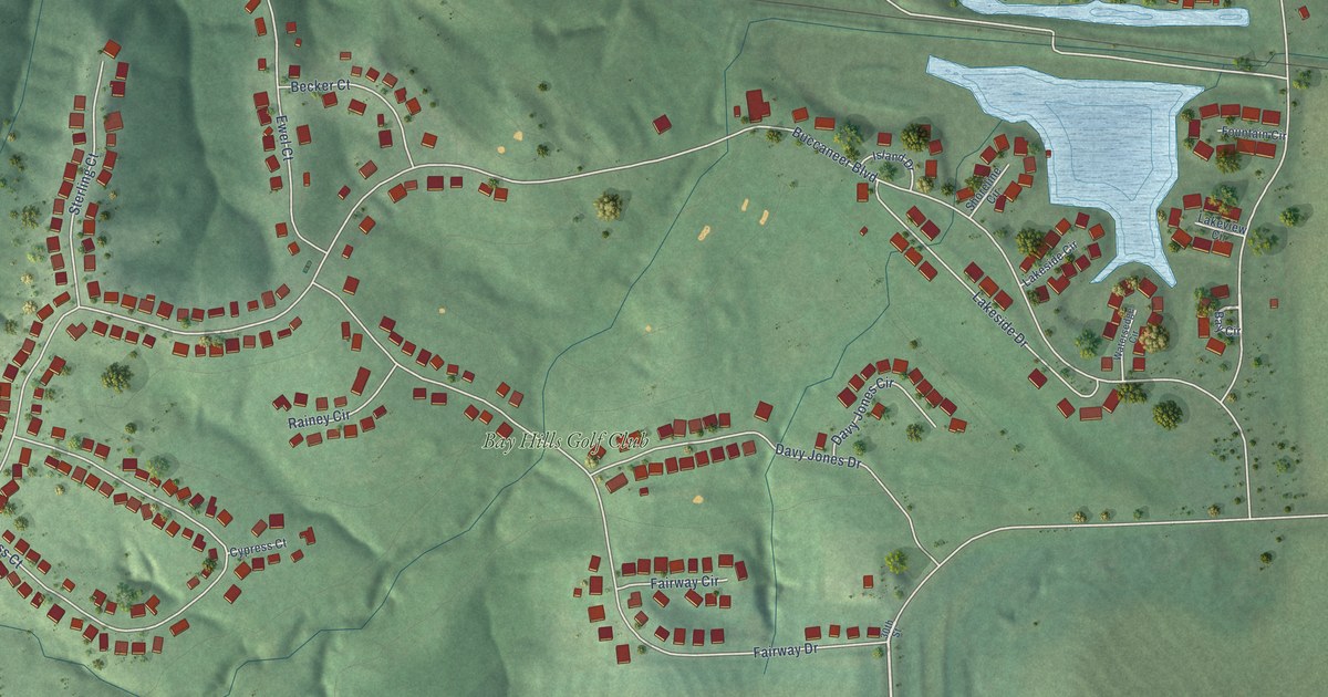
A detailed map of Buccaneer Bay, Nebraska, showing every building in its true location, the roads by name, and shaded topographical relief.
Read More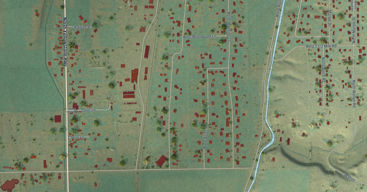
A detailed map of Tyhee, Idaho, showing every building in its true location, the roads by name, and shaded topographical relief.
Read More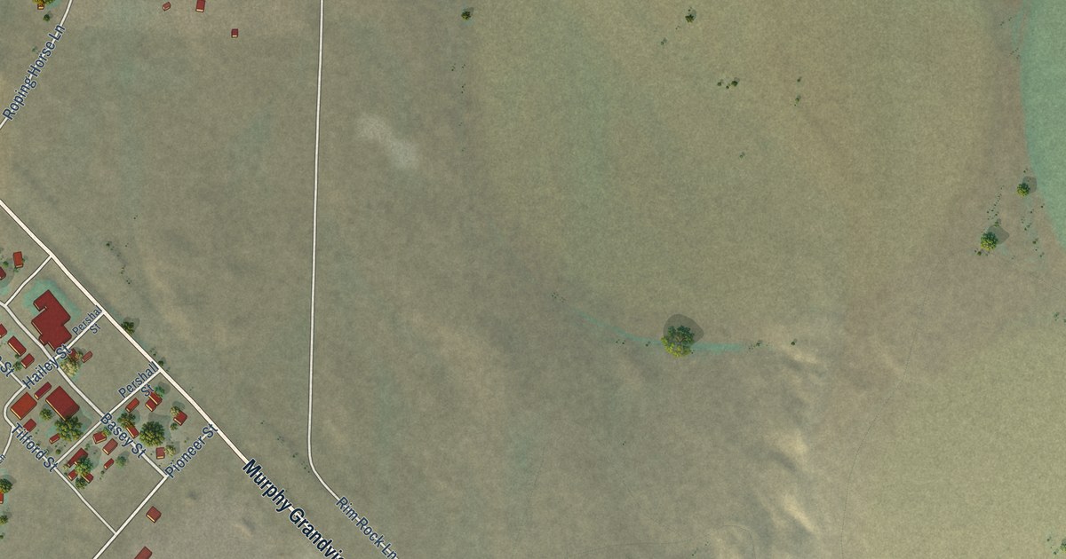
A detailed map of Murphy, Idaho, showing every building in its true location, the roads by name, and shaded topographical relief.
Read More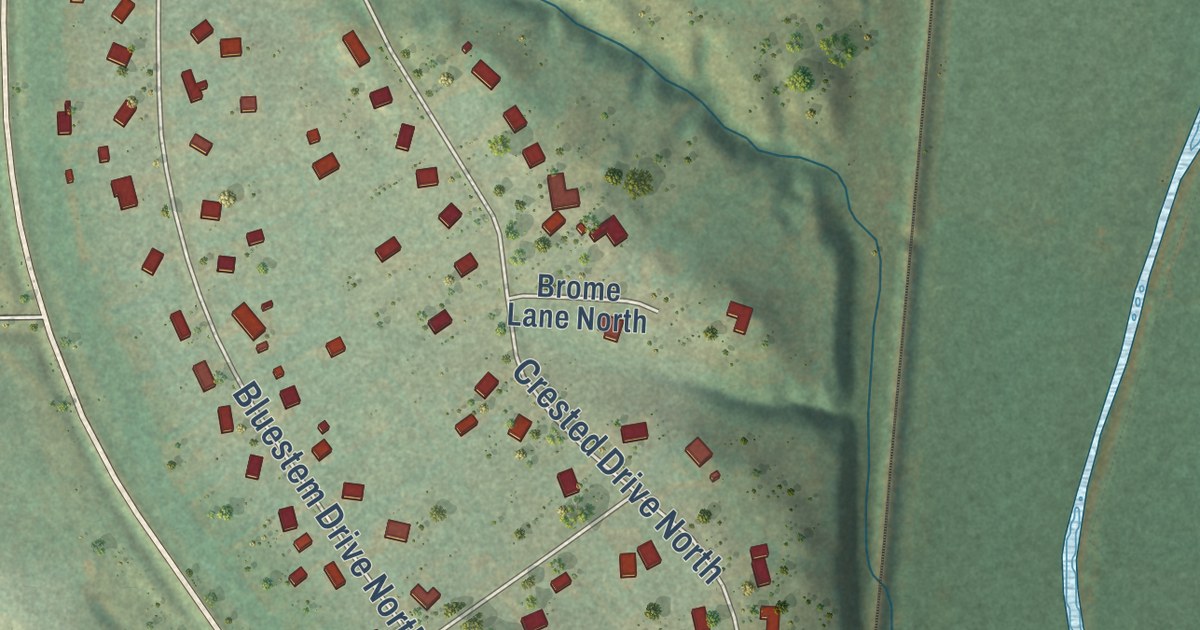
A detailed map of Harmon, North Dakota, showing every building in its true location, the roads by name, and shaded topographical relief.
Read More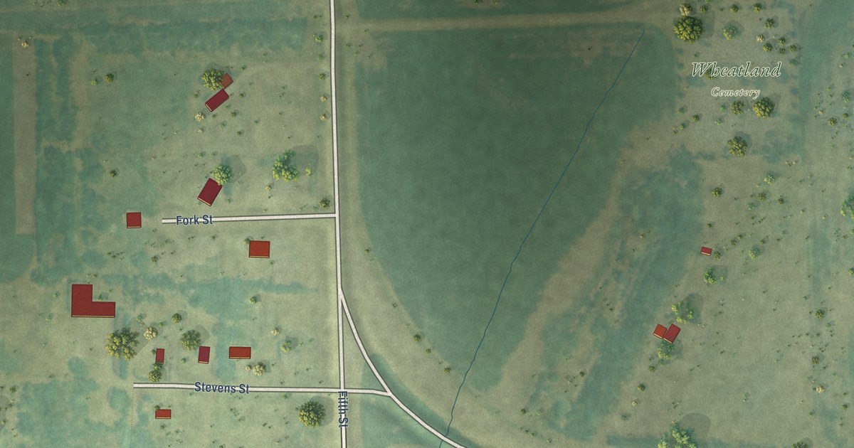
A detailed map of Wheatland, North Dakota, showing every building in its true location, the roads by name, and shaded topographical relief.
Read More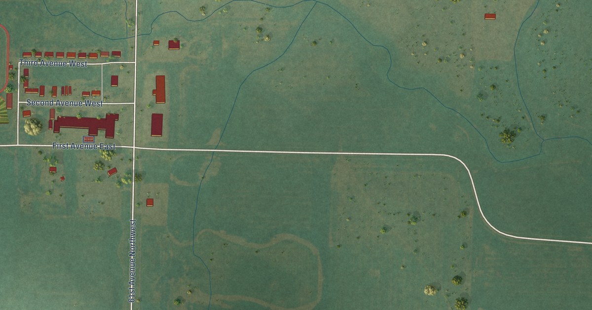
A detailed map of White Shield, North Dakota, showing every building in its true location, the roads by name, and shaded topographical relief.
Read More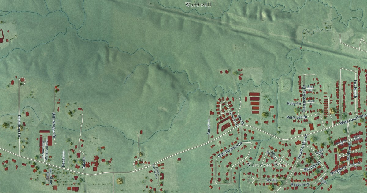
A detailed map of Arnold Line, Mississippi, showing every building in its true location, the roads by name, and shaded topographical relief.
Read More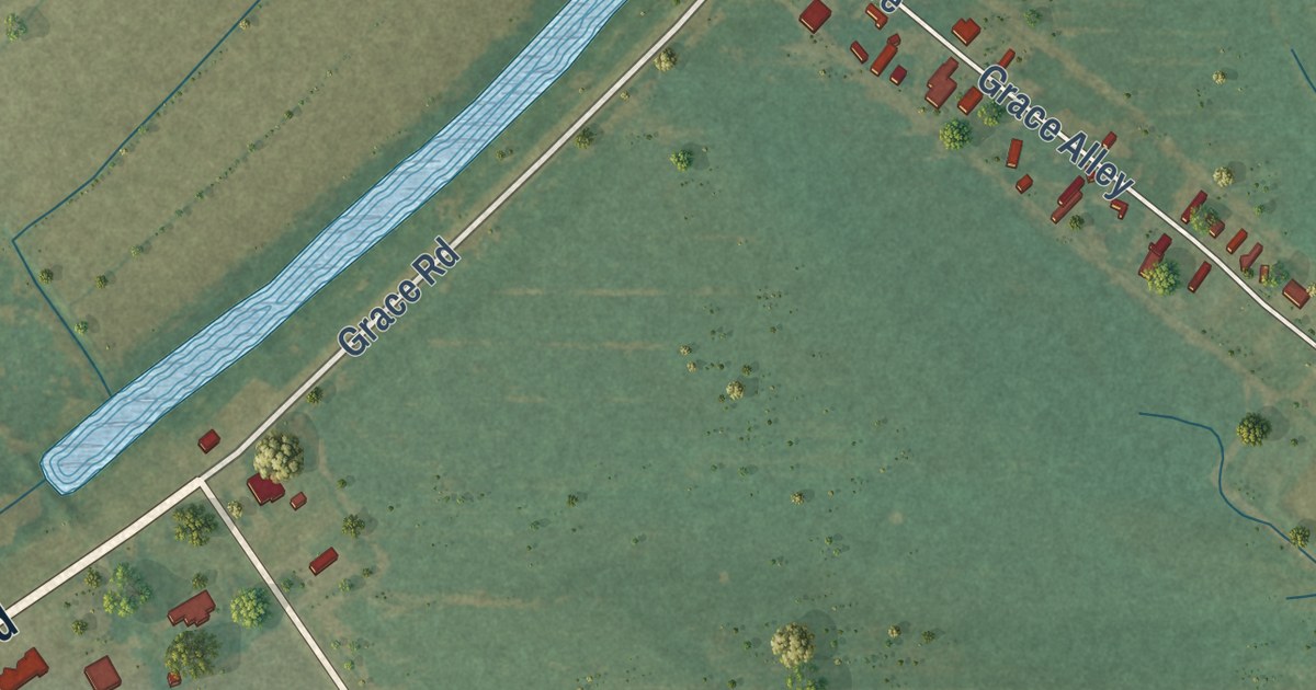
A detailed map of Grace, Mississippi, showing every building in its true location, the roads by name, and shaded topographical relief.
Read More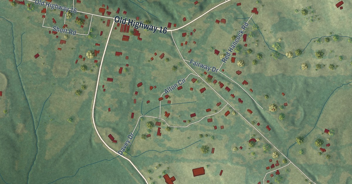
A detailed map of Benton, Mississippi, showing every building in its true location, the roads by name, and shaded topographical relief.
Read More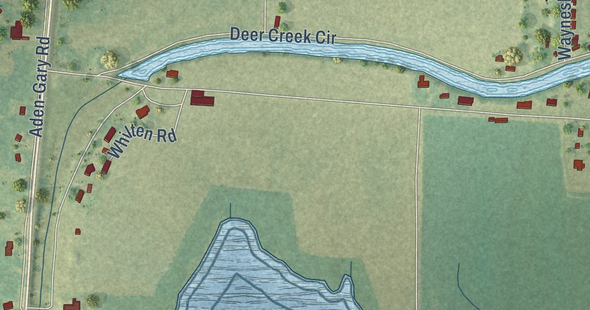
A detailed map of Valley Park, Mississippi, showing every building in its true location, the roads by name, and shaded topographical relief.
Read More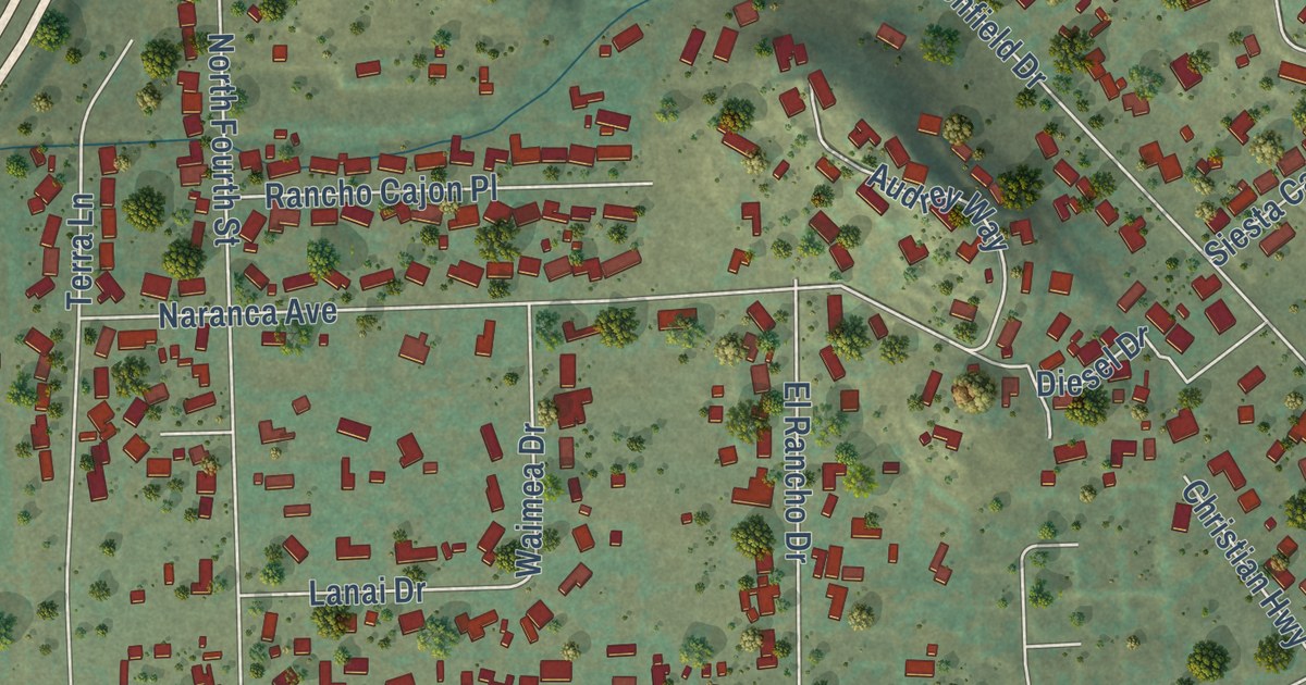
A detailed map of Granite Hills, California, showing every building in its true location, the roads by name, and shaded topographical relief.
Read More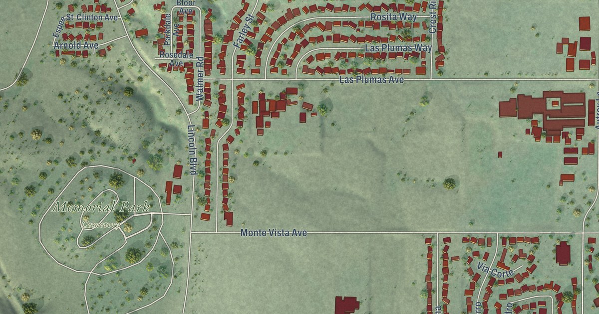
A detailed map of South Oroville, California, showing every building in its true location, the roads by name, and shaded topographical relief.
Read More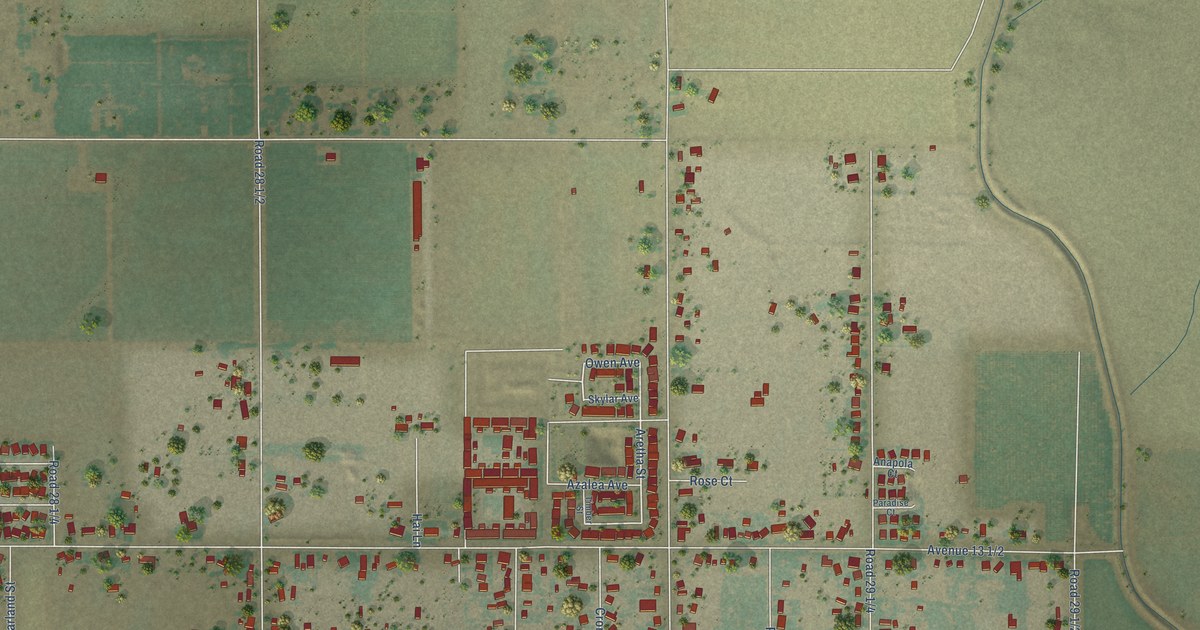
A detailed map of Parksdale, California, showing every building in its true location, the roads by name, and shaded topographical relief.
Read More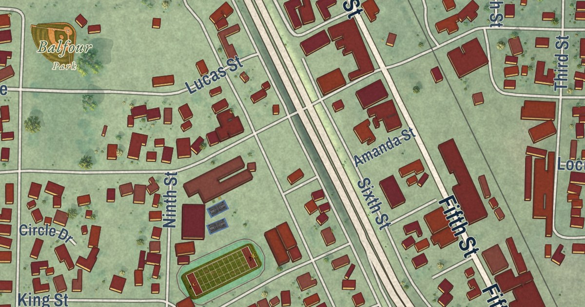
A detailed map of Arbuckle, California, showing every building in its true location, the roads by name, and shaded topographical relief.
Read More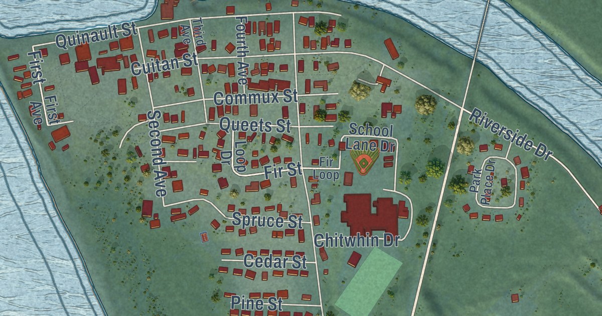
A detailed map of Taholah, Washington, showing every building in its true location, the roads by name, and shaded topographical relief.
Read More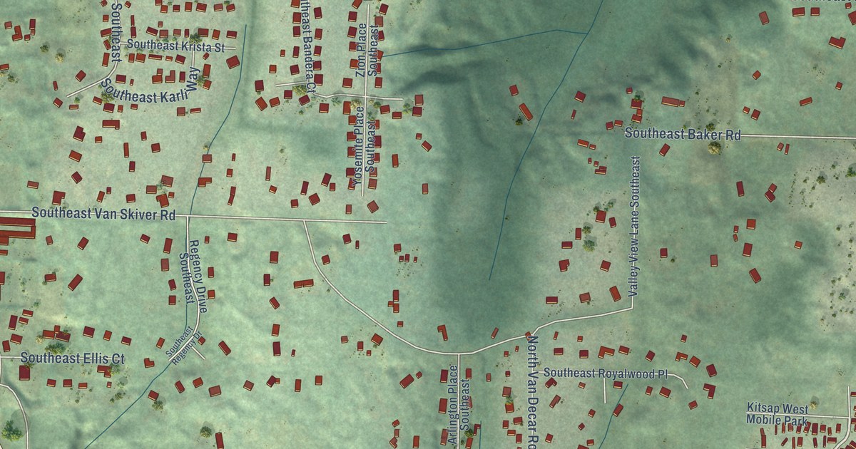
A detailed map of Bethel, Washington, showing every building in its true location, the roads by name, and shaded topographical relief.
Read More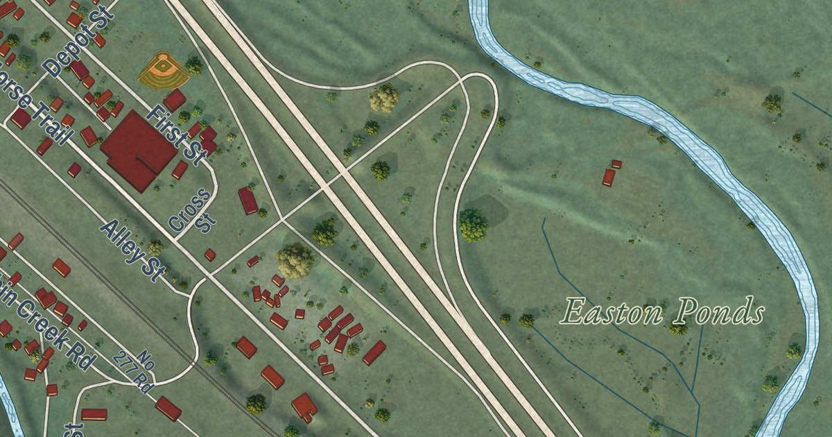
A detailed map of Easton, Washington, showing every building in its true location, the roads by name, and shaded topographical relief.
Read More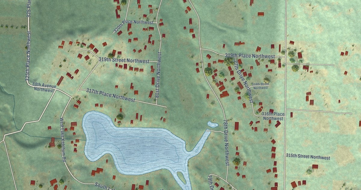
A detailed map of Lake Ketchum, Washington, showing every building in its true location, the roads by name, and shaded topographical relief.
Read More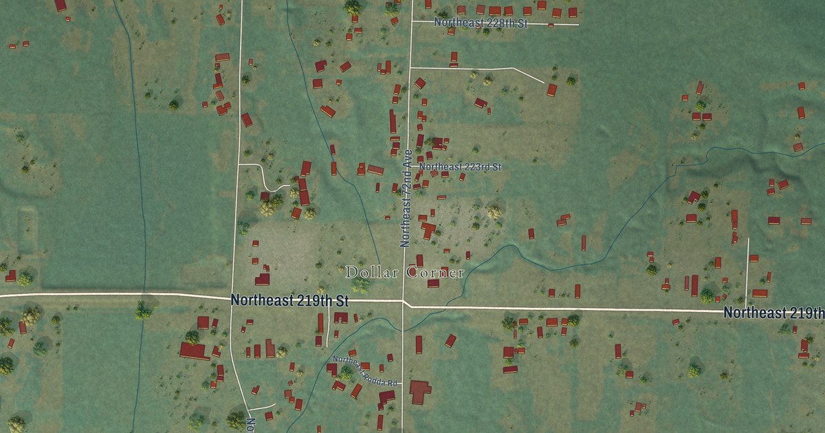
A detailed map of Dollars Corner, Washington, showing every building in its true location, the roads by name, and shaded topographical relief.
Read More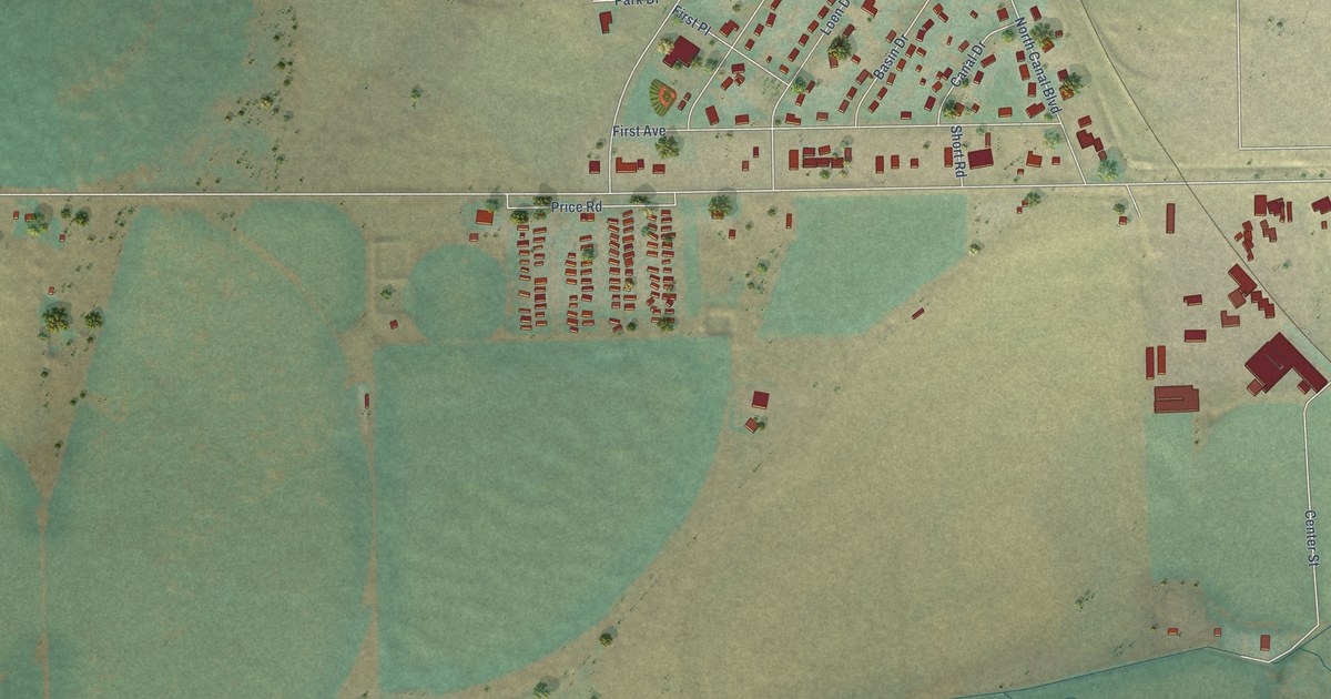
A detailed map of Basin City, Washington, showing every building in its true location, the roads by name, and shaded topographical relief.
Read More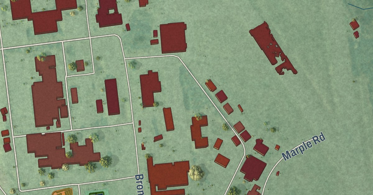
A detailed map of Dahlgren Center, Virginia, showing every building in its true location, the roads by name, and shaded topographical relief.
Read More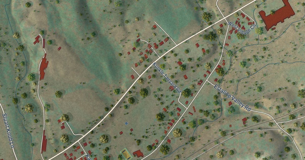
A detailed map of Augusta Springs, Virginia, showing every building in its true location, the roads by name, and shaded topographical relief.
Read More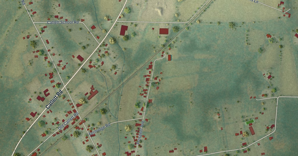
A detailed map of Catlett, Virginia, showing every building in its true location, the roads by name, and shaded topographical relief.
Read More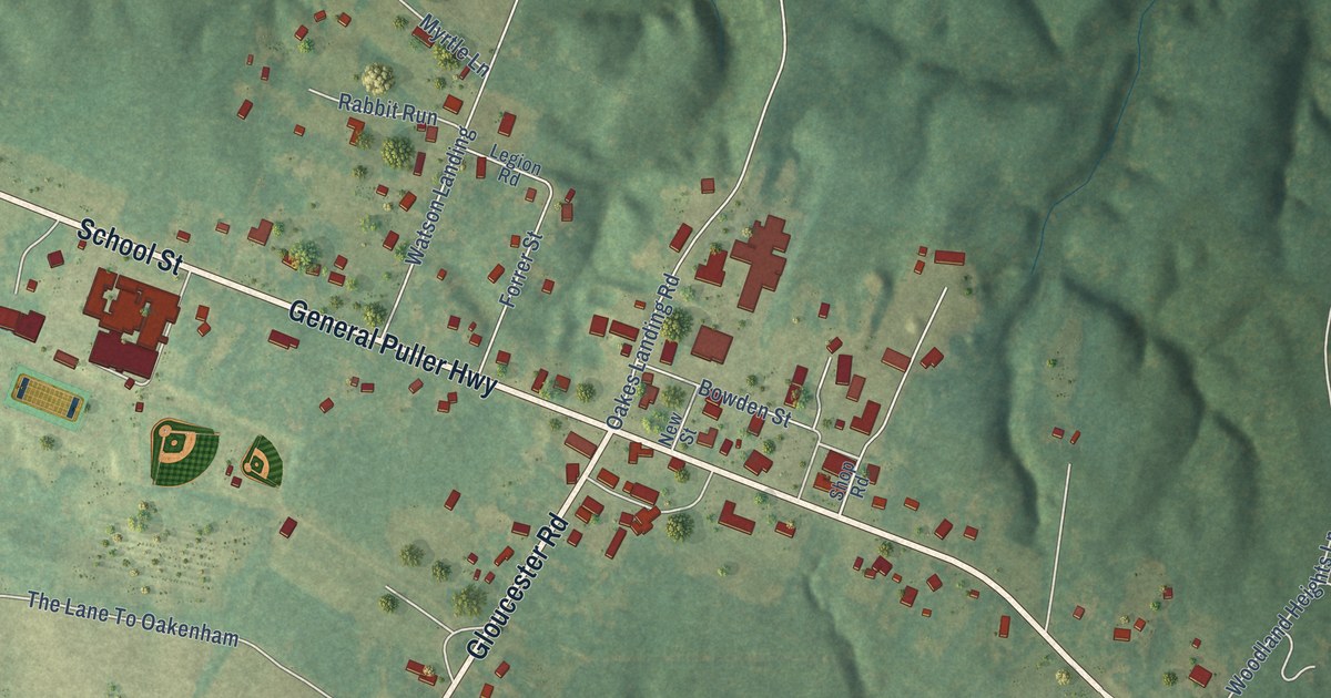
A detailed map of Saluda, Virginia, showing every building in its true location, the roads by name, and shaded topographical relief.
Read More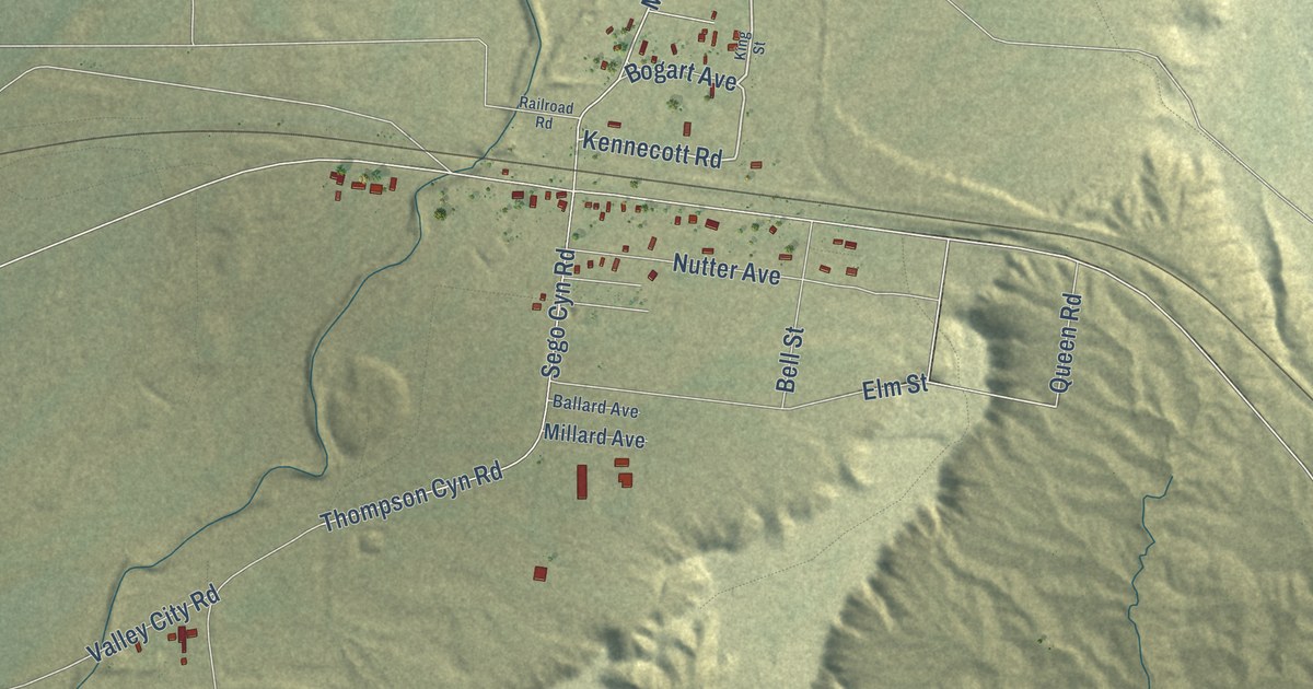
A detailed map of Thompson Springs, Utah, showing every building in its true location, the roads by name, and shaded topographical relief.
Read More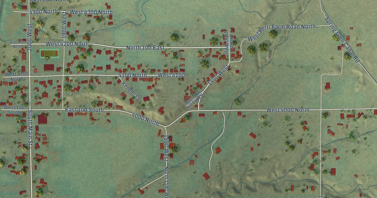
A detailed map of Spring Glen, Utah, showing every building in its true location, the roads by name, and shaded topographical relief.
Read More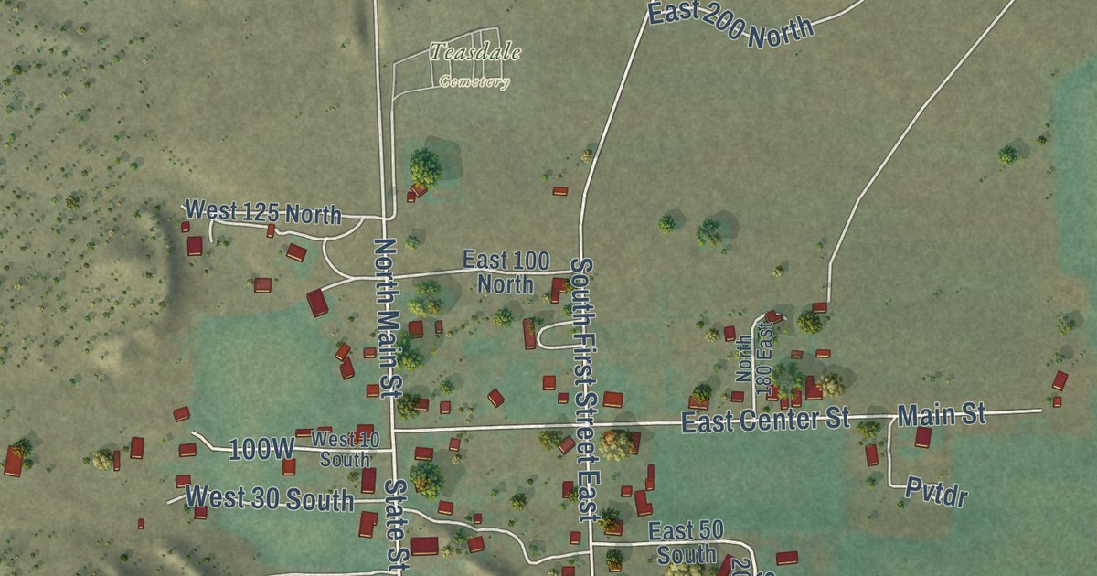
A detailed map of Teasdale, Utah, showing every building in its true location, the roads by name, and shaded topographical relief.
Read More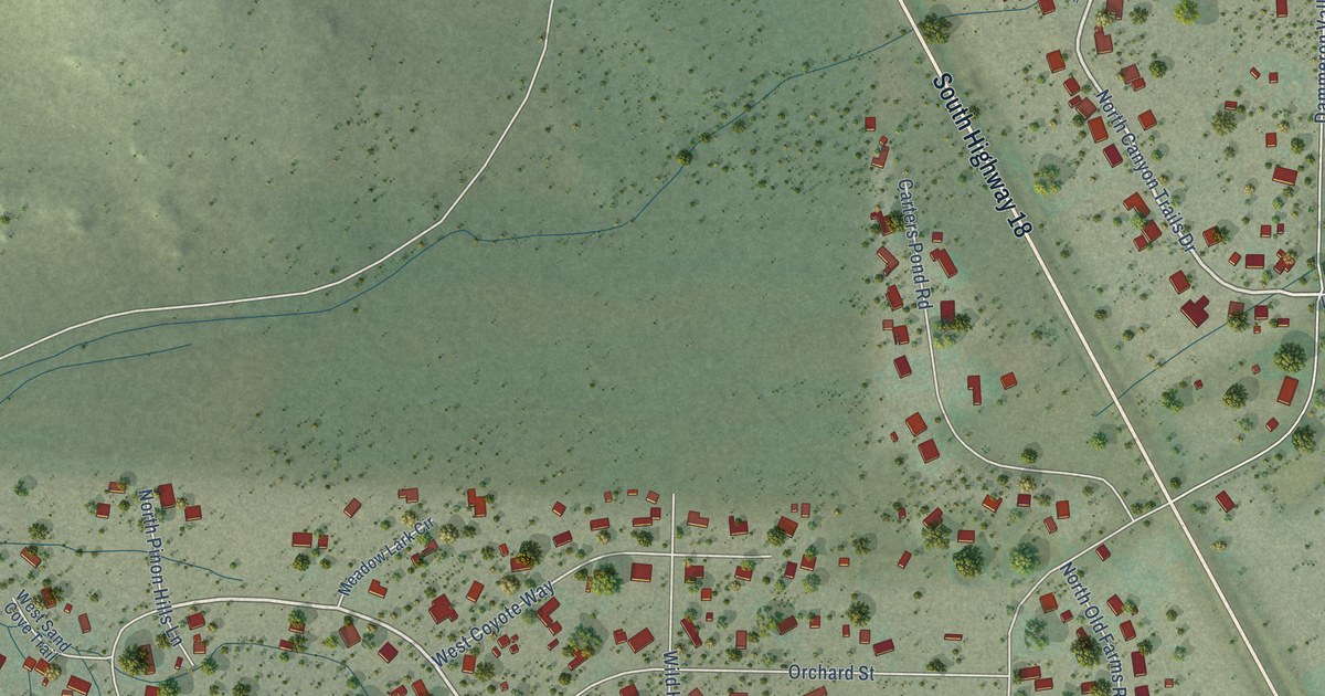
A detailed map of Dammeron Valley, Utah, showing every building in its true location, the roads by name, and shaded topographical relief.
Read More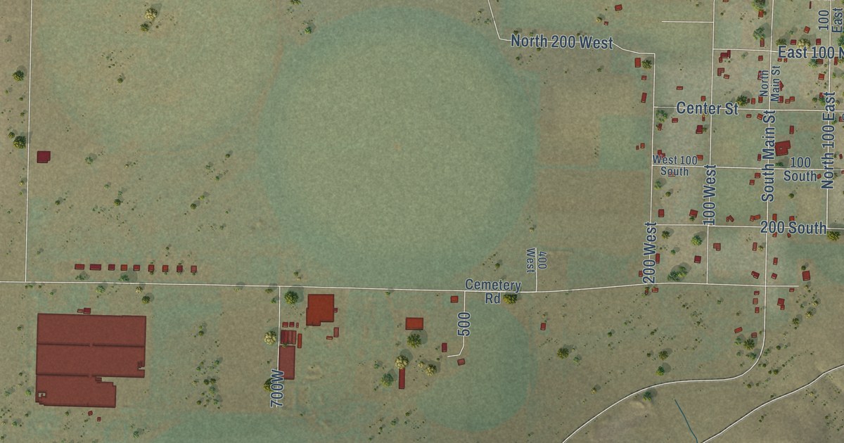
A detailed map of Newcastle, Utah, showing every building in its true location, the roads by name, and shaded topographical relief.
Read More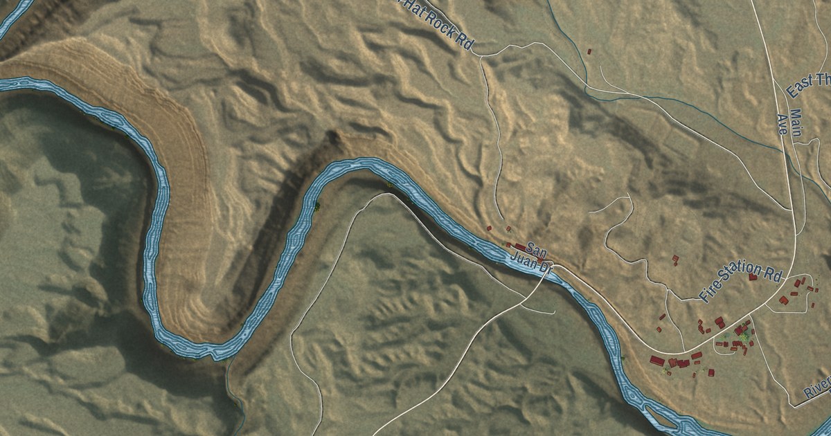
A detailed map of Mexican Hat, Utah, showing every building in its true location, the roads by name, and shaded topographical relief.
Read More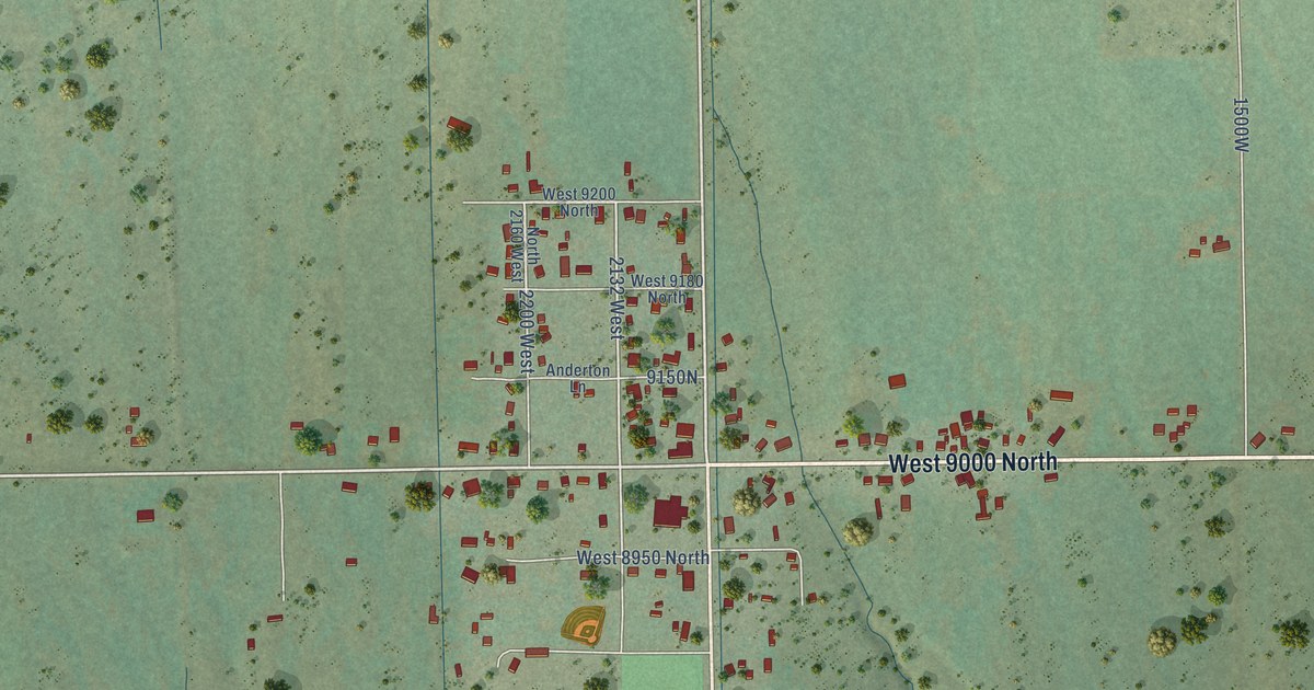
A detailed map of Neola, Utah, showing every building in its true location, the roads by name, and shaded topographical relief.
Read More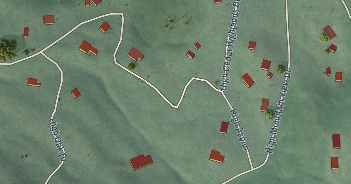
A detailed map of Cedar Highlands, Utah, showing every building in its true location, the roads by name, and shaded topographical relief.
Read More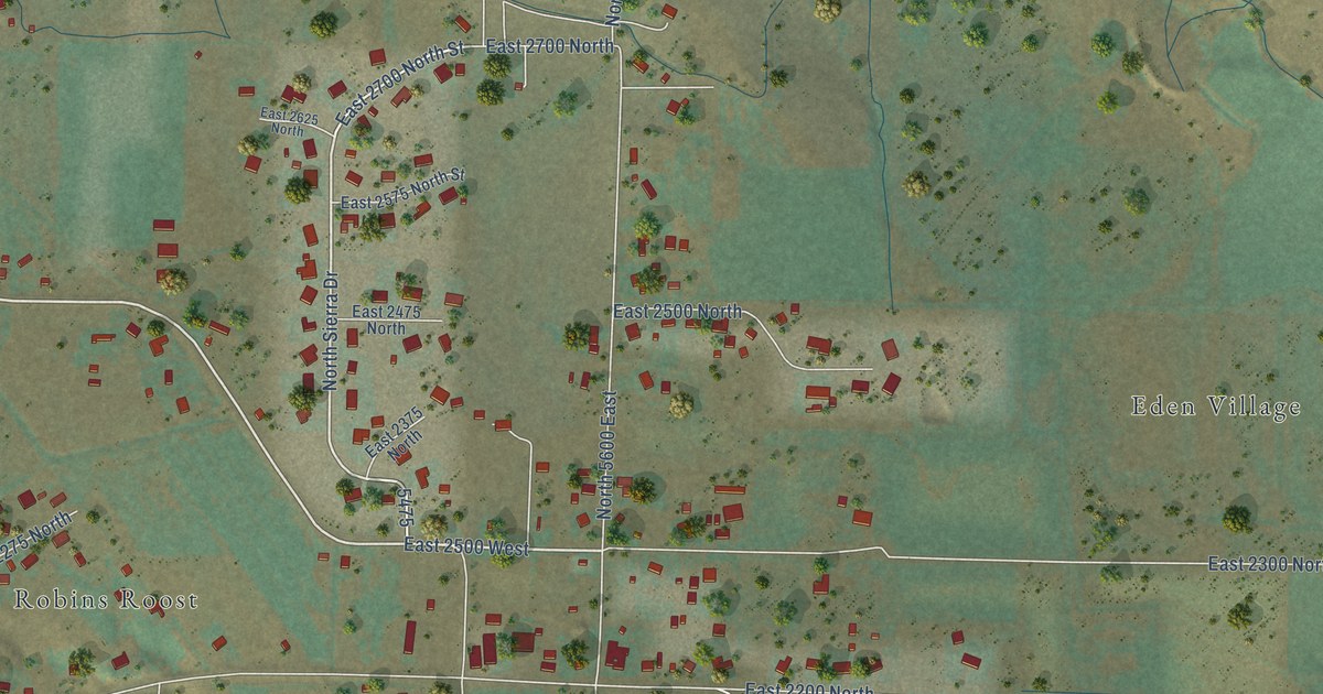
A detailed map of Eden, Utah, showing every building in its true location, the roads by name, and shaded topographical relief.
Read More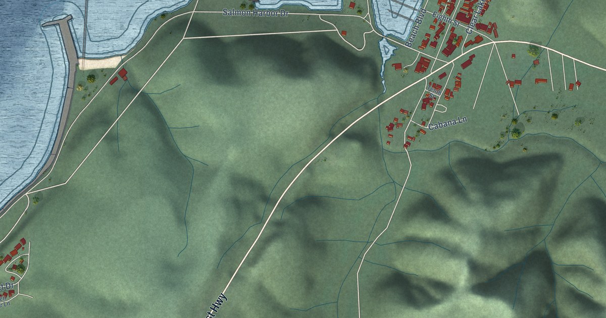
A detailed map of Winchester Bay, Oregon, showing every building in its true location, the roads by name, and shaded topographical relief.
Read More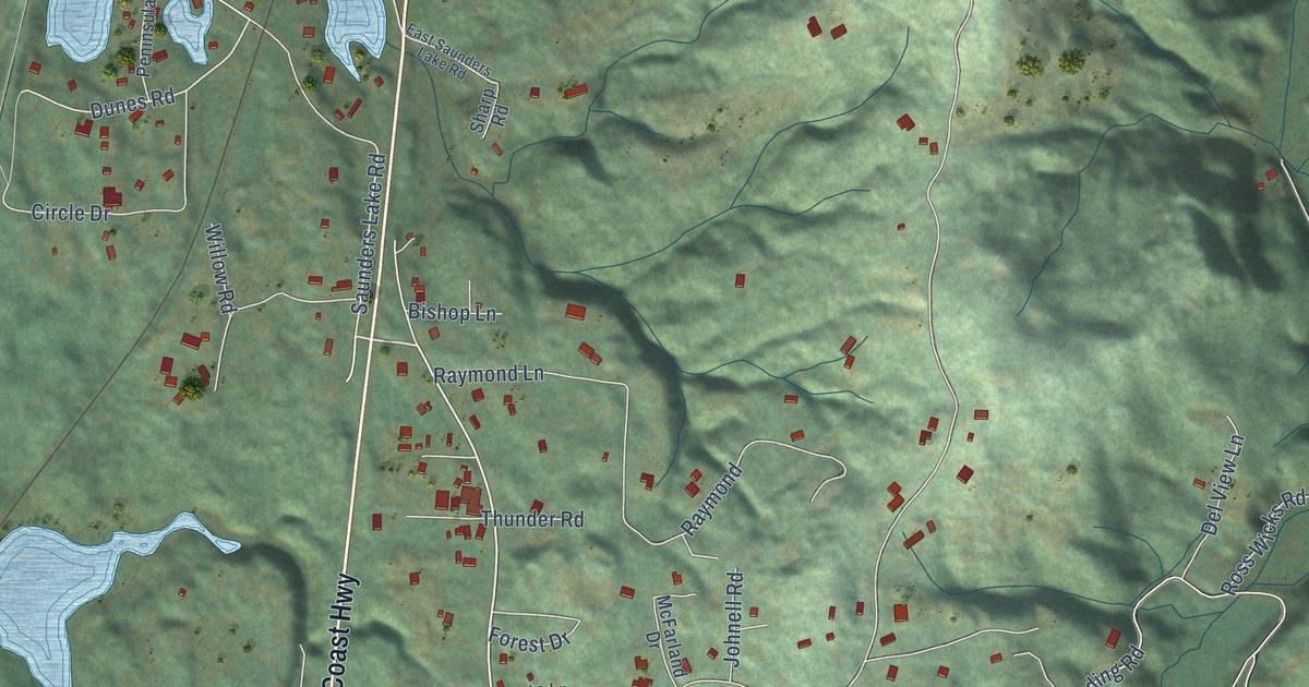
A detailed map of Saunders Lake, Oregon, showing every building in its true location, the roads by name, and shaded topographical relief.
Read More















