Detailed Map of South Lebanon, Oregon
A detailed map of South Lebanon, Oregon, showing every building in its true location, the roads by name, and shaded topographical relief.
Read More
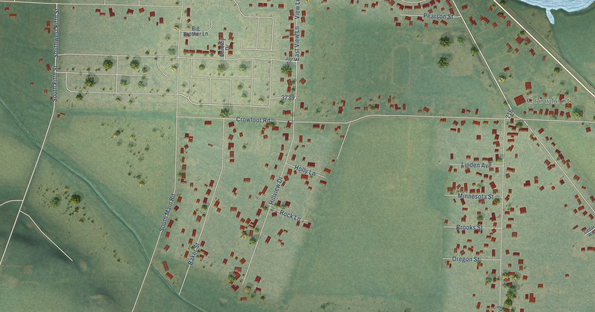
A detailed map of South Lebanon, Oregon, showing every building in its true location, the roads by name, and shaded topographical relief.
Read More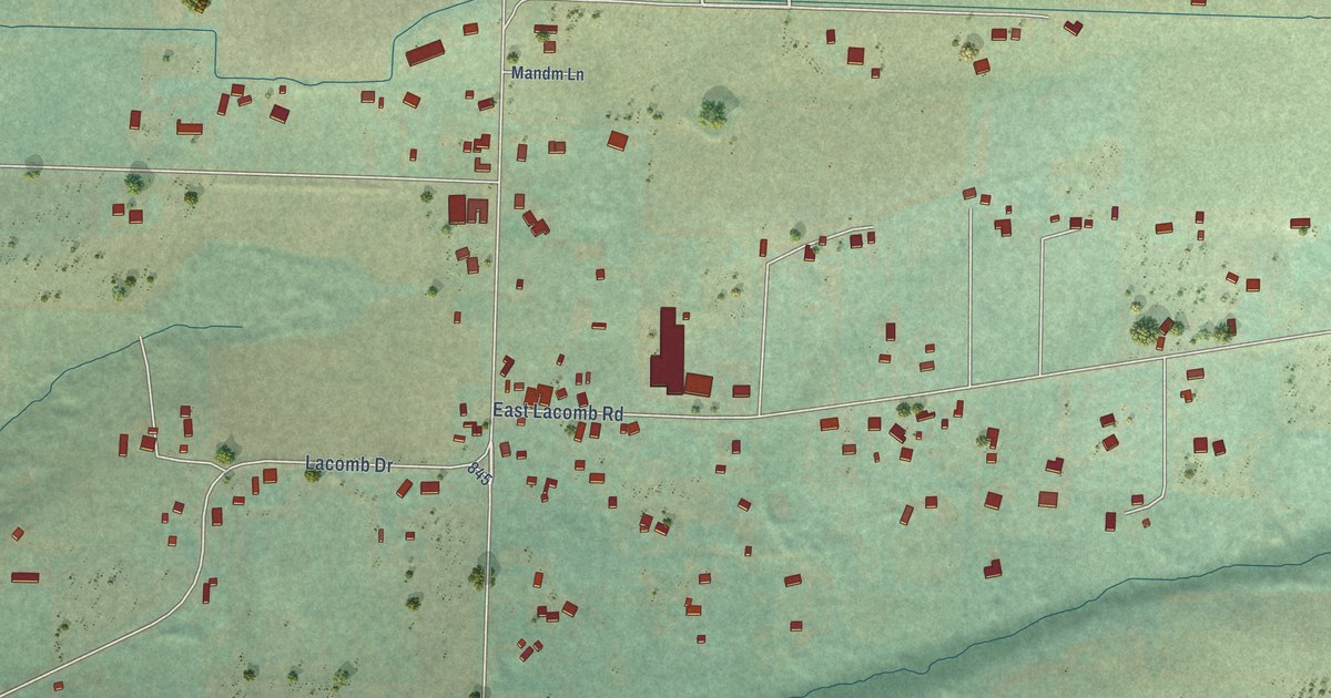
A detailed map of Lacomb, Oregon, showing every building in its true location, the roads by name, and shaded topographical relief.
Read More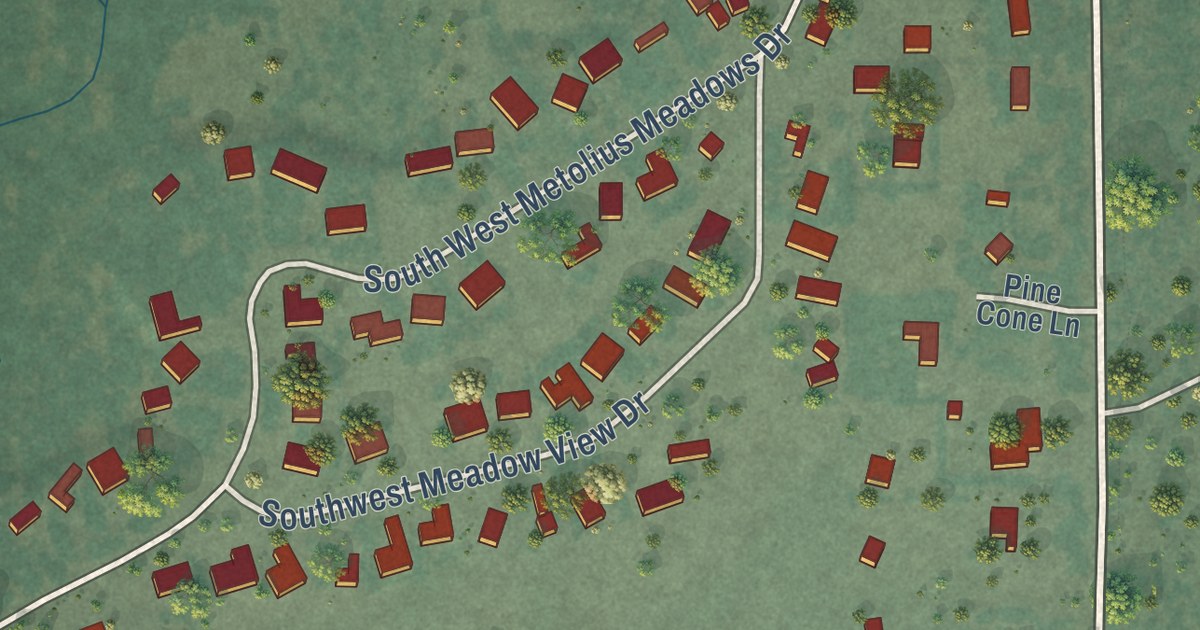
A detailed map of Camp Sherman, Oregon, showing every building in its true location, the roads by name, and shaded topographical relief.
Read More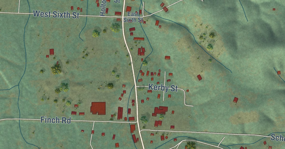
A detailed map of Kerby, Oregon, showing every building in its true location, the roads by name, and shaded topographical relief.
Read More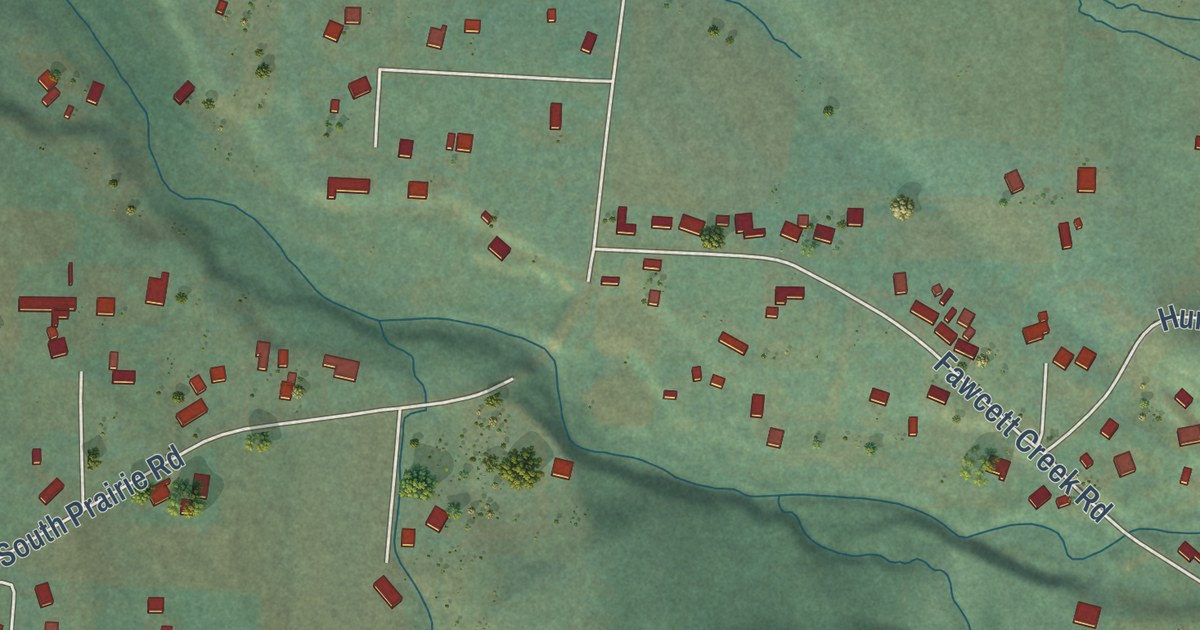
A detailed map of Pleasant Valley, Oregon, showing every building in its true location, the roads by name, and shaded topographical relief.
Read More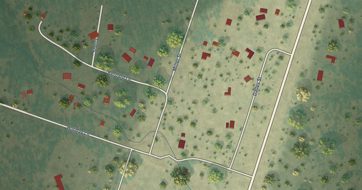
A detailed map of Beaver Marsh, Oregon, showing every building in its true location, the roads by name, and shaded topographical relief.
Read More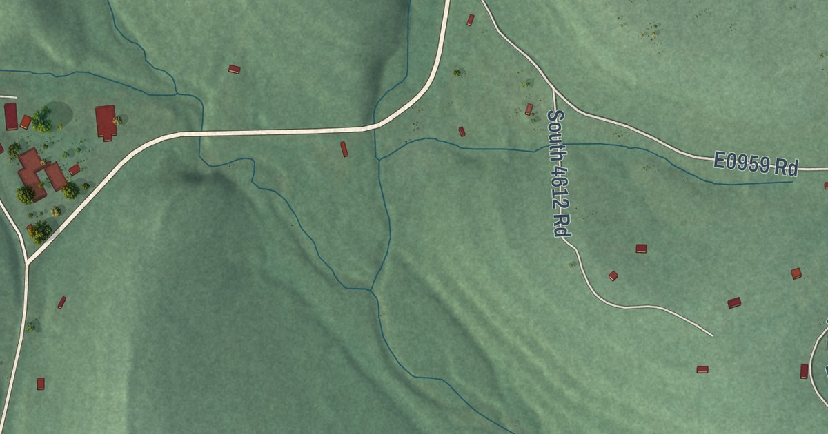
A detailed map of Flute Springs, Oklahoma, showing every building in its true location, the roads by name, and shaded topographical relief.
Read More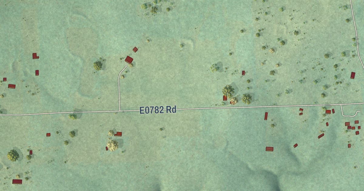
A detailed map of Piney, Oklahoma, showing every building in its true location, the roads by name, and shaded topographical relief.
Read More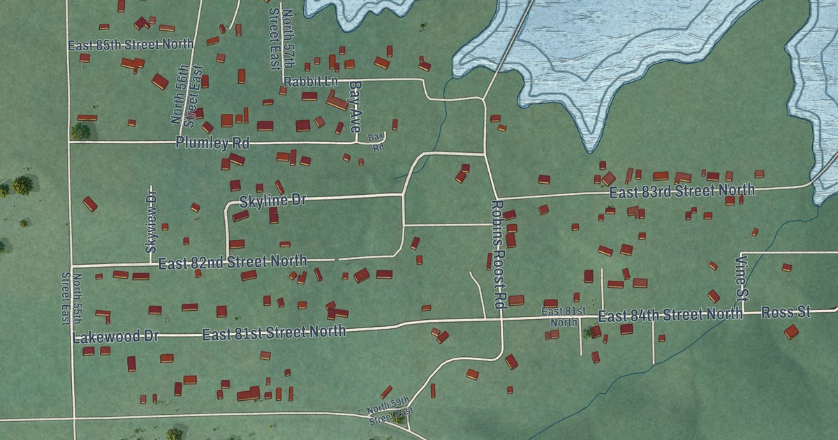
A detailed map of Mallard Bay, Oklahoma, showing every building in its true location, the roads by name, and shaded topographical relief.
Read More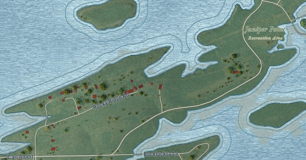
A detailed map of Bug Tussle, Oklahoma, showing every building in its true location, the roads by name, and shaded topographical relief.
Read More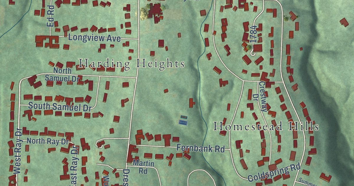
A detailed map of North Zanesville, Ohio, showing every building in its true location, the roads by name, and shaded topographical relief.
Read More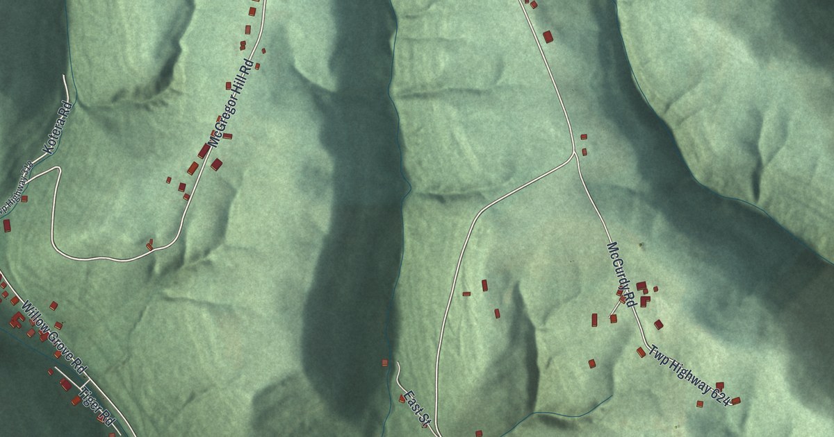
A detailed map of Neffs, Ohio, showing every building in its true location, the roads by name, and shaded topographical relief.
Read More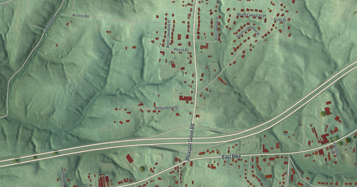
A detailed map of Pleasant Grove, Ohio, showing every building in its true location, the roads by name, and shaded topographical relief.
Read More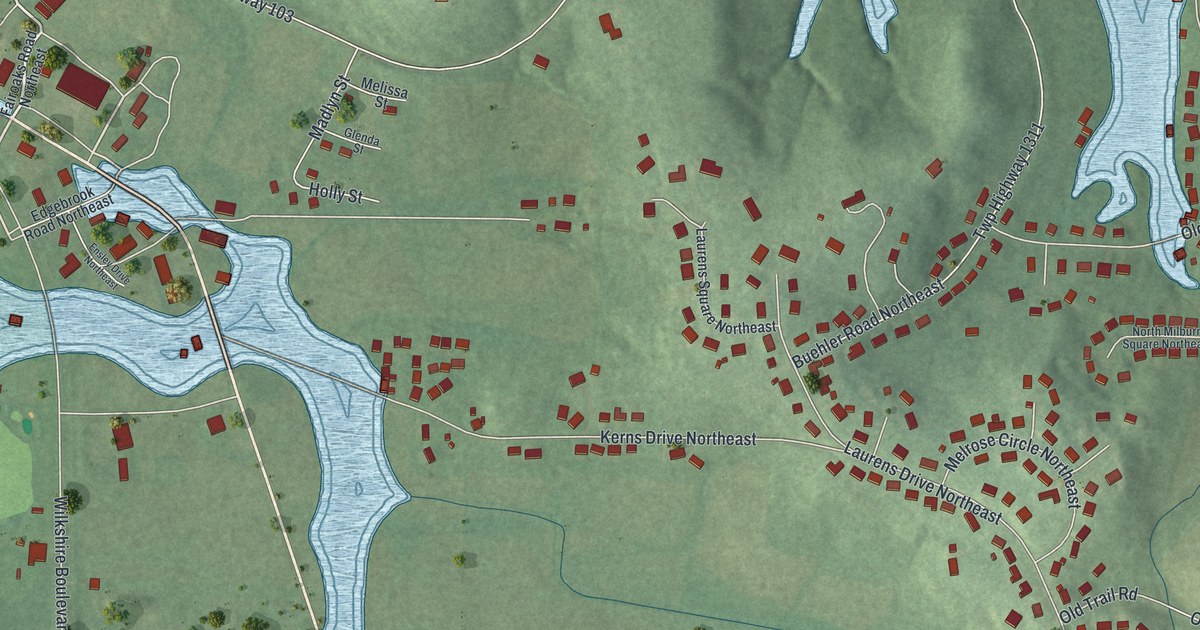
A detailed map of Wilkshire Hills, Ohio, showing every building in its true location, the roads by name, and shaded topographical relief.
Read More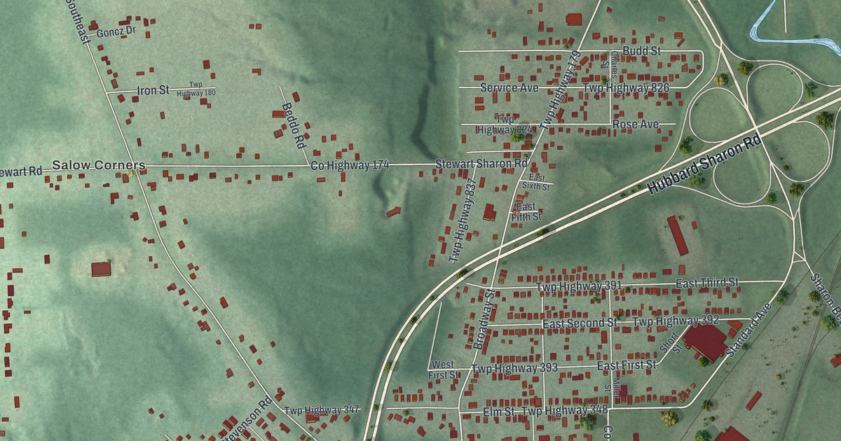
A detailed map of Masury, Ohio, showing every building in its true location, the roads by name, and shaded topographical relief.
Read More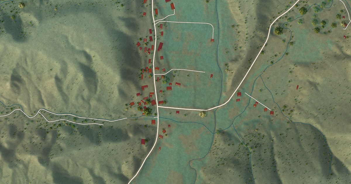
A detailed map of La Madera, New Mexico, showing every building in its true location, the roads by name, and shaded topographical relief.
Read More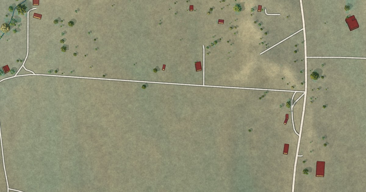
A detailed map of Lindrith, New Mexico, showing every building in its true location, the roads by name, and shaded topographical relief.
Read More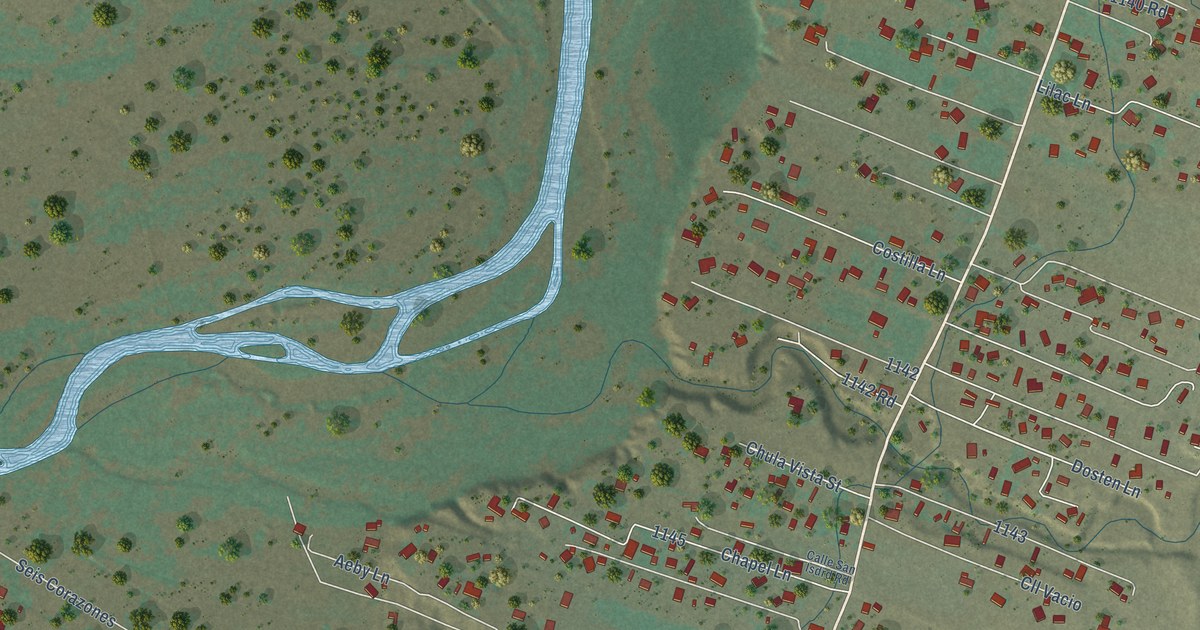
A detailed map of La Mesilla, New Mexico, showing every building in its true location, the roads by name, and shaded topographical relief.
Read More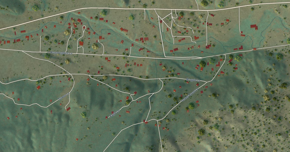
A detailed map of Ute Park, New Mexico, showing every building in its true location, the roads by name, and shaded topographical relief.
Read More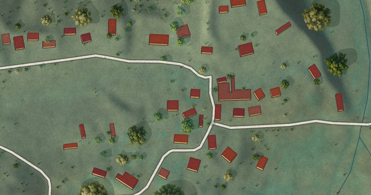
A detailed map of Cañones, New Mexico, showing every building in its true location, the roads by name, and shaded topographical relief.
Read More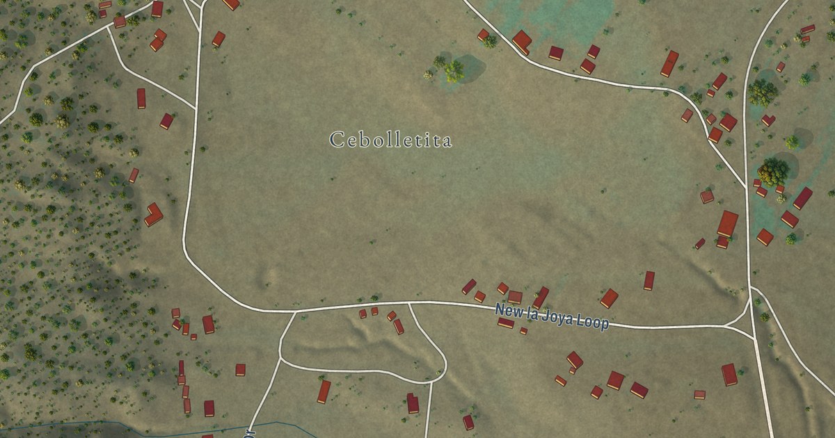
A detailed map of Bibo, New Mexico, showing every building in its true location, the roads by name, and shaded topographical relief.
Read More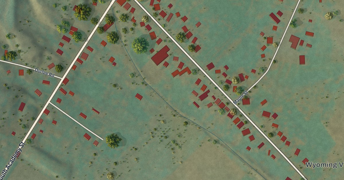
A detailed map of Wyoming, New York, showing every building in its true location, the roads by name, and shaded topographical relief.
Read More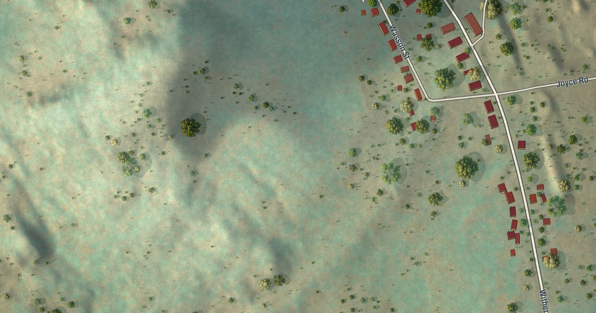
A detailed map of Witherbee, New York, showing every building in its true location, the roads by name, and shaded topographical relief.
Read More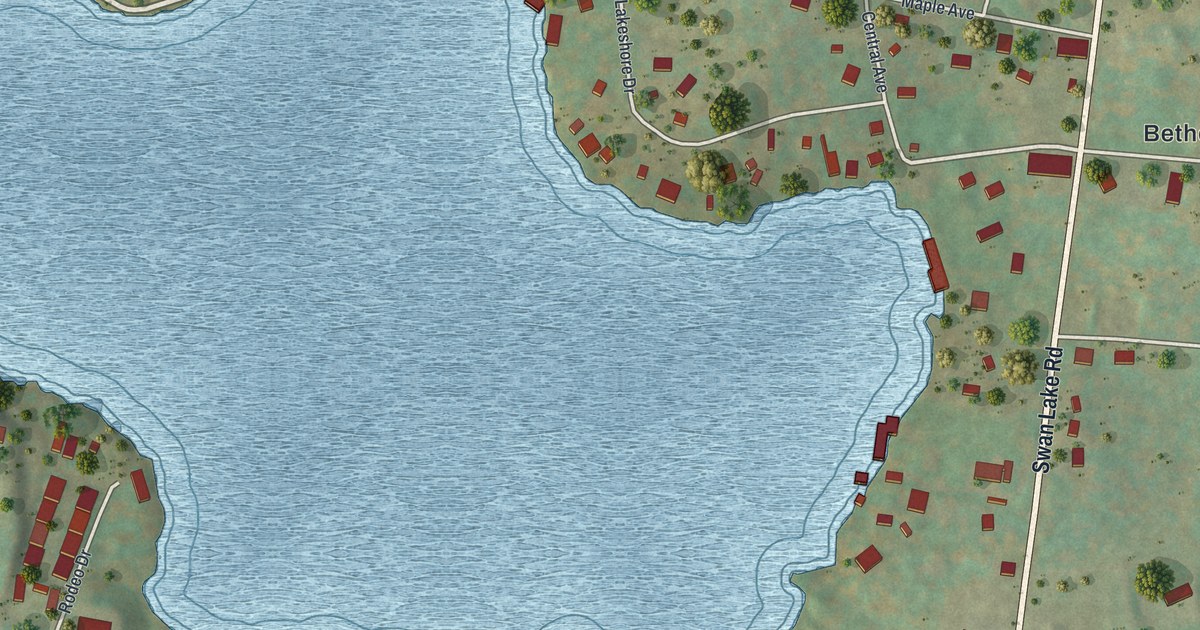
A detailed map of White Lake, New York, showing every building in its true location, the roads by name, and shaded topographical relief.
Read More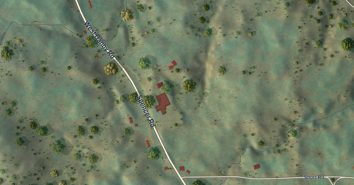
A detailed map of West Danby, New York, showing every building in its true location, the roads by name, and shaded topographical relief.
Read More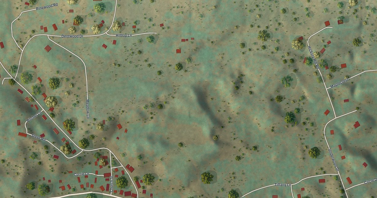
A detailed map of Wells Bridge, New York, showing every building in its true location, the roads by name, and shaded topographical relief.
Read More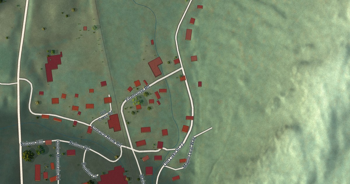
A detailed map of Wassaic, New York, showing every building in its true location, the roads by name, and shaded topographical relief.
Read More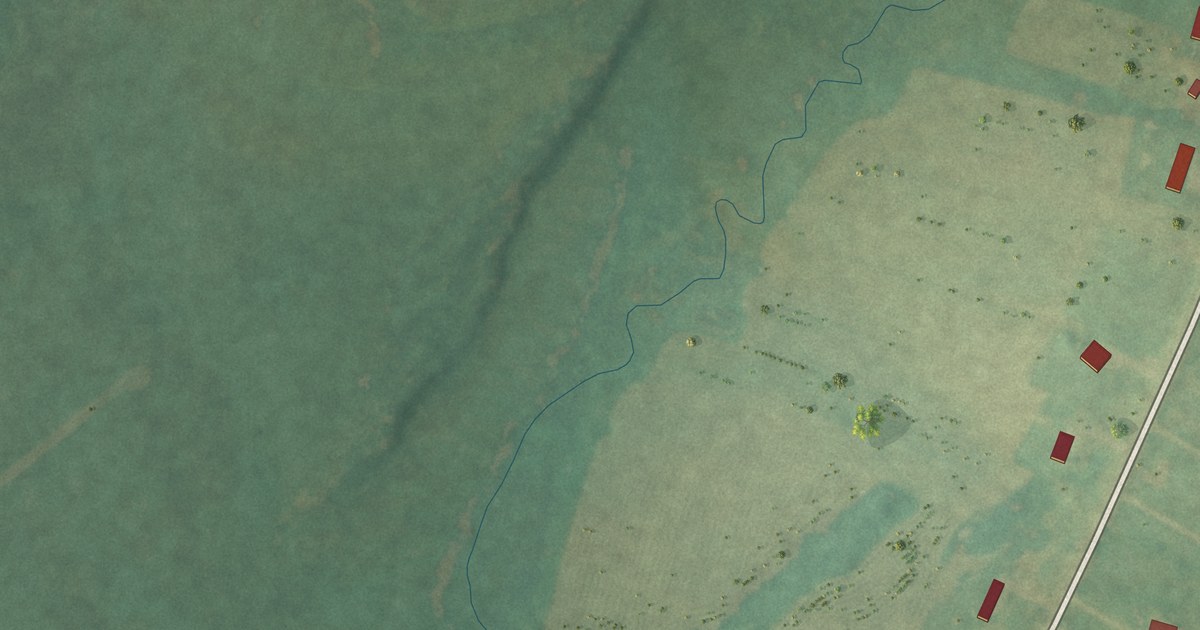
A detailed map of Three Mile Bay, New York, showing every building in its true location, the roads by name, and shaded topographical relief.
Read More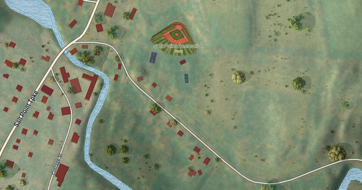
A detailed map of Salt Point, New York, showing every building in its true location, the roads by name, and shaded topographical relief.
Read More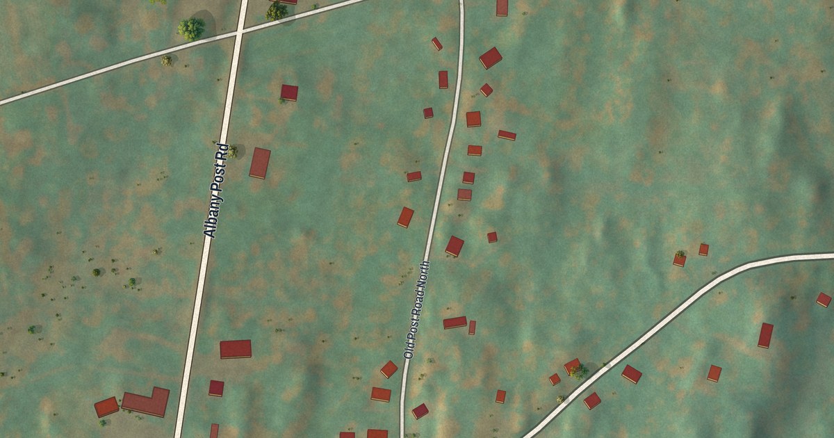
A detailed map of Upper Red Hook, New York, showing every building in its true location, the roads by name, and shaded topographical relief.
Read More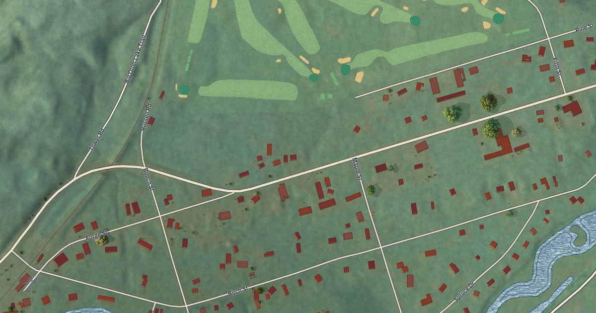
A detailed map of Thendara, New York, showing every building in its true location, the roads by name, and shaded topographical relief.
Read More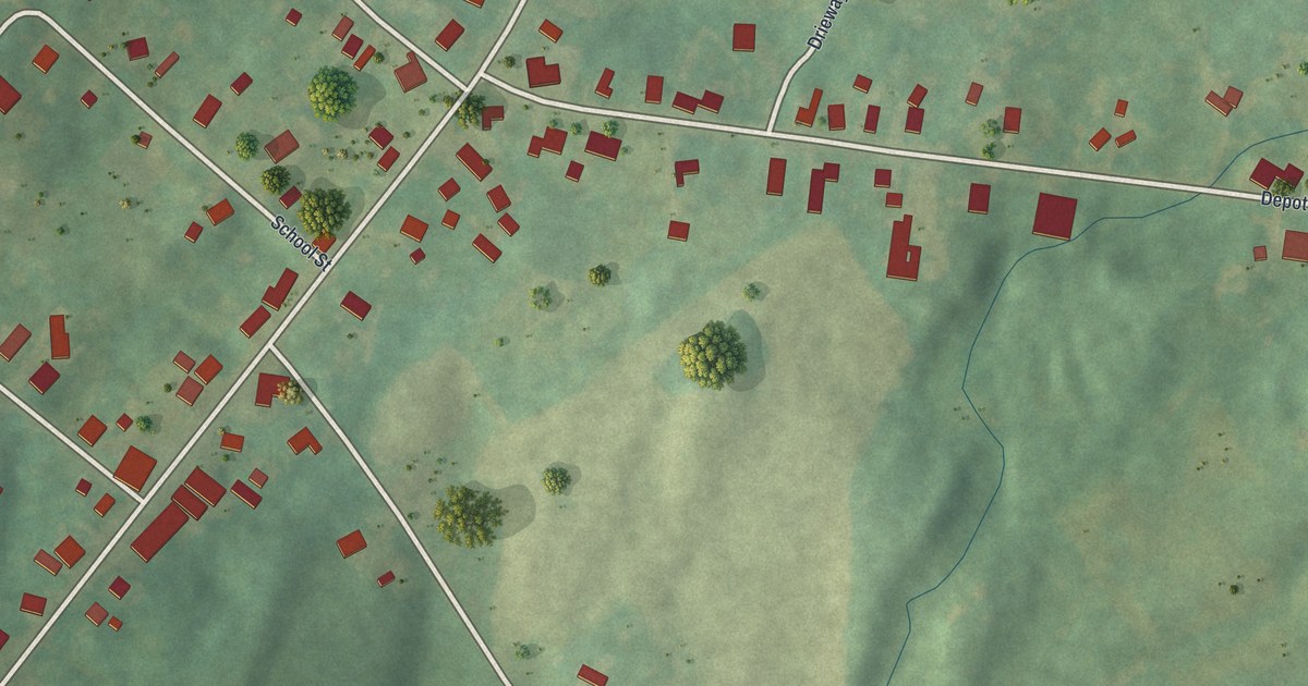
A detailed map of Richville, New York, showing every building in its true location, the roads by name, and shaded topographical relief.
Read More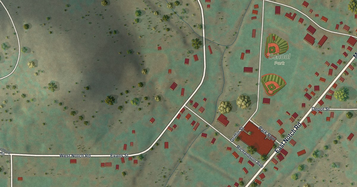
A detailed map of Richburg, New York, showing every building in its true location, the roads by name, and shaded topographical relief.
Read More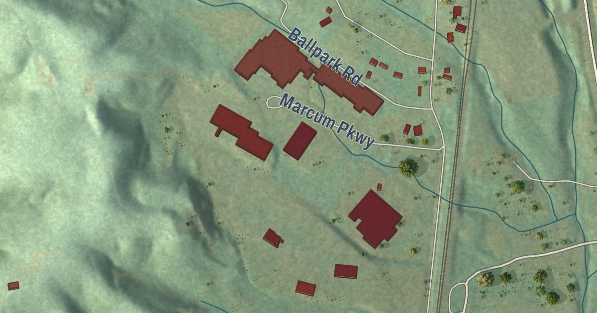
A detailed map of Helenwood, Tennessee, showing every building in its true location, the roads by name, and shaded topographical relief.
Read More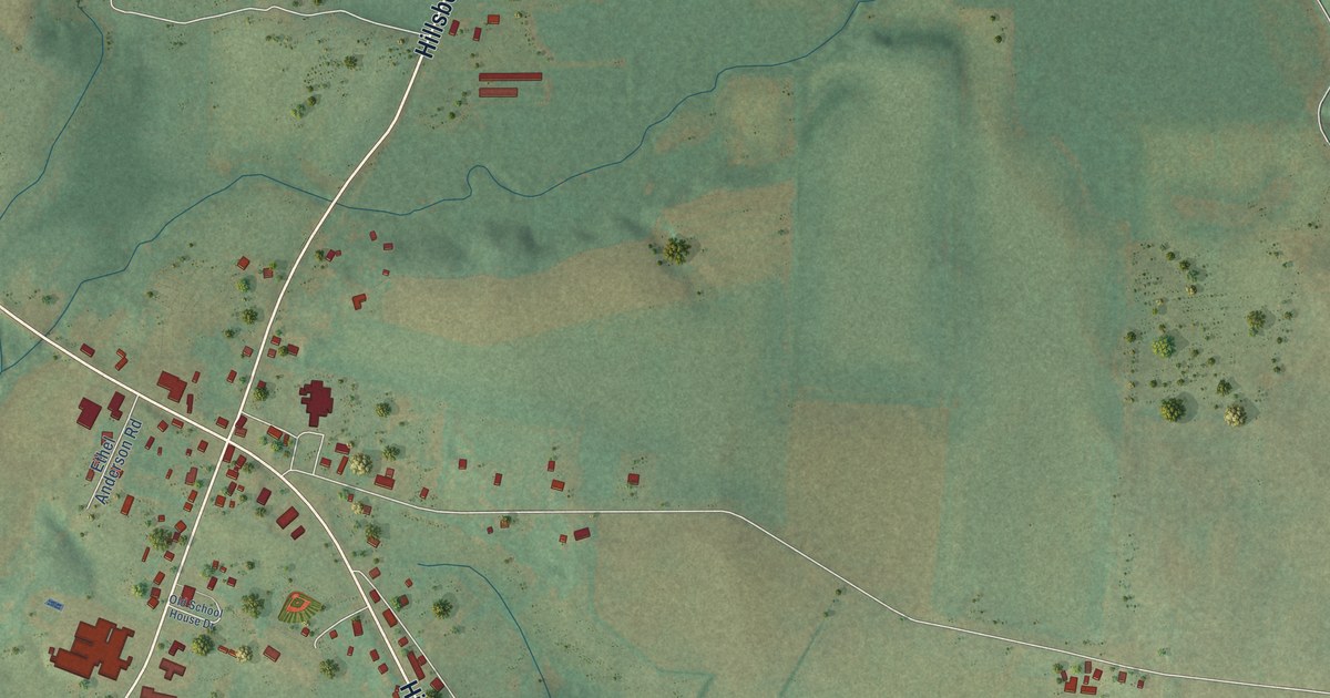
A detailed map of Hillsboro, Tennessee, showing every building in its true location, the roads by name, and shaded topographical relief.
Read More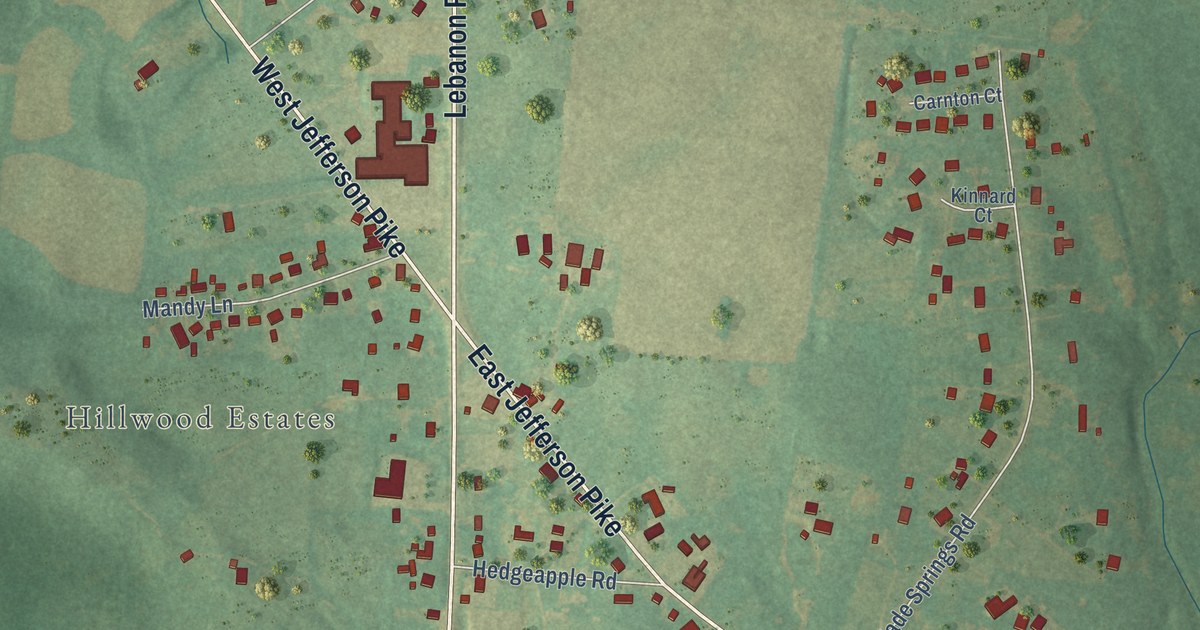
A detailed map of Walterhill, Tennessee, showing every building in its true location, the roads by name, and shaded topographical relief.
Read More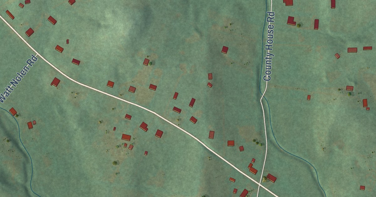
A detailed map of Cottontown, Tennessee, showing every building in its true location, the roads by name, and shaded topographical relief.
Read More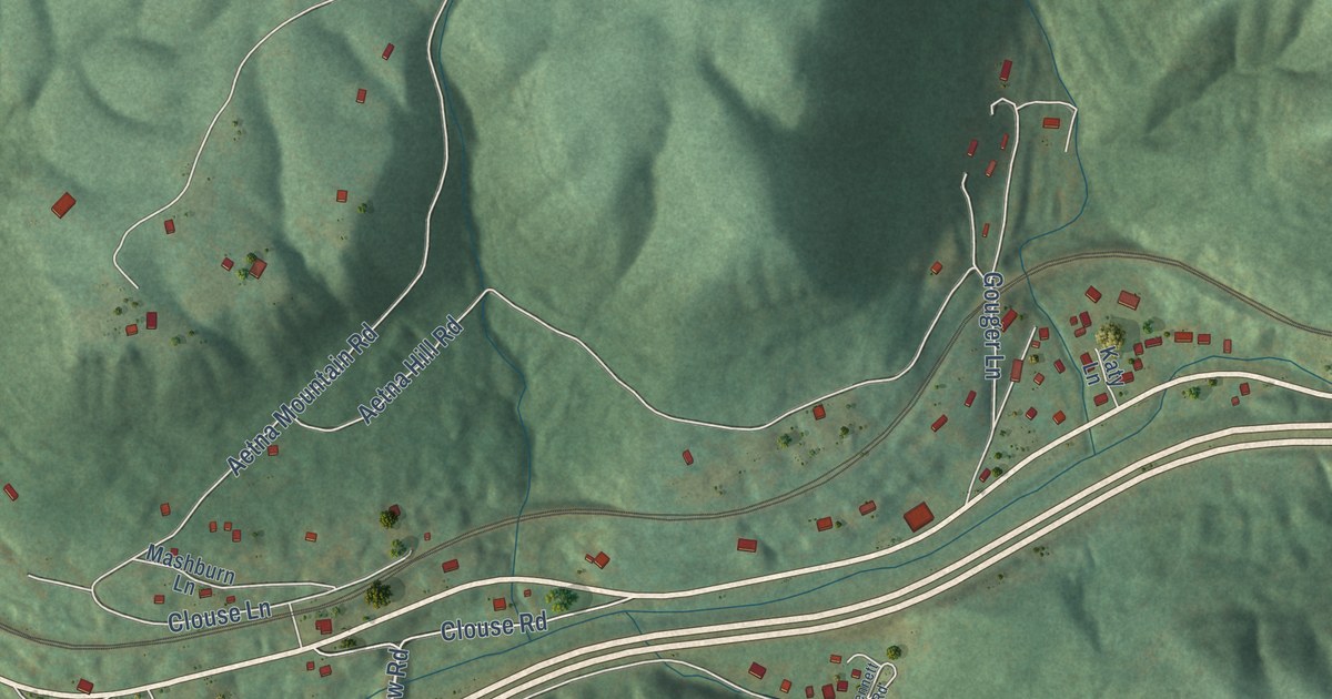
A detailed map of Whiteside, Tennessee, showing every building in its true location, the roads by name, and shaded topographical relief.
Read More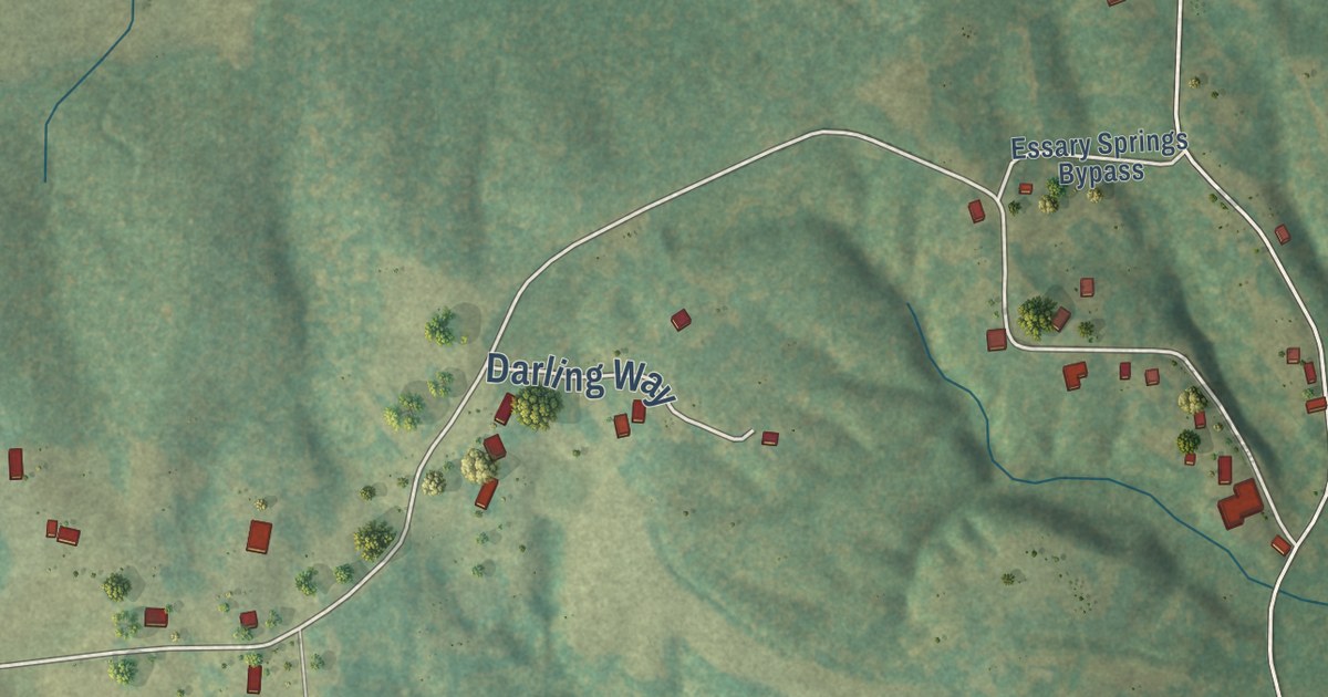
A detailed map of Essary Springs, Tennessee, showing every building in its true location, the roads by name, and shaded topographical relief.
Read More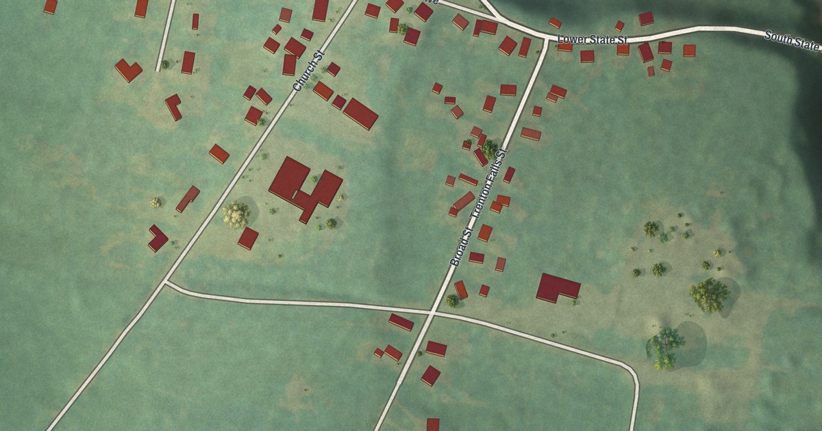
A detailed map of Prospect, New York, showing every building in its true location, the roads by name, and shaded topographical relief.
Read More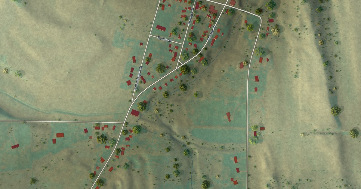
A detailed map of Port Gibson, New York, showing every building in its true location, the roads by name, and shaded topographical relief.
Read More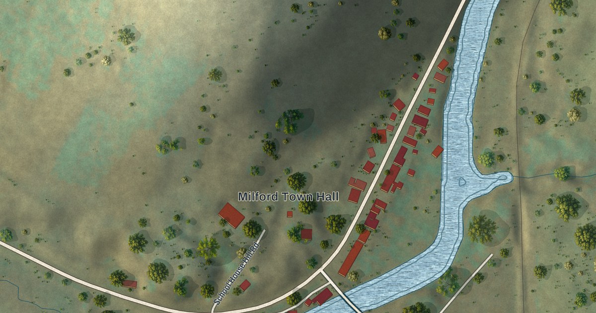
A detailed map of Portlandville, New York, showing every building in its true location, the roads by name, and shaded topographical relief.
Read More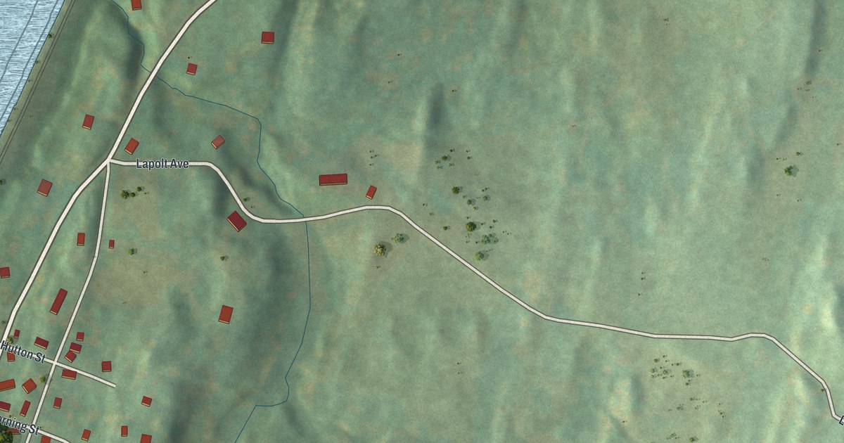
A detailed map of Rhinecliff, New York, showing every building in its true location, the roads by name, and shaded topographical relief.
Read More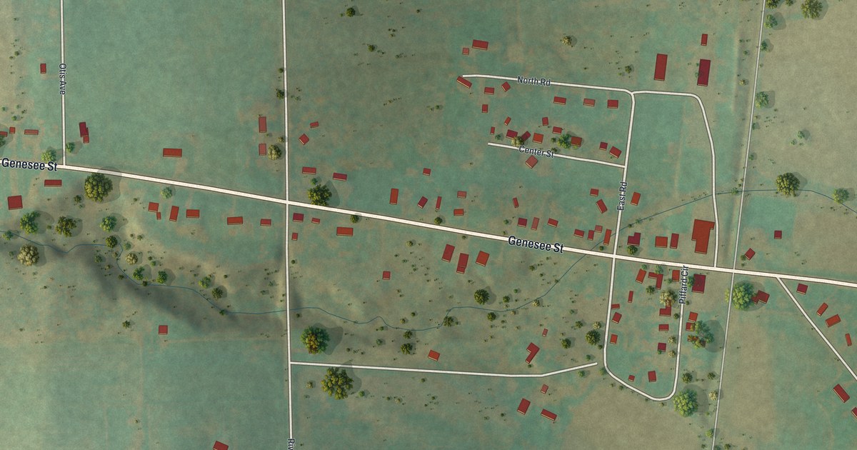
A detailed map of Piffard, New York, showing every building in its true location, the roads by name, and shaded topographical relief.
Read More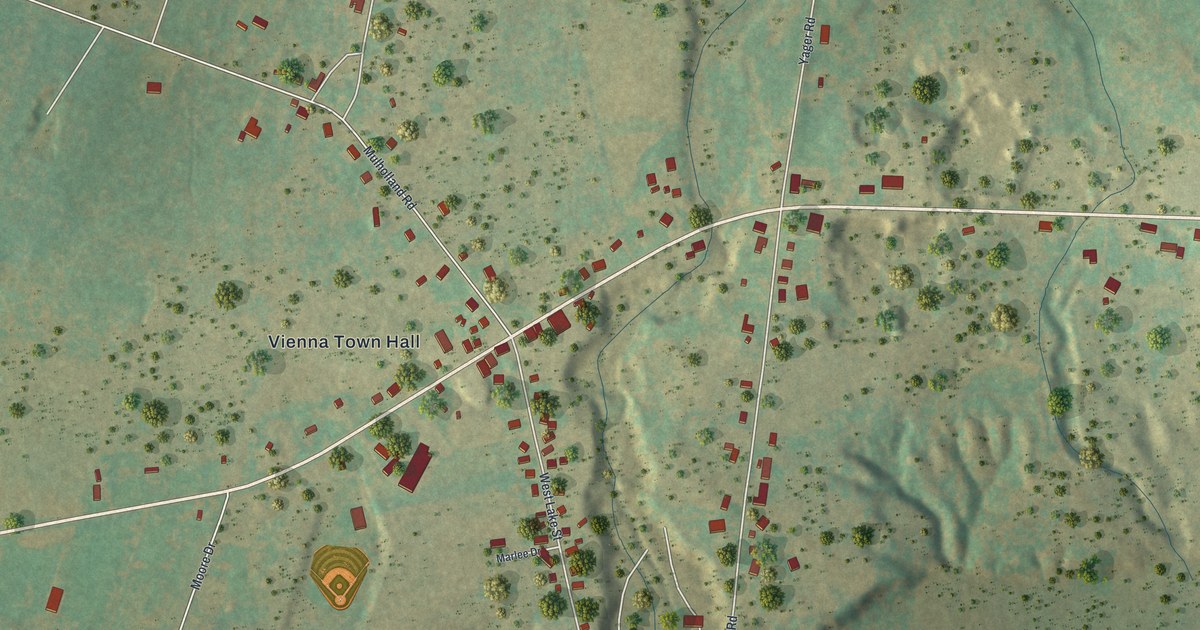
A detailed map of North Bay, New York, showing every building in its true location, the roads by name, and shaded topographical relief.
Read More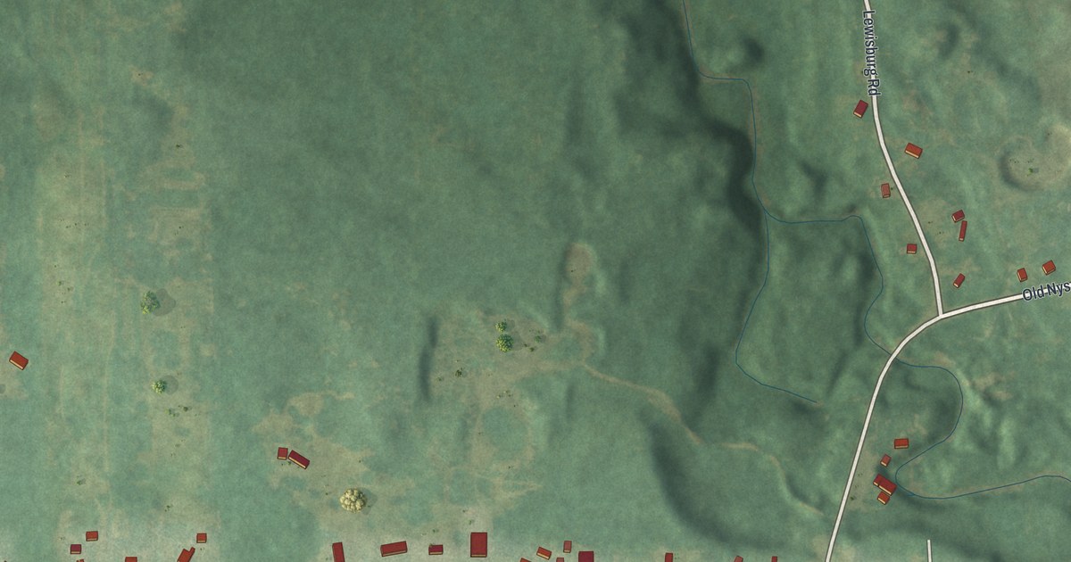
A detailed map of Natural Bridge, New York, showing every building in its true location, the roads by name, and shaded topographical relief.
Read More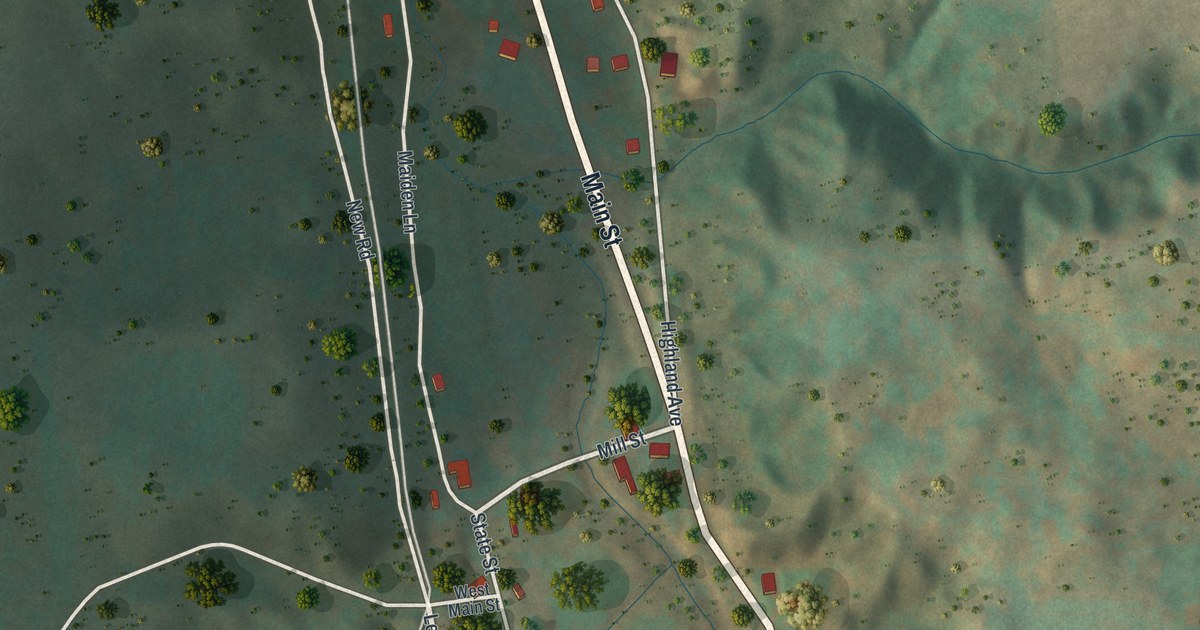
A detailed map of Millport, New York, showing every building in its true location, the roads by name, and shaded topographical relief.
Read More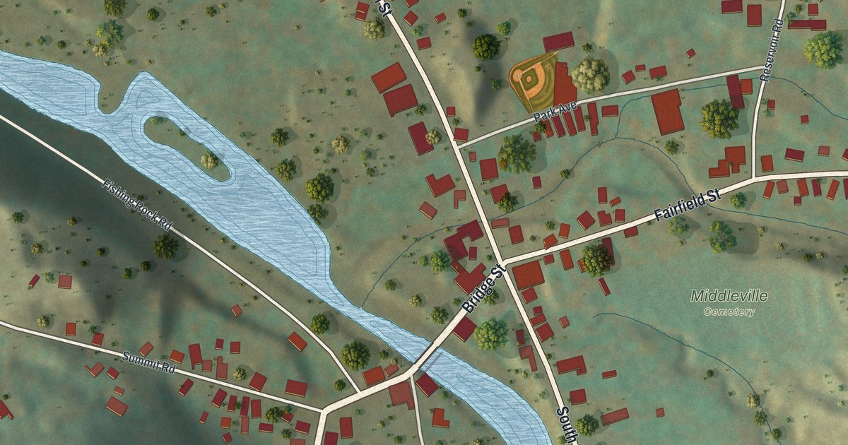
A detailed map of Middleville, New York, showing every building in its true location, the roads by name, and shaded topographical relief.
Read More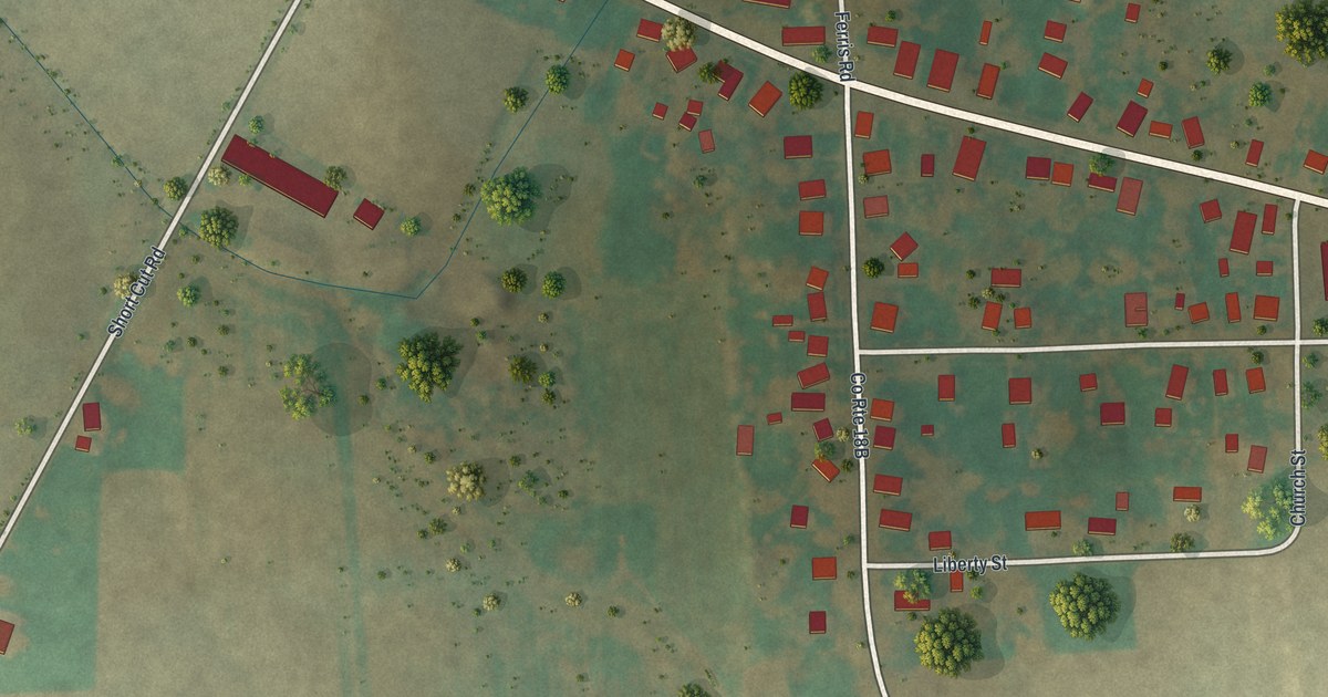
A detailed map of Meridian, New York, showing every building in its true location, the roads by name, and shaded topographical relief.
Read More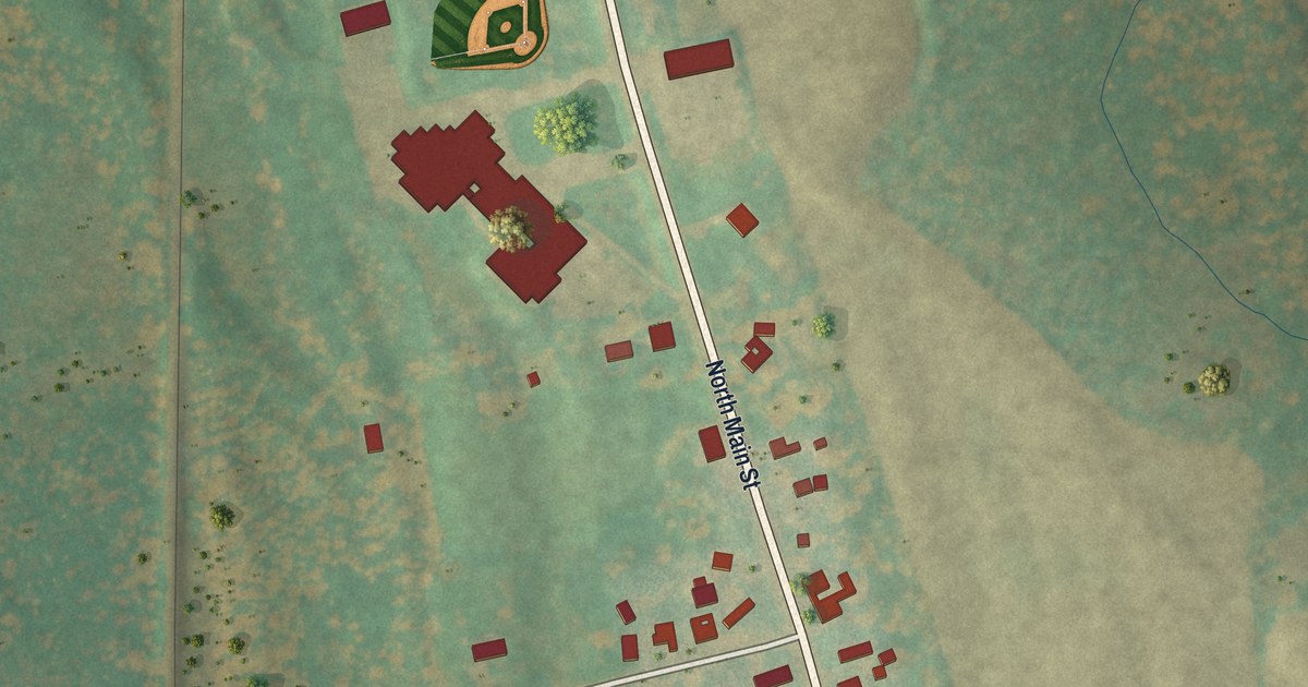
A detailed map of Mannsville, New York, showing every building in its true location, the roads by name, and shaded topographical relief.
Read More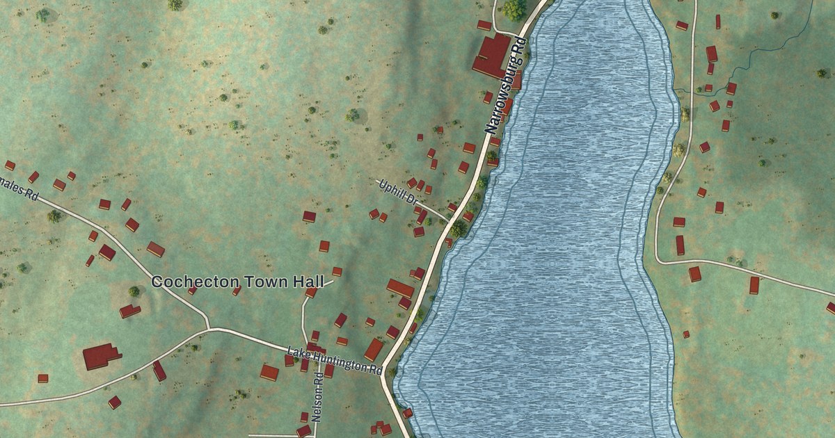
A detailed map of Lake Huntington, New York, showing every building in its true location, the roads by name, and shaded topographical relief.
Read More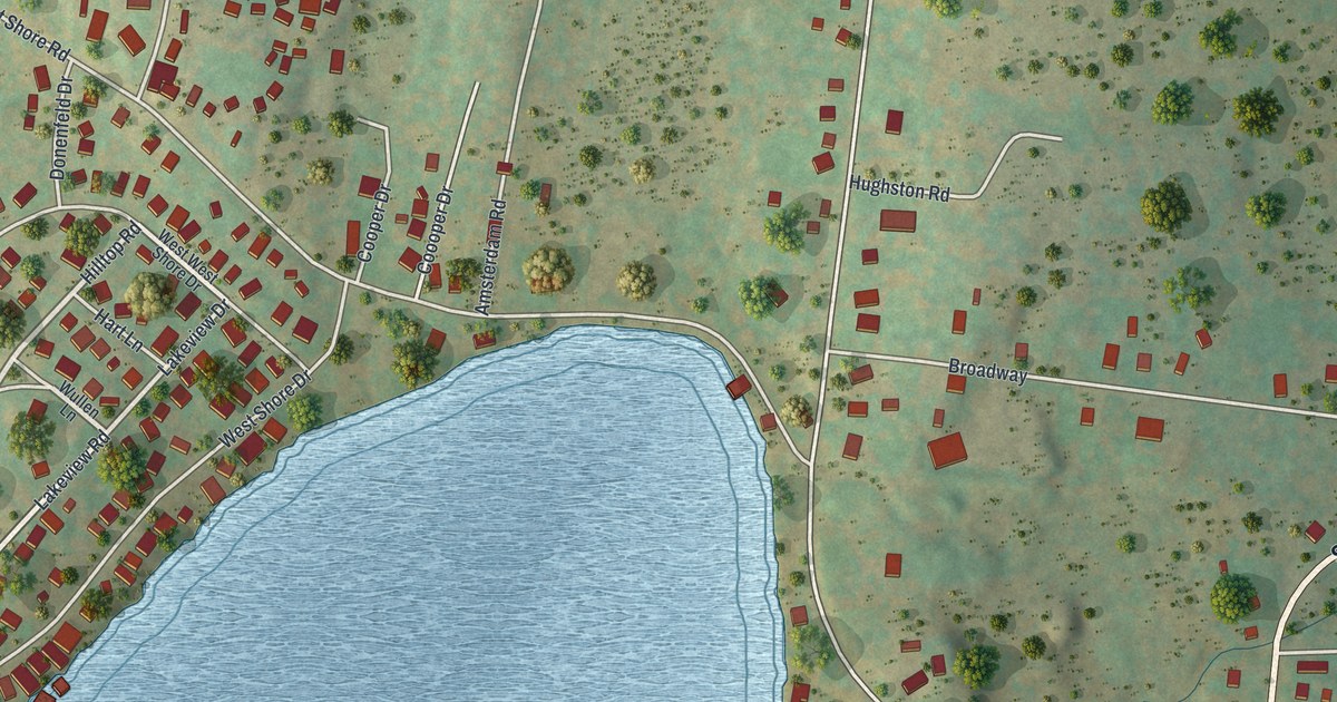
A detailed map of Kauneonga Lake, New York, showing every building in its true location, the roads by name, and shaded topographical relief.
Read More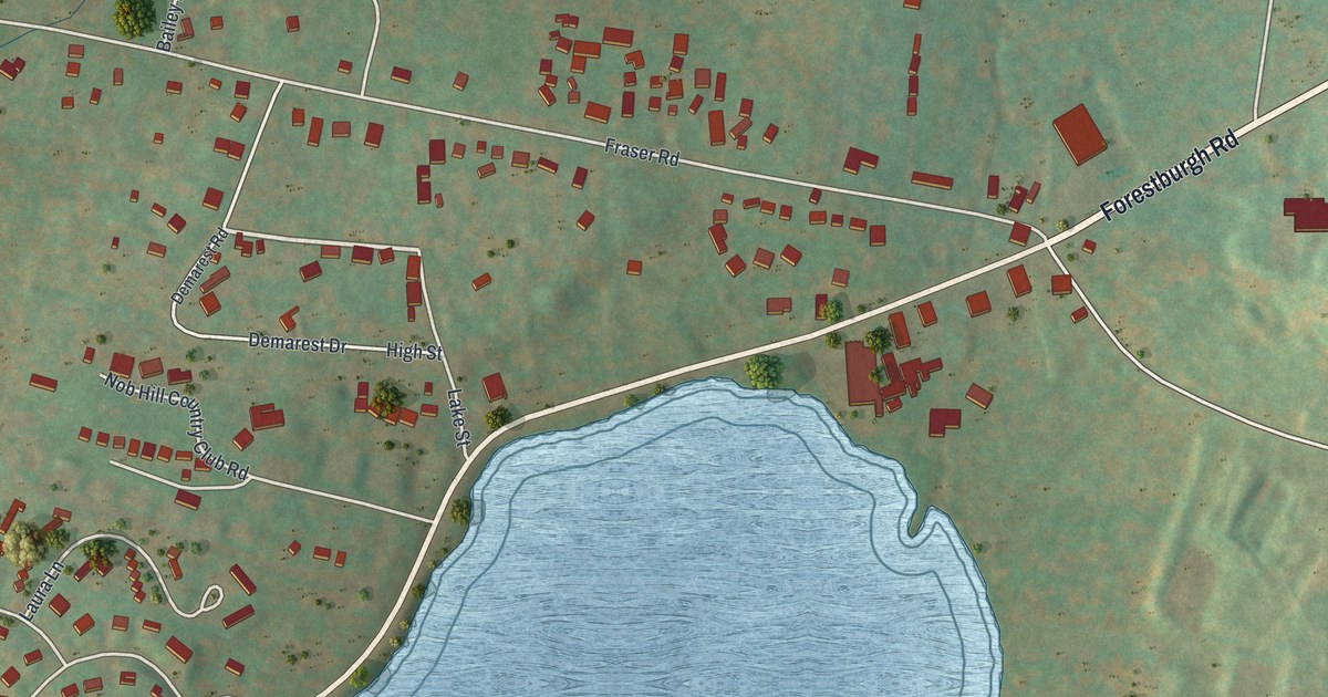
A detailed map of Kiamesha Lake, New York, showing every building in its true location, the roads by name, and shaded topographical relief.
Read More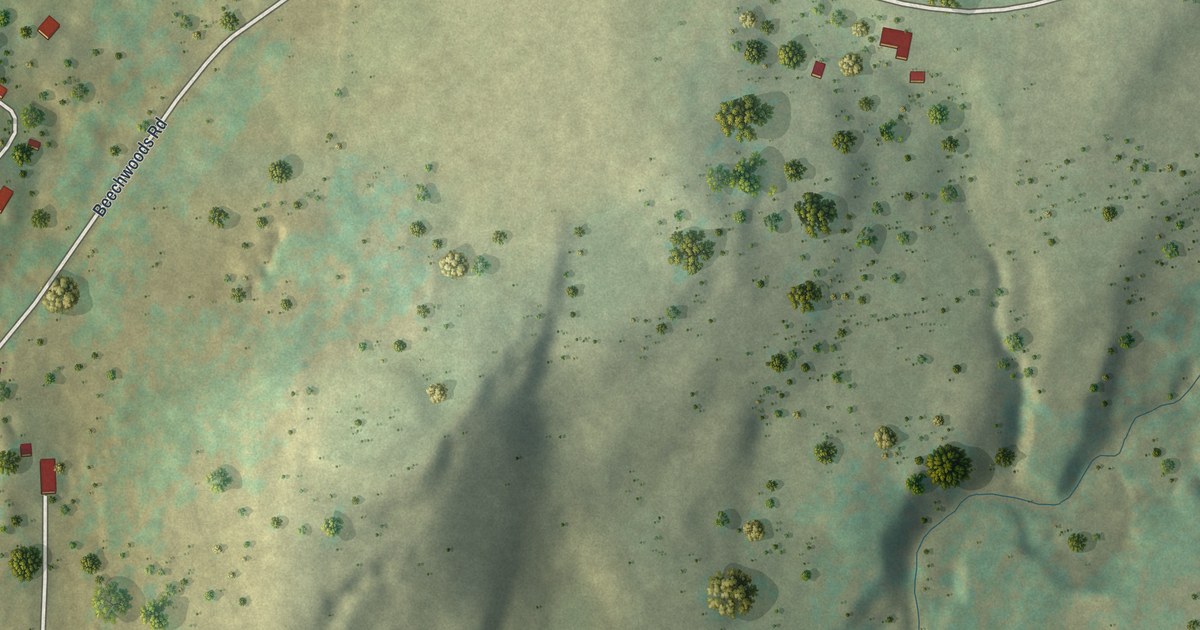
A detailed map of Hortonville, New York, showing every building in its true location, the roads by name, and shaded topographical relief.
Read More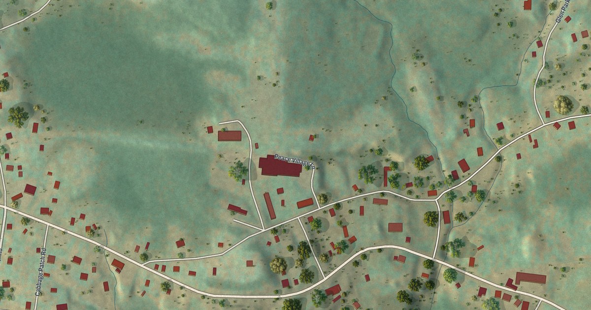
A detailed map of Haines Falls, New York, showing every building in its true location, the roads by name, and shaded topographical relief.
Read More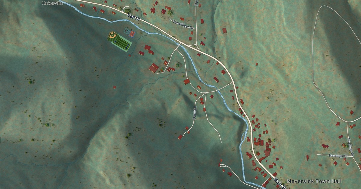
A detailed map of Grahamsville, New York, showing every building in its true location, the roads by name, and shaded topographical relief.
Read More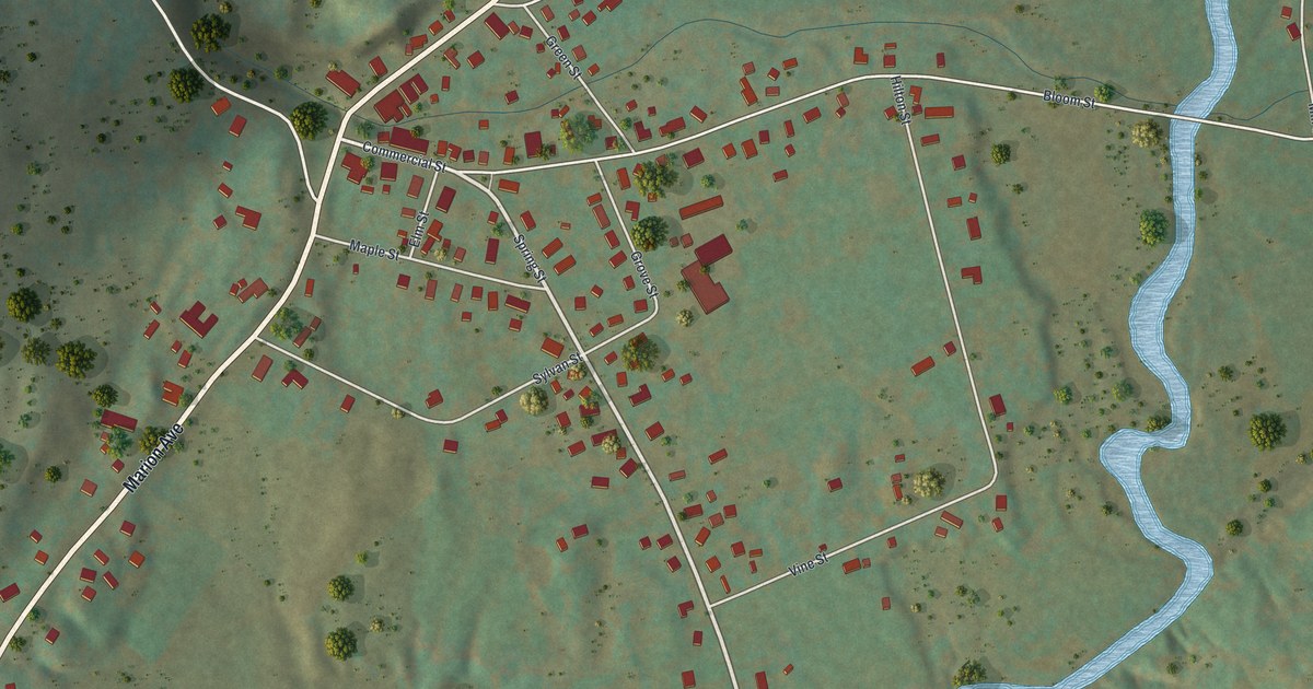
A detailed map of Gilbertsville, New York, showing every building in its true location, the roads by name, and shaded topographical relief.
Read More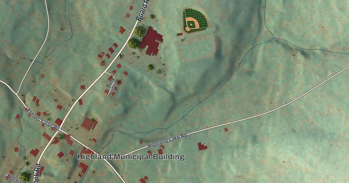
A detailed map of Eldred, New York, showing every building in its true location, the roads by name, and shaded topographical relief.
Read More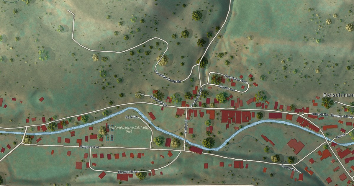
A detailed map of Fleischmanns, New York, showing every building in its true location, the roads by name, and shaded topographical relief.
Read More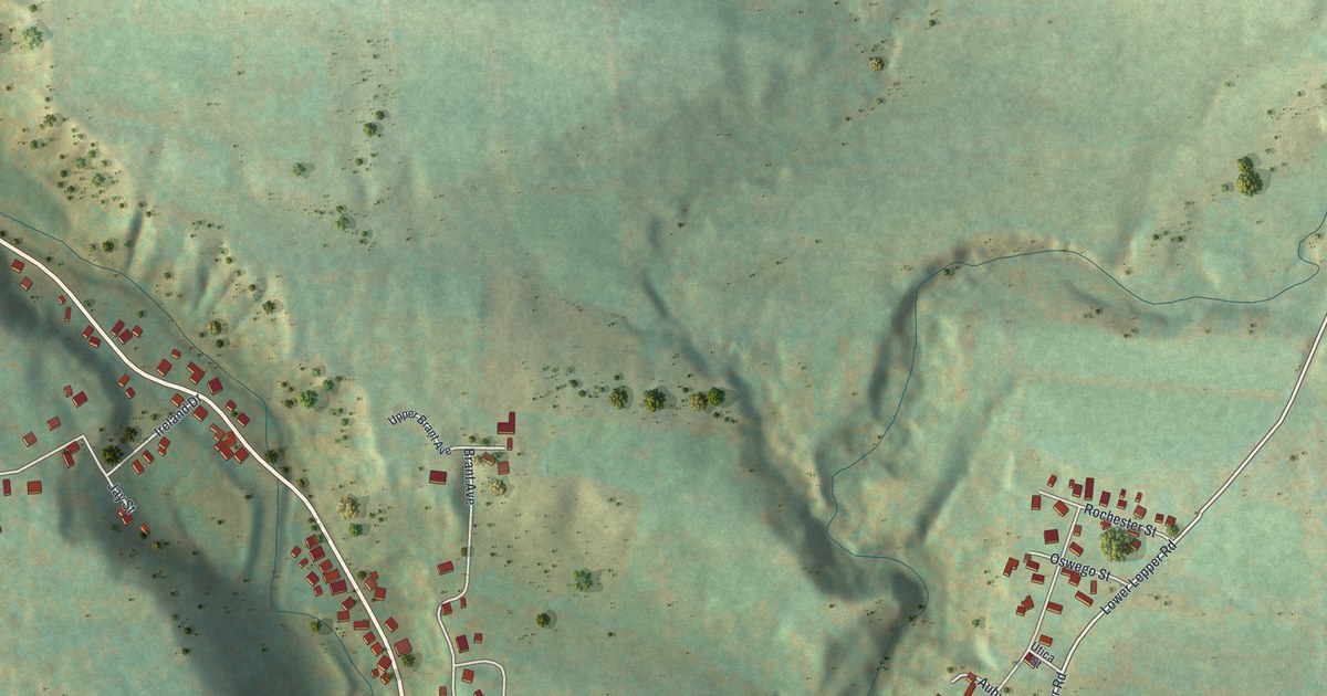
A detailed map of Fort Johnson, New York, showing every building in its true location, the roads by name, and shaded topographical relief.
Read More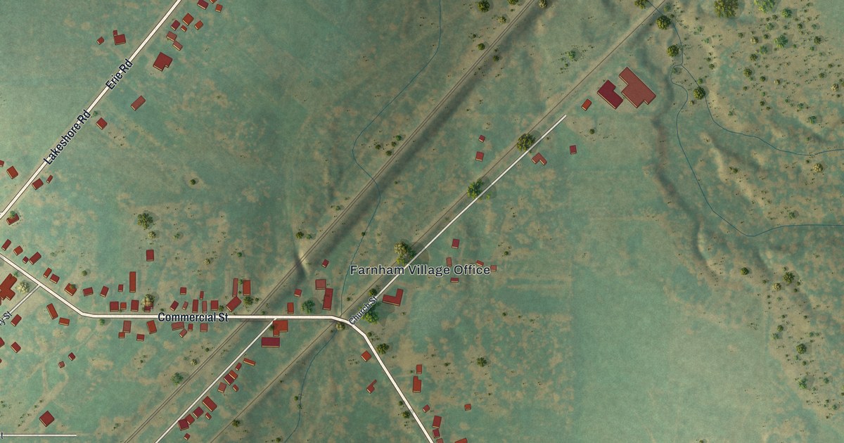
A detailed map of Farnham, New York, showing every building in its true location, the roads by name, and shaded topographical relief.
Read More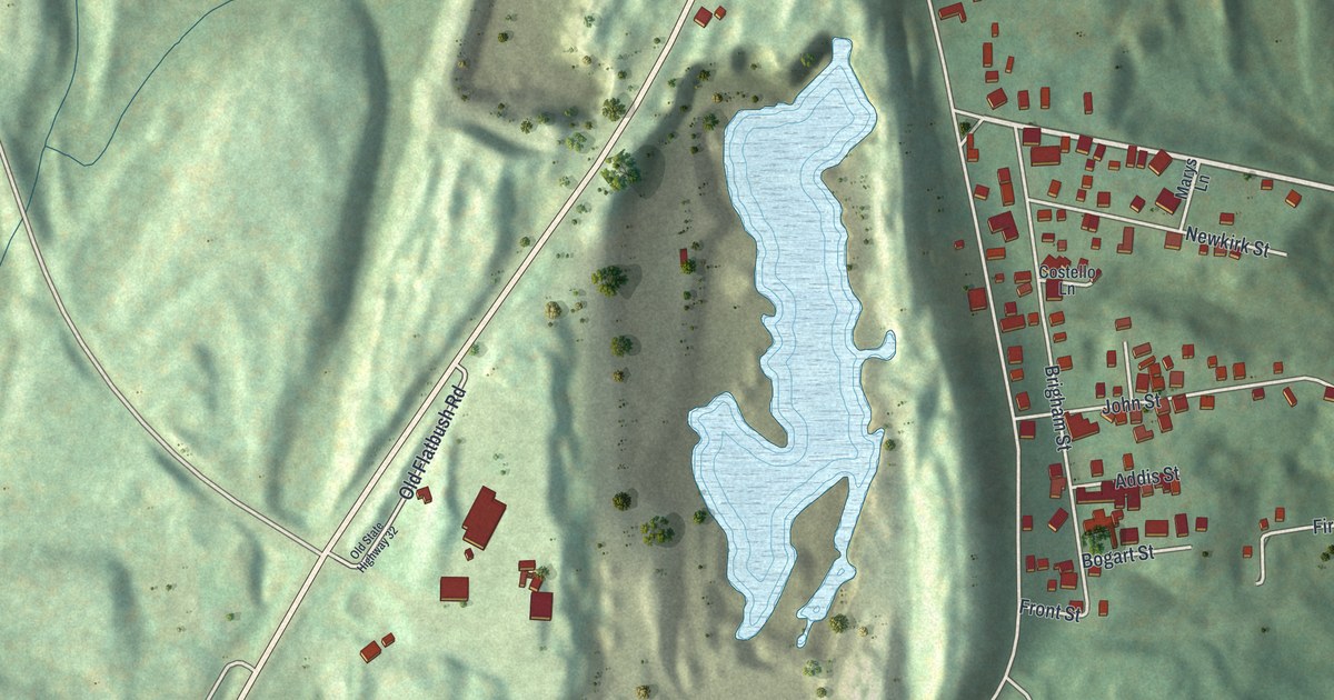
A detailed map of East Kingston, New York, showing every building in its true location, the roads by name, and shaded topographical relief.
Read More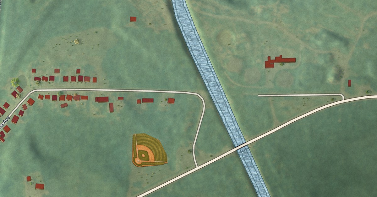
A detailed map of Deferiet, New York, showing every building in its true location, the roads by name, and shaded topographical relief.
Read More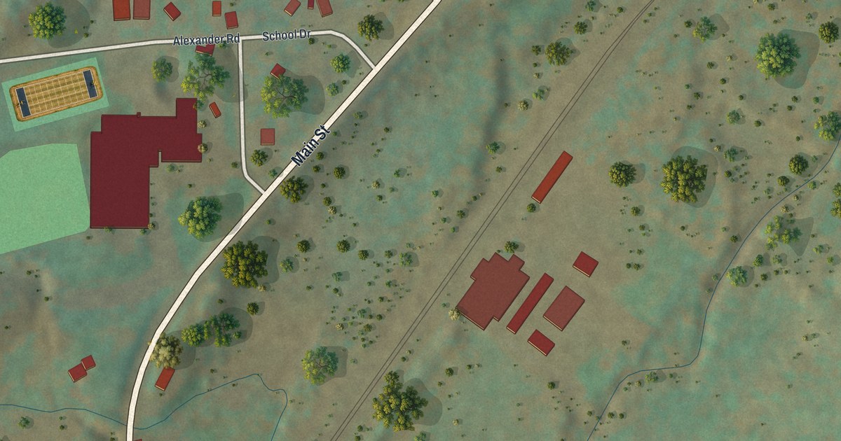
A detailed map of Delanson, New York, showing every building in its true location, the roads by name, and shaded topographical relief.
Read More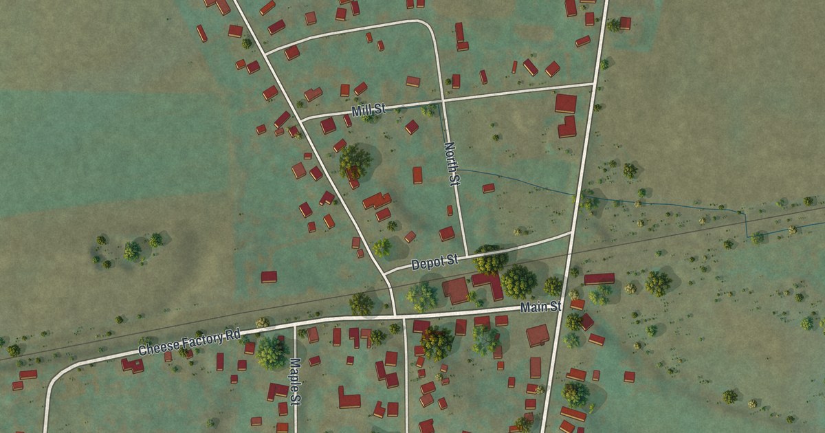
A detailed map of Dalton, New York, showing every building in its true location, the roads by name, and shaded topographical relief.
Read More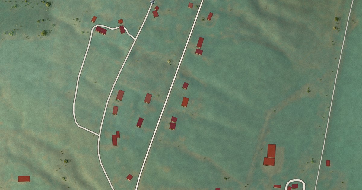
A detailed map of Cuylerville, New York, showing every building in its true location, the roads by name, and shaded topographical relief.
Read More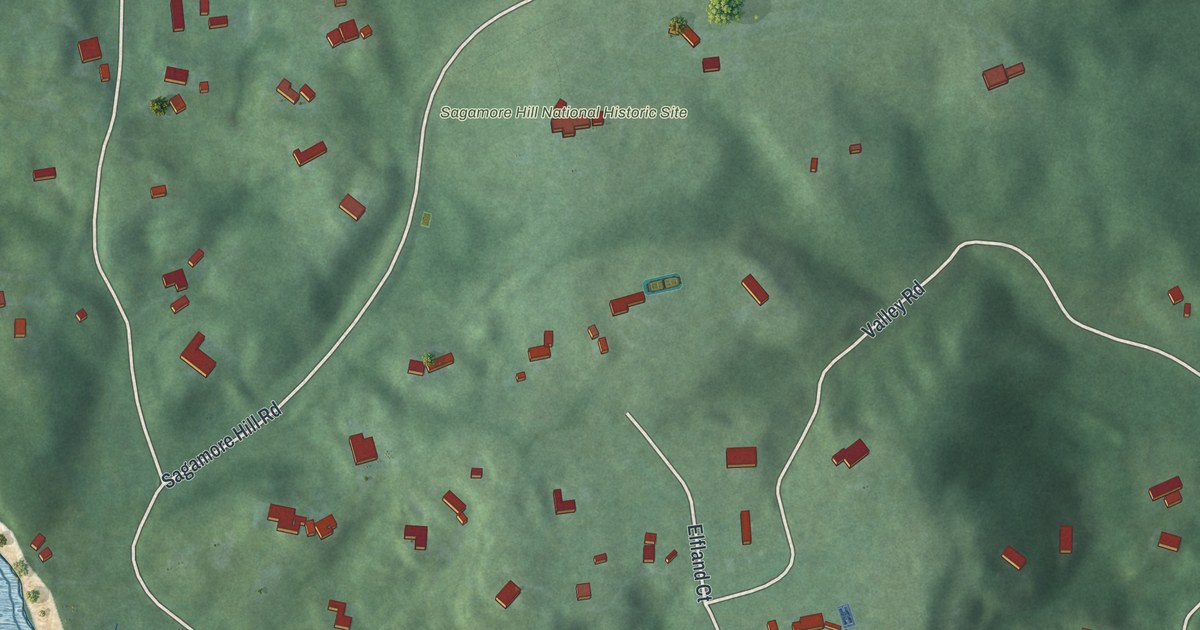
A detailed map of Cove Neck, New York, showing every building in its true location, the roads by name, and shaded topographical relief.
Read More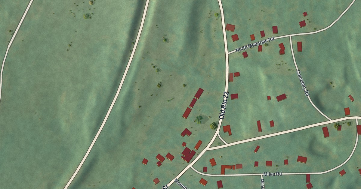
A detailed map of Copake Falls, New York, showing every building in its true location, the roads by name, and shaded topographical relief.
Read More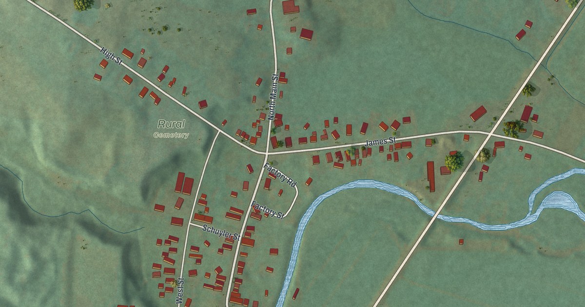
A detailed map of Constableville, New York, showing every building in its true location, the roads by name, and shaded topographical relief.
Read More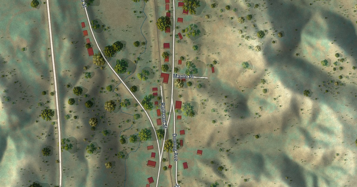
A detailed map of Clayville, New York, showing every building in its true location, the roads by name, and shaded topographical relief.
Read More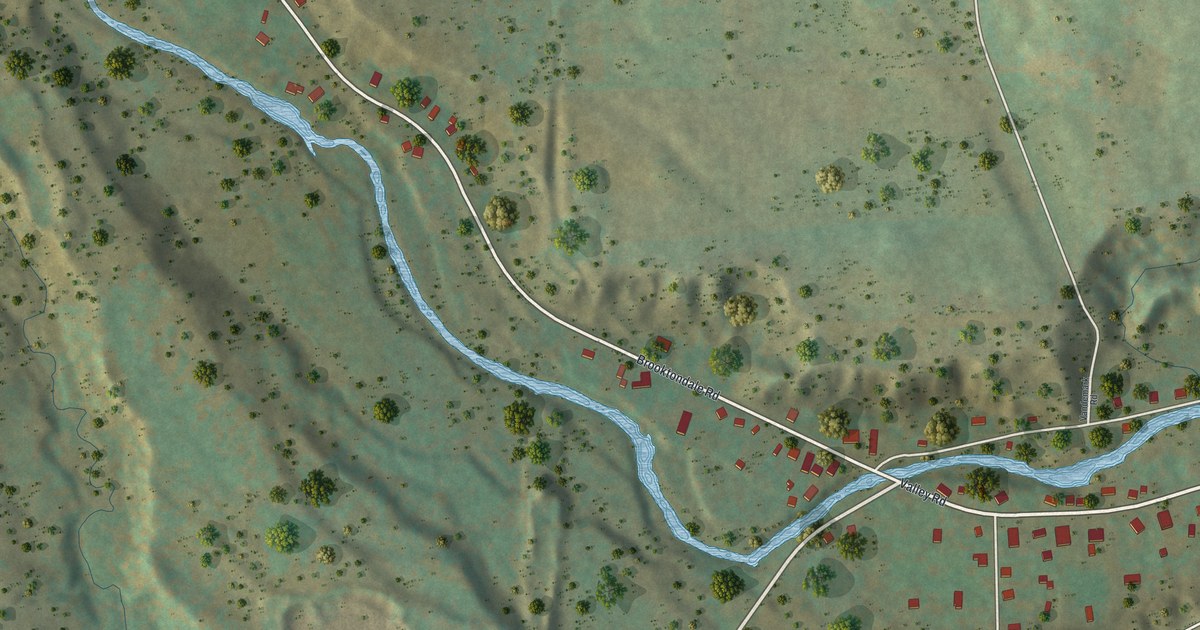
A detailed map of Brooktondale, New York, showing every building in its true location, the roads by name, and shaded topographical relief.
Read More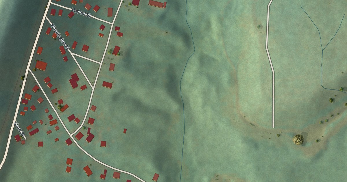
A detailed map of Cementon, New York, showing every building in its true location, the roads by name, and shaded topographical relief.
Read More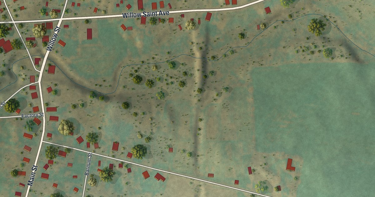
A detailed map of Burdett, New York, showing every building in its true location, the roads by name, and shaded topographical relief.
Read More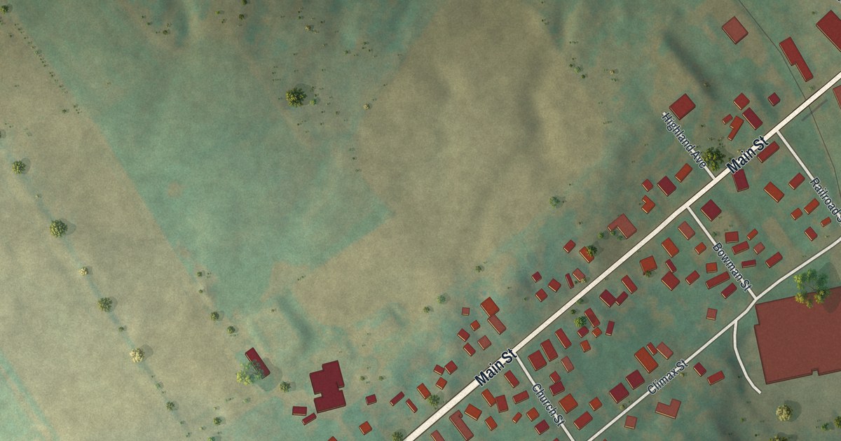
A detailed map of Castorland, New York, showing every building in its true location, the roads by name, and shaded topographical relief.
Read More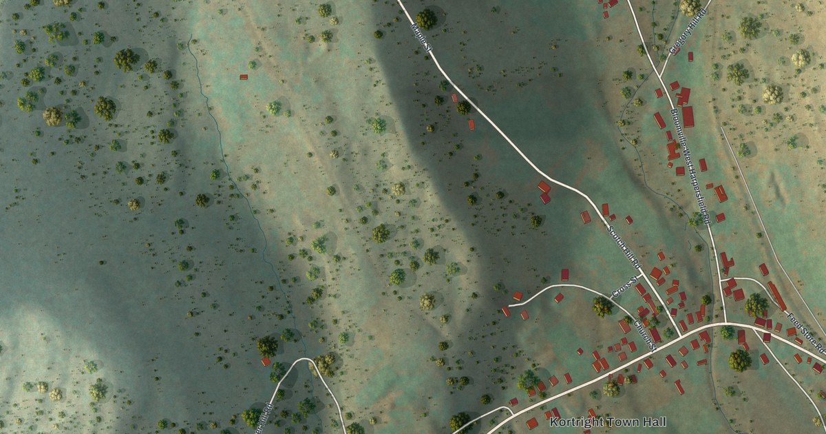
A detailed map of Bloomville, New York, showing every building in its true location, the roads by name, and shaded topographical relief.
Read More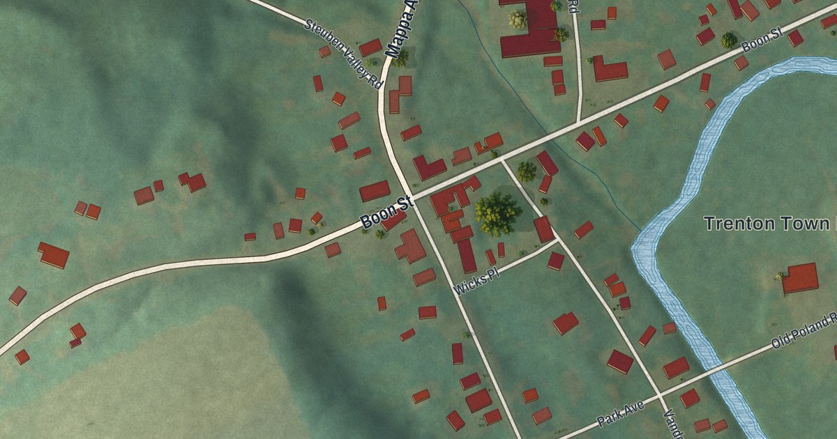
A detailed map of Barneveld, New York, showing every building in its true location, the roads by name, and shaded topographical relief.
Read More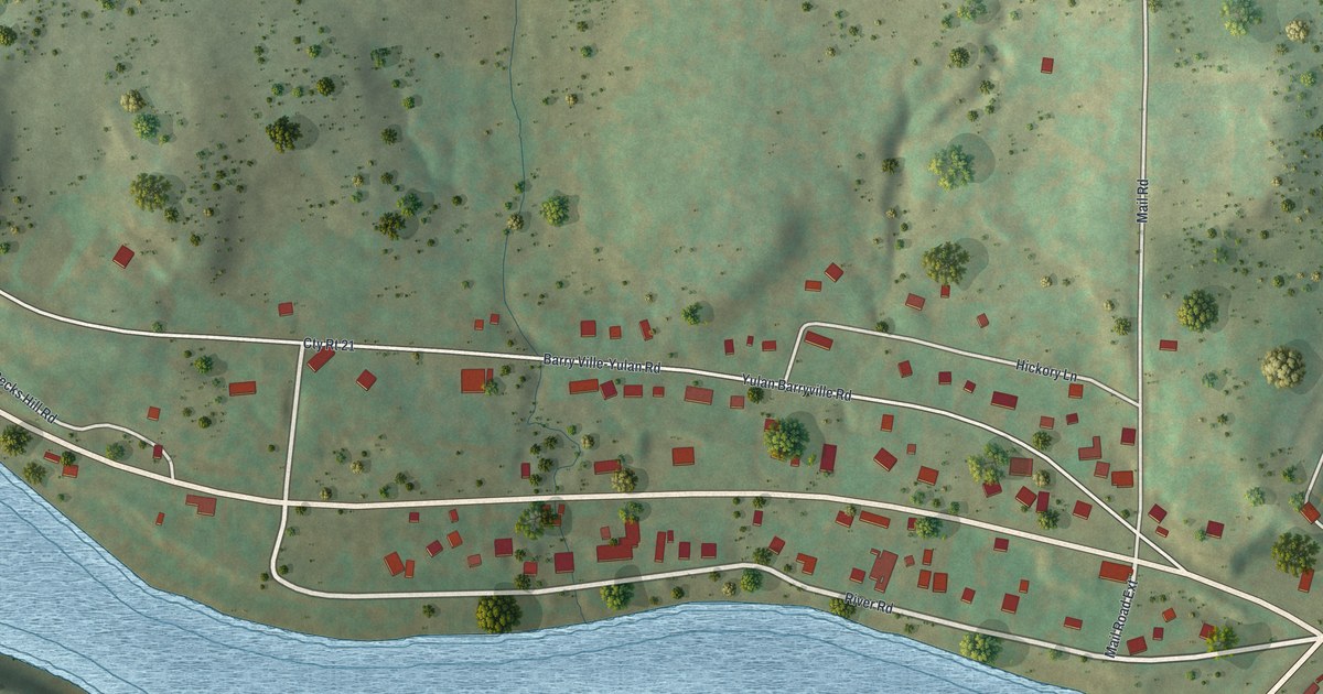
A detailed map of Barryville, New York, showing every building in its true location, the roads by name, and shaded topographical relief.
Read More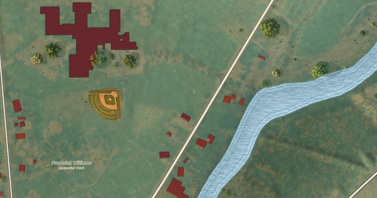
A detailed map of Belleville, New York, showing every building in its true location, the roads by name, and shaded topographical relief.
Read More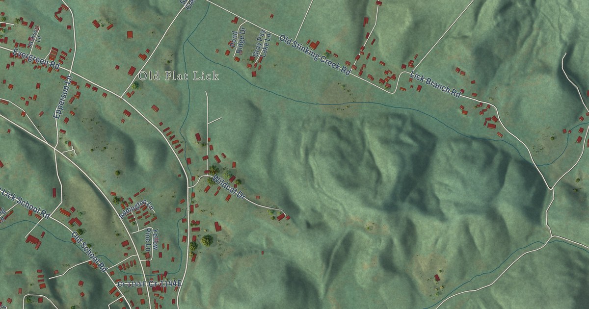
A detailed map of Flat Lick, Kentucky, showing every building in its true location, the roads by name, and shaded topographical relief.
Read More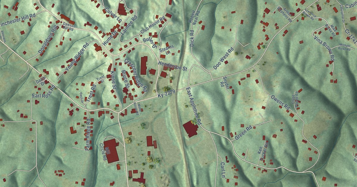
A detailed map of Stearns, Kentucky, showing every building in its true location, the roads by name, and shaded topographical relief.
Read More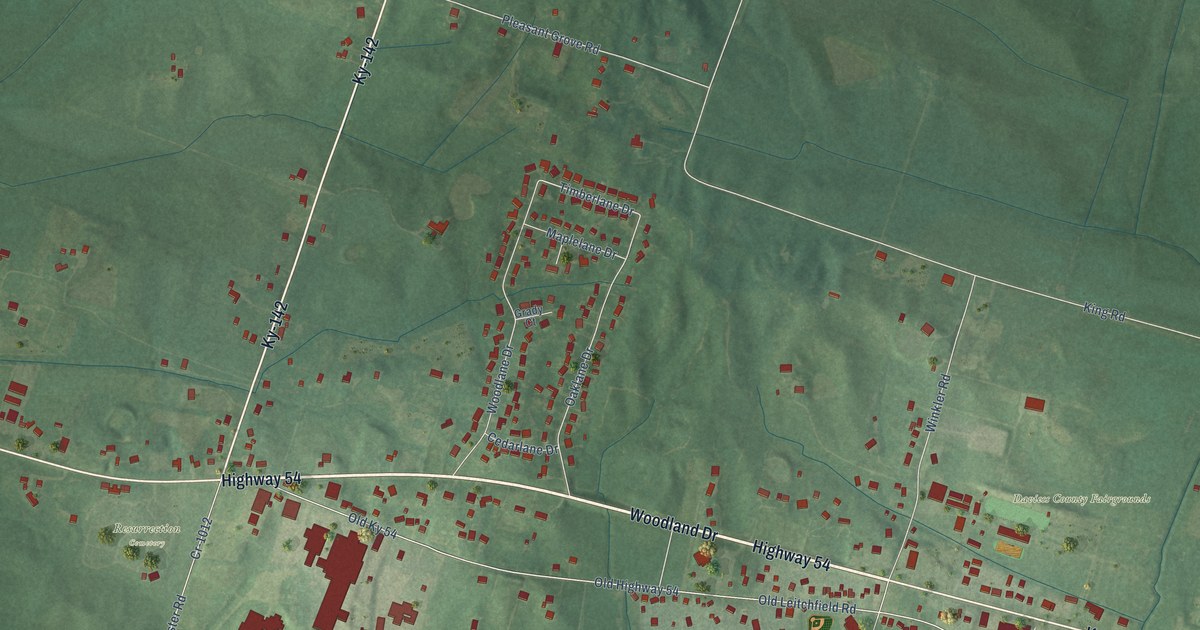
A detailed map of Philpot, Kentucky, showing every building in its true location, the roads by name, and shaded topographical relief.
Read More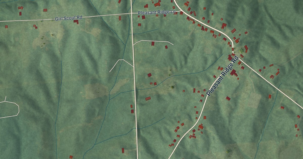
A detailed map of Pleasant Ridge, Kentucky, showing every building in its true location, the roads by name, and shaded topographical relief.
Read More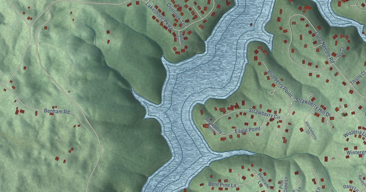
A detailed map of Doe Valley, Kentucky, showing every building in its true location, the roads by name, and shaded topographical relief.
Read More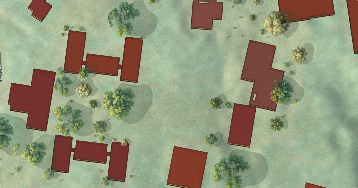
A detailed map of University of Pittsburgh Johnstown, Pennsylvania, showing every building in its true location, the roads by name, and shaded topographical relief.
Read More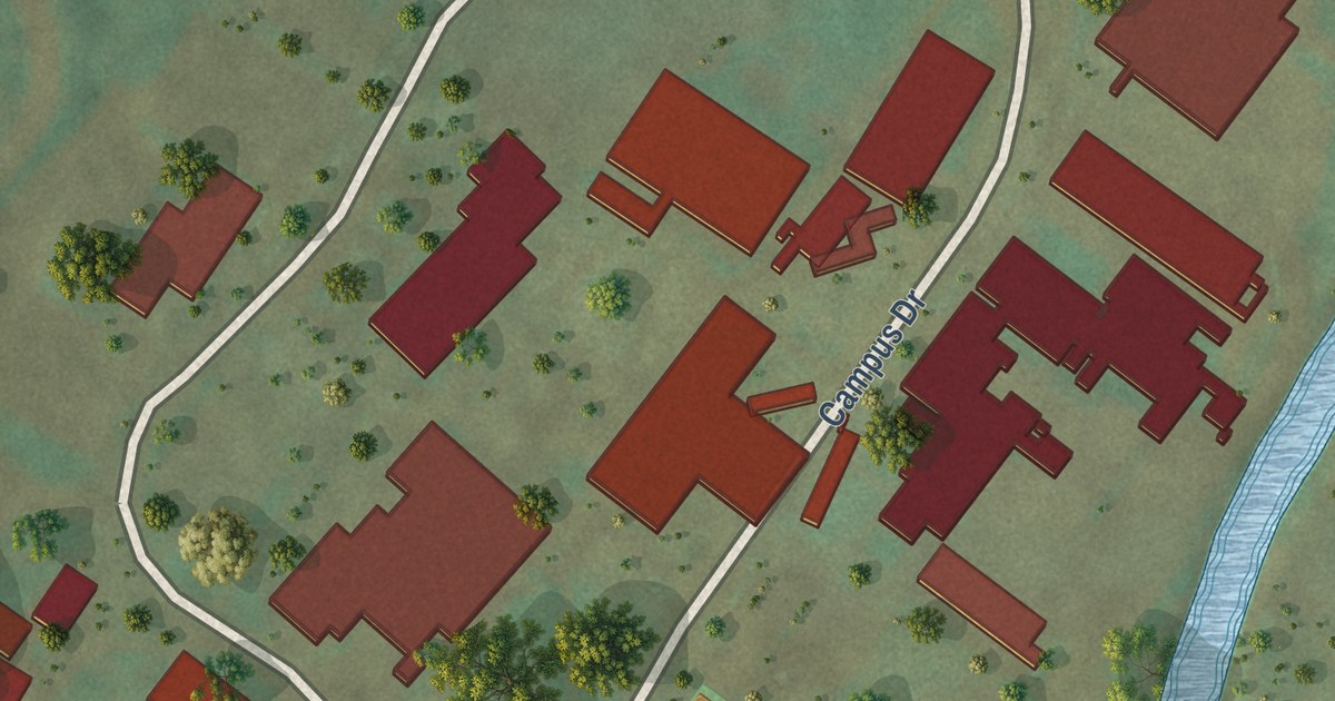
A detailed map of University of Pittsburgh Bradford, Pennsylvania, showing every building in its true location, the roads by name, and shaded topographical relief.
Read More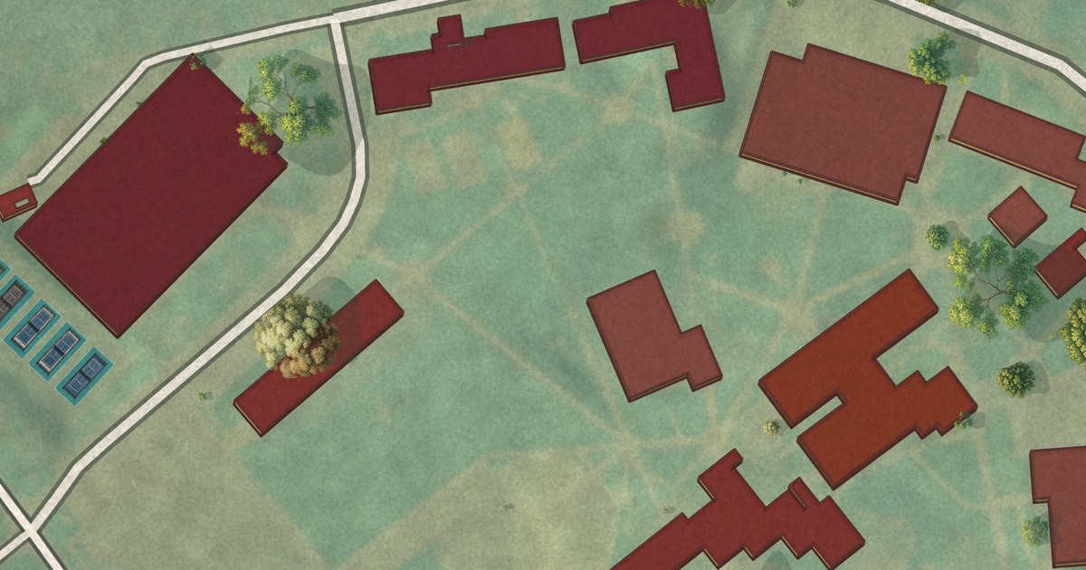
A detailed map of Misericordia University, Pennsylvania, showing every building in its true location, the roads by name, and shaded topographical relief.
Read More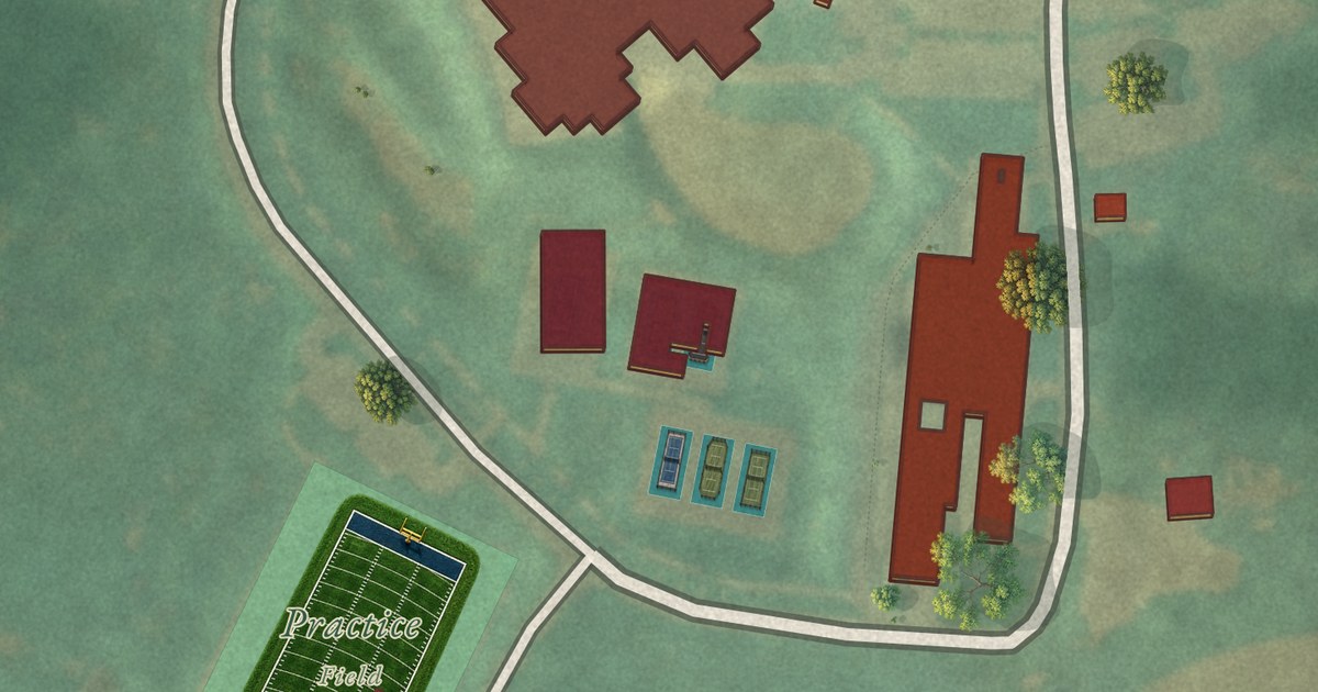
A detailed map of Lincoln University, Pennsylvania, showing every building in its true location, the roads by name, and shaded topographical relief.
Read More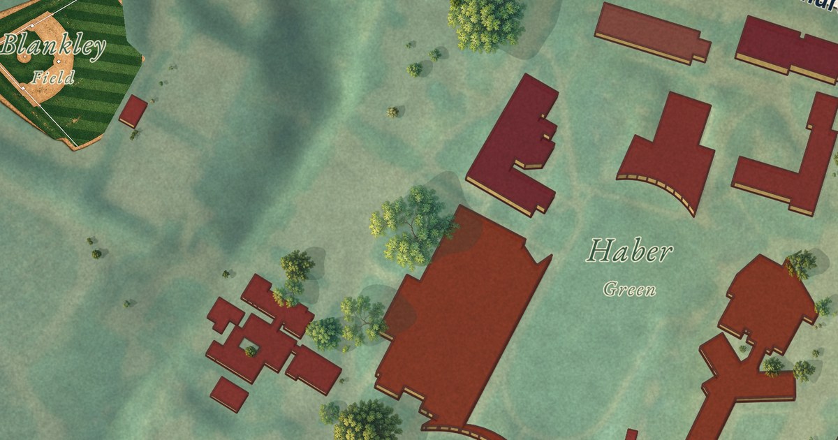
A detailed map of Arcadia University, Pennsylvania, showing every building in its true location, the roads by name, and shaded topographical relief.
Read More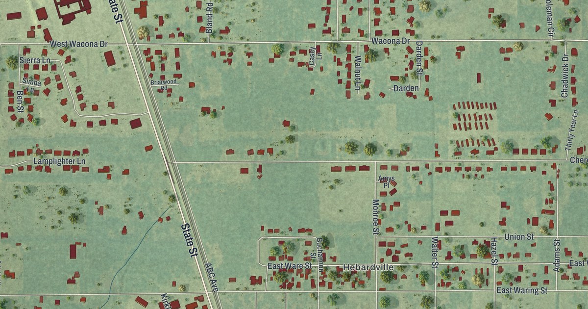
A detailed map of Deenwood, Georgia, showing every building in its true location, the roads by name, and shaded topographical relief.
Read More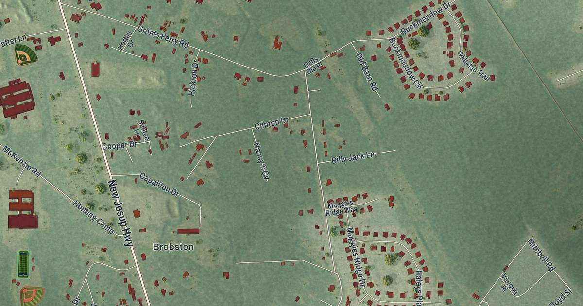
A detailed map of Sterling, Georgia, showing every building in its true location, the roads by name, and shaded topographical relief.
Read More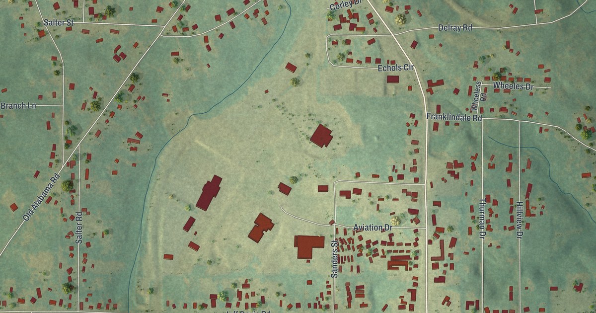
A detailed map of Hannahs Mill, Georgia, showing every building in its true location, the roads by name, and shaded topographical relief.
Read More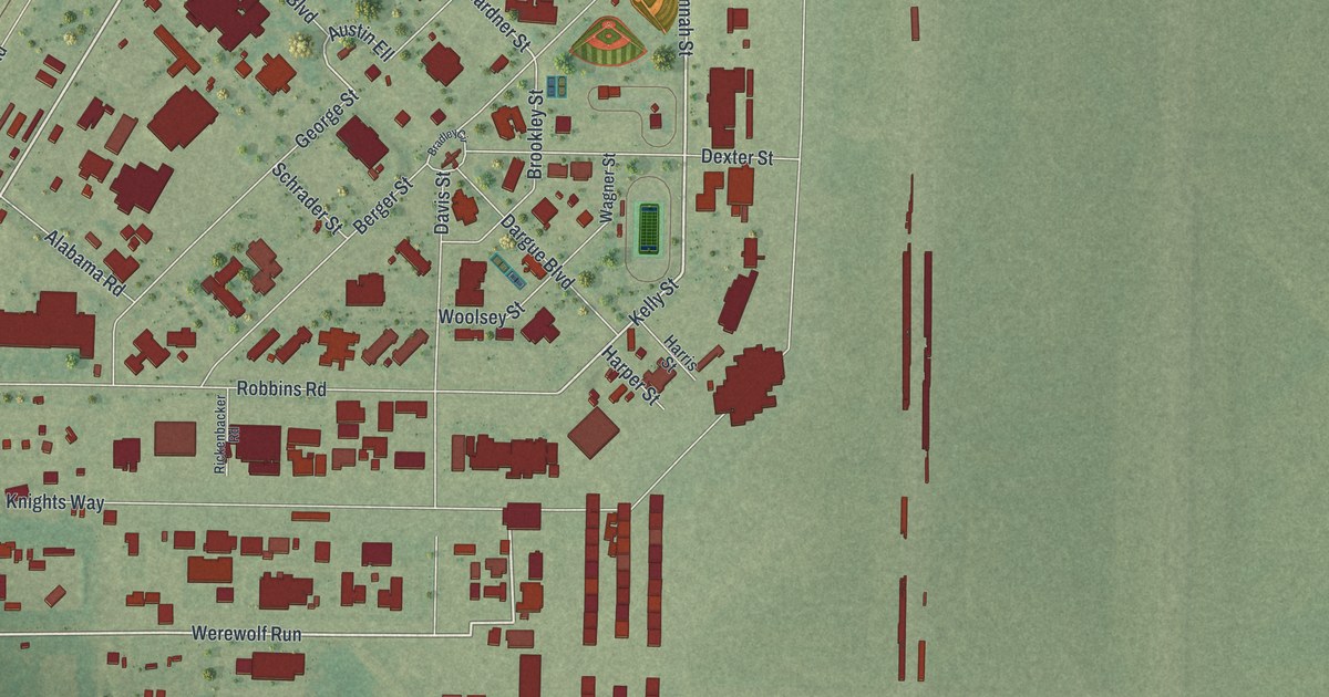
A detailed map of Moody AFB, Georgia, showing every building in its true location, the roads by name, and shaded topographical relief.
Read More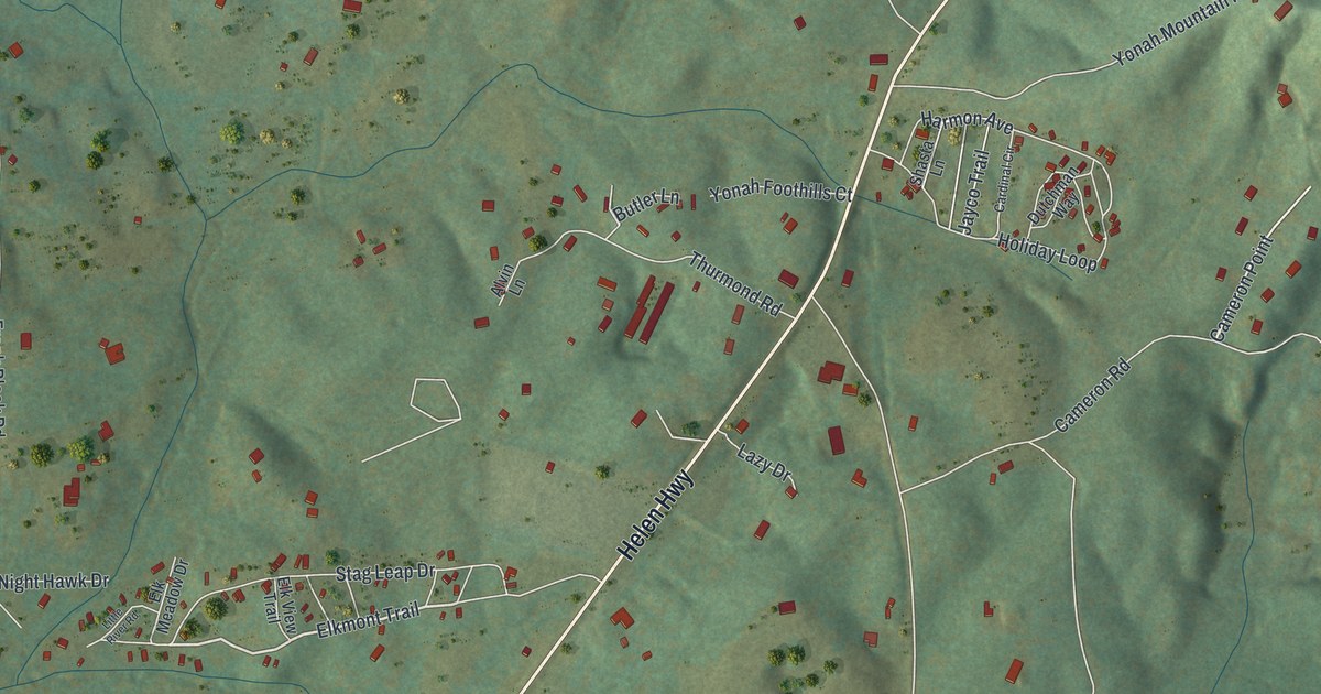
A detailed map of Yonah, Georgia, showing every building in its true location, the roads by name, and shaded topographical relief.
Read More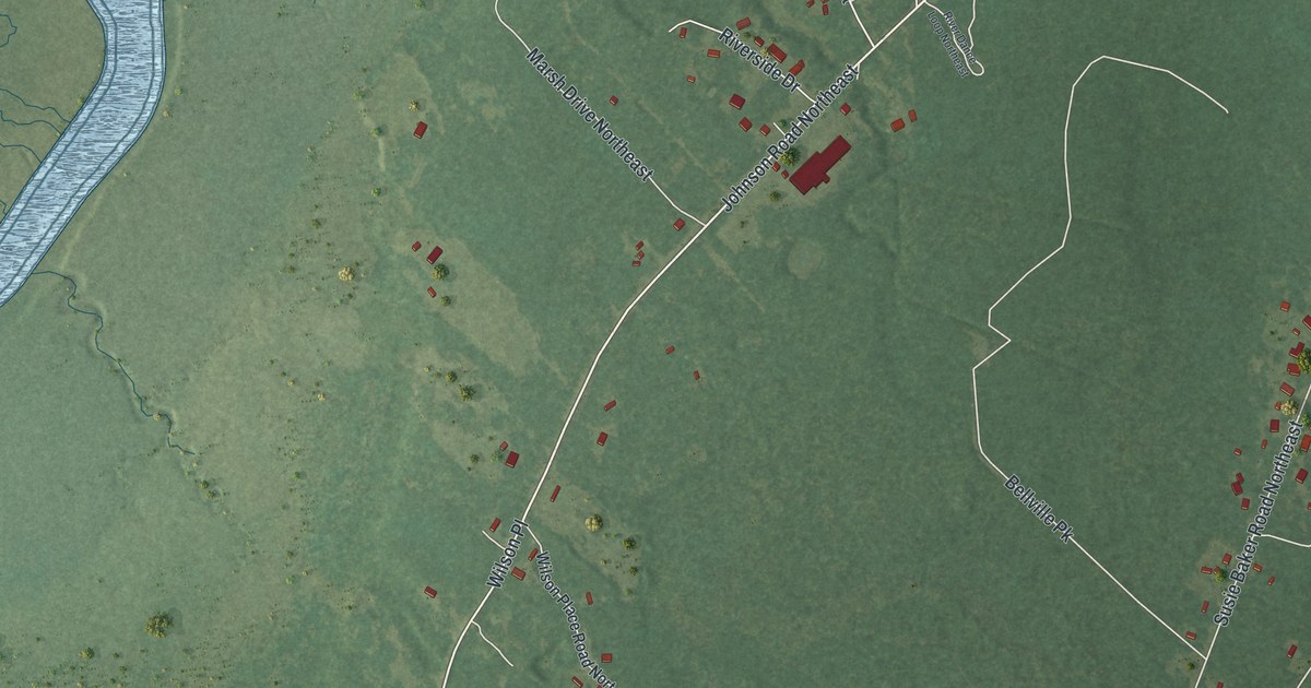
A detailed map of Crescent, Georgia, showing every building in its true location, the roads by name, and shaded topographical relief.
Read More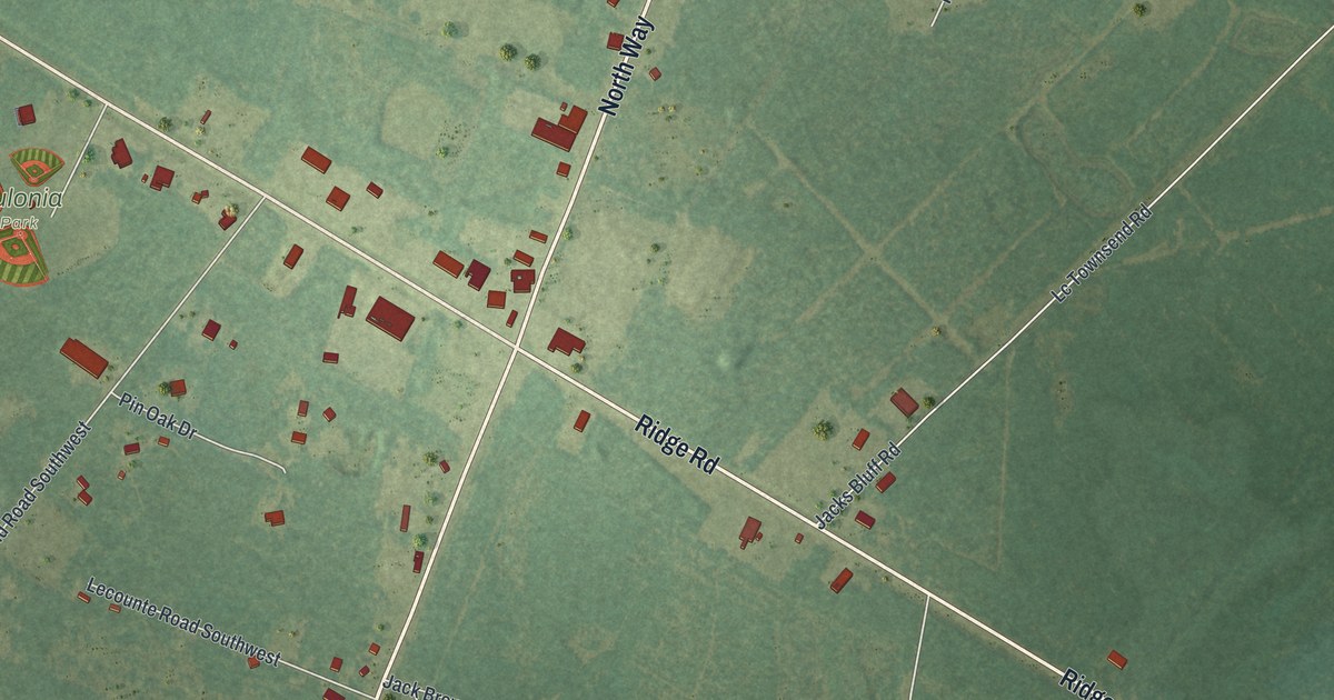
A detailed map of Eulonia, Georgia, showing every building in its true location, the roads by name, and shaded topographical relief.
Read More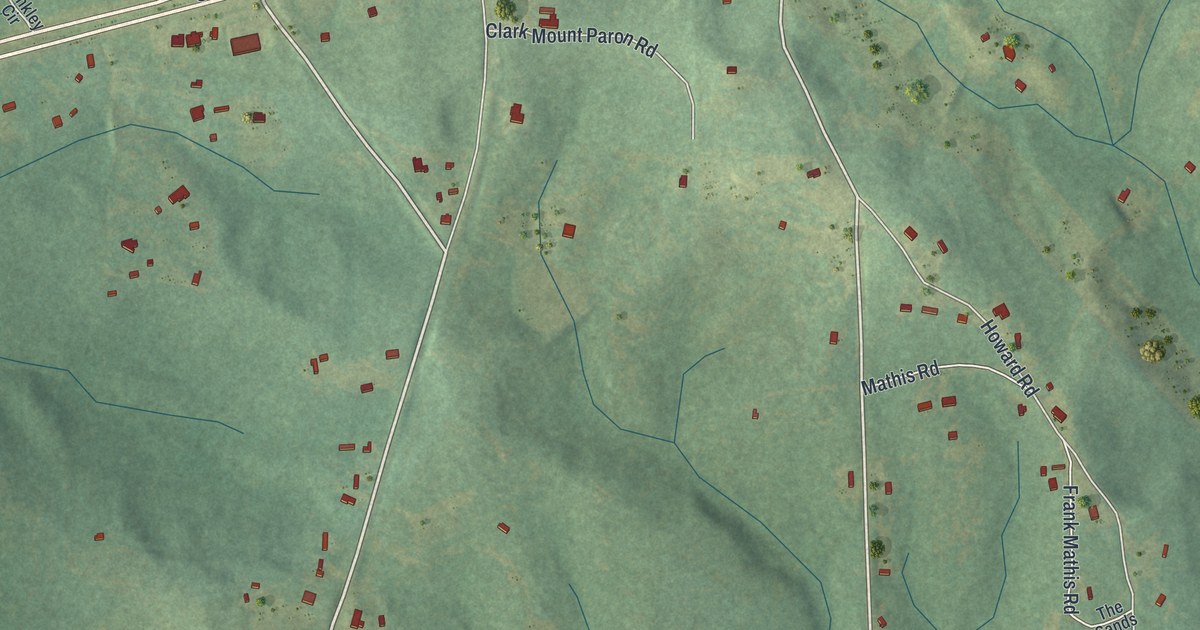
A detailed map of Box Springs, Georgia, showing every building in its true location, the roads by name, and shaded topographical relief.
Read More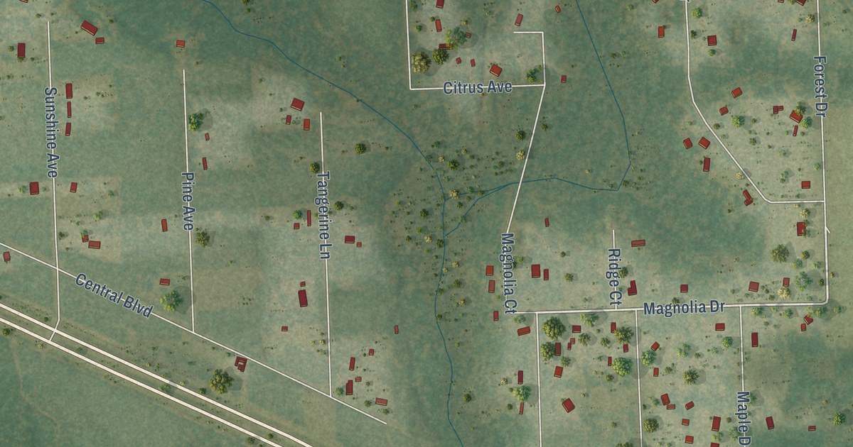
A detailed map of Yeehaw Junction, Florida, showing every building in its true location, the roads by name, and shaded topographical relief.
Read More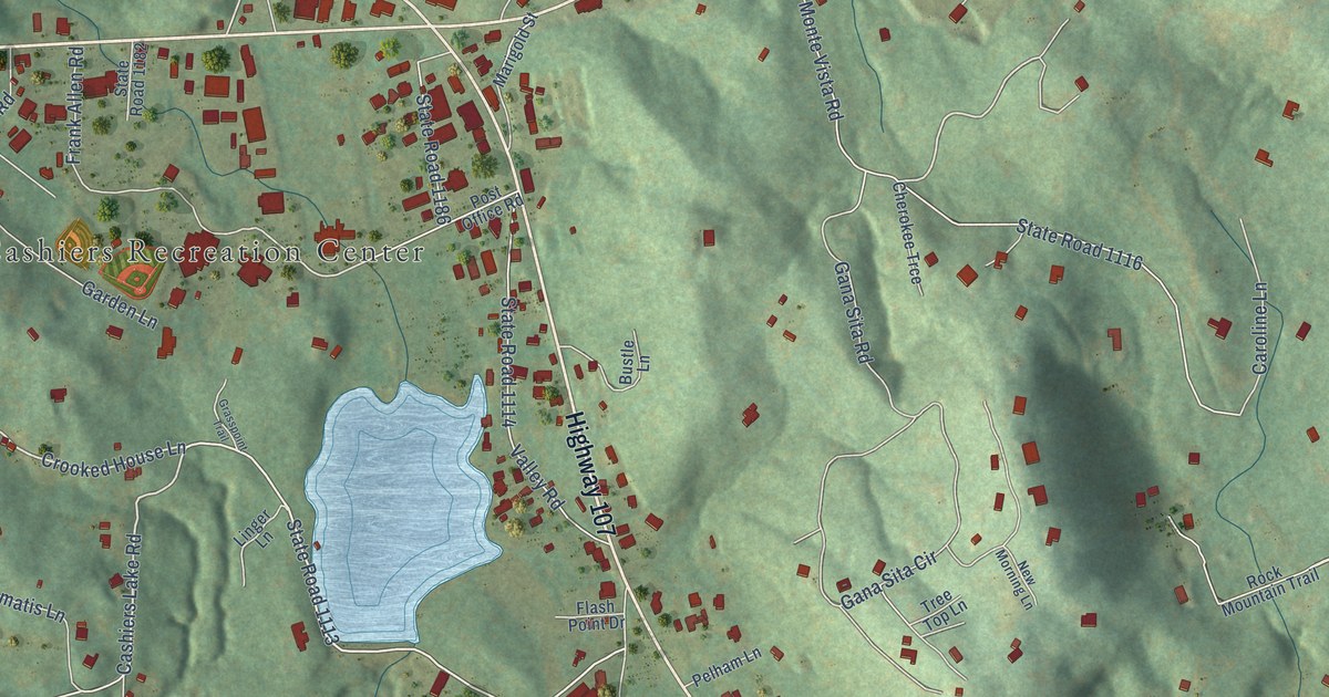
A detailed map of Cashiers, North Carolina, showing every building in its true location, the roads by name, and shaded topographical relief.
Read More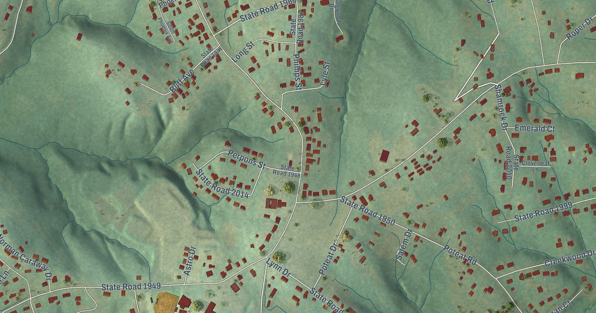
A detailed map of Salem, North Carolina, showing every building in its true location, the roads by name, and shaded topographical relief.
Read More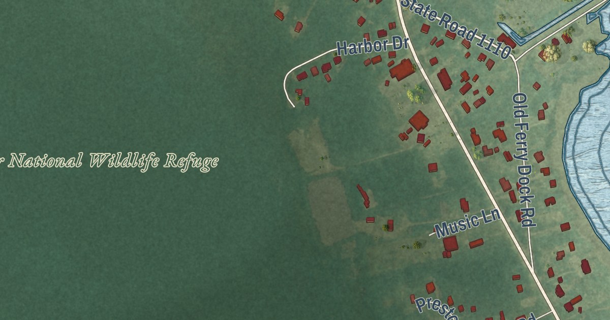
A detailed map of Manns Harbor, North Carolina, showing every building in its true location, the roads by name, and shaded topographical relief.
Read More















