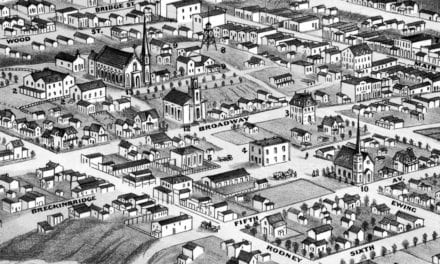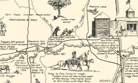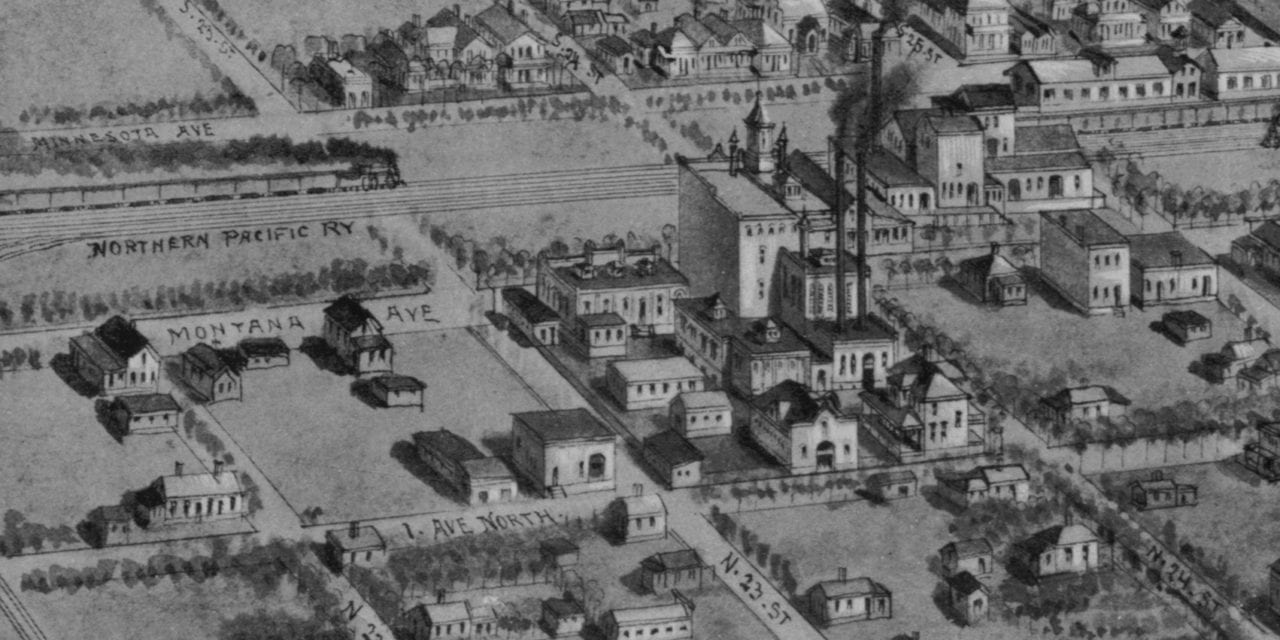
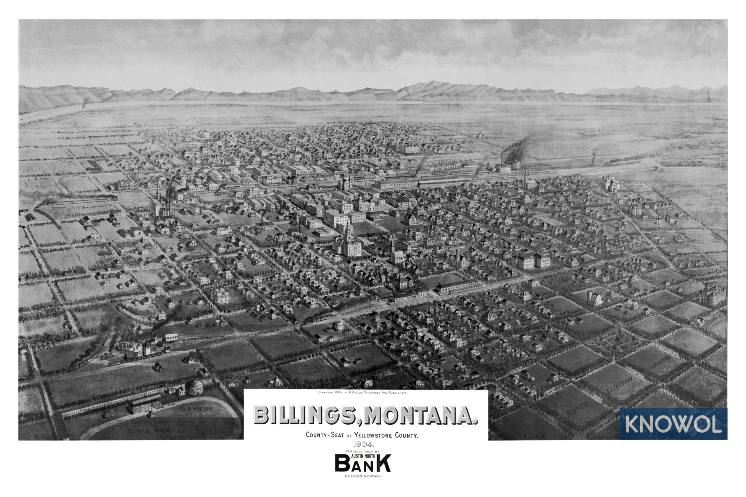
This historic map of Billings, Montana was created in 1904 by Henry Wellge, a prominent 19th century map maker. The map shows a bird’s eye view of the area as it used to be, including street names and old landmarks.
Landmarks on the map include North Park, Yellowstone County Fair Grounds, Northern Pacific Railyard, North Elevation Subdivision, West Side Addition, Austin Park, and more.
This historic map of Billings has been restored by KNOWOL. Reproductions of the restored map are available here.
Historic Old Map of Billings, Montana from 1904
This vintage map of Billings makes an attractive addition to your office, library, or den, and can even be used to teach children the geography and history of the area. When you’re done exploring, click here to get your copy of the restored map.