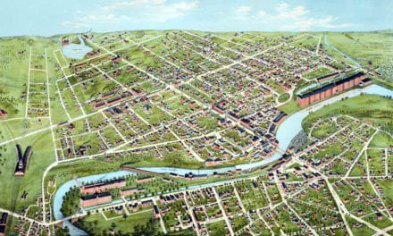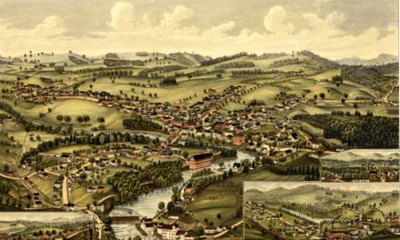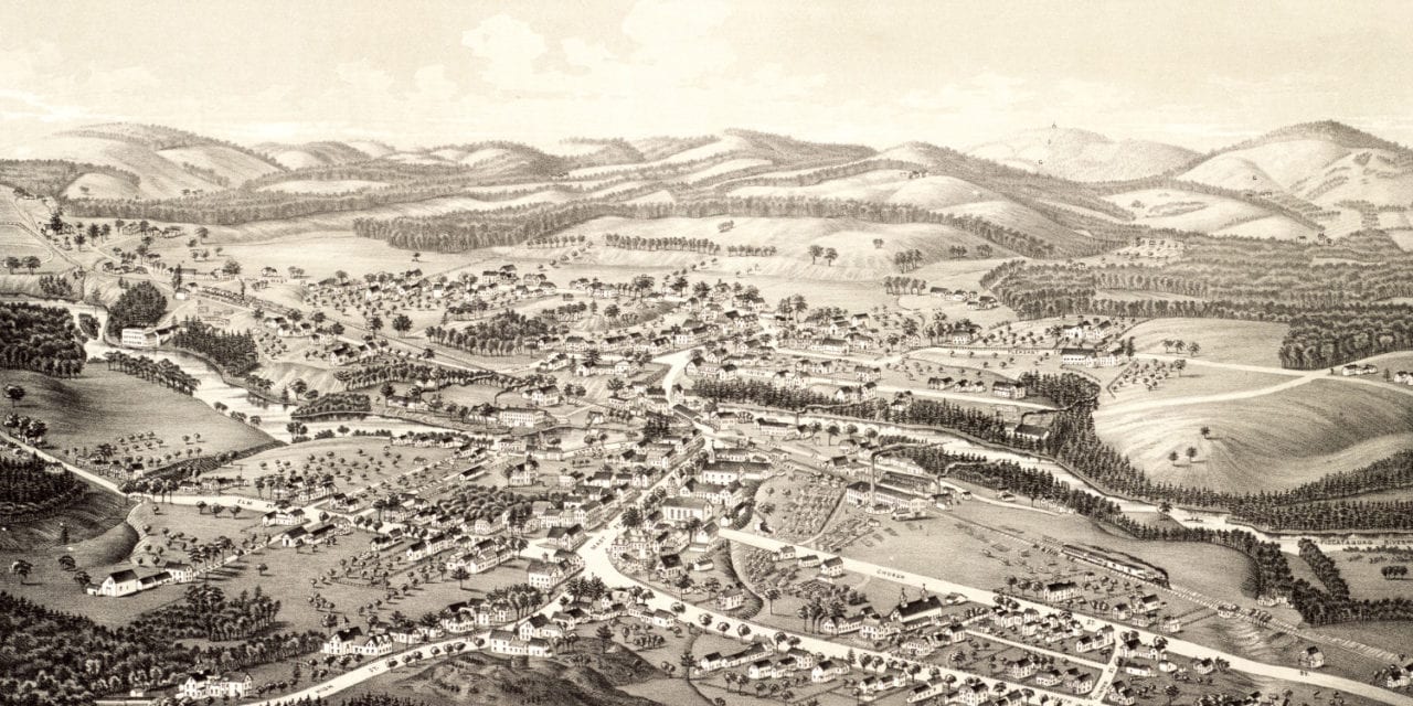
This map of Goffstown, New Hampshire was created in 1887 by Lucien R. Burleigh, an artist who spent much of his career visiting small towns across America and creating detailed maps of what he saw. His map of Goffstown, NH captured the area as it looked toward the end of the 19th century, when Goffstown had less than 2,000 residents.
Some of the old Goffstown landmarks highlighted on the map include Yacum Hill, Uncanoonuck Mountains, Tipping Rock, Dick’s Ledge, the Saw and Cider Mill, and Town Hall.
This vintage map of Goffstown has been restored by KNOWOL. Reproductions of the map are available here.
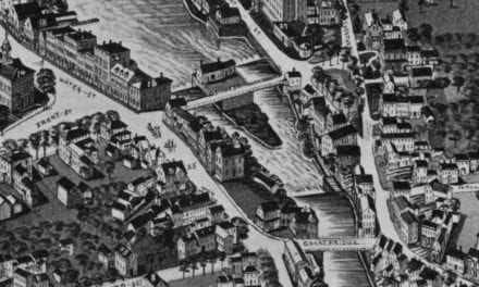
Click here to see the full map of Goffstown.
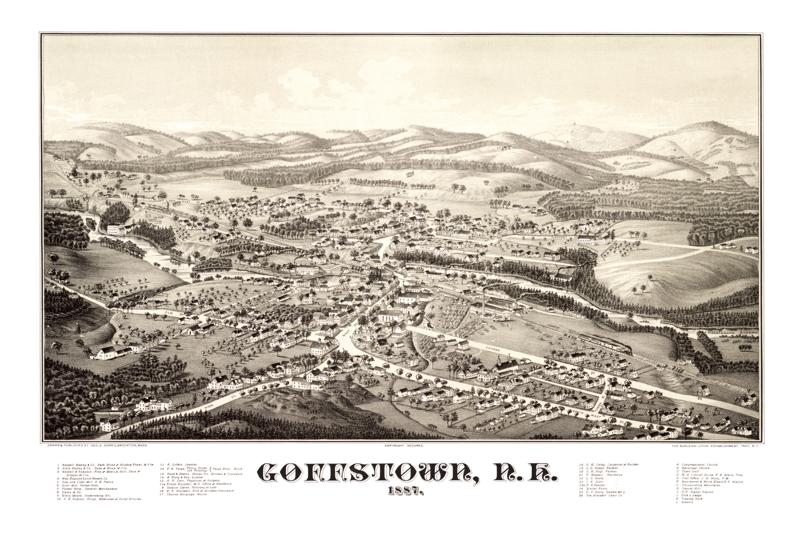
This old map of Goffstown will make an attractive addition to your office, library, or den, and can even be used to teach children the geography and history of the area. When you’re done exploring, click here to get yours!