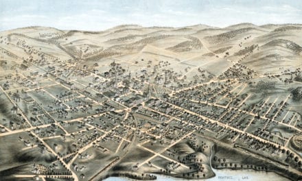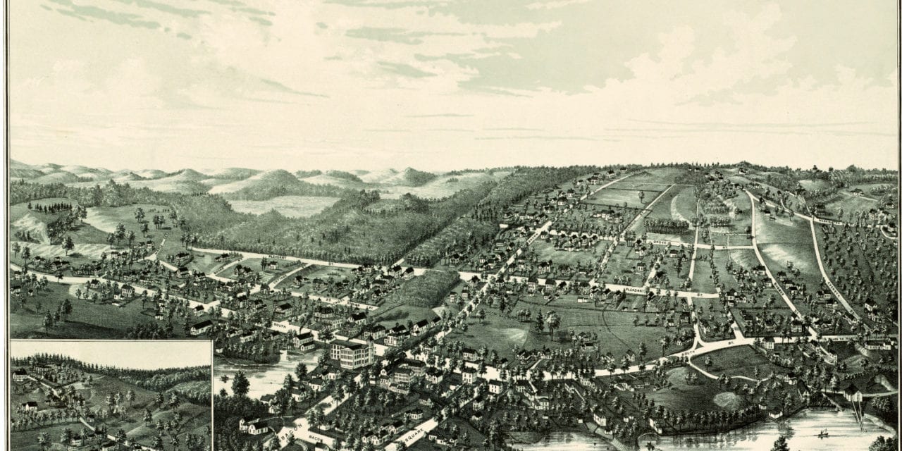
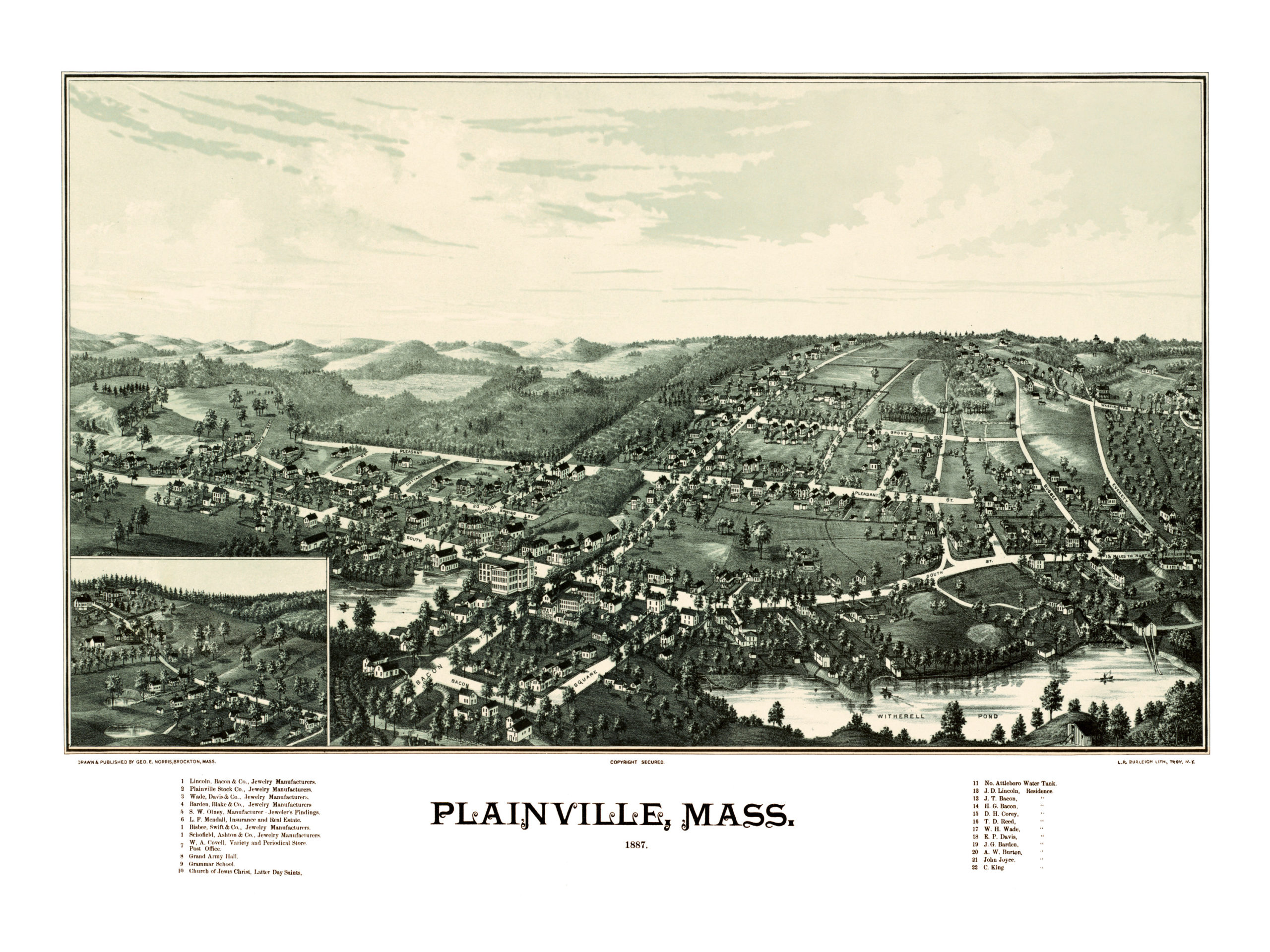
This map of Plainville, Massachusetts was created in 1887 by George E. Norris of Brockton, MA. The map shows a bird’s eye view of Plainville as it looked in the 19th century.
This map’s guide highlights prominent residences and buildings in Plainville at the time, including the Grand Army Hall, Plainville Grammar School, and a number of jewelers and jewelry manufacturers.
This vintage map of Plainville has been restored by the team at KNOWOL. Reproductions are available here.
Click here to see the full map.
This old map of Plainville will make an attractive addition to your office, library, or den, and can even be used to teach children the geography and history of the area. When you’re done exploring, click here to get your copy.