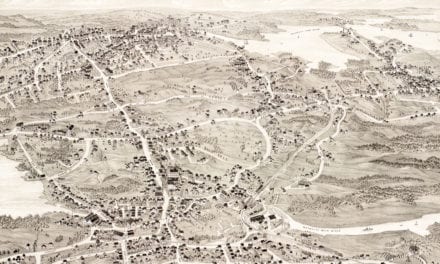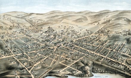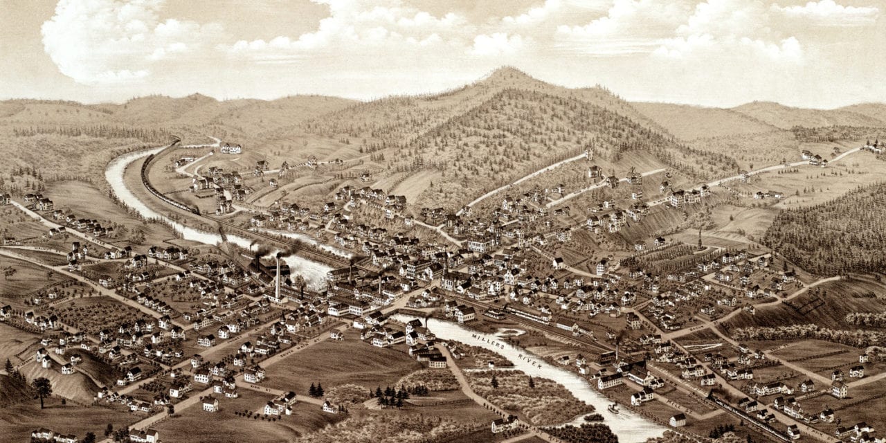
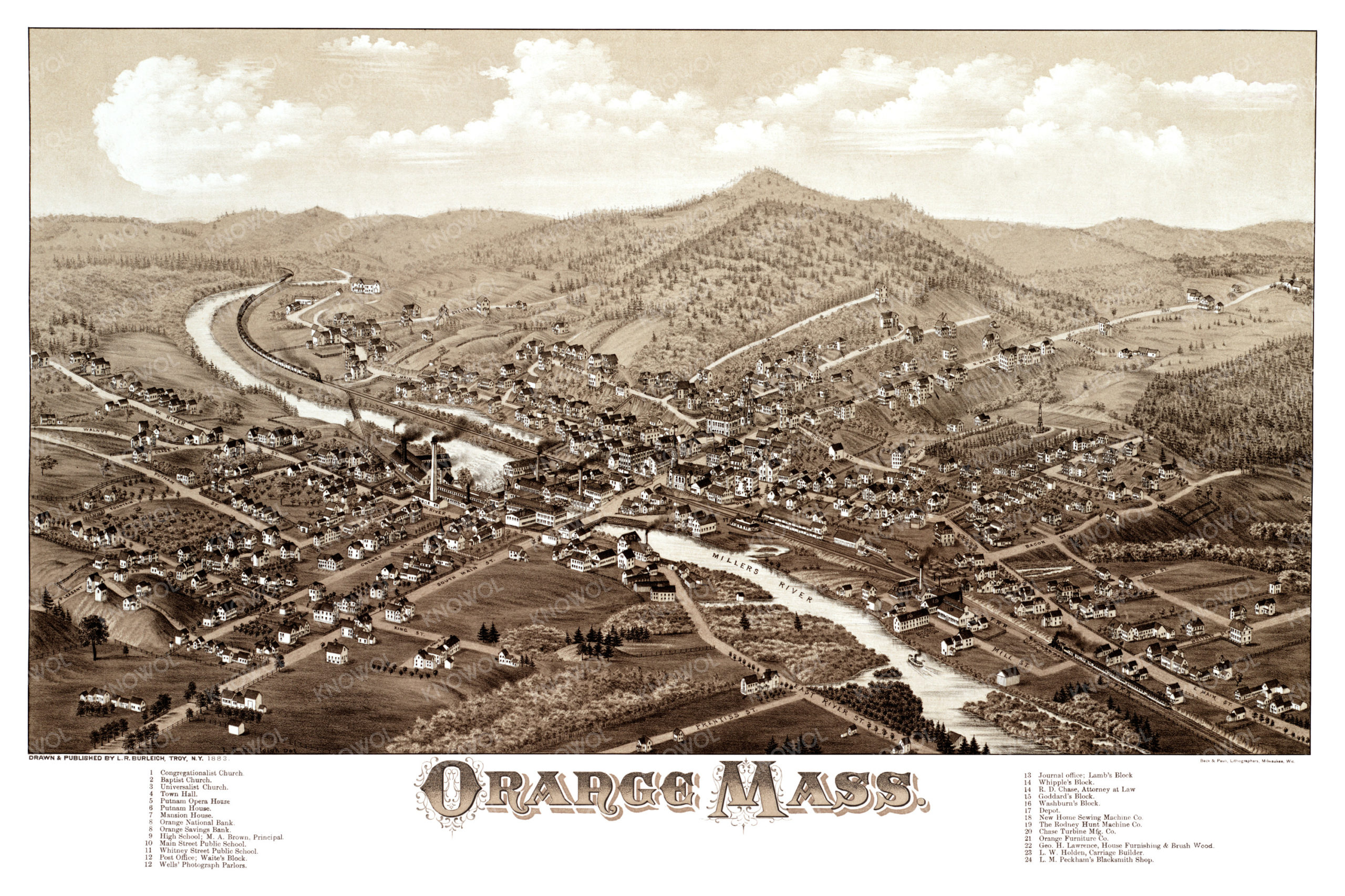
This map of Orange, Massachusetts was created in 1883 by Lucien Burleigh, a prominent 19th century cartographer. The map shows a detailed bird’s eye view of Orange as it used to be, including street names and old landmarks.
Landmarks on the map include Putnam Opera House, Mansion Hotel, Well’s Photograph Parlors, New Home Sewing Machine Company, Orange Furniture Company, Whipple’s Block, Washburn’s Block, Peckham’s Blacksmith Shop, and more.
This historic map of Orange, MA has been restored by KNOWOL. Reproductions of the map are available here.
Bird’s Eye View of Orange, MA in 1883
This historic map of Orange will make an attractive addition to your office, library, or den and can even be used to teach children the geography and history of the area. When you’re done exploring, click here to get your copy.