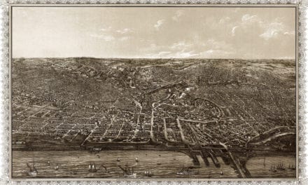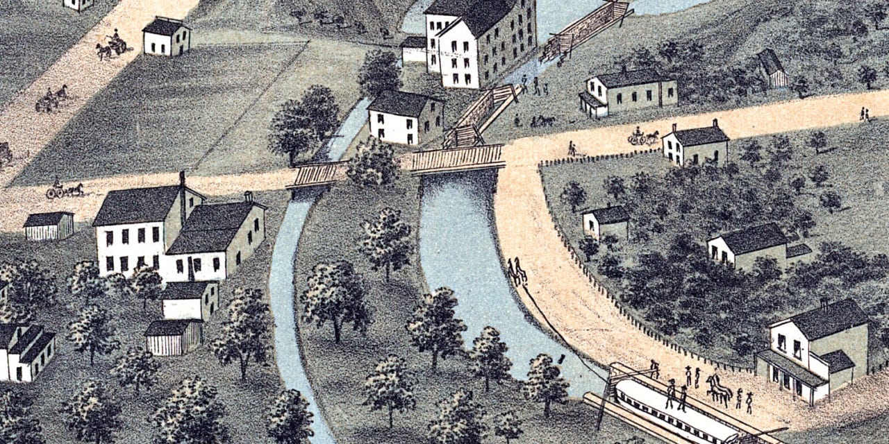
This historic map of Akron, Ohio was created in 1870 by Albert Ruger, a prominent 19th century map maker. The map shows a bird’s eye view of the city as it used to be, including street names and old landmarks.
Landmarks on the map include Carver’s Academy of Music, Buckeye Mower & Reaper Works, Akron Knife Works, Akron Railroad Depot, Fair Ground, Masonic Temple, and more.
This historic map of Akron has been restored by KNOWOL. Reproductions of the restored map are available here.
Historic Old Map of Akron, Ohio from 1870
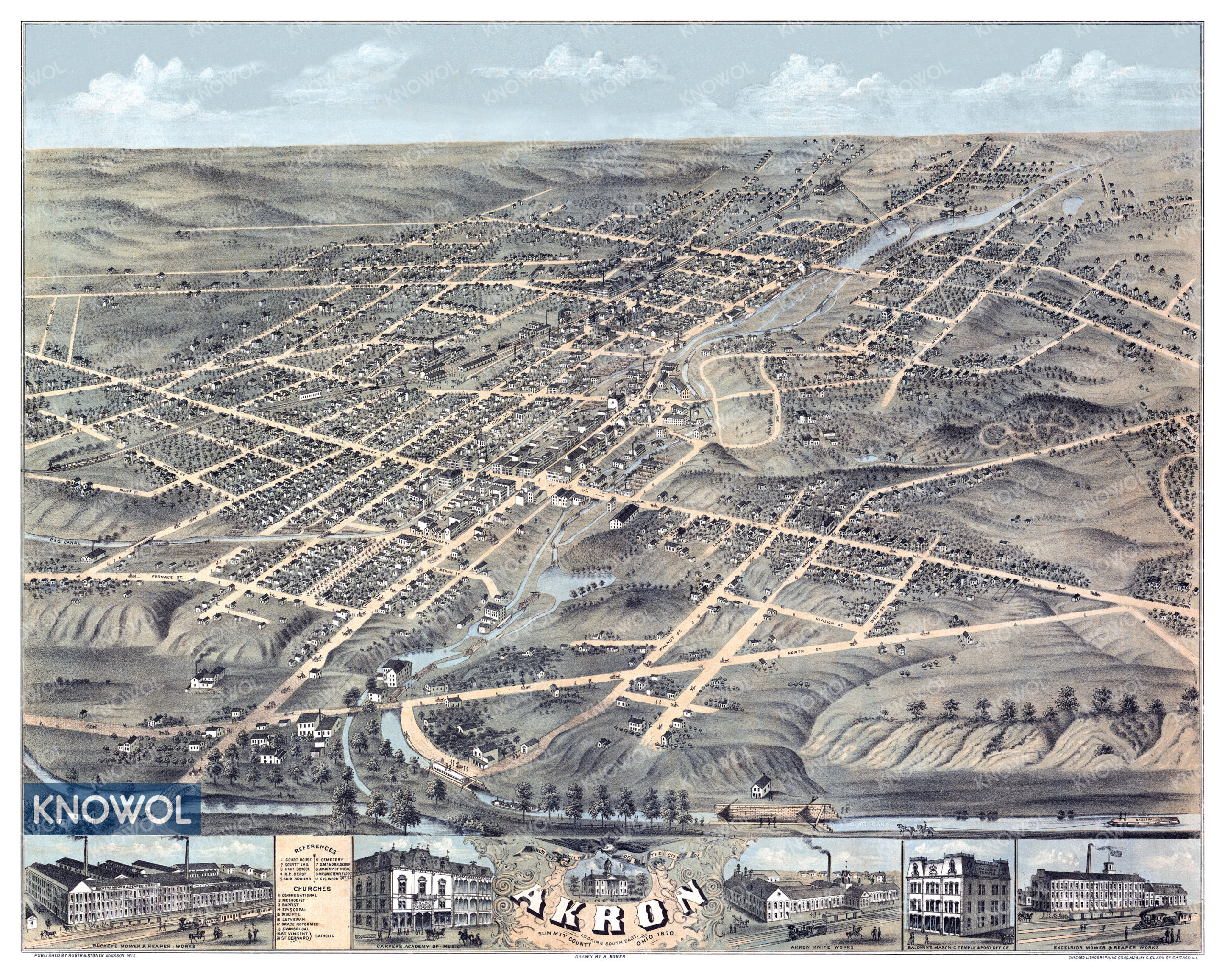
This historic map of Akron makes an attractive addition to your office, library, or den, and can even be used to teach children the geography and history of the area. When you’re done exploring, click here to get your copy of the restored map.