Detailed Map of Rouses Point, New York
A detailed map of Rouses Point, New York, showing every building in its true location, the roads by name, and shaded topographical relief.
Read More
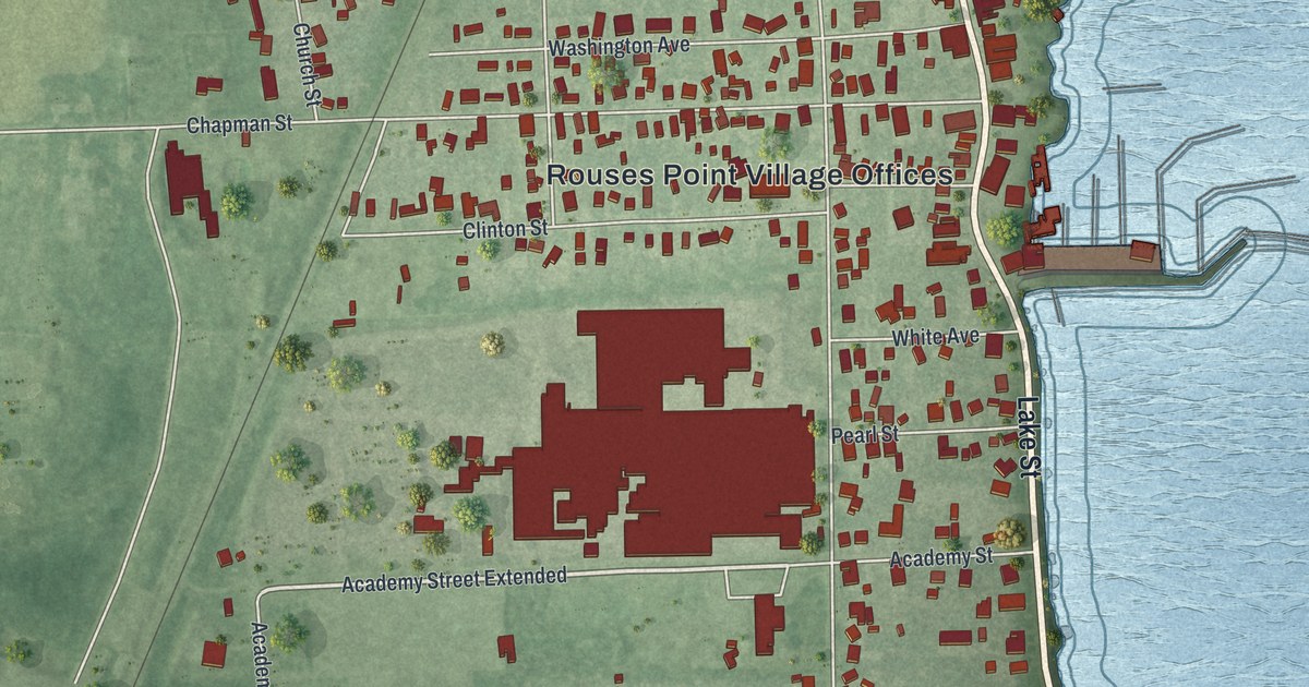
A detailed map of Rouses Point, New York, showing every building in its true location, the roads by name, and shaded topographical relief.
Read More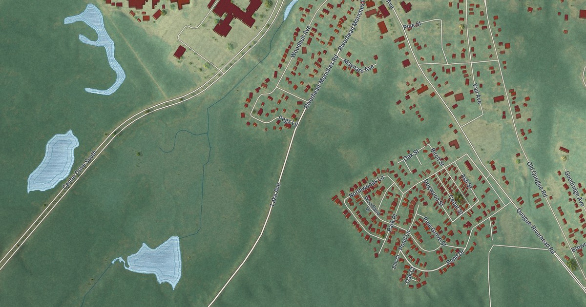
A detailed map of Riverside, New York, showing every building in its true location, the roads by name, and shaded topographical relief.
Read More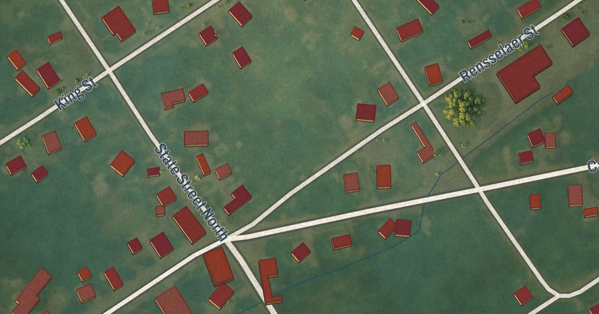
A detailed map of Rensselaer Falls, New York, showing every building in its true location, the roads by name, and shaded topographical relief.
Read More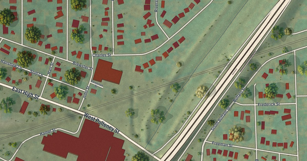
A detailed map of Riverside, New York, showing every building in its true location, the roads by name, and shaded topographical relief.
Read More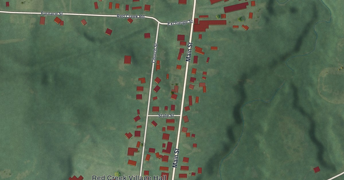
A detailed map of Red Creek, New York, showing every building in its true location, the roads by name, and shaded topographical relief.
Read More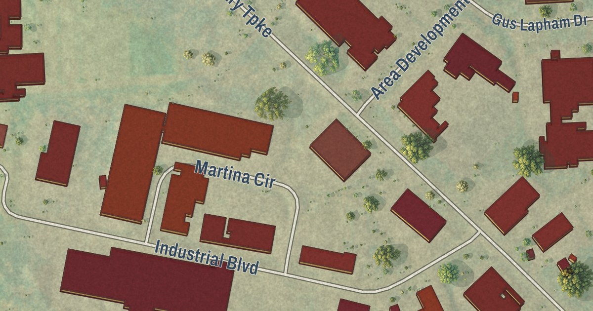
A detailed map of Plattsburgh West, New York, showing every building in its true location, the roads by name, and shaded topographical relief.
Read More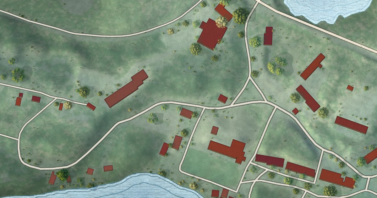
A detailed map of Paul Smiths, New York, showing every building in its true location, the roads by name, and shaded topographical relief.
Read More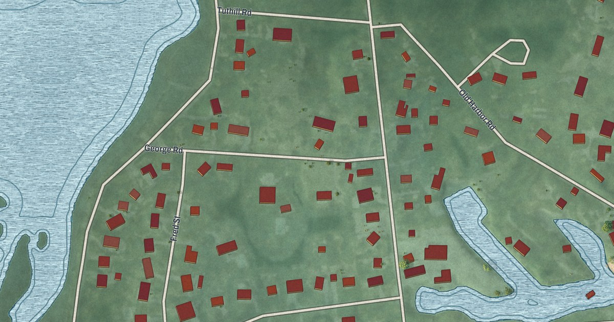
A detailed map of New Suffolk, New York, showing every building in its true location, the roads by name, and shaded topographical relief.
Read More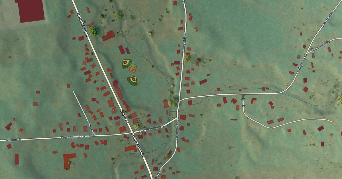
A detailed map of Munnsville, New York, showing every building in its true location, the roads by name, and shaded topographical relief.
Read More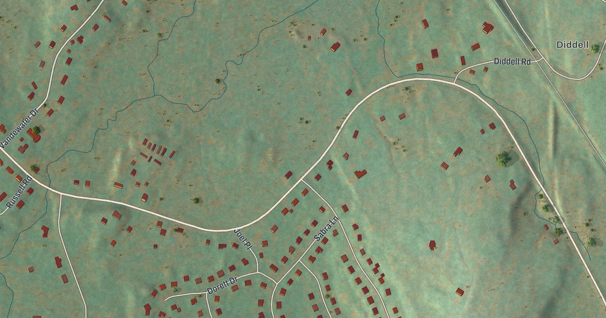
A detailed map of New Hackensack, New York, showing every building in its true location, the roads by name, and shaded topographical relief.
Read More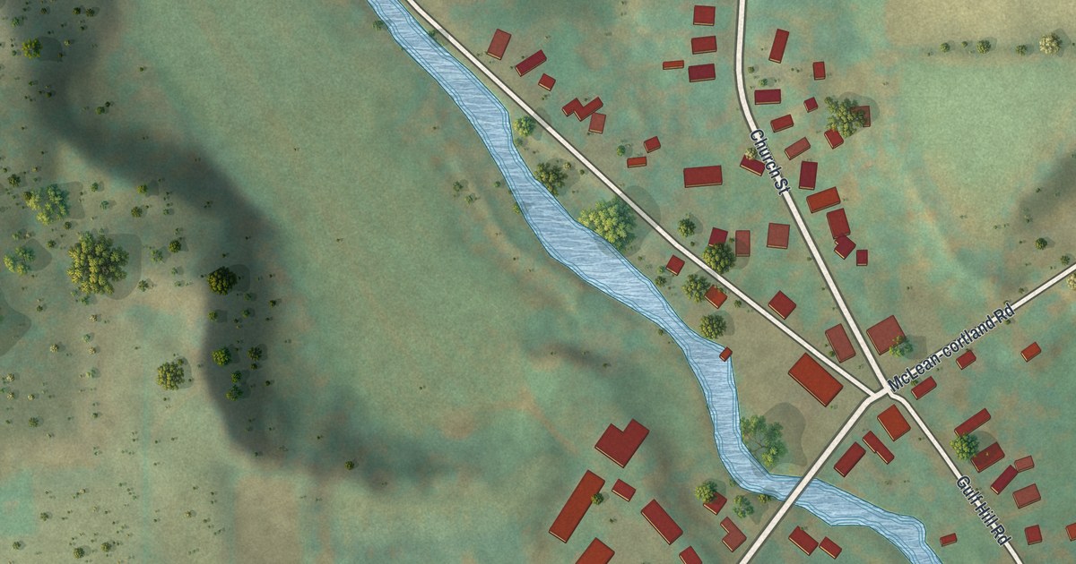
A detailed map of McLean, New York, showing every building in its true location, the roads by name, and shaded topographical relief.
Read More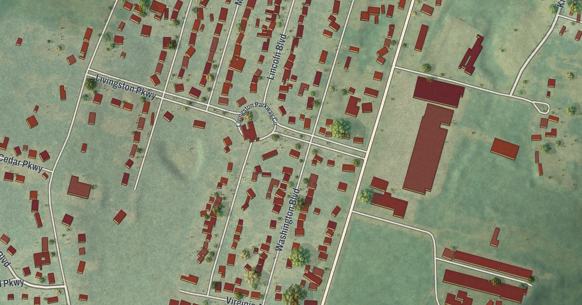
A detailed map of Lorenz Park, New York, showing every building in its true location, the roads by name, and shaded topographical relief.
Read More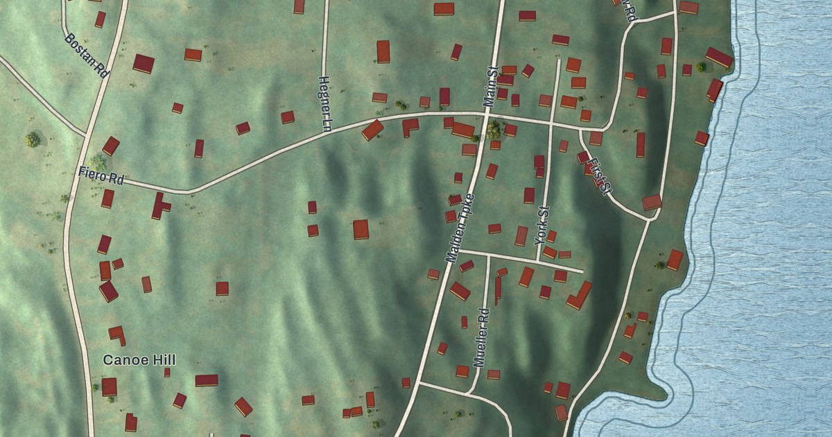
A detailed map of Malden-on-Hudson, New York, showing every building in its true location, the roads by name, and shaded topographical relief.
Read More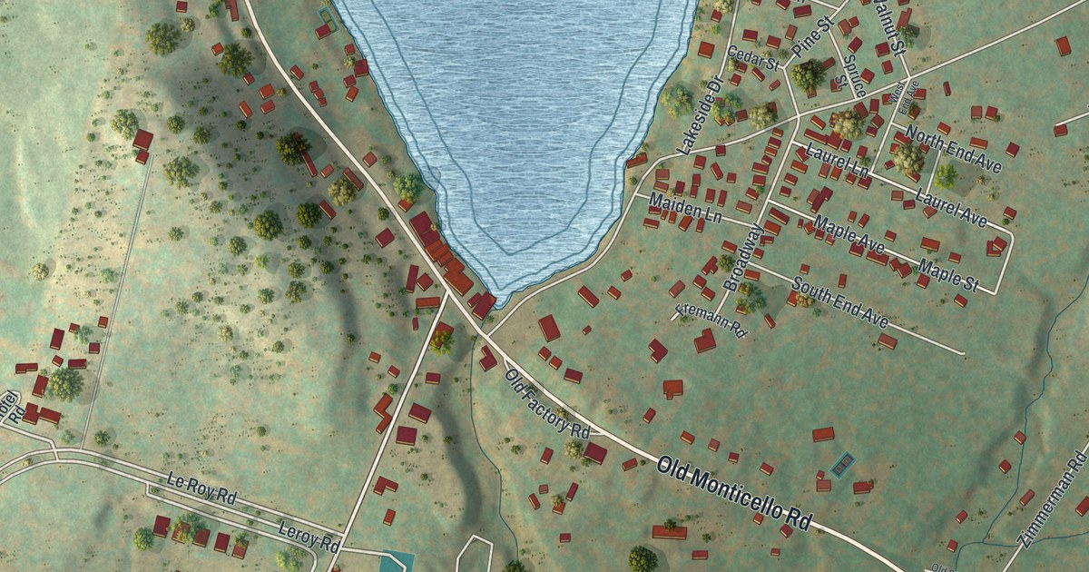
A detailed map of Loch Sheldrake, New York, showing every building in its true location, the roads by name, and shaded topographical relief.
Read More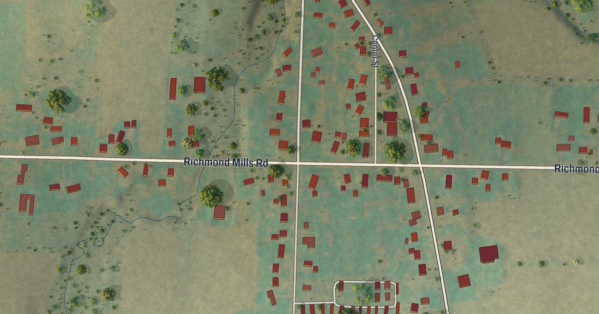
A detailed map of Livonia Center, New York, showing every building in its true location, the roads by name, and shaded topographical relief.
Read More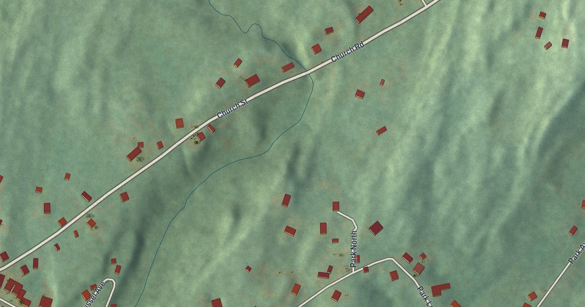
A detailed map of Leeds, New York, showing every building in its true location, the roads by name, and shaded topographical relief.
Read More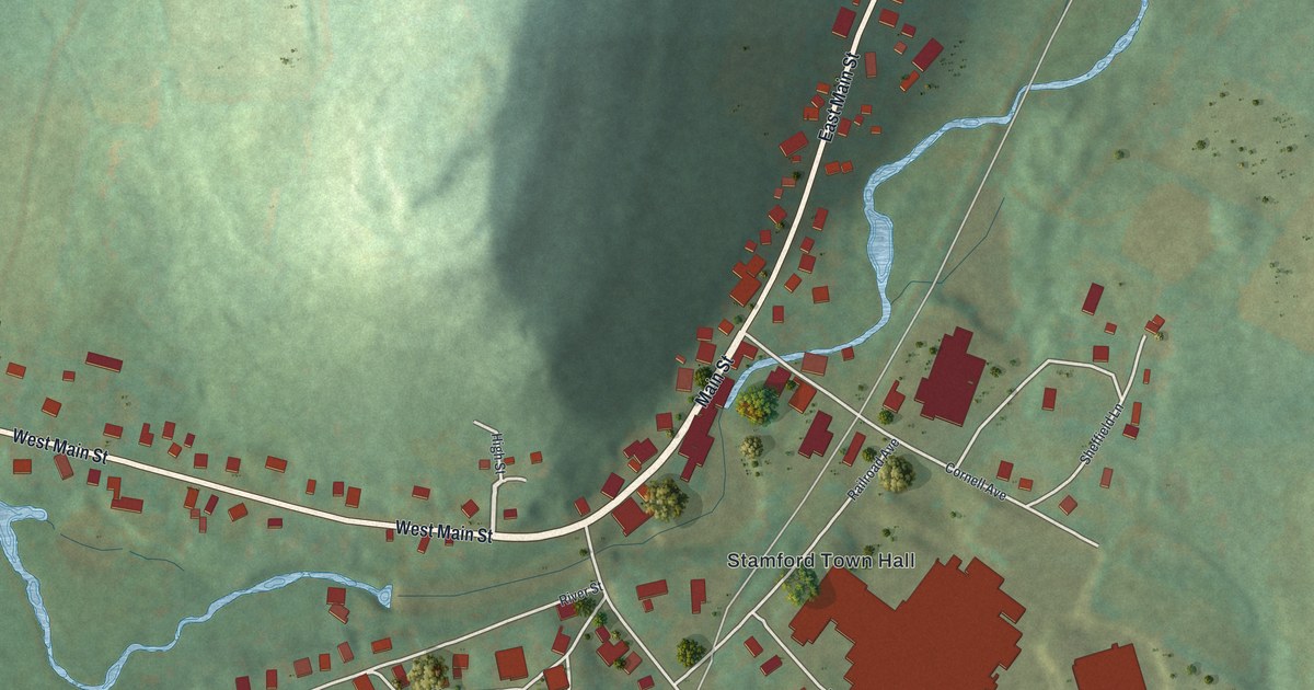
A detailed map of Hobart, New York, showing every building in its true location, the roads by name, and shaded topographical relief.
Read More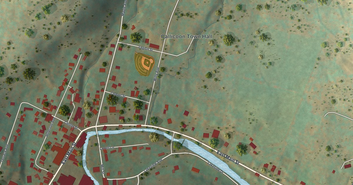
A detailed map of Jeffersonville, New York, showing every building in its true location, the roads by name, and shaded topographical relief.
Read More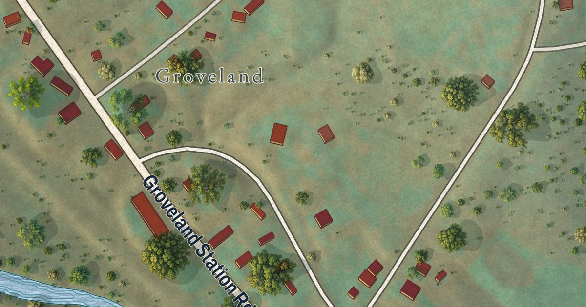
A detailed map of Groveland Station, New York, showing every building in its true location, the roads by name, and shaded topographical relief.
Read More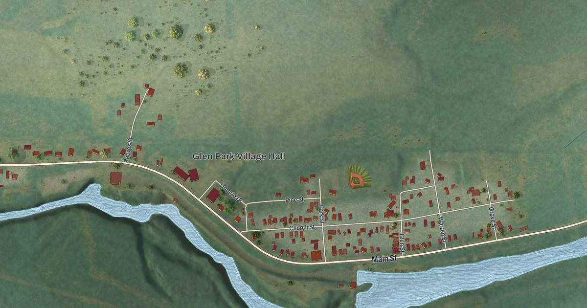
A detailed map of Glen Park, New York, showing every building in its true location, the roads by name, and shaded topographical relief.
Read More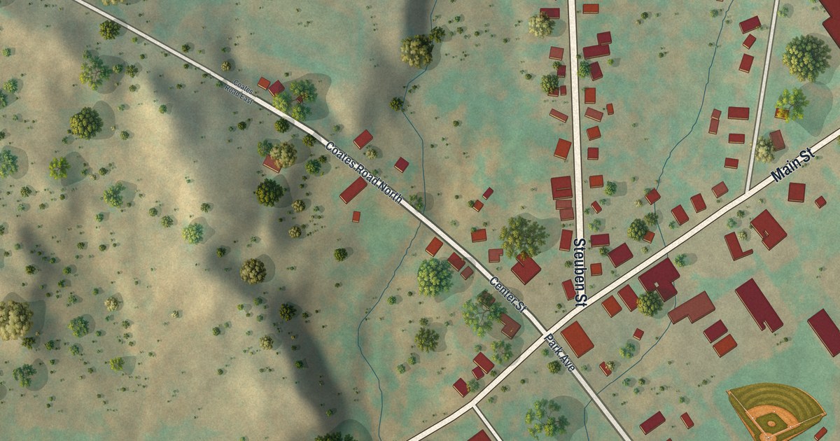
A detailed map of Holland Patent, New York, showing every building in its true location, the roads by name, and shaded topographical relief.
Read More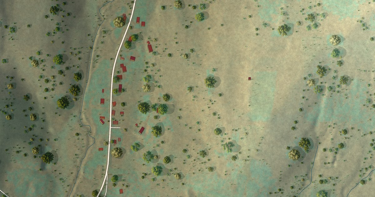
A detailed map of Glen Aubrey, New York, showing every building in its true location, the roads by name, and shaded topographical relief.
Read More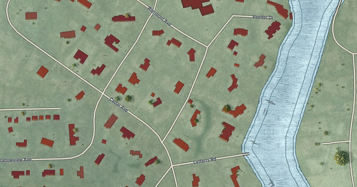
A detailed map of Hewlett Bay Park, New York, showing every building in its true location, the roads by name, and shaded topographical relief.
Read More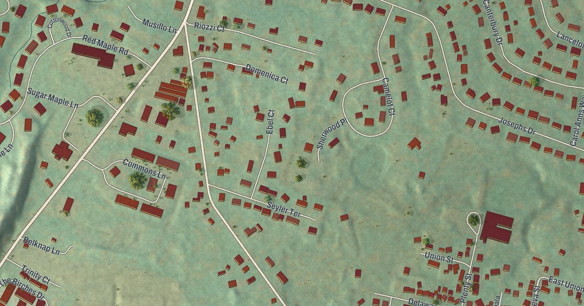
A detailed map of Glasco, New York, showing every building in its true location, the roads by name, and shaded topographical relief.
Read More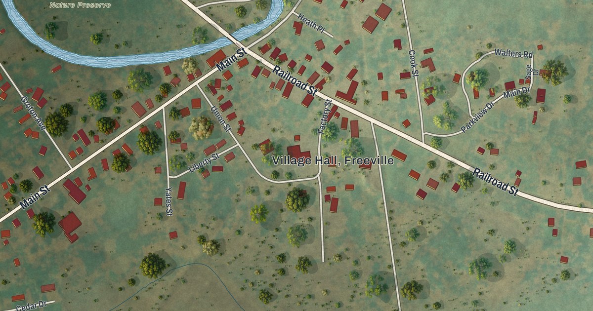
A detailed map of Freeville, New York, showing every building in its true location, the roads by name, and shaded topographical relief.
Read More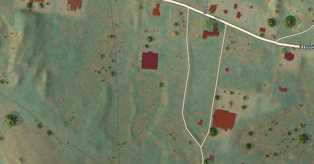
A detailed map of Freedom Plains, New York, showing every building in its true location, the roads by name, and shaded topographical relief.
Read More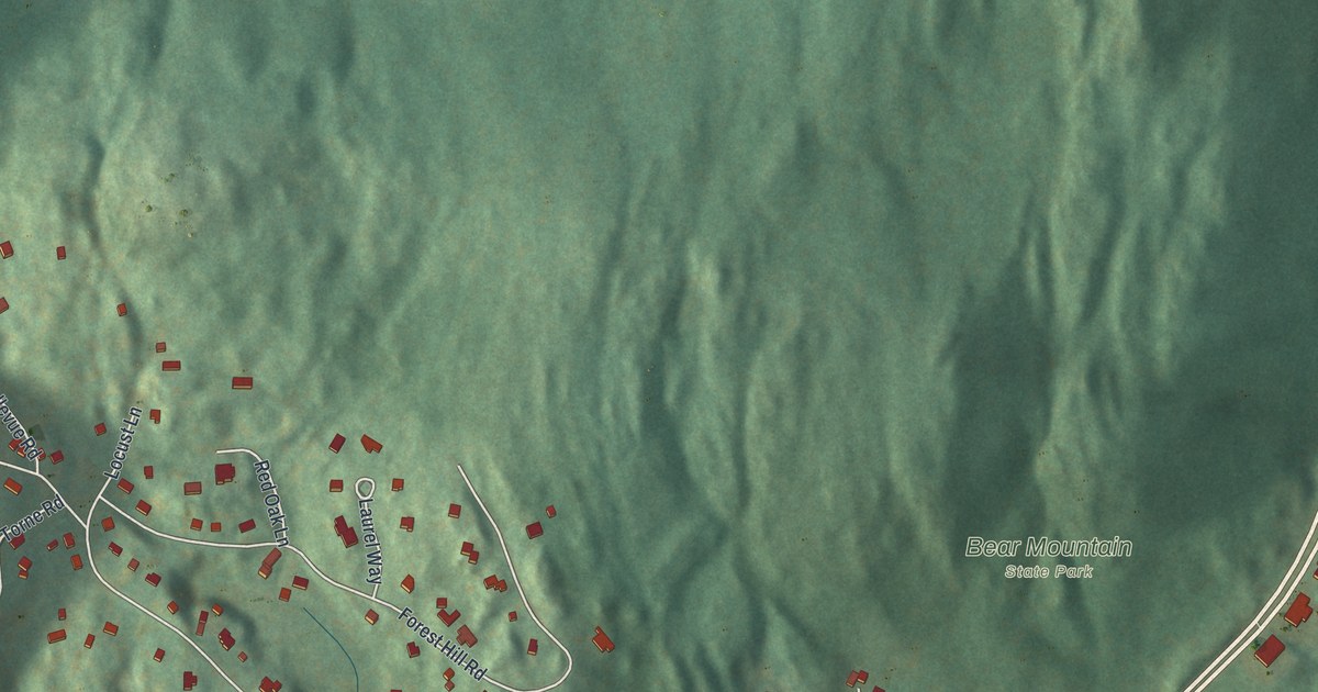
A detailed map of Fort Montgomery, New York, showing every building in its true location, the roads by name, and shaded topographical relief.
Read More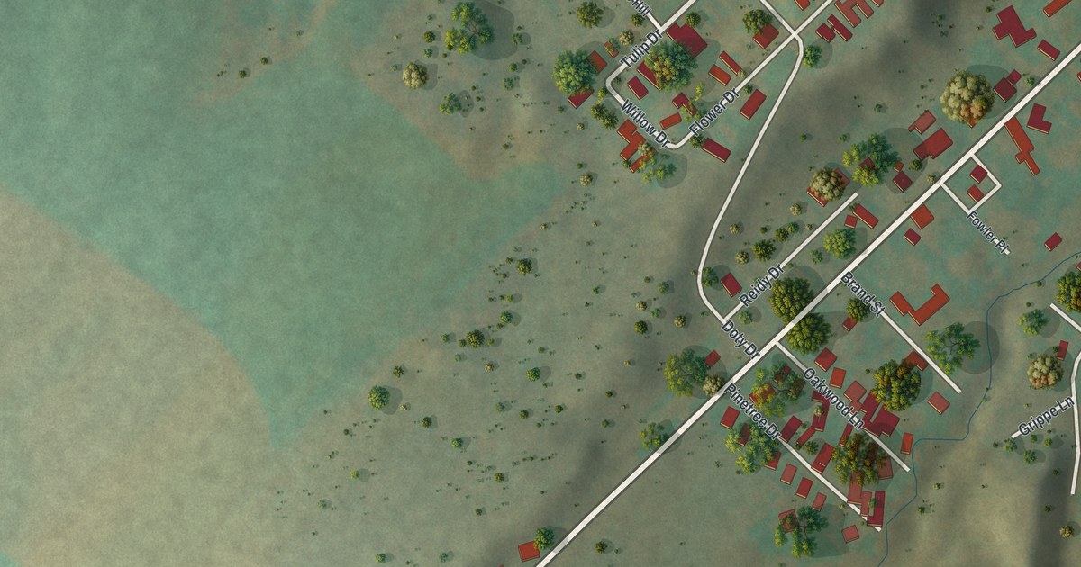
A detailed map of East Frankfort, New York, showing every building in its true location, the roads by name, and shaded topographical relief.
Read More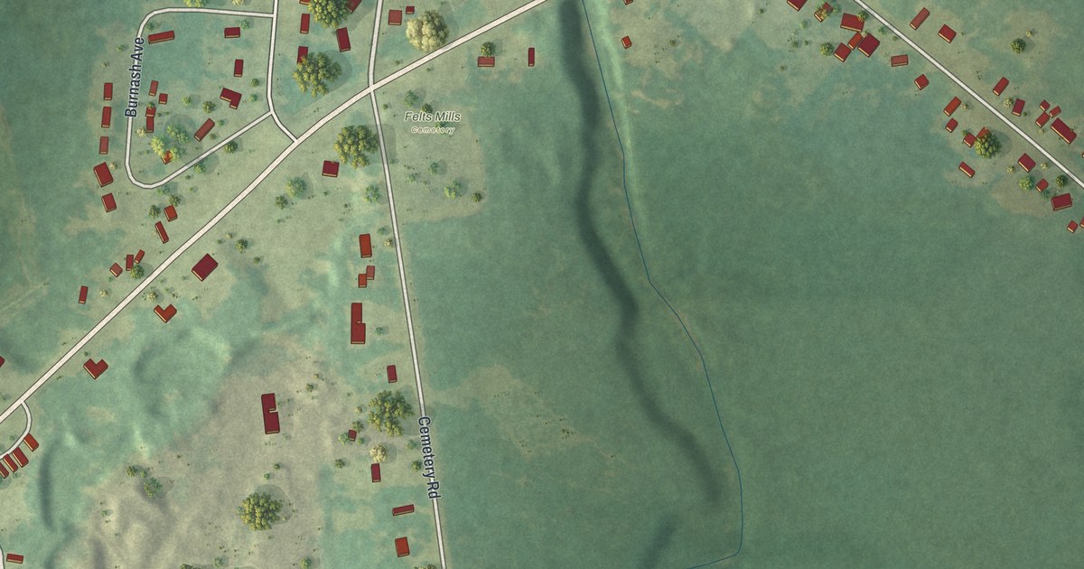
A detailed map of Felts Mills, New York, showing every building in its true location, the roads by name, and shaded topographical relief.
Read More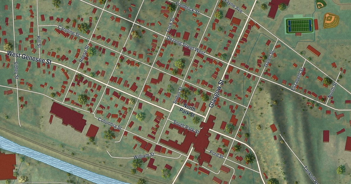
A detailed map of Clyde, New York, showing every building in its true location, the roads by name, and shaded topographical relief.
Read More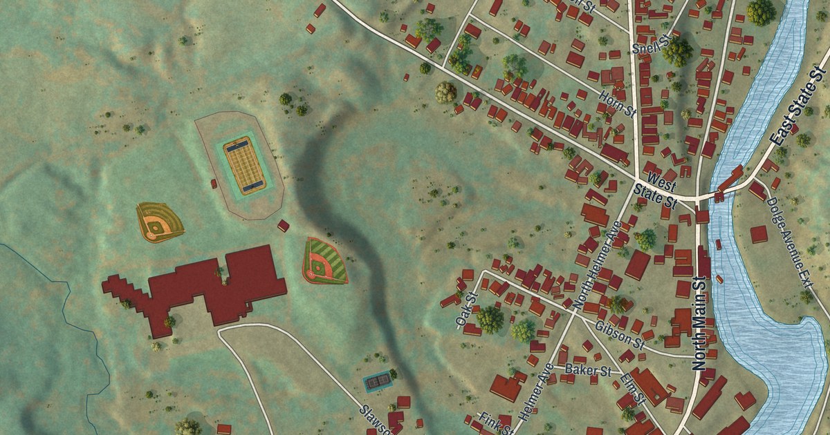
A detailed map of Dolgeville, New York, showing every building in its true location, the roads by name, and shaded topographical relief.
Read More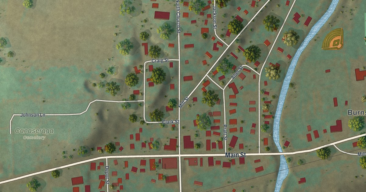
A detailed map of Canaseraga, New York, showing every building in its true location, the roads by name, and shaded topographical relief.
Read More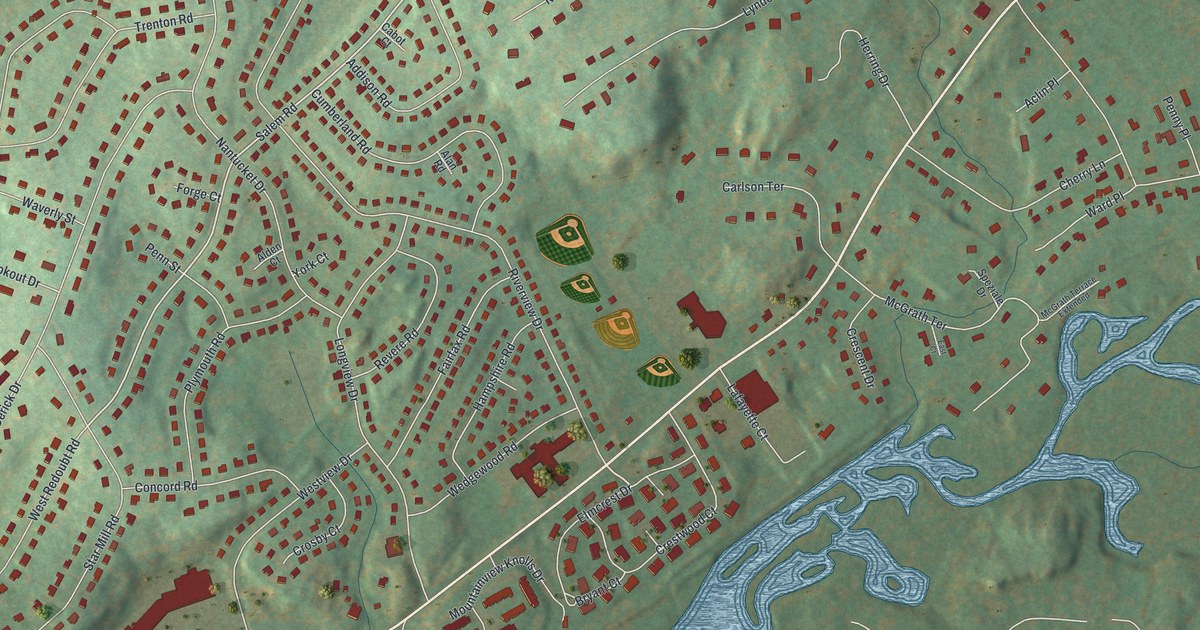
A detailed map of Brinckerhoff, New York, showing every building in its true location, the roads by name, and shaded topographical relief.
Read More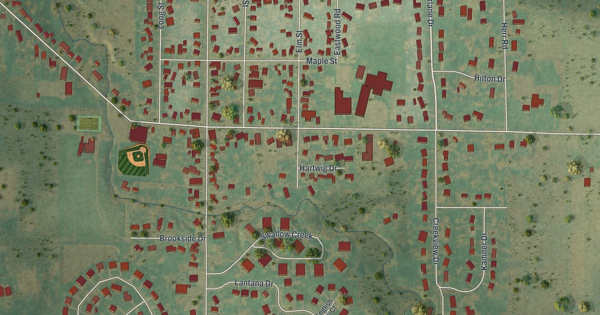
A detailed map of Clarence Center, New York, showing every building in its true location, the roads by name, and shaded topographical relief.
Read More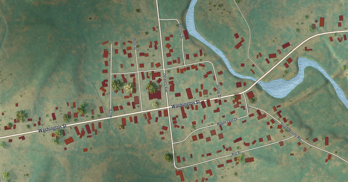
A detailed map of Brushton, New York, showing every building in its true location, the roads by name, and shaded topographical relief.
Read More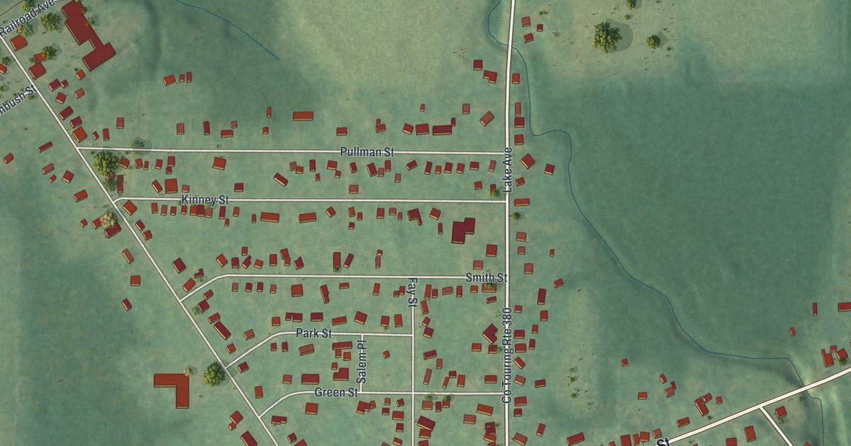
A detailed map of Brocton, New York, showing every building in its true location, the roads by name, and shaded topographical relief.
Read More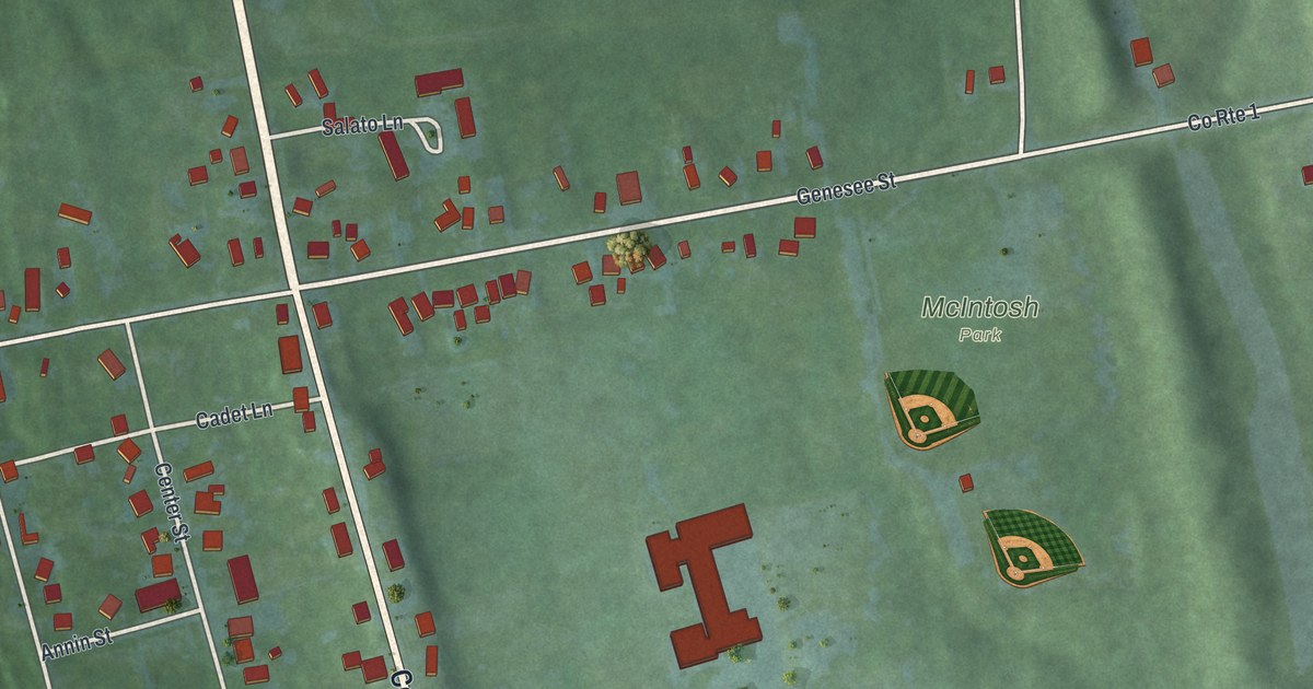
A detailed map of Cayuga, New York, showing every building in its true location, the roads by name, and shaded topographical relief.
Read More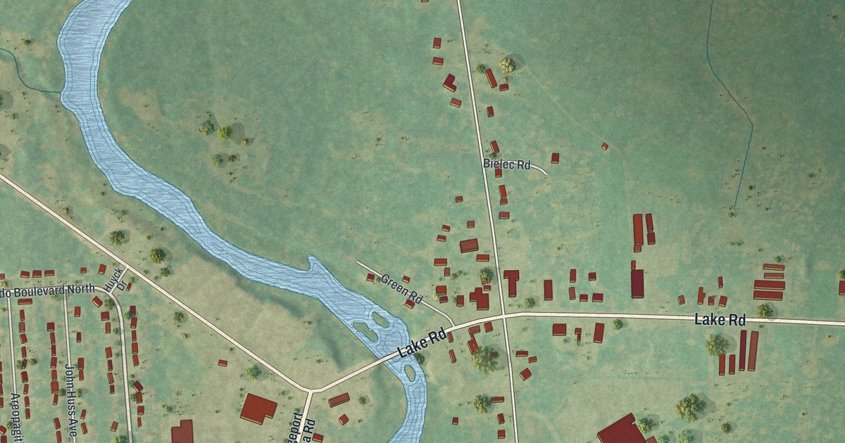
A detailed map of Bridgeport, New York, showing every building in its true location, the roads by name, and shaded topographical relief.
Read More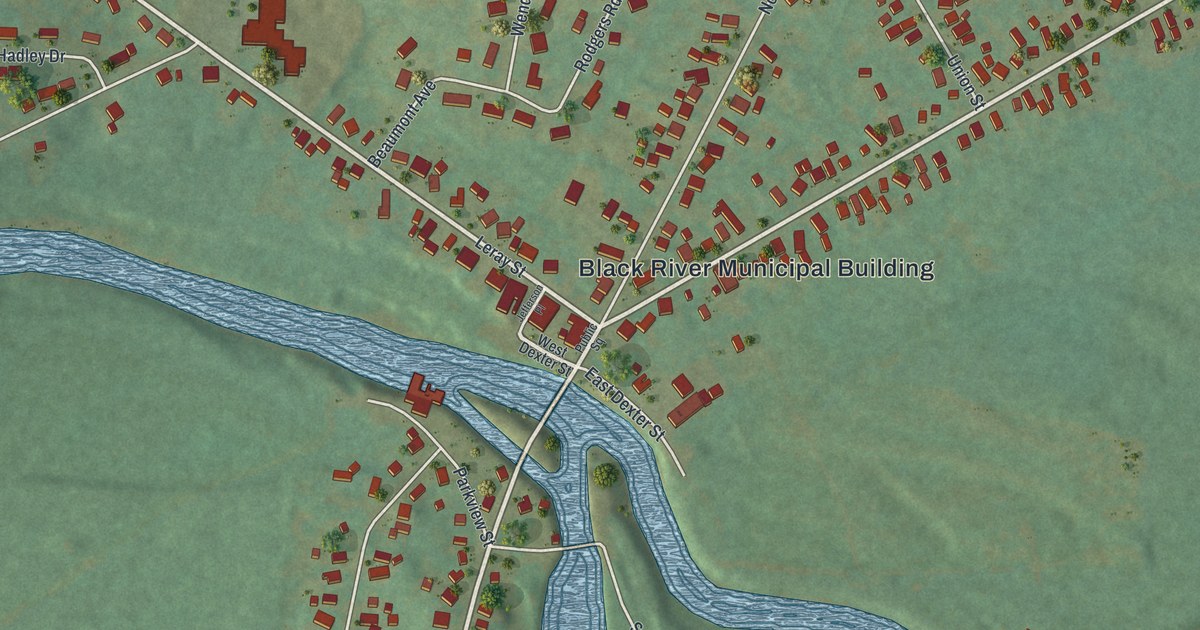
A detailed map of Black River, New York, showing every building in its true location, the roads by name, and shaded topographical relief.
Read More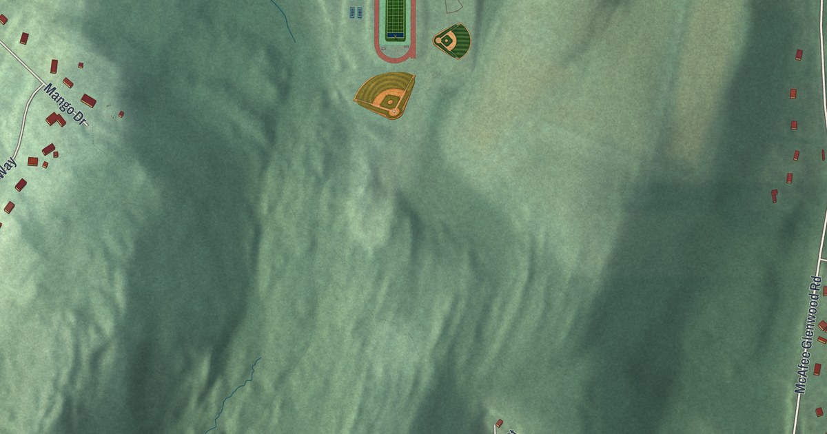
A detailed map of Vernon Valley, New Jersey, showing every building in its true location, the roads by name, and shaded topographical relief.
Read More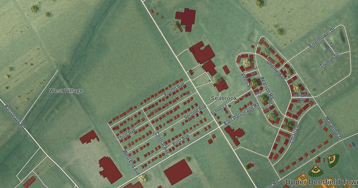
A detailed map of Seabrook Farms, New Jersey, showing every building in its true location, the roads by name, and shaded topographical relief.
Read More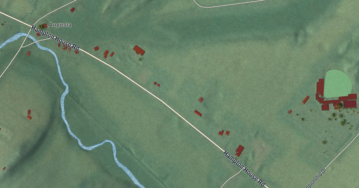
A detailed map of Ross Corner, New Jersey, showing every building in its true location, the roads by name, and shaded topographical relief.
Read More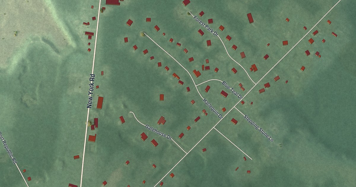
A detailed map of Oceanville, New Jersey, showing every building in its true location, the roads by name, and shaded topographical relief.
Read More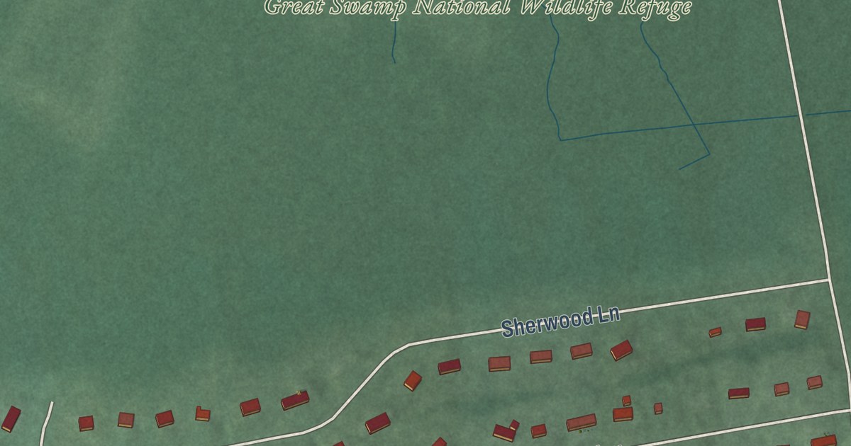
A detailed map of Stirling, New Jersey, showing every building in its true location, the roads by name, and shaded topographical relief.
Read More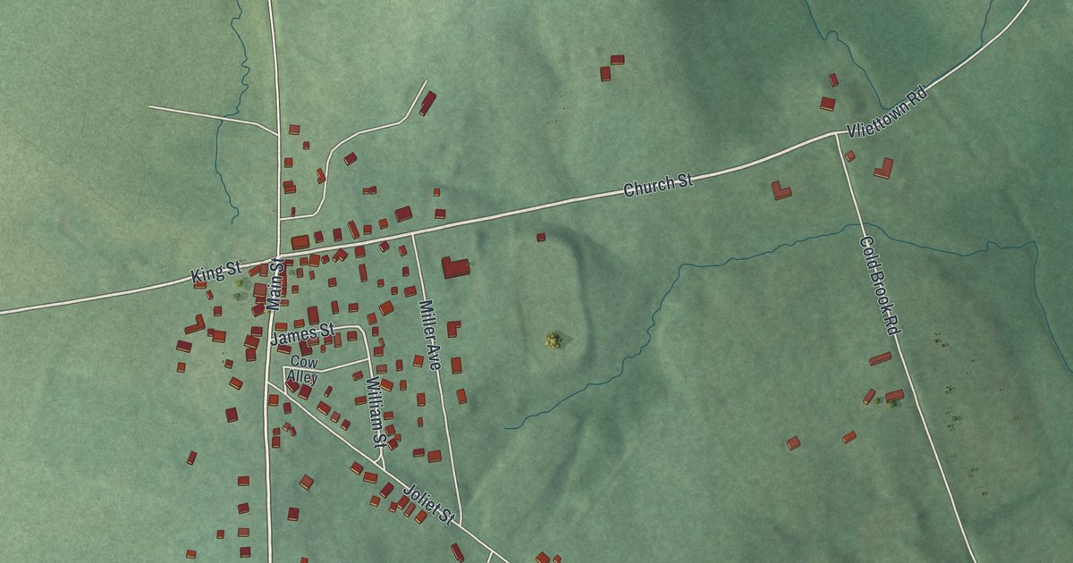
A detailed map of Oldwick, New Jersey, showing every building in its true location, the roads by name, and shaded topographical relief.
Read More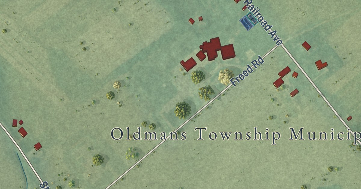
A detailed map of Pedricktown, New Jersey, showing every building in its true location, the roads by name, and shaded topographical relief.
Read More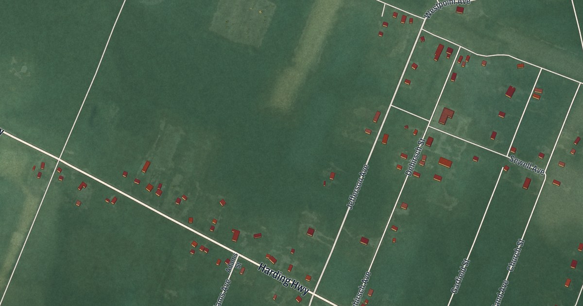
A detailed map of Mizpah, New Jersey, showing every building in its true location, the roads by name, and shaded topographical relief.
Read More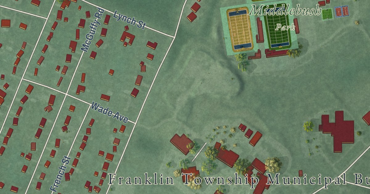
A detailed map of Middlebush, New Jersey, showing every building in its true location, the roads by name, and shaded topographical relief.
Read More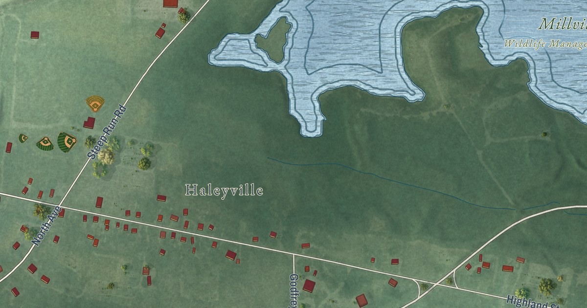
A detailed map of Mauricetown, New Jersey, showing every building in its true location, the roads by name, and shaded topographical relief.
Read More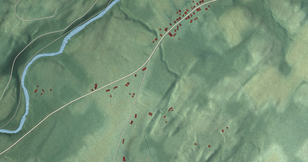
A detailed map of Marksboro, New Jersey, showing every building in its true location, the roads by name, and shaded topographical relief.
Read More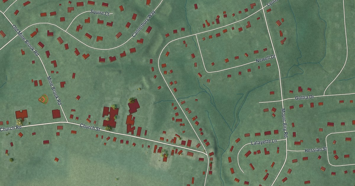
A detailed map of Liberty Corner, New Jersey, showing every building in its true location, the roads by name, and shaded topographical relief.
Read More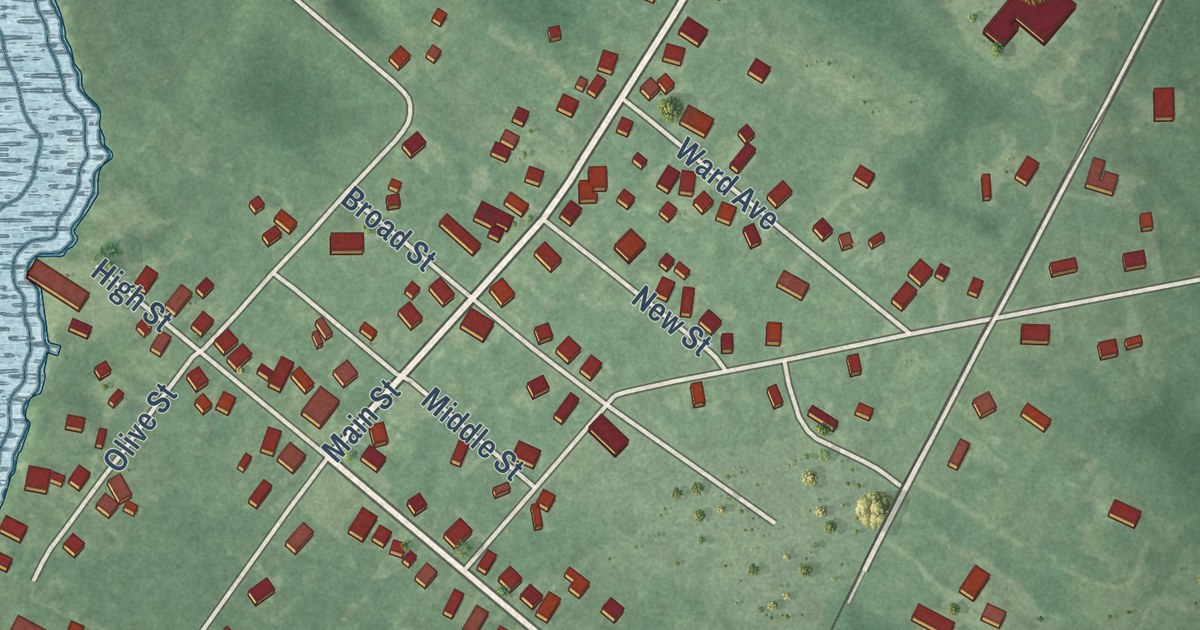
A detailed map of Leesburg, New Jersey, showing every building in its true location, the roads by name, and shaded topographical relief.
Read More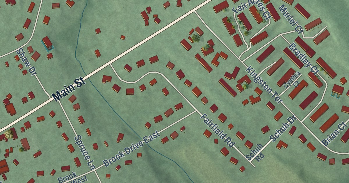
A detailed map of Kingston, New Jersey, showing every building in its true location, the roads by name, and shaded topographical relief.
Read More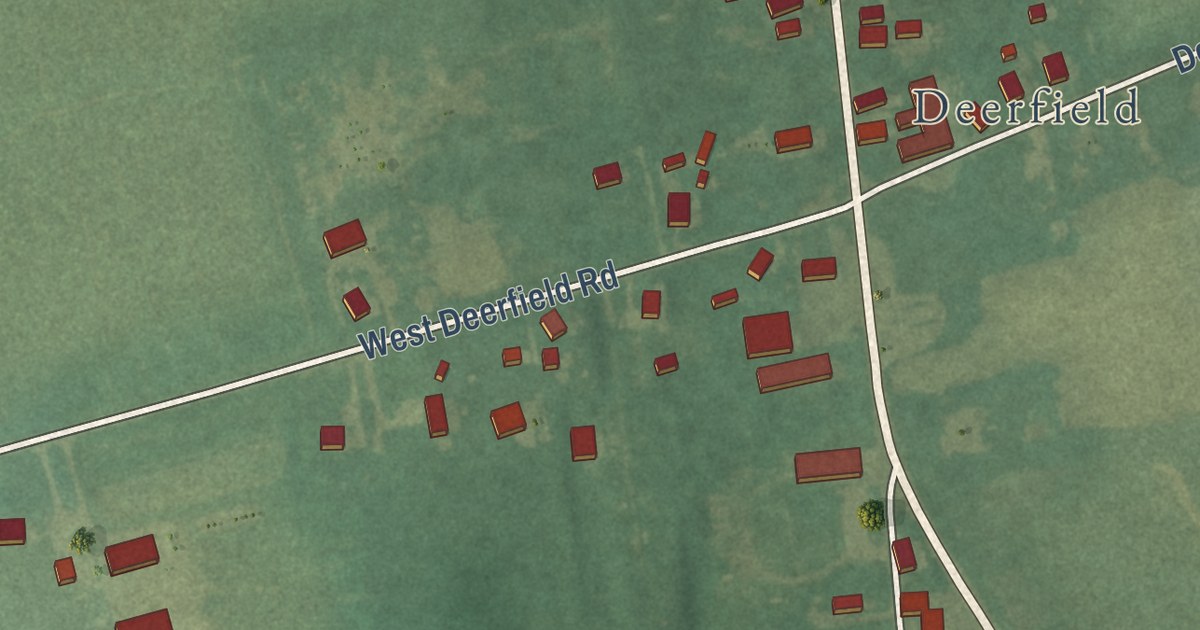
A detailed map of Deerfield Street, New Jersey, showing every building in its true location, the roads by name, and shaded topographical relief.
Read More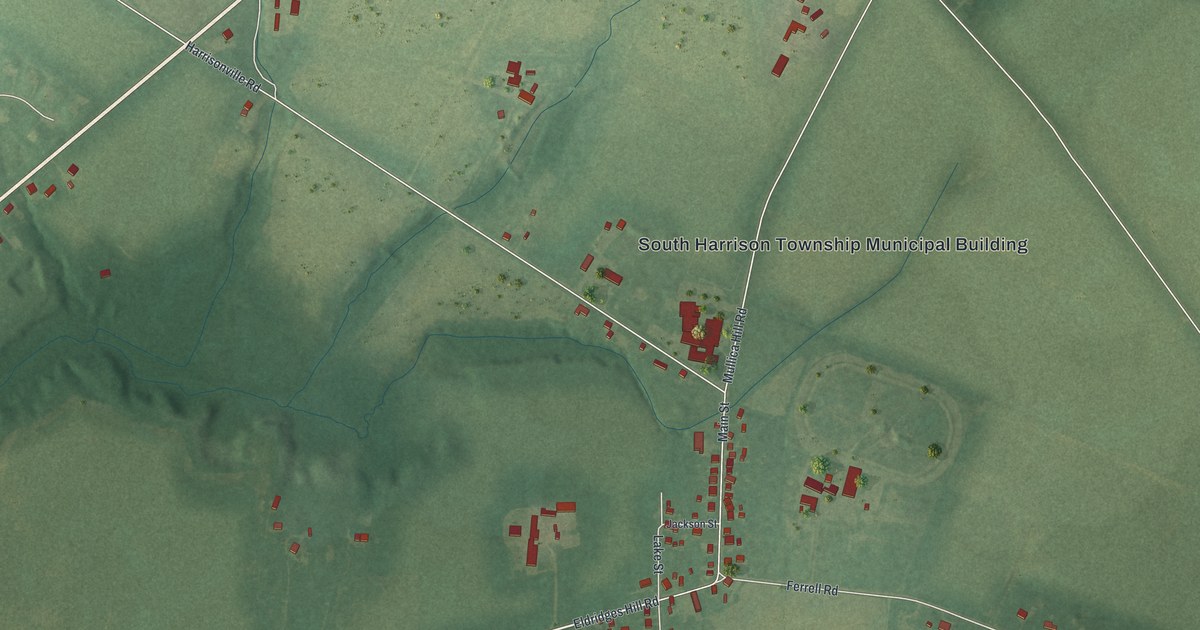
A detailed map of Harrisonville, New Jersey, showing every building in its true location, the roads by name, and shaded topographical relief.
Read More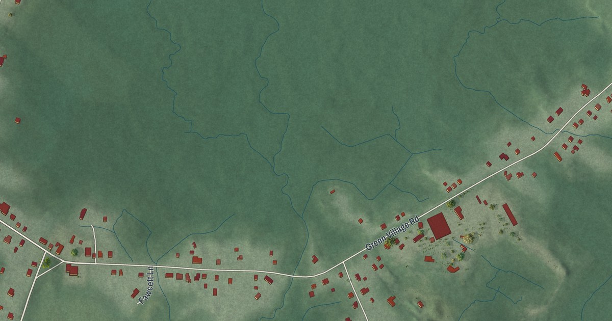
A detailed map of Green Village, New Jersey, showing every building in its true location, the roads by name, and shaded topographical relief.
Read More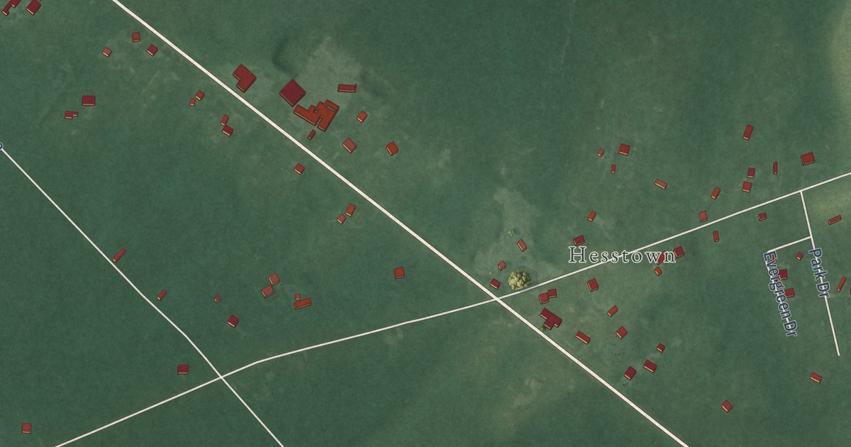
A detailed map of Cumberland-Hesstown, New Jersey, showing every building in its true location, the roads by name, and shaded topographical relief.
Read More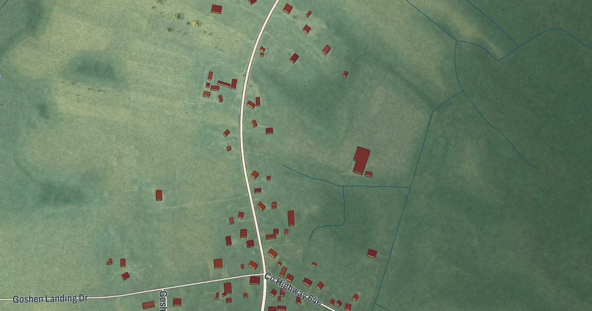
A detailed map of Goshen, New Jersey, showing every building in its true location, the roads by name, and shaded topographical relief.
Read More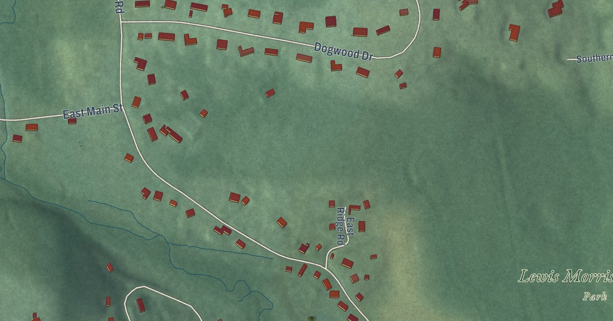
A detailed map of Brookside, New Jersey, showing every building in its true location, the roads by name, and shaded topographical relief.
Read More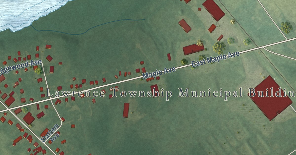
A detailed map of Cedarville, New Jersey, showing every building in its true location, the roads by name, and shaded topographical relief.
Read More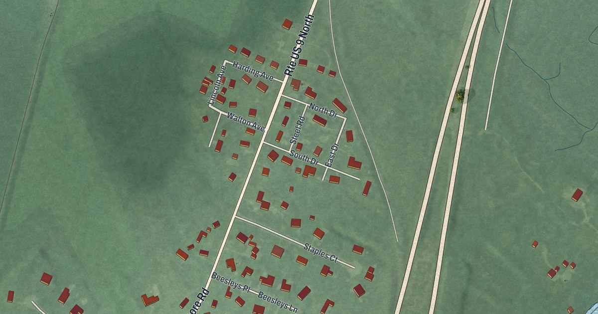
A detailed map of Beesleys Point, New Jersey, showing every building in its true location, the roads by name, and shaded topographical relief.
Read More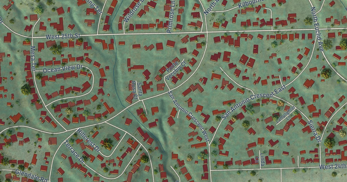
A detailed map of San Antonio Heights, California, showing every building in its true location, the roads by name, and shaded topographical relief.
Read More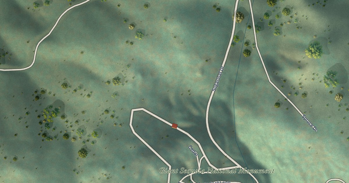
A detailed map of Sugarloaf Saw Mill, California, showing every building in its true location, the roads by name, and shaded topographical relief.
Read More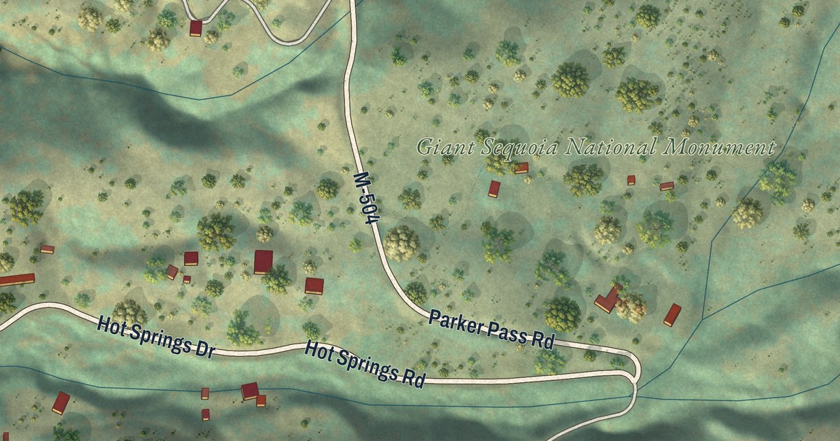
A detailed map of California Hot Springs, California, showing every building in its true location, the roads by name, and shaded topographical relief.
Read More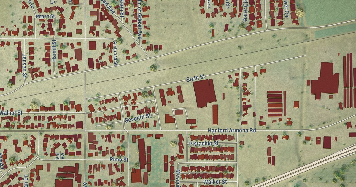
A detailed map of Armona, California, showing every building in its true location, the roads by name, and shaded topographical relief.
Read More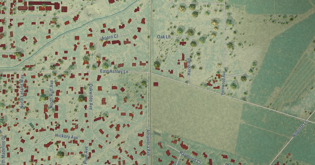
A detailed map of Morada, California, showing every building in its true location, the roads by name, and shaded topographical relief.
Read More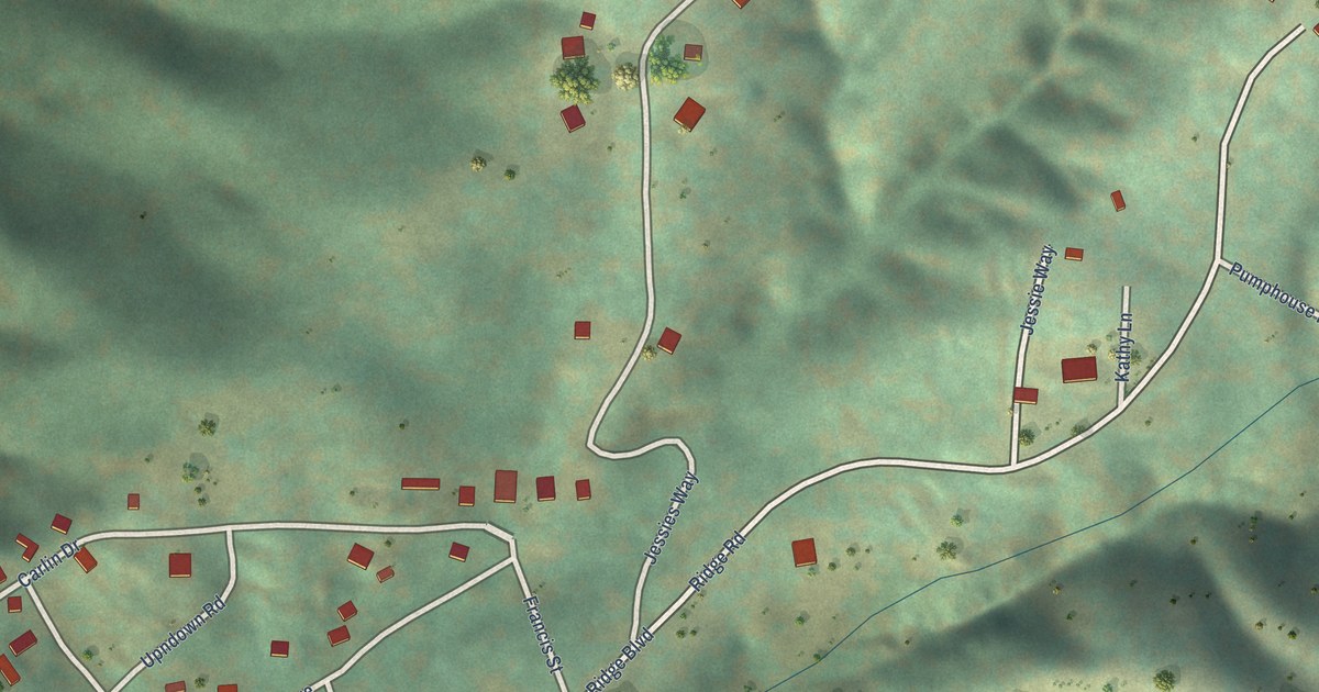
A detailed map of Panorama Heights, California, showing every building in its true location, the roads by name, and shaded topographical relief.
Read More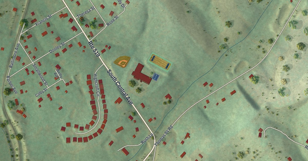
A detailed map of Wylandville, Pennsylvania, showing every building in its true location, the roads by name, and shaded topographical relief.
Read More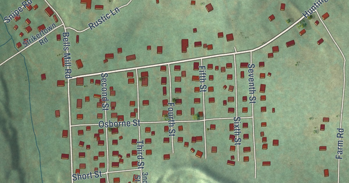
A detailed map of Wyano, Pennsylvania, showing every building in its true location, the roads by name, and shaded topographical relief.
Read More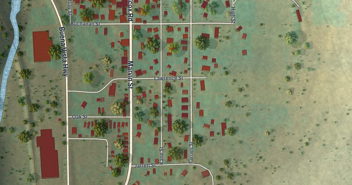
A detailed map of Wilcox, Pennsylvania, showing every building in its true location, the roads by name, and shaded topographical relief.
Read More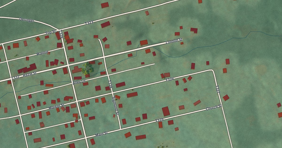
A detailed map of Weston, Pennsylvania, showing every building in its true location, the roads by name, and shaded topographical relief.
Read More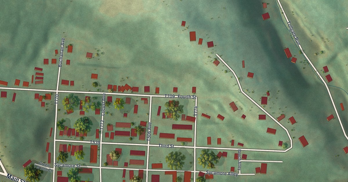
A detailed map of West Waynesburg, Pennsylvania, showing every building in its true location, the roads by name, and shaded topographical relief.
Read More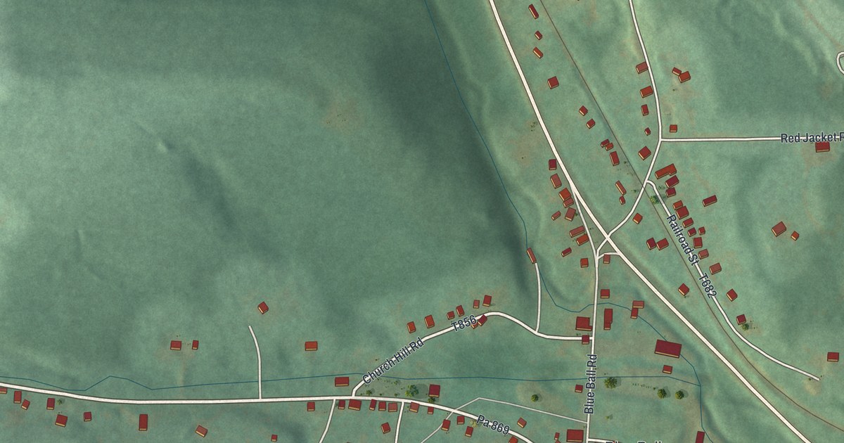
A detailed map of West Decatur, Pennsylvania, showing every building in its true location, the roads by name, and shaded topographical relief.
Read More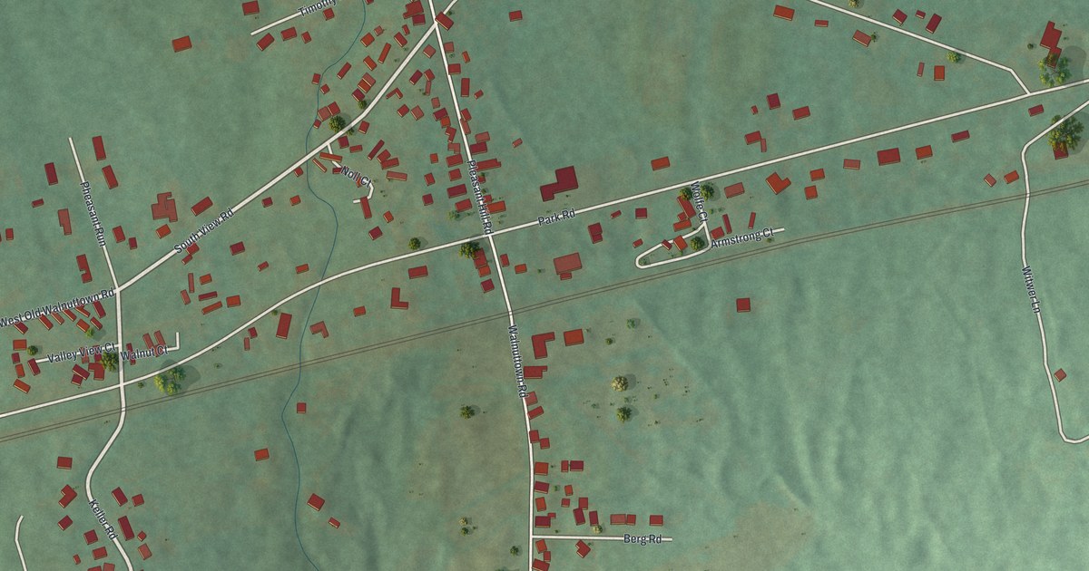
A detailed map of Walnuttown, Pennsylvania, showing every building in its true location, the roads by name, and shaded topographical relief.
Read More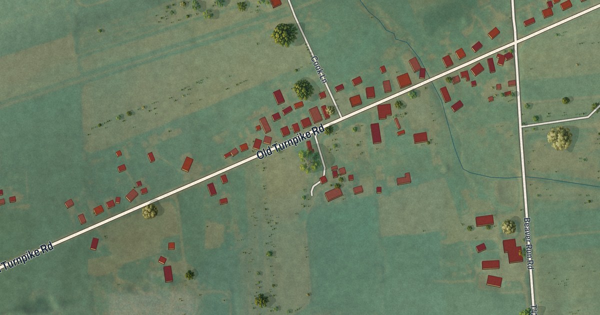
A detailed map of Vicksburg, Pennsylvania, showing every building in its true location, the roads by name, and shaded topographical relief.
Read More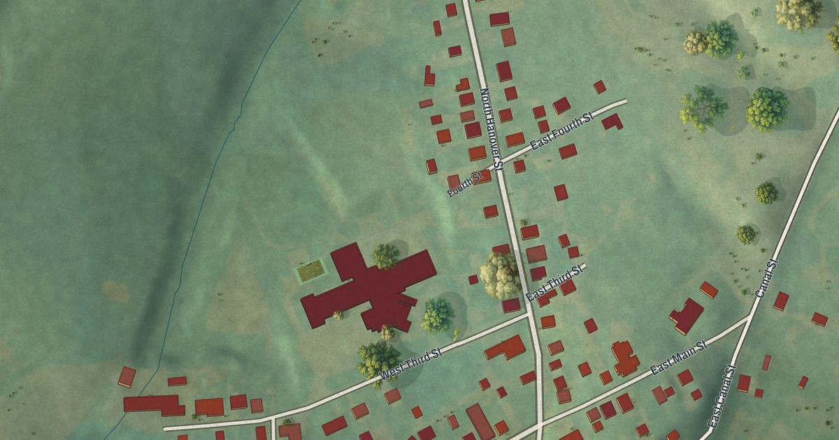
A detailed map of Union Deposit, Pennsylvania, showing every building in its true location, the roads by name, and shaded topographical relief.
Read More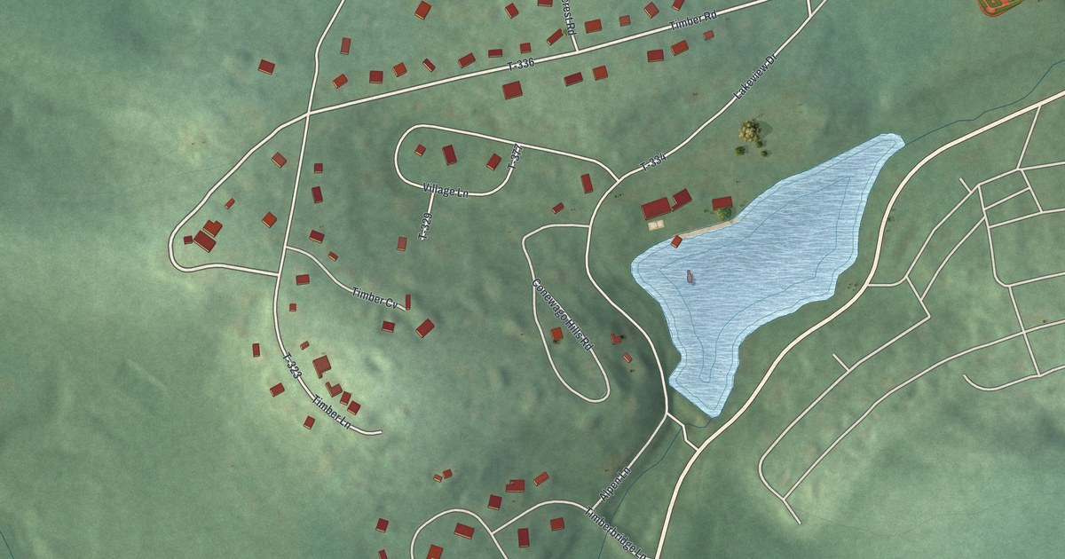
A detailed map of Timber Hills, Pennsylvania, showing every building in its true location, the roads by name, and shaded topographical relief.
Read More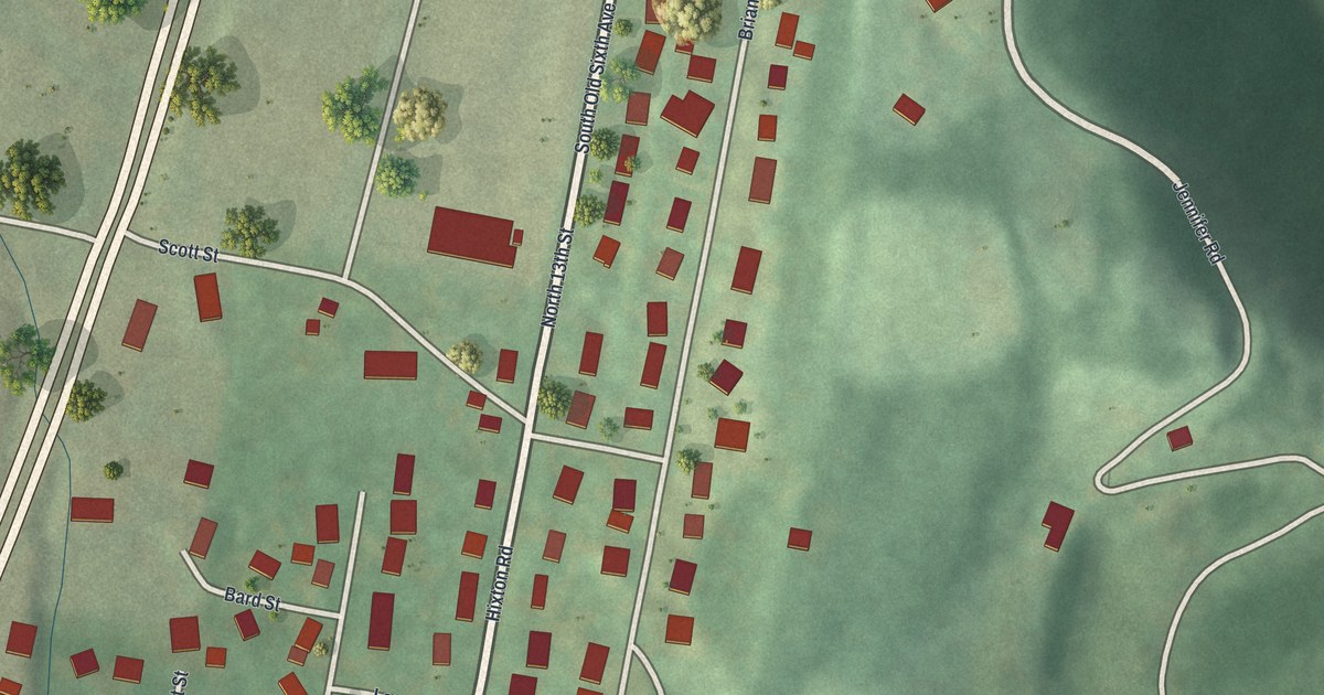
A detailed map of Sunbrook, Pennsylvania, showing every building in its true location, the roads by name, and shaded topographical relief.
Read More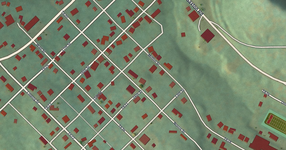
A detailed map of Stonerstown, Pennsylvania, showing every building in its true location, the roads by name, and shaded topographical relief.
Read More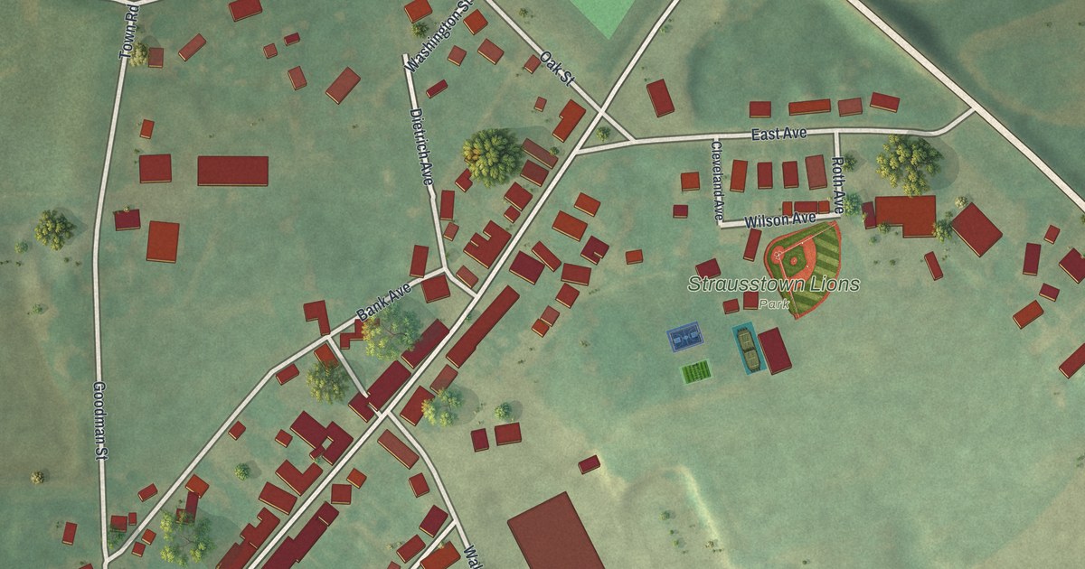
A detailed map of Strausstown, Pennsylvania, showing every building in its true location, the roads by name, and shaded topographical relief.
Read More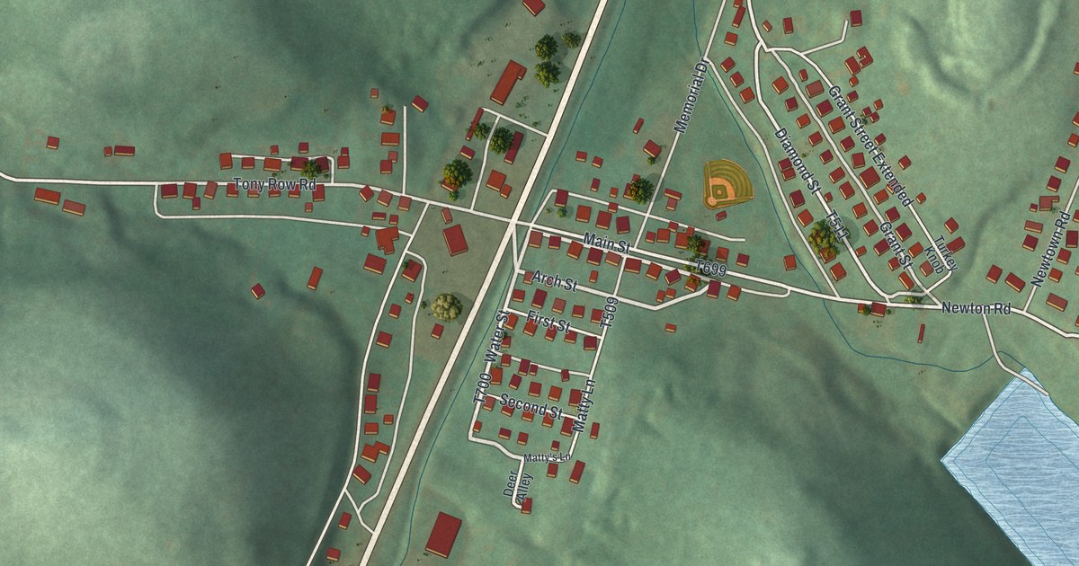
A detailed map of Star Junction, Pennsylvania, showing every building in its true location, the roads by name, and shaded topographical relief.
Read More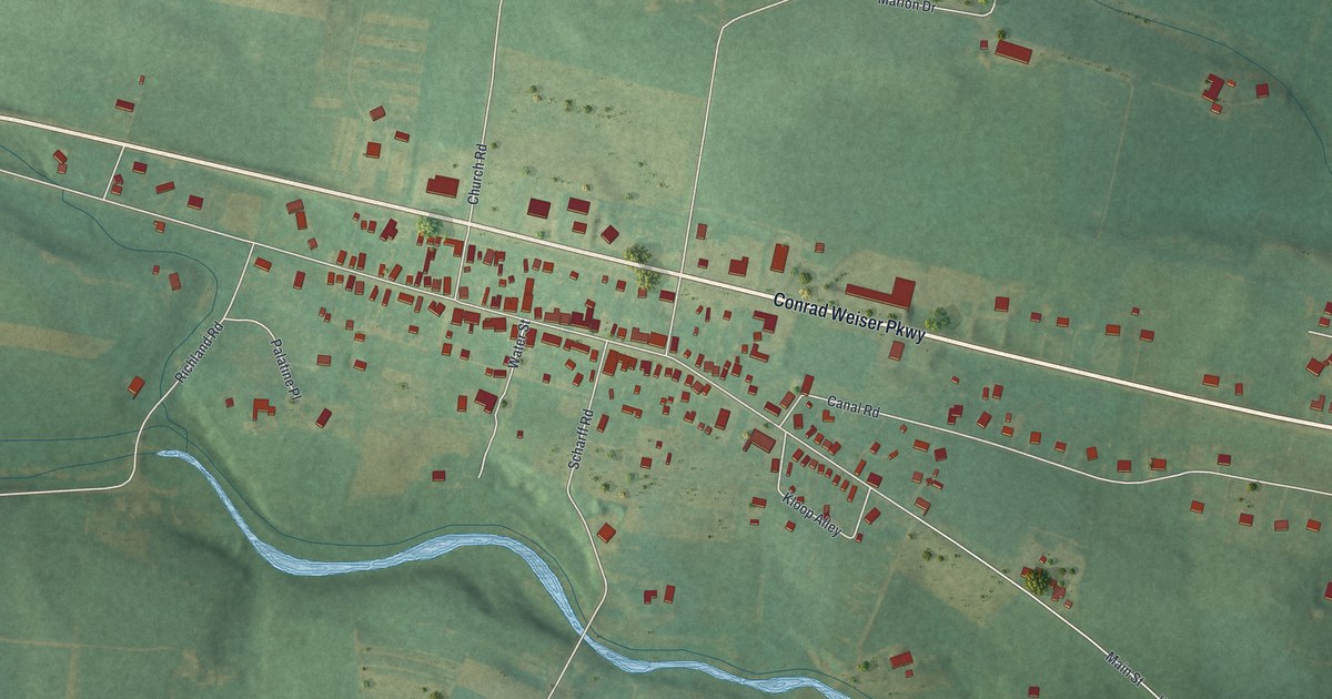
A detailed map of Stouchsburg, Pennsylvania, showing every building in its true location, the roads by name, and shaded topographical relief.
Read More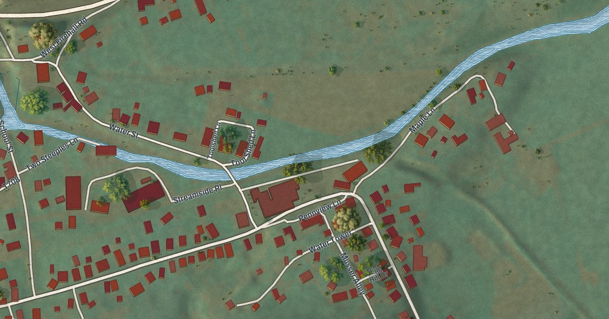
A detailed map of Spring Mills, Pennsylvania, showing every building in its true location, the roads by name, and shaded topographical relief.
Read More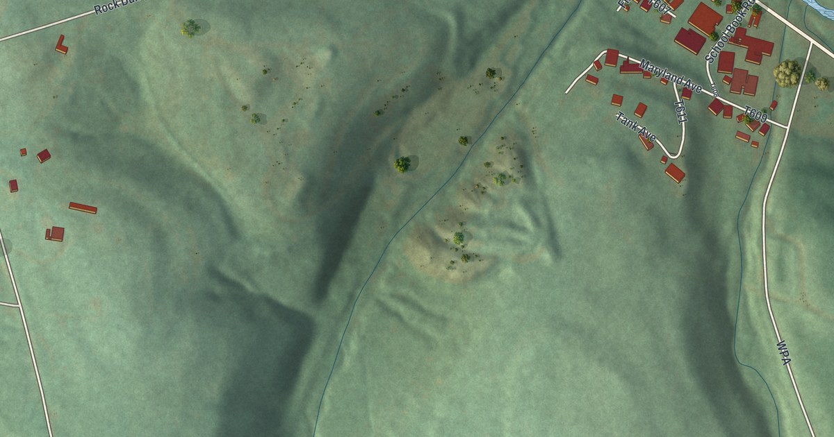
A detailed map of St. Michael, Pennsylvania, showing every building in its true location, the roads by name, and shaded topographical relief.
Read More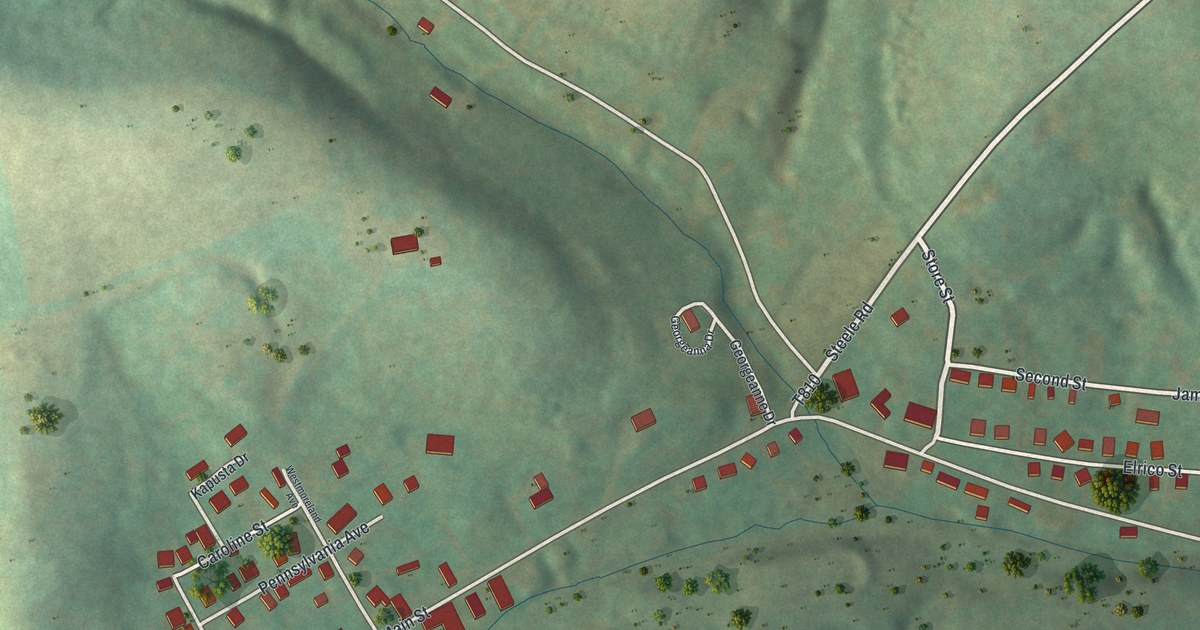
A detailed map of Slickville, Pennsylvania, showing every building in its true location, the roads by name, and shaded topographical relief.
Read More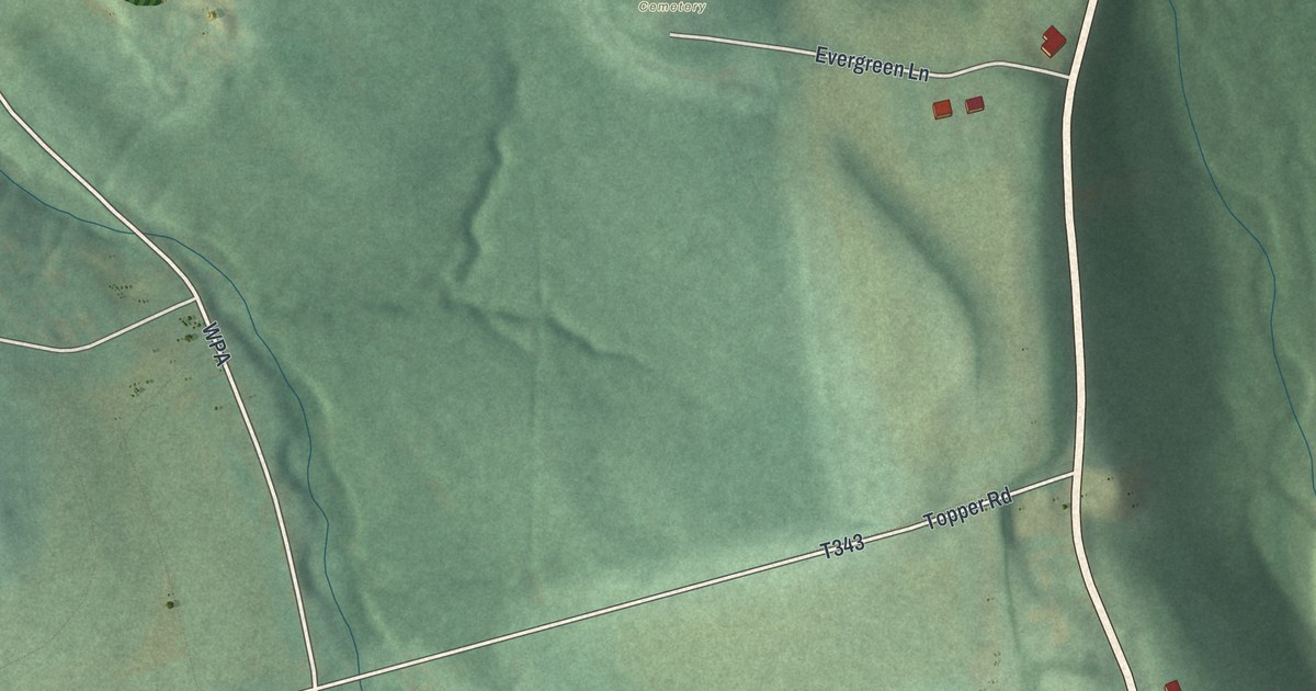
A detailed map of Sidman, Pennsylvania, showing every building in its true location, the roads by name, and shaded topographical relief.
Read More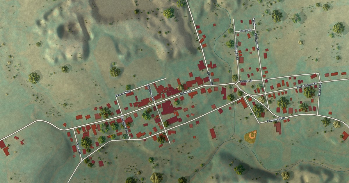
A detailed map of Slatedale, Pennsylvania, showing every building in its true location, the roads by name, and shaded topographical relief.
Read More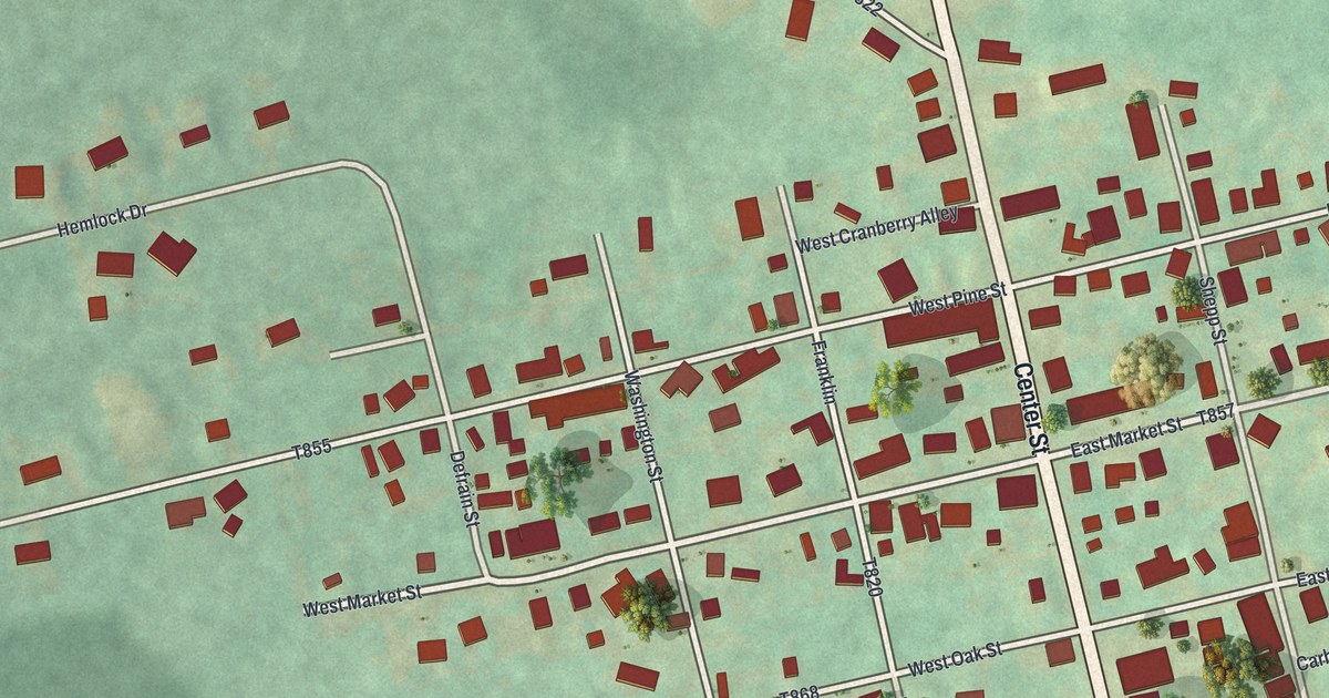
A detailed map of Sheppton, Pennsylvania, showing every building in its true location, the roads by name, and shaded topographical relief.
Read More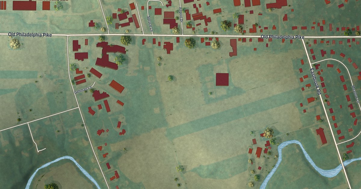
A detailed map of Smoketown, Pennsylvania, showing every building in its true location, the roads by name, and shaded topographical relief.
Read More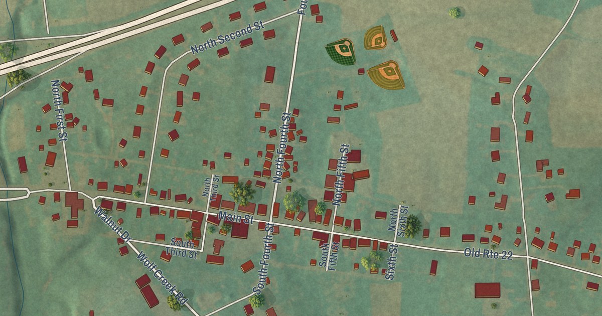
A detailed map of Shartlesville, Pennsylvania, showing every building in its true location, the roads by name, and shaded topographical relief.
Read More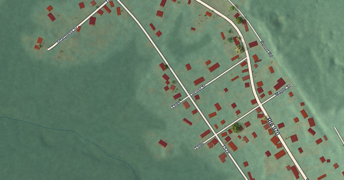
A detailed map of Sandy Ridge, Pennsylvania, showing every building in its true location, the roads by name, and shaded topographical relief.
Read More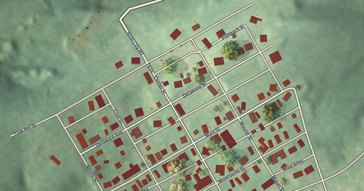
A detailed map of Seltzer, Pennsylvania, showing every building in its true location, the roads by name, and shaded topographical relief.
Read More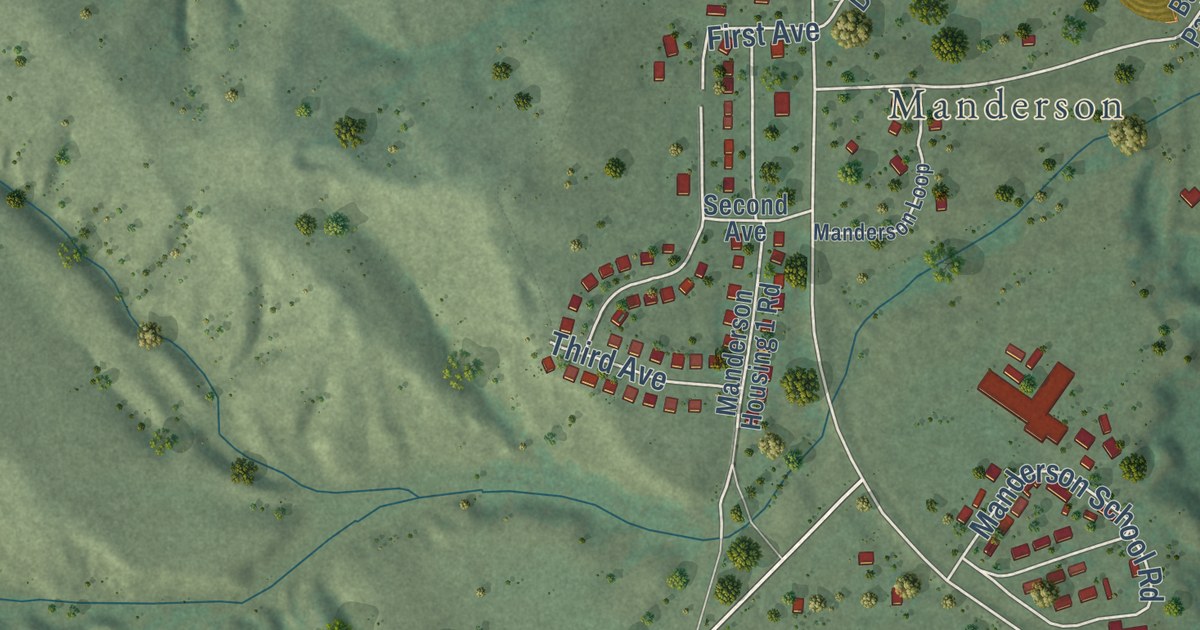
A detailed map of Manderson-White Horse Creek, South Dakota, showing every building in its true location, the roads by name, and shaded topographical relief.
Read More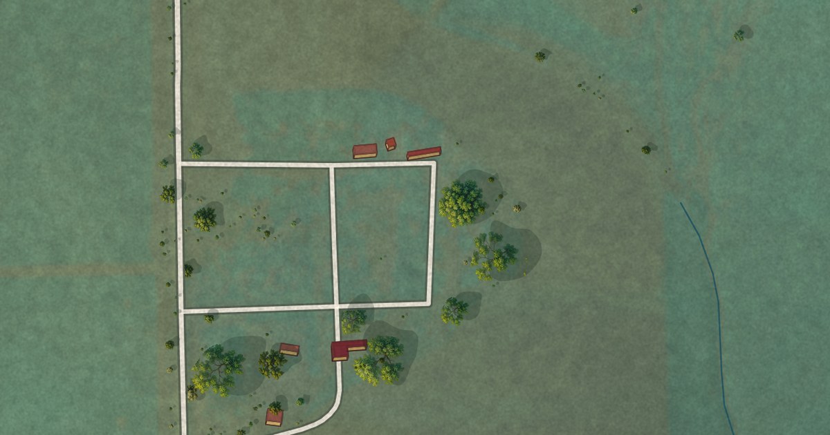
A detailed map of Bijou Hills, South Dakota, showing every building in its true location, the roads by name, and shaded topographical relief.
Read More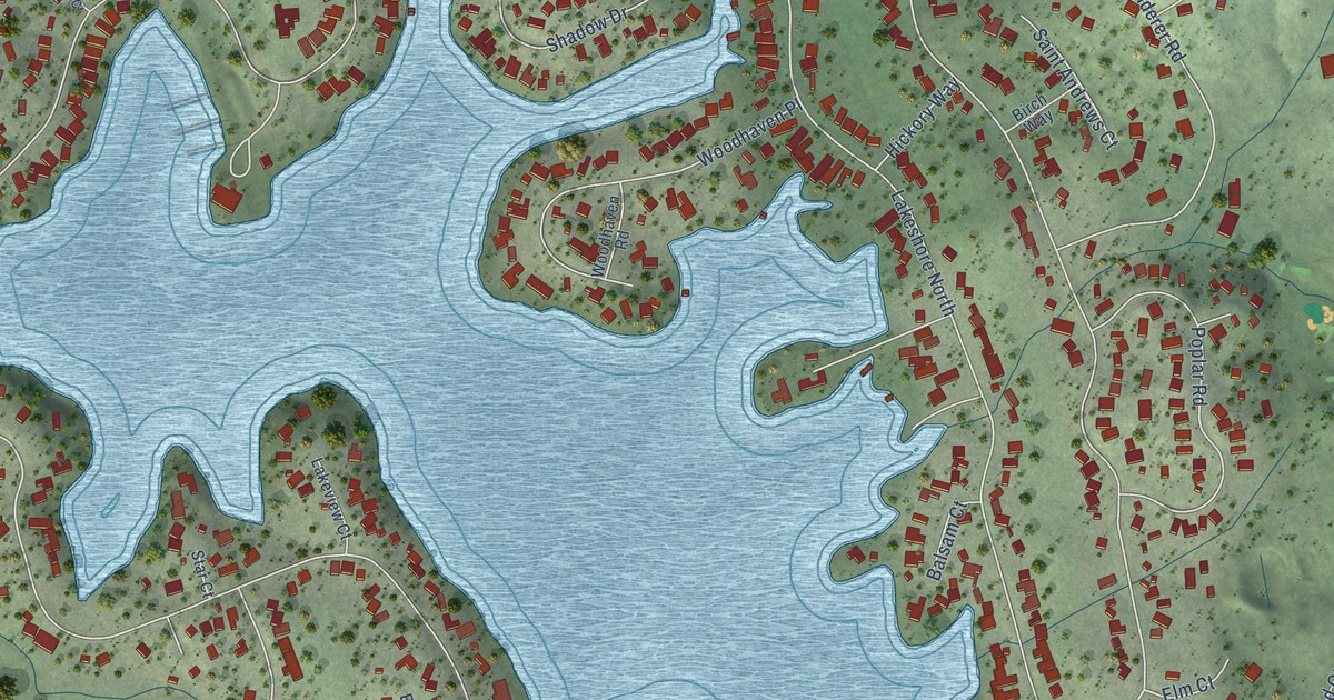
A detailed map of Lake of the Pines, California, showing every building in its true location, the roads by name, and shaded topographical relief.
Read More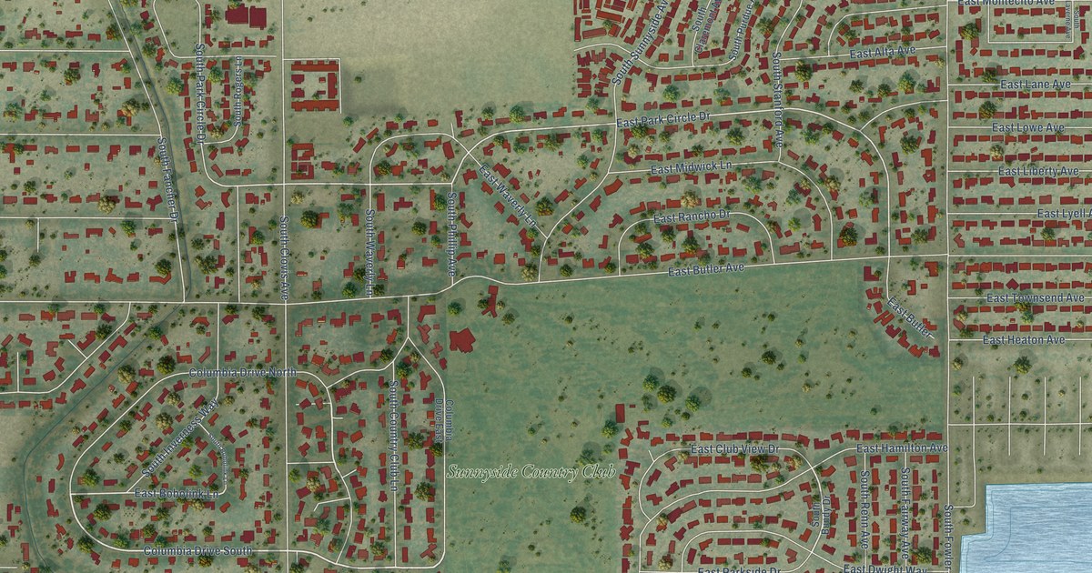
A detailed map of Sunnyside, California, showing every building in its true location, the roads by name, and shaded topographical relief.
Read More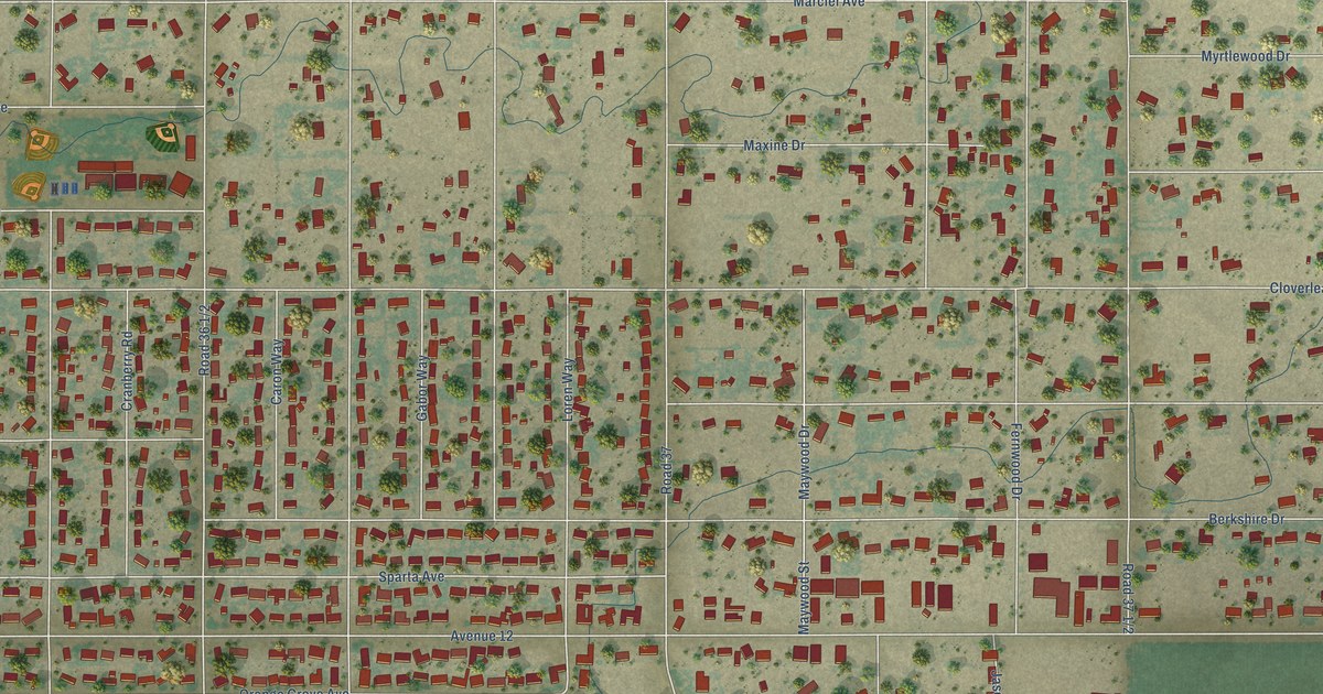
A detailed map of Madera Ranchos, California, showing every building in its true location, the roads by name, and shaded topographical relief.
Read More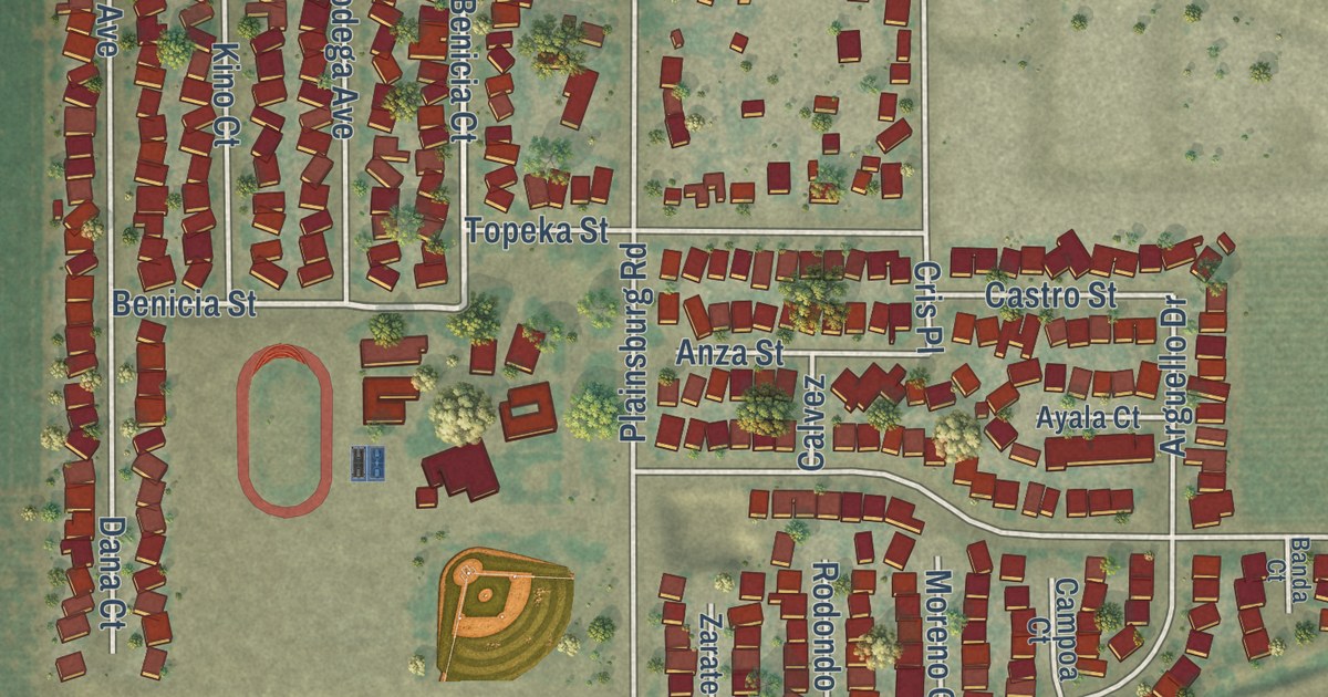
A detailed map of Planada, California, showing every building in its true location, the roads by name, and shaded topographical relief.
Read More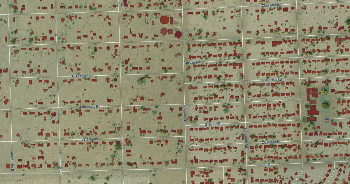
A detailed map of Mountain View Acres, California, showing every building in its true location, the roads by name, and shaded topographical relief.
Read More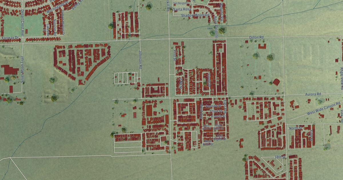
A detailed map of Desert Edge, California, showing every building in its true location, the roads by name, and shaded topographical relief.
Read More















