Detailed Map of Shavertown, Pennsylvania
A detailed map of Shavertown, Pennsylvania, showing every building in its true location, the roads by name, and shaded topographical relief.
Read More
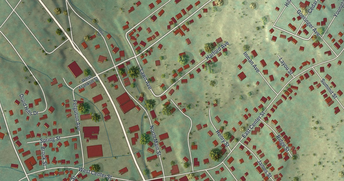
A detailed map of Shavertown, Pennsylvania, showing every building in its true location, the roads by name, and shaded topographical relief.
Read More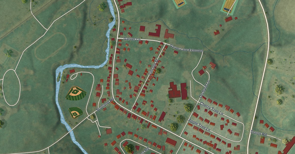
A detailed map of Scotland, Pennsylvania, showing every building in its true location, the roads by name, and shaded topographical relief.
Read More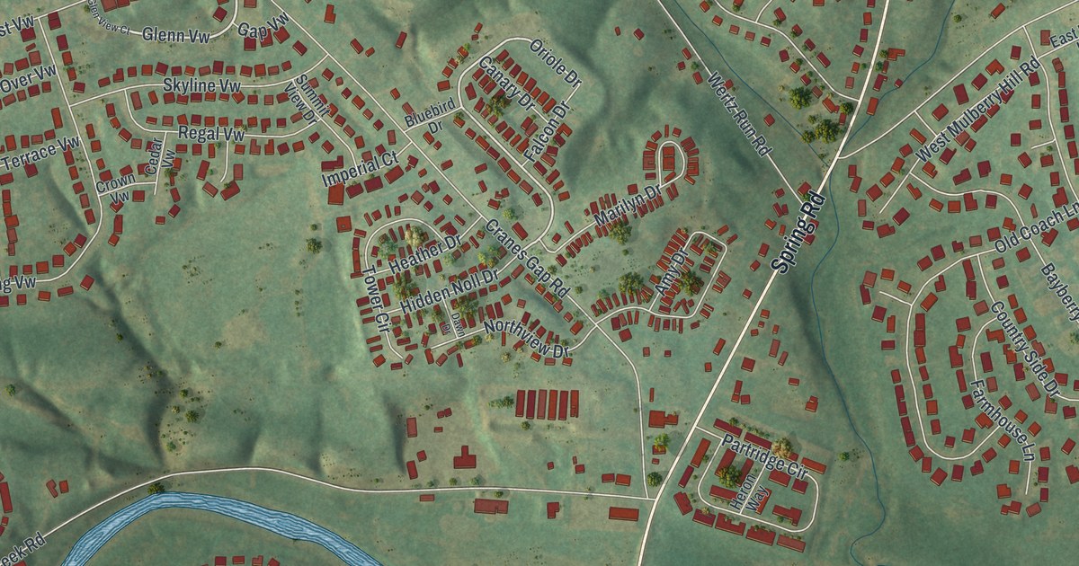
A detailed map of Schlusser, Pennsylvania, showing every building in its true location, the roads by name, and shaded topographical relief.
Read More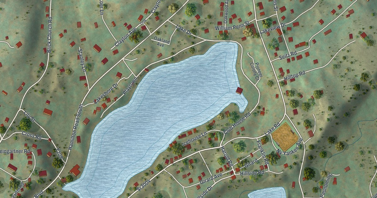
A detailed map of Saylorsburg, Pennsylvania, showing every building in its true location, the roads by name, and shaded topographical relief.
Read More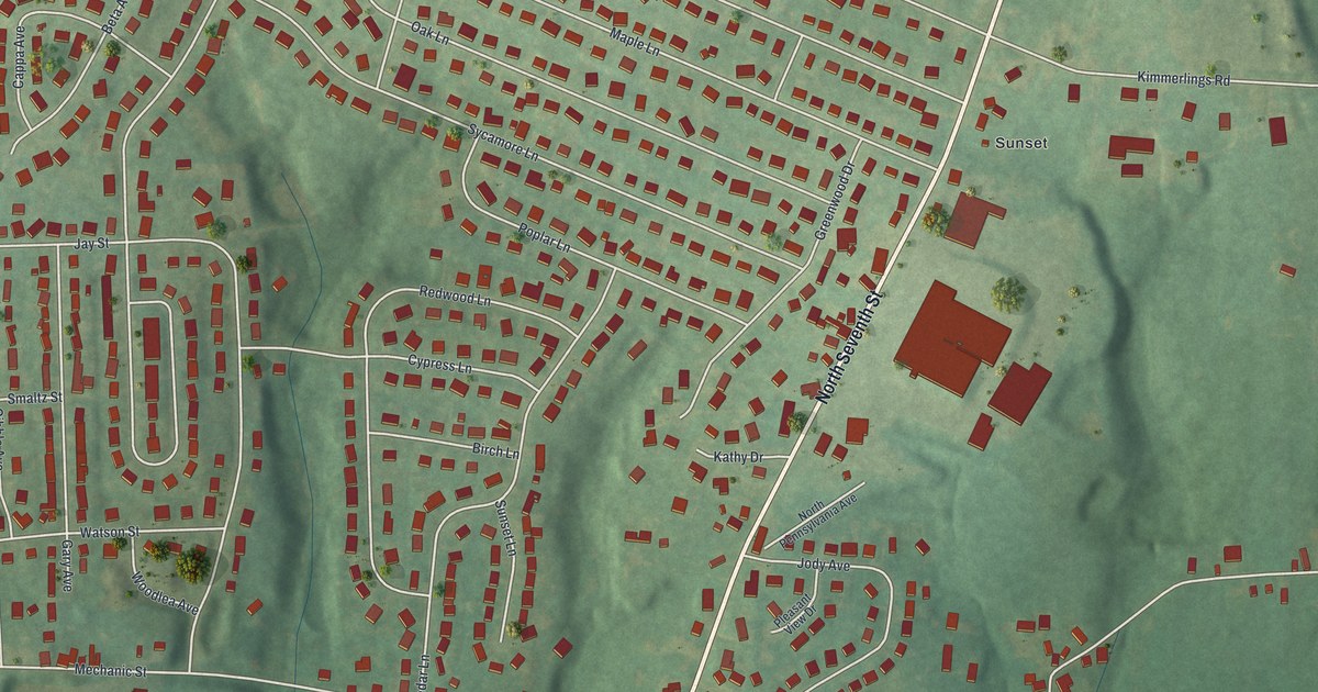
A detailed map of Sand Hill, Pennsylvania, showing every building in its true location, the roads by name, and shaded topographical relief.
Read More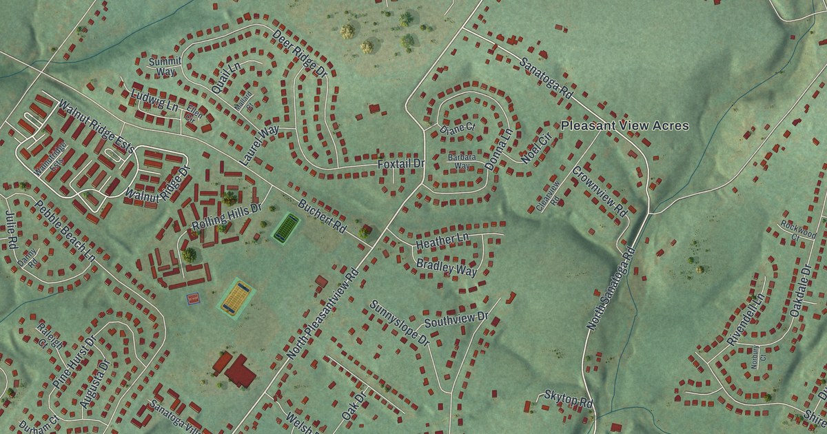
A detailed map of Sanatoga, Pennsylvania, showing every building in its true location, the roads by name, and shaded topographical relief.
Read More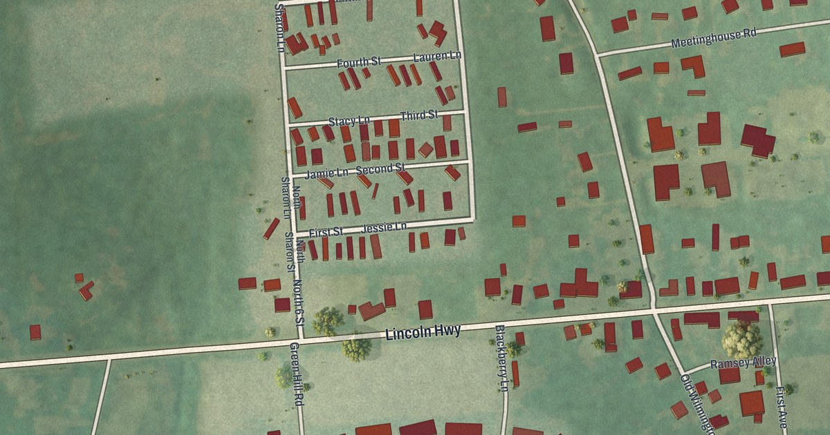
A detailed map of Sadsburyville, Pennsylvania, showing every building in its true location, the roads by name, and shaded topographical relief.
Read More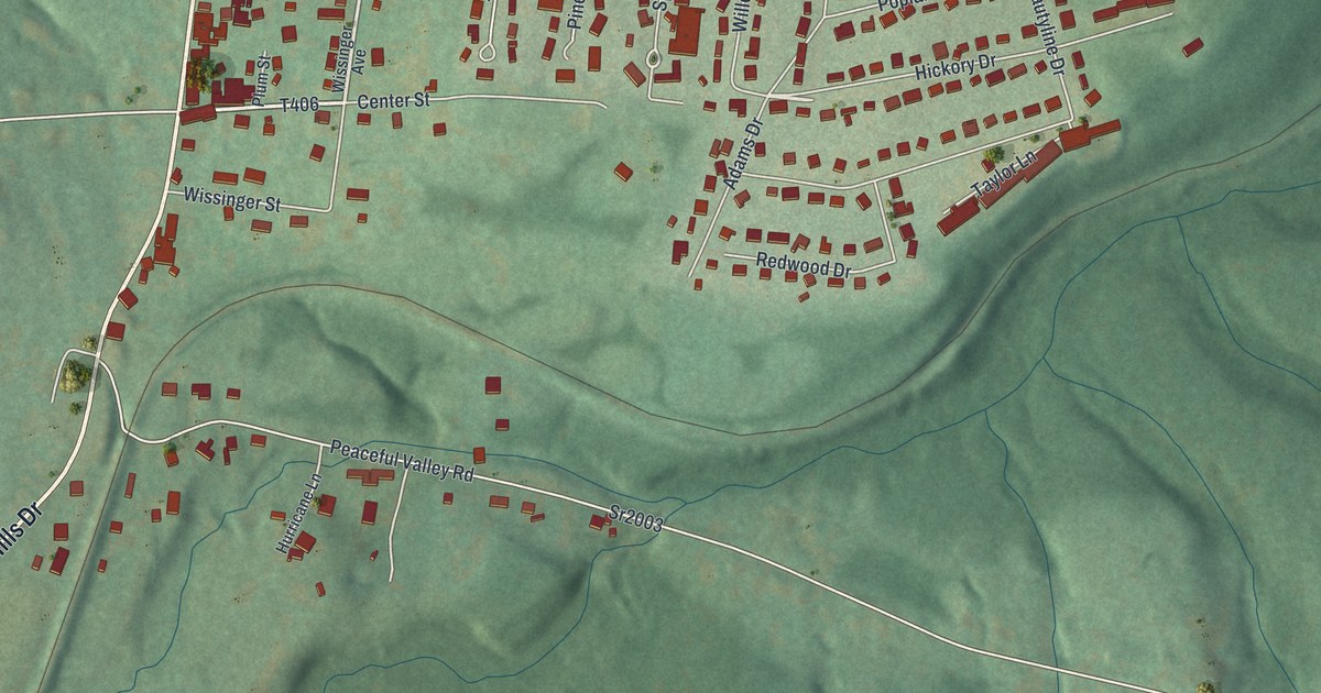
A detailed map of Salix, Pennsylvania, showing every building in its true location, the roads by name, and shaded topographical relief.
Read More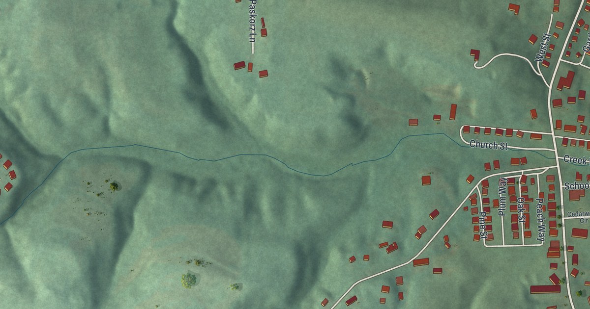
A detailed map of Russellton, Pennsylvania, showing every building in its true location, the roads by name, and shaded topographical relief.
Read More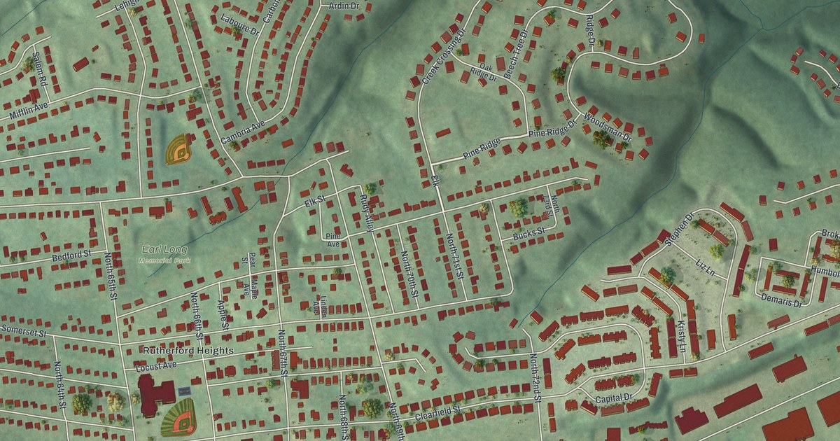
A detailed map of Rutherford, Pennsylvania, showing every building in its true location, the roads by name, and shaded topographical relief.
Read More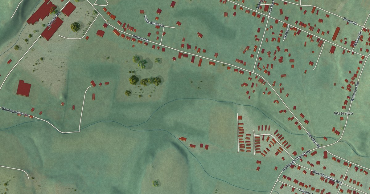
A detailed map of Rouzerville, Pennsylvania, showing every building in its true location, the roads by name, and shaded topographical relief.
Read More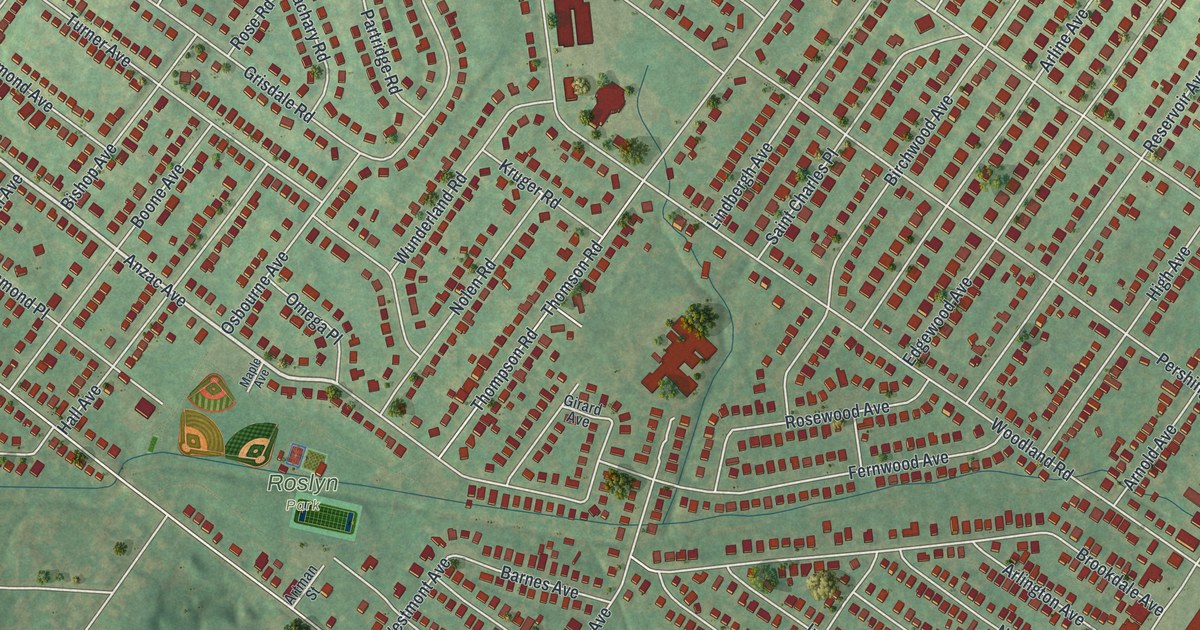
A detailed map of Roslyn, Pennsylvania, showing every building in its true location, the roads by name, and shaded topographical relief.
Read More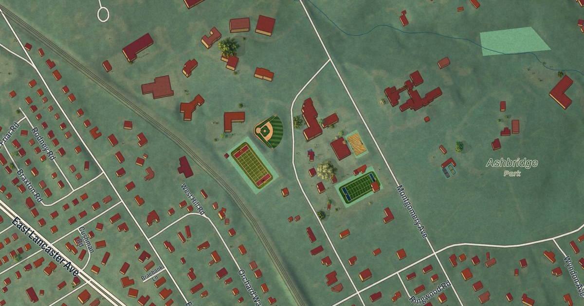
A detailed map of Rosemont, Pennsylvania, showing every building in its true location, the roads by name, and shaded topographical relief.
Read More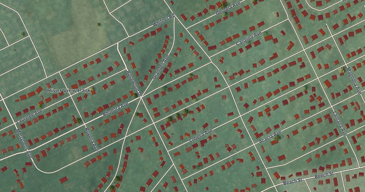
A detailed map of Riverview Park, Pennsylvania, showing every building in its true location, the roads by name, and shaded topographical relief.
Read More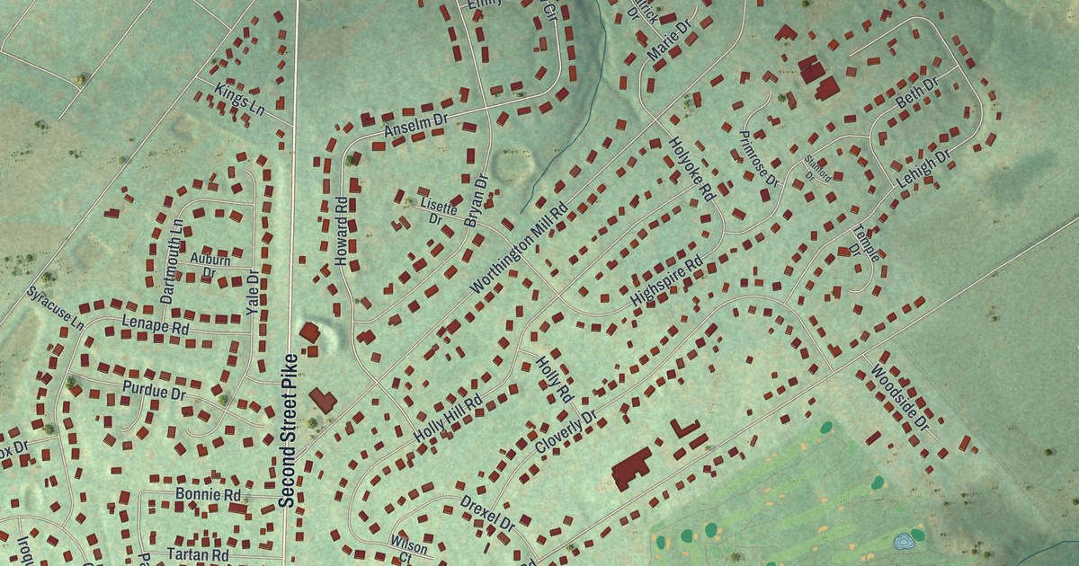
A detailed map of Richboro, Pennsylvania, showing every building in its true location, the roads by name, and shaded topographical relief.
Read More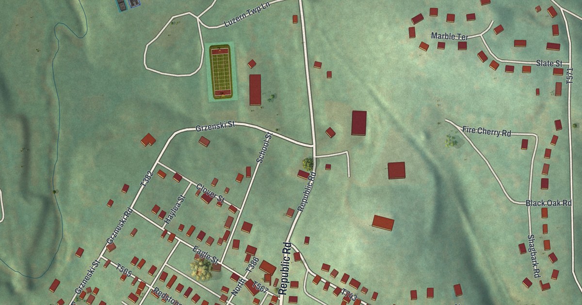
A detailed map of Republic, Pennsylvania, showing every building in its true location, the roads by name, and shaded topographical relief.
Read More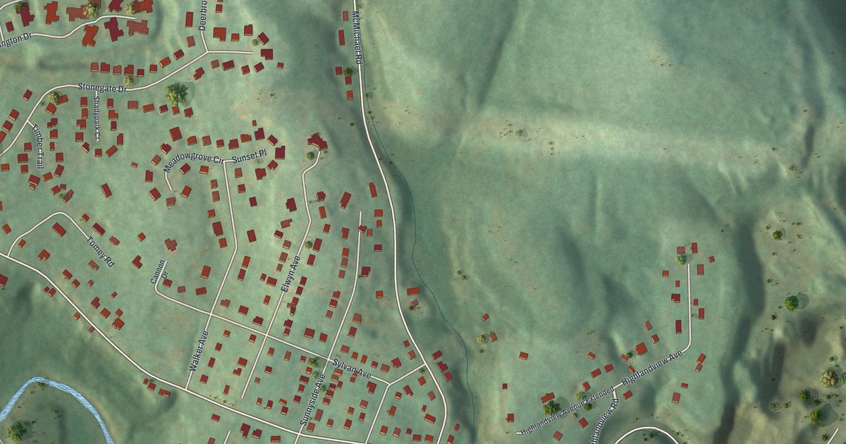
A detailed map of Rennerdale, Pennsylvania, showing every building in its true location, the roads by name, and shaded topographical relief.
Read More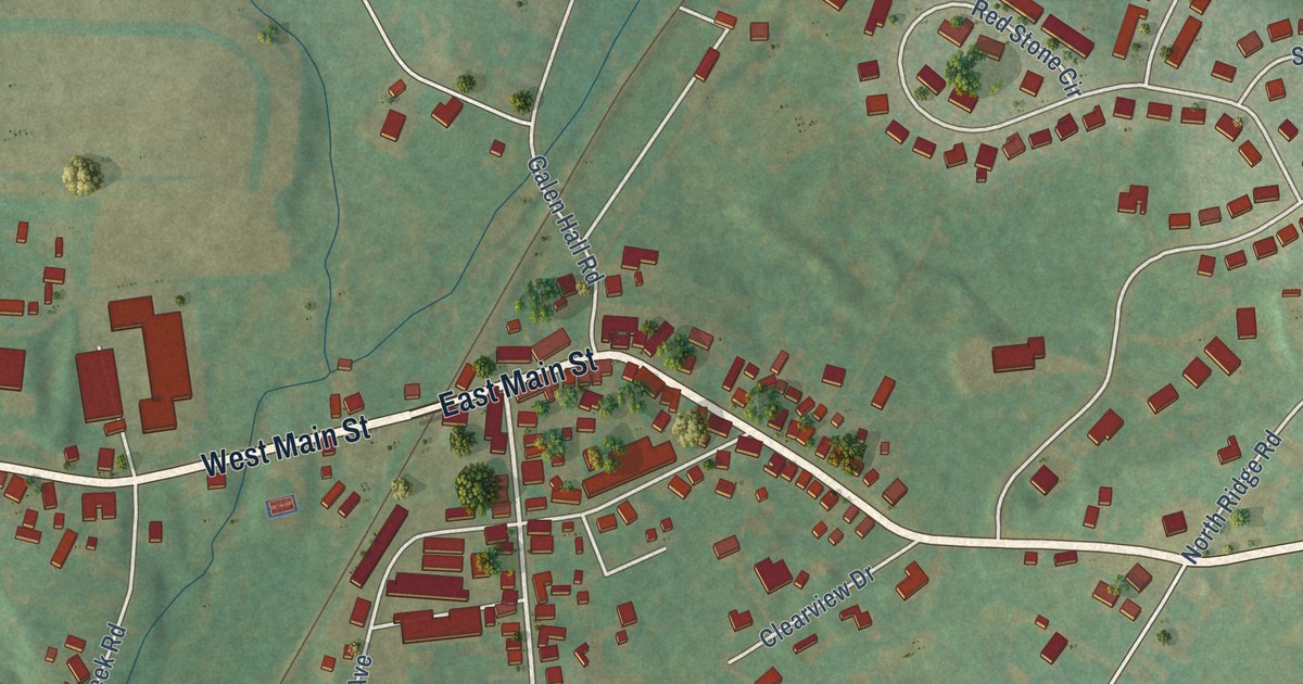
A detailed map of Reinholds, Pennsylvania, showing every building in its true location, the roads by name, and shaded topographical relief.
Read More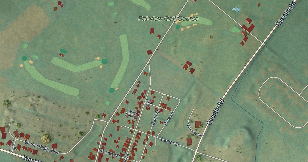
A detailed map of Quentin, Pennsylvania, showing every building in its true location, the roads by name, and shaded topographical relief.
Read More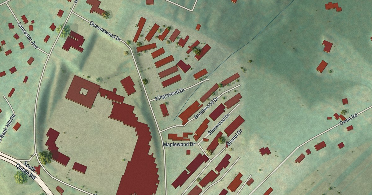
A detailed map of Queens Gate, Pennsylvania, showing every building in its true location, the roads by name, and shaded topographical relief.
Read More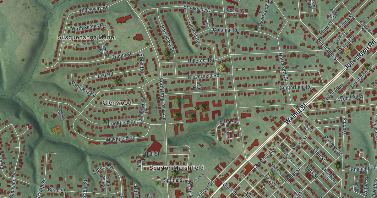
A detailed map of Progress, Pennsylvania, showing every building in its true location, the roads by name, and shaded topographical relief.
Read More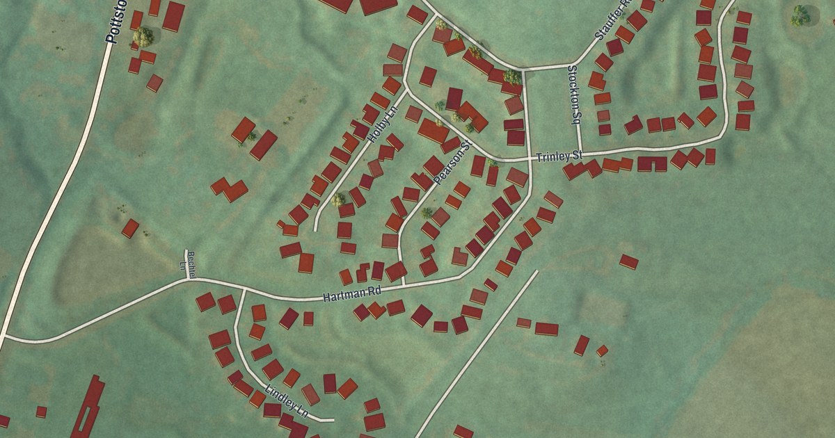
A detailed map of Pughtown, Pennsylvania, showing every building in its true location, the roads by name, and shaded topographical relief.
Read More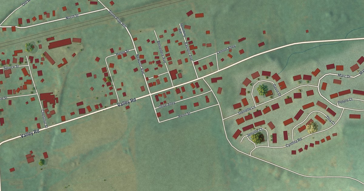
A detailed map of Pomeroy, Pennsylvania, showing every building in its true location, the roads by name, and shaded topographical relief.
Read More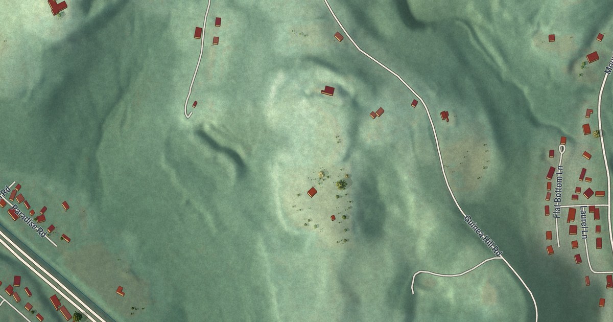
A detailed map of Plymptonville, Pennsylvania, showing every building in its true location, the roads by name, and shaded topographical relief.
Read More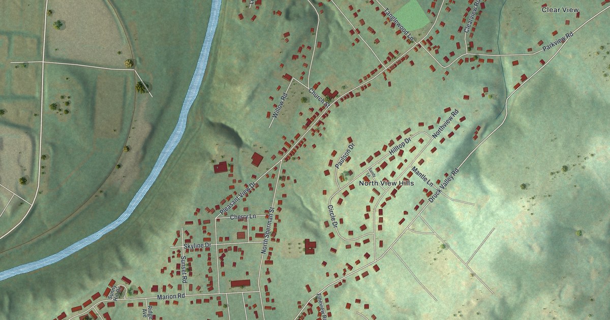
A detailed map of Pleasureville, Pennsylvania, showing every building in its true location, the roads by name, and shaded topographical relief.
Read More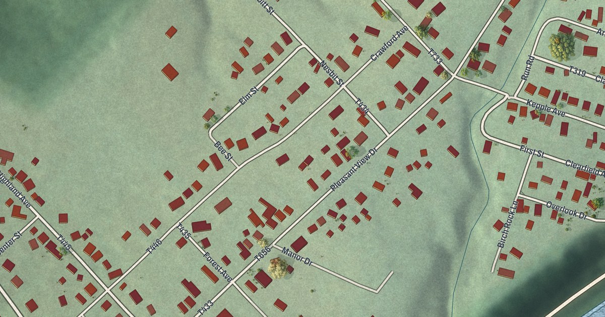
A detailed map of Pleasant View, Pennsylvania, showing every building in its true location, the roads by name, and shaded topographical relief.
Read More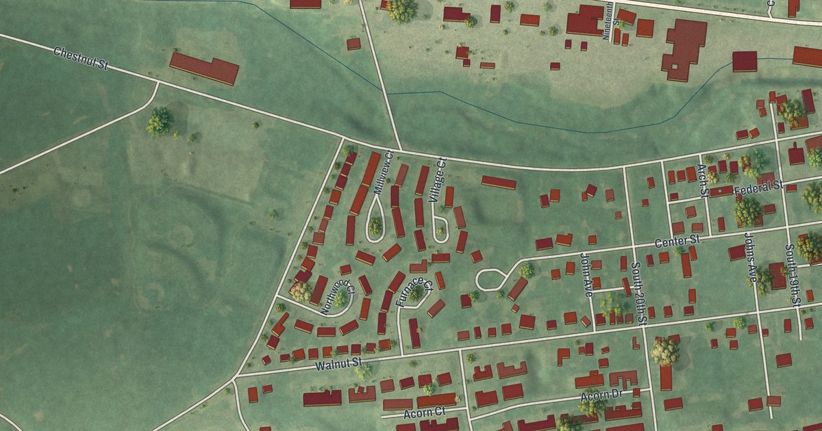
A detailed map of Pleasant Hill, Pennsylvania, showing every building in its true location, the roads by name, and shaded topographical relief.
Read More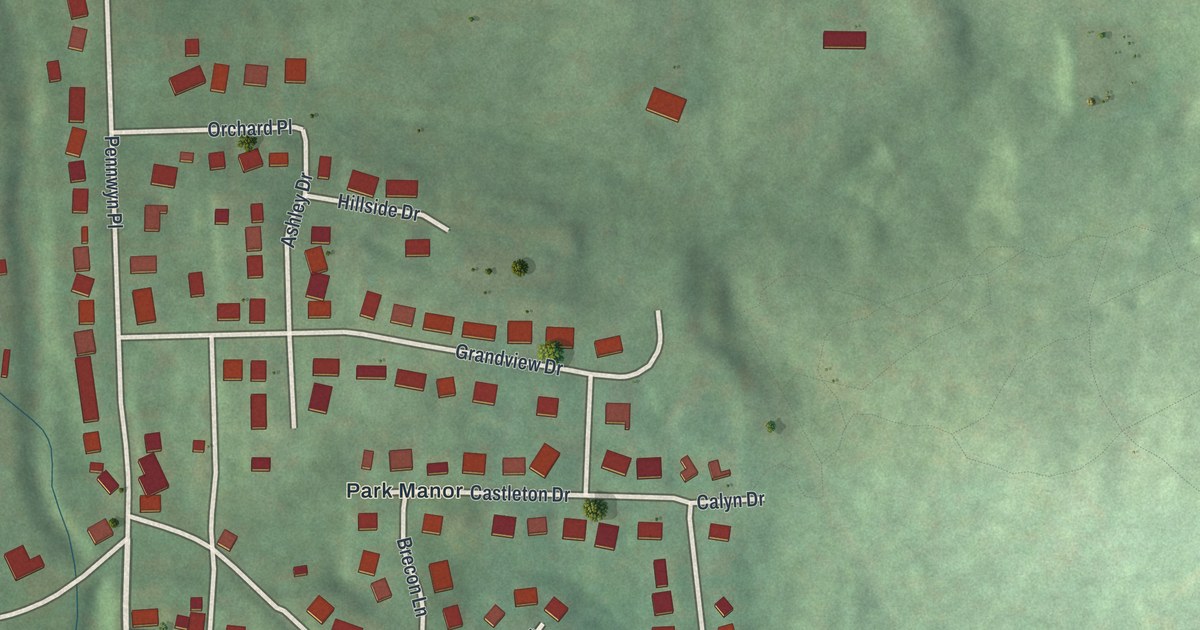
A detailed map of Pennwyn, Pennsylvania, showing every building in its true location, the roads by name, and shaded topographical relief.
Read More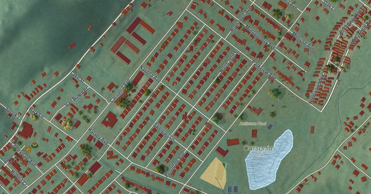
A detailed map of Pennside, Pennsylvania, showing every building in its true location, the roads by name, and shaded topographical relief.
Read More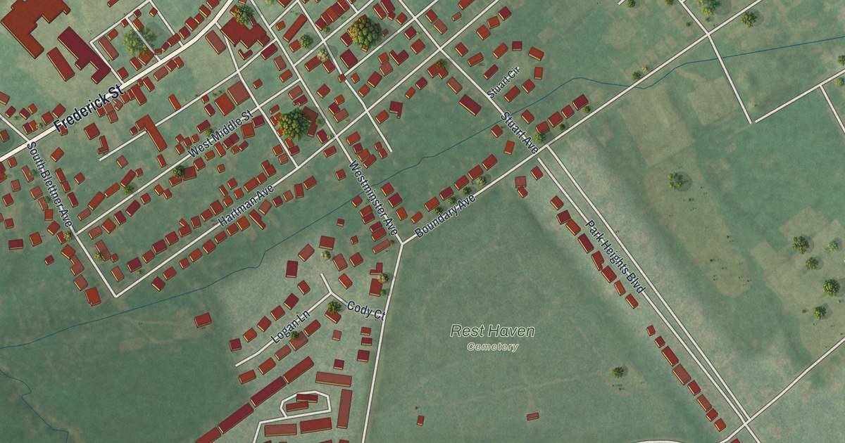
A detailed map of Pennville, Pennsylvania, showing every building in its true location, the roads by name, and shaded topographical relief.
Read More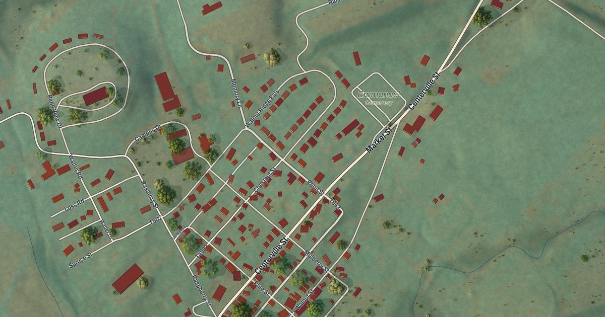
A detailed map of Penns Creek, Pennsylvania, showing every building in its true location, the roads by name, and shaded topographical relief.
Read More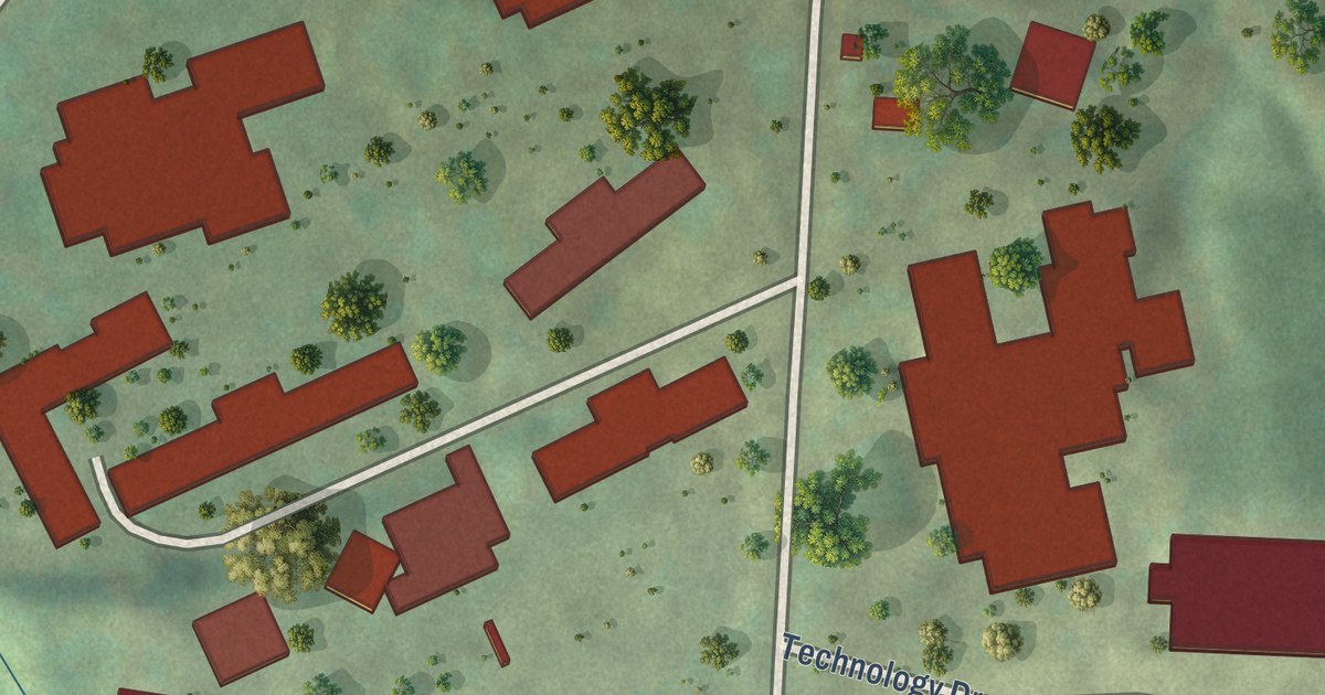
A detailed map of Penn State Behrend, Pennsylvania, showing every building in its true location, the roads by name, and shaded topographical relief.
Read More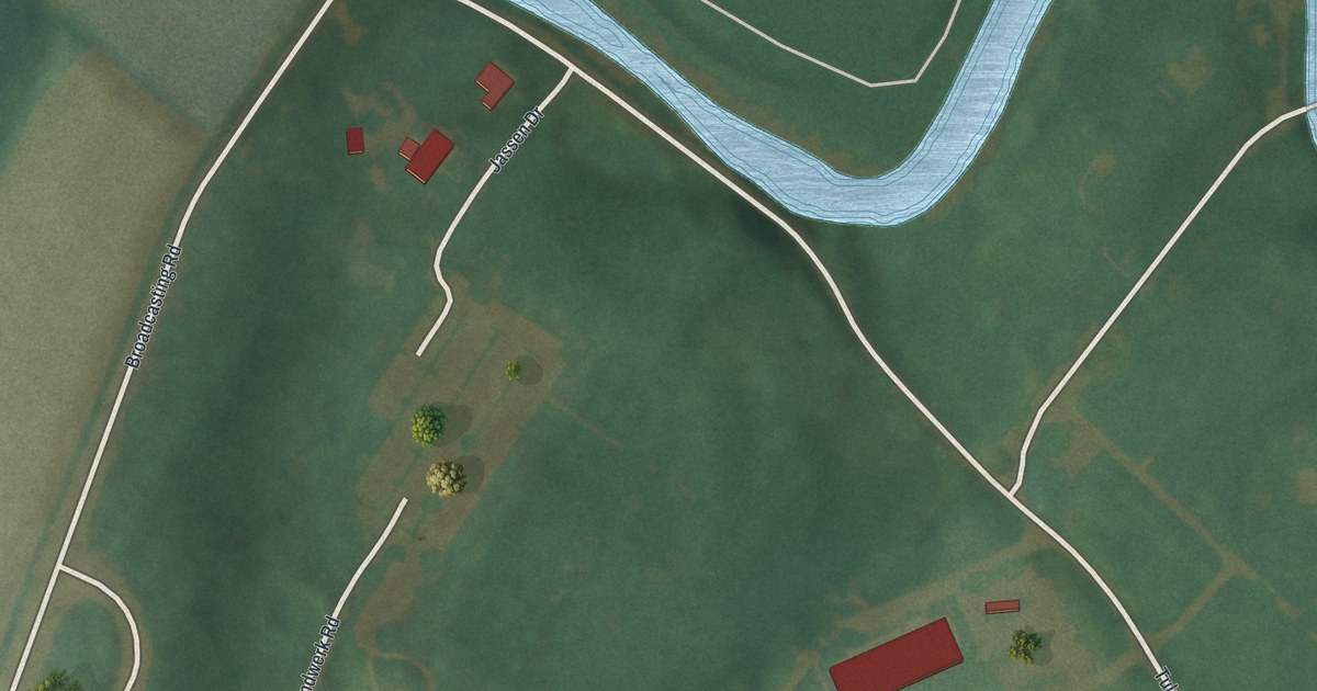
A detailed map of Penn State Berks, Pennsylvania, showing every building in its true location, the roads by name, and shaded topographical relief.
Read More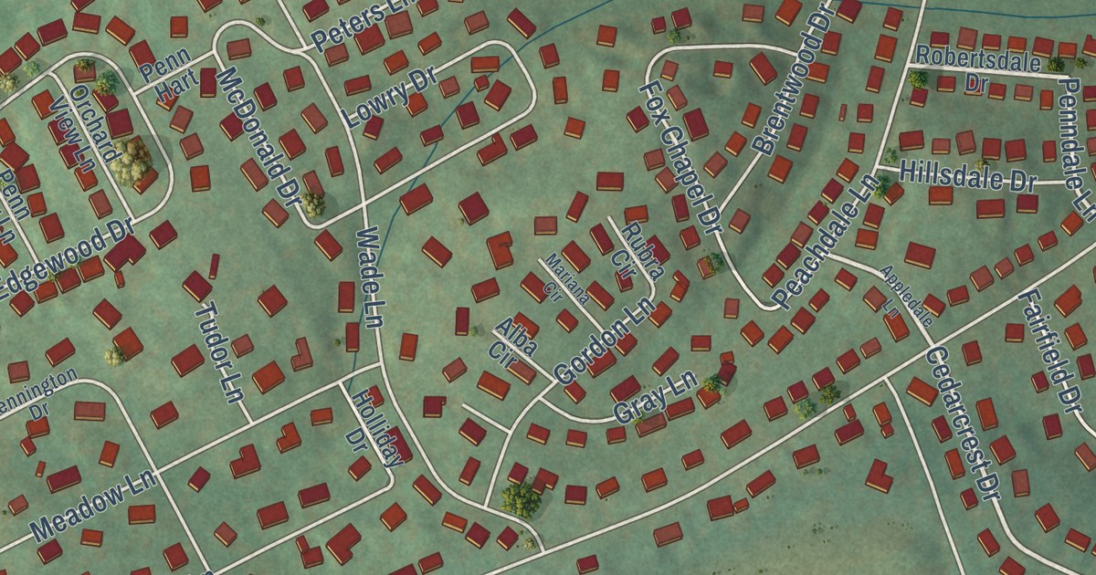
A detailed map of Penn Farms, Pennsylvania, showing every building in its true location, the roads by name, and shaded topographical relief.
Read More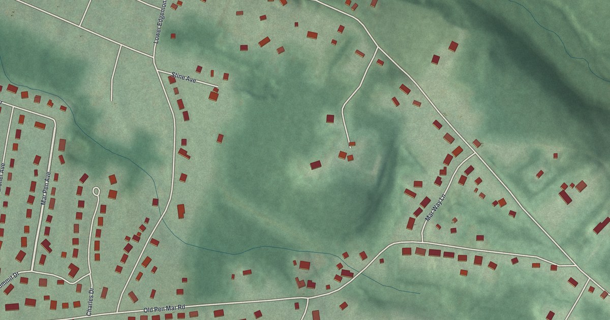
A detailed map of Pen Mar, Pennsylvania, showing every building in its true location, the roads by name, and shaded topographical relief.
Read More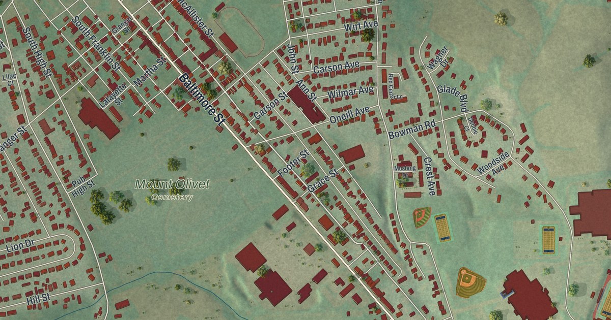
A detailed map of Parkville, Pennsylvania, showing every building in its true location, the roads by name, and shaded topographical relief.
Read More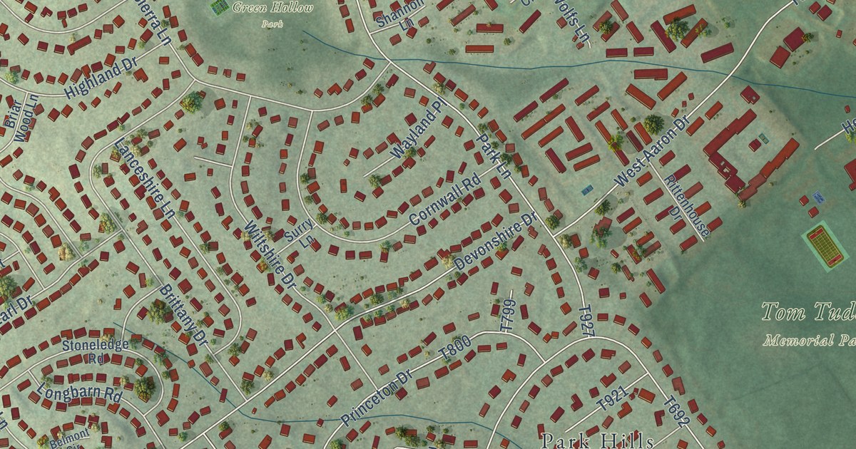
A detailed map of Park Forest Village, Pennsylvania, showing every building in its true location, the roads by name, and shaded topographical relief.
Read More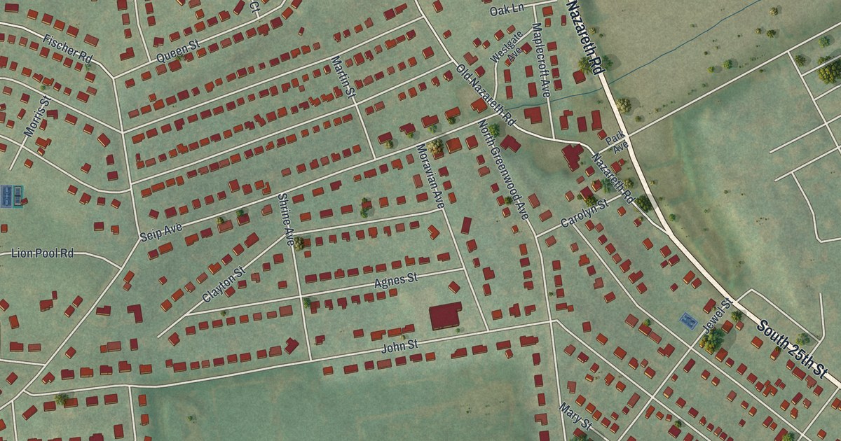
A detailed map of Palmer Heights, Pennsylvania, showing every building in its true location, the roads by name, and shaded topographical relief.
Read More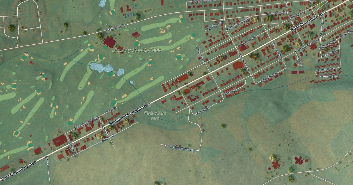
A detailed map of Palmdale, Pennsylvania, showing every building in its true location, the roads by name, and shaded topographical relief.
Read More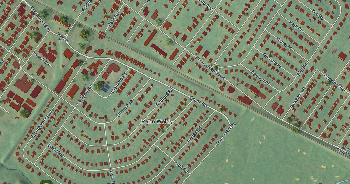
A detailed map of Oreland, Pennsylvania, showing every building in its true location, the roads by name, and shaded topographical relief.
Read More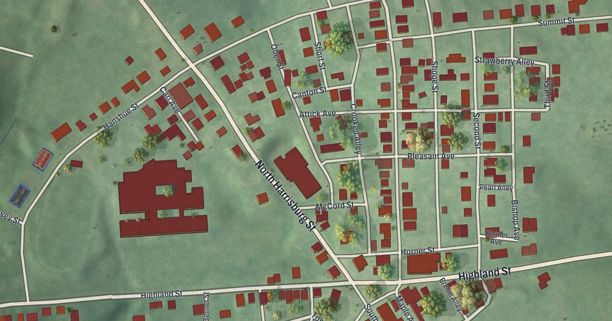
A detailed map of Oberlin, Pennsylvania, showing every building in its true location, the roads by name, and shaded topographical relief.
Read More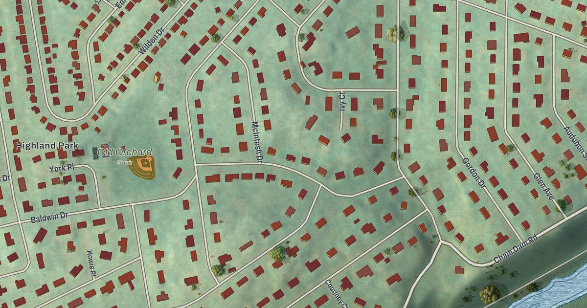
A detailed map of Old Orchard, Pennsylvania, showing every building in its true location, the roads by name, and shaded topographical relief.
Read More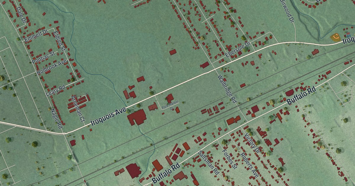
A detailed map of Northwest Harborcreek, Pennsylvania, showing every building in its true location, the roads by name, and shaded topographical relief.
Read More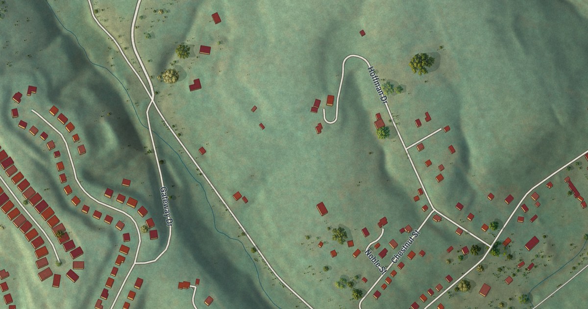
A detailed map of Noblestown, Pennsylvania, showing every building in its true location, the roads by name, and shaded topographical relief.
Read More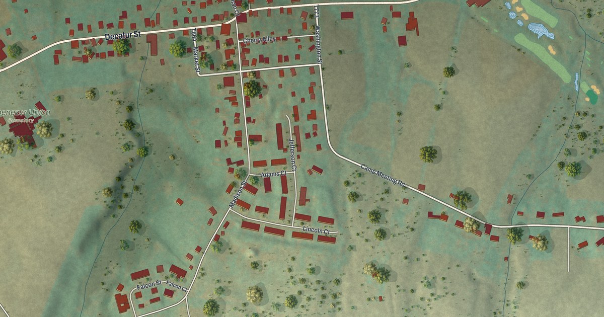
A detailed map of New Tripoli, Pennsylvania, showing every building in its true location, the roads by name, and shaded topographical relief.
Read More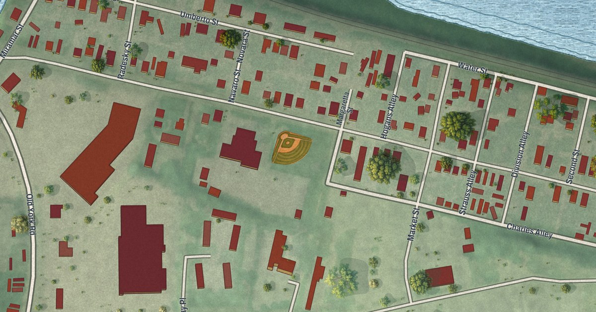
A detailed map of New Market, Pennsylvania, showing every building in its true location, the roads by name, and shaded topographical relief.
Read More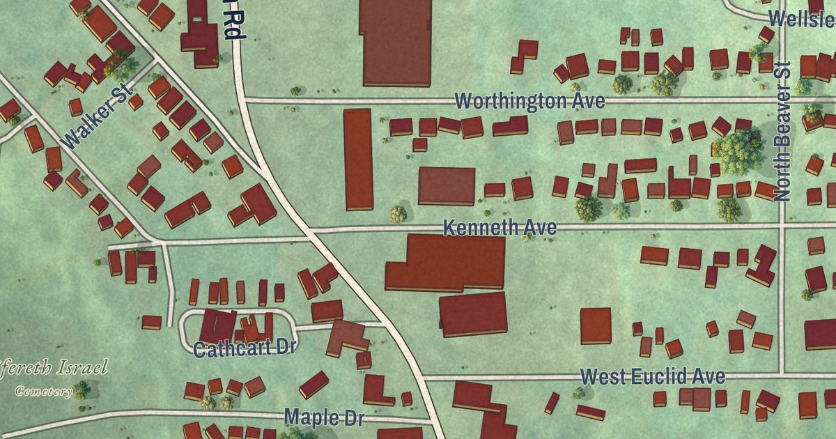
A detailed map of New Castle Northwest, Pennsylvania, showing every building in its true location, the roads by name, and shaded topographical relief.
Read More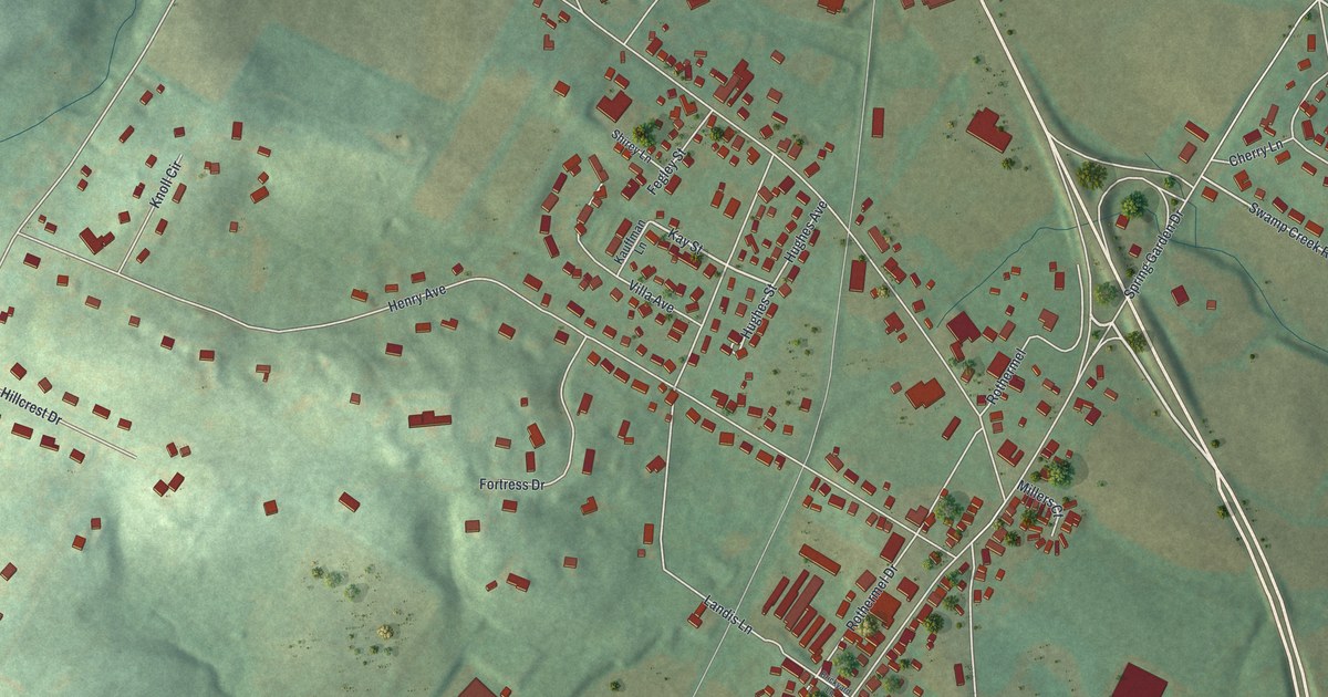
A detailed map of New Berlinville, Pennsylvania, showing every building in its true location, the roads by name, and shaded topographical relief.
Read More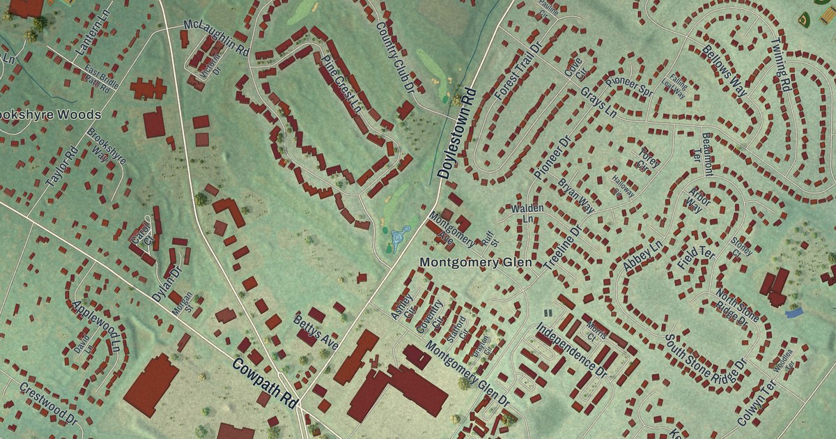
A detailed map of Montgomeryville, Pennsylvania, showing every building in its true location, the roads by name, and shaded topographical relief.
Read More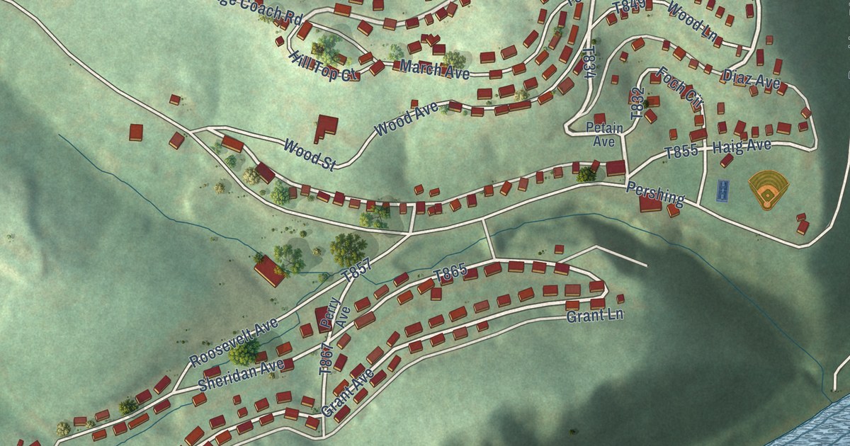
A detailed map of Nemacolin, Pennsylvania, showing every building in its true location, the roads by name, and shaded topographical relief.
Read More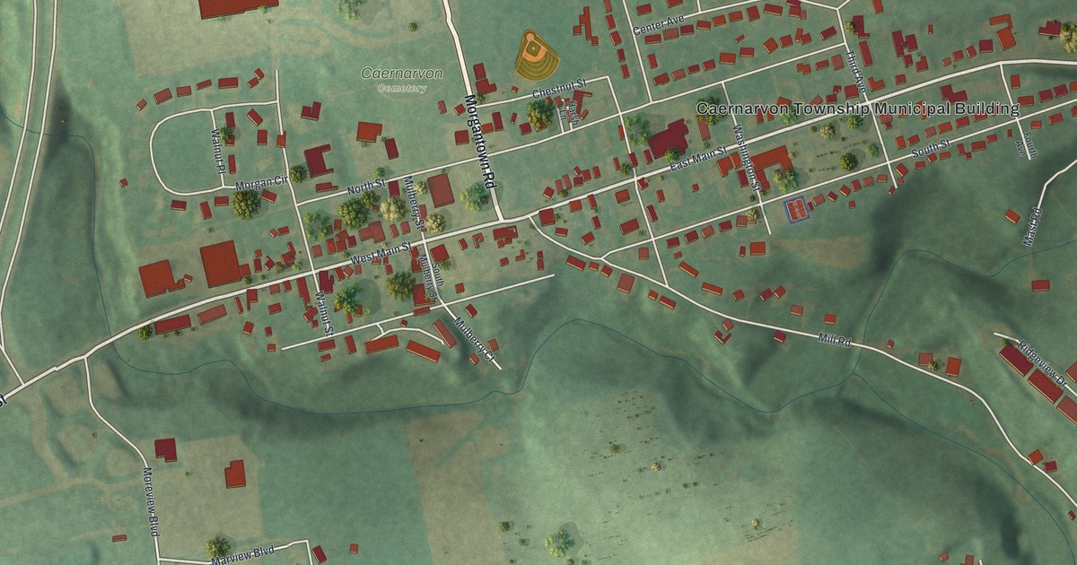
A detailed map of Morgantown, Pennsylvania, showing every building in its true location, the roads by name, and shaded topographical relief.
Read More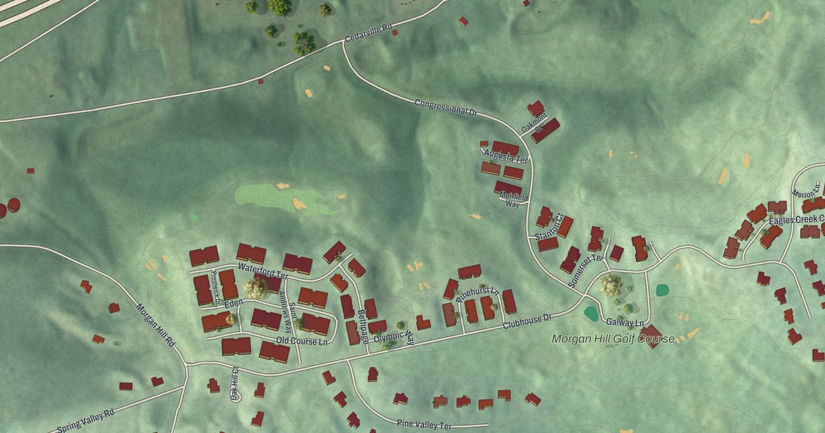
A detailed map of Morgan Hill, Pennsylvania, showing every building in its true location, the roads by name, and shaded topographical relief.
Read More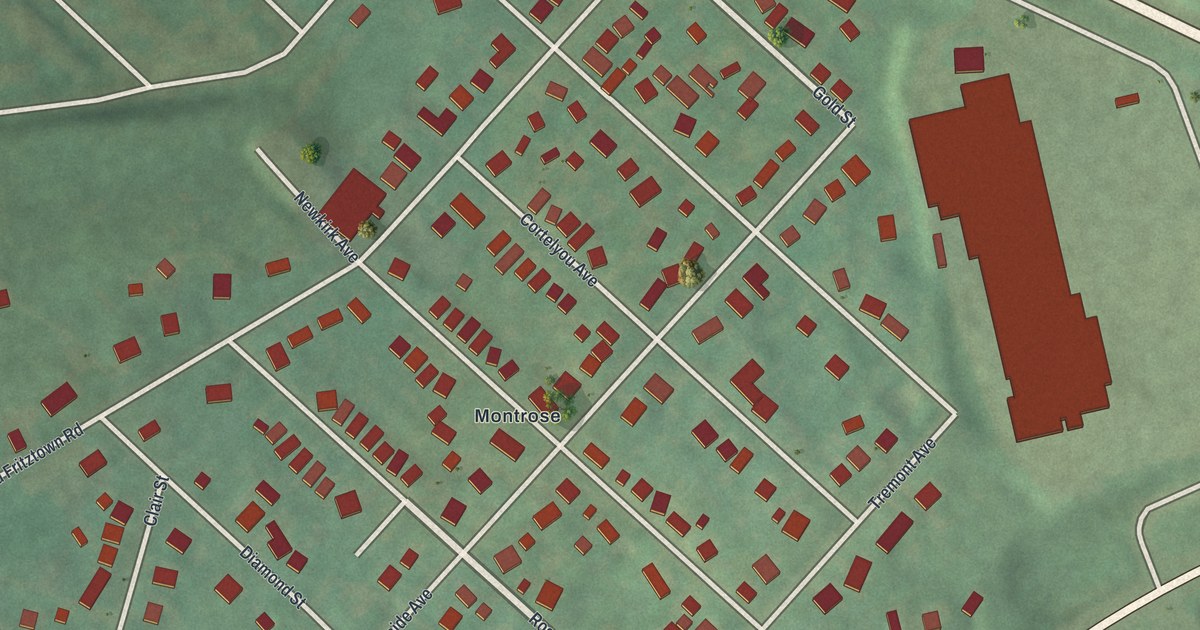
A detailed map of Montrose Manor, Pennsylvania, showing every building in its true location, the roads by name, and shaded topographical relief.
Read More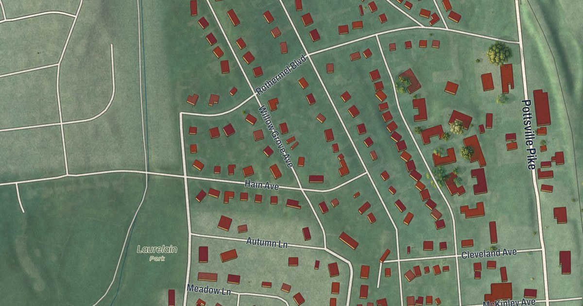
A detailed map of Muhlenberg Park, Pennsylvania, showing every building in its true location, the roads by name, and shaded topographical relief.
Read More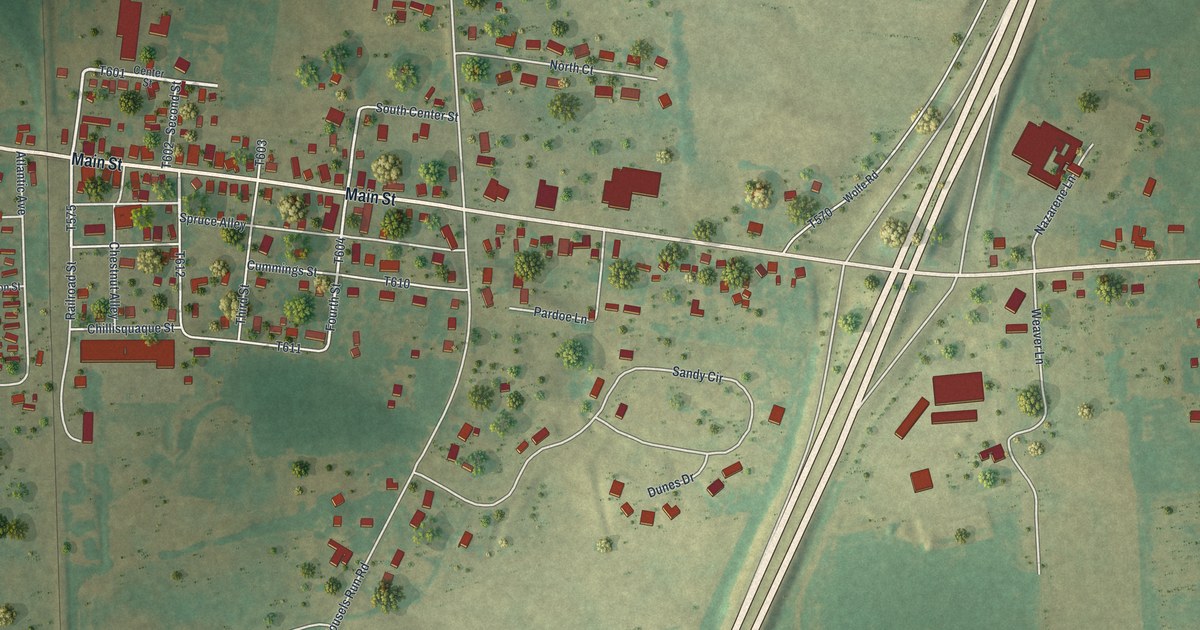
A detailed map of Montandon, Pennsylvania, showing every building in its true location, the roads by name, and shaded topographical relief.
Read More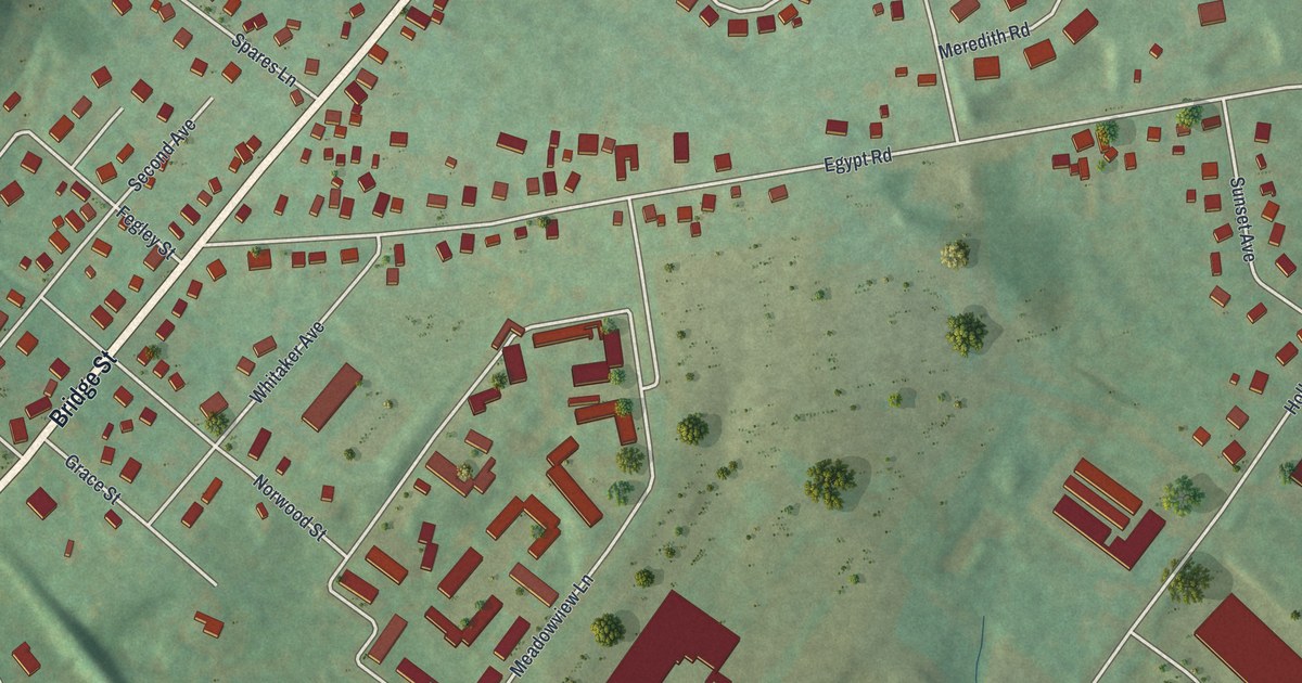
A detailed map of Mont Clare, Pennsylvania, showing every building in its true location, the roads by name, and shaded topographical relief.
Read More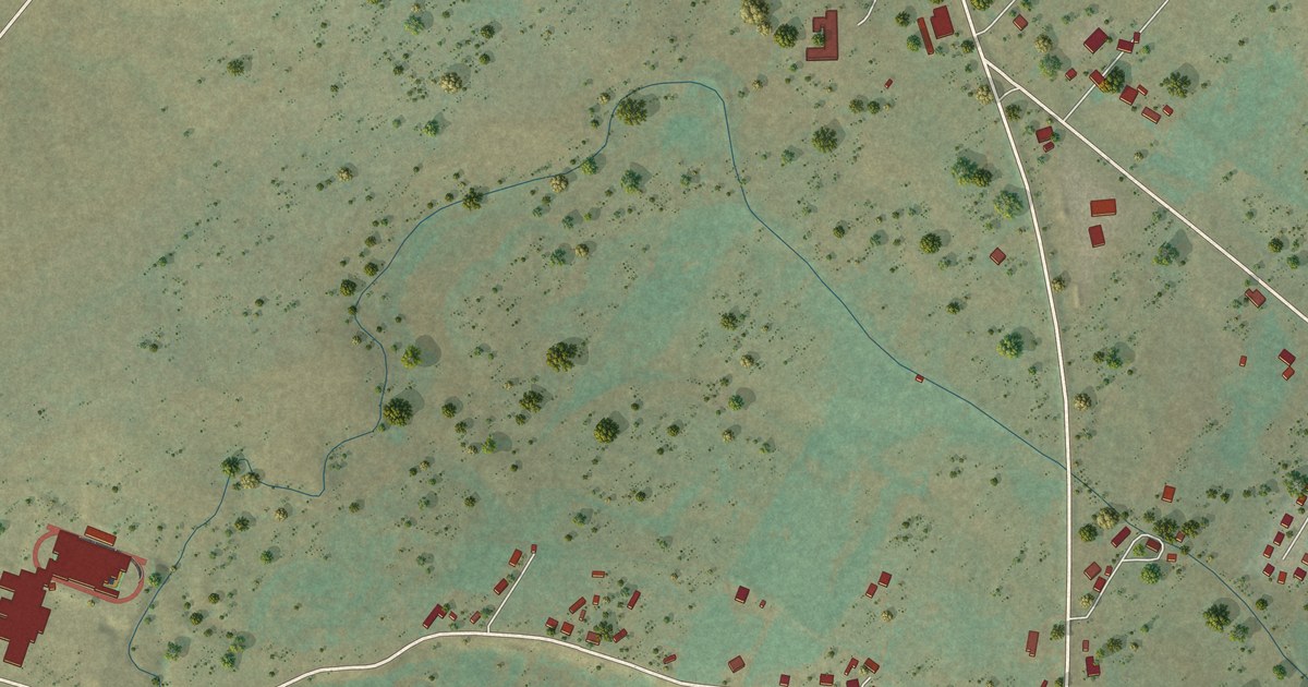
A detailed map of Tierra Amarilla, New Mexico, showing every building in its true location, the roads by name, and shaded topographical relief.
Read More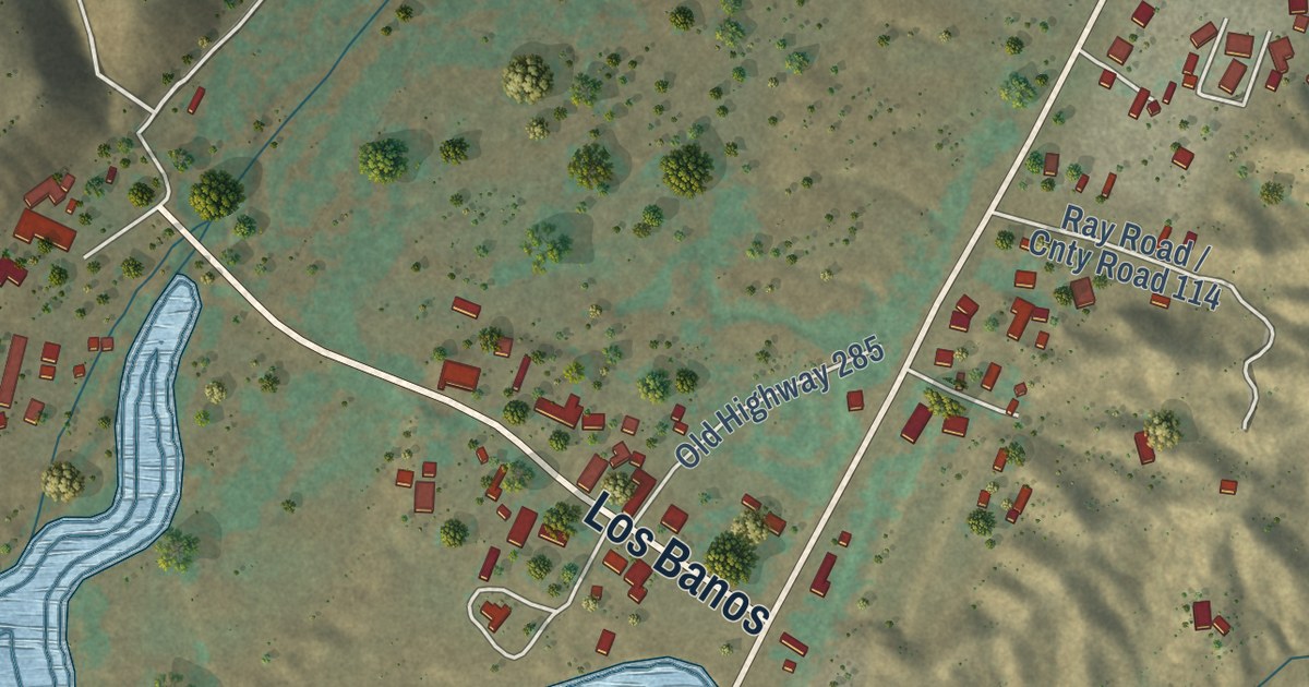
A detailed map of Ojo Caliente, New Mexico, showing every building in its true location, the roads by name, and shaded topographical relief.
Read More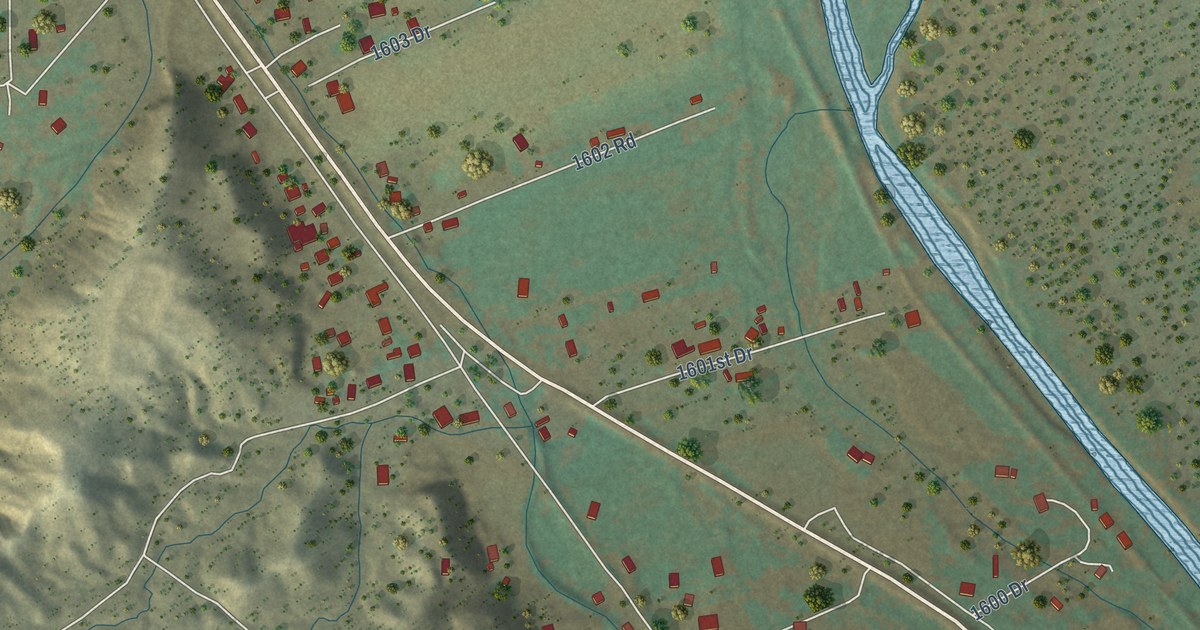
A detailed map of Chili, New Mexico, showing every building in its true location, the roads by name, and shaded topographical relief.
Read More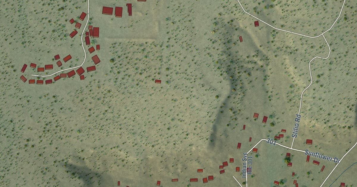
A detailed map of North Acomita Village, New Mexico, showing every building in its true location, the roads by name, and shaded topographical relief.
Read More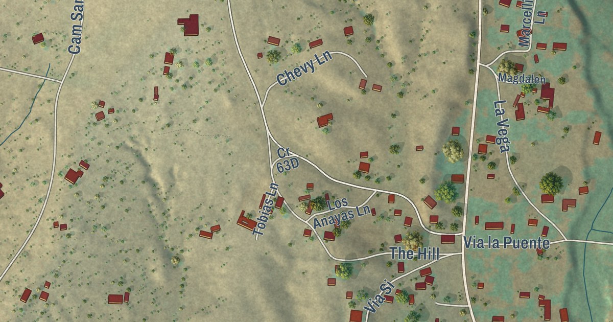
A detailed map of Galisteo, New Mexico, showing every building in its true location, the roads by name, and shaded topographical relief.
Read More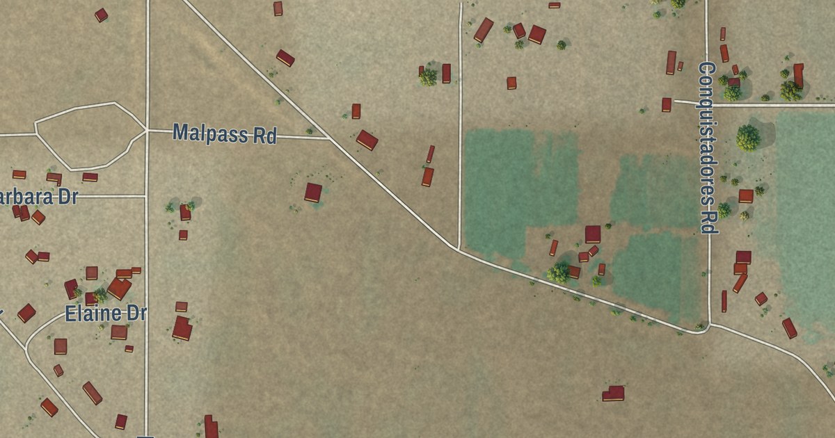
A detailed map of Broadview, New Mexico, showing every building in its true location, the roads by name, and shaded topographical relief.
Read More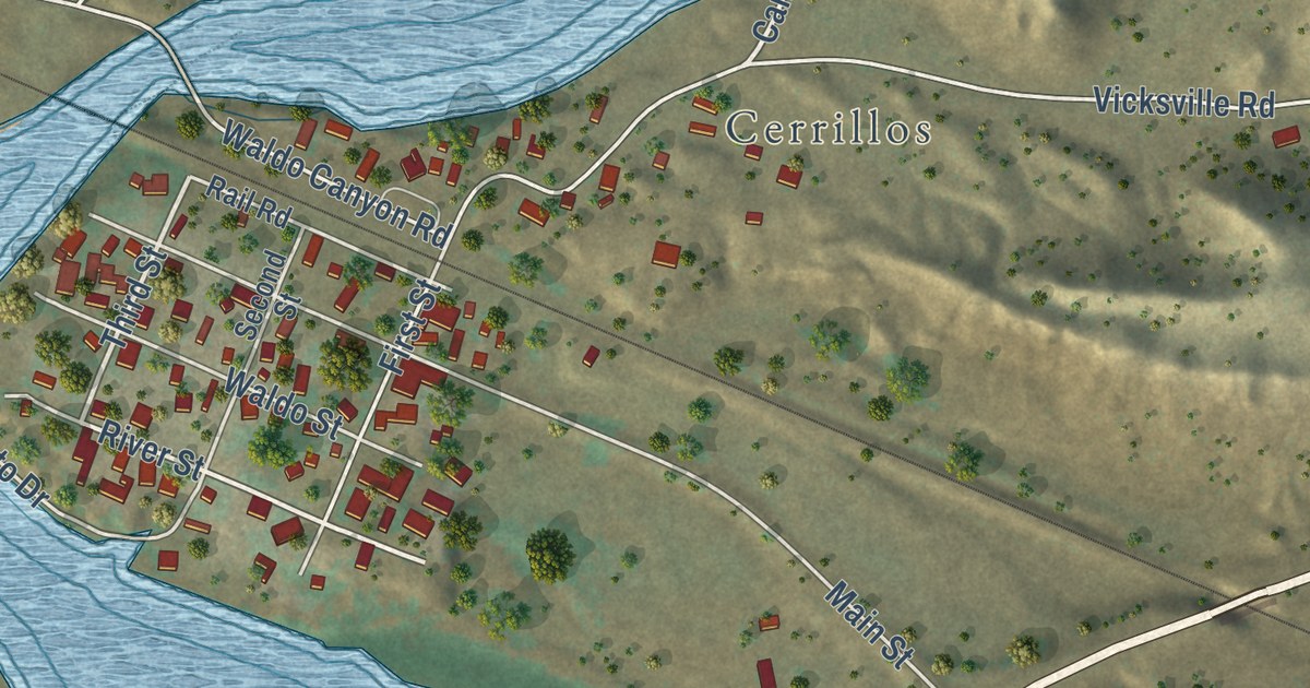
A detailed map of Los Cerrillos, New Mexico, showing every building in its true location, the roads by name, and shaded topographical relief.
Read More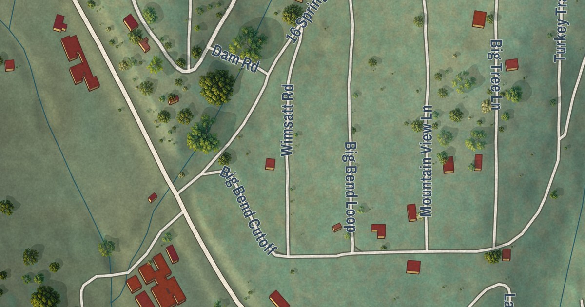
A detailed map of Twin Forks, New Mexico, showing every building in its true location, the roads by name, and shaded topographical relief.
Read More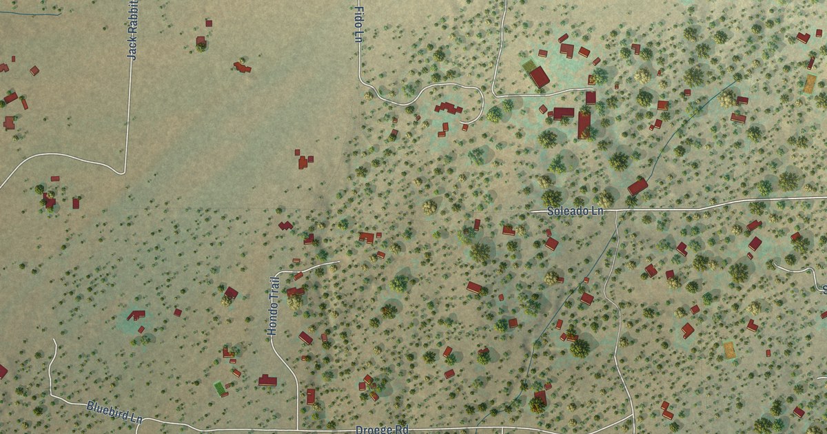
A detailed map of Arroyo Hondo, New Mexico, showing every building in its true location, the roads by name, and shaded topographical relief.
Read More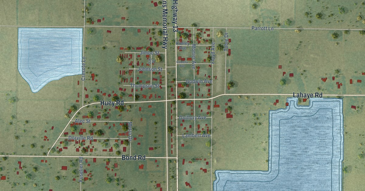
A detailed map of Reddell, Louisiana, showing every building in its true location, the roads by name, and shaded topographical relief.
Read More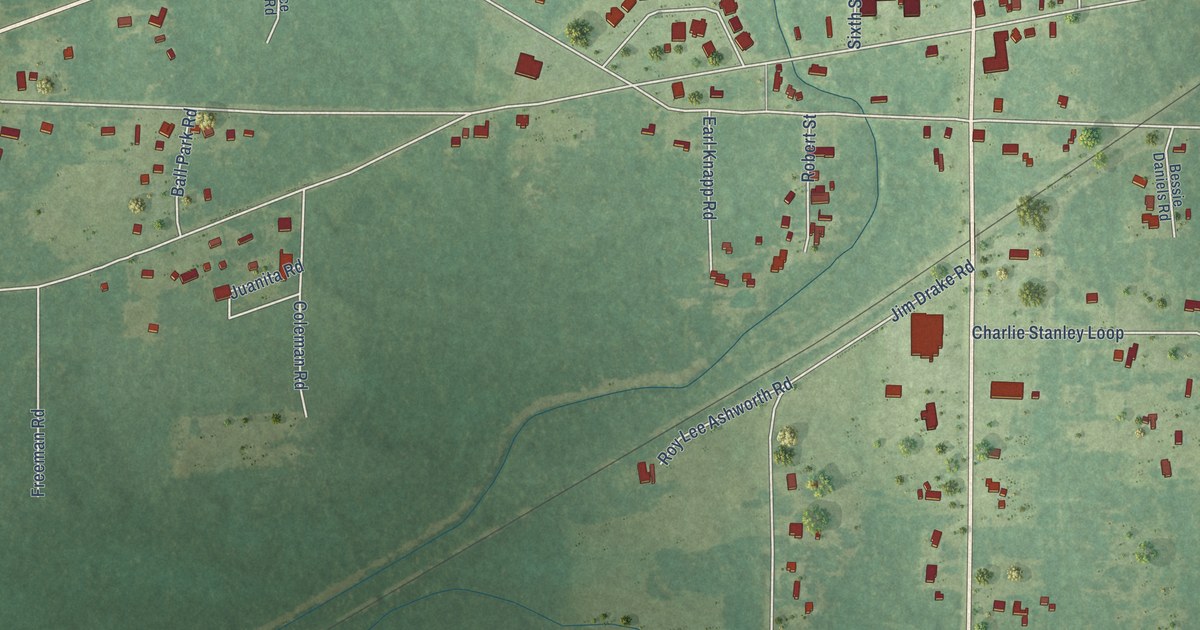
A detailed map of Starks, Louisiana, showing every building in its true location, the roads by name, and shaded topographical relief.
Read More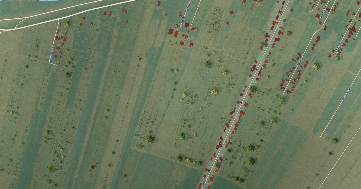
A detailed map of Welcome, Louisiana, showing every building in its true location, the roads by name, and shaded topographical relief.
Read More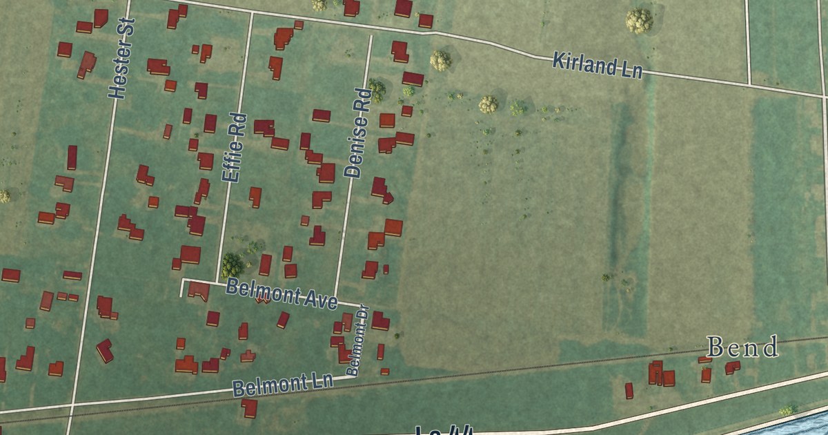
A detailed map of Hester, Louisiana, showing every building in its true location, the roads by name, and shaded topographical relief.
Read More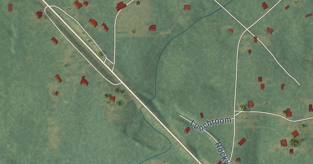
A detailed map of Rock Hill, Louisiana, showing every building in its true location, the roads by name, and shaded topographical relief.
Read More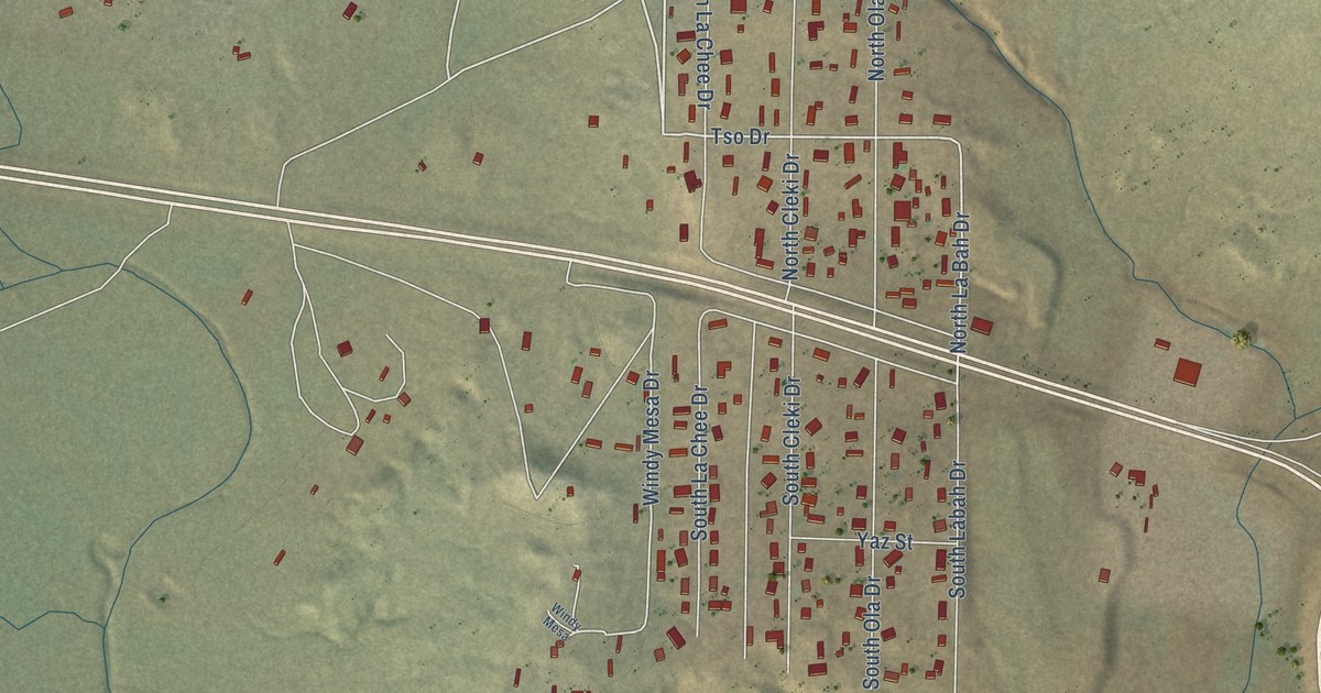
A detailed map of Yah-ta-hey, New Mexico, showing every building in its true location, the roads by name, and shaded topographical relief.
Read More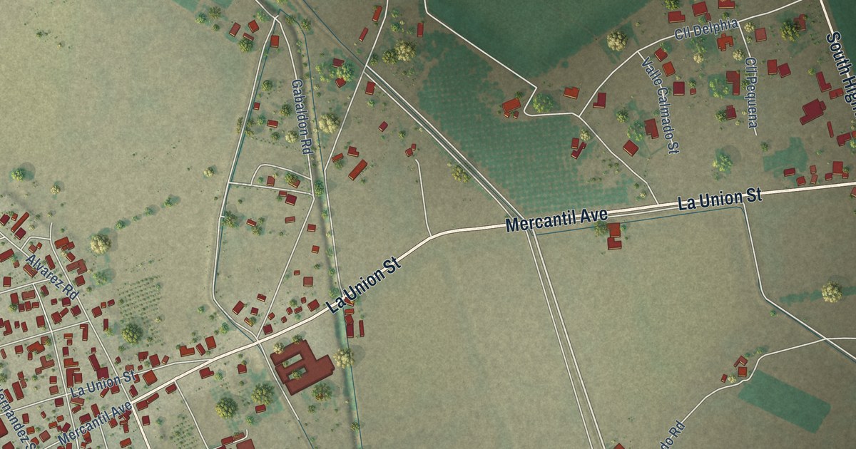
A detailed map of La Union, New Mexico, showing every building in its true location, the roads by name, and shaded topographical relief.
Read More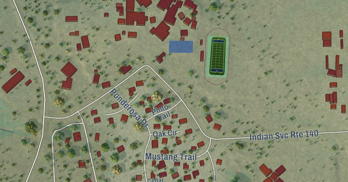
A detailed map of Pinehill, New Mexico, showing every building in its true location, the roads by name, and shaded topographical relief.
Read More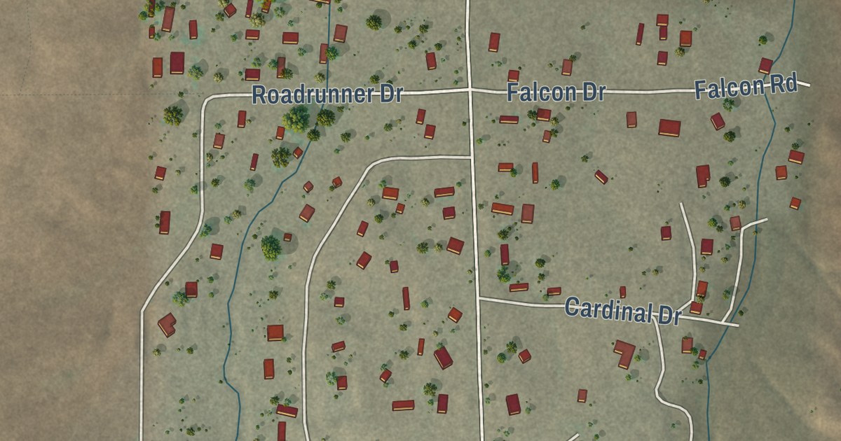
A detailed map of Sundance, New Mexico, showing every building in its true location, the roads by name, and shaded topographical relief.
Read More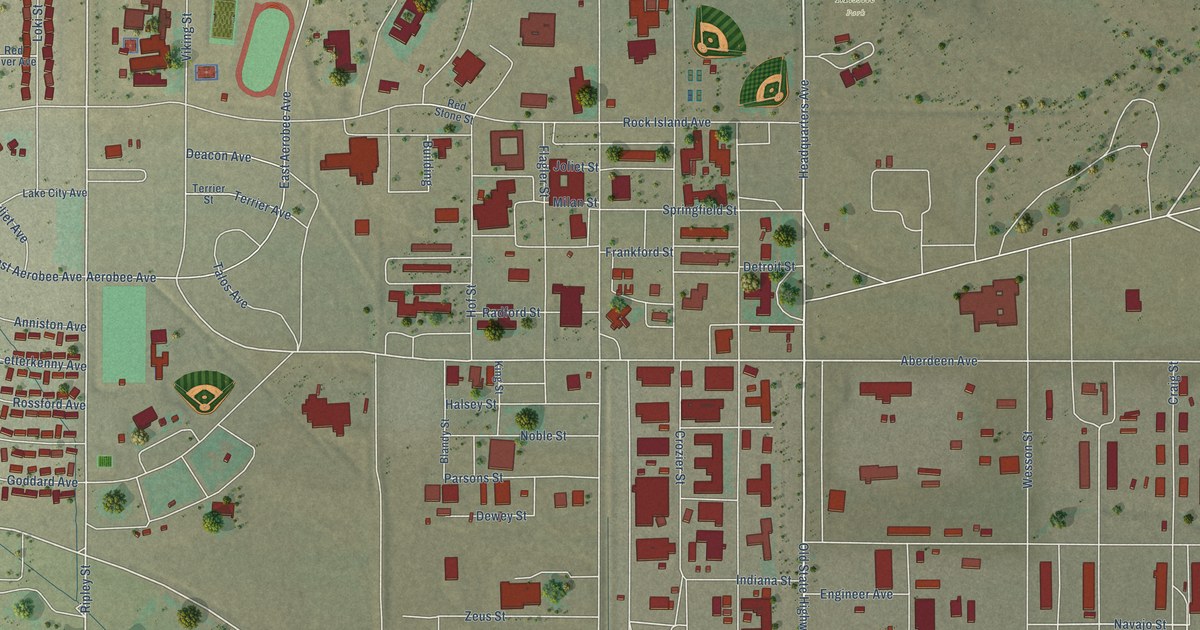
A detailed map of White Sands, New Mexico, showing every building in its true location, the roads by name, and shaded topographical relief.
Read More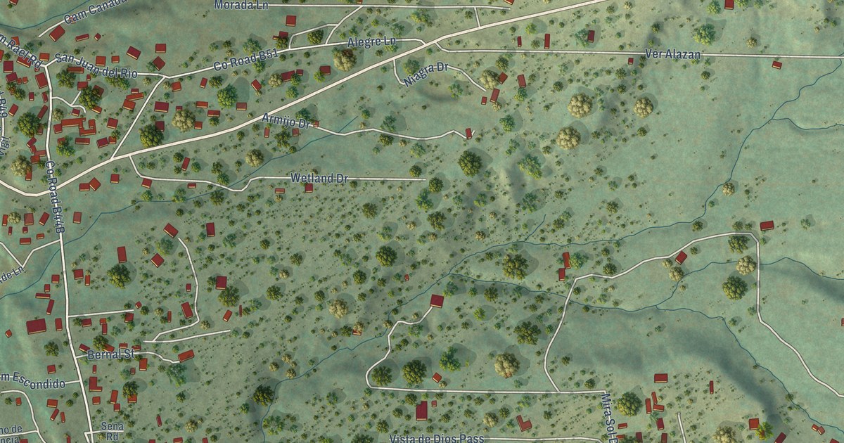
A detailed map of East Pecos, New Mexico, showing every building in its true location, the roads by name, and shaded topographical relief.
Read More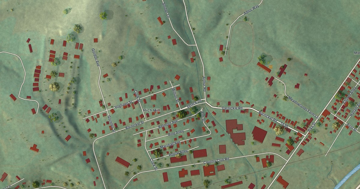
A detailed map of Meadowlands, Pennsylvania, showing every building in its true location, the roads by name, and shaded topographical relief.
Read More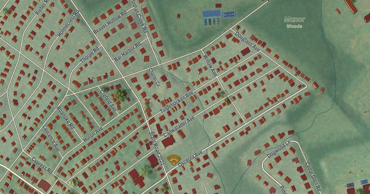
A detailed map of McKinley, Pennsylvania, showing every building in its true location, the roads by name, and shaded topographical relief.
Read More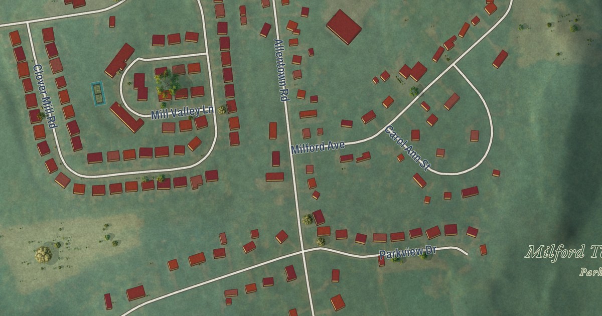
A detailed map of Milford Square, Pennsylvania, showing every building in its true location, the roads by name, and shaded topographical relief.
Read More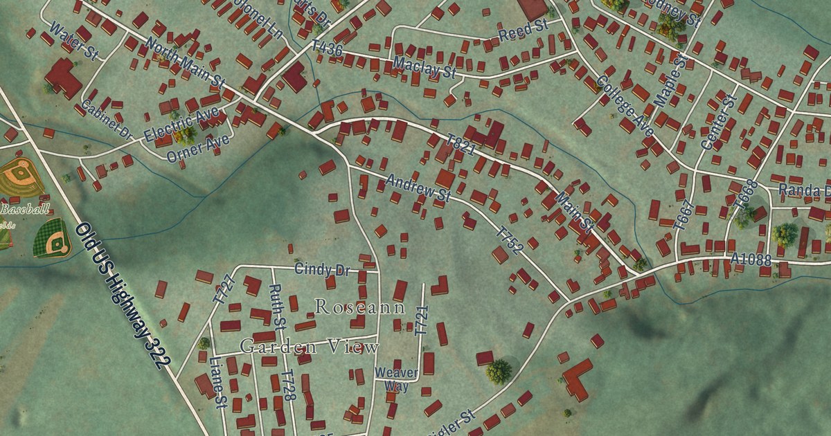
A detailed map of Milroy, Pennsylvania, showing every building in its true location, the roads by name, and shaded topographical relief.
Read More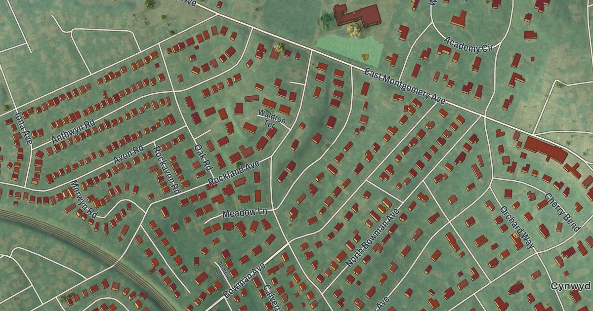
A detailed map of Merion Station, Pennsylvania, showing every building in its true location, the roads by name, and shaded topographical relief.
Read More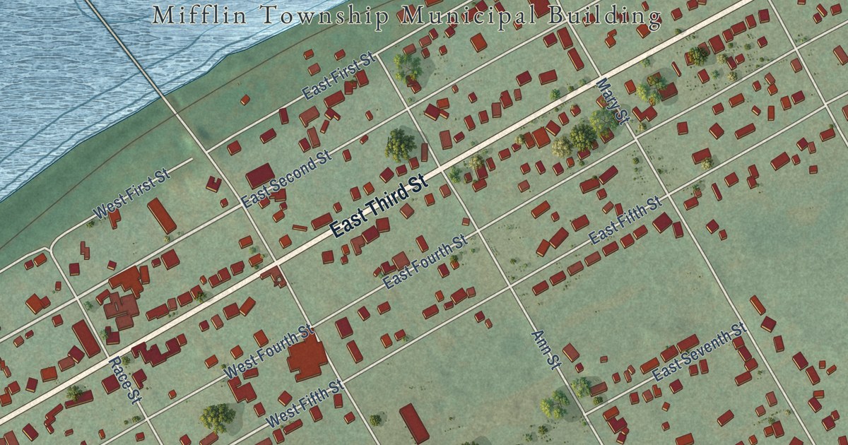
A detailed map of Mifflinville, Pennsylvania, showing every building in its true location, the roads by name, and shaded topographical relief.
Read More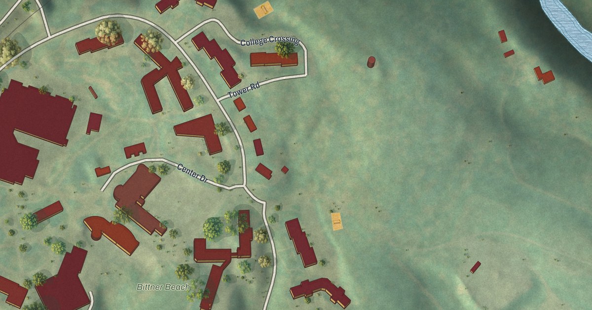
A detailed map of Messiah College, Pennsylvania, showing every building in its true location, the roads by name, and shaded topographical relief.
Read More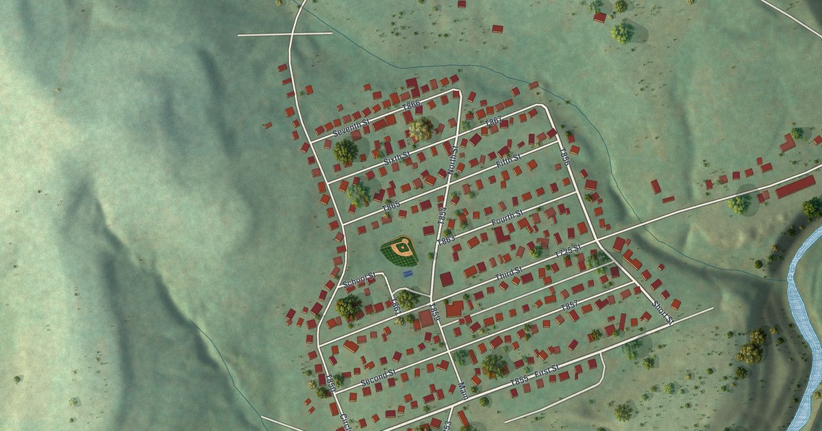
A detailed map of Mather, Pennsylvania, showing every building in its true location, the roads by name, and shaded topographical relief.
Read More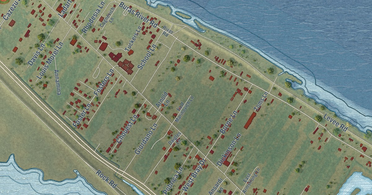
A detailed map of Buras, Louisiana, showing every building in its true location, the roads by name, and shaded topographical relief.
Read More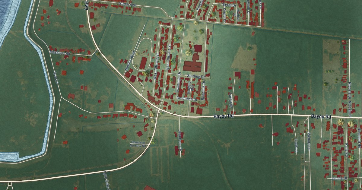
A detailed map of Poydras, Louisiana, showing every building in its true location, the roads by name, and shaded topographical relief.
Read More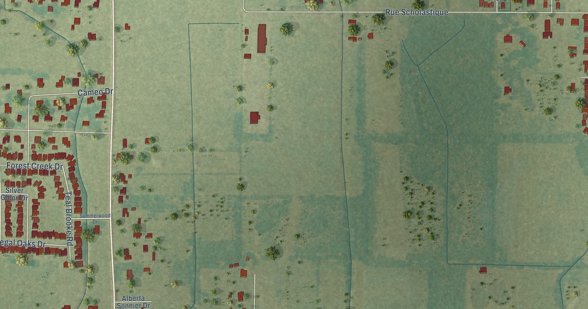
A detailed map of Ossun, Louisiana, showing every building in its true location, the roads by name, and shaded topographical relief.
Read More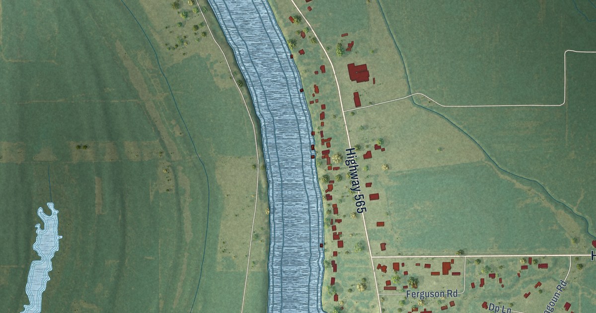
A detailed map of Monterey, Louisiana, showing every building in its true location, the roads by name, and shaded topographical relief.
Read More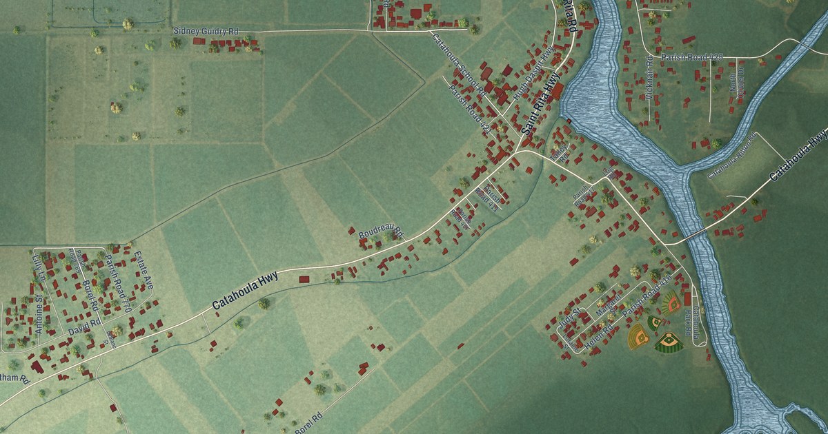
A detailed map of Catahoula, Louisiana, showing every building in its true location, the roads by name, and shaded topographical relief.
Read More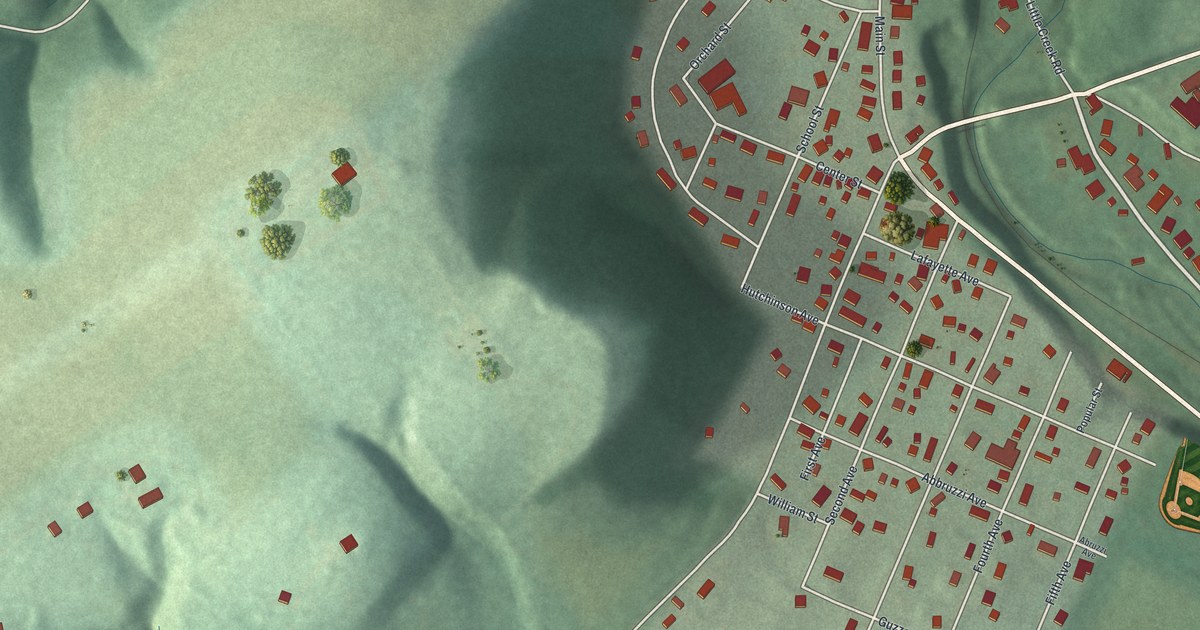
A detailed map of Martins Creek, Pennsylvania, showing every building in its true location, the roads by name, and shaded topographical relief.
Read More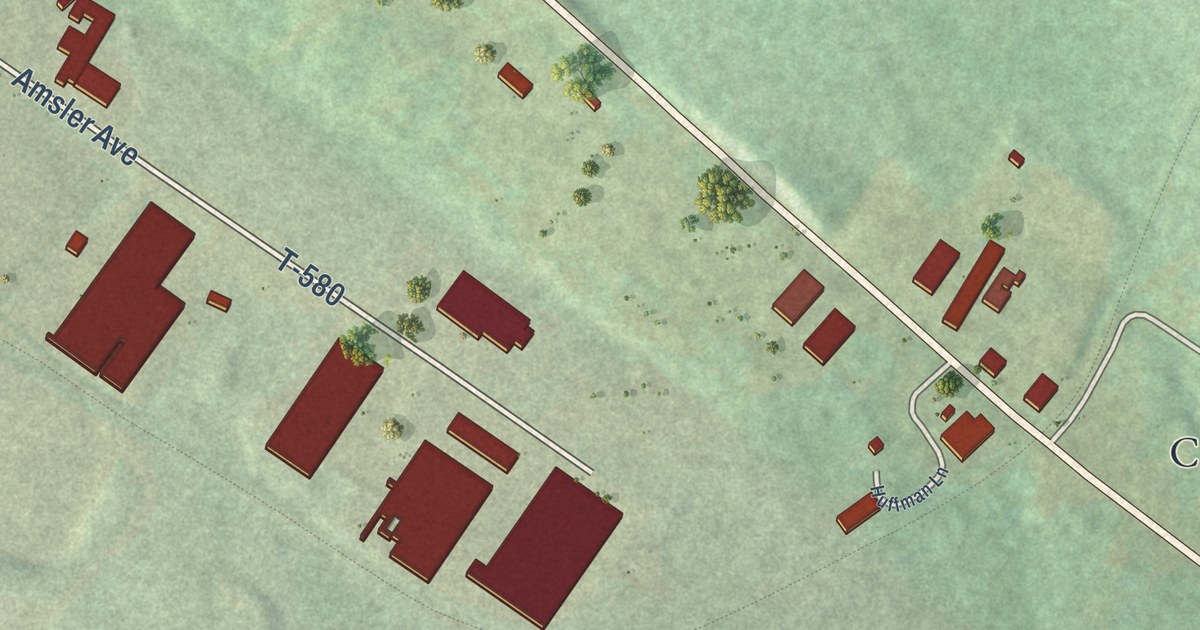
A detailed map of Marianne, Pennsylvania, showing every building in its true location, the roads by name, and shaded topographical relief.
Read More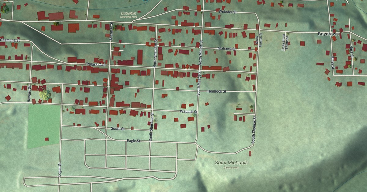
A detailed map of Marshallton, Pennsylvania, showing every building in its true location, the roads by name, and shaded topographical relief.
Read More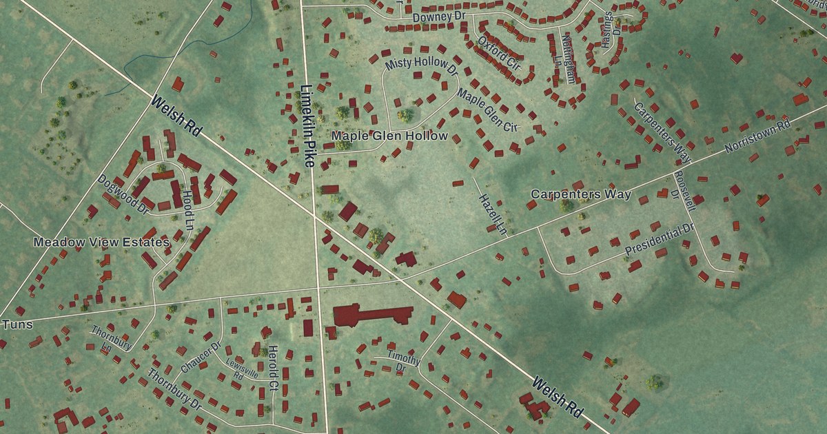
A detailed map of Maple Glen, Pennsylvania, showing every building in its true location, the roads by name, and shaded topographical relief.
Read More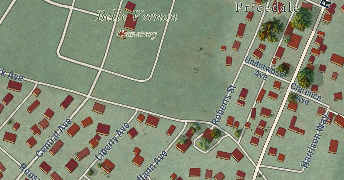
A detailed map of Lynnwood-Pricedale, Pennsylvania, showing every building in its true location, the roads by name, and shaded topographical relief.
Read More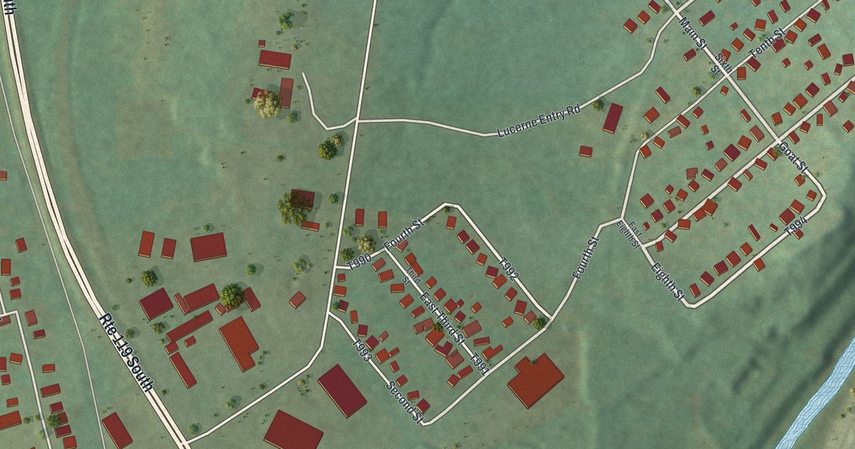
A detailed map of Lucerne Mines, Pennsylvania, showing every building in its true location, the roads by name, and shaded topographical relief.
Read More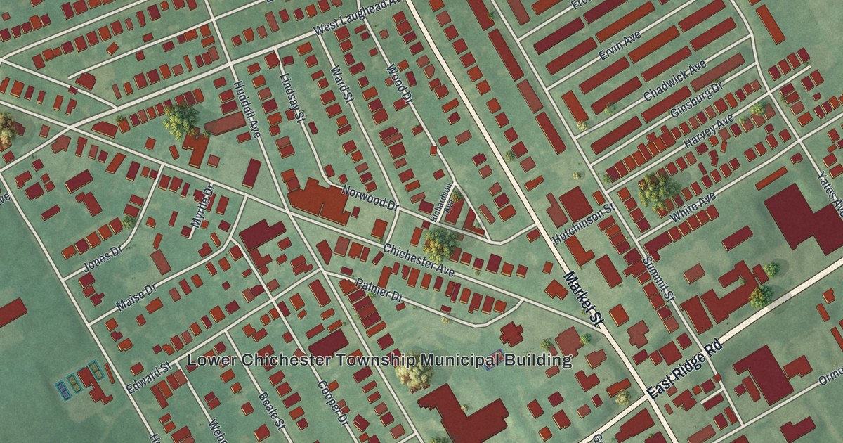
A detailed map of Linwood, Pennsylvania, showing every building in its true location, the roads by name, and shaded topographical relief.
Read More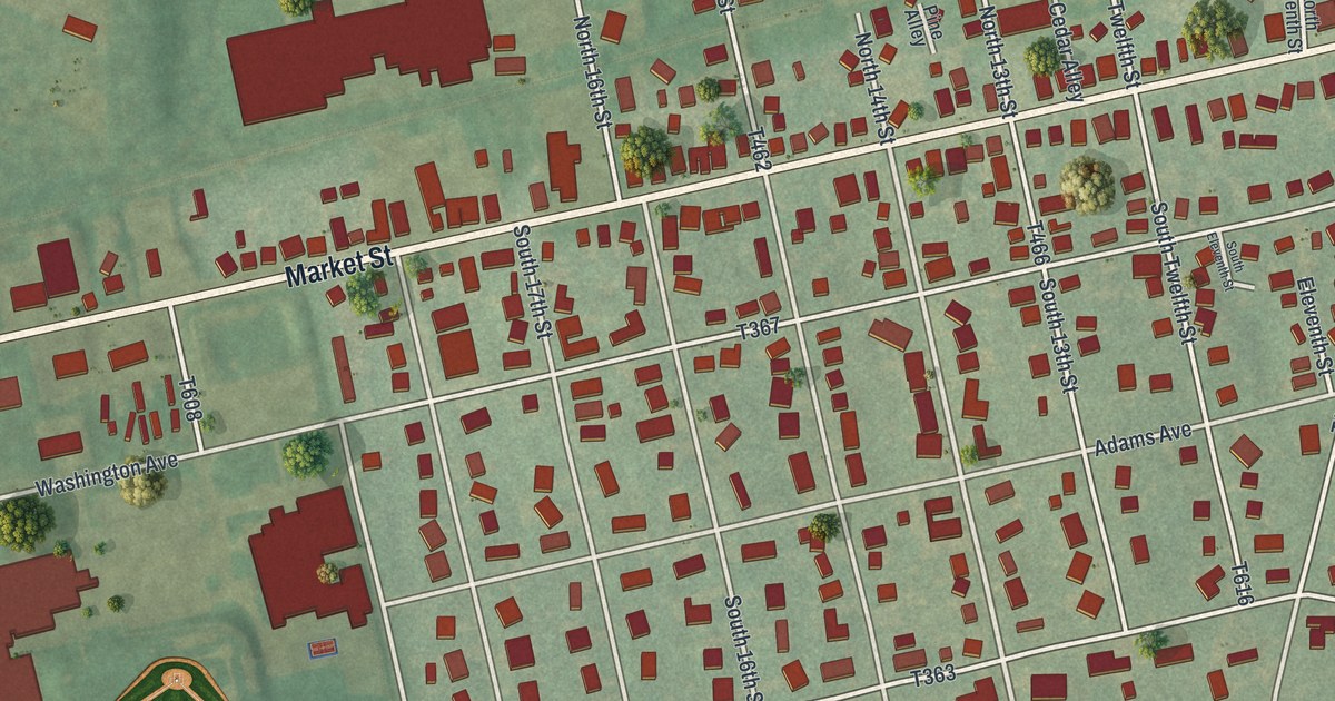
A detailed map of Linntown, Pennsylvania, showing every building in its true location, the roads by name, and shaded topographical relief.
Read More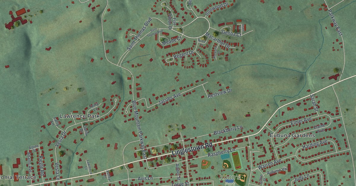
A detailed map of Linglestown, Pennsylvania, showing every building in its true location, the roads by name, and shaded topographical relief.
Read More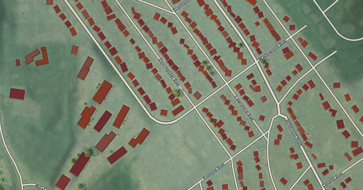
A detailed map of Lincoln Park, Pennsylvania, showing every building in its true location, the roads by name, and shaded topographical relief.
Read More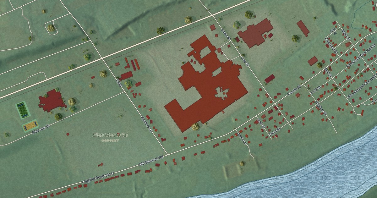
A detailed map of Lime Ridge, Pennsylvania, showing every building in its true location, the roads by name, and shaded topographical relief.
Read More















