Detailed Map of Cross, Wisconsin
A detailed map of Cross, Wisconsin, showing every building in its true location, the roads by name, and shaded topographical relief.
Read More
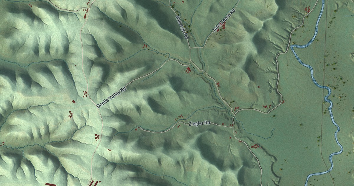
A detailed map of Cross, Wisconsin, showing every building in its true location, the roads by name, and shaded topographical relief.
Read More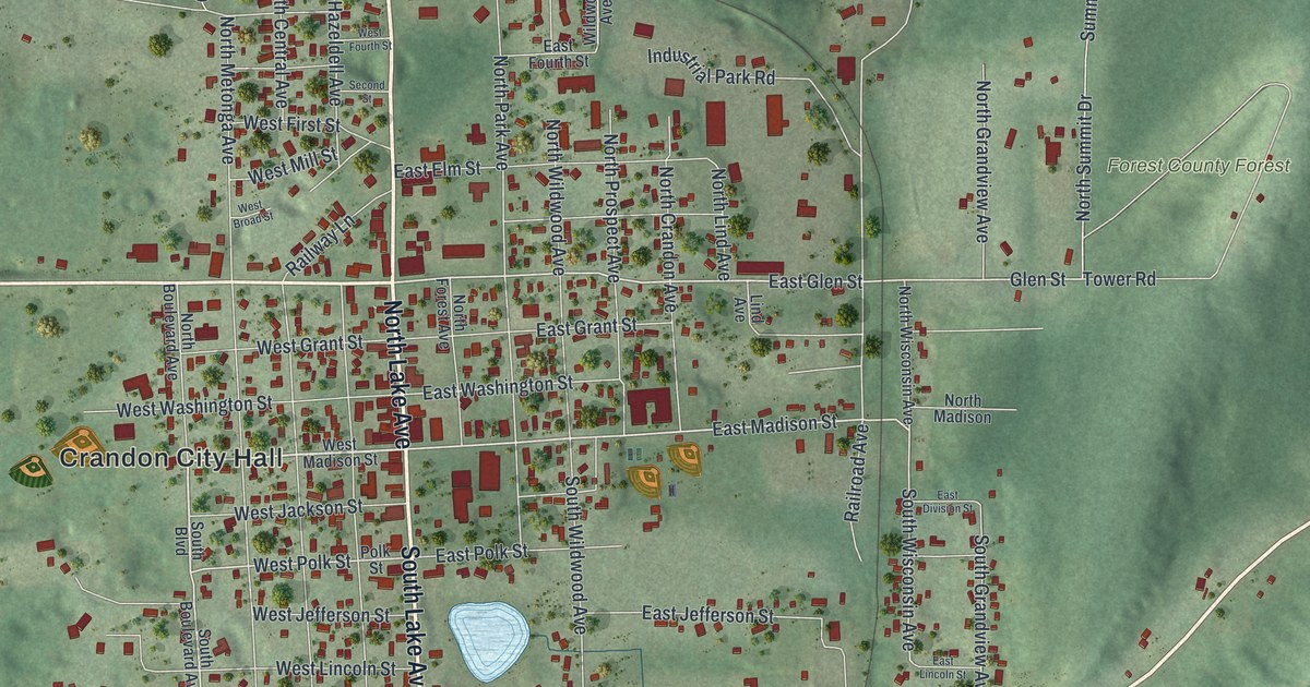
A detailed map of the City of Crandon, Wisconsin, showing every building in its true location, the roads by name, and shaded topographical relief.
Read More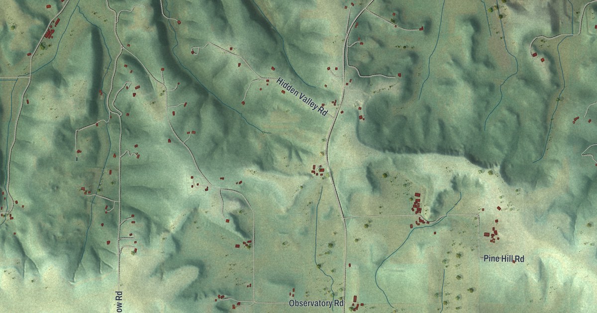
A detailed map of the Town of Cross Plains, Wisconsin, showing every building in its true location, the roads by name, and shaded topographical relief.
Read More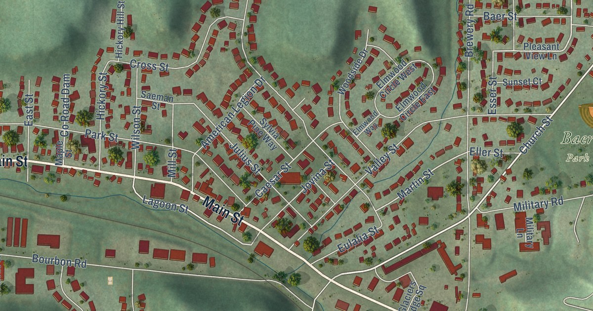
A detailed map of the Village of Cross Plains, Wisconsin, showing every building in its true location, the roads by name, and shaded topographical relief.
Read More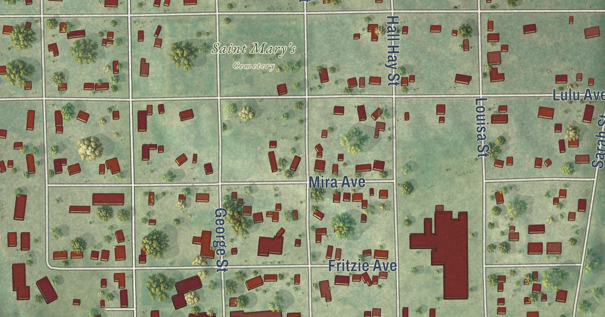
A detailed map of Crivitz, Wisconsin, showing every building in its true location, the roads by name, and shaded topographical relief.
Read More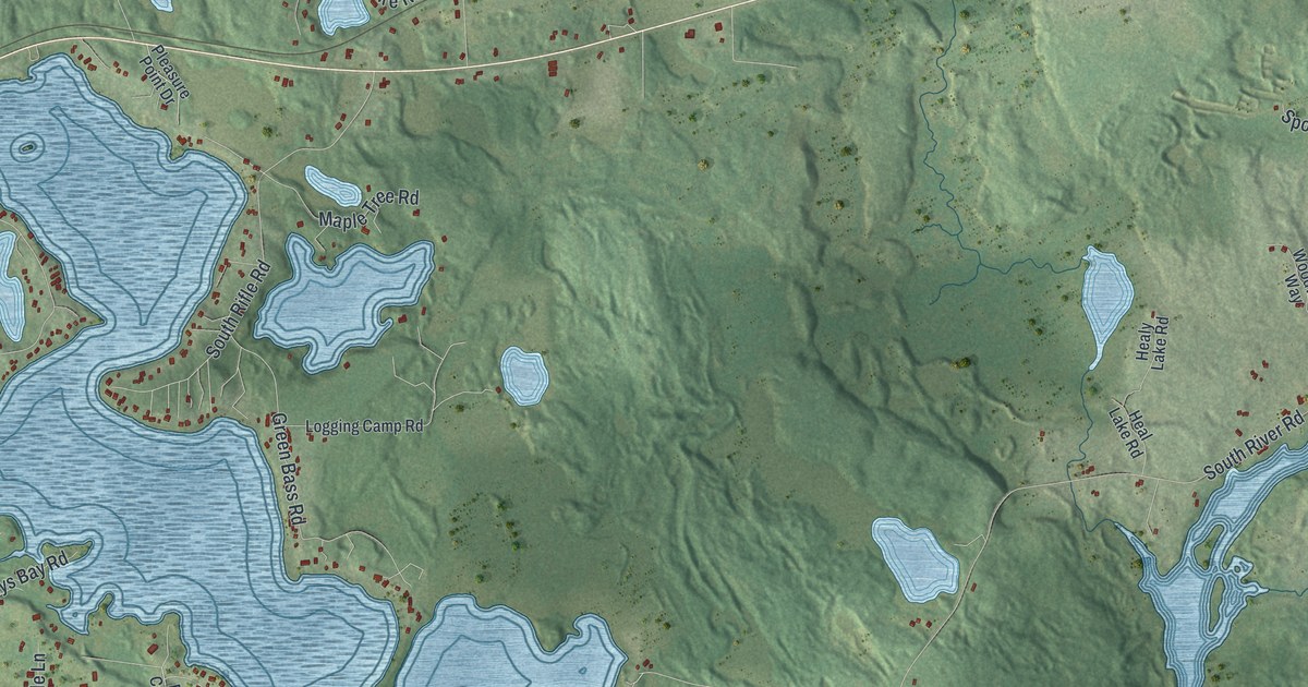
A detailed map of Crescent, Wisconsin, showing every building in its true location, the roads by name, and shaded topographical relief.
Read More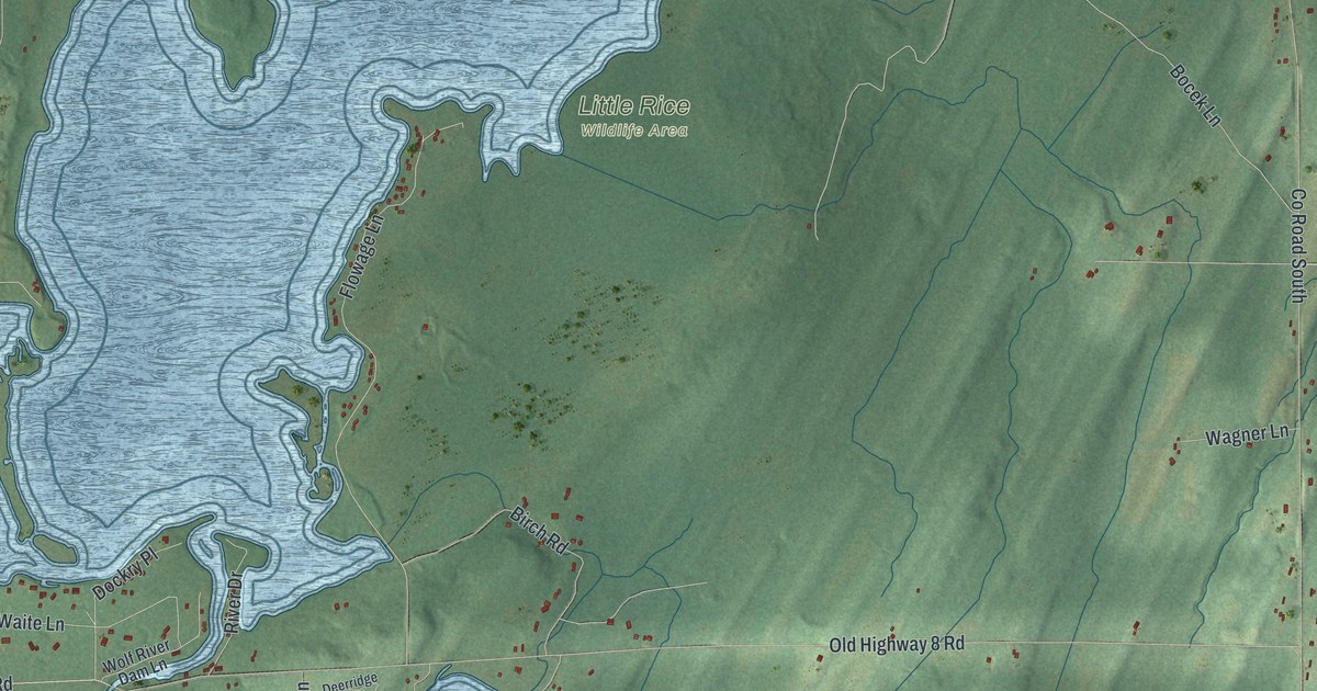
A detailed map of the Town of Crandon, Wisconsin, showing every building in its true location, the roads by name, and shaded topographical relief.
Read More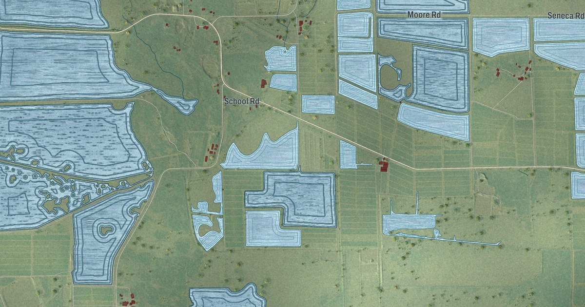
A detailed map of Cranmoor, Wisconsin, showing every building in its true location, the roads by name, and shaded topographical relief.
Read More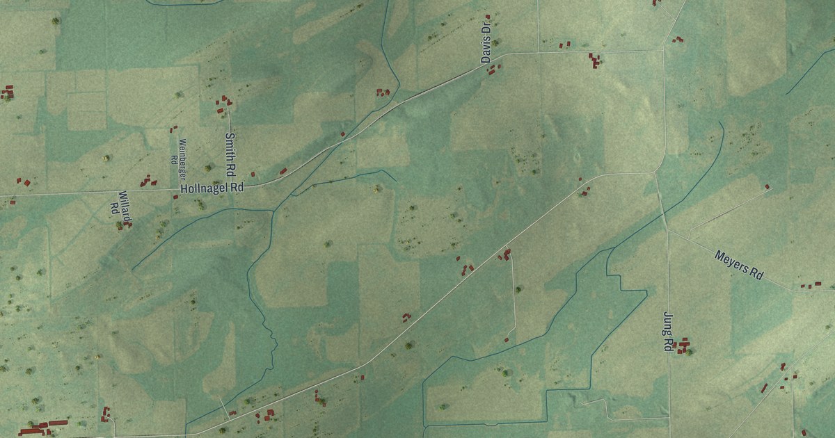
A detailed map of Courtland, Wisconsin, showing every building in its true location, the roads by name, and shaded topographical relief.
Read More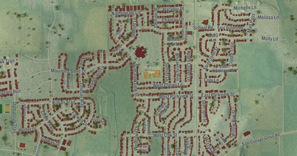
A detailed map of the Village of Cottage Grove, Wisconsin, showing every building in its true location, the roads by name, and shaded topographical relief.
Read More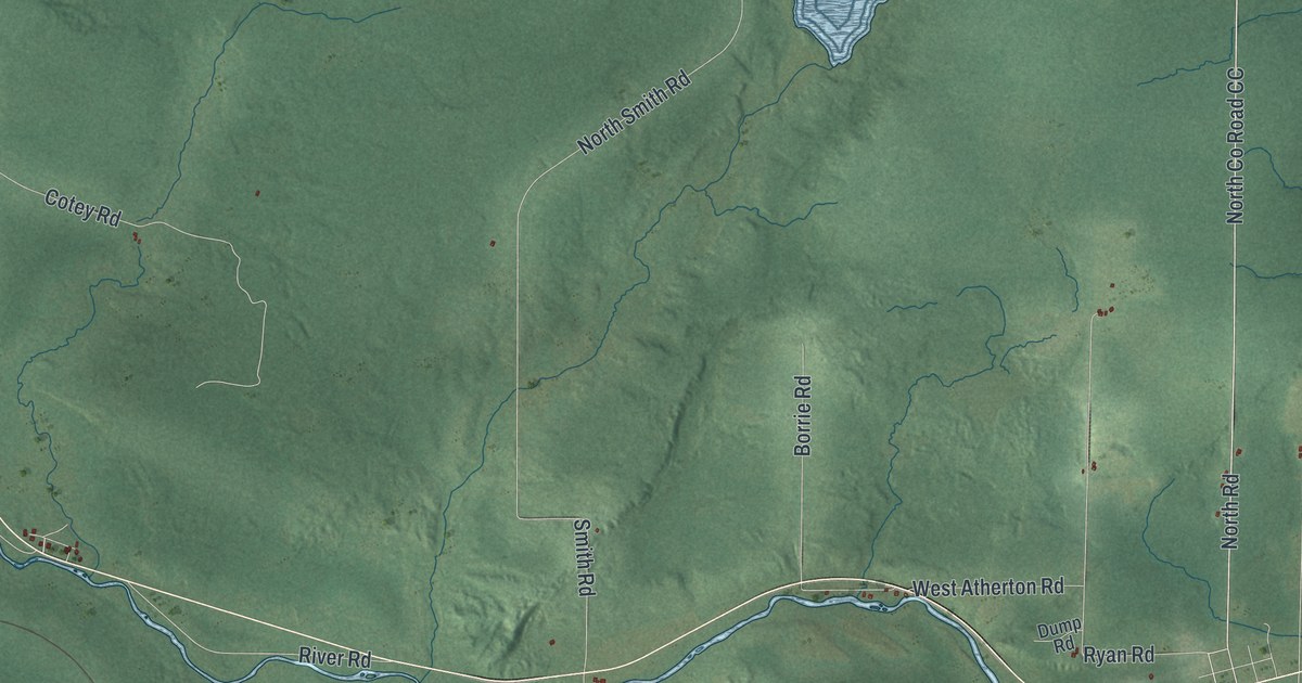
A detailed map of the Town of Couderay, Wisconsin, showing every building in its true location, the roads by name, and shaded topographical relief.
Read More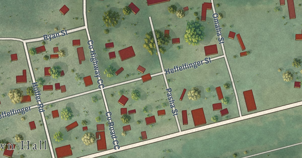
A detailed map of the Village of Couderay, Wisconsin, showing every building in its true location, the roads by name, and shaded topographical relief.
Read More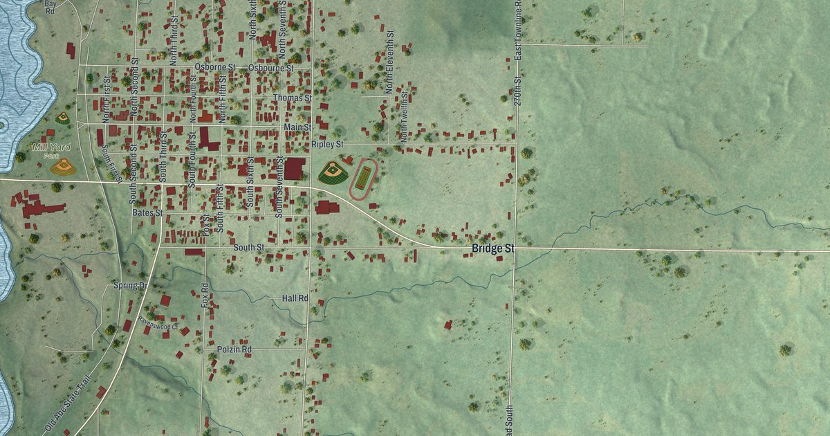
A detailed map of Cornell, Wisconsin, showing every building in its true location, the roads by name, and shaded topographical relief.
Read More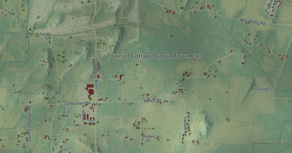
A detailed map of the Town of Cottage Grove, Wisconsin, showing every building in its true location, the roads by name, and shaded topographical relief.
Read More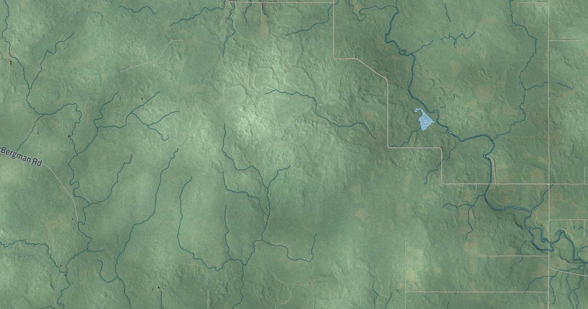
A detailed map of Corning, Wisconsin, showing every building in its true location, the roads by name, and shaded topographical relief.
Read More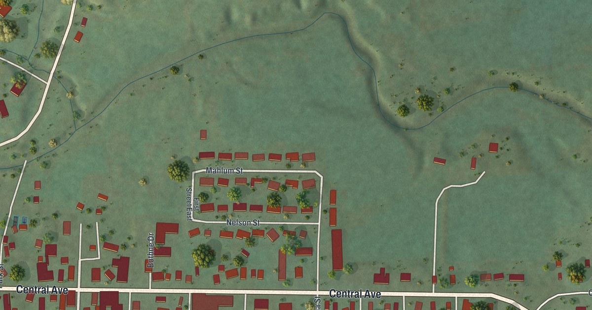
A detailed map of Coon Valley, Wisconsin, showing every building in its true location, the roads by name, and shaded topographical relief.
Read More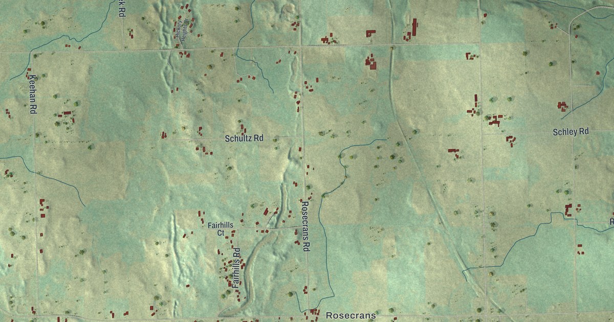
A detailed map of Cooperstown, Wisconsin, showing every building in its true location, the roads by name, and shaded topographical relief.
Read More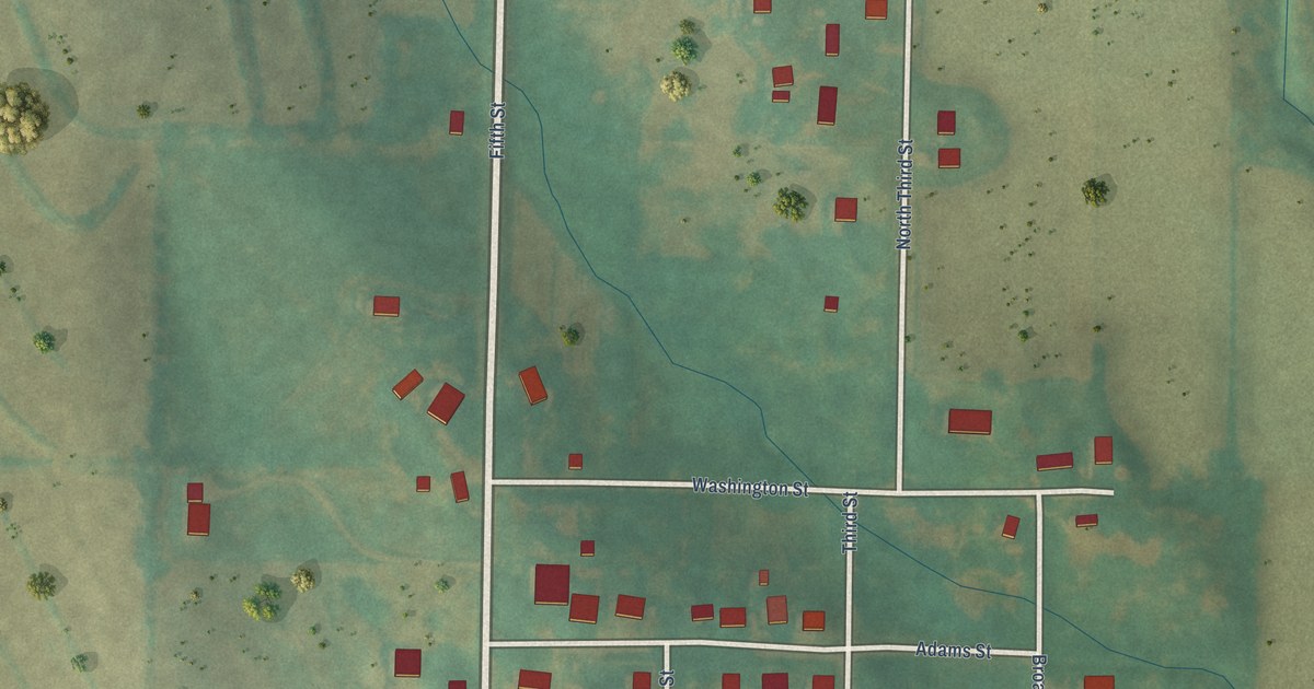
A detailed map of Yorktown, Iowa, showing every building in its true location, the roads by name, and shaded topographical relief.
Read More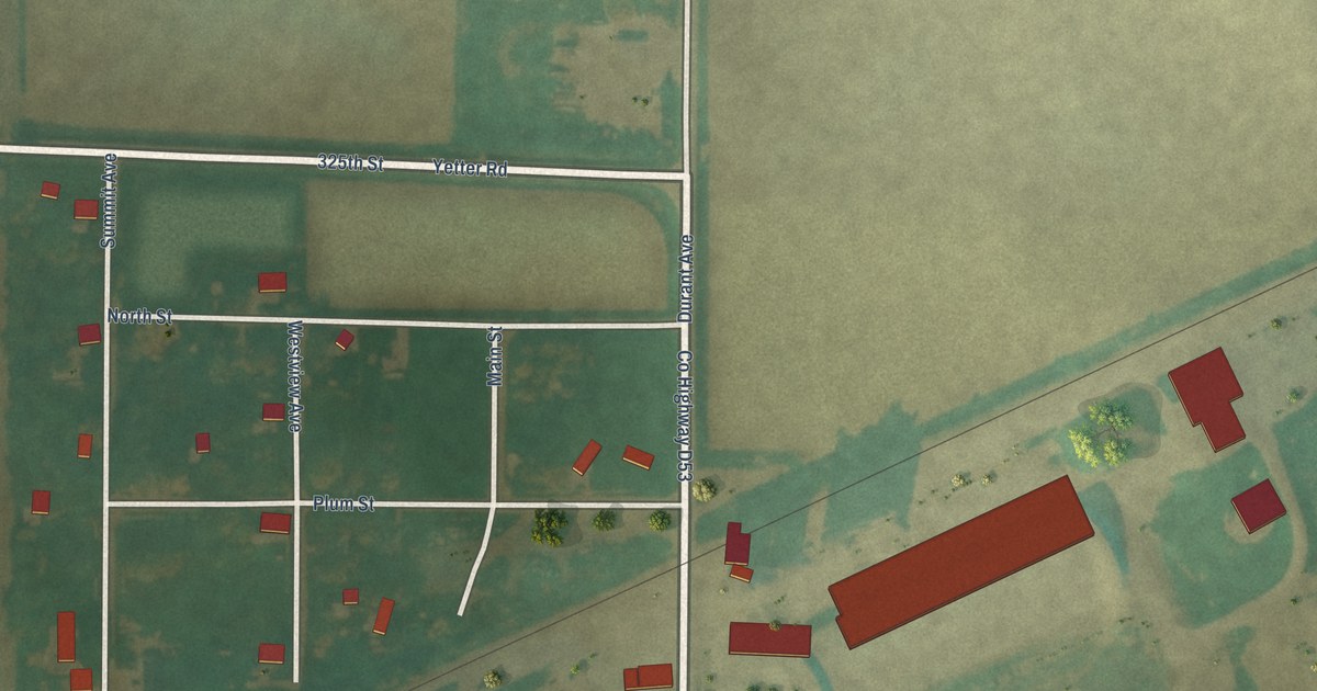
A detailed map of Yetter, Iowa, showing every building in its true location, the roads by name, and shaded topographical relief.
Read More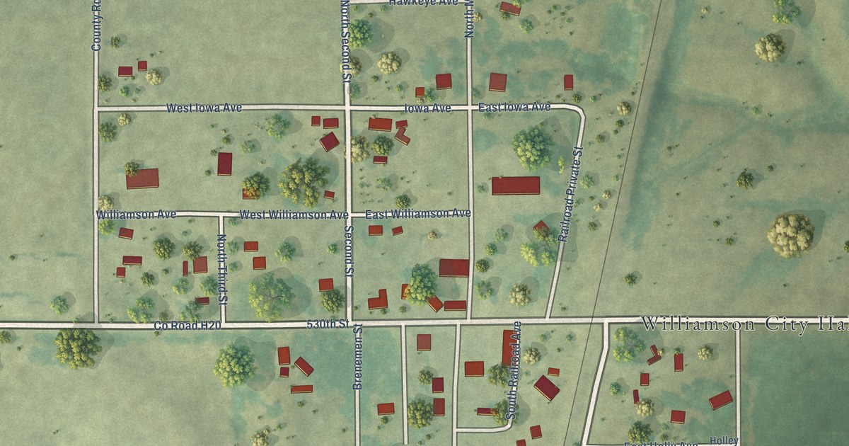
A detailed map of Williamson, Iowa, showing every building in its true location, the roads by name, and shaded topographical relief.
Read More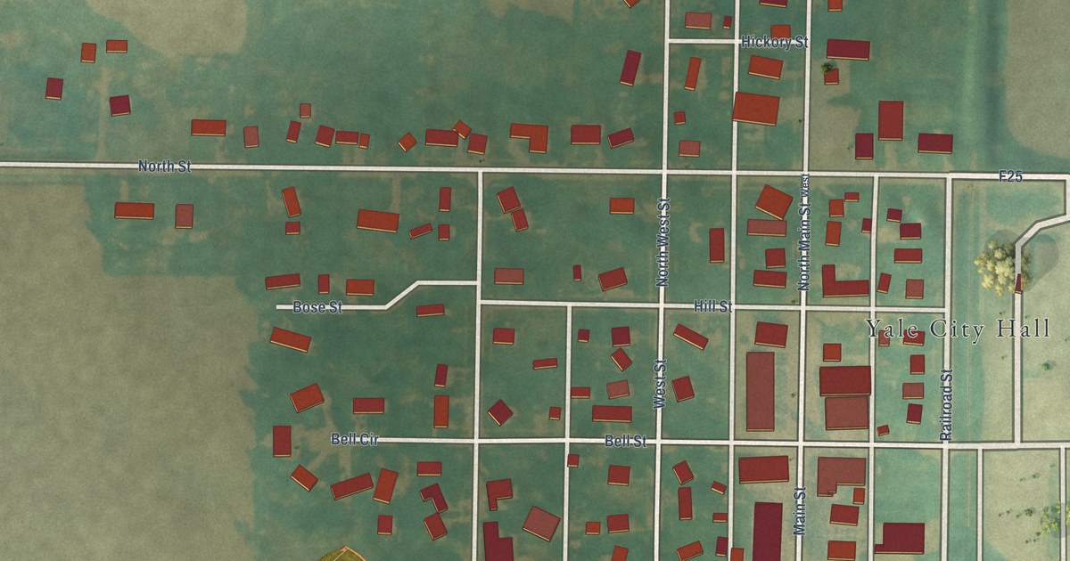
A detailed map of Yale, Iowa, showing every building in its true location, the roads by name, and shaded topographical relief.
Read More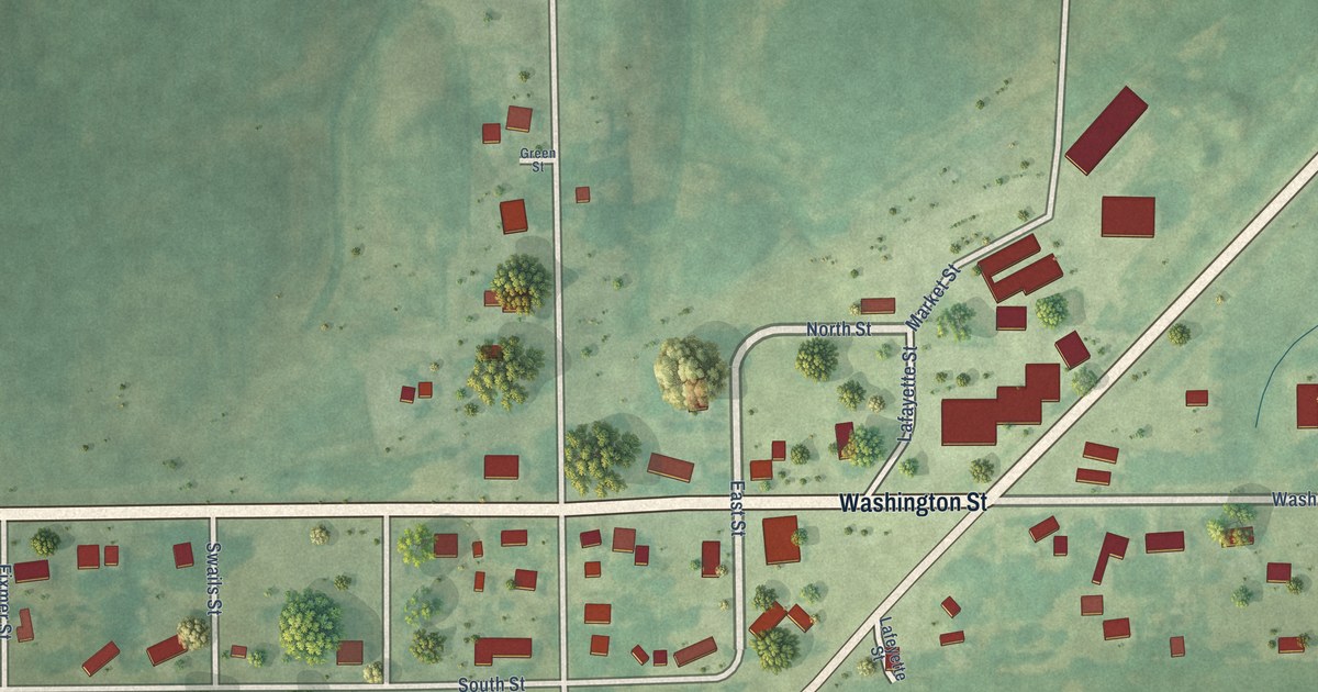
A detailed map of Webster, Iowa, showing every building in its true location, the roads by name, and shaded topographical relief.
Read More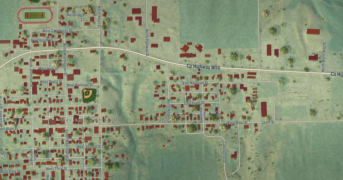
A detailed map of Wayland, Iowa, showing every building in its true location, the roads by name, and shaded topographical relief.
Read More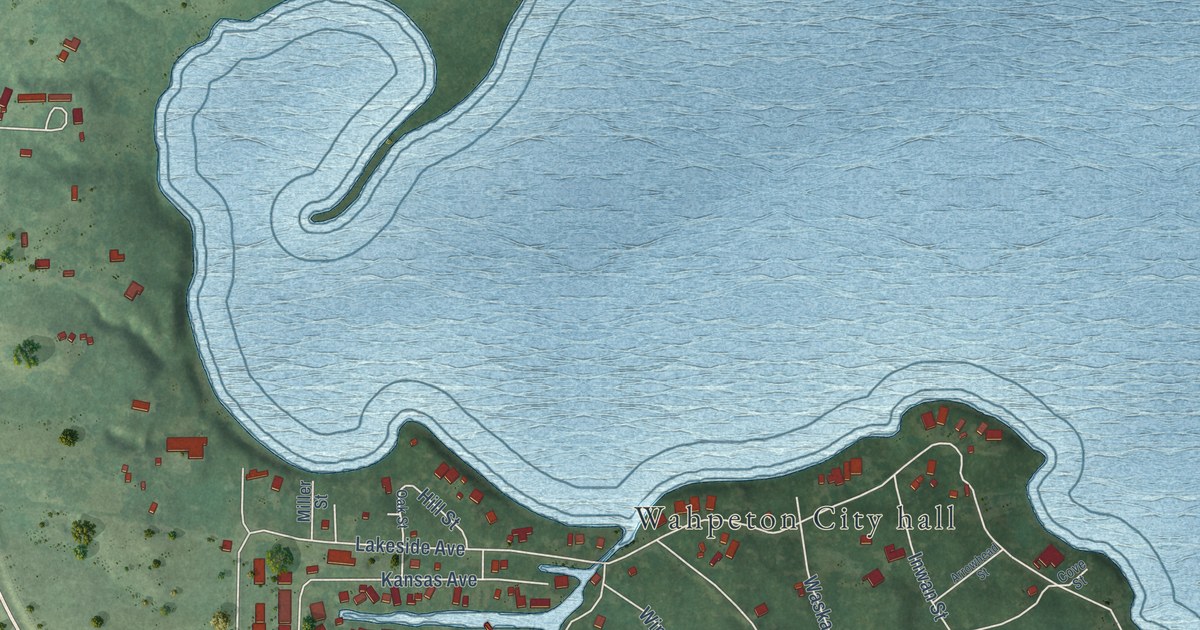
A detailed map of Wahpeton, Iowa, showing every building in its true location, the roads by name, and shaded topographical relief.
Read More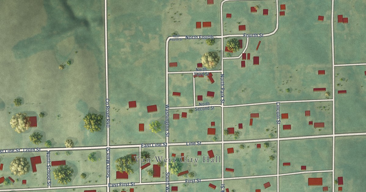
A detailed map of Van Wert, Iowa, showing every building in its true location, the roads by name, and shaded topographical relief.
Read More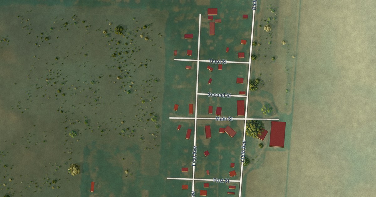
A detailed map of Truesdale, Iowa, showing every building in its true location, the roads by name, and shaded topographical relief.
Read More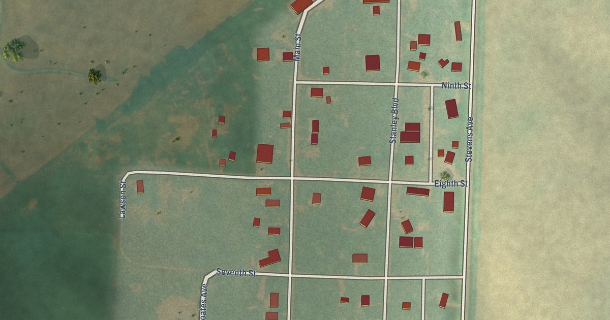
A detailed map of Tennant, Iowa, showing every building in its true location, the roads by name, and shaded topographical relief.
Read More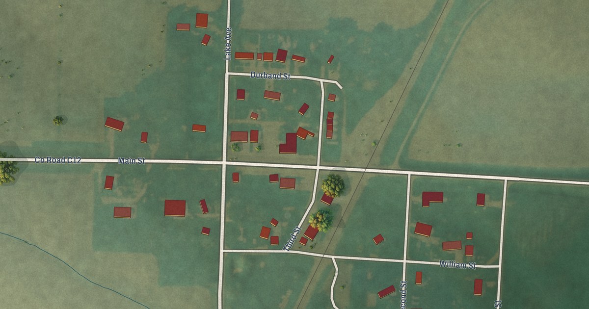
A detailed map of Struble, Iowa, showing every building in its true location, the roads by name, and shaded topographical relief.
Read More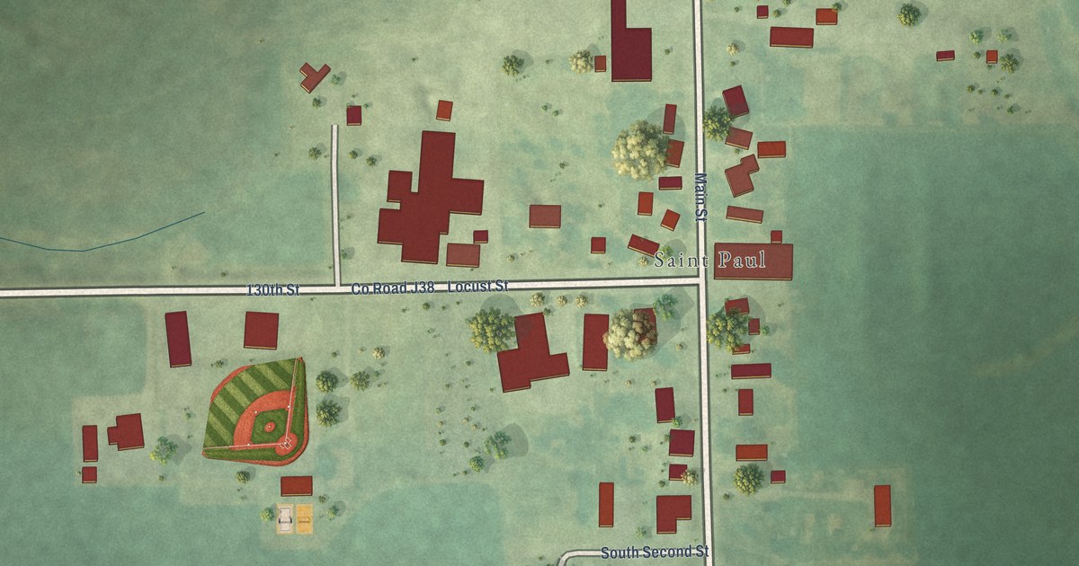
A detailed map of St. Paul, Iowa, showing every building in its true location, the roads by name, and shaded topographical relief.
Read More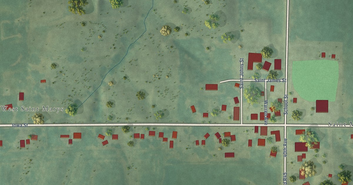
A detailed map of St. Marys, Iowa, showing every building in its true location, the roads by name, and shaded topographical relief.
Read More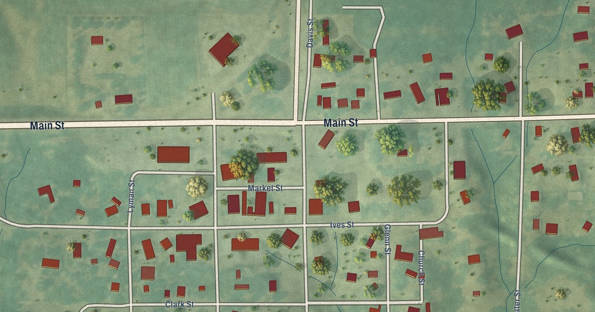
A detailed map of South English, Iowa, showing every building in its true location, the roads by name, and shaded topographical relief.
Read More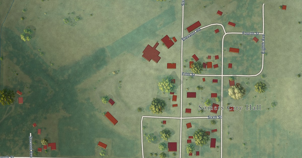
A detailed map of Somers, Iowa, showing every building in its true location, the roads by name, and shaded topographical relief.
Read More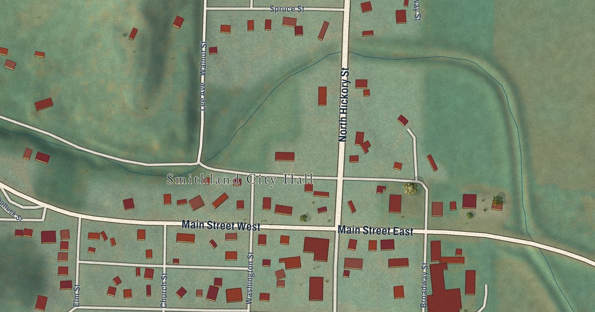
A detailed map of Smithland, Iowa, showing every building in its true location, the roads by name, and shaded topographical relief.
Read More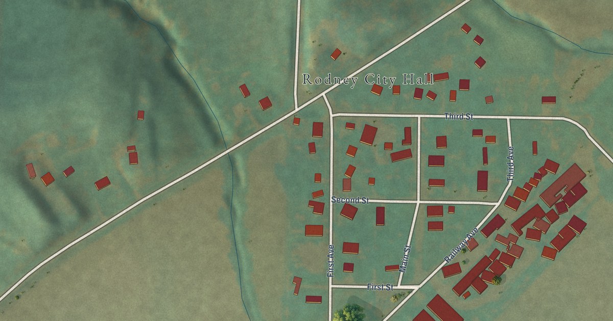
A detailed map of Rodney, Iowa, showing every building in its true location, the roads by name, and shaded topographical relief.
Read More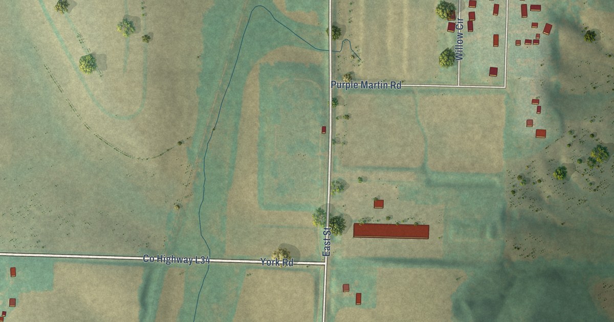
A detailed map of Shelby, Iowa, showing every building in its true location, the roads by name, and shaded topographical relief.
Read More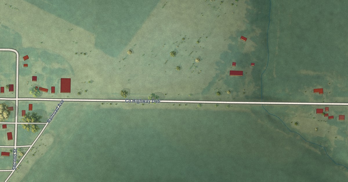
A detailed map of Rinard, Iowa, showing every building in its true location, the roads by name, and shaded topographical relief.
Read More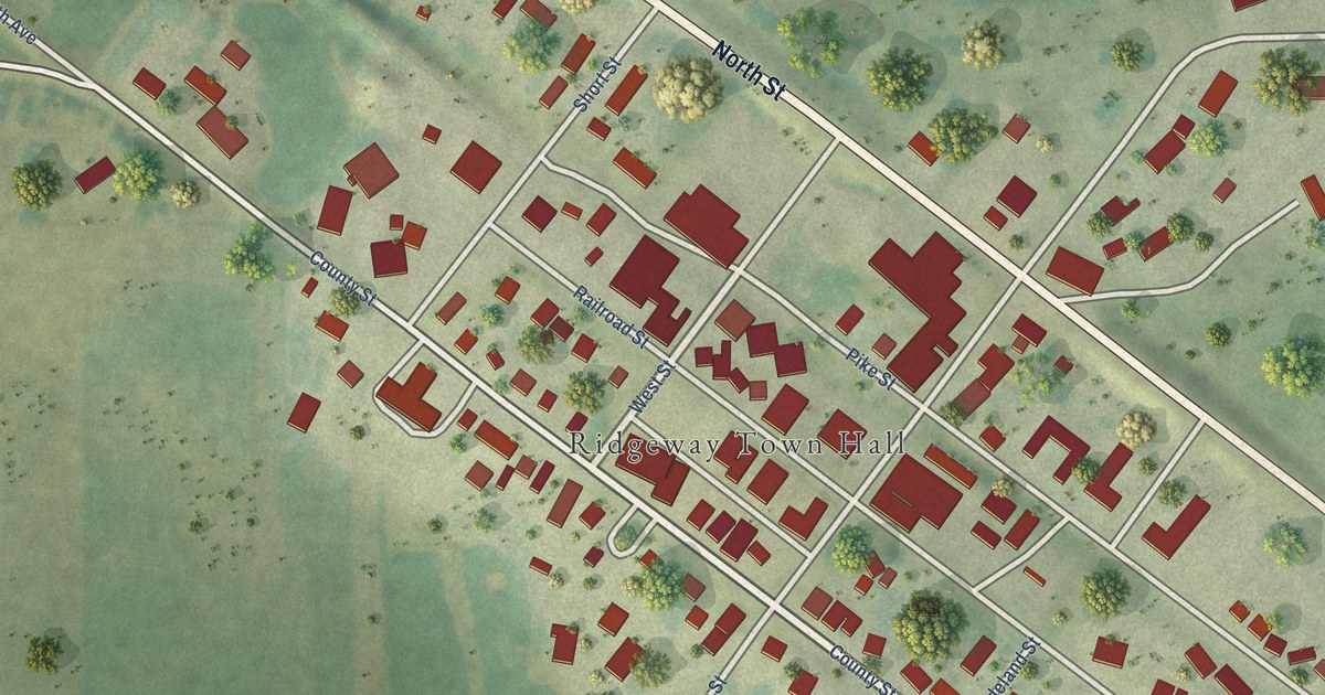
A detailed map of Ridgeway, Iowa, showing every building in its true location, the roads by name, and shaded topographical relief.
Read More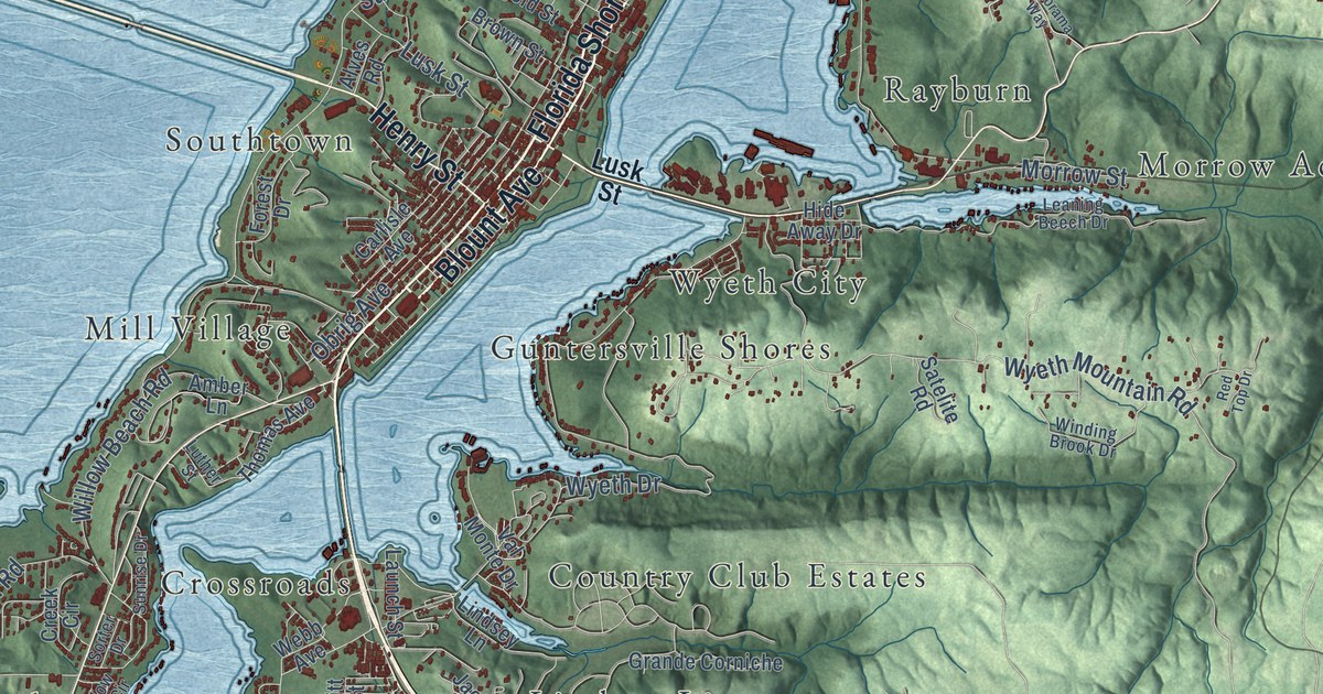
A detailed map of Guntersville, Alabama, showing every building in its true location, the roads by name, and shaded topographical relief.
Read More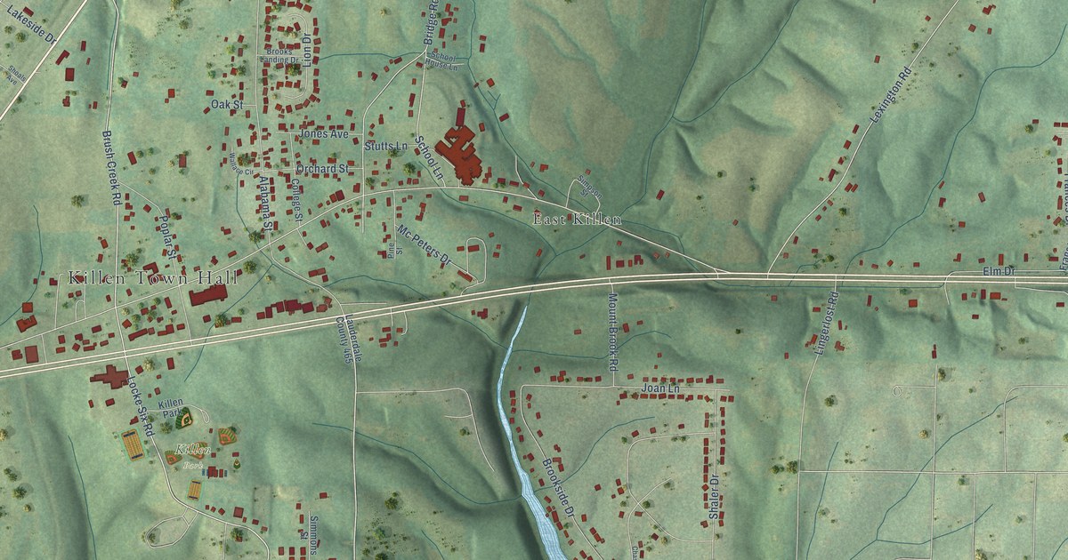
A detailed map of Killen, Alabama, showing every building in its true location, the roads by name, and shaded topographical relief.
Read More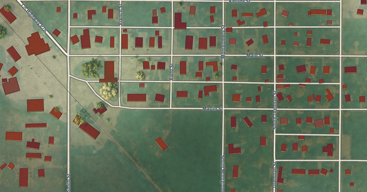
A detailed map of Renwick, Iowa, showing every building in its true location, the roads by name, and shaded topographical relief.
Read More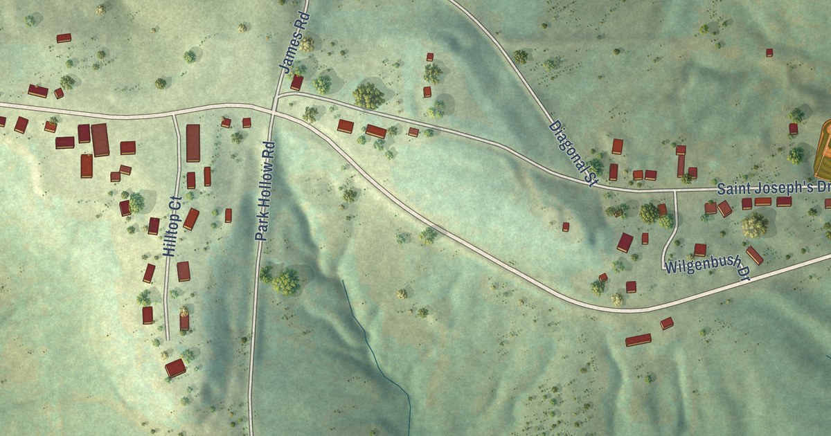
A detailed map of Rickardsville, Iowa, showing every building in its true location, the roads by name, and shaded topographical relief.
Read More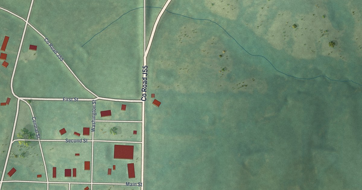
A detailed map of Redding, Iowa, showing every building in its true location, the roads by name, and shaded topographical relief.
Read More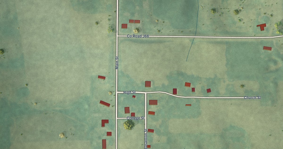
A detailed map of Pleasanton, Iowa, showing every building in its true location, the roads by name, and shaded topographical relief.
Read More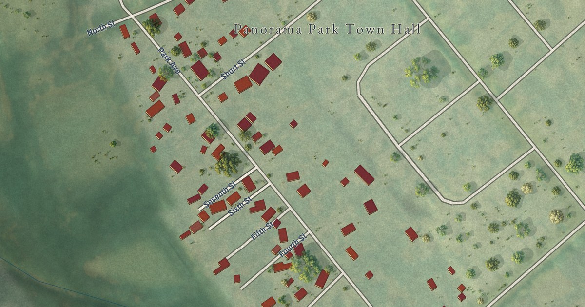
A detailed map of Panorama Park, Iowa, showing every building in its true location, the roads by name, and shaded topographical relief.
Read More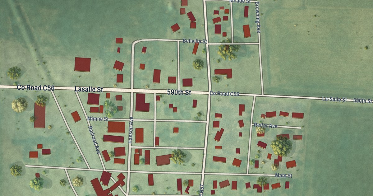
A detailed map of Palmer, Iowa, showing every building in its true location, the roads by name, and shaded topographical relief.
Read More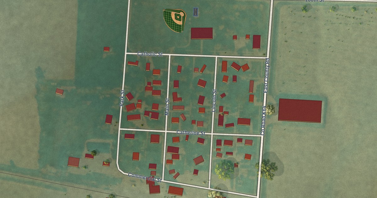
A detailed map of Oyens, Iowa, showing every building in its true location, the roads by name, and shaded topographical relief.
Read More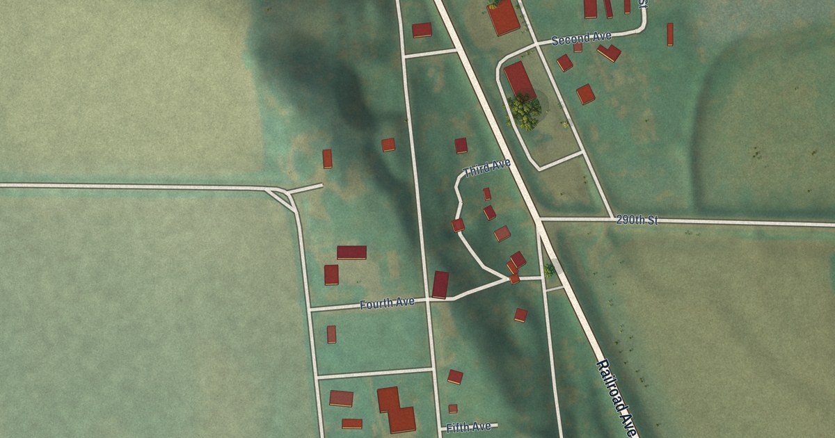
A detailed map of Oto, Iowa, showing every building in its true location, the roads by name, and shaded topographical relief.
Read More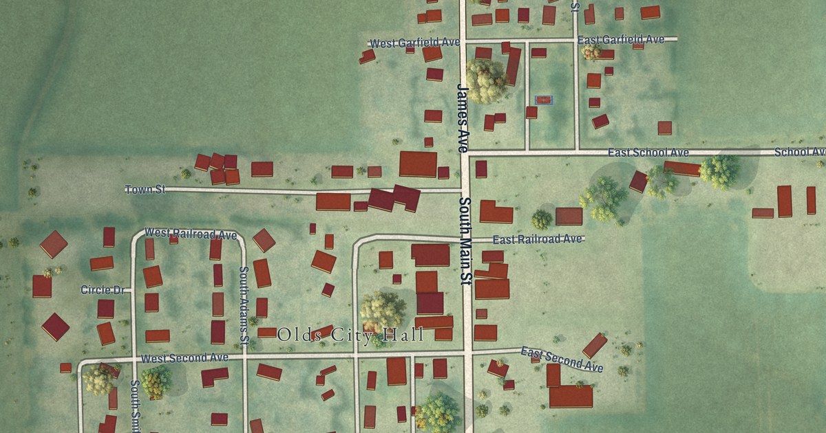
A detailed map of Olds, Iowa, showing every building in its true location, the roads by name, and shaded topographical relief.
Read More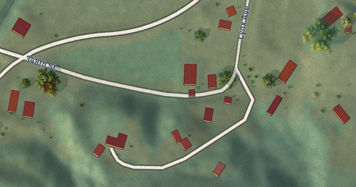
A detailed map of Osterdock, Iowa, showing every building in its true location, the roads by name, and shaded topographical relief.
Read More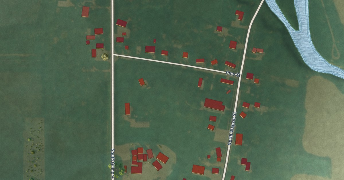
A detailed map of North Washington, Iowa, showing every building in its true location, the roads by name, and shaded topographical relief.
Read More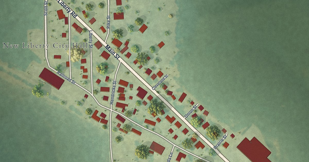
A detailed map of New Liberty, Iowa, showing every building in its true location, the roads by name, and shaded topographical relief.
Read More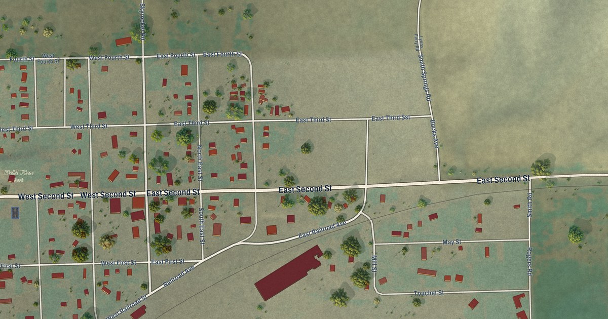
A detailed map of Prescott, Washington, showing every building in its true location, the roads by name, and shaded topographical relief.
Read More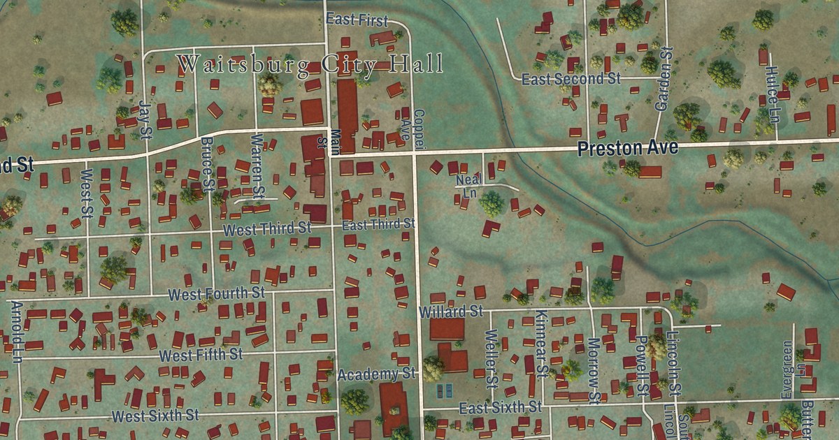
A detailed map of Waitsburg, Washington, showing every building in its true location, the roads by name, and shaded topographical relief.
Read More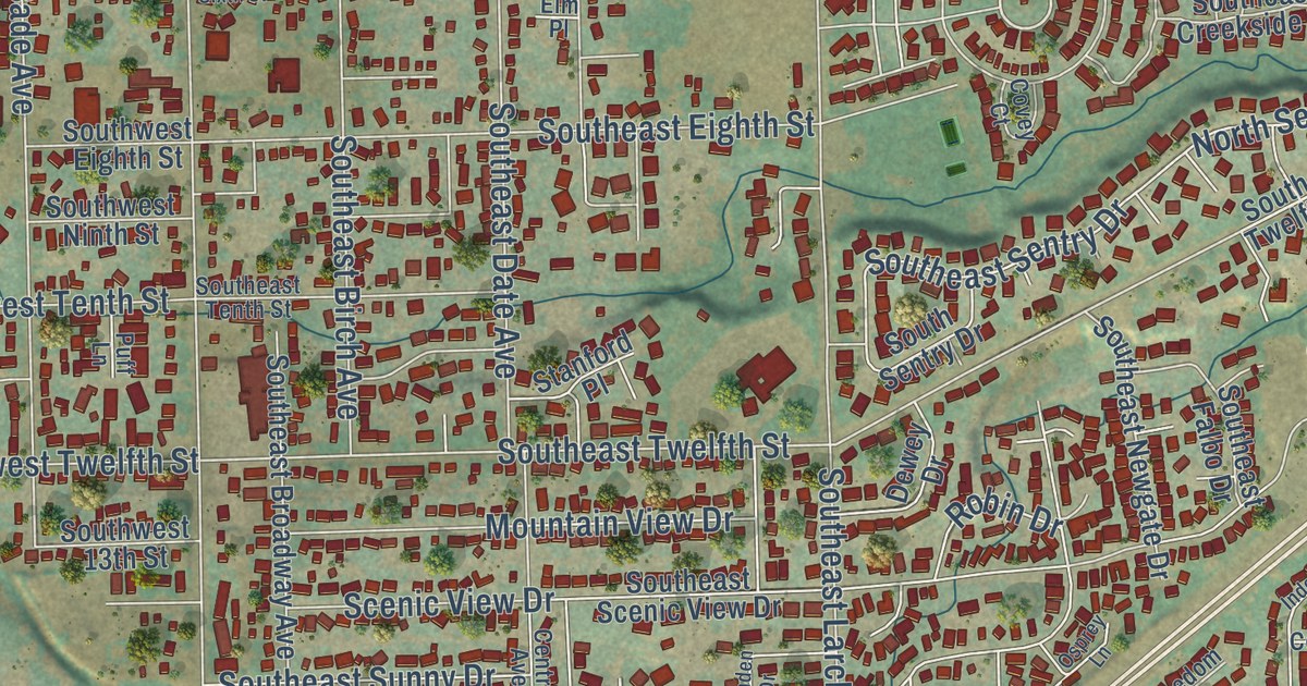
A detailed map of College Place, Washington, showing every building in its true location, the roads by name, and shaded topographical relief.
Read More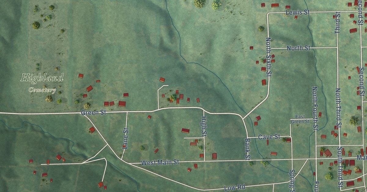
A detailed map of Mystic, Iowa, showing every building in its true location, the roads by name, and shaded topographical relief.
Read More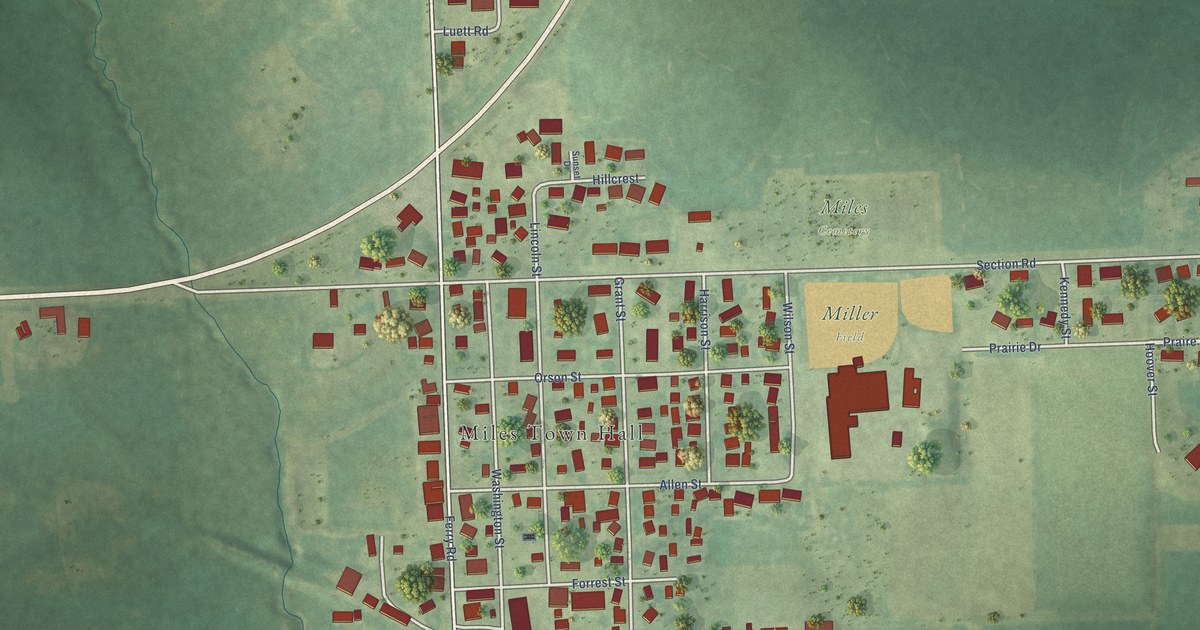
A detailed map of Miles, Iowa, showing every building in its true location, the roads by name, and shaded topographical relief.
Read More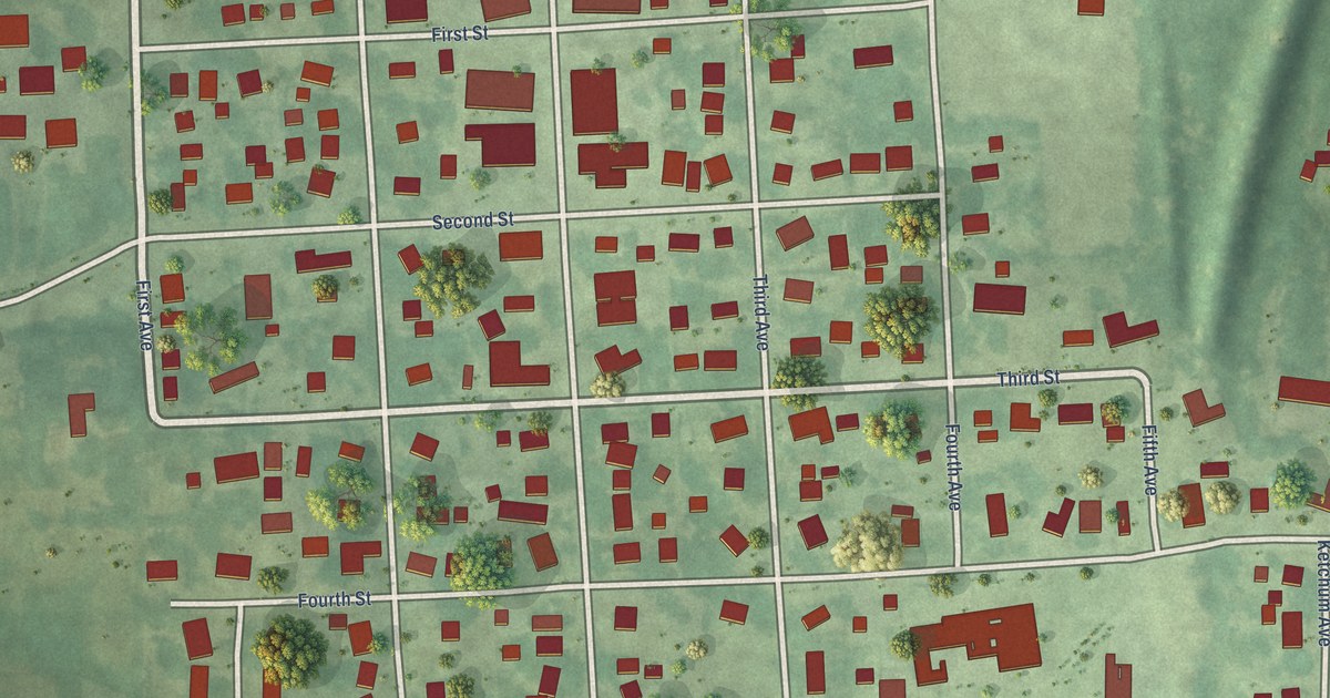
A detailed map of Melbourne, Iowa, showing every building in its true location, the roads by name, and shaded topographical relief.
Read More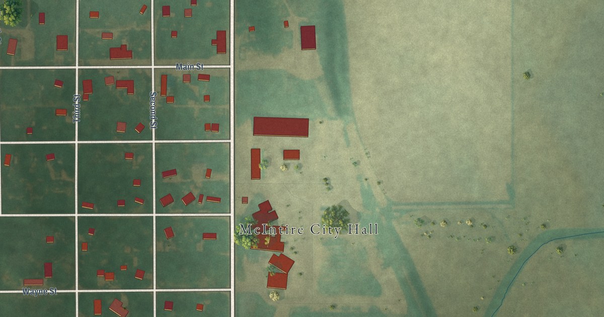
A detailed map of McIntire, Iowa, showing every building in its true location, the roads by name, and shaded topographical relief.
Read More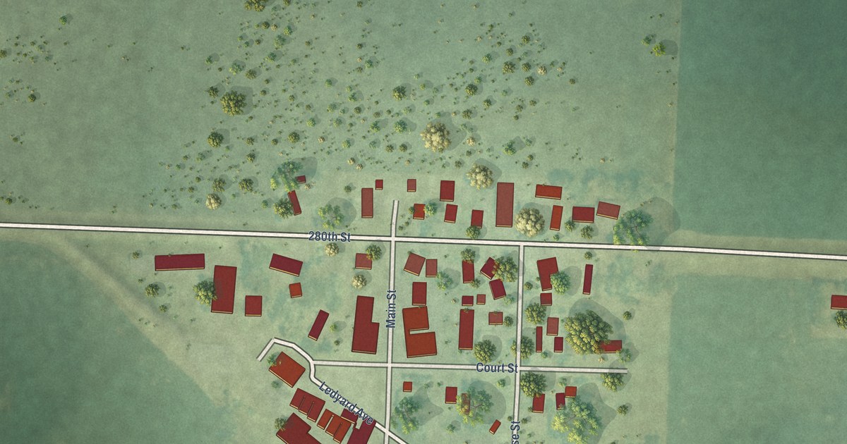
A detailed map of Matlock, Iowa, showing every building in its true location, the roads by name, and shaded topographical relief.
Read More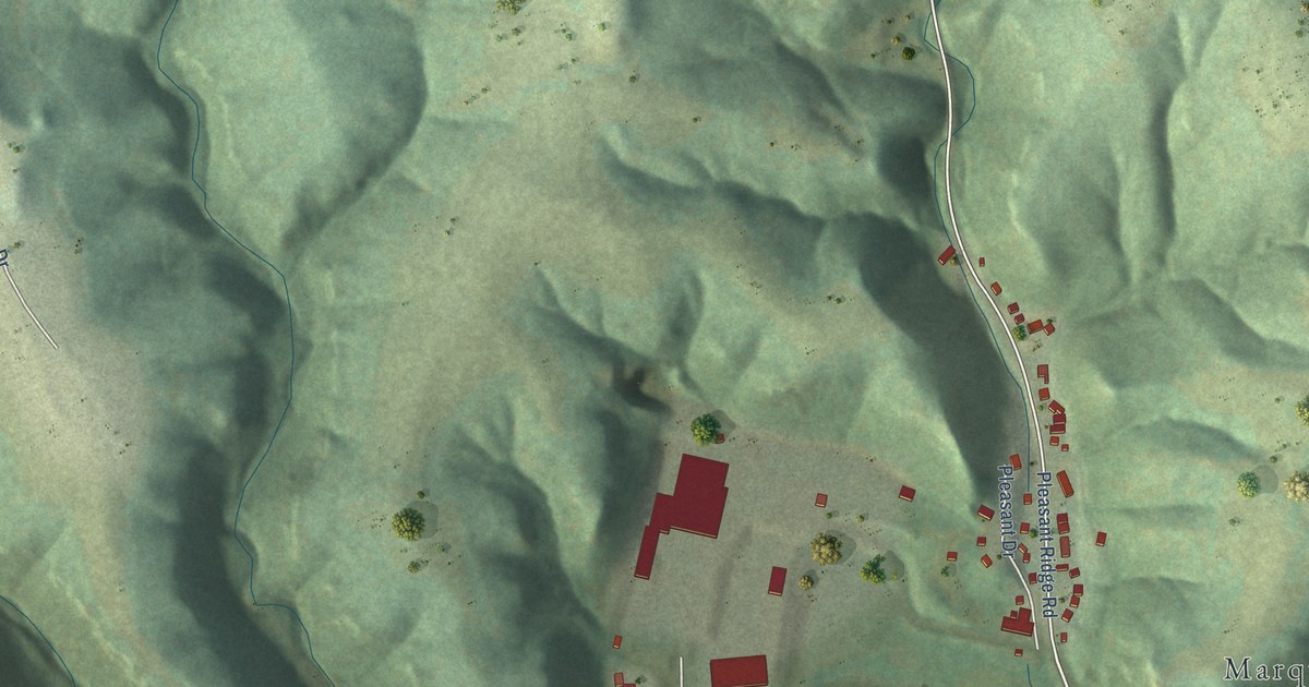
A detailed map of Marquette, Iowa, showing every building in its true location, the roads by name, and shaded topographical relief.
Read More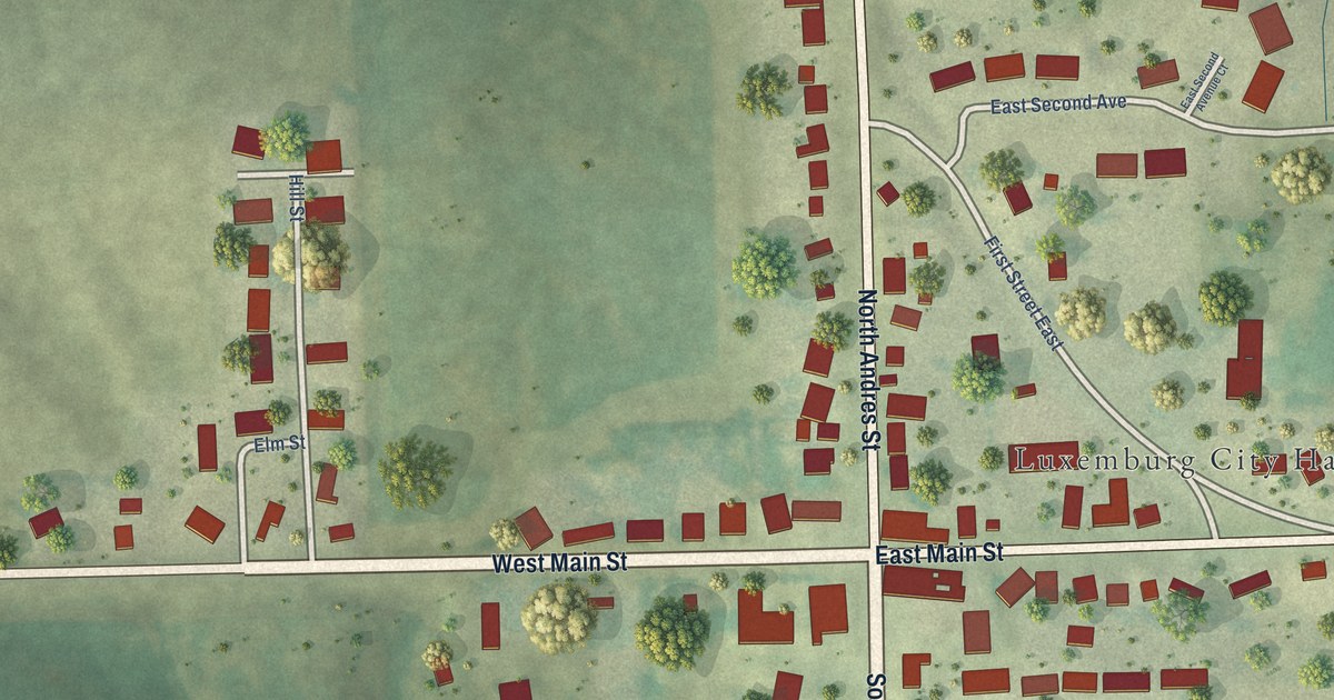
A detailed map of Luxemburg, Iowa, showing every building in its true location, the roads by name, and shaded topographical relief.
Read More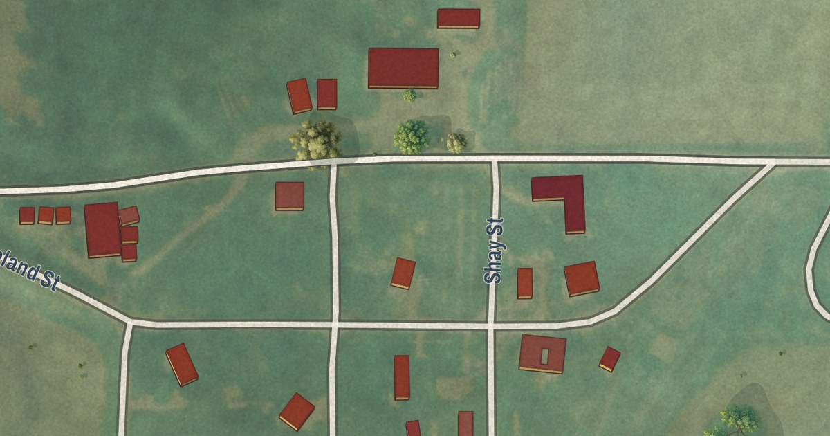
A detailed map of Maloy, Iowa, showing every building in its true location, the roads by name, and shaded topographical relief.
Read More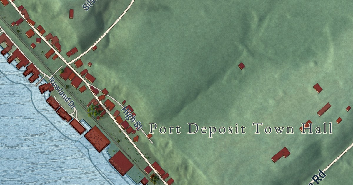
A detailed map of Port Deposit, Maryland, showing every building in its true location, the roads by name, and shaded topographical relief.
Read More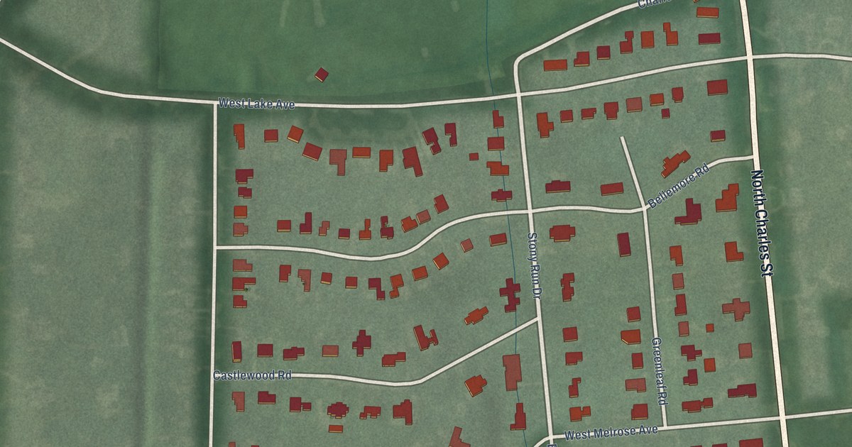
A detailed map of The Orchards, Maryland, showing every building in its true location, the roads by name, and shaded topographical relief.
Read More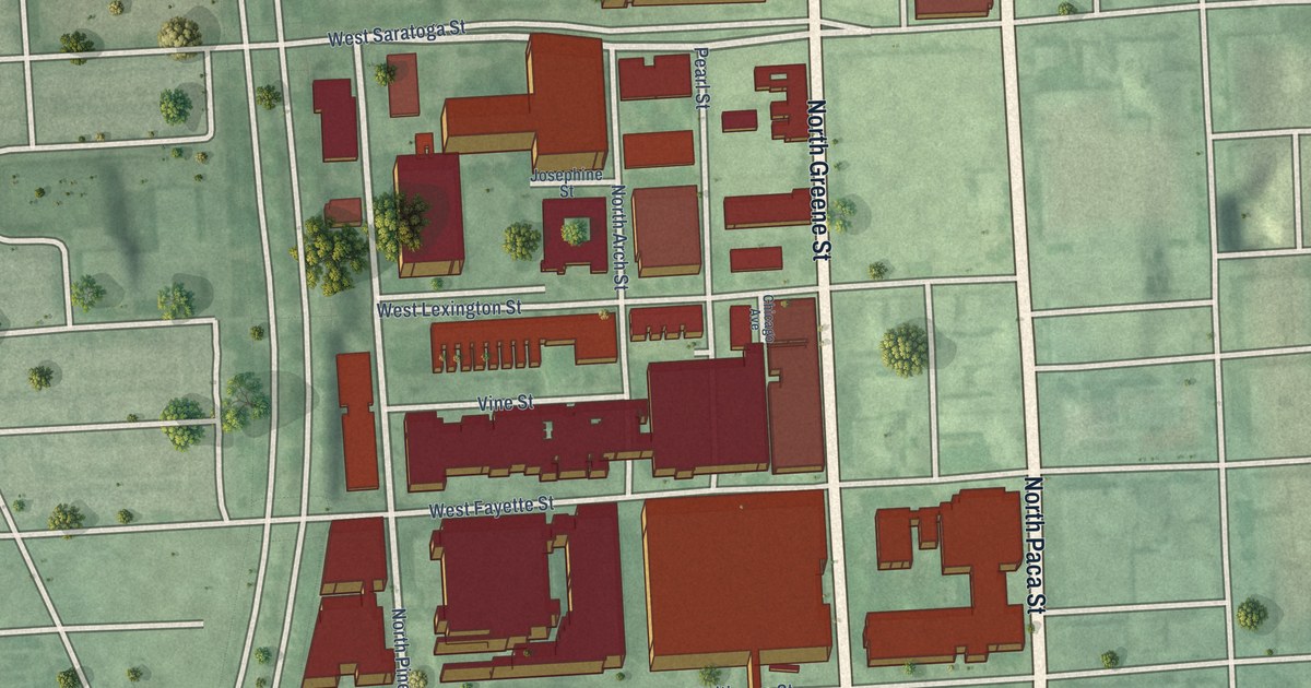
A detailed map of University of Maryland, Maryland, showing every building in its true location, the roads by name, and shaded topographical relief.
Read More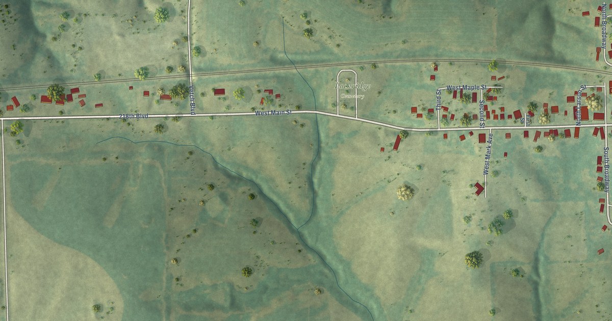
A detailed map of Lockridge, Iowa, showing every building in its true location, the roads by name, and shaded topographical relief.
Read More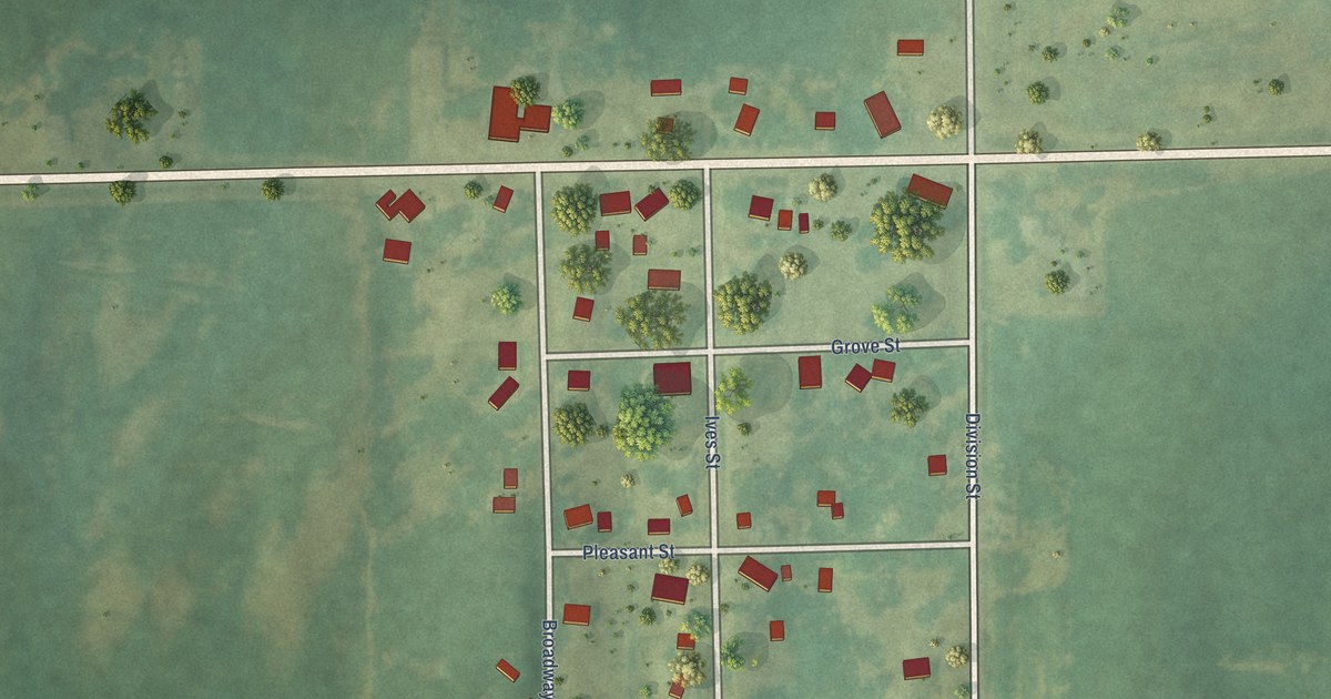
A detailed map of Kinross, Iowa, showing every building in its true location, the roads by name, and shaded topographical relief.
Read More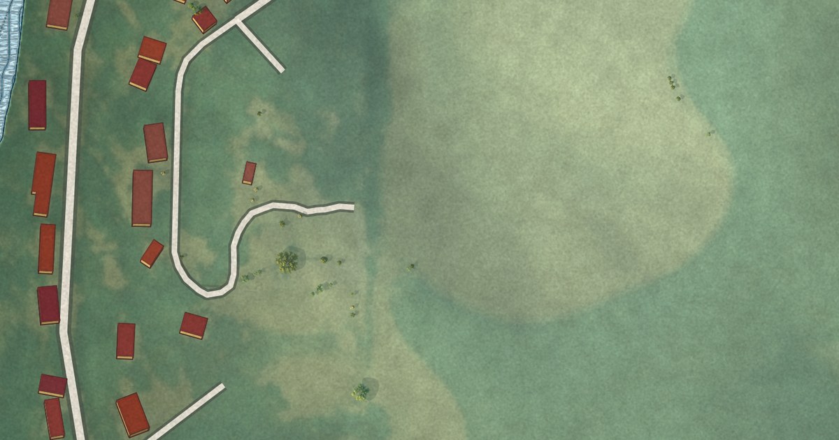
A detailed map of Keomah Village, Iowa, showing every building in its true location, the roads by name, and shaded topographical relief.
Read More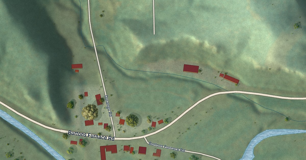
A detailed map of Durango, Iowa, showing every building in its true location, the roads by name, and shaded topographical relief.
Read More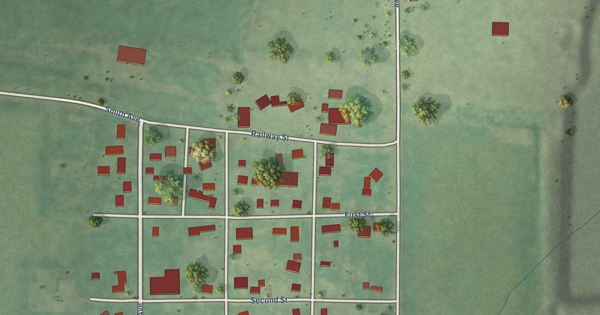
A detailed map of Ferguson, Iowa, showing every building in its true location, the roads by name, and shaded topographical relief.
Read More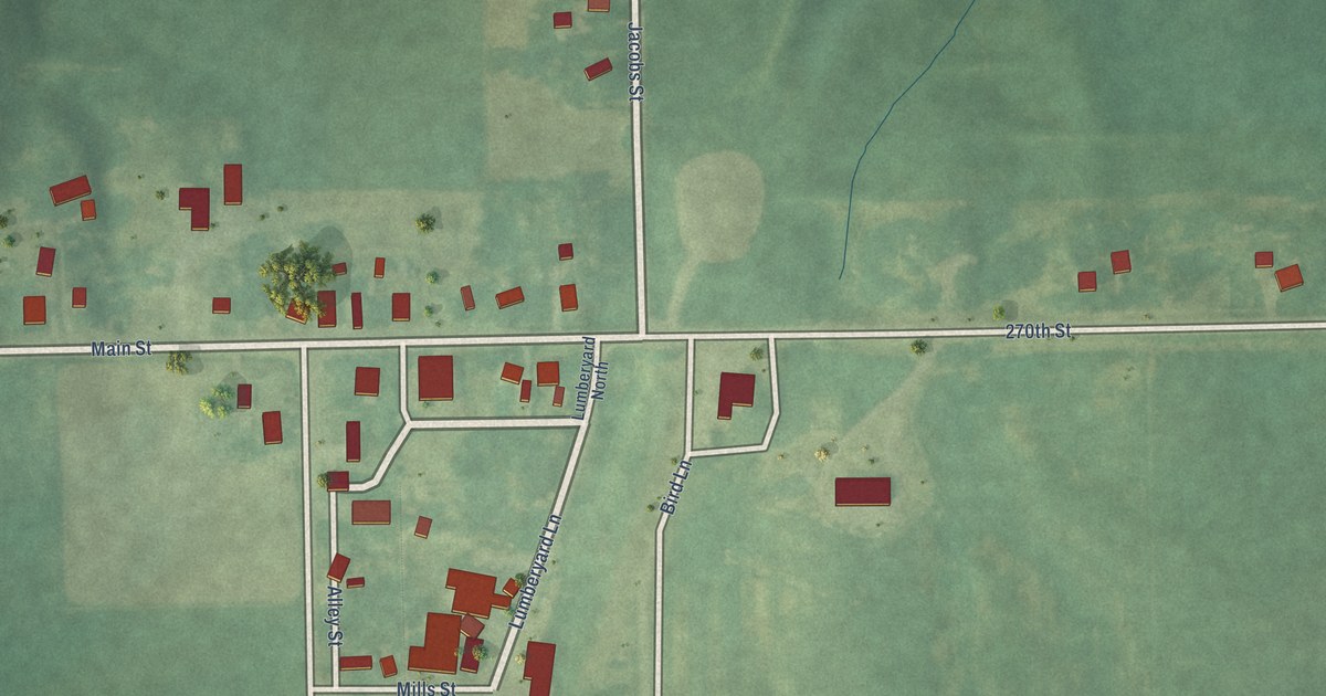
A detailed map of Hayesville, Iowa, showing every building in its true location, the roads by name, and shaded topographical relief.
Read More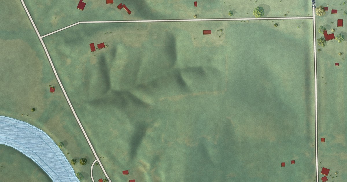
A detailed map of Coppock, Iowa, showing every building in its true location, the roads by name, and shaded topographical relief.
Read More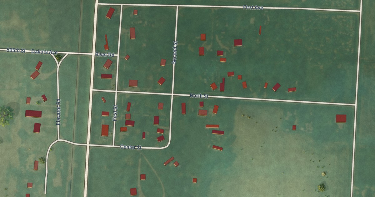
A detailed map of Chatsworth, Iowa, showing every building in its true location, the roads by name, and shaded topographical relief.
Read More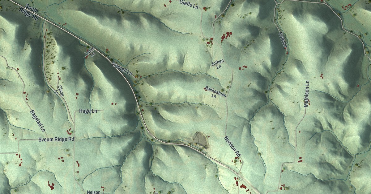
A detailed map of Coon, Wisconsin, showing every building in its true location, the roads by name, and shaded topographical relief.
Read More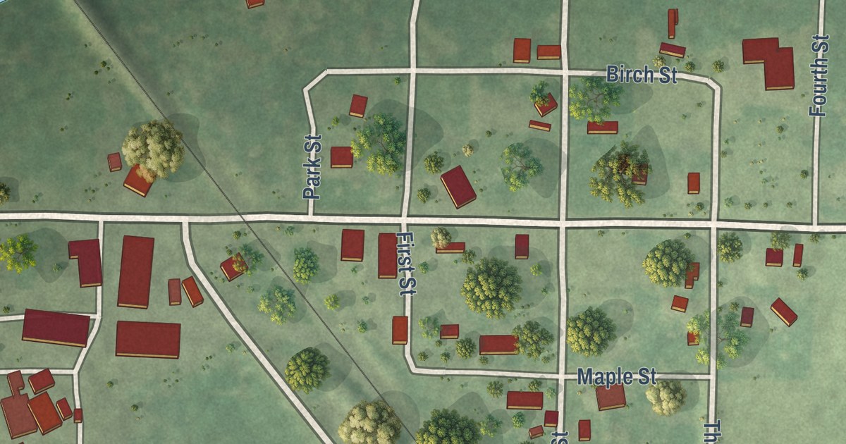
A detailed map of Conrath, Wisconsin, showing every building in its true location, the roads by name, and shaded topographical relief.
Read More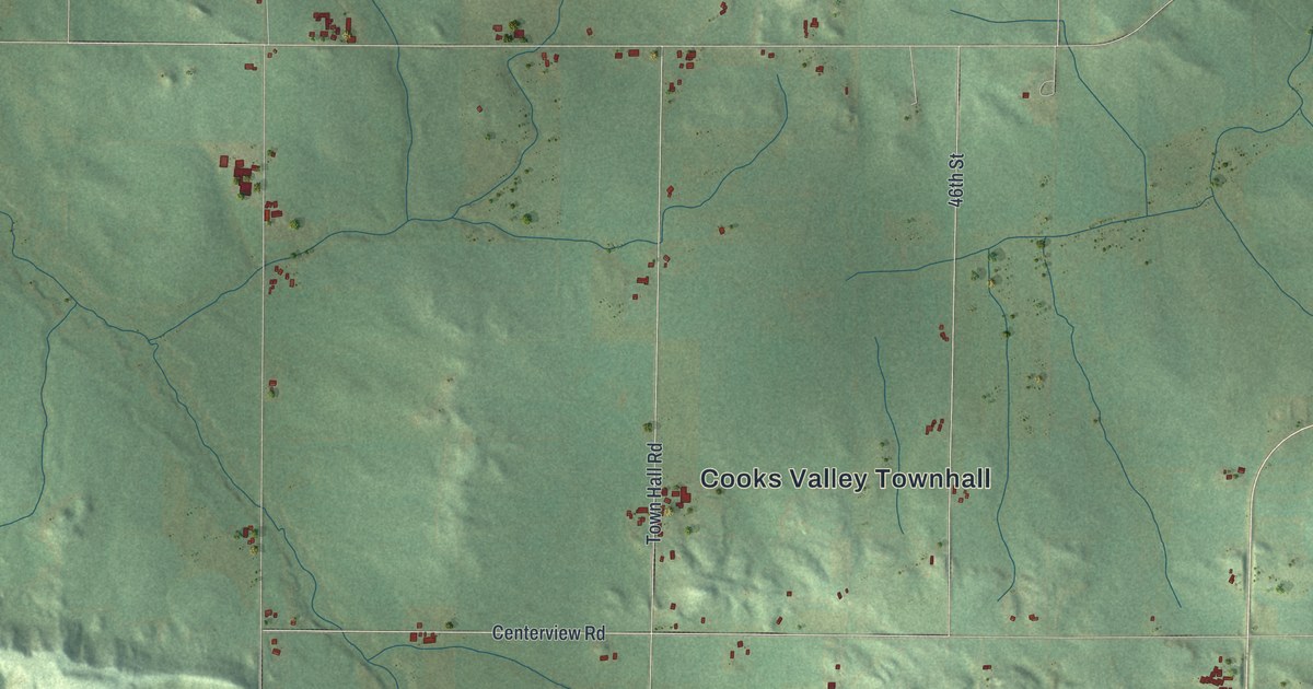
A detailed map of Cooks Valley, Wisconsin, showing every building in its true location, the roads by name, and shaded topographical relief.
Read More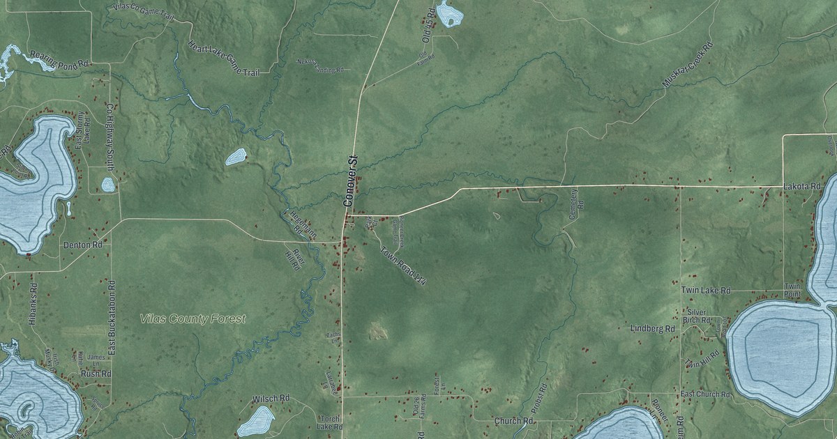
A detailed map of Conover, Wisconsin, showing every building in its true location, the roads by name, and shaded topographical relief.
Read More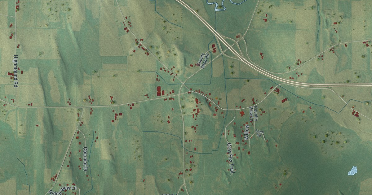
A detailed map of Concord, Wisconsin, showing every building in its true location, the roads by name, and shaded topographical relief.
Read More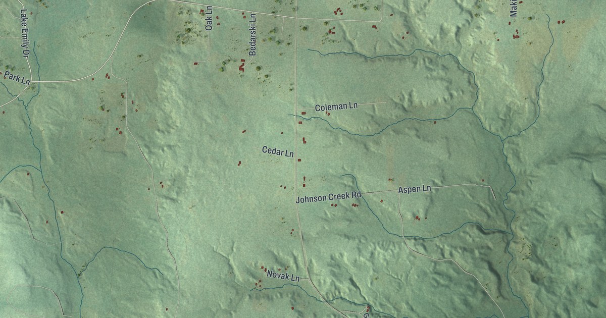
A detailed map of Commonwealth, Wisconsin, showing every building in its true location, the roads by name, and shaded topographical relief.
Read More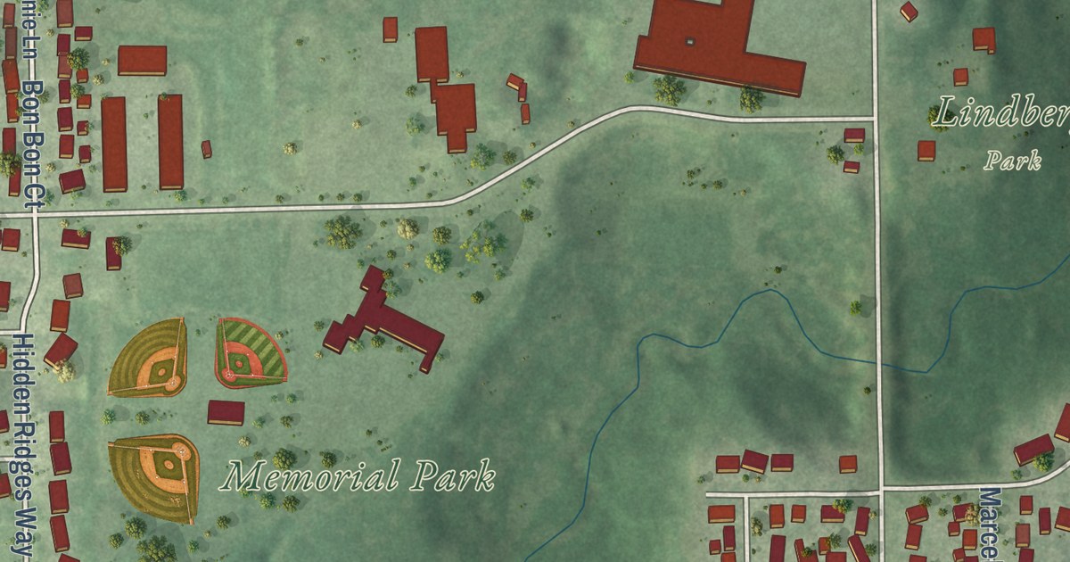
A detailed map of Combined Locks, Wisconsin, showing every building in its true location, the roads by name, and shaded topographical relief.
Read More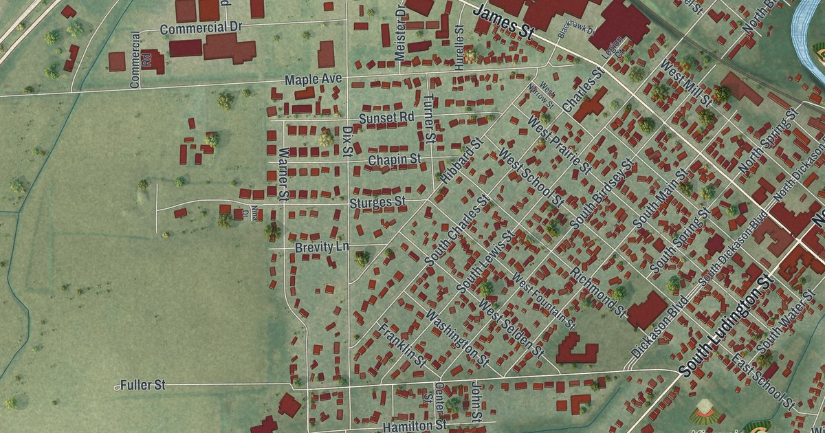
A detailed map of the City of Columbus, Wisconsin, showing every building in its true location, the roads by name, and shaded topographical relief.
Read More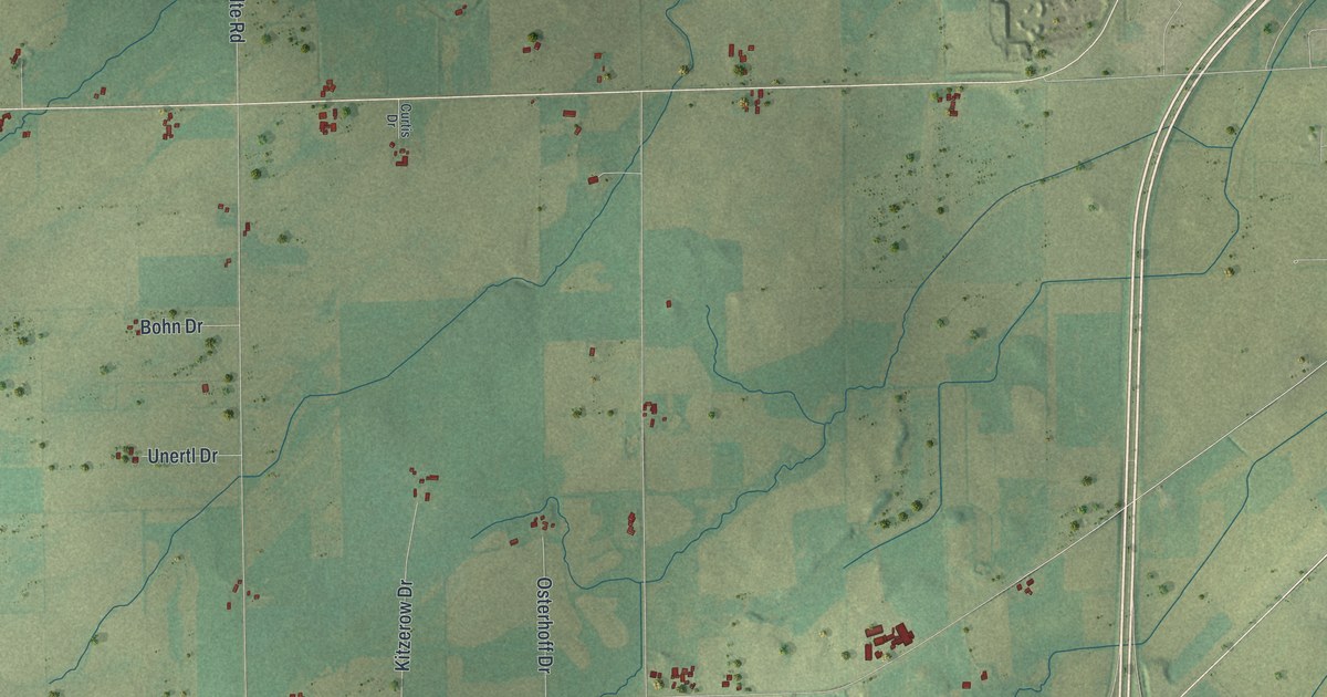
A detailed map of the Town of Columbus, Wisconsin, showing every building in its true location, the roads by name, and shaded topographical relief.
Read More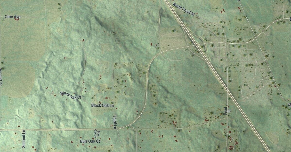
A detailed map of the Town of Coloma, Wisconsin, showing every building in its true location, the roads by name, and shaded topographical relief.
Read More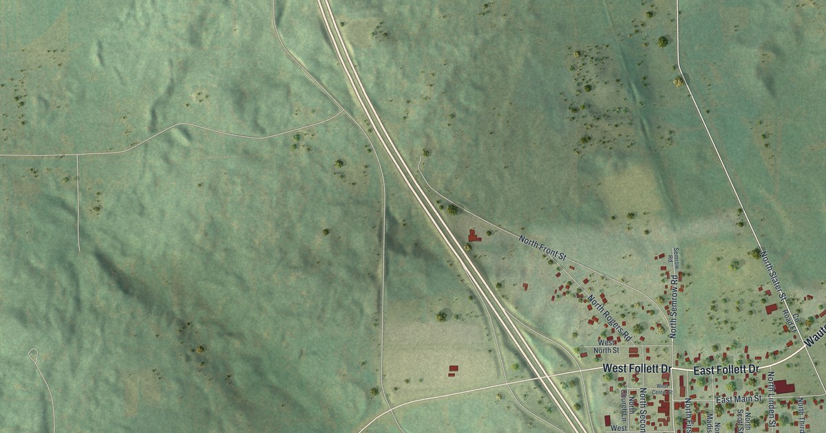
A detailed map of the Village of Coloma, Wisconsin, showing every building in its true location, the roads by name, and shaded topographical relief.
Read More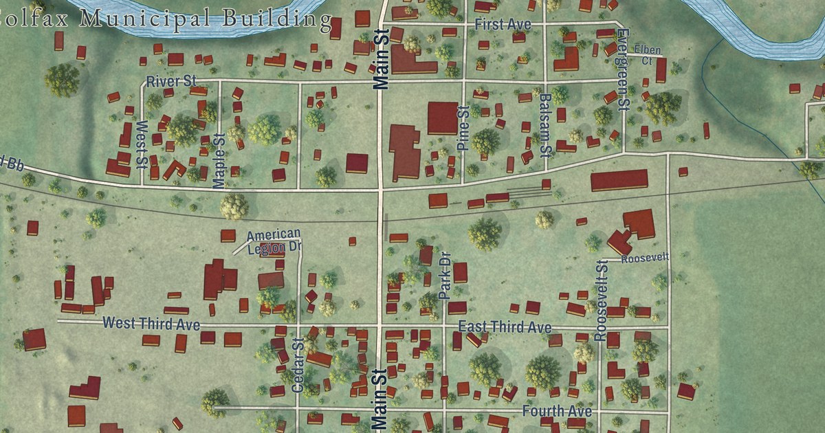
A detailed map of the Village of Colfax, Wisconsin, showing every building in its true location, the roads by name, and shaded topographical relief.
Read More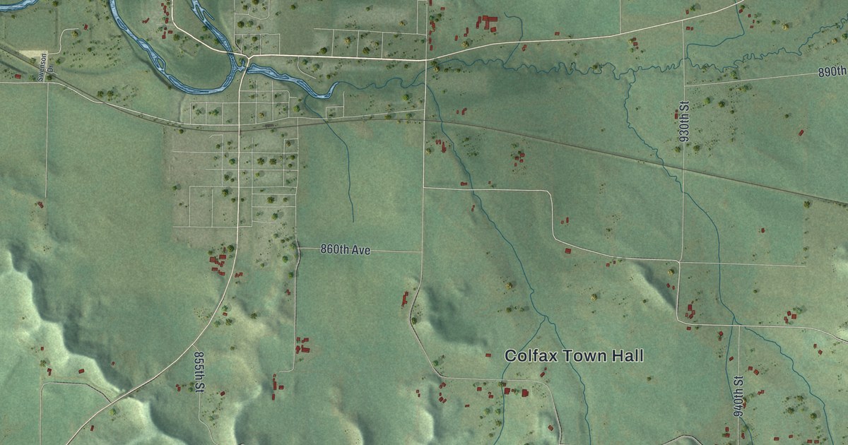
A detailed map of the Town of Colfax, Wisconsin, showing every building in its true location, the roads by name, and shaded topographical relief.
Read More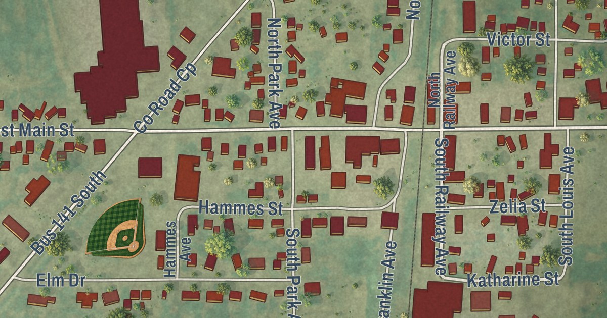
A detailed map of Coleman, Wisconsin, showing every building in its true location, the roads by name, and shaded topographical relief.
Read More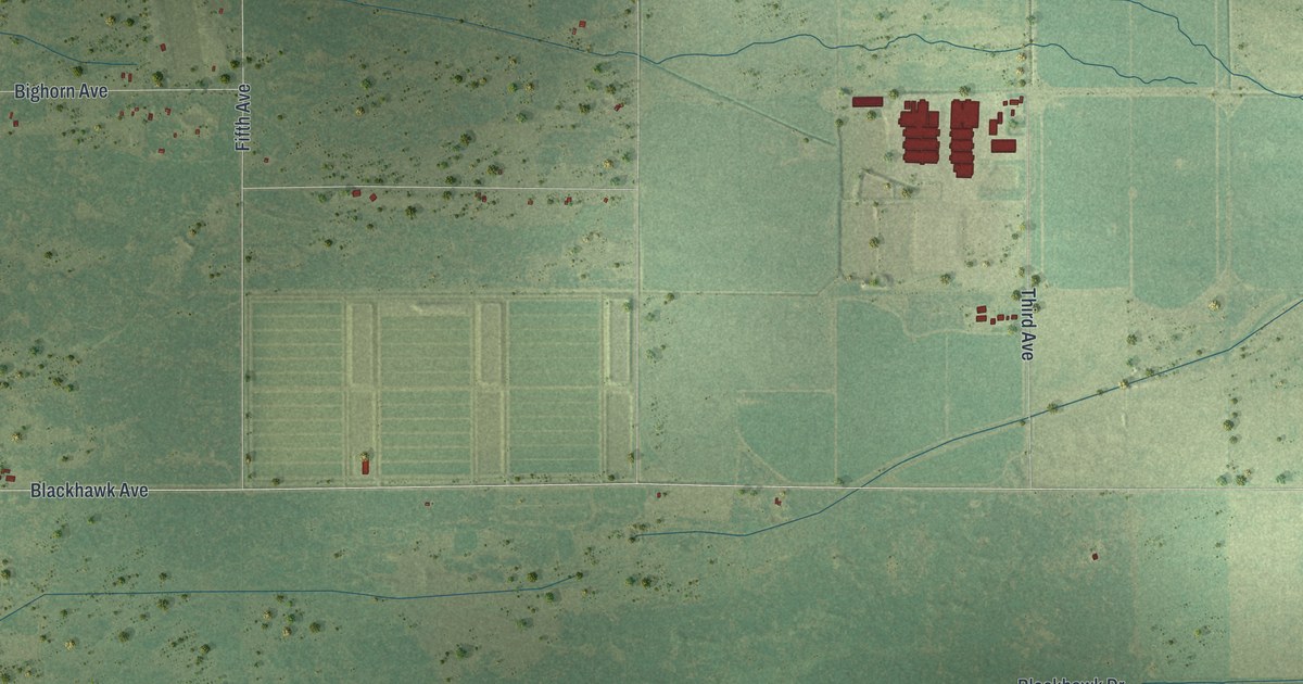
A detailed map of Colburn, Wisconsin, showing every building in its true location, the roads by name, and shaded topographical relief.
Read More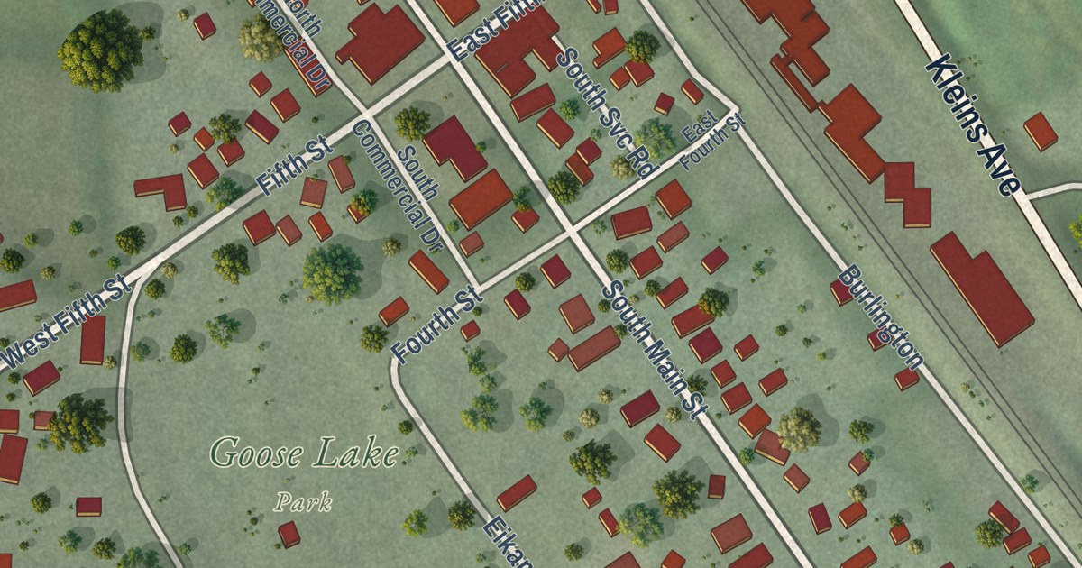
A detailed map of Cochrane, Wisconsin, showing every building in its true location, the roads by name, and shaded topographical relief.
Read More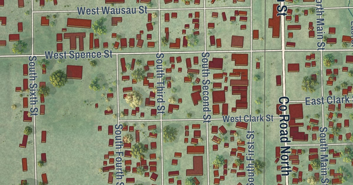
A detailed map of the City of Colby, Marathon County, Wisconsin, showing every building in its true location, the roads by name, and shaded topographical relief.
Read More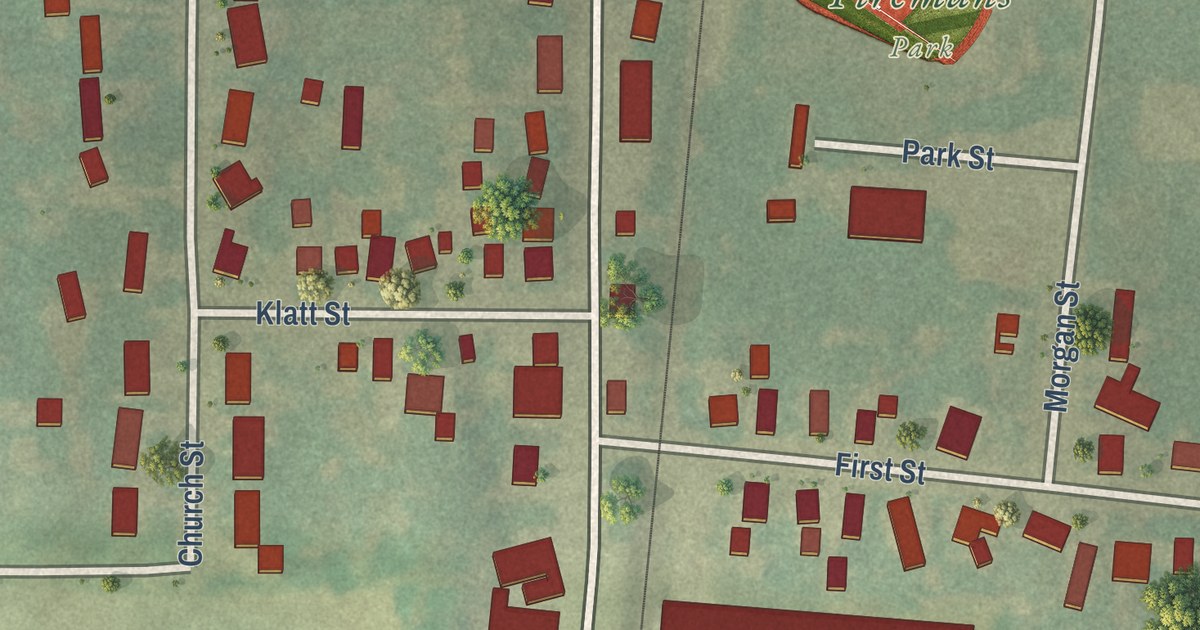
A detailed map of the Village of Clyman, Wisconsin, showing every building in its true location, the roads by name, and shaded topographical relief.
Read More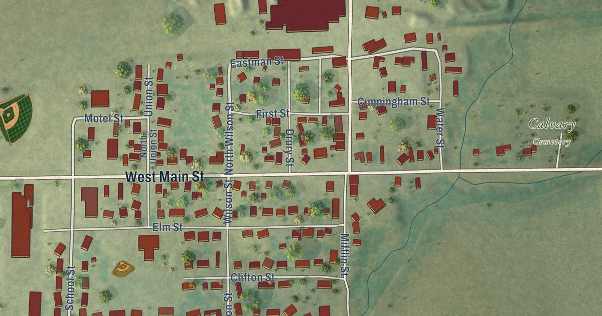
A detailed map of Cobb, Wisconsin, showing every building in its true location, the roads by name, and shaded topographical relief.
Read More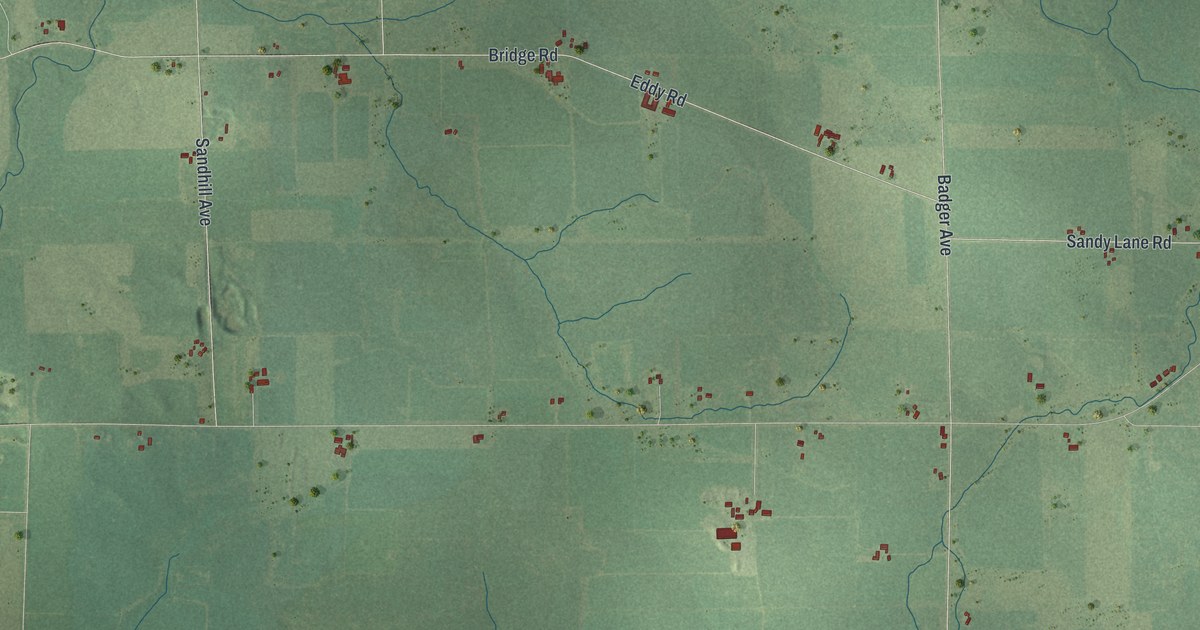
A detailed map of the Town of Colby, Clark County, Wisconsin, showing every building in its true location, the roads by name, and shaded topographical relief.
Read More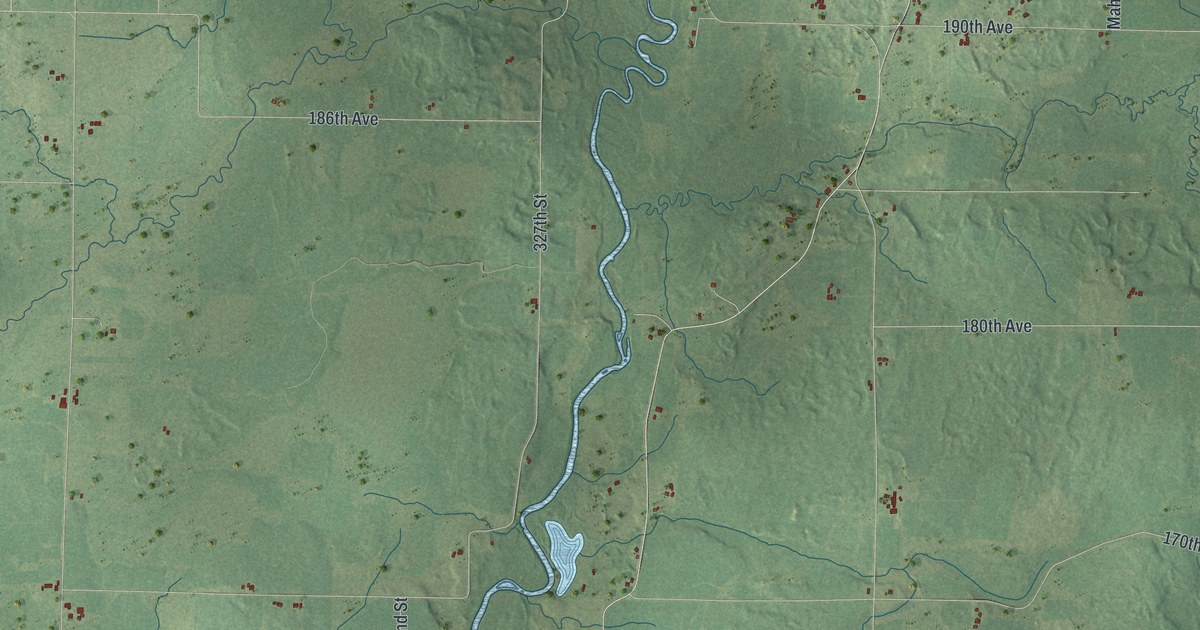
A detailed map of Colburn, Wisconsin, showing every building in its true location, the roads by name, and shaded topographical relief.
Read More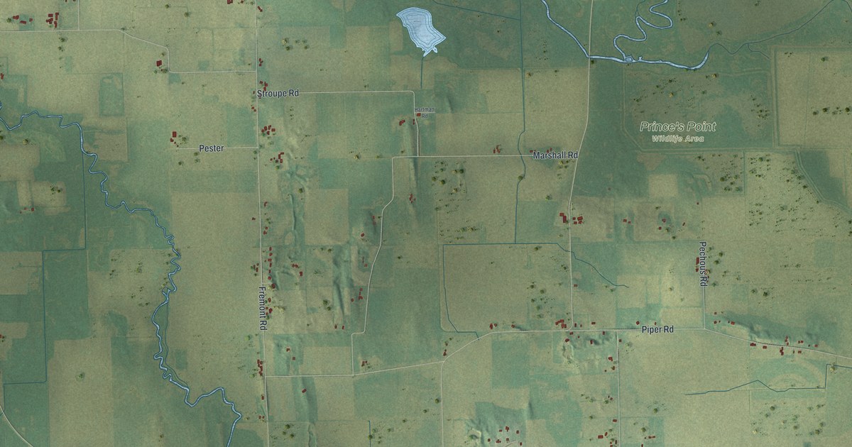
A detailed map of Cold Spring, Wisconsin, showing every building in its true location, the roads by name, and shaded topographical relief.
Read More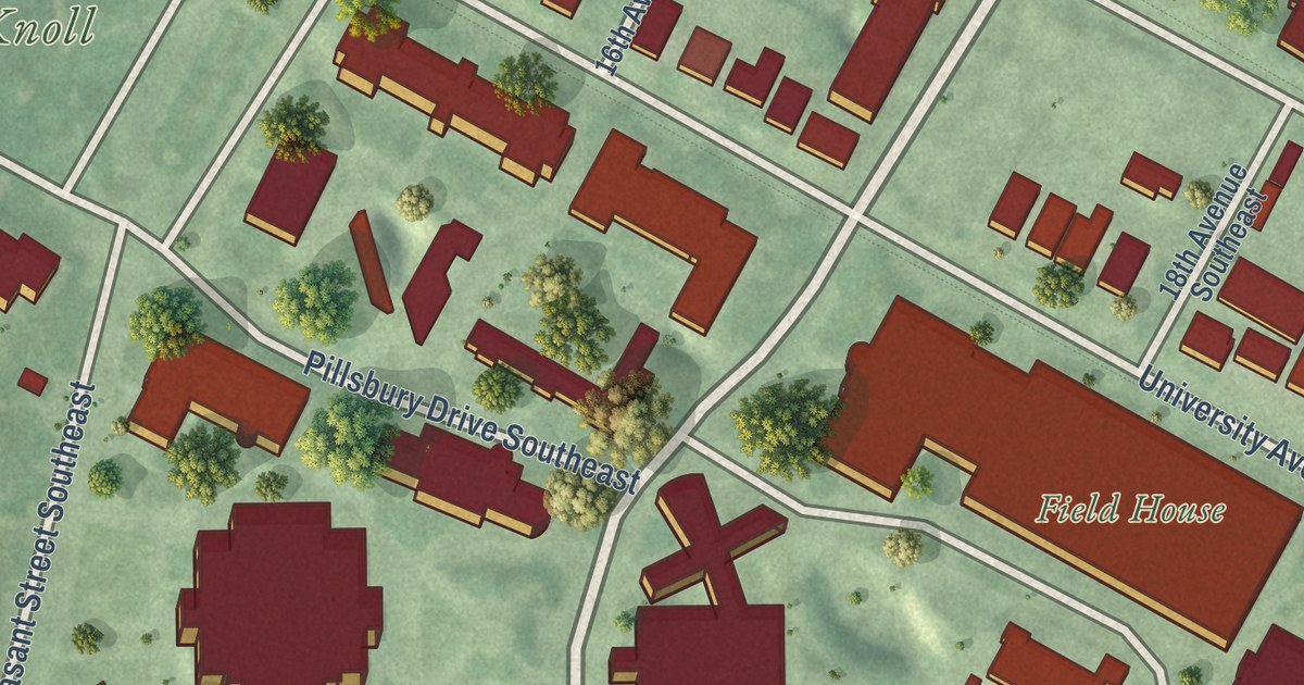
A detailed map of University of Minnesota, Minnesota, showing every building in its true location, the roads by name, and shaded topographical relief.
Read More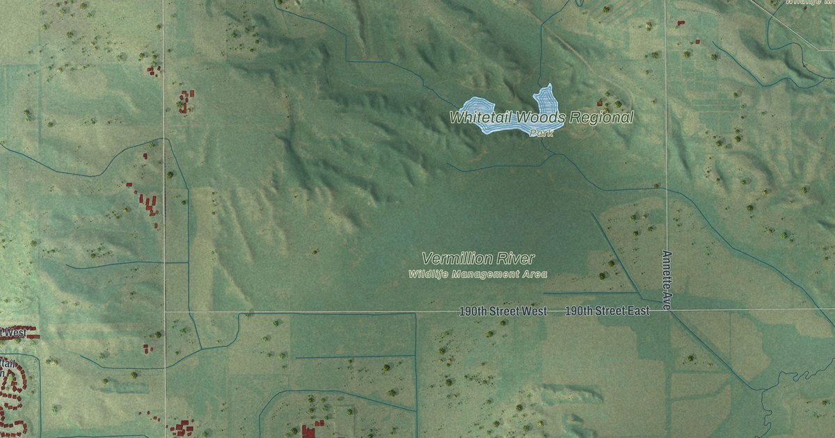
A detailed map of Empire, Minnesota, showing every building in its true location, the roads by name, and shaded topographical relief.
Read More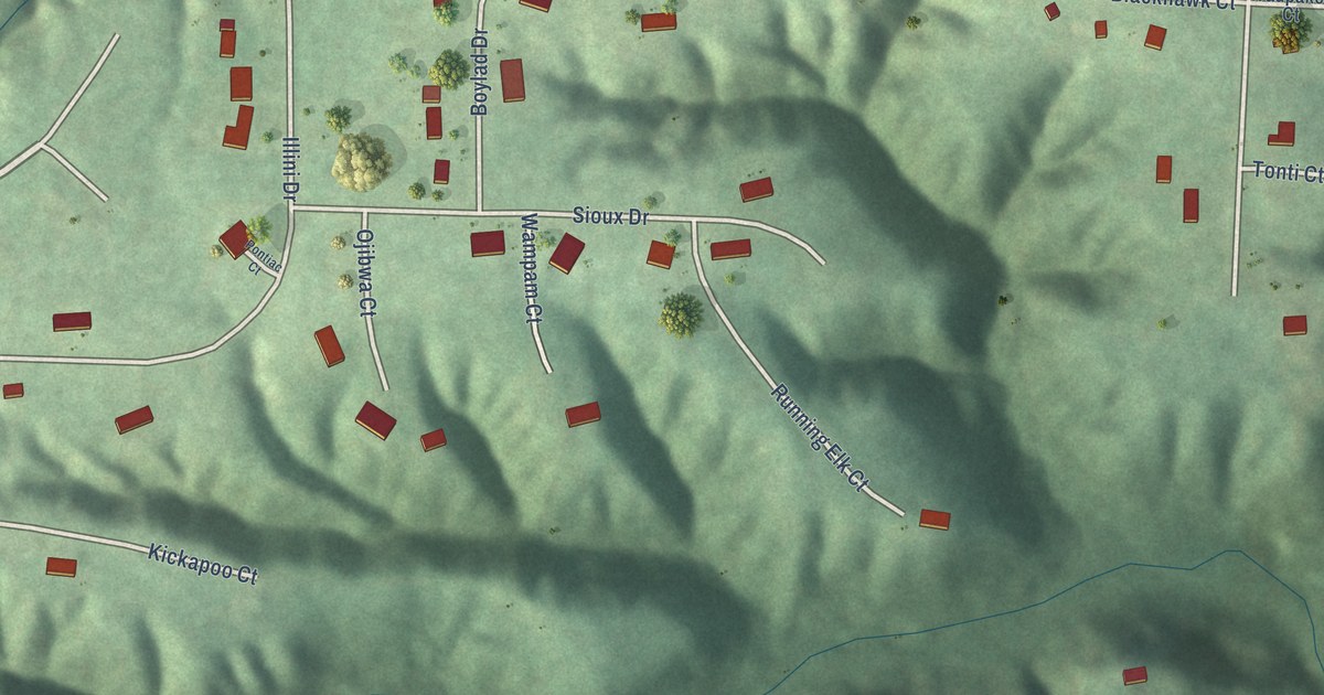
A detailed map of Hopewell, Illinois, showing every building in its true location, the roads by name, and shaded topographical relief.
Read More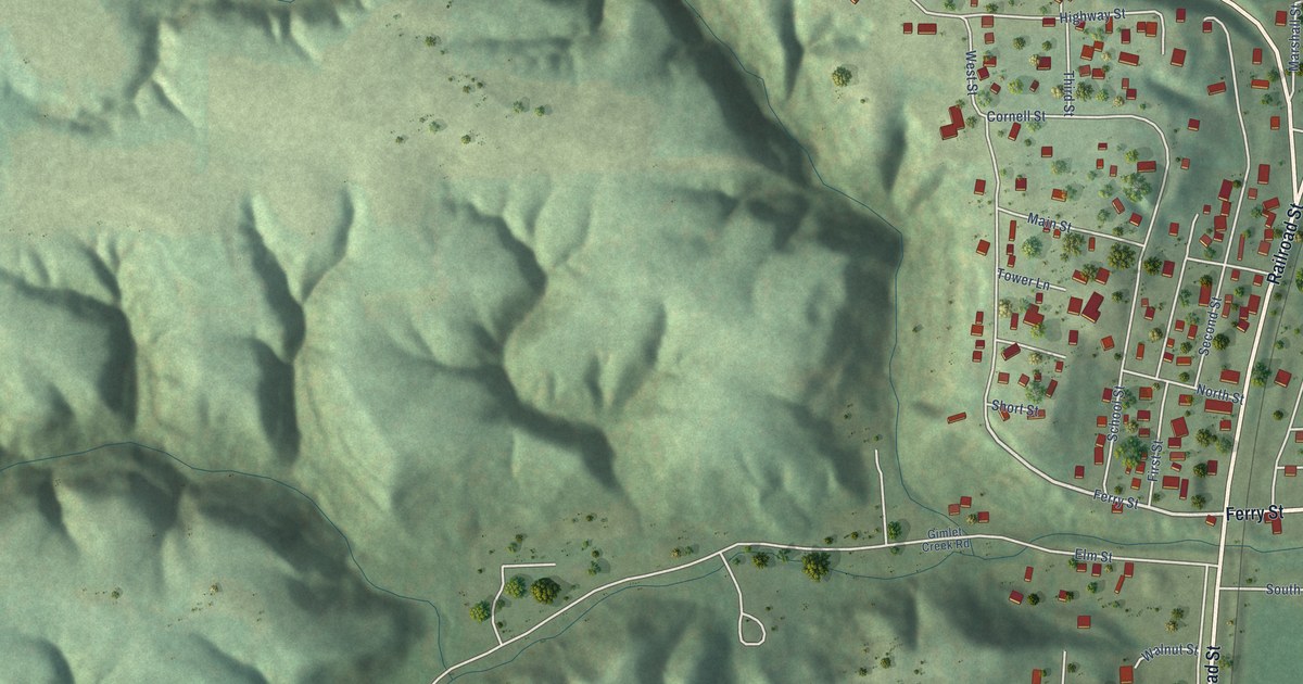
A detailed map of Sparland, Illinois, showing every building in its true location, the roads by name, and shaded topographical relief.
Read More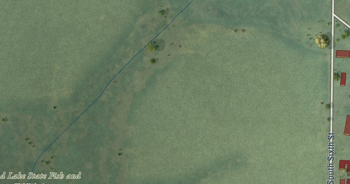
A detailed map of Nason, Illinois, showing every building in its true location, the roads by name, and shaded topographical relief.
Read More















