Detailed Map of Bonnie, Illinois
A detailed map of Bonnie, Illinois, showing every building in its true location, the roads by name, and shaded topographical relief.
Read More
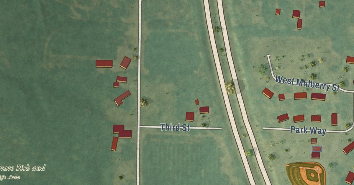
A detailed map of Bonnie, Illinois, showing every building in its true location, the roads by name, and shaded topographical relief.
Read More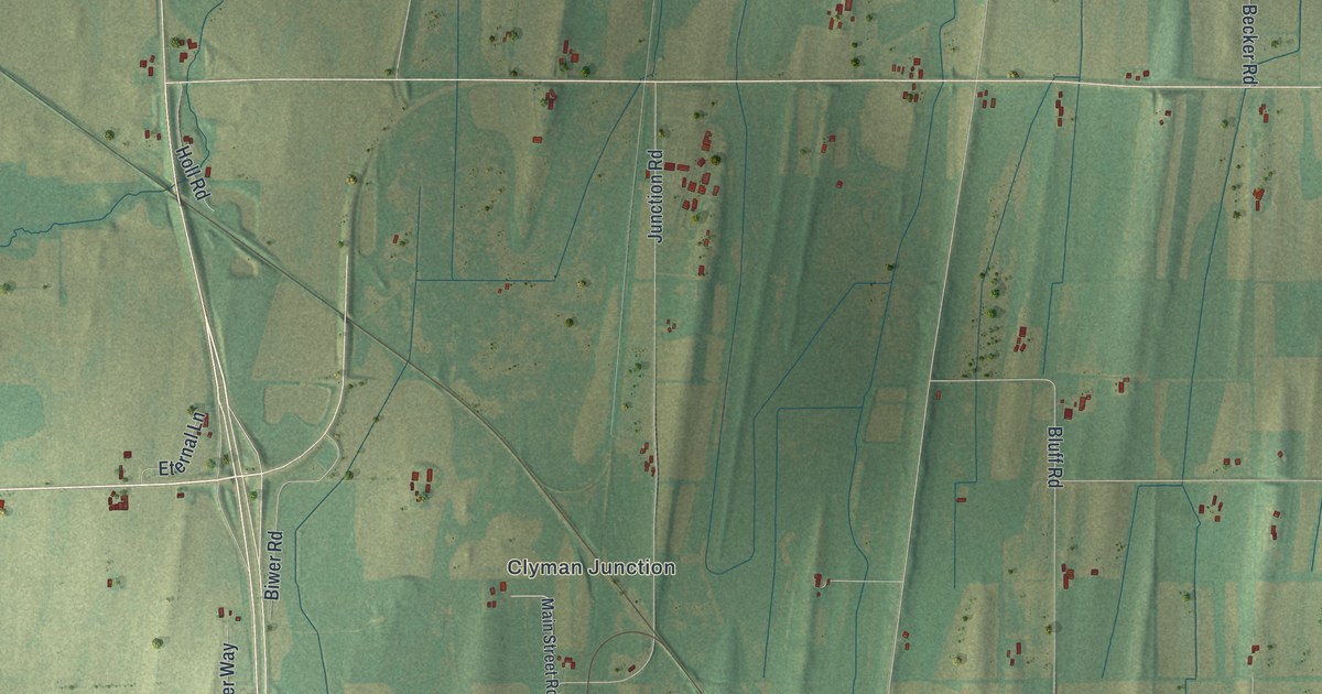
A detailed map of the Town of Clyman, Wisconsin, showing every building in its true location, the roads by name, and shaded topographical relief.
Read More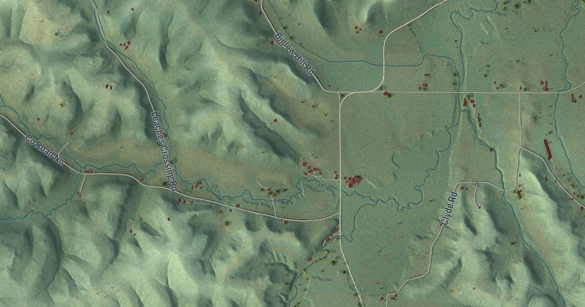
A detailed map of Clyde, Wisconsin, showing every building in its true location, the roads by name, and shaded topographical relief.
Read More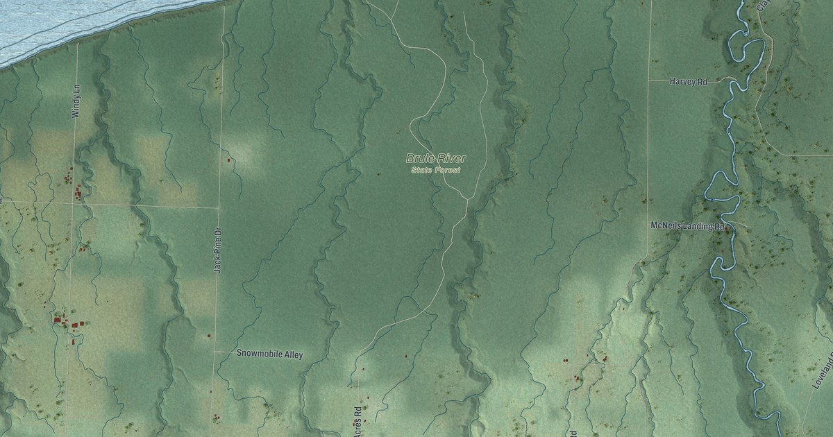
A detailed map of Cloverland, Wisconsin, showing every building in its true location, the roads by name, and shaded topographical relief.
Read More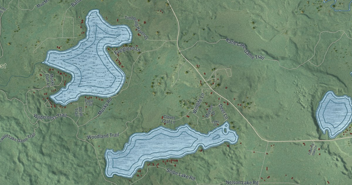
A detailed map of Cloverland, Wisconsin, showing every building in its true location, the roads by name, and shaded topographical relief.
Read More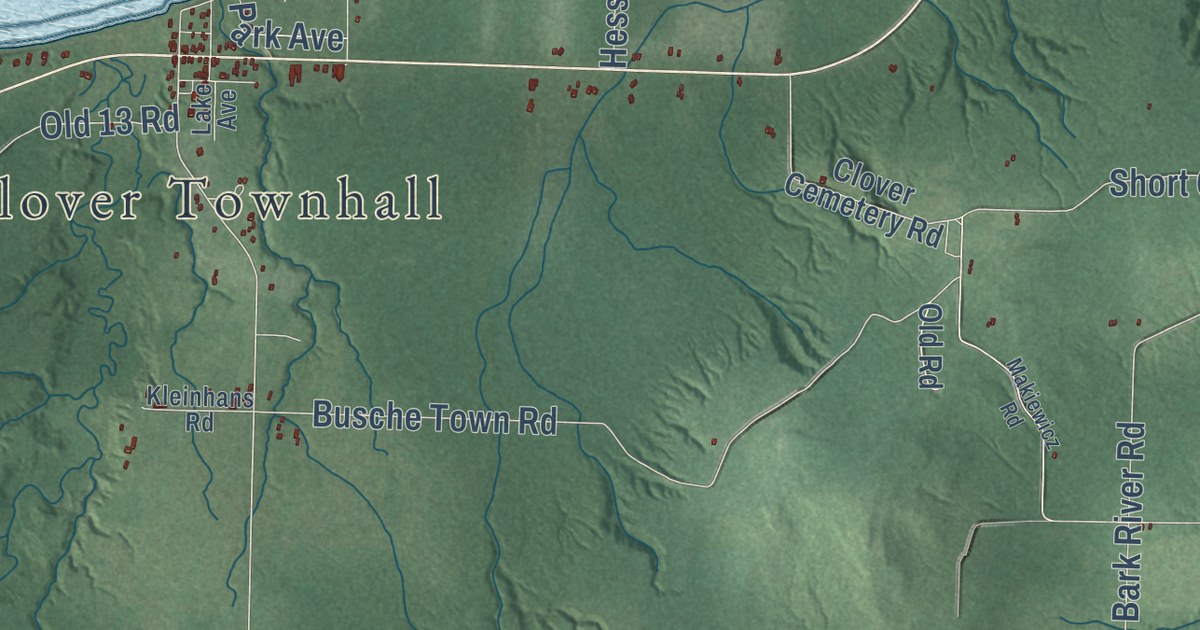
A detailed map of Clover, Wisconsin, showing every building in its true location, the roads by name, and shaded topographical relief.
Read More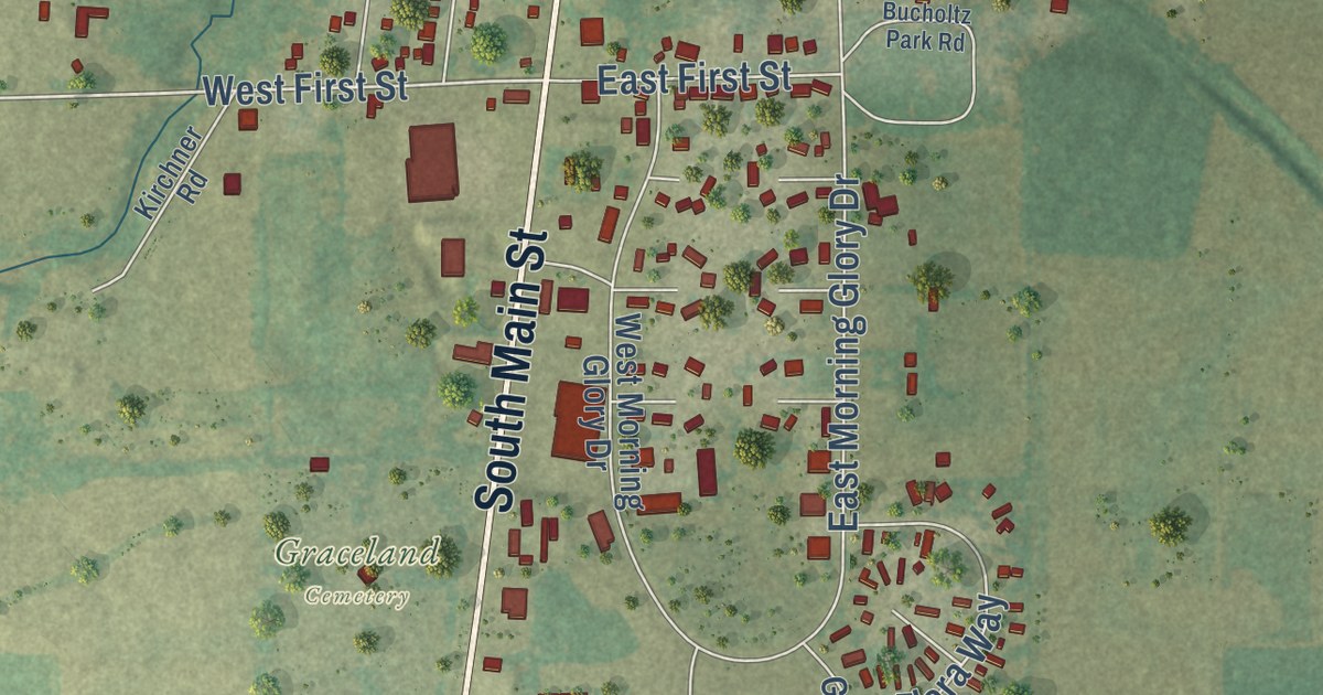
A detailed map of Clintonville, Wisconsin, showing every building in its true location, the roads by name, and shaded topographical relief.
Read More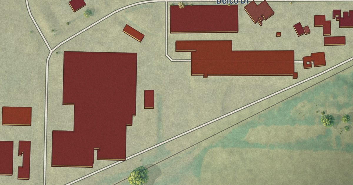
A detailed map of the Village of Clinton, Rock County, Wisconsin, showing every building in its true location, the roads by name, and shaded topographical relief.
Read More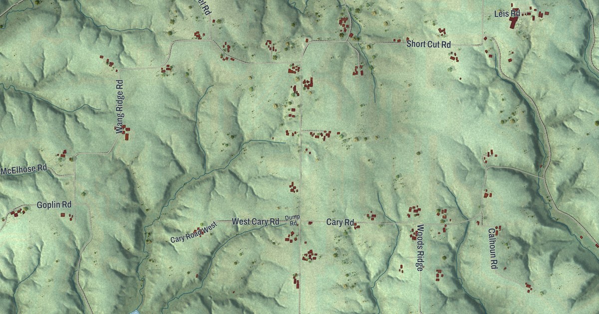
A detailed map of the Town of Clinton, Vernon County, Wisconsin, showing every building in its true location, the roads by name, and shaded topographical relief.
Read More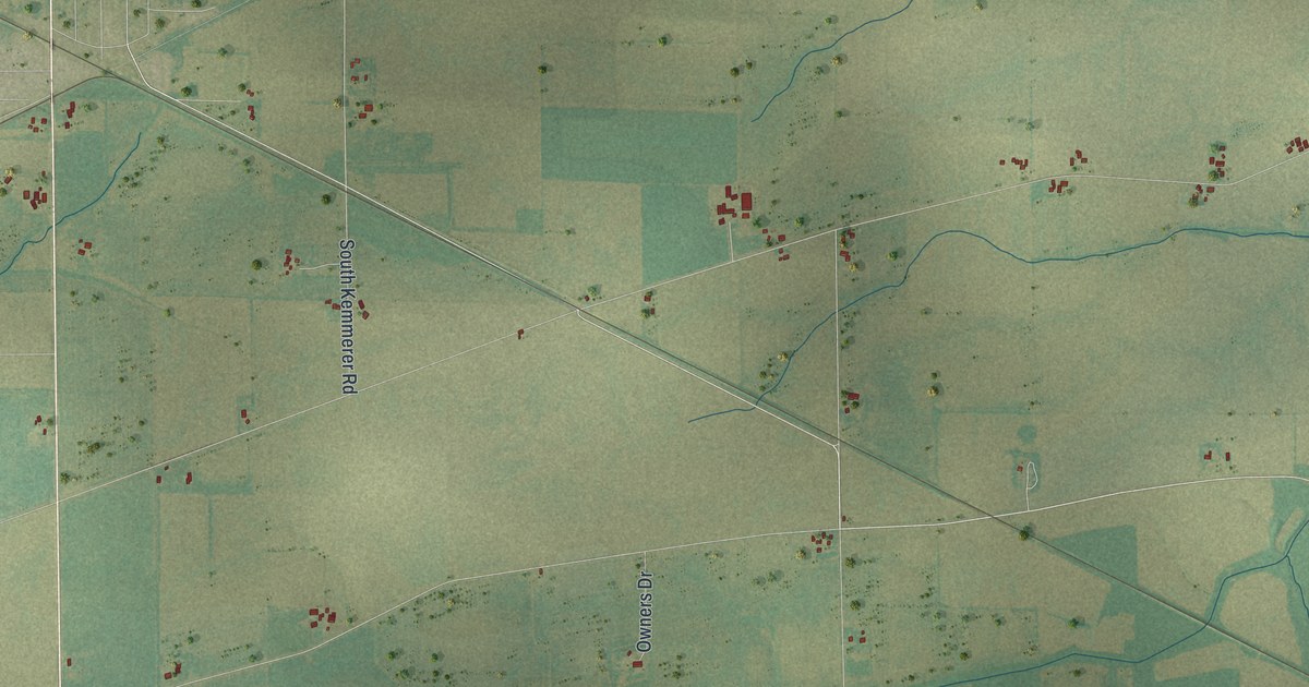
A detailed map of the Town of Clinton, Rock County, Wisconsin, showing every building in its true location, the roads by name, and shaded topographical relief.
Read More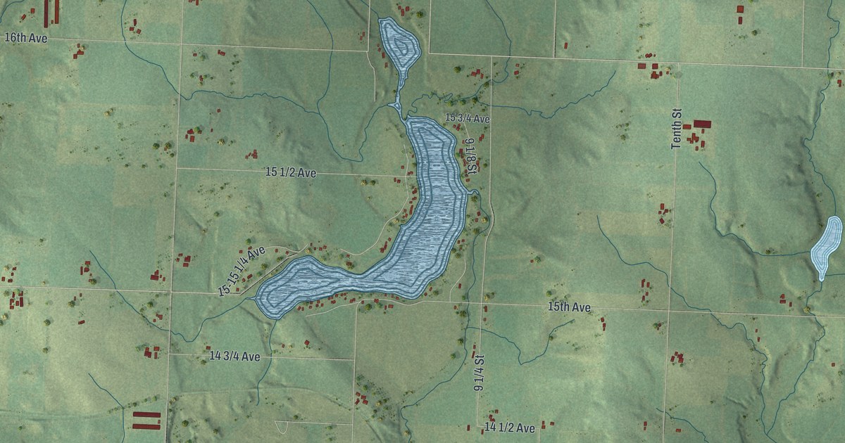
A detailed map of the Town of Clinton, Barron County, Wisconsin, showing every building in its true location, the roads by name, and shaded topographical relief.
Read More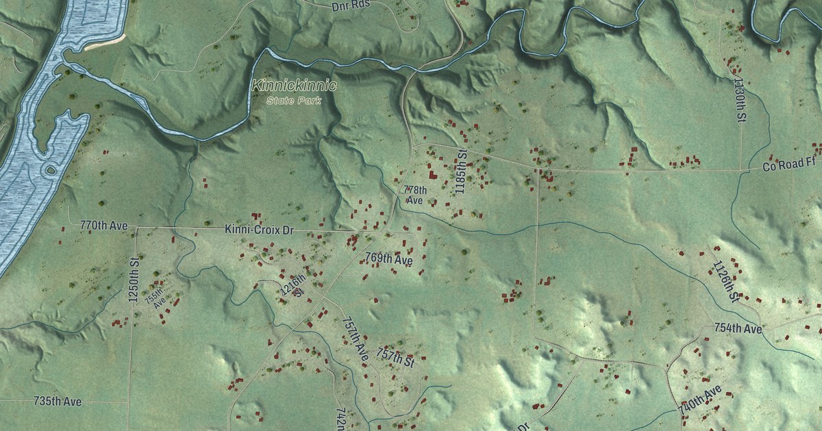
A detailed map of Clifton, Wisconsin, showing every building in its true location, the roads by name, and shaded topographical relief.
Read More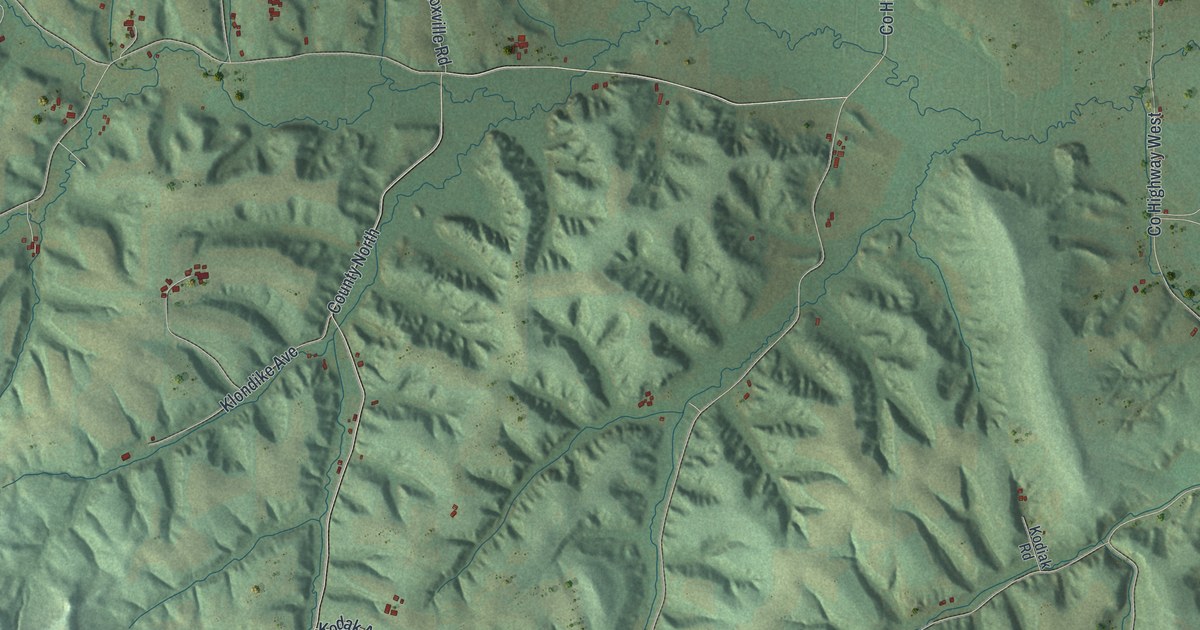
A detailed map of Clifton, Wisconsin, showing every building in its true location, the roads by name, and shaded topographical relief.
Read More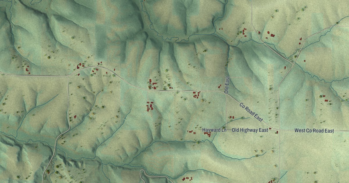
A detailed map of Clifton, Wisconsin, showing every building in its true location, the roads by name, and shaded topographical relief.
Read More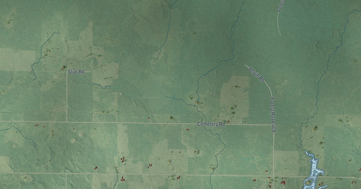
A detailed map of Cleveland, Wisconsin, showing every building in its true location, the roads by name, and shaded topographical relief.
Read More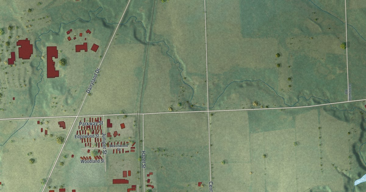
A detailed map of Cleveland, Wisconsin, showing every building in its true location, the roads by name, and shaded topographical relief.
Read More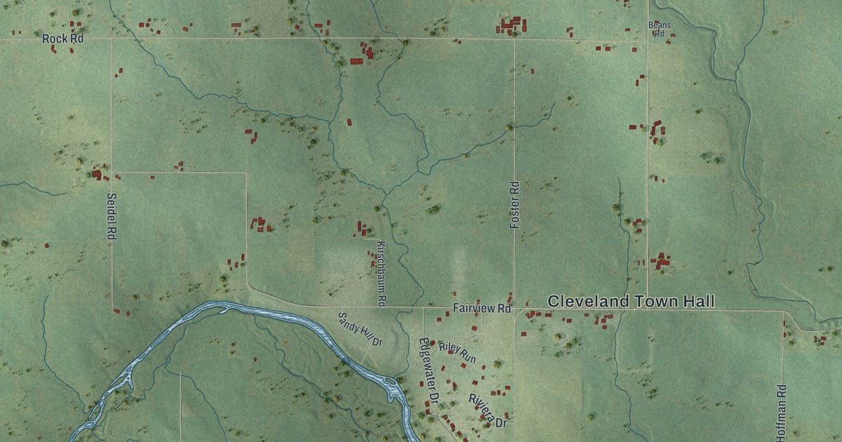
A detailed map of Cleveland, Wisconsin, showing every building in its true location, the roads by name, and shaded topographical relief.
Read More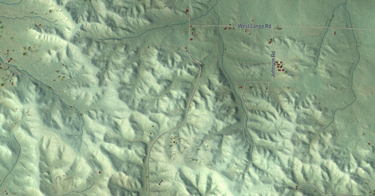
A detailed map of Cleveland, Wisconsin, showing every building in its true location, the roads by name, and shaded topographical relief.
Read More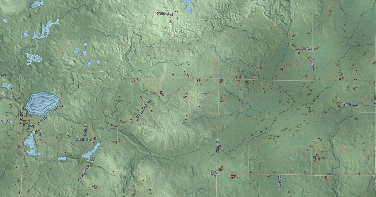
A detailed map of Cleveland, Wisconsin, showing every building in its true location, the roads by name, and shaded topographical relief.
Read More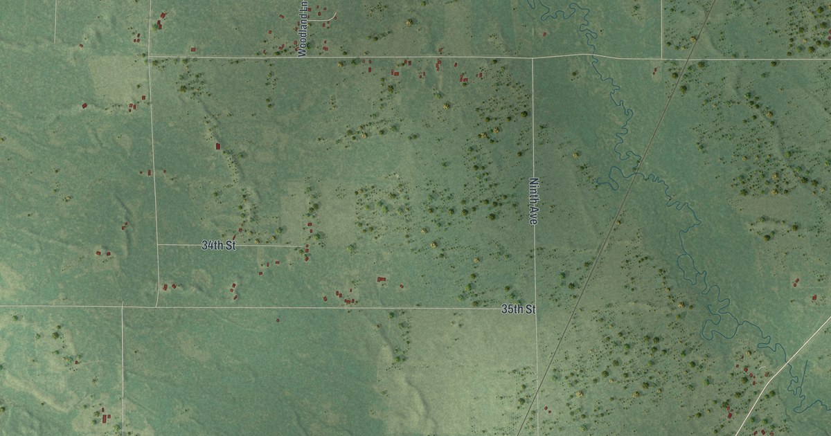
A detailed map of Clearfield, Wisconsin, showing every building in its true location, the roads by name, and shaded topographical relief.
Read More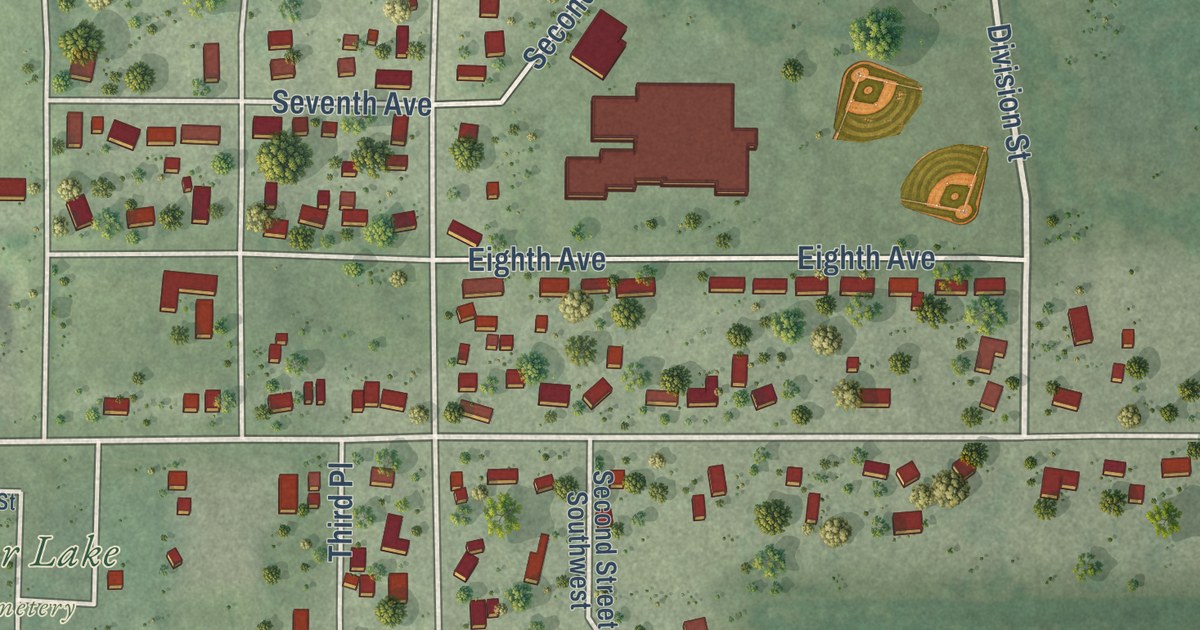
A detailed map of the Village of Clear Lake, Wisconsin, showing every building in its true location, the roads by name, and shaded topographical relief.
Read More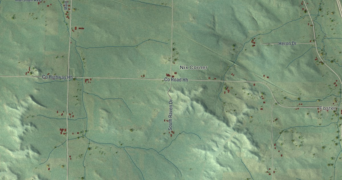
A detailed map of Clear Creek, Wisconsin, showing every building in its true location, the roads by name, and shaded topographical relief.
Read More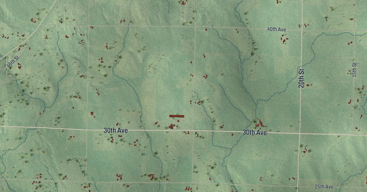
A detailed map of the Town of Clear Lake, Wisconsin, showing every building in its true location, the roads by name, and shaded topographical relief.
Read More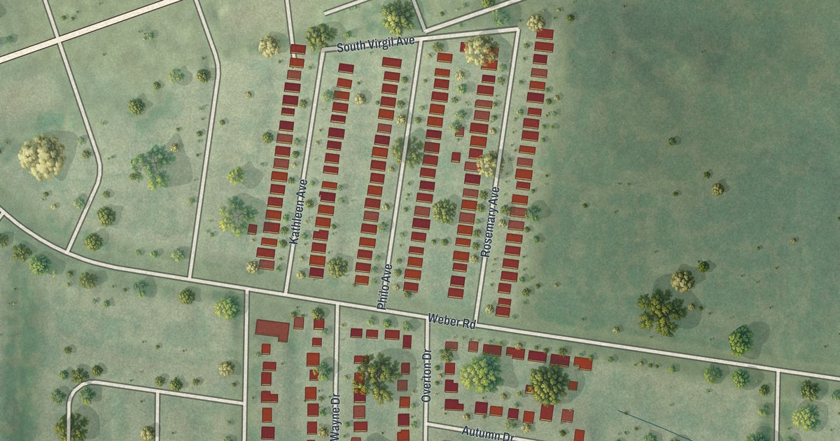
A detailed map of Wilbur Park, Missouri, showing every building in its true location, the roads by name, and shaded topographical relief.
Read More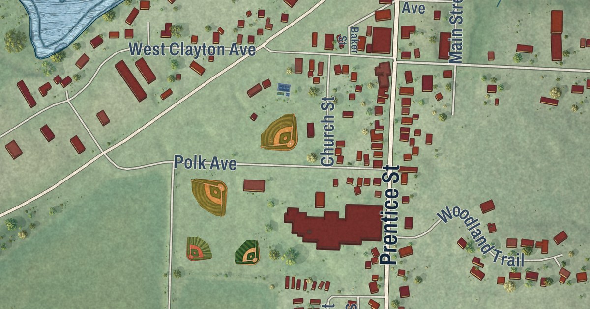
A detailed map of the Village of Clayton, Polk County, Wisconsin, showing every building in its true location, the roads by name, and shaded topographical relief.
Read More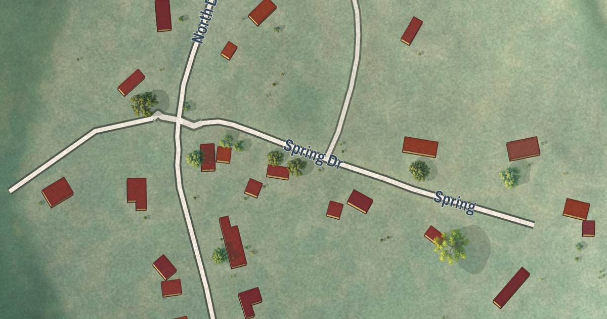
A detailed map of Weldon Spring Heights, Missouri, showing every building in its true location, the roads by name, and shaded topographical relief.
Read More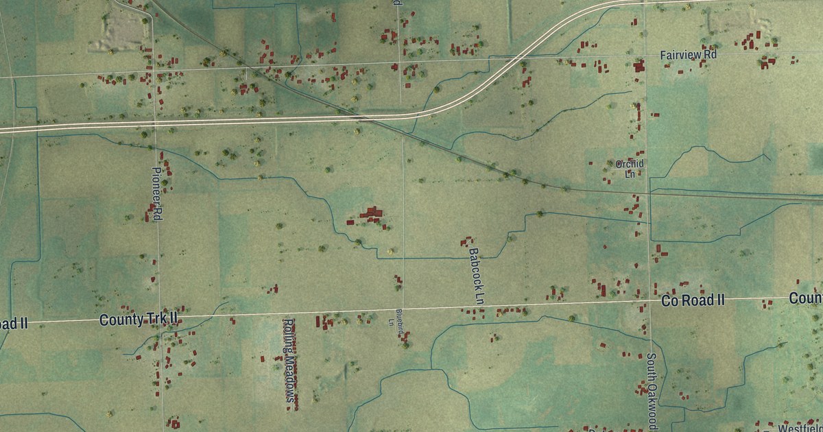
A detailed map of the Town of Clayton, Winnebago County, Wisconsin, showing every building in its true location, the roads by name, and shaded topographical relief.
Read More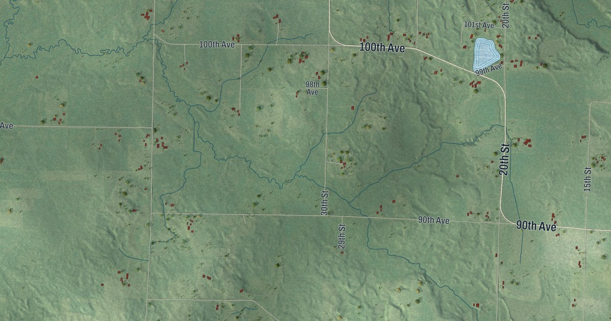
A detailed map of the Town of Clayton, Polk County, Wisconsin, showing every building in its true location, the roads by name, and shaded topographical relief.
Read More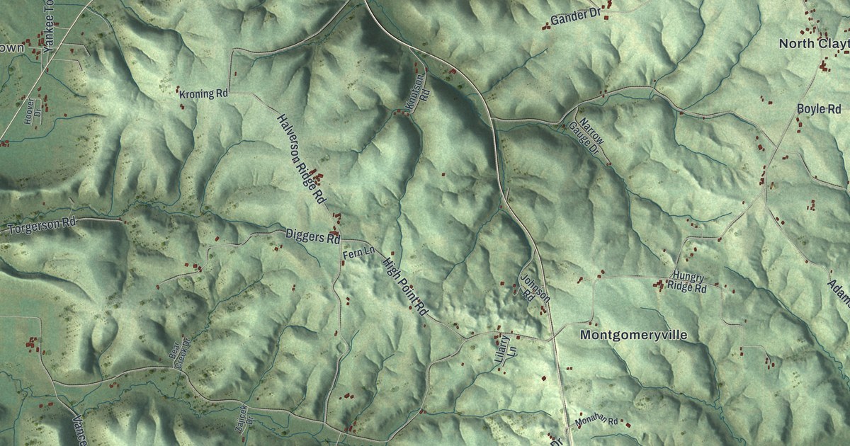
A detailed map of the Town of Clayton, Crawford County, Wisconsin, showing every building in its true location, the roads by name, and shaded topographical relief.
Read More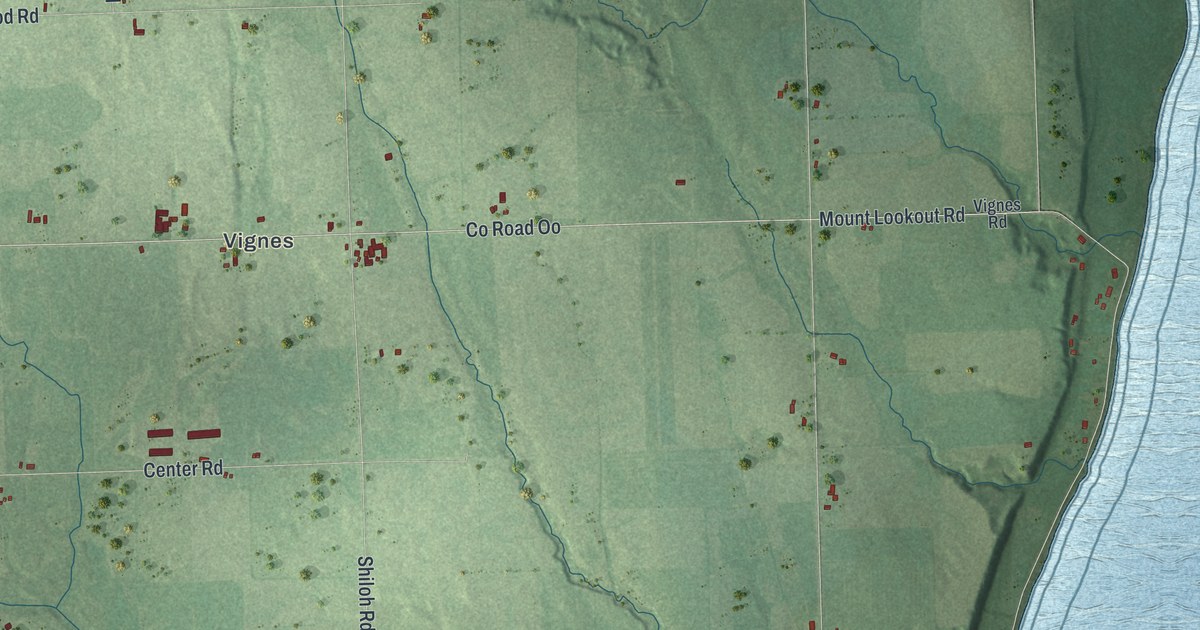
A detailed map of Clay Banks, Wisconsin, showing every building in its true location, the roads by name, and shaded topographical relief.
Read More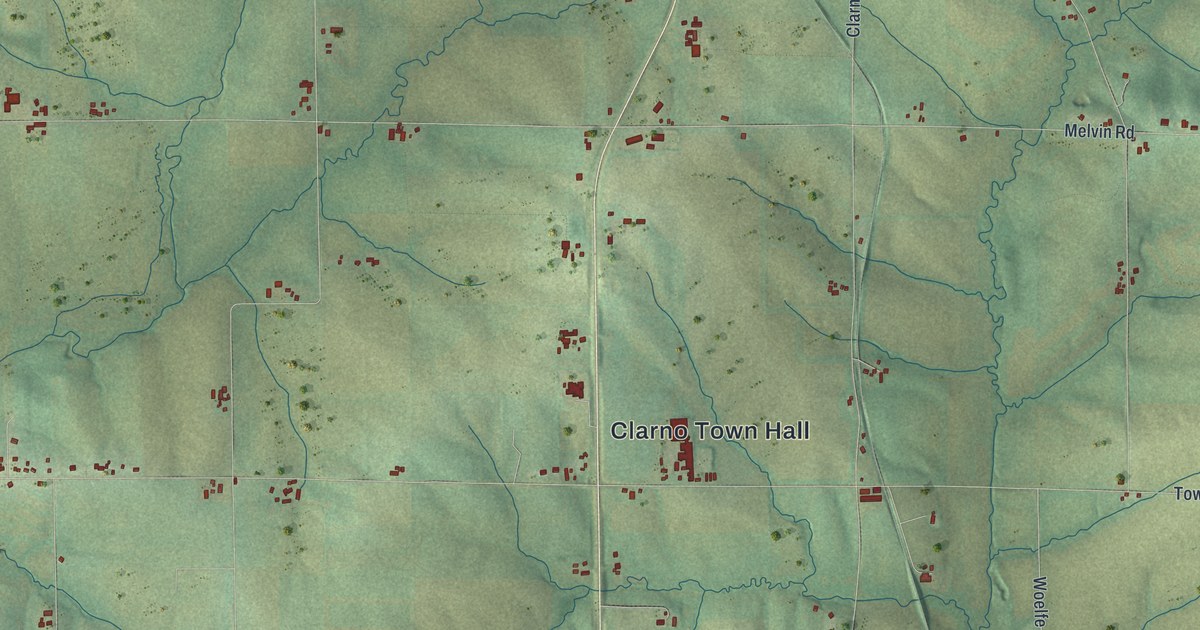
A detailed map of Clarno, Wisconsin, showing every building in its true location, the roads by name, and shaded topographical relief.
Read More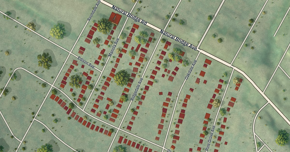
A detailed map of Uplands Park, Missouri, showing every building in its true location, the roads by name, and shaded topographical relief.
Read More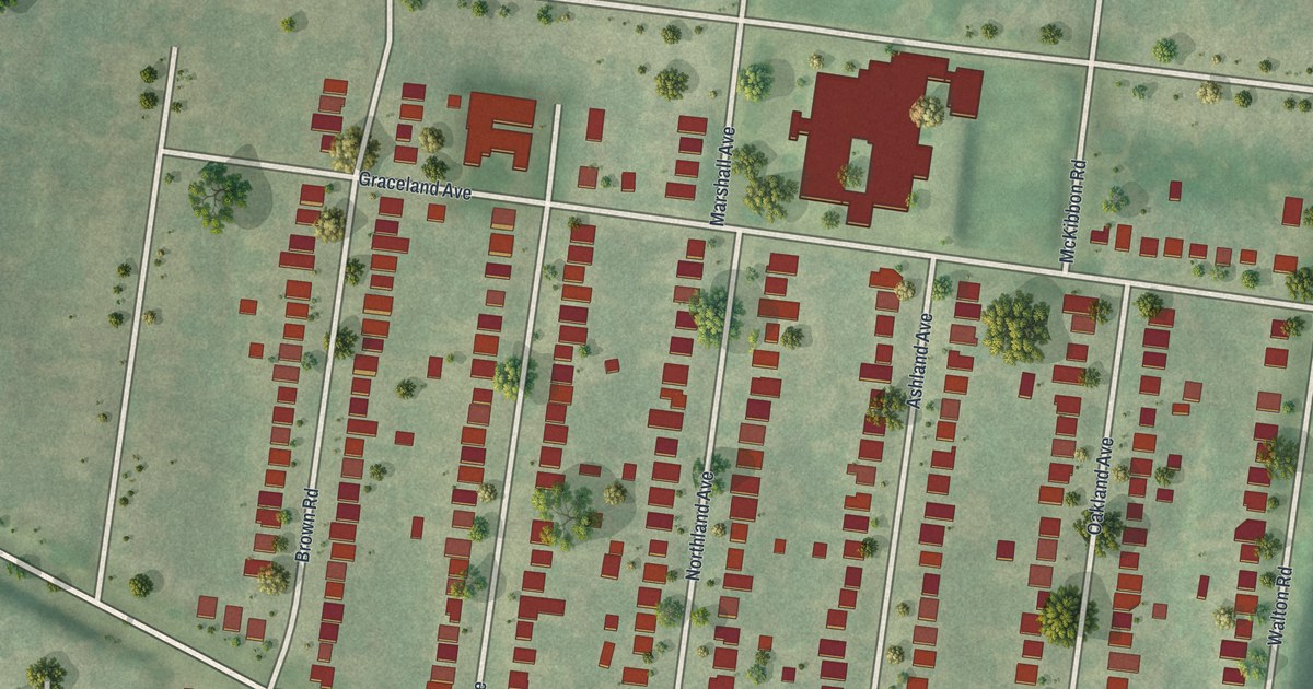
A detailed map of Sycamore Hills, Missouri, showing every building in its true location, the roads by name, and shaded topographical relief.
Read More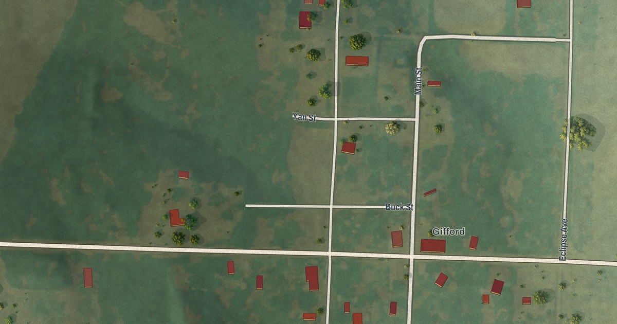
A detailed map of South Gifford, Missouri, showing every building in its true location, the roads by name, and shaded topographical relief.
Read More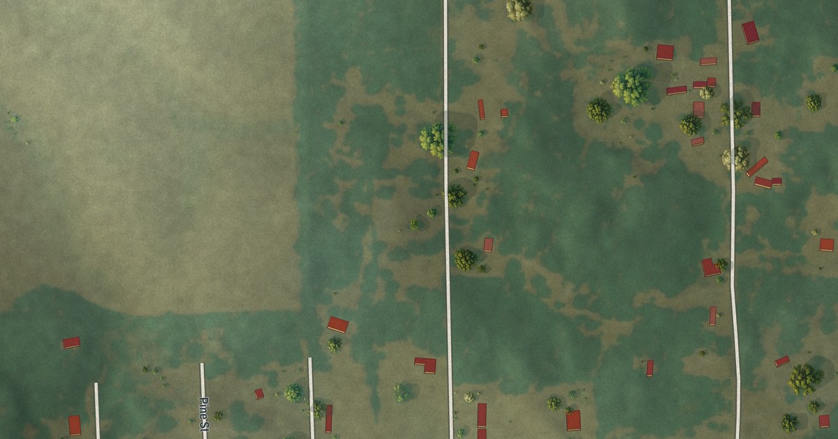
A detailed map of Haywood City, Missouri, showing every building in its true location, the roads by name, and shaded topographical relief.
Read More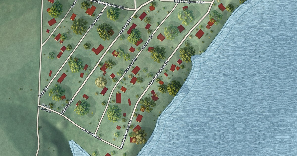
A detailed map of Chain-O-Lakes, Missouri, showing every building in its true location, the roads by name, and shaded topographical relief.
Read More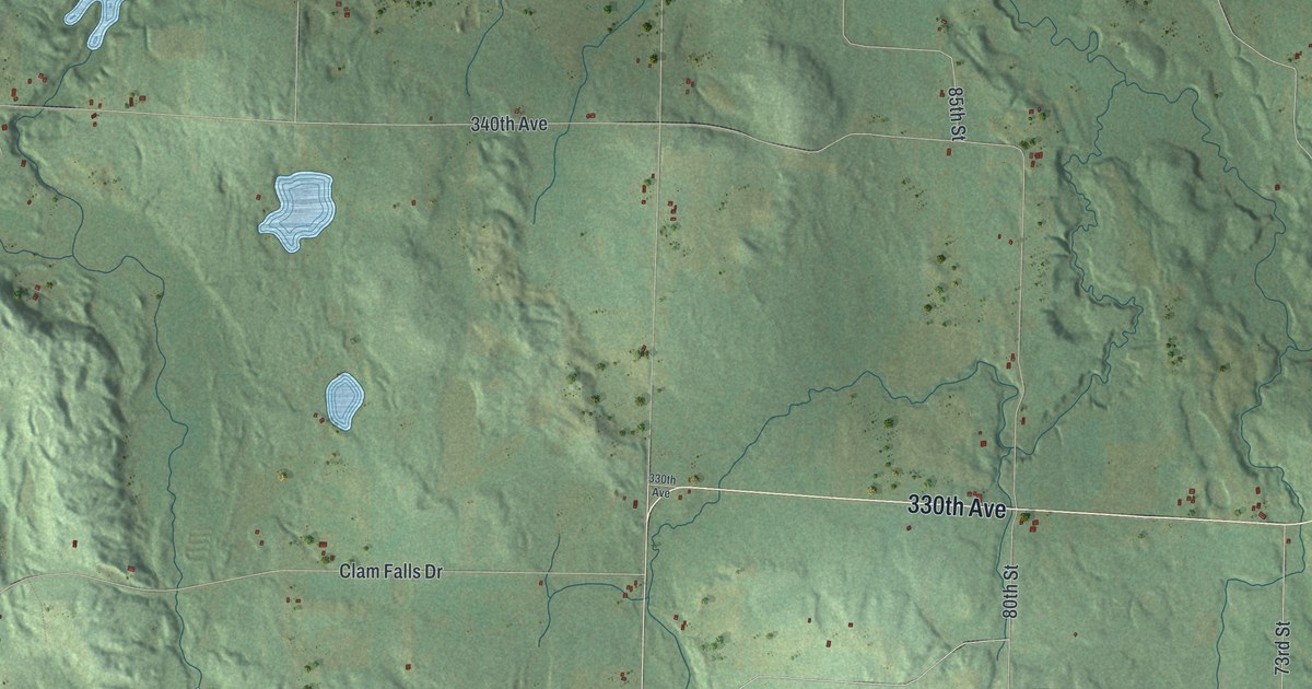
A detailed map of Clam Falls, Wisconsin, showing every building in its true location, the roads by name, and shaded topographical relief.
Read More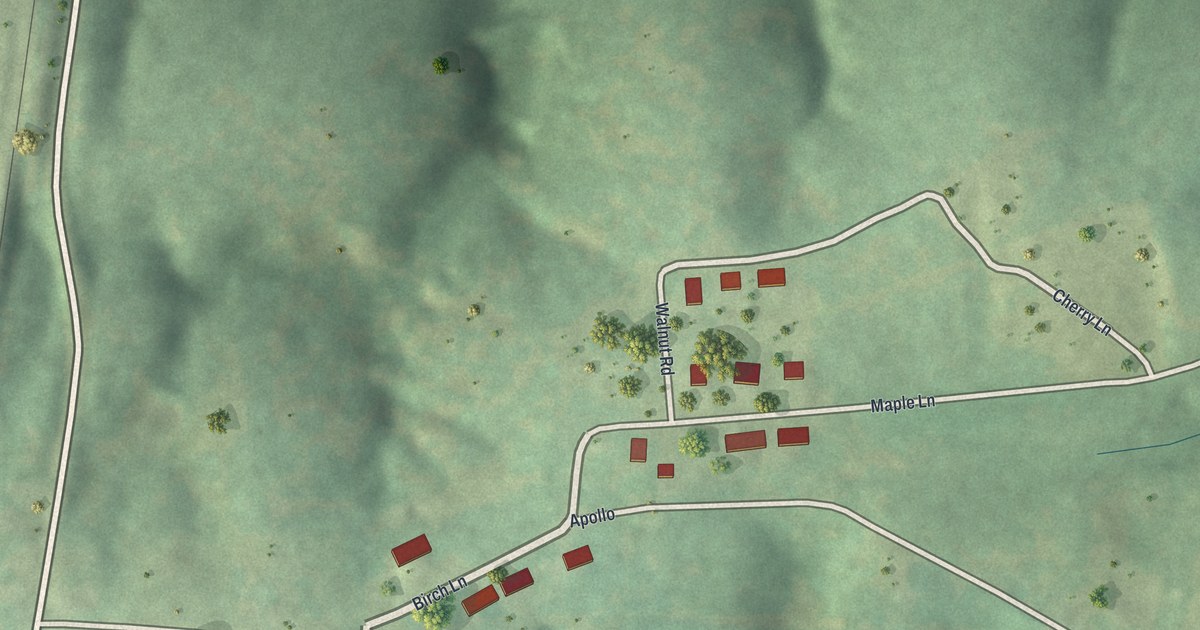
A detailed map of Charmwood, Missouri, showing every building in its true location, the roads by name, and shaded topographical relief.
Read More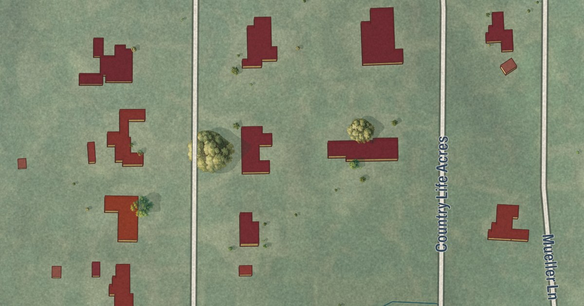
A detailed map of Country Life Acres, Missouri, showing every building in its true location, the roads by name, and shaded topographical relief.
Read More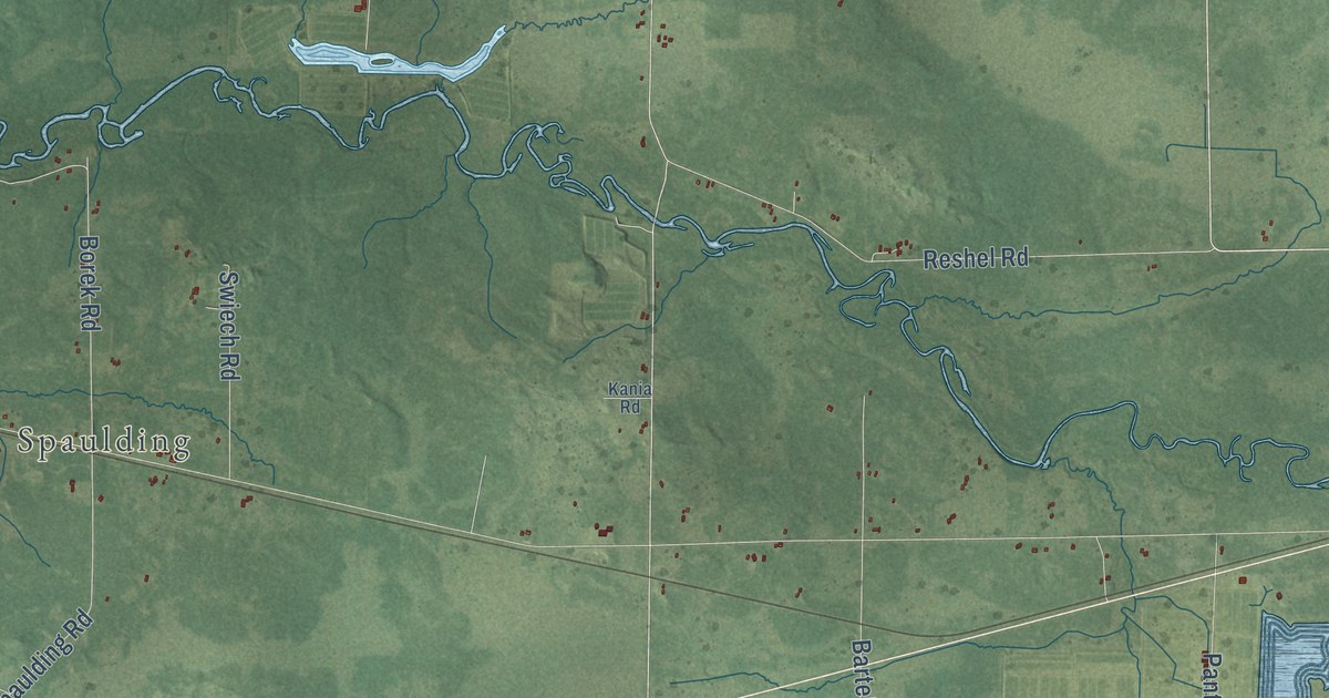
A detailed map of City Point, Wisconsin, showing every building in its true location, the roads by name, and shaded topographical relief.
Read More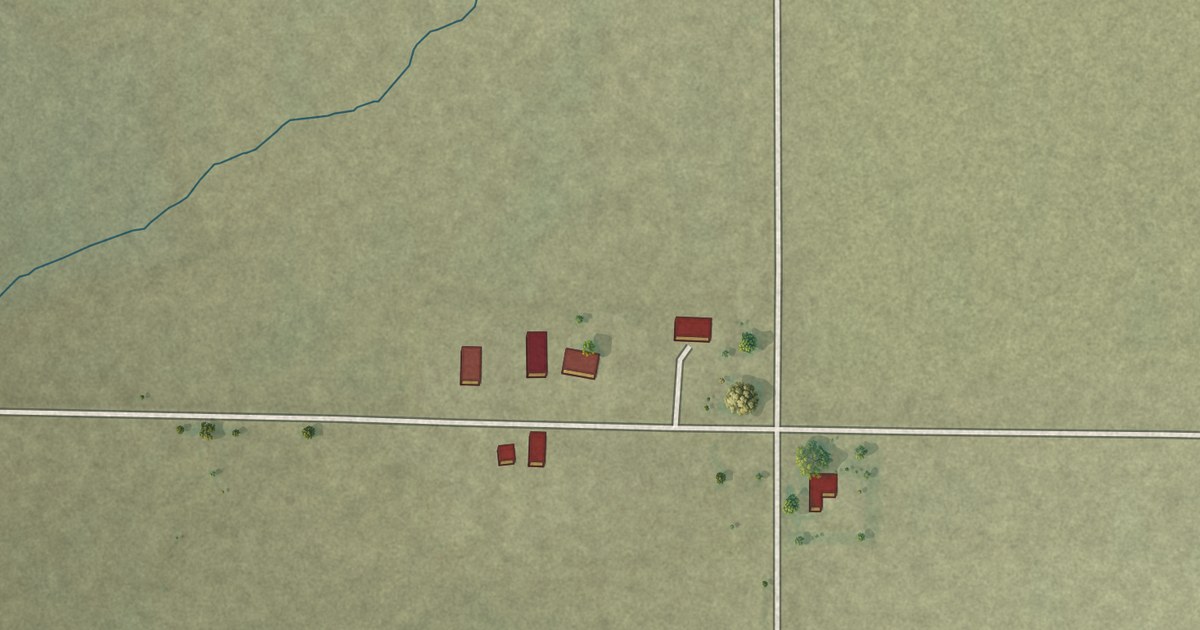
A detailed map of Baker, Missouri, showing every building in its true location, the roads by name, and shaded topographical relief.
Read More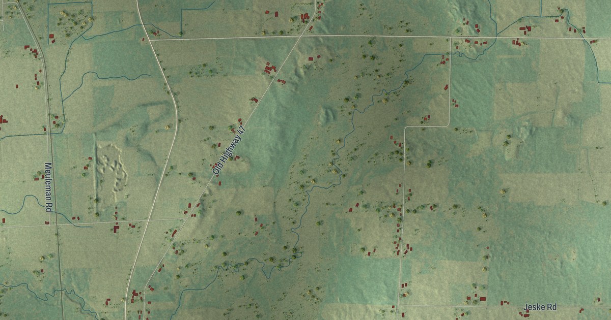
A detailed map of Cicero, Wisconsin, showing every building in its true location, the roads by name, and shaded topographical relief.
Read More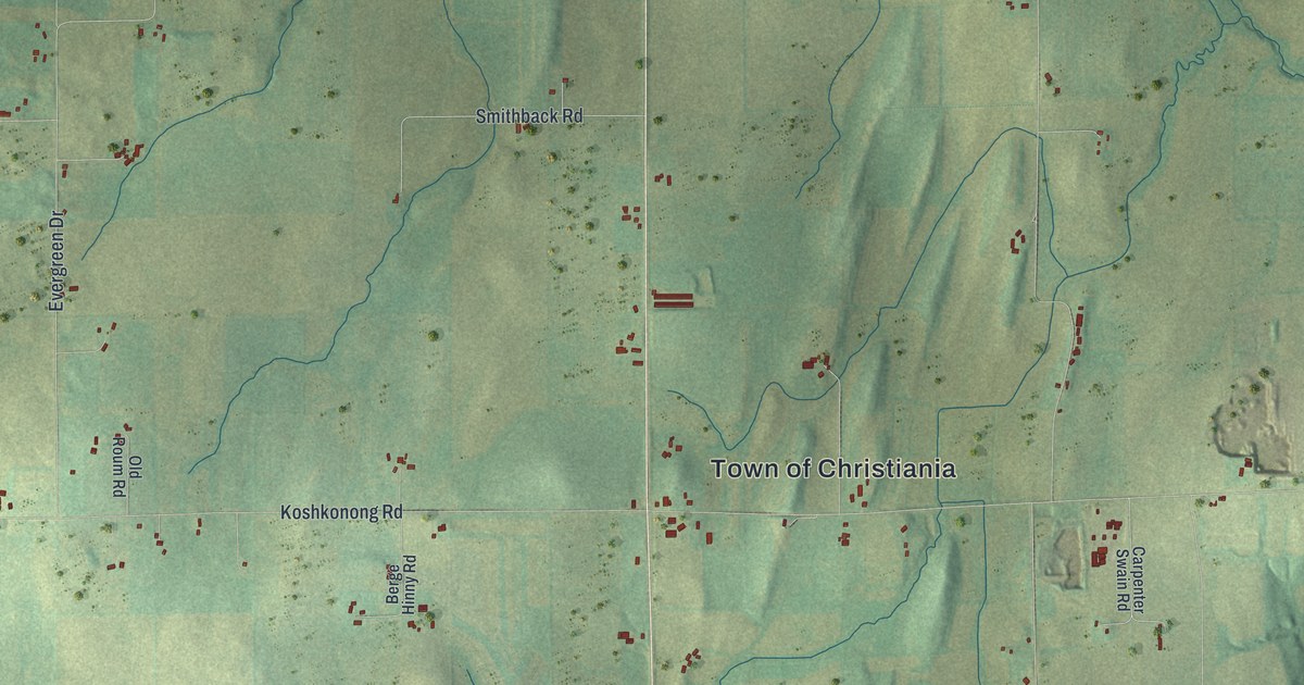
A detailed map of Christiana, Wisconsin, showing every building in its true location, the roads by name, and shaded topographical relief.
Read More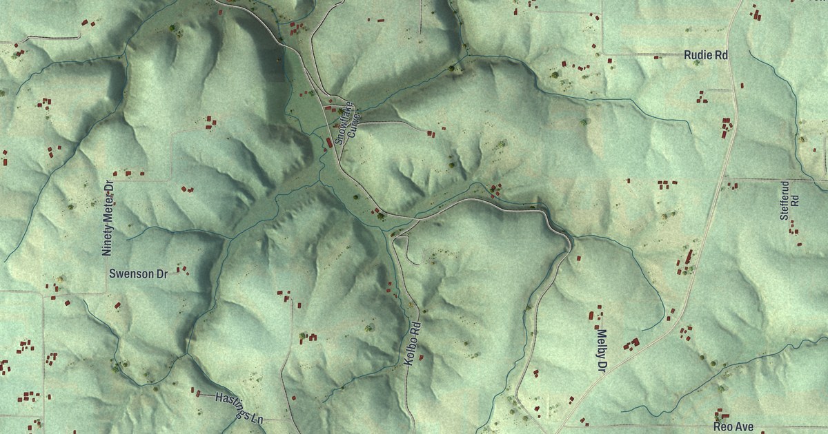
A detailed map of Christiana, Wisconsin, showing every building in its true location, the roads by name, and shaded topographical relief.
Read More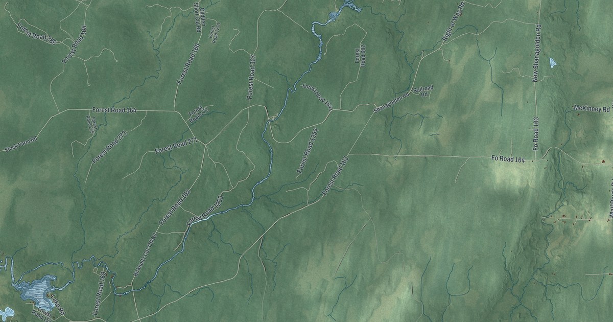
A detailed map of Chippewa, Wisconsin, showing every building in its true location, the roads by name, and shaded topographical relief.
Read More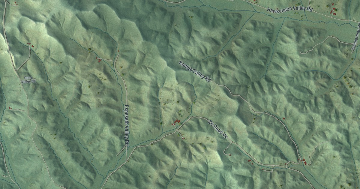
A detailed map of Chimney Rock, Wisconsin, showing every building in its true location, the roads by name, and shaded topographical relief.
Read More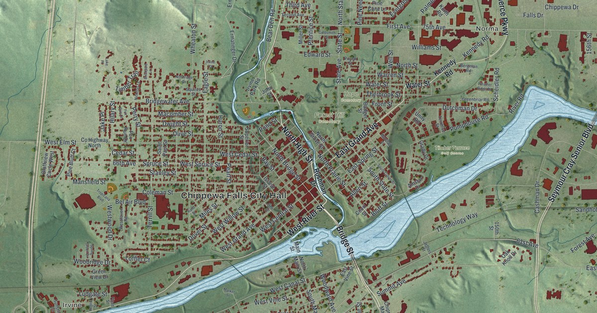
A detailed map of Chippewa Falls, Wisconsin, showing every building in its true location, the roads by name, and shaded topographical relief.
Read More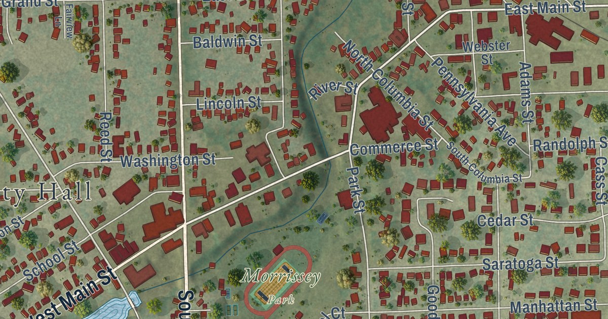
A detailed map of the City of Chilton, Wisconsin, showing every building in its true location, the roads by name, and shaded topographical relief.
Read More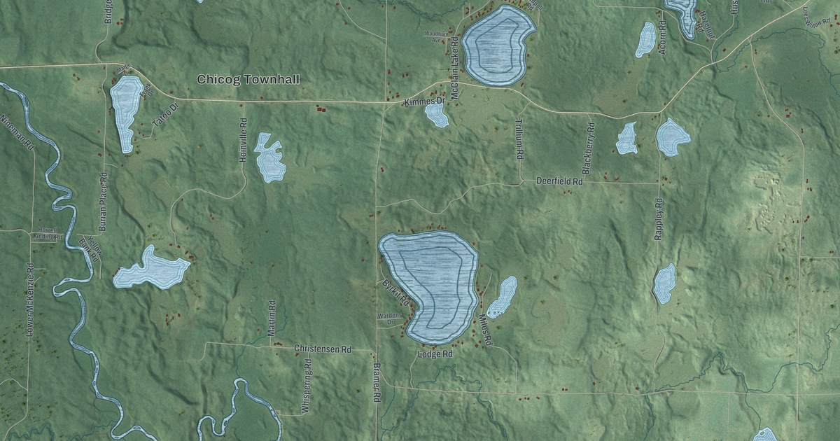
A detailed map of Chicog, Wisconsin, showing every building in its true location, the roads by name, and shaded topographical relief.
Read More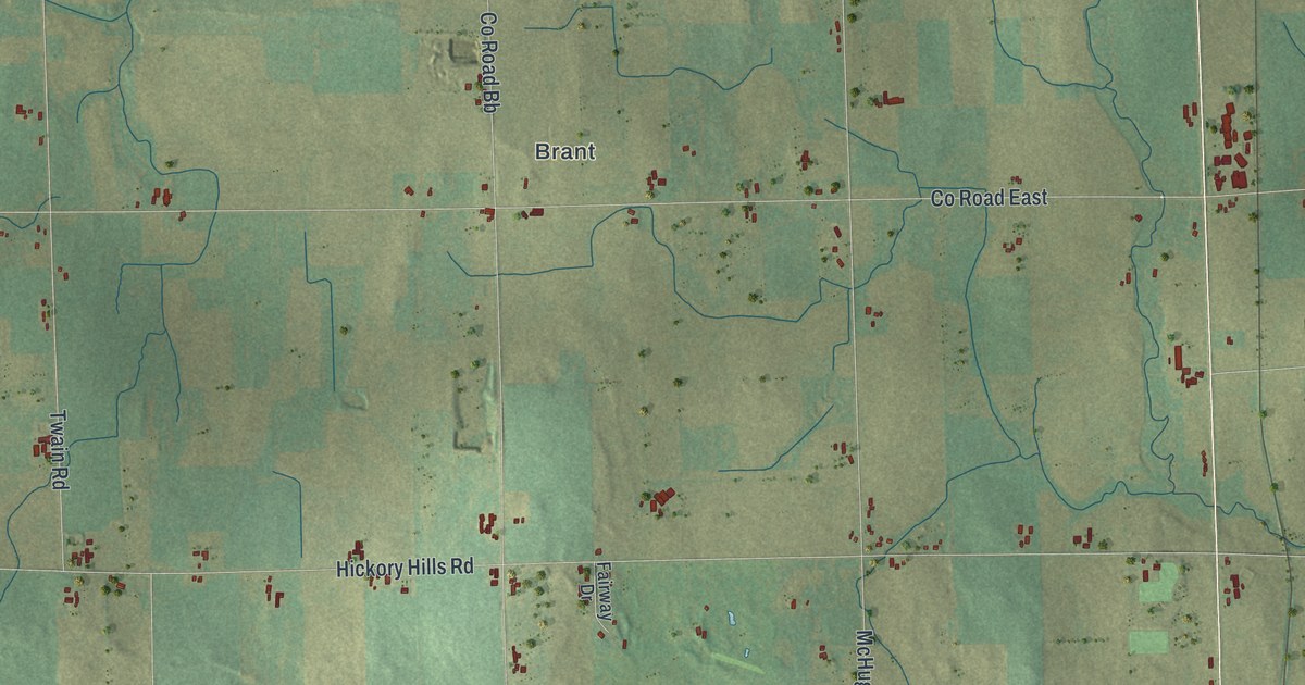
A detailed map of the Town of Chilton, Wisconsin, showing every building in its true location, the roads by name, and shaded topographical relief.
Read More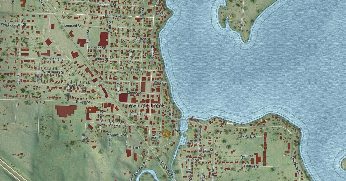
A detailed map of the City of Chetek, Wisconsin, showing every building in its true location, the roads by name, and shaded topographical relief.
Read More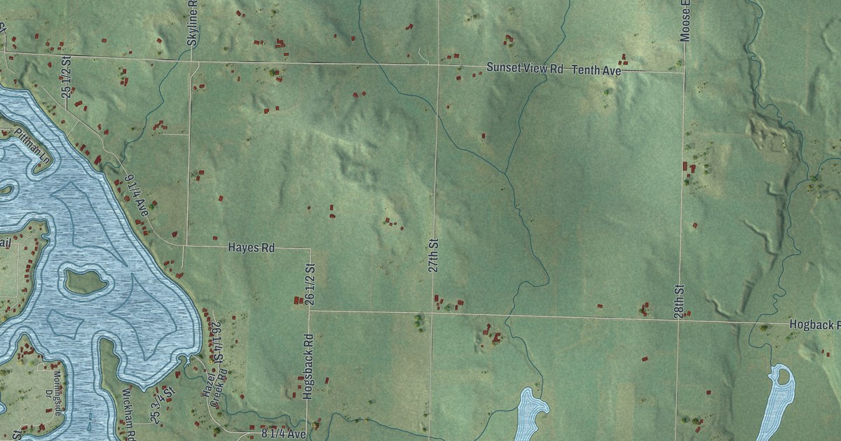
A detailed map of the Town of Chetek, Wisconsin, showing every building in its true location, the roads by name, and shaded topographical relief.
Read More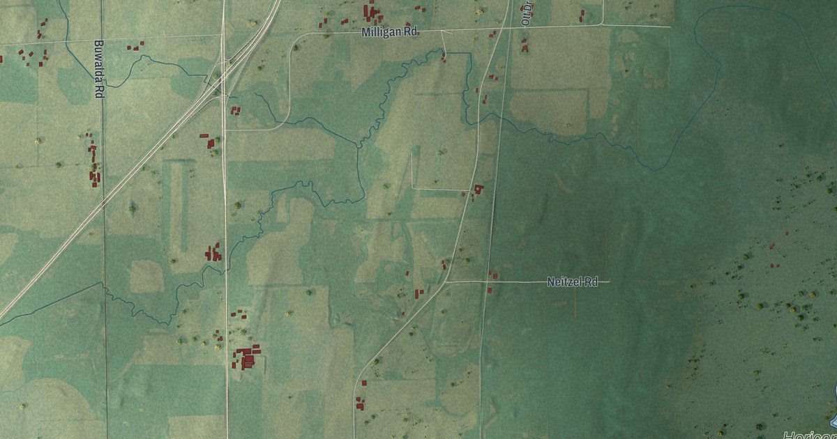
A detailed map of Chester, Wisconsin, showing every building in its true location, the roads by name, and shaded topographical relief.
Read More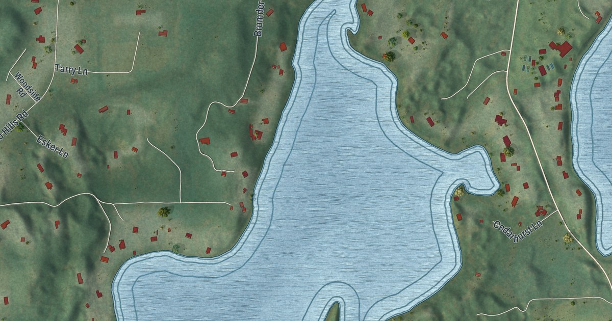
A detailed map of Chenequa, Wisconsin, showing every building in its true location, the roads by name, and shaded topographical relief.
Read More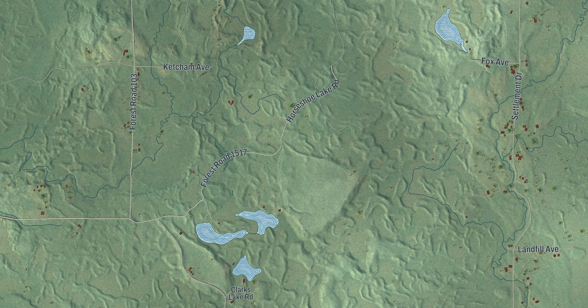
A detailed map of Chelsea, Wisconsin, showing every building in its true location, the roads by name, and shaded topographical relief.
Read More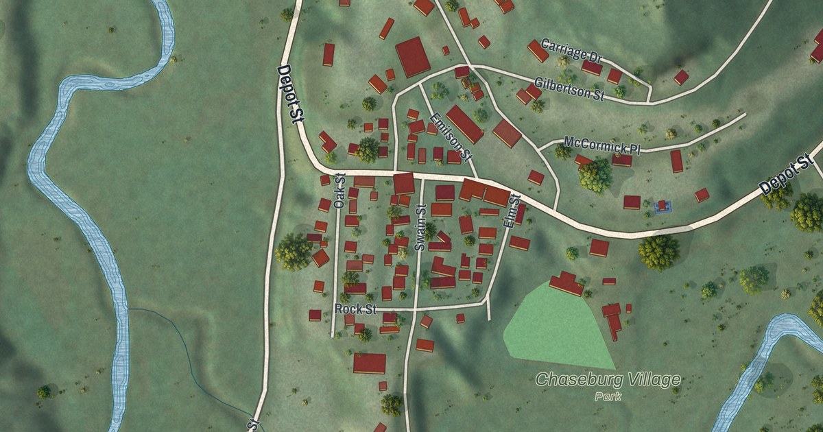
A detailed map of Chaseburg, Wisconsin, showing every building in its true location, the roads by name, and shaded topographical relief.
Read More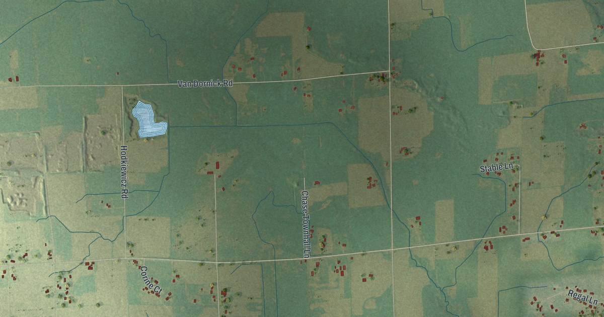
A detailed map of Chase, Wisconsin, showing every building in its true location, the roads by name, and shaded topographical relief.
Read More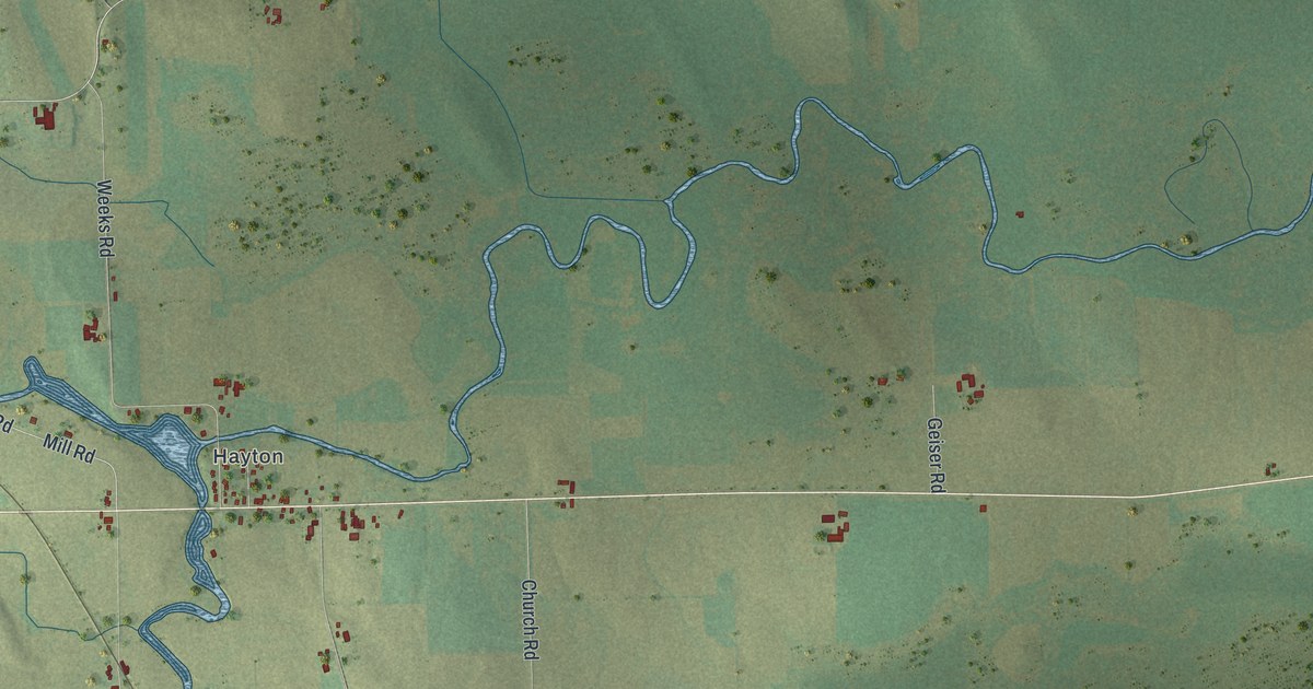
A detailed map of Charlestown, Wisconsin, showing every building in its true location, the roads by name, and shaded topographical relief.
Read More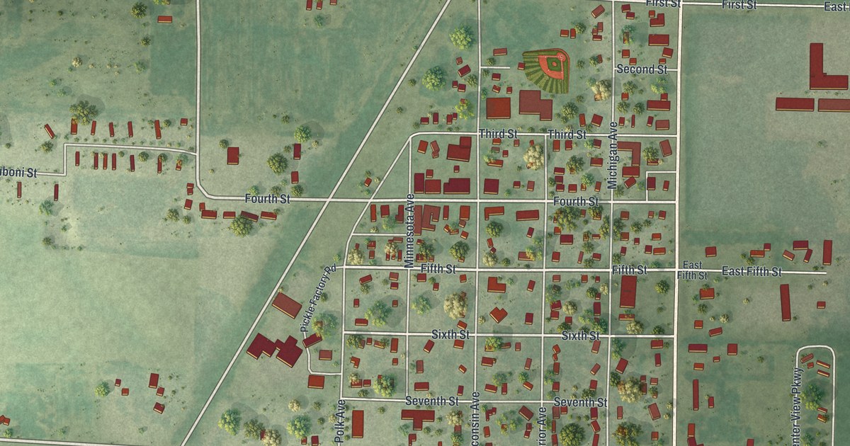
A detailed map of Centuria, Wisconsin, showing every building in its true location, the roads by name, and shaded topographical relief.
Read More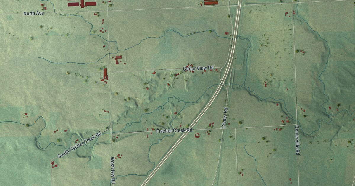
A detailed map of Centerville, Wisconsin, showing every building in its true location, the roads by name, and shaded topographical relief.
Read More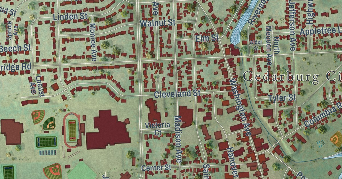
A detailed map of the City of Cedarburg, Wisconsin, showing every building in its true location, the roads by name, and shaded topographical relief.
Read More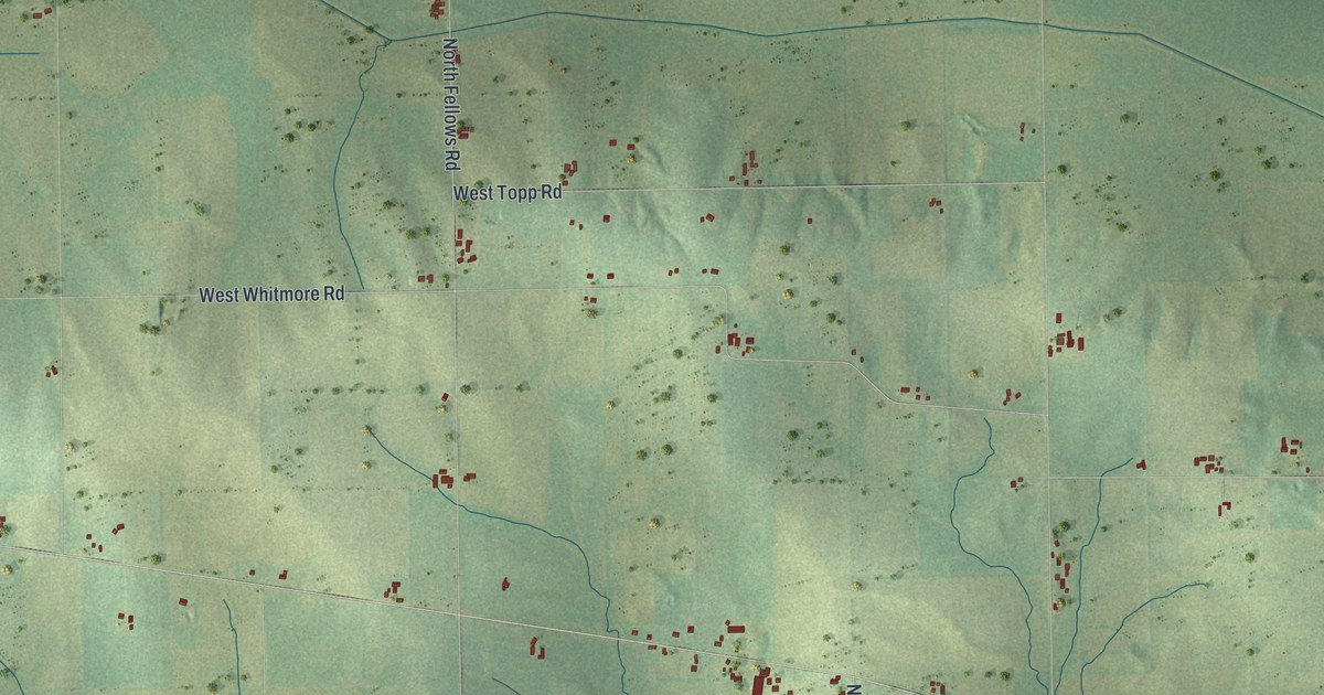
A detailed map of Center, Wisconsin, showing every building in its true location, the roads by name, and shaded topographical relief.
Read More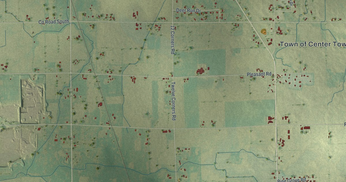
A detailed map of Center, Wisconsin, showing every building in its true location, the roads by name, and shaded topographical relief.
Read More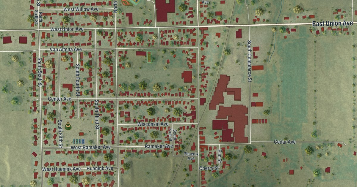
A detailed map of Cedar Grove, Wisconsin, showing every building in its true location, the roads by name, and shaded topographical relief.
Read More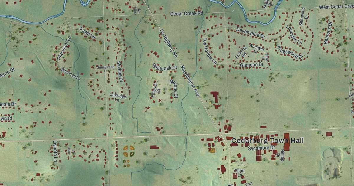
A detailed map of the Town of Cedarburg, Wisconsin, showing every building in its true location, the roads by name, and shaded topographical relief.
Read More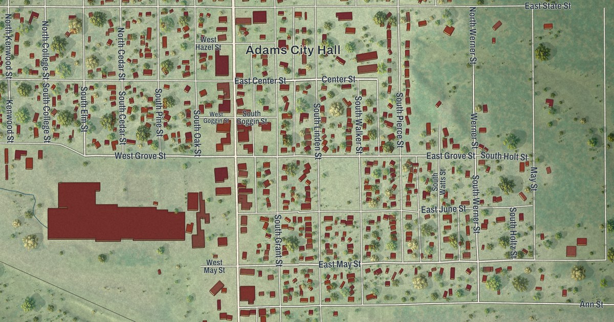
A detailed map of the City of Adams, Adams County, Wisconsin, showing every building in its true location, the roads by name, and shaded topographical relief.
Read More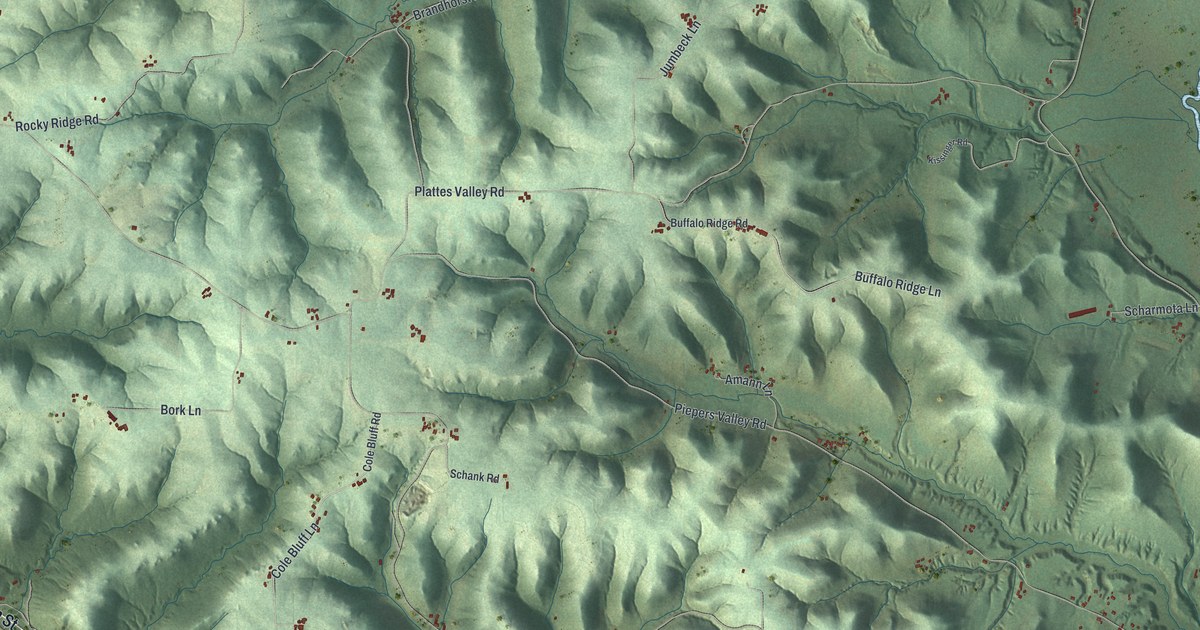
A detailed map of Buffalo, Wisconsin, showing every building in its true location, the roads by name, and shaded topographical relief.
Read More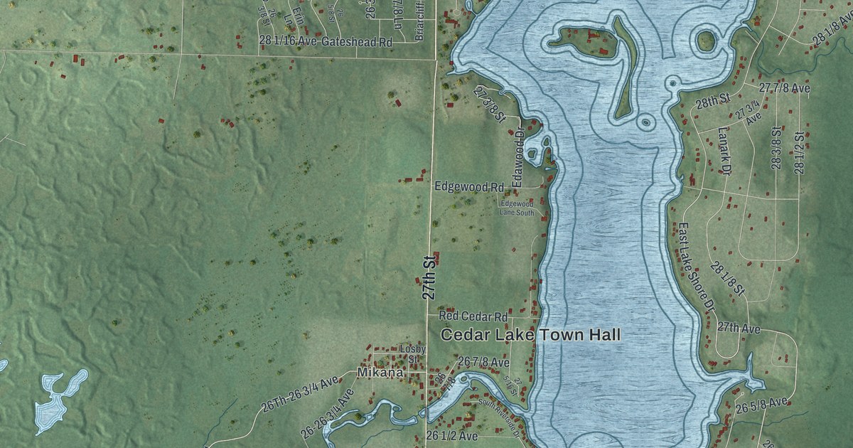
A detailed map of Cedar Lake, Wisconsin, showing every building in its true location, the roads by name, and shaded topographical relief.
Read More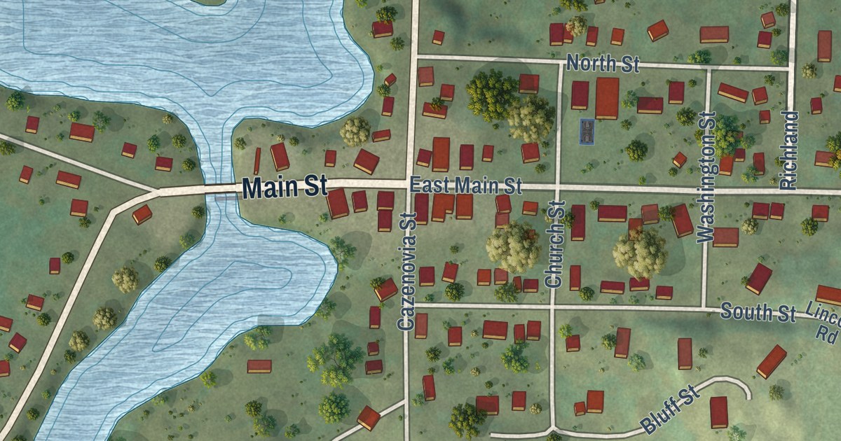
A detailed map of Cazenovia, Wisconsin, showing every building in its true location, the roads by name, and shaded topographical relief.
Read More
A detailed map of Cedar Rapids, Wisconsin, showing every building in its true location, the roads by name, and shaded topographical relief.
Read More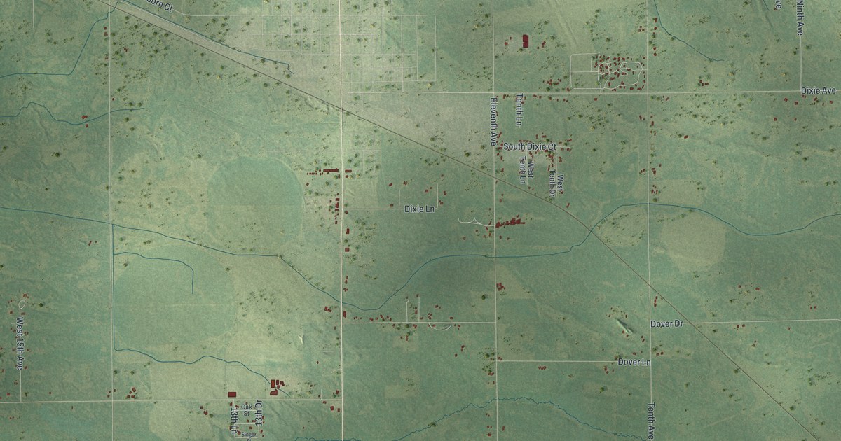
A detailed map of the Town of Adams, Adams County, Wisconsin, showing every building in its true location, the roads by name, and shaded topographical relief.
Read More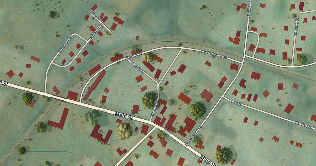
A detailed map of The Plains, Virginia, showing every building in its true location, the roads by name, and shaded topographical relief.
Read More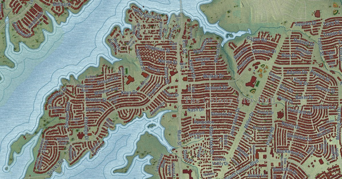
A detailed map of The Colony, Texas, showing every building in its true location, the roads by name, and shaded topographical relief.
Read More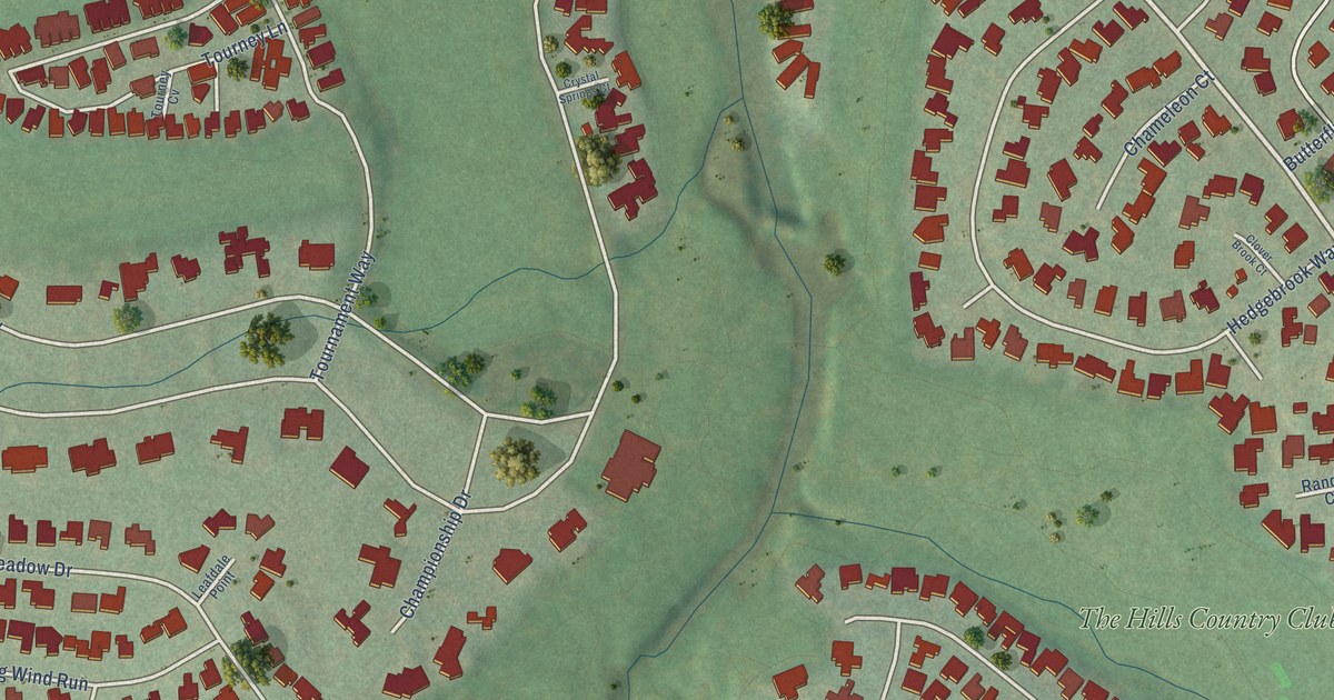
A detailed map of The Hills, Texas, showing every building in its true location, the roads by name, and shaded topographical relief.
Read More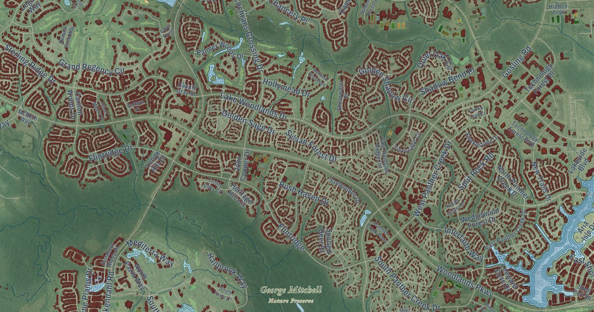
A detailed map of The Woodlands, Texas, showing every building in its true location, the roads by name, and shaded topographical relief.
Read More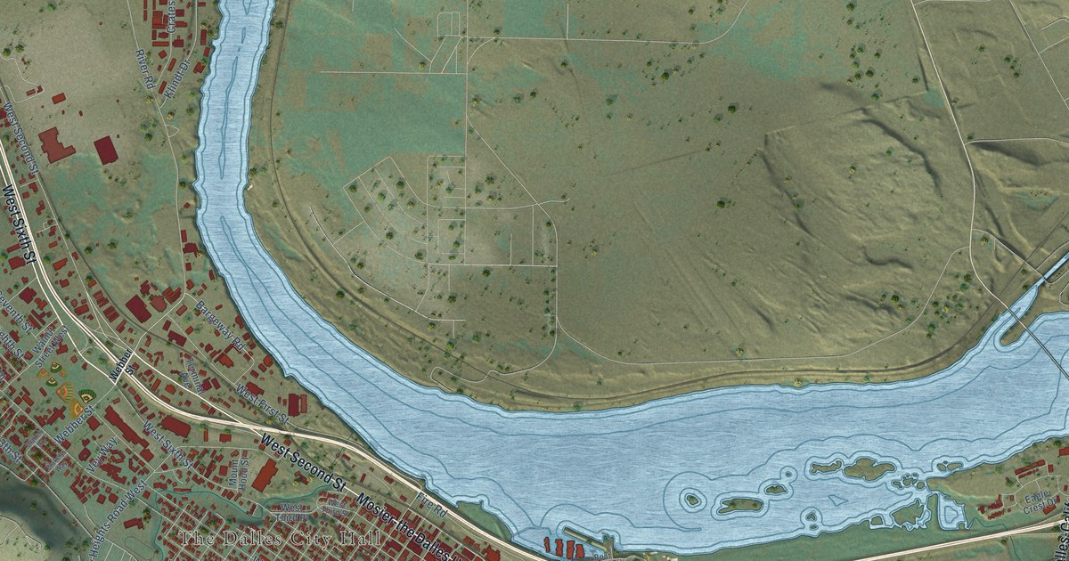
A detailed map of The Dalles, Oregon, showing every building in its true location, the roads by name, and shaded topographical relief.
Read More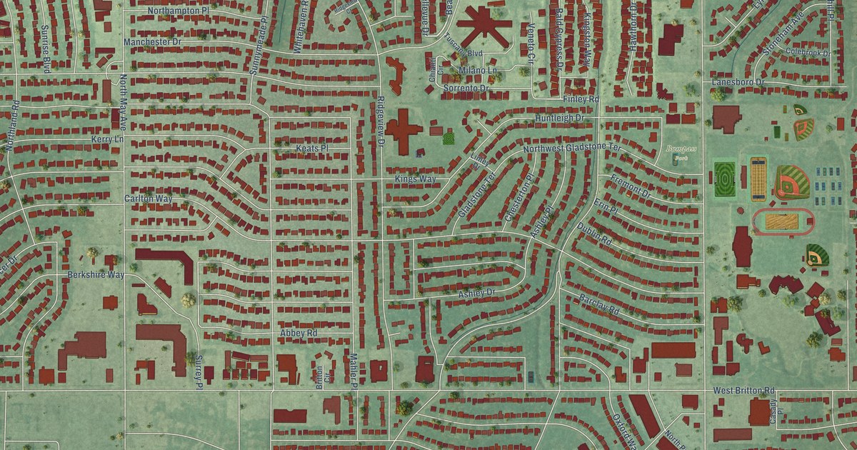
A detailed map of The Village, Oklahoma, showing every building in its true location, the roads by name, and shaded topographical relief.
Read More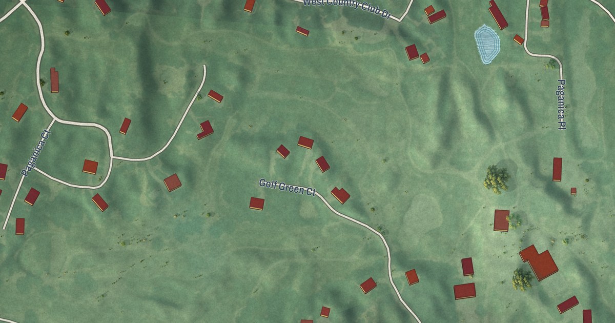
A detailed map of The Highlands, Kansas, showing every building in its true location, the roads by name, and shaded topographical relief.
Read More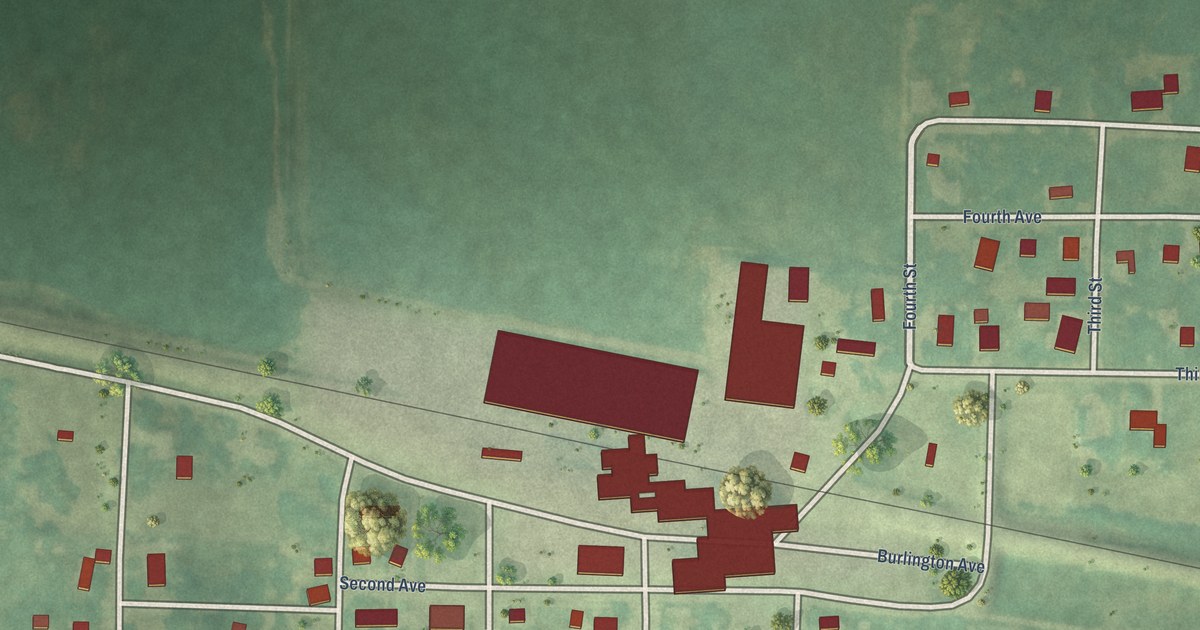
A detailed map of Superior, Iowa, showing every building in its true location, the roads by name, and shaded topographical relief.
Read More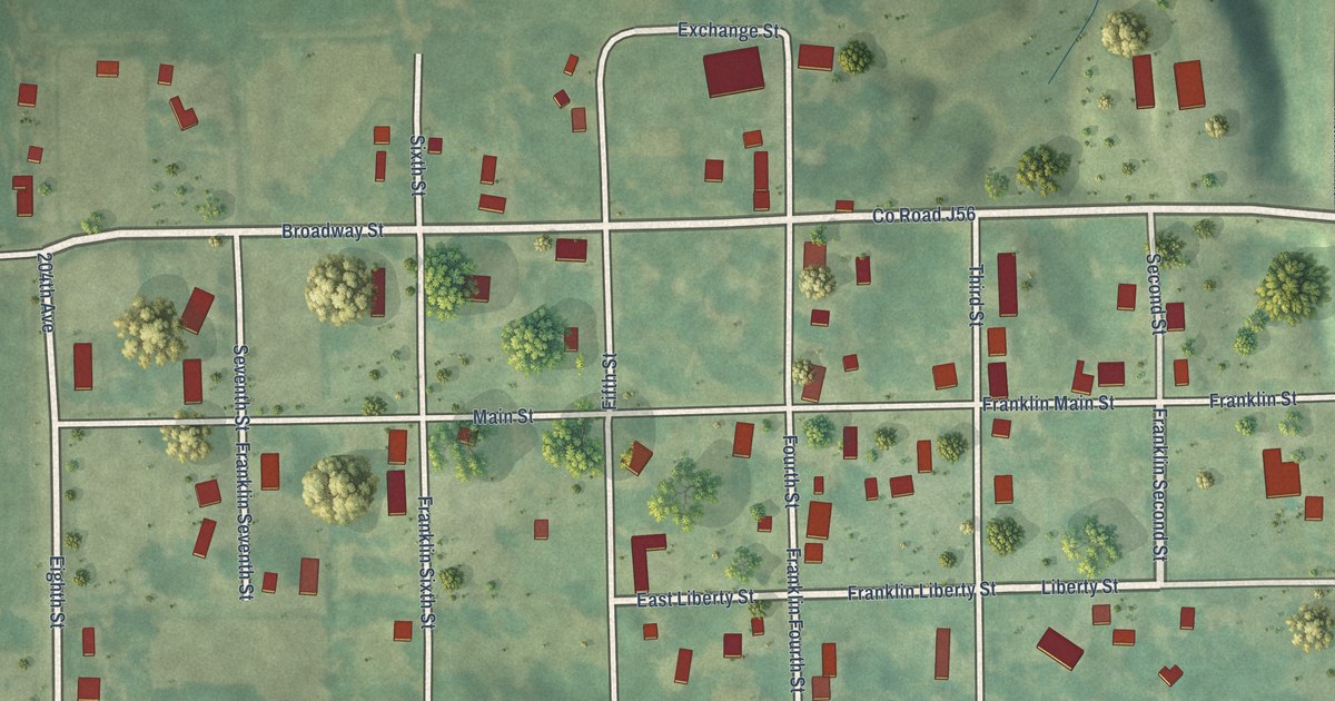
A detailed map of Franklin, Iowa, showing every building in its true location, the roads by name, and shaded topographical relief.
Read More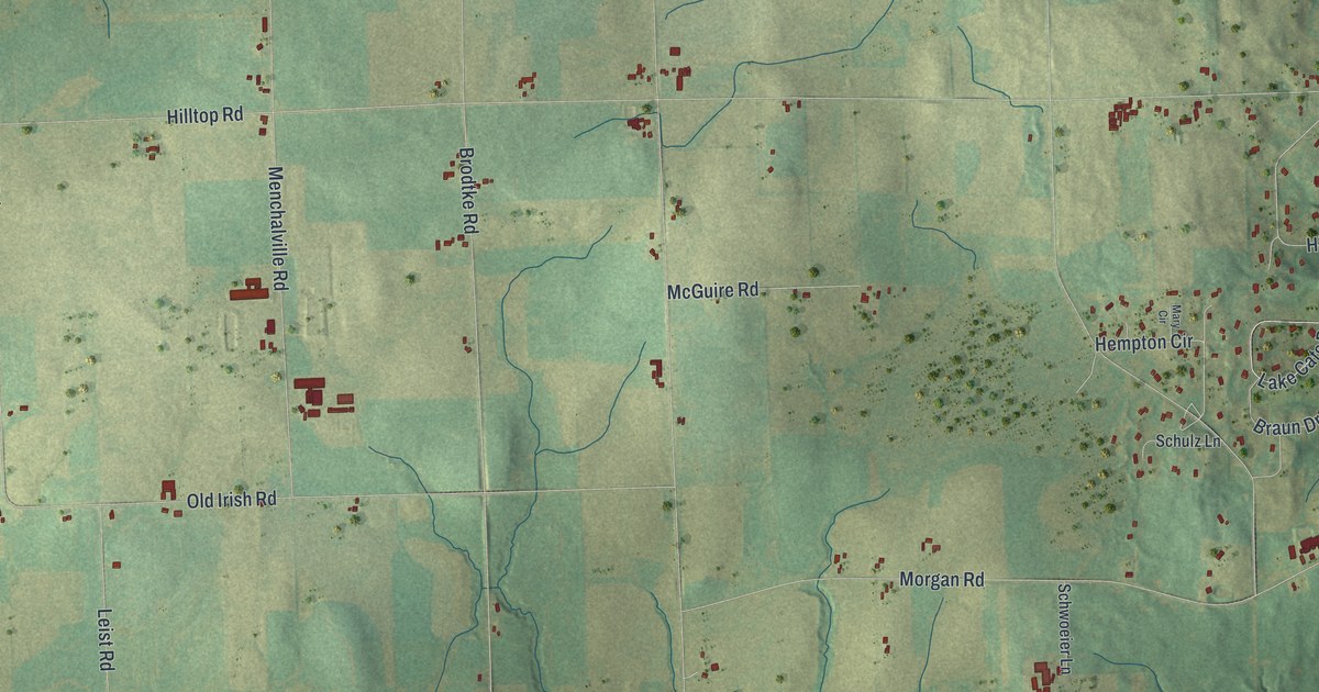
A detailed map of Cato, Wisconsin, showing every building in its true location, the roads by name, and shaded topographical relief.
Read More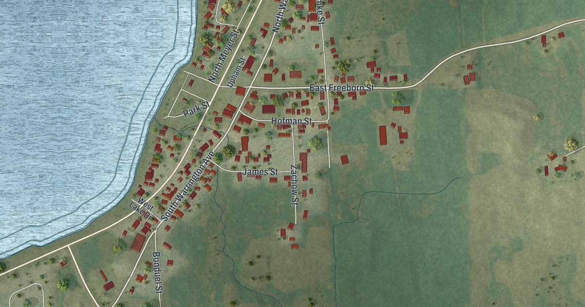
A detailed map of Cecil, Wisconsin, showing every building in its true location, the roads by name, and shaded topographical relief.
Read More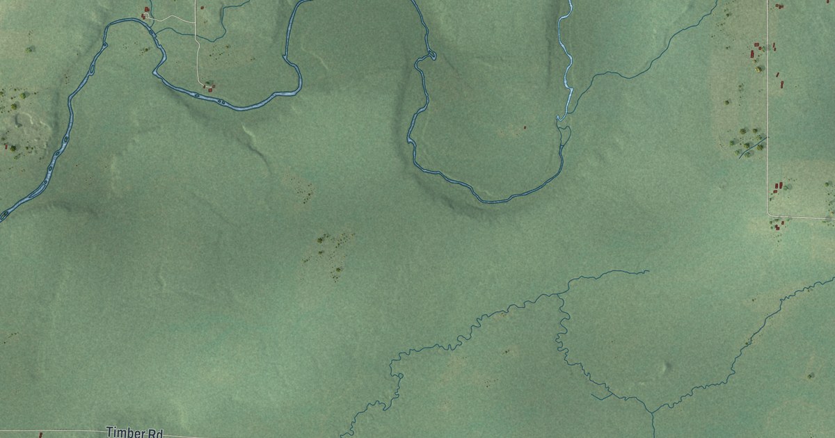
A detailed map of the Town of Catawba, Wisconsin, showing every building in its true location, the roads by name, and shaded topographical relief.
Read More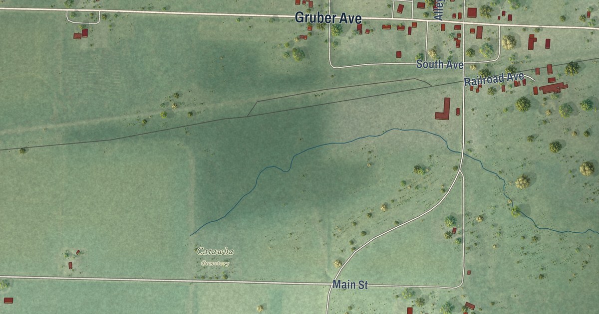
A detailed map of the Village of Catawba, Wisconsin, showing every building in its true location, the roads by name, and shaded topographical relief.
Read More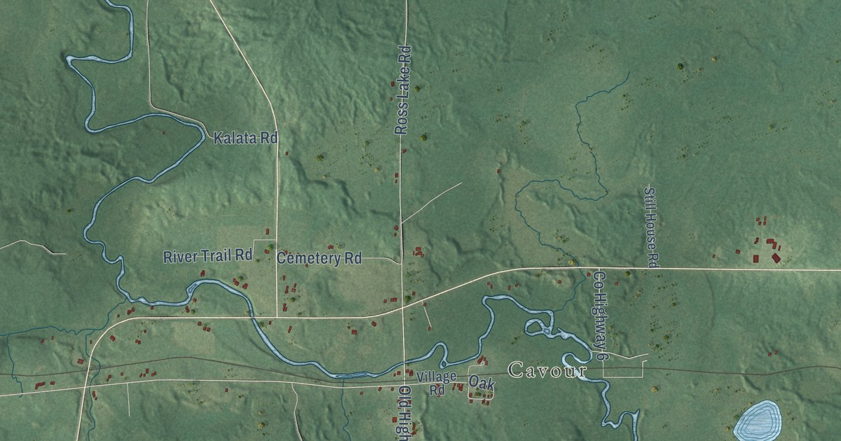
A detailed map of Caswell, Wisconsin, showing every building in its true location, the roads by name, and shaded topographical relief.
Read More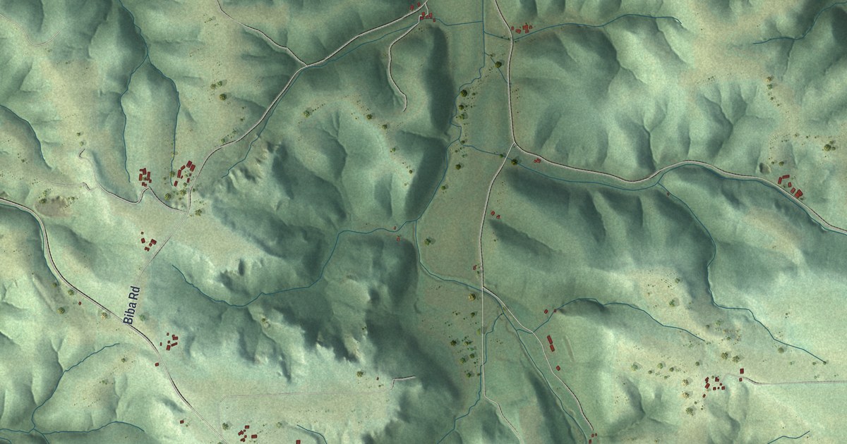
A detailed map of Castle Rock, Wisconsin, showing every building in its true location, the roads by name, and shaded topographical relief.
Read More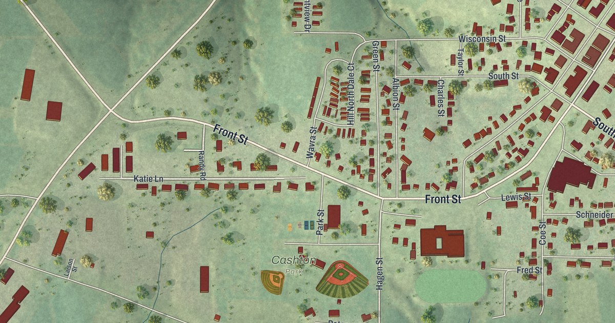
A detailed map of Cashton, Wisconsin, showing every building in its true location, the roads by name, and shaded topographical relief.
Read More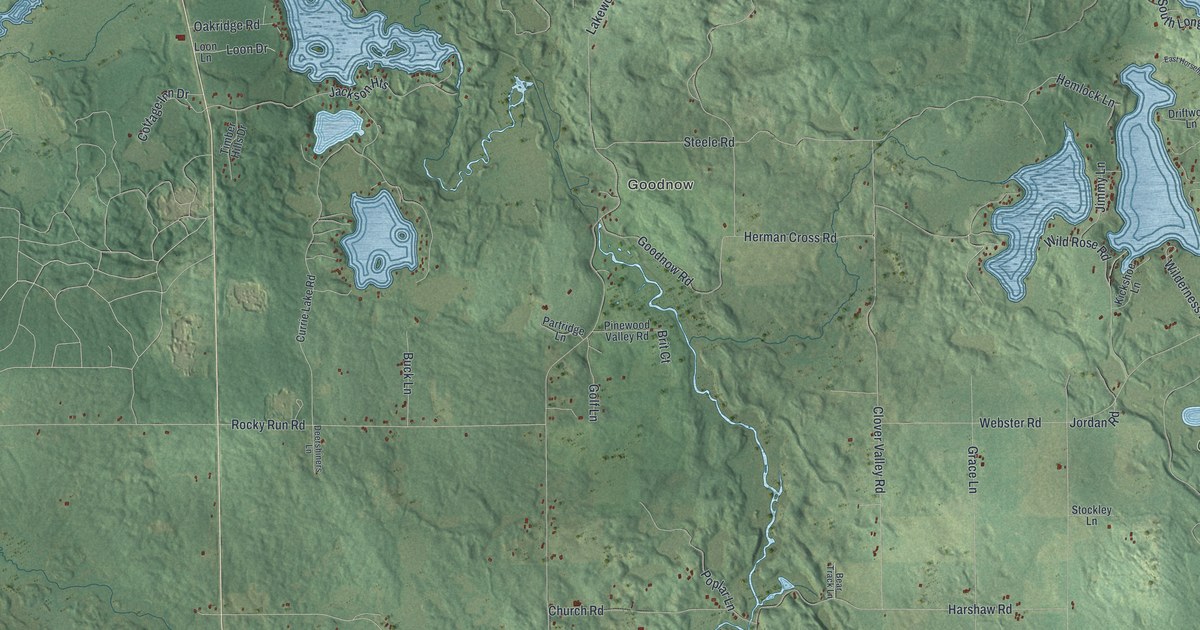
A detailed map of Cassian, Wisconsin, showing every building in its true location, the roads by name, and shaded topographical relief.
Read More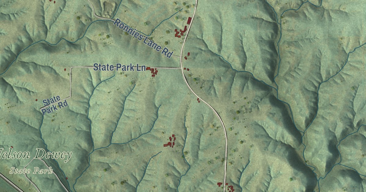
A detailed map of the Town of Cassville, Wisconsin, showing every building in its true location, the roads by name, and shaded topographical relief.
Read More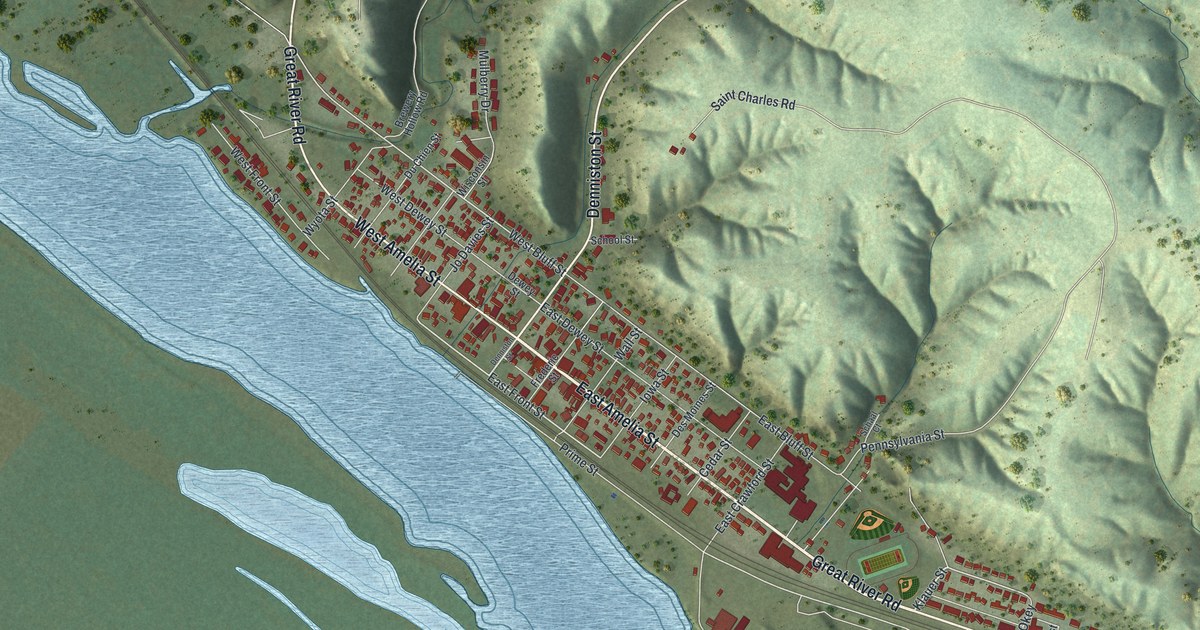
A detailed map of the Village of Cassville, Wisconsin, showing every building in its true location, the roads by name, and shaded topographical relief.
Read More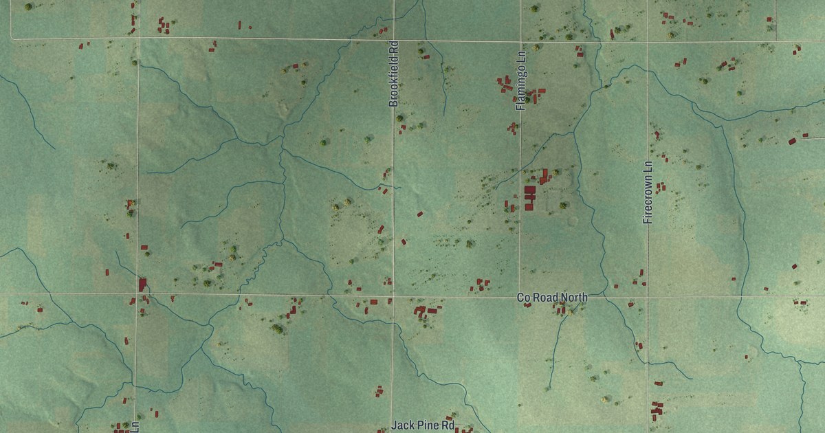
A detailed map of Cassel, Wisconsin, showing every building in its true location, the roads by name, and shaded topographical relief.
Read More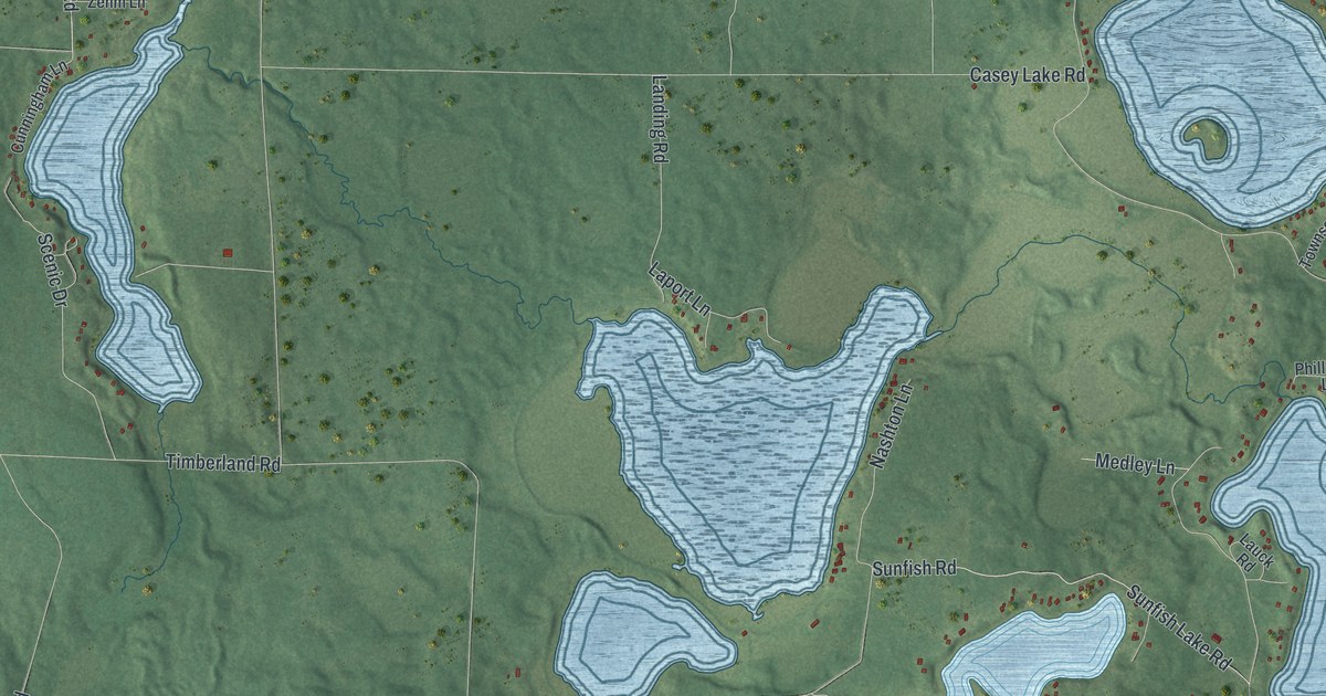
A detailed map of Casey, Wisconsin, showing every building in its true location, the roads by name, and shaded topographical relief.
Read More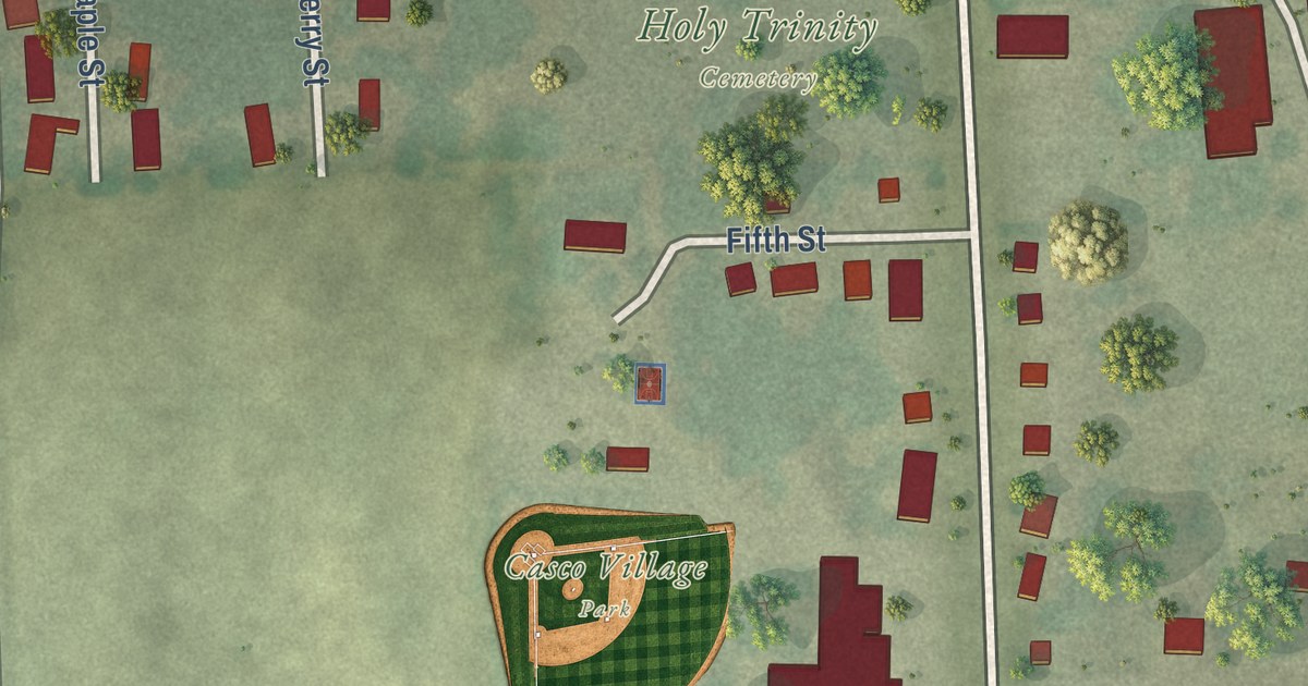
A detailed map of the Village of Casco, Wisconsin, showing every building in its true location, the roads by name, and shaded topographical relief.
Read More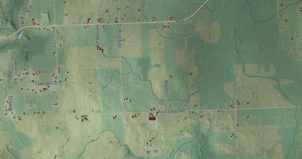
A detailed map of the Town of Casco, Wisconsin, showing every building in its true location, the roads by name, and shaded topographical relief.
Read More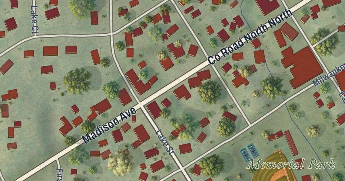
A detailed map of Cascade, Wisconsin, showing every building in its true location, the roads by name, and shaded topographical relief.
Read More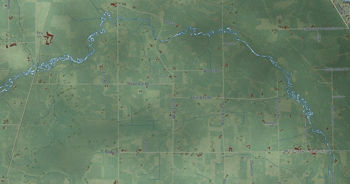
A detailed map of Carson, Wisconsin, showing every building in its true location, the roads by name, and shaded topographical relief.
Read More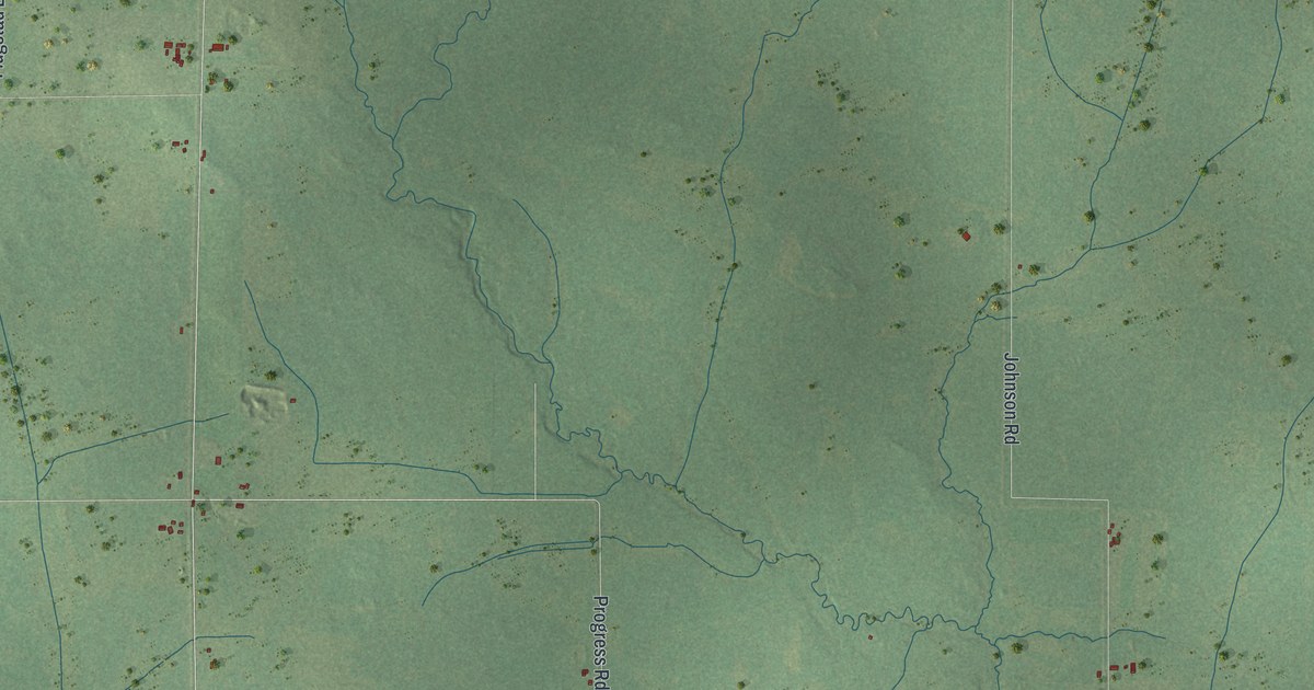
A detailed map of Cary, Wisconsin, showing every building in its true location, the roads by name, and shaded topographical relief.
Read More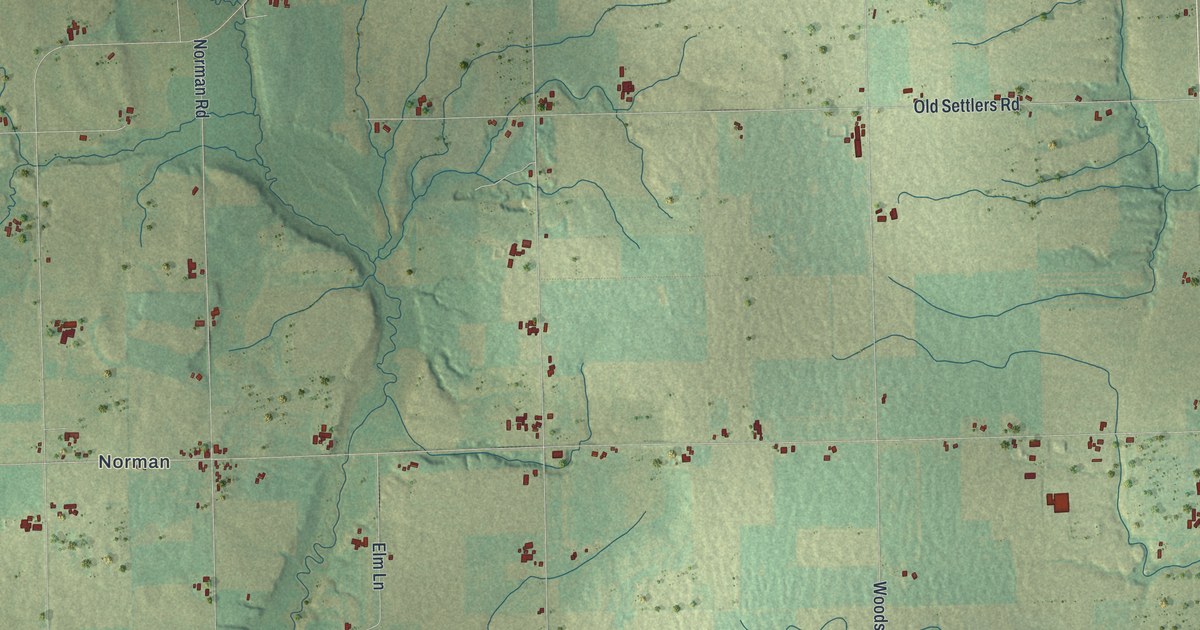
A detailed map of Carlton, Wisconsin, showing every building in its true location, the roads by name, and shaded topographical relief.
Read More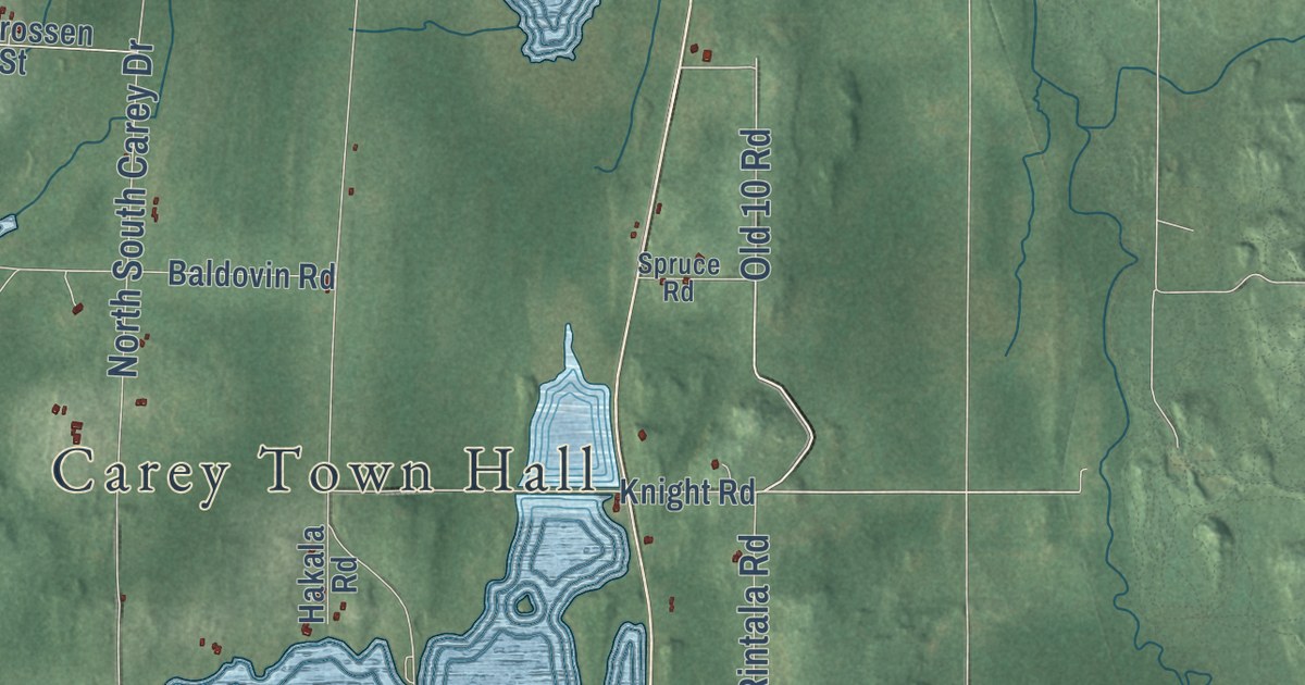
A detailed map of Carey, Wisconsin, showing every building in its true location, the roads by name, and shaded topographical relief.
Read More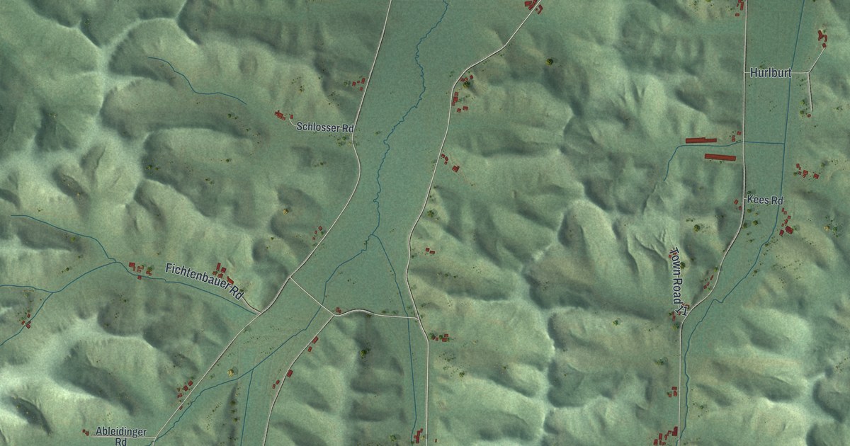
A detailed map of Canton, Wisconsin, showing every building in its true location, the roads by name, and shaded topographical relief.
Read More















