Detailed Map of Freeman, South Dakota
A detailed map of Freeman, South Dakota, showing every building in its true location, the roads by name, and shaded topographical relief.
Read More
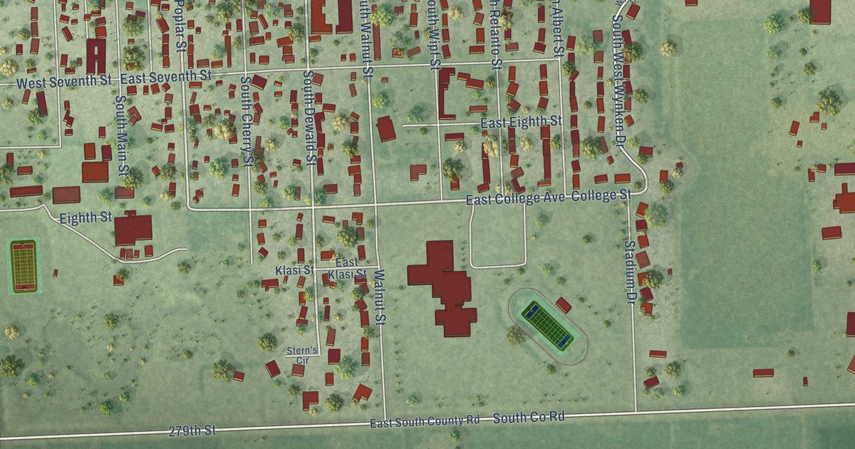
A detailed map of Freeman, South Dakota, showing every building in its true location, the roads by name, and shaded topographical relief.
Read More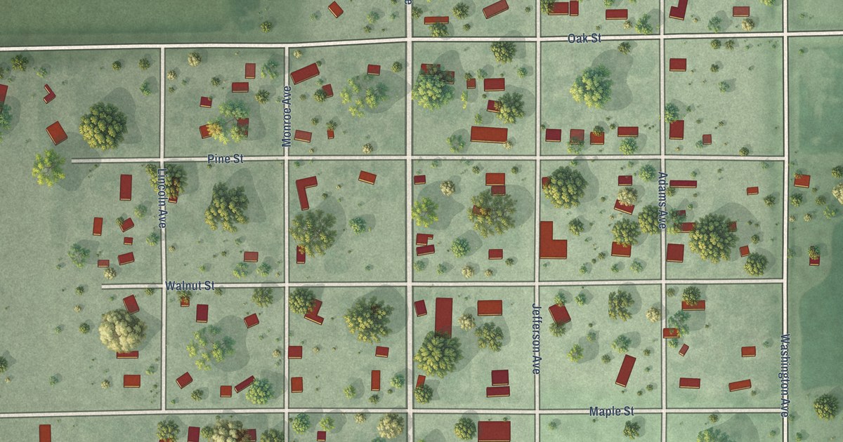
A detailed map of Frankfort, South Dakota, showing every building in its true location, the roads by name, and shaded topographical relief.
Read More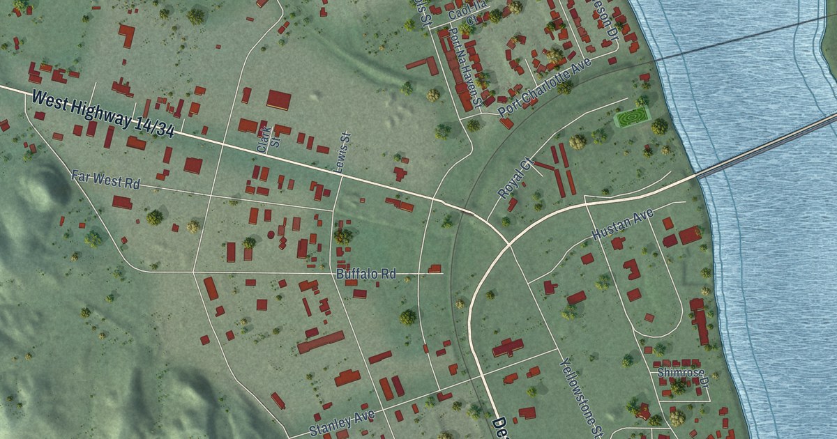
A detailed map of Fort Pierre, South Dakota, showing every building in its true location, the roads by name, and shaded topographical relief.
Read More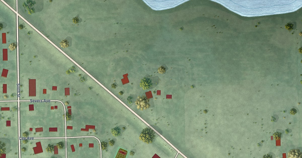
A detailed map of Florence, South Dakota, showing every building in its true location, the roads by name, and shaded topographical relief.
Read More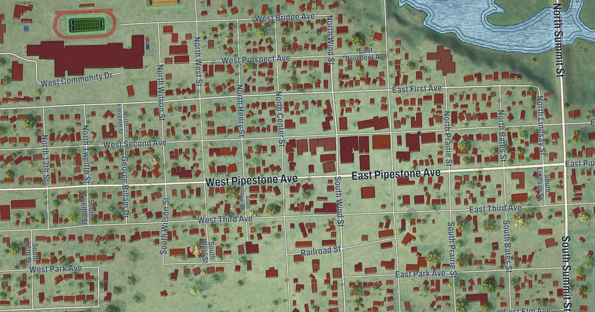
A detailed map of Flandreau, South Dakota, showing every building in its true location, the roads by name, and shaded topographical relief.
Read More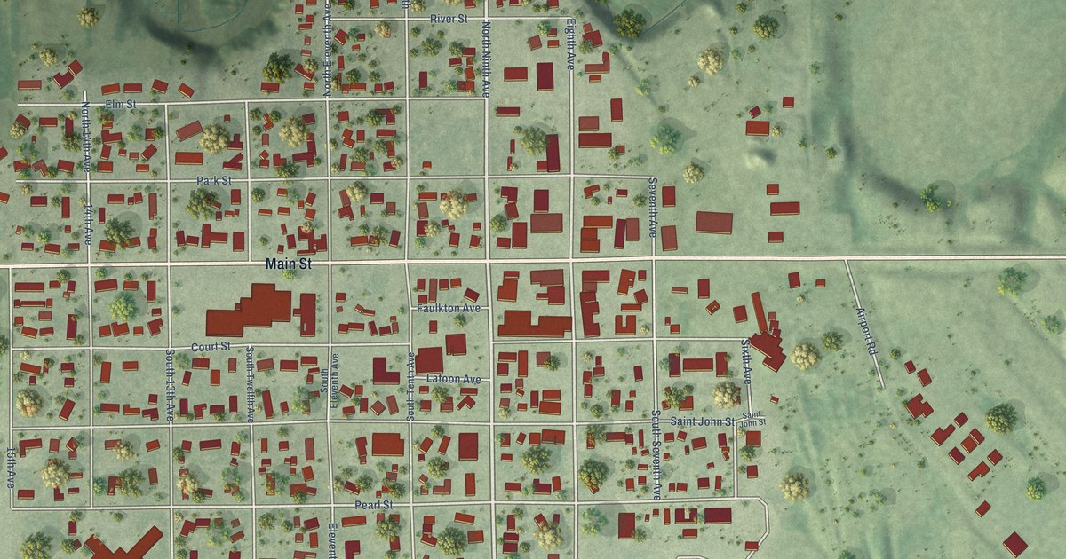
A detailed map of Faulkton, South Dakota, showing every building in its true location, the roads by name, and shaded topographical relief.
Read More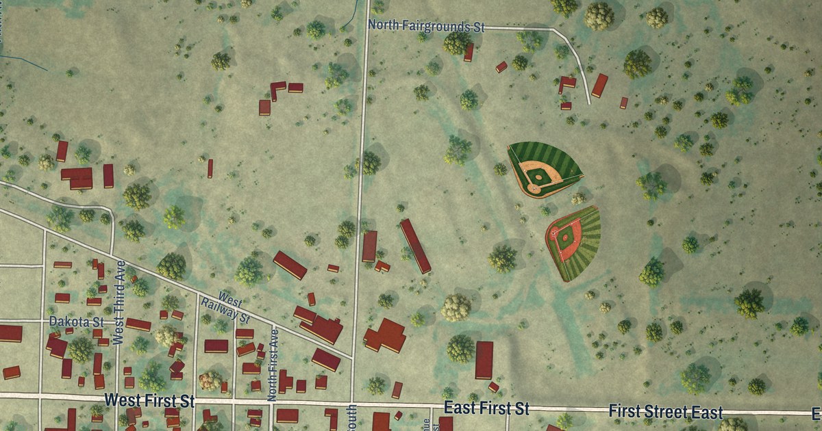
A detailed map of Faith, South Dakota, showing every building in its true location, the roads by name, and shaded topographical relief.
Read More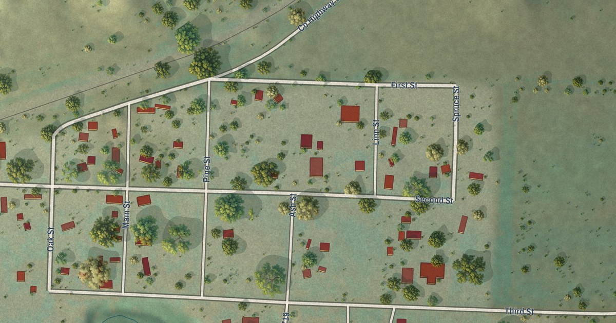
A detailed map of Fairburn, South Dakota, showing every building in its true location, the roads by name, and shaded topographical relief.
Read More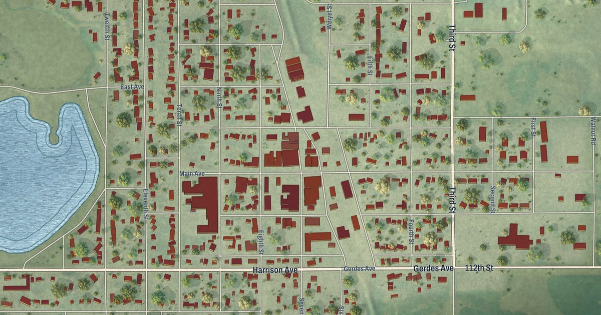
A detailed map of Eureka, South Dakota, showing every building in its true location, the roads by name, and shaded topographical relief.
Read More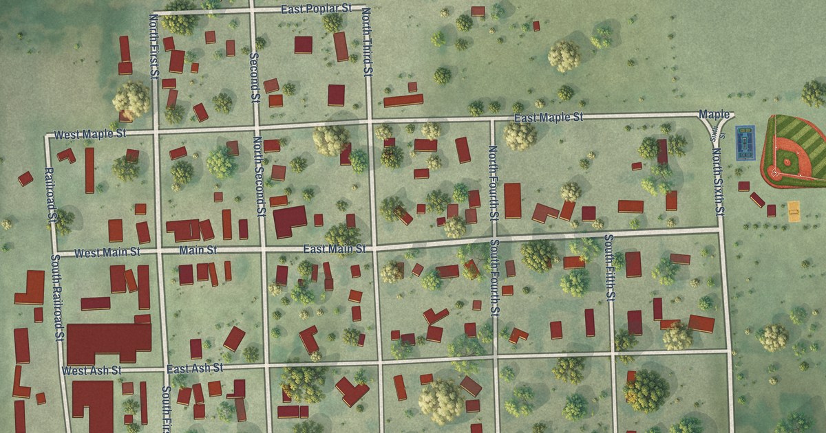
A detailed map of Ethan, South Dakota, showing every building in its true location, the roads by name, and shaded topographical relief.
Read More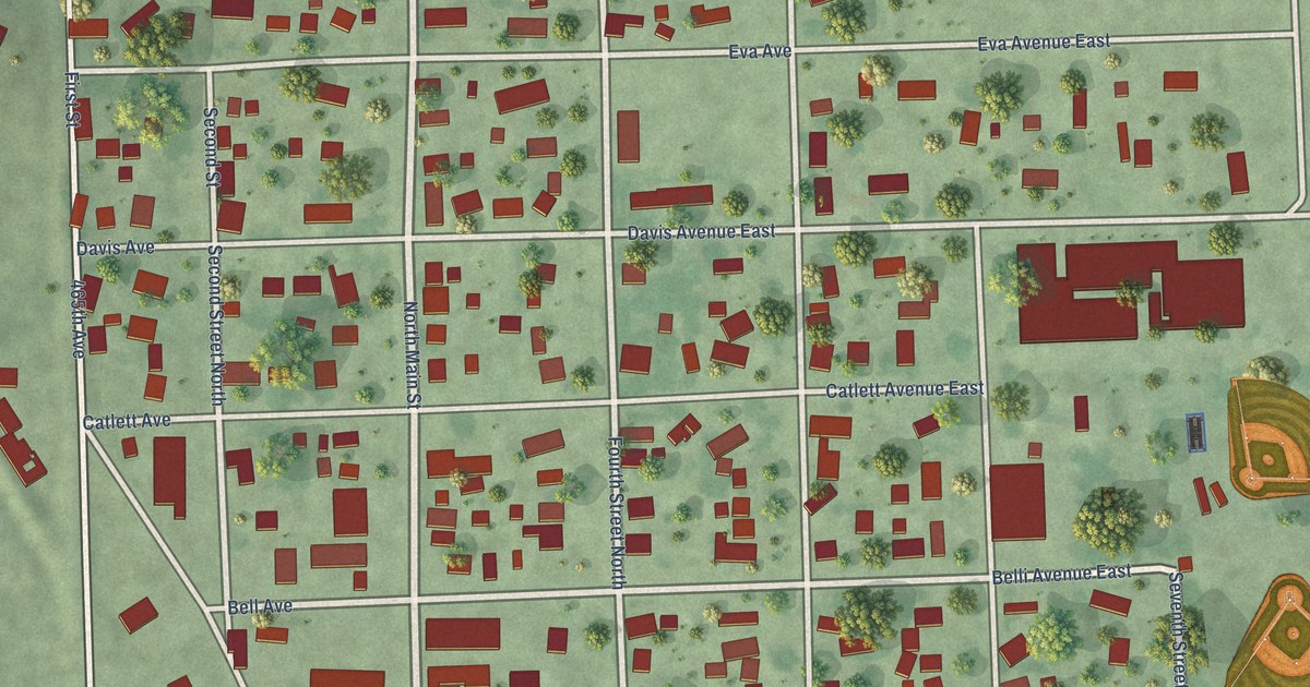
A detailed map of Estelline, South Dakota, showing every building in its true location, the roads by name, and shaded topographical relief.
Read More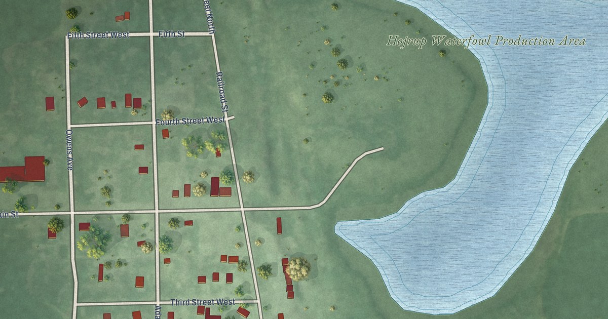
A detailed map of Erwin, South Dakota, showing every building in its true location, the roads by name, and shaded topographical relief.
Read More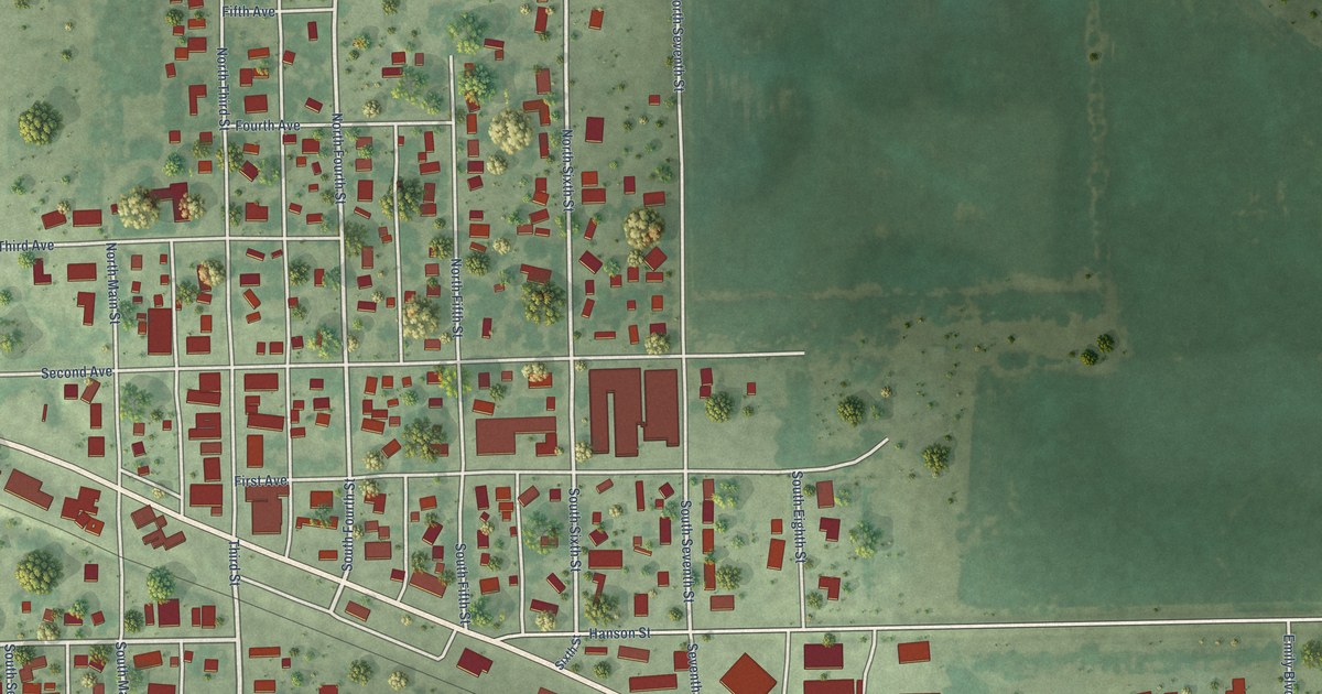
A detailed map of Emery, South Dakota, showing every building in its true location, the roads by name, and shaded topographical relief.
Read More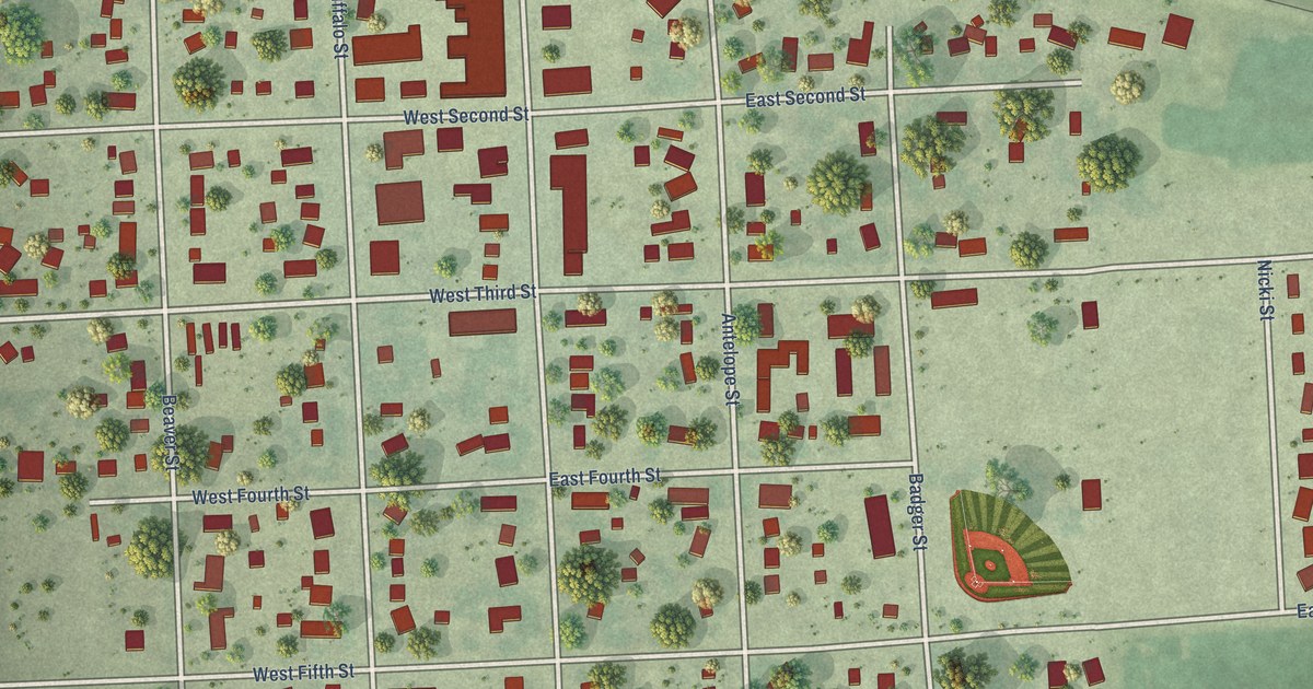
A detailed map of Elkton, South Dakota, showing every building in its true location, the roads by name, and shaded topographical relief.
Read More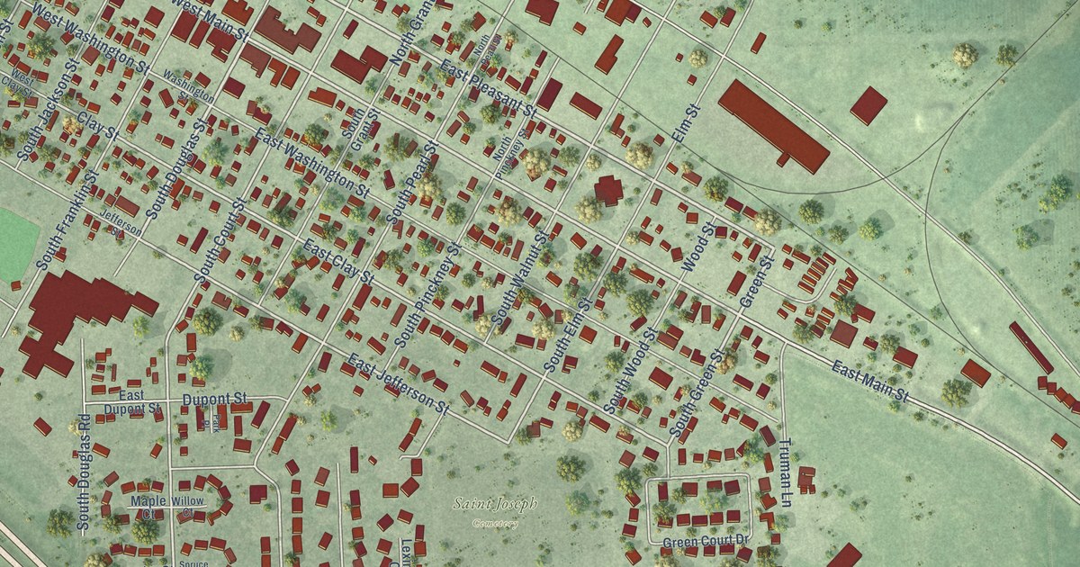
A detailed map of Elk Point, South Dakota, showing every building in its true location, the roads by name, and shaded topographical relief.
Read More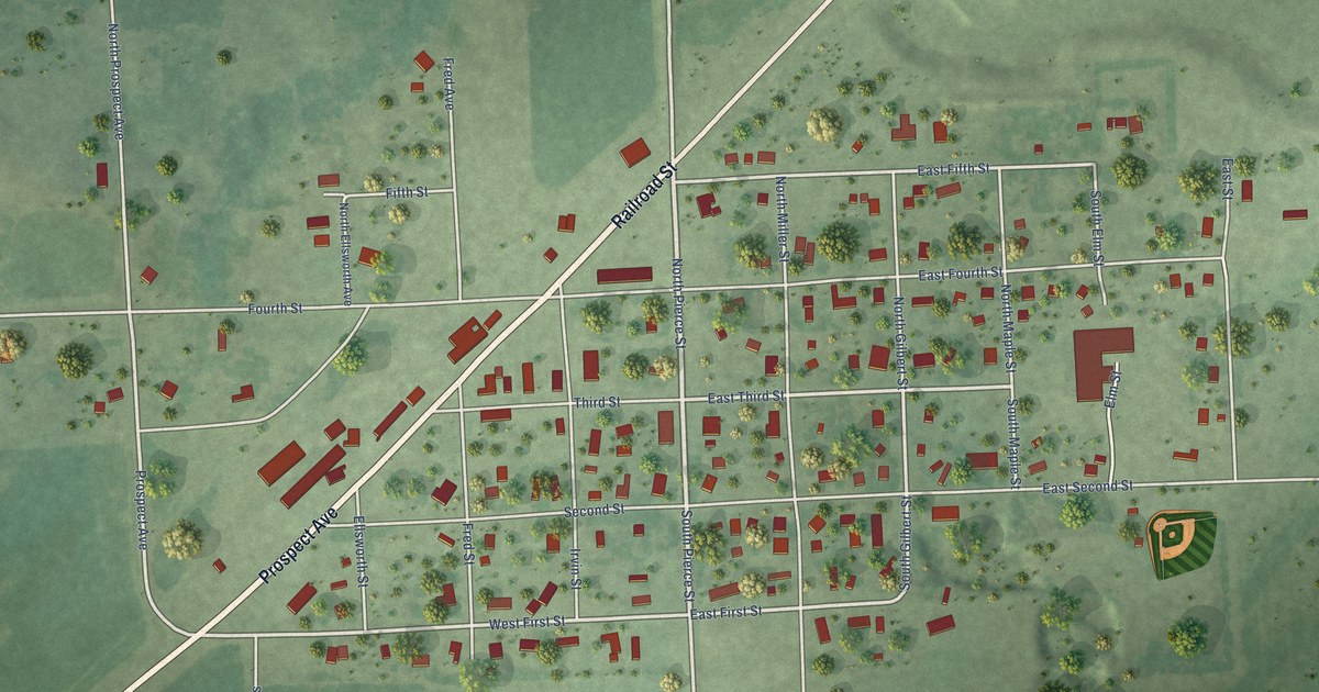
A detailed map of Egan, South Dakota, showing every building in its true location, the roads by name, and shaded topographical relief.
Read More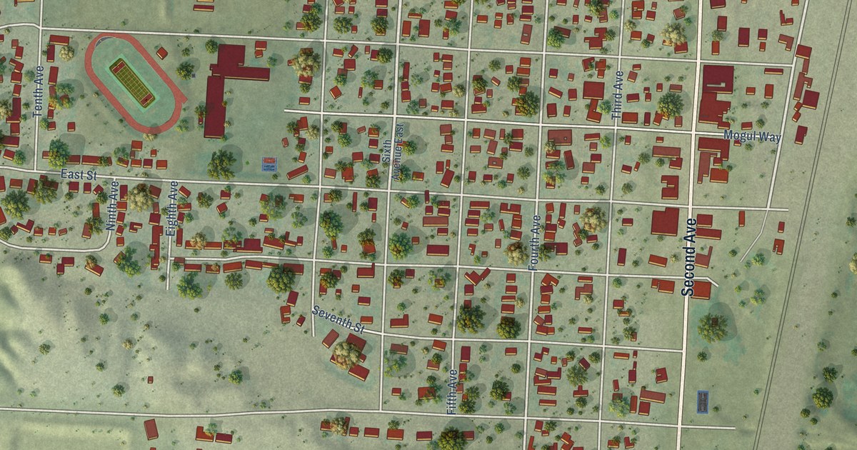
A detailed map of Edgemont, South Dakota, showing every building in its true location, the roads by name, and shaded topographical relief.
Read More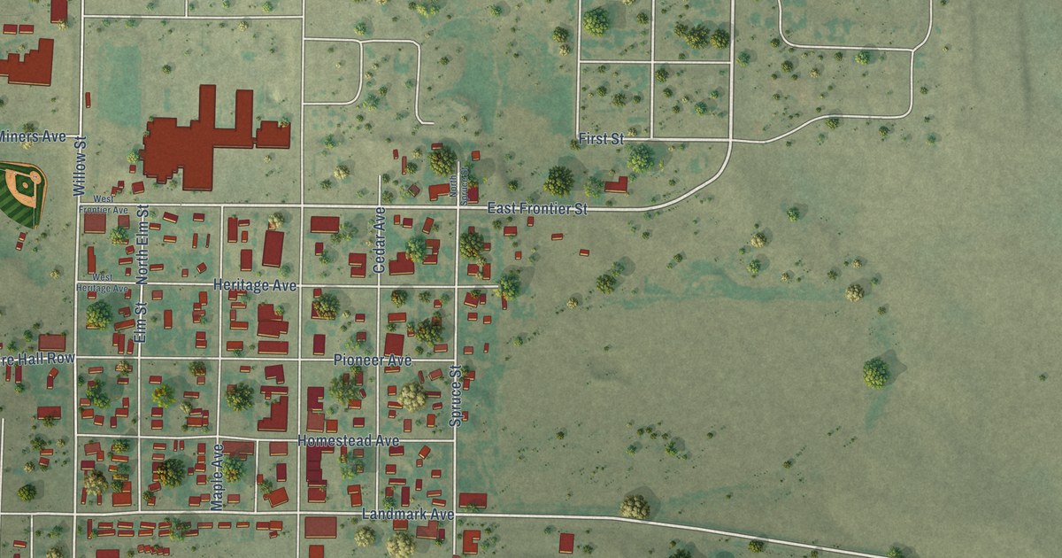
A detailed map of Eagle Butte, South Dakota, showing every building in its true location, the roads by name, and shaded topographical relief.
Read More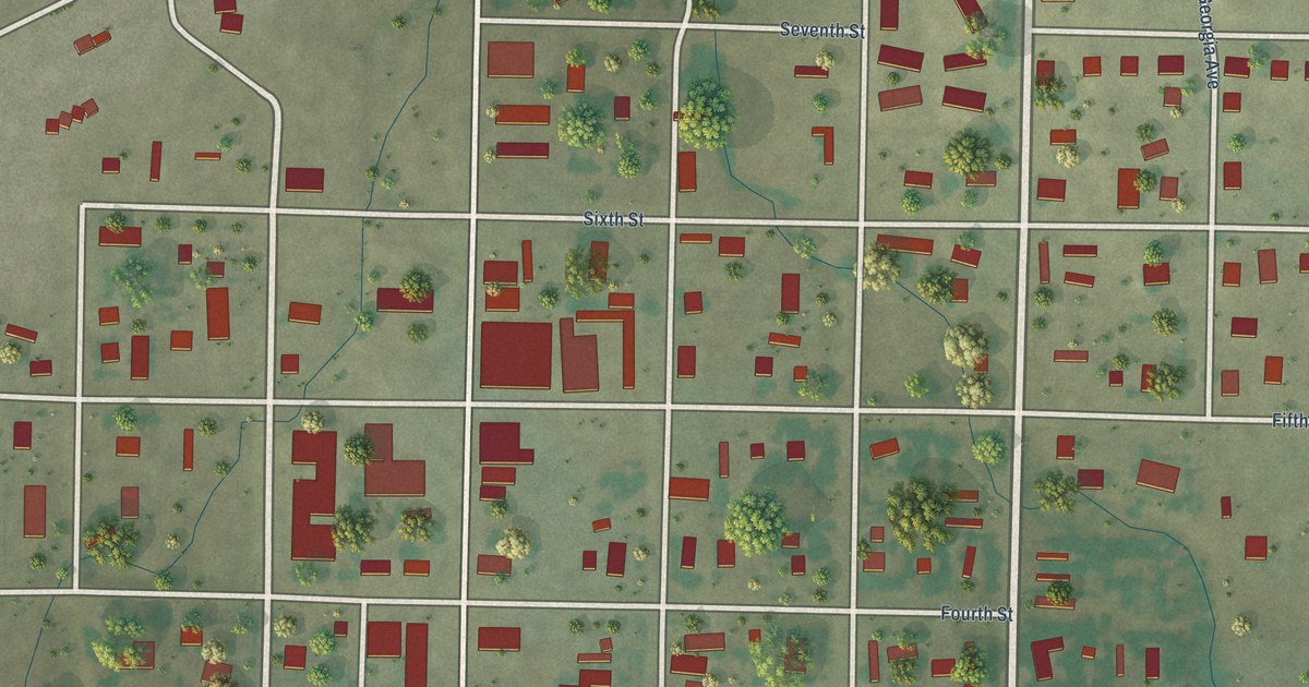
A detailed map of Dupree, South Dakota, showing every building in its true location, the roads by name, and shaded topographical relief.
Read More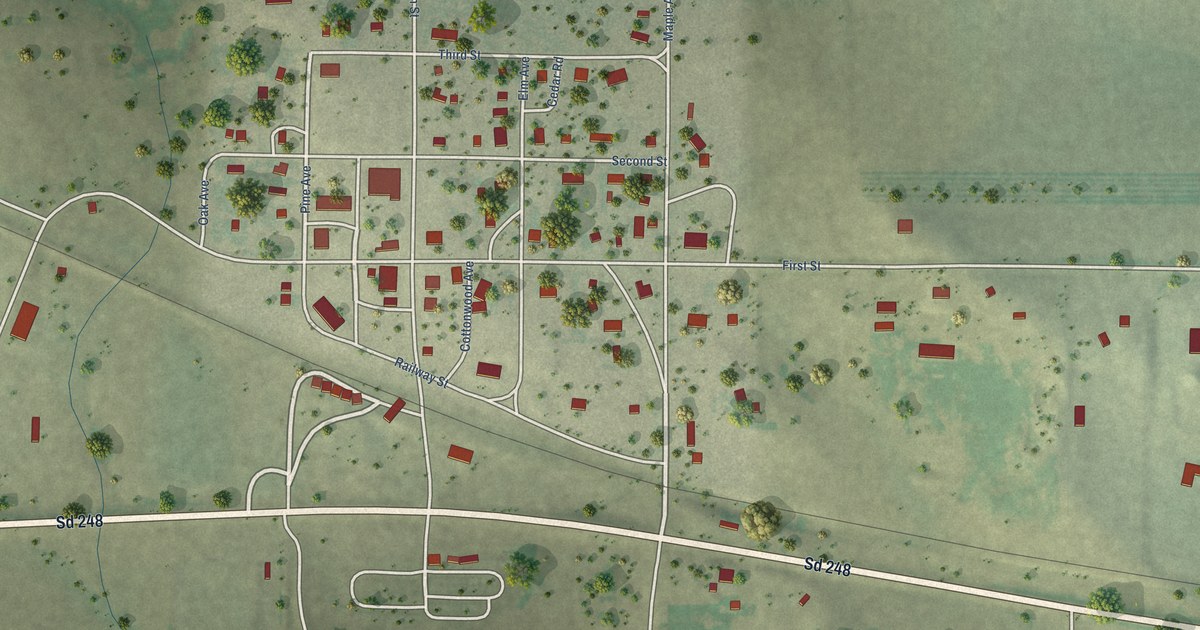
A detailed map of Draper, South Dakota, showing every building in its true location, the roads by name, and shaded topographical relief.
Read More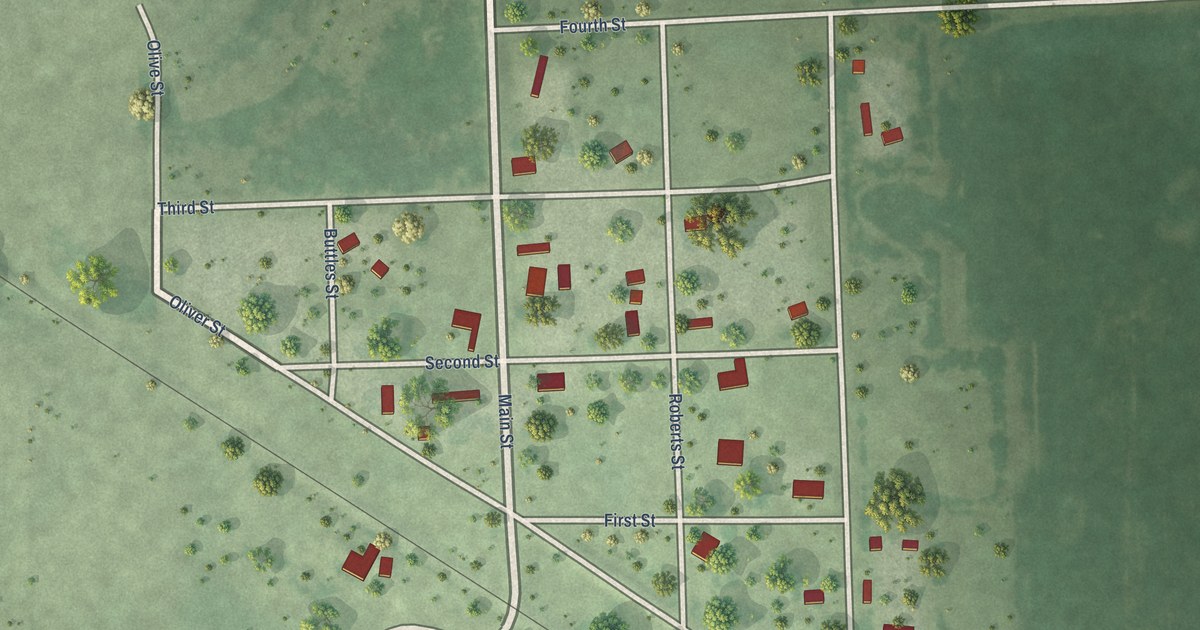
A detailed map of Dolton, South Dakota, showing every building in its true location, the roads by name, and shaded topographical relief.
Read More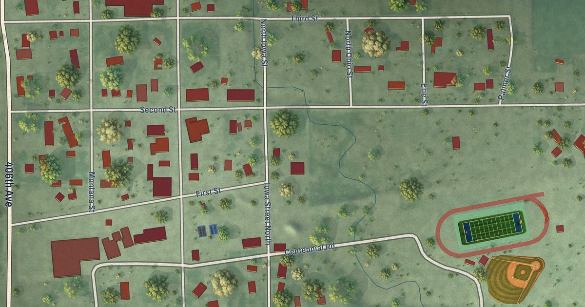
A detailed map of Doland, South Dakota, showing every building in its true location, the roads by name, and shaded topographical relief.
Read More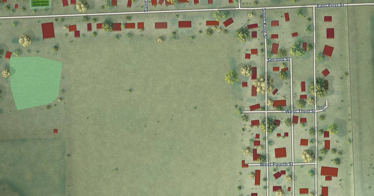
A detailed map of Dimock, South Dakota, showing every building in its true location, the roads by name, and shaded topographical relief.
Read More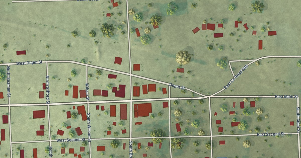
A detailed map of Delmont, South Dakota, showing every building in its true location, the roads by name, and shaded topographical relief.
Read More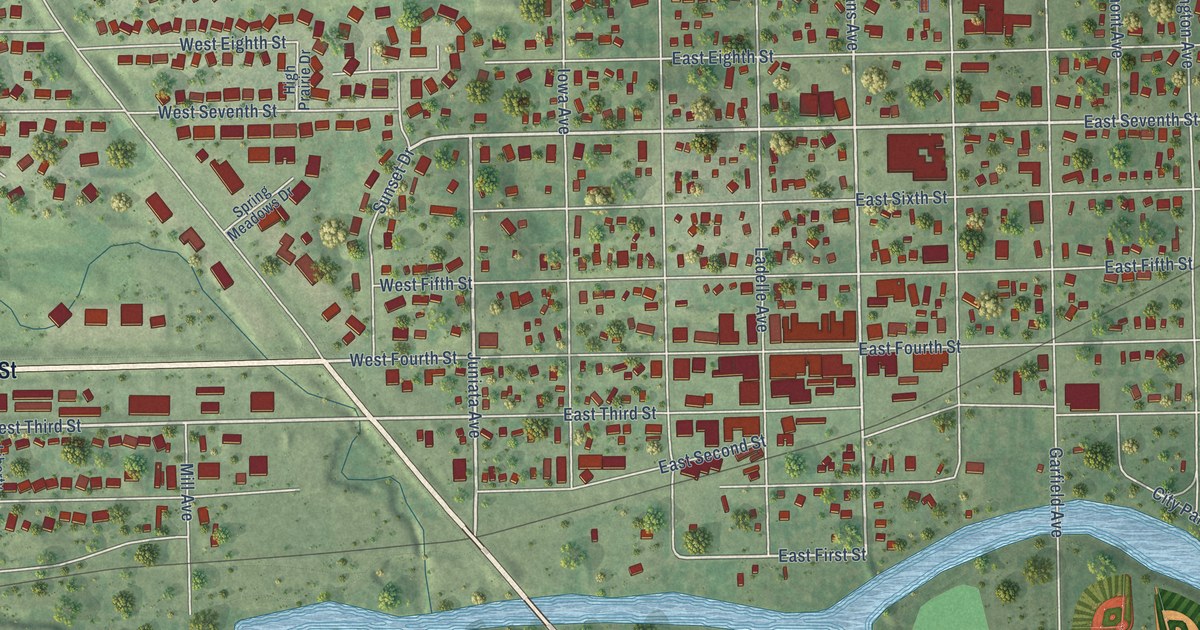
A detailed map of Dell Rapids, South Dakota, showing every building in its true location, the roads by name, and shaded topographical relief.
Read More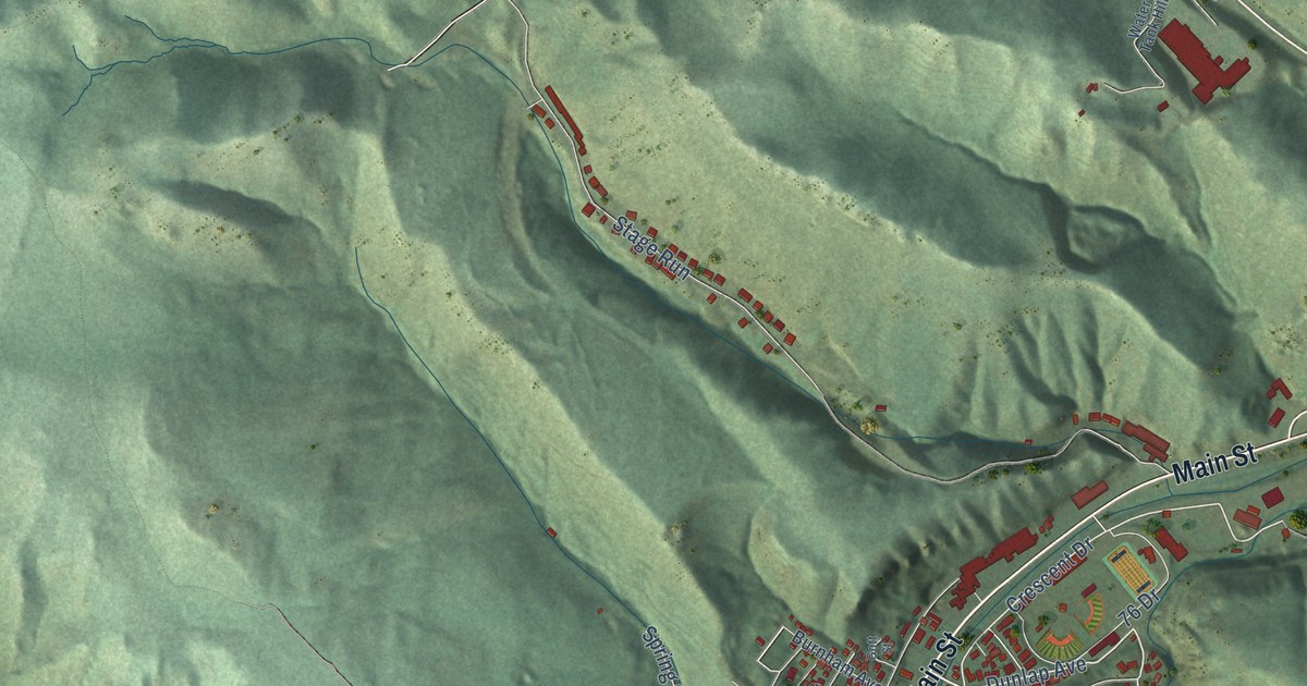
A detailed map of Deadwood, South Dakota, showing every building in its true location, the roads by name, and shaded topographical relief.
Read More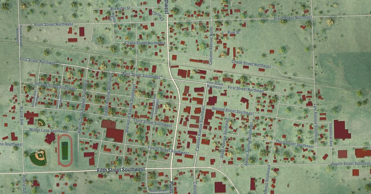
A detailed map of De Smet, South Dakota, showing every building in its true location, the roads by name, and shaded topographical relief.
Read More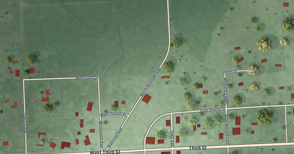
A detailed map of Davis, South Dakota, showing every building in its true location, the roads by name, and shaded topographical relief.
Read More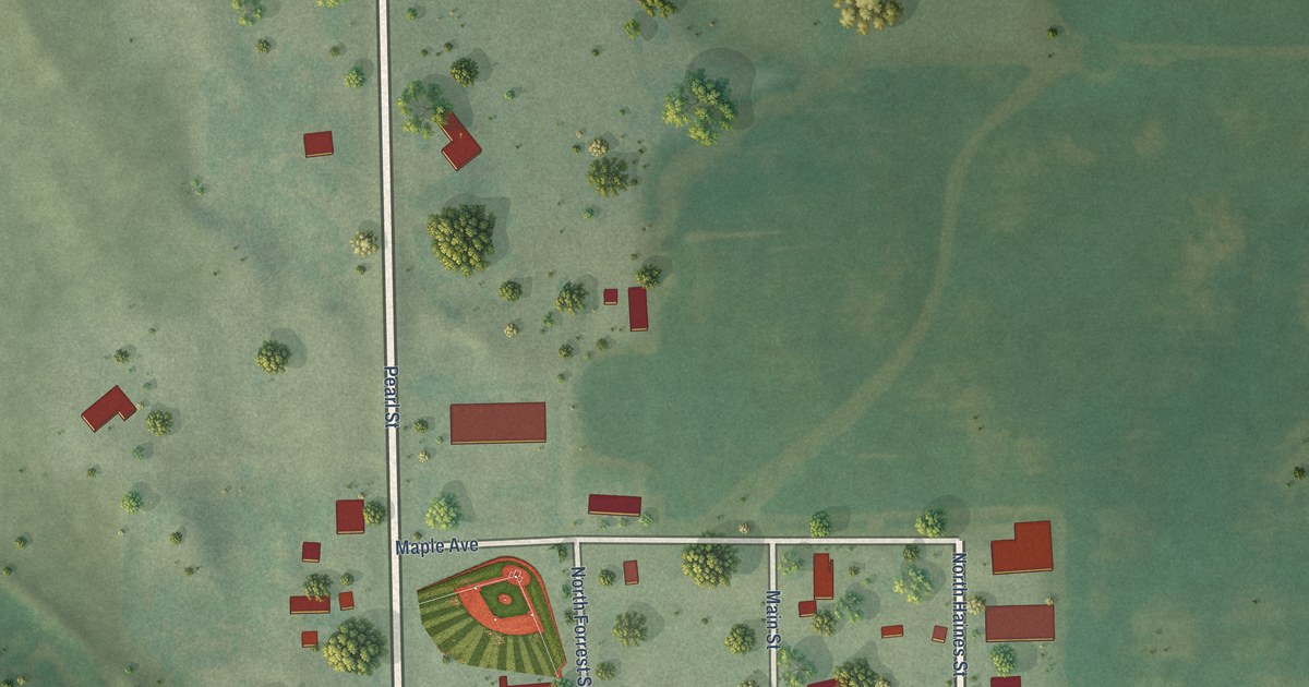
A detailed map of Dante, South Dakota, showing every building in its true location, the roads by name, and shaded topographical relief.
Read More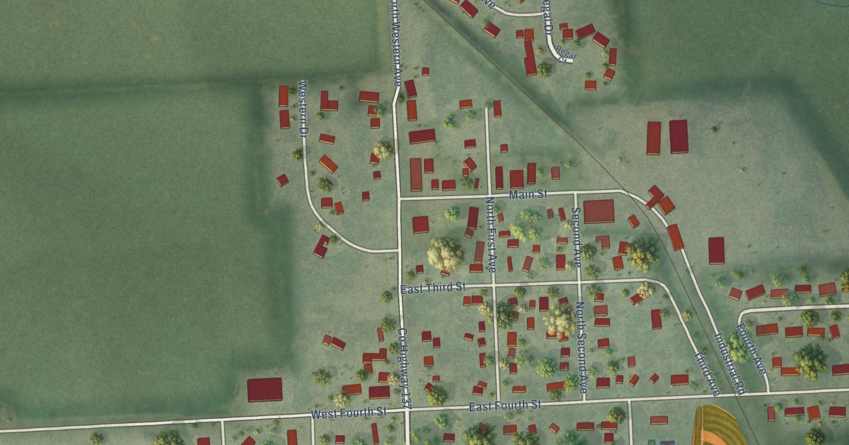
A detailed map of Crooks, South Dakota, showing every building in its true location, the roads by name, and shaded topographical relief.
Read More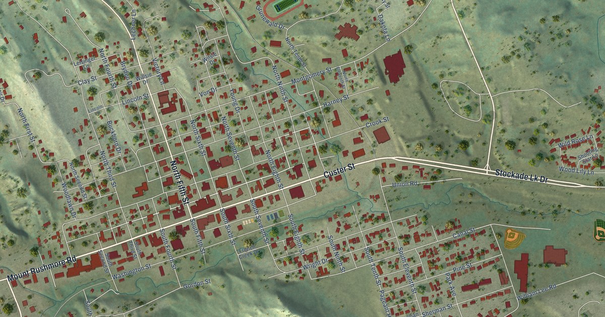
A detailed map of Custer, South Dakota, showing every building in its true location, the roads by name, and shaded topographical relief.
Read More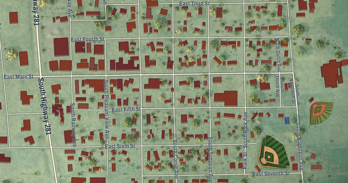
A detailed map of Corsica, South Dakota, showing every building in its true location, the roads by name, and shaded topographical relief.
Read More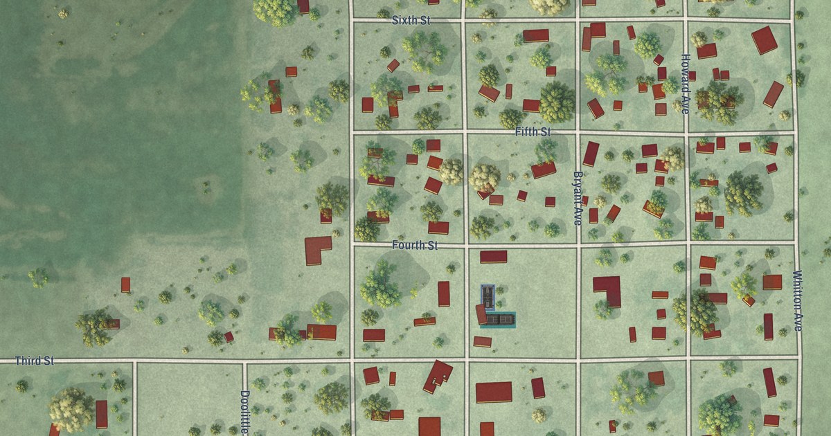
A detailed map of Cresbard, South Dakota, showing every building in its true location, the roads by name, and shaded topographical relief.
Read More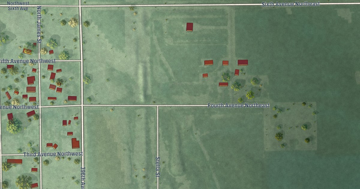
A detailed map of Columbia, South Dakota, showing every building in its true location, the roads by name, and shaded topographical relief.
Read More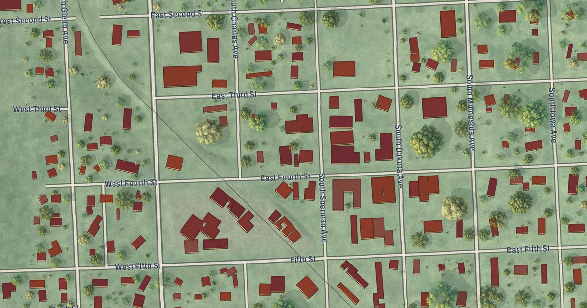
A detailed map of Colton, South Dakota, showing every building in its true location, the roads by name, and shaded topographical relief.
Read More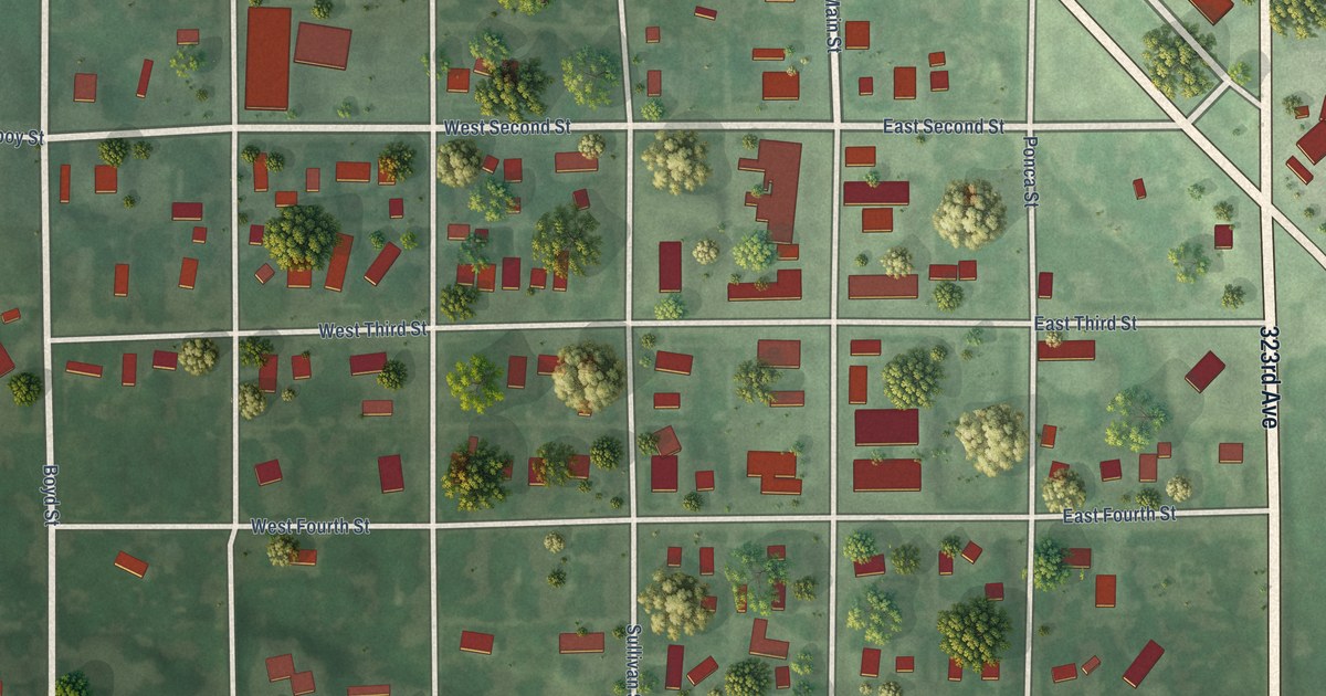
A detailed map of Colome, South Dakota, showing every building in its true location, the roads by name, and shaded topographical relief.
Read More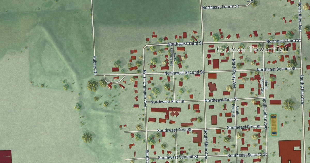
A detailed map of Colman, South Dakota, showing every building in its true location, the roads by name, and shaded topographical relief.
Read More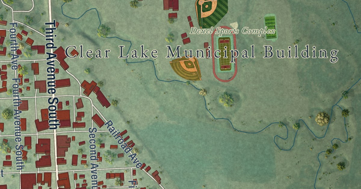
A detailed map of Clear Lake, South Dakota, showing every building in its true location, the roads by name, and shaded topographical relief.
Read More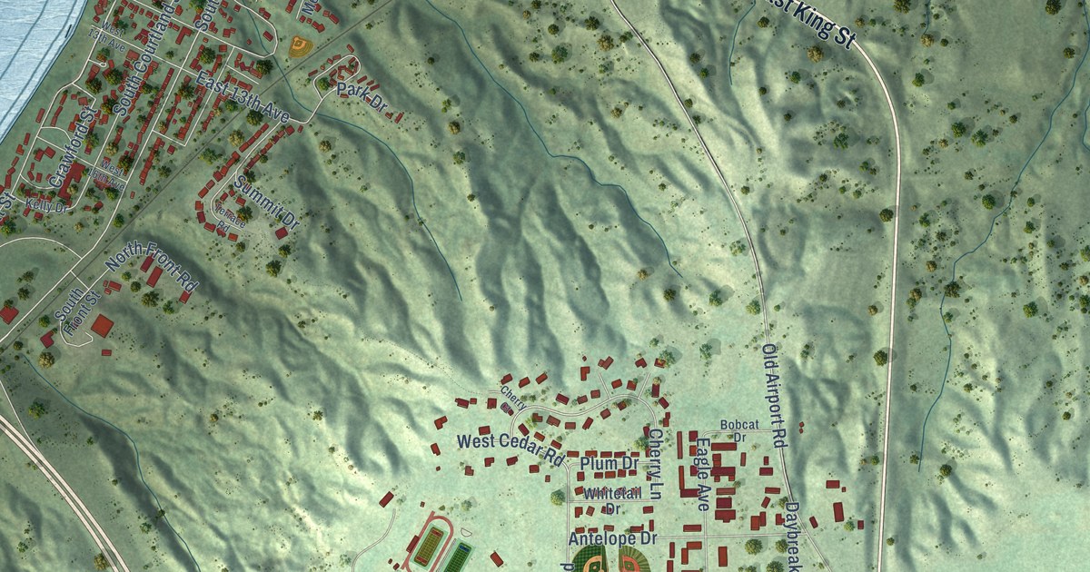
A detailed map of Chamberlain, South Dakota, showing every building in its true location, the roads by name, and shaded topographical relief.
Read More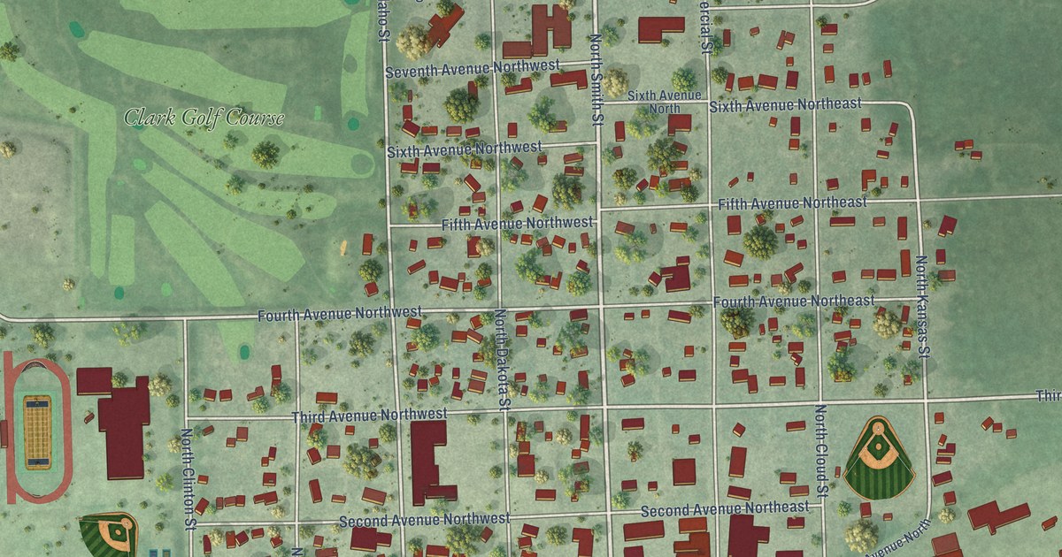
A detailed map of Clark, South Dakota, showing every building in its true location, the roads by name, and shaded topographical relief.
Read More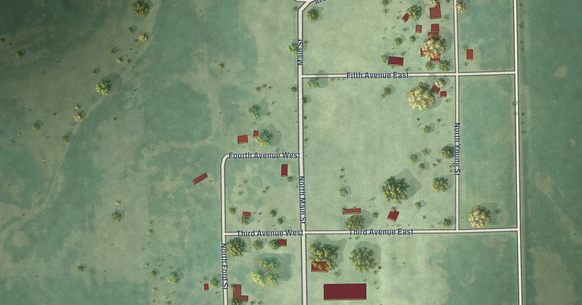
A detailed map of Chelsea, South Dakota, showing every building in its true location, the roads by name, and shaded topographical relief.
Read More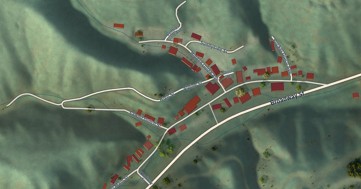
A detailed map of Central City, South Dakota, showing every building in its true location, the roads by name, and shaded topographical relief.
Read More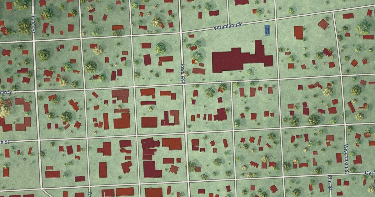
A detailed map of Centerville, South Dakota, showing every building in its true location, the roads by name, and shaded topographical relief.
Read More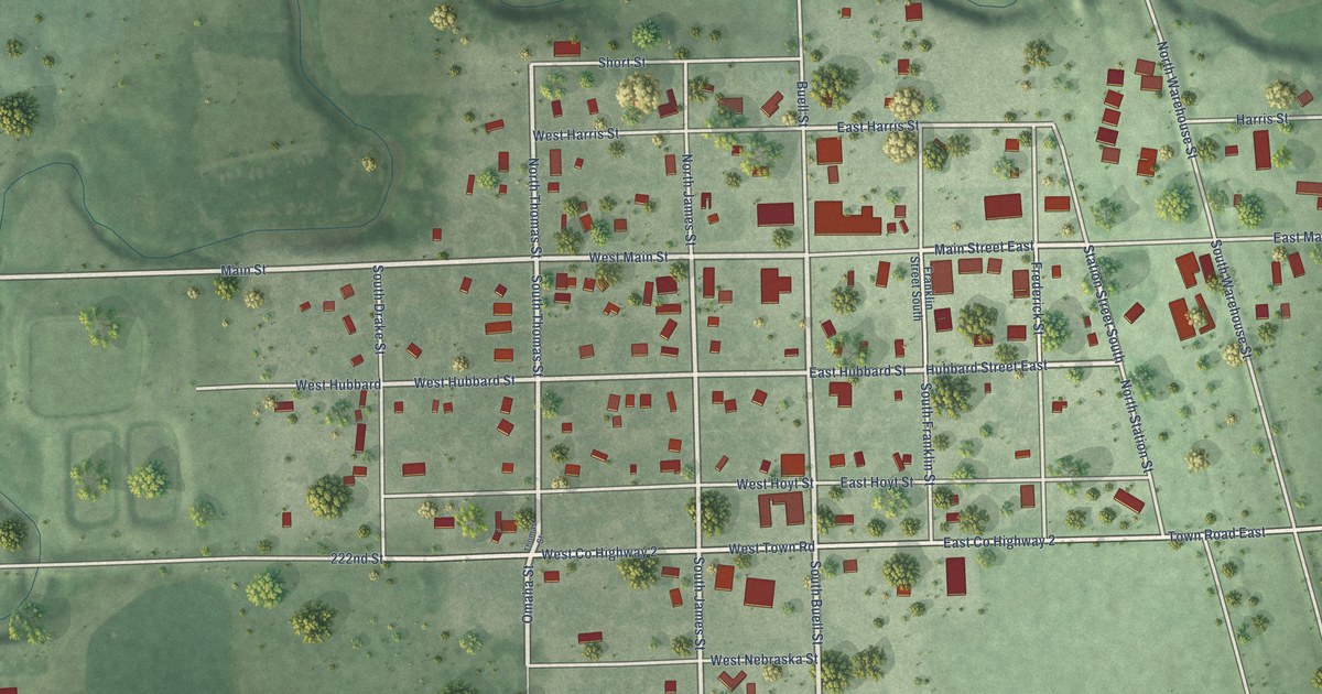
A detailed map of Carthage, South Dakota, showing every building in its true location, the roads by name, and shaded topographical relief.
Read More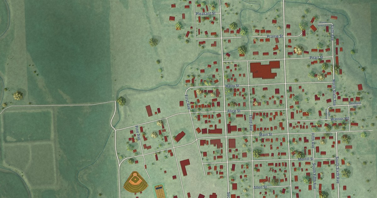
A detailed map of Castlewood, South Dakota, showing every building in its true location, the roads by name, and shaded topographical relief.
Read More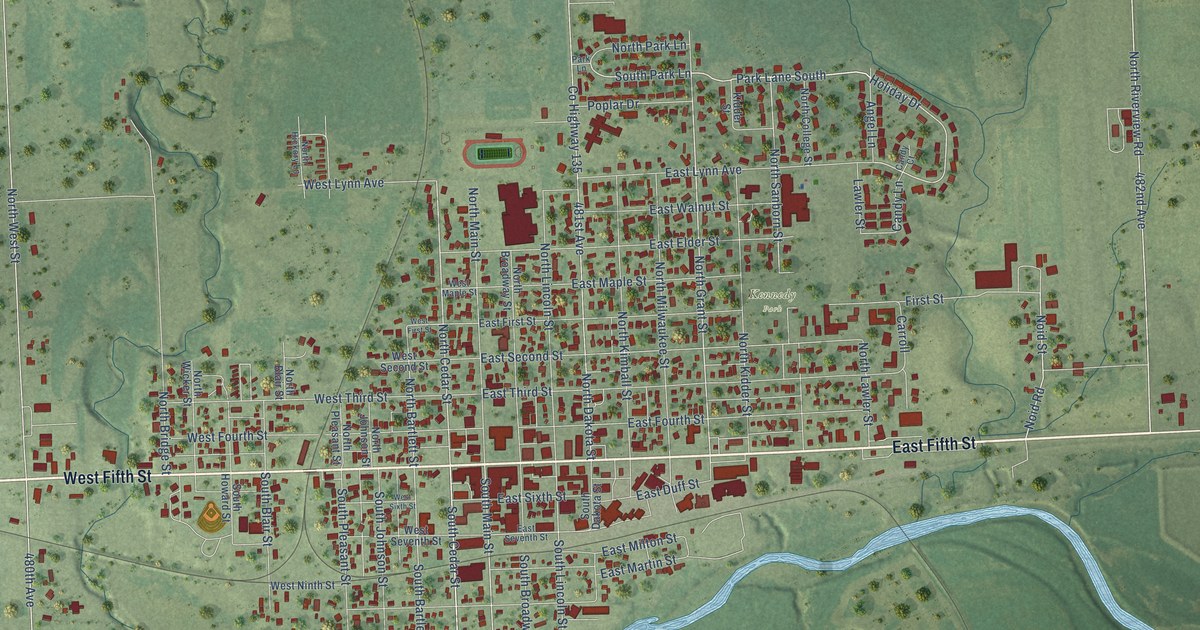
A detailed map of Canton, South Dakota, showing every building in its true location, the roads by name, and shaded topographical relief.
Read More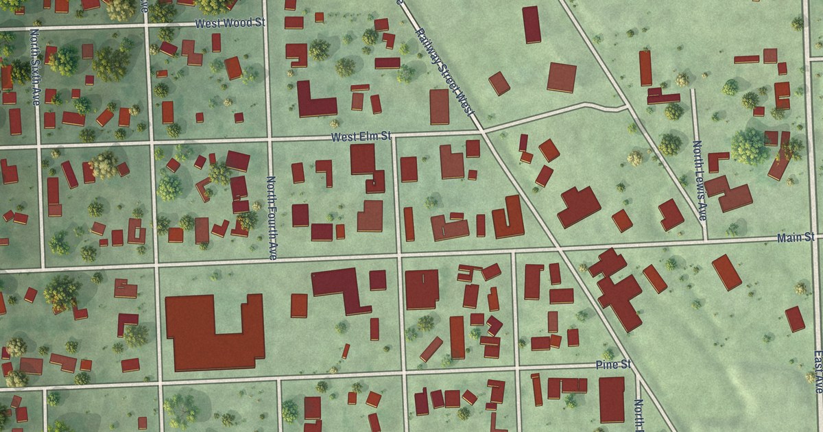
A detailed map of Canistota, South Dakota, showing every building in its true location, the roads by name, and shaded topographical relief.
Read More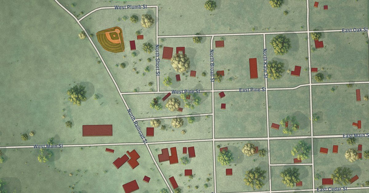
A detailed map of Canova, South Dakota, showing every building in its true location, the roads by name, and shaded topographical relief.
Read More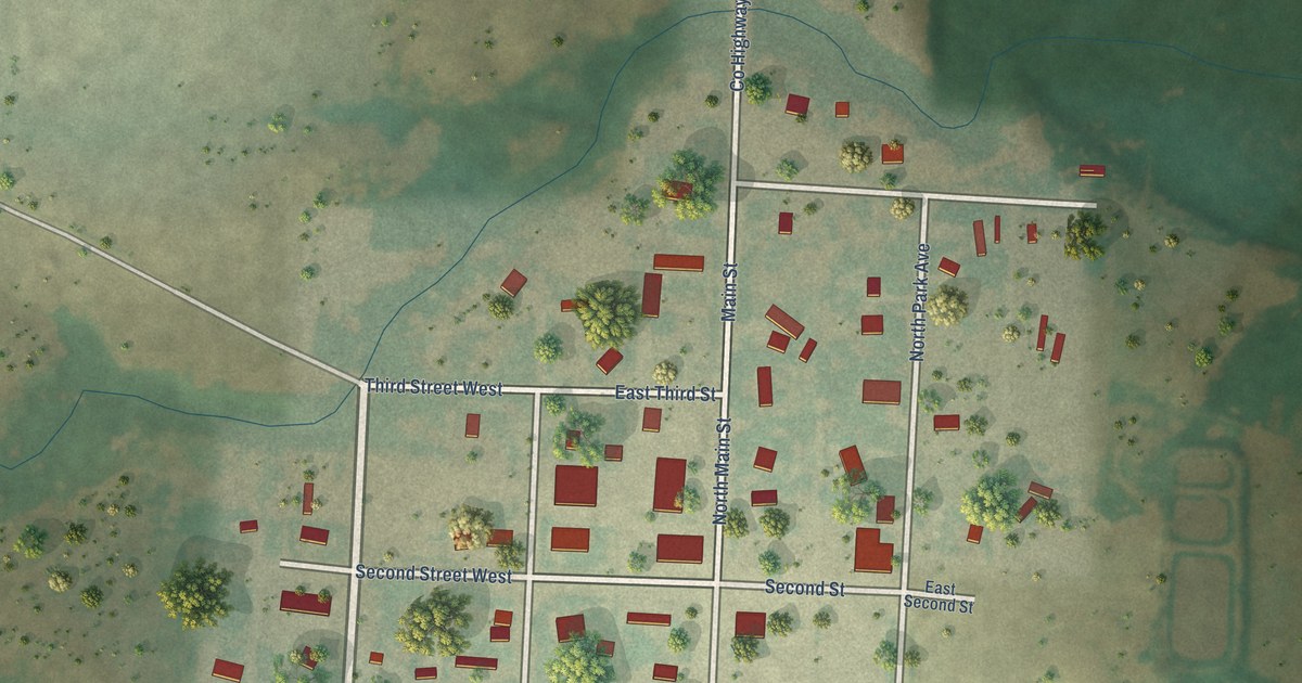
A detailed map of Camp Crook, South Dakota, showing every building in its true location, the roads by name, and shaded topographical relief.
Read More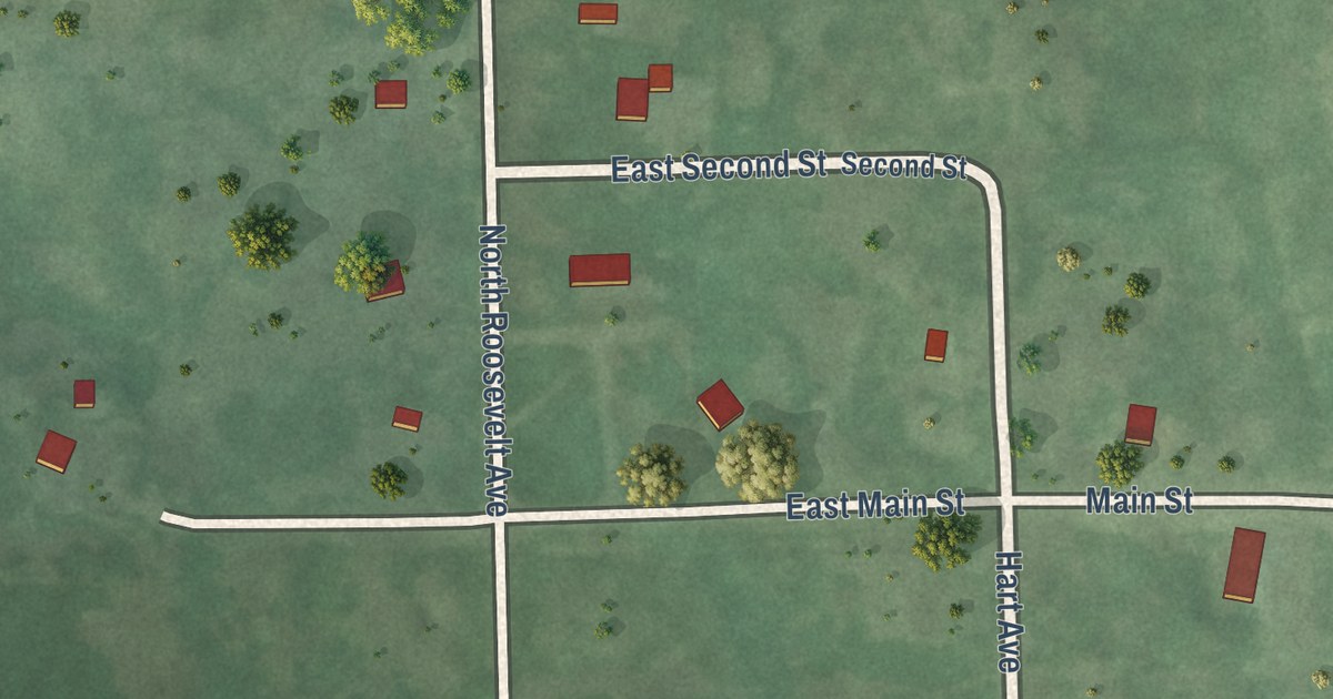
A detailed map of Butler, South Dakota, showing every building in its true location, the roads by name, and shaded topographical relief.
Read More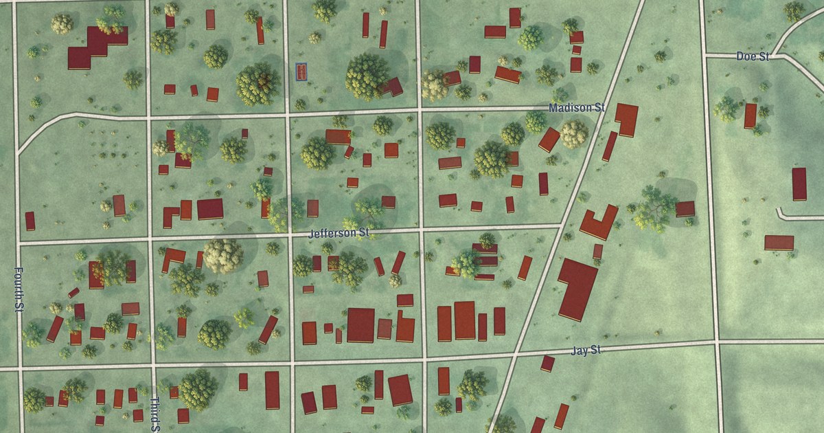
A detailed map of Bruce, South Dakota, showing every building in its true location, the roads by name, and shaded topographical relief.
Read More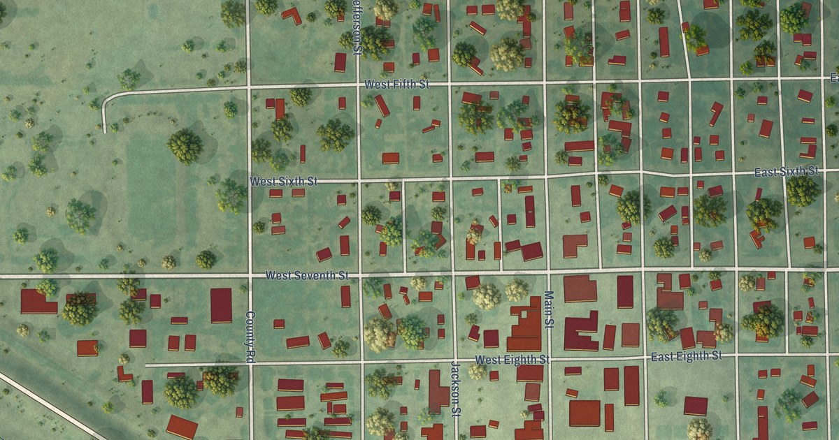
A detailed map of Burke, South Dakota, showing every building in its true location, the roads by name, and shaded topographical relief.
Read More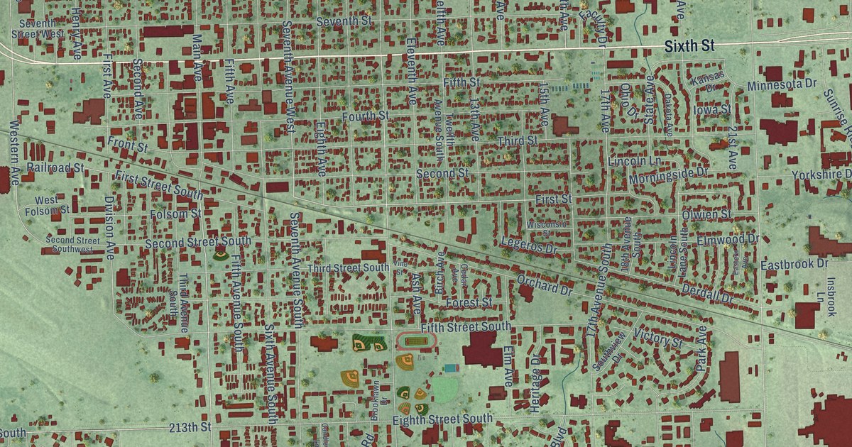
A detailed map of Brookings, South Dakota, showing every building in its true location, the roads by name, and shaded topographical relief.
Read More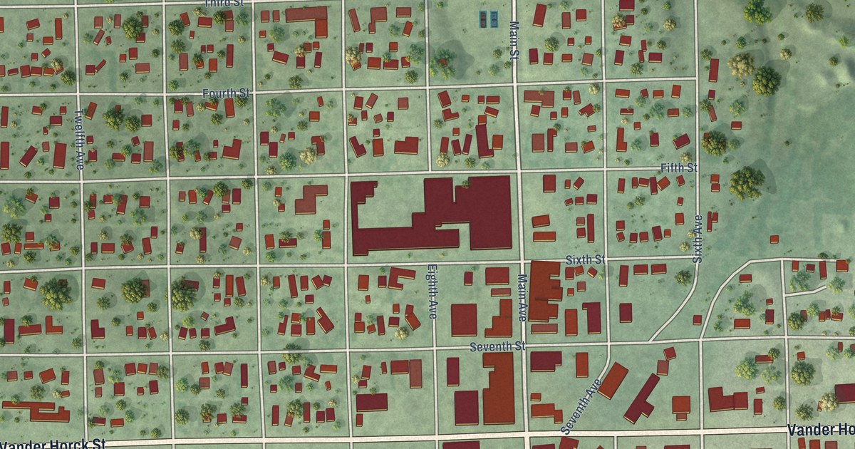
A detailed map of Britton, South Dakota, showing every building in its true location, the roads by name, and shaded topographical relief.
Read More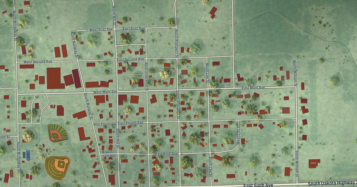
A detailed map of Bryant, South Dakota, showing every building in its true location, the roads by name, and shaded topographical relief.
Read More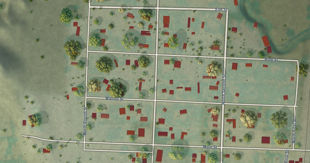
A detailed map of Buffalo Gap, South Dakota, showing every building in its true location, the roads by name, and shaded topographical relief.
Read More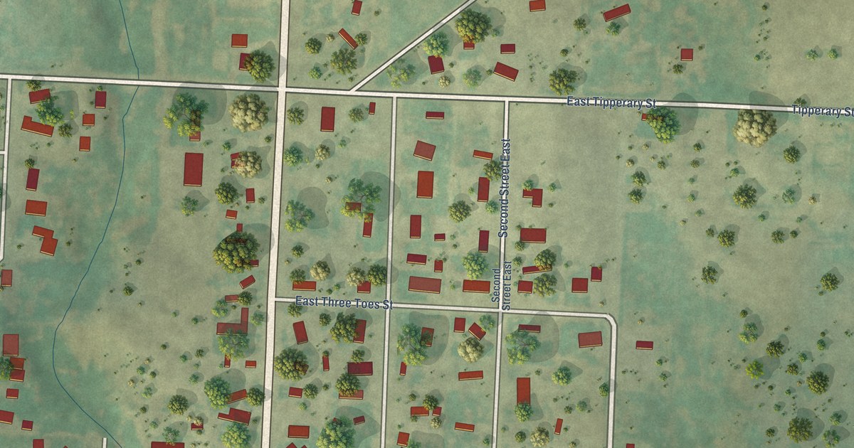
A detailed map of Buffalo, South Dakota, showing every building in its true location, the roads by name, and shaded topographical relief.
Read More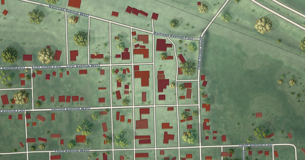
A detailed map of Bristol, South Dakota, showing every building in its true location, the roads by name, and shaded topographical relief.
Read More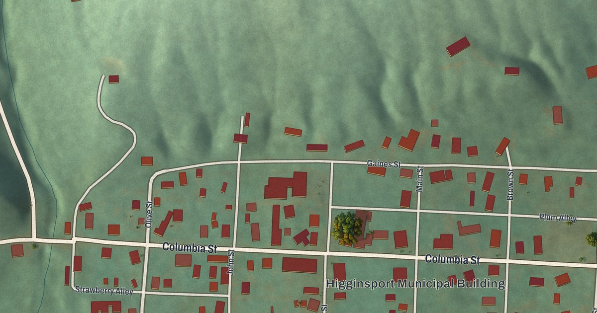
A detailed map of Higginsport, Ohio, showing every building in its true location, the roads by name, and shaded topographical relief.
Read More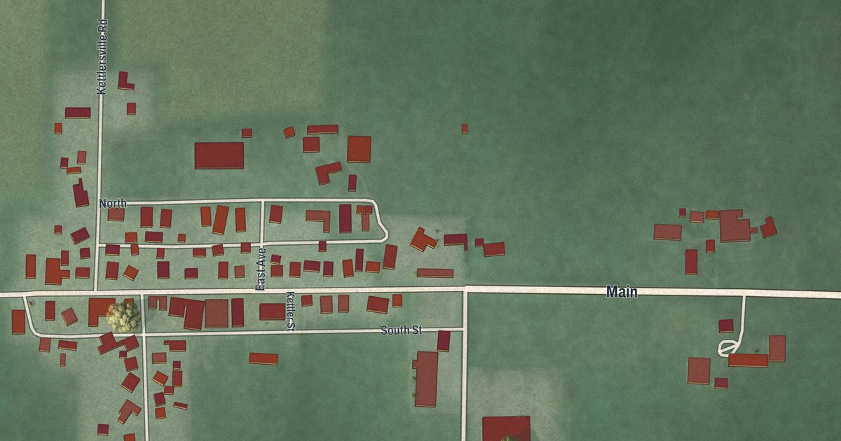
A detailed map of Kettlersville, Ohio, showing every building in its true location, the roads by name, and shaded topographical relief.
Read More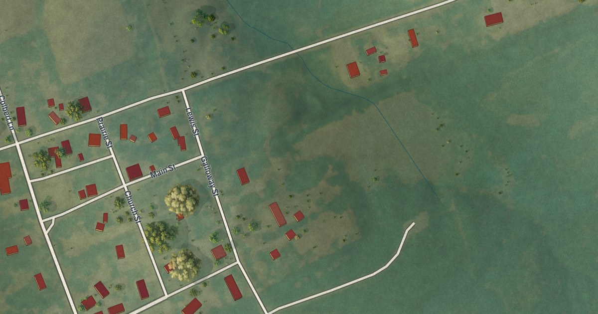
A detailed map of Whiteside, Missouri, showing every building in its true location, the roads by name, and shaded topographical relief.
Read More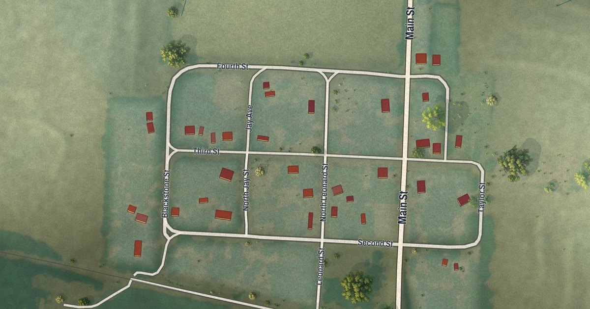
A detailed map of Mount Leonard, Missouri, showing every building in its true location, the roads by name, and shaded topographical relief.
Read More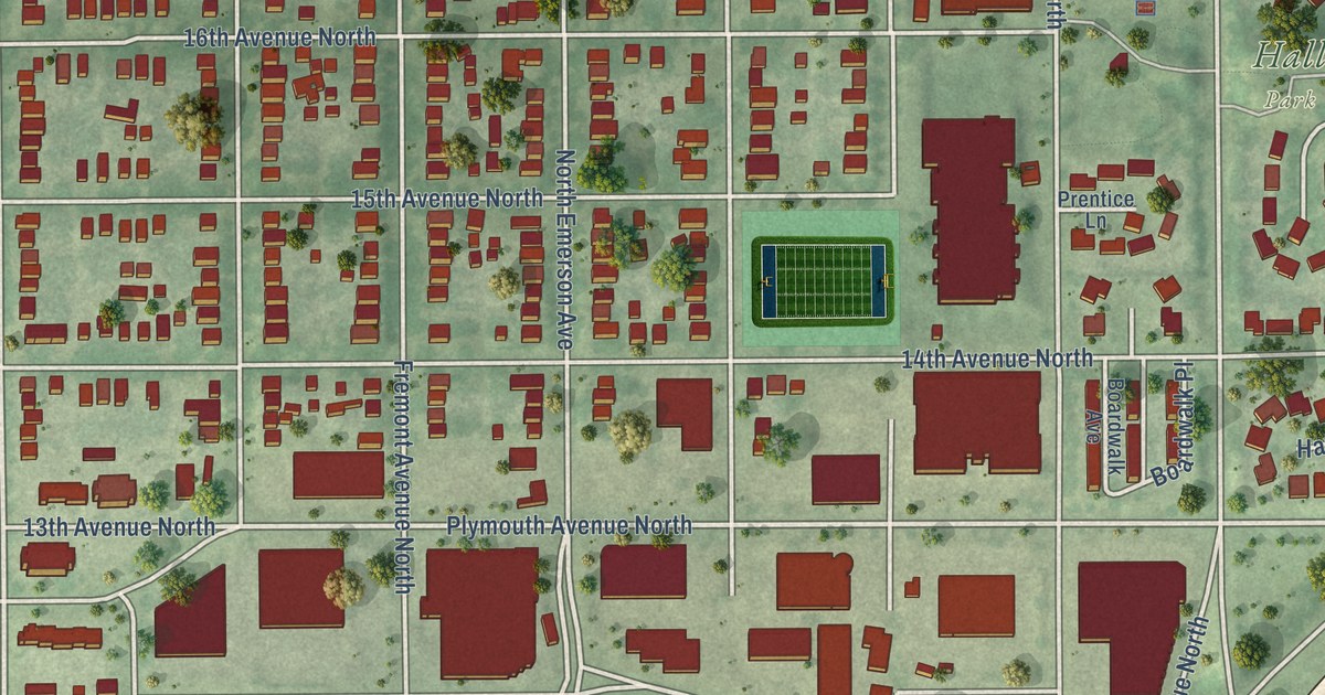
A detailed map of Near North, Minnesota, showing every building in its true location, the roads by name, and shaded topographical relief.
Read More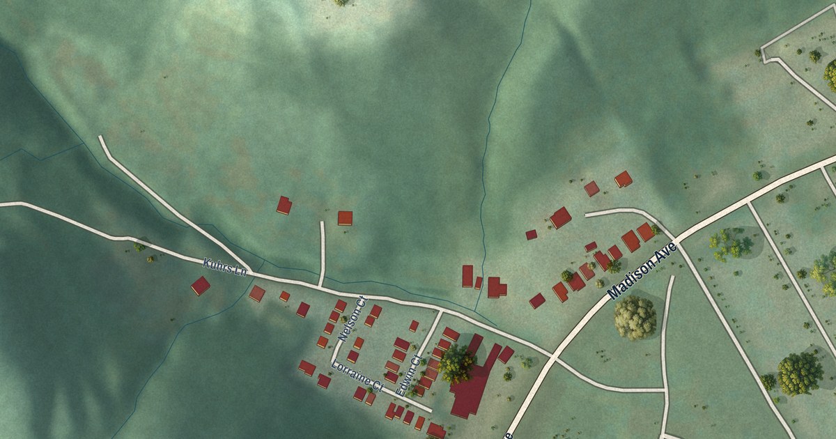
A detailed map of Kenton Vale, Kentucky, showing every building in its true location, the roads by name, and shaded topographical relief.
Read More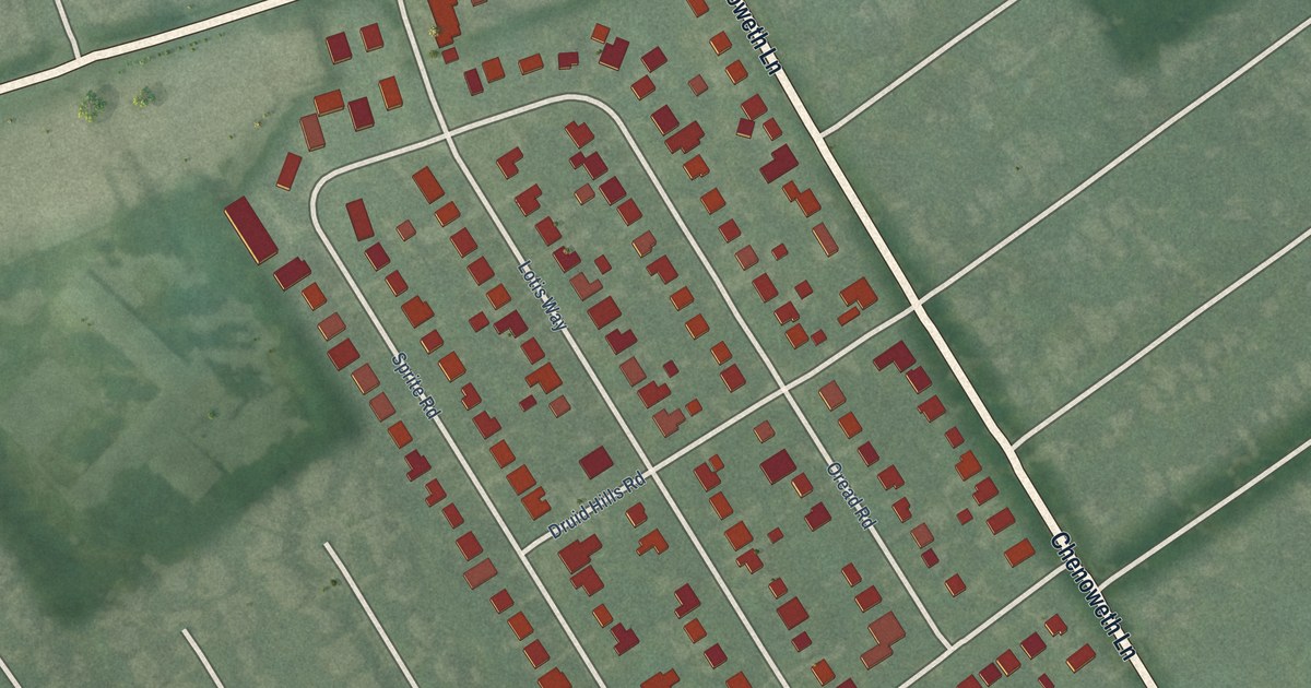
A detailed map of Brownsboro Village, Kentucky, showing every building in its true location, the roads by name, and shaded topographical relief.
Read More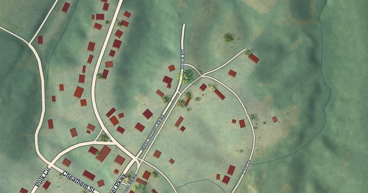
A detailed map of Columbus, Kentucky, showing every building in its true location, the roads by name, and shaded topographical relief.
Read More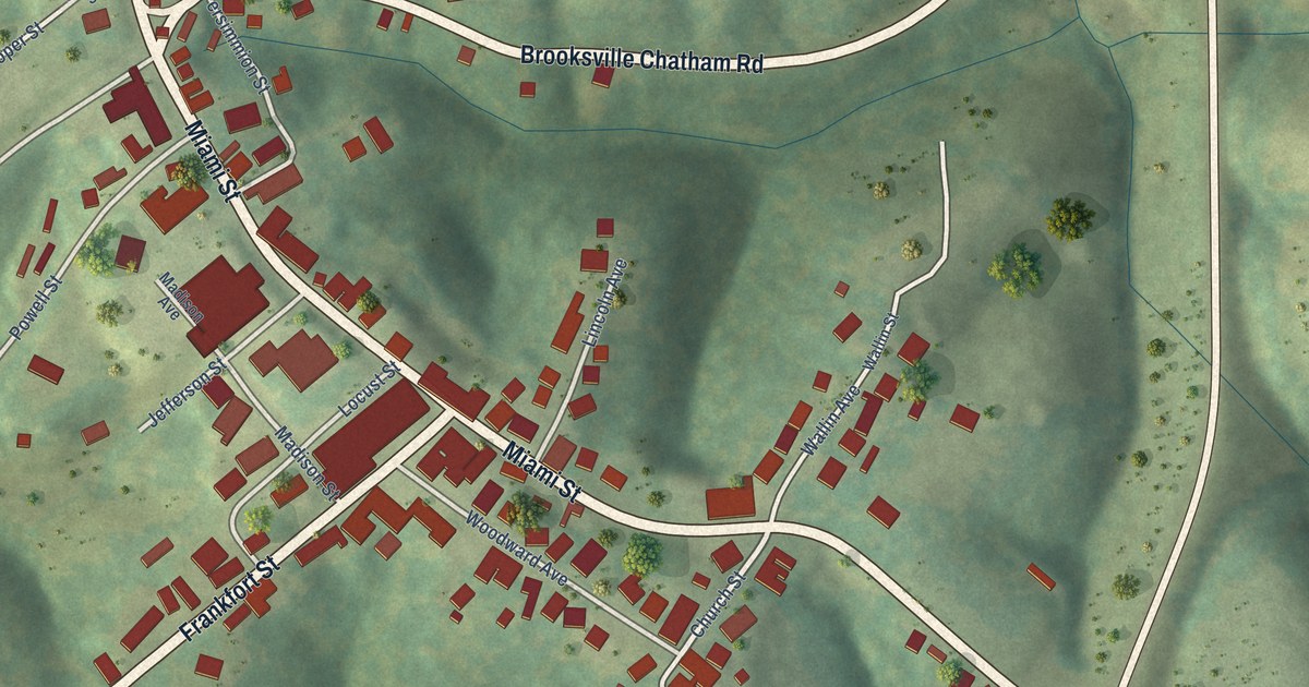
A detailed map of Brooksville, Kentucky, showing every building in its true location, the roads by name, and shaded topographical relief.
Read More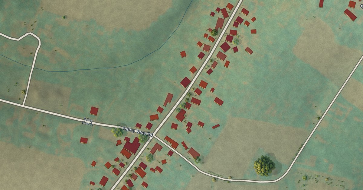
A detailed map of Yorkana, Pennsylvania, showing every building in its true location, the roads by name, and shaded topographical relief.
Read More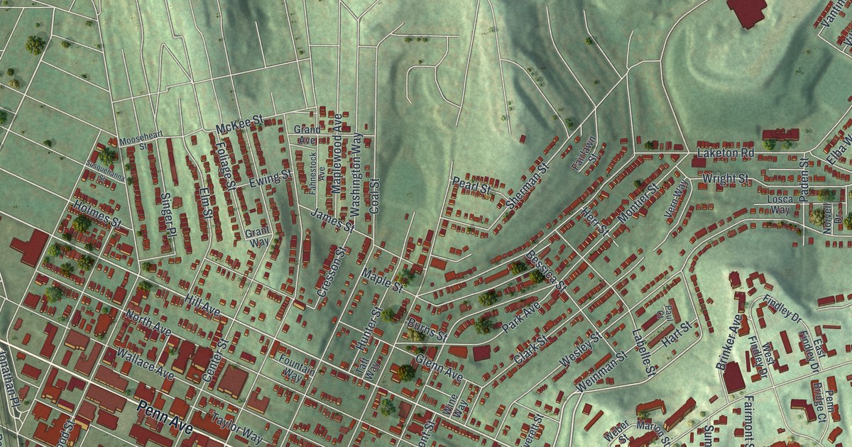
A detailed map of Wilkinsburg, Pennsylvania, showing every building in its true location, the roads by name, and shaded topographical relief.
Read More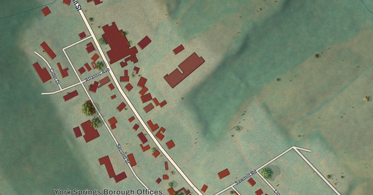
A detailed map of York Springs, Pennsylvania, showing every building in its true location, the roads by name, and shaded topographical relief.
Read More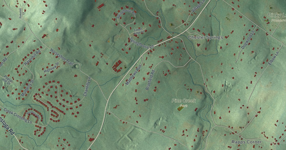
A detailed map of West Pikeland, Pennsylvania, showing every building in its true location, the roads by name, and shaded topographical relief.
Read More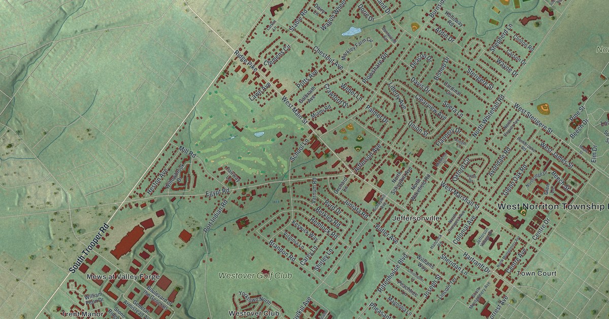
A detailed map of West Norriton, Pennsylvania, showing every building in its true location, the roads by name, and shaded topographical relief.
Read More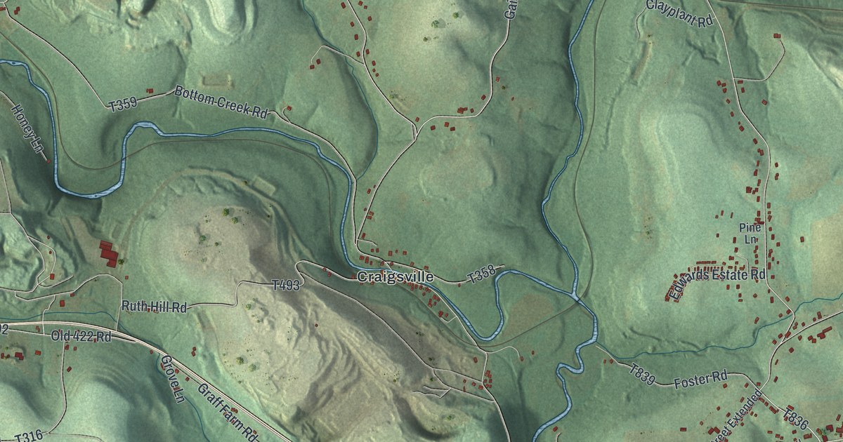
A detailed map of West Franklin, Pennsylvania, showing every building in its true location, the roads by name, and shaded topographical relief.
Read More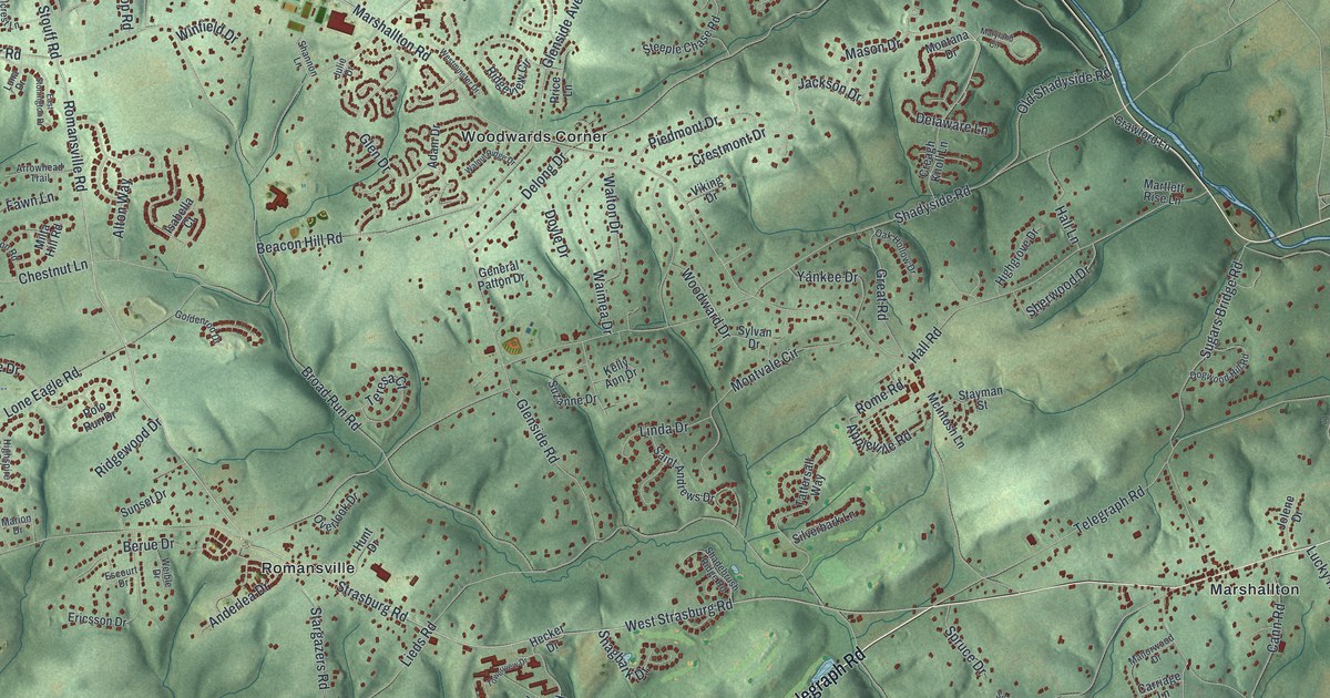
A detailed map of West Bradford, Pennsylvania, showing every building in its true location, the roads by name, and shaded topographical relief.
Read More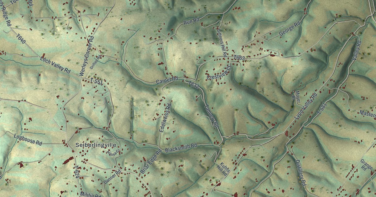
A detailed map of Weisenberg, Pennsylvania, showing every building in its true location, the roads by name, and shaded topographical relief.
Read More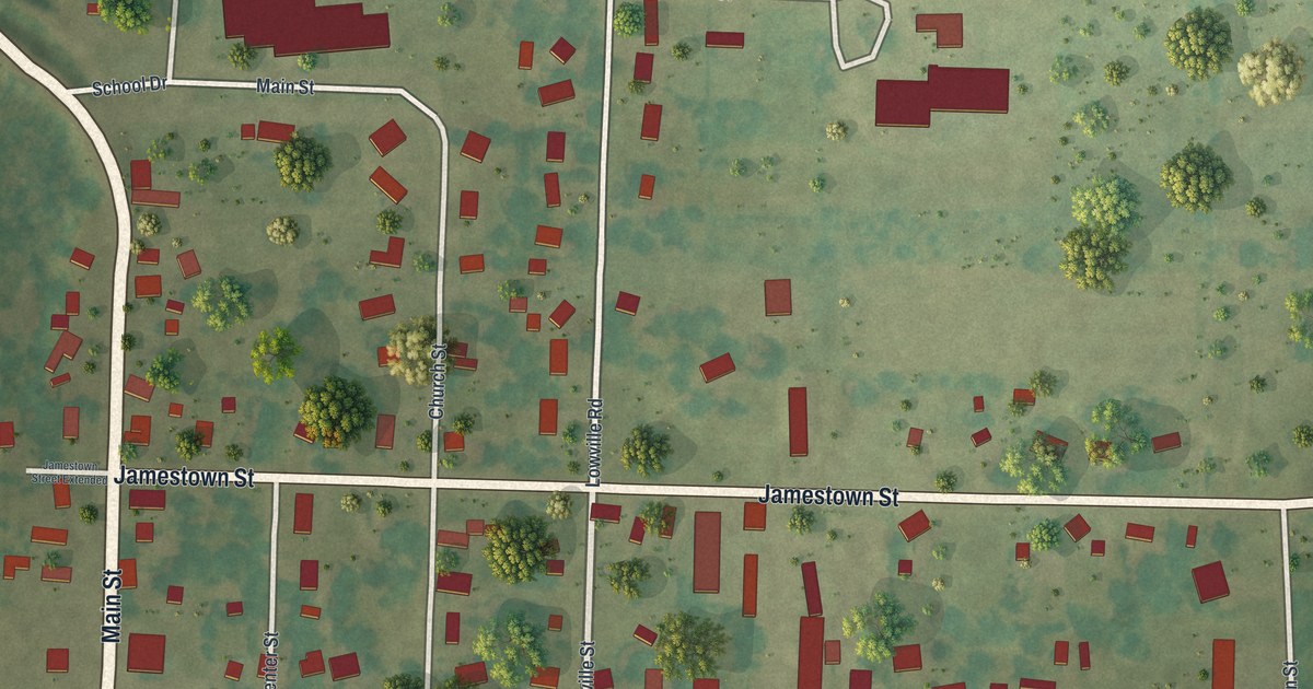
A detailed map of Wattsburg, Pennsylvania, showing every building in its true location, the roads by name, and shaded topographical relief.
Read More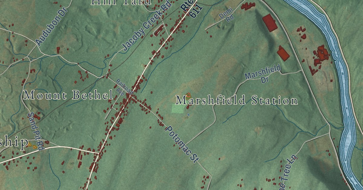
A detailed map of Upper Mount Bethel, Pennsylvania, showing every building in its true location, the roads by name, and shaded topographical relief.
Read More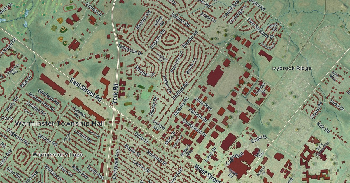
A detailed map of Warminster, Pennsylvania, showing every building in its true location, the roads by name, and shaded topographical relief.
Read More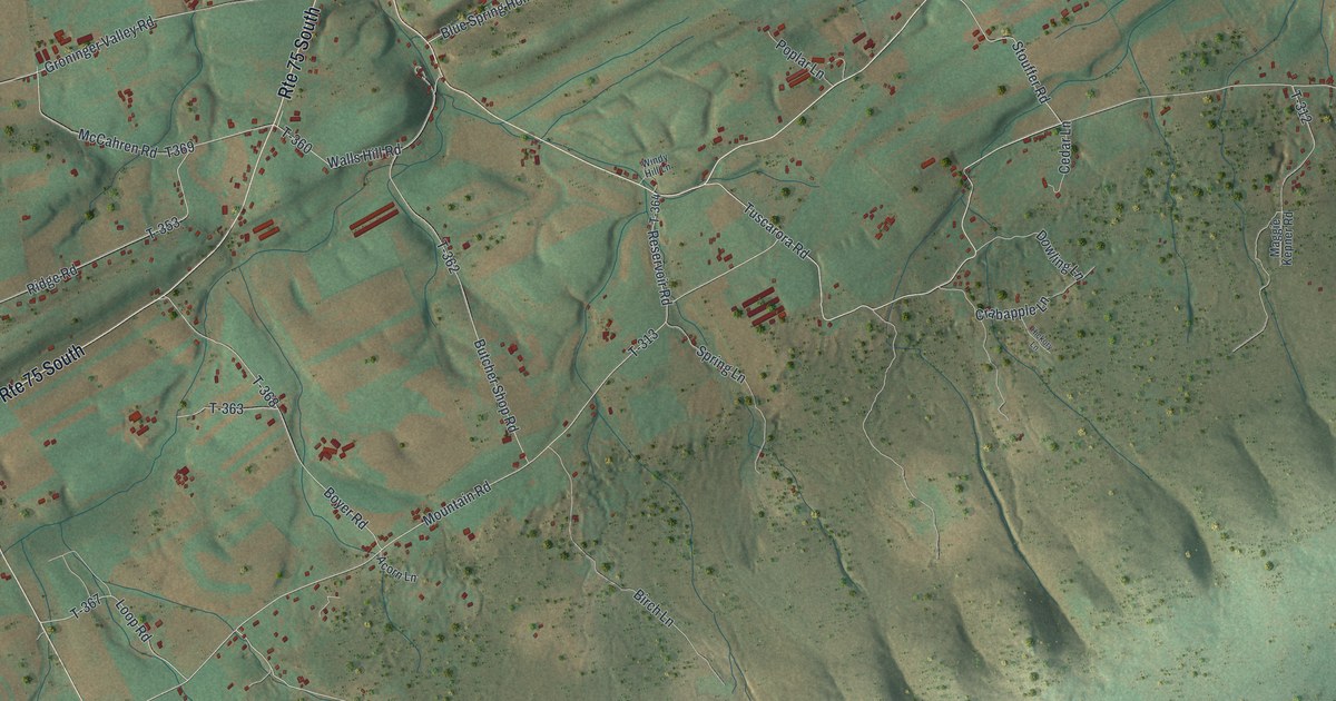
A detailed map of Turbett, Pennsylvania, showing every building in its true location, the roads by name, and shaded topographical relief.
Read More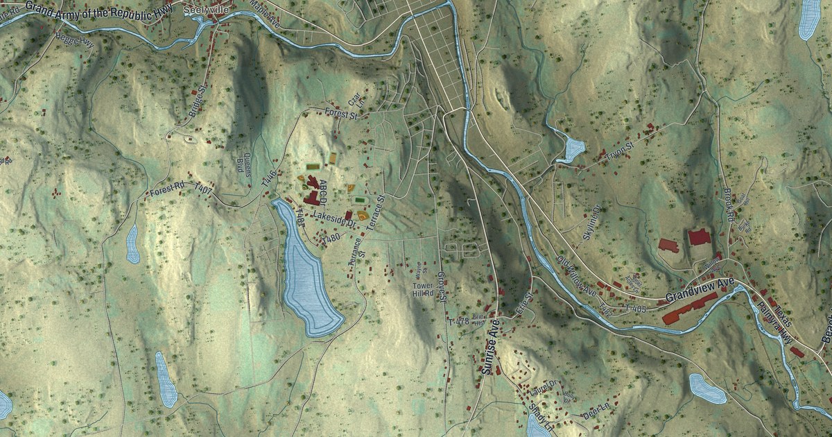
A detailed map of Texas, Pennsylvania, showing every building in its true location, the roads by name, and shaded topographical relief.
Read More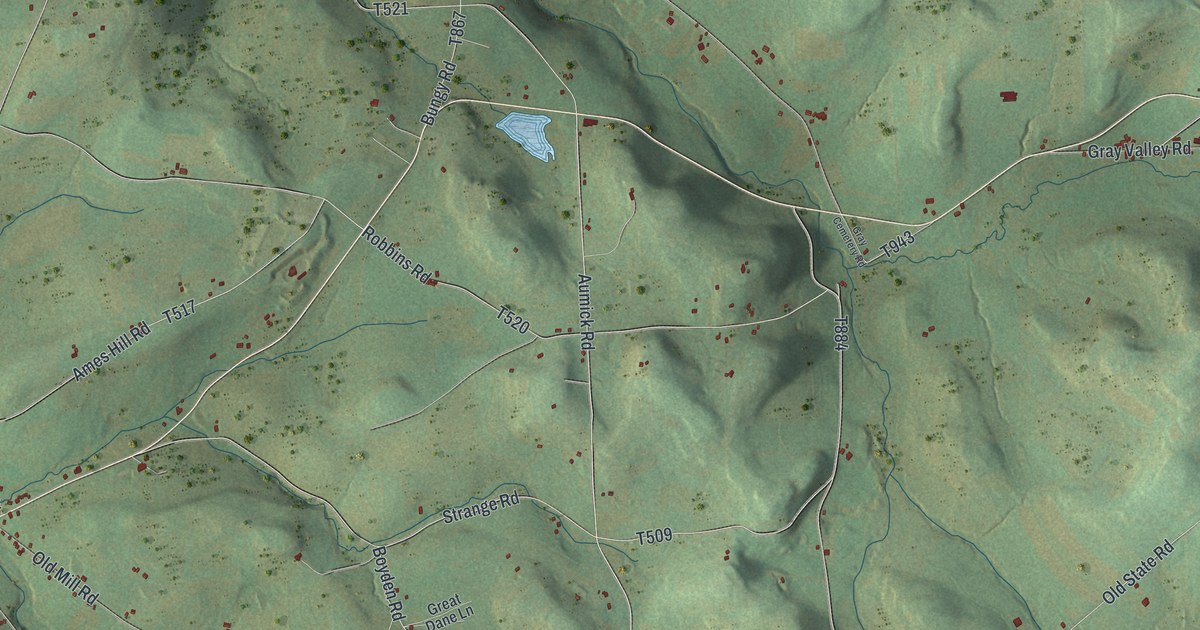
A detailed map of Sullivan, Pennsylvania, showing every building in its true location, the roads by name, and shaded topographical relief.
Read More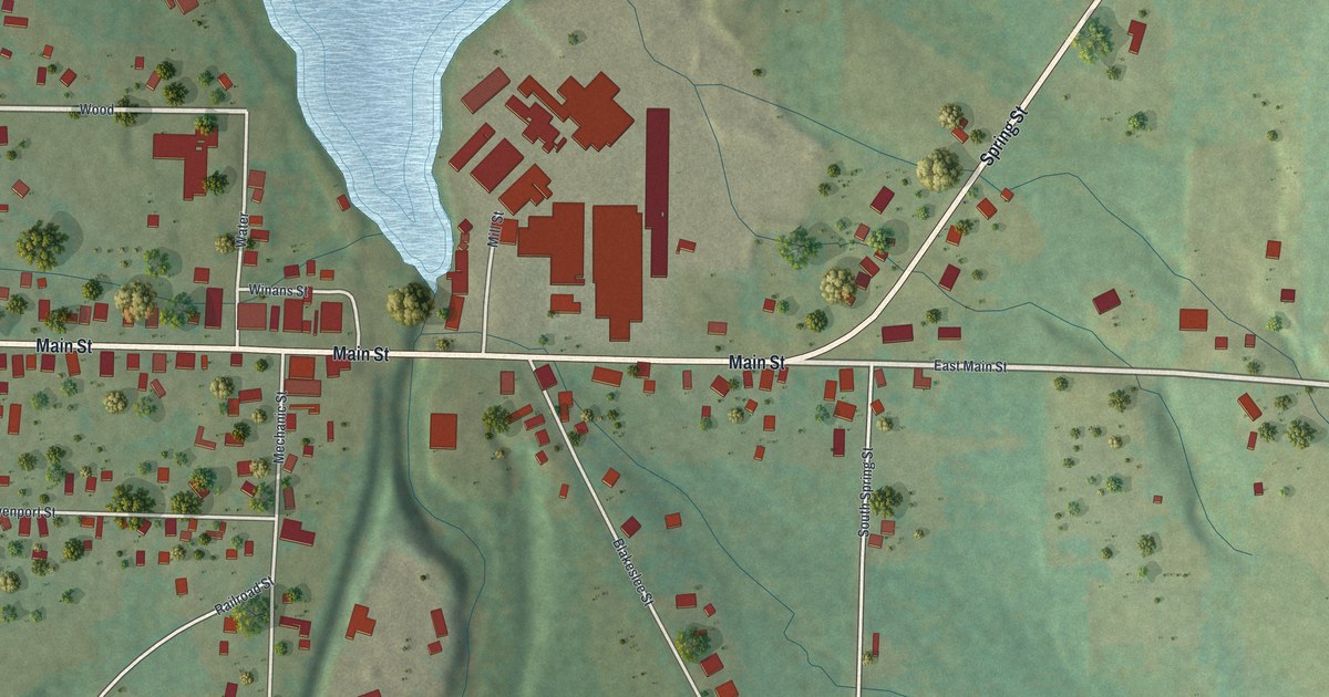
A detailed map of Spartansburg, Pennsylvania, showing every building in its true location, the roads by name, and shaded topographical relief.
Read More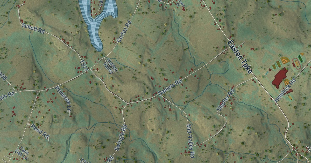
A detailed map of South Canaan, Pennsylvania, showing every building in its true location, the roads by name, and shaded topographical relief.
Read More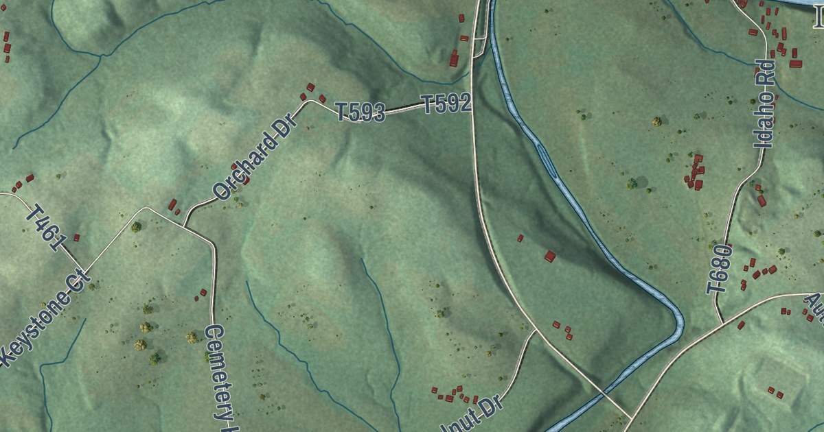
A detailed map of South Bend, Pennsylvania, showing every building in its true location, the roads by name, and shaded topographical relief.
Read More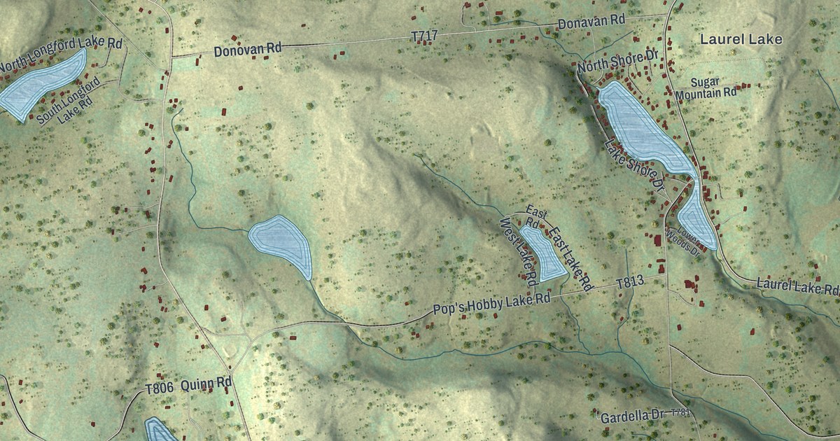
A detailed map of Silver Lake, Pennsylvania, showing every building in its true location, the roads by name, and shaded topographical relief.
Read More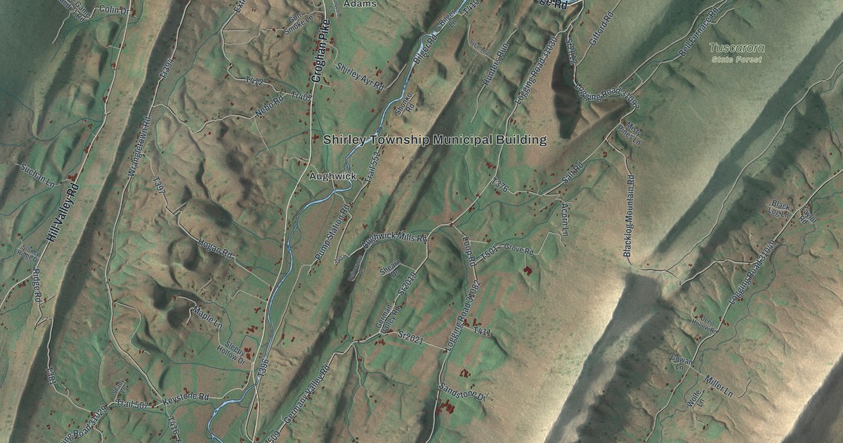
A detailed map of Shirley, Pennsylvania, showing every building in its true location, the roads by name, and shaded topographical relief.
Read More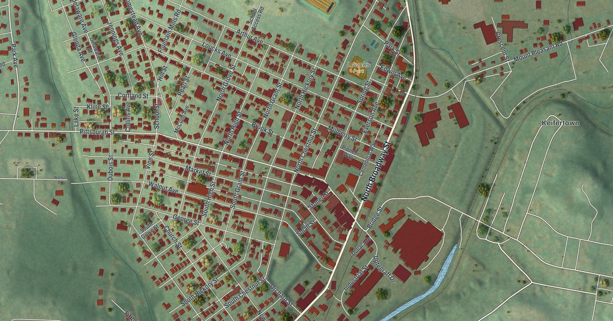
A detailed map of Scottdale, Pennsylvania, showing every building in its true location, the roads by name, and shaded topographical relief.
Read More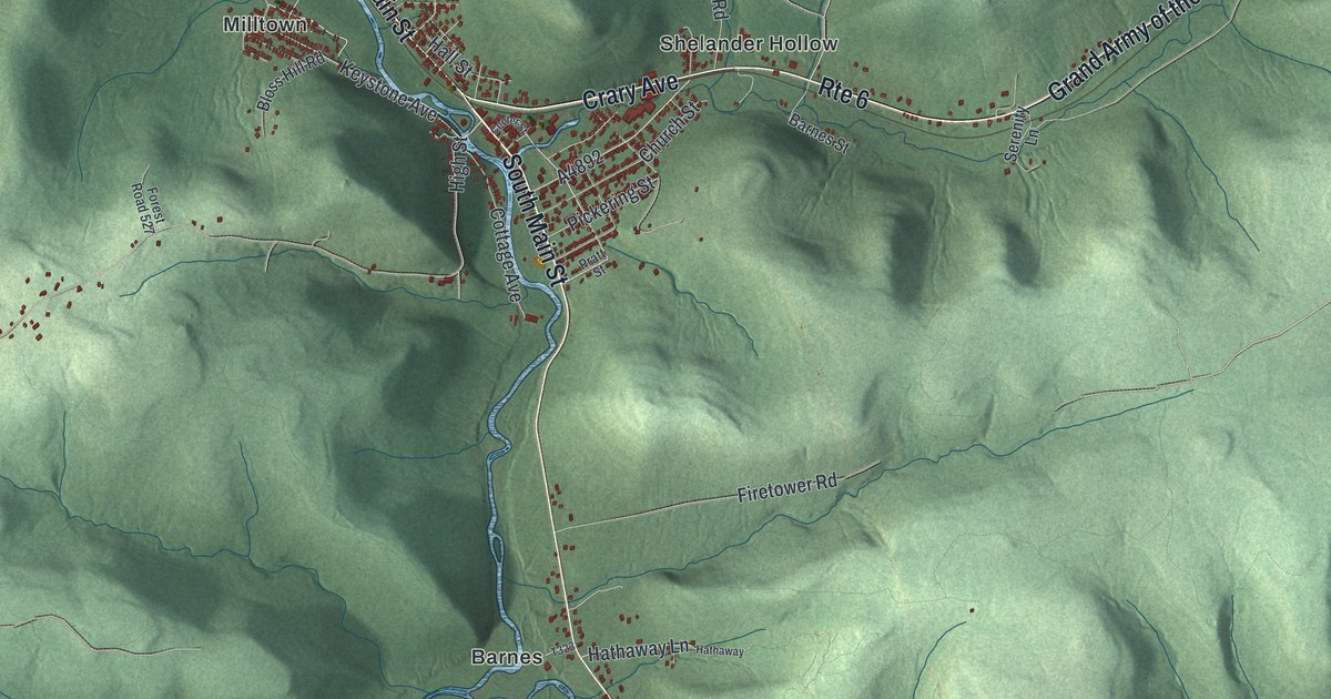
A detailed map of Sheffield, Pennsylvania, showing every building in its true location, the roads by name, and shaded topographical relief.
Read More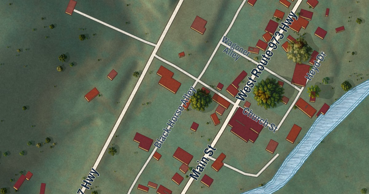
A detailed map of Salladasburg, Pennsylvania, showing every building in its true location, the roads by name, and shaded topographical relief.
Read More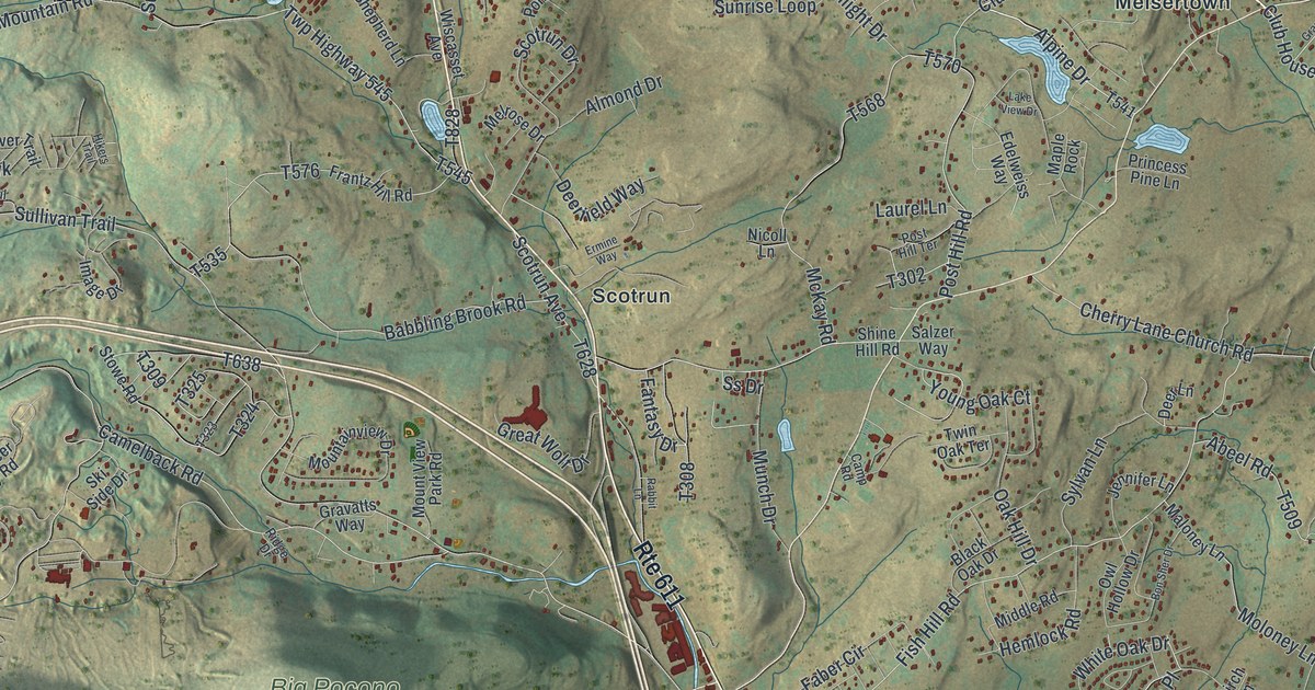
A detailed map of Pocono, Pennsylvania, showing every building in its true location, the roads by name, and shaded topographical relief.
Read More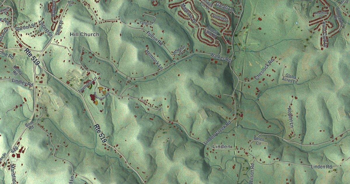
A detailed map of North Strabane, Pennsylvania, showing every building in its true location, the roads by name, and shaded topographical relief.
Read More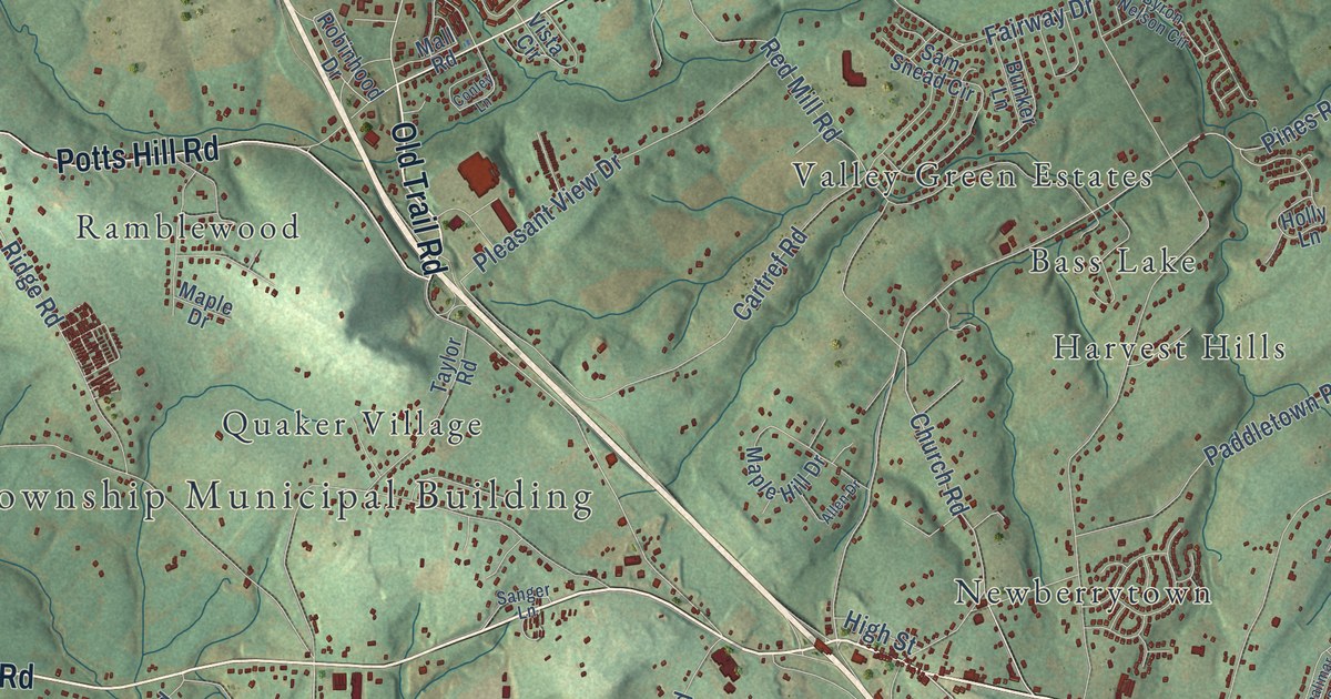
A detailed map of Newberry, Pennsylvania, showing every building in its true location, the roads by name, and shaded topographical relief.
Read More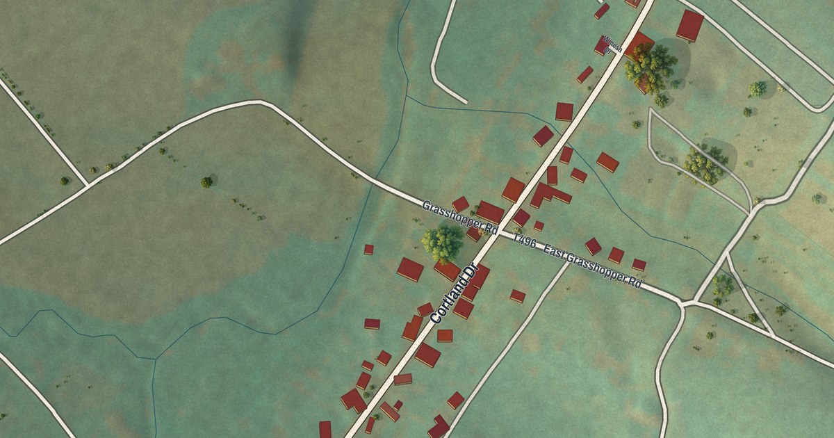
A detailed map of New Paris, Pennsylvania, showing every building in its true location, the roads by name, and shaded topographical relief.
Read More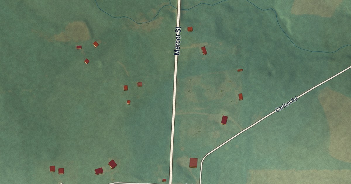
A detailed map of New Lebanon, Pennsylvania, showing every building in its true location, the roads by name, and shaded topographical relief.
Read More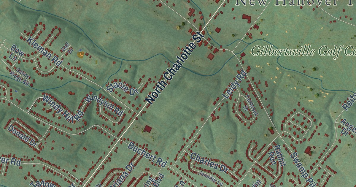
A detailed map of New Hanover, Pennsylvania, showing every building in its true location, the roads by name, and shaded topographical relief.
Read More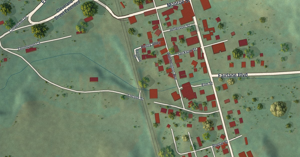
A detailed map of New Galilee, Pennsylvania, showing every building in its true location, the roads by name, and shaded topographical relief.
Read More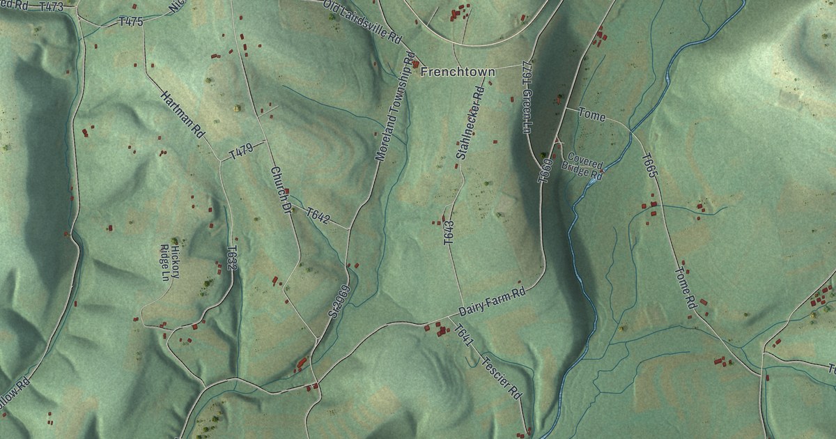
A detailed map of Moreland, Pennsylvania, showing every building in its true location, the roads by name, and shaded topographical relief.
Read More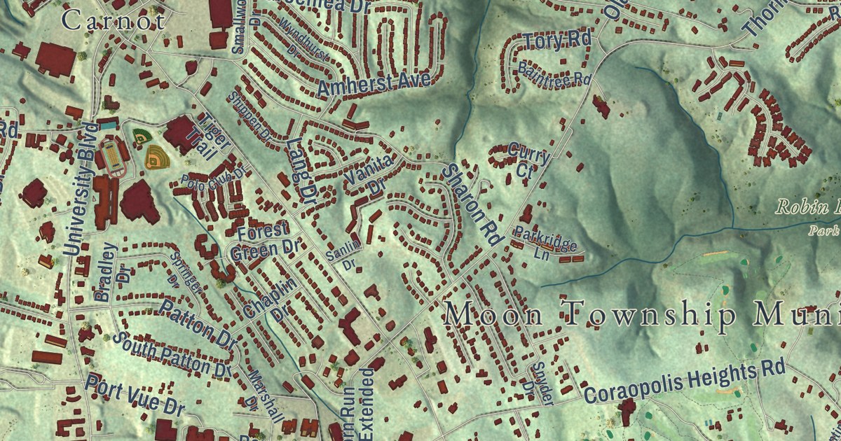
A detailed map of Moon, Pennsylvania, showing every building in its true location, the roads by name, and shaded topographical relief.
Read More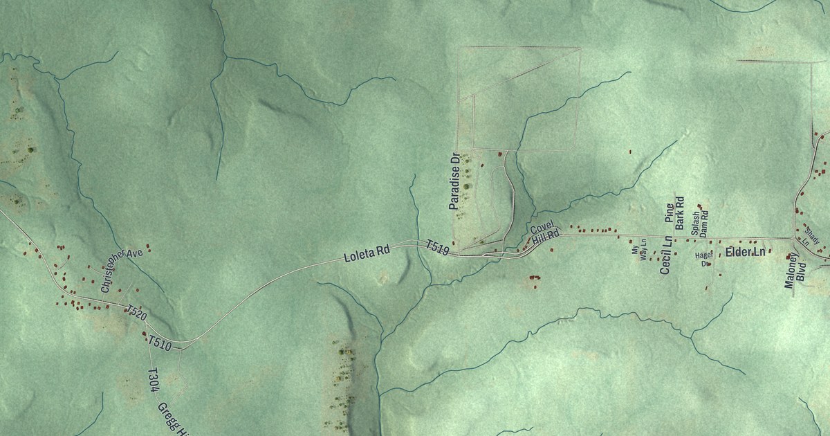
A detailed map of Millstone, Pennsylvania, showing every building in its true location, the roads by name, and shaded topographical relief.
Read More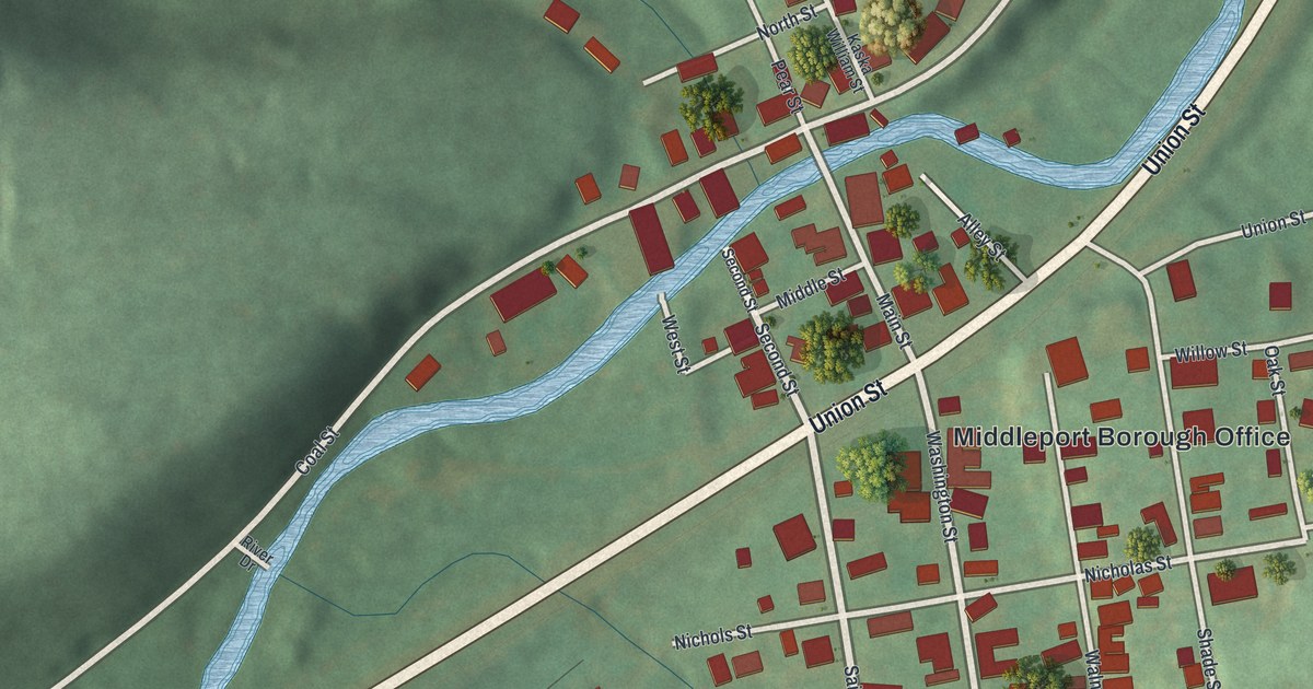
A detailed map of Middleport, Pennsylvania, showing every building in its true location, the roads by name, and shaded topographical relief.
Read More















