Detailed Map of Mechanicsville, Pennsylvania
A detailed map of Mechanicsville, Pennsylvania, showing every building in its true location, the roads by name, and shaded topographical relief.
Read More
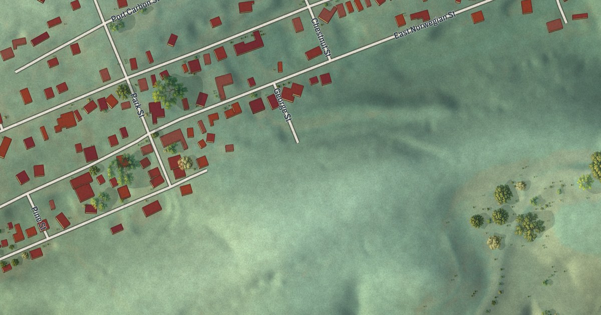
A detailed map of Mechanicsville, Pennsylvania, showing every building in its true location, the roads by name, and shaded topographical relief.
Read More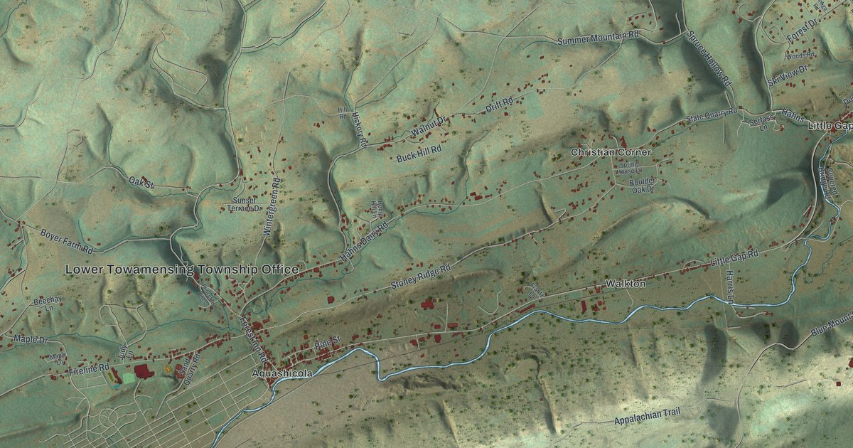
A detailed map of Lower Towamensing, Pennsylvania, showing every building in its true location, the roads by name, and shaded topographical relief.
Read More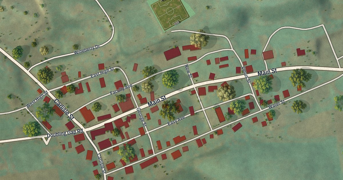
A detailed map of Landisburg, Pennsylvania, showing every building in its true location, the roads by name, and shaded topographical relief.
Read More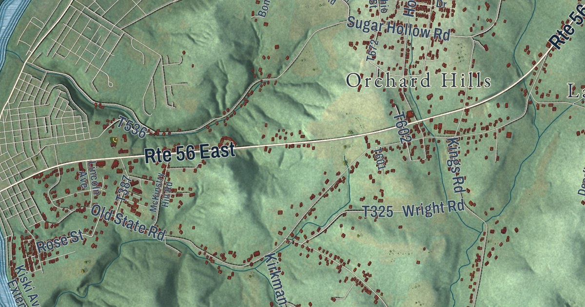
A detailed map of Kiskiminetas, Pennsylvania, showing every building in its true location, the roads by name, and shaded topographical relief.
Read More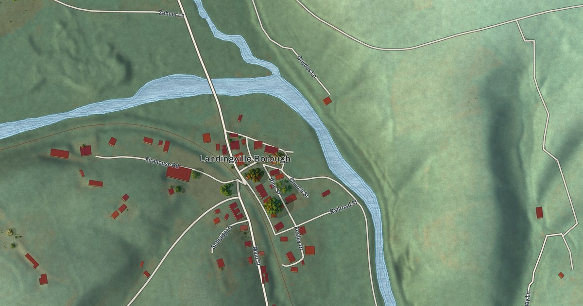
A detailed map of Landingville, Pennsylvania, showing every building in its true location, the roads by name, and shaded topographical relief.
Read More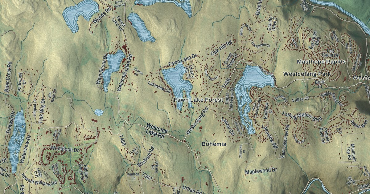
A detailed map of Lackawaxen, Pennsylvania, showing every building in its true location, the roads by name, and shaded topographical relief.
Read More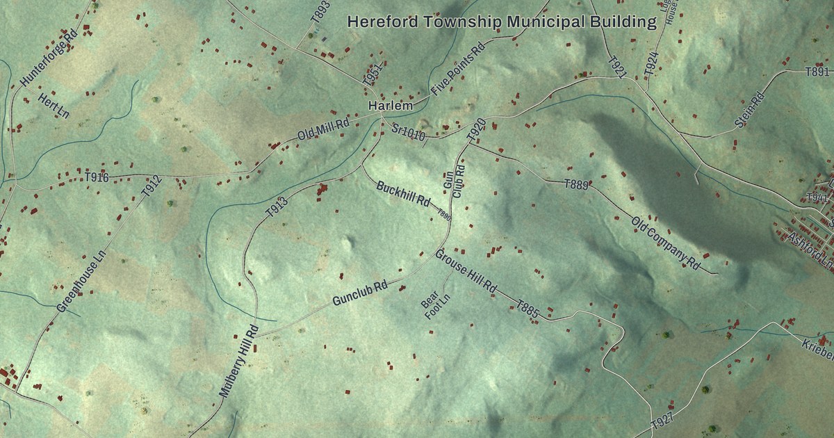
A detailed map of Hereford, Pennsylvania, showing every building in its true location, the roads by name, and shaded topographical relief.
Read More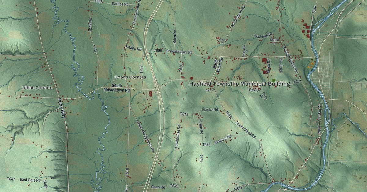
A detailed map of Hayfield, Pennsylvania, showing every building in its true location, the roads by name, and shaded topographical relief.
Read More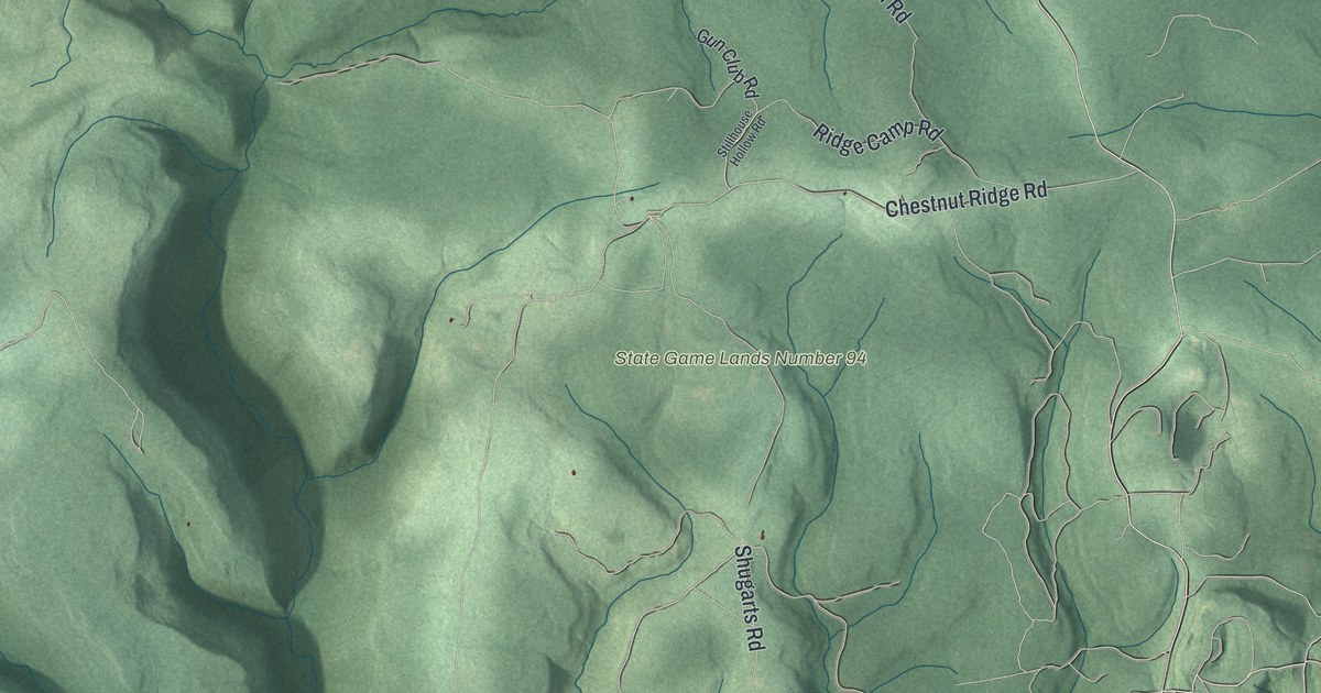
A detailed map of Goshen, Pennsylvania, showing every building in its true location, the roads by name, and shaded topographical relief.
Read More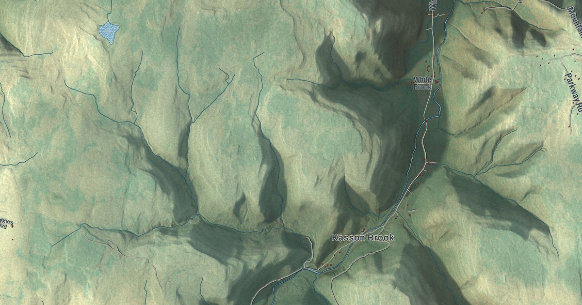
A detailed map of Forkston, Pennsylvania, showing every building in its true location, the roads by name, and shaded topographical relief.
Read More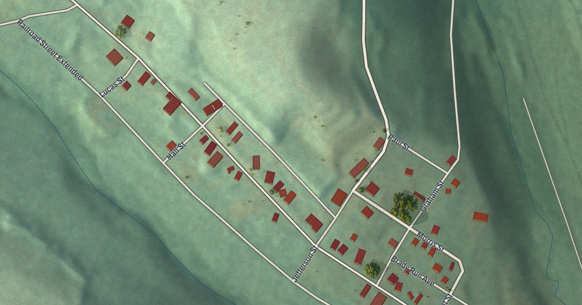
A detailed map of Glen Campbell, Pennsylvania, showing every building in its true location, the roads by name, and shaded topographical relief.
Read More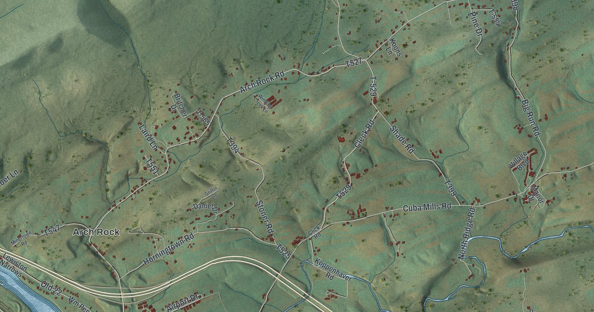
A detailed map of Fermanagh, Pennsylvania, showing every building in its true location, the roads by name, and shaded topographical relief.
Read More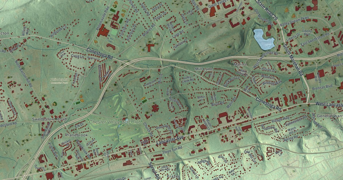
A detailed map of East Whiteland, Pennsylvania, showing every building in its true location, the roads by name, and shaded topographical relief.
Read More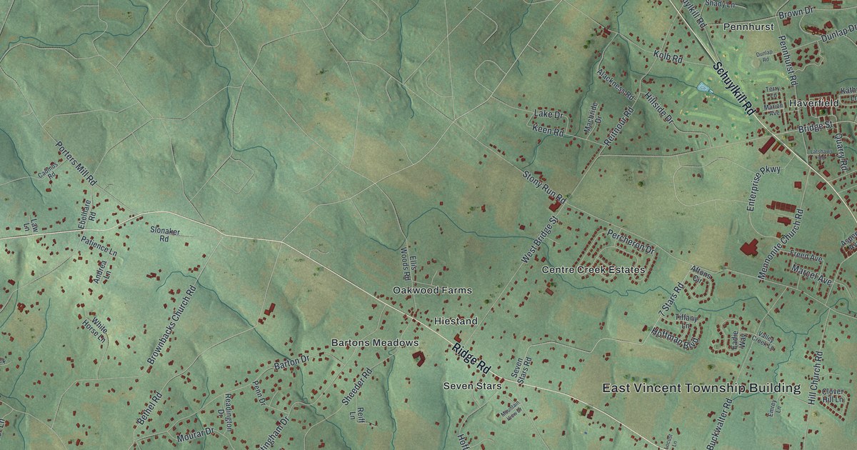
A detailed map of East Vincent, Pennsylvania, showing every building in its true location, the roads by name, and shaded topographical relief.
Read More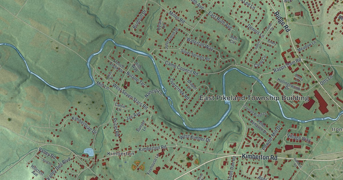
A detailed map of East Pikeland, Pennsylvania, showing every building in its true location, the roads by name, and shaded topographical relief.
Read More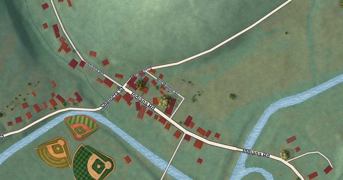
A detailed map of Creekside, Pennsylvania, showing every building in its true location, the roads by name, and shaded topographical relief.
Read More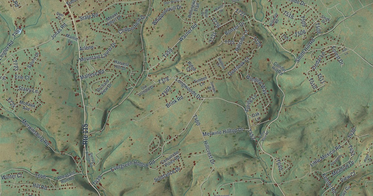
A detailed map of Chestnuthill, Pennsylvania, showing every building in its true location, the roads by name, and shaded topographical relief.
Read More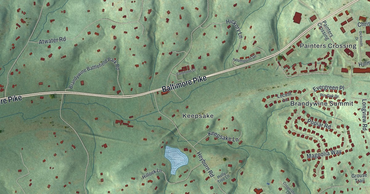
A detailed map of Chadds Ford, Pennsylvania, showing every building in its true location, the roads by name, and shaded topographical relief.
Read More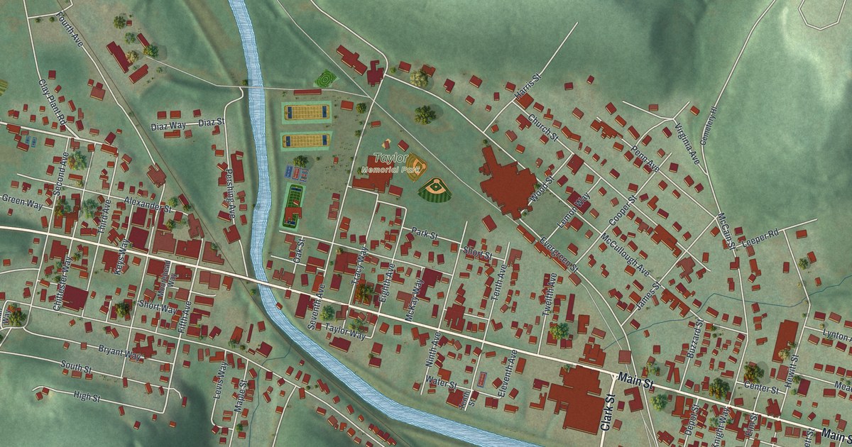
A detailed map of Brockway, Pennsylvania, showing every building in its true location, the roads by name, and shaded topographical relief.
Read More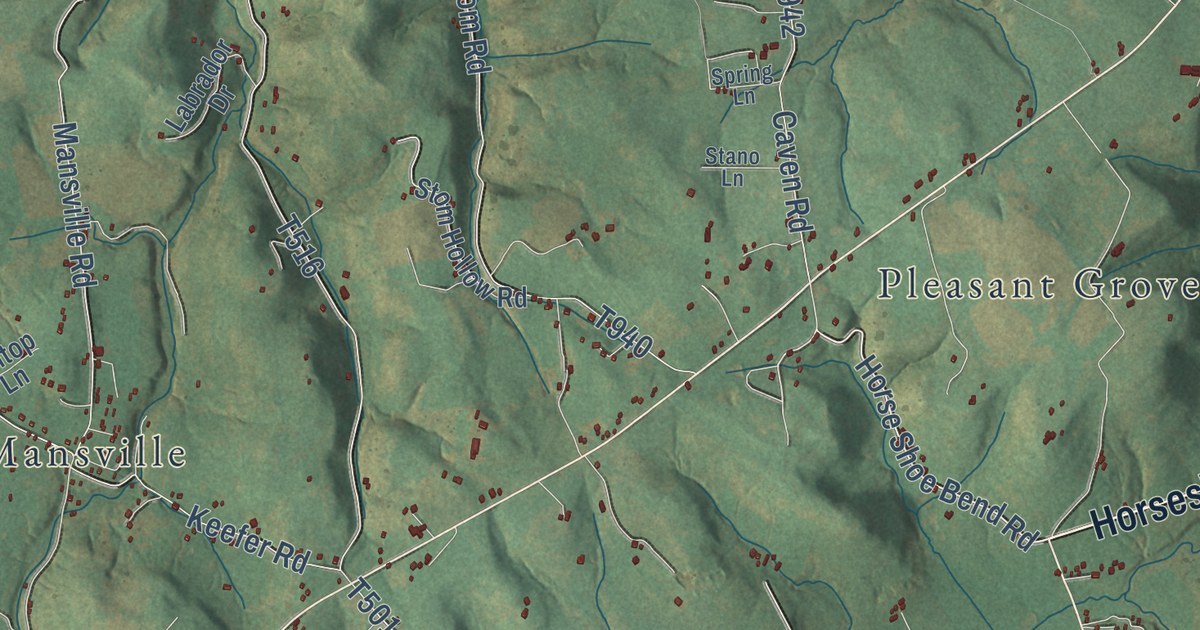
A detailed map of Cook, Pennsylvania, showing every building in its true location, the roads by name, and shaded topographical relief.
Read More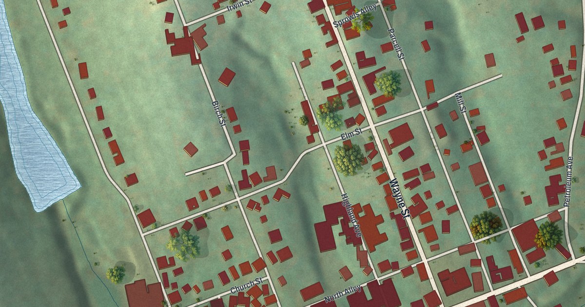
A detailed map of Claysville, Pennsylvania, showing every building in its true location, the roads by name, and shaded topographical relief.
Read More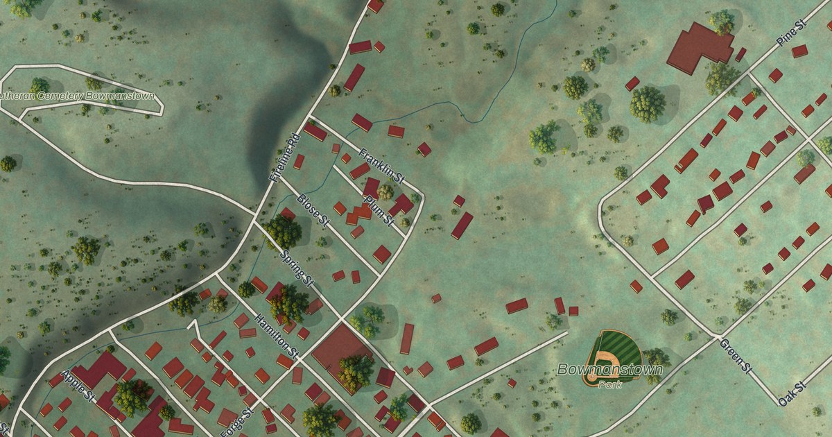
A detailed map of Bowmanstown, Pennsylvania, showing every building in its true location, the roads by name, and shaded topographical relief.
Read More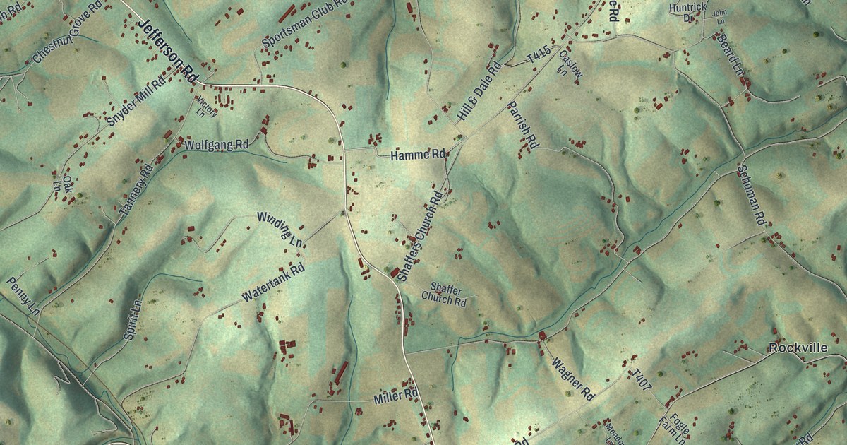
A detailed map of Codorus, Pennsylvania, showing every building in its true location, the roads by name, and shaded topographical relief.
Read More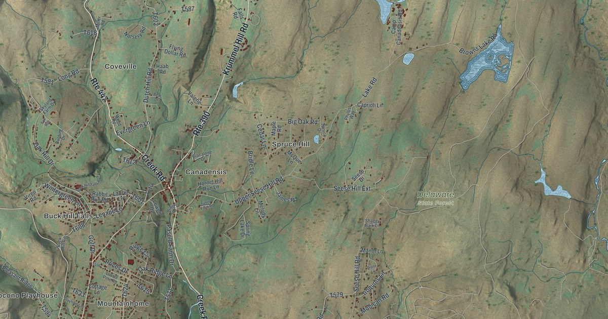
A detailed map of Barrett, Pennsylvania, showing every building in its true location, the roads by name, and shaded topographical relief.
Read More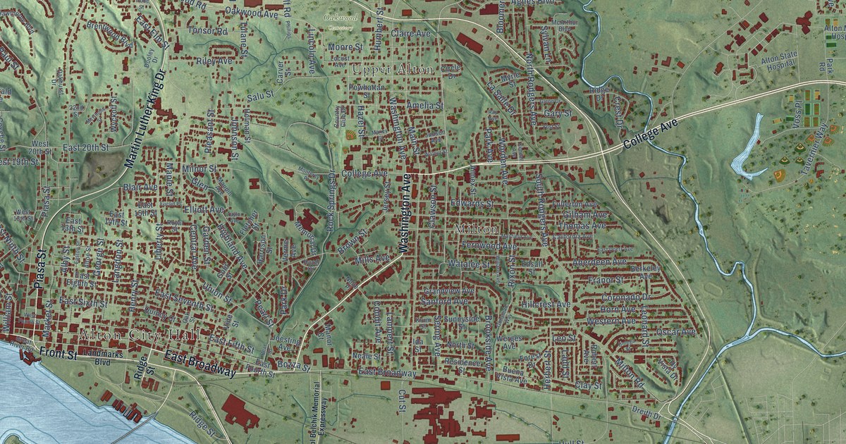
A detailed map of Alton, Illinois, showing every building in its true location, the roads by name, and shaded topographical relief.
Read More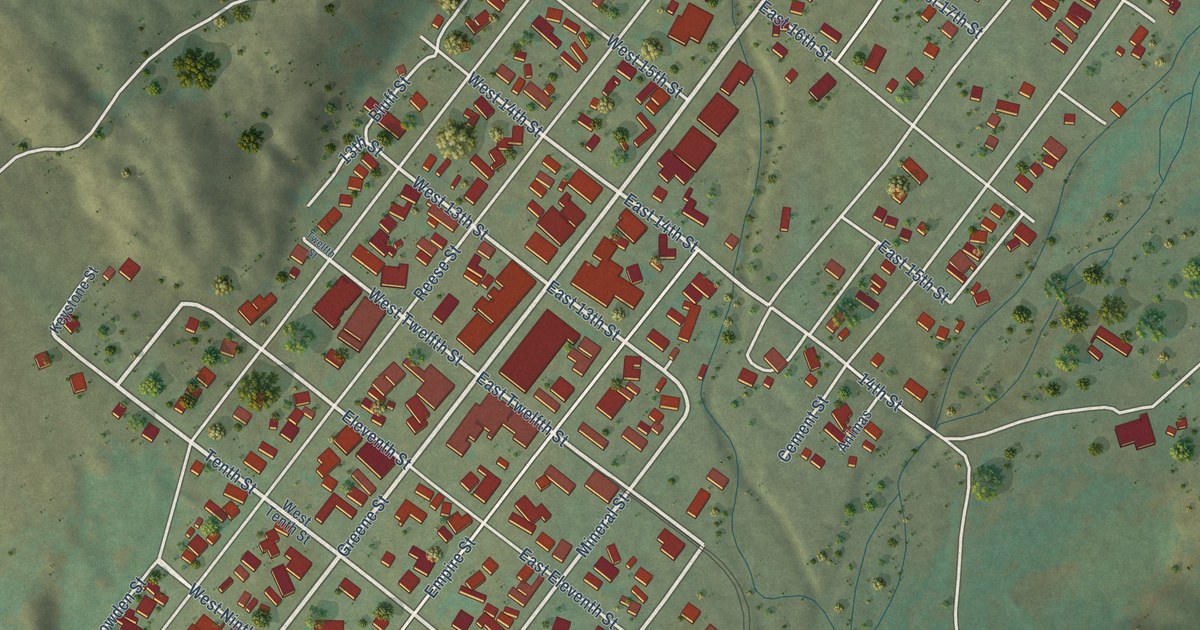
A detailed map of Silverton, Colorado, showing every building in its true location, the roads by name, and shaded topographical relief.
Read More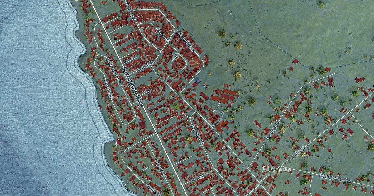
A detailed map of Makaha, Hawaii, showing every building in its true location, the roads by name, and shaded topographical relief.
Read More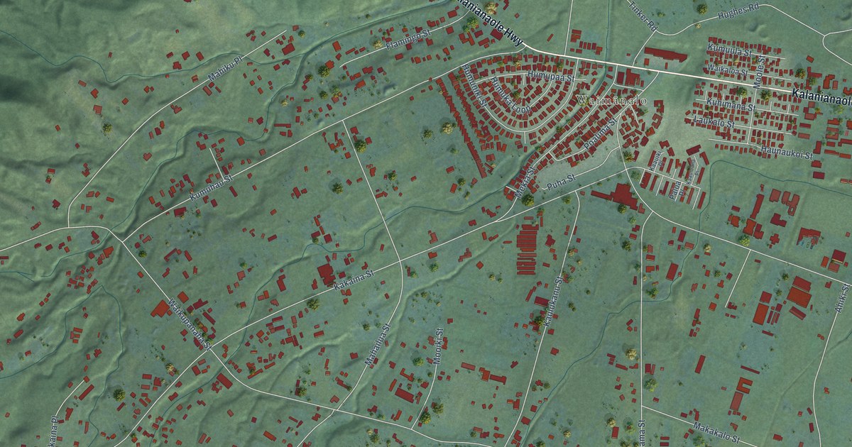
A detailed map of Waimanalo, Hawaii, showing every building in its true location, the roads by name, and shaded topographical relief.
Read More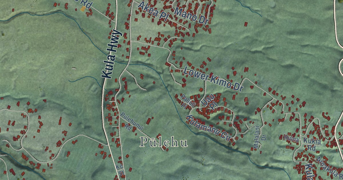
A detailed map of Kula, Hawaii, showing every building in its true location, the roads by name, and shaded topographical relief.
Read More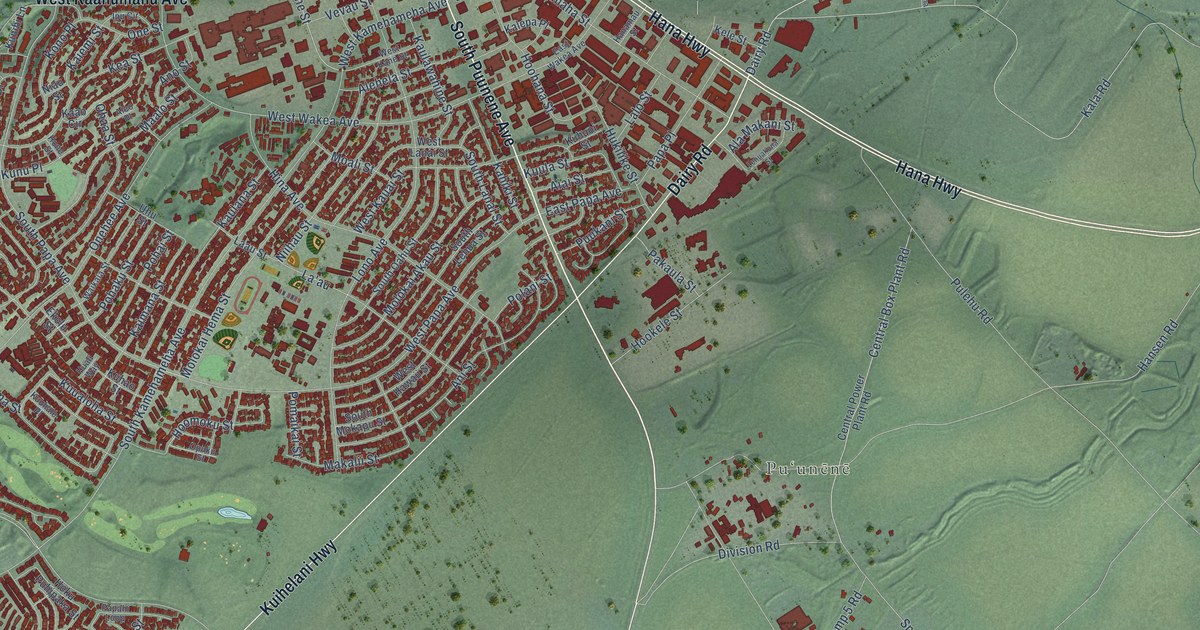
A detailed map of Kahului, Hawaii, showing every building in its true location, the roads by name, and shaded topographical relief.
Read More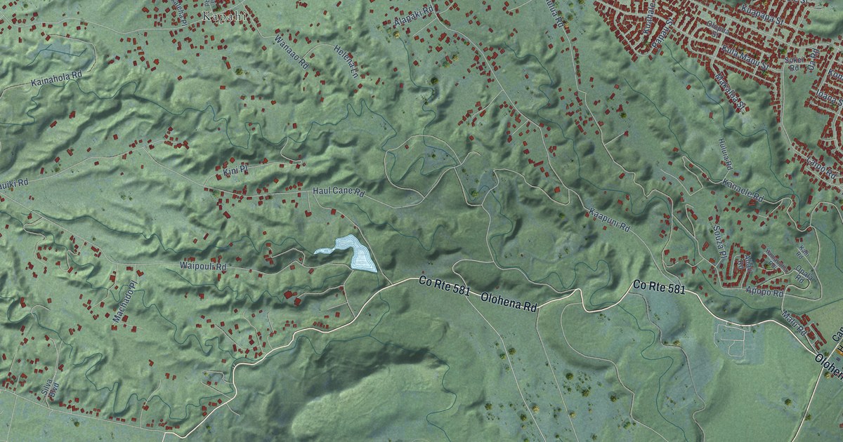
A detailed map of Kapaa, Hawaii, showing every building in its true location, the roads by name, and shaded topographical relief.
Read More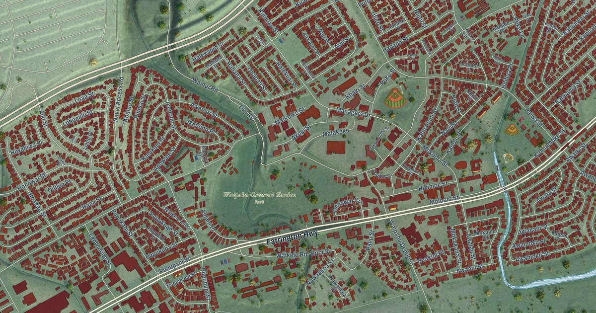
A detailed map of Waipahu, Hawaii, showing every building in its true location, the roads by name, and shaded topographical relief.
Read More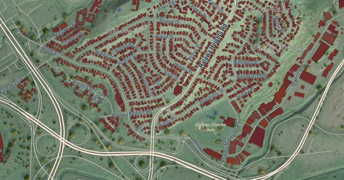
A detailed map of Halawa, Hawaii, showing every building in its true location, the roads by name, and shaded topographical relief.
Read More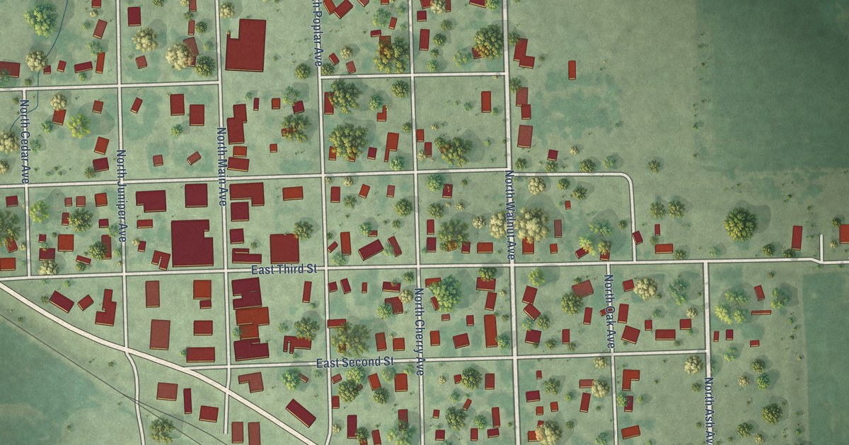
A detailed map of Bridgewater, South Dakota, showing every building in its true location, the roads by name, and shaded topographical relief.
Read More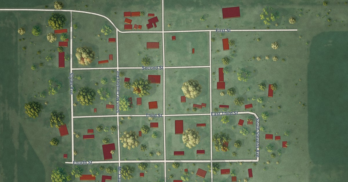
A detailed map of Brentford, South Dakota, showing every building in its true location, the roads by name, and shaded topographical relief.
Read More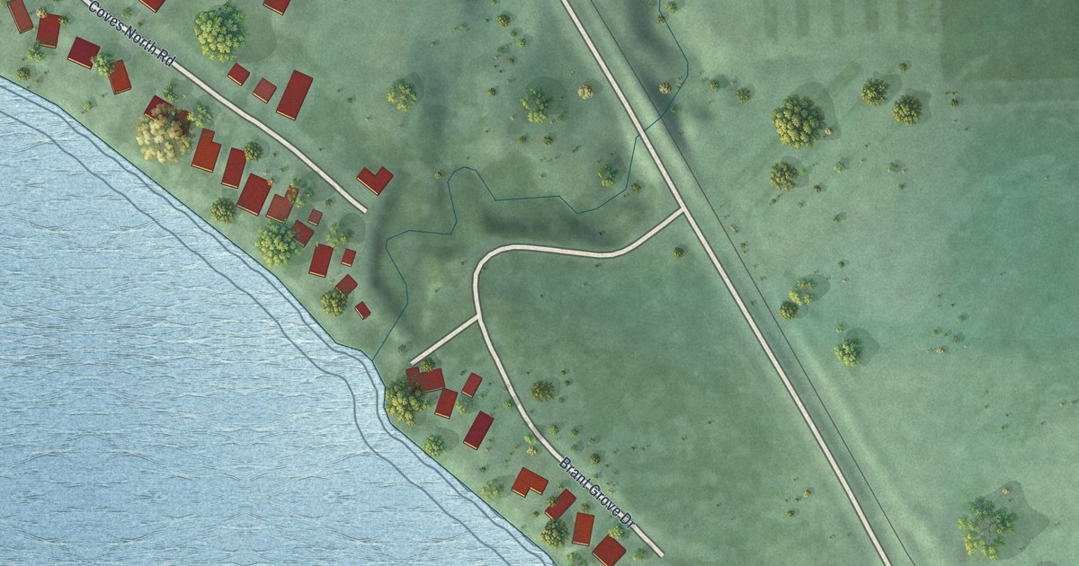
A detailed map of Brant Lake, South Dakota, showing every building in its true location, the roads by name, and shaded topographical relief.
Read More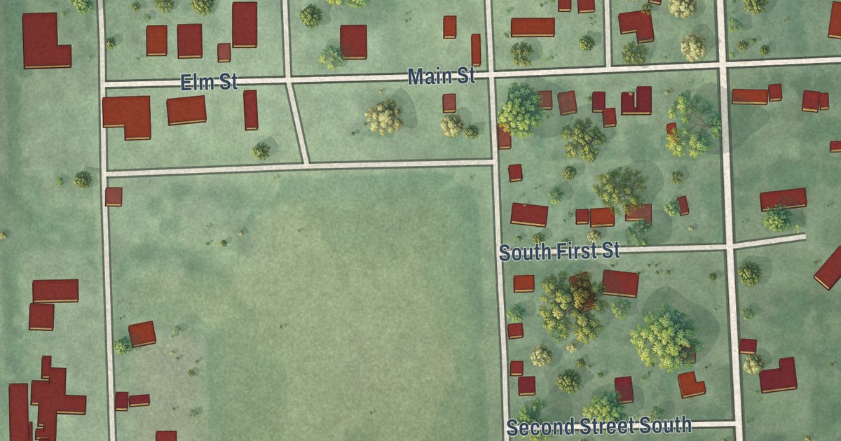
A detailed map of Brandt, South Dakota, showing every building in its true location, the roads by name, and shaded topographical relief.
Read More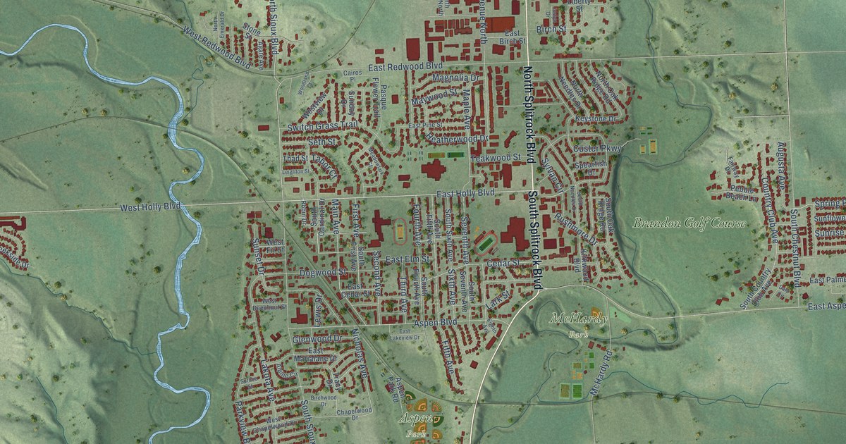
A detailed map of Brandon, South Dakota, showing every building in its true location, the roads by name, and shaded topographical relief.
Read More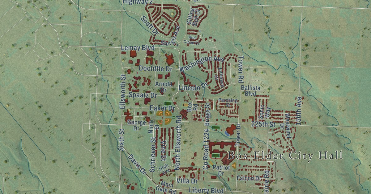
A detailed map of Box Elder, South Dakota, showing every building in its true location, the roads by name, and shaded topographical relief.
Read More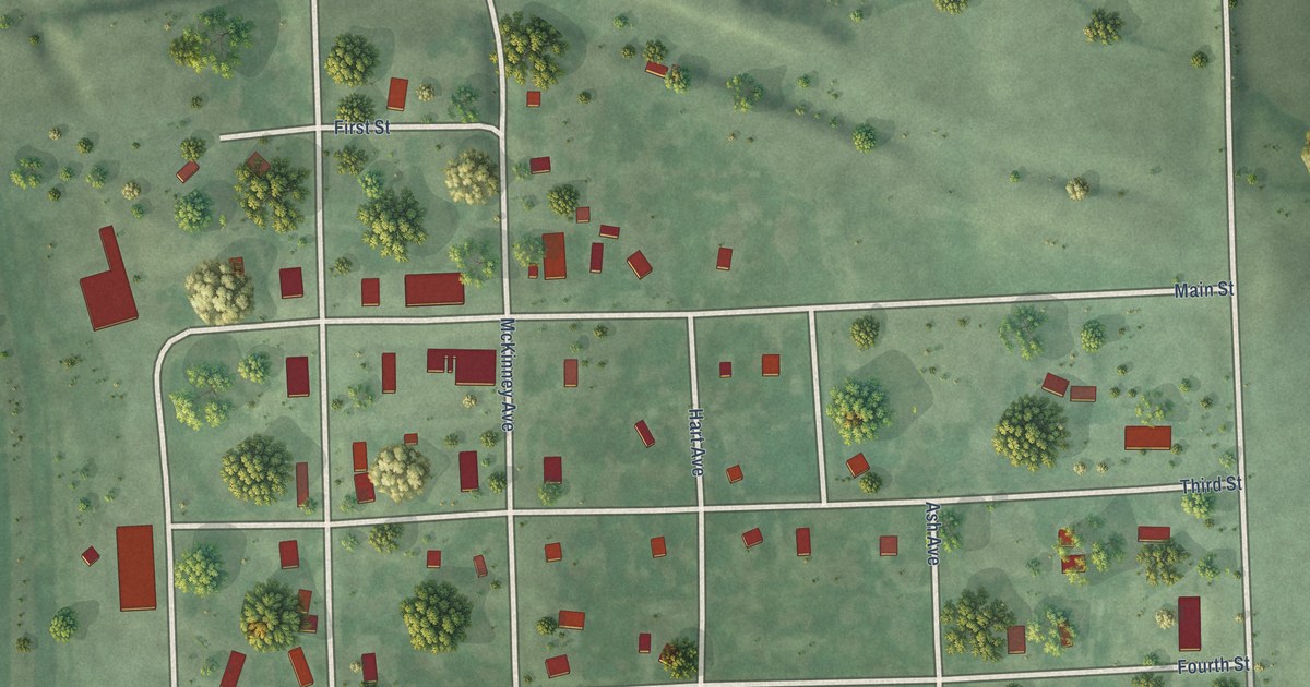
A detailed map of Bradley, South Dakota, showing every building in its true location, the roads by name, and shaded topographical relief.
Read More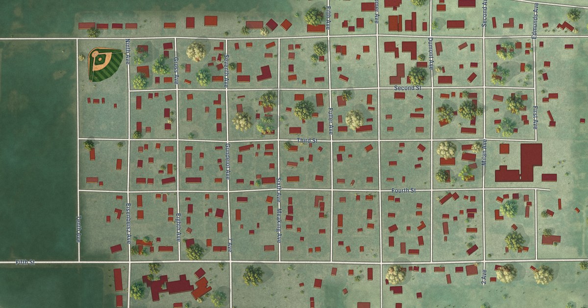
A detailed map of Bowdle, South Dakota, showing every building in its true location, the roads by name, and shaded topographical relief.
Read More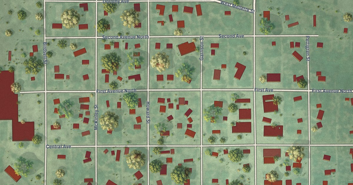
A detailed map of Bonesteel, South Dakota, showing every building in its true location, the roads by name, and shaded topographical relief.
Read More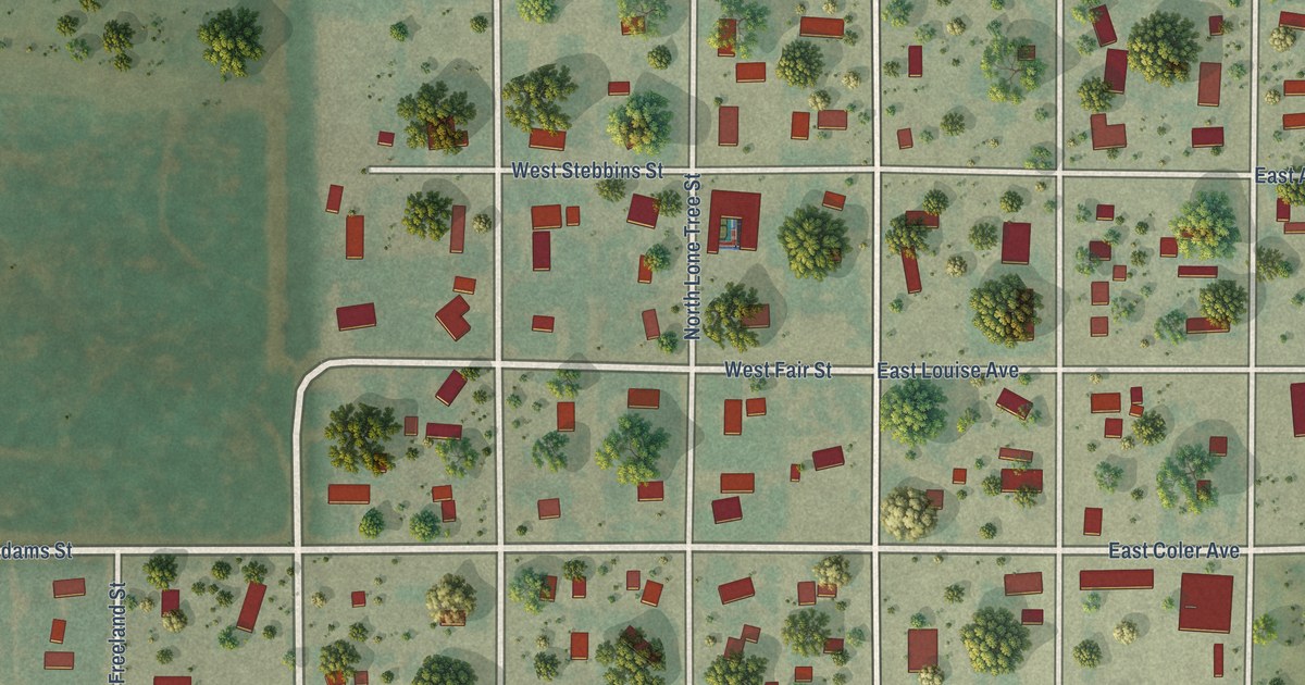
A detailed map of Blunt, South Dakota, showing every building in its true location, the roads by name, and shaded topographical relief.
Read More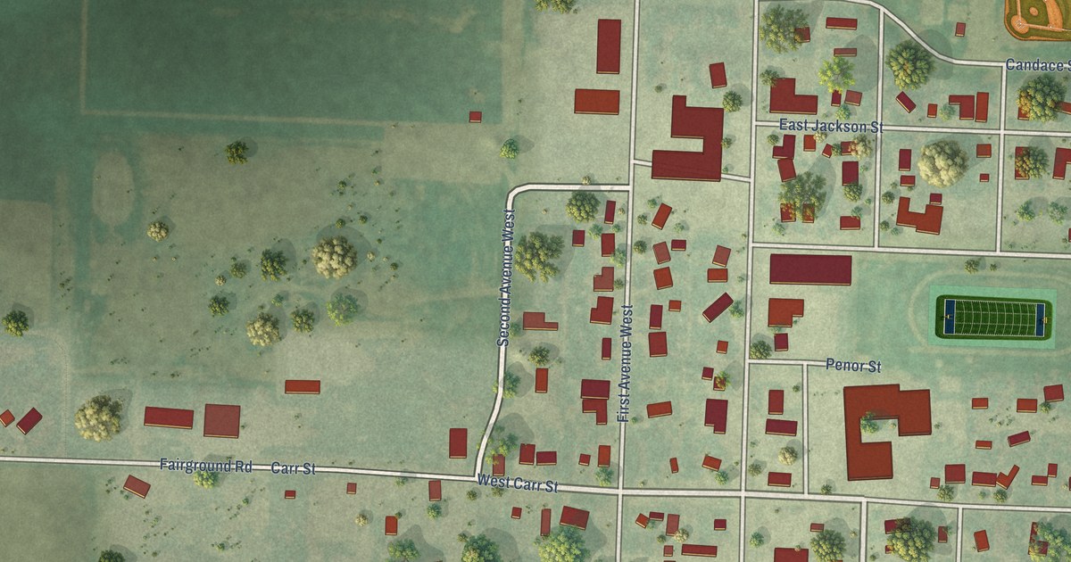
A detailed map of Bison, South Dakota, showing every building in its true location, the roads by name, and shaded topographical relief.
Read More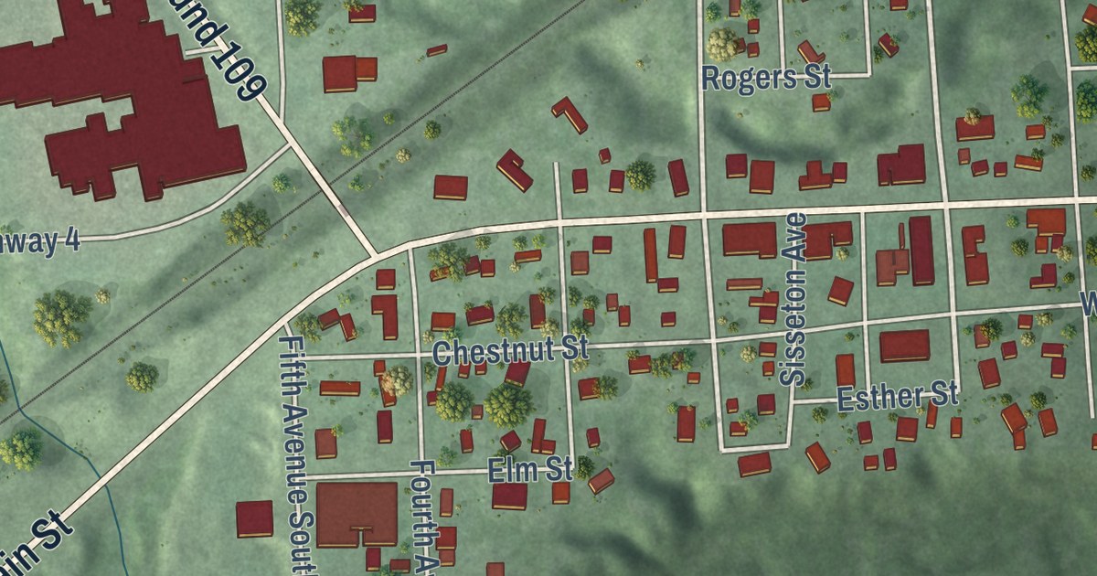
A detailed map of Big Stone City, South Dakota, showing every building in its true location, the roads by name, and shaded topographical relief.
Read More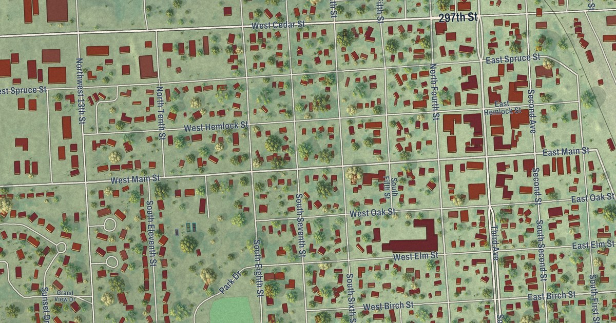
A detailed map of Beresford, South Dakota, showing every building in its true location, the roads by name, and shaded topographical relief.
Read More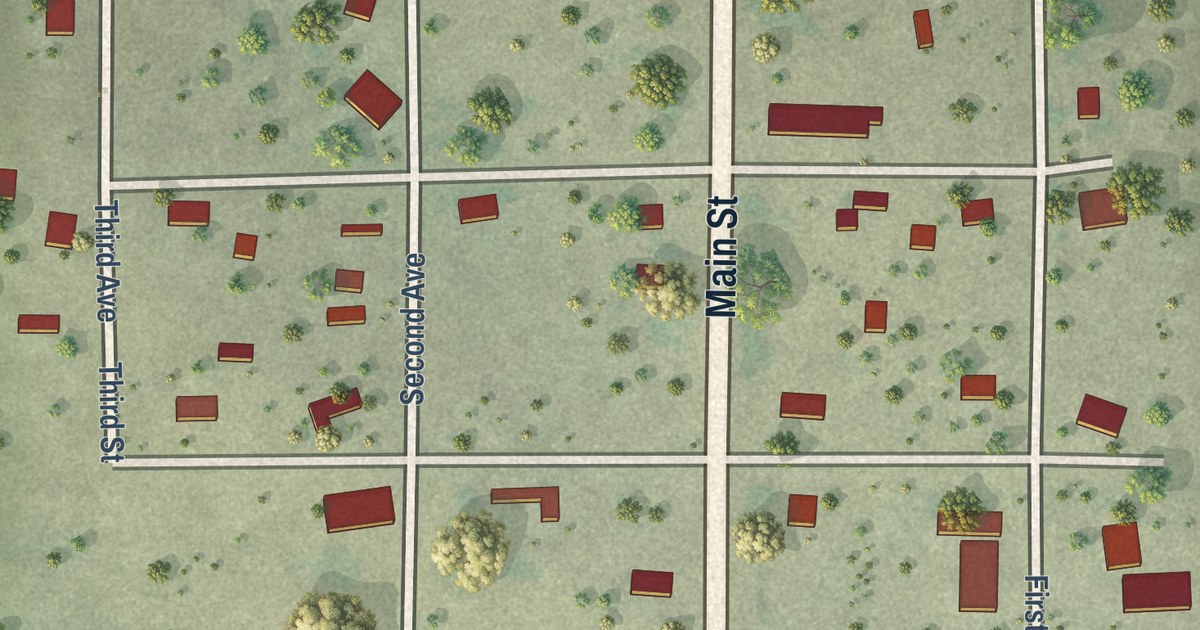
A detailed map of Belvidere, South Dakota, showing every building in its true location, the roads by name, and shaded topographical relief.
Read More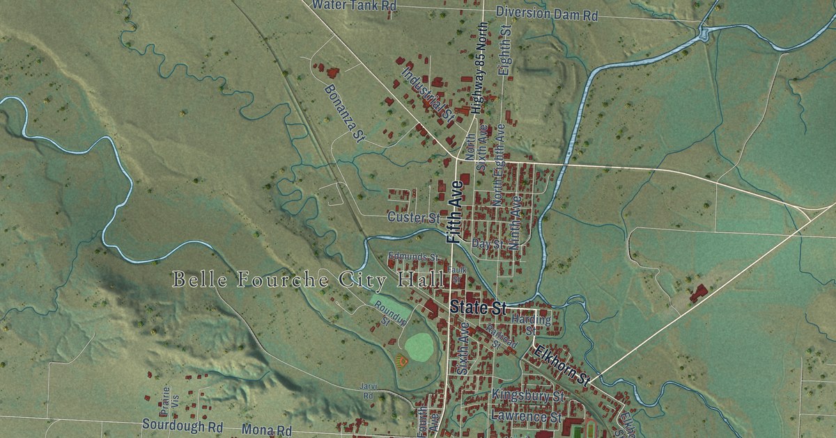
A detailed map of Belle Fourche, South Dakota, showing every building in its true location, the roads by name, and shaded topographical relief.
Read More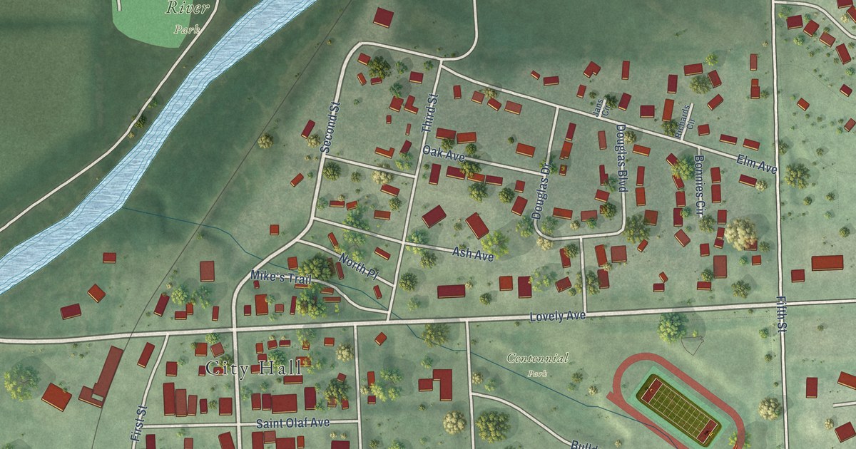
A detailed map of Baltic, South Dakota, showing every building in its true location, the roads by name, and shaded topographical relief.
Read More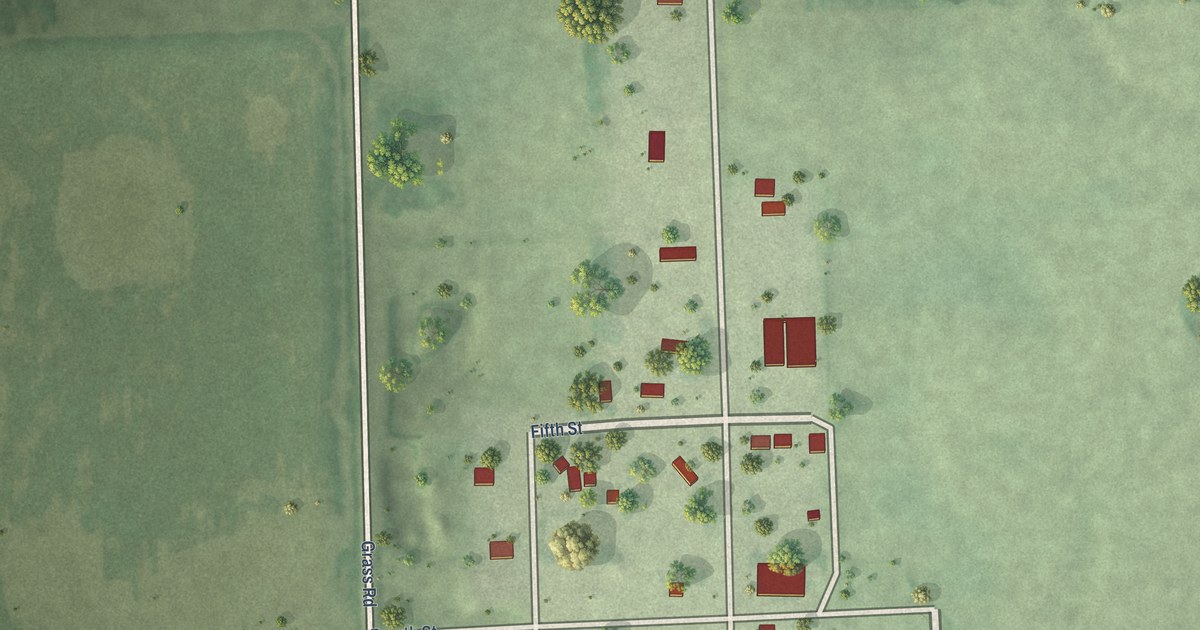
A detailed map of Bancroft, South Dakota, showing every building in its true location, the roads by name, and shaded topographical relief.
Read More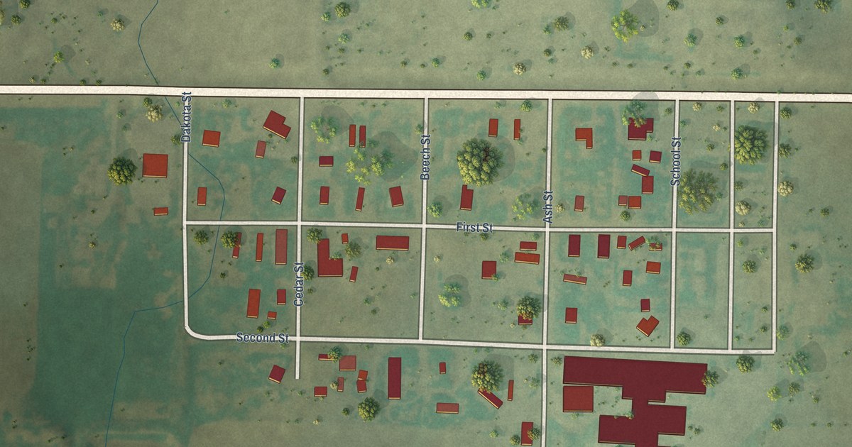
A detailed map of Batesland, South Dakota, showing every building in its true location, the roads by name, and shaded topographical relief.
Read More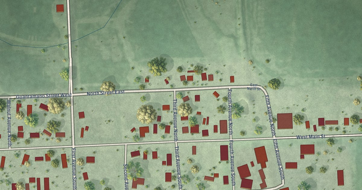
A detailed map of Badger, South Dakota, showing every building in its true location, the roads by name, and shaded topographical relief.
Read More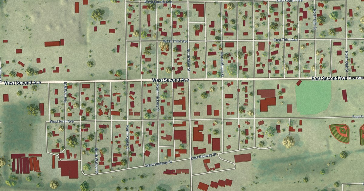
A detailed map of Avon, South Dakota, showing every building in its true location, the roads by name, and shaded topographical relief.
Read More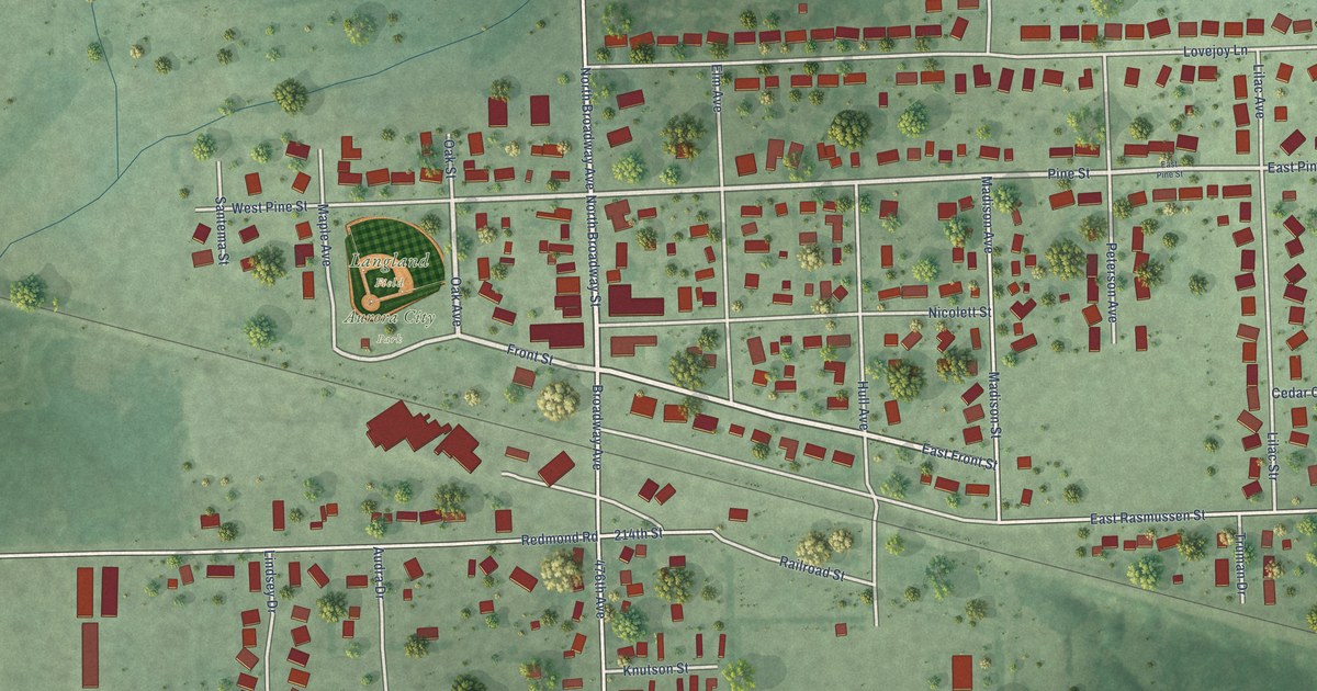
A detailed map of Aurora, South Dakota, showing every building in its true location, the roads by name, and shaded topographical relief.
Read More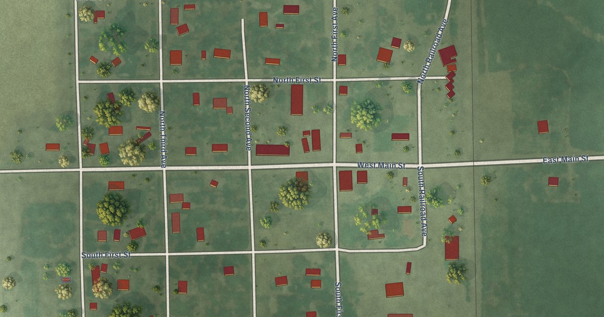
A detailed map of Ashton, South Dakota, showing every building in its true location, the roads by name, and shaded topographical relief.
Read More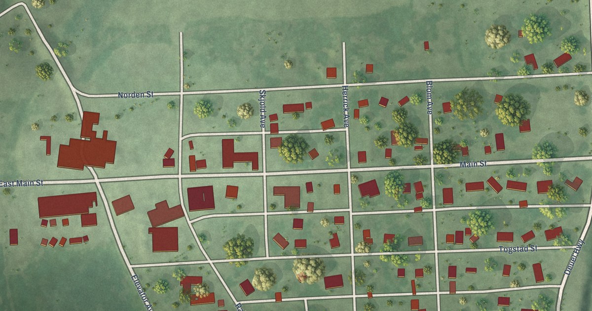
A detailed map of Astoria, South Dakota, showing every building in its true location, the roads by name, and shaded topographical relief.
Read More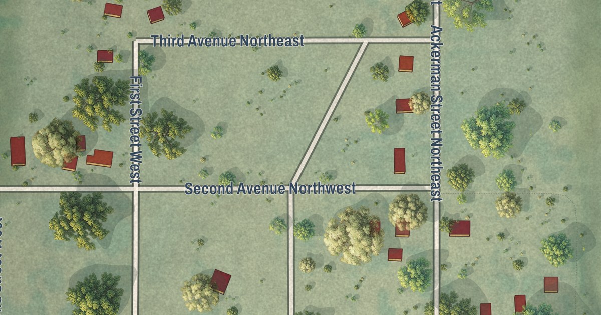
A detailed map of Artas, South Dakota, showing every building in its true location, the roads by name, and shaded topographical relief.
Read More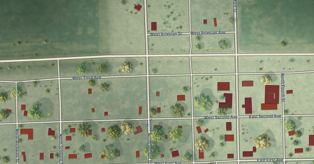
A detailed map of Artesian, South Dakota, showing every building in its true location, the roads by name, and shaded topographical relief.
Read More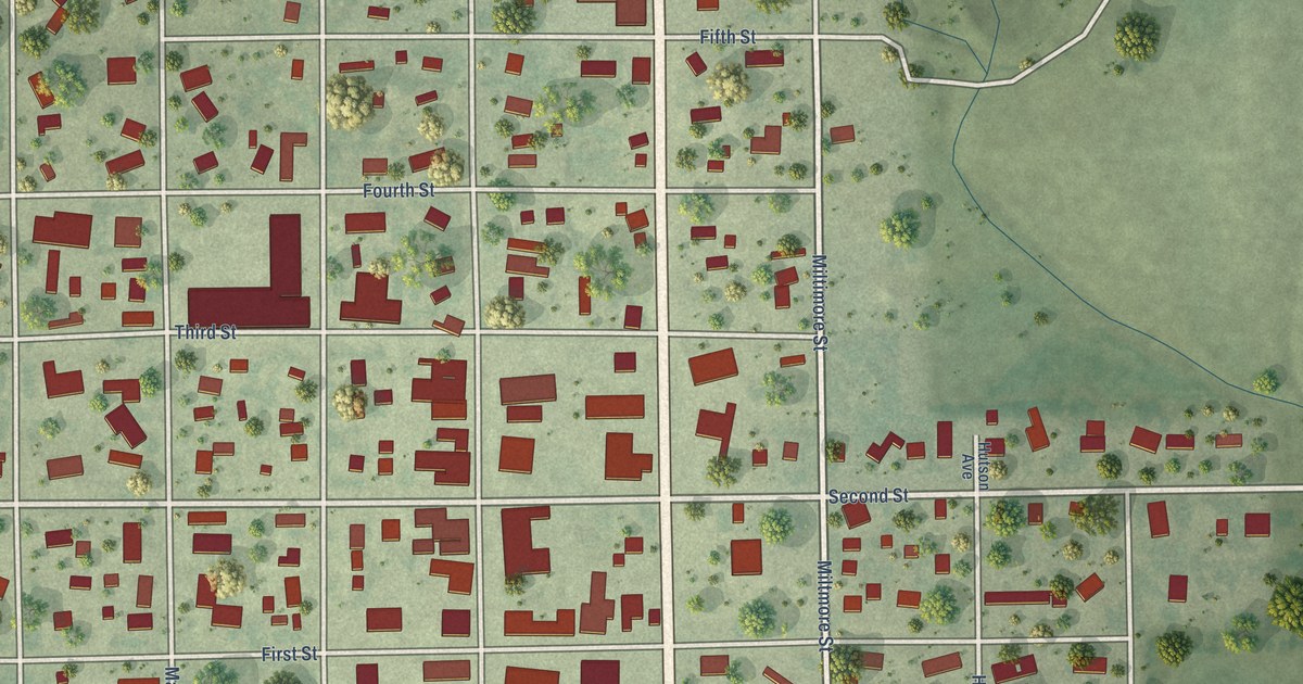
A detailed map of Armour, South Dakota, showing every building in its true location, the roads by name, and shaded topographical relief.
Read More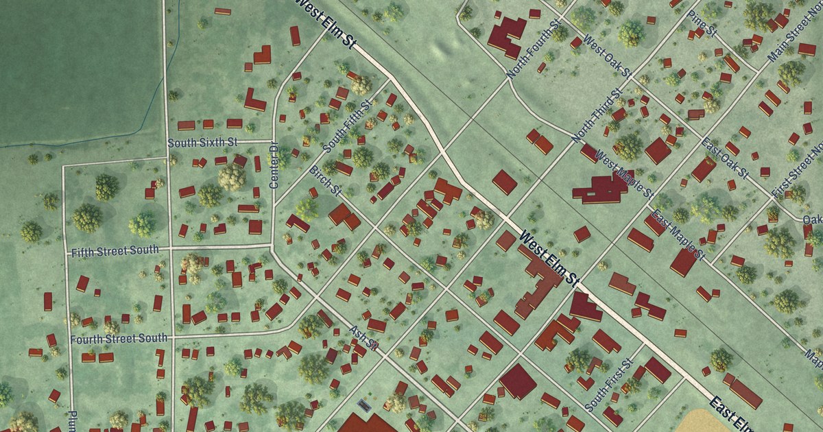
A detailed map of Arlington, South Dakota, showing every building in its true location, the roads by name, and shaded topographical relief.
Read More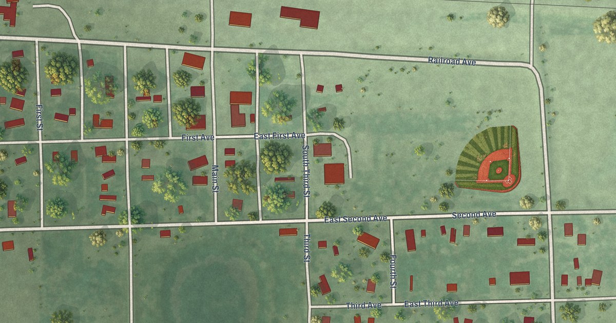
A detailed map of Andover, South Dakota, showing every building in its true location, the roads by name, and shaded topographical relief.
Read More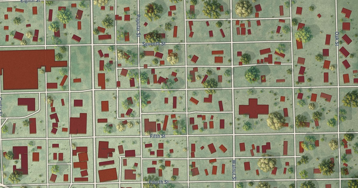
A detailed map of Alexandria, South Dakota, showing every building in its true location, the roads by name, and shaded topographical relief.
Read More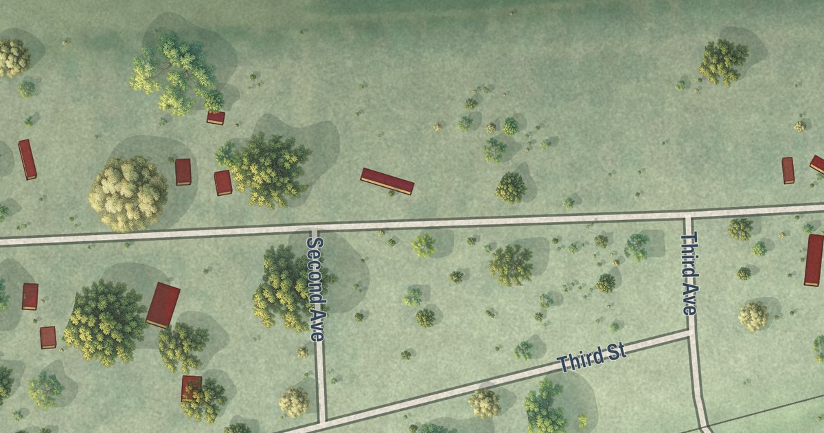
A detailed map of Albee, South Dakota, showing every building in its true location, the roads by name, and shaded topographical relief.
Read More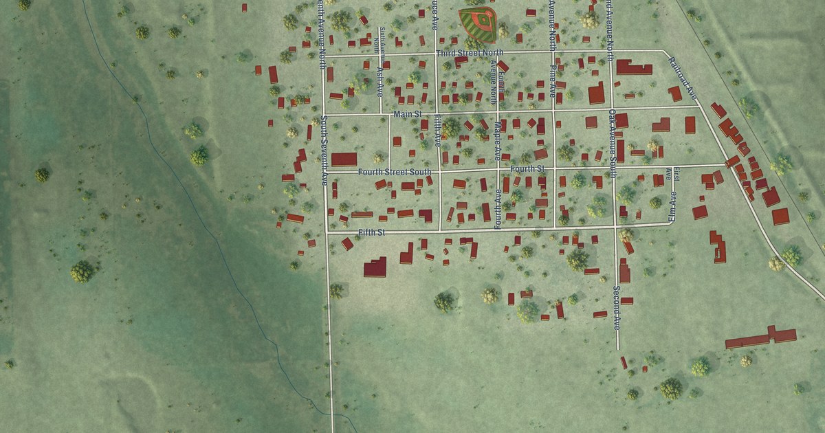
A detailed map of Alpena, South Dakota, showing every building in its true location, the roads by name, and shaded topographical relief.
Read More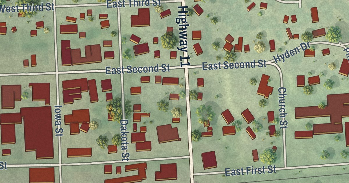
A detailed map of Alcester, South Dakota, showing every building in its true location, the roads by name, and shaded topographical relief.
Read More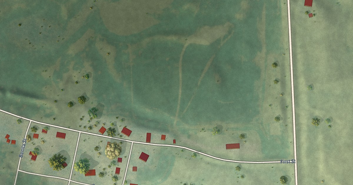
A detailed map of Altamont, South Dakota, showing every building in its true location, the roads by name, and shaded topographical relief.
Read More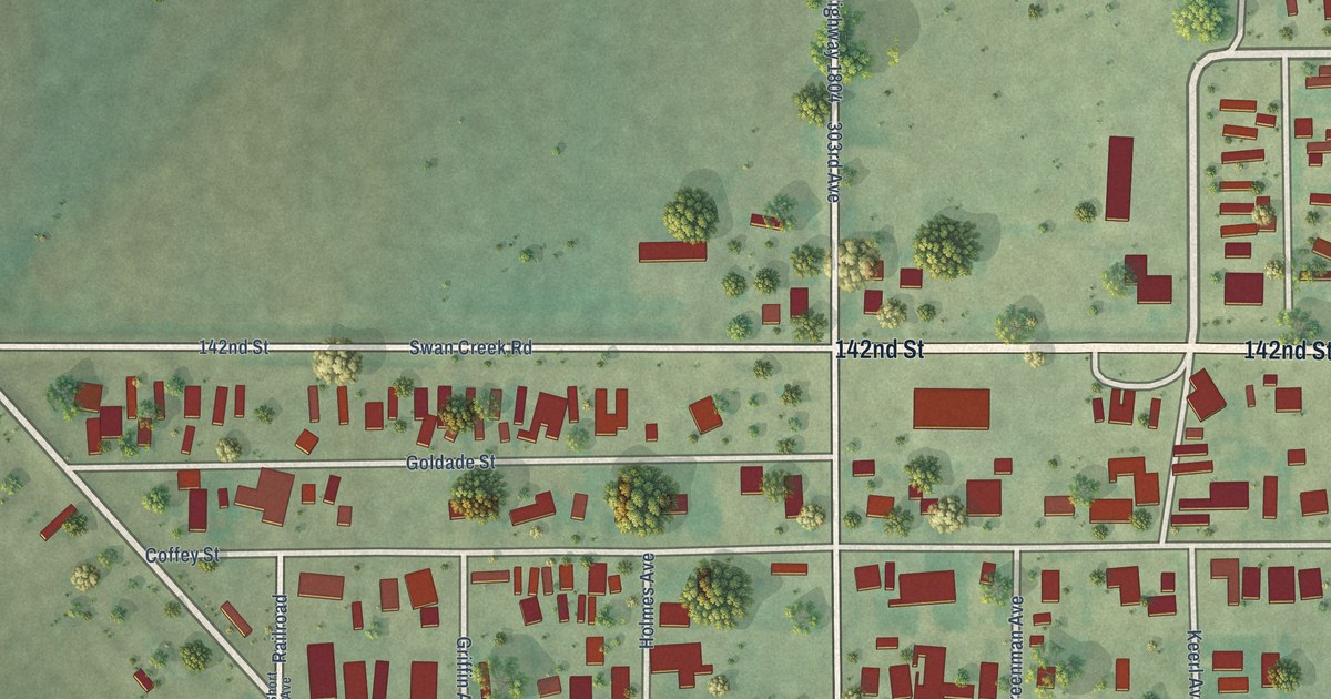
A detailed map of Akaska, South Dakota, showing every building in its true location, the roads by name, and shaded topographical relief.
Read More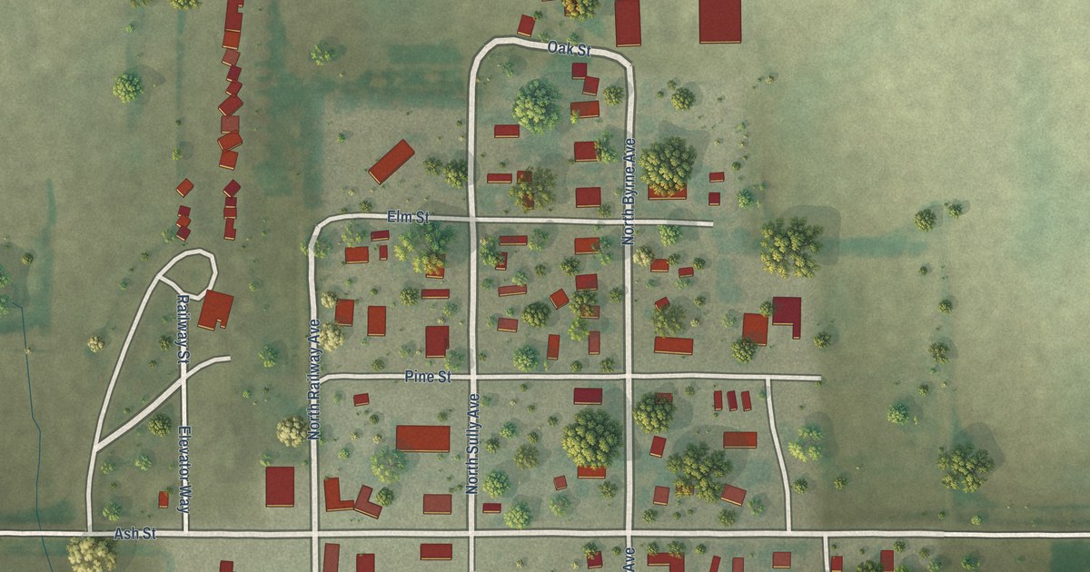
A detailed map of Agar, South Dakota, showing every building in its true location, the roads by name, and shaded topographical relief.
Read More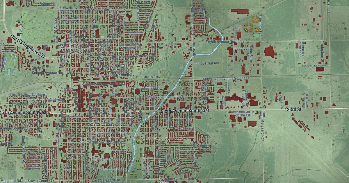
A detailed map of Aberdeen, South Dakota, showing every building in its true location, the roads by name, and shaded topographical relief.
Read More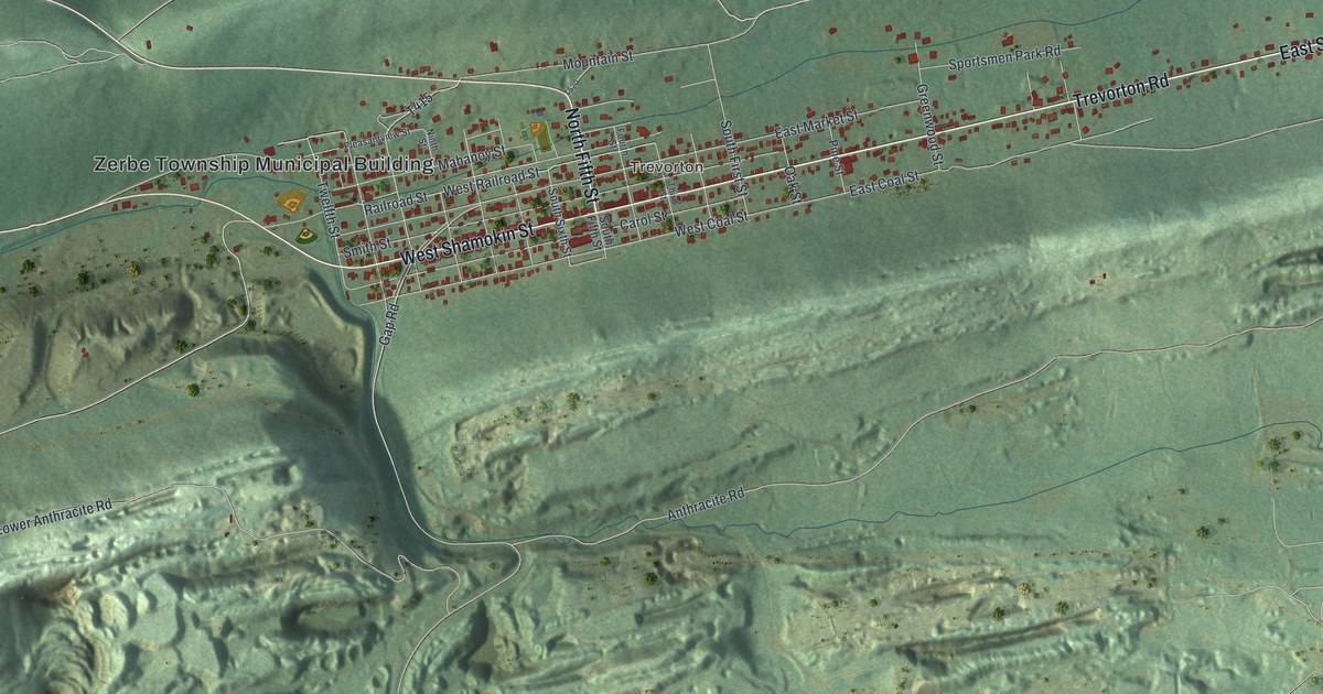
A detailed map of Zerbe, Pennsylvania, showing every building in its true location, the roads by name, and shaded topographical relief.
Read More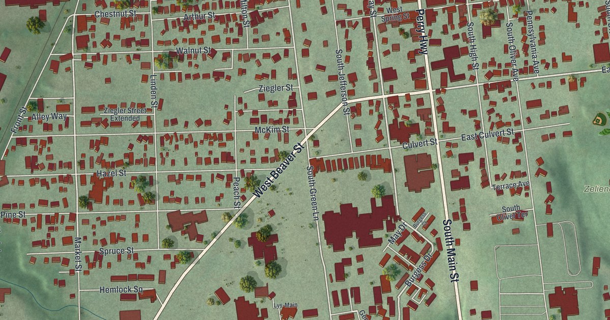
A detailed map of Zelienople, Pennsylvania, showing every building in its true location, the roads by name, and shaded topographical relief.
Read More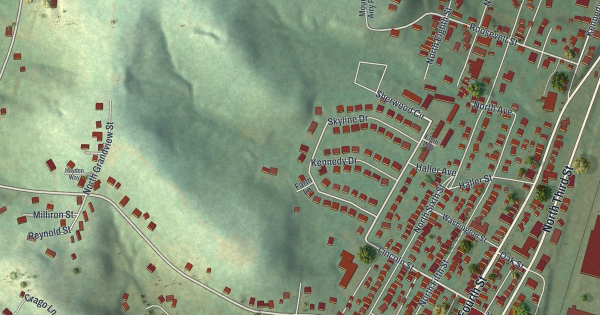
A detailed map of Youngwood, Pennsylvania, showing every building in its true location, the roads by name, and shaded topographical relief.
Read More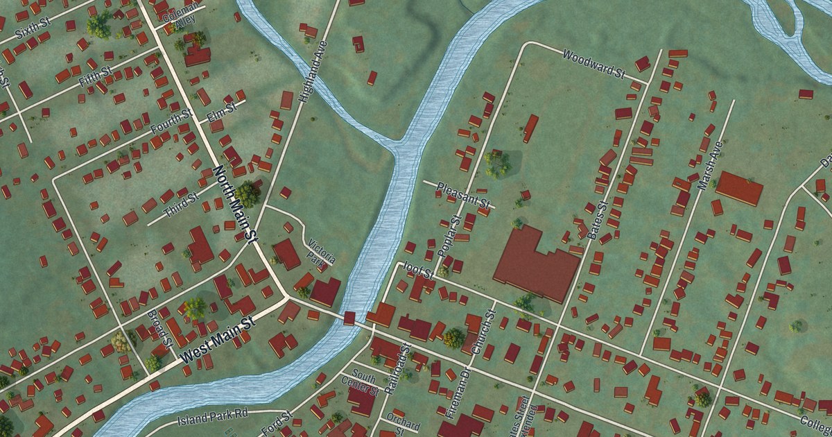
A detailed map of Youngsville, Pennsylvania, showing every building in its true location, the roads by name, and shaded topographical relief.
Read More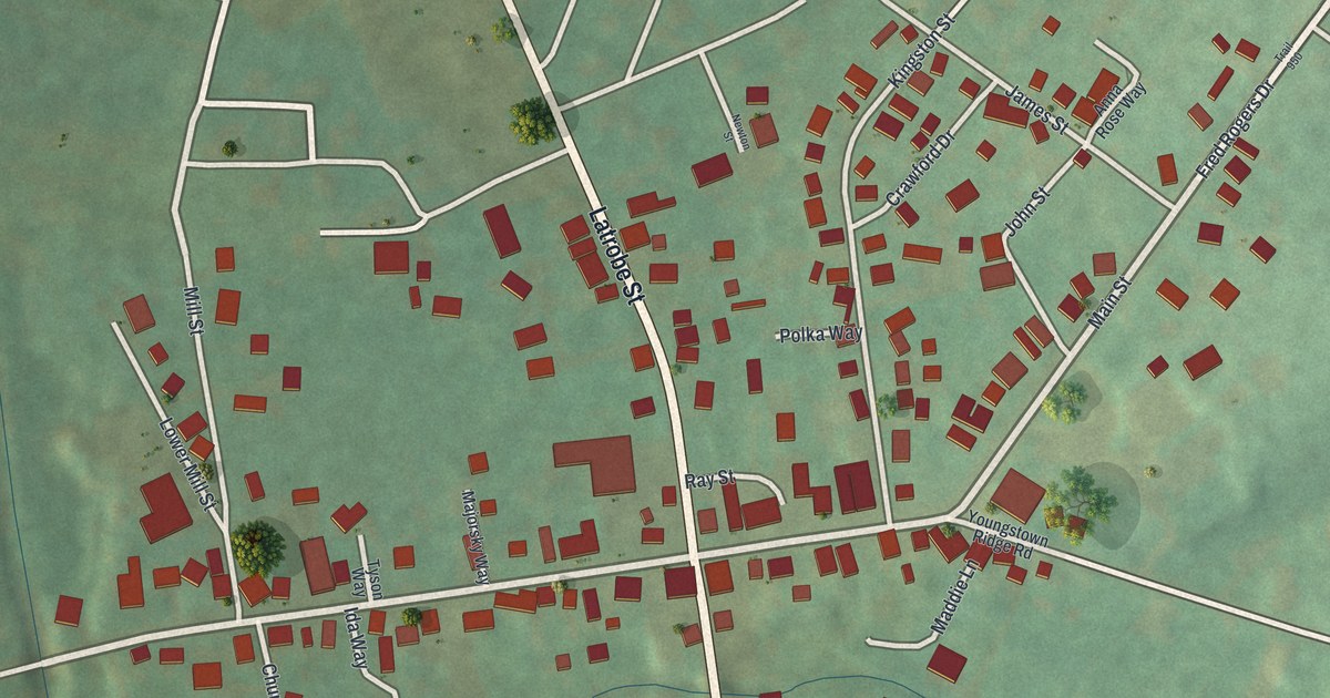
A detailed map of Youngstown, Pennsylvania, showing every building in its true location, the roads by name, and shaded topographical relief.
Read More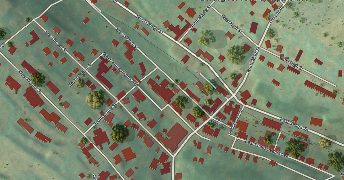
A detailed map of Yoe, Pennsylvania, showing every building in its true location, the roads by name, and shaded topographical relief.
Read More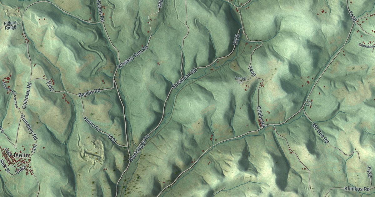
A detailed map of Young, Indiana County, Pennsylvania, showing every building in its true location, the roads by name, and shaded topographical relief.
Read More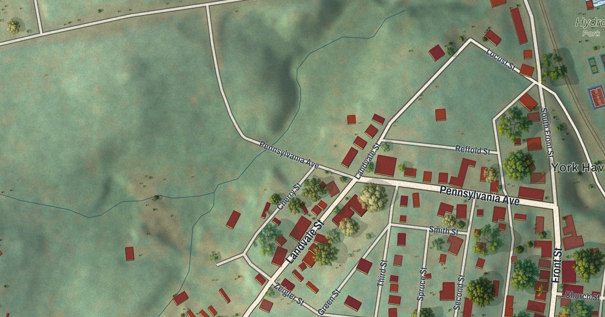
A detailed map of York Haven, Pennsylvania, showing every building in its true location, the roads by name, and shaded topographical relief.
Read More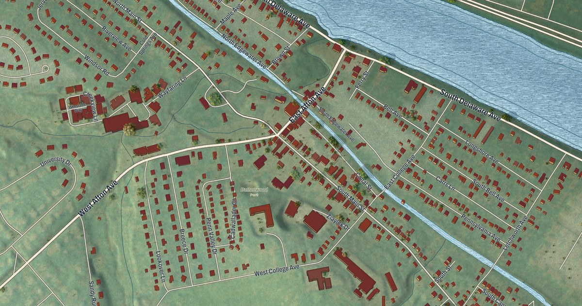
A detailed map of Yardley, Pennsylvania, showing every building in its true location, the roads by name, and shaded topographical relief.
Read More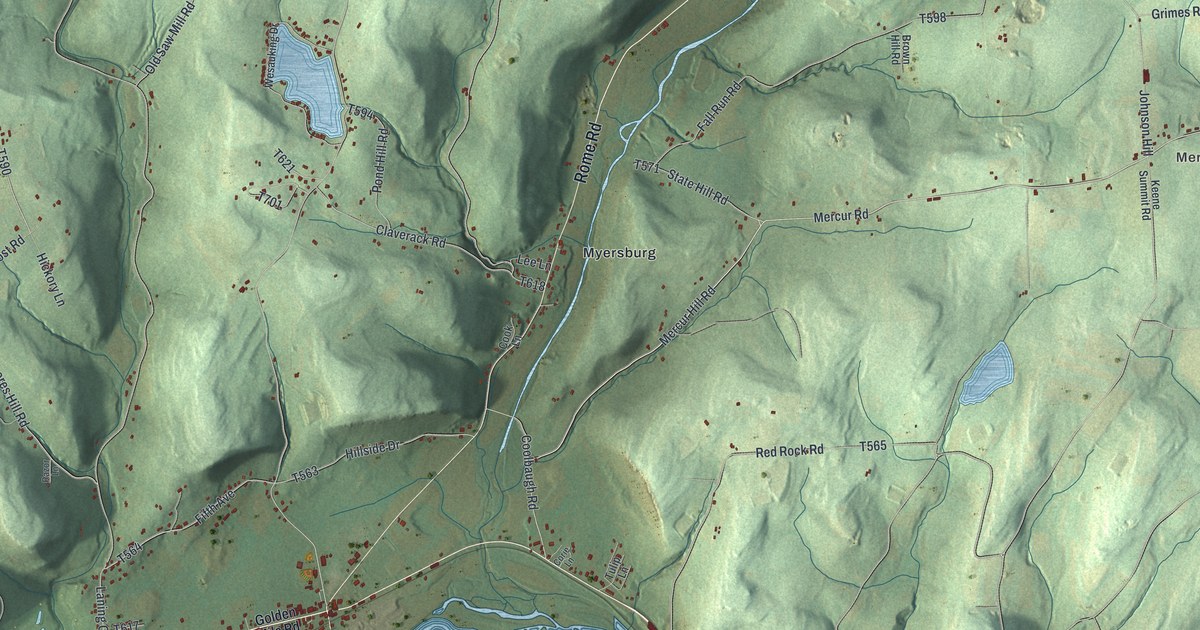
A detailed map of Wysox, Pennsylvania, showing every building in its true location, the roads by name, and shaded topographical relief.
Read More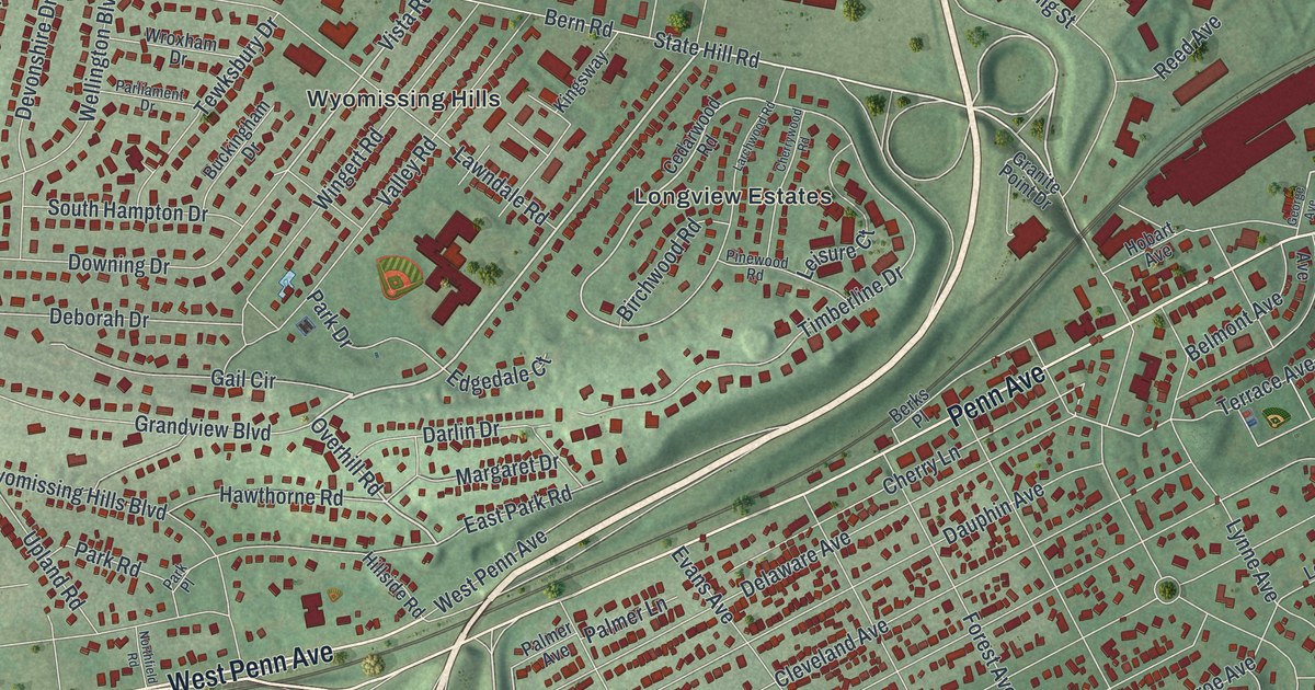
A detailed map of Wyomissing, Pennsylvania, showing every building in its true location, the roads by name, and shaded topographical relief.
Read More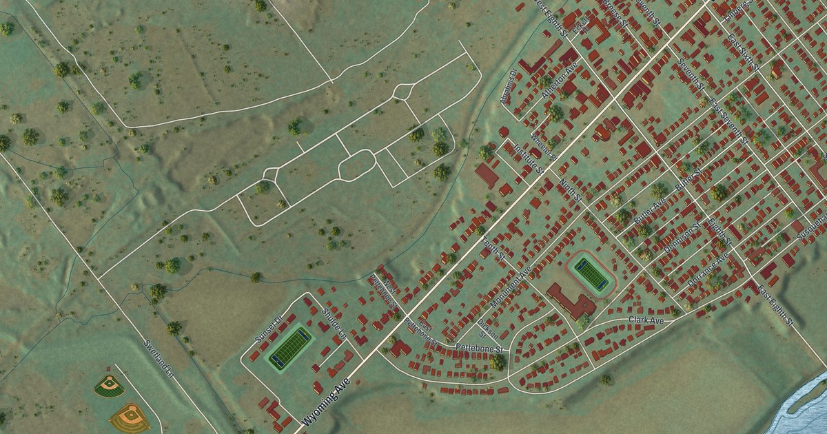
A detailed map of Wyoming, Pennsylvania, showing every building in its true location, the roads by name, and shaded topographical relief.
Read More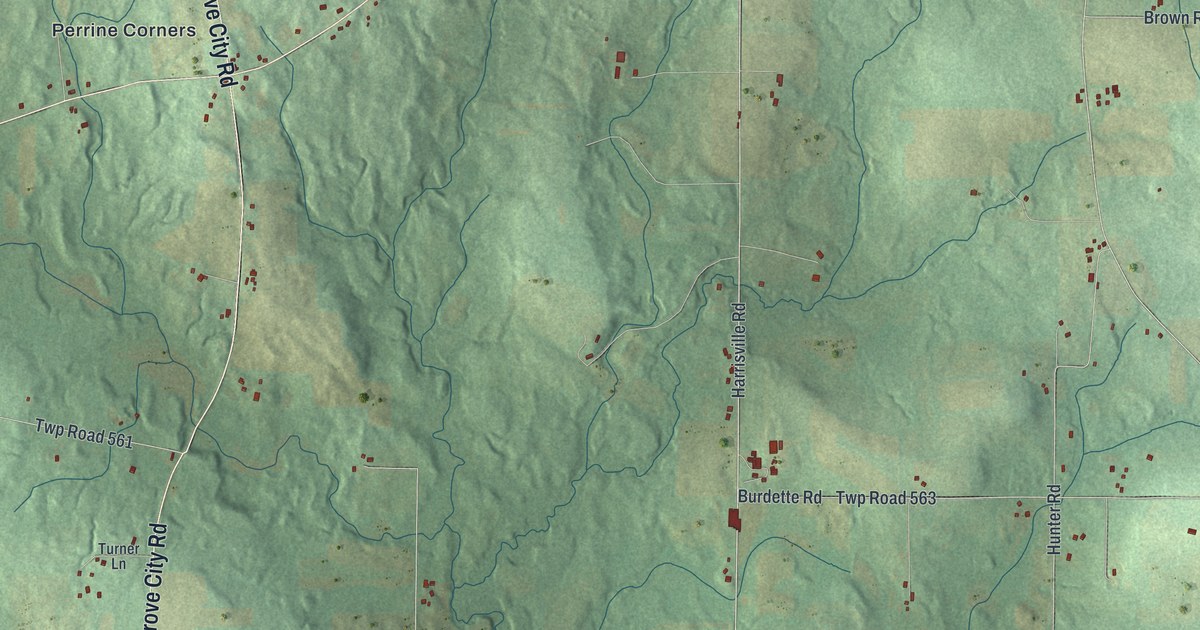
A detailed map of Worth, Mercer County, Pennsylvania, showing every building in its true location, the roads by name, and shaded topographical relief.
Read More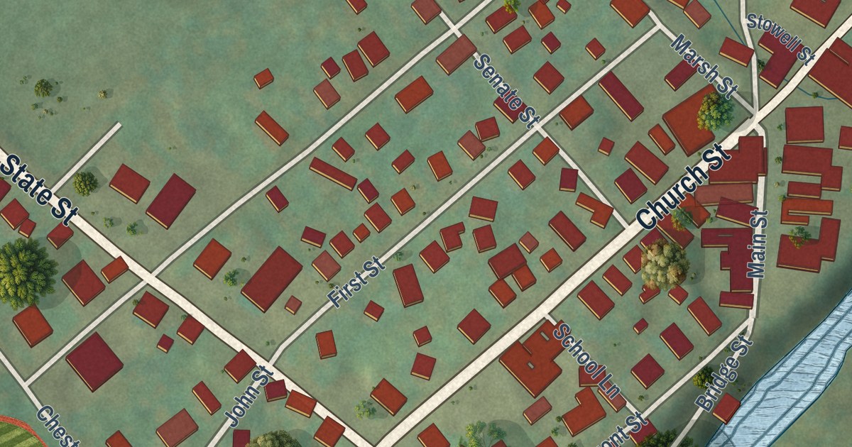
A detailed map of Wyalusing Borough, Pennsylvania, showing every building in its true location, the roads by name, and shaded topographical relief.
Read More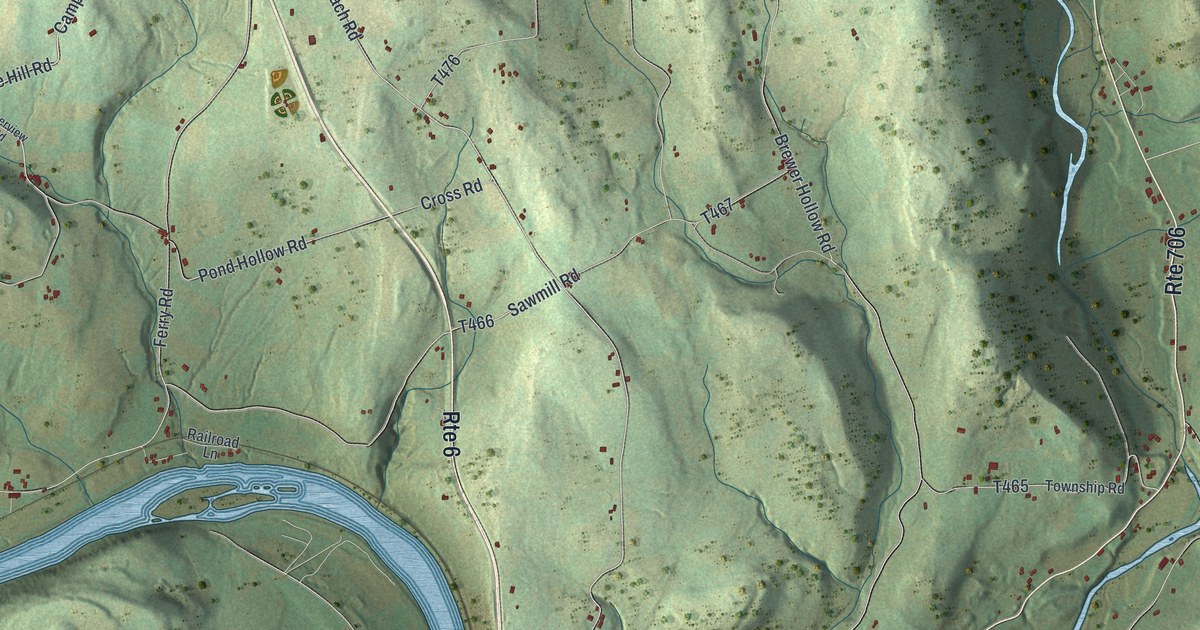
A detailed map of Wyalusing Township, Pennsylvania, showing every building in its true location, the roads by name, and shaded topographical relief.
Read More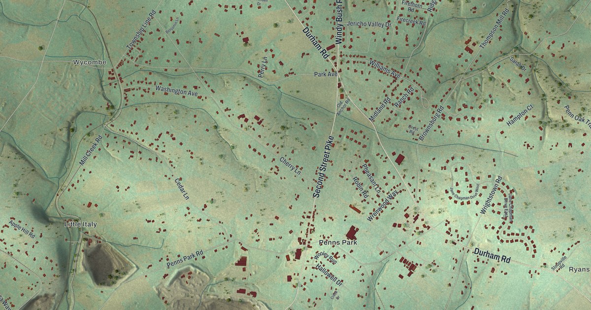
A detailed map of Wrightstown, Pennsylvania, showing every building in its true location, the roads by name, and shaded topographical relief.
Read More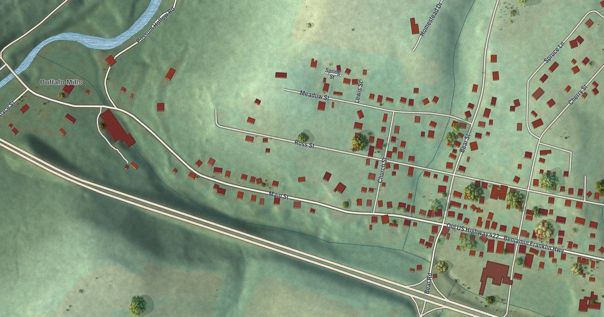
A detailed map of Worthington, Pennsylvania, showing every building in its true location, the roads by name, and shaded topographical relief.
Read More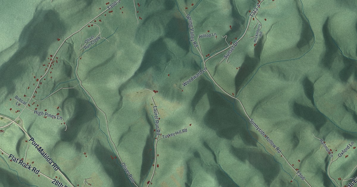
A detailed map of Worth, Centre County, Pennsylvania, showing every building in its true location, the roads by name, and shaded topographical relief.
Read More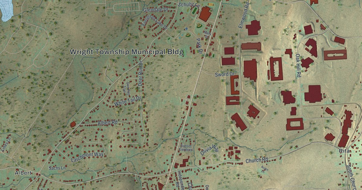
A detailed map of Wright, Pennsylvania, showing every building in its true location, the roads by name, and shaded topographical relief.
Read More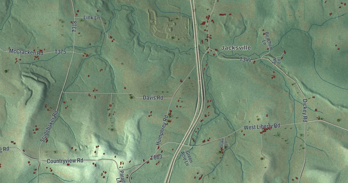
A detailed map of Worth, Butler County, Pennsylvania, showing every building in its true location, the roads by name, and shaded topographical relief.
Read More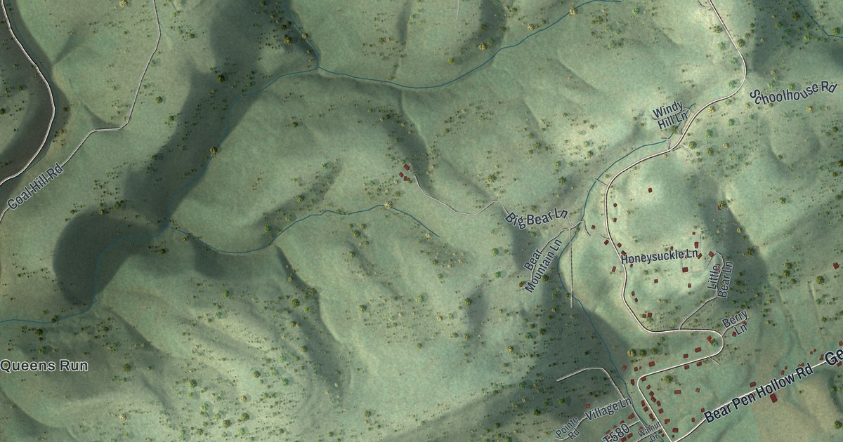
A detailed map of Woodward, Clinton County, Pennsylvania, showing every building in its true location, the roads by name, and shaded topographical relief.
Read More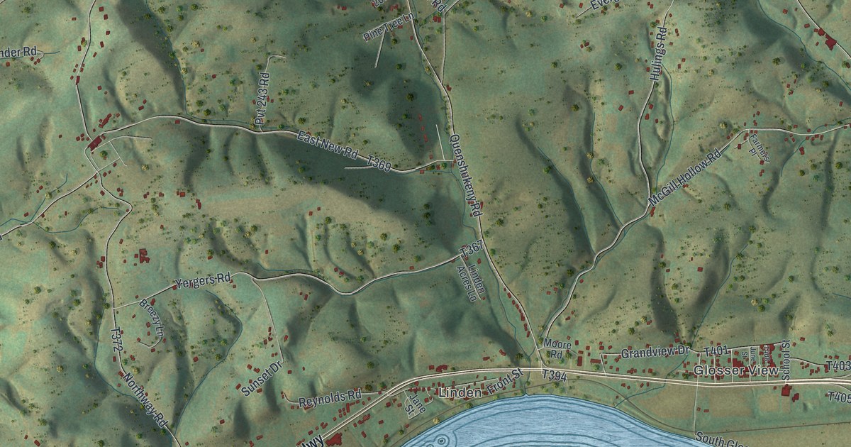
A detailed map of Woodward, Lycoming County, Pennsylvania, showing every building in its true location, the roads by name, and shaded topographical relief.
Read More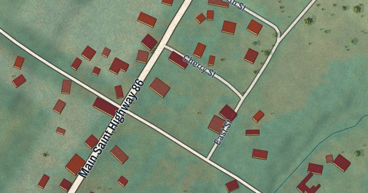
A detailed map of Woodcock Borough, Pennsylvania, showing every building in its true location, the roads by name, and shaded topographical relief.
Read More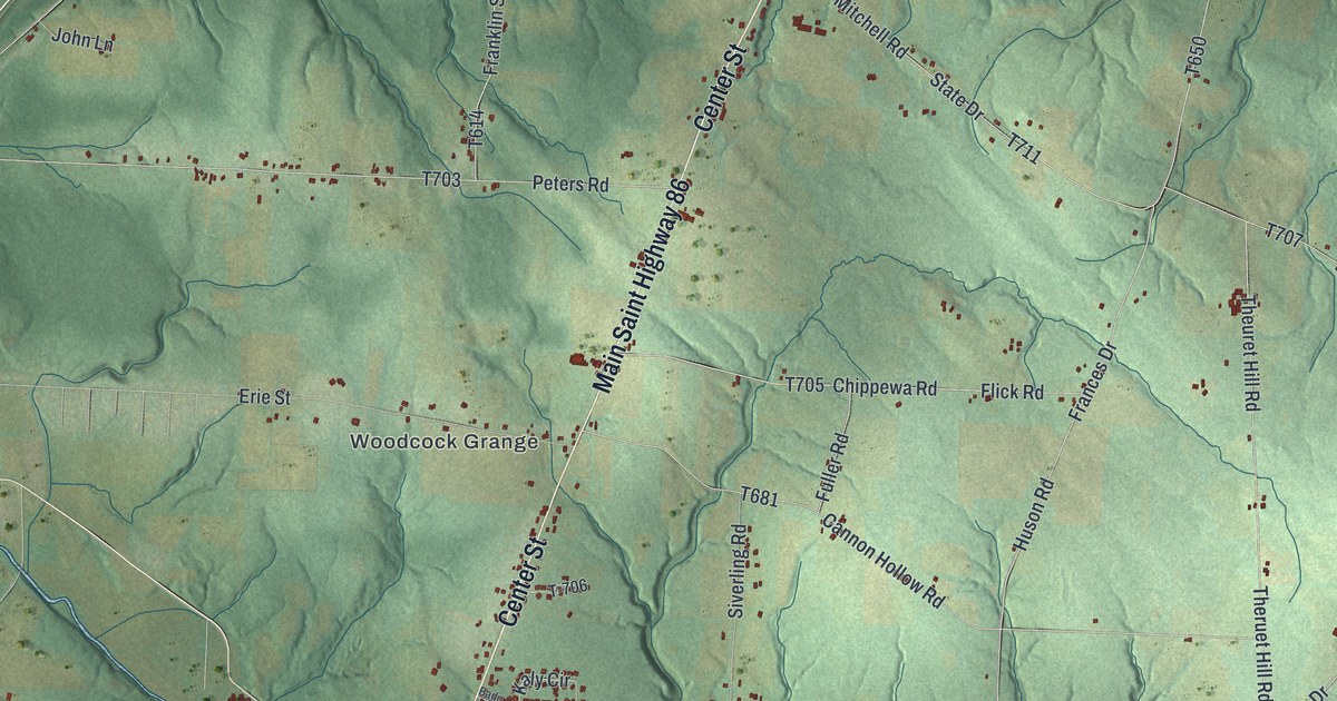
A detailed map of Woodcock Township, Pennsylvania, showing every building in its true location, the roads by name, and shaded topographical relief.
Read More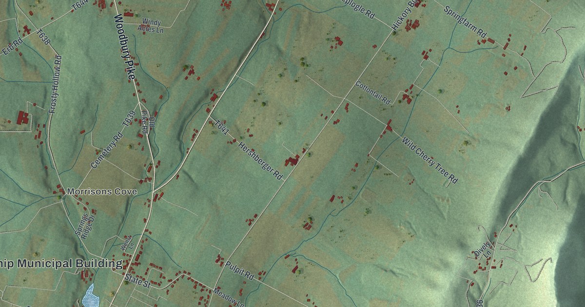
A detailed map of Woodbury Township, Bedford County, Pennsylvania, showing every building in its true location, the roads by name, and shaded topographical relief.
Read More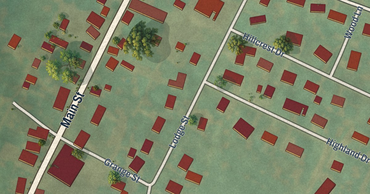
A detailed map of Woodbury Borough, Bedford County, Pennsylvania, showing every building in its true location, the roads by name, and shaded topographical relief.
Read More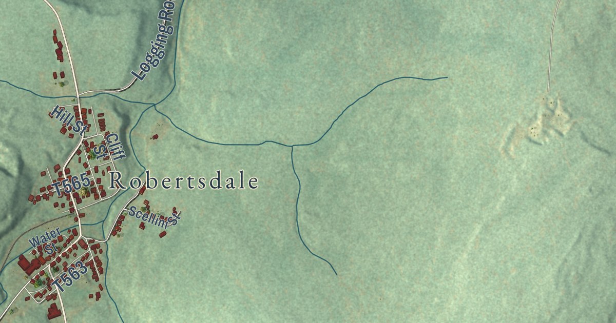
A detailed map of Wood, Pennsylvania, showing every building in its true location, the roads by name, and shaded topographical relief.
Read More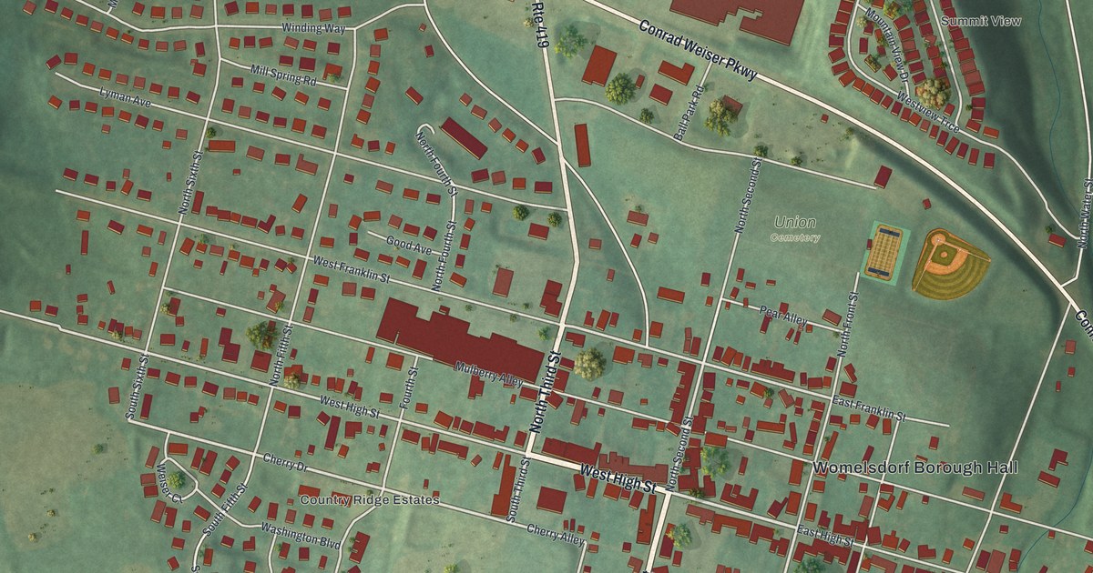
A detailed map of Womelsdorf, Pennsylvania, showing every building in its true location, the roads by name, and shaded topographical relief.
Read More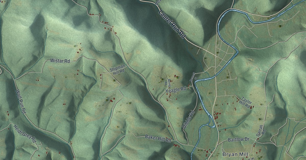
A detailed map of Wolf, Pennsylvania, showing every building in its true location, the roads by name, and shaded topographical relief.
Read More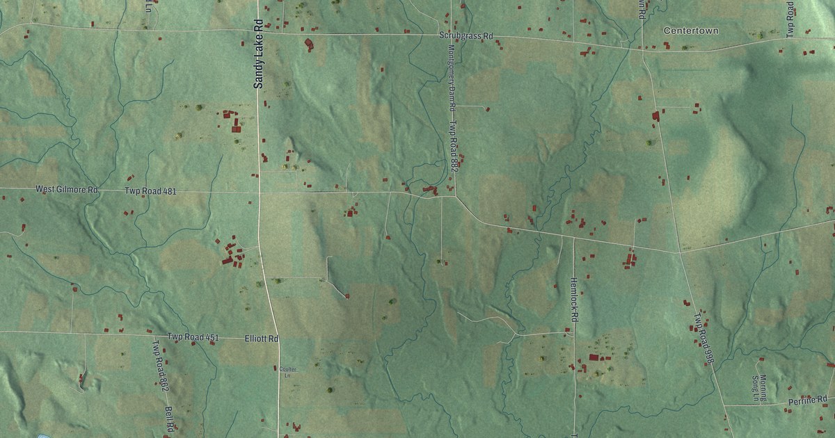
A detailed map of Wolf Creek, Pennsylvania, showing every building in its true location, the roads by name, and shaded topographical relief.
Read More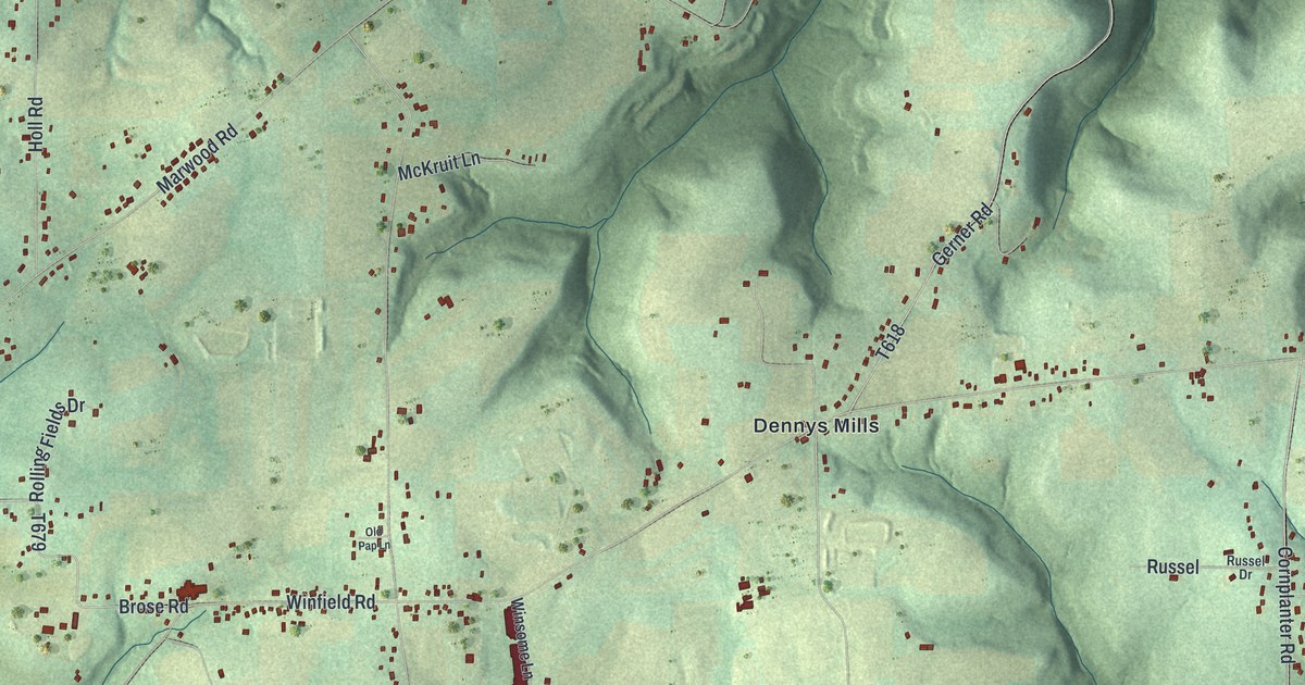
A detailed map of Winfield, Pennsylvania, showing every building in its true location, the roads by name, and shaded topographical relief.
Read More















