Detailed Map of Winslow, Pennsylvania
A detailed map of Winslow, Pennsylvania, showing every building in its true location, the roads by name, and shaded topographical relief.
Read More
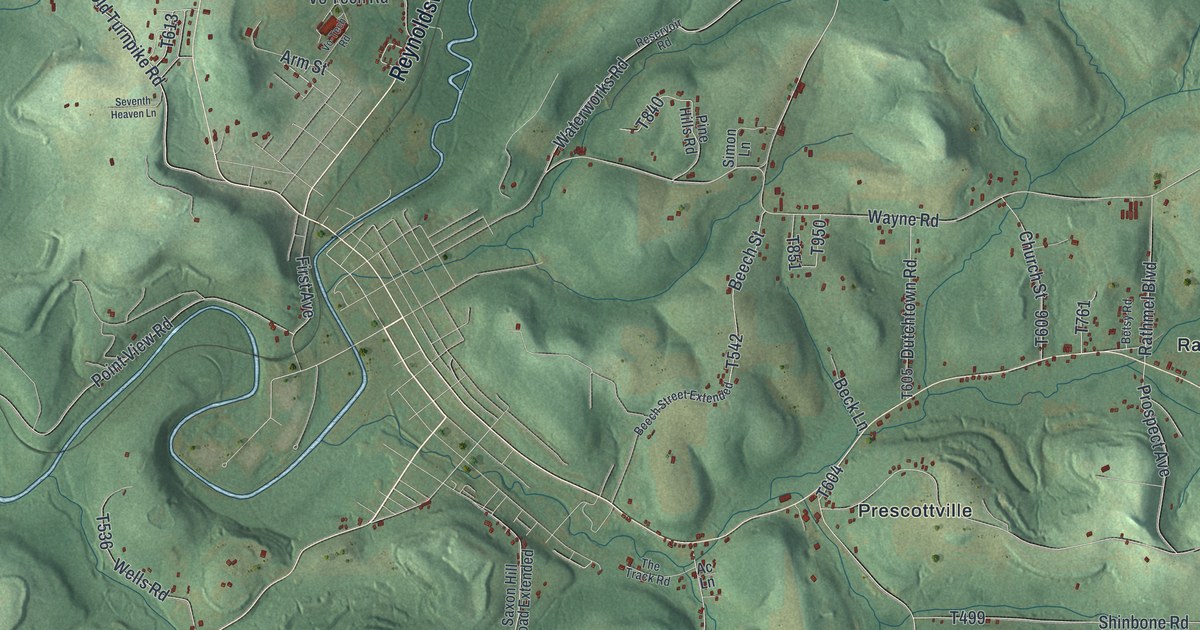
A detailed map of Winslow, Pennsylvania, showing every building in its true location, the roads by name, and shaded topographical relief.
Read More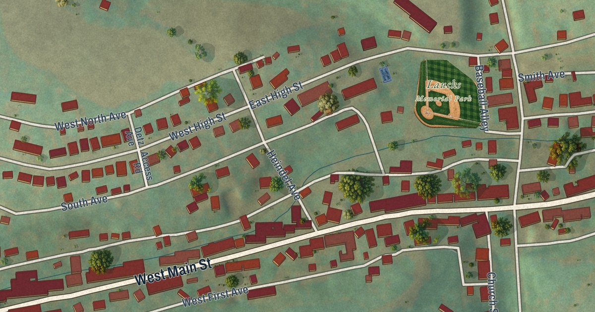
A detailed map of Windsor Borough, York County, Pennsylvania, showing every building in its true location, the roads by name, and shaded topographical relief.
Read More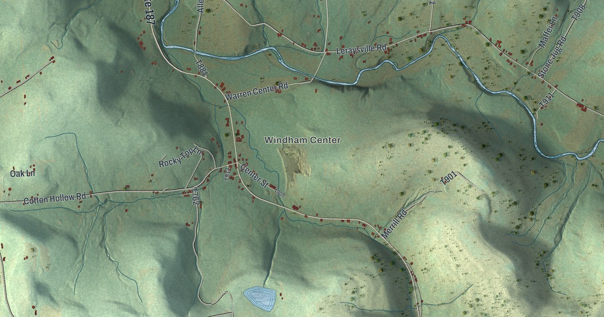
A detailed map of Windham, Bradford County, Pennsylvania, showing every building in its true location, the roads by name, and shaded topographical relief.
Read More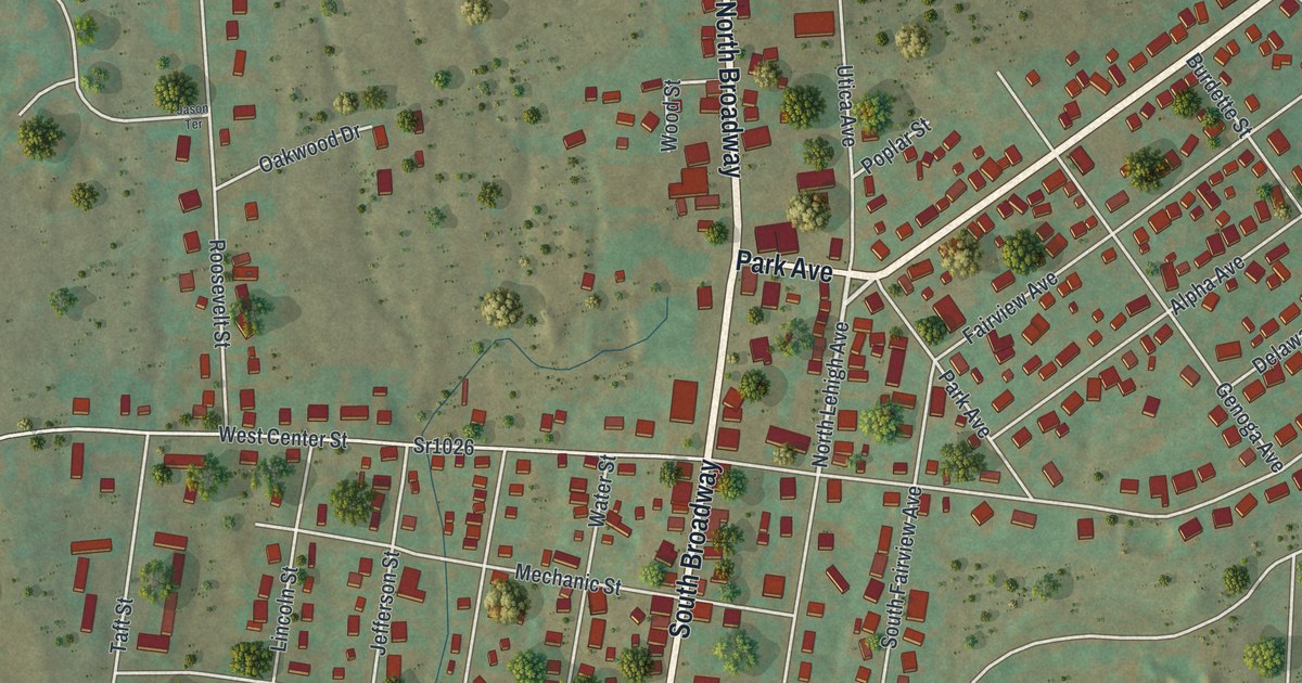
A detailed map of Wind Gap, Pennsylvania, showing every building in its true location, the roads by name, and shaded topographical relief.
Read More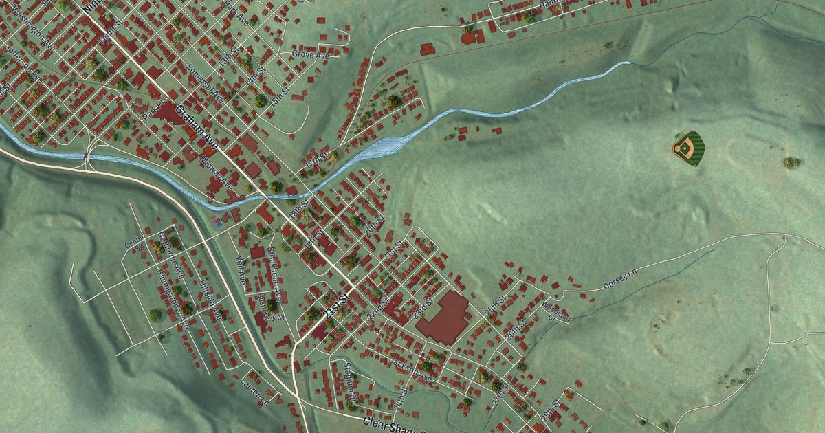
A detailed map of Windber, Pennsylvania, showing every building in its true location, the roads by name, and shaded topographical relief.
Read More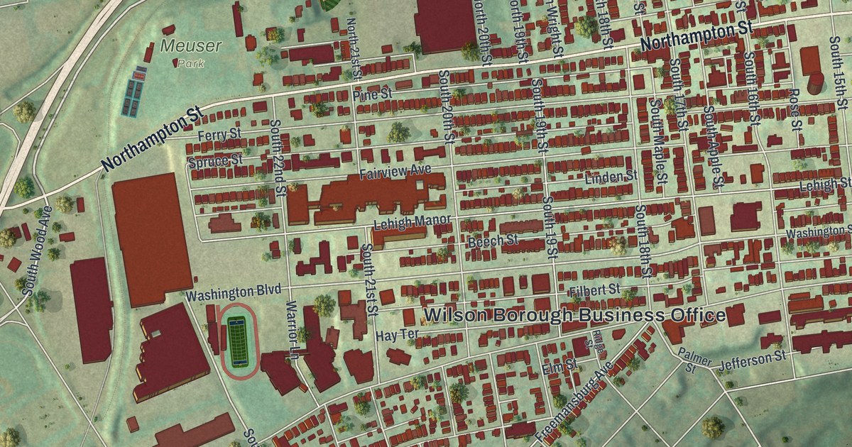
A detailed map of Wilson, Pennsylvania, showing every building in its true location, the roads by name, and shaded topographical relief.
Read More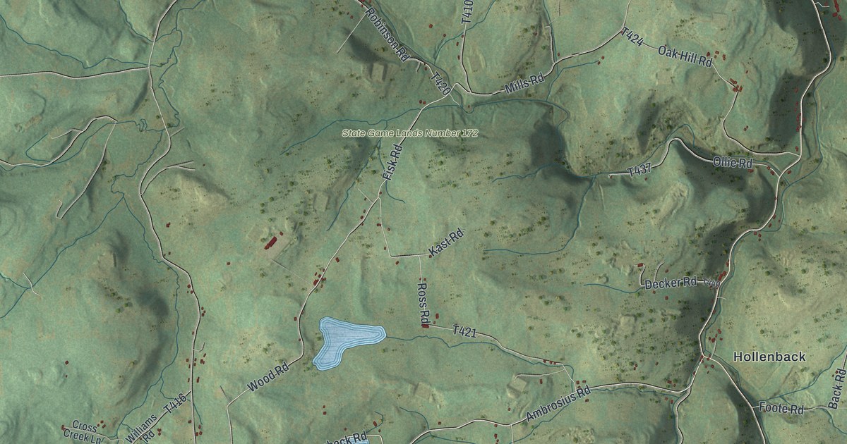
A detailed map of Wilmot, Pennsylvania, showing every building in its true location, the roads by name, and shaded topographical relief.
Read More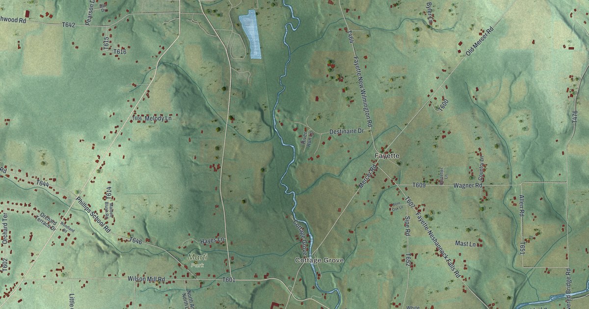
A detailed map of Wilmington, Lawrence County, Pennsylvania, showing every building in its true location, the roads by name, and shaded topographical relief.
Read More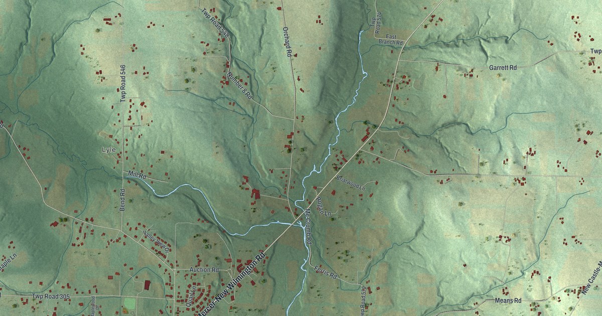
A detailed map of Wilmington, Mercer County, Pennsylvania, showing every building in its true location, the roads by name, and shaded topographical relief.
Read More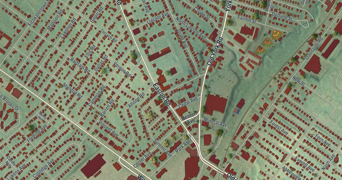
A detailed map of Willow Grove, Pennsylvania, showing every building in its true location, the roads by name, and shaded topographical relief.
Read More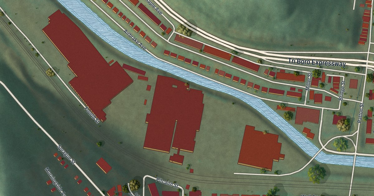
A detailed map of Wilmerding, Pennsylvania, showing every building in its true location, the roads by name, and shaded topographical relief.
Read More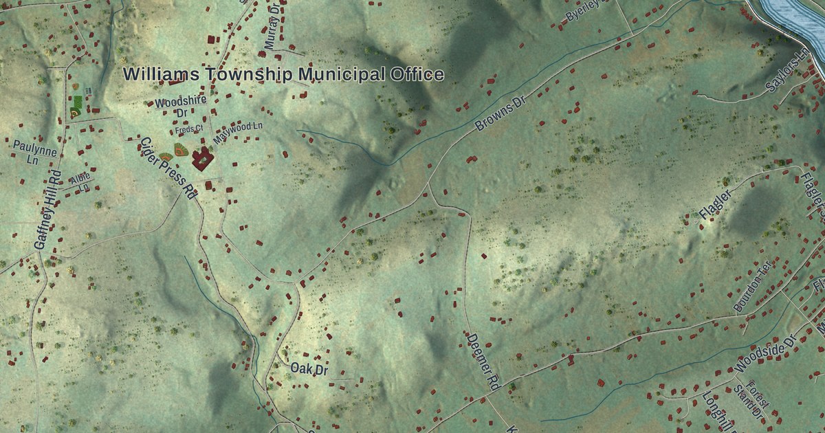
A detailed map of Williams, Northampton County, Pennsylvania, showing every building in its true location, the roads by name, and shaded topographical relief.
Read More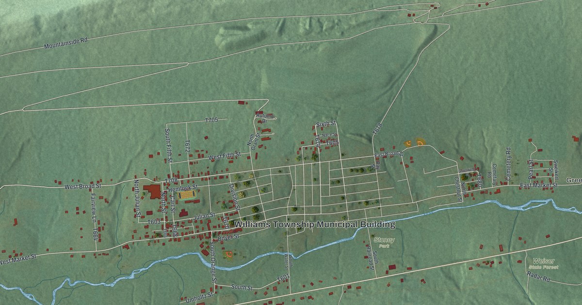
A detailed map of Williams, Dauphin County, Pennsylvania, showing every building in its true location, the roads by name, and shaded topographical relief.
Read More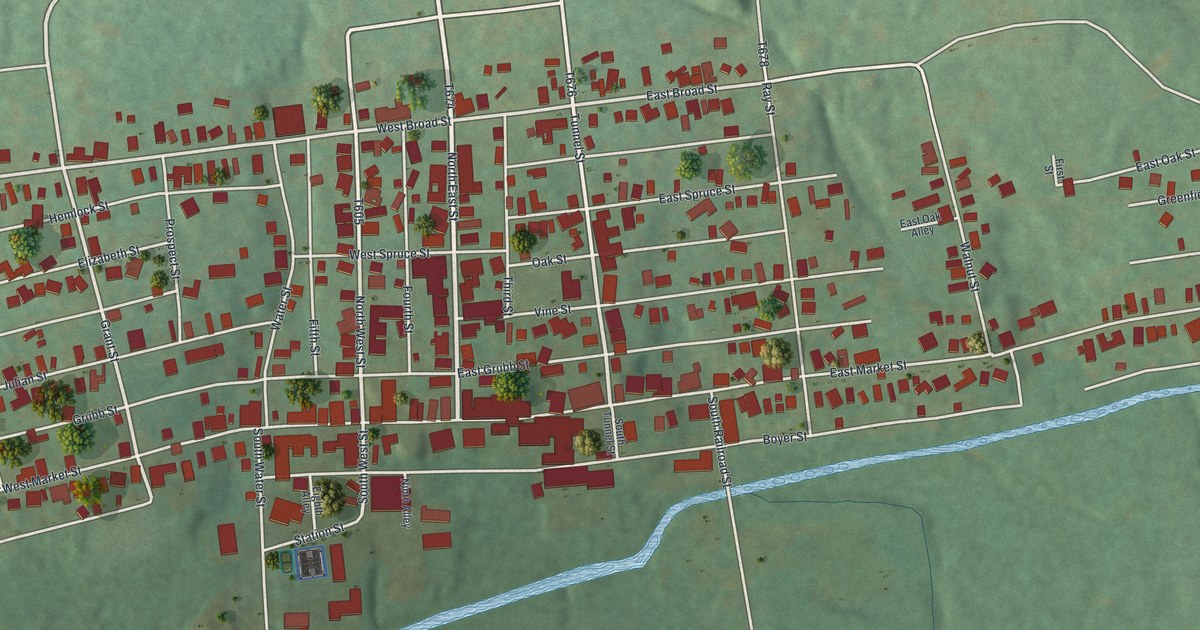
A detailed map of Williamstown, Pennsylvania, showing every building in its true location, the roads by name, and shaded topographical relief.
Read More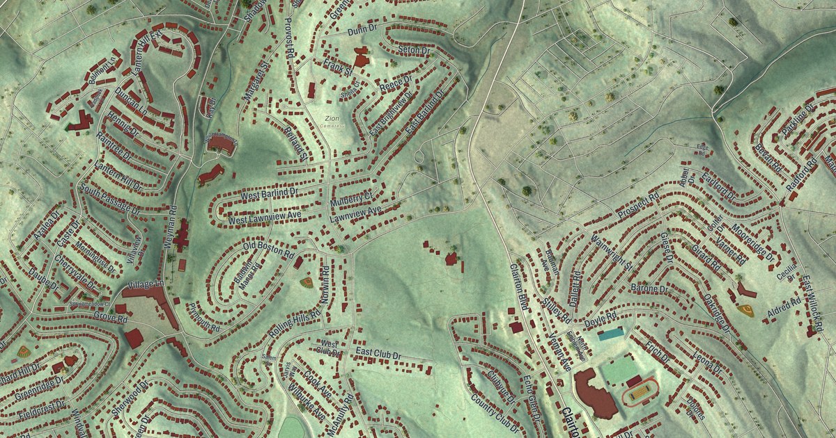
A detailed map of Whitehall, Allegheny County, Pennsylvania, showing every building in its true location, the roads by name, and shaded topographical relief.
Read More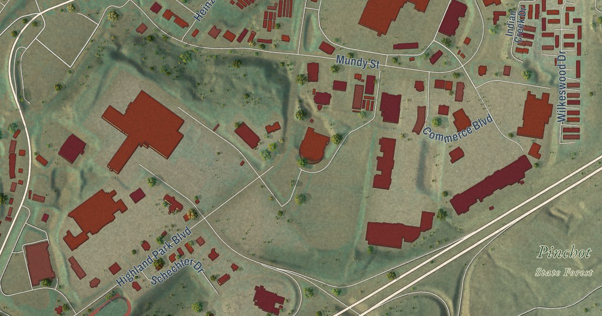
A detailed map of Wilkes-Barre Township, Pennsylvania, showing every building in its true location, the roads by name, and shaded topographical relief.
Read More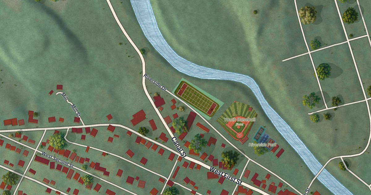
A detailed map of Williamsburg, Pennsylvania, showing every building in its true location, the roads by name, and shaded topographical relief.
Read More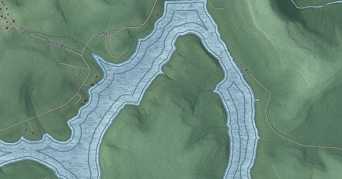
A detailed map of White, Cambria County, Pennsylvania, showing every building in its true location, the roads by name, and shaded topographical relief.
Read More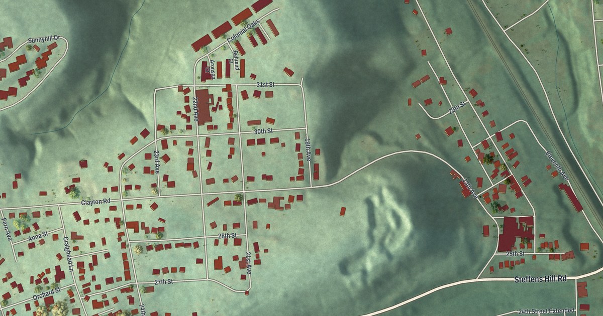
A detailed map of White, Beaver County, Pennsylvania, showing every building in its true location, the roads by name, and shaded topographical relief.
Read More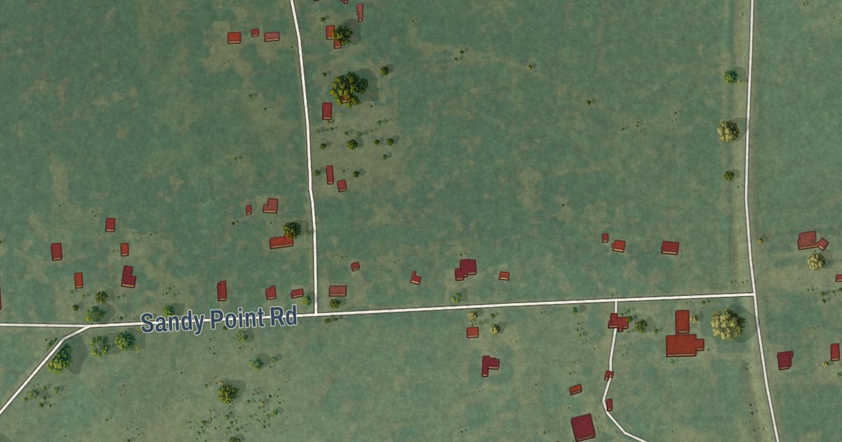
A detailed map of Sandy Point, Texas, showing every building in its true location, the roads by name, and shaded topographical relief.
Read More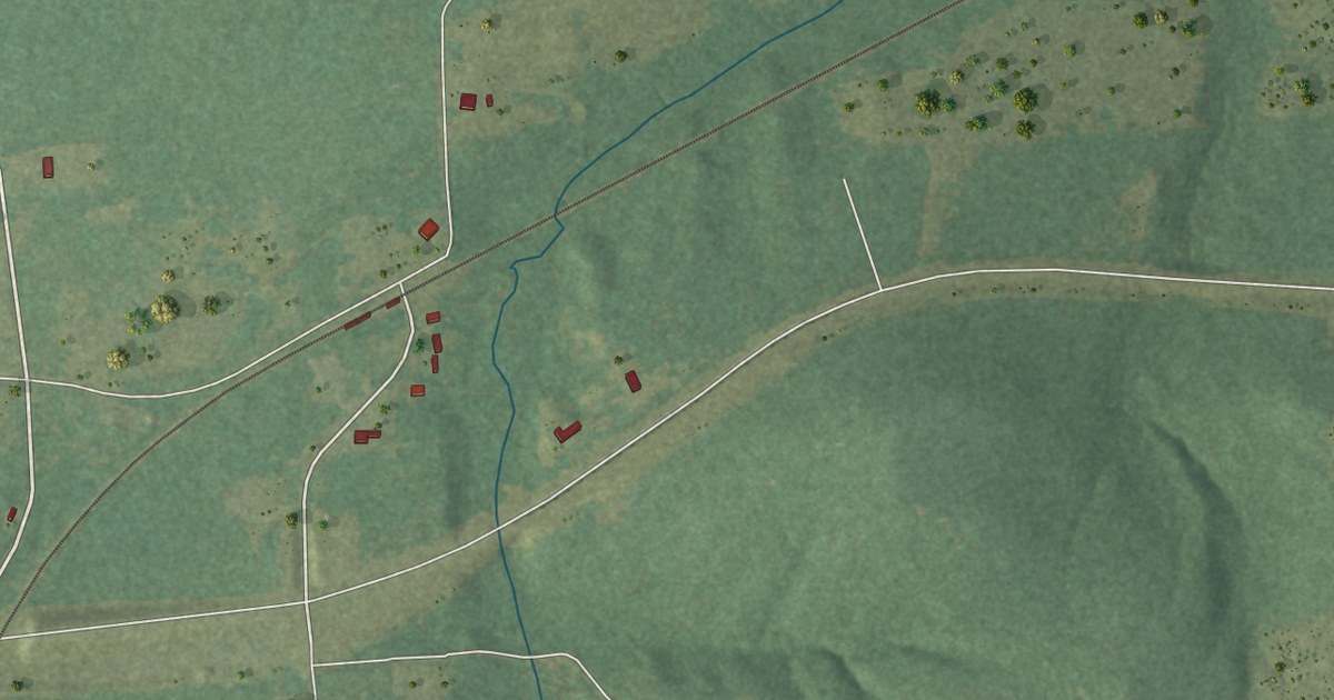
A detailed map of Domino, Texas, showing every building in its true location, the roads by name, and shaded topographical relief.
Read More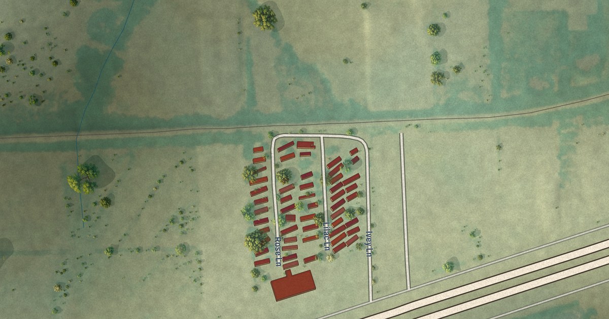
A detailed map of Mobile City, Texas, showing every building in its true location, the roads by name, and shaded topographical relief.
Read More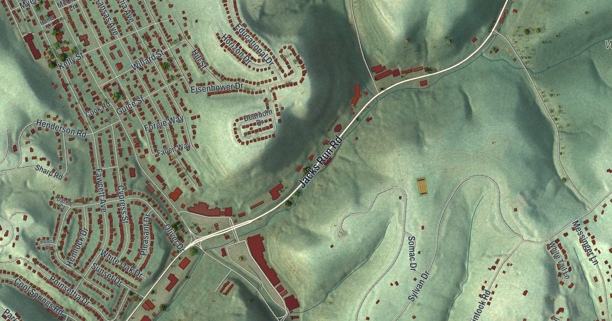
A detailed map of White Oak, Pennsylvania, showing every building in its true location, the roads by name, and shaded topographical relief.
Read More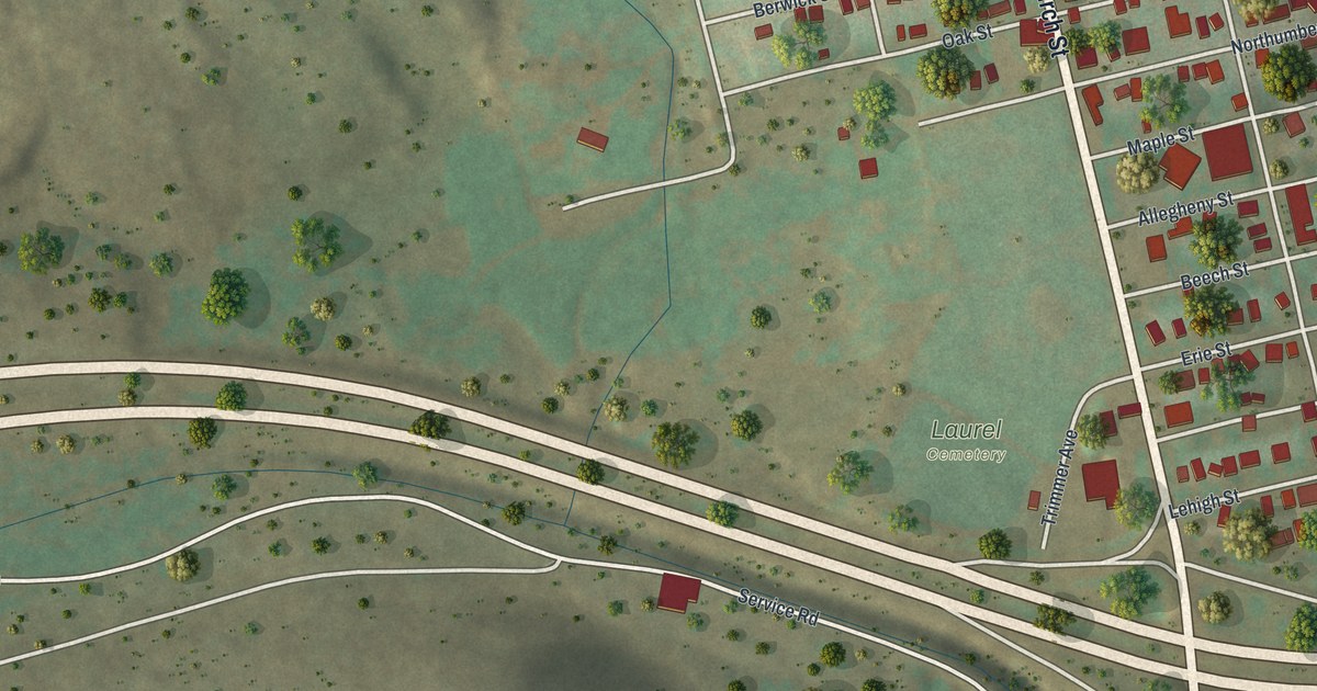
A detailed map of White Haven, Pennsylvania, showing every building in its true location, the roads by name, and shaded topographical relief.
Read More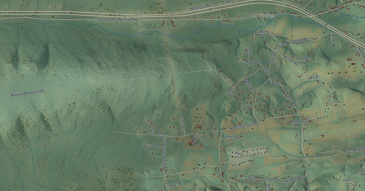
A detailed map of White Deer, Pennsylvania, showing every building in its true location, the roads by name, and shaded topographical relief.
Read More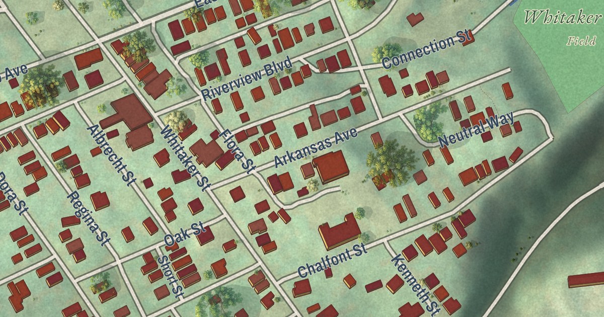
A detailed map of Whitaker, Pennsylvania, showing every building in its true location, the roads by name, and shaded topographical relief.
Read More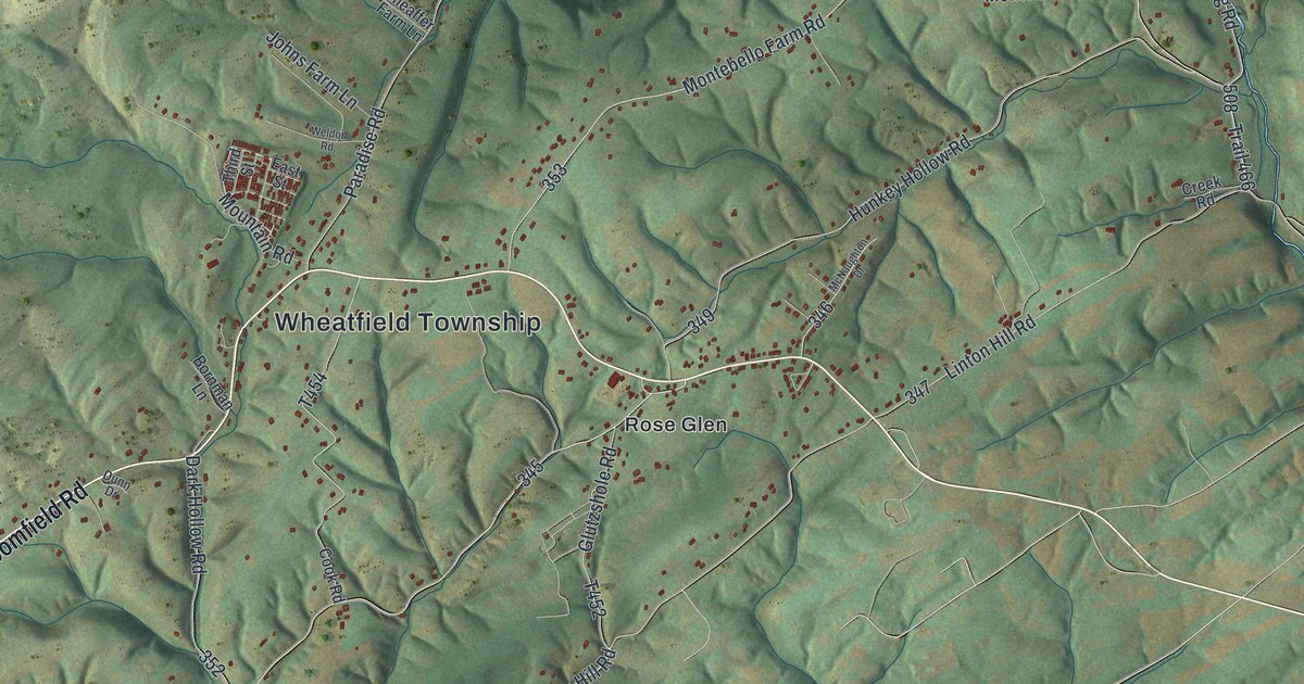
A detailed map of Wheatfield, Pennsylvania, showing every building in its true location, the roads by name, and shaded topographical relief.
Read More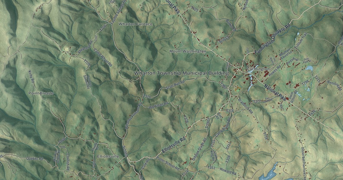
A detailed map of Wharton, Fayette County, Pennsylvania, showing every building in its true location, the roads by name, and shaded topographical relief.
Read More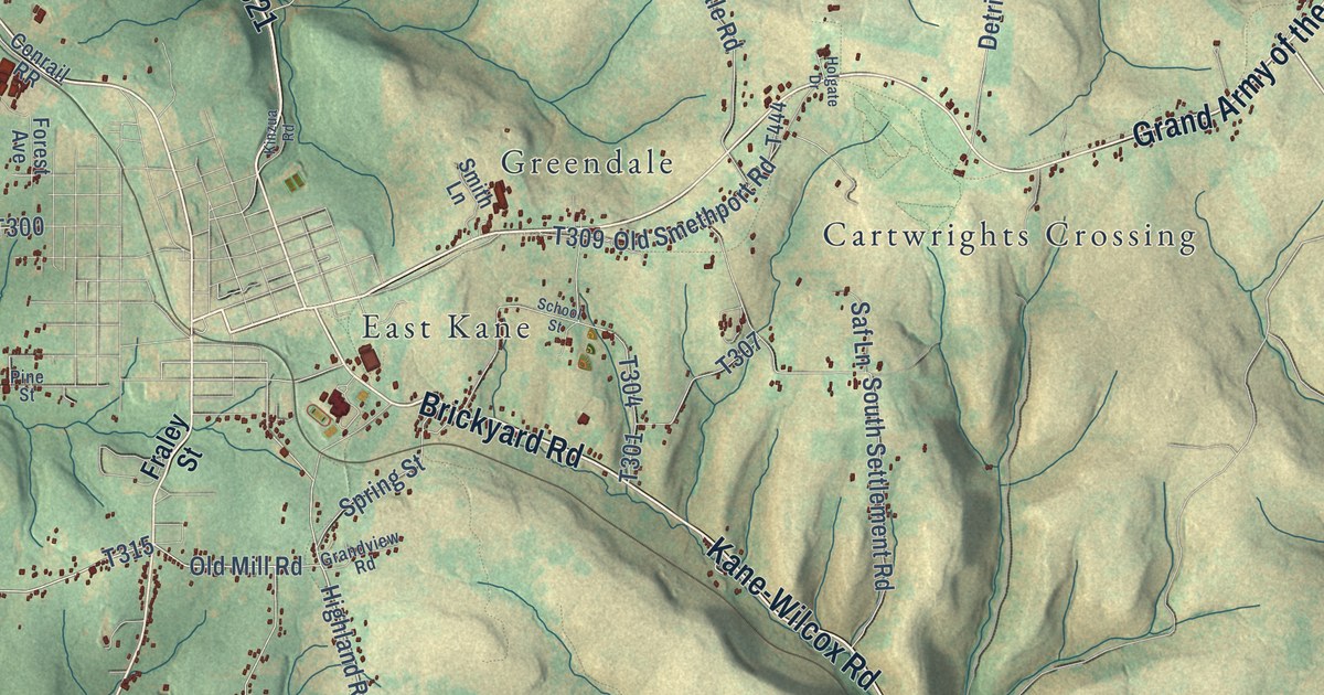
A detailed map of Wetmore, Pennsylvania, showing every building in its true location, the roads by name, and shaded topographical relief.
Read More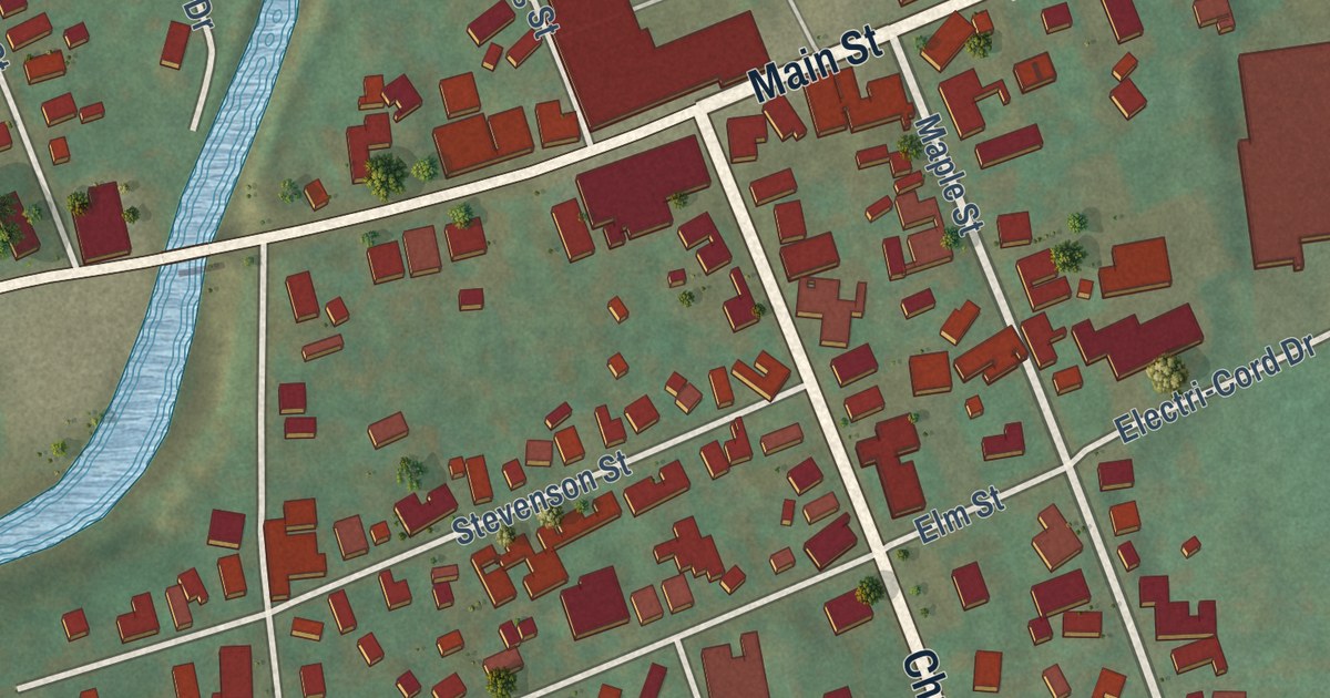
A detailed map of Westfield Borough, Pennsylvania, showing every building in its true location, the roads by name, and shaded topographical relief.
Read More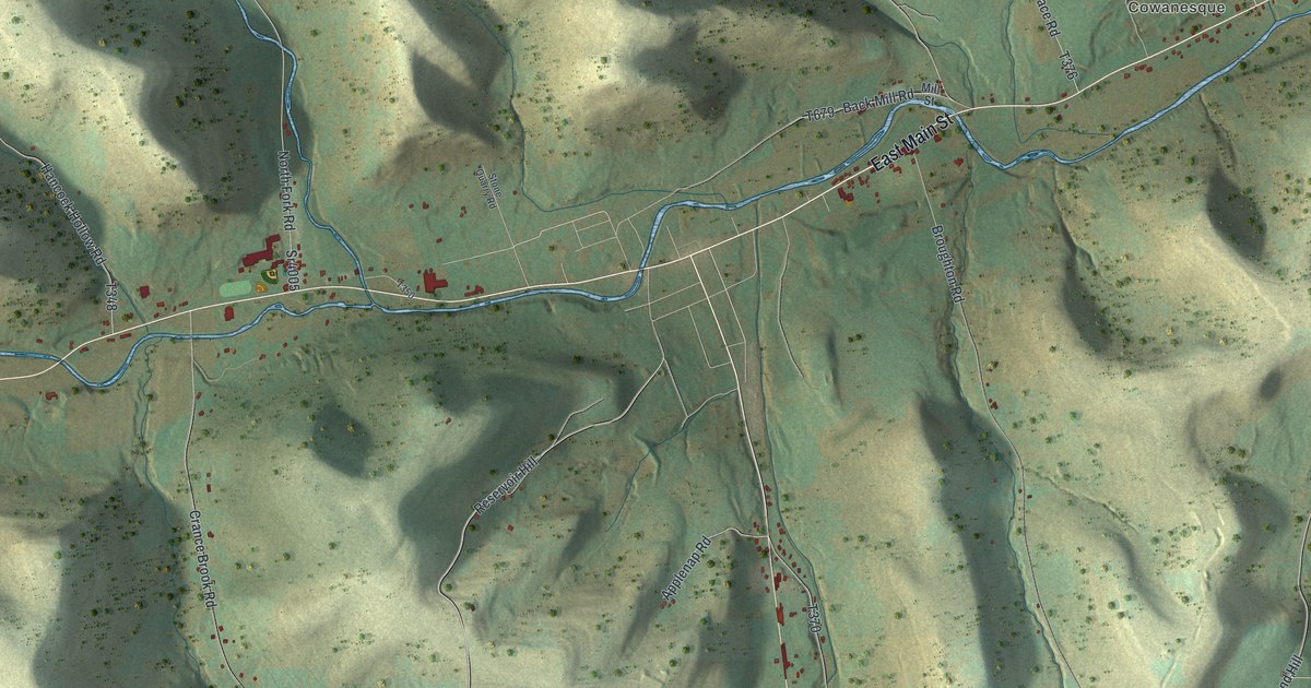
A detailed map of Westfield Township, Pennsylvania, showing every building in its true location, the roads by name, and shaded topographical relief.
Read More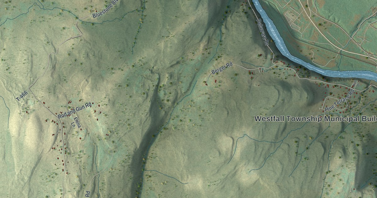
A detailed map of Westfall, Pennsylvania, showing every building in its true location, the roads by name, and shaded topographical relief.
Read More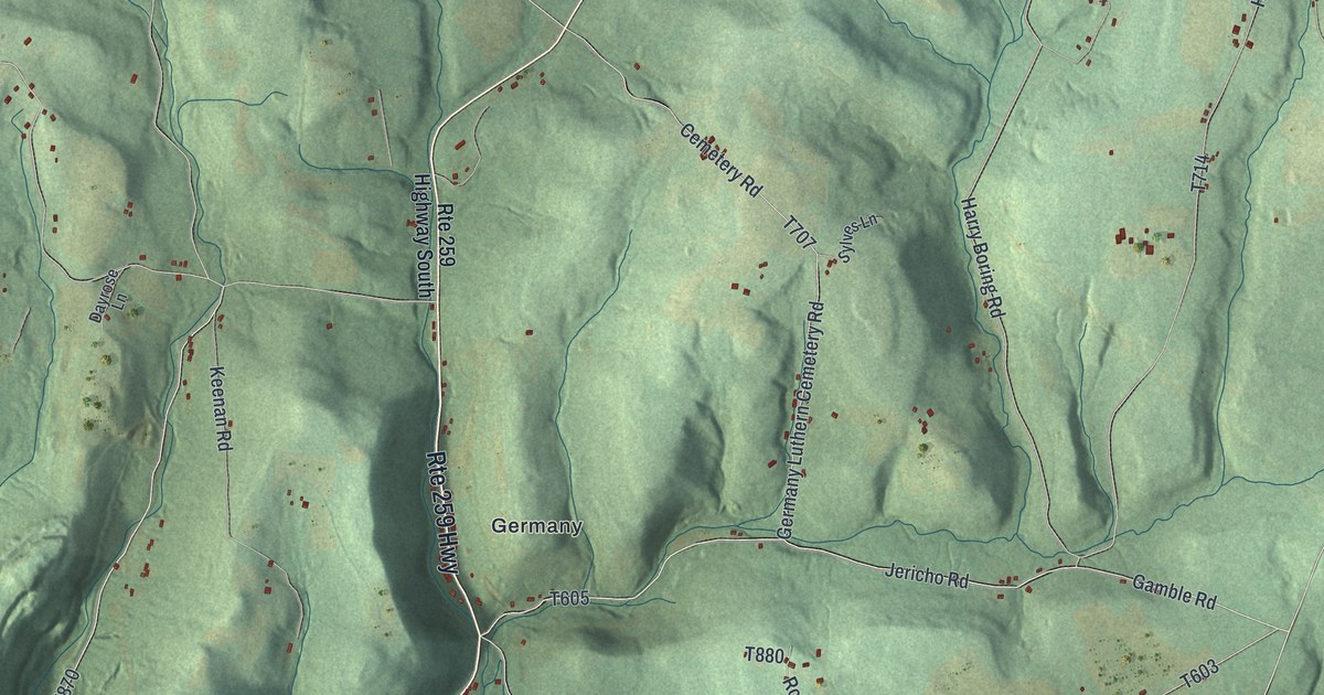
A detailed map of West Wheatfield, Pennsylvania, showing every building in its true location, the roads by name, and shaded topographical relief.
Read More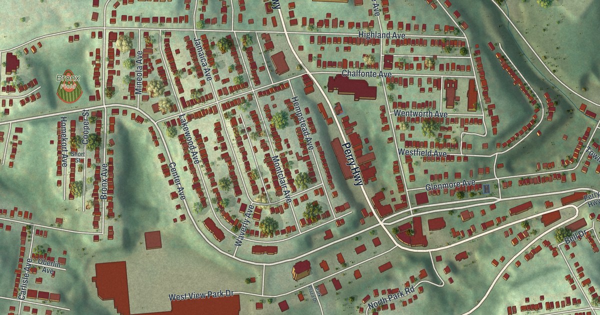
A detailed map of West View, Pennsylvania, showing every building in its true location, the roads by name, and shaded topographical relief.
Read More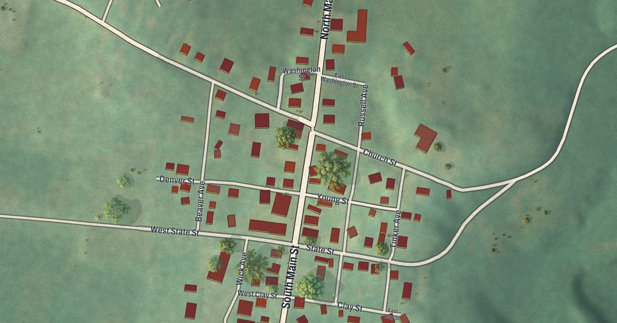
A detailed map of West Sunbury, Pennsylvania, showing every building in its true location, the roads by name, and shaded topographical relief.
Read More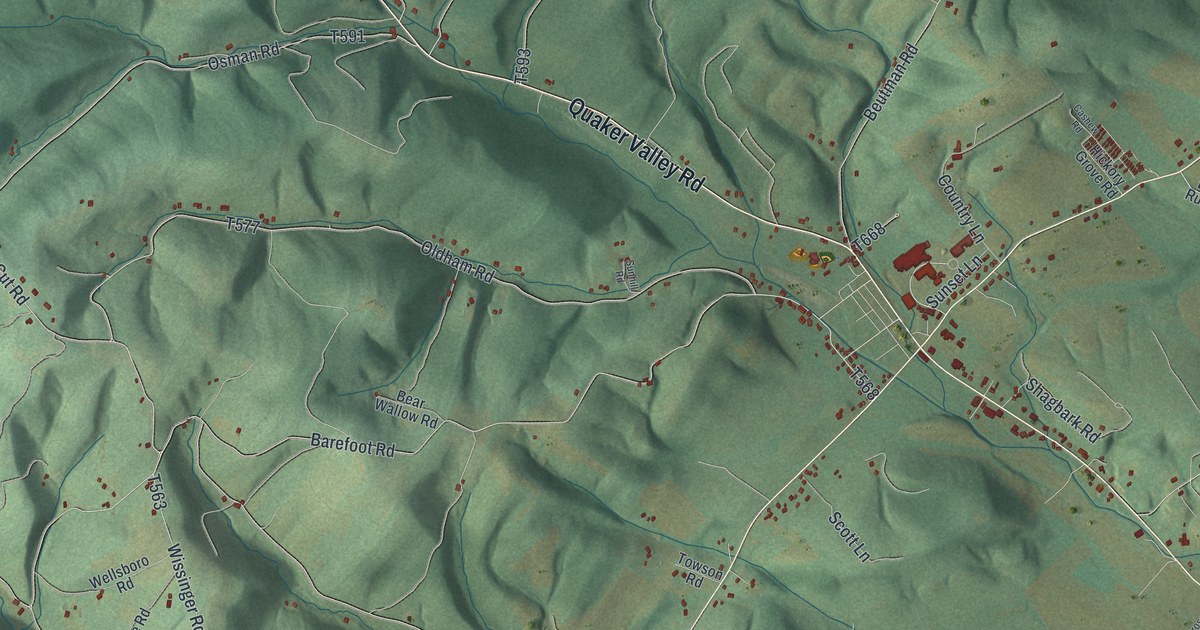
A detailed map of West St. Clair, Pennsylvania, showing every building in its true location, the roads by name, and shaded topographical relief.
Read More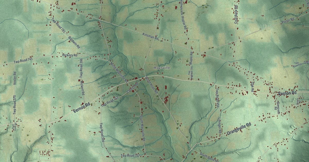
A detailed map of West Salem, Pennsylvania, showing every building in its true location, the roads by name, and shaded topographical relief.
Read More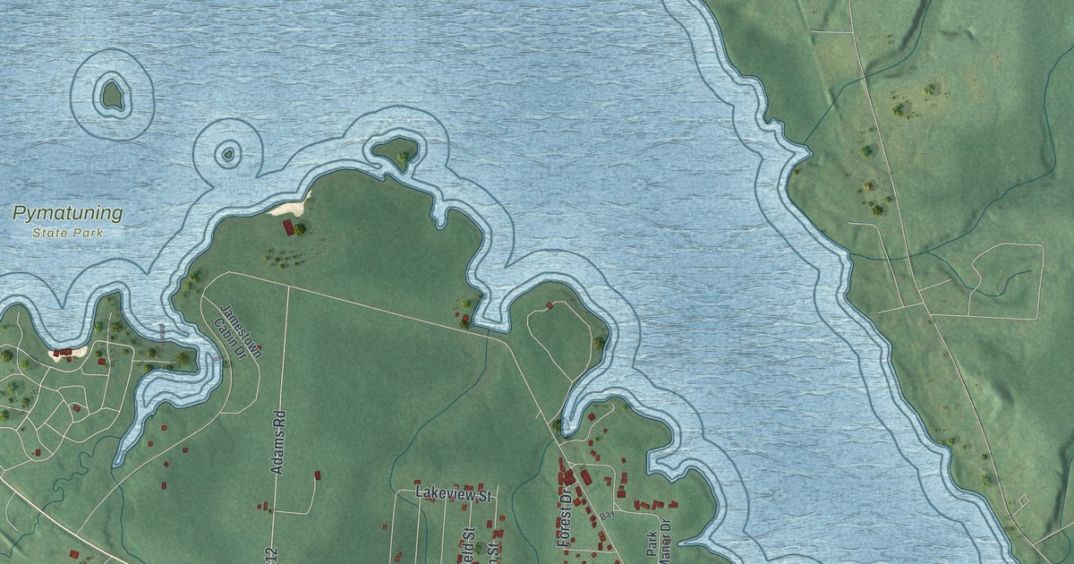
A detailed map of West Shenango, Pennsylvania, showing every building in its true location, the roads by name, and shaded topographical relief.
Read More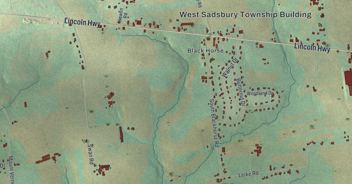
A detailed map of West Sadsbury, Pennsylvania, showing every building in its true location, the roads by name, and shaded topographical relief.
Read More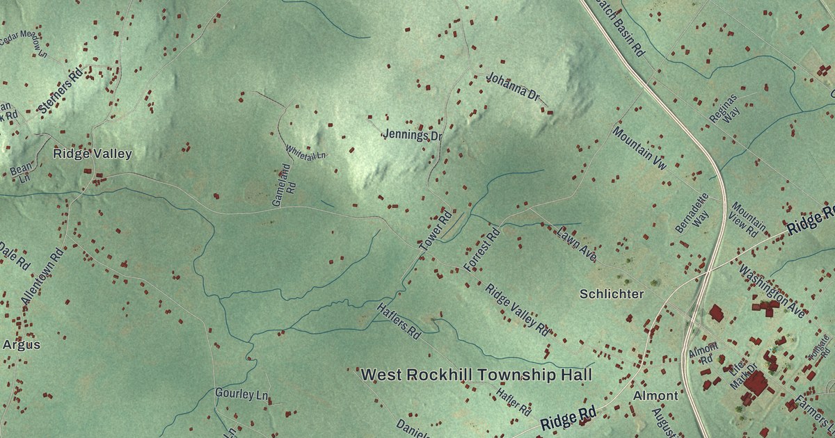
A detailed map of West Rockhill, Pennsylvania, showing every building in its true location, the roads by name, and shaded topographical relief.
Read More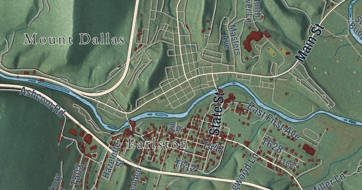
A detailed map of West Providence, Pennsylvania, showing every building in its true location, the roads by name, and shaded topographical relief.
Read More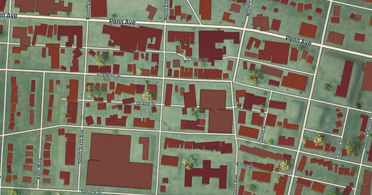
A detailed map of West Reading, Pennsylvania, showing every building in its true location, the roads by name, and shaded topographical relief.
Read More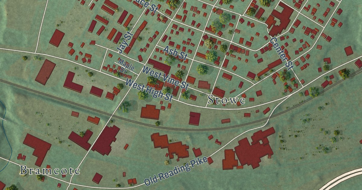
A detailed map of West Pottsgrove, Pennsylvania, showing every building in its true location, the roads by name, and shaded topographical relief.
Read More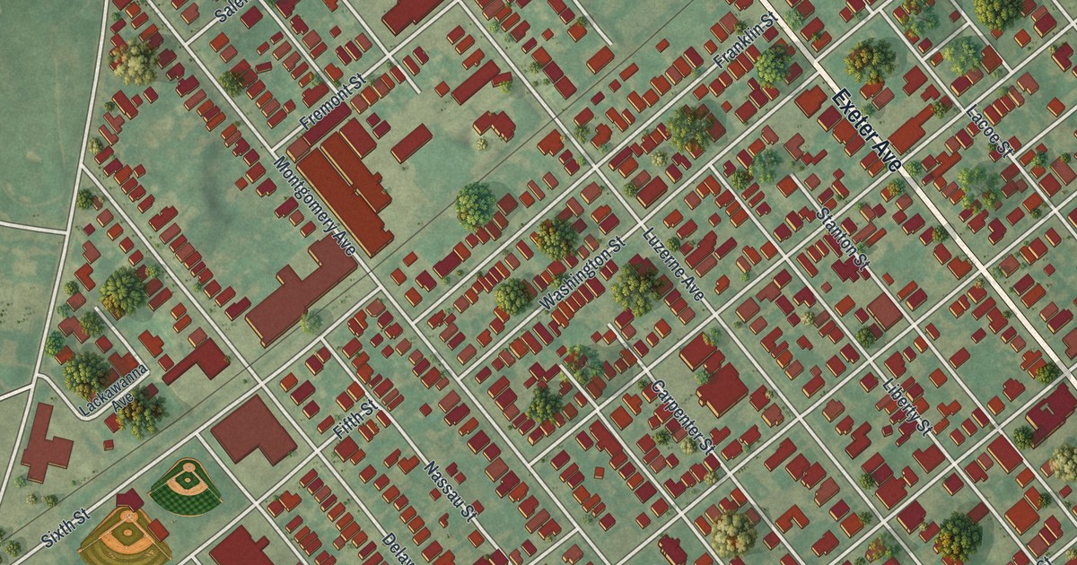
A detailed map of West Pittston, Pennsylvania, showing every building in its true location, the roads by name, and shaded topographical relief.
Read More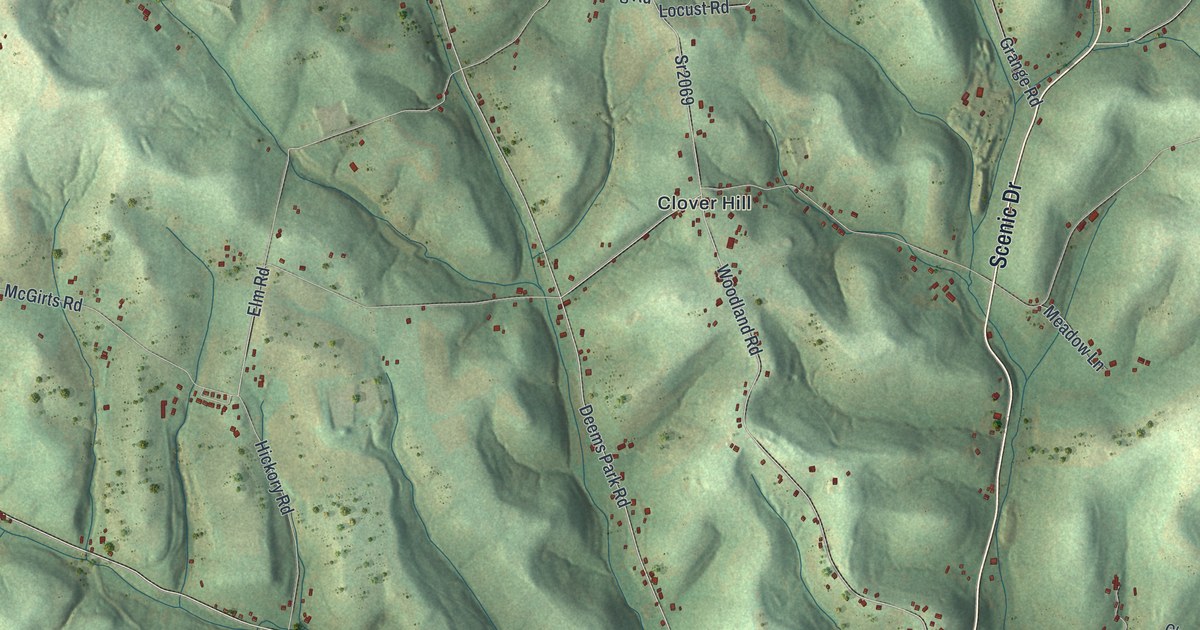
A detailed map of West Pike Run, Pennsylvania, showing every building in its true location, the roads by name, and shaded topographical relief.
Read More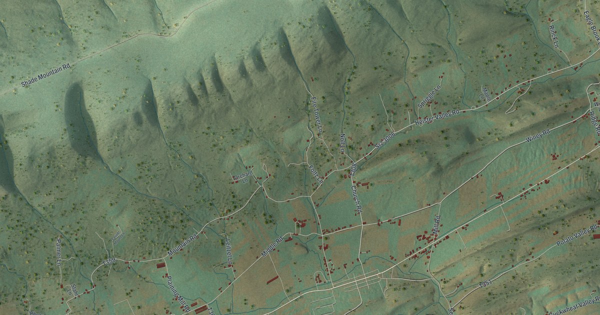
A detailed map of West Perry, Pennsylvania, showing every building in its true location, the roads by name, and shaded topographical relief.
Read More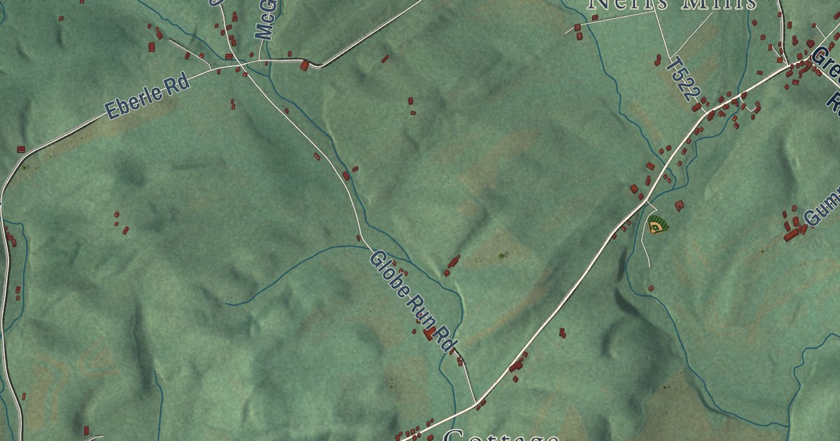
A detailed map of West, Pennsylvania, showing every building in its true location, the roads by name, and shaded topographical relief.
Read More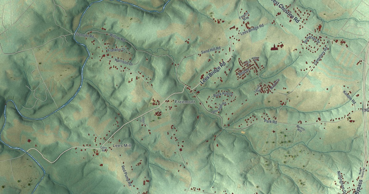
A detailed map of West Nottingham, Pennsylvania, showing every building in its true location, the roads by name, and shaded topographical relief.
Read More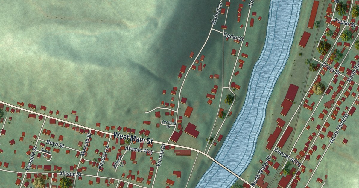
A detailed map of West Newton, Pennsylvania, showing every building in its true location, the roads by name, and shaded topographical relief.
Read More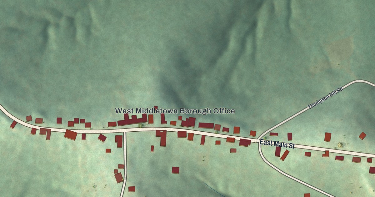
A detailed map of West Middletown, Pennsylvania, showing every building in its true location, the roads by name, and shaded topographical relief.
Read More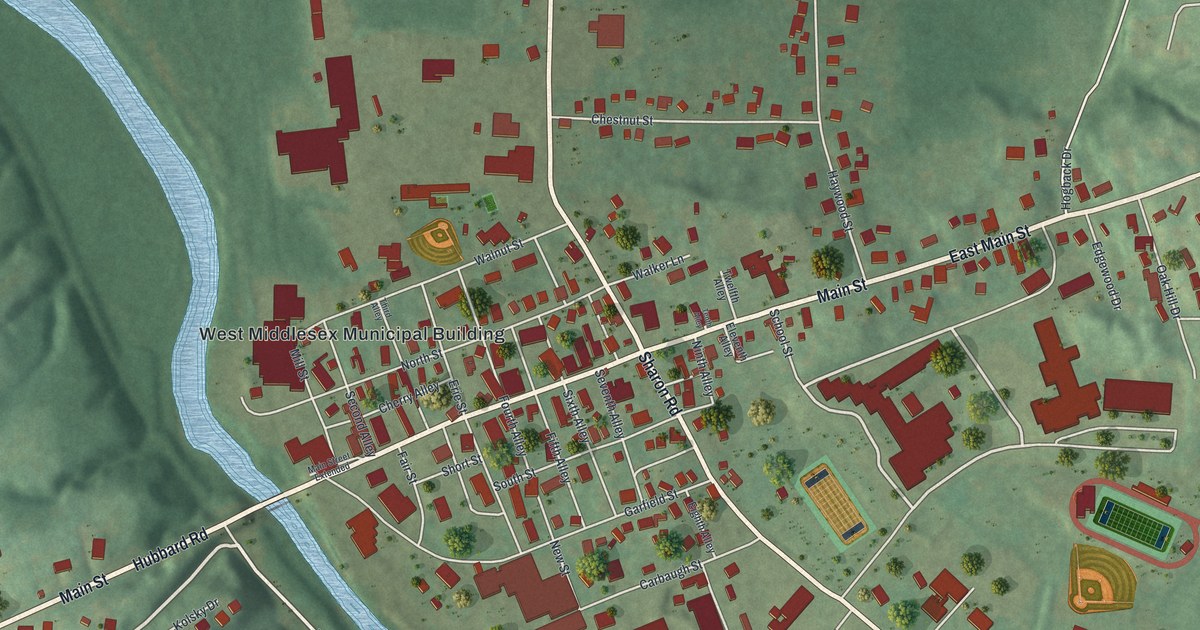
A detailed map of West Middlesex, Pennsylvania, showing every building in its true location, the roads by name, and shaded topographical relief.
Read More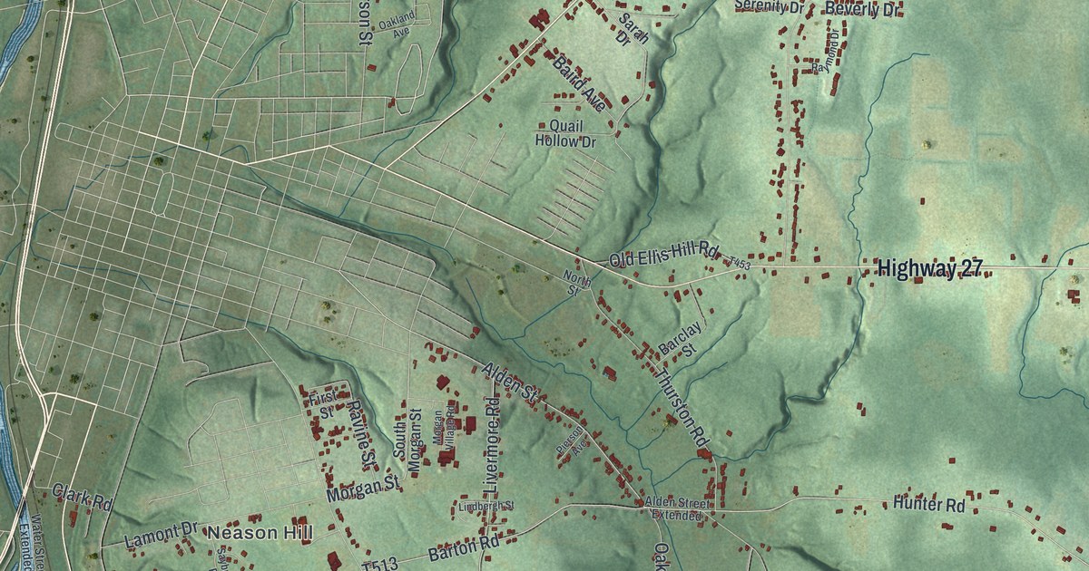
A detailed map of West Mead, Pennsylvania, showing every building in its true location, the roads by name, and shaded topographical relief.
Read More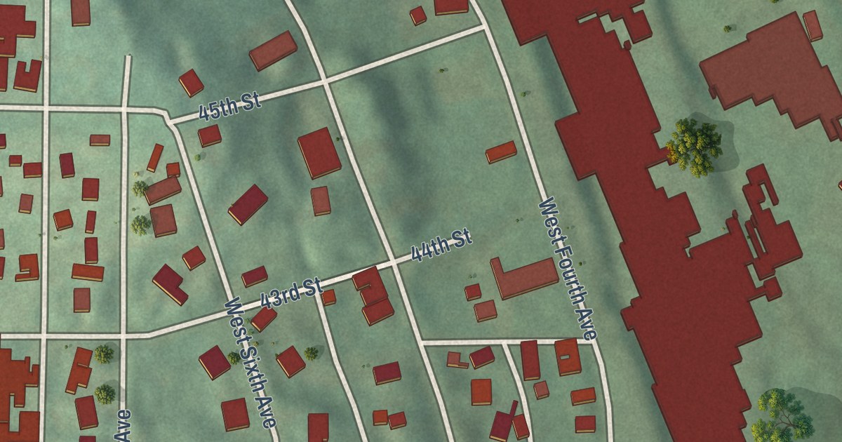
A detailed map of West Mayfield, Pennsylvania, showing every building in its true location, the roads by name, and shaded topographical relief.
Read More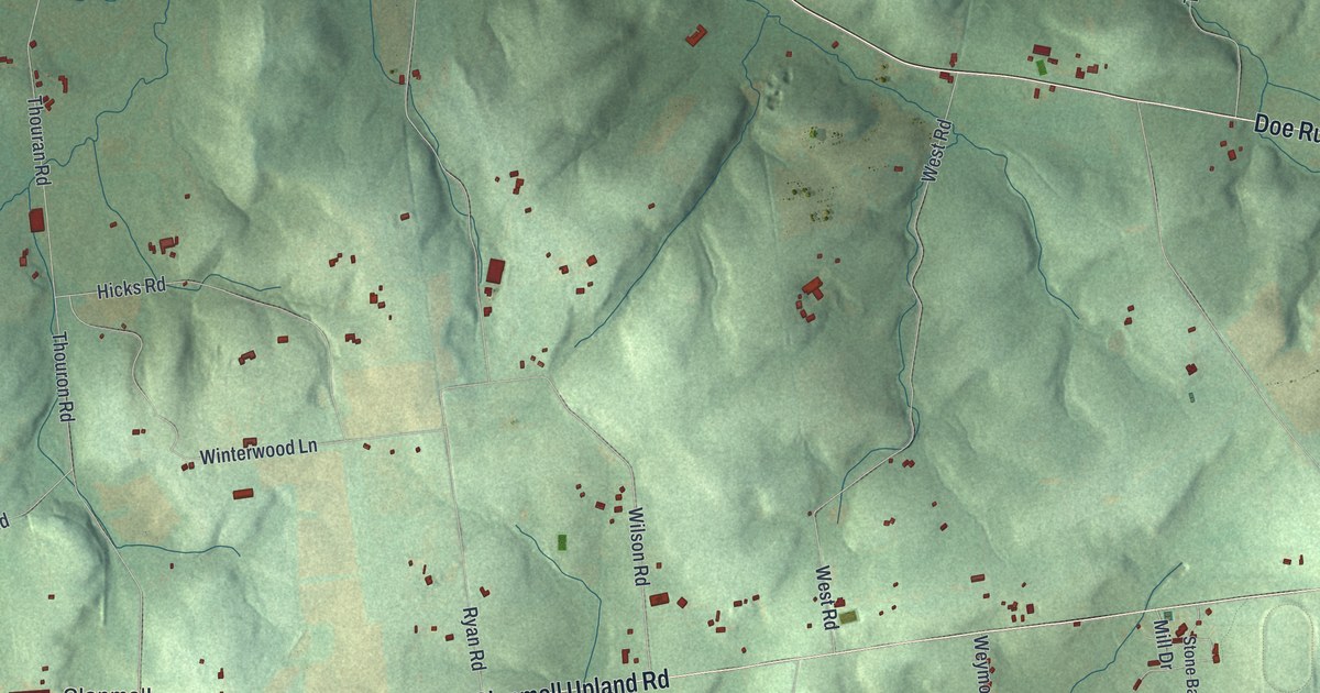
A detailed map of West Marlborough, Pennsylvania, showing every building in its true location, the roads by name, and shaded topographical relief.
Read More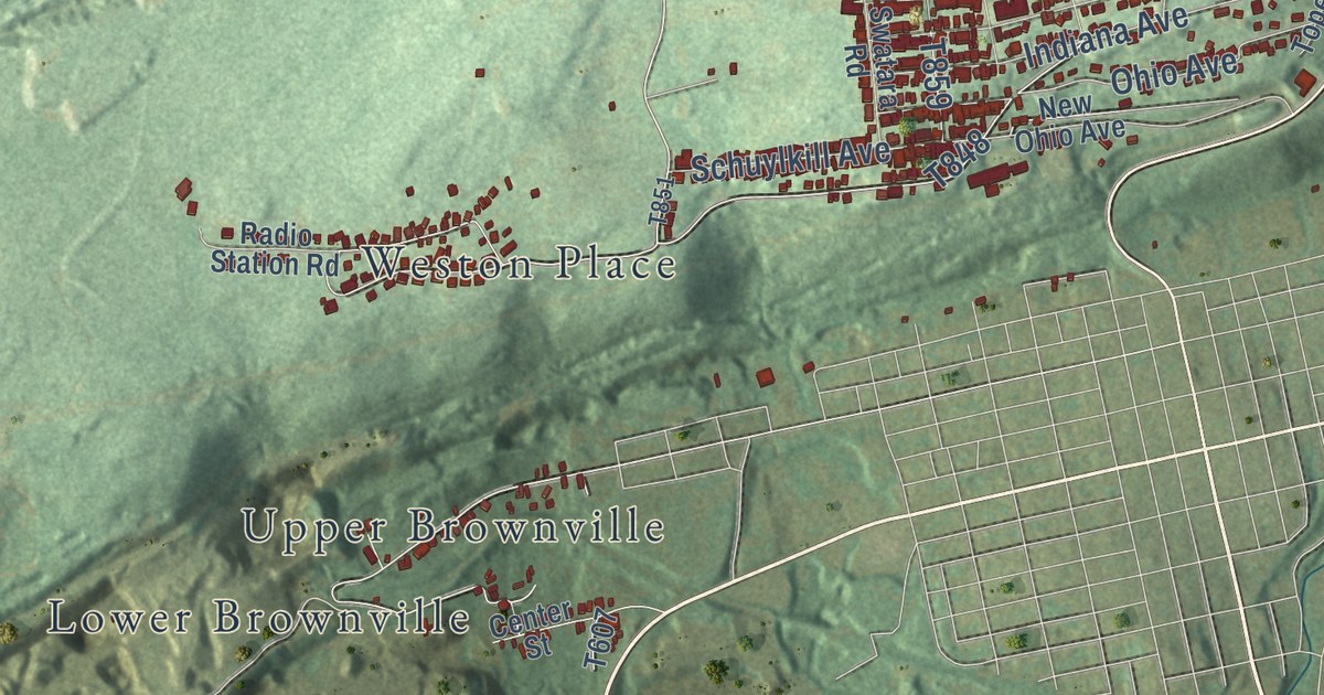
A detailed map of West Mahanoy, Pennsylvania, showing every building in its true location, the roads by name, and shaded topographical relief.
Read More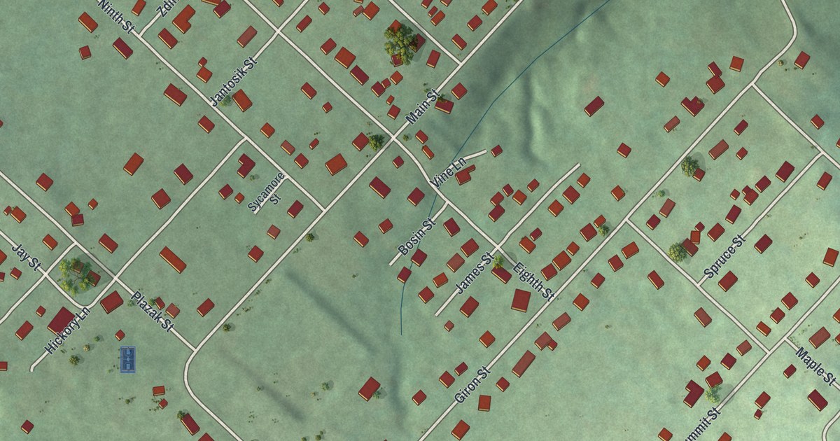
A detailed map of West Leechburg, Pennsylvania, showing every building in its true location, the roads by name, and shaded topographical relief.
Read More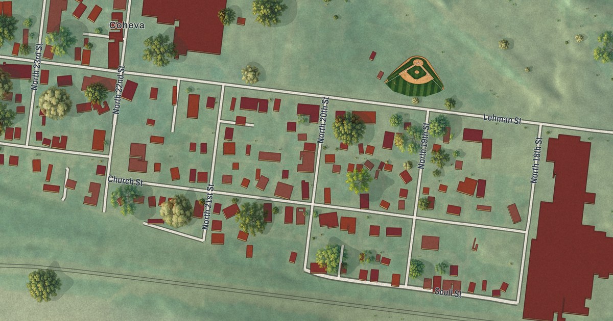
A detailed map of West Lebanon, Pennsylvania, showing every building in its true location, the roads by name, and shaded topographical relief.
Read More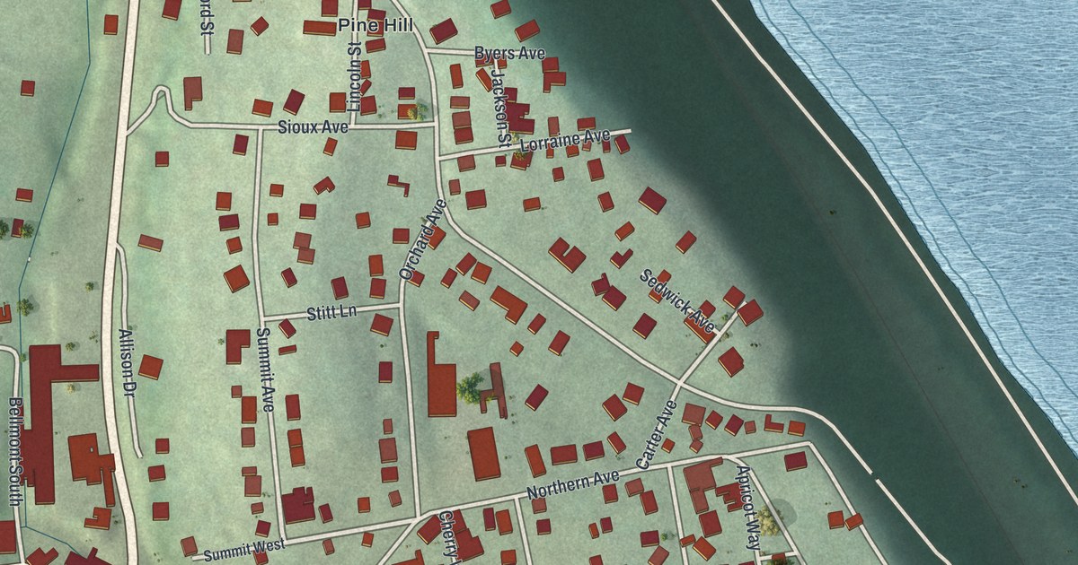
A detailed map of West Kittanning, Pennsylvania, showing every building in its true location, the roads by name, and shaded topographical relief.
Read More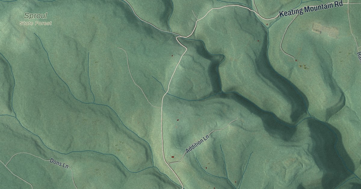
A detailed map of West Keating, Pennsylvania, showing every building in its true location, the roads by name, and shaded topographical relief.
Read More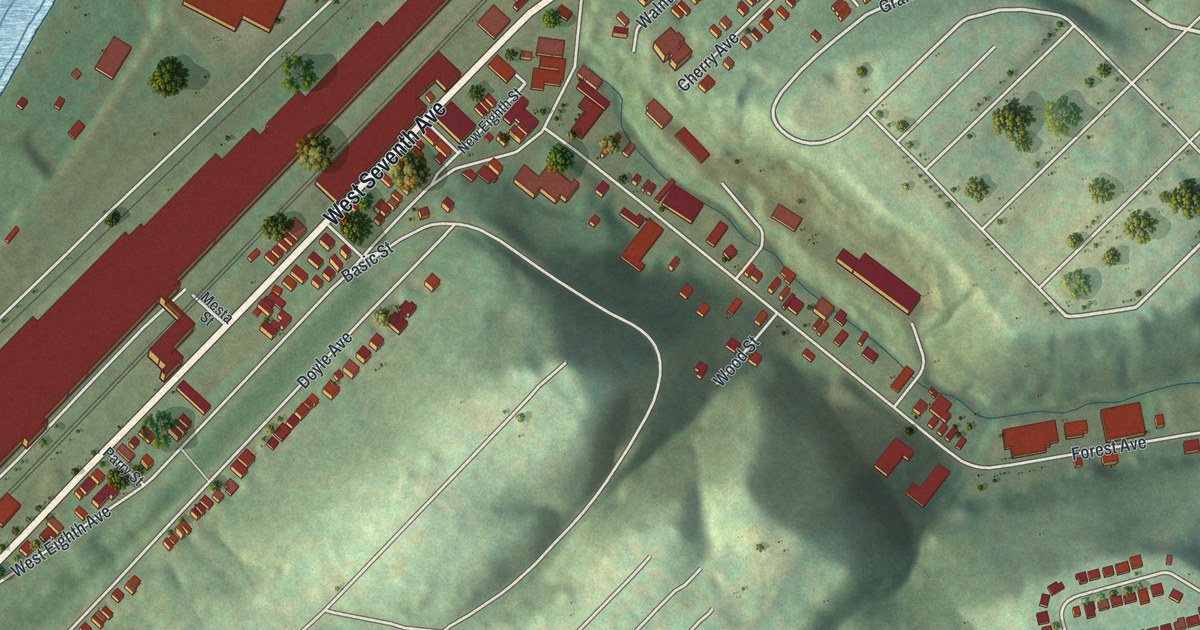
A detailed map of West Homestead, Pennsylvania, showing every building in its true location, the roads by name, and shaded topographical relief.
Read More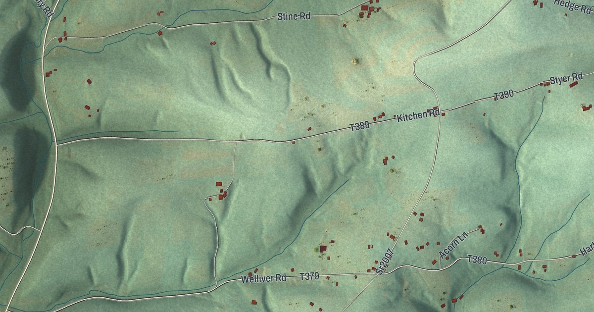
A detailed map of West Hemlock, Pennsylvania, showing every building in its true location, the roads by name, and shaded topographical relief.
Read More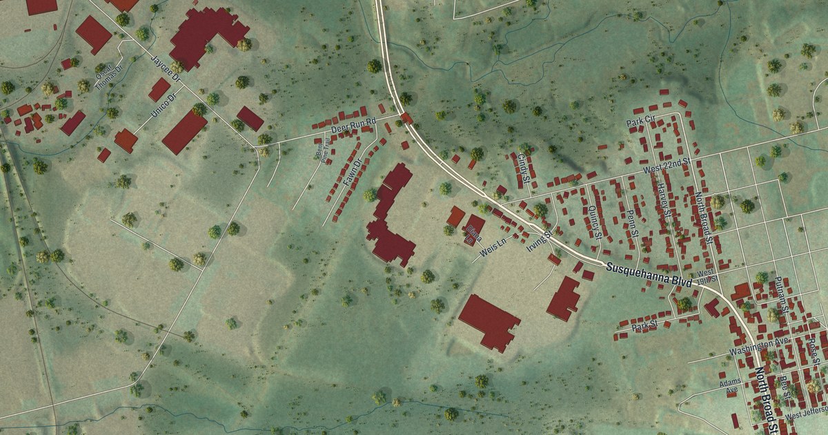
A detailed map of West Hazleton, Pennsylvania, showing every building in its true location, the roads by name, and shaded topographical relief.
Read More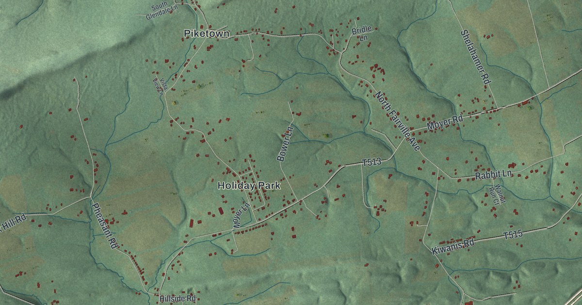
A detailed map of West Hanover, Pennsylvania, showing every building in its true location, the roads by name, and shaded topographical relief.
Read More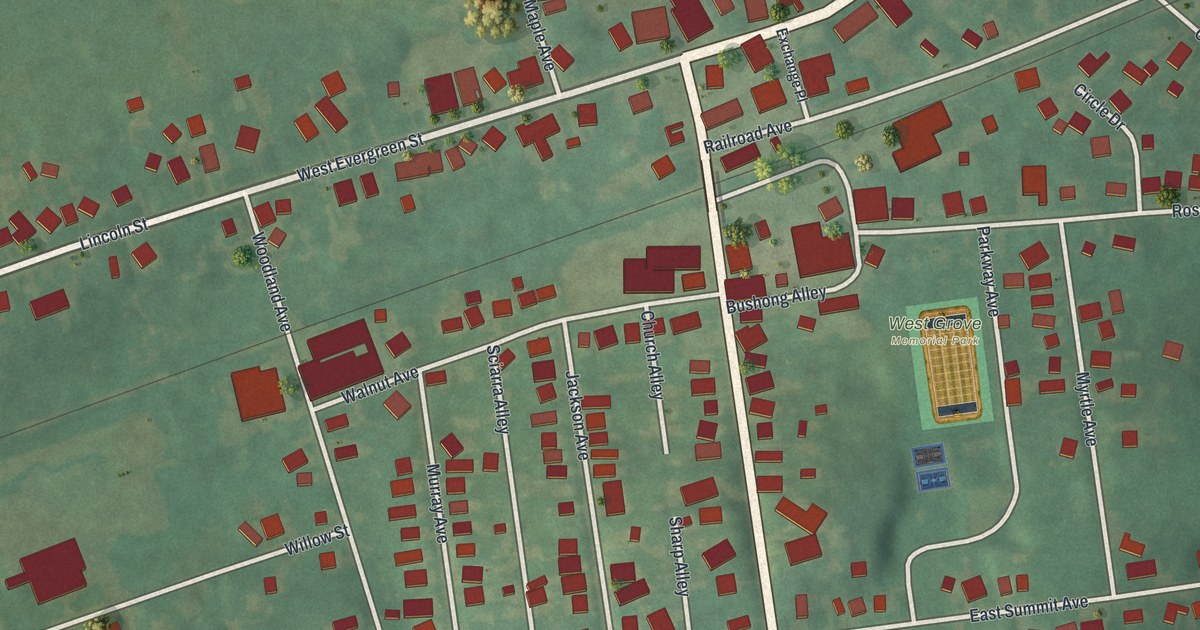
A detailed map of West Grove, Pennsylvania, showing every building in its true location, the roads by name, and shaded topographical relief.
Read More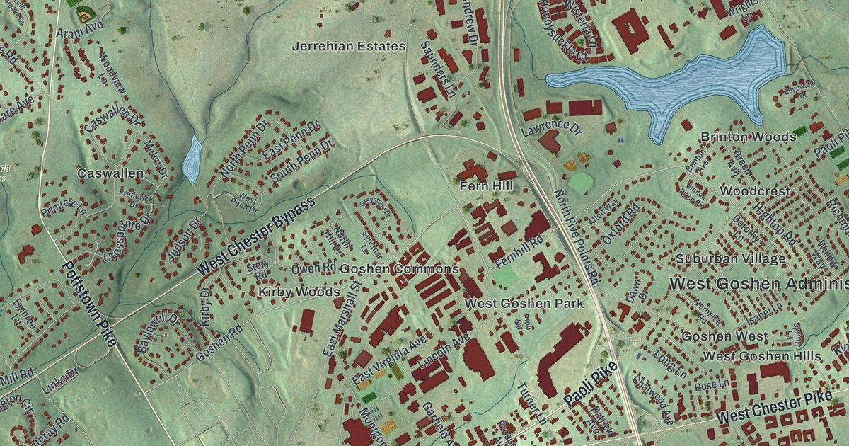
A detailed map of West Goshen, Pennsylvania, showing every building in its true location, the roads by name, and shaded topographical relief.
Read More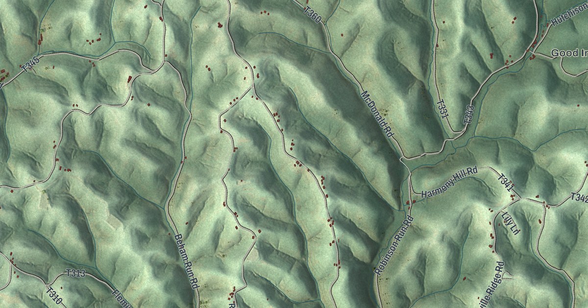
A detailed map of West Finley, Pennsylvania, showing every building in its true location, the roads by name, and shaded topographical relief.
Read More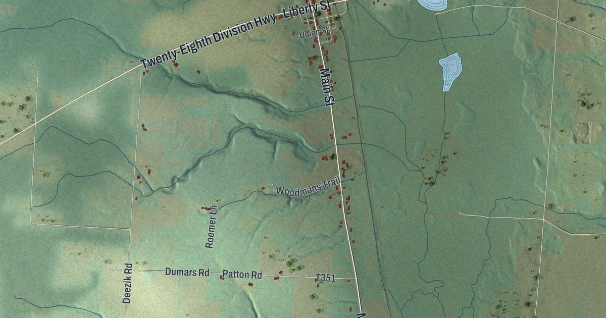
A detailed map of West Fallowfield, Crawford County, Pennsylvania, showing every building in its true location, the roads by name, and shaded topographical relief.
Read More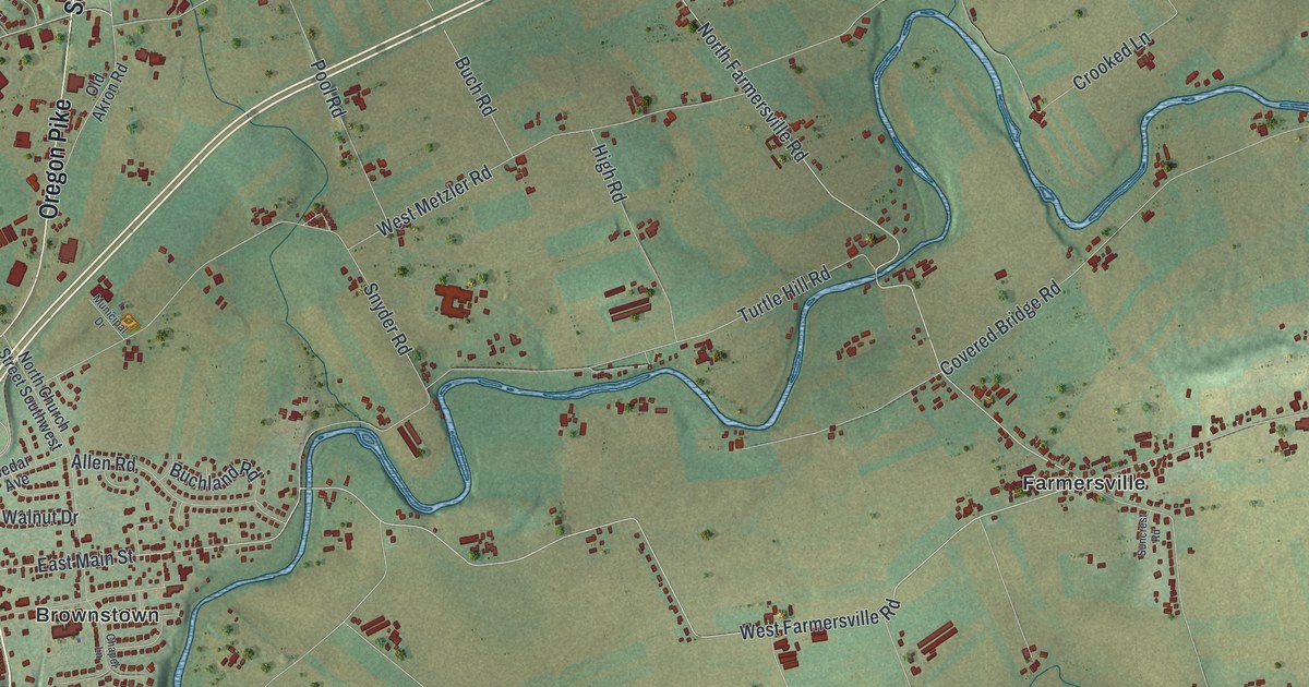
A detailed map of West Earl, Pennsylvania, showing every building in its true location, the roads by name, and shaded topographical relief.
Read More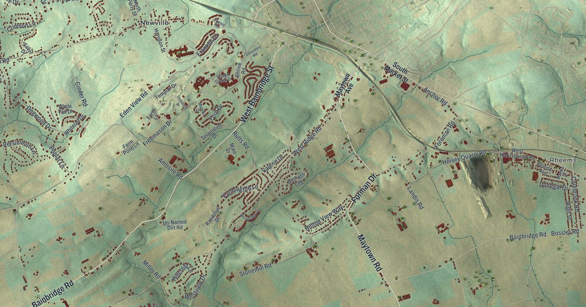
A detailed map of West Donegal, Pennsylvania, showing every building in its true location, the roads by name, and shaded topographical relief.
Read More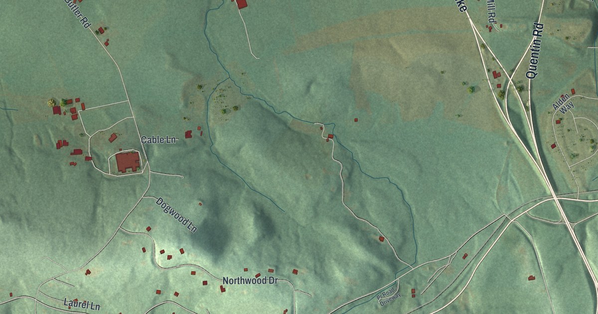
A detailed map of West Cornwall, Pennsylvania, showing every building in its true location, the roads by name, and shaded topographical relief.
Read More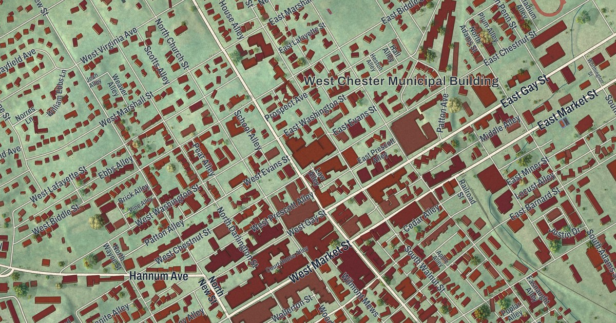
A detailed map of West Chester, Pennsylvania, showing every building in its true location, the roads by name, and shaded topographical relief.
Read More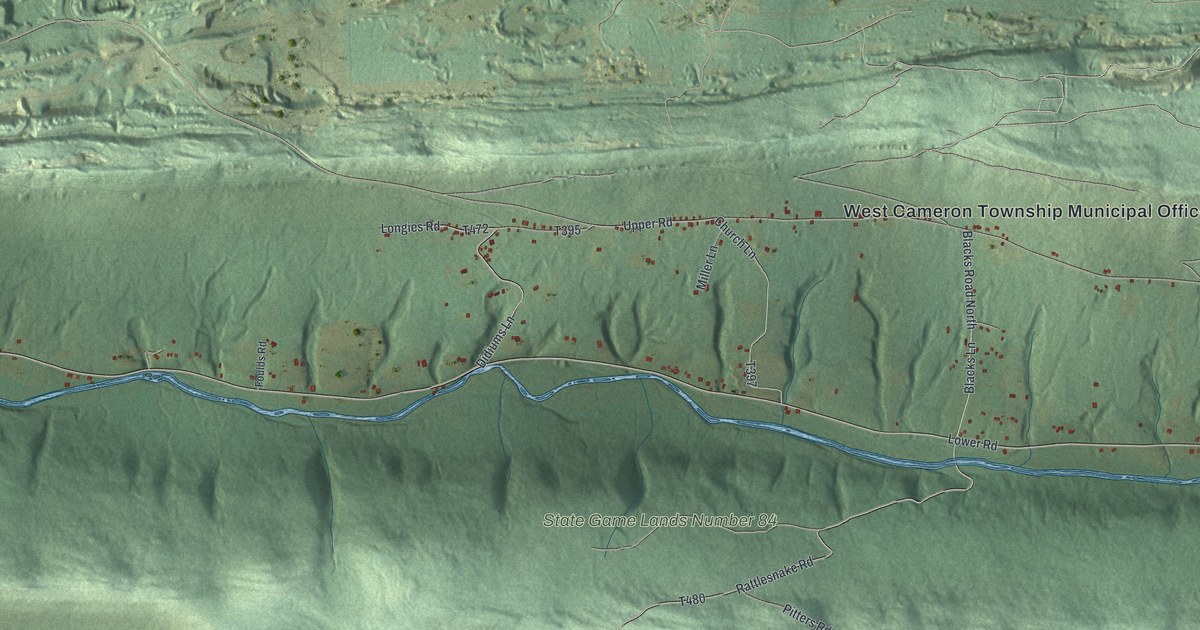
A detailed map of West Cameron, Pennsylvania, showing every building in its true location, the roads by name, and shaded topographical relief.
Read More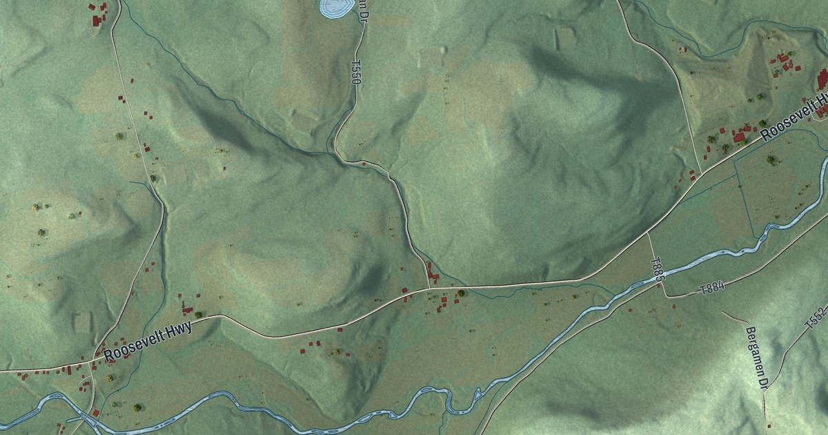
A detailed map of West Burlington, Pennsylvania, showing every building in its true location, the roads by name, and shaded topographical relief.
Read More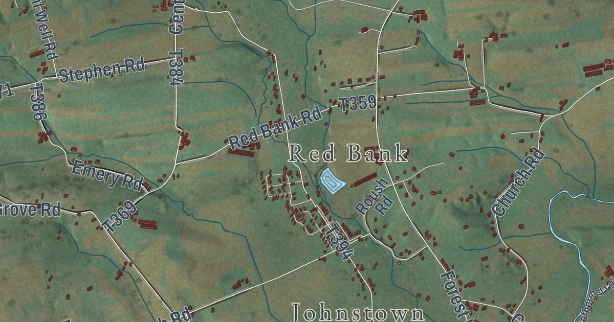
A detailed map of West Buffalo, Pennsylvania, showing every building in its true location, the roads by name, and shaded topographical relief.
Read More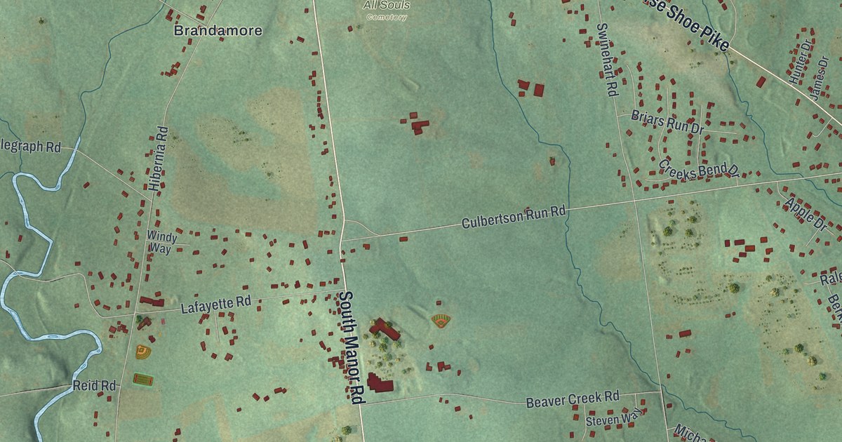
A detailed map of West Brandywine, Pennsylvania, showing every building in its true location, the roads by name, and shaded topographical relief.
Read More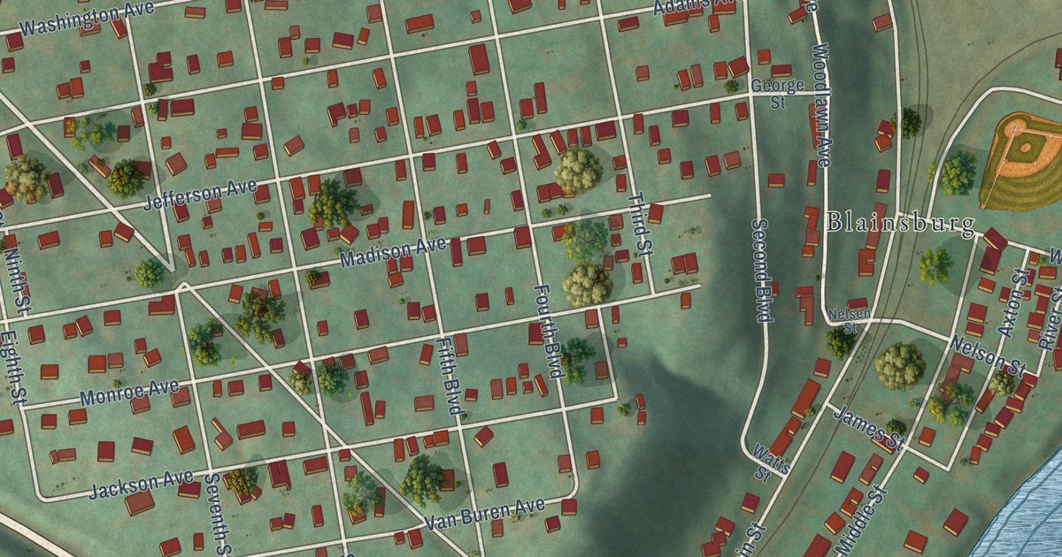
A detailed map of West Brownsville, Pennsylvania, showing every building in its true location, the roads by name, and shaded topographical relief.
Read More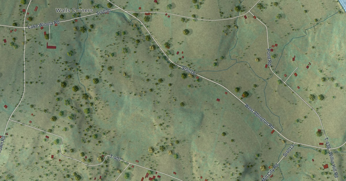
A detailed map of West Abington, Pennsylvania, showing every building in its true location, the roads by name, and shaded topographical relief.
Read More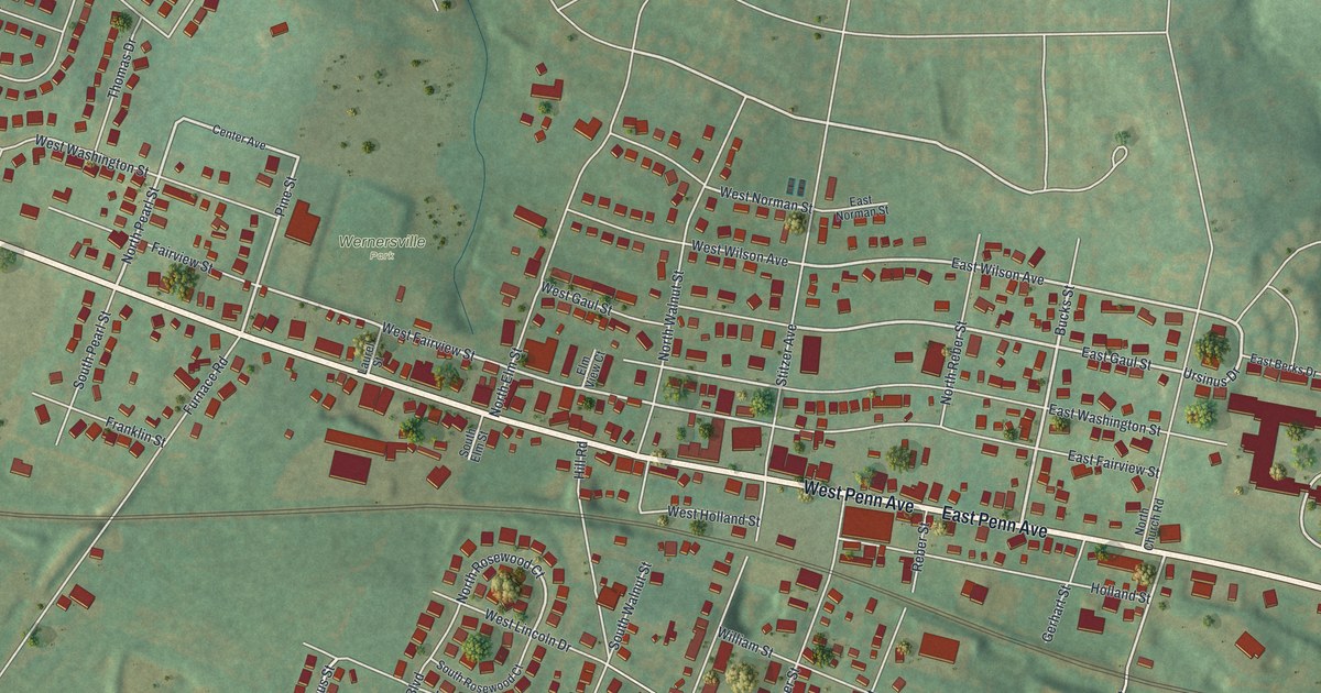
A detailed map of Wernersville, Pennsylvania, showing every building in its true location, the roads by name, and shaded topographical relief.
Read More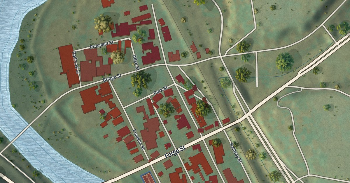
A detailed map of Weissport, Pennsylvania, showing every building in its true location, the roads by name, and shaded topographical relief.
Read More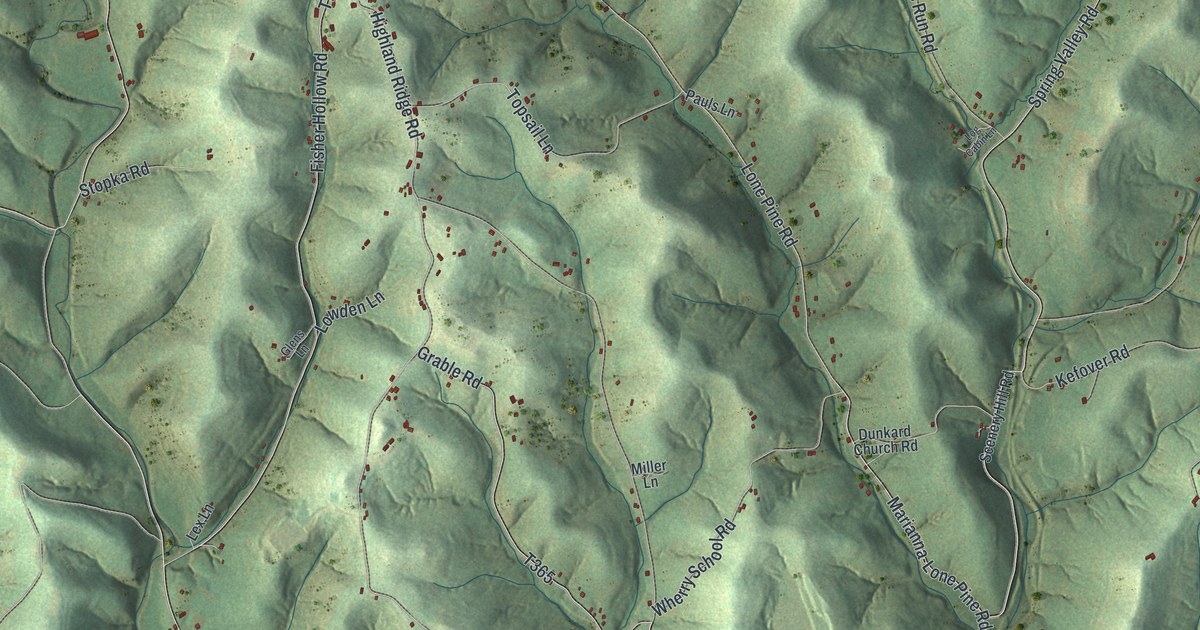
A detailed map of West Bethlehem, Pennsylvania, showing every building in its true location, the roads by name, and shaded topographical relief.
Read More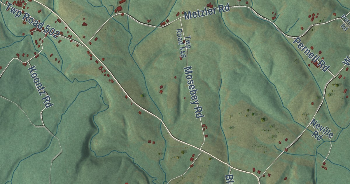
A detailed map of Wells, Fulton County, Pennsylvania, showing every building in its true location, the roads by name, and shaded topographical relief.
Read More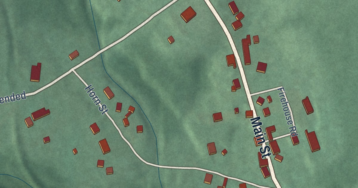
A detailed map of Wellersburg, Pennsylvania, showing every building in its true location, the roads by name, and shaded topographical relief.
Read More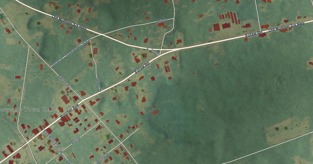
A detailed map of Eutawville, South Carolina, showing every building in its true location, the roads by name, and shaded topographical relief.
Read More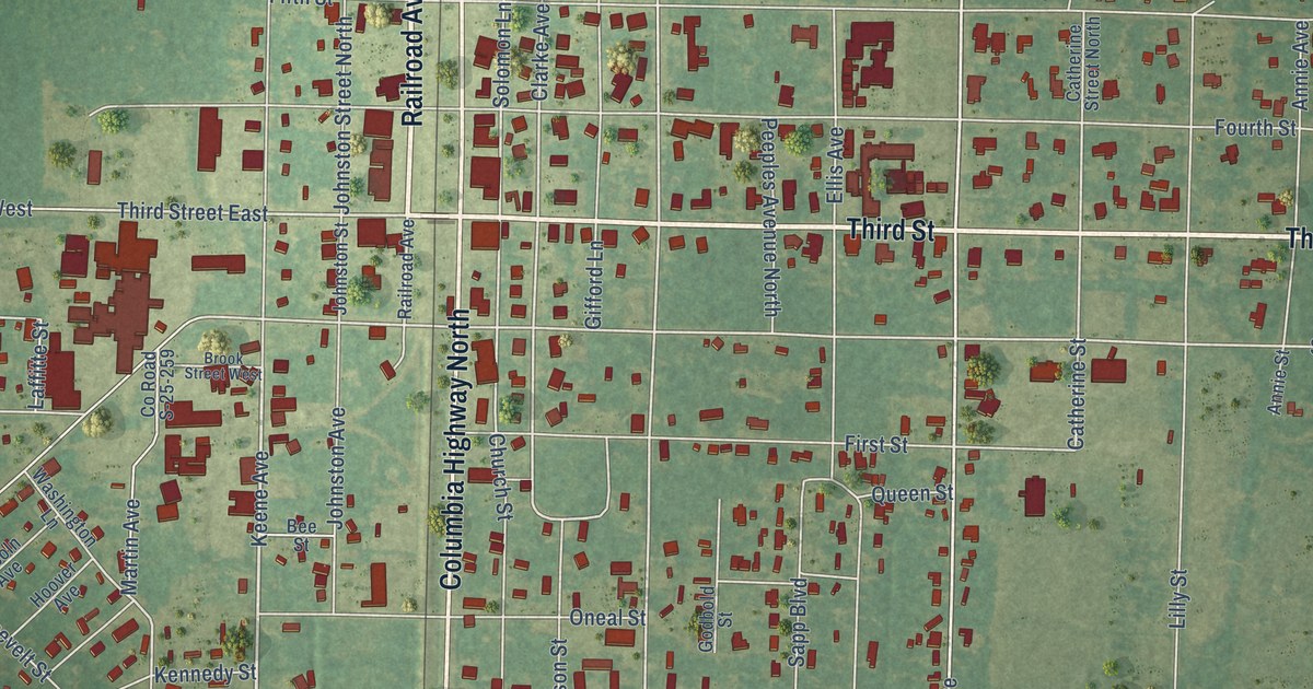
A detailed map of Estill, South Carolina, showing every building in its true location, the roads by name, and shaded topographical relief.
Read More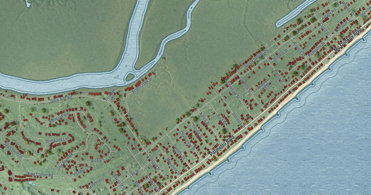
A detailed map of Edisto Beach, South Carolina, showing every building in its true location, the roads by name, and shaded topographical relief.
Read More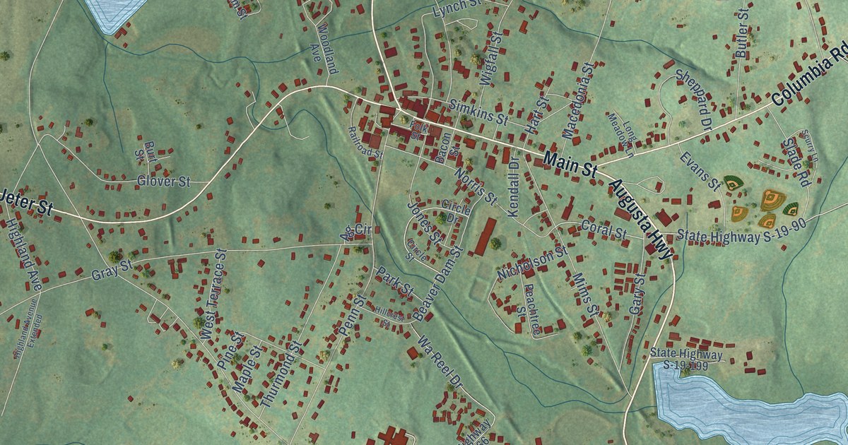
A detailed map of Edgefield, South Carolina, showing every building in its true location, the roads by name, and shaded topographical relief.
Read More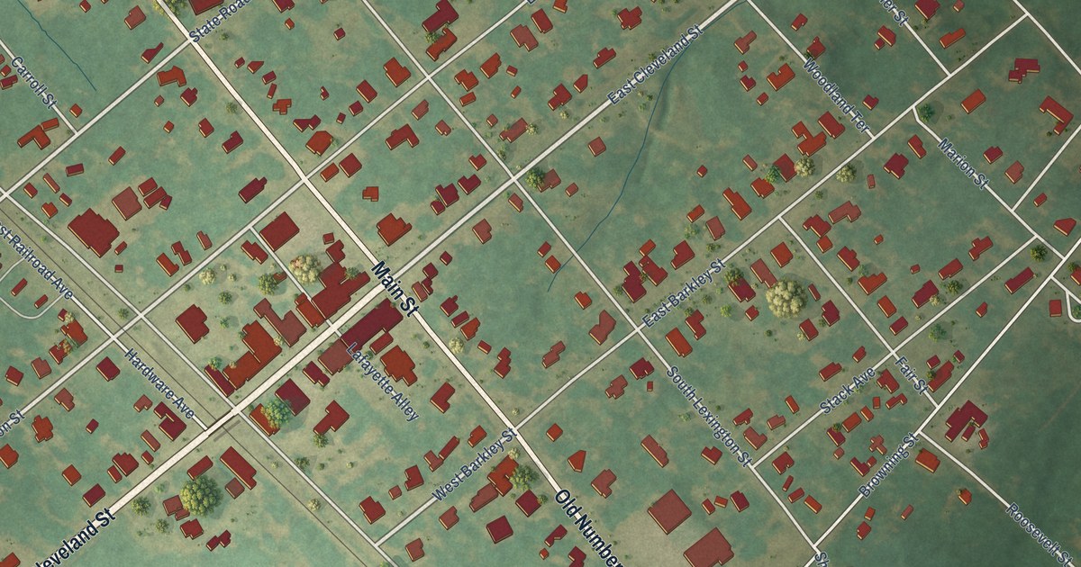
A detailed map of Elloree, South Carolina, showing every building in its true location, the roads by name, and shaded topographical relief.
Read More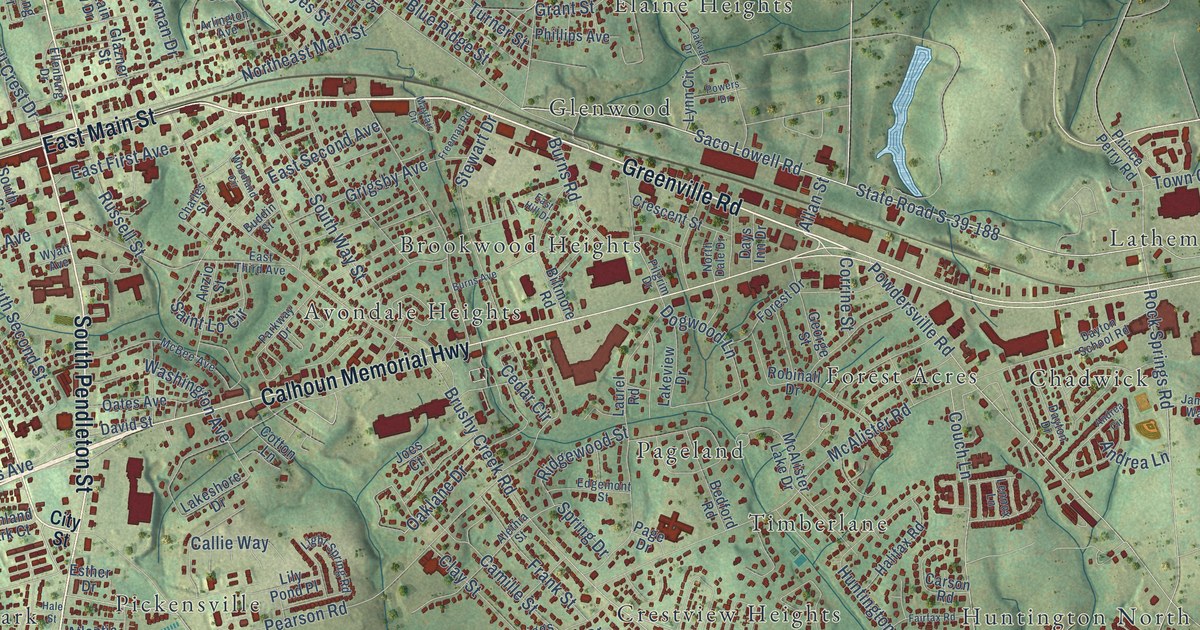
A detailed map of Easley, South Carolina, showing every building in its true location, the roads by name, and shaded topographical relief.
Read More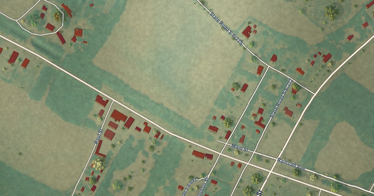
A detailed map of Elko, South Carolina, showing every building in its true location, the roads by name, and shaded topographical relief.
Read More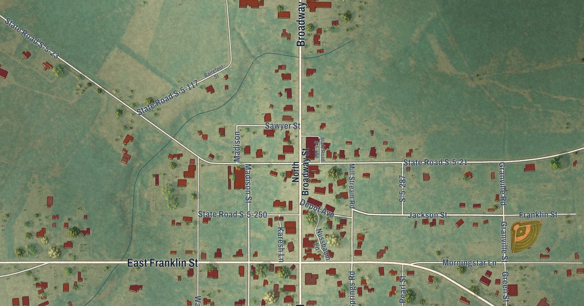
A detailed map of Ehrhardt, South Carolina, showing every building in its true location, the roads by name, and shaded topographical relief.
Read More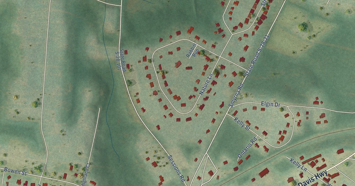
A detailed map of Elgin, South Carolina, showing every building in its true location, the roads by name, and shaded topographical relief.
Read More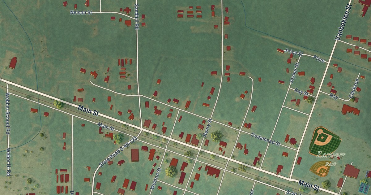
A detailed map of Eastover, South Carolina, showing every building in its true location, the roads by name, and shaded topographical relief.
Read More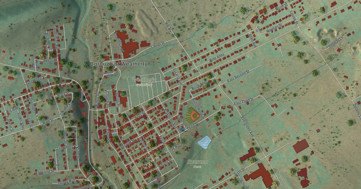
A detailed map of Weatherly, Pennsylvania, showing every building in its true location, the roads by name, and shaded topographical relief.
Read More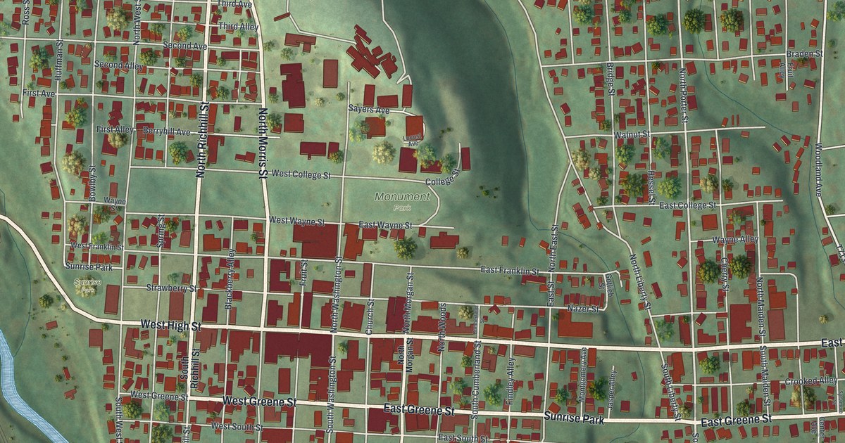
A detailed map of Waynesburg, Pennsylvania, showing every building in its true location, the roads by name, and shaded topographical relief.
Read More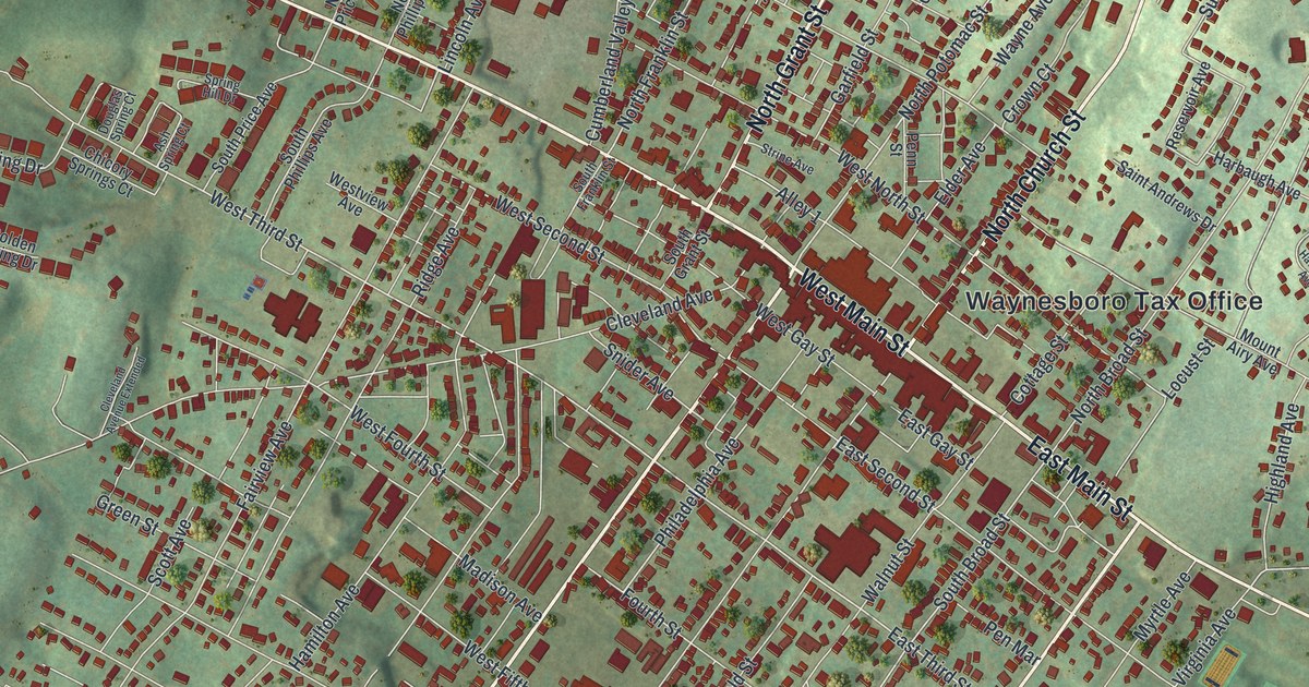
A detailed map of Waynesboro, Pennsylvania, showing every building in its true location, the roads by name, and shaded topographical relief.
Read More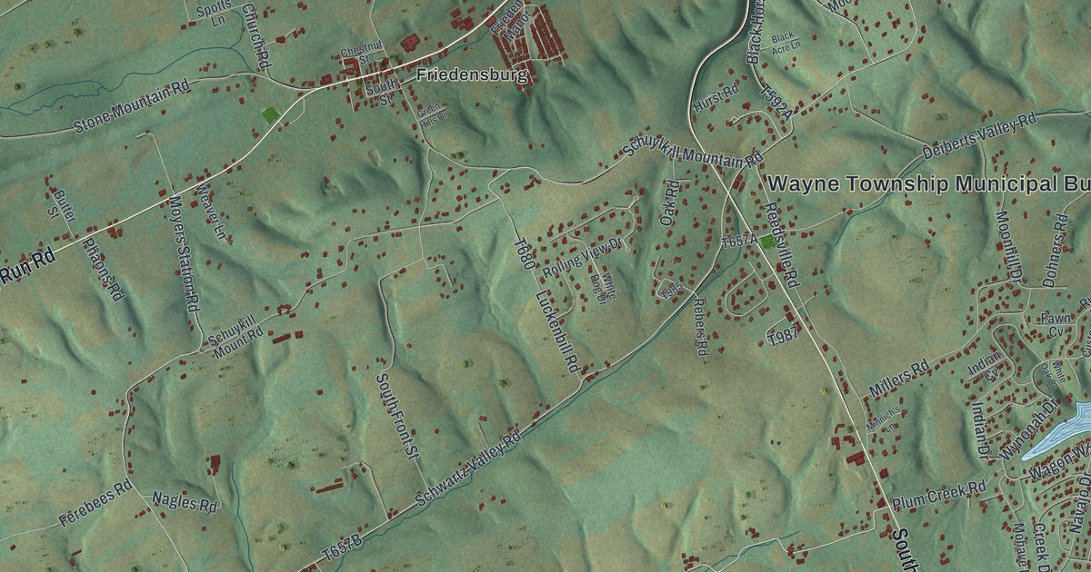
A detailed map of Wayne, Schuylkill County, Pennsylvania, showing every building in its true location, the roads by name, and shaded topographical relief.
Read More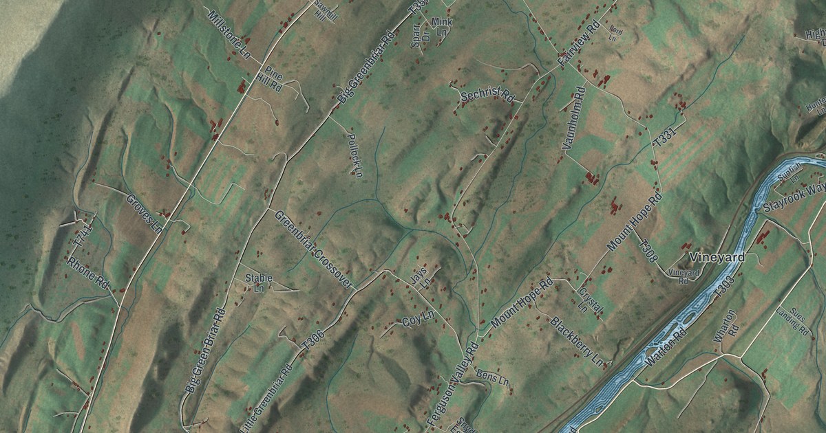
A detailed map of Wayne, Mifflin County, Pennsylvania, showing every building in its true location, the roads by name, and shaded topographical relief.
Read More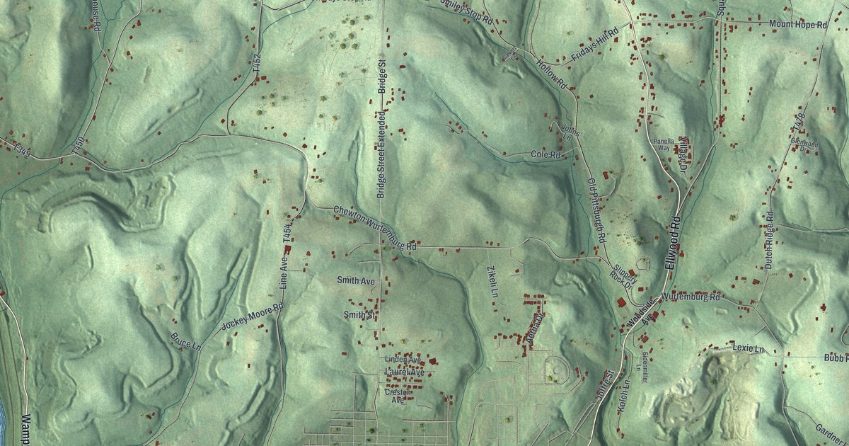
A detailed map of Wayne, Lawrence County, Pennsylvania, showing every building in its true location, the roads by name, and shaded topographical relief.
Read More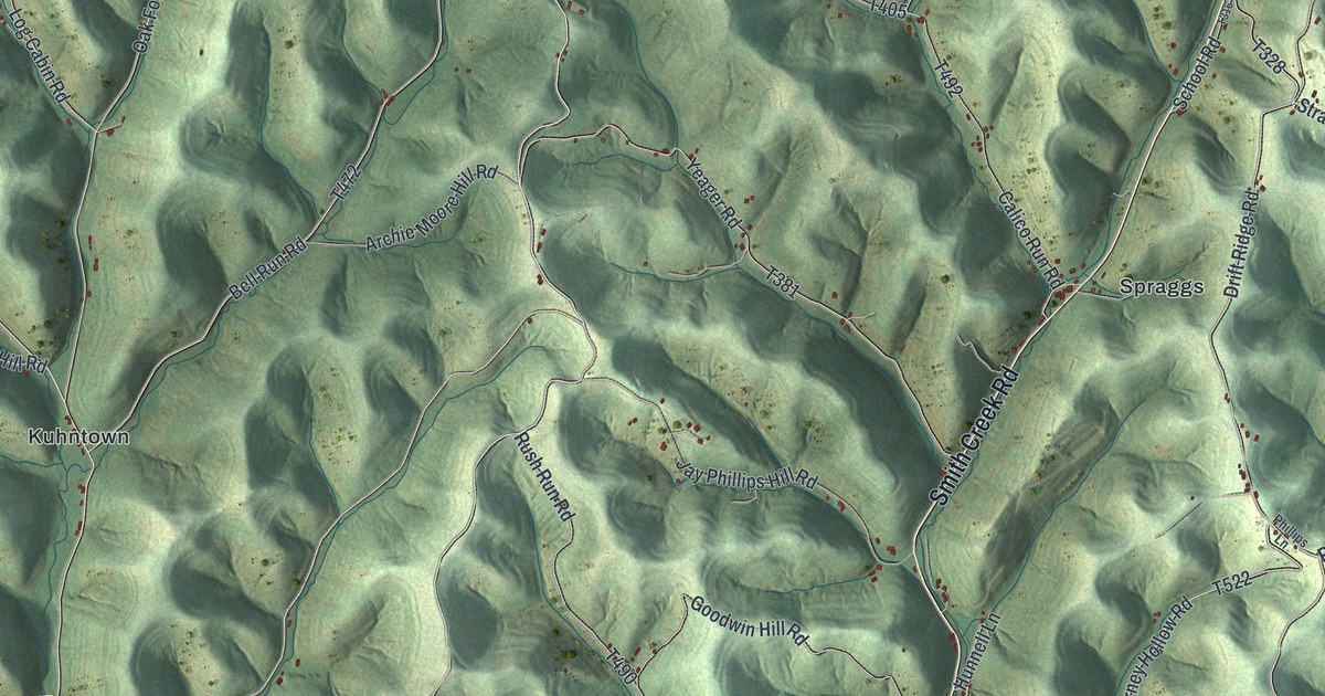
A detailed map of Wayne, Greene County, Pennsylvania, showing every building in its true location, the roads by name, and shaded topographical relief.
Read More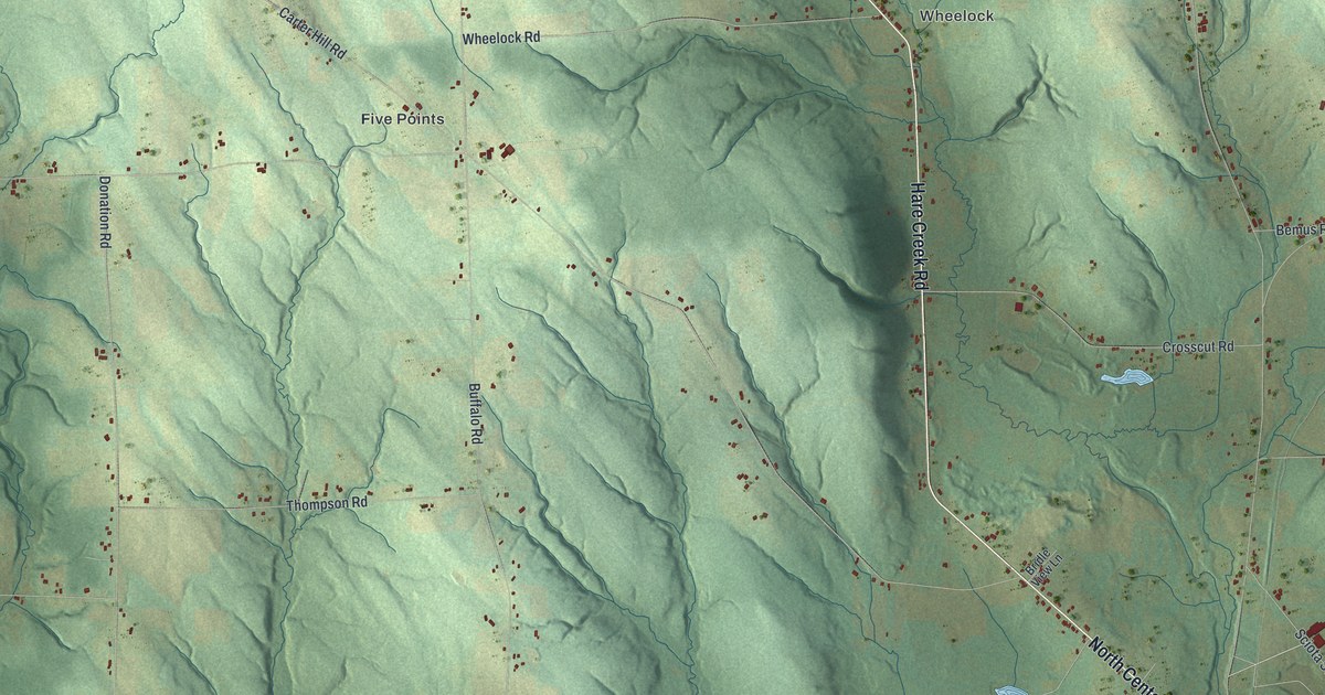
A detailed map of Wayne, Erie County, Pennsylvania, showing every building in its true location, the roads by name, and shaded topographical relief.
Read More















