Detailed Map of Wayne, Erie County, Pennsylvania
A detailed map of Wayne, Erie County, Pennsylvania, showing every building in its true location, the roads by name, and shaded topographical relief.
Read More
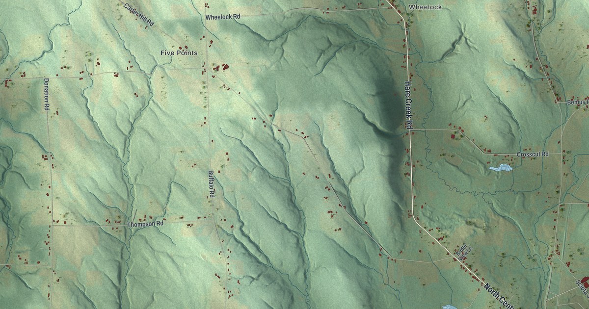
A detailed map of Wayne, Erie County, Pennsylvania, showing every building in its true location, the roads by name, and shaded topographical relief.
Read More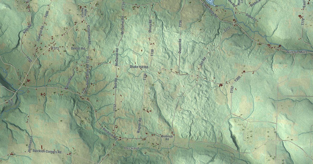
A detailed map of Wayne, Crawford County, Pennsylvania, showing every building in its true location, the roads by name, and shaded topographical relief.
Read More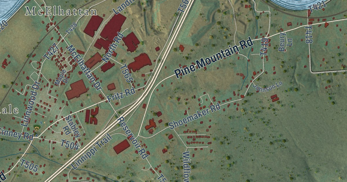
A detailed map of Wayne, Clinton County, Pennsylvania, showing every building in its true location, the roads by name, and shaded topographical relief.
Read More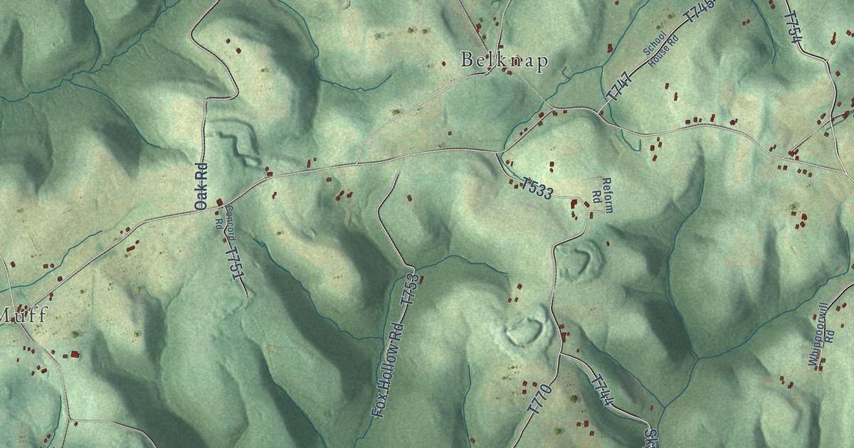
A detailed map of Wayne, Armstrong County, Pennsylvania, showing every building in its true location, the roads by name, and shaded topographical relief.
Read More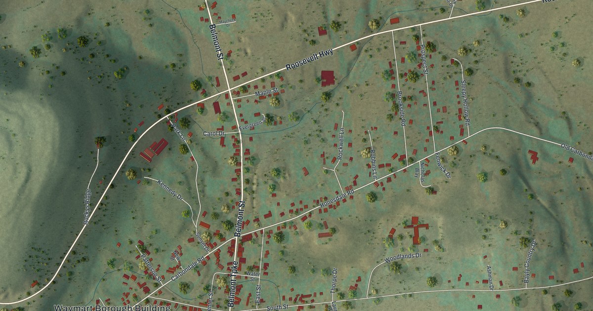
A detailed map of Waymart, Pennsylvania, showing every building in its true location, the roads by name, and shaded topographical relief.
Read More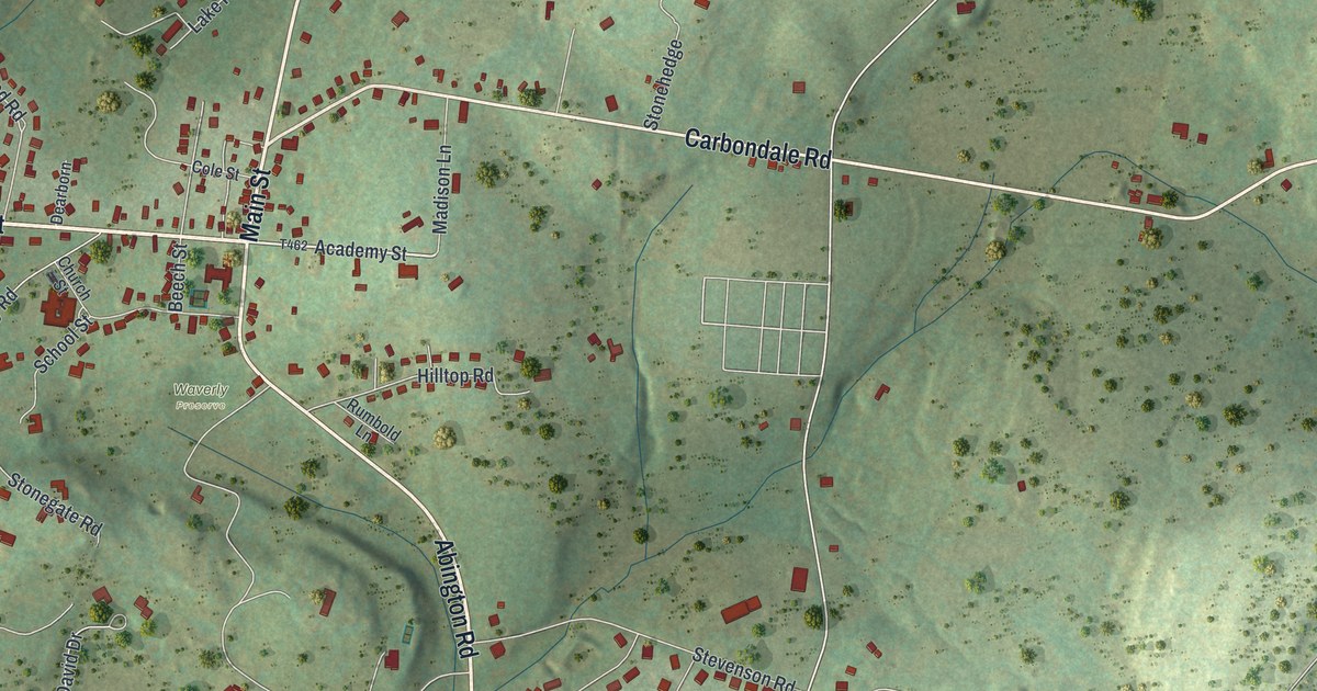
A detailed map of Waverly, Pennsylvania, showing every building in its true location, the roads by name, and shaded topographical relief.
Read More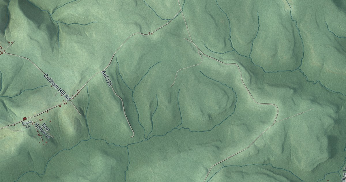
A detailed map of Watson, Warren County, Pennsylvania, showing every building in its true location, the roads by name, and shaded topographical relief.
Read More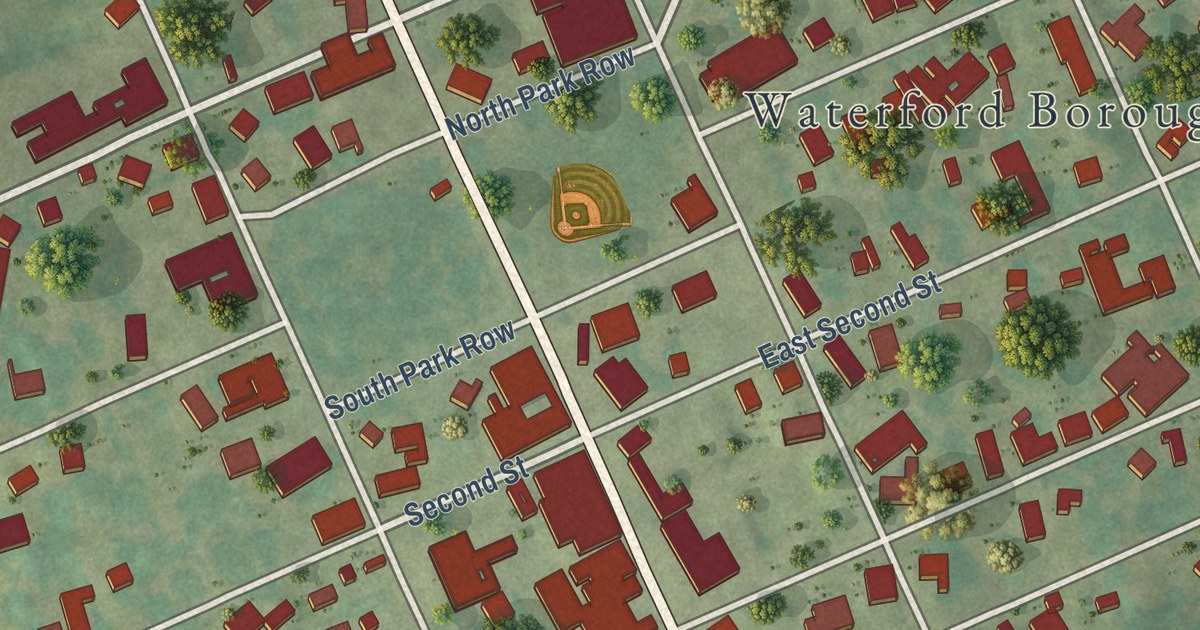
A detailed map of Waterford Borough, Pennsylvania, showing every building in its true location, the roads by name, and shaded topographical relief.
Read More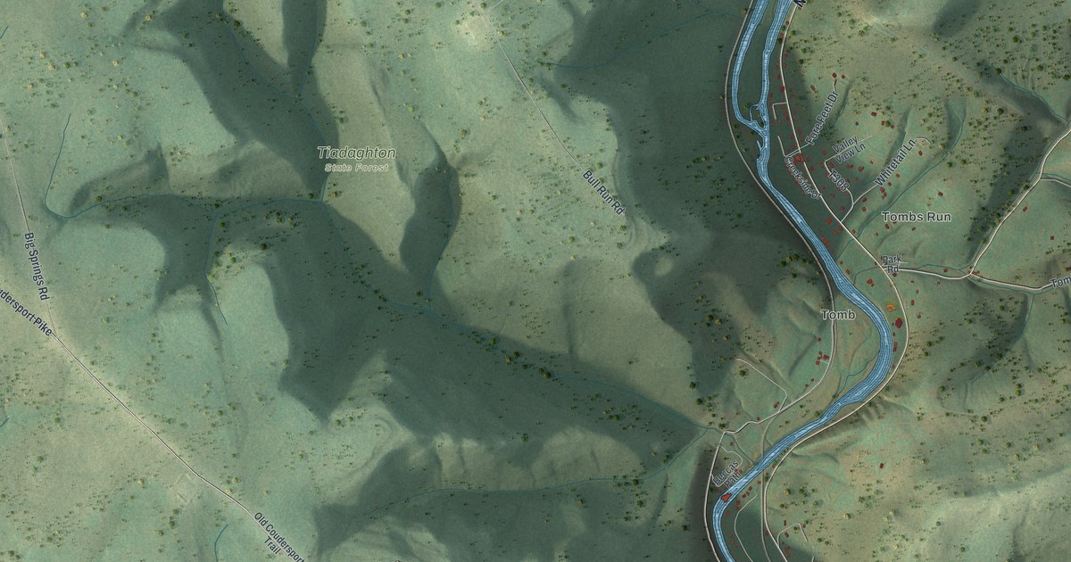
A detailed map of Watson, Lycoming County, Pennsylvania, showing every building in its true location, the roads by name, and shaded topographical relief.
Read More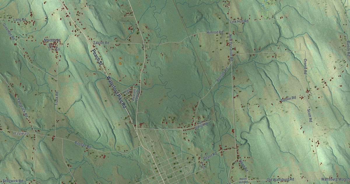
A detailed map of Waterford Township, Pennsylvania, showing every building in its true location, the roads by name, and shaded topographical relief.
Read More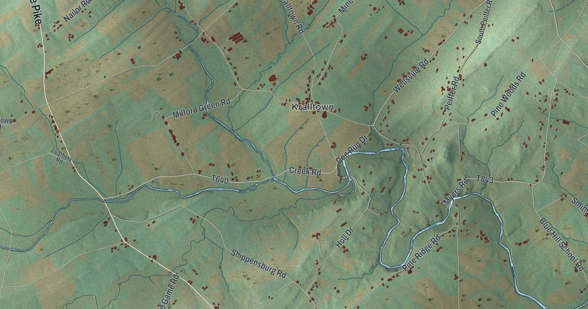
A detailed map of Washington, York County, Pennsylvania, showing every building in its true location, the roads by name, and shaded topographical relief.
Read More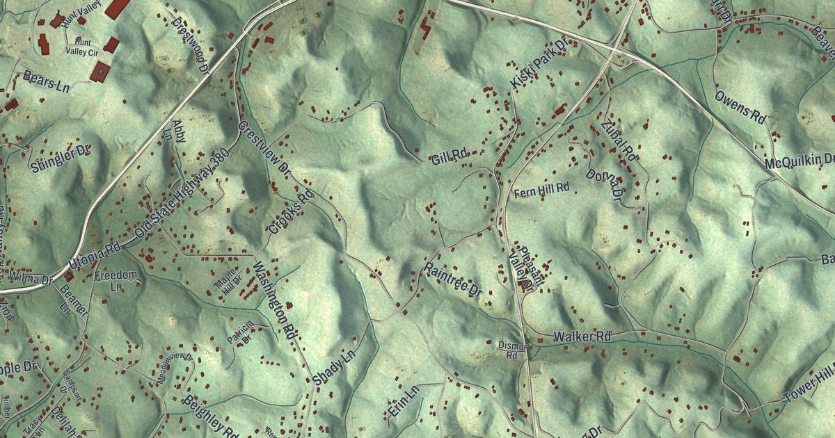
A detailed map of Washington, Westmoreland County, Pennsylvania, showing every building in its true location, the roads by name, and shaded topographical relief.
Read More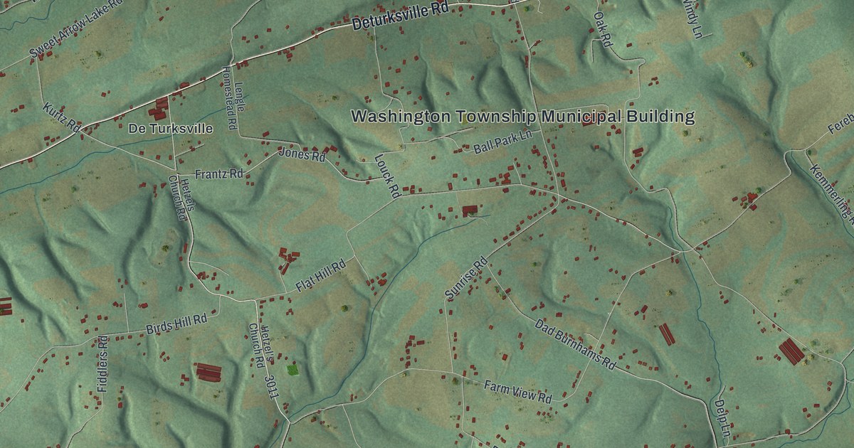
A detailed map of Washington, Schuylkill County, Pennsylvania, showing every building in its true location, the roads by name, and shaded topographical relief.
Read More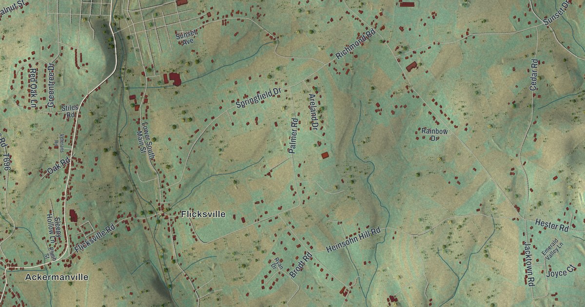
A detailed map of Washington, Northampton County, Pennsylvania, showing every building in its true location, the roads by name, and shaded topographical relief.
Read More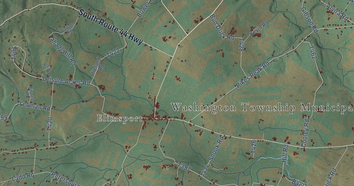
A detailed map of Washington, Lycoming County, Pennsylvania, showing every building in its true location, the roads by name, and shaded topographical relief.
Read More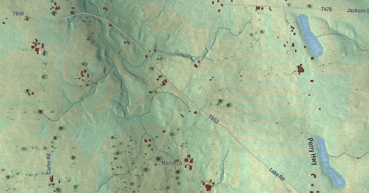
A detailed map of Washington, Lawrence County, Pennsylvania, showing every building in its true location, the roads by name, and shaded topographical relief.
Read More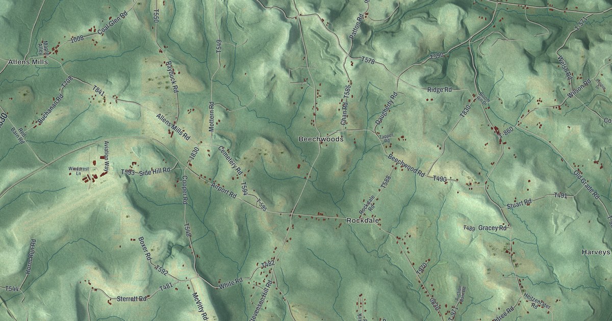
A detailed map of Washington, Jefferson County, Pennsylvania, showing every building in its true location, the roads by name, and shaded topographical relief.
Read More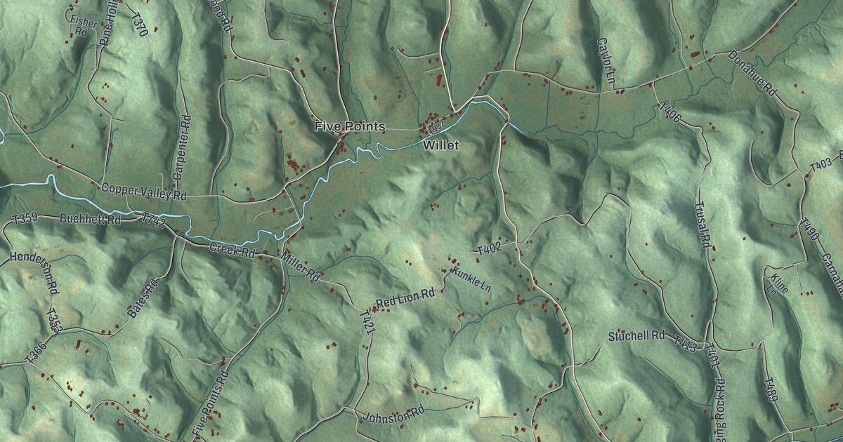
A detailed map of Washington, Indiana County, Pennsylvania, showing every building in its true location, the roads by name, and shaded topographical relief.
Read More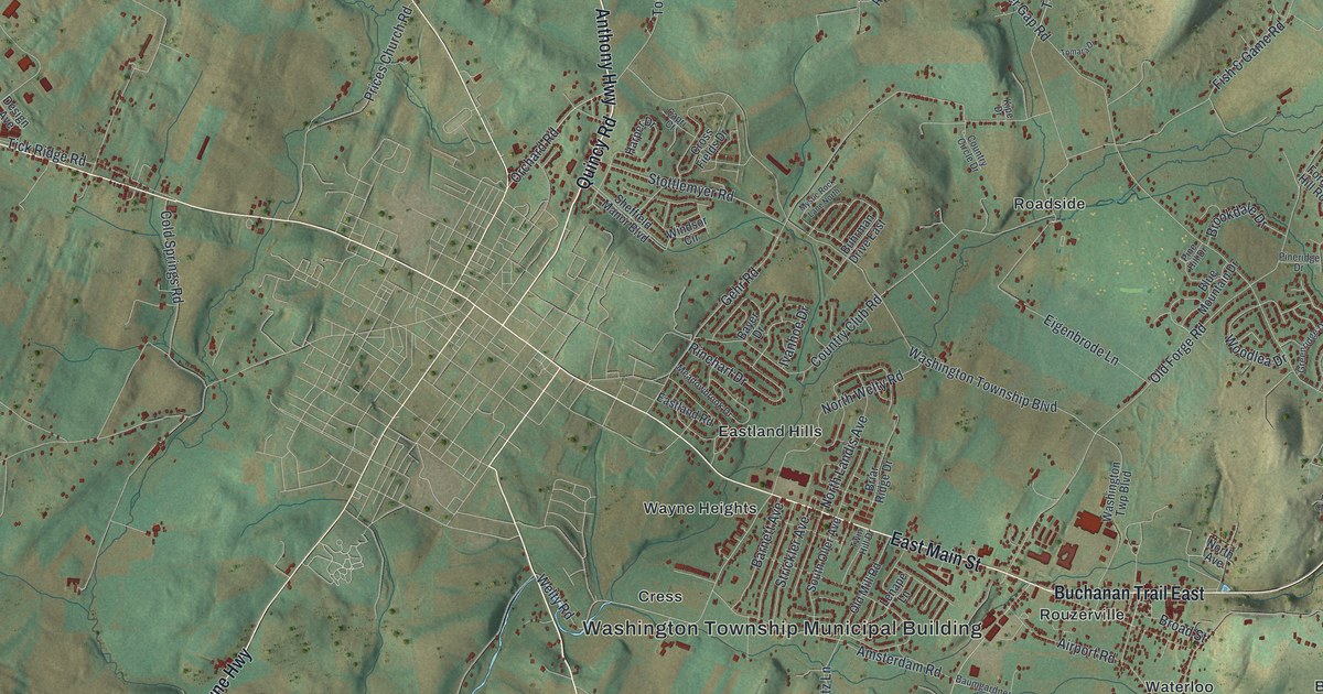
A detailed map of Washington, Franklin County, Pennsylvania, showing every building in its true location, the roads by name, and shaded topographical relief.
Read More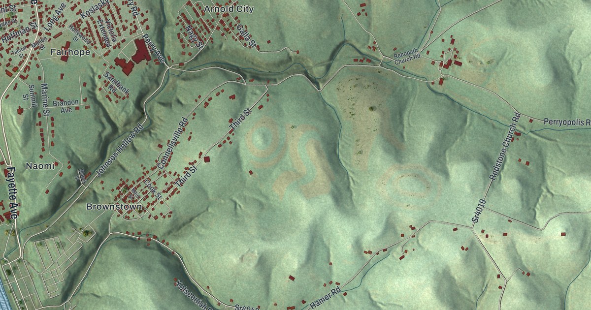
A detailed map of Washington, Fayette County, Pennsylvania, showing every building in its true location, the roads by name, and shaded topographical relief.
Read More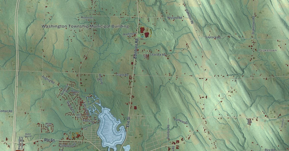
A detailed map of Washington, Erie County, Pennsylvania, showing every building in its true location, the roads by name, and shaded topographical relief.
Read More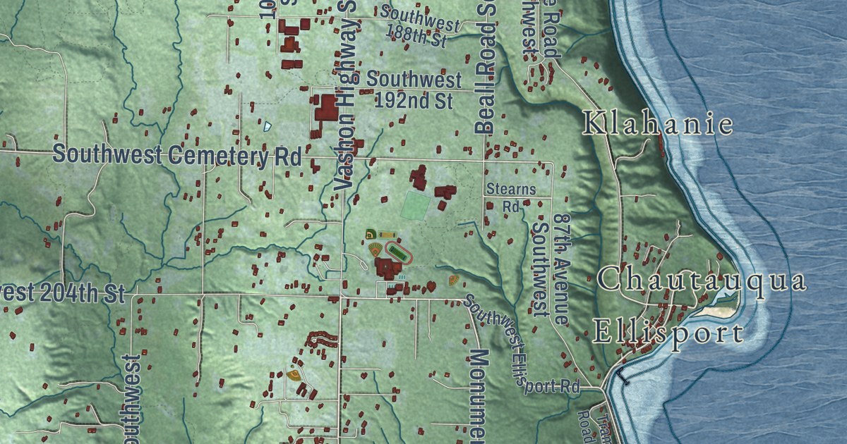
A detailed map of Vashon, Washington, showing every building in its true location, the roads by name, and shaded topographical relief.
Read More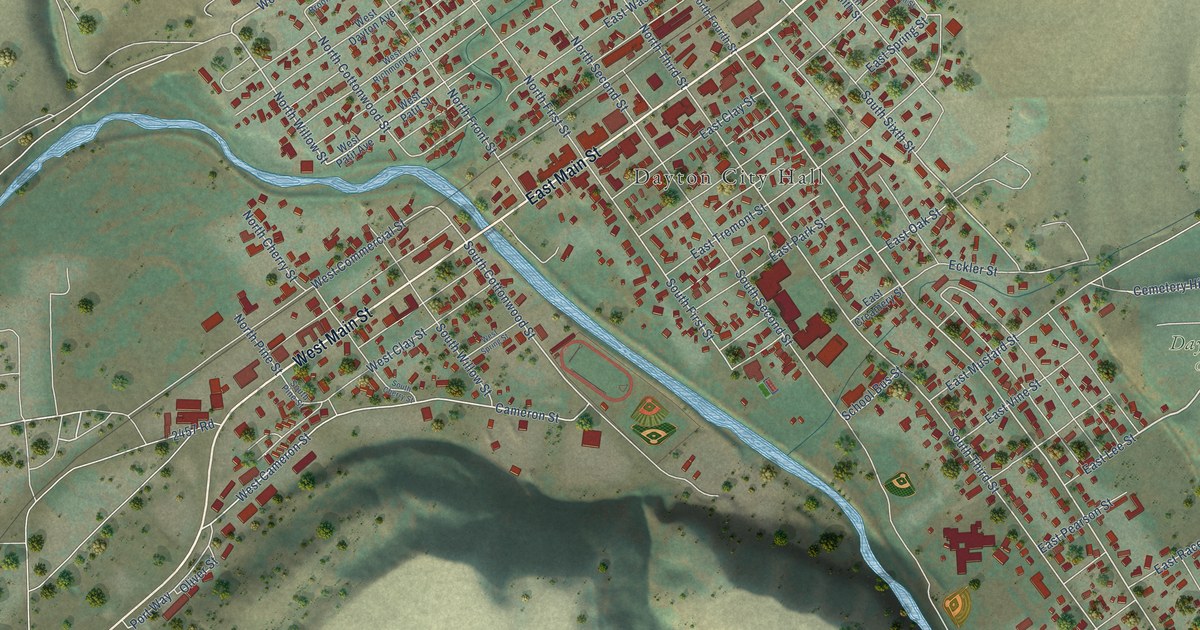
A detailed map of Dayton, Washington, showing every building in its true location, the roads by name, and shaded topographical relief.
Read More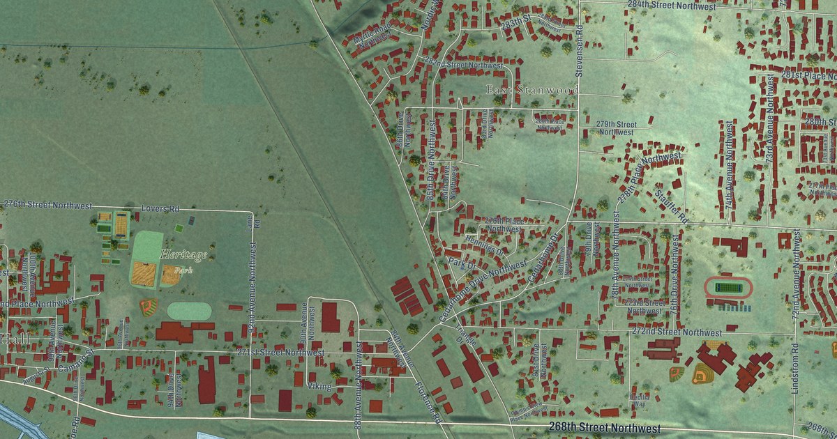
A detailed map of Stanwood, Washington, showing every building in its true location, the roads by name, and shaded topographical relief.
Read More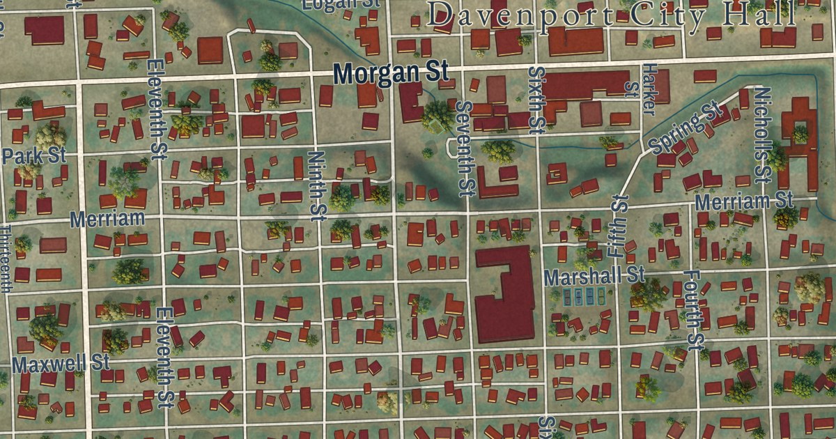
A detailed map of Davenport, Washington, showing every building in its true location, the roads by name, and shaded topographical relief.
Read More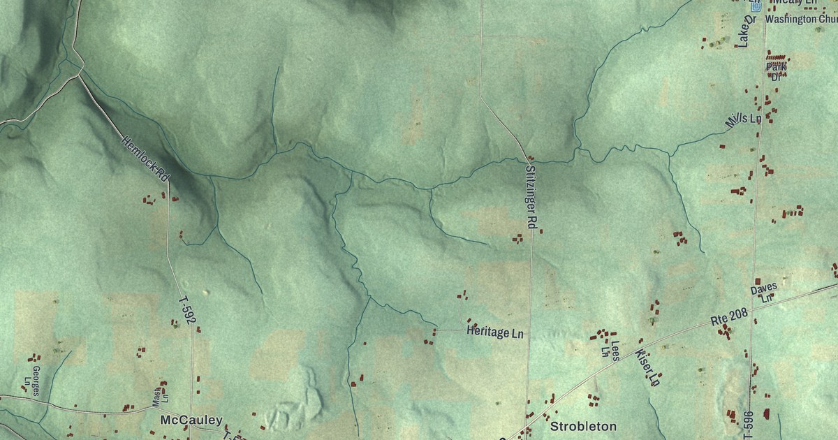
A detailed map of Washington, Clarion County, Pennsylvania, showing every building in its true location, the roads by name, and shaded topographical relief.
Read More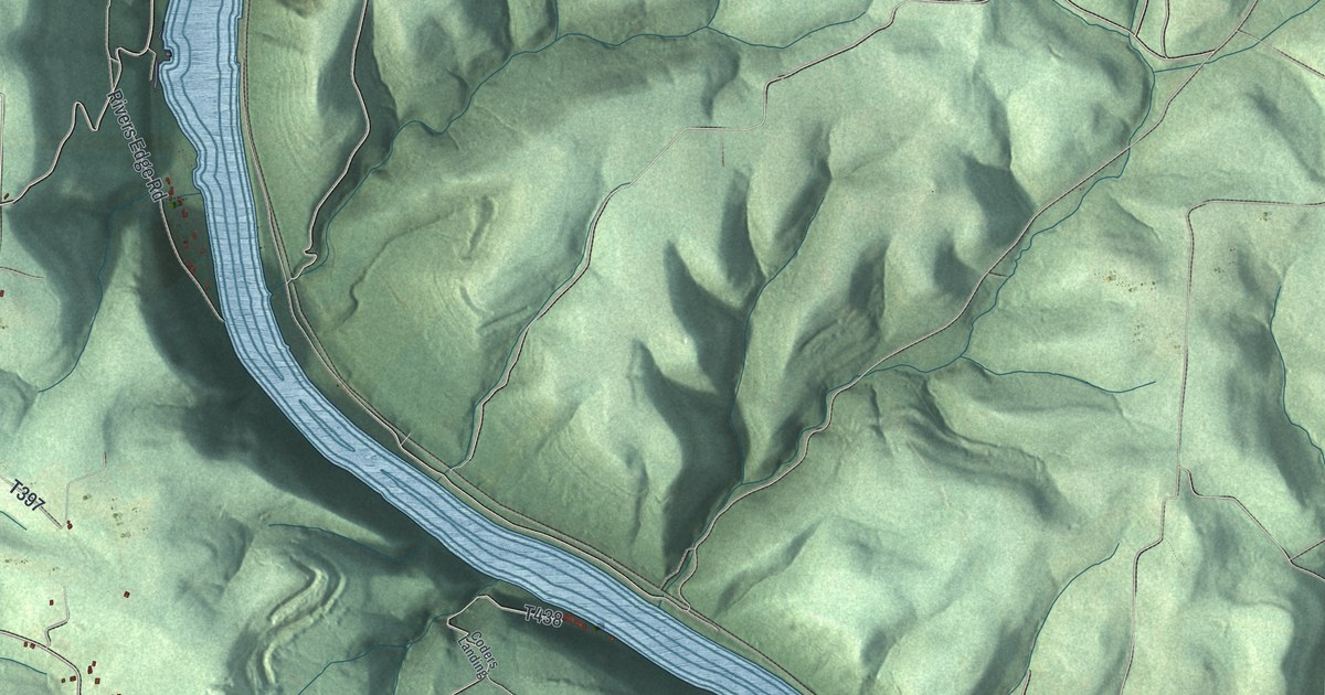
A detailed map of Washington, Armstrong County, Pennsylvania, showing every building in its true location, the roads by name, and shaded topographical relief.
Read More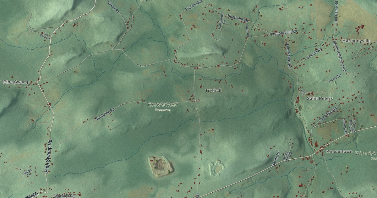
A detailed map of Warwick, Chester County, Pennsylvania, showing every building in its true location, the roads by name, and shaded topographical relief.
Read More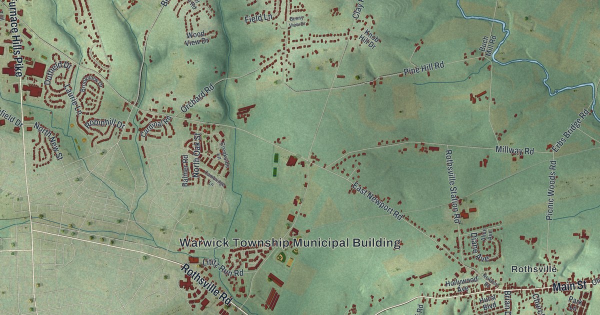
A detailed map of Warwick, Lancaster County, Pennsylvania, showing every building in its true location, the roads by name, and shaded topographical relief.
Read More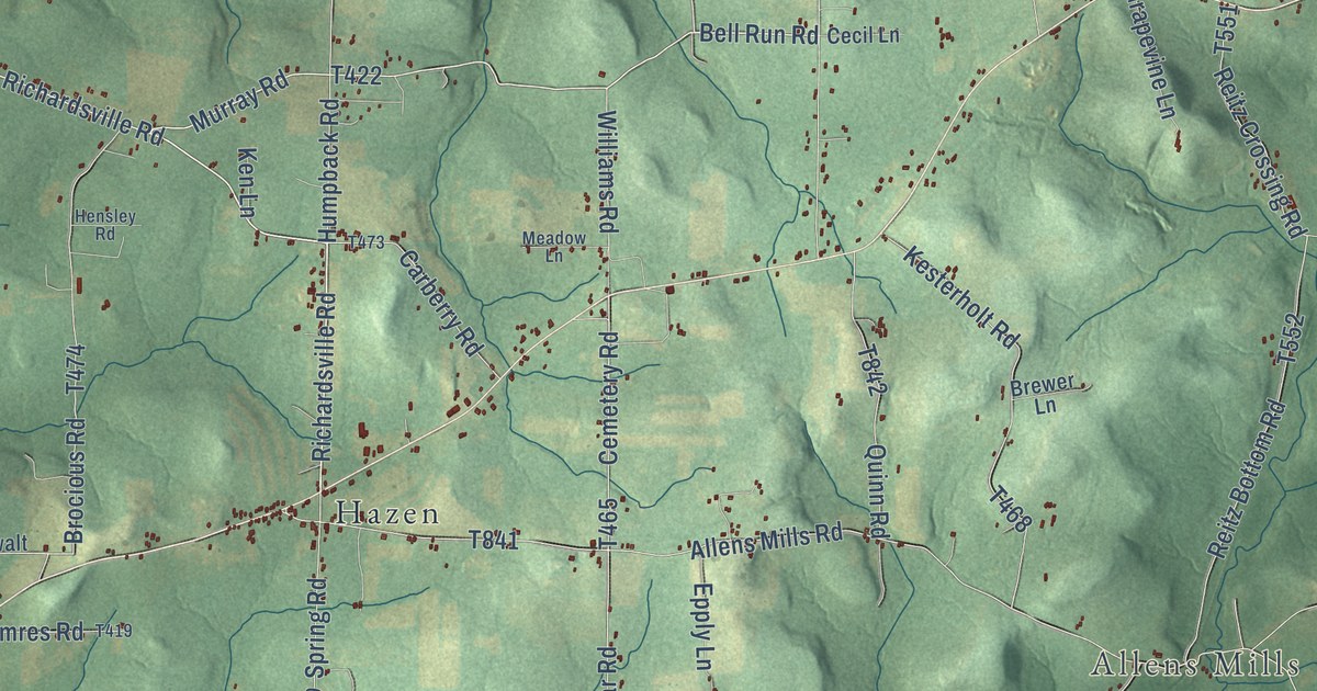
A detailed map of Warsaw, Pennsylvania, showing every building in its true location, the roads by name, and shaded topographical relief.
Read More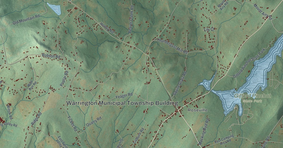
A detailed map of Warrington, York County, Pennsylvania, showing every building in its true location, the roads by name, and shaded topographical relief.
Read More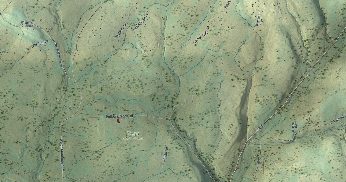
A detailed map of Ward, Pennsylvania, showing every building in its true location, the roads by name, and shaded topographical relief.
Read More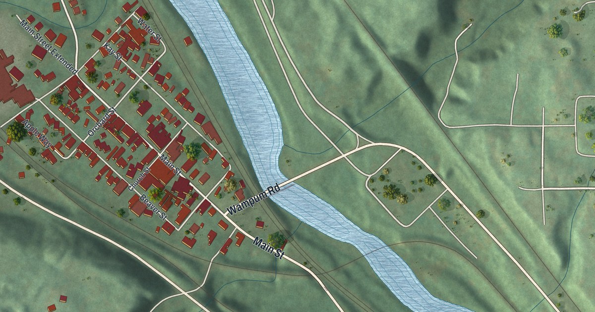
A detailed map of Wampum, Pennsylvania, showing every building in its true location, the roads by name, and shaded topographical relief.
Read More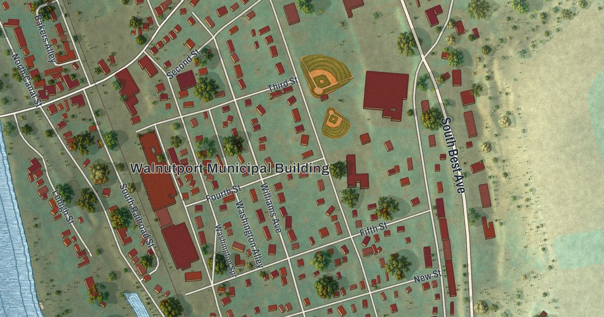
A detailed map of Walnutport, Pennsylvania, showing every building in its true location, the roads by name, and shaded topographical relief.
Read More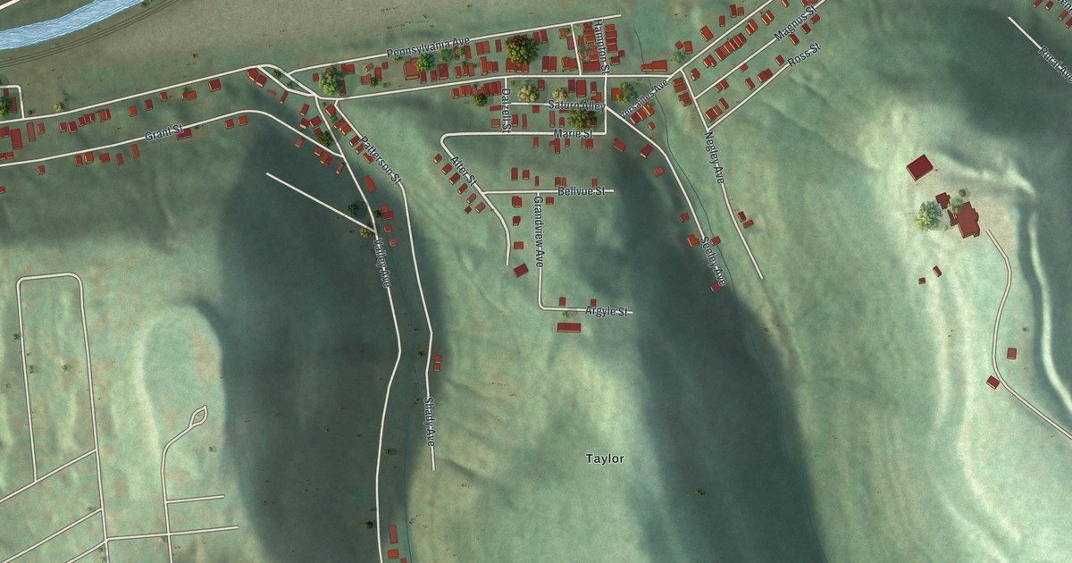
A detailed map of Wall, Pennsylvania, showing every building in its true location, the roads by name, and shaded topographical relief.
Read More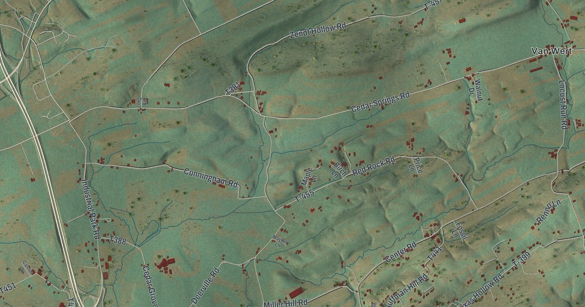
A detailed map of Walker, Juniata County, Pennsylvania, showing every building in its true location, the roads by name, and shaded topographical relief.
Read More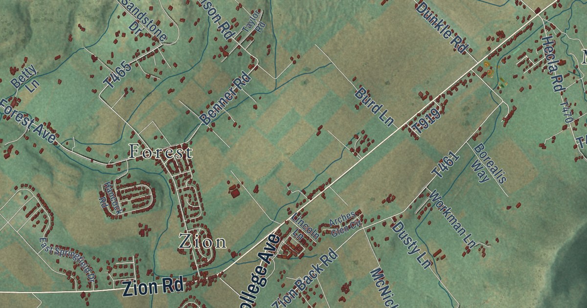
A detailed map of Walker, Centre County, Pennsylvania, showing every building in its true location, the roads by name, and shaded topographical relief.
Read More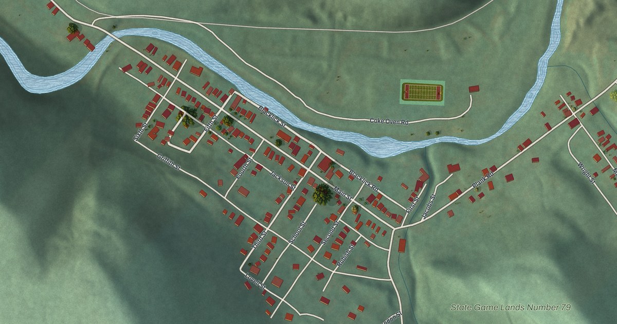
A detailed map of Vintondale, Pennsylvania, showing every building in its true location, the roads by name, and shaded topographical relief.
Read More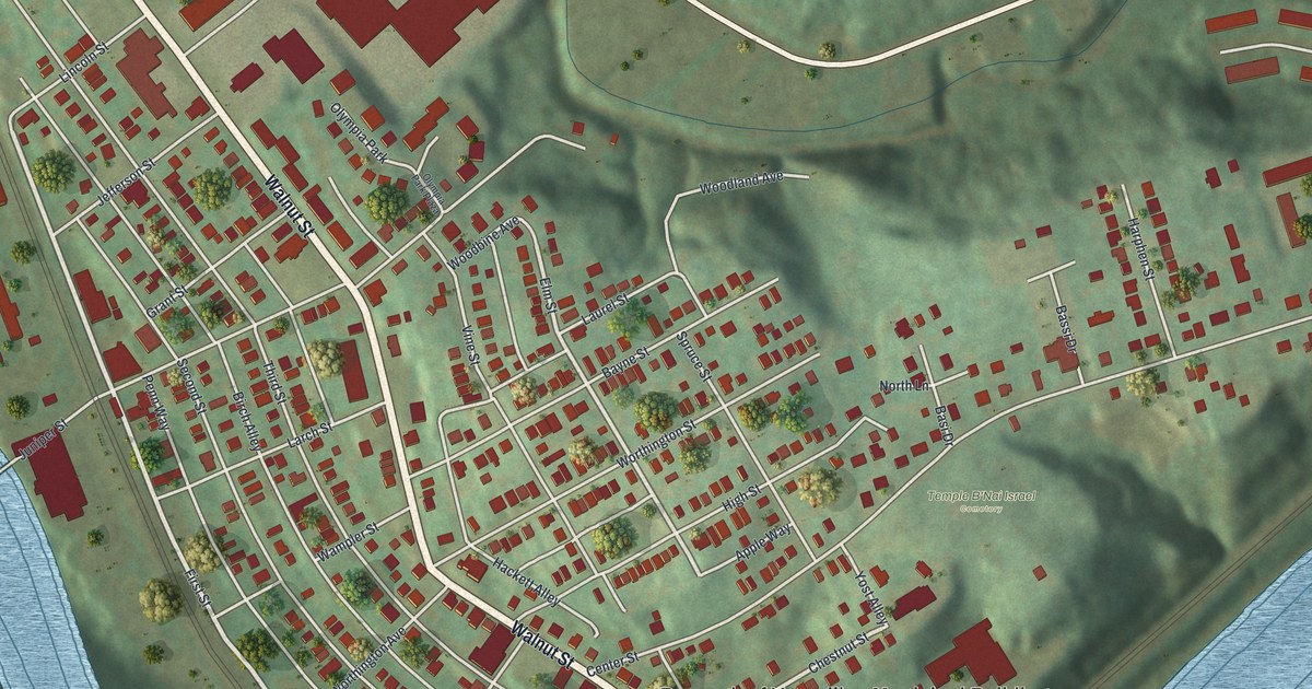
A detailed map of Versailles, Pennsylvania, showing every building in its true location, the roads by name, and shaded topographical relief.
Read More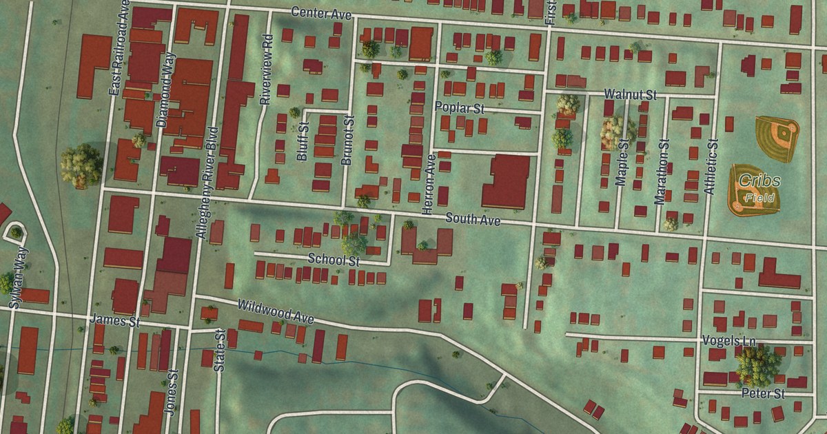
A detailed map of Verona, Pennsylvania, showing every building in its true location, the roads by name, and shaded topographical relief.
Read More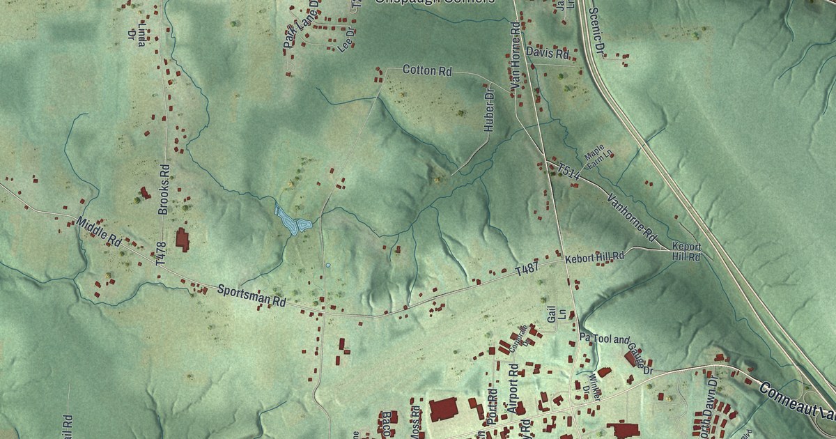
A detailed map of Vernon, Pennsylvania, showing every building in its true location, the roads by name, and shaded topographical relief.
Read More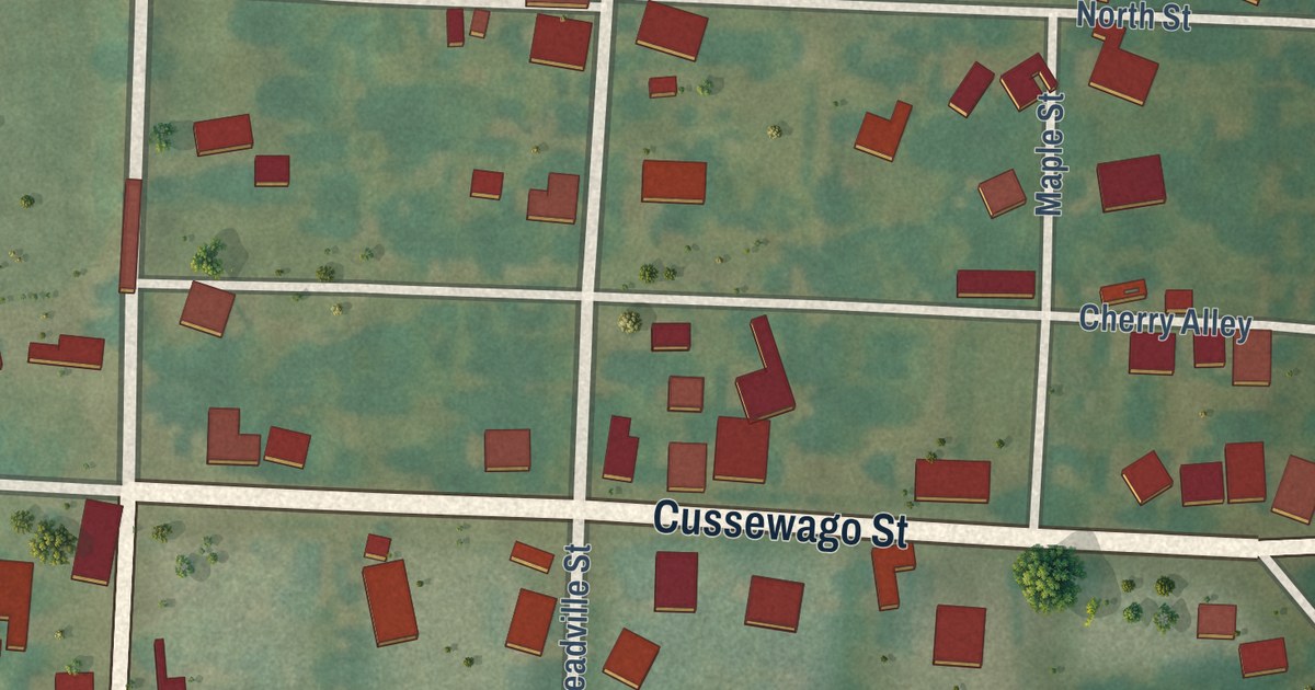
A detailed map of Venango Borough, Crawford County, Pennsylvania, showing every building in its true location, the roads by name, and shaded topographical relief.
Read More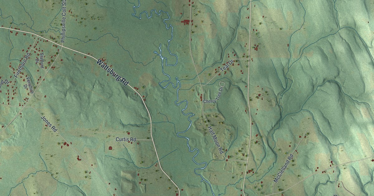
A detailed map of Venango, Erie County, Pennsylvania, showing every building in its true location, the roads by name, and shaded topographical relief.
Read More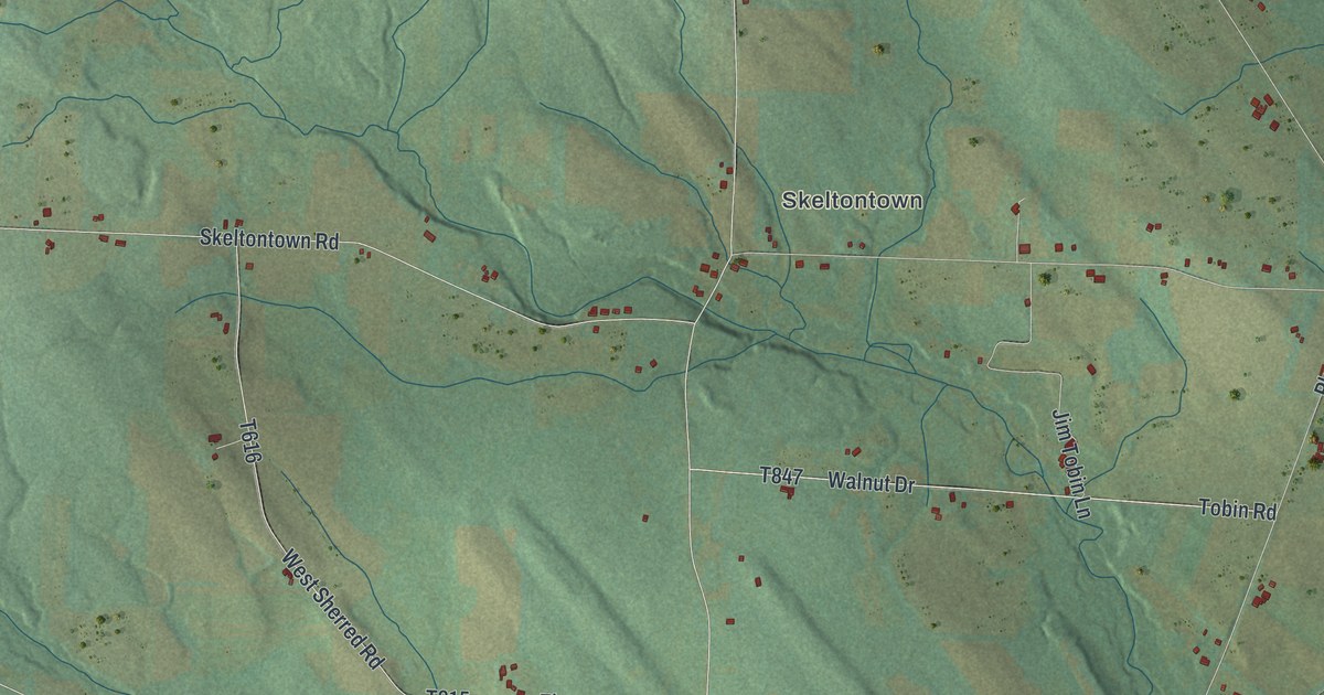
A detailed map of Venango Township, Crawford County, Pennsylvania, showing every building in its true location, the roads by name, and shaded topographical relief.
Read More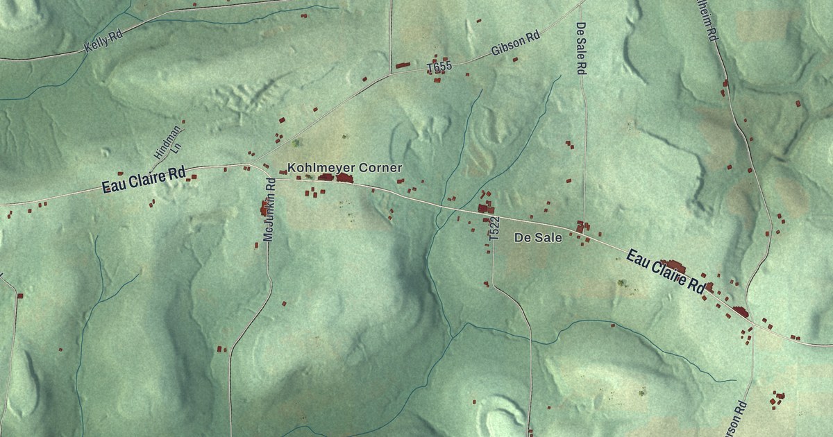
A detailed map of Venango, Butler County, Pennsylvania, showing every building in its true location, the roads by name, and shaded topographical relief.
Read More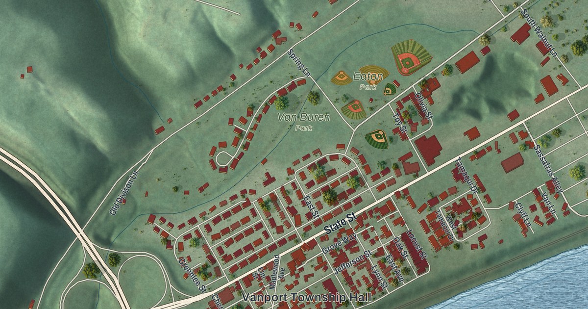
A detailed map of Vanport, Pennsylvania, showing every building in its true location, the roads by name, and shaded topographical relief.
Read More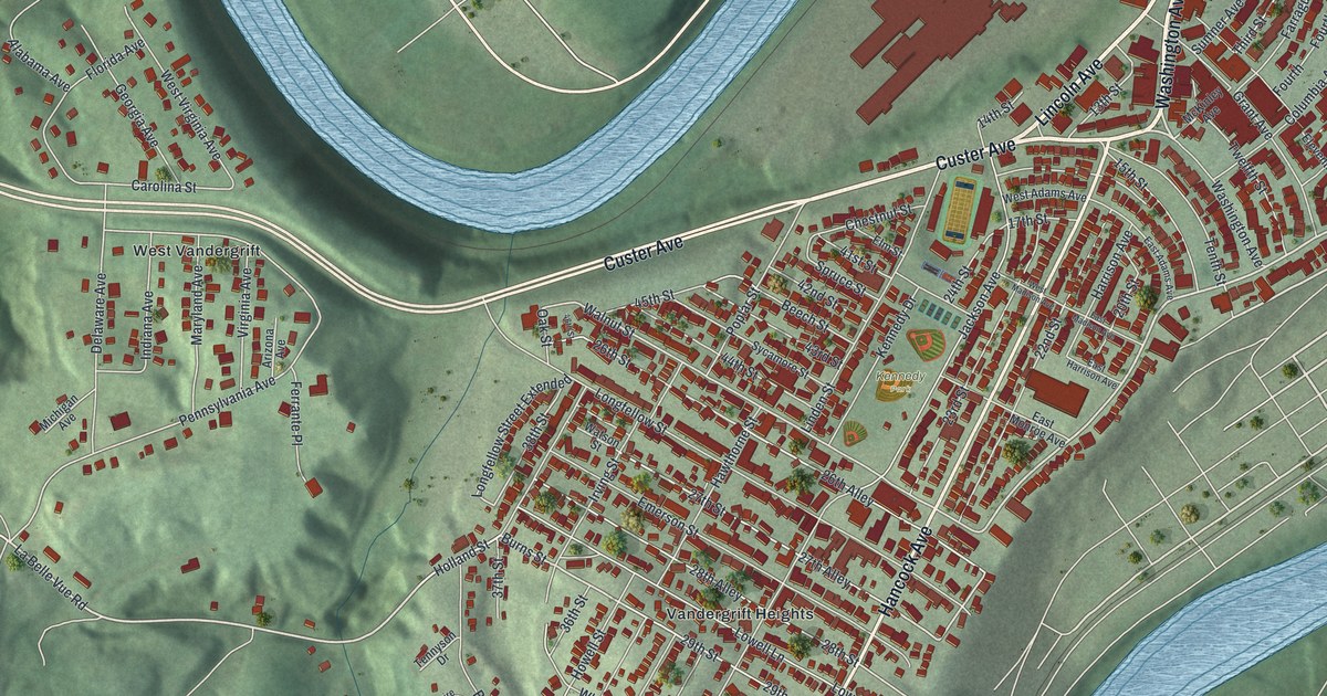
A detailed map of Vandergrift, Pennsylvania, showing every building in its true location, the roads by name, and shaded topographical relief.
Read More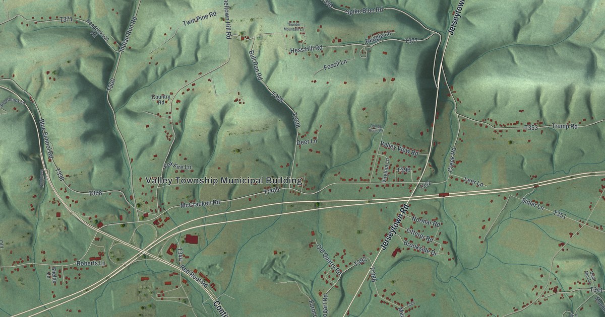
A detailed map of Valley, Montour County, Pennsylvania, showing every building in its true location, the roads by name, and shaded topographical relief.
Read More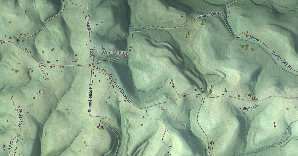
A detailed map of Valley, Armstrong County, Pennsylvania, showing every building in its true location, the roads by name, and shaded topographical relief.
Read More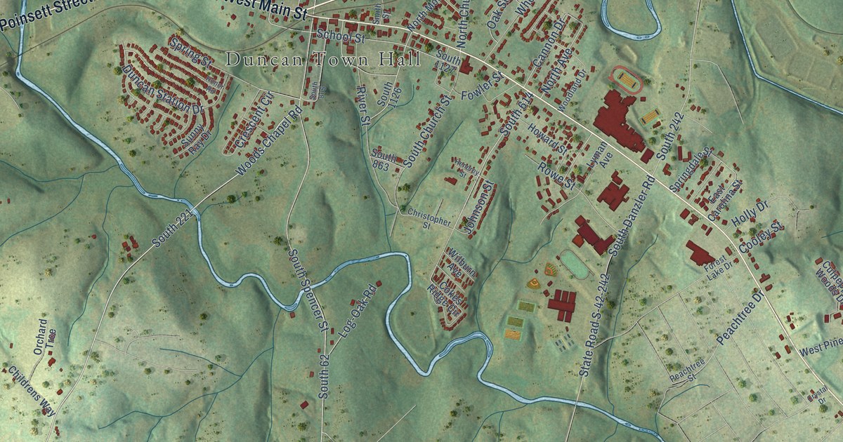
A detailed map of Duncan, South Carolina, showing every building in its true location, the roads by name, and shaded topographical relief.
Read More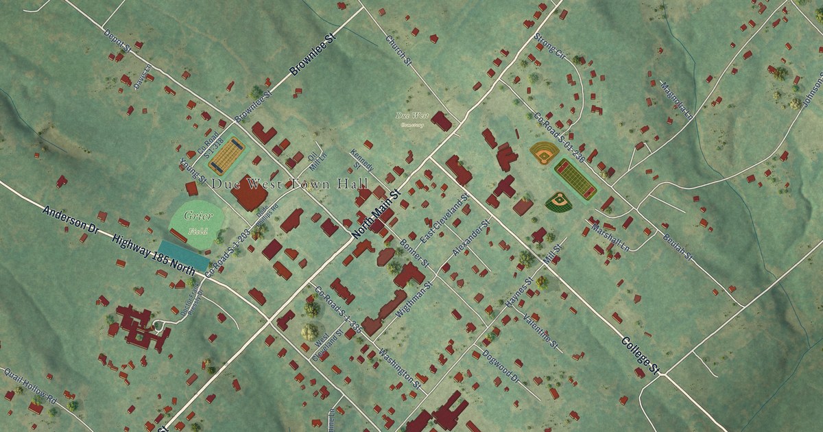
A detailed map of Due West, South Carolina, showing every building in its true location, the roads by name, and shaded topographical relief.
Read More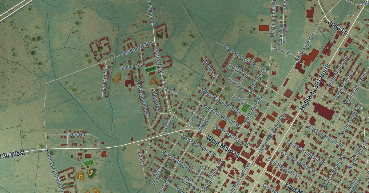
A detailed map of Dillon, South Carolina, showing every building in its true location, the roads by name, and shaded topographical relief.
Read More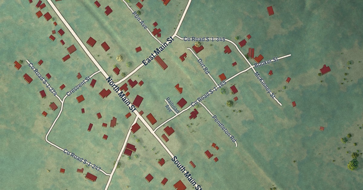
A detailed map of Donalds, South Carolina, showing every building in its true location, the roads by name, and shaded topographical relief.
Read More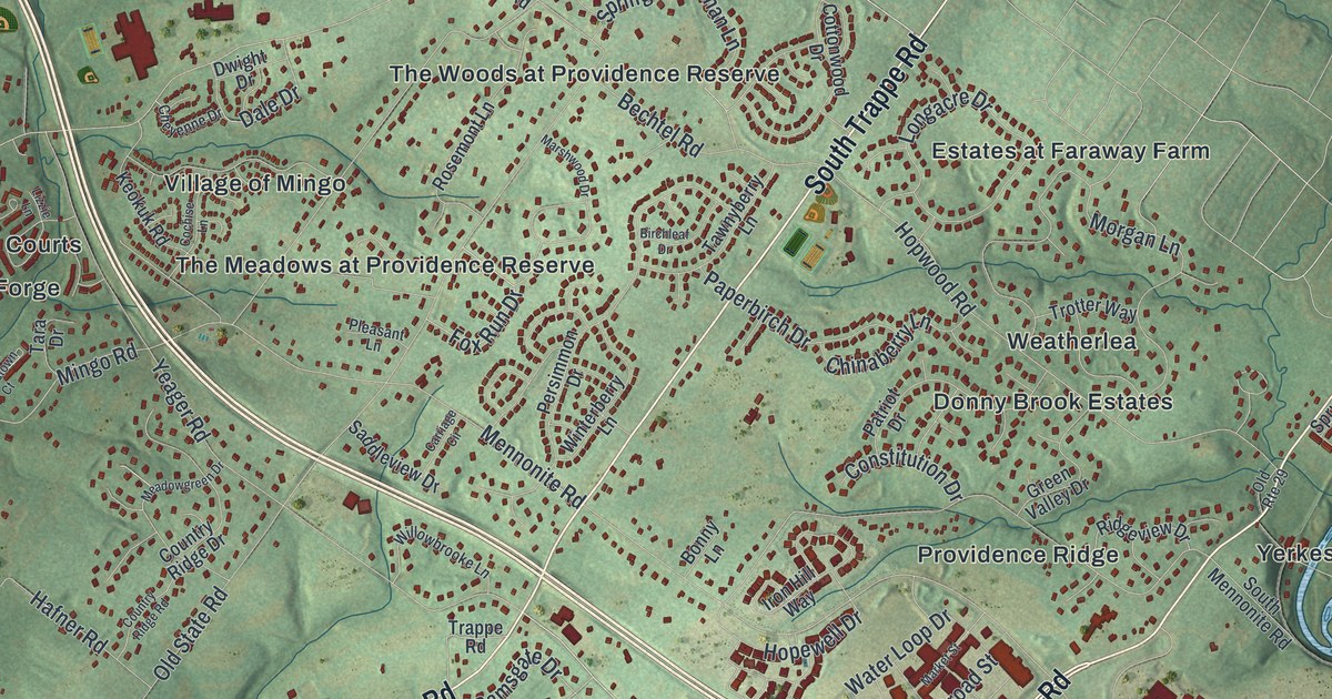
A detailed map of Upper Providence, Montgomery County, Pennsylvania, showing every building in its true location, the roads by name, and shaded topographical relief.
Read More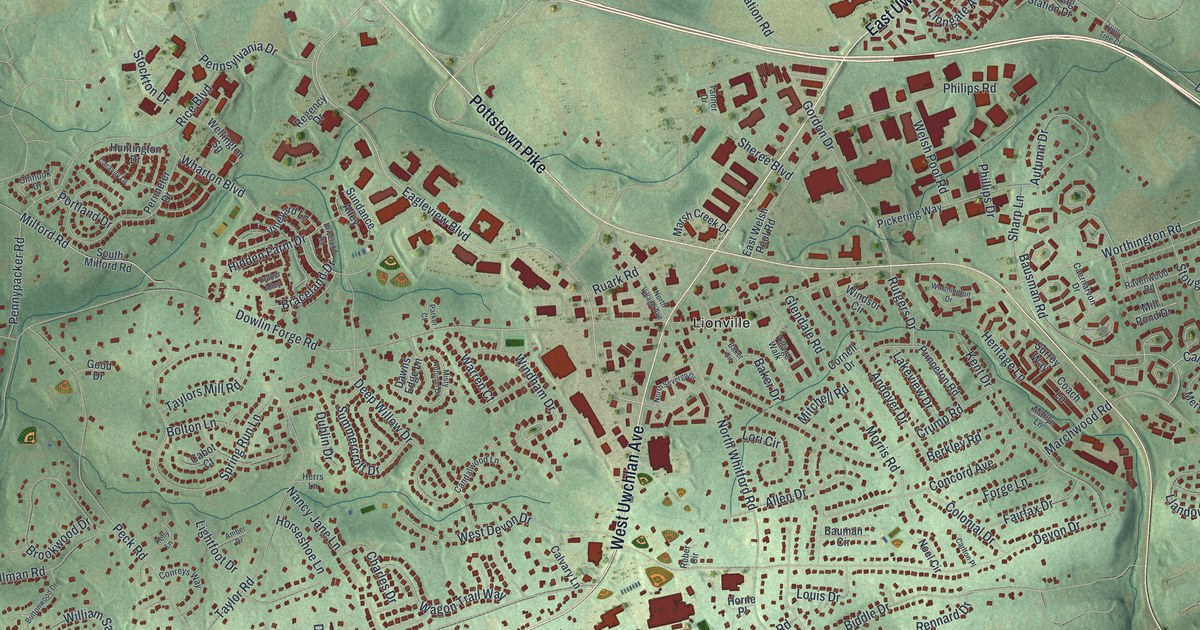
A detailed map of Uwchlan, Pennsylvania, showing every building in its true location, the roads by name, and shaded topographical relief.
Read More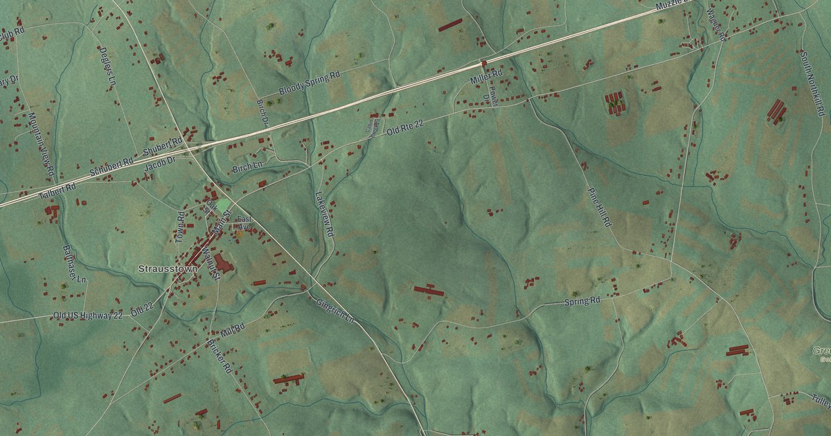
A detailed map of Upper Tulpehocken, Pennsylvania, showing every building in its true location, the roads by name, and shaded topographical relief.
Read More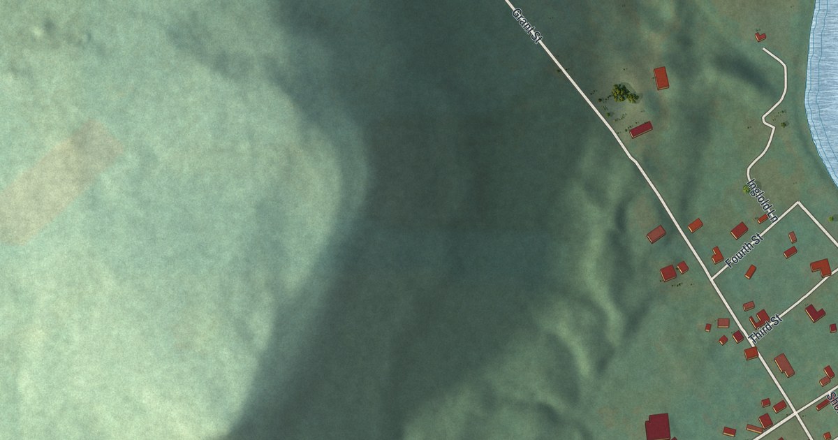
A detailed map of Utica, Pennsylvania, showing every building in its true location, the roads by name, and shaded topographical relief.
Read More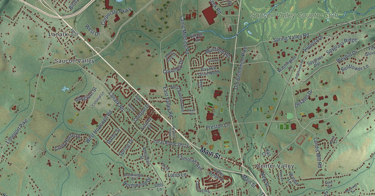
A detailed map of Upper Saucon, Pennsylvania, showing every building in its true location, the roads by name, and shaded topographical relief.
Read More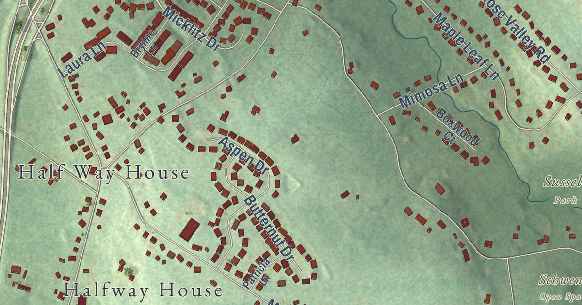
A detailed map of Upper Pottsgrove, Pennsylvania, showing every building in its true location, the roads by name, and shaded topographical relief.
Read More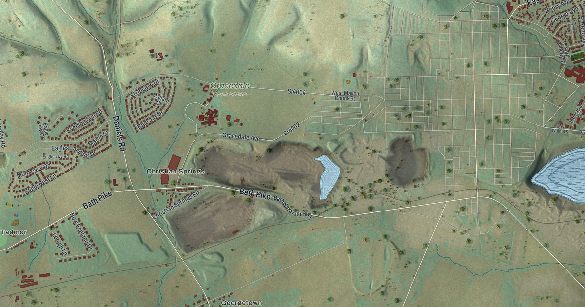
A detailed map of Upper Nazareth, Pennsylvania, showing every building in its true location, the roads by name, and shaded topographical relief.
Read More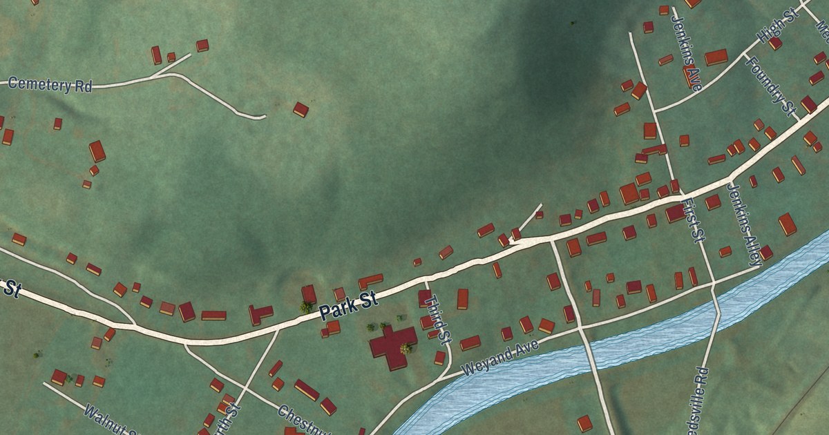
A detailed map of Ursina, Pennsylvania, showing every building in its true location, the roads by name, and shaded topographical relief.
Read More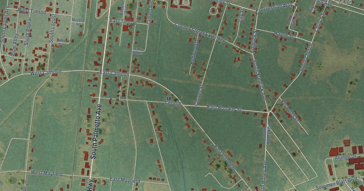
A detailed map of Denmark, South Carolina, showing every building in its true location, the roads by name, and shaded topographical relief.
Read More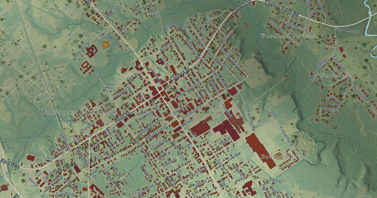
A detailed map of Darlington, South Carolina, showing every building in its true location, the roads by name, and shaded topographical relief.
Read More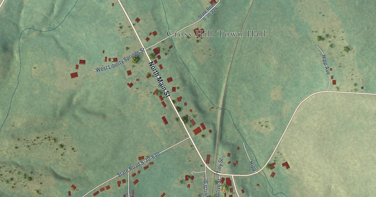
A detailed map of Cross Hill, South Carolina, showing every building in its true location, the roads by name, and shaded topographical relief.
Read More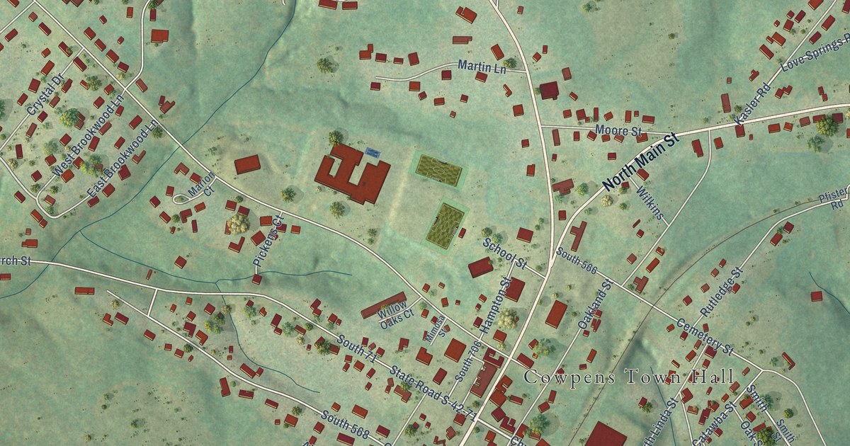
A detailed map of Cowpens, South Carolina, showing every building in its true location, the roads by name, and shaded topographical relief.
Read More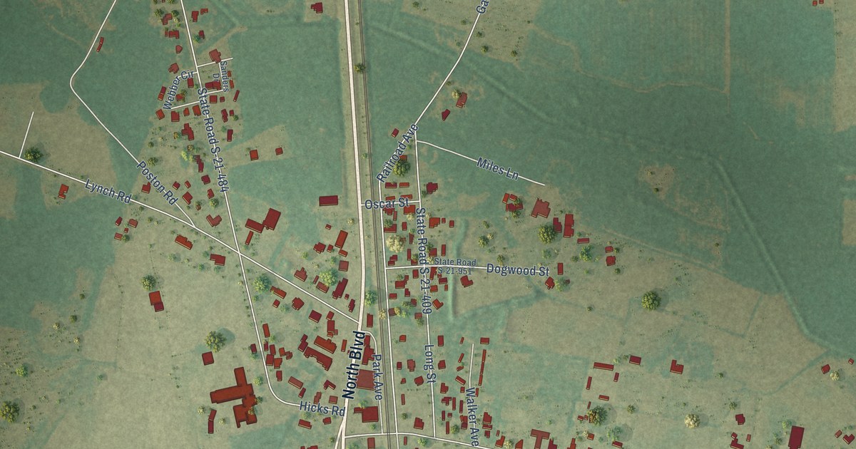
A detailed map of Coward, South Carolina, showing every building in its true location, the roads by name, and shaded topographical relief.
Read More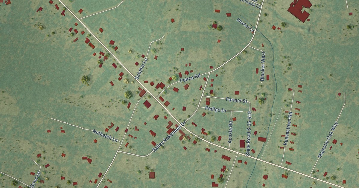
A detailed map of Cottageville, South Carolina, showing every building in its true location, the roads by name, and shaded topographical relief.
Read More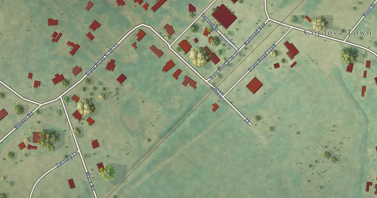
A detailed map of Cordova, South Carolina, showing every building in its true location, the roads by name, and shaded topographical relief.
Read More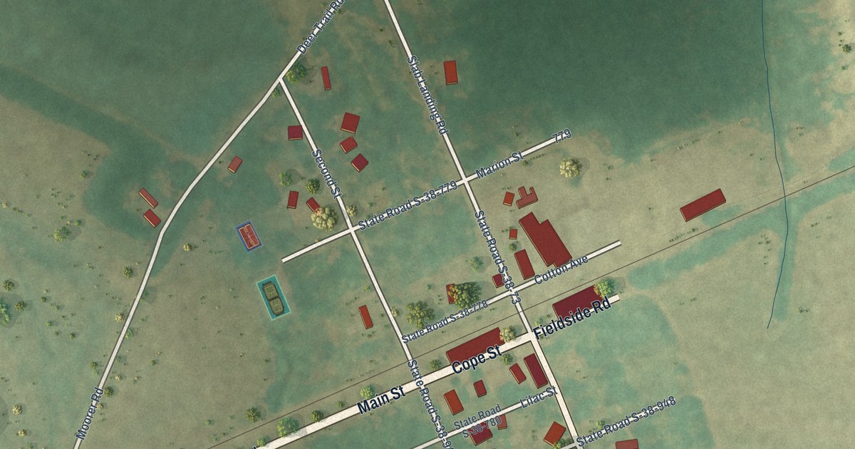
A detailed map of Cope, South Carolina, showing every building in its true location, the roads by name, and shaded topographical relief.
Read More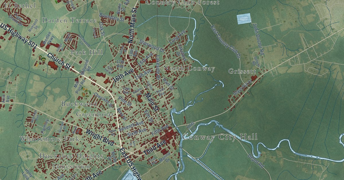
A detailed map of Conway, South Carolina, showing every building in its true location, the roads by name, and shaded topographical relief.
Read More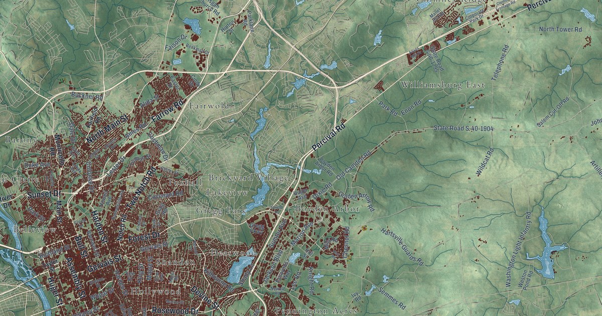
A detailed map of Columbia, South Carolina, showing every building in its true location, the roads by name, and shaded topographical relief.
Read More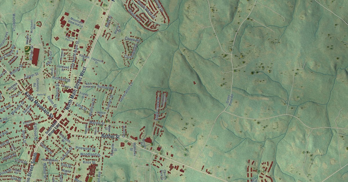
A detailed map of Clover, South Carolina, showing every building in its true location, the roads by name, and shaded topographical relief.
Read More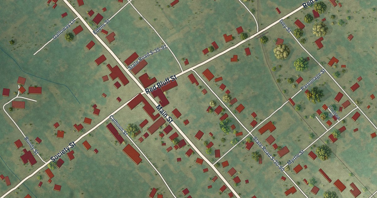
A detailed map of Clio, South Carolina, showing every building in its true location, the roads by name, and shaded topographical relief.
Read More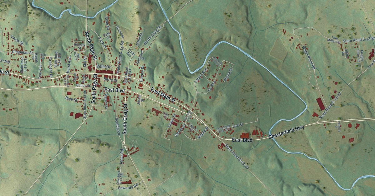
A detailed map of Chesterfield, South Carolina, showing every building in its true location, the roads by name, and shaded topographical relief.
Read More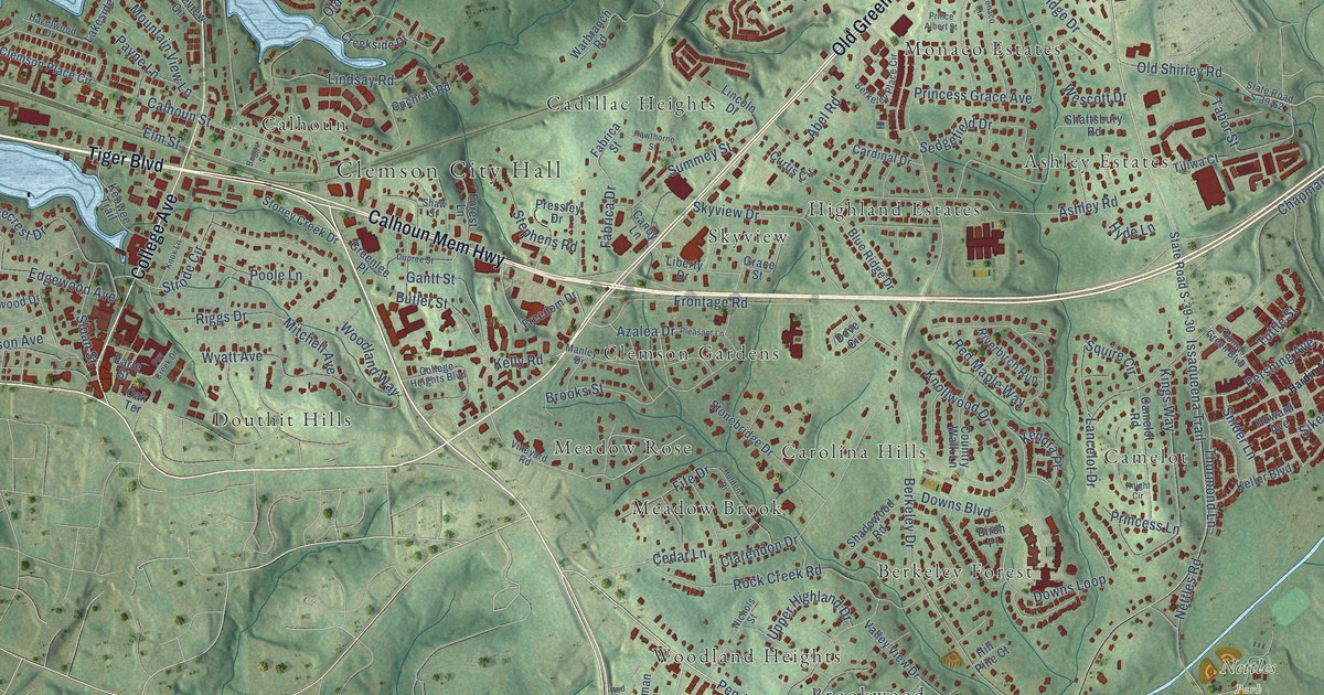
A detailed map of Clemson, South Carolina, showing every building in its true location, the roads by name, and shaded topographical relief.
Read More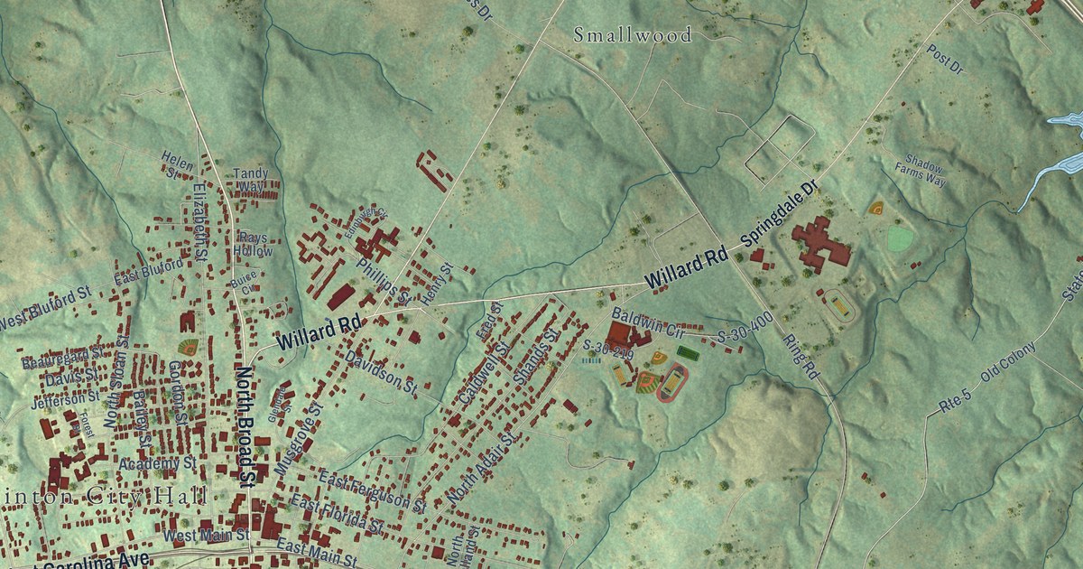
A detailed map of Clinton, South Carolina, showing every building in its true location, the roads by name, and shaded topographical relief.
Read More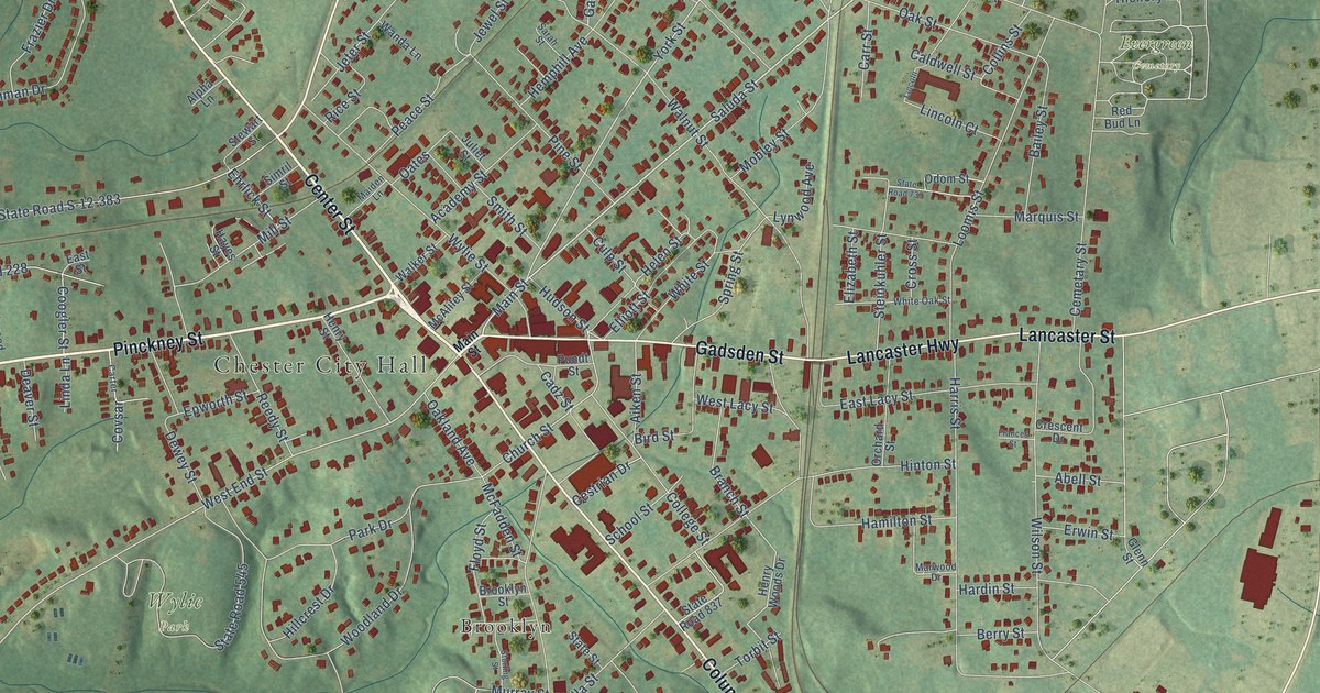
A detailed map of Chester, South Carolina, showing every building in its true location, the roads by name, and shaded topographical relief.
Read More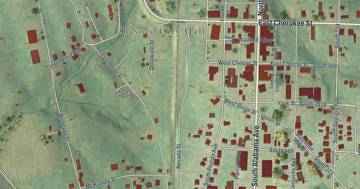
A detailed map of Chesnee, South Carolina, showing every building in its true location, the roads by name, and shaded topographical relief.
Read More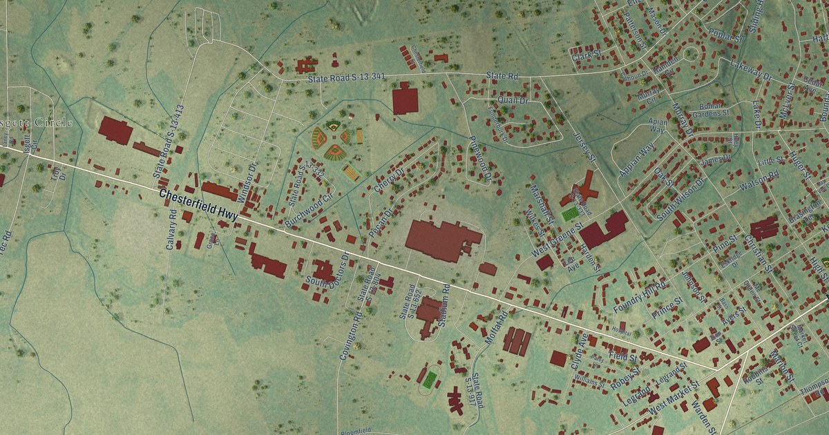
A detailed map of Cheraw, South Carolina, showing every building in its true location, the roads by name, and shaded topographical relief.
Read More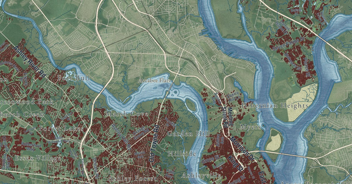
A detailed map of Charleston, South Carolina, showing every building in its true location, the roads by name, and shaded topographical relief.
Read More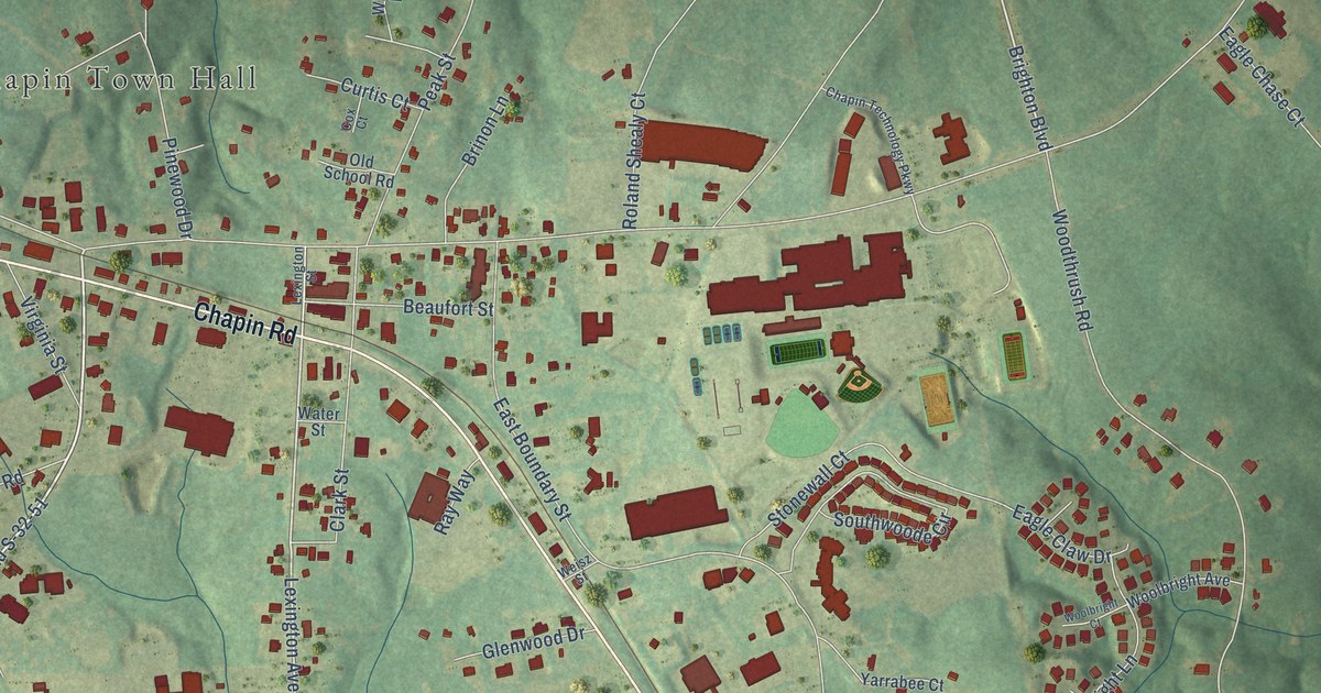
A detailed map of Chapin, South Carolina, showing every building in its true location, the roads by name, and shaded topographical relief.
Read More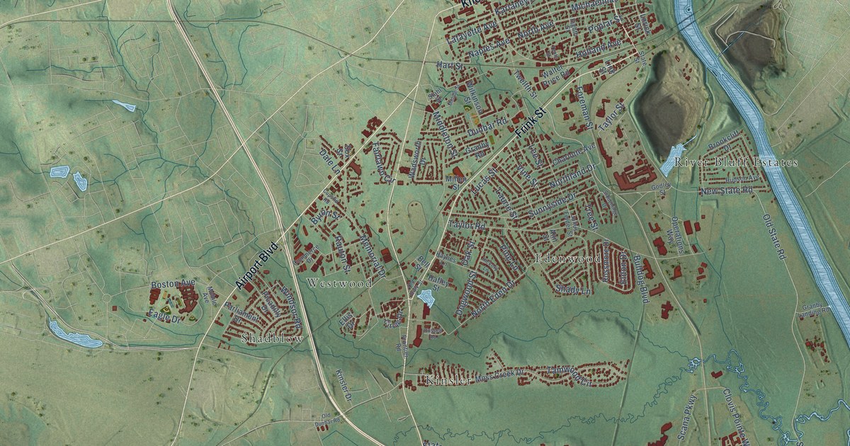
A detailed map of Cayce, South Carolina, showing every building in its true location, the roads by name, and shaded topographical relief.
Read More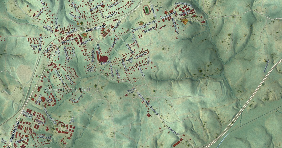
A detailed map of Central, South Carolina, showing every building in its true location, the roads by name, and shaded topographical relief.
Read More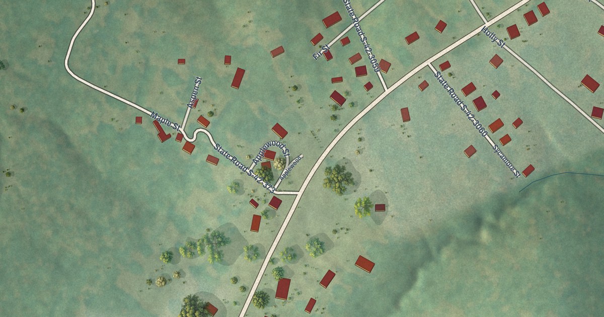
A detailed map of Central Pacolet, South Carolina, showing every building in its true location, the roads by name, and shaded topographical relief.
Read More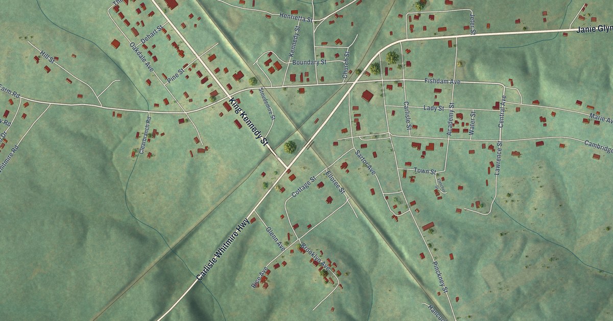
A detailed map of Carlisle, South Carolina, showing every building in its true location, the roads by name, and shaded topographical relief.
Read More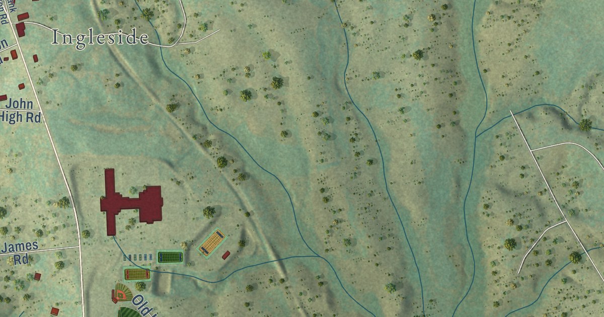
A detailed map of Campobello, South Carolina, showing every building in its true location, the roads by name, and shaded topographical relief.
Read More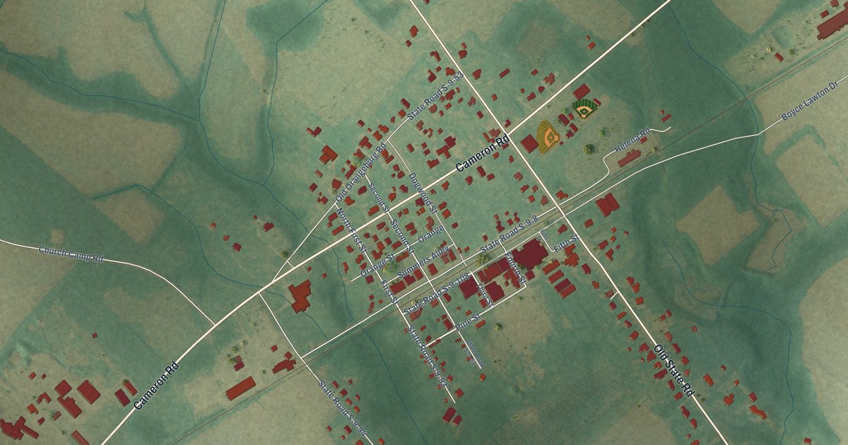
A detailed map of Cameron, South Carolina, showing every building in its true location, the roads by name, and shaded topographical relief.
Read More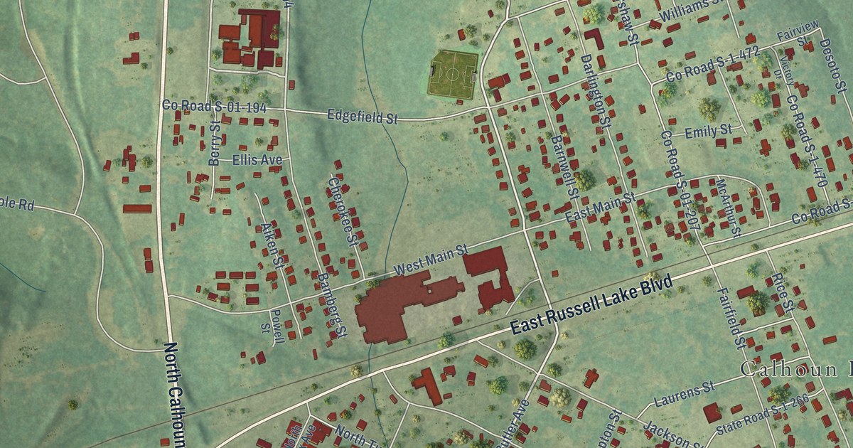
A detailed map of Calhoun Falls, South Carolina, showing every building in its true location, the roads by name, and shaded topographical relief.
Read More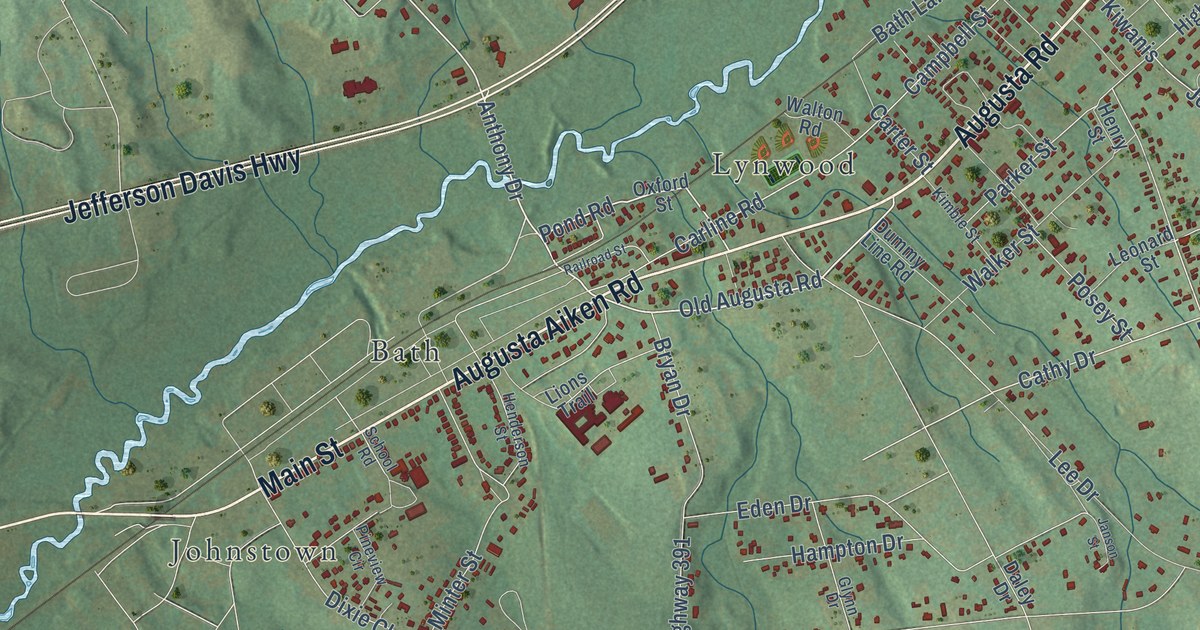
A detailed map of Burnettown, South Carolina, showing every building in its true location, the roads by name, and shaded topographical relief.
Read More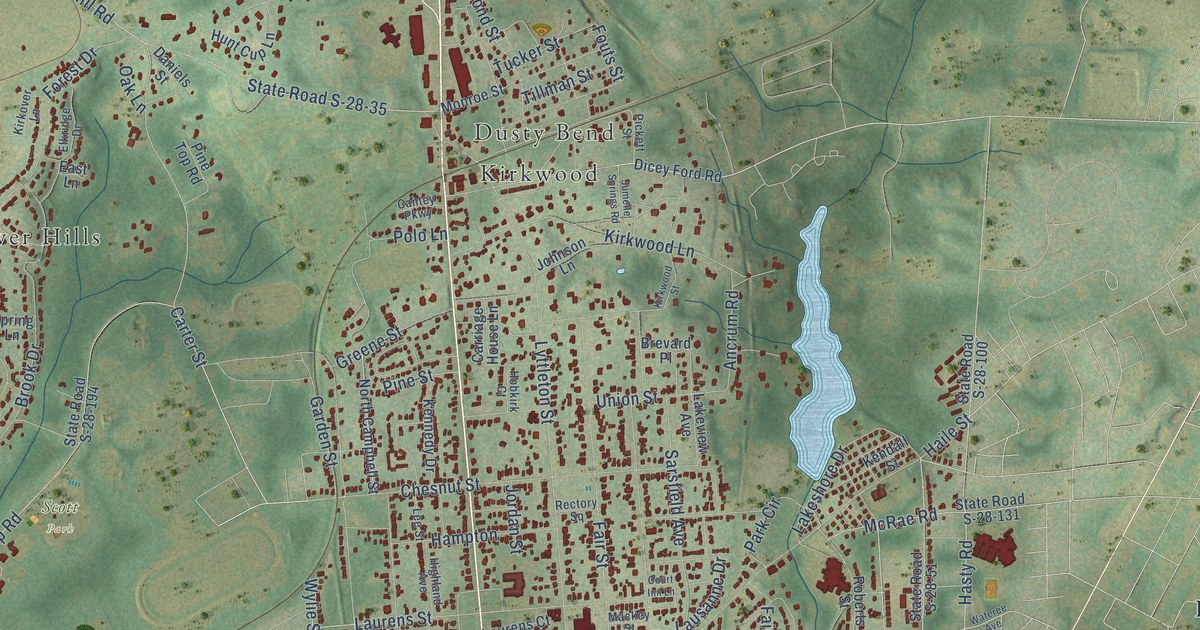
A detailed map of Camden, South Carolina, showing every building in its true location, the roads by name, and shaded topographical relief.
Read More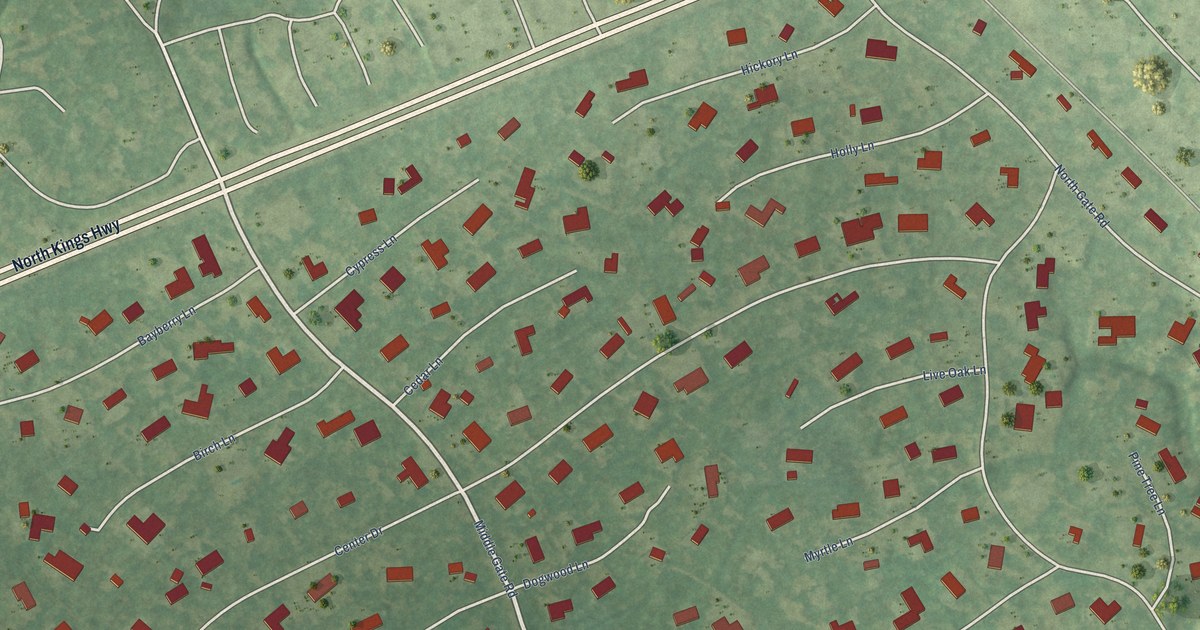
A detailed map of Briarcliffe Acres, South Carolina, showing every building in its true location, the roads by name, and shaded topographical relief.
Read More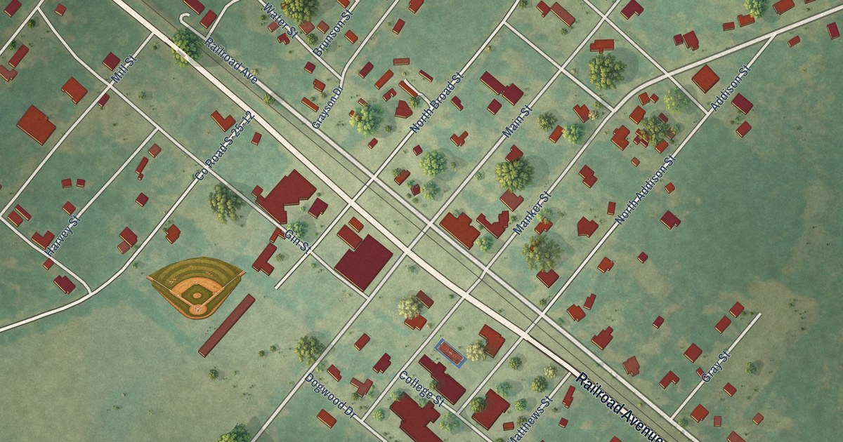
A detailed map of Brunson, South Carolina, showing every building in its true location, the roads by name, and shaded topographical relief.
Read More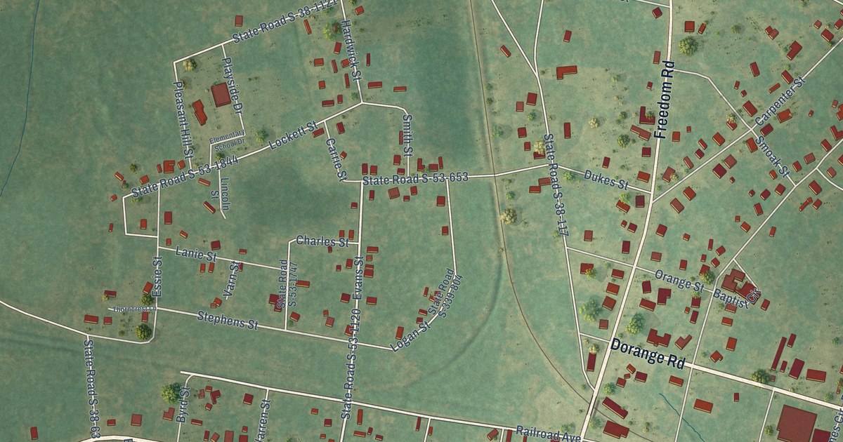
A detailed map of Branchville, South Carolina, showing every building in its true location, the roads by name, and shaded topographical relief.
Read More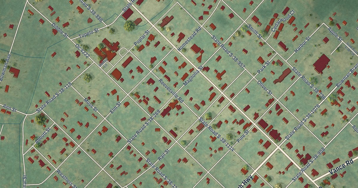
A detailed map of Bowman, South Carolina, showing every building in its true location, the roads by name, and shaded topographical relief.
Read More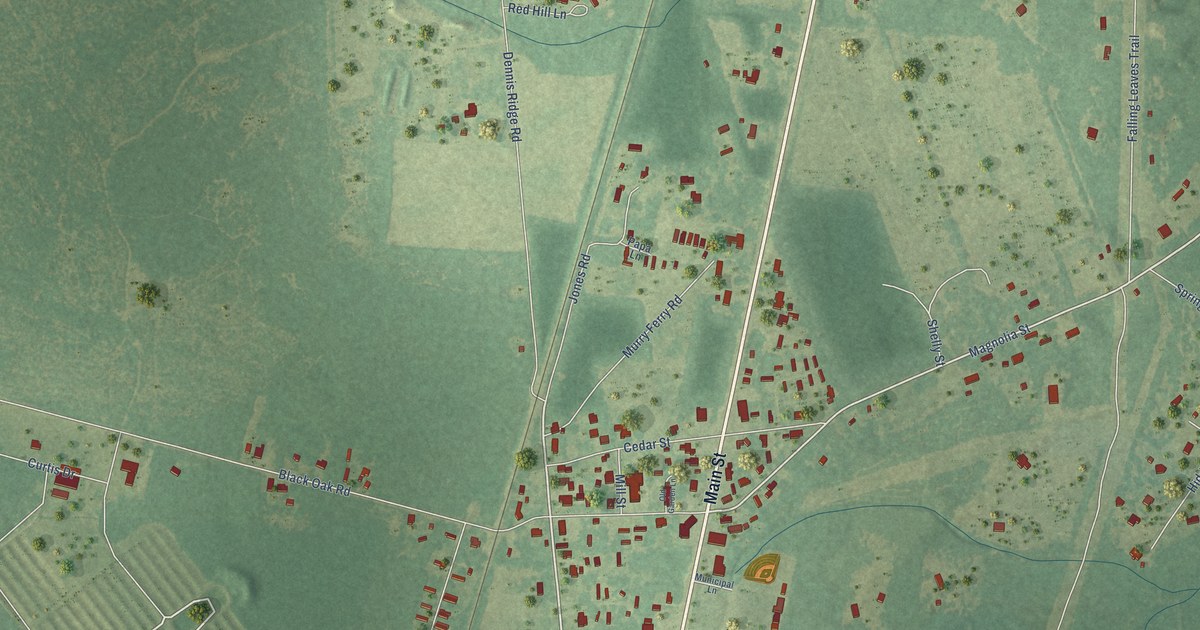
A detailed map of Bonneau, South Carolina, showing every building in its true location, the roads by name, and shaded topographical relief.
Read More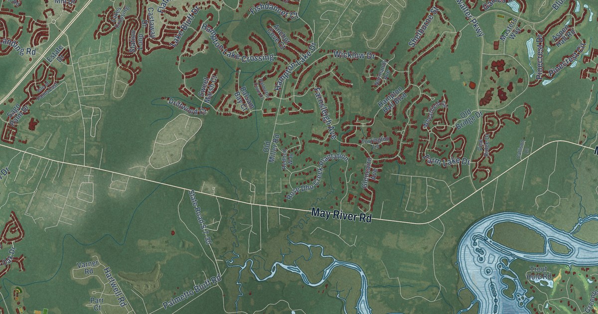
A detailed map of Bluffton, South Carolina, showing every building in its true location, the roads by name, and shaded topographical relief.
Read More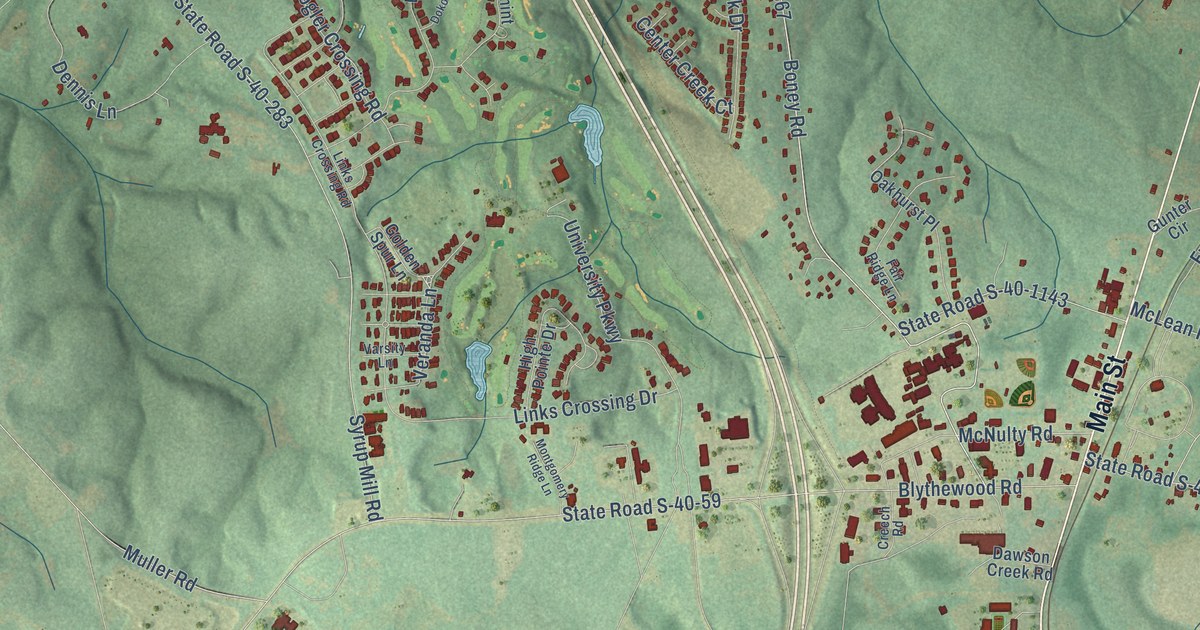
A detailed map of Blythewood, South Carolina, showing every building in its true location, the roads by name, and shaded topographical relief.
Read More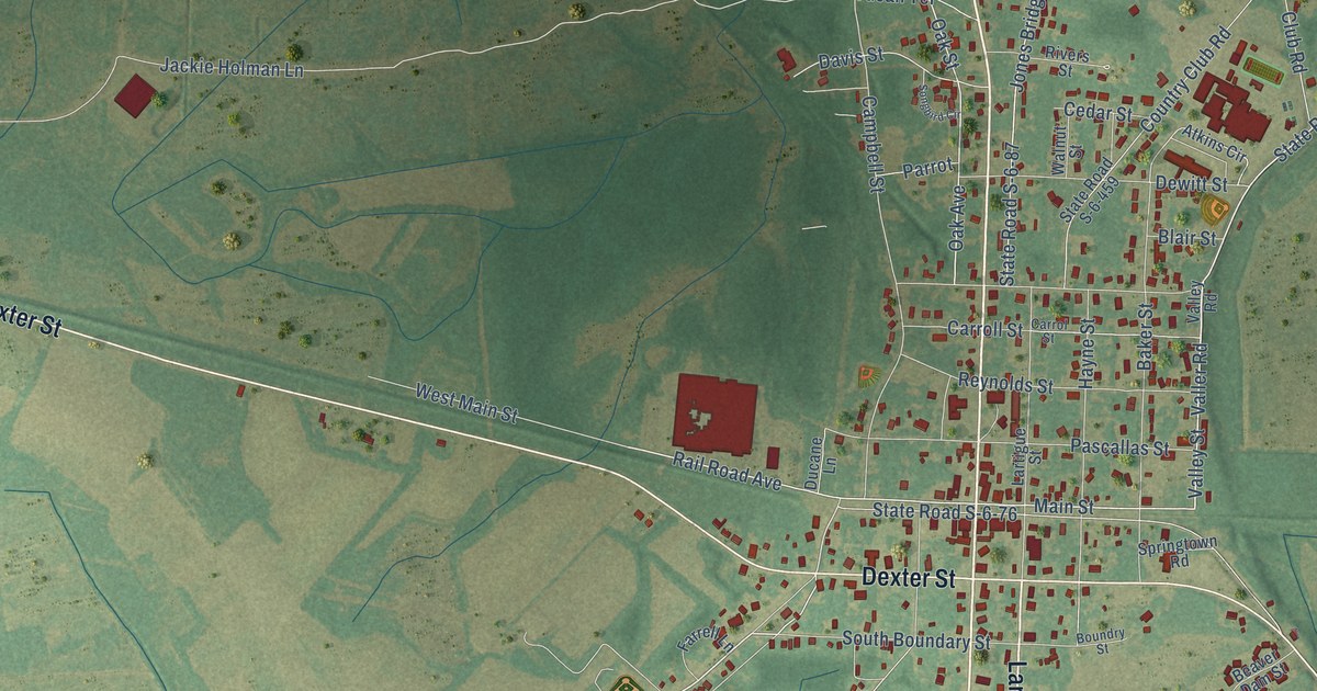
A detailed map of Blackville, South Carolina, showing every building in its true location, the roads by name, and shaded topographical relief.
Read More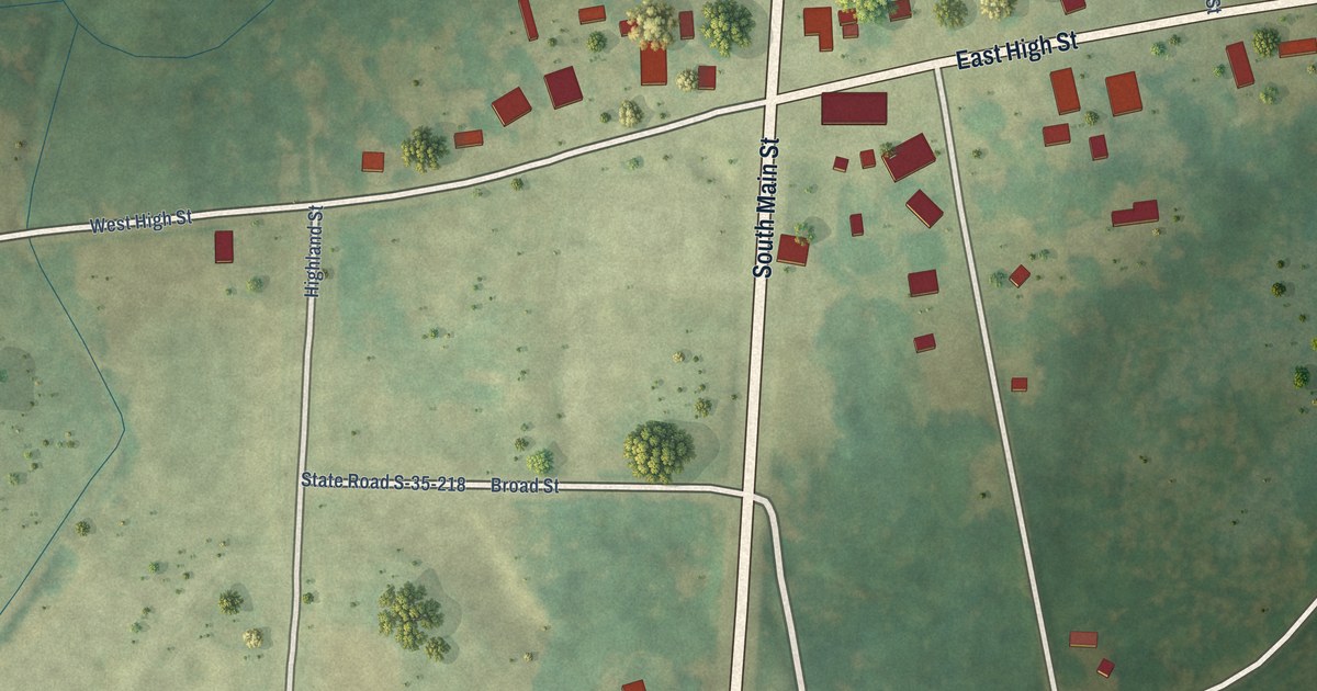
A detailed map of Blenheim, South Carolina, showing every building in its true location, the roads by name, and shaded topographical relief.
Read More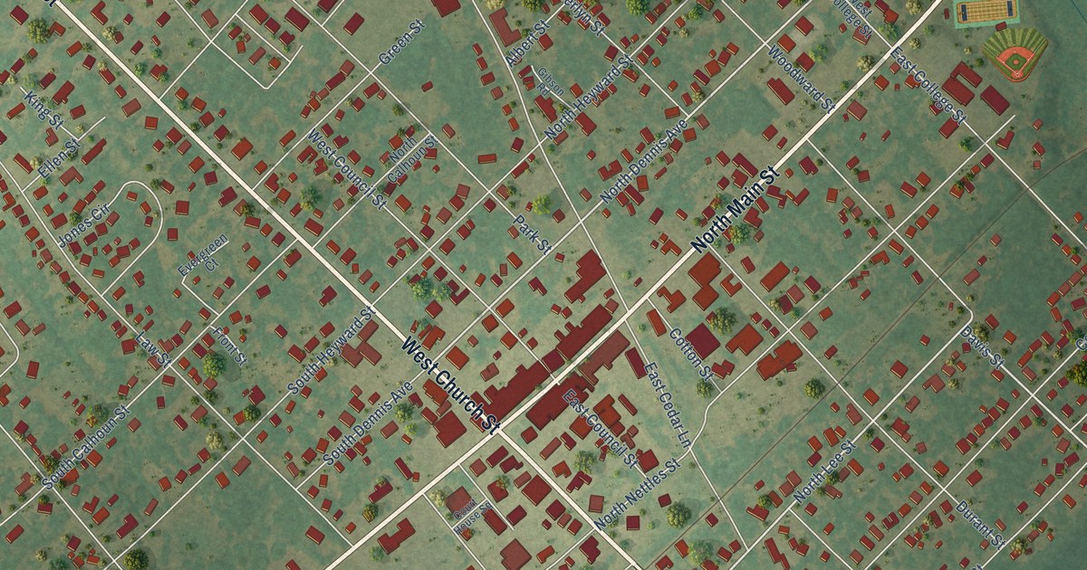
A detailed map of Bishopville, South Carolina, showing every building in its true location, the roads by name, and shaded topographical relief.
Read More















