Detailed Map of Raccoon, Pennsylvania
A detailed map of Raccoon, Pennsylvania, showing every building in its true location, the roads by name, and shaded topographical relief.
Read More
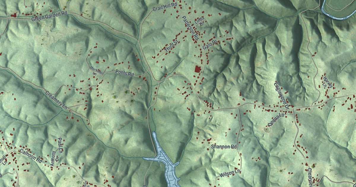
A detailed map of Raccoon, Pennsylvania, showing every building in its true location, the roads by name, and shaded topographical relief.
Read More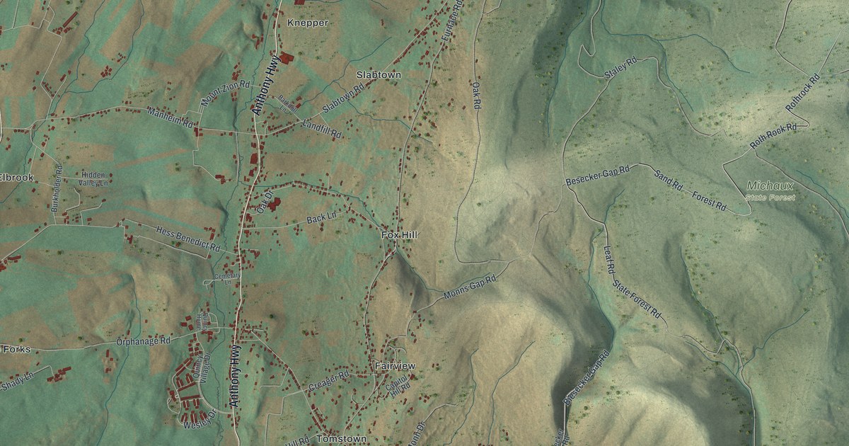
A detailed map of Quincy, Pennsylvania, showing every building in its true location, the roads by name, and shaded topographical relief.
Read More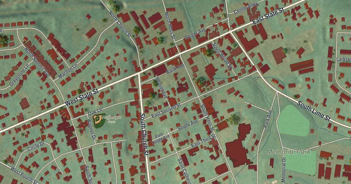
A detailed map of Quarryville, Pennsylvania, showing every building in its true location, the roads by name, and shaded topographical relief.
Read More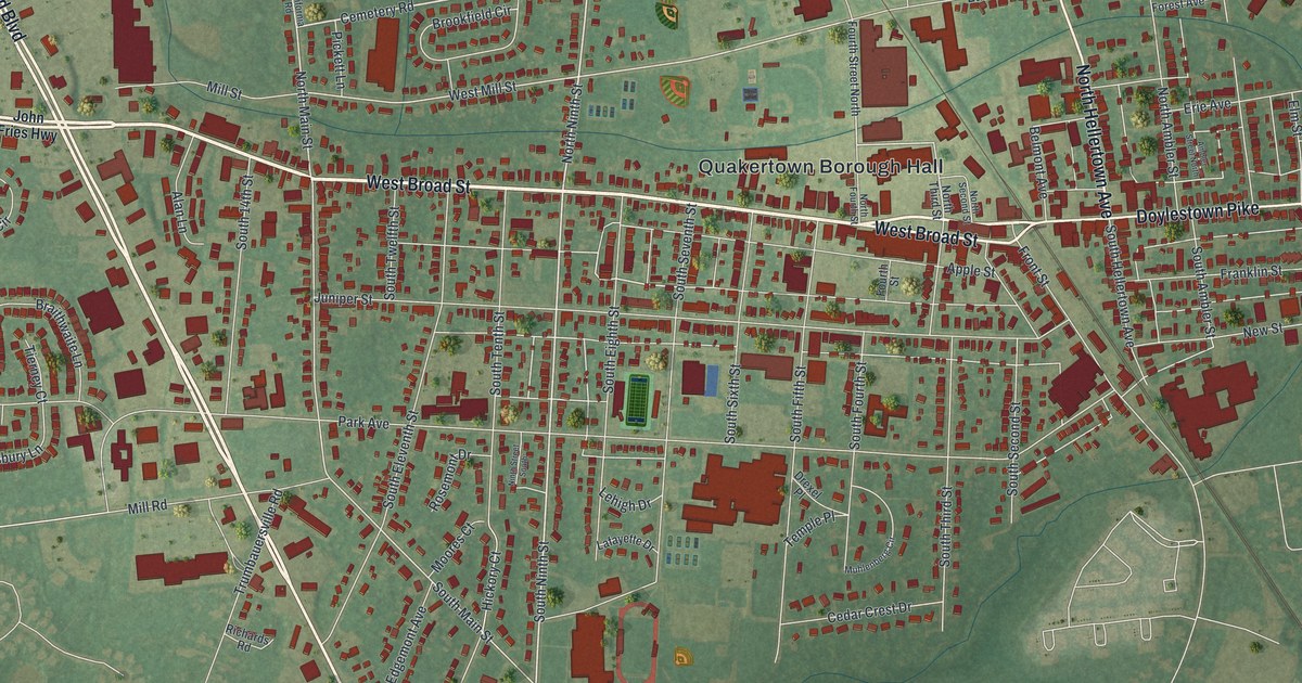
A detailed map of Quakertown, Pennsylvania, showing every building in its true location, the roads by name, and shaded topographical relief.
Read More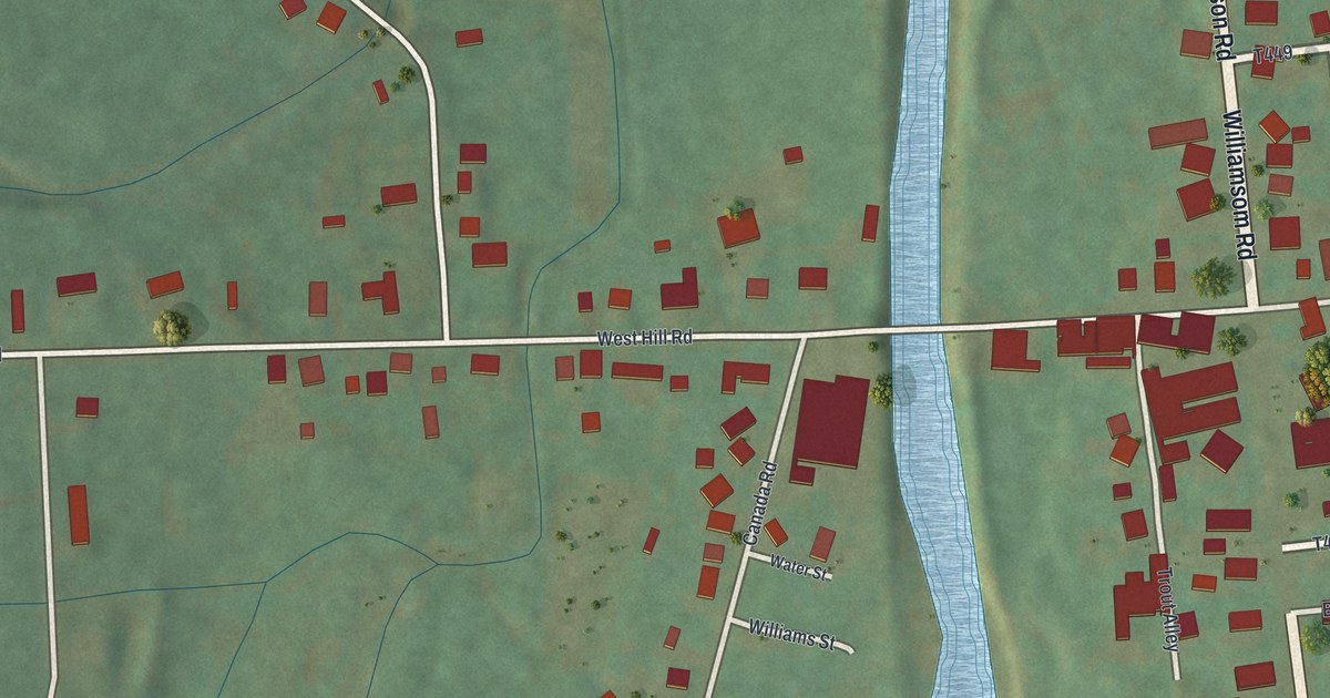
A detailed map of Putnam, Pennsylvania, showing every building in its true location, the roads by name, and shaded topographical relief.
Read More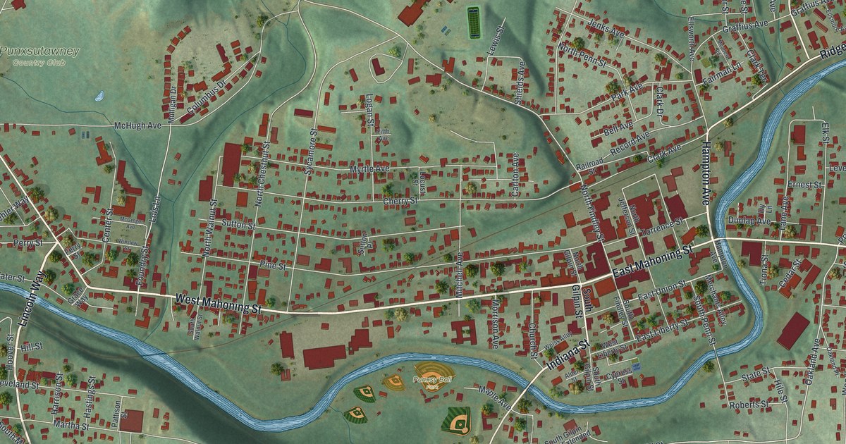
A detailed map of Punxsutawney, Pennsylvania, showing every building in its true location, the roads by name, and shaded topographical relief.
Read More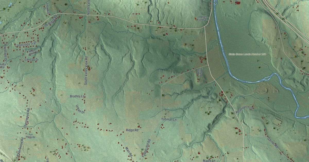
A detailed map of Pulaski, Lawrence County, Pennsylvania, showing every building in its true location, the roads by name, and shaded topographical relief.
Read More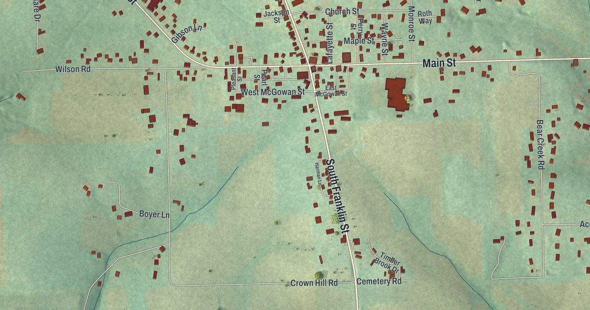
A detailed map of Prospect, Pennsylvania, showing every building in its true location, the roads by name, and shaded topographical relief.
Read More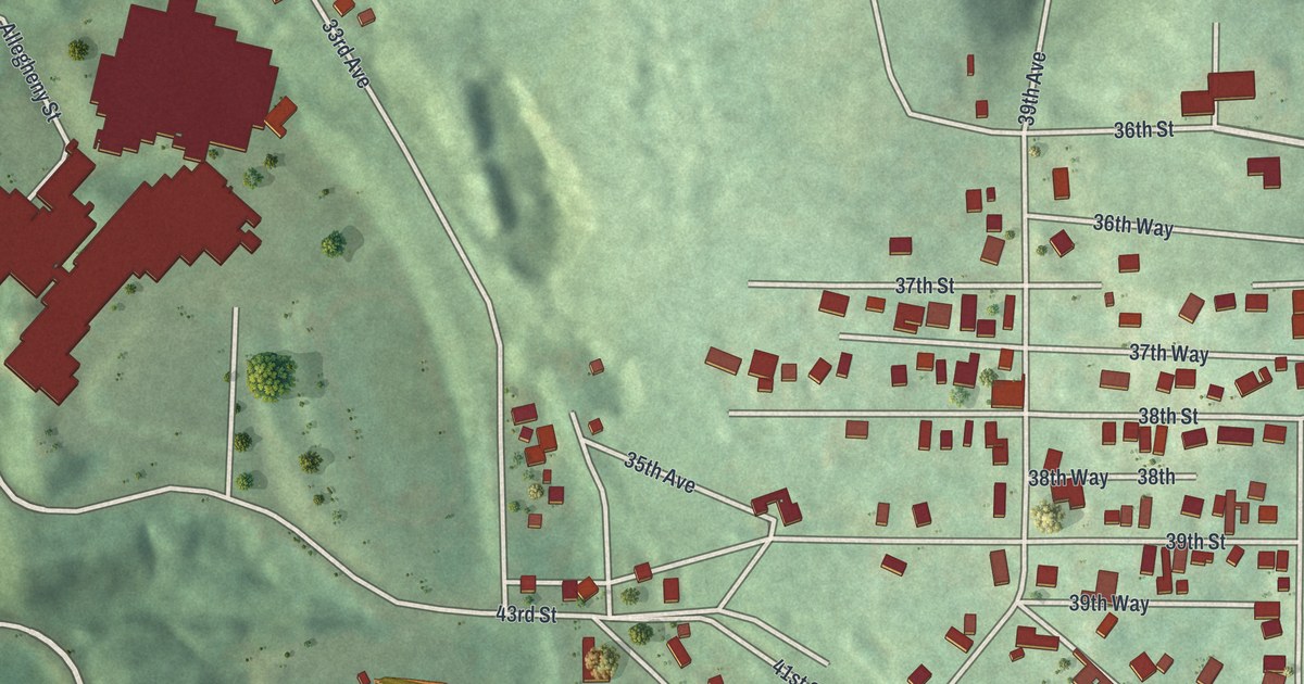
A detailed map of Pulaski, Beaver County, Pennsylvania, showing every building in its true location, the roads by name, and shaded topographical relief.
Read More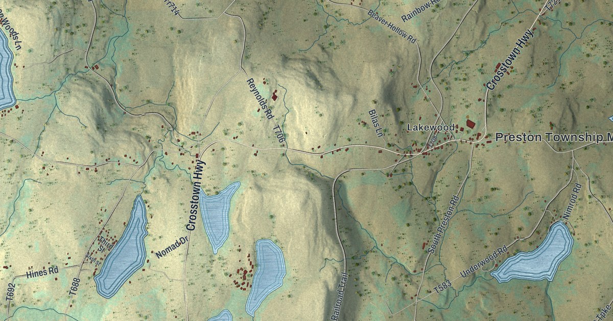
A detailed map of Preston, Pennsylvania, showing every building in its true location, the roads by name, and shaded topographical relief.
Read More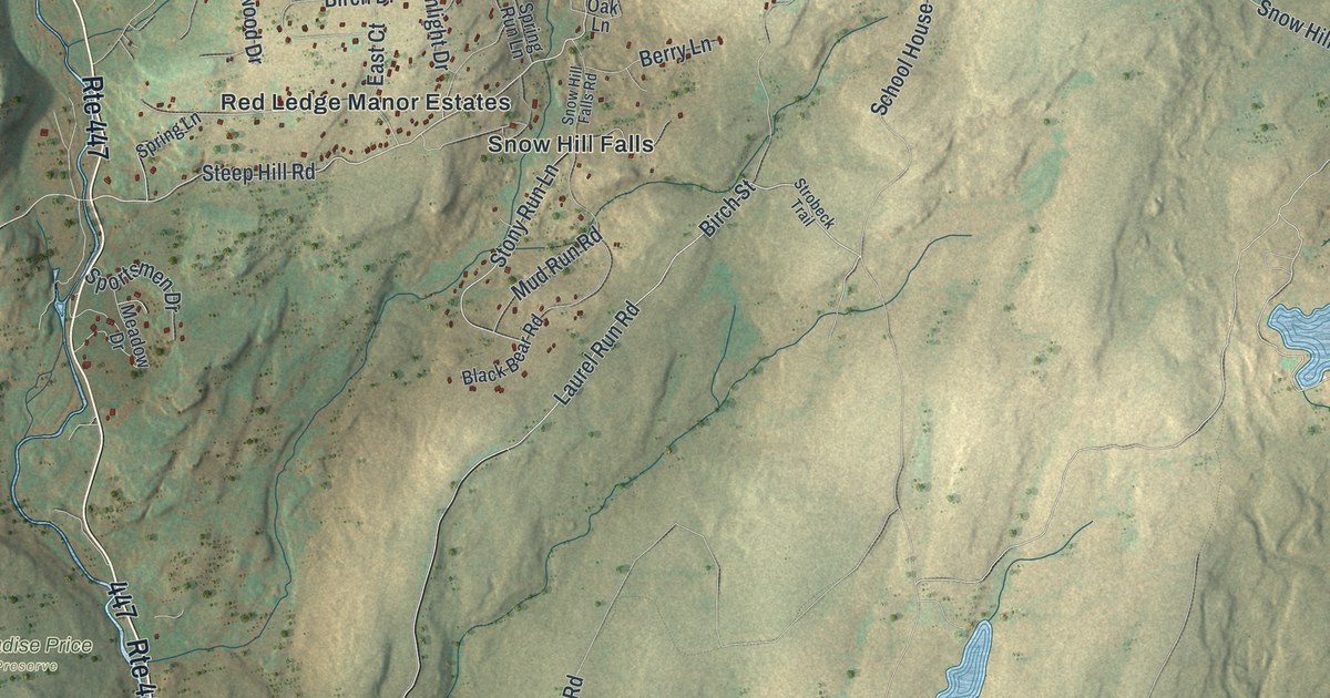
A detailed map of Price, Pennsylvania, showing every building in its true location, the roads by name, and shaded topographical relief.
Read More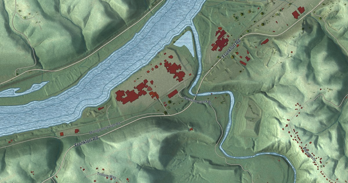
A detailed map of Potter, Beaver County, Pennsylvania, showing every building in its true location, the roads by name, and shaded topographical relief.
Read More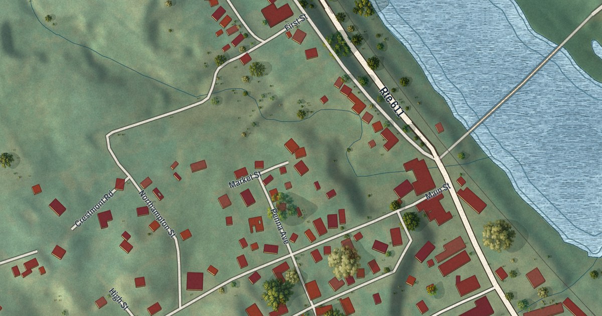
A detailed map of Portland, Pennsylvania, showing every building in its true location, the roads by name, and shaded topographical relief.
Read More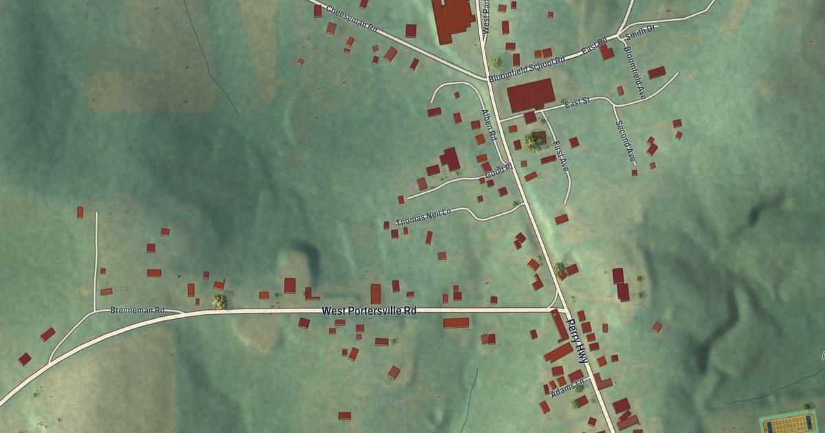
A detailed map of Portersville, Pennsylvania, showing every building in its true location, the roads by name, and shaded topographical relief.
Read More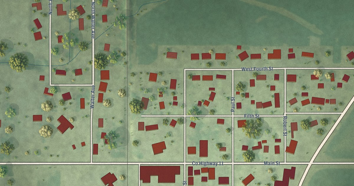
A detailed map of McNabb, Illinois, showing every building in its true location, the roads by name, and shaded topographical relief.
Read More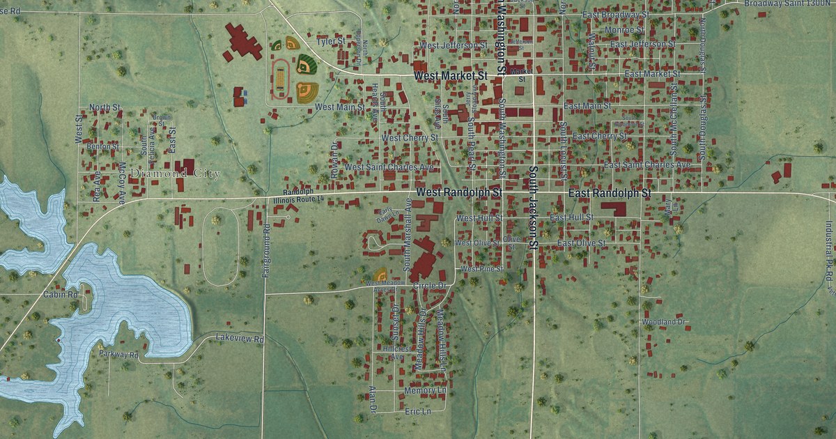
A detailed map of McLeansboro, Illinois, showing every building in its true location, the roads by name, and shaded topographical relief.
Read More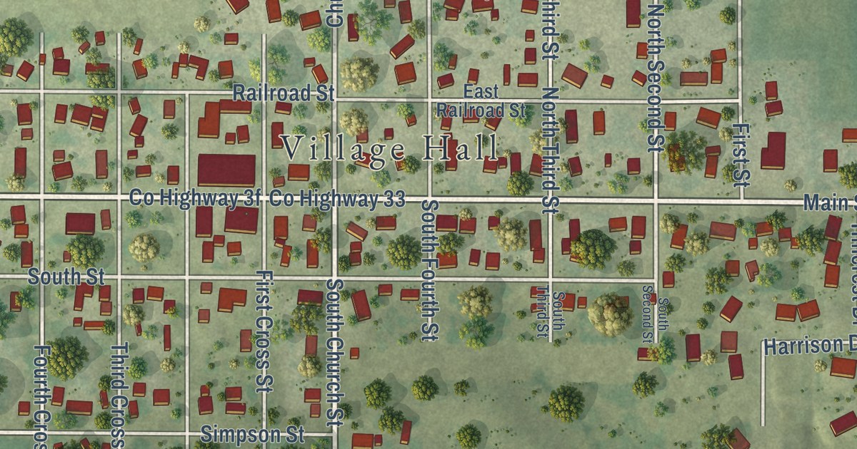
A detailed map of Mechanicsburg, Illinois, showing every building in its true location, the roads by name, and shaded topographical relief.
Read More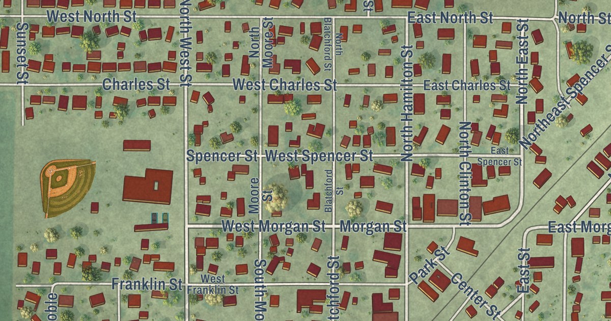
A detailed map of McLean, Illinois, showing every building in its true location, the roads by name, and shaded topographical relief.
Read More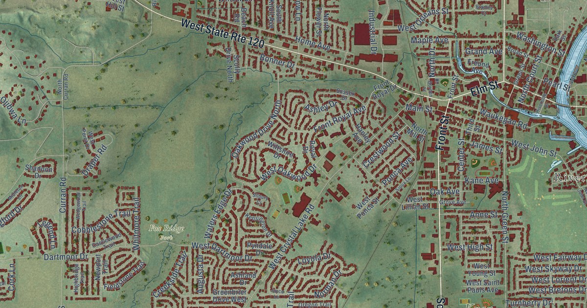
A detailed map of McHenry, Illinois, showing every building in its true location, the roads by name, and shaded topographical relief.
Read More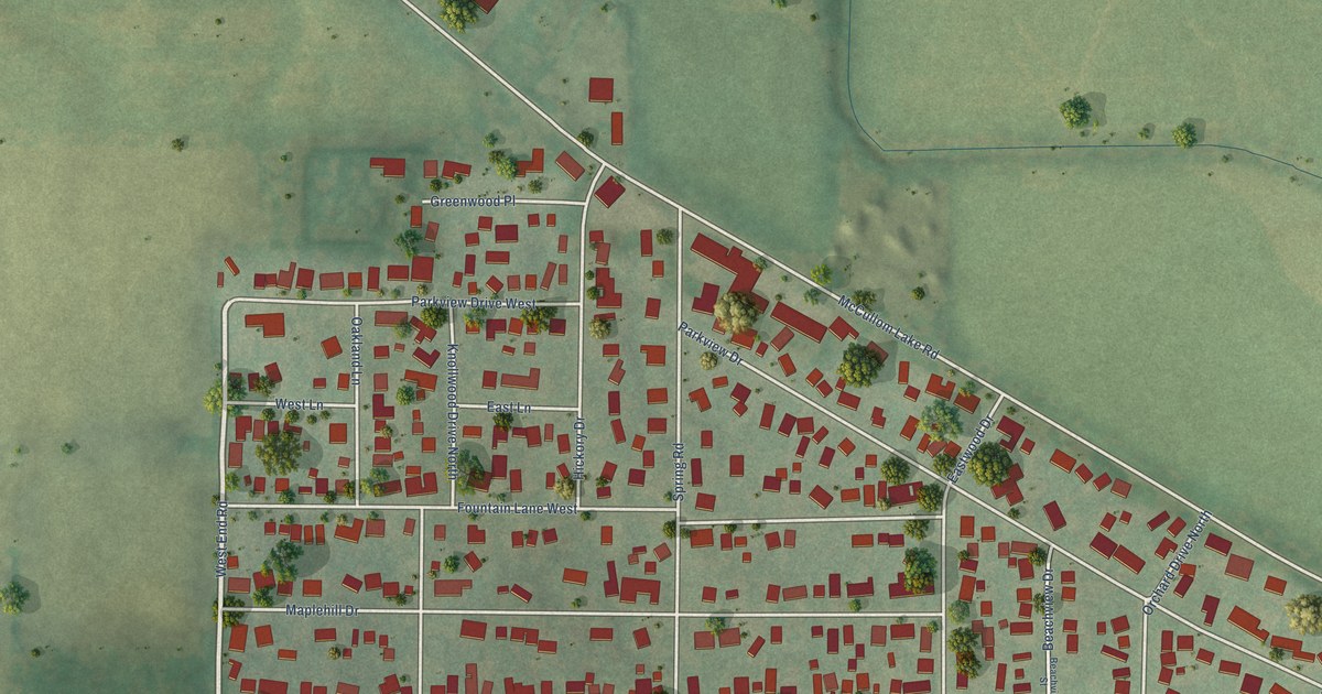
A detailed map of McCullom Lake, Illinois, showing every building in its true location, the roads by name, and shaded topographical relief.
Read More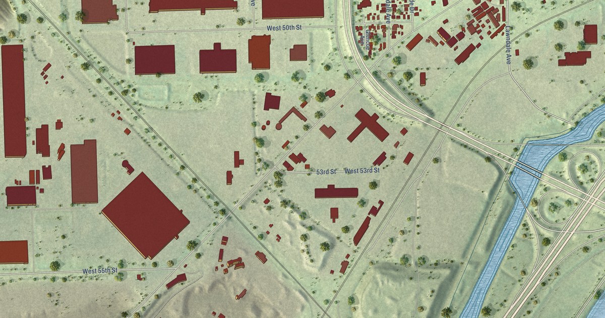
A detailed map of McCook, Illinois, showing every building in its true location, the roads by name, and shaded topographical relief.
Read More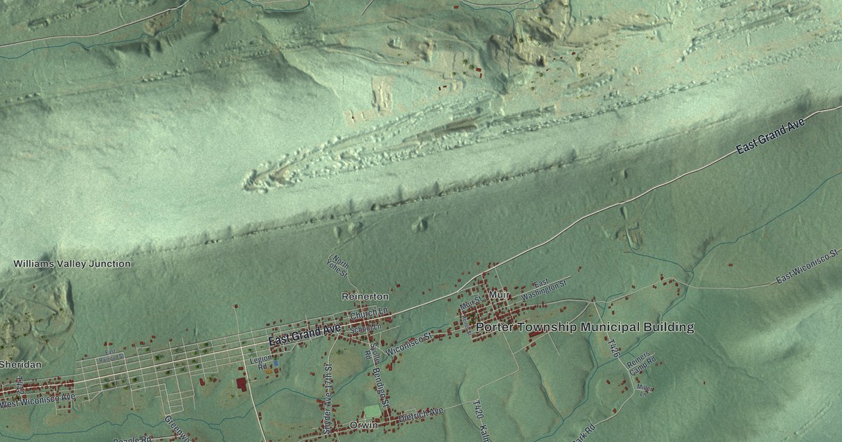
A detailed map of Porter, Schuylkill County, Pennsylvania, showing every building in its true location, the roads by name, and shaded topographical relief.
Read More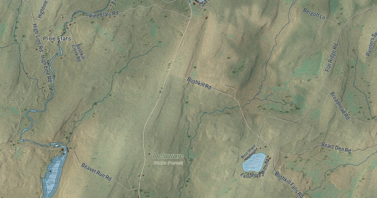
A detailed map of Porter, Pike County, Pennsylvania, showing every building in its true location, the roads by name, and shaded topographical relief.
Read More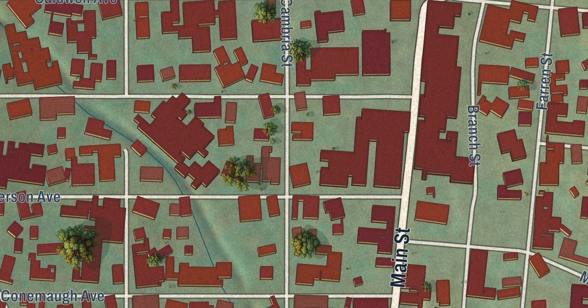
A detailed map of Portage Borough, Cambria County, Pennsylvania, showing every building in its true location, the roads by name, and shaded topographical relief.
Read More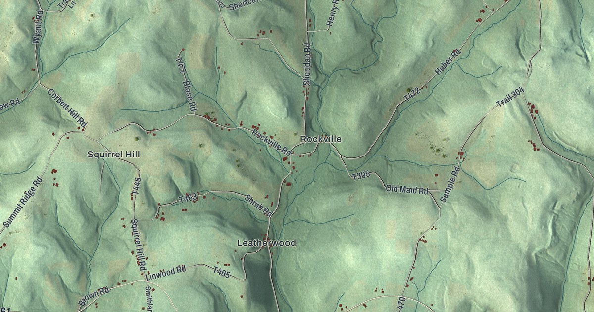
A detailed map of Porter, Clarion County, Pennsylvania, showing every building in its true location, the roads by name, and shaded topographical relief.
Read More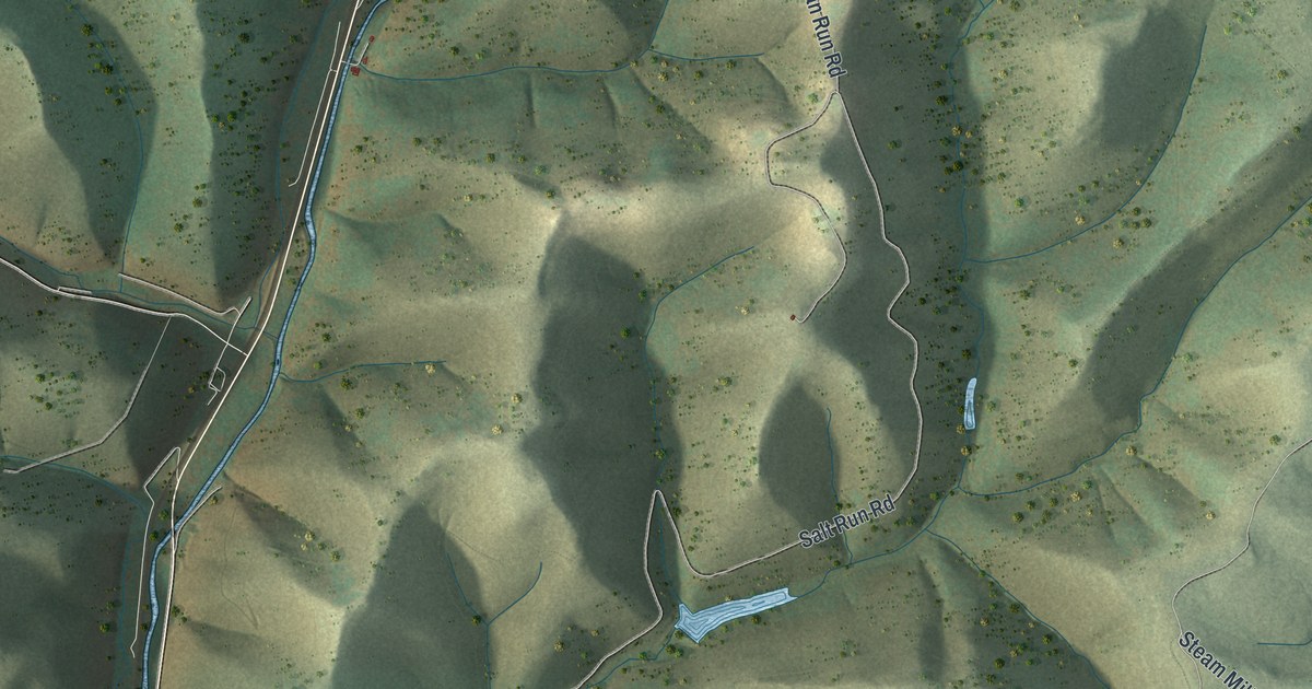
A detailed map of Portage, Cameron County, Pennsylvania, showing every building in its true location, the roads by name, and shaded topographical relief.
Read More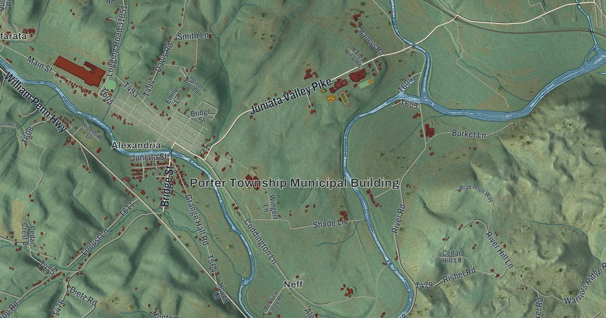
A detailed map of Porter, Huntingdon County, Pennsylvania, showing every building in its true location, the roads by name, and shaded topographical relief.
Read More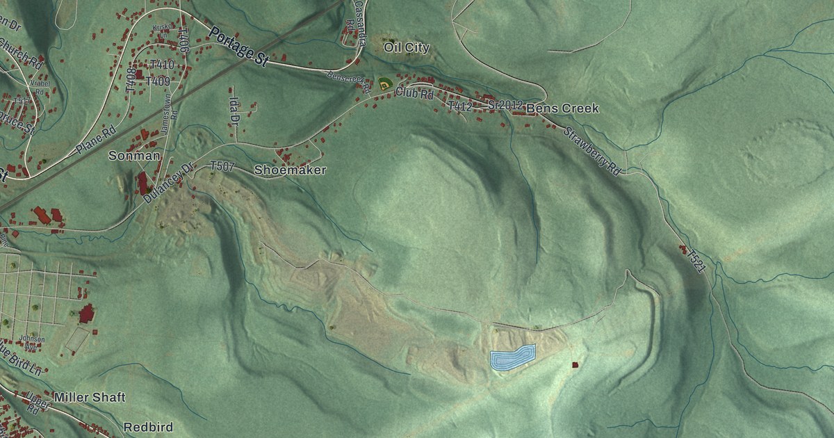
A detailed map of Portage Township, Cambria County, Pennsylvania, showing every building in its true location, the roads by name, and shaded topographical relief.
Read More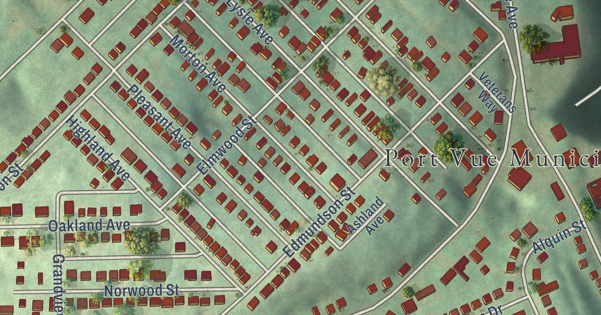
A detailed map of Port Vue, Pennsylvania, showing every building in its true location, the roads by name, and shaded topographical relief.
Read More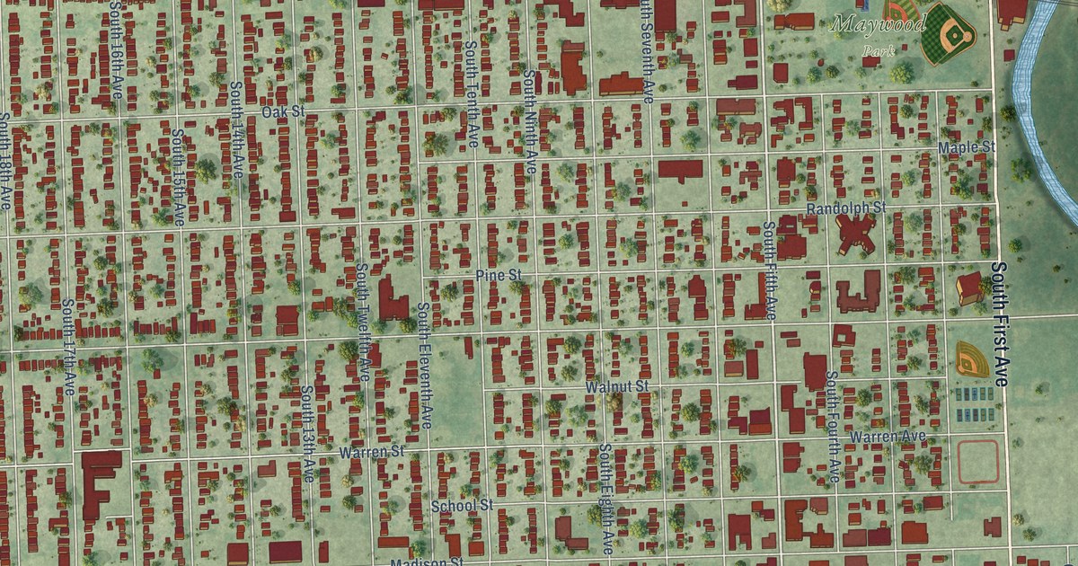
A detailed map of Maywood, Illinois, showing every building in its true location, the roads by name, and shaded topographical relief.
Read More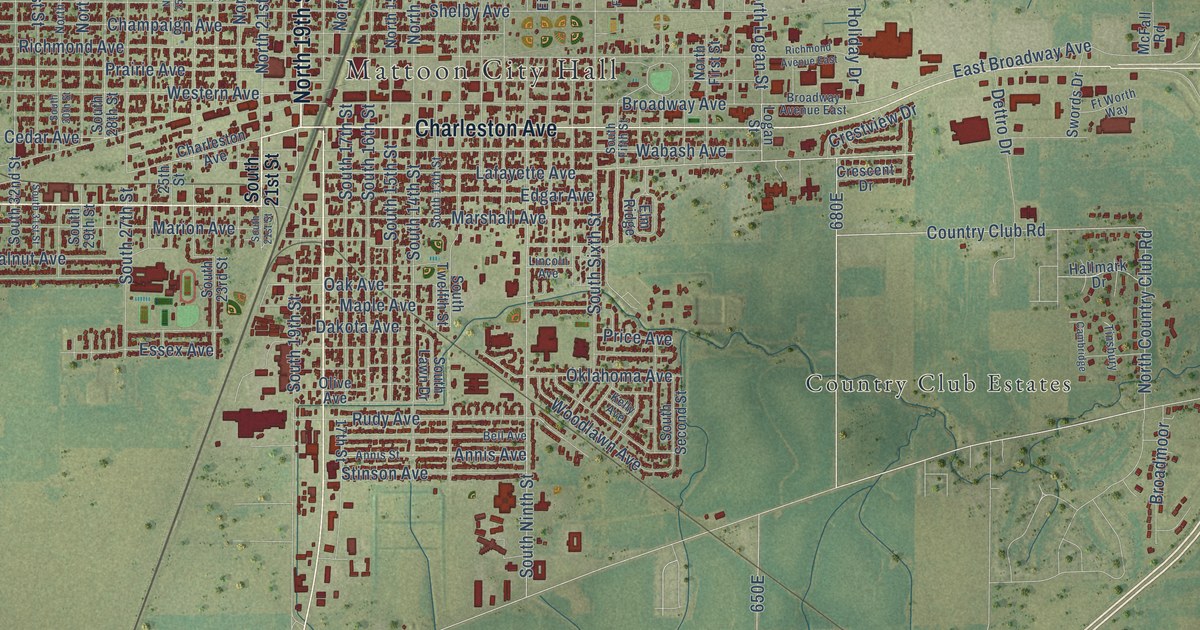
A detailed map of Mattoon, Illinois, showing every building in its true location, the roads by name, and shaded topographical relief.
Read More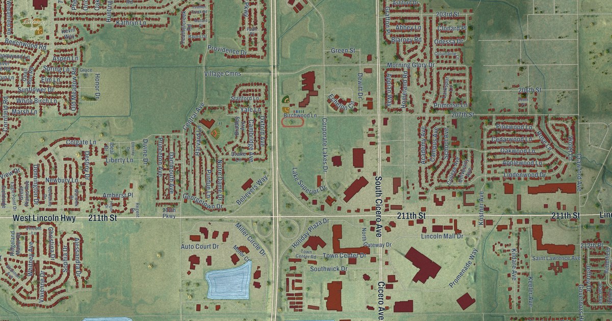
A detailed map of Matteson, Illinois, showing every building in its true location, the roads by name, and shaded topographical relief.
Read More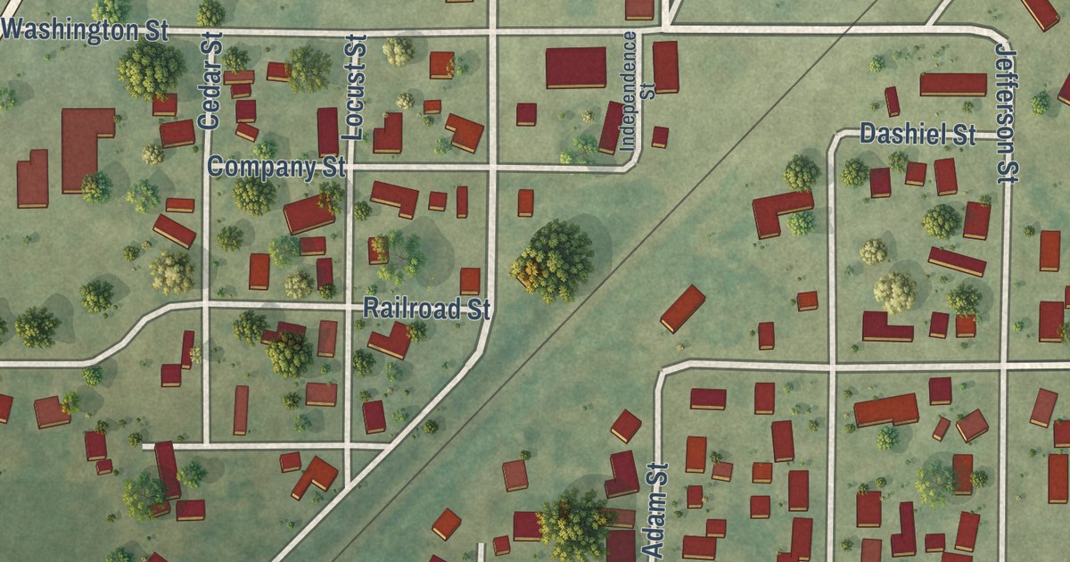
A detailed map of Mason, Illinois, showing every building in its true location, the roads by name, and shaded topographical relief.
Read More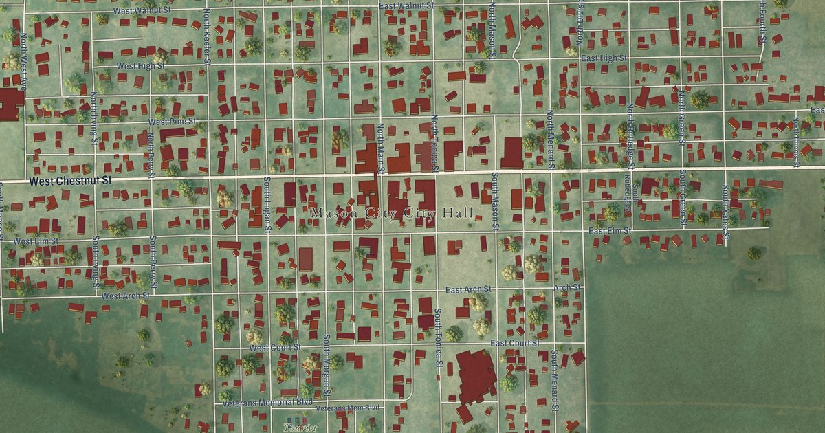
A detailed map of Mason City, Illinois, showing every building in its true location, the roads by name, and shaded topographical relief.
Read More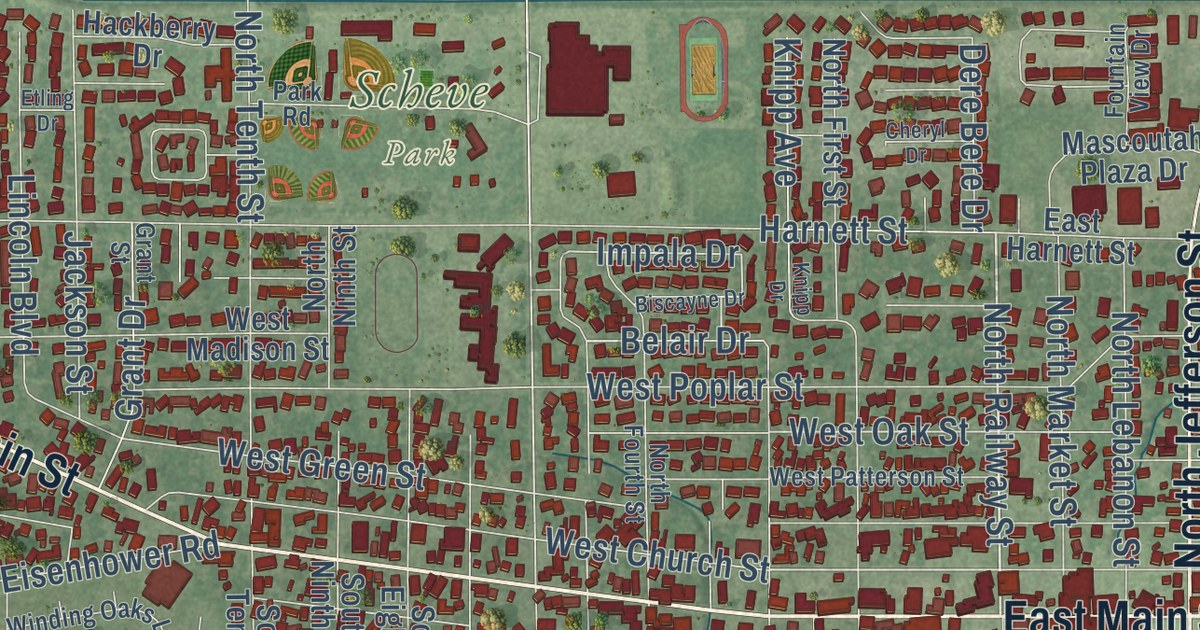
A detailed map of Mascoutah, Illinois, showing every building in its true location, the roads by name, and shaded topographical relief.
Read More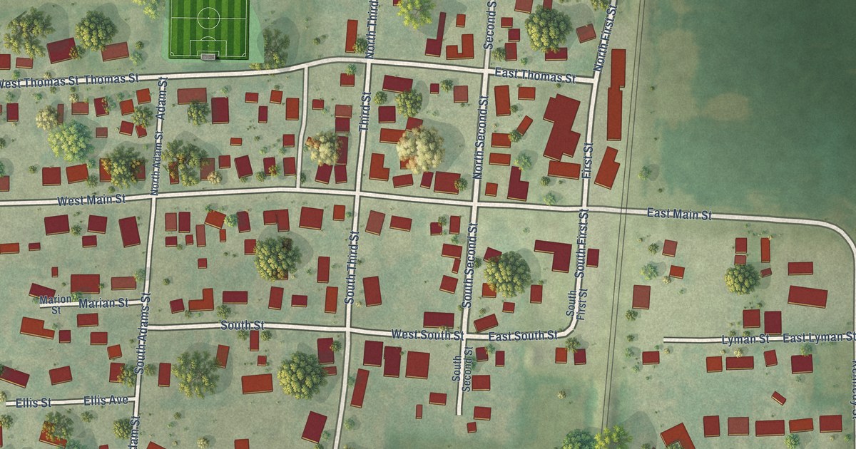
A detailed map of Martinton, Illinois, showing every building in its true location, the roads by name, and shaded topographical relief.
Read More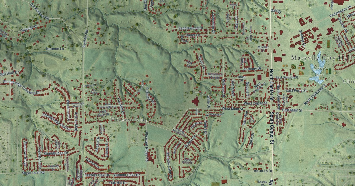
A detailed map of Maryville, Illinois, showing every building in its true location, the roads by name, and shaded topographical relief.
Read More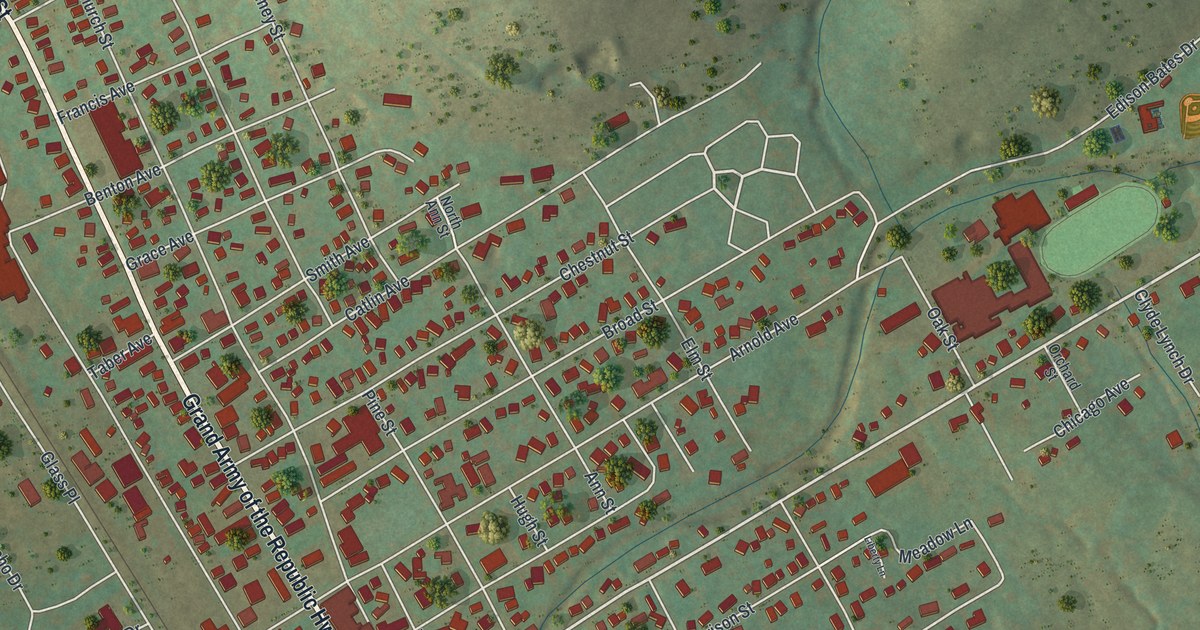
A detailed map of Port Allegany, Pennsylvania, showing every building in its true location, the roads by name, and shaded topographical relief.
Read More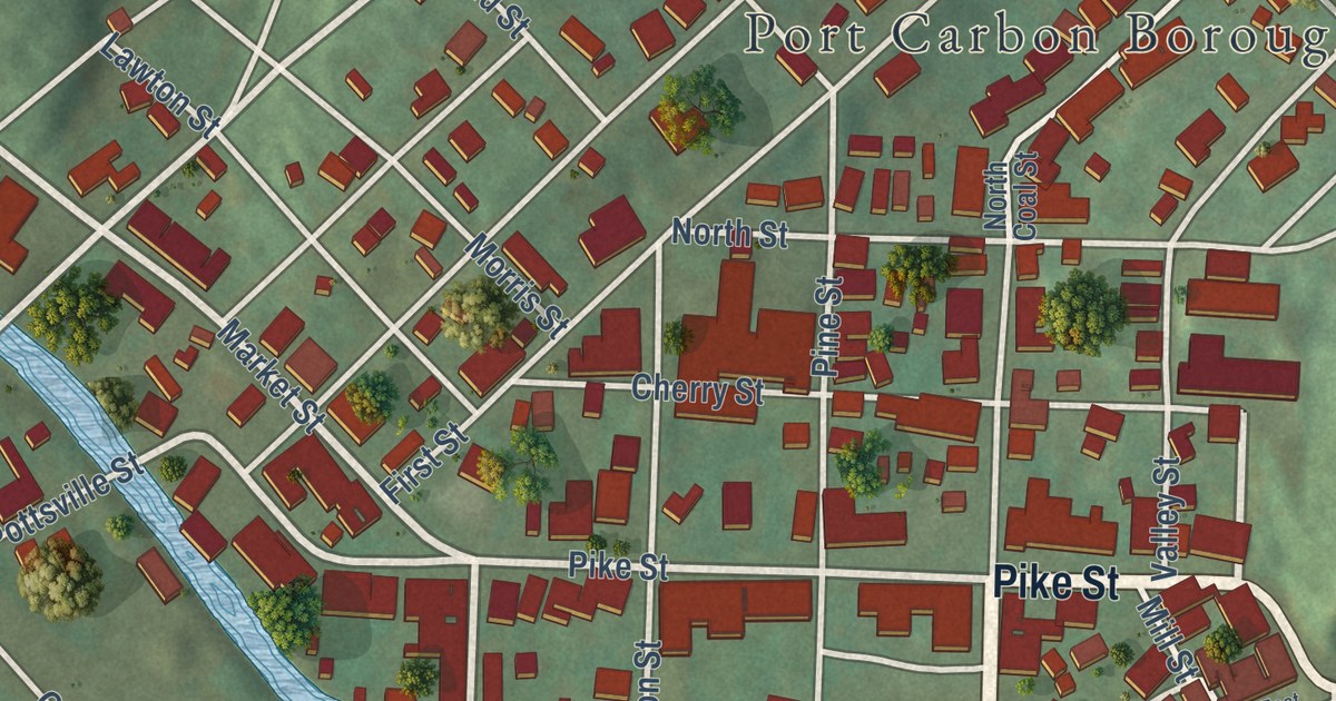
A detailed map of Port Carbon, Pennsylvania, showing every building in its true location, the roads by name, and shaded topographical relief.
Read More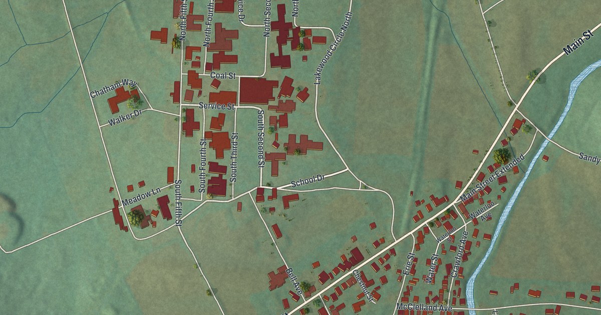
A detailed map of Polk, Venango County, Pennsylvania, showing every building in its true location, the roads by name, and shaded topographical relief.
Read More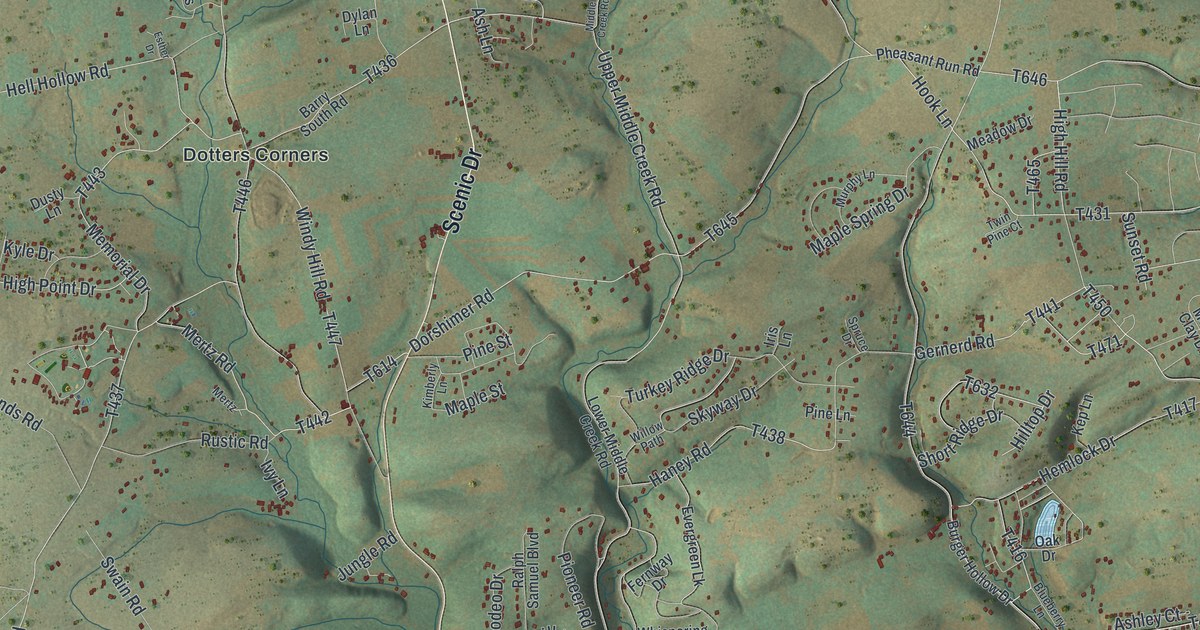
A detailed map of Polk, Monroe County, Pennsylvania, showing every building in its true location, the roads by name, and shaded topographical relief.
Read More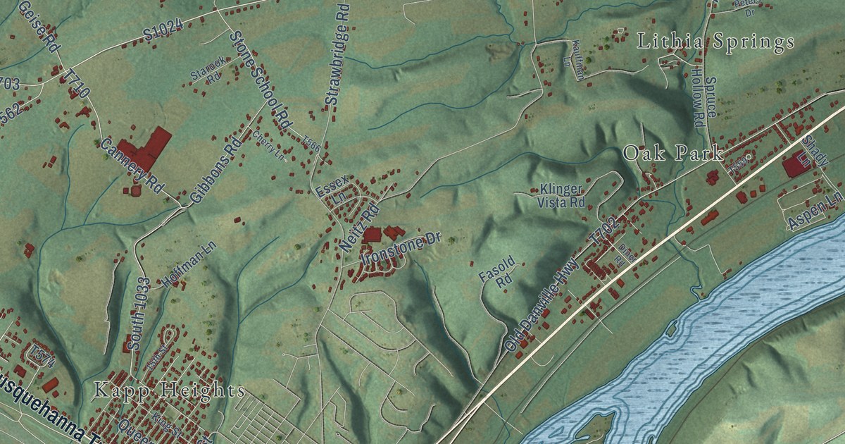
A detailed map of Point, Pennsylvania, showing every building in its true location, the roads by name, and shaded topographical relief.
Read More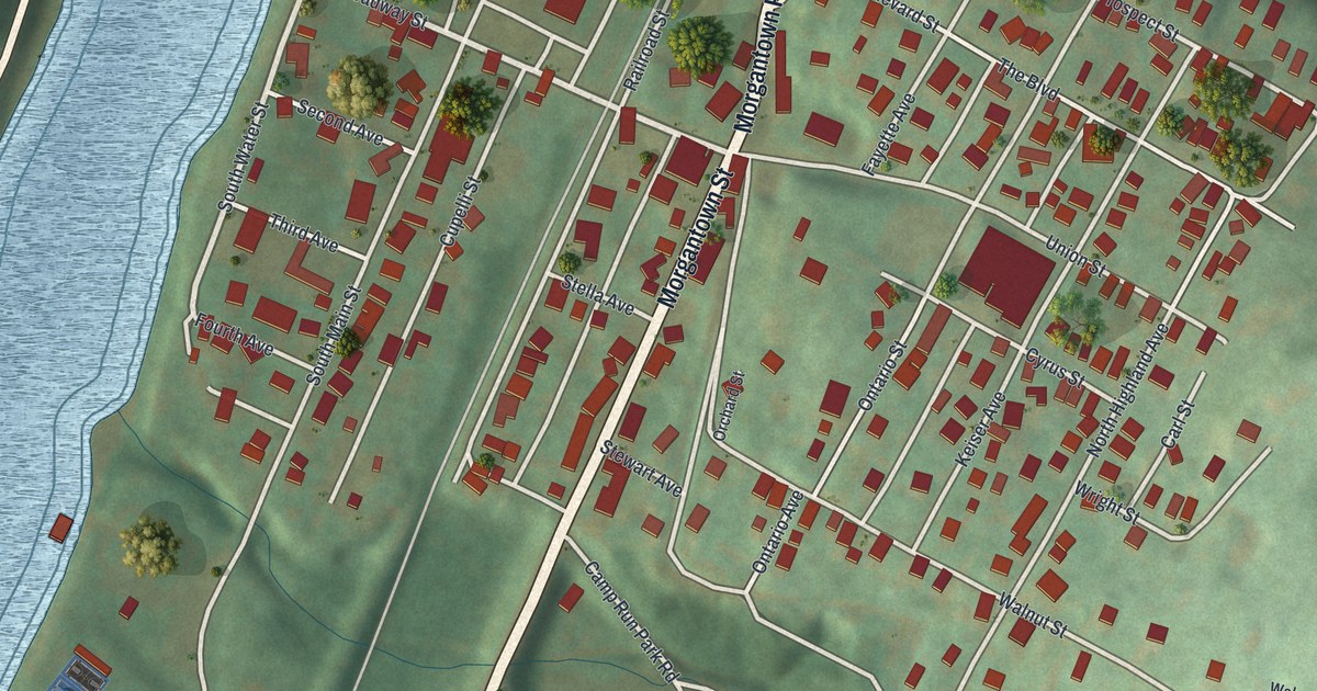
A detailed map of Point Marion, Pennsylvania, showing every building in its true location, the roads by name, and shaded topographical relief.
Read More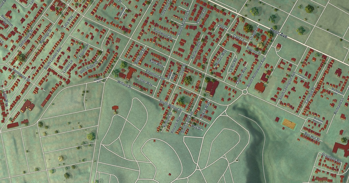
A detailed map of Point Breeze, Pennsylvania, showing every building in its true location, the roads by name, and shaded topographical relief.
Read More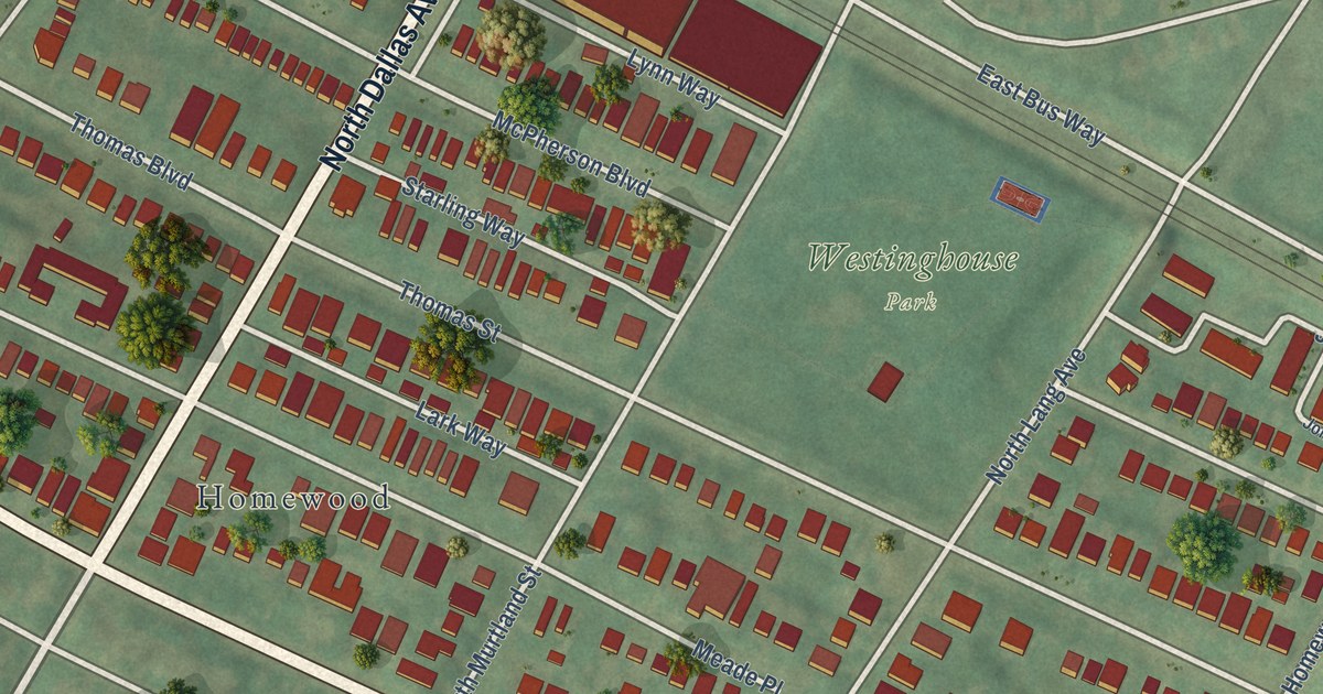
A detailed map of Point Breeze North, Pennsylvania, showing every building in its true location, the roads by name, and shaded topographical relief.
Read More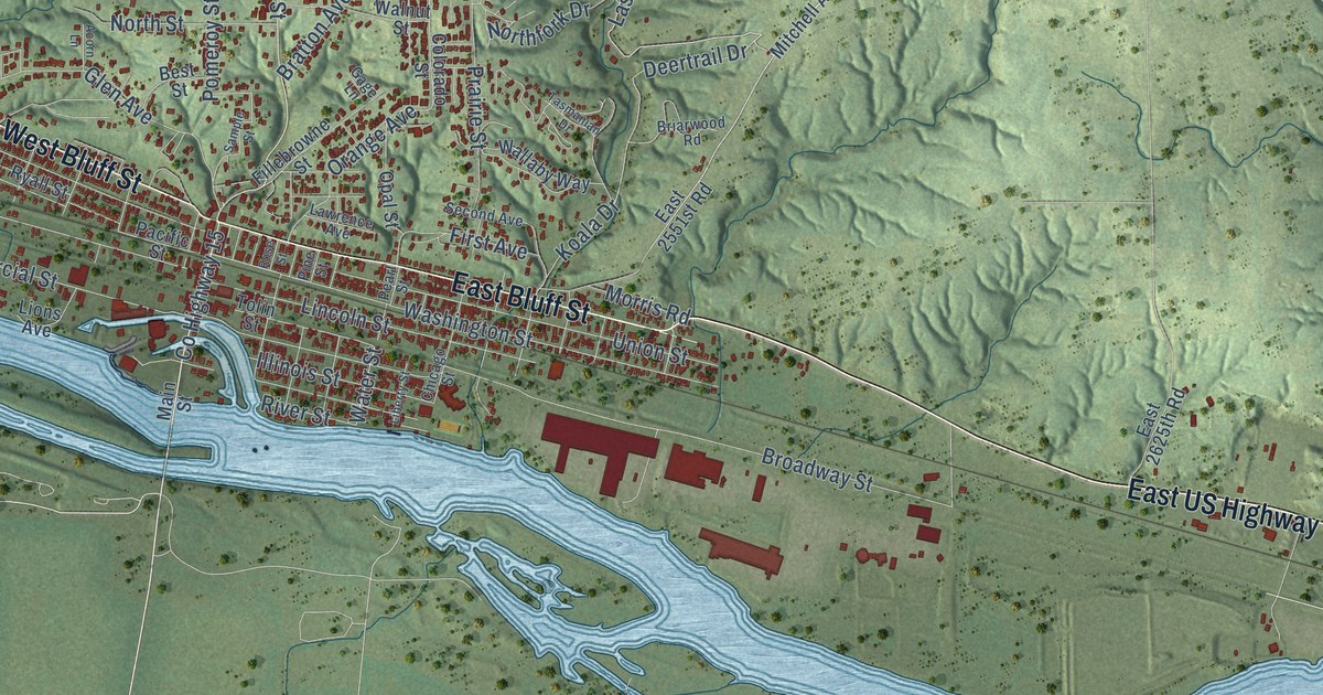
A detailed map of Marseilles, Illinois, showing every building in its true location, the roads by name, and shaded topographical relief.
Read More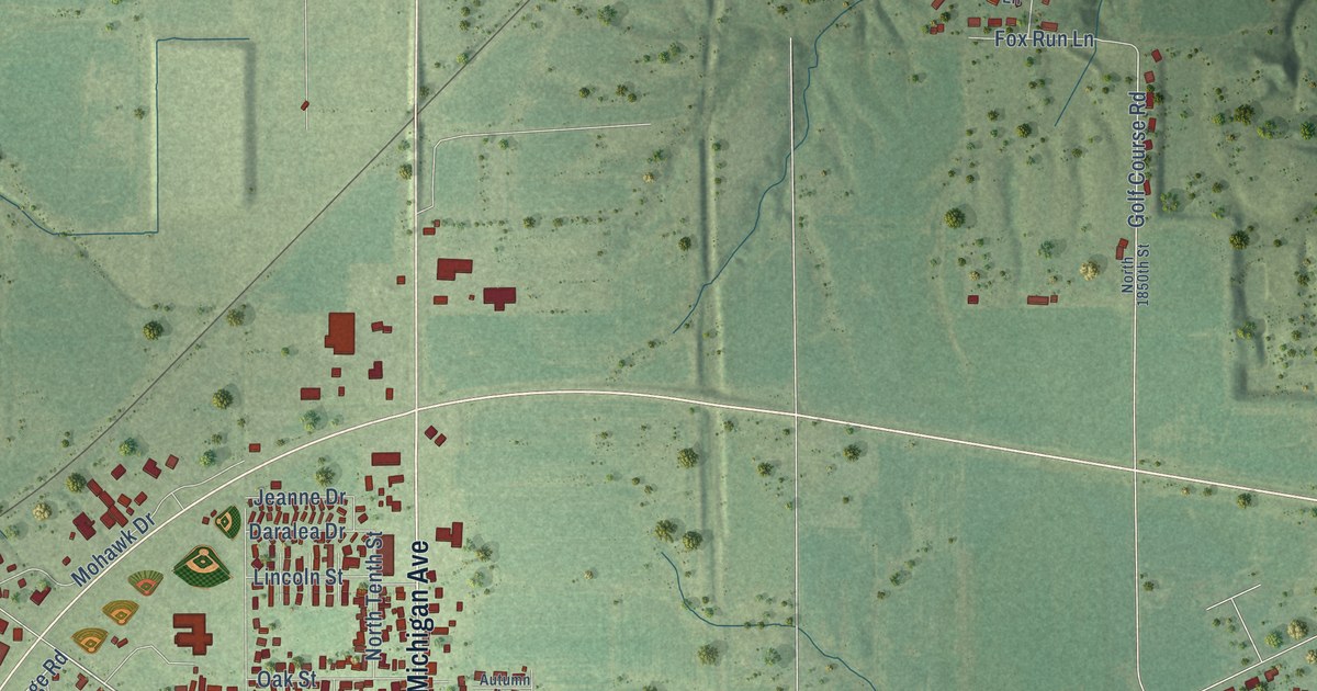
A detailed map of Marshall, Illinois, showing every building in its true location, the roads by name, and shaded topographical relief.
Read More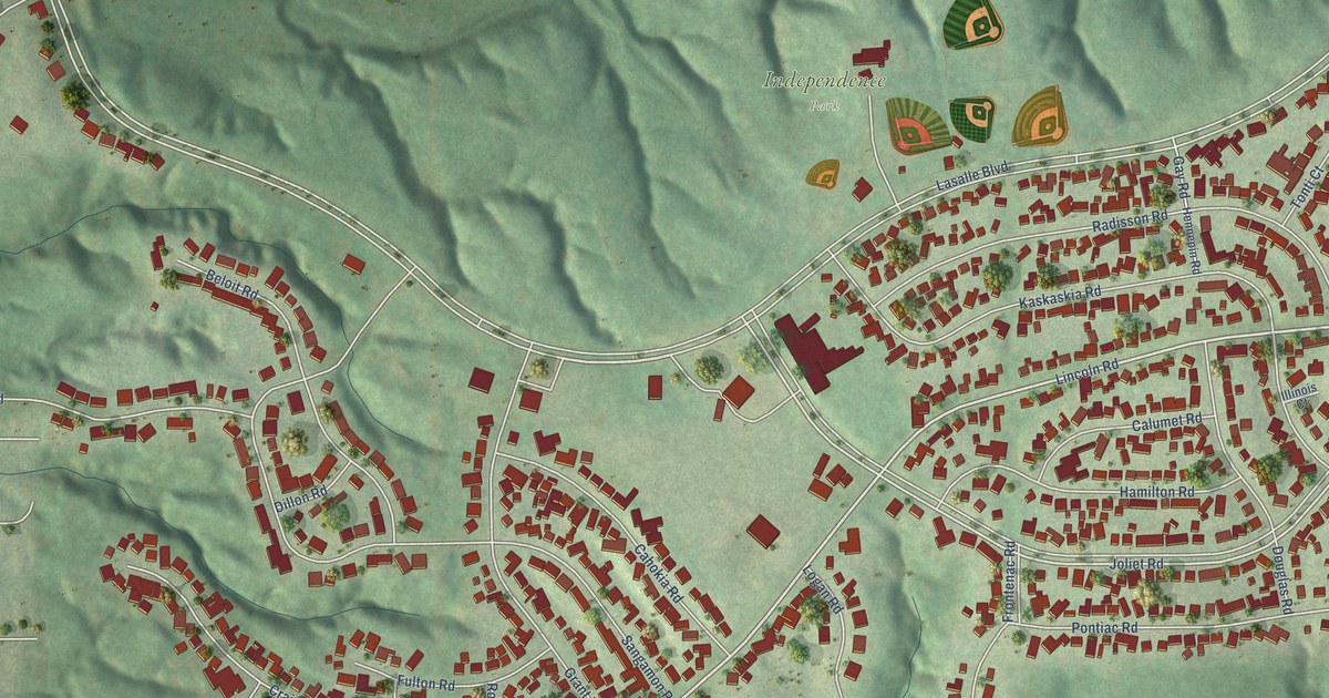
A detailed map of Marquette Heights, Illinois, showing every building in its true location, the roads by name, and shaded topographical relief.
Read More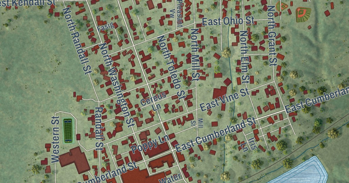
A detailed map of Martinsville, Illinois, showing every building in its true location, the roads by name, and shaded topographical relief.
Read More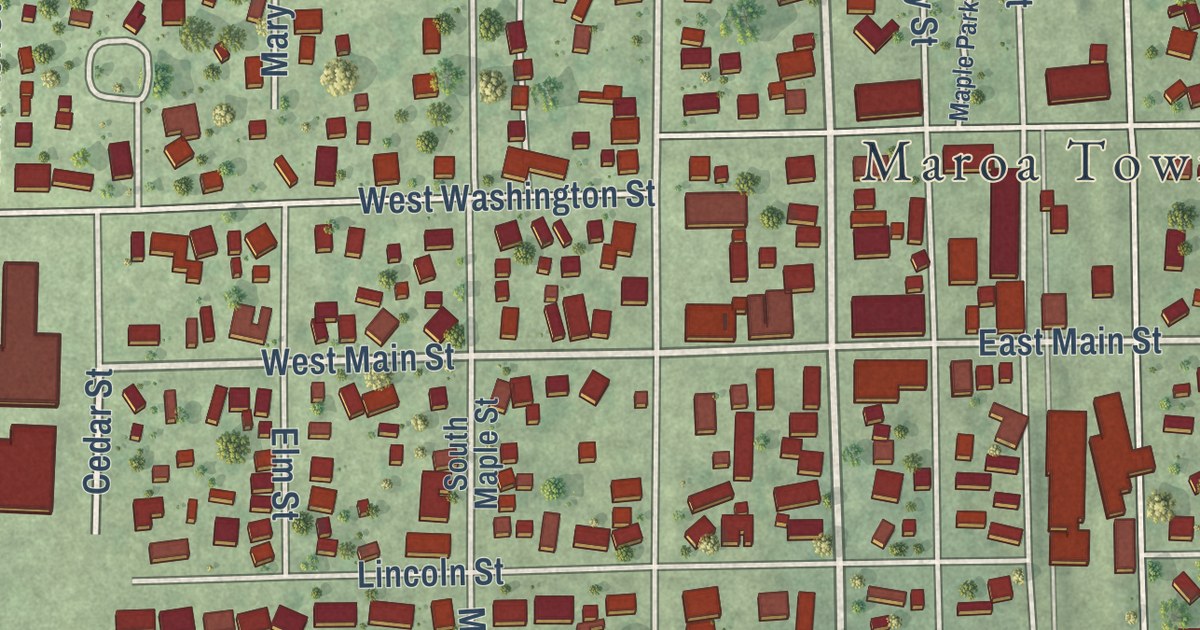
A detailed map of Maroa, Illinois, showing every building in its true location, the roads by name, and shaded topographical relief.
Read More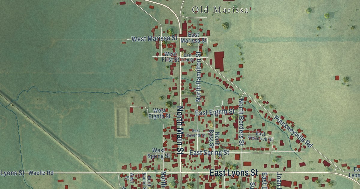
A detailed map of Marissa, Illinois, showing every building in its true location, the roads by name, and shaded topographical relief.
Read More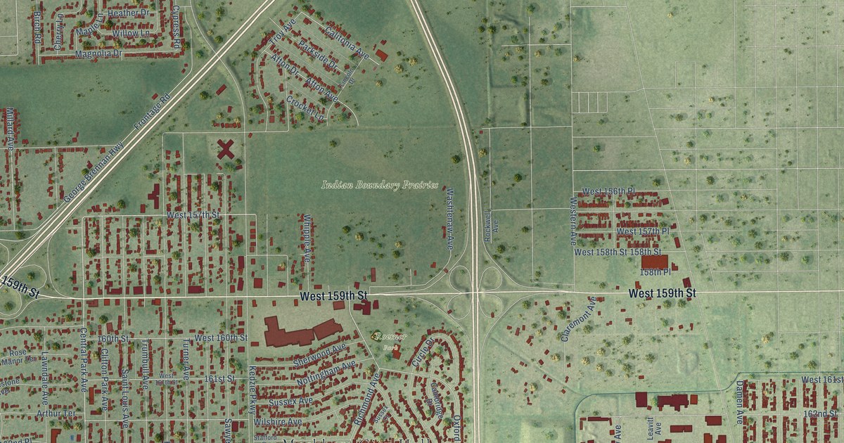
A detailed map of Markham, Illinois, showing every building in its true location, the roads by name, and shaded topographical relief.
Read More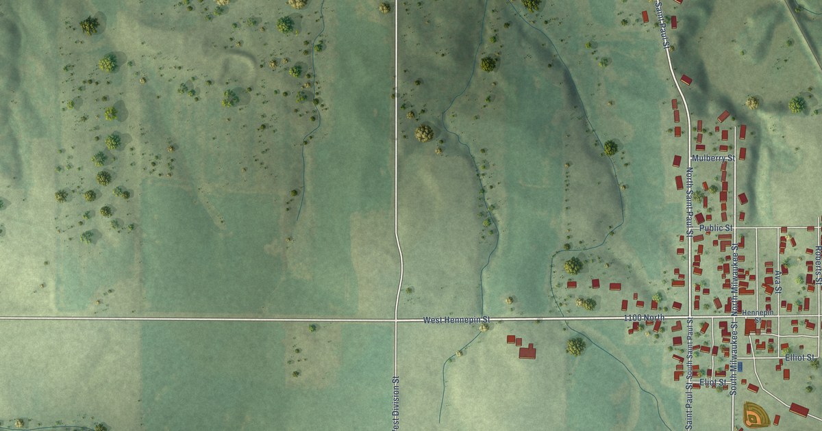
A detailed map of Mark, Illinois, showing every building in its true location, the roads by name, and shaded topographical relief.
Read More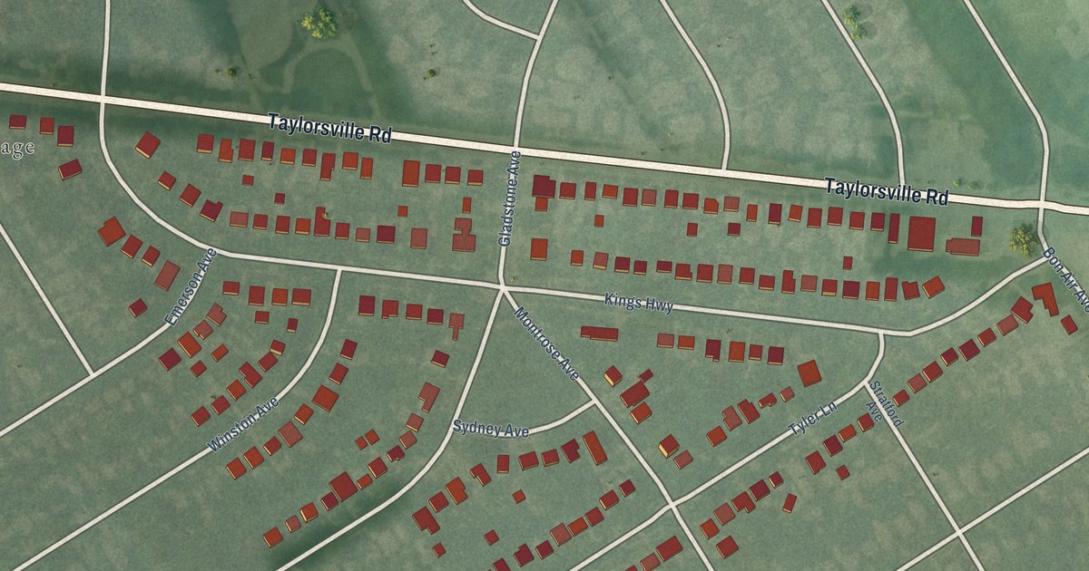
A detailed map of Kingsley, Kentucky, showing every building in its true location, the roads by name, and shaded topographical relief.
Read More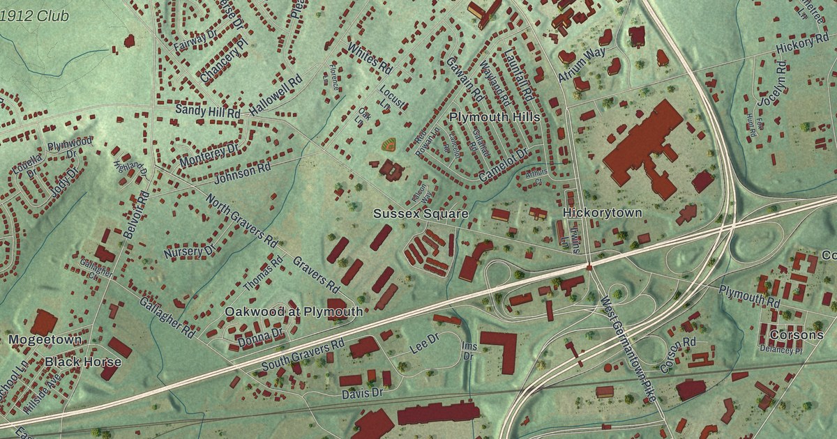
A detailed map of Plymouth, Montgomery County, Pennsylvania, showing every building in its true location, the roads by name, and shaded topographical relief.
Read More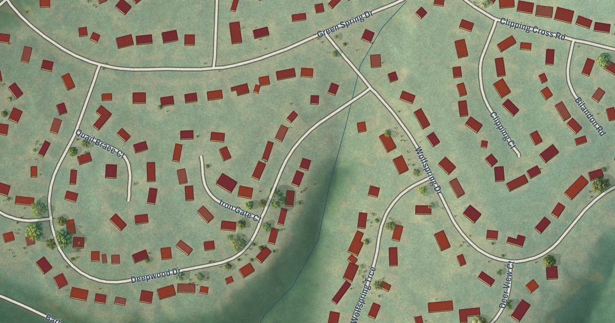
A detailed map of Green Spring, Kentucky, showing every building in its true location, the roads by name, and shaded topographical relief.
Read More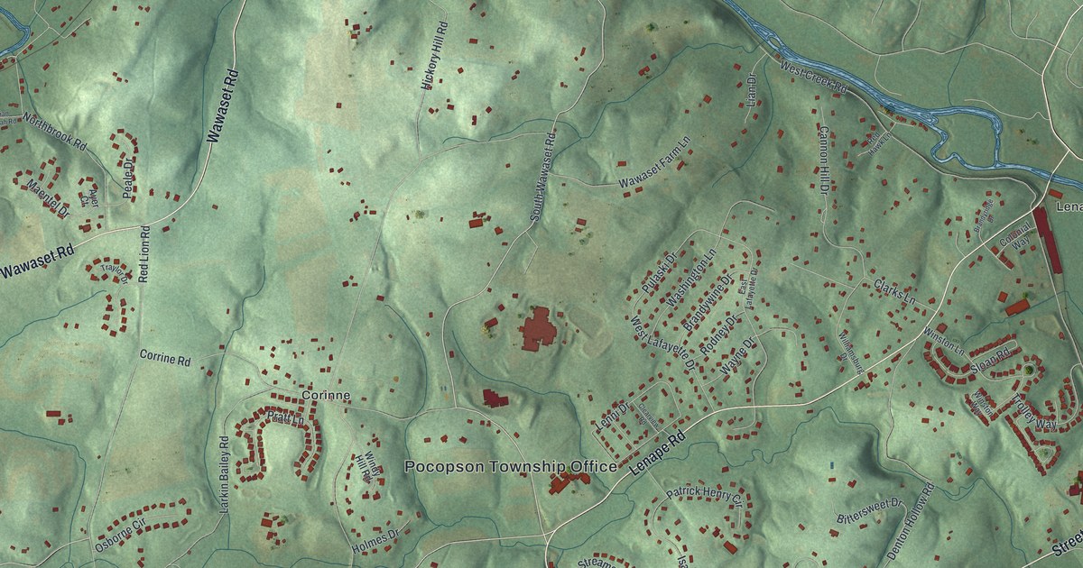
A detailed map of Pocopson, Pennsylvania, showing every building in its true location, the roads by name, and shaded topographical relief.
Read More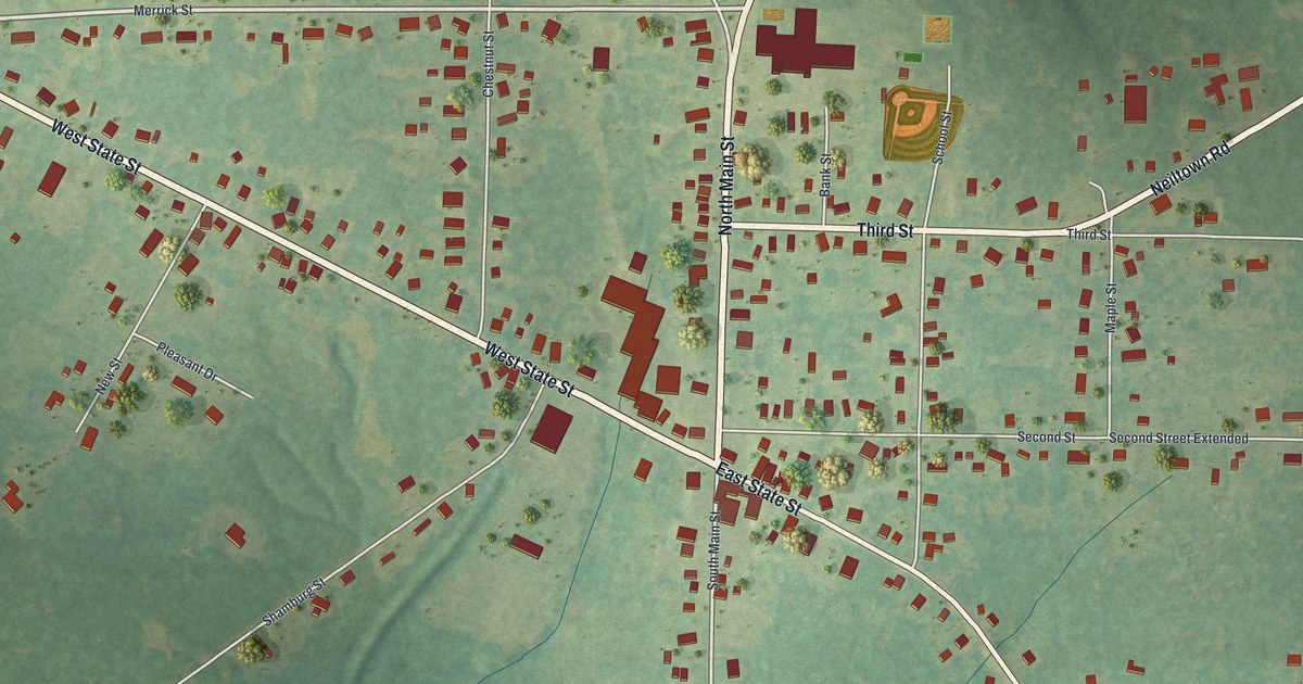
A detailed map of Pleasantville, Venango County, Pennsylvania, showing every building in its true location, the roads by name, and shaded topographical relief.
Read More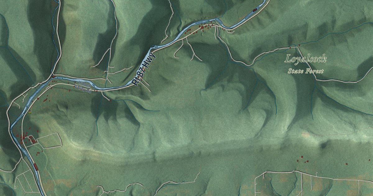
A detailed map of Plunketts Creek, Pennsylvania, showing every building in its true location, the roads by name, and shaded topographical relief.
Read More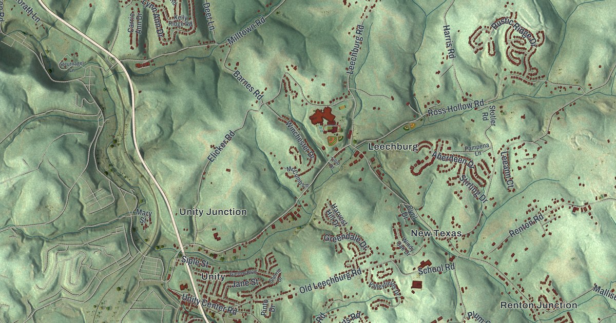
A detailed map of Plum, Allegheny County, Pennsylvania, showing every building in its true location, the roads by name, and shaded topographical relief.
Read More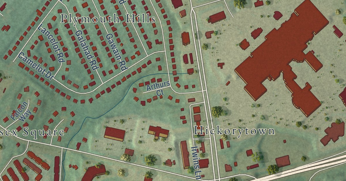
A detailed map of Plymouth Meeting, Pennsylvania, showing every building in its true location, the roads by name, and shaded topographical relief.
Read More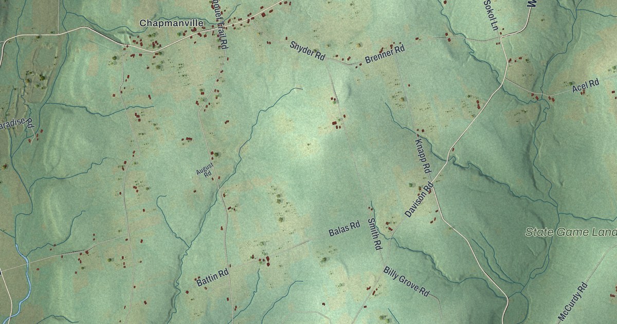
A detailed map of Plum, Venango County, Pennsylvania, showing every building in its true location, the roads by name, and shaded topographical relief.
Read More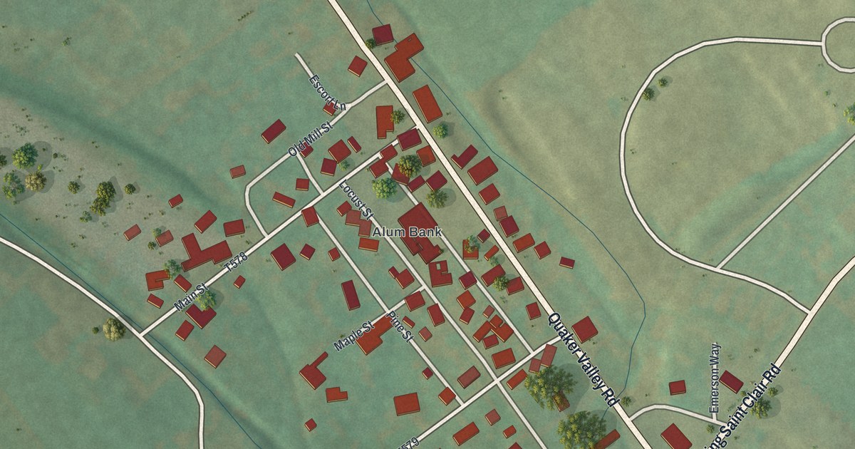
A detailed map of Pleasantville, Bedford County, Pennsylvania, showing every building in its true location, the roads by name, and shaded topographical relief.
Read More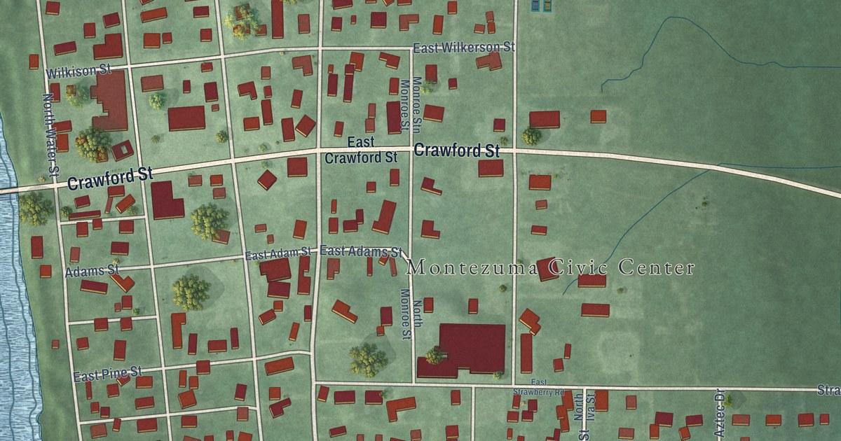
A detailed map of Montezuma, Indiana, showing every building in its true location, the roads by name, and shaded topographical relief.
Read More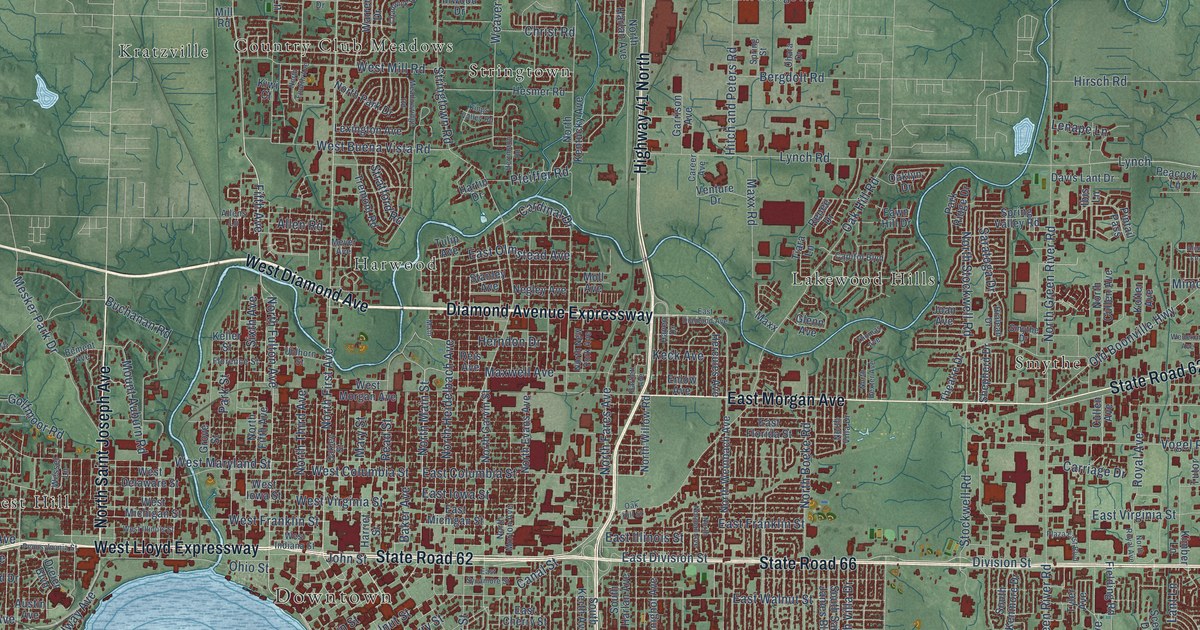
A detailed map of Evansville, Indiana, showing every building in its true location, the roads by name, and shaded topographical relief.
Read More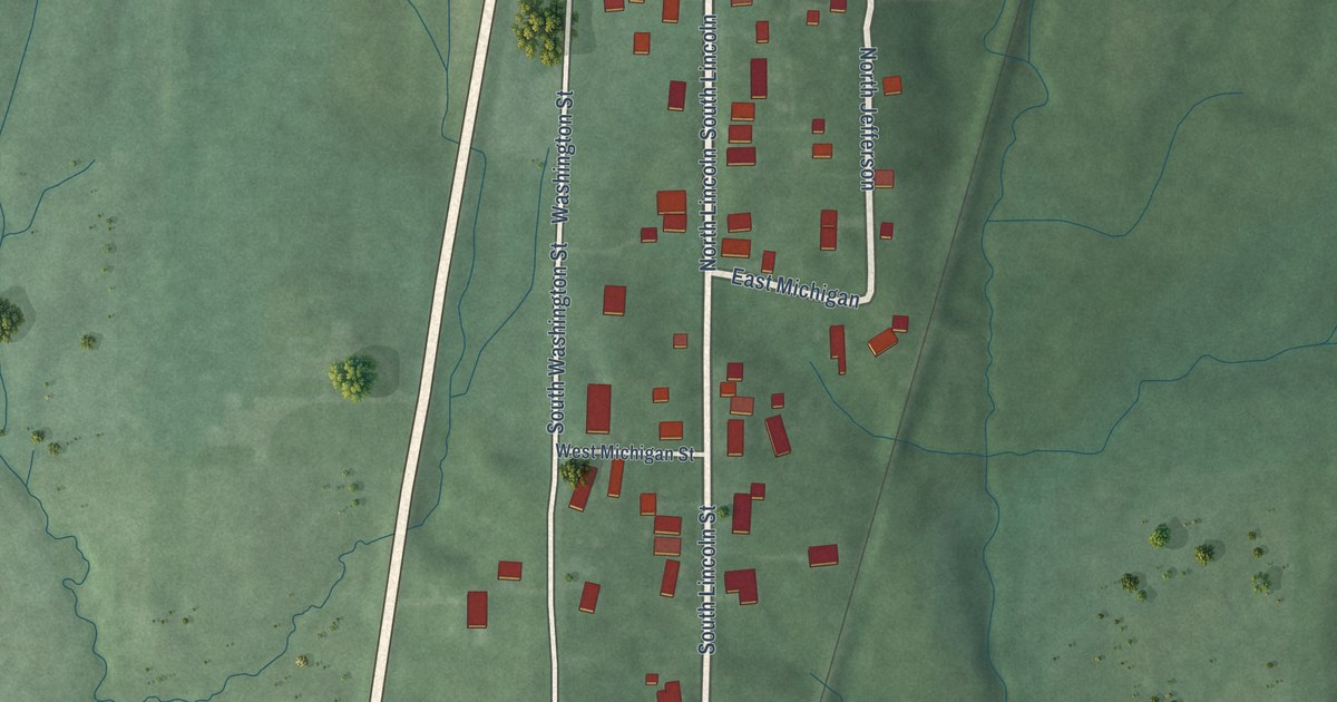
A detailed map of Somerville, Indiana, showing every building in its true location, the roads by name, and shaded topographical relief.
Read More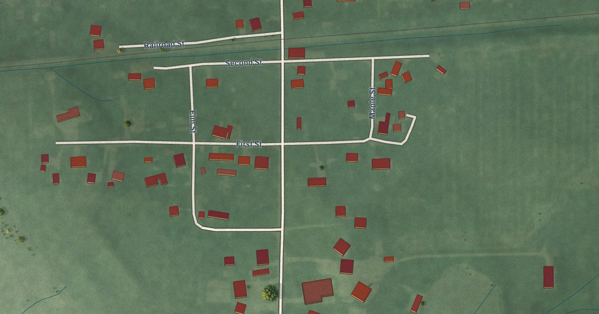
A detailed map of Cannelburg, Indiana, showing every building in its true location, the roads by name, and shaded topographical relief.
Read More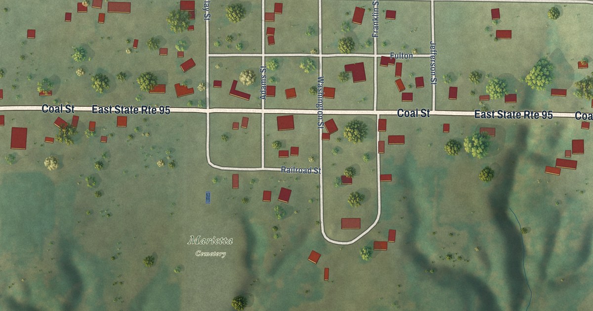
A detailed map of Marietta, Illinois, showing every building in its true location, the roads by name, and shaded topographical relief.
Read More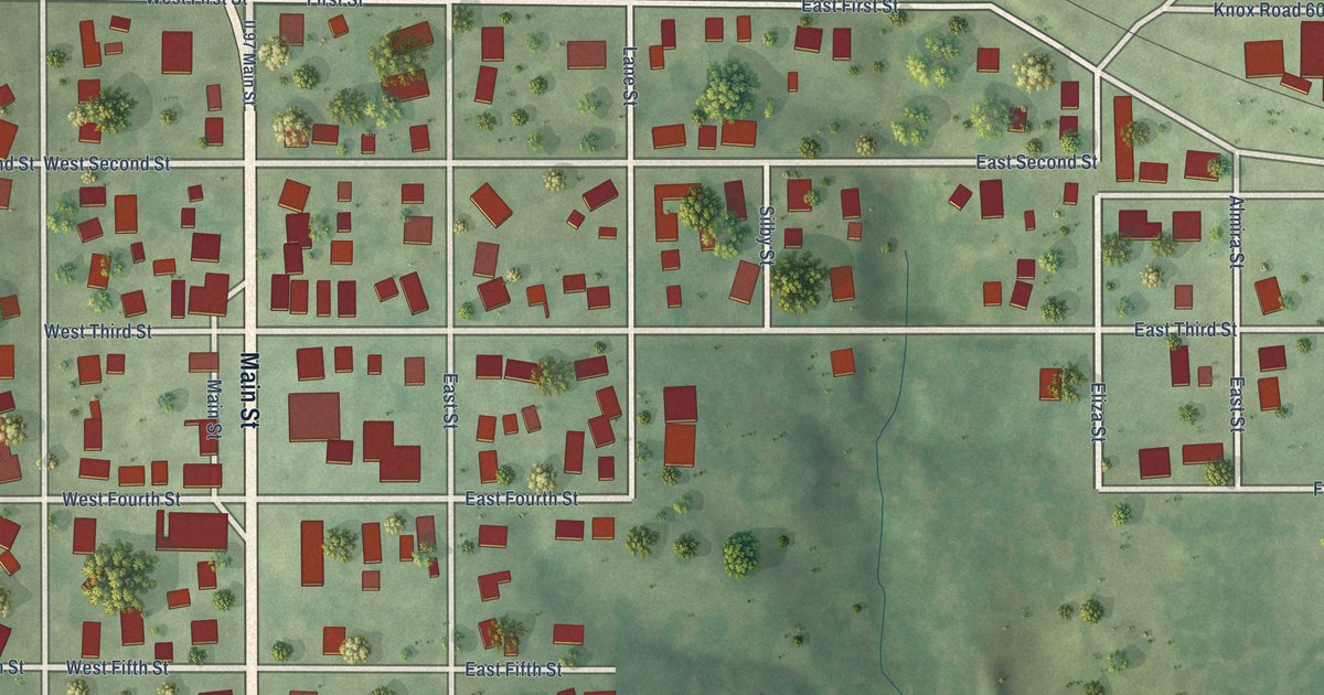
A detailed map of Maquon, Illinois, showing every building in its true location, the roads by name, and shaded topographical relief.
Read More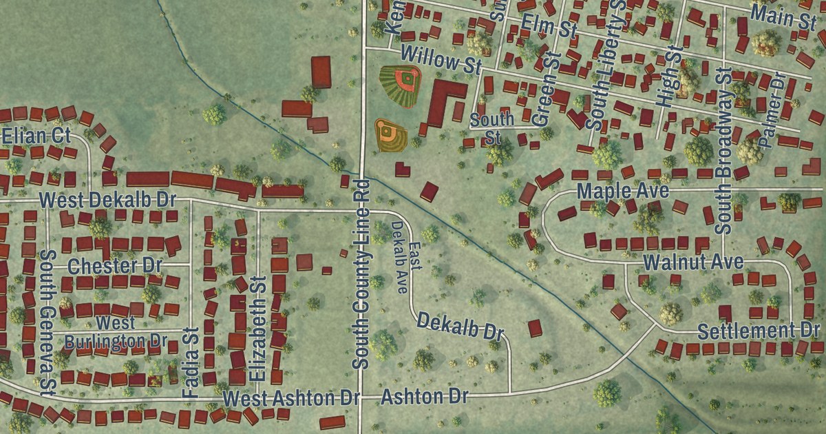
A detailed map of Maple Park, Illinois, showing every building in its true location, the roads by name, and shaded topographical relief.
Read More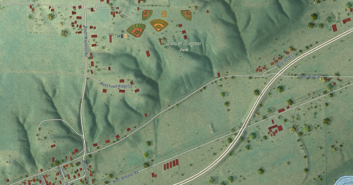
A detailed map of Mapleton, Illinois, showing every building in its true location, the roads by name, and shaded topographical relief.
Read More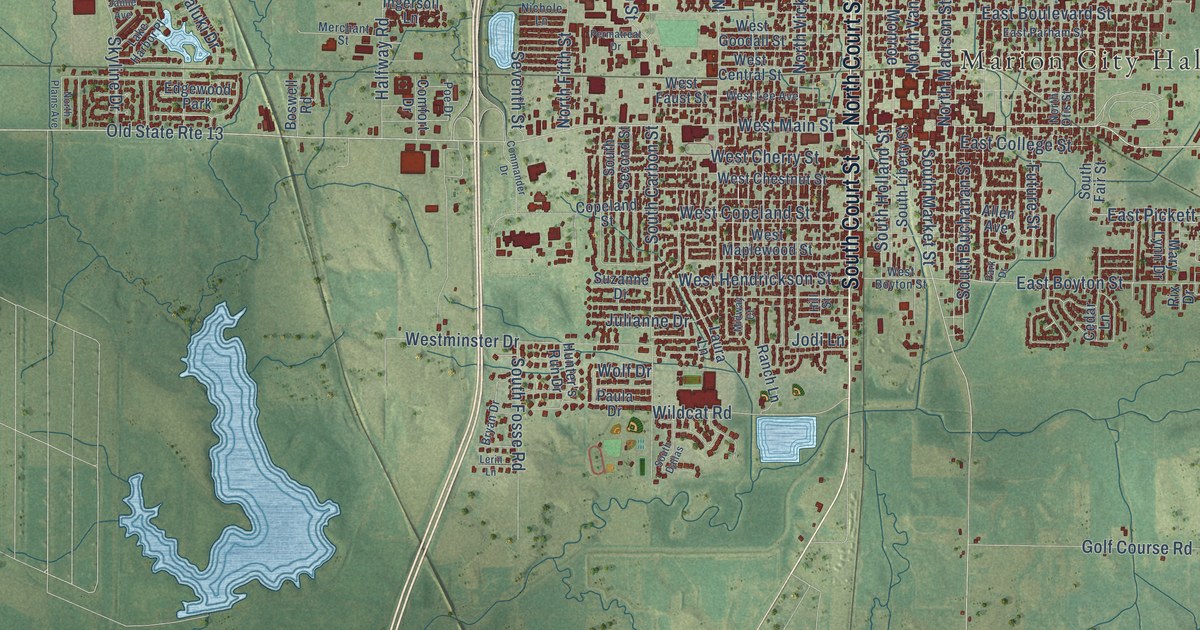
A detailed map of Marion, Illinois, showing every building in its true location, the roads by name, and shaded topographical relief.
Read More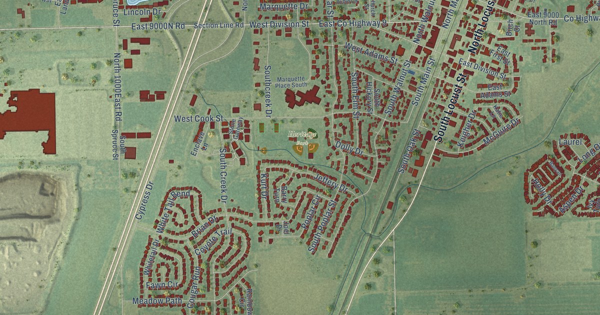
A detailed map of Manteno, Illinois, showing every building in its true location, the roads by name, and shaded topographical relief.
Read More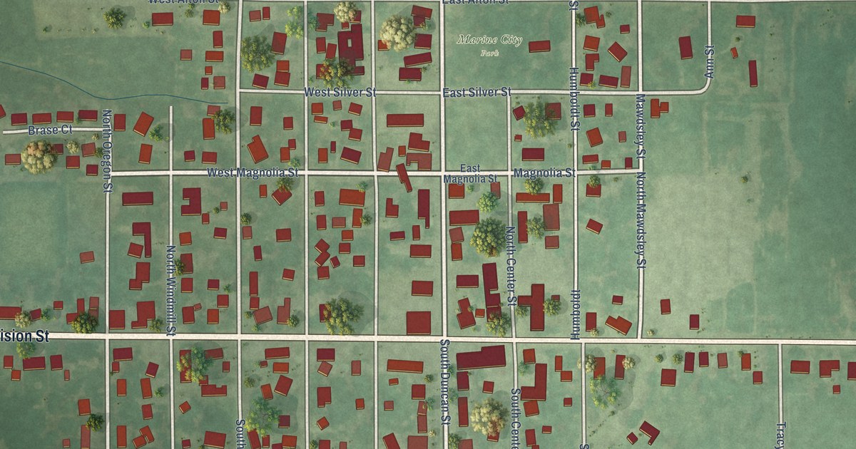
A detailed map of Marine, Illinois, showing every building in its true location, the roads by name, and shaded topographical relief.
Read More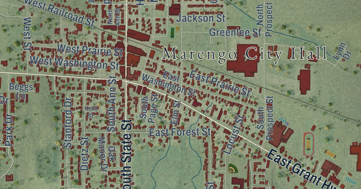
A detailed map of Marengo, Illinois, showing every building in its true location, the roads by name, and shaded topographical relief.
Read More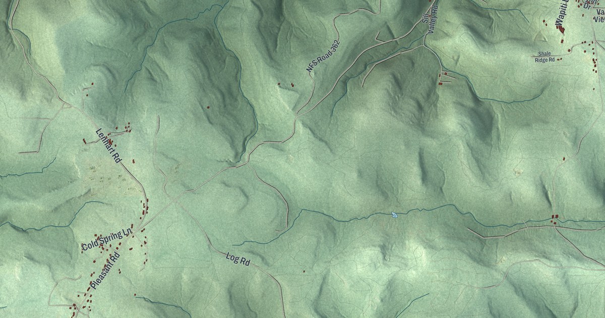
A detailed map of Pleasant, Pennsylvania, showing every building in its true location, the roads by name, and shaded topographical relief.
Read More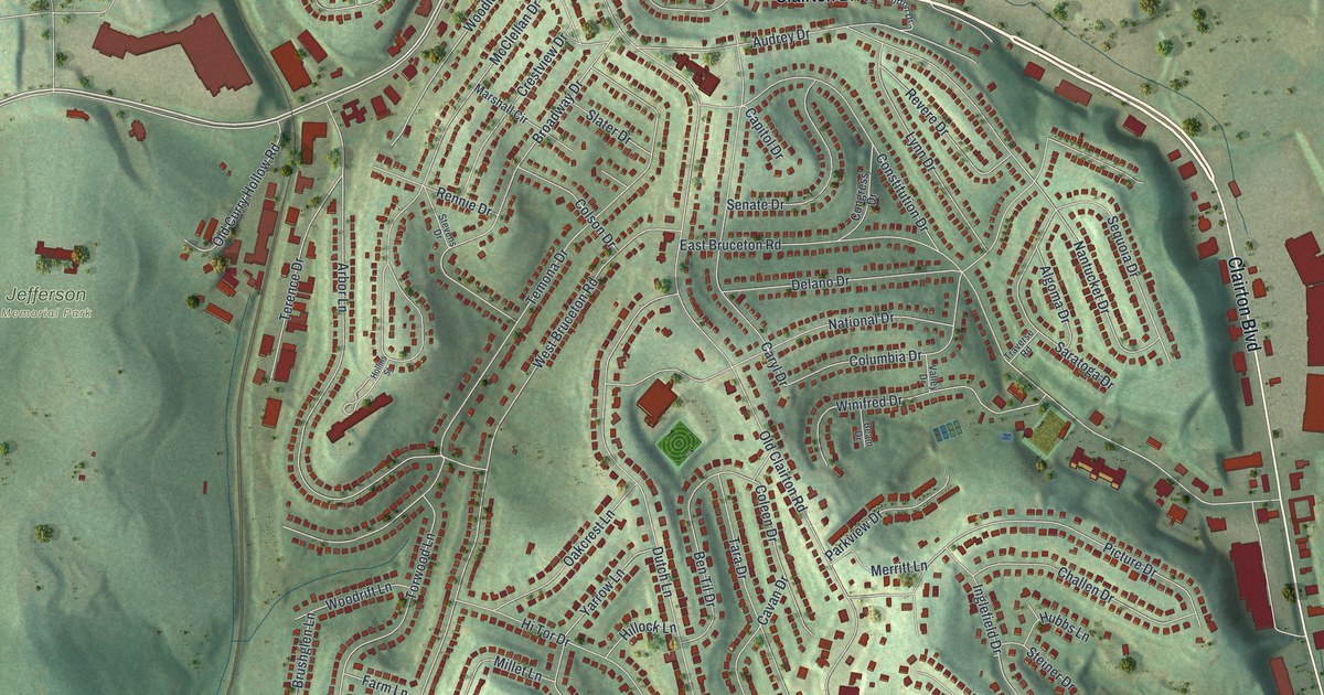
A detailed map of Pleasant Hills, Pennsylvania, showing every building in its true location, the roads by name, and shaded topographical relief.
Read More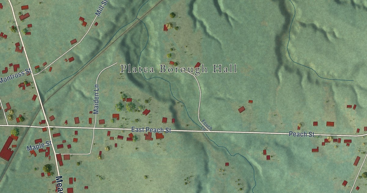
A detailed map of Platea, Pennsylvania, showing every building in its true location, the roads by name, and shaded topographical relief.
Read More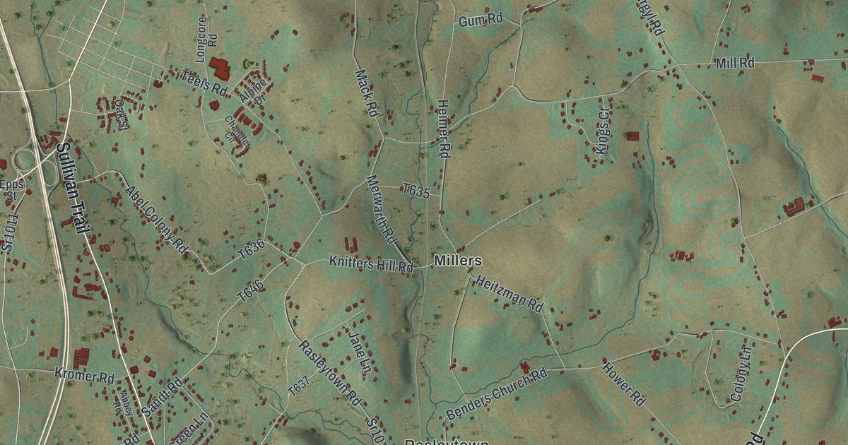
A detailed map of Plainfield, Pennsylvania, showing every building in its true location, the roads by name, and shaded topographical relief.
Read More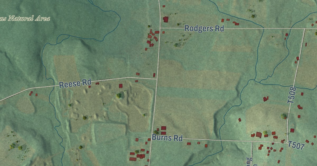
A detailed map of Plain Grove, Pennsylvania, showing every building in its true location, the roads by name, and shaded topographical relief.
Read More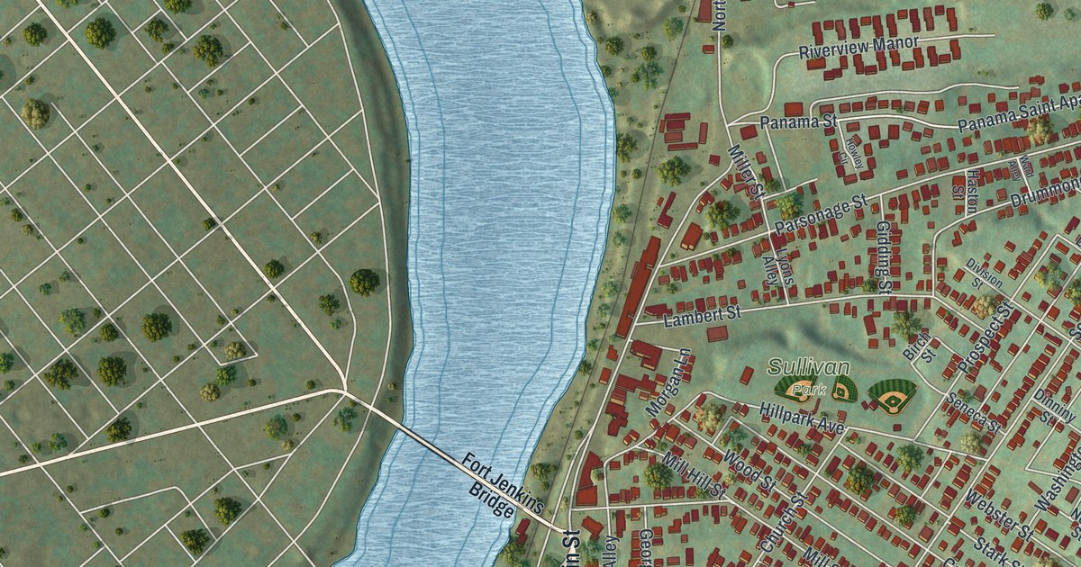
A detailed map of Pittston City, Pennsylvania, showing every building in its true location, the roads by name, and shaded topographical relief.
Read More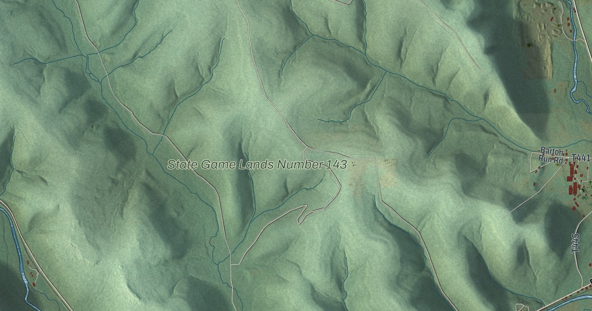
A detailed map of Pittsfield, Pennsylvania, showing every building in its true location, the roads by name, and shaded topographical relief.
Read More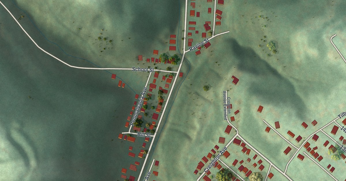
A detailed map of Pitcairn, Pennsylvania, showing every building in its true location, the roads by name, and shaded topographical relief.
Read More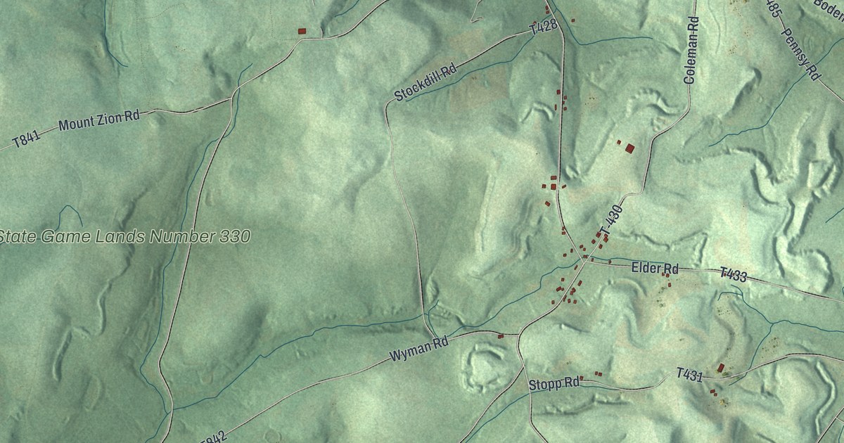
A detailed map of Piney, Pennsylvania, showing every building in its true location, the roads by name, and shaded topographical relief.
Read More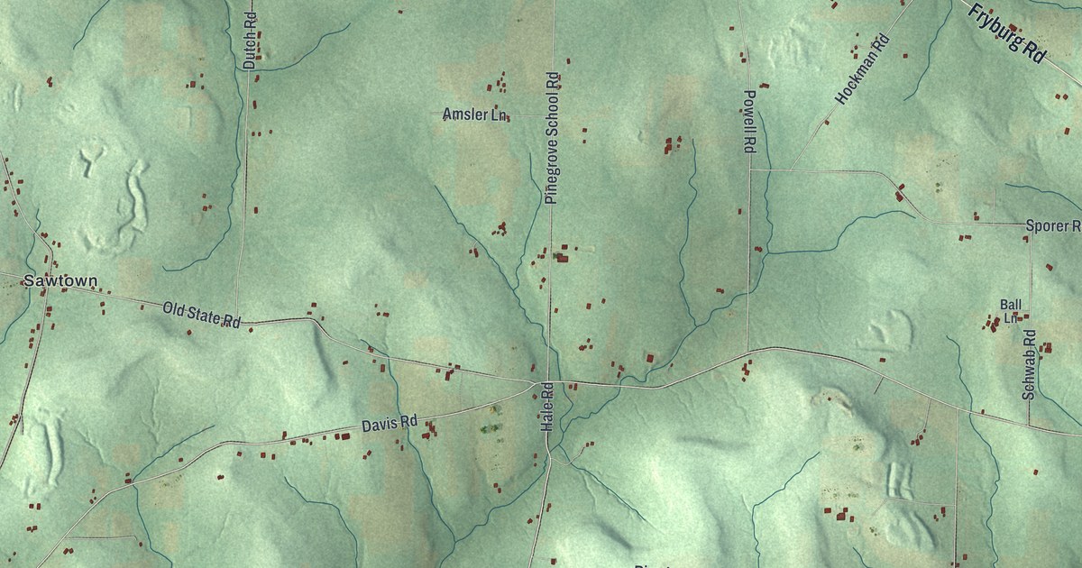
A detailed map of Pinegrove, Pennsylvania, showing every building in its true location, the roads by name, and shaded topographical relief.
Read More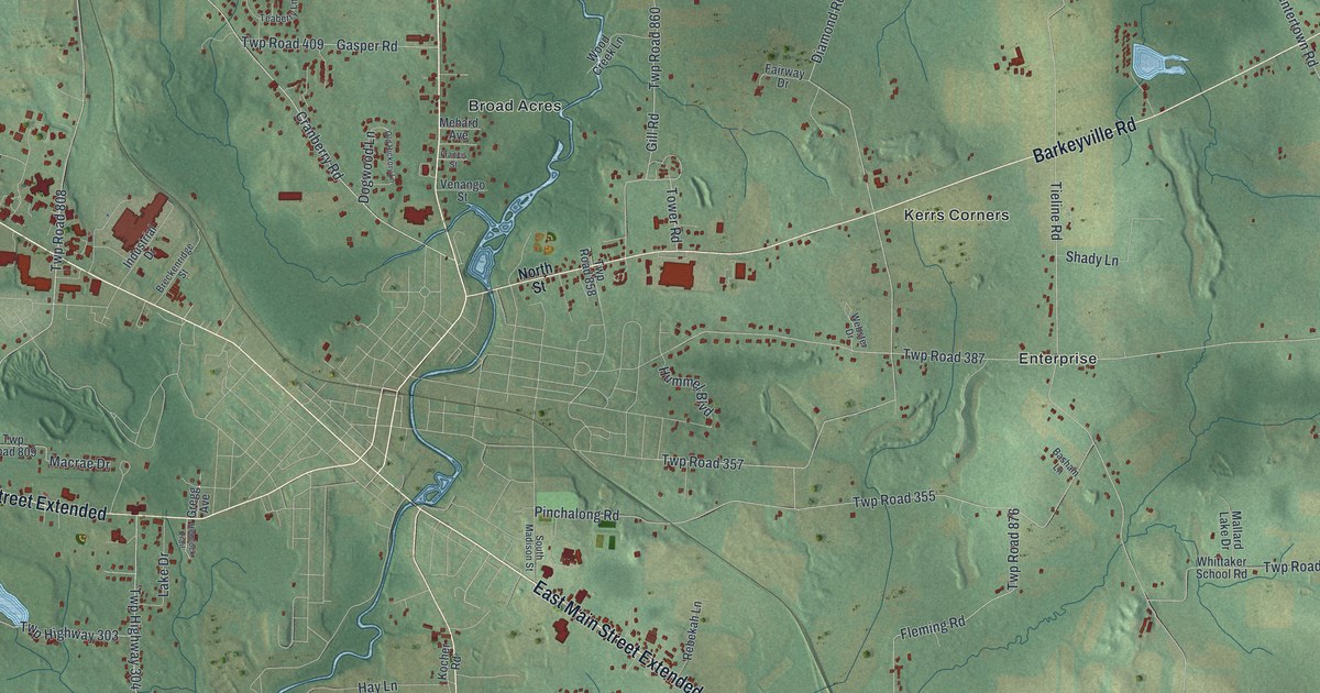
A detailed map of Pine, Mercer County, Pennsylvania, showing every building in its true location, the roads by name, and shaded topographical relief.
Read More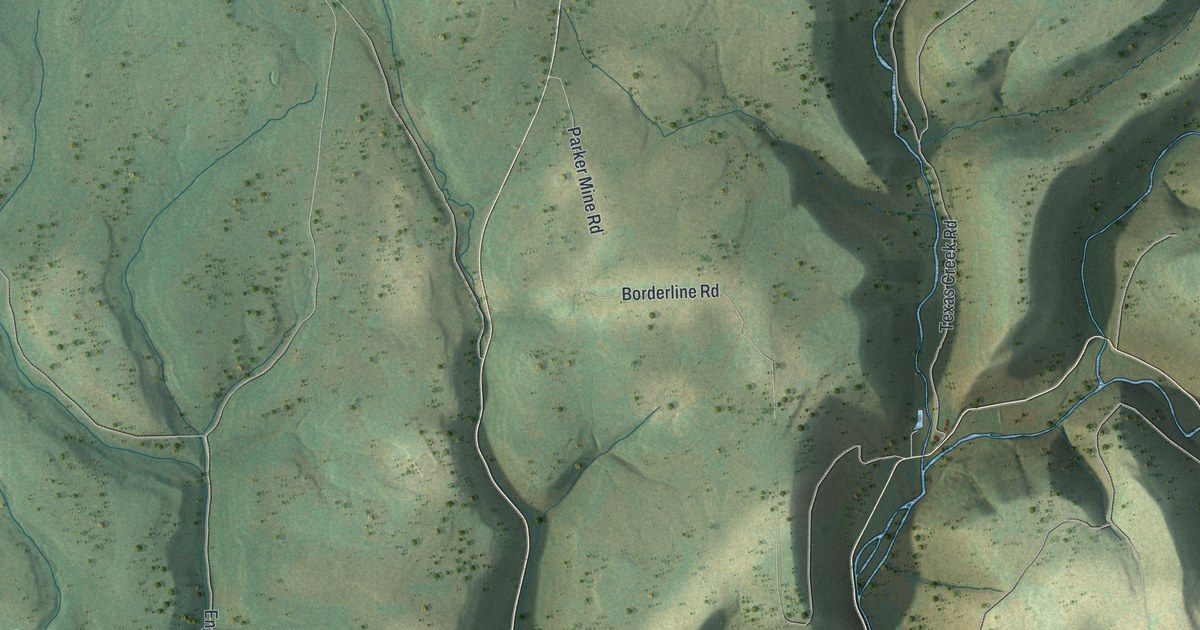
A detailed map of Pine, Lycoming County, Pennsylvania, showing every building in its true location, the roads by name, and shaded topographical relief.
Read More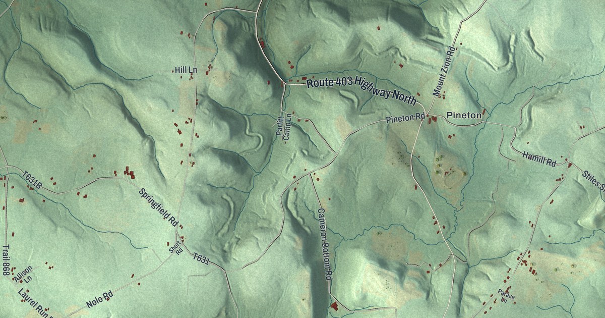
A detailed map of Pine, Indiana County, Pennsylvania, showing every building in its true location, the roads by name, and shaded topographical relief.
Read More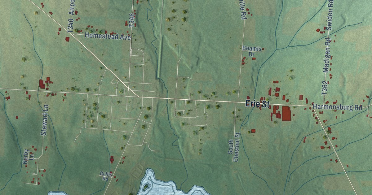
A detailed map of Pine, Crawford County, Pennsylvania, showing every building in its true location, the roads by name, and shaded topographical relief.
Read More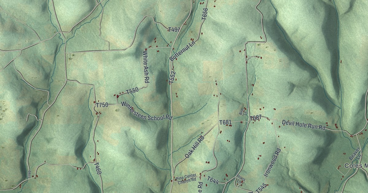
A detailed map of Pine, Columbia County, Pennsylvania, showing every building in its true location, the roads by name, and shaded topographical relief.
Read More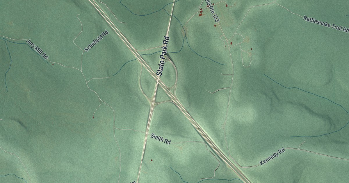
A detailed map of Pine, Clearfield County, Pennsylvania, showing every building in its true location, the roads by name, and shaded topographical relief.
Read More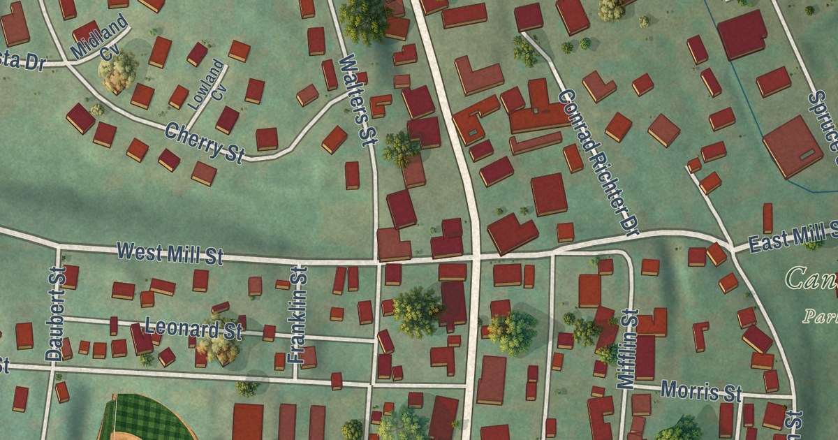
A detailed map of Pine Grove Borough, Schuylkill County, Pennsylvania, showing every building in its true location, the roads by name, and shaded topographical relief.
Read More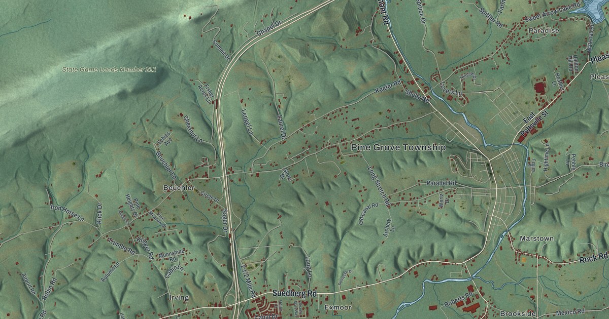
A detailed map of Pine Grove Township, Schuylkill County, Pennsylvania, showing every building in its true location, the roads by name, and shaded topographical relief.
Read More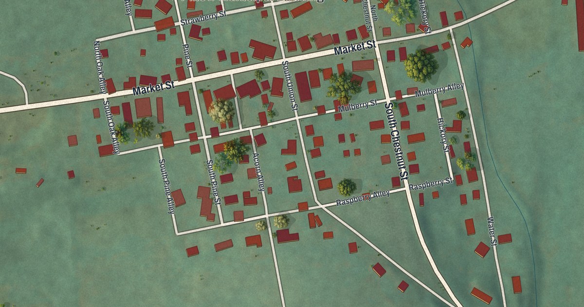
A detailed map of Pillow, Pennsylvania, showing every building in its true location, the roads by name, and shaded topographical relief.
Read More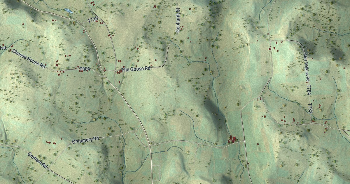
A detailed map of Pike, Bradford County, Pennsylvania, showing every building in its true location, the roads by name, and shaded topographical relief.
Read More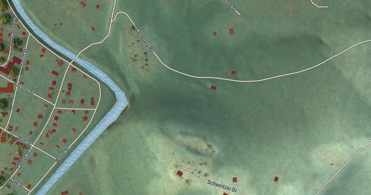
A detailed map of Picture Rocks, Pennsylvania, showing every building in its true location, the roads by name, and shaded topographical relief.
Read More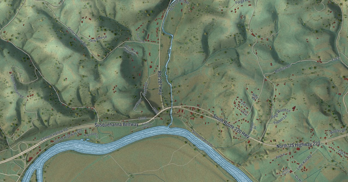
A detailed map of Piatt, Pennsylvania, showing every building in its true location, the roads by name, and shaded topographical relief.
Read More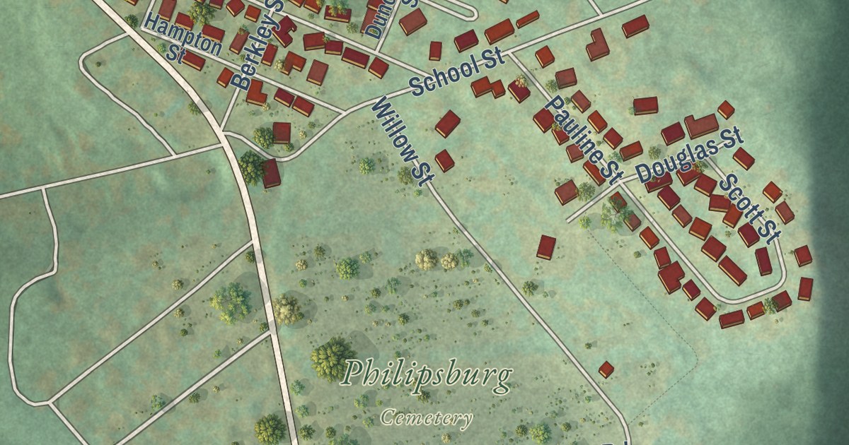
A detailed map of Philipsburg, Pennsylvania, showing every building in its true location, the roads by name, and shaded topographical relief.
Read More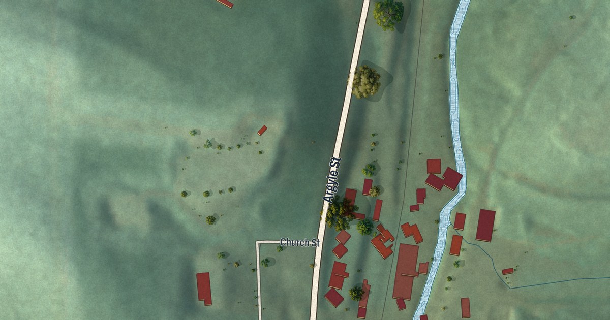
A detailed map of Petrolia, Pennsylvania, showing every building in its true location, the roads by name, and shaded topographical relief.
Read More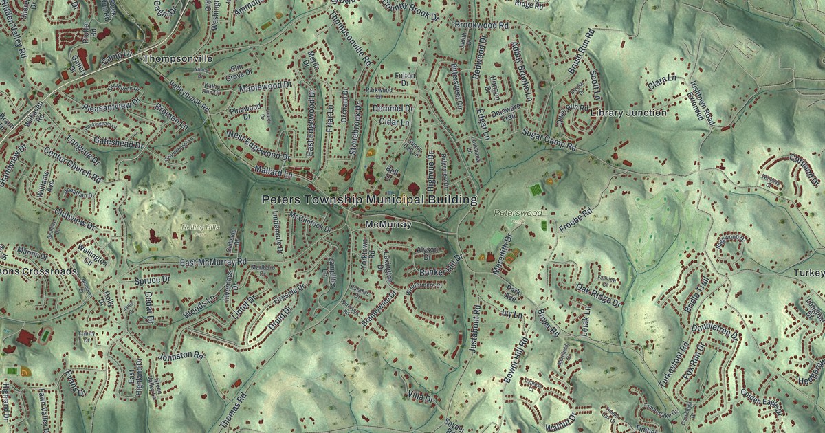
A detailed map of Peters, Washington County, Pennsylvania, showing every building in its true location, the roads by name, and shaded topographical relief.
Read More















