Detailed Map of Chester Hill, Pennsylvania
A detailed map of Chester Hill, Pennsylvania, showing every building in its true location, the roads by name, and shaded topographical relief.
Read More
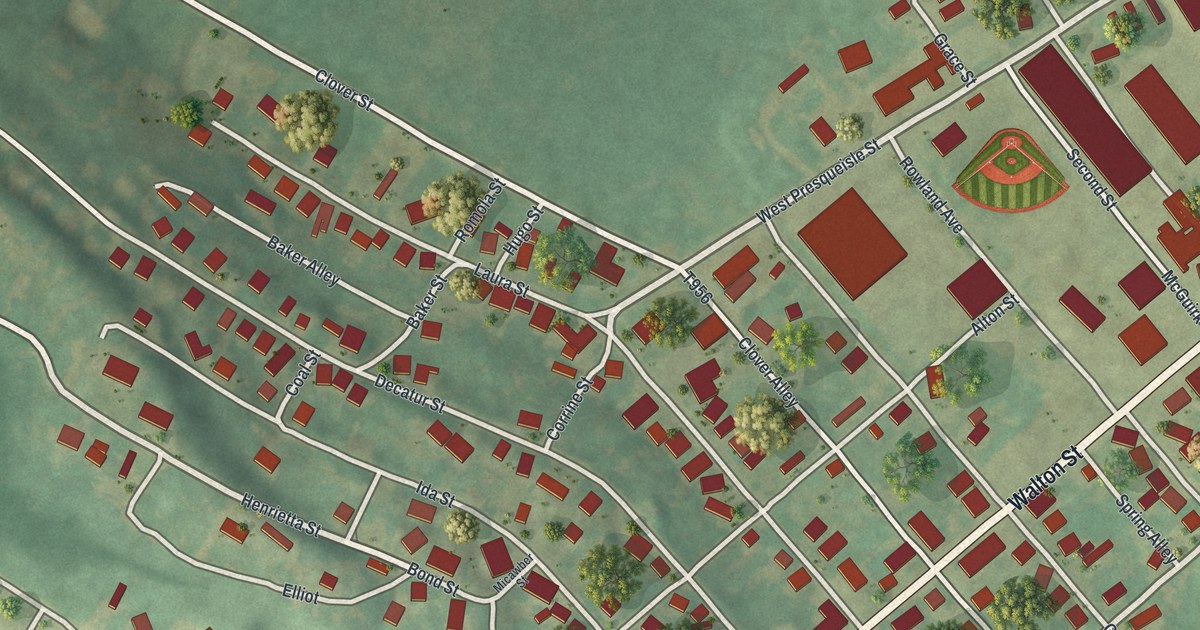
A detailed map of Chester Hill, Pennsylvania, showing every building in its true location, the roads by name, and shaded topographical relief.
Read More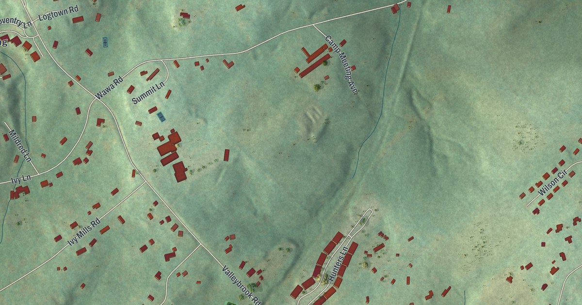
A detailed map of Chester Heights, Pennsylvania, showing every building in its true location, the roads by name, and shaded topographical relief.
Read More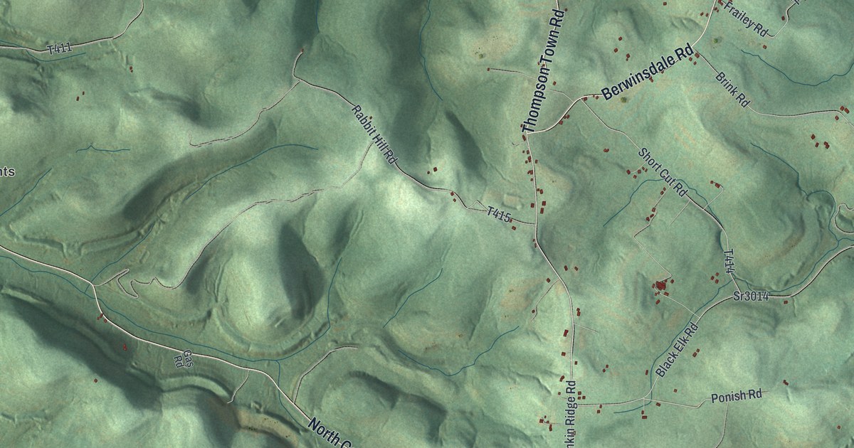
A detailed map of Chest, Clearfield County, Pennsylvania, showing every building in its true location, the roads by name, and shaded topographical relief.
Read More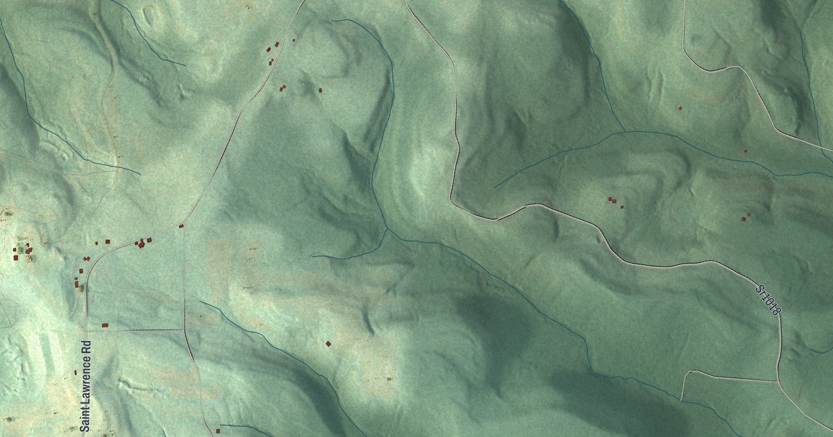
A detailed map of Chest, Cambria County, Pennsylvania, showing every building in its true location, the roads by name, and shaded topographical relief.
Read More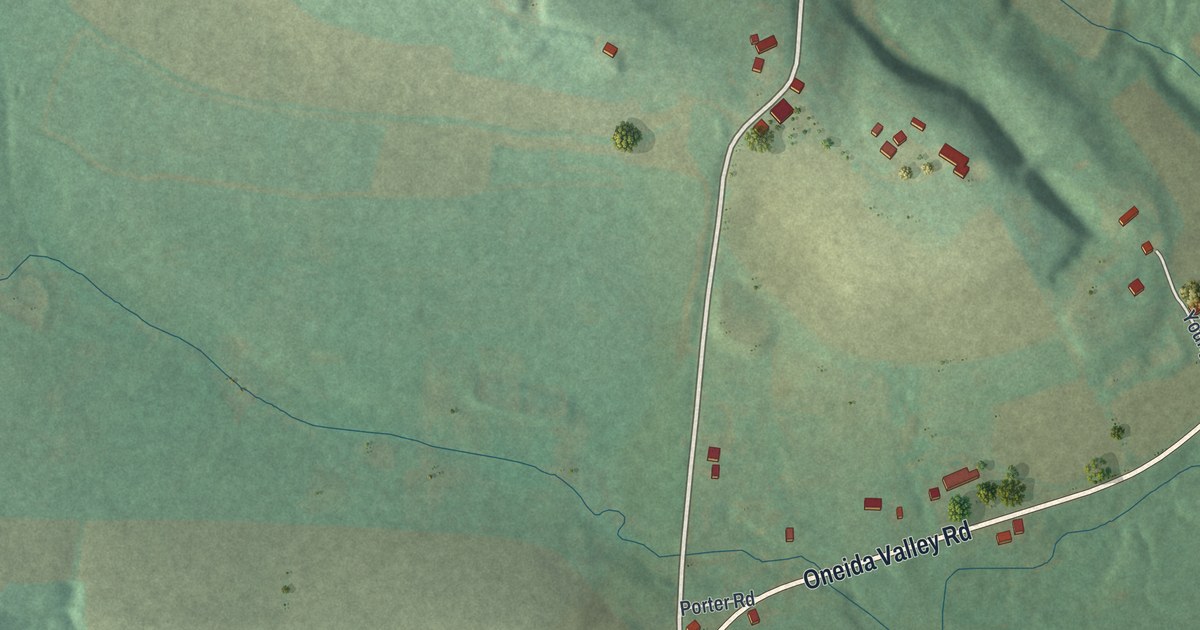
A detailed map of Cherry Valley, Pennsylvania, showing every building in its true location, the roads by name, and shaded topographical relief.
Read More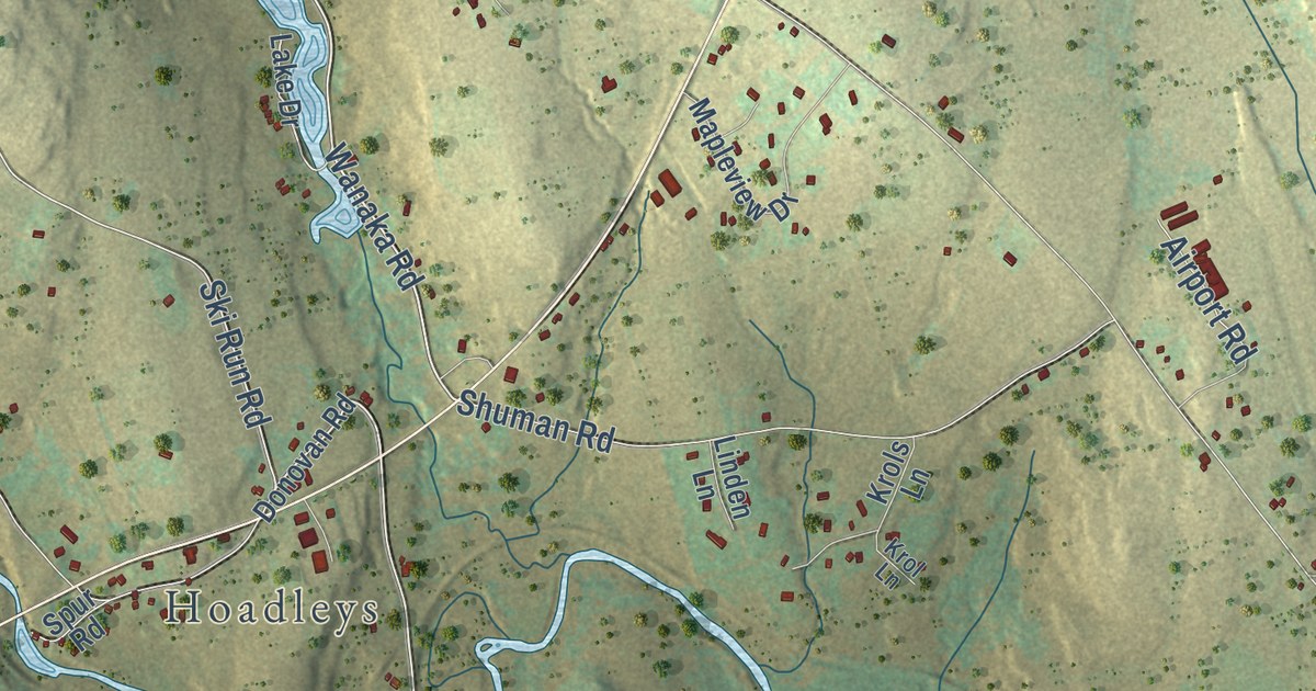
A detailed map of Cherry Ridge, Pennsylvania, showing every building in its true location, the roads by name, and shaded topographical relief.
Read More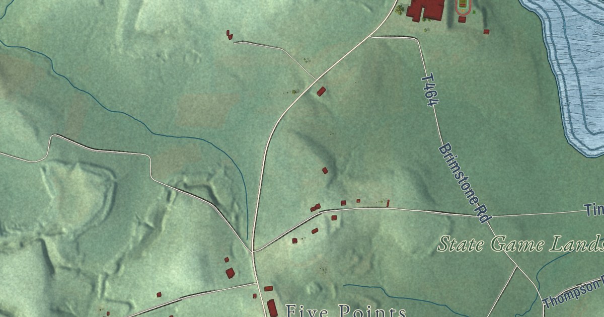
A detailed map of Cherry, Butler County, Pennsylvania, showing every building in its true location, the roads by name, and shaded topographical relief.
Read More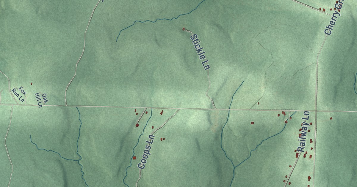
A detailed map of Cherry Grove, Pennsylvania, showing every building in its true location, the roads by name, and shaded topographical relief.
Read More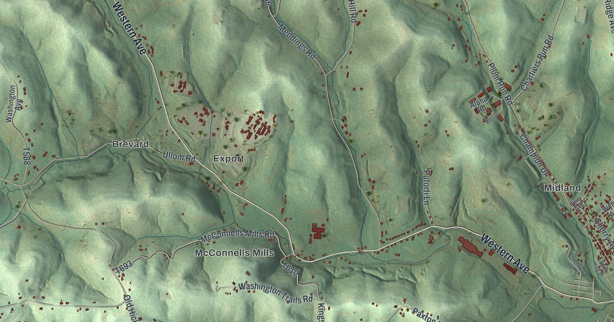
A detailed map of Chartiers, Pennsylvania, showing every building in its true location, the roads by name, and shaded topographical relief.
Read More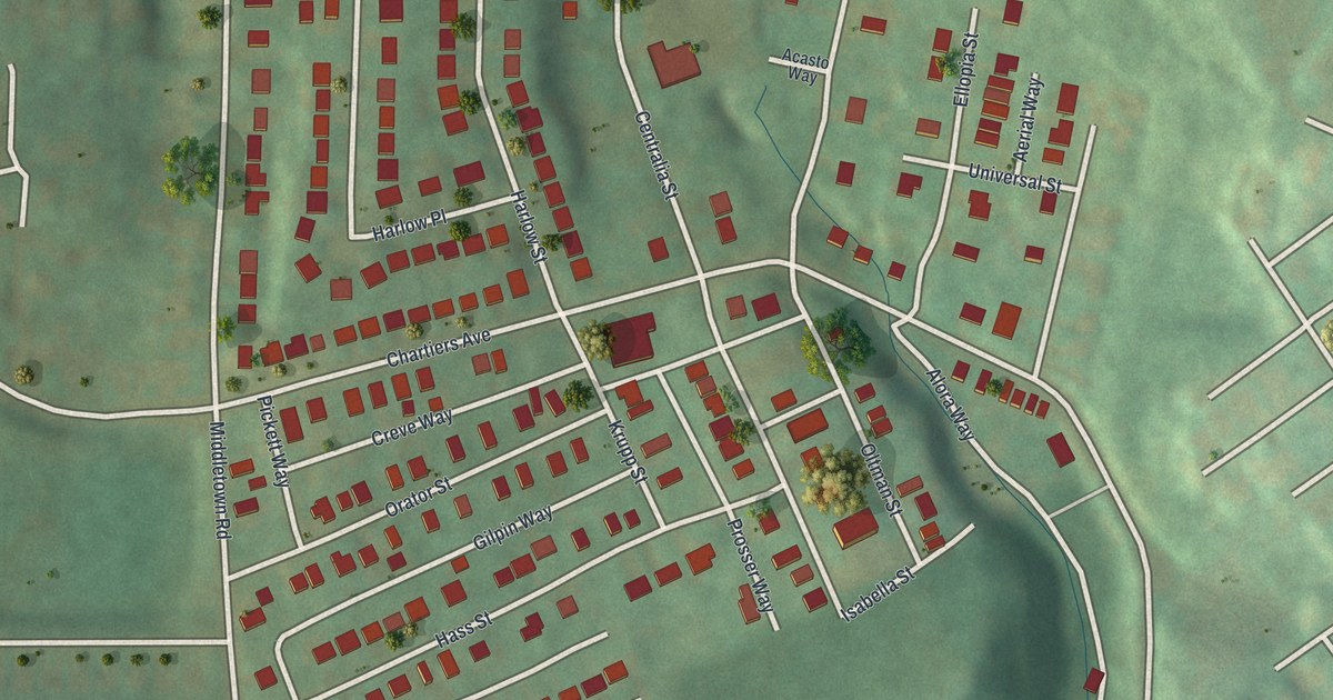
A detailed map of Chartiers City, Pennsylvania, showing every building in its true location, the roads by name, and shaded topographical relief.
Read More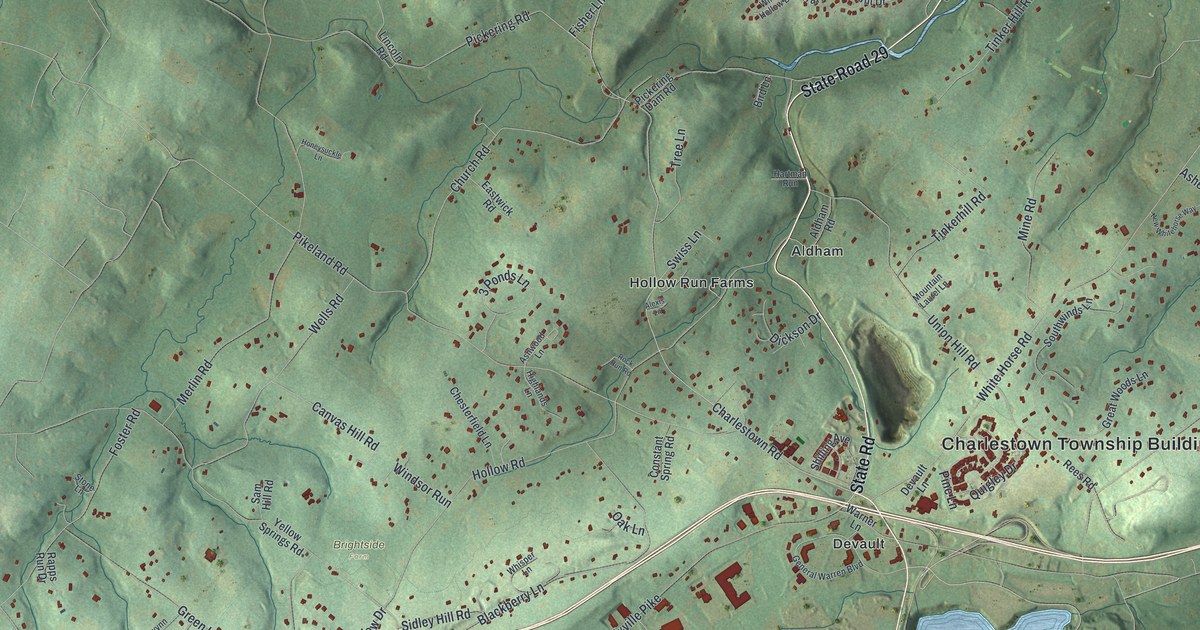
A detailed map of Charlestown, Pennsylvania, showing every building in its true location, the roads by name, and shaded topographical relief.
Read More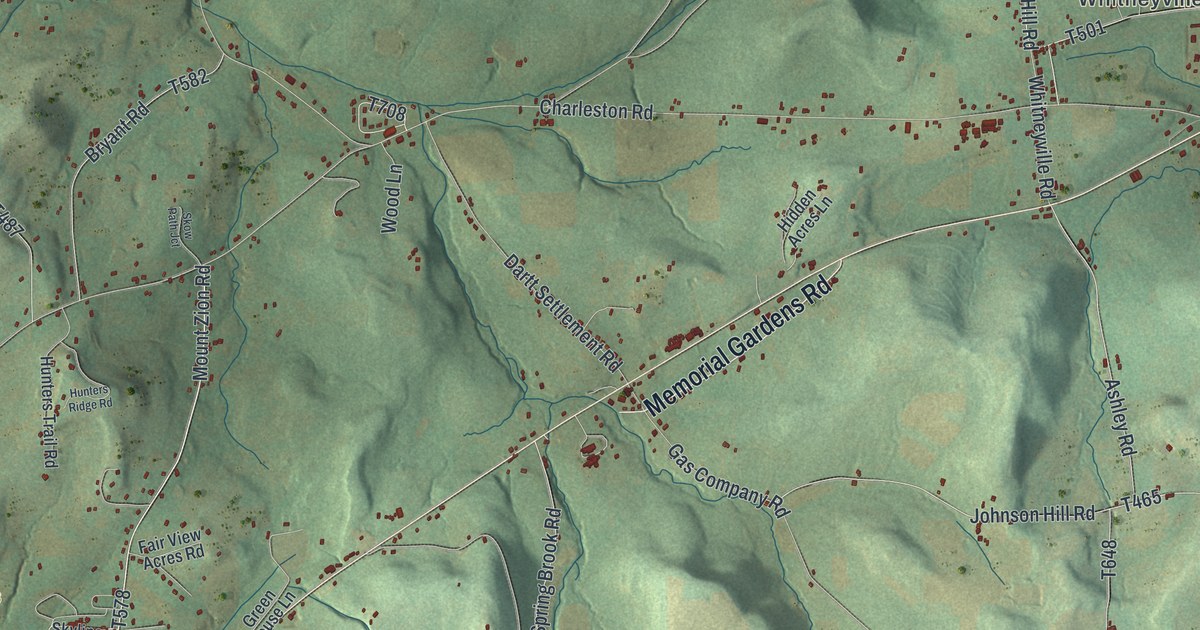
A detailed map of Charleston, Pennsylvania, showing every building in its true location, the roads by name, and shaded topographical relief.
Read More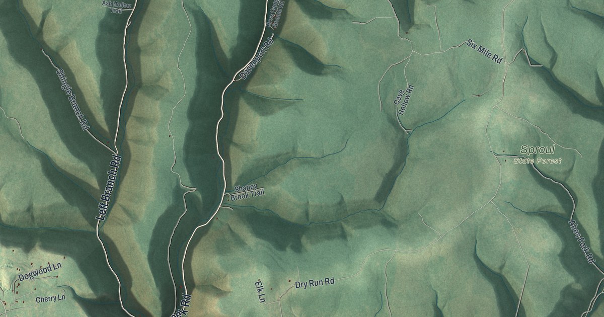
A detailed map of Chapman, Clinton County, Pennsylvania, showing every building in its true location, the roads by name, and shaded topographical relief.
Read More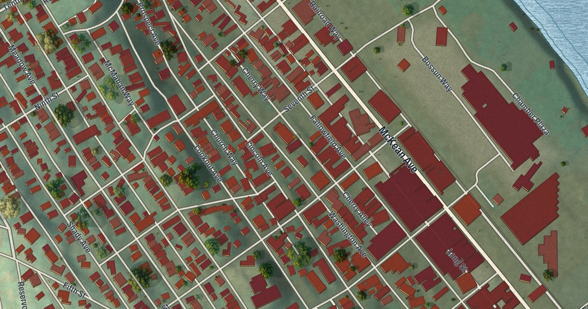
A detailed map of Charleroi, Pennsylvania, showing every building in its true location, the roads by name, and shaded topographical relief.
Read More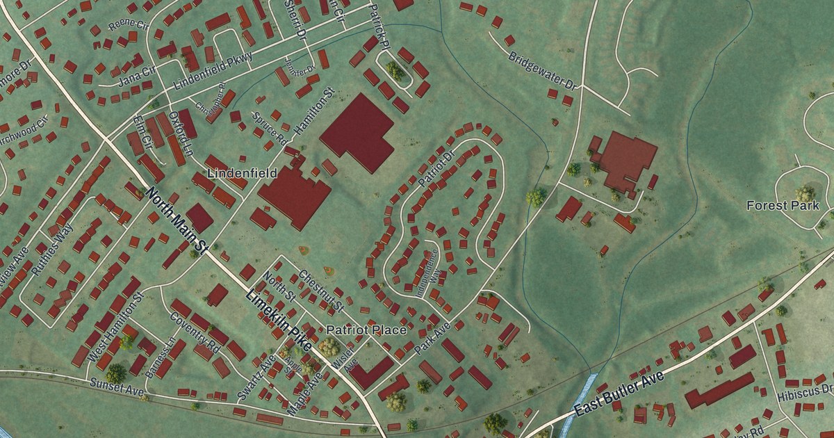
A detailed map of Chalfont, Pennsylvania, showing every building in its true location, the roads by name, and shaded topographical relief.
Read More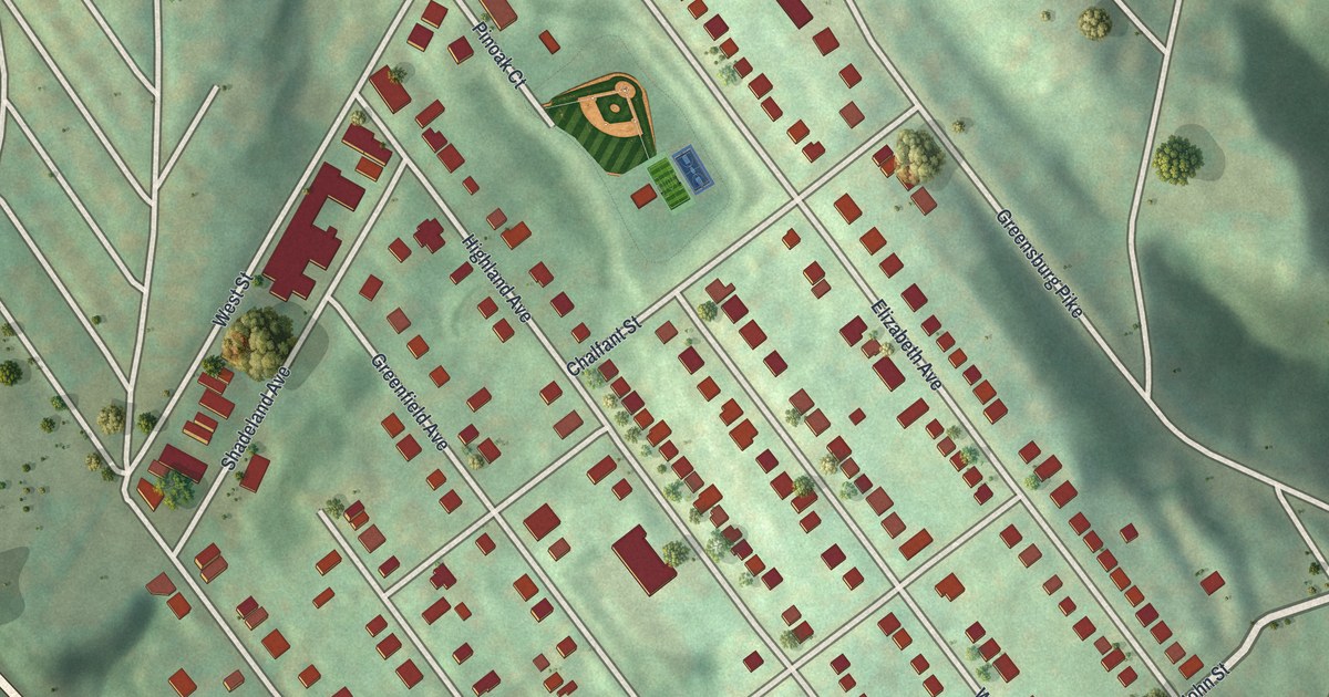
A detailed map of Chalfant, Pennsylvania, showing every building in its true location, the roads by name, and shaded topographical relief.
Read More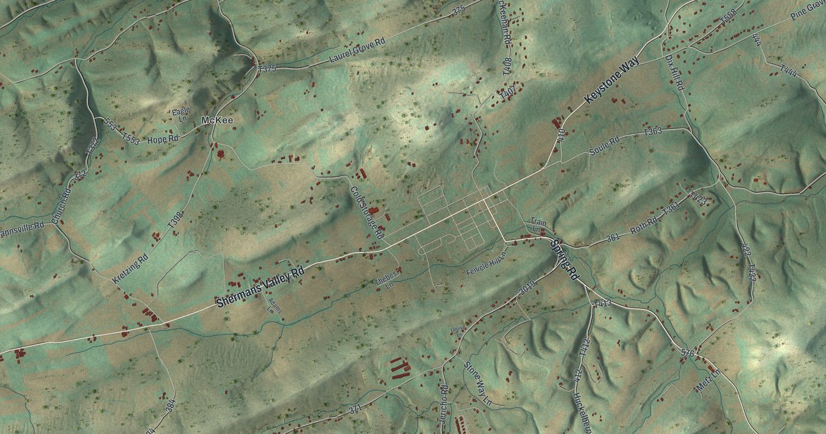
A detailed map of Centre, Perry County, Pennsylvania, showing every building in its true location, the roads by name, and shaded topographical relief.
Read More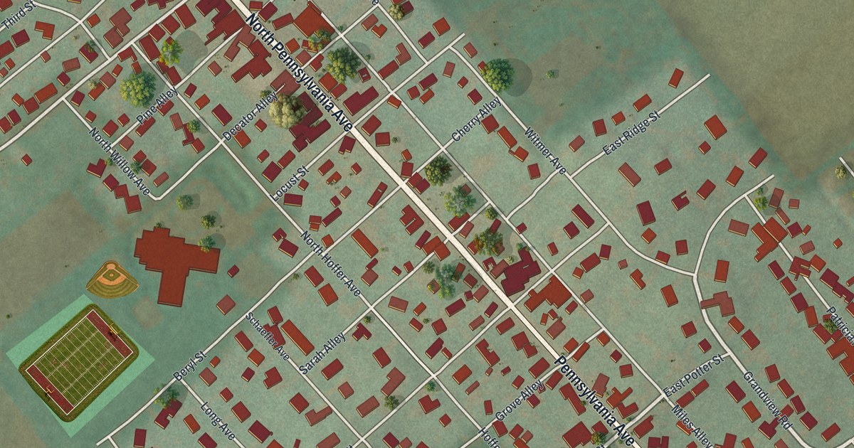
A detailed map of Centre Hall, Pennsylvania, showing every building in its true location, the roads by name, and shaded topographical relief.
Read More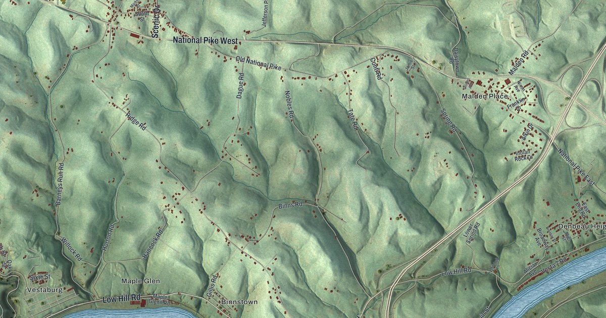
A detailed map of Centerville, Washington County, Pennsylvania, showing every building in its true location, the roads by name, and shaded topographical relief.
Read More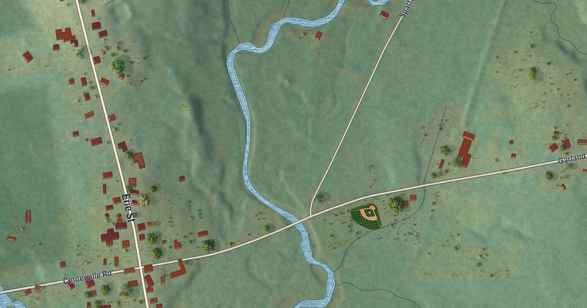
A detailed map of Centerville, Crawford County, Pennsylvania, showing every building in its true location, the roads by name, and shaded topographical relief.
Read More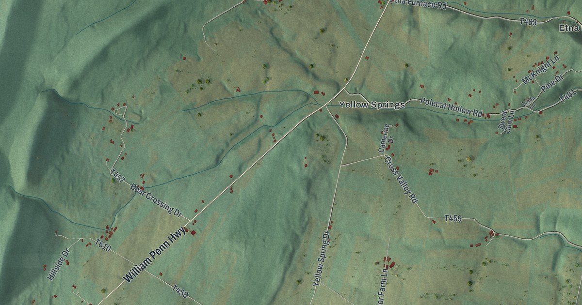
A detailed map of Catharine, Pennsylvania, showing every building in its true location, the roads by name, and shaded topographical relief.
Read More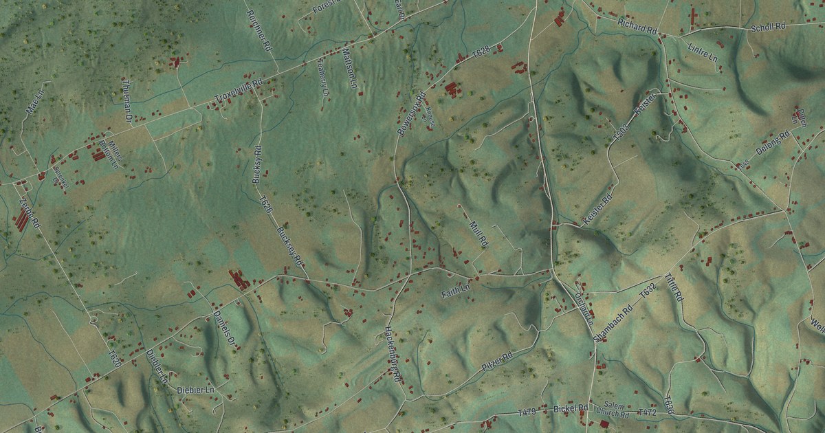
A detailed map of Center, Snyder County, Pennsylvania, showing every building in its true location, the roads by name, and shaded topographical relief.
Read More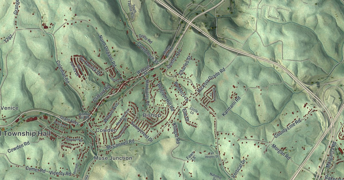
A detailed map of Cecil, Pennsylvania, showing every building in its true location, the roads by name, and shaded topographical relief.
Read More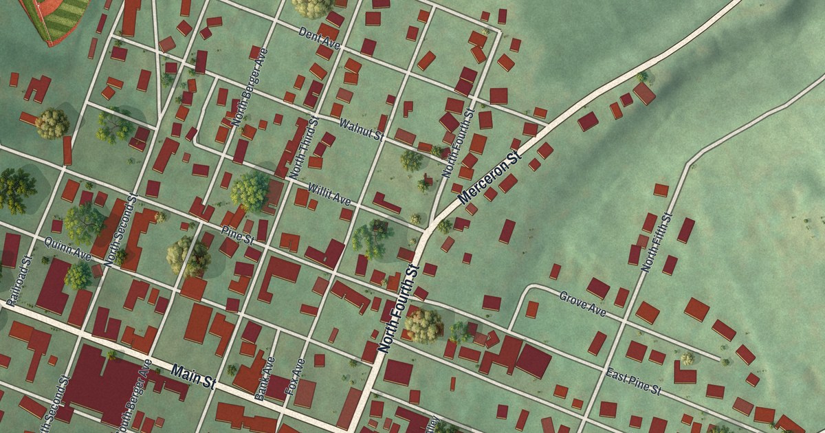
A detailed map of Catawissa Borough, Pennsylvania, showing every building in its true location, the roads by name, and shaded topographical relief.
Read More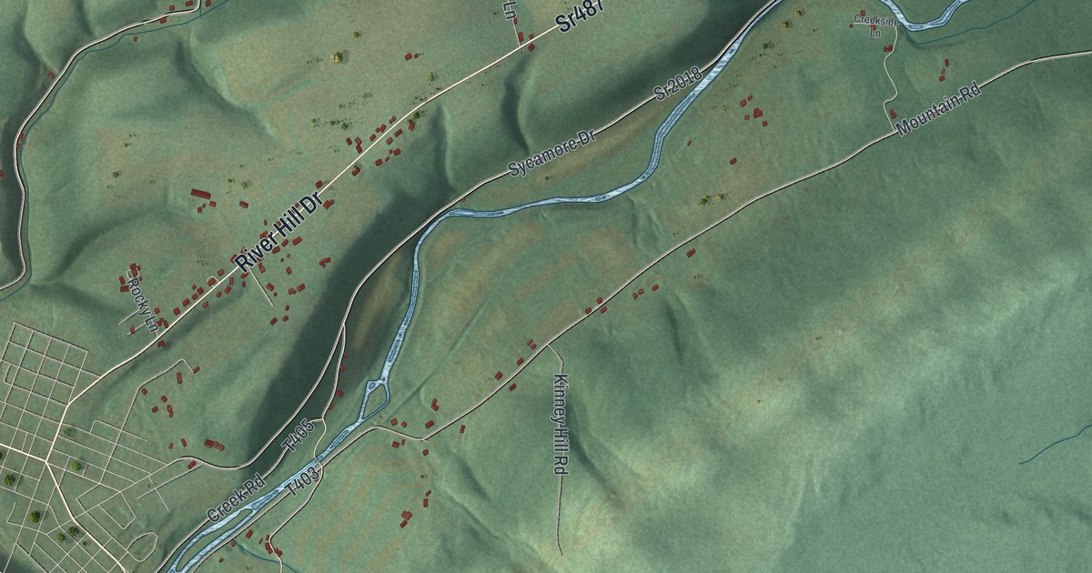
A detailed map of Catawissa Township, Pennsylvania, showing every building in its true location, the roads by name, and shaded topographical relief.
Read More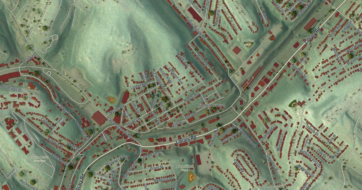
A detailed map of Castle Shannon, Pennsylvania, showing every building in its true location, the roads by name, and shaded topographical relief.
Read More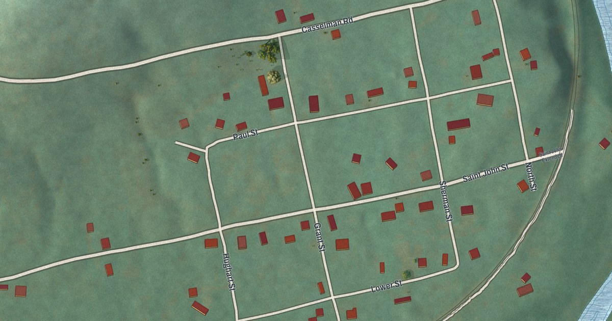
A detailed map of Casselman, Pennsylvania, showing every building in its true location, the roads by name, and shaded topographical relief.
Read More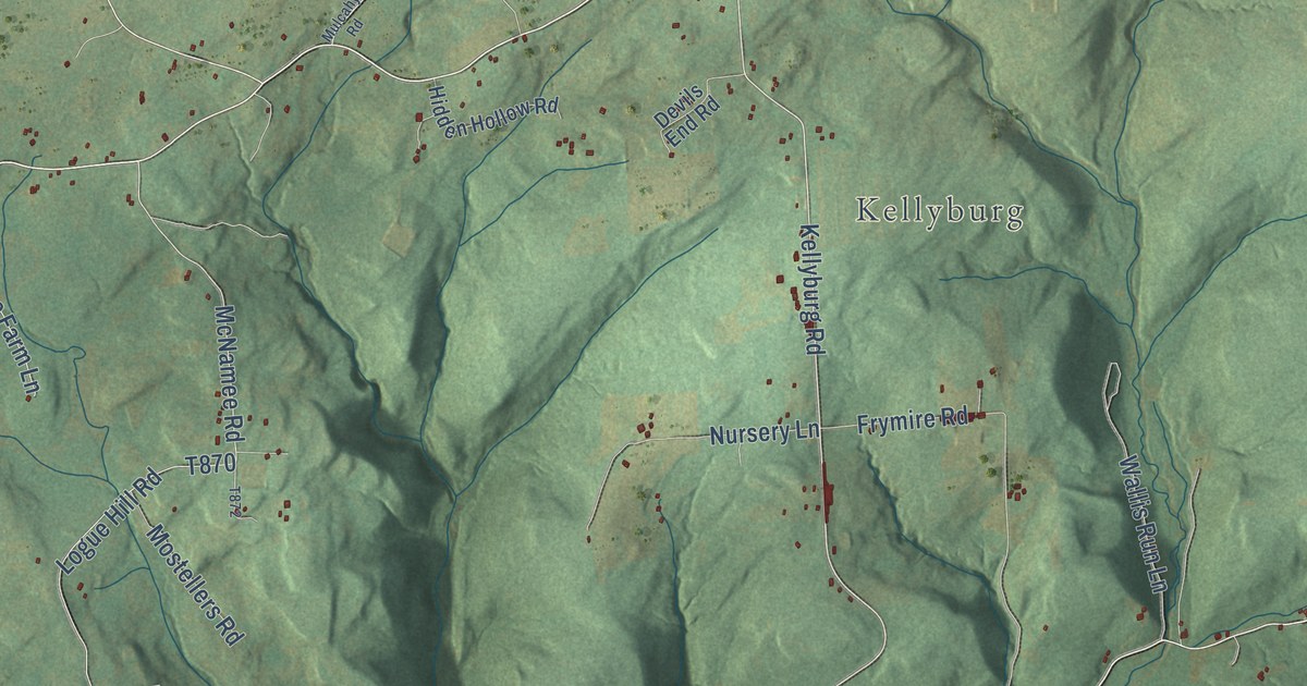
A detailed map of Cascade, Pennsylvania, showing every building in its true location, the roads by name, and shaded topographical relief.
Read More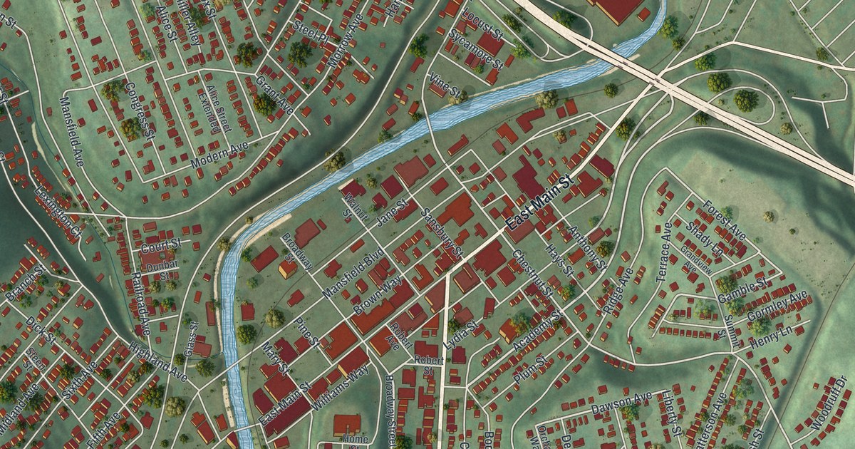
A detailed map of Carnegie, Pennsylvania, showing every building in its true location, the roads by name, and shaded topographical relief.
Read More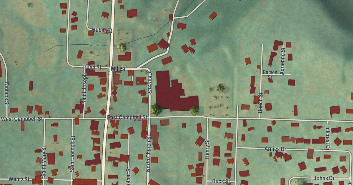
A detailed map of Carrolltown, Pennsylvania, showing every building in its true location, the roads by name, and shaded topographical relief.
Read More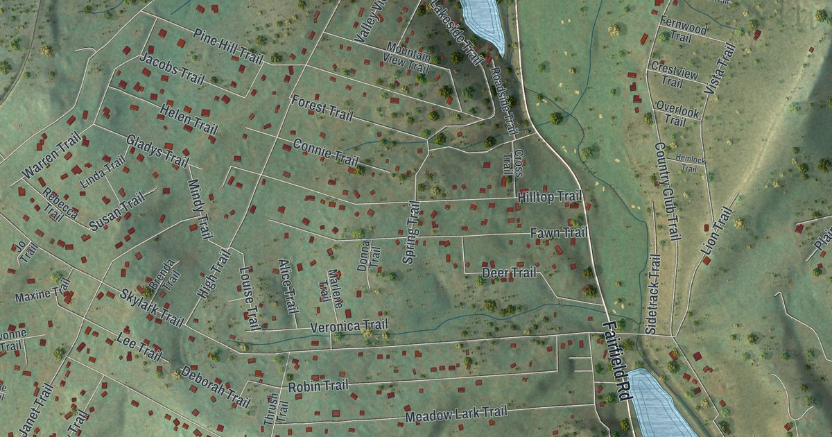
A detailed map of Carroll Valley, Pennsylvania, showing every building in its true location, the roads by name, and shaded topographical relief.
Read More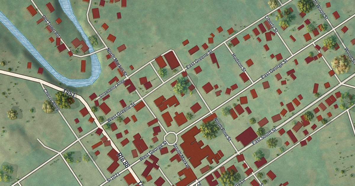
A detailed map of Carmichaels, Pennsylvania, showing every building in its true location, the roads by name, and shaded topographical relief.
Read More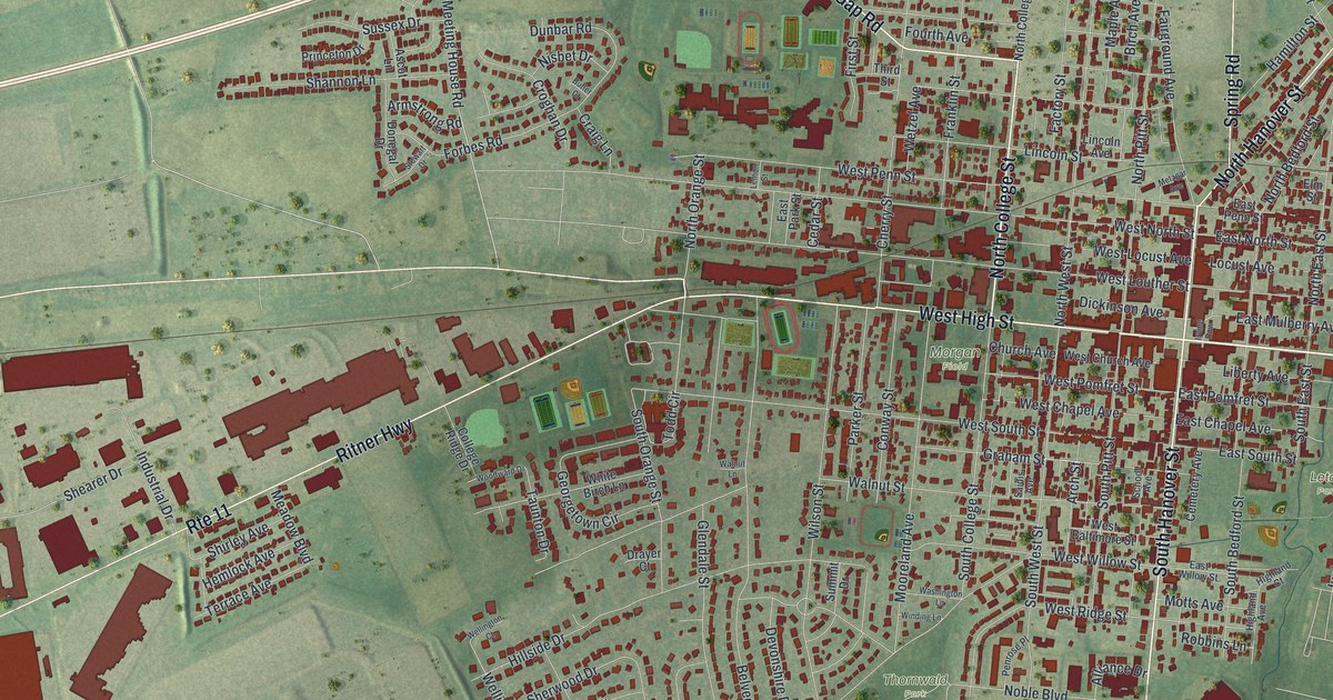
A detailed map of Carlisle, Pennsylvania, showing every building in its true location, the roads by name, and shaded topographical relief.
Read More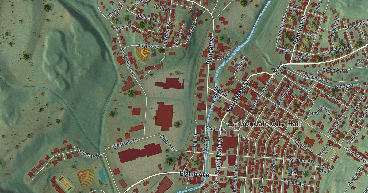
A detailed map of Carbondale City, Pennsylvania, showing every building in its true location, the roads by name, and shaded topographical relief.
Read More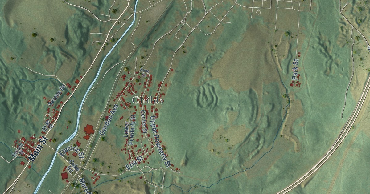
A detailed map of Carbondale Township, Pennsylvania, showing every building in its true location, the roads by name, and shaded topographical relief.
Read More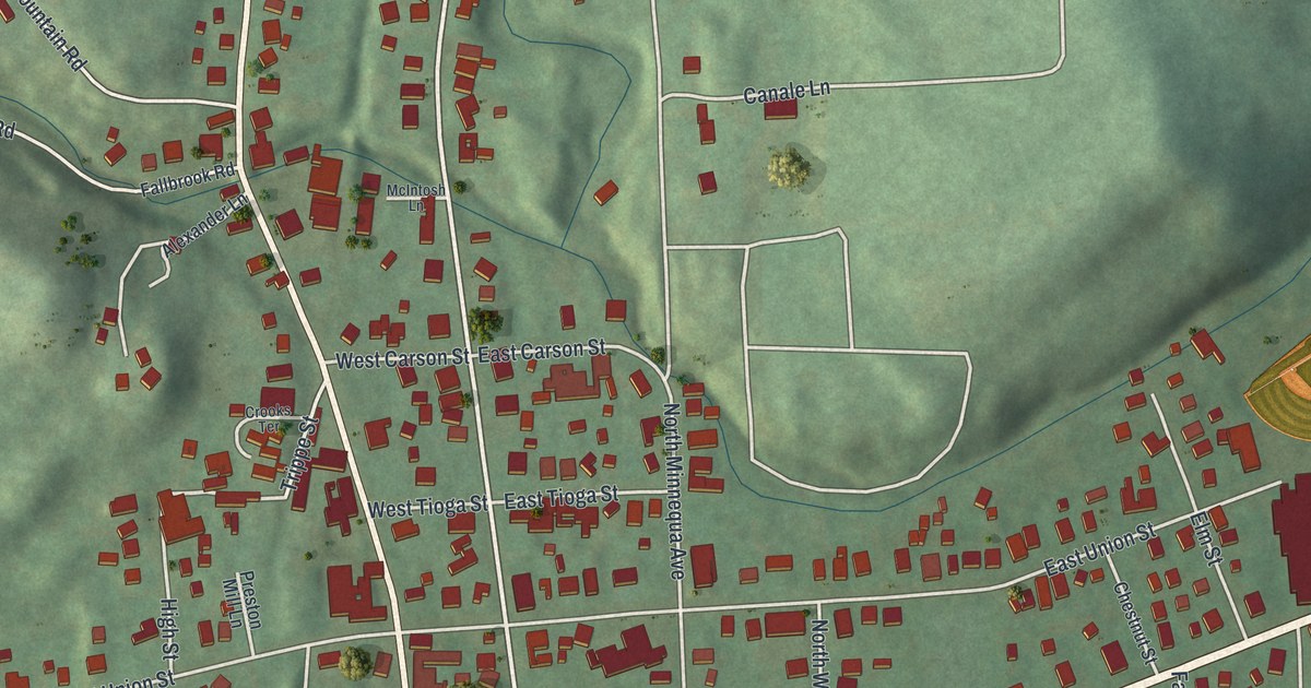
A detailed map of Canton Borough, Bradford County, Pennsylvania, showing every building in its true location, the roads by name, and shaded topographical relief.
Read More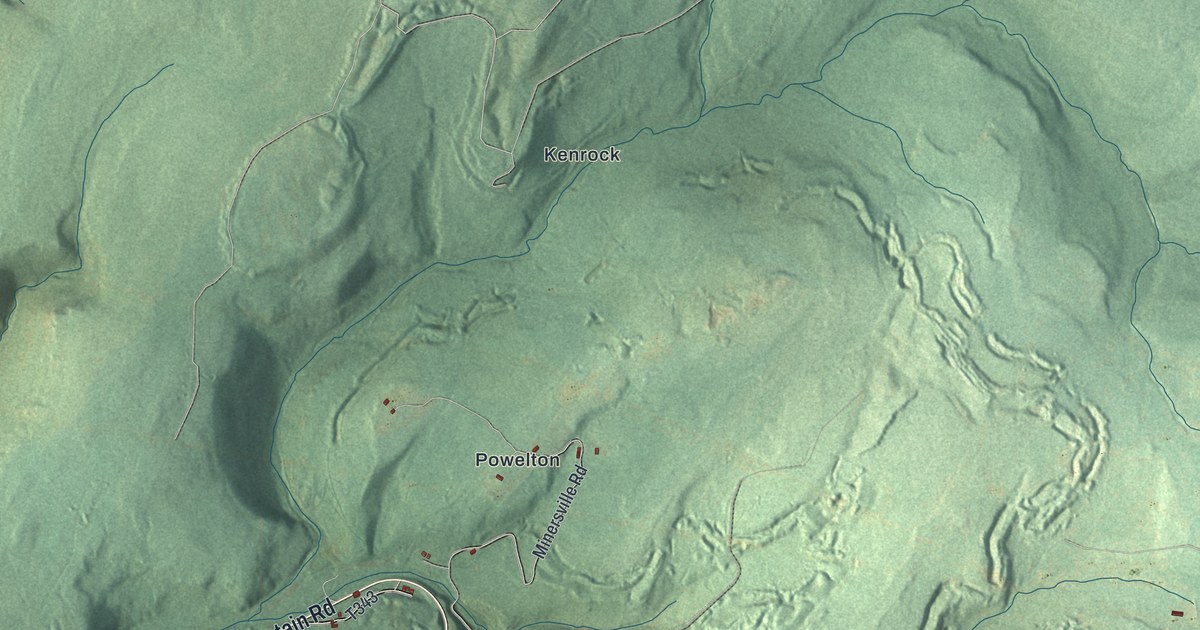
A detailed map of Carbon, Pennsylvania, showing every building in its true location, the roads by name, and shaded topographical relief.
Read More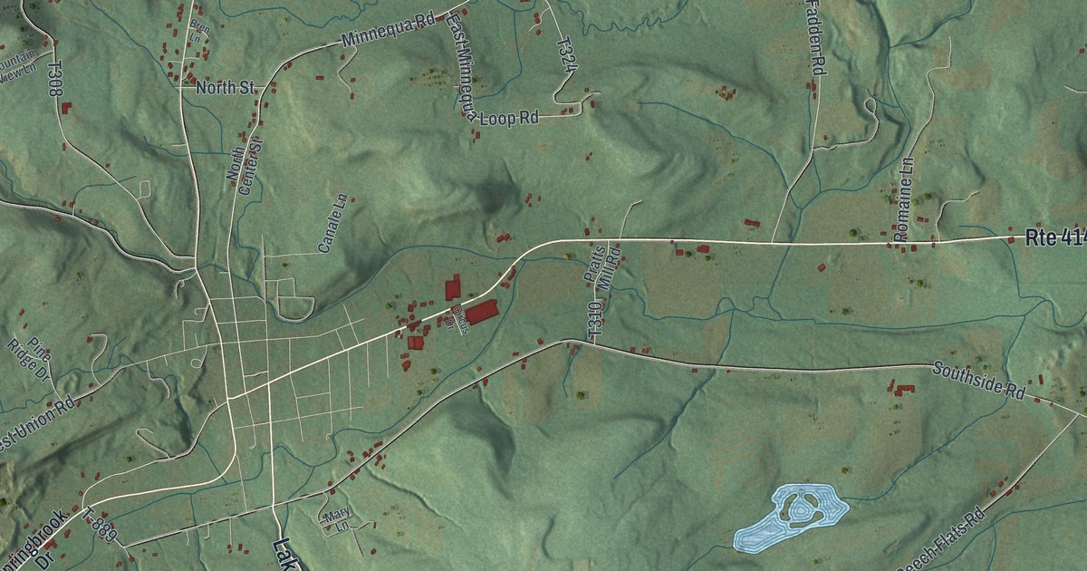
A detailed map of Canton Township, Bradford County, Pennsylvania, showing every building in its true location, the roads by name, and shaded topographical relief.
Read More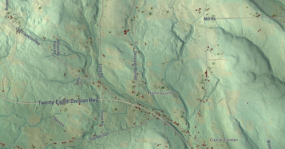
A detailed map of Canal, Pennsylvania, showing every building in its true location, the roads by name, and shaded topographical relief.
Read More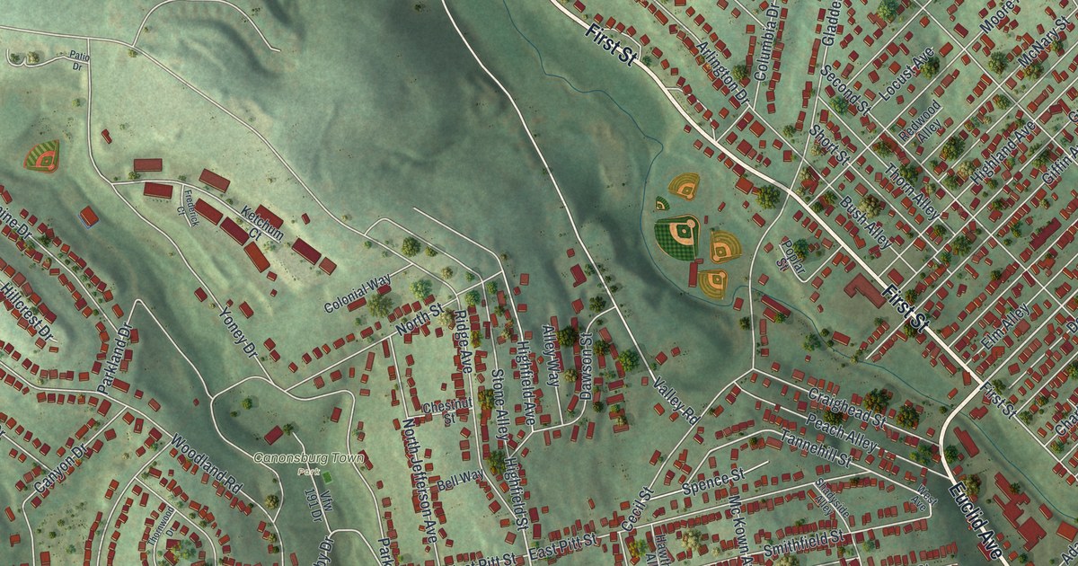
A detailed map of Canonsburg, Pennsylvania, showing every building in its true location, the roads by name, and shaded topographical relief.
Read More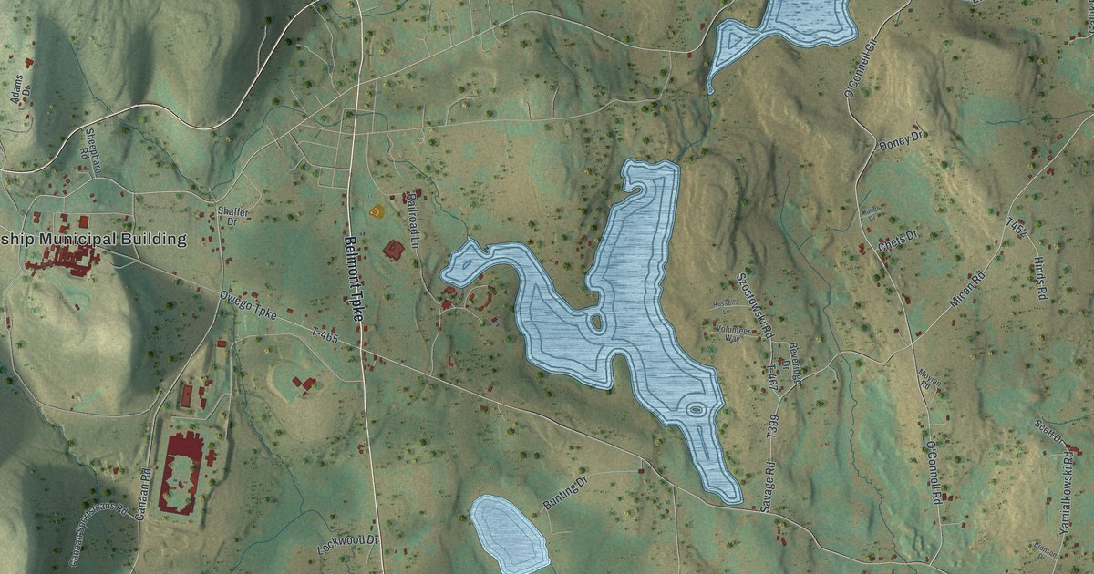
A detailed map of Canaan, Pennsylvania, showing every building in its true location, the roads by name, and shaded topographical relief.
Read More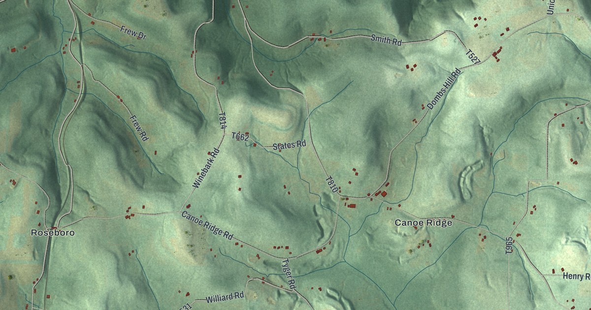
A detailed map of Canoe, Pennsylvania, showing every building in its true location, the roads by name, and shaded topographical relief.
Read More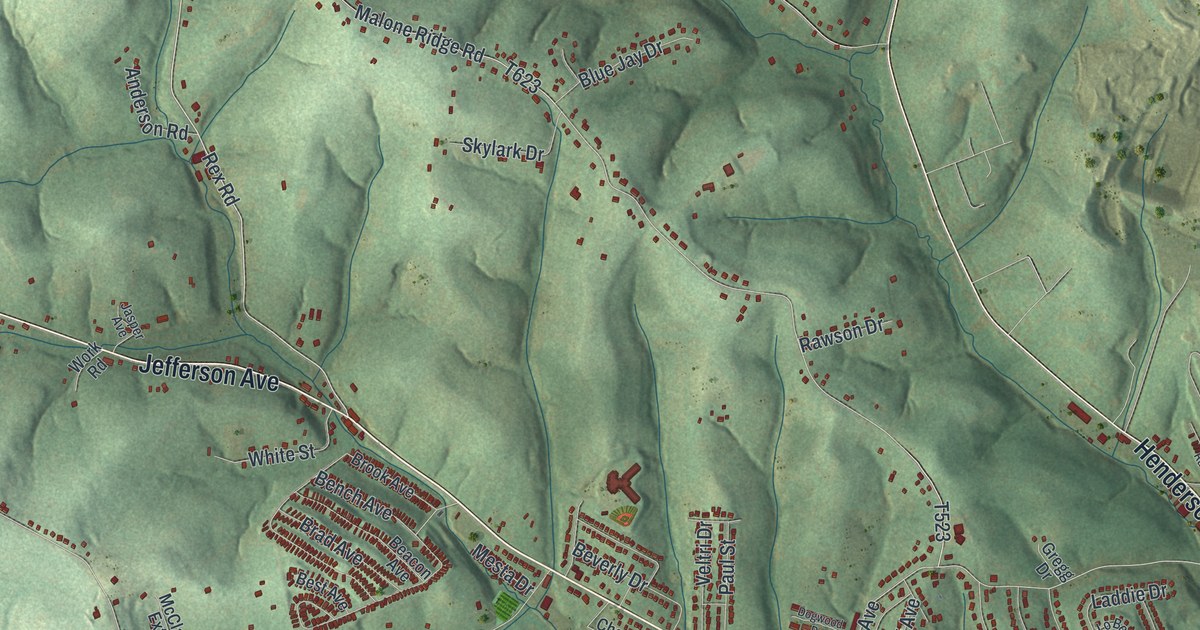
A detailed map of Canton, Washington County, Pennsylvania, showing every building in its true location, the roads by name, and shaded topographical relief.
Read More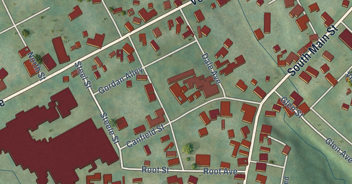
A detailed map of Cambridge Springs, Pennsylvania, showing every building in its true location, the roads by name, and shaded topographical relief.
Read More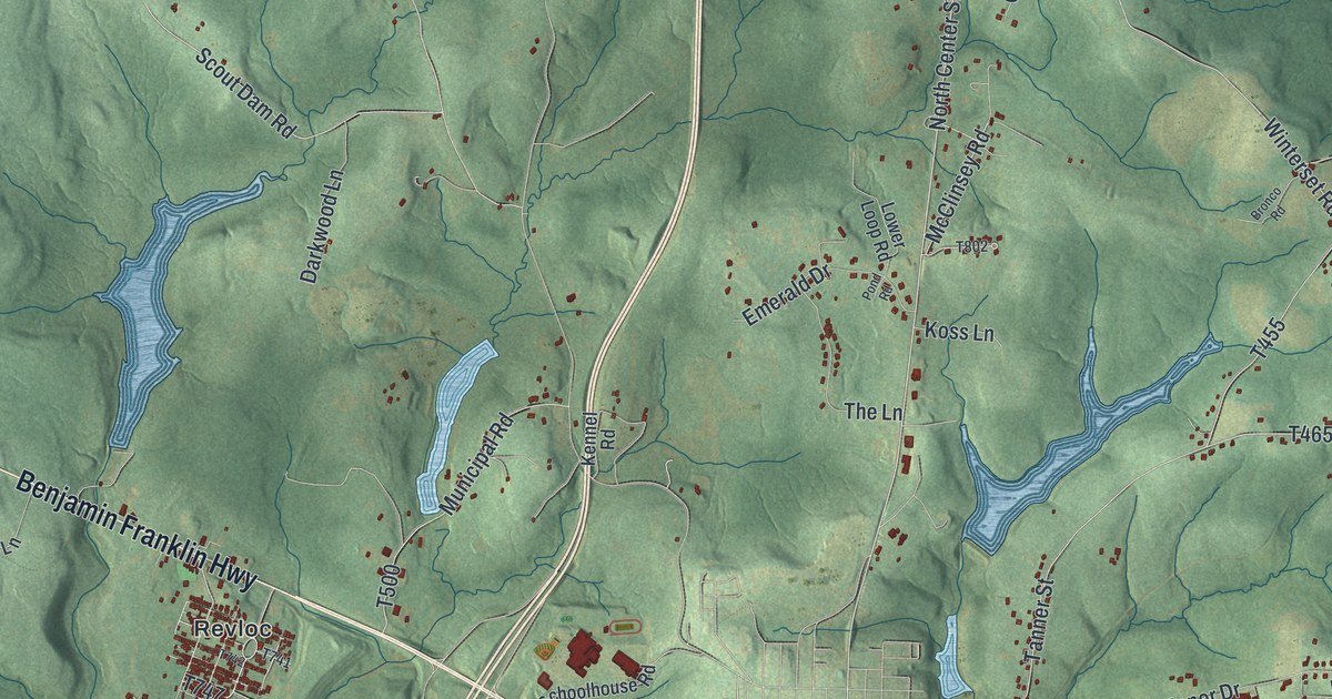
A detailed map of Cambria, Pennsylvania, showing every building in its true location, the roads by name, and shaded topographical relief.
Read More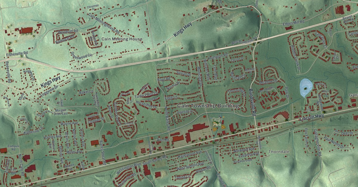
A detailed map of Caln, Pennsylvania, showing every building in its true location, the roads by name, and shaded topographical relief.
Read More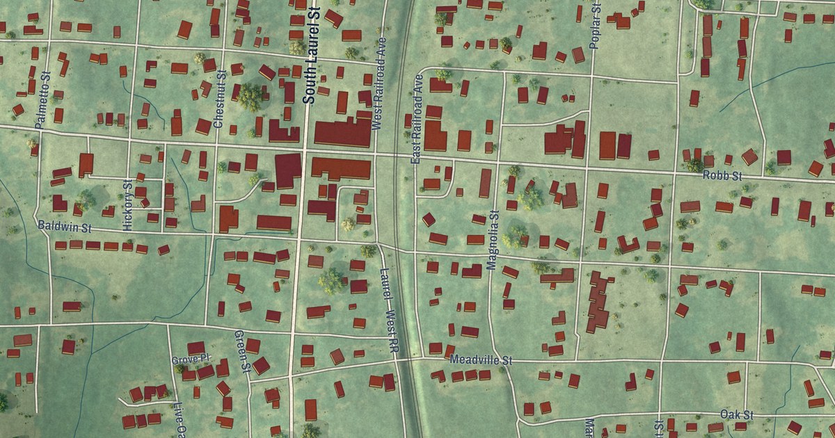
A detailed map of Summit, Mississippi, showing every building in its true location, the roads by name, and shaded topographical relief.
Read More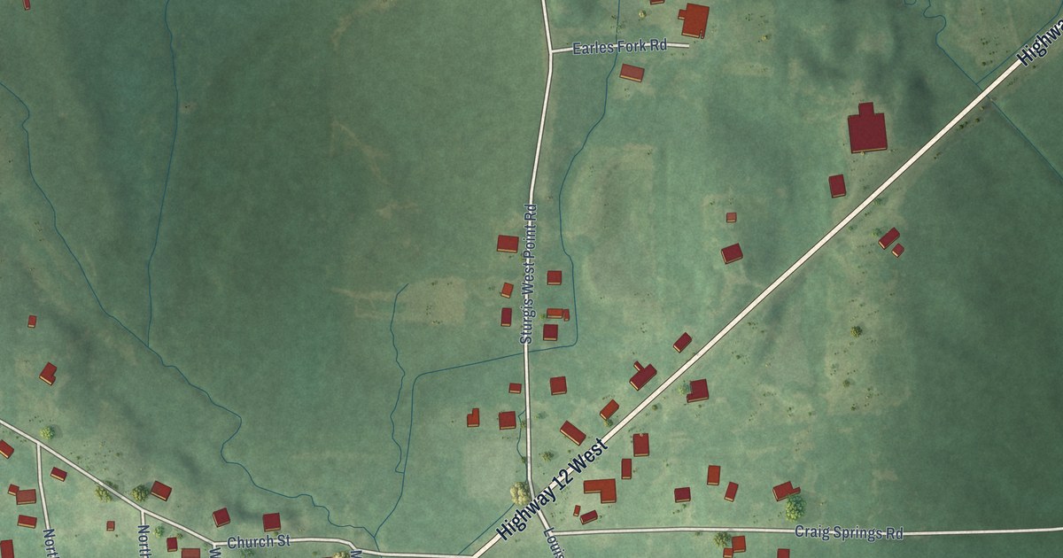
A detailed map of Sturgis, Mississippi, showing every building in its true location, the roads by name, and shaded topographical relief.
Read More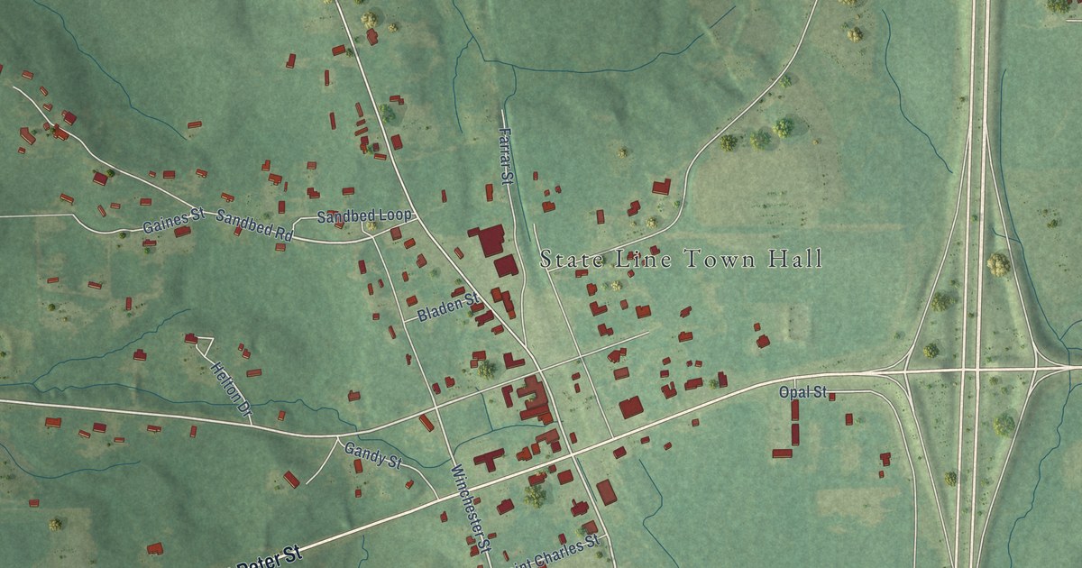
A detailed map of State Line, Mississippi, showing every building in its true location, the roads by name, and shaded topographical relief.
Read More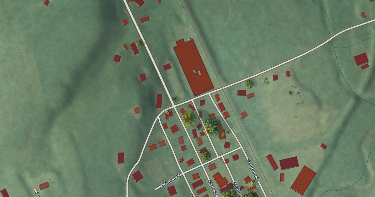
A detailed map of Callery, Pennsylvania, showing every building in its true location, the roads by name, and shaded topographical relief.
Read More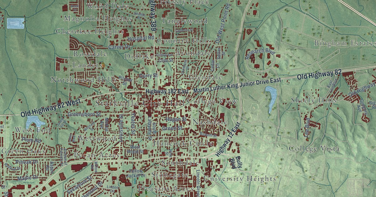
A detailed map of Starkville, Mississippi, showing every building in its true location, the roads by name, and shaded topographical relief.
Read More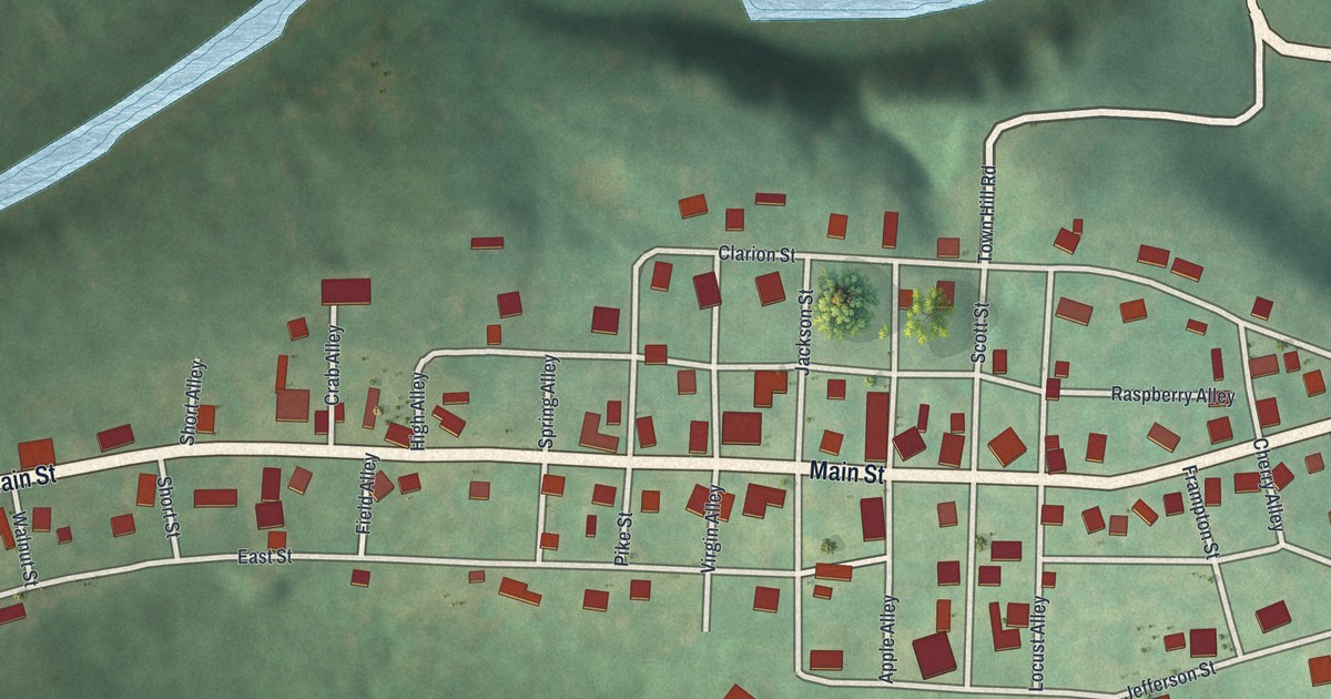
A detailed map of Callensburg, Pennsylvania, showing every building in its true location, the roads by name, and shaded topographical relief.
Read More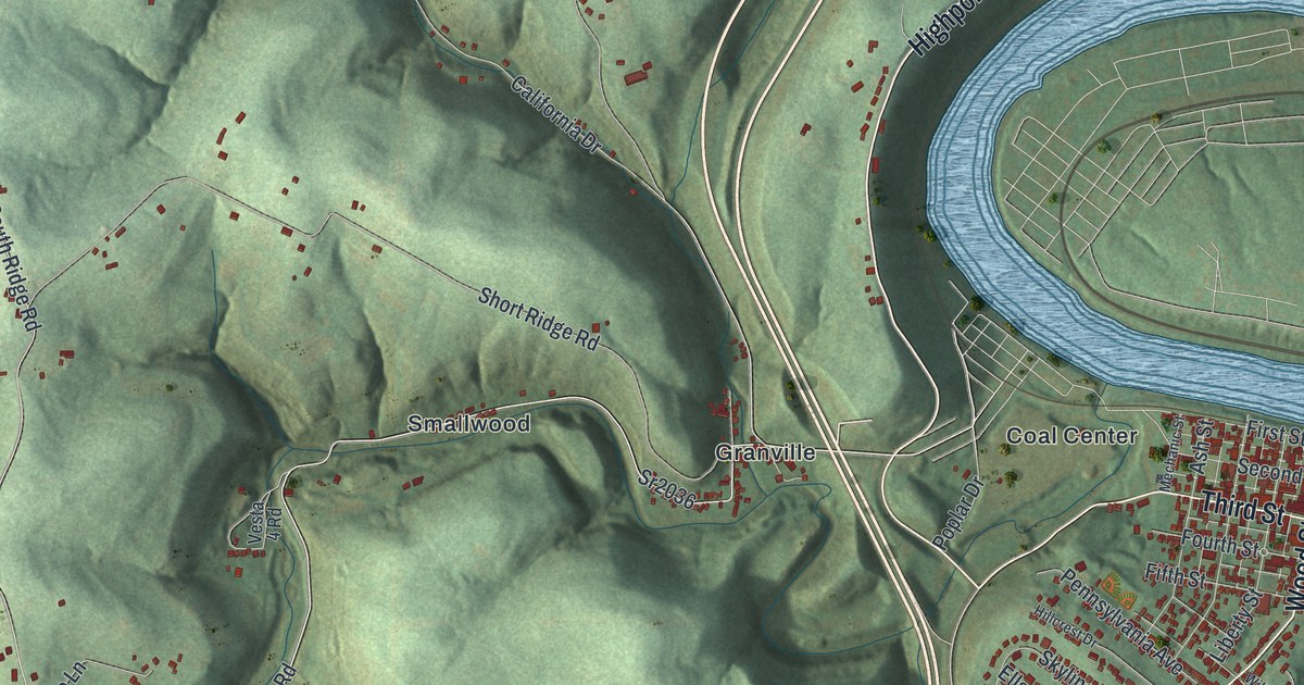
A detailed map of California, Pennsylvania, showing every building in its true location, the roads by name, and shaded topographical relief.
Read More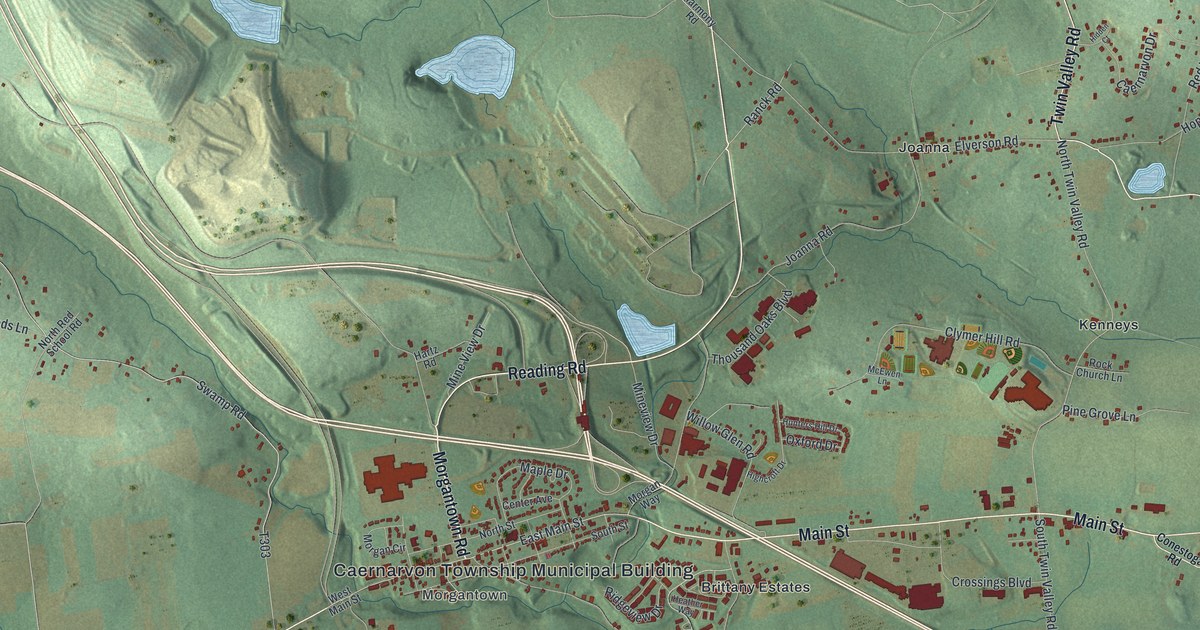
A detailed map of Caernarvon, Berks County, Pennsylvania, showing every building in its true location, the roads by name, and shaded topographical relief.
Read More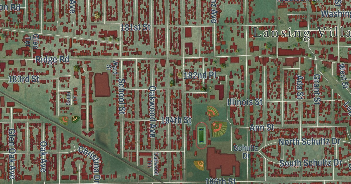
A detailed map of Lansing, Illinois, showing every building in its true location, the roads by name, and shaded topographical relief.
Read More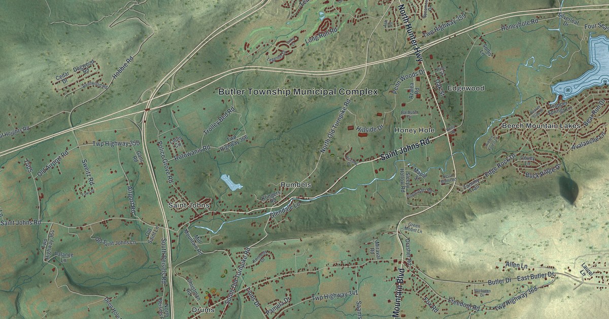
A detailed map of Butler, Luzerne County, Pennsylvania, showing every building in its true location, the roads by name, and shaded topographical relief.
Read More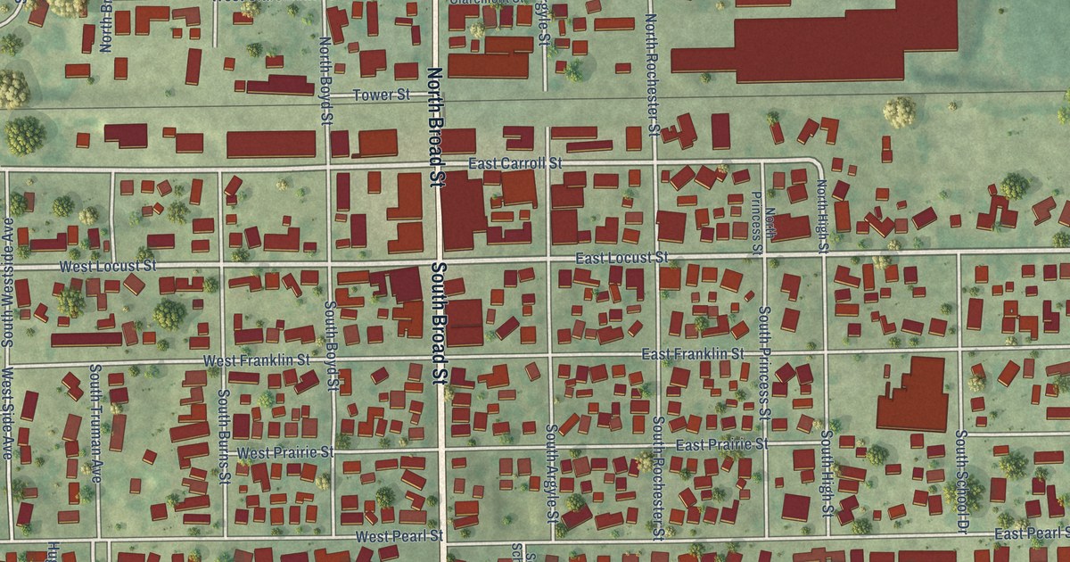
A detailed map of Lanark, Illinois, showing every building in its true location, the roads by name, and shaded topographical relief.
Read More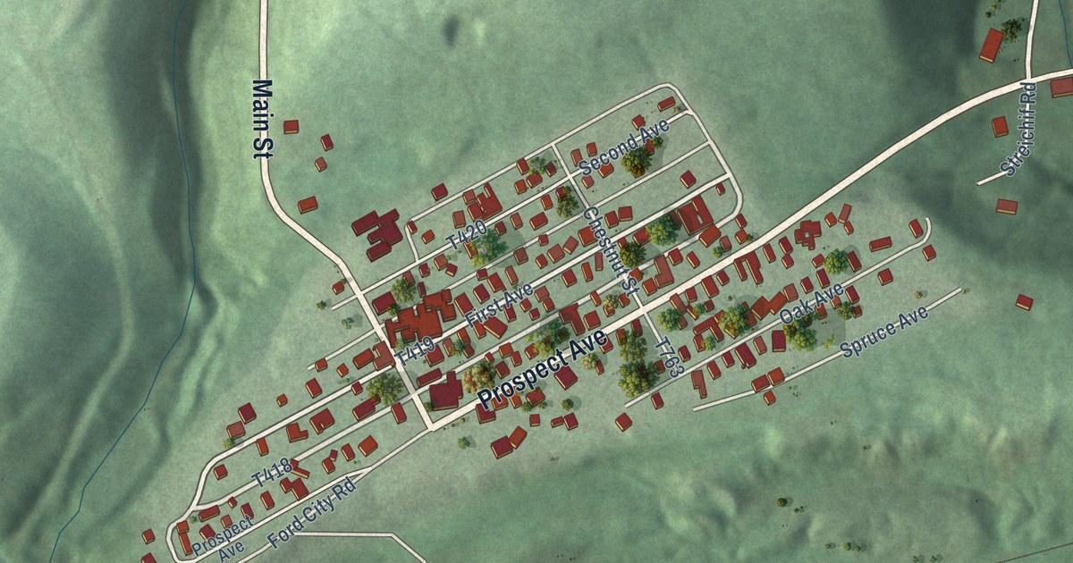
A detailed map of Cadogan, Pennsylvania, showing every building in its true location, the roads by name, and shaded topographical relief.
Read More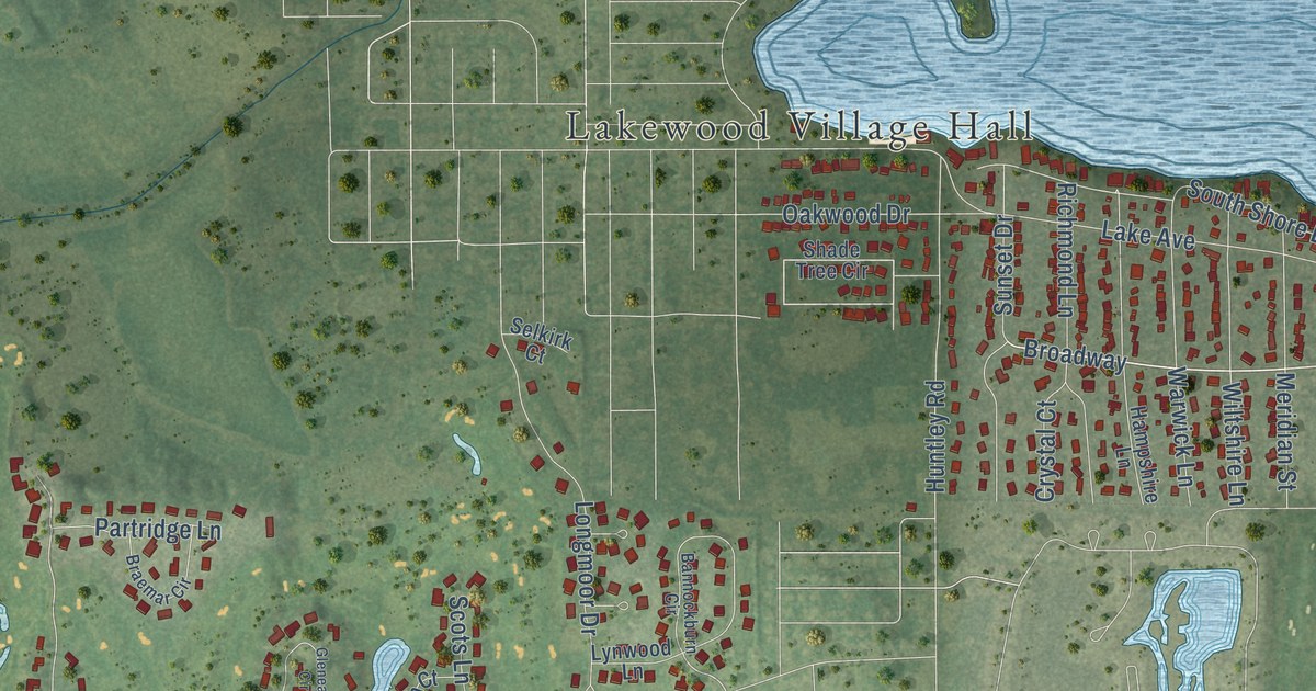
A detailed map of Lakewood, Illinois, showing every building in its true location, the roads by name, and shaded topographical relief.
Read More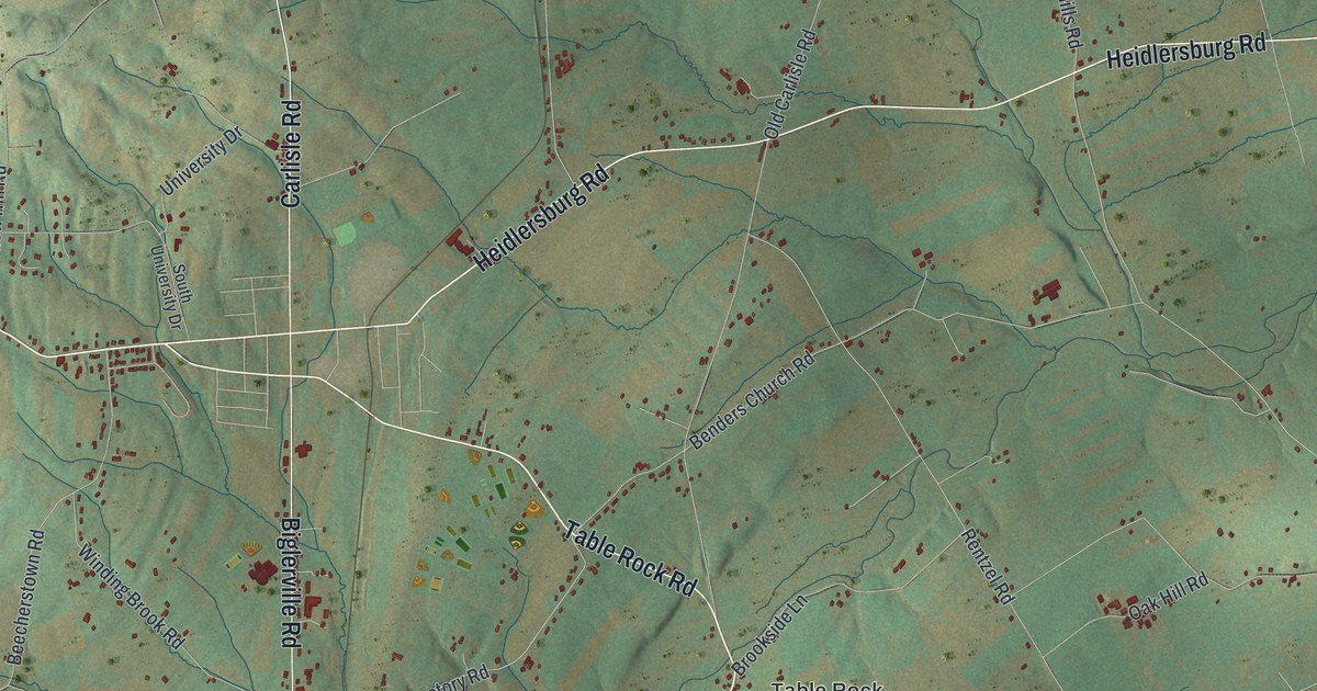
A detailed map of Butler, Adams County, Pennsylvania, showing every building in its true location, the roads by name, and shaded topographical relief.
Read More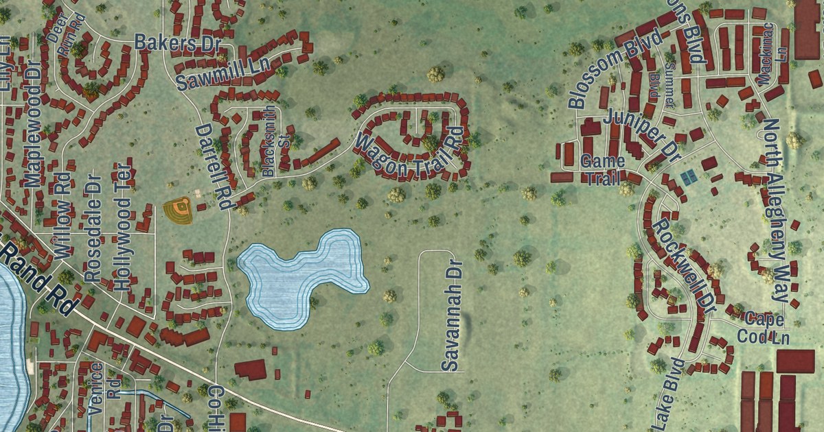
A detailed map of Lakemoor, Illinois, showing every building in its true location, the roads by name, and shaded topographical relief.
Read More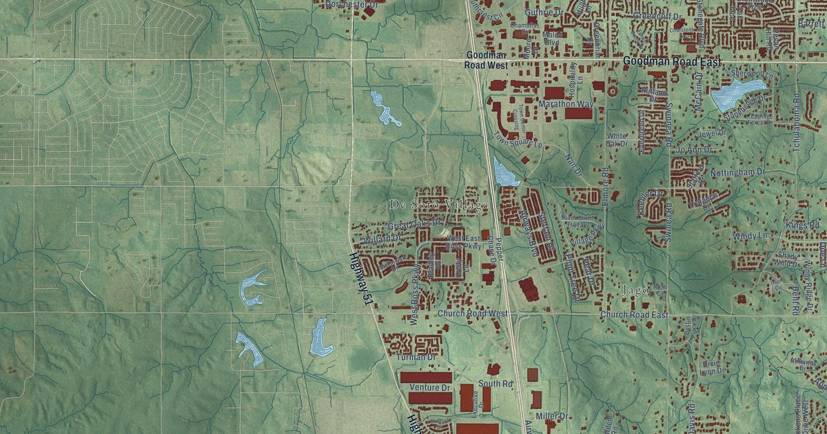
A detailed map of Southaven, Mississippi, showing every building in its true location, the roads by name, and shaded topographical relief.
Read More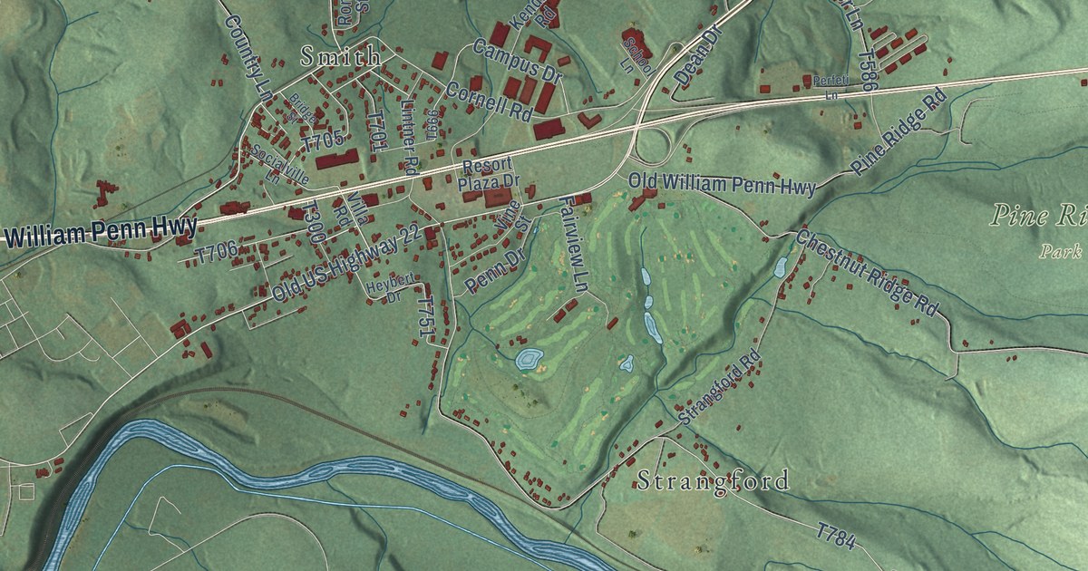
A detailed map of Burrell, Indiana County, Pennsylvania, showing every building in its true location, the roads by name, and shaded topographical relief.
Read More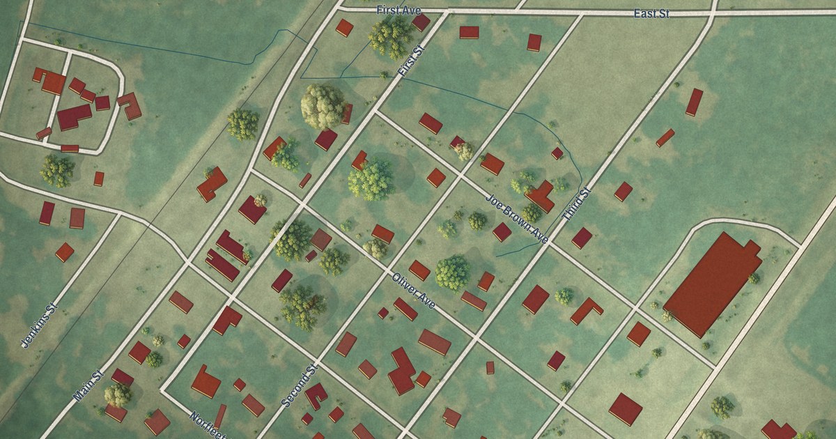
A detailed map of Sledge, Mississippi, showing every building in its true location, the roads by name, and shaded topographical relief.
Read More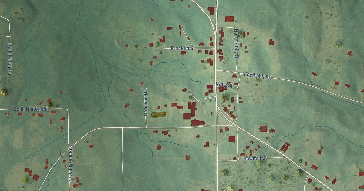
A detailed map of Soso, Mississippi, showing every building in its true location, the roads by name, and shaded topographical relief.
Read More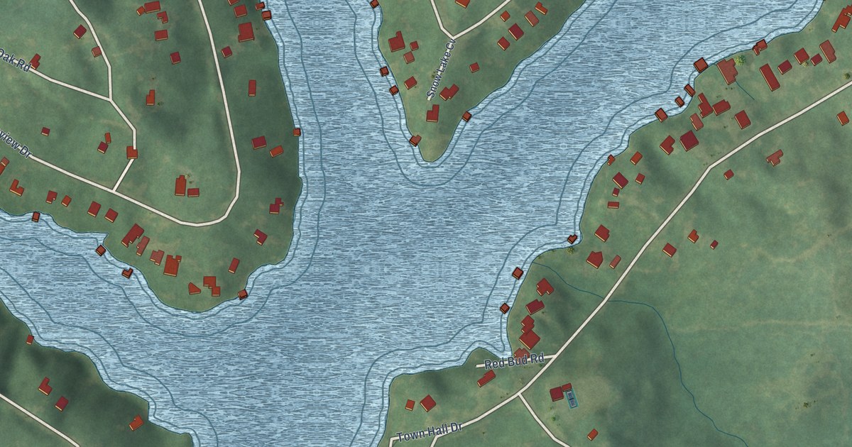
A detailed map of Snow Lake Shores, Mississippi, showing every building in its true location, the roads by name, and shaded topographical relief.
Read More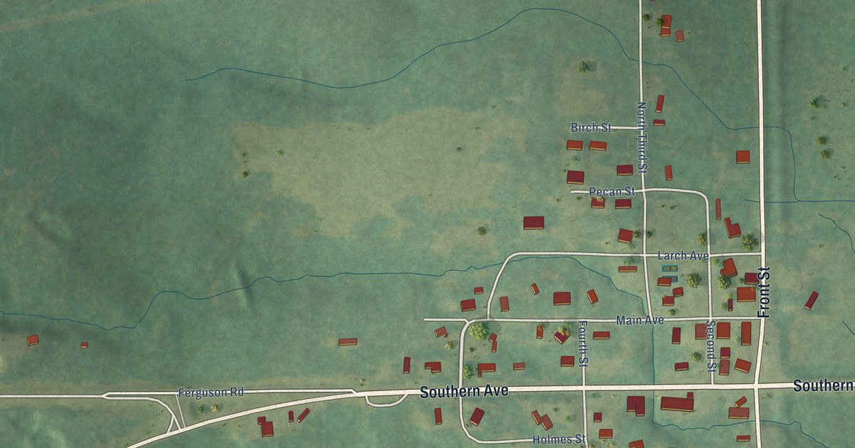
A detailed map of Silver Creek, Mississippi, showing every building in its true location, the roads by name, and shaded topographical relief.
Read More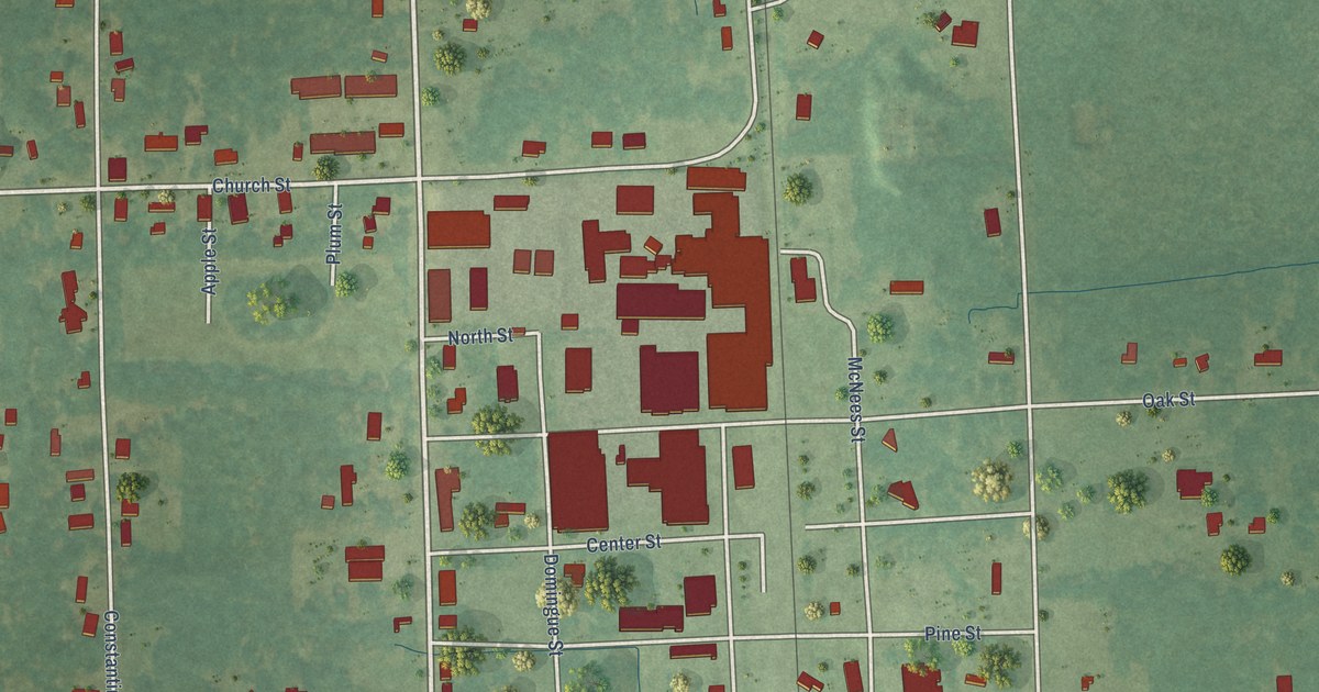
A detailed map of Shuqualak, Mississippi, showing every building in its true location, the roads by name, and shaded topographical relief.
Read More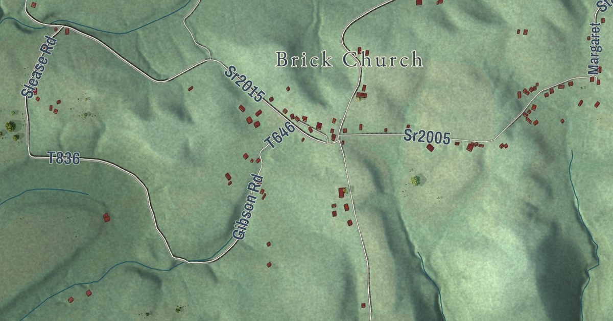
A detailed map of Burrell, Armstrong County, Pennsylvania, showing every building in its true location, the roads by name, and shaded topographical relief.
Read More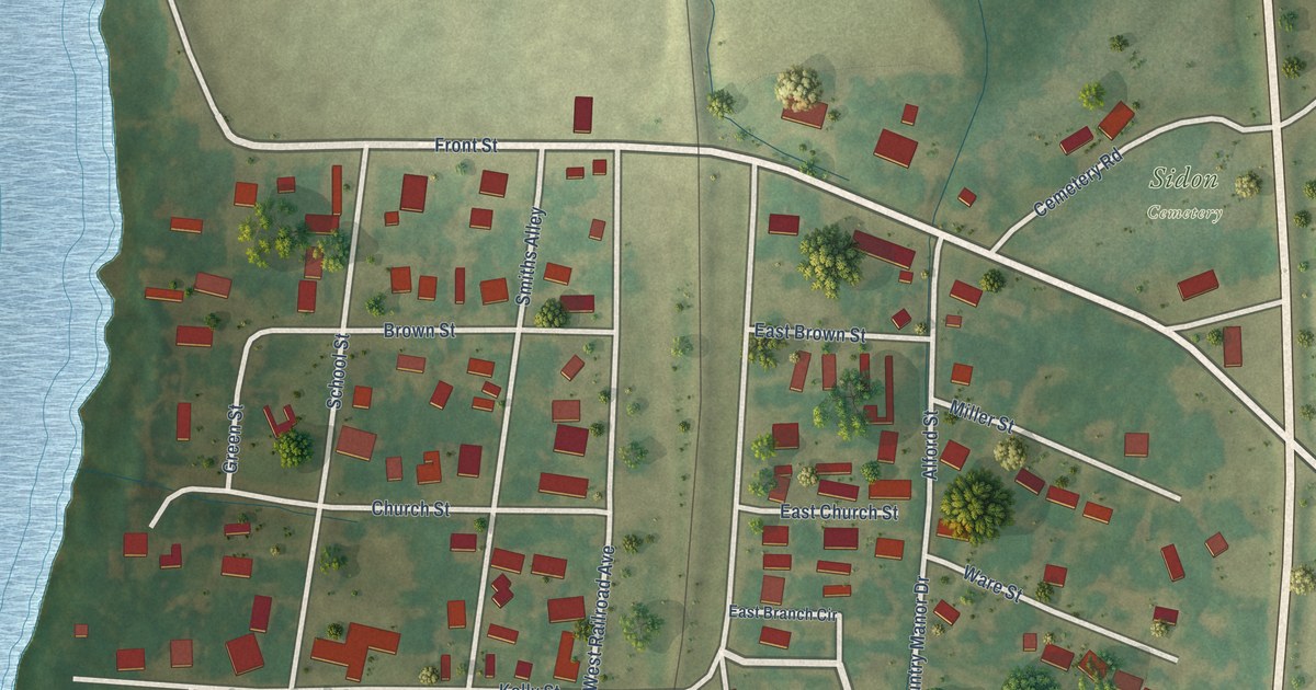
A detailed map of Sidon, Mississippi, showing every building in its true location, the roads by name, and shaded topographical relief.
Read More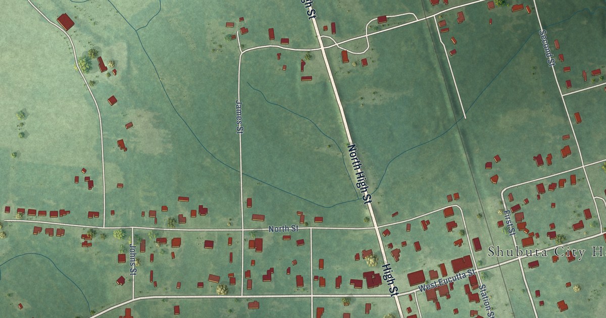
A detailed map of Shubuta, Mississippi, showing every building in its true location, the roads by name, and shaded topographical relief.
Read More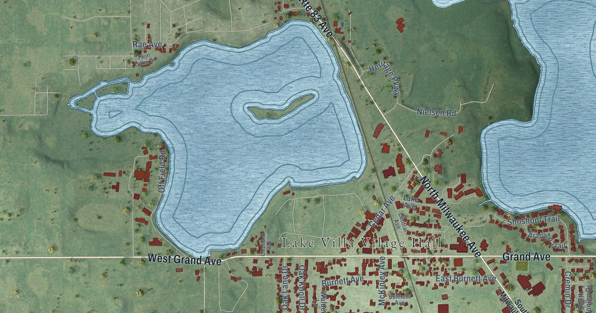
A detailed map of Lake Villa, Illinois, showing every building in its true location, the roads by name, and shaded topographical relief.
Read More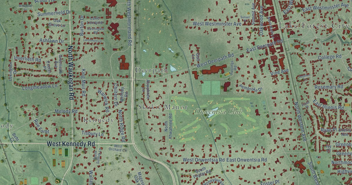
A detailed map of Lake Forest, Illinois, showing every building in its true location, the roads by name, and shaded topographical relief.
Read More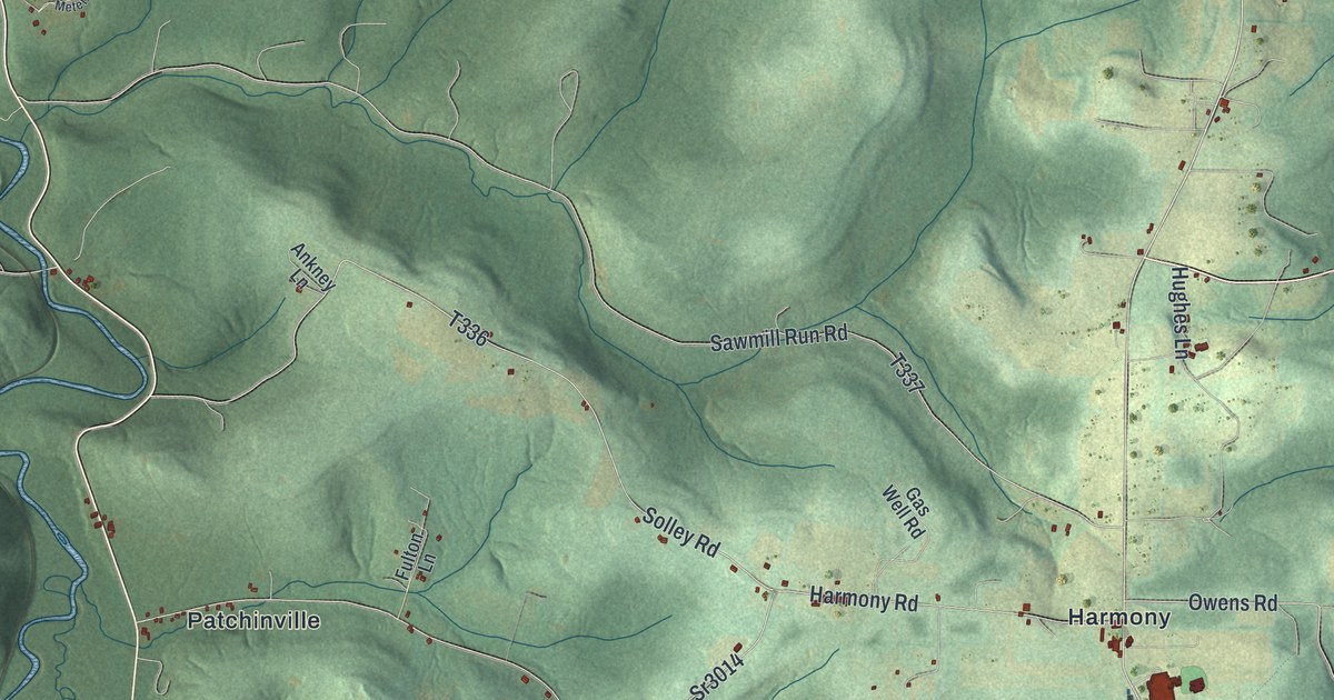
A detailed map of Burnside Township, Clearfield County, Pennsylvania, showing every building in its true location, the roads by name, and shaded topographical relief.
Read More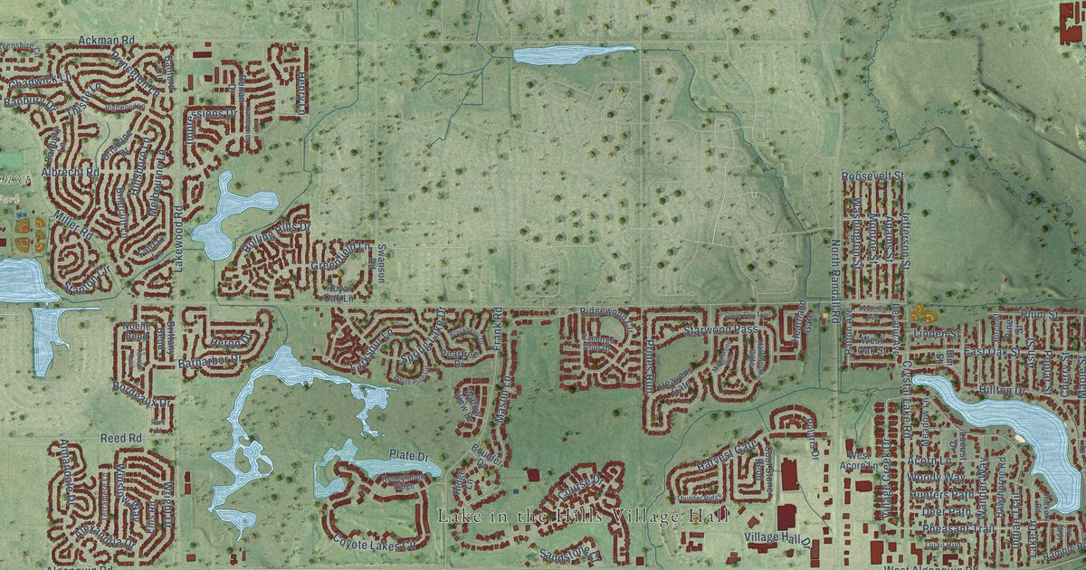
A detailed map of Lake in the Hills, Illinois, showing every building in its true location, the roads by name, and shaded topographical relief.
Read More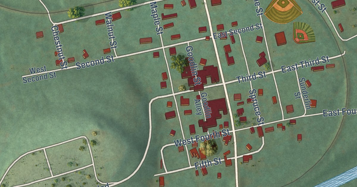
A detailed map of Burnside Borough, Clearfield County, Pennsylvania, showing every building in its true location, the roads by name, and shaded topographical relief.
Read More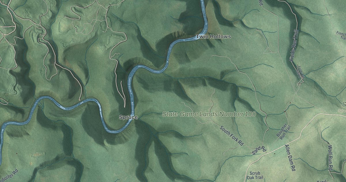
A detailed map of Burnside, Centre County, Pennsylvania, showing every building in its true location, the roads by name, and shaded topographical relief.
Read More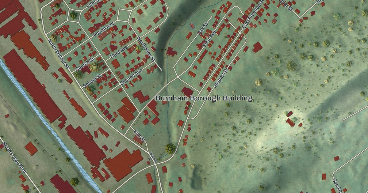
A detailed map of Burnham, Pennsylvania, showing every building in its true location, the roads by name, and shaded topographical relief.
Read More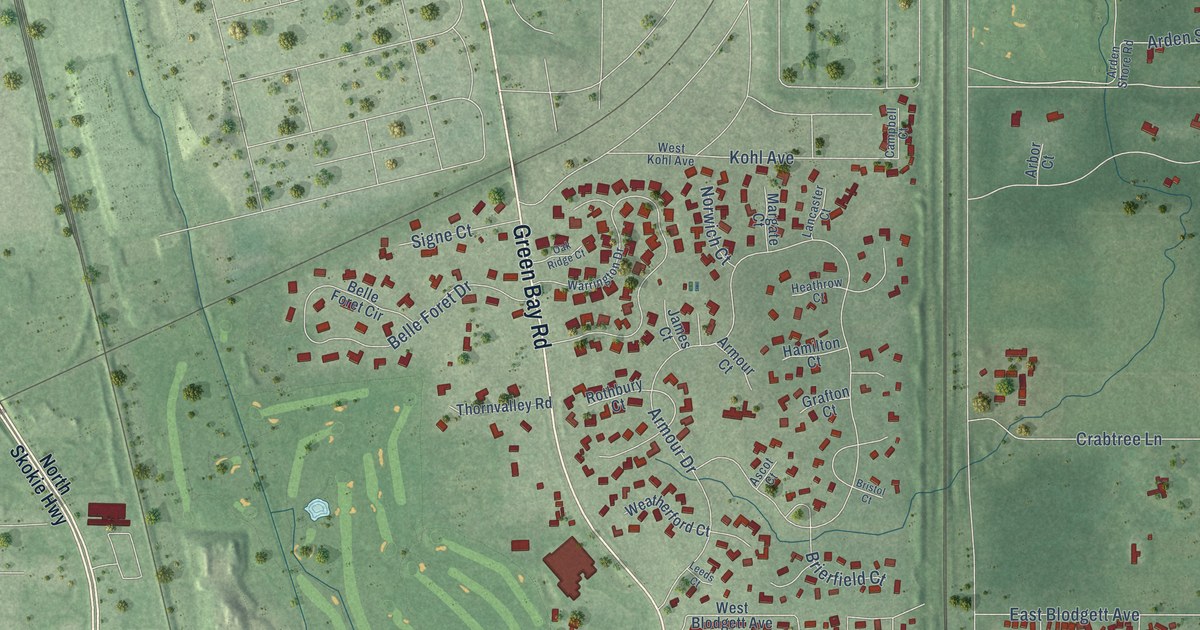
A detailed map of Lake Bluff, Illinois, showing every building in its true location, the roads by name, and shaded topographical relief.
Read More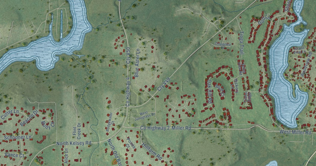
A detailed map of Lake Barrington, Illinois, showing every building in its true location, the roads by name, and shaded topographical relief.
Read More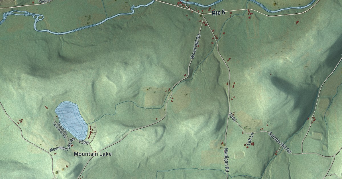
A detailed map of Burlington Township, Pennsylvania, showing every building in its true location, the roads by name, and shaded topographical relief.
Read More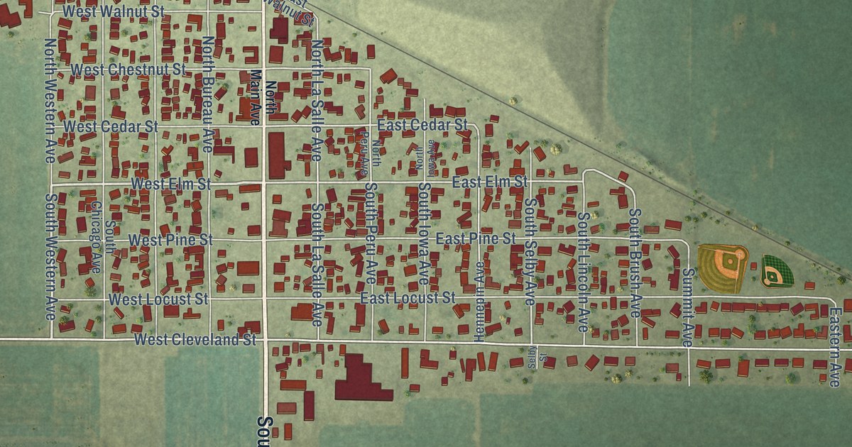
A detailed map of Ladd, Illinois, showing every building in its true location, the roads by name, and shaded topographical relief.
Read More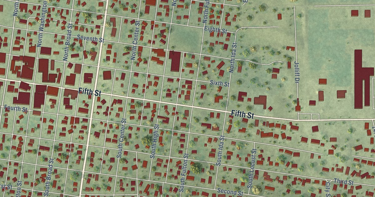
A detailed map of Lacon, Illinois, showing every building in its true location, the roads by name, and shaded topographical relief.
Read More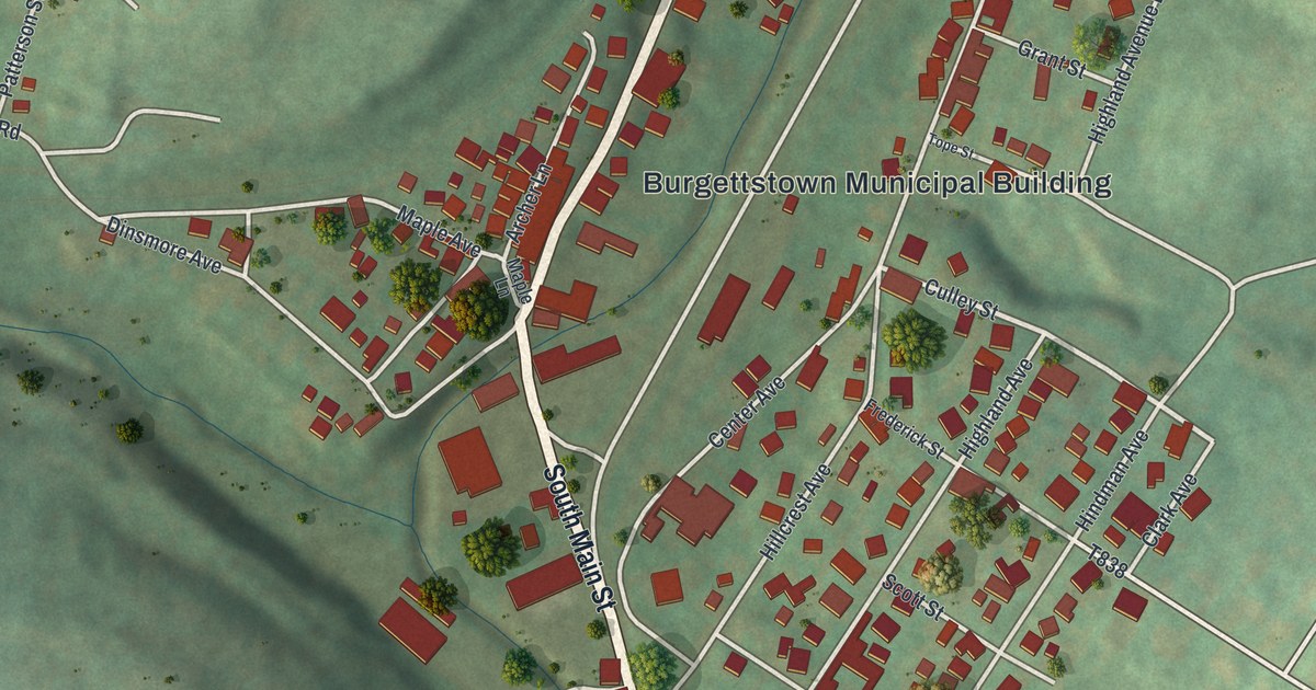
A detailed map of Burgettstown, Pennsylvania, showing every building in its true location, the roads by name, and shaded topographical relief.
Read More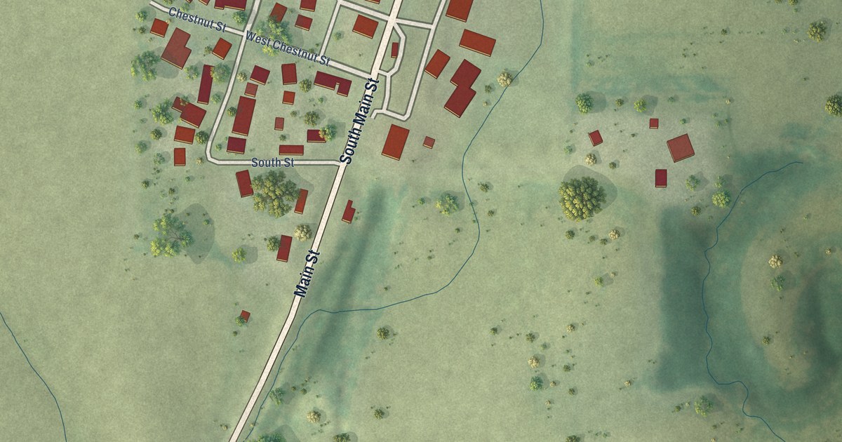
A detailed map of La Rose, Illinois, showing every building in its true location, the roads by name, and shaded topographical relief.
Read More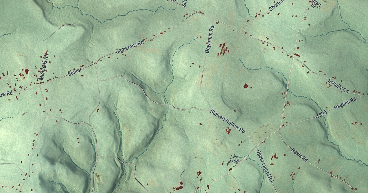
A detailed map of Buffington, Pennsylvania, showing every building in its true location, the roads by name, and shaded topographical relief.
Read More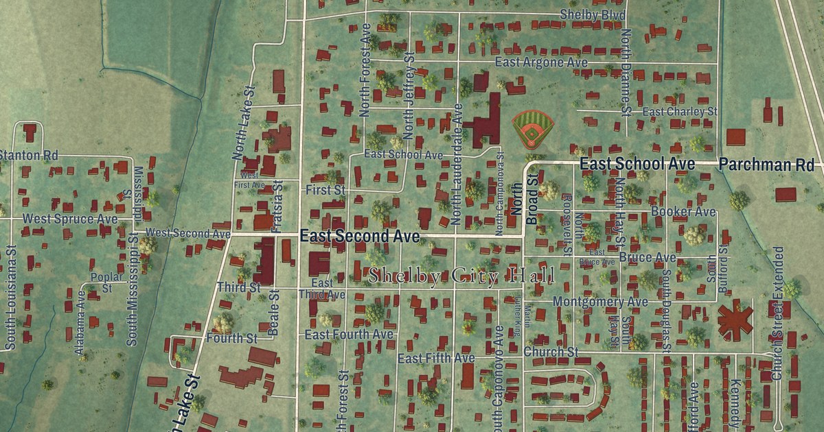
A detailed map of Shelby, Mississippi, showing every building in its true location, the roads by name, and shaded topographical relief.
Read More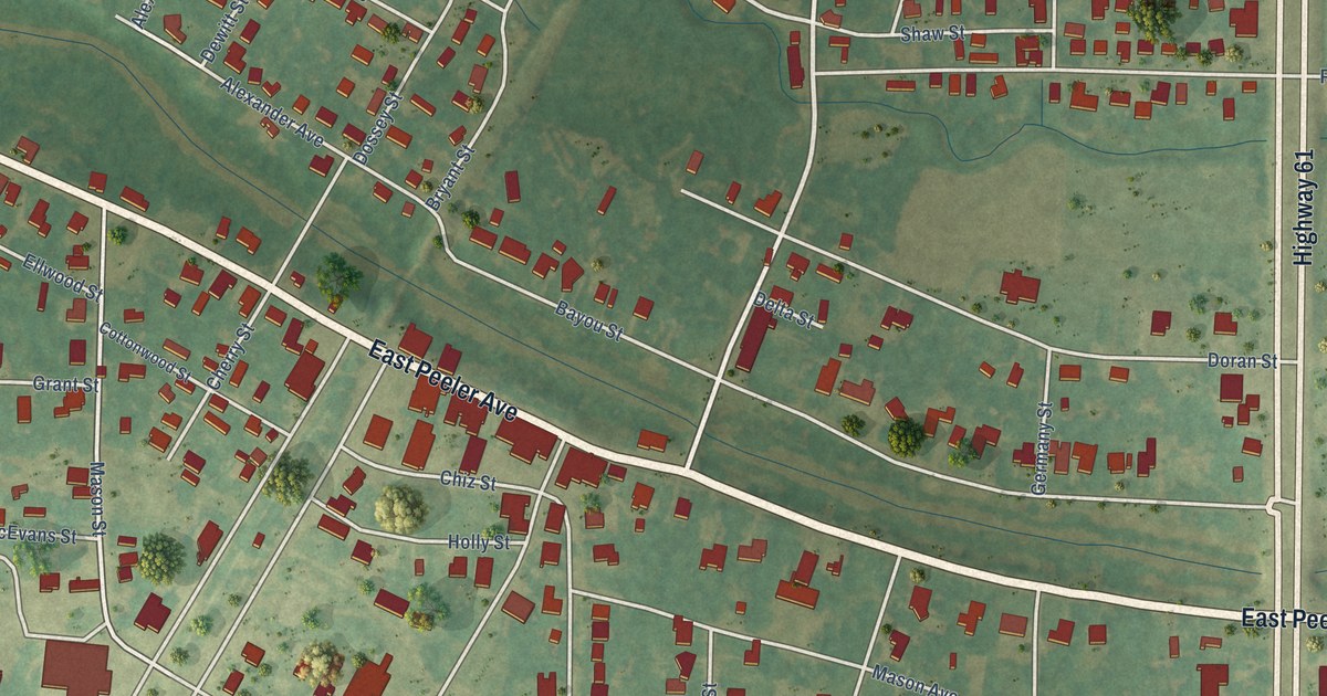
A detailed map of Shaw, Mississippi, showing every building in its true location, the roads by name, and shaded topographical relief.
Read More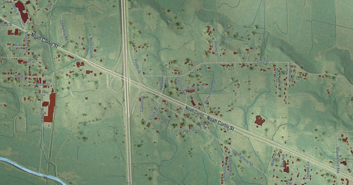
A detailed map of Shannon, Mississippi, showing every building in its true location, the roads by name, and shaded topographical relief.
Read More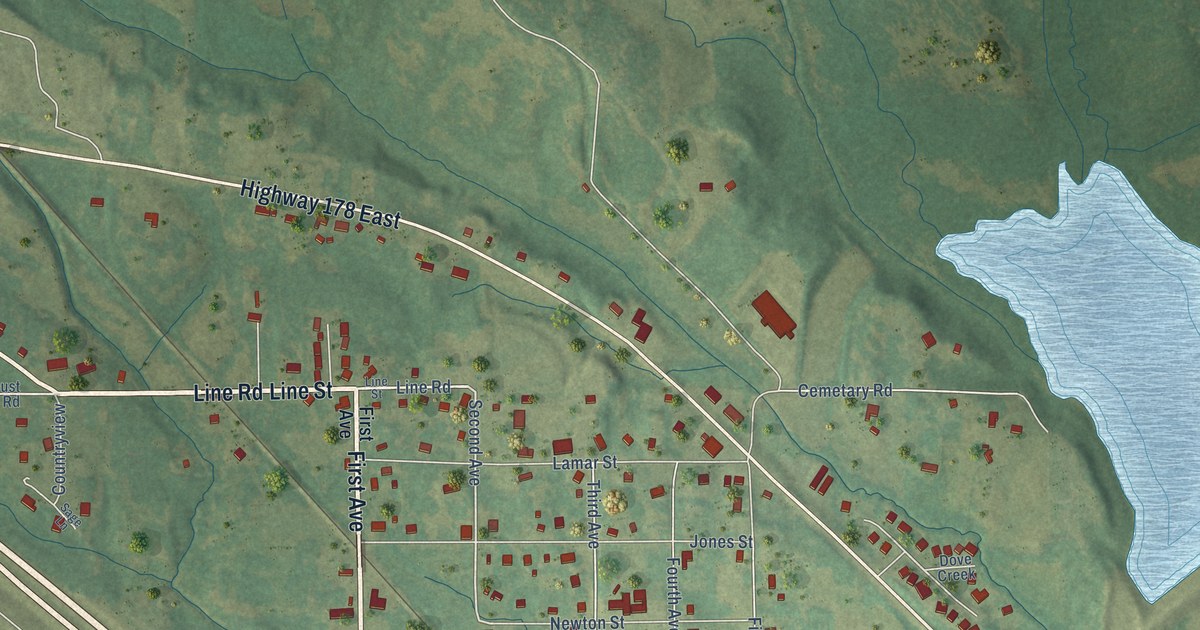
A detailed map of Sherman, Mississippi, showing every building in its true location, the roads by name, and shaded topographical relief.
Read More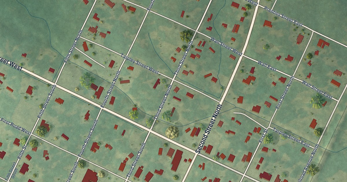
A detailed map of Osyka, Mississippi, showing every building in its true location, the roads by name, and shaded topographical relief.
Read More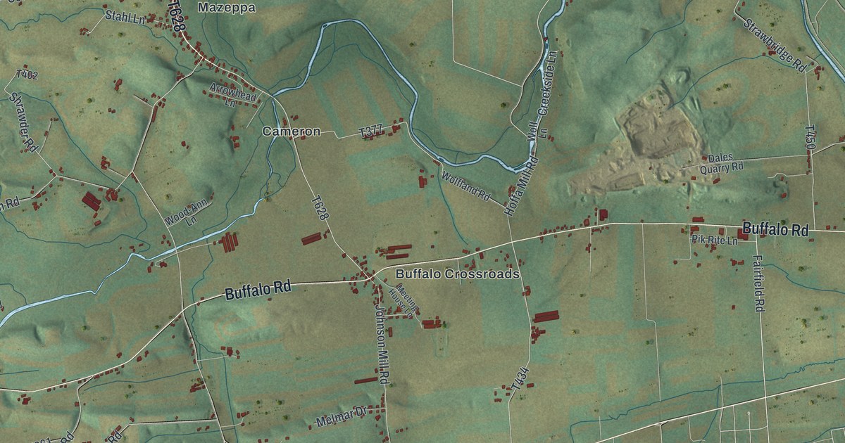
A detailed map of Buffalo, Union County, Pennsylvania, showing every building in its true location, the roads by name, and shaded topographical relief.
Read More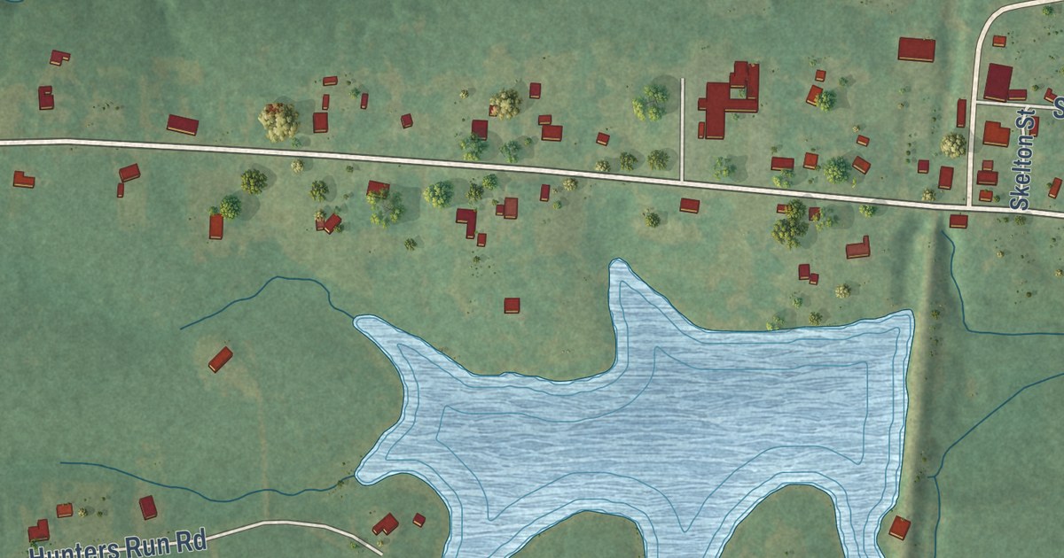
A detailed map of Mantee, Mississippi, showing every building in its true location, the roads by name, and shaded topographical relief.
Read More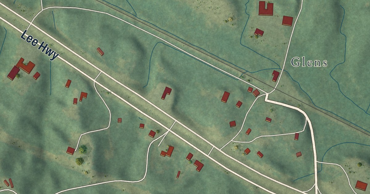
A detailed map of Glen, Mississippi, showing every building in its true location, the roads by name, and shaded topographical relief.
Read More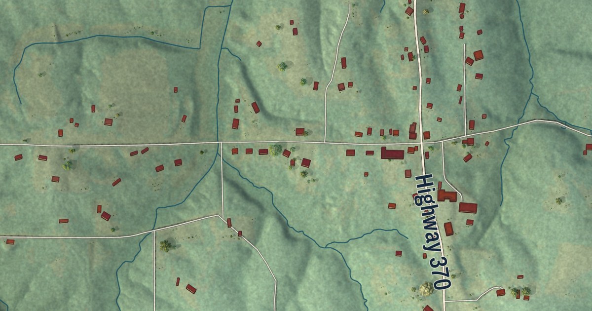
A detailed map of Dumas, Mississippi, showing every building in its true location, the roads by name, and shaded topographical relief.
Read More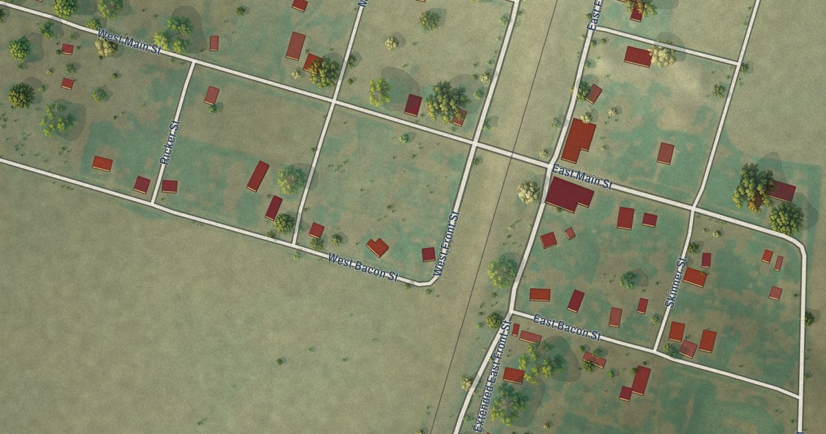
A detailed map of La Prairie, Illinois, showing every building in its true location, the roads by name, and shaded topographical relief.
Read More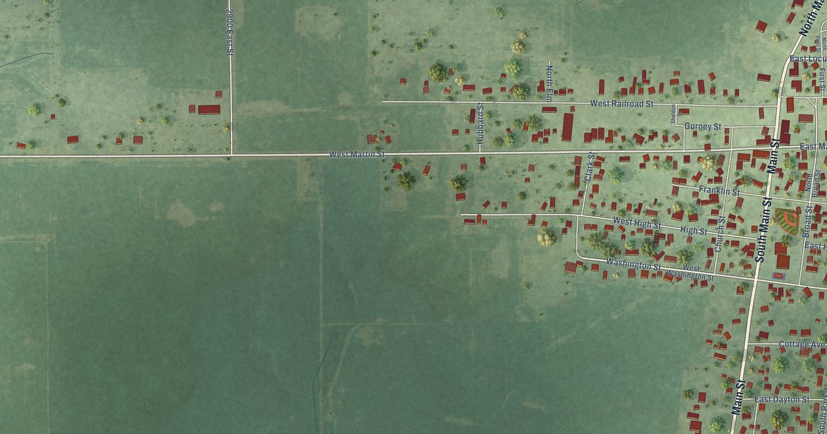
A detailed map of La Moille, Illinois, showing every building in its true location, the roads by name, and shaded topographical relief.
Read More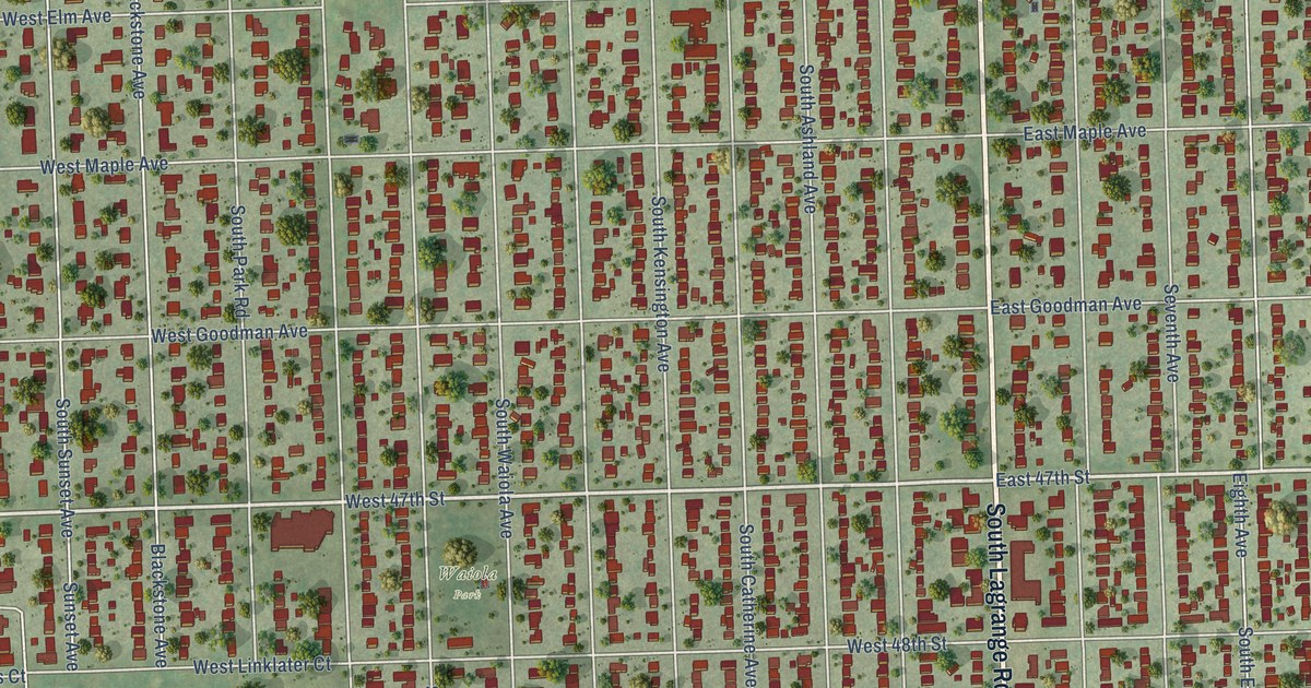
A detailed map of La Grange, Illinois, showing every building in its true location, the roads by name, and shaded topographical relief.
Read More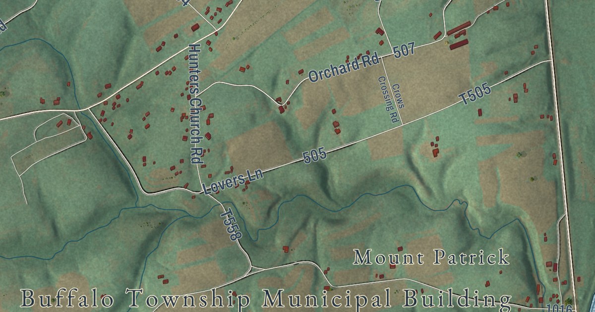
A detailed map of Buffalo, Perry County, Pennsylvania, showing every building in its true location, the roads by name, and shaded topographical relief.
Read More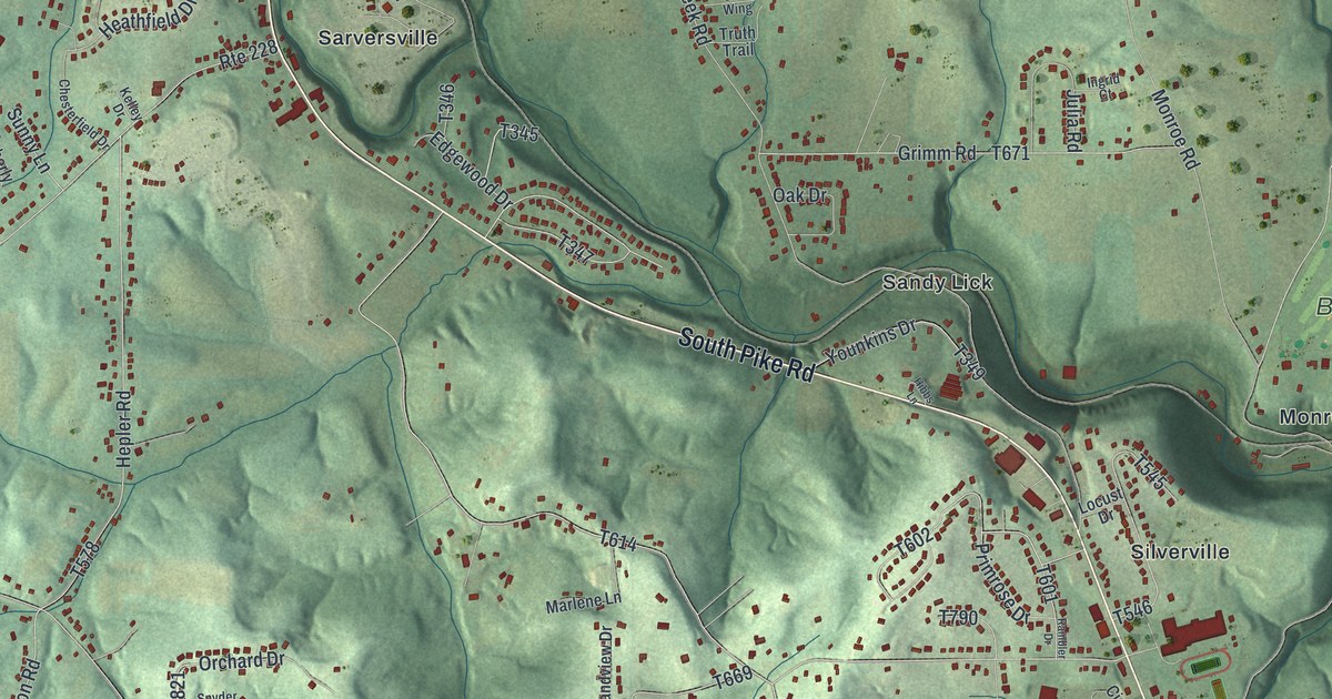
A detailed map of Buffalo, Butler County, Pennsylvania, showing every building in its true location, the roads by name, and shaded topographical relief.
Read More















