Detailed Map of Owyhee, Nevada
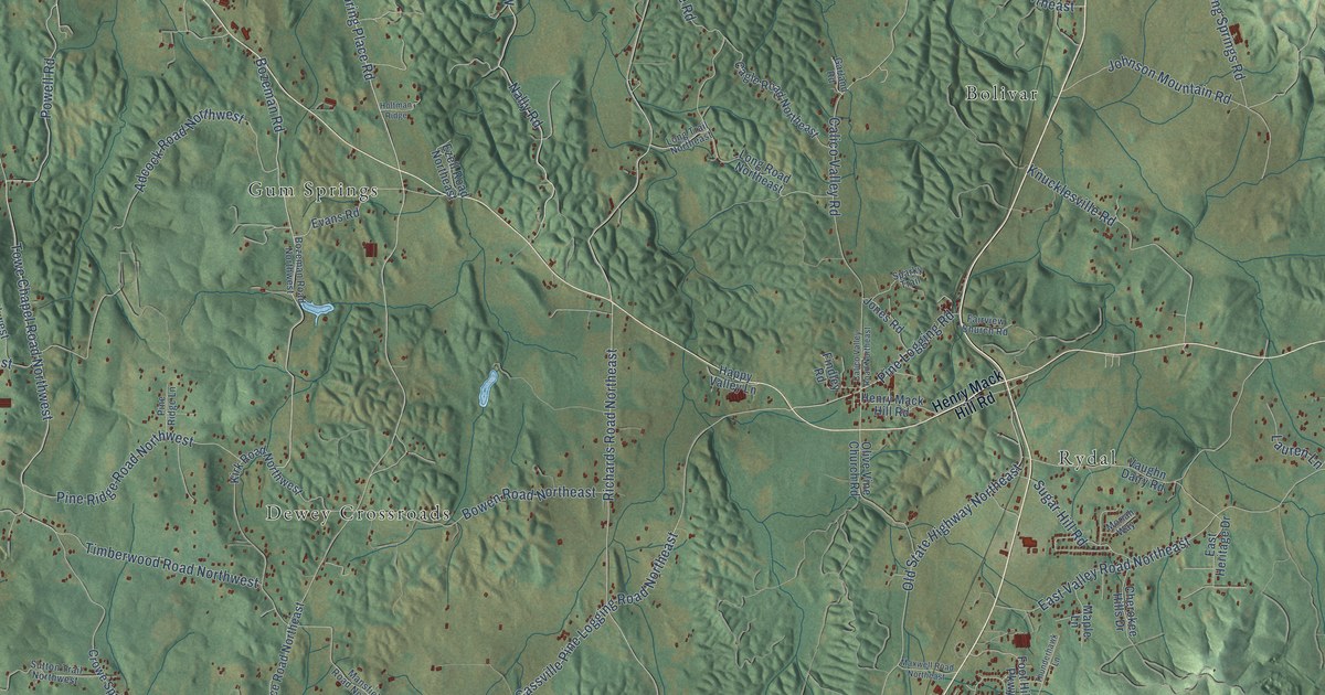
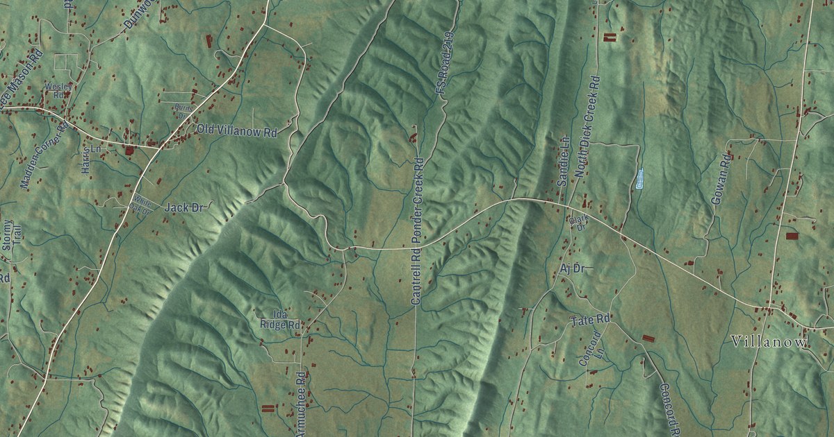
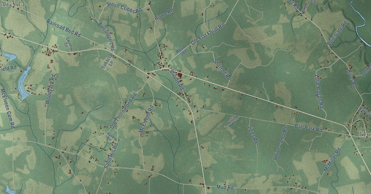
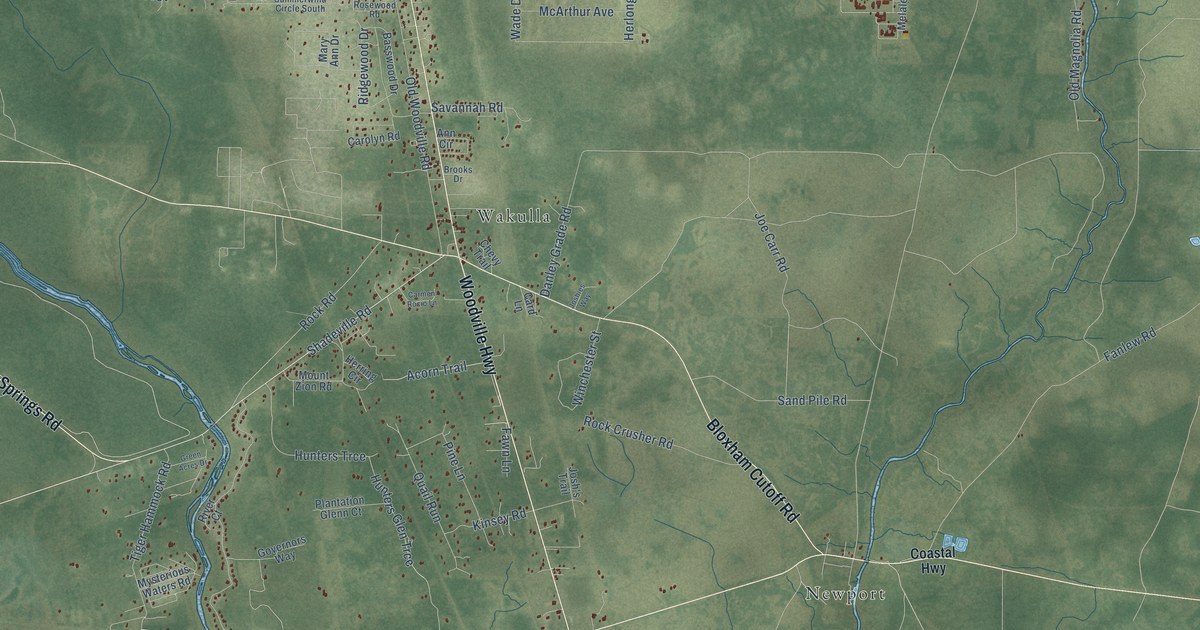
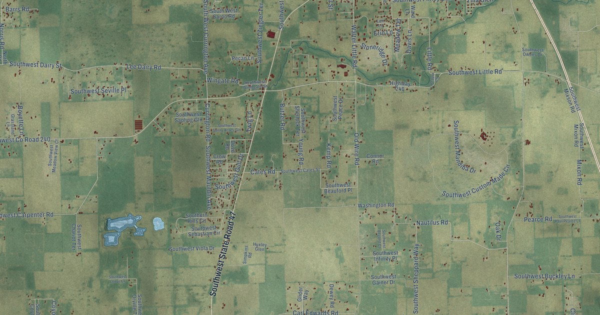
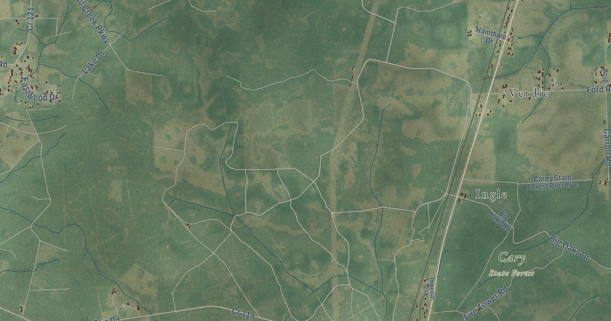
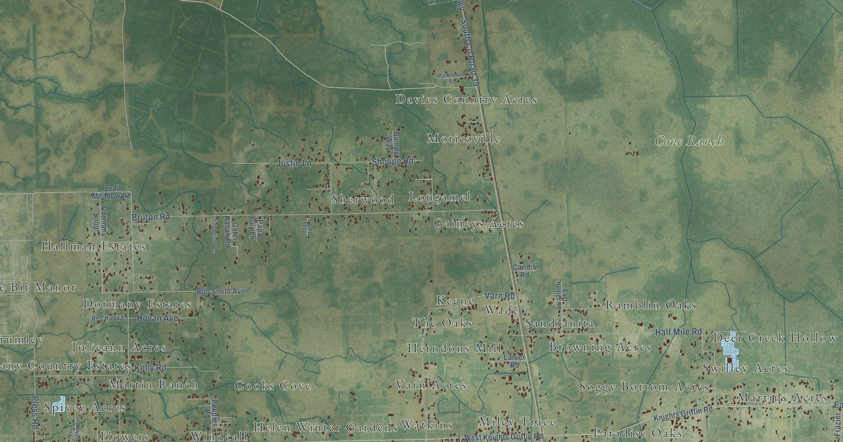
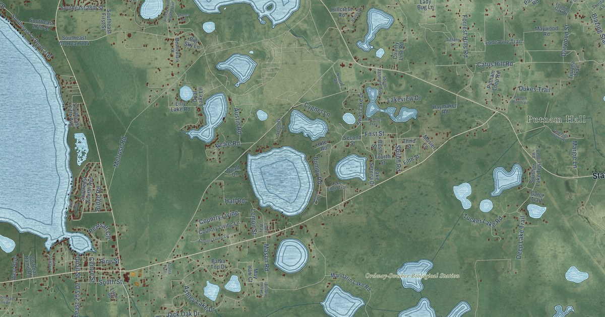
A detailed map of Owyhee, Nevada, showing every building in its true location, the roads by name, and shaded topographical relief.

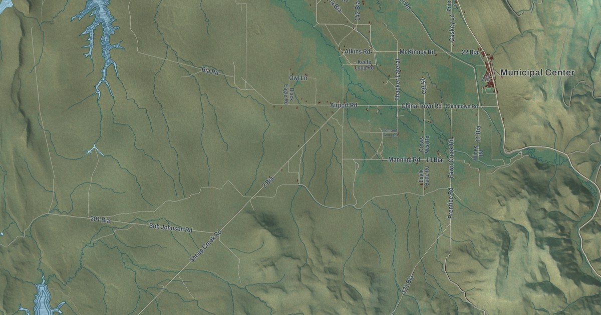
A detailed map of Owyhee, Nevada, showing every building in its true location, the roads by name, and shaded topographical relief.
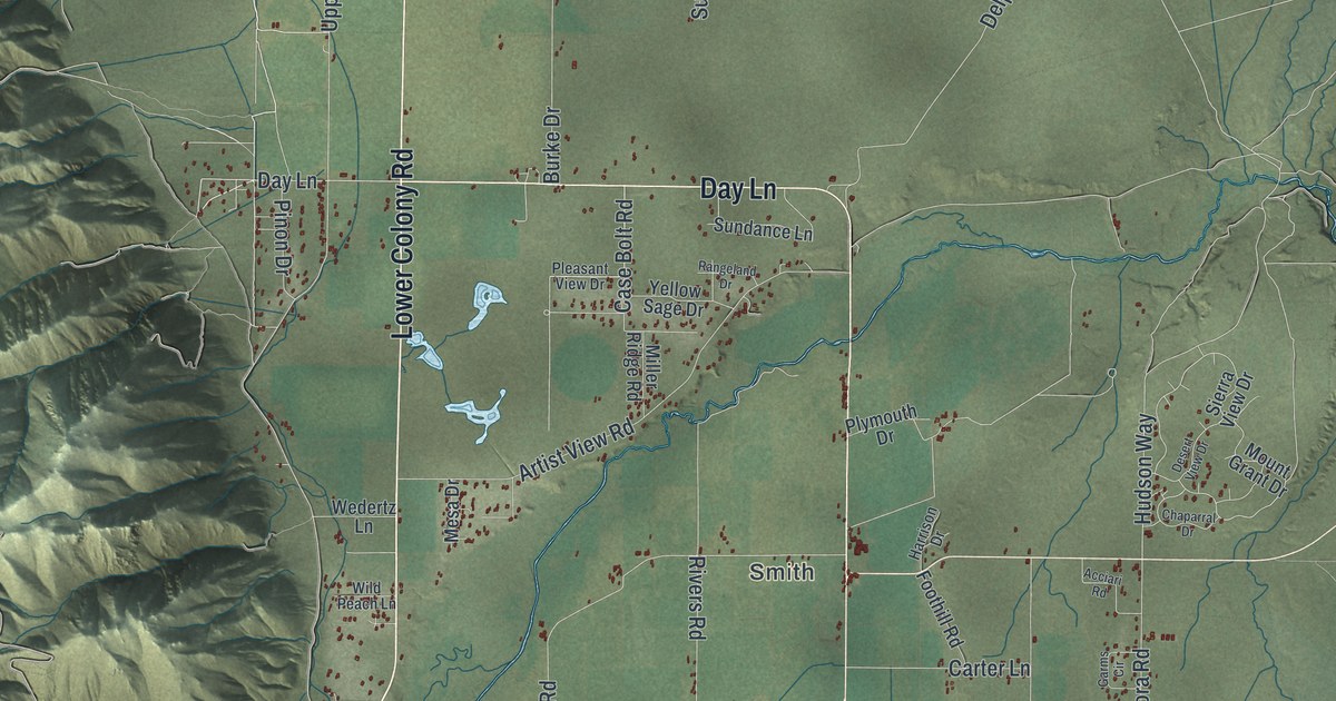
A detailed map of Smith Valley, Nevada, showing every building in its true location, the roads by name, and shaded topographical relief.
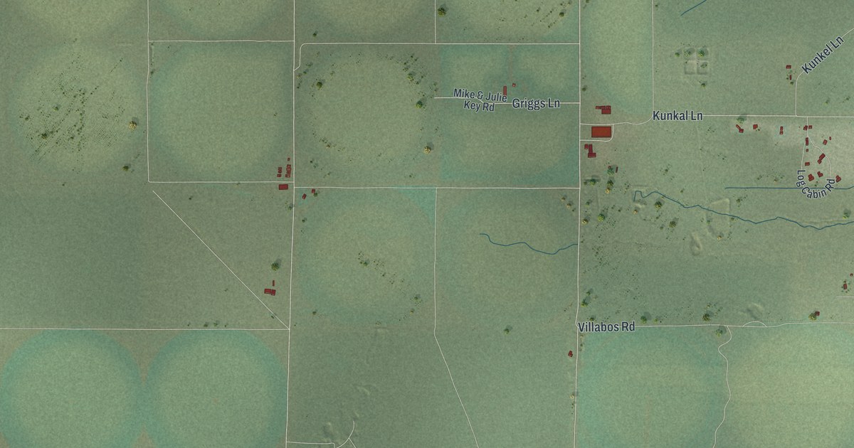
A detailed map of Orovada, Nevada, showing every building in its true location, the roads by name, and shaded topographical relief.
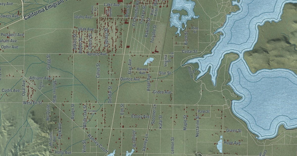
A detailed map of Silver Springs, Nevada, showing every building in its true location, the roads by name, and shaded topographical relief.
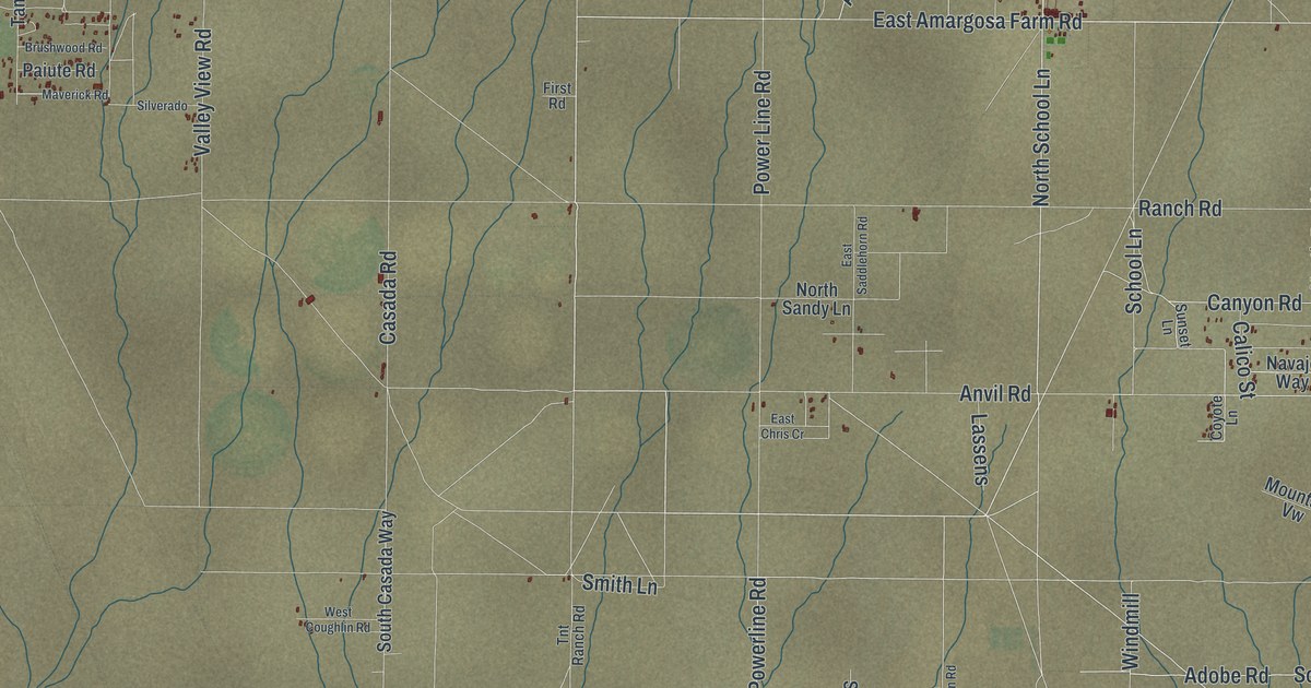
A detailed map of Amargosa Valley, Nevada, showing every building in its true location, the roads by name, and shaded topographical relief.
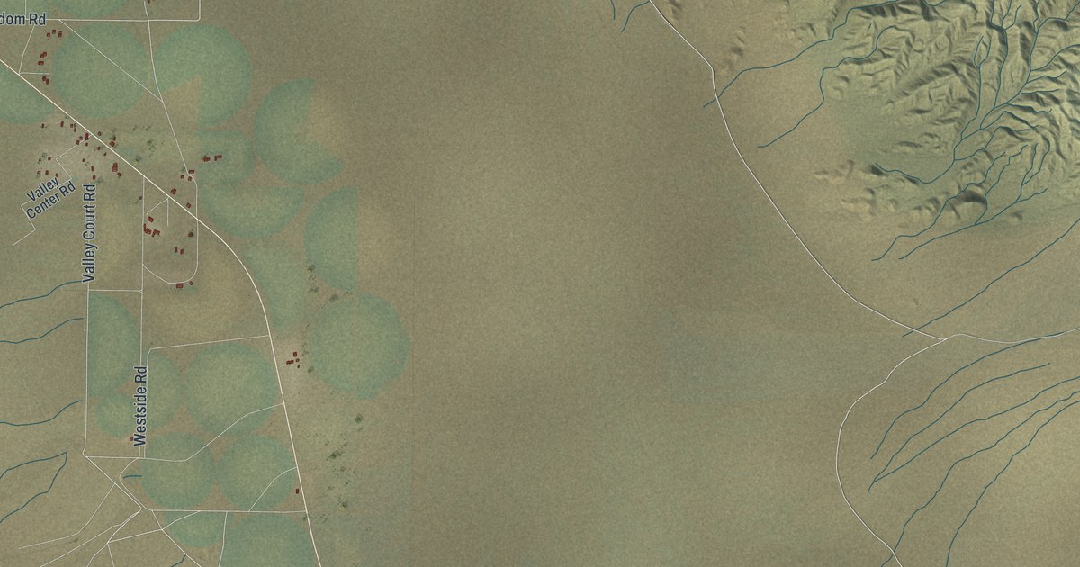
A detailed map of Dyer, Nevada, showing every building in its true location, the roads by name, and shaded topographical relief.
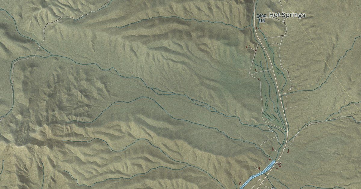
A detailed map of Beatty, Nevada, showing every building in its true location, the roads by name, and shaded topographical relief.
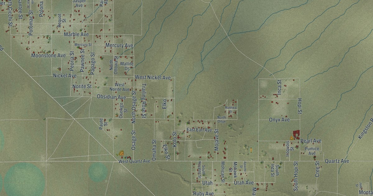
A detailed map of Sandy Valley, Nevada, showing every building in its true location, the roads by name, and shaded topographical relief.
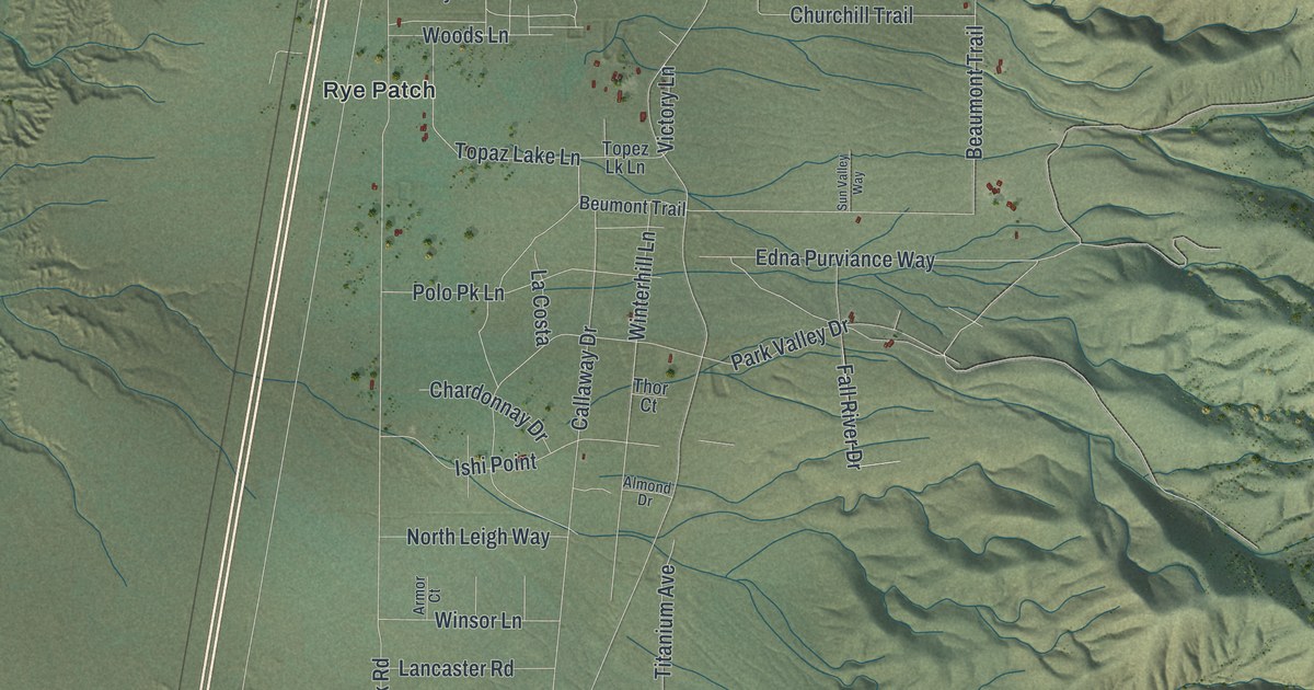
A detailed map of Humboldt River Ranch, Nevada, showing every building in its true location, the roads by name, and shaded topographical relief.
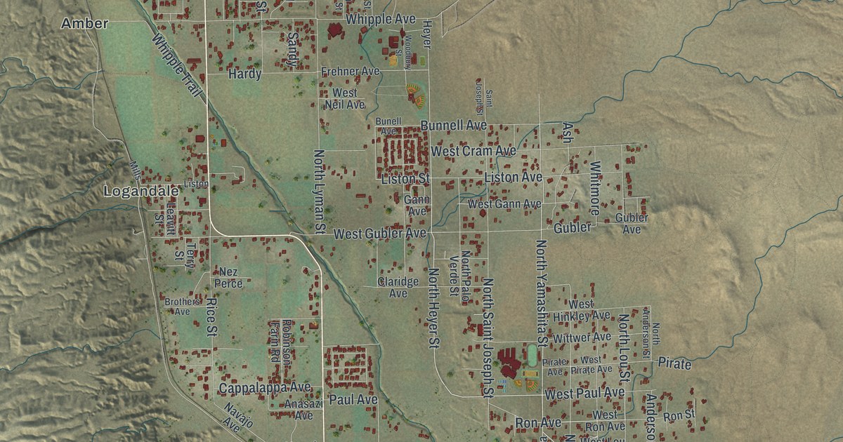
A detailed map of Moapa Valley, Nevada, showing every building in its true location, the roads by name, and shaded topographical relief.
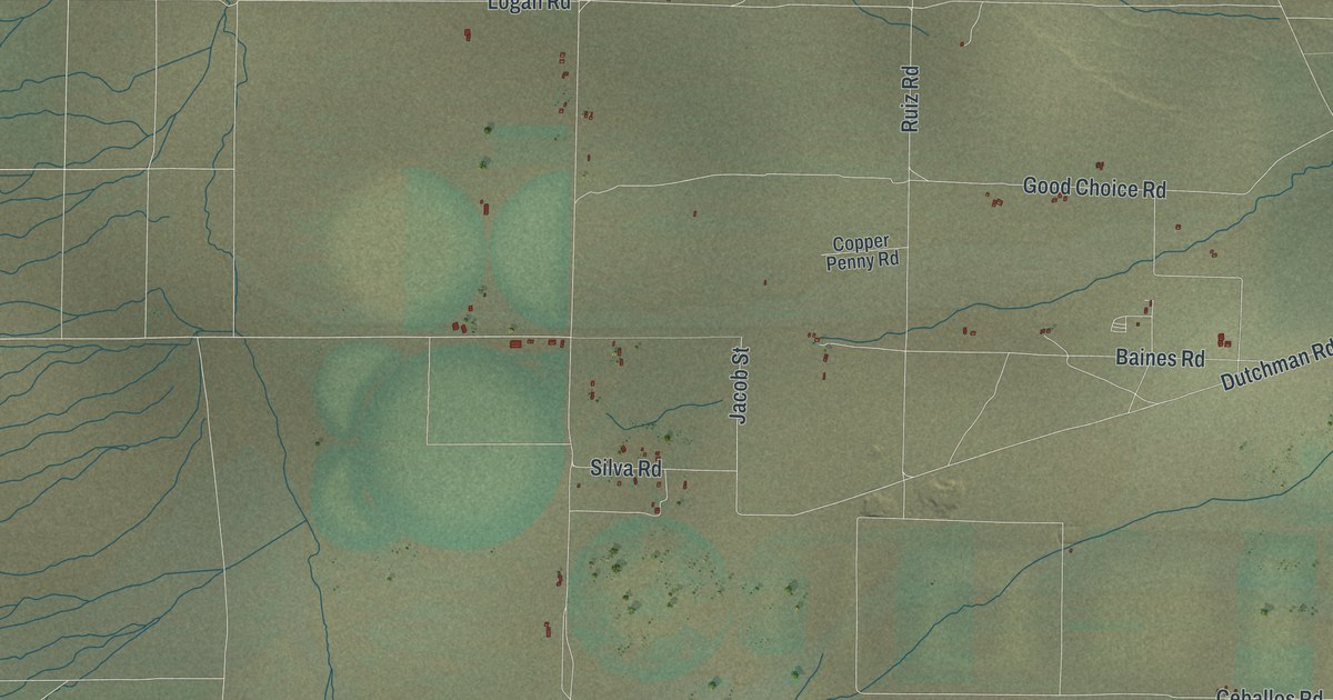
A detailed map of Grass Valley, Nevada, showing every building in its true location, the roads by name, and shaded topographical relief.
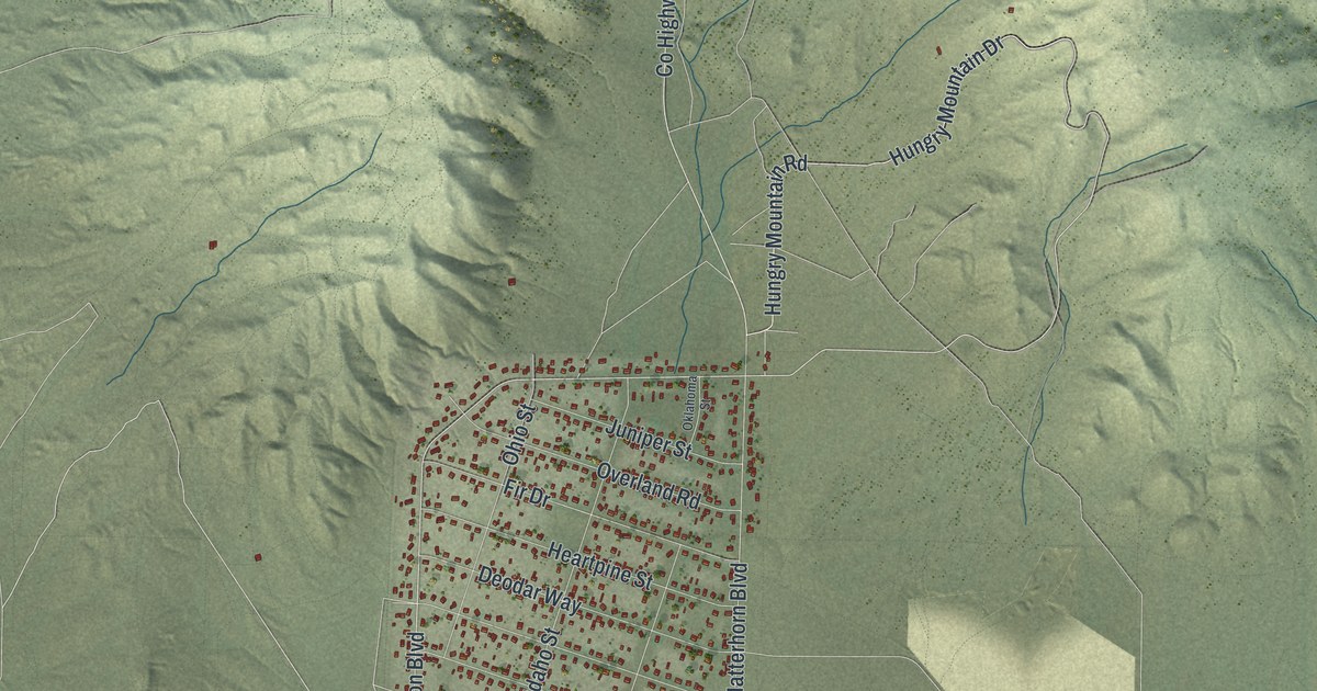
A detailed map of Lemmon Valley, Nevada, showing every building in its true location, the roads by name, and shaded topographical relief.