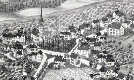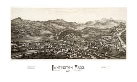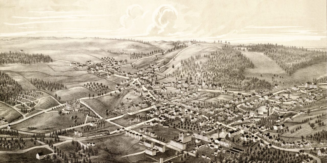
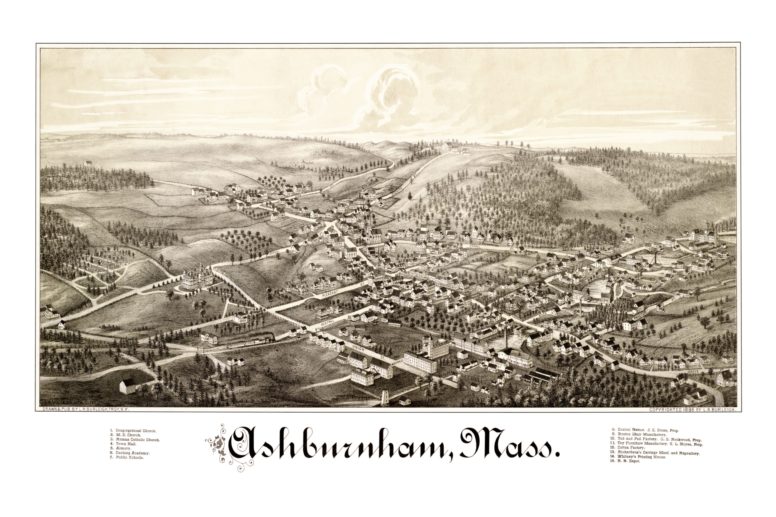
This map of Ashburnham, Massachusetts was created in 1886 by Lucien R. Burleigh. His hand drawn map shows a bird’s eye view of Ashburnham as it looked when less than 2,000 people lived in town.
The map includes Ashburnham landmarks such as Cushing Academy, Town Hall, Whitney’s Printing House, the Armory, Public Schools, and the Ashburnham Railroad Depot.
This vintage map of Ashburnham has been restored by KNOWOL. Reproductions of the map are available here.
Map of Ashburnham, Massachusetts in 1886.
This old map of Ashburnham, Mass will make an attractive addition to your office, library, or den, and can even be used to teach children the geography and history of the area. When you’re done exploring, click here to get yours.