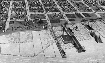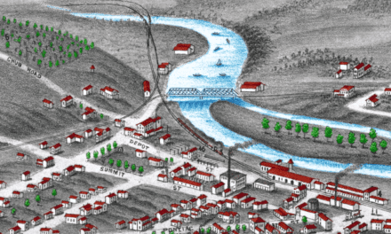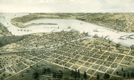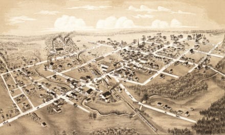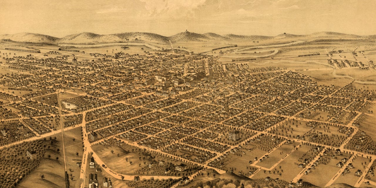
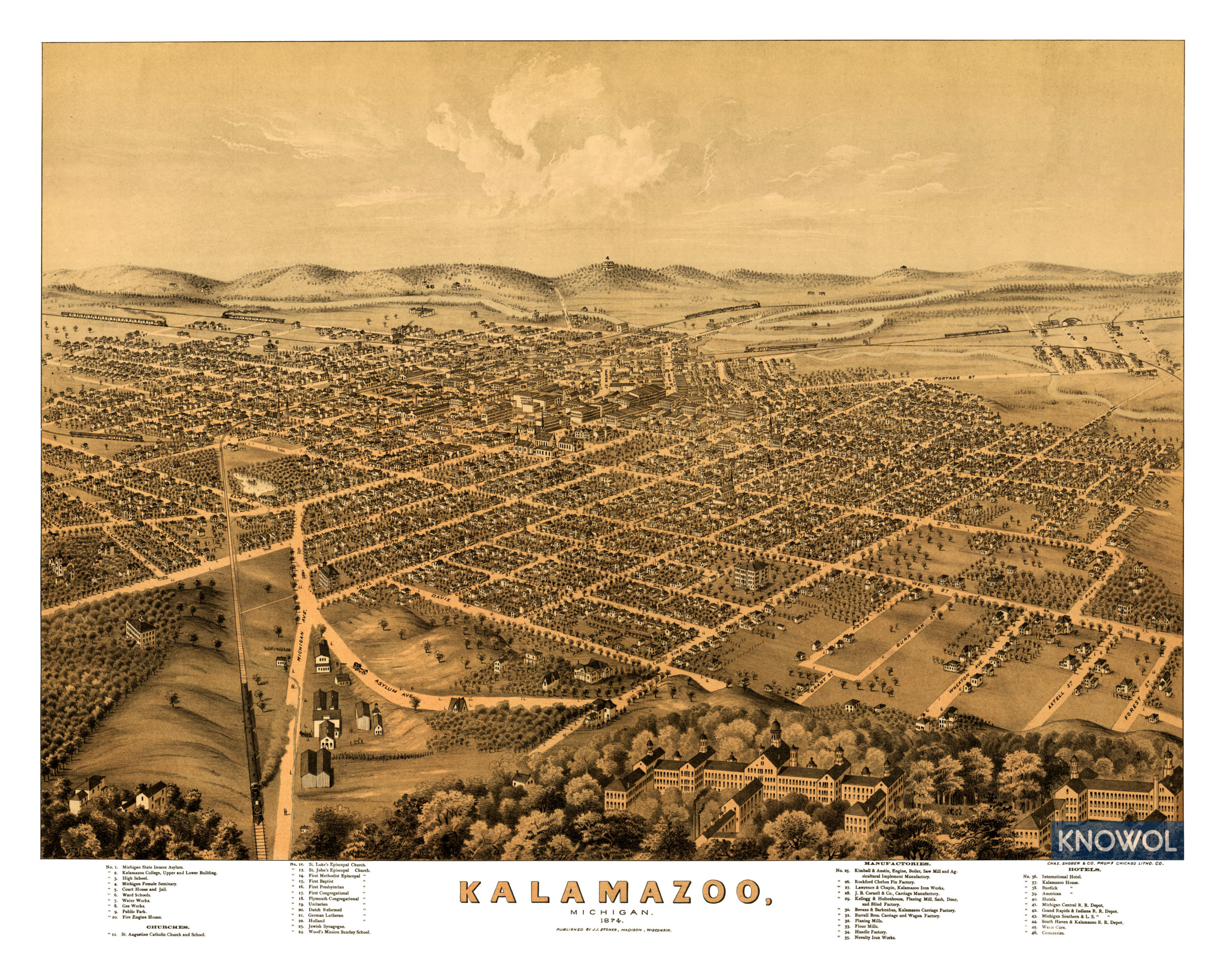
This historic old map of Kalamazoo, Michigan was created in 1874 by J.J. Stoner, a prominent 19th century map maker. The map shows a bird’s eye view of Kalamazoo as it used to be, including street names and old landmarks.
Kalamazoo landmarks on the map include the Michigan State Insane Asylum, Kalamazoo College, Michigan Female Seminary, Ward Schools, Rockford Clothes Pin Factory, Fire Engine House, Kalamazoo Iron Works, Planing Mills, Flour Mills, Cornell Carriage Manufactory, Novelty Iron Works, International Hotel, Kalamazoo House, and more.
This historic map of Kalamazoo, MI has been restored by KNOWOL. Reproductions of the map are available here.
Bird’s Eye View of Kalamazoo, Michigan in 1874
This historic map of Kalamazoo, MI will make an attractive addition to your office, library, or den and can even be used to teach children the geography and history of the area. When you’re done exploring, click here to get your copy.