25 historic pictures of Luna Park, Coney Island’s magical land of lights
Coney Island’s original Luna Park was a massive spectacle of thrill rides and…
Read More
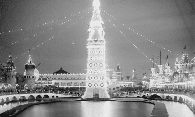
Coney Island’s original Luna Park was a massive spectacle of thrill rides and…
Read More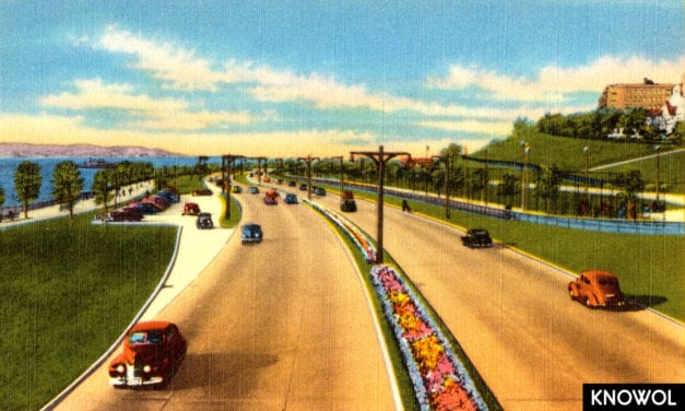
The Shore Parkway is one of three parkways that make up the Belt Parkway, a series of…
Read More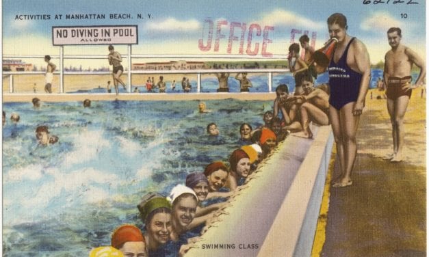
Manhattan Beach was the most upscale of three major resort areas developed at…
Read More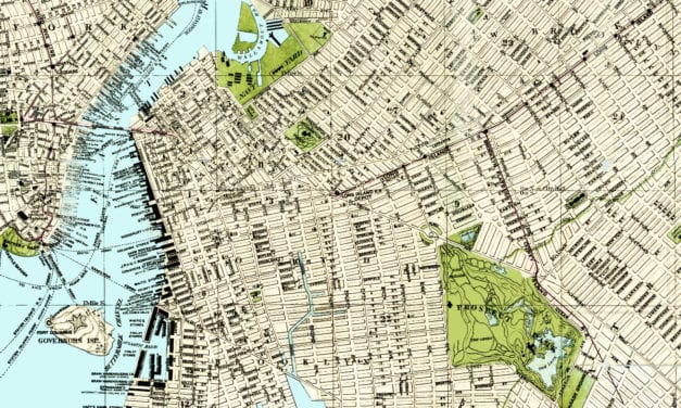
In 1883, Brooklynite S.D.L. Taunton created this beautifully detailed map of his hometown in New...
Read More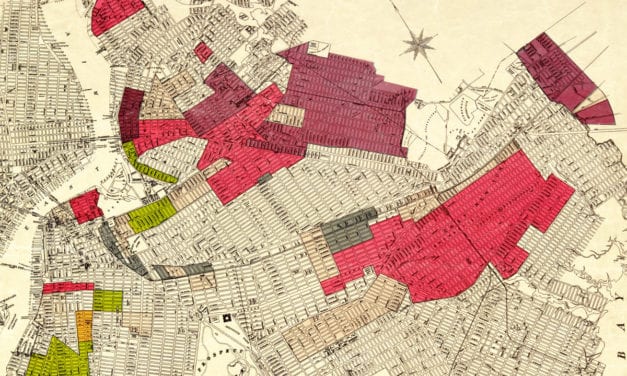
The racial makeup of Brooklyn in the 1920’s
Read More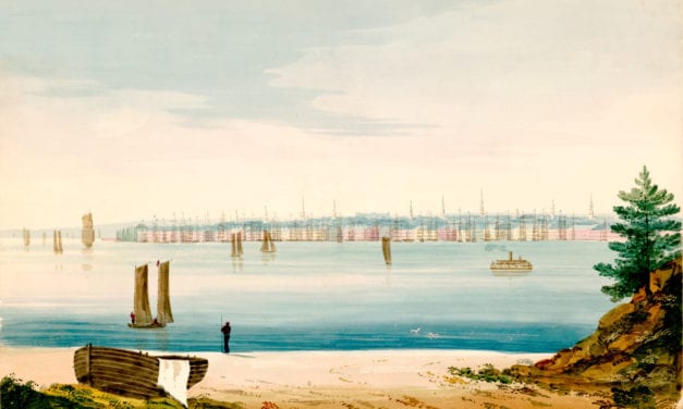
This watercolor by William Wall (1792 – 1864) shows lower Manhattan across the East River as it...
Read More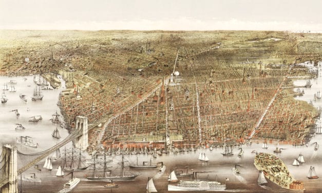
This old map shows Brooklyn, New York as it looked in 1879
Read More