Detailed Map of Spring Grove, Illinois
A detailed map of Spring Grove, Illinois, showing every building in its true location, the roads by name, and shaded topographical relief.
Read More
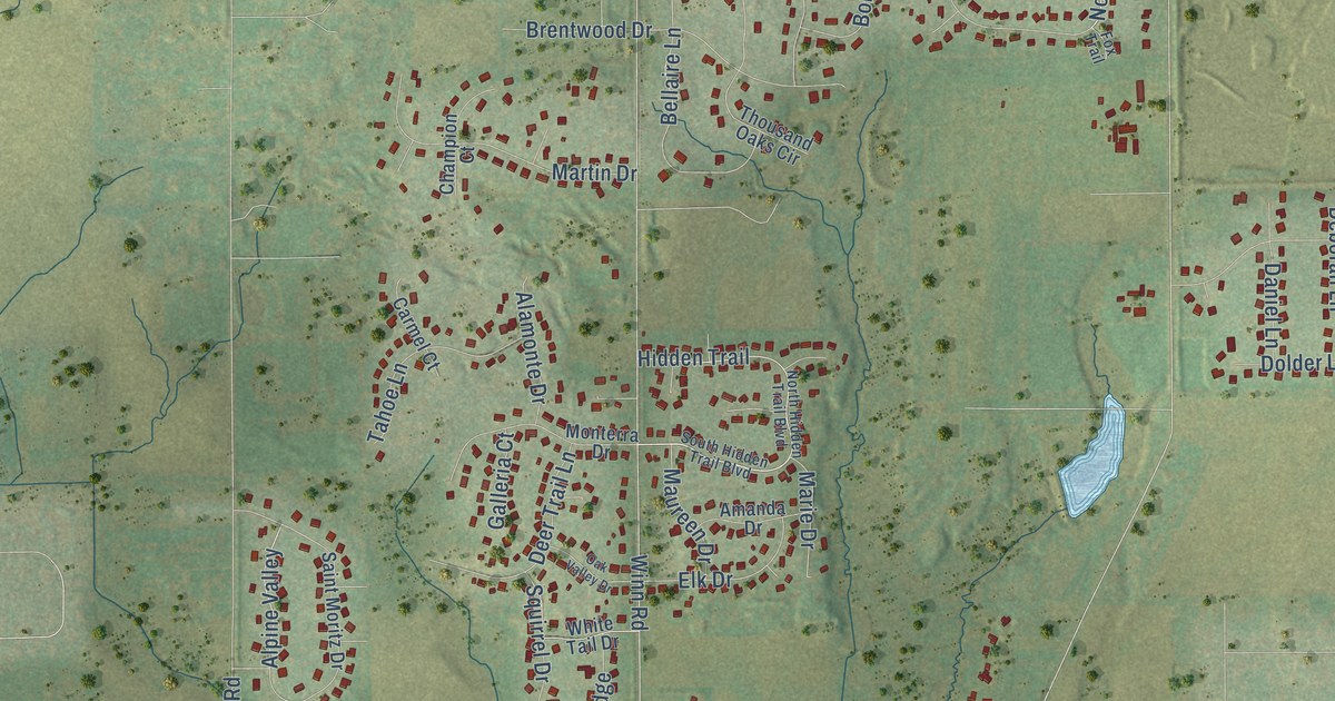
A detailed map of Spring Grove, Illinois, showing every building in its true location, the roads by name, and shaded topographical relief.
Read More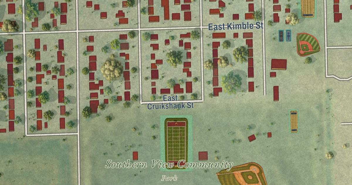
A detailed map of Southern View, Illinois, showing every building in its true location, the roads by name, and shaded topographical relief.
Read More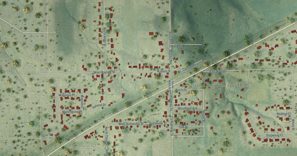
A detailed map of Spaulding, Illinois, showing every building in its true location, the roads by name, and shaded topographical relief.
Read More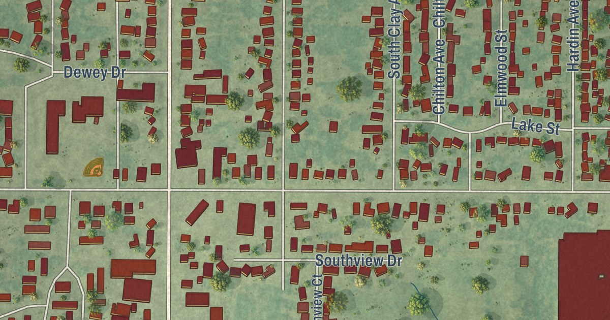
A detailed map of South Jacksonville, Illinois, showing every building in its true location, the roads by name, and shaded topographical relief.
Read More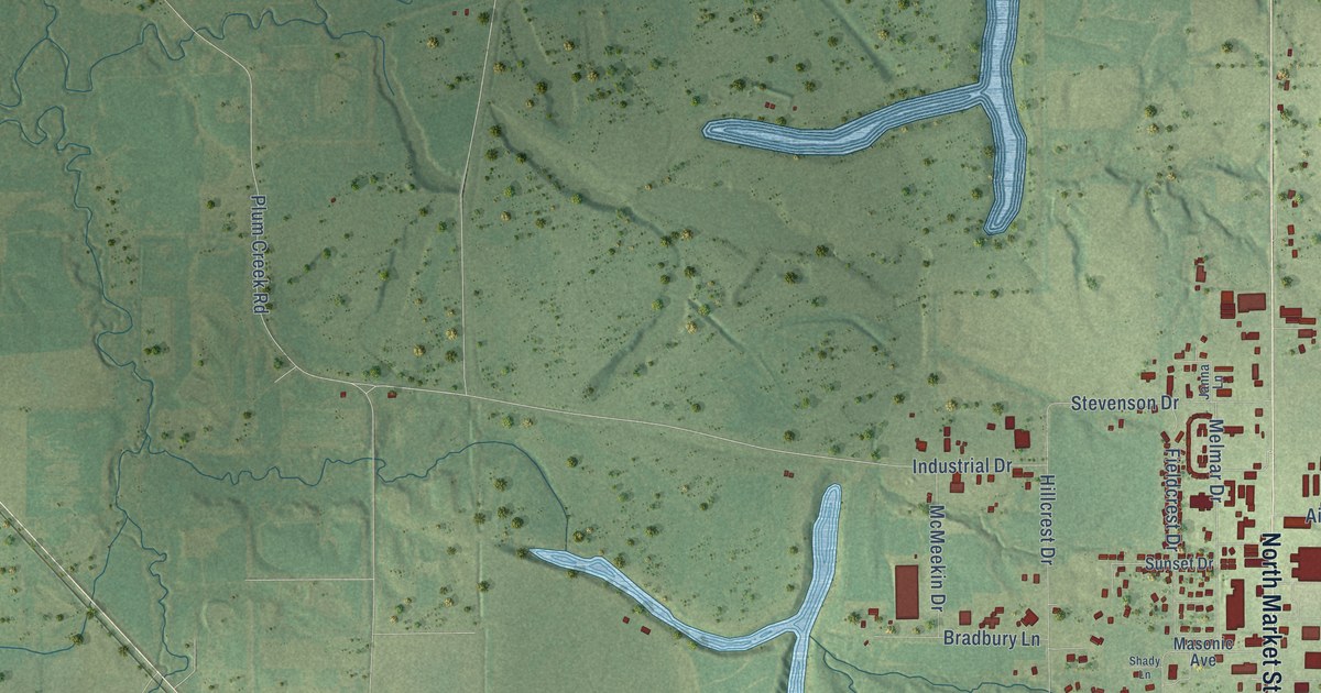
A detailed map of Sparta, Illinois, showing every building in its true location, the roads by name, and shaded topographical relief.
Read More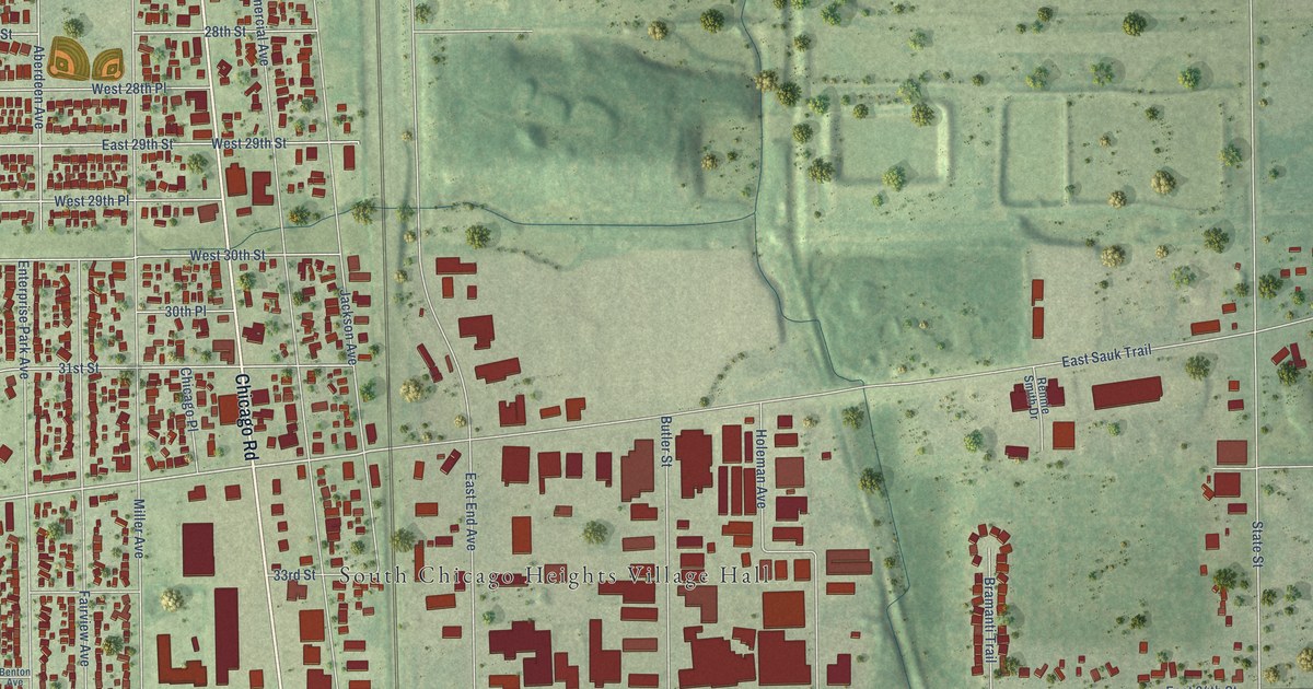
A detailed map of South Chicago Heights, Illinois, showing every building in its true location, the roads by name, and shaded topographical relief.
Read More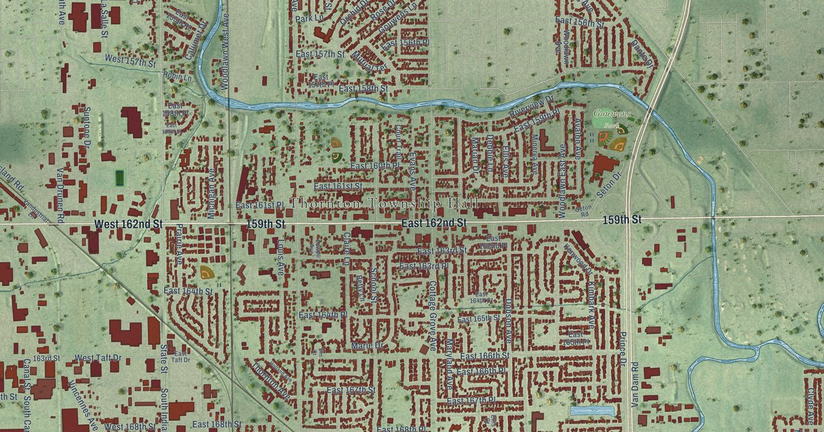
A detailed map of South Holland, Illinois, showing every building in its true location, the roads by name, and shaded topographical relief.
Read More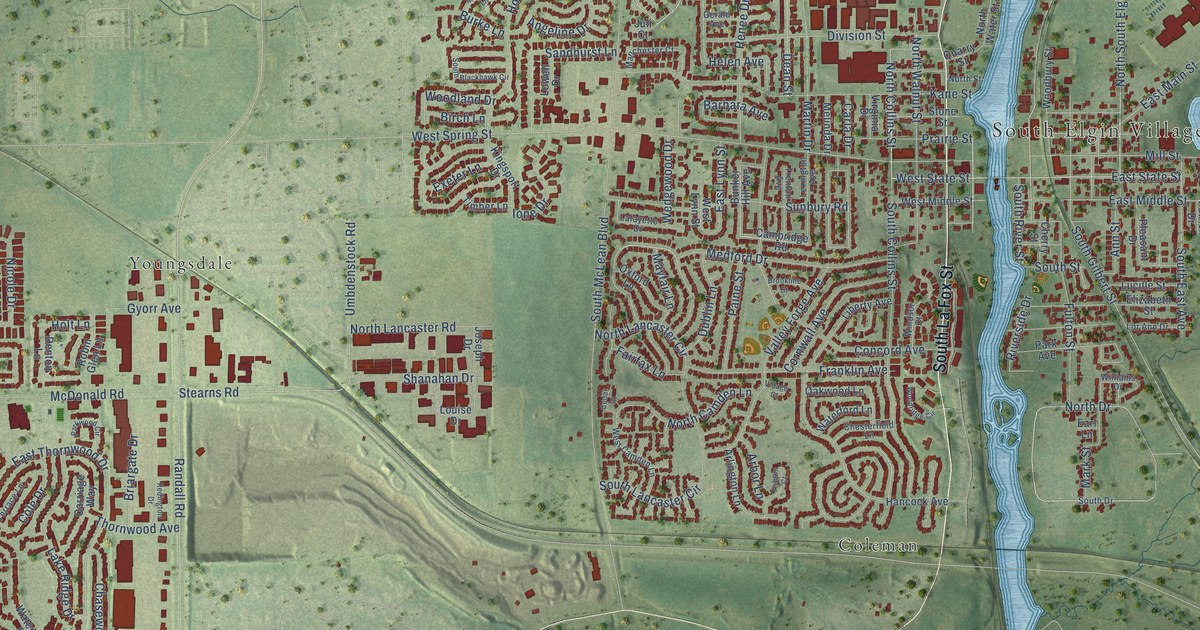
A detailed map of South Elgin, Illinois, showing every building in its true location, the roads by name, and shaded topographical relief.
Read More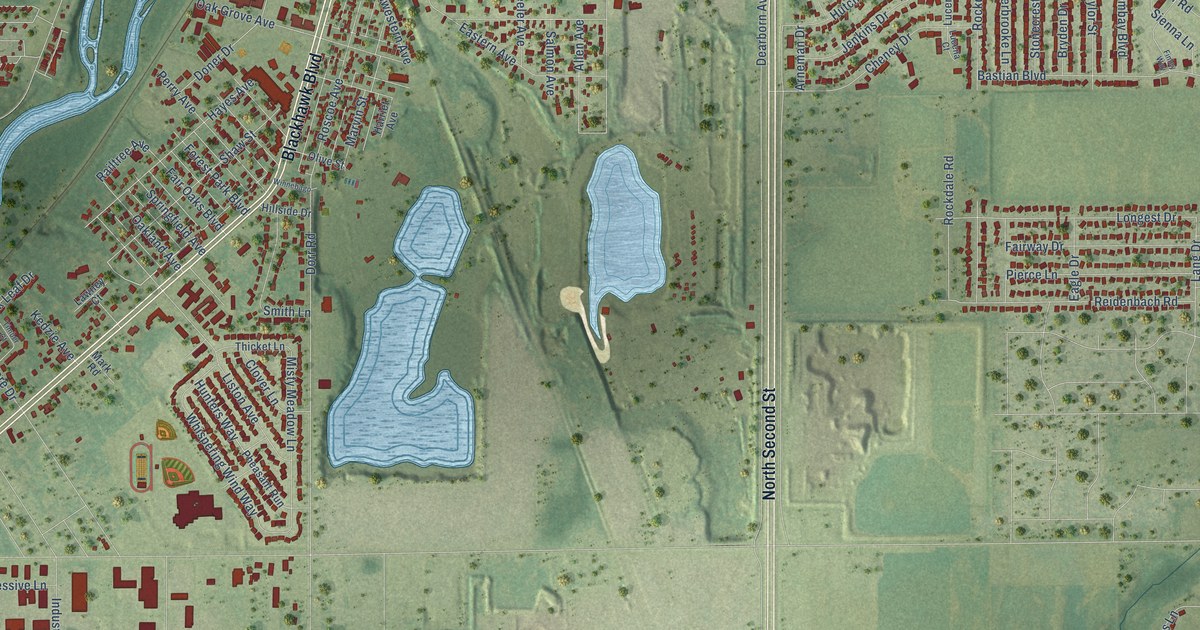
A detailed map of South Beloit, Illinois, showing every building in its true location, the roads by name, and shaded topographical relief.
Read More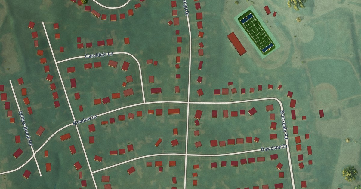
A detailed map of Woodland Hills, Kentucky, showing every building in its true location, the roads by name, and shaded topographical relief.
Read More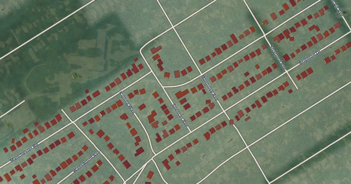
A detailed map of Wellington, Kentucky, showing every building in its true location, the roads by name, and shaded topographical relief.
Read More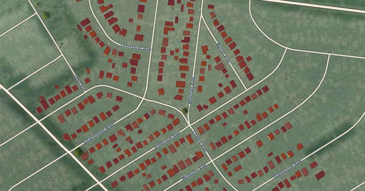
A detailed map of Strathmoor Village, Kentucky, showing every building in its true location, the roads by name, and shaded topographical relief.
Read More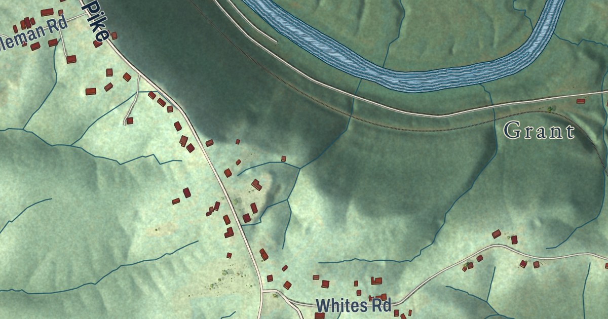
A detailed map of Ryland Heights, Kentucky, showing every building in its true location, the roads by name, and shaded topographical relief.
Read More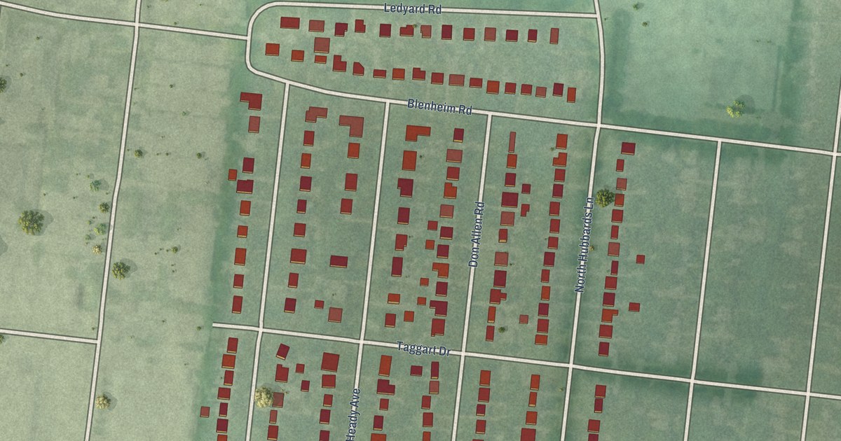
A detailed map of Richlawn, Kentucky, showing every building in its true location, the roads by name, and shaded topographical relief.
Read More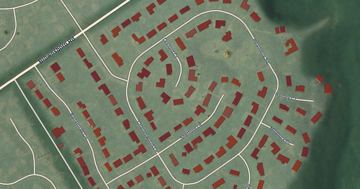
A detailed map of Old Brownsboro Place, Kentucky, showing every building in its true location, the roads by name, and shaded topographical relief.
Read More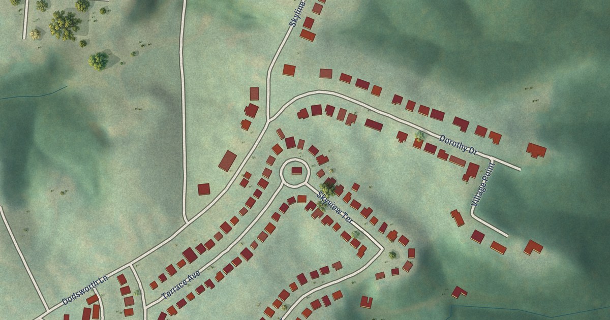
A detailed map of Crestview, Kentucky, showing every building in its true location, the roads by name, and shaded topographical relief.
Read More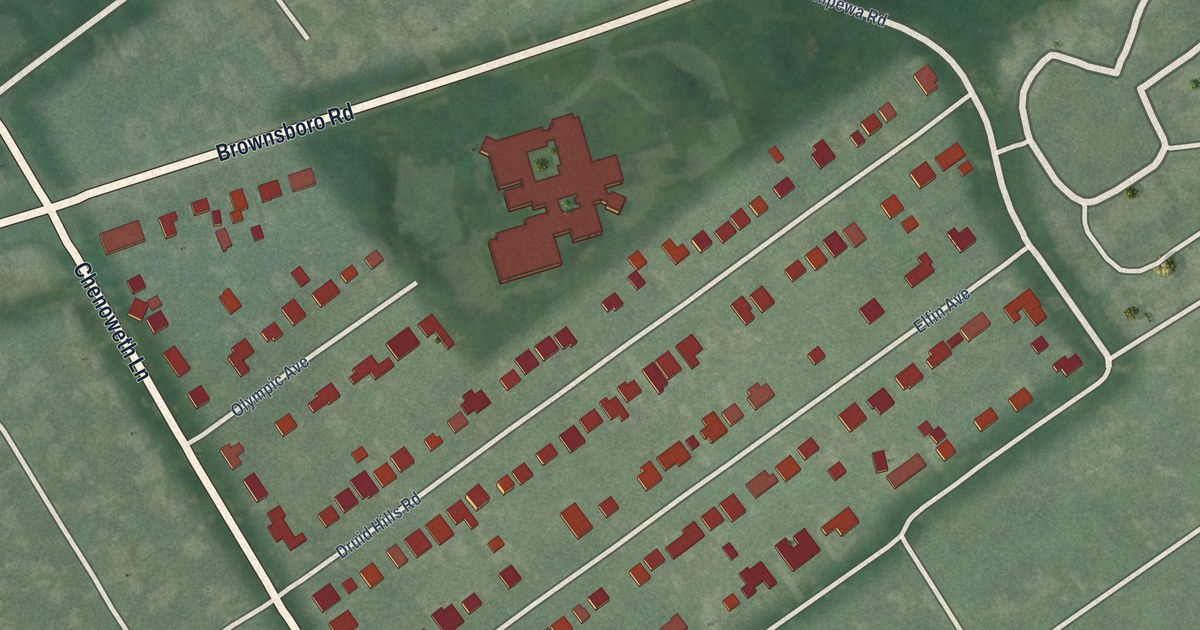
A detailed map of Druid Hills, Kentucky, showing every building in its true location, the roads by name, and shaded topographical relief.
Read More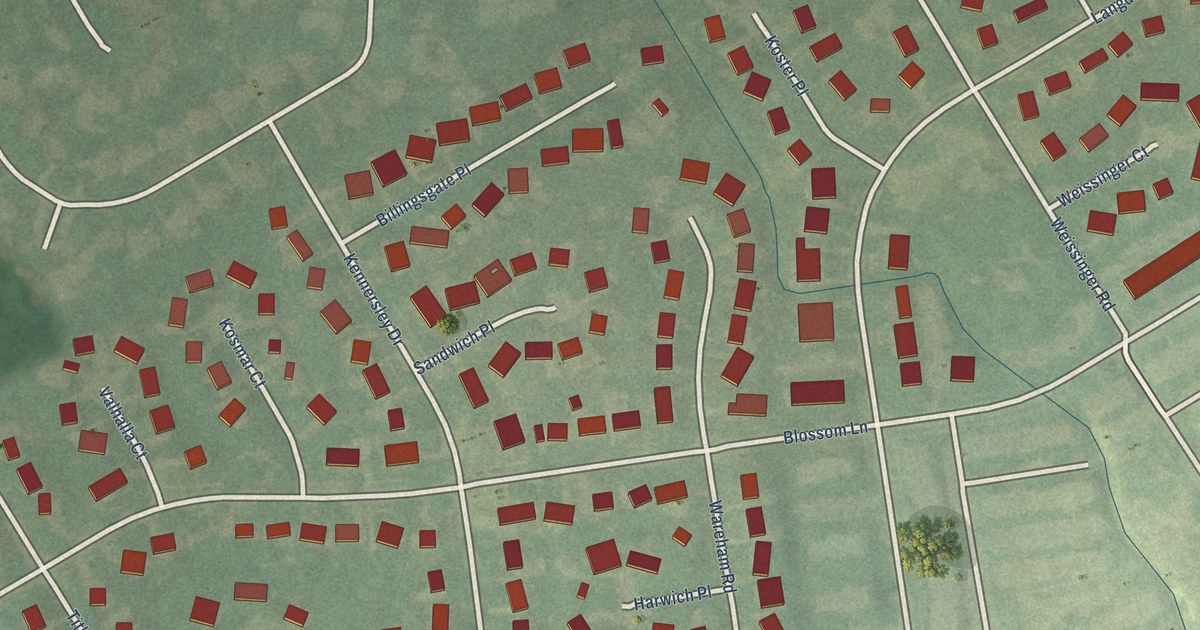
A detailed map of Langdon Place, Kentucky, showing every building in its true location, the roads by name, and shaded topographical relief.
Read More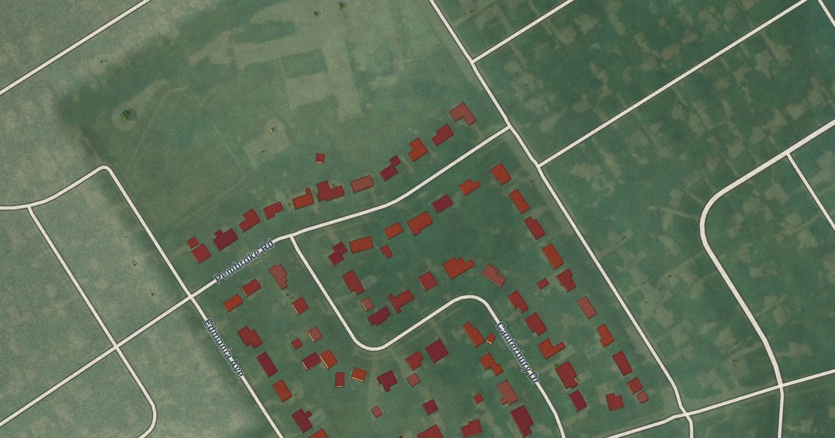
A detailed map of Lincolnshire, Kentucky, showing every building in its true location, the roads by name, and shaded topographical relief.
Read More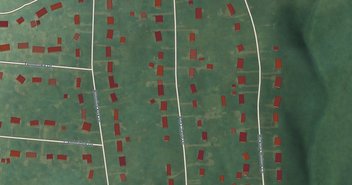
A detailed map of Fox Chase, Kentucky, showing every building in its true location, the roads by name, and shaded topographical relief.
Read More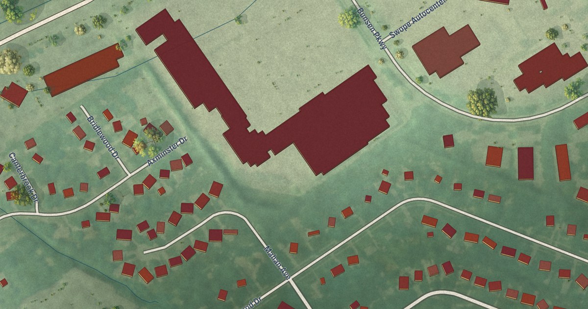
A detailed map of Forest Hills, Kentucky, showing every building in its true location, the roads by name, and shaded topographical relief.
Read More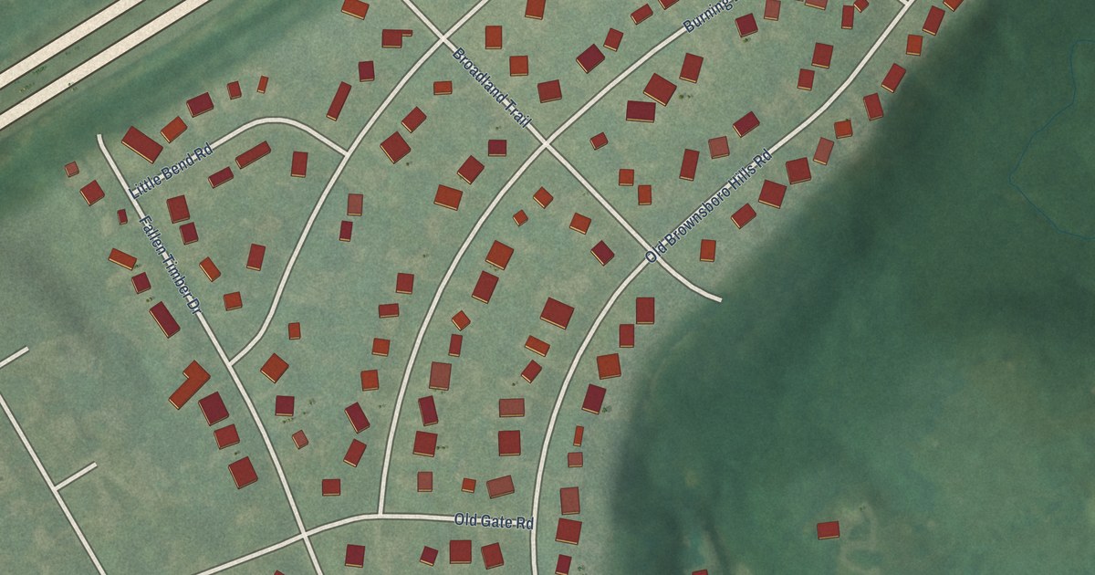
A detailed map of Brownsboro Farm, Kentucky, showing every building in its true location, the roads by name, and shaded topographical relief.
Read More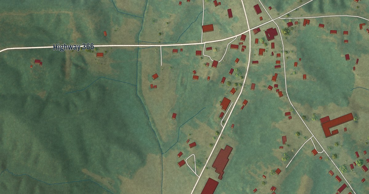
A detailed map of Marietta, Mississippi, showing every building in its true location, the roads by name, and shaded topographical relief.
Read More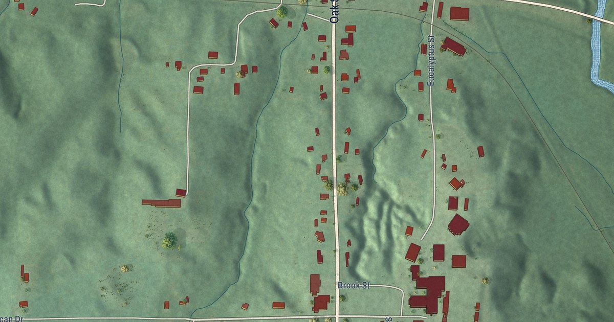
A detailed map of Mize, Mississippi, showing every building in its true location, the roads by name, and shaded topographical relief.
Read More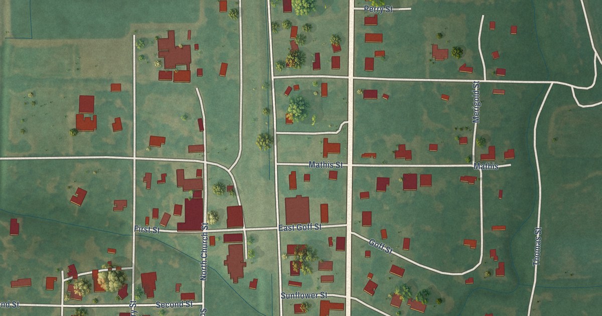
A detailed map of Merigold, Mississippi, showing every building in its true location, the roads by name, and shaded topographical relief.
Read More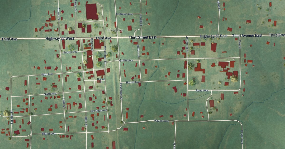
A detailed map of New Houlka, Mississippi, showing every building in its true location, the roads by name, and shaded topographical relief.
Read More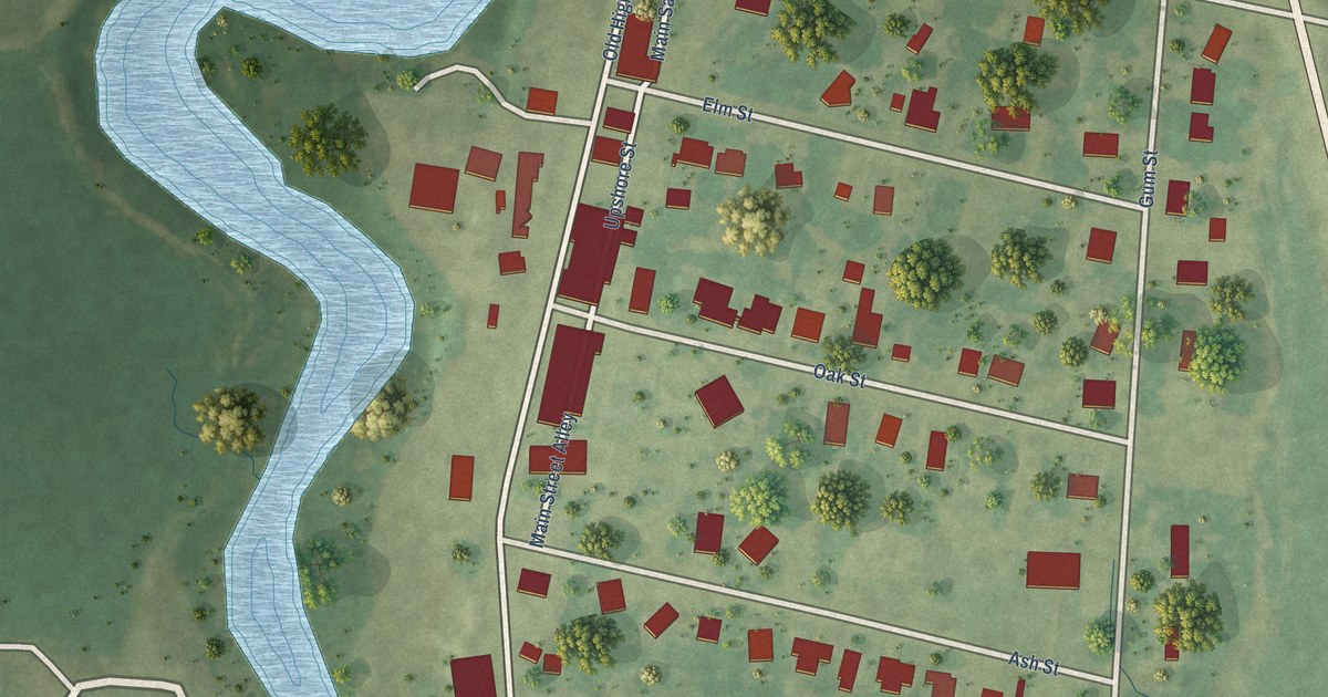
A detailed map of Louise, Mississippi, showing every building in its true location, the roads by name, and shaded topographical relief.
Read More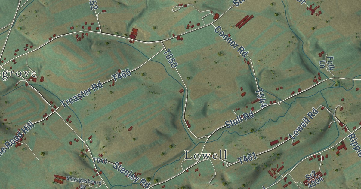
A detailed map of West Beaver, Pennsylvania, showing every building in its true location, the roads by name, and shaded topographical relief.
Read More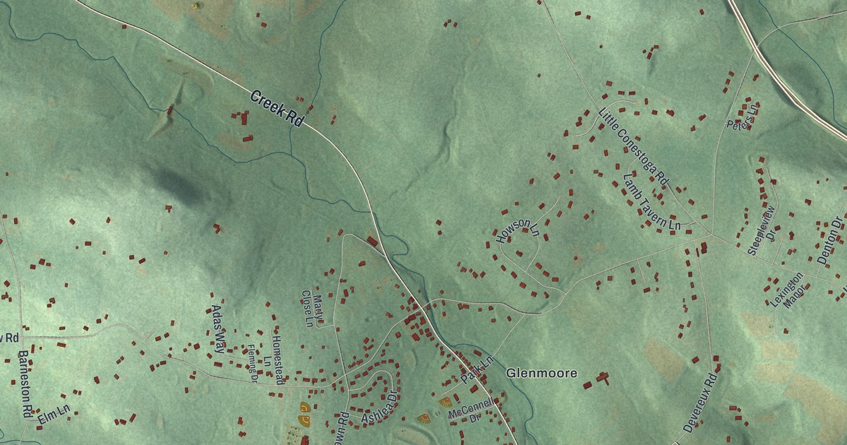
A detailed map of Wallace, Pennsylvania, showing every building in its true location, the roads by name, and shaded topographical relief.
Read More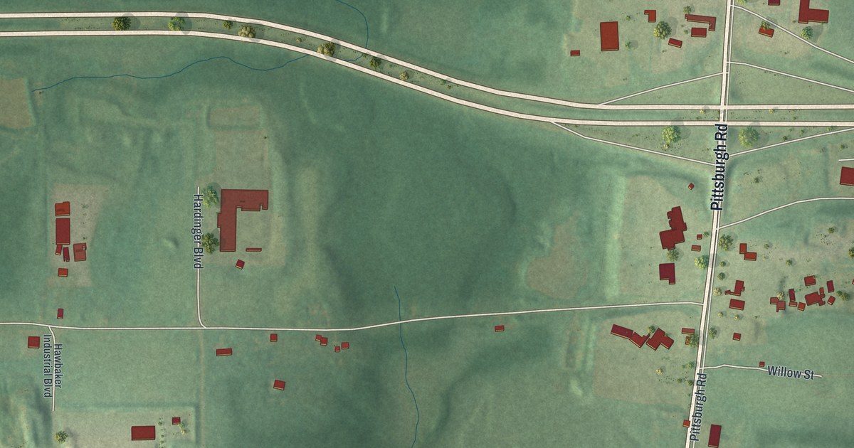
A detailed map of Barkeyville, Pennsylvania, showing every building in its true location, the roads by name, and shaded topographical relief.
Read More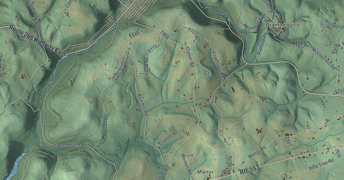
A detailed map of Cherryhill, Pennsylvania, showing every building in its true location, the roads by name, and shaded topographical relief.
Read More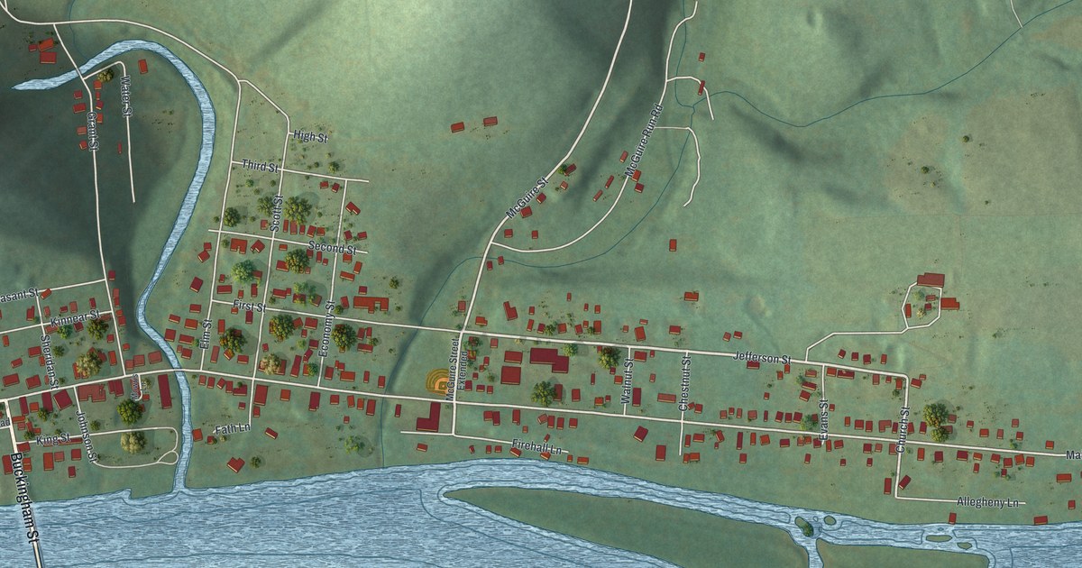
A detailed map of Tidioute, Pennsylvania, showing every building in its true location, the roads by name, and shaded topographical relief.
Read More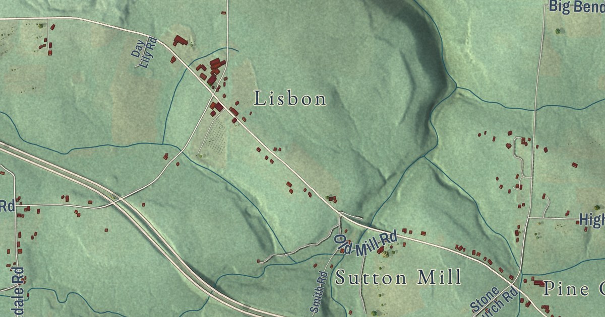
A detailed map of Scrubgrass, Pennsylvania, showing every building in its true location, the roads by name, and shaded topographical relief.
Read More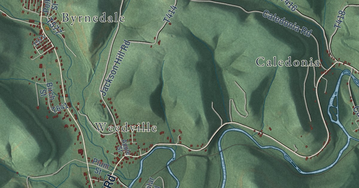
A detailed map of Jay, Pennsylvania, showing every building in its true location, the roads by name, and shaded topographical relief.
Read More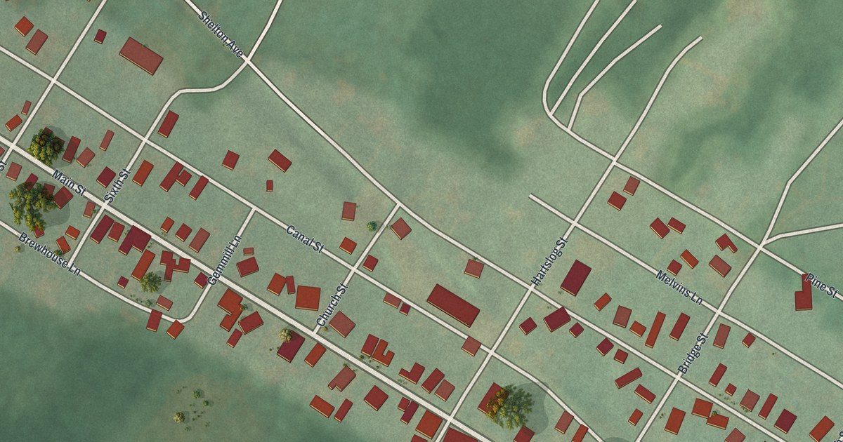
A detailed map of Alexandria, Pennsylvania, showing every building in its true location, the roads by name, and shaded topographical relief.
Read More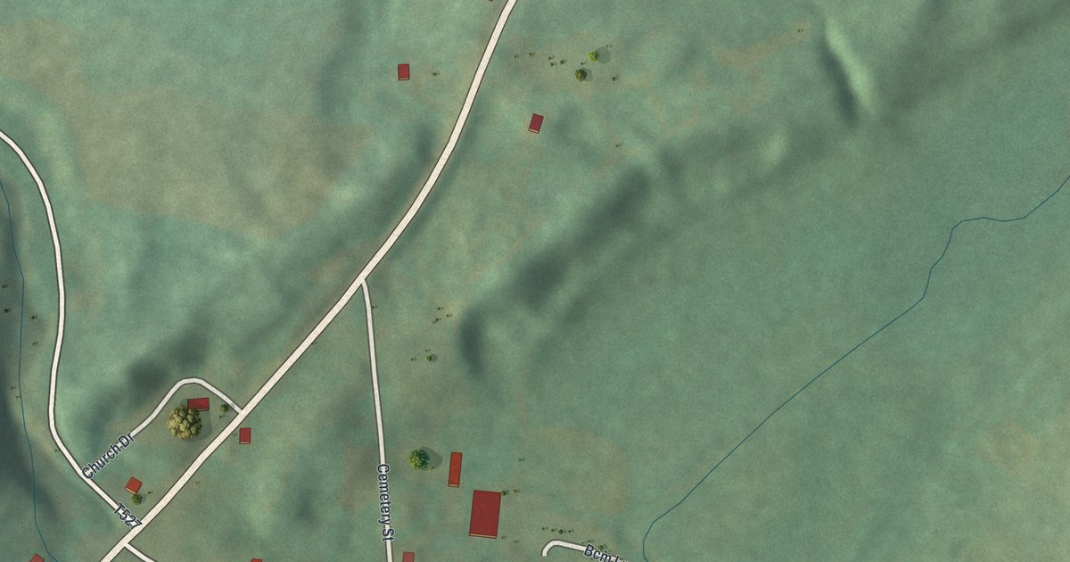
A detailed map of Alba, Pennsylvania, showing every building in its true location, the roads by name, and shaded topographical relief.
Read More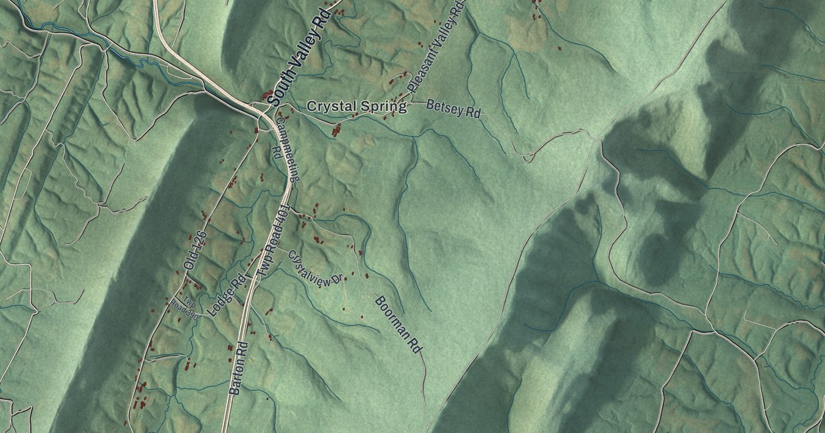
A detailed map of Brush Creek, Pennsylvania, showing every building in its true location, the roads by name, and shaded topographical relief.
Read More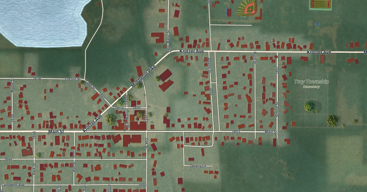
A detailed map of Luckey, Ohio, showing every building in its true location, the roads by name, and shaded topographical relief.
Read More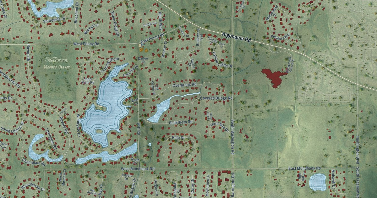
A detailed map of South Barrington, Illinois, showing every building in its true location, the roads by name, and shaded topographical relief.
Read More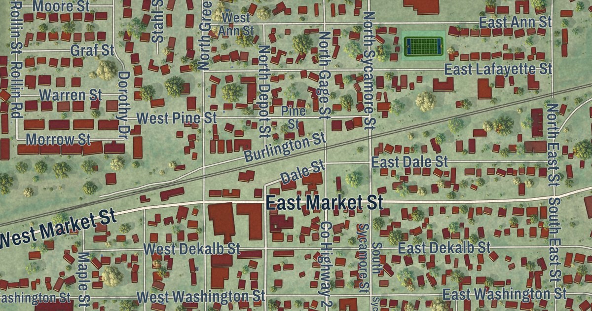
A detailed map of Somonauk, Illinois, showing every building in its true location, the roads by name, and shaded topographical relief.
Read More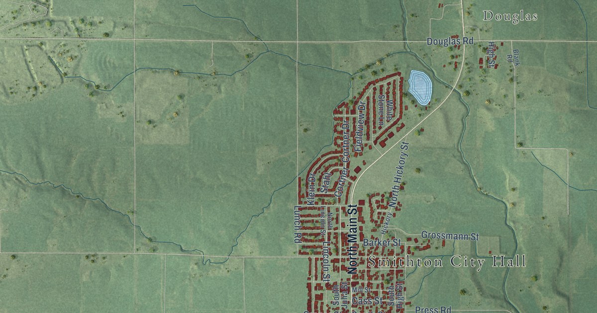
A detailed map of Smithton, Illinois, showing every building in its true location, the roads by name, and shaded topographical relief.
Read More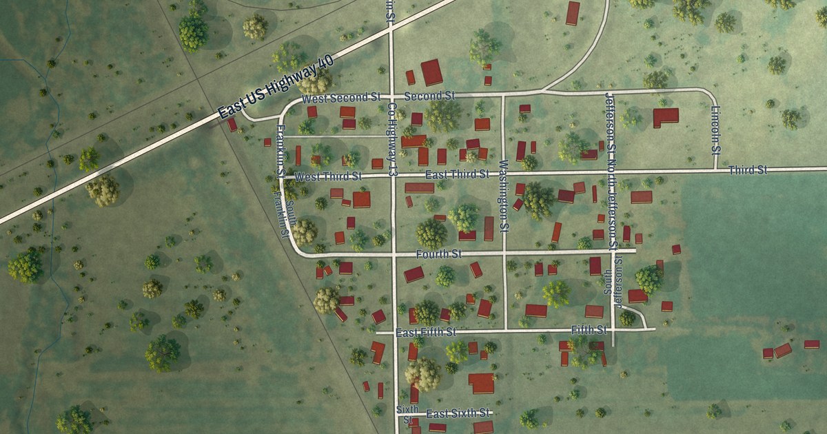
A detailed map of Smithboro, Illinois, showing every building in its true location, the roads by name, and shaded topographical relief.
Read More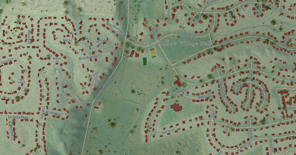
A detailed map of Sleepy Hollow, Illinois, showing every building in its true location, the roads by name, and shaded topographical relief.
Read More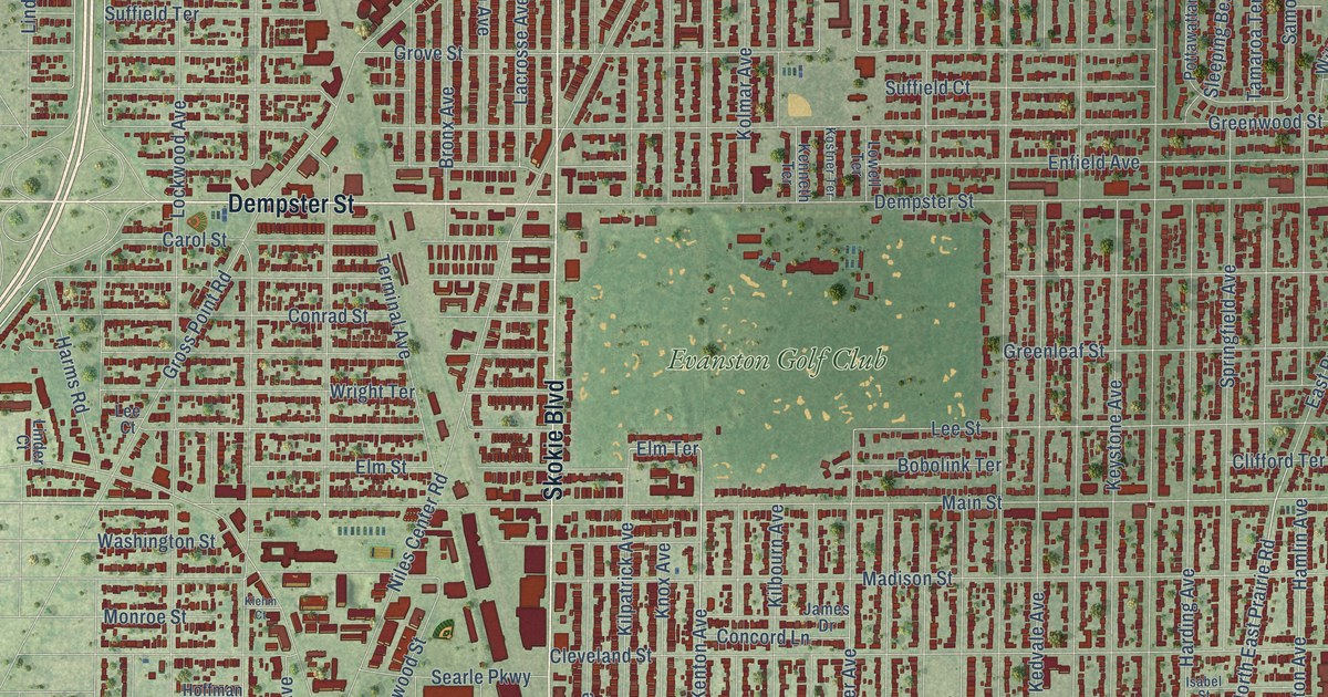
A detailed map of Skokie, Illinois, showing every building in its true location, the roads by name, and shaded topographical relief.
Read More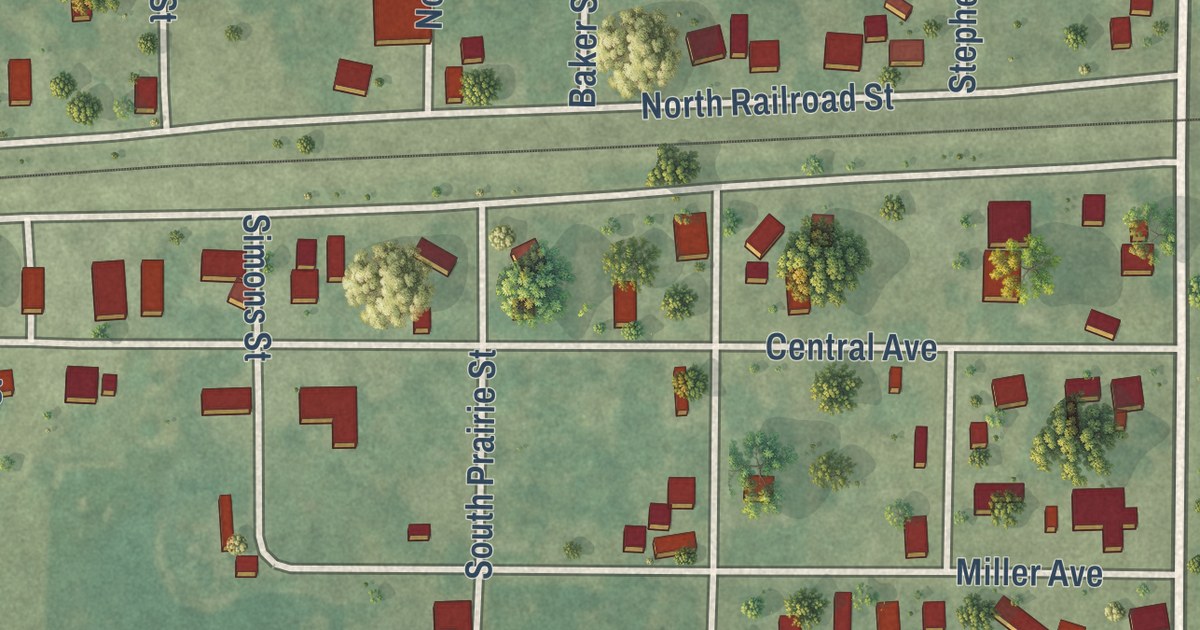
A detailed map of Sims, Illinois, showing every building in its true location, the roads by name, and shaded topographical relief.
Read More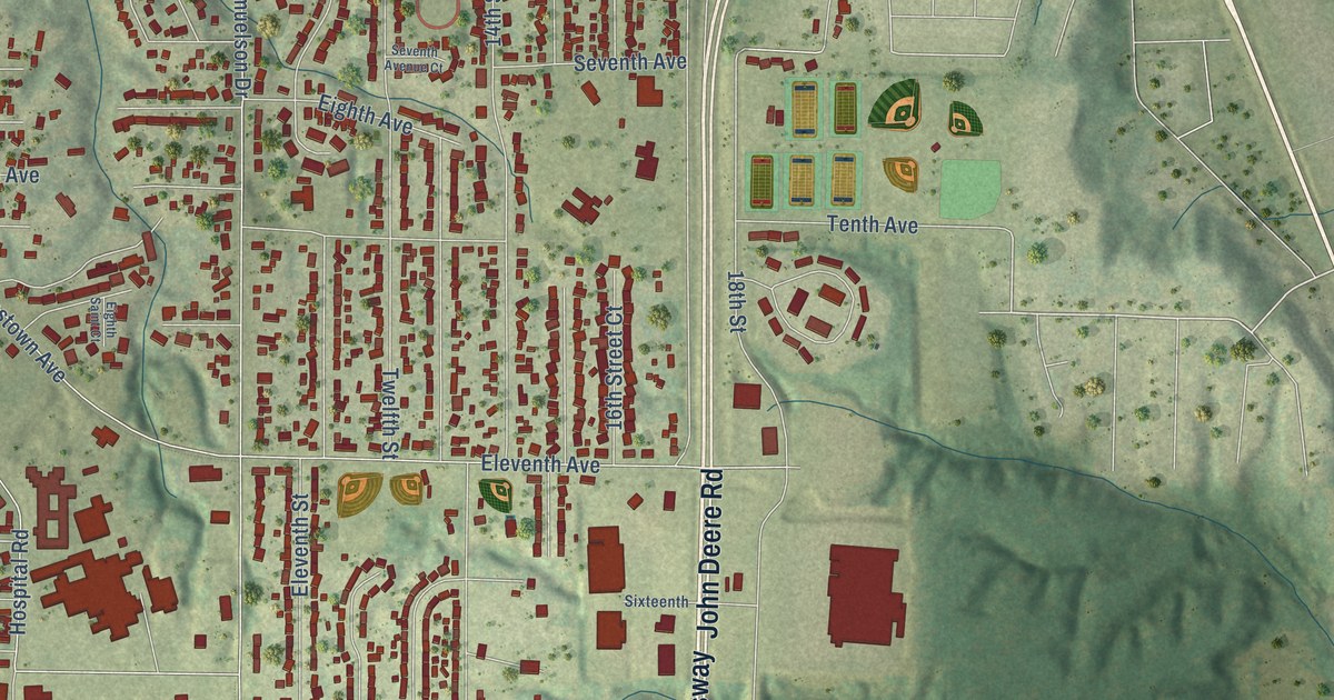
A detailed map of Silvis, Illinois, showing every building in its true location, the roads by name, and shaded topographical relief.
Read More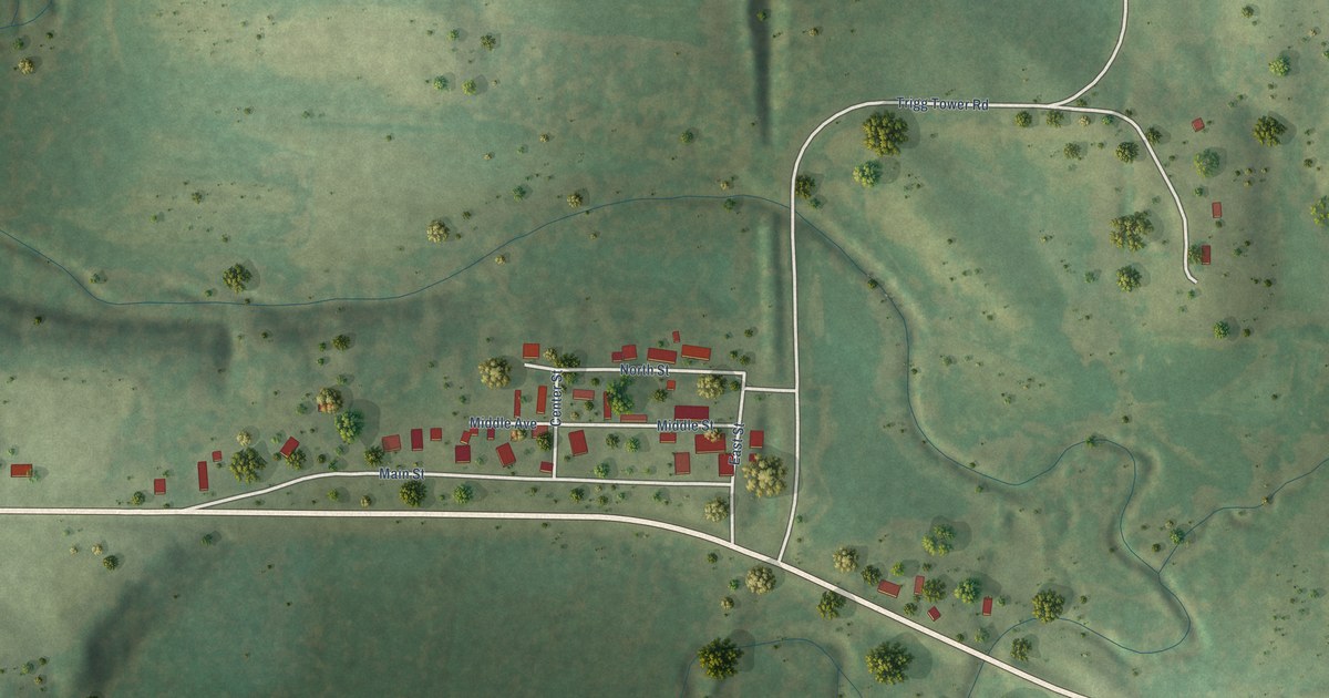
A detailed map of Simpson, Illinois, showing every building in its true location, the roads by name, and shaded topographical relief.
Read More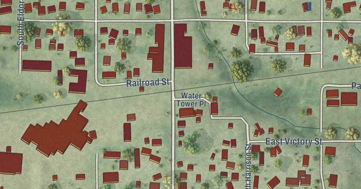
A detailed map of Sidney, Illinois, showing every building in its true location, the roads by name, and shaded topographical relief.
Read More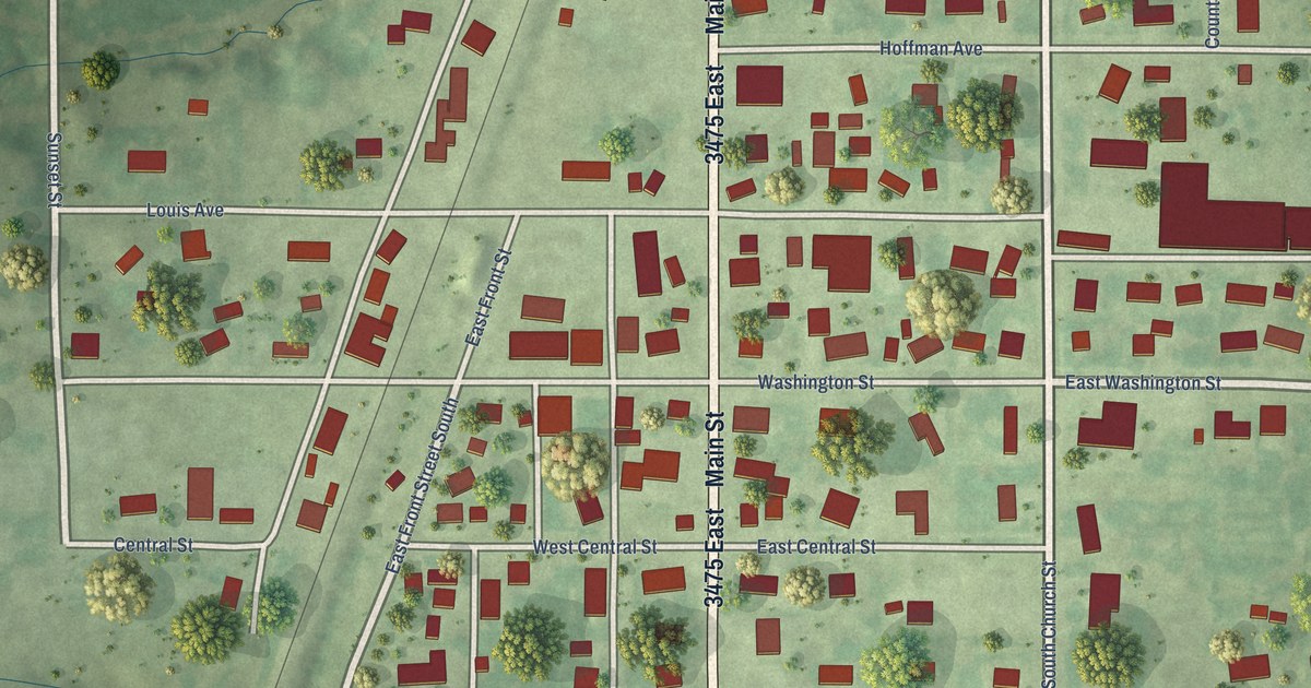
A detailed map of Sigel, Illinois, showing every building in its true location, the roads by name, and shaded topographical relief.
Read More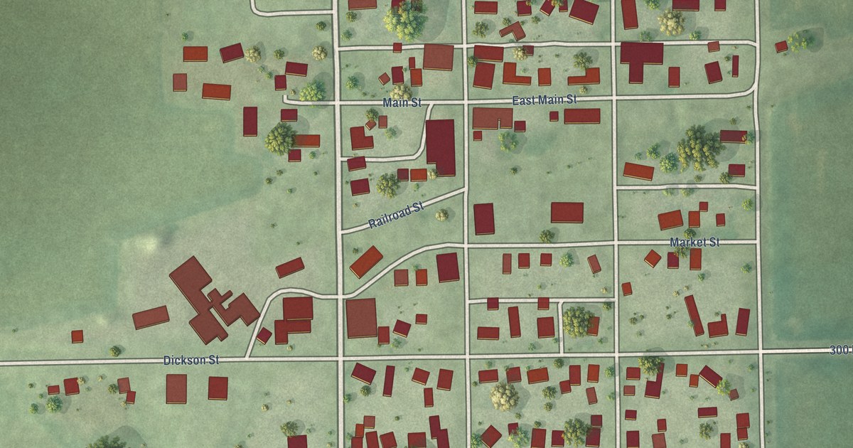
A detailed map of Sidell, Illinois, showing every building in its true location, the roads by name, and shaded topographical relief.
Read More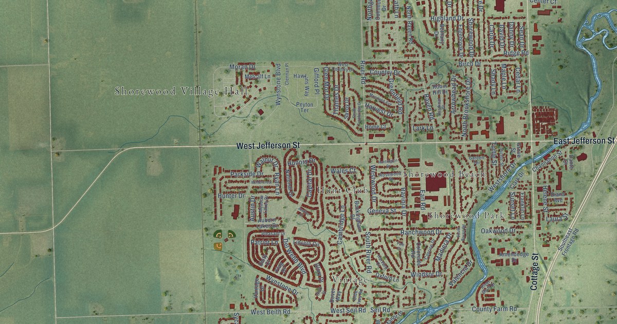
A detailed map of Shorewood, Illinois, showing every building in its true location, the roads by name, and shaded topographical relief.
Read More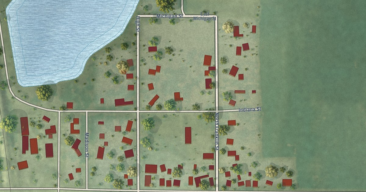
A detailed map of Sibley, Illinois, showing every building in its true location, the roads by name, and shaded topographical relief.
Read More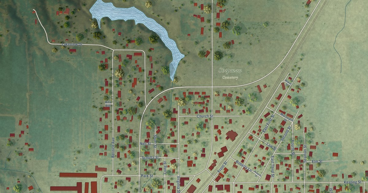
A detailed map of Shipman, Illinois, showing every building in its true location, the roads by name, and shaded topographical relief.
Read More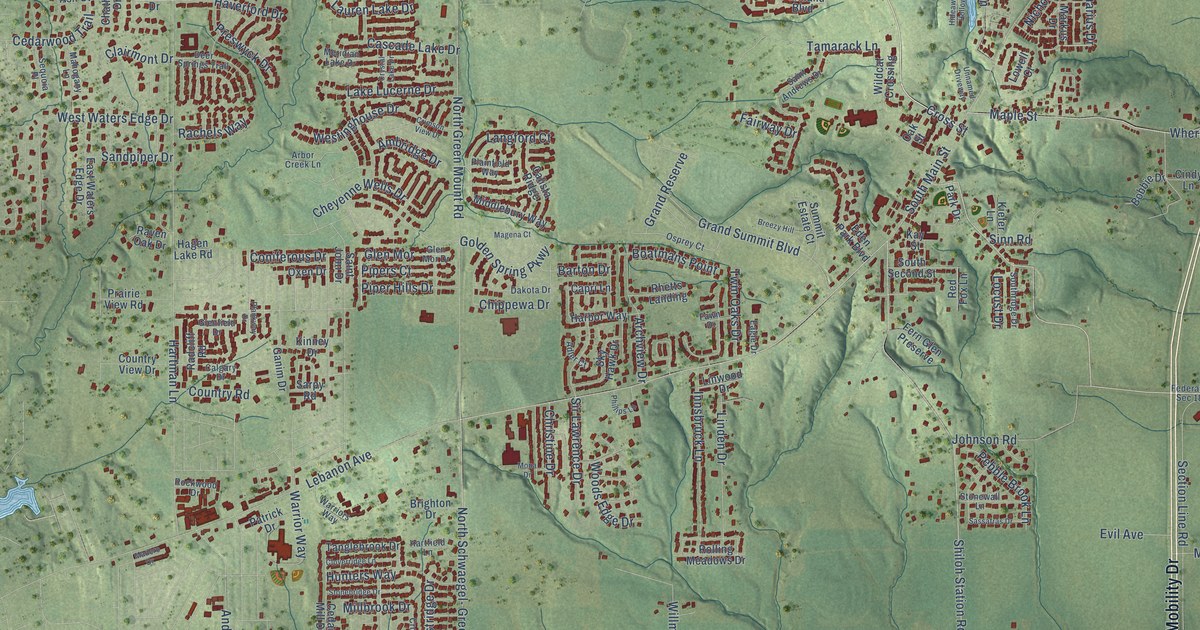
A detailed map of Shiloh, Illinois, showing every building in its true location, the roads by name, and shaded topographical relief.
Read More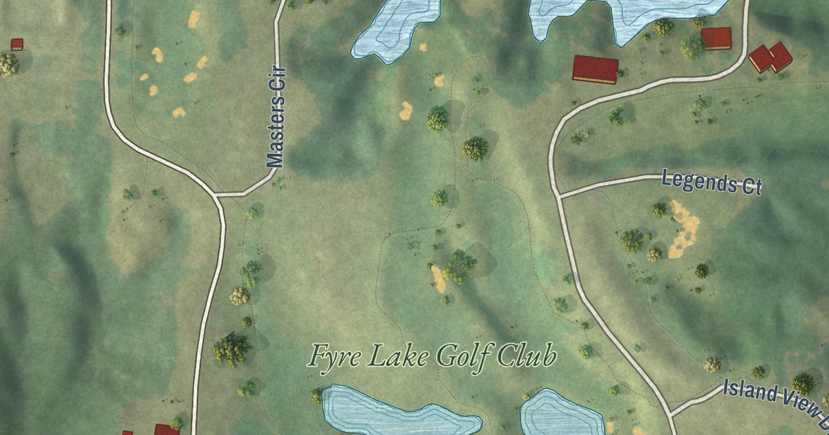
A detailed map of Sherrard, Illinois, showing every building in its true location, the roads by name, and shaded topographical relief.
Read More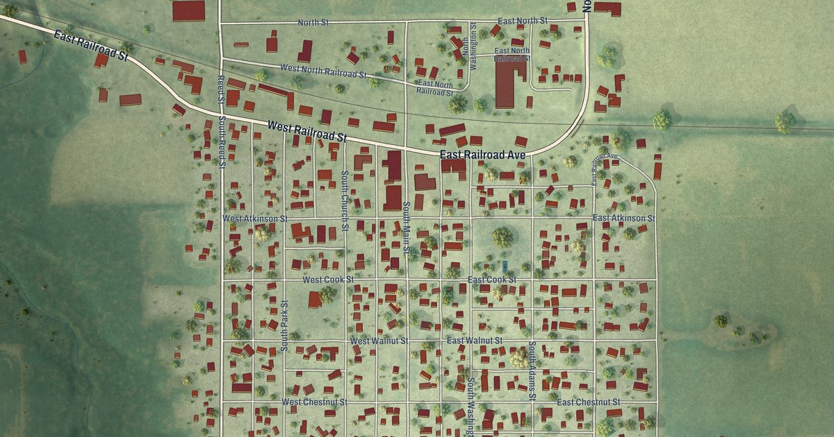
A detailed map of Sheffield, Illinois, showing every building in its true location, the roads by name, and shaded topographical relief.
Read More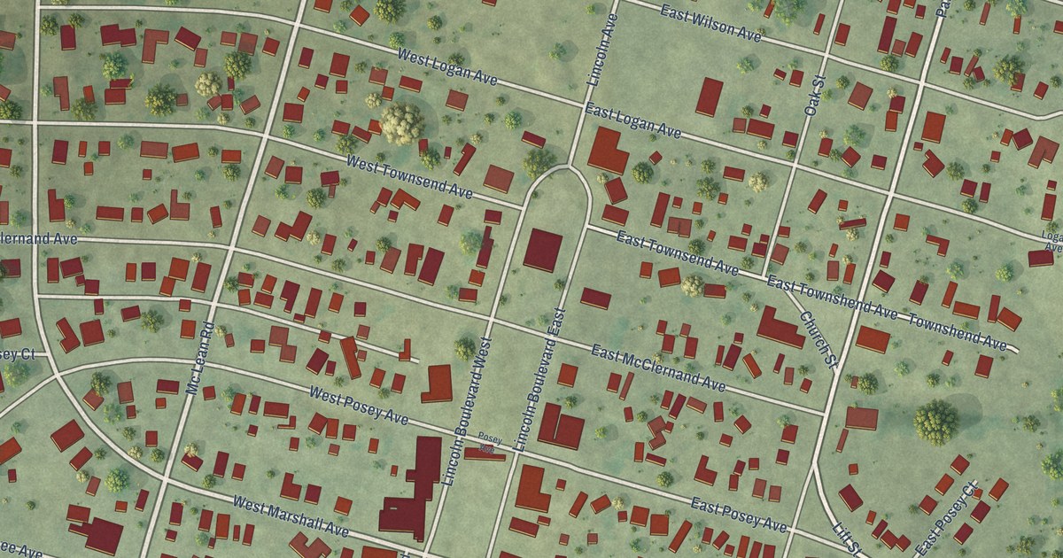
A detailed map of Shawneetown, Illinois, showing every building in its true location, the roads by name, and shaded topographical relief.
Read More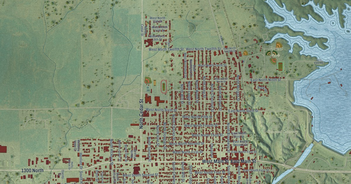
A detailed map of Shelbyville, Illinois, showing every building in its true location, the roads by name, and shaded topographical relief.
Read More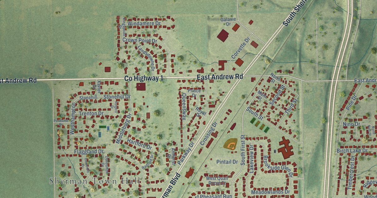
A detailed map of Sherman, Illinois, showing every building in its true location, the roads by name, and shaded topographical relief.
Read More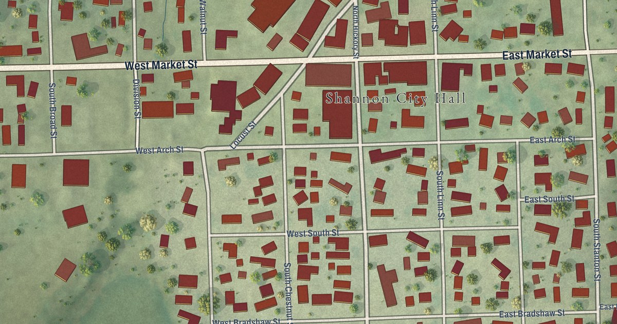
A detailed map of Shannon, Illinois, showing every building in its true location, the roads by name, and shaded topographical relief.
Read More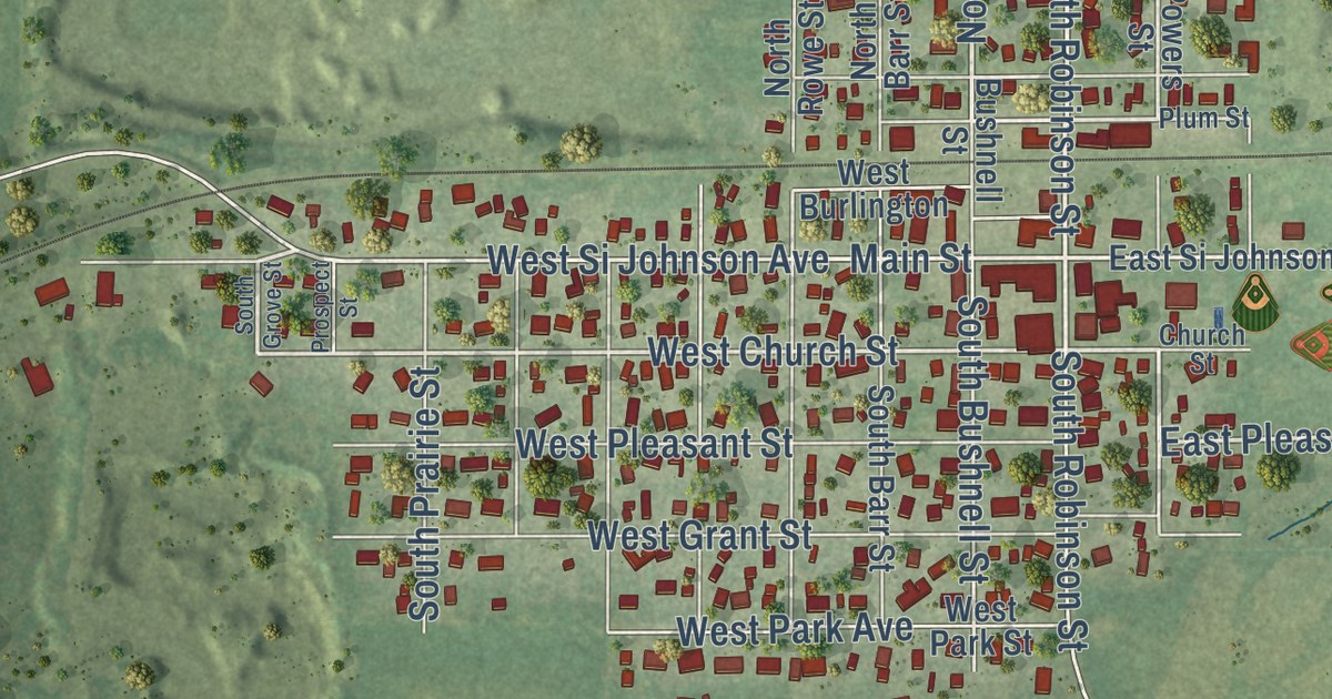
A detailed map of Sheridan, Illinois, showing every building in its true location, the roads by name, and shaded topographical relief.
Read More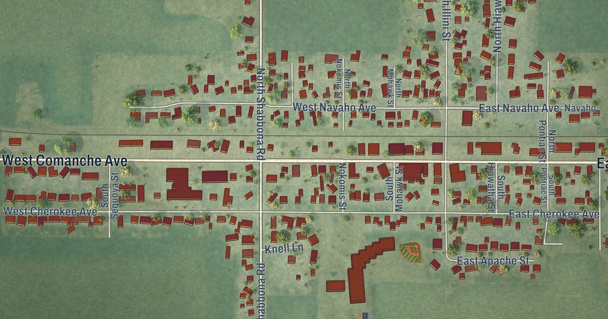
A detailed map of Shabbona, Illinois, showing every building in its true location, the roads by name, and shaded topographical relief.
Read More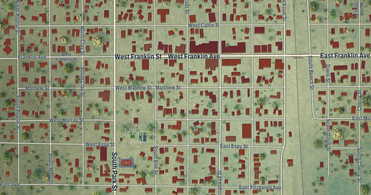
A detailed map of Sesser, Illinois, showing every building in its true location, the roads by name, and shaded topographical relief.
Read More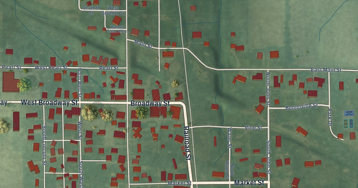
A detailed map of Bunker Hill, Indiana, showing every building in its true location, the roads by name, and shaded topographical relief.
Read More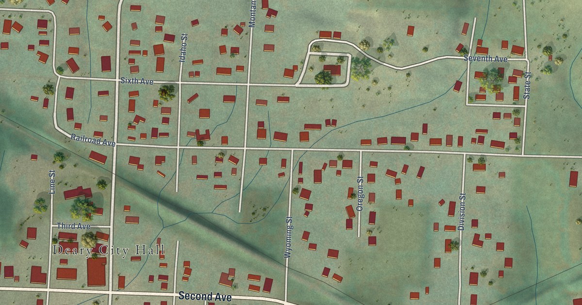
A detailed map of Deary, Idaho, showing every building in its true location, the roads by name, and shaded topographical relief.
Read More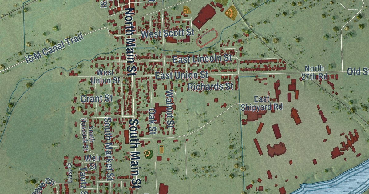
A detailed map of Seneca, Illinois, showing every building in its true location, the roads by name, and shaded topographical relief.
Read More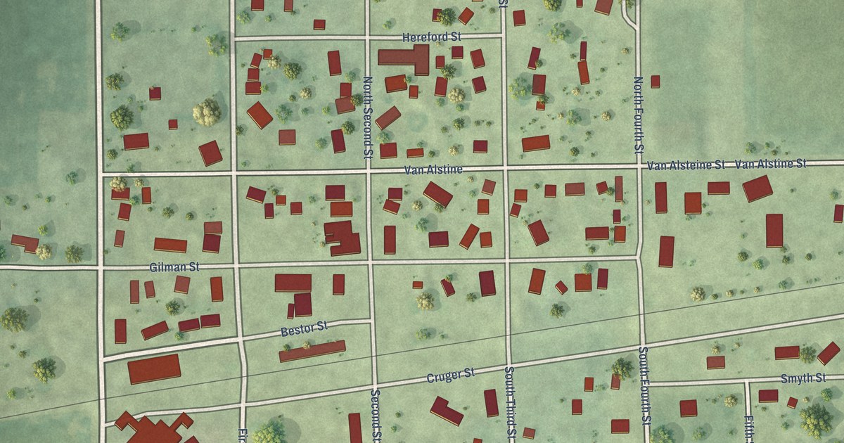
A detailed map of Secor, Illinois, showing every building in its true location, the roads by name, and shaded topographical relief.
Read More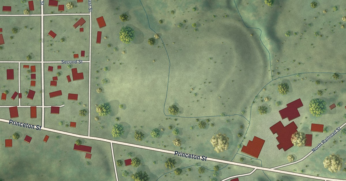
A detailed map of Seatonville, Illinois, showing every building in its true location, the roads by name, and shaded topographical relief.
Read More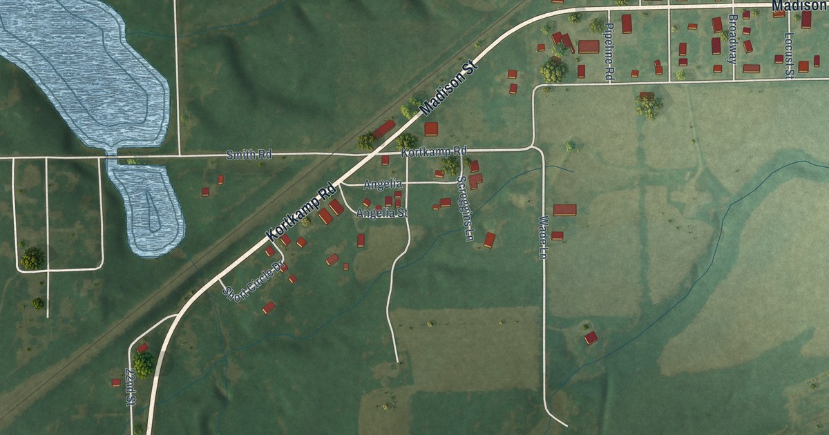
A detailed map of Schram City, Illinois, showing every building in its true location, the roads by name, and shaded topographical relief.
Read More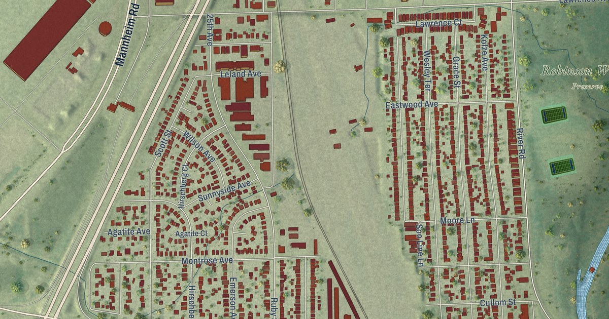
A detailed map of Schiller Park, Illinois, showing every building in its true location, the roads by name, and shaded topographical relief.
Read More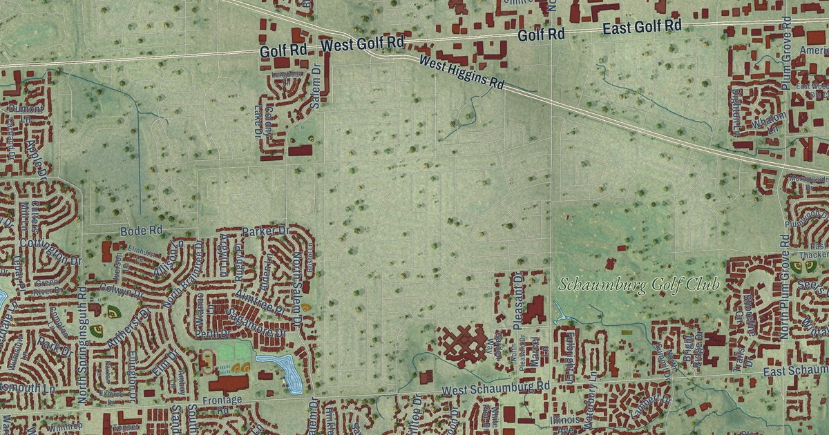
A detailed map of Schaumburg, Illinois, showing every building in its true location, the roads by name, and shaded topographical relief.
Read More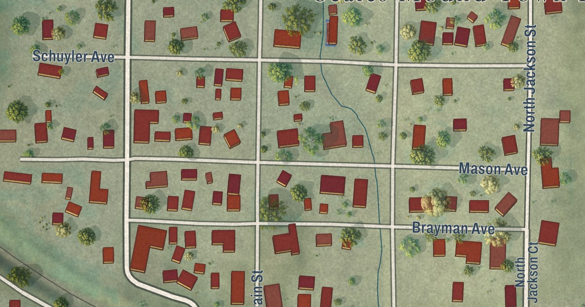
A detailed map of Scales Mound, Illinois, showing every building in its true location, the roads by name, and shaded topographical relief.
Read More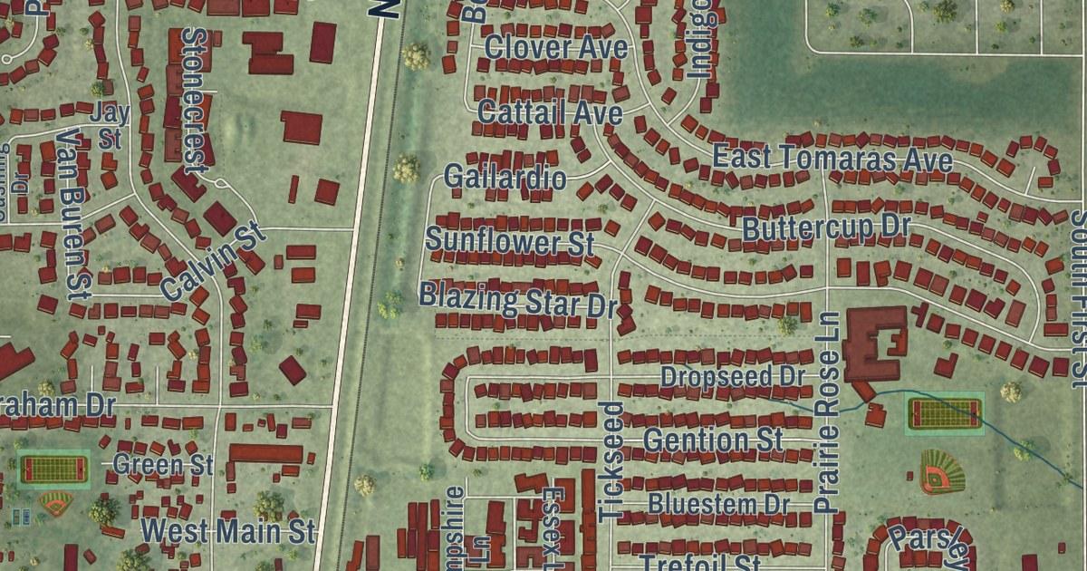
A detailed map of Savoy, Illinois, showing every building in its true location, the roads by name, and shaded topographical relief.
Read More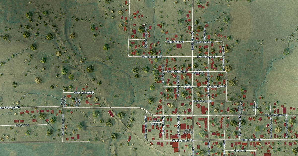
A detailed map of Saybrook, Illinois, showing every building in its true location, the roads by name, and shaded topographical relief.
Read More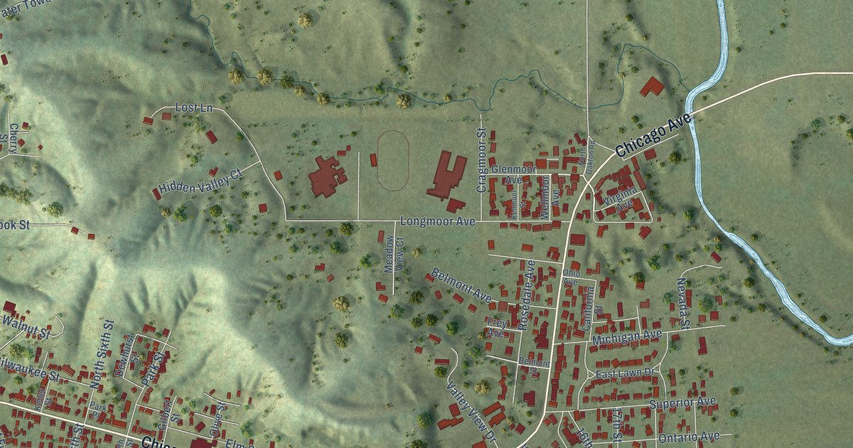
A detailed map of Savanna, Illinois, showing every building in its true location, the roads by name, and shaded topographical relief.
Read More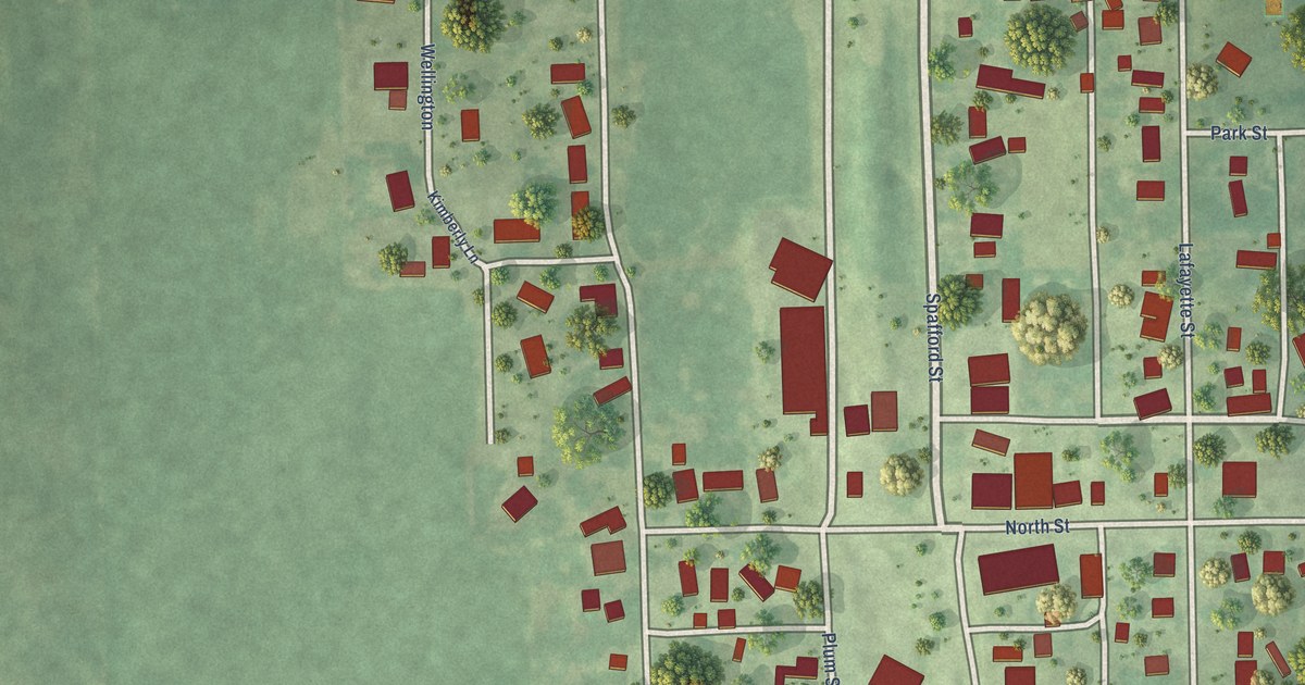
A detailed map of Saunemin, Illinois, showing every building in its true location, the roads by name, and shaded topographical relief.
Read More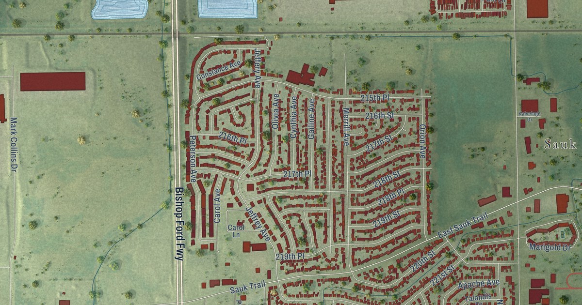
A detailed map of Sauk Village, Illinois, showing every building in its true location, the roads by name, and shaded topographical relief.
Read More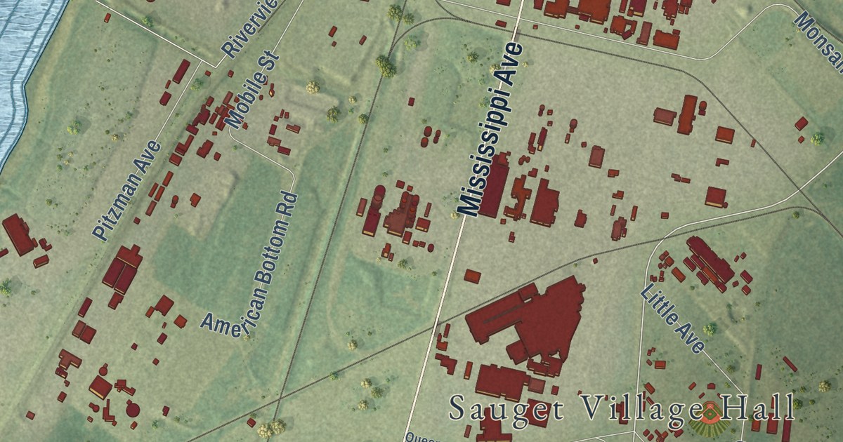
A detailed map of Sauget, Illinois, showing every building in its true location, the roads by name, and shaded topographical relief.
Read More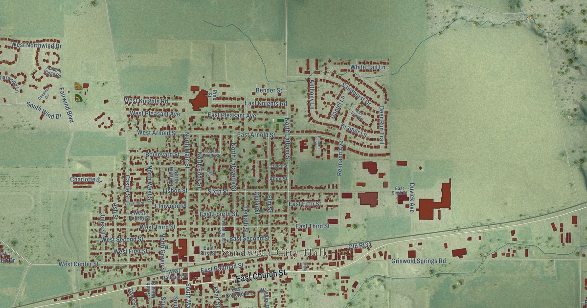
A detailed map of Sandwich, Illinois, showing every building in its true location, the roads by name, and shaded topographical relief.
Read More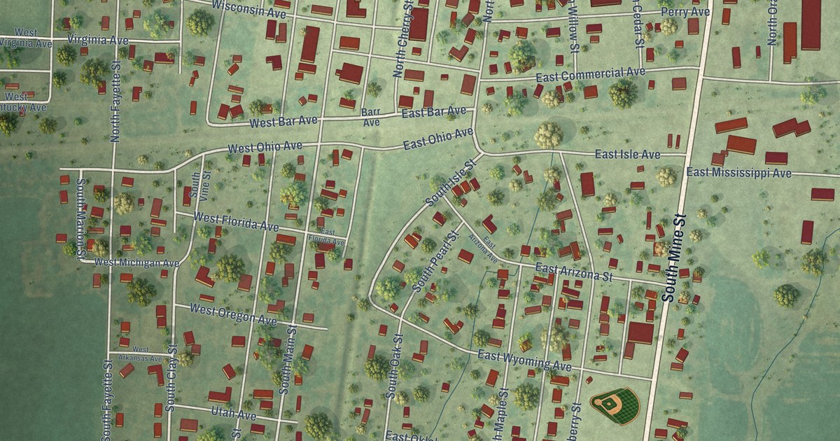
A detailed map of Sandoval, Illinois, showing every building in its true location, the roads by name, and shaded topographical relief.
Read More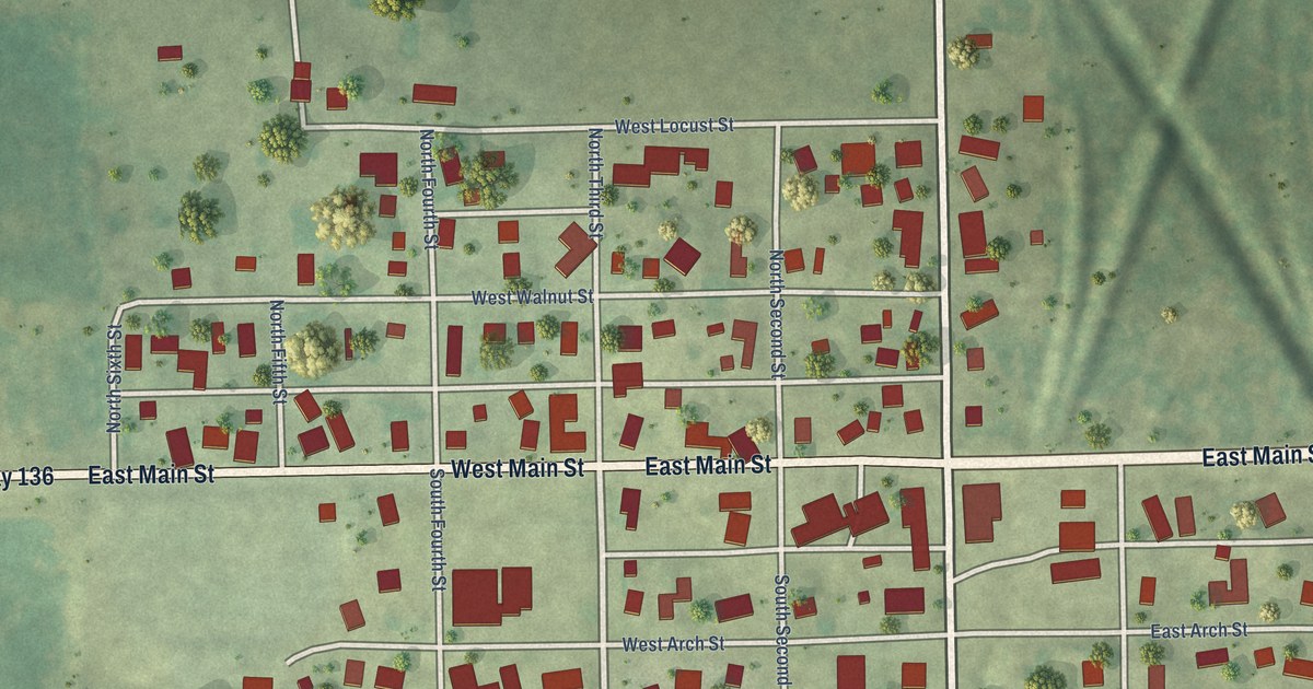
A detailed map of San Jose, Illinois, showing every building in its true location, the roads by name, and shaded topographical relief.
Read More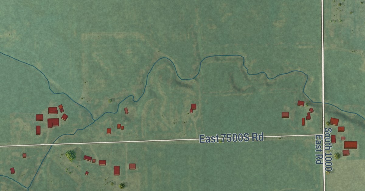
A detailed map of Sammons Point, Illinois, showing every building in its true location, the roads by name, and shaded topographical relief.
Read More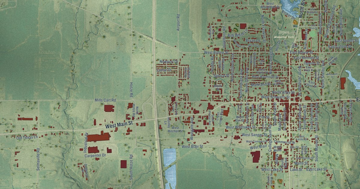
A detailed map of Salem, Illinois, showing every building in its true location, the roads by name, and shaded topographical relief.
Read More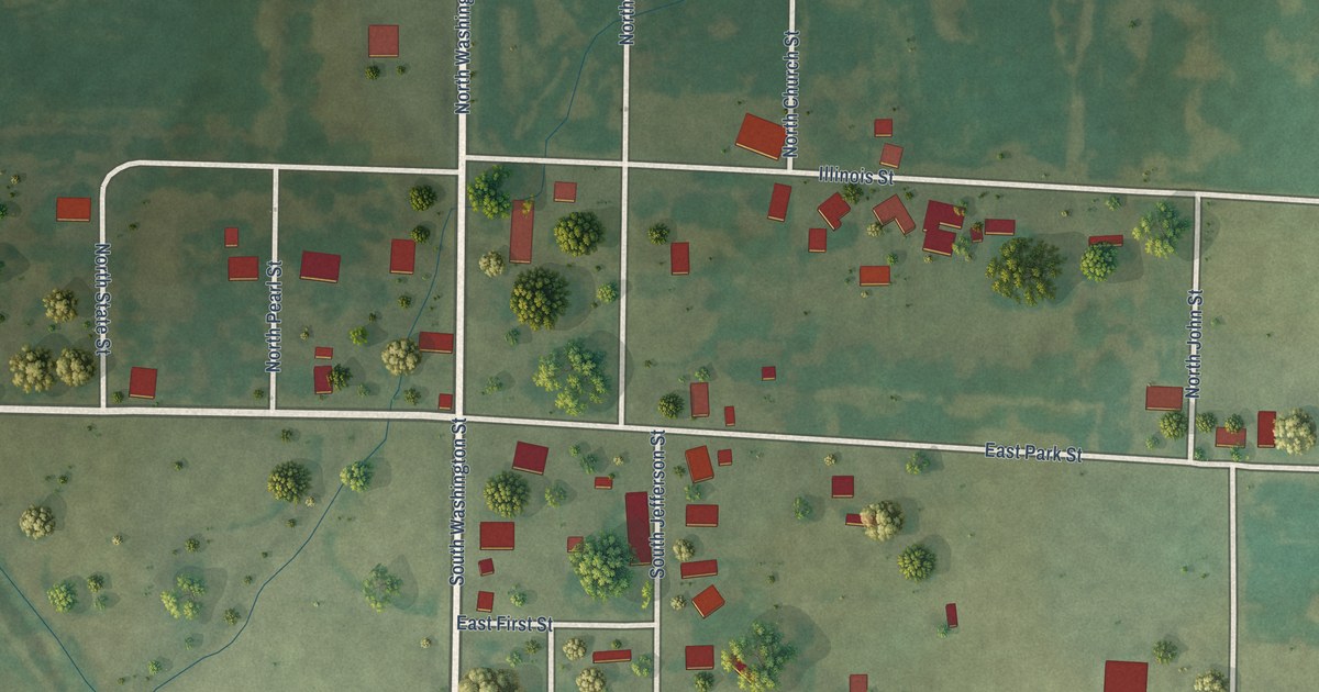
A detailed map of Sailor Springs, Illinois, showing every building in its true location, the roads by name, and shaded topographical relief.
Read More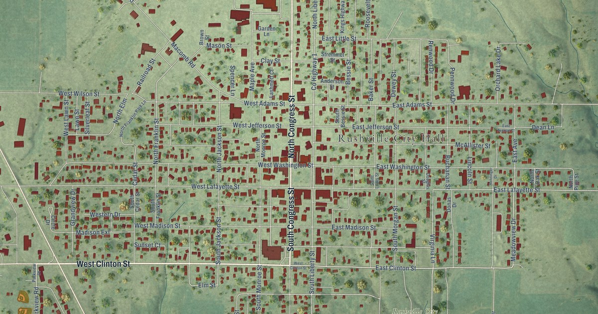
A detailed map of Rushville, Illinois, showing every building in its true location, the roads by name, and shaded topographical relief.
Read More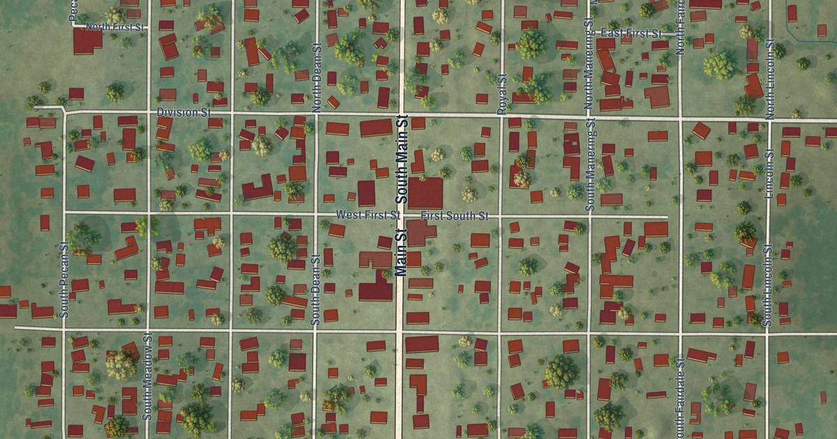
A detailed map of Royalton, Illinois, showing every building in its true location, the roads by name, and shaded topographical relief.
Read More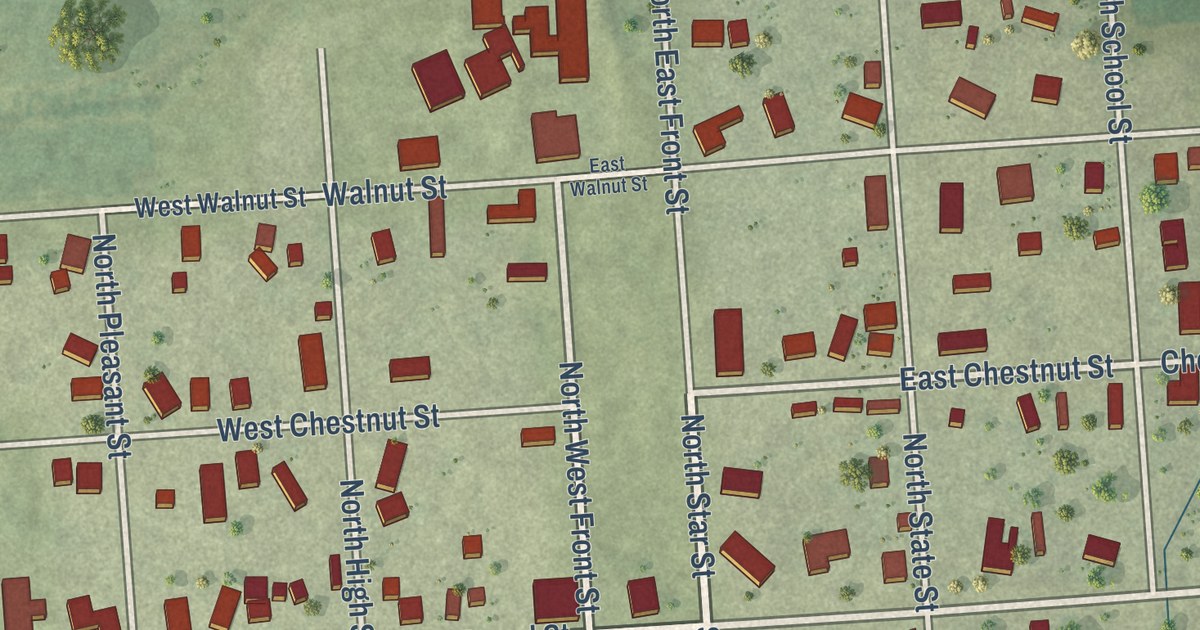
A detailed map of Rutland, Illinois, showing every building in its true location, the roads by name, and shaded topographical relief.
Read More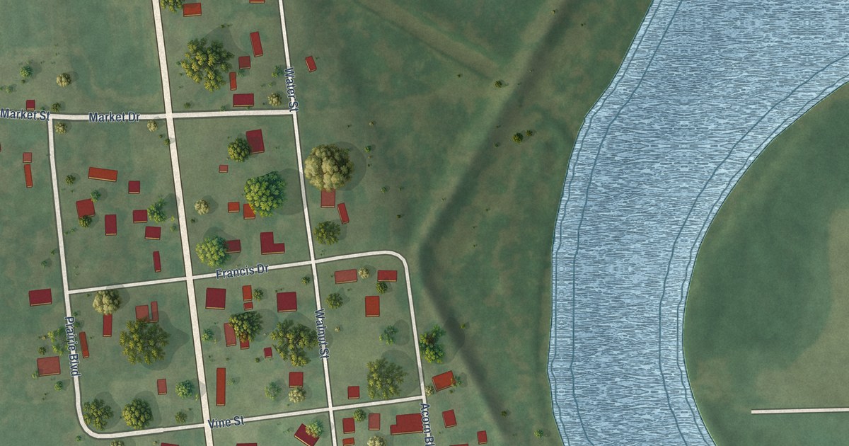
A detailed map of Russellville, Illinois, showing every building in its true location, the roads by name, and shaded topographical relief.
Read More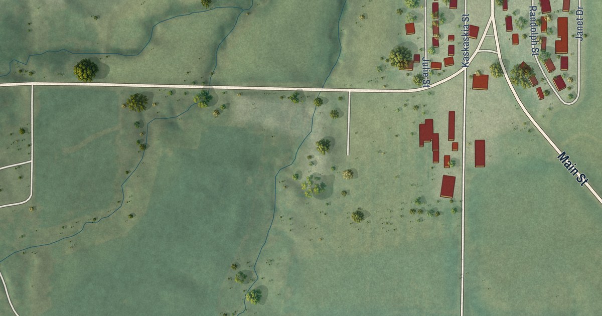
A detailed map of Ruma, Illinois, showing every building in its true location, the roads by name, and shaded topographical relief.
Read More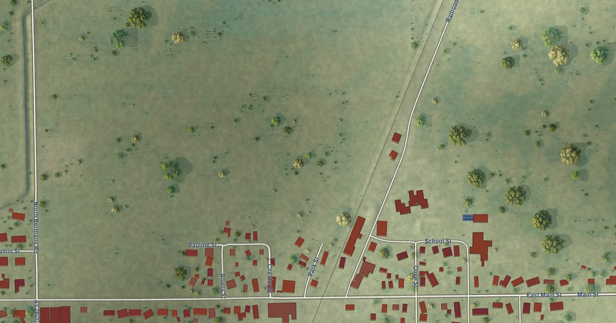
A detailed map of Royal, Illinois, showing every building in its true location, the roads by name, and shaded topographical relief.
Read More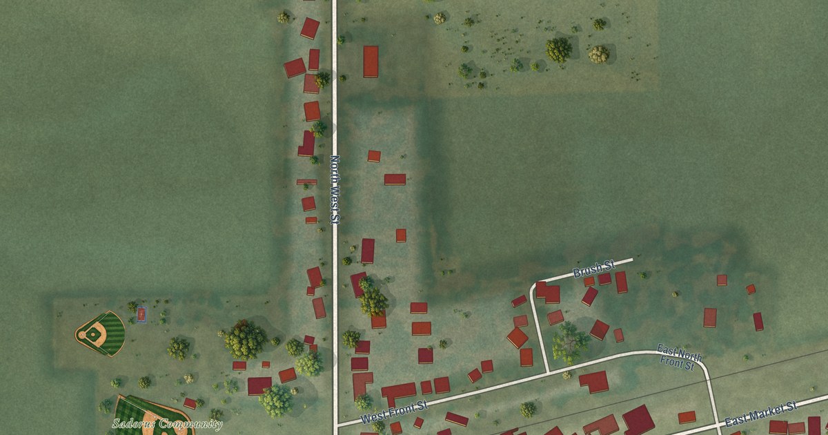
A detailed map of Sadorus, Illinois, showing every building in its true location, the roads by name, and shaded topographical relief.
Read More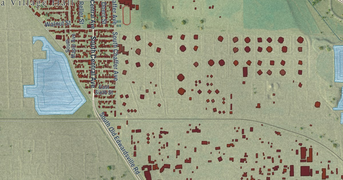
A detailed map of Roxana, Illinois, showing every building in its true location, the roads by name, and shaded topographical relief.
Read More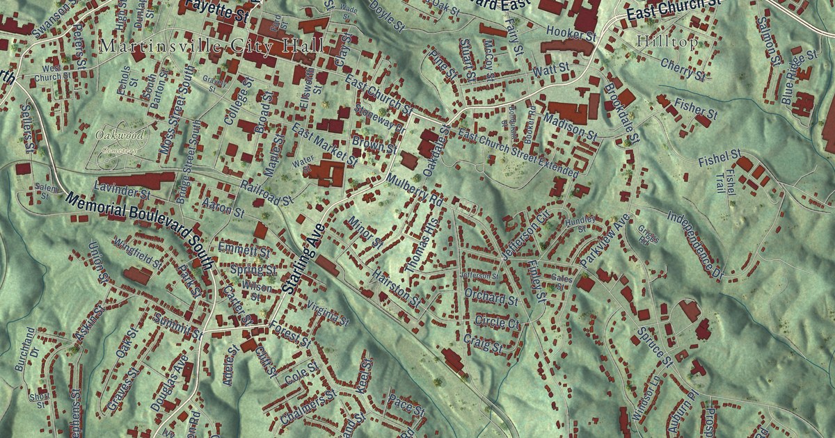
A detailed map of Martinsville, Virginia, showing every building in its true location, the roads by name, and shaded topographical relief.
Read More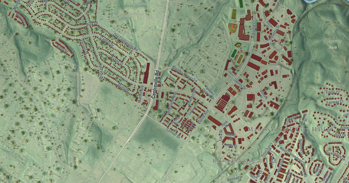
A detailed map of Manassas Park, Virginia, showing every building in its true location, the roads by name, and shaded topographical relief.
Read More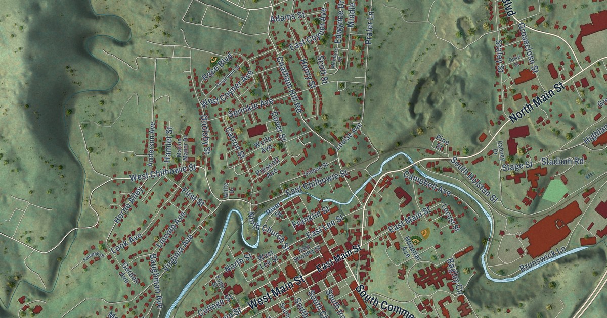
A detailed map of Marion, Virginia, showing every building in its true location, the roads by name, and shaded topographical relief.
Read More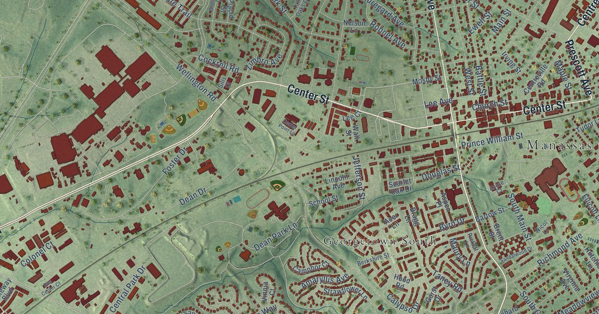
A detailed map of Manassas, Virginia, showing every building in its true location, the roads by name, and shaded topographical relief.
Read More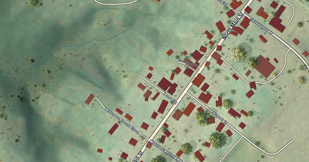
A detailed map of Madison, Virginia, showing every building in its true location, the roads by name, and shaded topographical relief.
Read More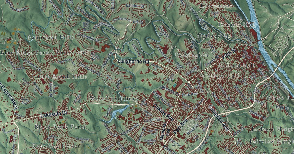
A detailed map of Lynchburg, Virginia, showing every building in its true location, the roads by name, and shaded topographical relief.
Read More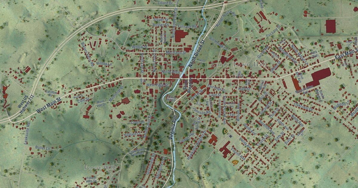
A detailed map of Luray, Virginia, showing every building in its true location, the roads by name, and shaded topographical relief.
Read More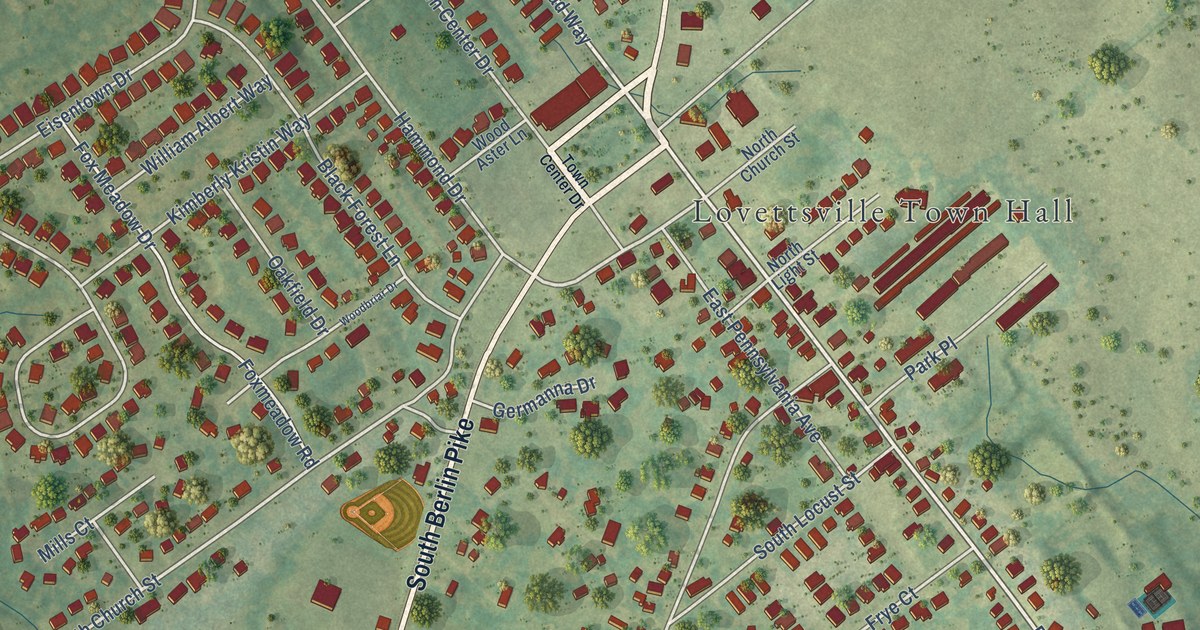
A detailed map of Lovettsville, Virginia, showing every building in its true location, the roads by name, and shaded topographical relief.
Read More















