
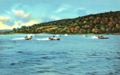
11 vintages images reveal the beauty of Connecticut’s Candlewood Lake
Candlewood Lake is a manmade lake located in Connecticut that is is bordered by five towns: Brookfield, Danbury, New Fairfield, New Milford, and Sherman. The following images show Candlewood Lake as it looked in the 1940's and 1950's. Bathing beaches at Candlewood...

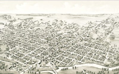
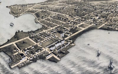
Beautifully restored map of Rocky Hill, CT from 1869
Vintage landowners map of Rocky Hill, Connecticut as it used to be
Beautifully detailed map of Muncie, Indiana from 1884
Detailed bird’s eye view of Muncie, Indiana in 1884
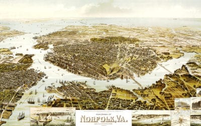
Beautiful old map shows Norfolk, VA as it looked in 1892
This map from 1892 shows Norfolk, Virginia and the surrounding areas.
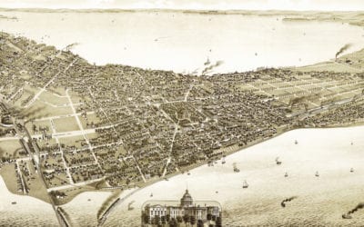
Amazing vintage map of Madison, Wisconsin in 1885
This old map shows Madison, Wisconsin in the late 19th century.
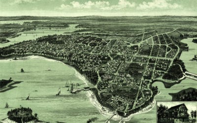
Beautifully restored map of College Point, Queens from 1876
Historic bird’s eye view of College Point, Queens in 1876
Beautiful map of Onset Bay Grove in Wareham, MA from 1885
Click here to see what Wareham, Massachusetts looked like in the late 19th century.
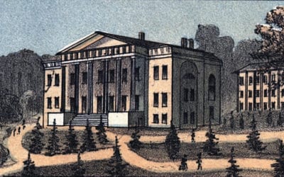
Beautifully restored map of Lexington, Kentucky from 1871
Historic bird’s eye view of Lexington, Kentucky in 1871
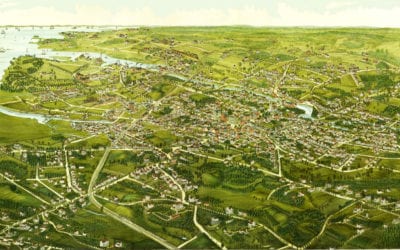
Beautiful hand drawn map of Stamford, Connecticut in 1883
Click here to see what Stamford looked like 100+ years ago.

Beautifully restored map of Queens, New York from 1918
Historic overview of the Borough of Queens, New York from 1918


