Detailed Map of Woodson, Illinois
A detailed map of Woodson, Illinois, showing every building in its true location, the roads by name, and shaded topographical relief.
Read More
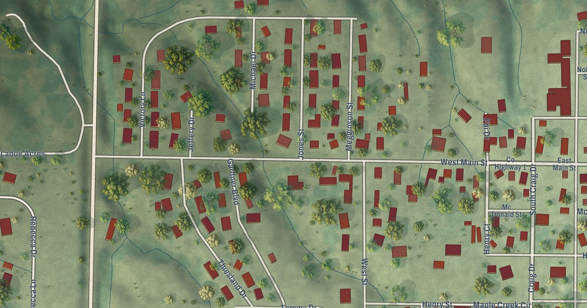
A detailed map of Woodson, Illinois, showing every building in its true location, the roads by name, and shaded topographical relief.
Read More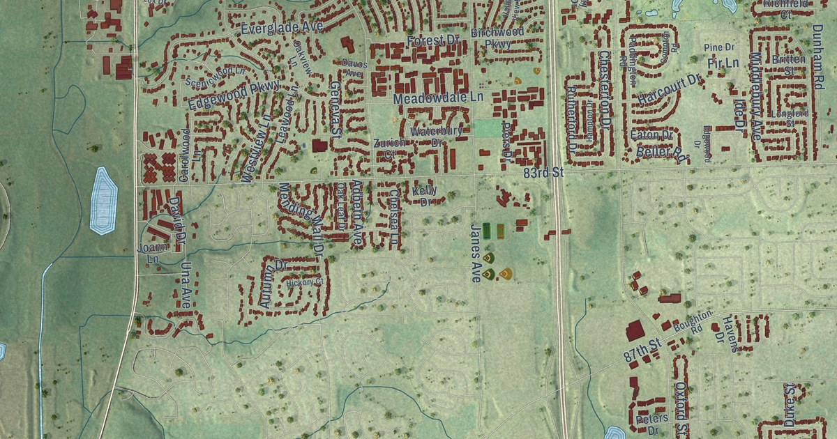
A detailed map of Woodridge, Illinois, showing every building in its true location, the roads by name, and shaded topographical relief.
Read More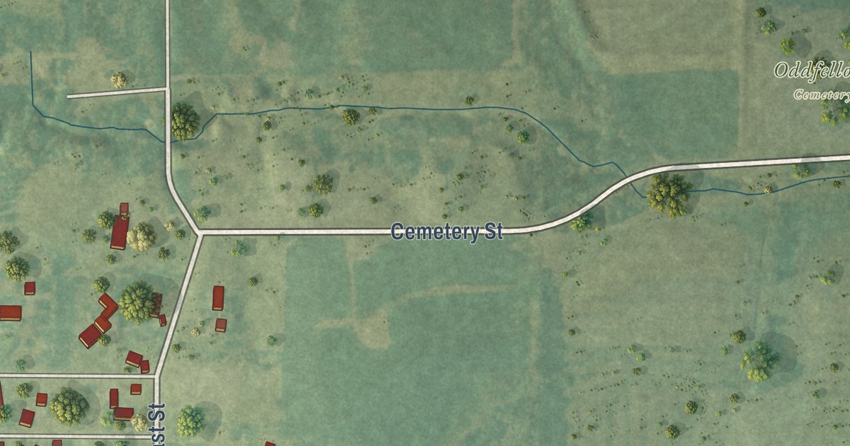
A detailed map of Woodlawn, Illinois, showing every building in its true location, the roads by name, and shaded topographical relief.
Read More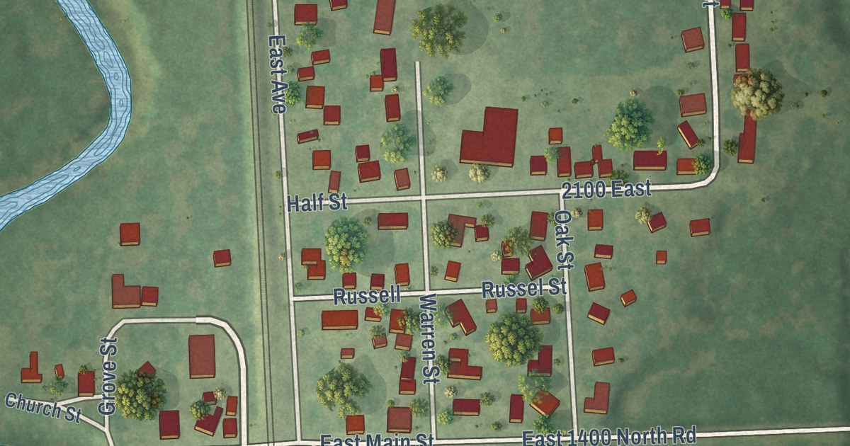
A detailed map of Woodland, Illinois, showing every building in its true location, the roads by name, and shaded topographical relief.
Read More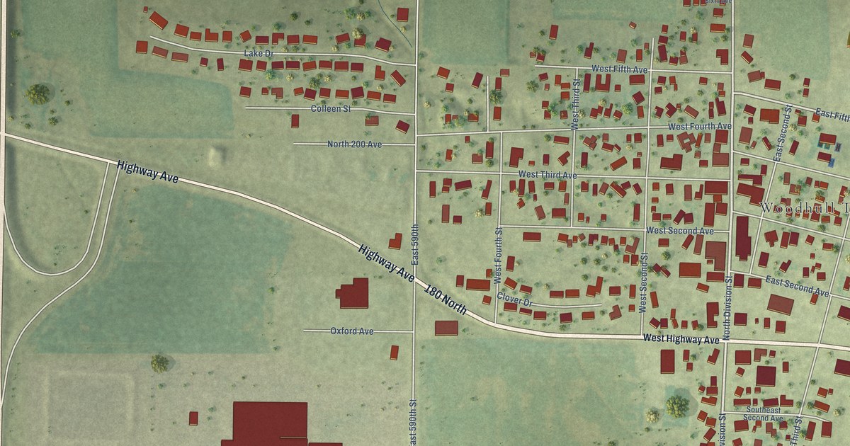
A detailed map of Woodhull, Illinois, showing every building in its true location, the roads by name, and shaded topographical relief.
Read More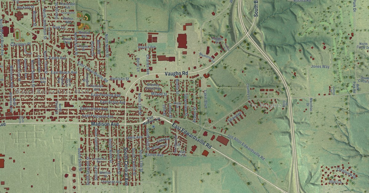
A detailed map of Wood River, Illinois, showing every building in its true location, the roads by name, and shaded topographical relief.
Read More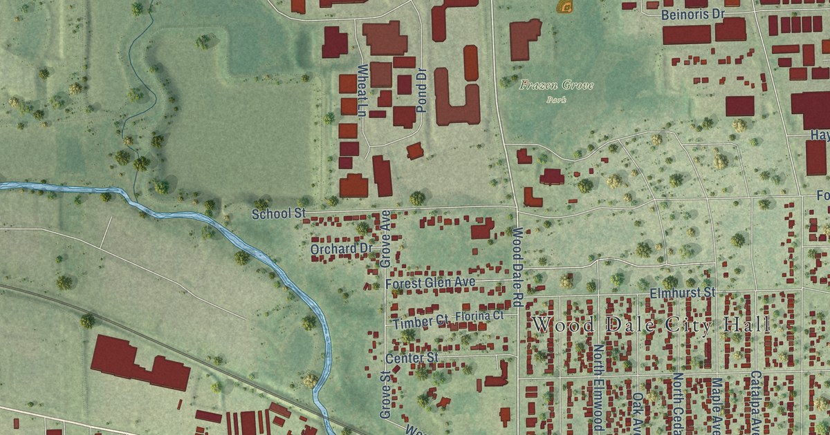
A detailed map of Wood Dale, Illinois, showing every building in its true location, the roads by name, and shaded topographical relief.
Read More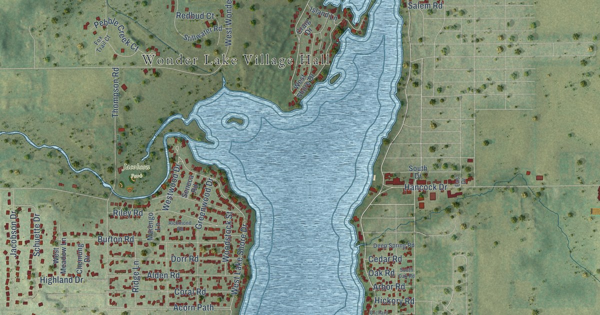
A detailed map of Wonder Lake, Illinois, showing every building in its true location, the roads by name, and shaded topographical relief.
Read More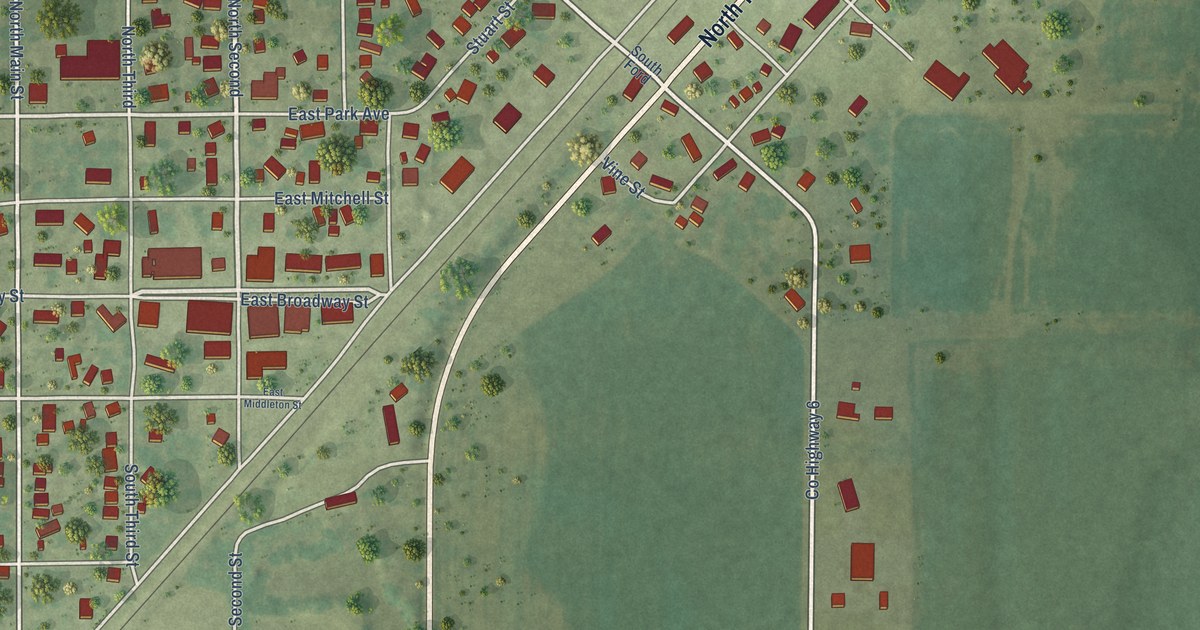
A detailed map of Witt, Illinois, showing every building in its true location, the roads by name, and shaded topographical relief.
Read More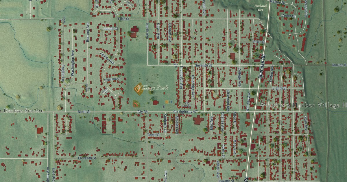
A detailed map of Winthrop Harbor, Illinois, showing every building in its true location, the roads by name, and shaded topographical relief.
Read More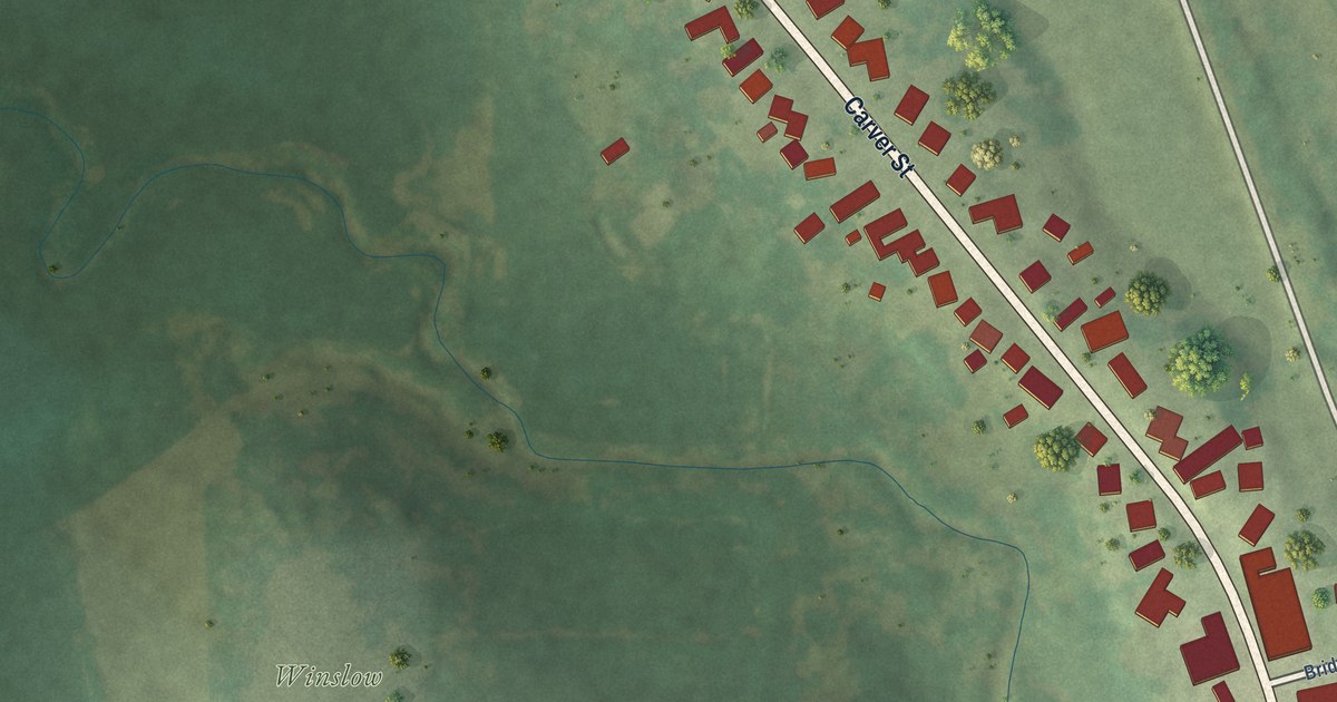
A detailed map of Winslow, Illinois, showing every building in its true location, the roads by name, and shaded topographical relief.
Read More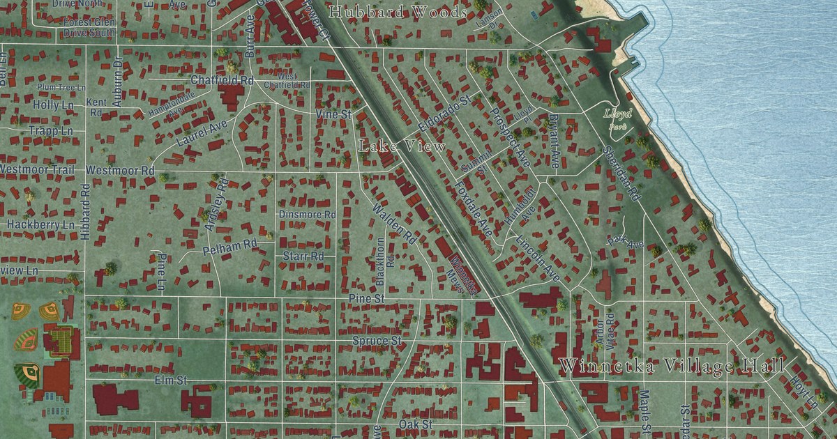
A detailed map of Winnetka, Illinois, showing every building in its true location, the roads by name, and shaded topographical relief.
Read More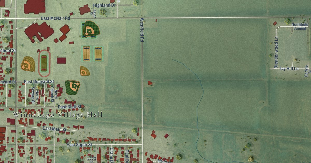
A detailed map of Winnebago, Illinois, showing every building in its true location, the roads by name, and shaded topographical relief.
Read More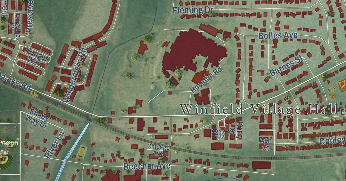
A detailed map of Winfield, Illinois, showing every building in its true location, the roads by name, and shaded topographical relief.
Read More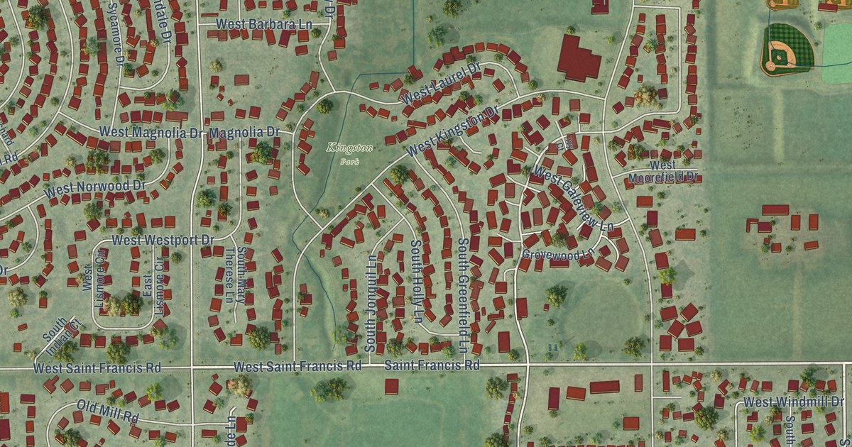
A detailed map of Frankfort Square, Illinois, showing every building in its true location, the roads by name, and shaded topographical relief.
Read More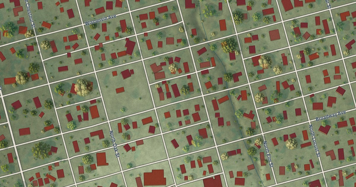
A detailed map of Windsor, Illinois, showing every building in its true location, the roads by name, and shaded topographical relief.
Read More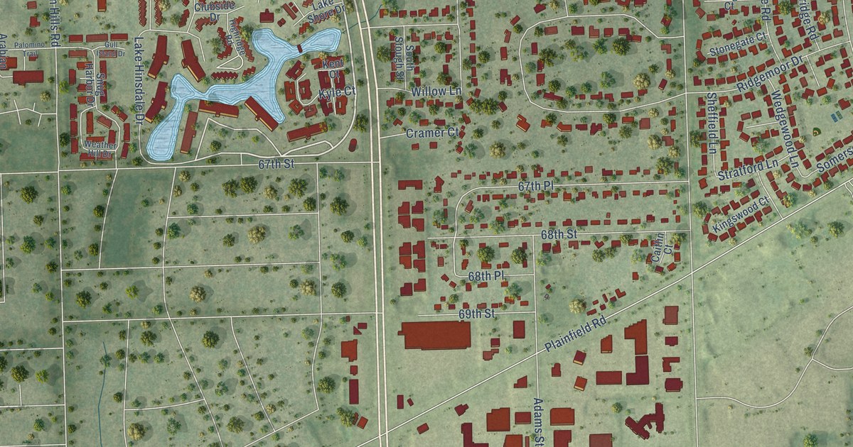
A detailed map of Willowbrook, Illinois, showing every building in its true location, the roads by name, and shaded topographical relief.
Read More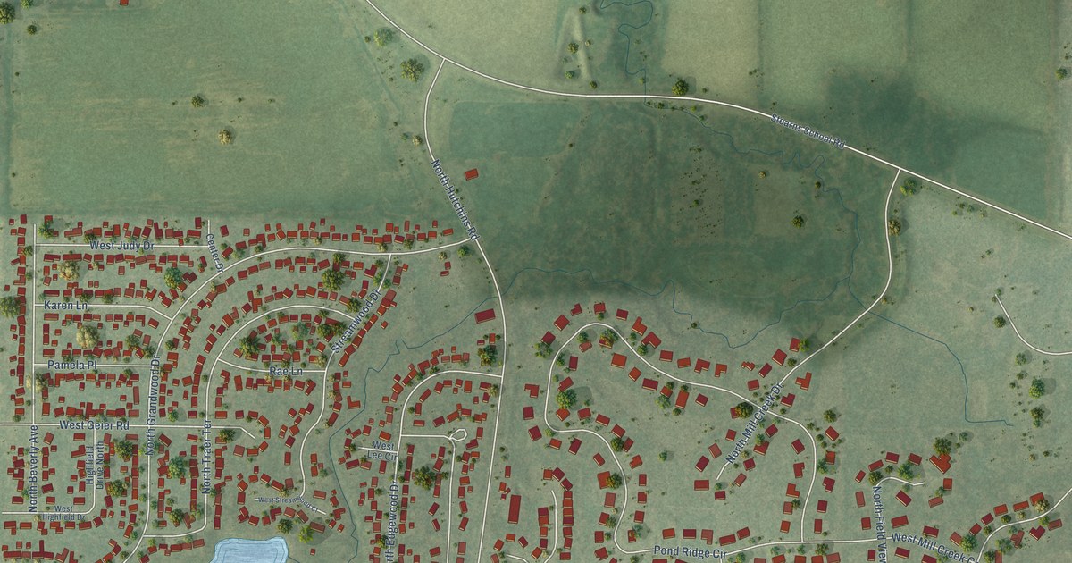
A detailed map of Grandwood Park, Illinois, showing every building in its true location, the roads by name, and shaded topographical relief.
Read More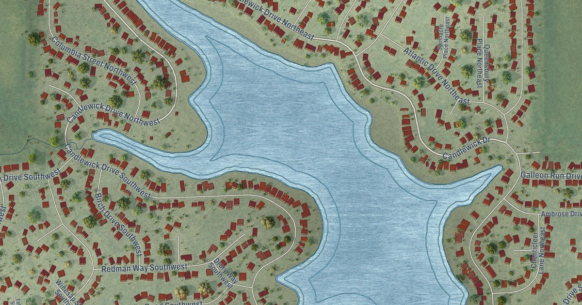
A detailed map of Candlewick Lake, Illinois, showing every building in its true location, the roads by name, and shaded topographical relief.
Read More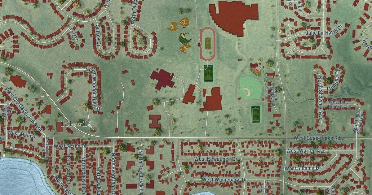
A detailed map of Gages Lake, Illinois, showing every building in its true location, the roads by name, and shaded topographical relief.
Read More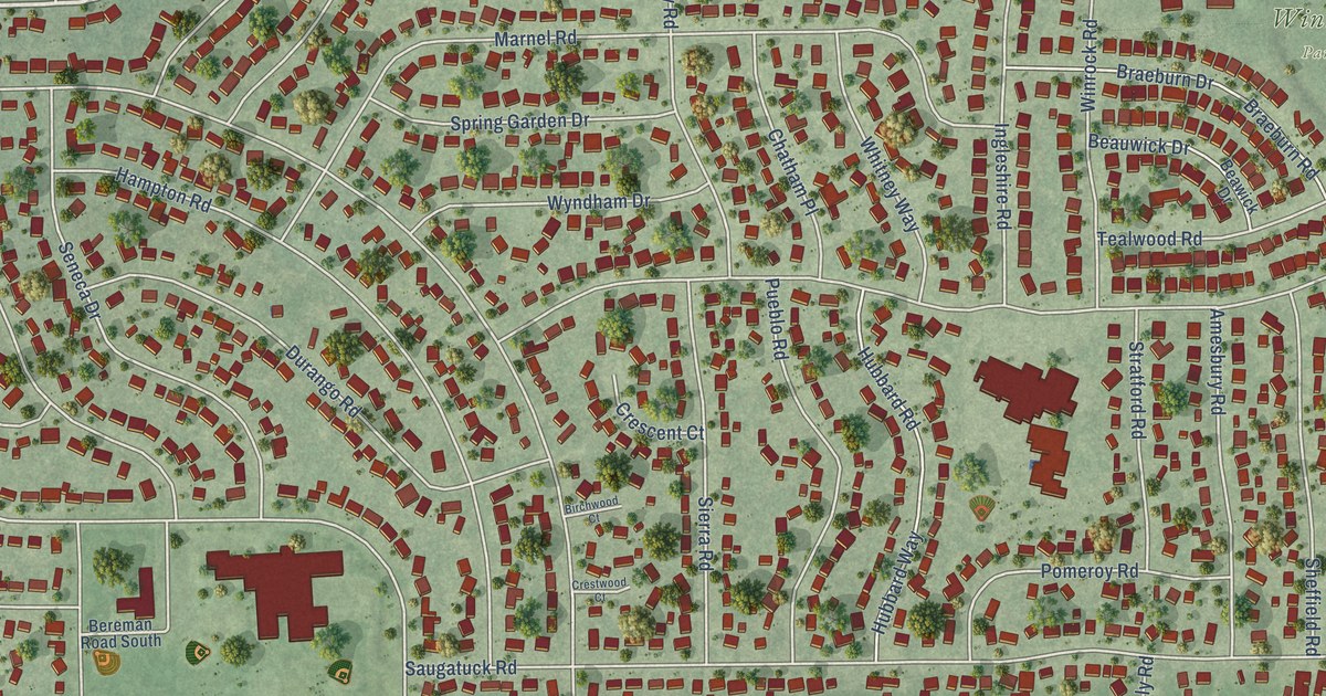
A detailed map of Boulder Hill, Illinois, showing every building in its true location, the roads by name, and shaded topographical relief.
Read More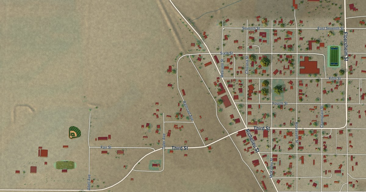
A detailed map of Roy, New Mexico, showing every building in its true location, the roads by name, and shaded topographical relief.
Read More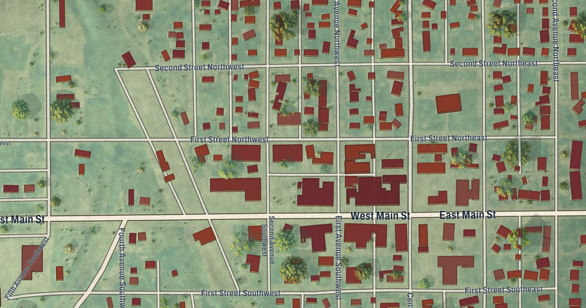
A detailed map of Ashley, North Dakota, showing every building in its true location, the roads by name, and shaded topographical relief.
Read More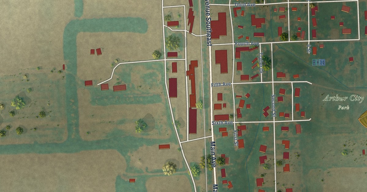
A detailed map of Arthur, North Dakota, showing every building in its true location, the roads by name, and shaded topographical relief.
Read More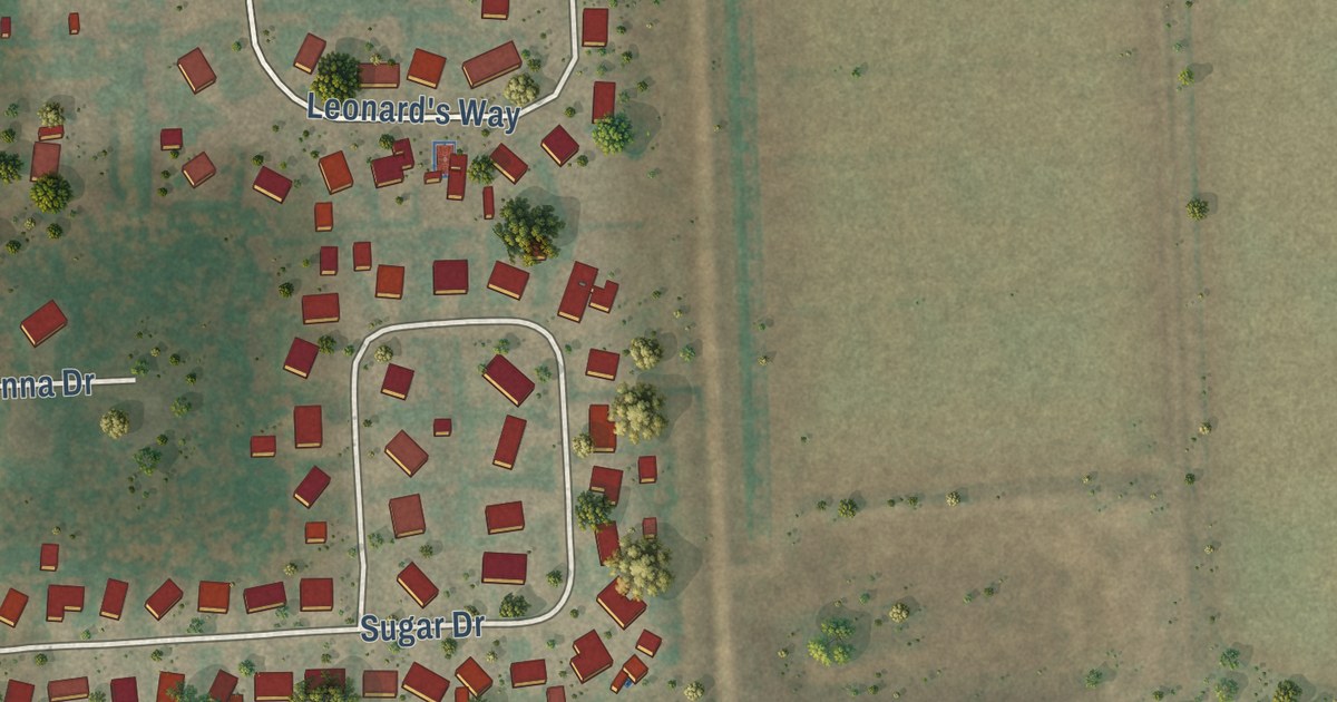
A detailed map of Argusville, North Dakota, showing every building in its true location, the roads by name, and shaded topographical relief.
Read More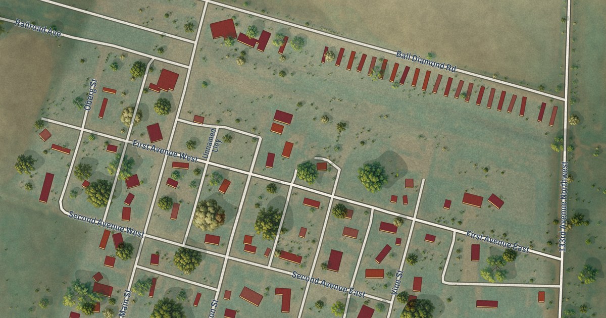
A detailed map of Arnegard, North Dakota, showing every building in its true location, the roads by name, and shaded topographical relief.
Read More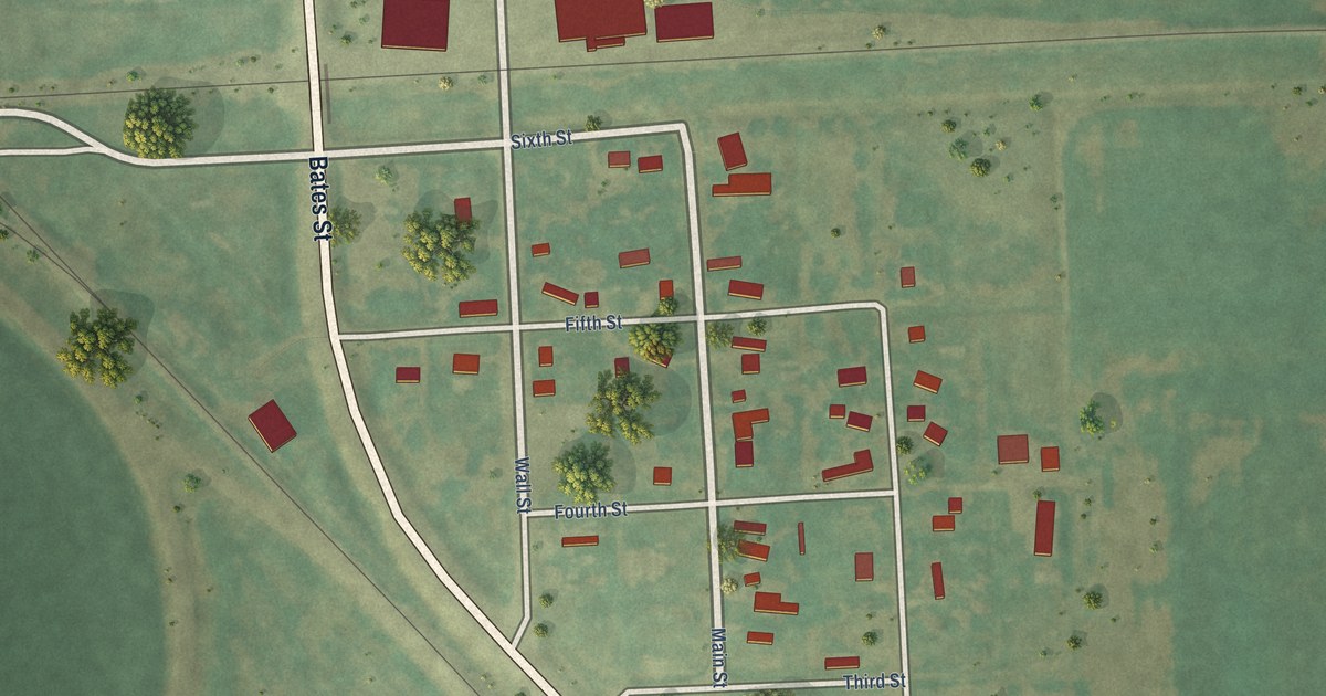
A detailed map of Ardoch, North Dakota, showing every building in its true location, the roads by name, and shaded topographical relief.
Read More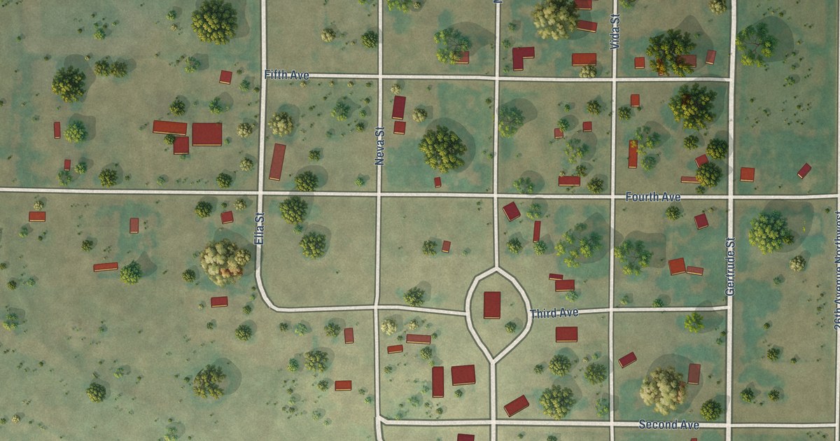
A detailed map of Antler, North Dakota, showing every building in its true location, the roads by name, and shaded topographical relief.
Read More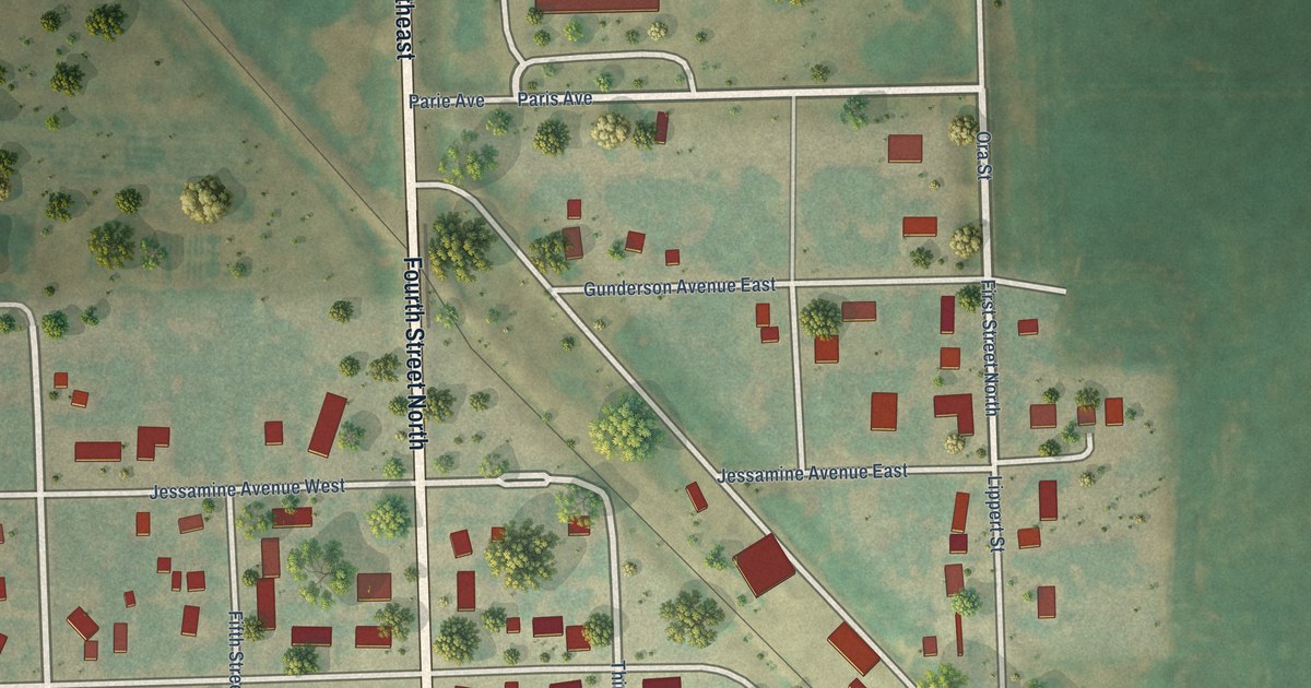
A detailed map of Aneta, North Dakota, showing every building in its true location, the roads by name, and shaded topographical relief.
Read More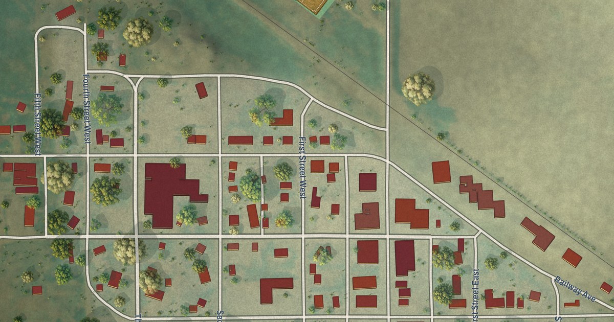
A detailed map of Anamoose, North Dakota, showing every building in its true location, the roads by name, and shaded topographical relief.
Read More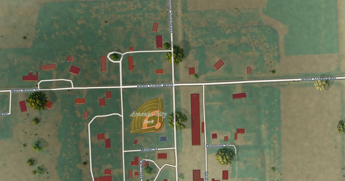
A detailed map of Amenia, North Dakota, showing every building in its true location, the roads by name, and shaded topographical relief.
Read More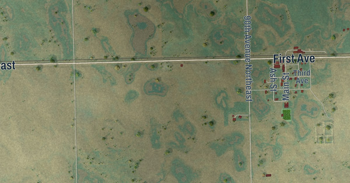
A detailed map of Alsen, North Dakota, showing every building in its true location, the roads by name, and shaded topographical relief.
Read More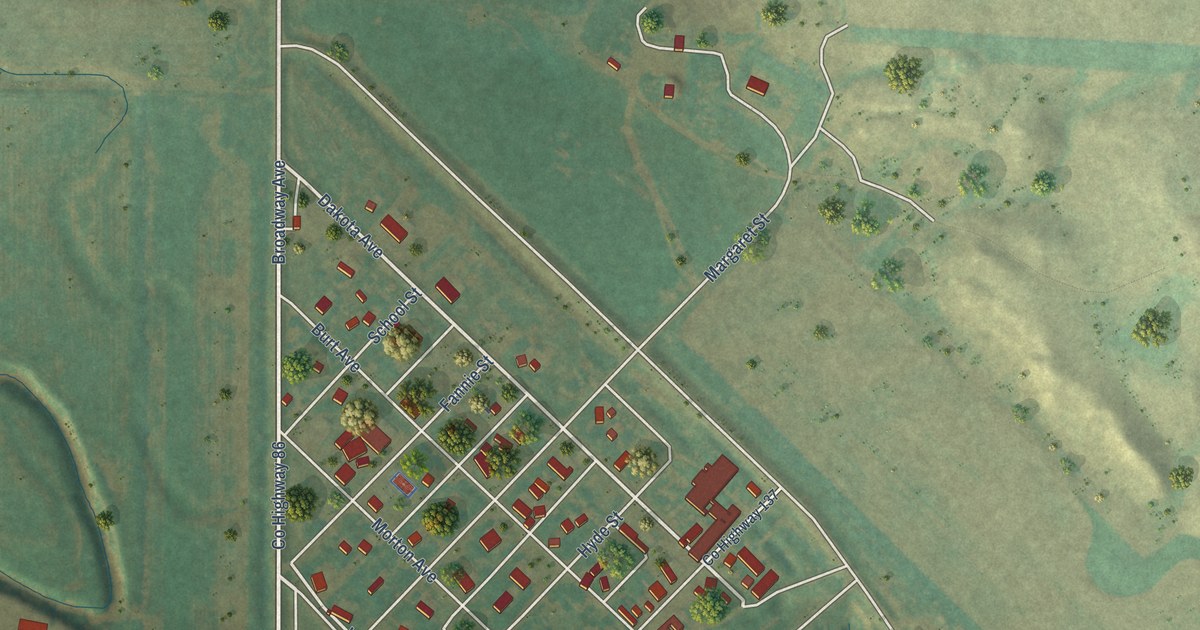
A detailed map of Almont, North Dakota, showing every building in its true location, the roads by name, and shaded topographical relief.
Read More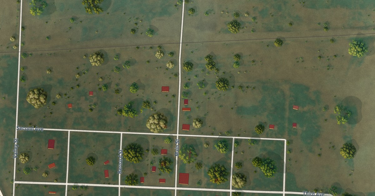
A detailed map of Ambrose, North Dakota, showing every building in its true location, the roads by name, and shaded topographical relief.
Read More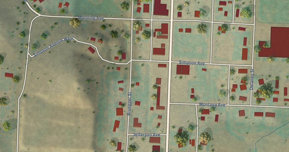
A detailed map of Alexander, North Dakota, showing every building in its true location, the roads by name, and shaded topographical relief.
Read More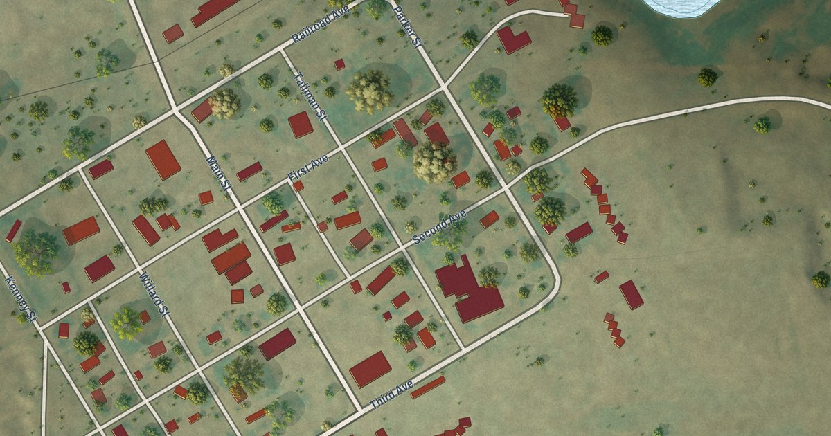
A detailed map of Alamo, North Dakota, showing every building in its true location, the roads by name, and shaded topographical relief.
Read More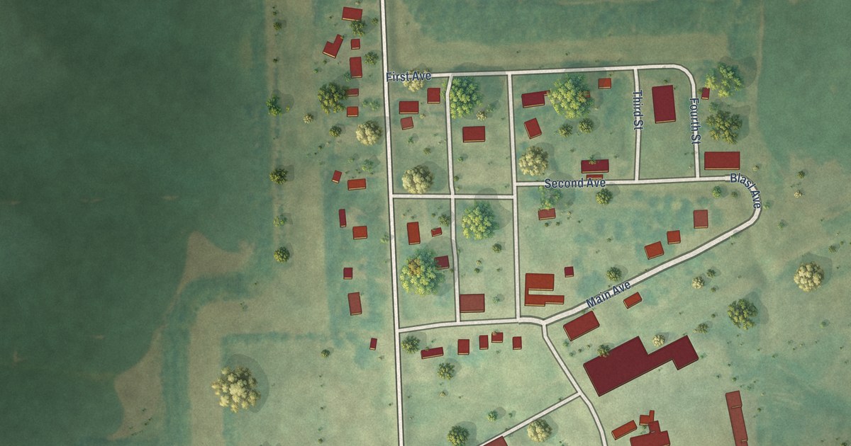
A detailed map of Alice, North Dakota, showing every building in its true location, the roads by name, and shaded topographical relief.
Read More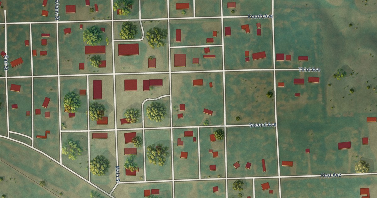
A detailed map of Adams, North Dakota, showing every building in its true location, the roads by name, and shaded topographical relief.
Read More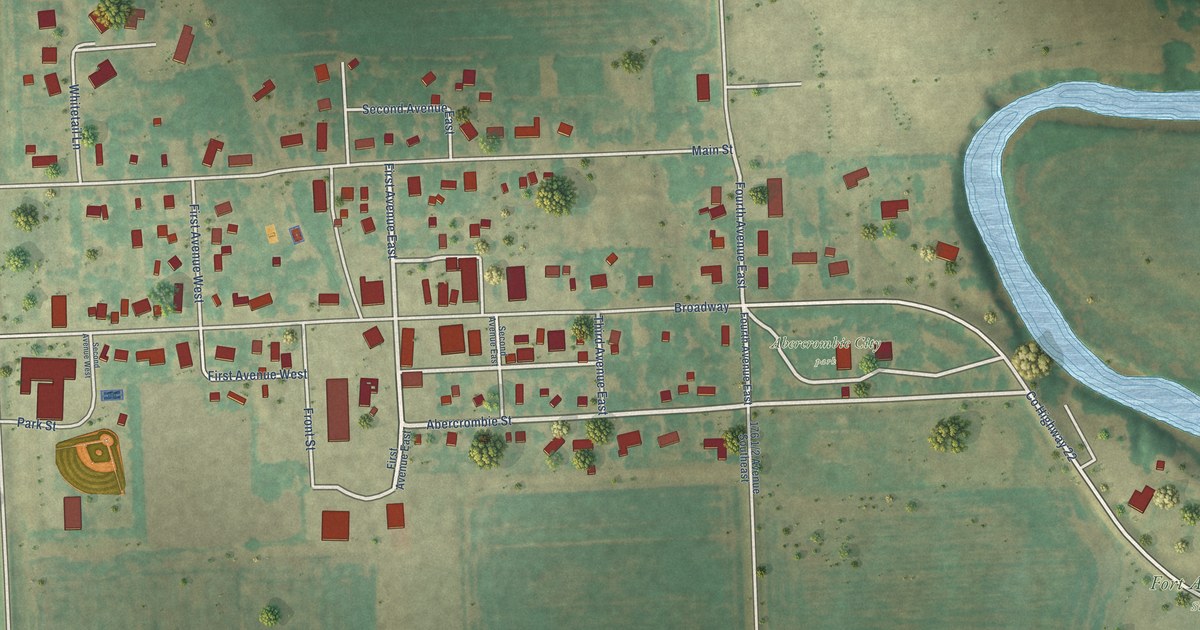
A detailed map of Abercrombie, North Dakota, showing every building in its true location, the roads by name, and shaded topographical relief.
Read More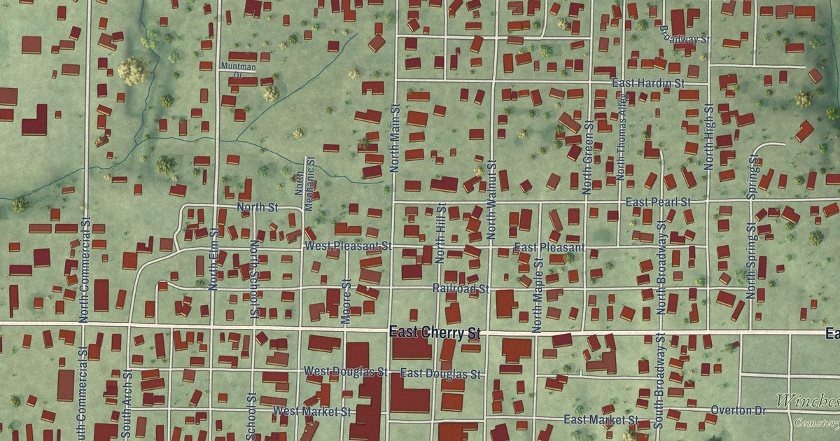
A detailed map of Winchester, Illinois, showing every building in its true location, the roads by name, and shaded topographical relief.
Read More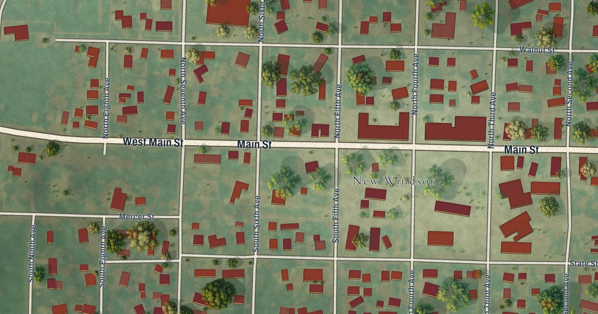
A detailed map of Windsor, Illinois, showing every building in its true location, the roads by name, and shaded topographical relief.
Read More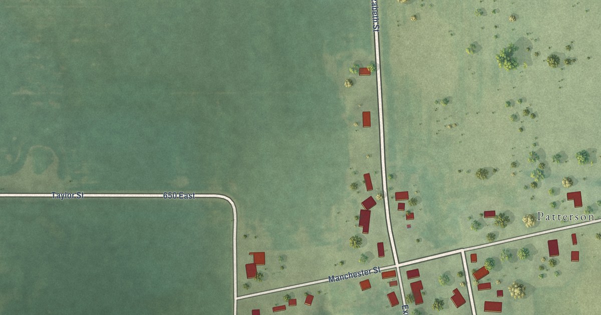
A detailed map of Wilmington, Illinois, showing every building in its true location, the roads by name, and shaded topographical relief.
Read More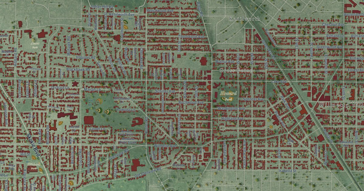
A detailed map of Wilmette, Illinois, showing every building in its true location, the roads by name, and shaded topographical relief.
Read More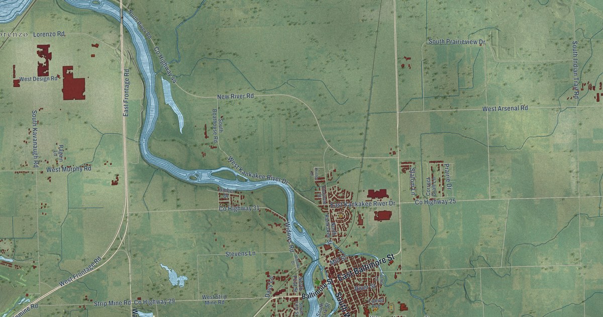
A detailed map of Wilmington, Illinois, showing every building in its true location, the roads by name, and shaded topographical relief.
Read More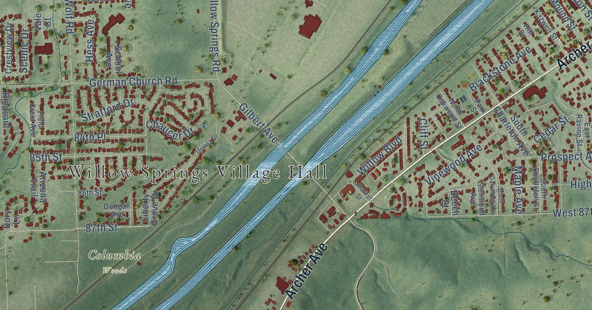
A detailed map of Willow Springs, Illinois, showing every building in its true location, the roads by name, and shaded topographical relief.
Read More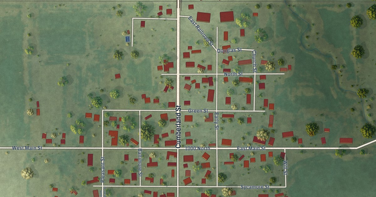
A detailed map of Willow Hill, Illinois, showing every building in its true location, the roads by name, and shaded topographical relief.
Read More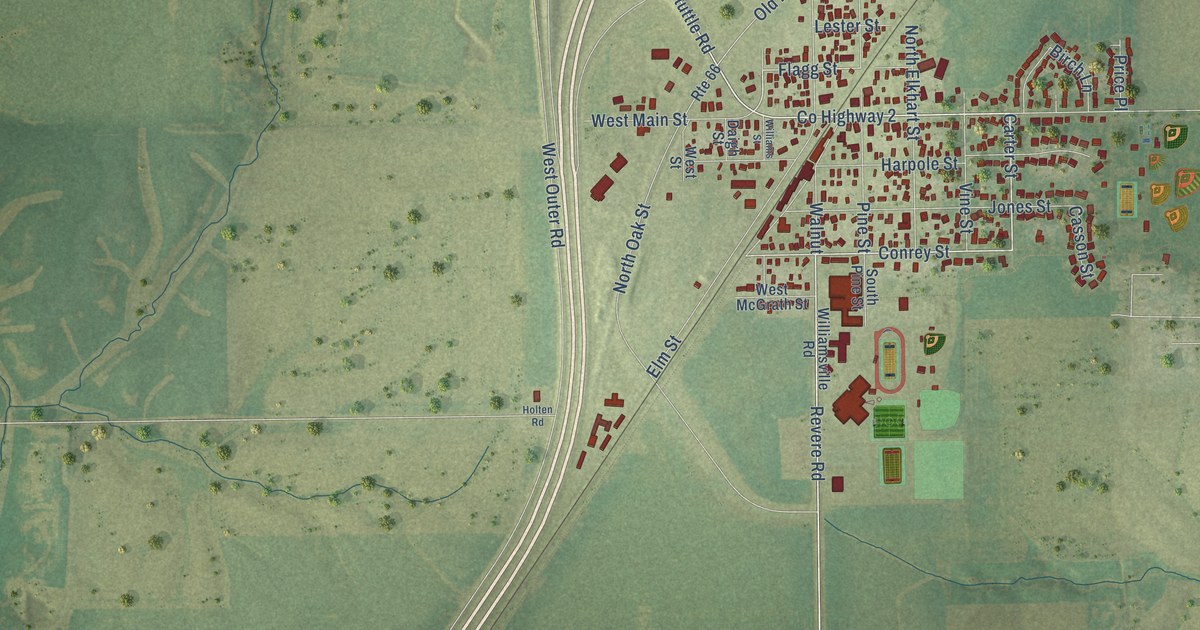
A detailed map of Williamsville, Illinois, showing every building in its true location, the roads by name, and shaded topographical relief.
Read More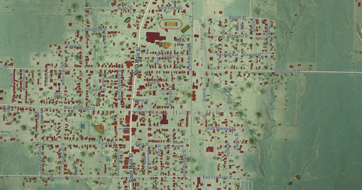
A detailed map of White Hall, Illinois, showing every building in its true location, the roads by name, and shaded topographical relief.
Read More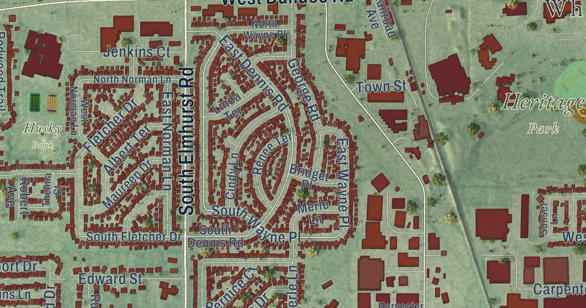
A detailed map of Wheeling, Illinois, showing every building in its true location, the roads by name, and shaded topographical relief.
Read More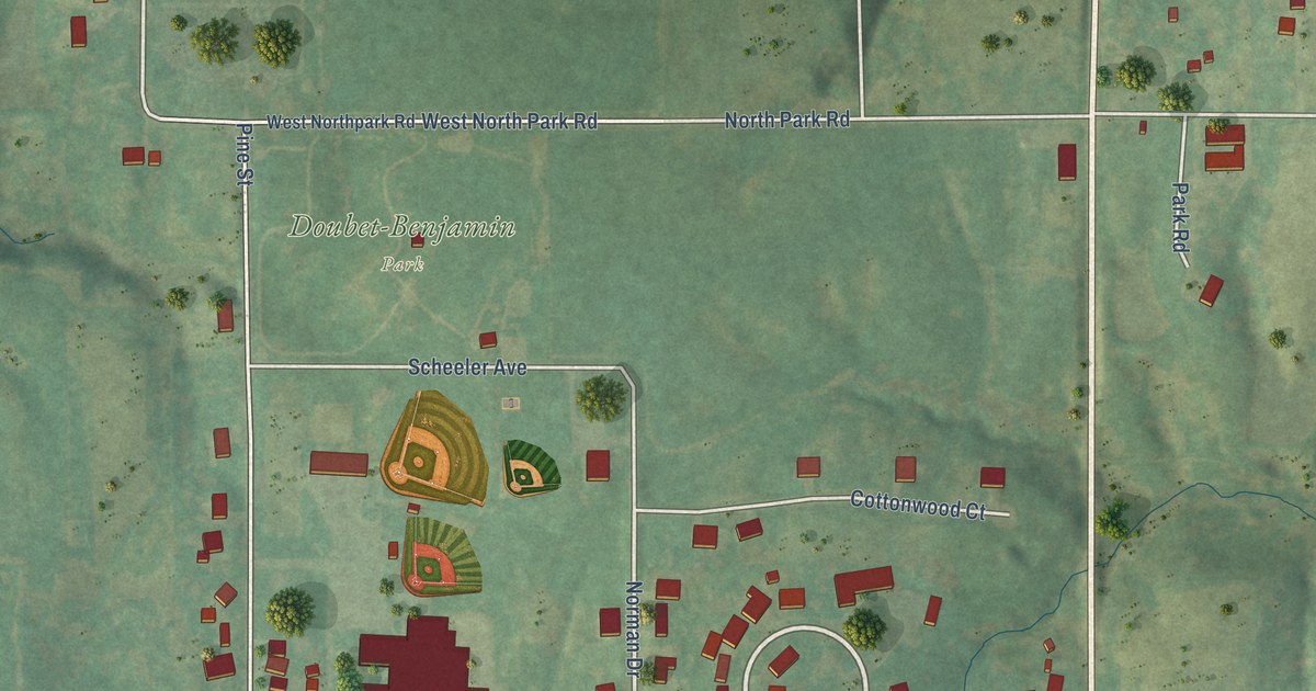
A detailed map of Williamsfield, Illinois, showing every building in its true location, the roads by name, and shaded topographical relief.
Read More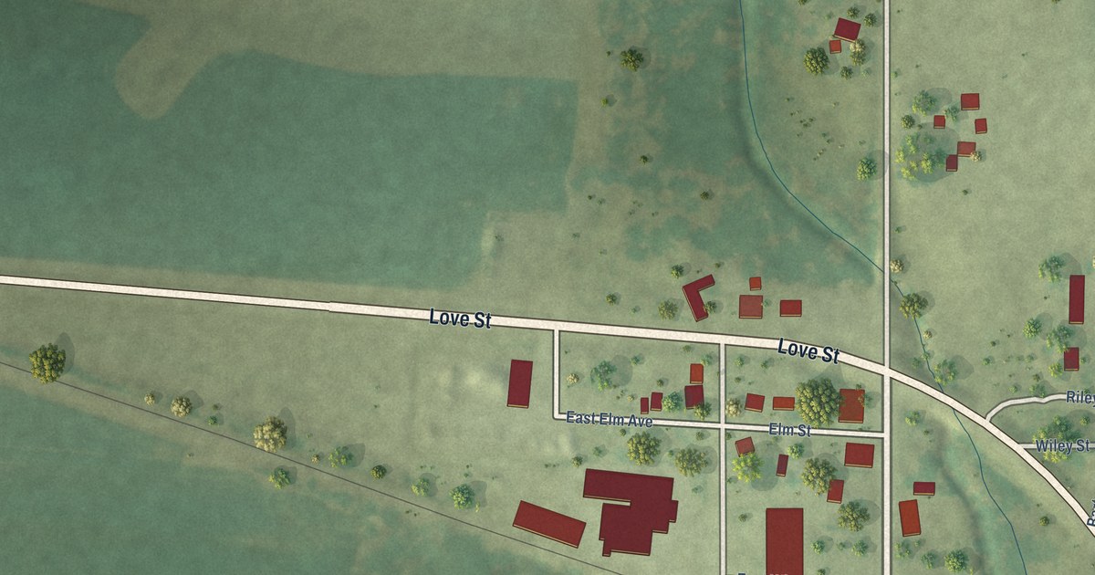
A detailed map of Wheeler, Illinois, showing every building in its true location, the roads by name, and shaded topographical relief.
Read More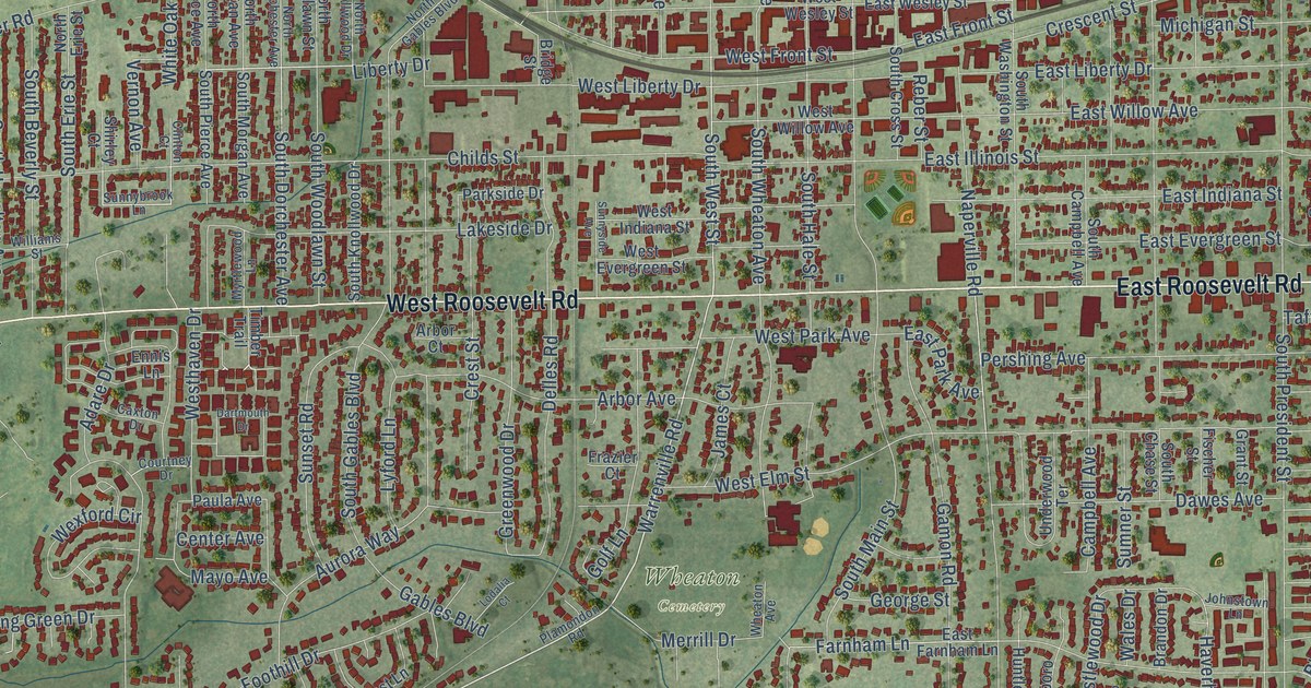
A detailed map of Wheaton, Illinois, showing every building in its true location, the roads by name, and shaded topographical relief.
Read More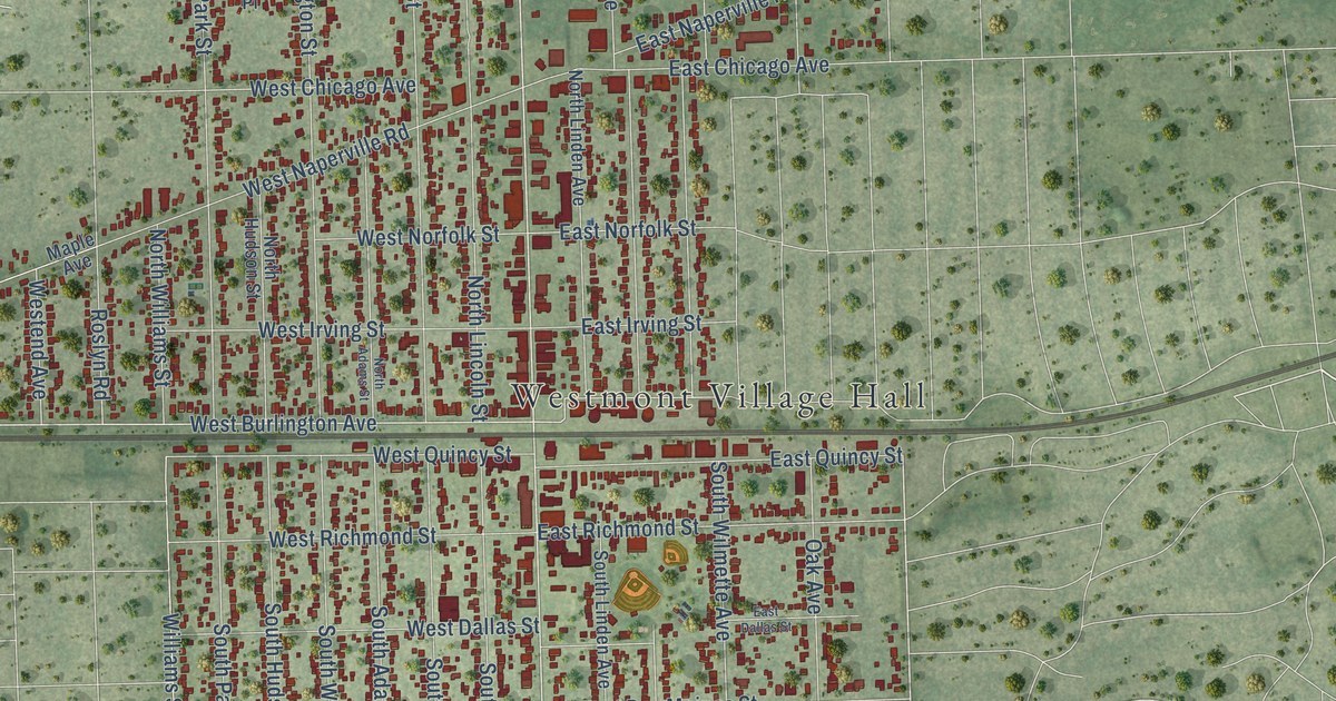
A detailed map of Westmont, Illinois, showing every building in its true location, the roads by name, and shaded topographical relief.
Read More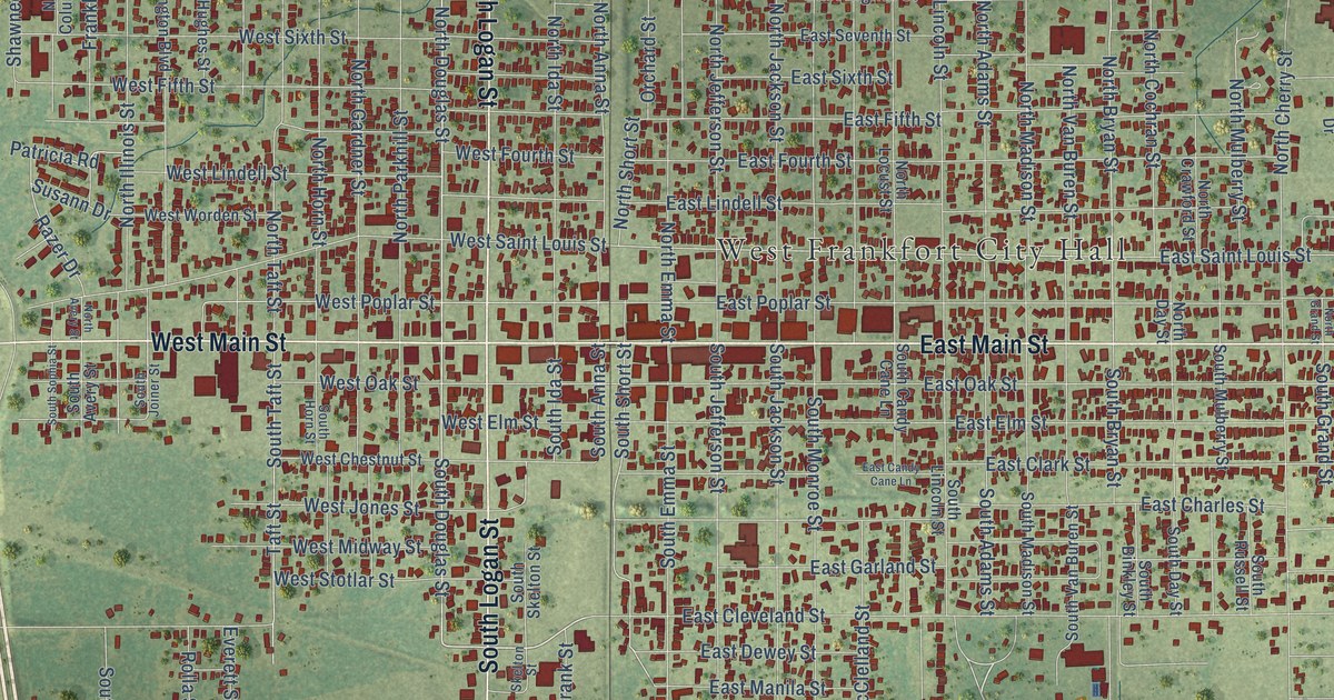
A detailed map of West Frankfort, Illinois, showing every building in its true location, the roads by name, and shaded topographical relief.
Read More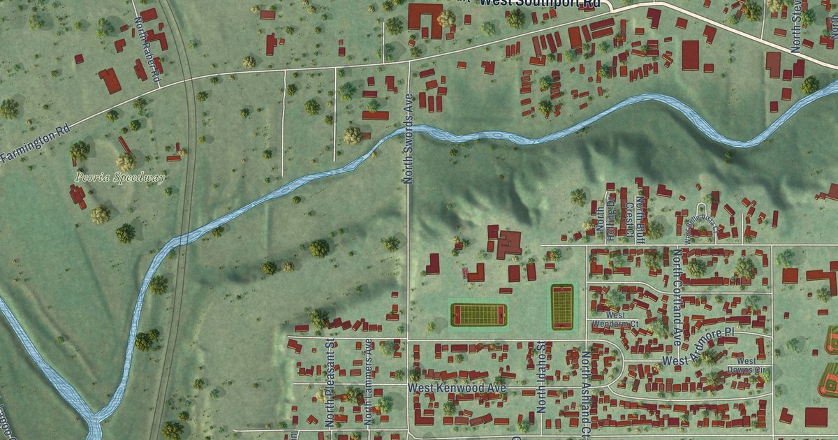
A detailed map of West Peoria, Illinois, showing every building in its true location, the roads by name, and shaded topographical relief.
Read More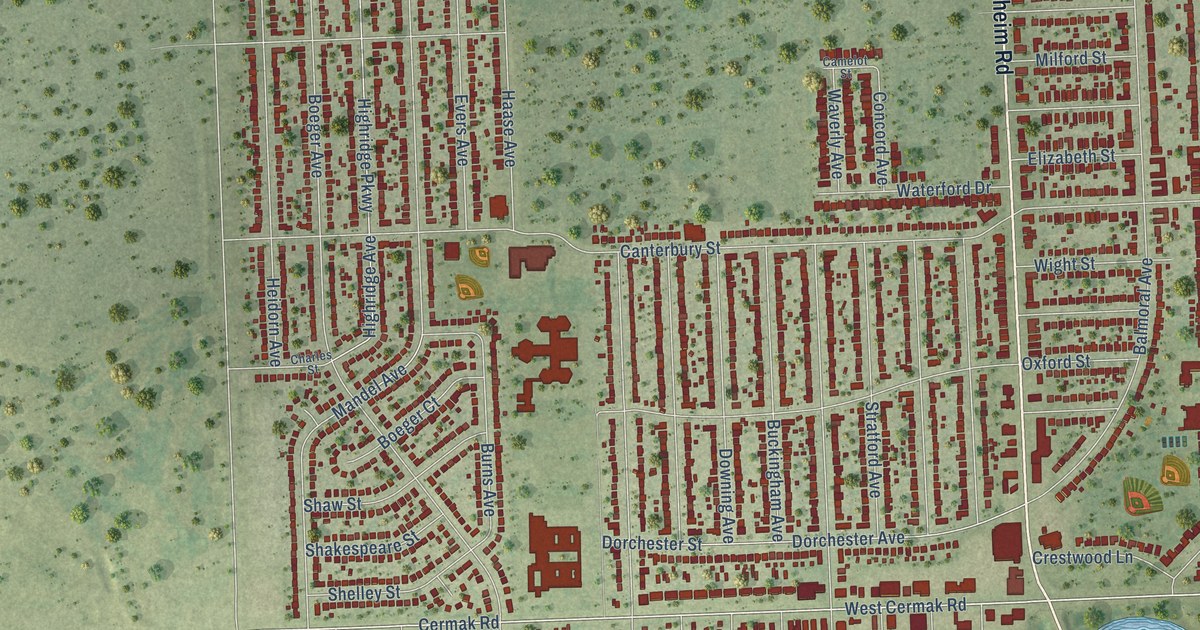
A detailed map of Westchester, Illinois, showing every building in its true location, the roads by name, and shaded topographical relief.
Read More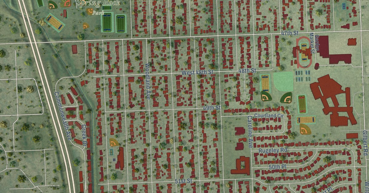
A detailed map of Western Springs, Illinois, showing every building in its true location, the roads by name, and shaded topographical relief.
Read More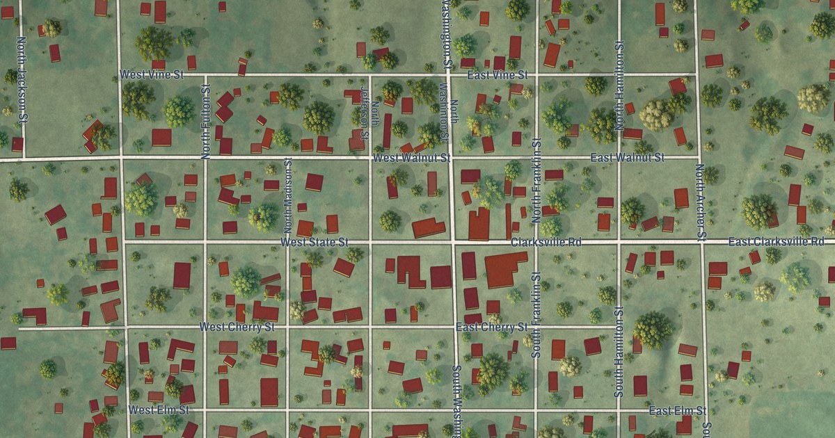
A detailed map of Westfield, Illinois, showing every building in its true location, the roads by name, and shaded topographical relief.
Read More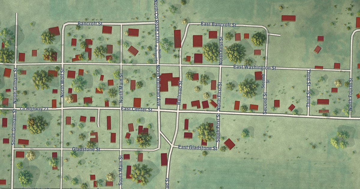
A detailed map of West Point, Illinois, showing every building in its true location, the roads by name, and shaded topographical relief.
Read More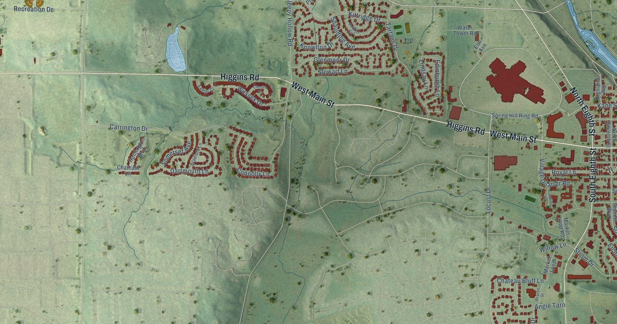
A detailed map of West Dundee, Illinois, showing every building in its true location, the roads by name, and shaded topographical relief.
Read More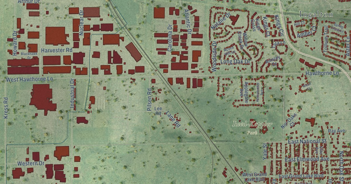
A detailed map of West Chicago, Illinois, showing every building in its true location, the roads by name, and shaded topographical relief.
Read More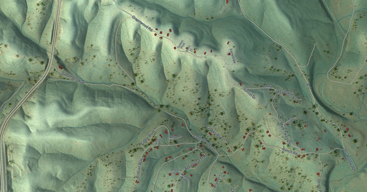
A detailed map of Saddlebrooke, Missouri, showing every building in its true location, the roads by name, and shaded topographical relief.
Read More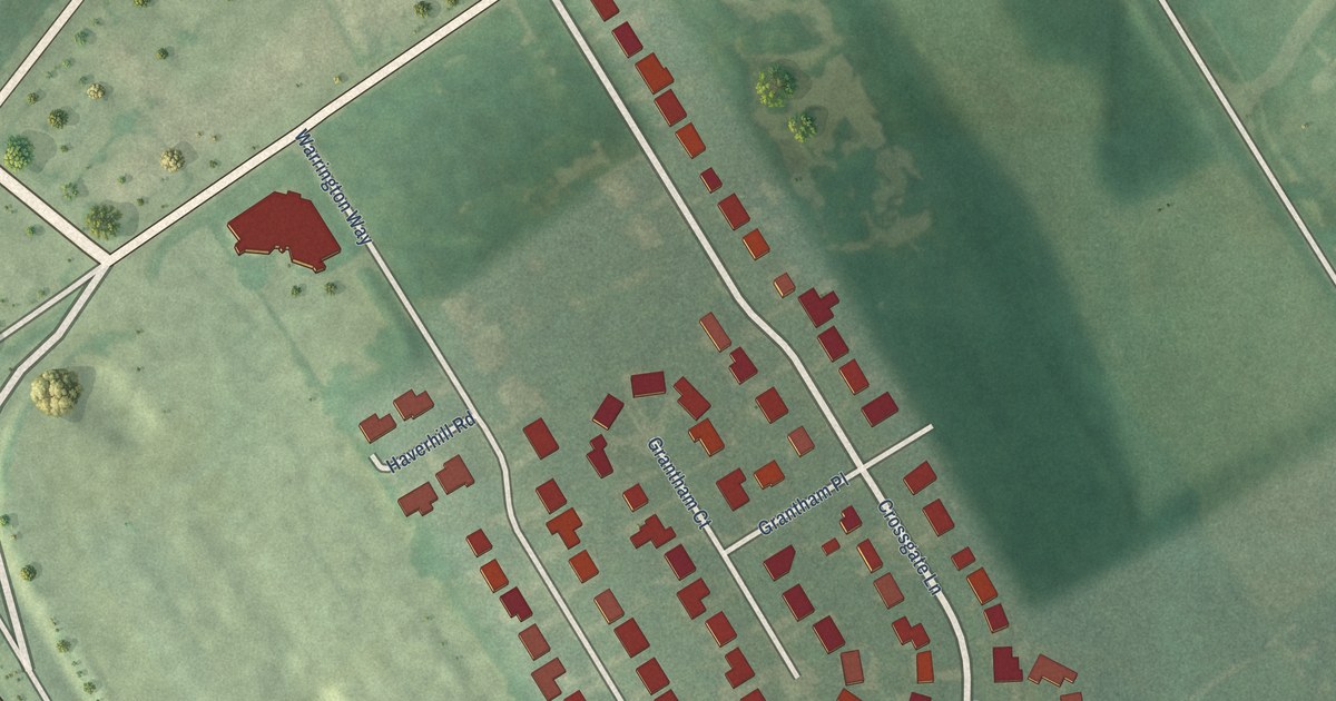
A detailed map of Crossgate, Kentucky, showing every building in its true location, the roads by name, and shaded topographical relief.
Read More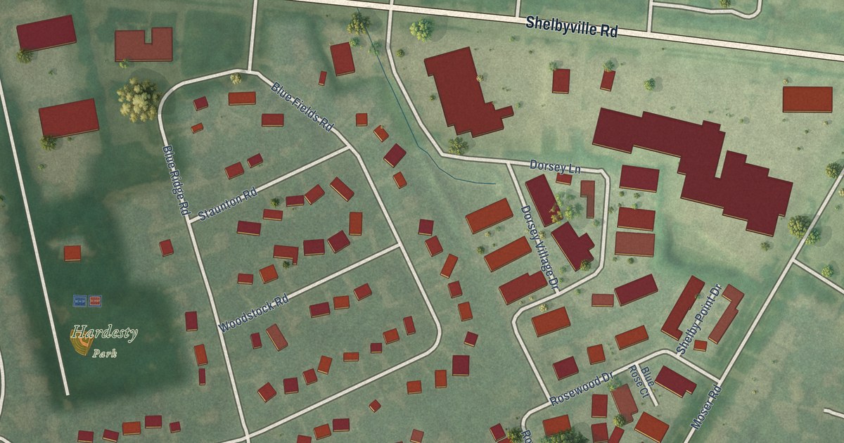
A detailed map of Blue Ridge Manor, Kentucky, showing every building in its true location, the roads by name, and shaded topographical relief.
Read More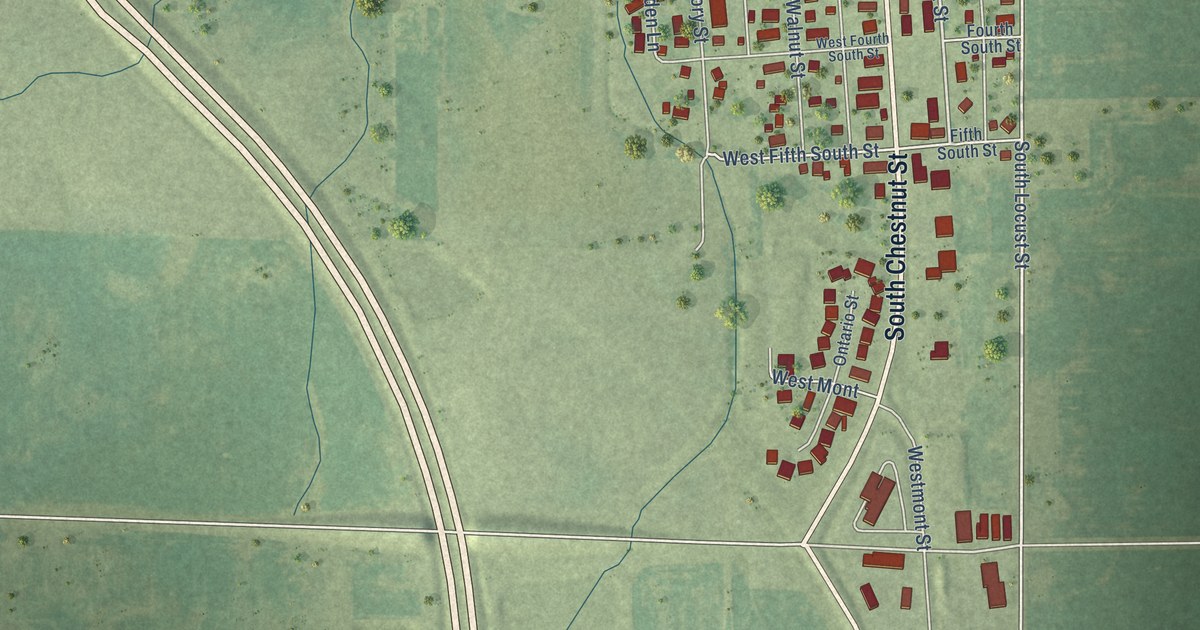
A detailed map of Wenona, Illinois, showing every building in its true location, the roads by name, and shaded topographical relief.
Read More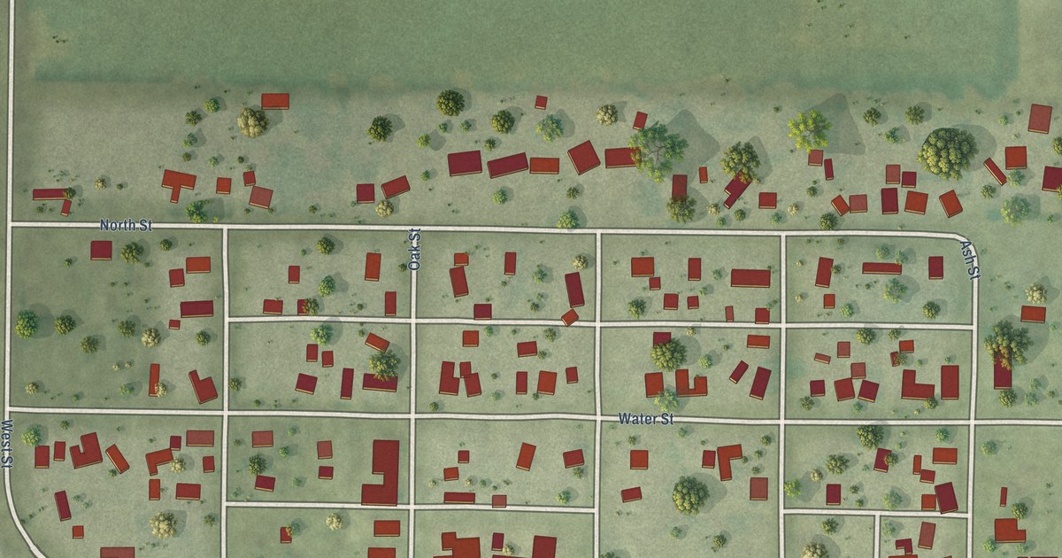
A detailed map of Weldon, Illinois, showing every building in its true location, the roads by name, and shaded topographical relief.
Read More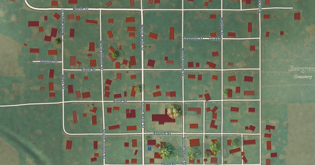
A detailed map of Waynesville, Illinois, showing every building in its true location, the roads by name, and shaded topographical relief.
Read More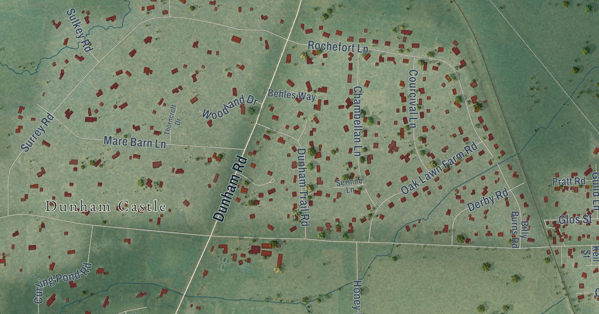
A detailed map of Wayne, Illinois, showing every building in its true location, the roads by name, and shaded topographical relief.
Read More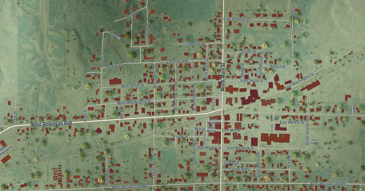
A detailed map of Wayne City, Illinois, showing every building in its true location, the roads by name, and shaded topographical relief.
Read More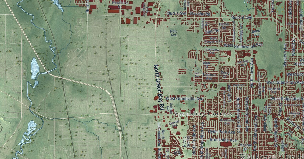
A detailed map of Waukegan, Illinois, showing every building in its true location, the roads by name, and shaded topographical relief.
Read More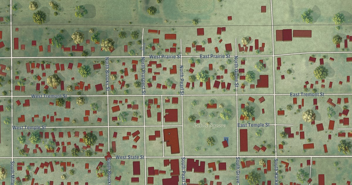
A detailed map of Waverly, Illinois, showing every building in its true location, the roads by name, and shaded topographical relief.
Read More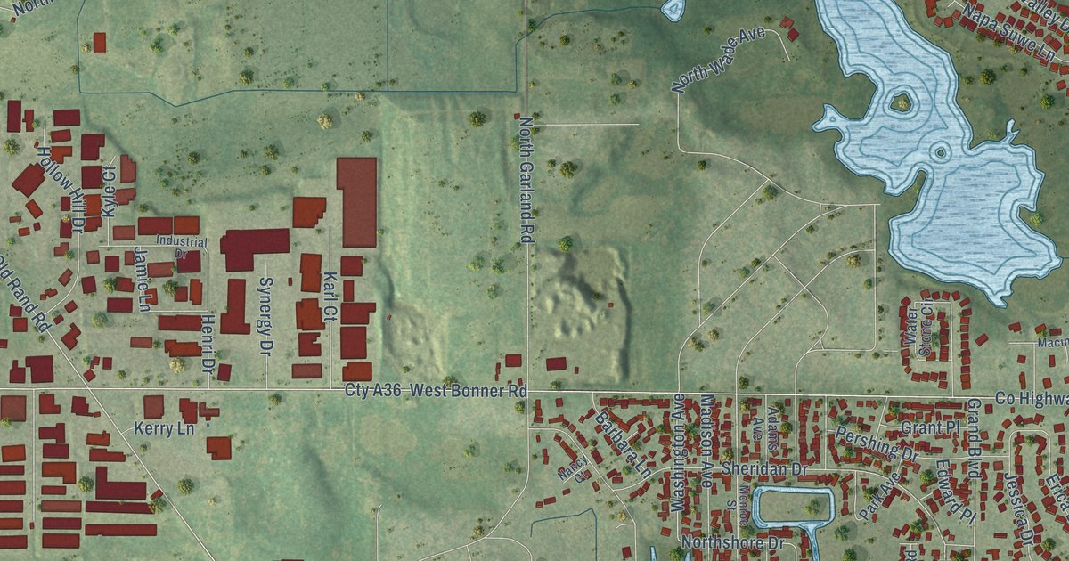
A detailed map of Wauconda, Illinois, showing every building in its true location, the roads by name, and shaded topographical relief.
Read More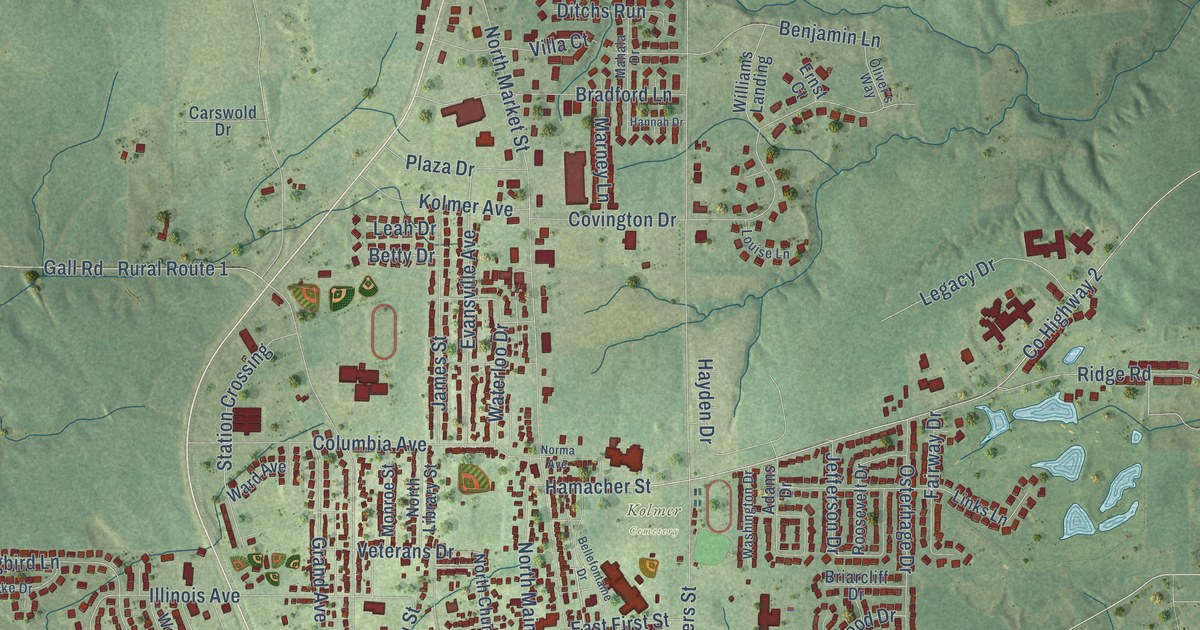
A detailed map of Waterloo, Illinois, showing every building in its true location, the roads by name, and shaded topographical relief.
Read More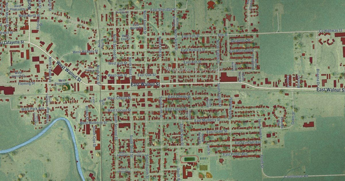
A detailed map of Watseka, Illinois, showing every building in its true location, the roads by name, and shaded topographical relief.
Read More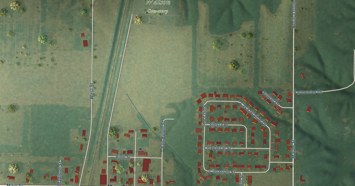
A detailed map of Watson, Illinois, showing every building in its true location, the roads by name, and shaded topographical relief.
Read More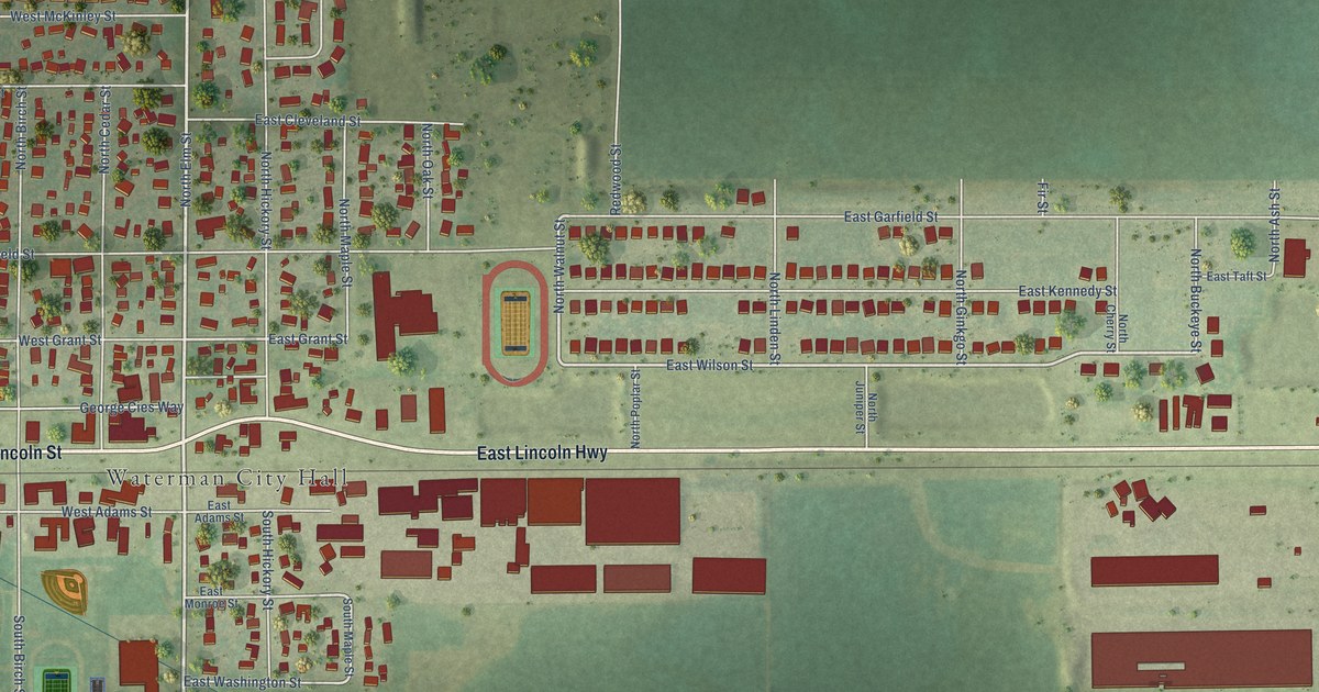
A detailed map of Waterman, Illinois, showing every building in its true location, the roads by name, and shaded topographical relief.
Read More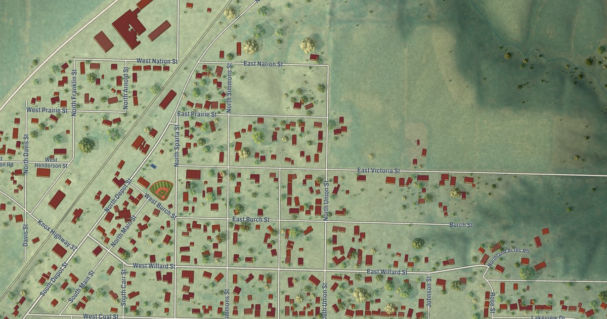
A detailed map of Wataga, Illinois, showing every building in its true location, the roads by name, and shaded topographical relief.
Read More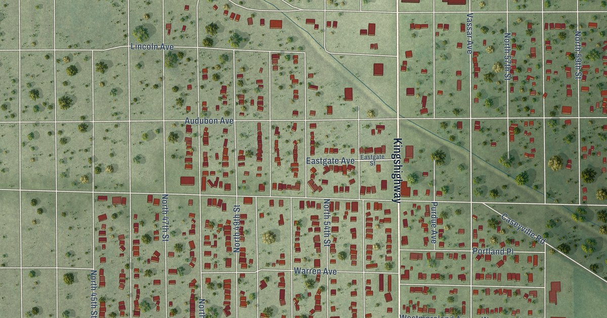
A detailed map of Washington Park, Illinois, showing every building in its true location, the roads by name, and shaded topographical relief.
Read More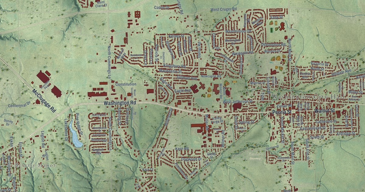
A detailed map of Washington, Illinois, showing every building in its true location, the roads by name, and shaded topographical relief.
Read More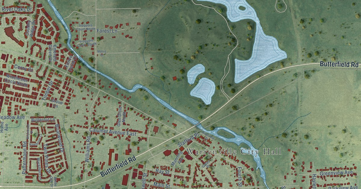
A detailed map of Warrenville, Illinois, showing every building in its true location, the roads by name, and shaded topographical relief.
Read More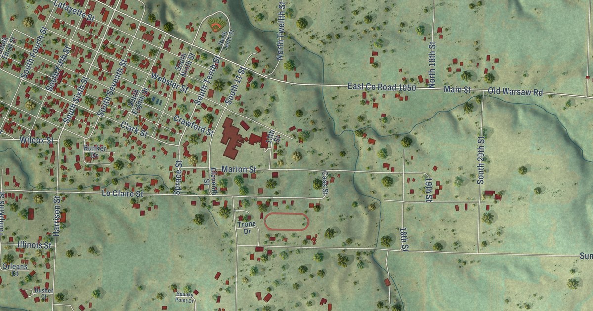
A detailed map of Warsaw, Illinois, showing every building in its true location, the roads by name, and shaded topographical relief.
Read More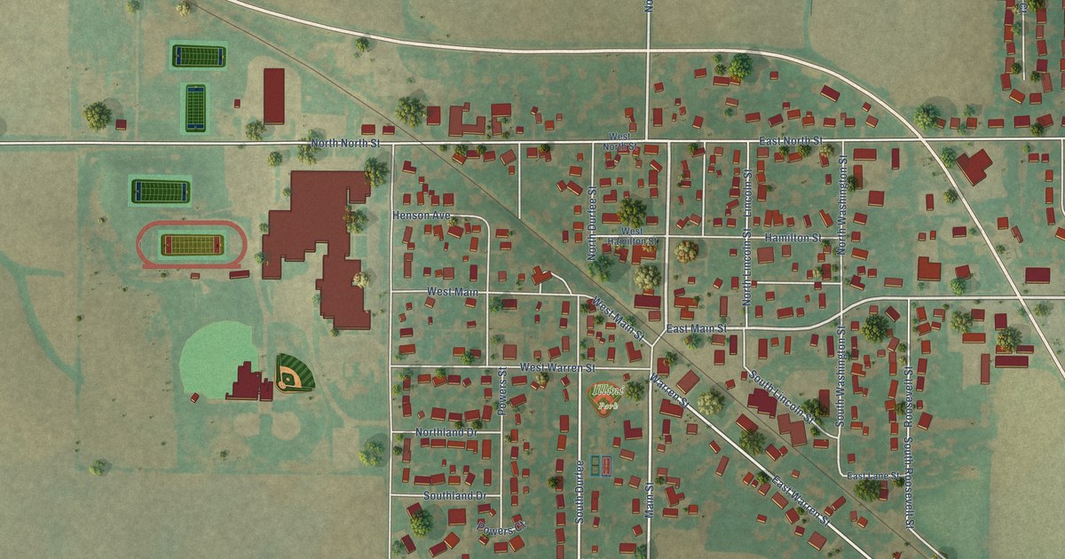
A detailed map of Warrensburg, Illinois, showing every building in its true location, the roads by name, and shaded topographical relief.
Read More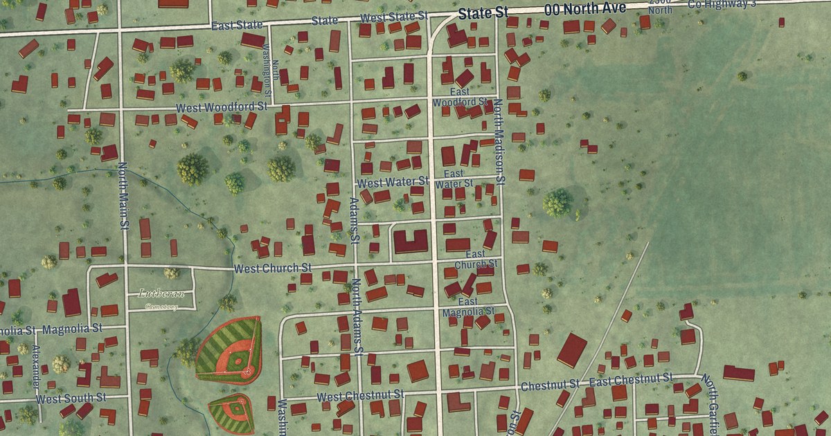
A detailed map of Washburn, Illinois, showing every building in its true location, the roads by name, and shaded topographical relief.
Read More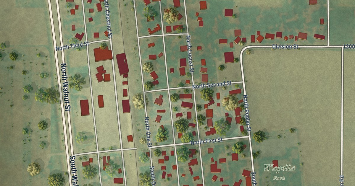
A detailed map of Wapella, Illinois, showing every building in its true location, the roads by name, and shaded topographical relief.
Read More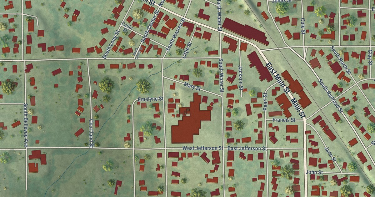
A detailed map of Warren, Illinois, showing every building in its true location, the roads by name, and shaded topographical relief.
Read More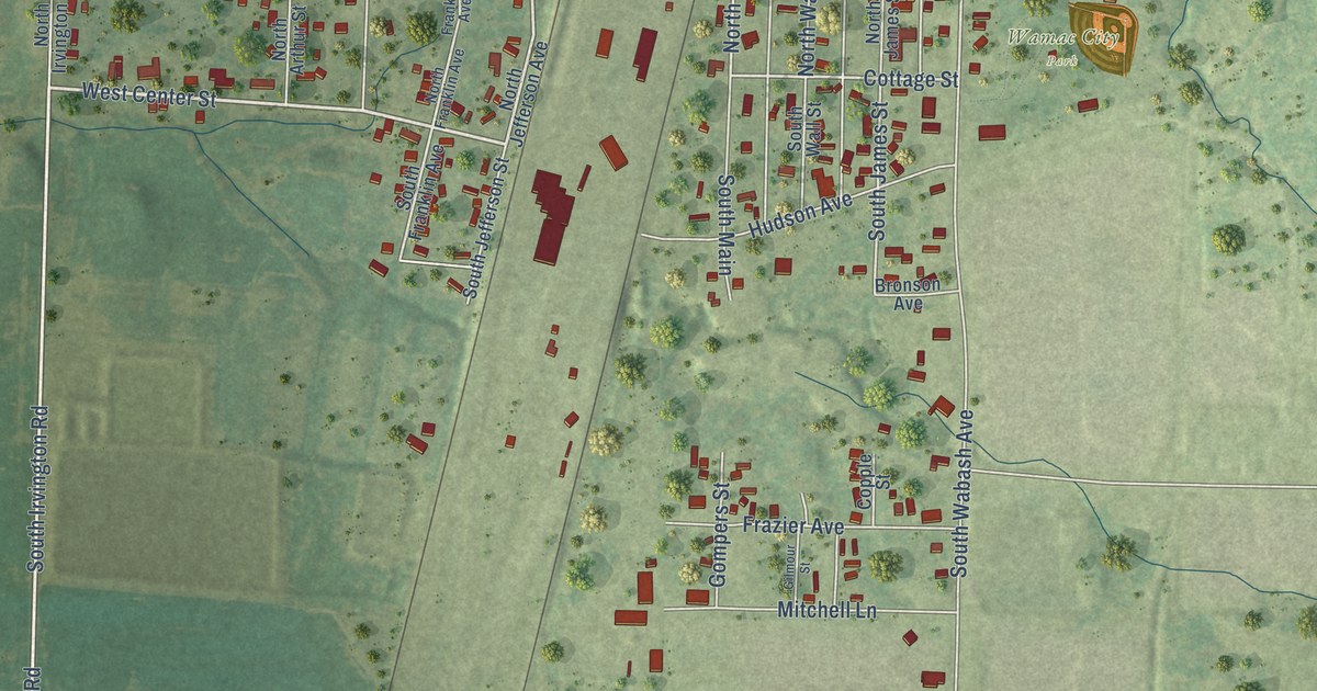
A detailed map of Wamac, Illinois, showing every building in its true location, the roads by name, and shaded topographical relief.
Read More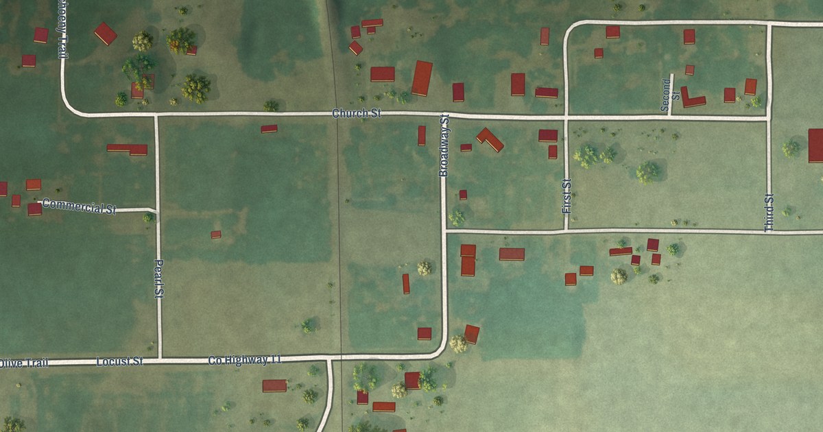
A detailed map of Walshville, Illinois, showing every building in its true location, the roads by name, and shaded topographical relief.
Read More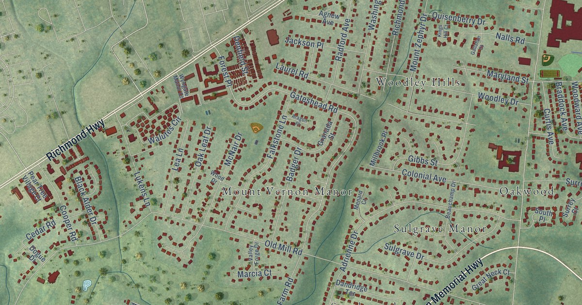
A detailed map of Mount Vernon, Virginia, showing every building in its true location, the roads by name, and shaded topographical relief.
Read More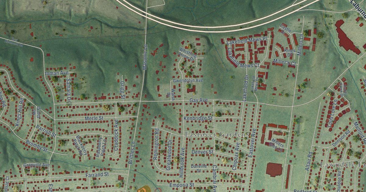
A detailed map of Montrose, Virginia, showing every building in its true location, the roads by name, and shaded topographical relief.
Read More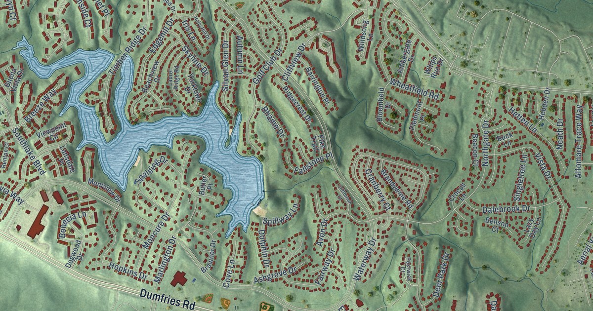
A detailed map of Montclair, Virginia, showing every building in its true location, the roads by name, and shaded topographical relief.
Read More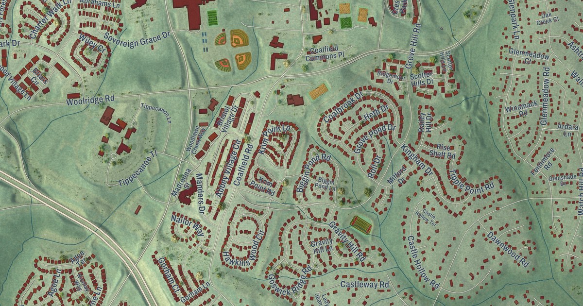
A detailed map of Midlothian, Virginia, showing every building in its true location, the roads by name, and shaded topographical relief.
Read More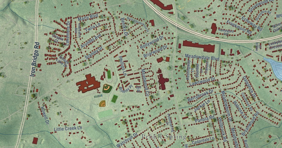
A detailed map of Meadowbrook, Virginia, showing every building in its true location, the roads by name, and shaded topographical relief.
Read More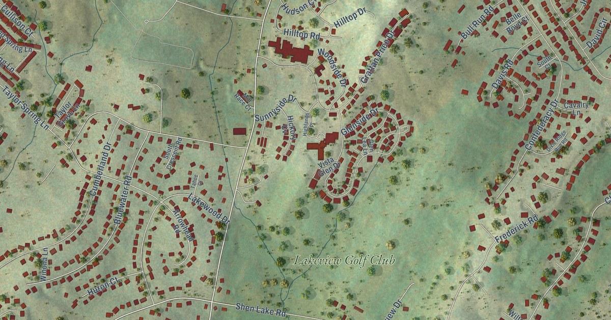
A detailed map of Massanetta Springs, Virginia, showing every building in its true location, the roads by name, and shaded topographical relief.
Read More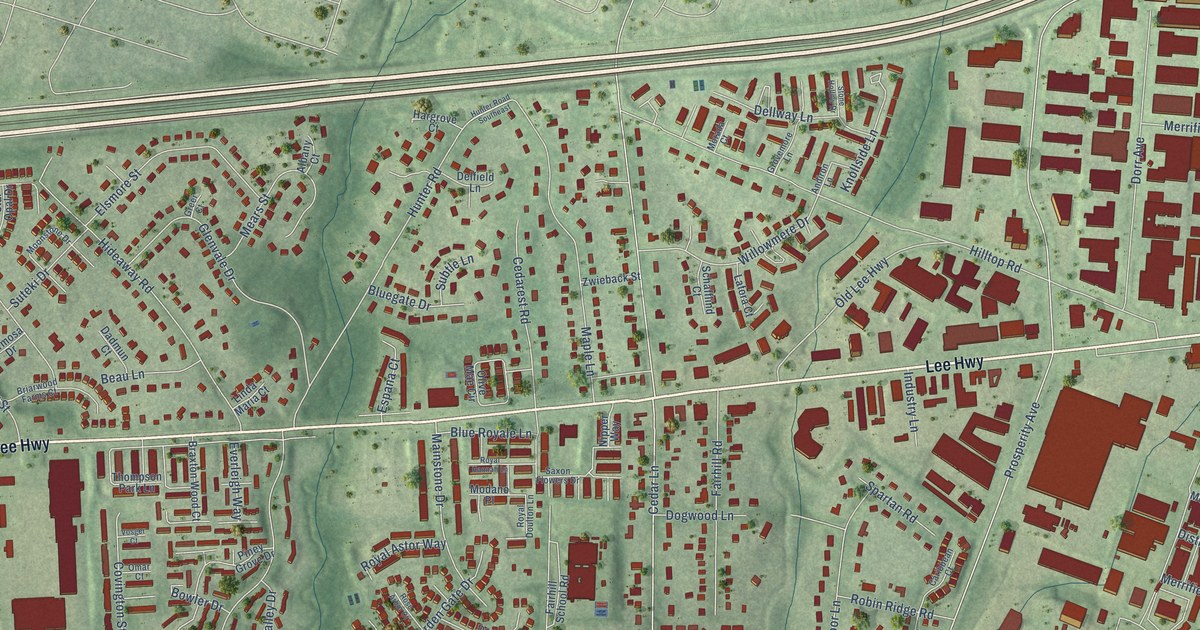
A detailed map of Merrifield, Virginia, showing every building in its true location, the roads by name, and shaded topographical relief.
Read More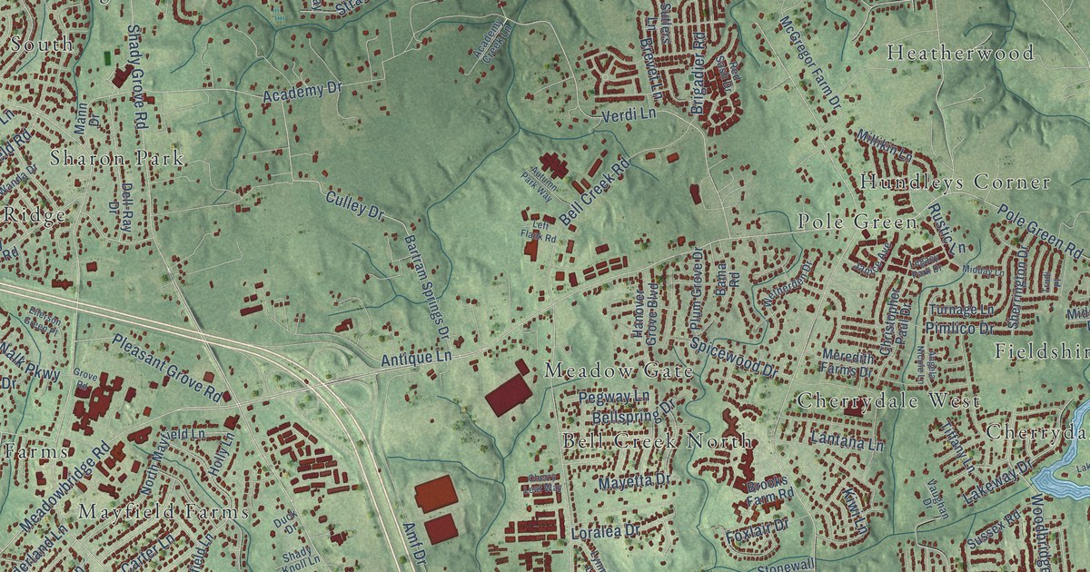
A detailed map of Mechanicsville, Virginia, showing every building in its true location, the roads by name, and shaded topographical relief.
Read More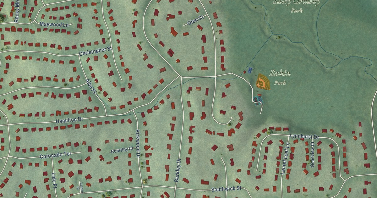
A detailed map of Mantua, Virginia, showing every building in its true location, the roads by name, and shaded topographical relief.
Read More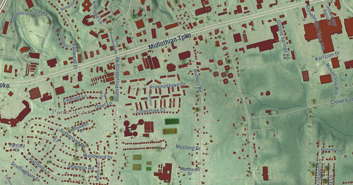
A detailed map of Manchester, Virginia, showing every building in its true location, the roads by name, and shaded topographical relief.
Read More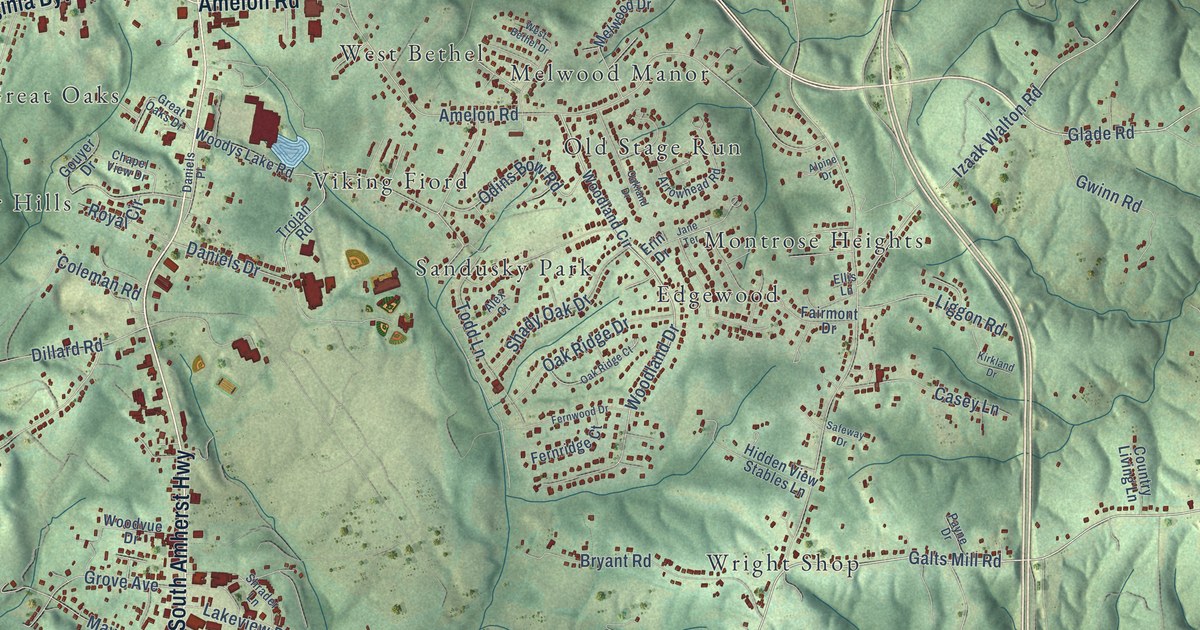
A detailed map of Madison Heights, Virginia, showing every building in its true location, the roads by name, and shaded topographical relief.
Read More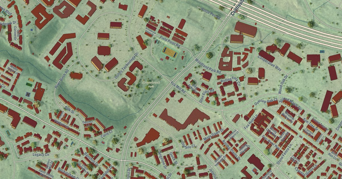
A detailed map of McNair, Virginia, showing every building in its true location, the roads by name, and shaded topographical relief.
Read More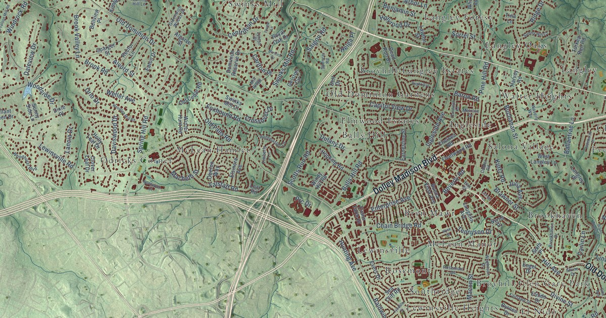
A detailed map of McLean, Virginia, showing every building in its true location, the roads by name, and shaded topographical relief.
Read More















