Detailed Map of Foster, Luzerne County, Pennsylvania
A detailed map of Foster, Luzerne County, Pennsylvania, showing every building in its true location, the roads by name, and shaded topographical relief.
Read More
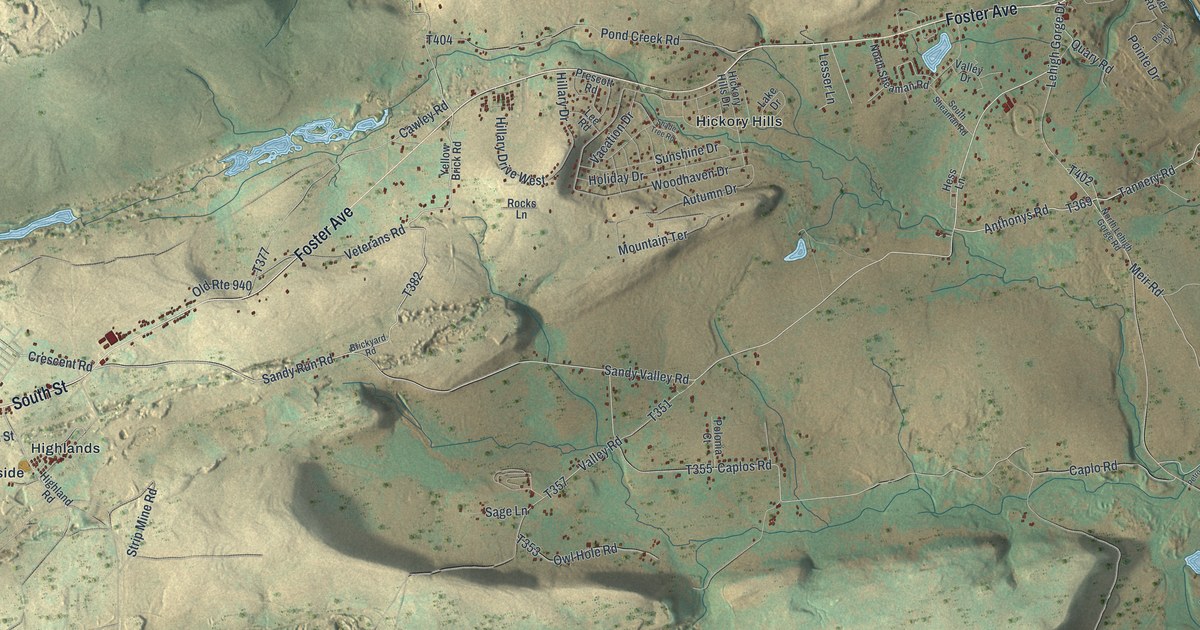
A detailed map of Foster, Luzerne County, Pennsylvania, showing every building in its true location, the roads by name, and shaded topographical relief.
Read More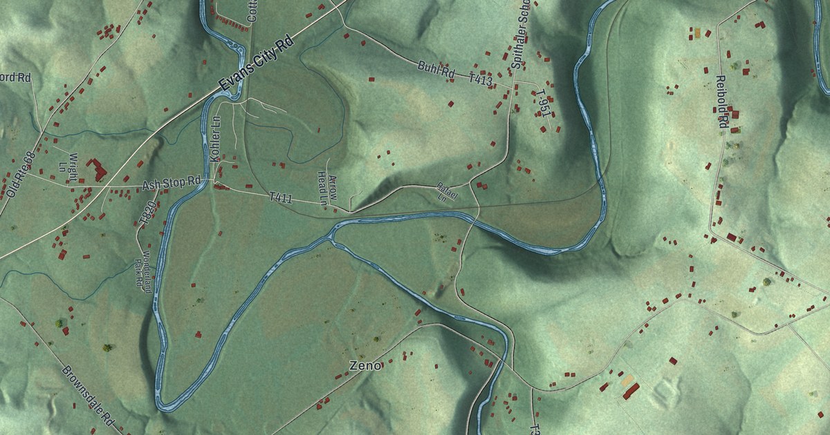
A detailed map of Forward, Butler County, Pennsylvania, showing every building in its true location, the roads by name, and shaded topographical relief.
Read More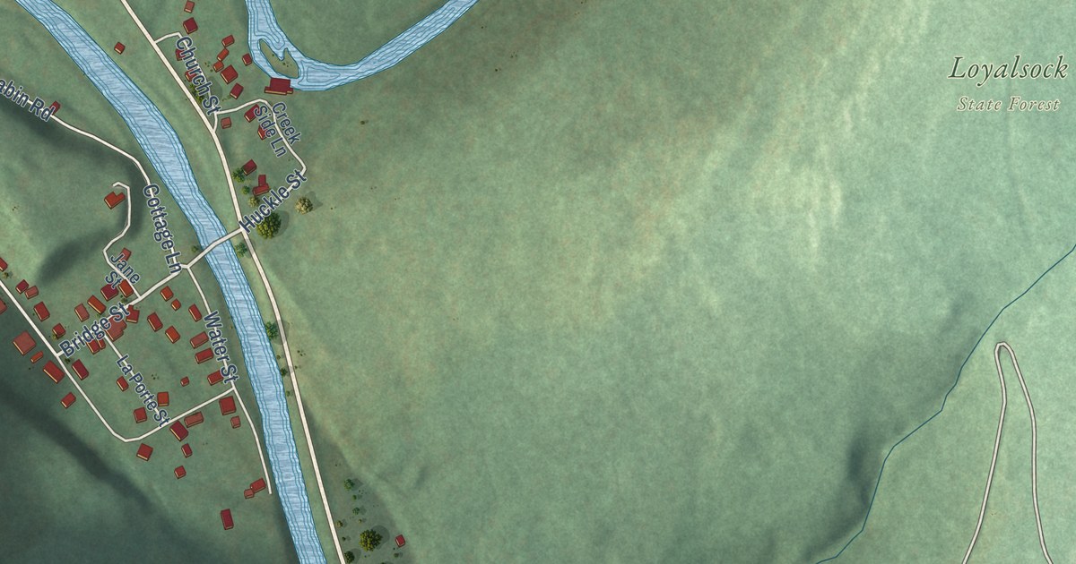
A detailed map of Forksville, Pennsylvania, showing every building in its true location, the roads by name, and shaded topographical relief.
Read More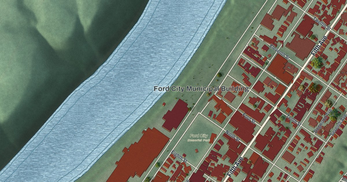
A detailed map of Ford City, Pennsylvania, showing every building in its true location, the roads by name, and shaded topographical relief.
Read More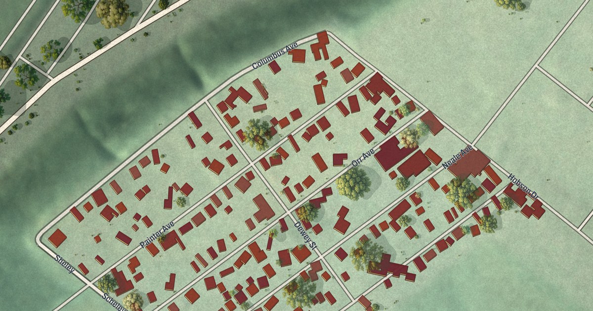
A detailed map of Ford Cliff, Pennsylvania, showing every building in its true location, the roads by name, and shaded topographical relief.
Read More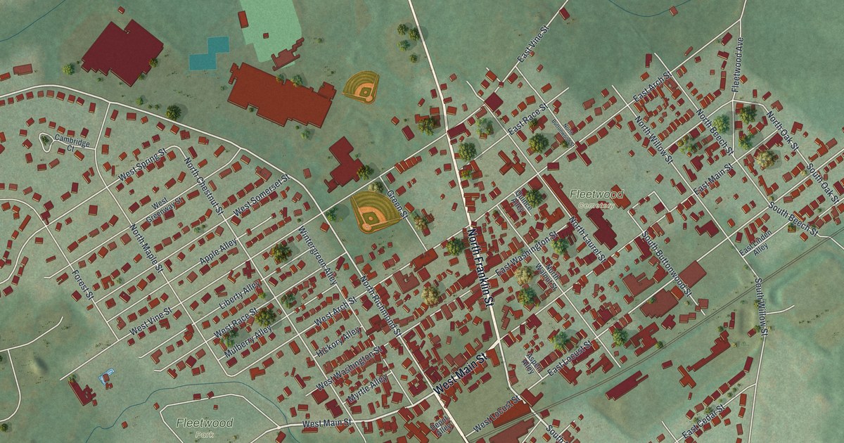
A detailed map of Fleetwood, Pennsylvania, showing every building in its true location, the roads by name, and shaded topographical relief.
Read More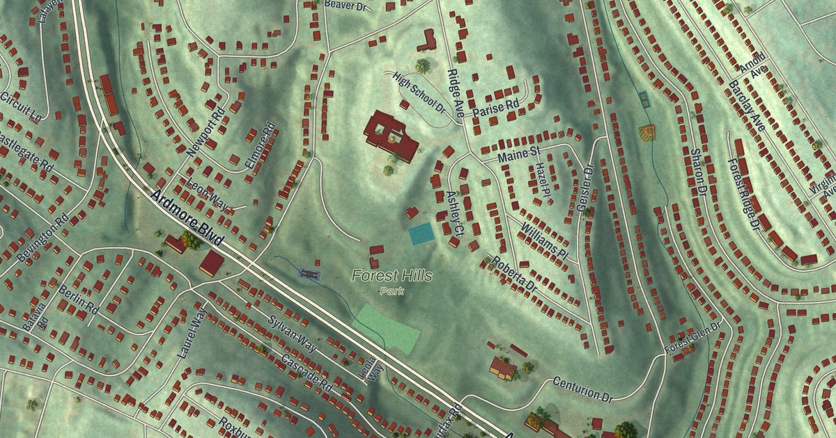
A detailed map of Forest Hills, Pennsylvania, showing every building in its true location, the roads by name, and shaded topographical relief.
Read More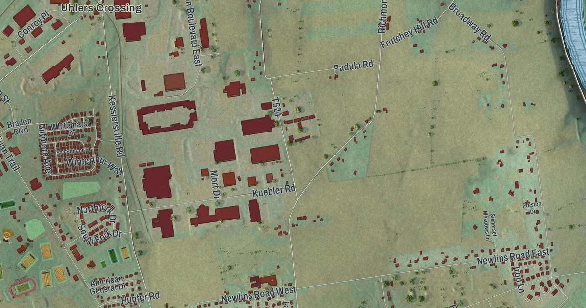
A detailed map of Forks, Northampton County, Pennsylvania, showing every building in its true location, the roads by name, and shaded topographical relief.
Read More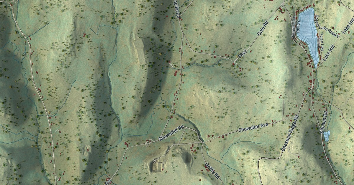
A detailed map of Forest Lake, Pennsylvania, showing every building in its true location, the roads by name, and shaded topographical relief.
Read More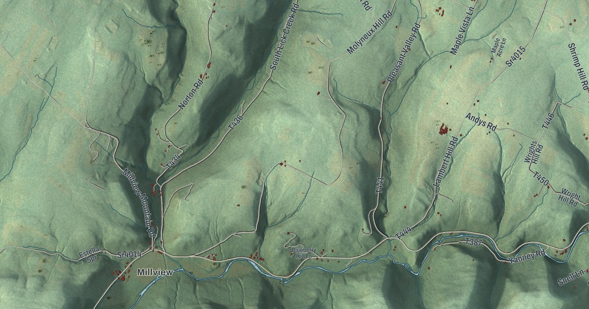
A detailed map of Forks, Sullivan County, Pennsylvania, showing every building in its true location, the roads by name, and shaded topographical relief.
Read More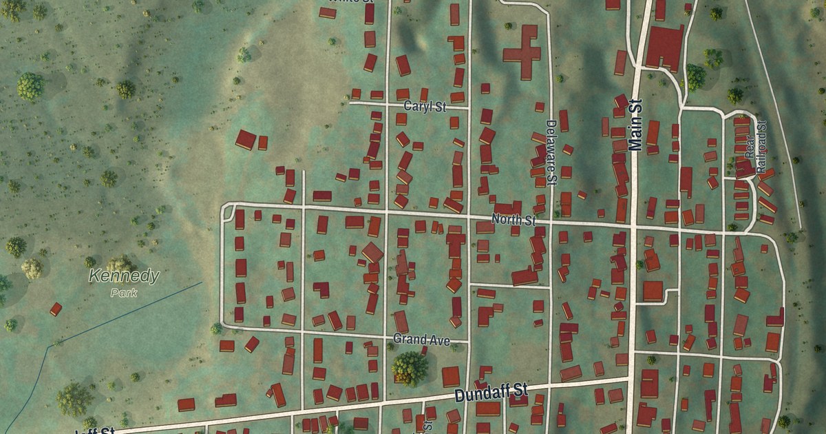
A detailed map of Forest City, Pennsylvania, showing every building in its true location, the roads by name, and shaded topographical relief.
Read More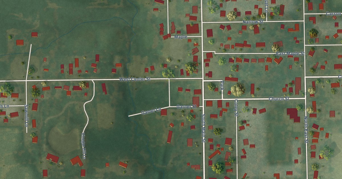
A detailed map of Loami, Illinois, showing every building in its true location, the roads by name, and shaded topographical relief.
Read More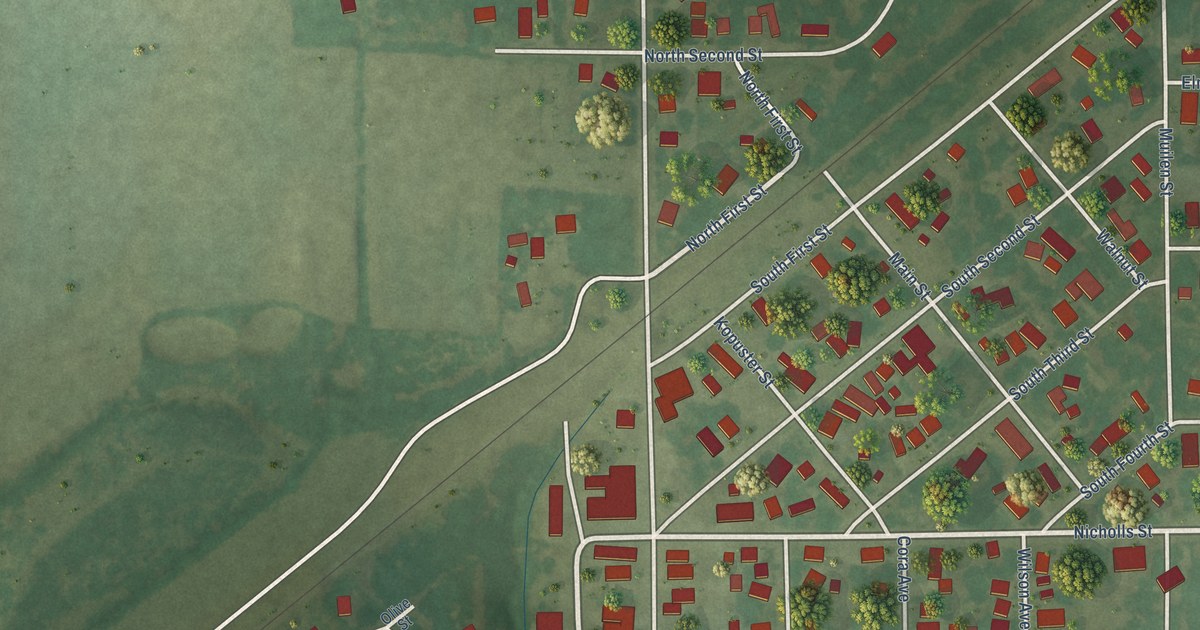
A detailed map of Livingston, Illinois, showing every building in its true location, the roads by name, and shaded topographical relief.
Read More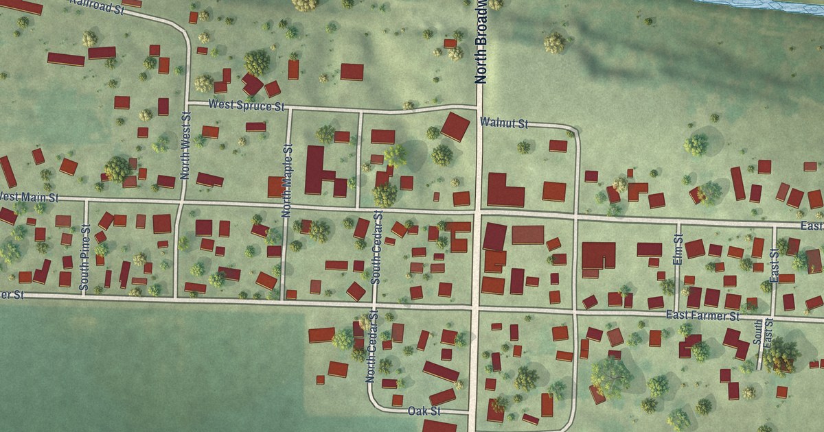
A detailed map of Little York, Illinois, showing every building in its true location, the roads by name, and shaded topographical relief.
Read More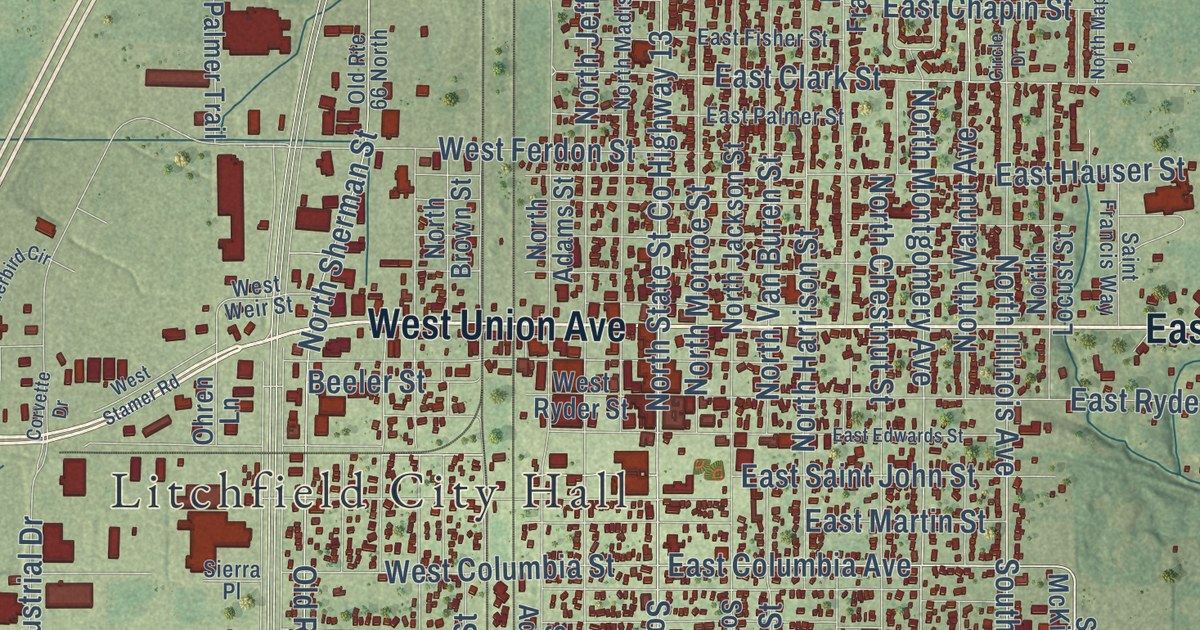
A detailed map of Litchfield, Illinois, showing every building in its true location, the roads by name, and shaded topographical relief.
Read More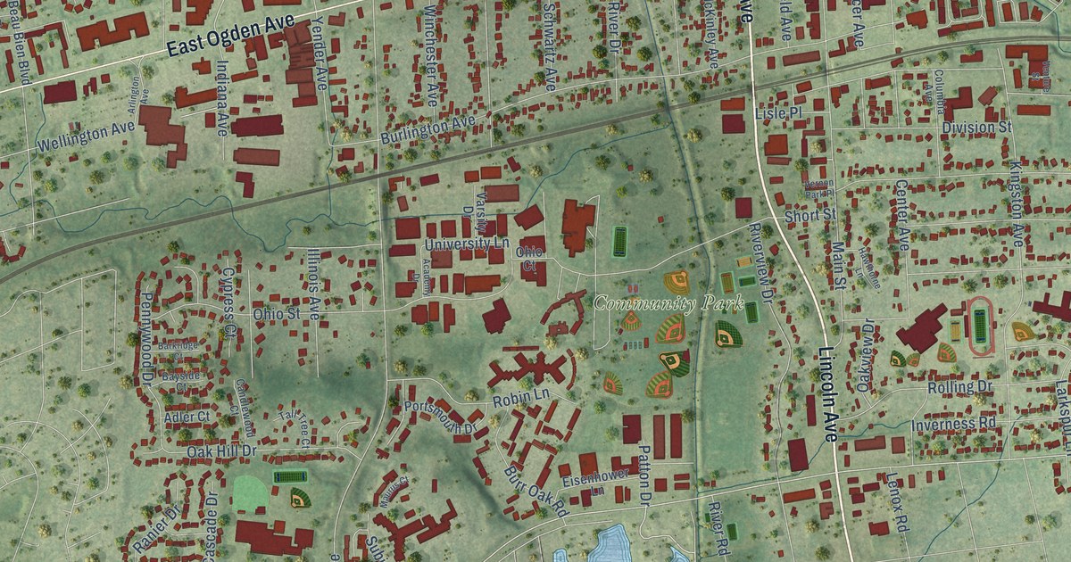
A detailed map of Lisle, Illinois, showing every building in its true location, the roads by name, and shaded topographical relief.
Read More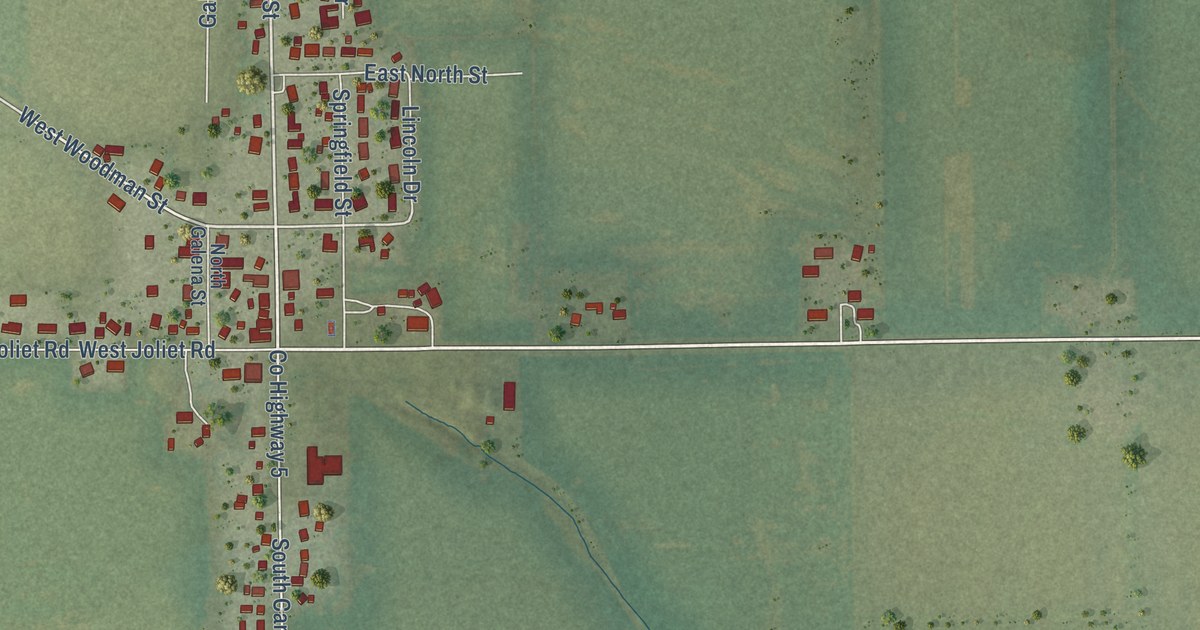
A detailed map of Lisbon, Illinois, showing every building in its true location, the roads by name, and shaded topographical relief.
Read More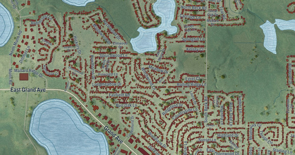
A detailed map of Lindenhurst, Illinois, showing every building in its true location, the roads by name, and shaded topographical relief.
Read More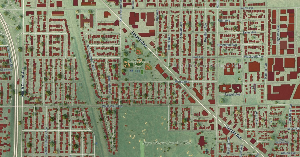
A detailed map of Lincolnwood, Illinois, showing every building in its true location, the roads by name, and shaded topographical relief.
Read More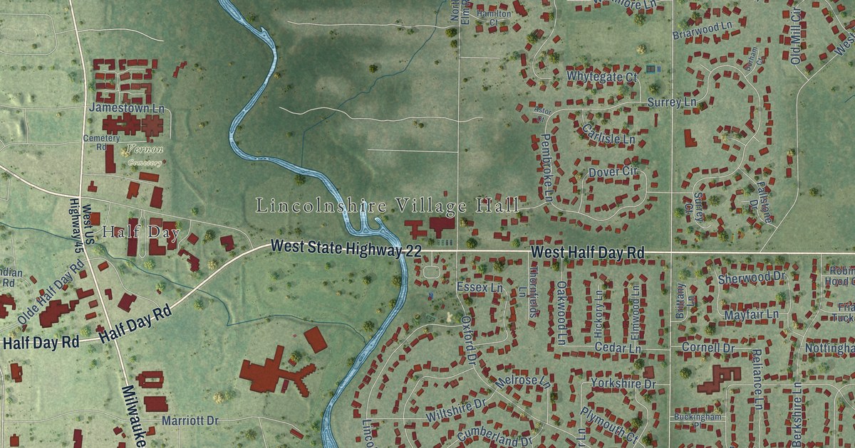
A detailed map of Lincolnshire, Illinois, showing every building in its true location, the roads by name, and shaded topographical relief.
Read More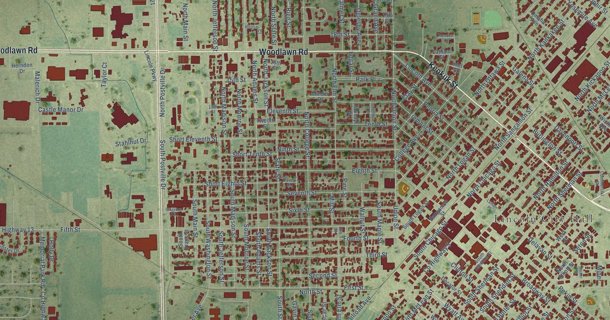
A detailed map of Lincoln, Illinois, showing every building in its true location, the roads by name, and shaded topographical relief.
Read More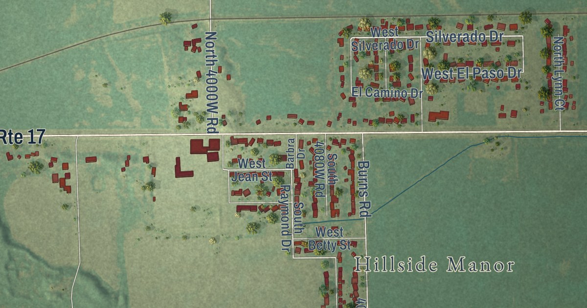
A detailed map of Limestone, Illinois, showing every building in its true location, the roads by name, and shaded topographical relief.
Read More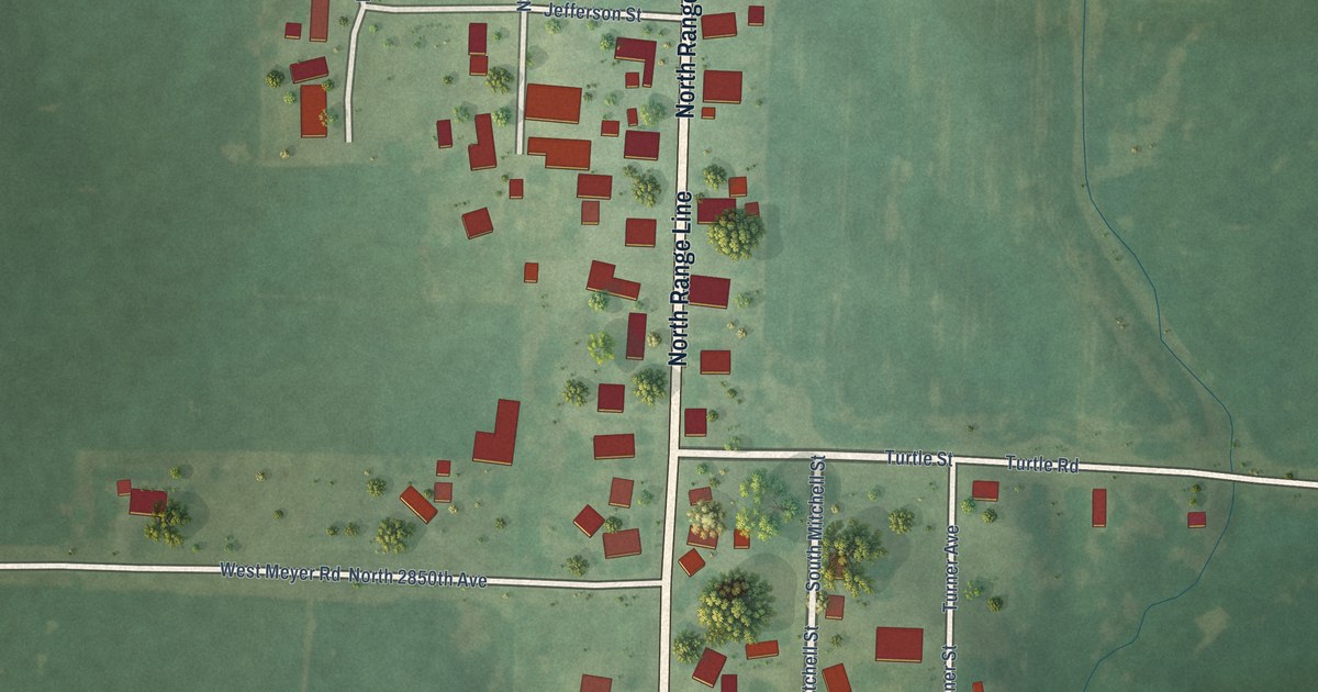
A detailed map of Lima, Illinois, showing every building in its true location, the roads by name, and shaded topographical relief.
Read More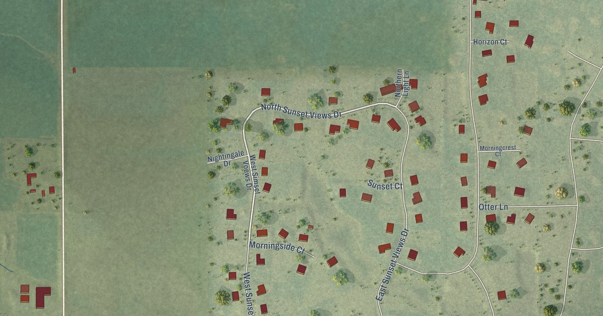
A detailed map of Lily Lake, Illinois, showing every building in its true location, the roads by name, and shaded topographical relief.
Read More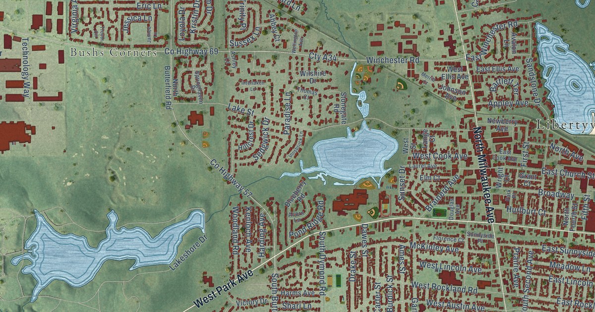
A detailed map of Libertyville, Illinois, showing every building in its true location, the roads by name, and shaded topographical relief.
Read More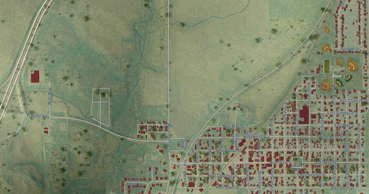
A detailed map of Lexington, Illinois, showing every building in its true location, the roads by name, and shaded topographical relief.
Read More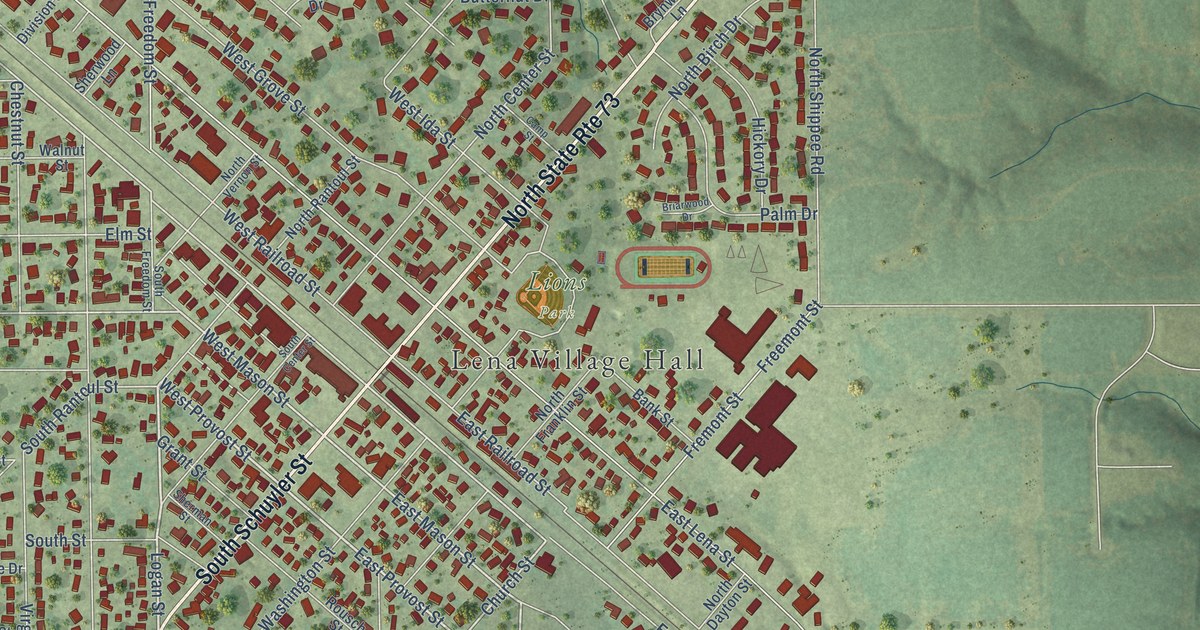
A detailed map of Lena, Illinois, showing every building in its true location, the roads by name, and shaded topographical relief.
Read More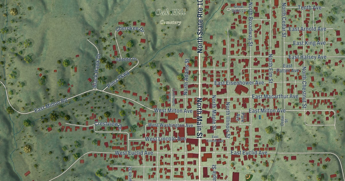
A detailed map of Lewistown, Illinois, showing every building in its true location, the roads by name, and shaded topographical relief.
Read More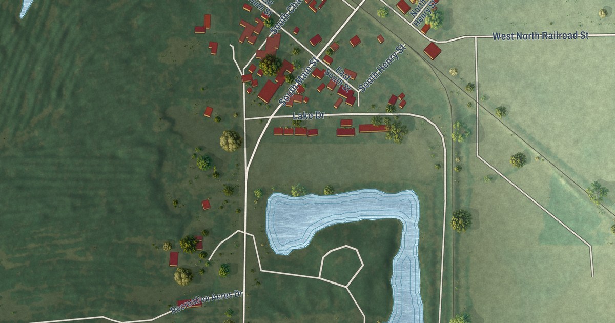
A detailed map of Lenzburg, Illinois, showing every building in its true location, the roads by name, and shaded topographical relief.
Read More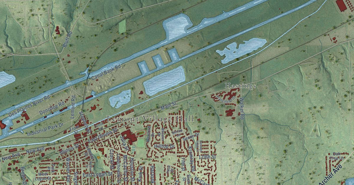
A detailed map of Lemont, Illinois, showing every building in its true location, the roads by name, and shaded topographical relief.
Read More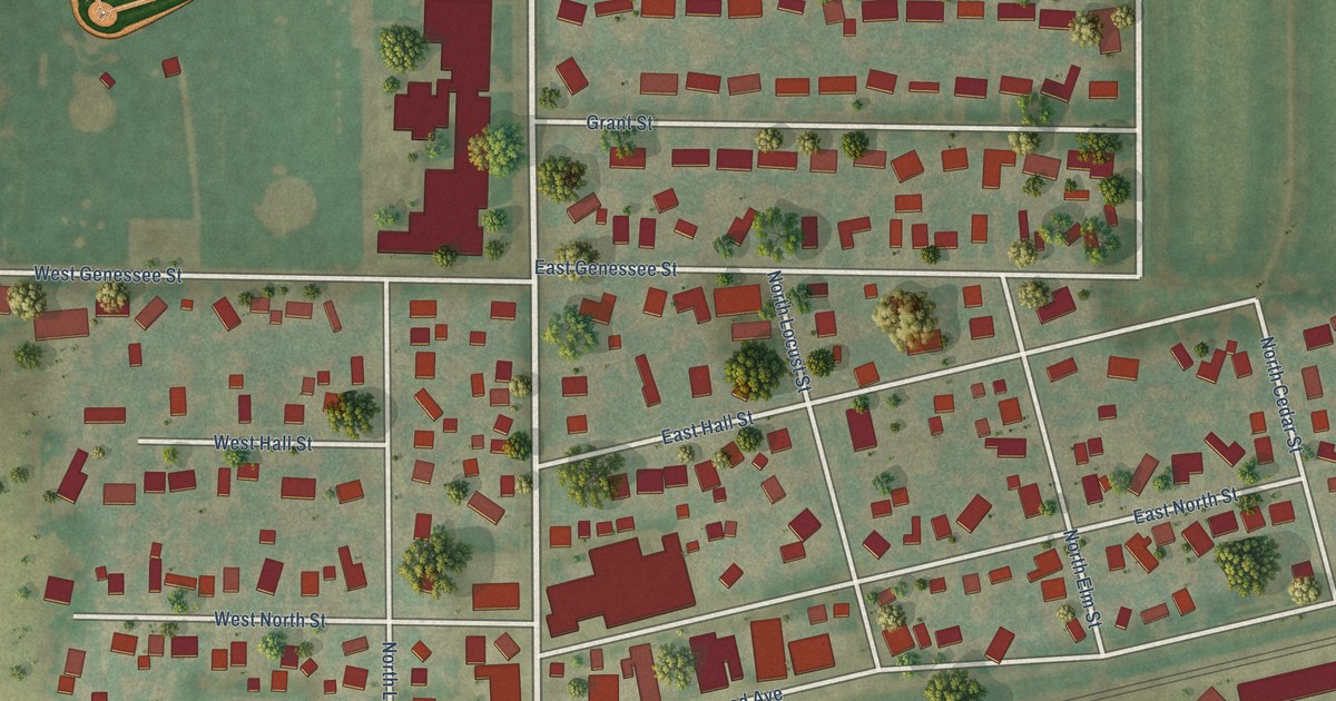
A detailed map of Leland, Illinois, showing every building in its true location, the roads by name, and shaded topographical relief.
Read More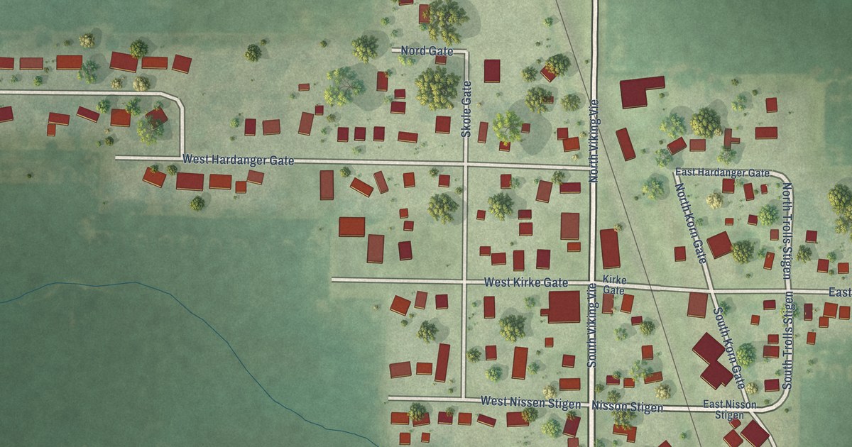
A detailed map of Lee, Illinois, showing every building in its true location, the roads by name, and shaded topographical relief.
Read More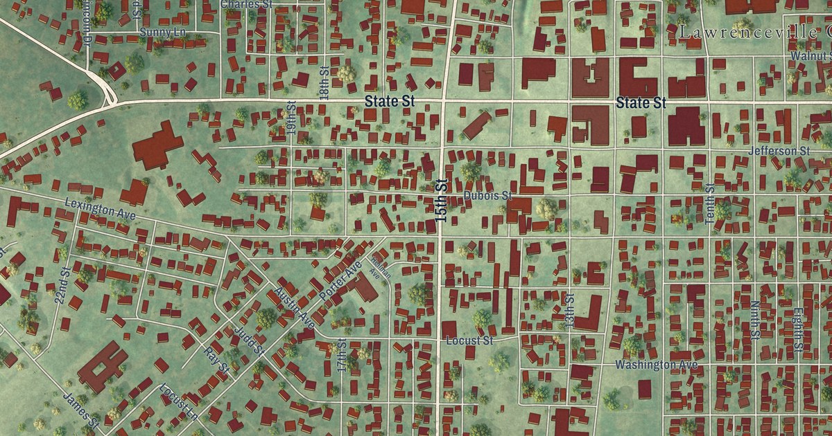
A detailed map of Lawrenceville, Illinois, showing every building in its true location, the roads by name, and shaded topographical relief.
Read More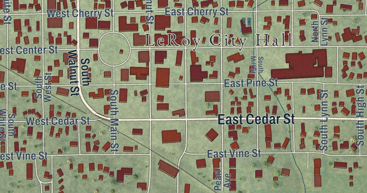
A detailed map of Le Roy, Illinois, showing every building in its true location, the roads by name, and shaded topographical relief.
Read More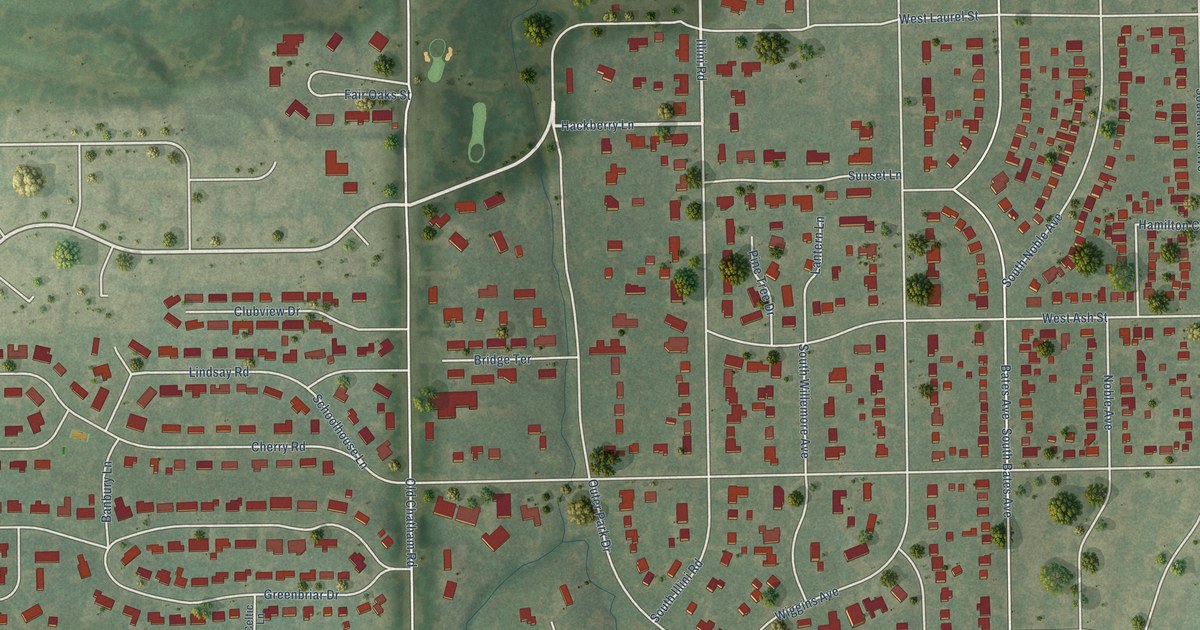
A detailed map of Leland Grove, Illinois, showing every building in its true location, the roads by name, and shaded topographical relief.
Read More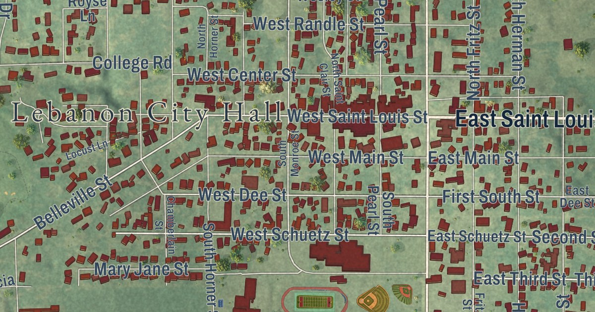
A detailed map of Lebanon, Illinois, showing every building in its true location, the roads by name, and shaded topographical relief.
Read More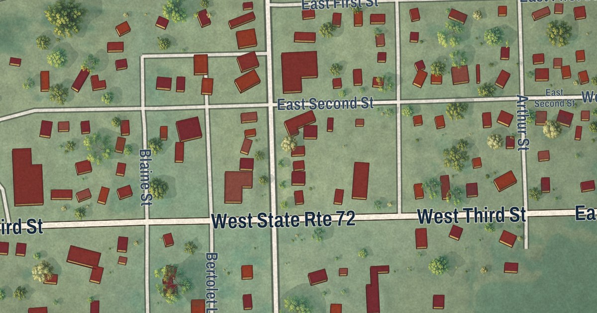
A detailed map of Leaf River, Illinois, showing every building in its true location, the roads by name, and shaded topographical relief.
Read More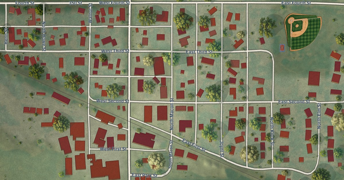
A detailed map of Latham, Illinois, showing every building in its true location, the roads by name, and shaded topographical relief.
Read More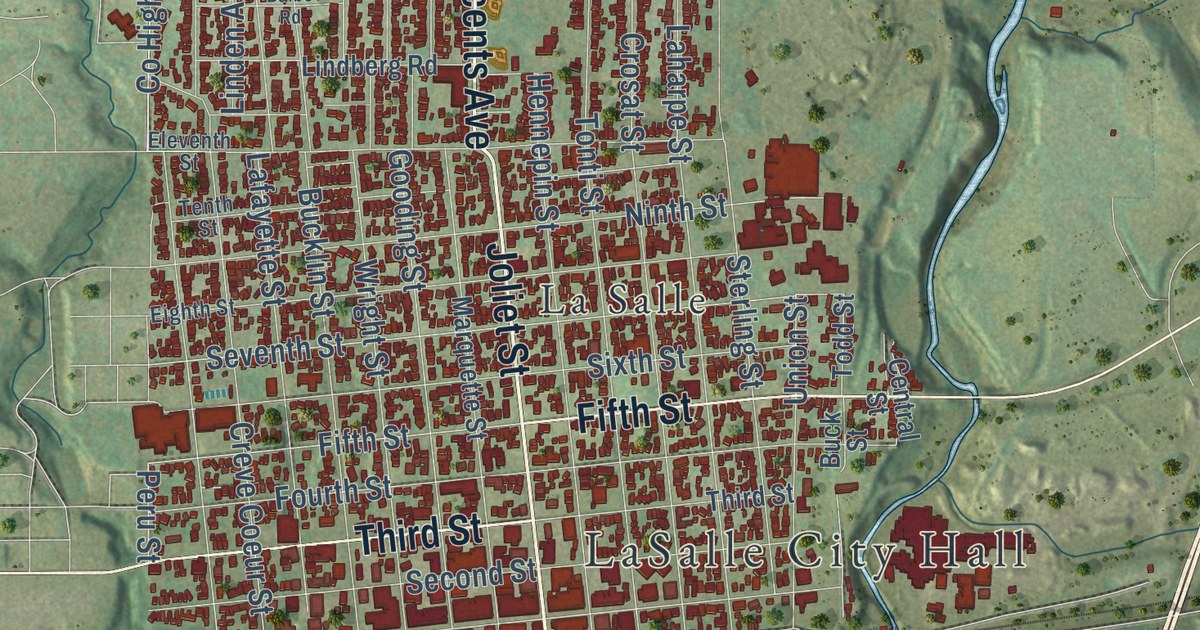
A detailed map of LaSalle, Illinois, showing every building in its true location, the roads by name, and shaded topographical relief.
Read More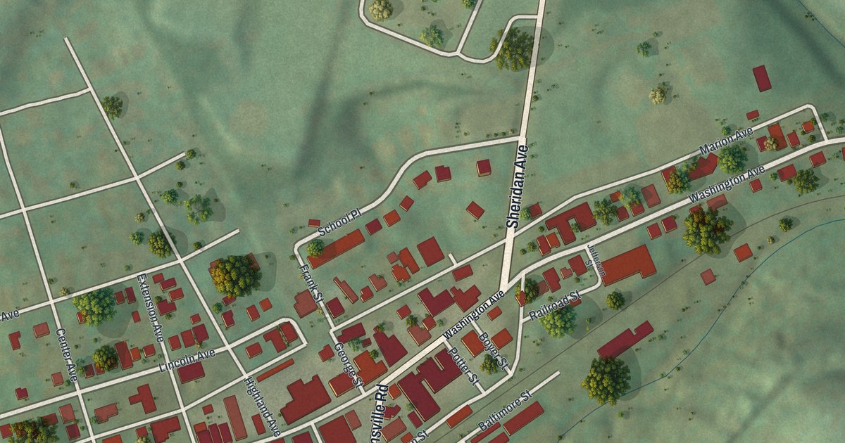
A detailed map of Finleyville, Pennsylvania, showing every building in its true location, the roads by name, and shaded topographical relief.
Read More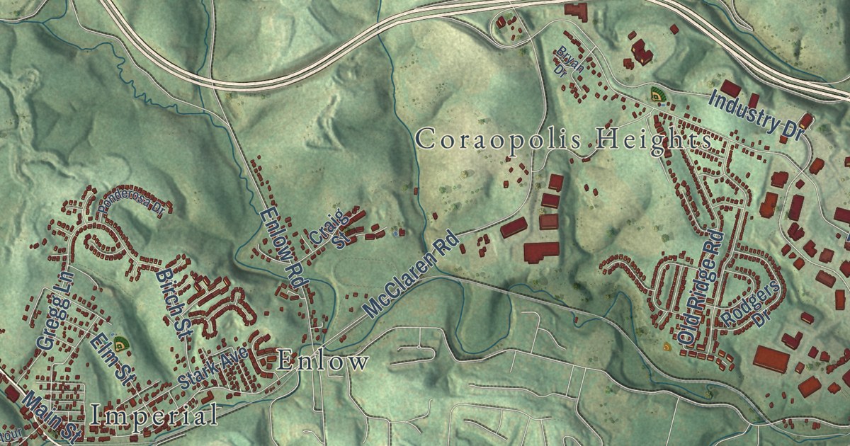
A detailed map of Findlay, Pennsylvania, showing every building in its true location, the roads by name, and shaded topographical relief.
Read More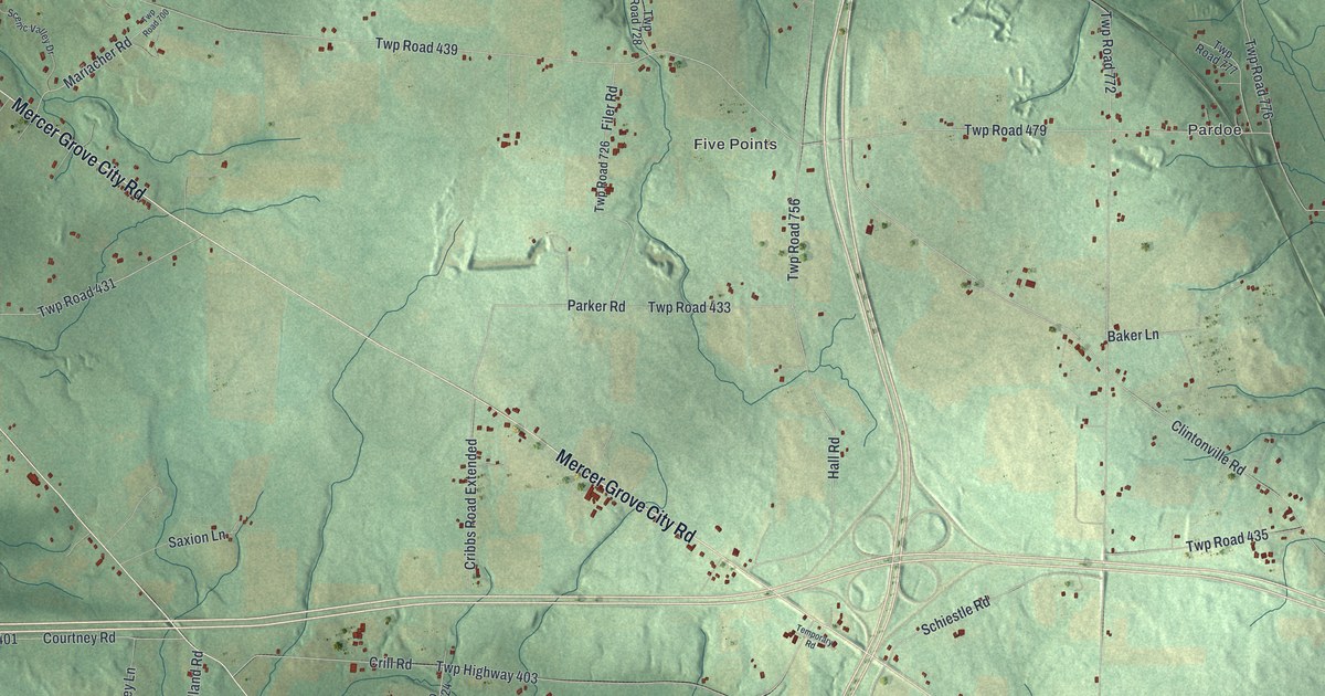
A detailed map of Findley, Pennsylvania, showing every building in its true location, the roads by name, and shaded topographical relief.
Read More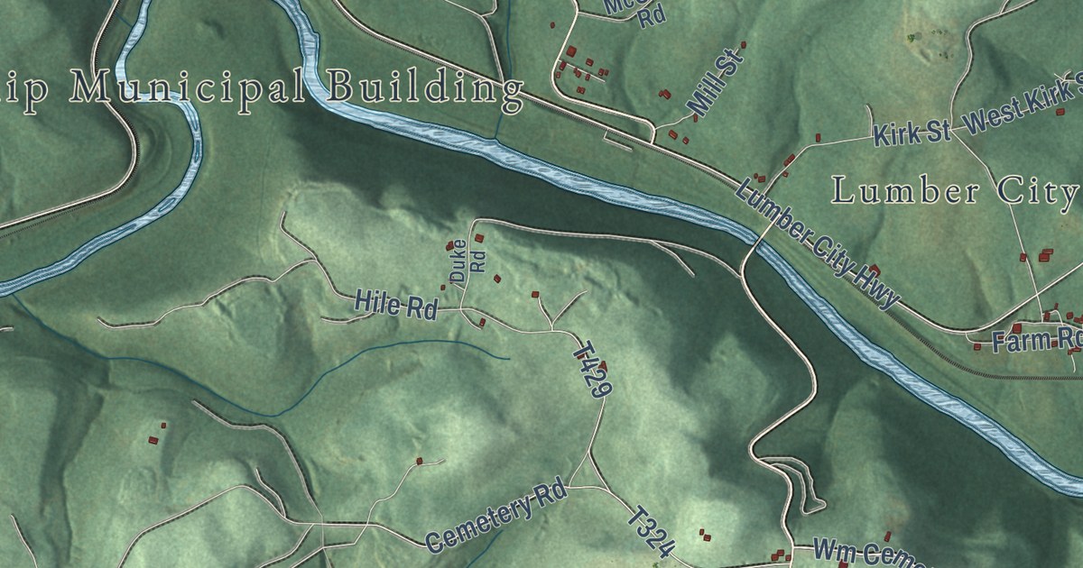
A detailed map of Ferguson, Clearfield County, Pennsylvania, showing every building in its true location, the roads by name, and shaded topographical relief.
Read More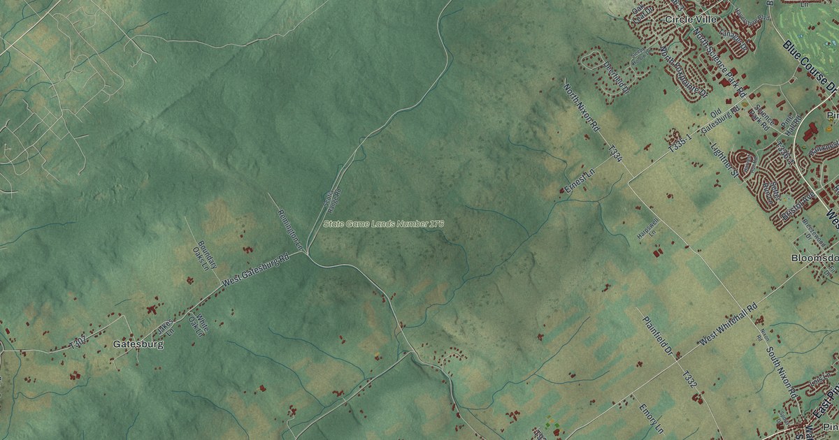
A detailed map of Ferguson, Centre County, Pennsylvania, showing every building in its true location, the roads by name, and shaded topographical relief.
Read More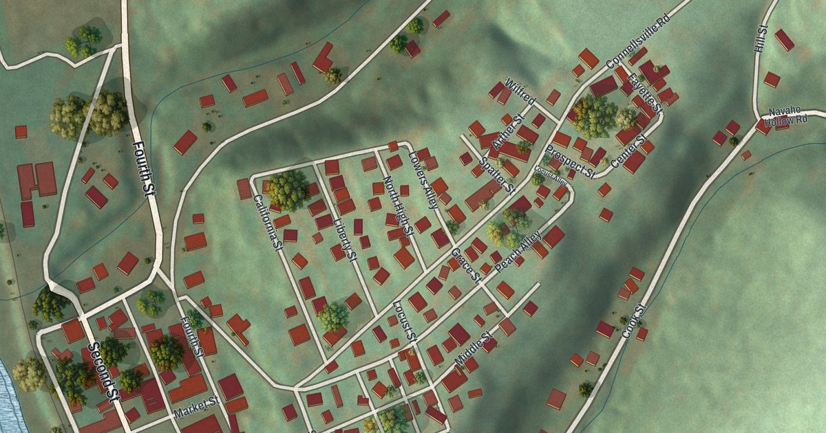
A detailed map of Fayette City, Pennsylvania, showing every building in its true location, the roads by name, and shaded topographical relief.
Read More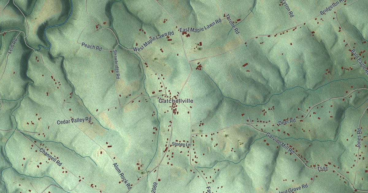
A detailed map of Fawn, York County, Pennsylvania, showing every building in its true location, the roads by name, and shaded topographical relief.
Read More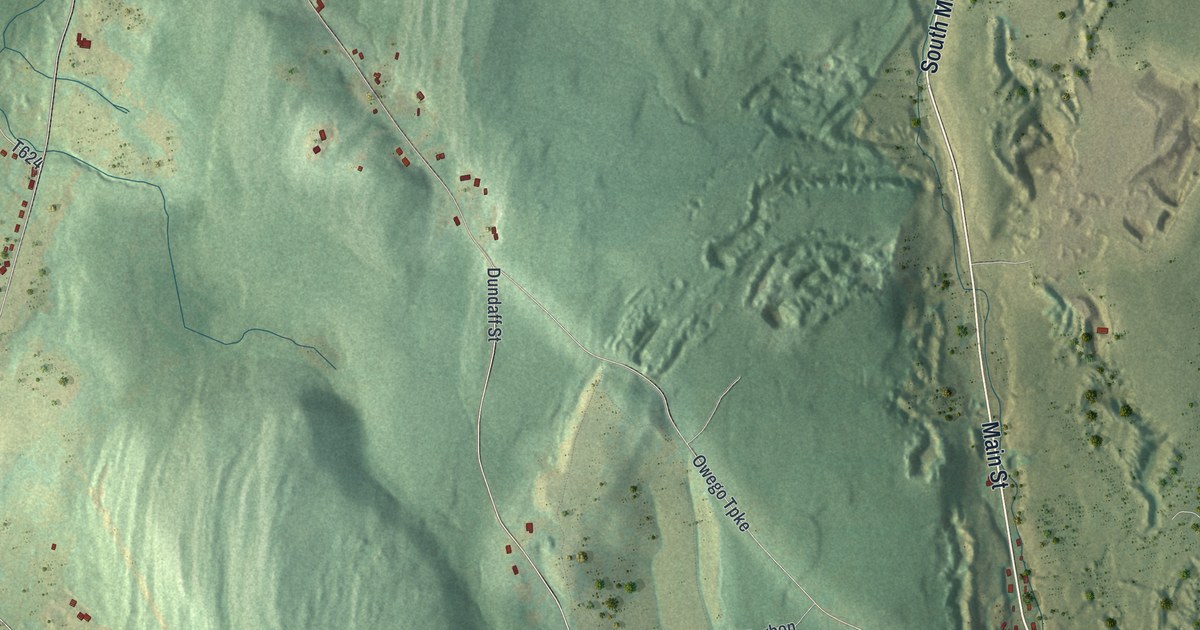
A detailed map of Fell, Pennsylvania, showing every building in its true location, the roads by name, and shaded topographical relief.
Read More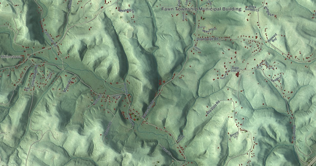
A detailed map of Fawn, Allegheny County, Pennsylvania, showing every building in its true location, the roads by name, and shaded topographical relief.
Read More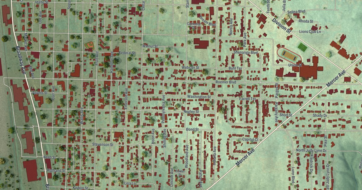
A detailed map of Farrell, Pennsylvania, showing every building in its true location, the roads by name, and shaded topographical relief.
Read More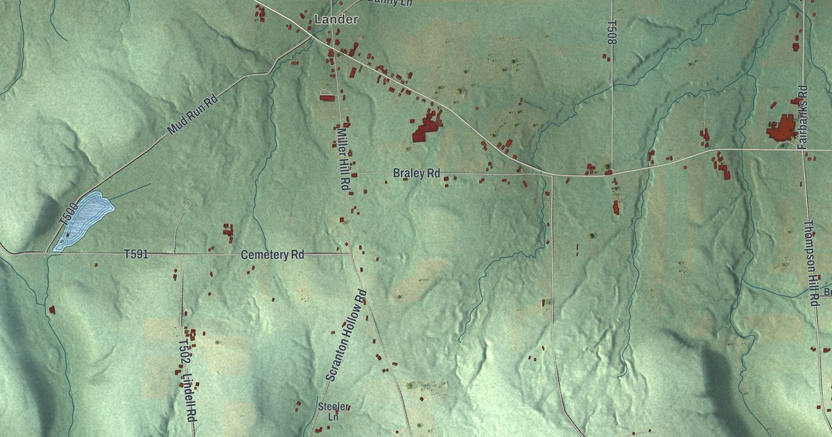
A detailed map of Farmington, Warren County, Pennsylvania, showing every building in its true location, the roads by name, and shaded topographical relief.
Read More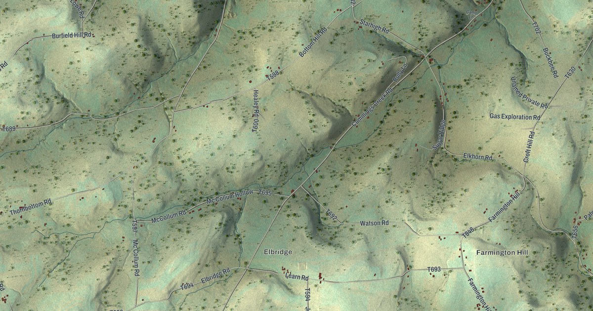
A detailed map of Farmington, Tioga County, Pennsylvania, showing every building in its true location, the roads by name, and shaded topographical relief.
Read More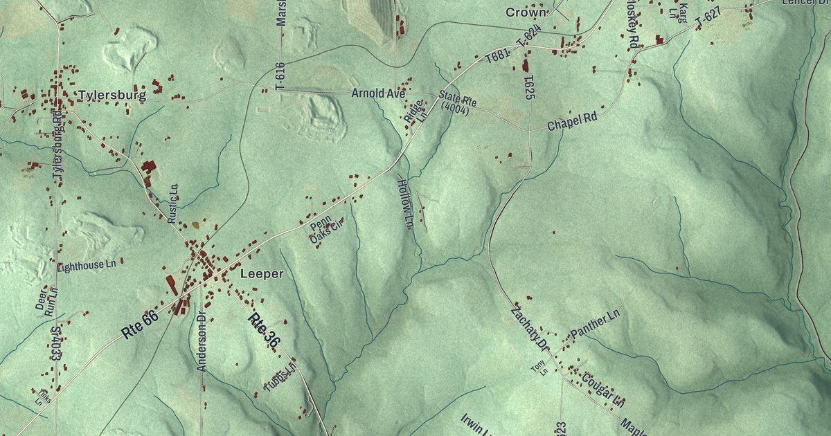
A detailed map of Farmington, Clarion County, Pennsylvania, showing every building in its true location, the roads by name, and shaded topographical relief.
Read More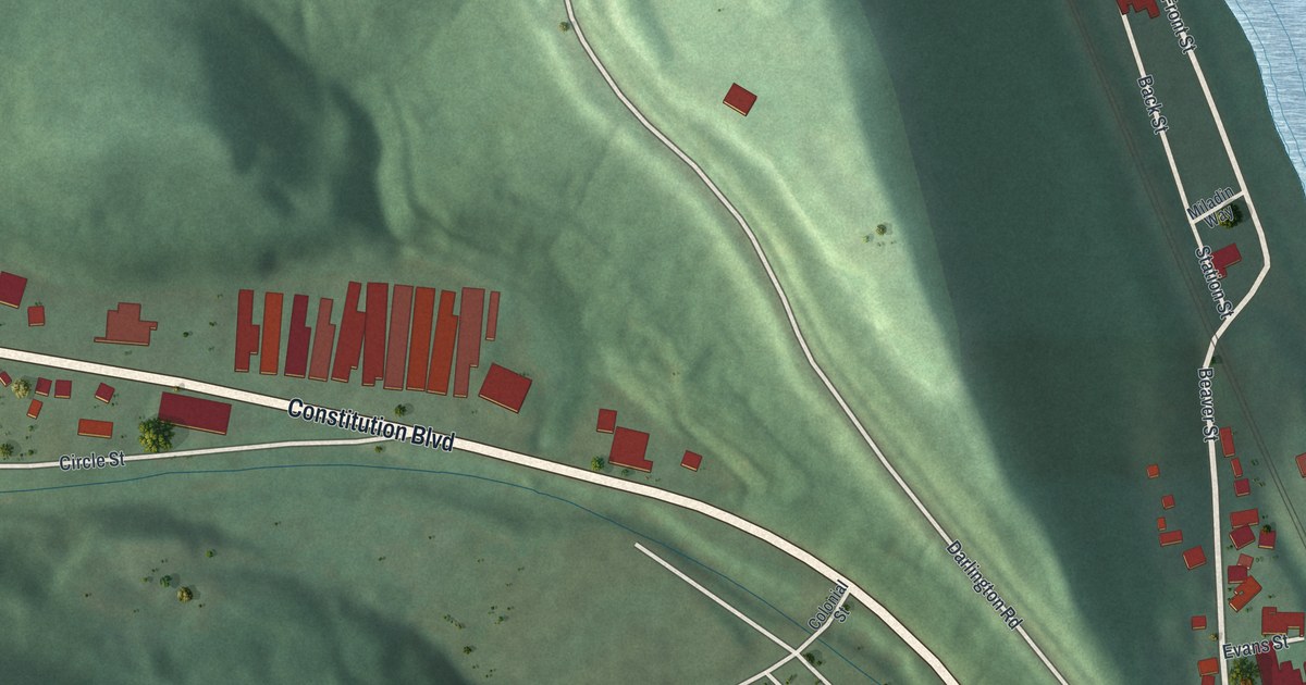
A detailed map of Fallston, Pennsylvania, showing every building in its true location, the roads by name, and shaded topographical relief.
Read More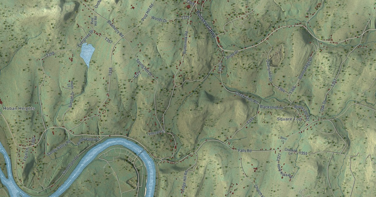
A detailed map of Falls, Wyoming County, Pennsylvania, showing every building in its true location, the roads by name, and shaded topographical relief.
Read More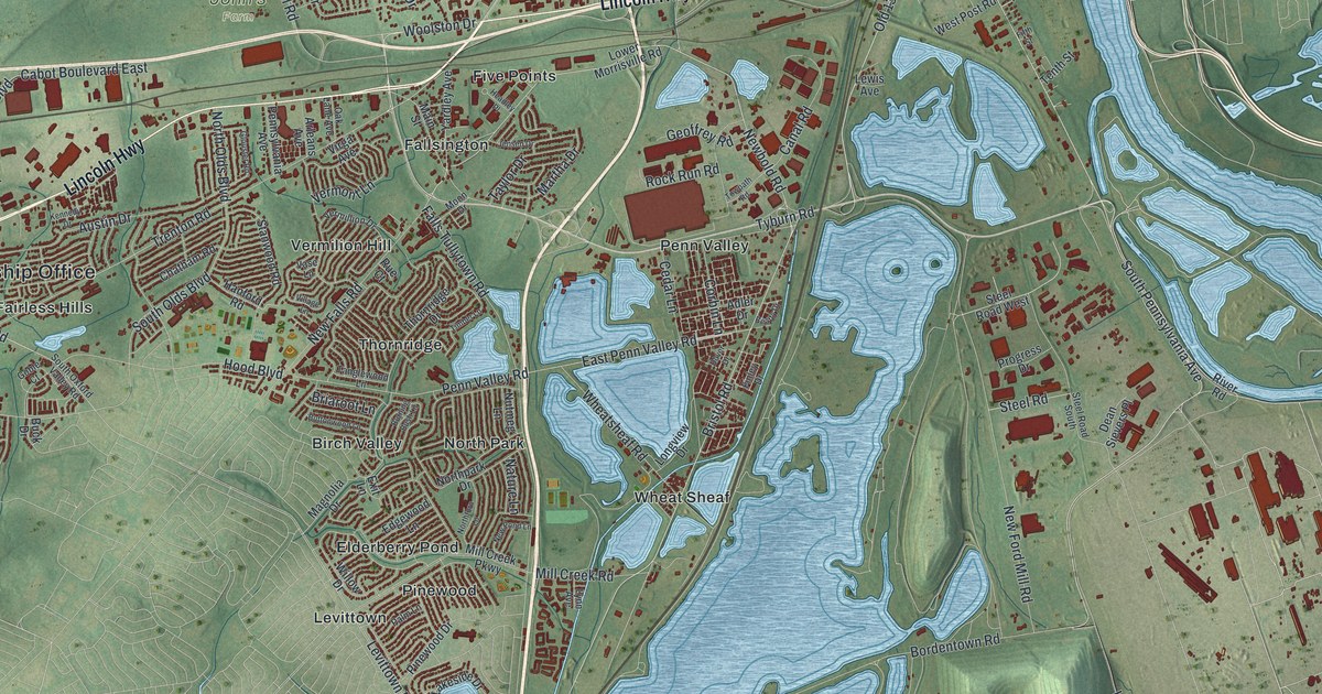
A detailed map of Falls, Bucks County, Pennsylvania, showing every building in its true location, the roads by name, and shaded topographical relief.
Read More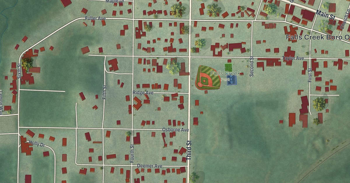
A detailed map of Falls Creek, Pennsylvania, showing every building in its true location, the roads by name, and shaded topographical relief.
Read More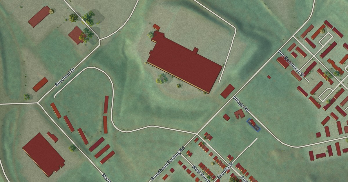
A detailed map of Fairywood, Pennsylvania, showing every building in its true location, the roads by name, and shaded topographical relief.
Read More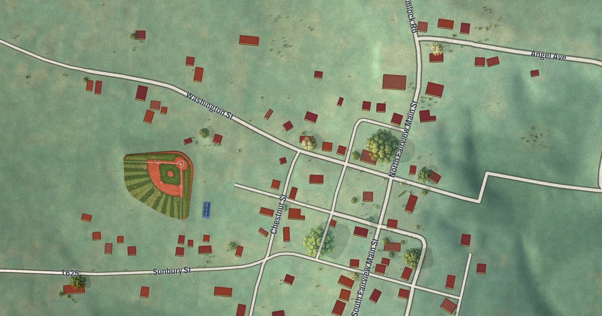
A detailed map of Fairview Borough, Butler County, Pennsylvania, showing every building in its true location, the roads by name, and shaded topographical relief.
Read More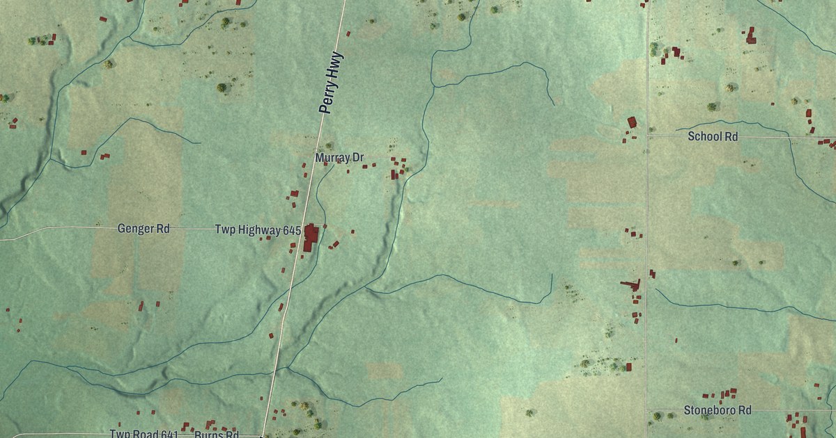
A detailed map of Fairview, Mercer County, Pennsylvania, showing every building in its true location, the roads by name, and shaded topographical relief.
Read More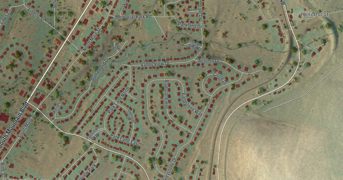
A detailed map of Fairview, Luzerne County, Pennsylvania, showing every building in its true location, the roads by name, and shaded topographical relief.
Read More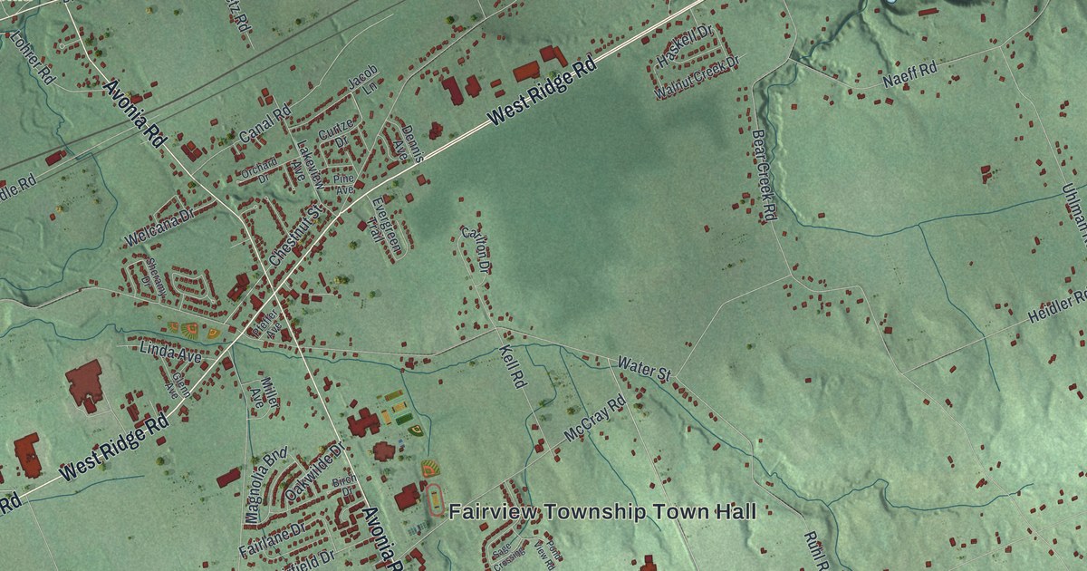
A detailed map of Fairview, Erie County, Pennsylvania, showing every building in its true location, the roads by name, and shaded topographical relief.
Read More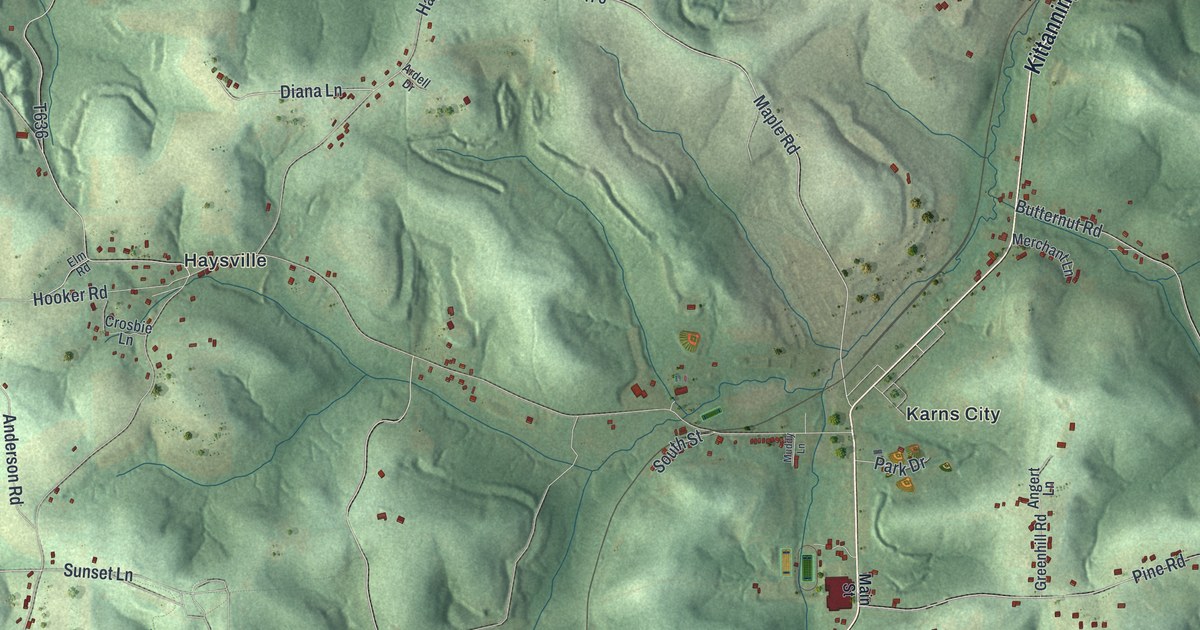
A detailed map of Fairview Township, Butler County, Pennsylvania, showing every building in its true location, the roads by name, and shaded topographical relief.
Read More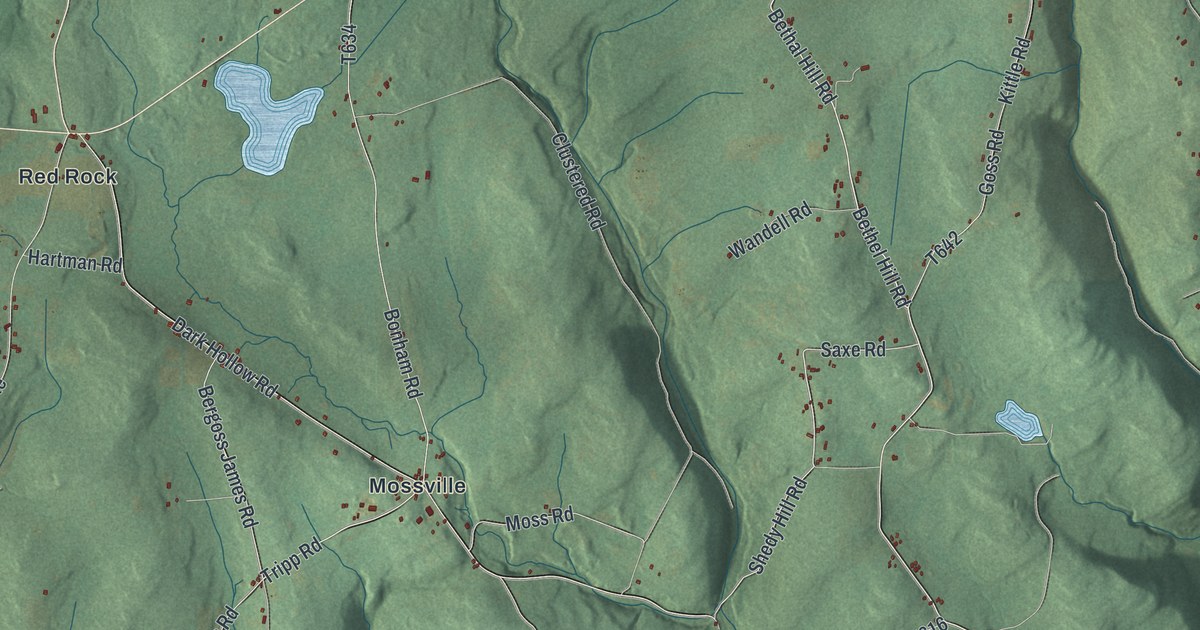
A detailed map of Fairmount, Pennsylvania, showing every building in its true location, the roads by name, and shaded topographical relief.
Read More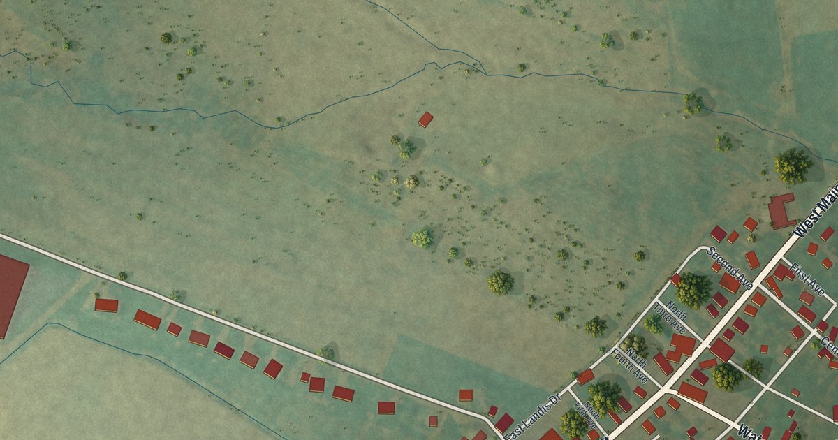
A detailed map of Fairfield, Adams County, Pennsylvania, showing every building in its true location, the roads by name, and shaded topographical relief.
Read More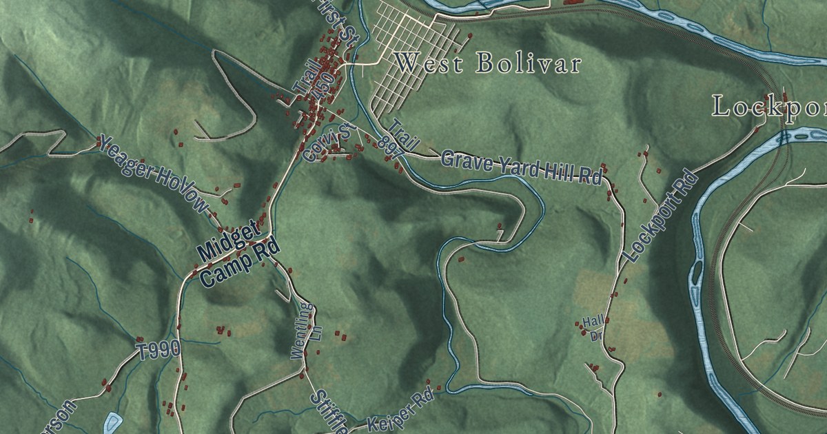
A detailed map of Fairfield, Westmoreland County, Pennsylvania, showing every building in its true location, the roads by name, and shaded topographical relief.
Read More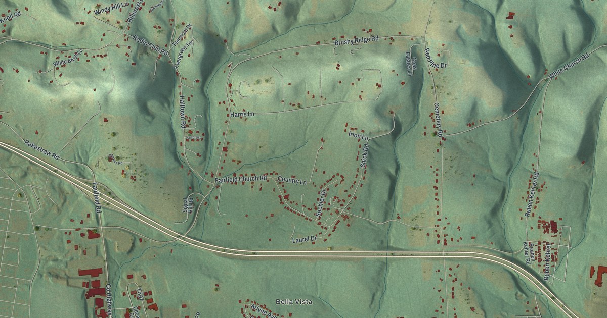
A detailed map of Fairfield, Lycoming County, Pennsylvania, showing every building in its true location, the roads by name, and shaded topographical relief.
Read More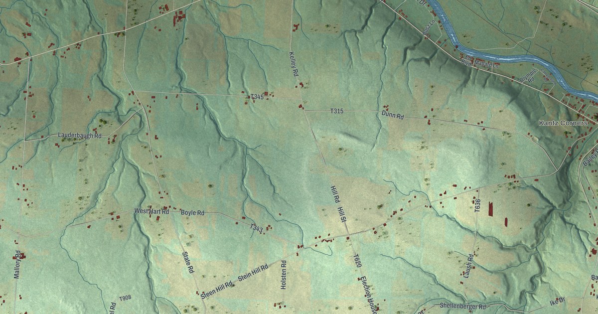
A detailed map of Fairfield, Crawford County, Pennsylvania, showing every building in its true location, the roads by name, and shaded topographical relief.
Read More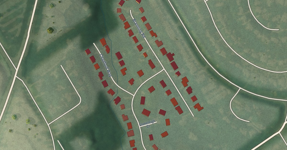
A detailed map of Thornhill, Kentucky, showing every building in its true location, the roads by name, and shaded topographical relief.
Read More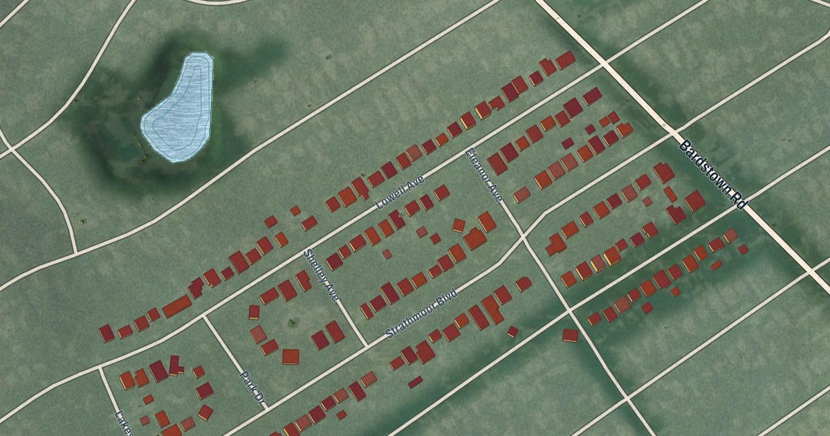
A detailed map of Strathmoor Manor, Kentucky, showing every building in its true location, the roads by name, and shaded topographical relief.
Read More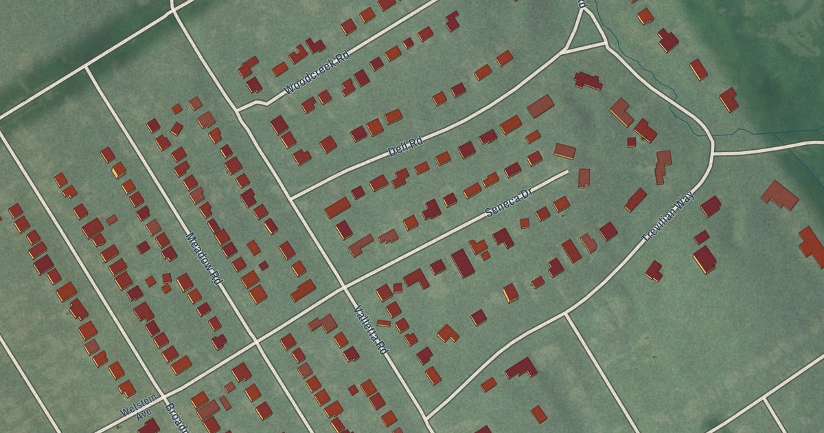
A detailed map of Seneca Gardens, Kentucky, showing every building in its true location, the roads by name, and shaded topographical relief.
Read More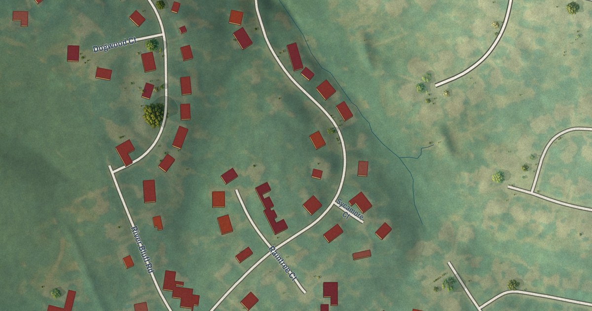
A detailed map of River Bluff, Kentucky, showing every building in its true location, the roads by name, and shaded topographical relief.
Read More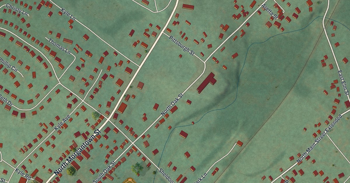
A detailed map of Fairchance, Pennsylvania, showing every building in its true location, the roads by name, and shaded topographical relief.
Read More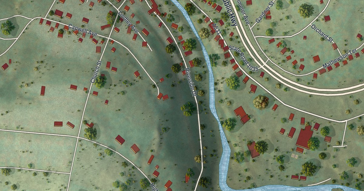
A detailed map of Factoryville, Pennsylvania, showing every building in its true location, the roads by name, and shaded topographical relief.
Read More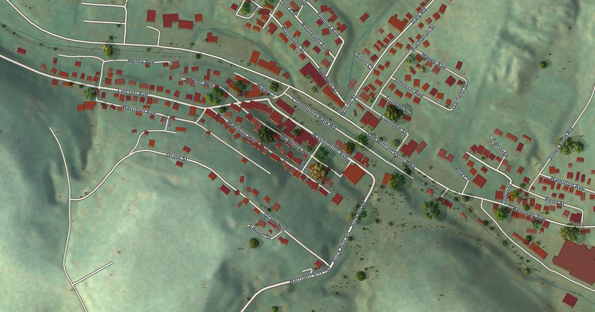
A detailed map of Export, Pennsylvania, showing every building in its true location, the roads by name, and shaded topographical relief.
Read More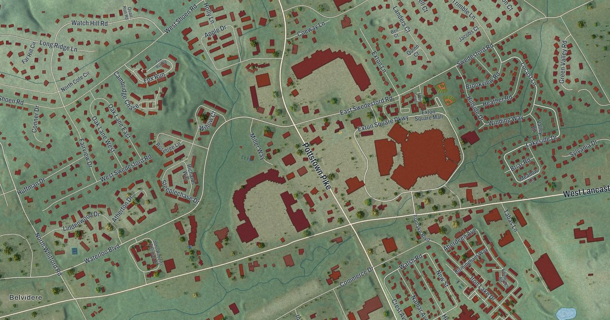
A detailed map of Exton, Pennsylvania, showing every building in its true location, the roads by name, and shaded topographical relief.
Read More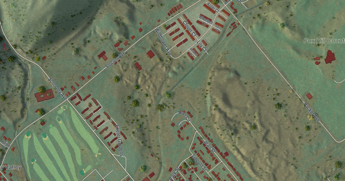
A detailed map of Exeter Borough, Luzerne County, Pennsylvania, showing every building in its true location, the roads by name, and shaded topographical relief.
Read More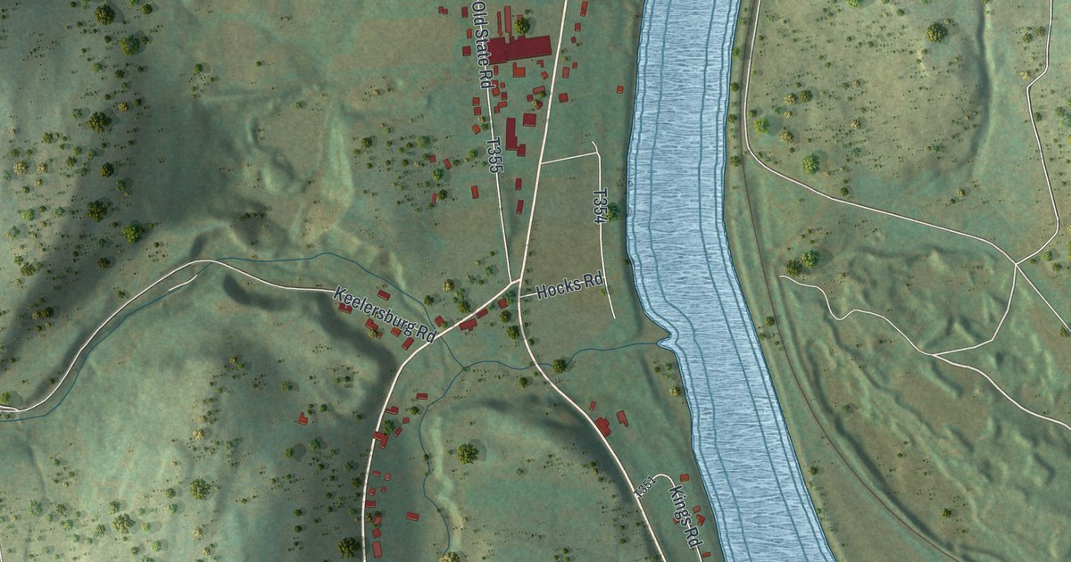
A detailed map of Exeter, Wyoming County, Pennsylvania, showing every building in its true location, the roads by name, and shaded topographical relief.
Read More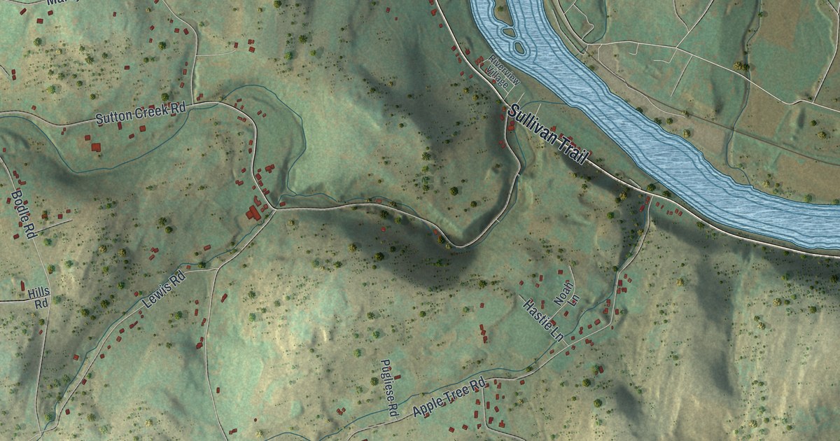
A detailed map of Exeter Township, Luzerne County, Pennsylvania, showing every building in its true location, the roads by name, and shaded topographical relief.
Read More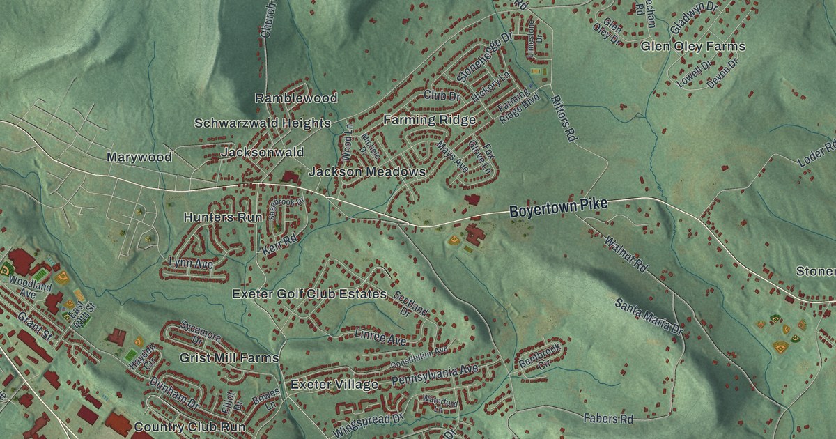
A detailed map of Exeter, Berks County, Pennsylvania, showing every building in its true location, the roads by name, and shaded topographical relief.
Read More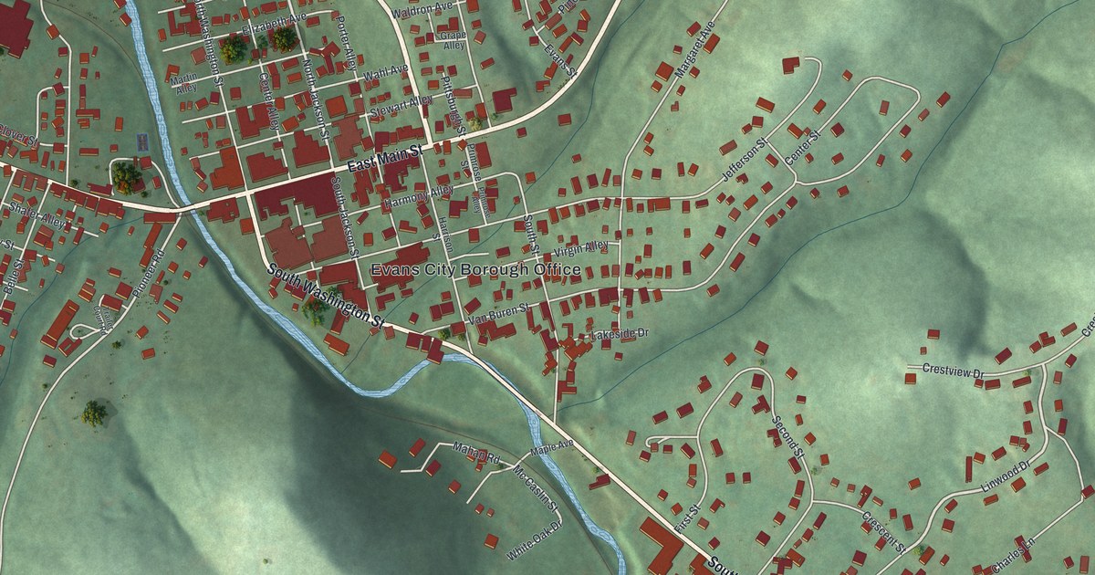
A detailed map of Evans City, Pennsylvania, showing every building in its true location, the roads by name, and shaded topographical relief.
Read More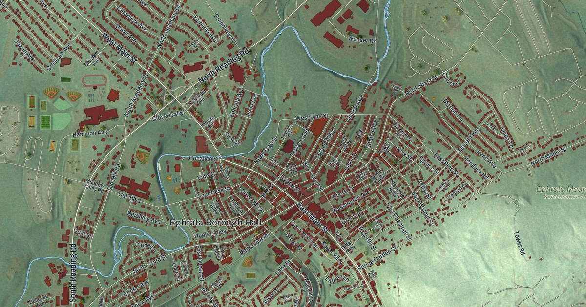
A detailed map of Ephrata Borough, Pennsylvania, showing every building in its true location, the roads by name, and shaded topographical relief.
Read More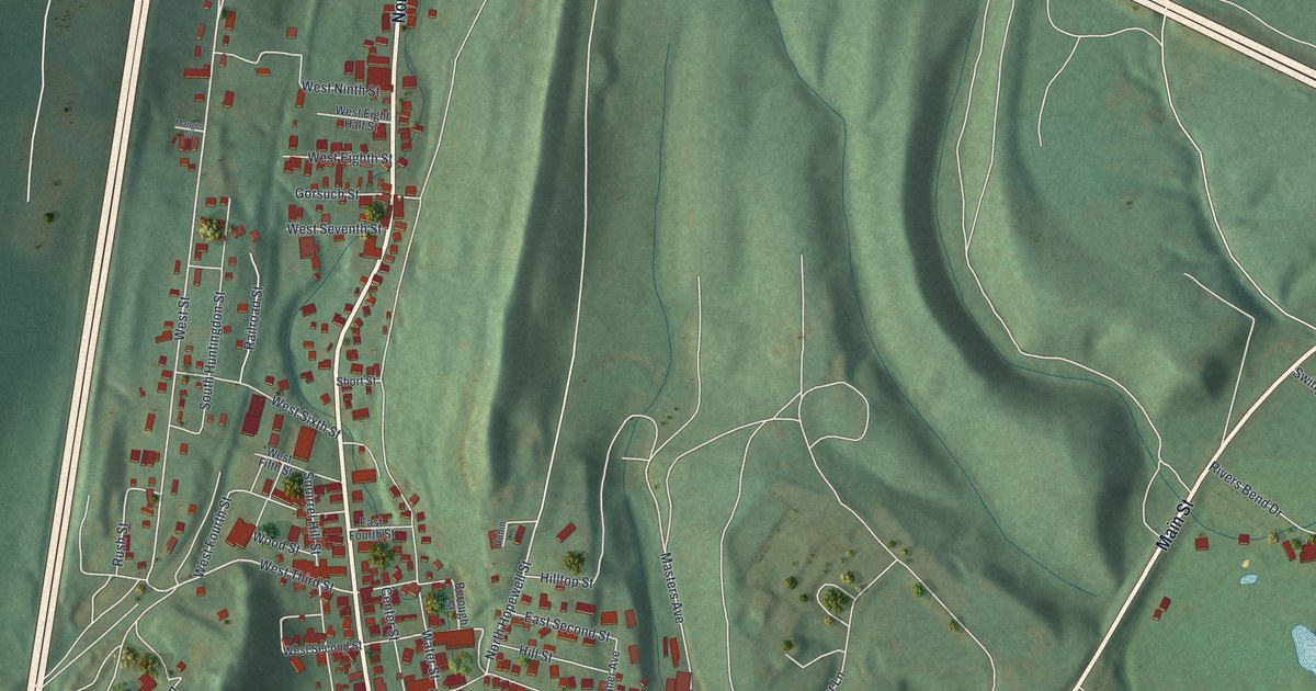
A detailed map of Everett, Pennsylvania, showing every building in its true location, the roads by name, and shaded topographical relief.
Read More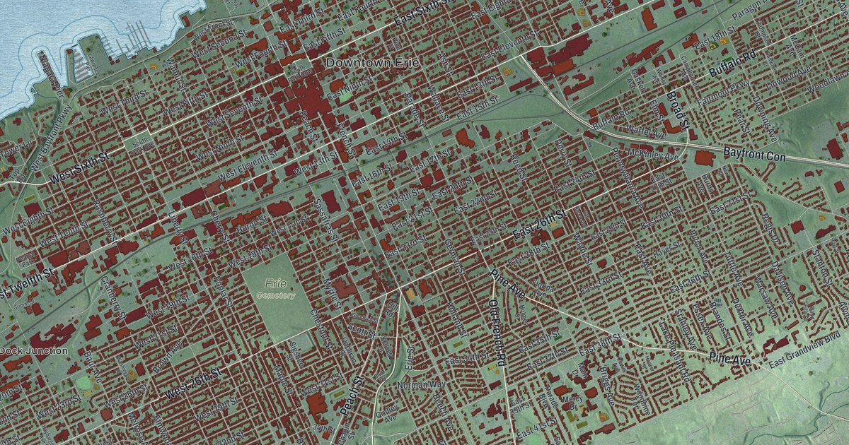
A detailed map of Erie, Pennsylvania, showing every building in its true location, the roads by name, and shaded topographical relief.
Read More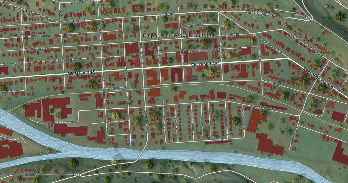
A detailed map of Emporium, Pennsylvania, showing every building in its true location, the roads by name, and shaded topographical relief.
Read More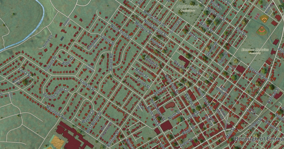
A detailed map of Emmaus, Pennsylvania, showing every building in its true location, the roads by name, and shaded topographical relief.
Read More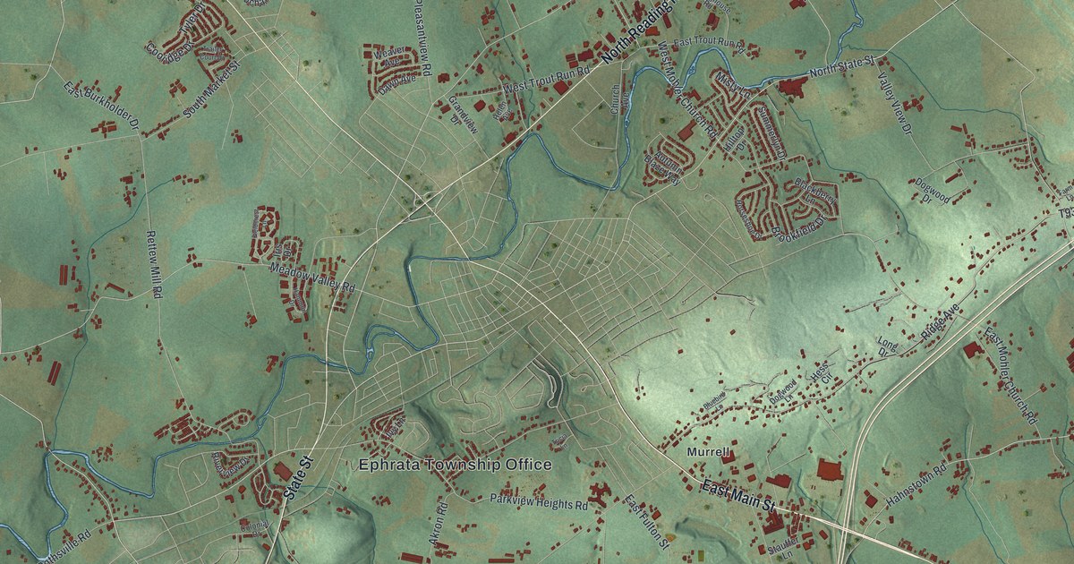
A detailed map of Ephrata Township, Pennsylvania, showing every building in its true location, the roads by name, and shaded topographical relief.
Read More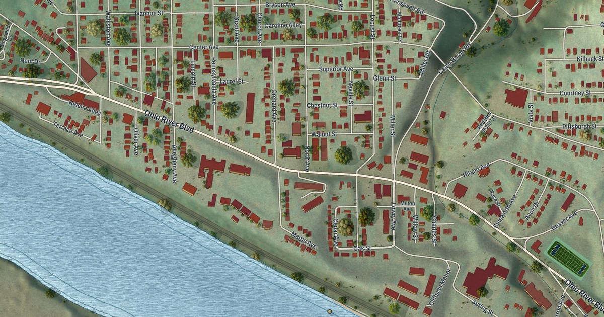
A detailed map of Emsworth, Pennsylvania, showing every building in its true location, the roads by name, and shaded topographical relief.
Read More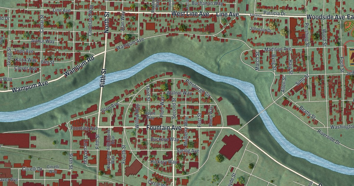
A detailed map of Ellwood City, Pennsylvania, showing every building in its true location, the roads by name, and shaded topographical relief.
Read More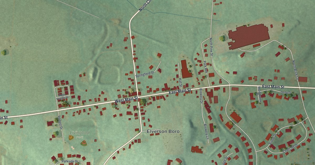
A detailed map of Elverson, Pennsylvania, showing every building in its true location, the roads by name, and shaded topographical relief.
Read More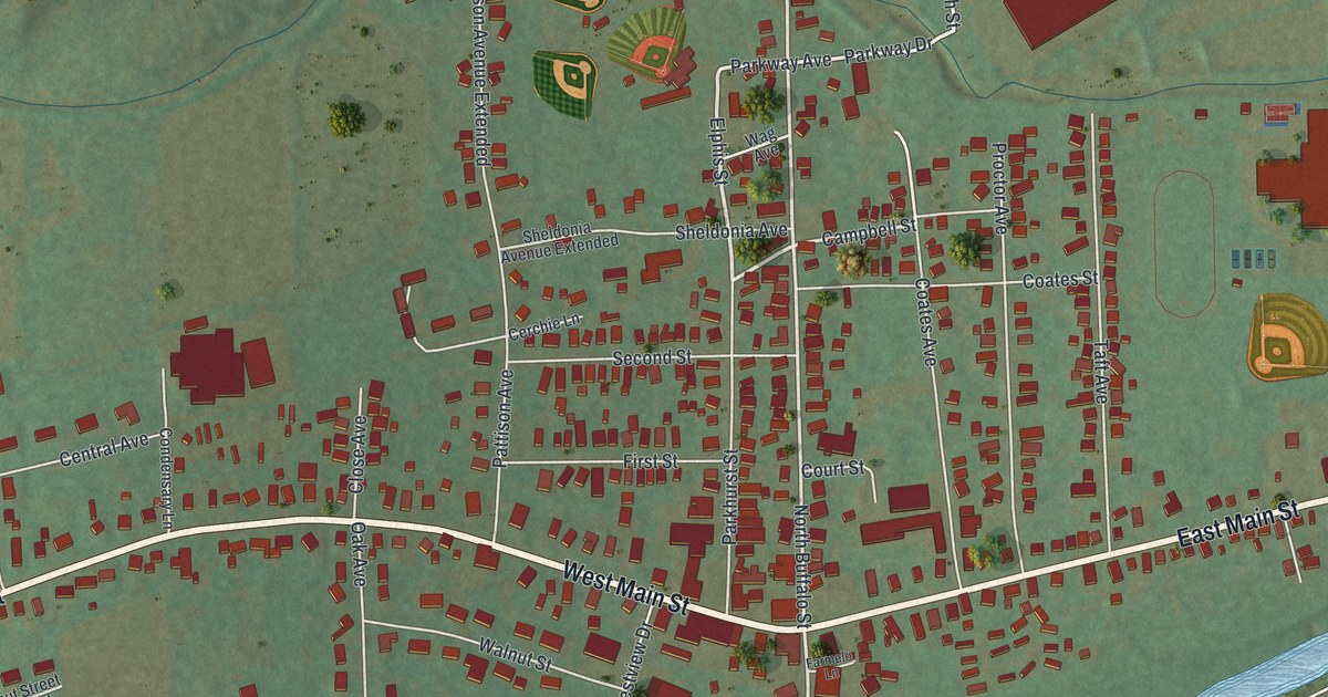
A detailed map of Elkland, Tioga County, Pennsylvania, showing every building in its true location, the roads by name, and shaded topographical relief.
Read More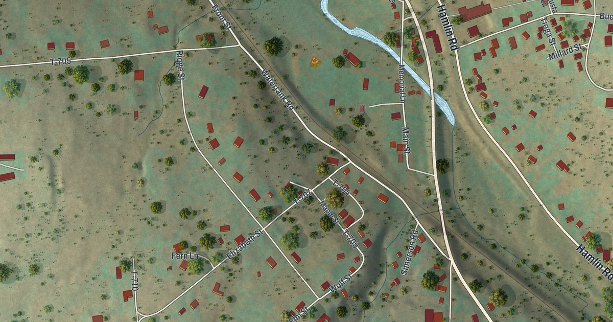
A detailed map of Elmhurst, Pennsylvania, showing every building in its true location, the roads by name, and shaded topographical relief.
Read More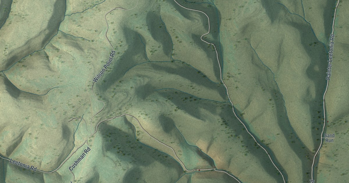
A detailed map of Elk, Tioga County, Pennsylvania, showing every building in its true location, the roads by name, and shaded topographical relief.
Read More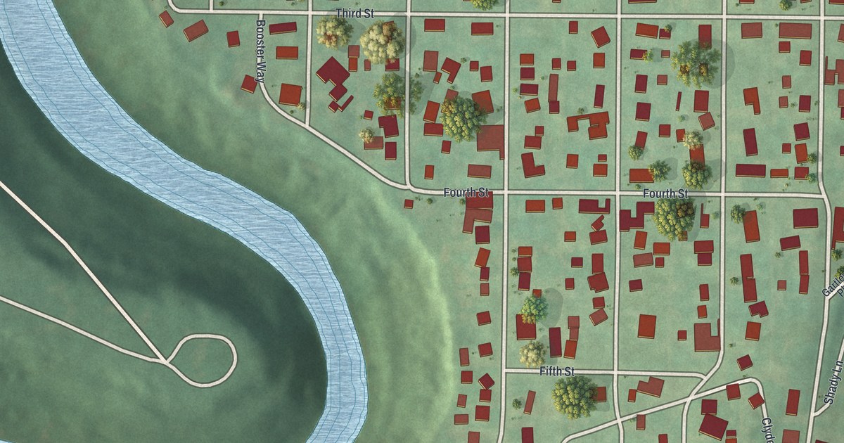
A detailed map of Ellport, Pennsylvania, showing every building in its true location, the roads by name, and shaded topographical relief.
Read More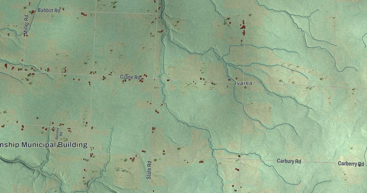
A detailed map of Elk Creek, Pennsylvania, showing every building in its true location, the roads by name, and shaded topographical relief.
Read More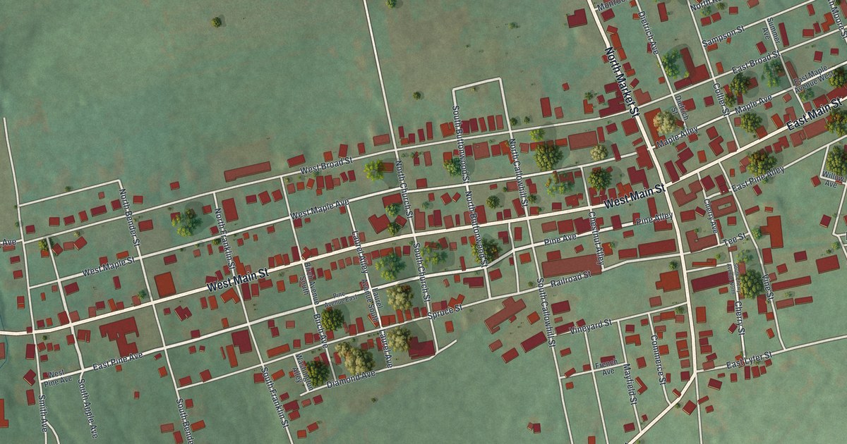
A detailed map of Elizabethville, Pennsylvania, showing every building in its true location, the roads by name, and shaded topographical relief.
Read More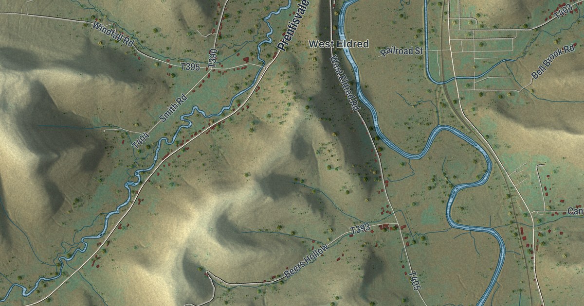
A detailed map of Eldred Township, McKean County, Pennsylvania, showing every building in its true location, the roads by name, and shaded topographical relief.
Read More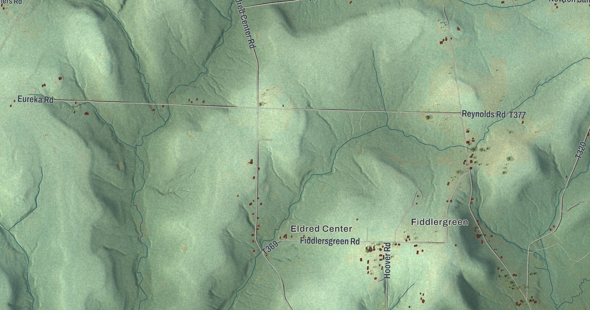
A detailed map of Eldred, Warren County, Pennsylvania, showing every building in its true location, the roads by name, and shaded topographical relief.
Read More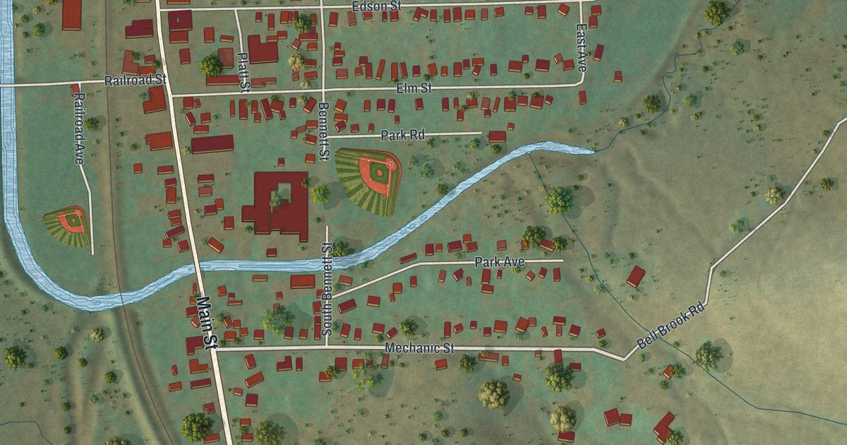
A detailed map of Eldred Borough, McKean County, Pennsylvania, showing every building in its true location, the roads by name, and shaded topographical relief.
Read More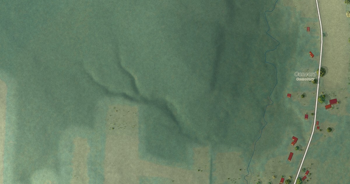
A detailed map of Elgin, Pennsylvania, showing every building in its true location, the roads by name, and shaded topographical relief.
Read More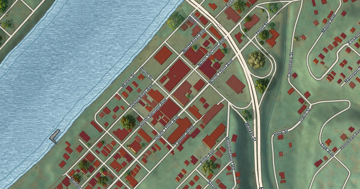
A detailed map of Elizabeth Borough, Allegheny County, Pennsylvania, showing every building in its true location, the roads by name, and shaded topographical relief.
Read More















