Detailed Map of Bechtelsville, Pennsylvania
A detailed map of Bechtelsville, Pennsylvania, showing every building in its true location, the roads by name, and shaded topographical relief.
Read More
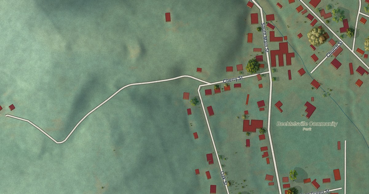
A detailed map of Bechtelsville, Pennsylvania, showing every building in its true location, the roads by name, and shaded topographical relief.
Read More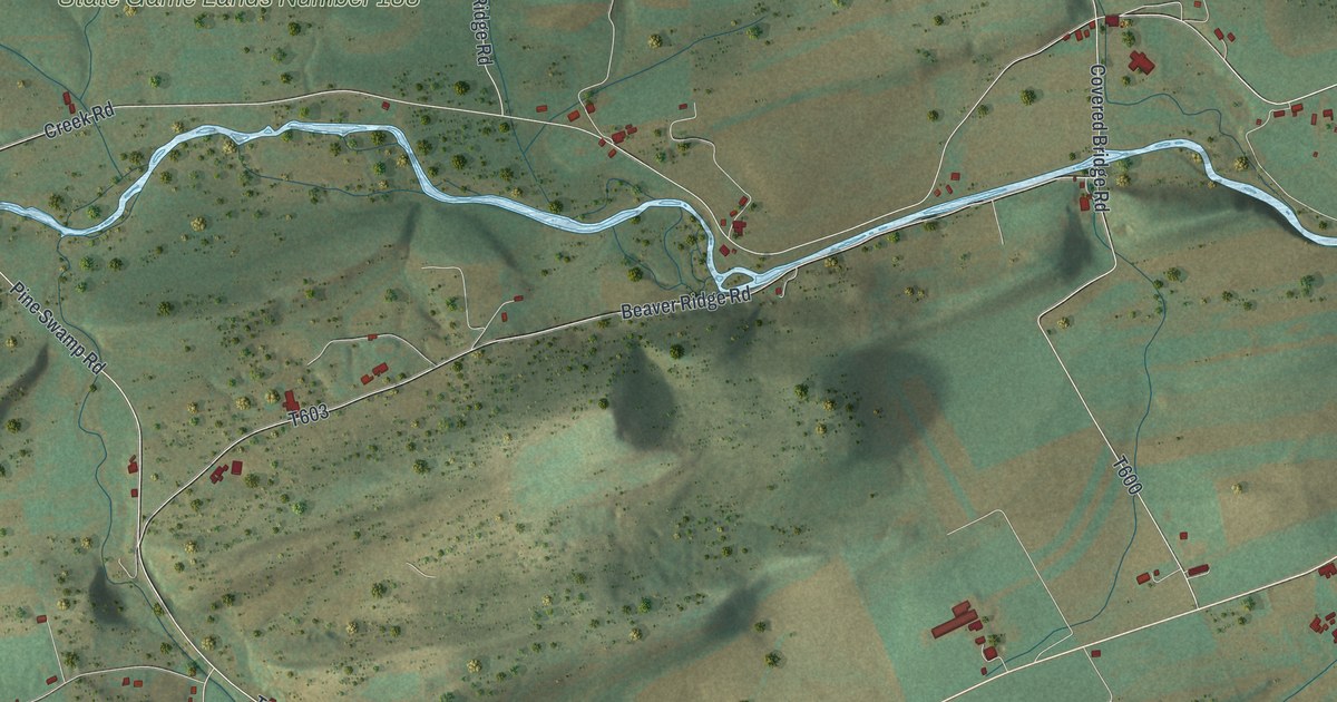
A detailed map of Beaver, Snyder County, Pennsylvania, showing every building in its true location, the roads by name, and shaded topographical relief.
Read More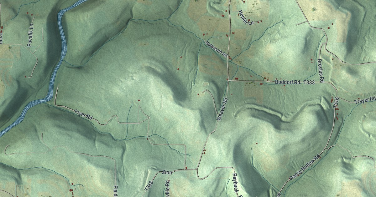
A detailed map of Beaver, Jefferson County, Pennsylvania, showing every building in its true location, the roads by name, and shaded topographical relief.
Read More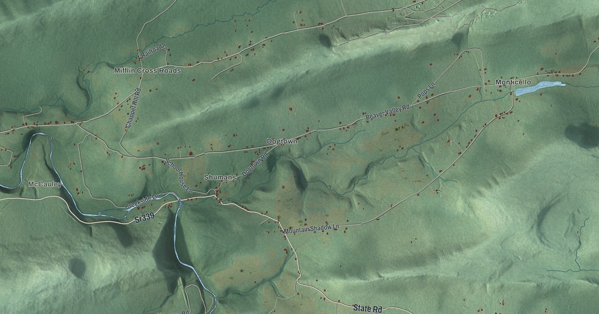
A detailed map of Beaver, Columbia County, Pennsylvania, showing every building in its true location, the roads by name, and shaded topographical relief.
Read More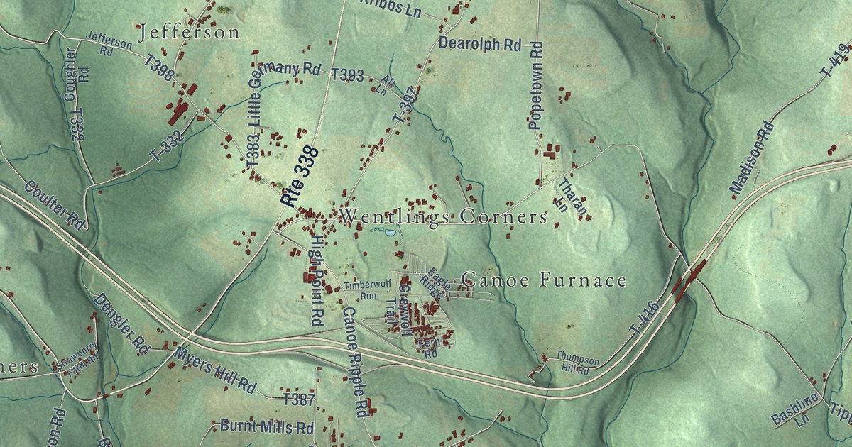
A detailed map of Beaver, Clarion County, Pennsylvania, showing every building in its true location, the roads by name, and shaded topographical relief.
Read More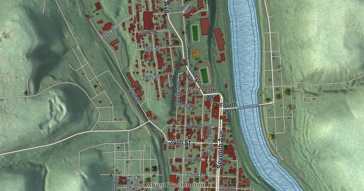
A detailed map of Beaver Falls, Pennsylvania, showing every building in its true location, the roads by name, and shaded topographical relief.
Read More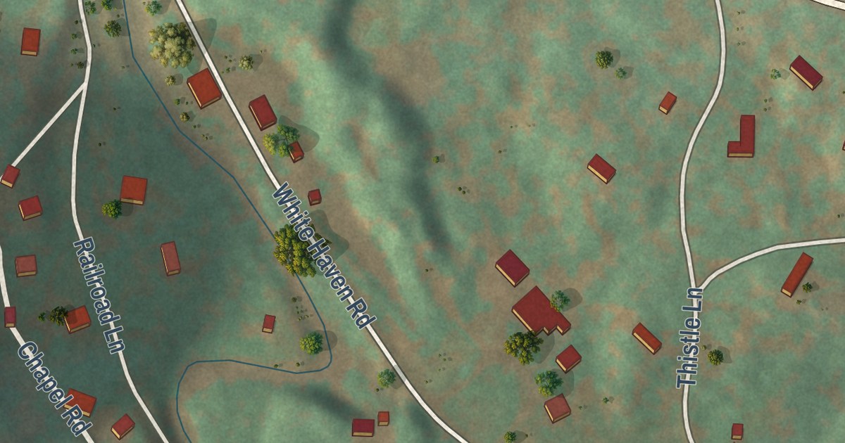
A detailed map of Bear Creek Village, Pennsylvania, showing every building in its true location, the roads by name, and shaded topographical relief.
Read More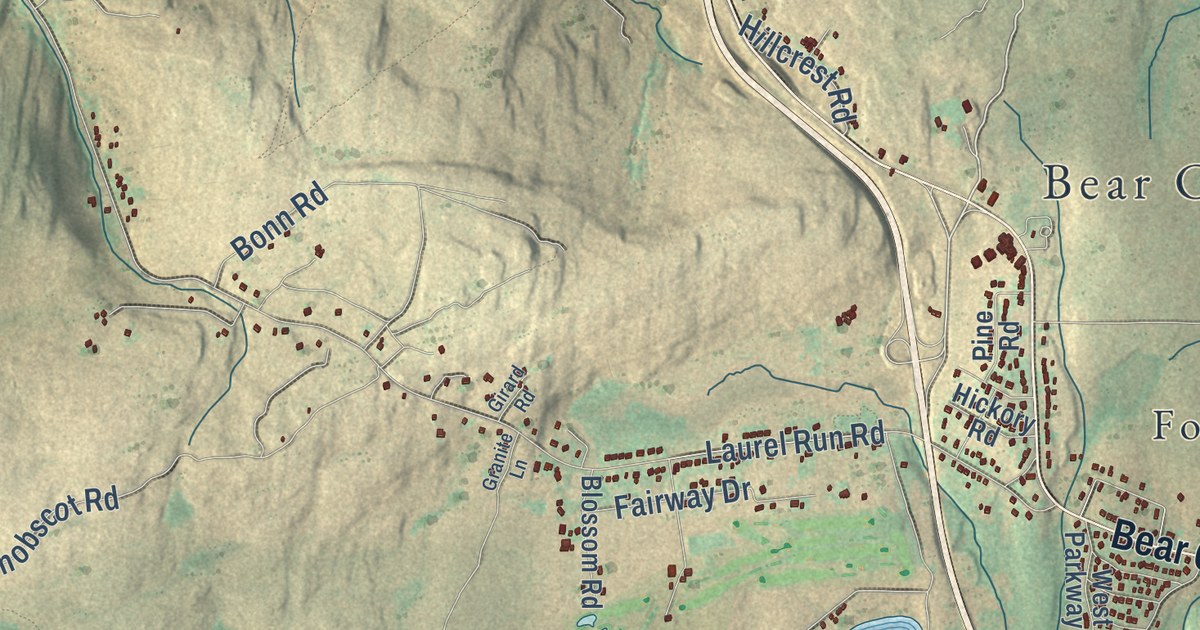
A detailed map of Bear Creek, Pennsylvania, showing every building in its true location, the roads by name, and shaded topographical relief.
Read More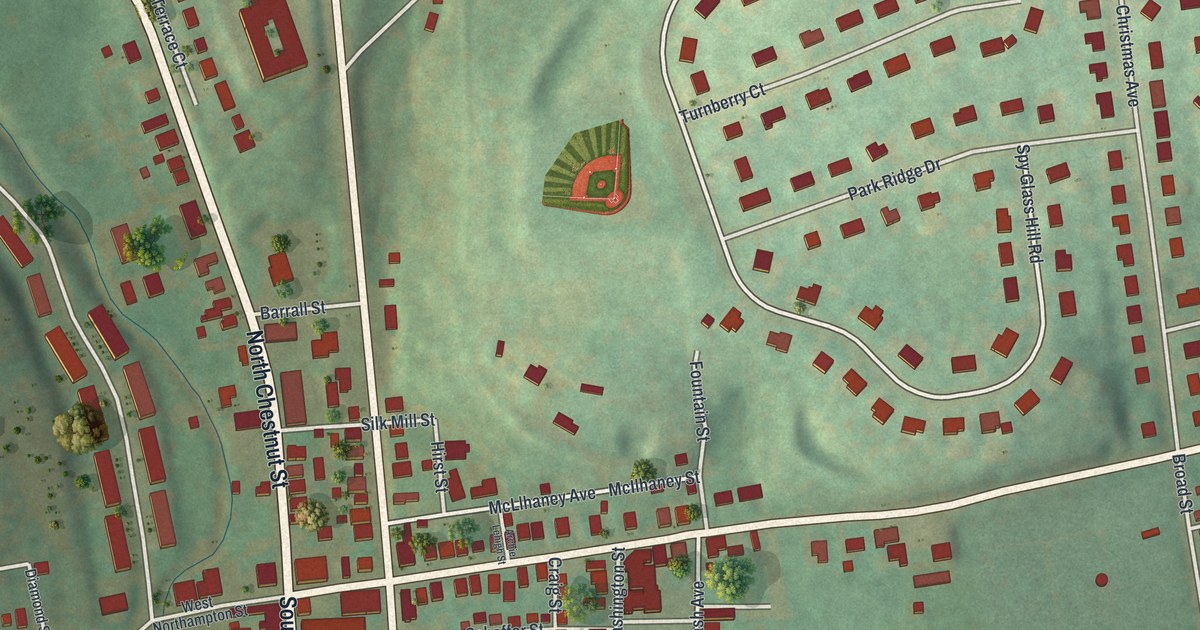
A detailed map of Bath, Pennsylvania, showing every building in its true location, the roads by name, and shaded topographical relief.
Read More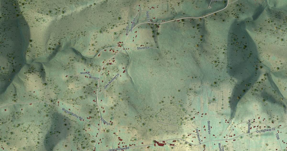
A detailed map of Bastress, Pennsylvania, showing every building in its true location, the roads by name, and shaded topographical relief.
Read More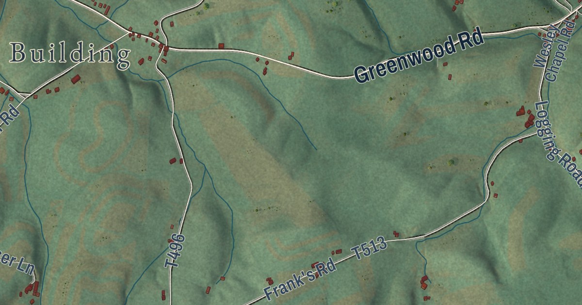
A detailed map of Barree, Pennsylvania, showing every building in its true location, the roads by name, and shaded topographical relief.
Read More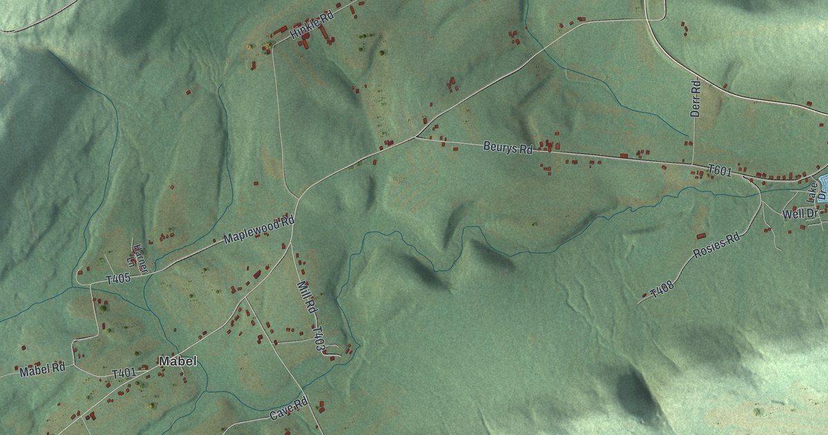
A detailed map of Barry, Pennsylvania, showing every building in its true location, the roads by name, and shaded topographical relief.
Read More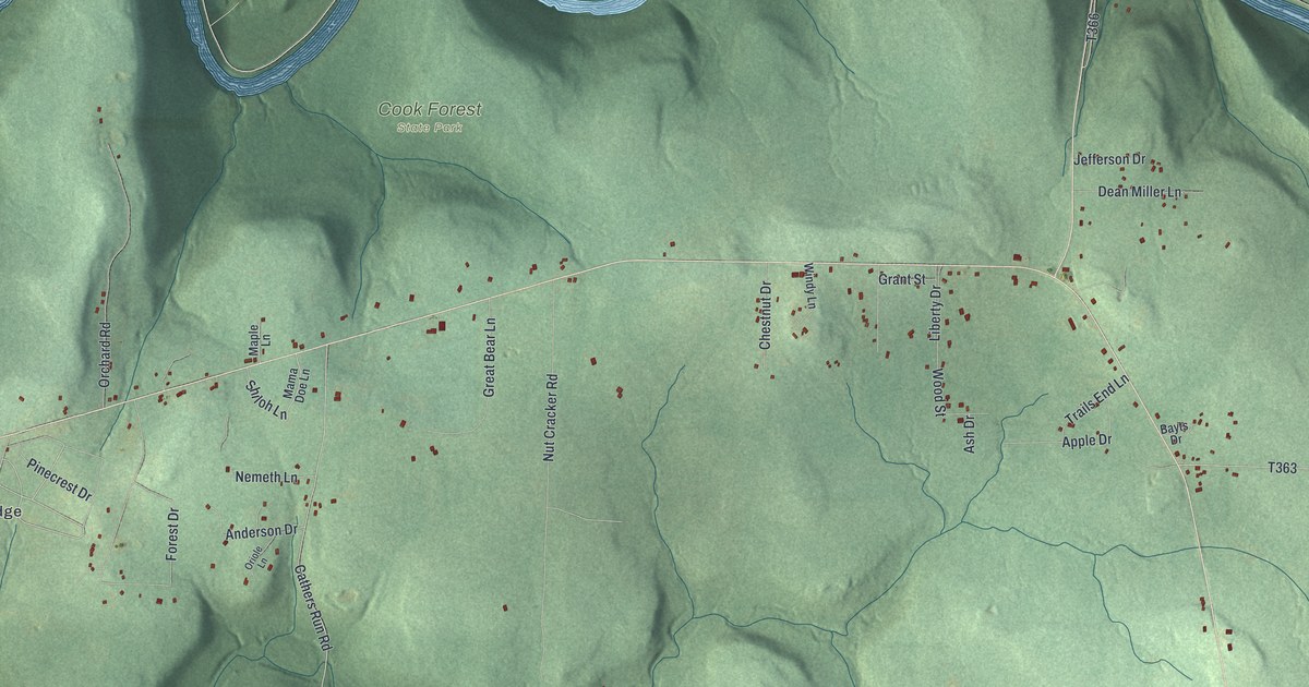
A detailed map of Barnett, Jefferson County, Pennsylvania, showing every building in its true location, the roads by name, and shaded topographical relief.
Read More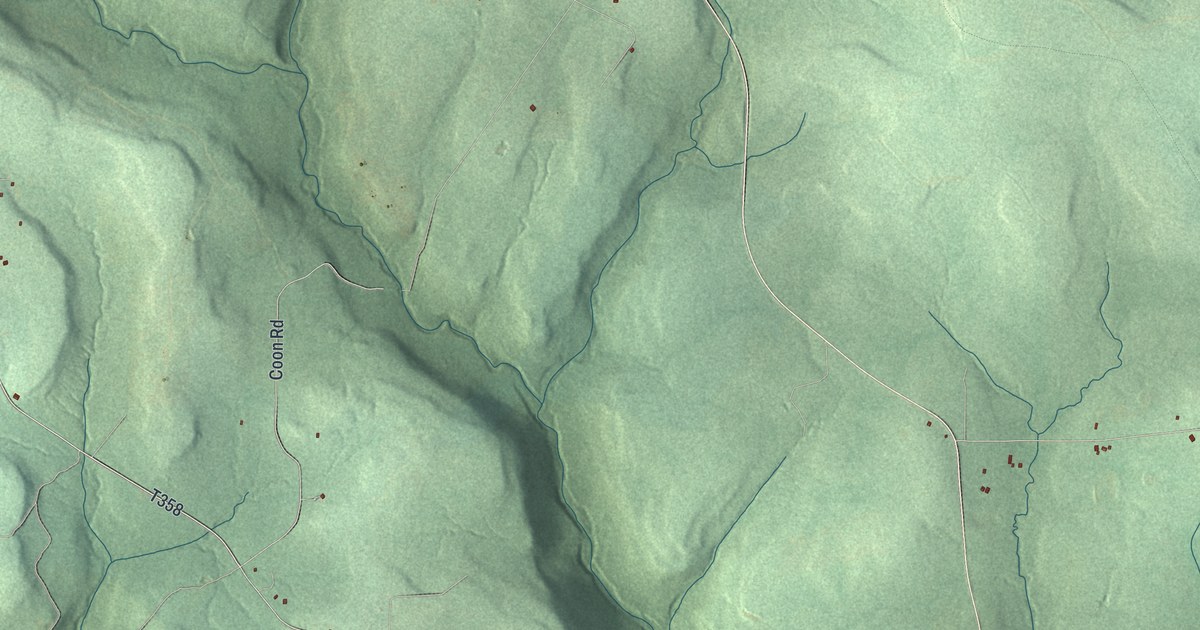
A detailed map of Barnett, Forest County, Pennsylvania, showing every building in its true location, the roads by name, and shaded topographical relief.
Read More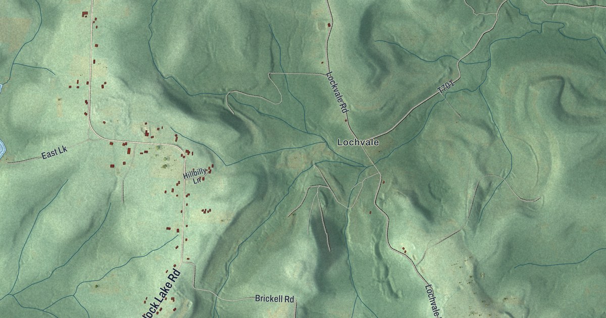
A detailed map of Banks, Indiana County, Pennsylvania, showing every building in its true location, the roads by name, and shaded topographical relief.
Read More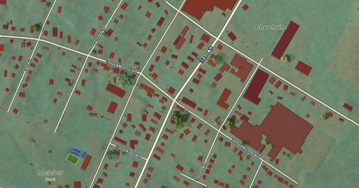
A detailed map of Bally, Pennsylvania, showing every building in its true location, the roads by name, and shaded topographical relief.
Read More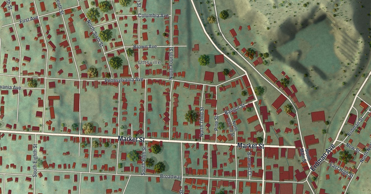
A detailed map of Bangor, Pennsylvania, showing every building in its true location, the roads by name, and shaded topographical relief.
Read More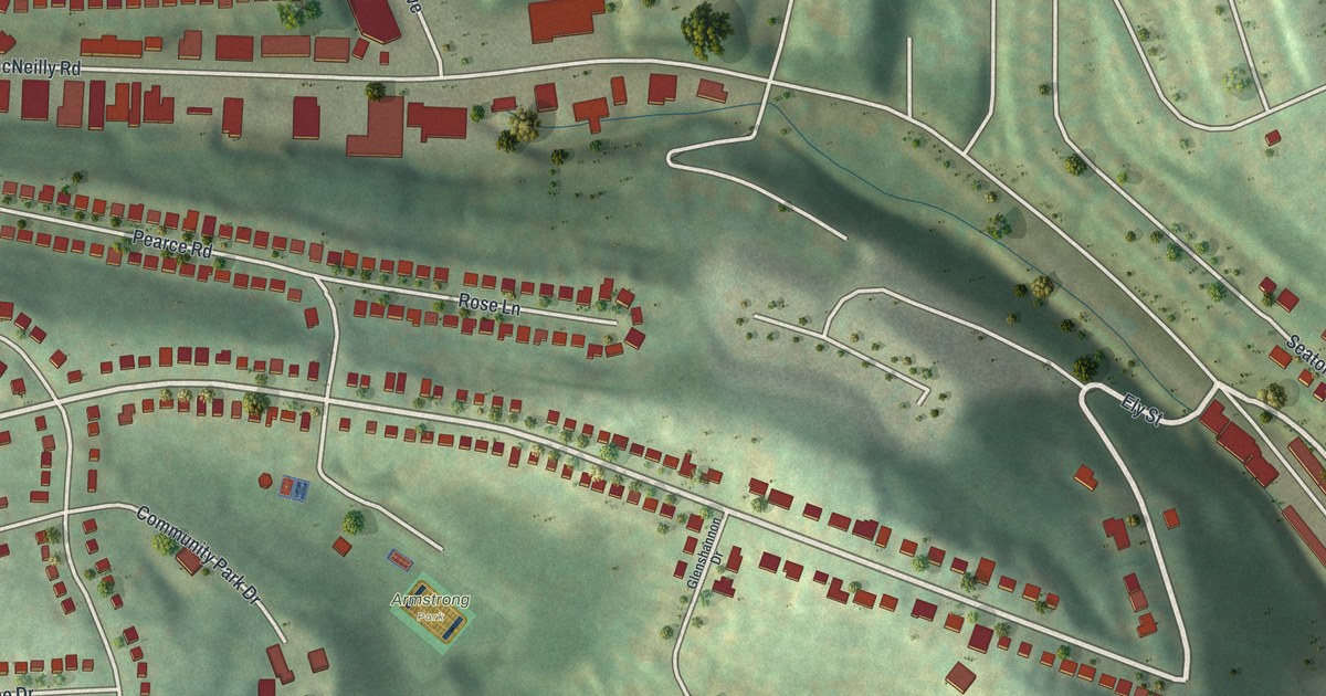
A detailed map of Baldwin Township, Pennsylvania, showing every building in its true location, the roads by name, and shaded topographical relief.
Read More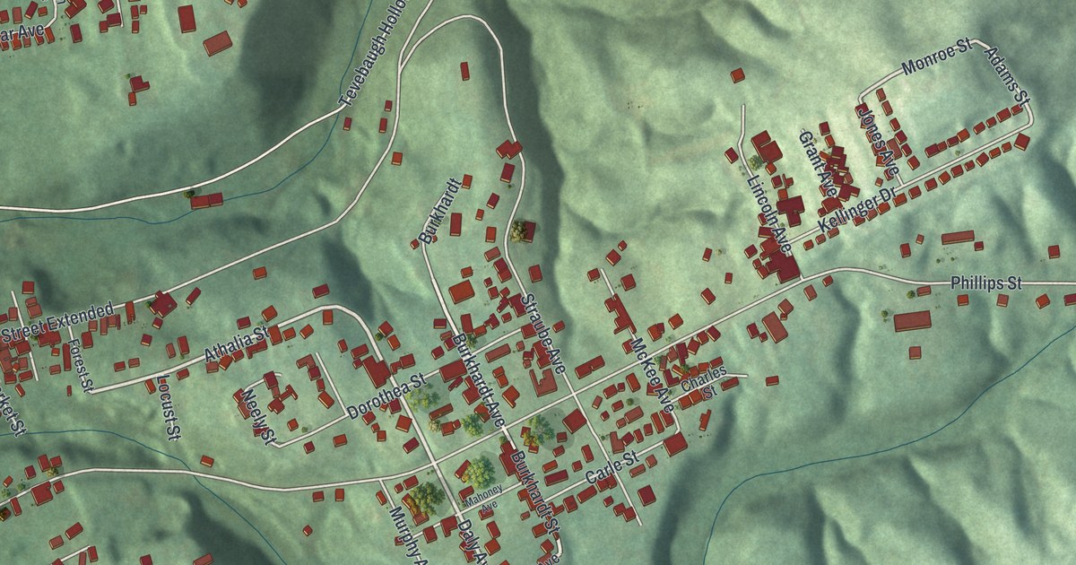
A detailed map of Baden, Pennsylvania, showing every building in its true location, the roads by name, and shaded topographical relief.
Read More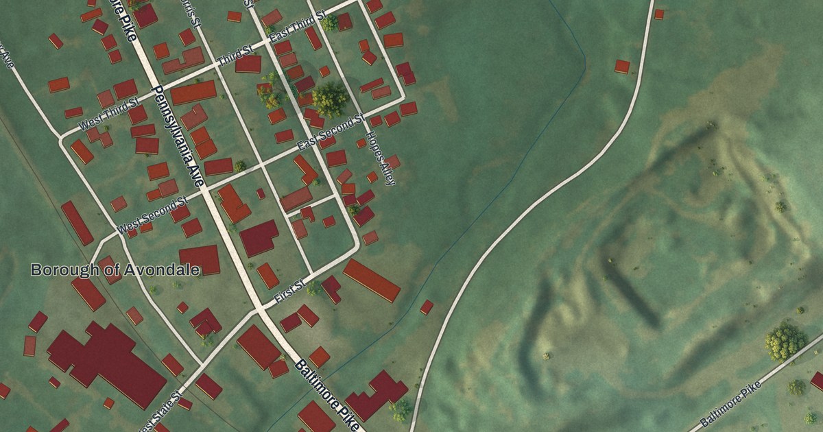
A detailed map of Avondale, Pennsylvania, showing every building in its true location, the roads by name, and shaded topographical relief.
Read More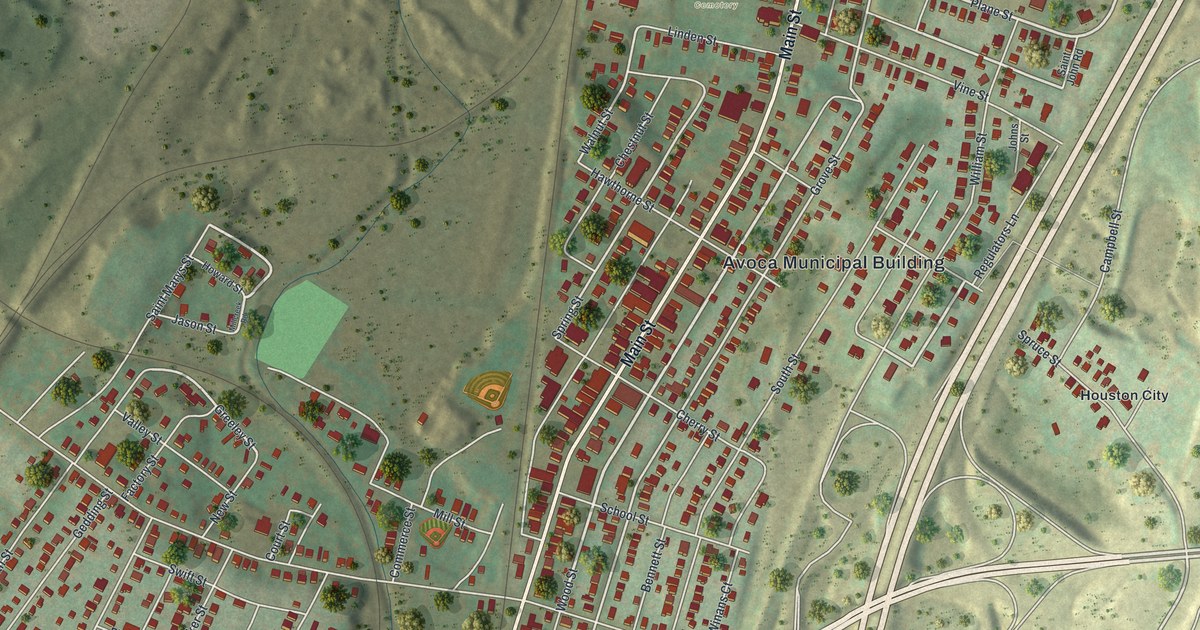
A detailed map of Avoca, Pennsylvania, showing every building in its true location, the roads by name, and shaded topographical relief.
Read More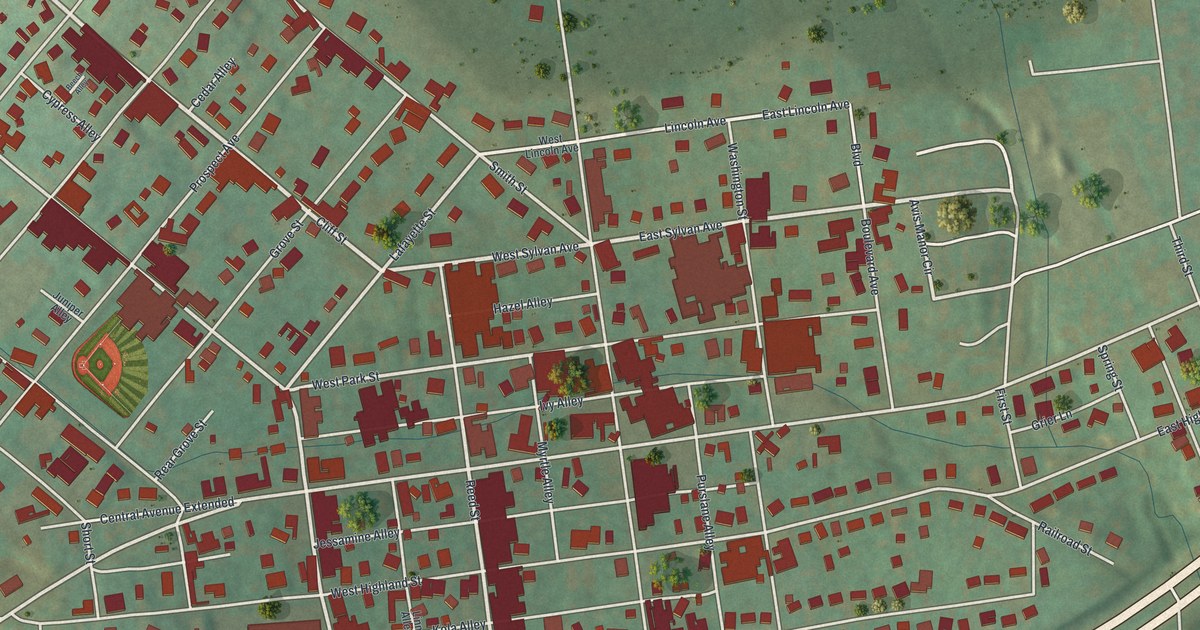
A detailed map of Avis, Pennsylvania, showing every building in its true location, the roads by name, and shaded topographical relief.
Read More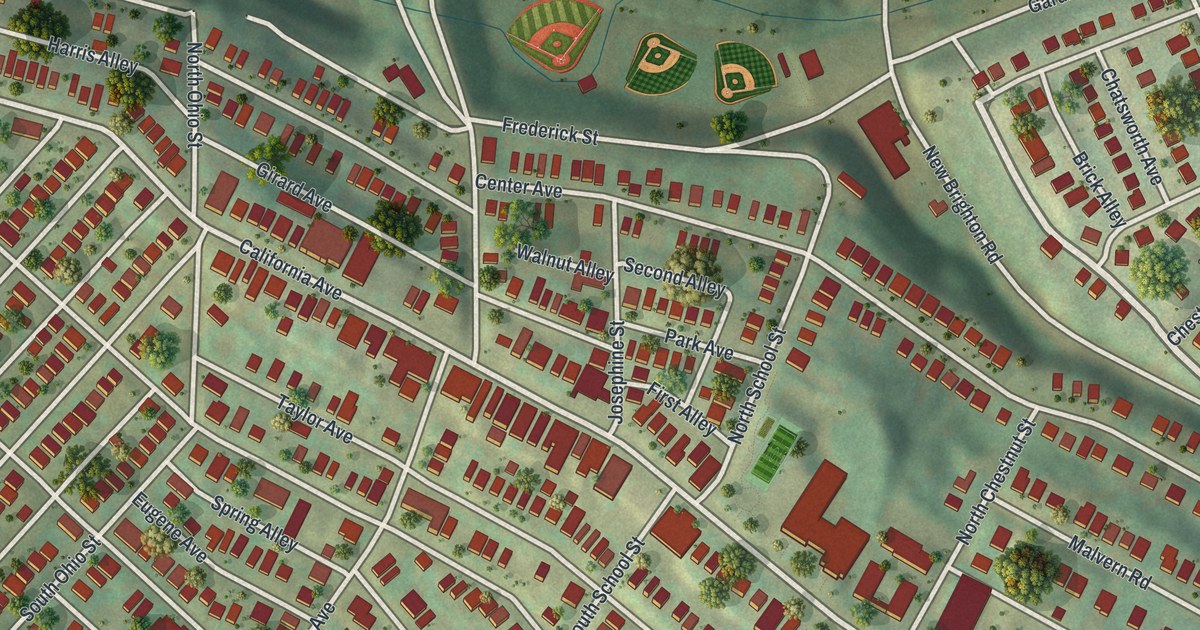
A detailed map of Avalon, Pennsylvania, showing every building in its true location, the roads by name, and shaded topographical relief.
Read More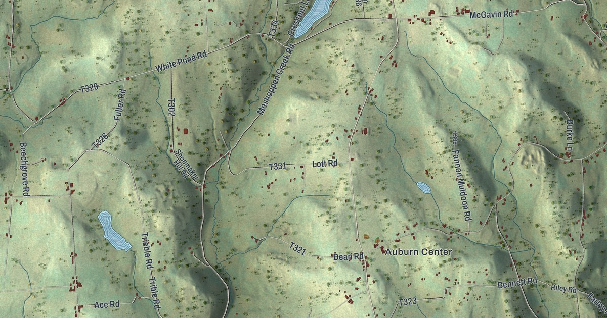
A detailed map of Auburn, Susquehanna County, Pennsylvania, showing every building in its true location, the roads by name, and shaded topographical relief.
Read More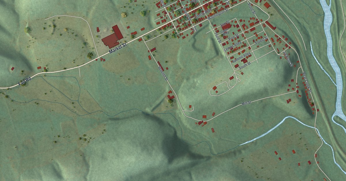
A detailed map of Auburn, Schuylkill County, Pennsylvania, showing every building in its true location, the roads by name, and shaded topographical relief.
Read More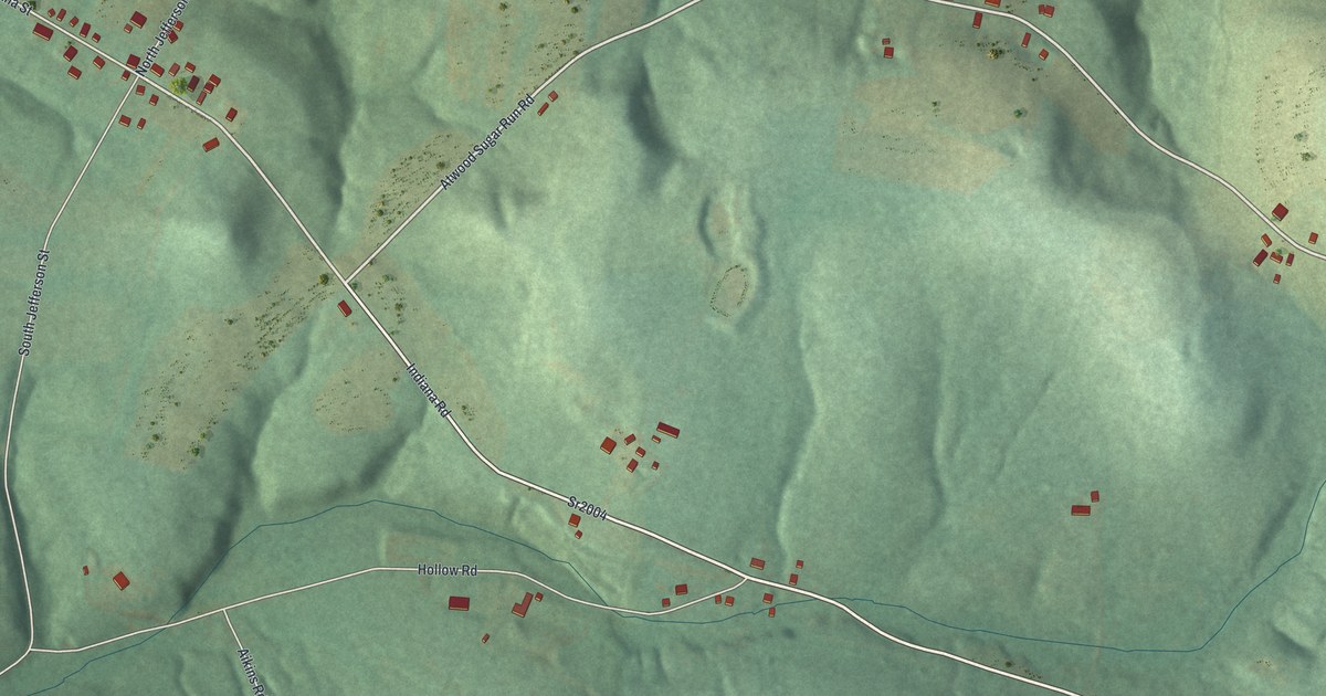
A detailed map of Atwood, Pennsylvania, showing every building in its true location, the roads by name, and shaded topographical relief.
Read More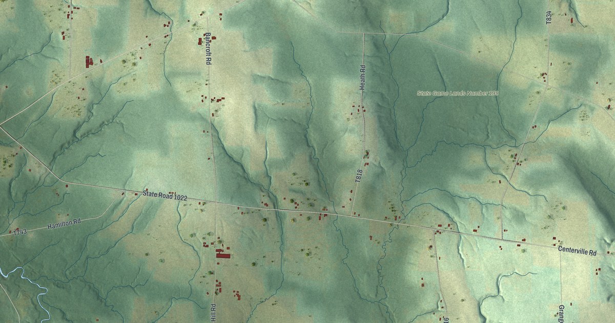
A detailed map of Athens, Crawford County, Pennsylvania, showing every building in its true location, the roads by name, and shaded topographical relief.
Read More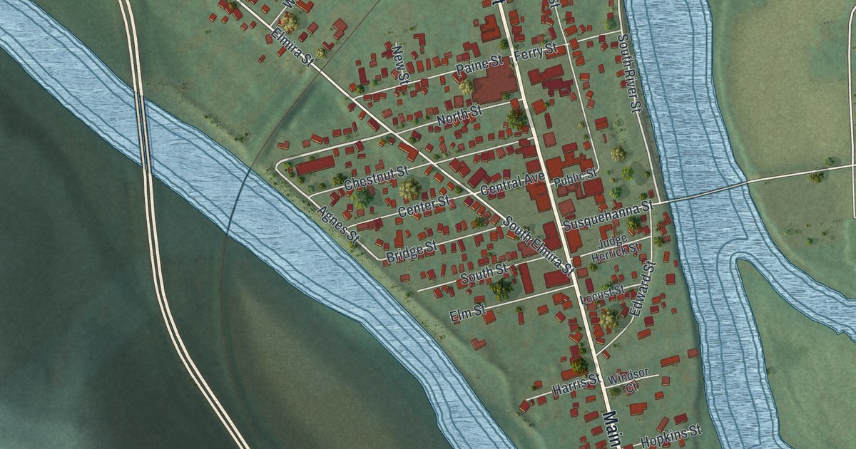
A detailed map of Athens Borough, Bradford County, Pennsylvania, showing every building in its true location, the roads by name, and shaded topographical relief.
Read More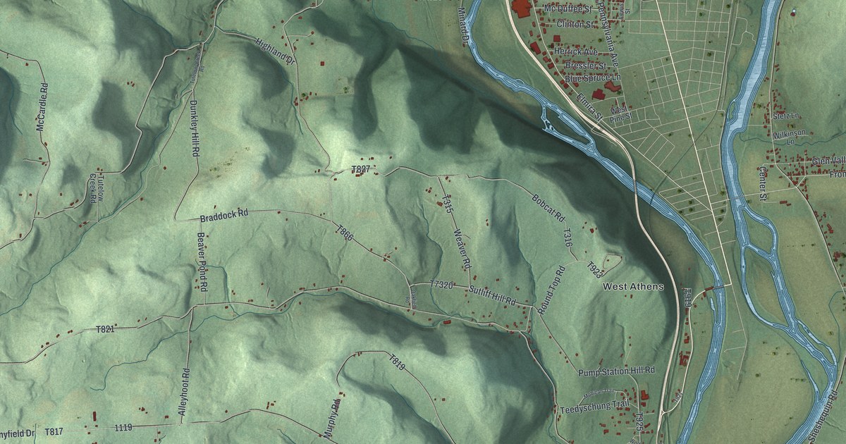
A detailed map of Athens Township, Bradford County, Pennsylvania, showing every building in its true location, the roads by name, and shaded topographical relief.
Read More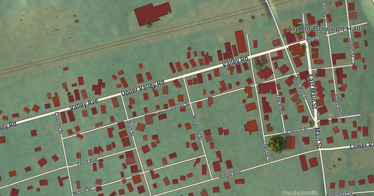
A detailed map of Atglen, Pennsylvania, showing every building in its true location, the roads by name, and shaded topographical relief.
Read More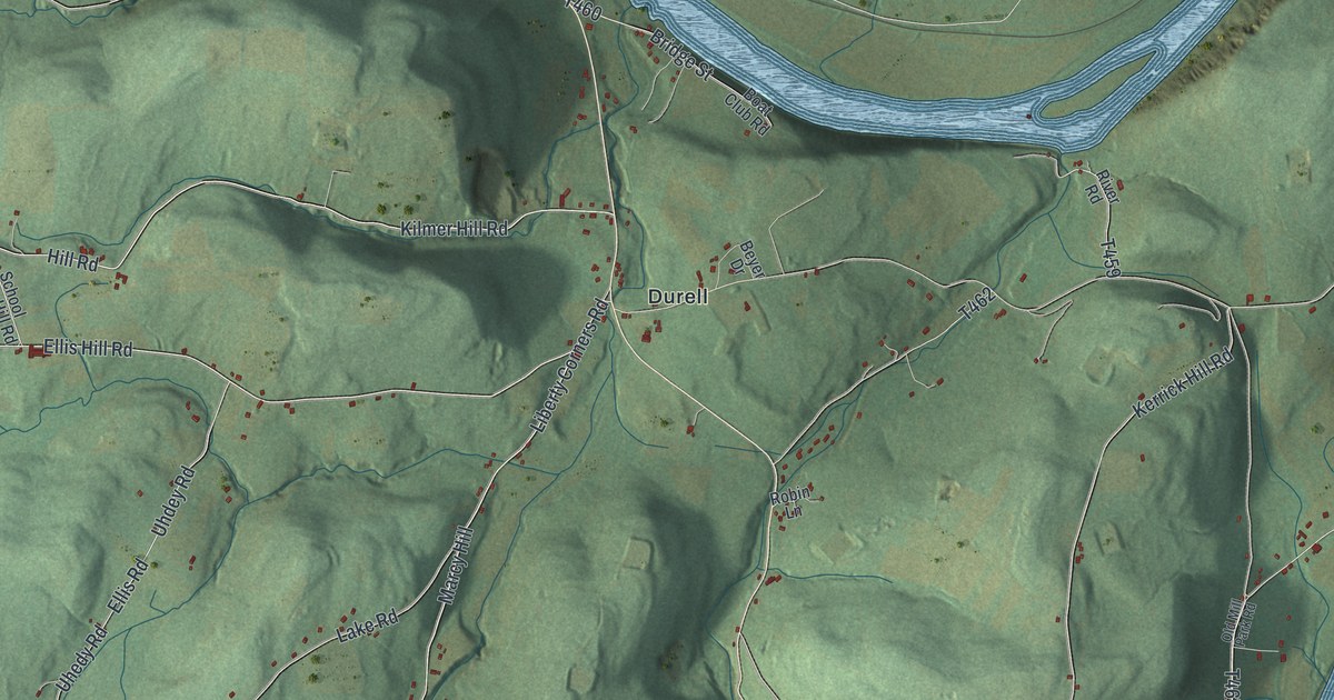
A detailed map of Asylum, Pennsylvania, showing every building in its true location, the roads by name, and shaded topographical relief.
Read More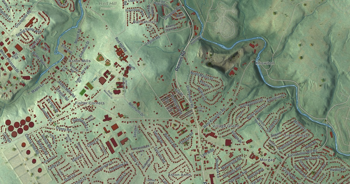
A detailed map of Aston, Pennsylvania, showing every building in its true location, the roads by name, and shaded topographical relief.
Read More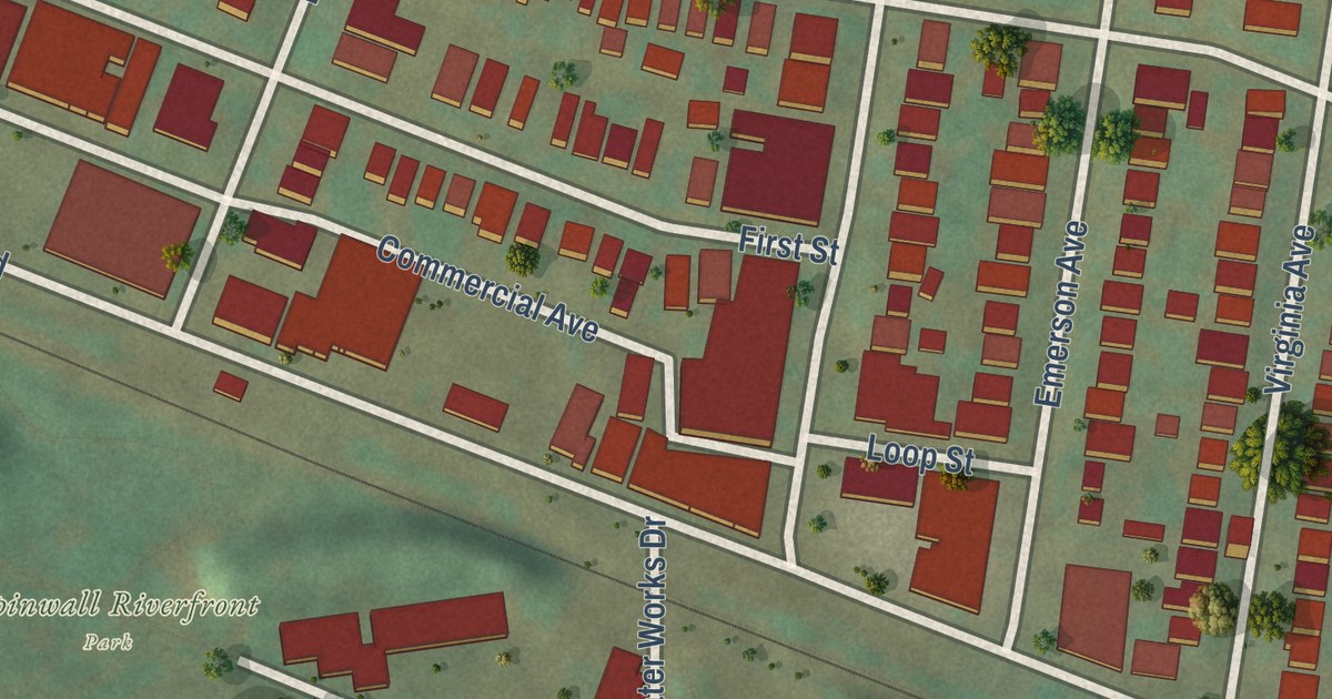
A detailed map of Aspinwall, Pennsylvania, showing every building in its true location, the roads by name, and shaded topographical relief.
Read More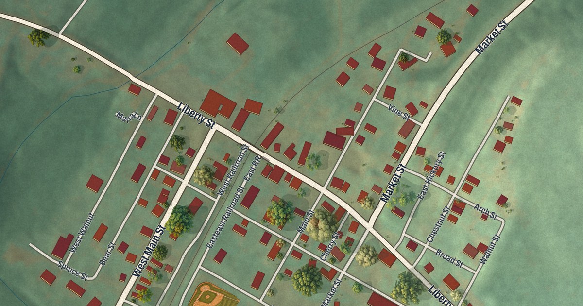
A detailed map of Ashville, Pennsylvania, showing every building in its true location, the roads by name, and shaded topographical relief.
Read More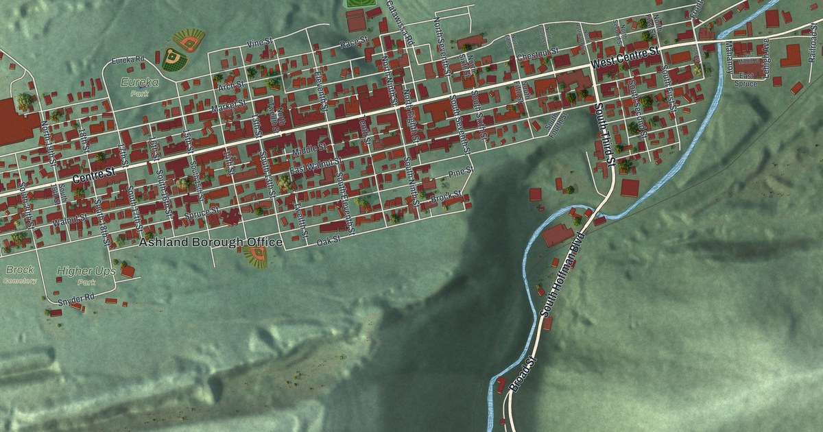
A detailed map of Ashland, Columbia County, Pennsylvania, showing every building in its true location, the roads by name, and shaded topographical relief.
Read More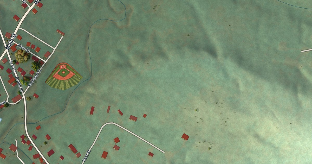
A detailed map of Arona, Pennsylvania, showing every building in its true location, the roads by name, and shaded topographical relief.
Read More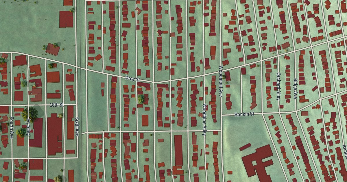
A detailed map of Arnold, Pennsylvania, showing every building in its true location, the roads by name, and shaded topographical relief.
Read More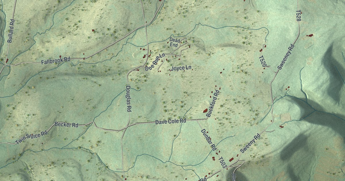
A detailed map of Armenia, Pennsylvania, showing every building in its true location, the roads by name, and shaded topographical relief.
Read More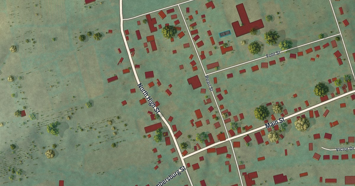
A detailed map of Arendtsville, Pennsylvania, showing every building in its true location, the roads by name, and shaded topographical relief.
Read More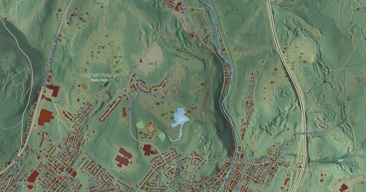
A detailed map of Archbald, Pennsylvania, showing every building in its true location, the roads by name, and shaded topographical relief.
Read More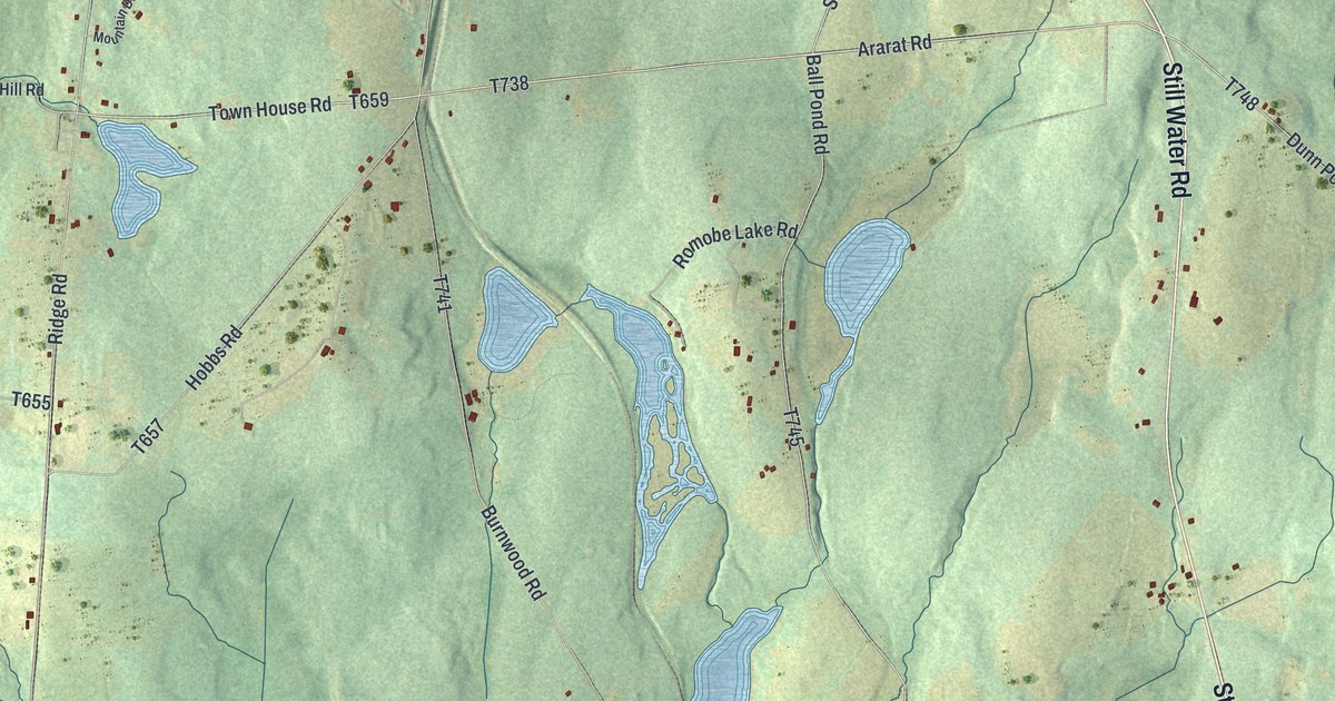
A detailed map of Ararat, Pennsylvania, showing every building in its true location, the roads by name, and shaded topographical relief.
Read More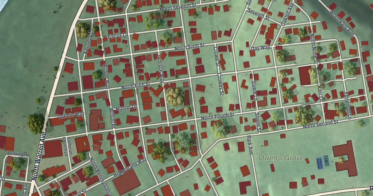
A detailed map of Apollo, Pennsylvania, showing every building in its true location, the roads by name, and shaded topographical relief.
Read More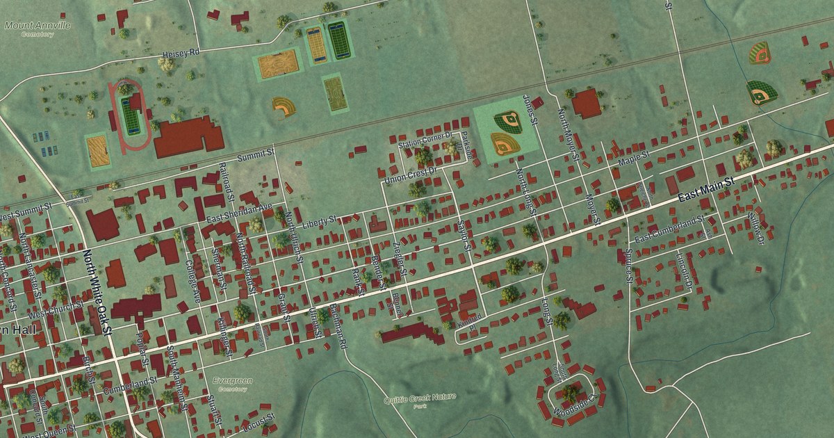
A detailed map of Annville, Pennsylvania, showing every building in its true location, the roads by name, and shaded topographical relief.
Read More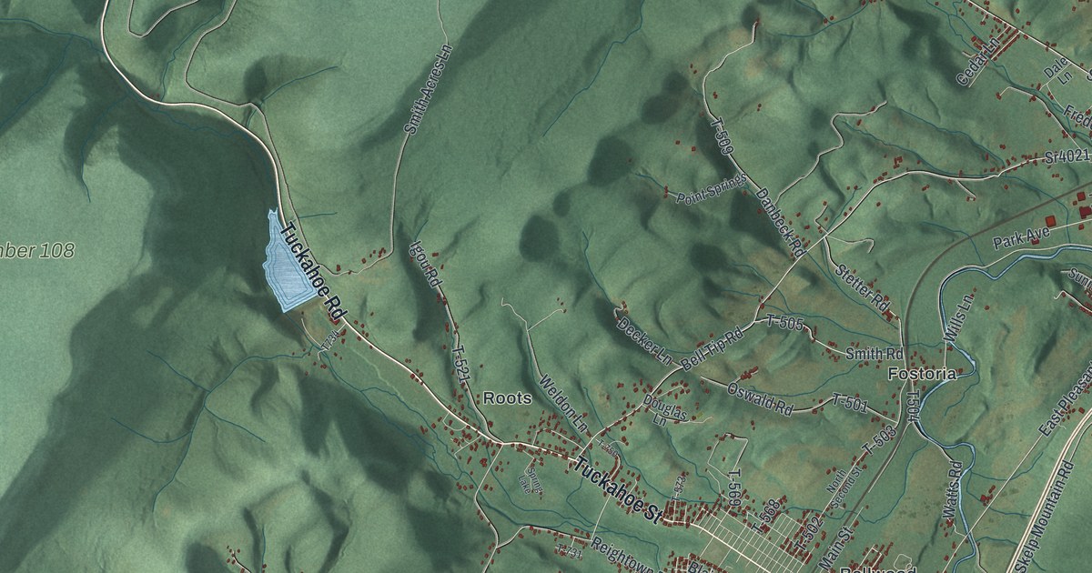
A detailed map of Antis, Pennsylvania, showing every building in its true location, the roads by name, and shaded topographical relief.
Read More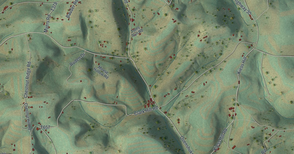
A detailed map of Anthony, Lycoming County, Pennsylvania, showing every building in its true location, the roads by name, and shaded topographical relief.
Read More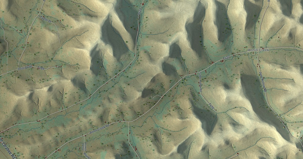
A detailed map of Annin, Pennsylvania, showing every building in its true location, the roads by name, and shaded topographical relief.
Read More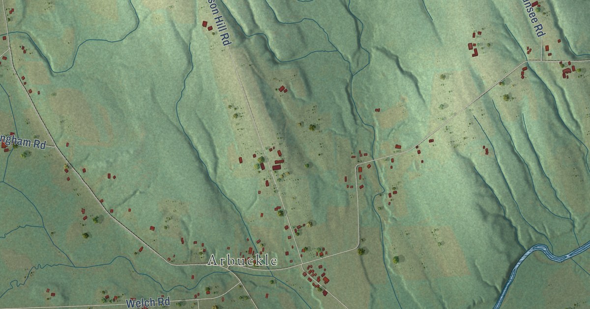
A detailed map of Amity, Erie County, Pennsylvania, showing every building in its true location, the roads by name, and shaded topographical relief.
Read More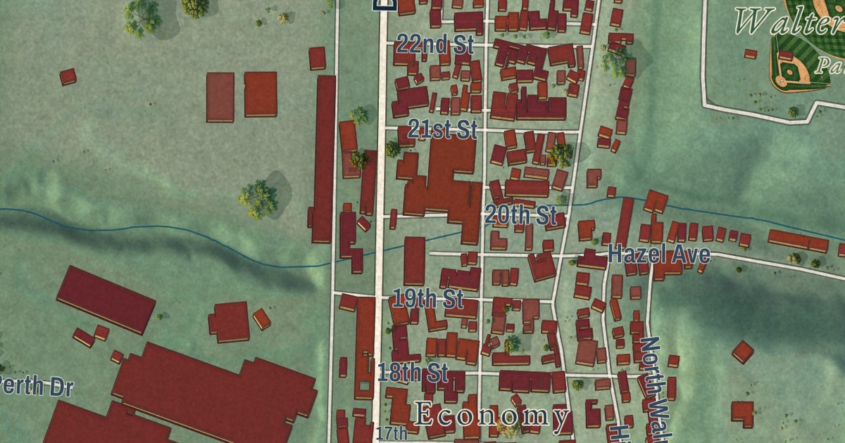
A detailed map of Ambridge, Pennsylvania, showing every building in its true location, the roads by name, and shaded topographical relief.
Read More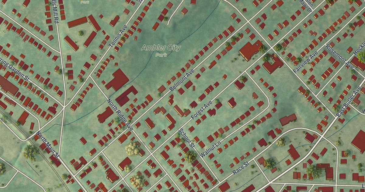
A detailed map of Ambler, Pennsylvania, showing every building in its true location, the roads by name, and shaded topographical relief.
Read More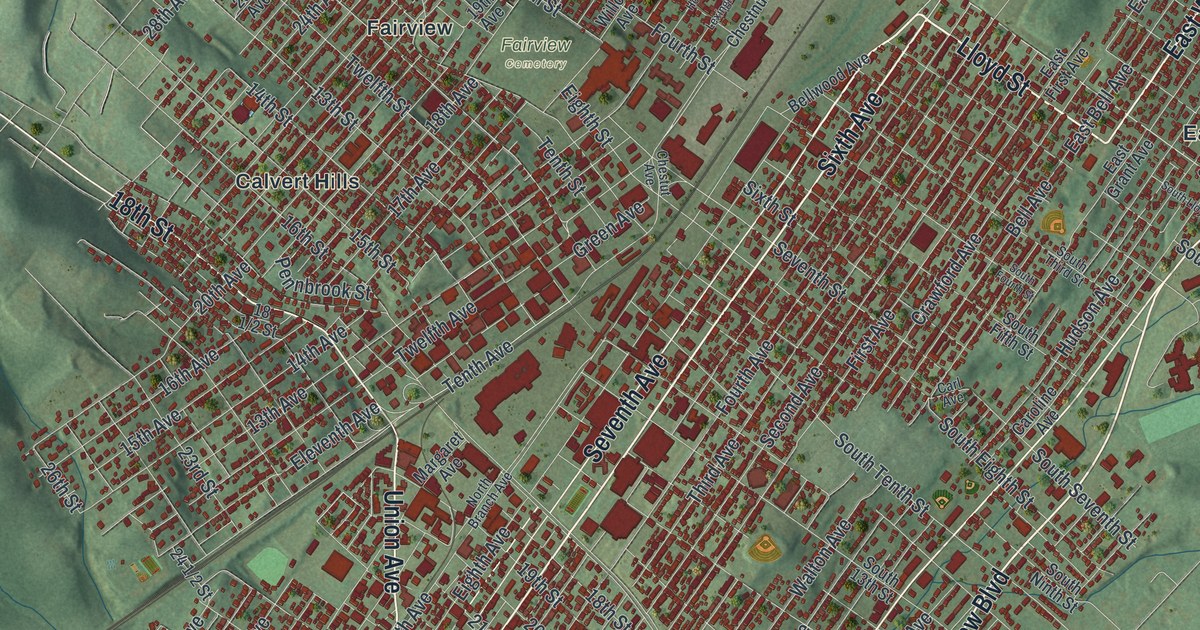
A detailed map of Altoona, Pennsylvania, showing every building in its true location, the roads by name, and shaded topographical relief.
Read More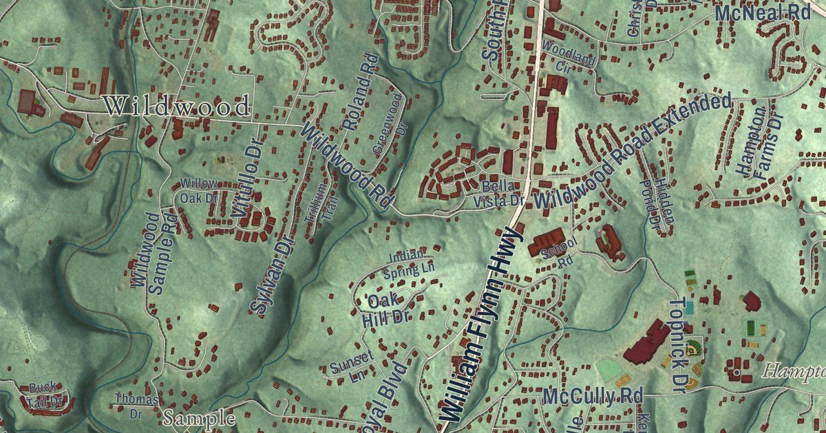
A detailed map of Allison Park, Pennsylvania, showing every building in its true location, the roads by name, and shaded topographical relief.
Read More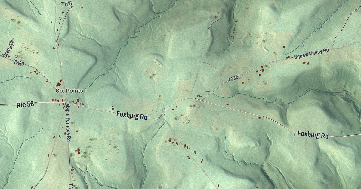
A detailed map of Allegheny, Butler County, Pennsylvania, showing every building in its true location, the roads by name, and shaded topographical relief.
Read More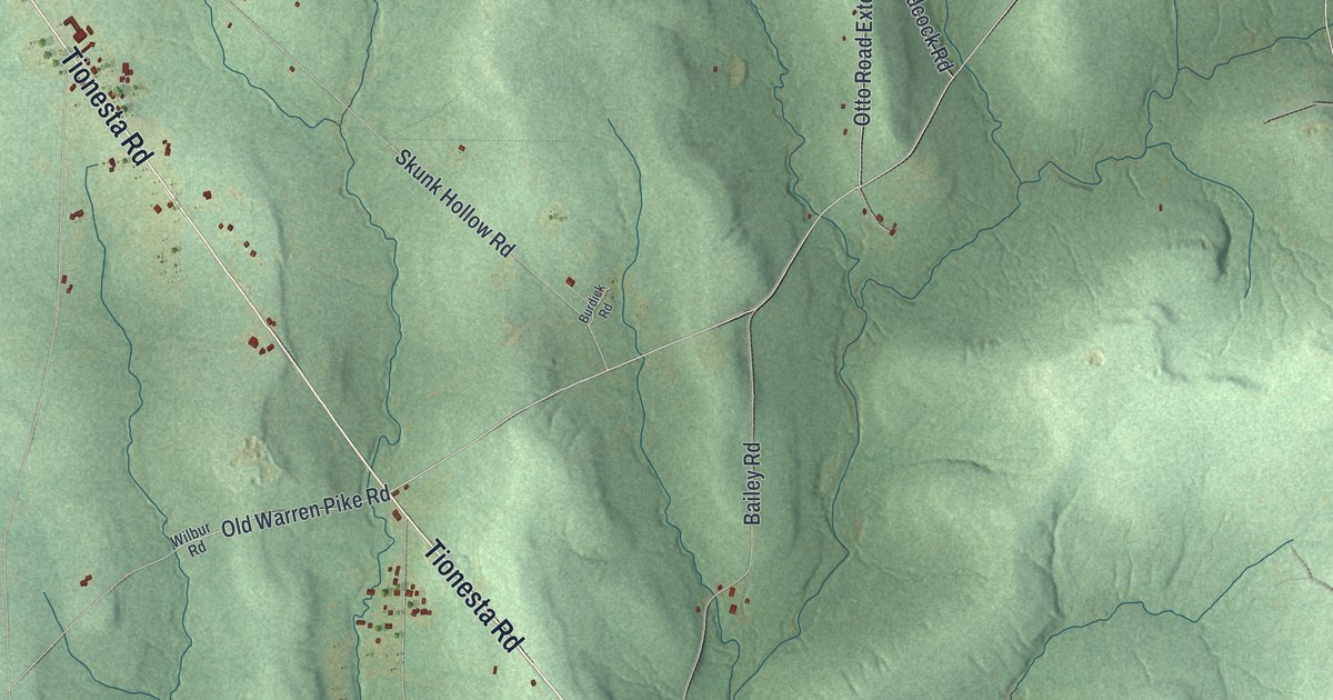
A detailed map of Allegheny, Venango County, Pennsylvania, showing every building in its true location, the roads by name, and shaded topographical relief.
Read More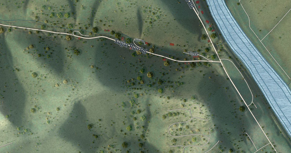
A detailed map of Allison, Pennsylvania, showing every building in its true location, the roads by name, and shaded topographical relief.
Read More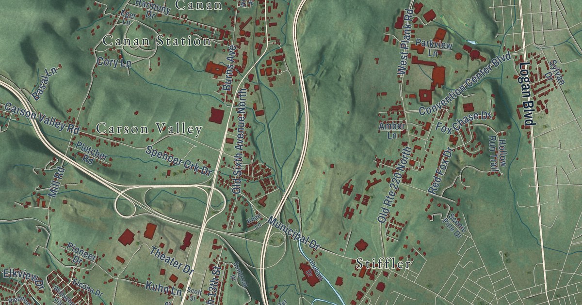
A detailed map of Allegheny, Blair County, Pennsylvania, showing every building in its true location, the roads by name, and shaded topographical relief.
Read More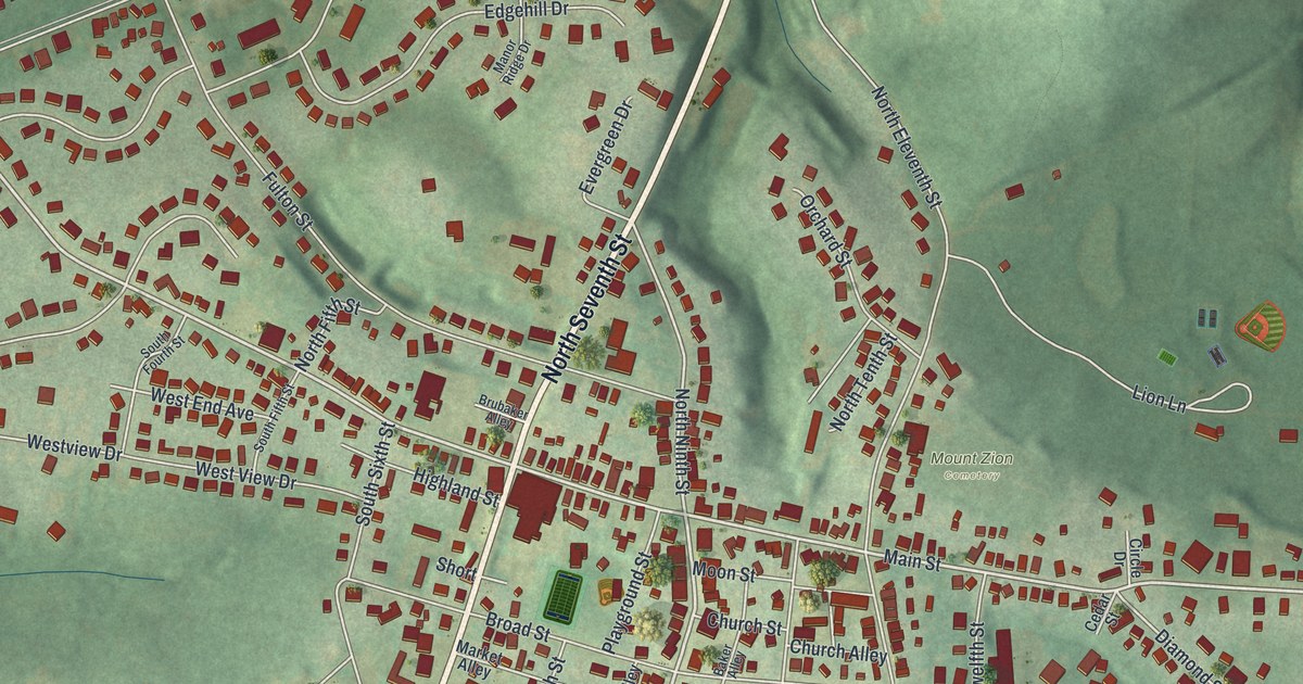
A detailed map of Akron, Pennsylvania, showing every building in its true location, the roads by name, and shaded topographical relief.
Read More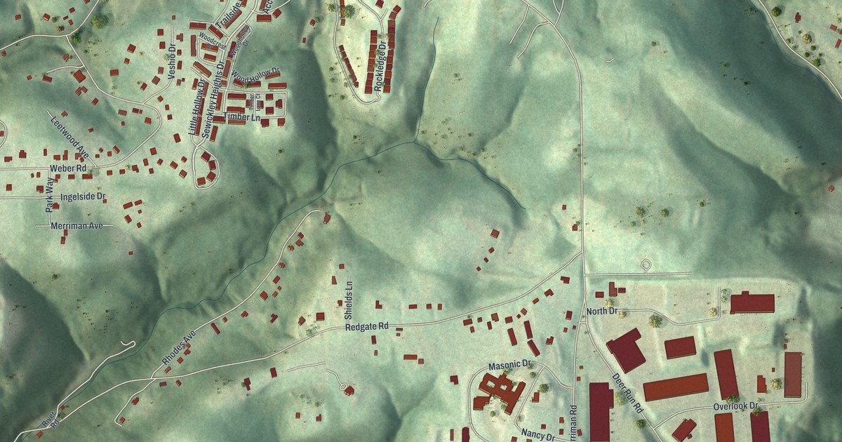
A detailed map of Aleppo, Allegheny County, Pennsylvania, showing every building in its true location, the roads by name, and shaded topographical relief.
Read More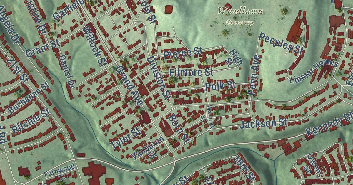
A detailed map of Aliquippa, Pennsylvania, showing every building in its true location, the roads by name, and shaded topographical relief.
Read More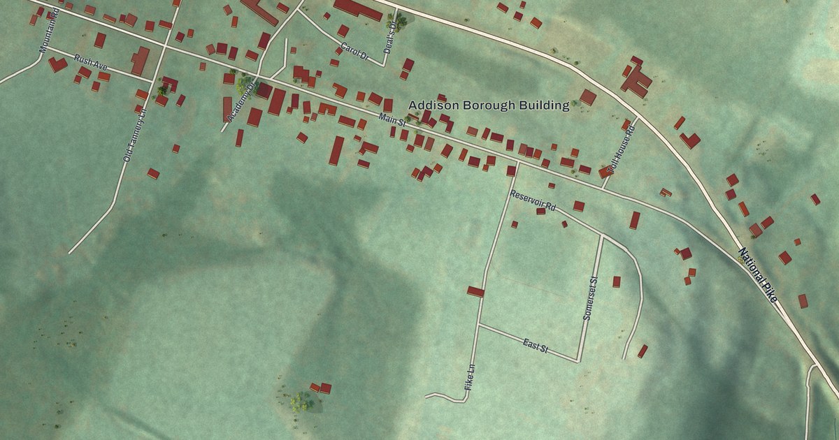
A detailed map of Addison Borough, Pennsylvania, showing every building in its true location, the roads by name, and shaded topographical relief.
Read More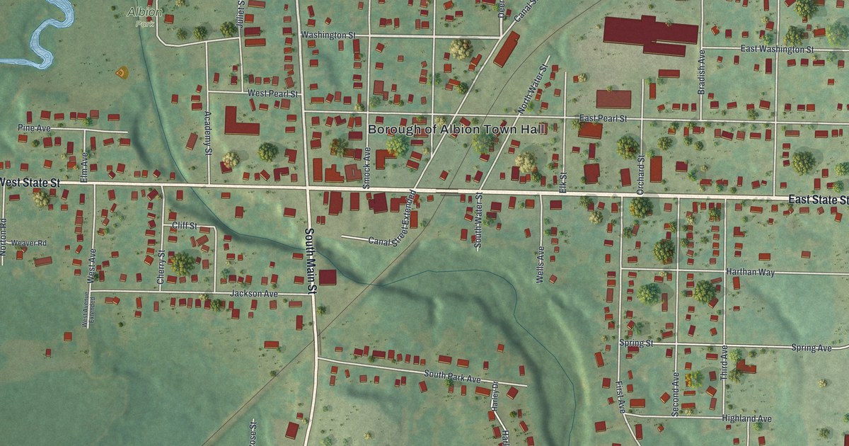
A detailed map of Albion, Pennsylvania, showing every building in its true location, the roads by name, and shaded topographical relief.
Read More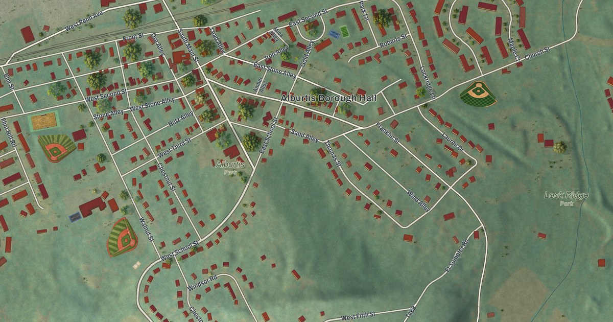
A detailed map of Alburtis, Pennsylvania, showing every building in its true location, the roads by name, and shaded topographical relief.
Read More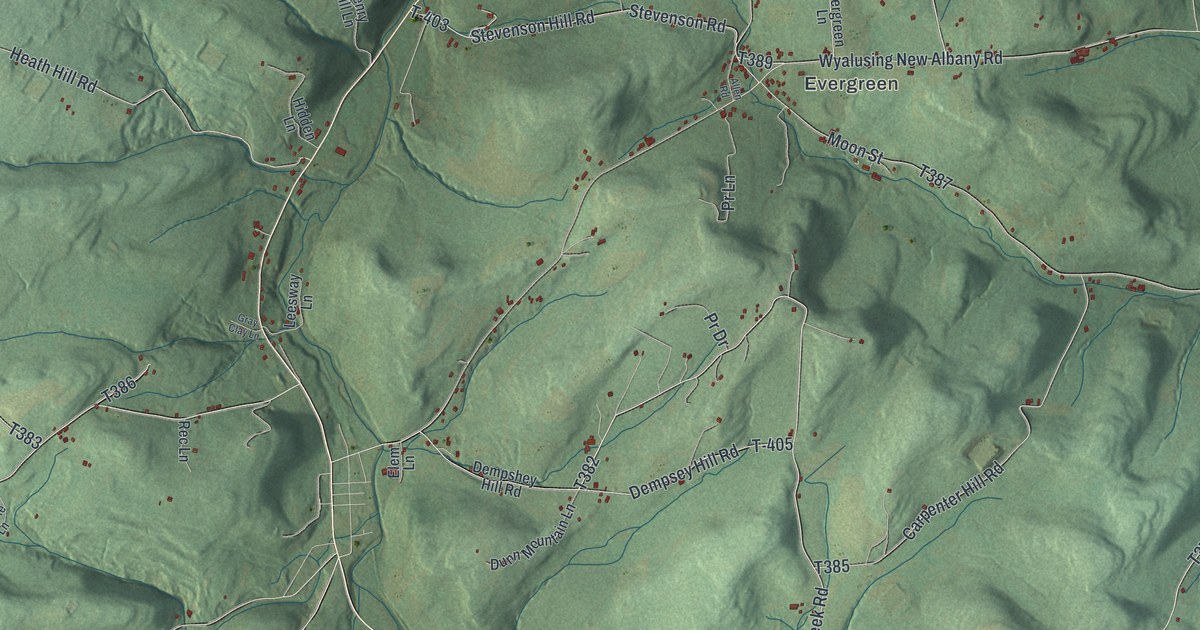
A detailed map of Albany, Bradford County, Pennsylvania, showing every building in its true location, the roads by name, and shaded topographical relief.
Read More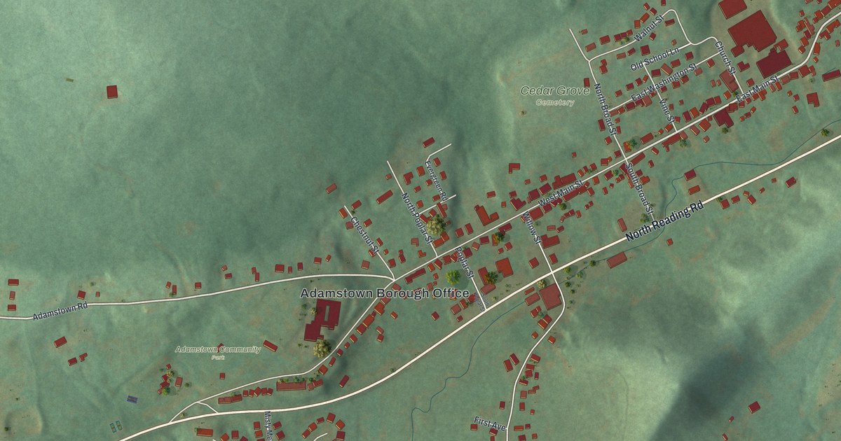
A detailed map of Adamstown, Pennsylvania, showing every building in its true location, the roads by name, and shaded topographical relief.
Read More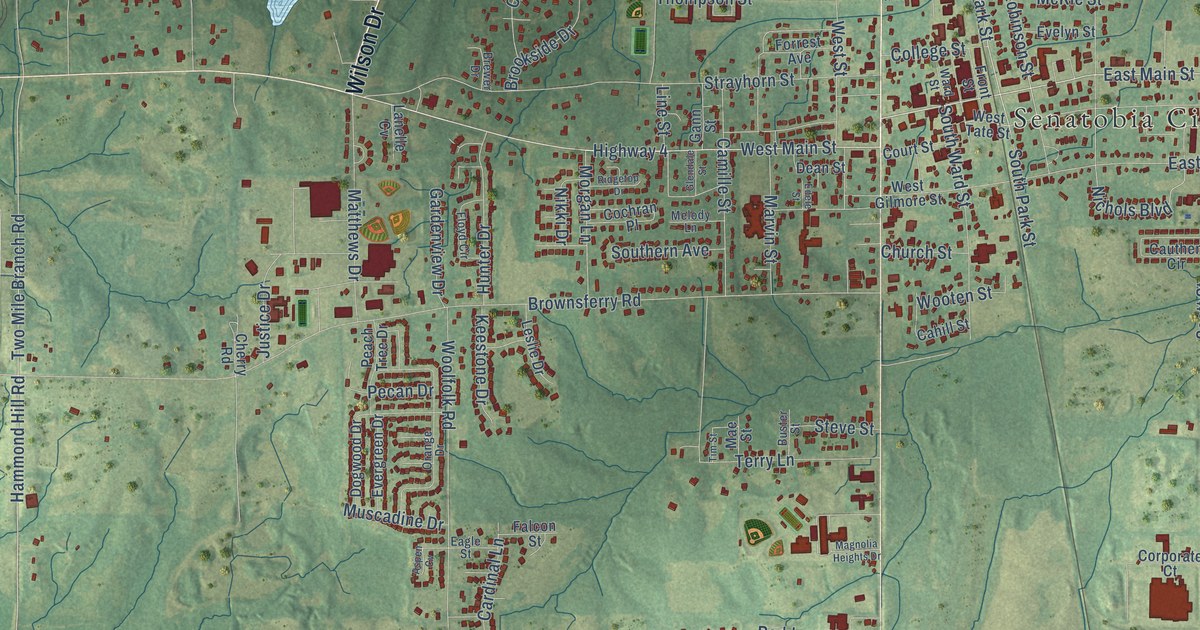
A detailed map of Senatobia, Mississippi, showing every building in its true location, the roads by name, and shaded topographical relief.
Read More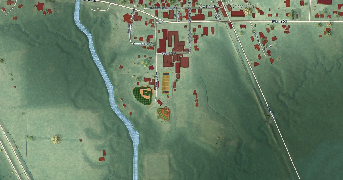
A detailed map of Seminary, Mississippi, showing every building in its true location, the roads by name, and shaded topographical relief.
Read More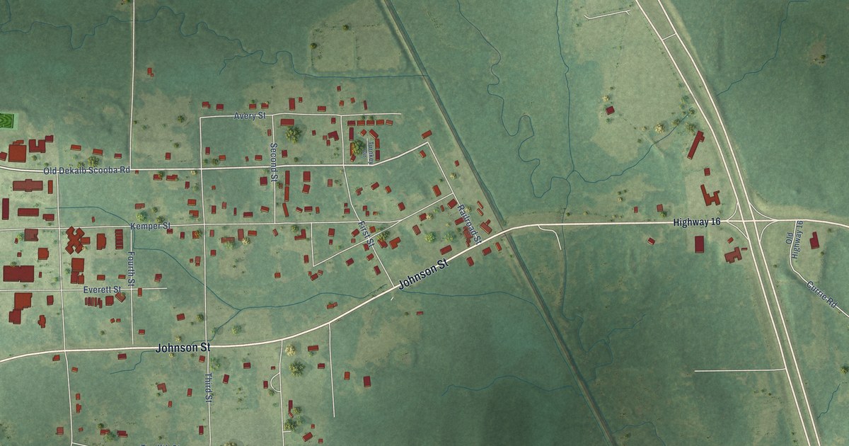
A detailed map of Scooba, Mississippi, showing every building in its true location, the roads by name, and shaded topographical relief.
Read More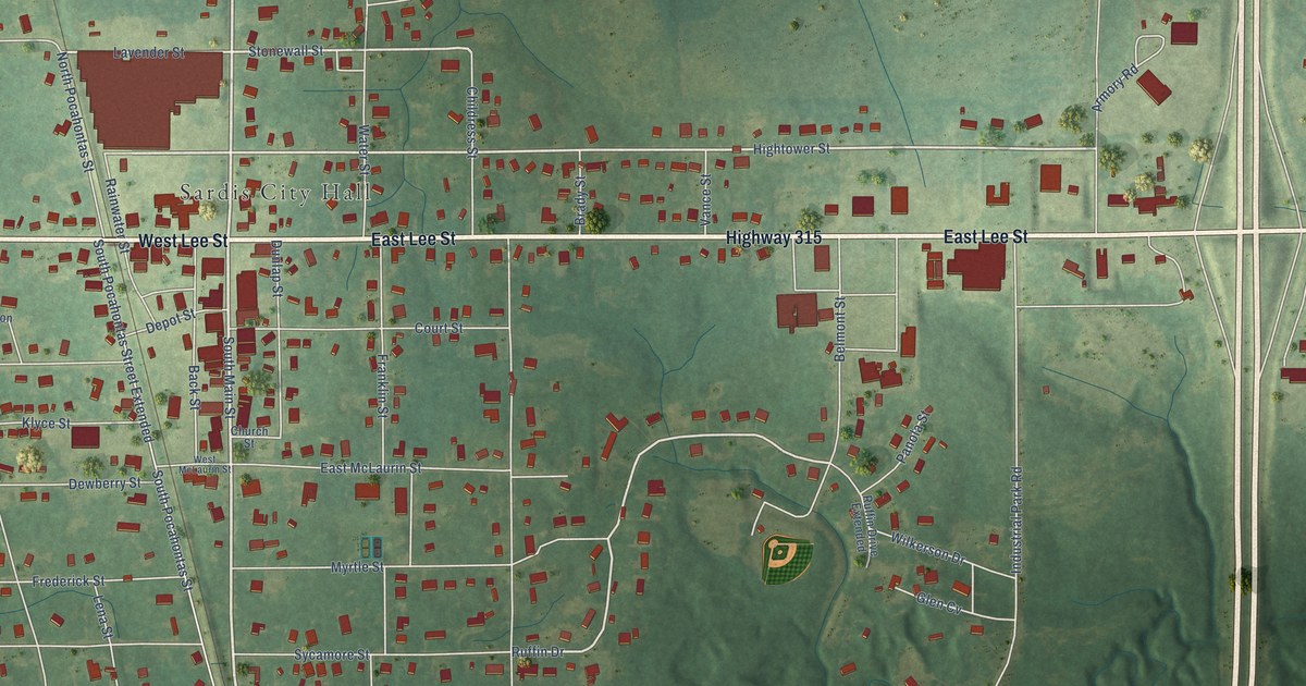
A detailed map of Sardis, Mississippi, showing every building in its true location, the roads by name, and shaded topographical relief.
Read More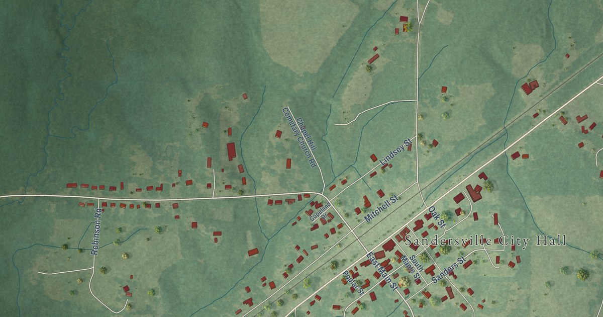
A detailed map of Sandersville, Mississippi, showing every building in its true location, the roads by name, and shaded topographical relief.
Read More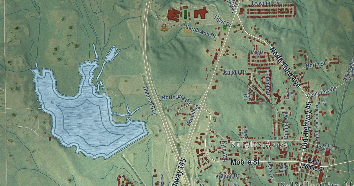
A detailed map of Saltillo, Mississippi, showing every building in its true location, the roads by name, and shaded topographical relief.
Read More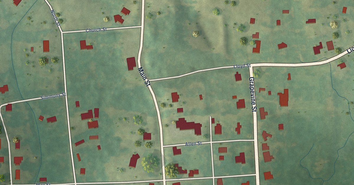
A detailed map of Sallis, Mississippi, showing every building in its true location, the roads by name, and shaded topographical relief.
Read More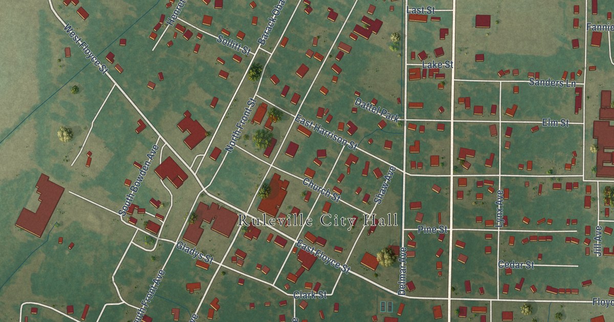
A detailed map of Ruleville, Mississippi, showing every building in its true location, the roads by name, and shaded topographical relief.
Read More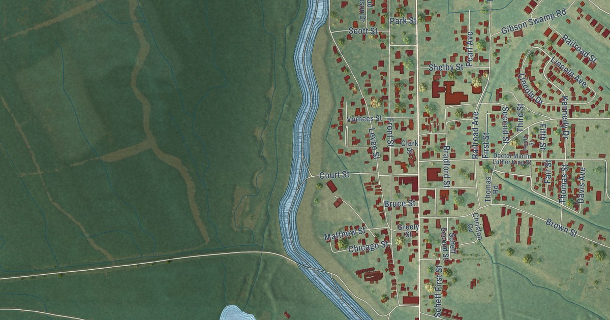
A detailed map of Rosedale, Mississippi, showing every building in its true location, the roads by name, and shaded topographical relief.
Read More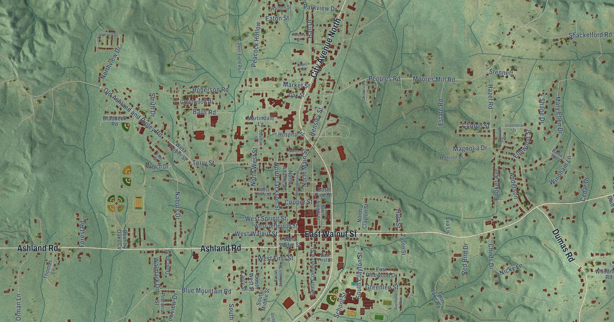
A detailed map of Ripley, Mississippi, showing every building in its true location, the roads by name, and shaded topographical relief.
Read More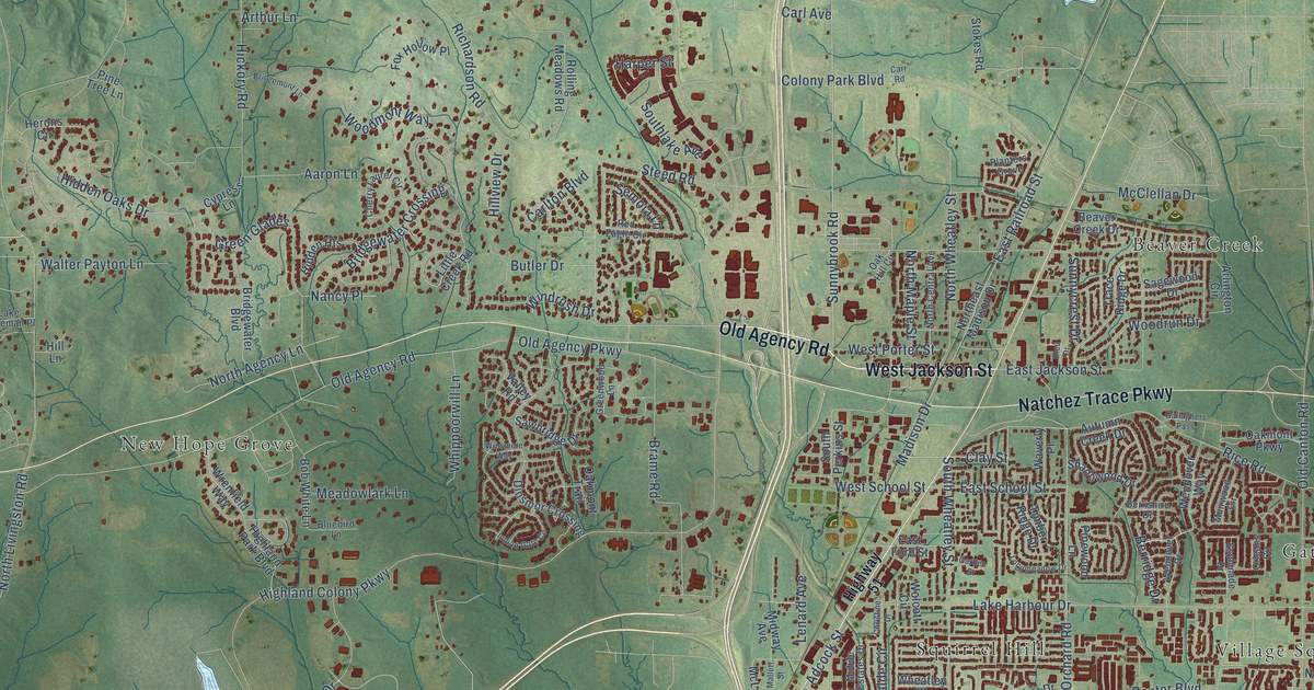
A detailed map of Ridgeland, Mississippi, showing every building in its true location, the roads by name, and shaded topographical relief.
Read More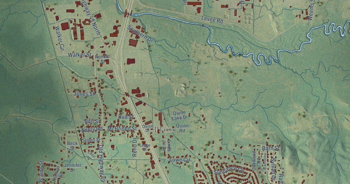
A detailed map of Richland, Mississippi, showing every building in its true location, the roads by name, and shaded topographical relief.
Read More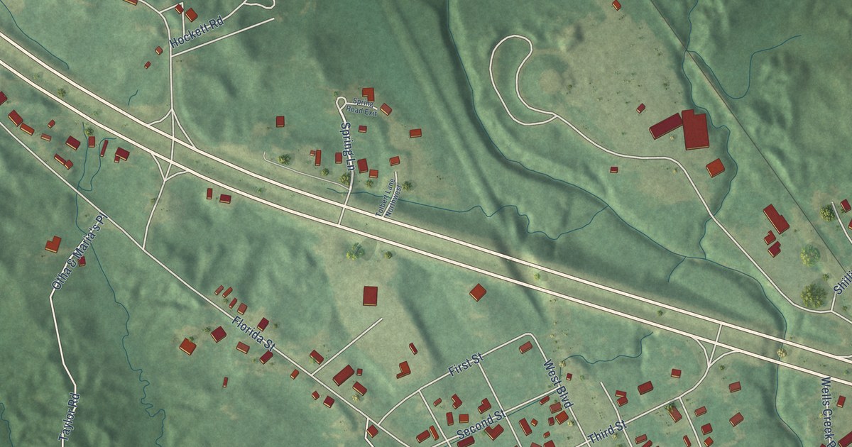
A detailed map of Roxie, Mississippi, showing every building in its true location, the roads by name, and shaded topographical relief.
Read More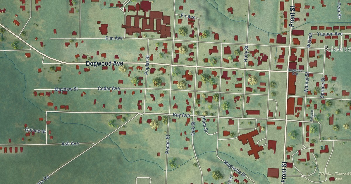
A detailed map of Richton, Mississippi, showing every building in its true location, the roads by name, and shaded topographical relief.
Read More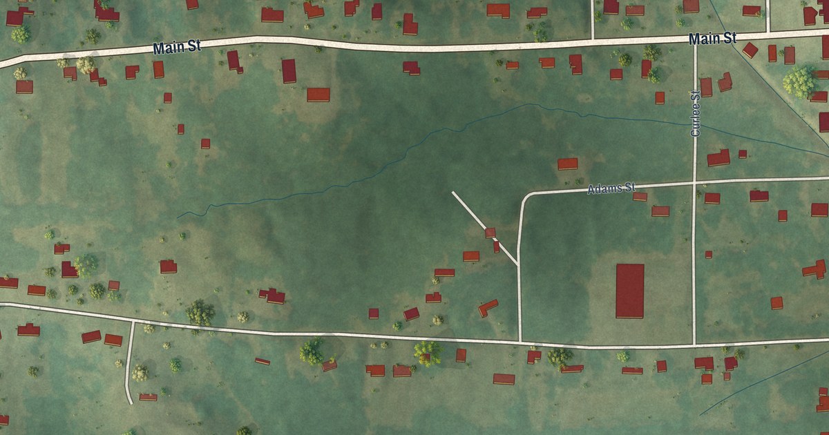
A detailed map of Rienzi, Mississippi, showing every building in its true location, the roads by name, and shaded topographical relief.
Read More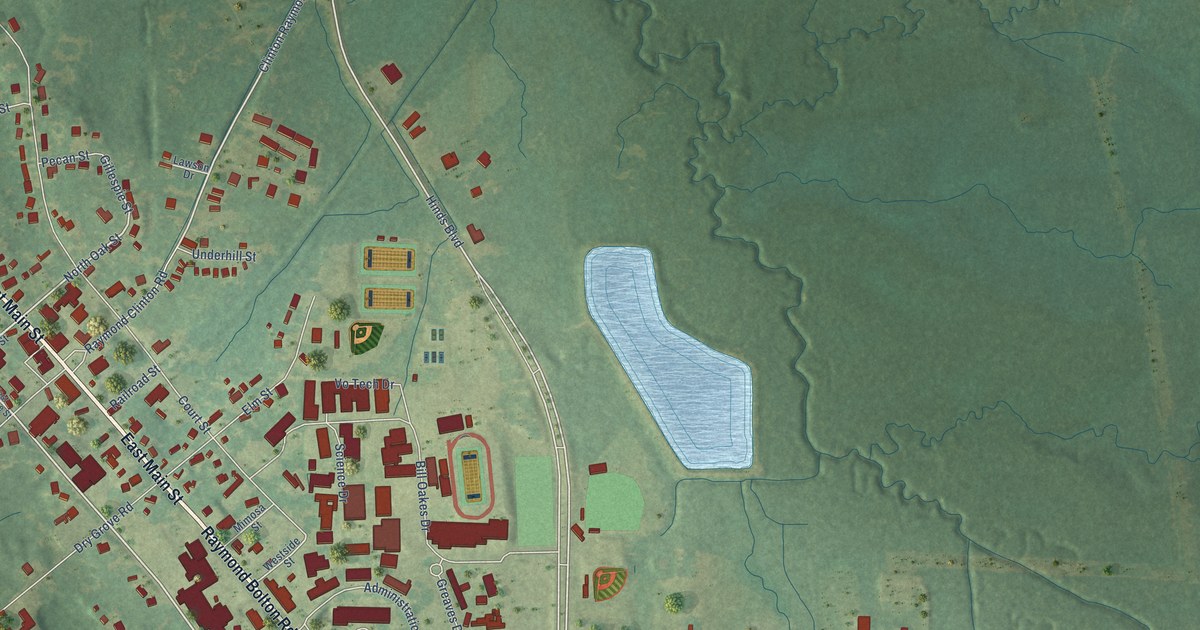
A detailed map of Raymond, Mississippi, showing every building in its true location, the roads by name, and shaded topographical relief.
Read More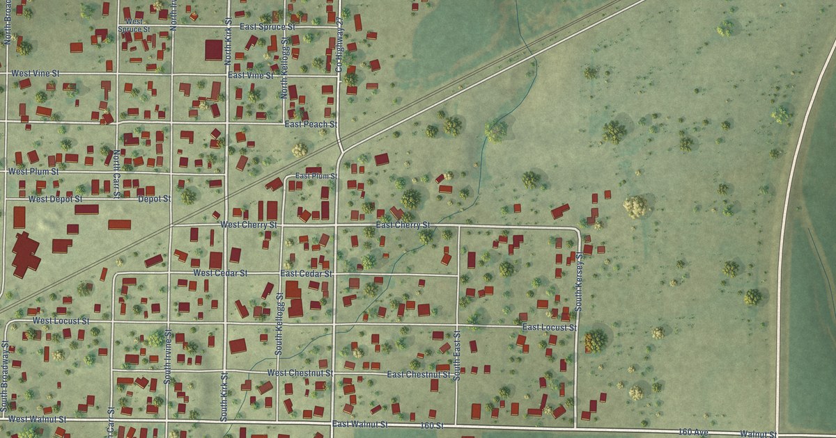
A detailed map of Kirkwood, Illinois, showing every building in its true location, the roads by name, and shaded topographical relief.
Read More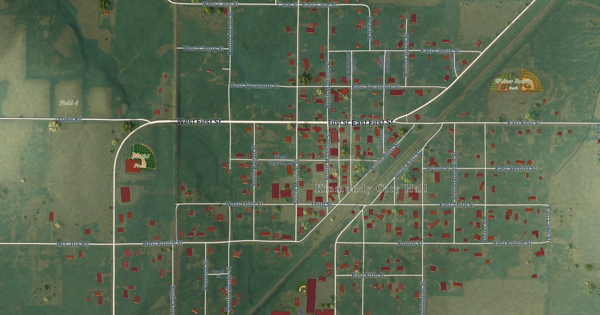
A detailed map of Kinmundy, Illinois, showing every building in its true location, the roads by name, and shaded topographical relief.
Read More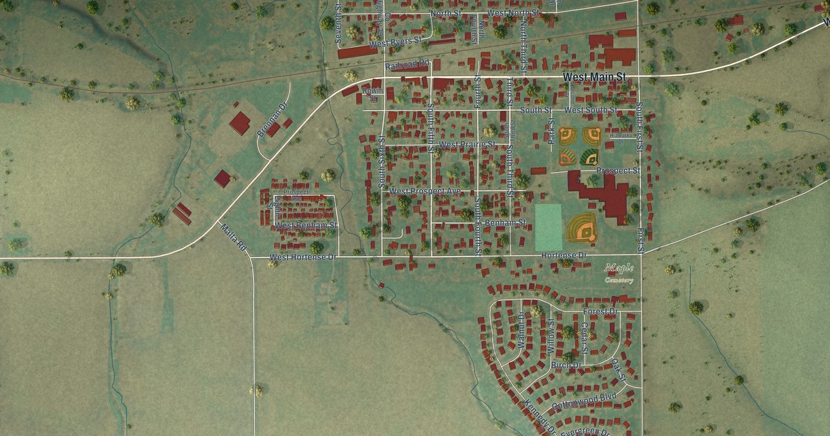
A detailed map of Kirkland, Illinois, showing every building in its true location, the roads by name, and shaded topographical relief.
Read More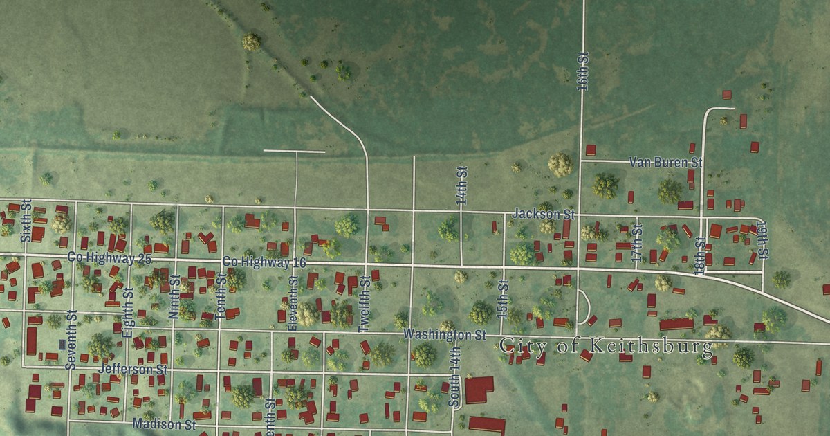
A detailed map of Keithsburg, Illinois, showing every building in its true location, the roads by name, and shaded topographical relief.
Read More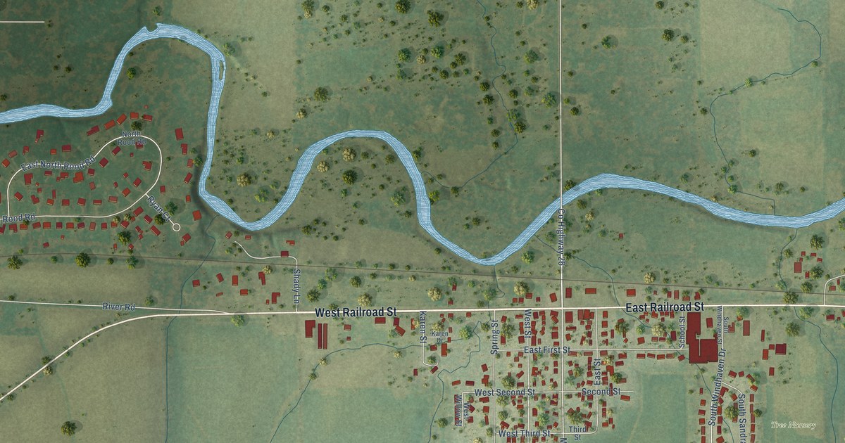
A detailed map of Kingston, Illinois, showing every building in its true location, the roads by name, and shaded topographical relief.
Read More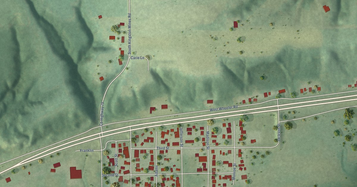
A detailed map of Kingston Mines, Illinois, showing every building in its true location, the roads by name, and shaded topographical relief.
Read More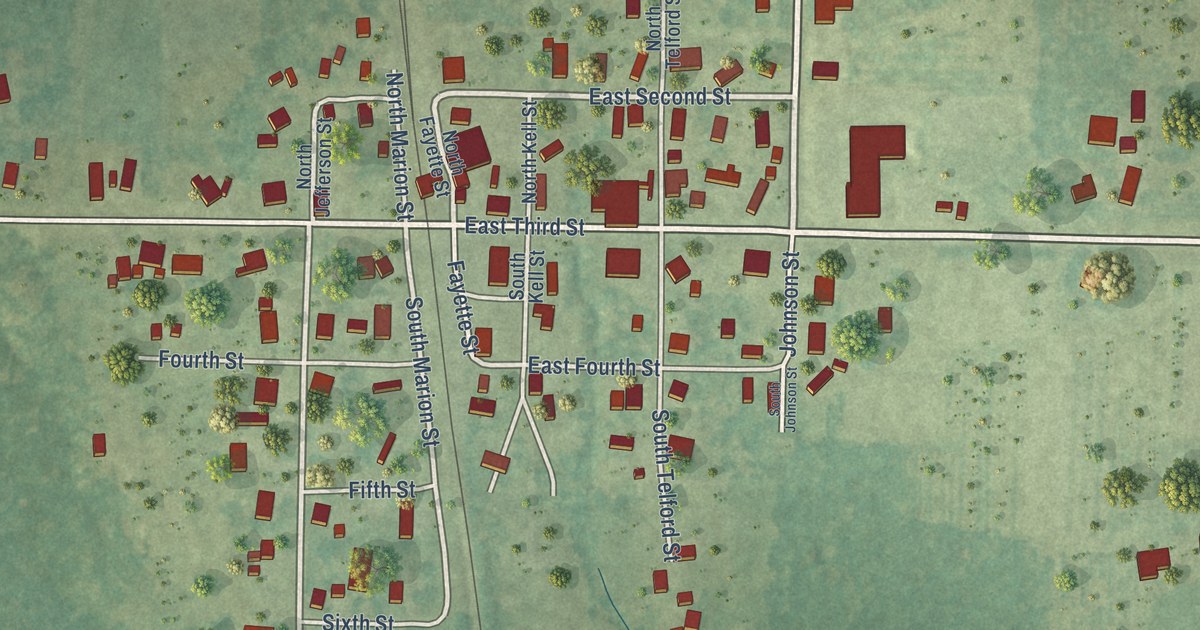
A detailed map of Kell, Illinois, showing every building in its true location, the roads by name, and shaded topographical relief.
Read More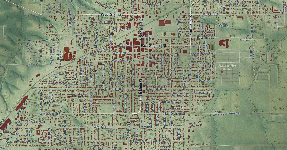
A detailed map of Kewanee, Illinois, showing every building in its true location, the roads by name, and shaded topographical relief.
Read More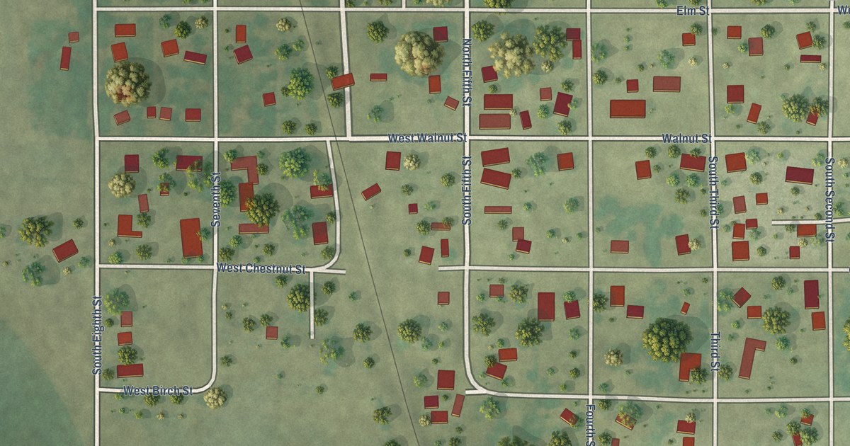
A detailed map of Kilbourne, Illinois, showing every building in its true location, the roads by name, and shaded topographical relief.
Read More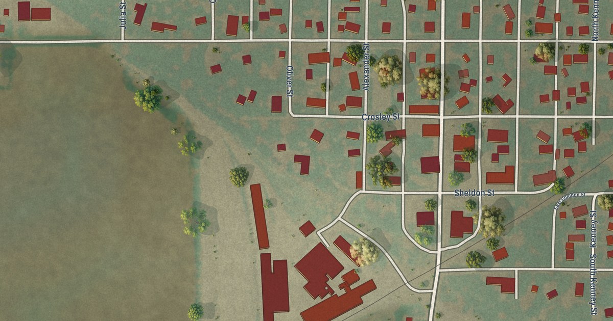
A detailed map of Kenney, Illinois, showing every building in its true location, the roads by name, and shaded topographical relief.
Read More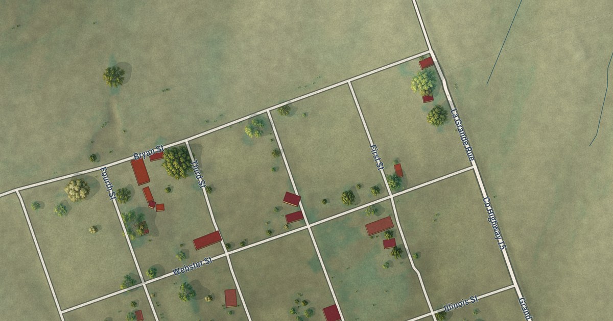
A detailed map of Kaskaskia, Illinois, showing every building in its true location, the roads by name, and shaded topographical relief.
Read More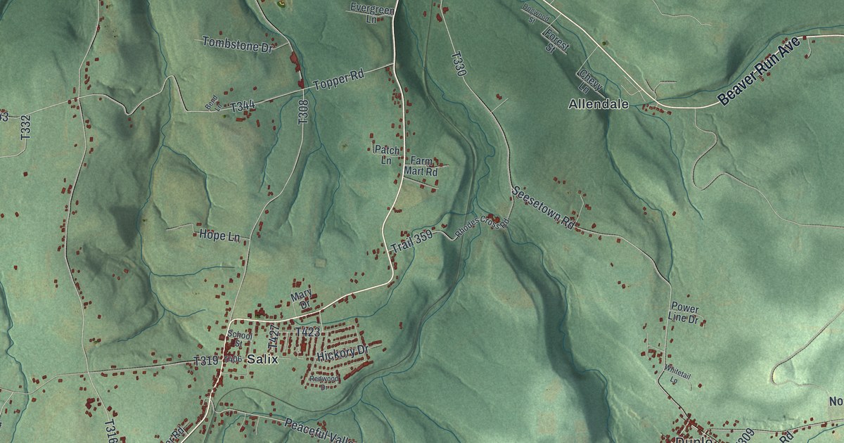
A detailed map of Adams, Cambria County, Pennsylvania, showing every building in its true location, the roads by name, and shaded topographical relief.
Read More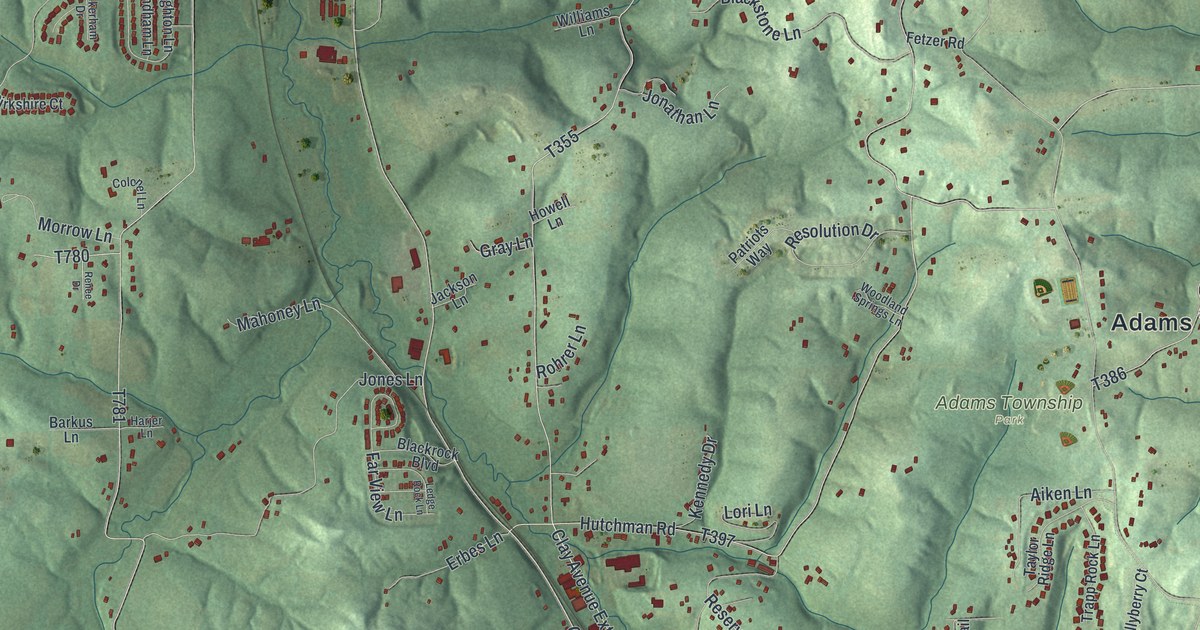
A detailed map of Adams, Butler County, Pennsylvania, showing every building in its true location, the roads by name, and shaded topographical relief.
Read More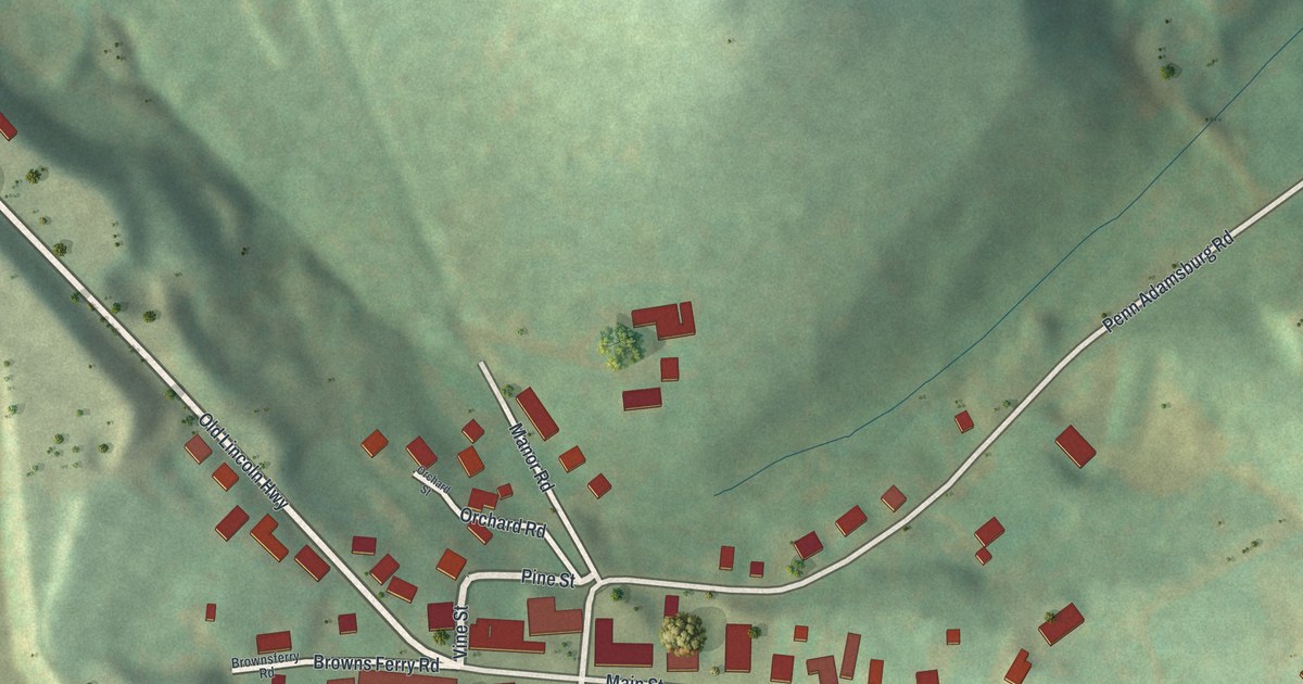
A detailed map of Adamsburg, Pennsylvania, showing every building in its true location, the roads by name, and shaded topographical relief.
Read More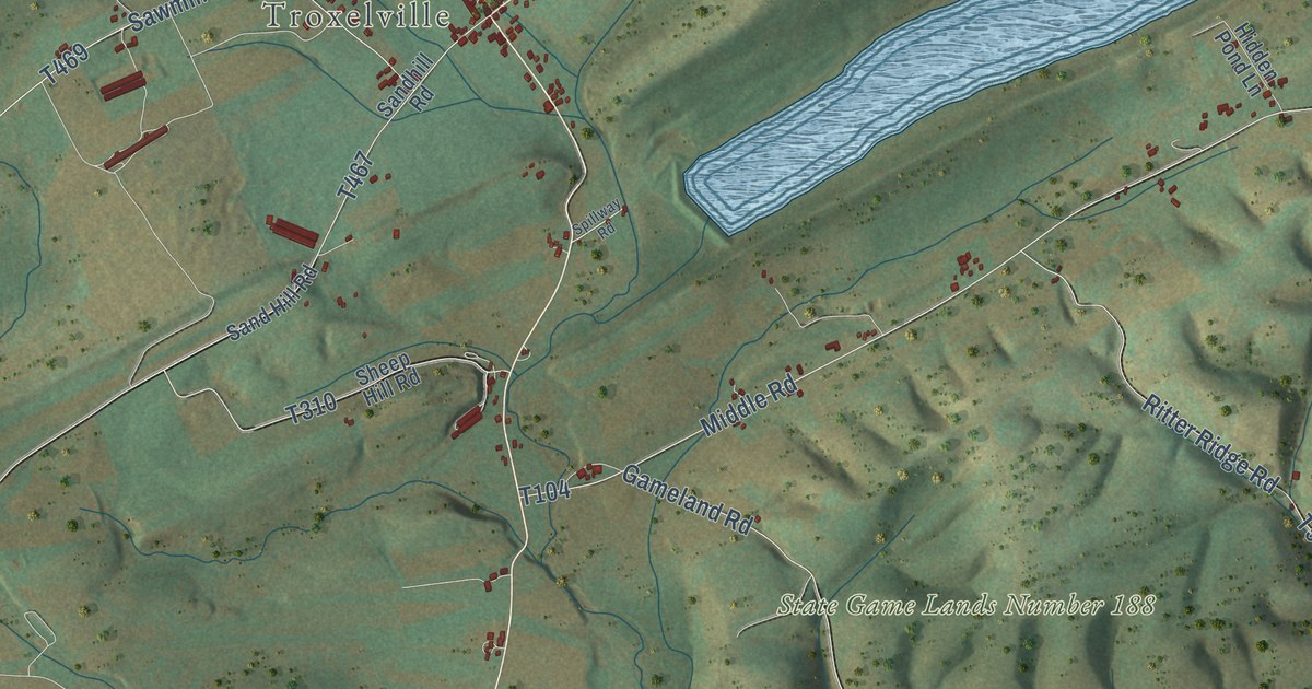
A detailed map of Adams, Snyder County, Pennsylvania, showing every building in its true location, the roads by name, and shaded topographical relief.
Read More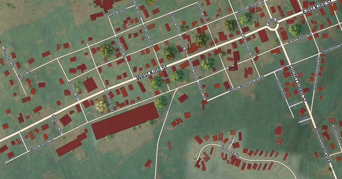
A detailed map of Abbottstown, Pennsylvania, showing every building in its true location, the roads by name, and shaded topographical relief.
Read More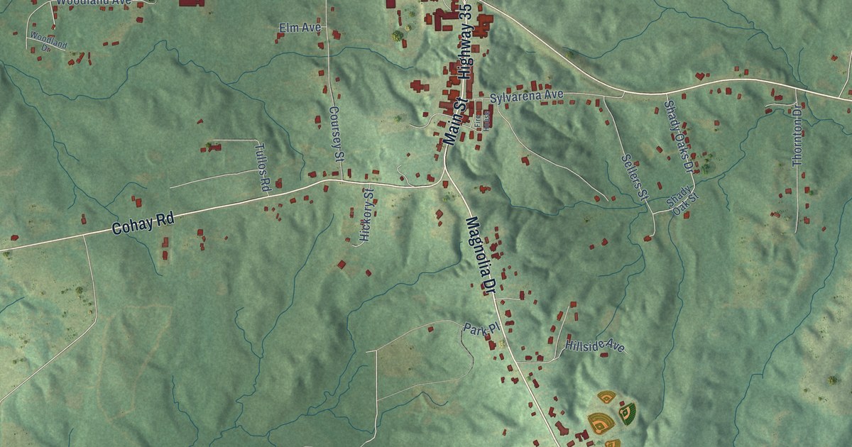
A detailed map of Raleigh, Mississippi, showing every building in its true location, the roads by name, and shaded topographical relief.
Read More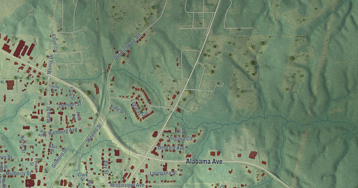
A detailed map of Purvis, Mississippi, showing every building in its true location, the roads by name, and shaded topographical relief.
Read More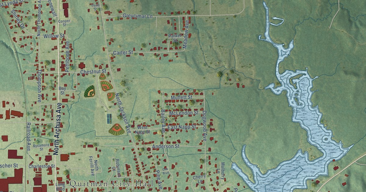
A detailed map of Quitman, Mississippi, showing every building in its true location, the roads by name, and shaded topographical relief.
Read More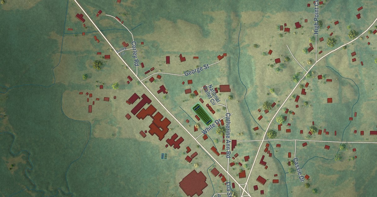
A detailed map of Puckett, Mississippi, showing every building in its true location, the roads by name, and shaded topographical relief.
Read More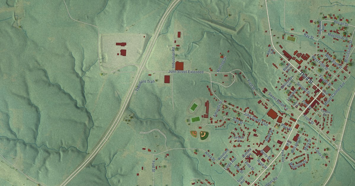
A detailed map of Prentiss, Mississippi, showing every building in its true location, the roads by name, and shaded topographical relief.
Read More















