New York City’s pneumatic subway, the original “Hyperloop”
New York City’s first underground railway used pressurized air to propel train cars…
Read More
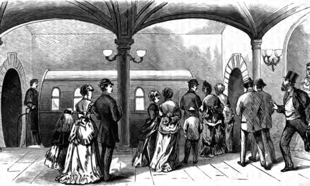
New York City’s first underground railway used pressurized air to propel train cars…
Read More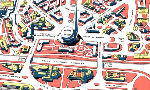
Map of Flushing Meadows-Corona Park during the 1939 – 1940 World’s Fair
Read More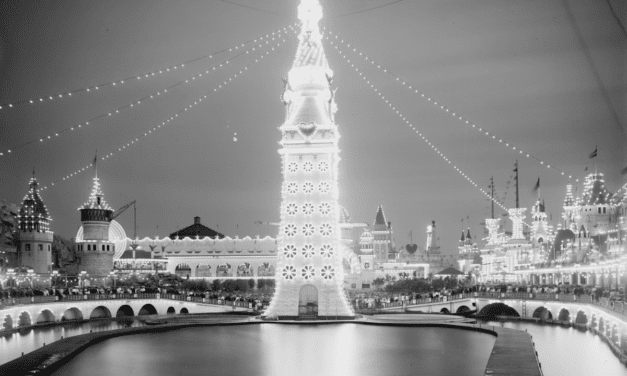
Coney Island’s original Luna Park was a massive spectacle of thrill rides and…
Read More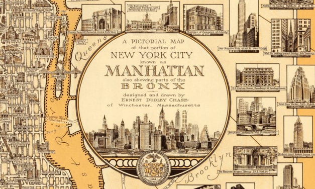
Love NYC? Then you’ll love this old map of Manhattan
Read More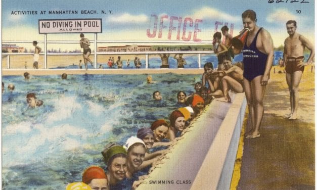
Manhattan Beach was the most upscale of three major resort areas developed at…
Read More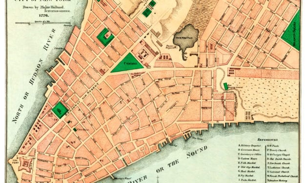
This old map shows New York City in the late 18th century.
Read More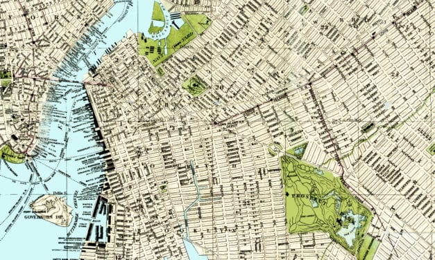
In 1883, Brooklynite S.D.L. Taunton created this beautifully detailed map of his hometown in New...
Read More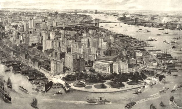
This image shows New York, New York as it looked in 1903. The image was engraved by R.W. Rummell...
Read More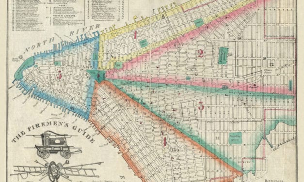
This map was created for the New York City Fire Department in 1834. Officially known as “The...
Read More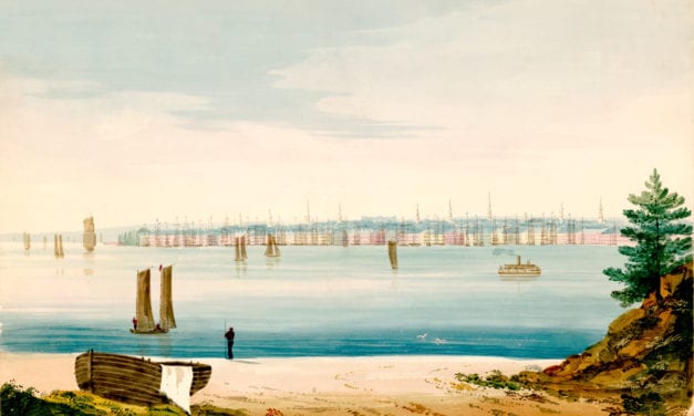
This watercolor by William Wall (1792 – 1864) shows lower Manhattan across the East River as it...
Read More
“Liberty Enlightening the World”, more commonly known as The Statue of Liberty, was a...
Read More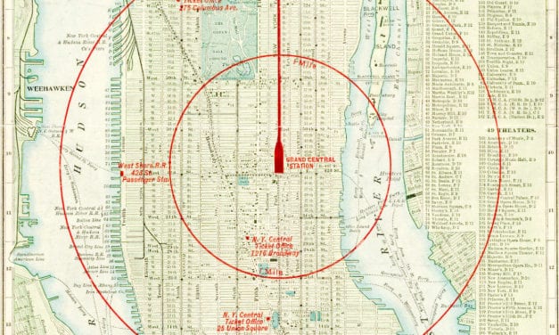
Vintage Map of NYC, 1902 This map of New York City was engraved for the New York Central &...
Read More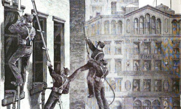
The first public drill of the newly organized Life-saving Corps of the New York Fire Department…
Read More
Have you ever wondered what life used to be like in New York? Now you can see for yourself. This...
Read More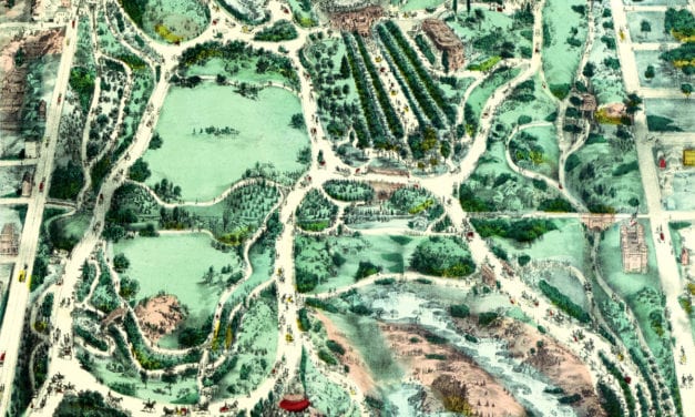
Beautifully designed map of Central Park from the 1800’s
Read More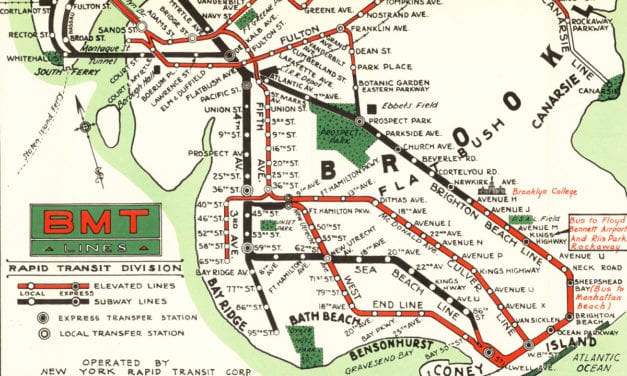
Beautiful color map created by the Brooklyn-Manhattan Transportation Company for the 1939 World’s Fair in NYC.
Read More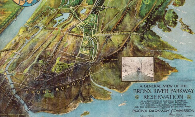
This vintage map of the Bronx River Parkway Reservation was created in 1915, seven years after...
Read More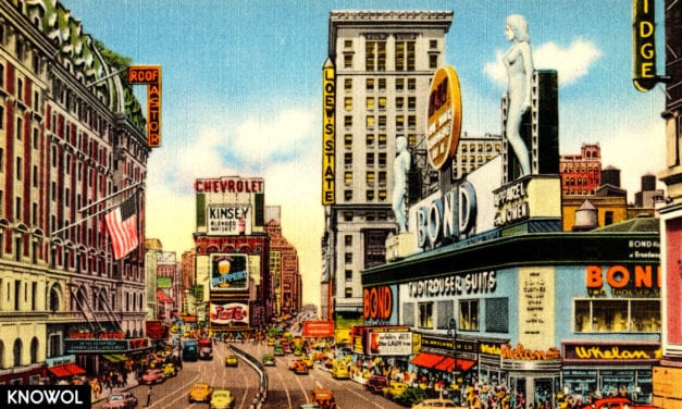
Times Square is the heart of New York City, and one of the world’s foremost tourist...
Read More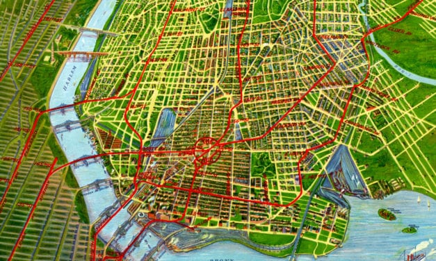
Historic bird’s eye view of the Bronx from 1921
Read More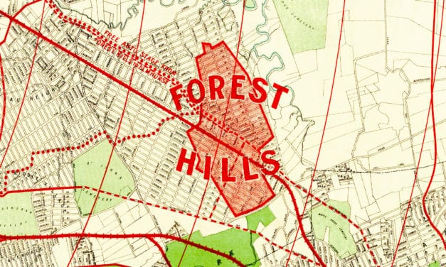
Historic old map of Forest Hills used to promote the neighborhoods development.
Read More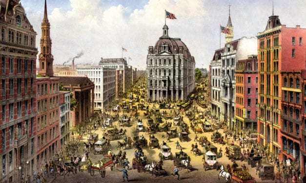
Click here to see what Broadway looked like 100+ years ago
Read More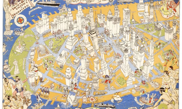
Amazing stories and images from the early years of Manhattan!
Read More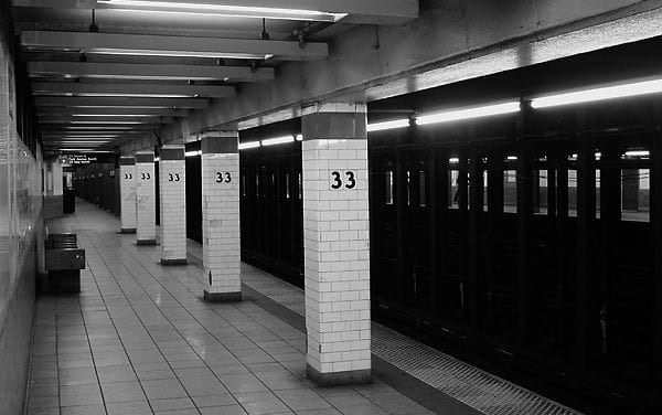
How much does a New York minute cost? The answer seems to be between $33 and $56 per month. That’s...
Read More


