Detailed Map of Thomasboro, Illinois
A detailed map of Thomasboro, Illinois, showing every building in its true location, the roads by name, and shaded topographical relief.
Read More
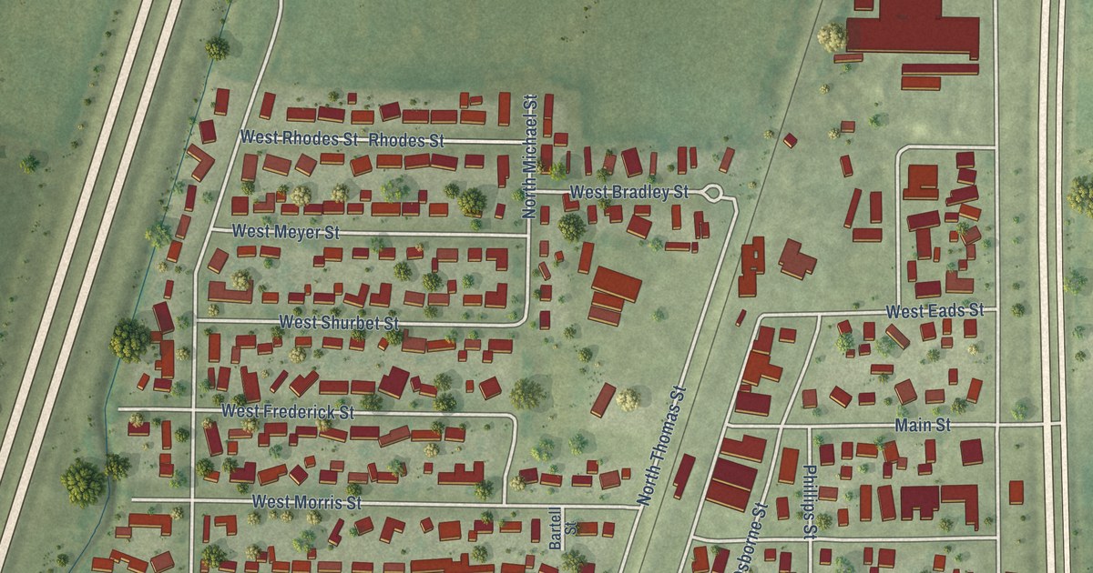
A detailed map of Thomasboro, Illinois, showing every building in its true location, the roads by name, and shaded topographical relief.
Read More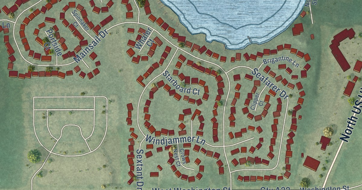
A detailed map of Third Lake, Illinois, showing every building in its true location, the roads by name, and shaded topographical relief.
Read More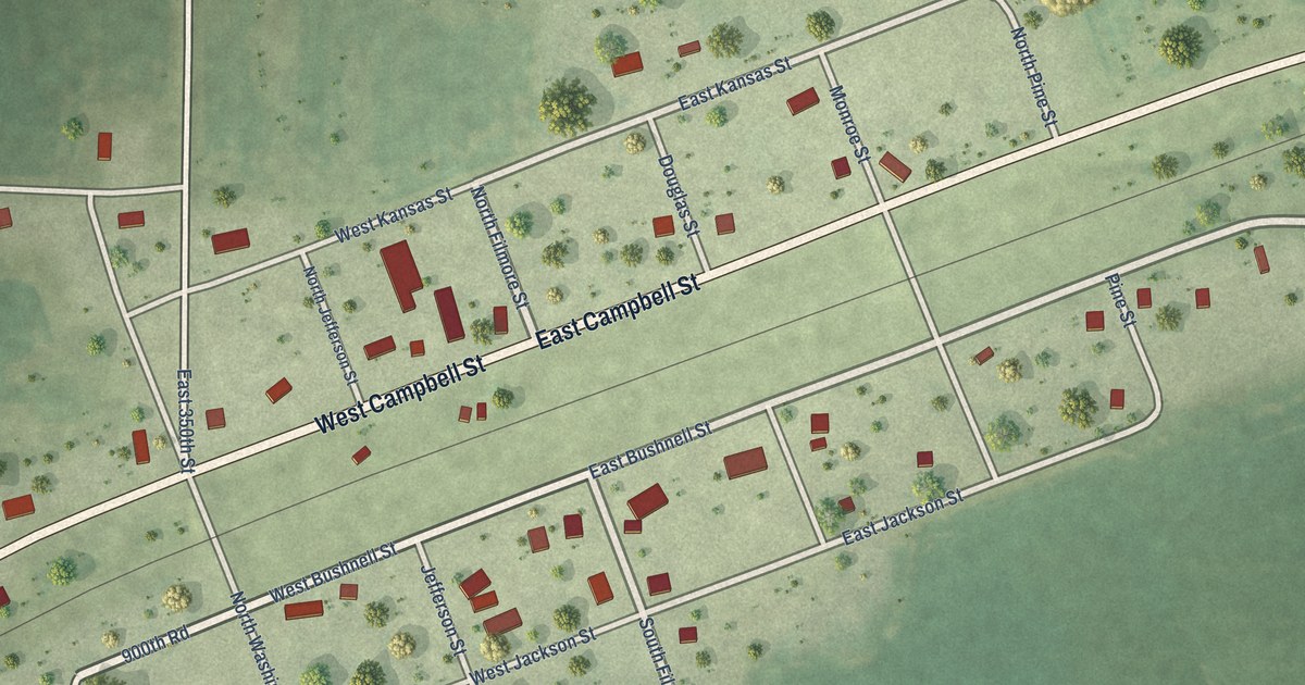
A detailed map of Tennessee, Illinois, showing every building in its true location, the roads by name, and shaded topographical relief.
Read More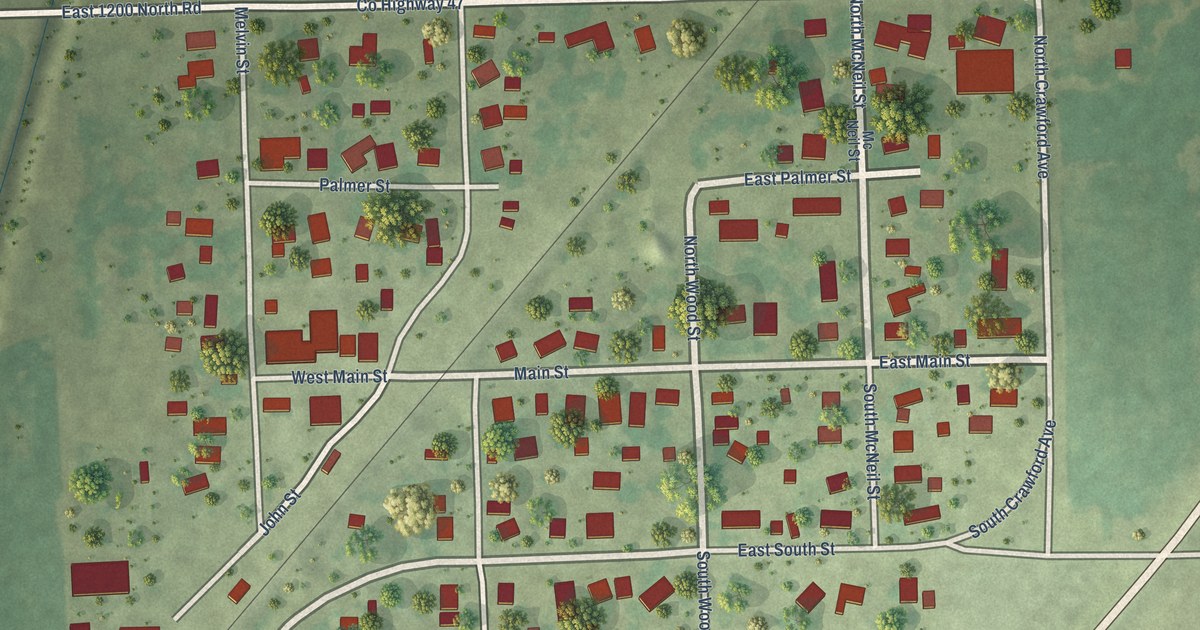
A detailed map of Thawville, Illinois, showing every building in its true location, the roads by name, and shaded topographical relief.
Read More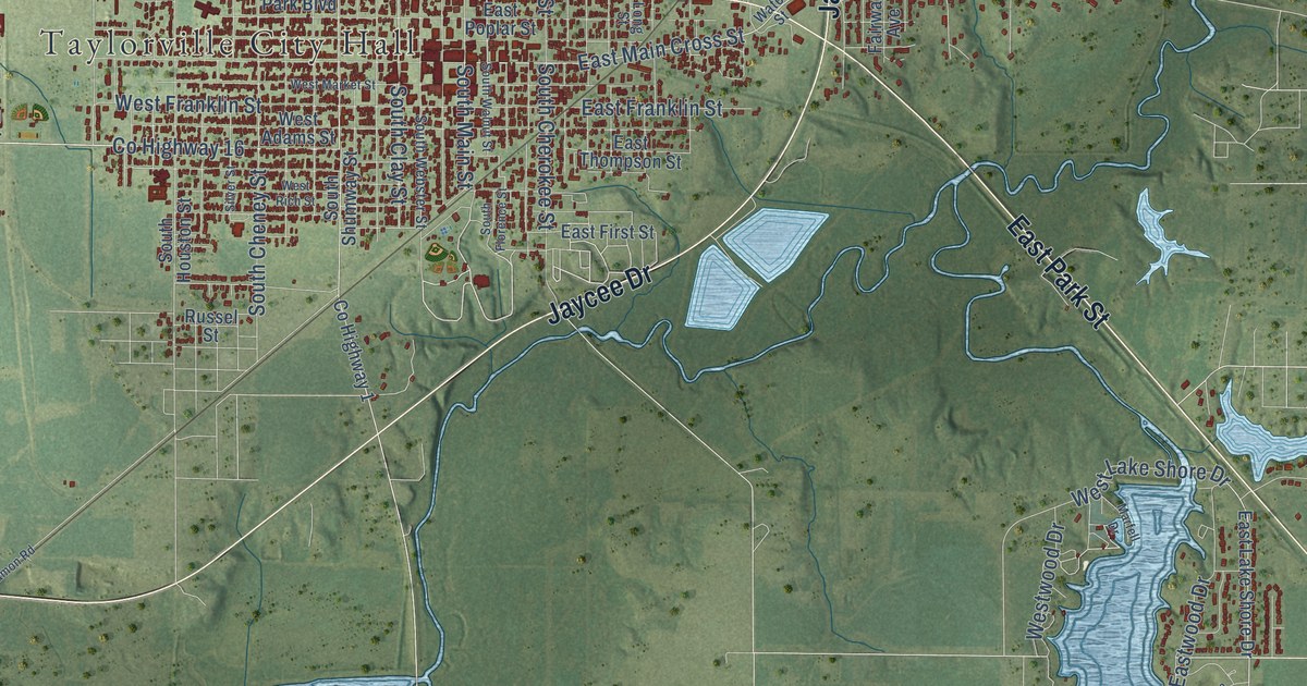
A detailed map of Taylorville, Illinois, showing every building in its true location, the roads by name, and shaded topographical relief.
Read More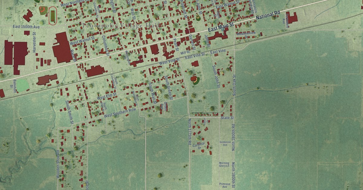
A detailed map of Teutopolis, Illinois, showing every building in its true location, the roads by name, and shaded topographical relief.
Read More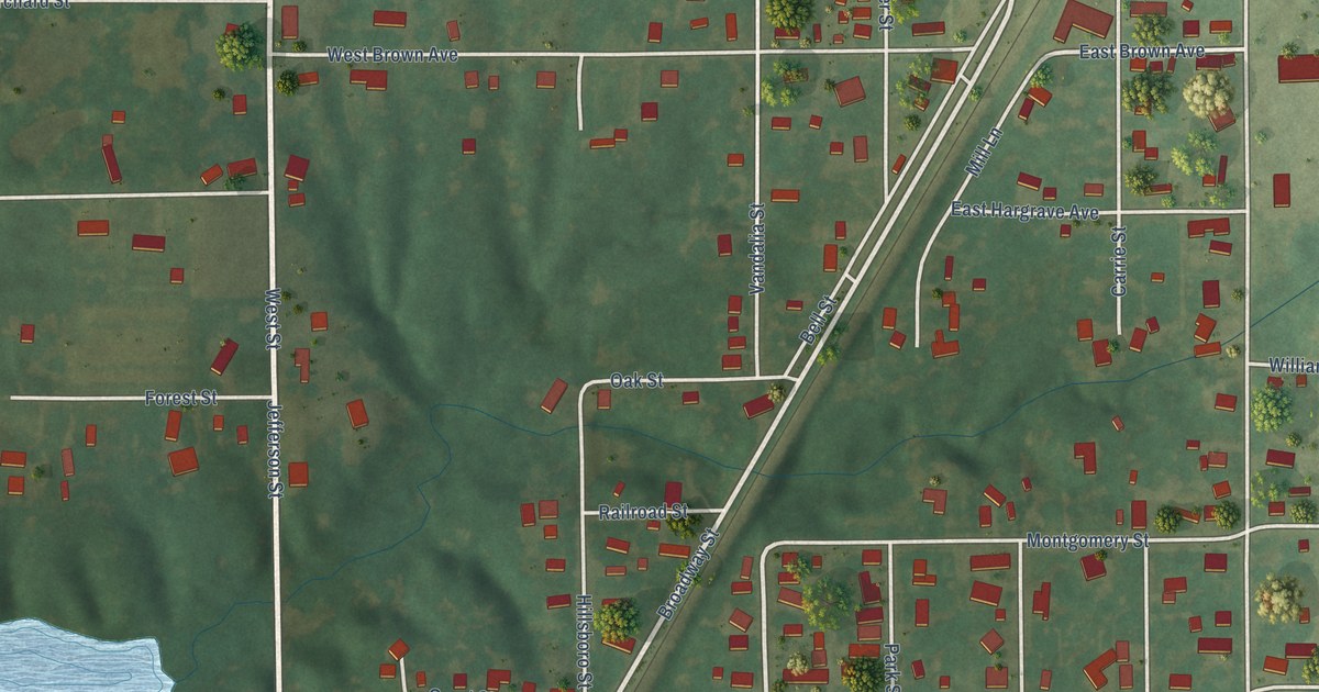
A detailed map of Taylor Springs, Illinois, showing every building in its true location, the roads by name, and shaded topographical relief.
Read More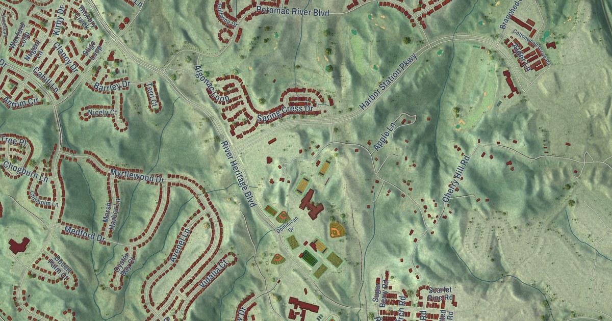
A detailed map of Cherry Hill, Virginia, showing every building in its true location, the roads by name, and shaded topographical relief.
Read More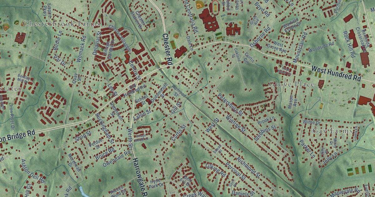
A detailed map of Chester, Virginia, showing every building in its true location, the roads by name, and shaded topographical relief.
Read More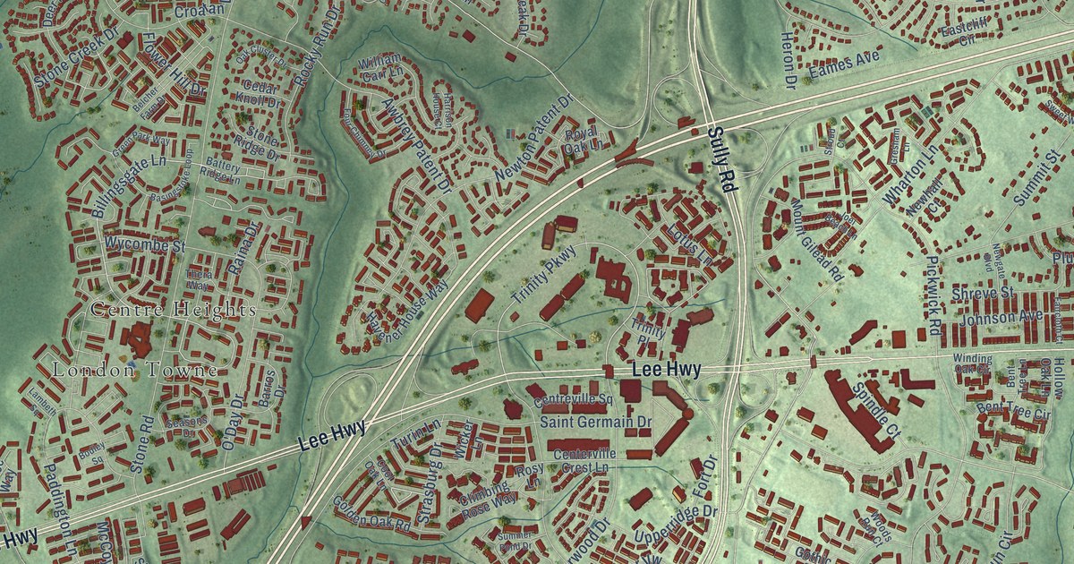
A detailed map of Centreville, Virginia, showing every building in its true location, the roads by name, and shaded topographical relief.
Read More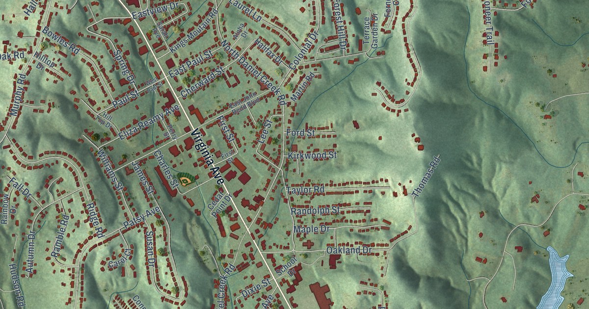
A detailed map of Collinsville, Virginia, showing every building in its true location, the roads by name, and shaded topographical relief.
Read More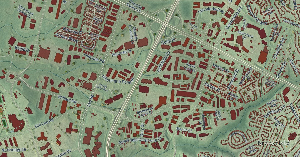
A detailed map of Chantilly, Virginia, showing every building in its true location, the roads by name, and shaded topographical relief.
Read More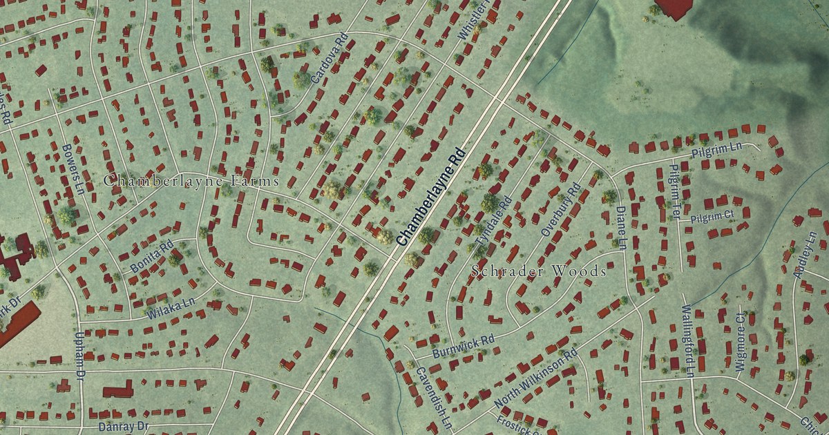
A detailed map of Chamberlayne, Virginia, showing every building in its true location, the roads by name, and shaded topographical relief.
Read More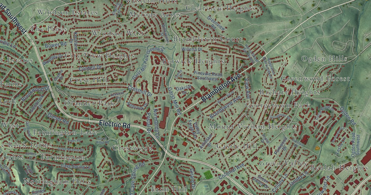
A detailed map of Cave Spring, Virginia, showing every building in its true location, the roads by name, and shaded topographical relief.
Read More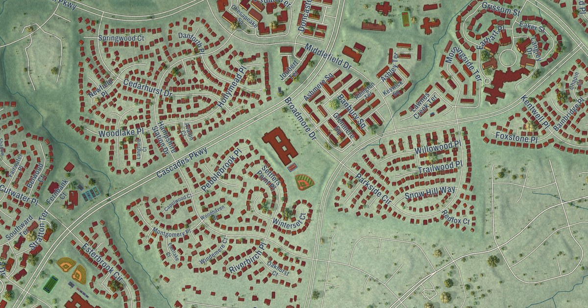
A detailed map of Cascades, Virginia, showing every building in its true location, the roads by name, and shaded topographical relief.
Read More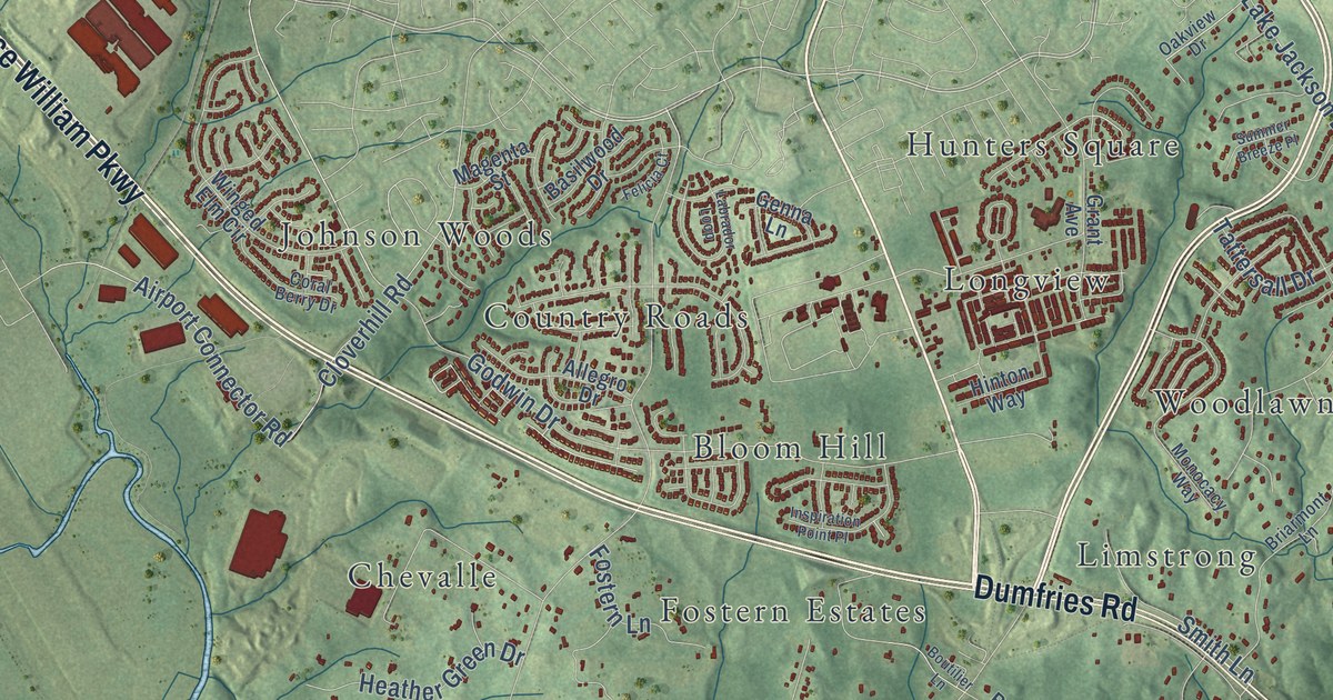
A detailed map of Buckhall, Virginia, showing every building in its true location, the roads by name, and shaded topographical relief.
Read More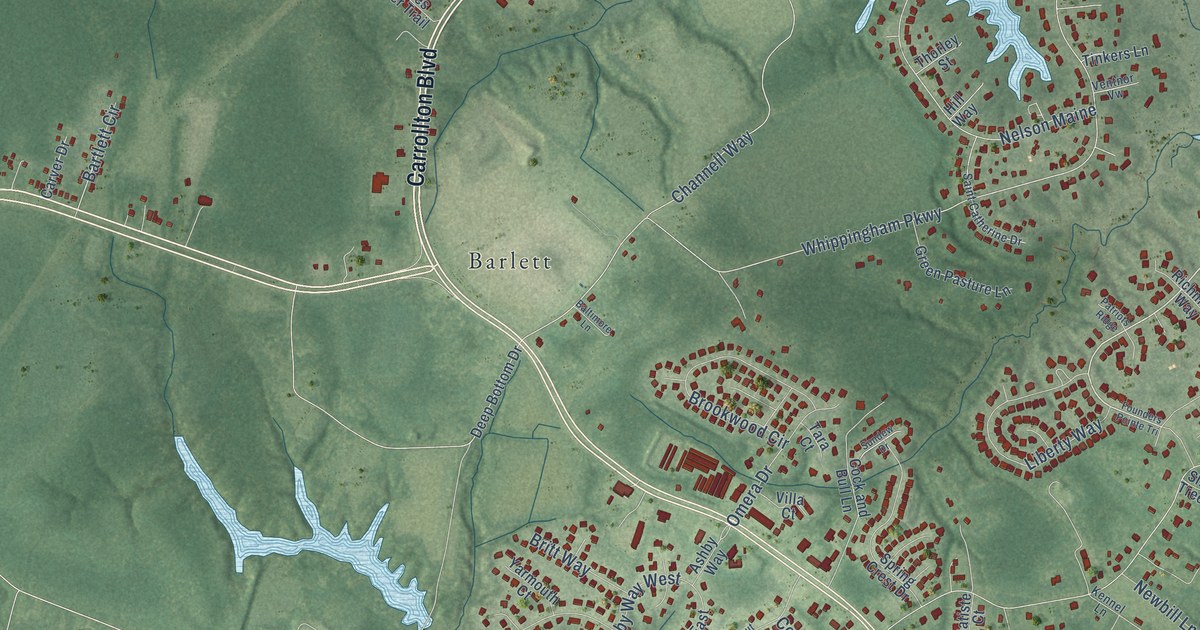
A detailed map of Carrollton, Virginia, showing every building in its true location, the roads by name, and shaded topographical relief.
Read More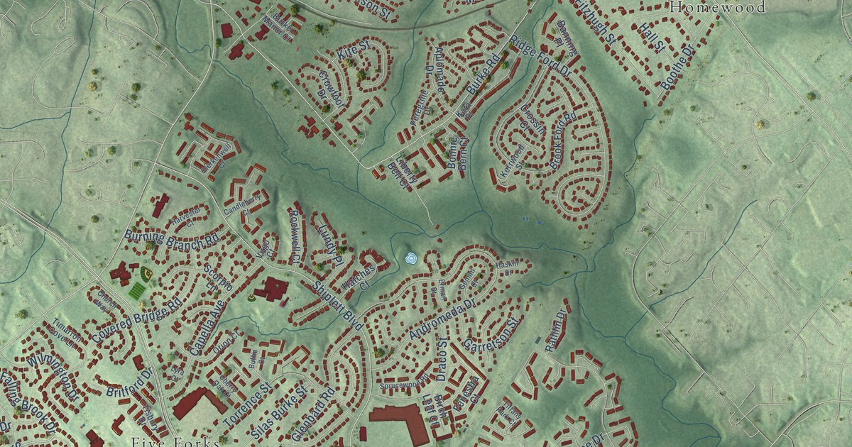
A detailed map of Burke, Virginia, showing every building in its true location, the roads by name, and shaded topographical relief.
Read More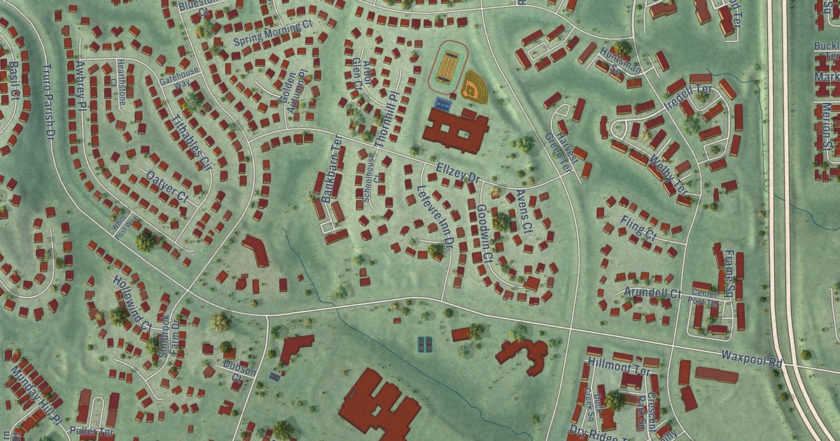
A detailed map of Broadlands, Virginia, showing every building in its true location, the roads by name, and shaded topographical relief.
Read More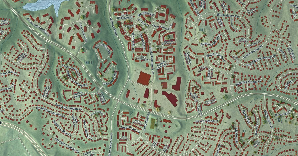
A detailed map of Burke Centre, Virginia, showing every building in its true location, the roads by name, and shaded topographical relief.
Read More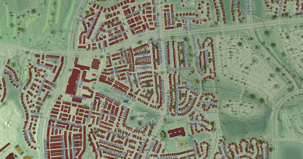
A detailed map of Brambleton, Virginia, showing every building in its true location, the roads by name, and shaded topographical relief.
Read More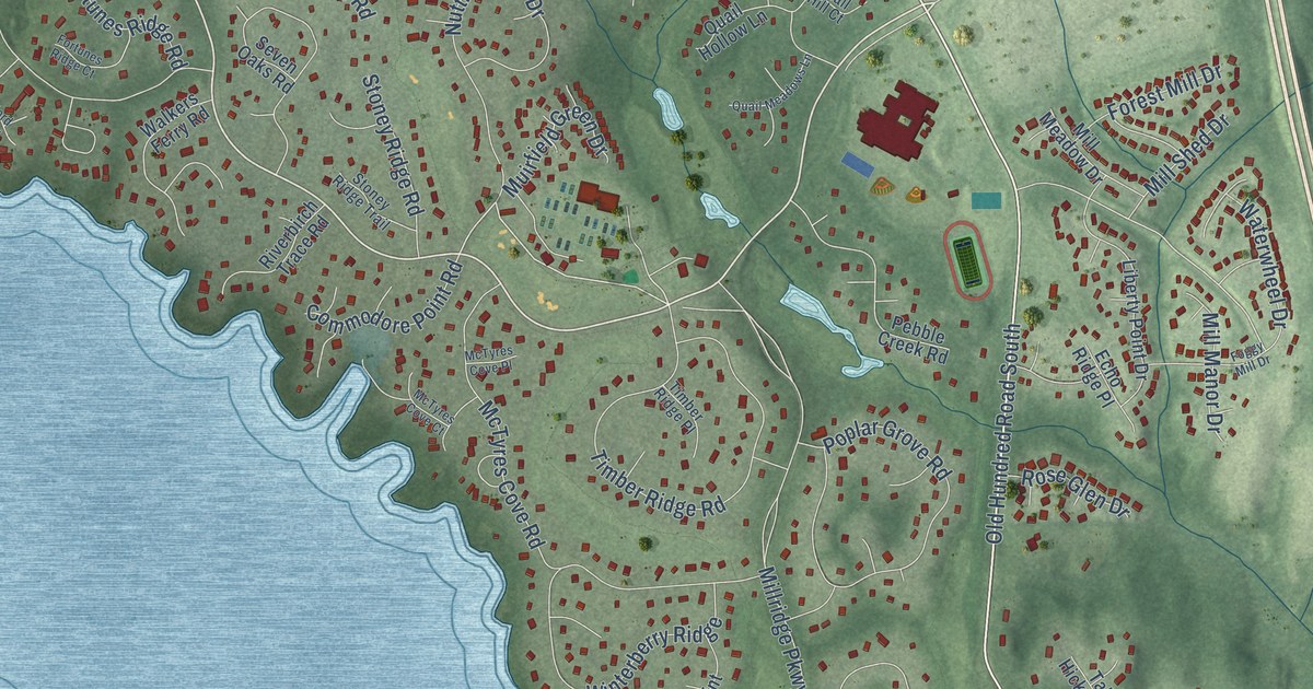
A detailed map of Brandermill, Virginia, showing every building in its true location, the roads by name, and shaded topographical relief.
Read More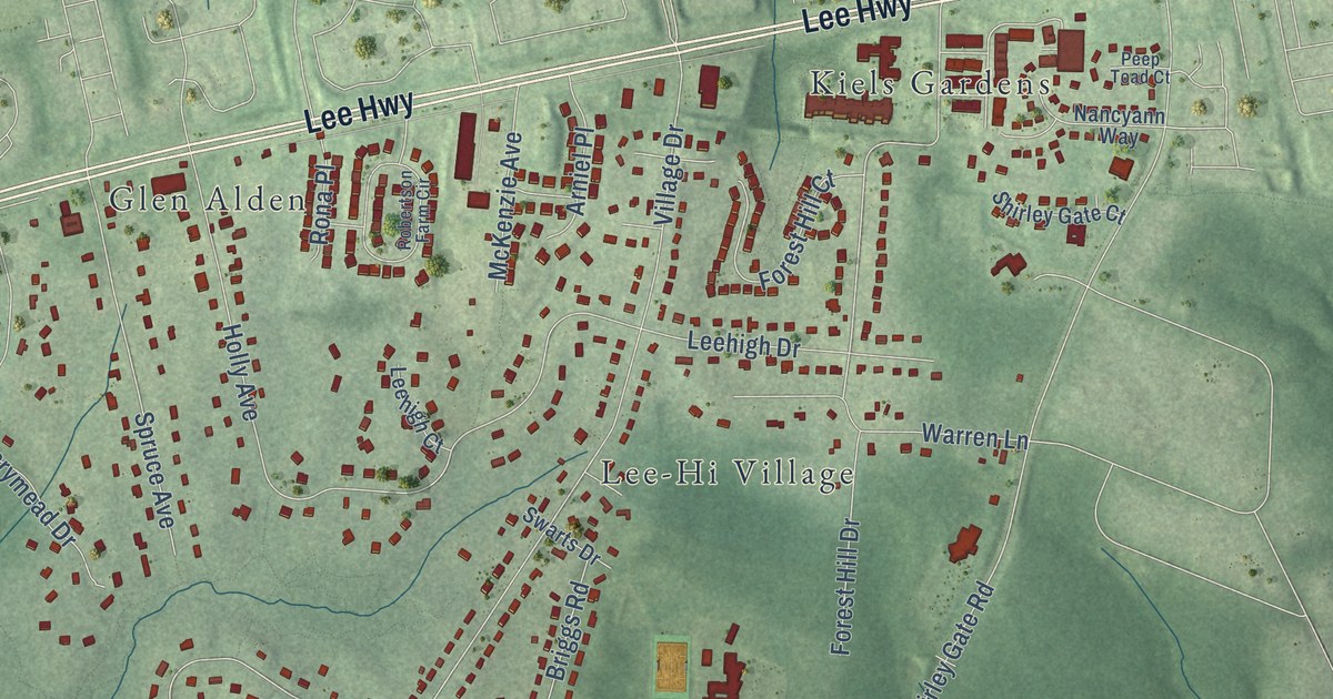
A detailed map of Braddock, Virginia, showing every building in its true location, the roads by name, and shaded topographical relief.
Read More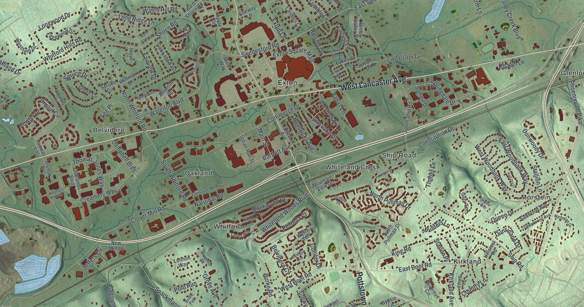
A detailed map of West Whiteland, Pennsylvania, showing every building in its true location, the roads by name, and shaded topographical relief.
Read More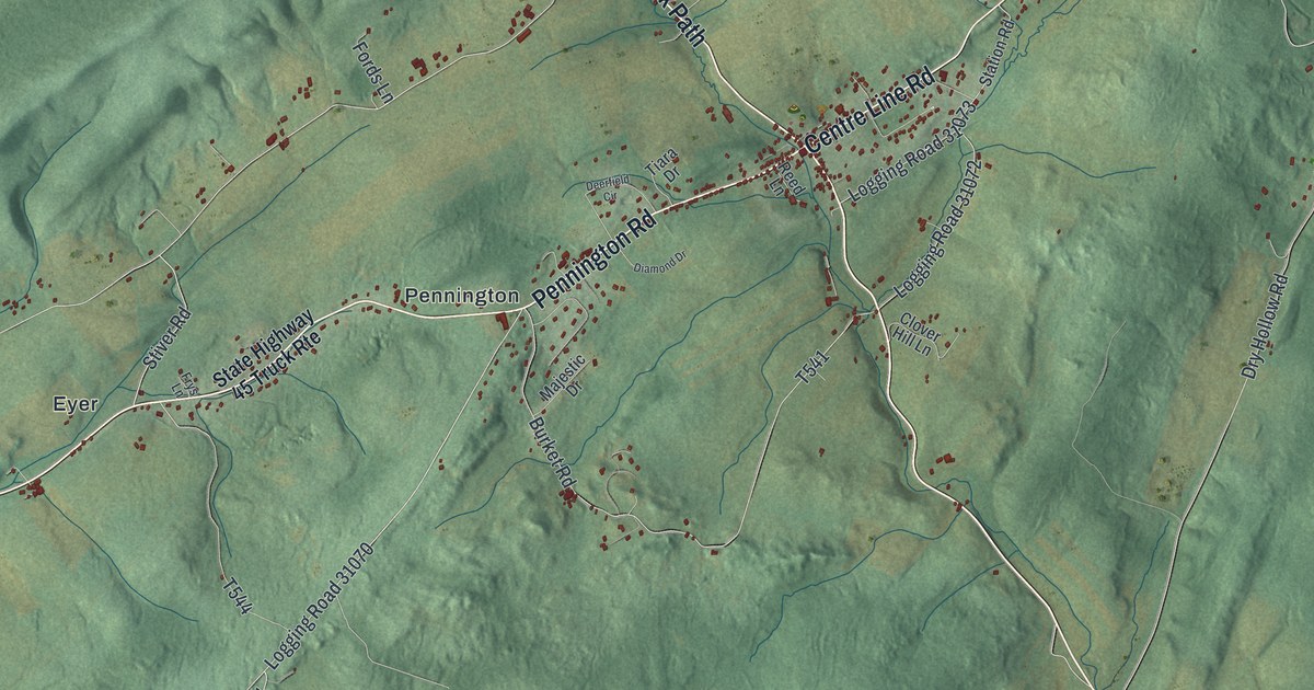
A detailed map of Warriors Mark, Pennsylvania, showing every building in its true location, the roads by name, and shaded topographical relief.
Read More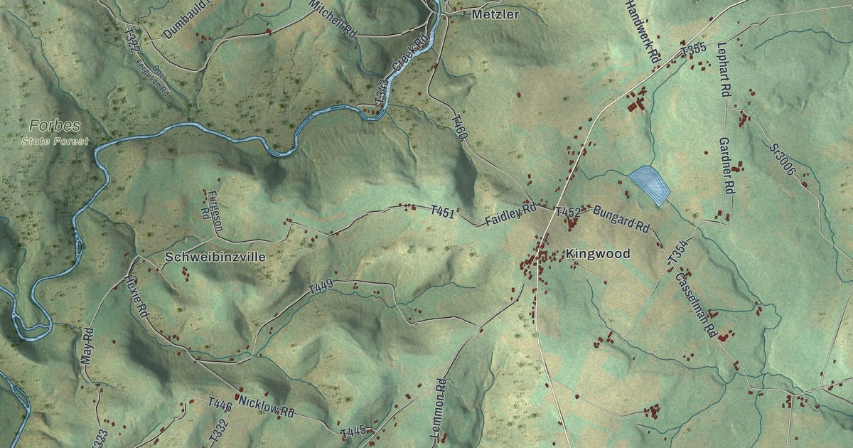
A detailed map of Upper Turkeyfoot, Pennsylvania, showing every building in its true location, the roads by name, and shaded topographical relief.
Read More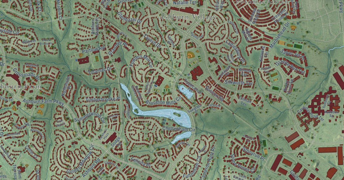
A detailed map of Ashburn, Virginia, showing every building in its true location, the roads by name, and shaded topographical relief.
Read More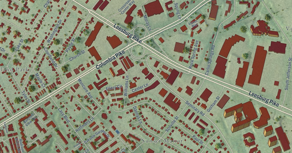
A detailed map of Bailey’s Crossroads, Virginia, showing every building in its true location, the roads by name, and shaded topographical relief.
Read More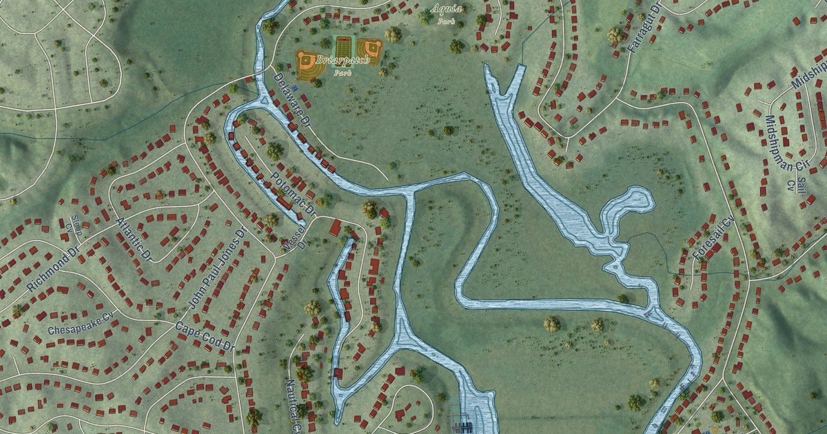
A detailed map of Aquia Harbour, Virginia, showing every building in its true location, the roads by name, and shaded topographical relief.
Read More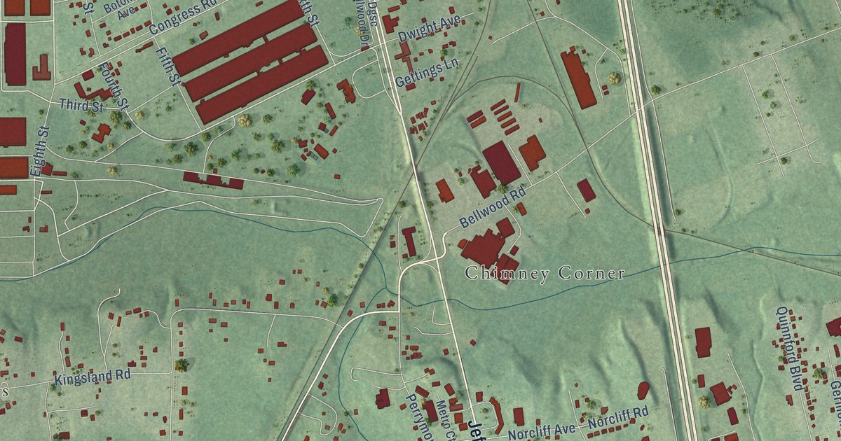
A detailed map of Bellwood, Virginia, showing every building in its true location, the roads by name, and shaded topographical relief.
Read More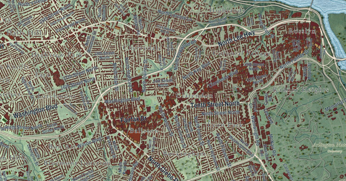
A detailed map of Arlington, Virginia, showing every building in its true location, the roads by name, and shaded topographical relief.
Read More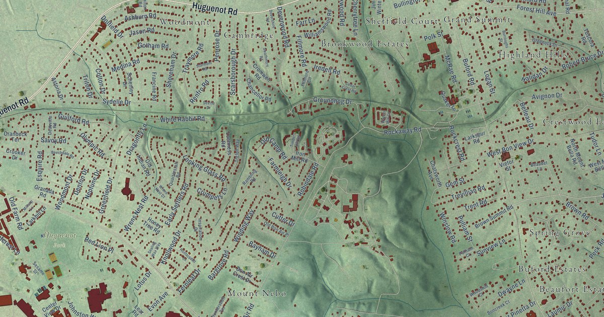
A detailed map of Bon Air, Virginia, showing every building in its true location, the roads by name, and shaded topographical relief.
Read More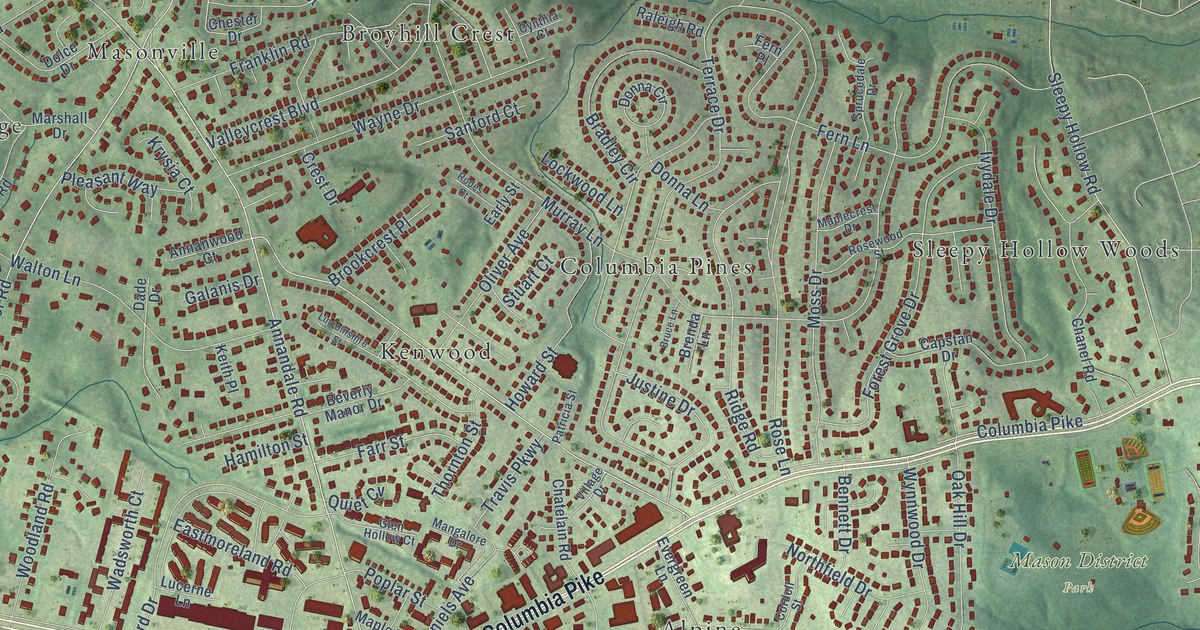
A detailed map of Annandale, Virginia, showing every building in its true location, the roads by name, and shaded topographical relief.
Read More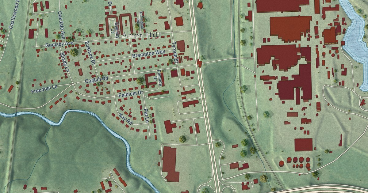
A detailed map of Bensley, Virginia, showing every building in its true location, the roads by name, and shaded topographical relief.
Read More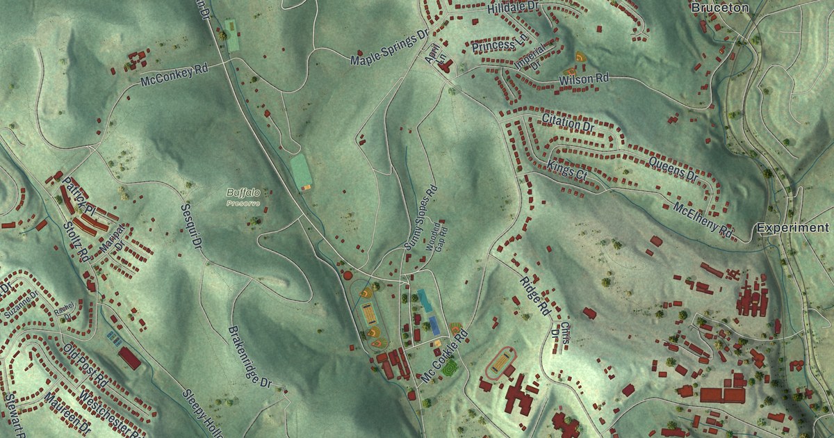
A detailed map of South Park, Pennsylvania, showing every building in its true location, the roads by name, and shaded topographical relief.
Read More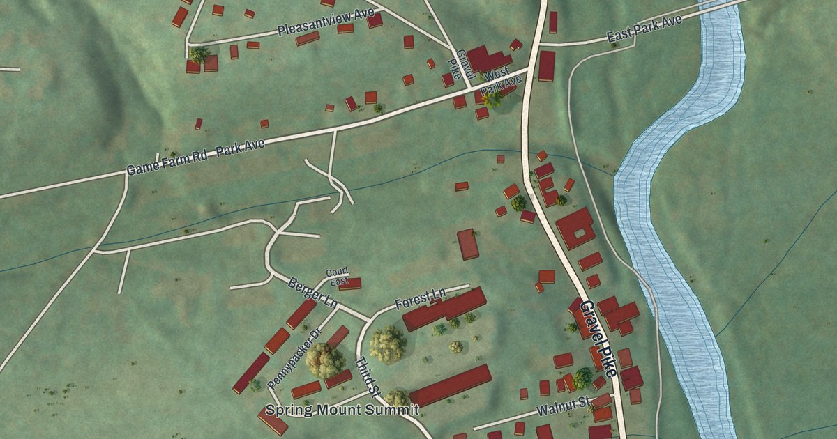
A detailed map of Schwenksville, Pennsylvania, showing every building in its true location, the roads by name, and shaded topographical relief.
Read More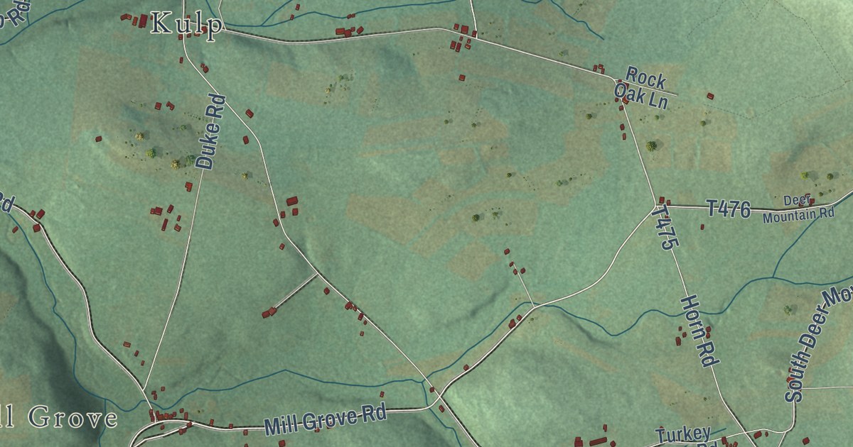
A detailed map of Roaring Creek, Pennsylvania, showing every building in its true location, the roads by name, and shaded topographical relief.
Read More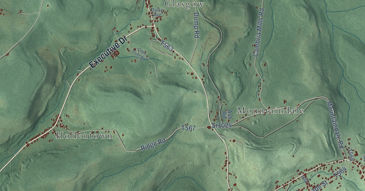
A detailed map of Reade, Pennsylvania, showing every building in its true location, the roads by name, and shaded topographical relief.
Read More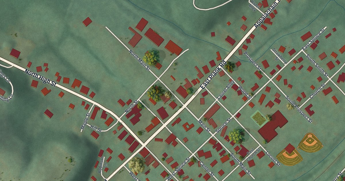
A detailed map of Port Matilda, Pennsylvania, showing every building in its true location, the roads by name, and shaded topographical relief.
Read More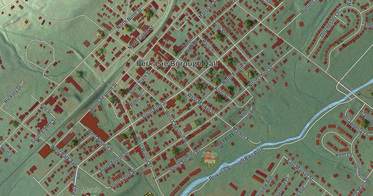
A detailed map of Perkasie, Pennsylvania, showing every building in its true location, the roads by name, and shaded topographical relief.
Read More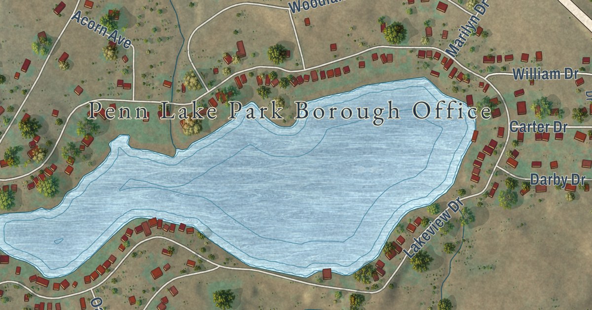
A detailed map of Penn Lake Park, Pennsylvania, showing every building in its true location, the roads by name, and shaded topographical relief.
Read More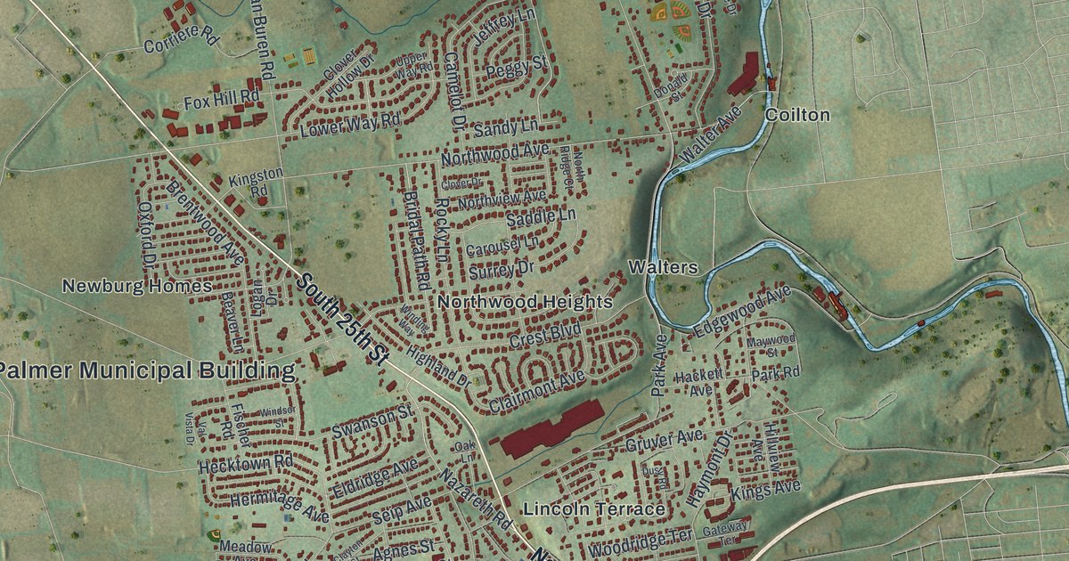
A detailed map of Palmer, Pennsylvania, showing every building in its true location, the roads by name, and shaded topographical relief.
Read More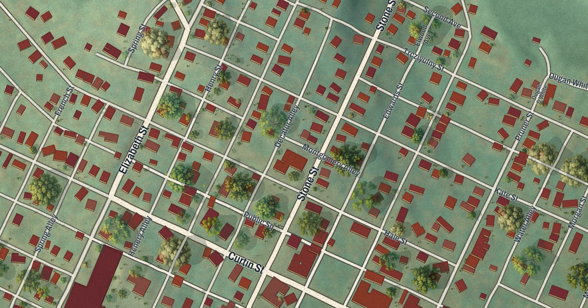
A detailed map of Osceola Mills, Pennsylvania, showing every building in its true location, the roads by name, and shaded topographical relief.
Read More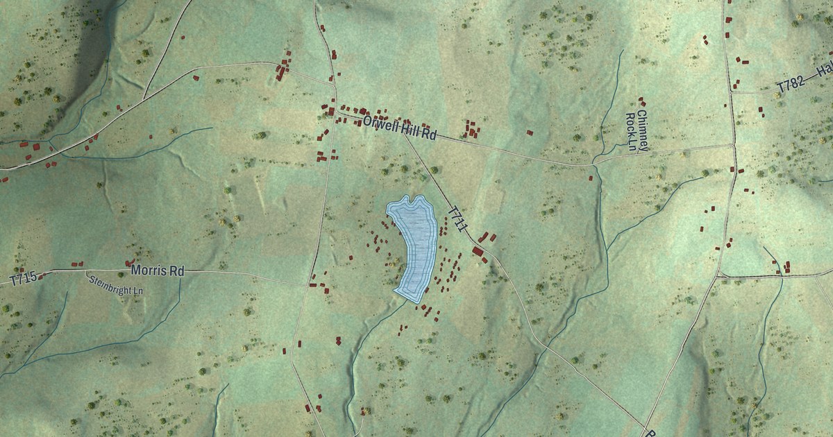
A detailed map of Orwell, Pennsylvania, showing every building in its true location, the roads by name, and shaded topographical relief.
Read More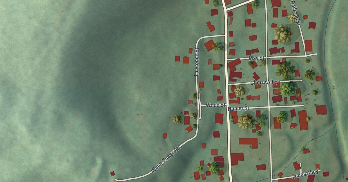
A detailed map of New Albany, Pennsylvania, showing every building in its true location, the roads by name, and shaded topographical relief.
Read More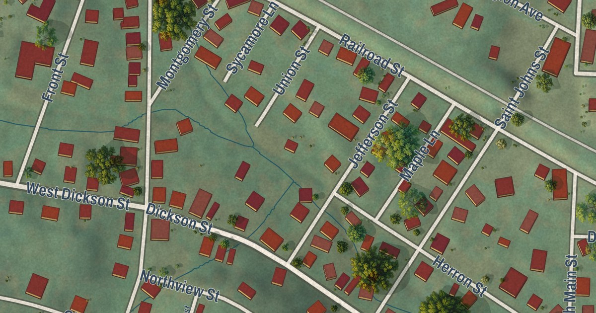
A detailed map of Midway, Pennsylvania, showing every building in its true location, the roads by name, and shaded topographical relief.
Read More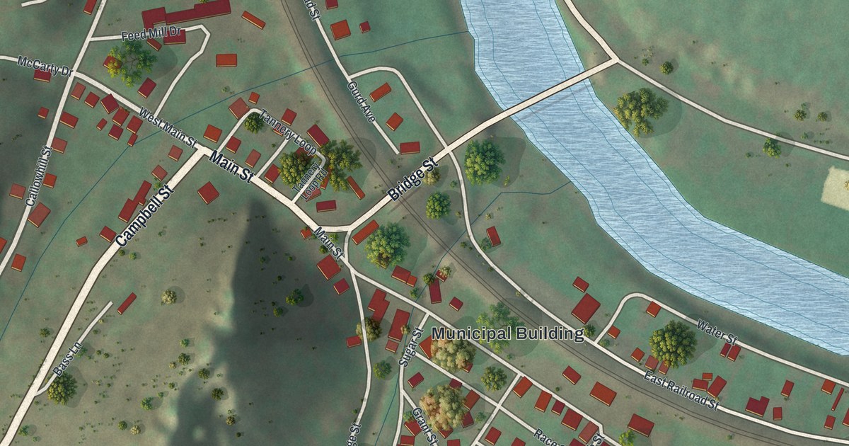
A detailed map of Mapleton, Pennsylvania, showing every building in its true location, the roads by name, and shaded topographical relief.
Read More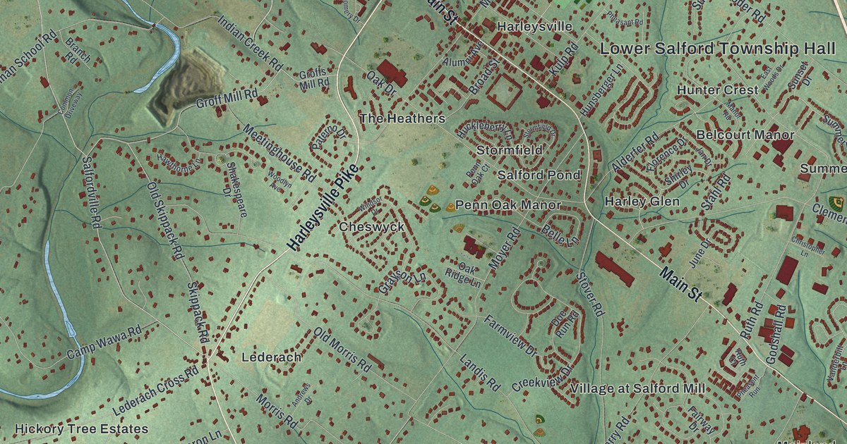
A detailed map of Lower Salford, Pennsylvania, showing every building in its true location, the roads by name, and shaded topographical relief.
Read More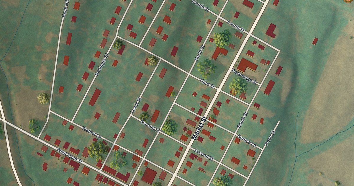
A detailed map of Lewisberry, Pennsylvania, showing every building in its true location, the roads by name, and shaded topographical relief.
Read More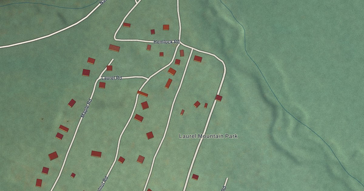
A detailed map of Laurel Mountain, Pennsylvania, showing every building in its true location, the roads by name, and shaded topographical relief.
Read More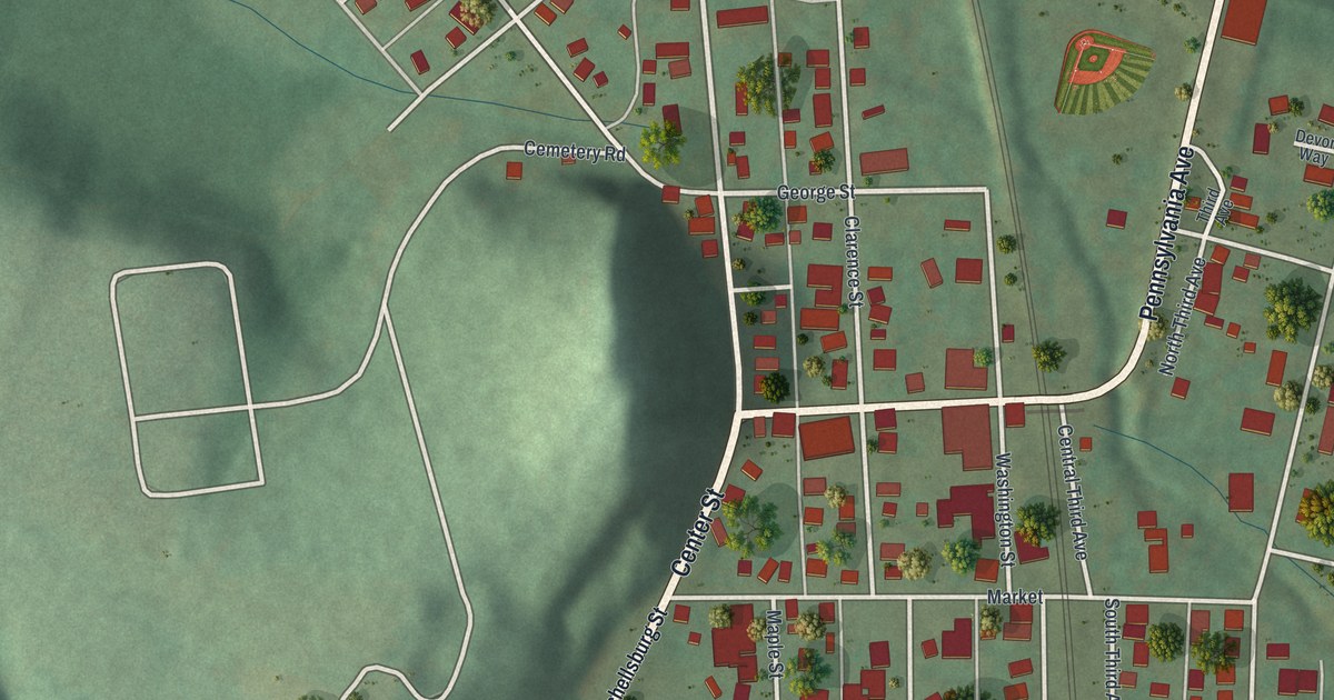
A detailed map of Hyndman, Pennsylvania, showing every building in its true location, the roads by name, and shaded topographical relief.
Read More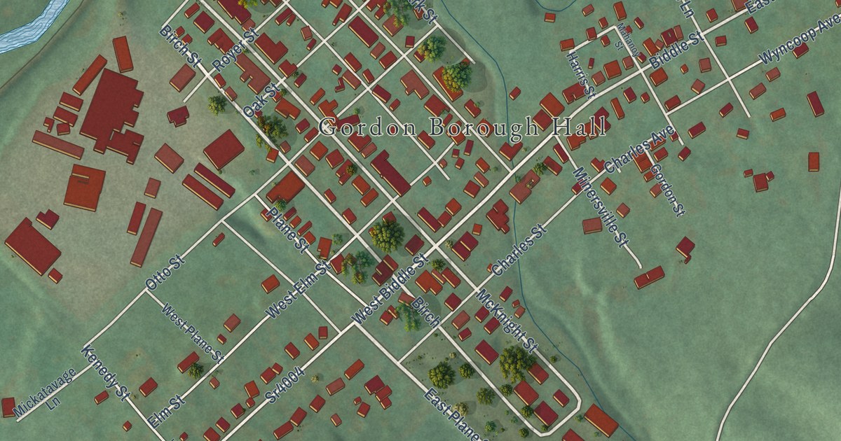
A detailed map of Gordon, Pennsylvania, showing every building in its true location, the roads by name, and shaded topographical relief.
Read More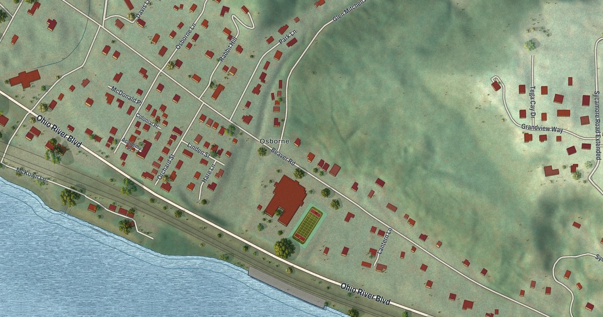
A detailed map of Glen Osborne, Pennsylvania, showing every building in its true location, the roads by name, and shaded topographical relief.
Read More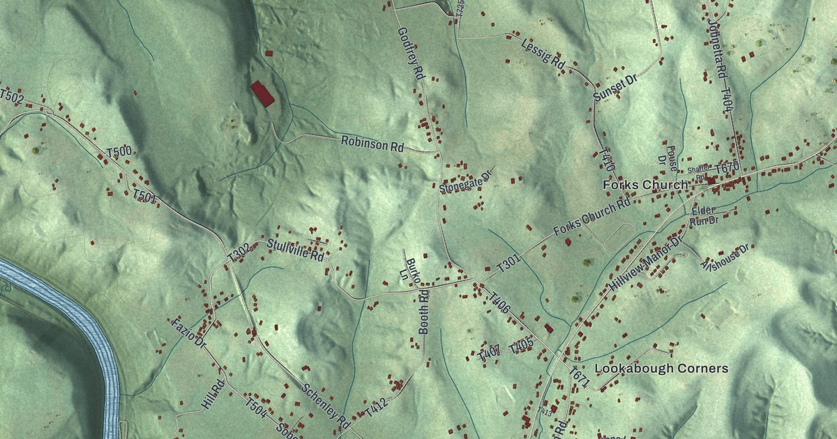
A detailed map of Gilpin, Pennsylvania, showing every building in its true location, the roads by name, and shaded topographical relief.
Read More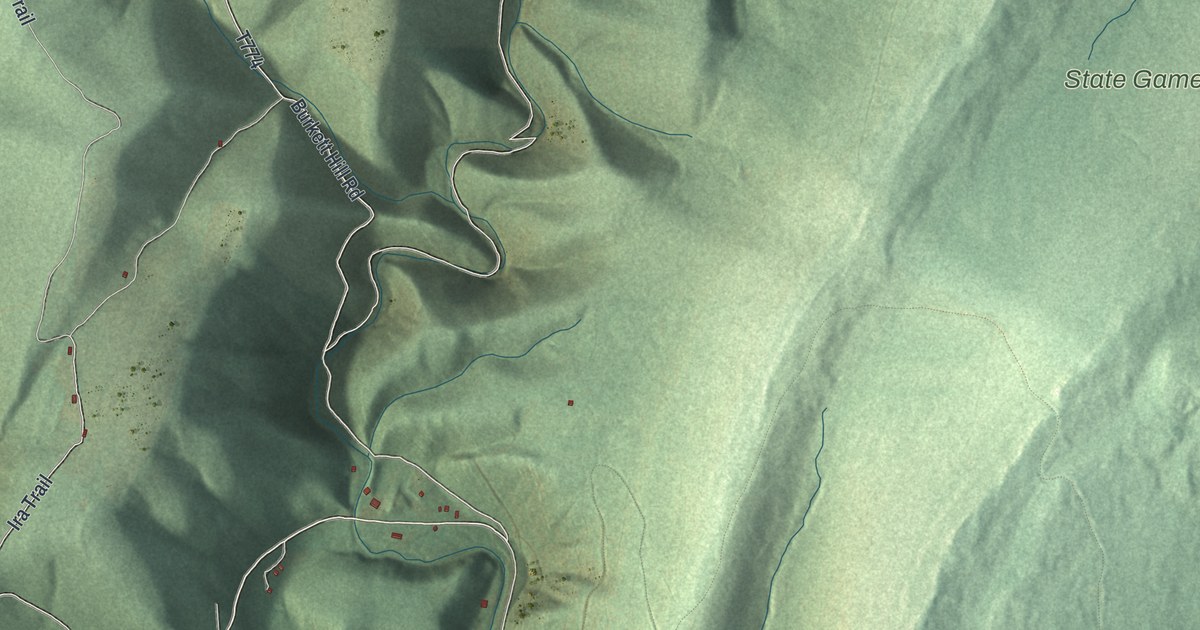
A detailed map of Fairhope, Pennsylvania, showing every building in its true location, the roads by name, and shaded topographical relief.
Read More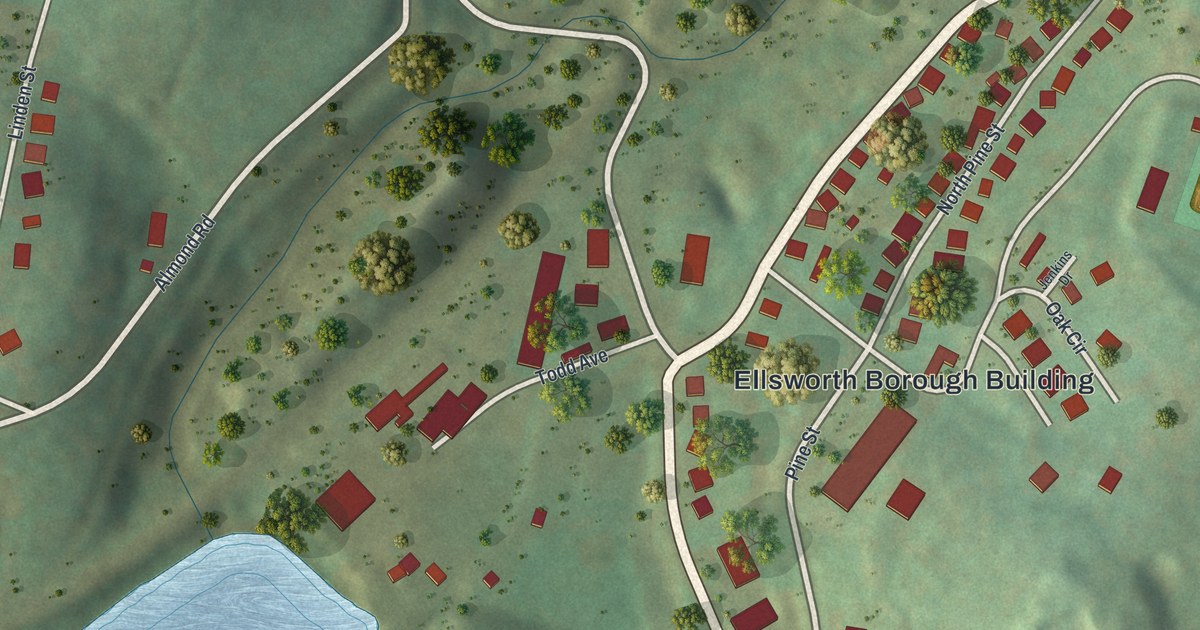
A detailed map of Ellsworth, Pennsylvania, showing every building in its true location, the roads by name, and shaded topographical relief.
Read More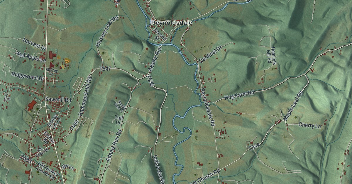
A detailed map of East St. Clair, Pennsylvania, showing every building in its true location, the roads by name, and shaded topographical relief.
Read More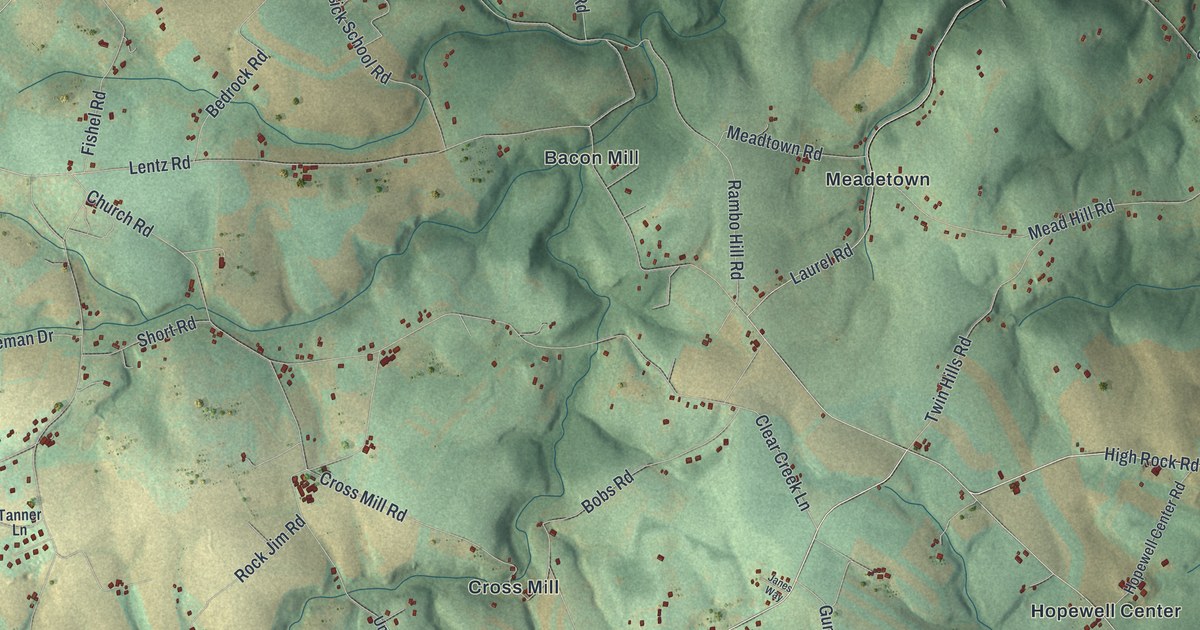
A detailed map of East Hopewell, Pennsylvania, showing every building in its true location, the roads by name, and shaded topographical relief.
Read More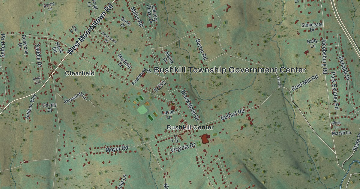
A detailed map of Bushkill, Pennsylvania, showing every building in its true location, the roads by name, and shaded topographical relief.
Read More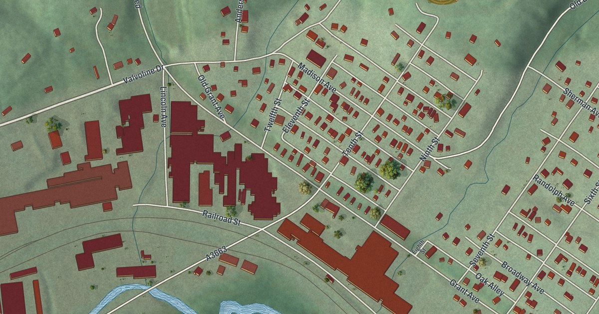
A detailed map of East Butler, Pennsylvania, showing every building in its true location, the roads by name, and shaded topographical relief.
Read More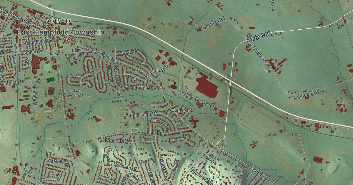
A detailed map of East Hempfield, Pennsylvania, showing every building in its true location, the roads by name, and shaded topographical relief.
Read More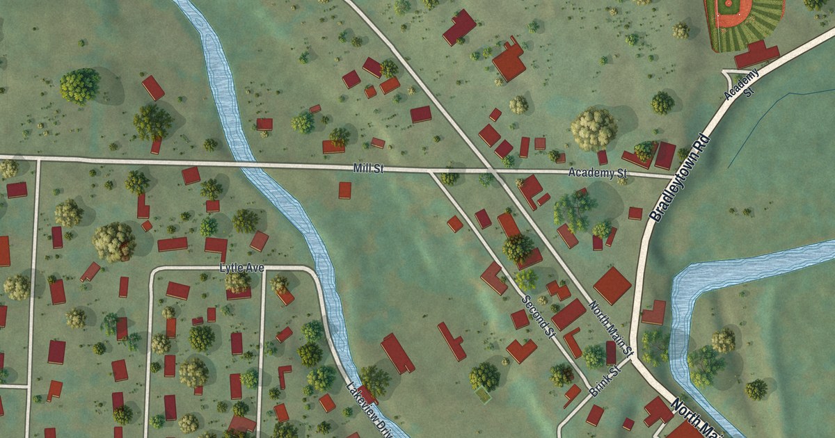
A detailed map of Cooperstown, Pennsylvania, showing every building in its true location, the roads by name, and shaded topographical relief.
Read More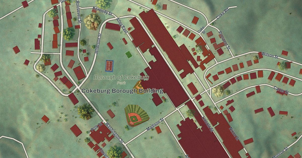
A detailed map of Cokeburg, Pennsylvania, showing every building in its true location, the roads by name, and shaded topographical relief.
Read More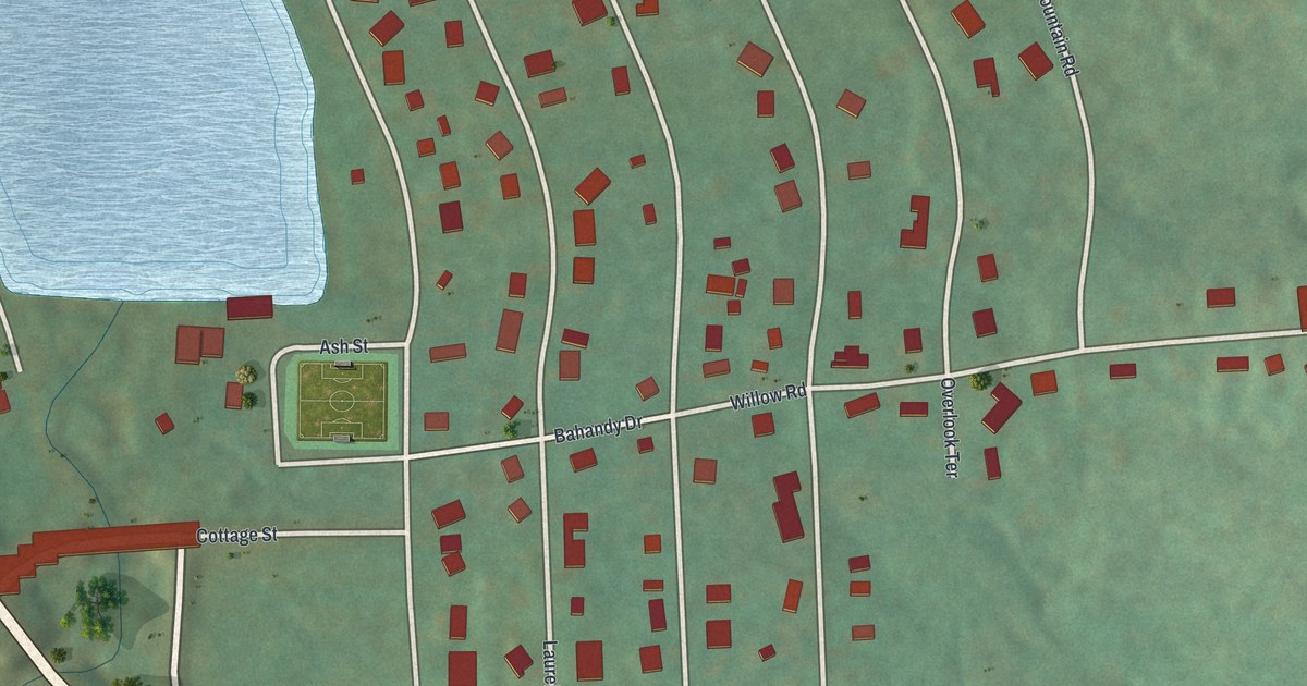
A detailed map of Deer Lake, Pennsylvania, showing every building in its true location, the roads by name, and shaded topographical relief.
Read More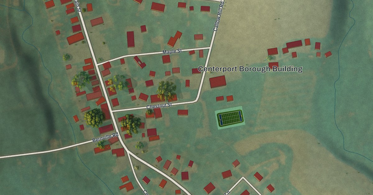
A detailed map of Centerport, Pennsylvania, showing every building in its true location, the roads by name, and shaded topographical relief.
Read More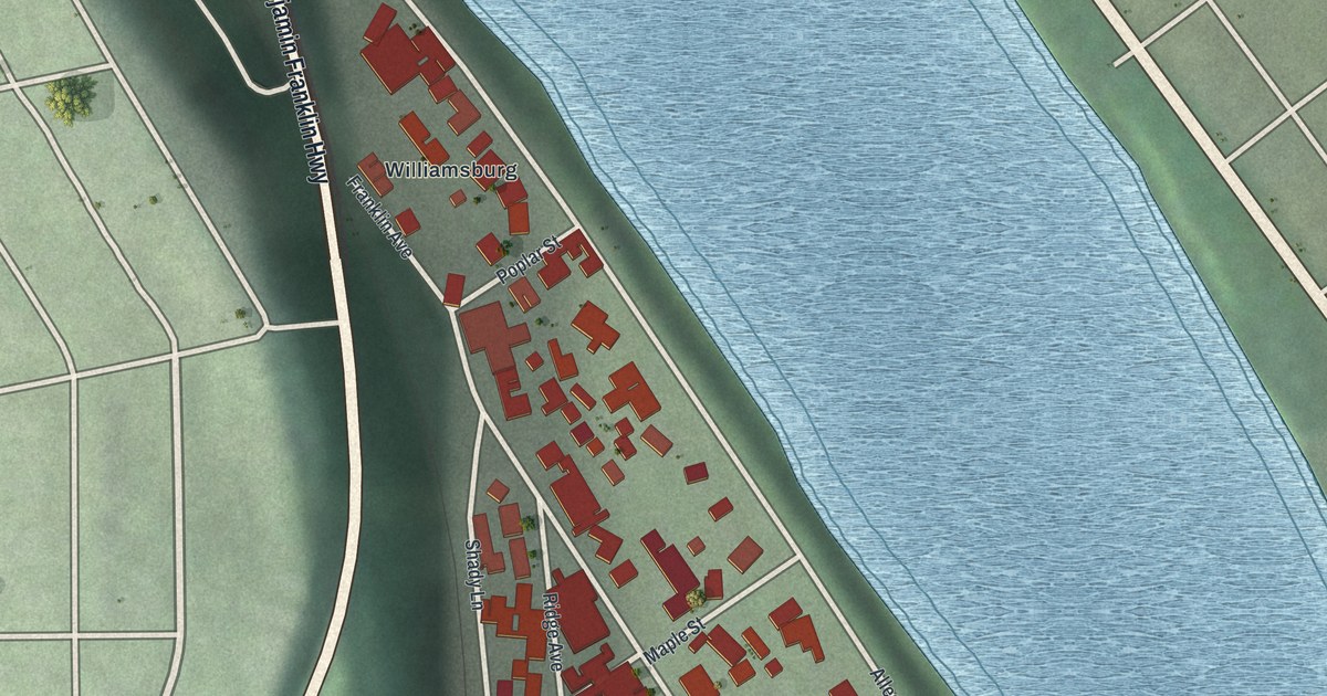
A detailed map of Applewold, Pennsylvania, showing every building in its true location, the roads by name, and shaded topographical relief.
Read More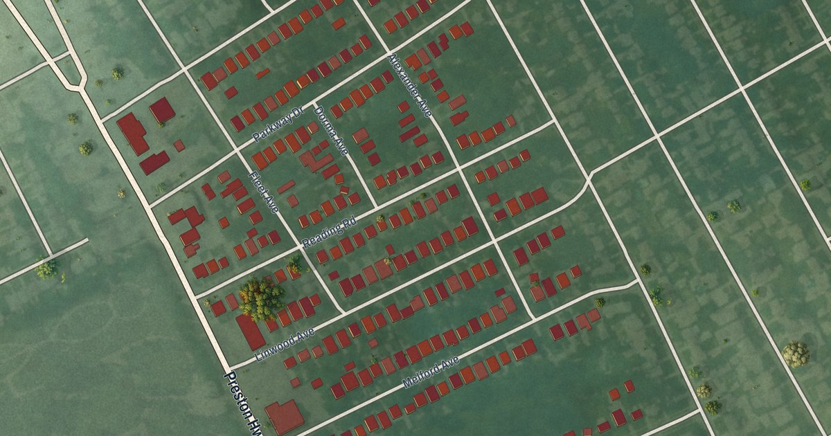
A detailed map of Parkway Village, Kentucky, showing every building in its true location, the roads by name, and shaded topographical relief.
Read More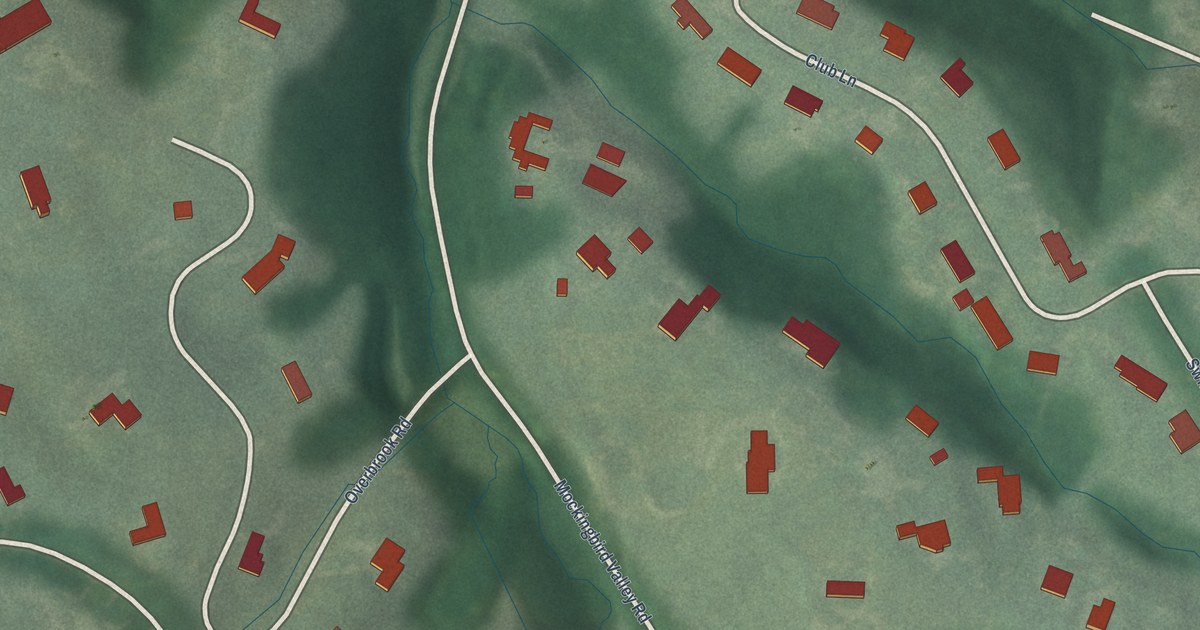
A detailed map of Mockingbird Valley, Kentucky, showing every building in its true location, the roads by name, and shaded topographical relief.
Read More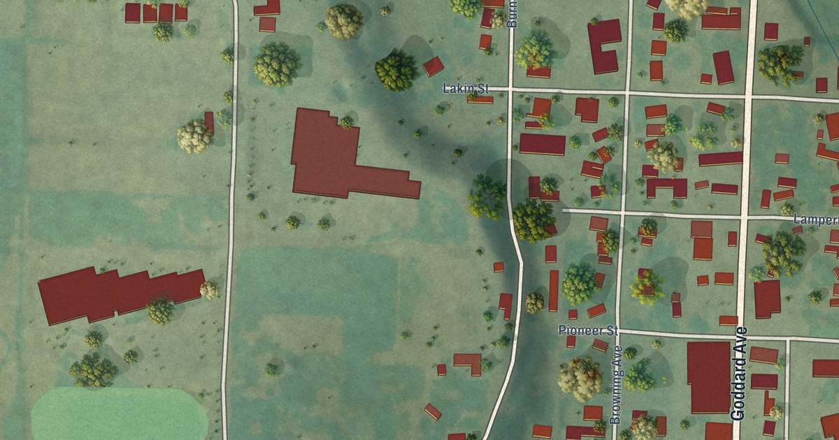
A detailed map of Ignacio, Colorado, showing every building in its true location, the roads by name, and shaded topographical relief.
Read More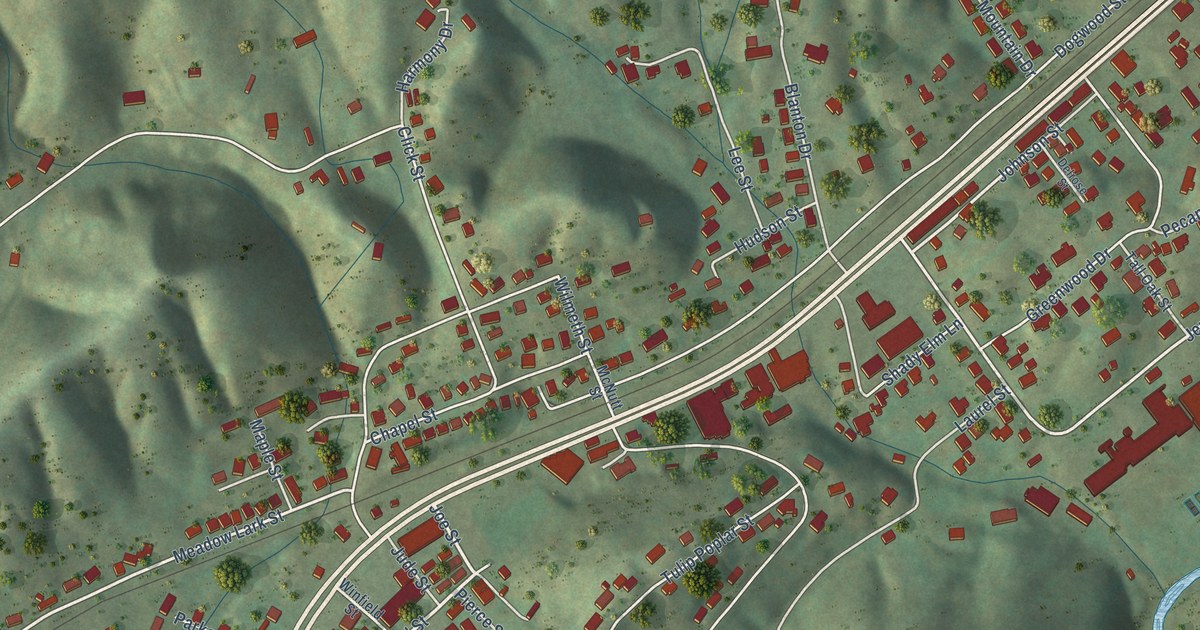
A detailed map of Weber City, Virginia, showing every building in its true location, the roads by name, and shaded topographical relief.
Read More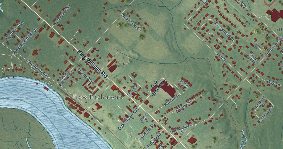
A detailed map of West Point, Virginia, showing every building in its true location, the roads by name, and shaded topographical relief.
Read More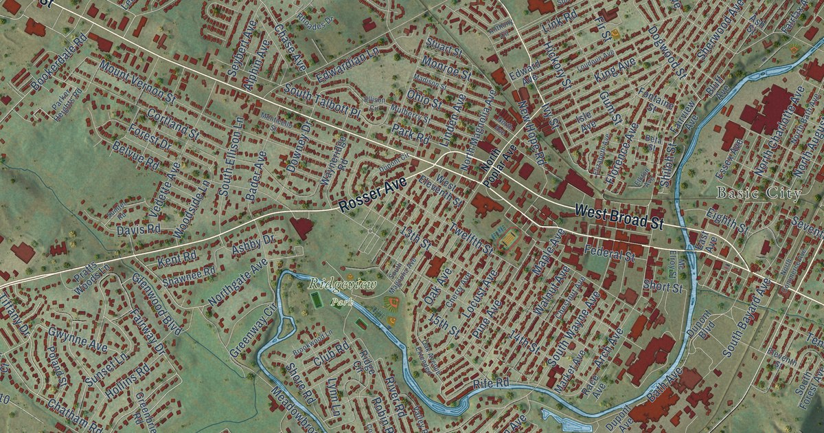
A detailed map of Waynesboro, Virginia, showing every building in its true location, the roads by name, and shaded topographical relief.
Read More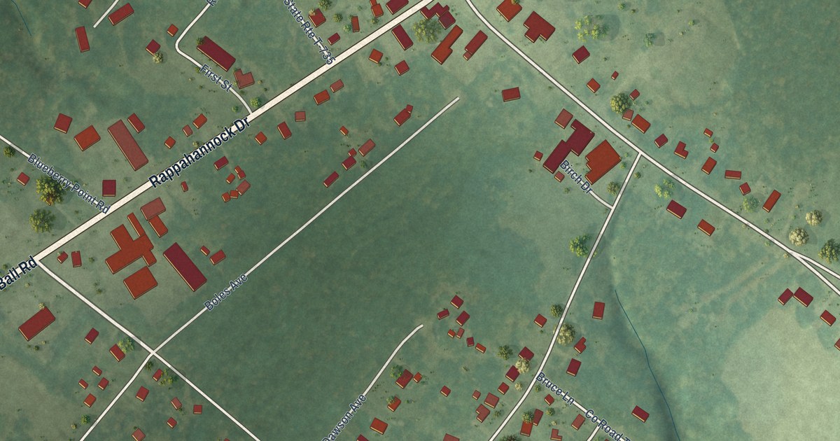
A detailed map of White Stone, Virginia, showing every building in its true location, the roads by name, and shaded topographical relief.
Read More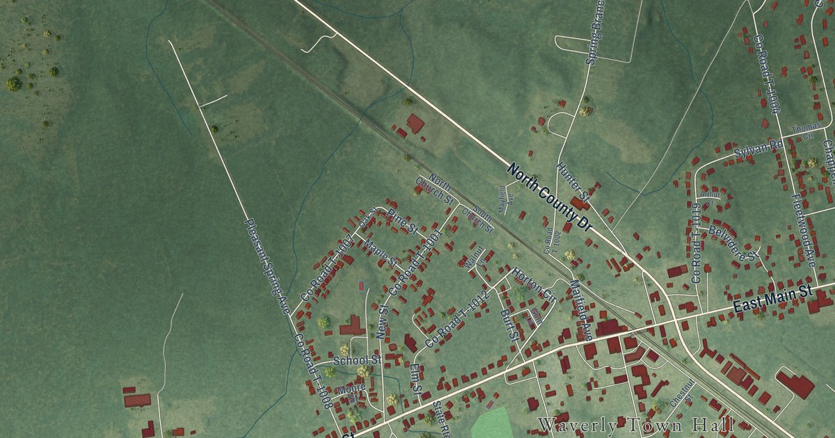
A detailed map of Waverly, Virginia, showing every building in its true location, the roads by name, and shaded topographical relief.
Read More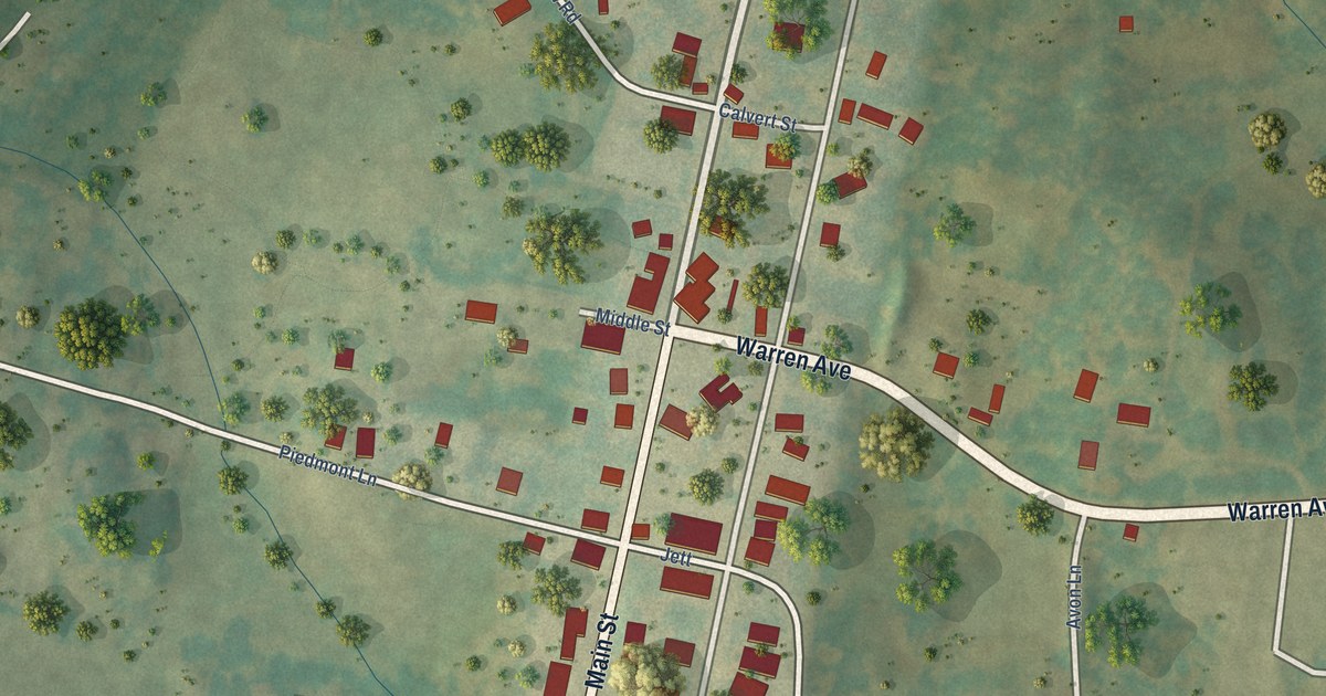
A detailed map of Washington, Virginia, showing every building in its true location, the roads by name, and shaded topographical relief.
Read More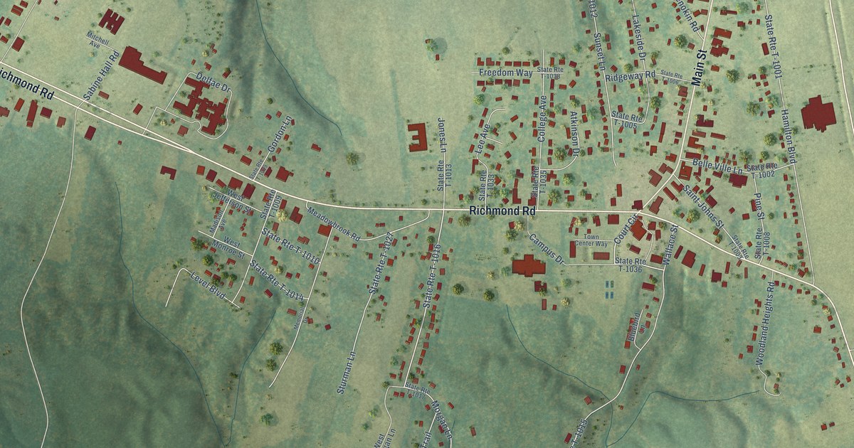
A detailed map of Warsaw, Virginia, showing every building in its true location, the roads by name, and shaded topographical relief.
Read More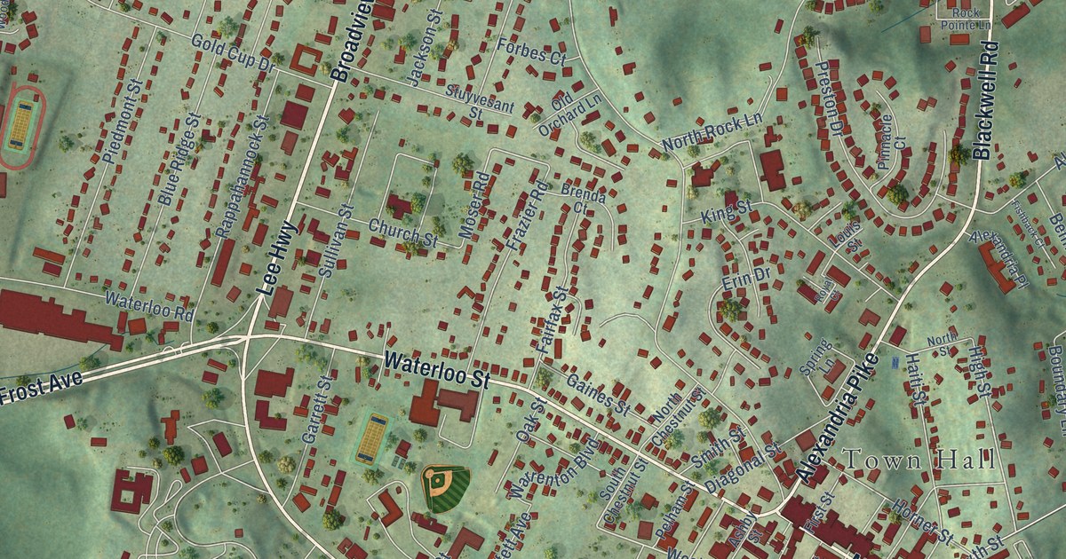
A detailed map of Warrenton, Virginia, showing every building in its true location, the roads by name, and shaded topographical relief.
Read More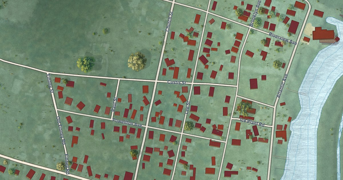
A detailed map of Wachapreague, Virginia, showing every building in its true location, the roads by name, and shaded topographical relief.
Read More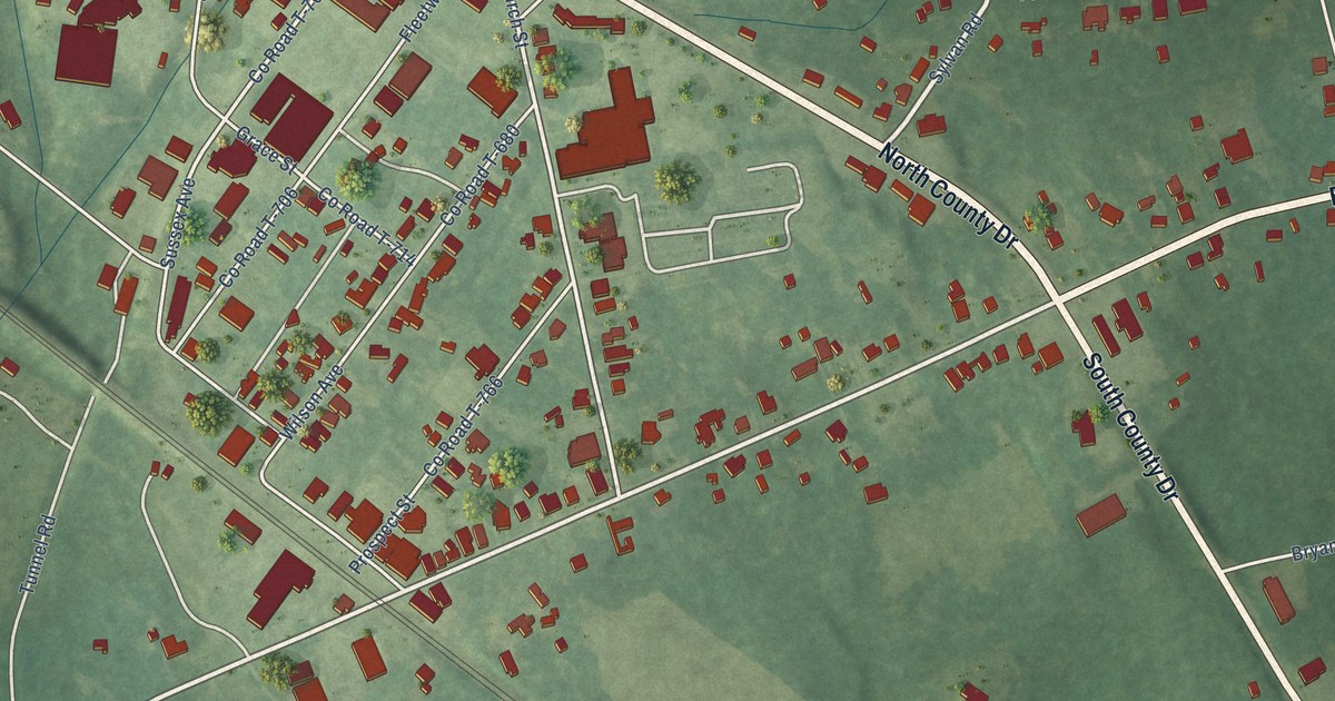
A detailed map of Wakefield, Virginia, showing every building in its true location, the roads by name, and shaded topographical relief.
Read More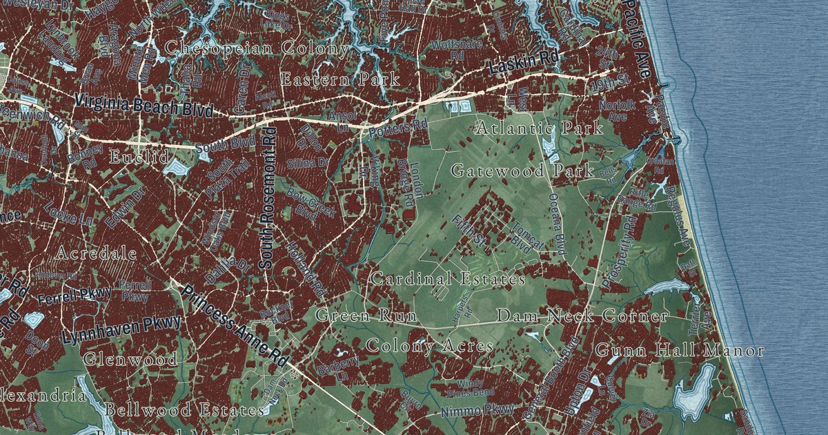
A detailed map of Virginia Beach, Virginia, showing every building in its true location, the roads by name, and shaded topographical relief.
Read More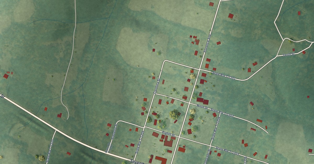
A detailed map of Virgilina, Virginia, showing every building in its true location, the roads by name, and shaded topographical relief.
Read More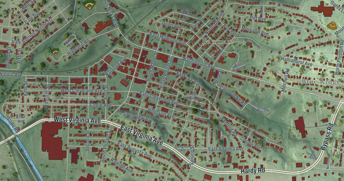
A detailed map of Vinton, Virginia, showing every building in its true location, the roads by name, and shaded topographical relief.
Read More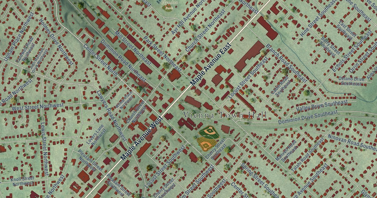
A detailed map of Vienna, Virginia, showing every building in its true location, the roads by name, and shaded topographical relief.
Read More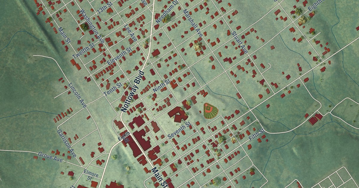
A detailed map of Victoria, Virginia, showing every building in its true location, the roads by name, and shaded topographical relief.
Read More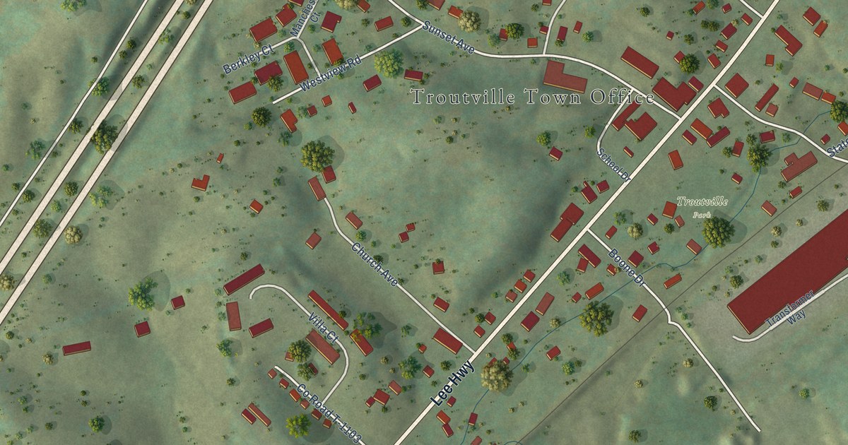
A detailed map of Troutville, Virginia, showing every building in its true location, the roads by name, and shaded topographical relief.
Read More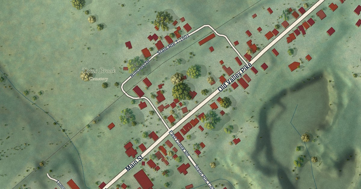
A detailed map of Toms Brook, Virginia, showing every building in its true location, the roads by name, and shaded topographical relief.
Read More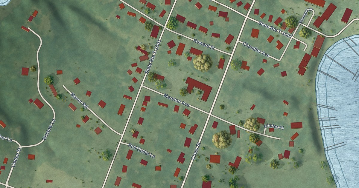
A detailed map of Urbanna, Virginia, showing every building in its true location, the roads by name, and shaded topographical relief.
Read More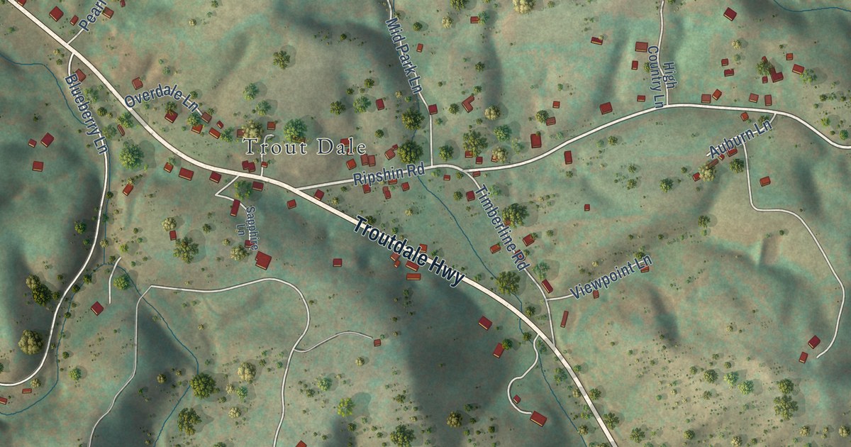
A detailed map of Troutdale, Virginia, showing every building in its true location, the roads by name, and shaded topographical relief.
Read More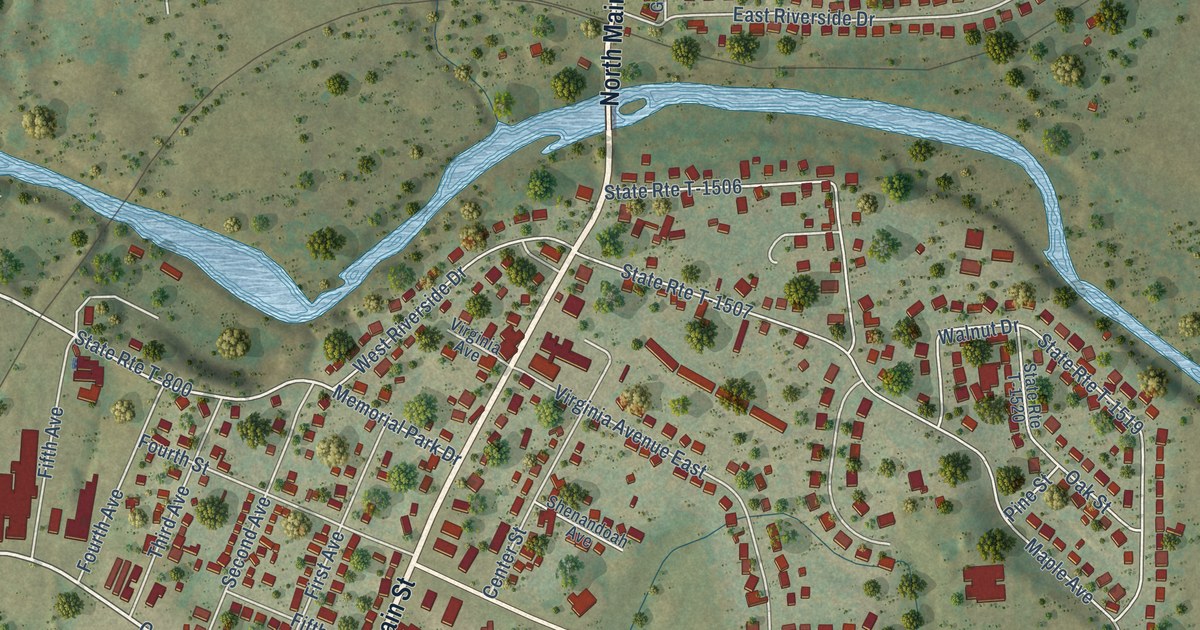
A detailed map of Timberville, Virginia, showing every building in its true location, the roads by name, and shaded topographical relief.
Read More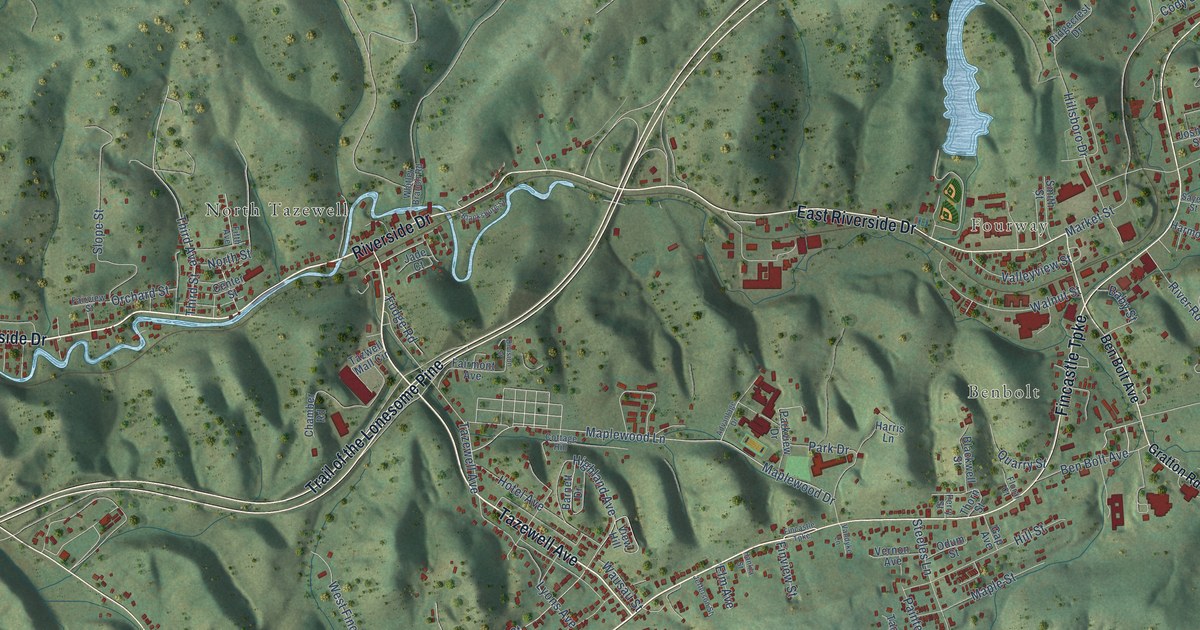
A detailed map of Tazewell, Virginia, showing every building in its true location, the roads by name, and shaded topographical relief.
Read More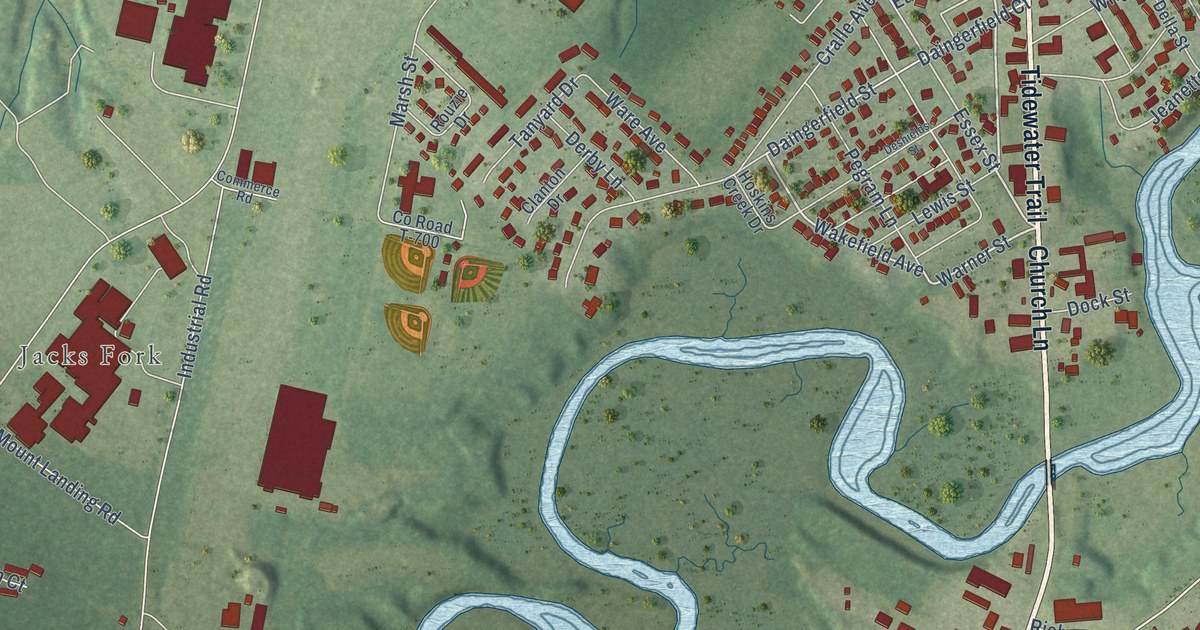
A detailed map of Tappahannock, Virginia, showing every building in its true location, the roads by name, and shaded topographical relief.
Read More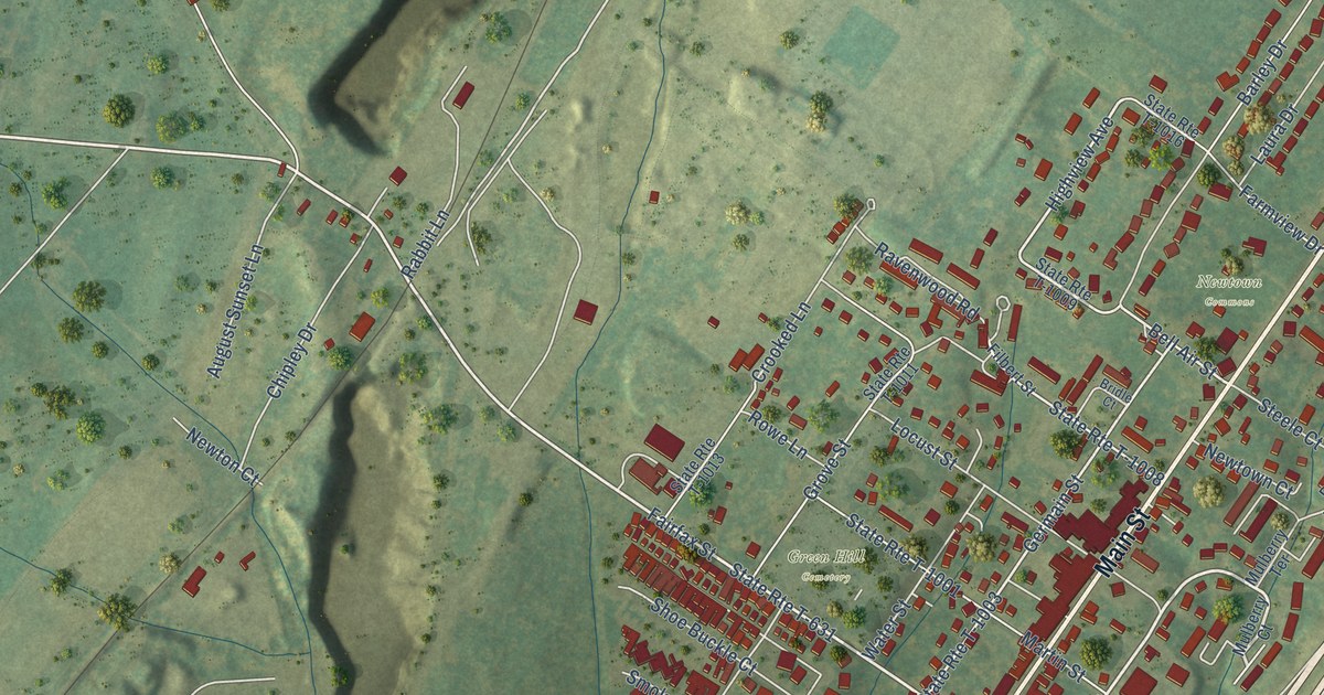
A detailed map of Stephens City, Virginia, showing every building in its true location, the roads by name, and shaded topographical relief.
Read More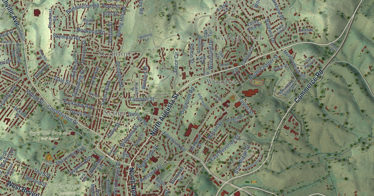
A detailed map of Staunton, Virginia, showing every building in its true location, the roads by name, and shaded topographical relief.
Read More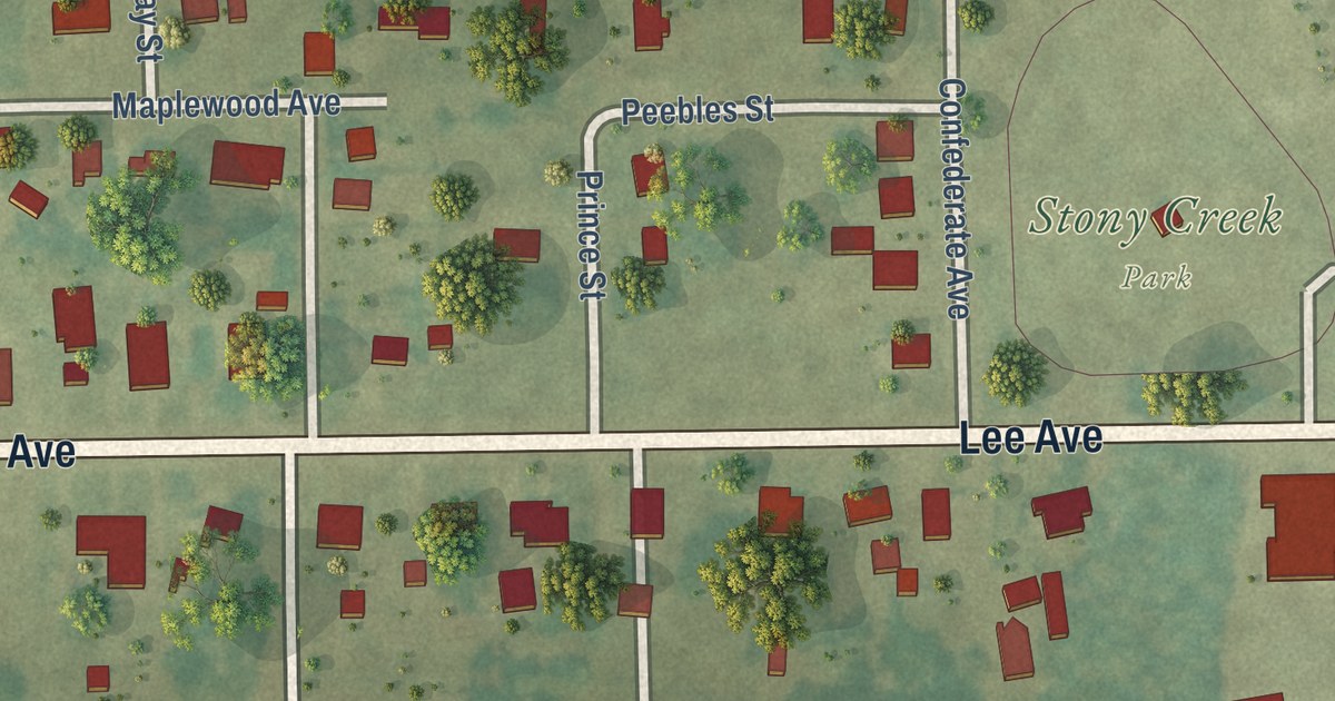
A detailed map of Stony Creek, Virginia, showing every building in its true location, the roads by name, and shaded topographical relief.
Read More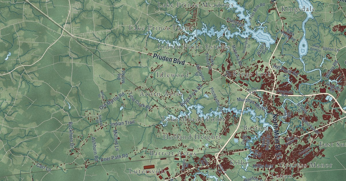
A detailed map of Suffolk, Virginia, showing every building in its true location, the roads by name, and shaded topographical relief.
Read More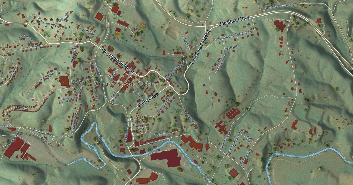
A detailed map of Stuart, Virginia, showing every building in its true location, the roads by name, and shaded topographical relief.
Read More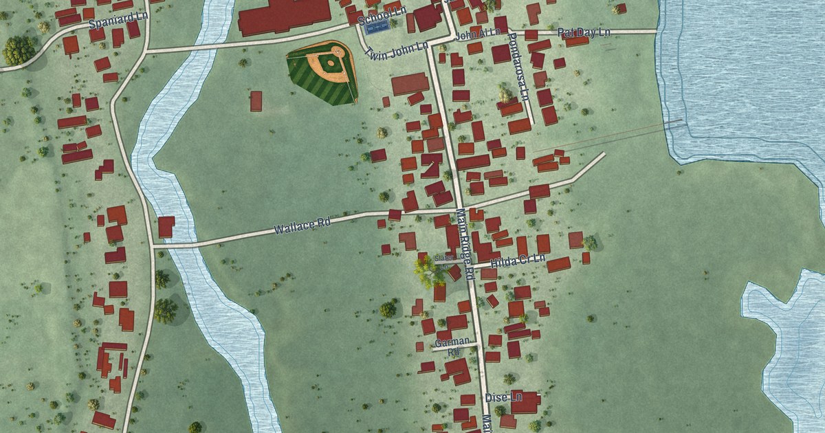
A detailed map of Tangier, Virginia, showing every building in its true location, the roads by name, and shaded topographical relief.
Read More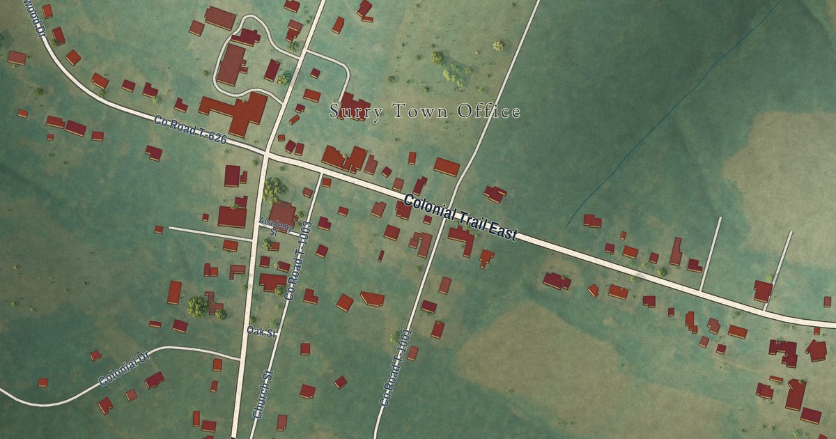
A detailed map of Surry, Virginia, showing every building in its true location, the roads by name, and shaded topographical relief.
Read More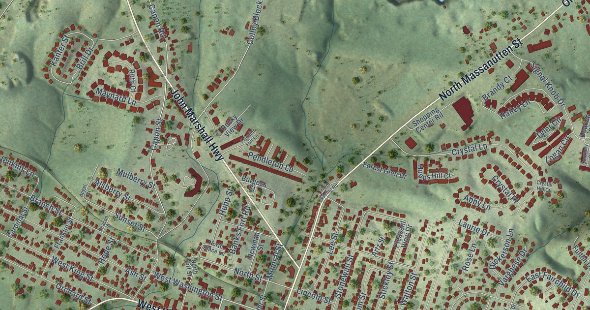
A detailed map of Strasburg, Virginia, showing every building in its true location, the roads by name, and shaded topographical relief.
Read More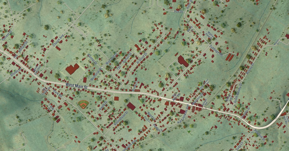
A detailed map of Stanley, Virginia, showing every building in its true location, the roads by name, and shaded topographical relief.
Read More















