Detailed Map of Ridott, Illinois
A detailed map of Ridott, Illinois, showing every building in its true location, the roads by name, and shaded topographical relief.
Read More
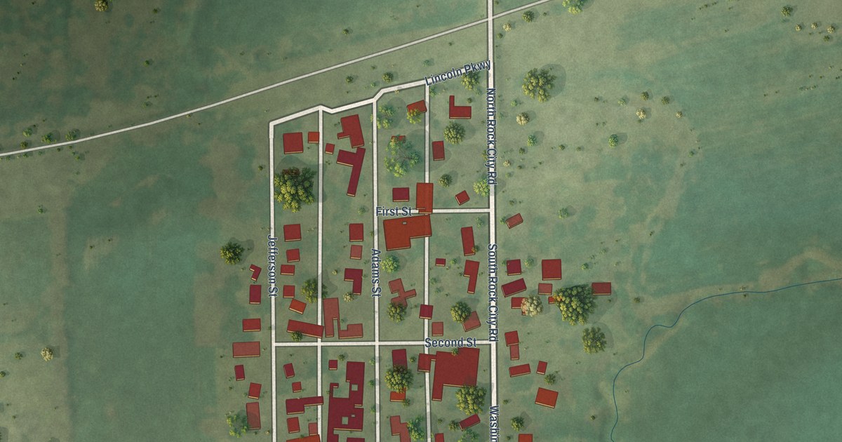
A detailed map of Ridott, Illinois, showing every building in its true location, the roads by name, and shaded topographical relief.
Read More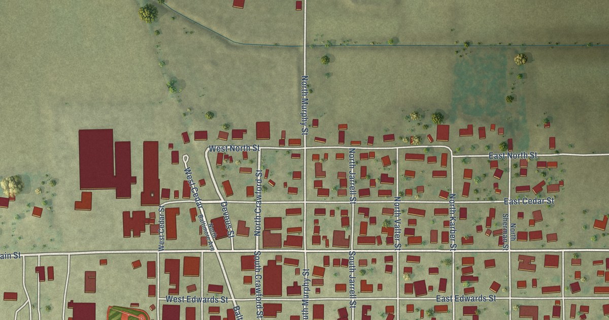
A detailed map of Ridgway, Illinois, showing every building in its true location, the roads by name, and shaded topographical relief.
Read More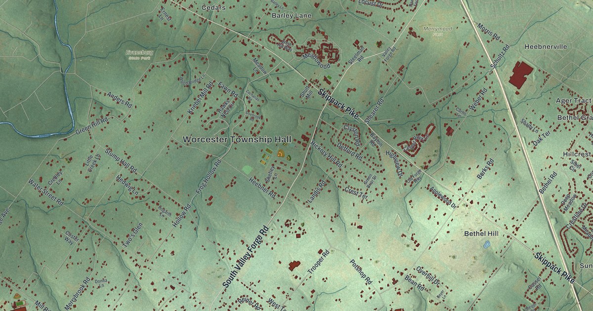
A detailed map of Worcester, Pennsylvania, showing every building in its true location, the roads by name, and shaded topographical relief.
Read More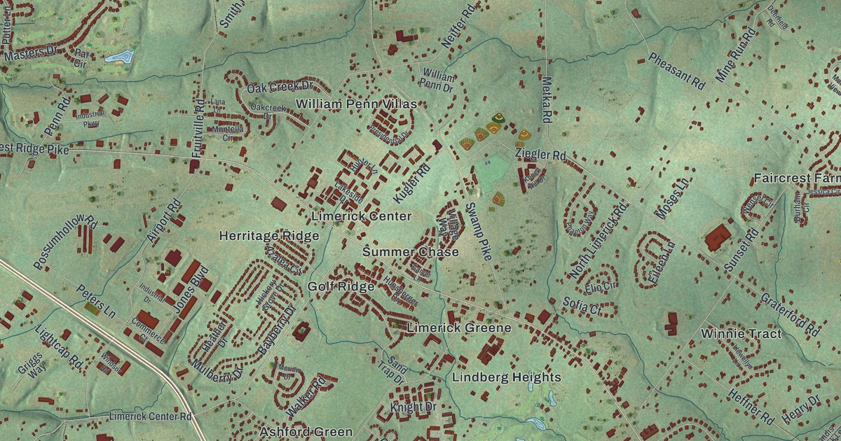
A detailed map of Limerick, Pennsylvania, showing every building in its true location, the roads by name, and shaded topographical relief.
Read More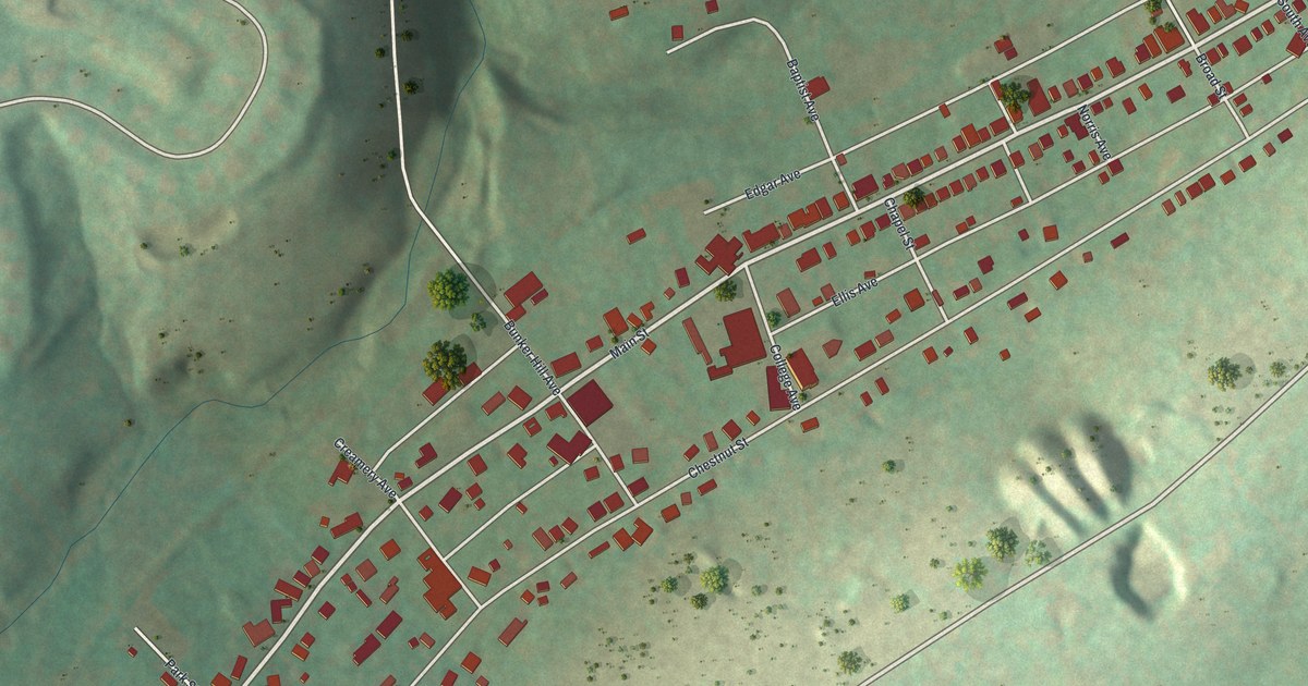
A detailed map of Delta, Pennsylvania, showing every building in its true location, the roads by name, and shaded topographical relief.
Read More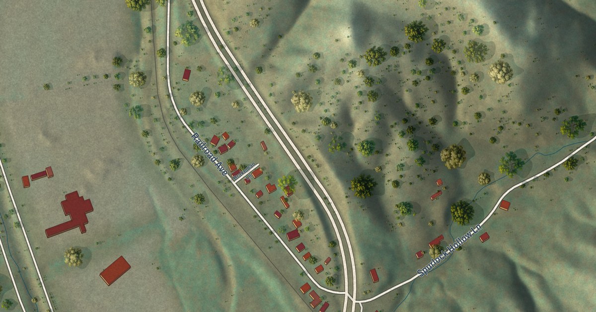
A detailed map of Duffield, Virginia, showing every building in its true location, the roads by name, and shaded topographical relief.
Read More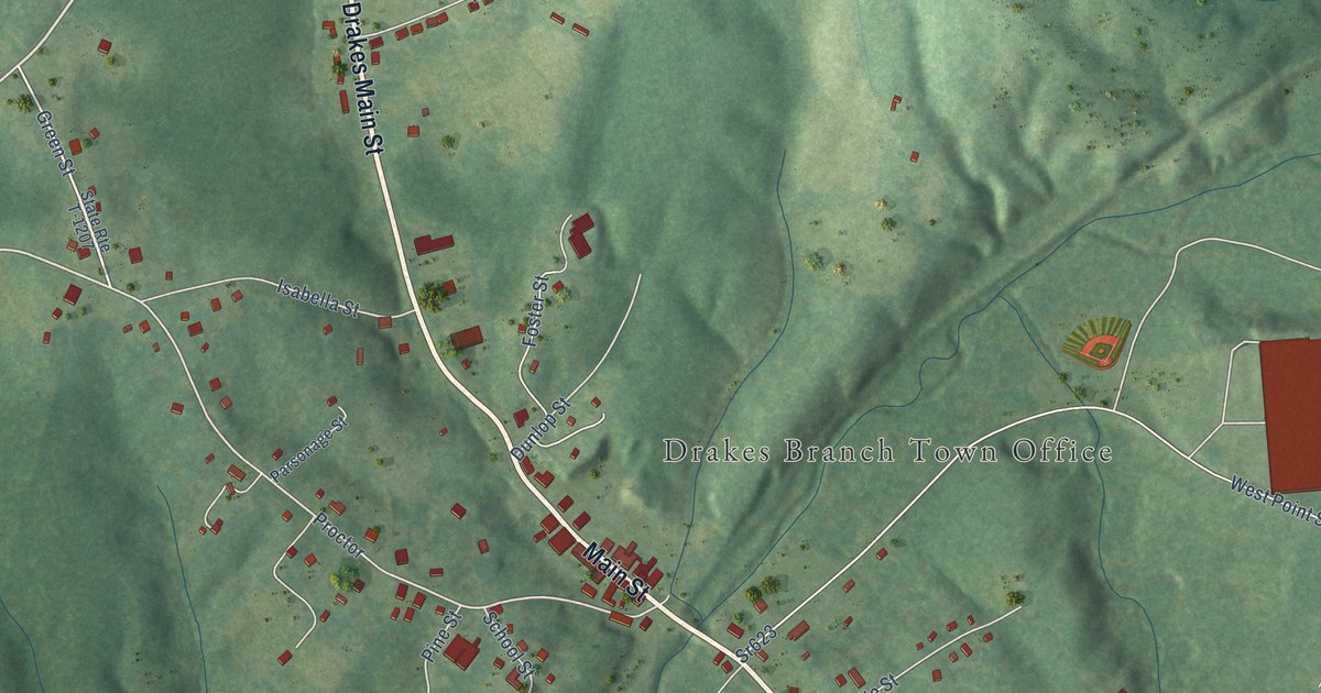
A detailed map of Drakes Branch, Virginia, showing every building in its true location, the roads by name, and shaded topographical relief.
Read More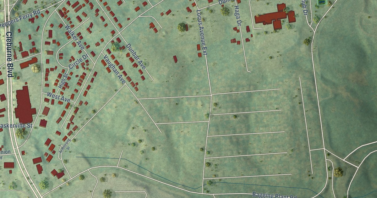
A detailed map of Dublin, Virginia, showing every building in its true location, the roads by name, and shaded topographical relief.
Read More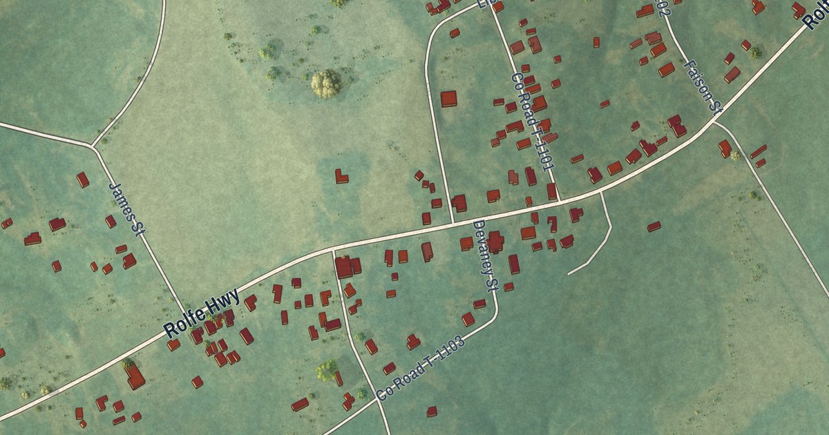
A detailed map of Dendron, Virginia, showing every building in its true location, the roads by name, and shaded topographical relief.
Read More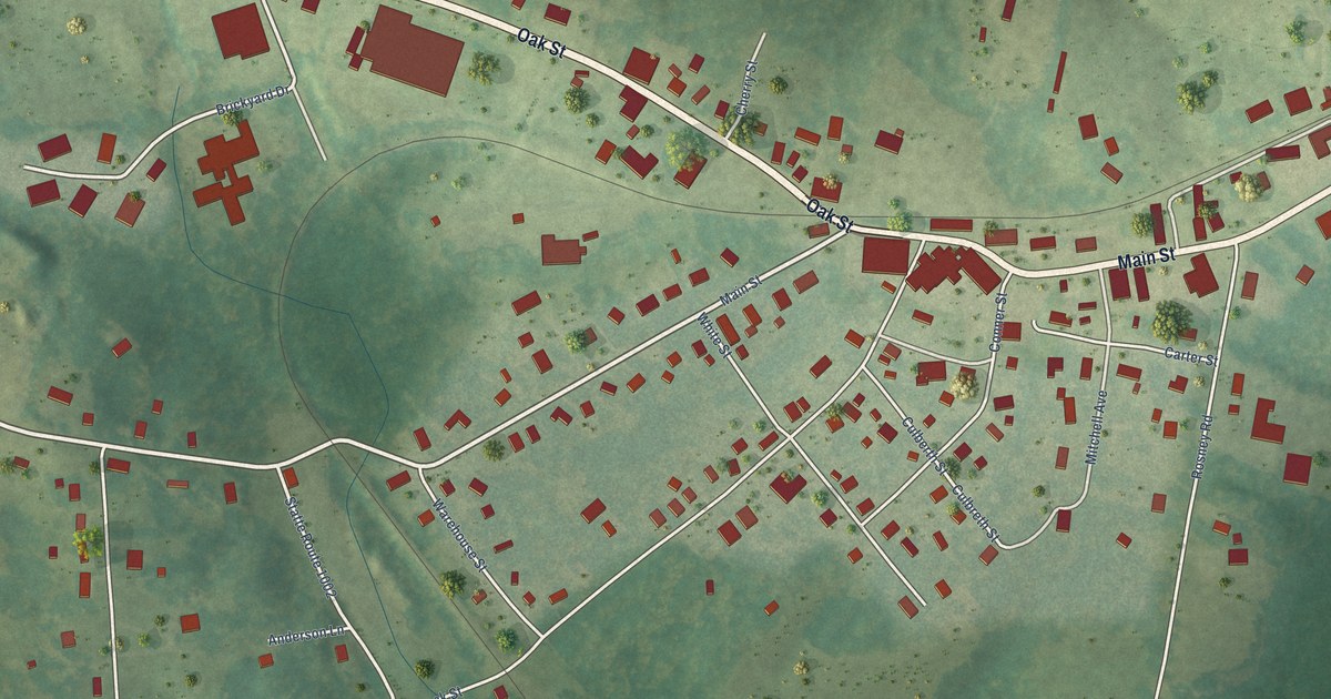
A detailed map of Dillwyn, Virginia, showing every building in its true location, the roads by name, and shaded topographical relief.
Read More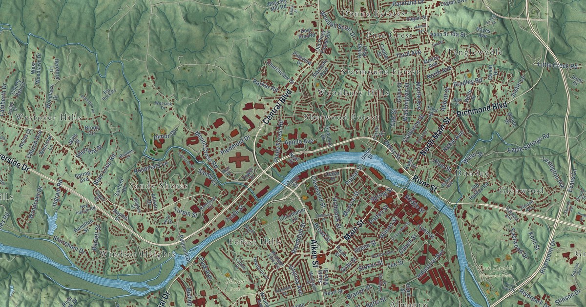
A detailed map of Danville, Virginia, showing every building in its true location, the roads by name, and shaded topographical relief.
Read More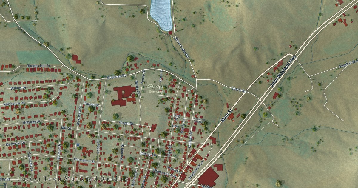
A detailed map of Dayton, Virginia, showing every building in its true location, the roads by name, and shaded topographical relief.
Read More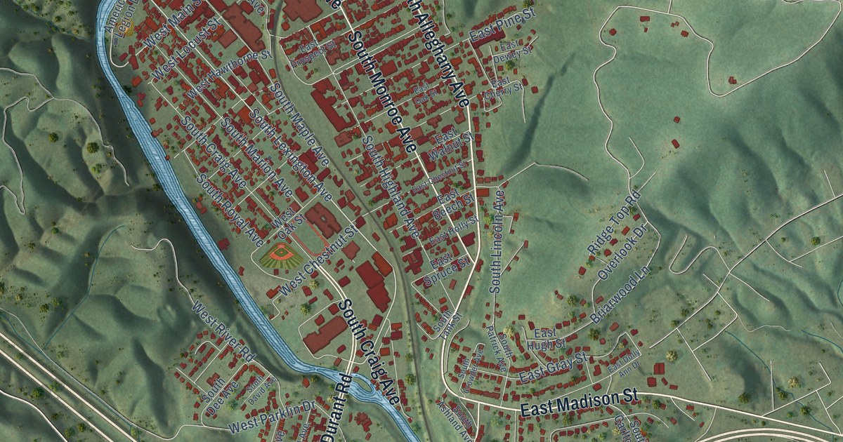
A detailed map of Covington, Virginia, showing every building in its true location, the roads by name, and shaded topographical relief.
Read More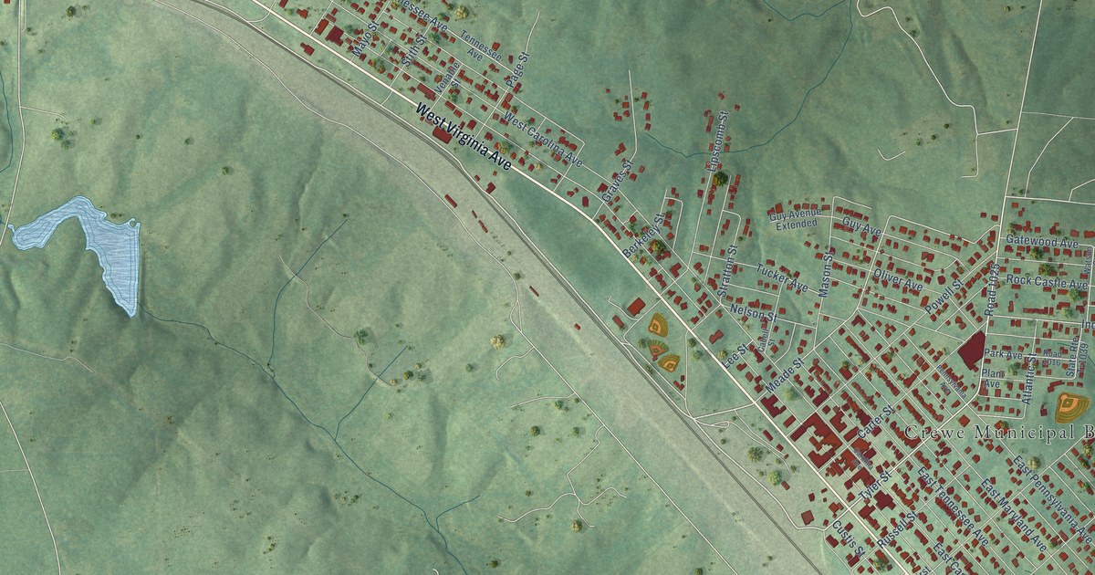
A detailed map of Crewe, Virginia, showing every building in its true location, the roads by name, and shaded topographical relief.
Read More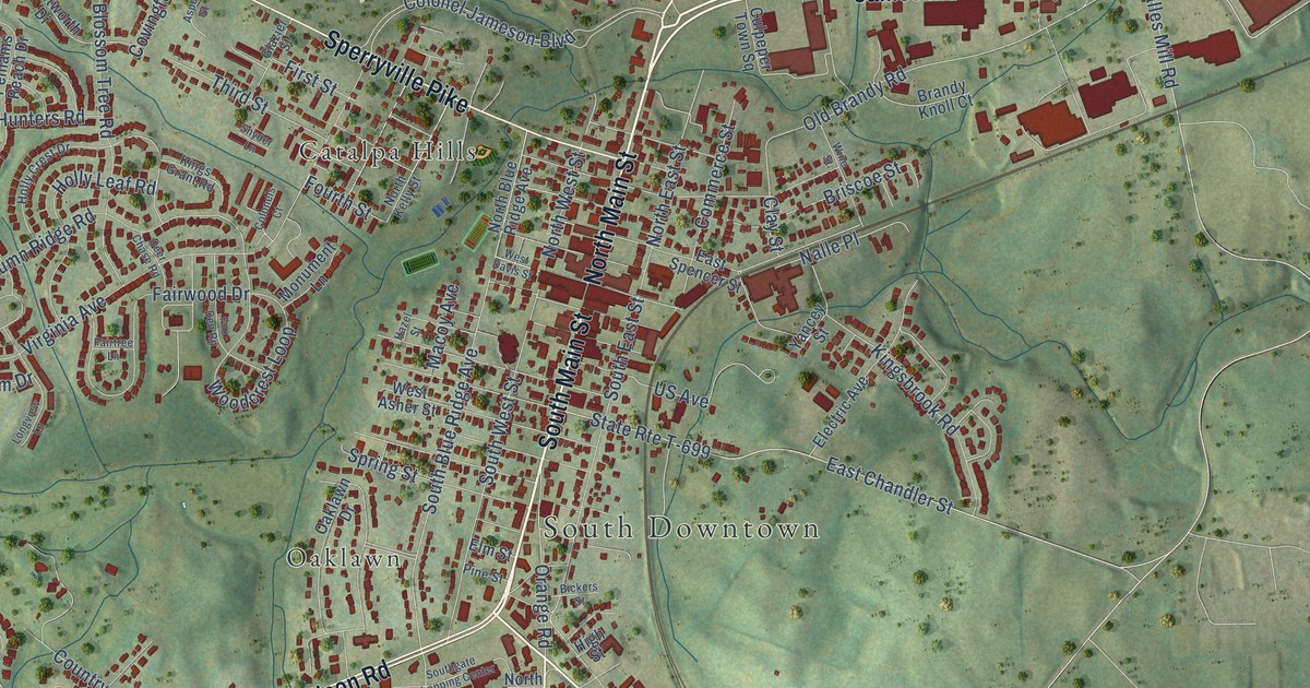
A detailed map of Culpeper, Virginia, showing every building in its true location, the roads by name, and shaded topographical relief.
Read More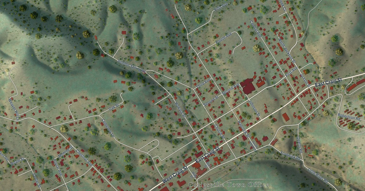
A detailed map of Craigsville, Virginia, showing every building in its true location, the roads by name, and shaded topographical relief.
Read More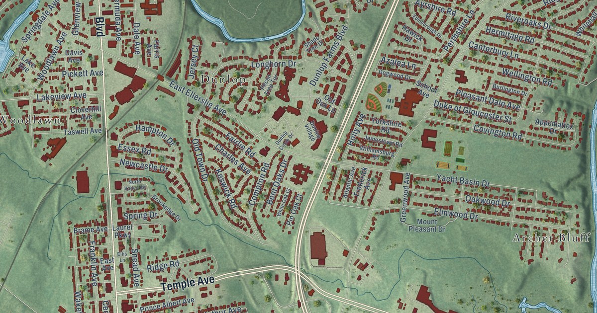
A detailed map of Colonial Heights, Virginia, showing every building in its true location, the roads by name, and shaded topographical relief.
Read More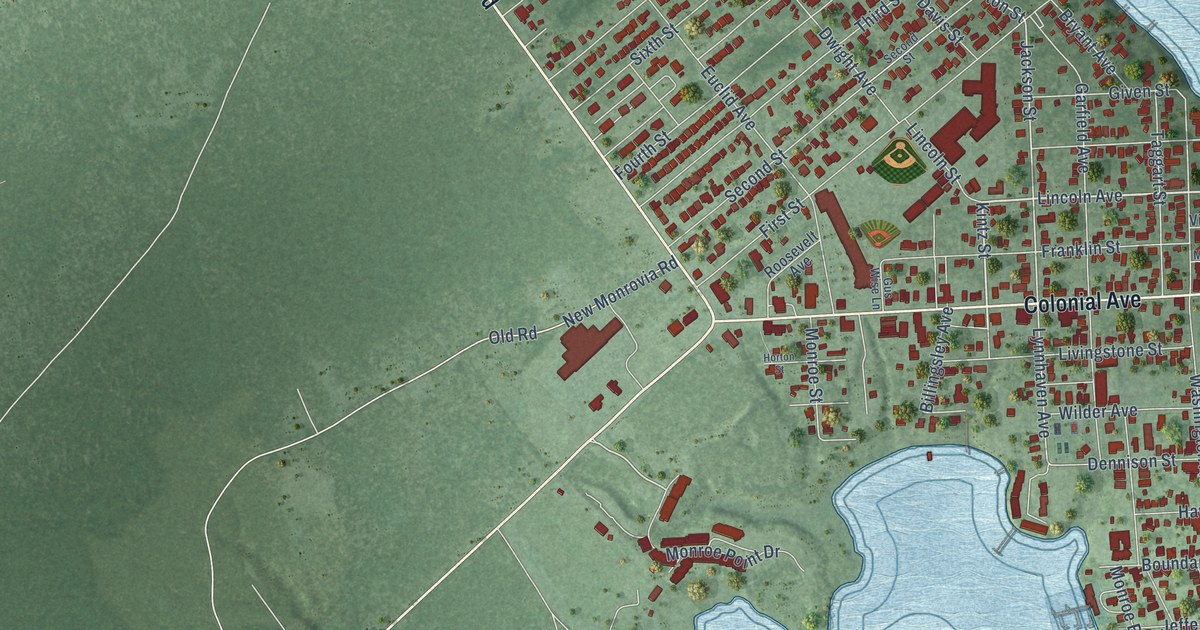
A detailed map of Colonial Beach, Virginia, showing every building in its true location, the roads by name, and shaded topographical relief.
Read More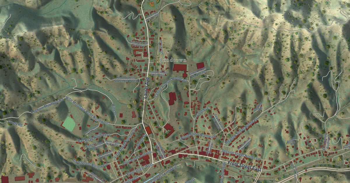
A detailed map of Coeburn, Virginia, showing every building in its true location, the roads by name, and shaded topographical relief.
Read More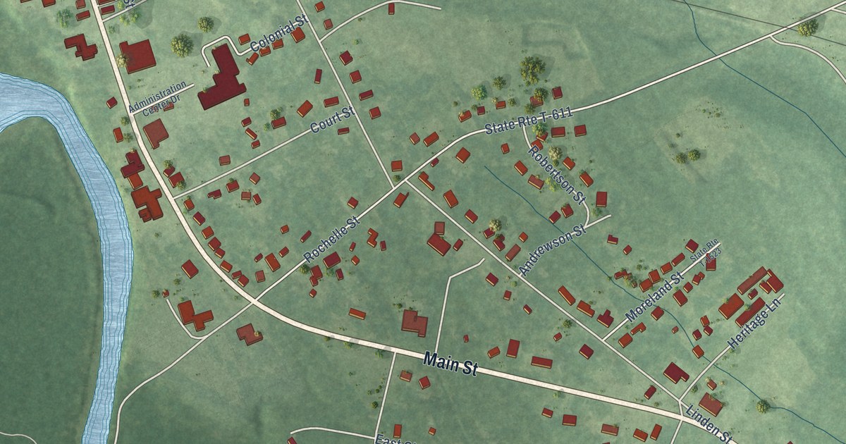
A detailed map of Courtland, Virginia, showing every building in its true location, the roads by name, and shaded topographical relief.
Read More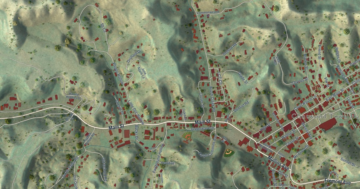
A detailed map of Clintwood, Virginia, showing every building in its true location, the roads by name, and shaded topographical relief.
Read More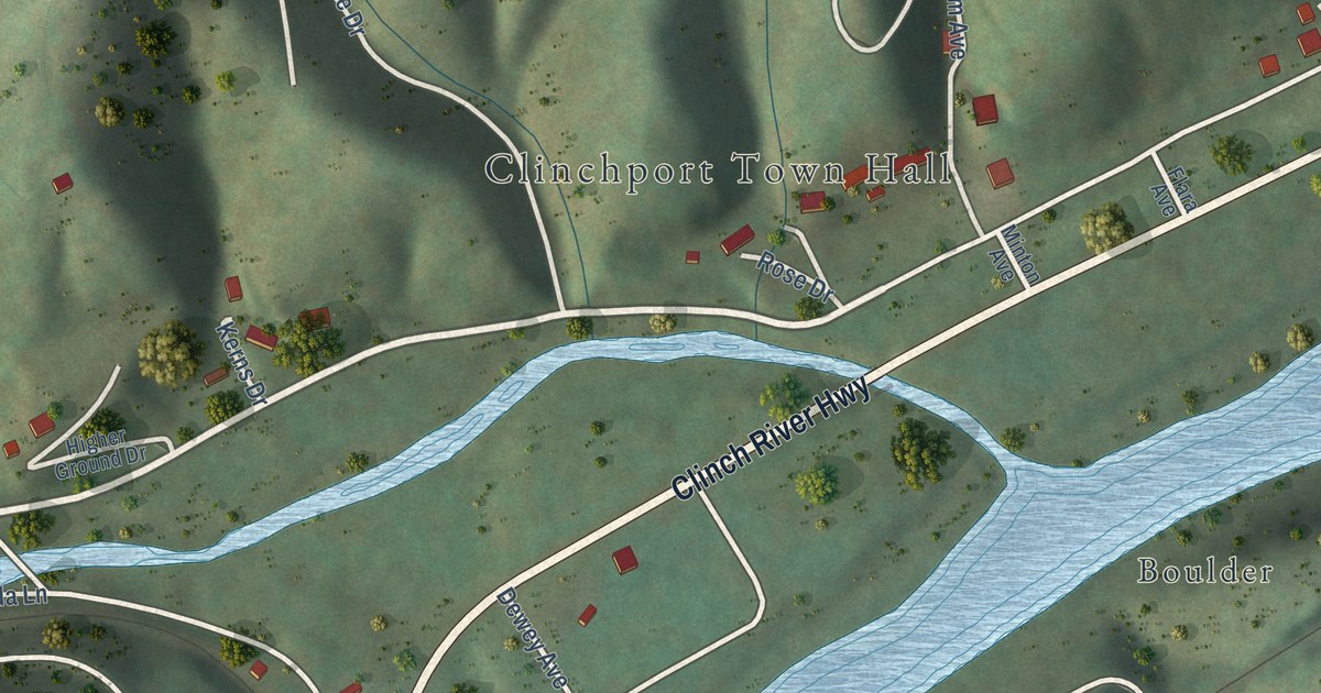
A detailed map of Clinchport, Virginia, showing every building in its true location, the roads by name, and shaded topographical relief.
Read More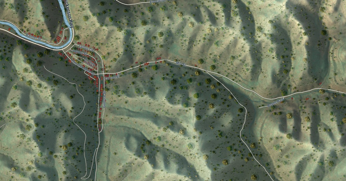
A detailed map of Clinchco, Virginia, showing every building in its true location, the roads by name, and shaded topographical relief.
Read More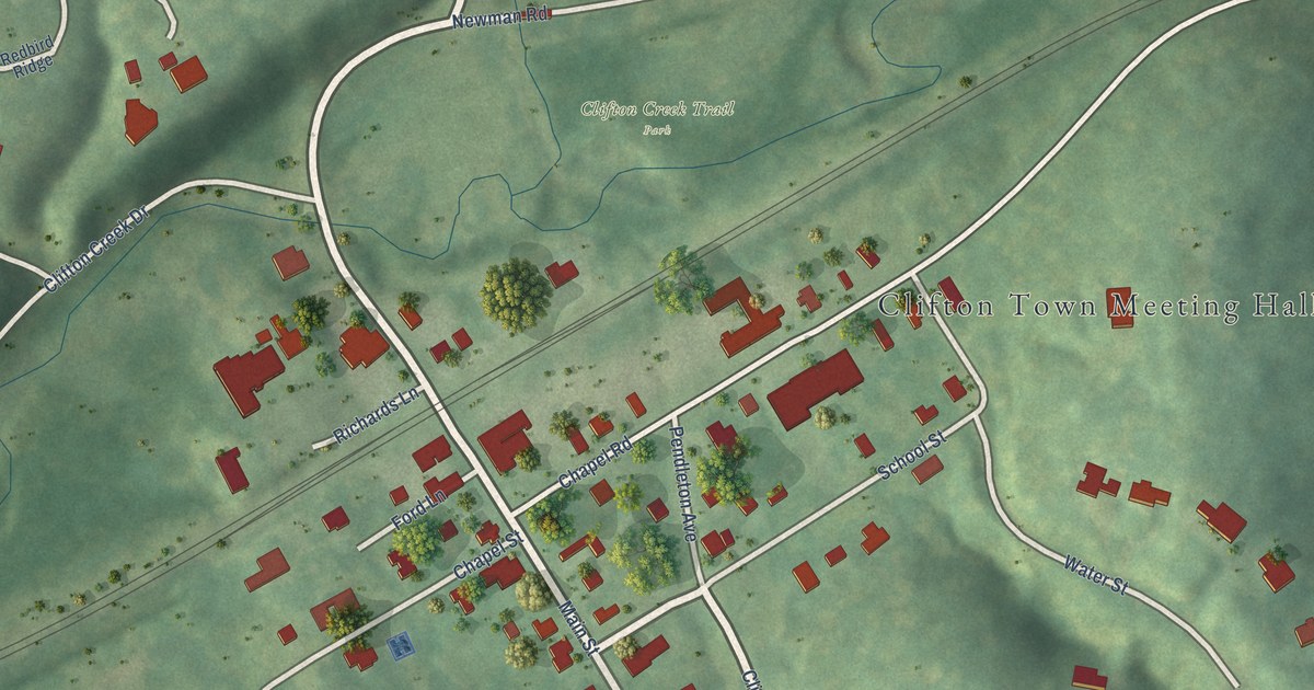
A detailed map of Clifton, Virginia, showing every building in its true location, the roads by name, and shaded topographical relief.
Read More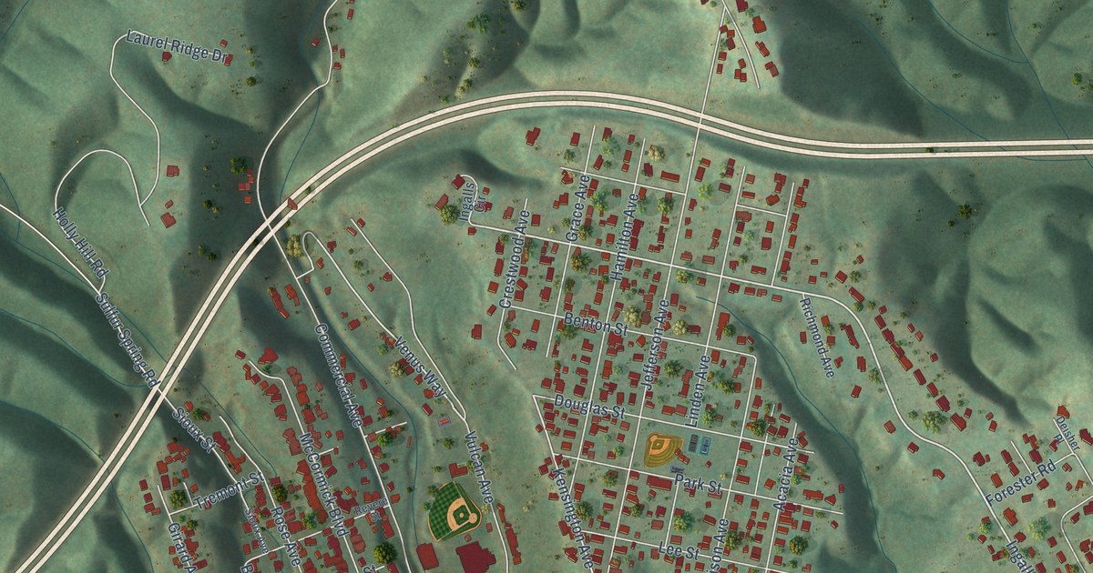
A detailed map of Clifton Forge, Virginia, showing every building in its true location, the roads by name, and shaded topographical relief.
Read More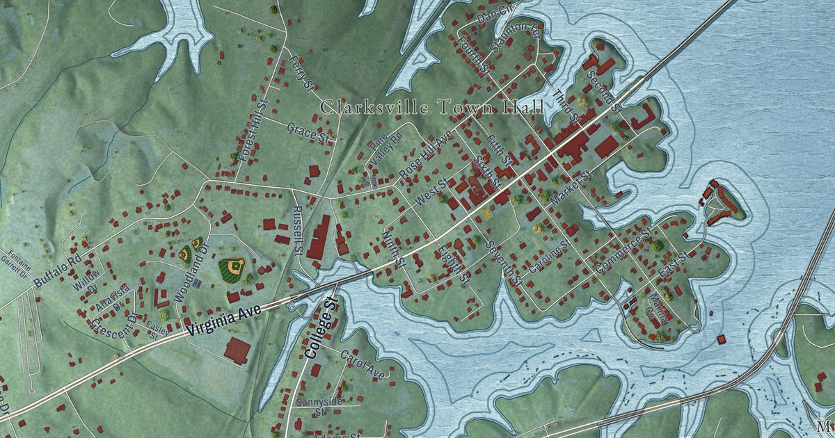
A detailed map of Clarksville, Virginia, showing every building in its true location, the roads by name, and shaded topographical relief.
Read More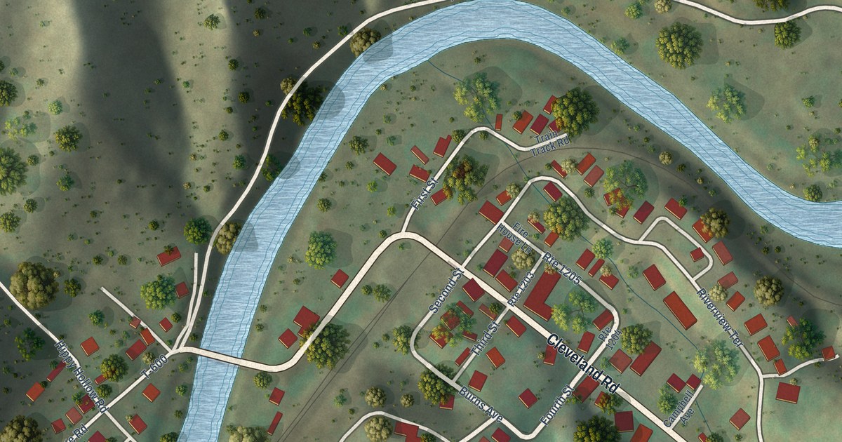
A detailed map of Cleveland, Virginia, showing every building in its true location, the roads by name, and shaded topographical relief.
Read More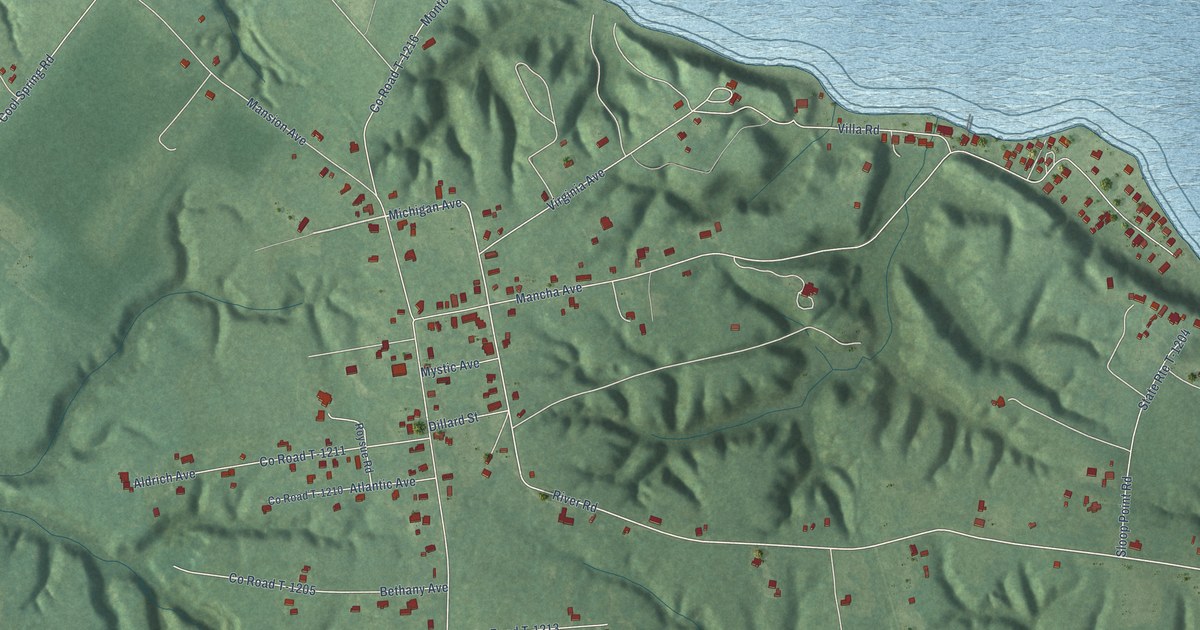
A detailed map of Claremont, Virginia, showing every building in its true location, the roads by name, and shaded topographical relief.
Read More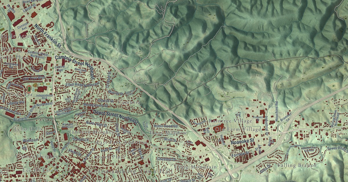
A detailed map of Christiansburg, Virginia, showing every building in its true location, the roads by name, and shaded topographical relief.
Read More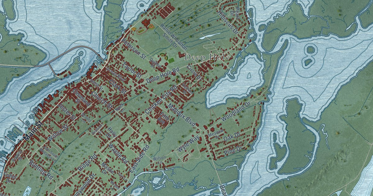
A detailed map of Chincoteague, Virginia, showing every building in its true location, the roads by name, and shaded topographical relief.
Read More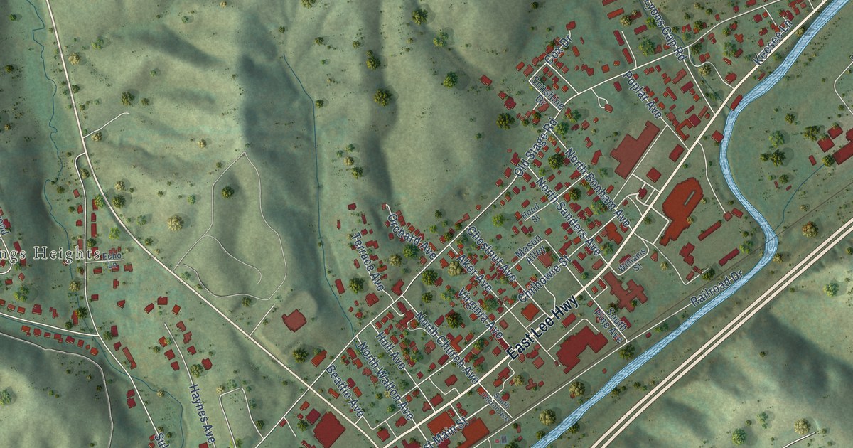
A detailed map of Chilhowie, Virginia, showing every building in its true location, the roads by name, and shaded topographical relief.
Read More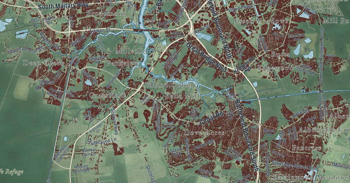
A detailed map of Chesapeake, Virginia, showing every building in its true location, the roads by name, and shaded topographical relief.
Read More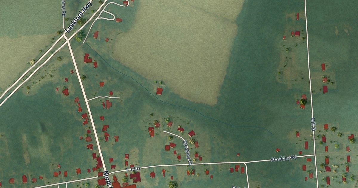
A detailed map of Cheriton, Virginia, showing every building in its true location, the roads by name, and shaded topographical relief.
Read More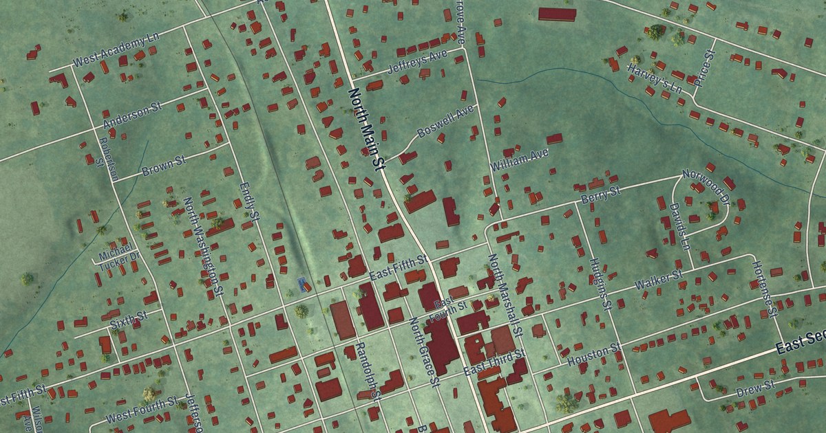
A detailed map of Chase City, Virginia, showing every building in its true location, the roads by name, and shaded topographical relief.
Read More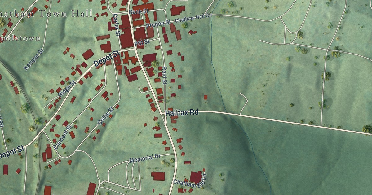
A detailed map of Chatham, Virginia, showing every building in its true location, the roads by name, and shaded topographical relief.
Read More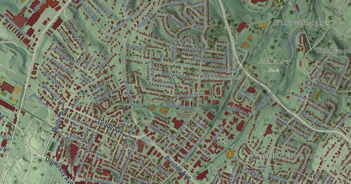
A detailed map of Charlottesville, Virginia, showing every building in its true location, the roads by name, and shaded topographical relief.
Read More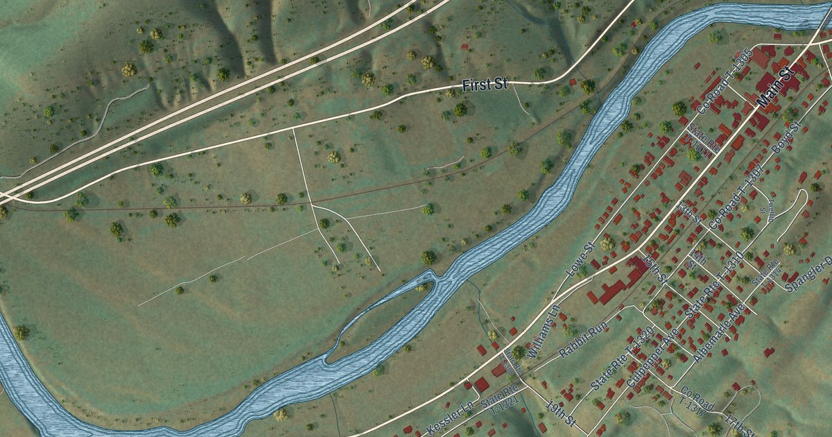
A detailed map of Buchanan, Virginia, showing every building in its true location, the roads by name, and shaded topographical relief.
Read More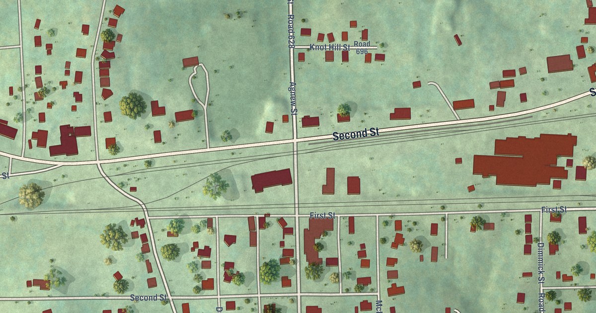
A detailed map of Burkeville, Virginia, showing every building in its true location, the roads by name, and shaded topographical relief.
Read More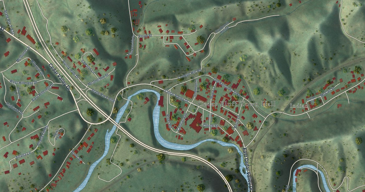
A detailed map of Cedar Bluff, Virginia, showing every building in its true location, the roads by name, and shaded topographical relief.
Read More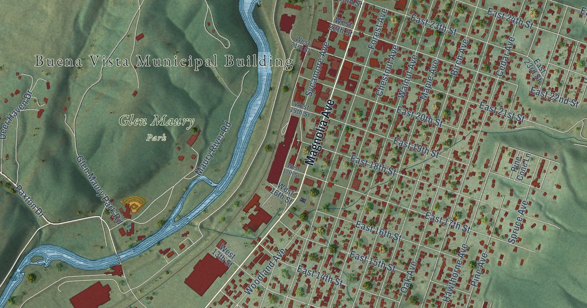
A detailed map of Buena Vista, Virginia, showing every building in its true location, the roads by name, and shaded topographical relief.
Read More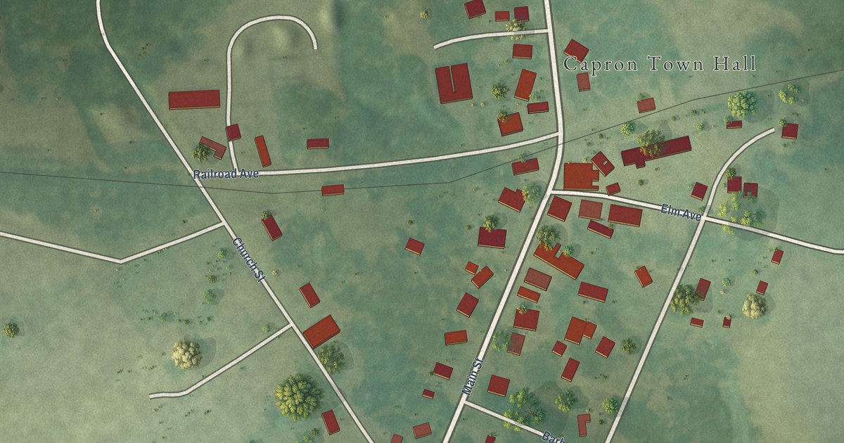
A detailed map of Capron, Virginia, showing every building in its true location, the roads by name, and shaded topographical relief.
Read More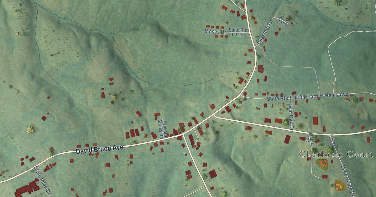
A detailed map of Charlotte Court House, Virginia, showing every building in its true location, the roads by name, and shaded topographical relief.
Read More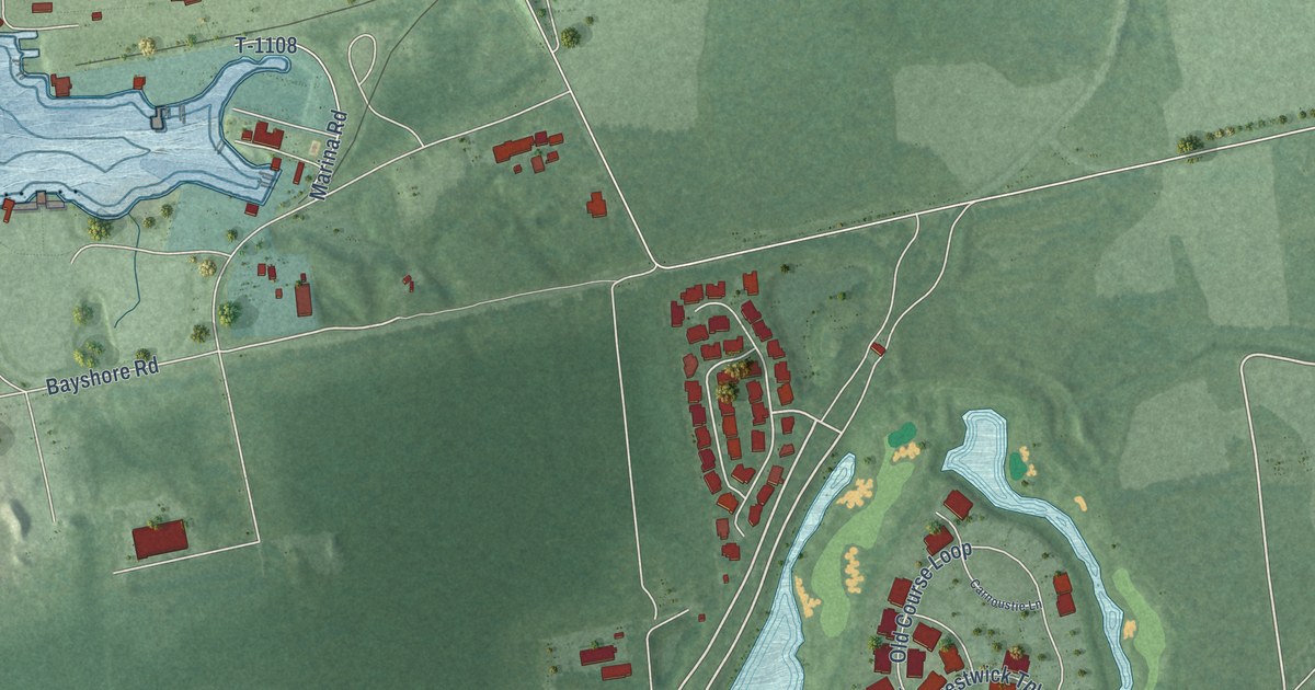
A detailed map of Cape Charles, Virginia, showing every building in its true location, the roads by name, and shaded topographical relief.
Read More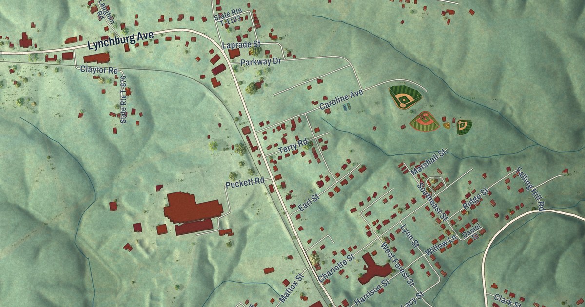
A detailed map of Brookneal, Virginia, showing every building in its true location, the roads by name, and shaded topographical relief.
Read More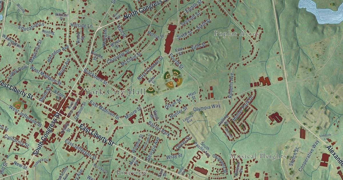
A detailed map of York, South Carolina, showing every building in its true location, the roads by name, and shaded topographical relief.
Read More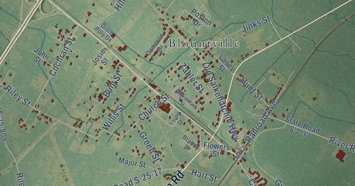
A detailed map of Yemassee, South Carolina, showing every building in its true location, the roads by name, and shaded topographical relief.
Read More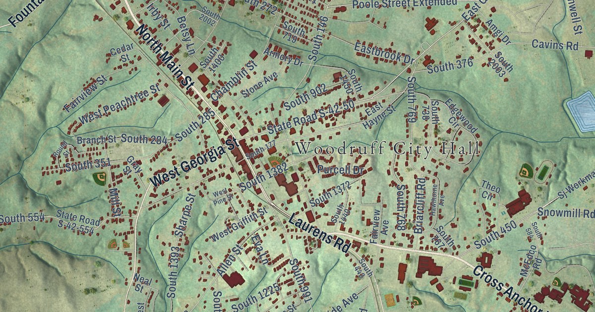
A detailed map of Woodruff, South Carolina, showing every building in its true location, the roads by name, and shaded topographical relief.
Read More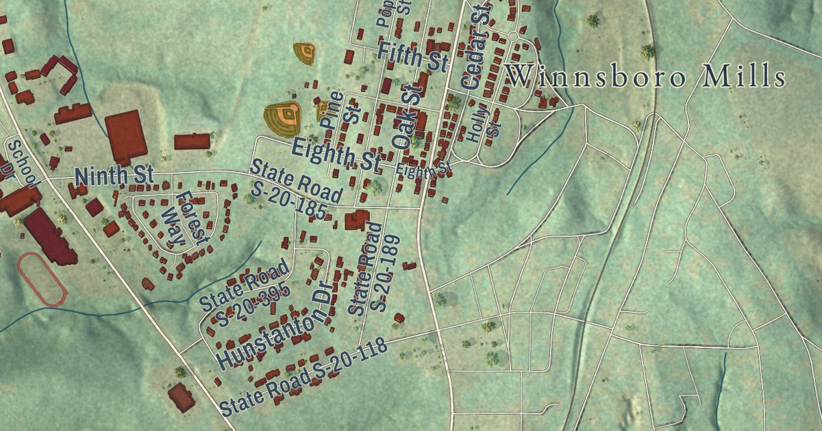
A detailed map of Winnsboro, South Carolina, showing every building in its true location, the roads by name, and shaded topographical relief.
Read More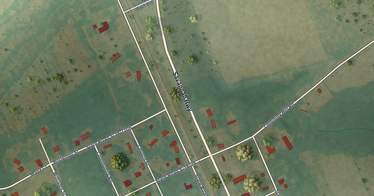
A detailed map of Woodford, South Carolina, showing every building in its true location, the roads by name, and shaded topographical relief.
Read More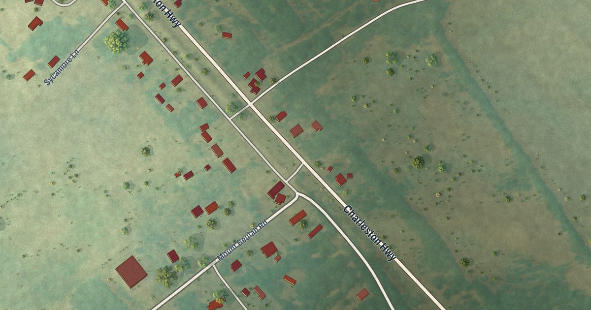
A detailed map of Windsor, South Carolina, showing every building in its true location, the roads by name, and shaded topographical relief.
Read More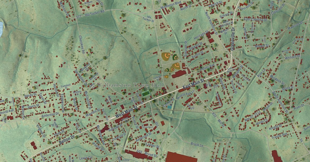
A detailed map of Williamston, South Carolina, showing every building in its true location, the roads by name, and shaded topographical relief.
Read More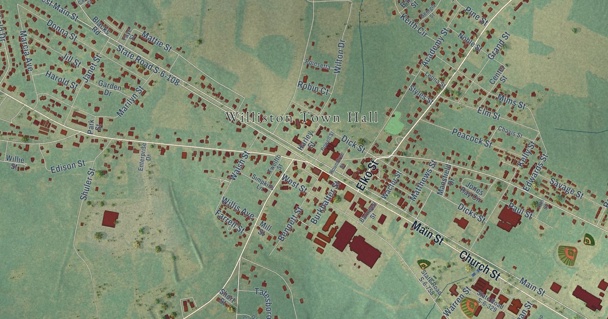
A detailed map of Williston, South Carolina, showing every building in its true location, the roads by name, and shaded topographical relief.
Read More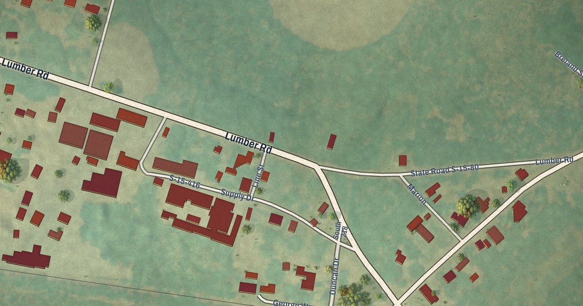
A detailed map of Williams, South Carolina, showing every building in its true location, the roads by name, and shaded topographical relief.
Read More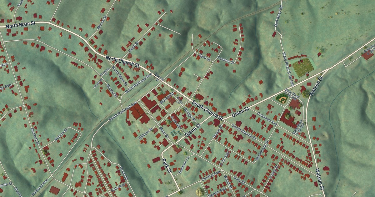
A detailed map of Whitmire, South Carolina, showing every building in its true location, the roads by name, and shaded topographical relief.
Read More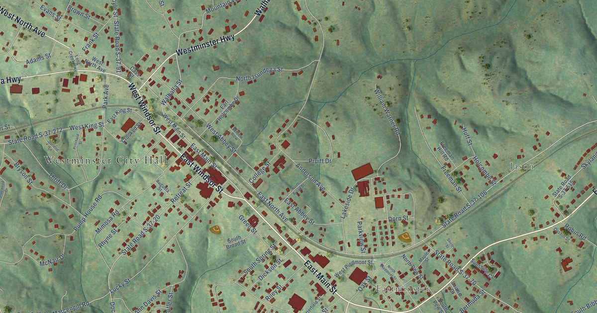
A detailed map of Westminster, South Carolina, showing every building in its true location, the roads by name, and shaded topographical relief.
Read More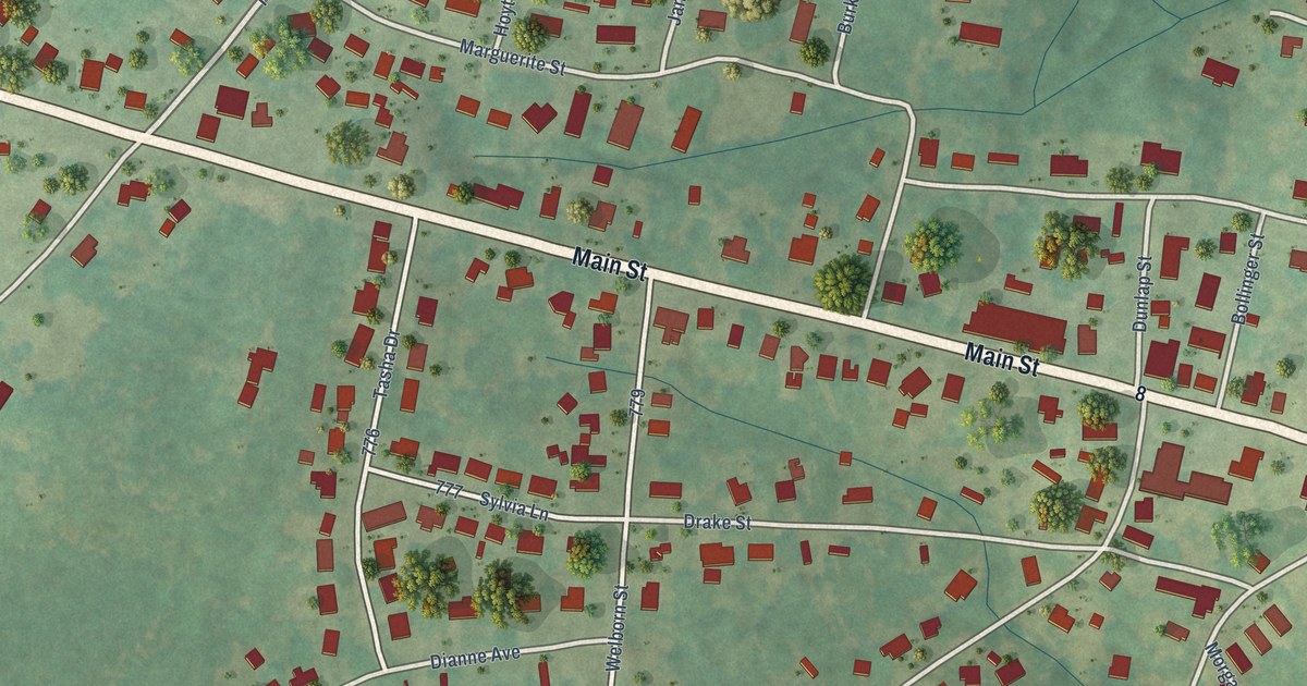
A detailed map of West Pelzer, South Carolina, showing every building in its true location, the roads by name, and shaded topographical relief.
Read More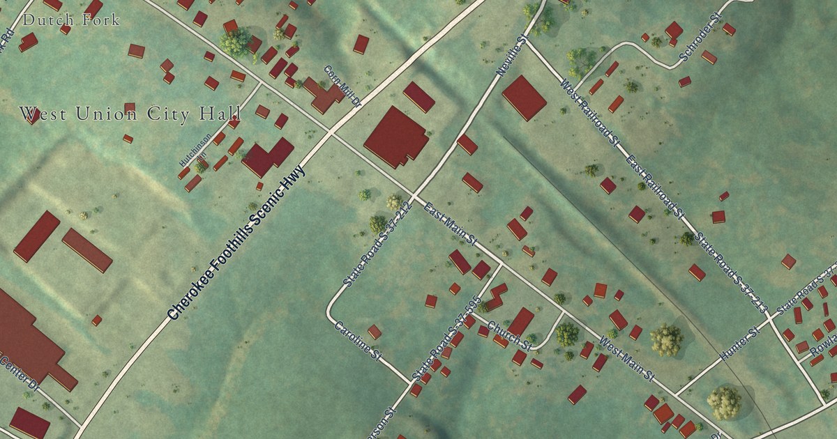
A detailed map of West Union, South Carolina, showing every building in its true location, the roads by name, and shaded topographical relief.
Read More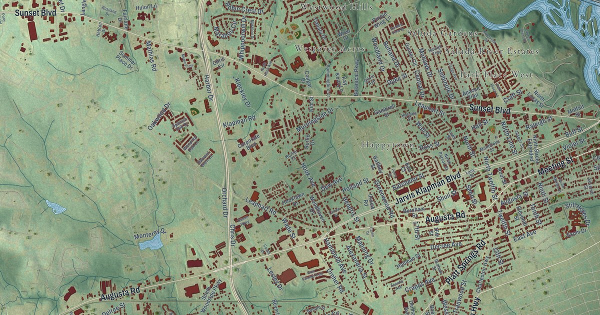
A detailed map of West Columbia, South Carolina, showing every building in its true location, the roads by name, and shaded topographical relief.
Read More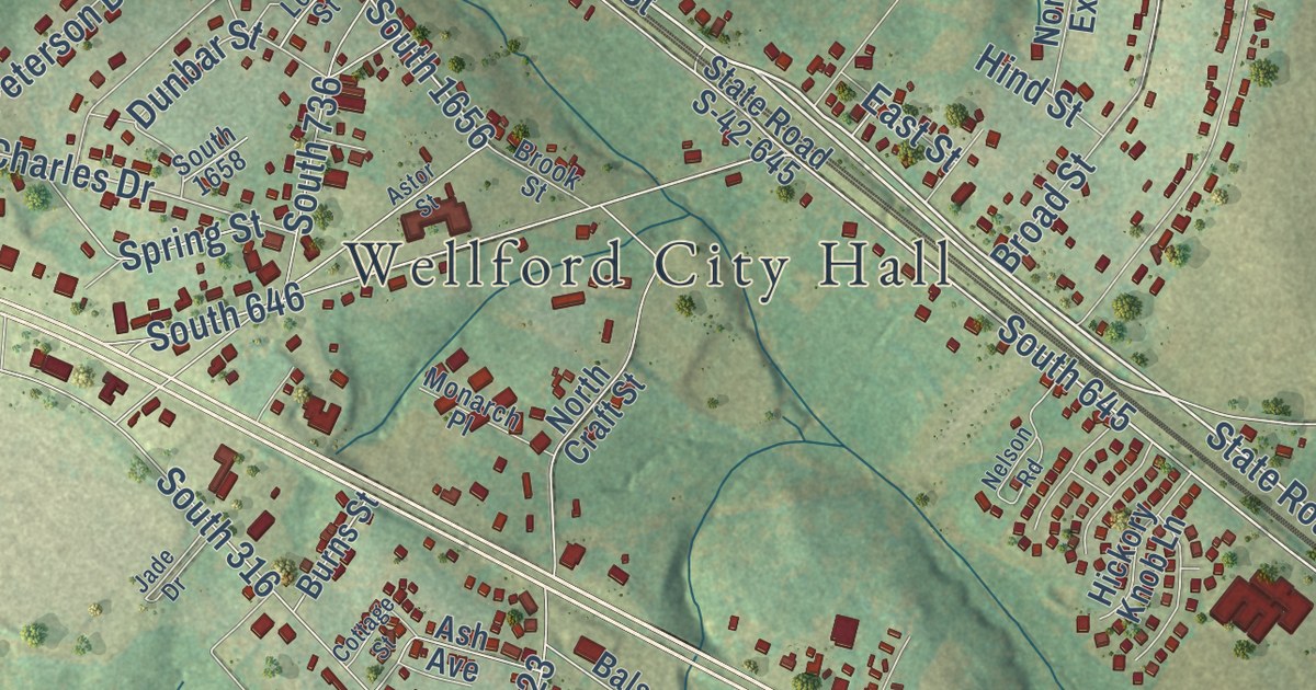
A detailed map of Wellford, South Carolina, showing every building in its true location, the roads by name, and shaded topographical relief.
Read More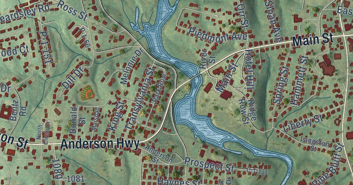
A detailed map of Piedmont, South Carolina, showing every building in its true location, the roads by name, and shaded topographical relief.
Read More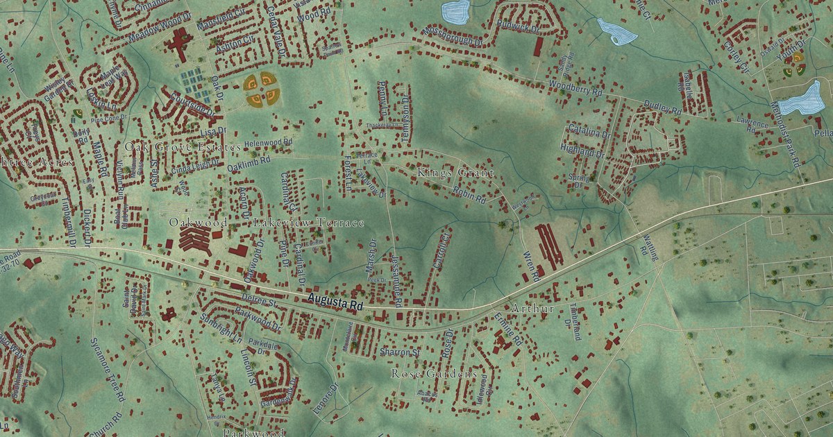
A detailed map of Oak Grove, South Carolina, showing every building in its true location, the roads by name, and shaded topographical relief.
Read More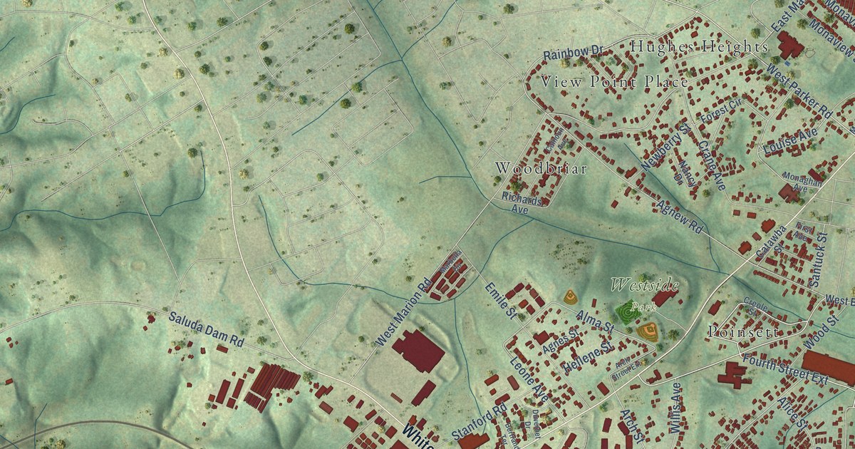
A detailed map of Parker, South Carolina, showing every building in its true location, the roads by name, and shaded topographical relief.
Read More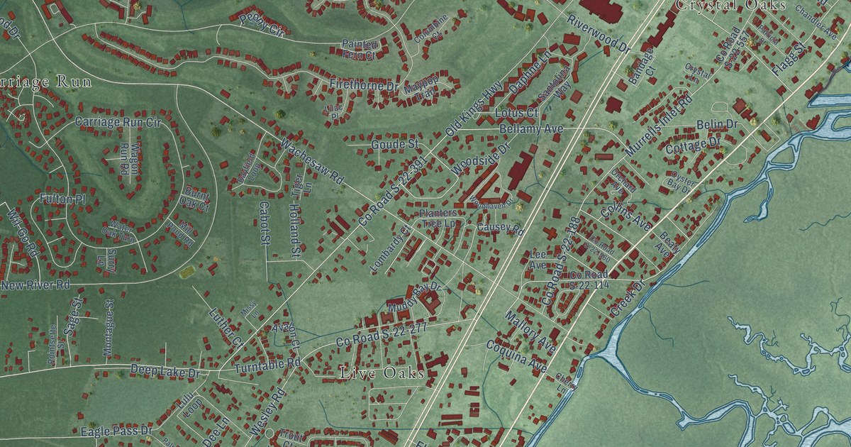
A detailed map of Murrells Inlet, South Carolina, showing every building in its true location, the roads by name, and shaded topographical relief.
Read More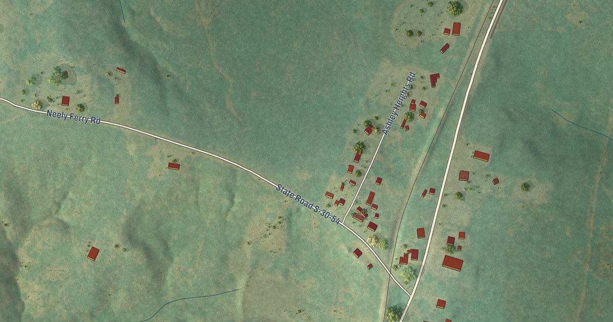
A detailed map of Waterloo, South Carolina, showing every building in its true location, the roads by name, and shaded topographical relief.
Read More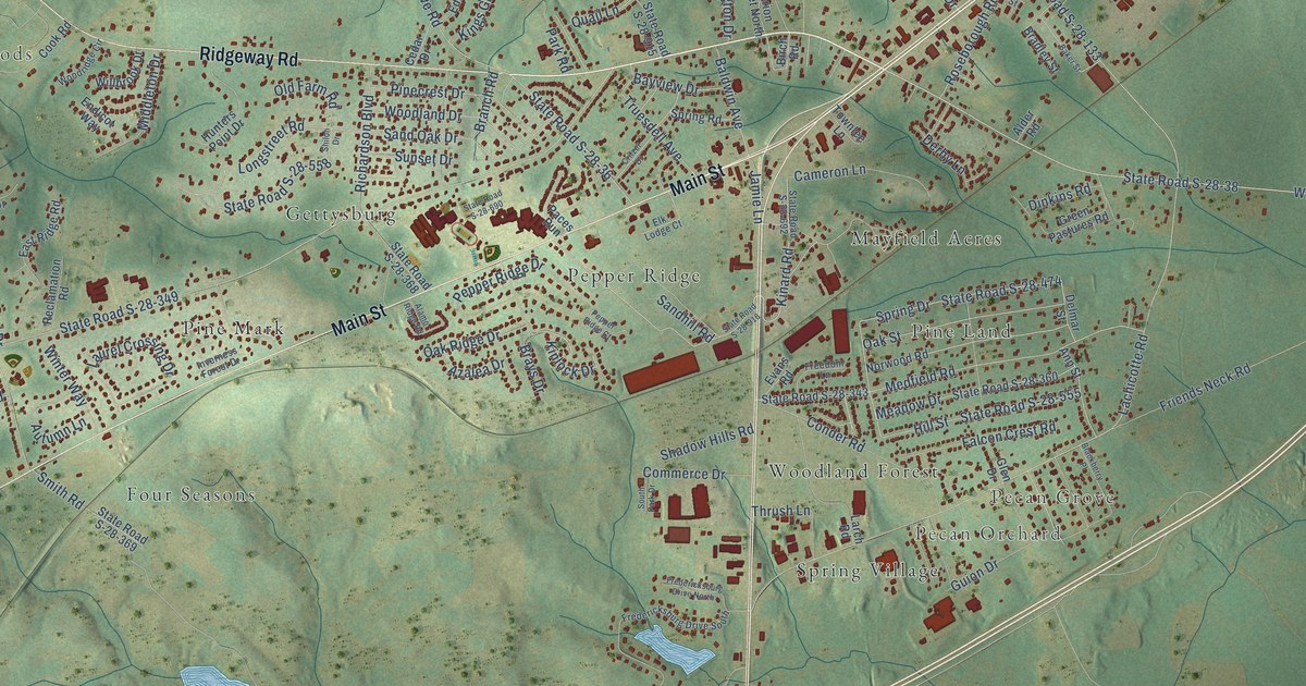
A detailed map of Lugoff, South Carolina, showing every building in its true location, the roads by name, and shaded topographical relief.
Read More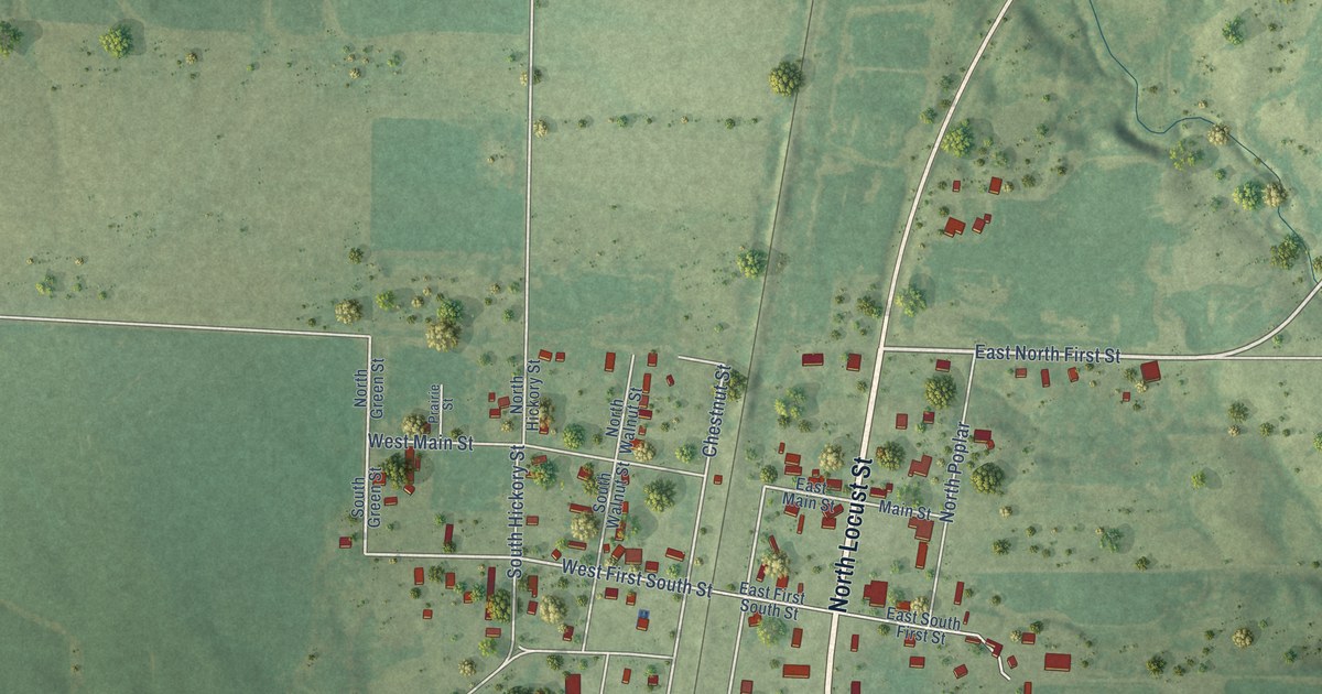
A detailed map of Richview, Illinois, showing every building in its true location, the roads by name, and shaded topographical relief.
Read More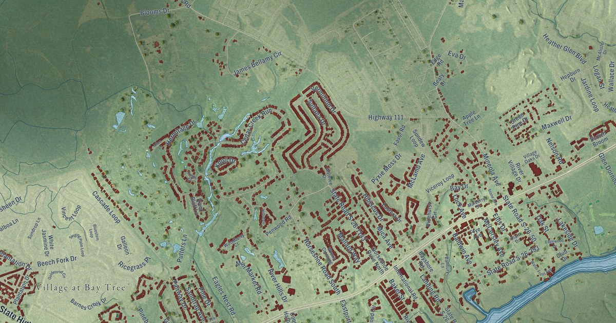
A detailed map of Little River, South Carolina, showing every building in its true location, the roads by name, and shaded topographical relief.
Read More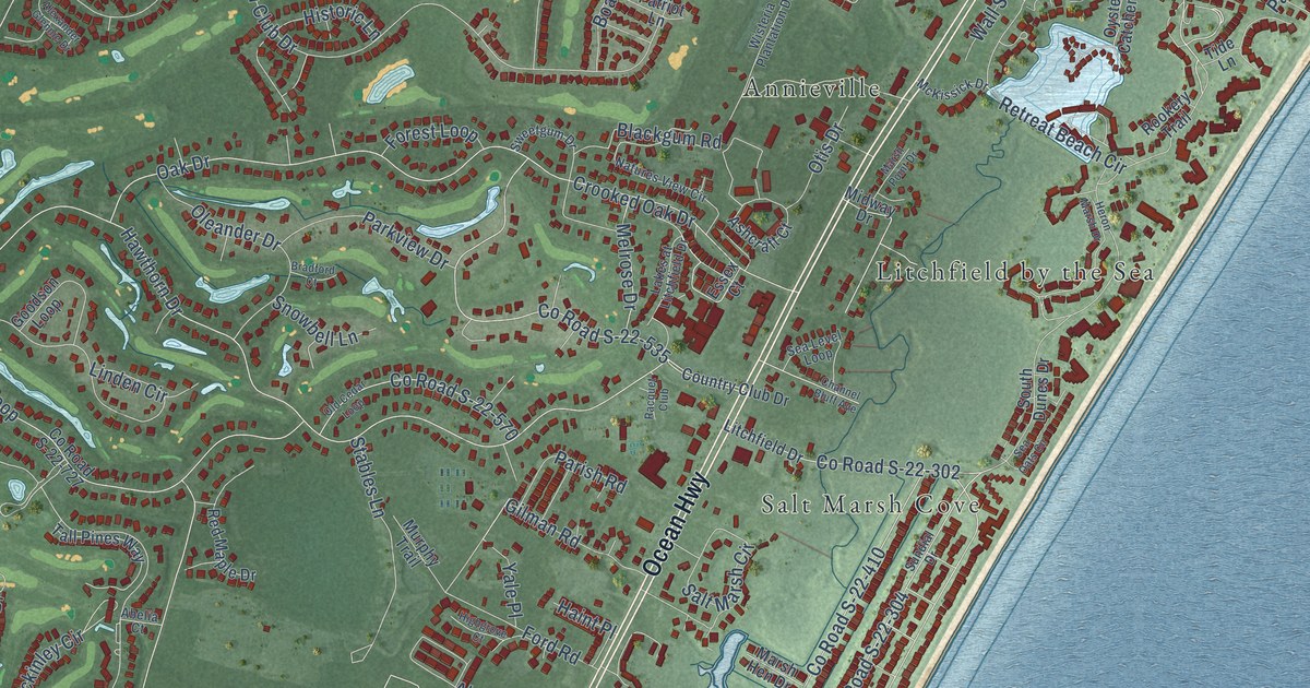
A detailed map of Litchfield Beach, South Carolina, showing every building in its true location, the roads by name, and shaded topographical relief.
Read More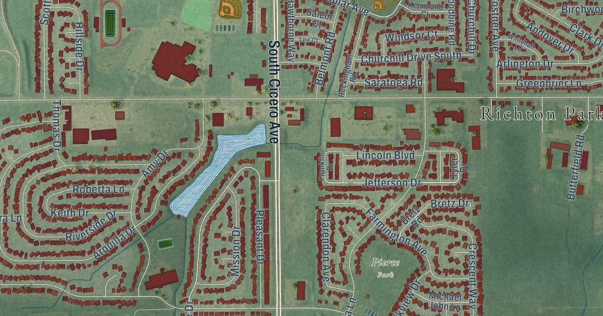
A detailed map of Richton Park, Illinois, showing every building in its true location, the roads by name, and shaded topographical relief.
Read More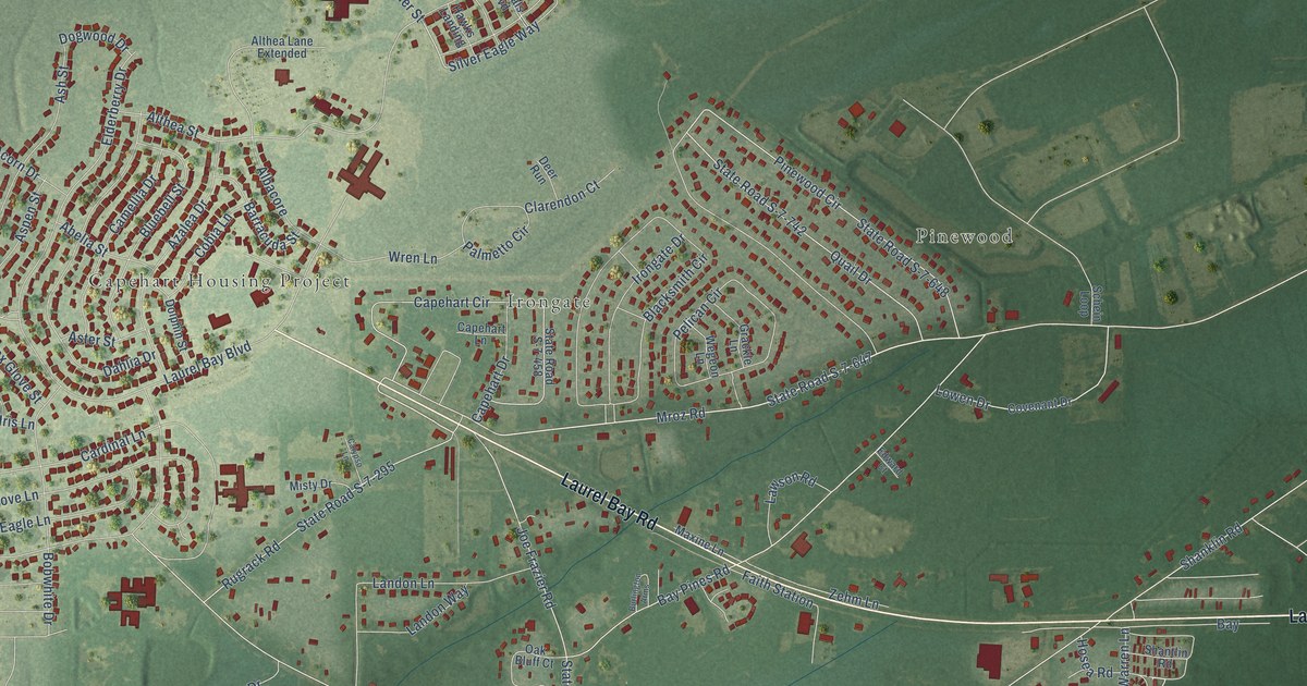
A detailed map of Laurel Bay, South Carolina, showing every building in its true location, the roads by name, and shaded topographical relief.
Read More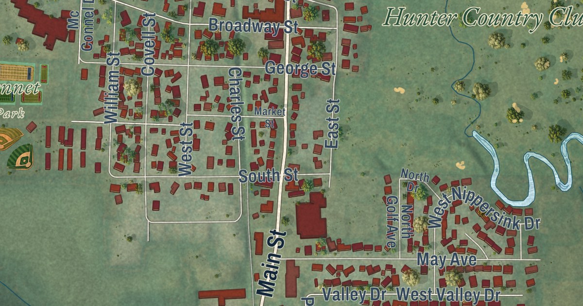
A detailed map of Richmond, Illinois, showing every building in its true location, the roads by name, and shaded topographical relief.
Read More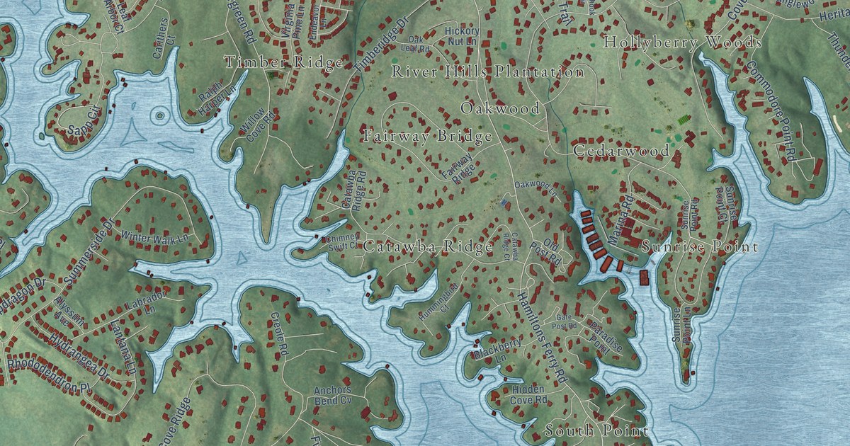
A detailed map of Lake Wylie, South Carolina, showing every building in its true location, the roads by name, and shaded topographical relief.
Read More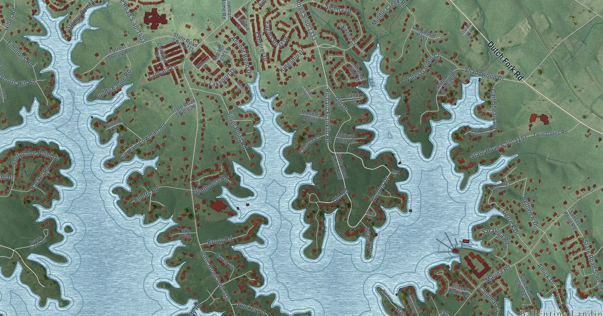
A detailed map of Lake Murray of Richland, South Carolina, showing every building in its true location, the roads by name, and shaded topographical relief.
Read More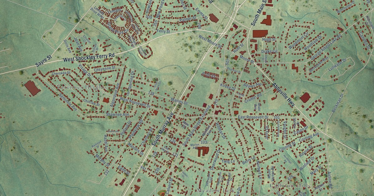
A detailed map of Homeland Park, South Carolina, showing every building in its true location, the roads by name, and shaded topographical relief.
Read More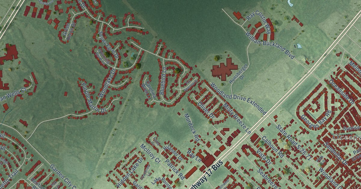
A detailed map of Garden City, South Carolina, showing every building in its true location, the roads by name, and shaded topographical relief.
Read More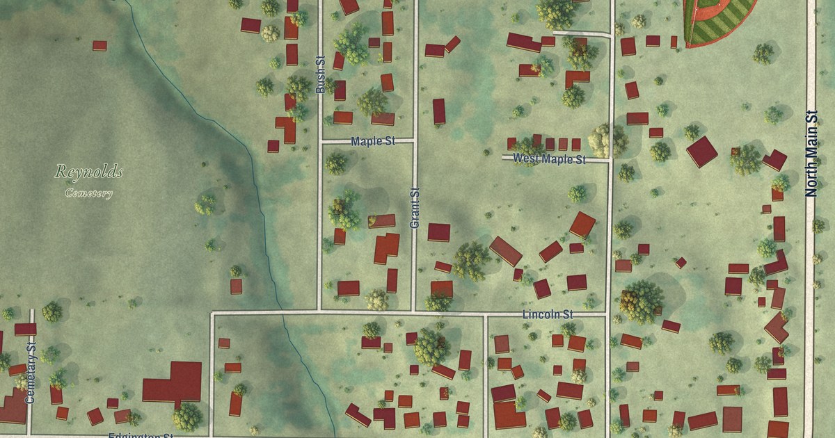
A detailed map of Reynolds, Illinois, showing every building in its true location, the roads by name, and shaded topographical relief.
Read More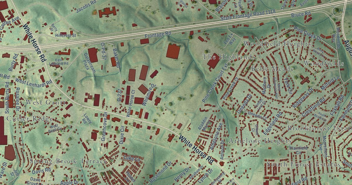
A detailed map of Gantt, South Carolina, showing every building in its true location, the roads by name, and shaded topographical relief.
Read More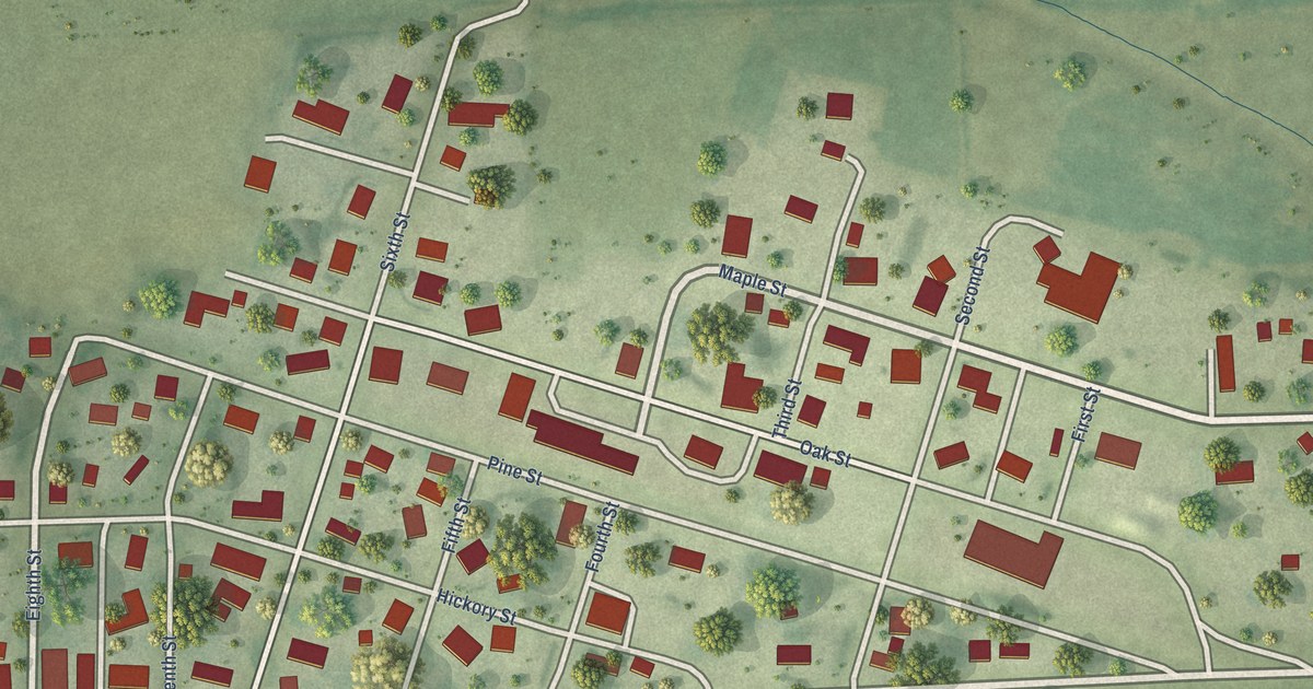
A detailed map of Redmon, Illinois, showing every building in its true location, the roads by name, and shaded topographical relief.
Read More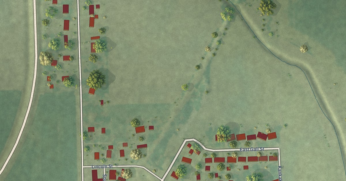
A detailed map of Reddick, Illinois, showing every building in its true location, the roads by name, and shaded topographical relief.
Read More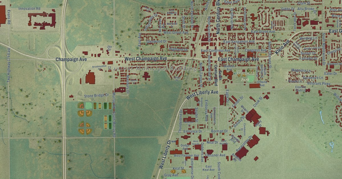
A detailed map of Rantoul, Illinois, showing every building in its true location, the roads by name, and shaded topographical relief.
Read More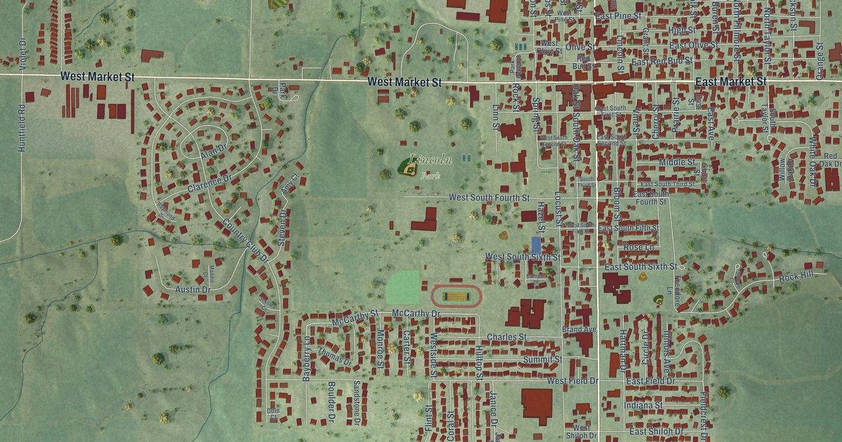
A detailed map of Red Bud, Illinois, showing every building in its true location, the roads by name, and shaded topographical relief.
Read More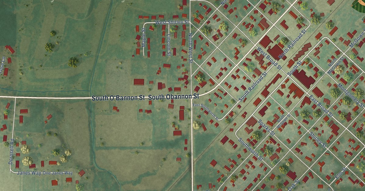
A detailed map of Raymond, Illinois, showing every building in its true location, the roads by name, and shaded topographical relief.
Read More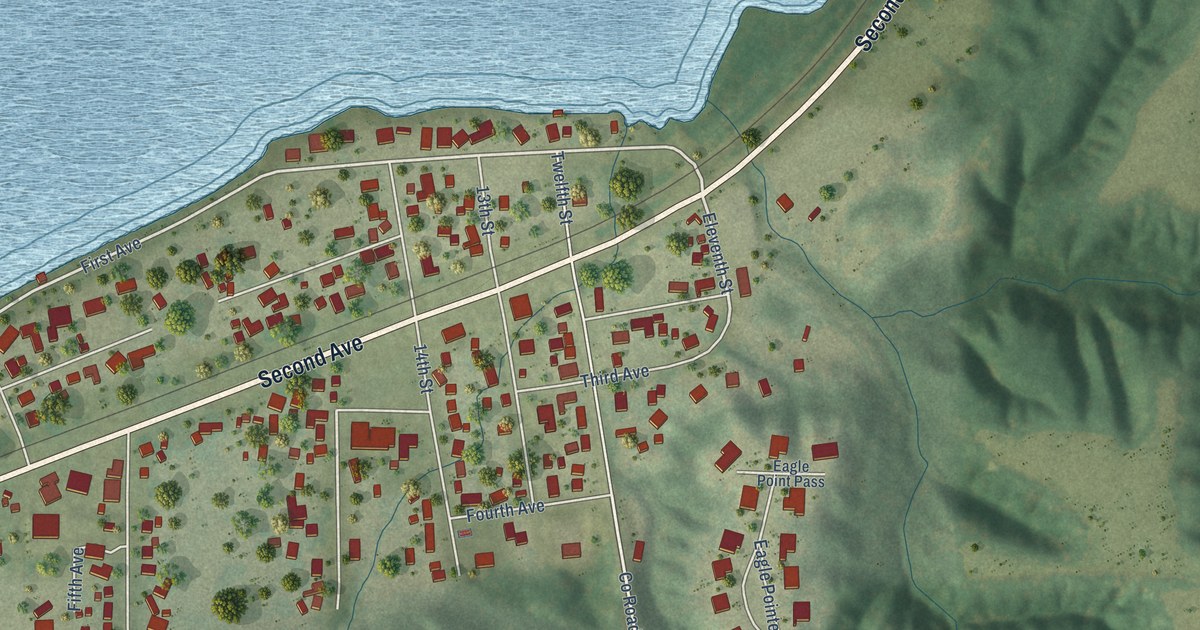
A detailed map of Rapids City, Illinois, showing every building in its true location, the roads by name, and shaded topographical relief.
Read More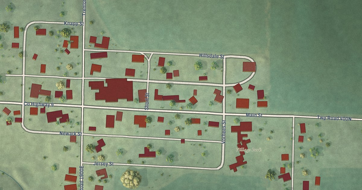
A detailed map of Raritan, Illinois, showing every building in its true location, the roads by name, and shaded topographical relief.
Read More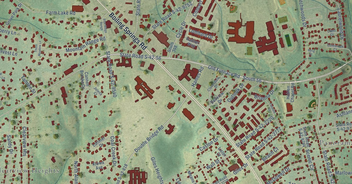
A detailed map of Boiling Springs, South Carolina, showing every building in its true location, the roads by name, and shaded topographical relief.
Read More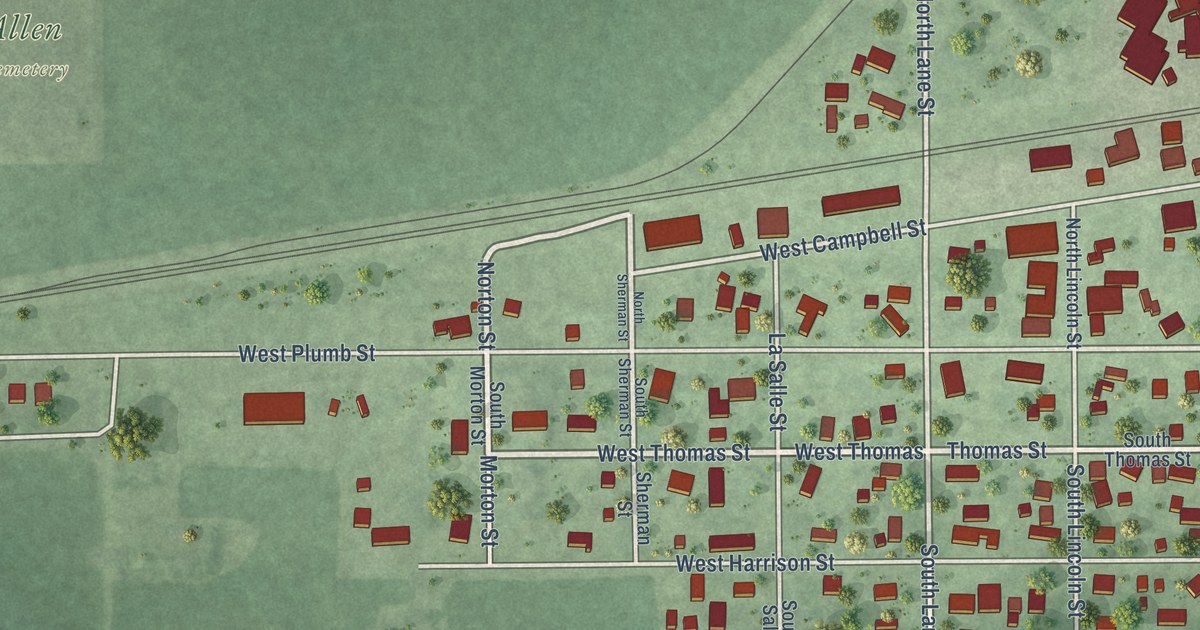
A detailed map of Ransom, Illinois, showing every building in its true location, the roads by name, and shaded topographical relief.
Read More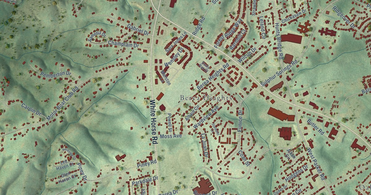
A detailed map of Berea, South Carolina, showing every building in its true location, the roads by name, and shaded topographical relief.
Read More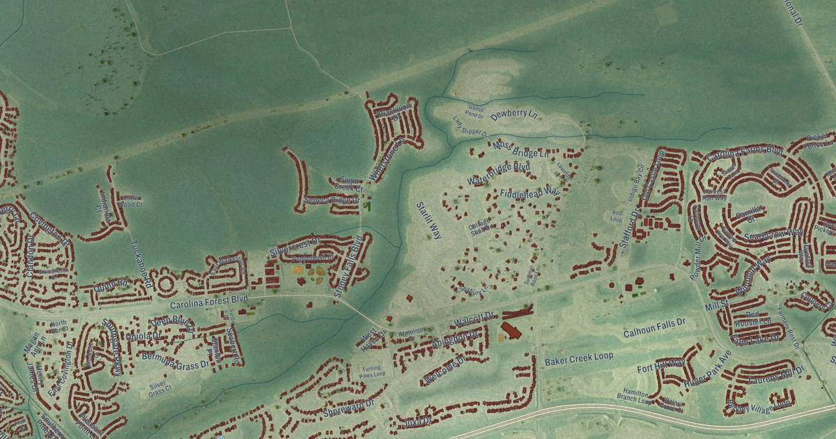
A detailed map of Carolina Forest, South Carolina, showing every building in its true location, the roads by name, and shaded topographical relief.
Read More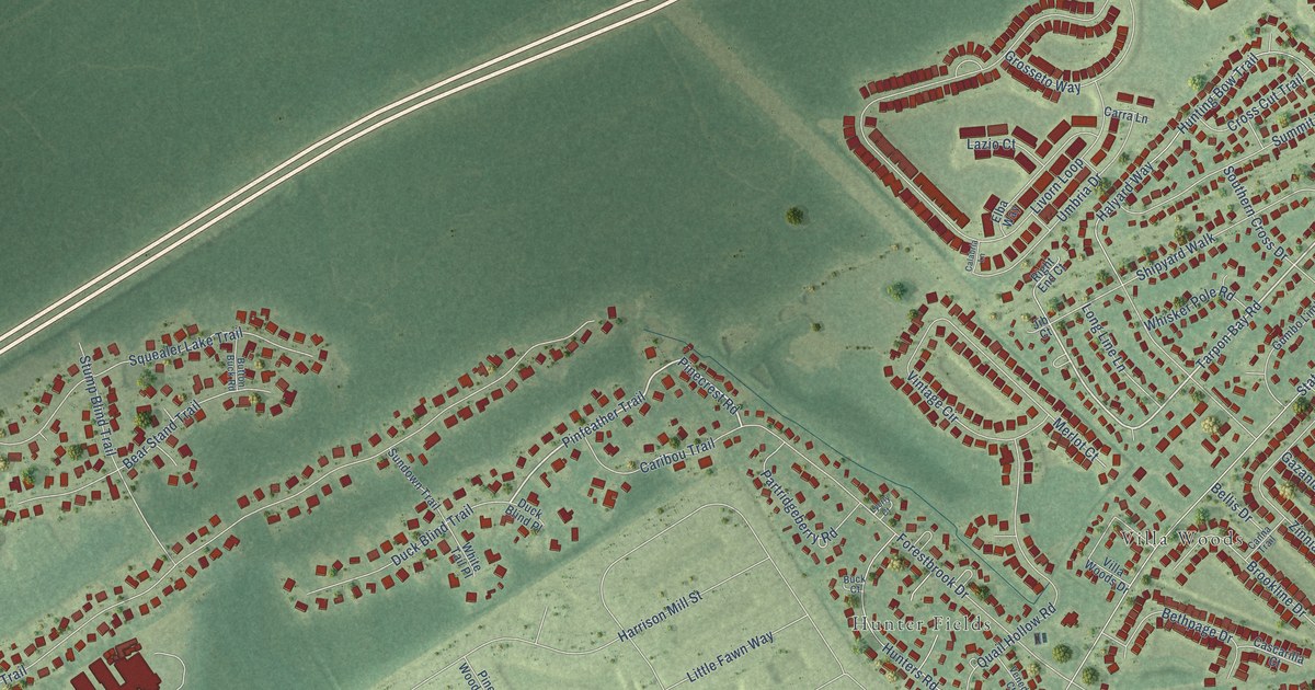
A detailed map of Forestbrook, South Carolina, showing every building in its true location, the roads by name, and shaded topographical relief.
Read More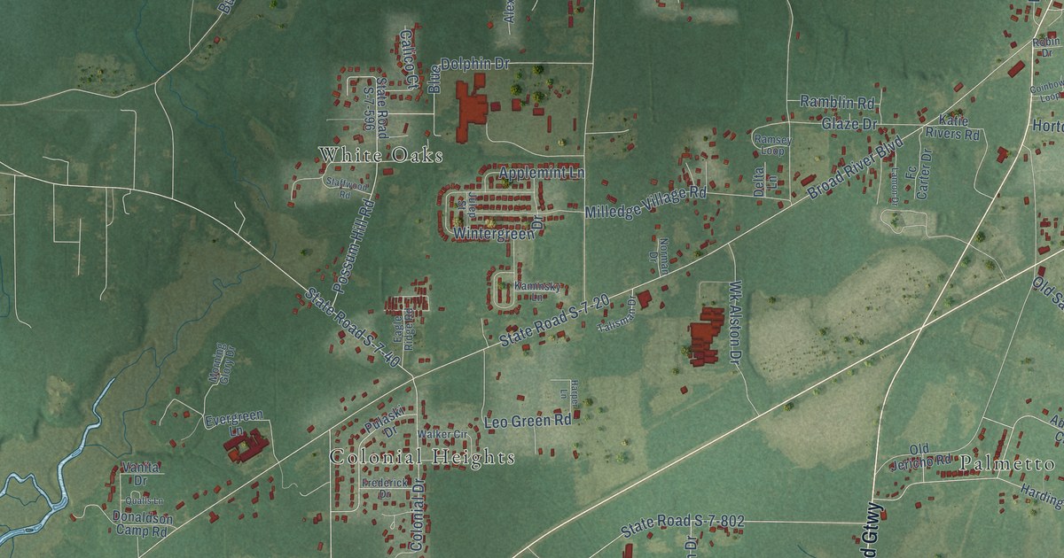
A detailed map of Burton, South Carolina, showing every building in its true location, the roads by name, and shaded topographical relief.
Read More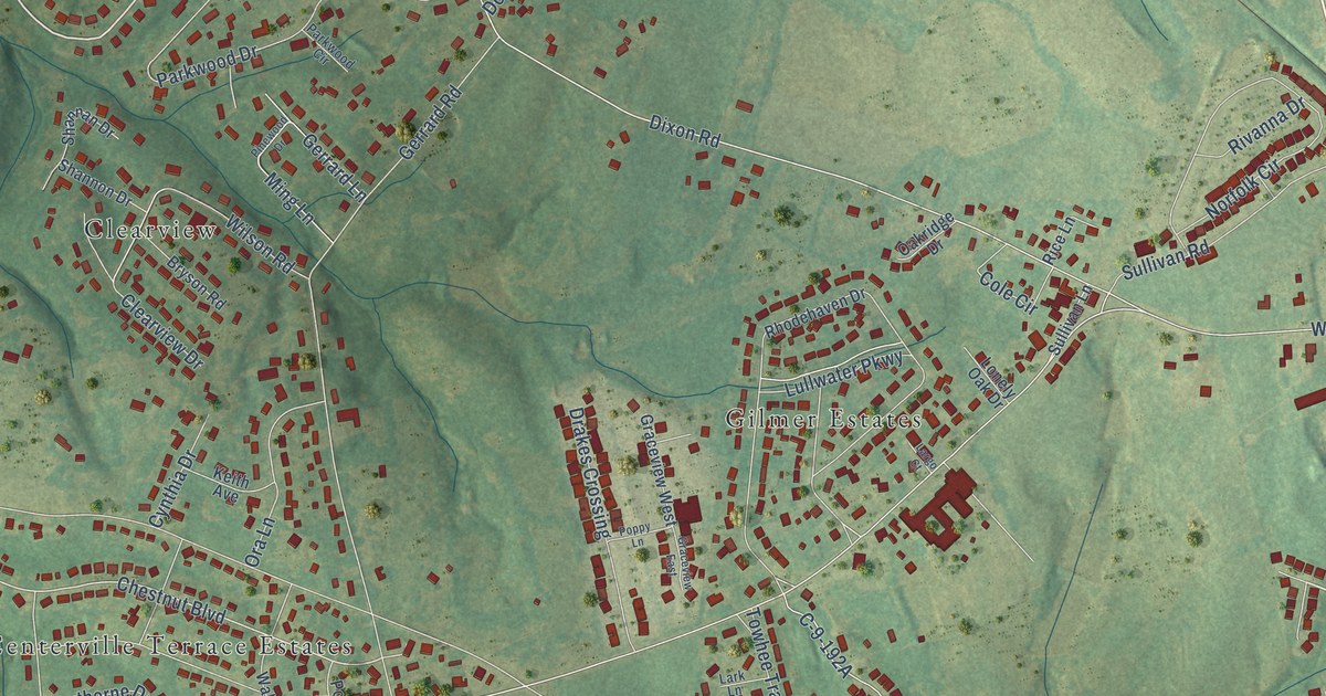
A detailed map of Centerville, South Carolina, showing every building in its true location, the roads by name, and shaded topographical relief.
Read More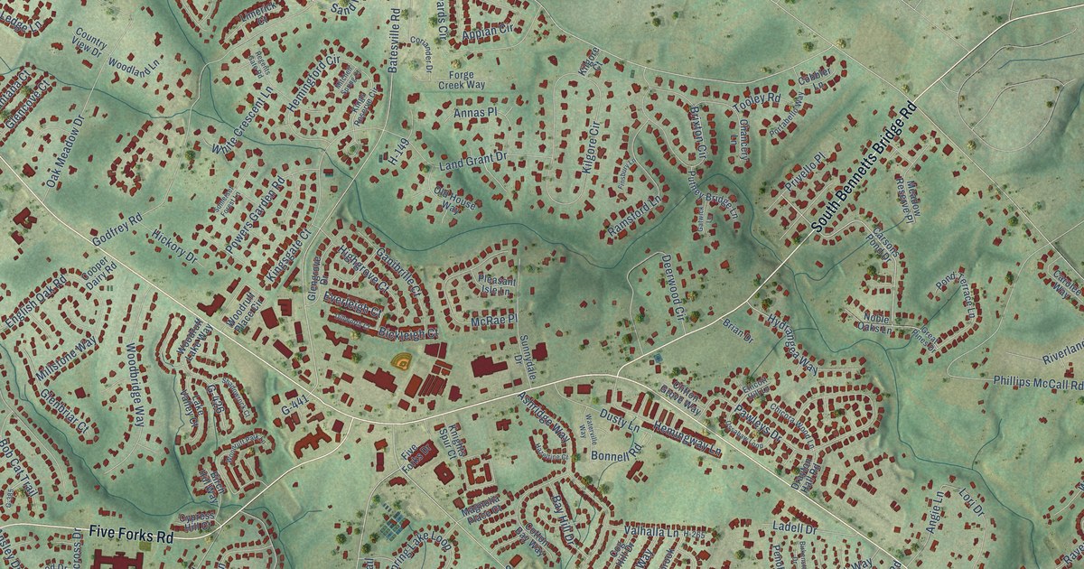
A detailed map of Five Forks, South Carolina, showing every building in its true location, the roads by name, and shaded topographical relief.
Read More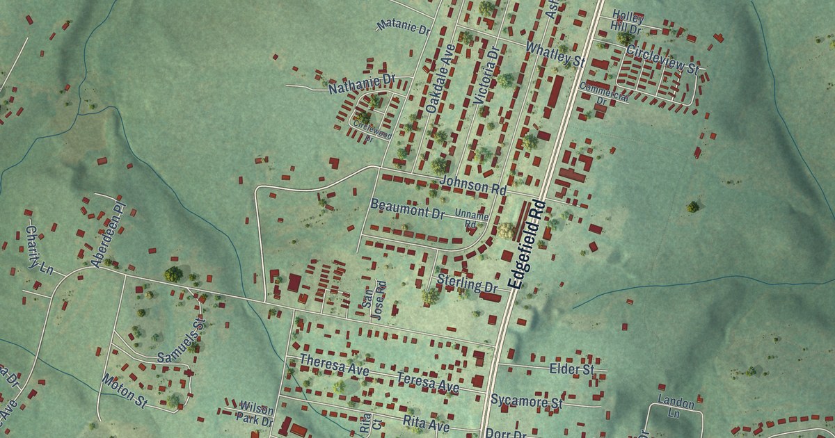
A detailed map of Belvedere, South Carolina, showing every building in its true location, the roads by name, and shaded topographical relief.
Read More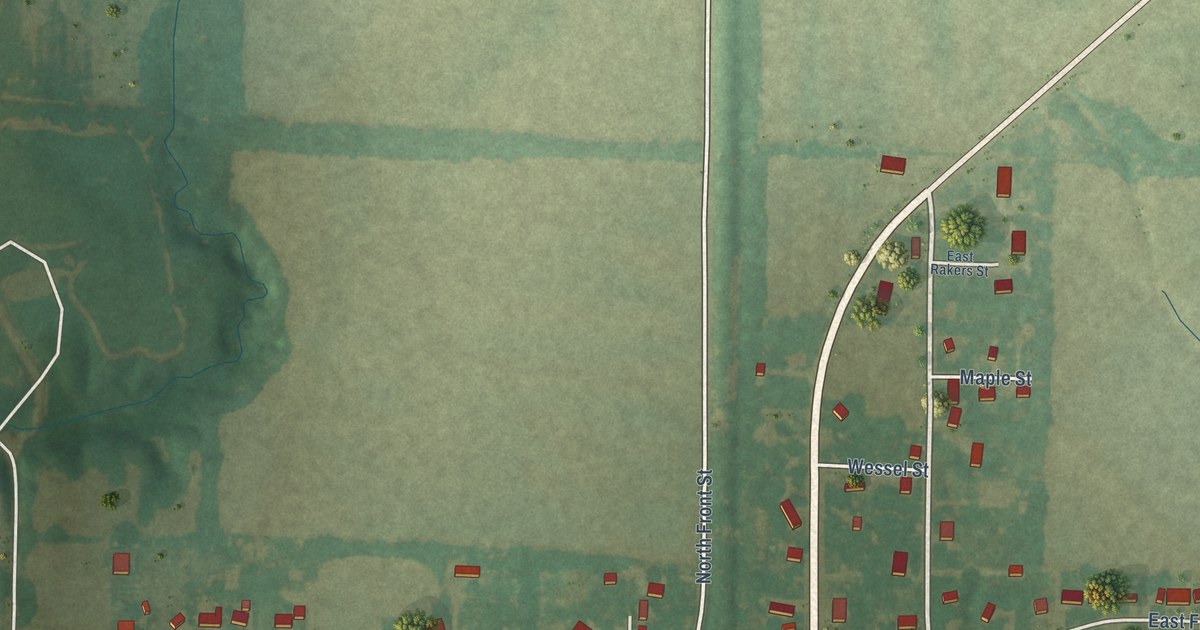
A detailed map of Ramsey, Illinois, showing every building in its true location, the roads by name, and shaded topographical relief.
Read More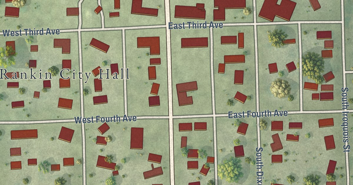
A detailed map of Rankin, Illinois, showing every building in its true location, the roads by name, and shaded topographical relief.
Read More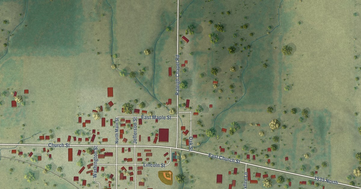
A detailed map of Raleigh, Illinois, showing every building in its true location, the roads by name, and shaded topographical relief.
Read More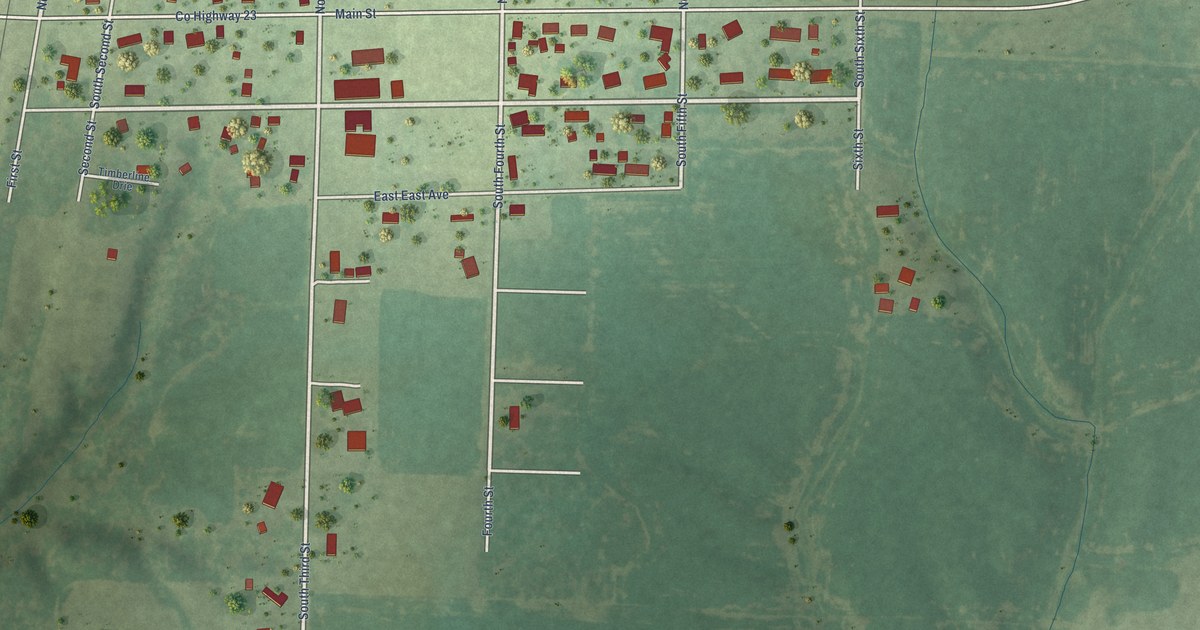
A detailed map of Radom, Illinois, showing every building in its true location, the roads by name, and shaded topographical relief.
Read More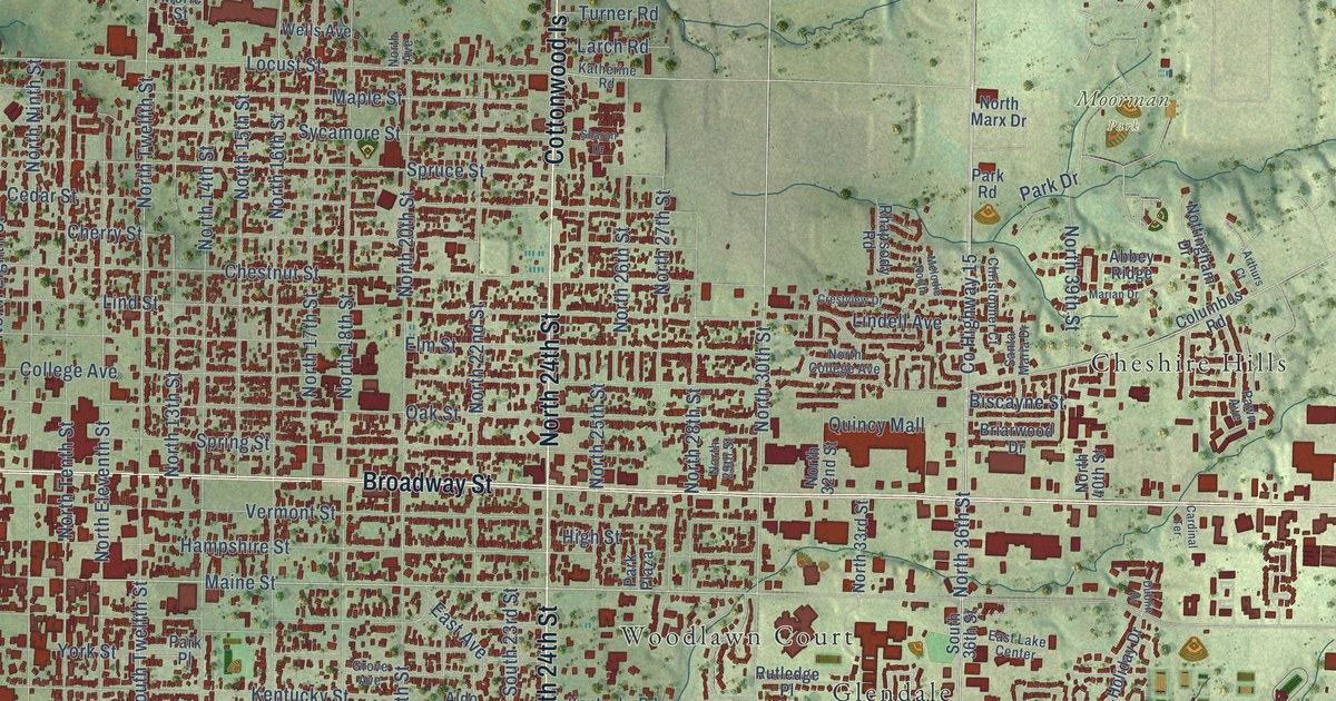
A detailed map of Quincy, Illinois, showing every building in its true location, the roads by name, and shaded topographical relief.
Read More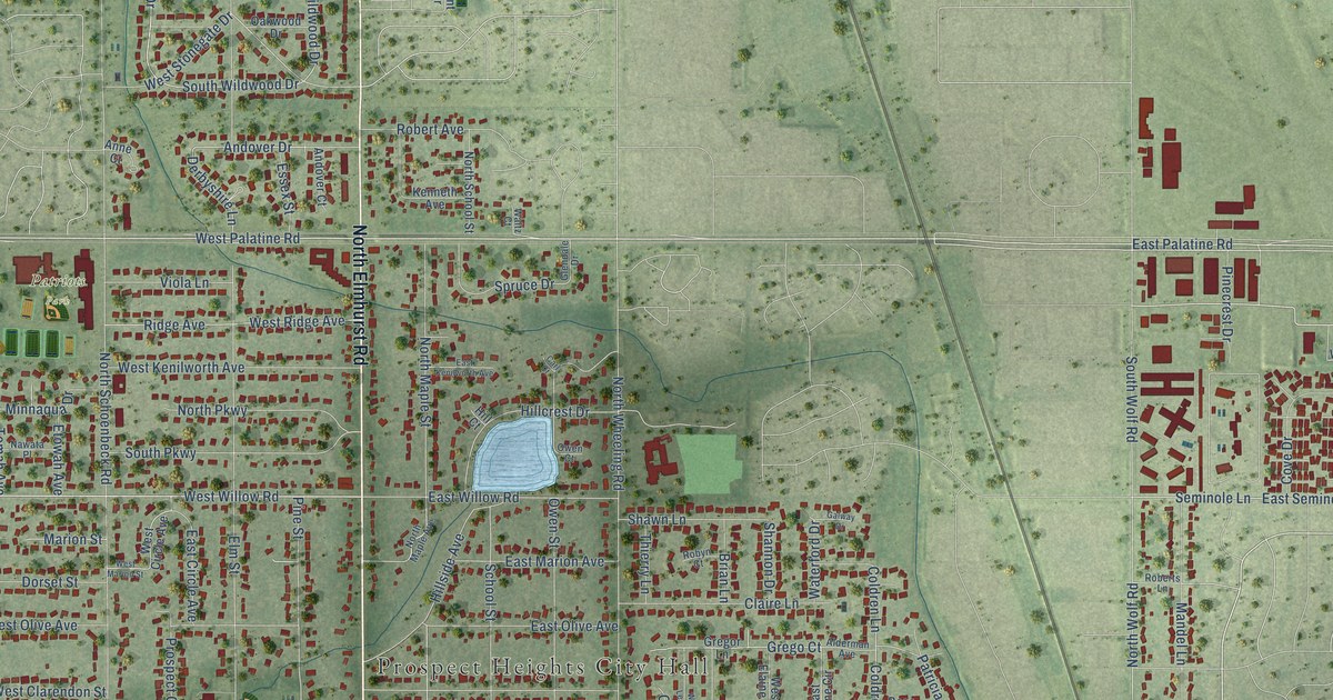
A detailed map of Prospect Heights, Illinois, showing every building in its true location, the roads by name, and shaded topographical relief.
Read More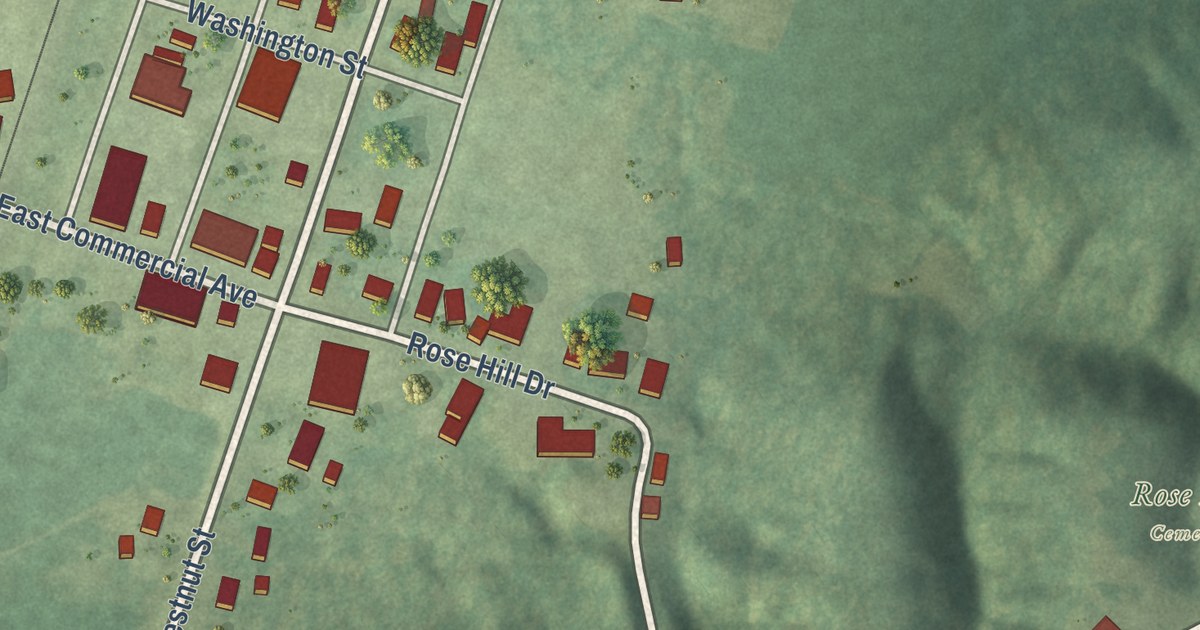
A detailed map of Pulaski, Illinois, showing every building in its true location, the roads by name, and shaded topographical relief.
Read More















