Detailed Map of Hatch, New Mexico
A detailed map of Hatch, New Mexico, showing every building in its true location, the roads by name, and shaded topographical relief.
Read More
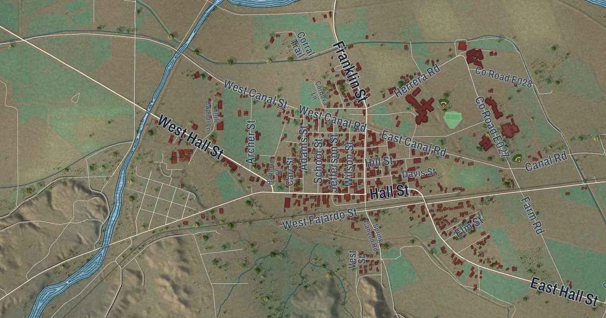
A detailed map of Hatch, New Mexico, showing every building in its true location, the roads by name, and shaded topographical relief.
Read More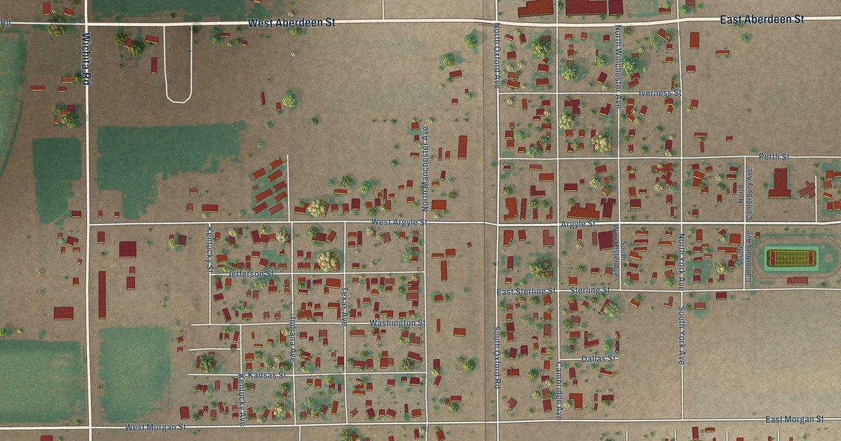
A detailed map of Hagerman, New Mexico, showing every building in its true location, the roads by name, and shaded topographical relief.
Read More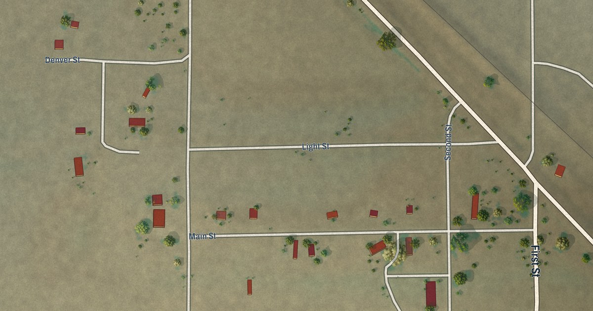
A detailed map of Grenville, New Mexico, showing every building in its true location, the roads by name, and shaded topographical relief.
Read More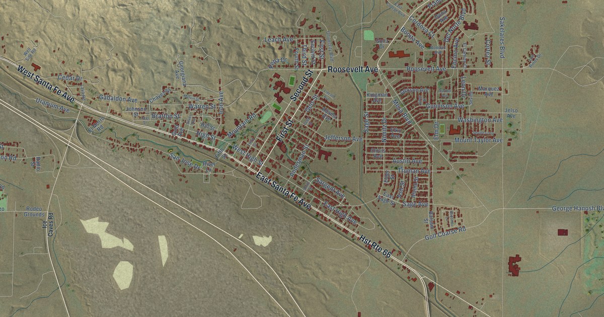
A detailed map of Grants, New Mexico, showing every building in its true location, the roads by name, and shaded topographical relief.
Read More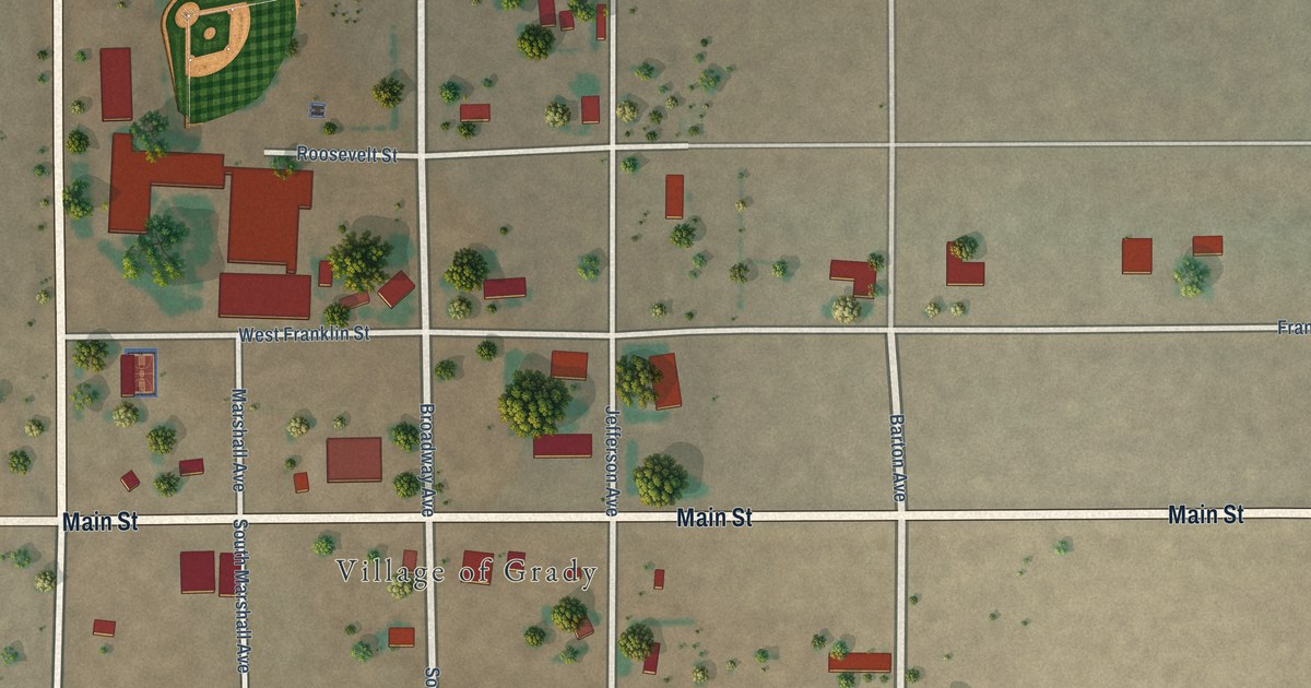
A detailed map of Grady, New Mexico, showing every building in its true location, the roads by name, and shaded topographical relief.
Read More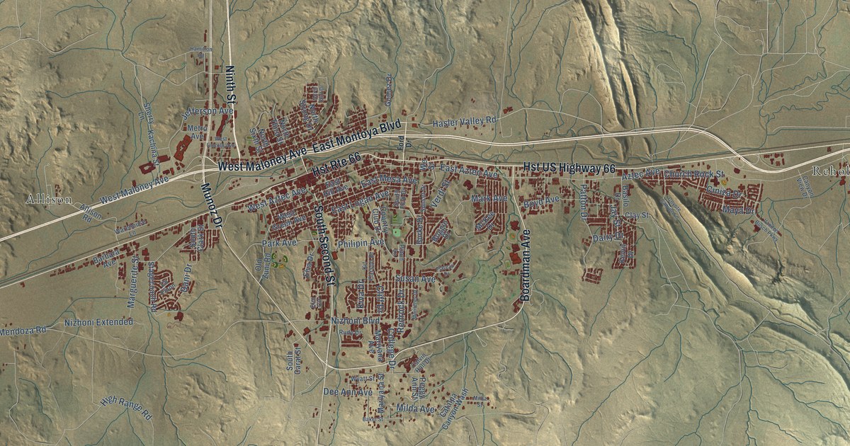
A detailed map of Gallup, New Mexico, showing every building in its true location, the roads by name, and shaded topographical relief.
Read More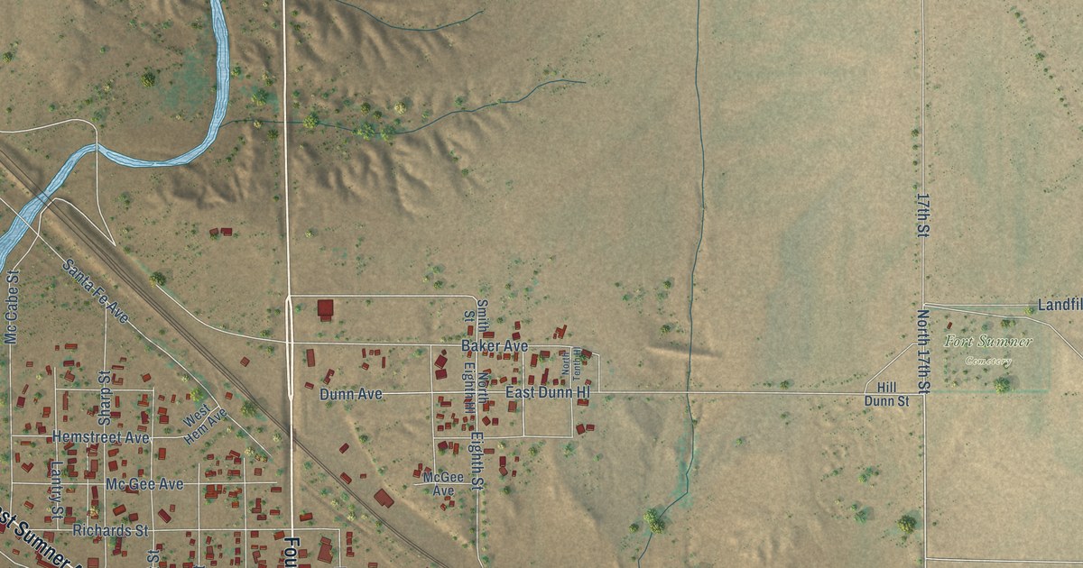
A detailed map of Fort Sumner, New Mexico, showing every building in its true location, the roads by name, and shaded topographical relief.
Read More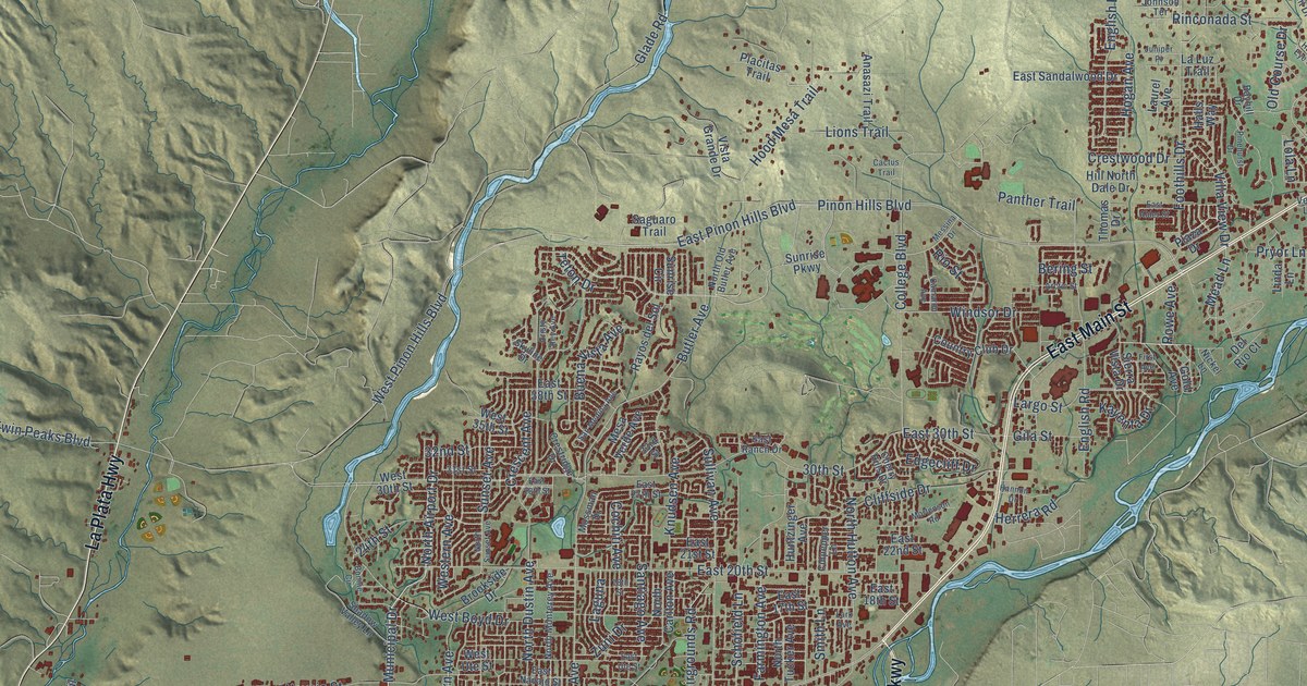
A detailed map of Farmington, New Mexico, showing every building in its true location, the roads by name, and shaded topographical relief.
Read More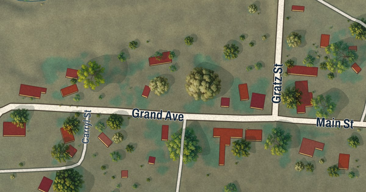
A detailed map of Folsom, New Mexico, showing every building in its true location, the roads by name, and shaded topographical relief.
Read More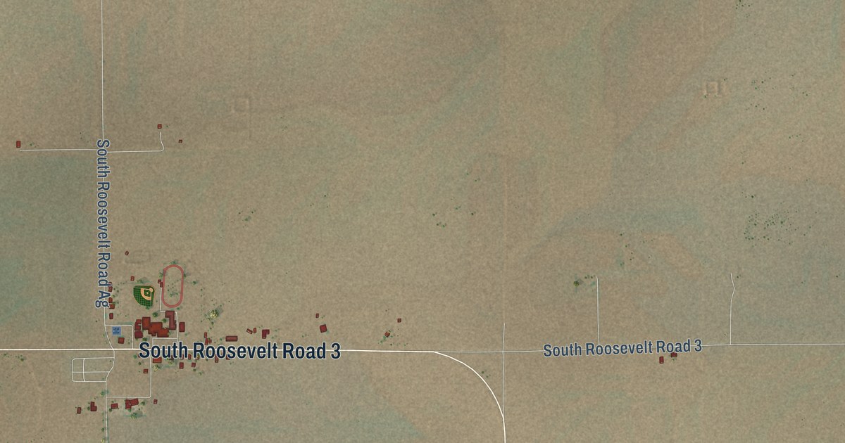
A detailed map of Floyd, New Mexico, showing every building in its true location, the roads by name, and shaded topographical relief.
Read More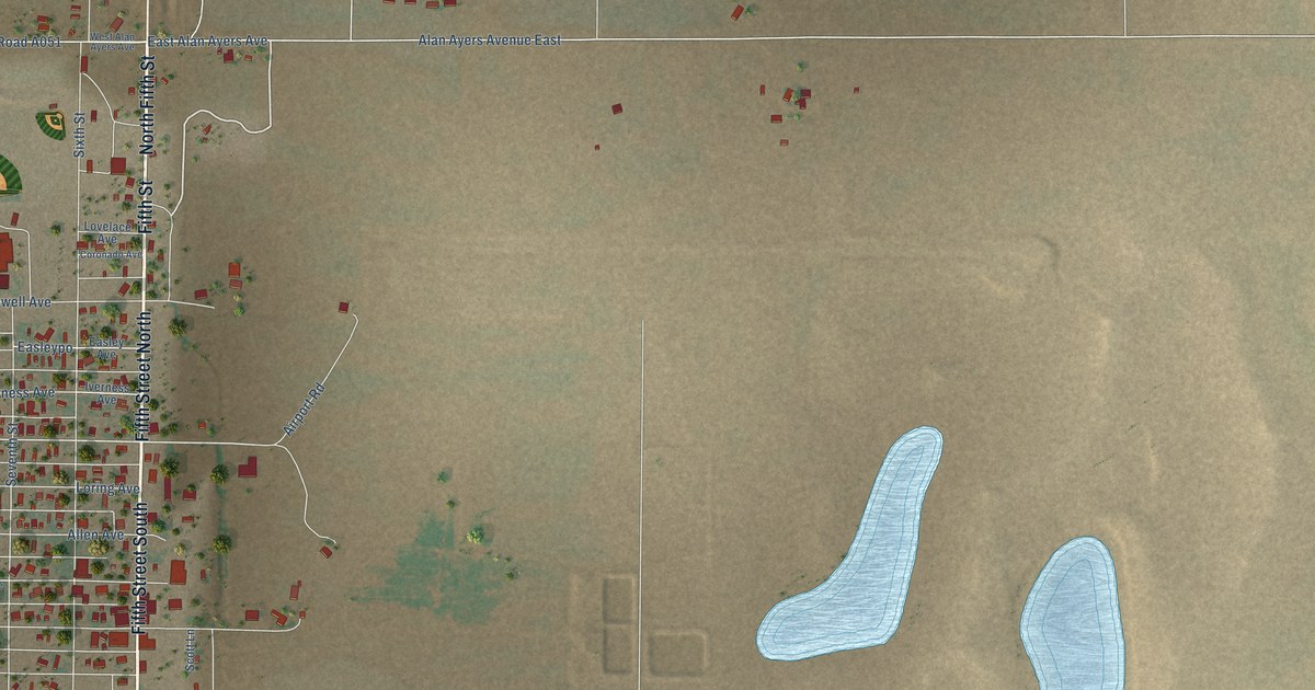
A detailed map of Estancia, New Mexico, showing every building in its true location, the roads by name, and shaded topographical relief.
Read More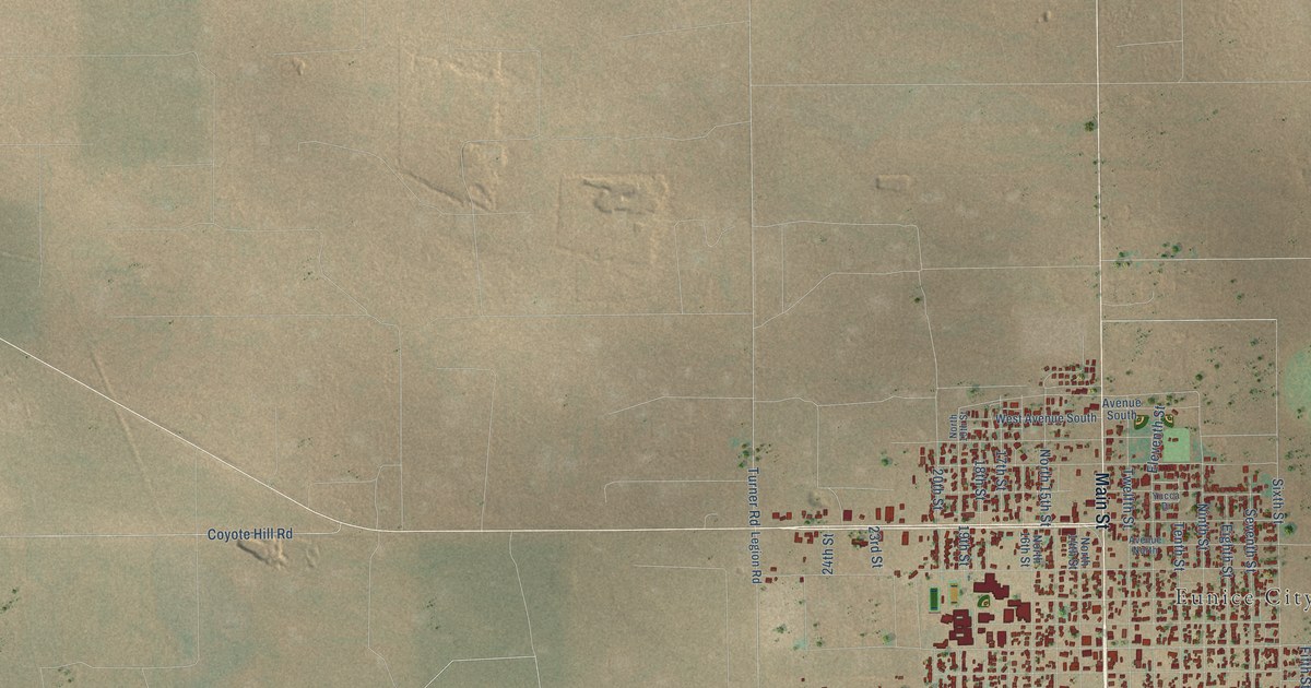
A detailed map of Eunice, New Mexico, showing every building in its true location, the roads by name, and shaded topographical relief.
Read More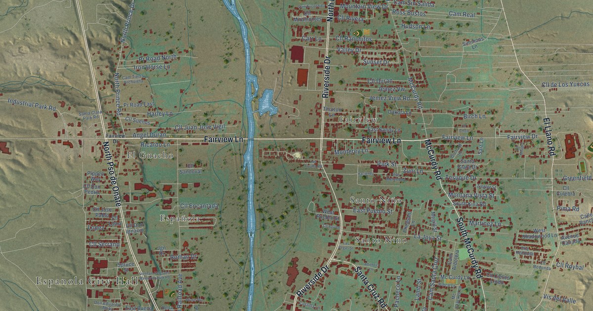
A detailed map of Española, New Mexico, showing every building in its true location, the roads by name, and shaded topographical relief.
Read More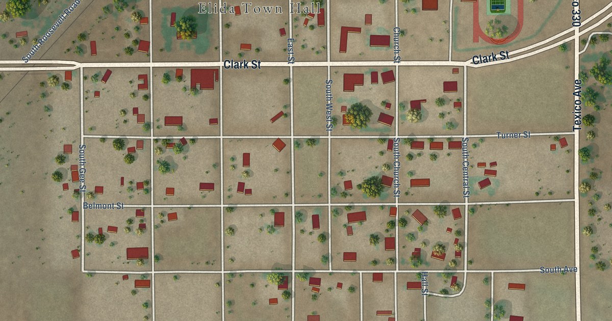
A detailed map of Elida, New Mexico, showing every building in its true location, the roads by name, and shaded topographical relief.
Read More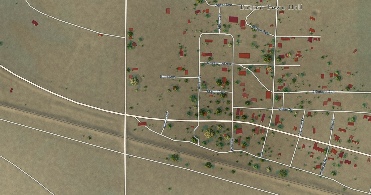
A detailed map of Encino, New Mexico, showing every building in its true location, the roads by name, and shaded topographical relief.
Read More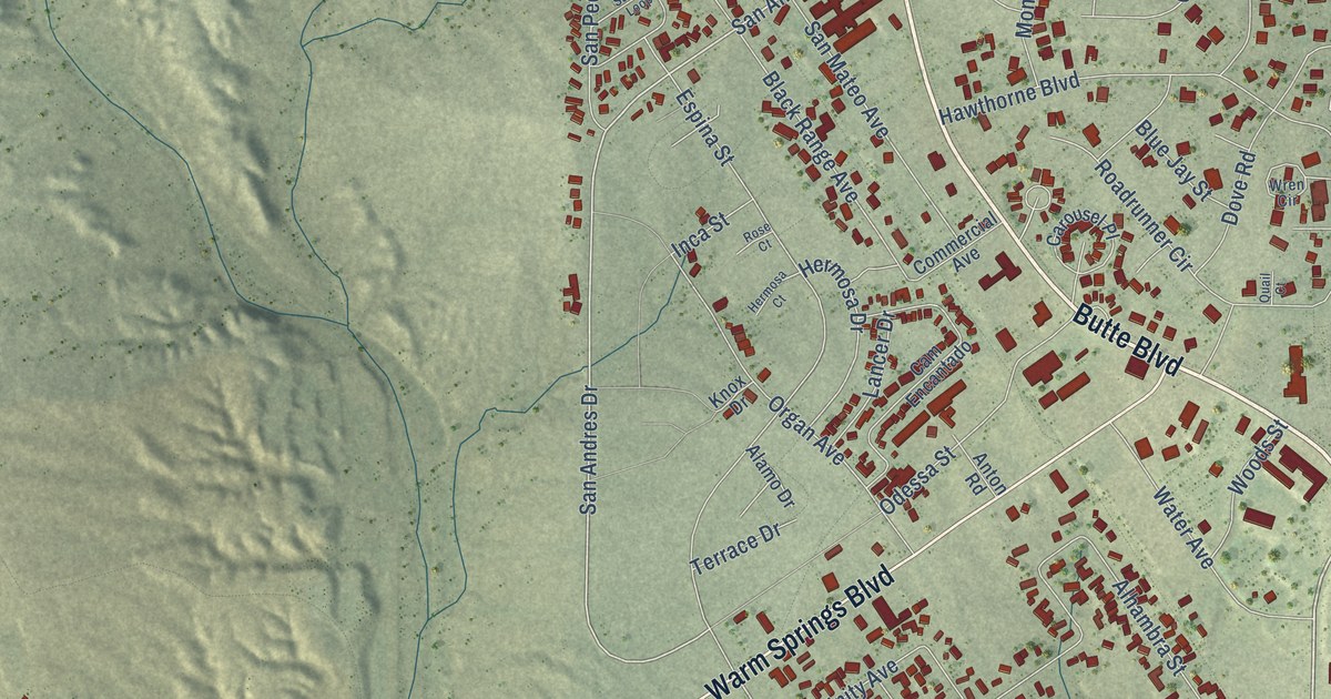
A detailed map of Elephant Butte, New Mexico, showing every building in its true location, the roads by name, and shaded topographical relief.
Read More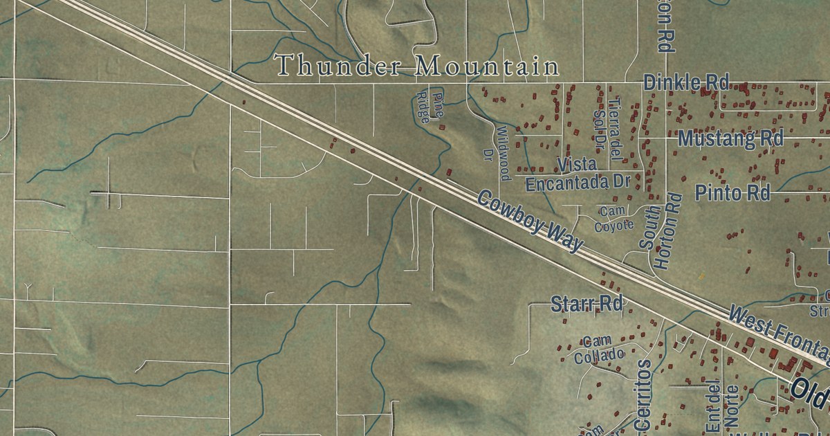
A detailed map of Edgewood, New Mexico, showing every building in its true location, the roads by name, and shaded topographical relief.
Read More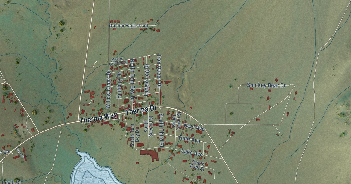
A detailed map of Eagle Nest, New Mexico, showing every building in its true location, the roads by name, and shaded topographical relief.
Read More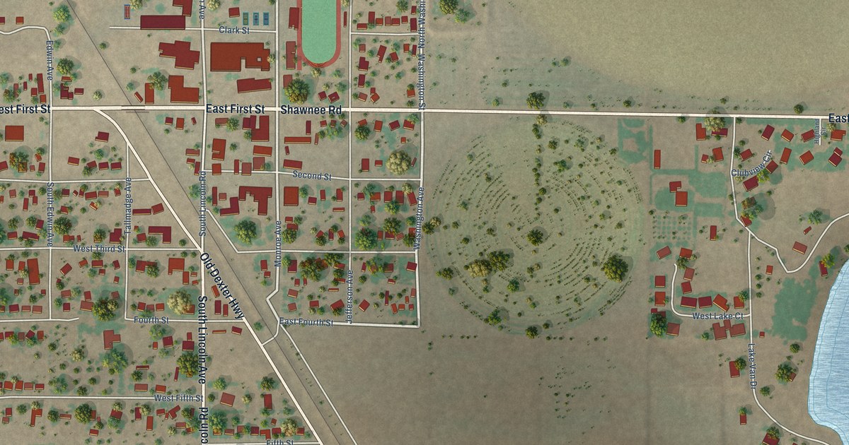
A detailed map of Dexter, New Mexico, showing every building in its true location, the roads by name, and shaded topographical relief.
Read More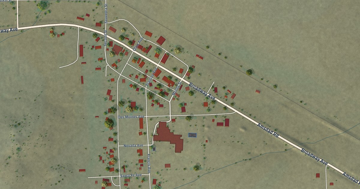
A detailed map of Des Moines, New Mexico, showing every building in its true location, the roads by name, and shaded topographical relief.
Read More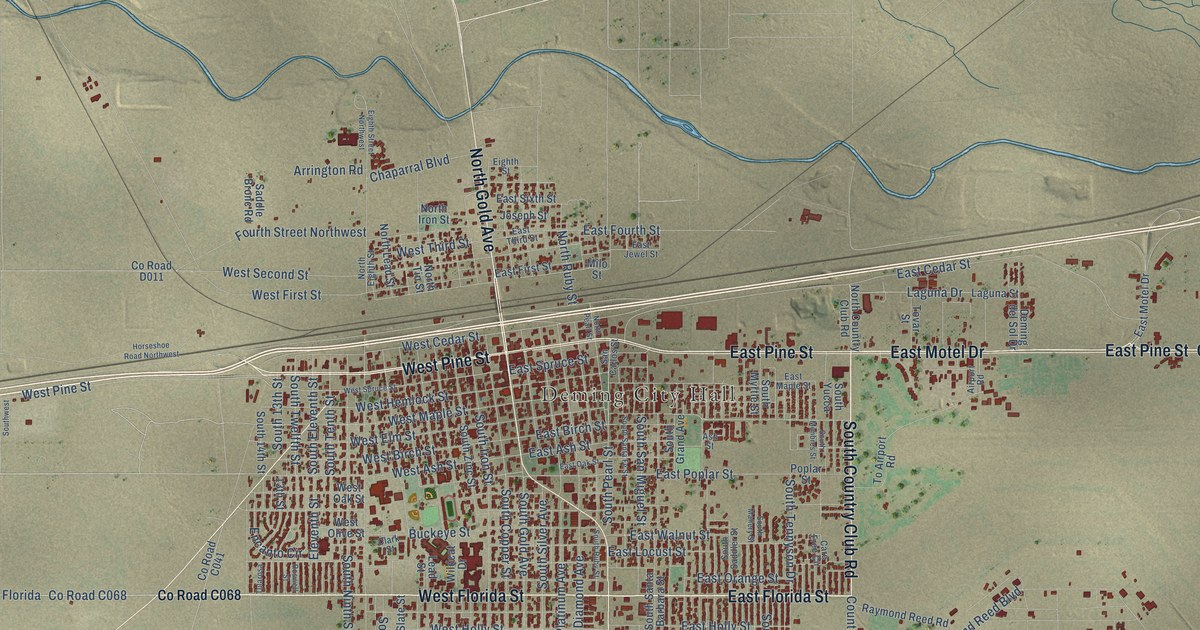
A detailed map of Deming, New Mexico, showing every building in its true location, the roads by name, and shaded topographical relief.
Read More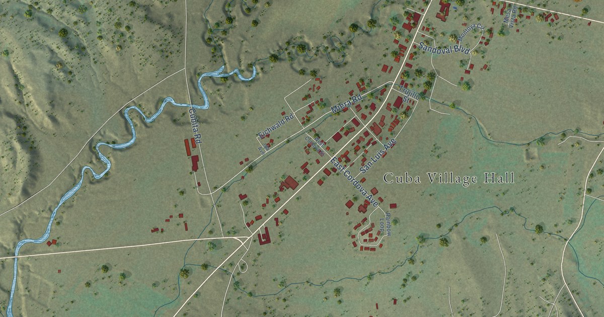
A detailed map of Cuba, New Mexico, showing every building in its true location, the roads by name, and shaded topographical relief.
Read More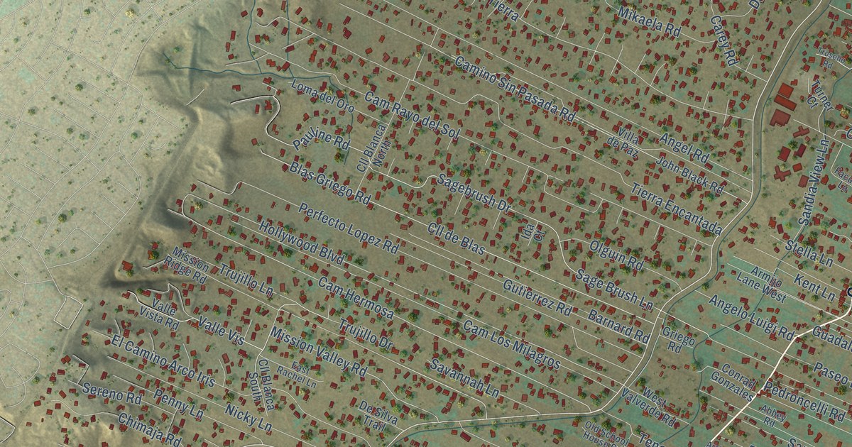
A detailed map of Corrales, New Mexico, showing every building in its true location, the roads by name, and shaded topographical relief.
Read More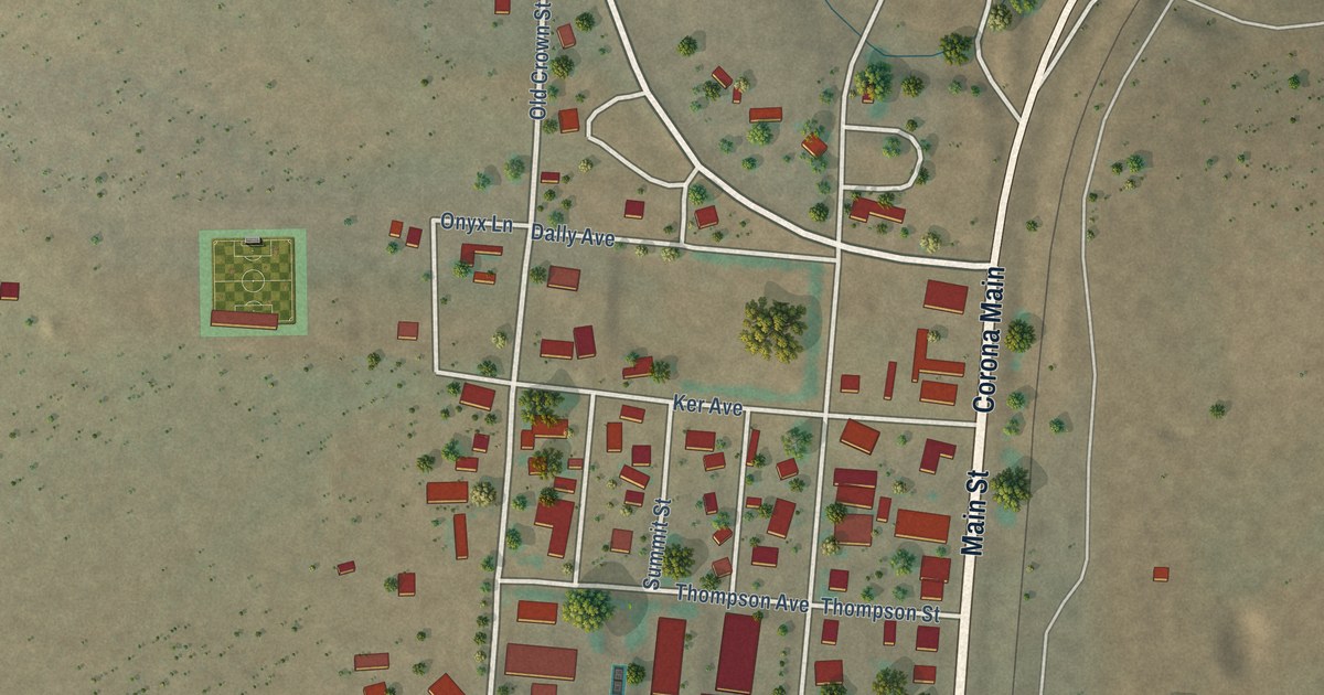
A detailed map of Corona, New Mexico, showing every building in its true location, the roads by name, and shaded topographical relief.
Read More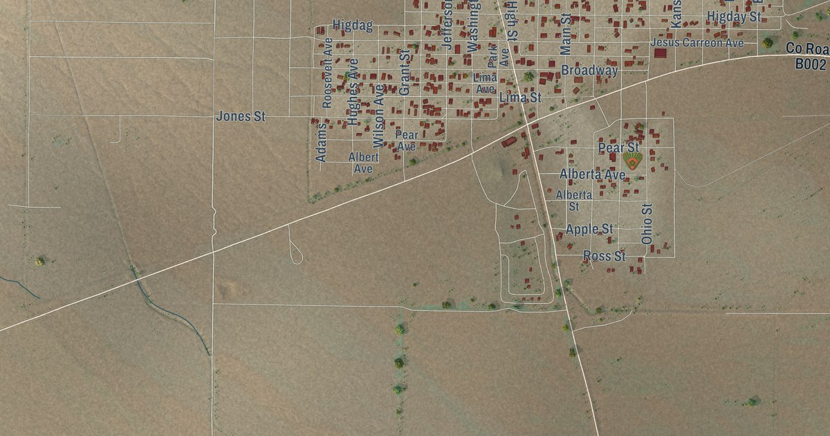
A detailed map of Columbus, New Mexico, showing every building in its true location, the roads by name, and shaded topographical relief.
Read More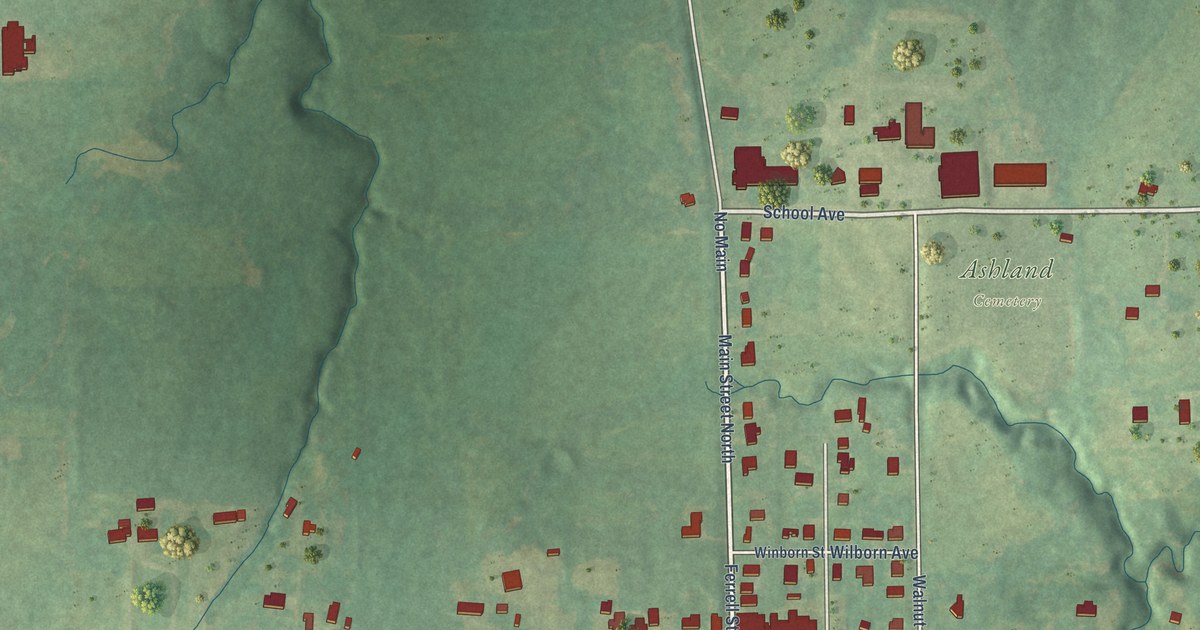
A detailed map of Ashland, Mississippi, showing every building in its true location, the roads by name, and shaded topographical relief.
Read More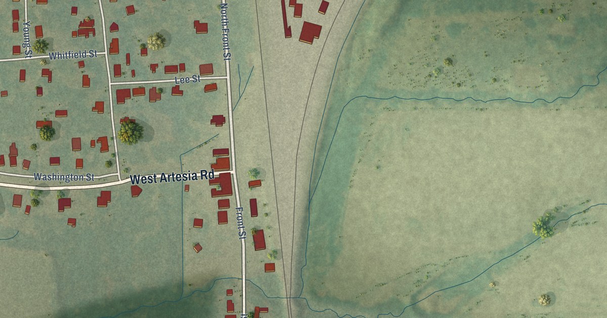
A detailed map of Artesia, Mississippi, showing every building in its true location, the roads by name, and shaded topographical relief.
Read More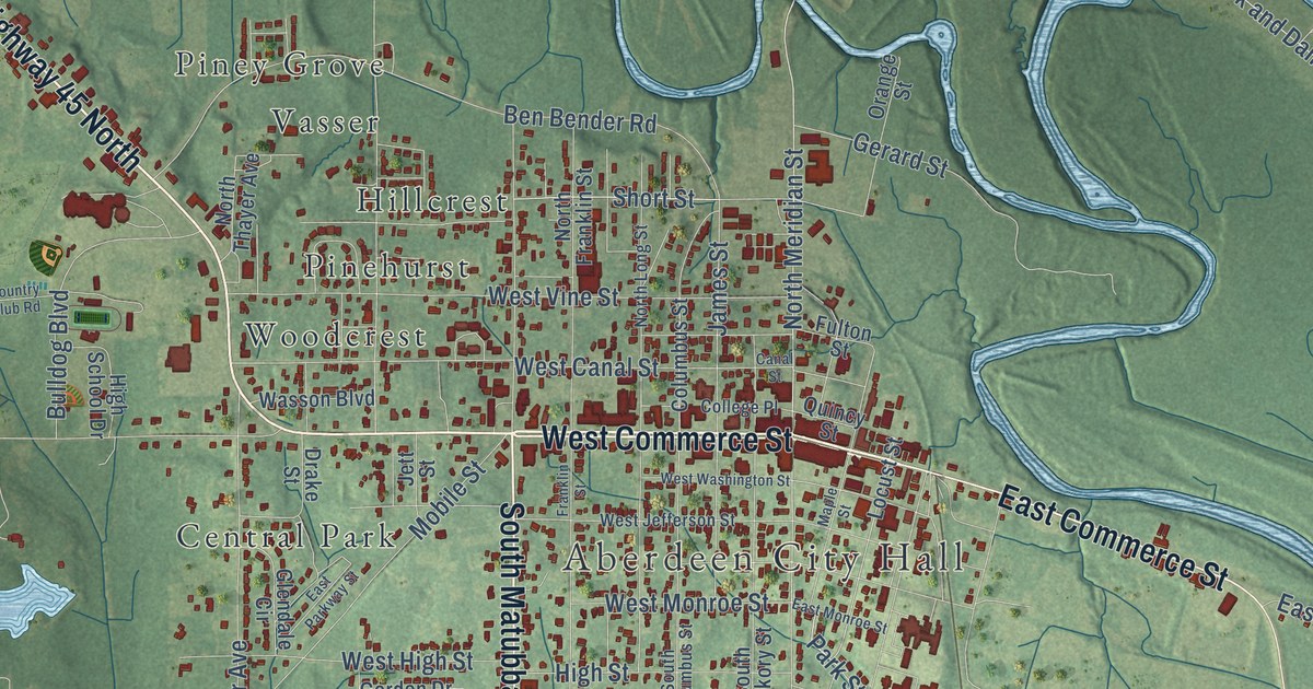
A detailed map of Aberdeen, Mississippi, showing every building in its true location, the roads by name, and shaded topographical relief.
Read More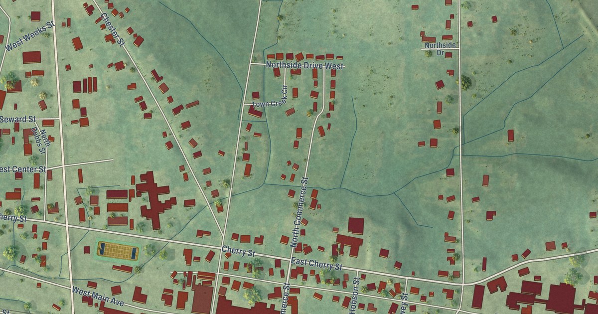
A detailed map of Ackerman, Mississippi, showing every building in its true location, the roads by name, and shaded topographical relief.
Read More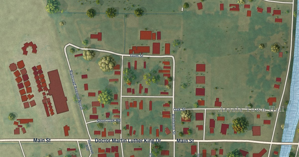
A detailed map of Arcola, Mississippi, showing every building in its true location, the roads by name, and shaded topographical relief.
Read More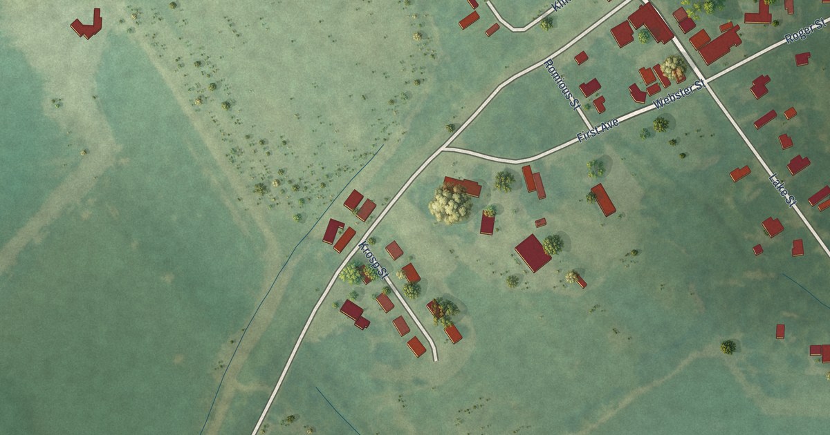
A detailed map of Alligator, Mississippi, showing every building in its true location, the roads by name, and shaded topographical relief.
Read More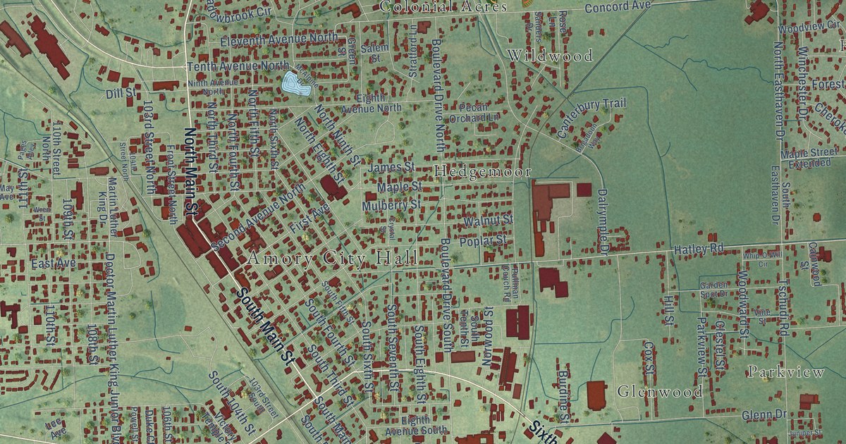
A detailed map of Amory, Mississippi, showing every building in its true location, the roads by name, and shaded topographical relief.
Read More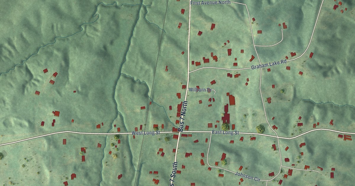
A detailed map of Abbeville, Mississippi, showing every building in its true location, the roads by name, and shaded topographical relief.
Read More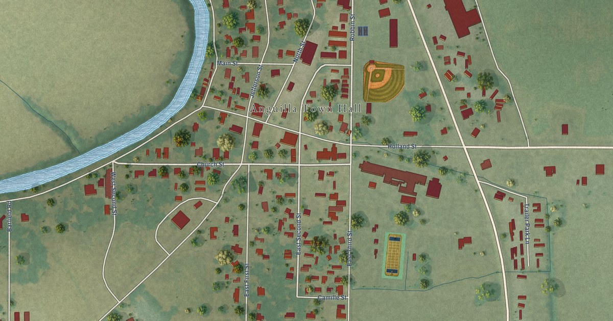
A detailed map of Anguilla, Mississippi, showing every building in its true location, the roads by name, and shaded topographical relief.
Read More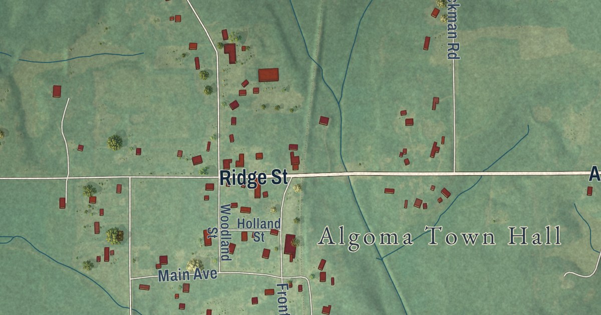
A detailed map of Algoma, Mississippi, showing every building in its true location, the roads by name, and shaded topographical relief.
Read More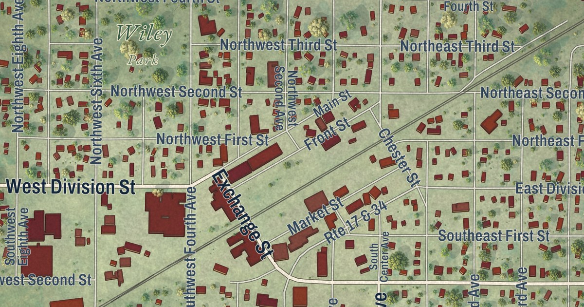
A detailed map of Galva, Illinois, showing every building in its true location, the roads by name, and shaded topographical relief.
Read More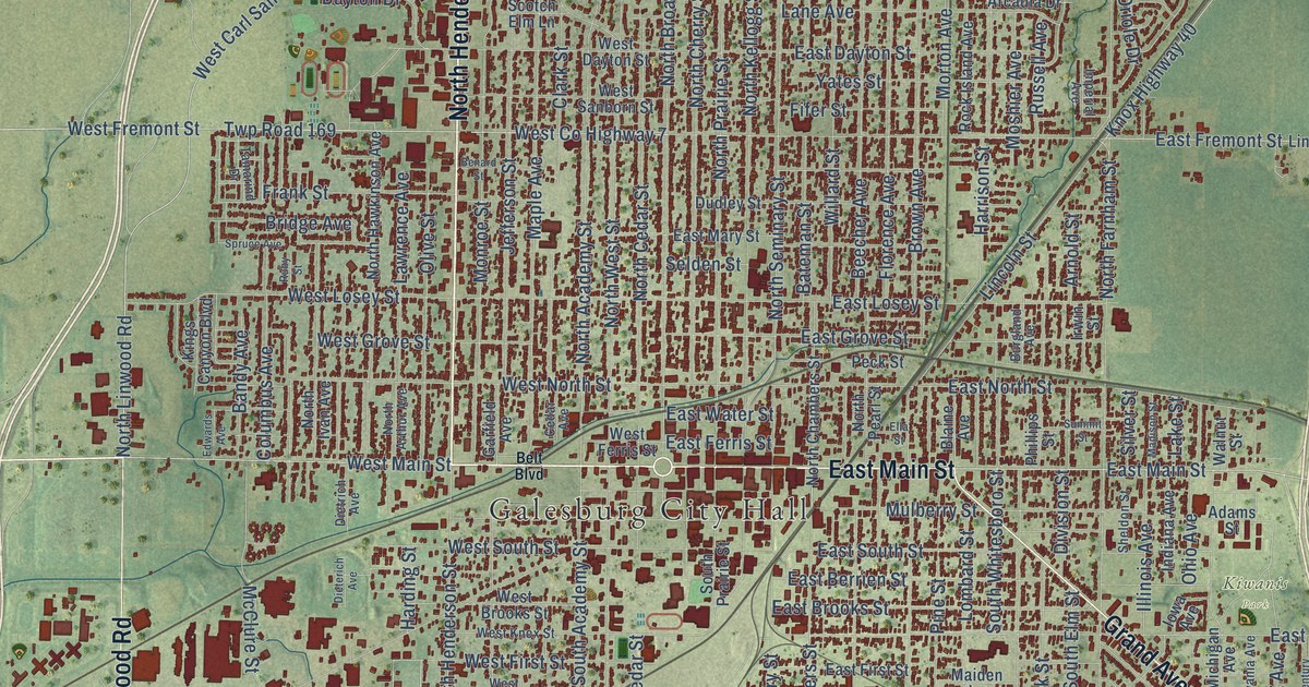
A detailed map of Galesburg, Illinois, showing every building in its true location, the roads by name, and shaded topographical relief.
Read More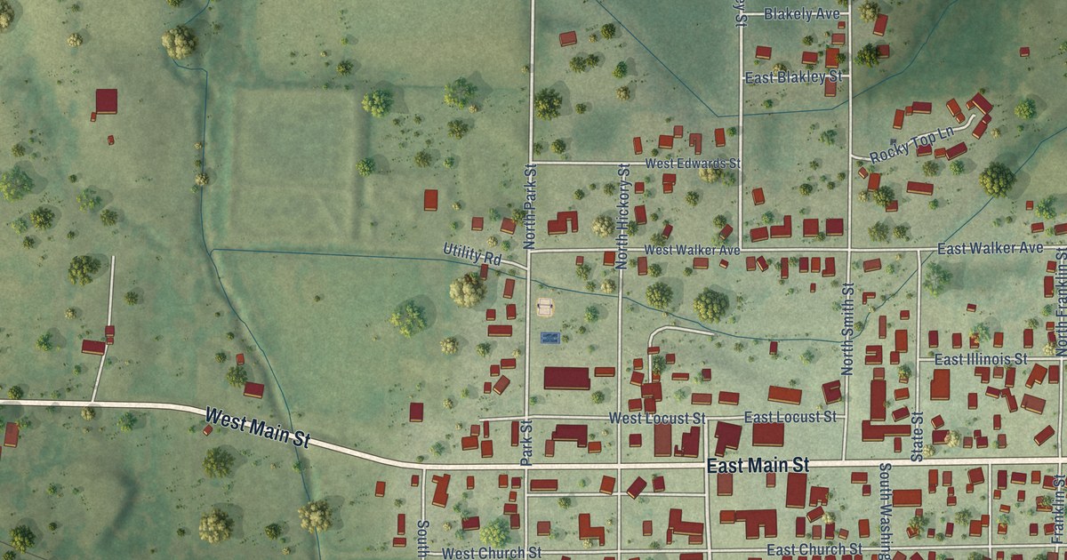
A detailed map of Galatia, Illinois, showing every building in its true location, the roads by name, and shaded topographical relief.
Read More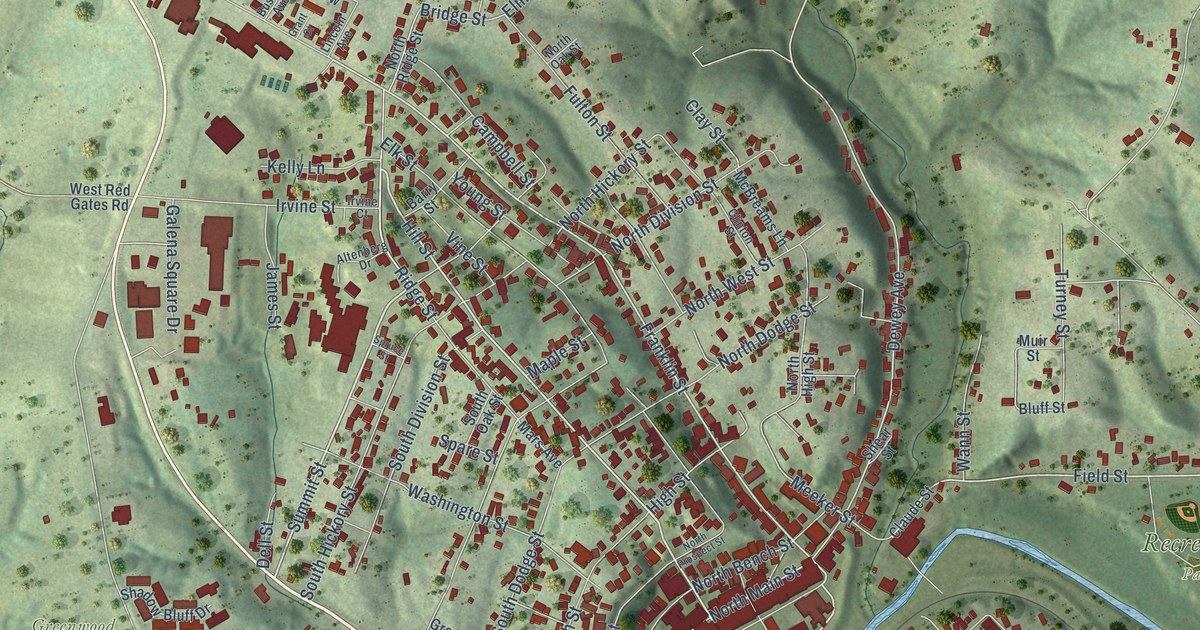
A detailed map of Galena, Illinois, showing every building in its true location, the roads by name, and shaded topographical relief.
Read More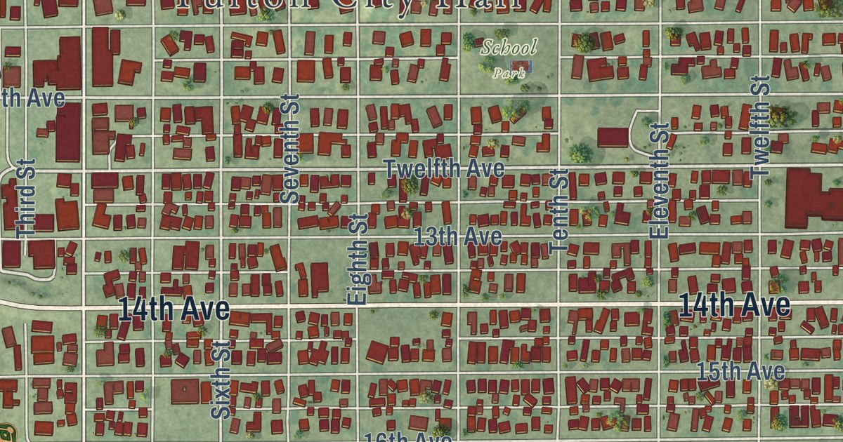
A detailed map of Fulton, Illinois, showing every building in its true location, the roads by name, and shaded topographical relief.
Read More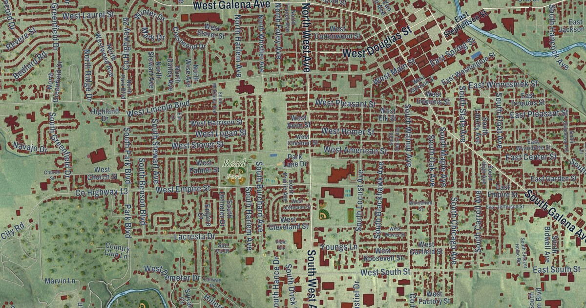
A detailed map of Freeport, Illinois, showing every building in its true location, the roads by name, and shaded topographical relief.
Read More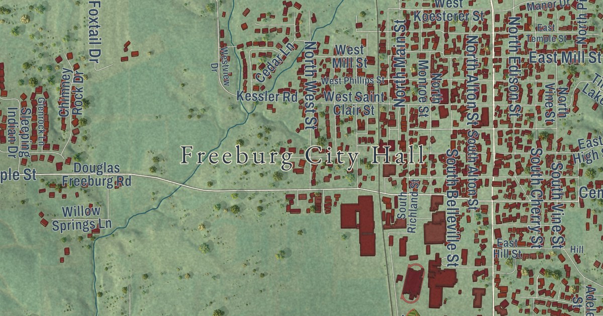
A detailed map of Freeburg, Illinois, showing every building in its true location, the roads by name, and shaded topographical relief.
Read More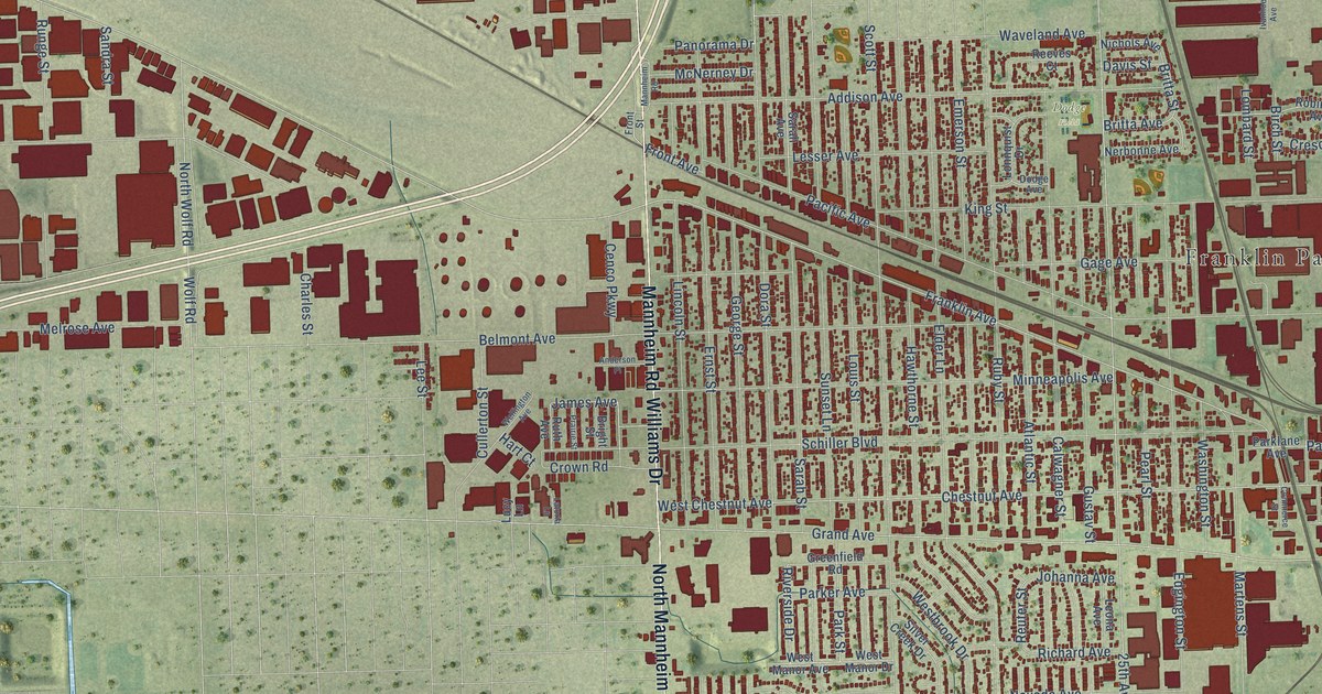
A detailed map of Franklin Park, Illinois, showing every building in its true location, the roads by name, and shaded topographical relief.
Read More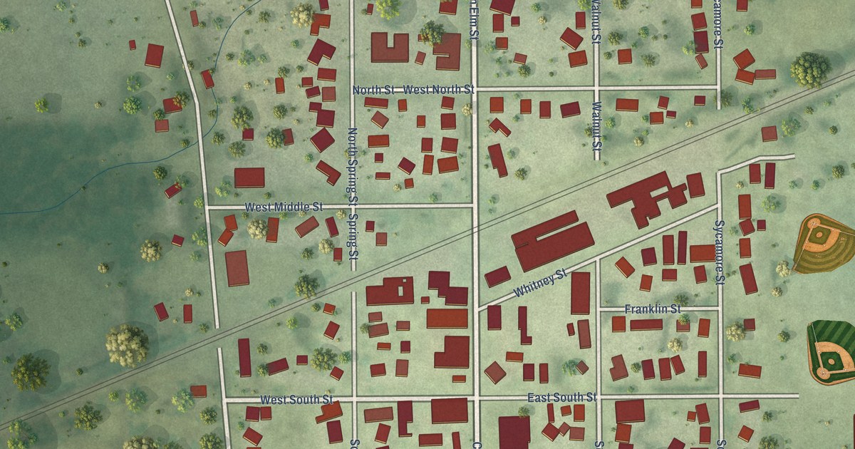
A detailed map of Franklin Grove, Illinois, showing every building in its true location, the roads by name, and shaded topographical relief.
Read More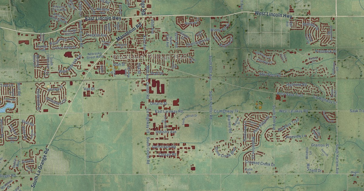
A detailed map of Frankfort, Illinois, showing every building in its true location, the roads by name, and shaded topographical relief.
Read More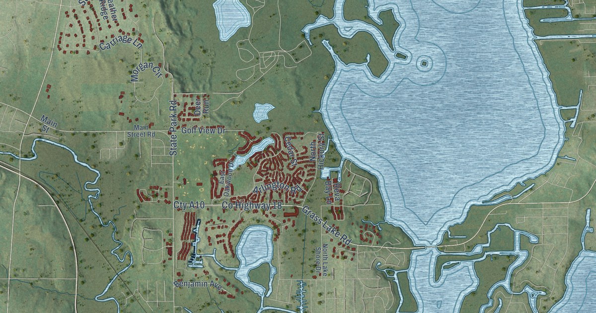
A detailed map of Fox Lake, Illinois, showing every building in its true location, the roads by name, and shaded topographical relief.
Read More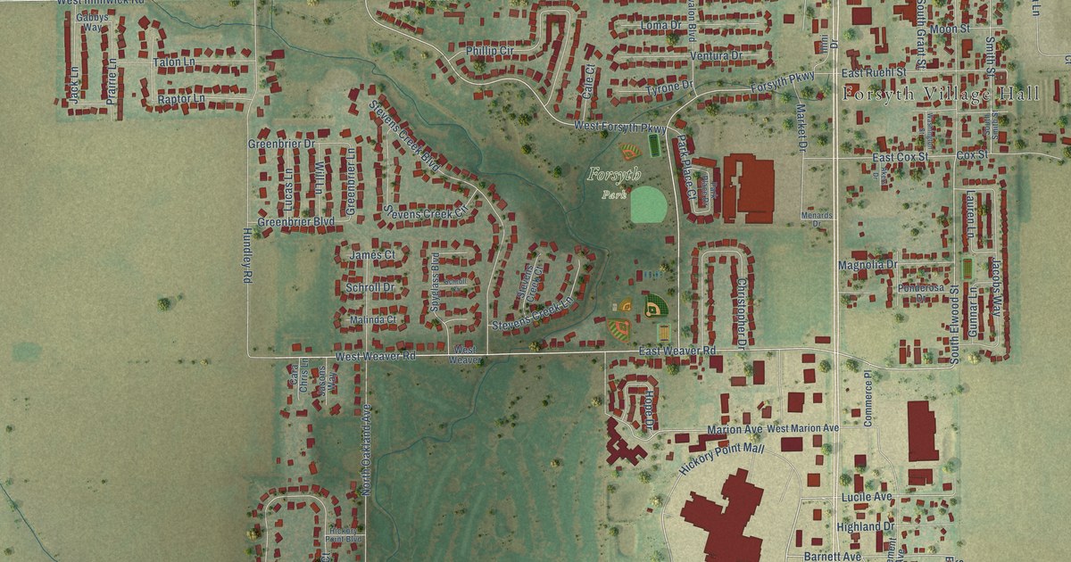
A detailed map of Forsyth, Illinois, showing every building in its true location, the roads by name, and shaded topographical relief.
Read More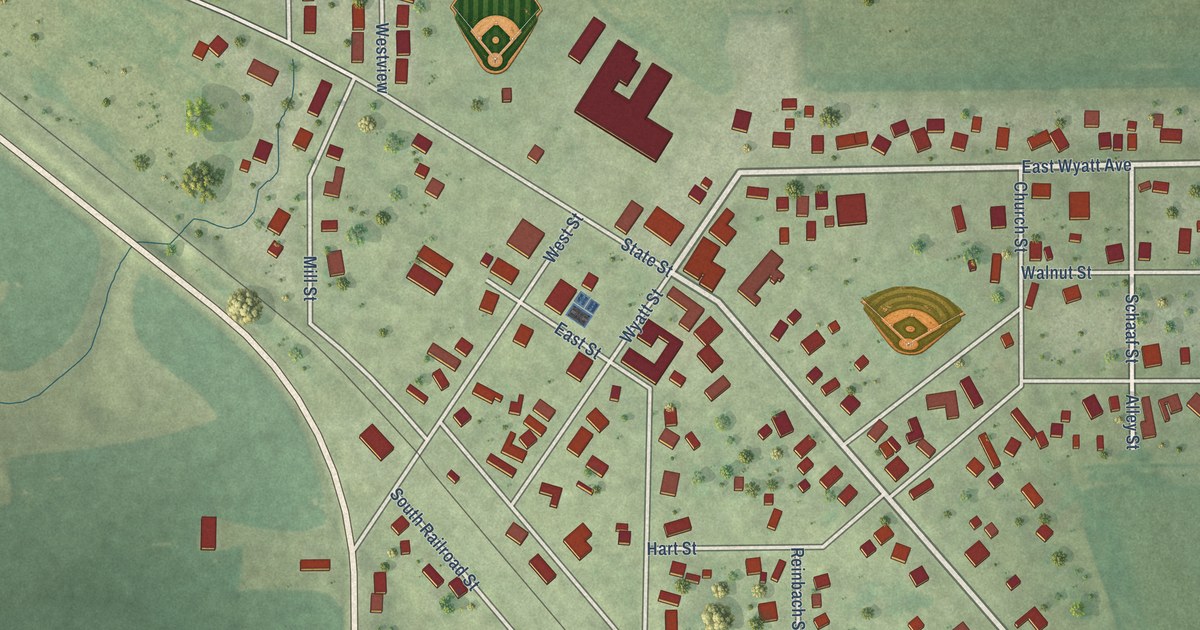
A detailed map of Franklin, Illinois, showing every building in its true location, the roads by name, and shaded topographical relief.
Read More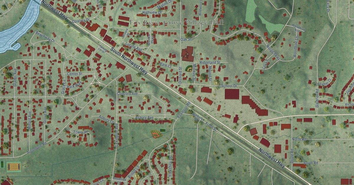
A detailed map of Fox River Grove, Illinois, showing every building in its true location, the roads by name, and shaded topographical relief.
Read More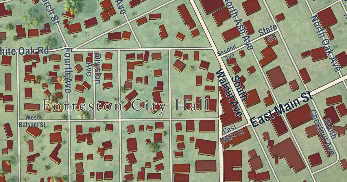
A detailed map of Forreston, Illinois, showing every building in its true location, the roads by name, and shaded topographical relief.
Read More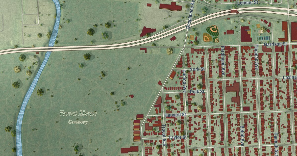
A detailed map of Forest Park, Illinois, showing every building in its true location, the roads by name, and shaded topographical relief.
Read More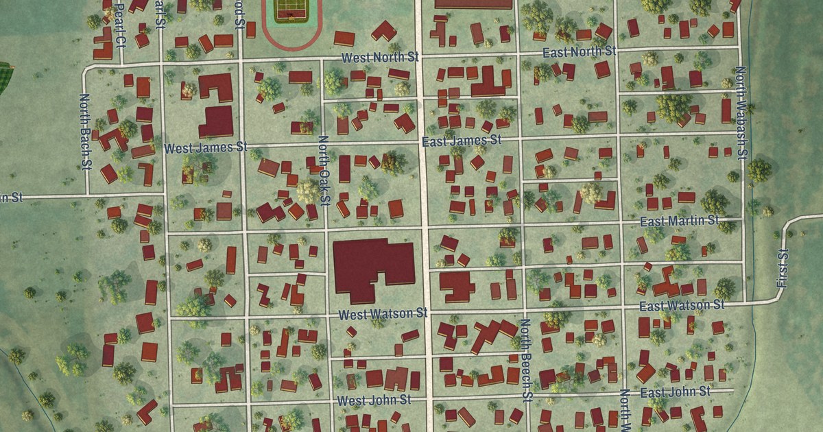
A detailed map of Forrest, Illinois, showing every building in its true location, the roads by name, and shaded topographical relief.
Read More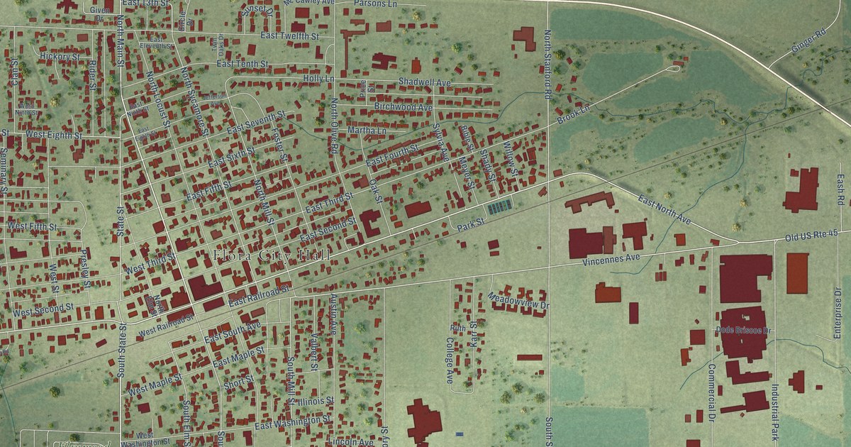
A detailed map of Flora, Illinois, showing every building in its true location, the roads by name, and shaded topographical relief.
Read More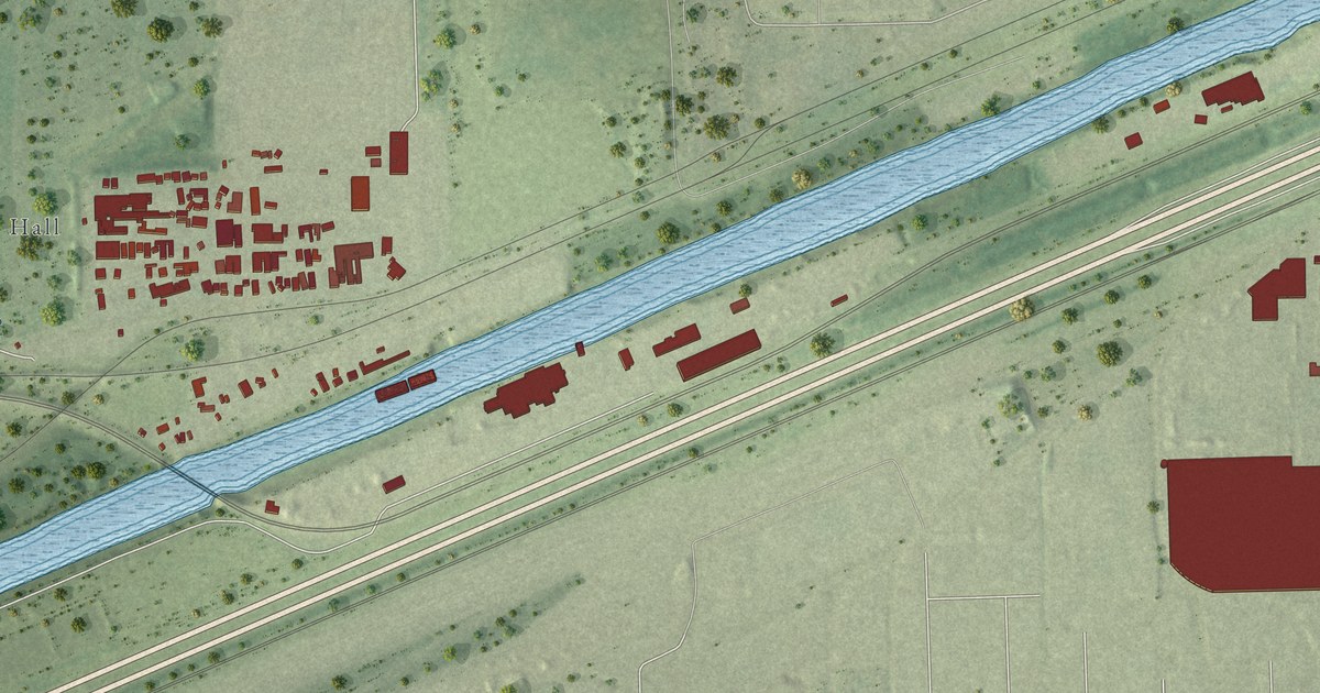
A detailed map of Forest View, Illinois, showing every building in its true location, the roads by name, and shaded topographical relief.
Read More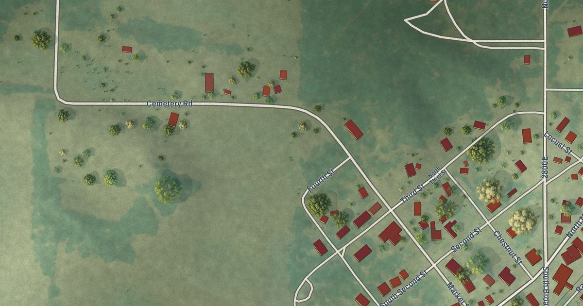
A detailed map of Forest City, Illinois, showing every building in its true location, the roads by name, and shaded topographical relief.
Read More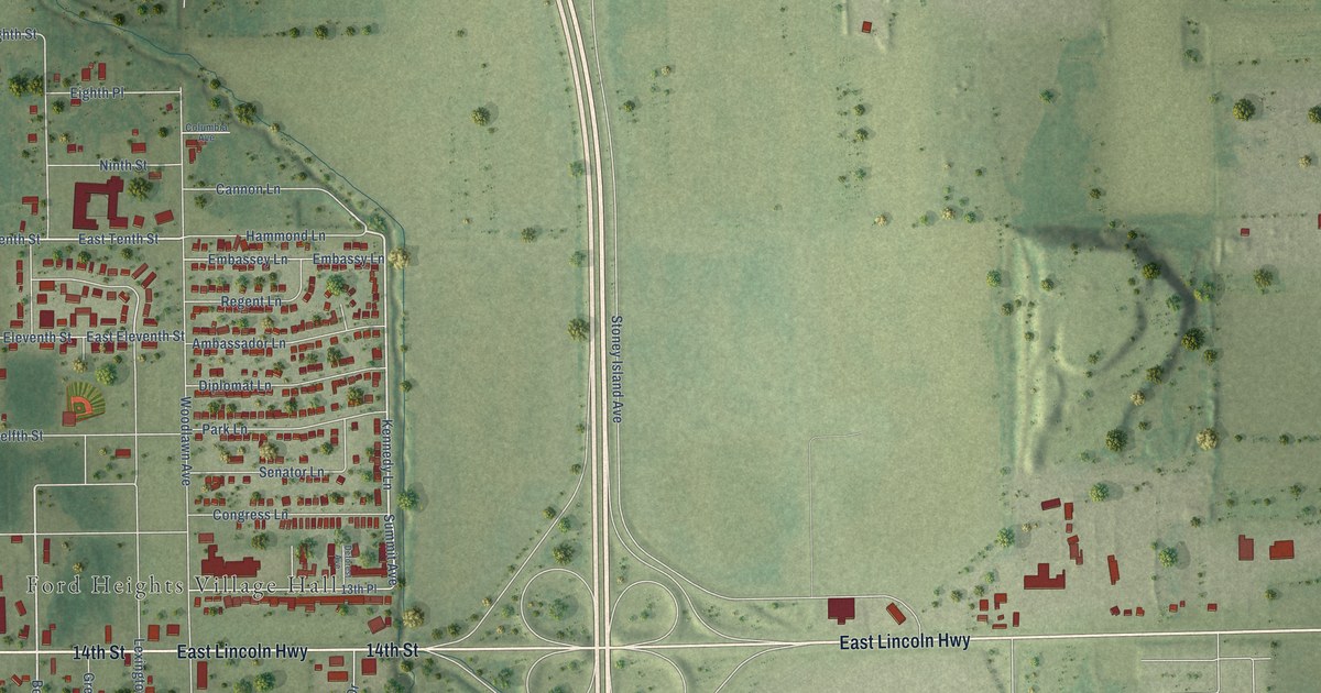
A detailed map of Ford Heights, Illinois, showing every building in its true location, the roads by name, and shaded topographical relief.
Read More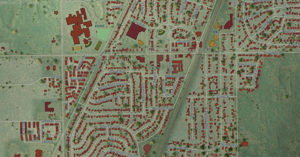
A detailed map of Flossmoor, Illinois, showing every building in its true location, the roads by name, and shaded topographical relief.
Read More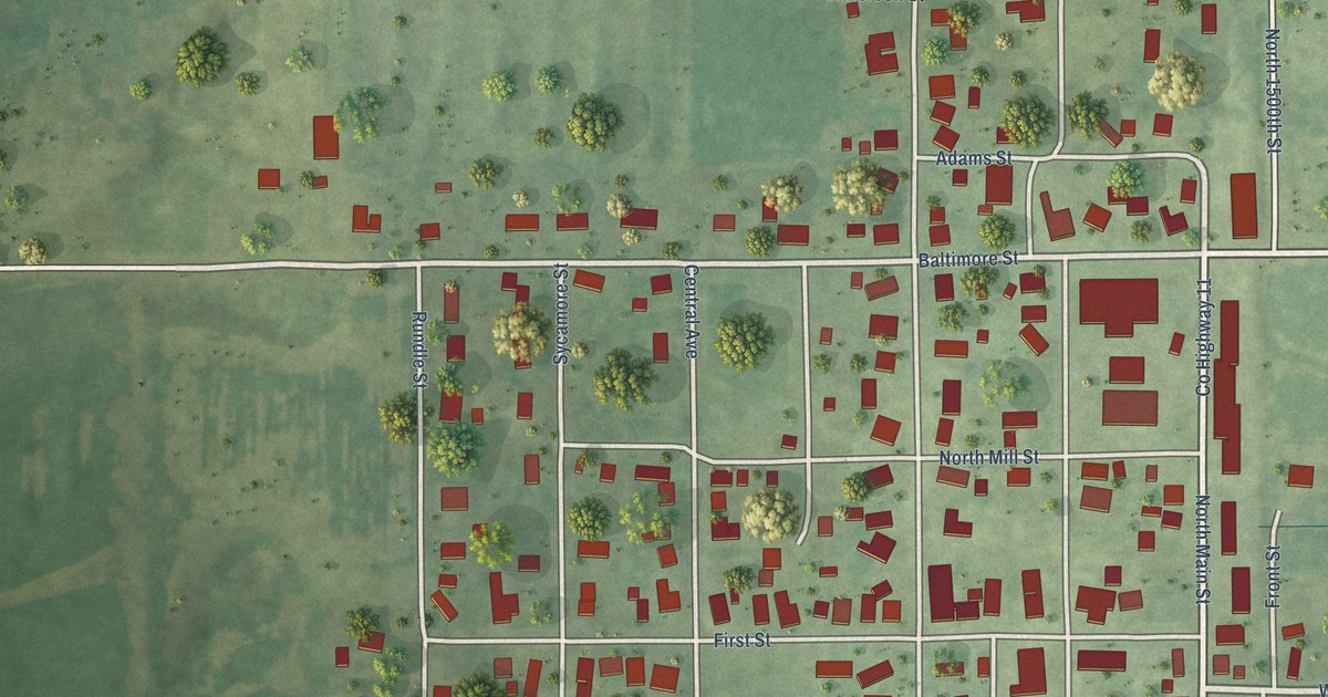
A detailed map of Flat Rock, Illinois, showing every building in its true location, the roads by name, and shaded topographical relief.
Read More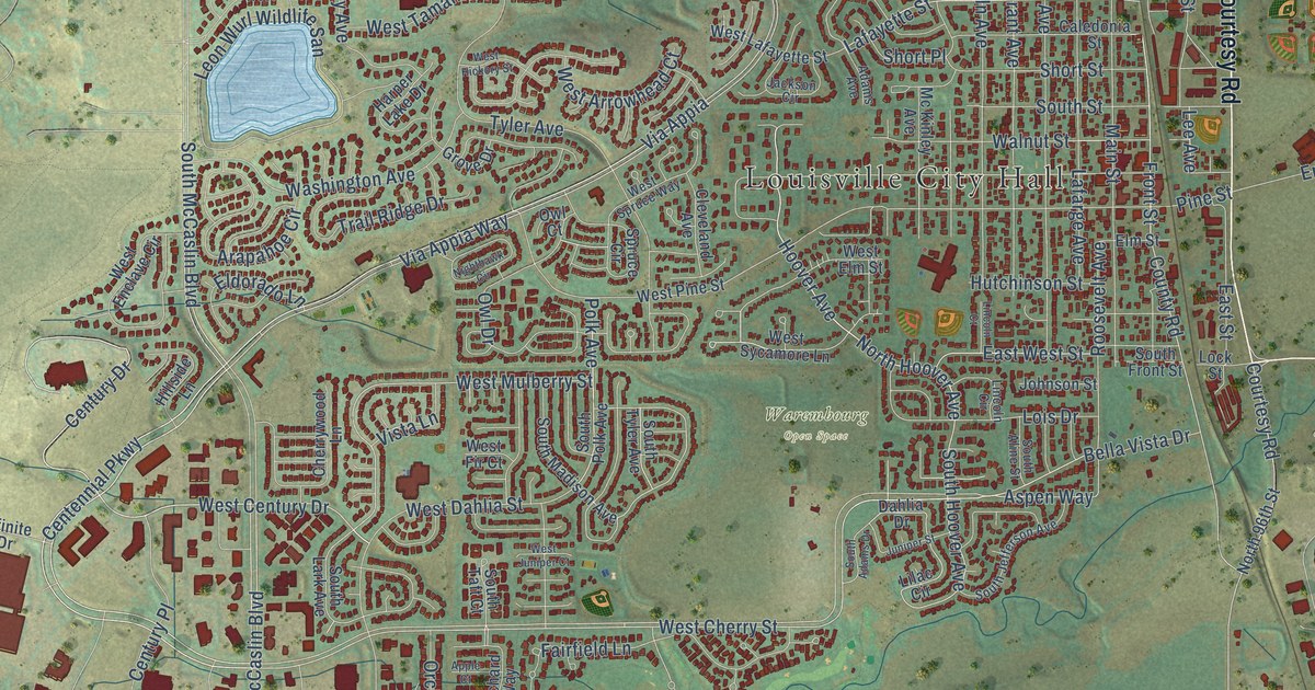
A detailed map of Louisville, Colorado, showing every building in its true location, the roads by name, and shaded topographical relief.
Read More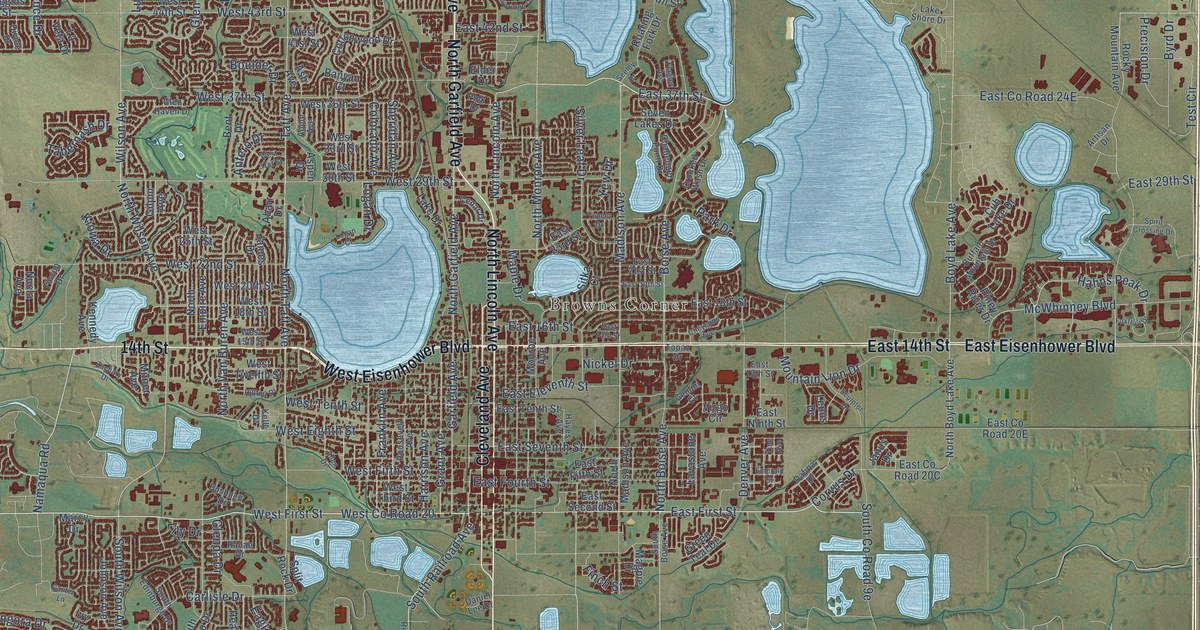
A detailed map of Loveland, Colorado, showing every building in its true location, the roads by name, and shaded topographical relief.
Read More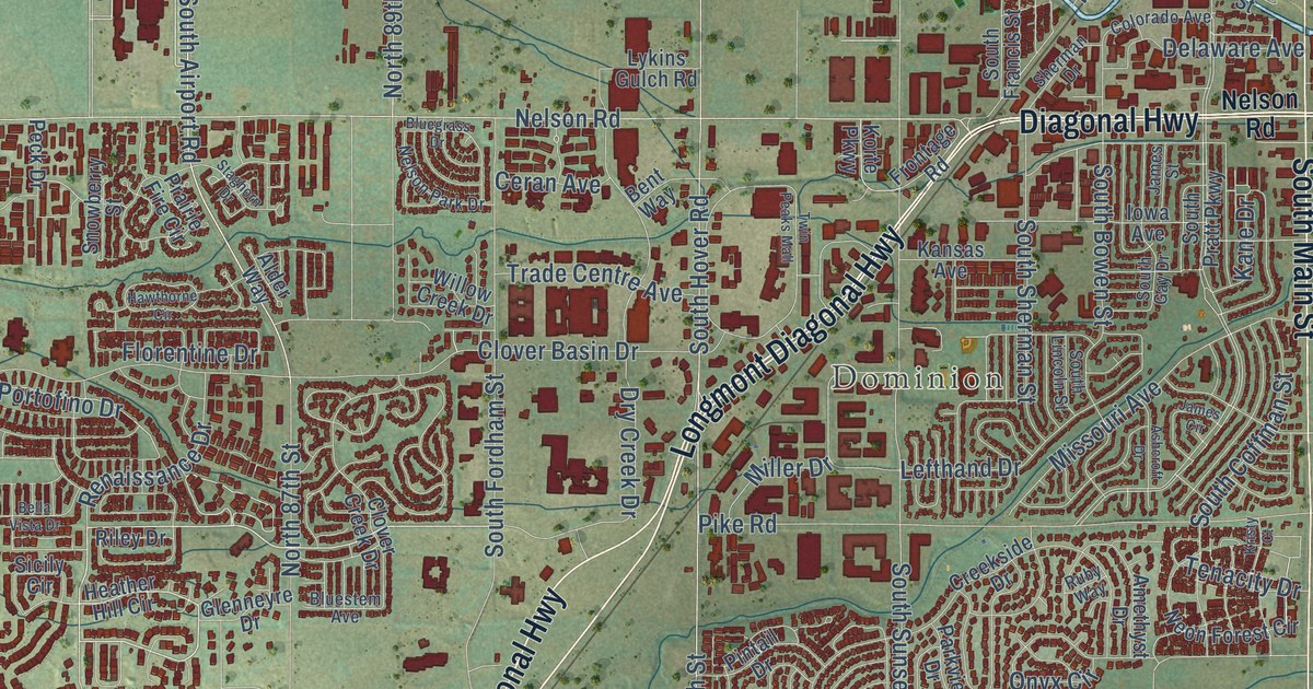
A detailed map of Longmont, Colorado, showing every building in its true location, the roads by name, and shaded topographical relief.
Read More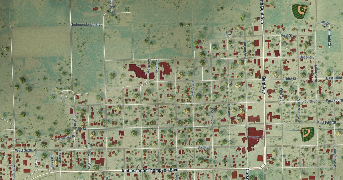
A detailed map of Las Animas, Colorado, showing every building in its true location, the roads by name, and shaded topographical relief.
Read More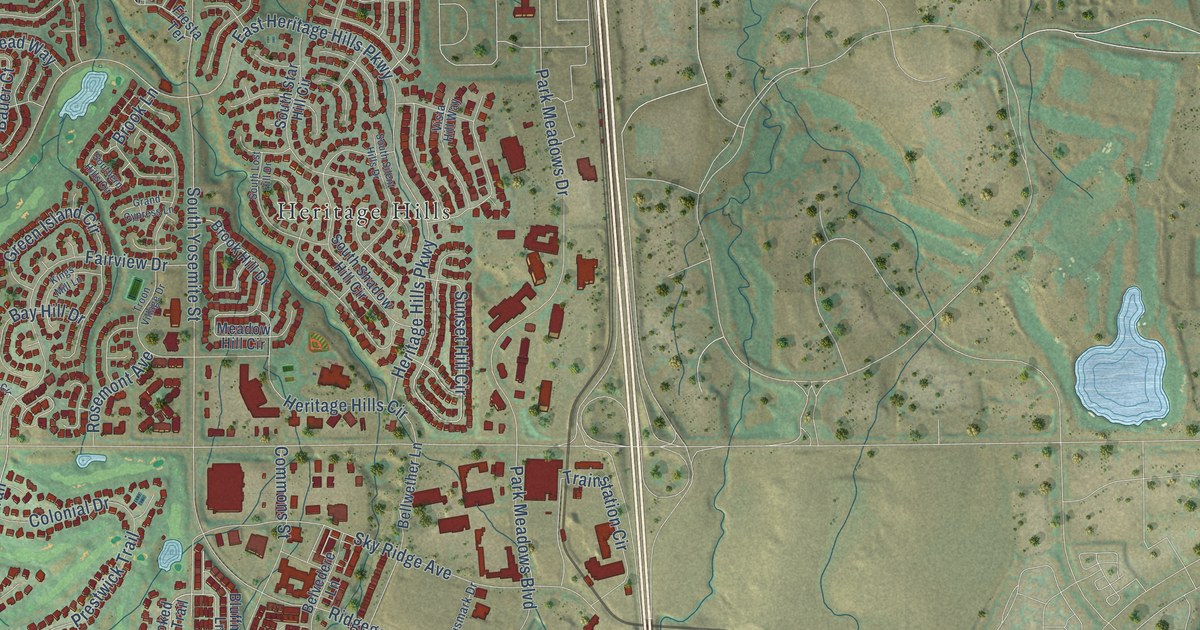
A detailed map of Lone Tree, Colorado, showing every building in its true location, the roads by name, and shaded topographical relief.
Read More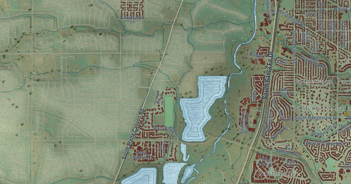
A detailed map of Littleton, Colorado, showing every building in its true location, the roads by name, and shaded topographical relief.
Read More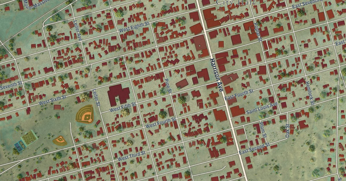
A detailed map of Leadville, Colorado, showing every building in its true location, the roads by name, and shaded topographical relief.
Read More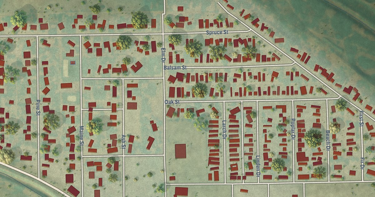
A detailed map of Log Lane Village, Colorado, showing every building in its true location, the roads by name, and shaded topographical relief.
Read More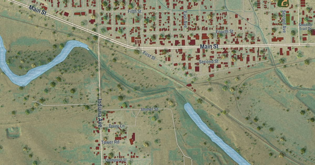
A detailed map of Limon, Colorado, showing every building in its true location, the roads by name, and shaded topographical relief.
Read More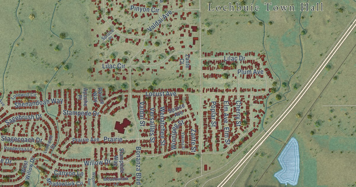
A detailed map of Lochbuie, Colorado, showing every building in its true location, the roads by name, and shaded topographical relief.
Read More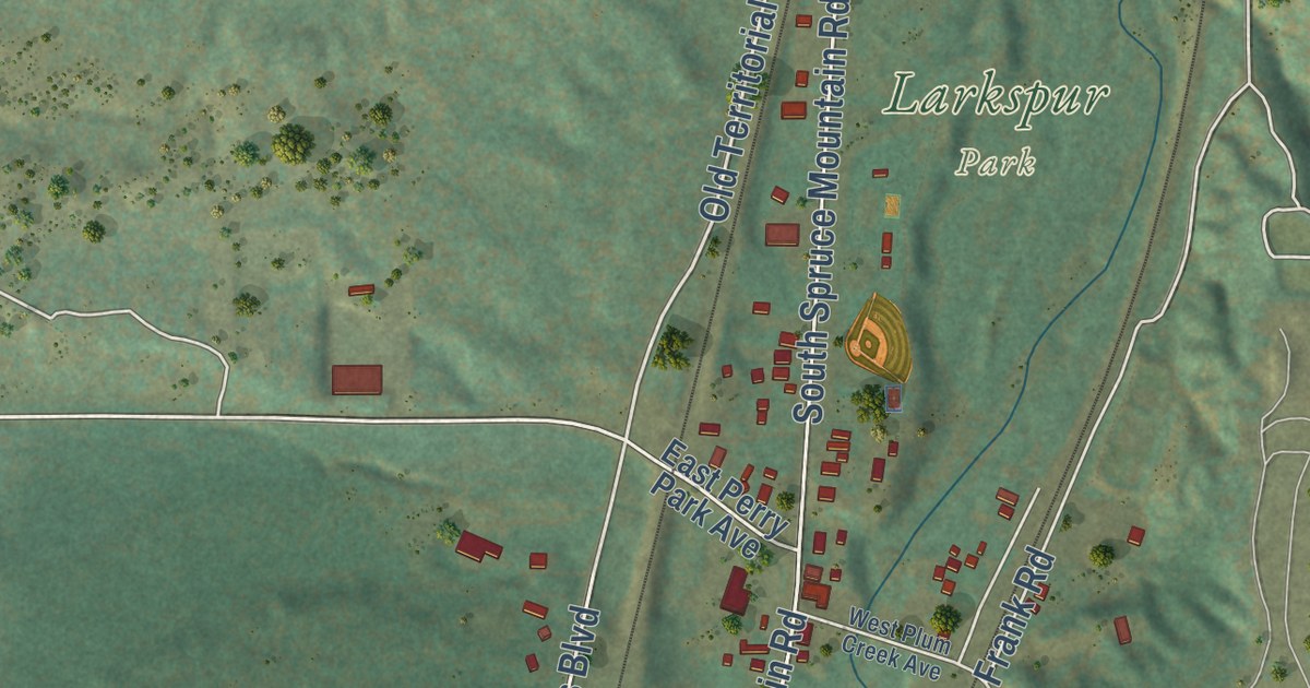
A detailed map of Larkspur, Colorado, showing every building in its true location, the roads by name, and shaded topographical relief.
Read More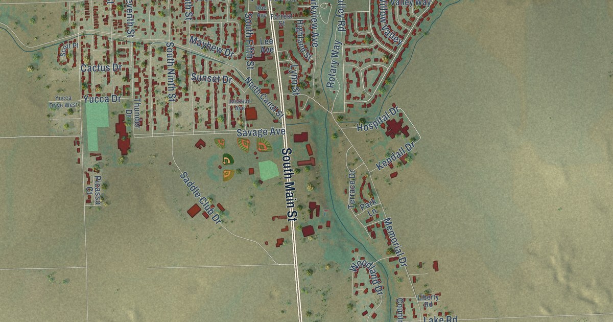
A detailed map of Lamar, Colorado, showing every building in its true location, the roads by name, and shaded topographical relief.
Read More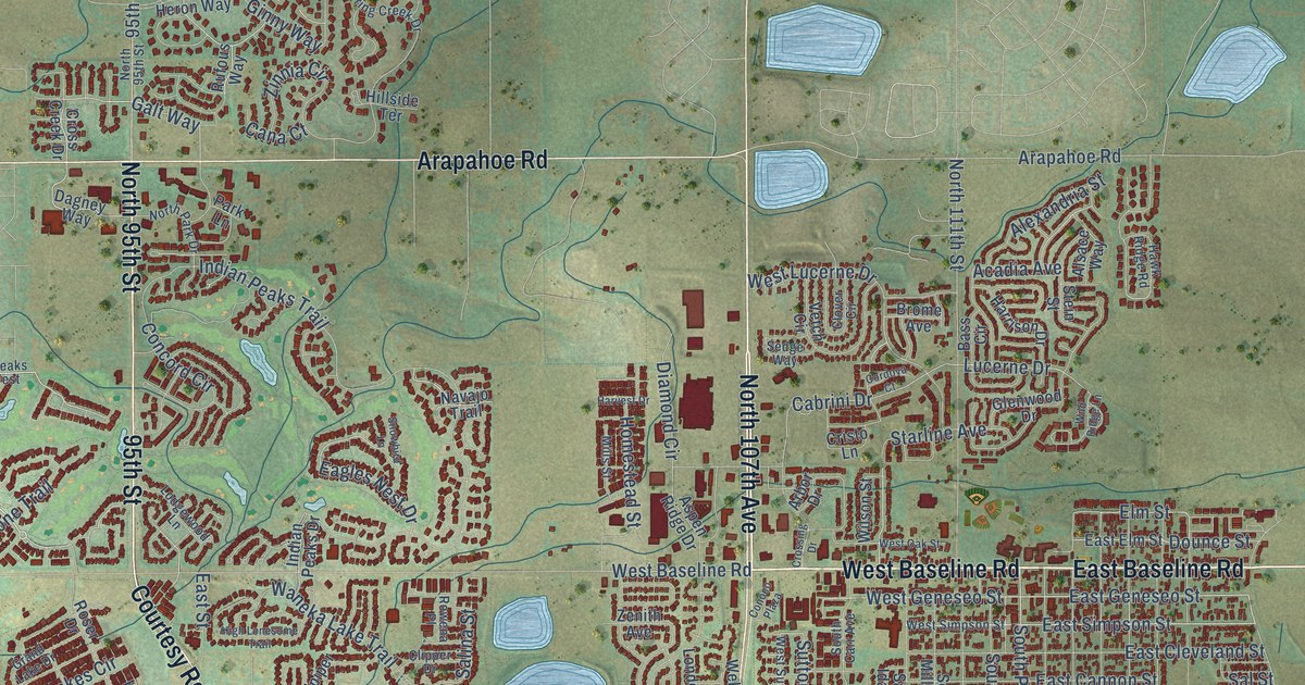
A detailed map of Lafayette, Colorado, showing every building in its true location, the roads by name, and shaded topographical relief.
Read More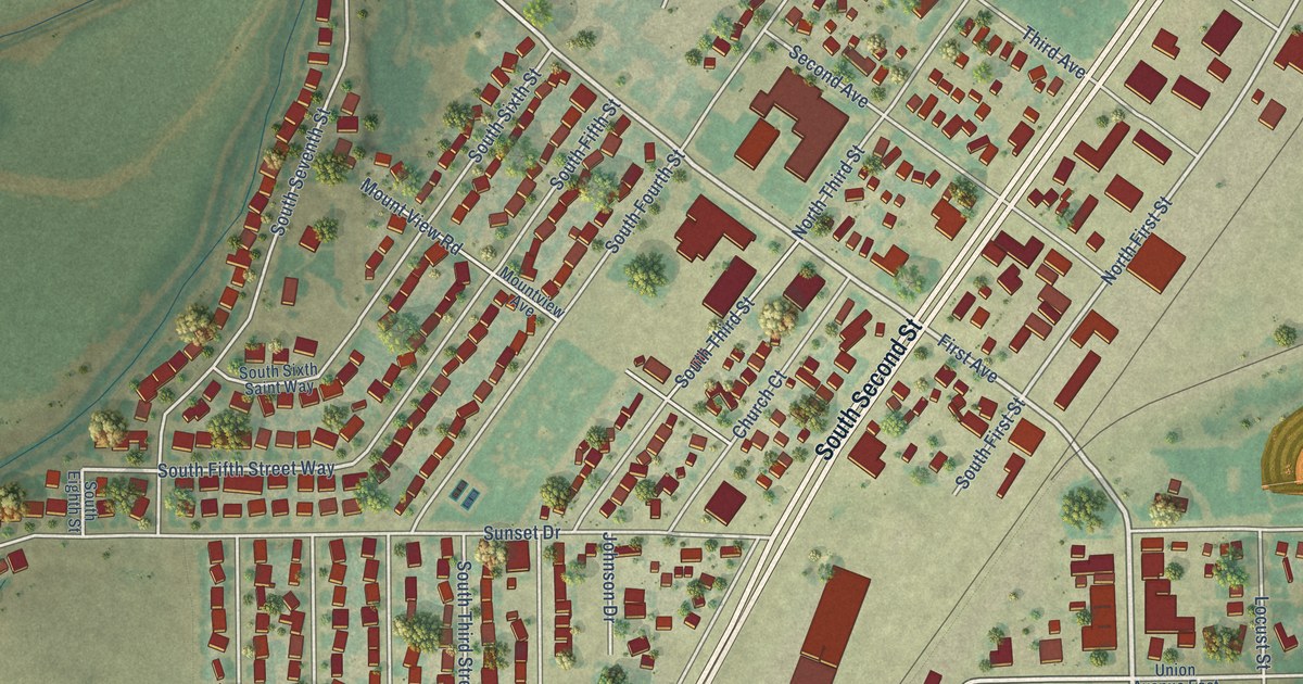
A detailed map of La Salle, Colorado, showing every building in its true location, the roads by name, and shaded topographical relief.
Read More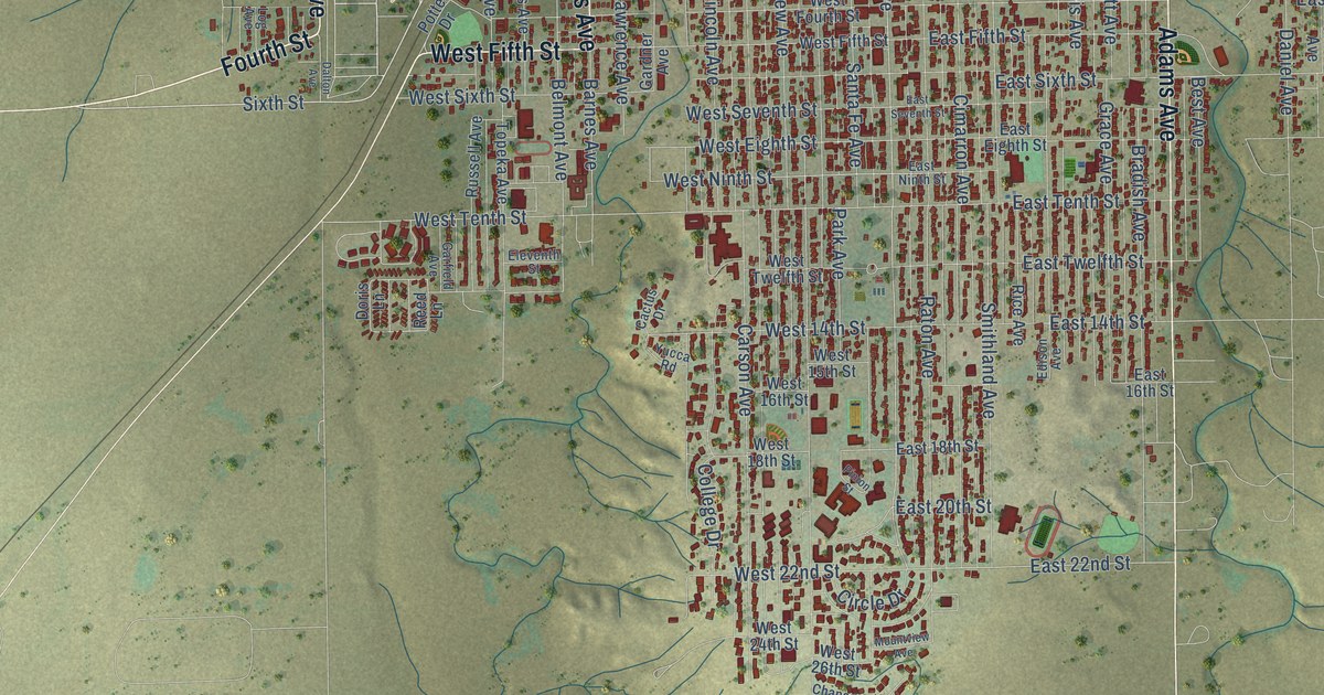
A detailed map of La Junta, Colorado, showing every building in its true location, the roads by name, and shaded topographical relief.
Read More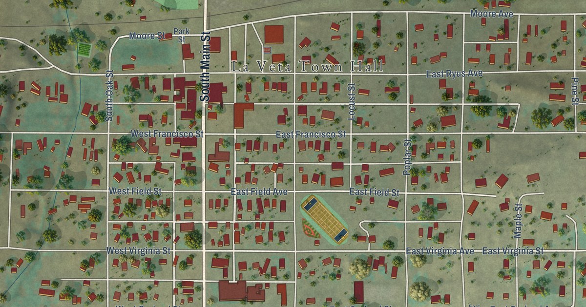
A detailed map of La Veta, Colorado, showing every building in its true location, the roads by name, and shaded topographical relief.
Read More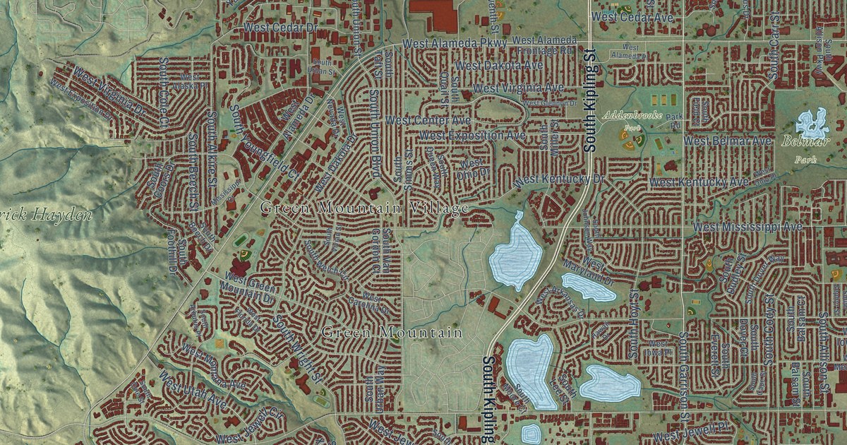
A detailed map of Lakewood, Colorado, showing every building in its true location, the roads by name, and shaded topographical relief.
Read More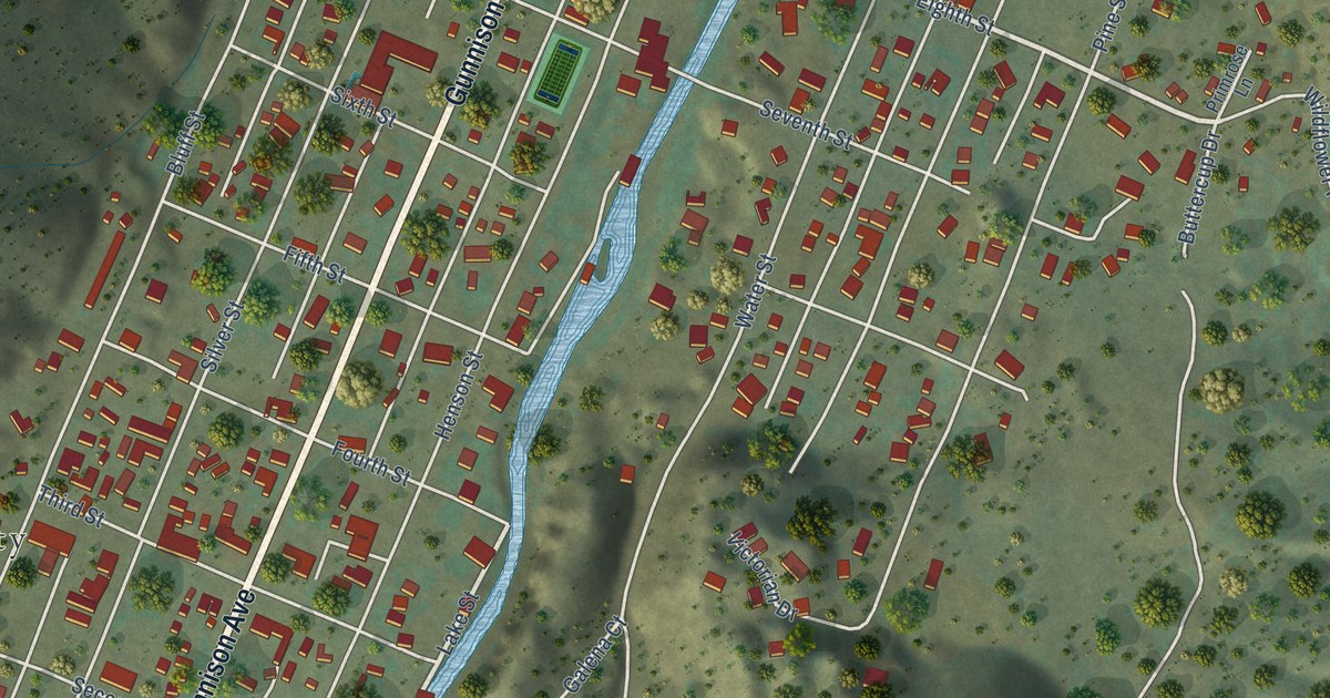
A detailed map of Lake City, Colorado, showing every building in its true location, the roads by name, and shaded topographical relief.
Read More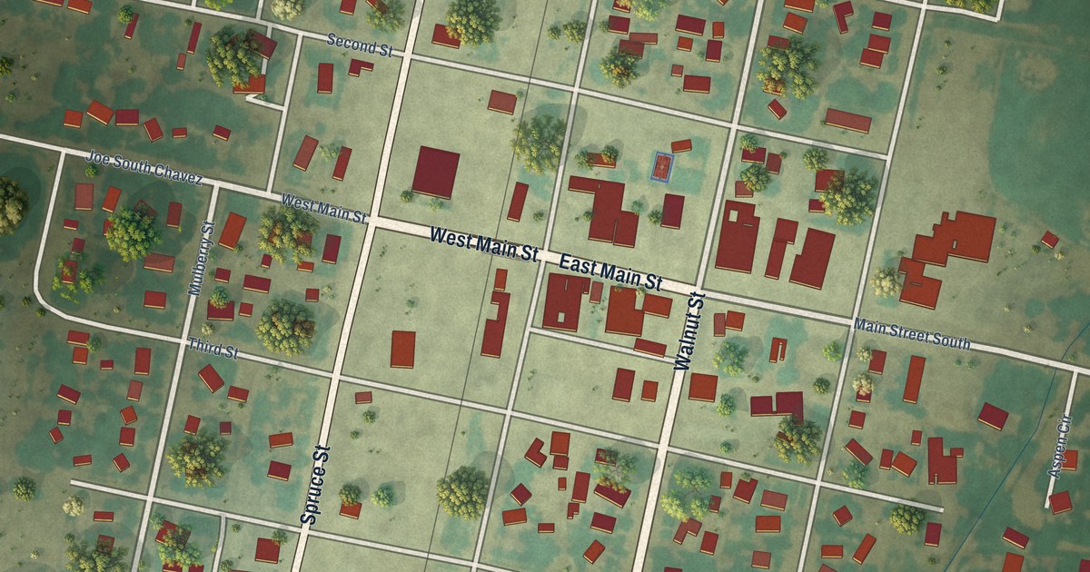
A detailed map of La Jara, Colorado, showing every building in its true location, the roads by name, and shaded topographical relief.
Read More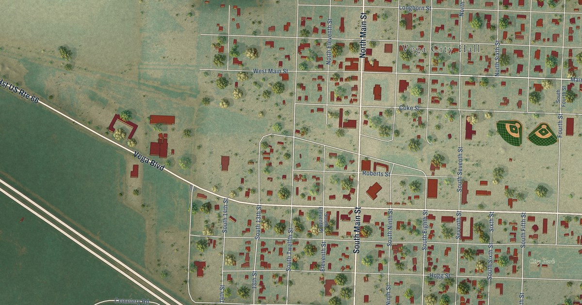
A detailed map of Vega, Texas, showing every building in its true location, the roads by name, and shaded topographical relief.
Read More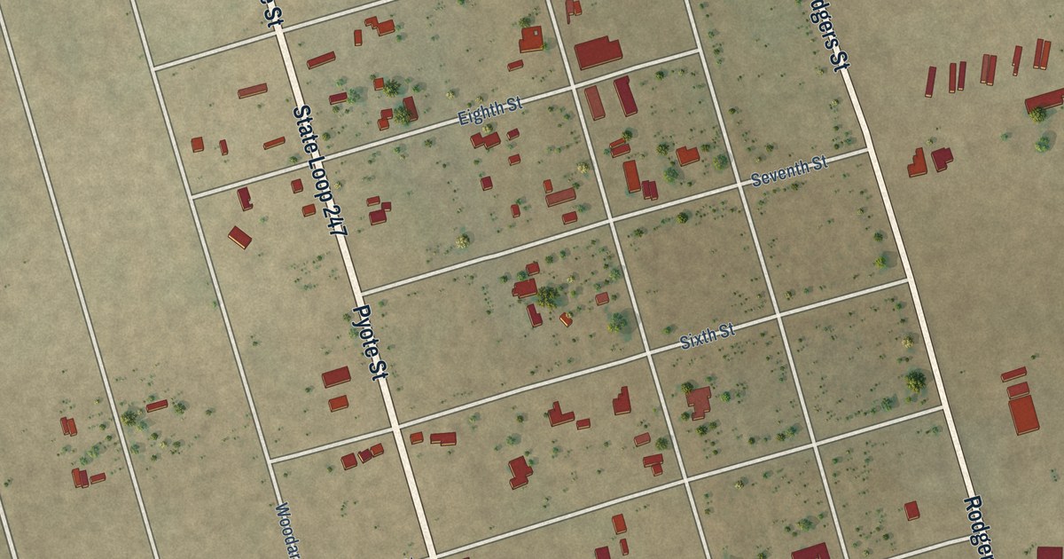
A detailed map of Pyote, Texas, showing every building in its true location, the roads by name, and shaded topographical relief.
Read More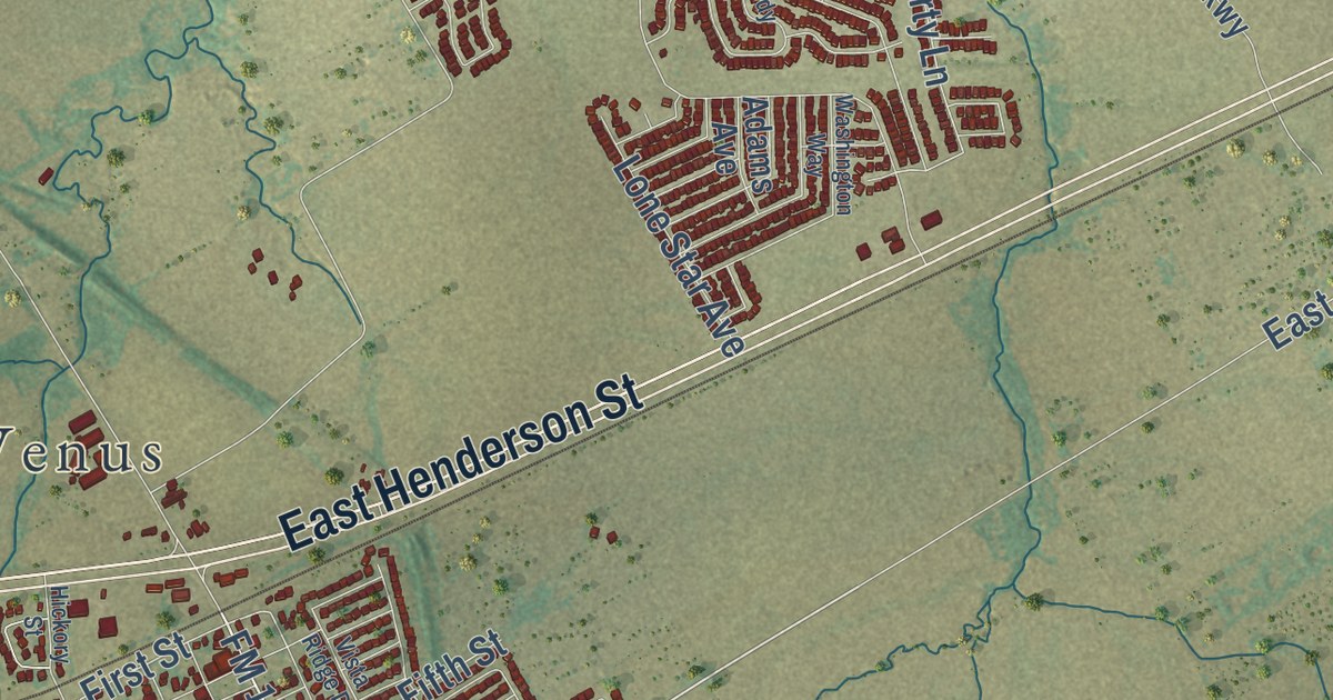
A detailed map of Venus, Texas, showing every building in its true location, the roads by name, and shaded topographical relief.
Read More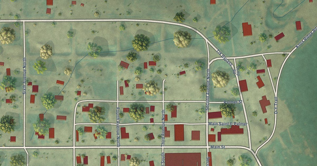
A detailed map of Winifred, Montana, showing every building in its true location, the roads by name, and shaded topographical relief.
Read More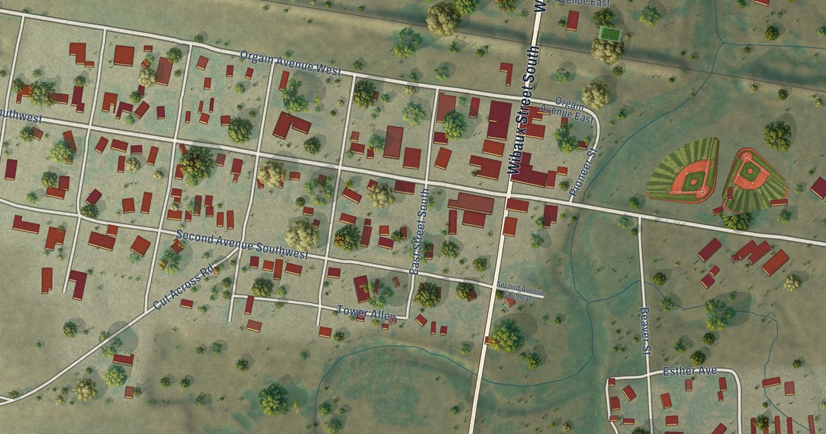
A detailed map of Wibaux, Montana, showing every building in its true location, the roads by name, and shaded topographical relief.
Read More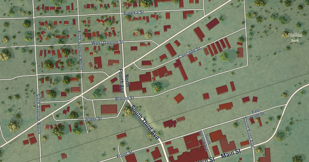
A detailed map of Wolf Point, Montana, showing every building in its true location, the roads by name, and shaded topographical relief.
Read More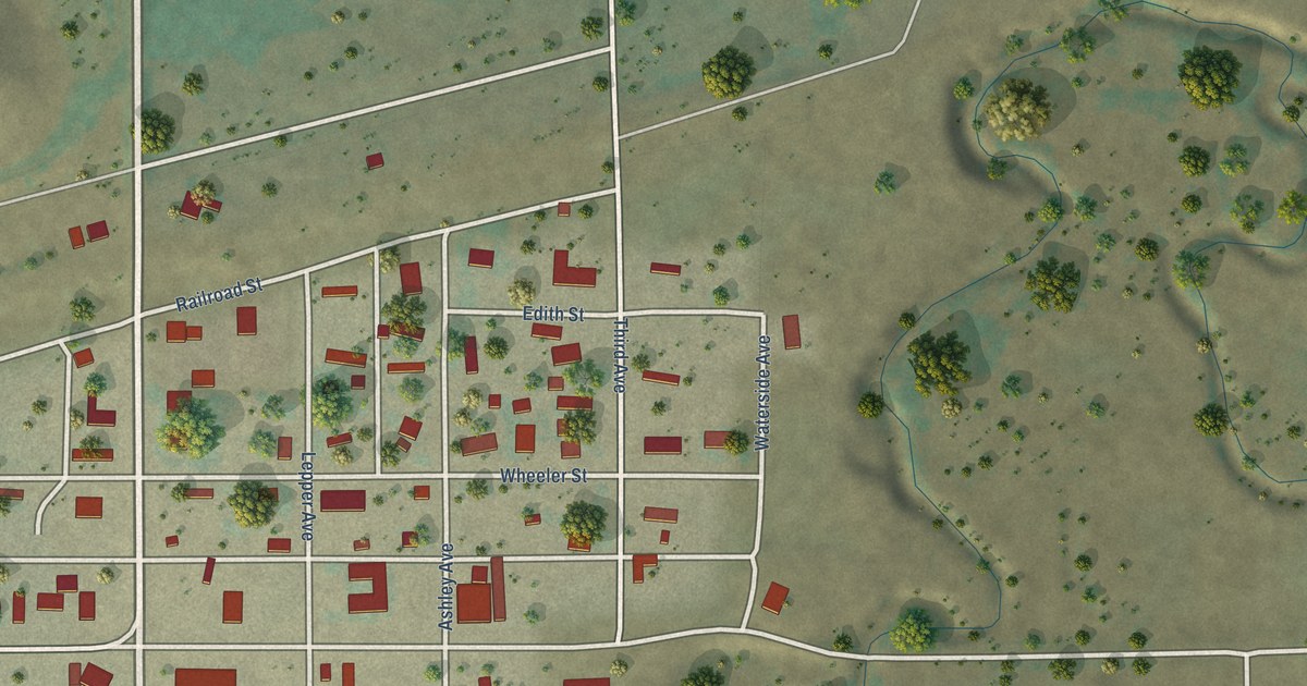
A detailed map of Winnett, Montana, showing every building in its true location, the roads by name, and shaded topographical relief.
Read More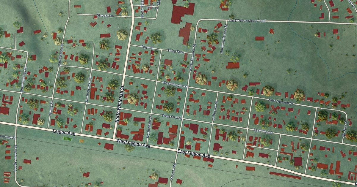
A detailed map of Whitehall, Montana, showing every building in its true location, the roads by name, and shaded topographical relief.
Read More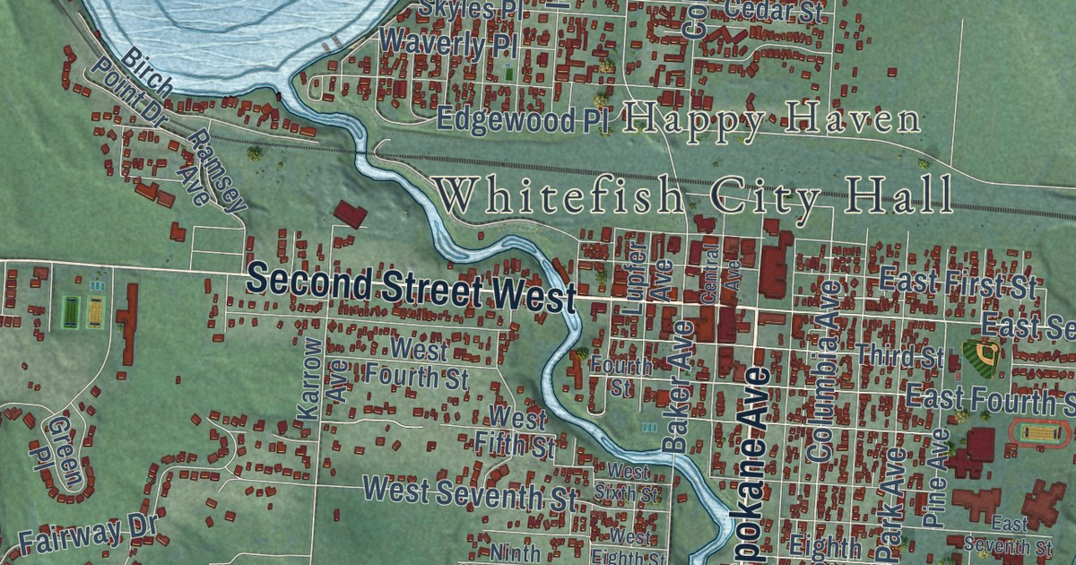
A detailed map of Whitefish, Montana, showing every building in its true location, the roads by name, and shaded topographical relief.
Read More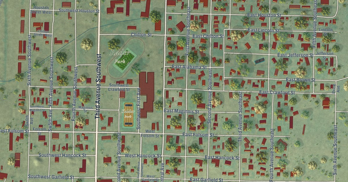
A detailed map of White Sulphur Springs, Montana, showing every building in its true location, the roads by name, and shaded topographical relief.
Read More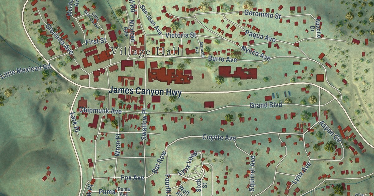
A detailed map of Cloudcroft, New Mexico, showing every building in its true location, the roads by name, and shaded topographical relief.
Read More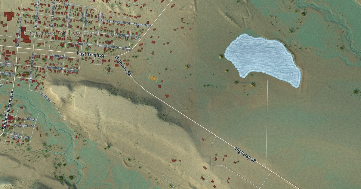
A detailed map of Cimarron, New Mexico, showing every building in its true location, the roads by name, and shaded topographical relief.
Read More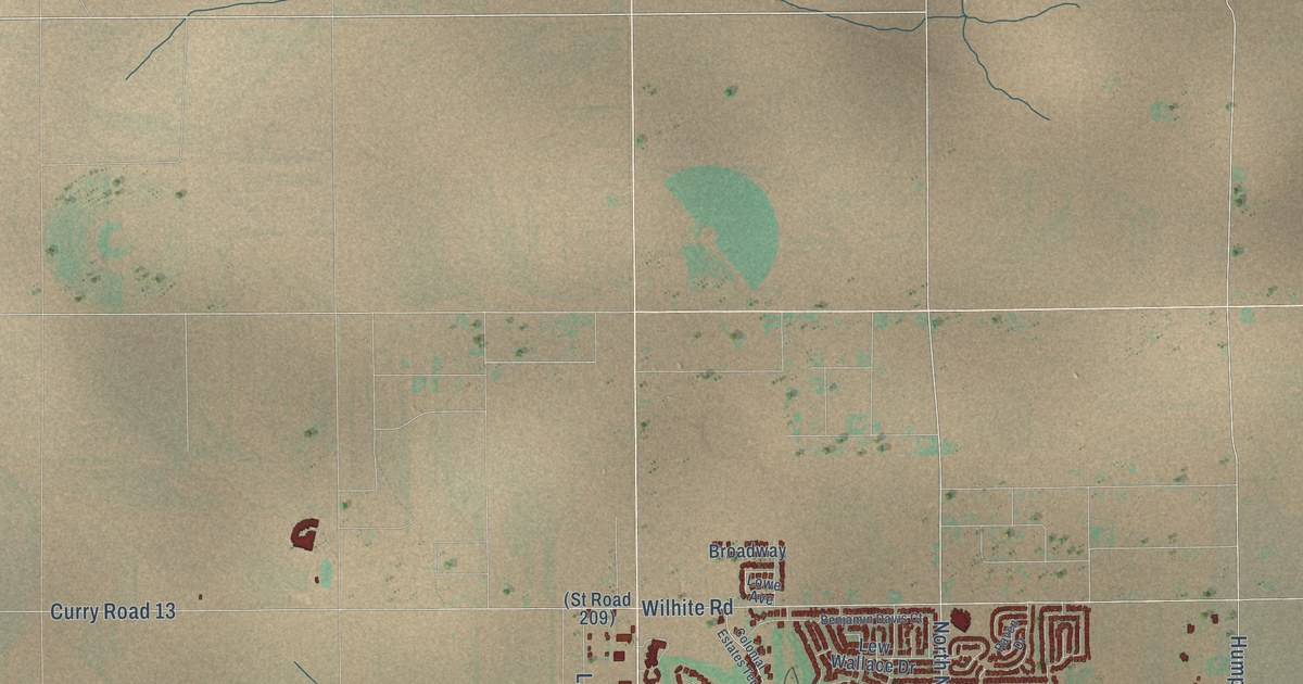
A detailed map of Clovis, New Mexico, showing every building in its true location, the roads by name, and shaded topographical relief.
Read More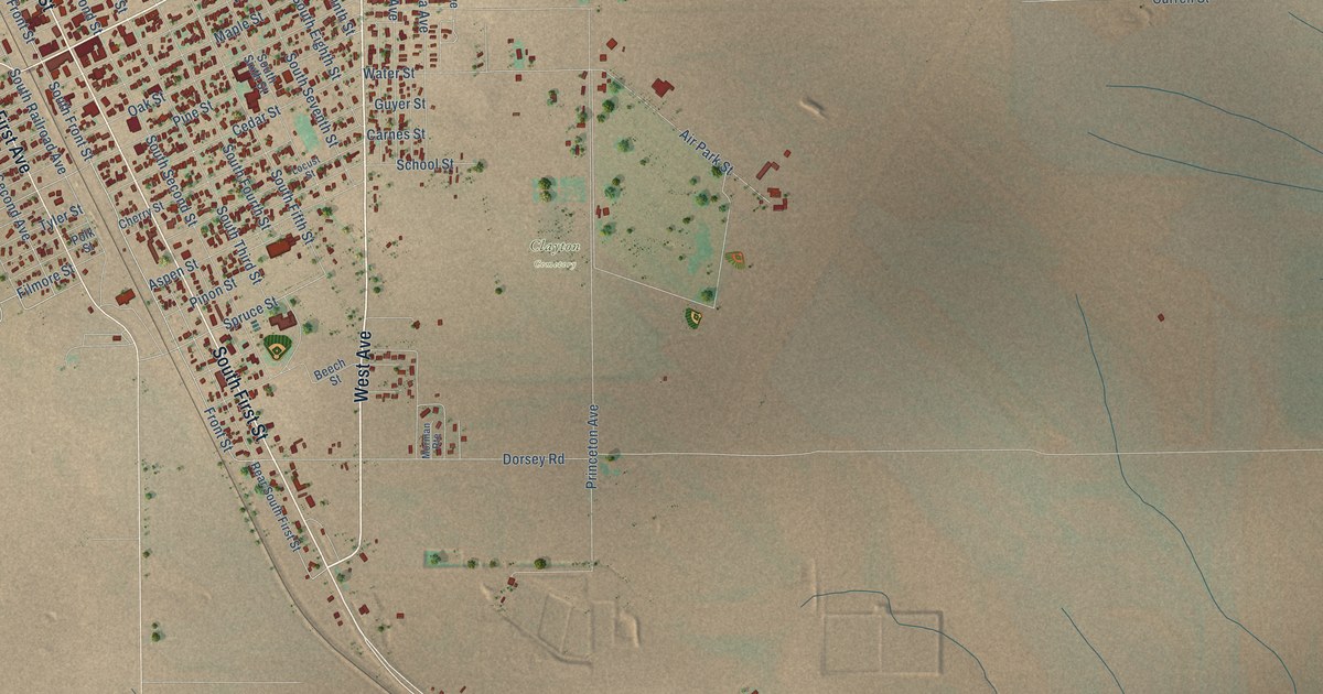
A detailed map of Clayton, New Mexico, showing every building in its true location, the roads by name, and shaded topographical relief.
Read More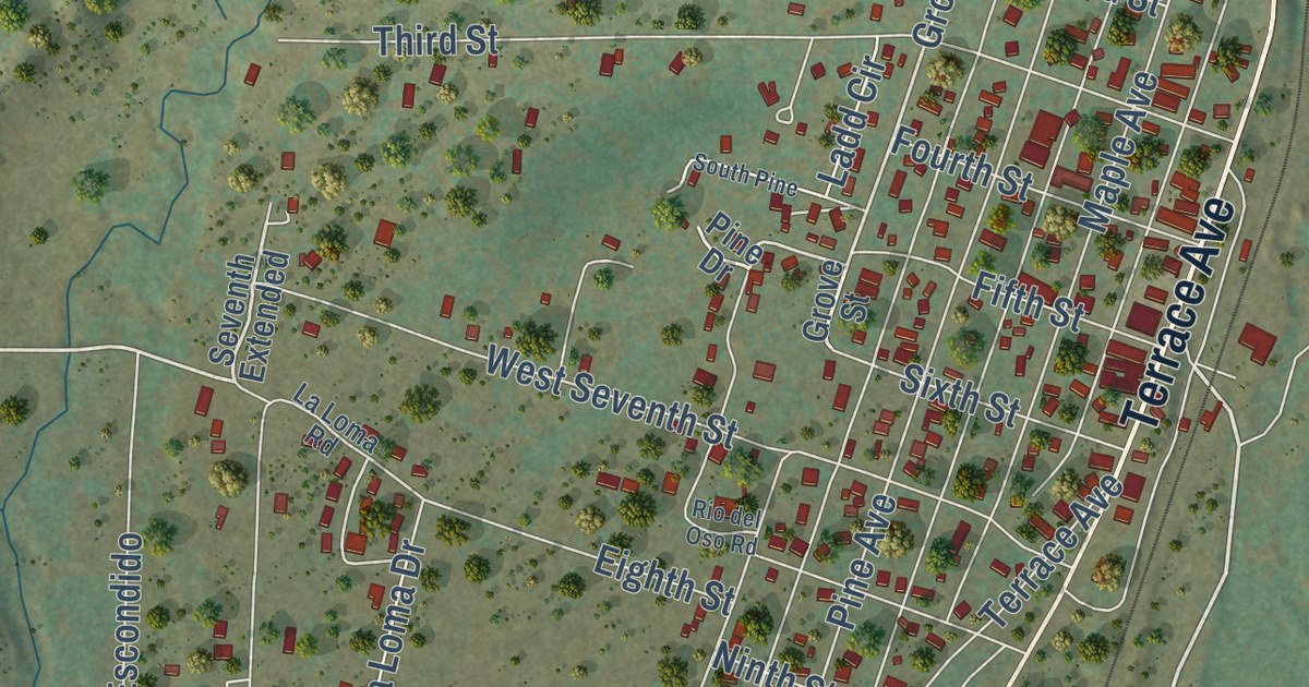
A detailed map of Chama, New Mexico, showing every building in its true location, the roads by name, and shaded topographical relief.
Read More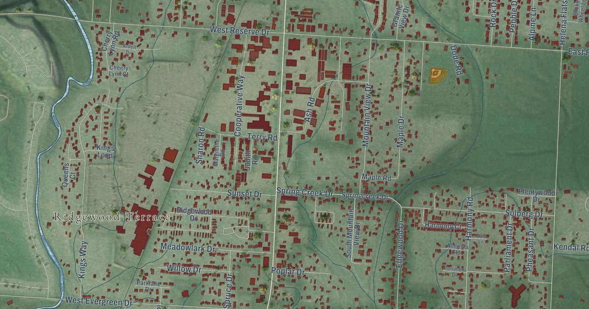
A detailed map of Evergreen, Montana, showing every building in its true location, the roads by name, and shaded topographical relief.
Read More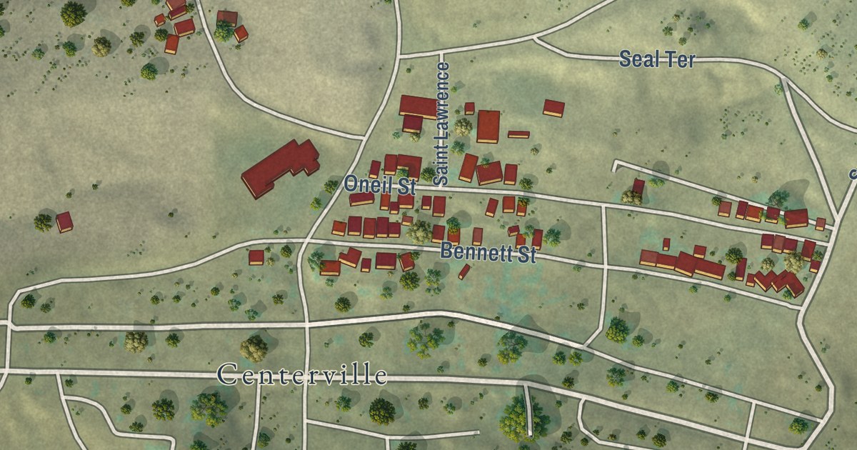
A detailed map of Walkerville, Montana, showing every building in its true location, the roads by name, and shaded topographical relief.
Read More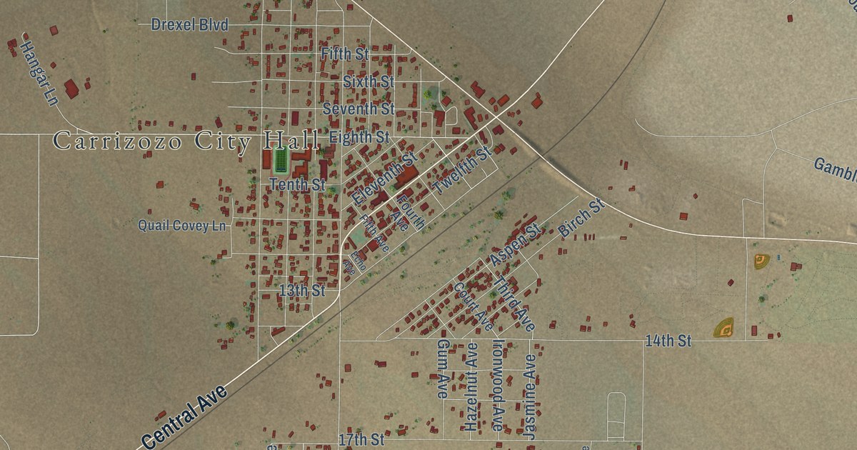
A detailed map of Carrizozo, New Mexico, showing every building in its true location, the roads by name, and shaded topographical relief.
Read More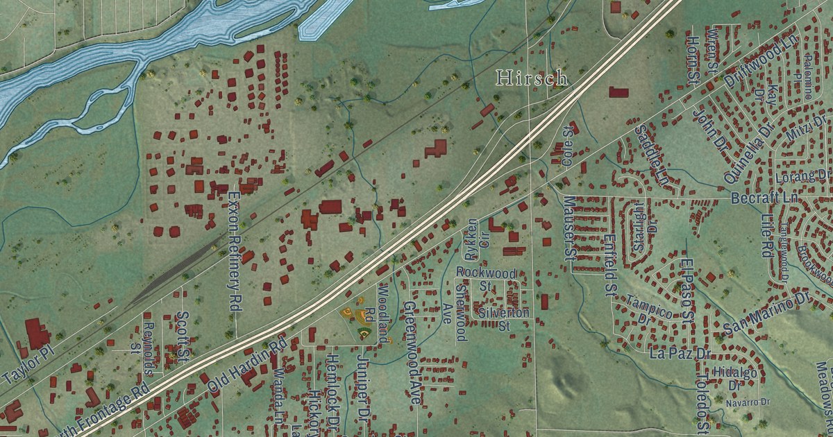
A detailed map of Lockwood, Montana, showing every building in its true location, the roads by name, and shaded topographical relief.
Read More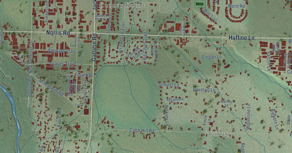
A detailed map of Four Corners, Montana, showing every building in its true location, the roads by name, and shaded topographical relief.
Read More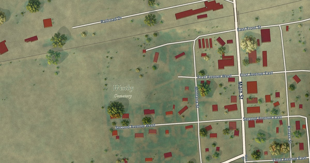
A detailed map of Westby, Montana, showing every building in its true location, the roads by name, and shaded topographical relief.
Read More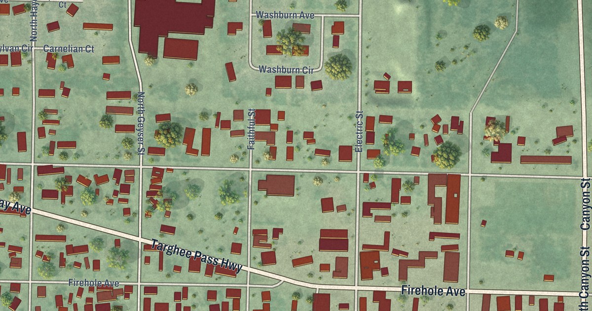
A detailed map of West Yellowstone, Montana, showing every building in its true location, the roads by name, and shaded topographical relief.
Read More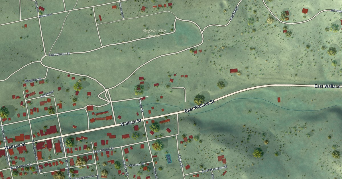
A detailed map of Virginia City, Montana, showing every building in its true location, the roads by name, and shaded topographical relief.
Read More















