Detailed Map of Naukati Bay, Alaska
A detailed map of Naukati Bay, Alaska, showing every building in its true location, the roads by name, and shaded topographical relief.
Read More
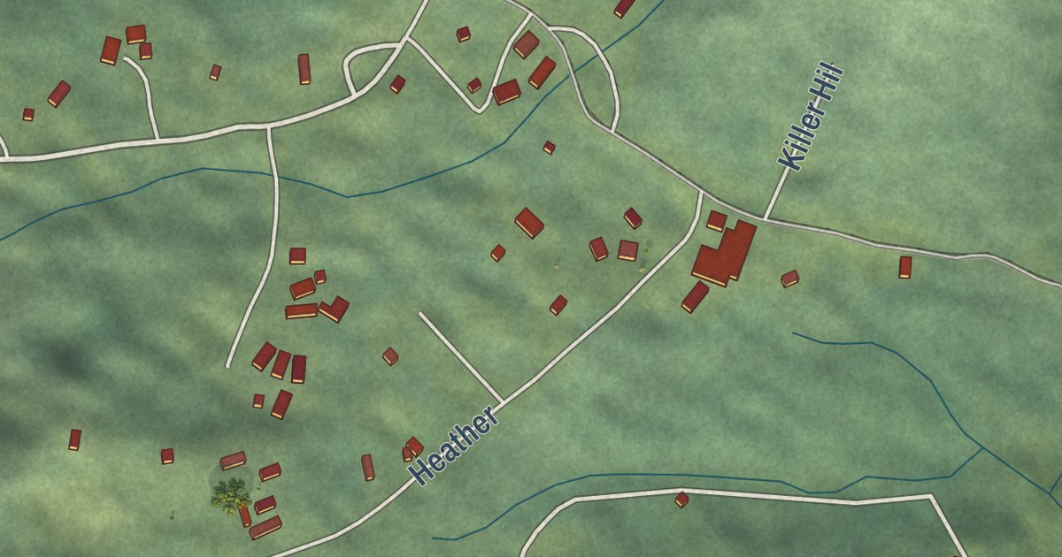
A detailed map of Naukati Bay, Alaska, showing every building in its true location, the roads by name, and shaded topographical relief.
Read More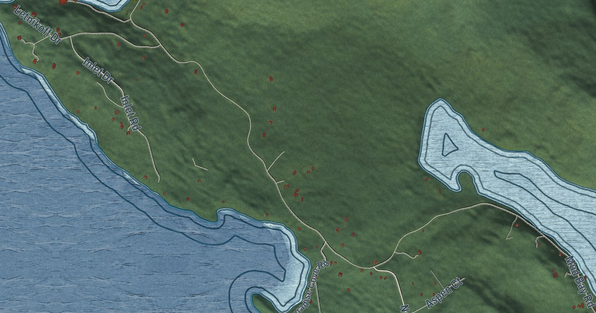
A detailed map of Mud Bay, Alaska, showing every building in its true location, the roads by name, and shaded topographical relief.
Read More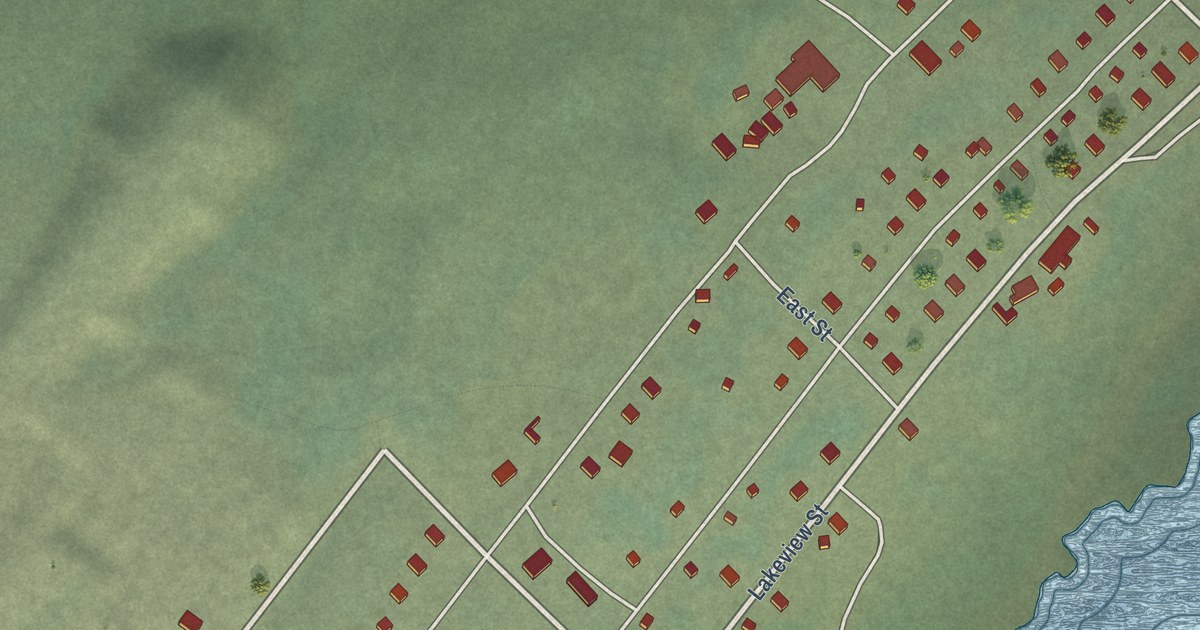
A detailed map of Minto, Alaska, showing every building in its true location, the roads by name, and shaded topographical relief.
Read More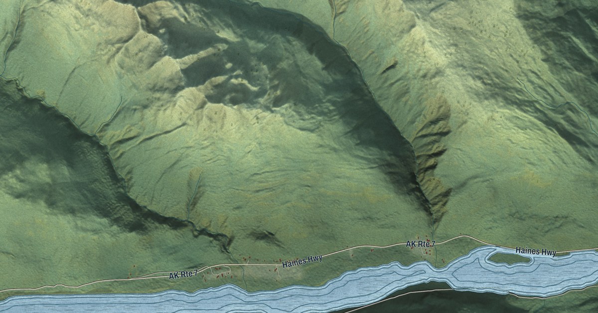
A detailed map of Mosquito Lake, Alaska, showing every building in its true location, the roads by name, and shaded topographical relief.
Read More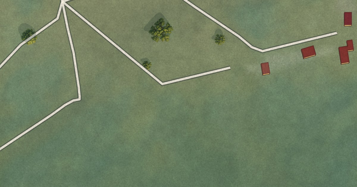
A detailed map of Mertarvik, Alaska, showing every building in its true location, the roads by name, and shaded topographical relief.
Read More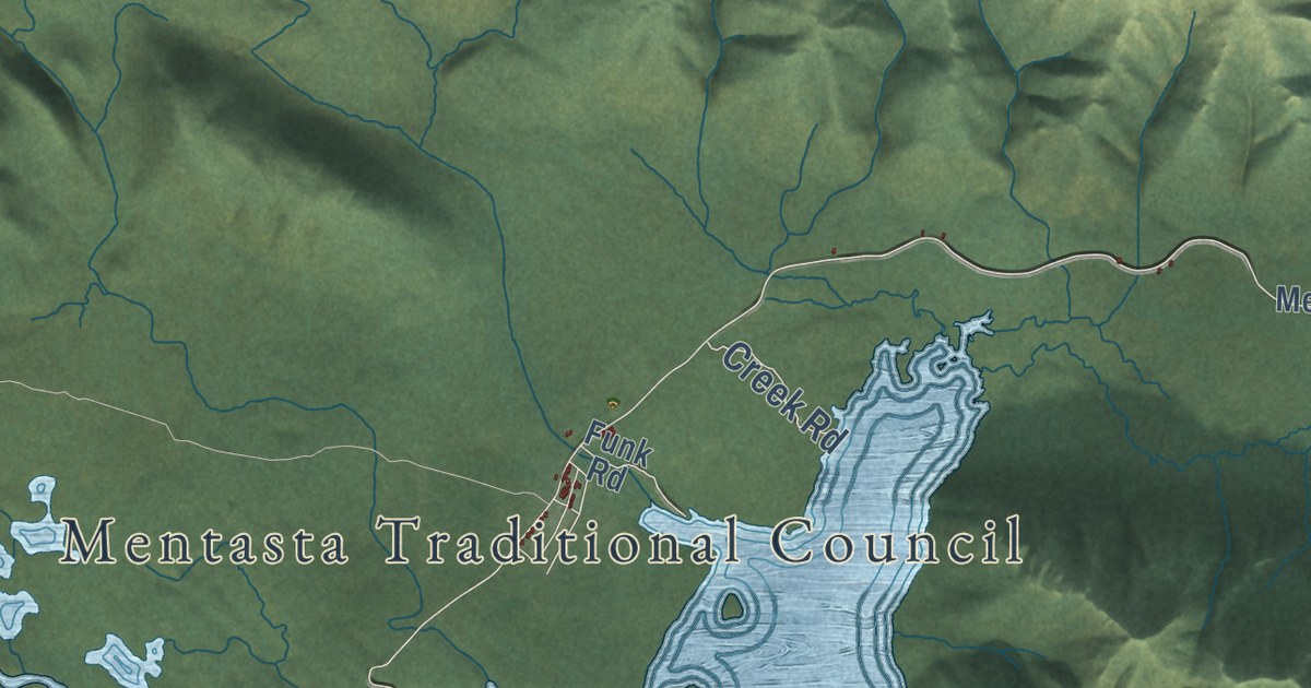
A detailed map of Mentasta Lake, Alaska, showing every building in its true location, the roads by name, and shaded topographical relief.
Read More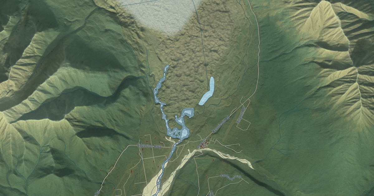
A detailed map of McCarthy, Alaska, showing every building in its true location, the roads by name, and shaded topographical relief.
Read More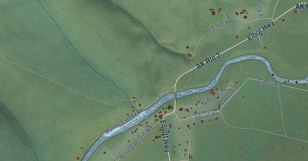
A detailed map of Manley Hot Springs, Alaska, showing every building in its true location, the roads by name, and shaded topographical relief.
Read More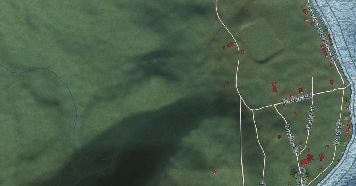
A detailed map of Lowell Point, Alaska, showing every building in its true location, the roads by name, and shaded topographical relief.
Read More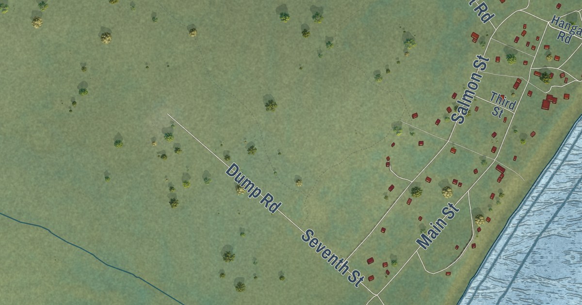
A detailed map of Levelock, Alaska, showing every building in its true location, the roads by name, and shaded topographical relief.
Read More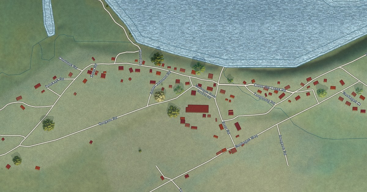
A detailed map of Koliganek, Alaska, showing every building in its true location, the roads by name, and shaded topographical relief.
Read More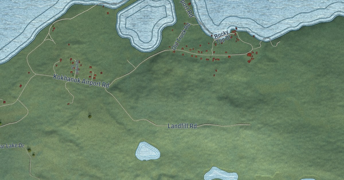
A detailed map of Kokhanok, Alaska, showing every building in its true location, the roads by name, and shaded topographical relief.
Read More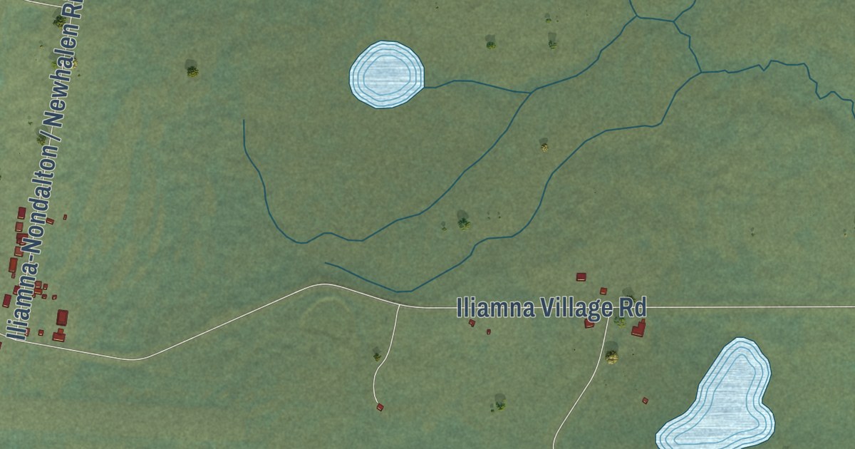
A detailed map of Iliamna, Alaska, showing every building in its true location, the roads by name, and shaded topographical relief.
Read More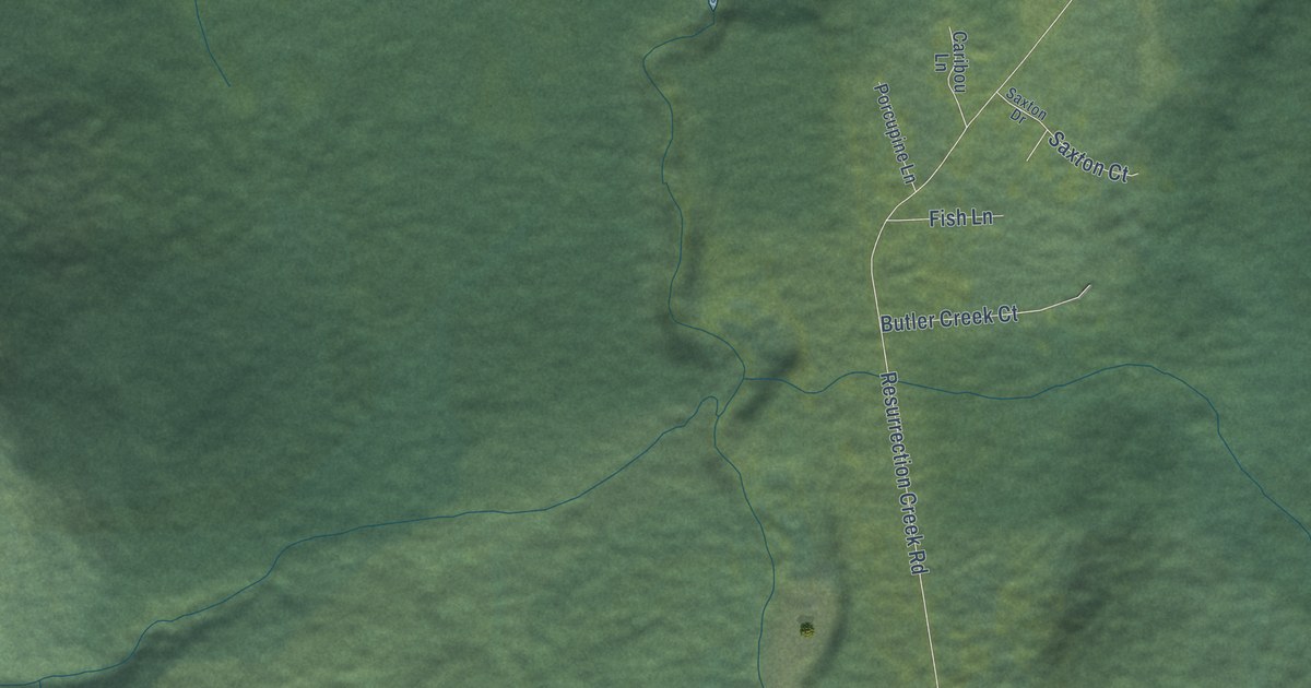
A detailed map of Hope, Alaska, showing every building in its true location, the roads by name, and shaded topographical relief.
Read More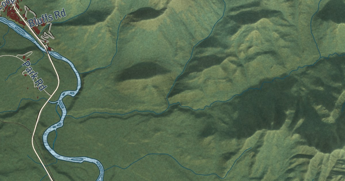
A detailed map of Denali Park, Alaska, showing every building in its true location, the roads by name, and shaded topographical relief.
Read More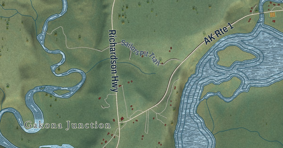
A detailed map of Gakona, Alaska, showing every building in its true location, the roads by name, and shaded topographical relief.
Read More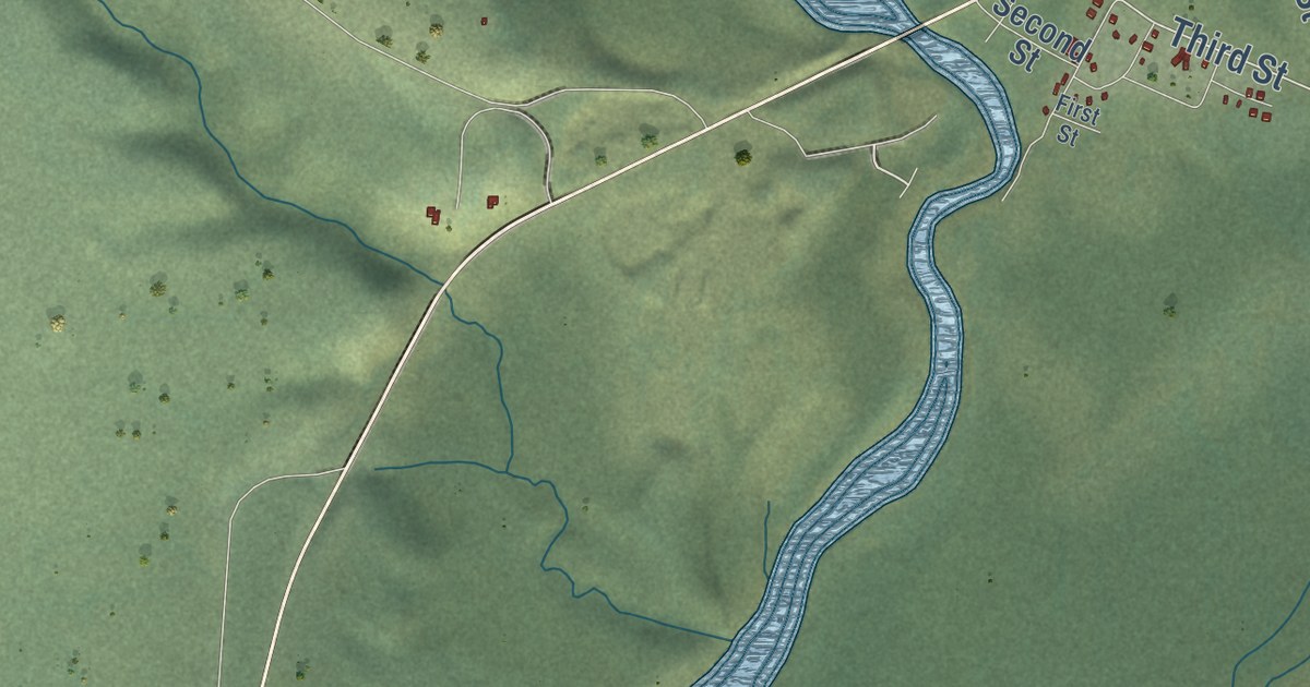
A detailed map of Gulkana, Alaska, showing every building in its true location, the roads by name, and shaded topographical relief.
Read More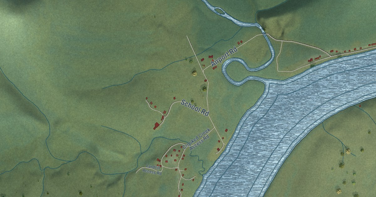
A detailed map of Crooked Creek, Alaska, showing every building in its true location, the roads by name, and shaded topographical relief.
Read More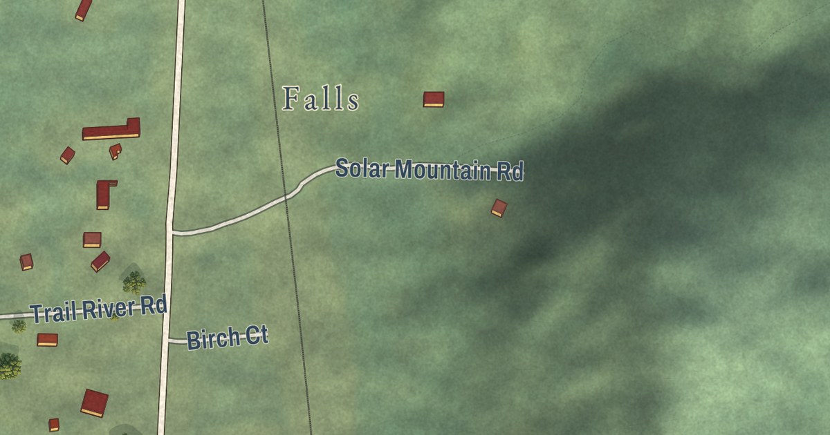
A detailed map of Crown Point, Alaska, showing every building in its true location, the roads by name, and shaded topographical relief.
Read More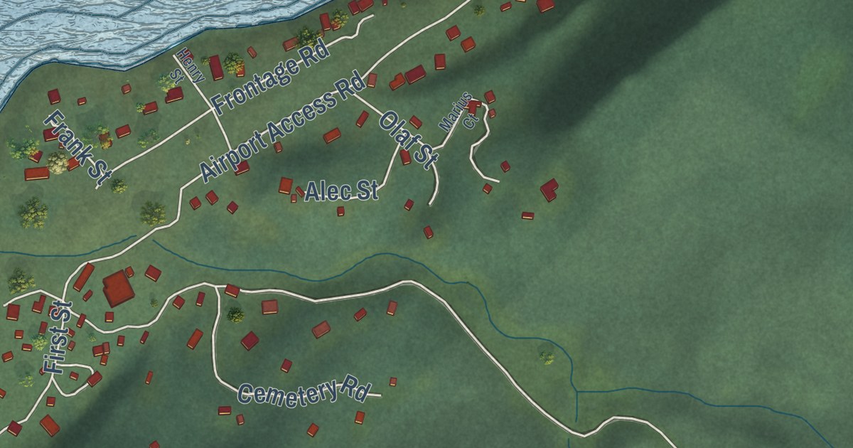
A detailed map of Chignik Lagoon, Alaska, showing every building in its true location, the roads by name, and shaded topographical relief.
Read More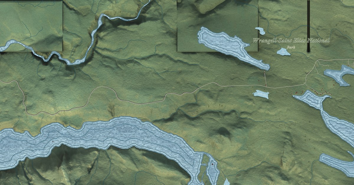
A detailed map of Chitina, Alaska, showing every building in its true location, the roads by name, and shaded topographical relief.
Read More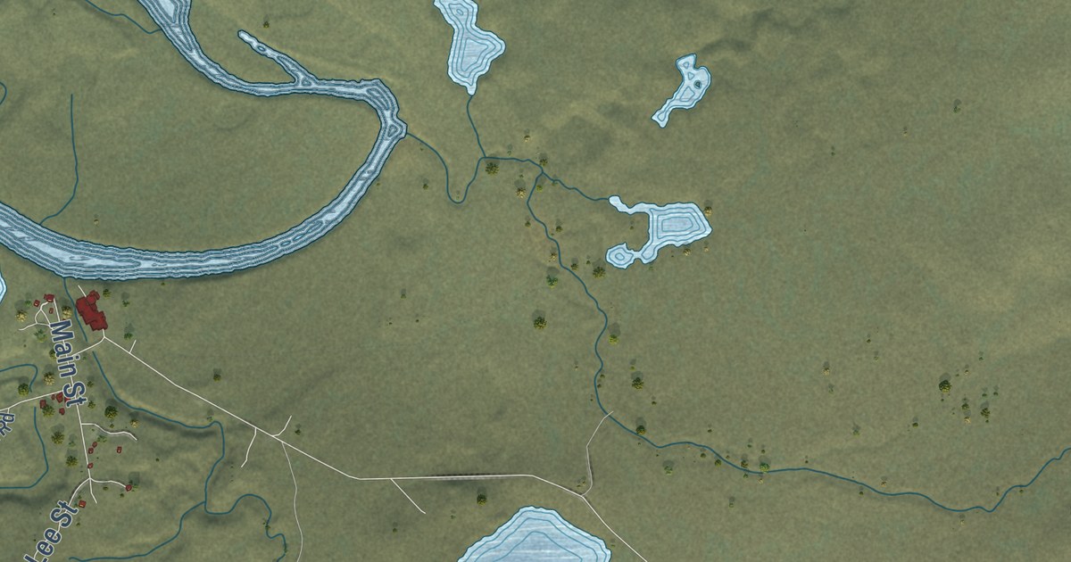
A detailed map of Arctic Village, Alaska, showing every building in its true location, the roads by name, and shaded topographical relief.
Read More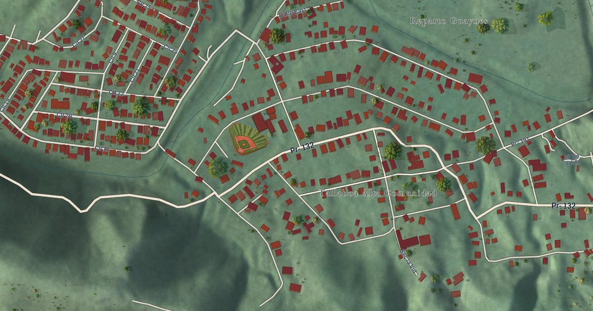
A detailed map of Tallaboa Alta, Puerto Rico, showing every building in its true location, the roads by name, and shaded topographical relief.
Read More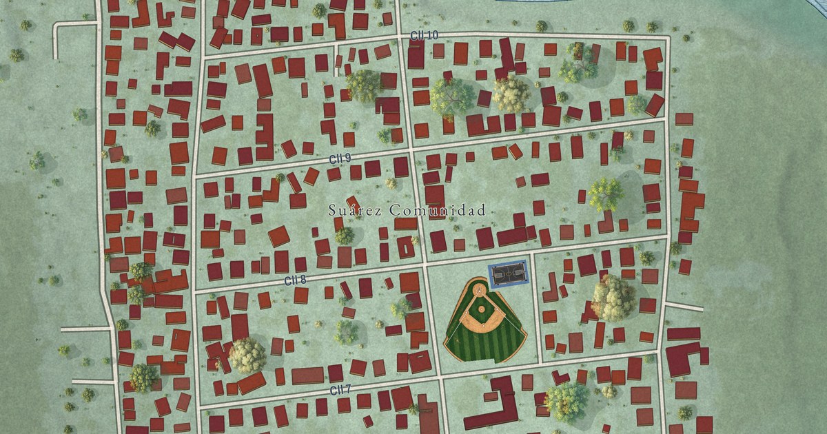
A detailed map of Suárez, Puerto Rico, showing every building in its true location, the roads by name, and shaded topographical relief.
Read More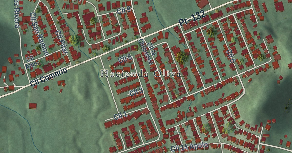
A detailed map of Santo Domingo, Puerto Rico, showing every building in its true location, the roads by name, and shaded topographical relief.
Read More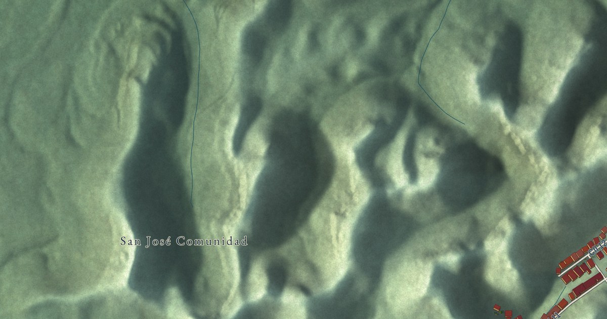
A detailed map of San José, Puerto Rico, showing every building in its true location, the roads by name, and shaded topographical relief.
Read More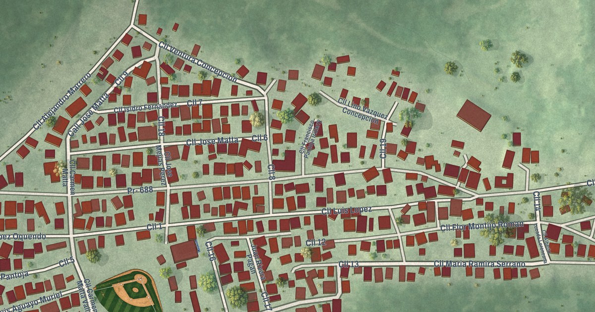
A detailed map of Sabana, Puerto Rico, showing every building in its true location, the roads by name, and shaded topographical relief.
Read More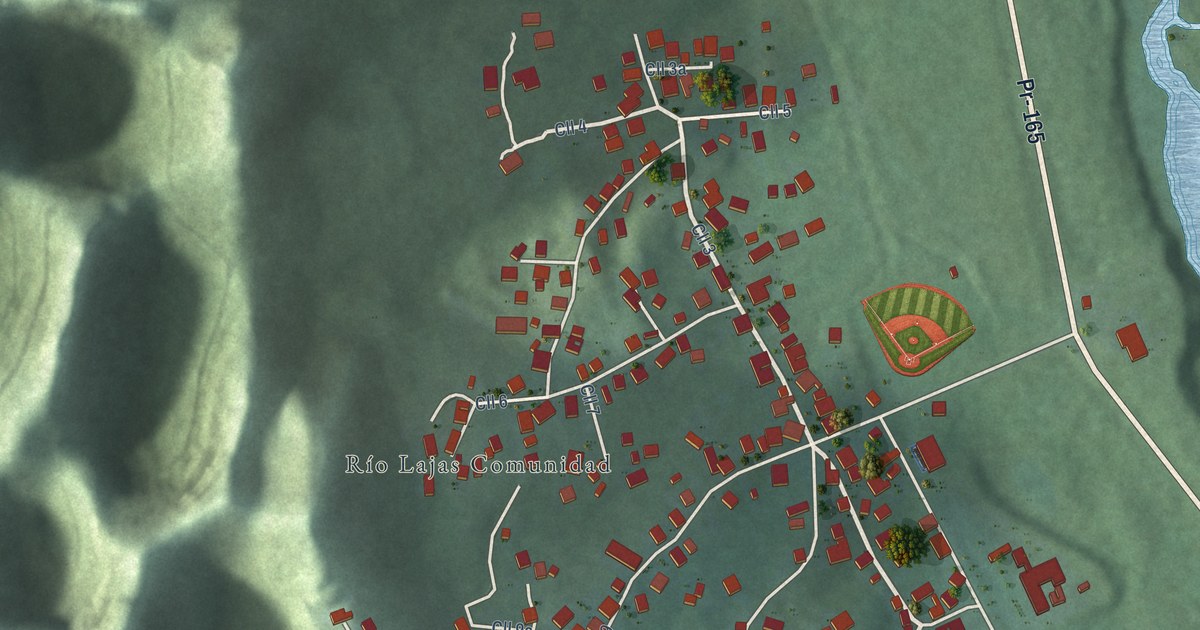
A detailed map of Río Lajas, Puerto Rico, showing every building in its true location, the roads by name, and shaded topographical relief.
Read More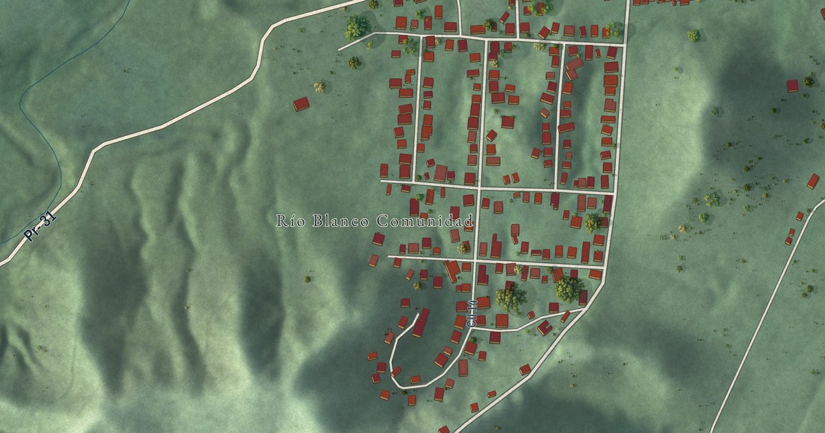
A detailed map of Río Blanco, Puerto Rico, showing every building in its true location, the roads by name, and shaded topographical relief.
Read More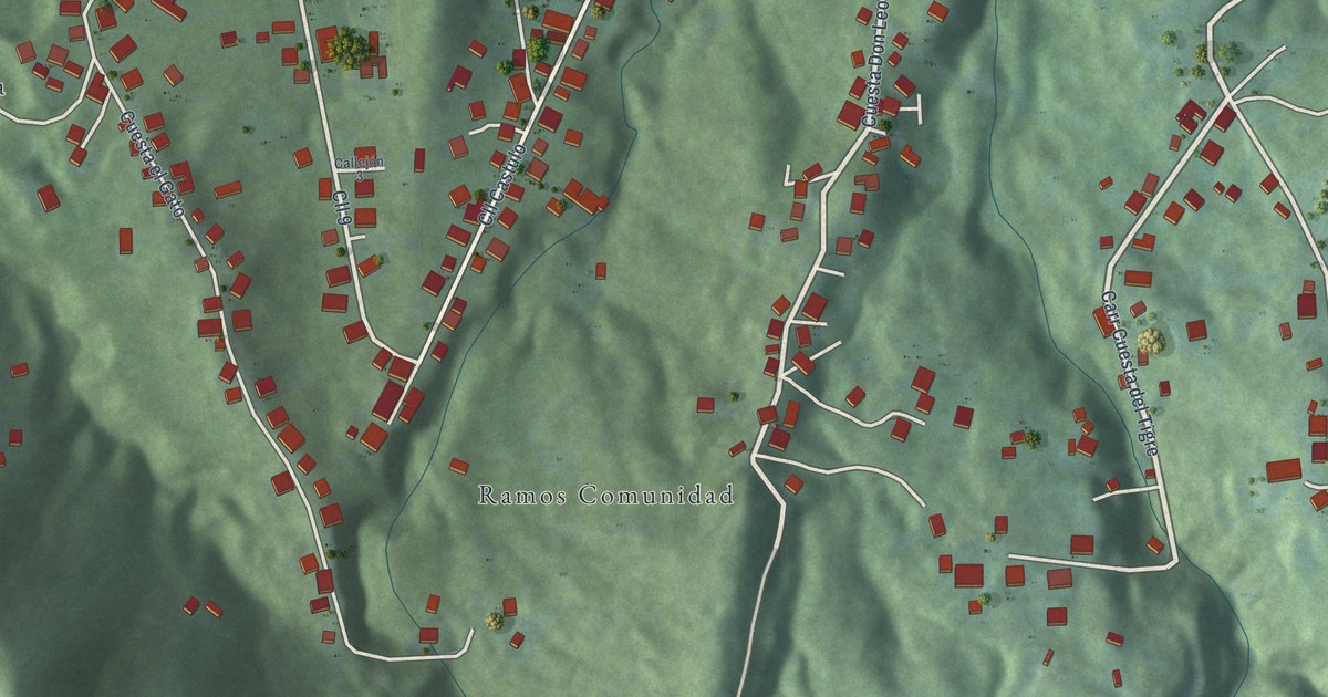
A detailed map of Ramos, Puerto Rico, showing every building in its true location, the roads by name, and shaded topographical relief.
Read More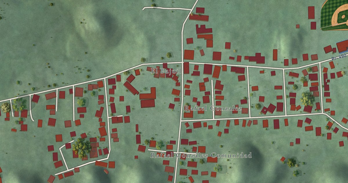
A detailed map of Rafael González, Puerto Rico, showing every building in its true location, the roads by name, and shaded topographical relief.
Read More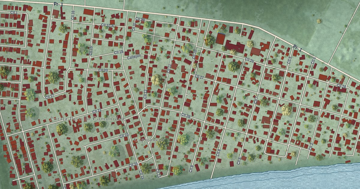
A detailed map of Potala Pastillo, Puerto Rico, showing every building in its true location, the roads by name, and shaded topographical relief.
Read More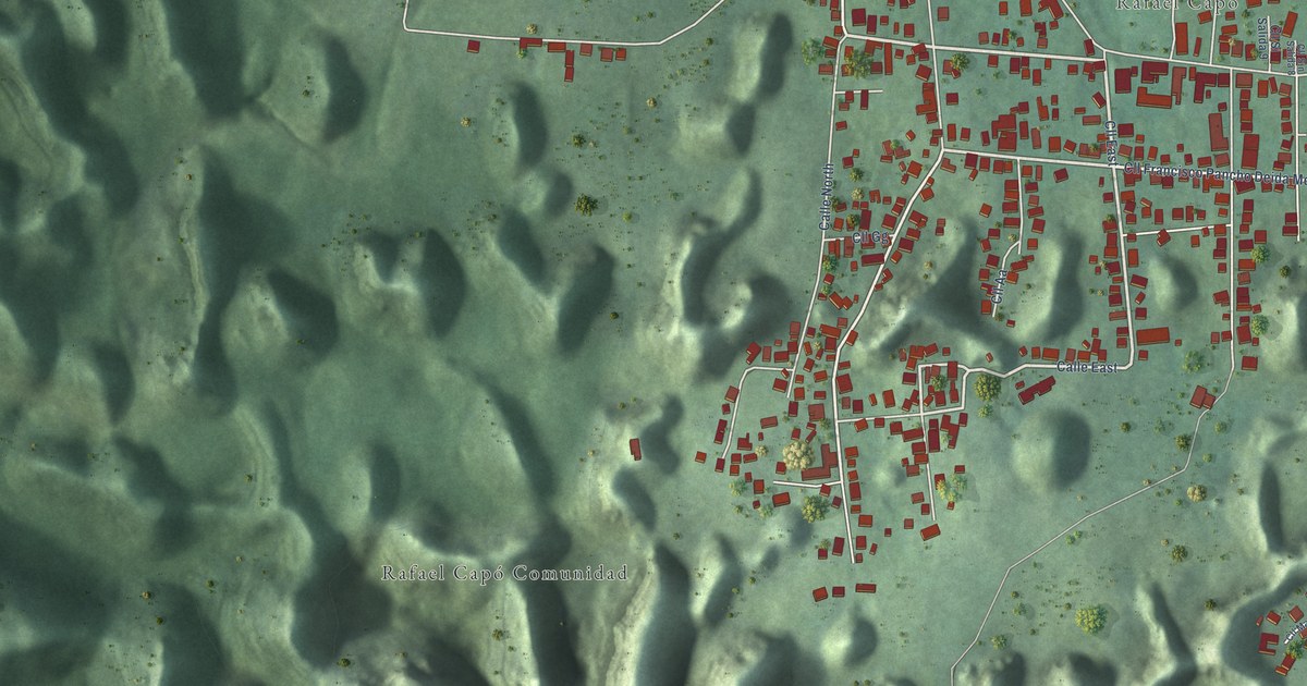
A detailed map of Rafael Capó, Puerto Rico, showing every building in its true location, the roads by name, and shaded topographical relief.
Read More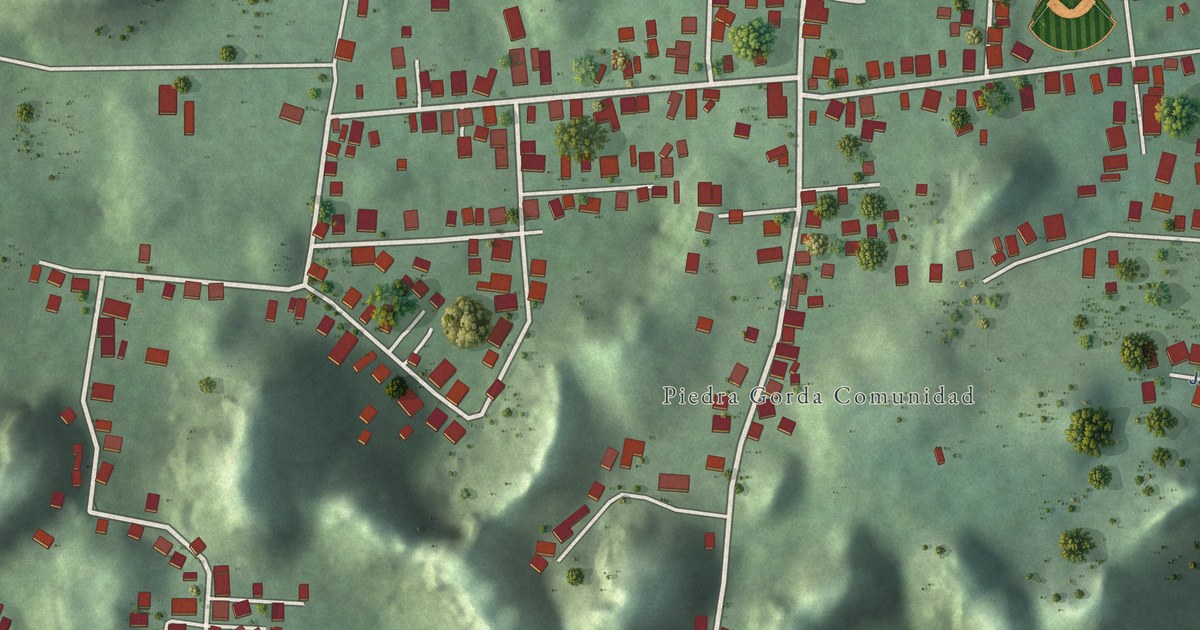
A detailed map of Piedra Gorda, Puerto Rico, showing every building in its true location, the roads by name, and shaded topographical relief.
Read More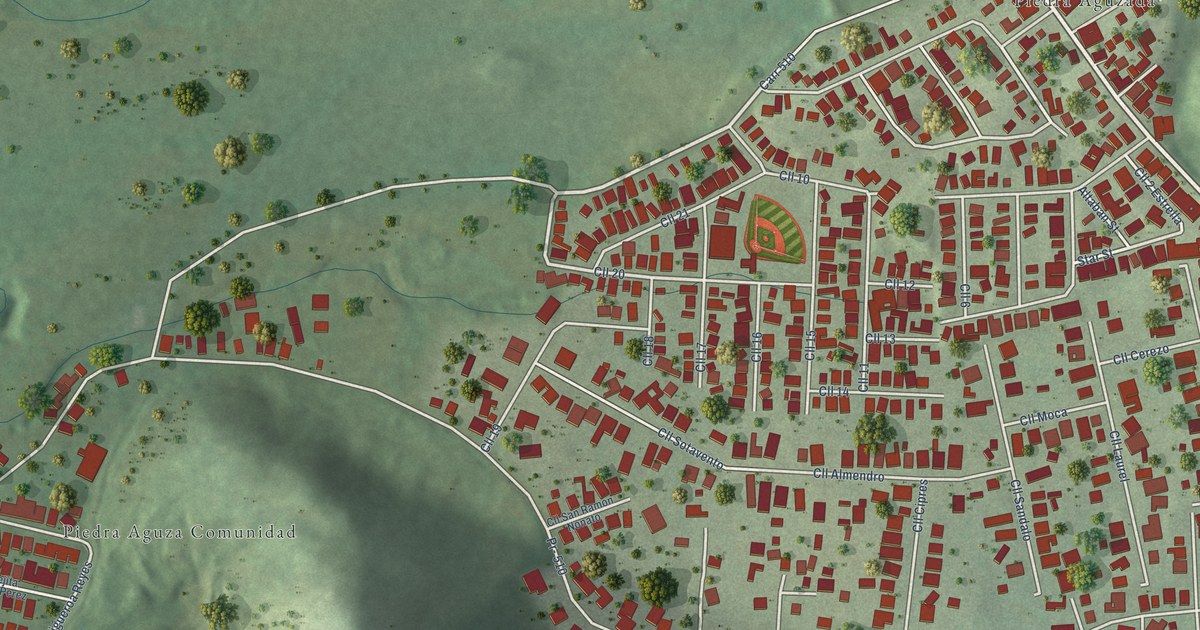
A detailed map of Piedra Aguza, Puerto Rico, showing every building in its true location, the roads by name, and shaded topographical relief.
Read More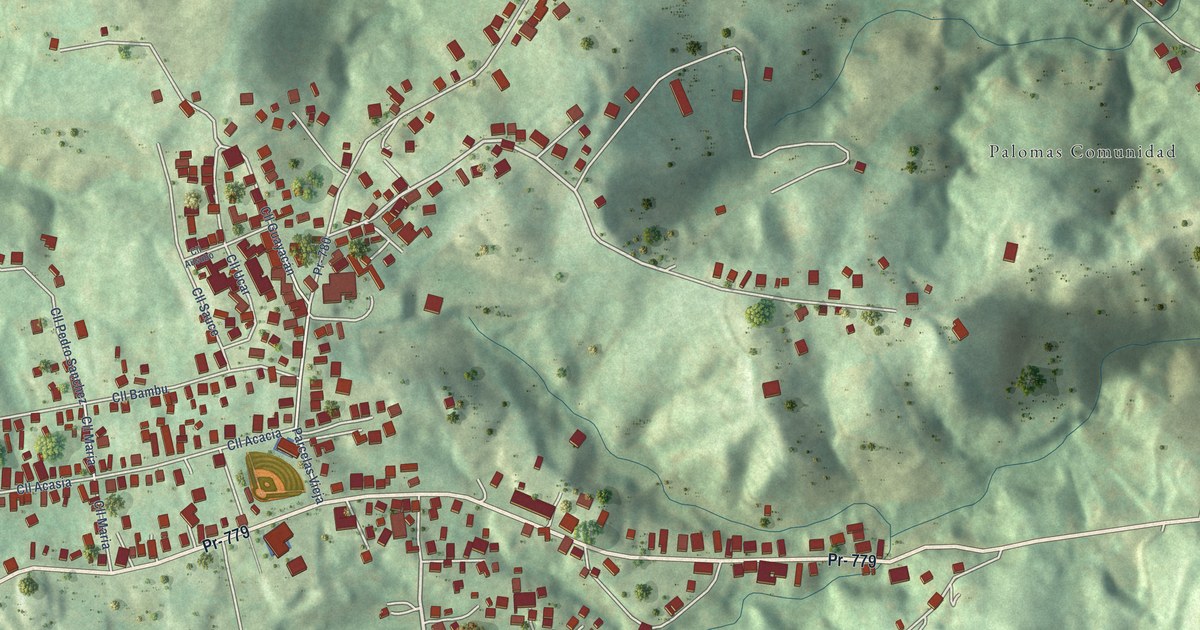
A detailed map of Palomas, Puerto Rico, showing every building in its true location, the roads by name, and shaded topographical relief.
Read More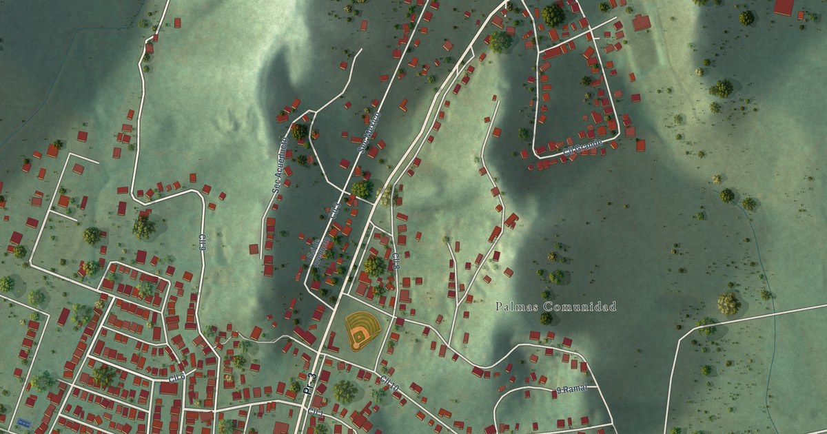
A detailed map of Palmas, Puerto Rico, showing every building in its true location, the roads by name, and shaded topographical relief.
Read More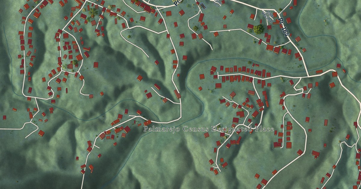
A detailed map of Palmarejo, Puerto Rico, showing every building in its true location, the roads by name, and shaded topographical relief.
Read More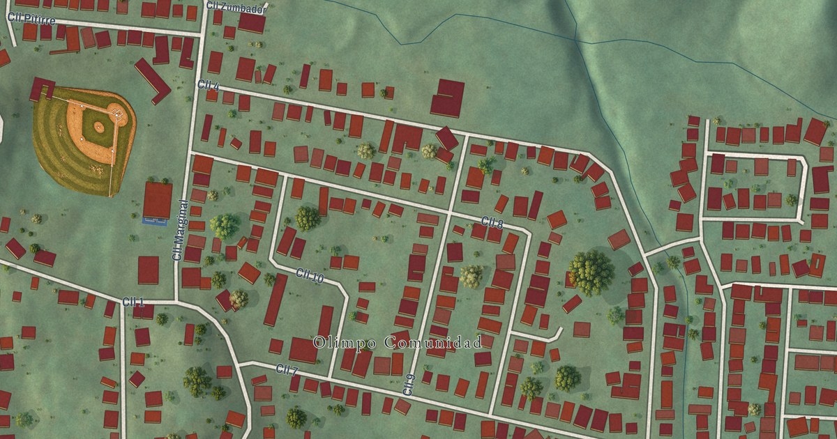
A detailed map of Olimpo, Puerto Rico, showing every building in its true location, the roads by name, and shaded topographical relief.
Read More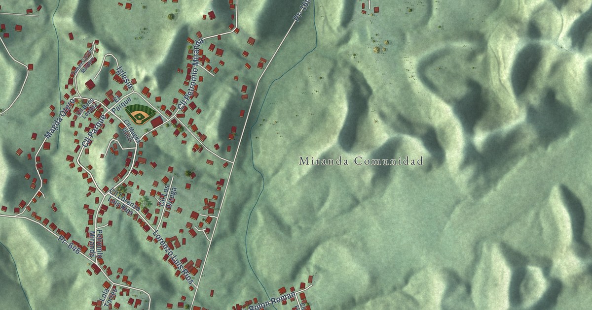
A detailed map of Miranda, Puerto Rico, showing every building in its true location, the roads by name, and shaded topographical relief.
Read More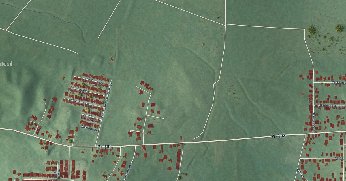
A detailed map of Monte Grande, Puerto Rico, showing every building in its true location, the roads by name, and shaded topographical relief.
Read More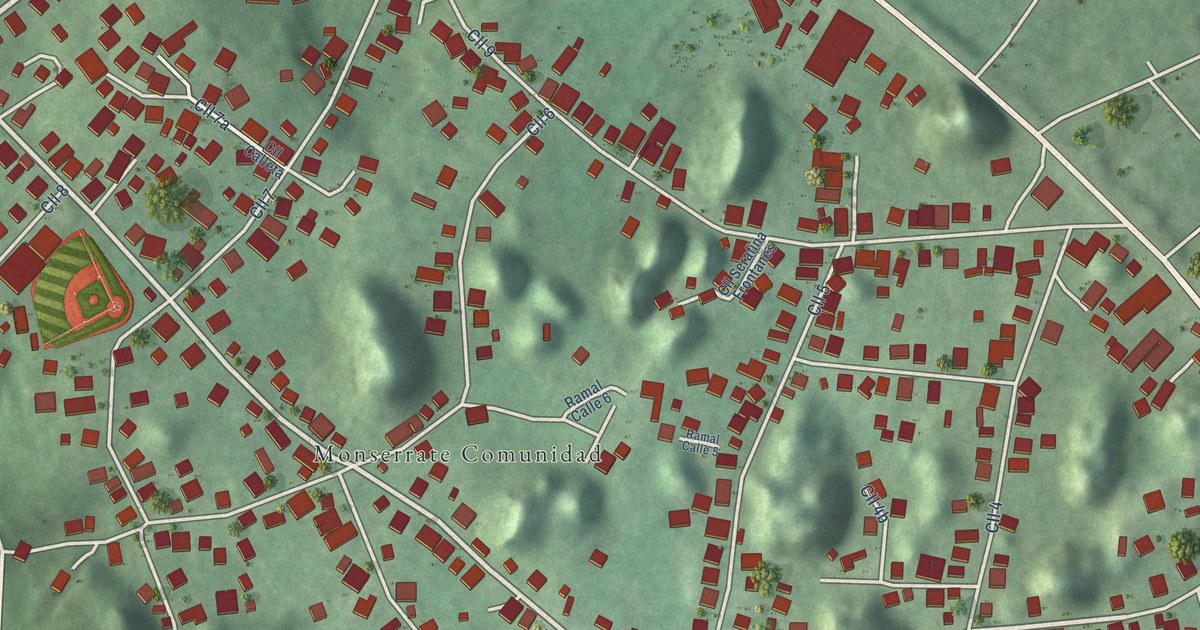
A detailed map of Monserrate, Puerto Rico, showing every building in its true location, the roads by name, and shaded topographical relief.
Read More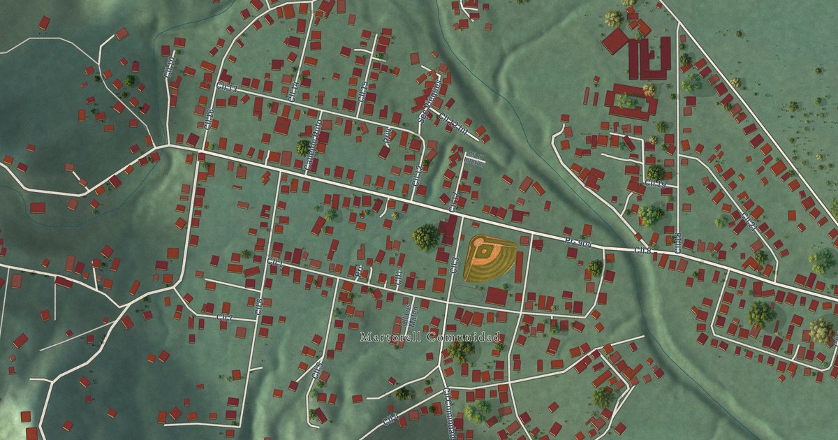
A detailed map of Martorell, Puerto Rico, showing every building in its true location, the roads by name, and shaded topographical relief.
Read More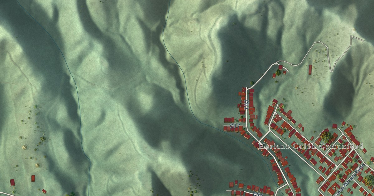
A detailed map of Mariano Colón, Puerto Rico, showing every building in its true location, the roads by name, and shaded topographical relief.
Read More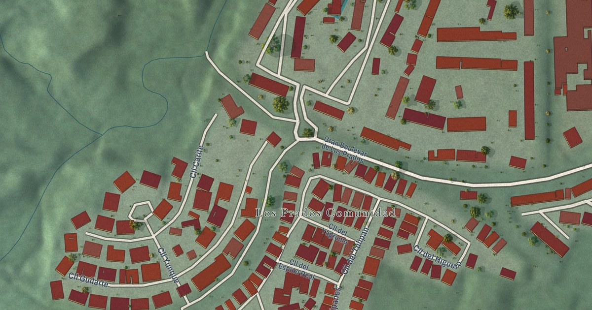
A detailed map of Los Prados, Puerto Rico, showing every building in its true location, the roads by name, and shaded topographical relief.
Read More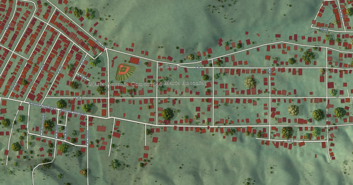
A detailed map of María Antonia, Puerto Rico, showing every building in its true location, the roads by name, and shaded topographical relief.
Read More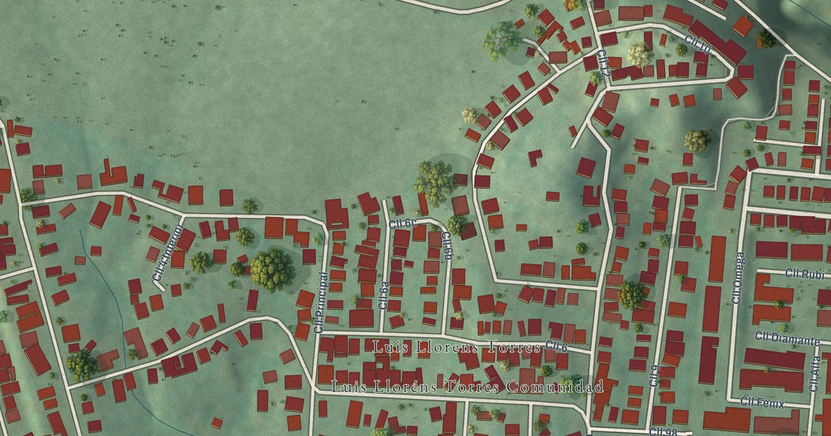
A detailed map of Luis Lloréns Torres, Puerto Rico, showing every building in its true location, the roads by name, and shaded topographical relief.
Read More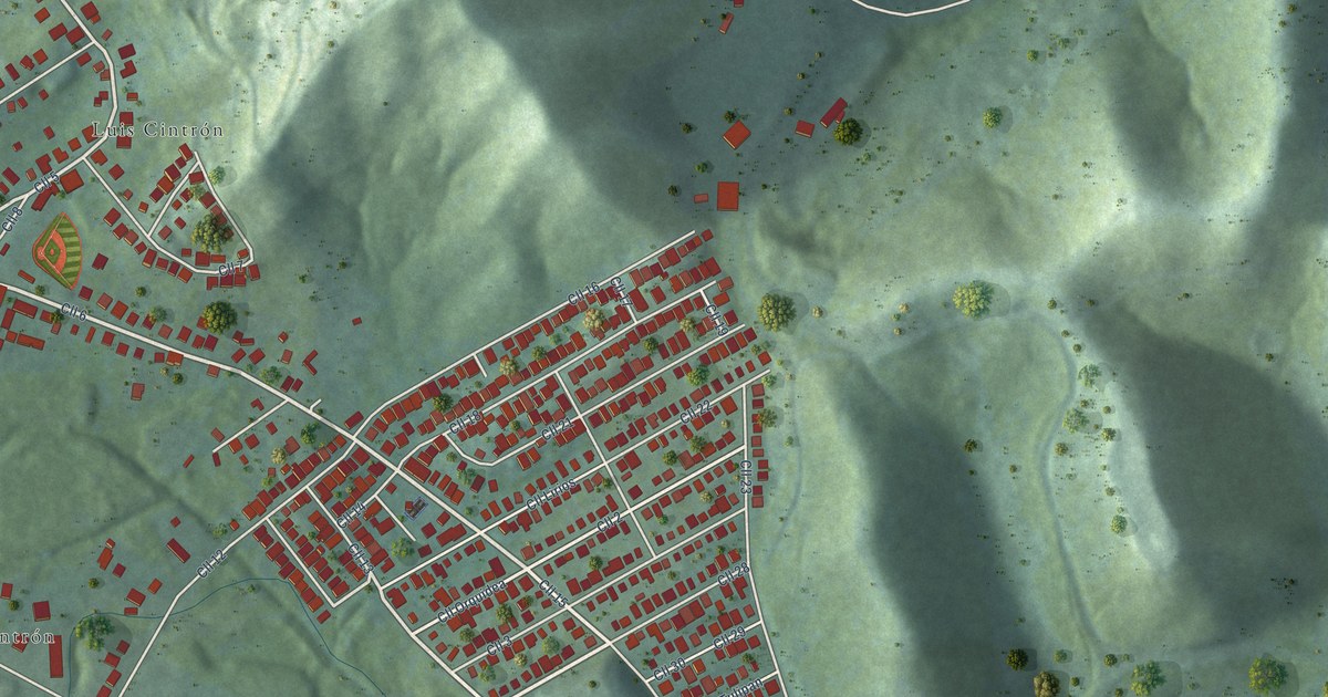
A detailed map of Luis M. Cintrón, Puerto Rico, showing every building in its true location, the roads by name, and shaded topographical relief.
Read More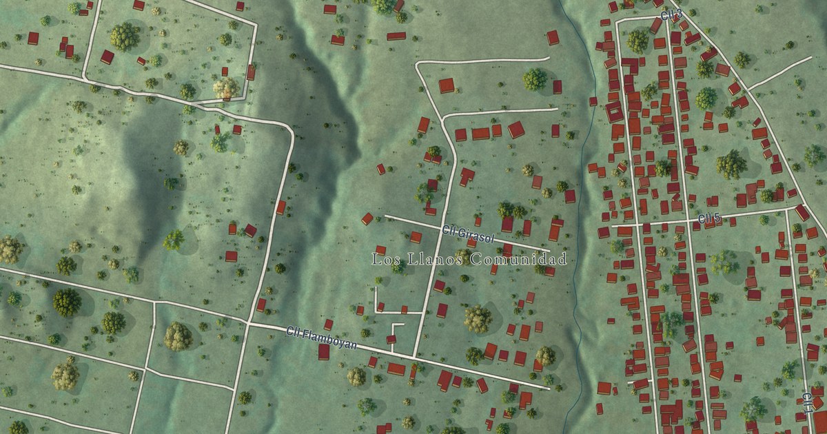
A detailed map of Los Llanos, Puerto Rico, showing every building in its true location, the roads by name, and shaded topographical relief.
Read More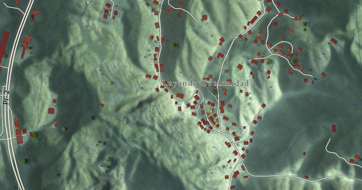
A detailed map of Luyando, Puerto Rico, showing every building in its true location, the roads by name, and shaded topographical relief.
Read More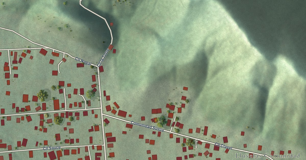
A detailed map of Lluveras, Puerto Rico, showing every building in its true location, the roads by name, and shaded topographical relief.
Read More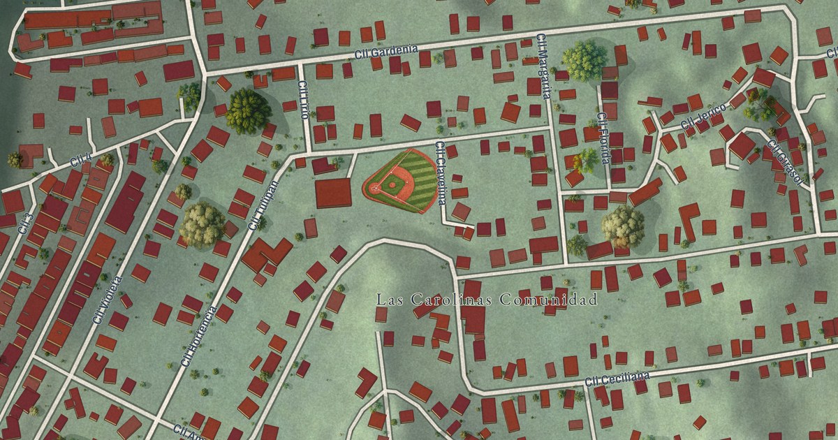
A detailed map of Las Carolinas, Puerto Rico, showing every building in its true location, the roads by name, and shaded topographical relief.
Read More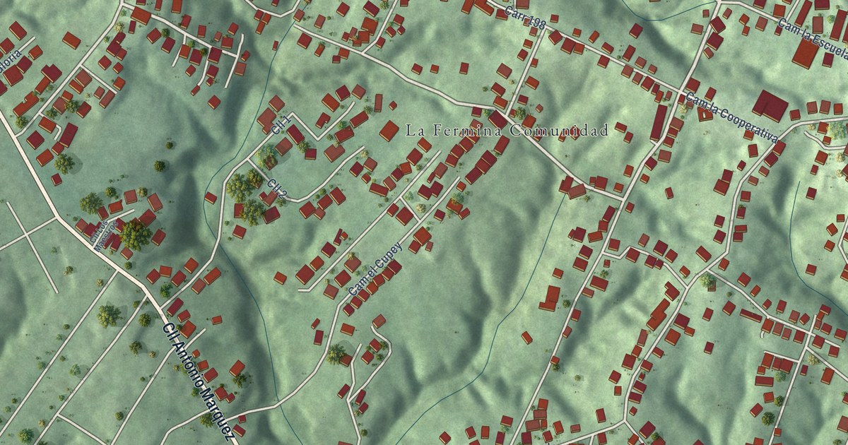
A detailed map of La Fermina, Puerto Rico, showing every building in its true location, the roads by name, and shaded topographical relief.
Read More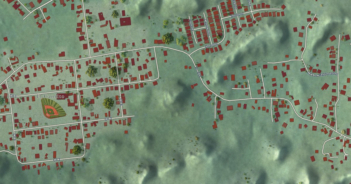
A detailed map of La Luisa, Puerto Rico, showing every building in its true location, the roads by name, and shaded topographical relief.
Read More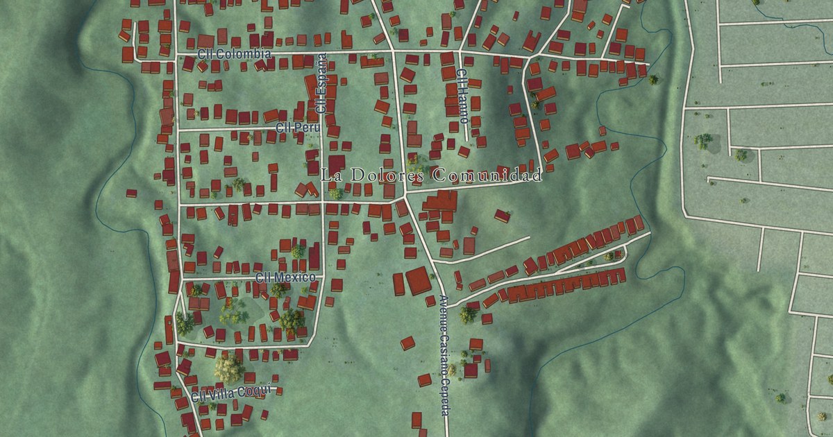
A detailed map of La Dolores, Puerto Rico, showing every building in its true location, the roads by name, and shaded topographical relief.
Read More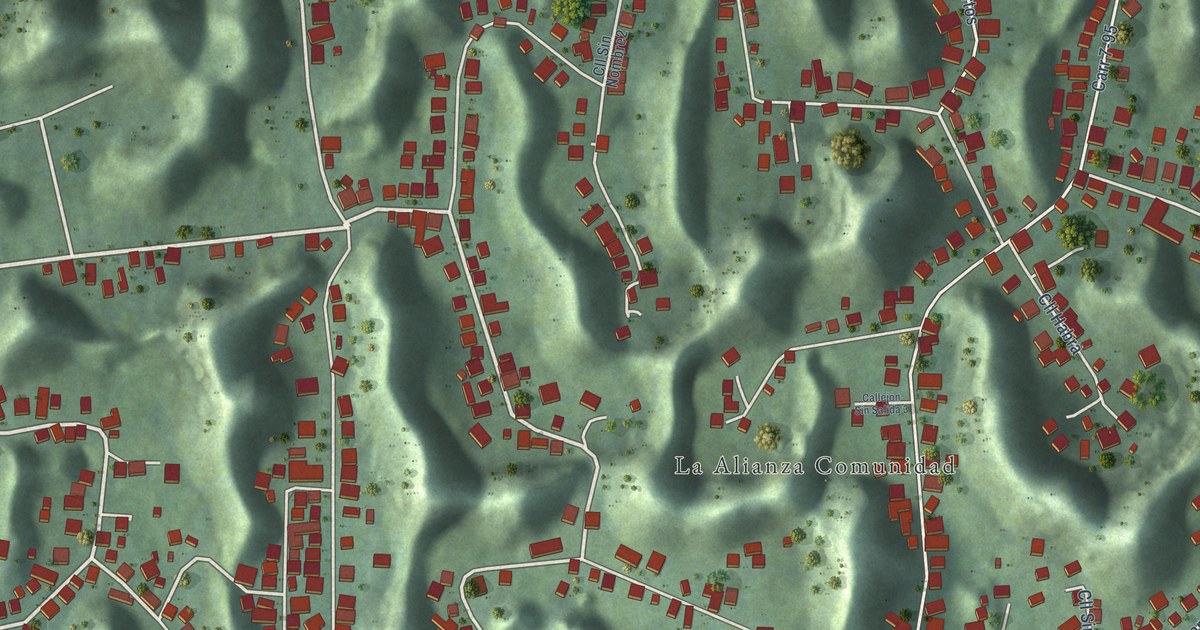
A detailed map of La Alianza, Puerto Rico, showing every building in its true location, the roads by name, and shaded topographical relief.
Read More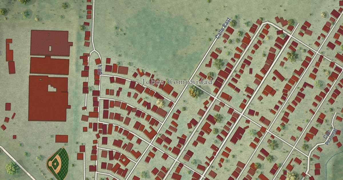
A detailed map of Jobos, Puerto Rico, showing every building in its true location, the roads by name, and shaded topographical relief.
Read More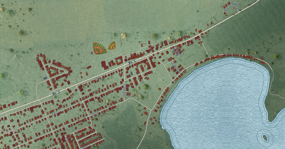
A detailed map of Jauca, Puerto Rico, showing every building in its true location, the roads by name, and shaded topographical relief.
Read More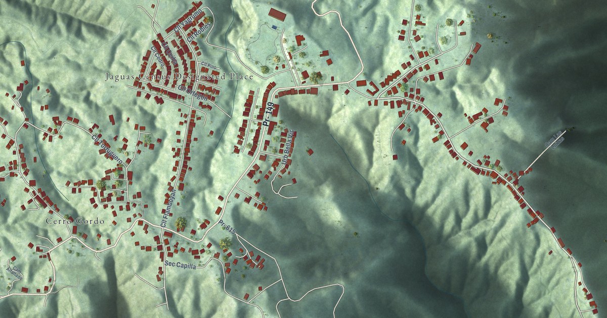
A detailed map of Jaguas, Puerto Rico, showing every building in its true location, the roads by name, and shaded topographical relief.
Read More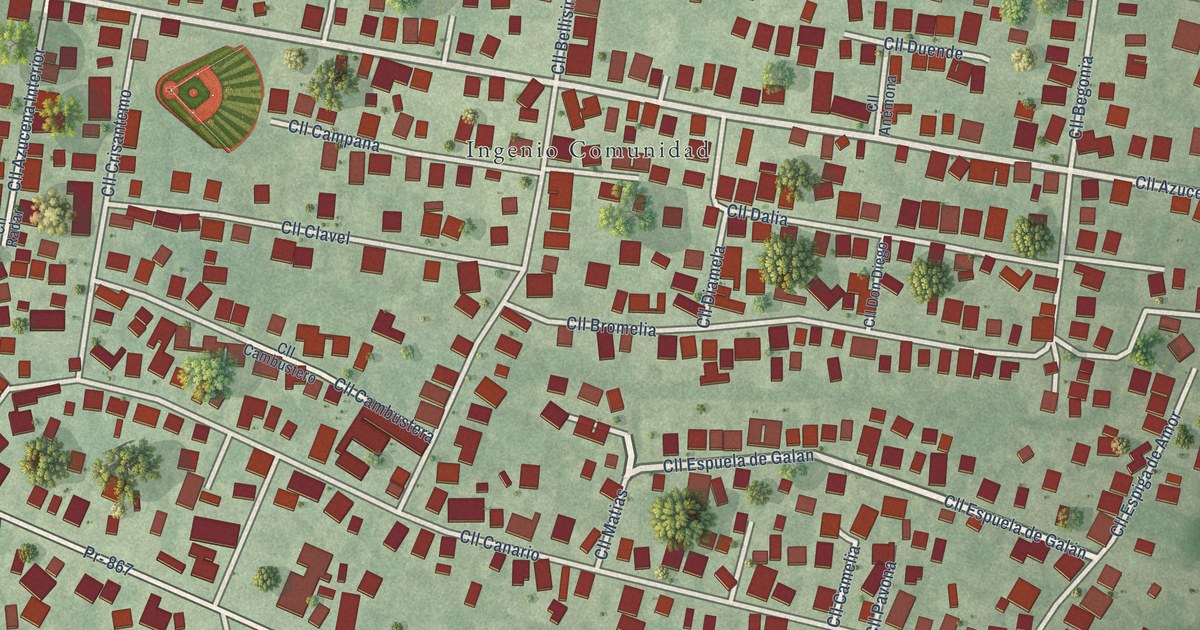
A detailed map of Ingenio, Puerto Rico, showing every building in its true location, the roads by name, and shaded topographical relief.
Read More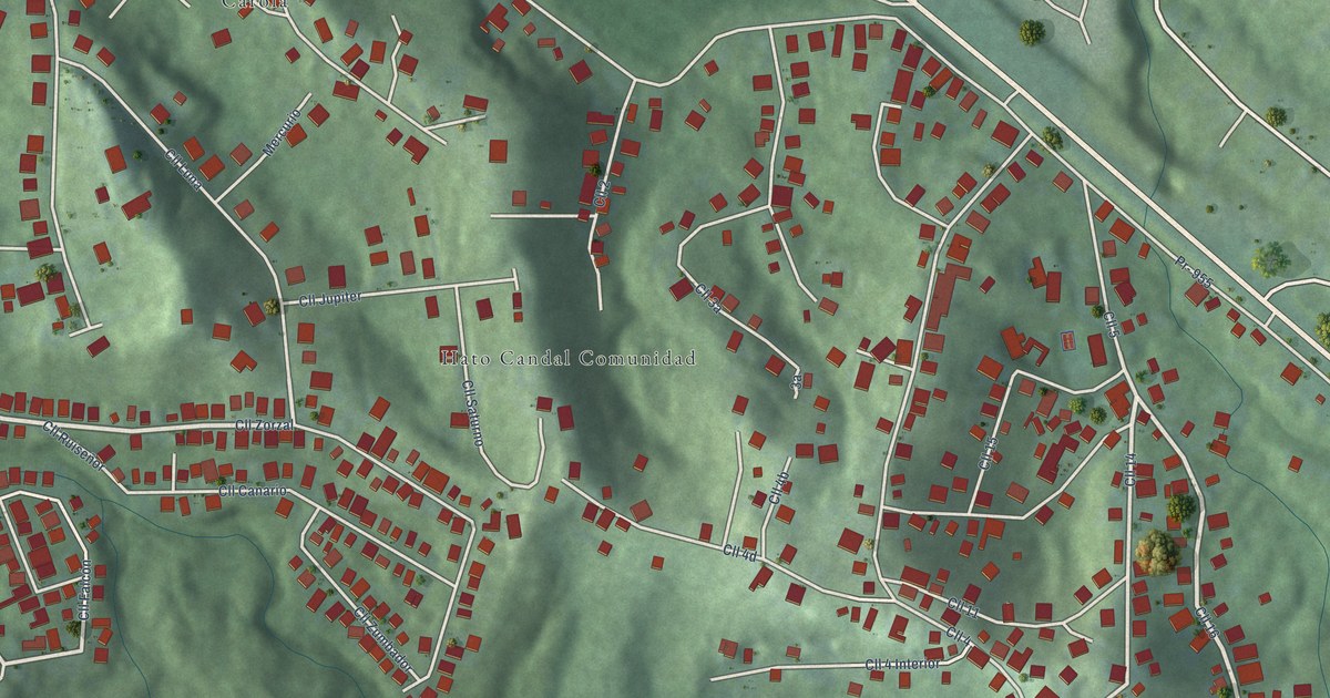
A detailed map of Hato Candal, Puerto Rico, showing every building in its true location, the roads by name, and shaded topographical relief.
Read More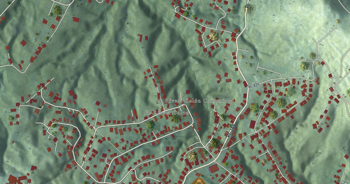
A detailed map of H. Rivera Colón, Puerto Rico, showing every building in its true location, the roads by name, and shaded topographical relief.
Read More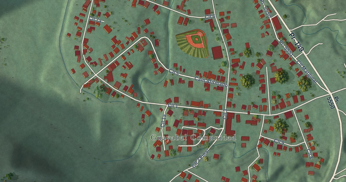
A detailed map of Guayabal, Puerto Rico, showing every building in its true location, the roads by name, and shaded topographical relief.
Read More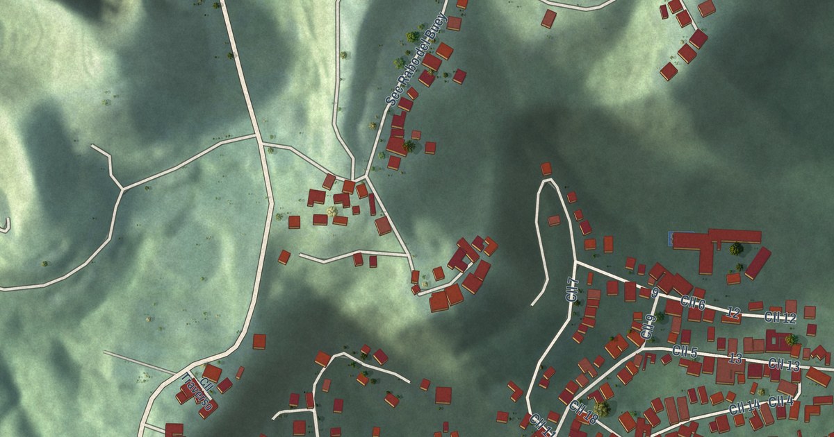
A detailed map of Galateo, Puerto Rico, showing every building in its true location, the roads by name, and shaded topographical relief.
Read More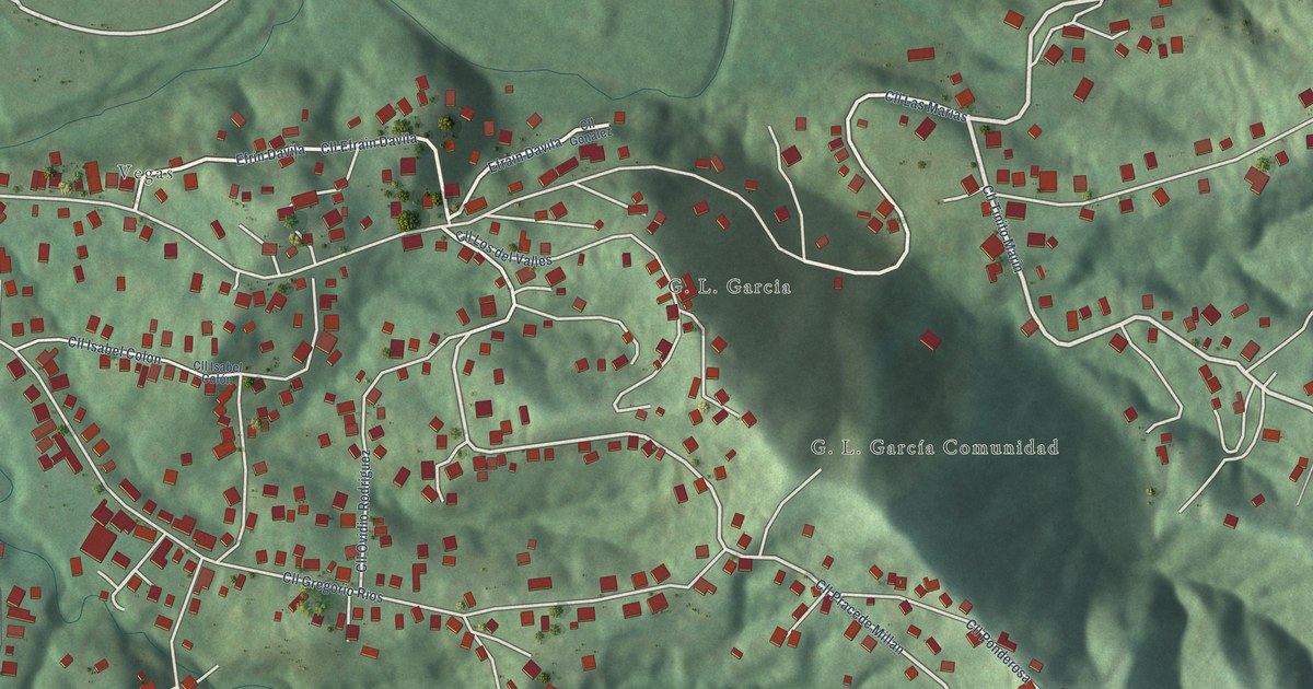
A detailed map of G. L. García, Puerto Rico, showing every building in its true location, the roads by name, and shaded topographical relief.
Read More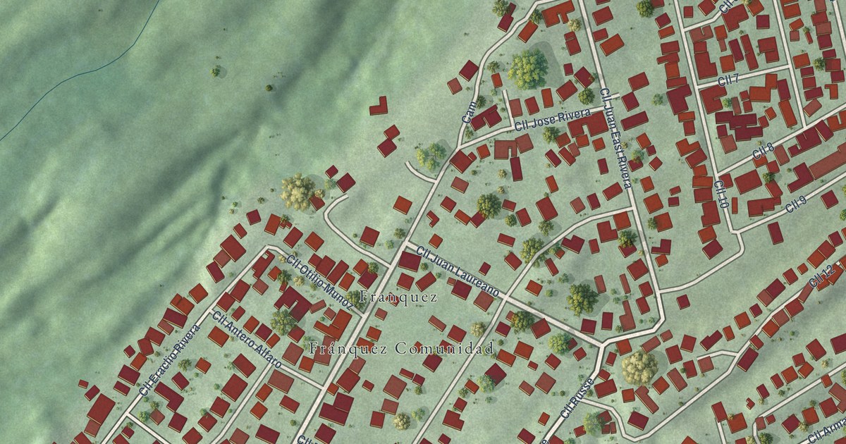
A detailed map of Fránquez, Puerto Rico, showing every building in its true location, the roads by name, and shaded topographical relief.
Read More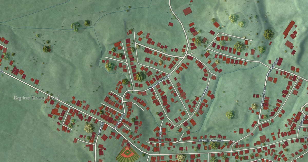
A detailed map of Espino, Puerto Rico, showing every building in its true location, the roads by name, and shaded topographical relief.
Read More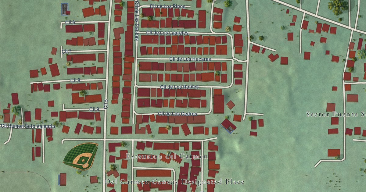
A detailed map of Del Carmen, Puerto Rico, showing every building in its true location, the roads by name, and shaded topographical relief.
Read More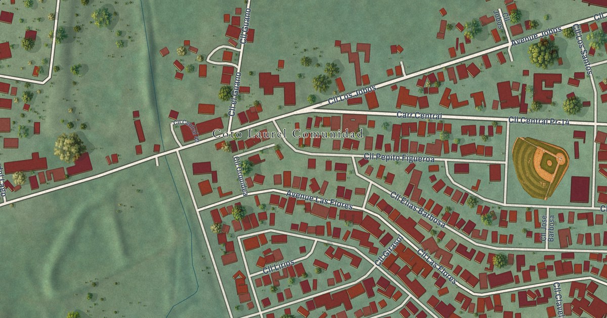
A detailed map of Coto Laurel, Puerto Rico, showing every building in its true location, the roads by name, and shaded topographical relief.
Read More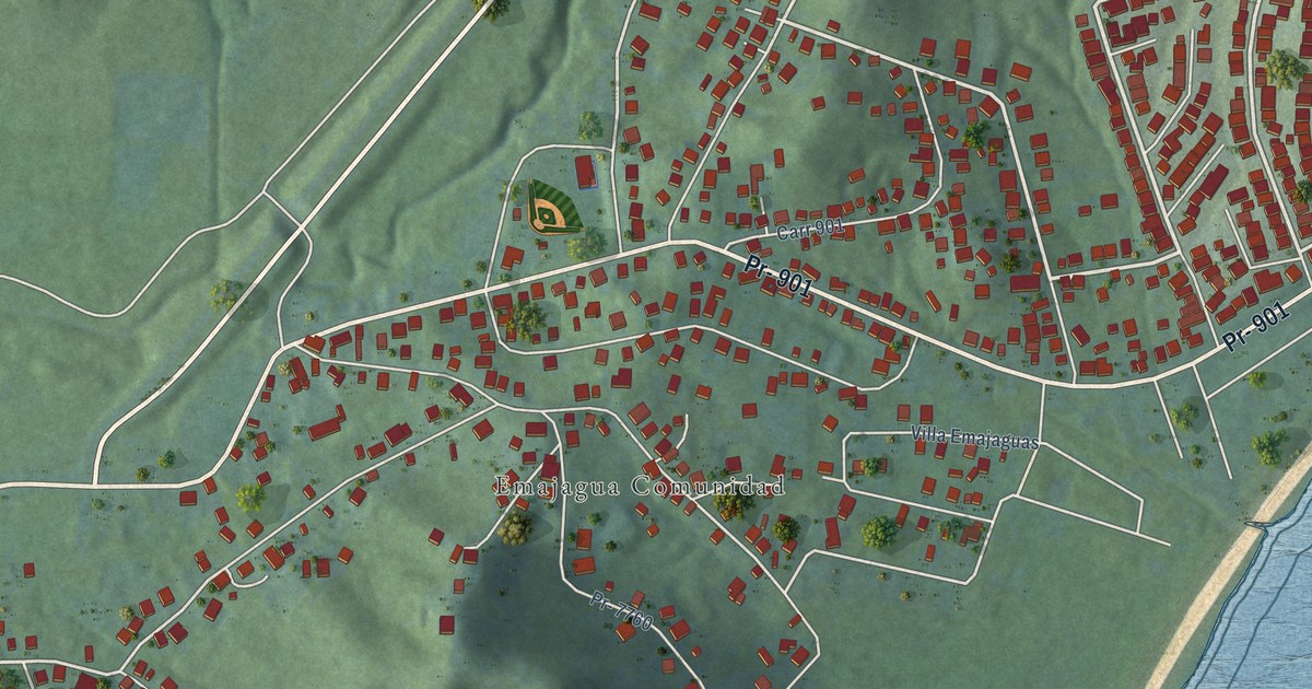
A detailed map of Emajagua, Puerto Rico, showing every building in its true location, the roads by name, and shaded topographical relief.
Read More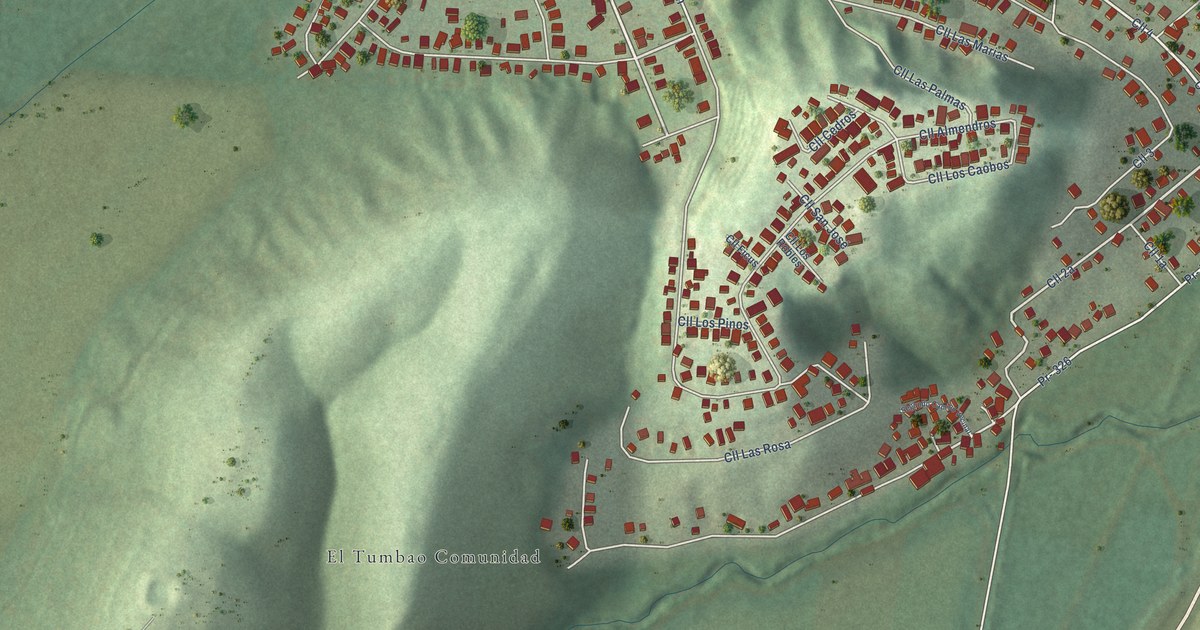
A detailed map of El Tumbao, Puerto Rico, showing every building in its true location, the roads by name, and shaded topographical relief.
Read More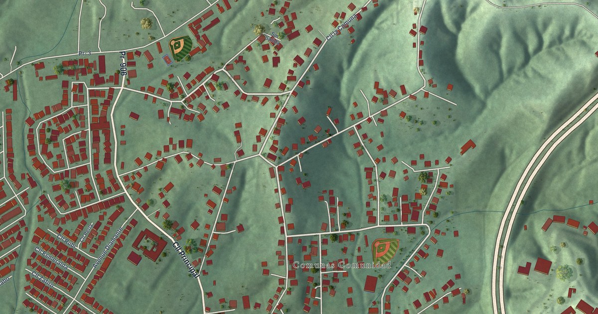
A detailed map of Comunas, Puerto Rico, showing every building in its true location, the roads by name, and shaded topographical relief.
Read More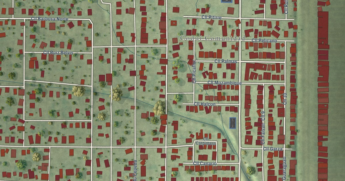
A detailed map of Coquí, Puerto Rico, showing every building in its true location, the roads by name, and shaded topographical relief.
Read More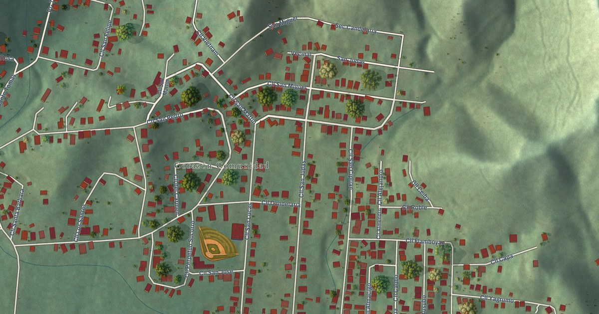
A detailed map of Corazón, Puerto Rico, showing every building in its true location, the roads by name, and shaded topographical relief.
Read More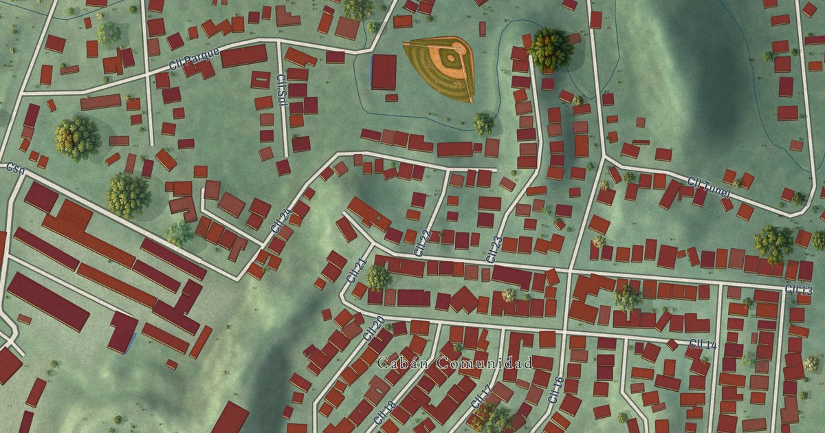
A detailed map of Cabán, Puerto Rico, showing every building in its true location, the roads by name, and shaded topographical relief.
Read More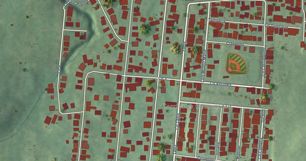
A detailed map of Carrizales, Puerto Rico, showing every building in its true location, the roads by name, and shaded topographical relief.
Read More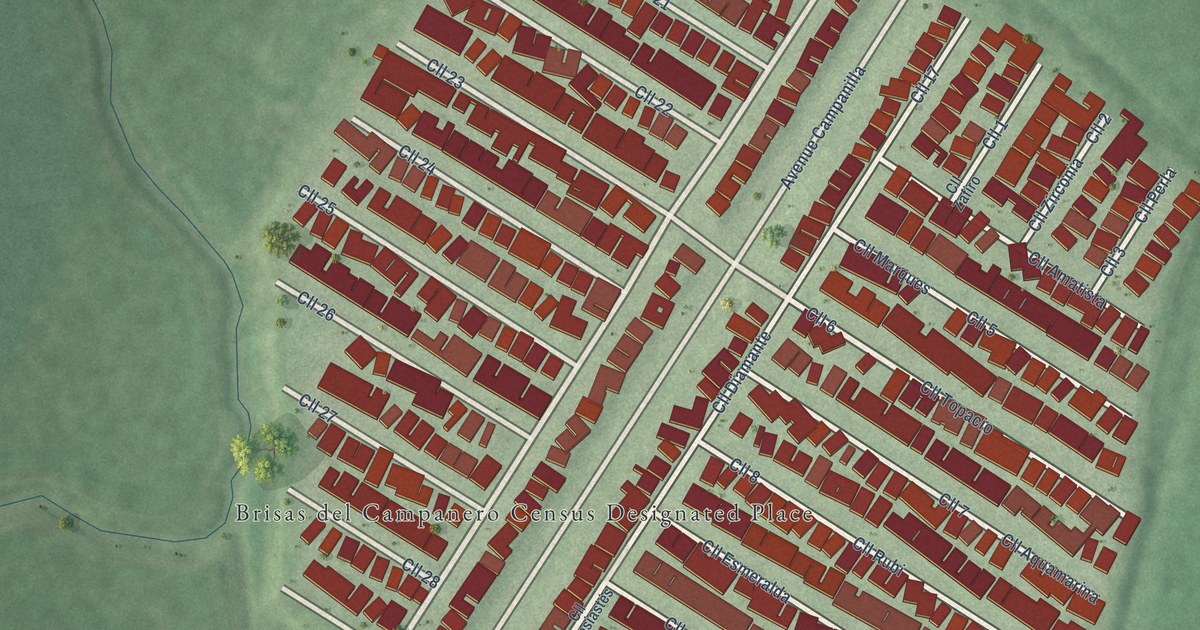
A detailed map of Brisas del Campanero, Puerto Rico, showing every building in its true location, the roads by name, and shaded topographical relief.
Read More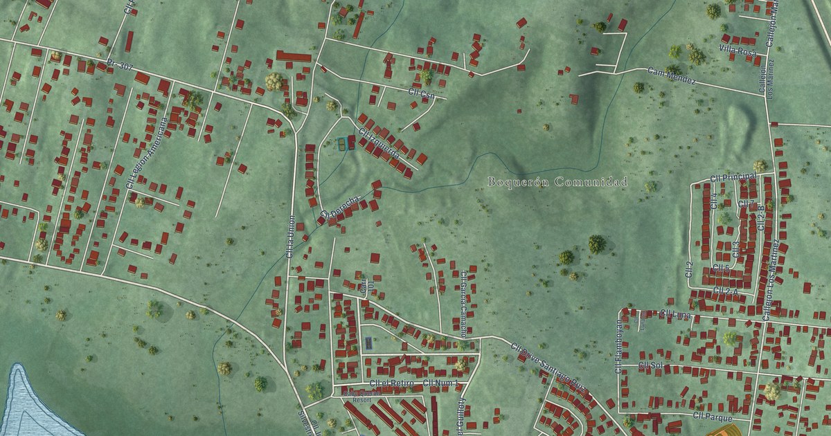
A detailed map of Boquerón, Puerto Rico, showing every building in its true location, the roads by name, and shaded topographical relief.
Read More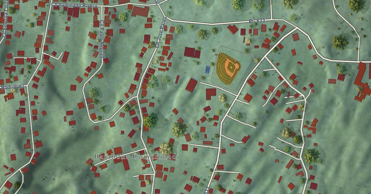
A detailed map of Barahona, Puerto Rico, showing every building in its true location, the roads by name, and shaded topographical relief.
Read More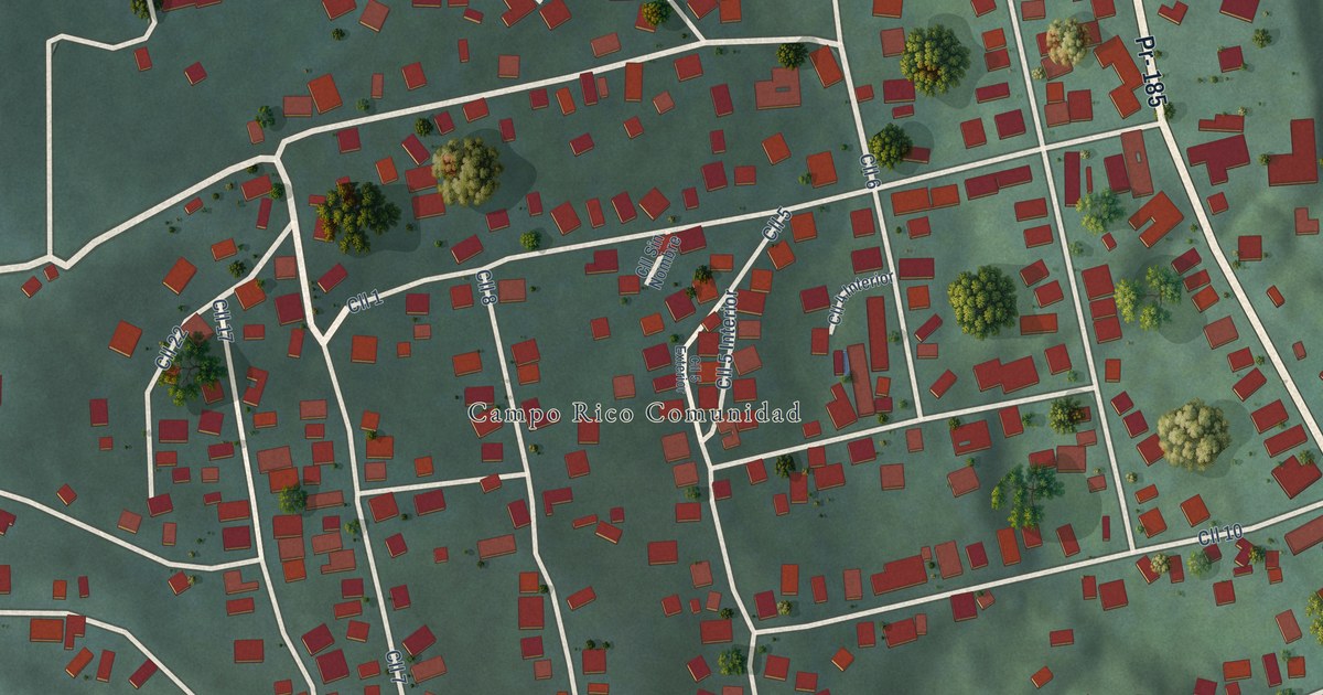
A detailed map of Campo Rico, Puerto Rico, showing every building in its true location, the roads by name, and shaded topographical relief.
Read More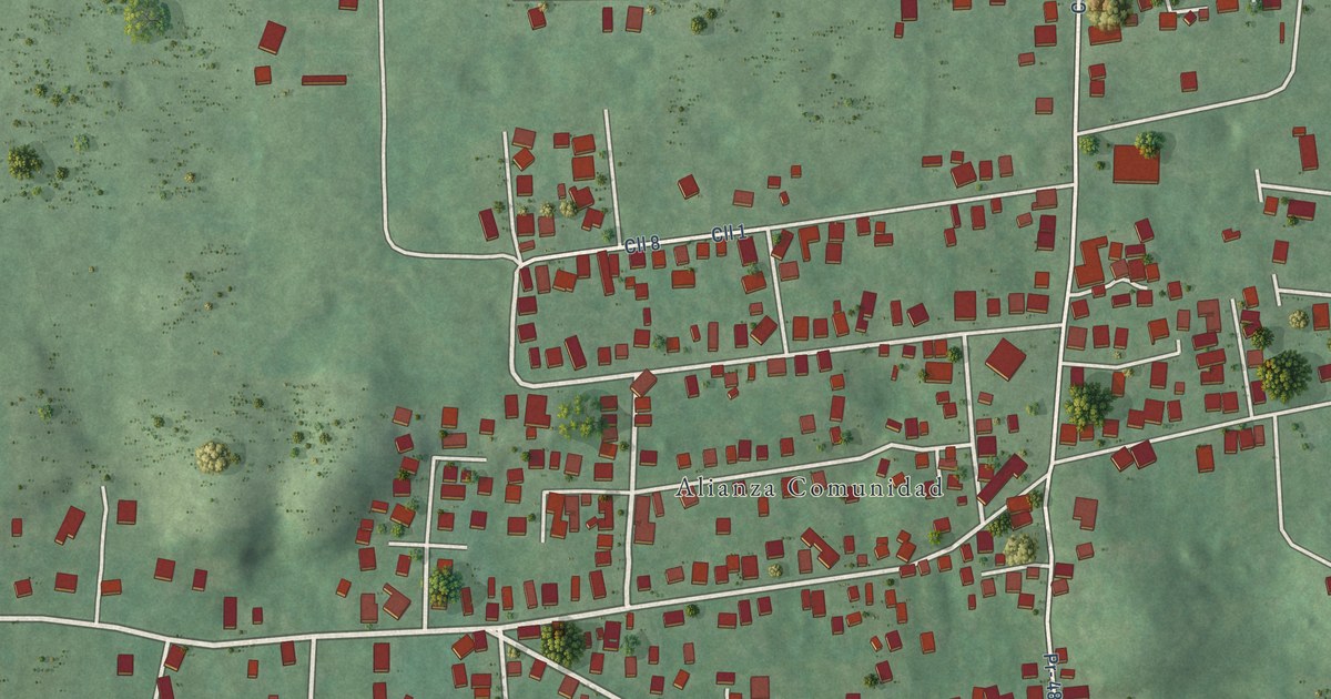
A detailed map of Alianza, Puerto Rico, showing every building in its true location, the roads by name, and shaded topographical relief.
Read More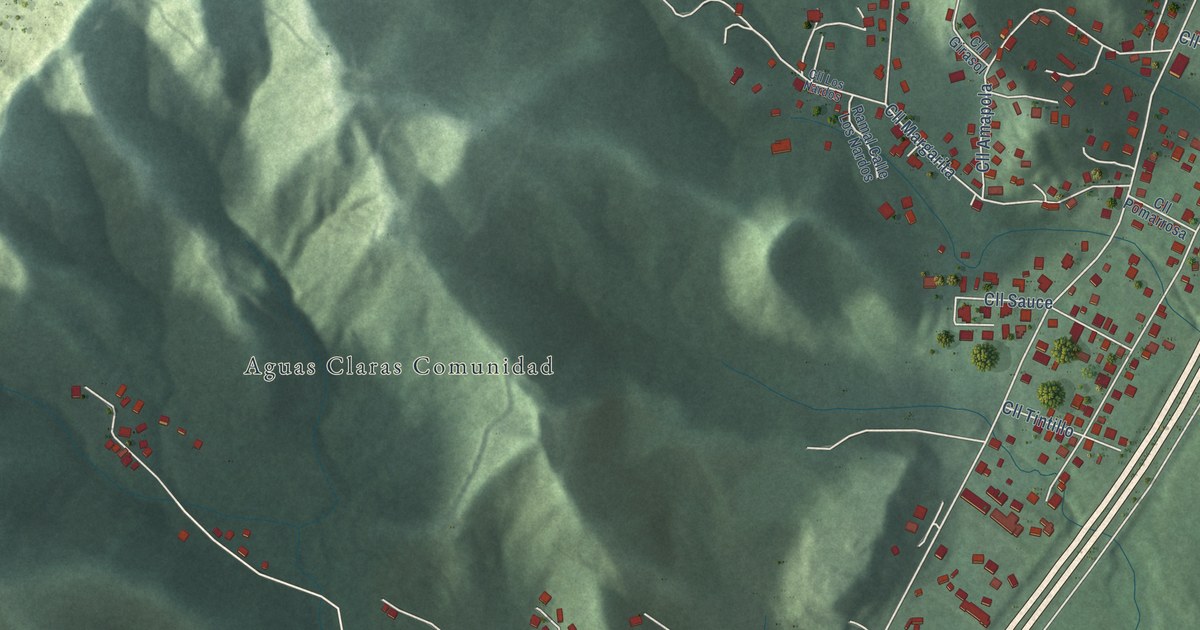
A detailed map of Aguas Claras, Puerto Rico, showing every building in its true location, the roads by name, and shaded topographical relief.
Read More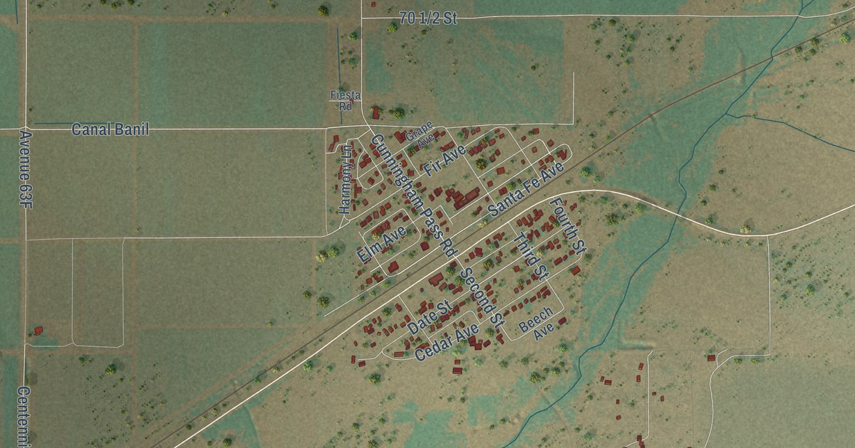
A detailed map of Wenden, Arizona, showing every building in its true location, the roads by name, and shaded topographical relief.
Read More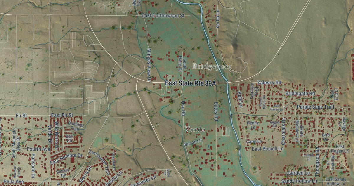
A detailed map of Verde Village, Arizona, showing every building in its true location, the roads by name, and shaded topographical relief.
Read More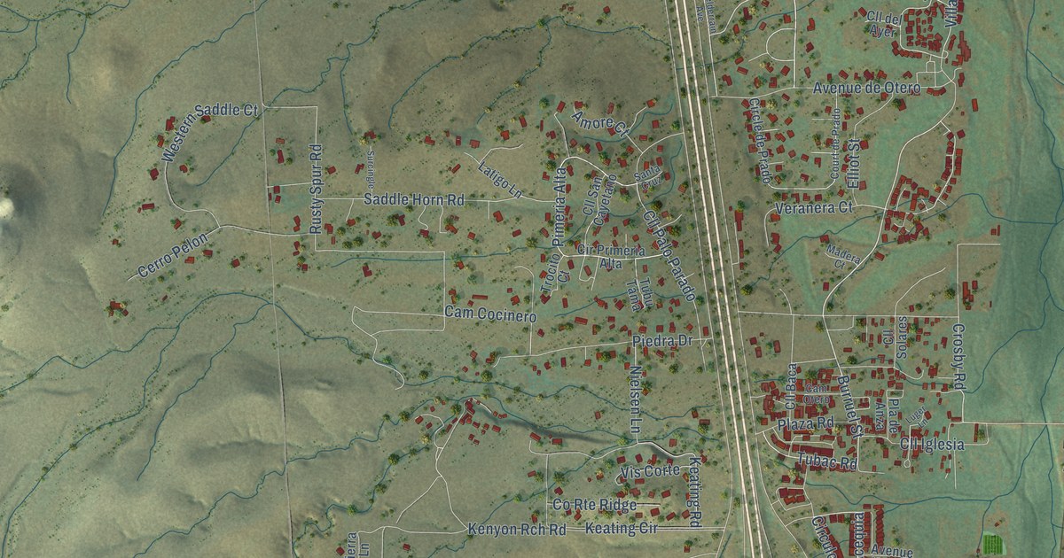
A detailed map of Tubac, Arizona, showing every building in its true location, the roads by name, and shaded topographical relief.
Read More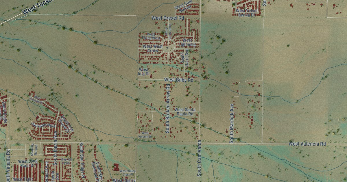
A detailed map of Valencia West, Arizona, showing every building in its true location, the roads by name, and shaded topographical relief.
Read More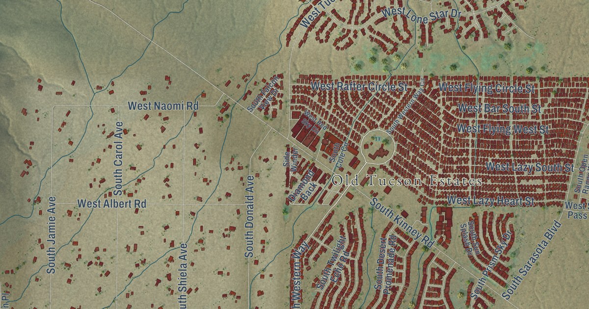
A detailed map of Tucson Estates, Arizona, showing every building in its true location, the roads by name, and shaded topographical relief.
Read More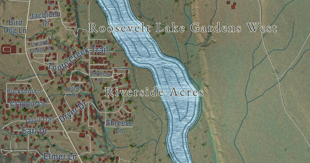
A detailed map of Tonto Basin, Arizona, showing every building in its true location, the roads by name, and shaded topographical relief.
Read More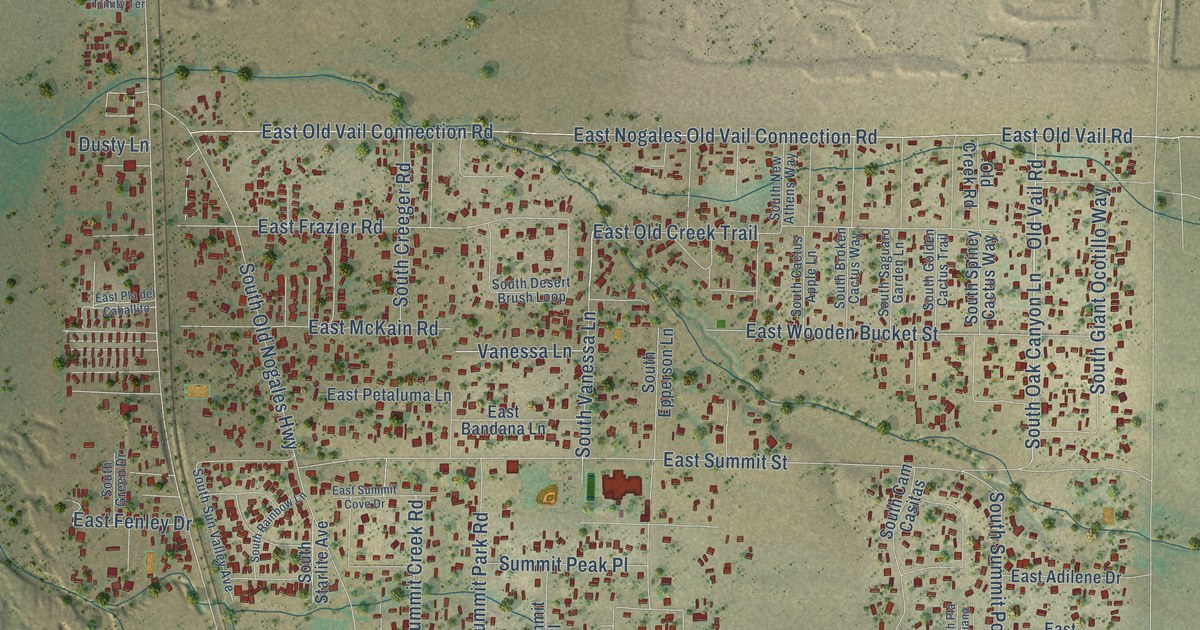
A detailed map of Summit, Arizona, showing every building in its true location, the roads by name, and shaded topographical relief.
Read More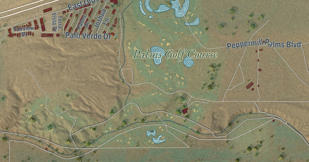
A detailed map of Scenic, Arizona, showing every building in its true location, the roads by name, and shaded topographical relief.
Read More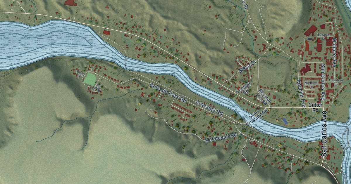
A detailed map of San Carlos, Arizona, showing every building in its true location, the roads by name, and shaded topographical relief.
Read More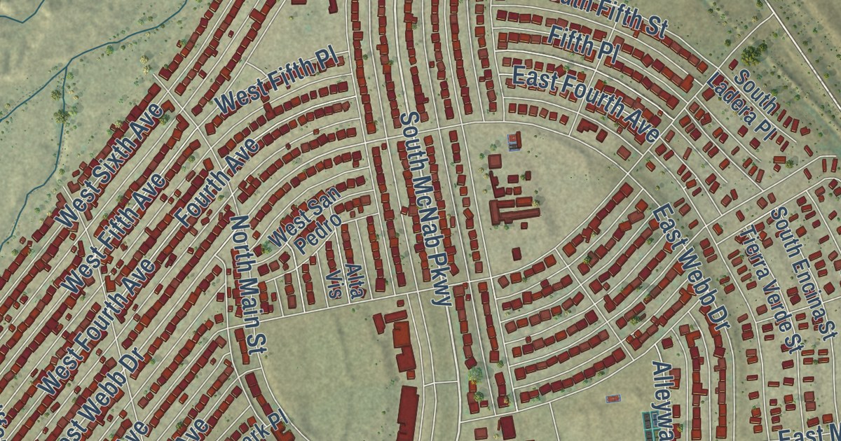
A detailed map of San Manuel, Arizona, showing every building in its true location, the roads by name, and shaded topographical relief.
Read More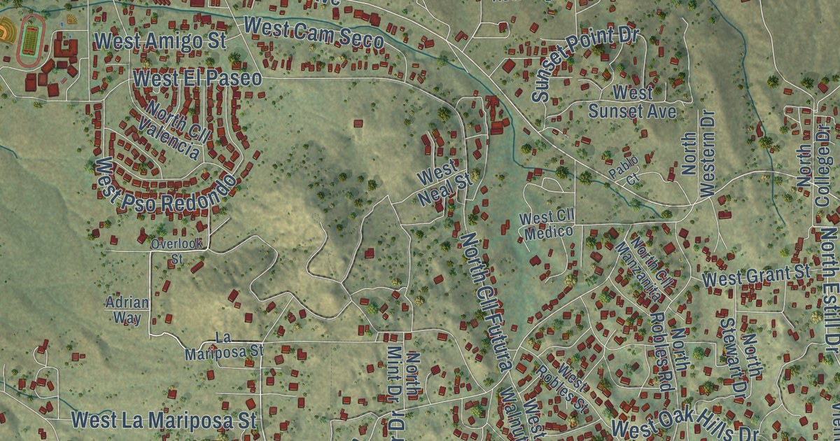
A detailed map of Oracle, Arizona, showing every building in its true location, the roads by name, and shaded topographical relief.
Read More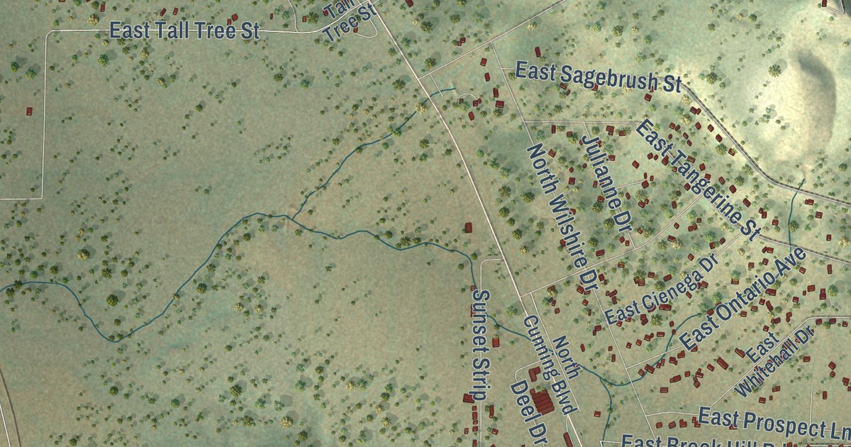
A detailed map of Red Lake, Arizona, showing every building in its true location, the roads by name, and shaded topographical relief.
Read More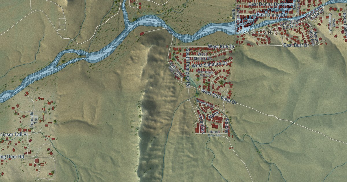
A detailed map of Queen Valley, Arizona, showing every building in its true location, the roads by name, and shaded topographical relief.
Read More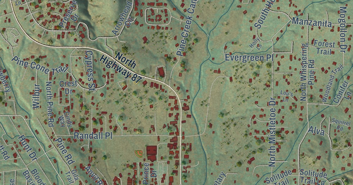
A detailed map of Pine, Arizona, showing every building in its true location, the roads by name, and shaded topographical relief.
Read More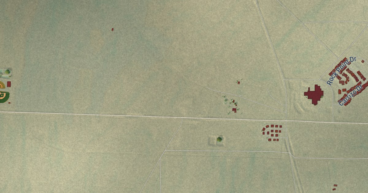
A detailed map of Red Mesa, Arizona, showing every building in its true location, the roads by name, and shaded topographical relief.
Read More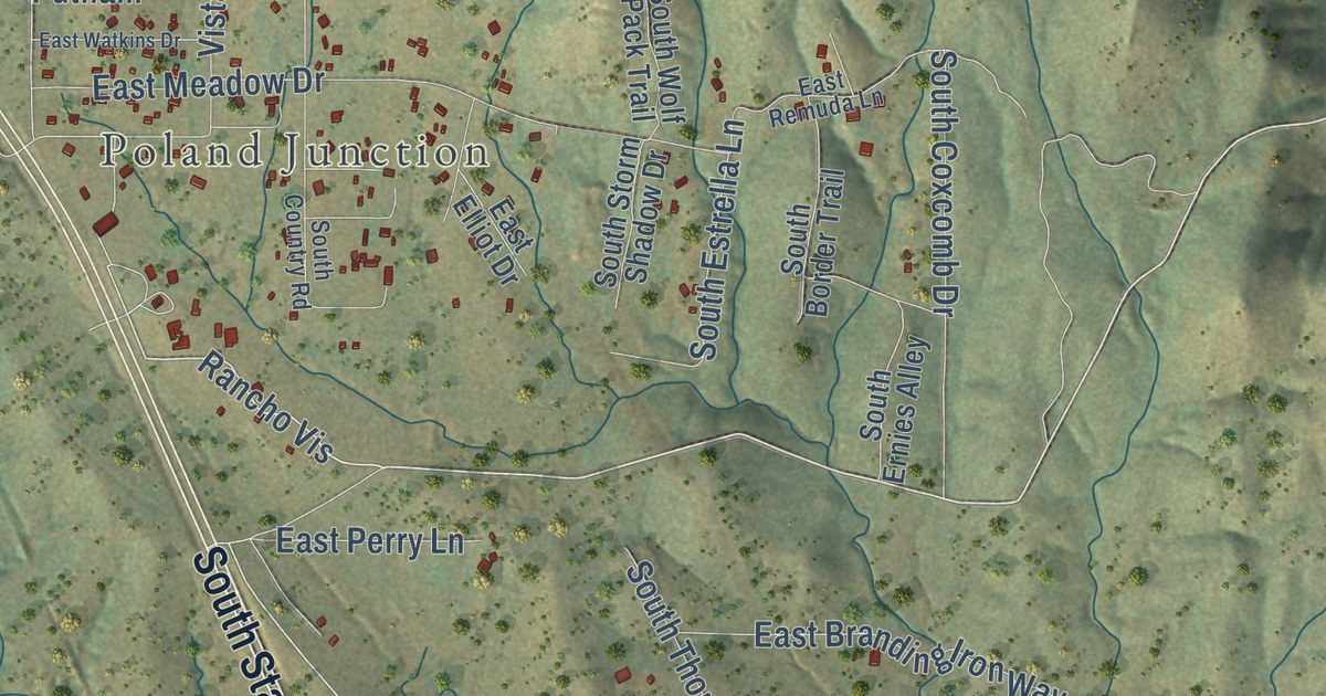
A detailed map of Mayer, Arizona, showing every building in its true location, the roads by name, and shaded topographical relief.
Read More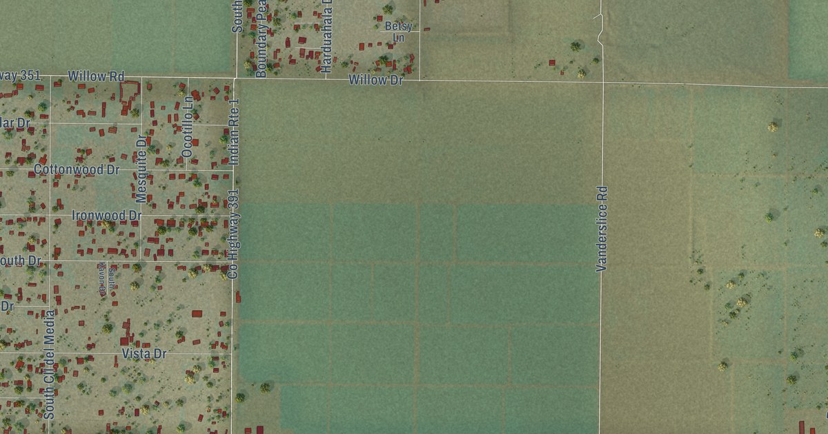
A detailed map of Mohave Valley, Arizona, showing every building in its true location, the roads by name, and shaded topographical relief.
Read More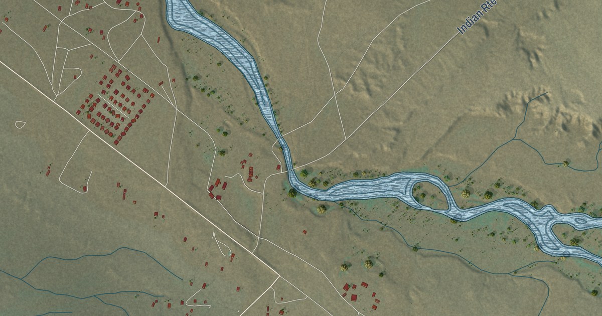
A detailed map of Round Rock, Arizona, showing every building in its true location, the roads by name, and shaded topographical relief.
Read More















