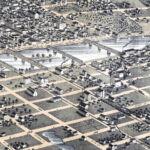
Restored Vintage Map of Decorah, Iowa from 1870
This vintage map of Decorah, Iowa was created in 1870 and has been lovingly restored by KNOWOL. Click to zoom in on a high resolution version and purchase reproductions.
Read More
This vintage map of Decorah, Iowa was created in 1870 and has been lovingly restored by KNOWOL. Click to zoom in on a high resolution version and purchase reproductions.
Read More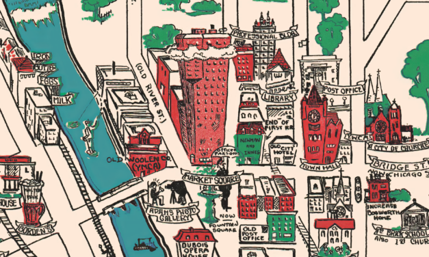
This vintage map is titled “Elgin Past and Present, and was produced in 1930 by the Elgin Branch of the American Association of Women. This animated historical map was created ninety five years after the town was formed, and highlights historical sights and landmarks.
Read More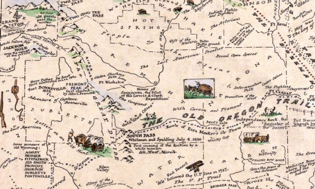
This beautifully detailed map of Wyoming features historical facts and trivia from around the state. It was created by renowned Wyoming historian Grace Raymond Hebard in 1928.
Read More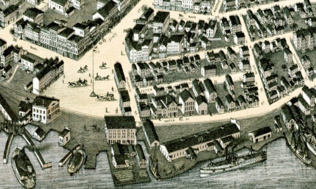
Bird’s eye view of New London, Connecticut in 1876
Read More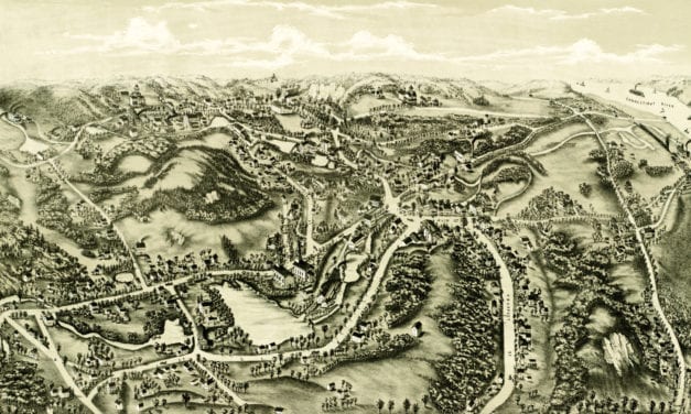
This old map shows Chester, Connecticut in the late 19th century.
Read More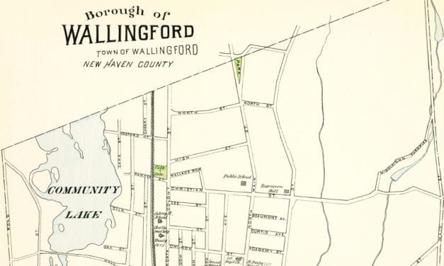
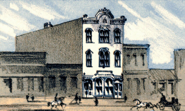
This old map of Wallingford, CT is a hand colored lithograph from 1893. The map was created by...
Read More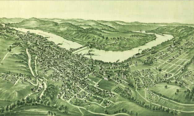
Detailed bird’s eye view of Morgantown, West Virginia in the late 19th century
Read More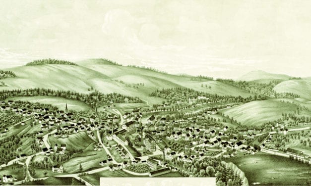
Click here to see what Greenville looked like 100+ years ago
Read More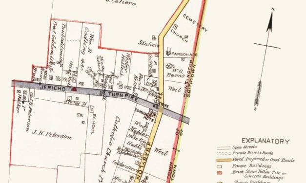
Click here to see what Commack was like in the early 20th century.
Read More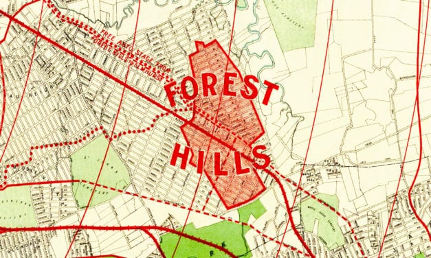
Historic old map of Forest Hills used to promote the neighborhoods development.
Read More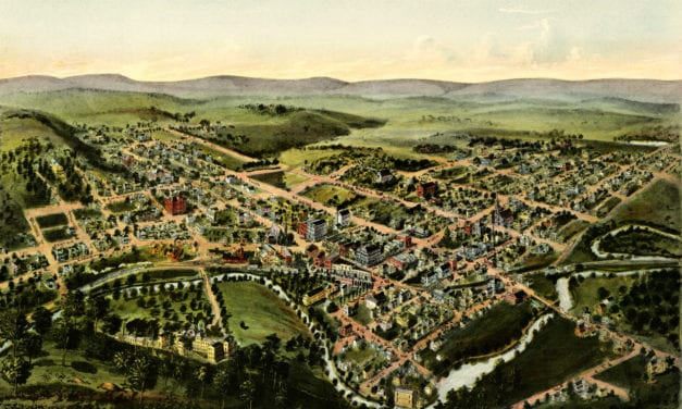
Click here to see how Oakland, Maryland looked more than 100+ years ago.
Read More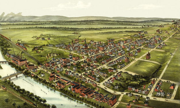
Click here to see Royersford, Pennsylvania in the 19th century.
Read More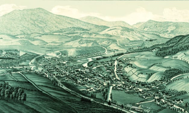
Click here to see what Ludlow looked like 100+ years ago!
Read More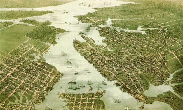
Click here to see what Portsmouth and Norfolk looked like in the 19th century.
Read More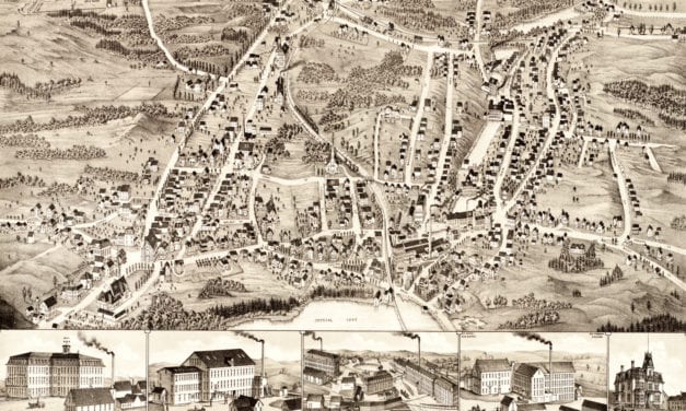
This map of Gardner, Massachusetts was created in 1880 by Beck & Paul Lithographers and the...
Read More
Click here to explore Turtle Creek, Pennsylvania more than 120 years ago.
Read More